Trails in Germany
36,852 hiking trails, each with its route, climb, walking time and grade.
All trails, page 540 of 768
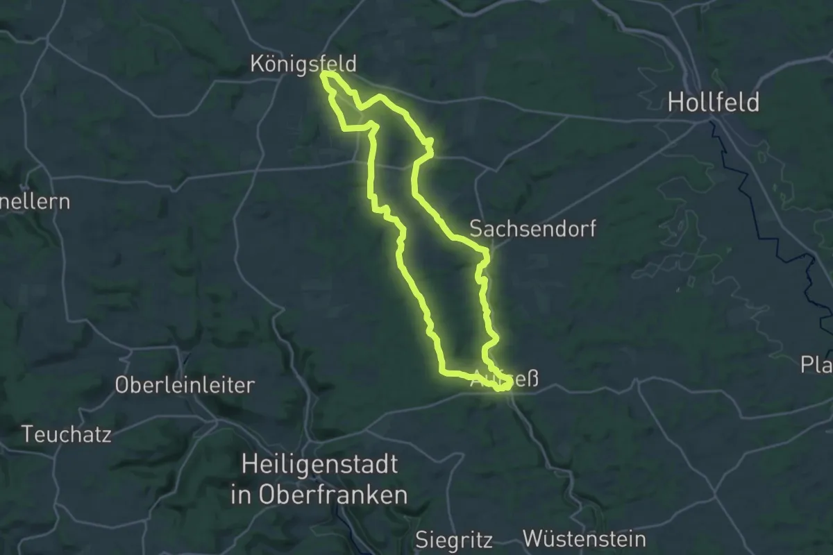
Demanding · Trail
Rundweg Aufseß-Königsfeld
20.9 km · ↑ 242 m · 5 h 44 min
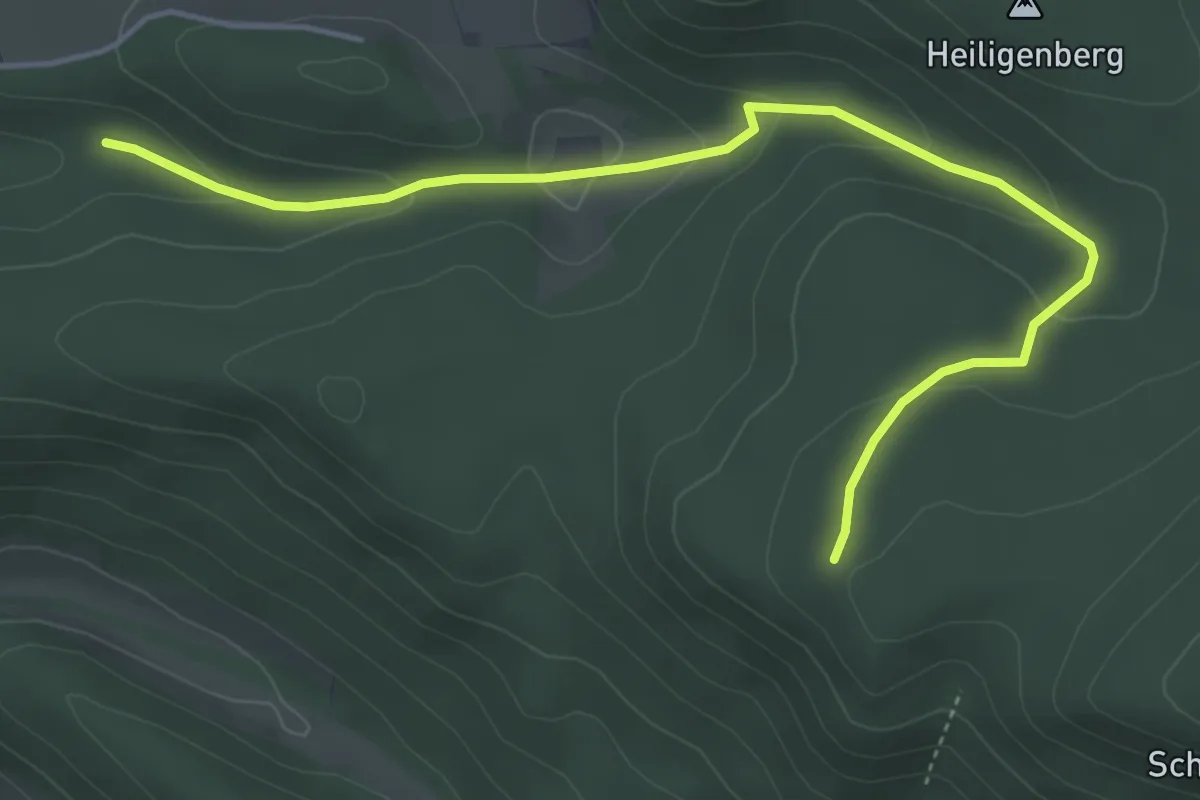
Easy · Trail
Rundweg Ausbachtal
2.4 km · ↑ 4 m · 41 min
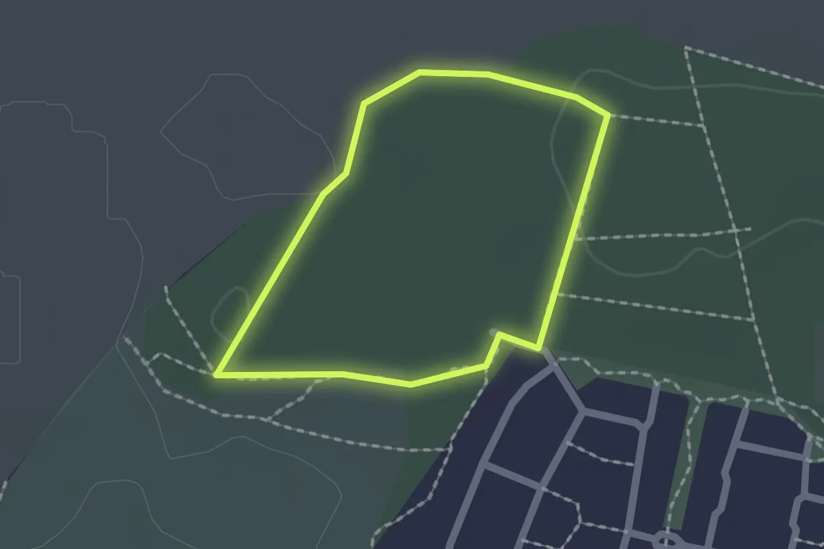
Easy · Trail
Rundweg "Ausländerkrankenhaus Mahlow"
1.2 km · ↑ 9 m · 20 min
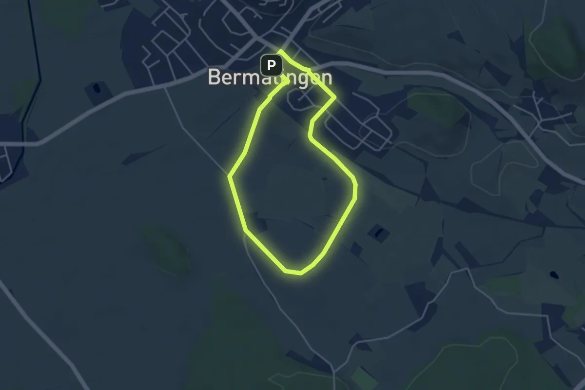
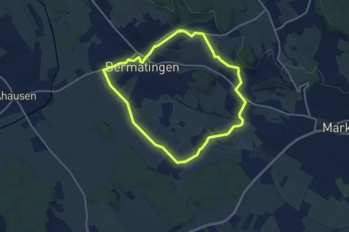
Easy · Trail
Rundweg B1
3.3 km · ↑ 26 m · 52 min
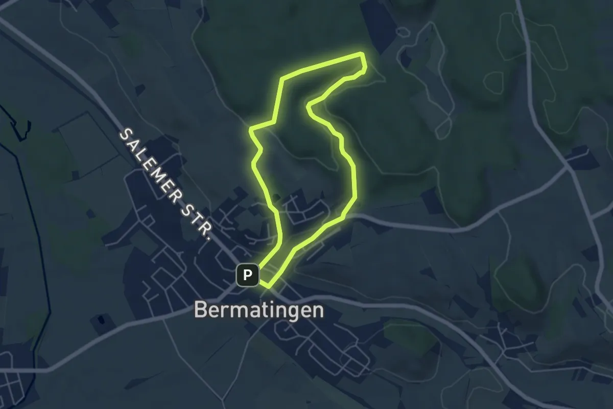
Easy · Trail
Rundweg B2
6.9 km · ↑ 68 m · 1 h 52 min
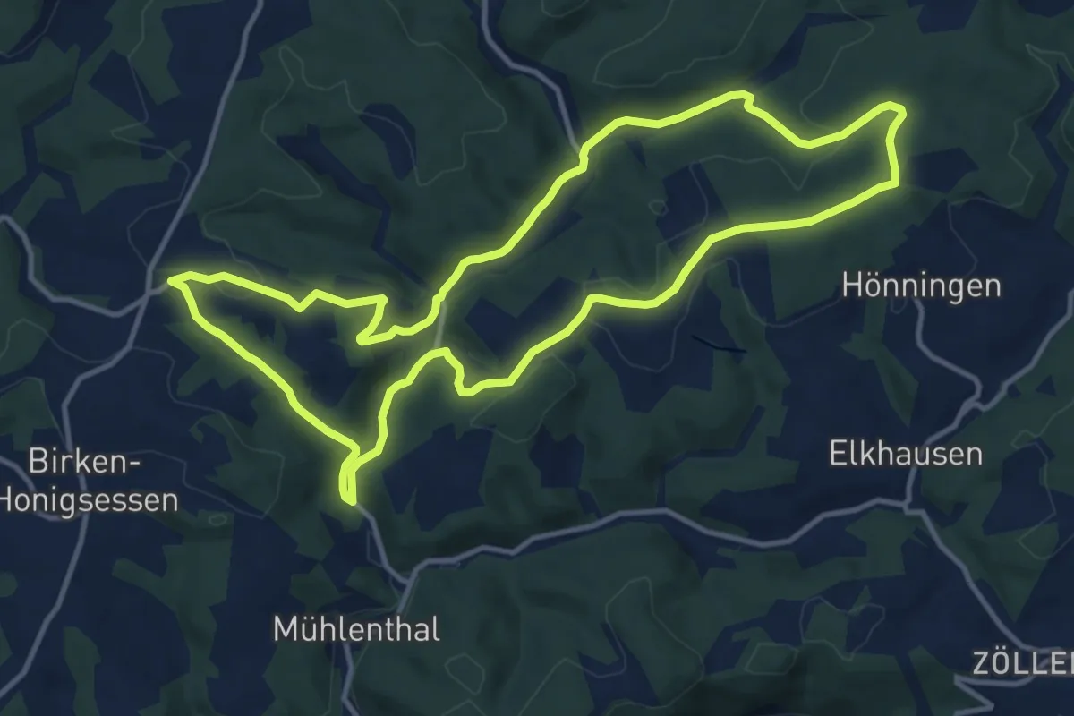
Easy · Trail
Rundweg B3
4.1 km · ↑ 91 m · 1 h 14 min
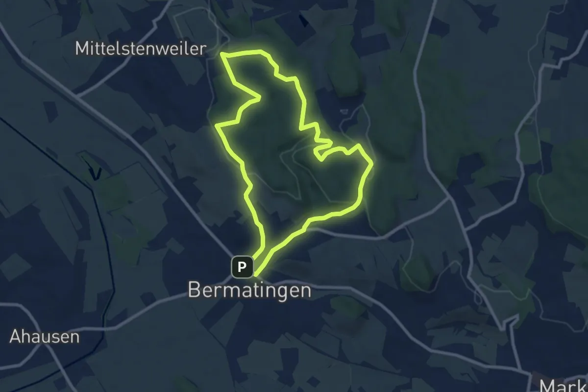
Medium · Trail
Rundweg B3 (Birken-Honigsessen)
11.2 km · ↑ 274 m · 3 h 23 min
Easy · Trail
Rundweg B4
7.2 km · ↑ 145 m · 2 h 7 min
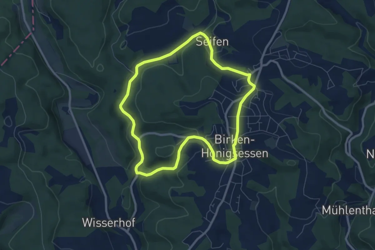
Easy · Trail
Rundweg B4 (Birken-Honigsessen)
6.1 km · ↑ 149 m · 1 h 50 min
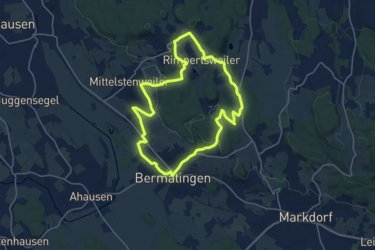
Medium · Trail
Rundweg B5
12.2 km · ↑ 209 m · 3 h 31 min
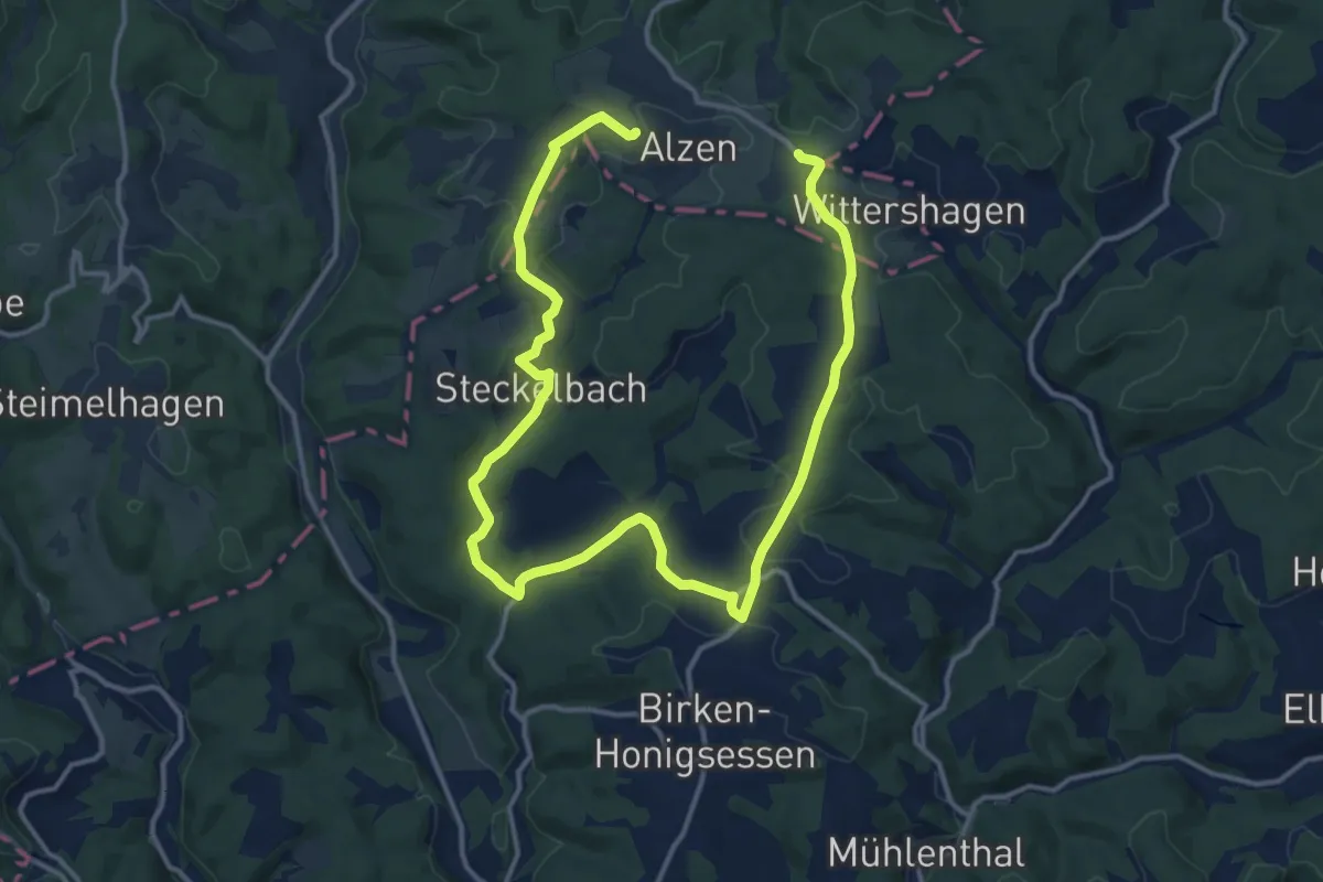
Medium · Trail
Rundweg B5 (Birken-Honigsessen)
9.7 km · ↑ 191 m · 2 h 51 min
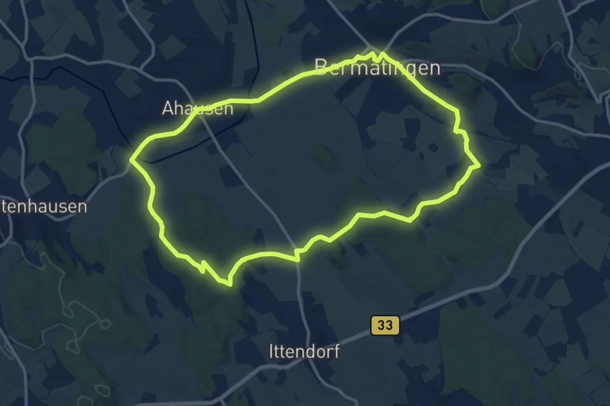
Medium · Trail
Rundweg B6
10.6 km · ↑ 103 m · 2 h 53 min
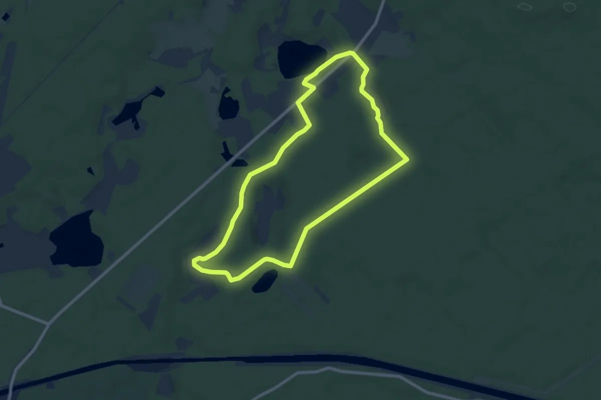
Easy · Trail
Rundweg Bachsee
6.2 km · ↑ 43 m · 1 h 39 min
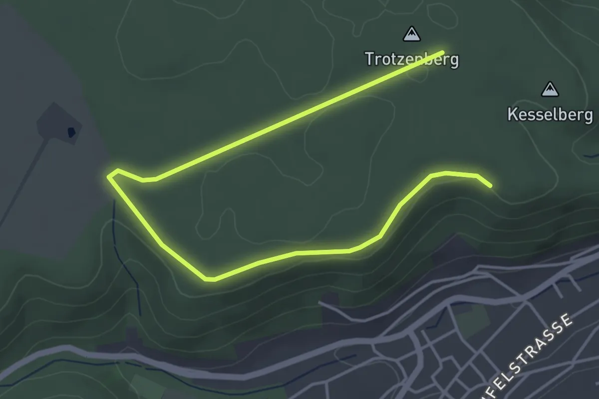
Easy · Summit
Rundweg Bad Breisig 2
2.6 km · ↑ 26 m · 42 min
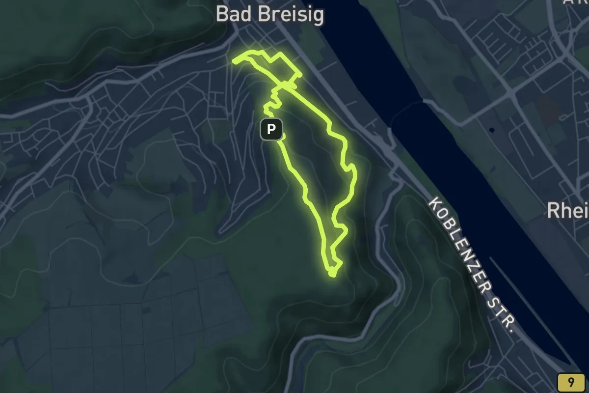
Medium · Summit
Rundweg Bad Breisig 6
4.8 km · ↑ 202 m · 1 h 38 min
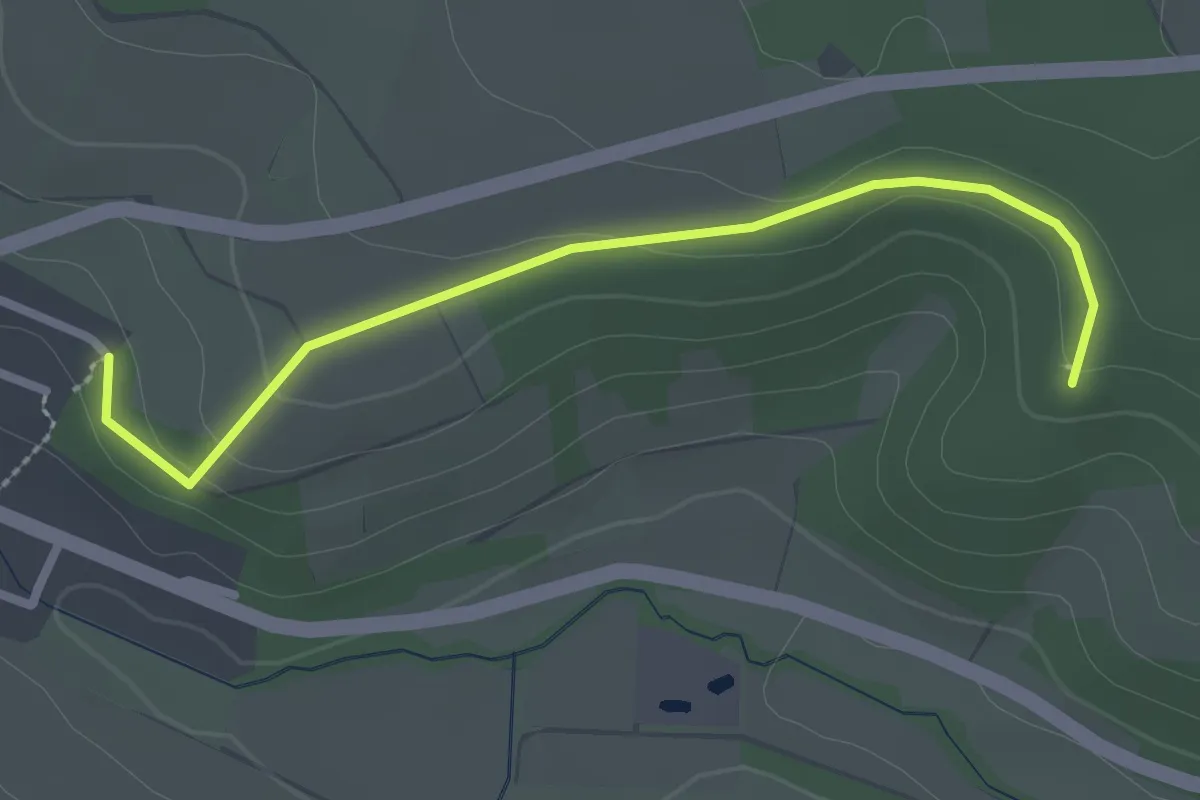
Easy · Trail
Rundweg Bad Breisig 7
1.2 km · ↑ 17 m · 22 min
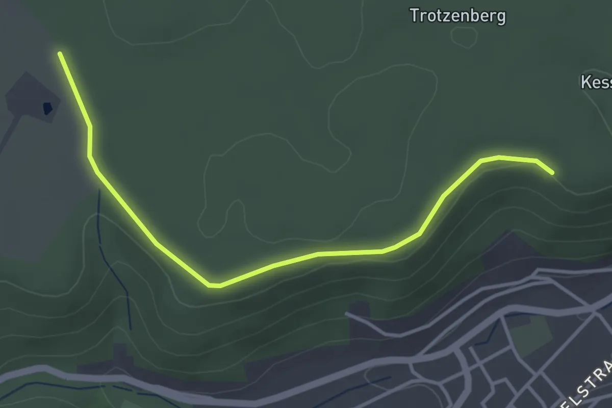
Easy · Trail
Rundweg Bad Breisig: Märchenweg
1.7 km · ↑ 17 m · 28 min
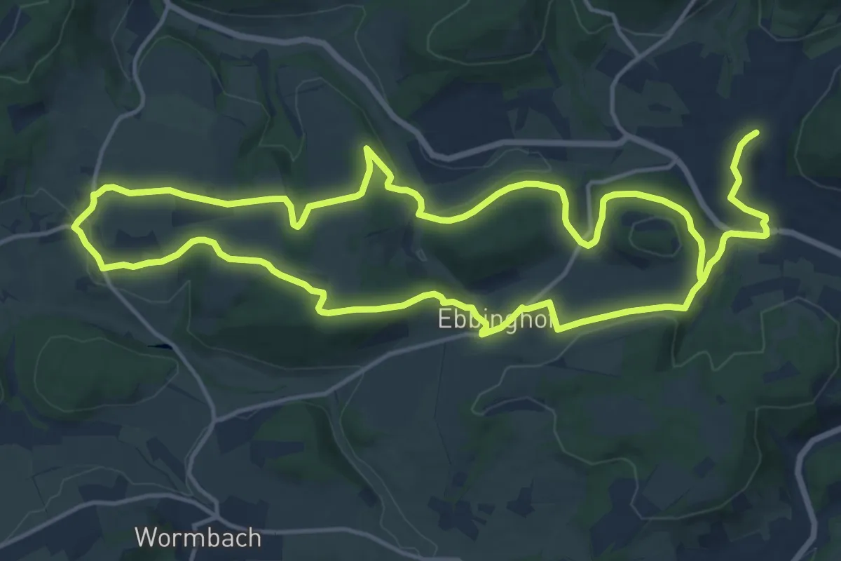
Demanding · Trail
Rundweg Bad Fredeburg BF3
26.0 km · ↑ 547 m · 7 h 20 min
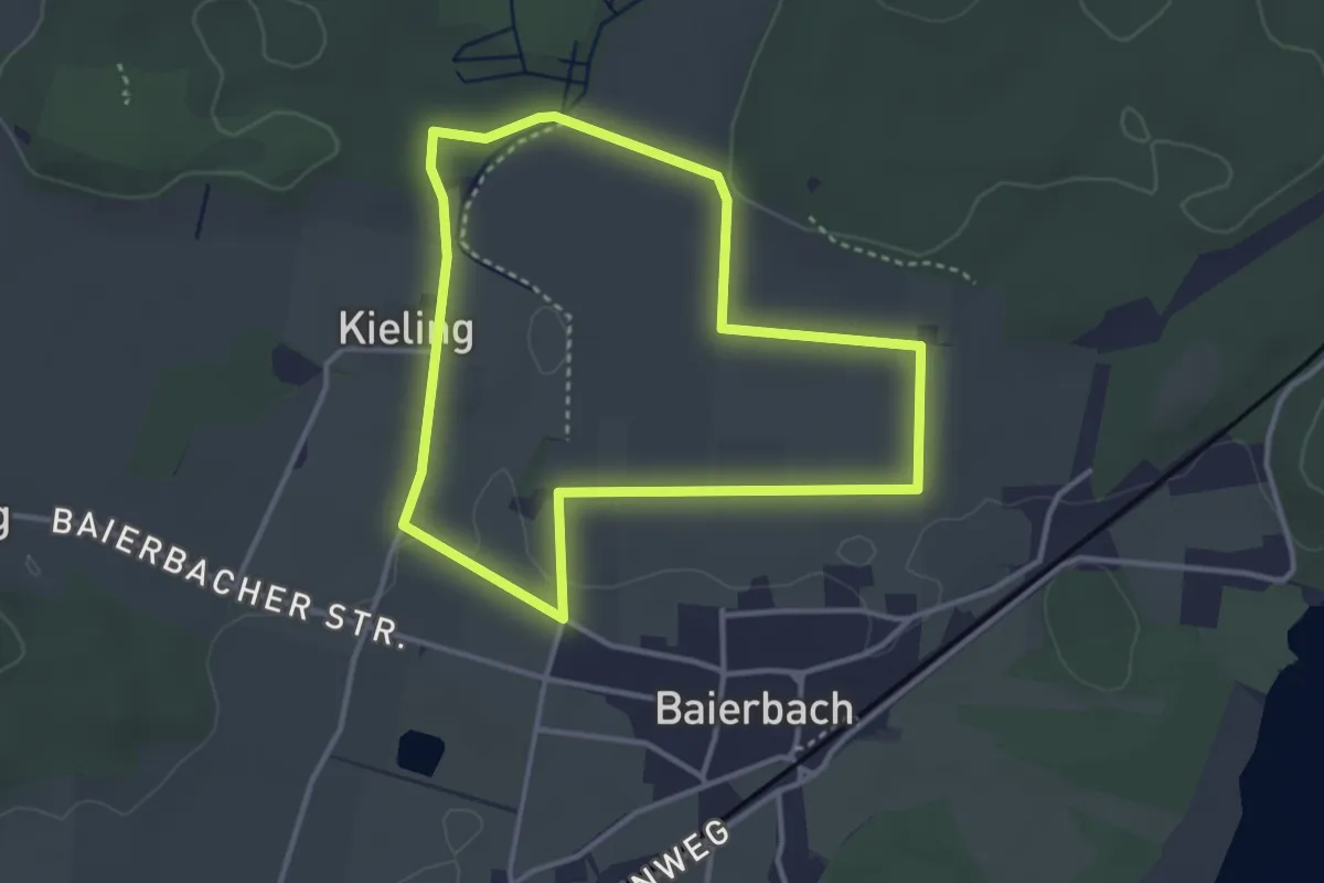
Easy · Trail
Rundweg Baierbach
3.2 km · ↑ 18 m · 50 min
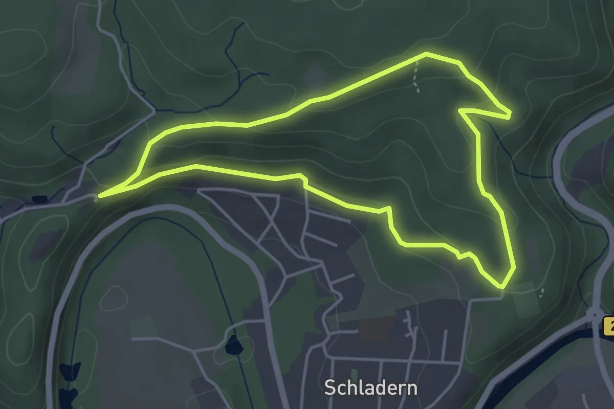
Easy · Trail
Rundweg Balken Altwindeck
3.7 km · ↑ 135 m · 1 h 13 min
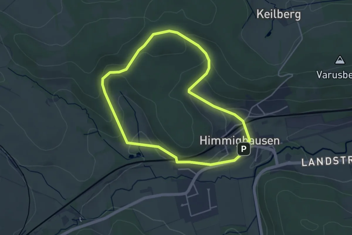
Easy · Trail
Rundweg Bangers Grund
3.1 km · ↑ 97 m · 59 min
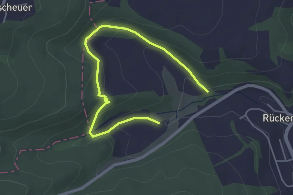
Easy · Trail
Rundweg-Bärenheck-Mattenbachtal
2.1 km · ↑ 70 m · 40 min
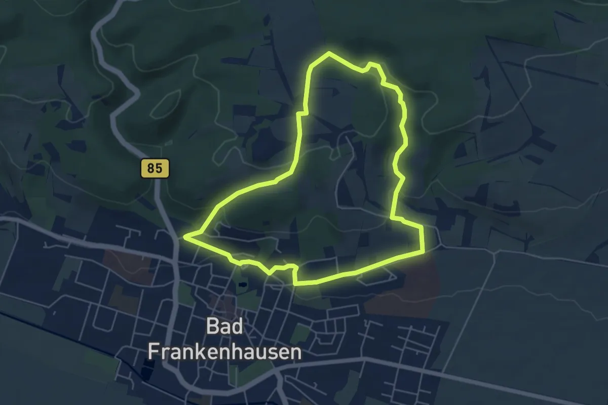
Easy · Trail
Rundweg Bärental
4.8 km · ↑ 130 m · 1 h 30 min
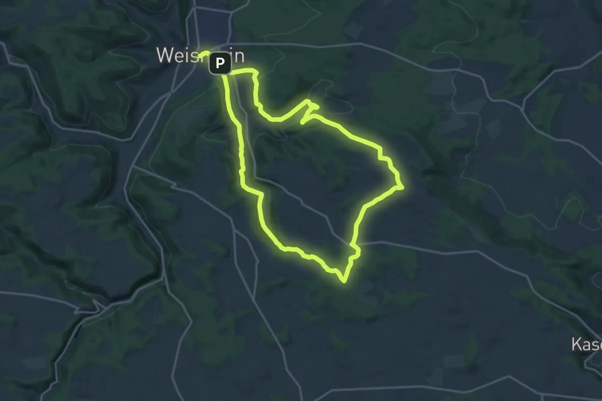
Medium · Summit
Rundweg Bärental-Görau
15.2 km · ↑ 296 m · 4 h 27 min
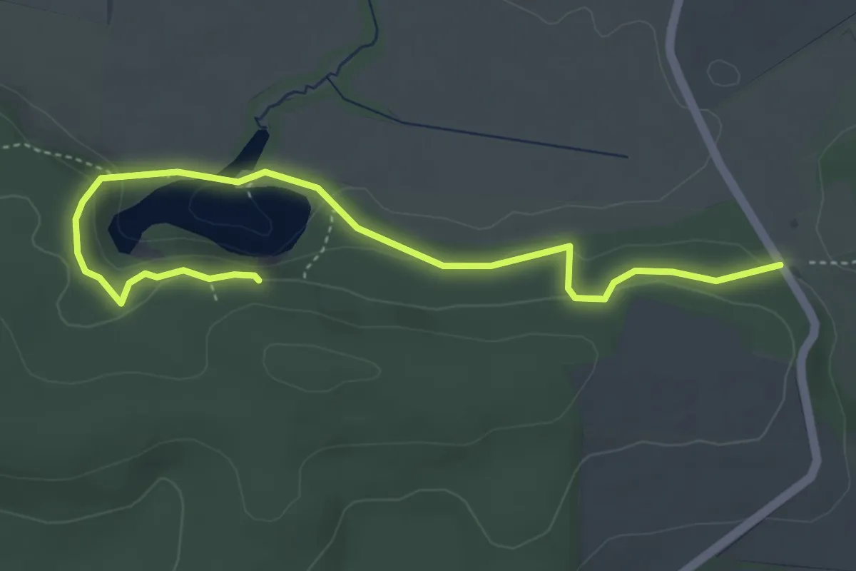
Medium · Trail
Rundweg Bauerngraben
4.5 km · ↑ 123 m · 1 h 20 min
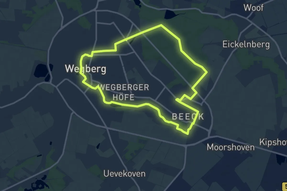
Medium · Trail
Rundweg Beecker Wald A2
8.4 km · ↑ 21 m · 2 h 8 min
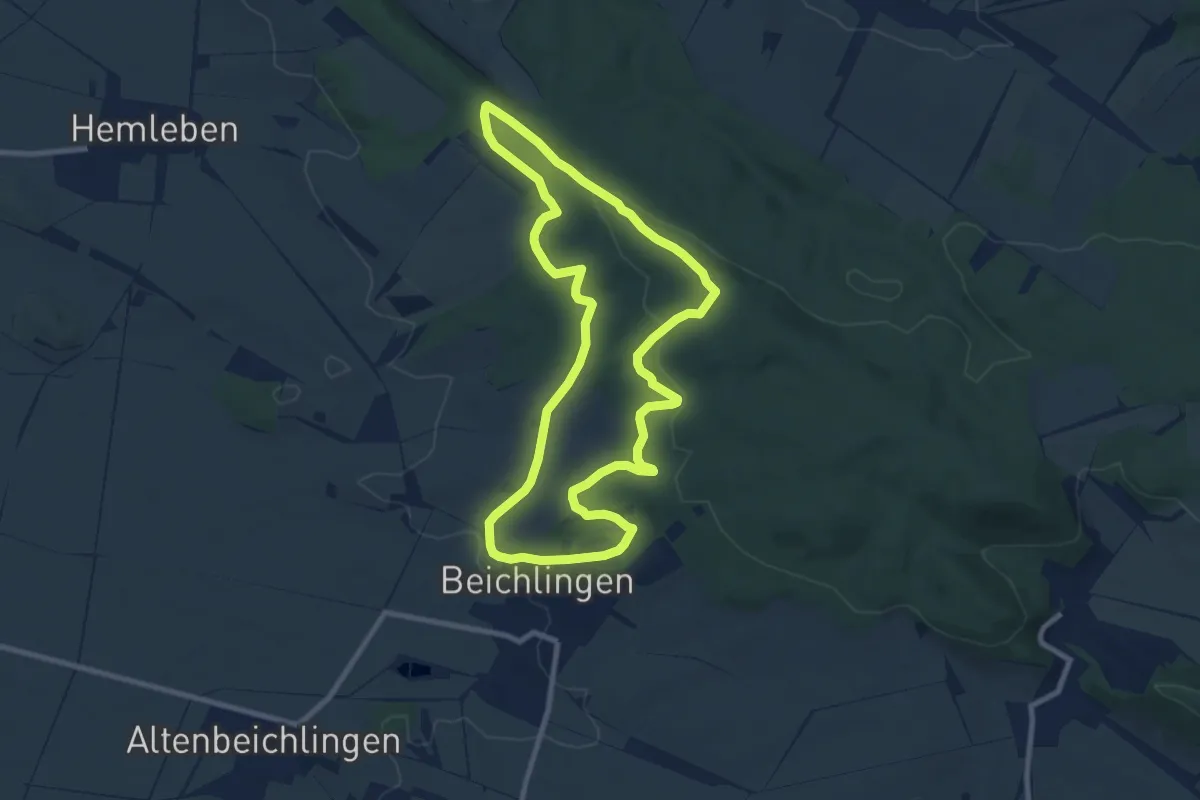
Medium · Trail
Rundweg Beichlinger Schmücke
8.1 km · ↑ 174 m · 2 h 25 min
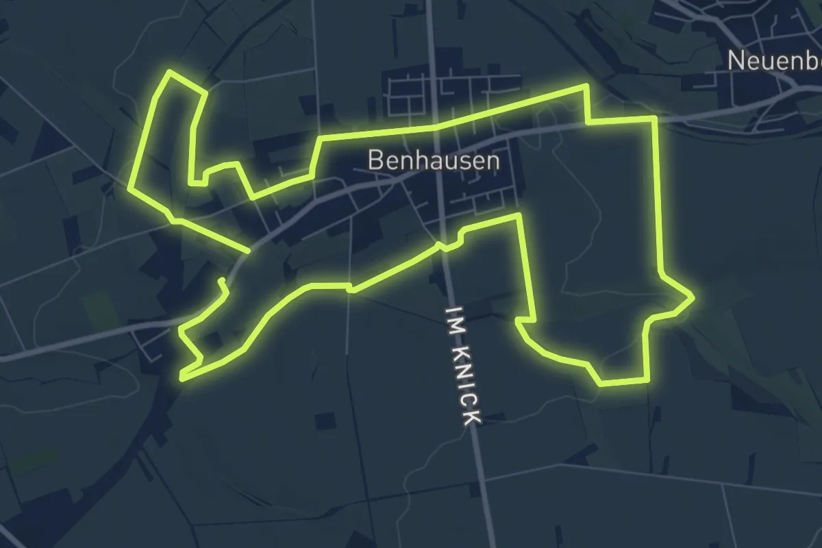
Medium · Trail
Rundweg Benhausen
8.9 km · ↑ 90 m · 2 h 25 min
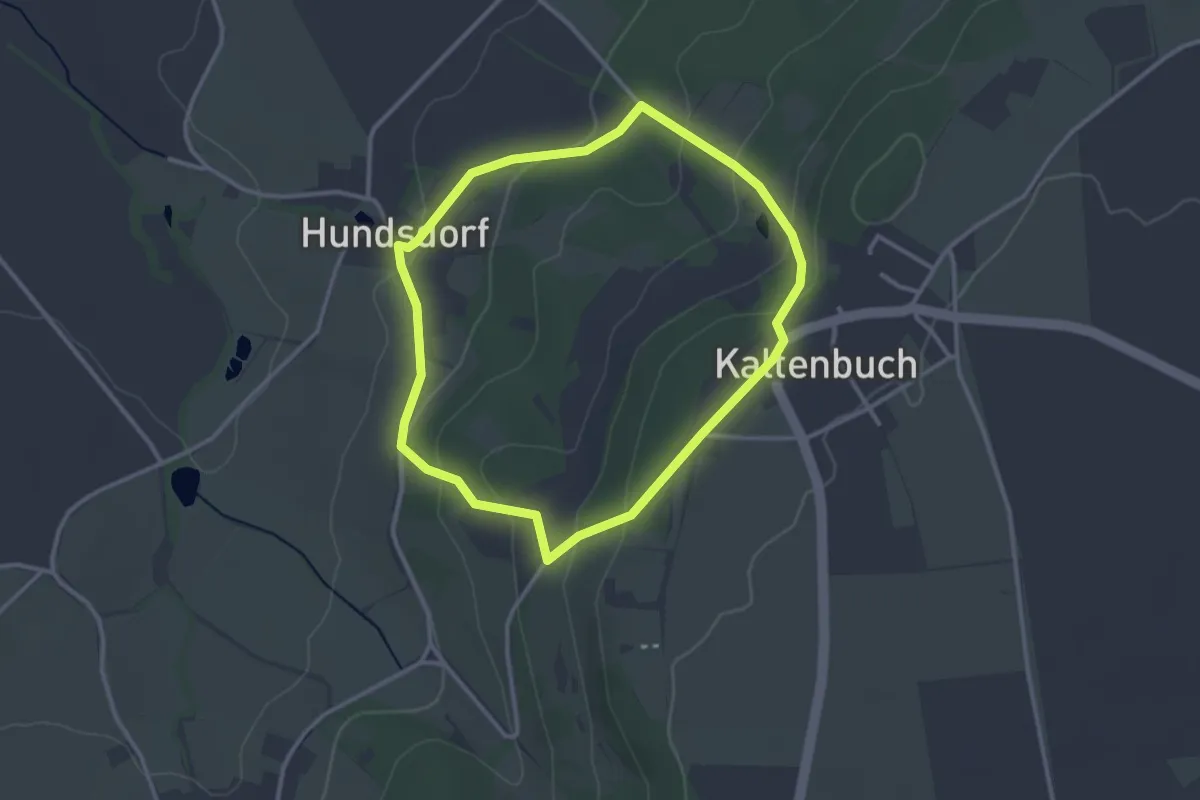
Easy · Trail
Rundweg Bergen 1
2.7 km · ↑ 115 m · 55 min
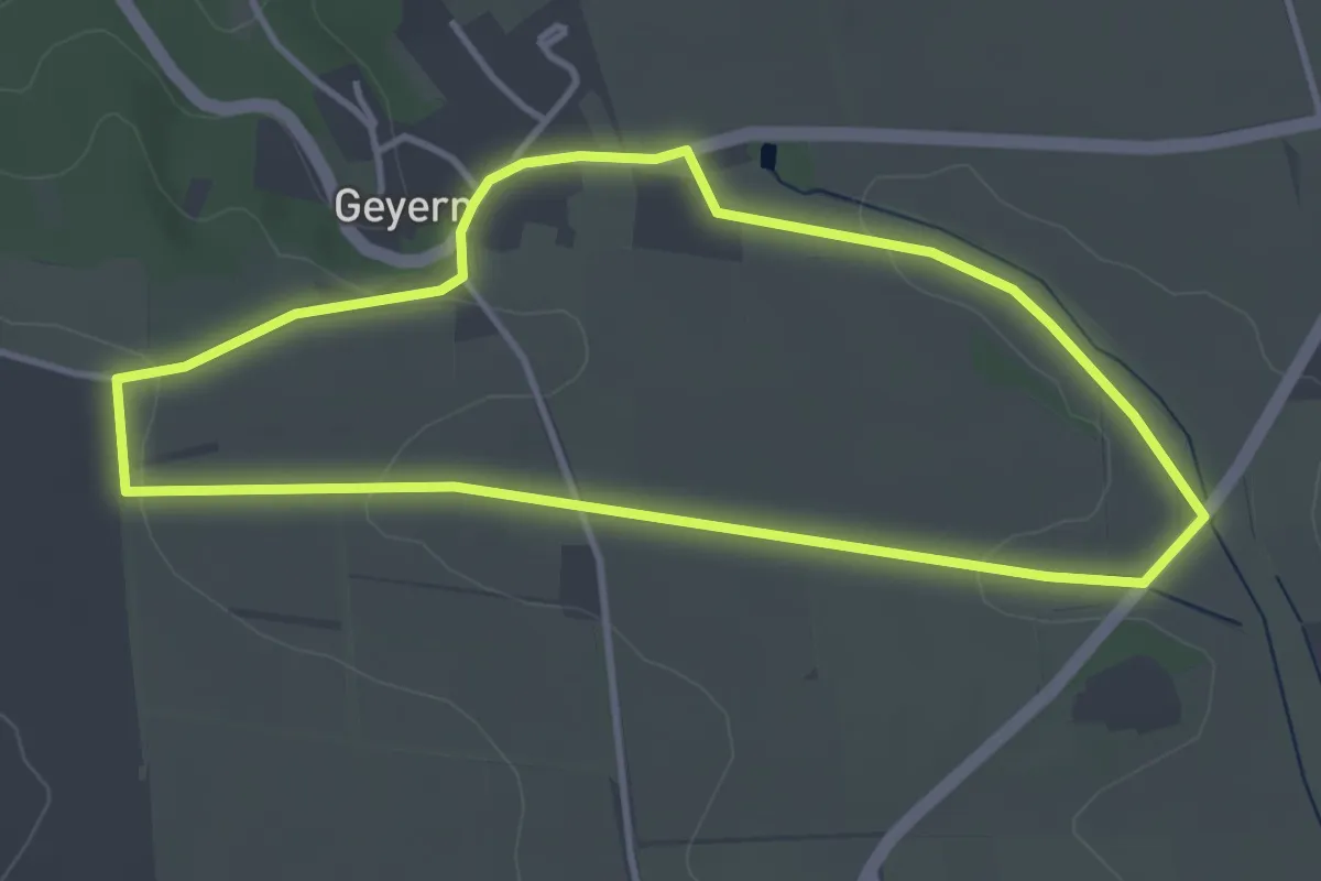
Easy · Trail
Rundweg Bergen 2
3.5 km · ↑ 47 m · 59 min
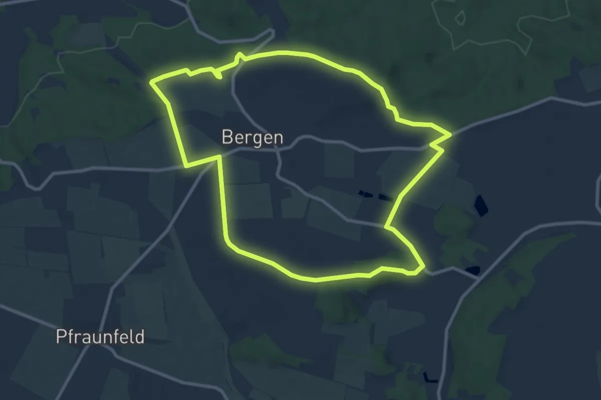
Medium · Trail
Rundweg Bergen 3
8.1 km · ↑ 90 m · 2 h 13 min
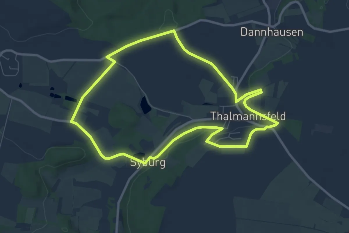
Easy · Trail
Rundweg Bergen 4
6.8 km · ↑ 84 m · 1 h 53 min
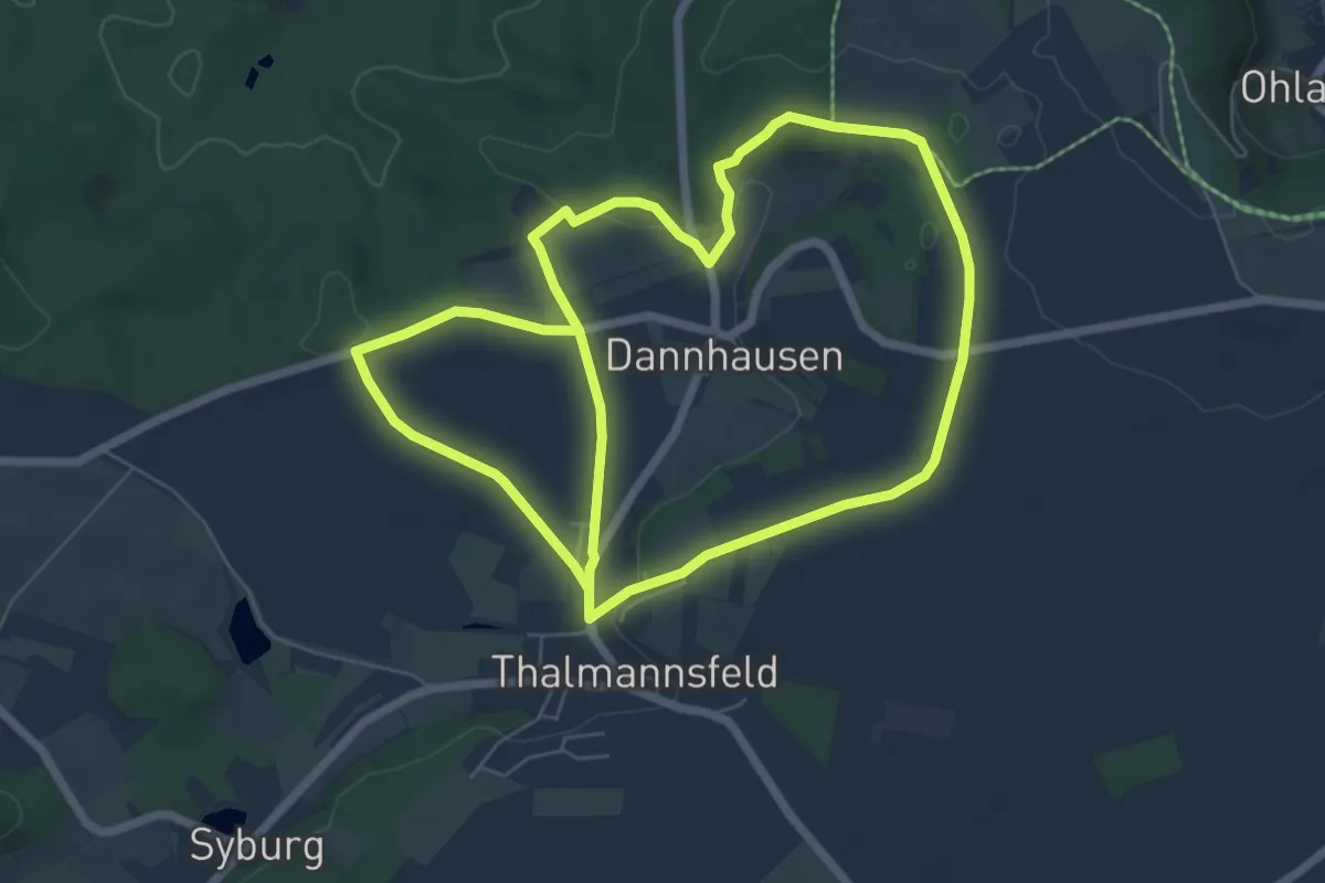
Easy · Trail
Rundweg Bergen 5
6.4 km · ↑ 98 m · 1 h 48 min
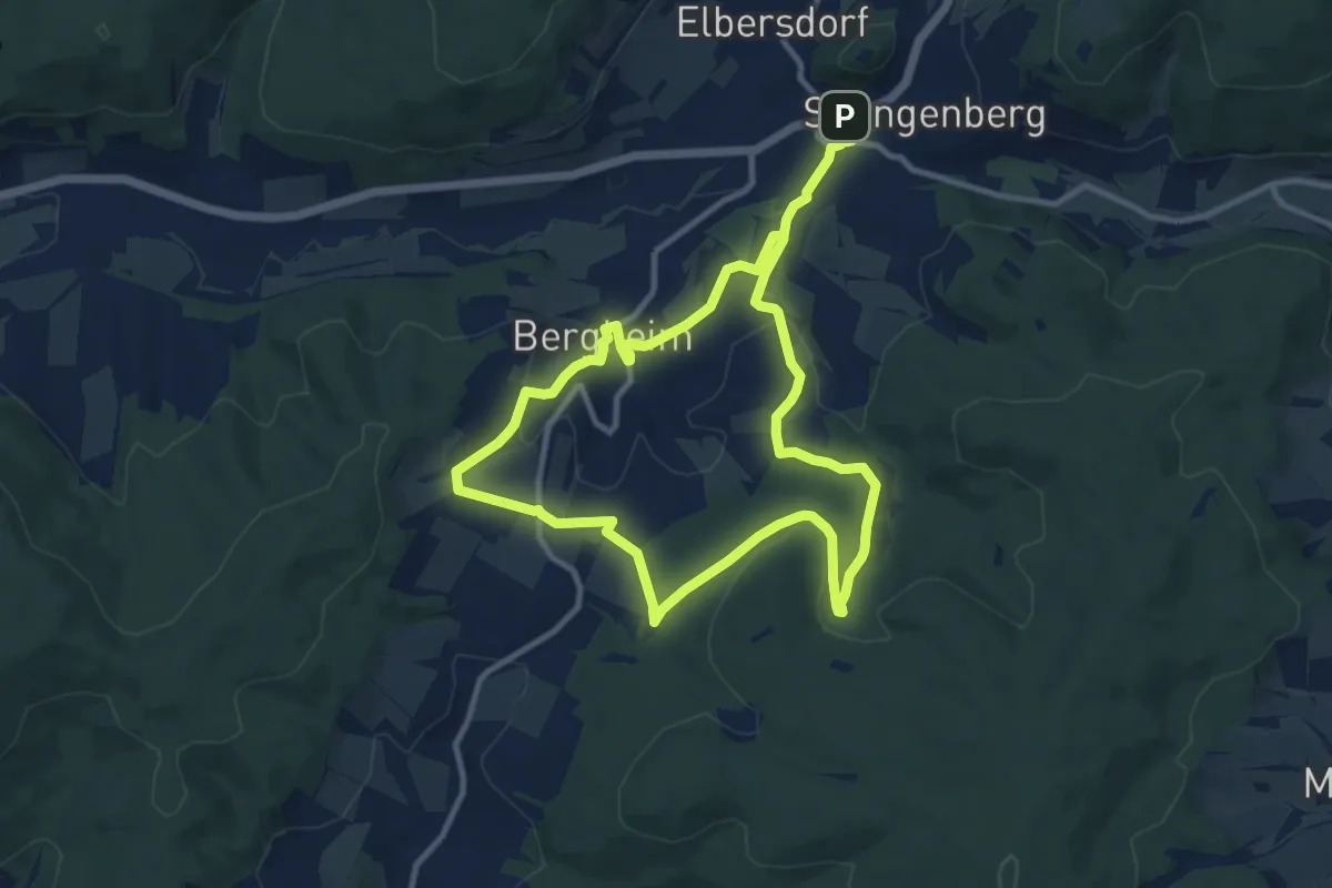
Medium · Summit
Rundweg Bergheim
8.9 km · ↑ 222 m · 2 h 42 min
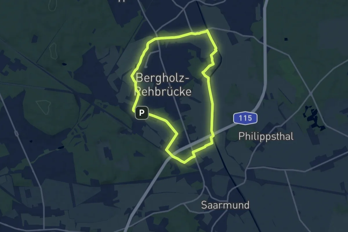
Medium · Trail
Rundweg Bergholz-Rehbrücke
9.4 km · ↑ 29 m · 2 h 25 min
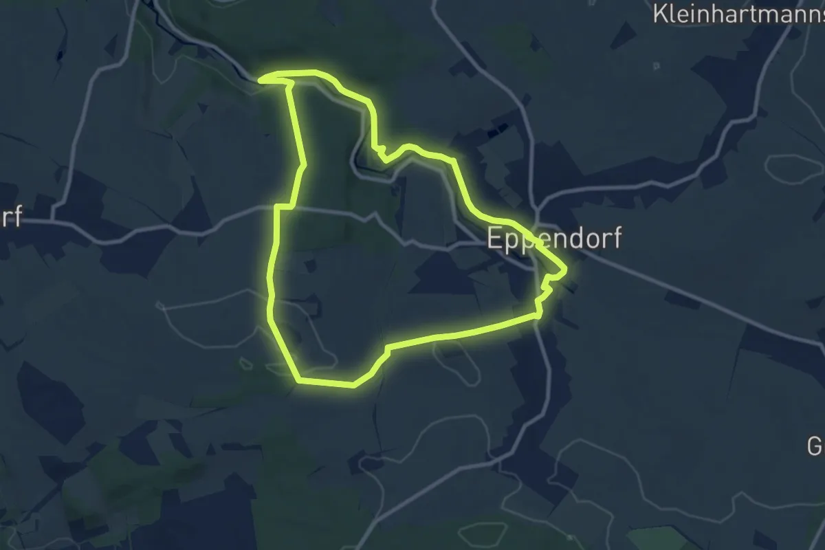
Medium · Trail
Rundweg Bergmännel
8.7 km · ↑ 166 m · 2 h 33 min
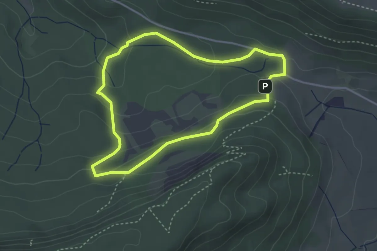
Easy · Trail
Rundweg Bergrutsch 2
3.0 km · ↑ 117 m · 1 h
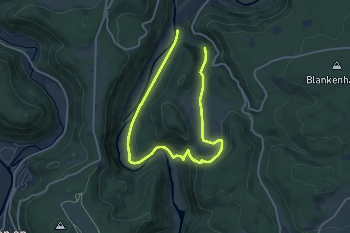
Easy · Trail
Rundweg Beuron 1
5.2 km · ↑ 166 m · 1 h 40 min
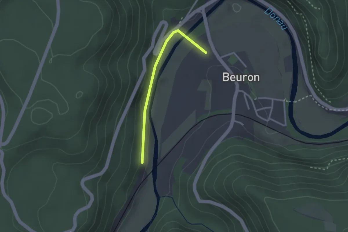
Easy · Trail
Rundweg Beuron 2
1.0 km · ↑ 36 m · 19 min
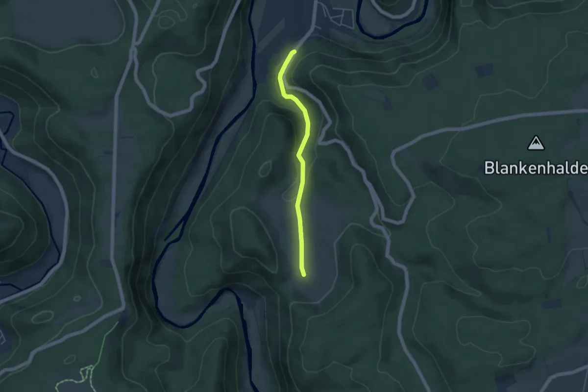
Easy · Trail
Rundweg Beuron 2
1.8 km · ↑ 8 m · 30 min
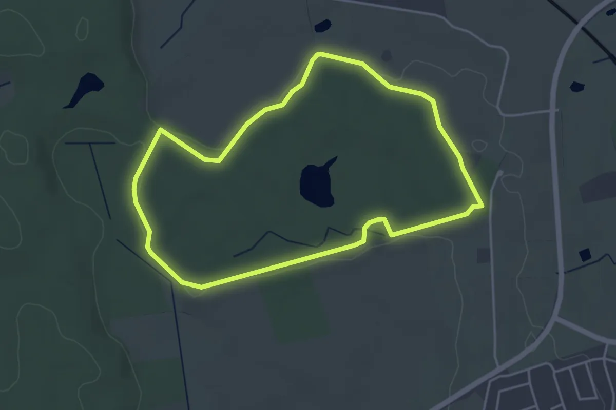
Easy · Trail
Rundweg Beuthiner Holz
3.4 km · ↑ 22 m · 54 min
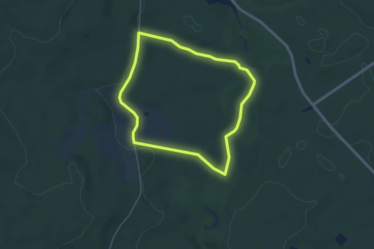
Easy · Trail
Rundweg Bibersohl
3.4 km · ↑ 42 m · 57 min
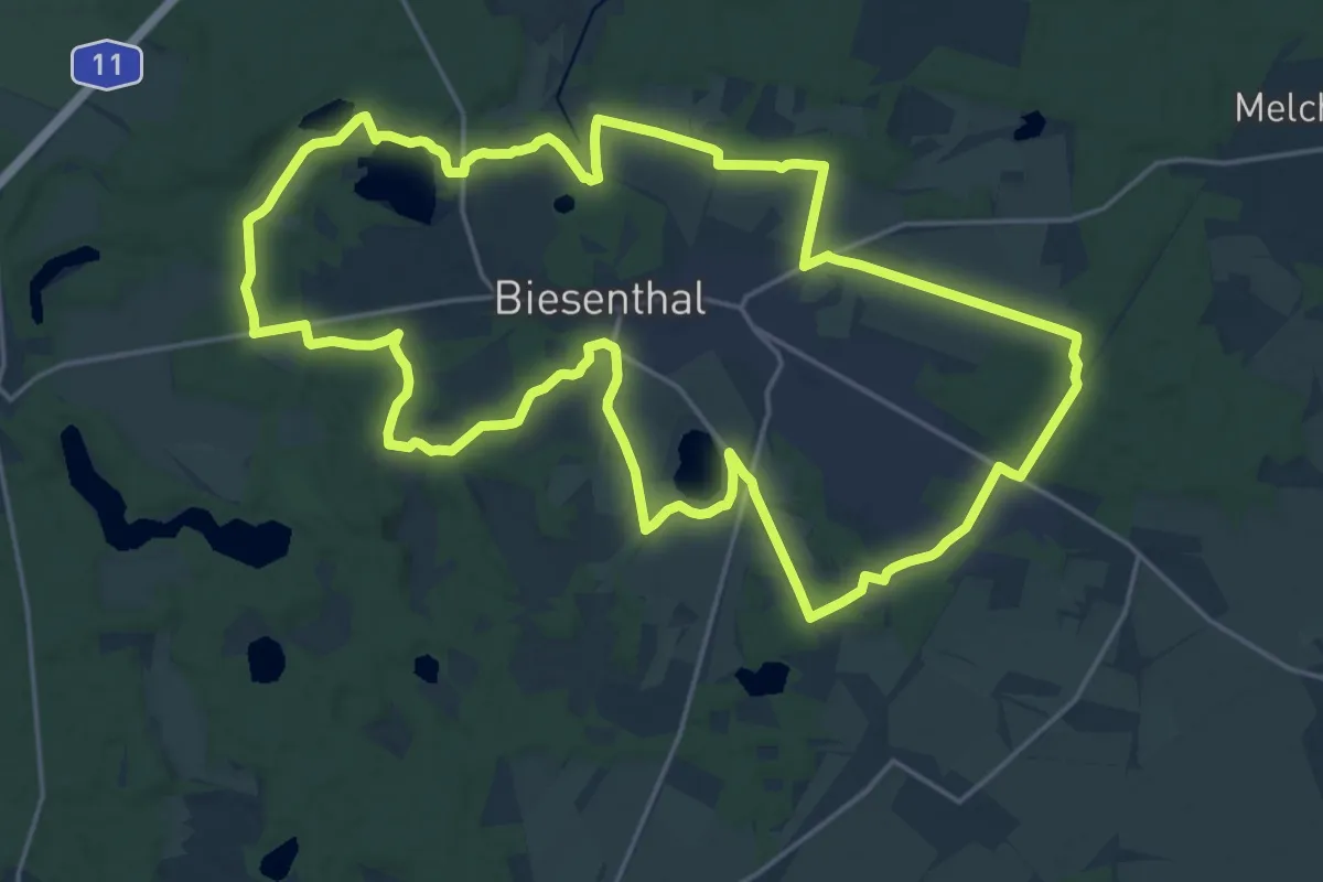
Demanding · Trail
Rundweg Biesenthal
20.2 km · ↑ 120 m · 5 h 18 min
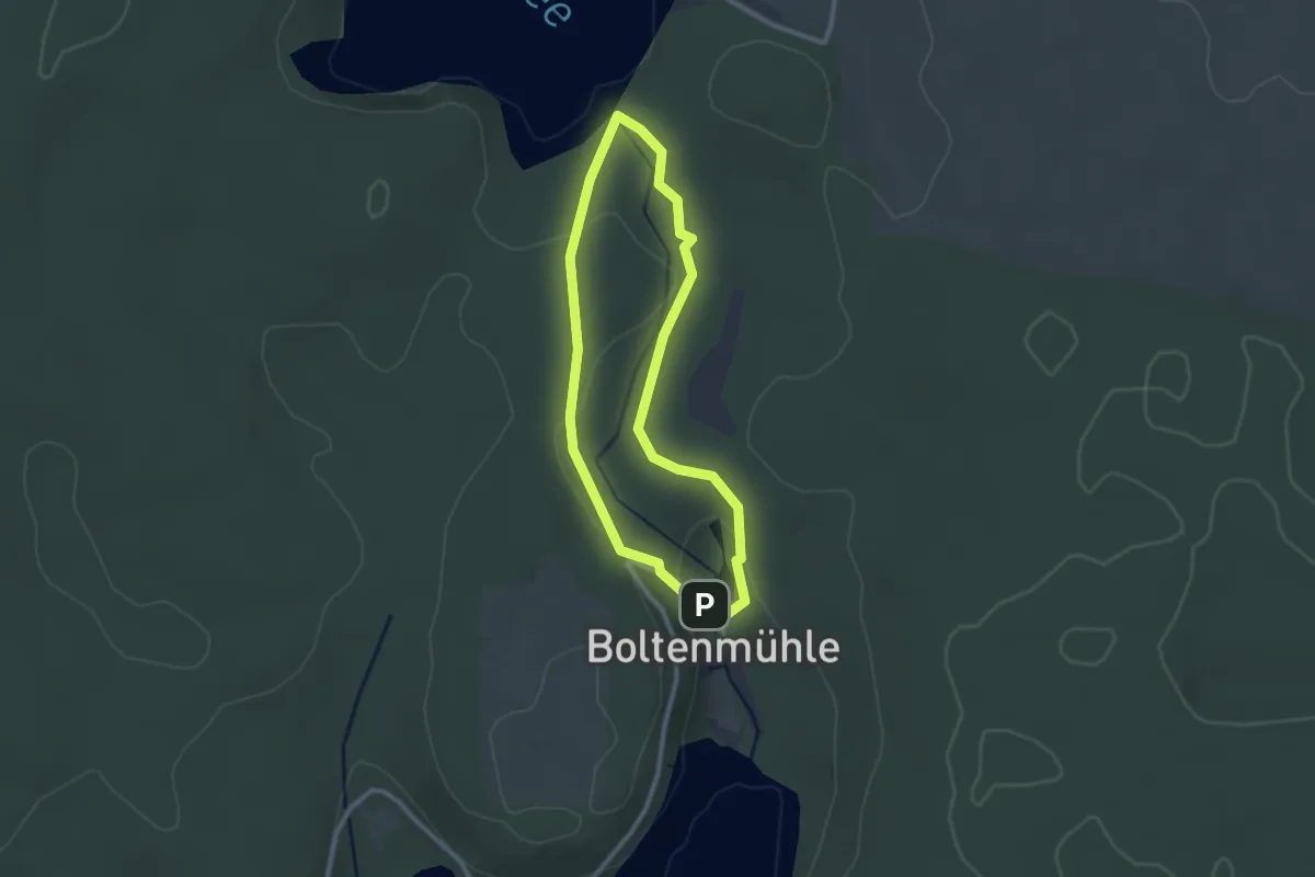
Easy · Trail
Rundweg Binenbach
2.0 km · ↑ 34 m · 35 min
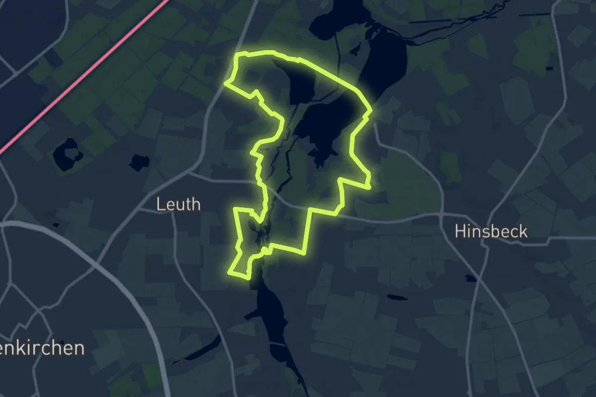
Medium · Trail
Rundweg Biologische Station - blau
10.3 km · ↑ 21 m · 2 h 37 min
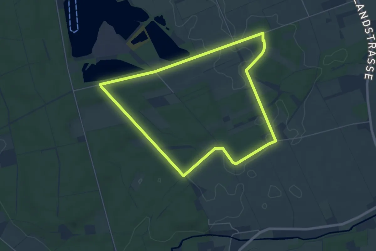
Easy · Trail
Rundweg Biologische Station - blau
4.9 km · ↑ 22 m · 1 h 17 min
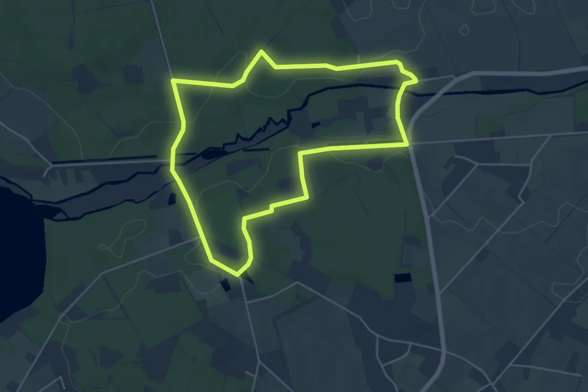
Easy · Trail
Rundweg Biologische Station - braun
4.2 km · ↑ 45 m · 1 h 9 min
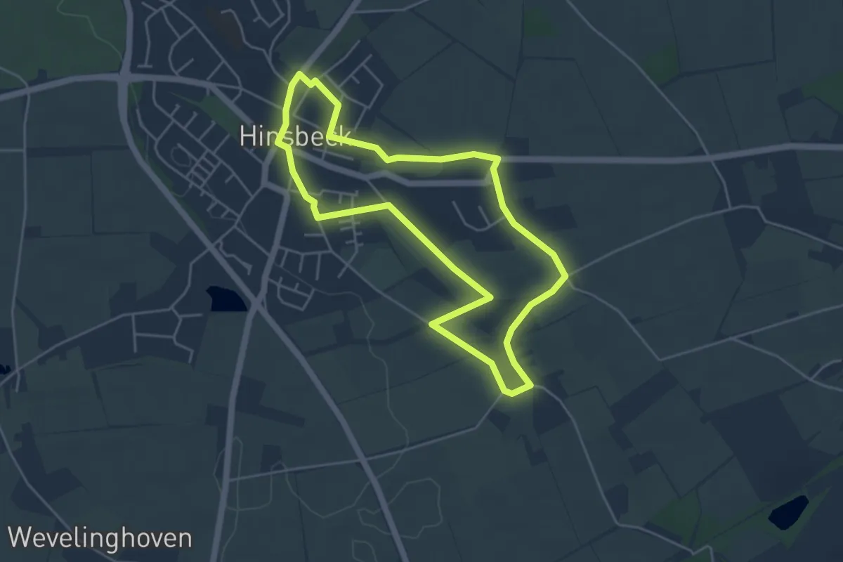
Easy · Trail
Rundweg Biologische Station - gelb
4.0 km · ↑ 33 m · 1 h 4 min