Trails in Germany
36,852 hiking trails, each with its route, climb, walking time and grade.
All trails, page 542 of 768
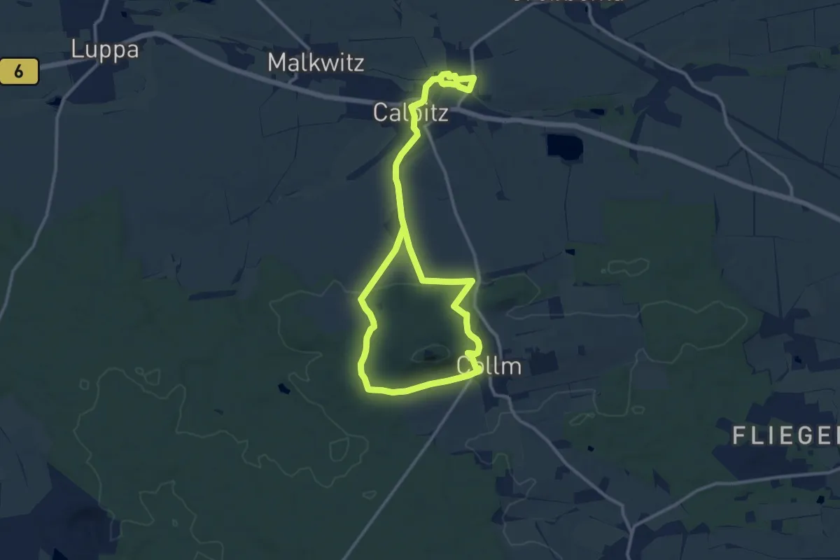
Medium · Trail
Rundweg Calbitz - Collm
8.4 km · ↑ 117 m · 2 h 23 min
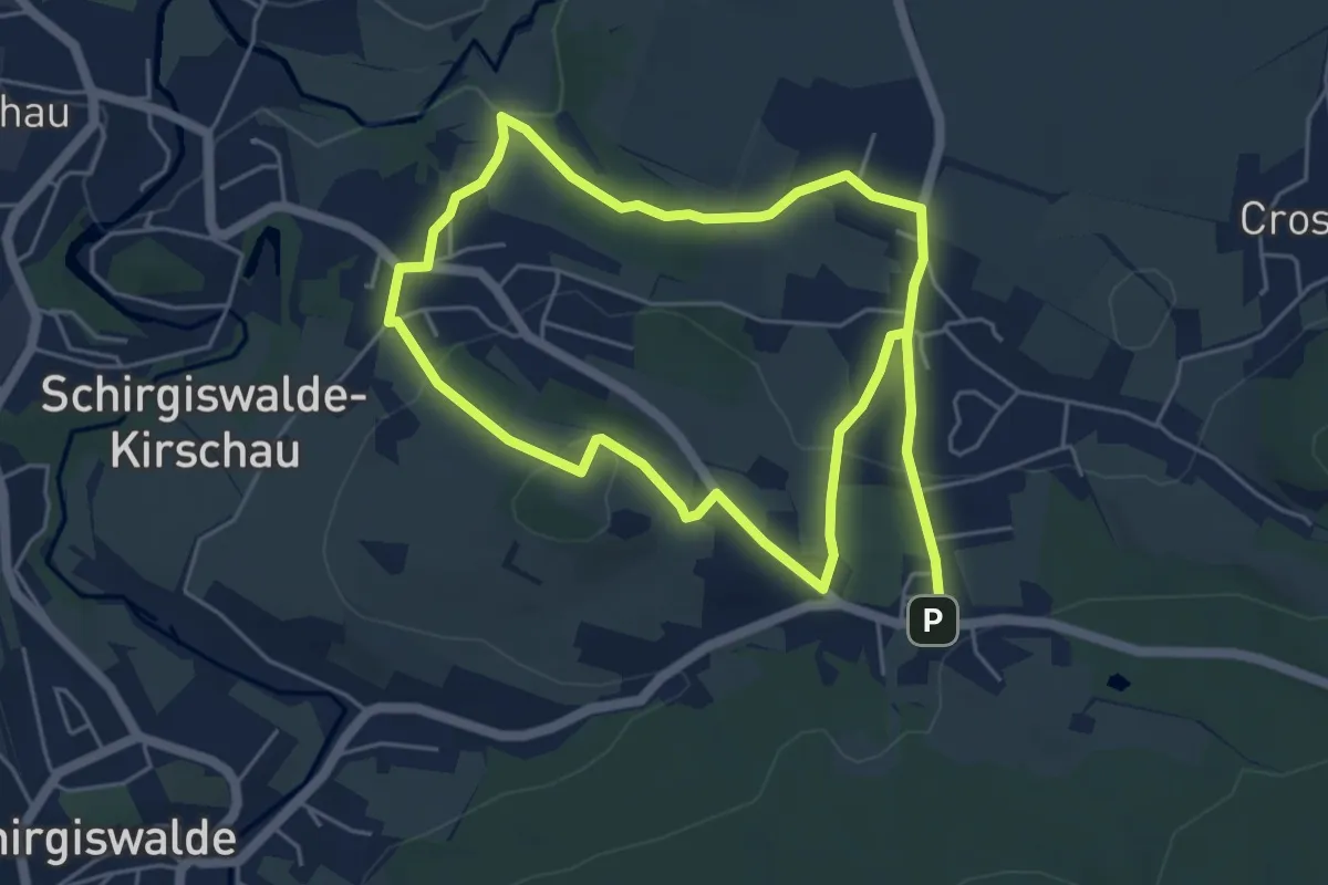
Easy · Summit
Rundweg Callenberger Berg
4.4 km · ↑ 98 m · 1 h 21 min
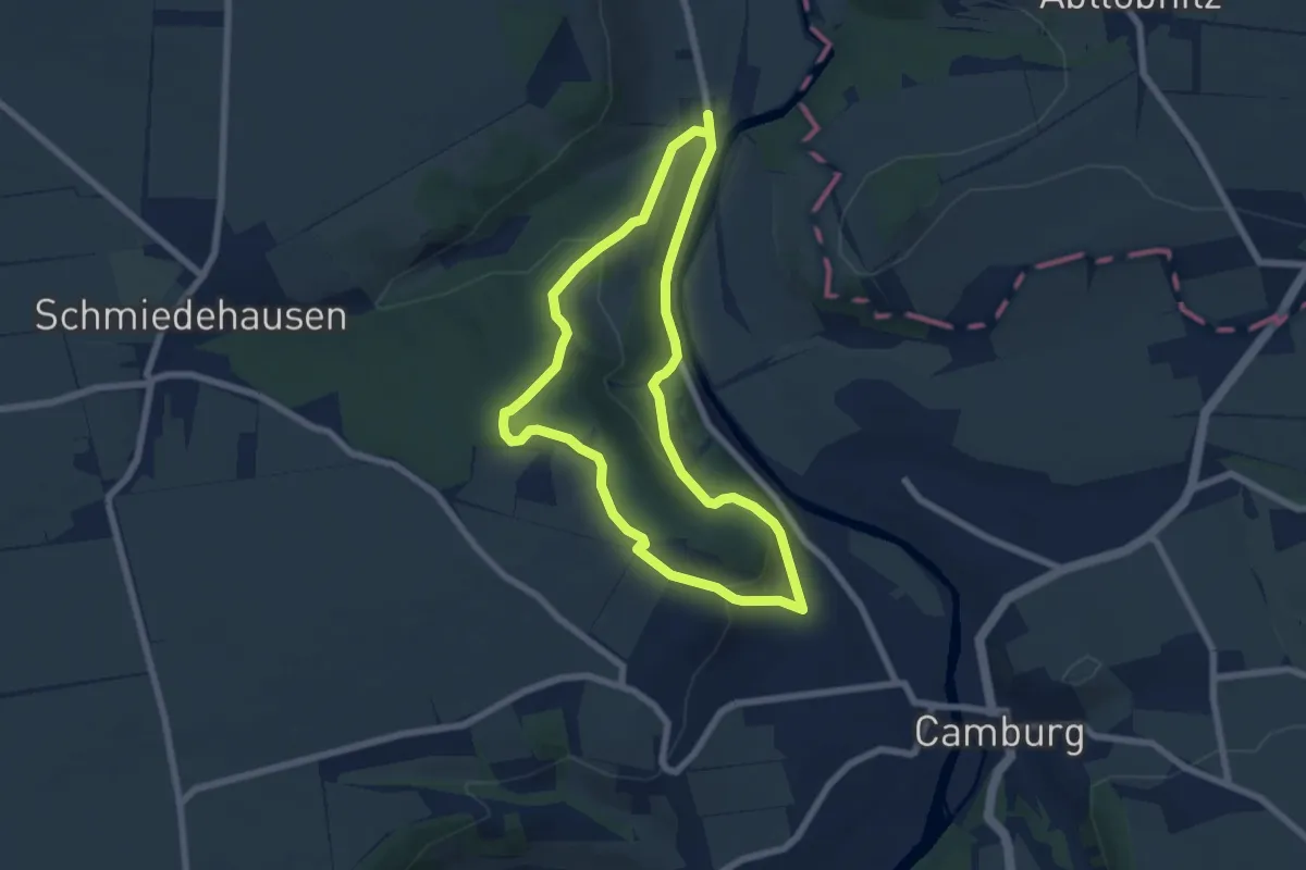
Easy · Trail
Rundweg Camburg-Stöbnitz
5.7 km · ↑ 188 m · 1 h 50 min

Easy · Trail
Rundweg Carlsfeld
4.3 km · ↑ 100 m · 1 h 18 min
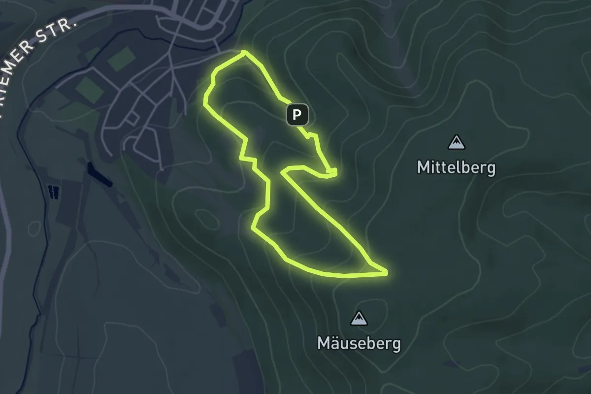
Easy · Trail
Rundweg Centbuche
3.1 km · ↑ 168 m · 1 h 8 min
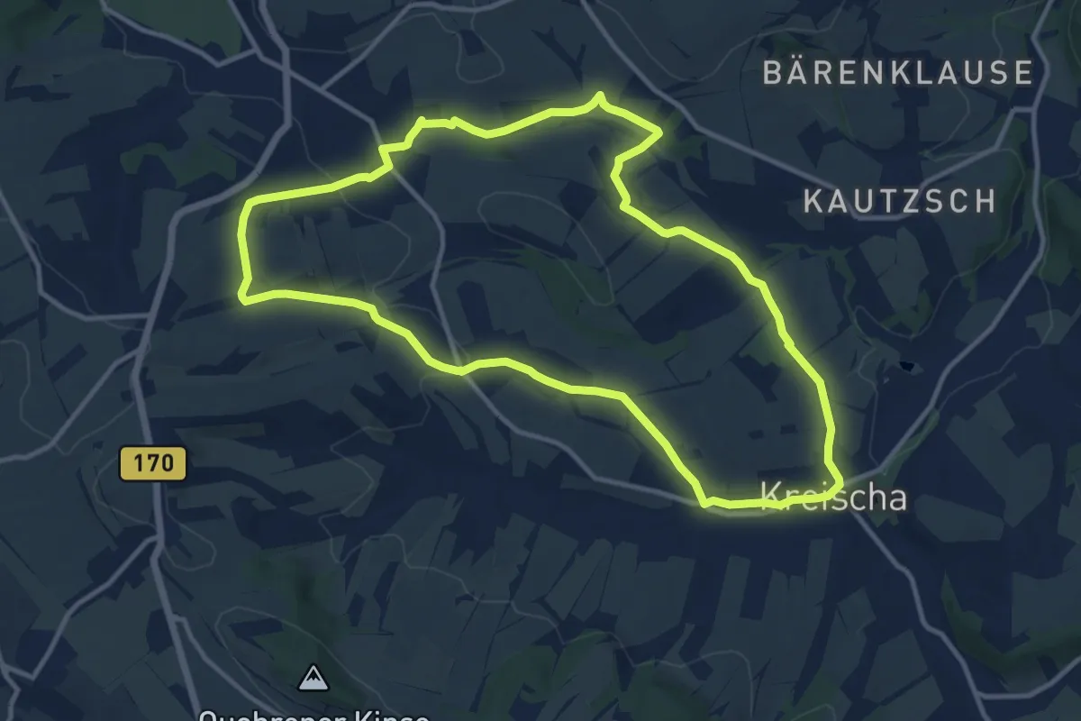
Medium · Trail
Rundweg C Kreischa
10.9 km · ↑ 198 m · 3 h 9 min
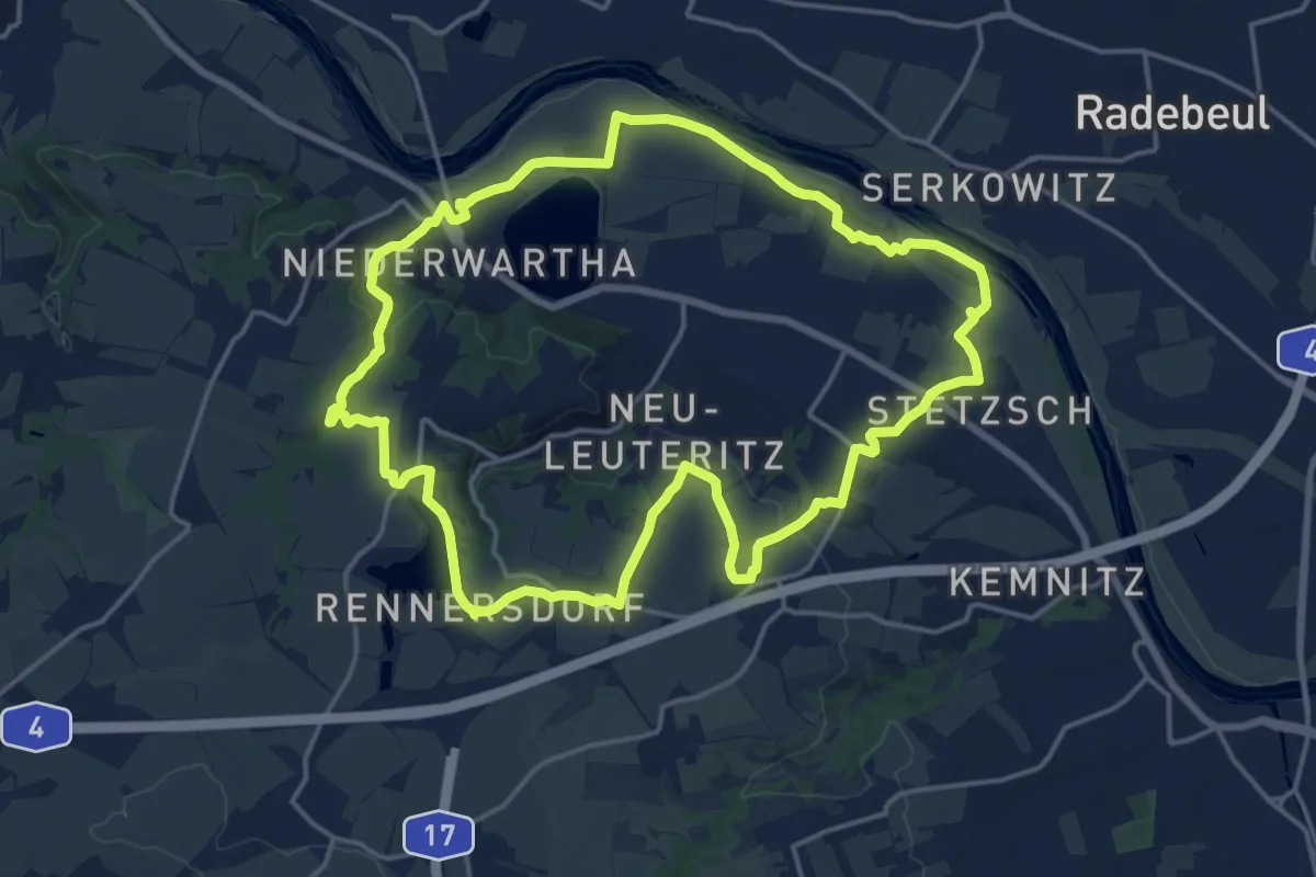
Medium · Summit
Rundweg Cossebaude
15.7 km · ↑ 184 m · 4 h 19 min
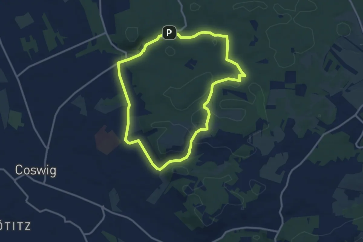
Medium · Trail
Rundweg Coswig
7.0 km · ↑ 70 m · 1 h 54 min
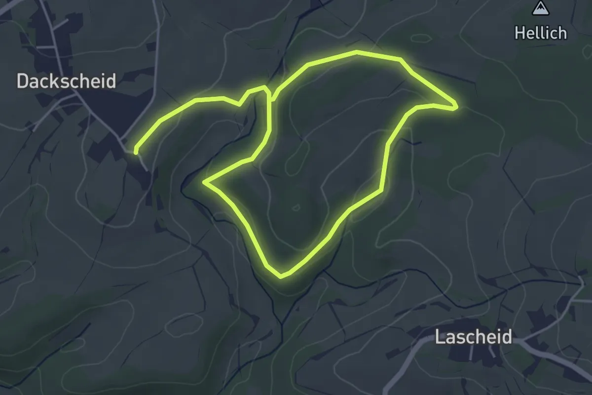
Easy · Trail
Rundweg D
6.9 km · ↑ 146 m · 1 h 57 min
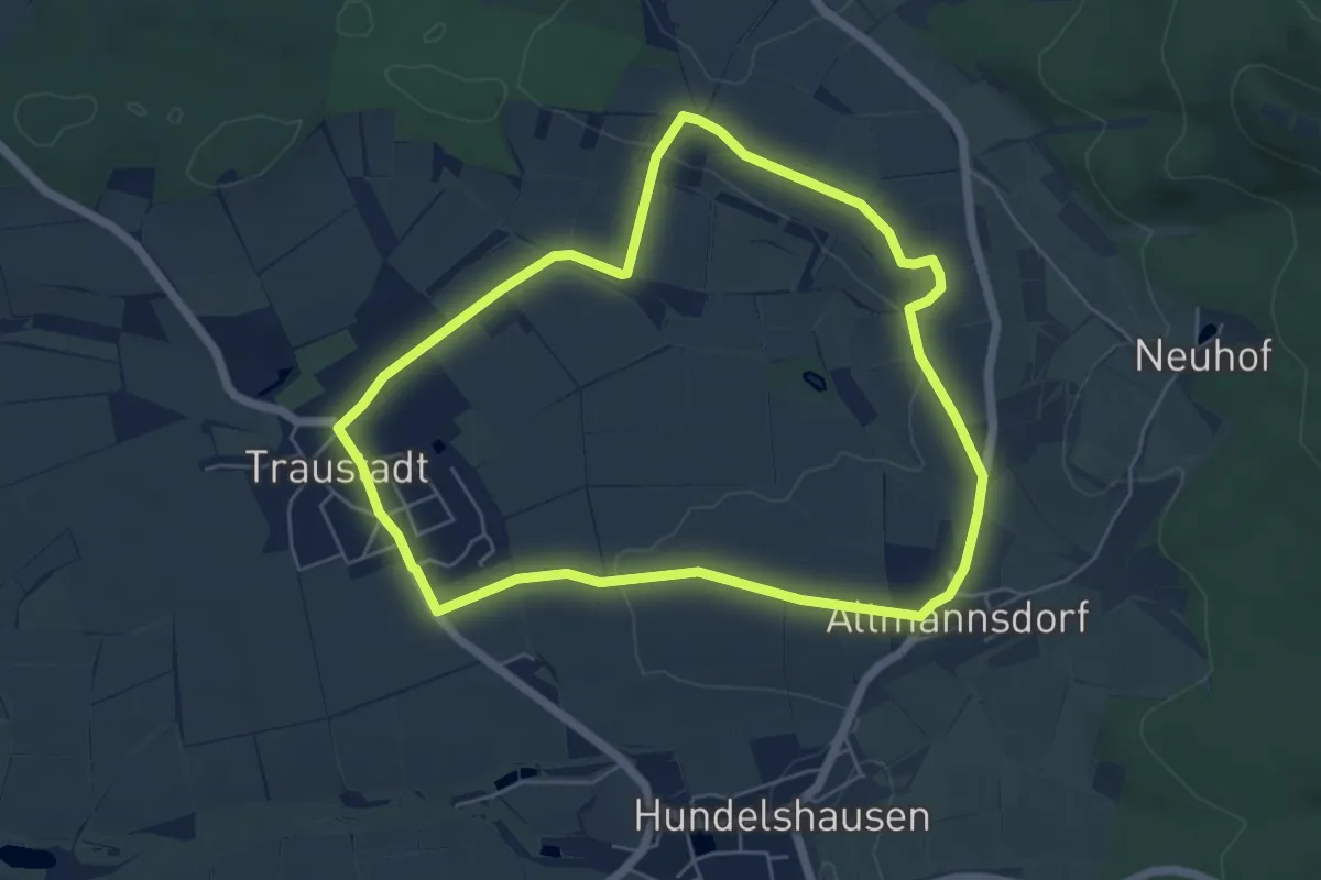
Easy · Trail
Rundweg D4 Donnerdorf
5.2 km · ↑ 45 m · 1 h 24 min
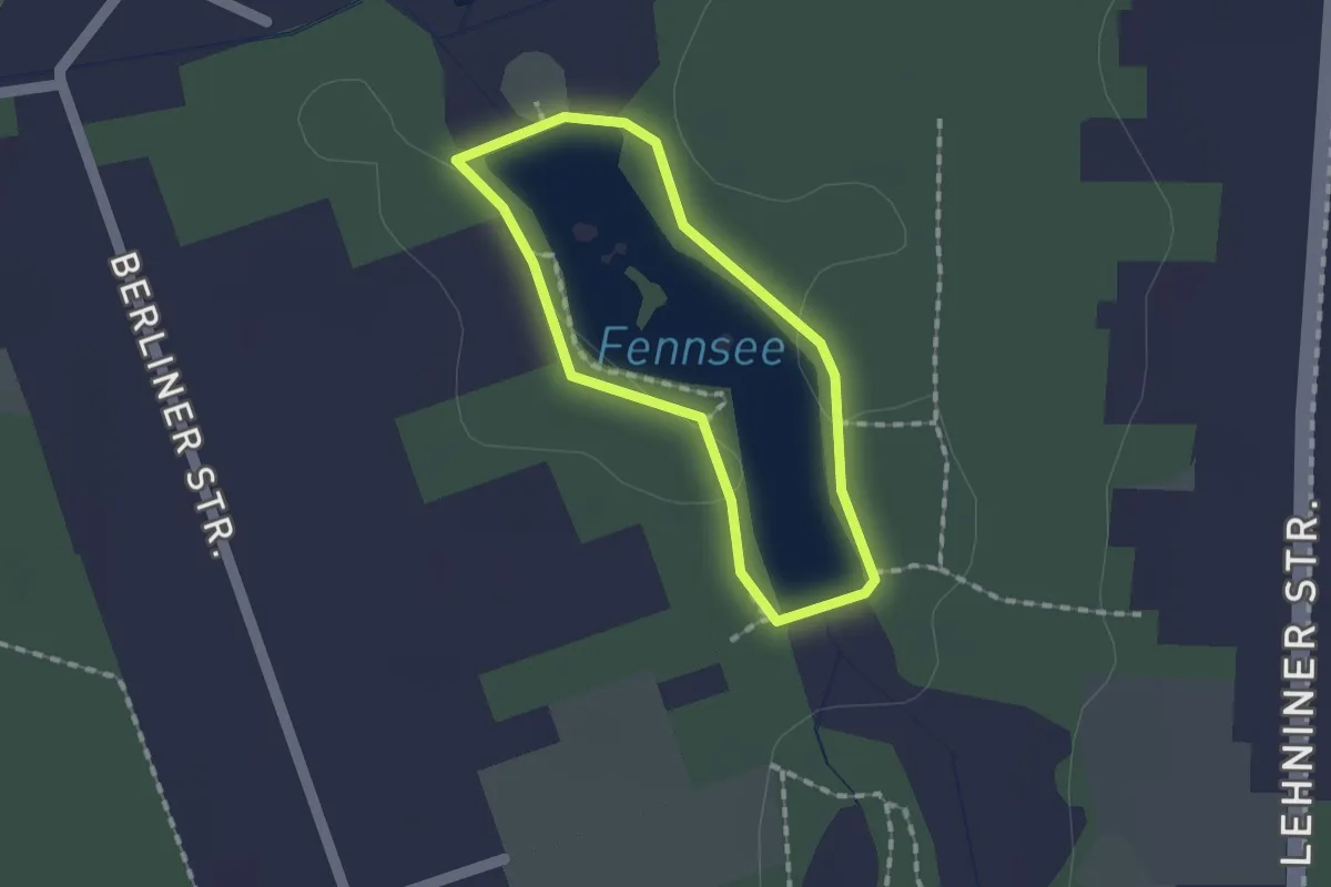
Easy · Trail
Rundweg Damsdorfer Fenn
1.1 km · ↑ 0 m · 16 min
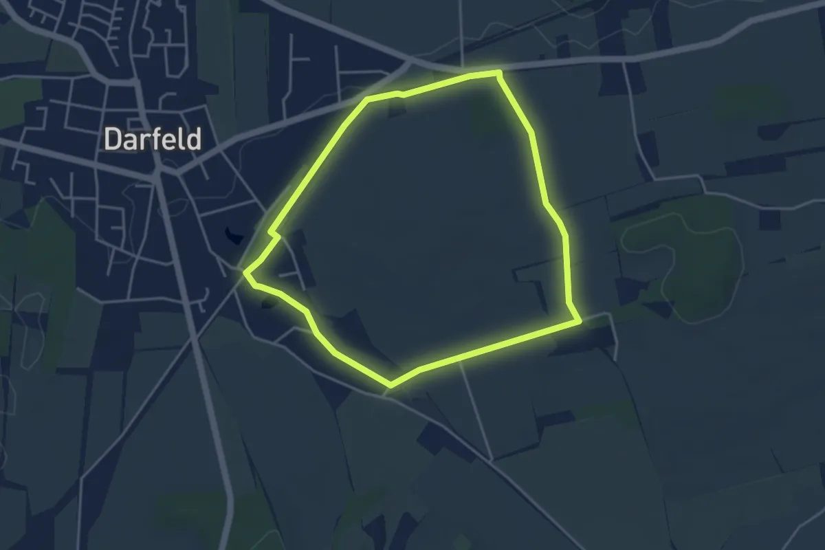
Easy · Trail
Rundweg Darfeld D2
3.4 km · ↑ 27 m · 54 min
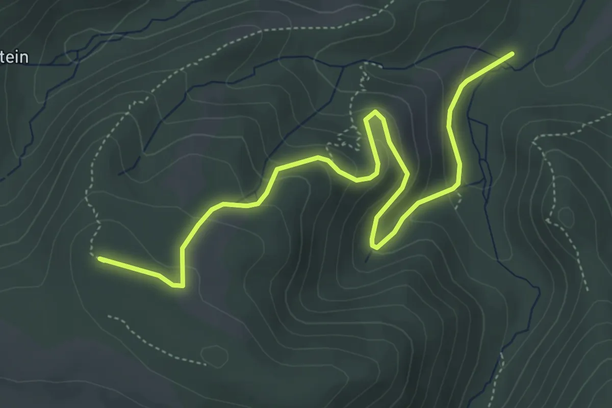
Easy · Summit
Rundweg Darlingeröder Schweiz
5.3 km · ↑ 274 m · 1 h 51 min
Easy · Trail
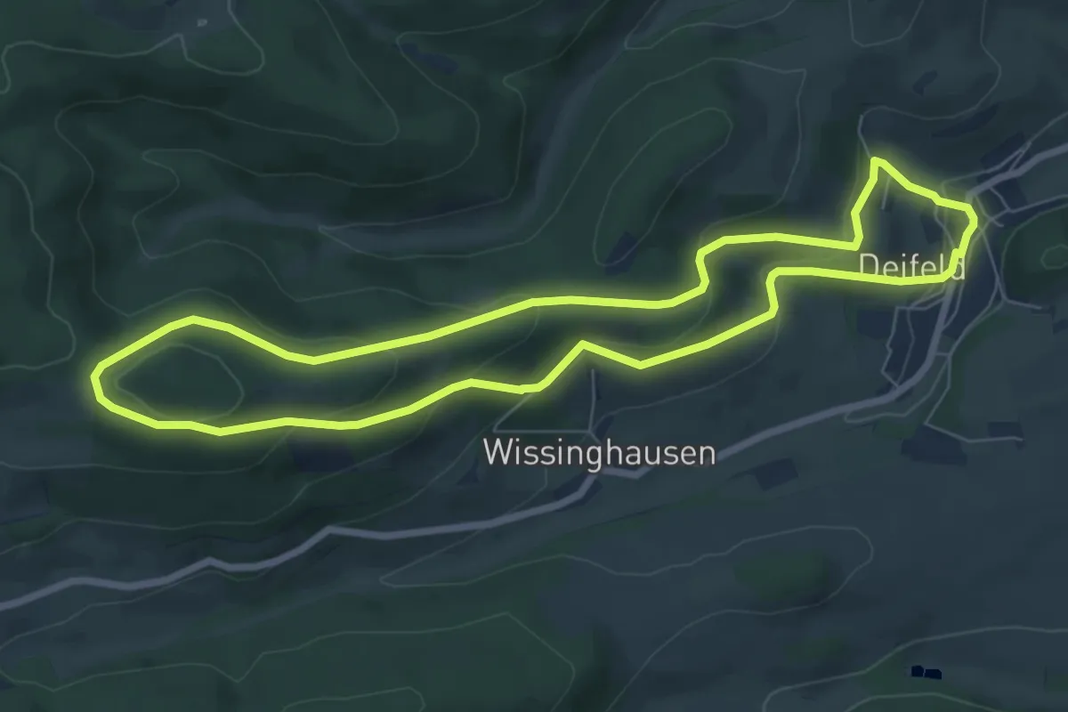
Rundweg Deilfeld D4
6.6 km · ↑ 252 m · 2 h 12 min
Medium · Summit
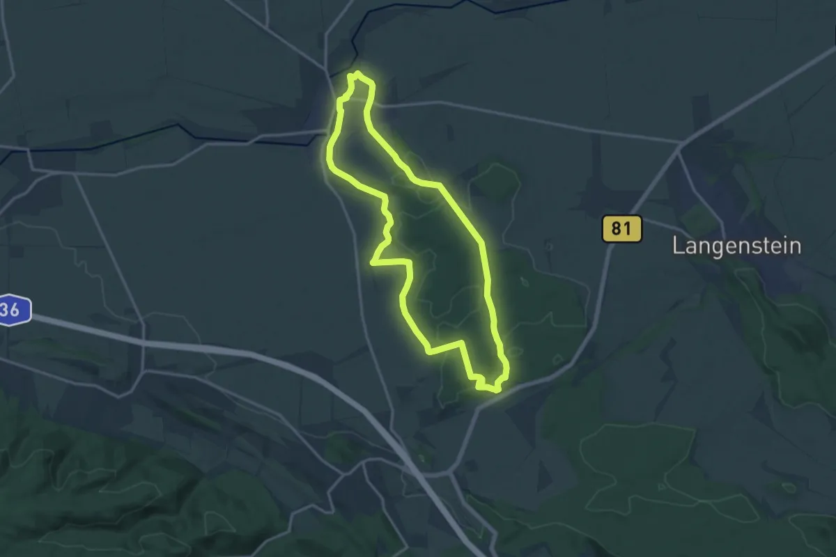
Rundweg Derenburg Osterholz
12.3 km · ↑ 131 m · 3 h 22 min
Easy · Trail
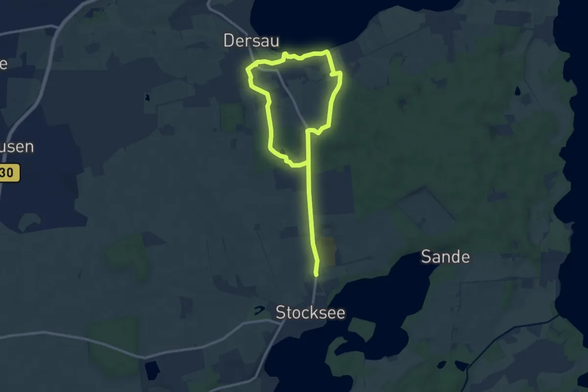
Rundweg Dersauer Uklei
6.1 km · ↑ 50 m · 1 h 38 min
Easy · Trail
Rundweg Diebsteig
5.3 km · ↑ 129 m · 1 h 35 min
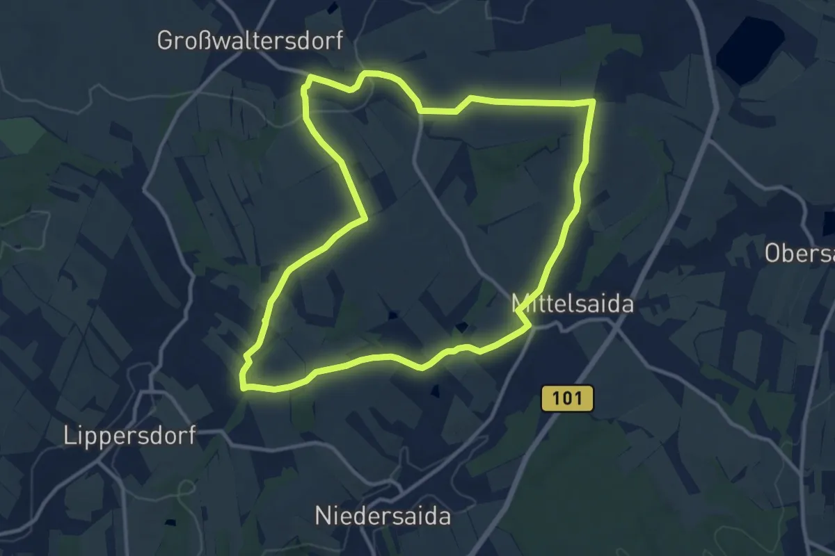
Medium · Trail
Rundweg Diebsteig-Bärloch
10.2 km · ↑ 196 m · 2 h 59 min
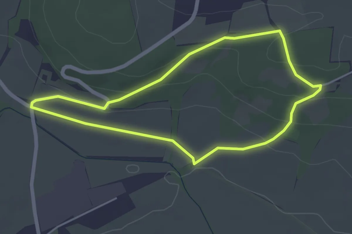
Easy · Trail
Rundweg Dietrichsroda
3.3 km · ↑ 76 m · 59 min
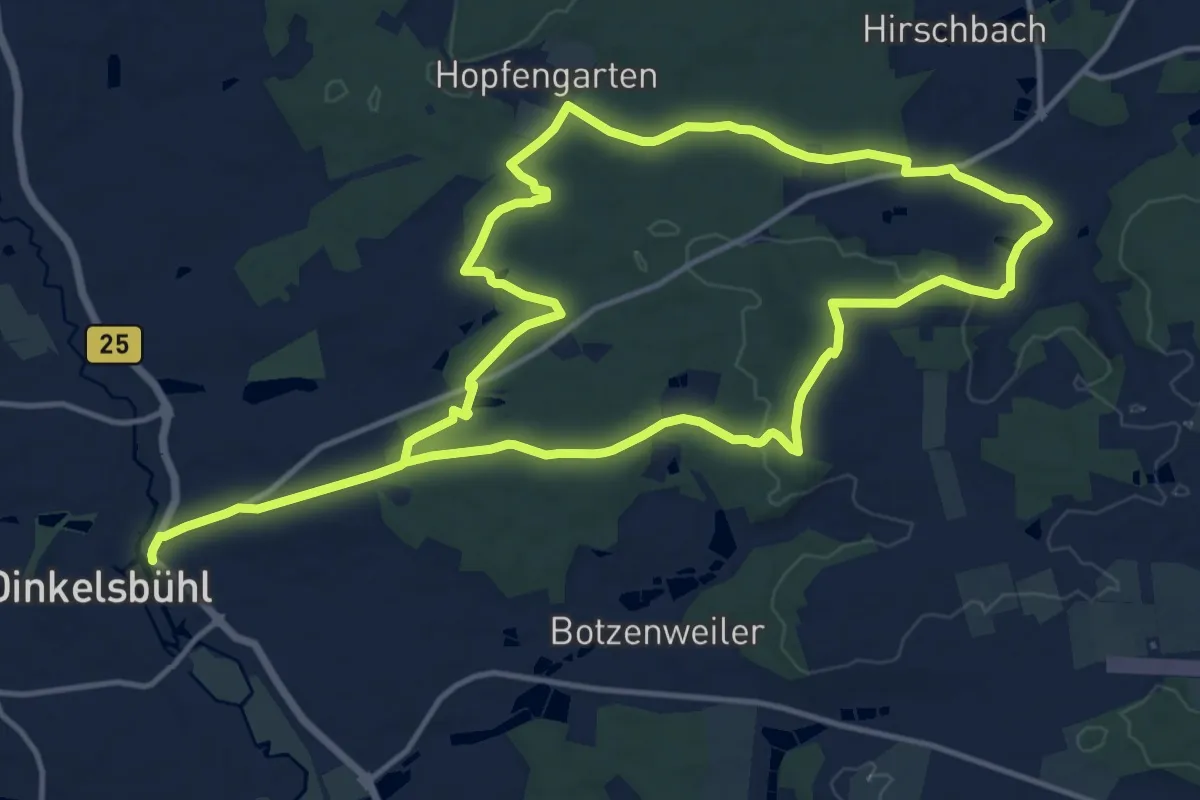
Medium · Trail
Rundweg Dinkelsbühl – Halsbach
13.0 km · ↑ 205 m · 3 h 41 min
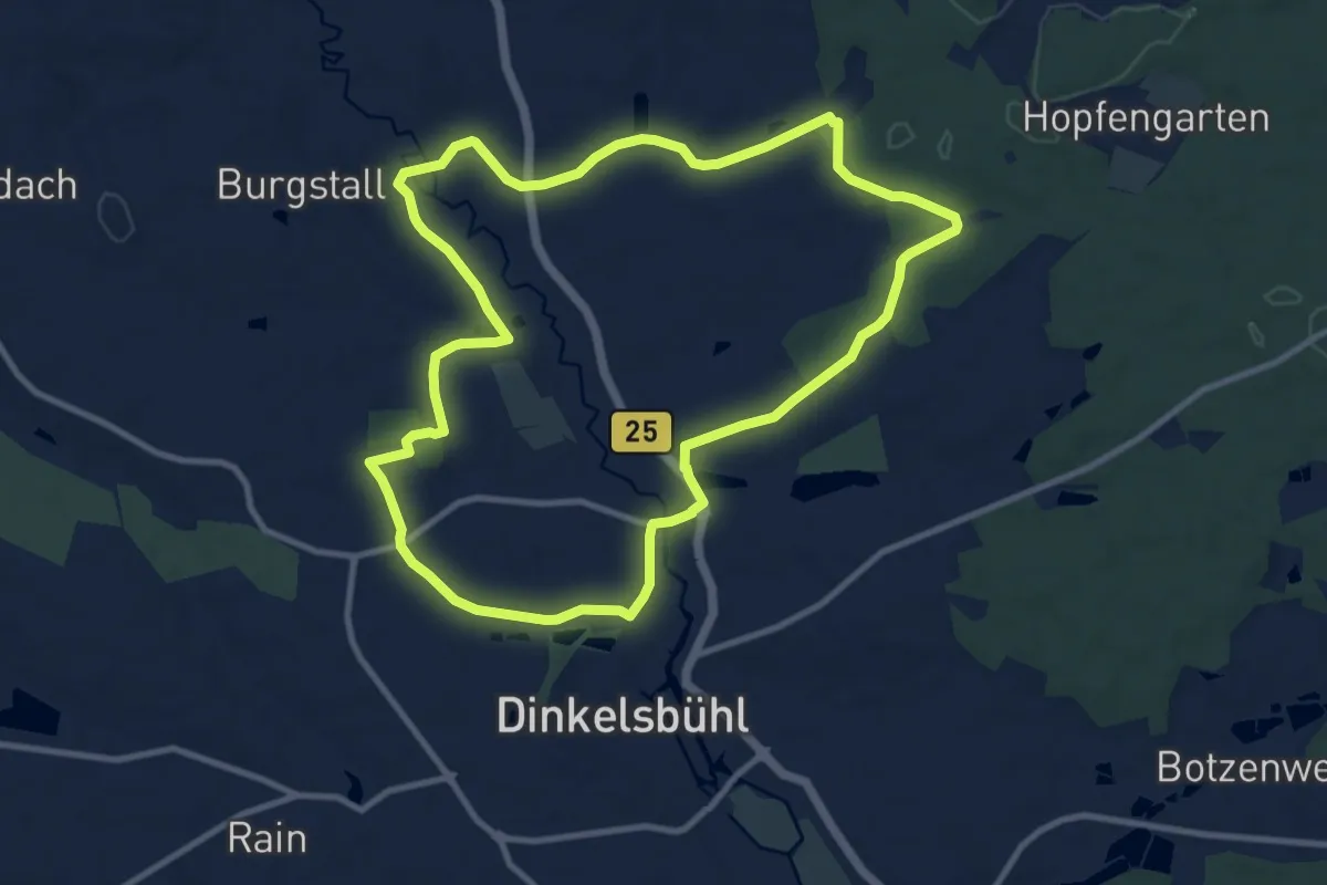
Medium · Trail
Rundweg Dinkelsbühl – Hellenbach
10.1 km · ↑ 90 m · 2 h 43 min
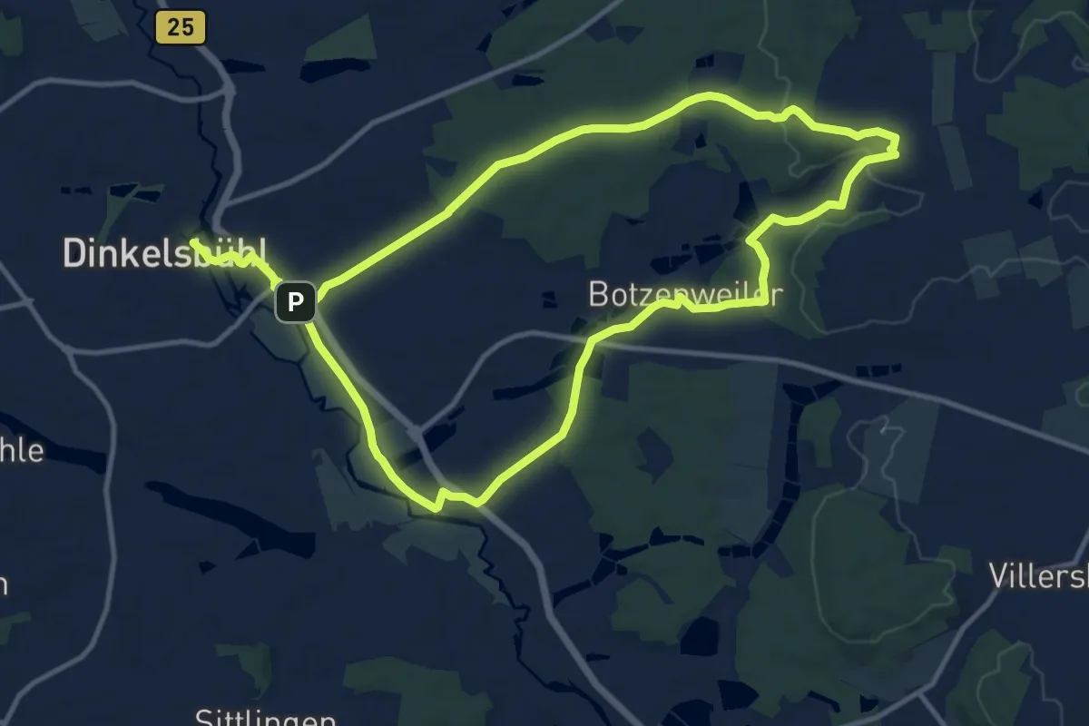
Medium · Summit
Rundweg Dinkelsbühl – Karlsholz
11.6 km · ↑ 137 m · 3 h 11 min
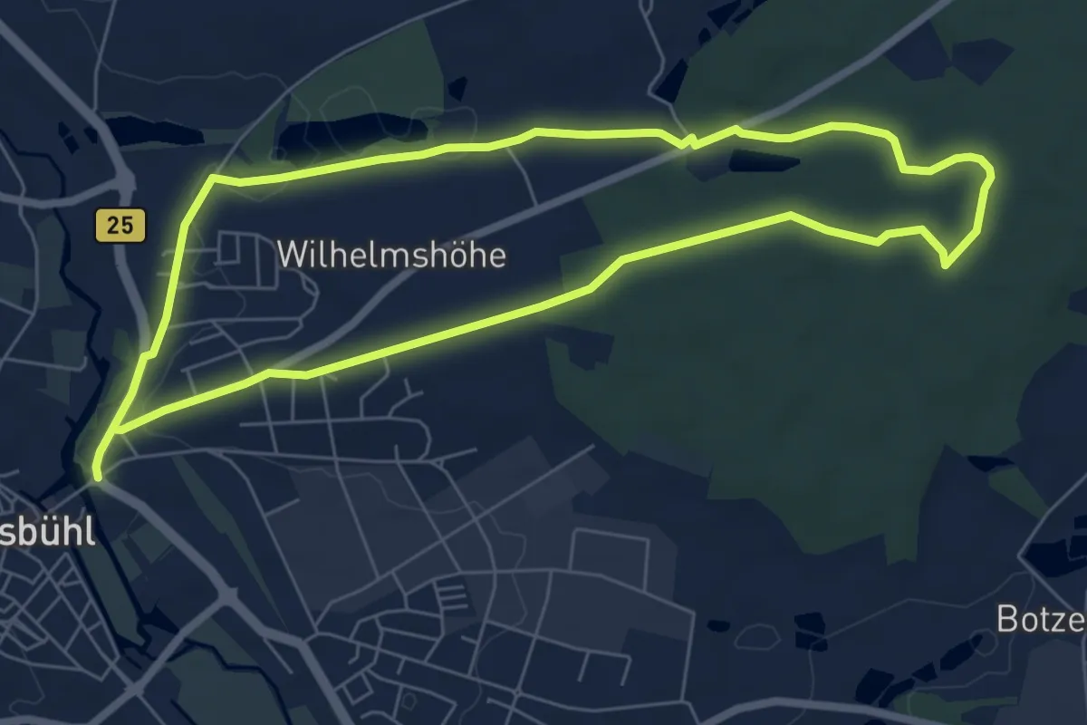
Easy · Trail
Rundweg Dinkelsbühl – Kneippbrünnele
6.2 km · ↑ 50 m · 1 h 40 min
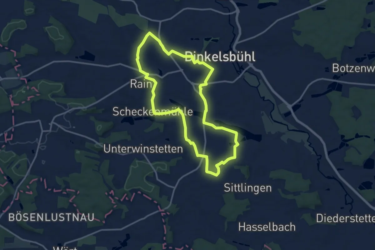
Medium · Trail
Rundweg Dinkelsbühl – Segringen
9.9 km · ↑ 69 m · 2 h 37 min
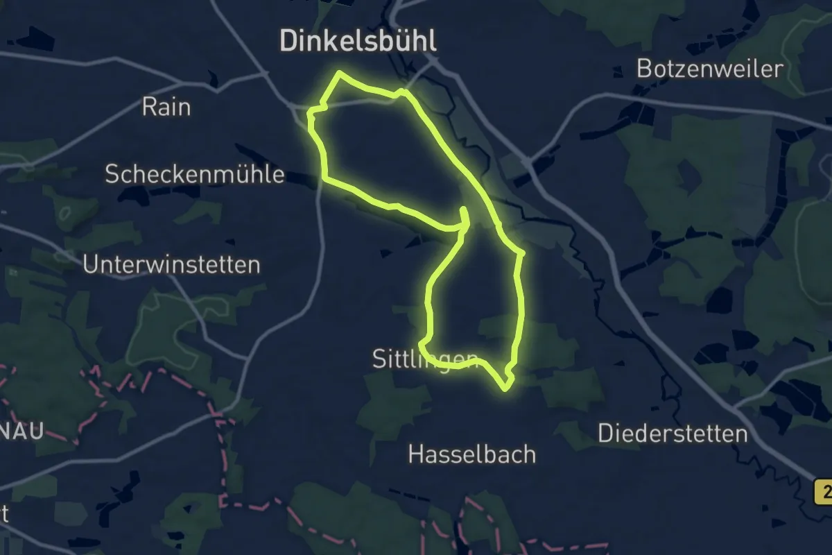
Medium · Trail
Rundweg Dinkelsbühl – St. Ulrich
8.8 km · ↑ 62 m · 2 h 20 min
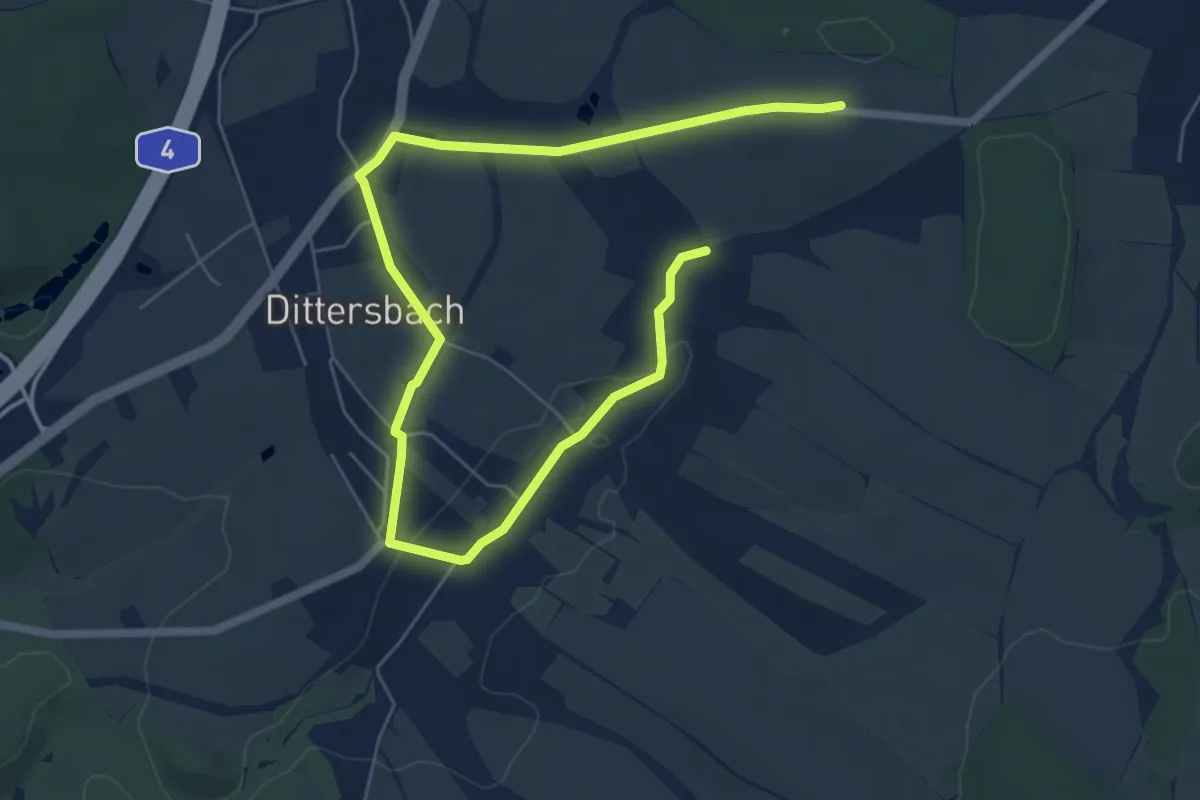
Medium · Summit
Rundweg Dittersbach
8.1 km · ↑ 79 m · 2 h 6 min
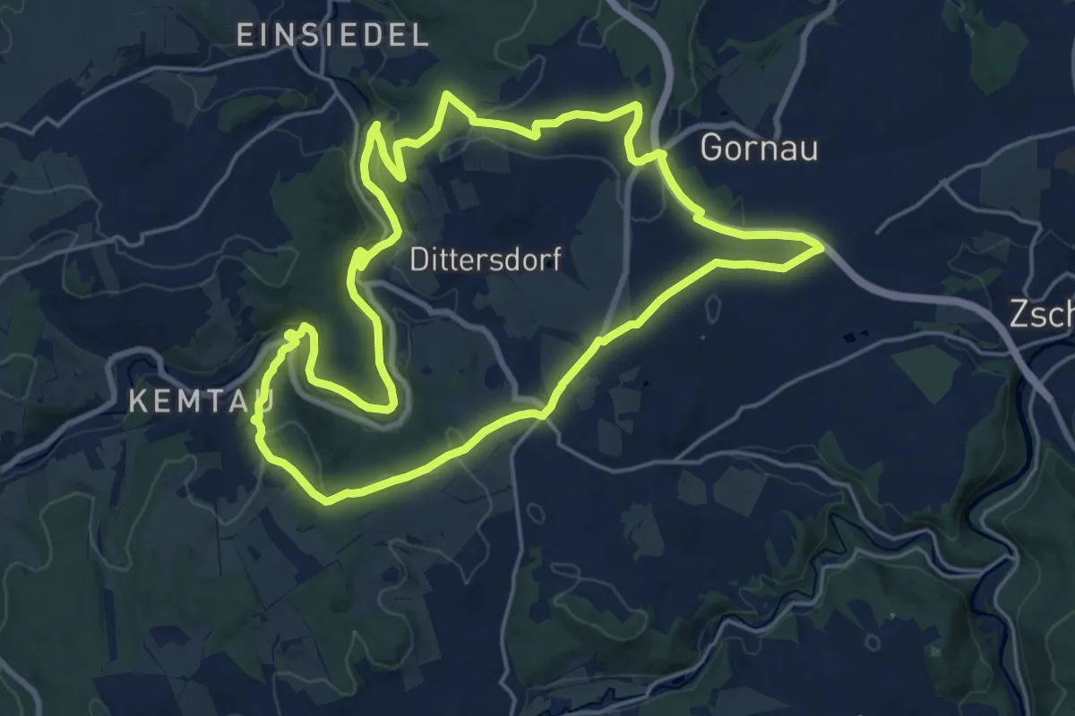
Demanding · Summit
Rundweg Dittersdorf
18.2 km · ↑ 325 m · 5 h 14 min
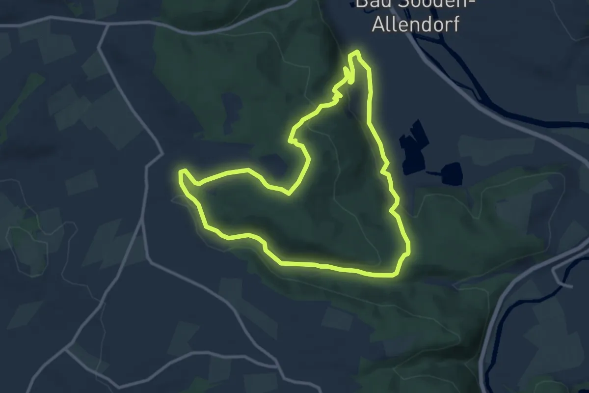
Medium · Trail
Rundweg Dohlsbach
8.0 km · ↑ 252 m · 2 h 33 min
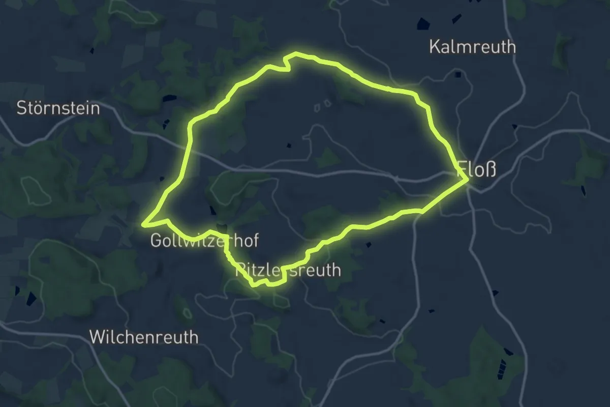
Medium · Summit
Rundweg Doost
11.6 km · ↑ 176 m · 3 h 16 min
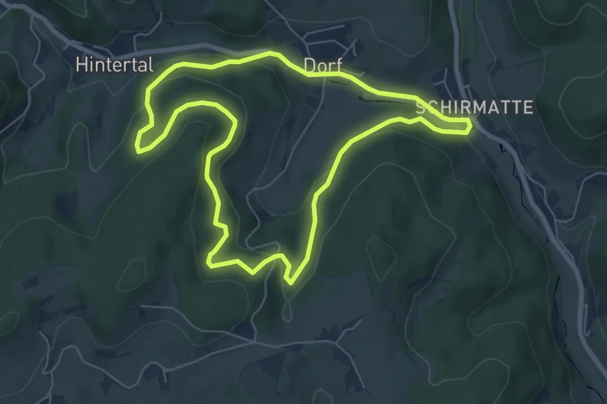
Easy · Trail
Rundweg Dorf-Dobel
5.4 km · ↑ 273 m · 1 h 56 min
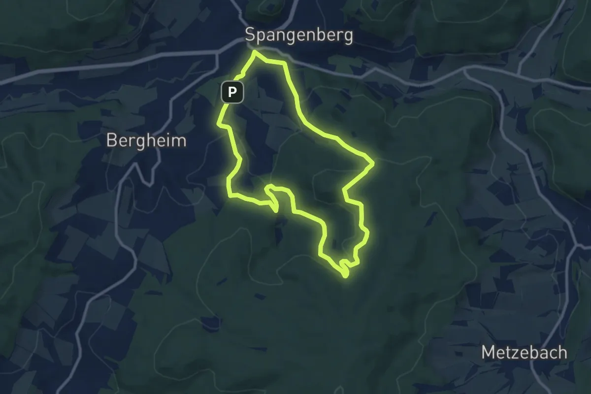
Easy · Summit
Rundweg Dörnbach
7.7 km · ↑ 237 m · 2 h 27 min
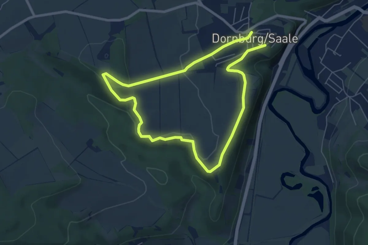
Easy · Summit
Rundweg Dornburg
4.8 km · ↑ 91 m · 1 h 23 min
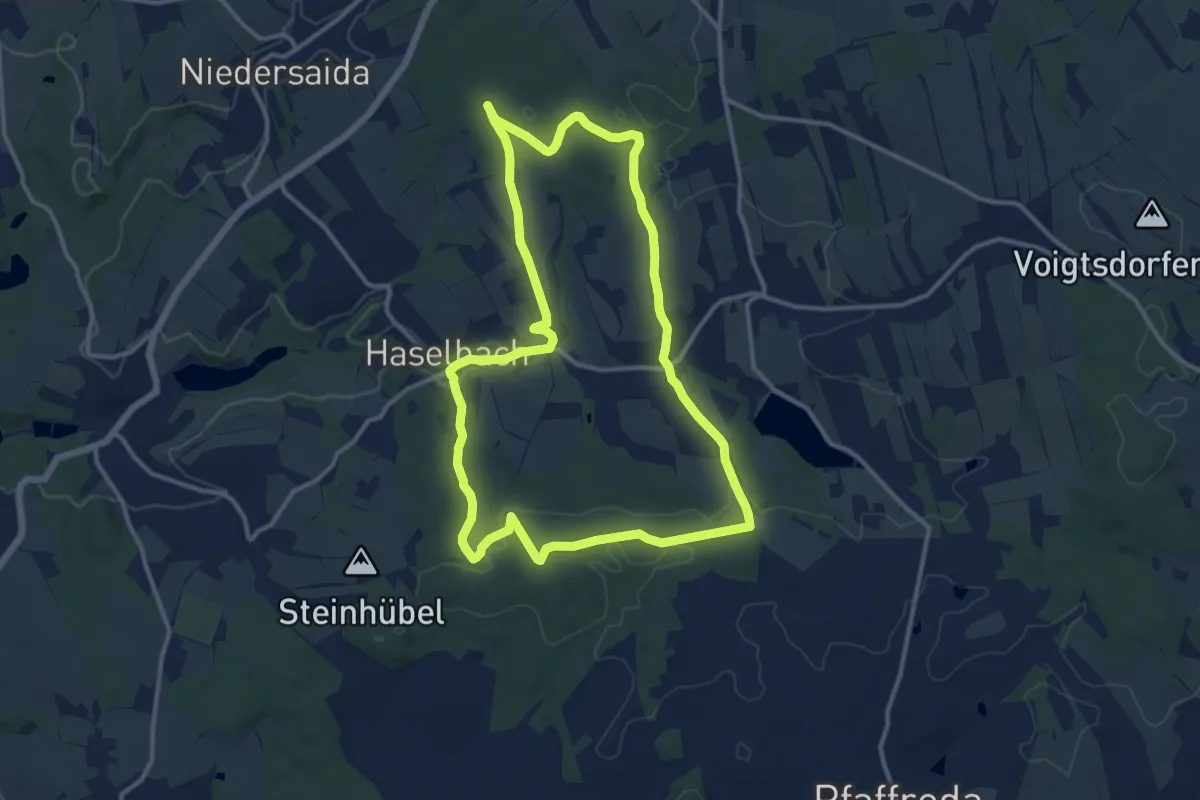
Medium · Trail
Rundweg Dörnthal-Haselbach
11.7 km · ↑ 183 m · 3 h 19 min
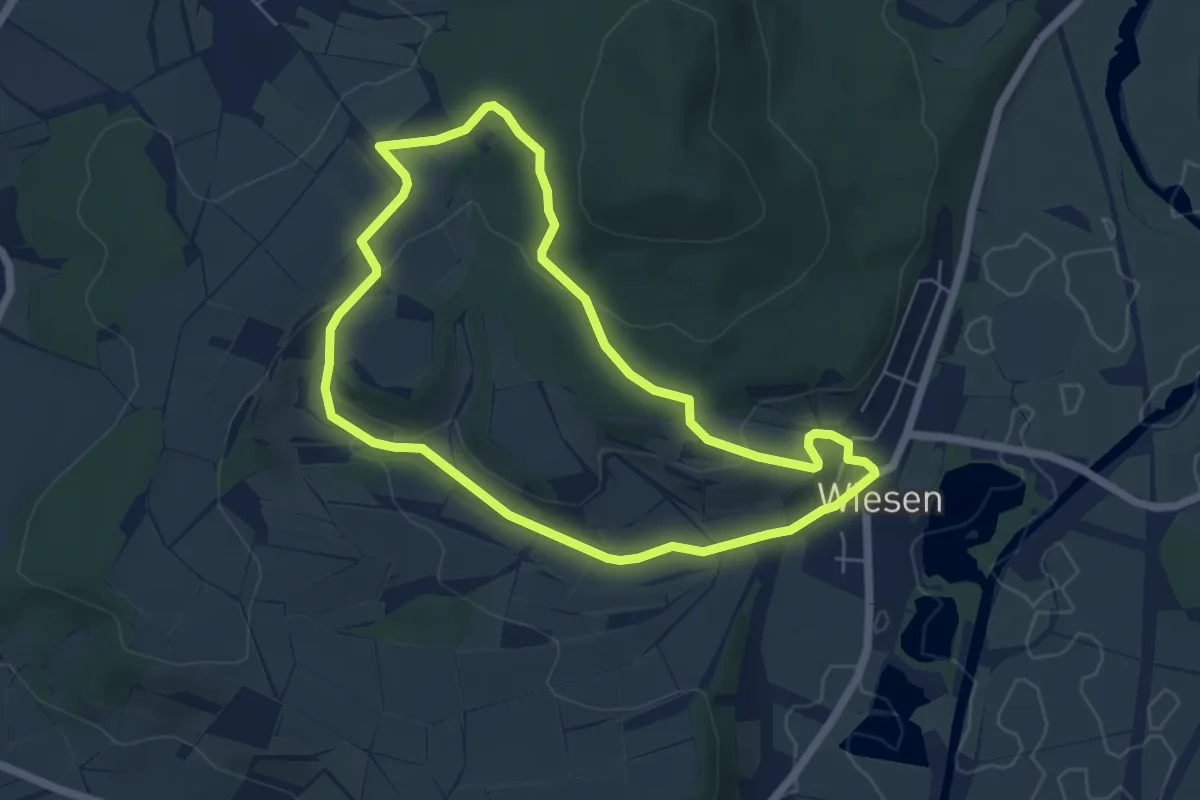
Easy · Trail
Rundweg Draisdorf
5.1 km · ↑ 129 m · 1 h 34 min
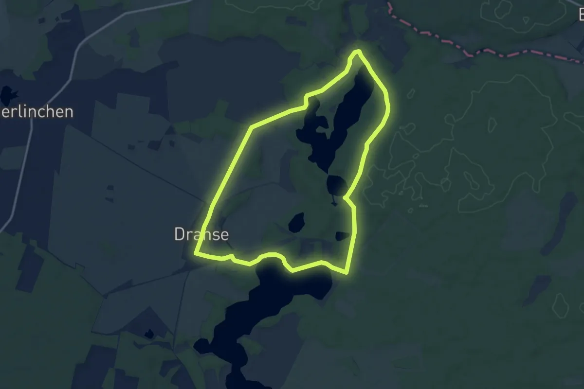
Medium · Trail
Rundweg Dranser Ortsteile
10.6 km · ↑ 57 m · 2 h 46 min
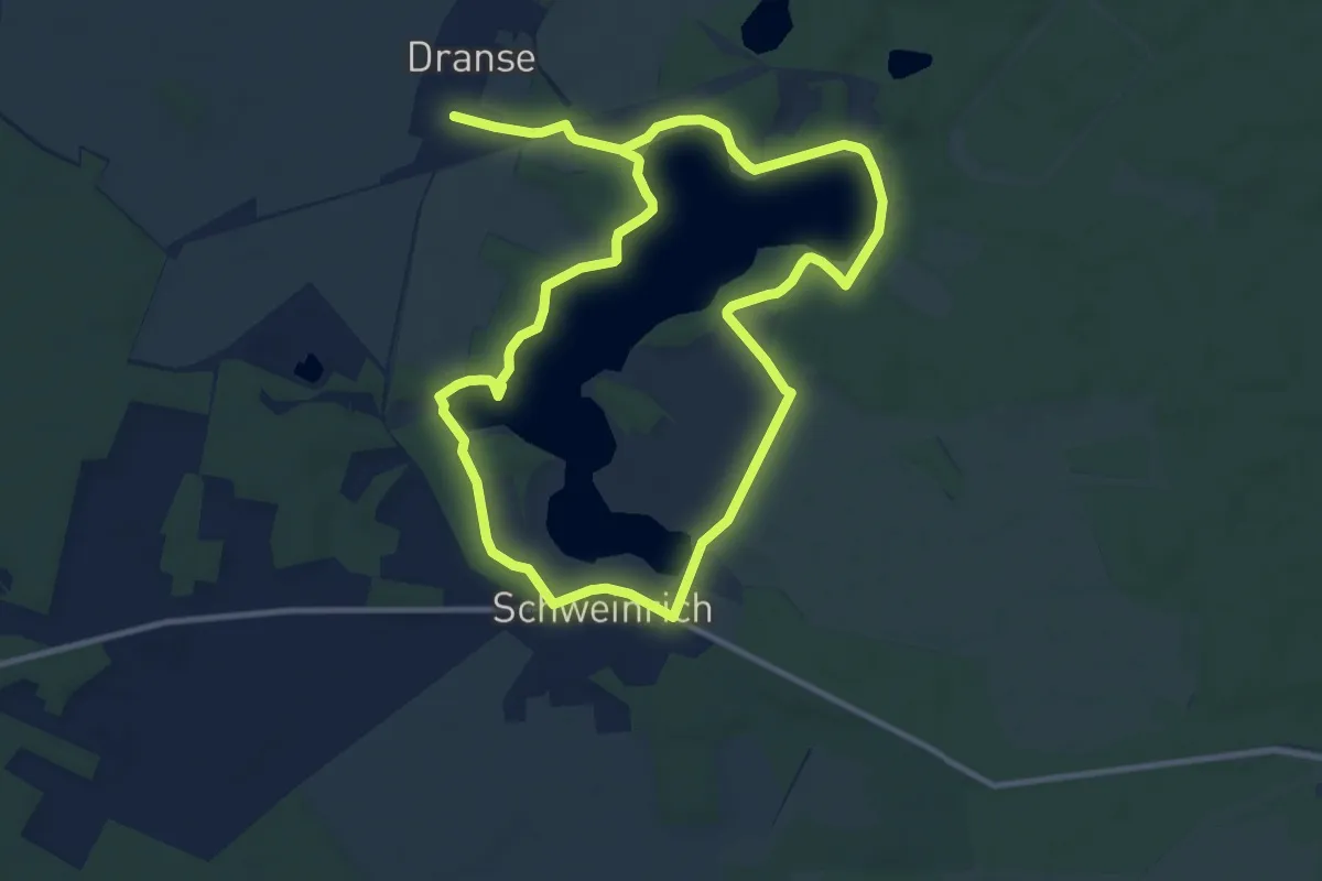
Medium · Trail
Rundweg Dranser See
9.4 km · ↑ 52 m · 2 h 28 min
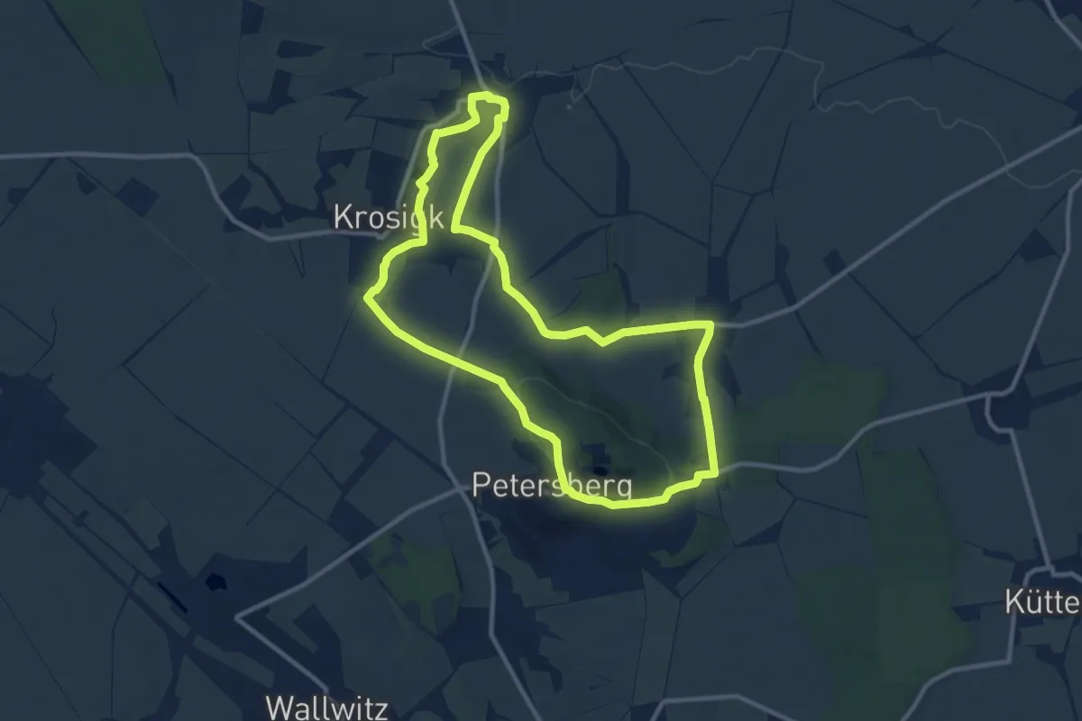
Medium · Trail
Rundweg Drehlitz Kaltenmark Krosigk Petersberg
9.4 km · ↑ 134 m · 2 h 39 min
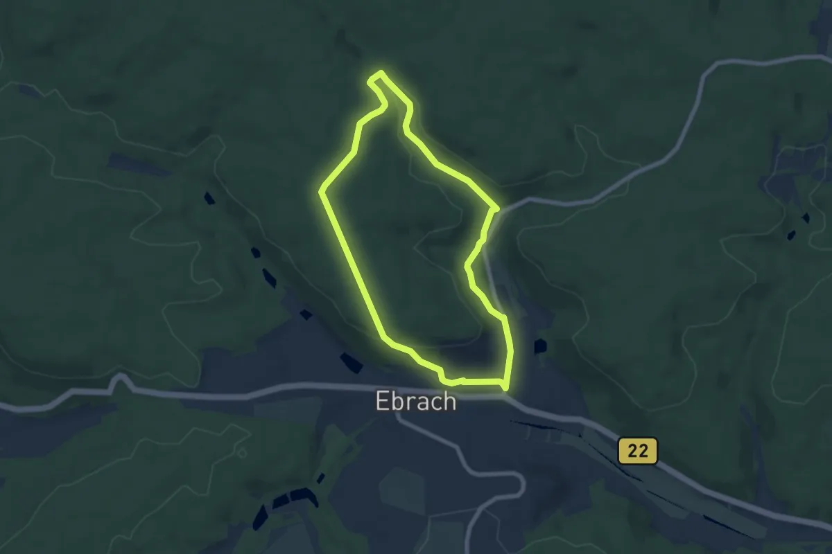
Easy · Trail
Rundweg "Dreiherrnbrunnen"
5.6 km · ↑ 113 m · 1 h 39 min
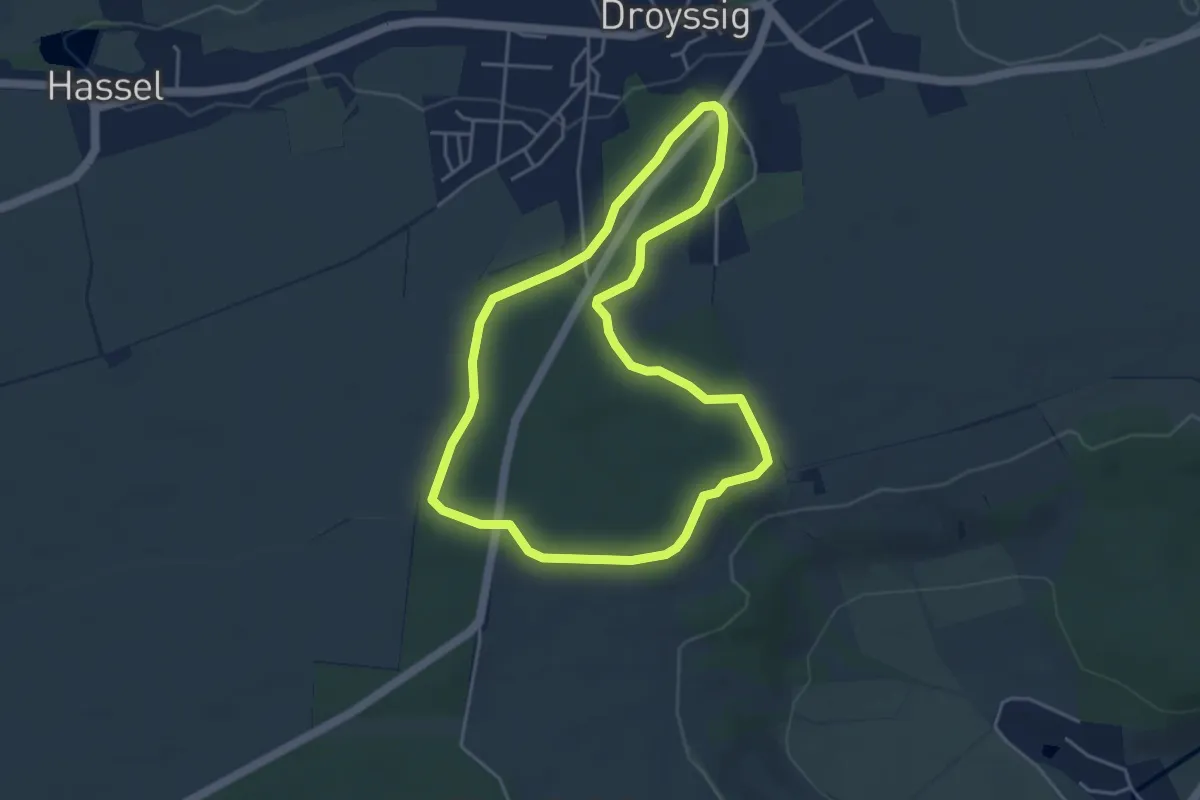
Easy · Trail
Rundweg Droyßiger Forst
3.8 km · ↑ 44 m · 1 h 3 min
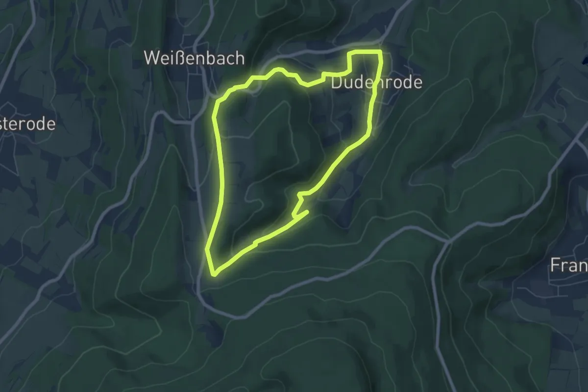
Easy · Trail
Rundweg Dudenrode - Bühlchen
5.6 km · ↑ 227 m · 1 h 54 min
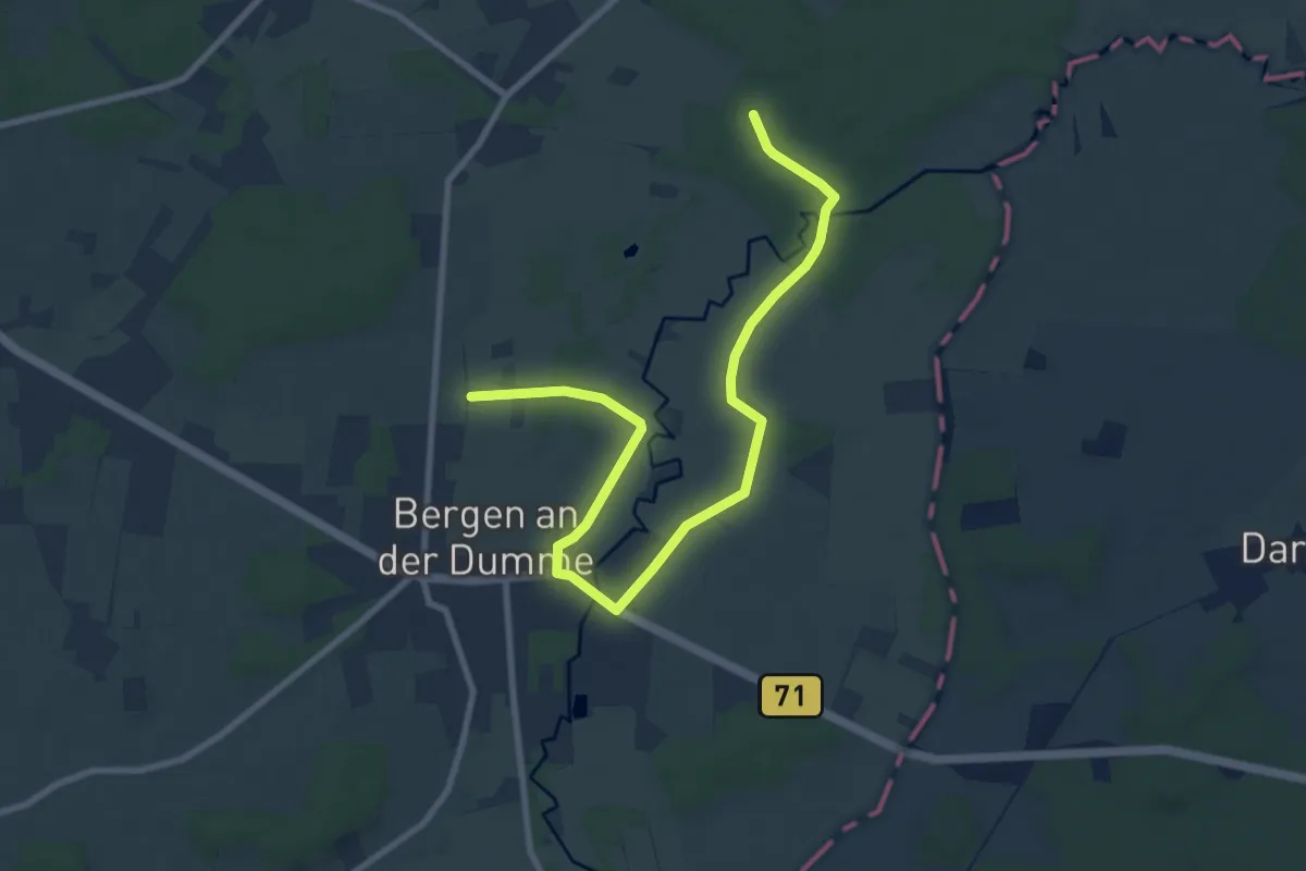
Easy · Trail
Rundweg Dumme-Niederung
4.6 km · ↑ 8 m · 1 h 10 min
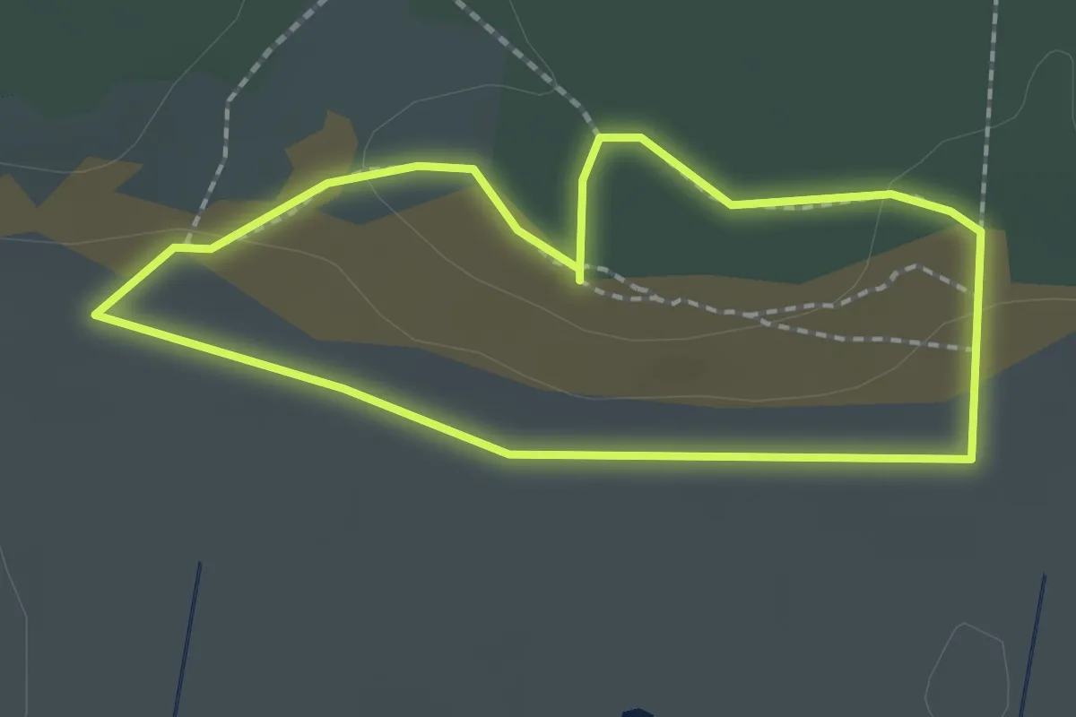
Easy · Trail
Rundweg "Dünen-Lehrpfad"
1.6 km · ↑ 14 m · 26 min
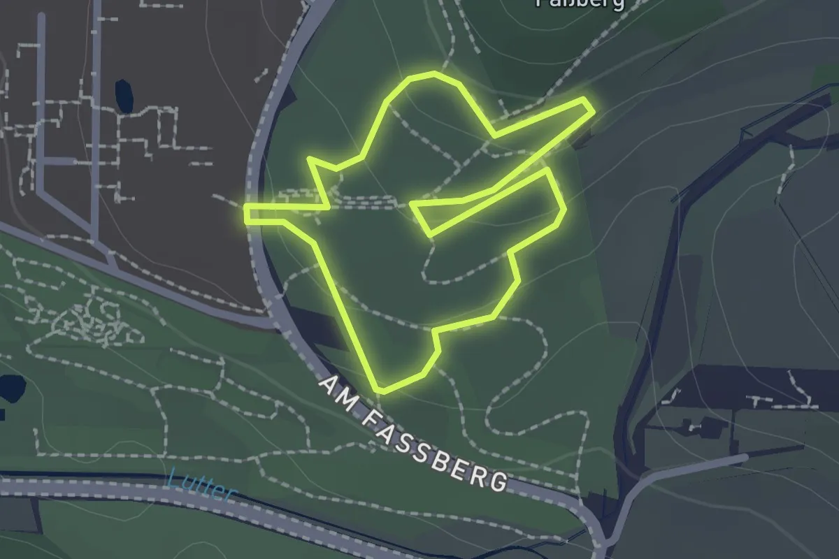
Easy · Summit
Rundweg durch den Forstbotanischen Garten der Universität Göttingen
1.5 km · ↑ 36 m · 28 min
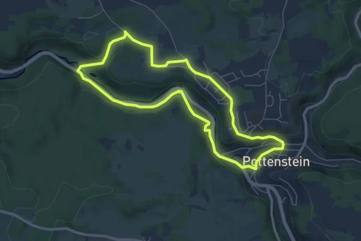
Easy · Trail
Rundweg durch die Bärenschlucht
5.1 km · ↑ 107 m · 1 h 31 min
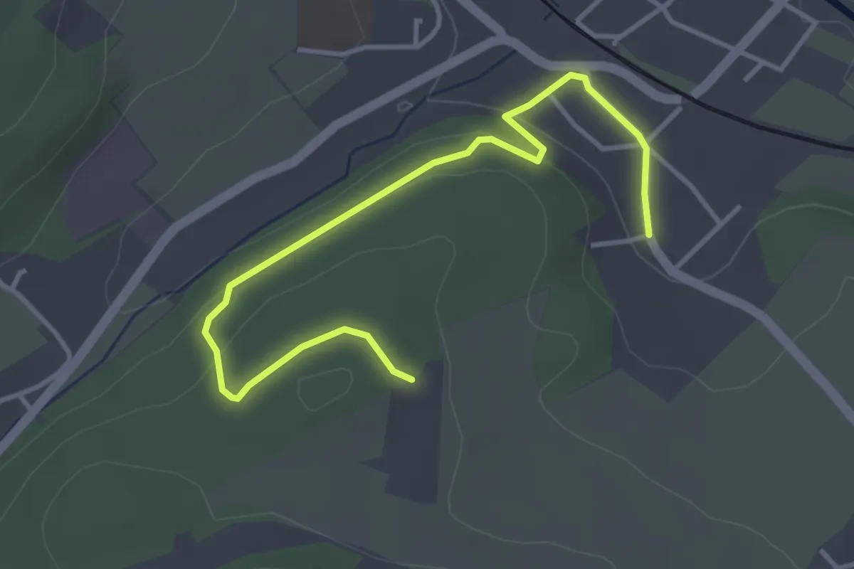
Easy · Trail
Rundweg durch die Birken
3.9 km · ↑ 105 m · 1 h 9 min
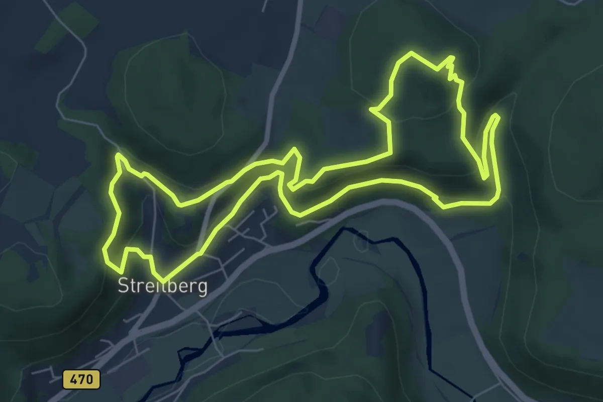
Medium · Summit
Rundweg durch die Felsenschlucht
6.5 km · ↑ 370 m · 2 h 25 min
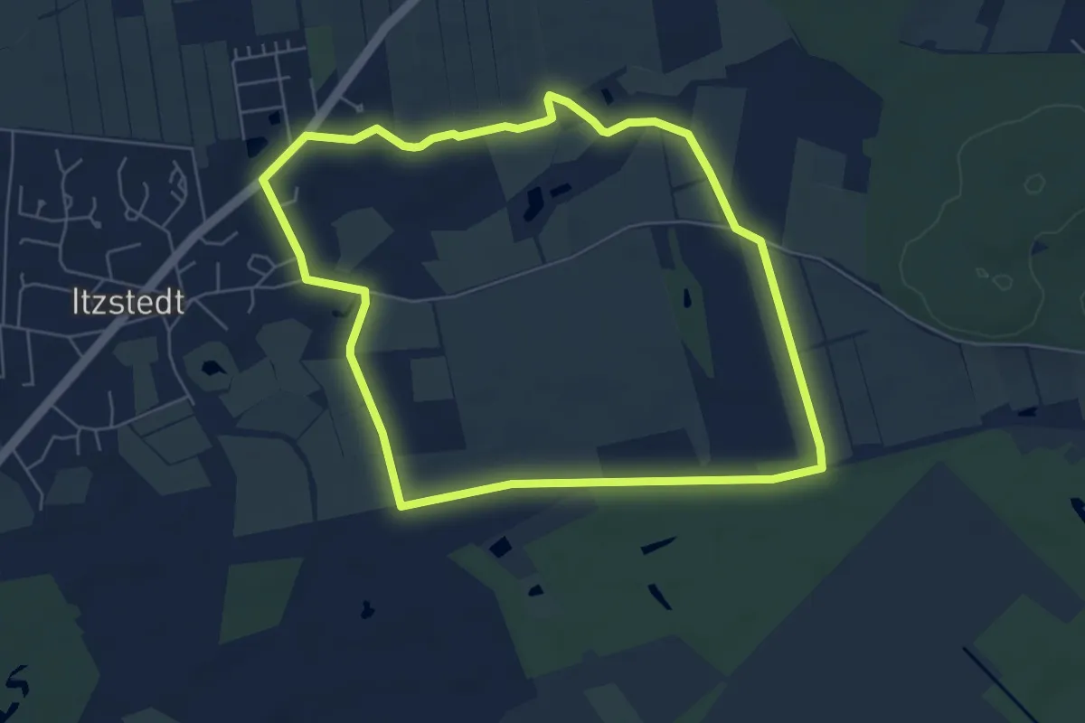
Easy · Trail
Rundweg durch die Gemeinde Itzstedt
5.2 km · ↑ 13 m · 1 h 20 min
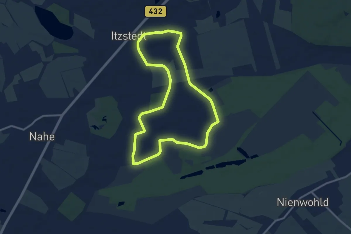
Easy · Trail
Rundweg durch die Gemeinde Itzstedt
6.1 km · ↑ 8 m · 1 h 33 min