Trails in Germany
36,852 hiking trails, each with its route, climb, walking time and grade.
All trails, page 543 of 768
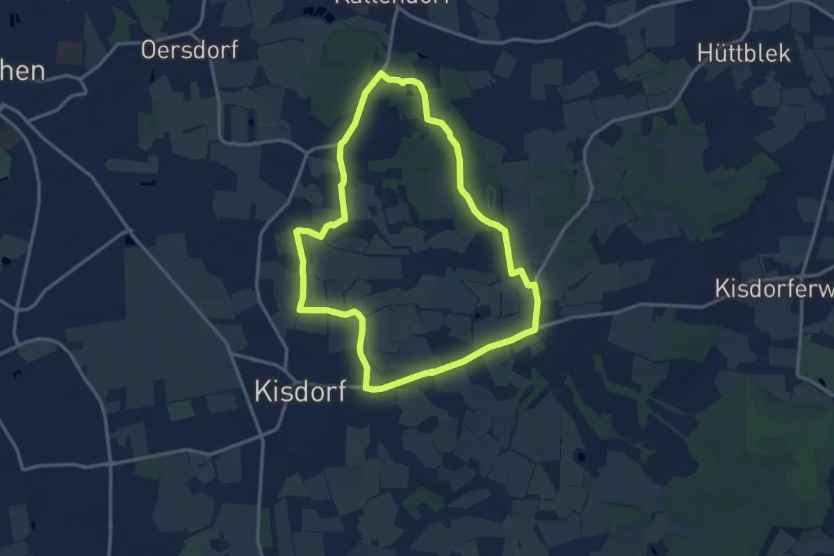
Medium · Trail
Rundweg durch die Gemeinden Kisdorf und Winsen
9.0 km · ↑ 51 m · 2 h 21 min
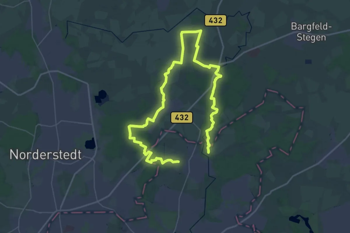
Demanding · Trail
Rundweg durch die Gemeinde Tangstedt
22.5 km · ↑ 62 m · 5 h 46 min
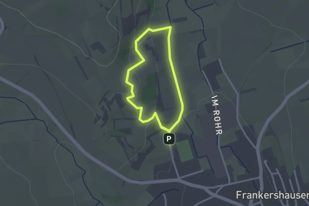
Easy · Trail
Rundweg durch die Hielöcher
1.8 km · ↑ 53 m · 33 min
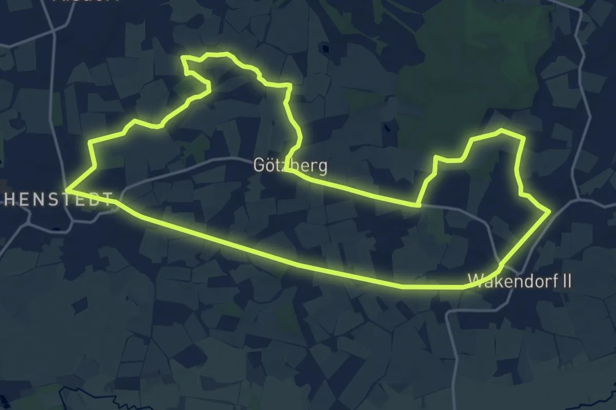
Medium · Trail
Rundweg durch Henstedt-Ulzburg und Wakendorf II
15.1 km · ↑ 63 m · 3 h 55 min
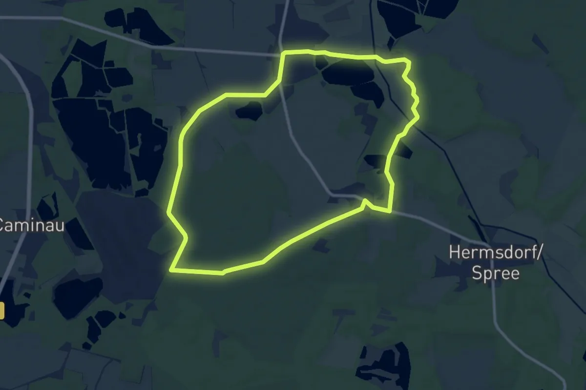
Medium · Trail
Rundweg durch Steinitz und Weißig
8.3 km · ↑ 39 m · 2 h 9 min
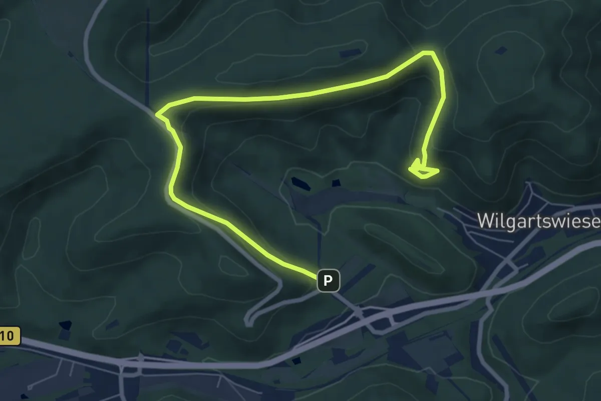
Medium · Trail
Rundweg D Wilgartswiesen
8.3 km · ↑ 353 m · 2 h 44 min
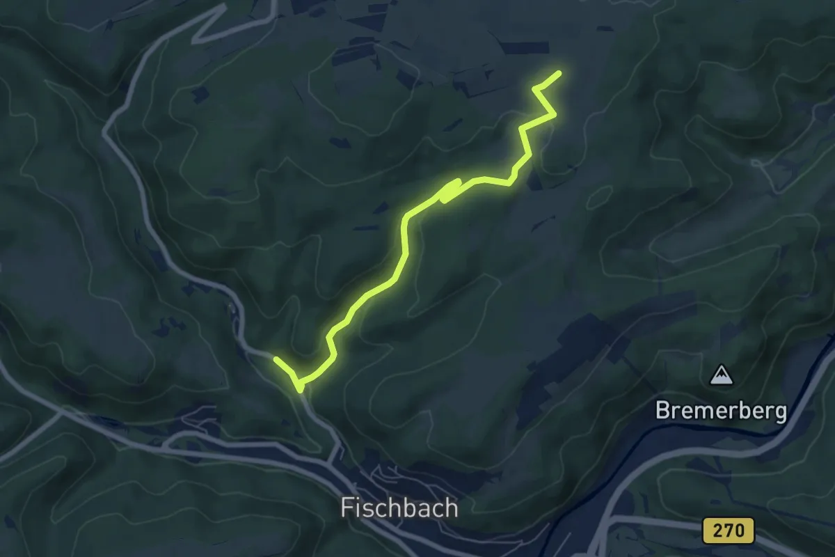
Easy · Trail
Rundweg E1
3.1 km · ↑ 19 m · 55 min
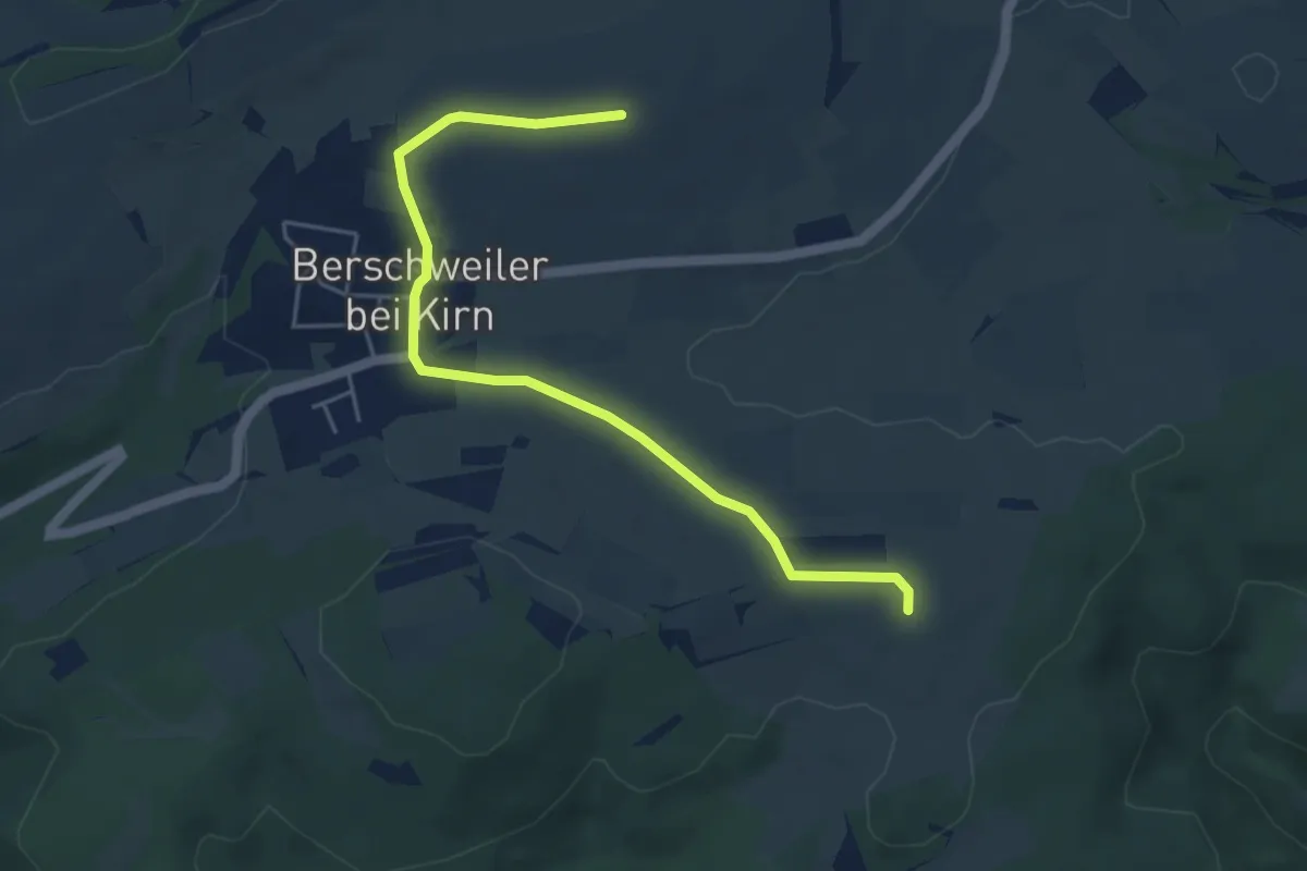
Easy · Trail
Rundweg E4
2.4 km · ↑ 21 m · 39 min
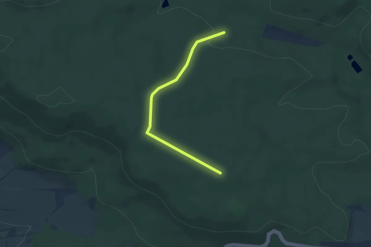
Easy · Trail
Rundweg E 6
1.6 km · ↑ 45 m · 28 min
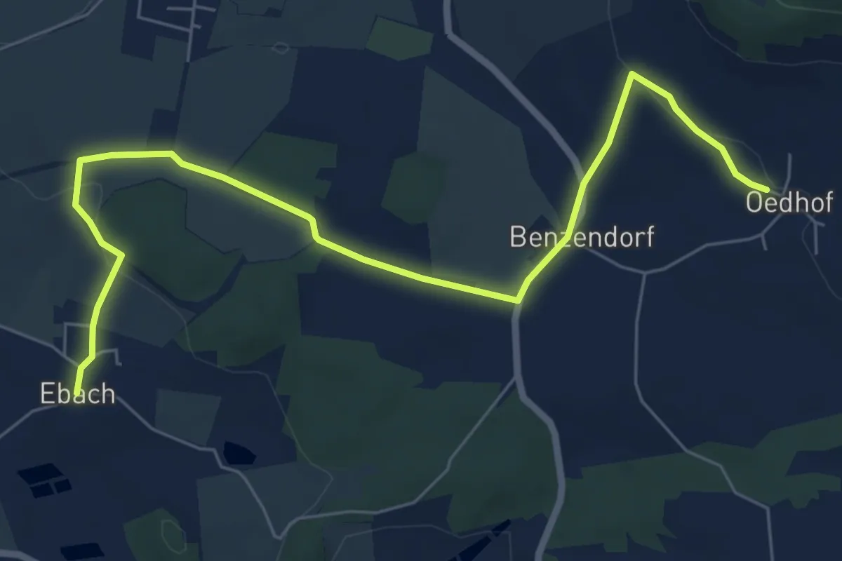
Easy · Trail
Rundweg Ebach – Lillinghof
7.1 km · ↑ 99 m · 1 h 53 min
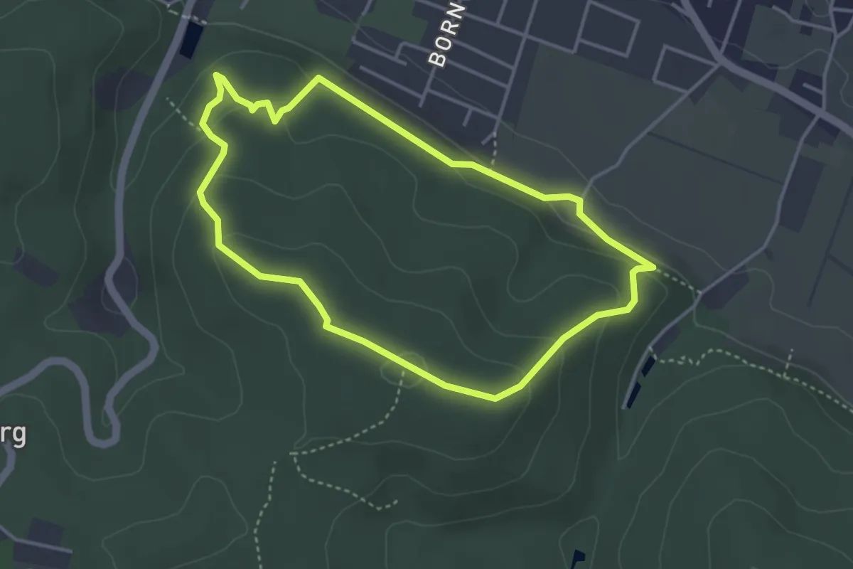
Easy · Summit
Rundwege Bad Essen (1)
3.1 km · ↑ 134 m · 1 h 5 min
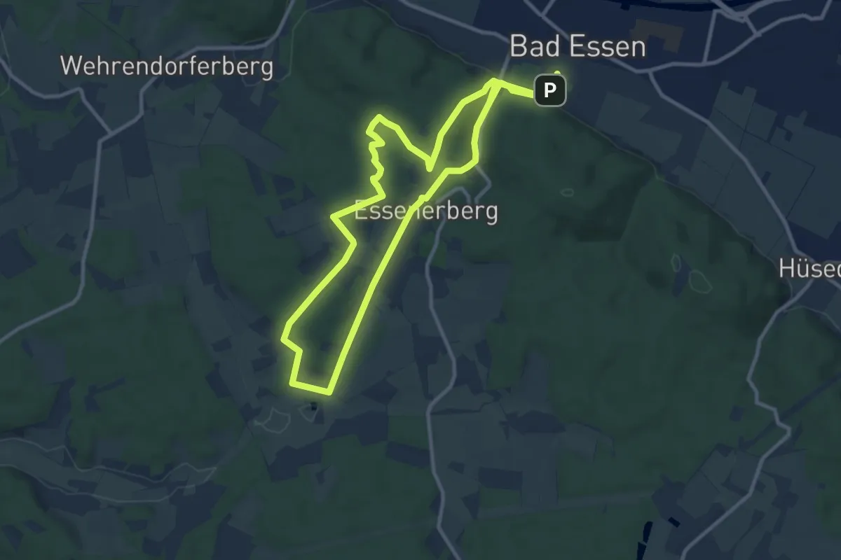
Medium · Summit
Rundwege Bad Essen (2)
9.4 km · ↑ 234 m · 2 h 51 min
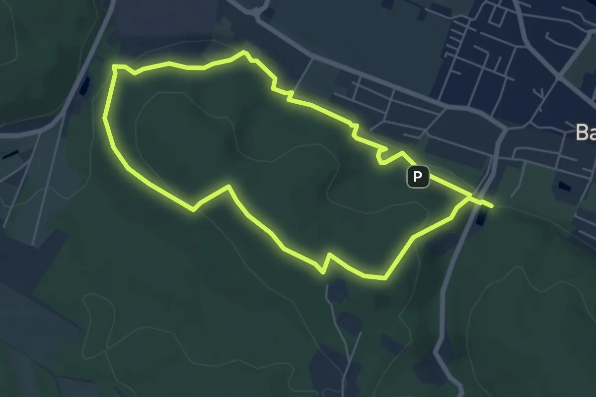
Easy · Summit
Rundwege Bad Essen (5)
4.7 km · ↑ 154 m · 1 h 30 min
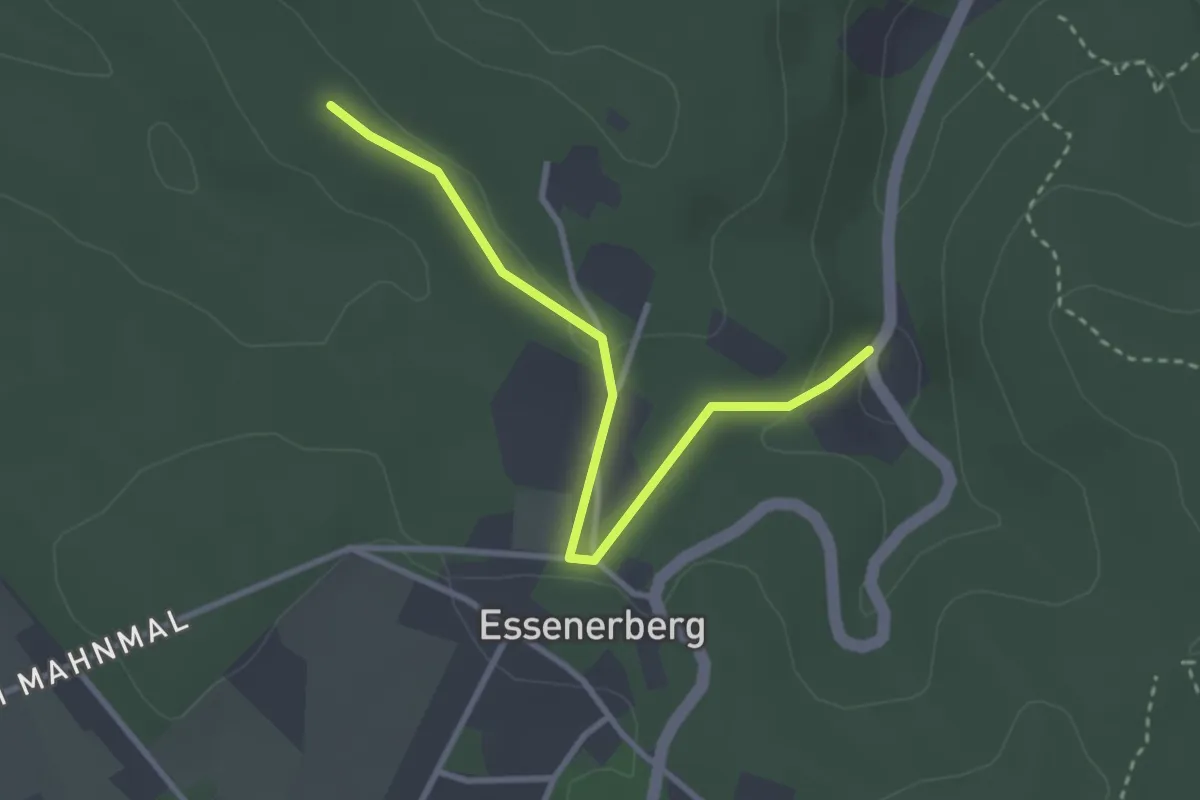
Easy · Summit
Rundwege Bad Essen (6)
1.4 km · ↑ 10 m · 23 min
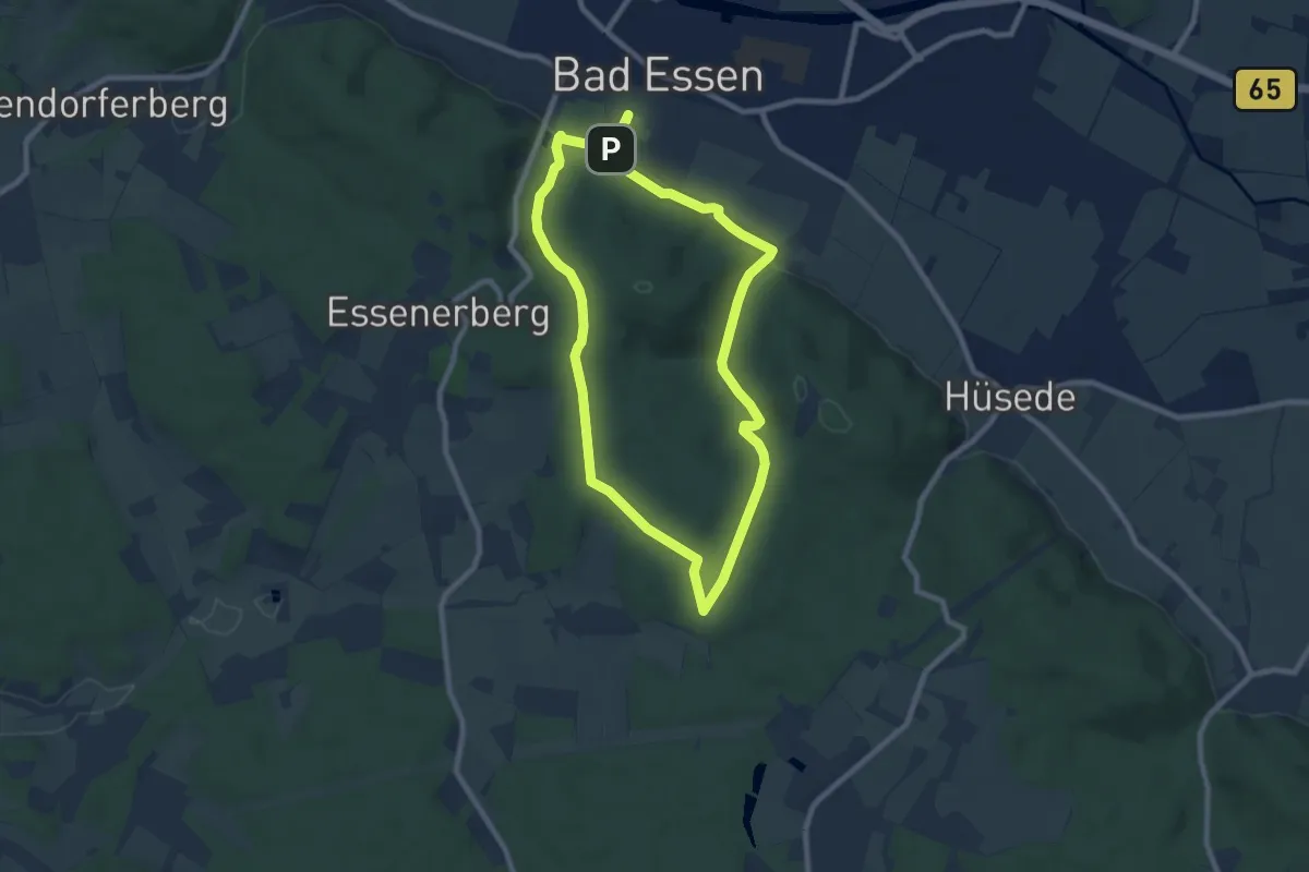
Easy · Trail
Rundwege Bad Essen (7)
7.2 km · ↑ 161 m · 2 h 10 min
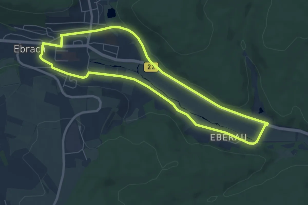
Easy · Trail
Rundweg "Eberau"
5.6 km · ↑ 39 m · 1 h 29 min
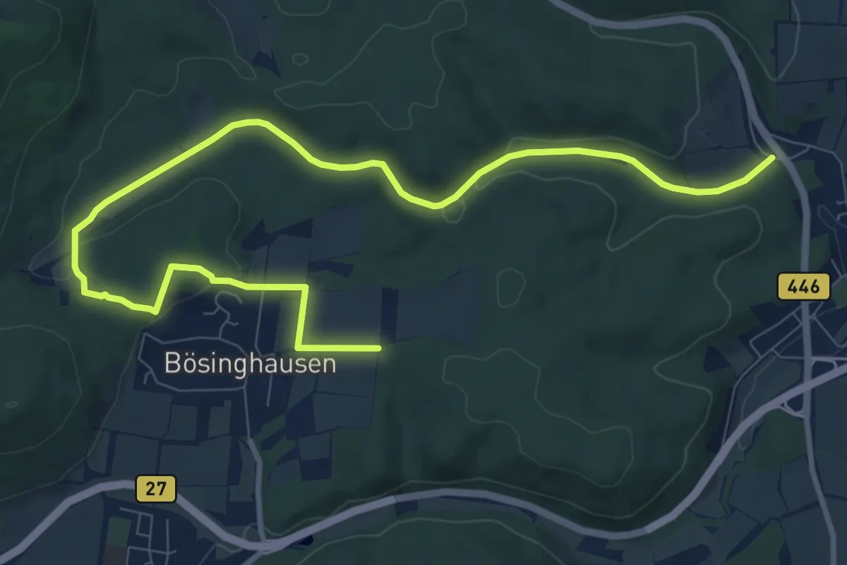
Easy · Summit
Rundweg Ebergötzen
5.4 km · ↑ 137 m · 1 h 37 min
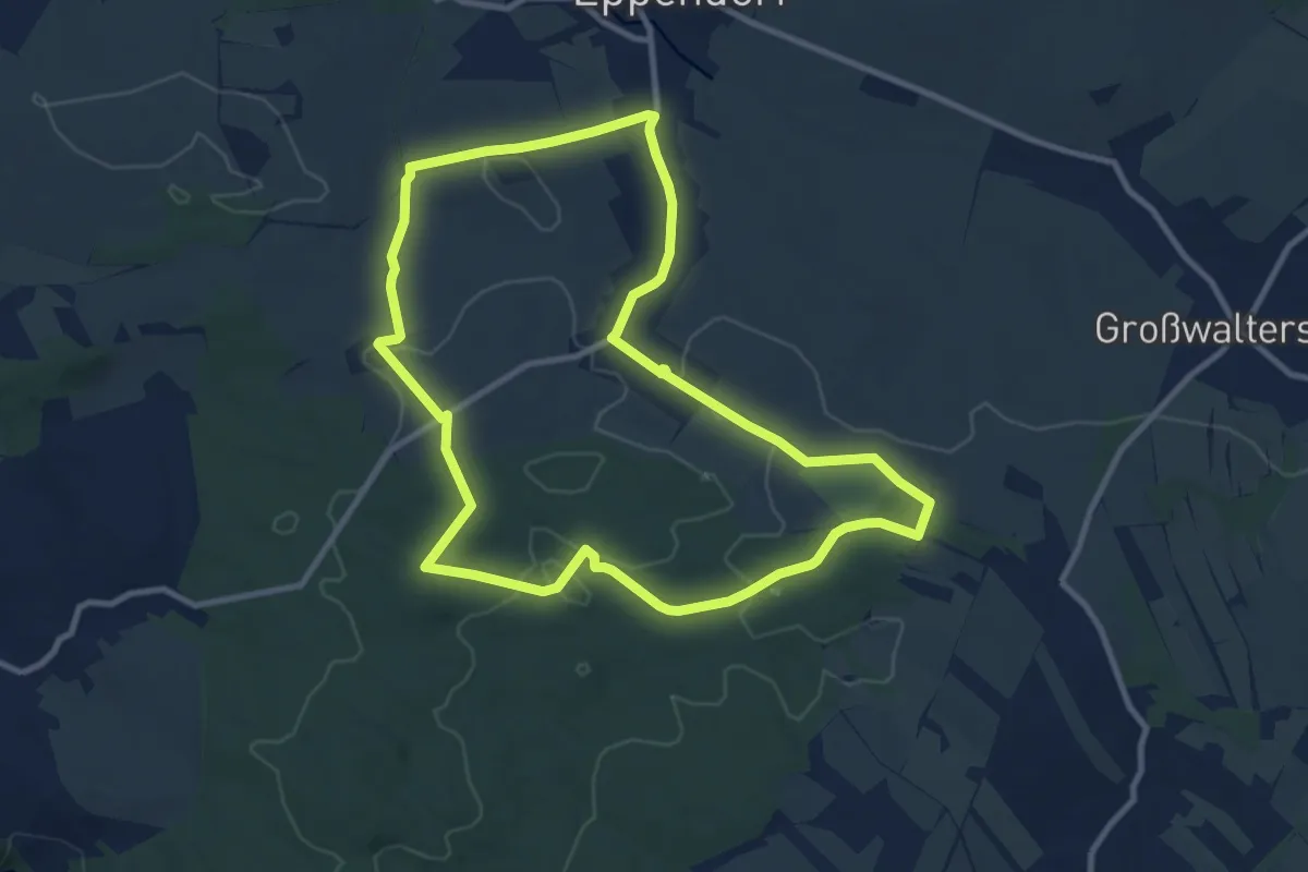
Medium · Trail
Rundweg Ebersbach
9.4 km · ↑ 149 m · 2 h 40 min
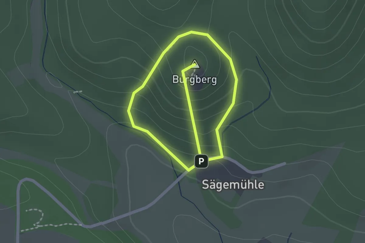
Easy · Summit
Rundweg Ebersburg
2.7 km · ↑ 207 m · 1 h 6 min
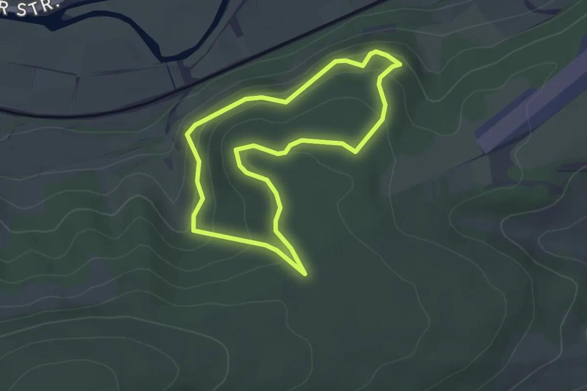
Easy · Trail
Rundweg Eberschütz Klippen
2.8 km · ↑ 134 m · 59 min
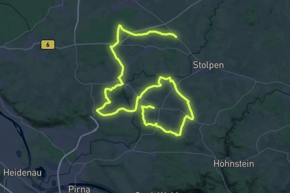
Demanding · Summit
Rundwege Dürröhrsdorf-Dittersbach
34.6 km · ↑ 488 m · 9 h 43 min
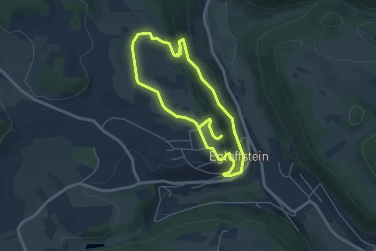
Easy · Trail
Rundweg Egloffstein Blauring
3.5 km · ↑ 97 m · 1 h 6 min
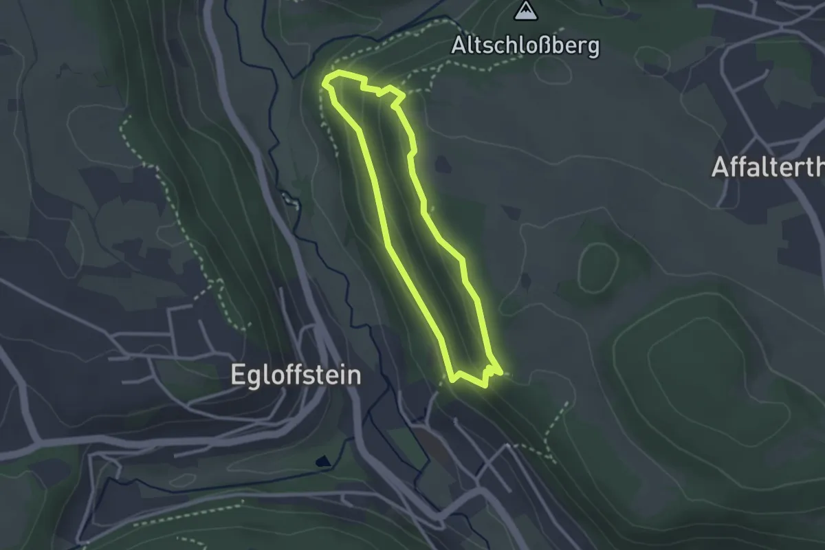
Medium · Trail
Rundweg Egloffstein Gelbring
2.2 km · ↑ 107 m · 47 min
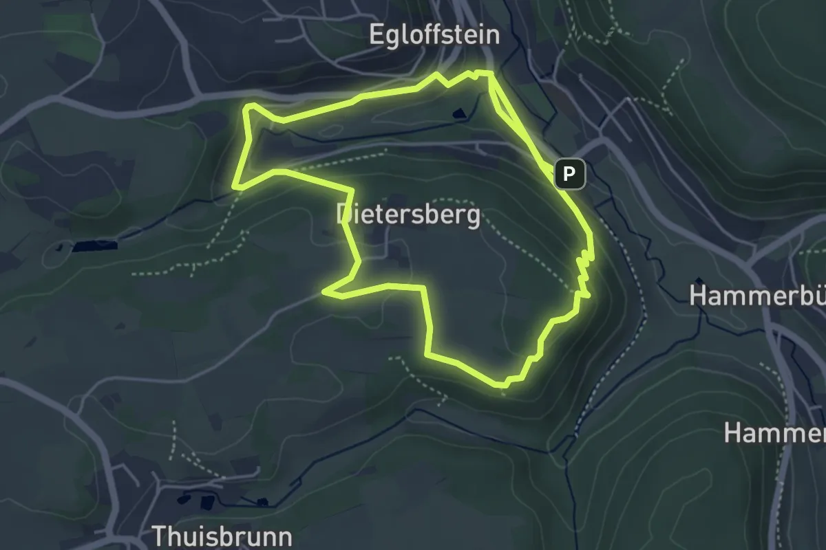
Easy · Trail
Rundweg Egloffstein Rotring
4.2 km · ↑ 149 m · 1 h 22 min
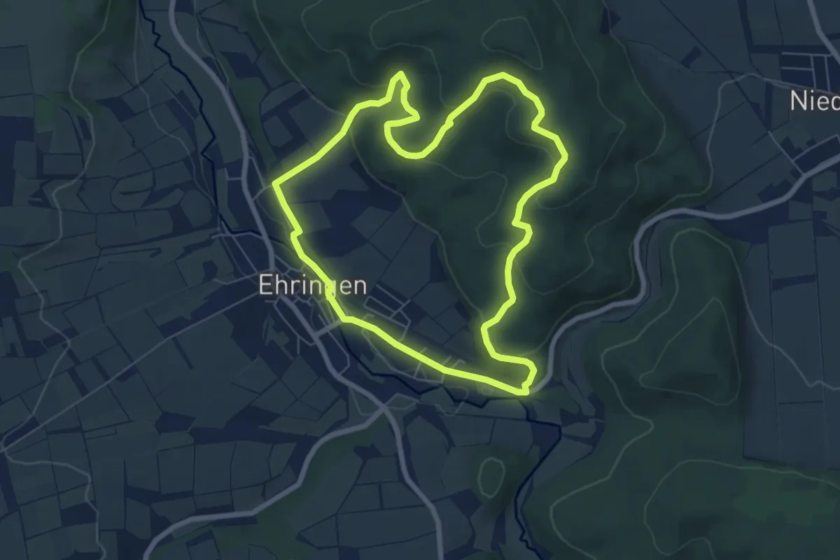
Easy · Trail
Rundweg Ehringen E3
6.1 km · ↑ 217 m · 1 h 59 min
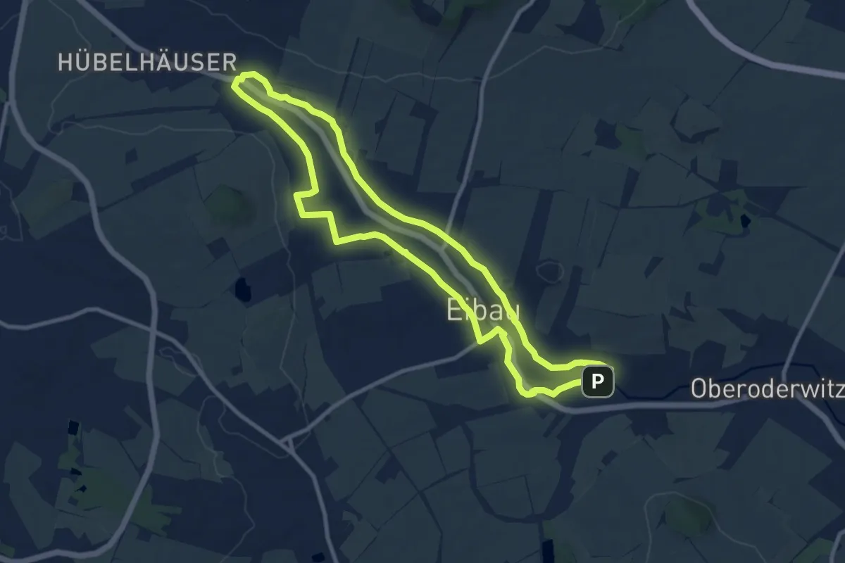
Medium · Trail
Rundweg Eibau (grüner Strich)
8.4 km · ↑ 52 m · 2 h 13 min
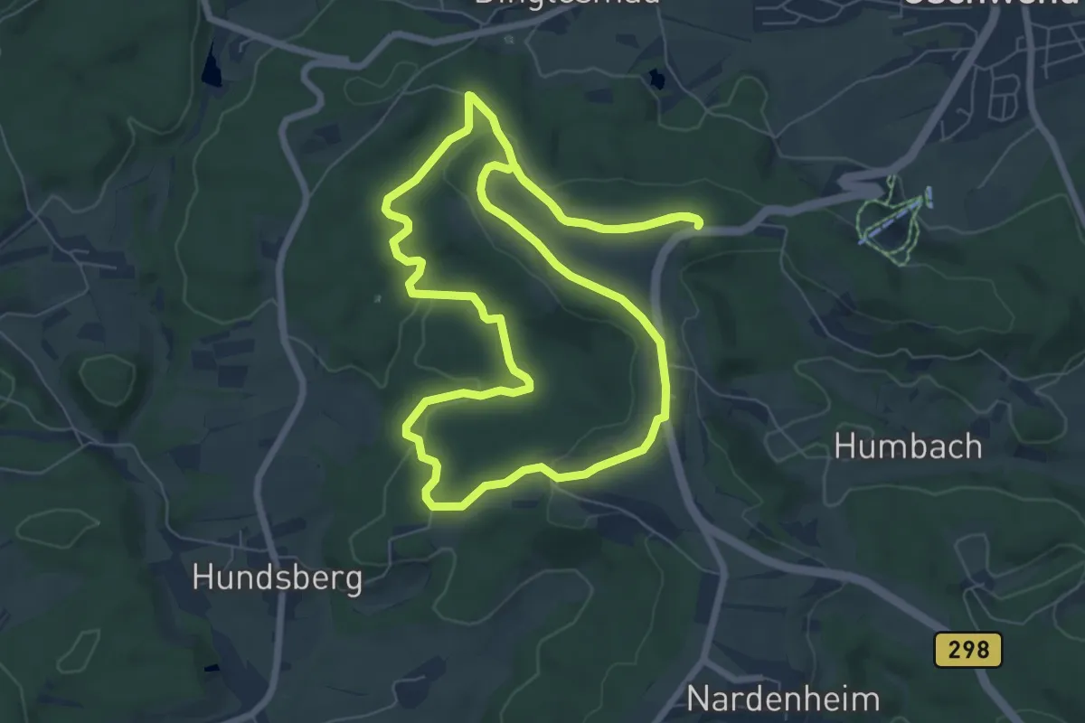
Easy · Trail
Rundweg Eichel
7.2 km · ↑ 117 m · 2 h 3 min
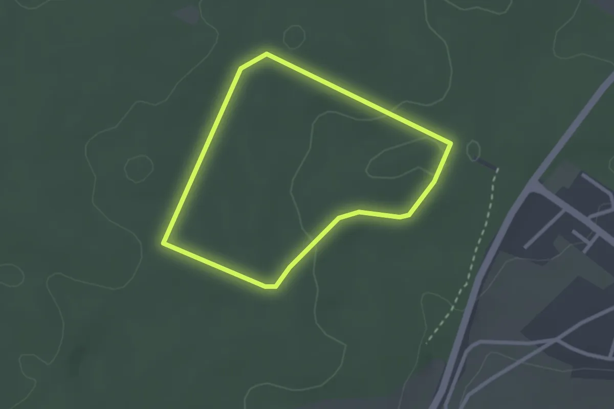
Easy · Trail
Rundweg Eichel (rot)
2.1 km · ↑ 32 m · 35 min
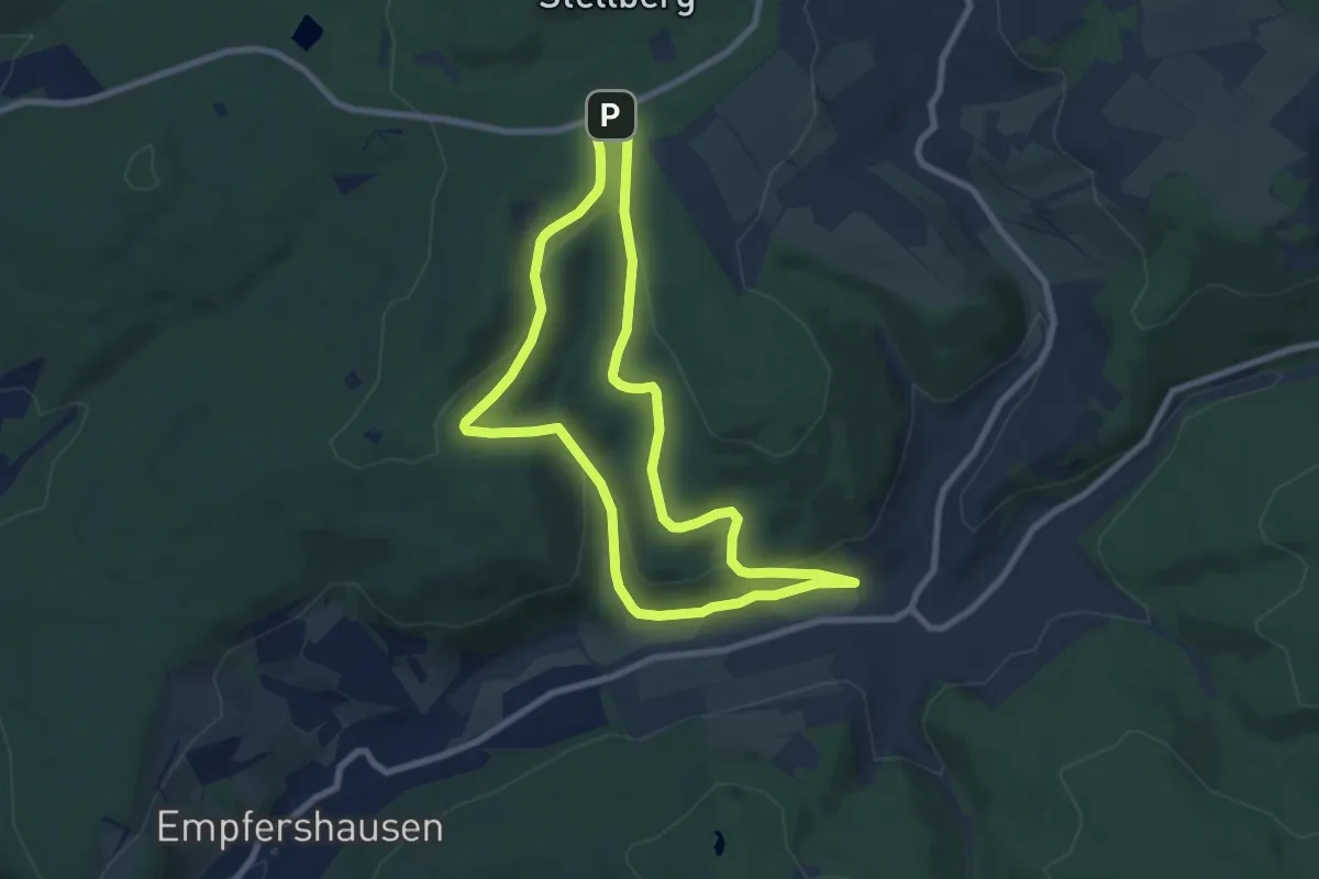
Easy · Trail
Rundweg Eiterhagen-Schliergrund
7.0 km · ↑ 187 m · 2 h 9 min
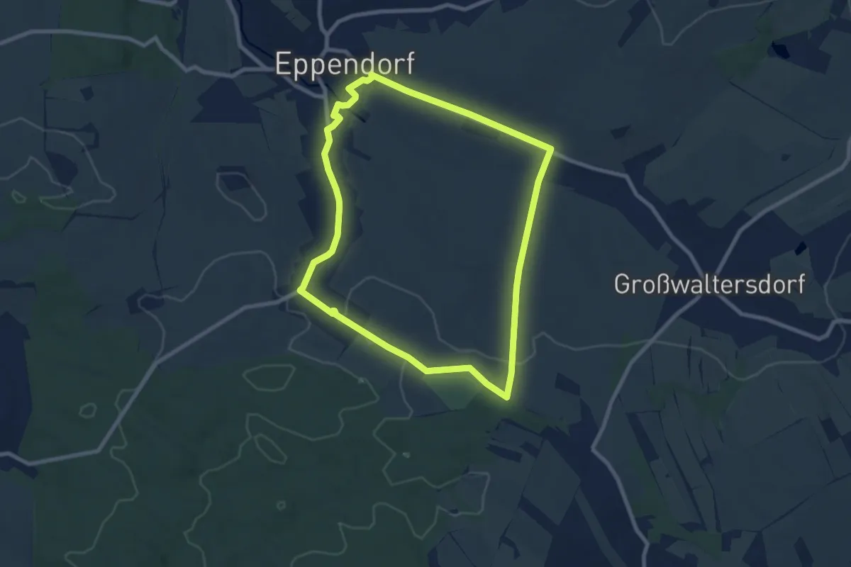
Easy · Trail
Rundweg Eklogitfelsen
7.2 km · ↑ 102 m · 2 h 1 min
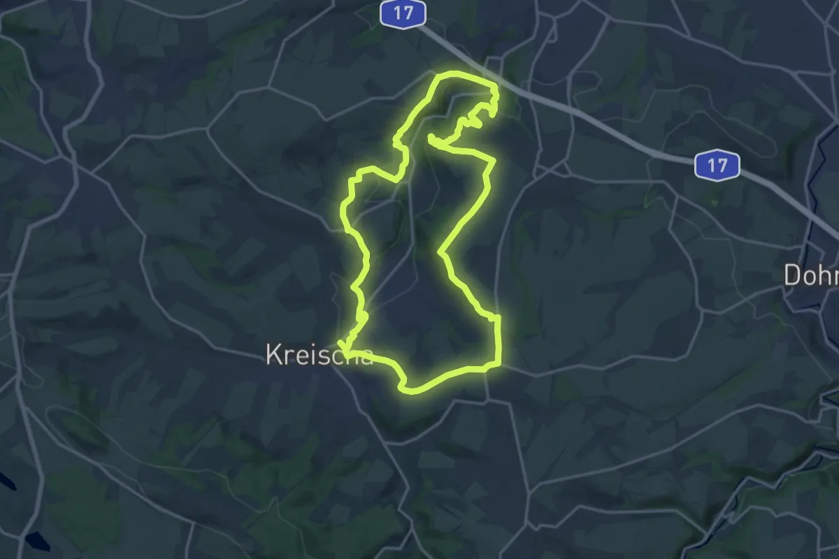
Medium · Summit
Rundweg E Kreischa
15.5 km · ↑ 336 m · 4 h 36 min
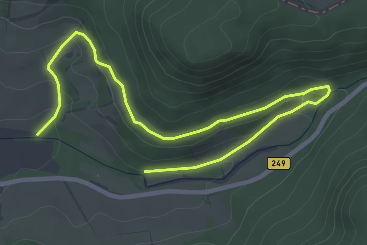
Easy · Trail
Rundweg Elfengrund
3.3 km · ↑ 93 m · 1 h
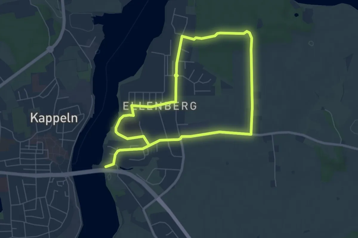
Medium · Trail
Rundweg Ellenberger Gehölz
10.2 km · ↑ 49 m · 2 h 31 min
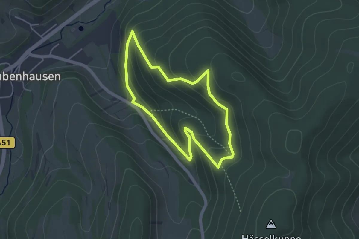
Easy · Trail
Rundweg Elsbeer-Eiben-Pfad
3.0 km · ↑ 153 m · 1 h 5 min
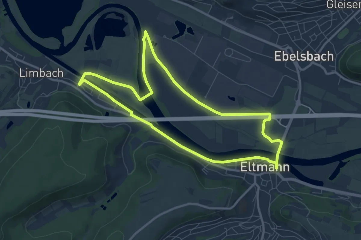
Easy · Trail
Rundweg Eltmann
7.3 km · ↑ 4 m · 1 h 49 min
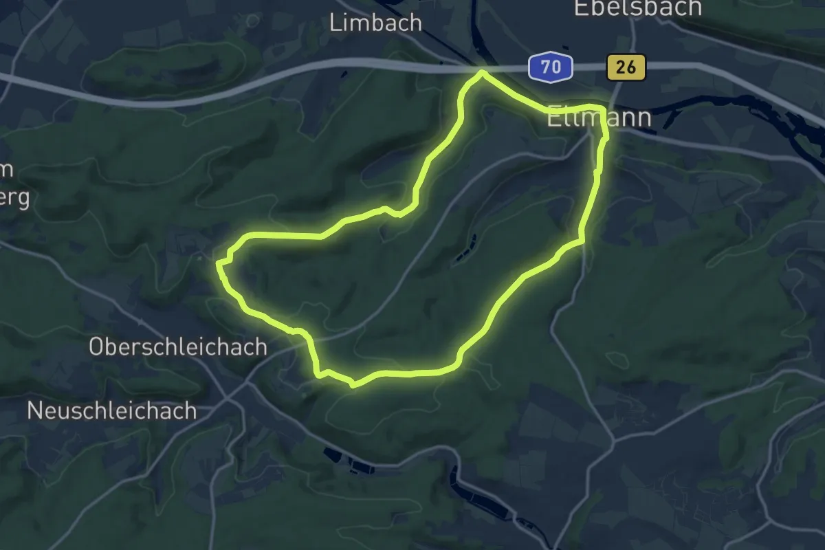
Medium · Trail
Rundweg Eltmann E 1
13.4 km · ↑ 207 m · 3 h 48 min
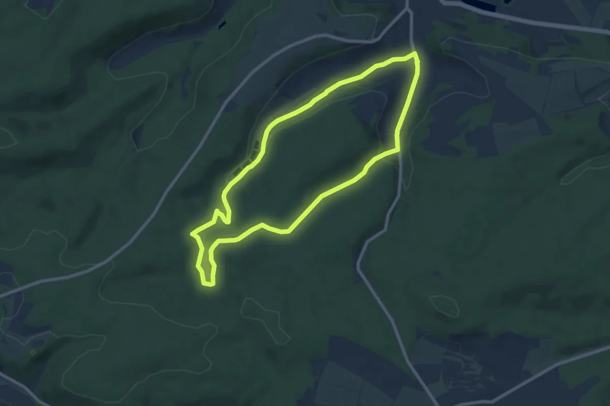
Easy · Trail
Rundweg Eltmann E 2
6.7 km · ↑ 132 m · 1 h 58 min
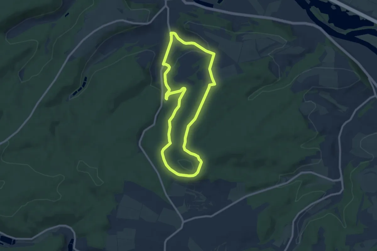
Easy · Trail
Rundweg Eltmann E 3
6.8 km · ↑ 156 m · 2 h 3 min
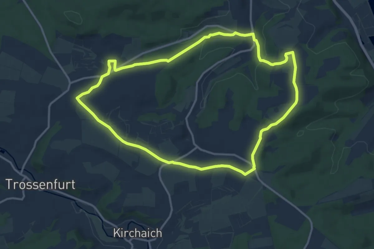
Medium · Trail
Rundweg Eltmann E 5
9.1 km · ↑ 118 m · 2 h 32 min
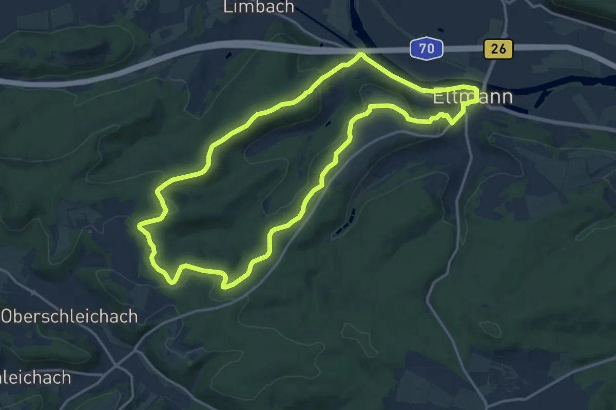
Medium · Trail
Rundweg Eltmann E 7
12.0 km · ↑ 244 m · 3 h 32 min
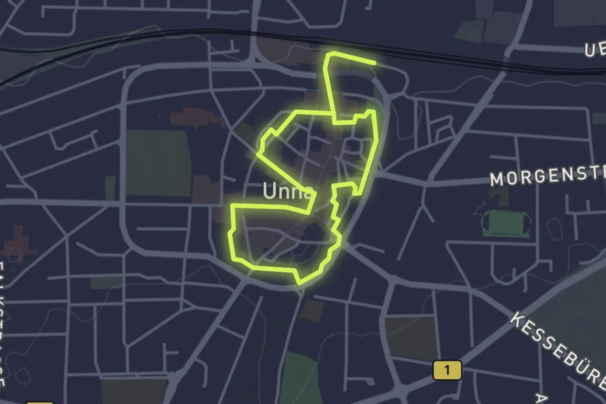
Easy · Trail
Rundweg entlang der Stadtmauer
2.6 km · ↑ 13 m · 41 min
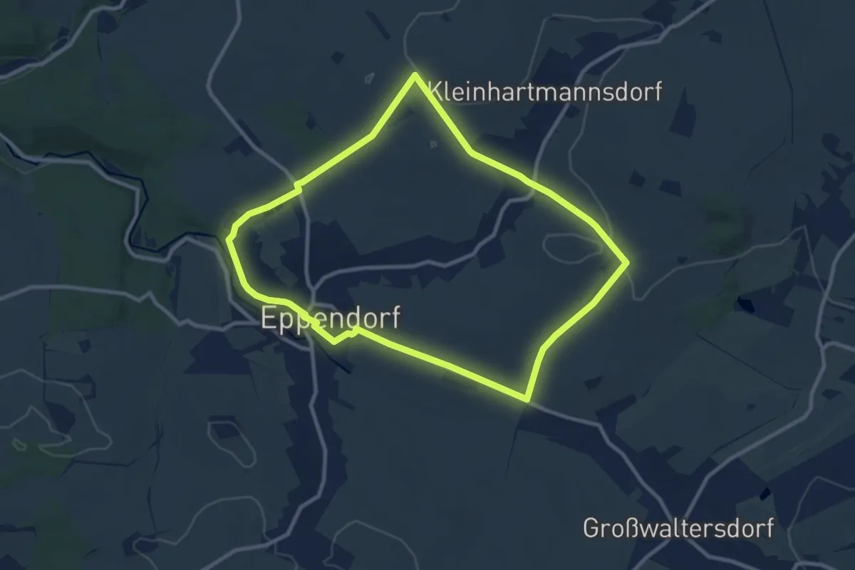
Medium · Trail
Rundweg Eppendorf-Kleinhartmannsdorf
8.5 km · ↑ 115 m · 2 h 22 min
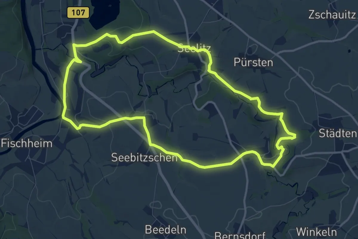
Medium · Trail
Rundweg Erlbachtal Steudten – Seelitz – Steudten
9.2 km · ↑ 165 m · 2 h 39 min
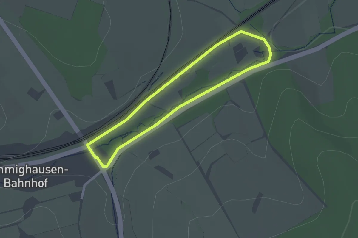
Easy · Trail
Rundweg Ernst-Heinrich Uber
1.6 km · ↑ 12 m · 26 min
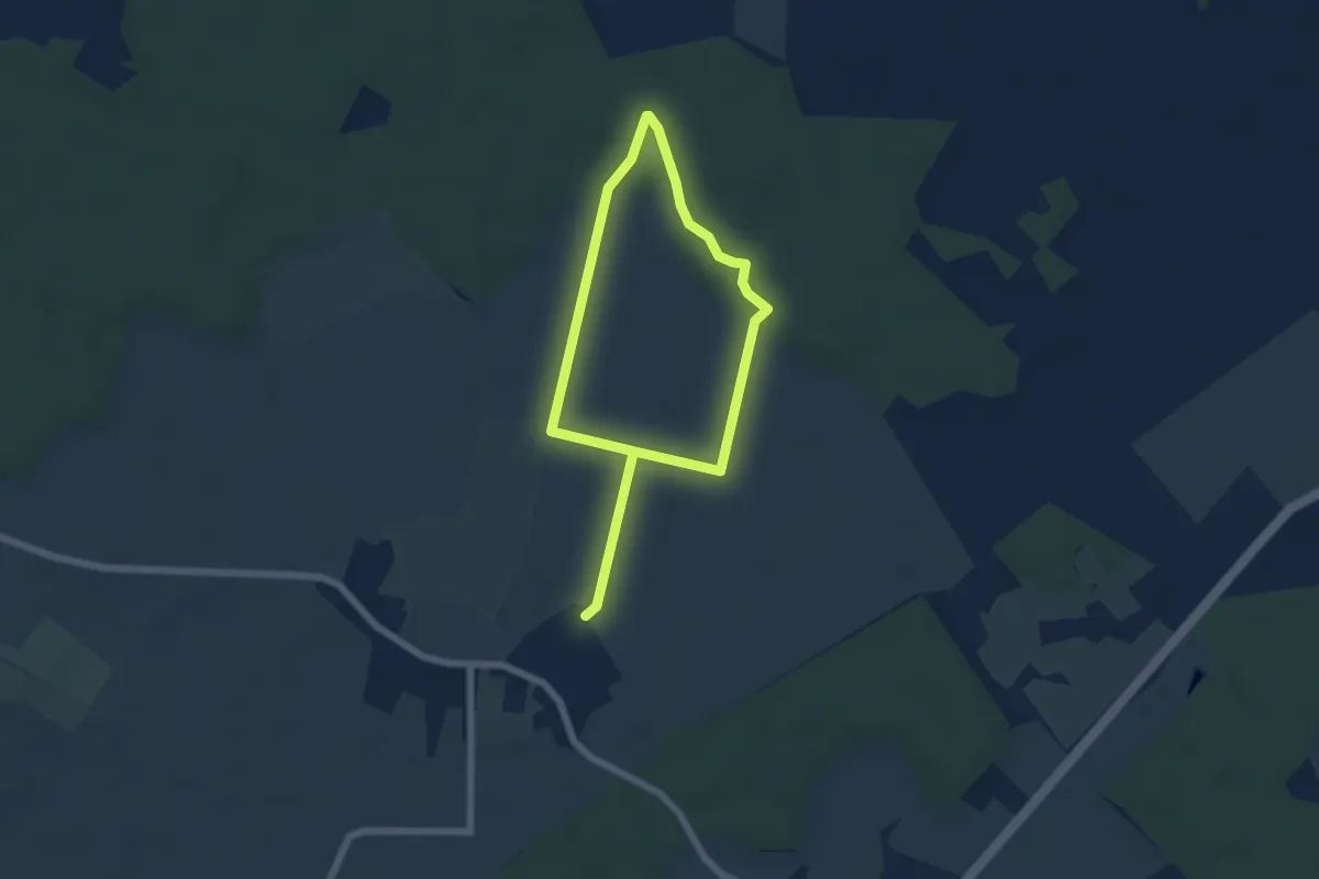
Easy · Trail
Rundwege Schretstaken (blau)
7.8 km · ↑ 30 m · 1 h 54 min
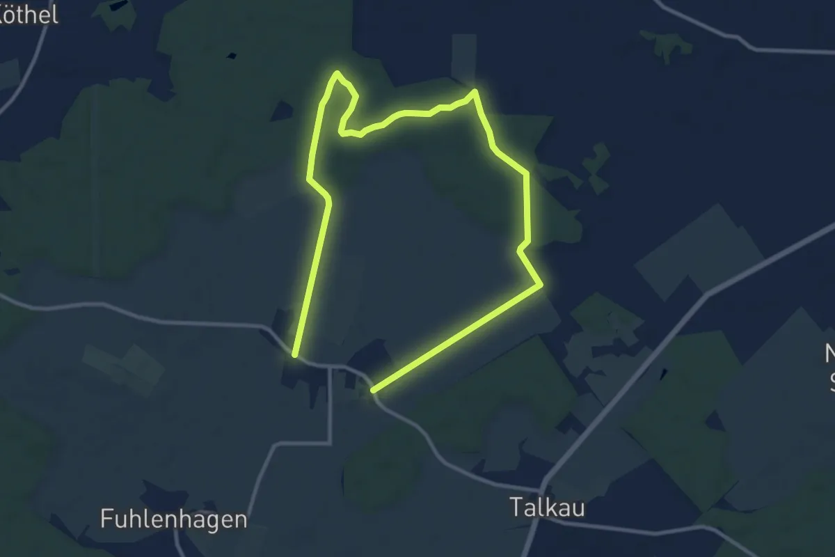
Easy · Trail
Rundwege Schretstaken (gelb)
7.1 km · ↑ 17 m · 1 h 50 min
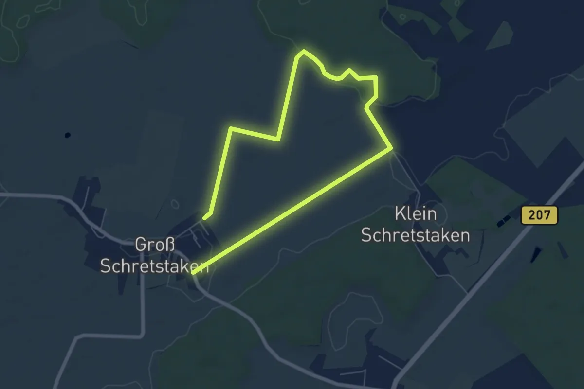
Easy · Trail
Rundwege Schretstaken (rot)
4.1 km · ↑ 9 m · 1 h 4 min
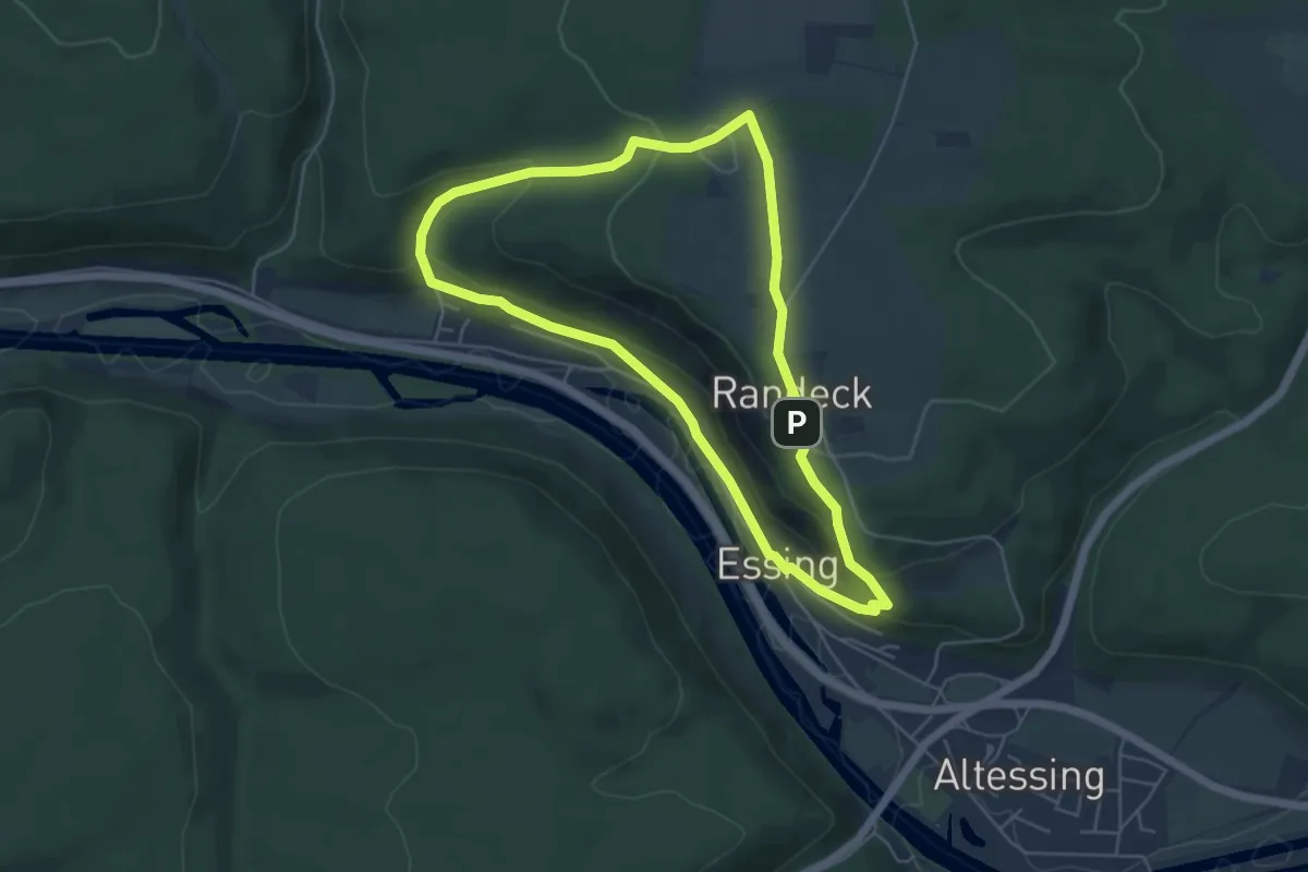
Medium · Summit
Rundweg Essing 1
4.8 km · ↑ 183 m · 1 h 35 min