Trails in Germany
36,852 hiking trails, each with its route, climb, walking time and grade.
All trails, page 544 of 768
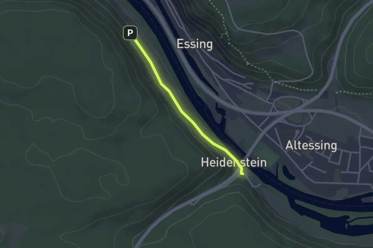
Easy · Trail
Rundweg Essing 16a
2.3 km · ↑ 28 m · 37 min
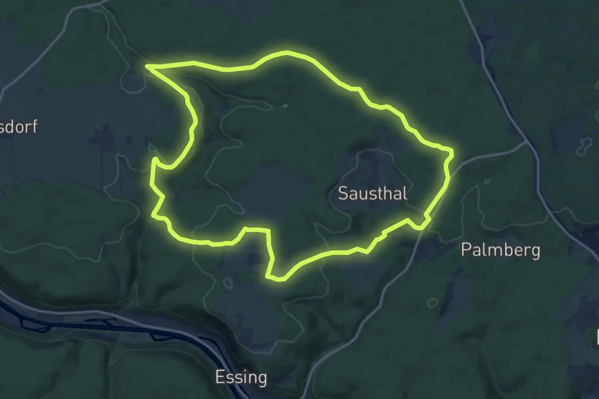
Medium · Trail
Rundweg Essing 19
13.5 km · ↑ 206 m · 3 h 49 min
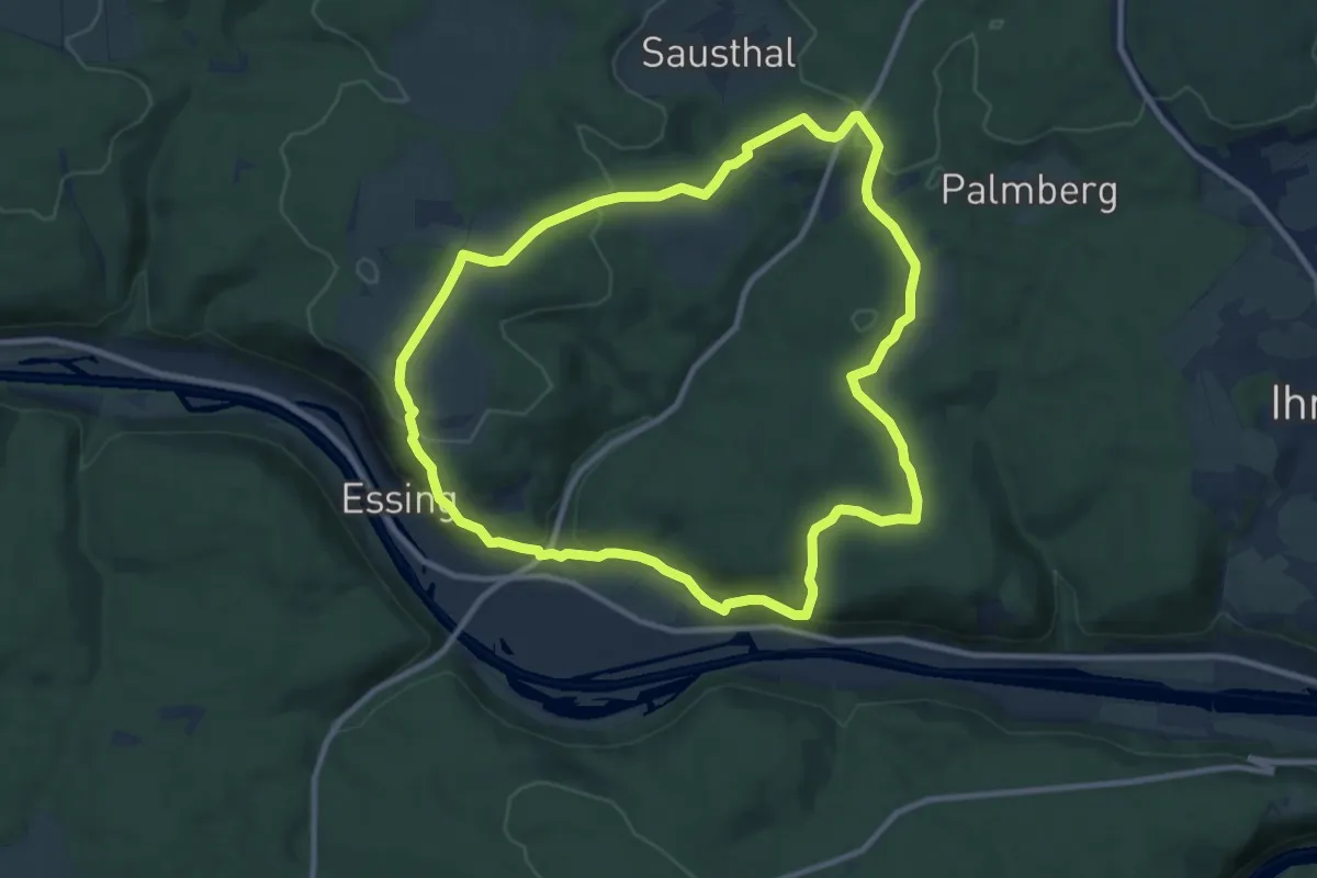
Medium · Summit
Rundweg Essing 2
10.1 km · ↑ 271 m · 3 h 7 min
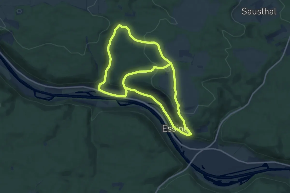
Medium · Summit
Rundweg Essing 21
8.5 km · ↑ 356 m · 2 h 50 min
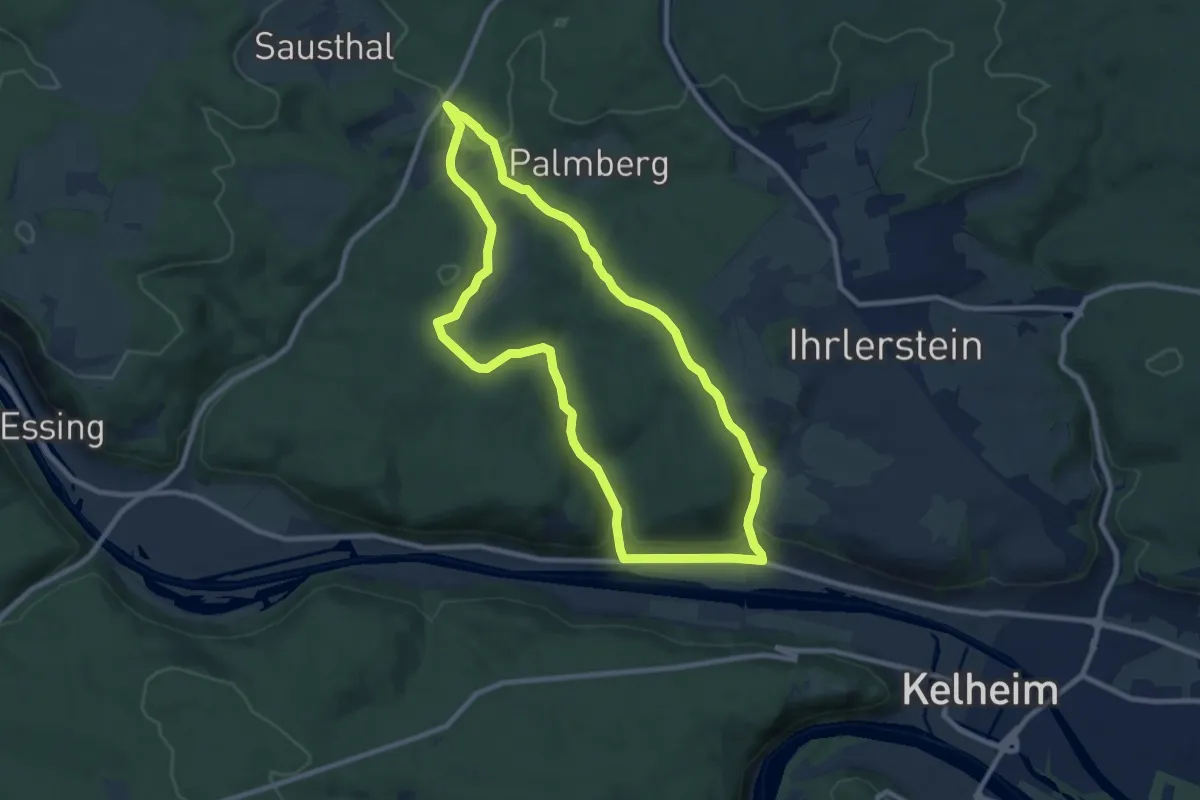
Medium · Trail
Rundweg Essing 25
8.9 km · ↑ 243 m · 2 h 44 min
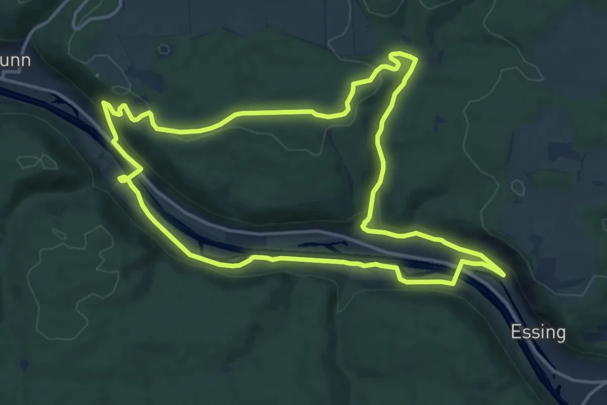
Medium · Trail
Rundweg Essing 3
11.4 km · ↑ 249 m · 3 h 23 min
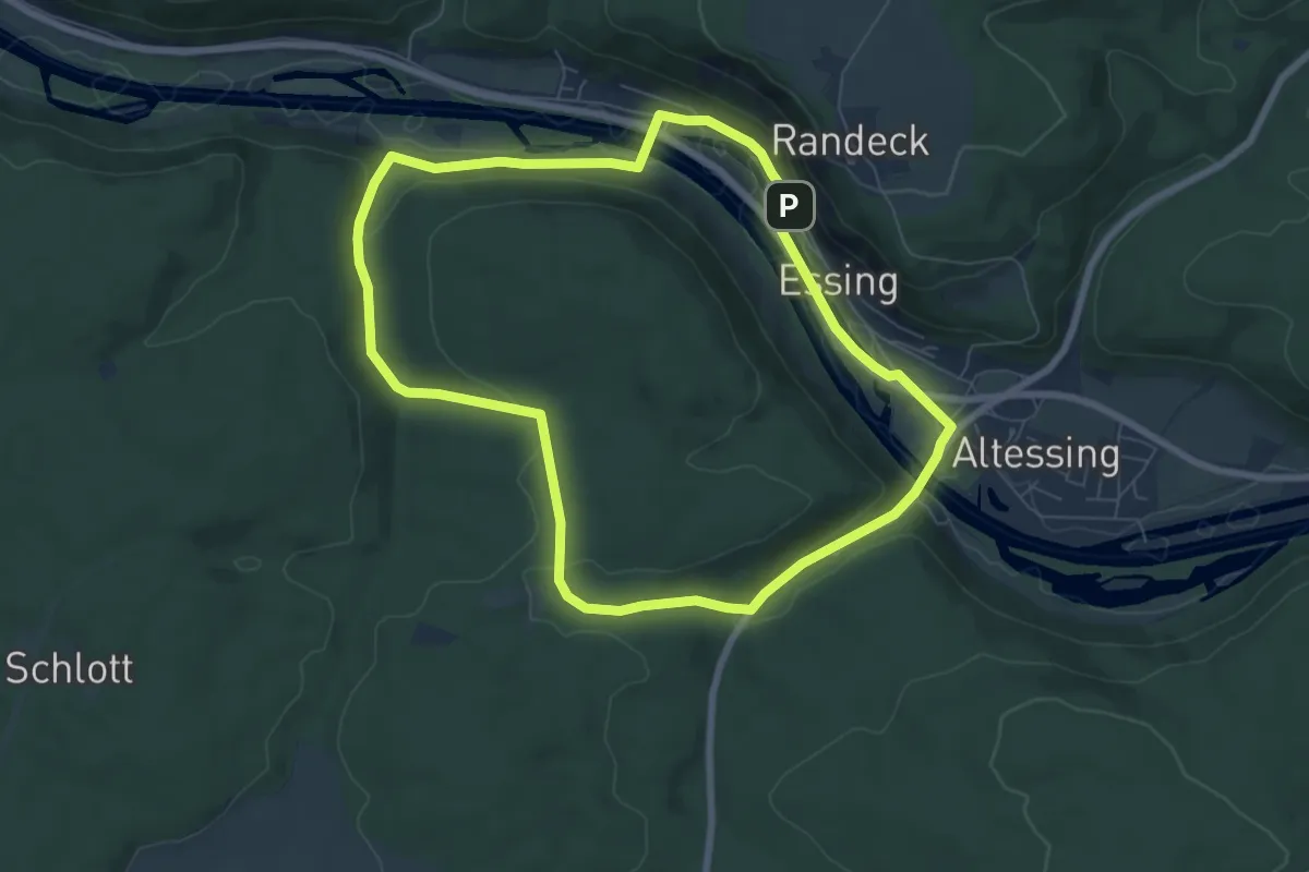
Easy · Trail
Rundweg Essing 4
6.8 km · ↑ 127 m · 1 h 59 min
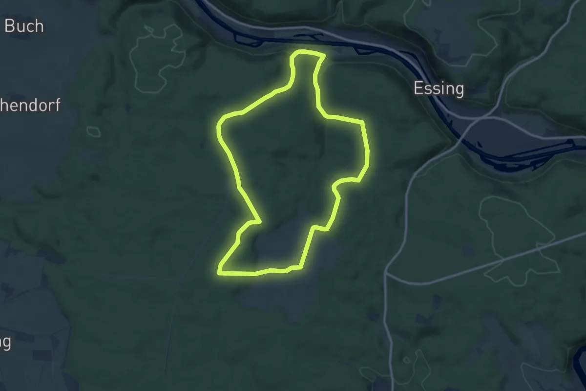
Medium · Trail
Rundweg Essing 5
10.0 km · ↑ 193 m · 2 h 55 min
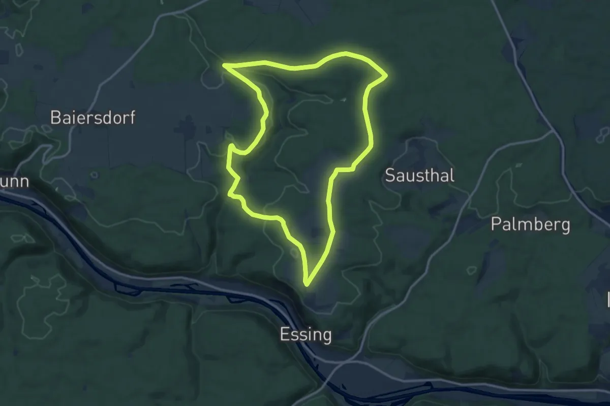
Medium · Summit
Rundweg Essing 6
11.4 km · ↑ 171 m · 3 h 14 min
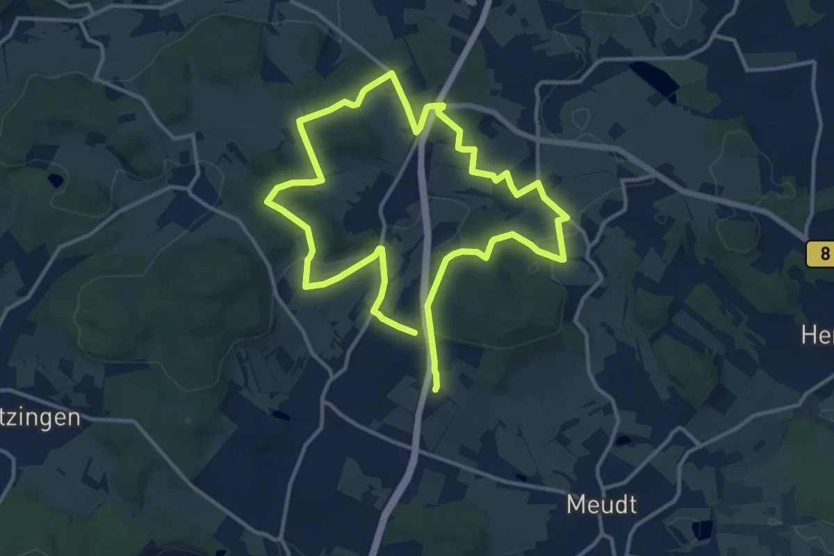
Medium · Summit
Rundweg Ettinghausen
9.6 km · ↑ 213 m · 2 h 51 min
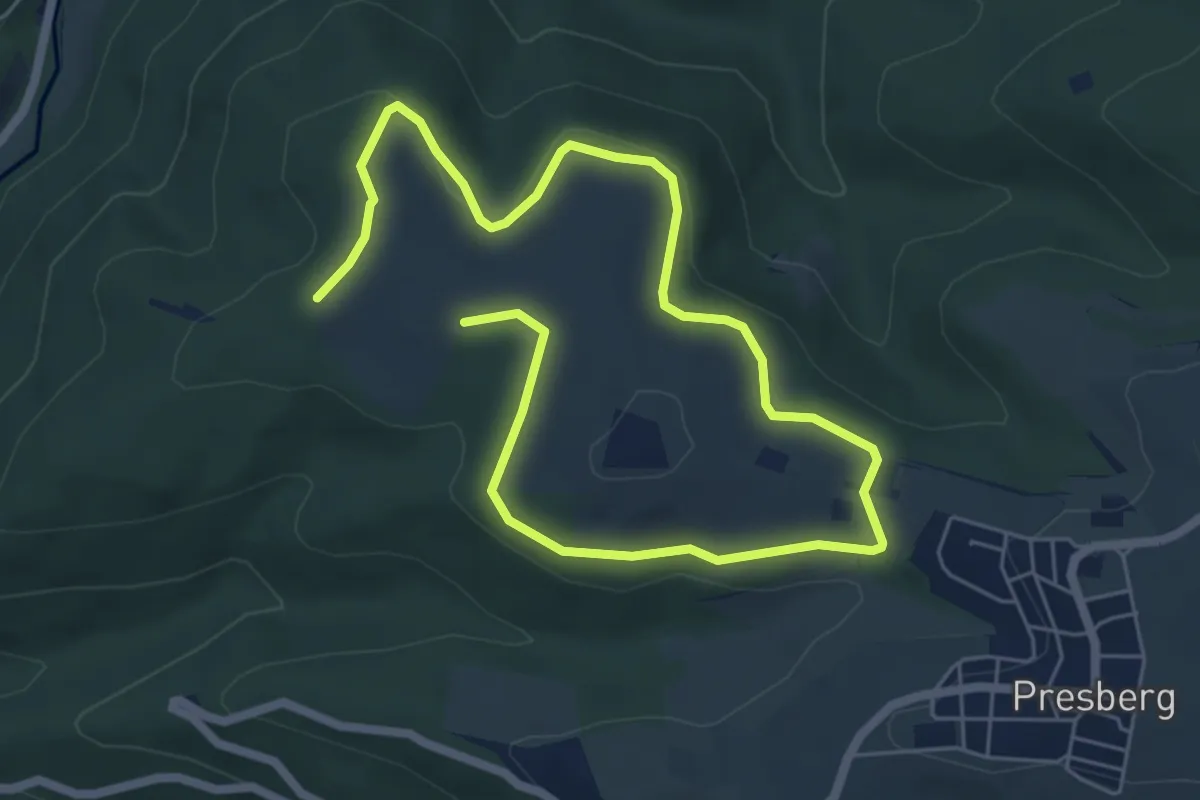
Easy · Trail
Rundweg Eule
4.3 km · ↑ 89 m · 1 h 16 min
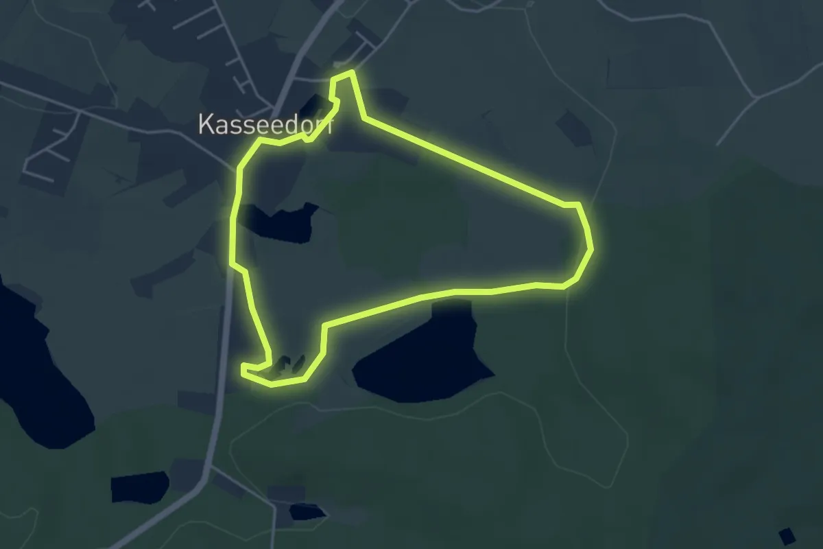
Easy · Trail
Rundweg Eule
3.5 km · ↑ 13 m · 54 min
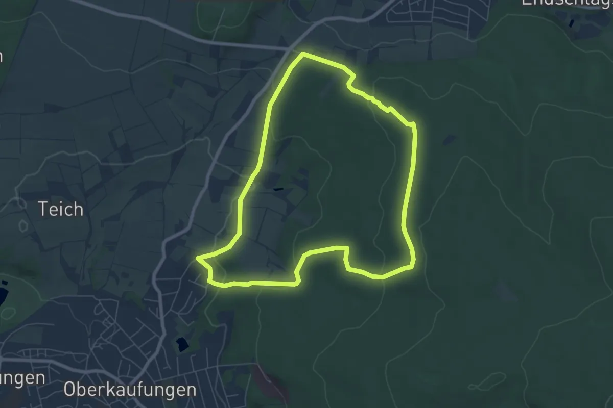
Easy · Trail
Rundweg Eulenbäume
6.2 km · ↑ 151 m · 1 h 53 min
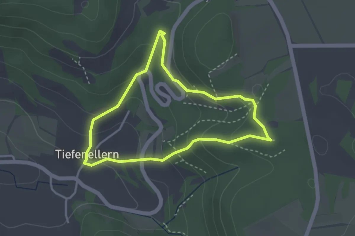
Medium · Trail
Rundweg Eulenstein und Jungfernhöhle
2.5 km · ↑ 141 m · 56 min
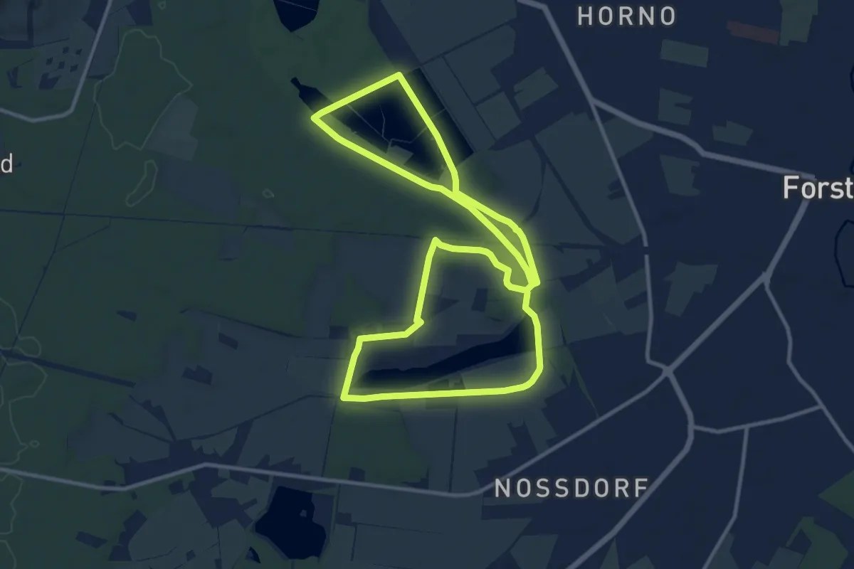
Medium · Trail
Rundweg Eulower-Jamnower Teiche
10.1 km · ↑ 41 m · 2 h 37 min
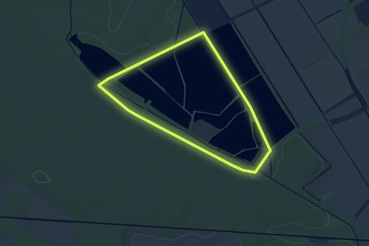
Easy · Trail
Rundweg Eulower Teiche
2.9 km · ↑ 13 m · 46 min
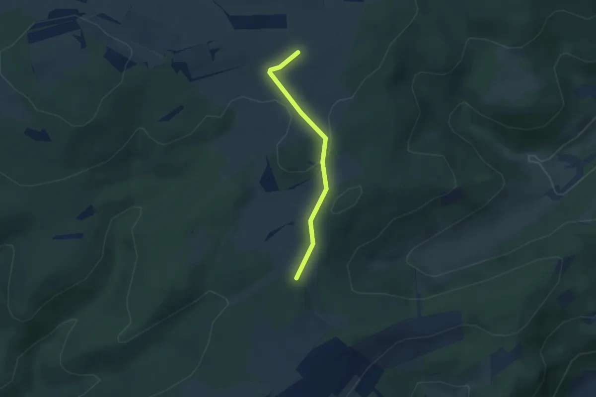
Easy · Trail
Rundweg F1
1.2 km · ↑ 45 m · 23 min
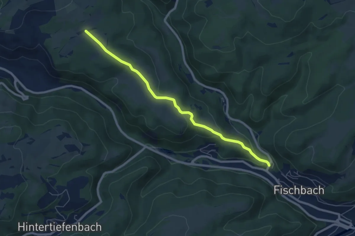
Easy · Trail
Rundweg F3
2.9 km · ↑ 161 m · 59 min
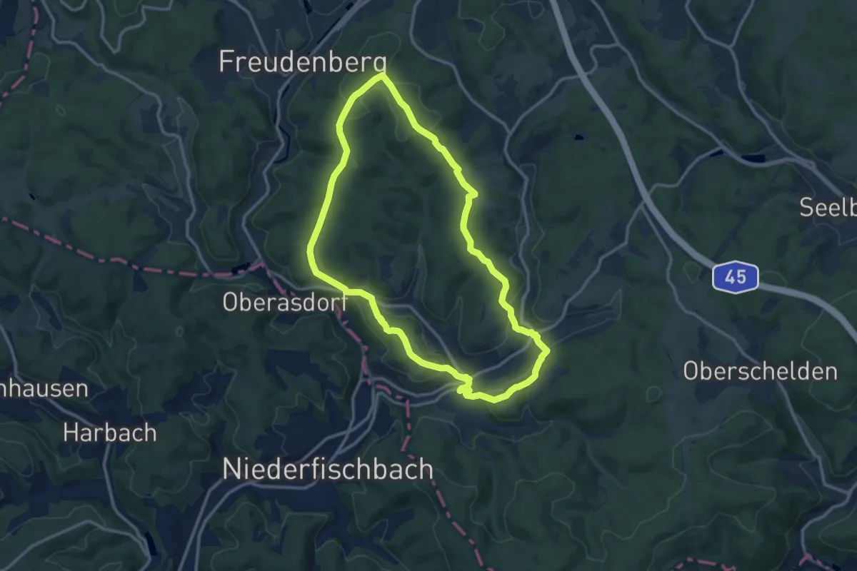
Medium · Trail
Rundweg F6
10.4 km · ↑ 213 m · 3 h 4 min
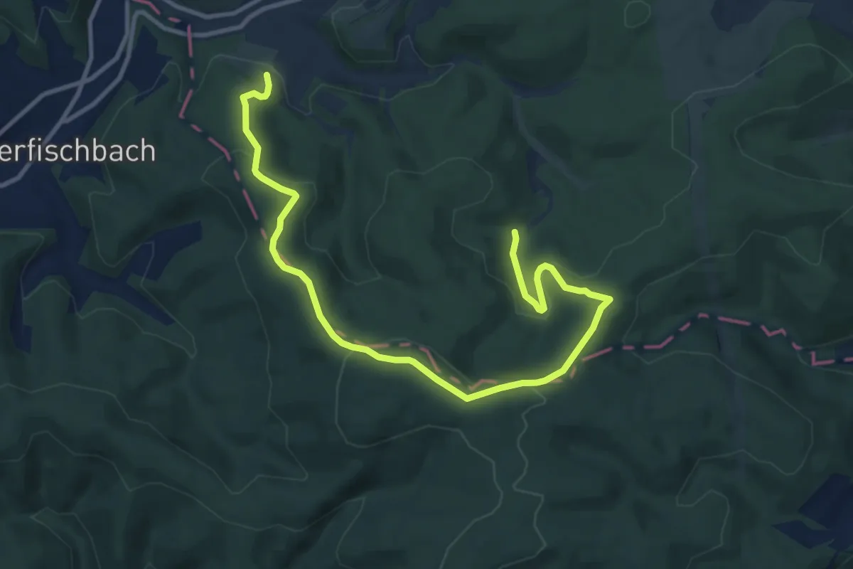
Easy · Trail
Rundweg F7
5.5 km · ↑ 174 m · 1 h 47 min
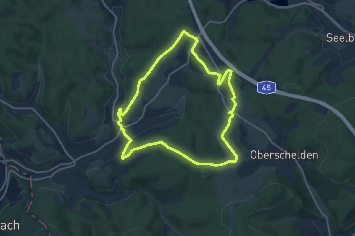
Easy · Trail
Rundweg F9
7.9 km · ↑ 140 m · 2 h 16 min
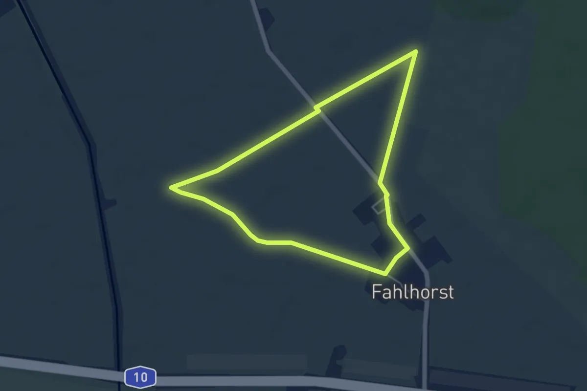
Easy · Trail
Rundweg Fahlhorst
3.7 km · ↑ 4 m · 56 min
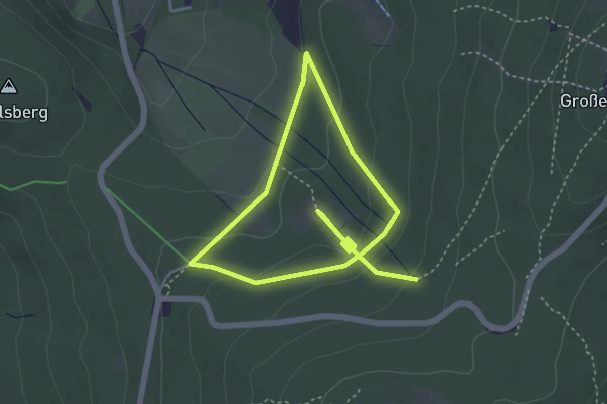
Easy · Trail
Rundweg Feldbergkastell
2.7 km · ↑ 114 m · 54 min
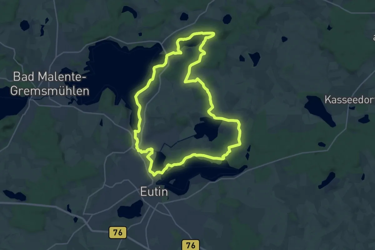
Demanding · Trail
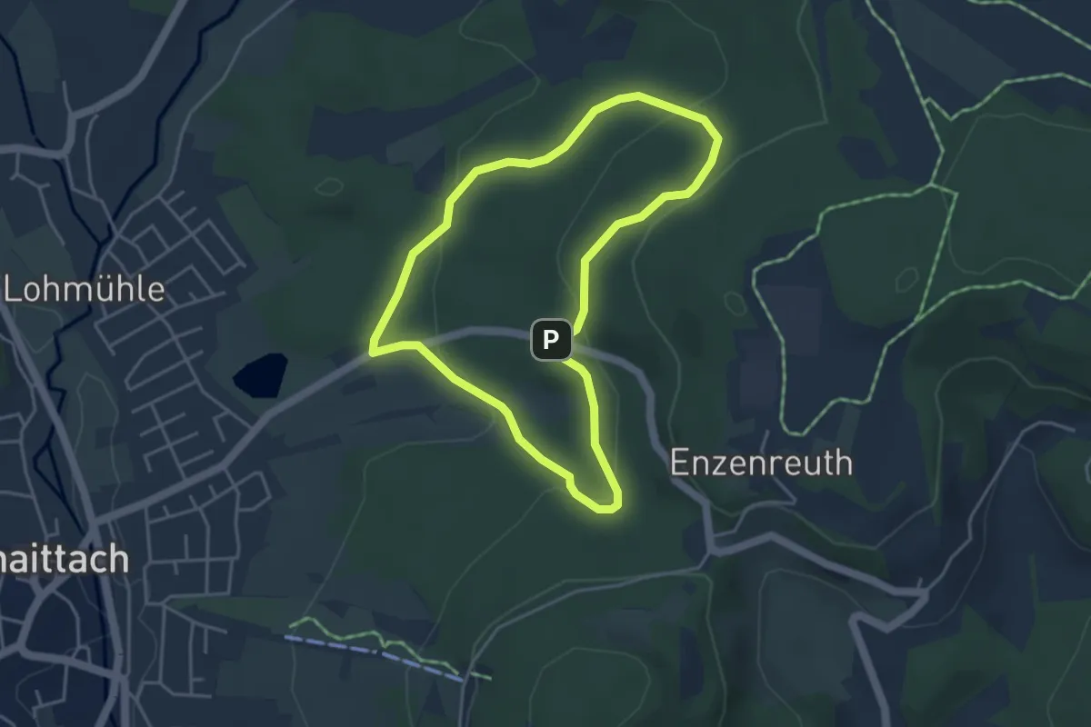
Rundweg Felder und Seen
18.3 km · ↑ 128 m · 4 h 52 min
Easy · Trail
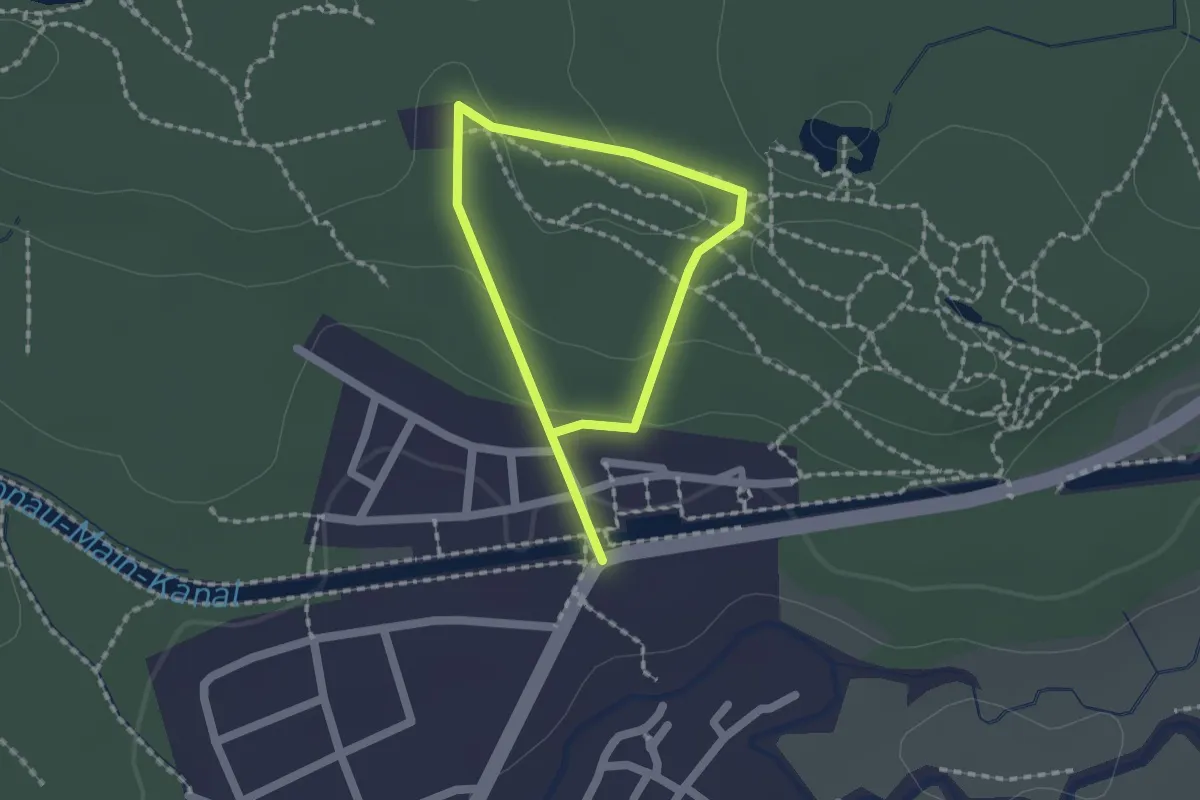
Rundweg Finsterloh Forst und Unterer Herrenschlag
3.6 km · ↑ 128 m · 1 h 10 min
Easy · Trail
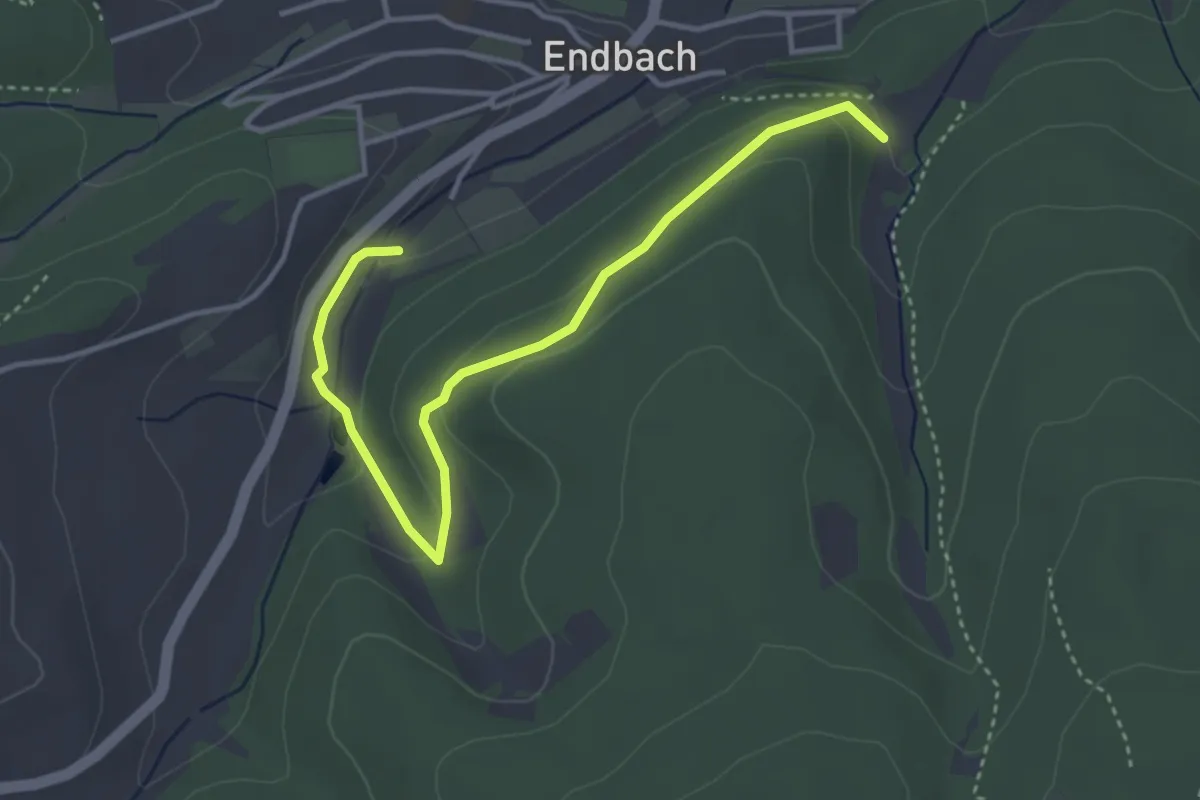
Rundweg Fischleinsberg
1.2 km · ↑ 35 m · 22 min
Easy · Trail
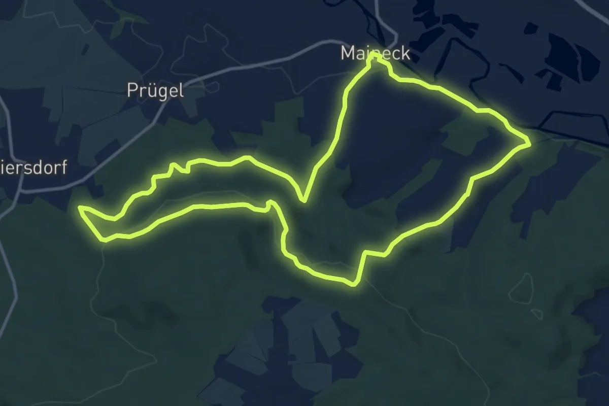
Rundweg Fischweiher
3.8 km · ↑ 111 m · 1 h 8 min
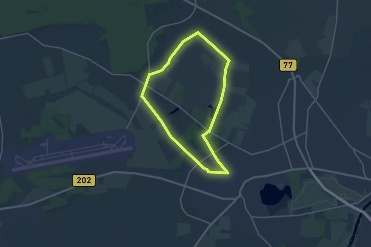
Medium · Summit
Rundweg F Maineck (Altenkunstadt)
11.3 km · ↑ 202 m · 3 h 15 min
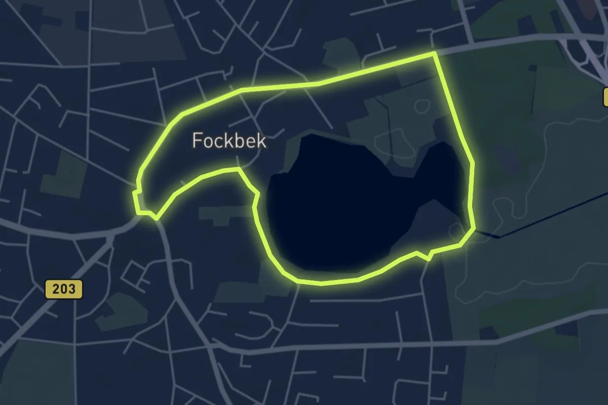
Medium · Trail
Rundweg Fockbeker Moor
9.3 km · ↑ 13 m · 2 h 22 min
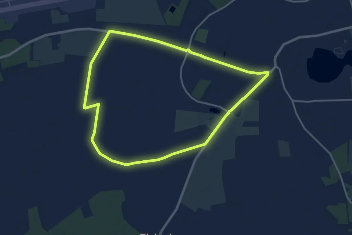
Easy · Trail
Rundweg Fockbeker See
3.9 km · ↑ 8 m · 59 min
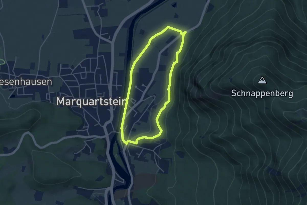
Medium · Trail
Rundweg Fockbekfeld
8.1 km · ↑ 0 m · 2 h 1 min
Medium · Trail
Rundweg Freiweidach
3.5 km · ↑ 67 m · 1 h 2 min
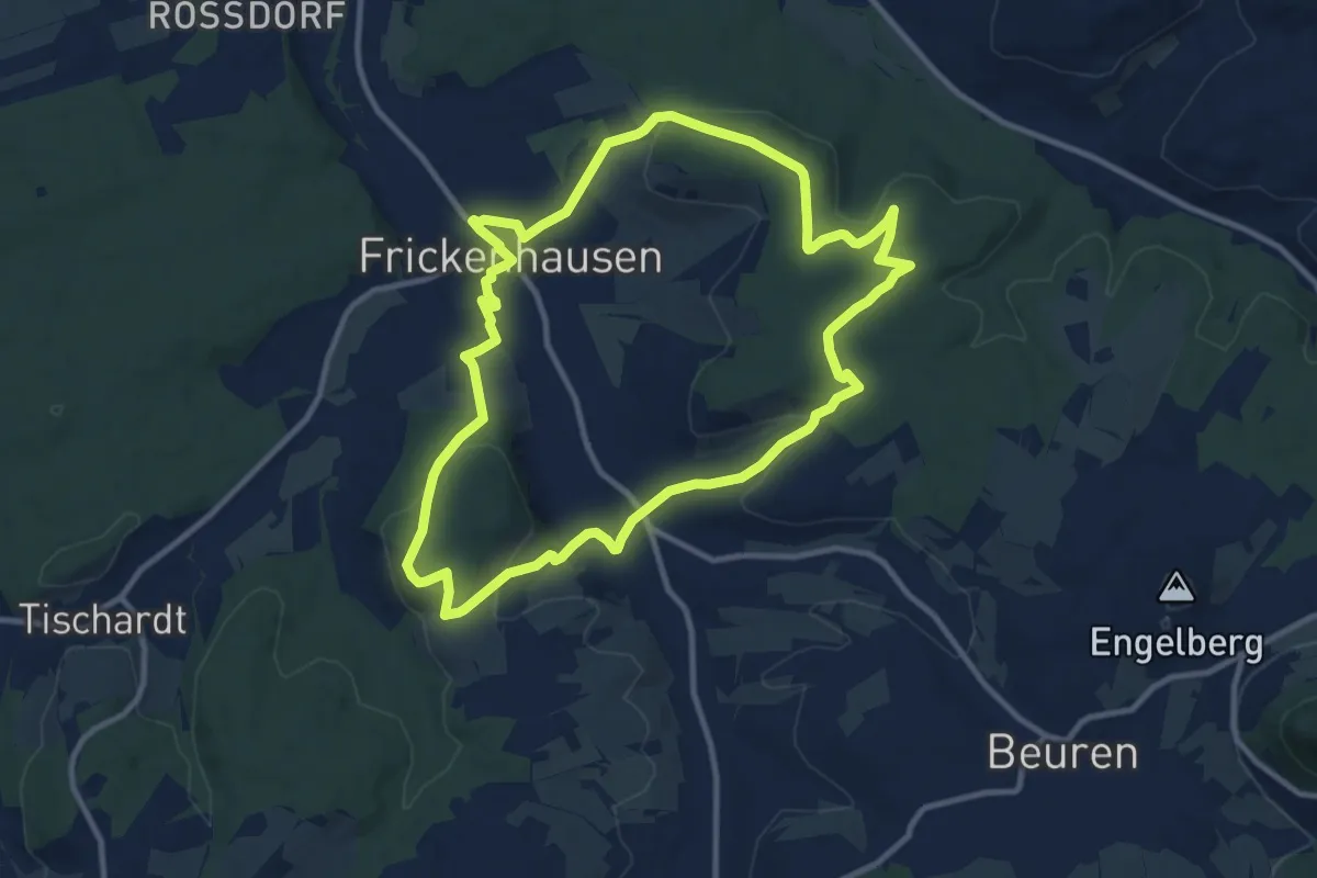
Medium · Trail
Rundweg Frickenhausen-Linsenhofen
10.3 km · ↑ 224 m · 3 h 4 min
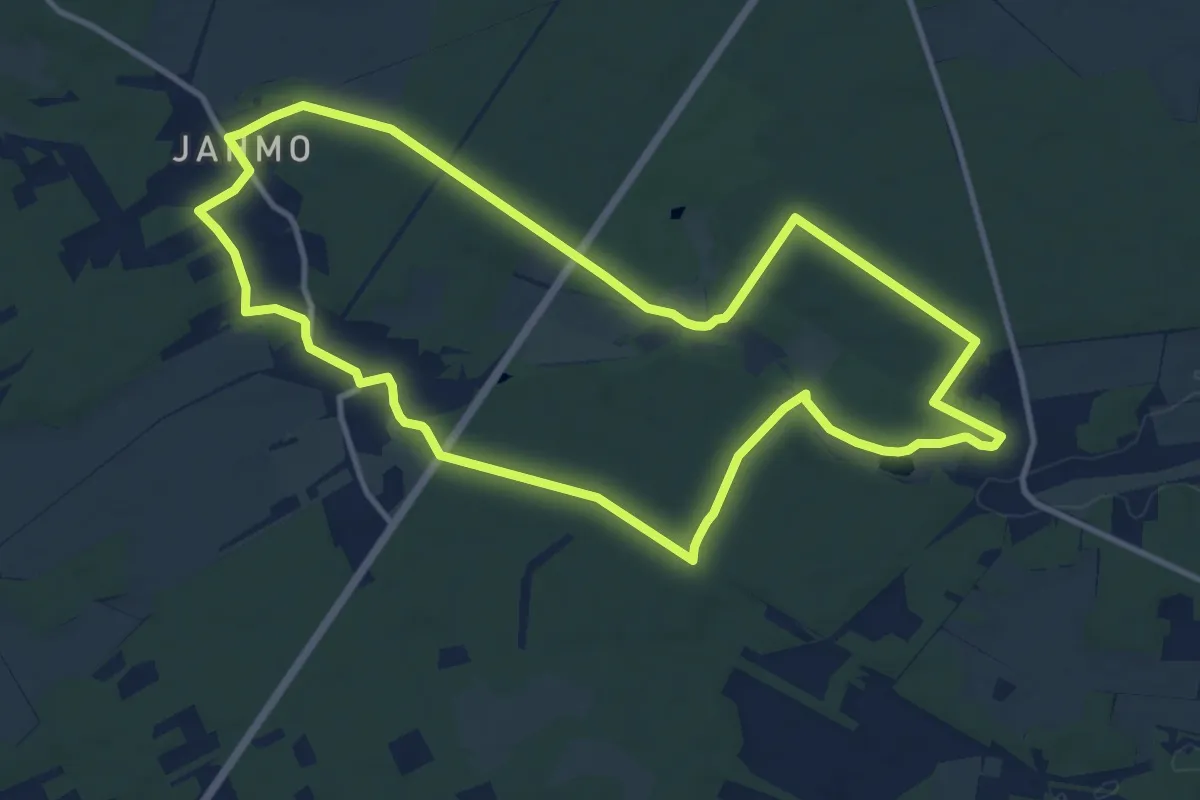
Medium · Trail
Rundweg Friedenthaler Grund
11.0 km · ↑ 77 m · 2 h 54 min
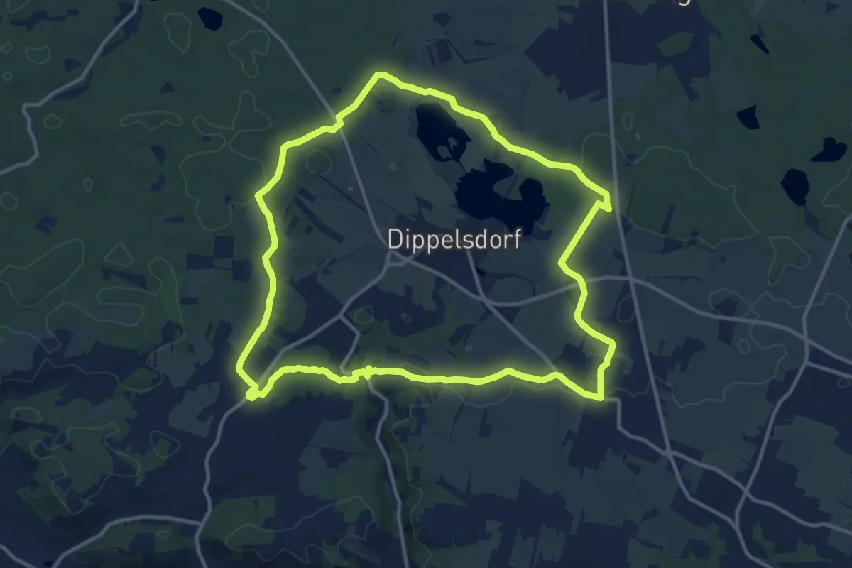
Medium · Summit
Rundweg Friedewald
11.4 km · ↑ 66 m · 3 h
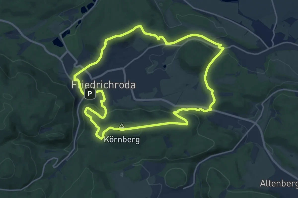
Medium · Summit
Rundweg Friedrichroda
12.1 km · ↑ 315 m · 3 h 43 min
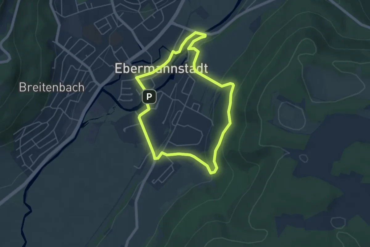
Easy · Trail
Rundweg Friedwald
4.0 km · ↑ 103 m · 1 h 13 min
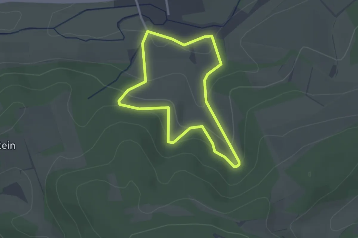
Easy · Trail
Rundweg Friemer Blick
2.1 km · ↑ 87 m · 42 min
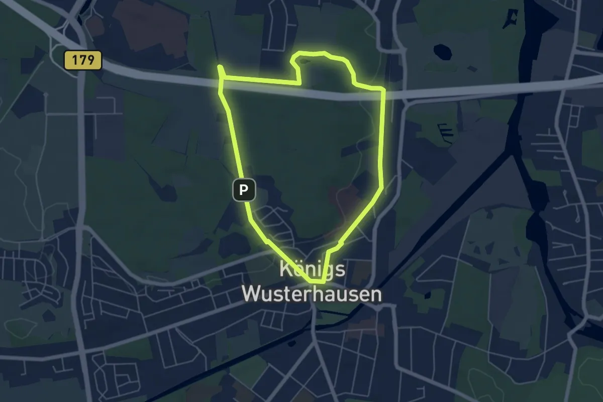
Easy · Summit
Rundweg Funkerberg
4.5 km · ↑ 35 m · 1 h 12 min
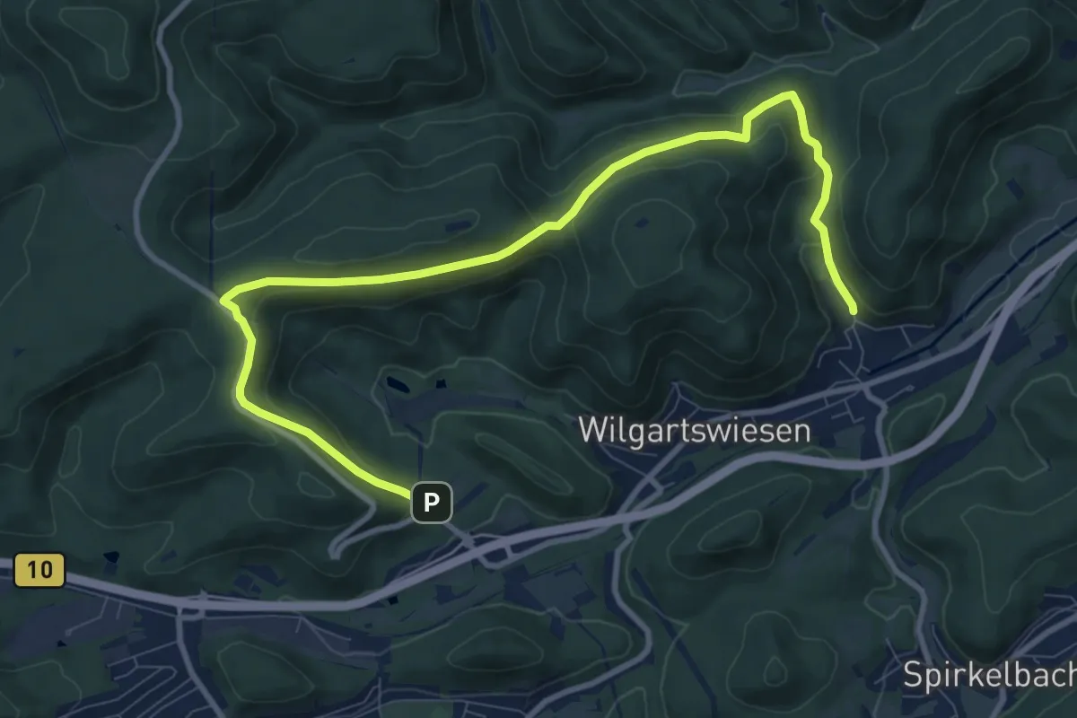
Medium · Trail
Rundweg F Wilgartswiesen
10.9 km · ↑ 438 m · 3 h 32 min
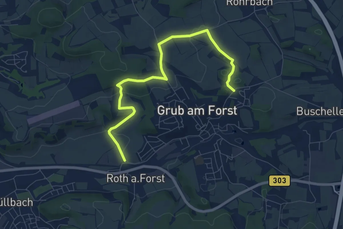
Medium · Trail
Rundweg G 3
8.7 km · ↑ 149 m · 2 h 23 min
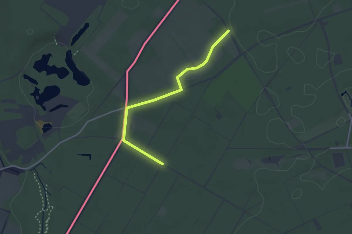
Easy · Trail
Rundweg Galgenvenn - gelb
1.3 km · ↑ 0 m · 20 min
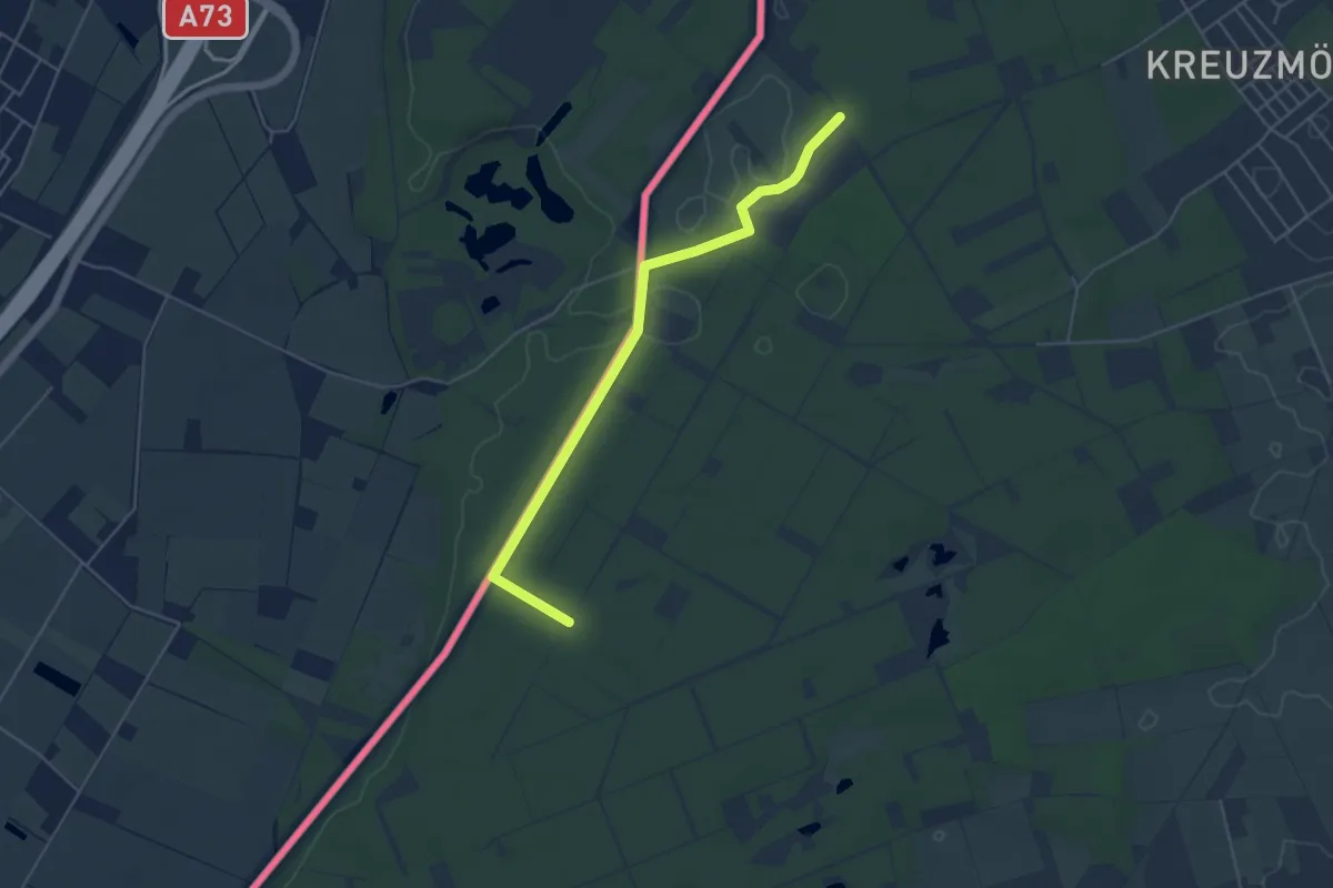
Easy · Trail
Rundweg Galgenvenn - grün
2.3 km · ↑ 4 m · 34 min
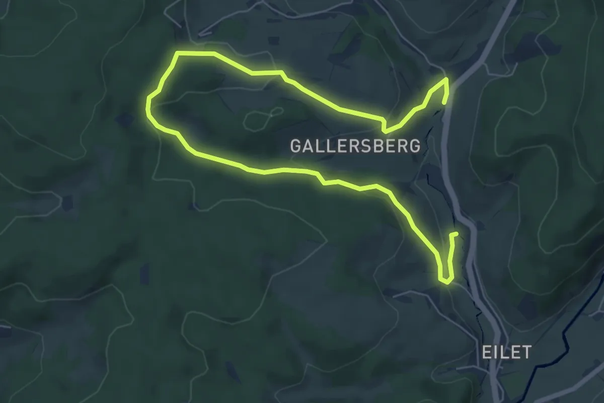
Easy · Trail
Rundweg Gallersberg
4.3 km · ↑ 141 m · 1 h 22 min
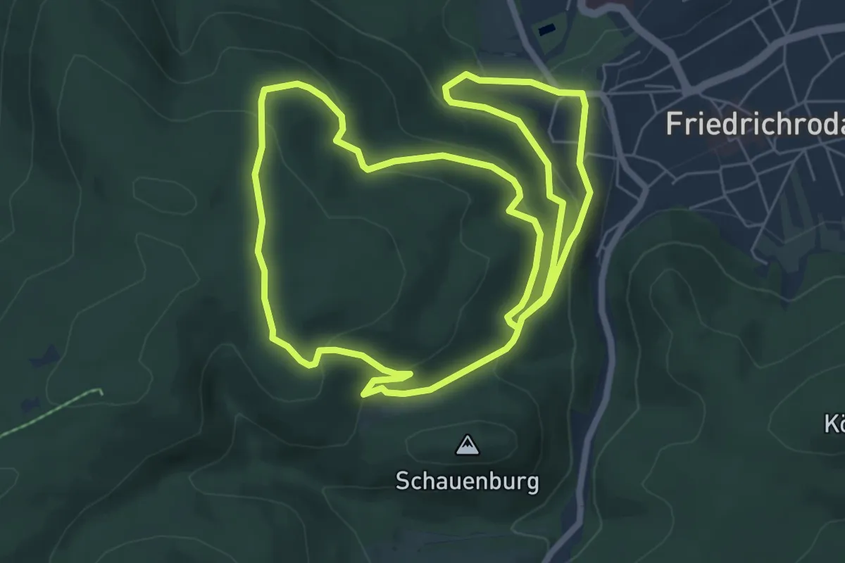
Easy · Summit
Rundweg Gänsekuppe
6.6 km · ↑ 270 m · 2 h 14 min
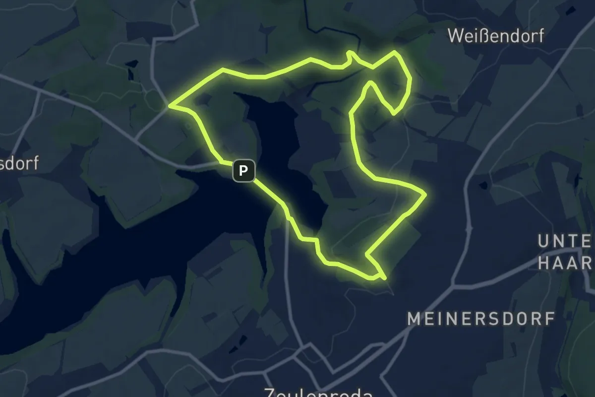
Easy · Trail
Rundweg Gelber Punkt
7.8 km · ↑ 161 m · 2 h 18 min
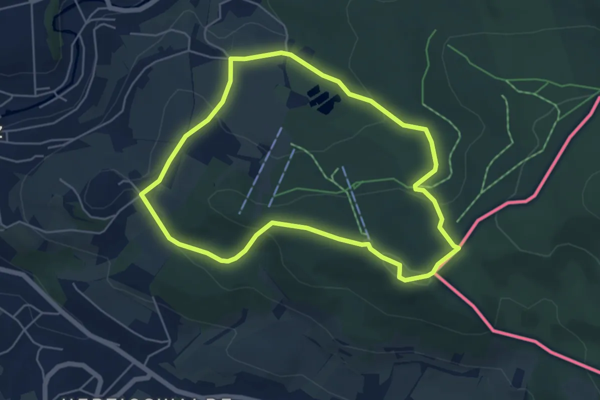
Easy · Summit
Rundweg Gelber Punkt
4.2 km · ↑ 149 m · 1 h 22 min
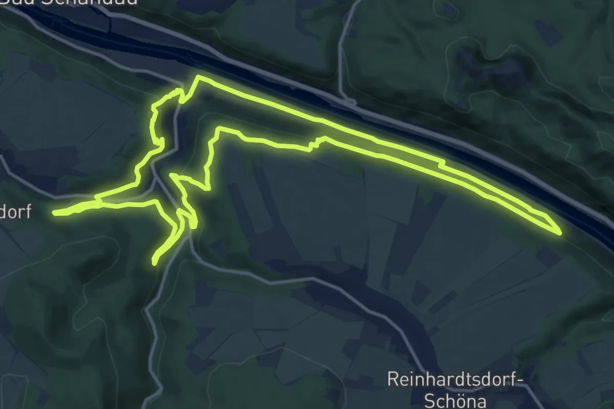
Medium · Trail
Rundweg Gelber Punkt
12.7 km · ↑ 401 m · 4 h 3 min