Trails in Germany
36,852 hiking trails, each with its route, climb, walking time and grade.
All trails, page 545 of 768
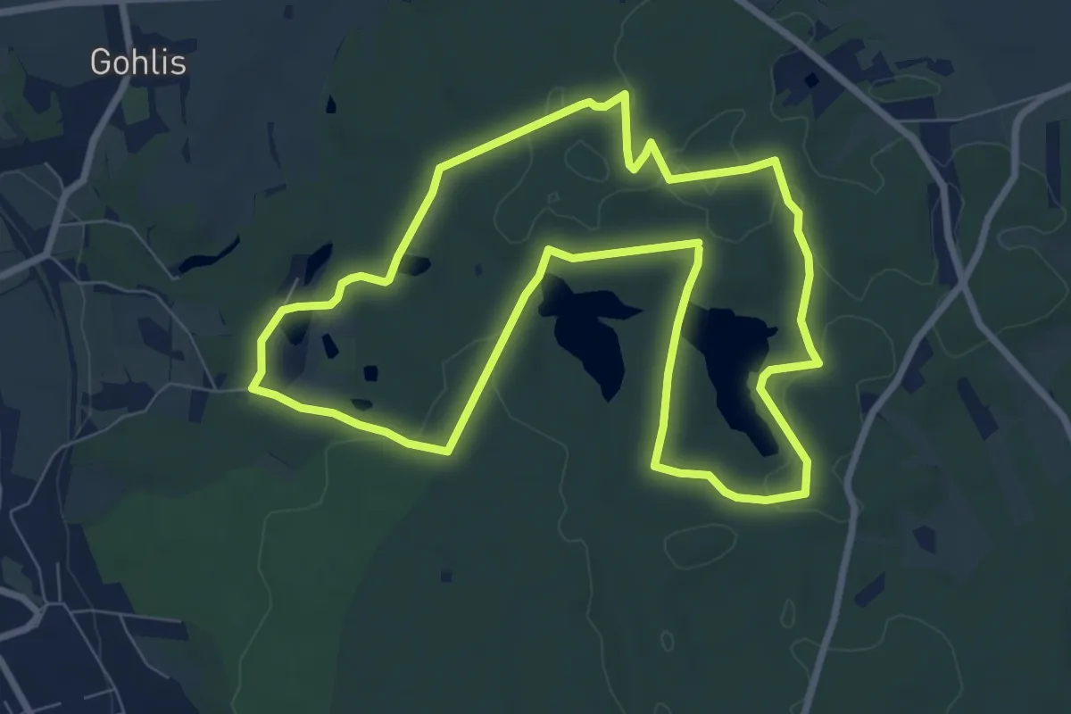
Easy · Trail
Rundweg Gelber Punkt
7.4 km · ↑ 55 m · 1 h 58 min
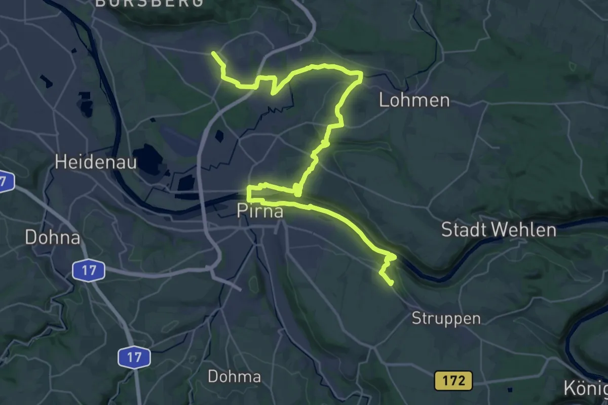
Demanding · Summit
Rundweg Gelber Punkt (Graupa - Obervogelgesang)
36.2 km · ↑ 496 m · 9 h 37 min
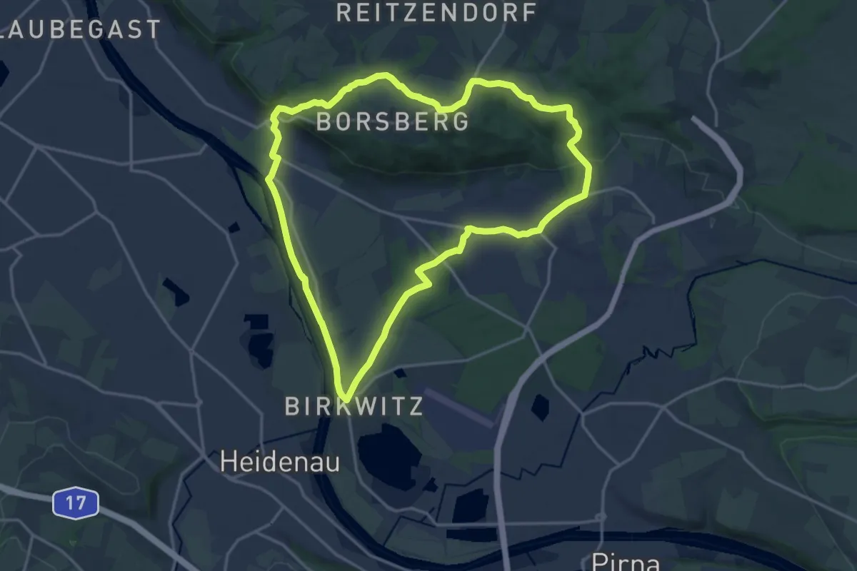
Medium · Trail
Rundweg Gelber Punkt (Pillnitz - Graupa)
14.5 km · ↑ 240 m · 4 h 9 min
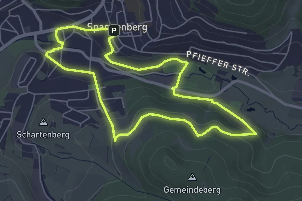
Easy · Trail
Rundweg Gemeindeberg Spangenberg
4.3 km · ↑ 118 m · 1 h 20 min
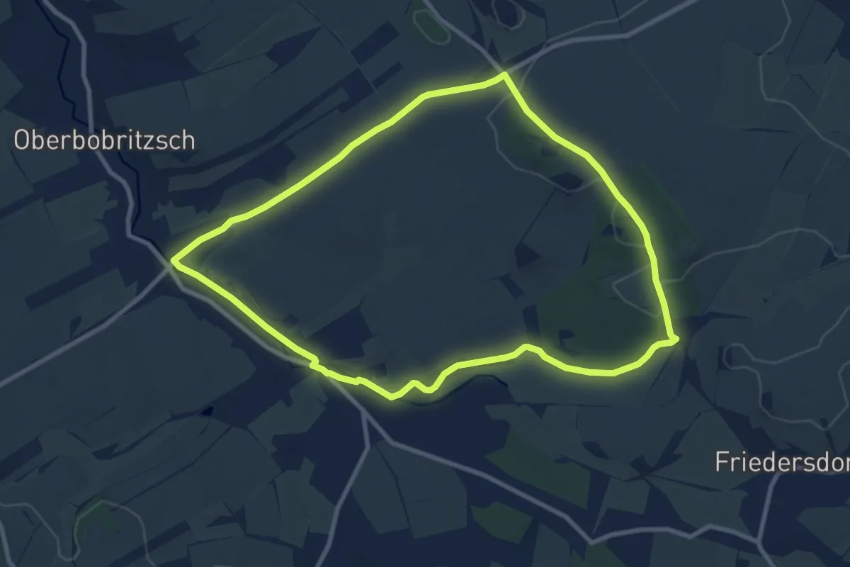
Easy · Trail
Rundweg Gemeindewald
7.8 km · ↑ 80 m · 2 h 7 min
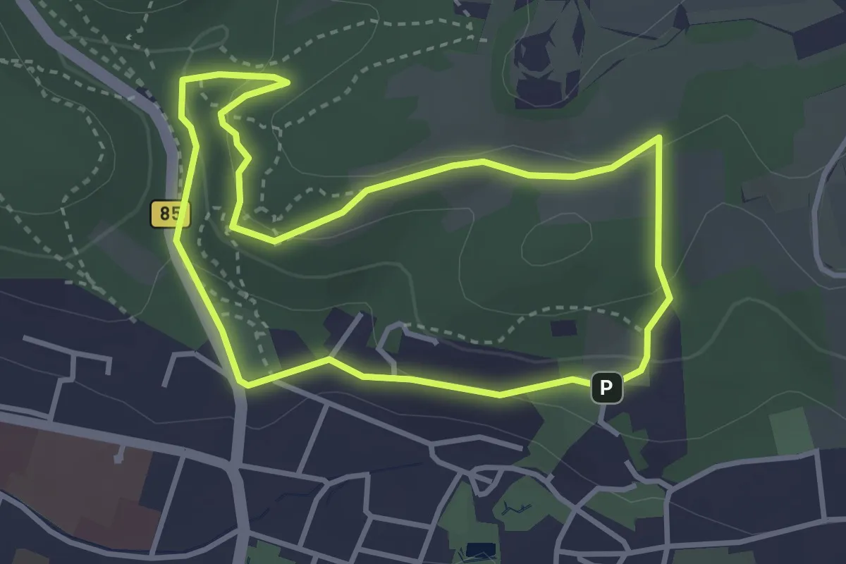
Easy · Trail
Rundweg Georgshöhe
2.8 km · ↑ 107 m · 56 min
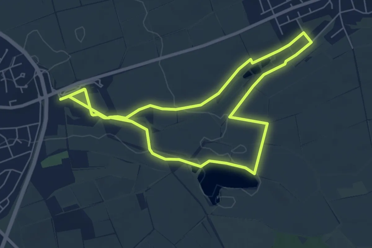
Easy · Trail
Rundweg Gerolzhofen G5
5.6 km · ↑ 18 m · 1 h 26 min
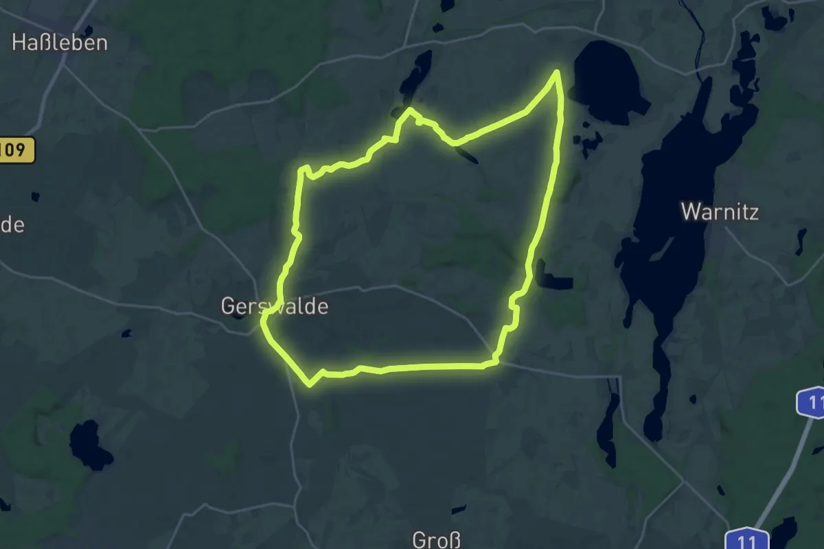
Demanding · Trail
Rundweg Gerswalde
20.7 km · ↑ 134 m · 5 h 27 min
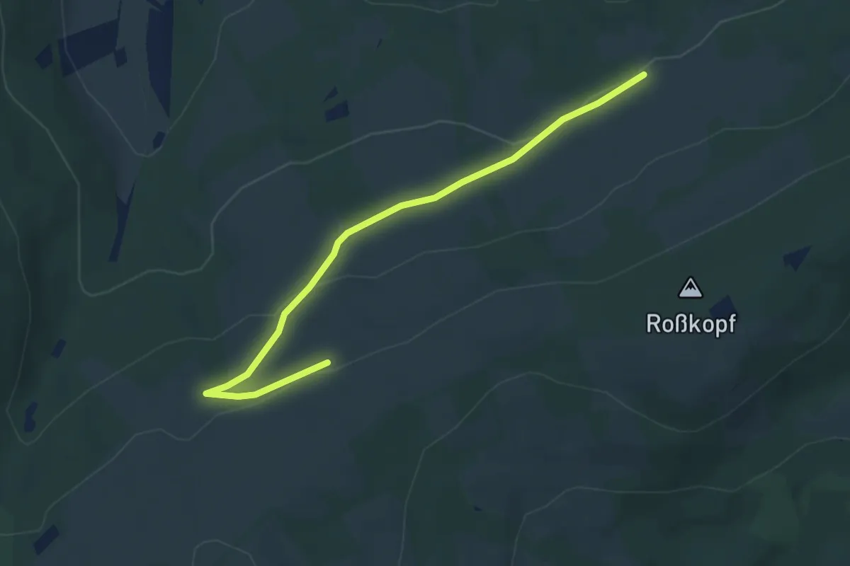
Easy · Trail
Rundweg Geweih
2.1 km · ↑ 93 m · 41 min
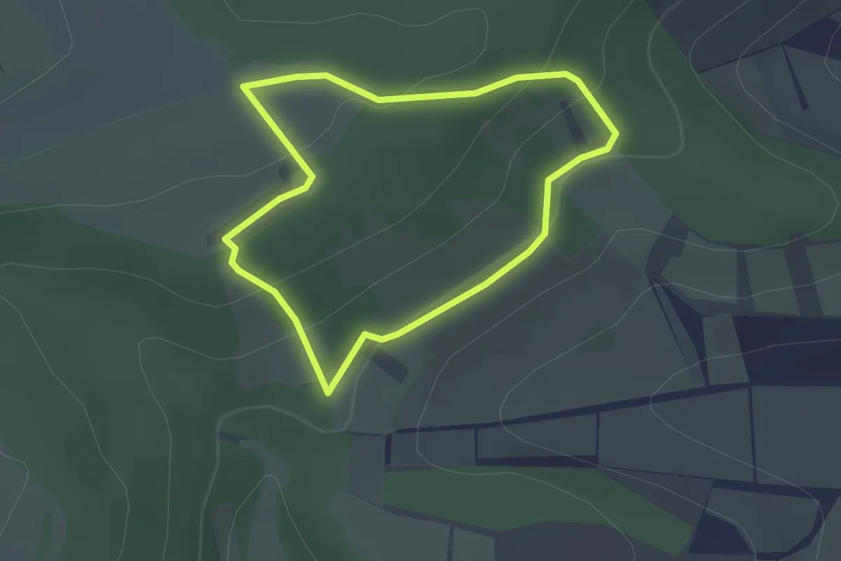
Easy · Trail
Rundweg Giselakreuz
1.9 km · ↑ 73 m · 38 min
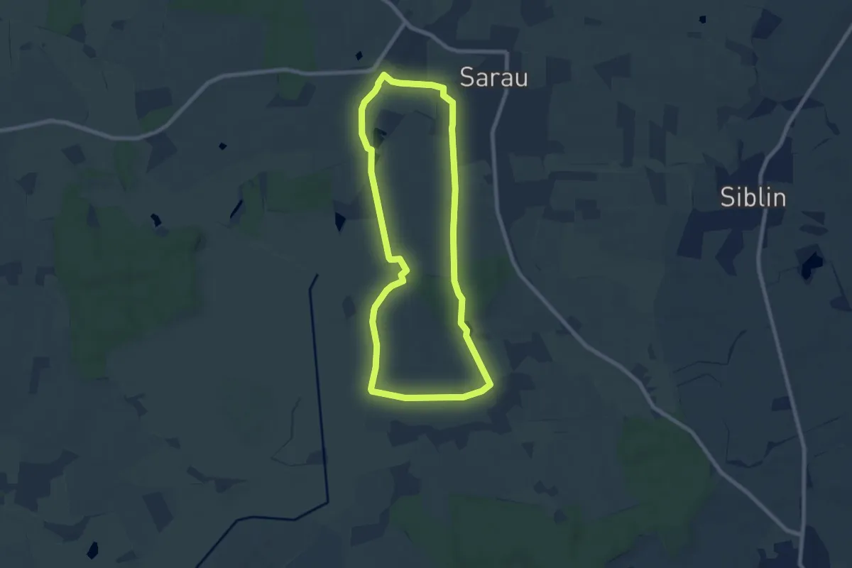
Easy · Trail
Rundweg Glasauer Travetal
6.2 km · ↑ 28 m · 1 h 37 min
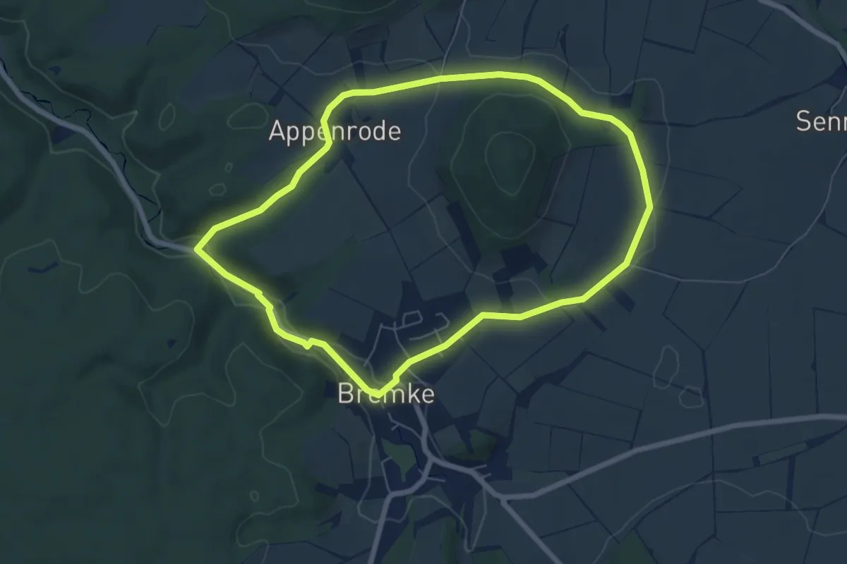
Easy · Trail
Rundweg Gleichen 10
5.7 km · ↑ 82 m · 1 h 37 min
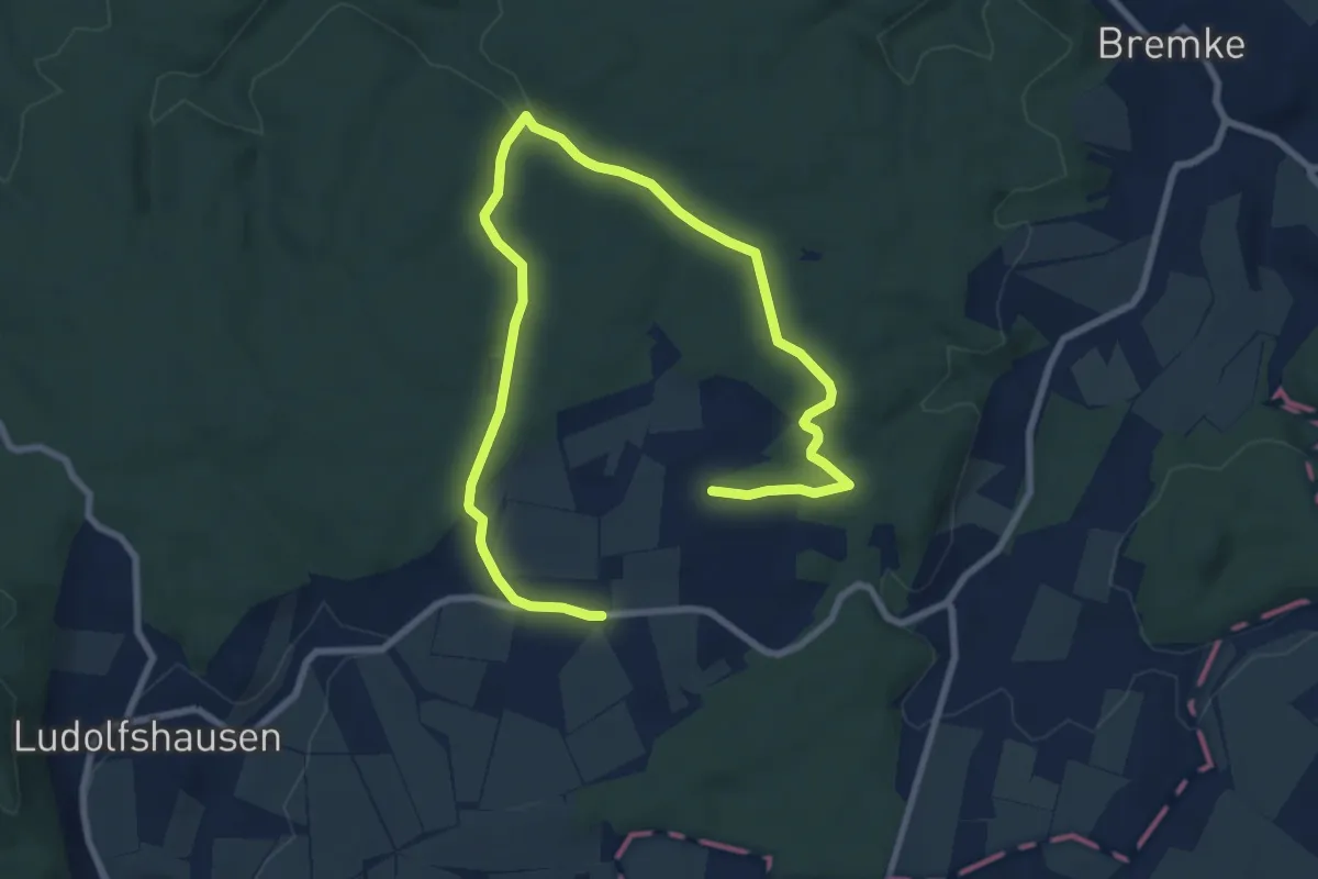
Easy · Trail
Rundweg Gleichen 11
5.3 km · ↑ 69 m · 1 h 29 min
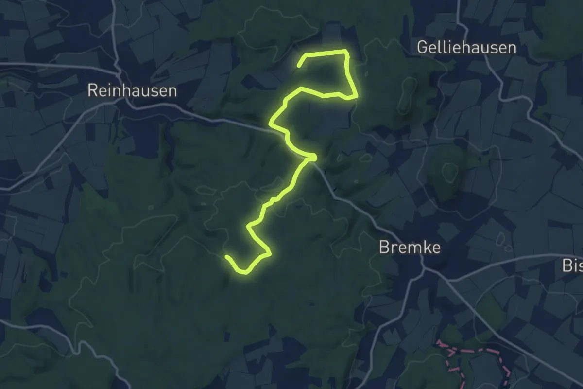
Easy · Trail
Rundweg Gleichen 6
6.8 km · ↑ 142 m · 1 h 59 min
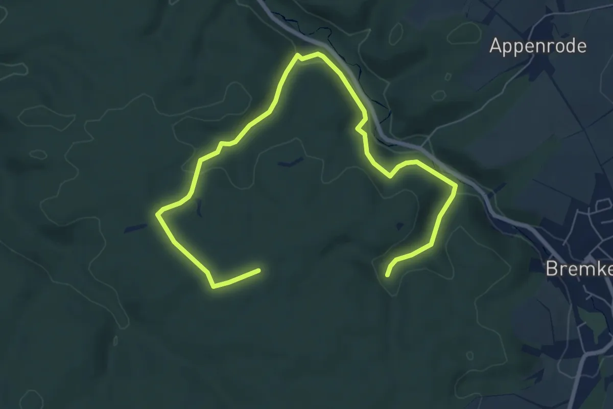
Easy · Trail
Rundweg Gleichen 8
4.1 km · ↑ 125 m · 1 h 17 min
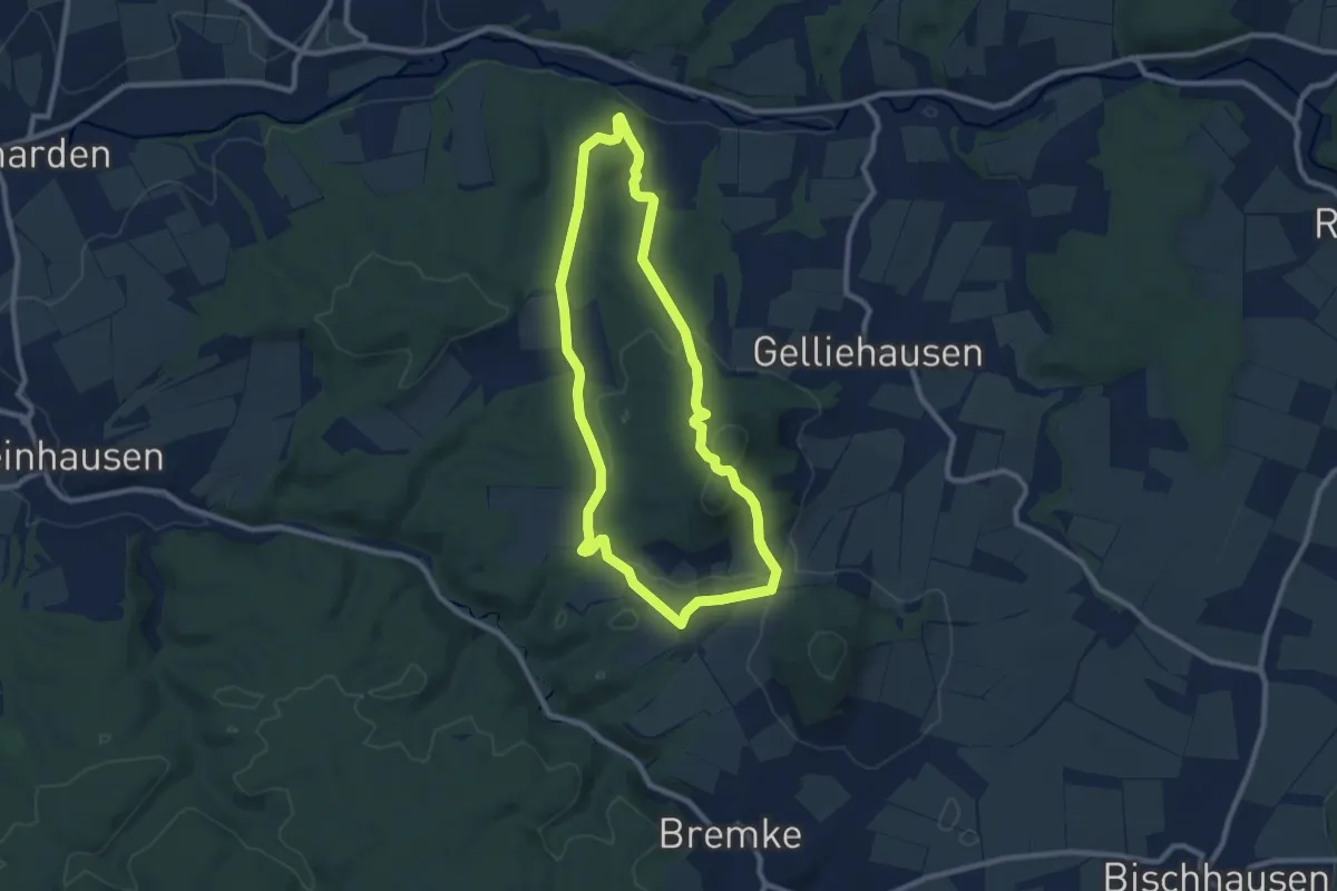
Easy · Summit
Rundweg Gleichen 9
7.8 km · ↑ 205 m · 2 h 24 min
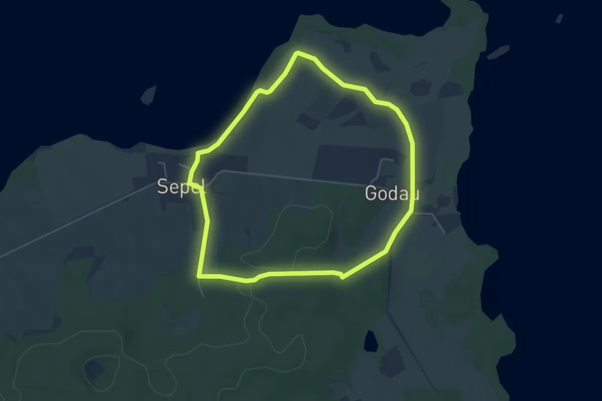
Easy · Trail
Rundweg Godau-Sepel
3.9 km · ↑ 28 m · 1 h 2 min
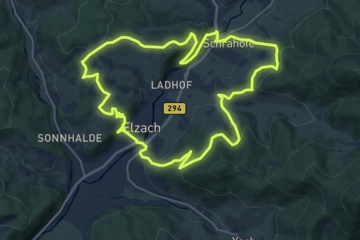
Medium · Trail
Rundweg Goldener Kopf
11.4 km · ↑ 512 m · 3 h 58 min
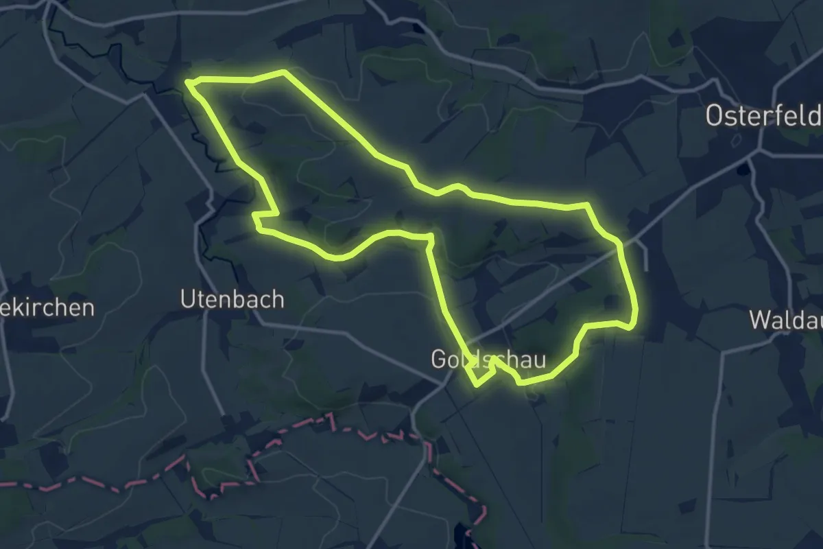
Medium · Trail
Rundweg Goldschau
11.6 km · ↑ 137 m · 3 h 11 min
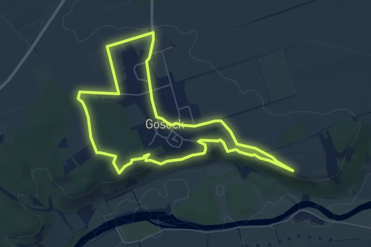
Easy · Trail
Rundweg-Goseck
5.5 km · ↑ 86 m · 1 h 34 min
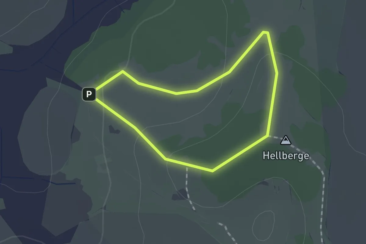
Easy · Summit
Rundweg Gotsmannstein
1.0 km · ↑ 30 m · 20 min
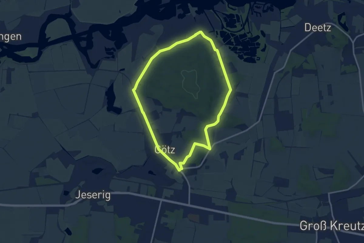
Medium · Trail
Rundweg Götzer Berg
8.8 km · ↑ 57 m · 2 h 19 min
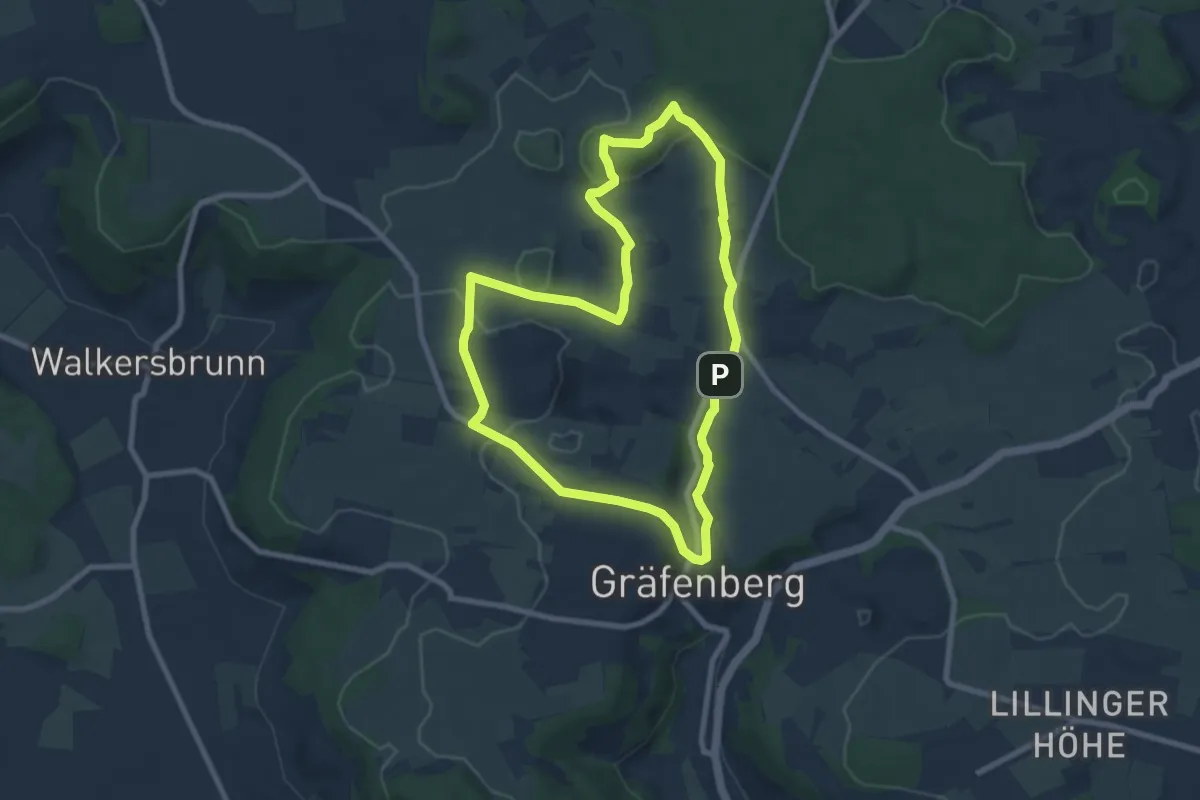
Easy · Summit
Rundweg Gräfenberg Hohenschwärz
7.4 km · ↑ 147 m · 2 h 11 min
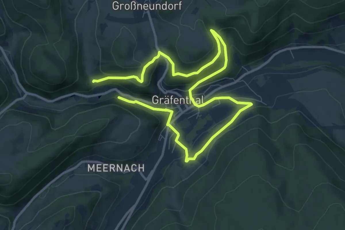
Medium · Trail
Rundweg Gräfenthal - Die Gesteine der Gräfenthal-Gruppe (Schieferpfad)
6.0 km · ↑ 255 m · 2 h 3 min
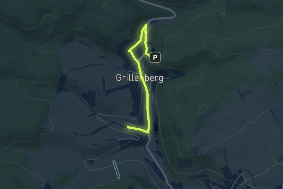
Easy · Trail
Rundweg Grillenberg
3.9 km · ↑ 86 m · 1 h 6 min
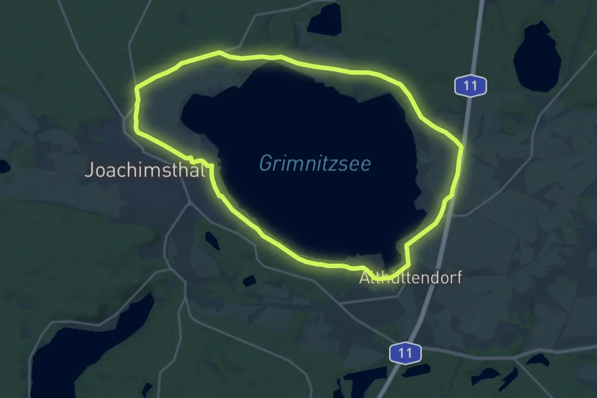
Medium · Trail
Rundweg Grimnitzsee
13.8 km · ↑ 60 m · 3 h 35 min
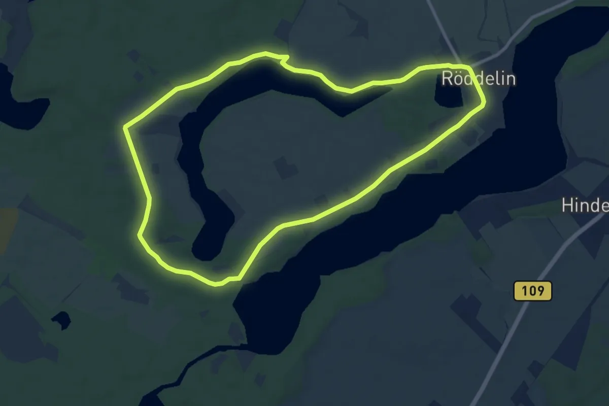
Medium · Summit
Rundweg Gr. Mahlgastsee
8.2 km · ↑ 37 m · 2 h 7 min
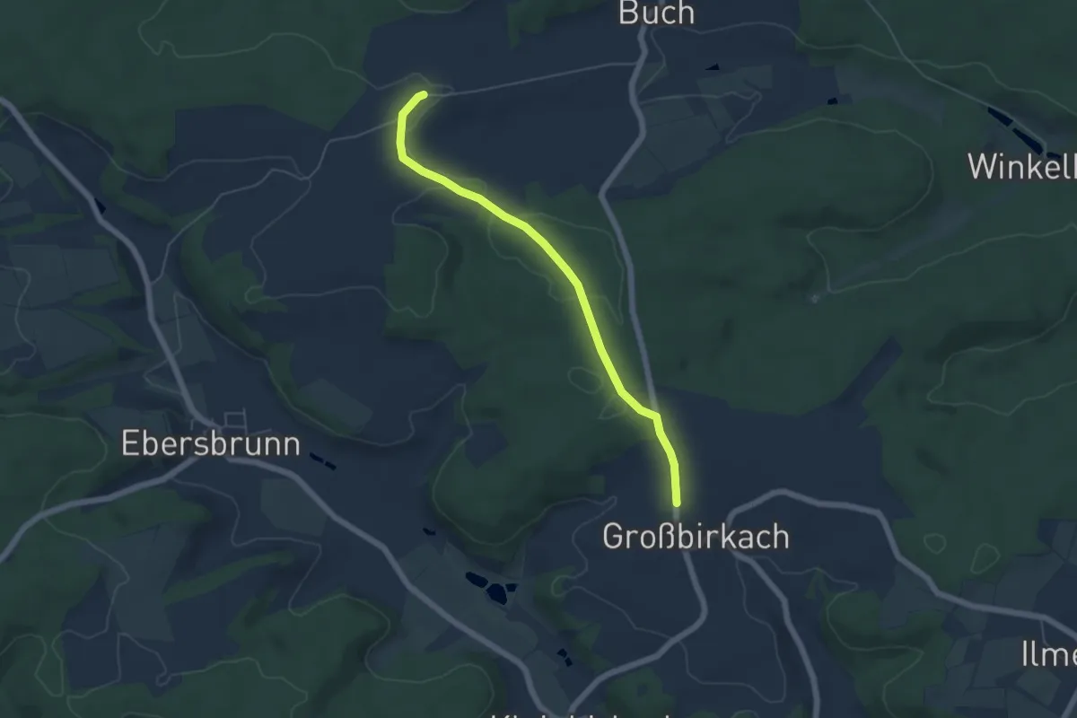
Easy · Trail
Rundweg "Großbirkach"
2.4 km · ↑ 5 m · 38 min
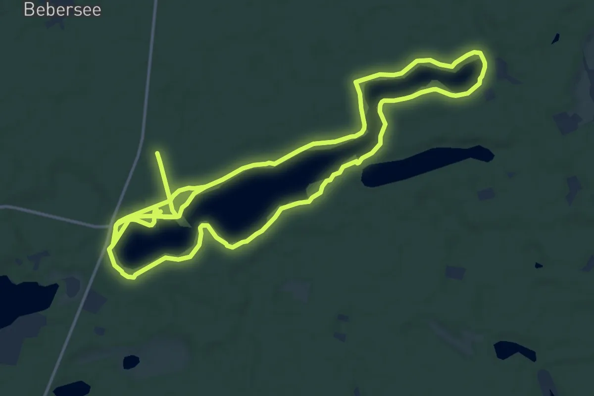
Medium · Trail
Rundweg Großdöllner See
13.0 km · ↑ 114 m · 3 h 30 min
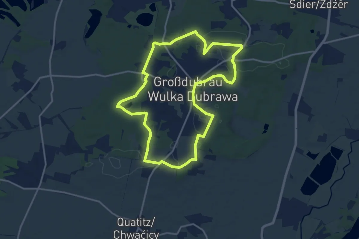
Medium · Trail
Rundweg Großdubrau
8.8 km · ↑ 59 m · 2 h 19 min
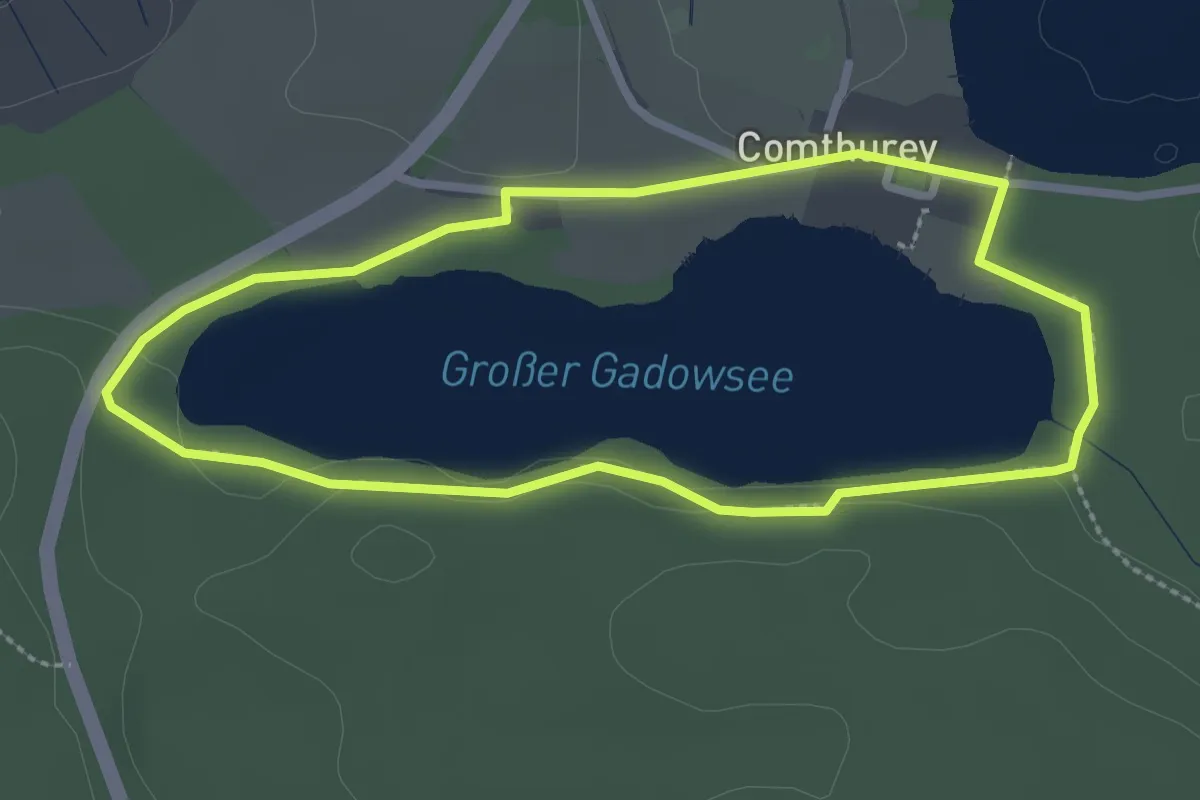
Easy · Trail
Rundweg Großer Gadowsee
2.2 km · ↑ 18 m · 36 min
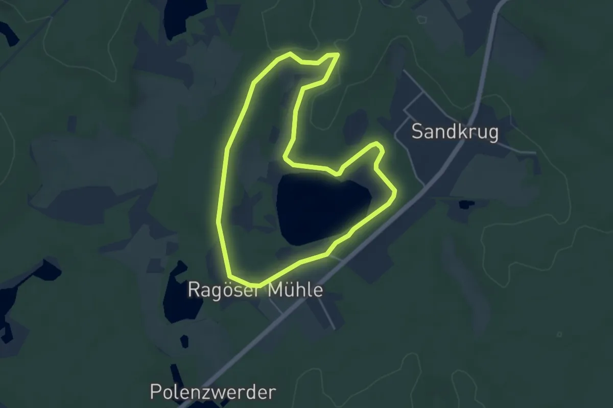
Easy · Trail
Rundweg Großer Heiliger See
3.6 km · ↑ 24 m · 57 min
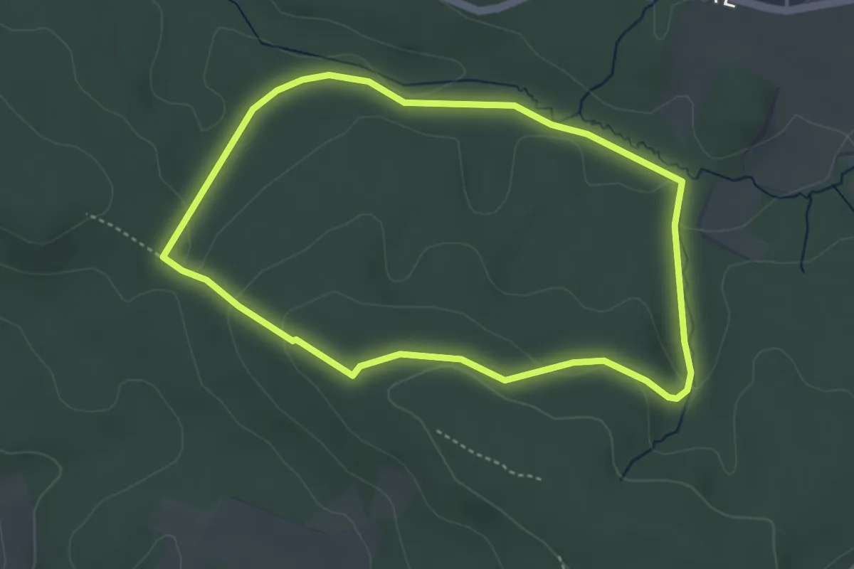
Easy · Trail
Rundweg Großer Kellenberg (2)
3.4 km · ↑ 76 m · 1 h 1 min
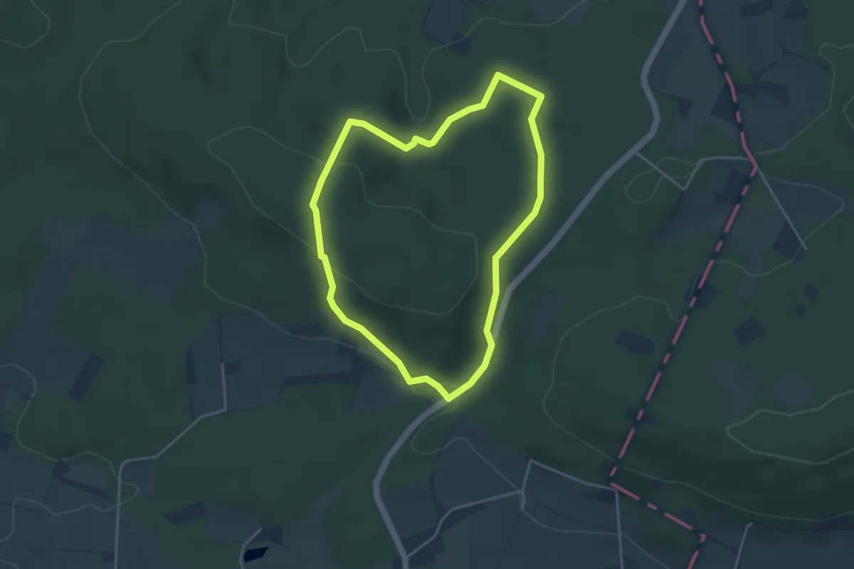
Easy · Trail
Rundweg Großer Kellenberg (8)
3.2 km · ↑ 83 m · 58 min
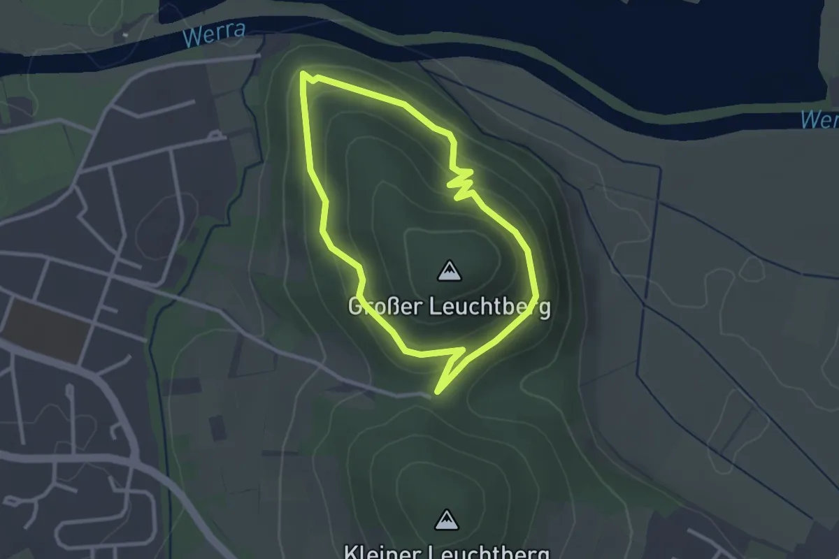
Easy · Trail
Rundweg Großer Leuchtberg
2.3 km · ↑ 104 m · 48 min
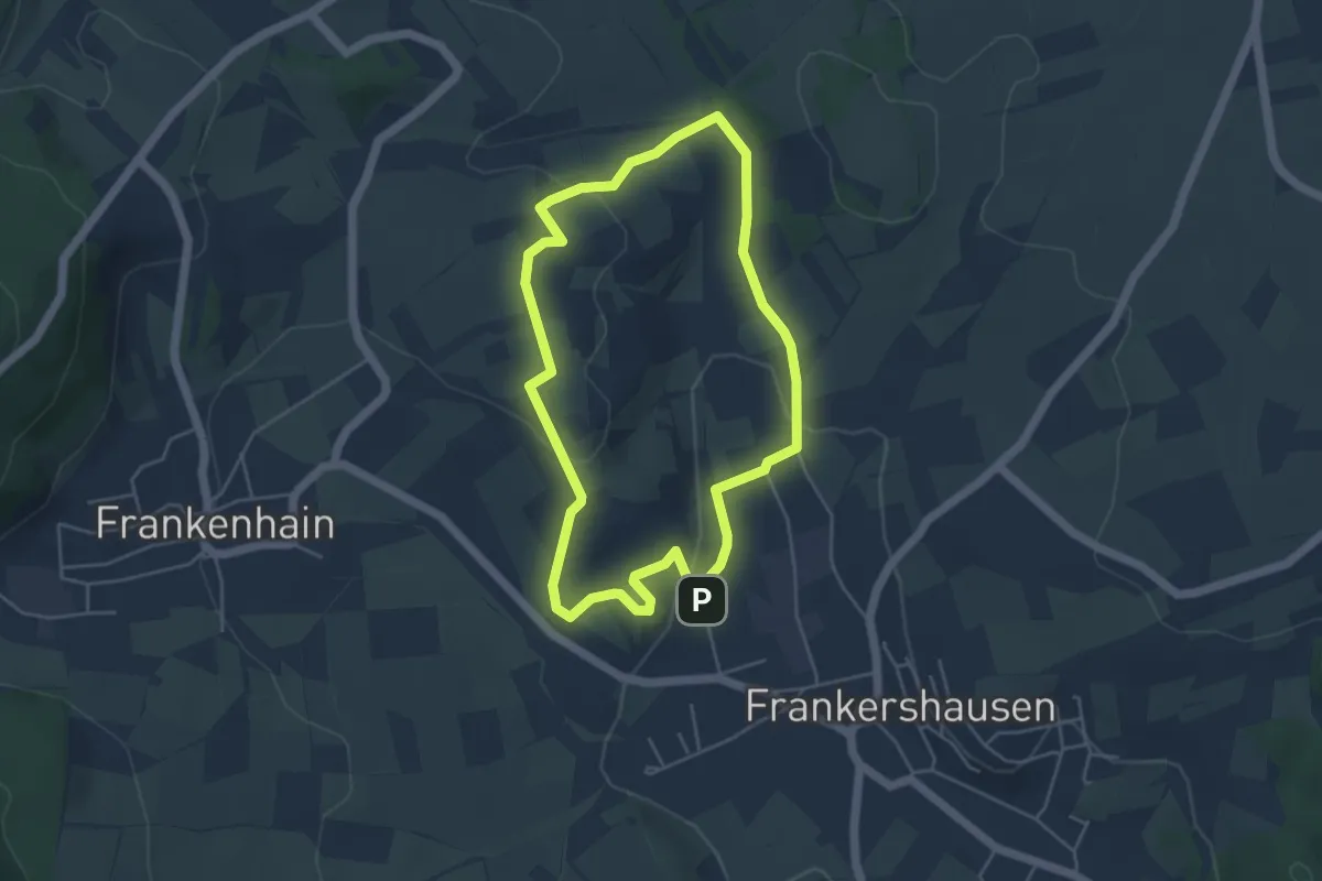
Easy · Summit
Rundweg Großer Marstein und Hielöcher
4.2 km · ↑ 79 m · 1 h 13 min
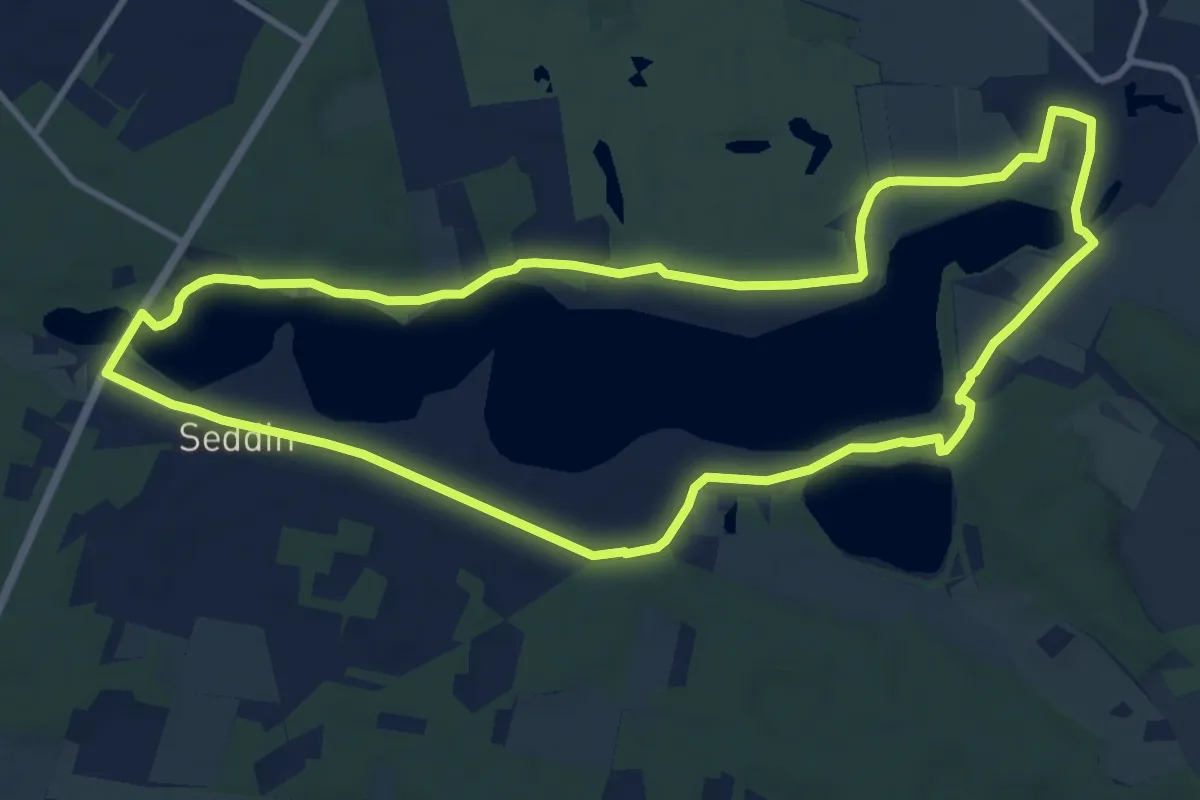
Medium · Trail
Rundweg Großer Seddiner See
10.4 km · ↑ 24 m · 2 h 40 min
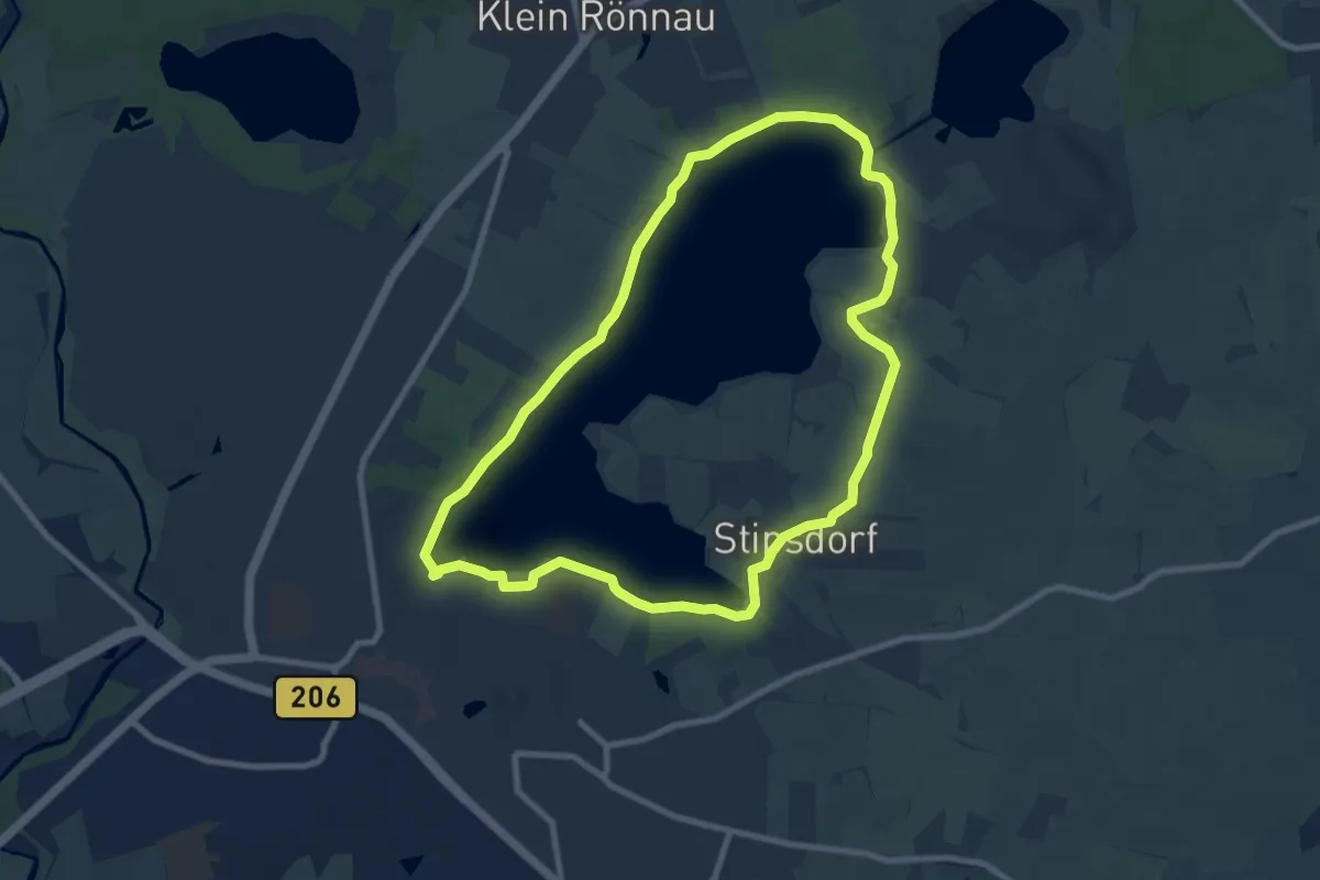
Easy · Trail
Rundweg Großer Segeberger See
7.4 km · ↑ 47 m · 1 h 57 min
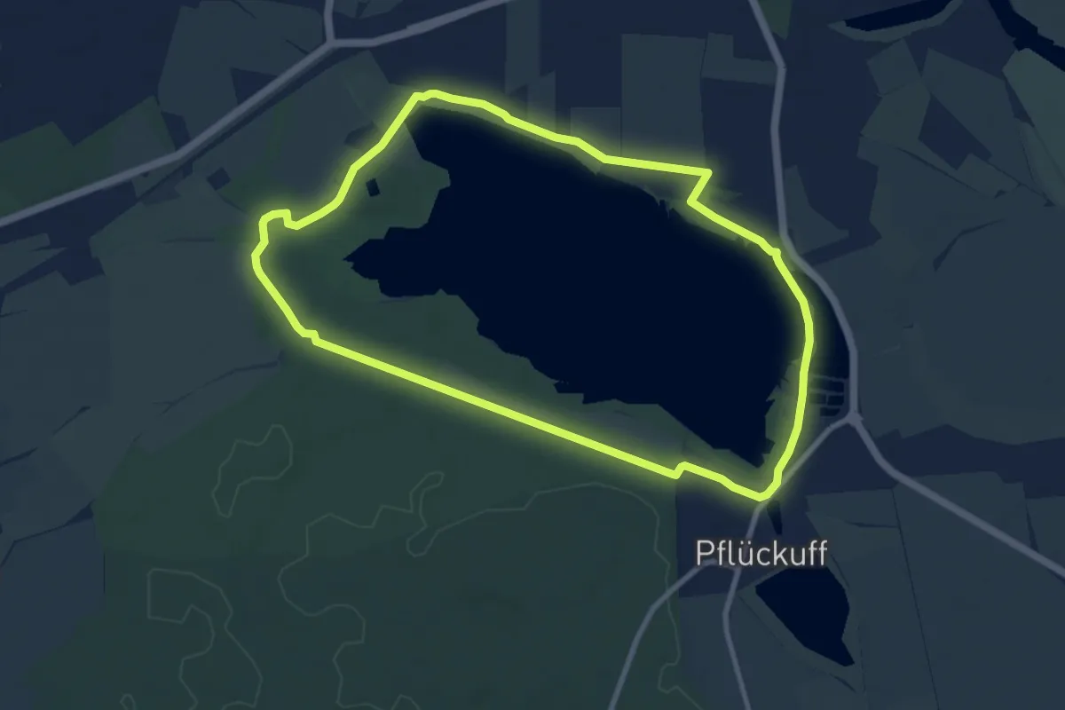
Easy · Trail
Rundweg Großer Teich
7.8 km · ↑ 13 m · 1 h 59 min
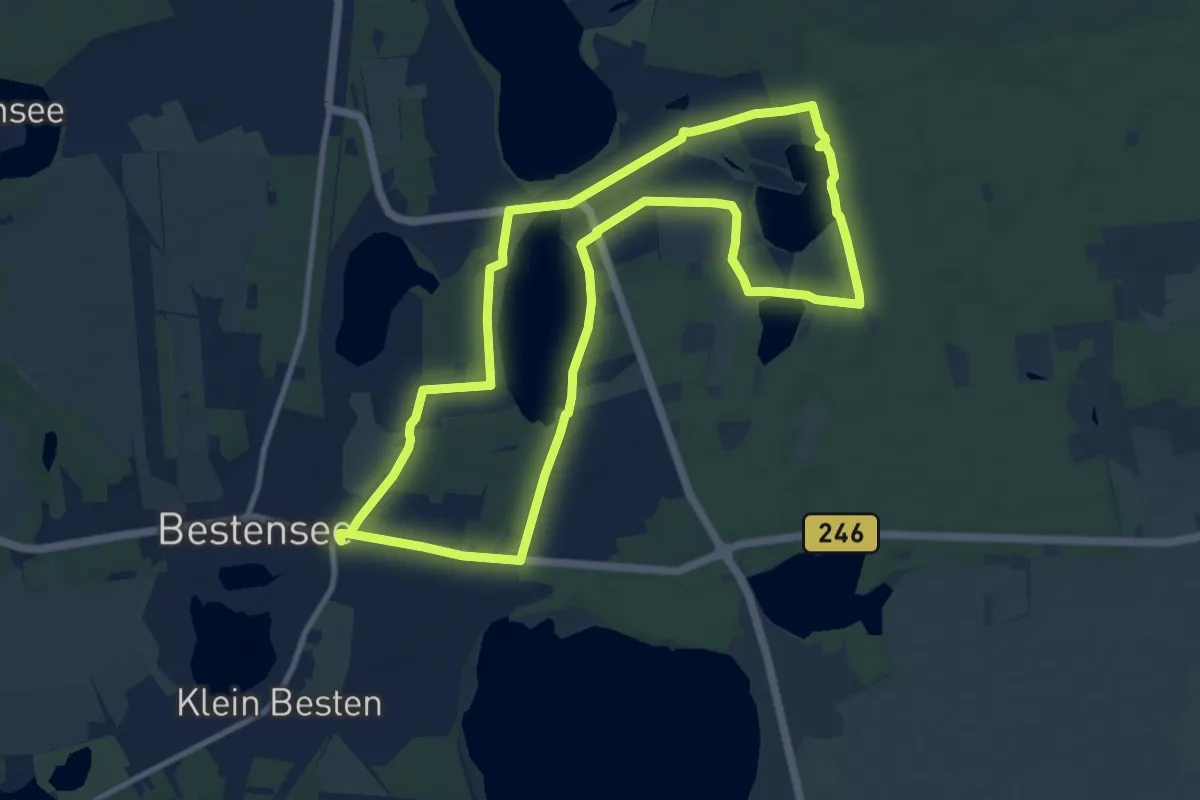
Medium · Trail
Rundweg Großer Tonteich
9.5 km · ↑ 21 m · 2 h 26 min
Medium · Trail
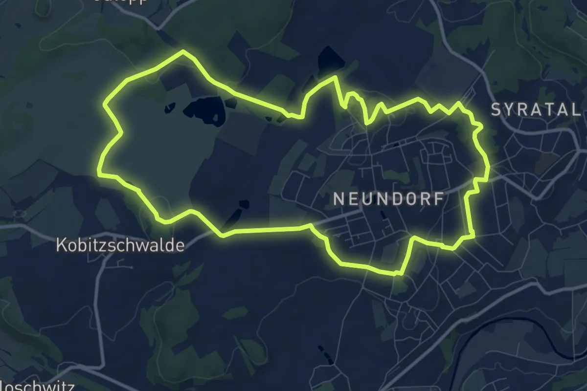
Rundweg „Großer Weidenteich“
9.9 km · ↑ 157 m · 2 h 49 min
Medium · Trail
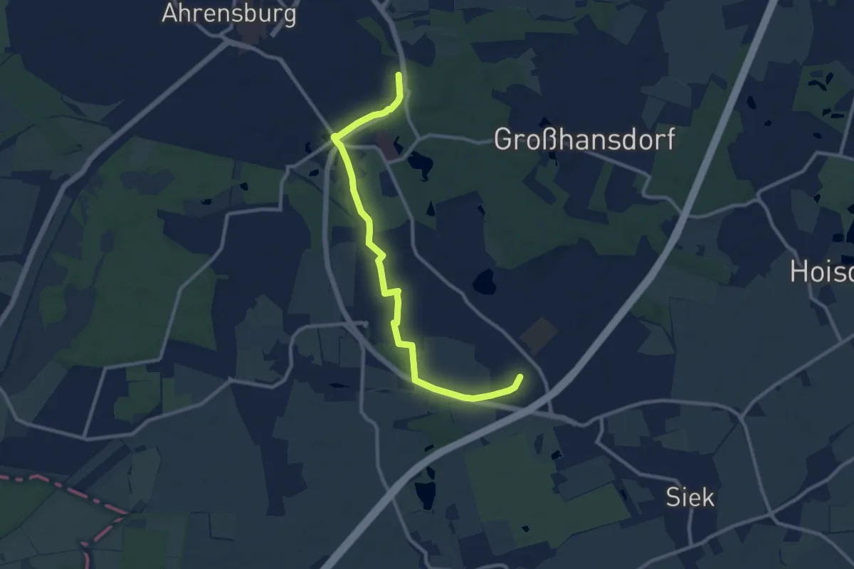
Rundweg Großhansdorf
9.1 km · ↑ 23 m · 2 h 12 min
Medium · Trail
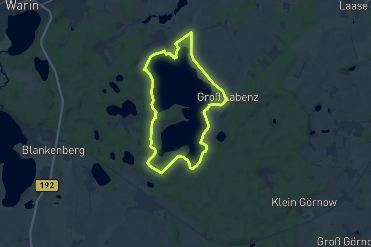
Rundweg Groß Labenzer See
10.0 km · ↑ 85 m · 2 h 41 min
Easy · Trail
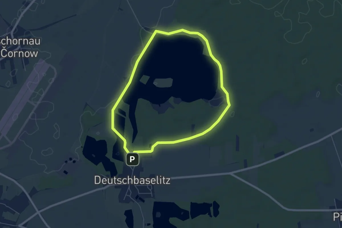
Rundweg Großteich Deutschbaselitz
5.2 km · ↑ 18 m · 1 h 20 min
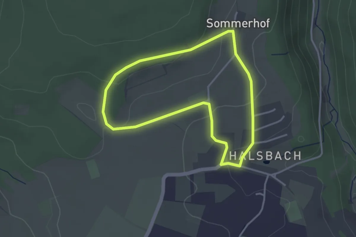
Easy · Trail
Rundweg Grotte
2.7 km · ↑ 67 m · 49 min
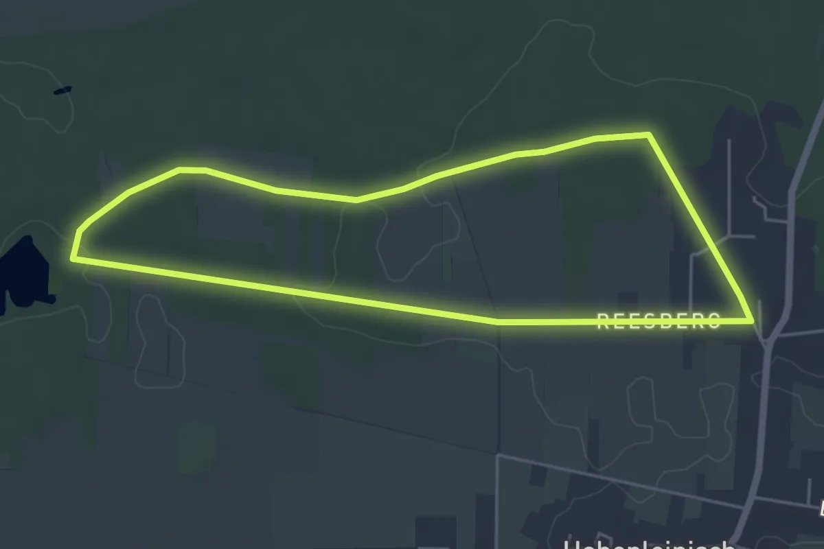
Easy · Trail
Rundweg - Grube Gotthold
4.3 km · ↑ 27 m · 1 h 8 min
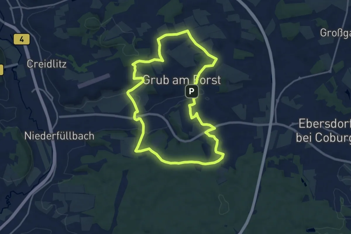
Medium · Summit
Rundweg Grub G 1
11.0 km · ↑ 202 m · 3 h 11 min
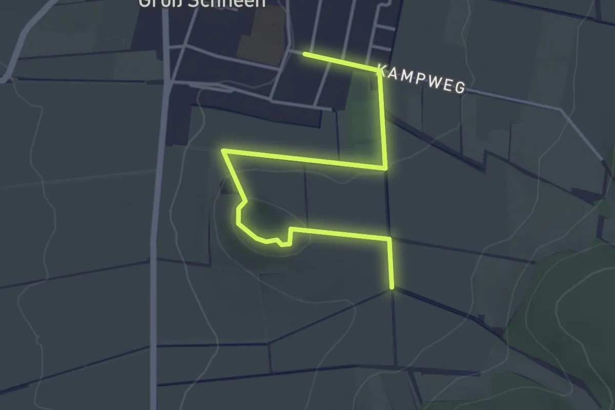
Easy · Summit
Rundweg grün
1.9 km · ↑ 19 m · 32 min