Trails in Germany
36,852 hiking trails, each with its route, climb, walking time and grade.
All trails, page 546 of 768
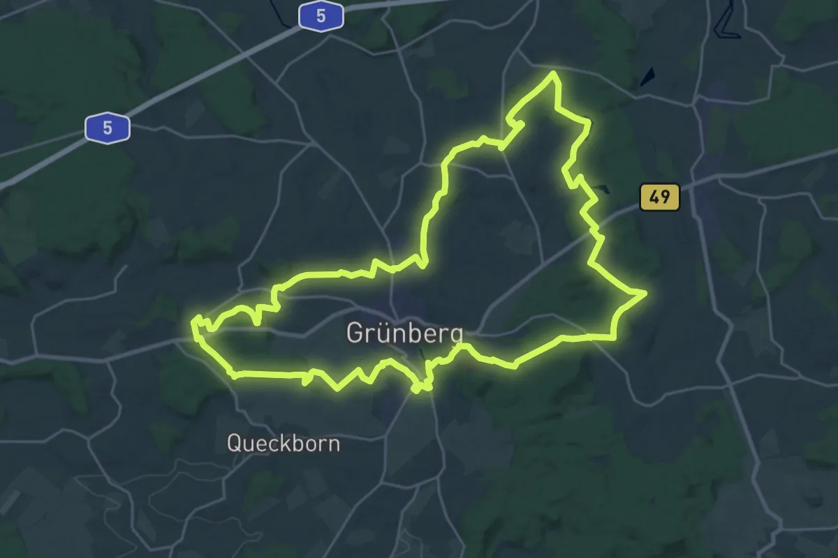
Demanding · Trail
Rundweg Grünberg
26.1 km · ↑ 401 m · 7 h 23 min
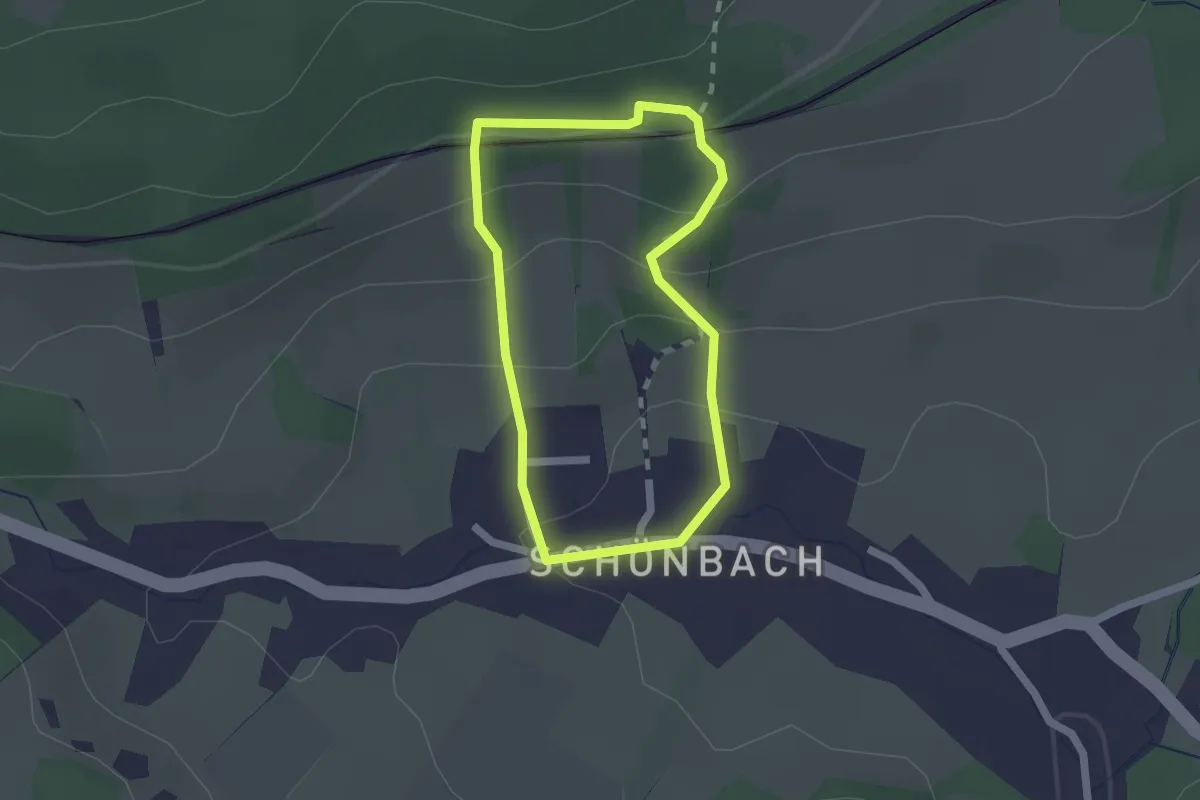
Easy · Trail
Rundweg Grüner Punkt
1.5 km · ↑ 97 m · 34 min
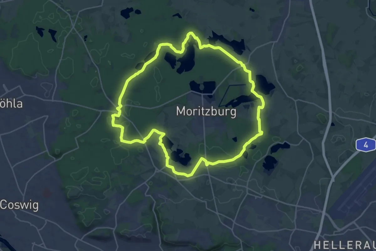
Demanding · Trail
Rundweg Grüner Punkt
21.2 km · ↑ 127 m · 5 h 34 min
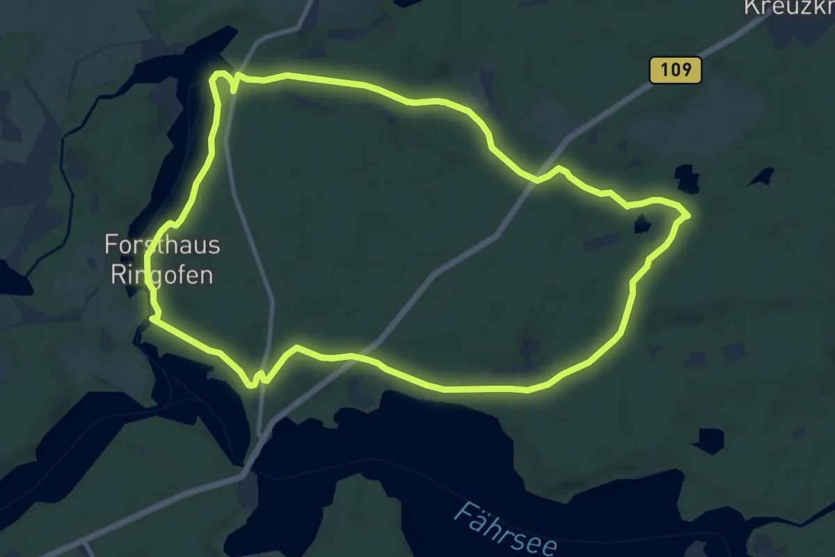
Medium · Summit
Rundweg Grüner Punkt
8.8 km · ↑ 69 m · 2 h 21 min
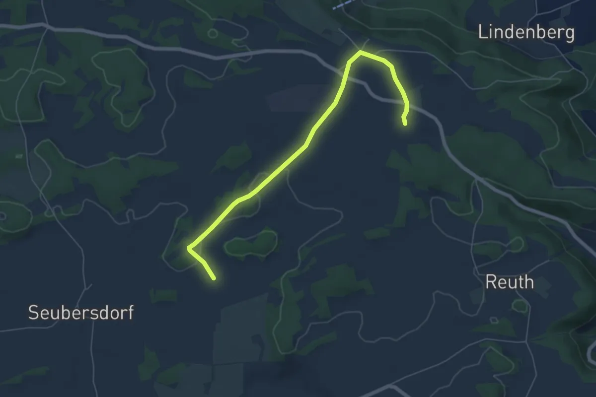
Easy · Trail
Rundweg Grüner Ring
5.8 km · ↑ 74 m · 1 h 31 min
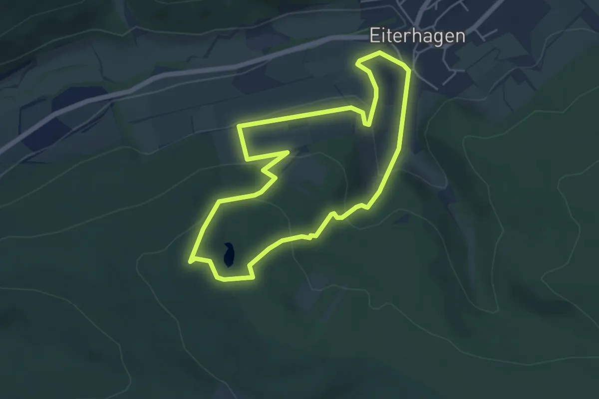
Easy · Trail
Rundweg Grüner See
4.0 km · ↑ 162 m · 1 h 22 min
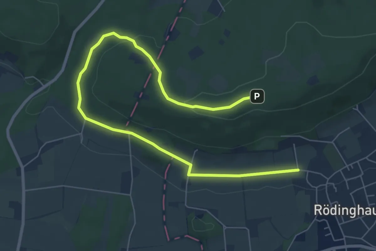
Easy · Trail
Rundweg "Grüner See – Nonnenstein" ("Linkerberg L3")
3.5 km · ↑ 13 m · 58 min
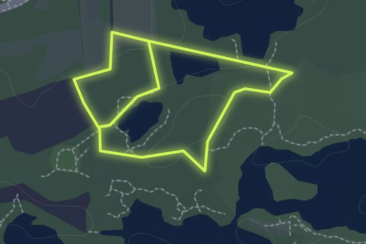
Easy · Trail
Rundweg Grüner See - rot
1.7 km · ↑ 13 m · 27 min
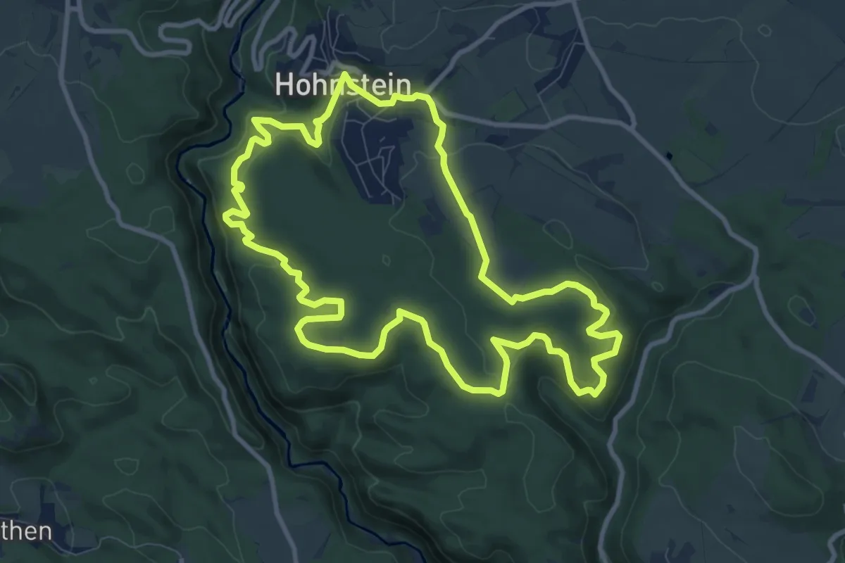
Medium · Trail
Rundweg Grüner Strich
8.9 km · ↑ 315 m · 2 h 54 min
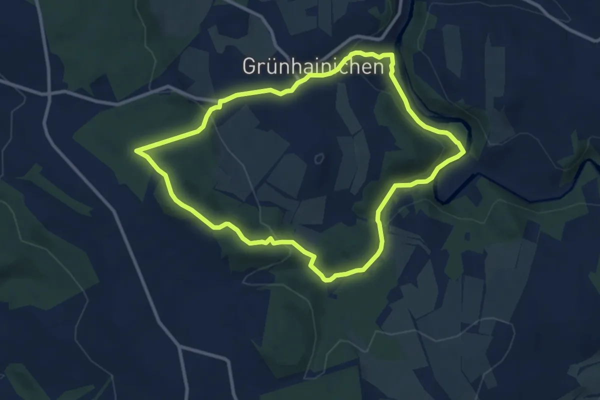
Easy · Summit
Rundweg Grünhainichen Südschleife
7.3 km · ↑ 251 m · 2 h 22 min
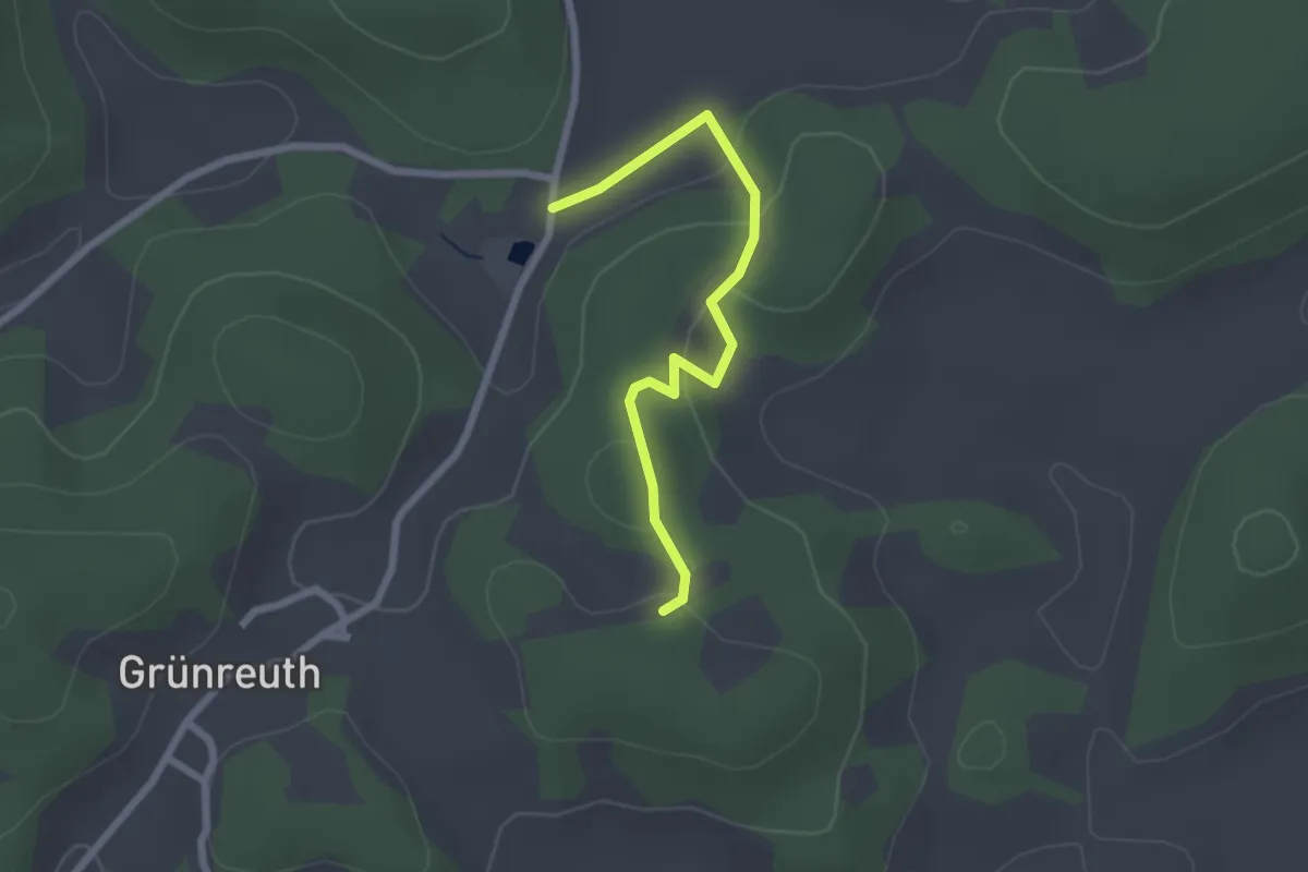
Easy · Summit
Rundweg Grünreuth – Kolbenberg
1.1 km · ↑ 0 m · 17 min
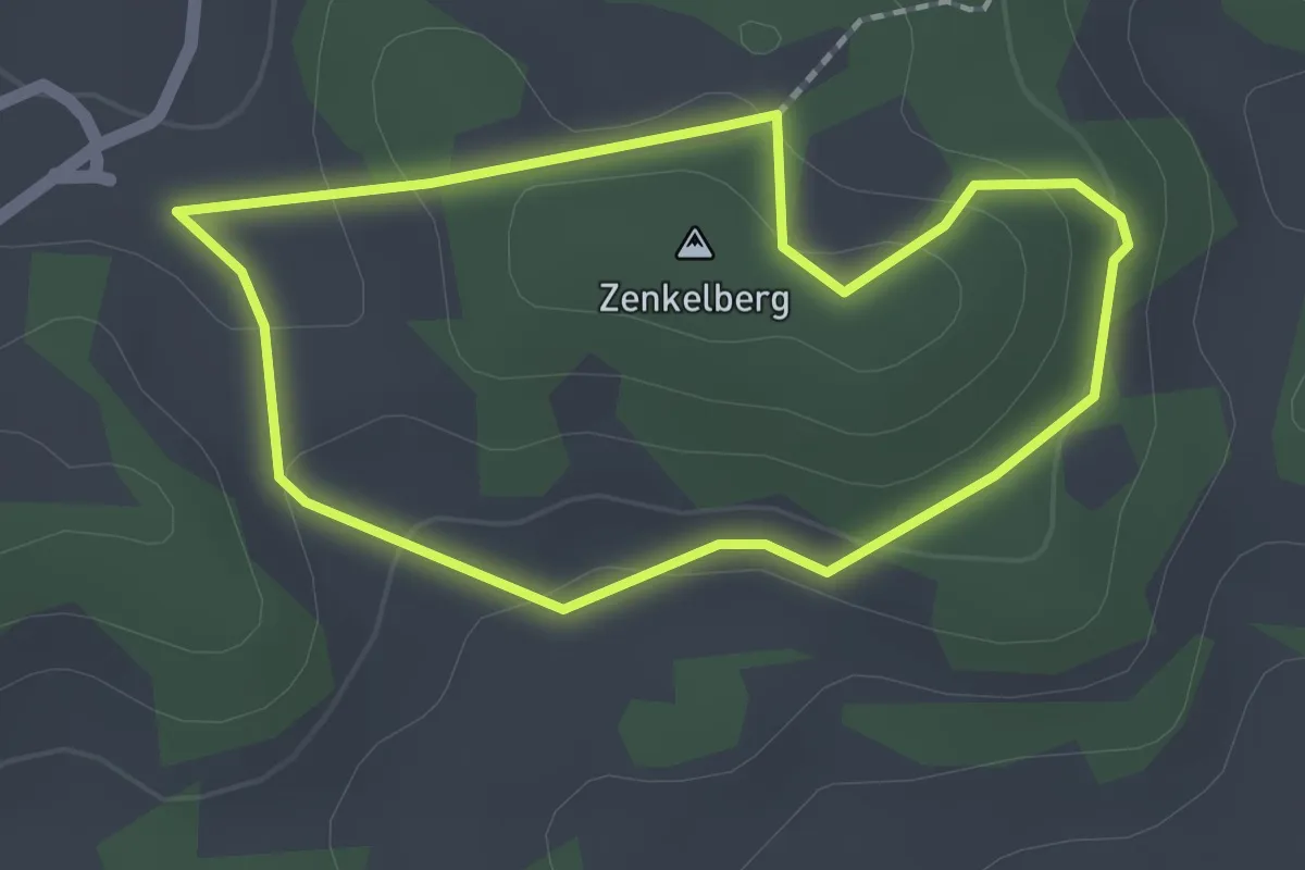
Easy · Summit
Rundweg Grünreuth – Zenkelberg
1.6 km · ↑ 41 m · 29 min
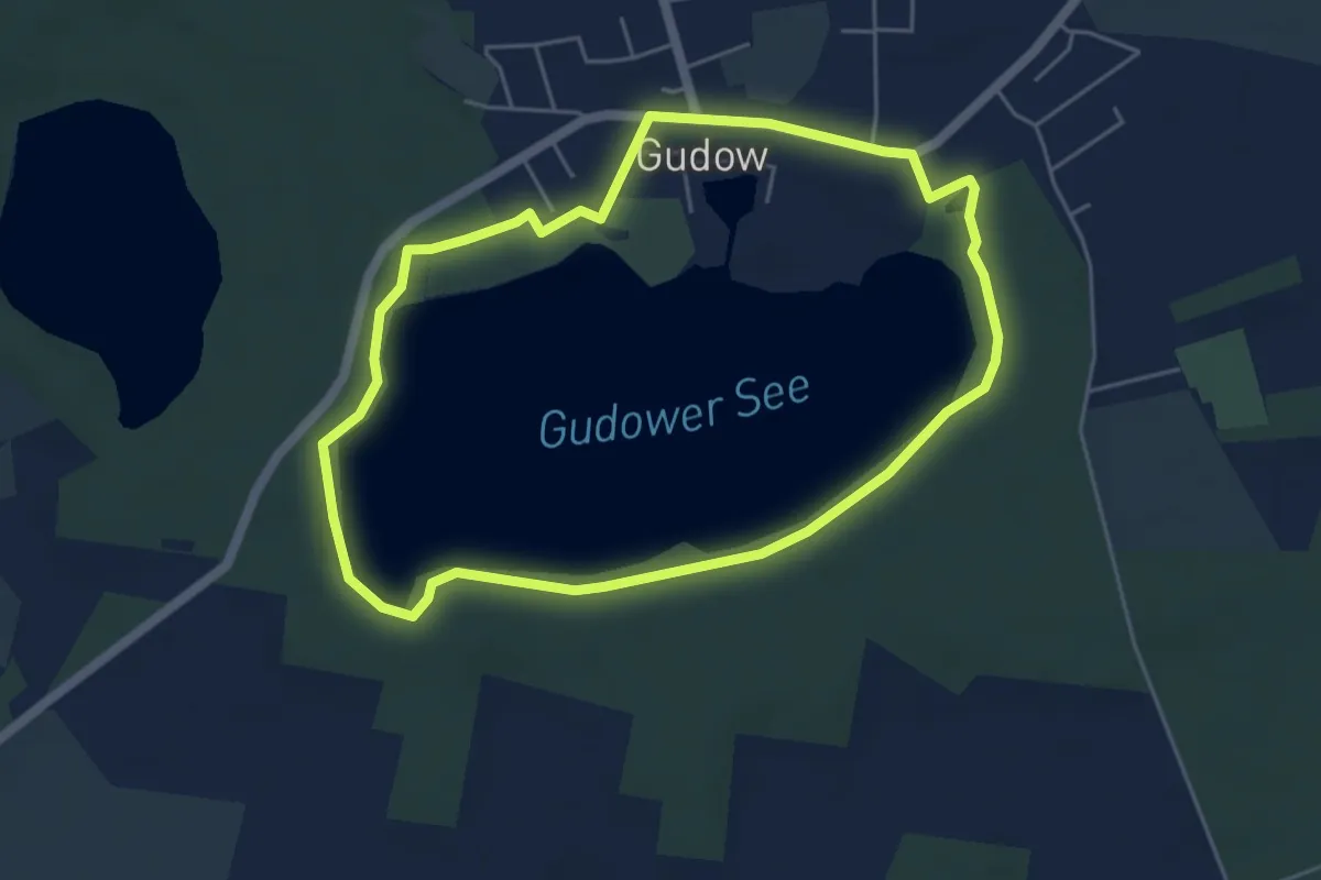
Easy · Trail
Rundweg Gudower See
4.2 km · ↑ 27 m · 1 h 7 min
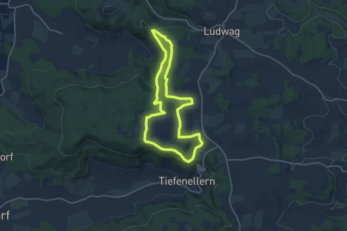
Medium · Trail
Rundweg / Gügel - Tiefenellern
9.2 km · ↑ 190 m · 2 h 43 min
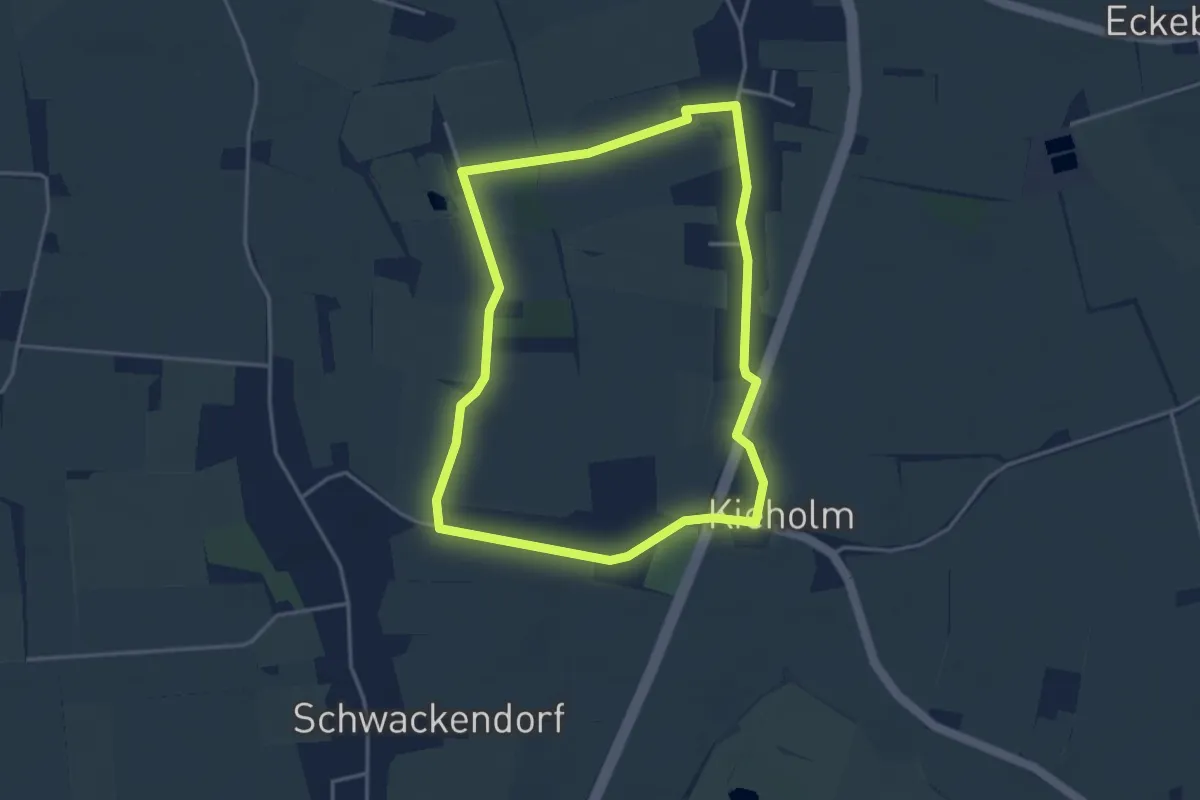
Easy · Trail
Rundweg Gundelsby
3.2 km · ↑ 0 m · 47 min
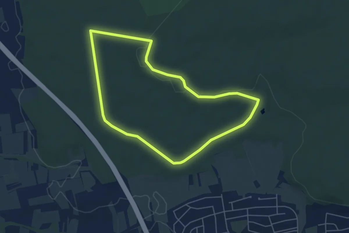
Easy · Trail
Rundweg Gundelsheim
4.4 km · ↑ 35 m · 1 h 10 min
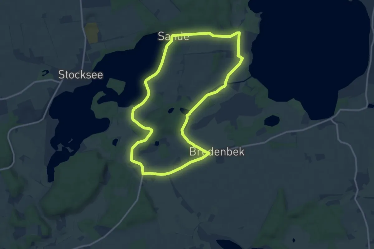
Medium · Trail
Rundweg Gut Nehmten
8.9 km · ↑ 67 m · 2 h 22 min
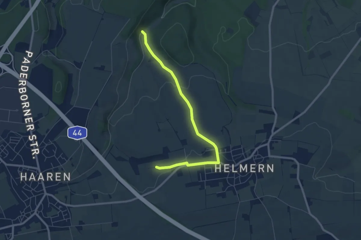
Easy · Trail
Rundweg H7 Bad Wünnenberg-Haaren
2.9 km · ↑ 93 m · 54 min
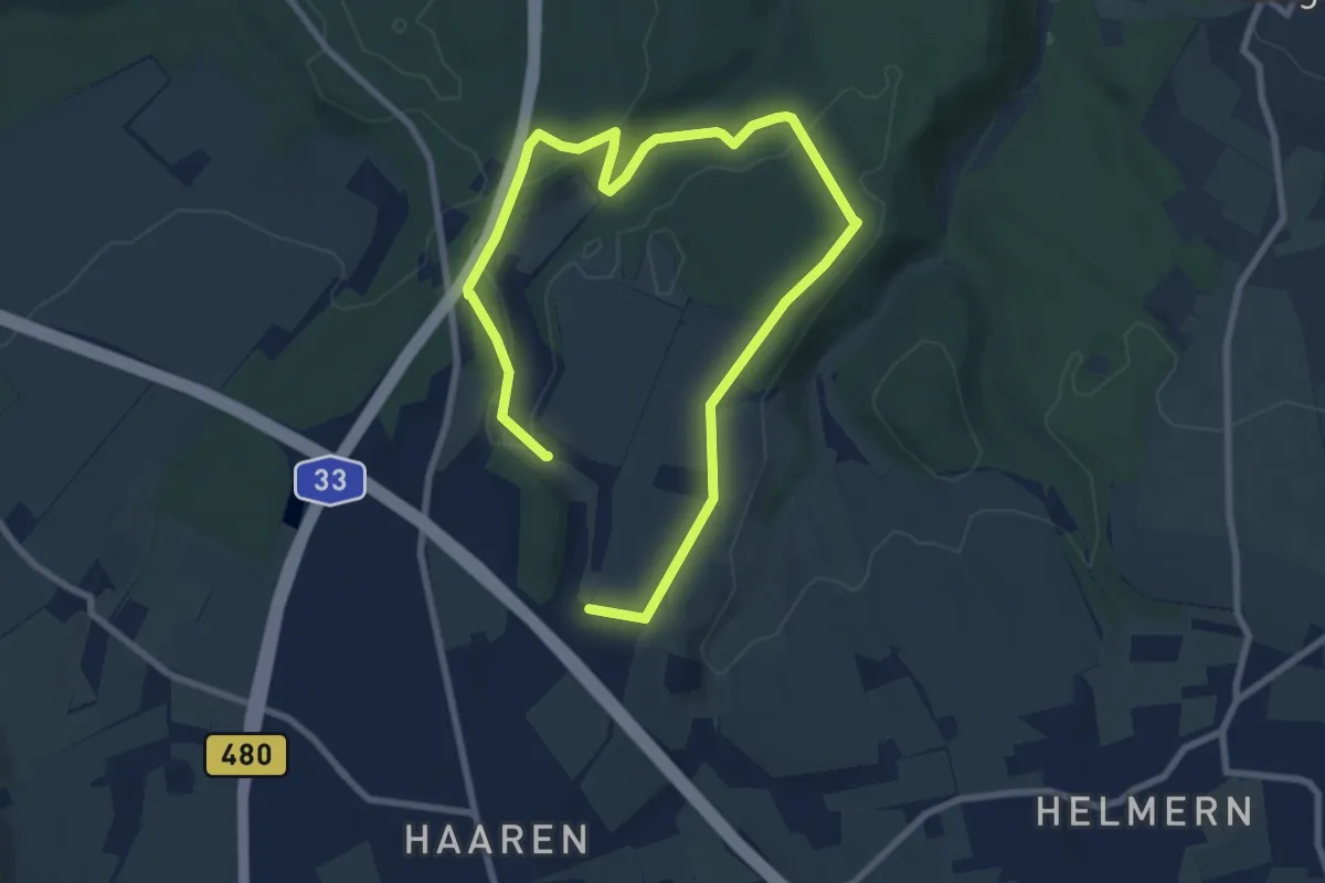
Medium · Trail
Rundweg Haaren H4-Totengrund
11.1 km · ↑ 153 m · 2 h 58 min
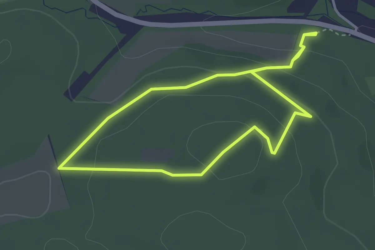
Medium · Summit
Rundweg Habichtsspiel
2.6 km · ↑ 94 m · 51 min
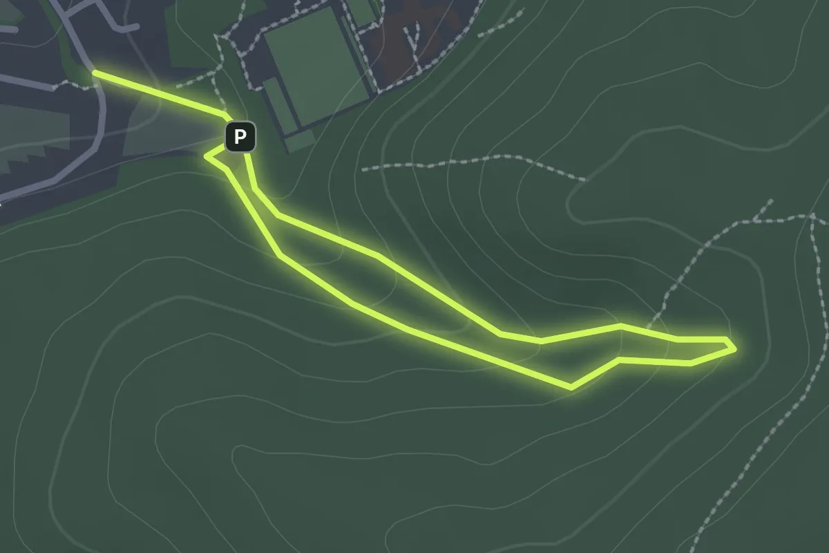
Easy · Trail
Rundweg Hachen H1
3.5 km · ↑ 181 m · 1 h 13 min
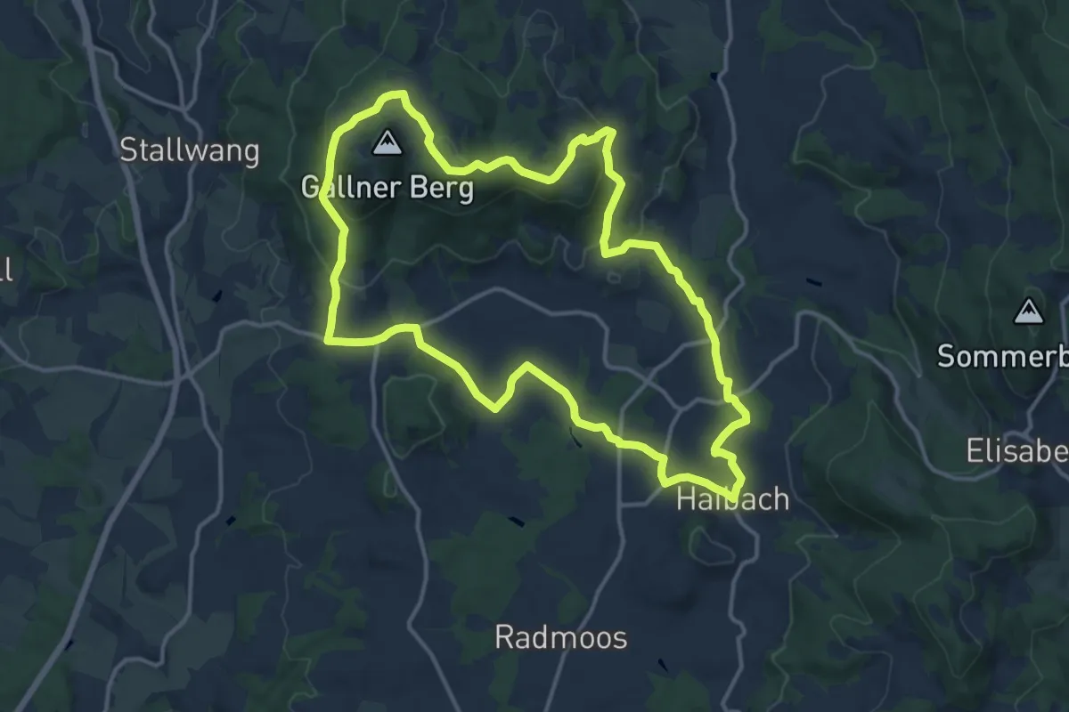
Medium · Summit
Rundweg Haibach-Gallner
13.2 km · ↑ 406 m · 4 h 10 min
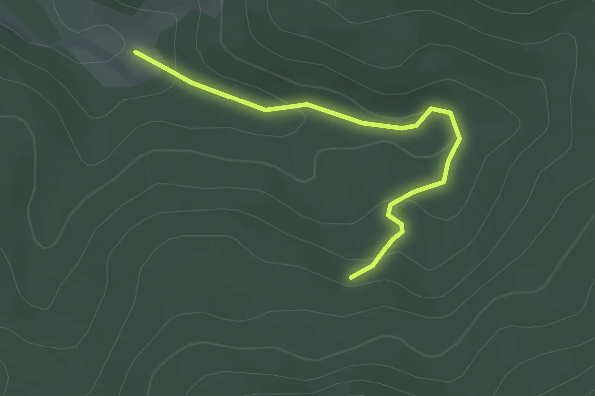
Easy · Trail
Rundweg Hainbachtal
1.4 km · ↑ 114 m · 32 min
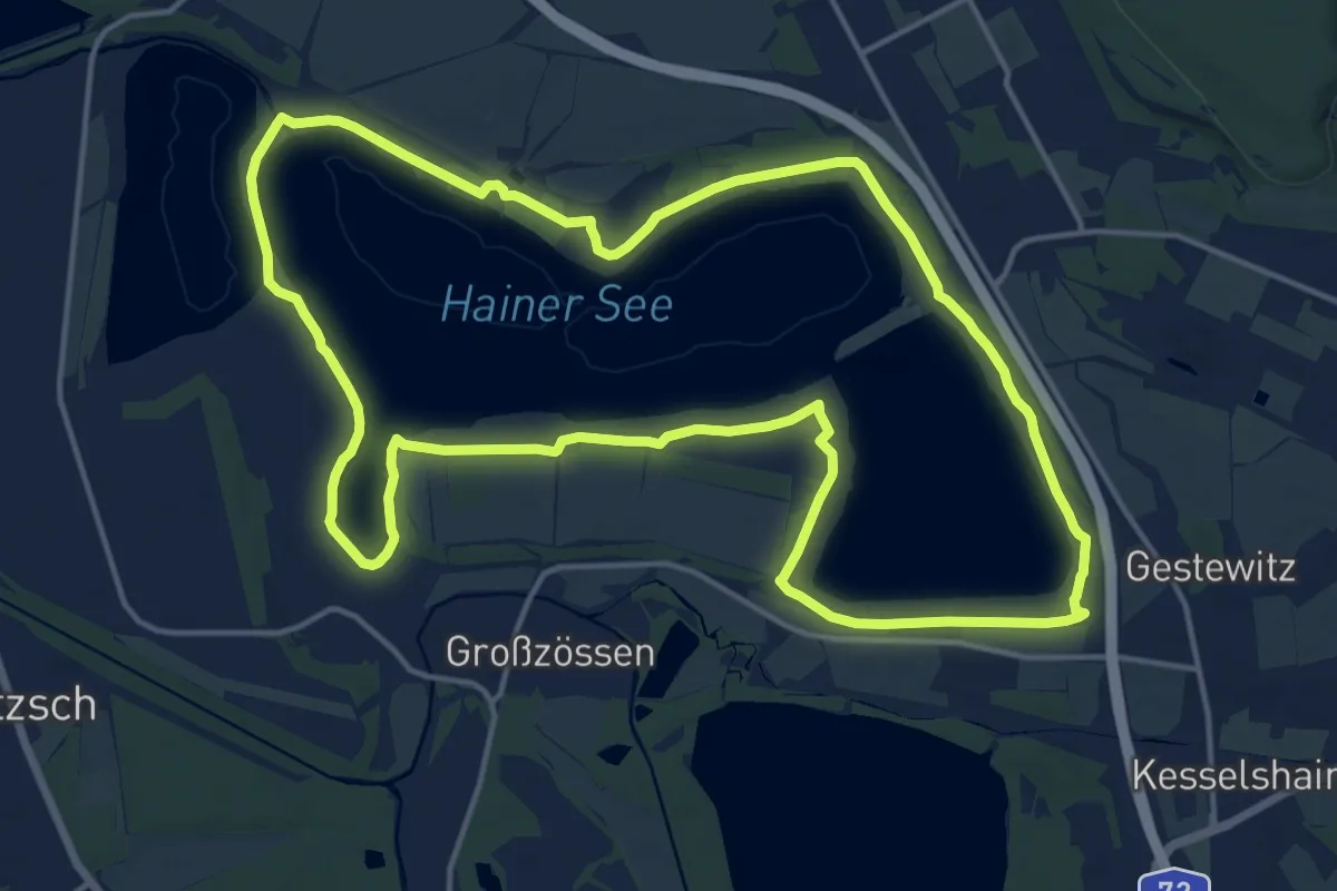
Medium · Trail
Rundweg Hainer See
15.7 km · ↑ 80 m · 4 h 6 min
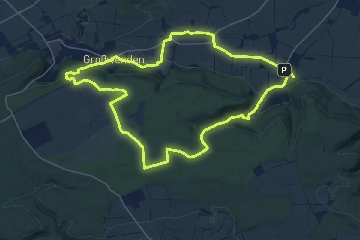
Medium · Summit
Rundweg Hainleite 1
14.4 km · ↑ 236 m · 4 h 7 min
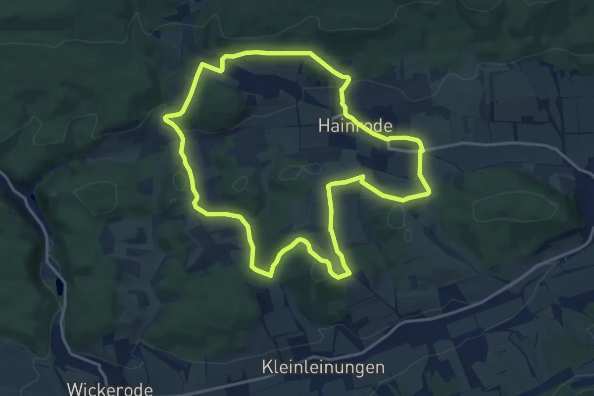
Medium · Trail
Rundweg Hainrode
9.7 km · ↑ 245 m · 2 h 57 min
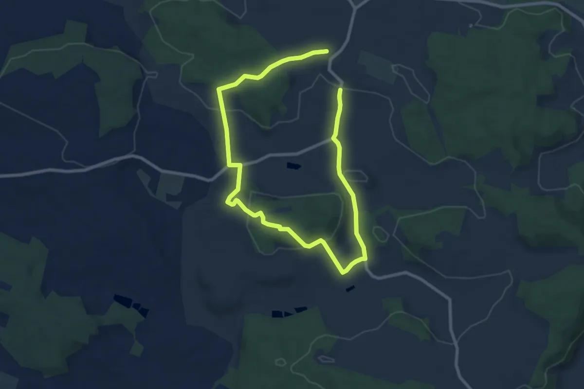
Easy · Trail
Rundweg Hainsfarth 7
5.6 km · ↑ 138 m · 1 h 43 min
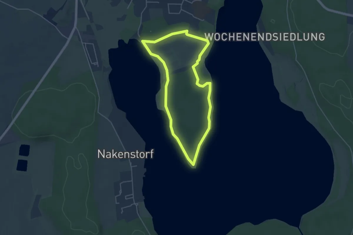
Easy · Trail
Rundweg Halbinsel
3.5 km · ↑ 19 m · 55 min
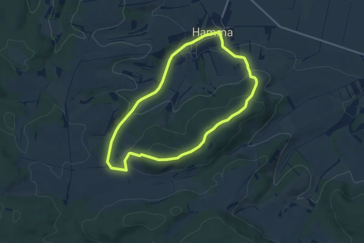
Easy · Summit
Rundweg Hamma Wernsberge Hamma
6.0 km · ↑ 166 m · 1 h 51 min
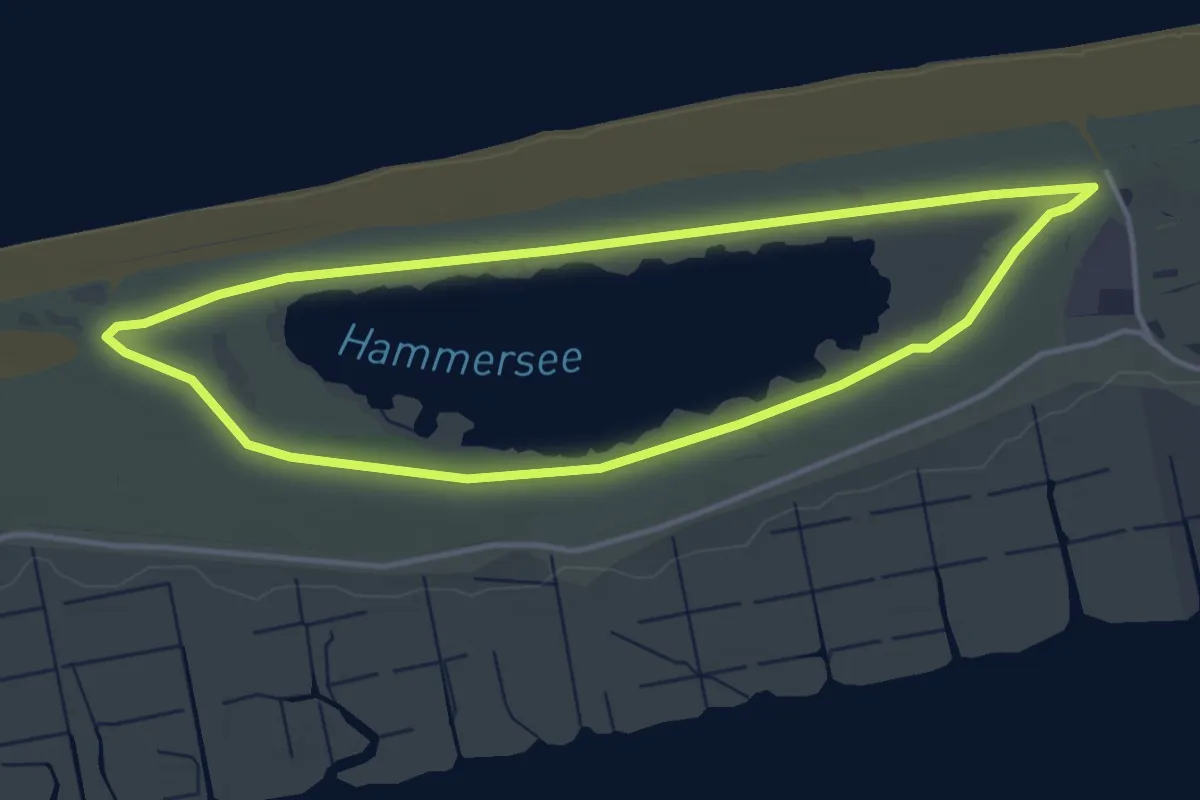
Easy · Trail
Rundweg Hammersee
3.4 km · ↑ 4 m · 51 min
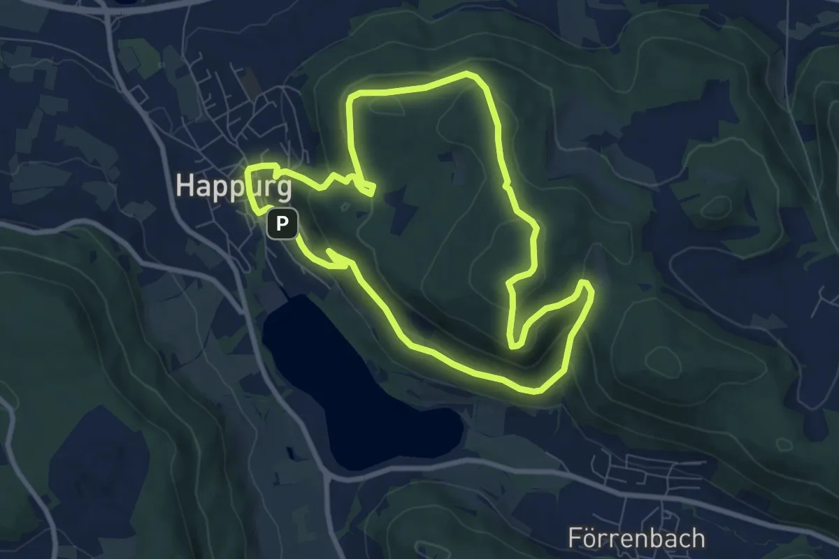
Medium · Summit
Rundweg Happurg
7.3 km · ↑ 328 m · 2 h 32 min
Easy · Trail
Rundweg Hartenreuther Kapelle
5.9 km · ↑ 55 m · 1 h 31 min
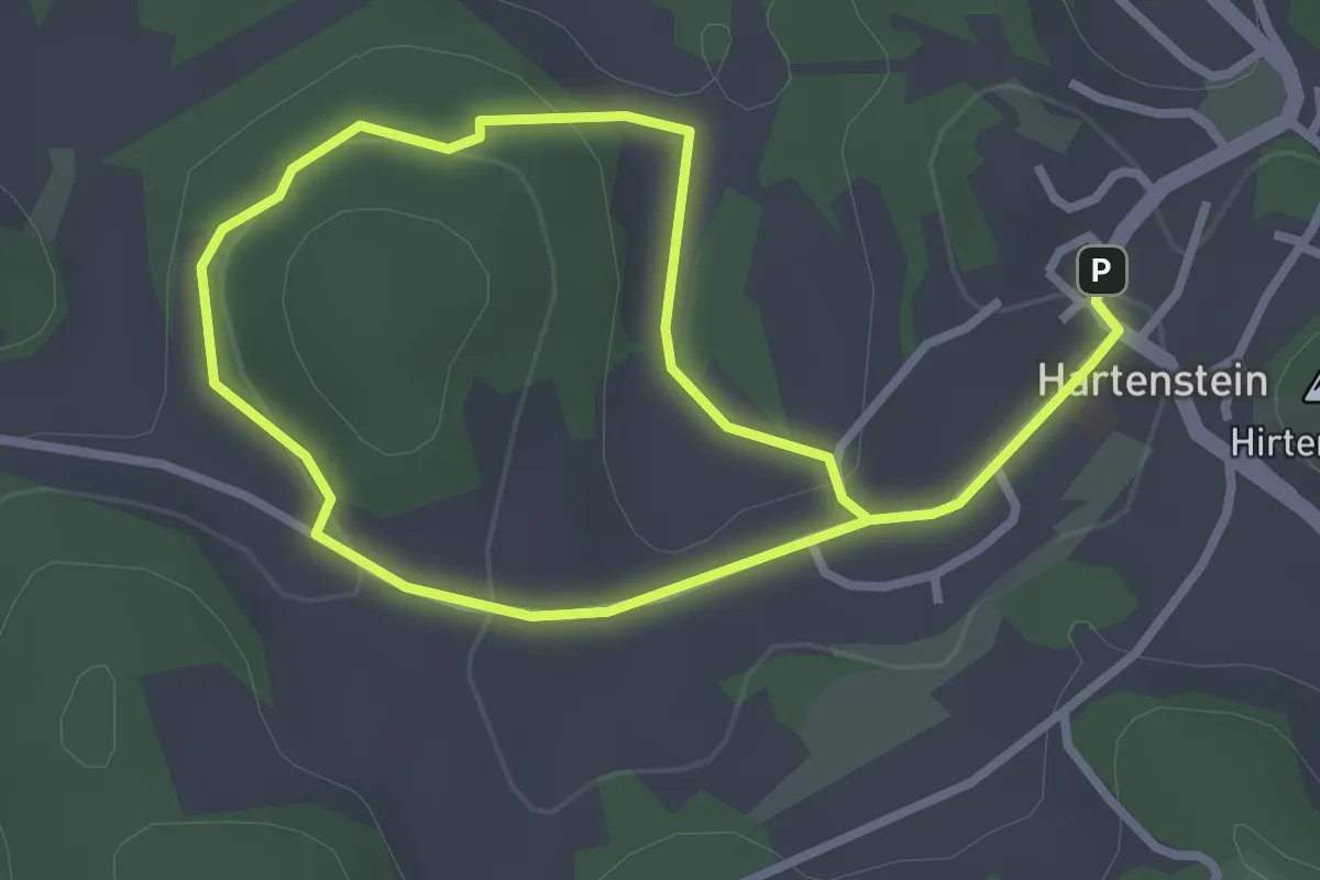
Easy · Summit
Rundweg Hartenstein – Konradsberg
2.2 km · ↑ 49 m · 41 min
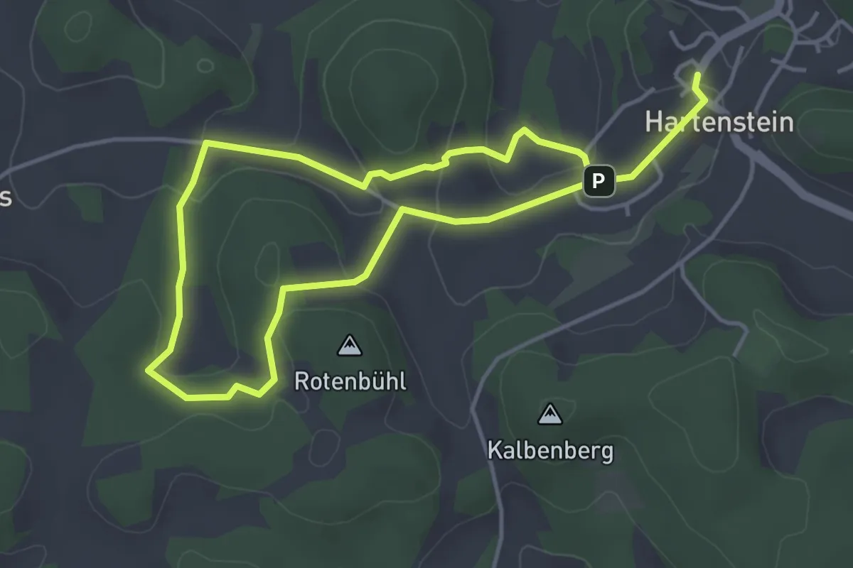
Easy · Summit
Rundweg Hartenstein – Teufelshof
3.3 km · ↑ 109 m · 1 h 3 min
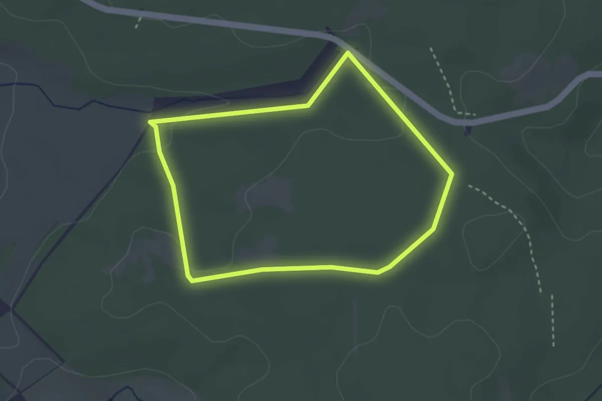
Easy · Trail
Rundweg Hartmannsholz
2.5 km · ↑ 41 m · 43 min
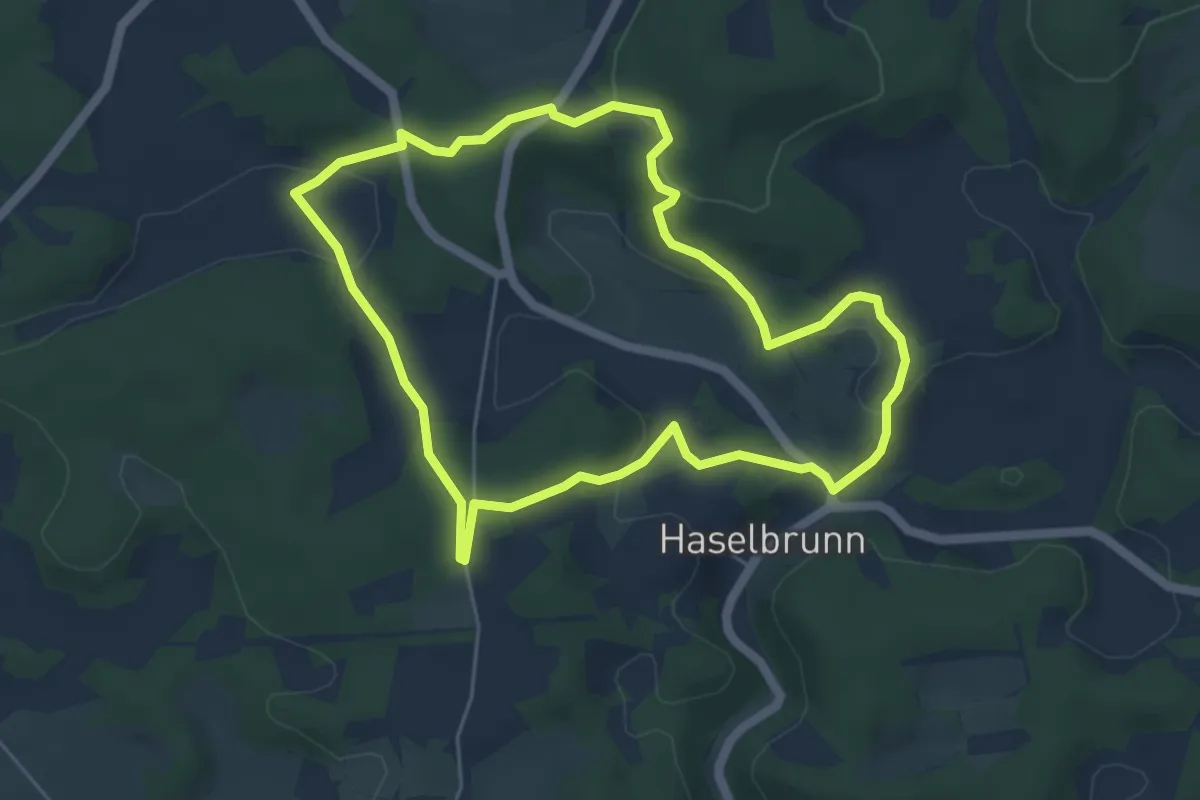
Easy · Trail
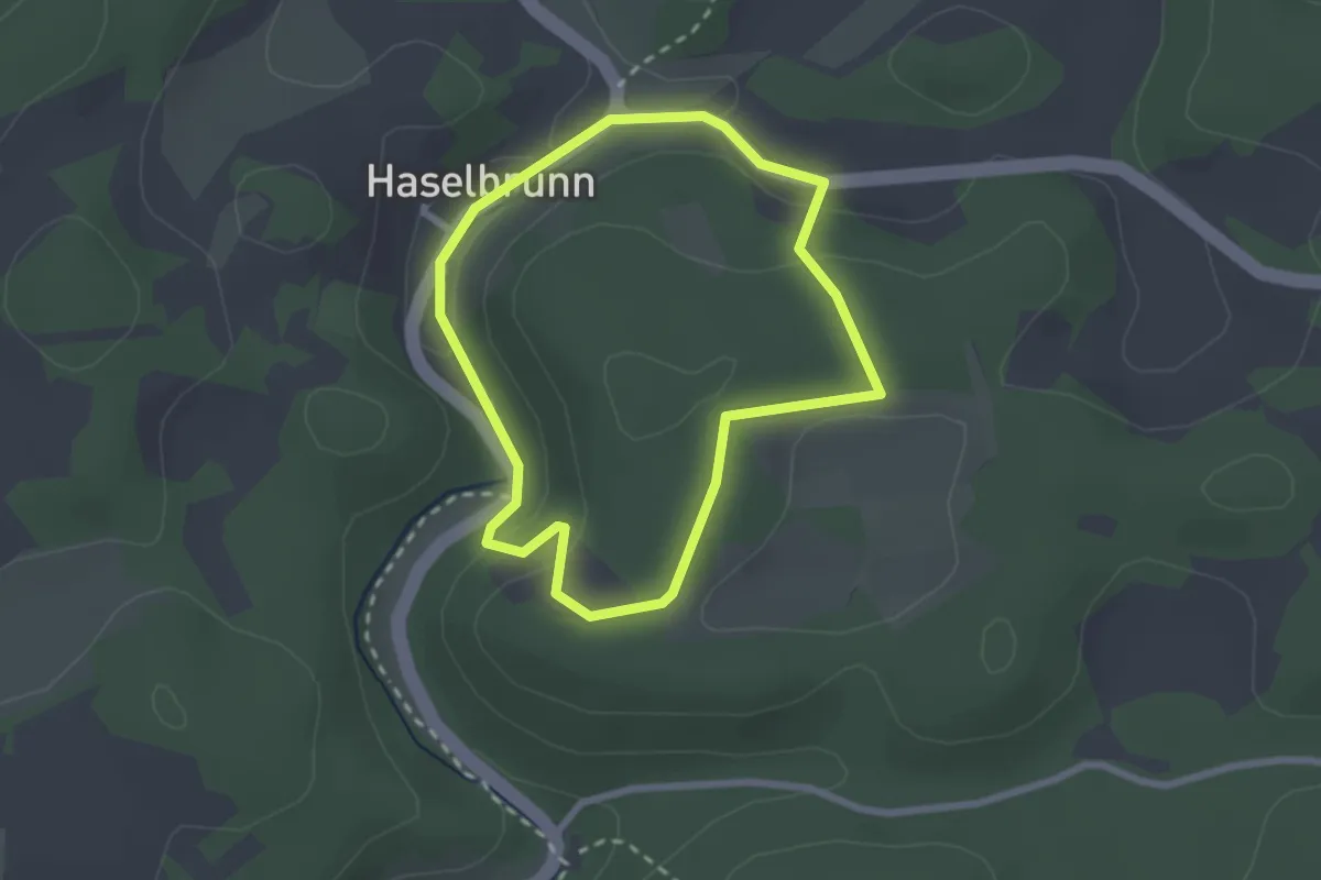
Rundweg Haselbrunn
4.8 km · ↑ 133 m · 1 h 29 min
Easy · Trail
Rundweg Haselbrunn-Rubenanau
2.1 km · ↑ 58 m · 38 min
Medium · Trail
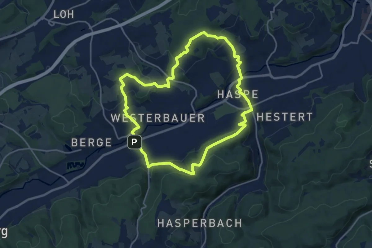
Rundweg Haspe
11.3 km · ↑ 358 m · 3 h 36 min
Easy · Trail
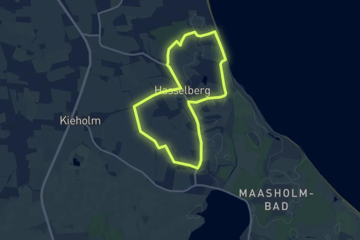
Rundweg Hasselberger Strand
6.8 km · ↑ 10 m · 1 h 44 min
Easy · Trail
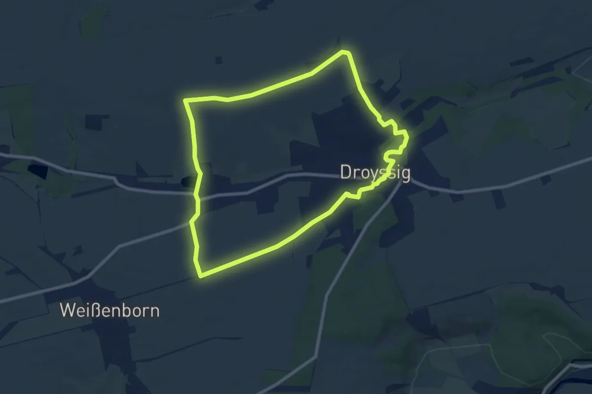
Rundweg Hassel-Droyßig
6.6 km · ↑ 91 m · 1 h 50 min
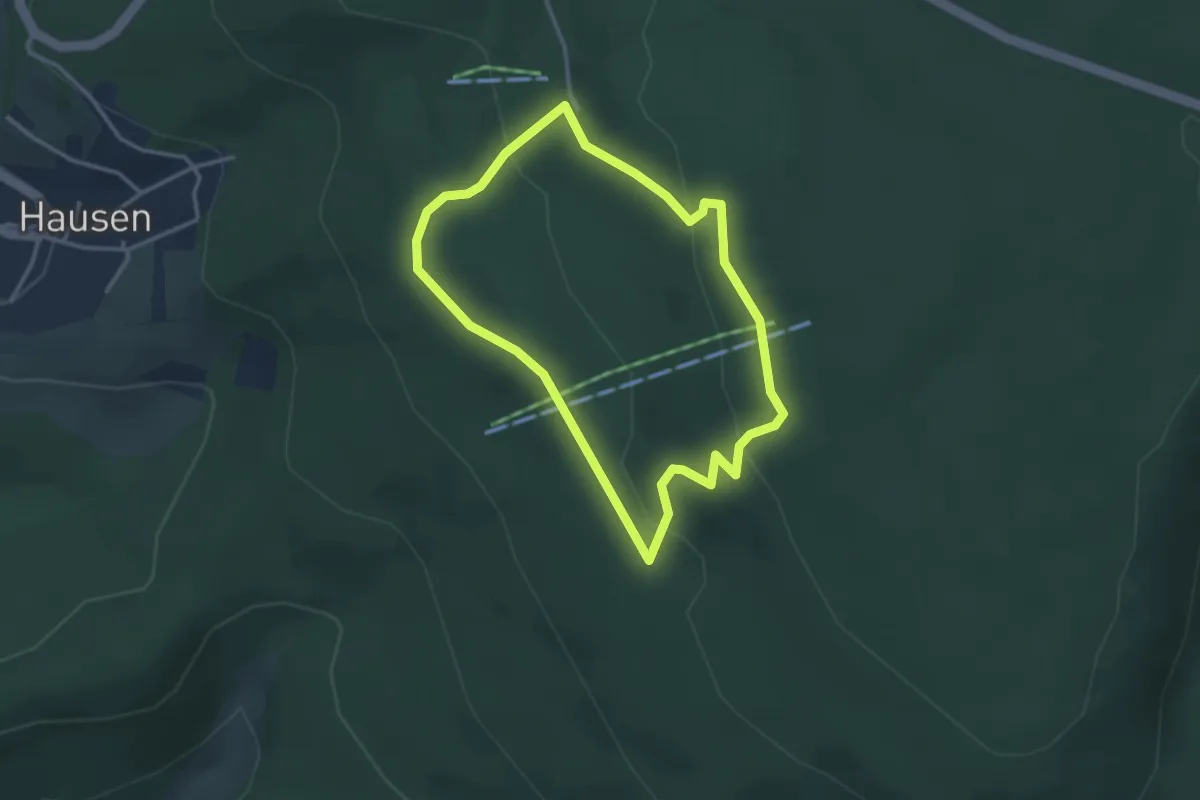
Easy · Trail
Rundweg Hausener Hute
2.7 km · ↑ 93 m · 53 min
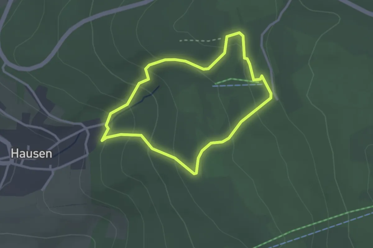
Easy · Trail
Rundweg Hausen-Kitzkammer
2.1 km · ↑ 116 m · 47 min
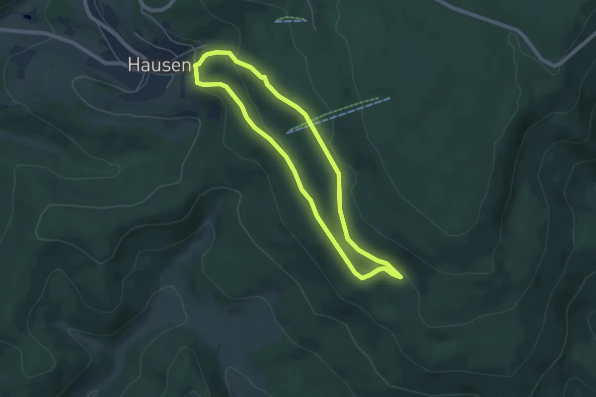
Easy · Trail
Rundweg Hausen-Seesteine
4.2 km · ↑ 121 m · 1 h 19 min
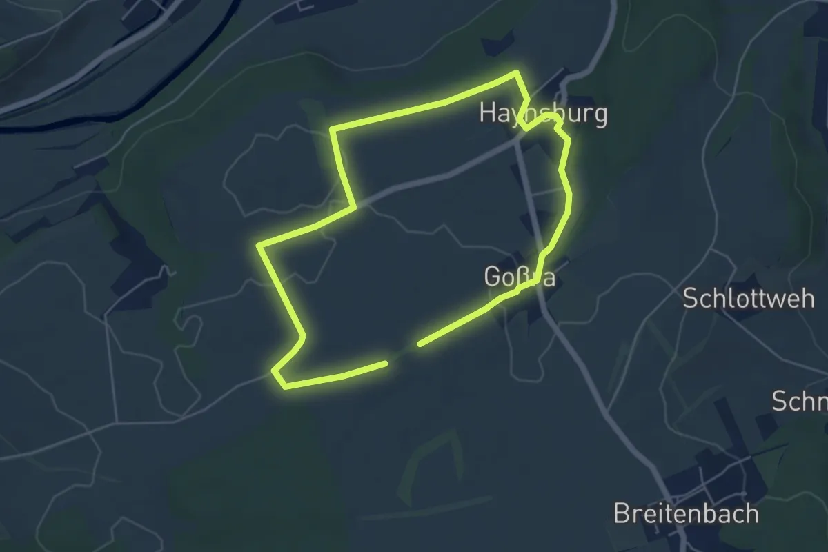
Easy · Trail
Rundweg Haynsburg
4.3 km · ↑ 27 m · 1 h 8 min
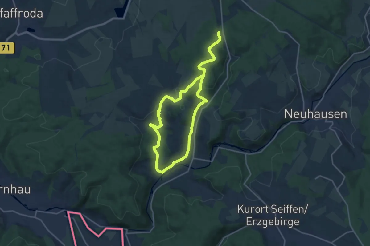
Medium · Trail
Rundweg Heidersdorf-Mortelgrund
9.5 km · ↑ 169 m · 2 h 44 min
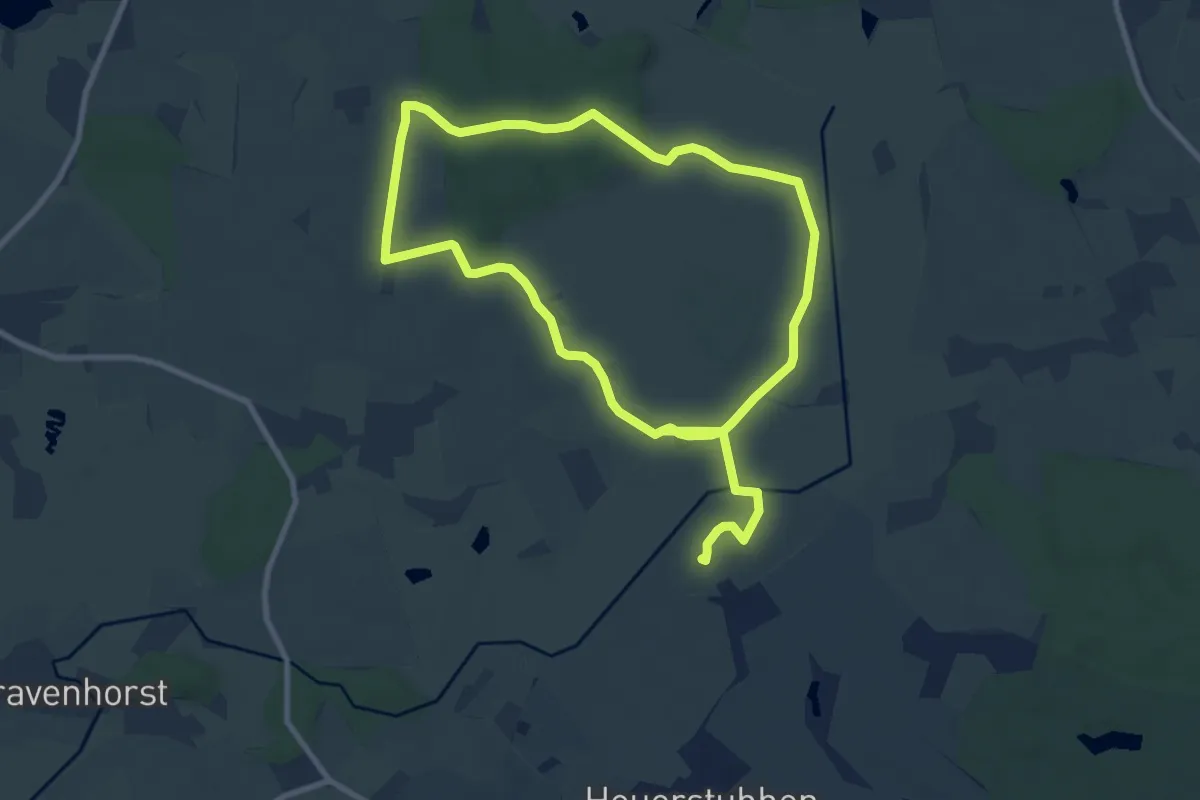
Easy · Trail
Rundweg Heidmoor
7.4 km · ↑ 37 m · 1 h 55 min
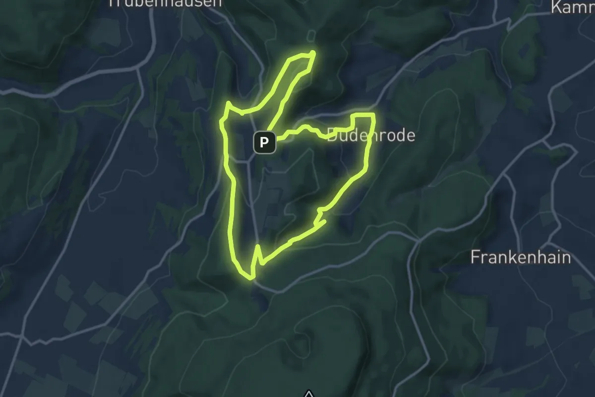
Medium · Summit
Rundweg Heiligenberg - Dudenrode
9.7 km · ↑ 348 m · 3 h 11 min
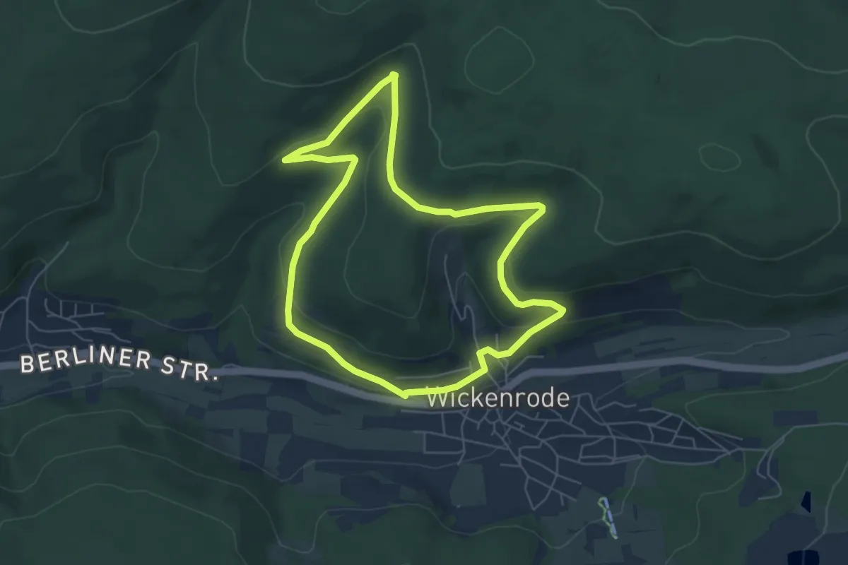
Easy · Trail
Rundweg Helser Born
5.2 km · ↑ 152 m · 1 h 38 min