Trails in Germany
36,852 hiking trails, each with its route, climb, walking time and grade.
All trails, page 547 of 768
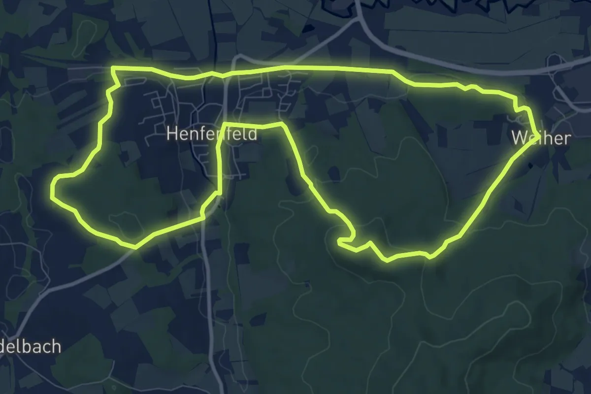
Medium · Trail
Rundweg Henfenfeld – Klosterberg
10.0 km · ↑ 247 m · 3 h 3 min
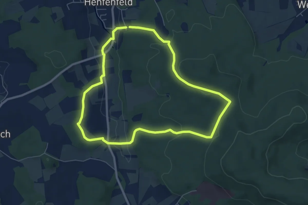
Easy · Trail
Rundweg Henfenfeld – Reschenberg-Klosterberg-Pass
5.4 km · ↑ 150 m · 1 h 40 min
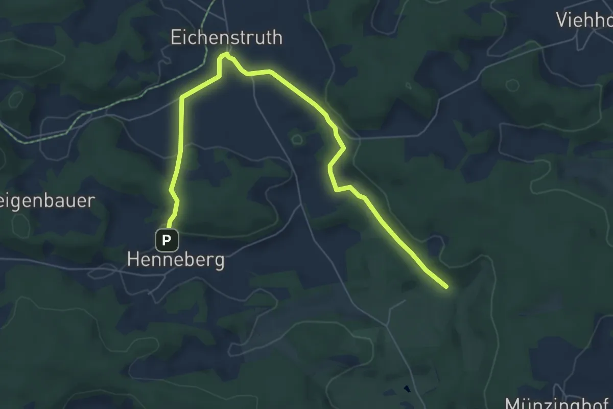
Easy · Trail
Rundweg Henneberg
3.4 km · ↑ 57 m · 59 min
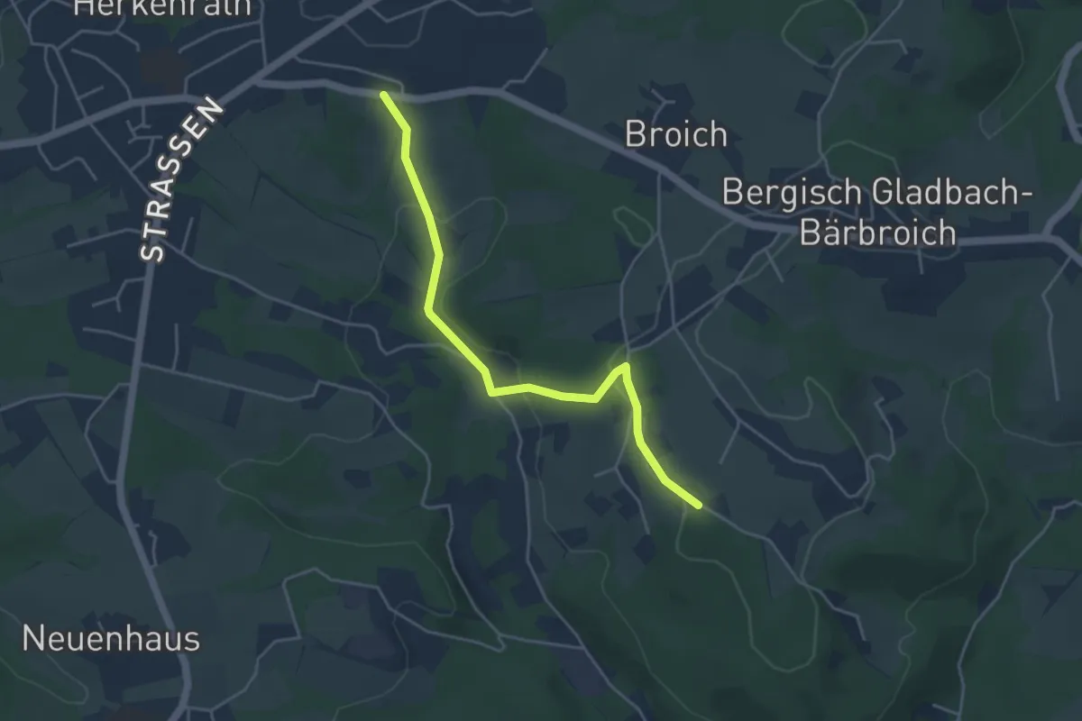
Easy · Trail
Rundweg Herkenrath - Hasselsheide - Bärbroich - Volbach
2.0 km · ↑ 79 m · 39 min
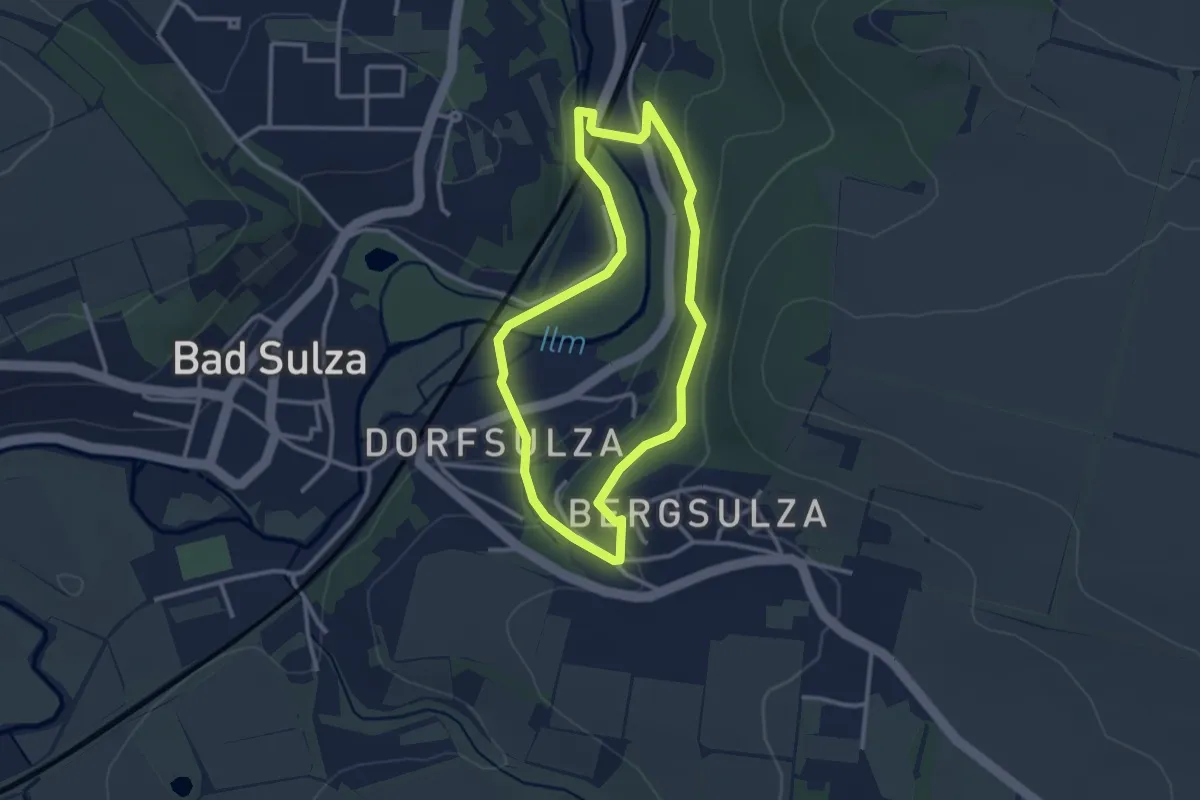
Easy · Trail
Rundweg Herlitzenberg
2.5 km · ↑ 62 m · 45 min
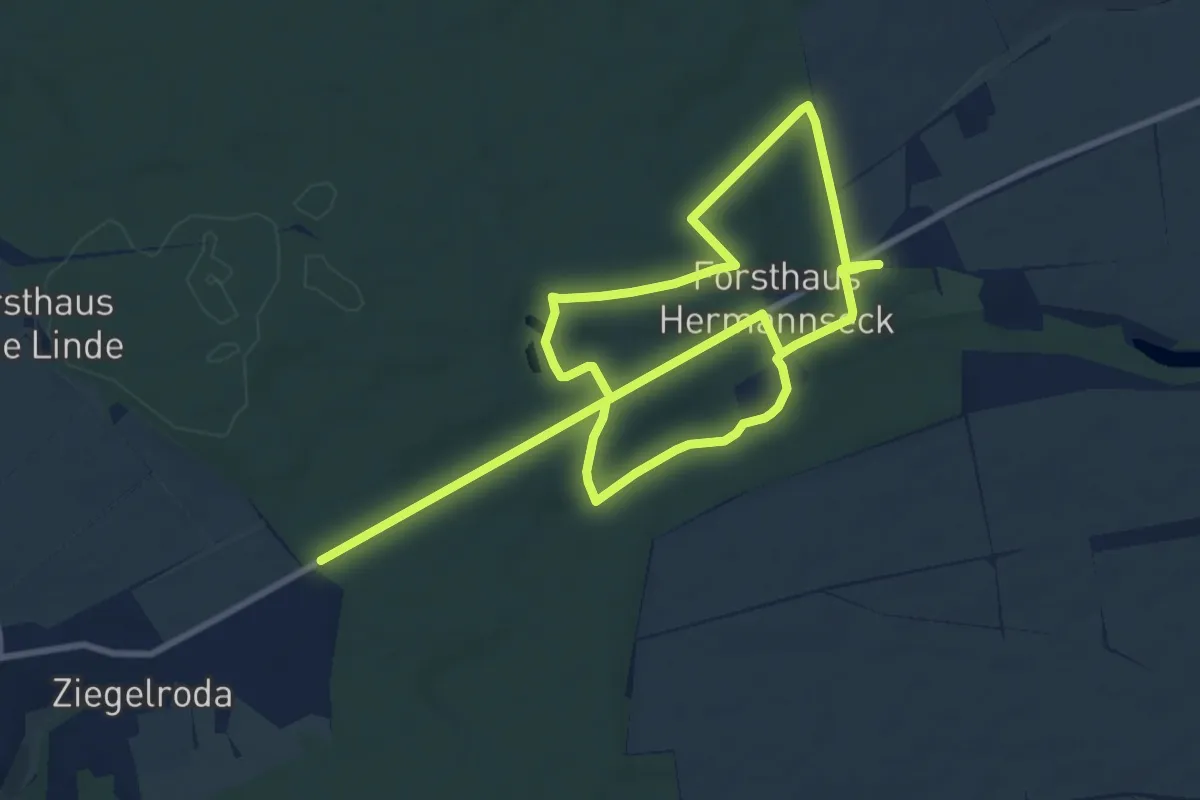
Easy · Trail
Rundweg Hermannseck
7.6 km · ↑ 35 m · 1 h 59 min
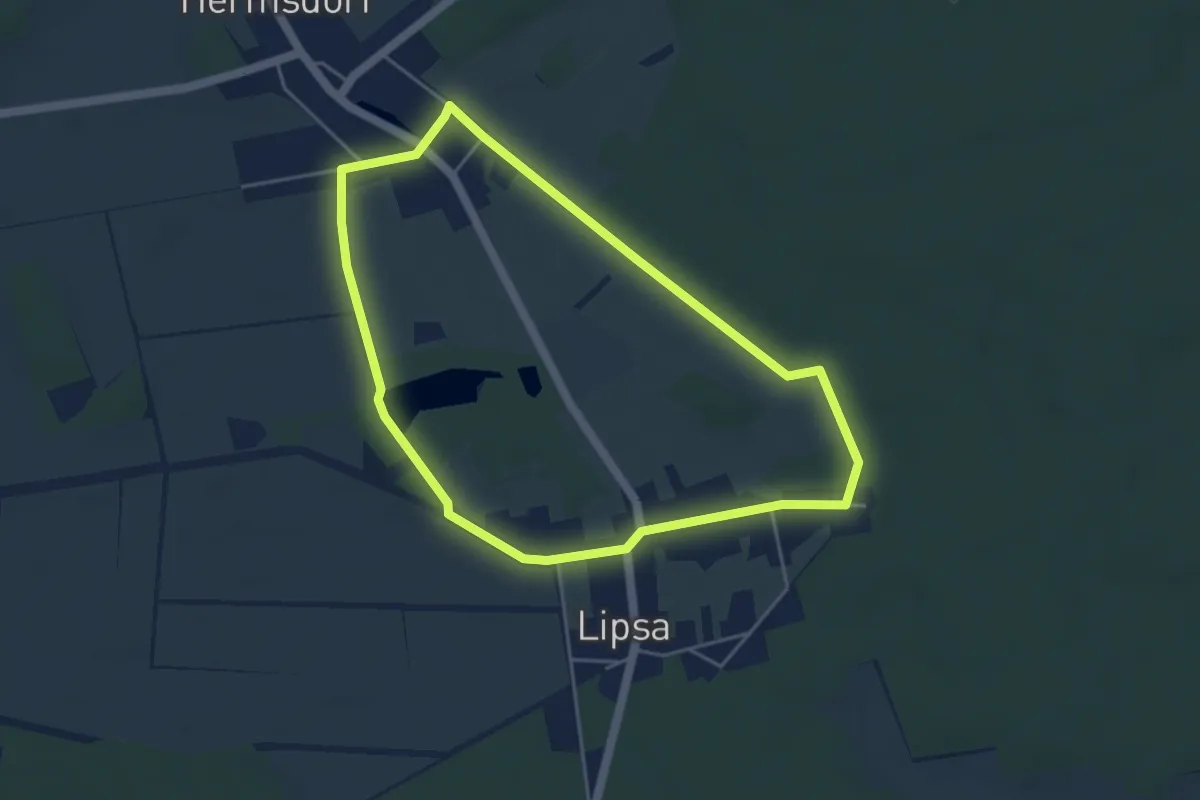
Easy · Trail
Rundweg Hermsdorf
3.9 km · ↑ 22 m · 1 h 2 min
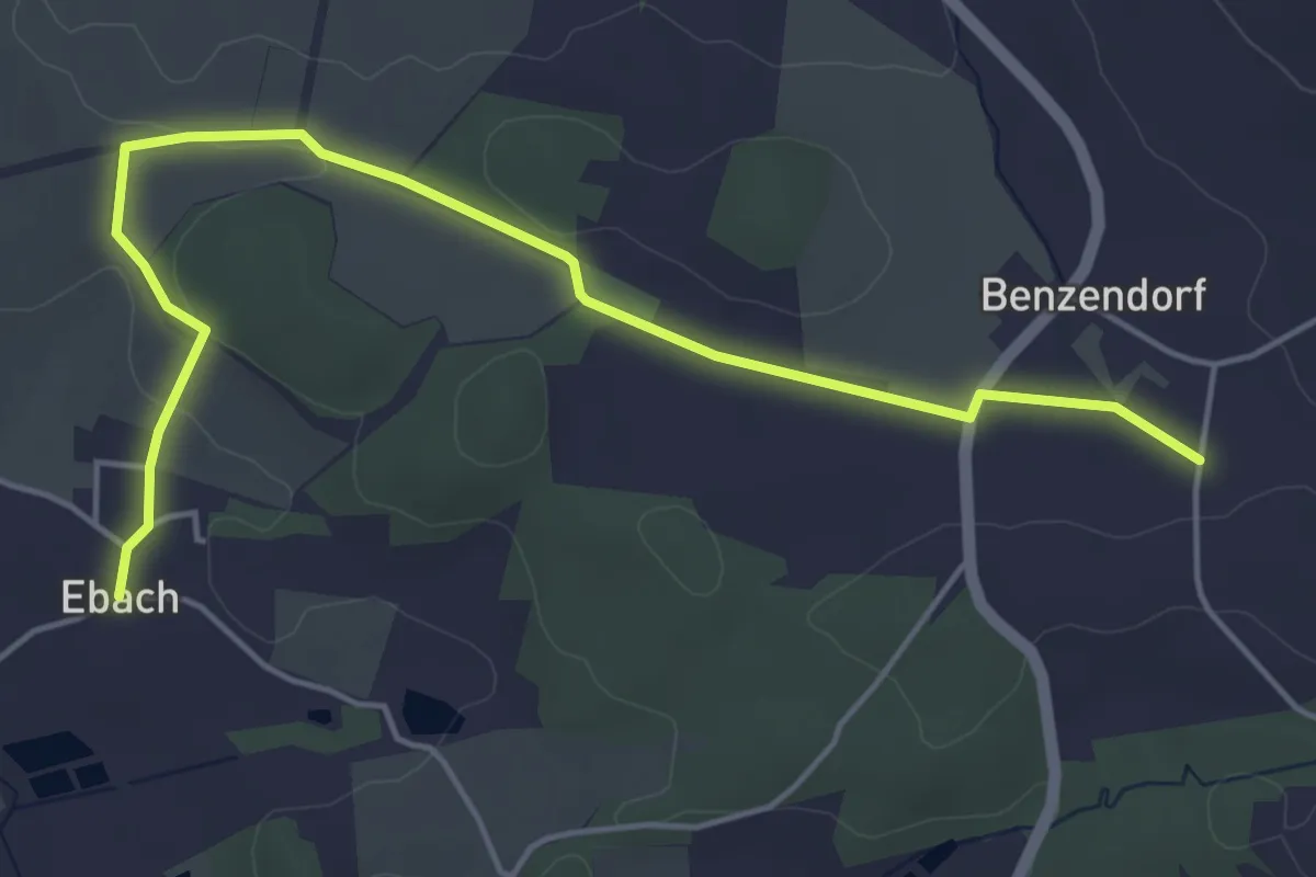
Easy · Trail
Rundweg Herpersdorf – Ebach
5.2 km · ↑ 60 m · 1 h 22 min
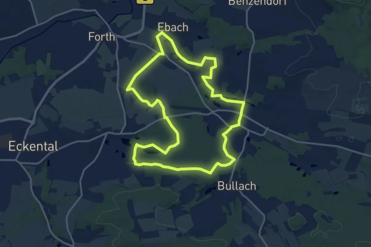
Medium · Trail
Rundweg Herpersdorf – Hormesweiher – Ebach
10.3 km · ↑ 109 m · 2 h 49 min
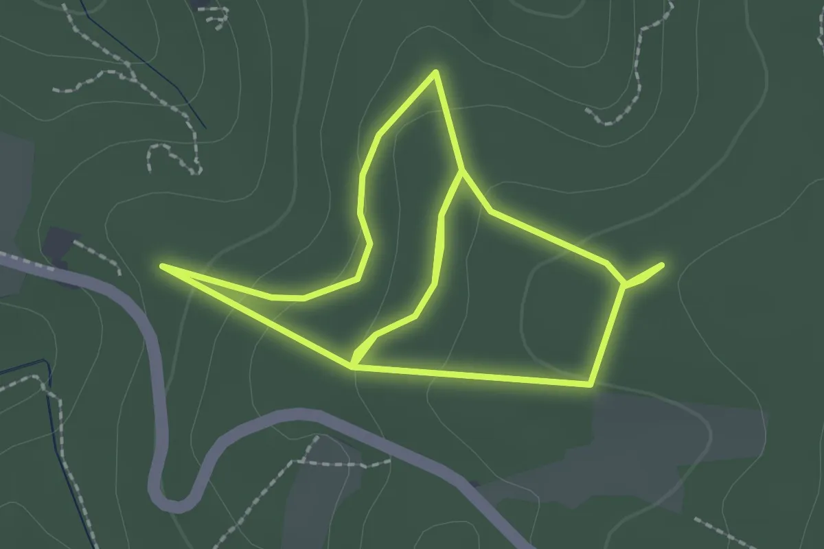
Easy · Trail
Rundweg Herz-Kreislauf-Pfad
2.2 km · ↑ 78 m · 44 min
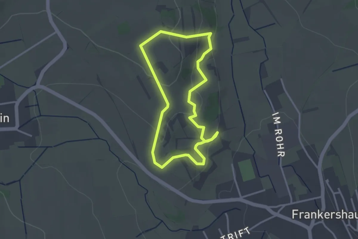
Easy · Trail
Rundweg Hielöcher
2.4 km · ↑ 62 m · 44 min
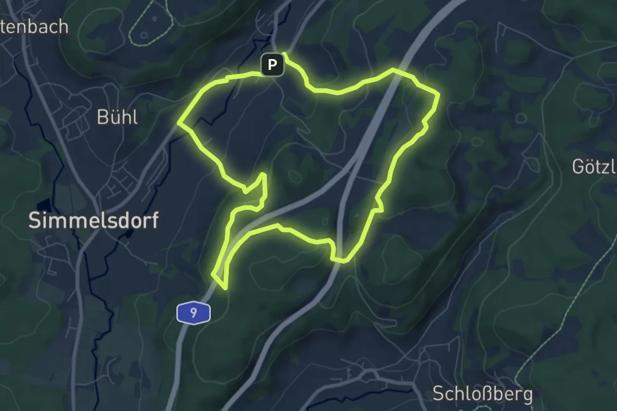
Easy · Trail
Rundweg Hienberg
7.0 km · ↑ 268 m · 2 h 20 min
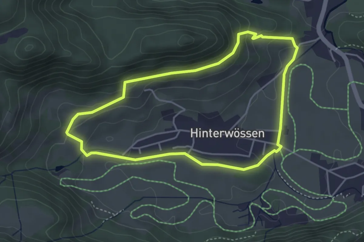
Medium · Trail
Rundweg Hinterwössen
3.7 km · ↑ 131 m · 1 h 12 min
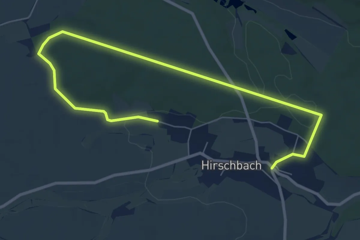
Easy · Trail
Rundweg Hirschbachheide
7.8 km · ↑ 82 m · 2 h 1 min
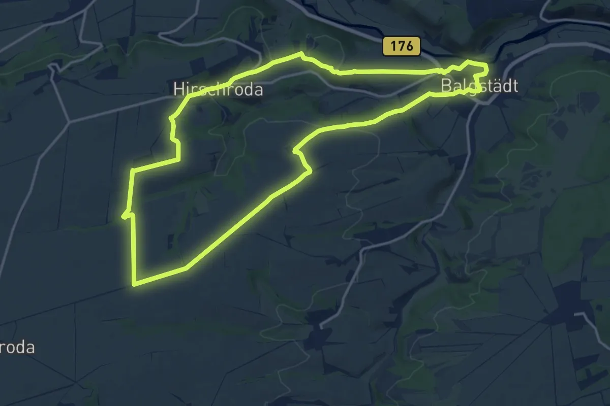
Medium · Trail
Rundweg Hirschroda
13.5 km · ↑ 186 m · 3 h 46 min
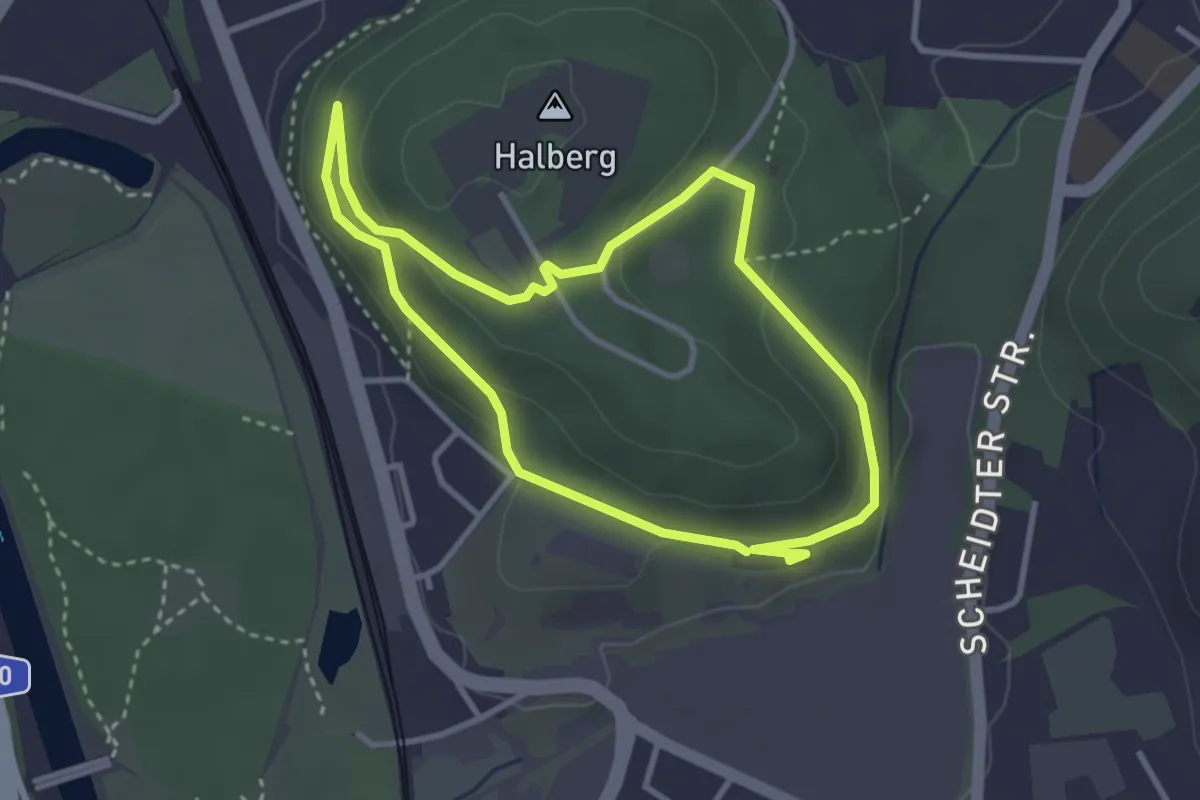
Easy · Trail
Rundweg Historischer Halberg
2.9 km · ↑ 89 m · 54 min
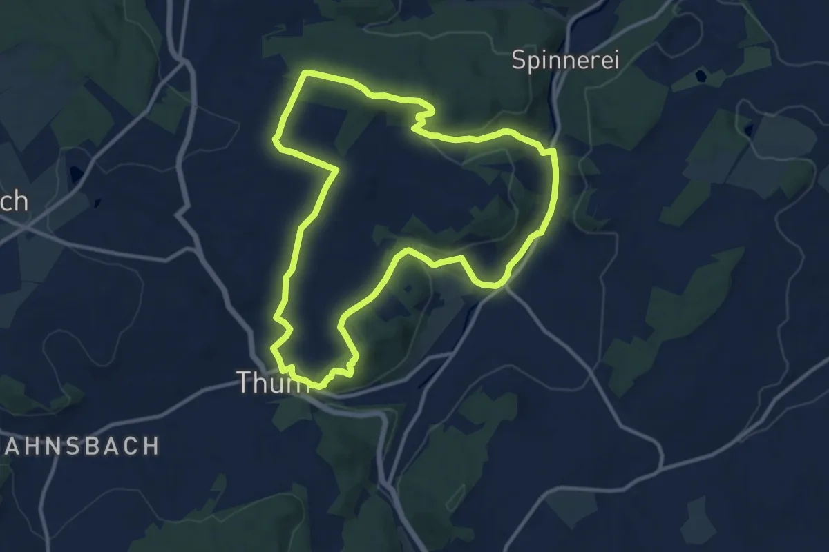
Medium · Trail
Rundweg Historisches Kalkwerk
9.9 km · ↑ 202 m · 2 h 55 min
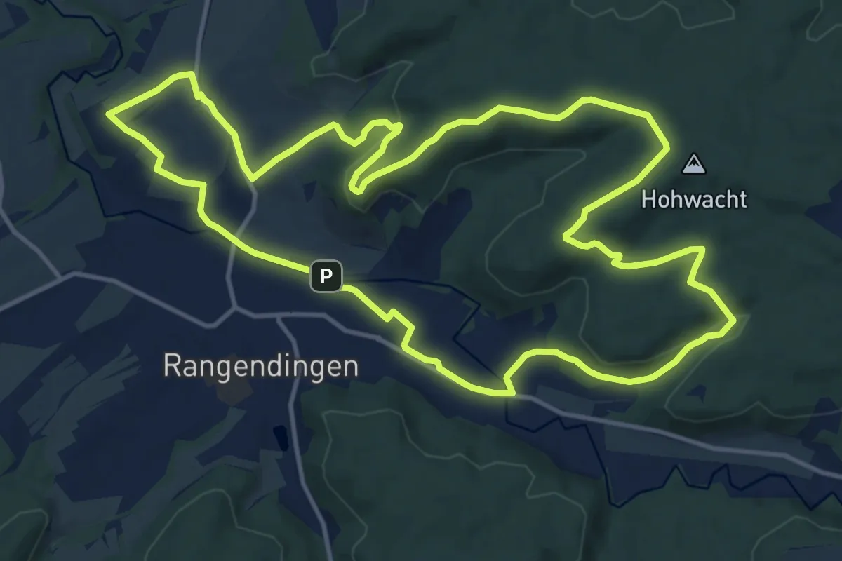
Medium · Trail
Rundweg Hochburg
12.9 km · ↑ 186 m · 3 h 37 min
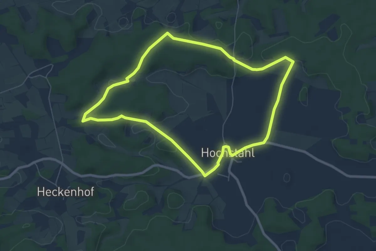
Easy · Trail
Rundweg Hochstahl
5.9 km · ↑ 58 m · 1 h 35 min
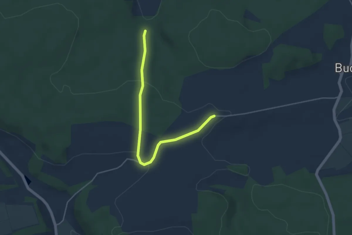
Easy · Trail
Rundweg "Hof"
1.8 km · ↑ 55 m · 33 min
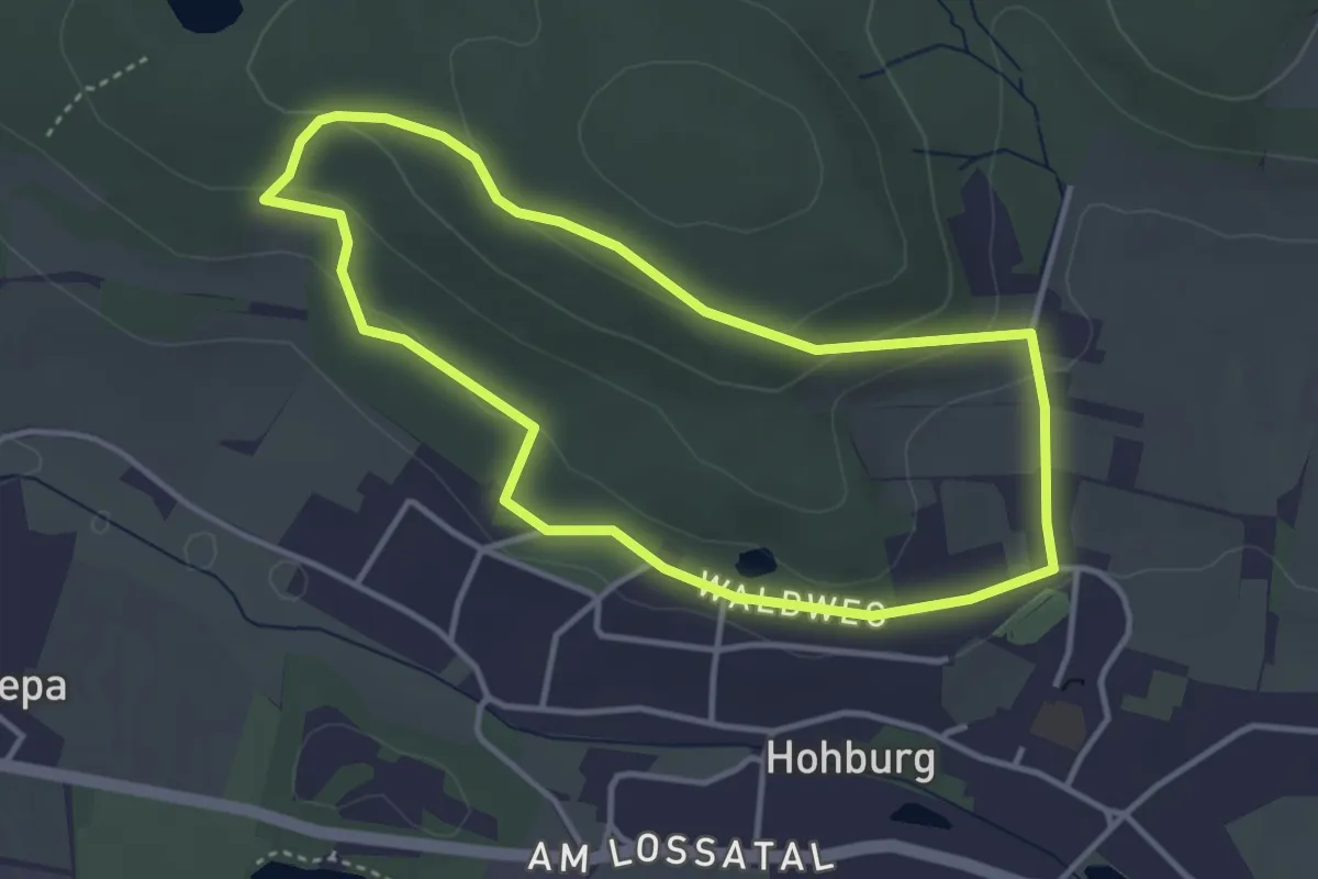
Easy · Trail
Rundweg Hohburg
3.2 km · ↑ 97 m · 1 h 1 min
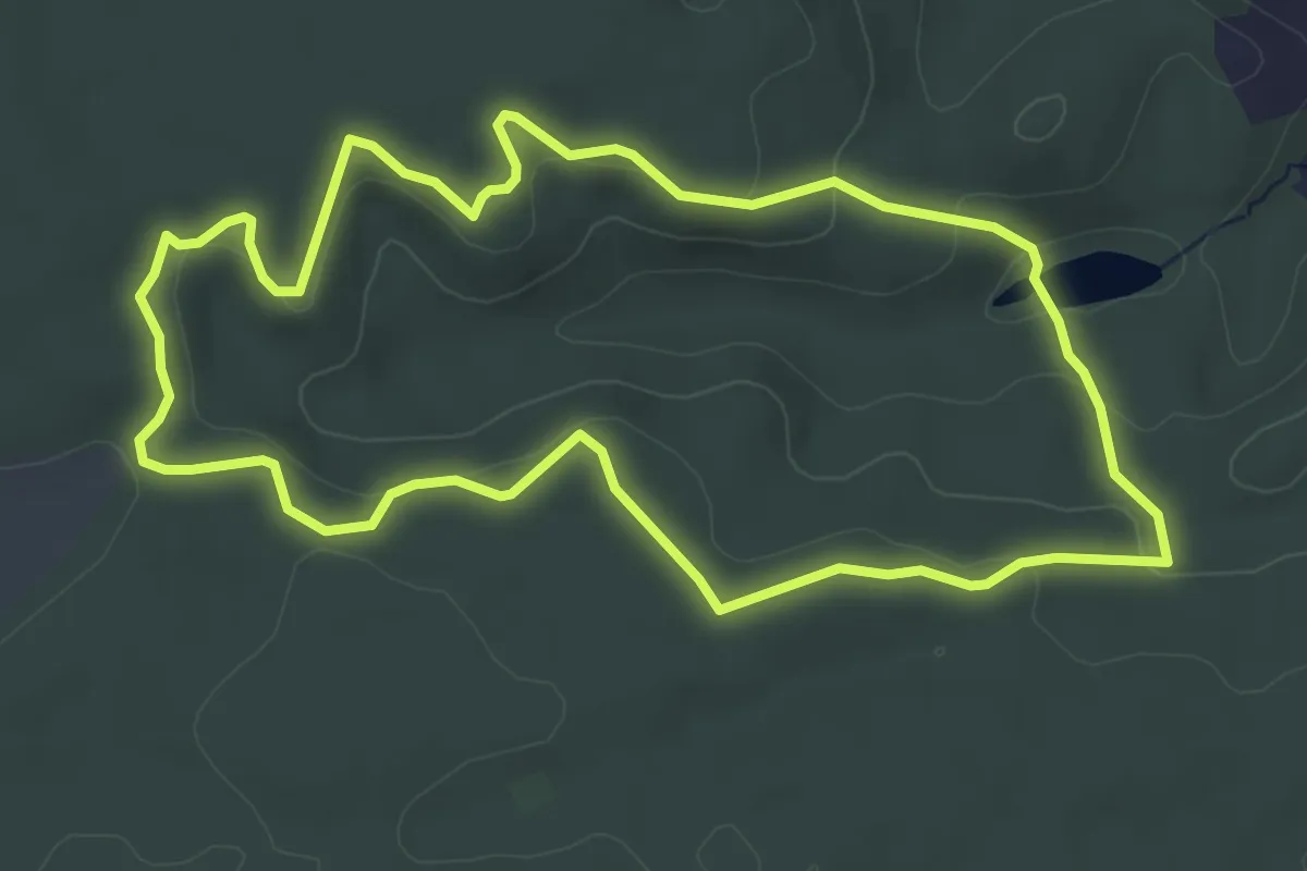
Easy · Trail
Rundweg Höhenlandweg
4.6 km · ↑ 107 m · 1 h 22 min
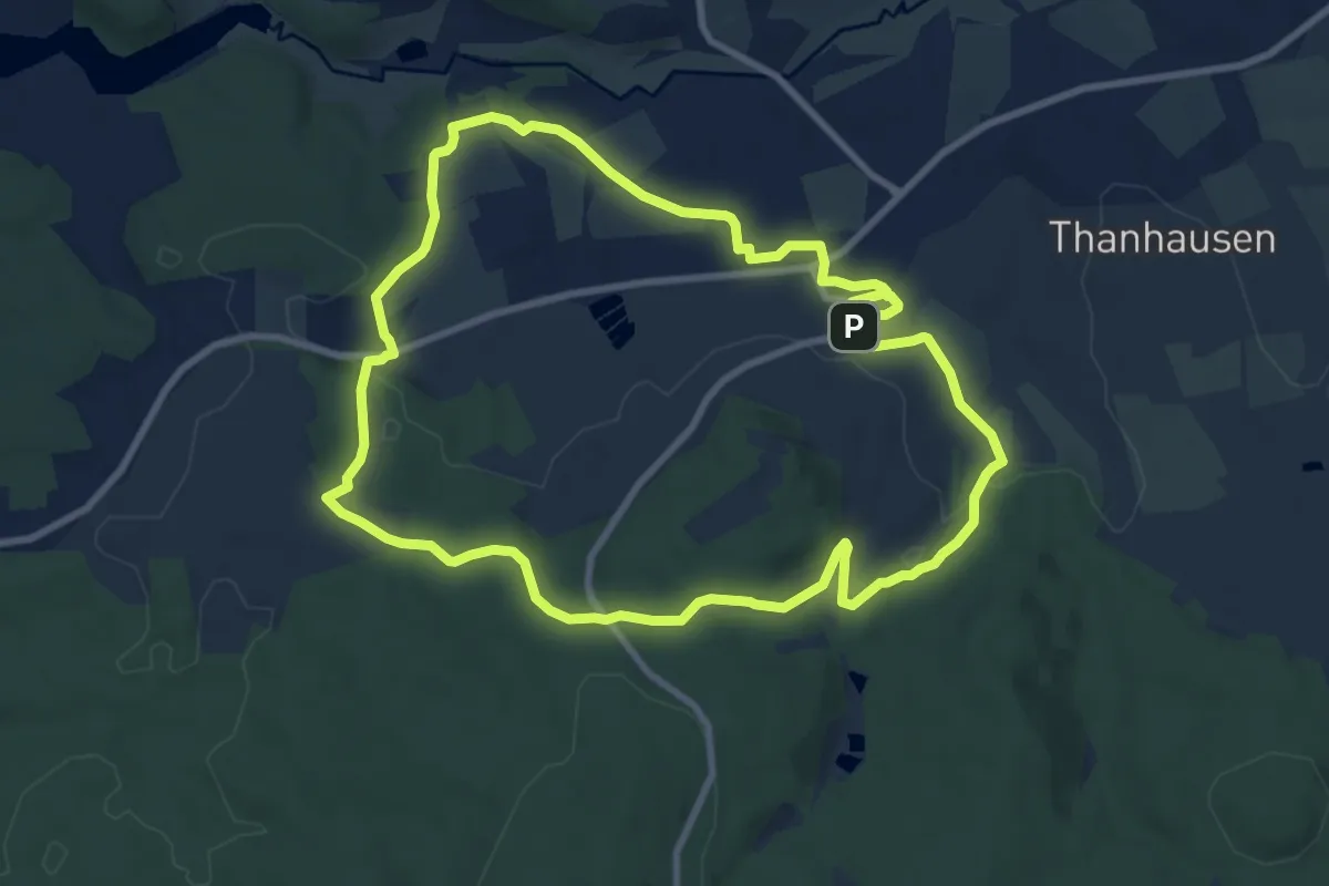
Medium · Trail
Rundweg Hohenthan
8.6 km · ↑ 153 m · 2 h 28 min
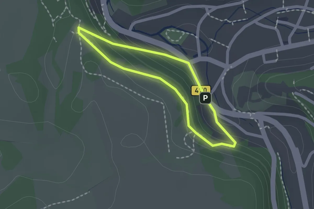
Easy · Trail
Rundweg Höhenweg Siechenleite
1.3 km · ↑ 46 m · 25 min
Easy · Trail
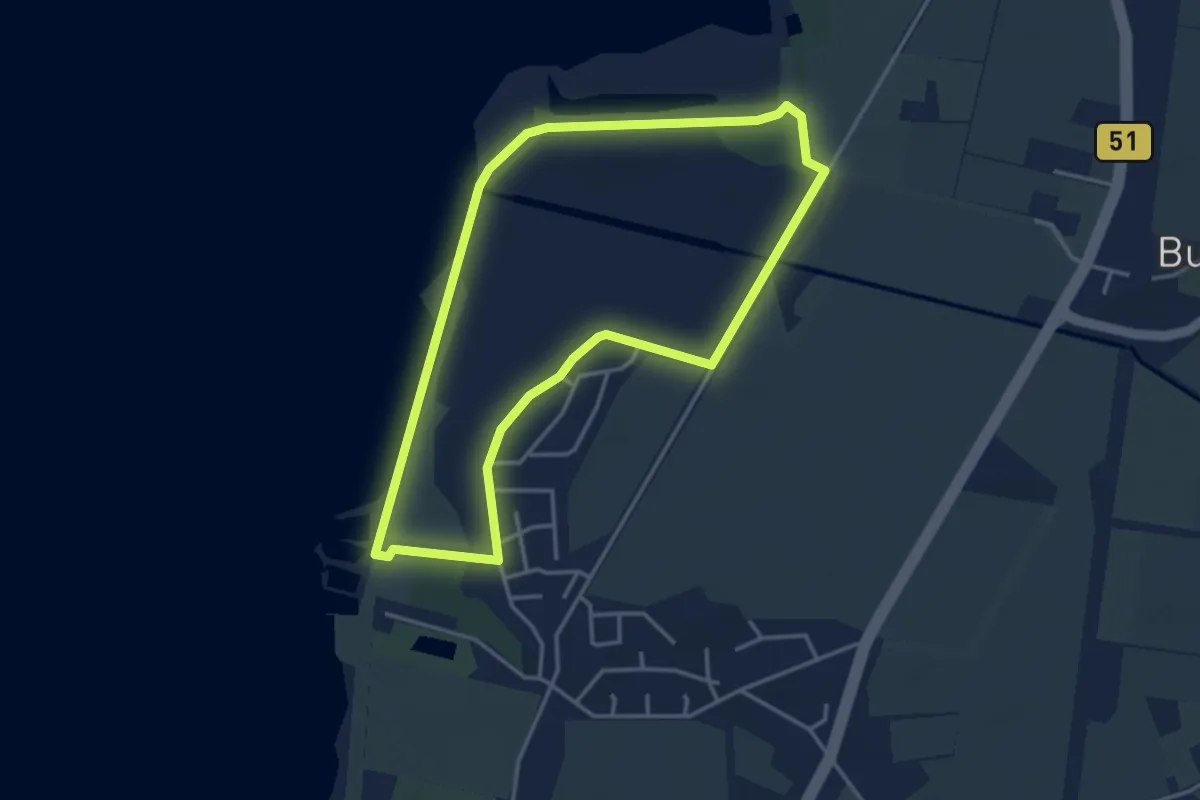
Rundweg Hohe Sieben
3.2 km · ↑ 0 m · 48 min
Medium · Trail
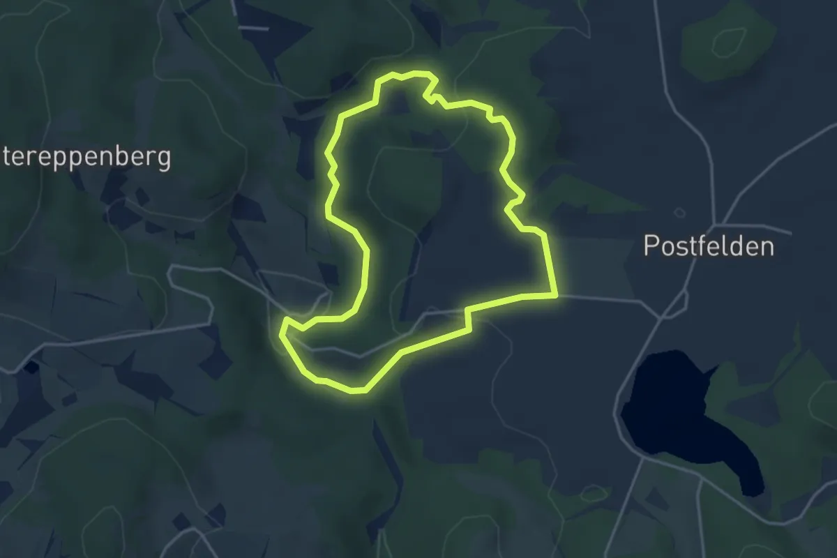
Rundweg Hölle
3.4 km · ↑ 90 m · 1 h 3 min
Easy · Summit
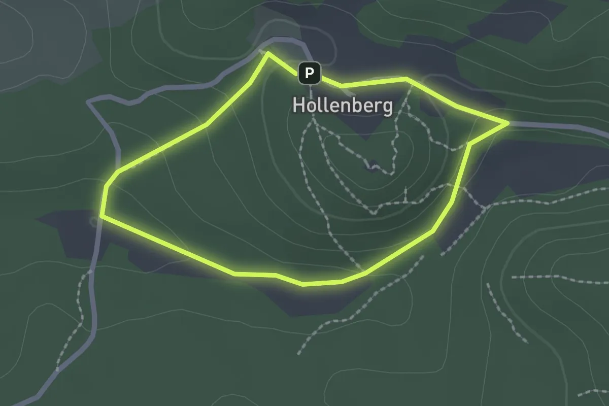
Rundweg Hollenberg 1 grün
1.7 km · ↑ 48 m · 32 min
Easy · Summit
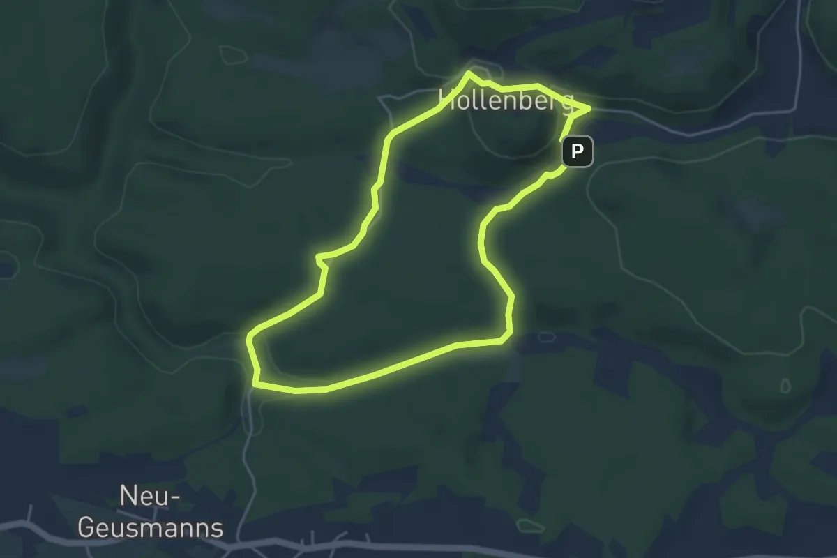
Rundweg Hollenberg 2 grün
3.9 km · ↑ 78 m · 1 h 8 min
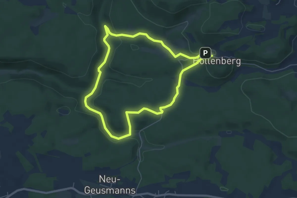
Easy · Trail
Rundweg Hollenberg 3 grün
4.8 km · ↑ 116 m · 1 h 27 min
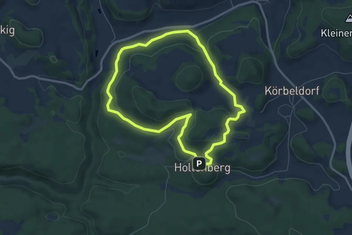
Easy · Summit
Rundweg Hollenberg 4 grün
5.6 km · ↑ 182 m · 1 h 48 min
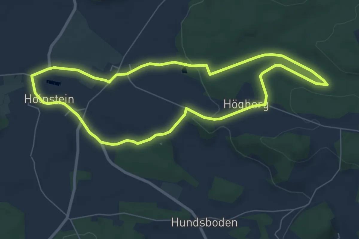
Easy · Trail
Rundweg Holnstein Blau
5.6 km · ↑ 84 m · 1 h 35 min
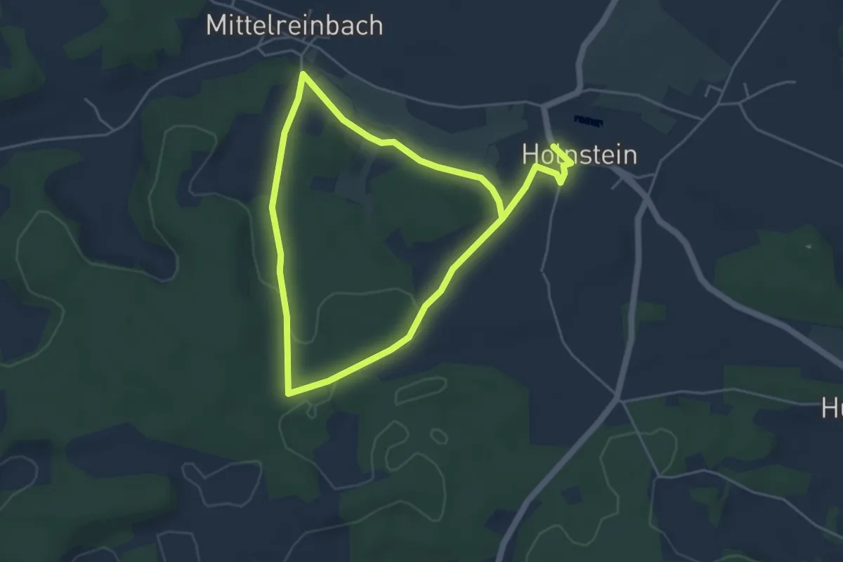
Easy · Trail
Rundweg Holnstein Grün
3.9 km · ↑ 57 m · 1 h 5 min
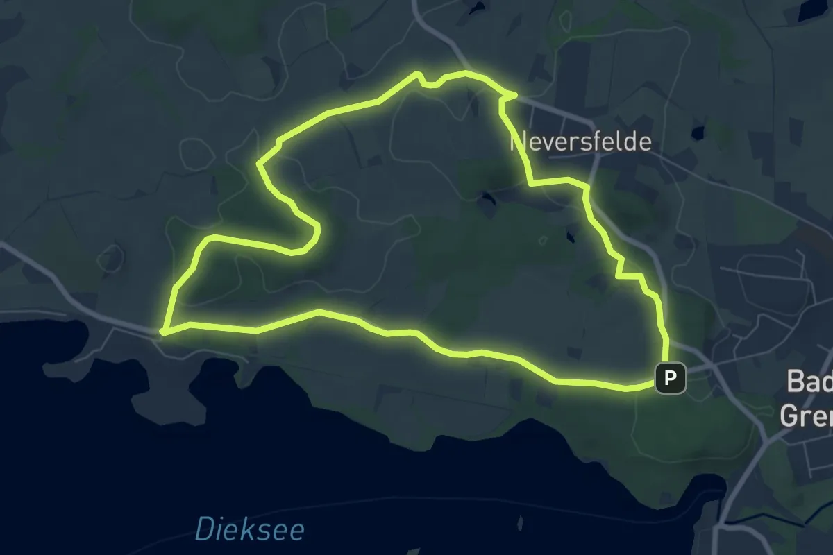
Easy · Trail
Rundweg Holzbergturm
6.8 km · ↑ 69 m · 1 h 52 min
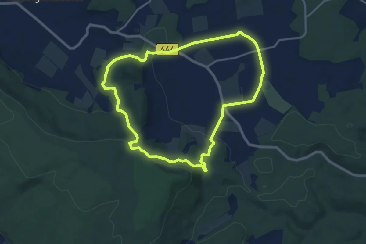
Easy · Trail
Rundweg Holzerode 1
7.5 km · ↑ 193 m · 2 h 18 min
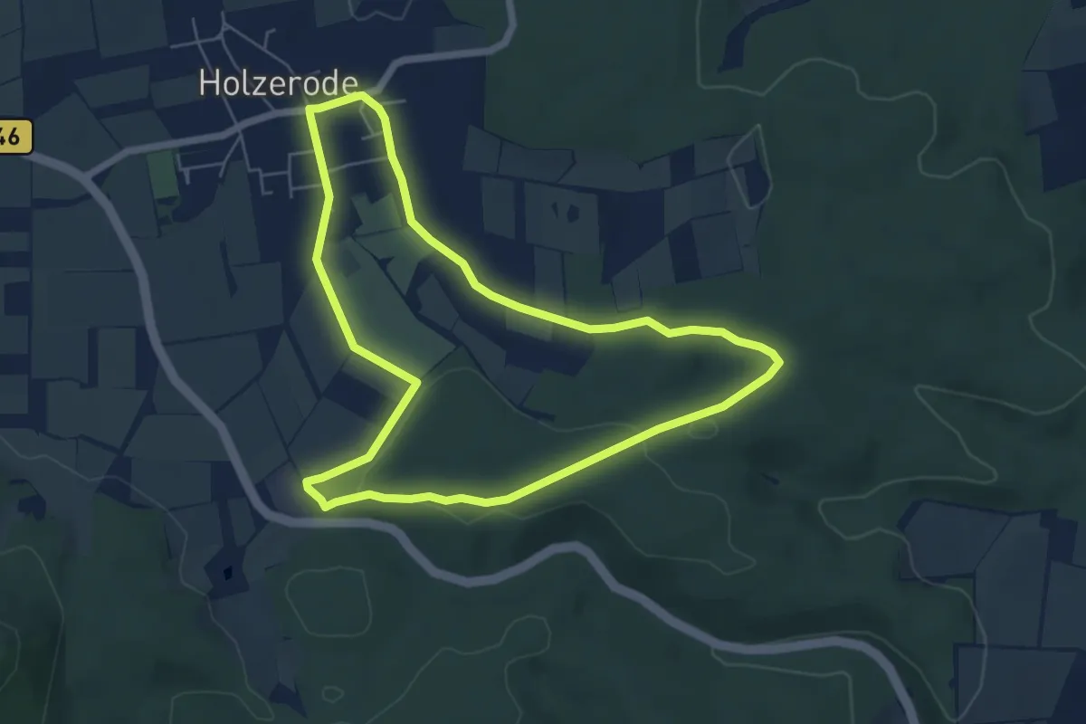
Easy · Trail
Rundweg Holzerode 2
5.3 km · ↑ 60 m · 1 h 27 min
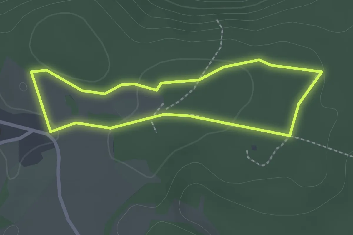
Easy · Trail
Rundweg Holzhüll
1.7 km · ↑ 14 m · 28 min
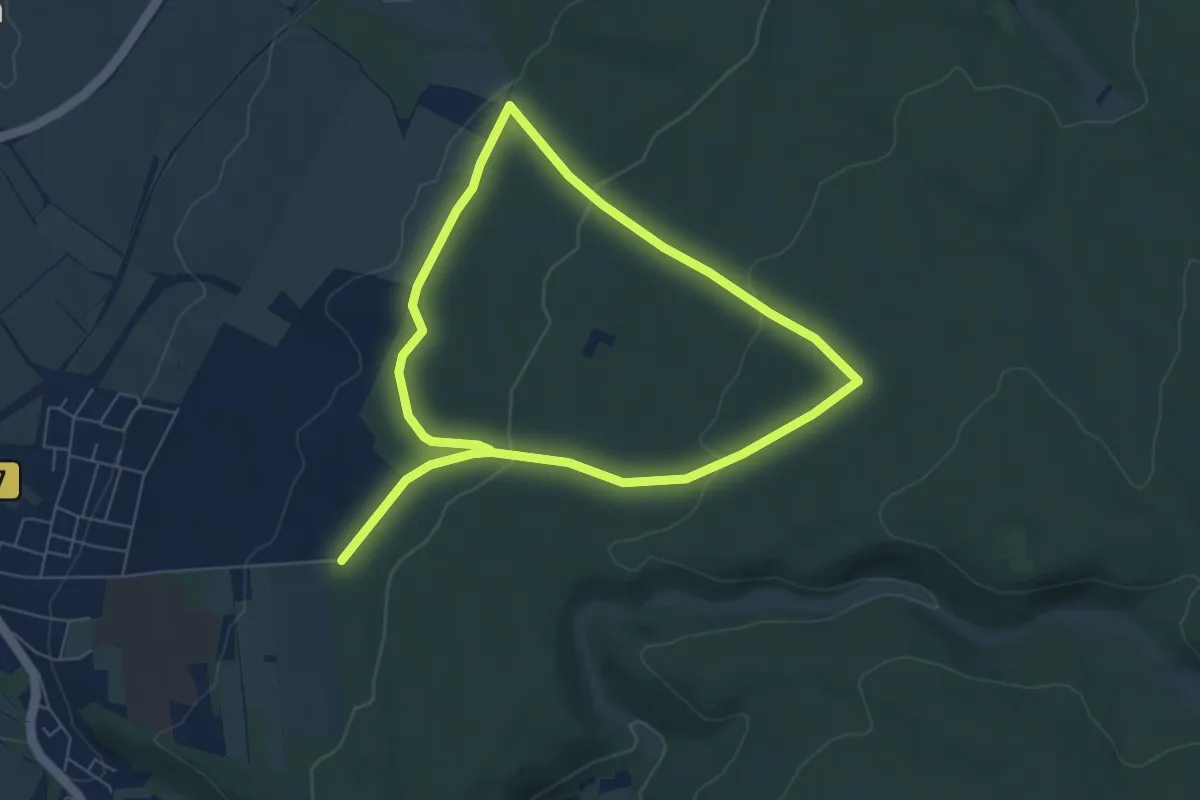
Easy · Trail
Rundweg Holzminden H1
5.2 km · ↑ 122 m · 1 h 34 min
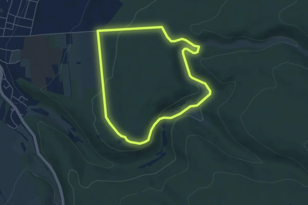
Easy · Trail
Rundweg Holzminden H2
4.4 km · ↑ 103 m · 1 h 19 min
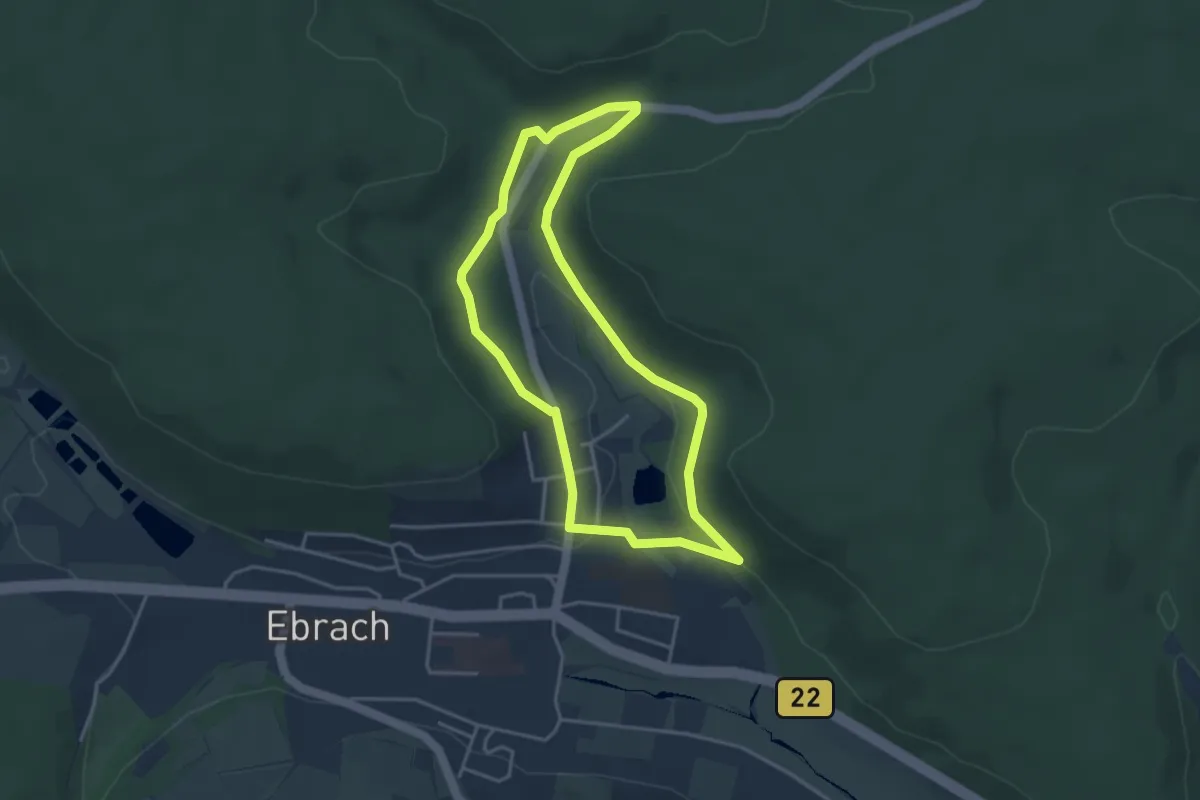
Easy · Trail
Rundweg Horbachgrund E 8
3.4 km · ↑ 72 m · 1 h
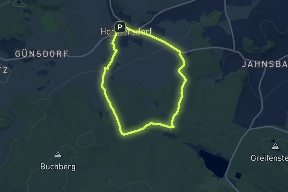
Easy · Trail
Rundweg Hormersdorf
7.2 km · ↑ 172 m · 2 h 10 min
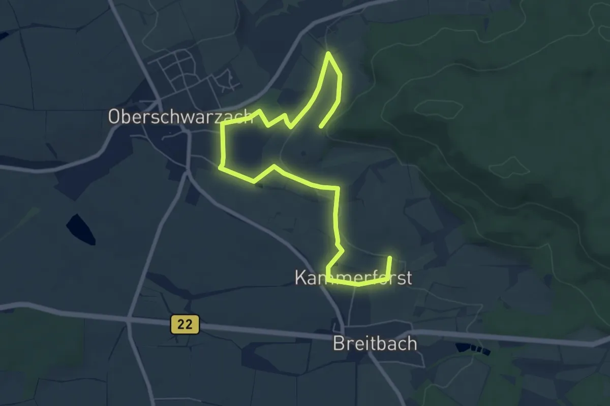
Easy · Trail
Rundweg Hörnle
4.1 km · ↑ 39 m · 1 h 7 min
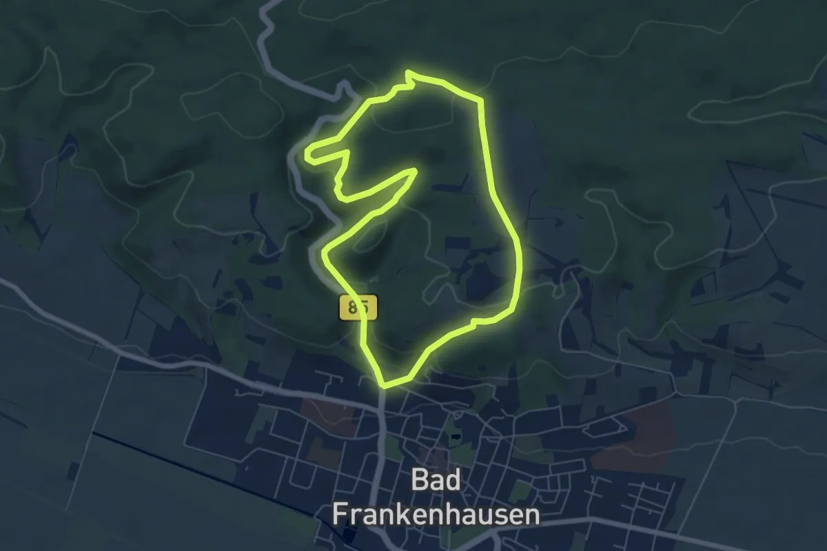
Easy · Summit
Rundweg Hornungshöhe
5.5 km · ↑ 167 m · 1 h 45 min
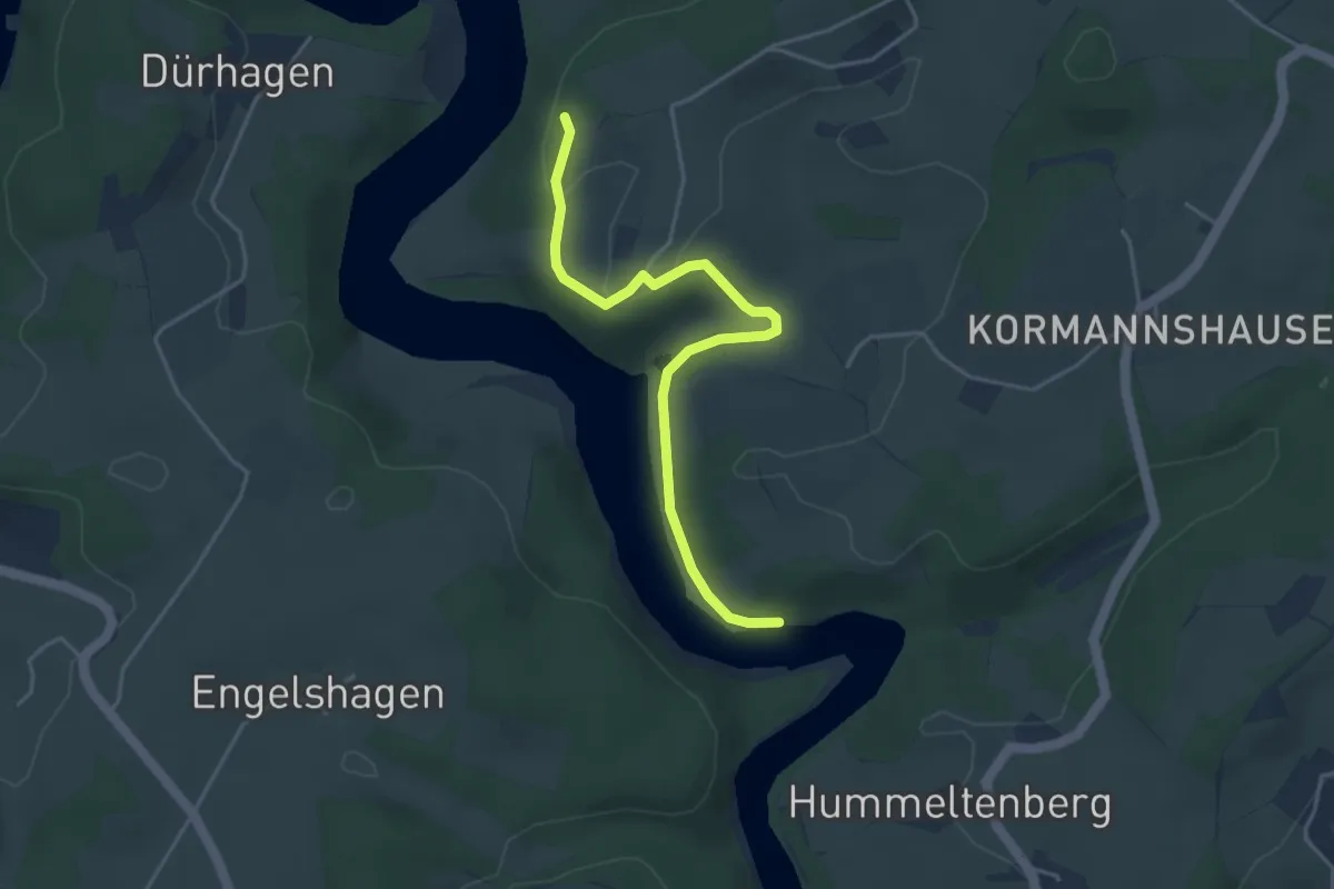
Easy · Trail
Rundweg (Hückeswagen)
1.9 km · ↑ 61 m · 36 min
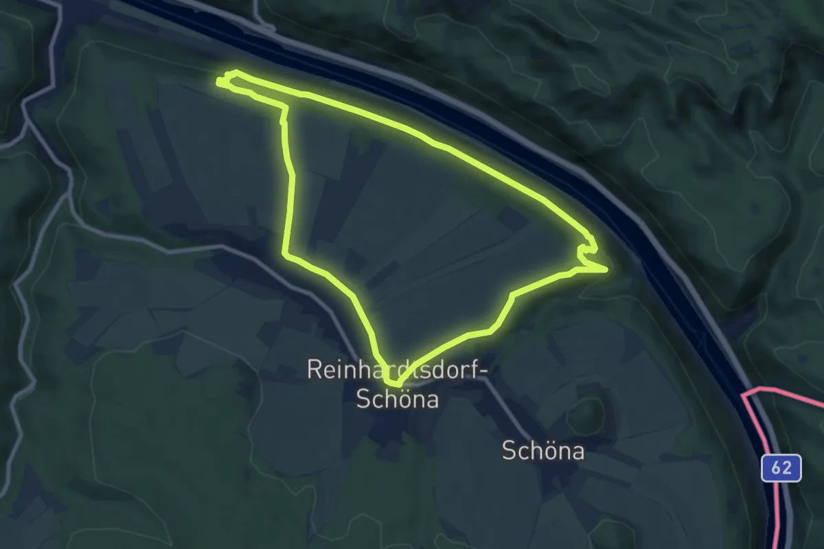
Medium · Trail
Rundweg Hundskirche
7.8 km · ↑ 170 m · 2 h 20 min
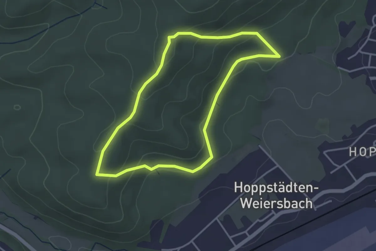
Easy · Trail
Rundweg HW 1
3.0 km · ↑ 100 m · 57 min
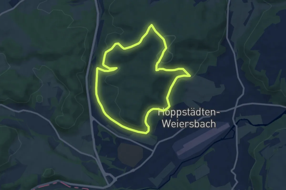
Easy · Trail
Rundweg HW 2
6.8 km · ↑ 189 m · 2 h 6 min
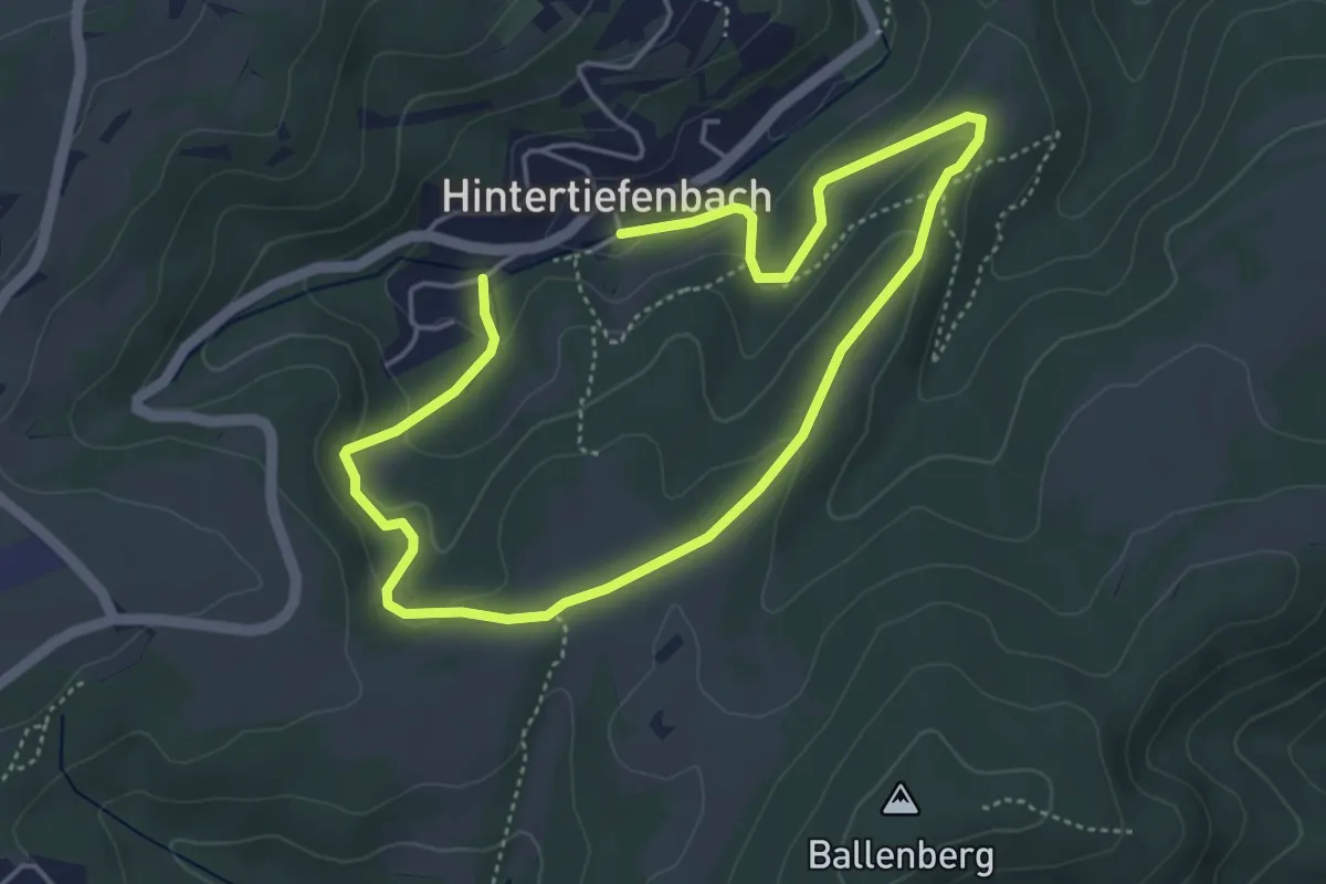
Easy · Trail
Rundweg I1
3.3 km · ↑ 107 m · 1 h 3 min
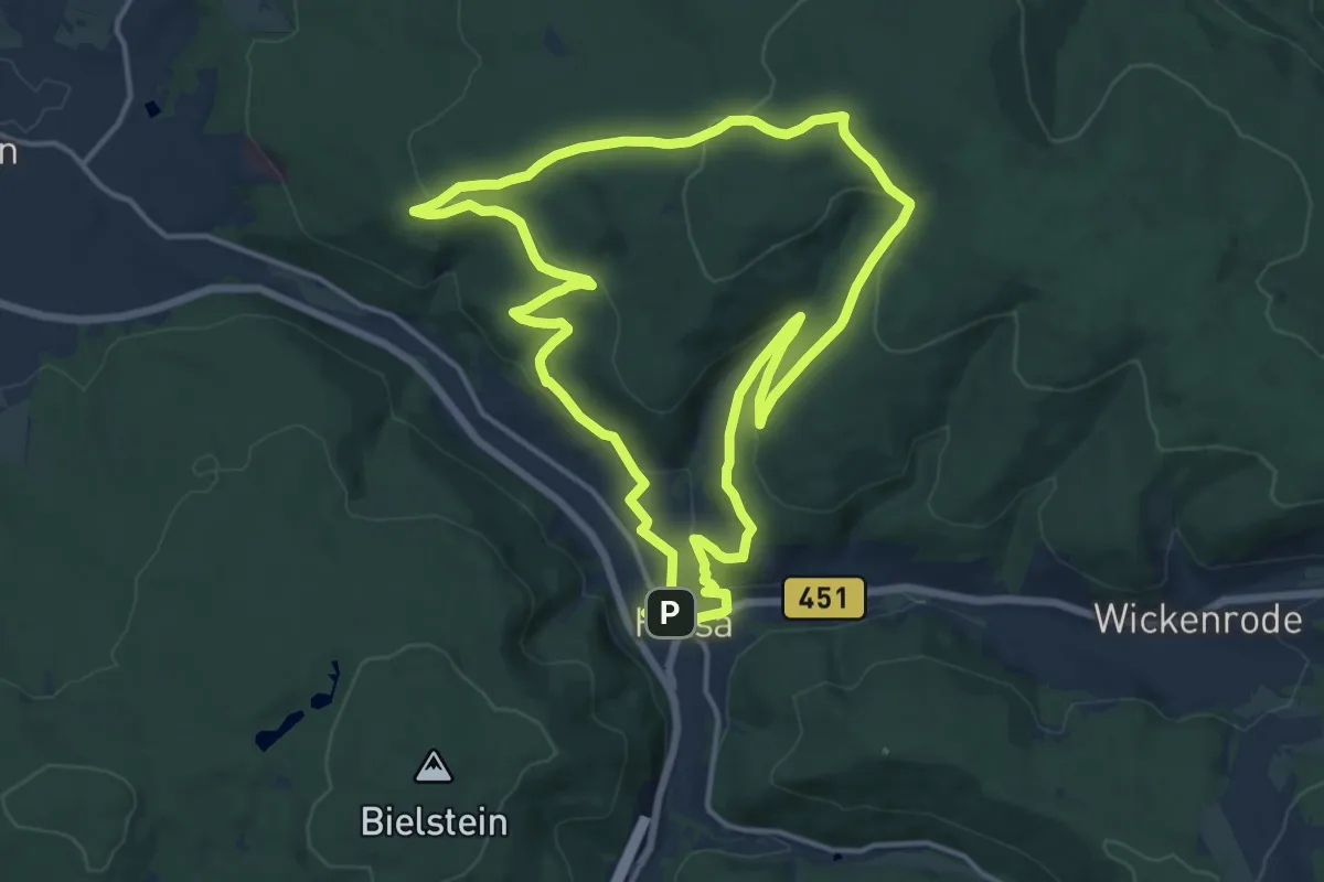
Medium · Summit
Rundweg Ibachtal
13.7 km · ↑ 338 m · 4 h 9 min