Trails in Germany
36,852 hiking trails, each with its route, climb, walking time and grade.
All trails, page 548 of 768
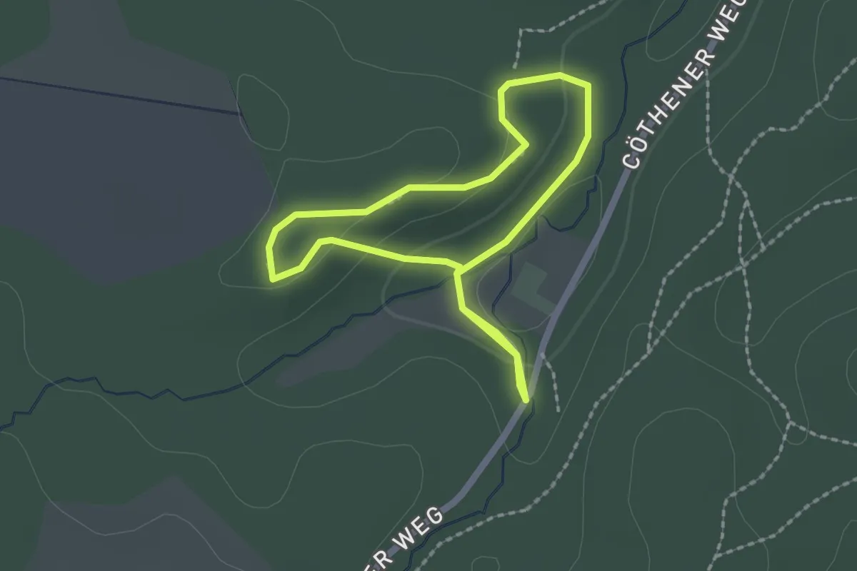
Easy · Trail
Rundweg Ida Eiche
1.5 km · ↑ 23 m · 25 min
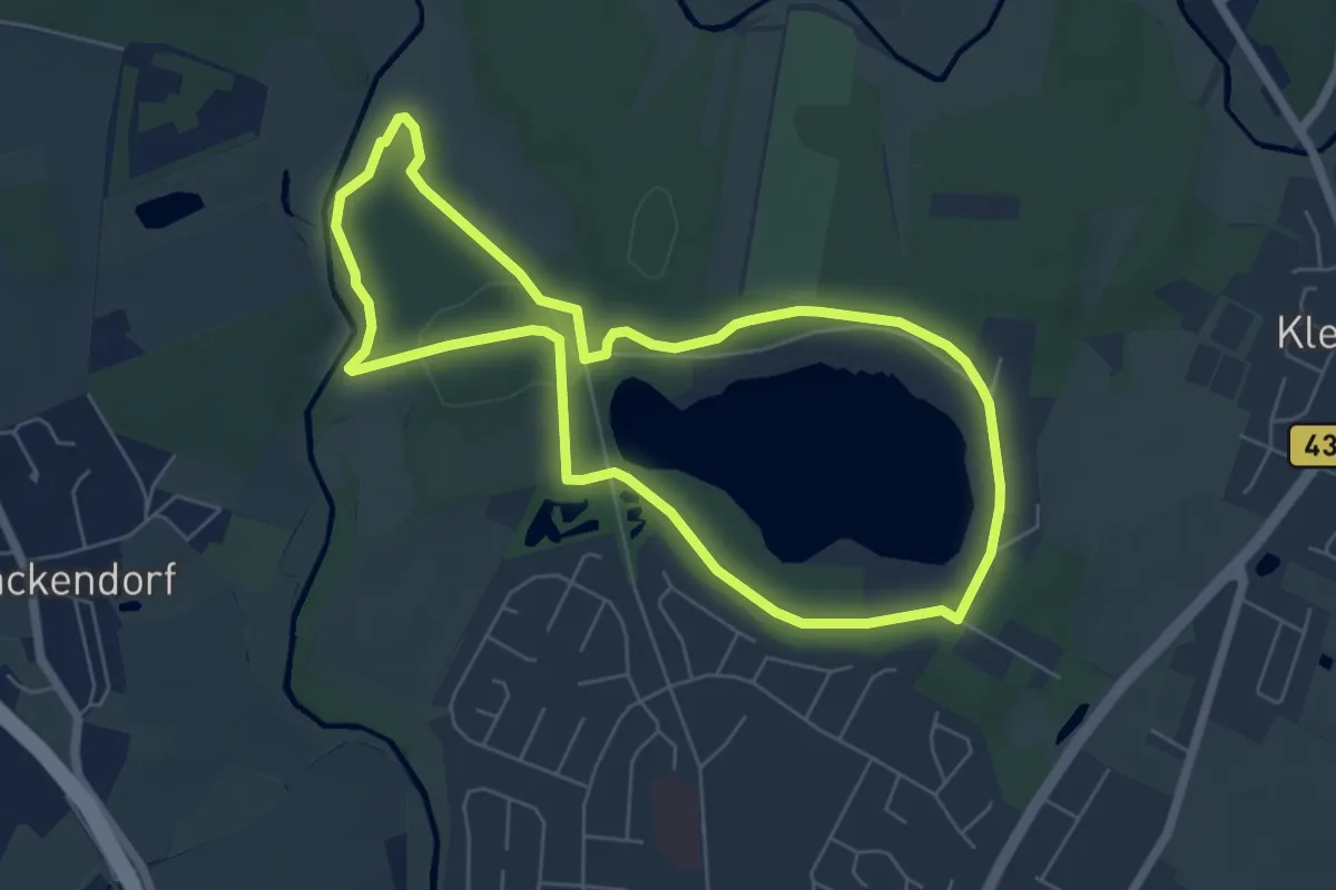
Easy · Trail
Rundweg Ihlsee
5.2 km · ↑ 41 m · 1 h 23 min
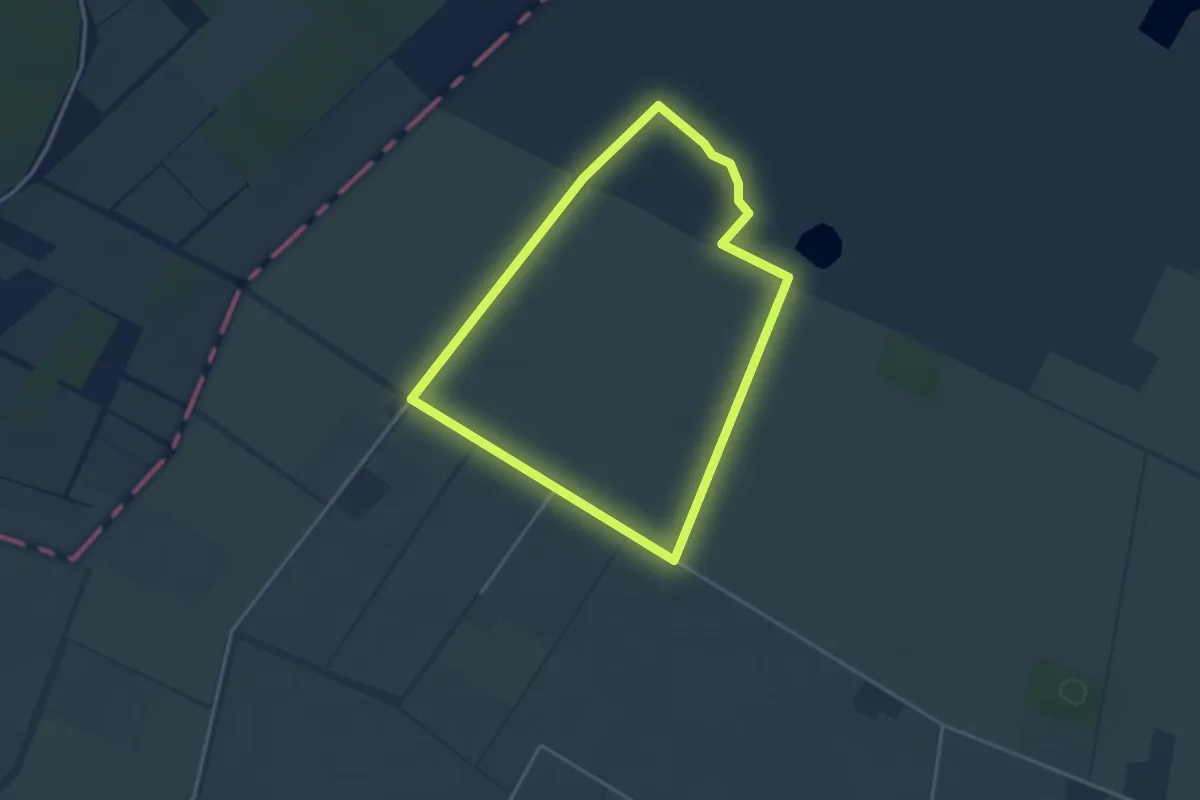
Easy · Trail
Rundweg III (Oppenweher Moor)
2.8 km · ↑ 0 m · 43 min
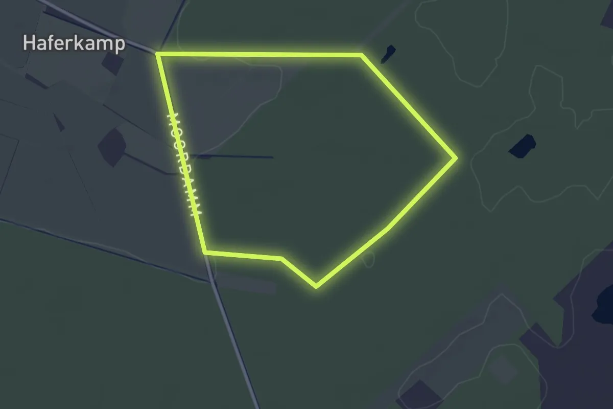
Easy · Trail
Rundweg II (Oppenweher Moor)
2.4 km · ↑ 5 m · 37 min
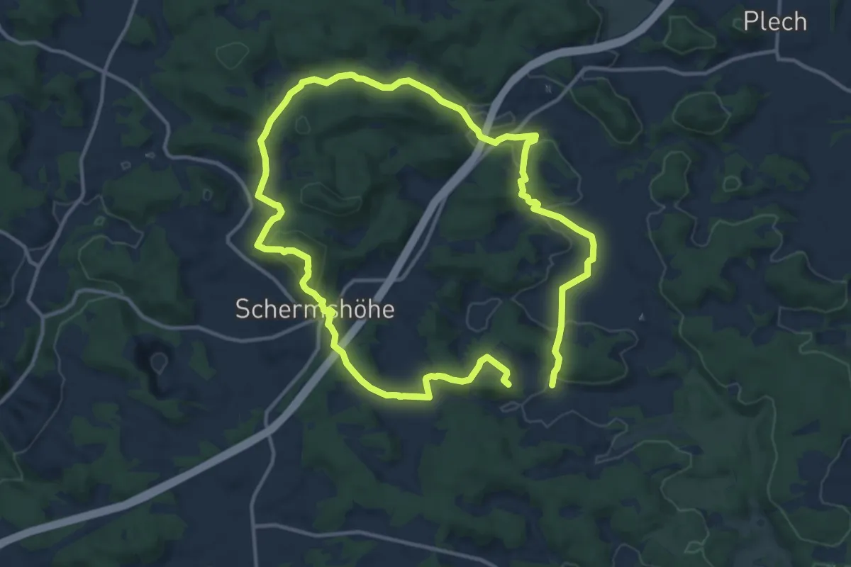
Medium · Summit
Rundweg Illafeld
10.5 km · ↑ 300 m · 3 h 18 min
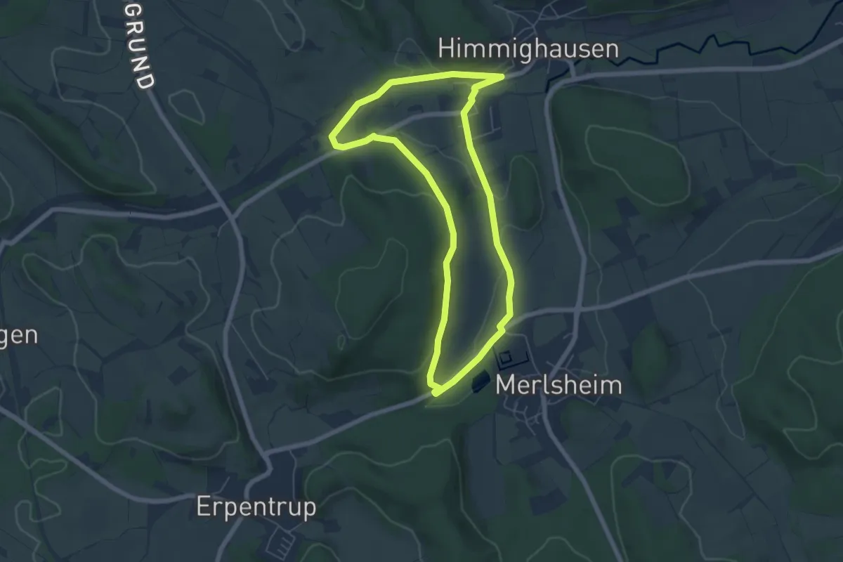
Easy · Trail
Rundweg im Bruch
5.1 km · ↑ 87 m · 1 h 28 min
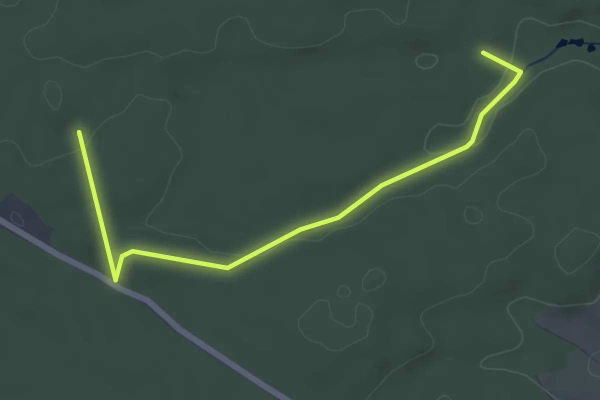
Easy · Trail
Rundweg im Landensberger Forst
4.4 km · ↑ 41 m · 1 h 8 min
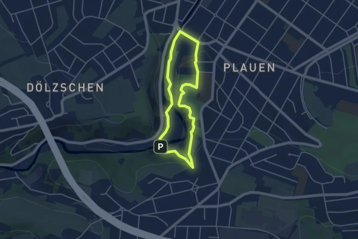
Easy · Trail
Rundweg im Plauenschen Grund
2.7 km · ↑ 69 m · 50 min
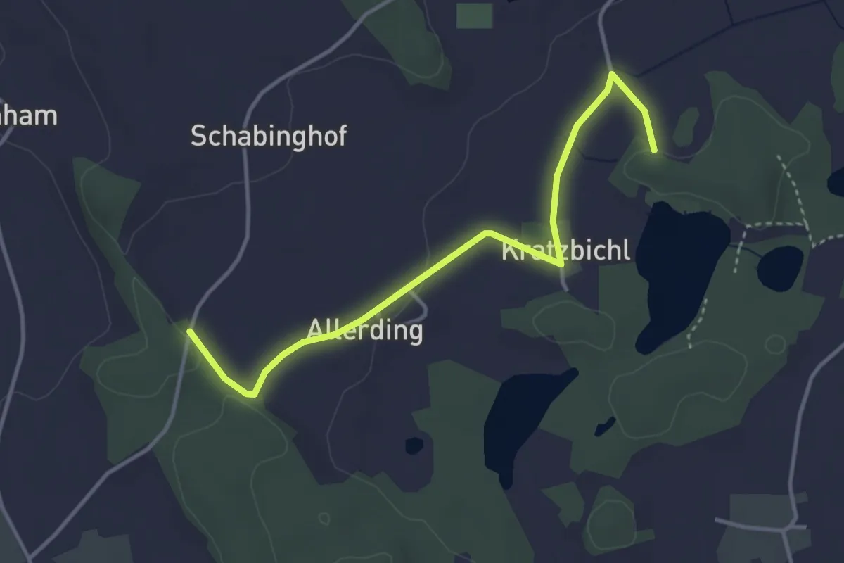
Easy · Trail
Rundweg im Schnaidseer Seengebiet
3.7 km · ↑ 27 m · 55 min
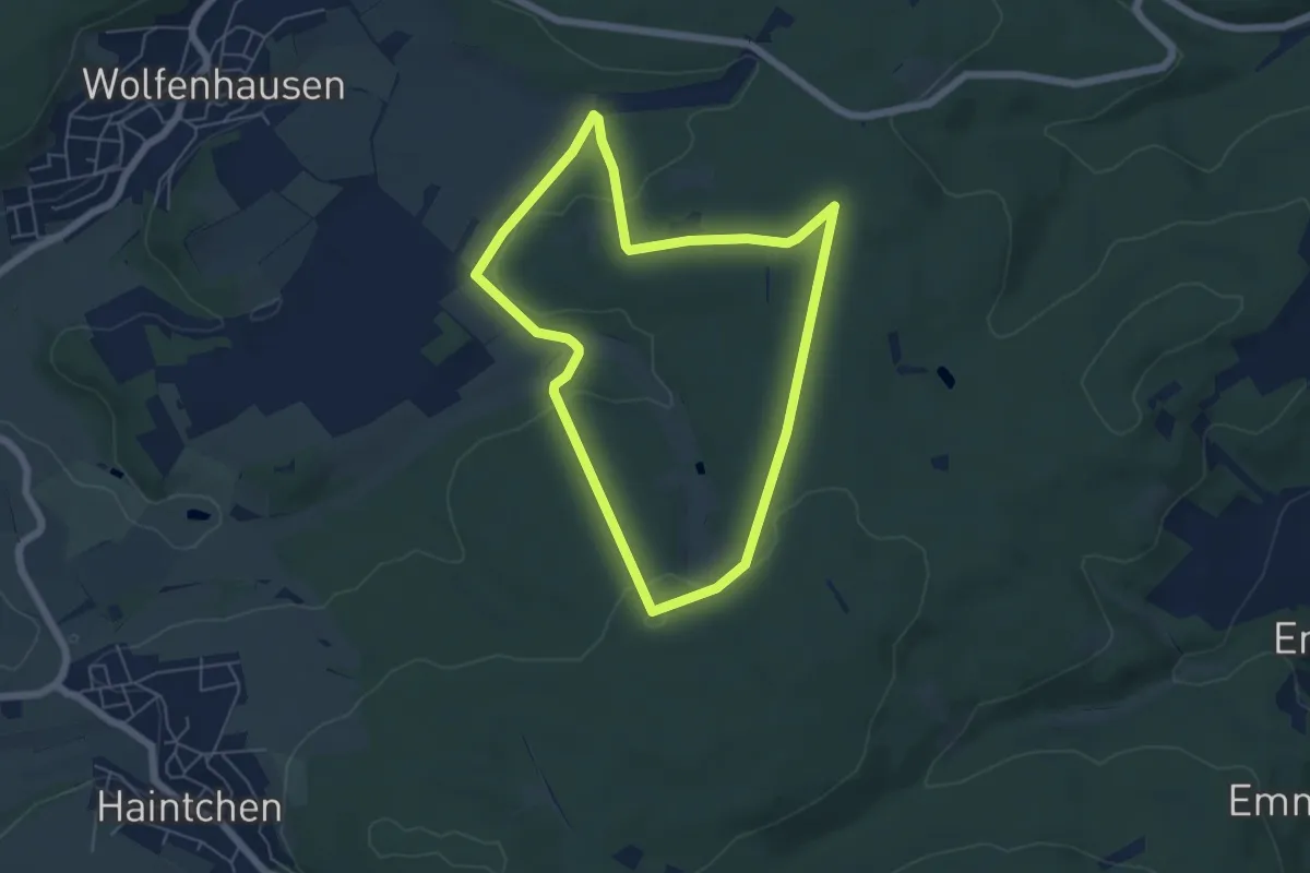
Easy · Trail
Rundweg in den Laubus
5.0 km · ↑ 75 m · 1 h 25 min
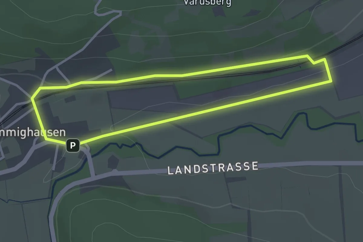
Easy · Trail
Rundweg in den Suren
2.4 km · ↑ 24 m · 39 min
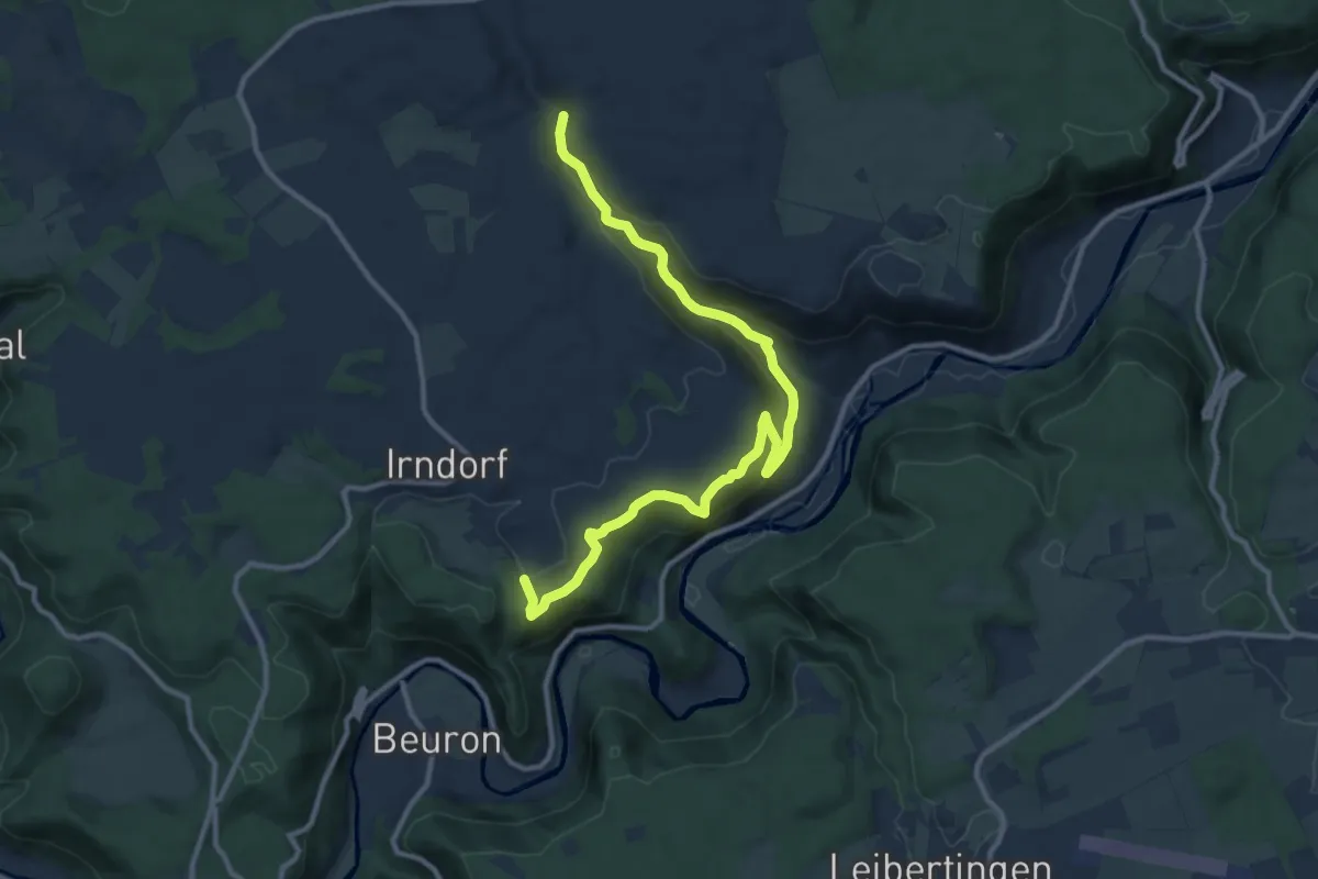
Easy · Trail
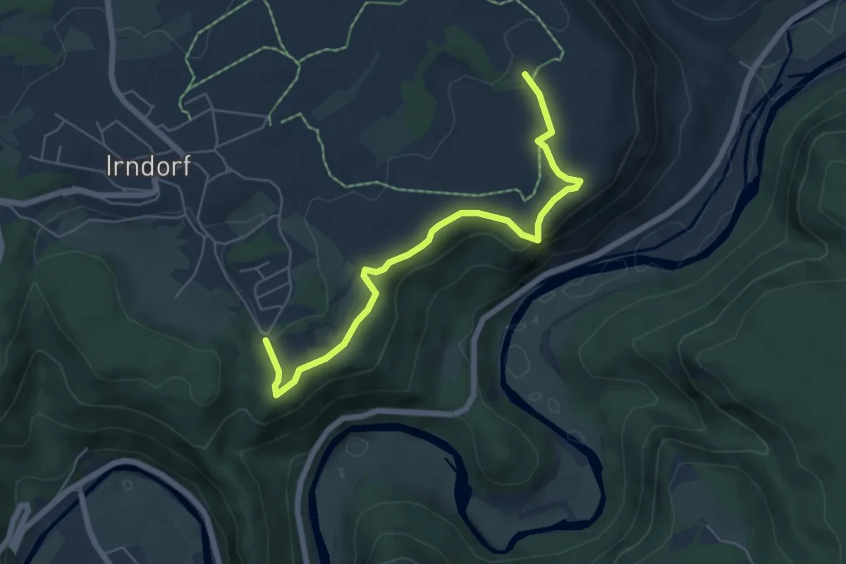
Rundweg Irndorf 1
6.0 km · ↑ 218 m · 1 h 59 min
Easy · Trail
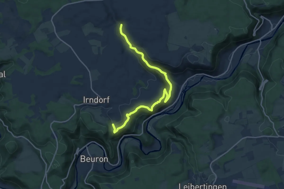
Rundweg Irndorf 2
2.7 km · ↑ 58 m · 48 min
Easy · Trail
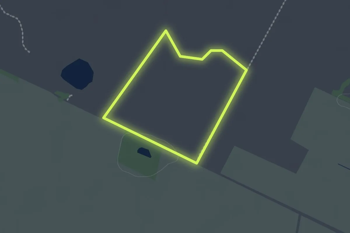
Rundweg Irndorf 3
6.0 km · ↑ 218 m · 1 h 59 min
Easy · Trail
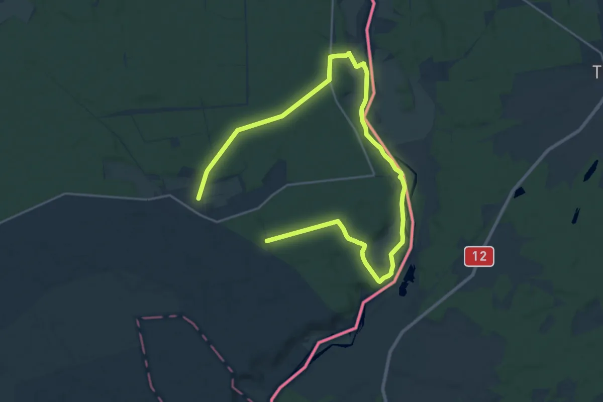
Rundweg IV (Oppenweher Moor)
1.4 km · ↑ 0 m · 21 min
Medium · Trail
Rundweg Jerischker Wald
11.3 km · ↑ 67 m · 2 h 59 min
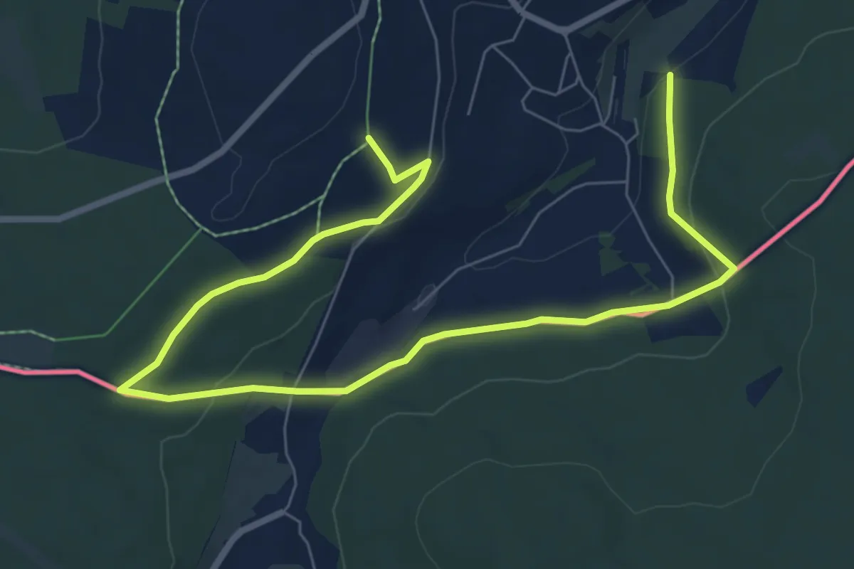
Medium · Trail
Rundweg Joehstadt gelb-strich
9.1 km · ↑ 226 m · 2 h 39 min
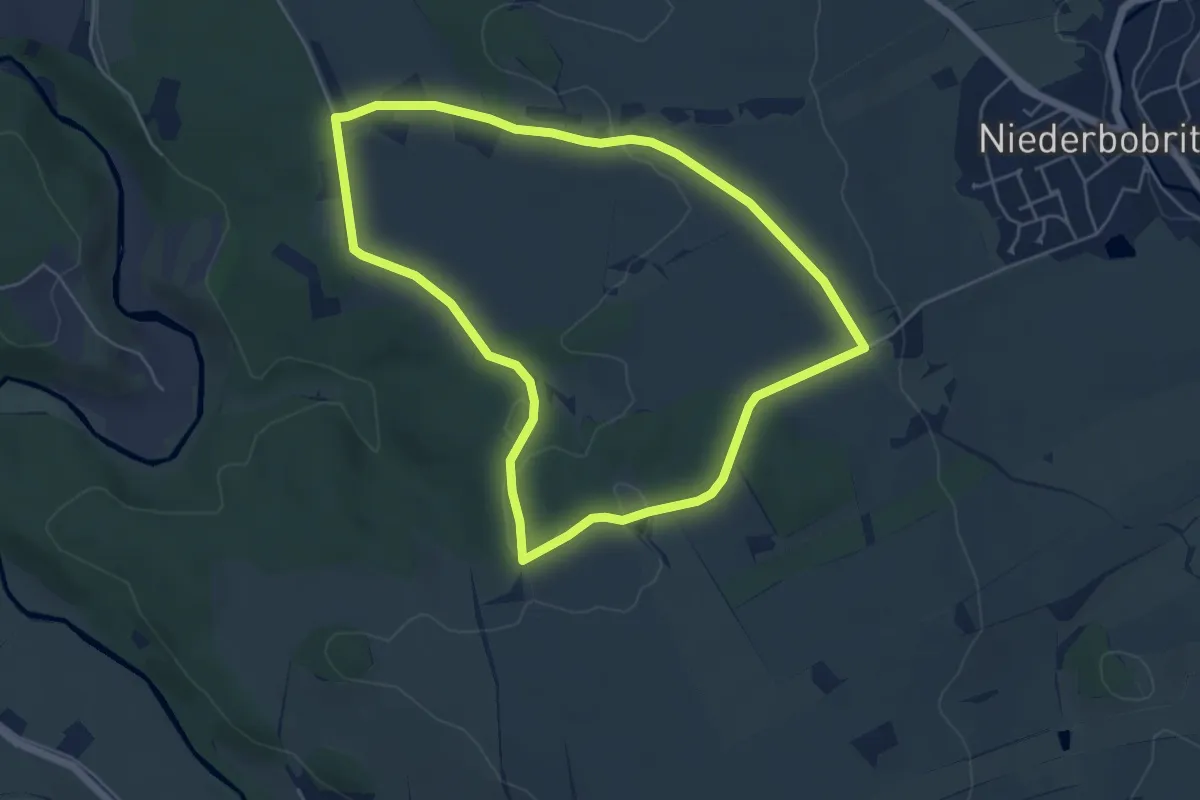
Easy · Trail
Rundweg Juchhöh
4.8 km · ↑ 31 m · 1 h 16 min
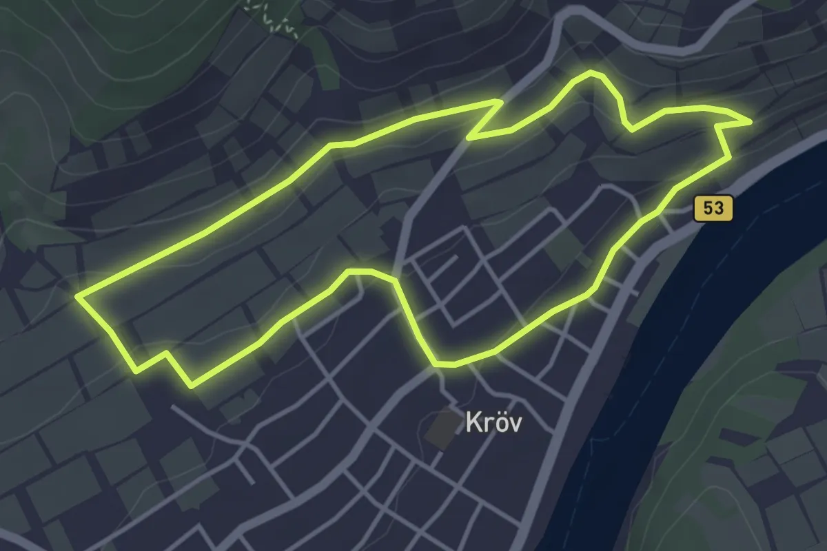
Easy · Trail
Rundweg: Judenfriedhof - Weinlehrpfad - Kesselstattkapelle - zurück
3.7 km · ↑ 85 m · 1 h 6 min
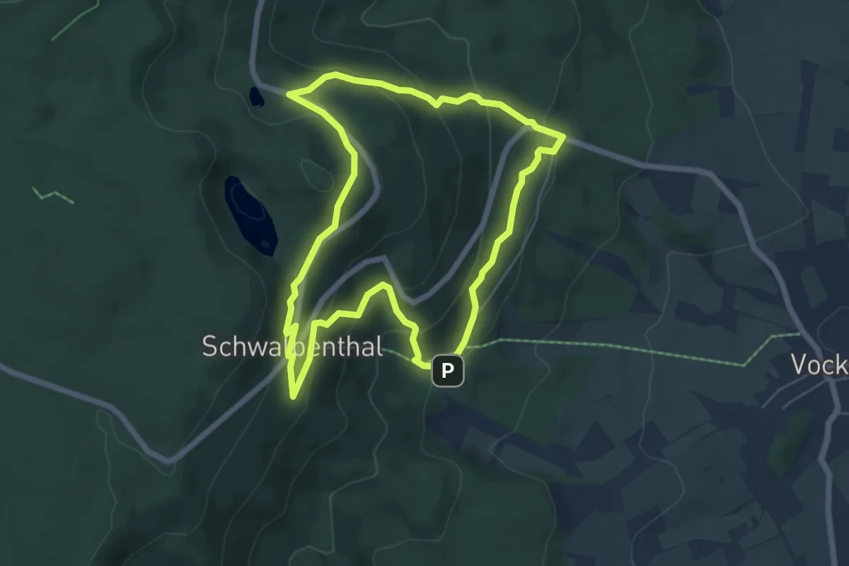
Easy · Summit
Rundweg Jugenddorf - Hoher Meißner
5.1 km · ↑ 305 m · 1 h 57 min
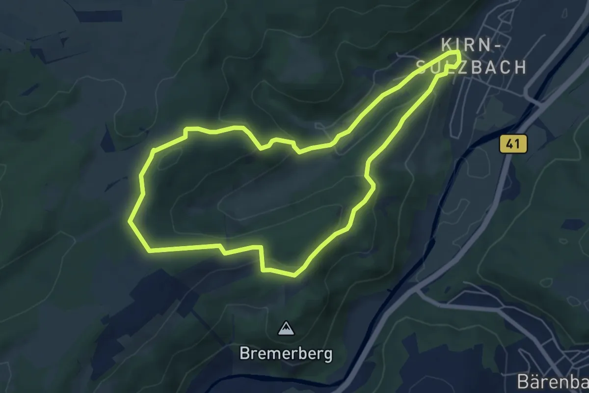
Easy · Trail
Rundweg K12
5.4 km · ↑ 211 m · 1 h 48 min
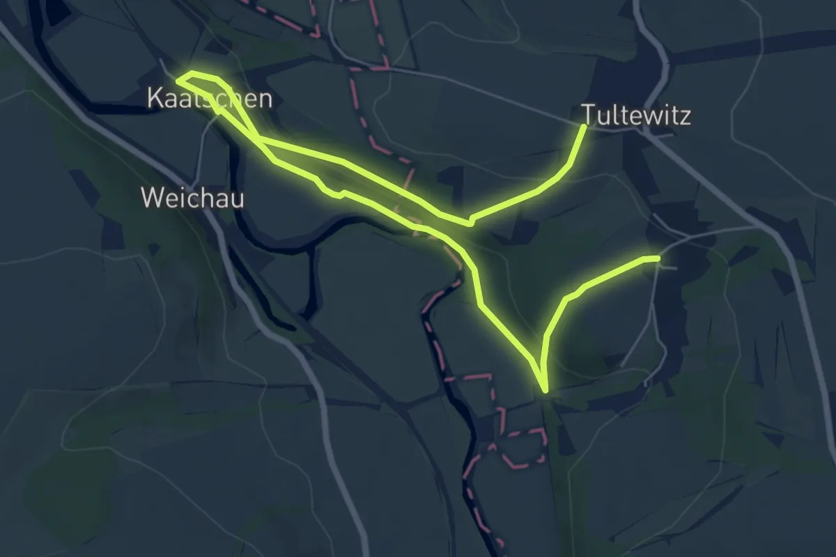
Medium · Trail
Rundweg Kaatschen-Tultewitz
8.7 km · ↑ 222 m · 2 h 31 min
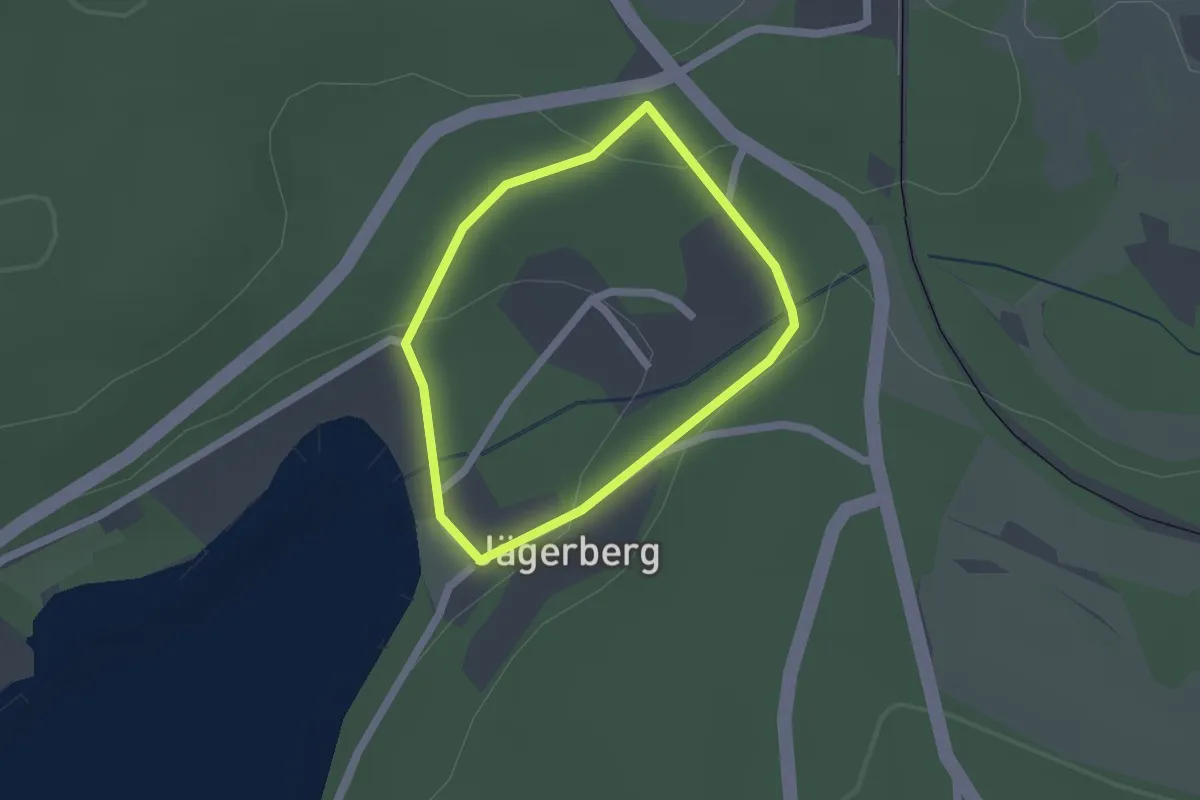
Easy · Trail
Rundweg Kaiserweg
1.3 km · ↑ 32 m · 24 min
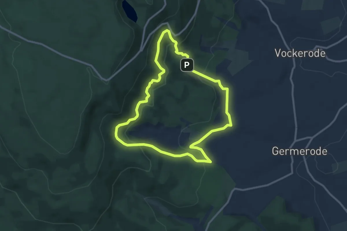
Easy · Trail
Rundweg Kaltwasser
6.7 km · ↑ 265 m · 2 h 14 min
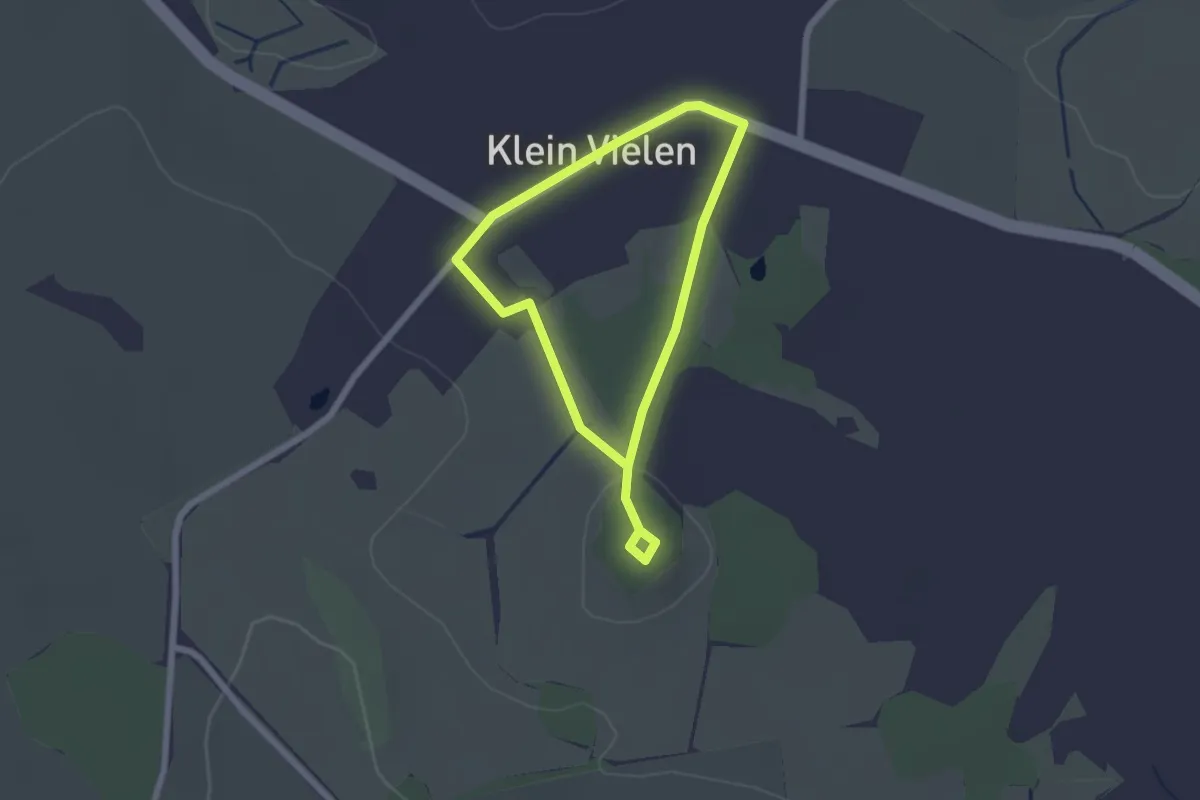
Easy · Trail
Rundweg Kapellenberg
1.5 km · ↑ 8 m · 23 min
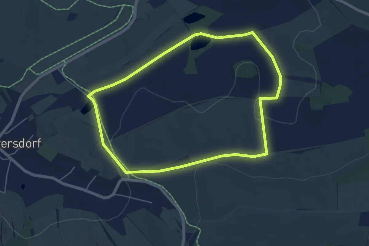
Easy · Trail
Rundweg Käpplers Teich (groß)
4.1 km · ↑ 71 m · 1 h 11 min
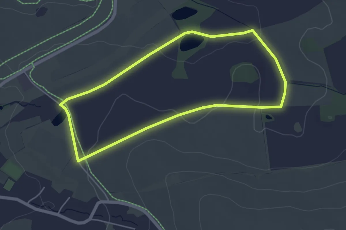
Easy · Trail
Rundweg Käpplers Teich (klein)
3.6 km · ↑ 44 m · 1 h
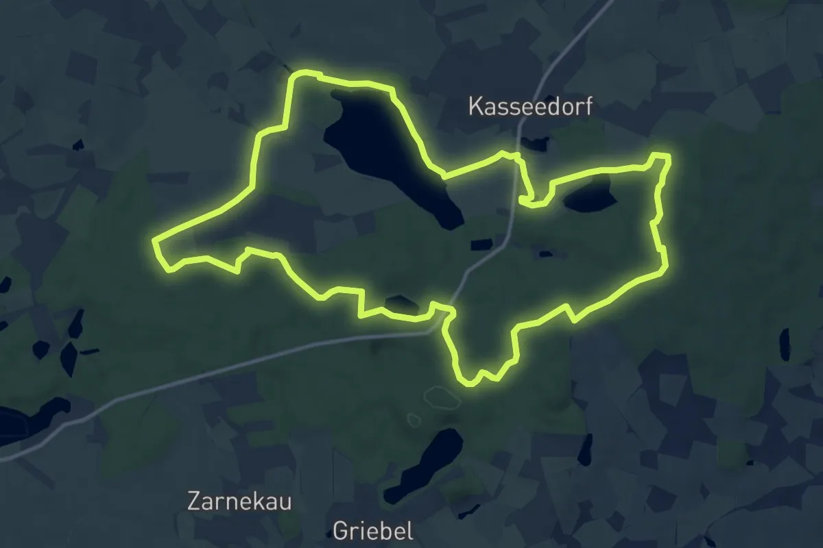
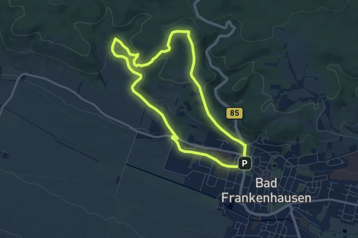
Medium · Trail
Rundweg Kasseedorfer Seen
13.0 km · ↑ 101 m · 3 h 28 min
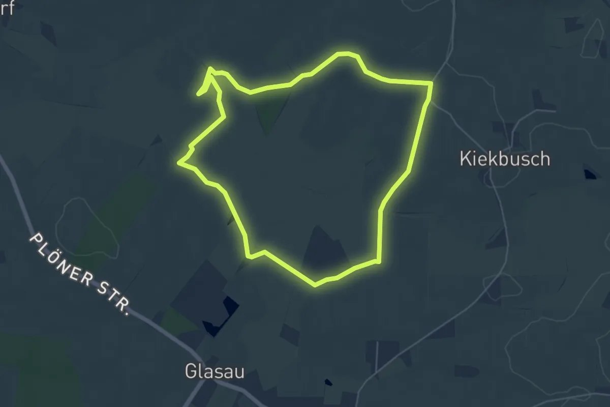
Easy · Trail
Rundweg Kattenburg
6.5 km · ↑ 235 m · 2 h 7 min
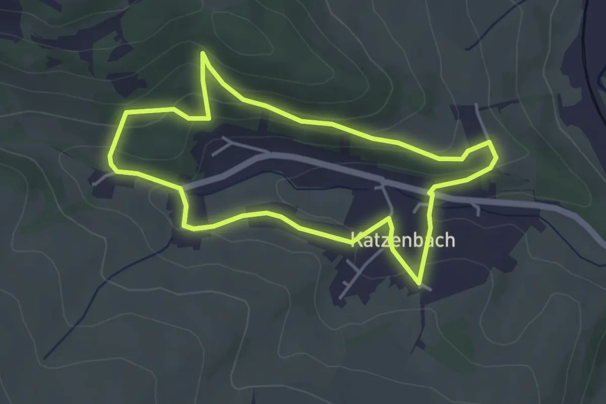
Easy · Trail
Rundweg Katzburg
4.6 km · ↑ 17 m · 1 h 11 min
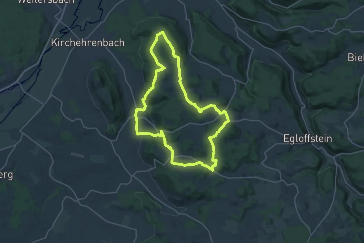
Easy · Trail
Rundweg Katzenbach
3.5 km · ↑ 142 m · 1 h 12 min
Medium · Trail
Rundweg Katzenberg-Kohlenberg
16.1 km · ↑ 414 m · 4 h 55 min
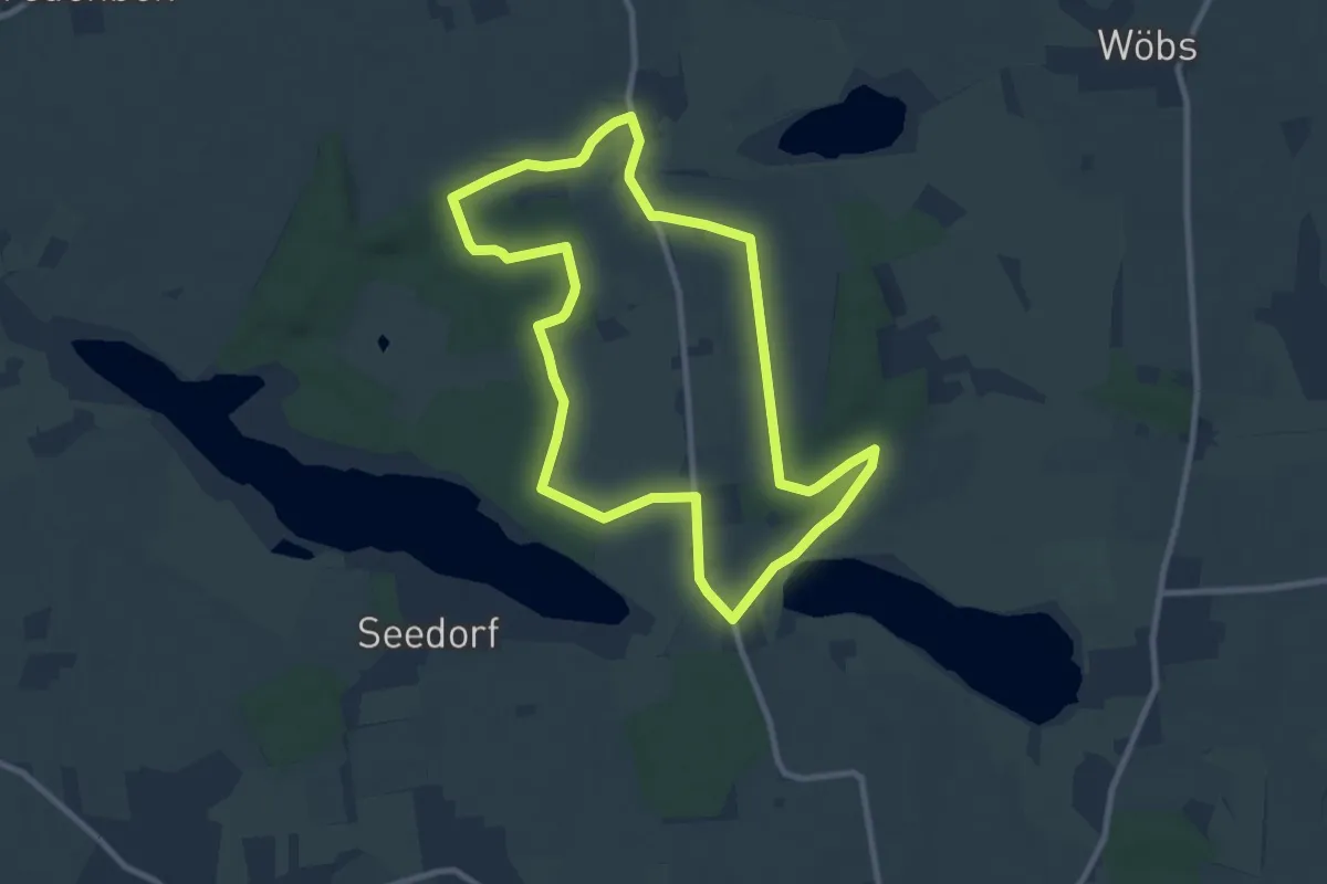
Easy · Trail
Rundweg Kembs
7.8 km · ↑ 51 m · 2 h 4 min
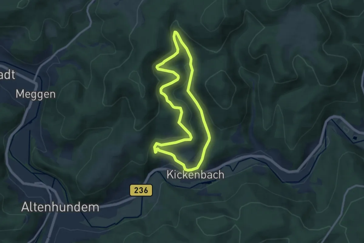
Easy · Trail
Rundweg Kickenbach
6.2 km · ↑ 235 m · 2 h 4 min
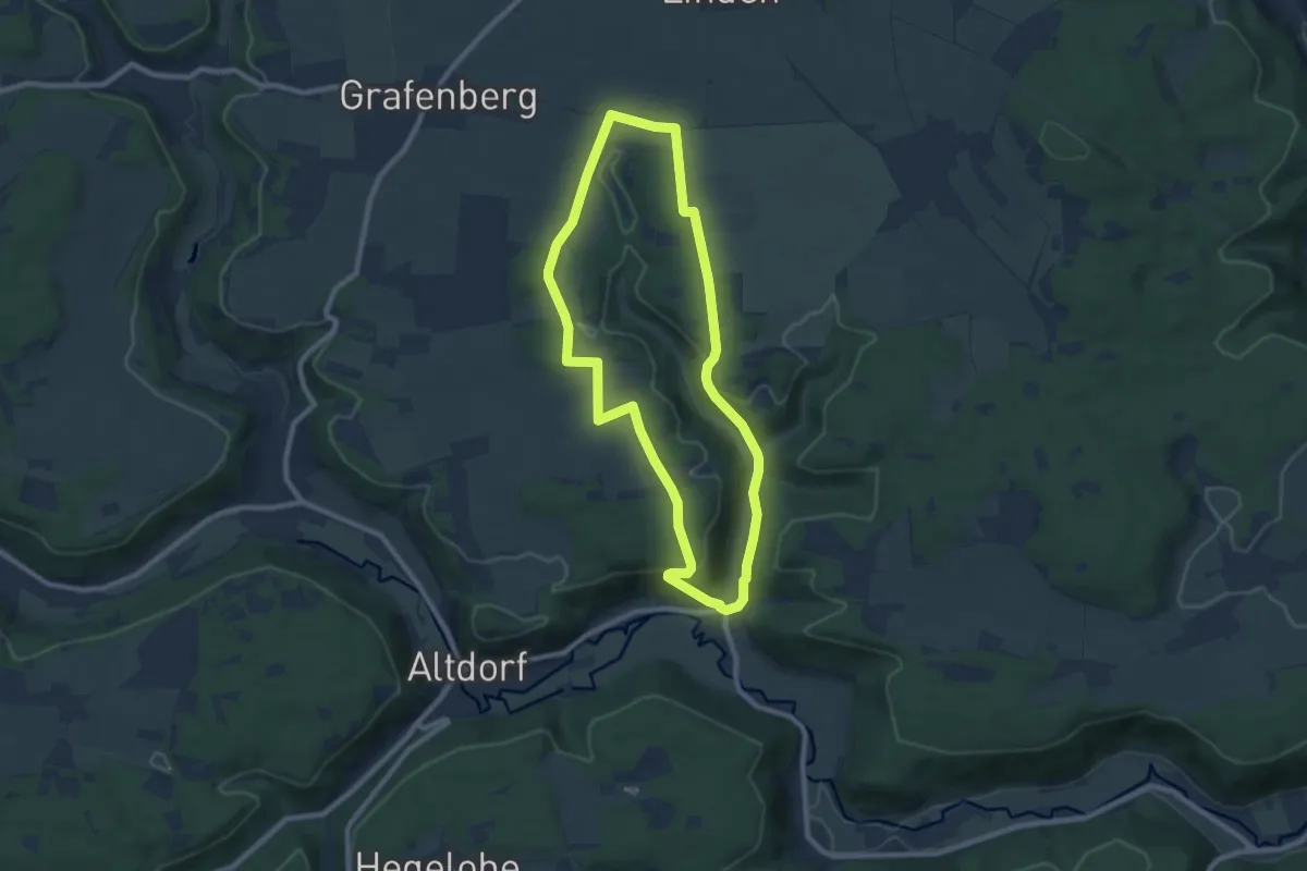
Easy · Trail
Rundweg Kinding 1
7.8 km · ↑ 160 m · 2 h 17 min
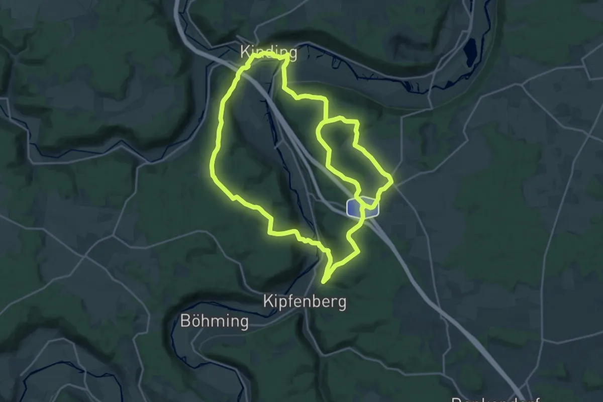
Demanding · Trail
Rundweg Kinding 11
19.2 km · ↑ 480 m · 5 h 50 min
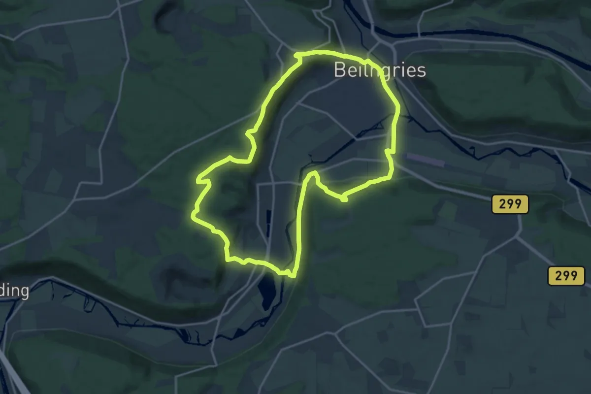
Medium · Trail
Rundweg Kinding K2
14.0 km · ↑ 375 m · 4 h 19 min
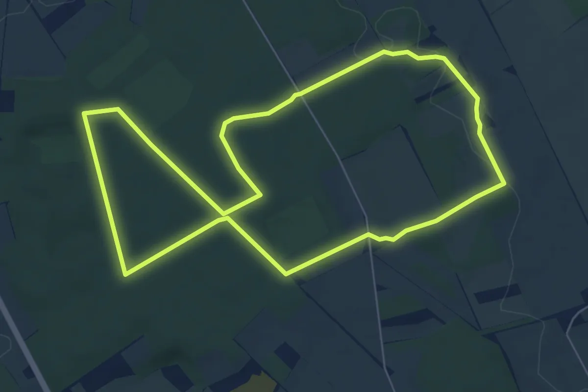
Easy · Summit
Rundweg Kirchdorfer Heide, Blau
5.5 km · ↑ 51 m · 1 h 28 min
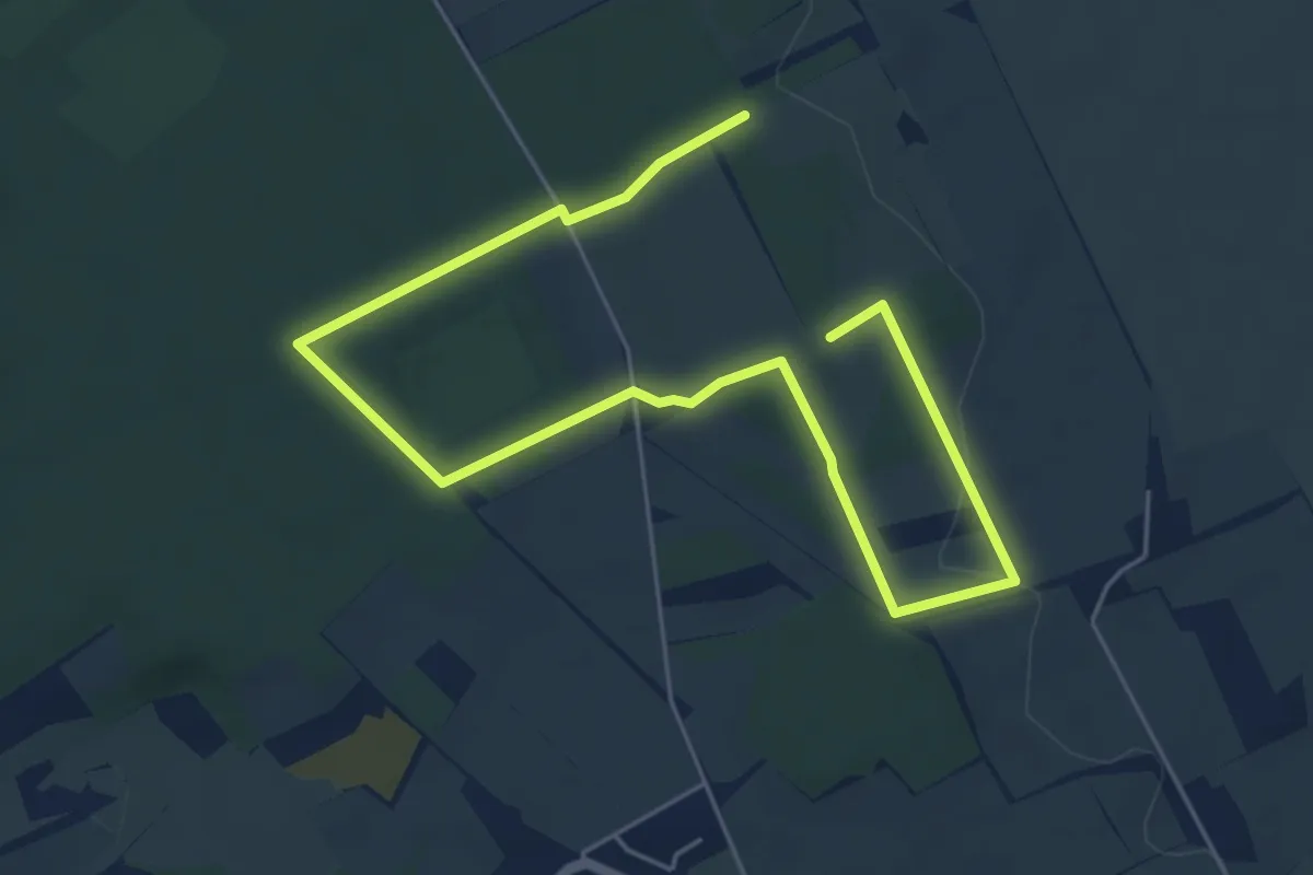
Easy · Summit
Rundweg Kirchdorfer Heide, Gelb
3.4 km · ↑ 35 m · 55 min
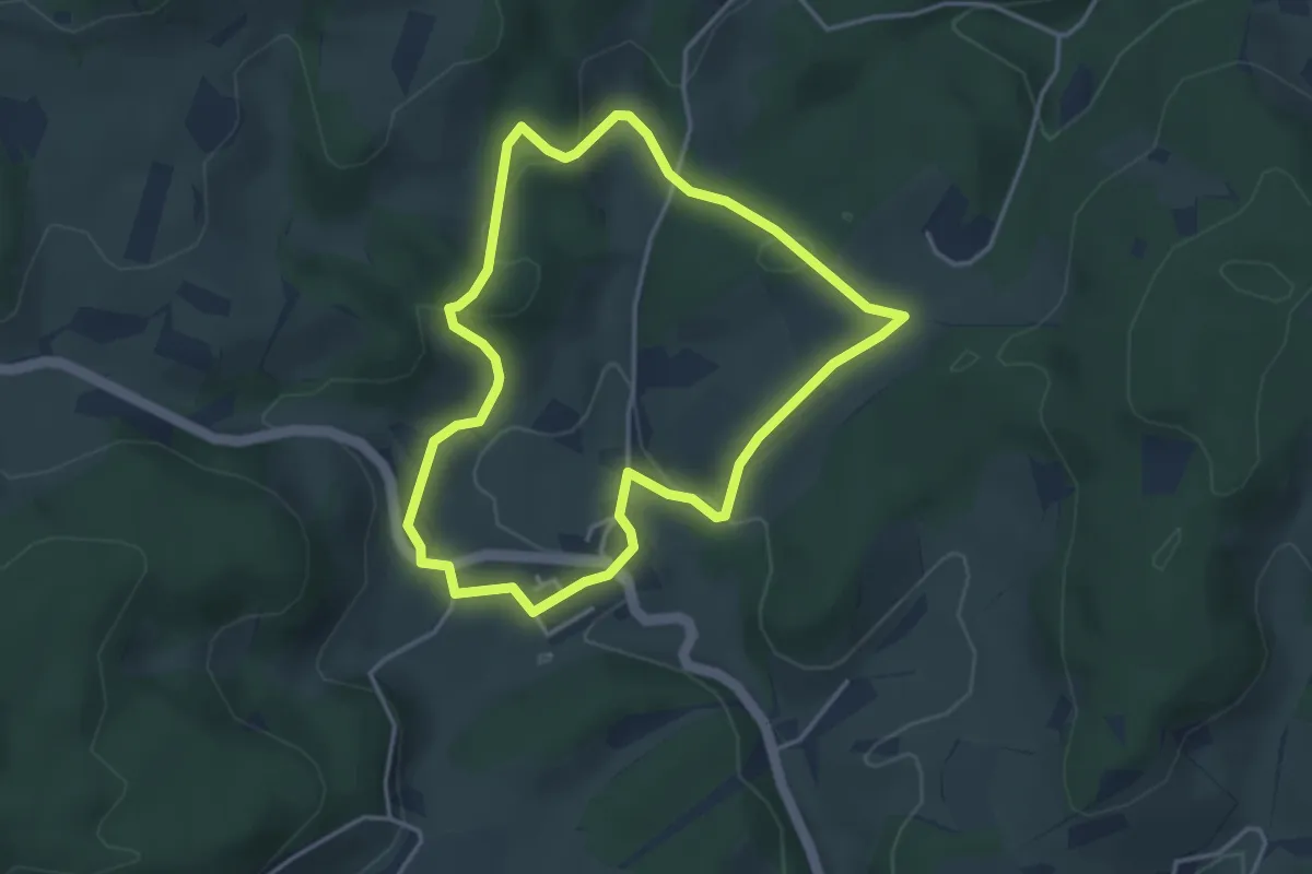
Easy · Trail
Rundweg Kirchhöfe
3.4 km · ↑ 105 m · 1 h 5 min
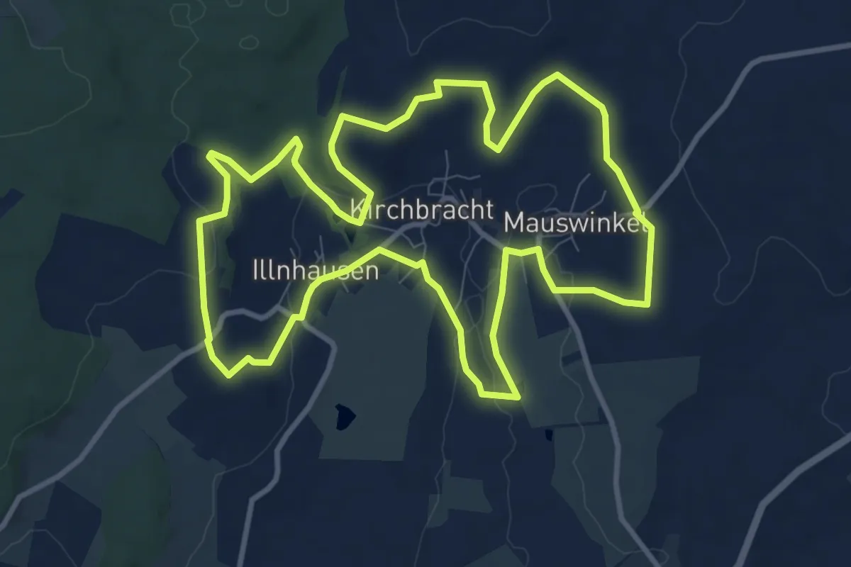
Medium · Summit
Rundweg Kirchmaushausen
9.3 km · ↑ 127 m · 2 h 36 min
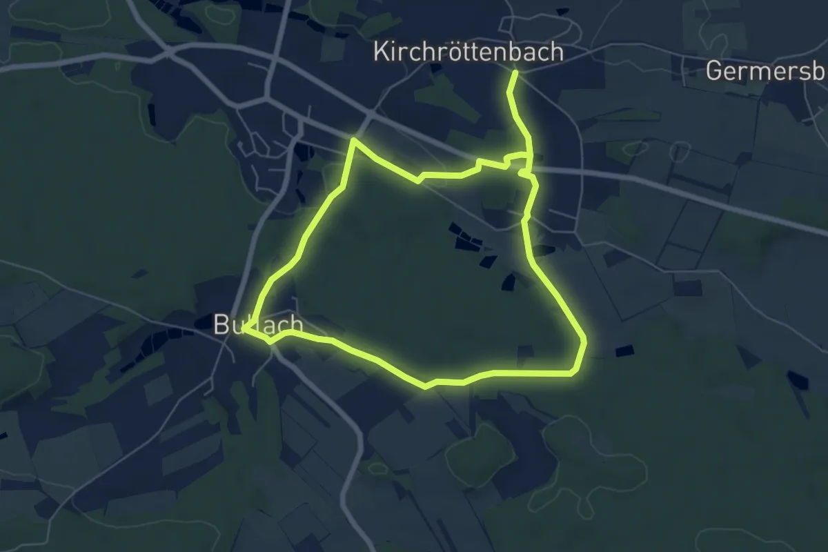
Easy · Trail
Rundweg Kirchröttenbach – Bullach
5.4 km · ↑ 68 m · 1 h 30 min
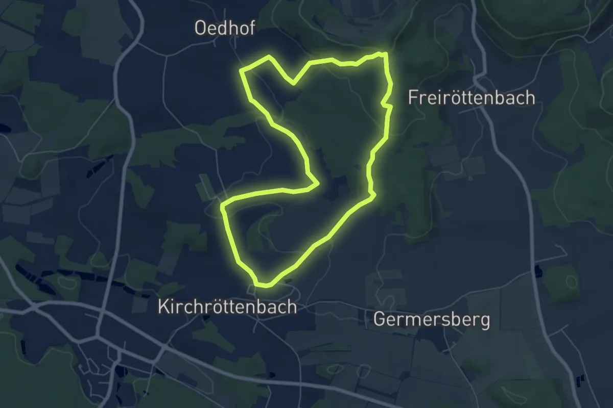
Medium · Trail
Rundweg Kirchröttenbach – Epperlesberg
6.1 km · ↑ 155 m · 1 h 51 min
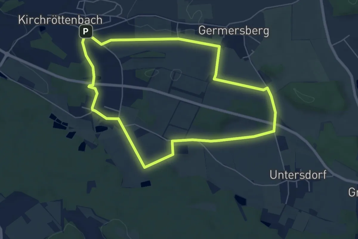
Easy · Trail
Rundweg Kirchröttenbach – Martersäule
5.2 km · ↑ 32 m · 1 h 23 min
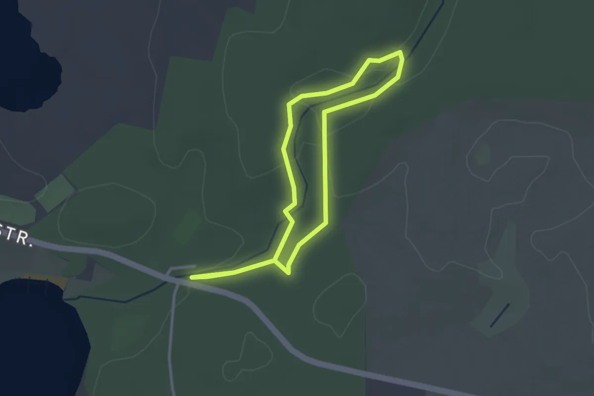
Easy · Trail
Rundweg Klaasbachtal
2.3 km · ↑ 18 m · 36 min
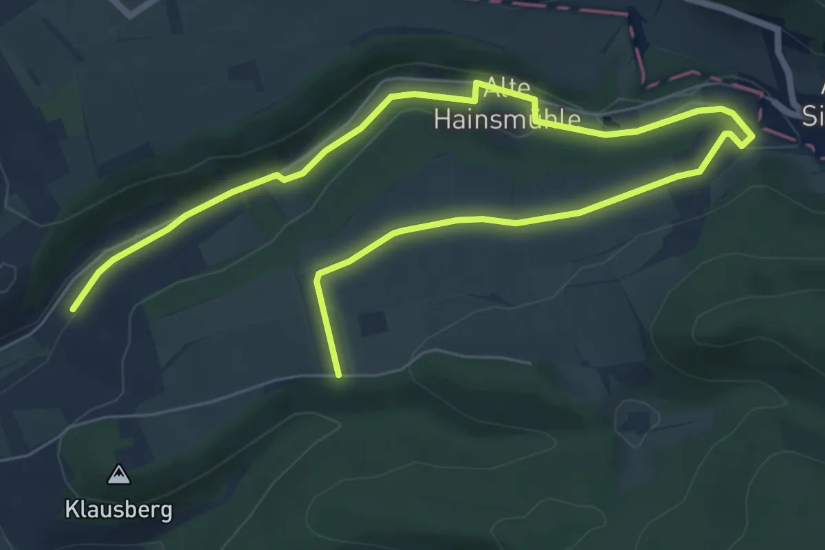
Easy · Trail
Rundweg Klausbergturm
4.4 km · ↑ 17 m · 1 h 11 min
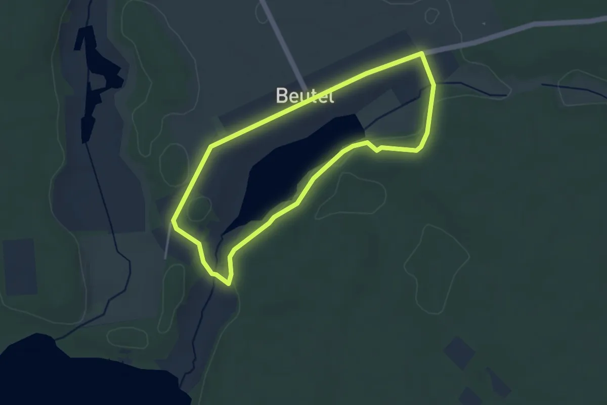
Easy · Trail
Rundweg Kleiner Beutelsee
2.9 km · ↑ 15 m · 45 min
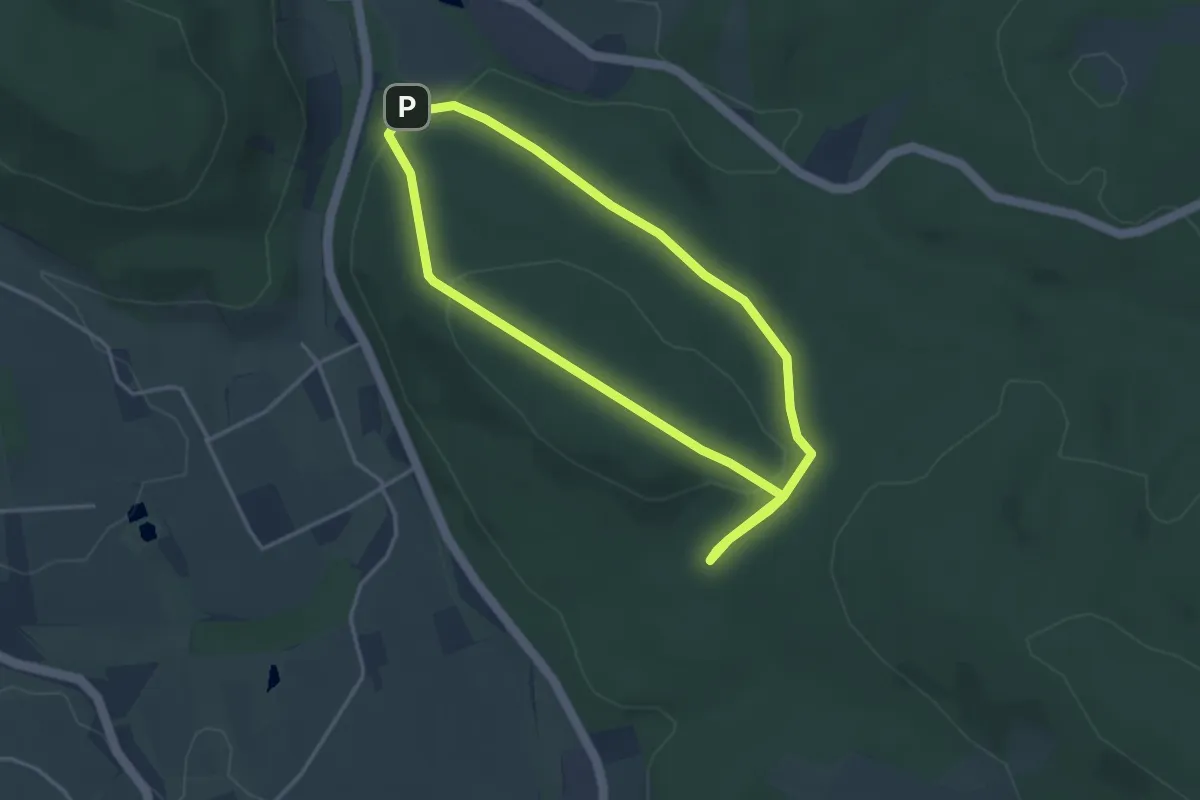
Easy · Trail
Rundweg Kleiner Kellenberg (1)
3.2 km · ↑ 85 m · 58 min