Trails in Germany
36,852 hiking trails, each with its route, climb, walking time and grade.
All trails, page 549 of 768
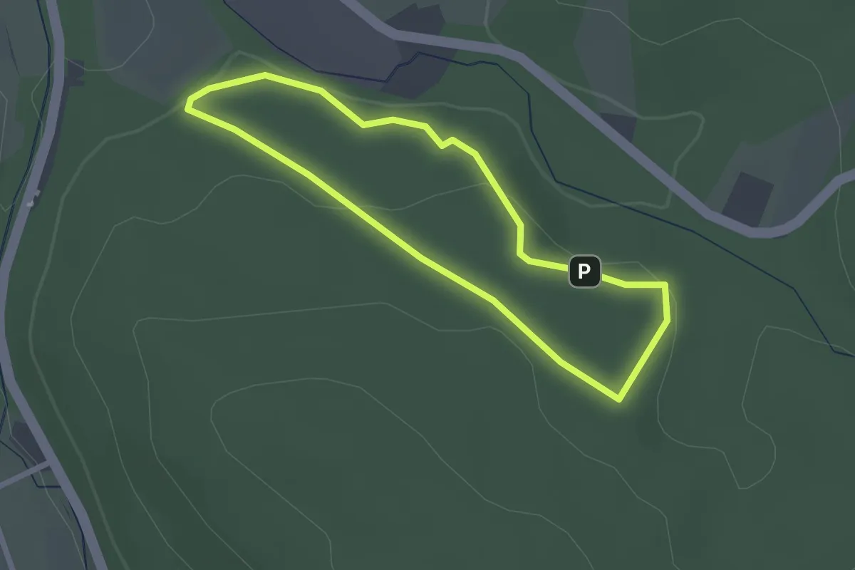
Easy · Trail
Rundweg Kleiner Kellenberg, Nordrand (9)
1.9 km · ↑ 60 m · 36 min
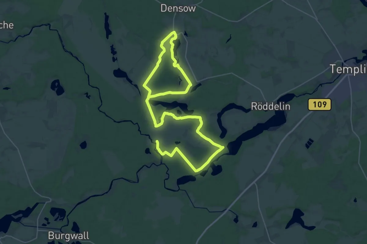
Demanding · Trail
Rundweg Kleine Schorfheide
24.2 km · ↑ 85 m · 6 h 13 min
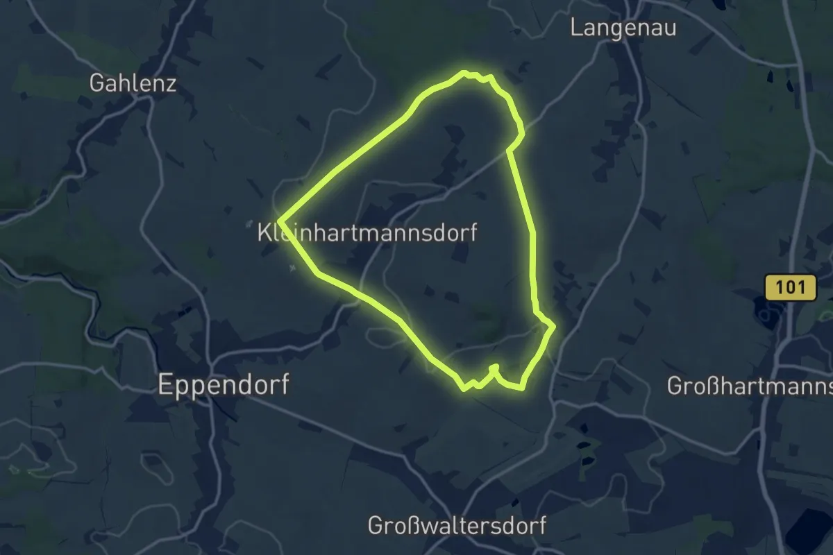
Medium · Trail
Rundweg Kleinhartmannsdorf-Gränitz
10.9 km · ↑ 157 m · 3 h 4 min
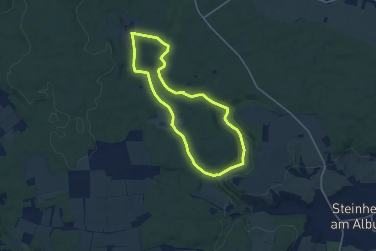
Medium · Trail
Rundweg Klösterle
8.2 km · ↑ 132 m · 2 h 20 min
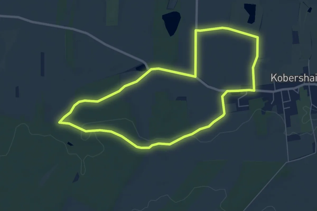
Easy · Trail
Rundweg Kobershain
5.6 km · ↑ 31 m · 1 h 28 min
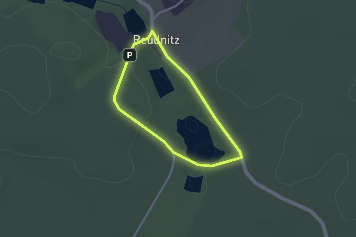
Easy · Trail
Rundweg Köhler Meiler
1.8 km · ↑ 23 m · 29 min
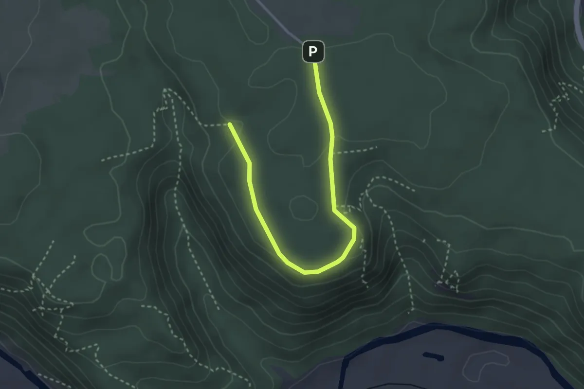
Easy · Trail
Rundweg Kolbinger Höhle
1.6 km · ↑ 17 m · 27 min
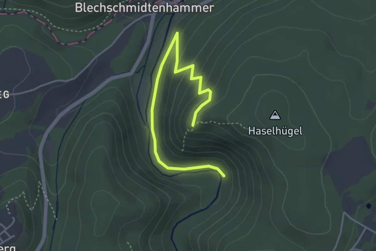
Medium · Trail
Rundweg-König-David US21
1.8 km · ↑ 114 m · 40 min
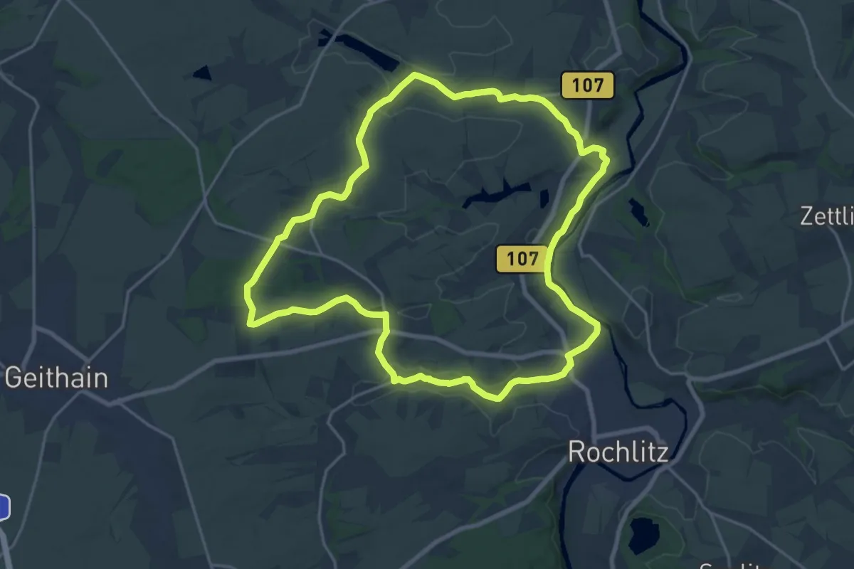
Medium · Trail
Rundweg Königsfeld
16.5 km · ↑ 146 m · 4 h 27 min
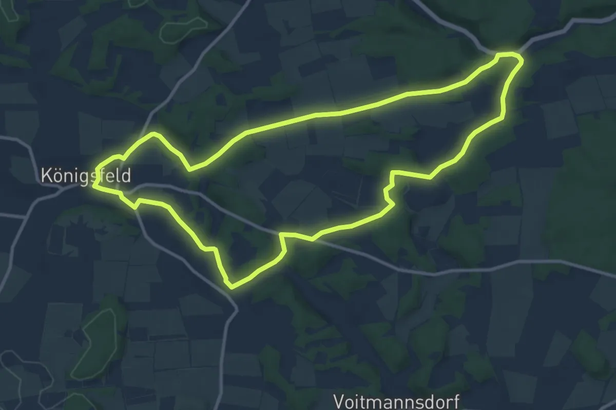
Medium · Trail
Rundweg Königsfeld - Wiesentfels
9.9 km · ↑ 97 m · 2 h 41 min
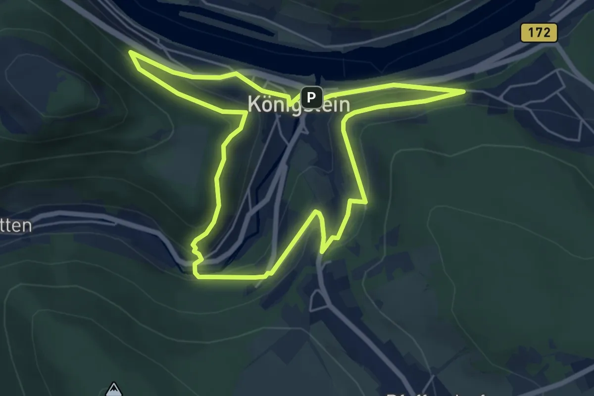
Easy · Trail
Rundweg Königstein
4.8 km · ↑ 207 m · 1 h 39 min
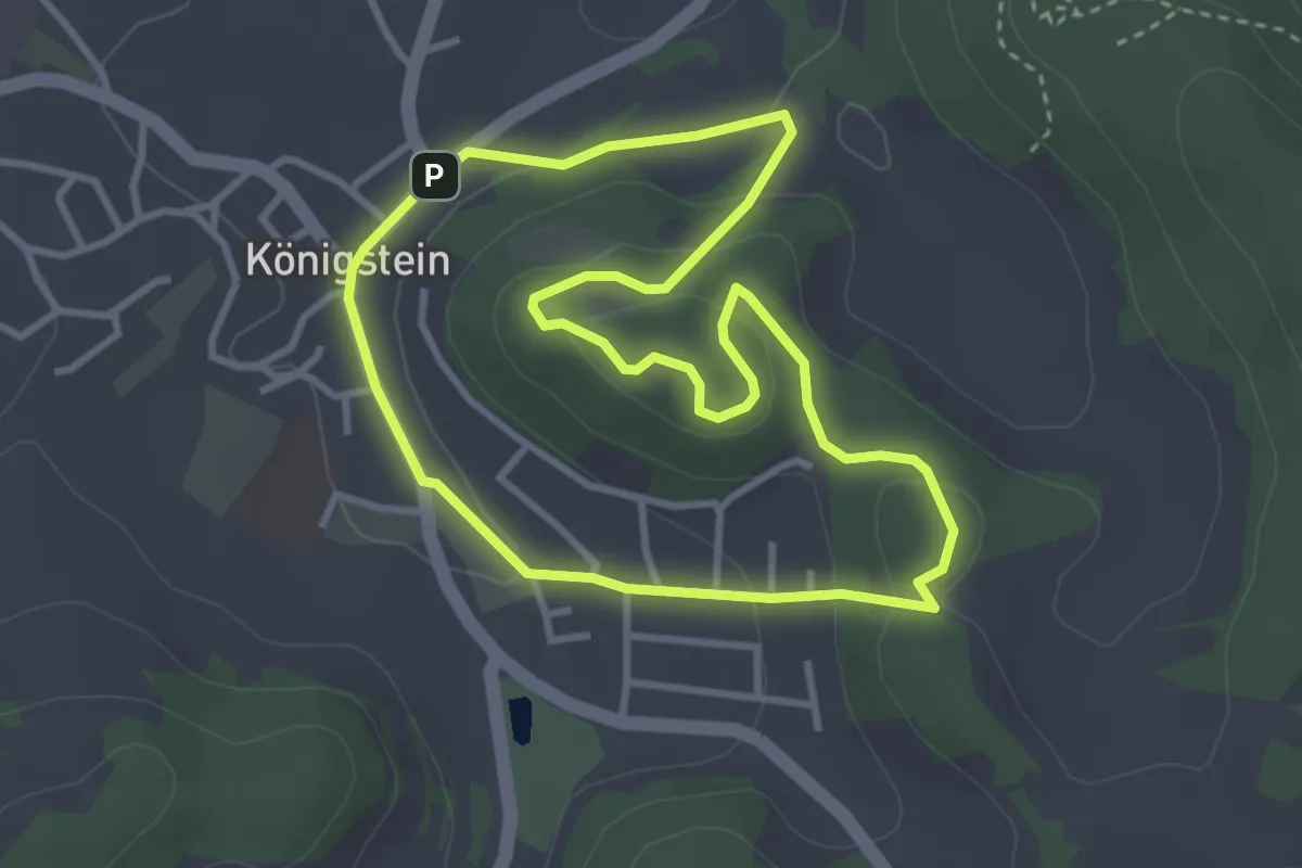
Easy · Summit
Rundweg Königstein – Kühberg
3.2 km · ↑ 101 m · 1 h 1 min
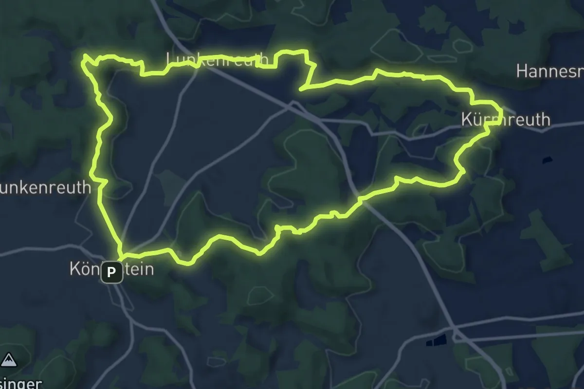
Demanding · Summit
Rundweg Königstein – Kürmreuth
13.0 km · ↑ 375 m · 4 h 4 min
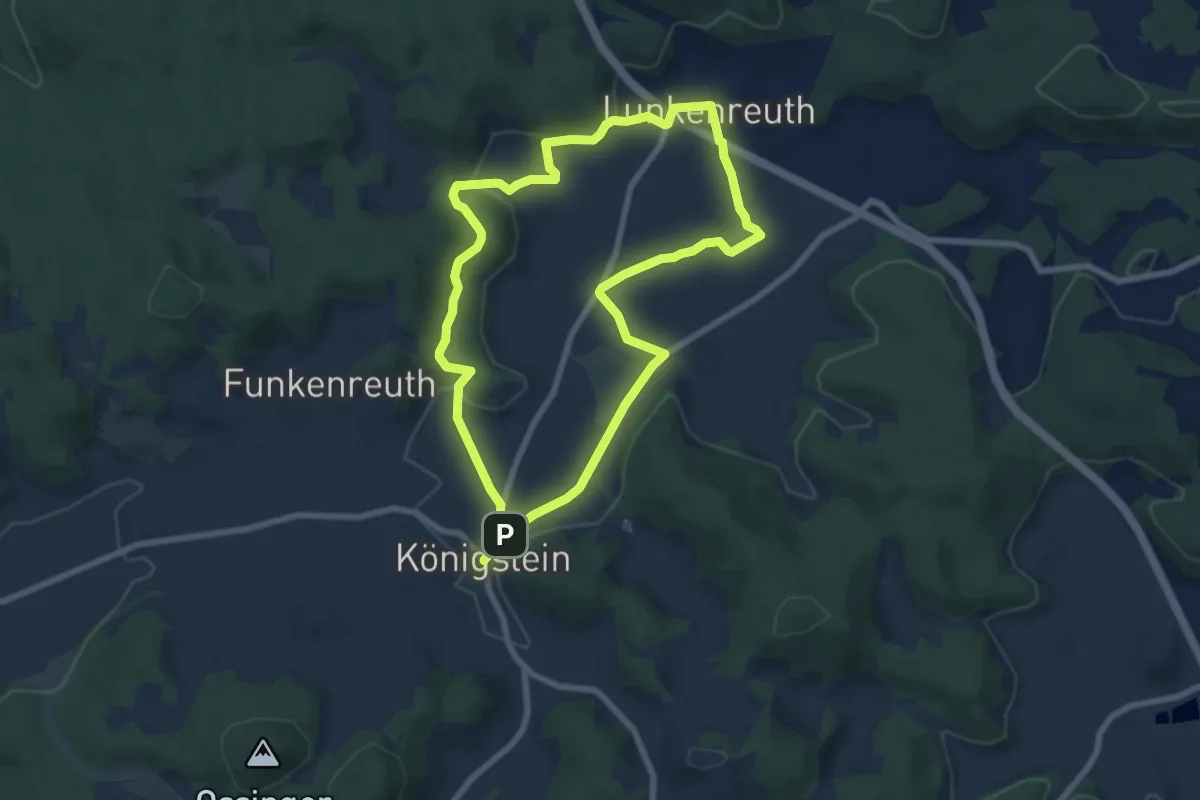
Medium · Trail
Rundweg Königstein – Lunkenreuth
6.6 km · ↑ 128 m · 1 h 55 min
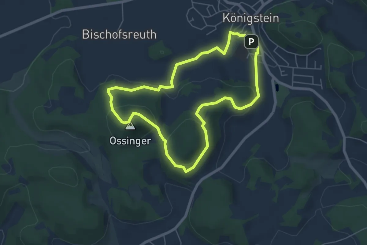
Demanding · Summit
Rundweg Königstein – Ossinger
4.5 km · ↑ 173 m · 1 h 29 min
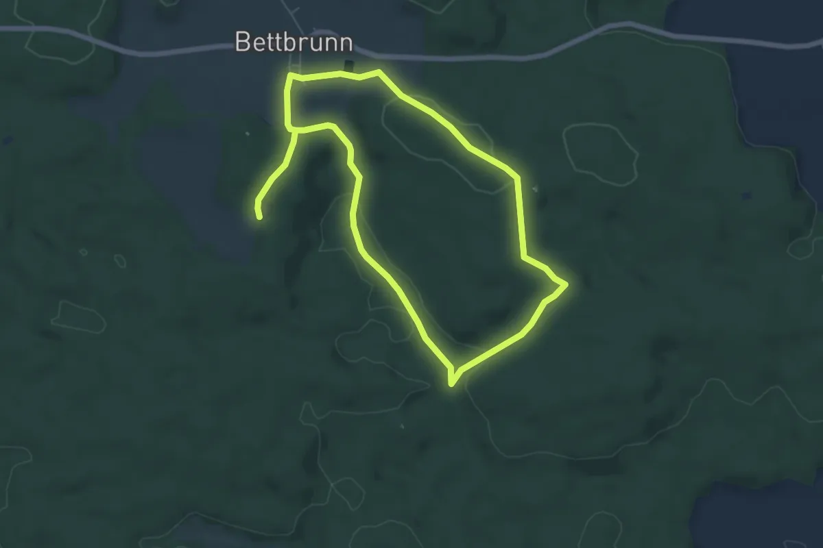
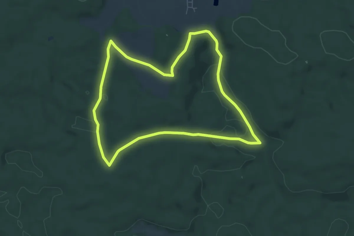
Easy · Trail
Rundweg Kösching 2
5.4 km · ↑ 108 m · 1 h 35 min
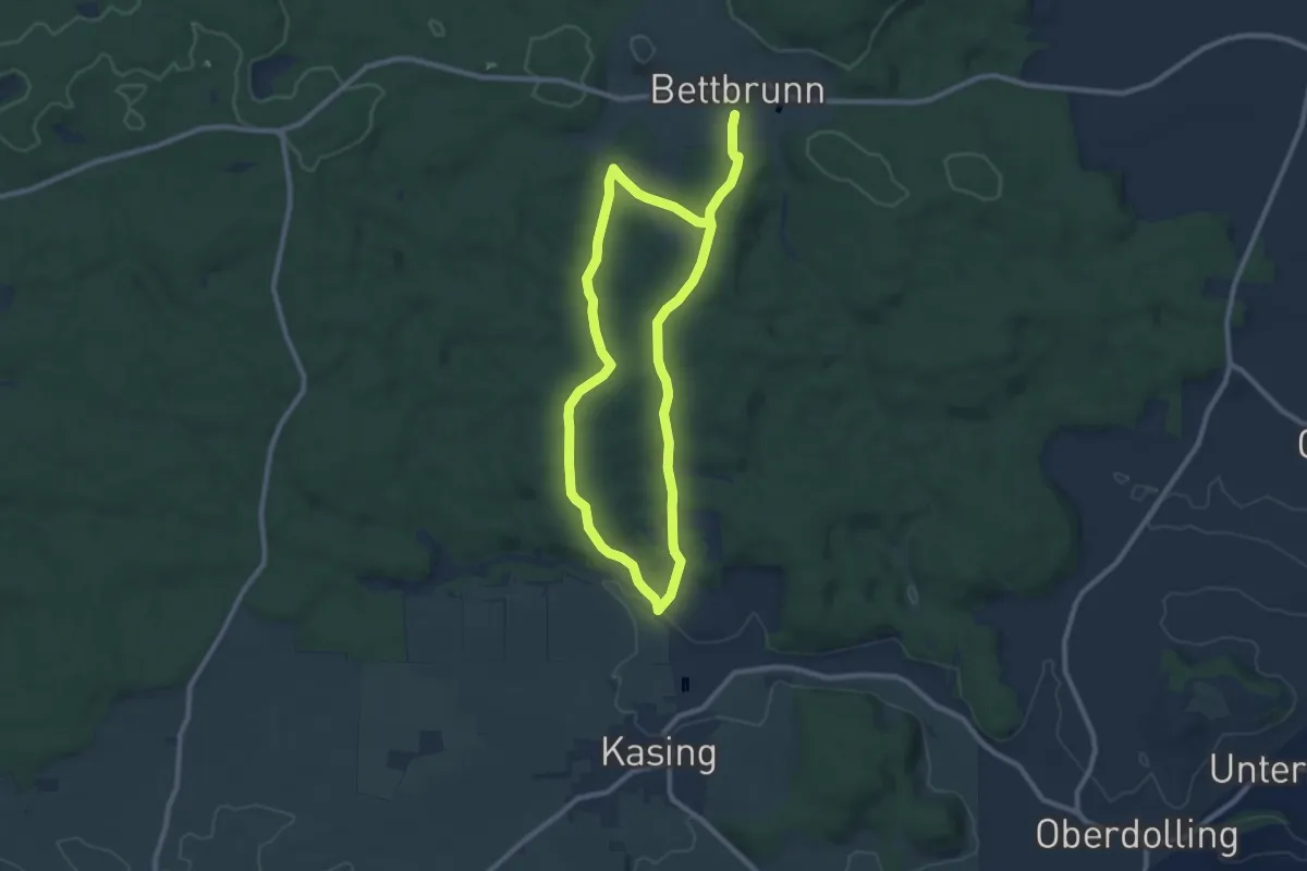
Easy · Trail
Rundweg Kösching 3
6.0 km · ↑ 110 m · 1 h 44 min
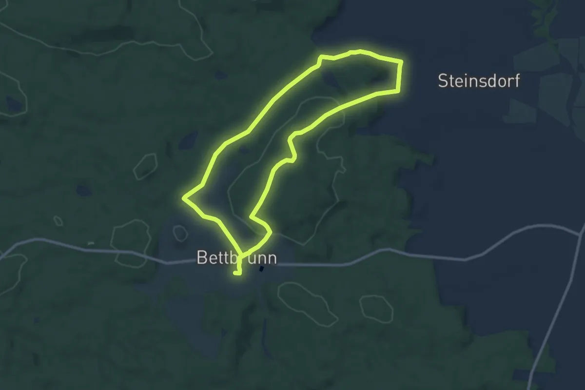
Easy · Trail
Rundweg Kösching 4
7.8 km · ↑ 176 m · 2 h 20 min
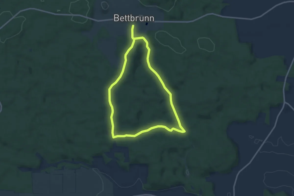
Medium · Trail
Rundweg Kösching 5
8.1 km · ↑ 145 m · 2 h 20 min
Easy · Trail
Rundweg Kösching 6
6.9 km · ↑ 144 m · 2 h 2 min
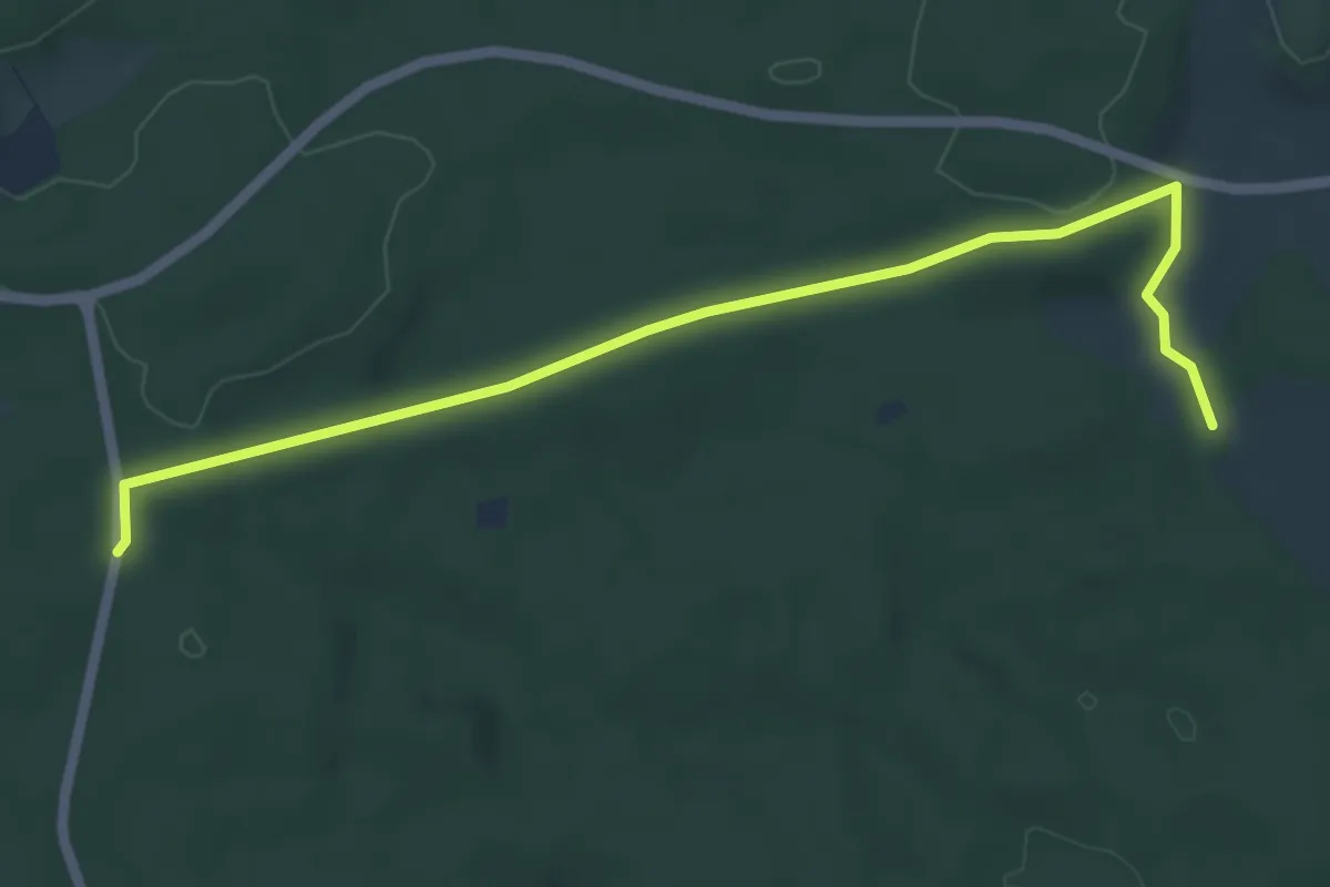
Easy · Trail
Rundweg Kösching P1
2.9 km · ↑ 46 m · 49 min
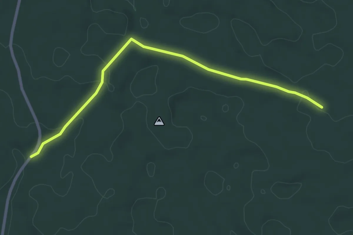
Easy · Trail
Rundweg Kösching P2
5.2 km · ↑ 42 m · 1 h 19 min
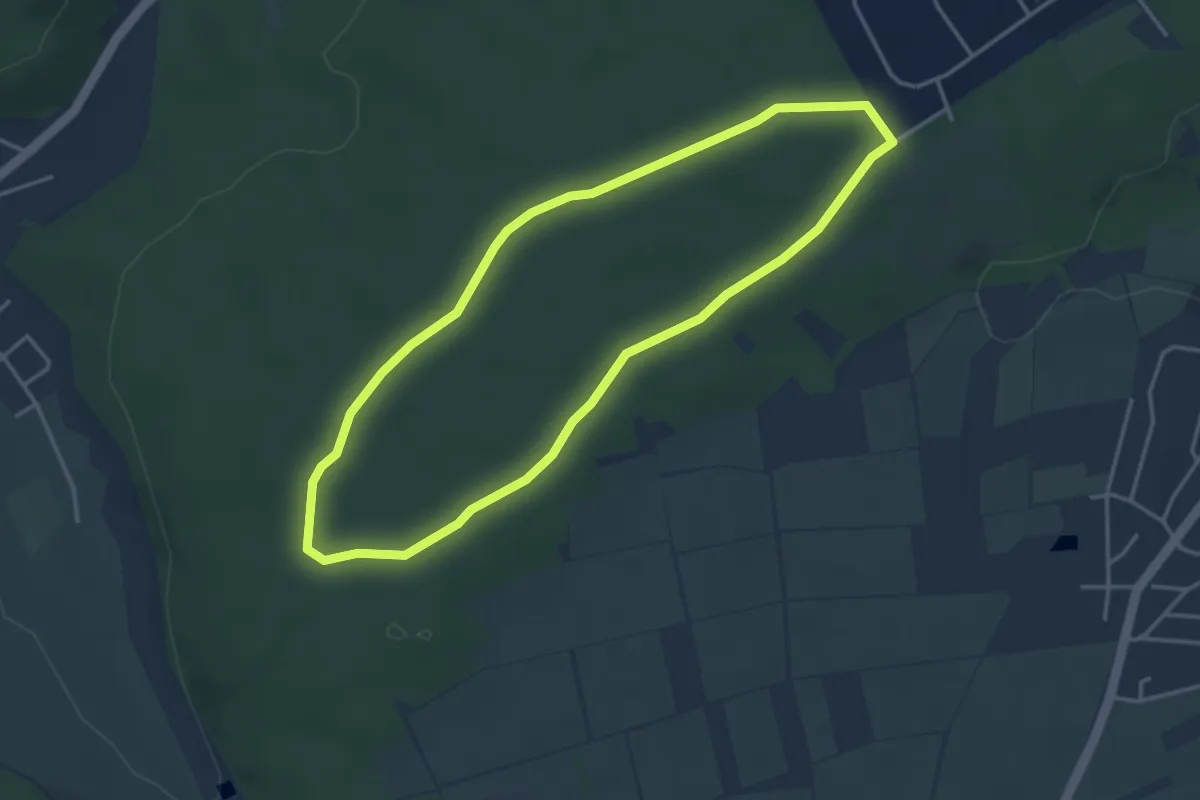
Easy · Trail
Rundweg Kottenforst (Heiderhof - Pech)
3.4 km · ↑ 4 m · 51 min
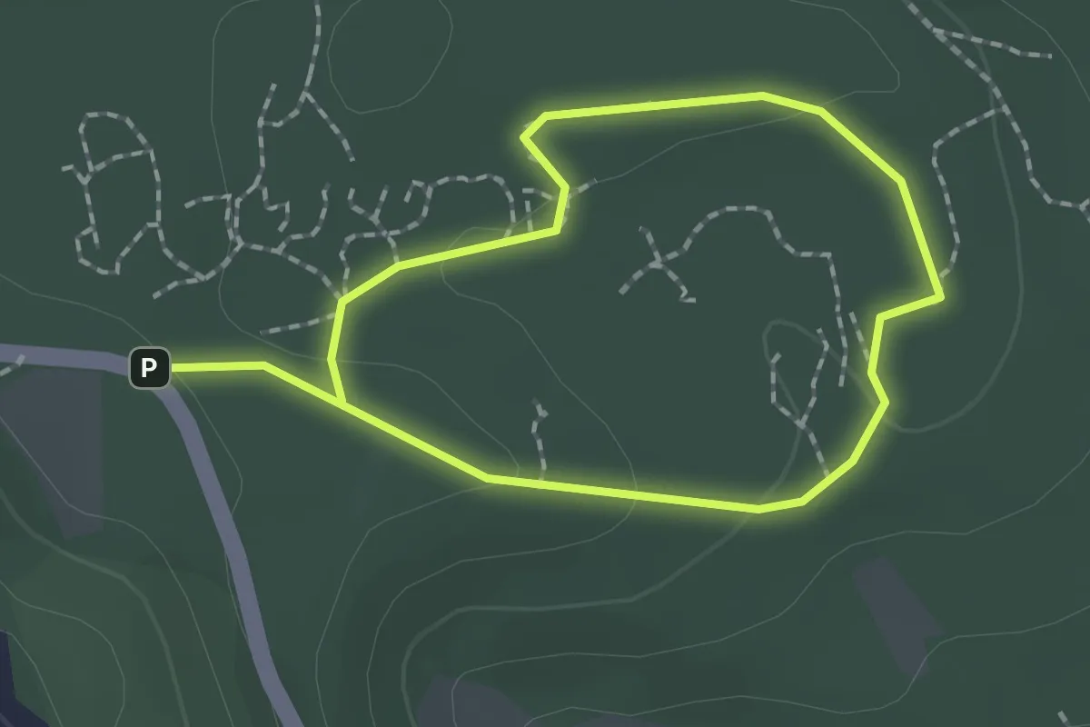
Easy · Trail
Rundweg Kottenheimer Winfeld
1.4 km · ↑ 23 m · 24 min
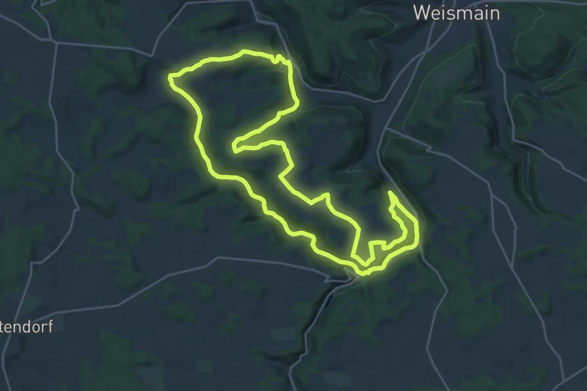
Demanding · Summit
Rundweg Köttler Grund - Kaspauer
19.7 km · ↑ 362 m · 5 h 42 min
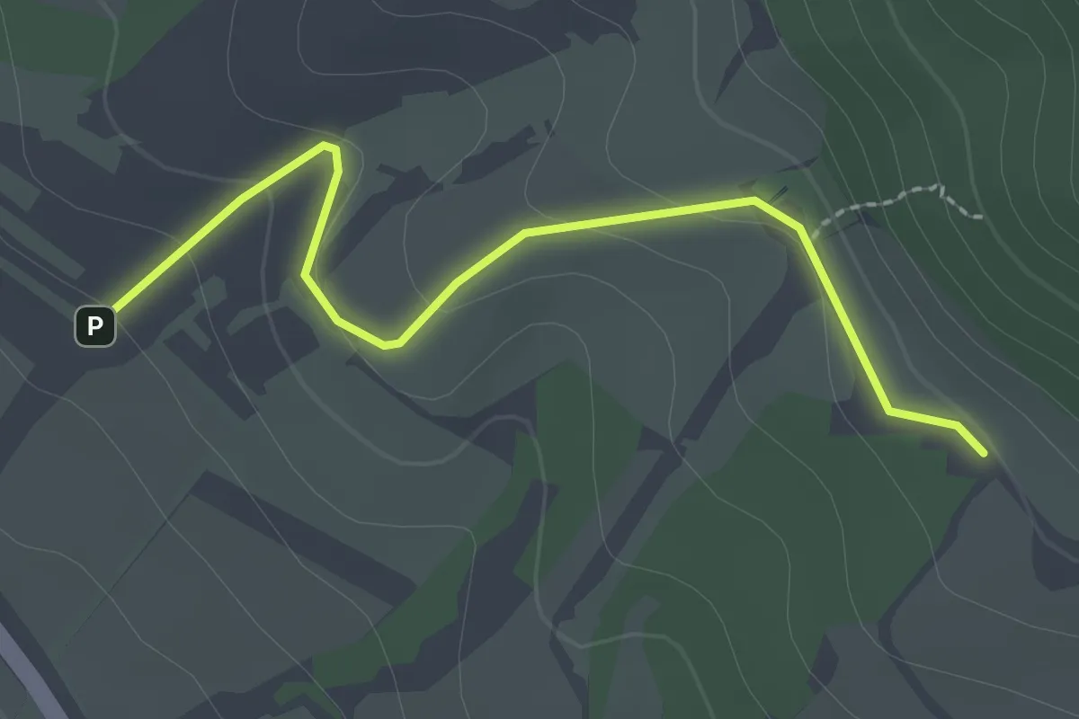
Easy · Trail
Rundweg Kratzberg
1.1 km · ↑ 79 m · 25 min
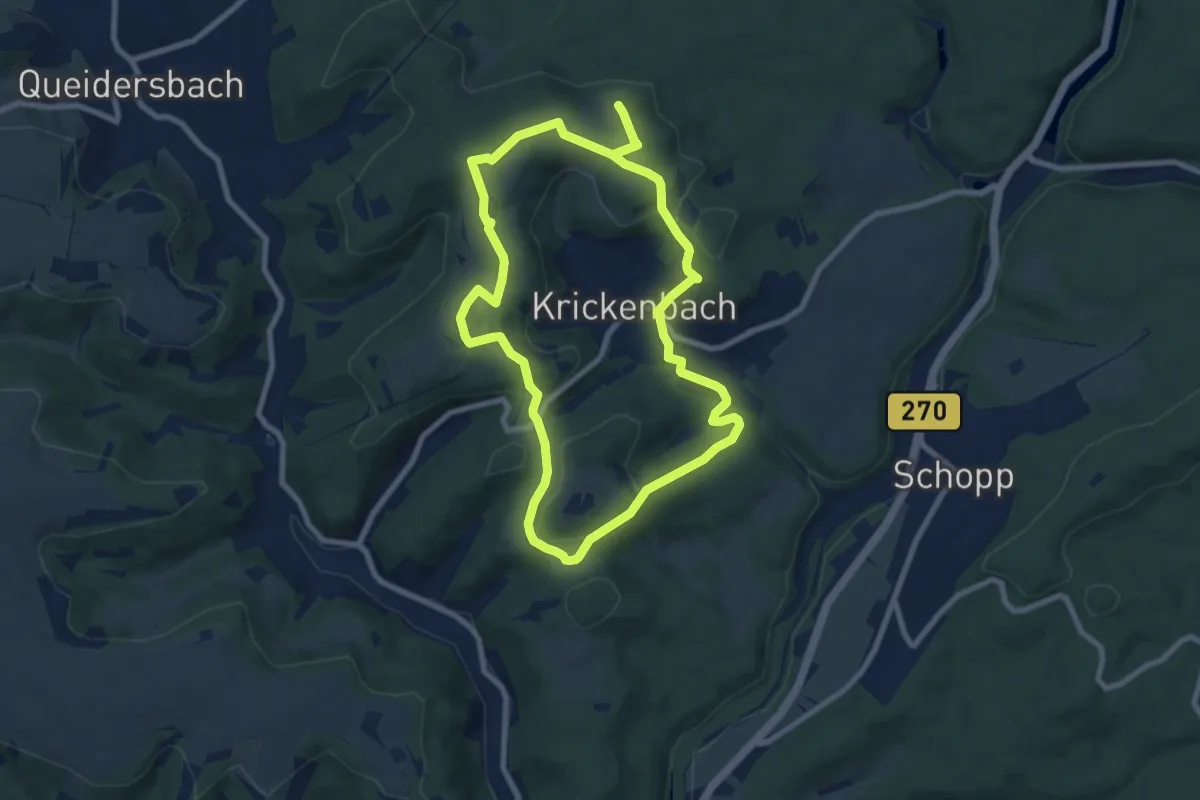
Easy · Trail
Rundweg Krickenbach
7.4 km · ↑ 193 m · 2 h 16 min
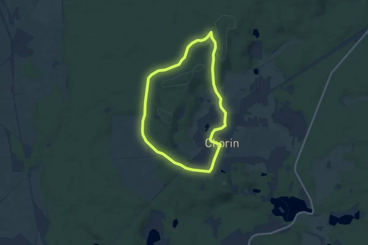
Easy · Summit
Rundweg Kroneneiche
5.6 km · ↑ 68 m · 1 h 33 min
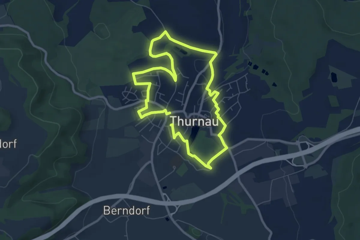
Easy · Trail
Rundweg Krug Thurnau
5.8 km · ↑ 46 m · 1 h 33 min
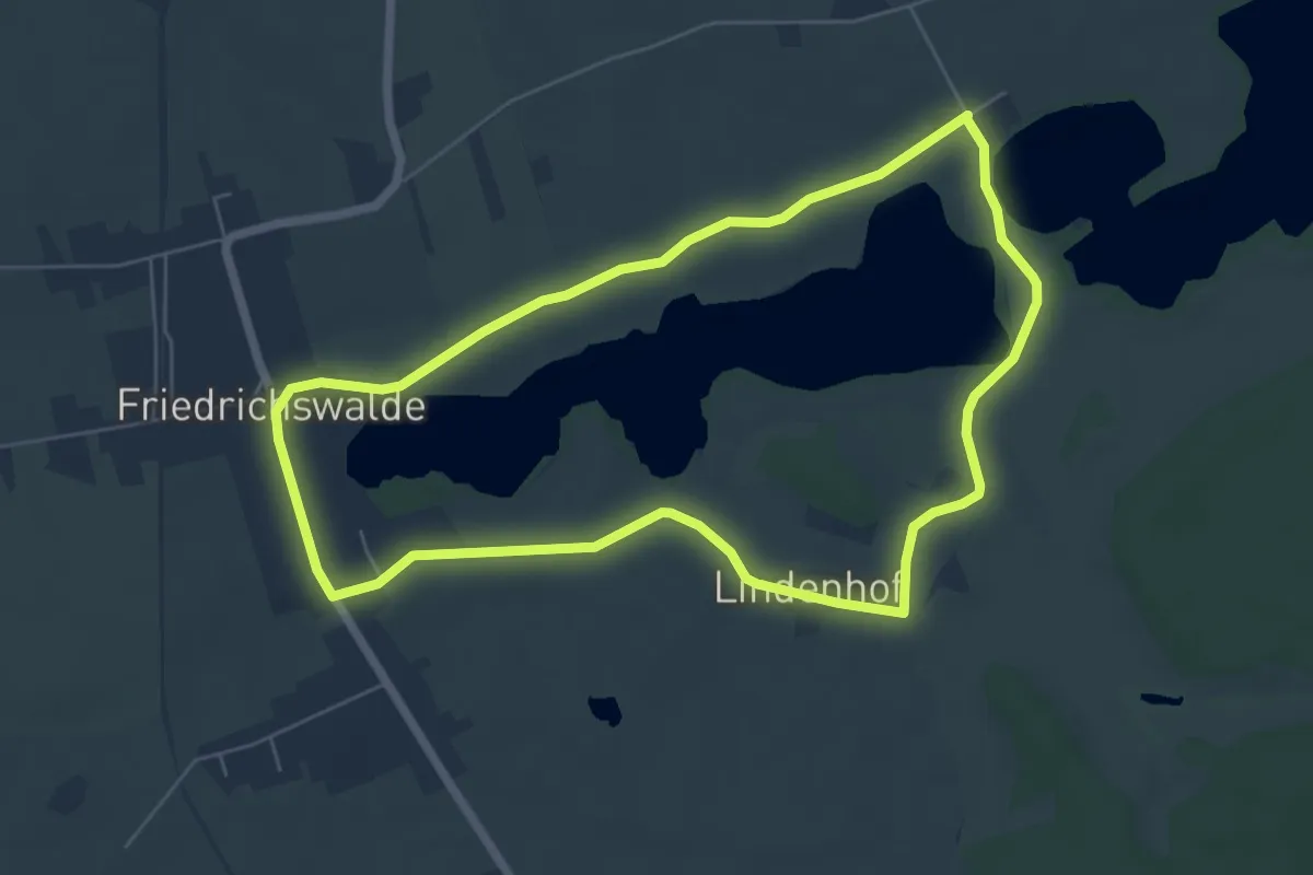
Easy · Trail
Rundweg Krummer See
5.4 km · ↑ 13 m · 1 h 23 min
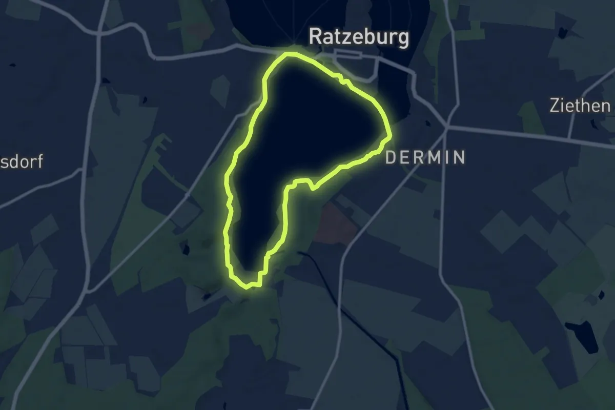
Easy · Trail
Rundweg Küchensee
7.2 km · ↑ 90 m · 1 h 59 min
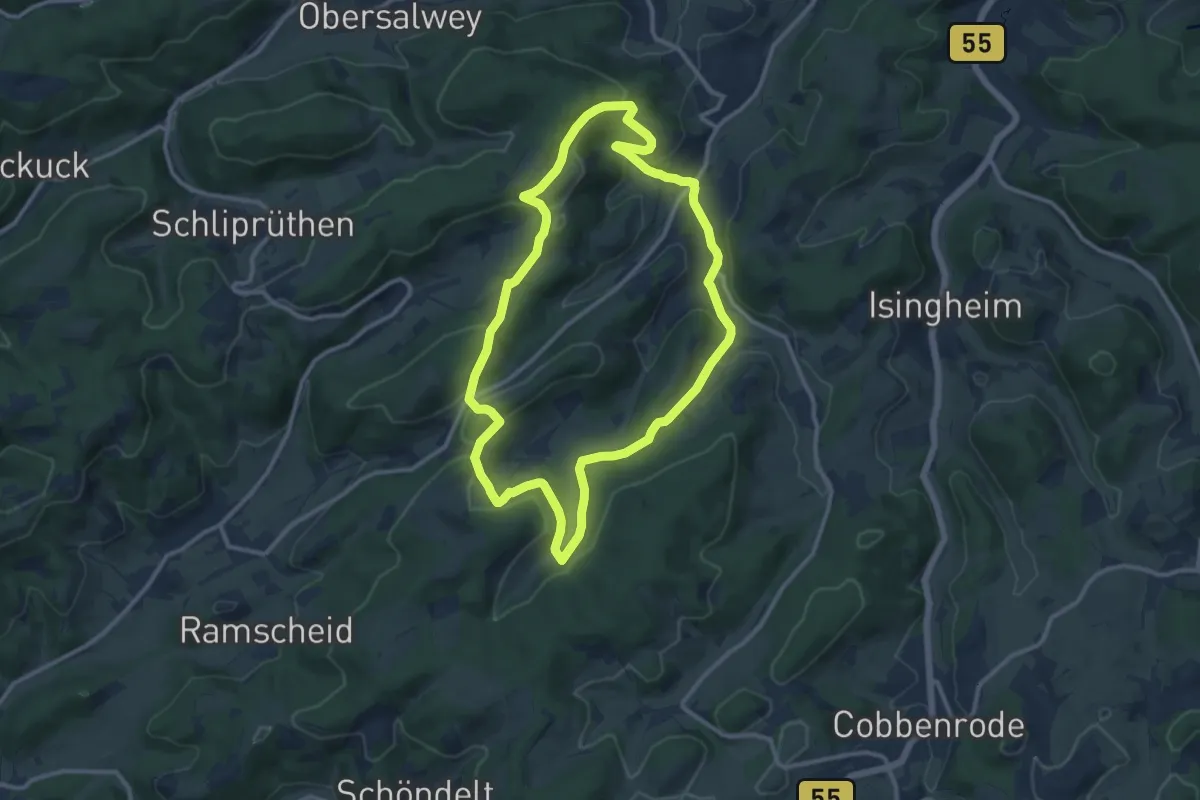
Medium · Trail
Rundweg Kückelheim K1
10.2 km · ↑ 327 m · 3 h 15 min
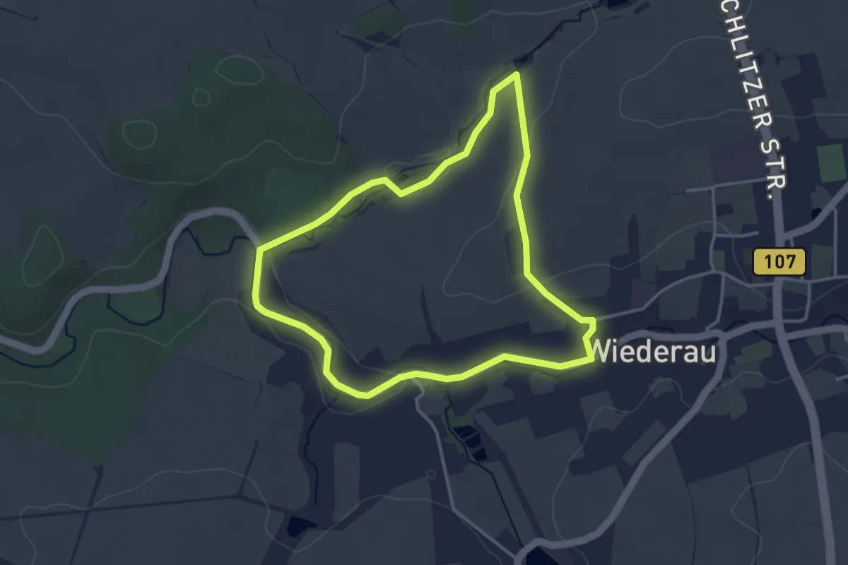
Easy · Trail
Rundweg Kuhbach Wiederau
3.1 km · ↑ 35 m · 51 min
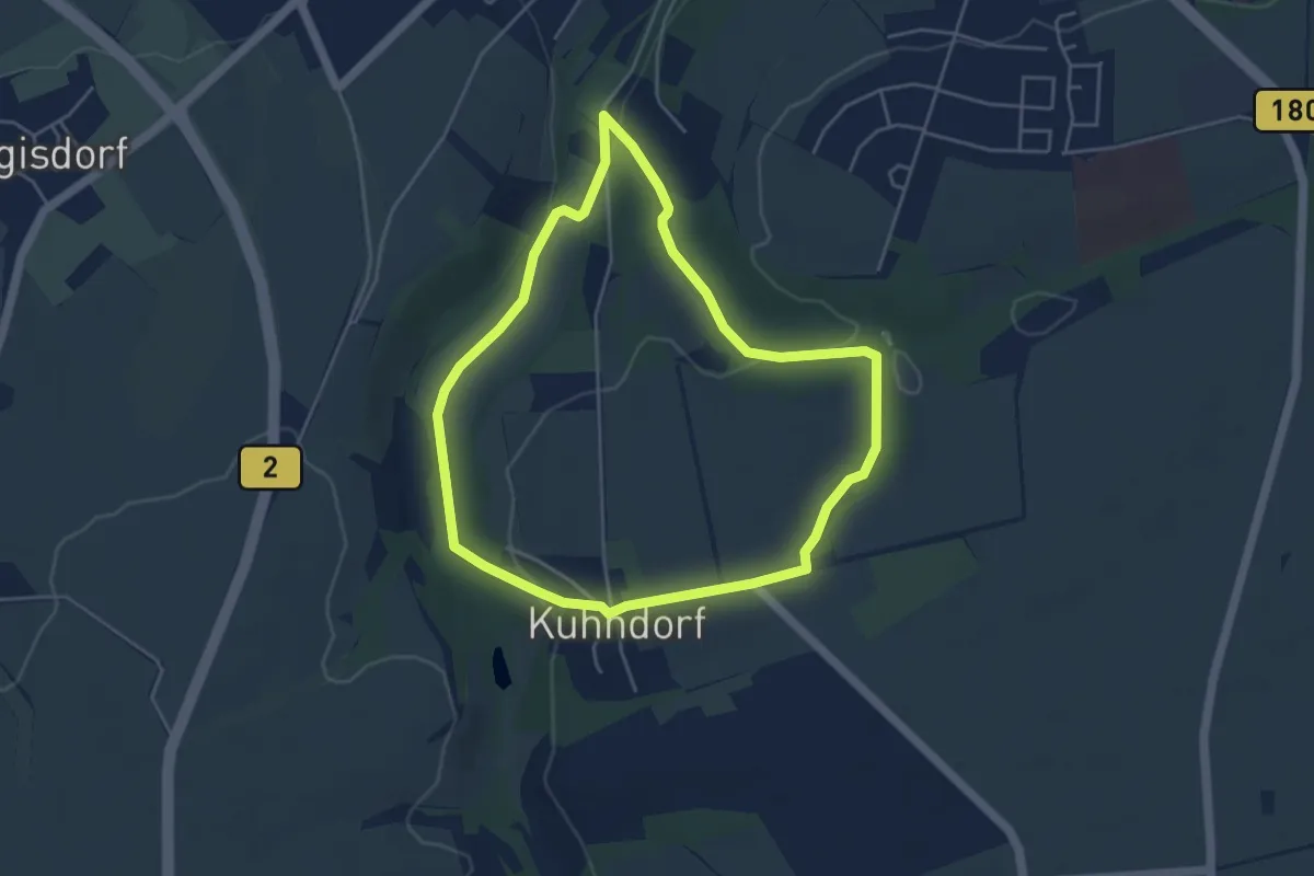
Easy · Trail
Rundweg Kuhndorfer Tal
4.0 km · ↑ 74 m · 1 h 10 min
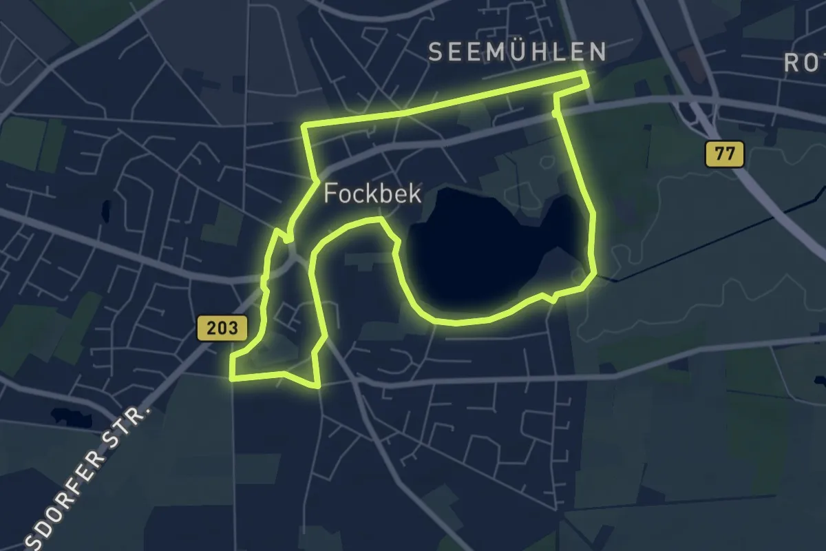
Easy · Trail
Rundweg Kulturdenkmäler
6.1 km · ↑ 8 m · 1 h 32 min
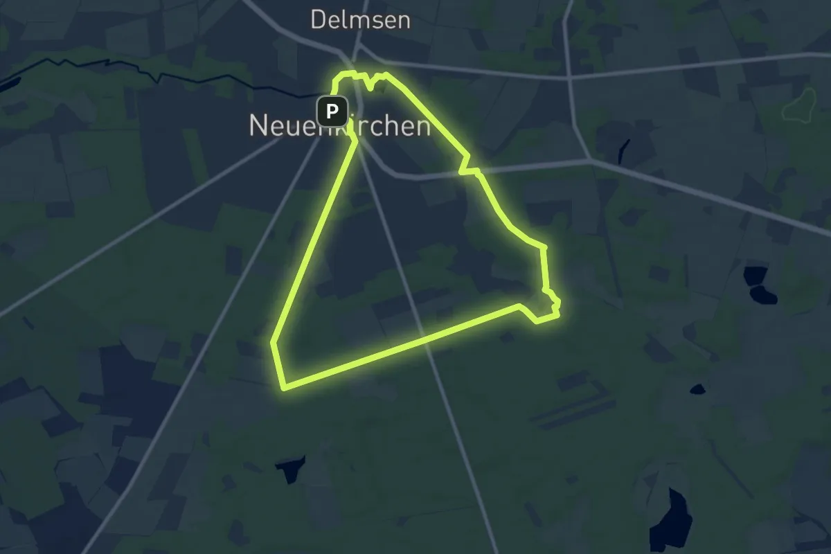
Easy · Trail
Rundweg Kunstlandschaft Neuenkirchen
8.0 km · ↑ 44 m · 2 h 5 min
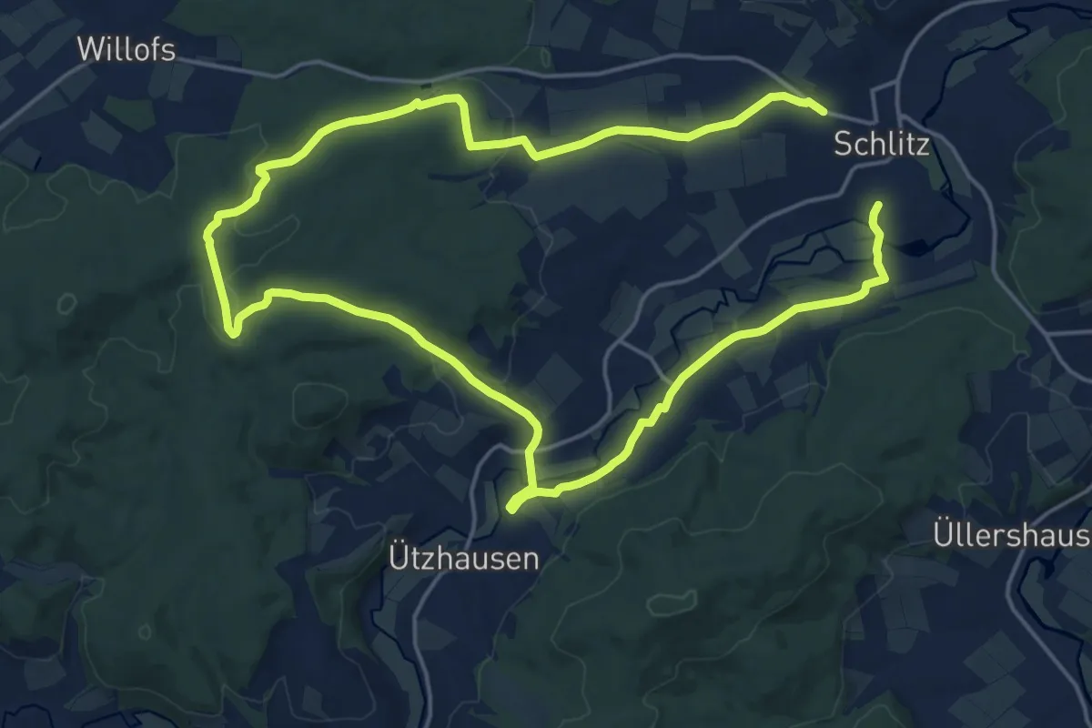
Medium · Trail
Rundweg Kutschen-Küppel Nieder-Stoll
15.2 km · ↑ 258 m · 4 h 22 min
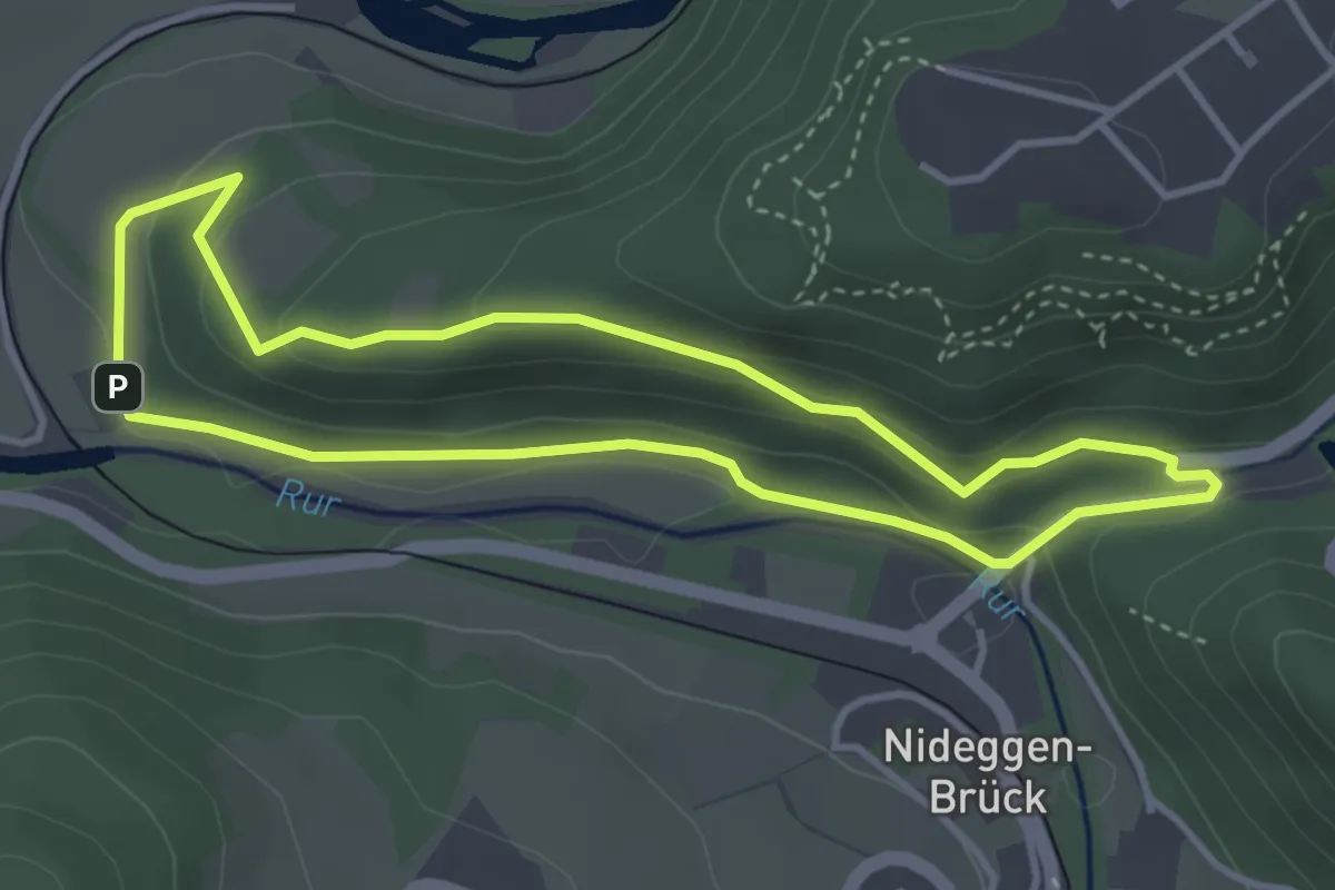
Easy · Trail
Rundweg "Laacher Berg - Wingertsweg"
3.3 km · ↑ 116 m · 1 h 4 min
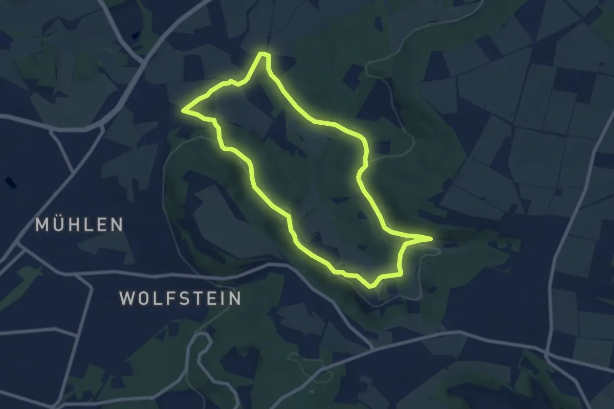
Easy · Trail
Rundweg Labersricht
6.5 km · ↑ 166 m · 1 h 59 min
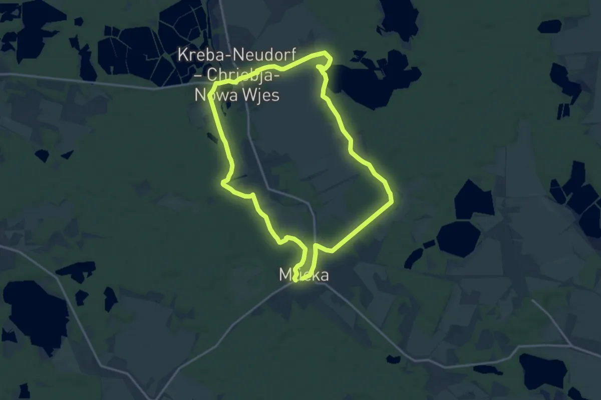
Medium · Trail
Rundweg Lache
12.0 km · ↑ 47 m · 3 h 7 min
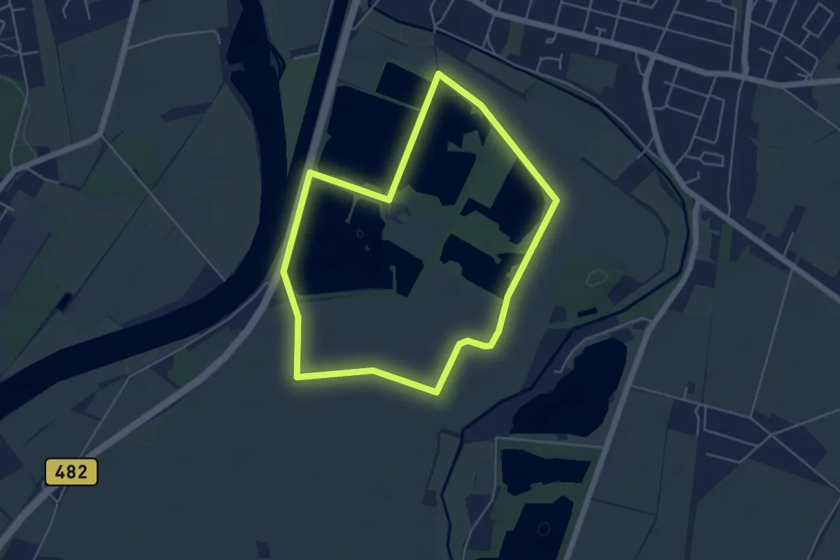
Easy · Trail
Rundweg Lahde
4.1 km · ↑ 4 m · 1 h 2 min
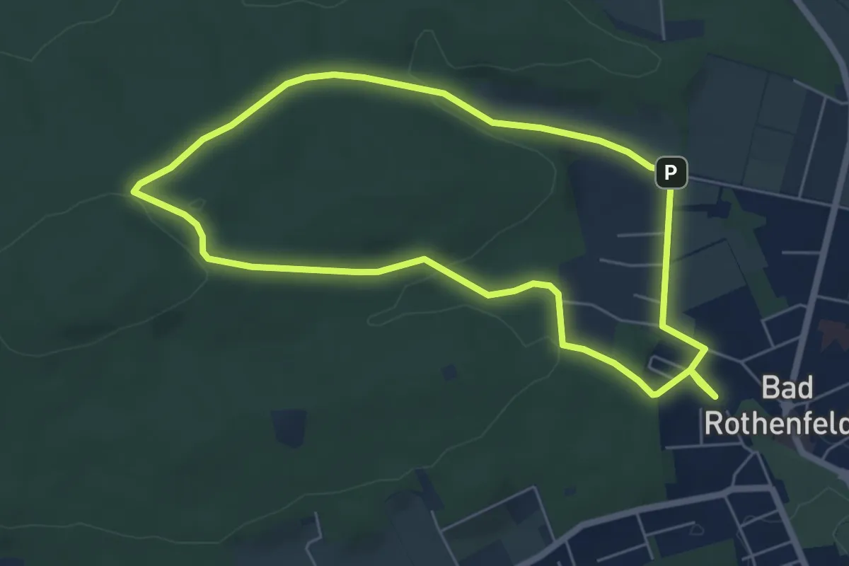
Easy · Trail
Rundweg Langer Brink
4.9 km · ↑ 91 m · 1 h 26 min
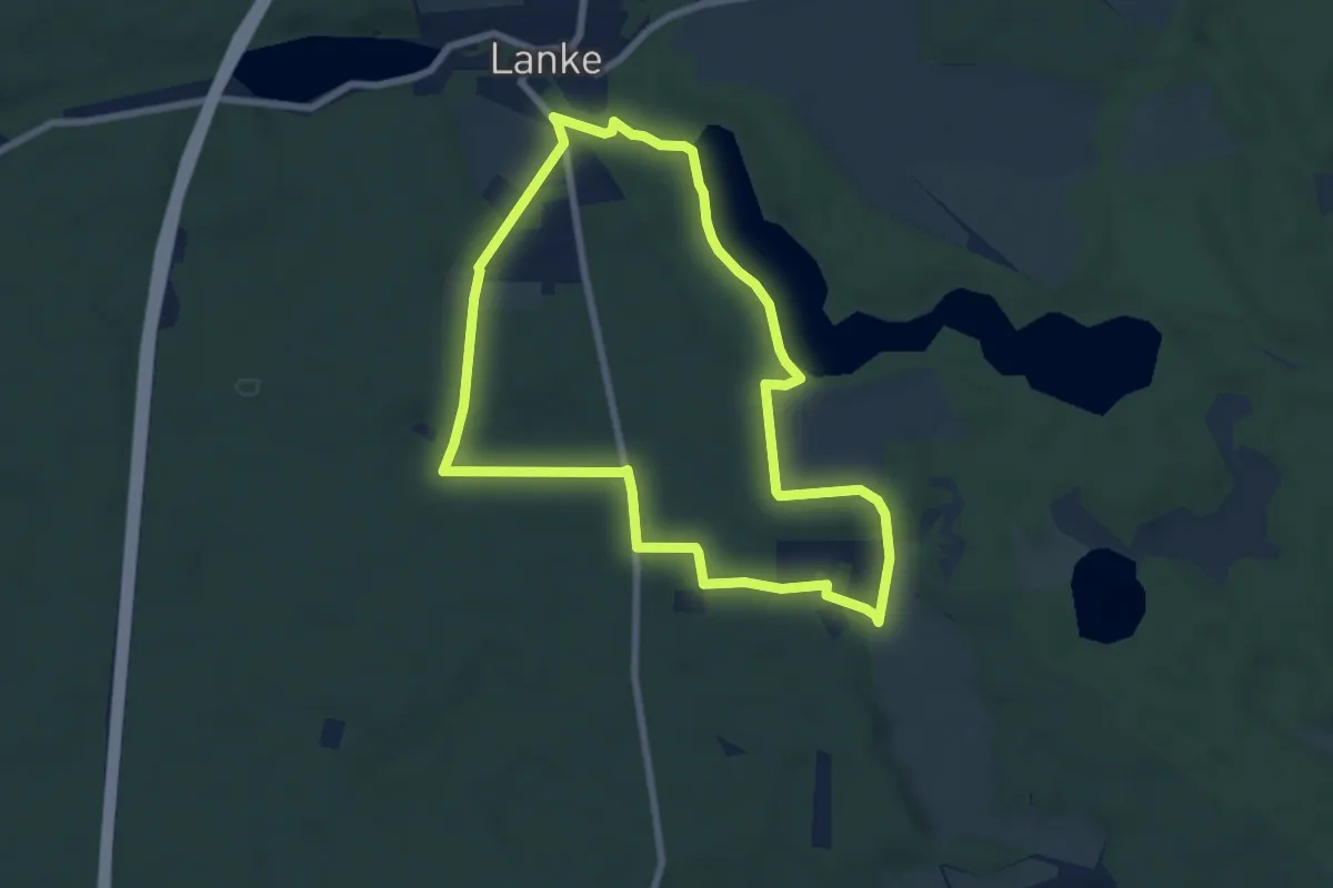
Easy · Trail
Rundweg Lanke-Hellsee-Bergauf
6.2 km · ↑ 53 m · 1 h 40 min
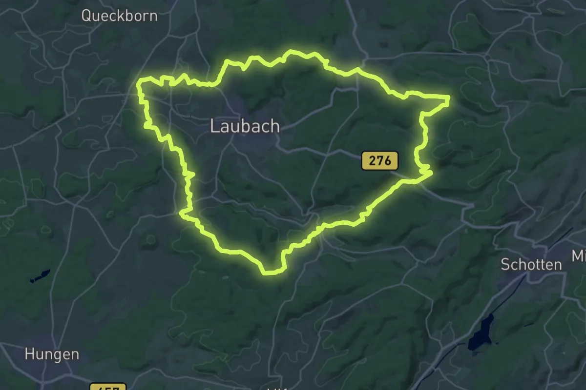
Demanding · Summit
Rundweg Laubach
35.3 km · ↑ 634 m · 10 h 11 min
Easy · Trail
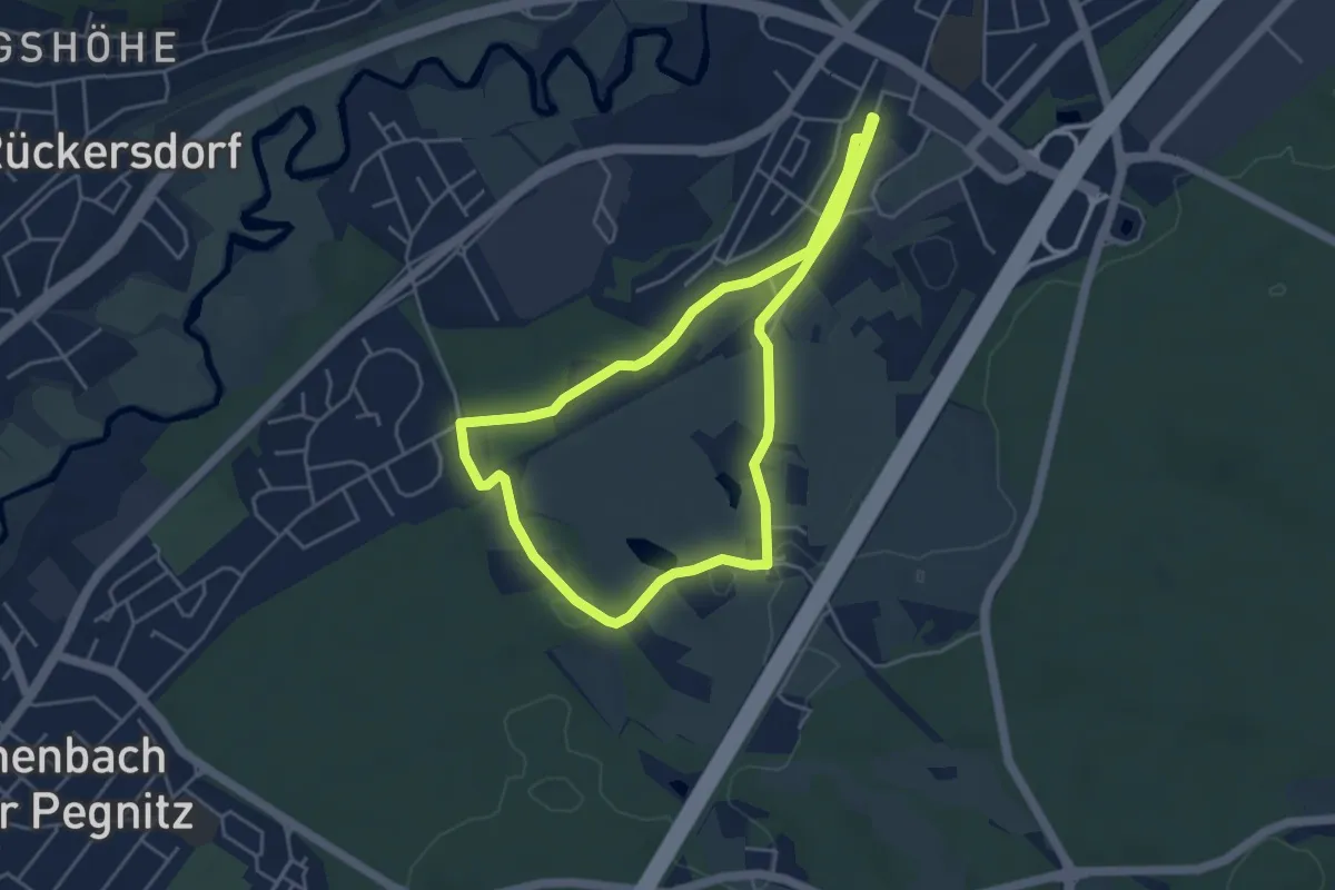
Rundweg Lauf-Letten
4.0 km · ↑ 29 m · 1 h 3 min
Easy · Trail
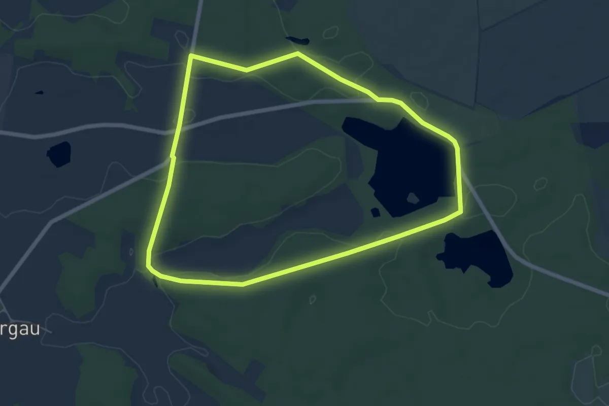
Rundweg Lausiger Teiche
5.2 km · ↑ 51 m · 1 h 25 min
Easy · Summit
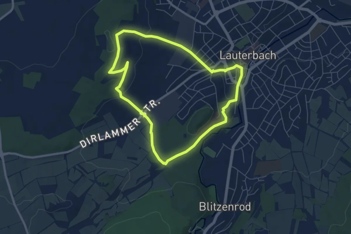
Rundweg Lauterbach: yellow dot on white
5.5 km · ↑ 113 m · 1 h 36 min
Medium · Summit
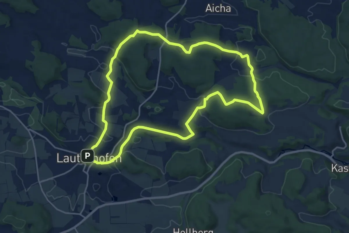
Rundweg Lauterhofen LTH3
13.4 km · ↑ 283 m · 3 h 57 min