Trails in Germany
36,824 hiking trails, each with its route, climb, walking time and grade.
All trails, page 55 of 768
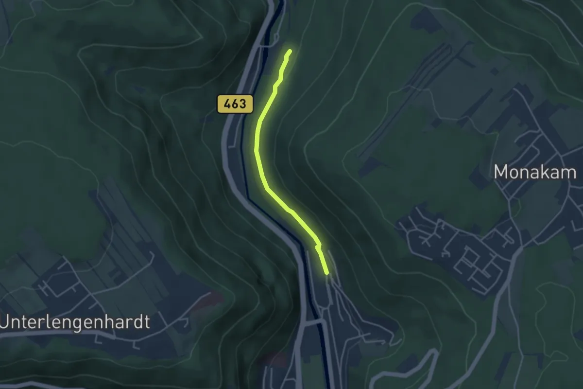
Easy · Trail
Beim alten Bahnwärterhaus - Bad Liebenzell Forchenhalde
2.9 km · ↑ 83 m · 52 min
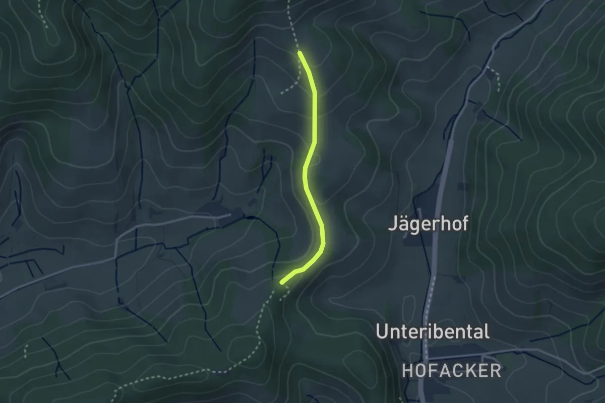
Easy · Trail
Beim Bildstöckle - Klingeleberg
2.2 km · ↑ 86 m · 42 min
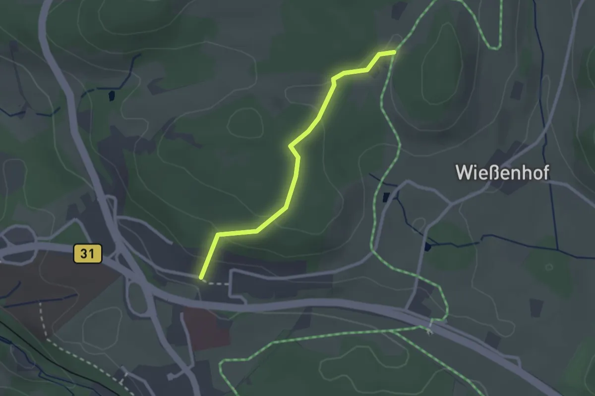
Easy · Trail
Beim Birkleshäusle - Rössleberg
2.1 km · ↑ 69 m · 39 min
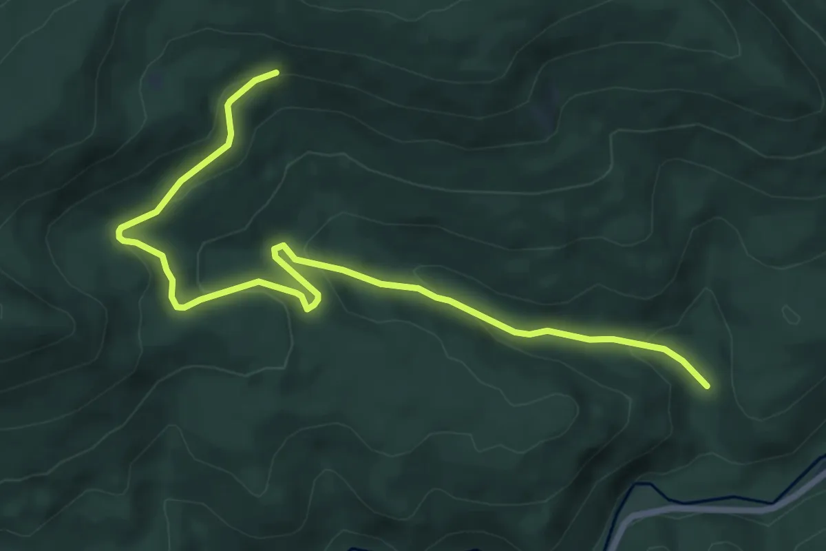
Easy · Trail
Beim Blindsee - Reutenhart
7.6 km · ↑ 275 m · 2 h 24 min
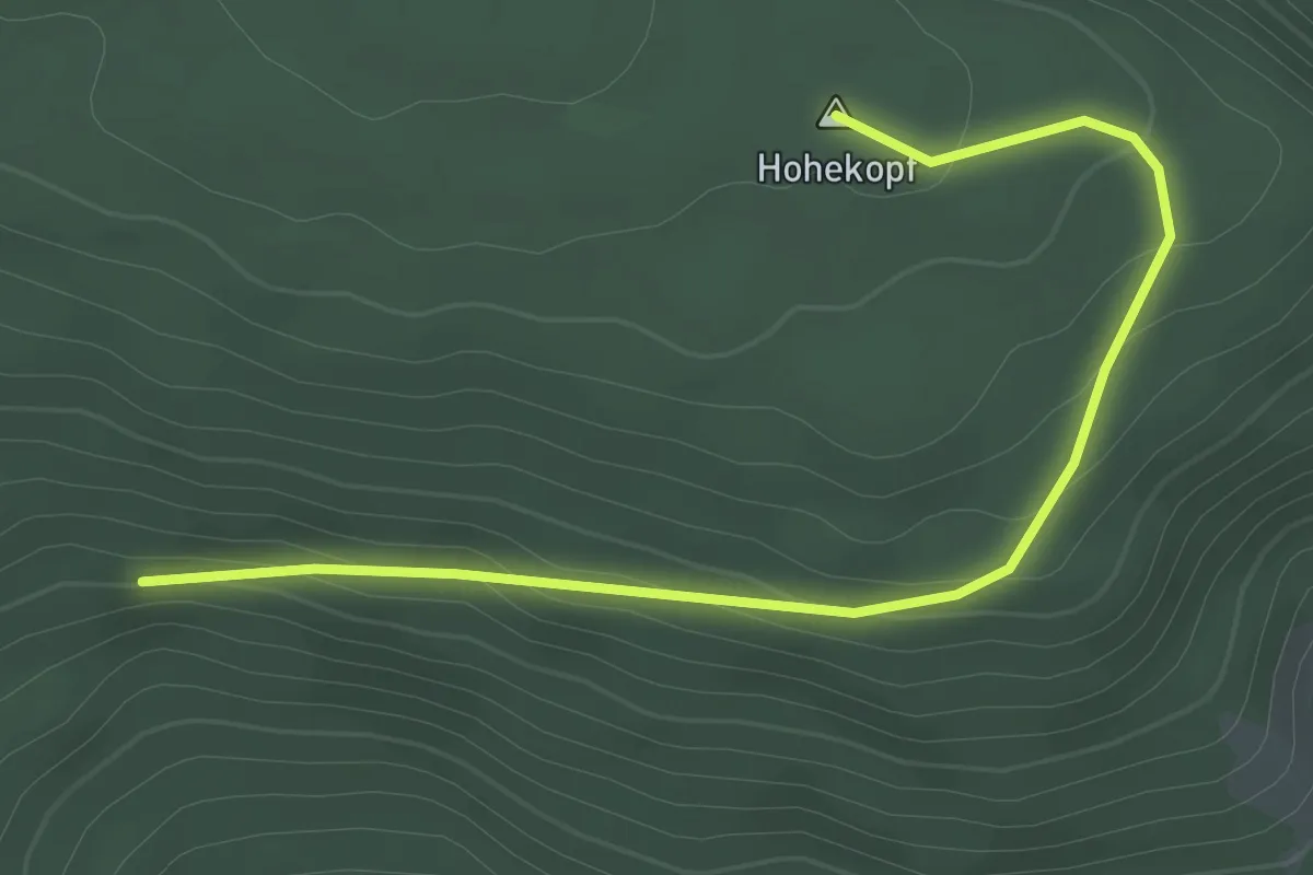
Easy · Summit
Beim Blindsee - Schurmseehöhe
2.9 km · ↑ 109 m · 55 min
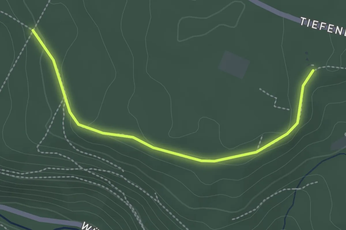
Easy · Trail
Beim Britschstein - Schützenpfad
2.6 km · ↑ 40 m · 41 min
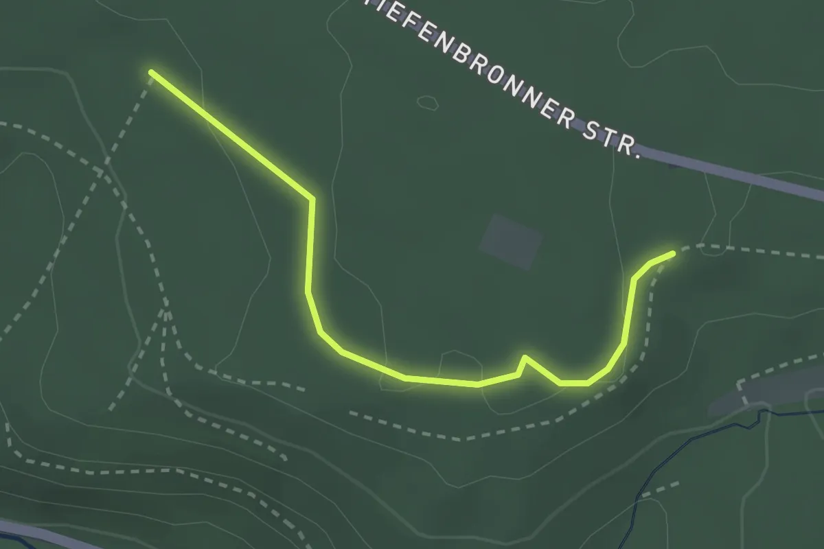
Easy · Trail
Beim Britschstein - Todtenwiesle
2.5 km · ↑ 36 m · 41 min
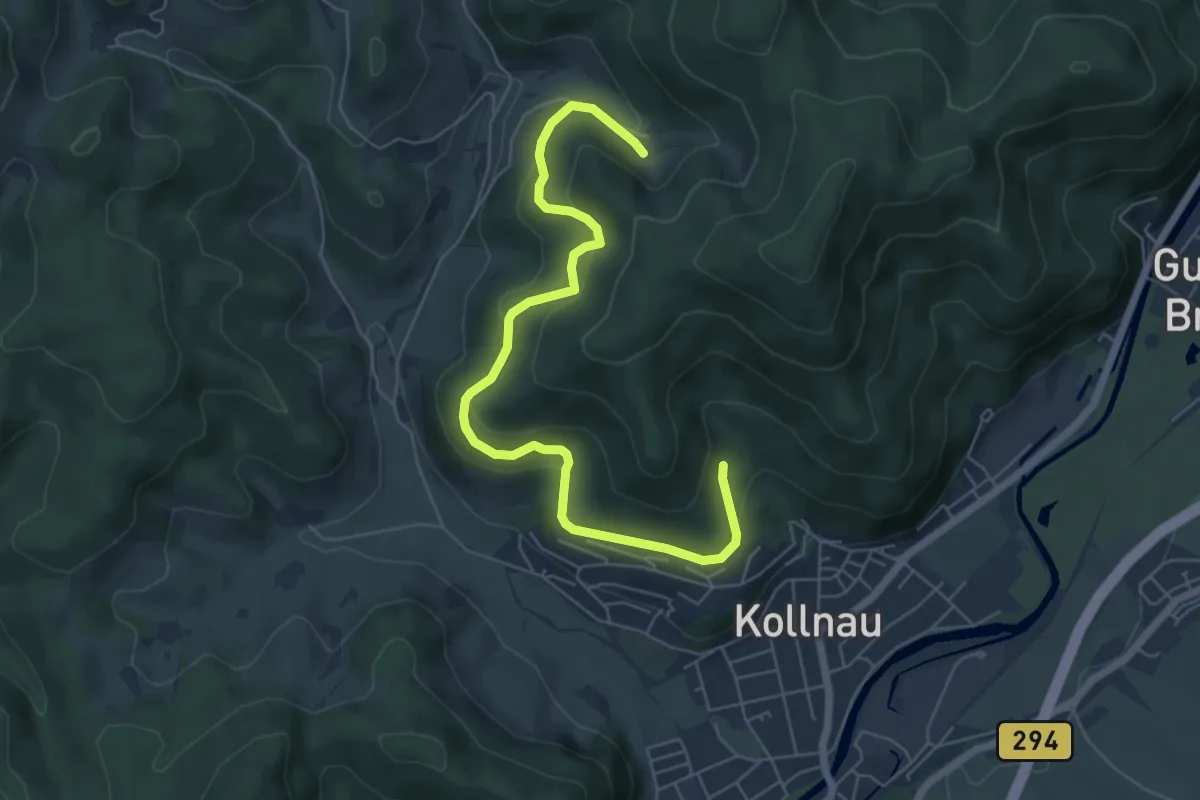
Easy · Trail
Beim Bromhof - Im Blasiwald
6.5 km · ↑ 298 m · 2 h 11 min
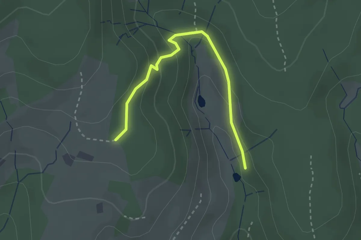
Easy · Trail
Beim Disselhäusle - Beim Sägweiher Dreier
2.4 km · ↑ 133 m · 51 min
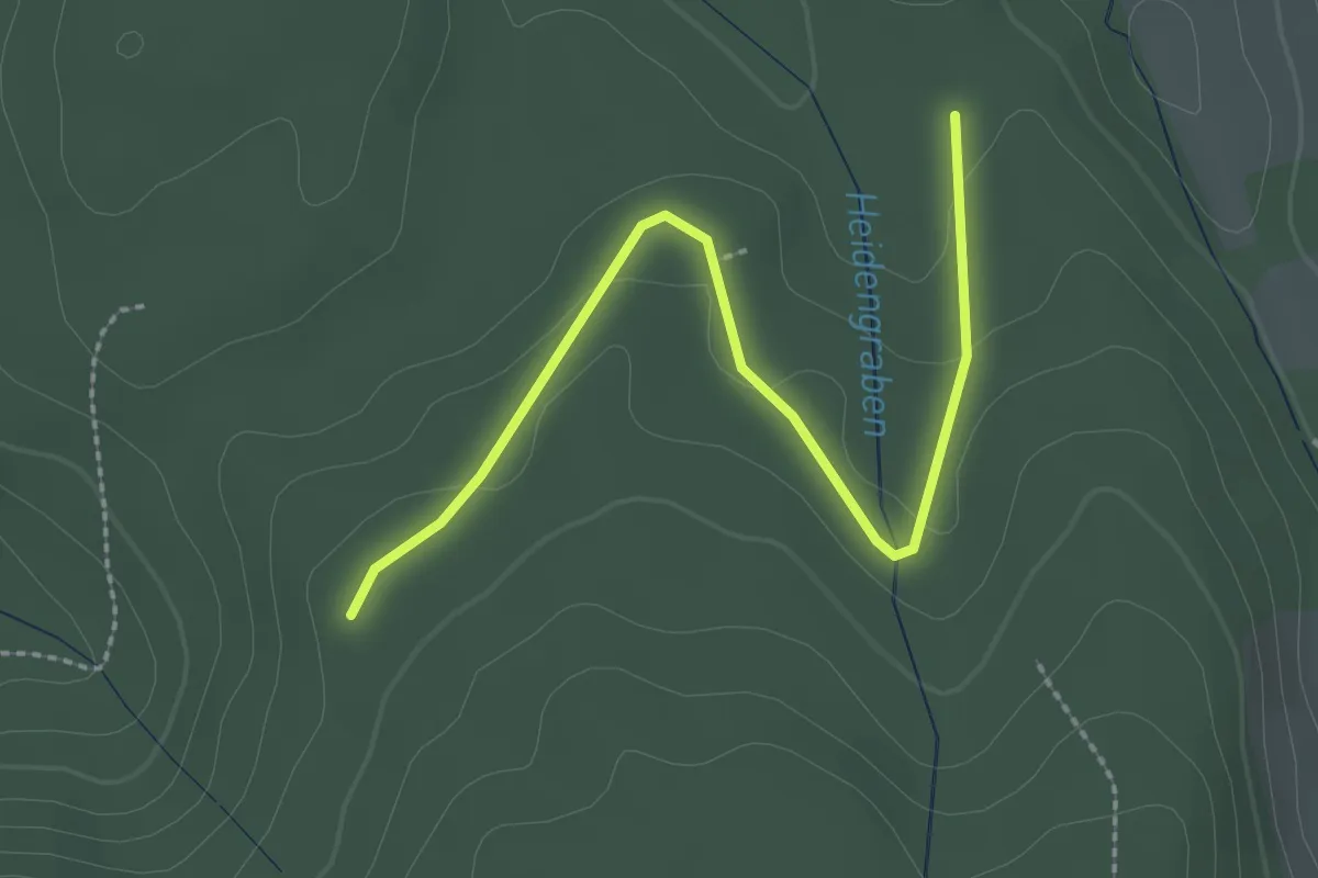
Easy · Trail
Beim dreieckigen Bannstein - Grüner Platz
2.6 km · ↑ 54 m · 44 min
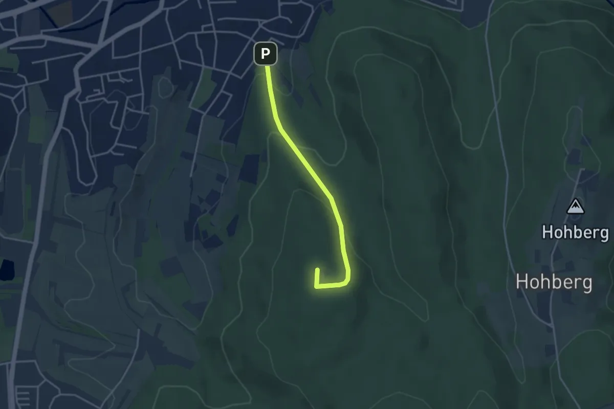
Easy · Summit
Beim dreieckigen Bannstein - Lahr Erneteck
3.1 km · ↑ 154 m · 1 h 4 min
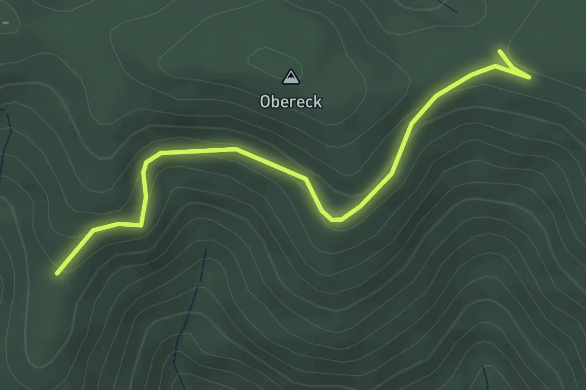
Easy · Trail
Beim Dürrstein - Griesbacher Eck
3.2 km · ↑ 147 m · 1 h 4 min
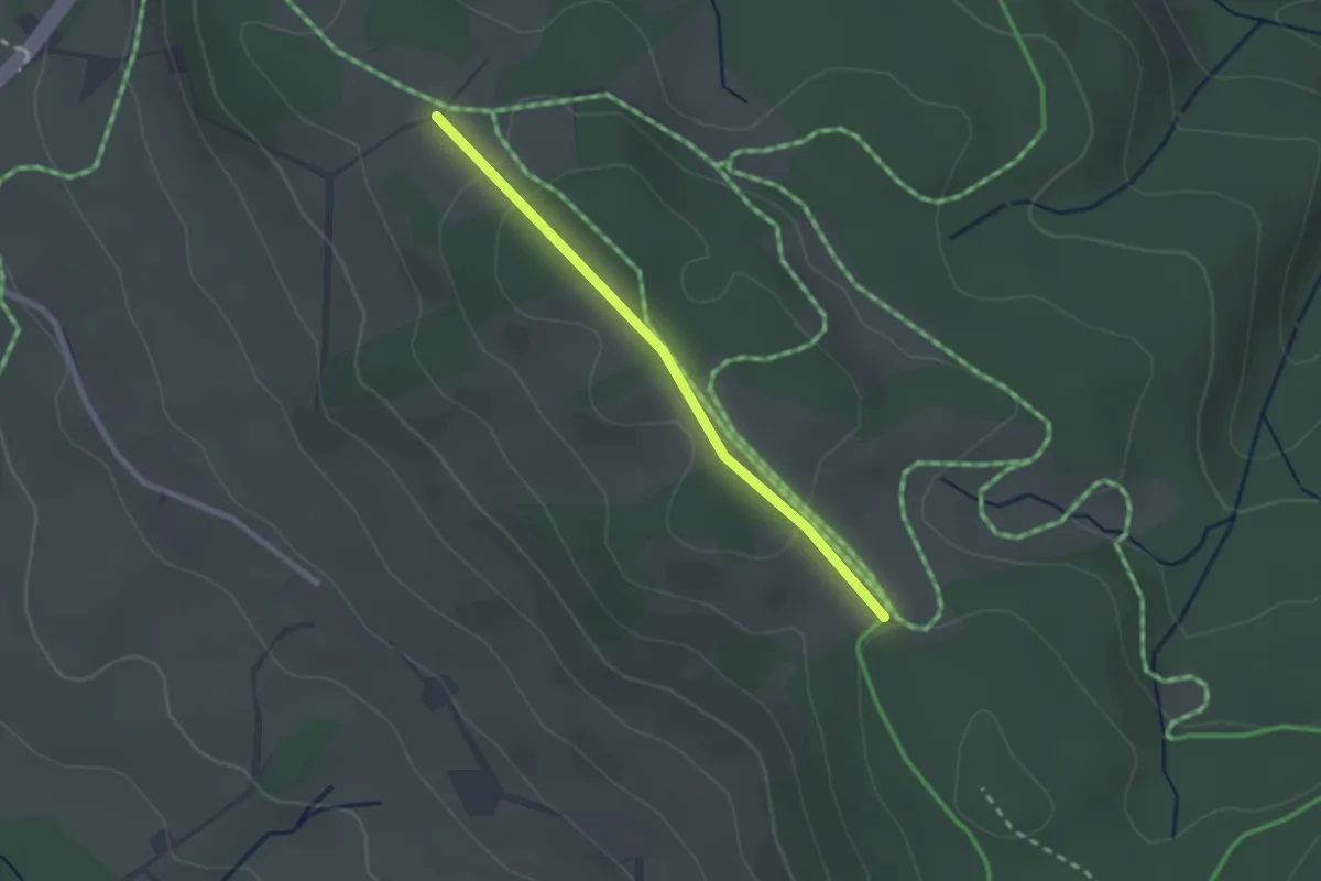
Easy · Trail
Beim Eckershäusle - Fahrenberger Höhe
2.1 km · ↑ 47 m · 35 min
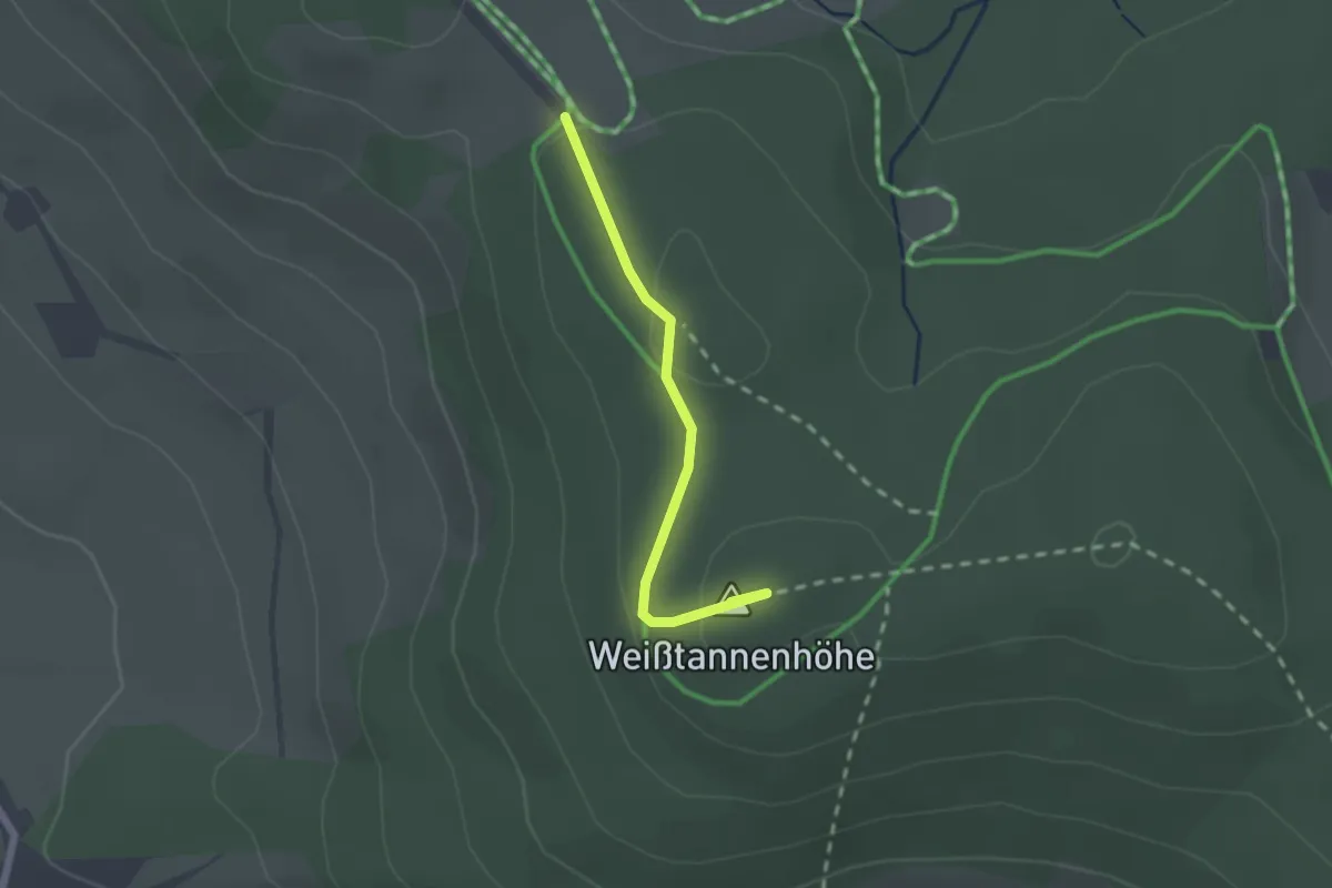
Easy · Summit
Beim Eckershäusle - Weißtannenhöhe
1.8 km · ↑ 50 m · 32 min
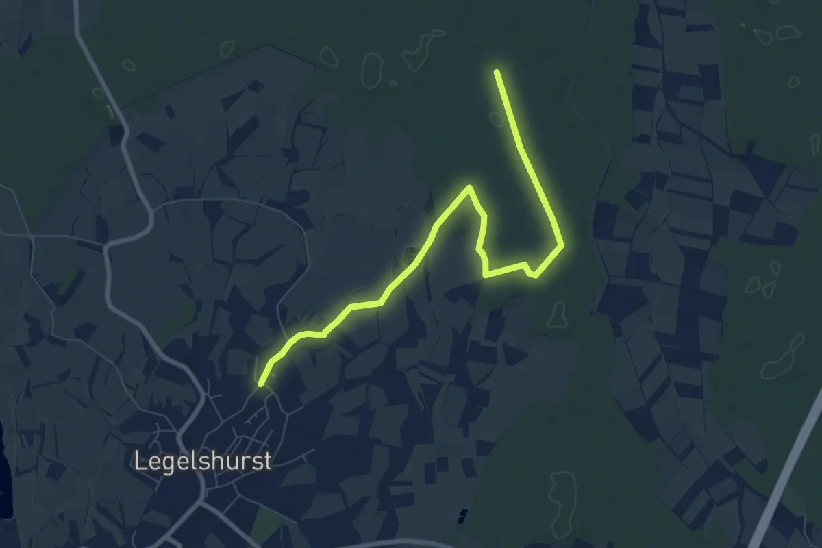
Medium · Trail
Beim Eichenkönig - Legelshurst Eschenweg
8.1 km · ↑ 27 m · 1 h 58 min
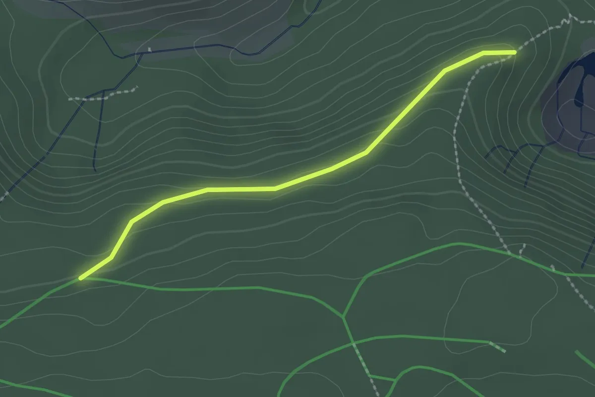
Easy · Trail
Beim Ellbachsee - Rosshimmel
2.1 km · ↑ 69 m · 39 min
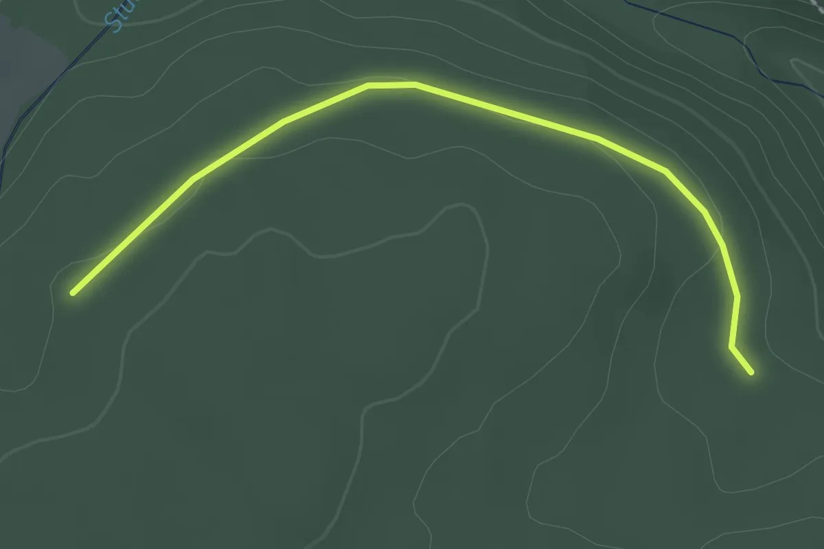
Easy · Trail
Beim Elsenbronnen - Schwenke
2.2 km · ↑ 28 m · 35 min
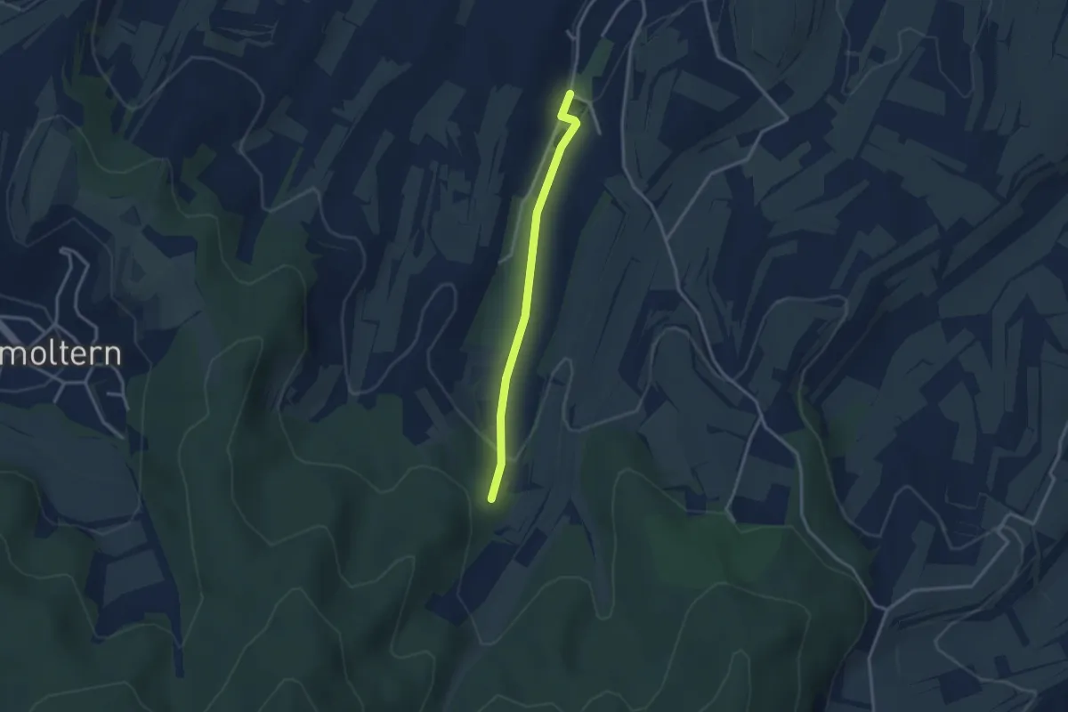
Easy · Trail
Beim Erleloch - Endingen Erleweiher
2.6 km · ↑ 74 m · 47 min
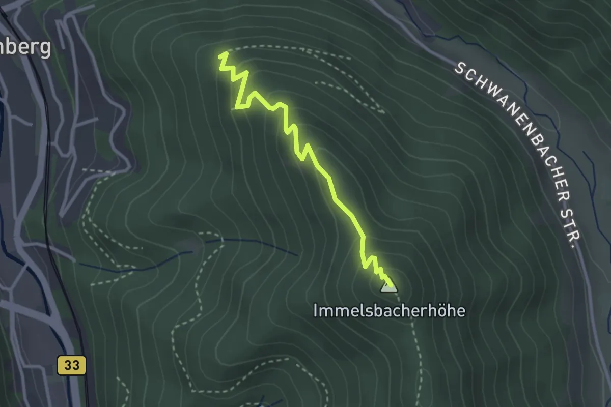
Medium · Summit
Beim Fernsehumsetzer - Immelsbacher Höhe
2.7 km · ↑ 202 m · 1 h 4 min
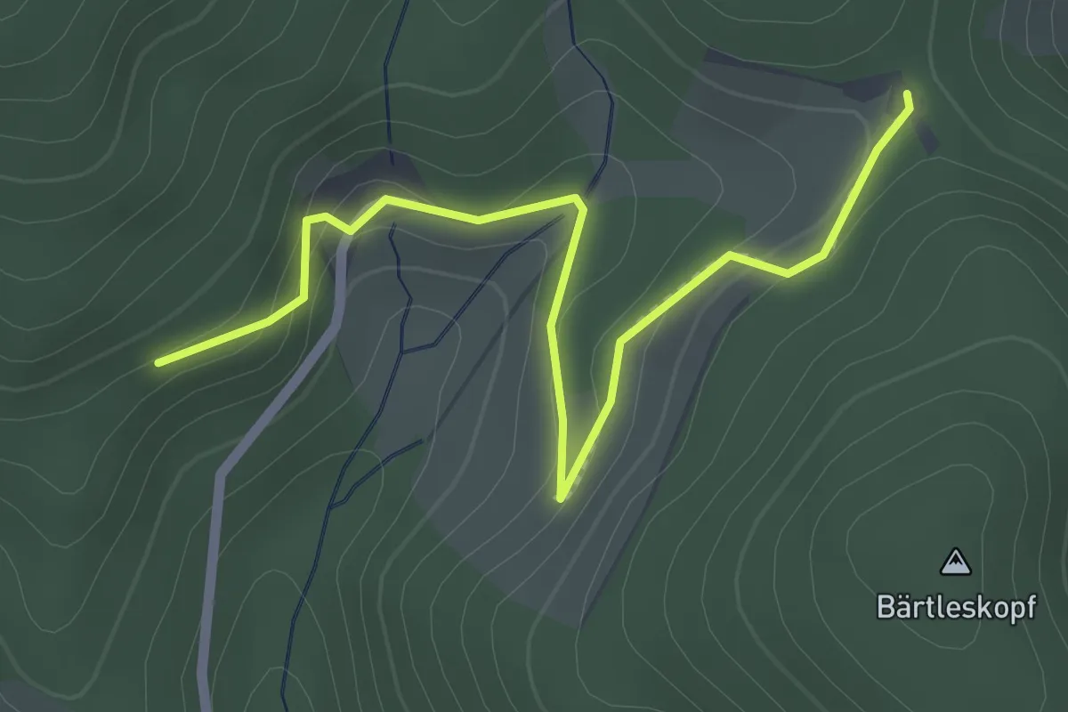
Easy · Trail
Beim Fiesemichel - Simmersbacher Kreuz
2.4 km · ↑ 80 m · 44 min
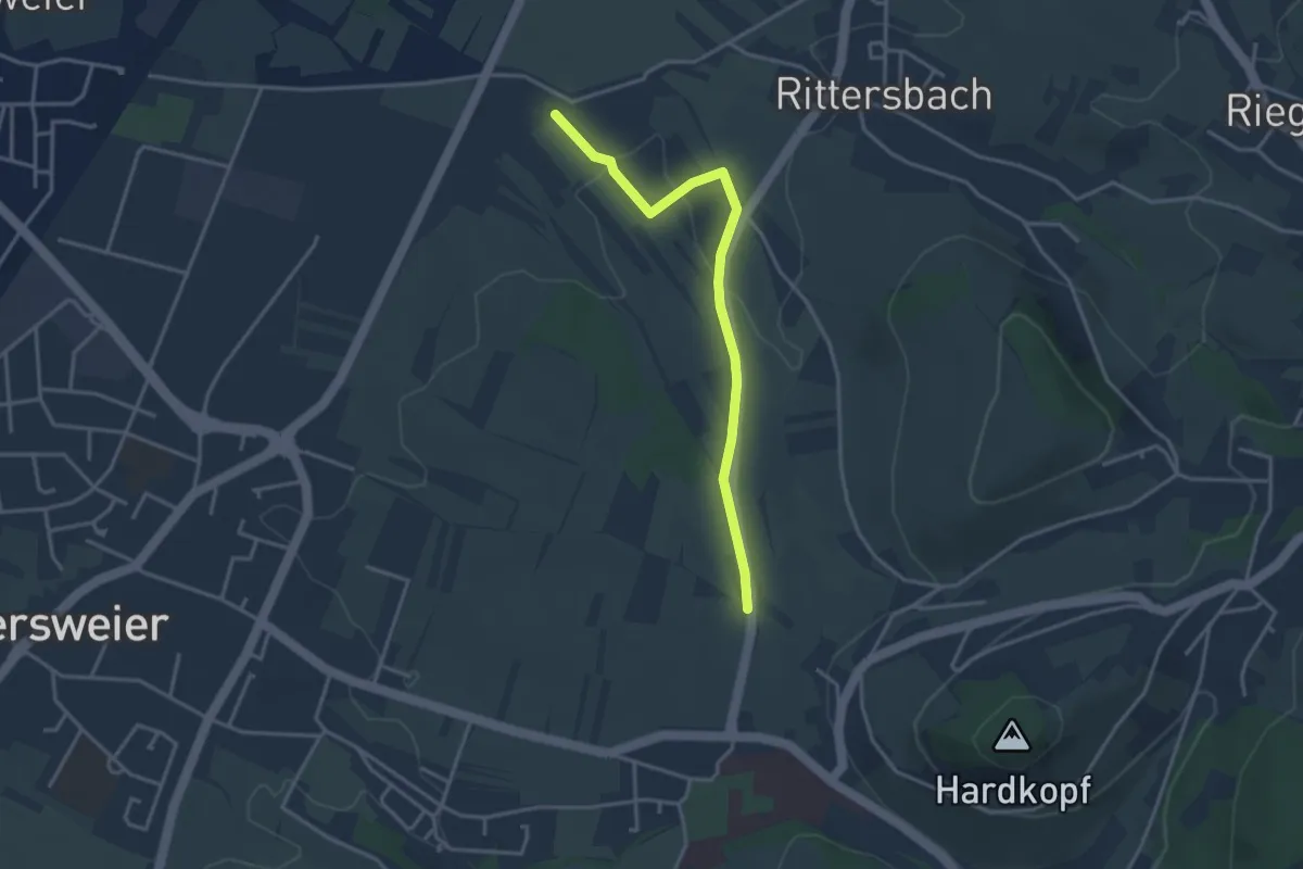
Easy · Trail
Beim Friedenskreuz - Lindenfeld
3.3 km · ↑ 59 m · 54 min
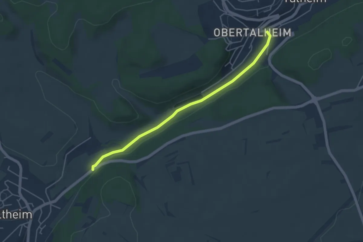
Easy · Trail
Beim Friedhof Altheim - Obertalheim Engel
3.9 km · ↑ 24 m · 58 min
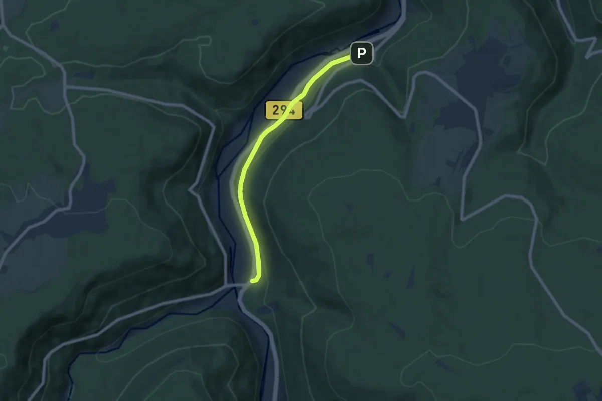
Easy · Trail
Beim Friedhof Neuenbürg - Dachsbau
5.6 km · ↑ 108 m · 1 h 33 min
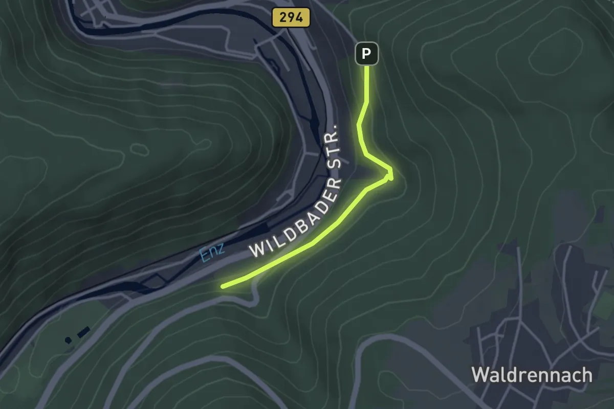
Easy · Trail
Beim Friedhof Neuenbürg - Happey
2.5 km · ↑ 98 m · 48 min
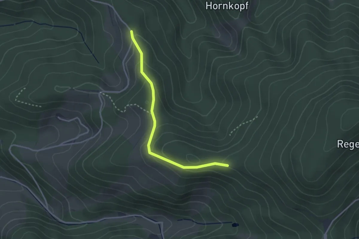
Easy · Trail
Beim Grabenjörgle - Langenberg
2.7 km · ↑ 129 m · 55 min
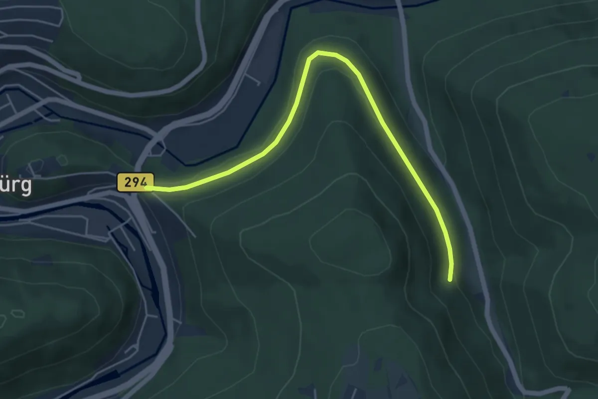
Easy · Trail
Beim Grösseltal-Haus - Neuenbürg Windhof
4.8 km · ↑ 97 m · 1 h 21 min
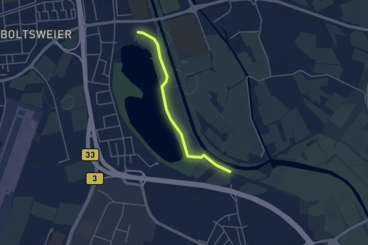
Easy · Trail
Beim Großen Deich - Gifiz-See
3.0 km · ↑ 8 m · 43 min
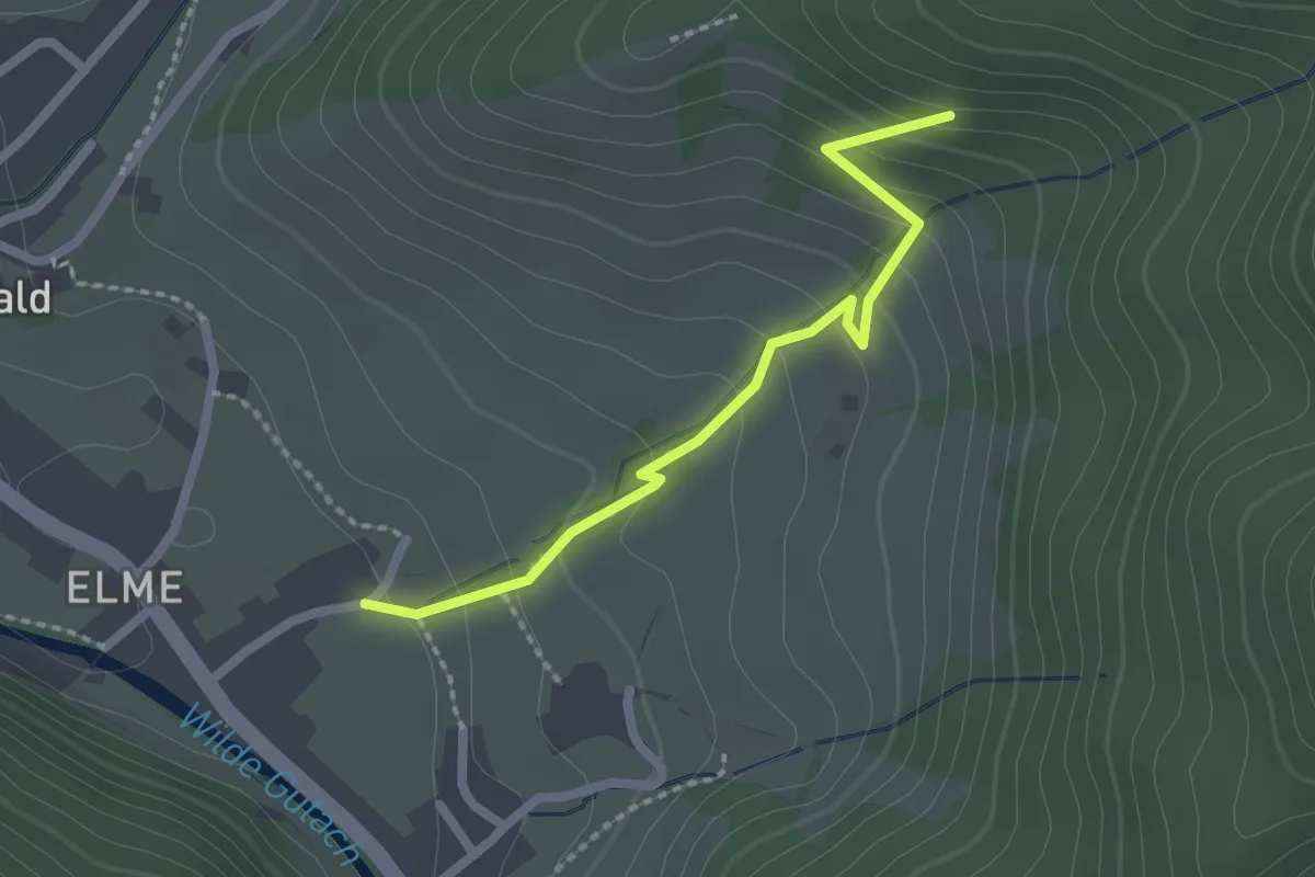
Medium · Trail
Beim Gummeneck - Sonnengasse
2.0 km · ↑ 147 m · 48 min
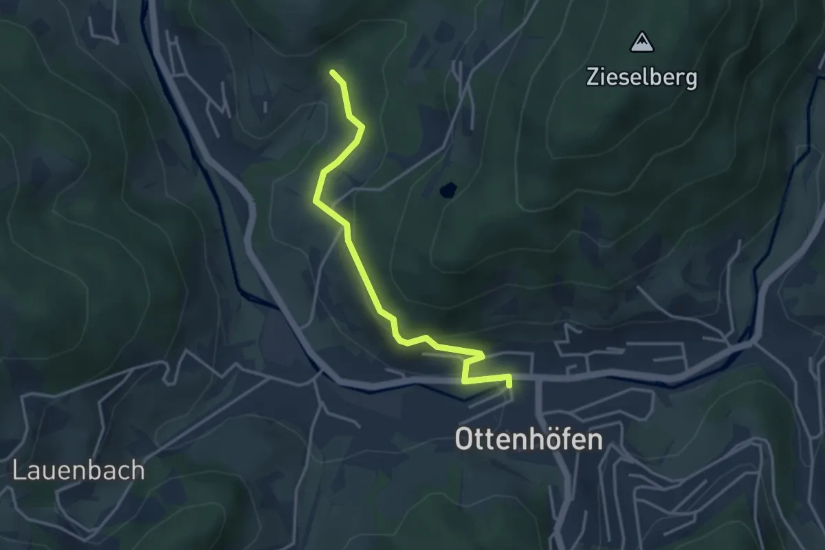
Easy · Trail
Beim Günsberghof - Ottenhöfen Bahnhof
3.1 km · ↑ 127 m · 1 h 1 min
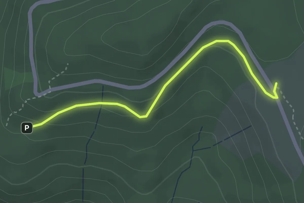
Easy · Trail
Beim Hardstein - Wittig
2.9 km · ↑ 69 m · 50 min
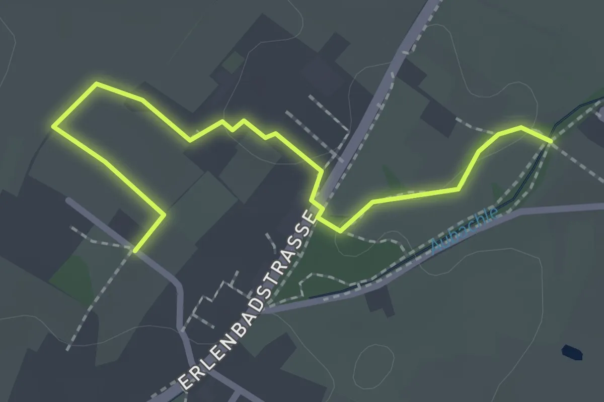
Easy · Trail
Beim Haus Hochfelden - Engert
2.2 km · ↑ 9 m · 33 min
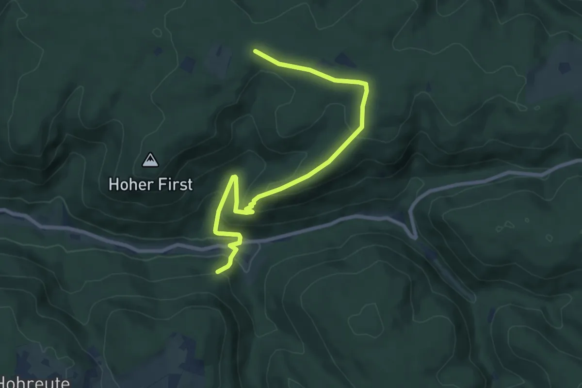
Easy · Trail
Beim Herbolzheimer Höfle - Hammerschmiede
7.5 km · ↑ 275 m · 2 h 21 min
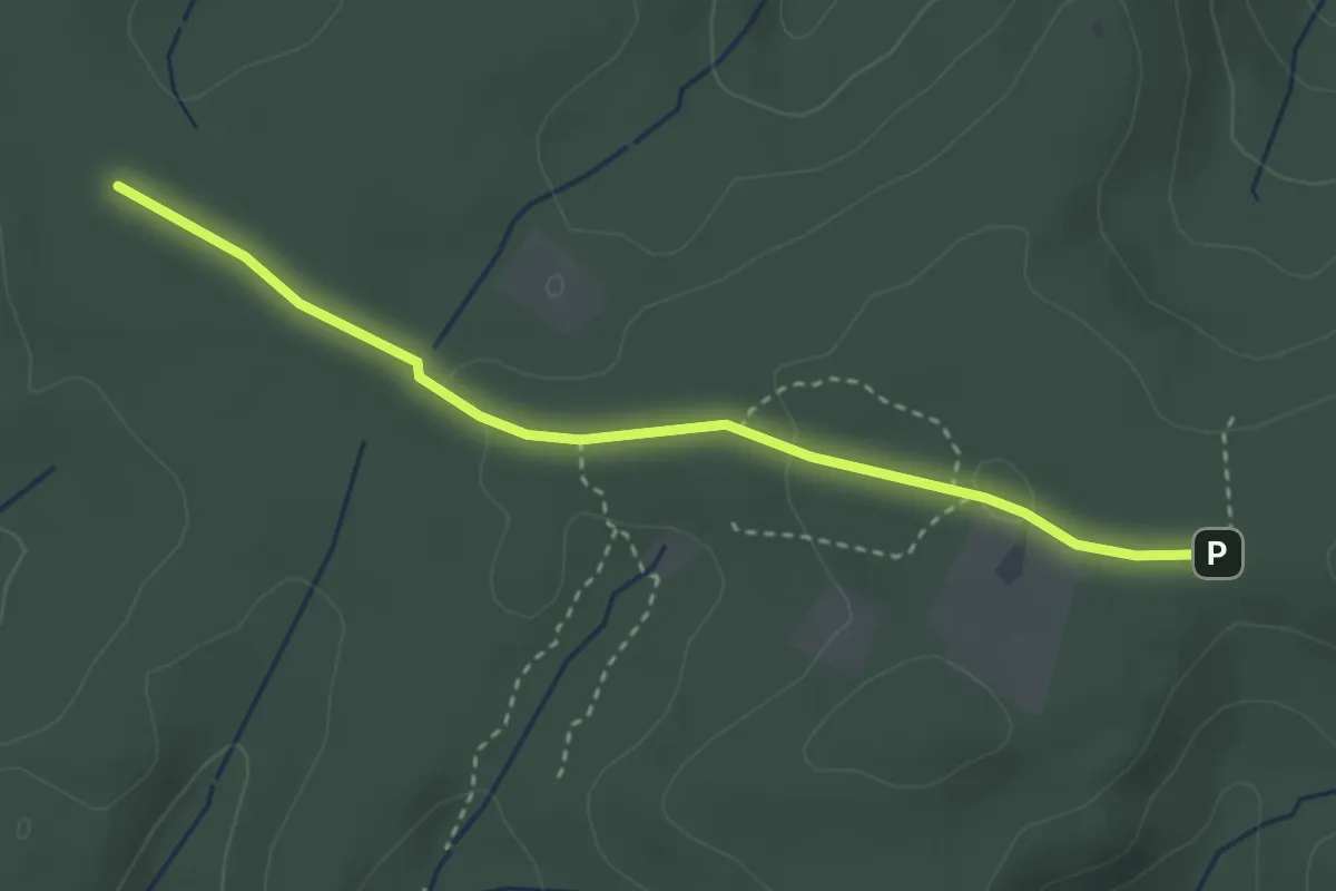
Easy · Trail
Beim Herbolzheimer Höfle - Lärchengarten
3.1 km · ↑ 62 m · 53 min
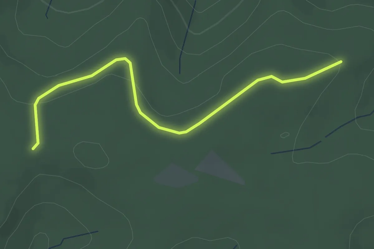
Easy · Trail
Beim Herbolzheimer Höfle - Windbühl
3.1 km · ↑ 43 m · 49 min
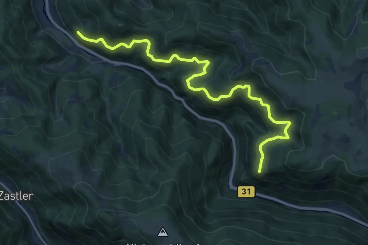
Demanding · Trail
Beim Horneckdobel - Lausbühl
13.1 km · ↑ 914 m · 5 h 5 min
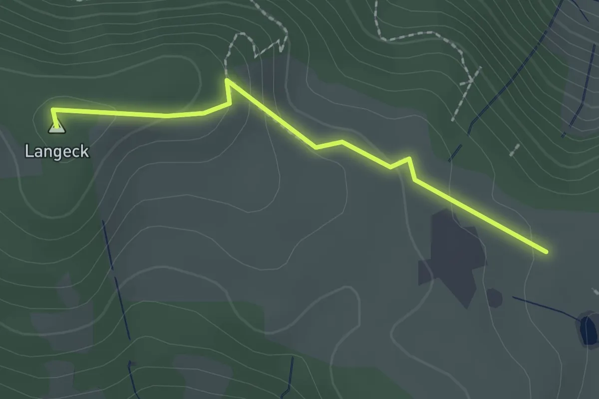
Easy · Summit
Beim Hornhof - Langeckhöhe
1.9 km · ↑ 69 m · 36 min
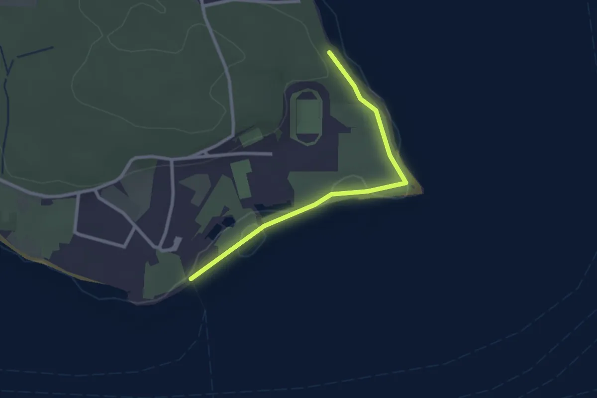
Easy · Trail
Beim Hörnle - Konstanz Bodensee-Therme
2.4 km · ↑ 9 m · 35 min
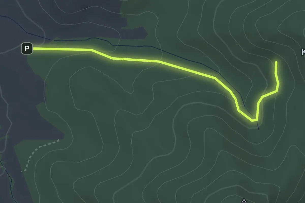
Easy · Trail
Beim kalten Brunnen - Parkplatz Nächstenbach
3.2 km · ↑ 135 m · 1 h 3 min
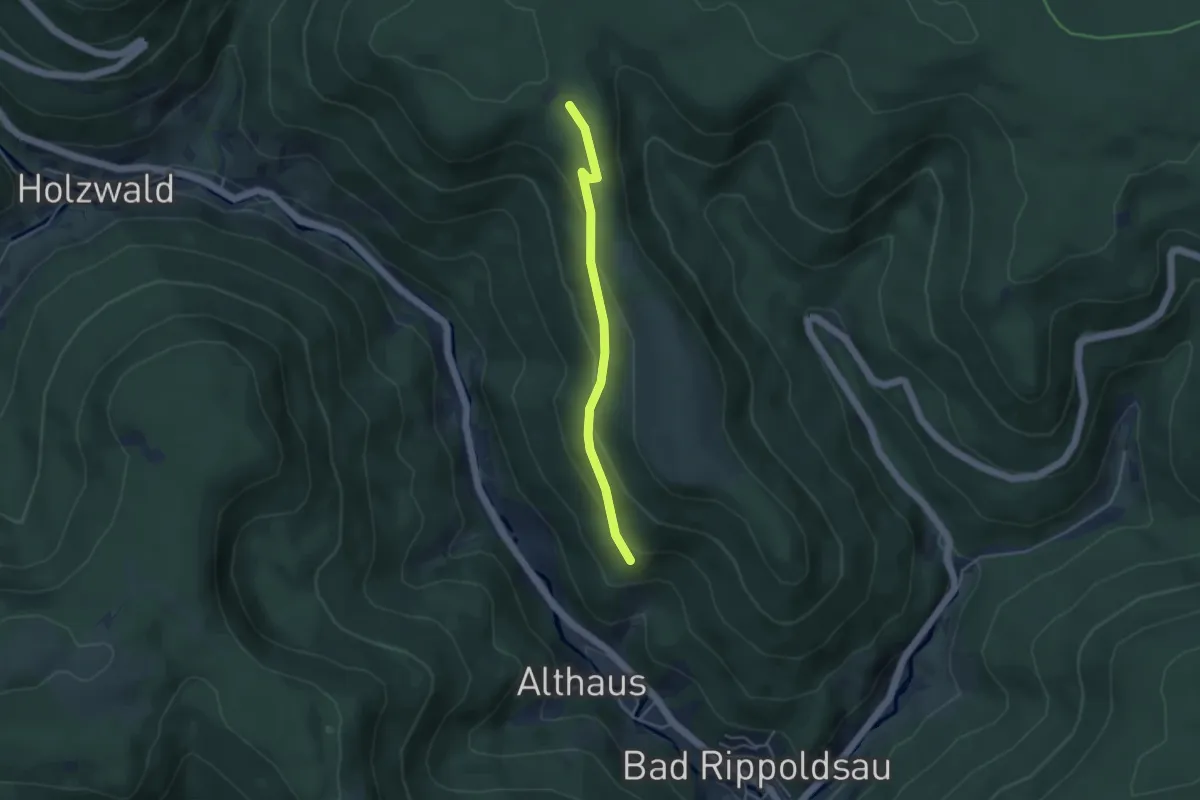
Easy · Trail
Beim Kastelstein - Grafenbühl
3.6 km · ↑ 170 m · 1 h 12 min
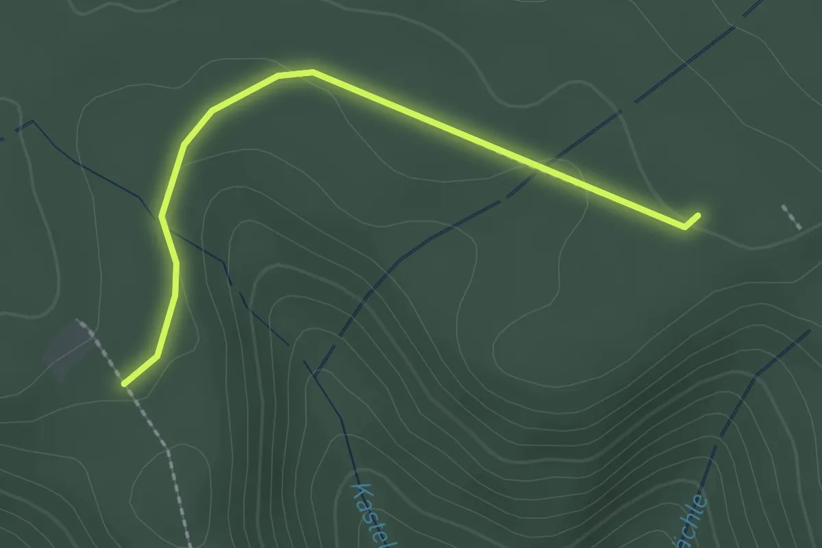
Easy · Trail
Beim Kastelstein - Kegelköpfle
2.1 km · ↑ 48 m · 36 min
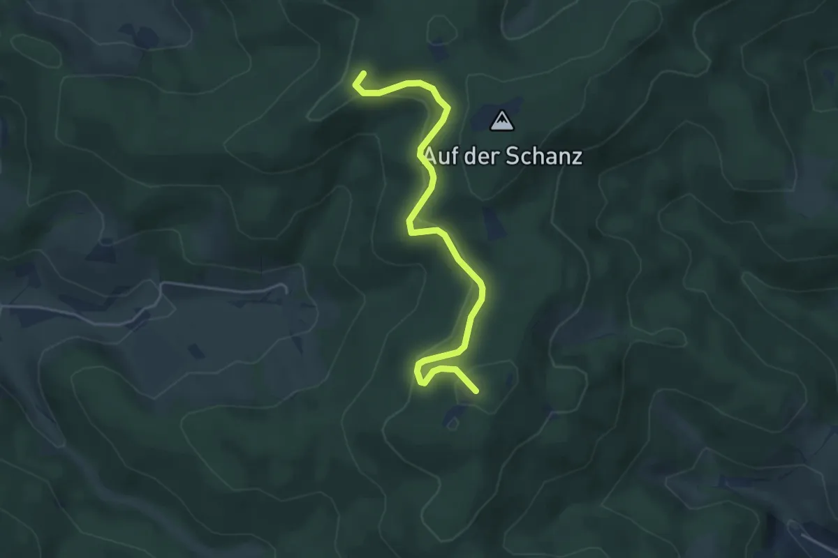
Easy · Summit
Beim Katzenstein - Eckle
4.2 km · ↑ 209 m · 1 h 26 min
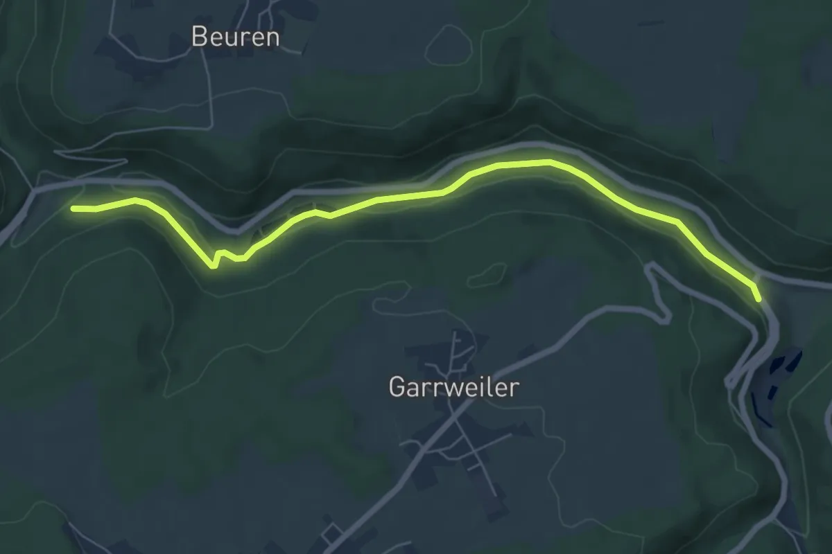
Easy · Trail
Beim Kirgissteg - Garrweiler Brücke
6.5 km · ↑ 122 m · 1 h 48 min
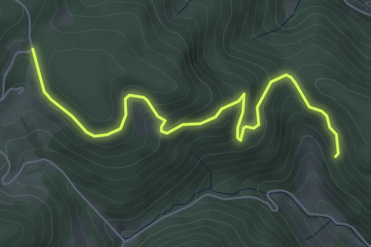
Medium · Trail
Beim Kohlplatz - Haldenbühl
5.6 km · ↑ 376 m · 2 h 8 min
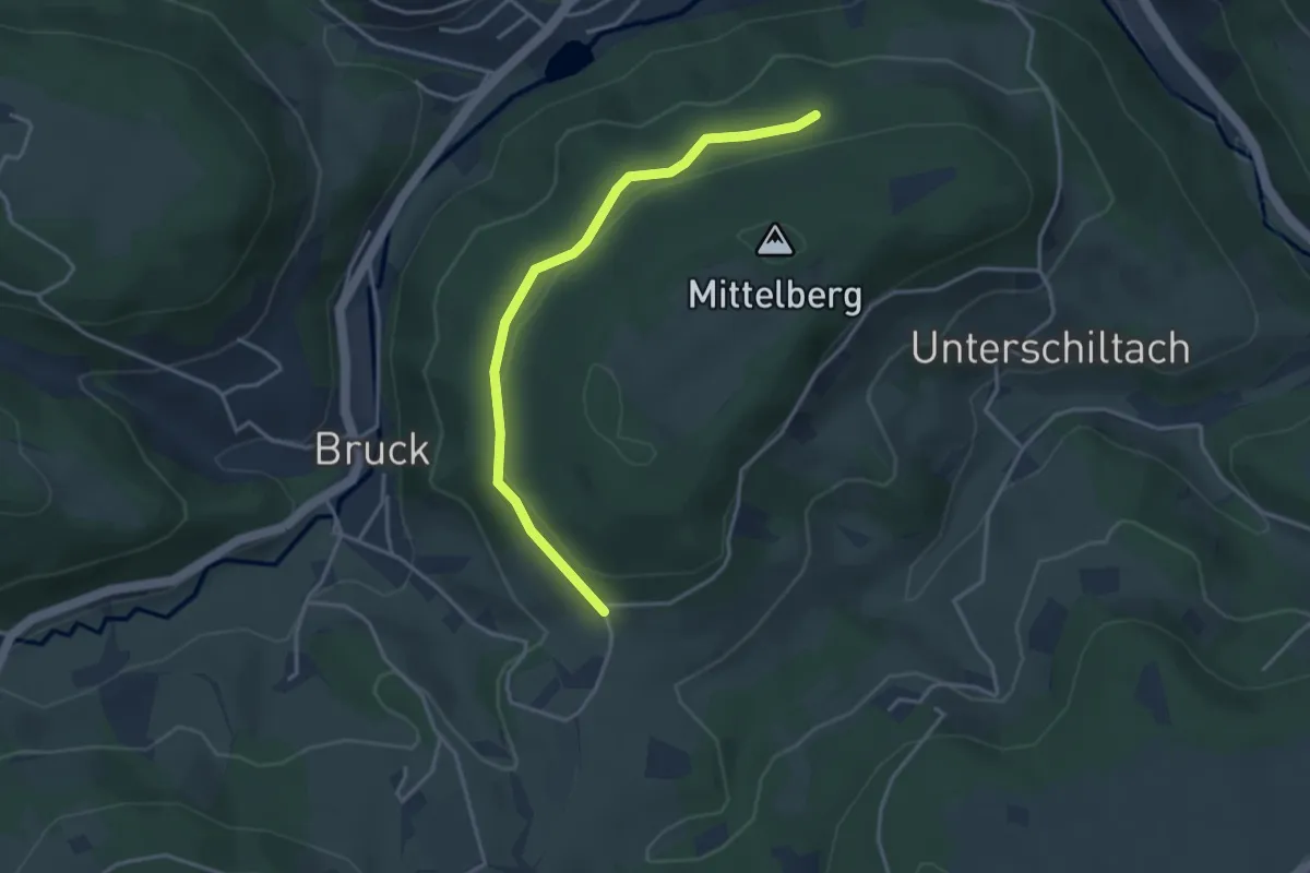
Easy · Trail
Beim Kohlplatz - Mittelberg
3.4 km · ↑ 69 m · 58 min
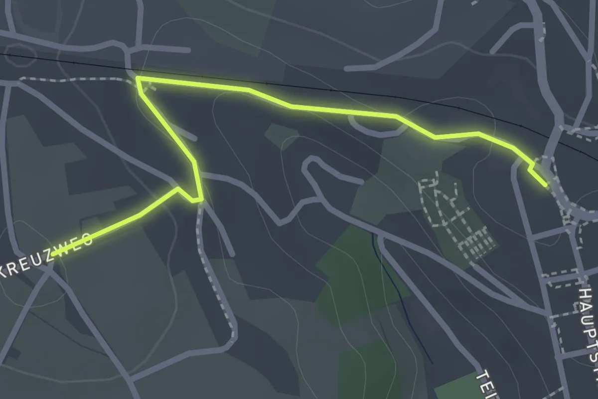
Easy · Trail
Beim Kreuz - Dornstetten Steining
2.2 km · ↑ 29 m · 35 min
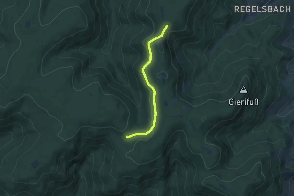
Easy · Trail
Beim Kreuzstein - Ettenheimer Hütte
4.7 km · ↑ 78 m · 1 h 16 min
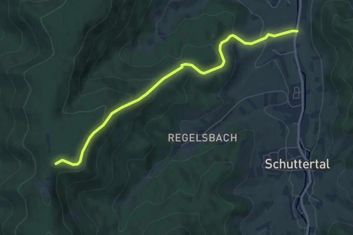
Medium · Trail
Beim Kreuzstein - Schäferhof
6.7 km · ↑ 336 m · 2 h 18 min
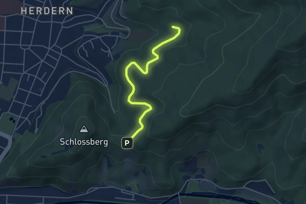
Easy · Trail
Beim Krottenweiher - Sieben Linden
4.0 km · ↑ 173 m · 1 h 19 min