Trails in Germany
36,824 hiking trails, each with its route, climb, walking time and grade.
All trails, page 56 of 768
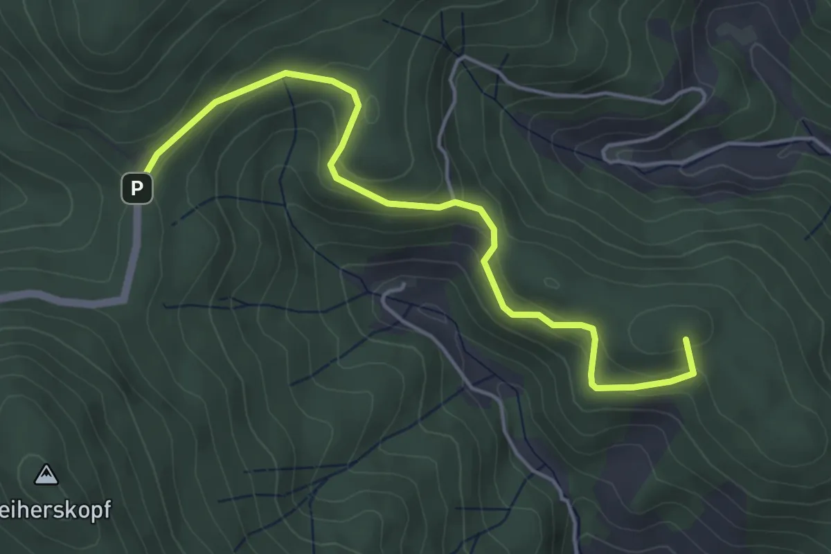
Easy · Summit
Beim Leutschensattel - Kreuzsattel
4.6 km · ↑ 222 m · 1 h 34 min
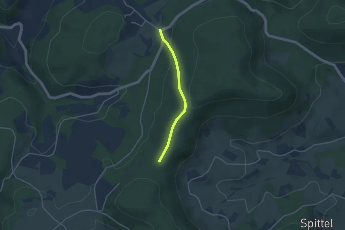
Easy · Trail
Beim Moosenmättle - Kohlplatz
2.3 km · ↑ 95 m · 45 min
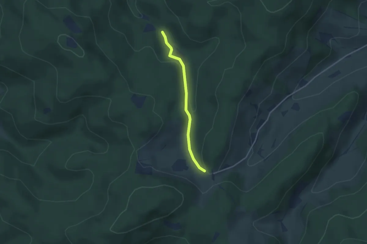
Easy · Trail
Beim Neuhäuserhof - Grangert
2.3 km · ↑ 103 m · 46 min
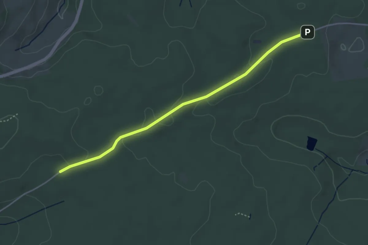
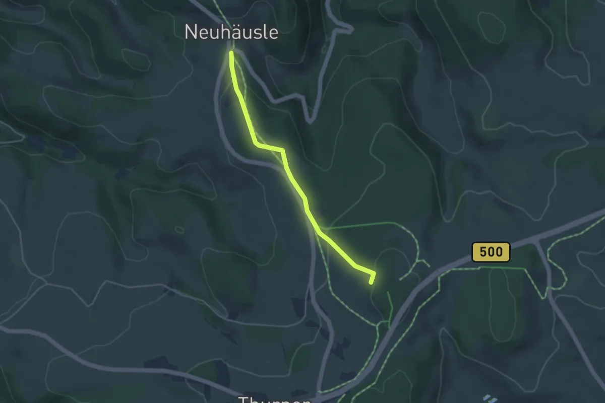
Easy · Trail
Beim Neuhäusle - Auf der Steig
3.9 km · ↑ 47 m · 1 h 1 min
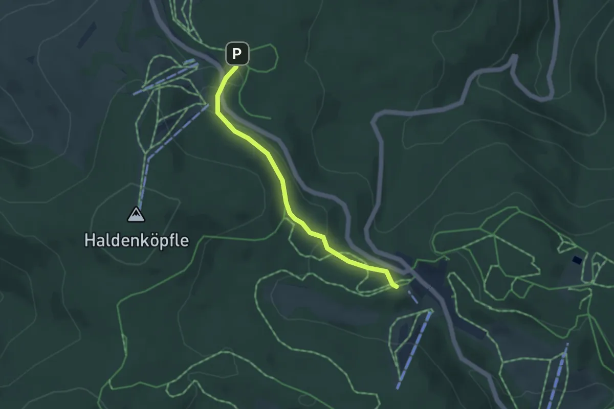
Easy · Trail
Beim Neuhäusle - Hohlen Graben
3.4 km · ↑ 129 m · 1 h 5 min
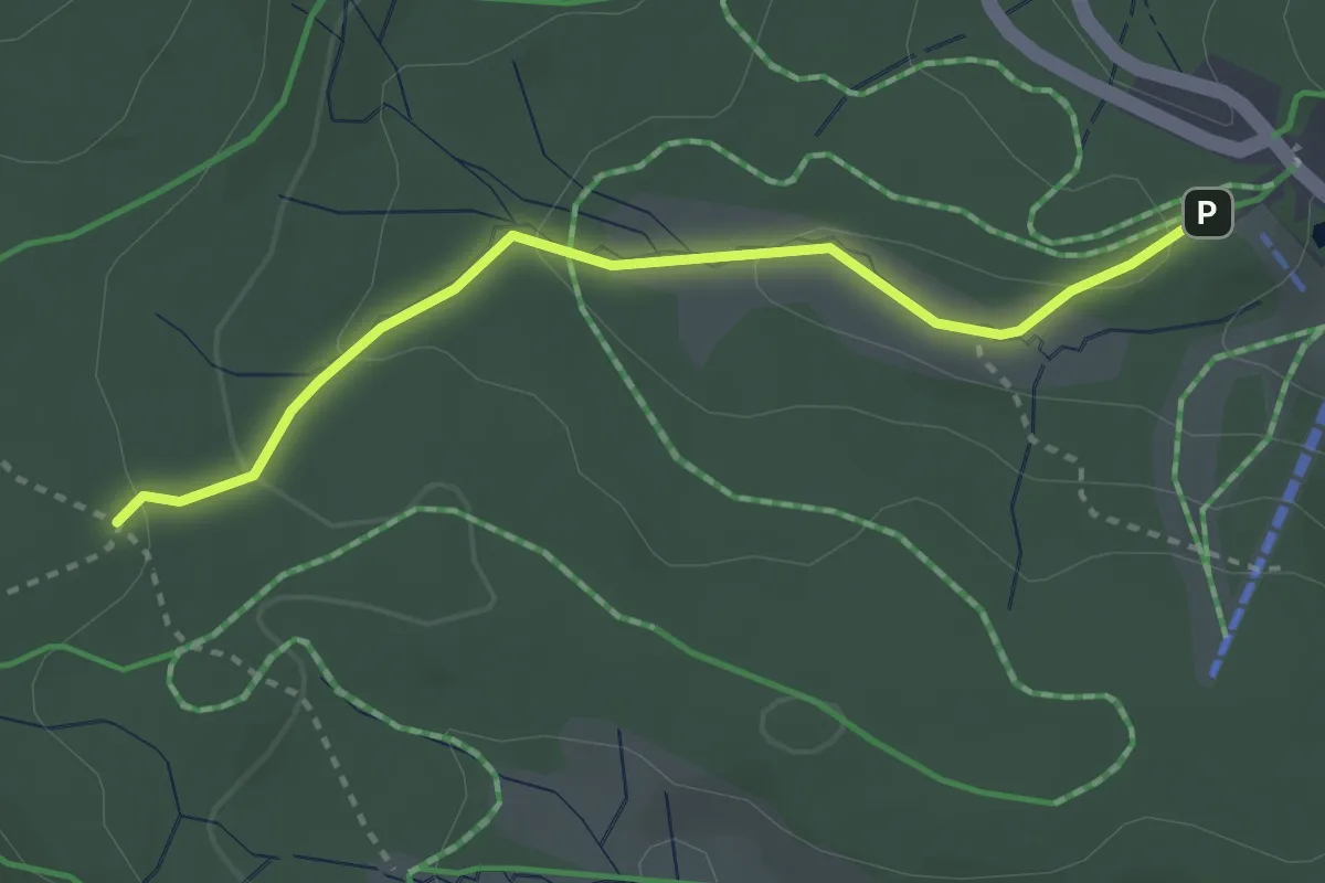
Easy · Trail
Beim Notschrei - Kohlwald
3.4 km · ↑ 90 m · 1 h
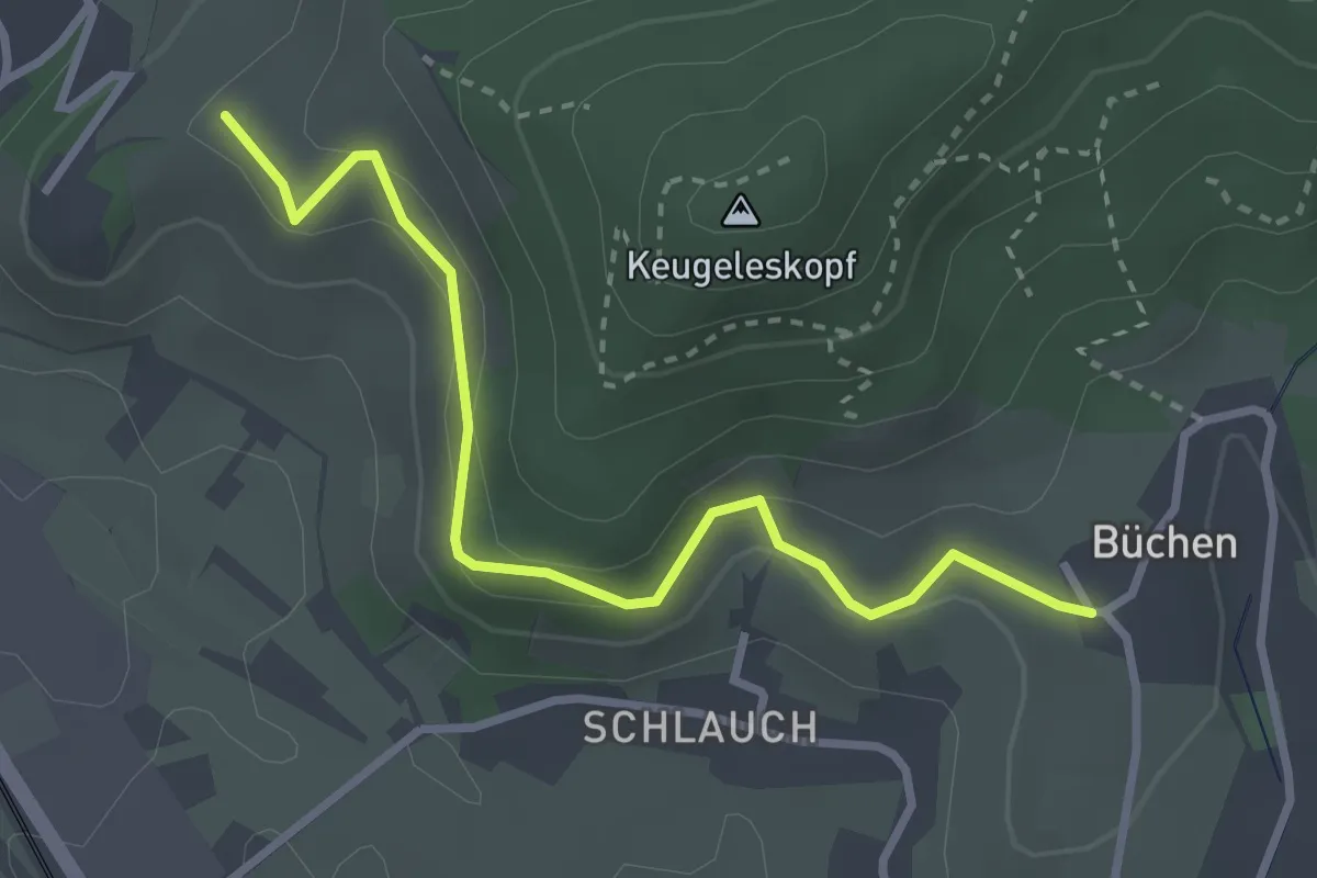
Easy · Trail
Beim Notschrei - Trubelsmattkopf
2.9 km · ↑ 107 m · 55 min
Easy · Trail
Beim Pipelisstein - Büchen
3.0 km · ↑ 156 m · 1 h 4 min
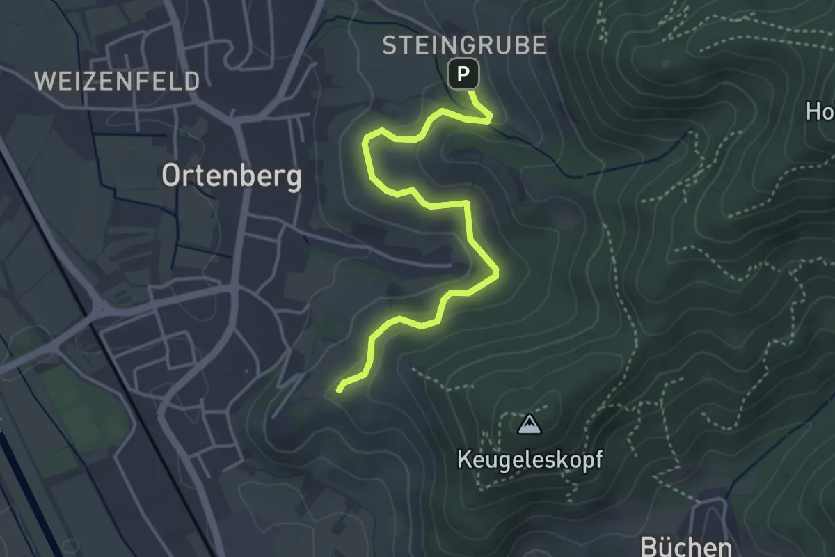
Easy · Trail
Beim Pipelisstein - Weingut Schloss Ortenberg
3.7 km · ↑ 149 m · 1 h 12 min
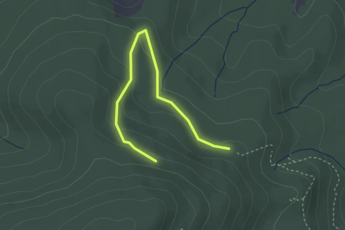
Easy · Trail
Beim Pulverstein - Silbergrube
3.0 km · ↑ 148 m · 1 h 2 min
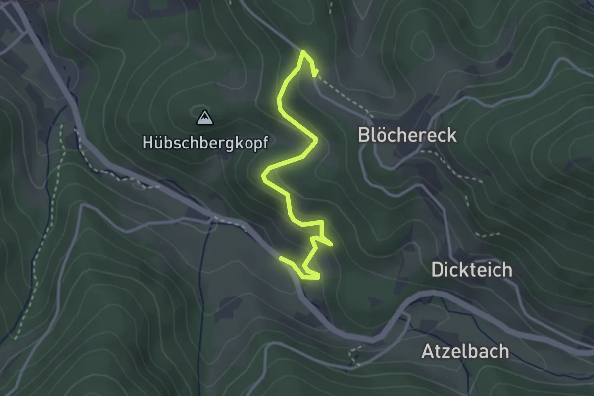
Easy · Trail
Beim Rabenschrofen - Unterwasser Bürstenschrofen
2.9 km · ↑ 165 m · 1 h 2 min
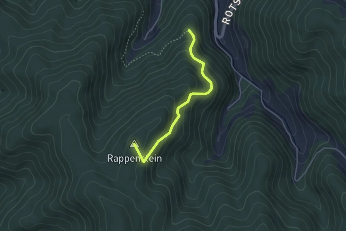
Easy · Summit
Beim Rappenstein - Sägerbühl
2.9 km · ↑ 201 m · 1 h 7 min
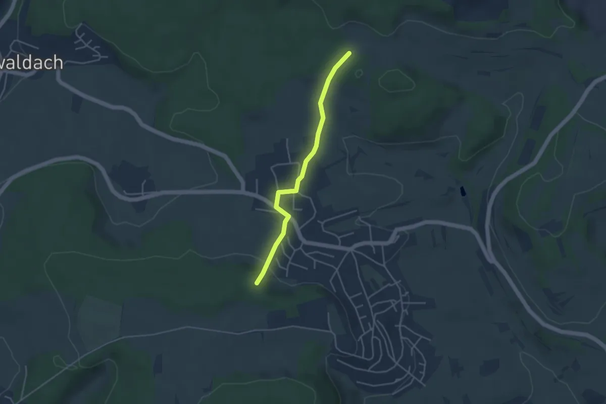
Easy · Trail
Beim Reiterhof - Im Schneckengarten
3.4 km · ↑ 87 m · 1 h
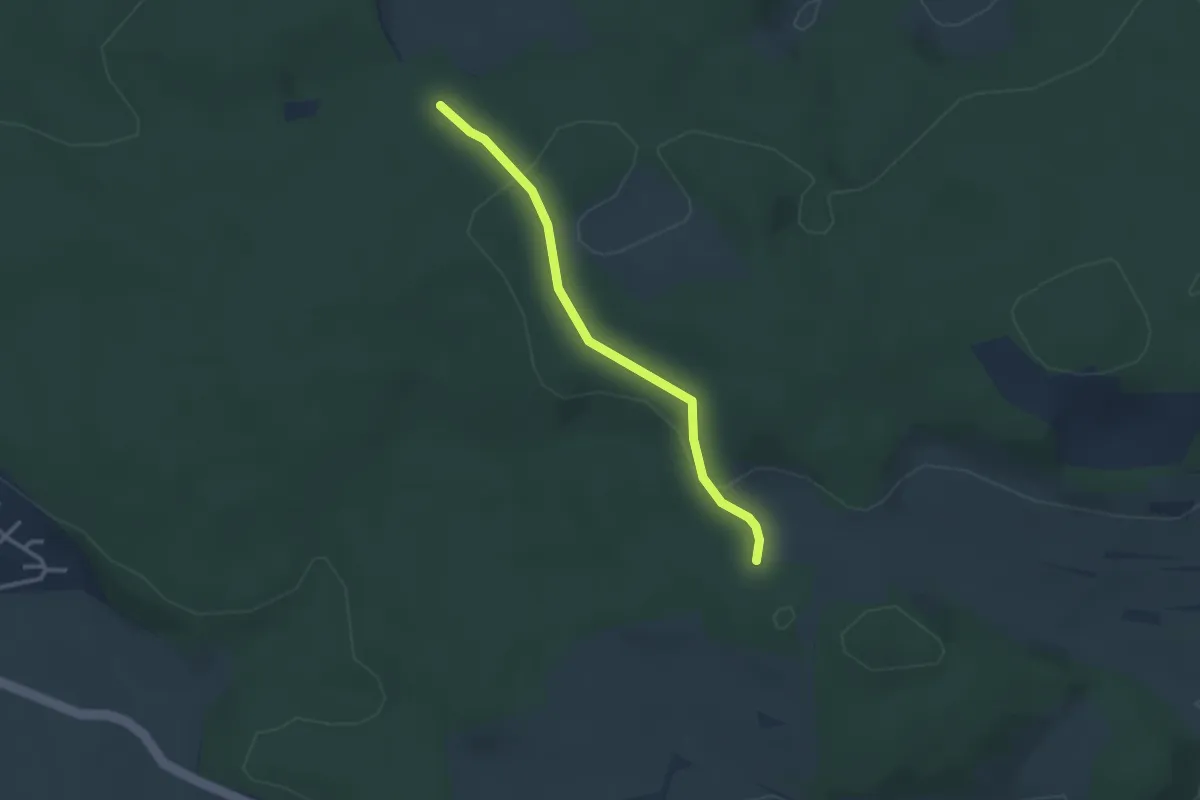
Easy · Trail
Beim Reiterhof - Spitalwald
2.6 km · ↑ 57 m · 44 min
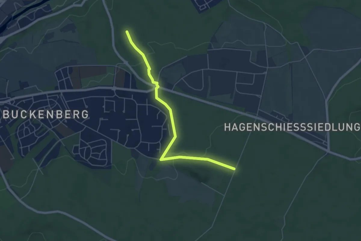
Easy · Trail
Beim Römischen Gutshof - Plattenbruch
5.2 km · ↑ 82 m · 1 h 25 min
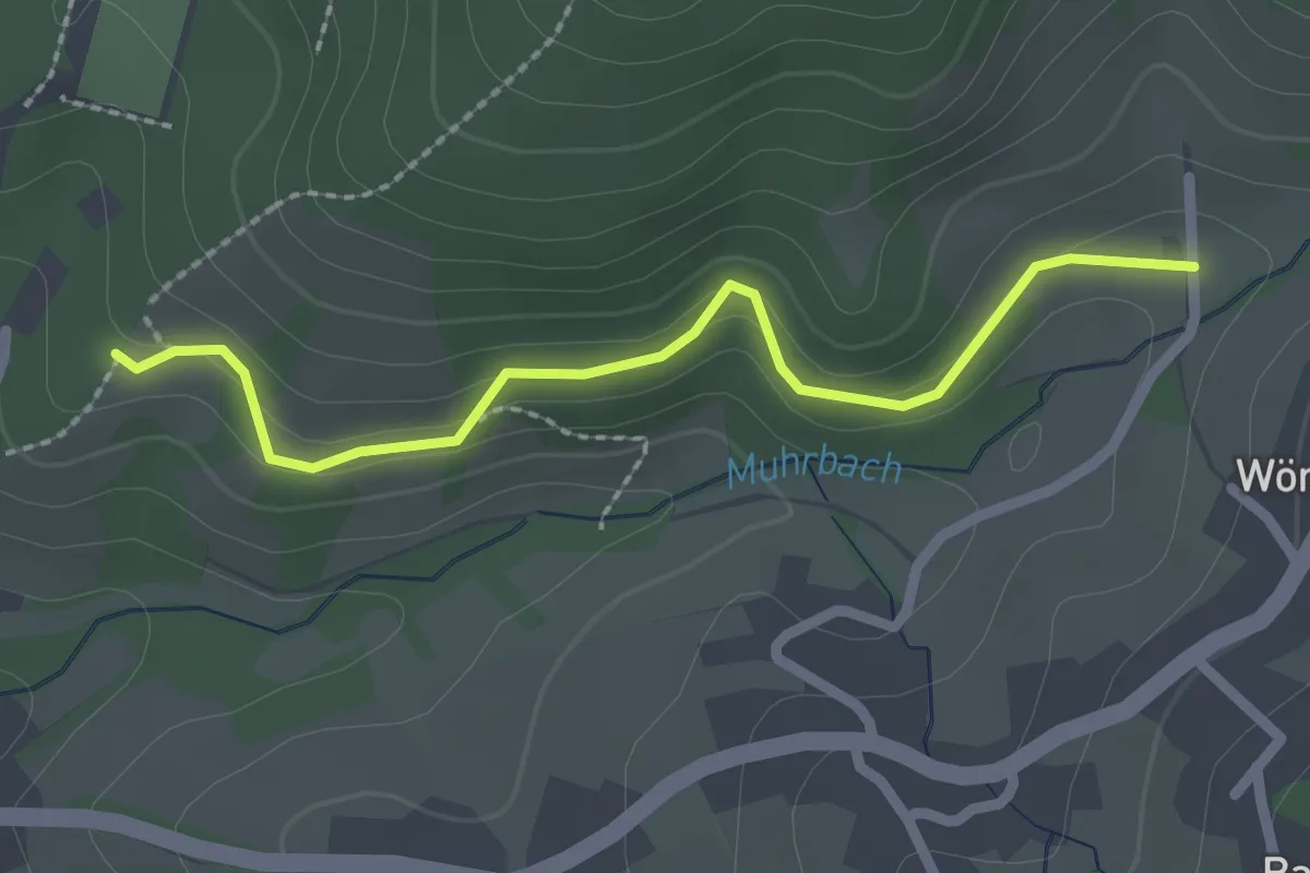
Easy · Trail
Beim Rossgraben - Mättig
2.2 km · ↑ 97 m · 44 min
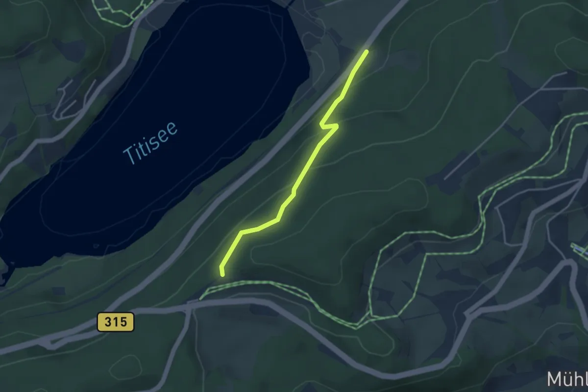
Easy · Trail
Beim Rotkreuz - Seesteige
3.0 km · ↑ 176 m · 1 h 5 min
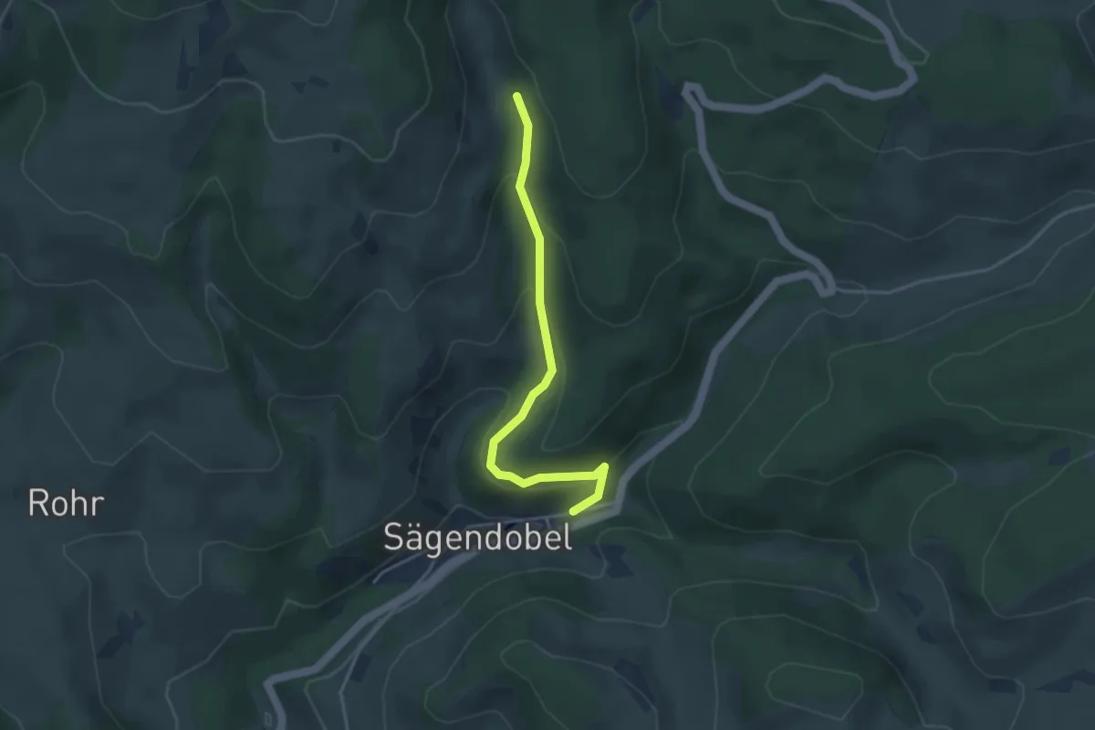
Easy · Trail
Beim Sägweiher Dreier - Sägendobel Engel
3.5 km · ↑ 183 m · 1 h 13 min
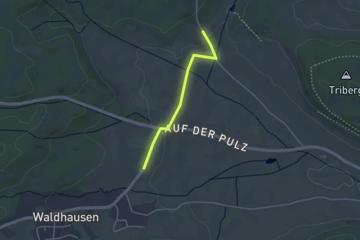
Easy · Trail
Beim Schachenhof - Pulz
2.5 km · ↑ 27 m · 39 min
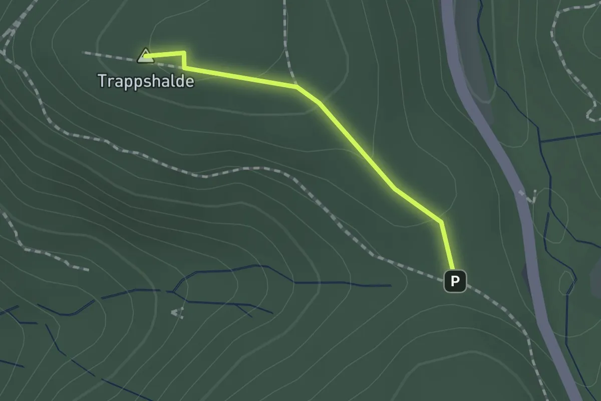
Easy · Summit
Beim Schägenfelsen - Rotwasserebene
1.2 km · ↑ 27 m · 20 min
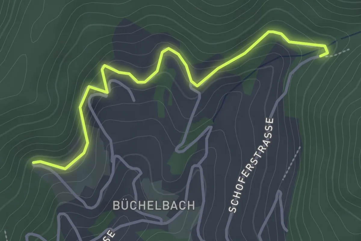
Easy · Trail
Beim Schoferdenkmal - Am Mistgraben
3.1 km · ↑ 175 m · 1 h 6 min
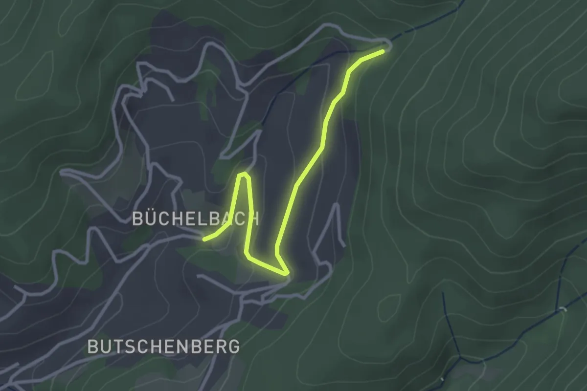
Easy · Trail
Beim Schoferdenkmal - Büchelbach
2.7 km · ↑ 113 m · 53 min
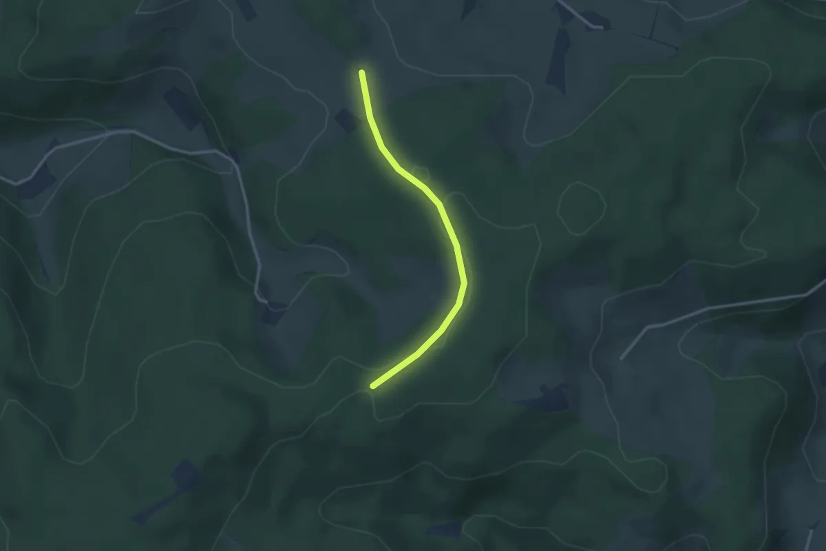
Easy · Trail
Beim Schwabenkreuz - Schlegelsberg
2.4 km · ↑ 60 m · 42 min
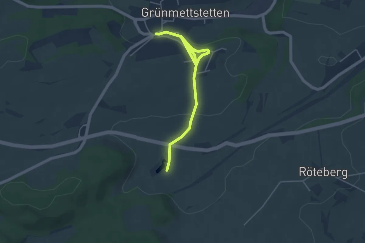
Easy · Trail
Beim Seehaus - Grünmettstetten Lindenkreuzplatz
3.9 km · ↑ 90 m · 1 h 7 min
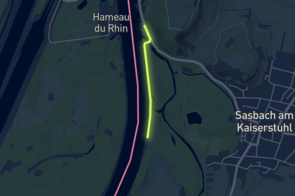
Easy · Trail
Beim Segelclub Sasbach - Parkplatz Zollhäusle
2.1 km · ↑ 9 m · 31 min
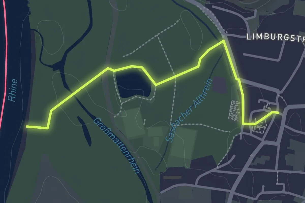
Easy · Trail
Beim Segelclub Sasbach - Sasbach Kirche
3.0 km · ↑ 22 m · 45 min
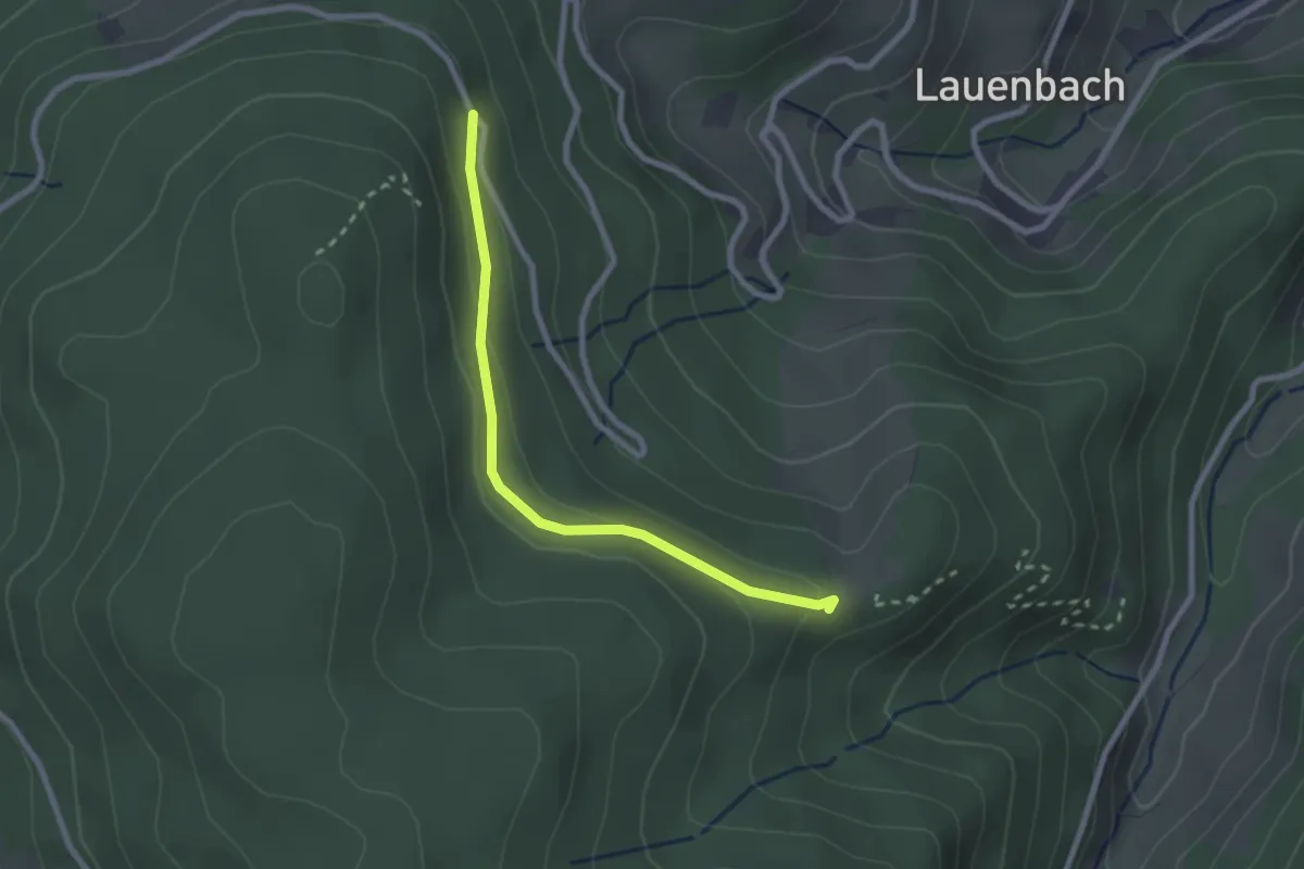
Easy · Trail
Beim Sesselfelsen - Grillplatz Blaubronn
2.3 km · ↑ 60 m · 40 min
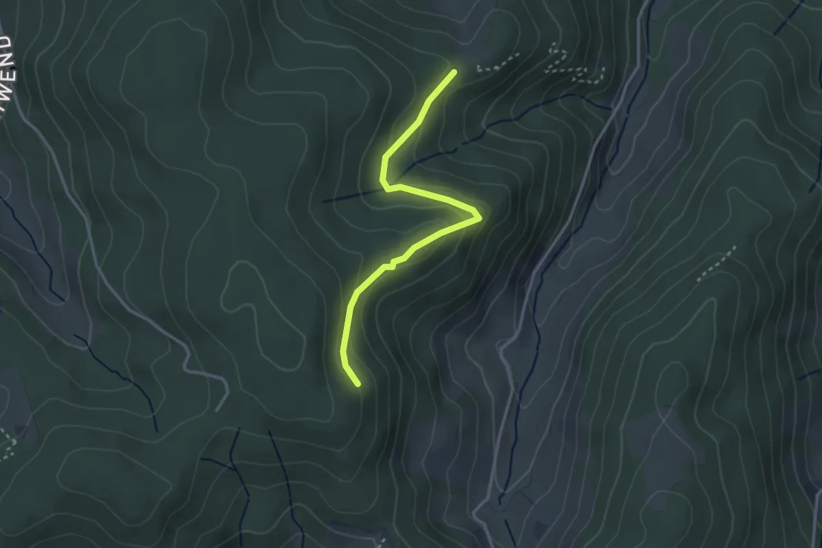
Demanding · Trail
Beim Sesselfelsen - Rappenschrofen
2.9 km · ↑ 134 m · 59 min
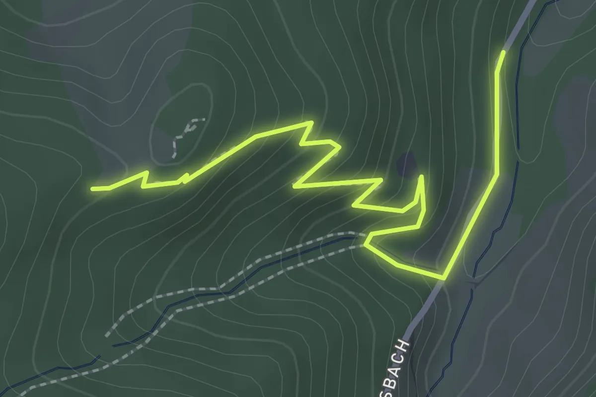
Medium · Trail
Beim Sesselfelsen - Simmersbach Mattenwinkel
2.8 km · ↑ 196 m · 1 h 5 min
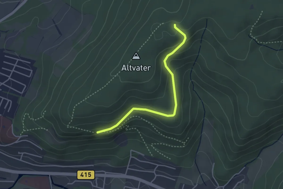
Easy · Trail
Beim Soldatengrab - Schutterblick
3.2 km · ↑ 103 m · 59 min
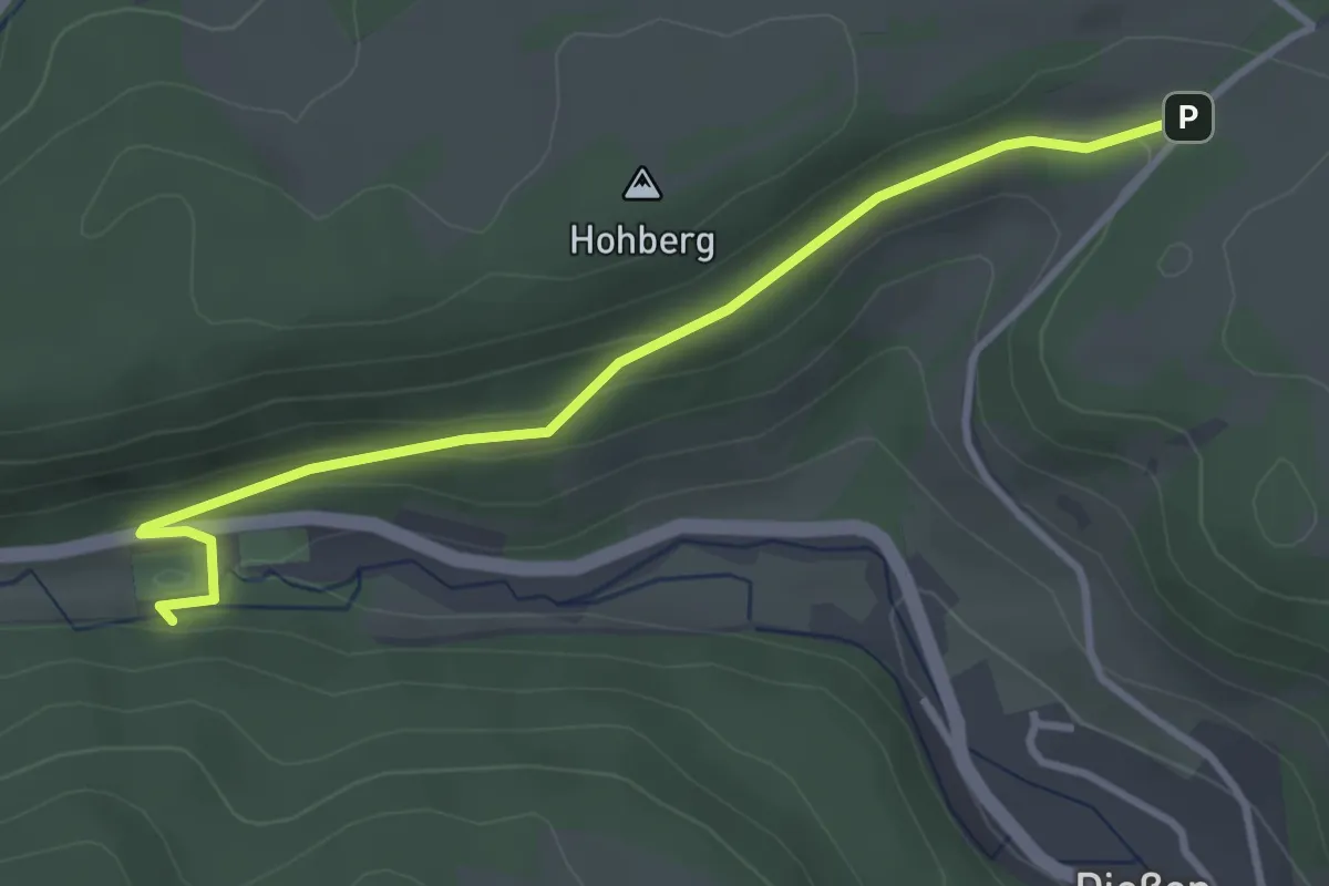
Easy · Trail
Beim Sportplatz Dießen - Brunnadern
3.3 km · ↑ 103 m · 1 h
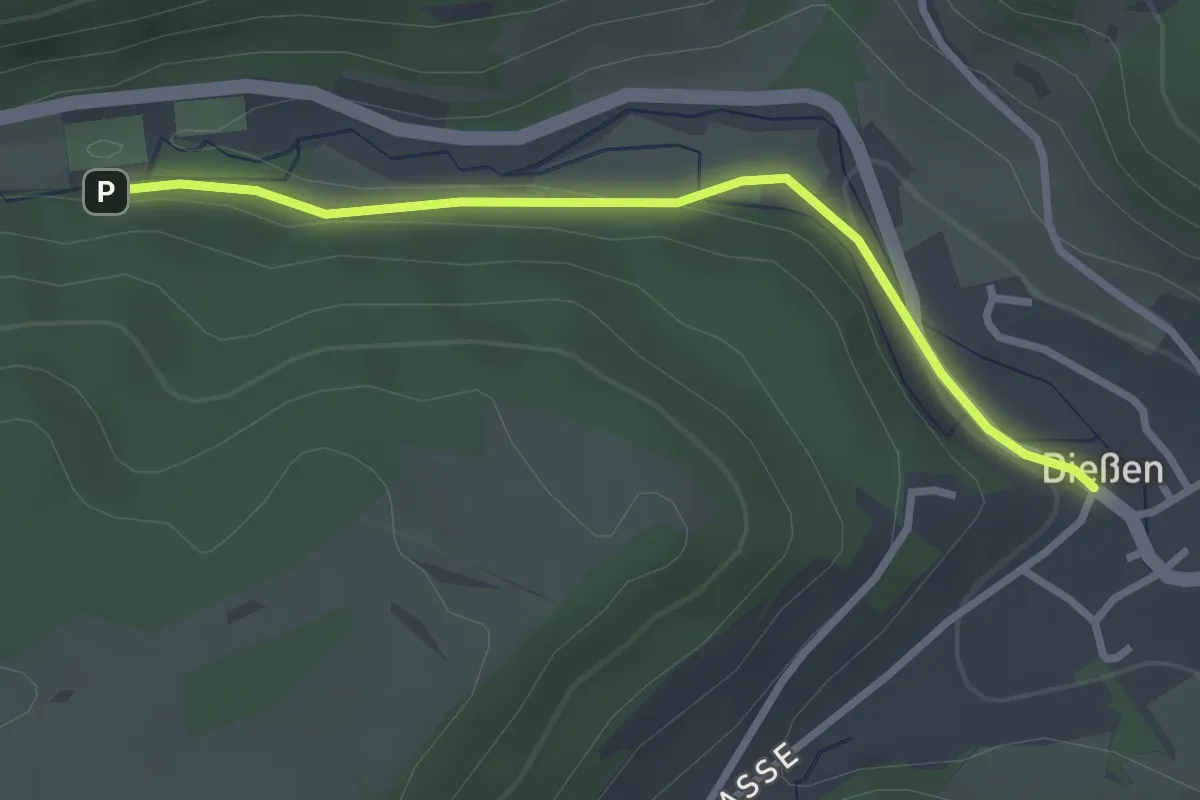
Easy · Trail
Beim Sportplatz Dießen - Dießen Kirchplatz
2.7 km · ↑ 33 m · 42 min
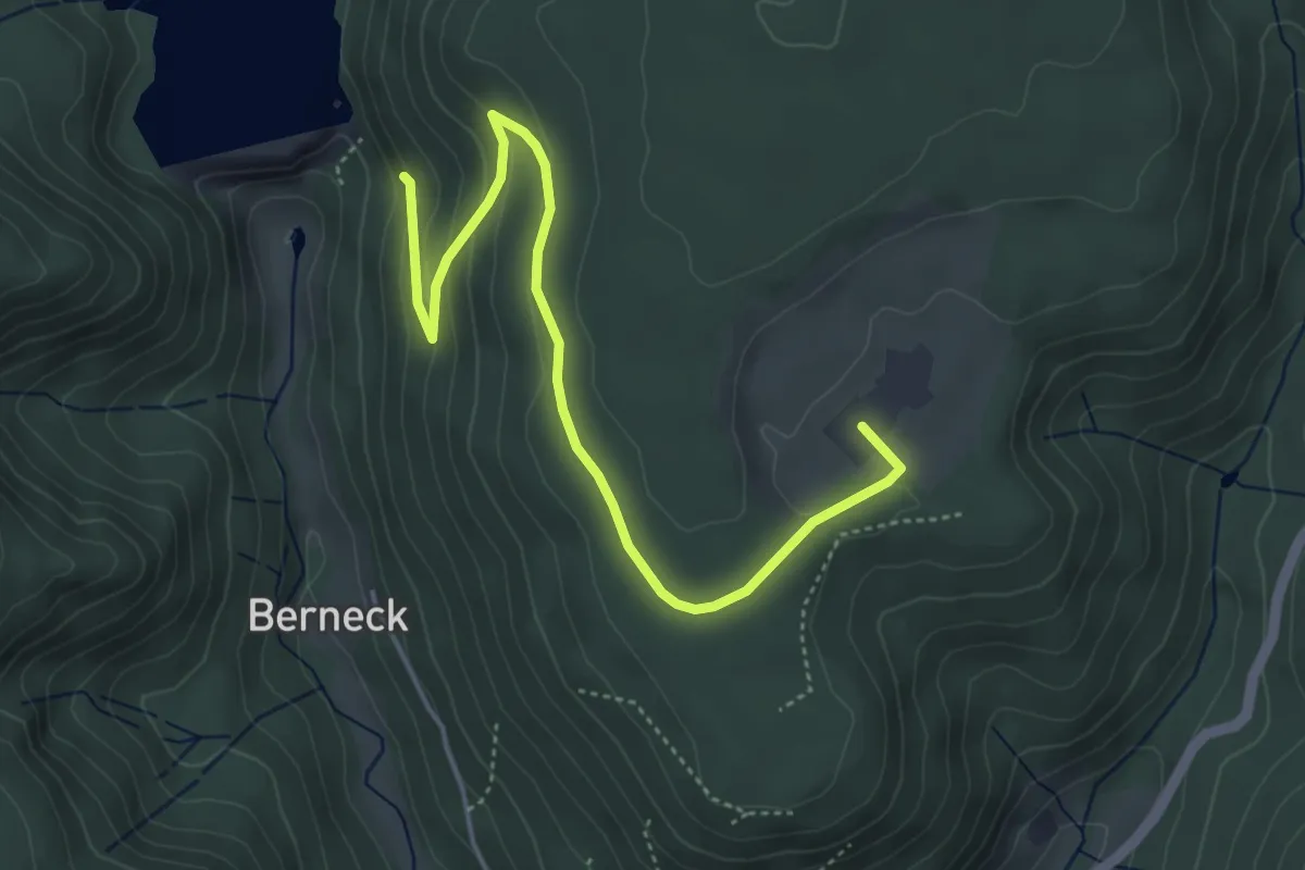
Easy · Trail
Beim Staudamm - Hinterrötenberg
4.8 km · ↑ 166 m · 1 h 30 min
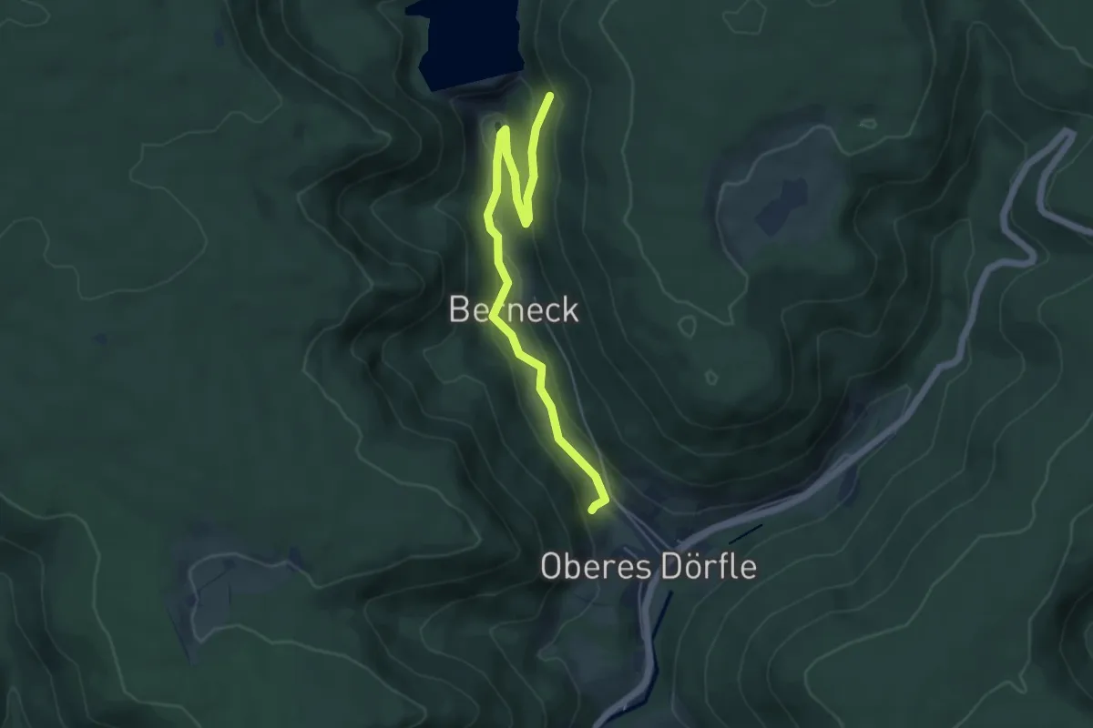
Easy · Trail
Beim Staudamm - Parkplatz Wasserpfad
5.1 km · ↑ 127 m · 1 h 29 min
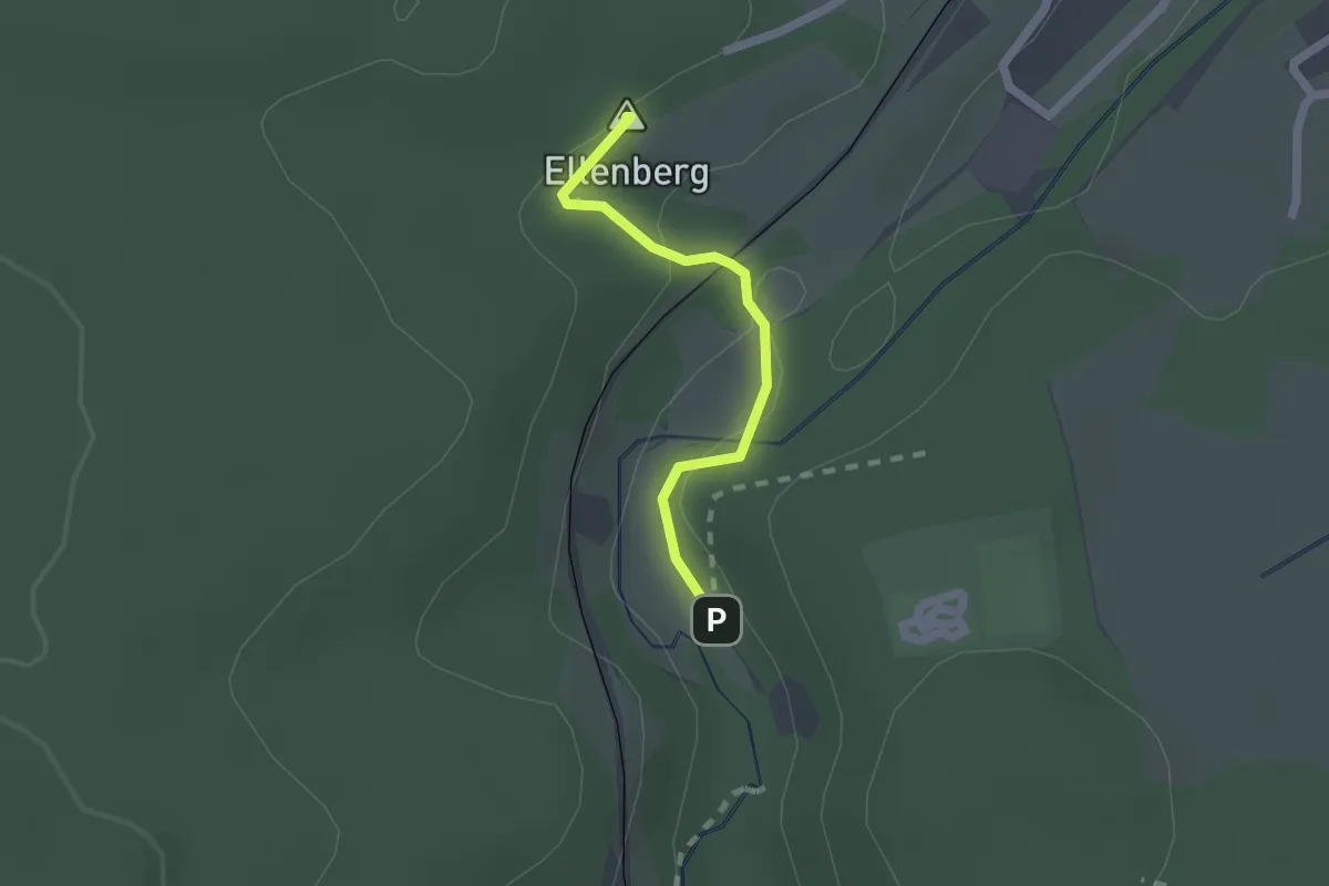
Easy · Summit
Beim Steinbruch - Rötenbach Bahnhof
1.6 km · ↑ 49 m · 29 min
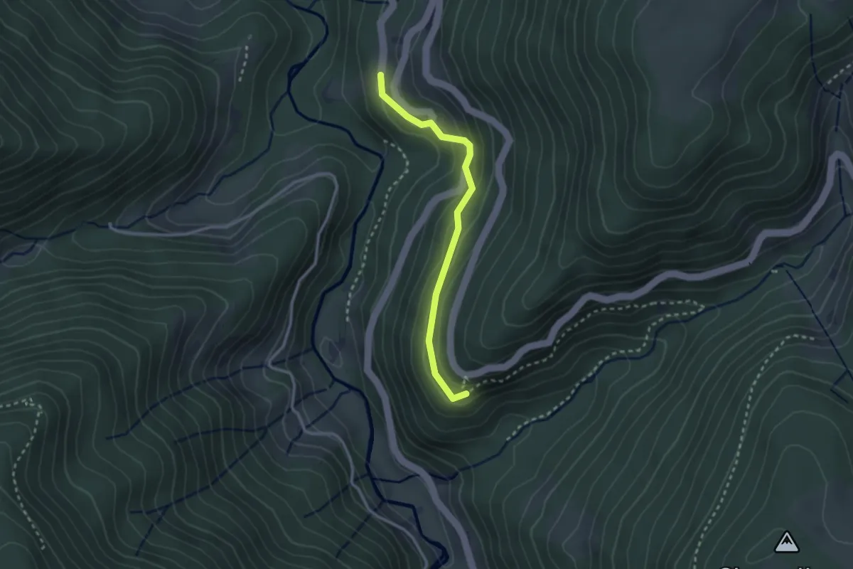
Easy · Trail
Beim Sternen - Vitenbühl
2.4 km · ↑ 148 m · 54 min
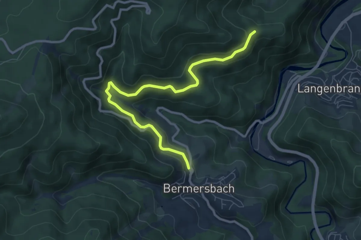
Medium · Trail
Beim Stielrainpavillon - Oberrain
7.3 km · ↑ 326 m · 2 h 25 min
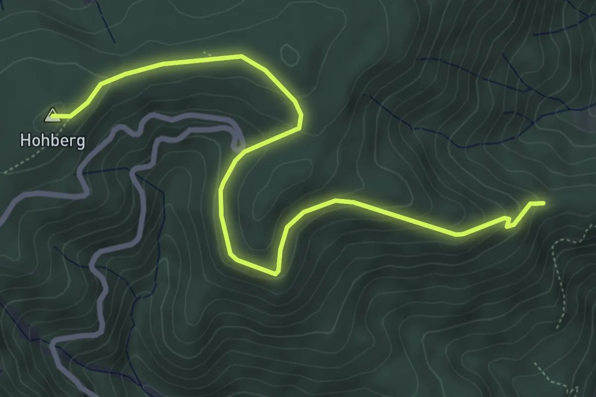
Easy · Summit
Beim Stielrainpavillon - Rote Lache
6.5 km · ↑ 314 m · 2 h 13 min
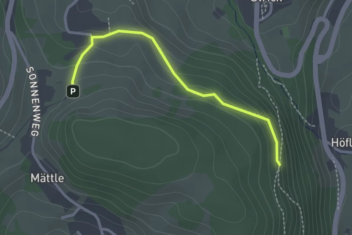
Easy · Trail
Beim Tannenhof - Beim Schwarzfelsen
2.1 km · ↑ 94 m · 41 min
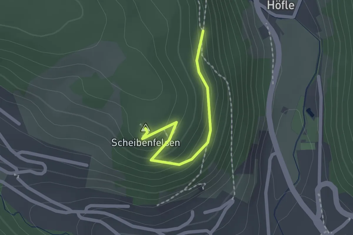
Easy · Summit
Beim Tannenhof - Beim Schwarzfelsen
1.5 km · ↑ 125 m · 37 min
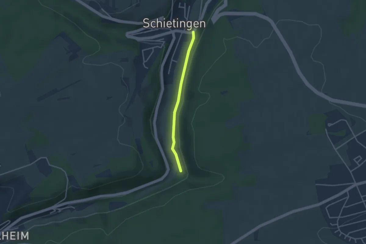
Easy · Trail
Beim Tunnel - Schietingen Untere Mühlhalde
2.4 km · ↑ 20 m · 37 min
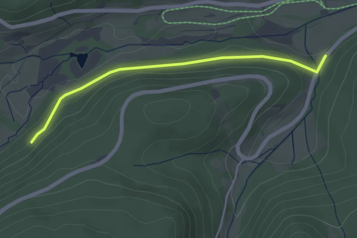
Easy · Trail
Beim Urseeblick - Silberbrünnle
3.3 km · ↑ 70 m · 56 min
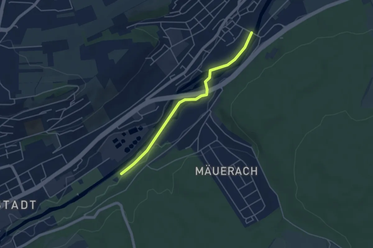
Easy · Trail
Beim Wasserwerk - Enz-Flußkraftwerk
3.7 km · ↑ 4 m · 53 min
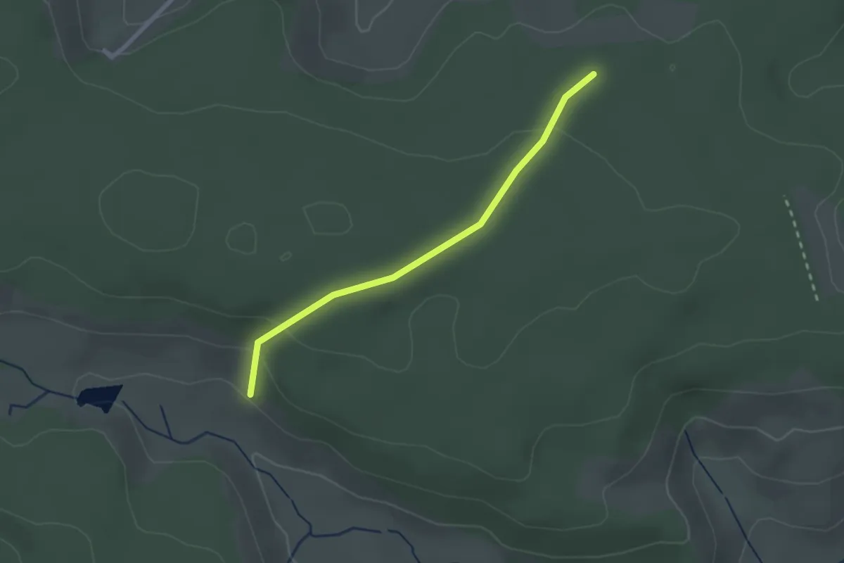
Easy · Trail
Beim Weiherhaus - Dürrheimer Wald
2.2 km · ↑ 85 m · 42 min
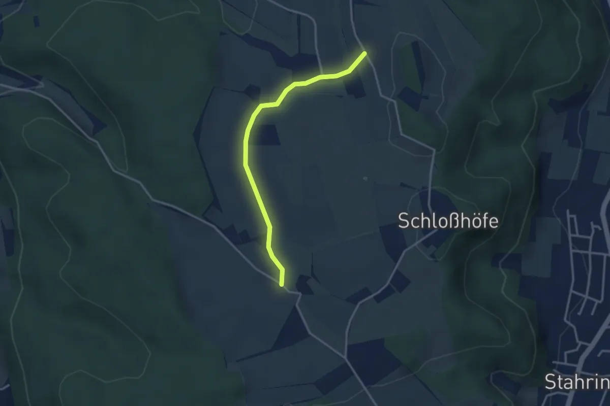
Easy · Trail
Beim Weilerhof - Mittlere Homburg
2.8 km · ↑ 36 m · 45 min
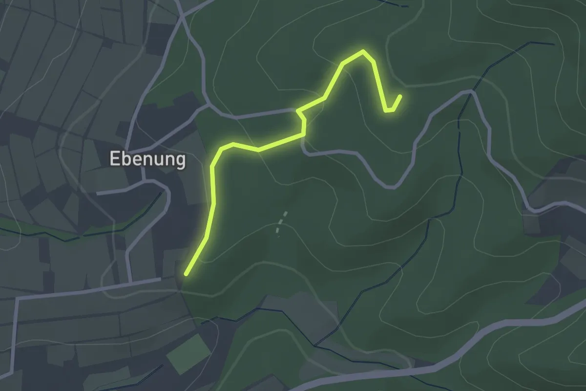
Easy · Trail
Beim Weingut Kopp - Weißer Stein-Weg
2.2 km · ↑ 103 m · 44 min
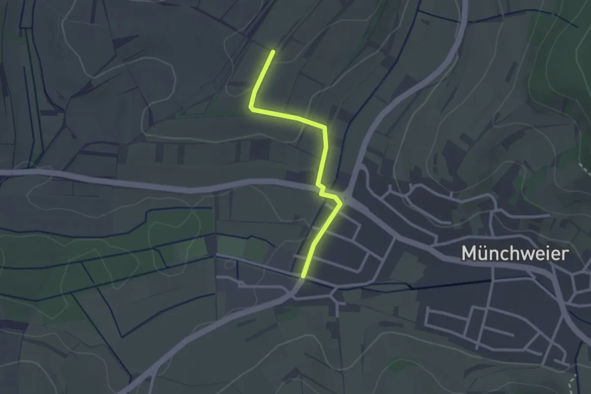
Easy · Trail
Beim Weinpavillon - Münchweier Bettmatt
2.2 km · ↑ 42 m · 36 min
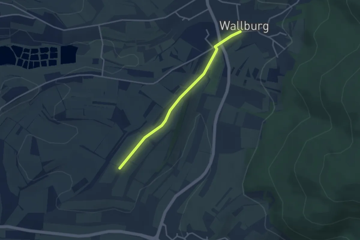
Easy · Trail
Beim Weinpavillon - Wallburg Linde
2.7 km · ↑ 27 m · 42 min