Trails in Germany
36,824 hiking trails, each with its route, climb, walking time and grade.
All trails, page 57 of 768
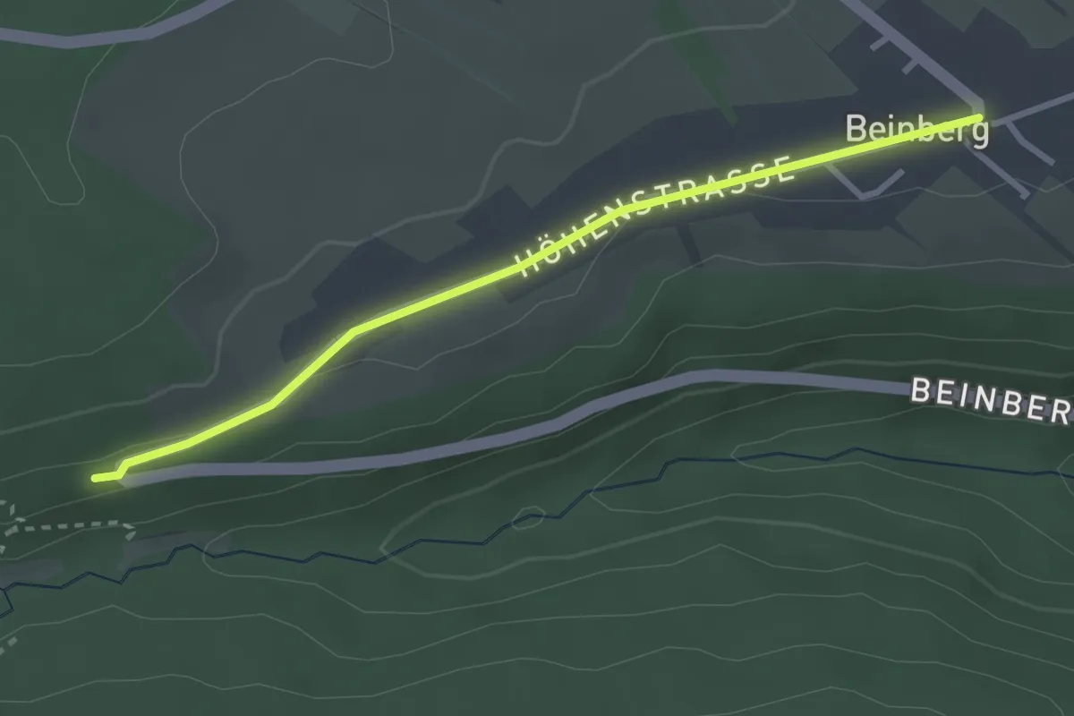
Easy · Trail
Beinberger Steige - Beinberg Kirche
2.8 km · ↑ 27 m · 43 min
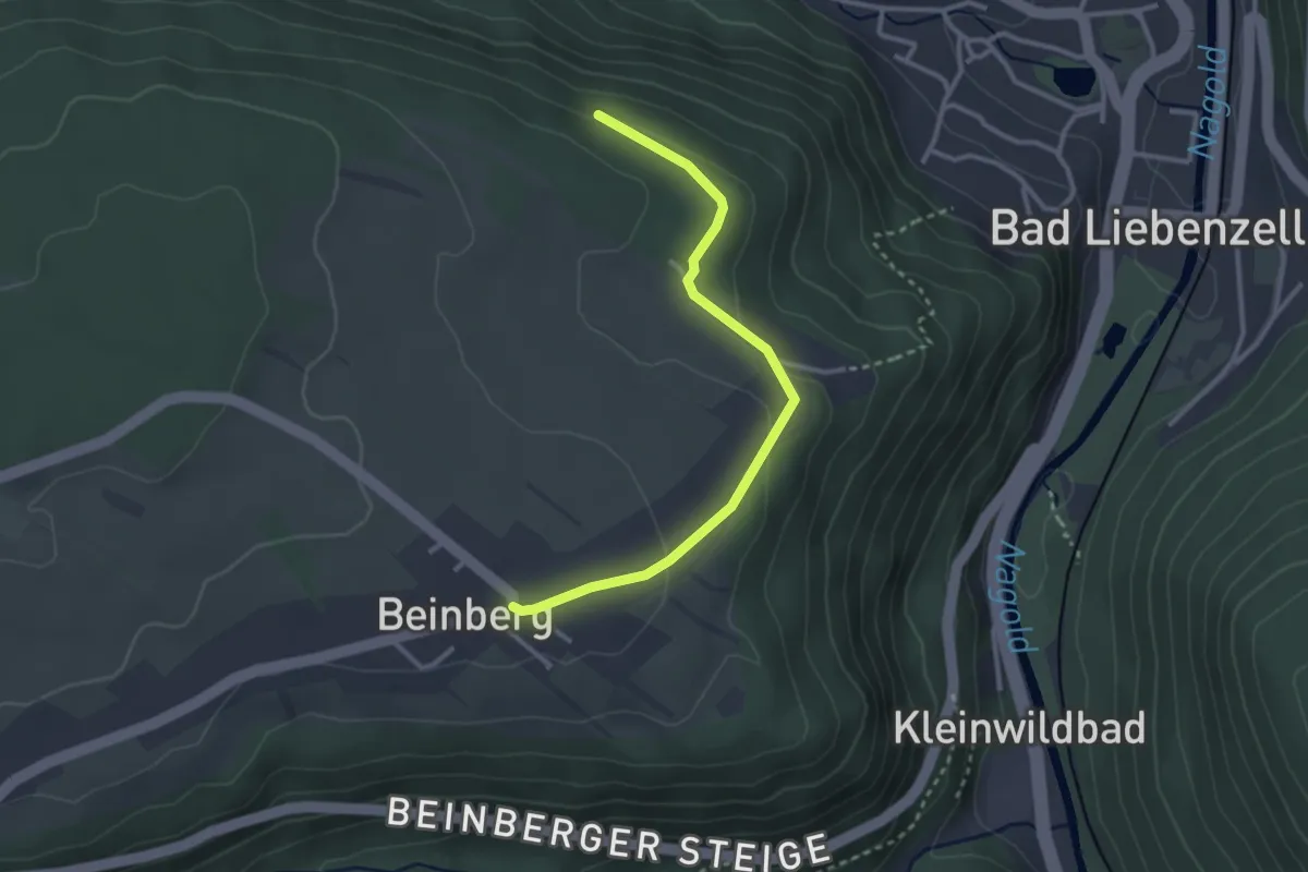
Easy · Trail
Beinberg Kirche - Oberer Finkenberg
2.9 km · ↑ 69 m · 50 min
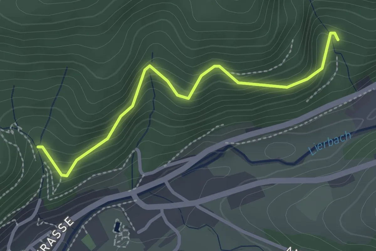
Easy · Trail
Beinerloch - Spicherdobel
2.4 km · ↑ 216 m · 1 h 2 min
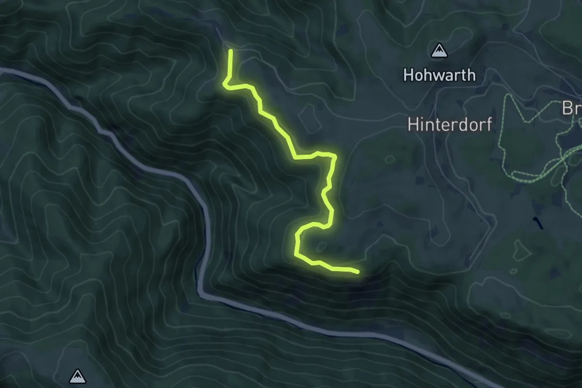
Medium · Trail
Bei Nessellachen - Posthaldefelsen
6.7 km · ↑ 290 m · 2 h 13 min
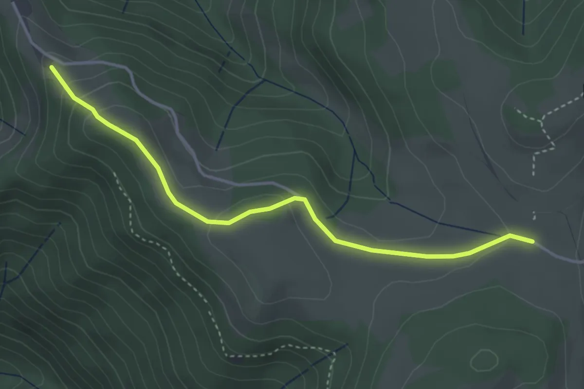
Easy · Trail
Bei Nessellachen - Windrad
3.7 km · ↑ 115 m · 1 h 7 min
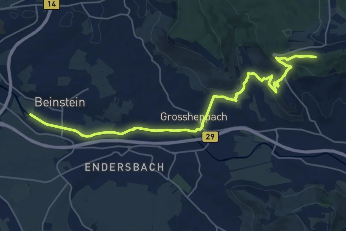
Medium · Trail
Beinstein - Buoch
17.3 km · ↑ 295 m · 4 h 44 min
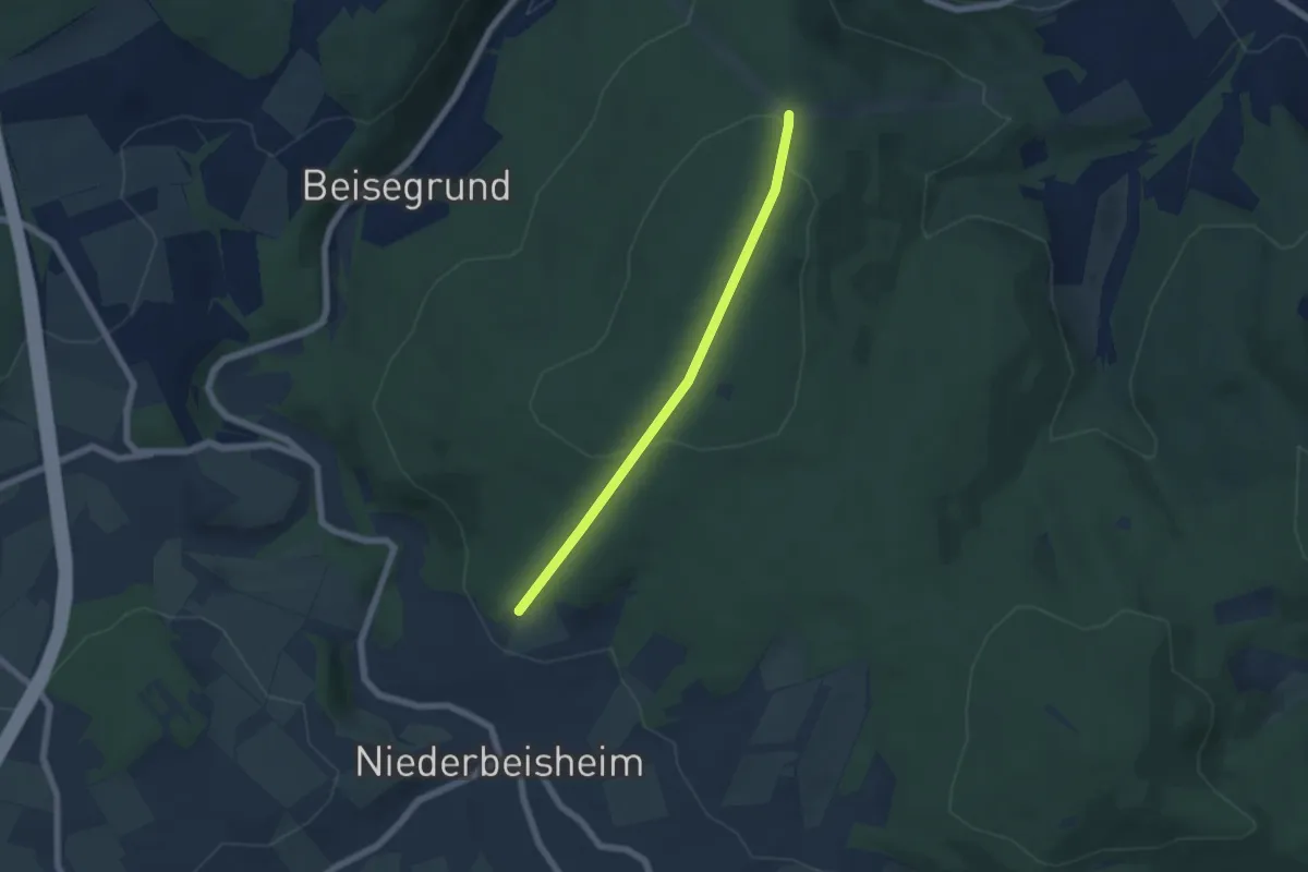
Easy · Trail
Beiseförth Rundweg B1
2.4 km · ↑ 33 m · 43 min
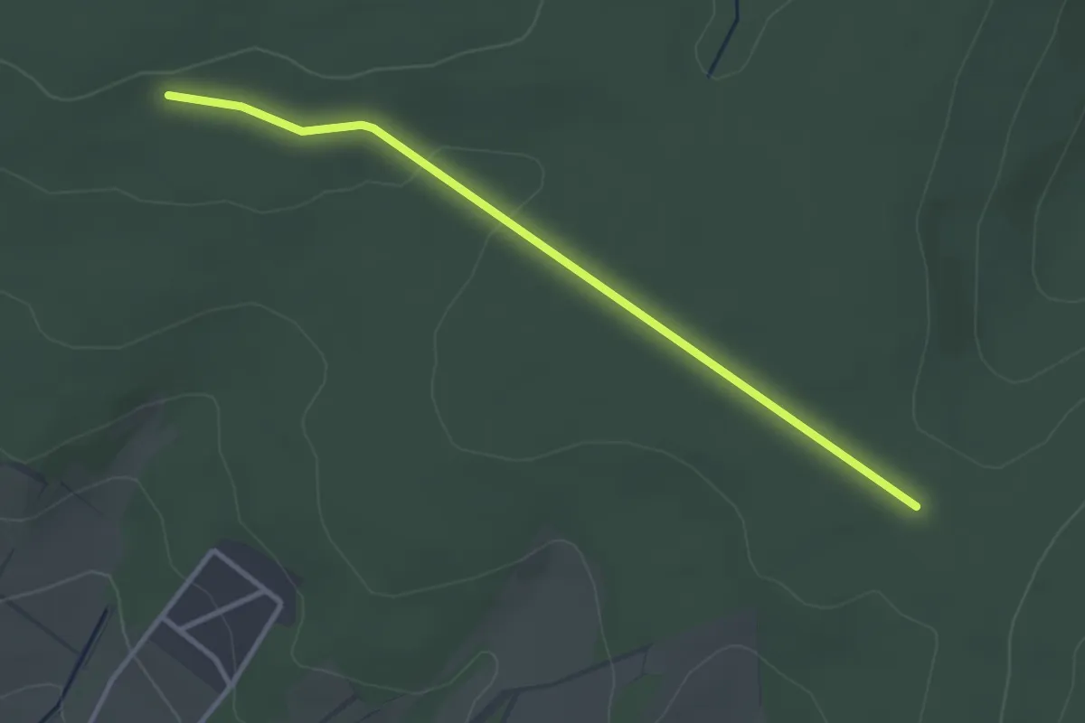
Easy · Trail
Beiseförth Rundweg B5
1.5 km · ↑ 18 m · 24 min
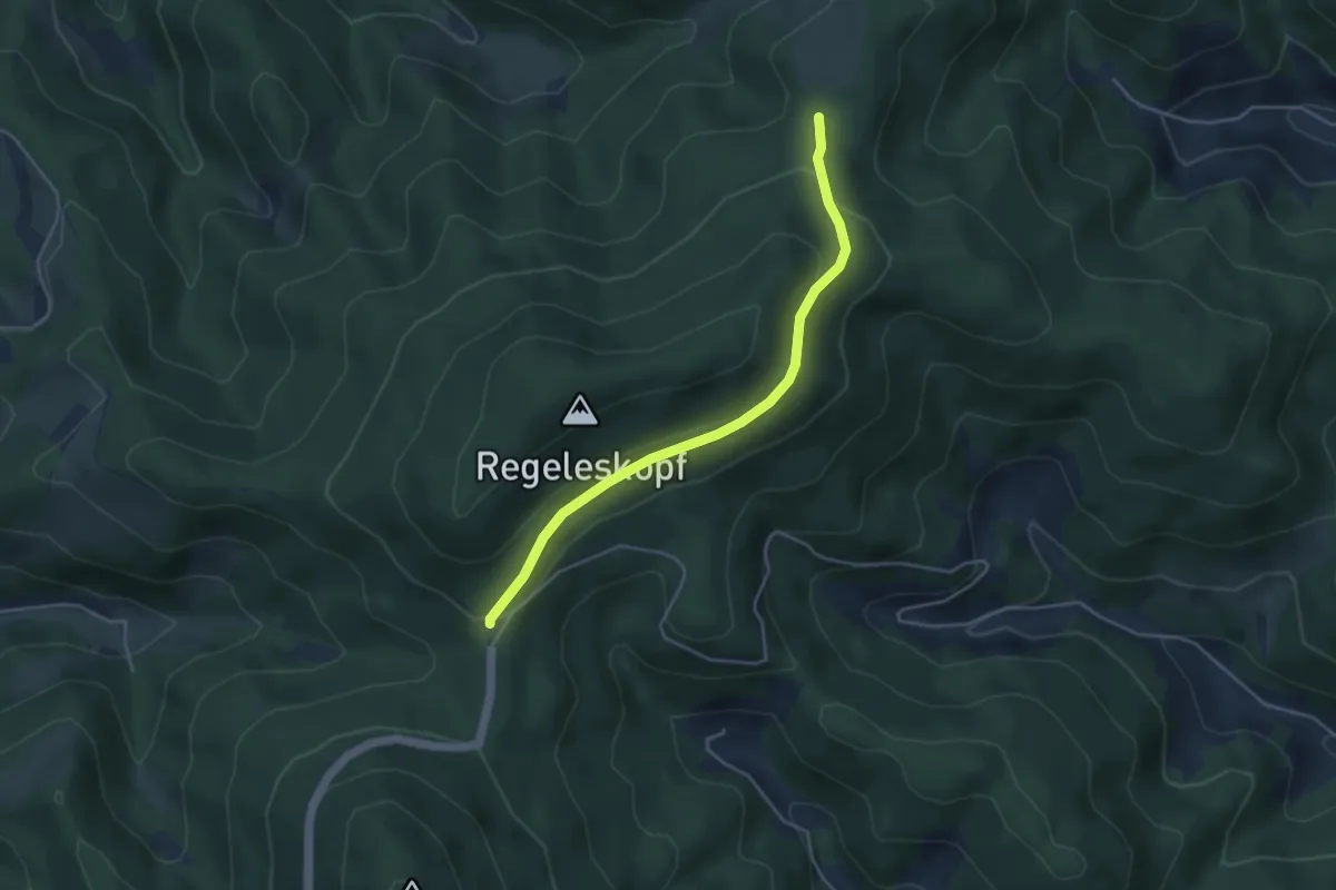
Easy · Trail
Bei St. Gallus - Kreuzsattelhütte
4.0 km · ↑ 140 m · 1 h 14 min
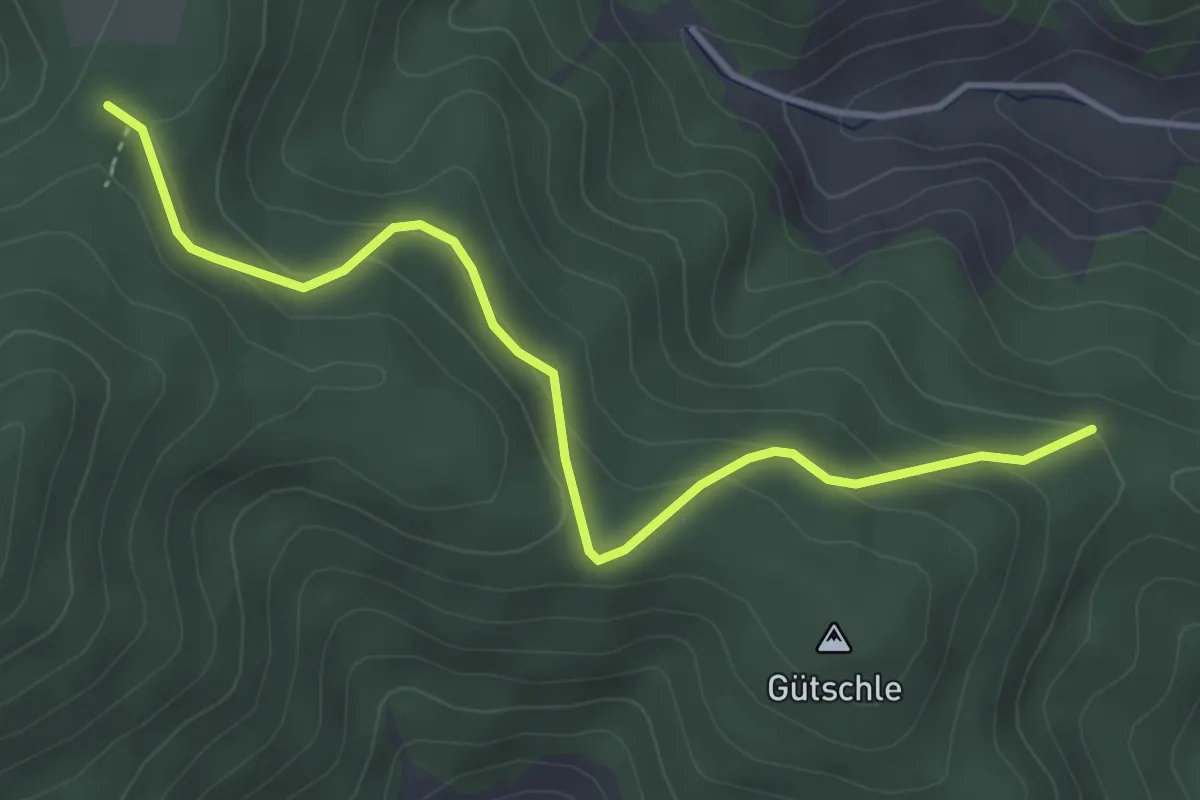
Easy · Trail
Bei St. Gallus - Kütschle-Ebel
4.0 km · ↑ 212 m · 1 h 24 min
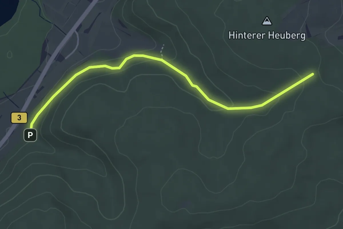
Easy · Trail
Bei Werrabronn - Waldersteig
4.3 km · ↑ 112 m · 1 h 15 min
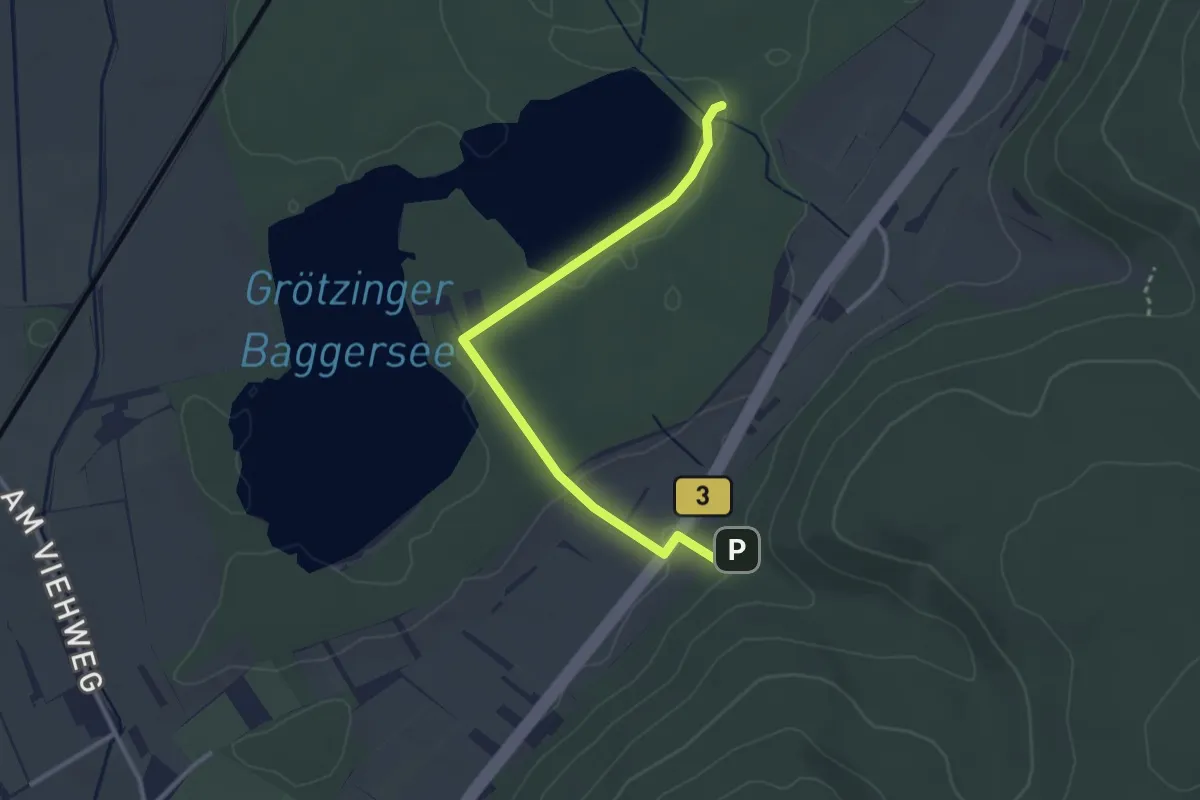
Easy · Trail
Bei Werrabronn - Weingartener Moor
3.0 km · ↑ 40 m · 47 min
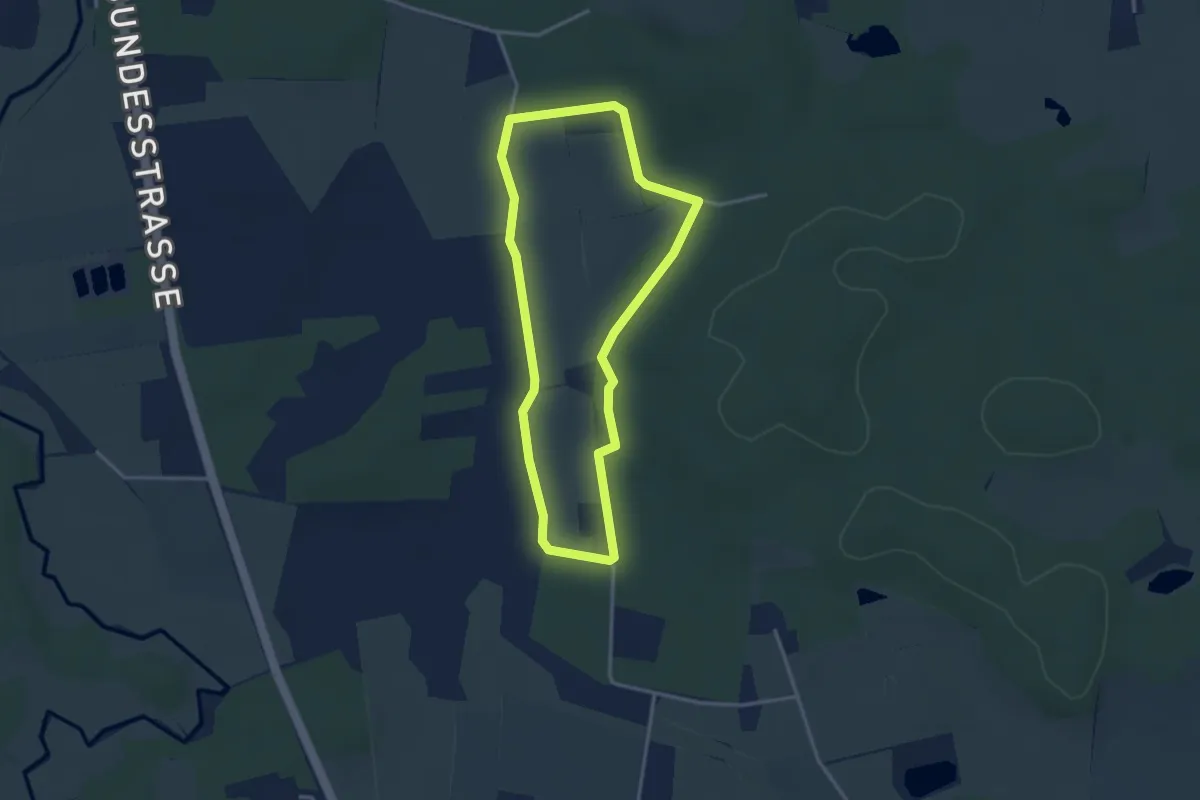
Easy · Trail
Bekassinenweg
2.6 km · ↑ 14 m · 40 min
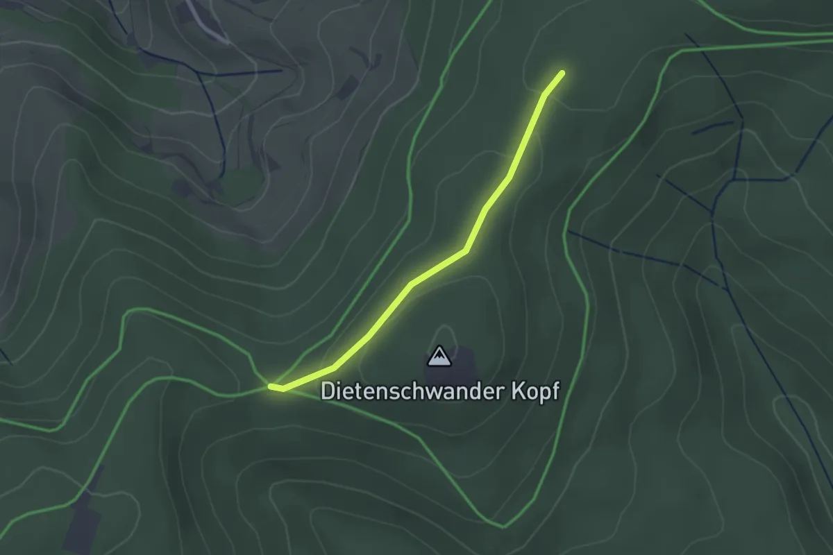
Easy · Trail
Belchenblick - Sägbaumdumpf
2.1 km · ↑ 49 m · 36 min
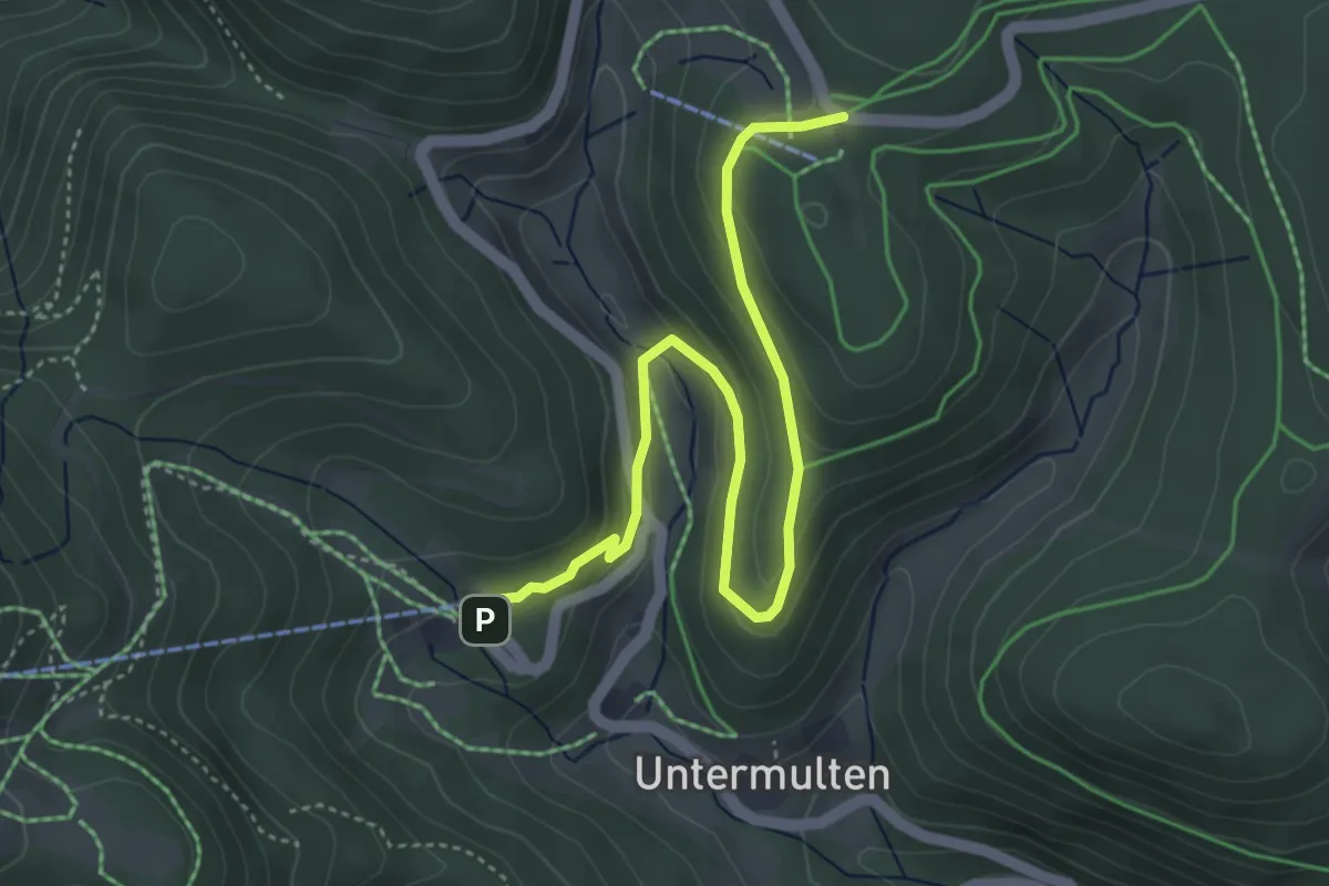
Easy · Cabin
Belchenerlebnisweg "Regenwurmpfad"
4.8 km · ↑ 156 m · 1 h 28 min
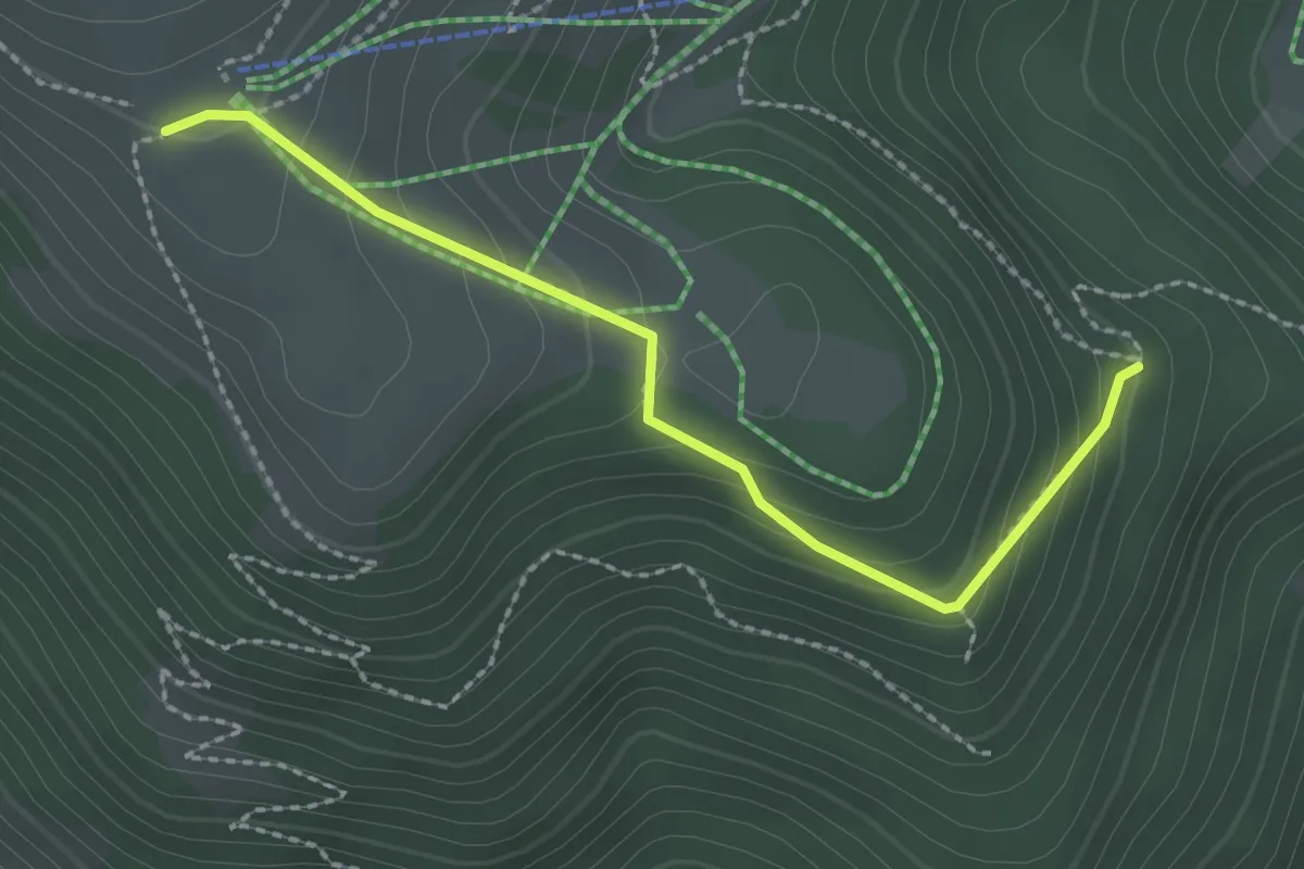
Easy · Trail
Belchenhaus - Unter dem Hägsturzfelsen
2.3 km · ↑ 160 m · 53 min
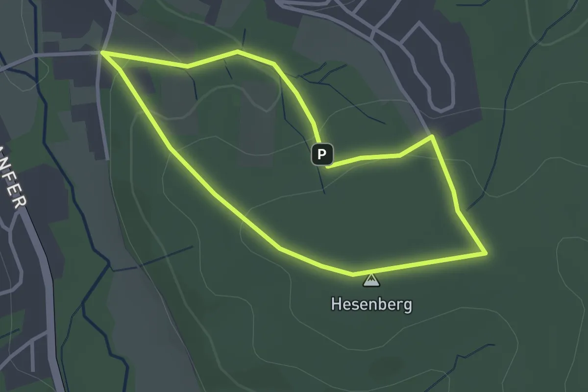
Easy · Summit
Belecke A1
2.4 km · ↑ 82 m · 46 min
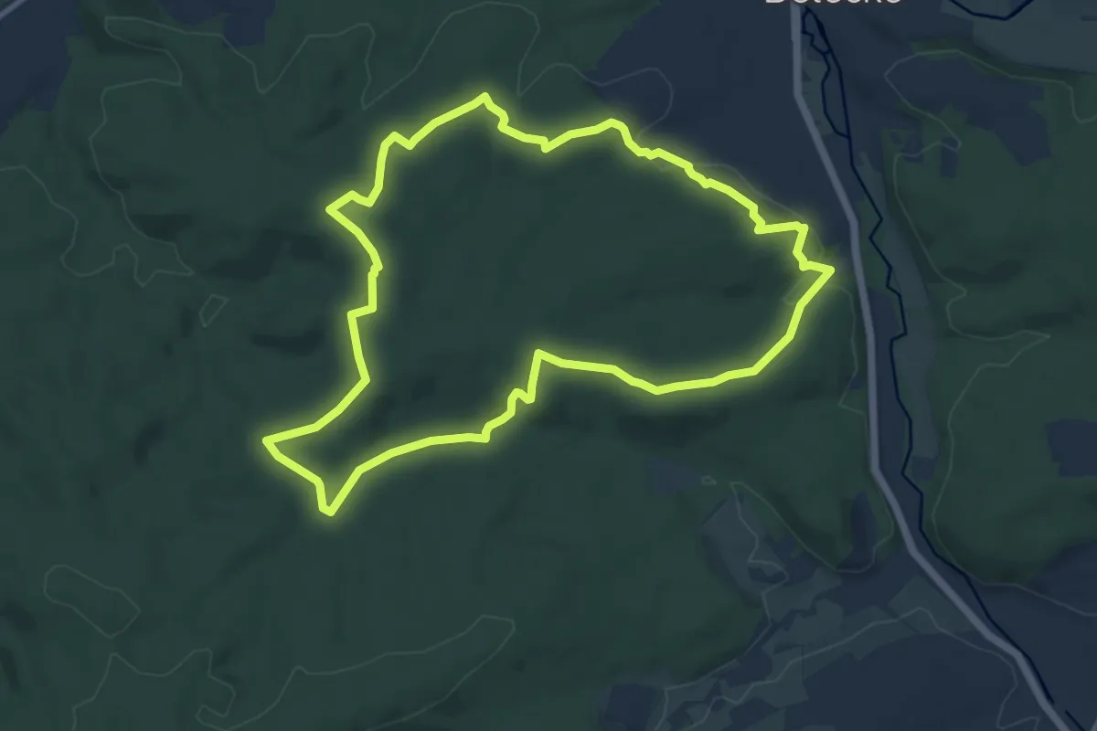
Medium · Summit
Belecke A10
9.4 km · ↑ 217 m · 2 h 49 min
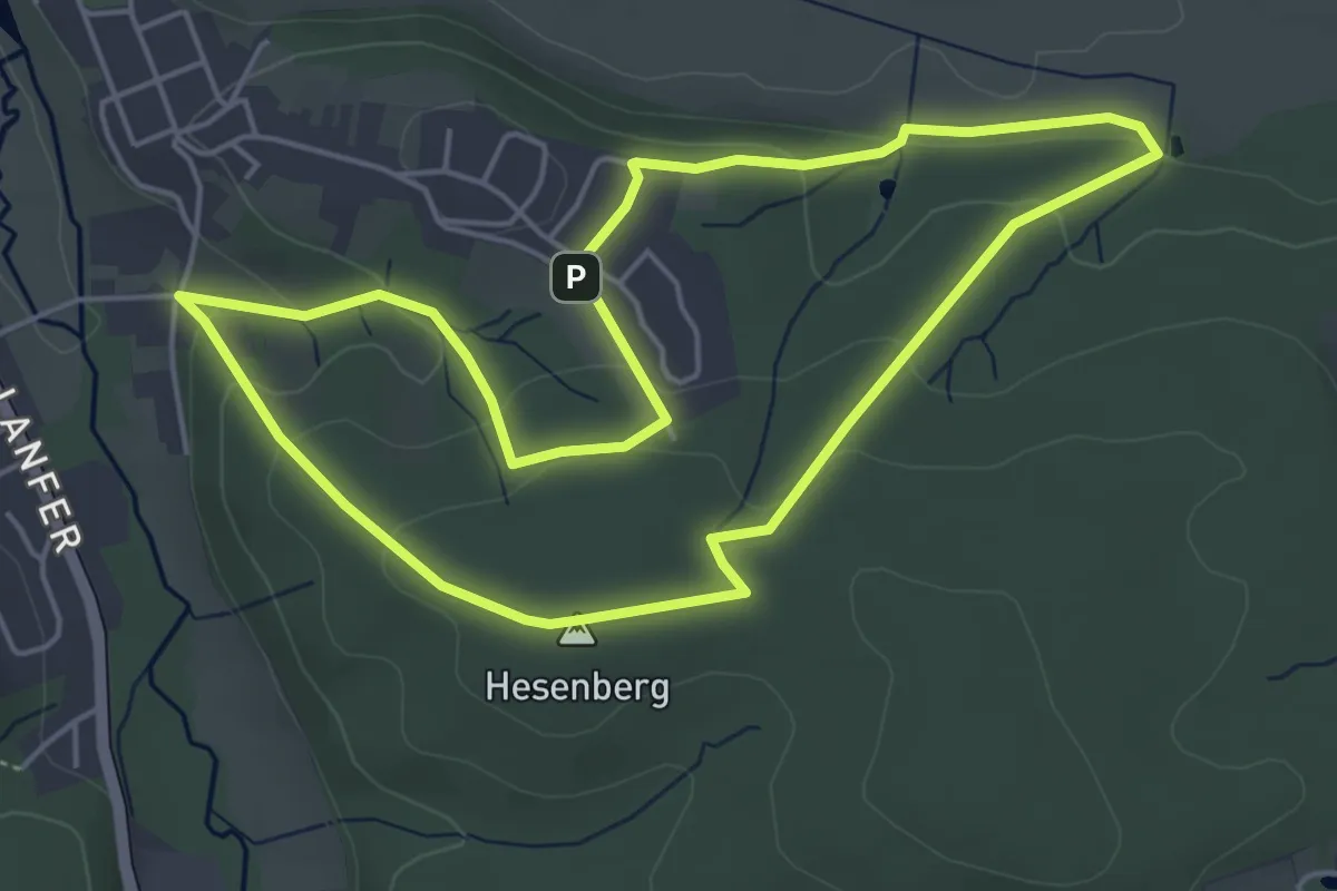
Easy · Summit
Belecke A2
4.5 km · ↑ 140 m · 1 h 26 min
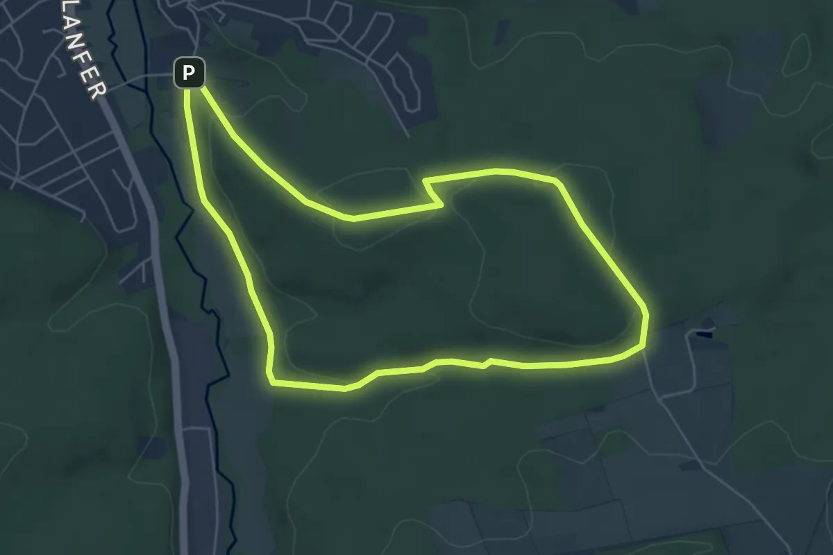
Easy · Summit
Belecke A3
4.9 km · ↑ 111 m · 1 h 28 min
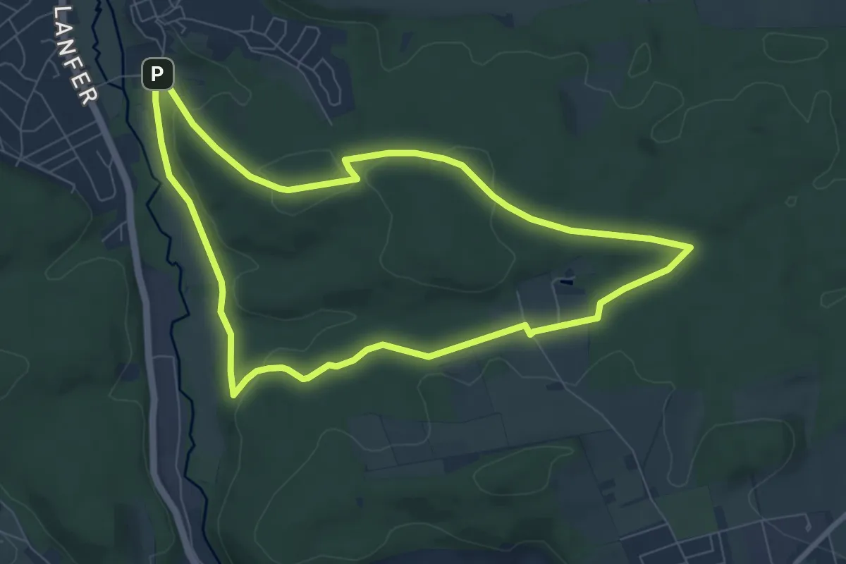
Easy · Summit
Belecke A4
6.8 km · ↑ 128 m · 1 h 58 min
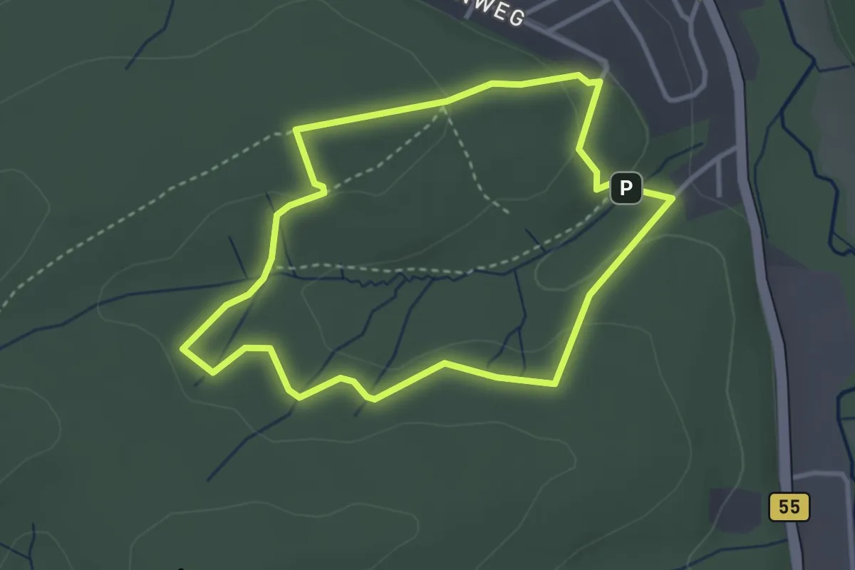
Medium · Trail
Belecke A6
2.8 km · ↑ 70 m · 51 min
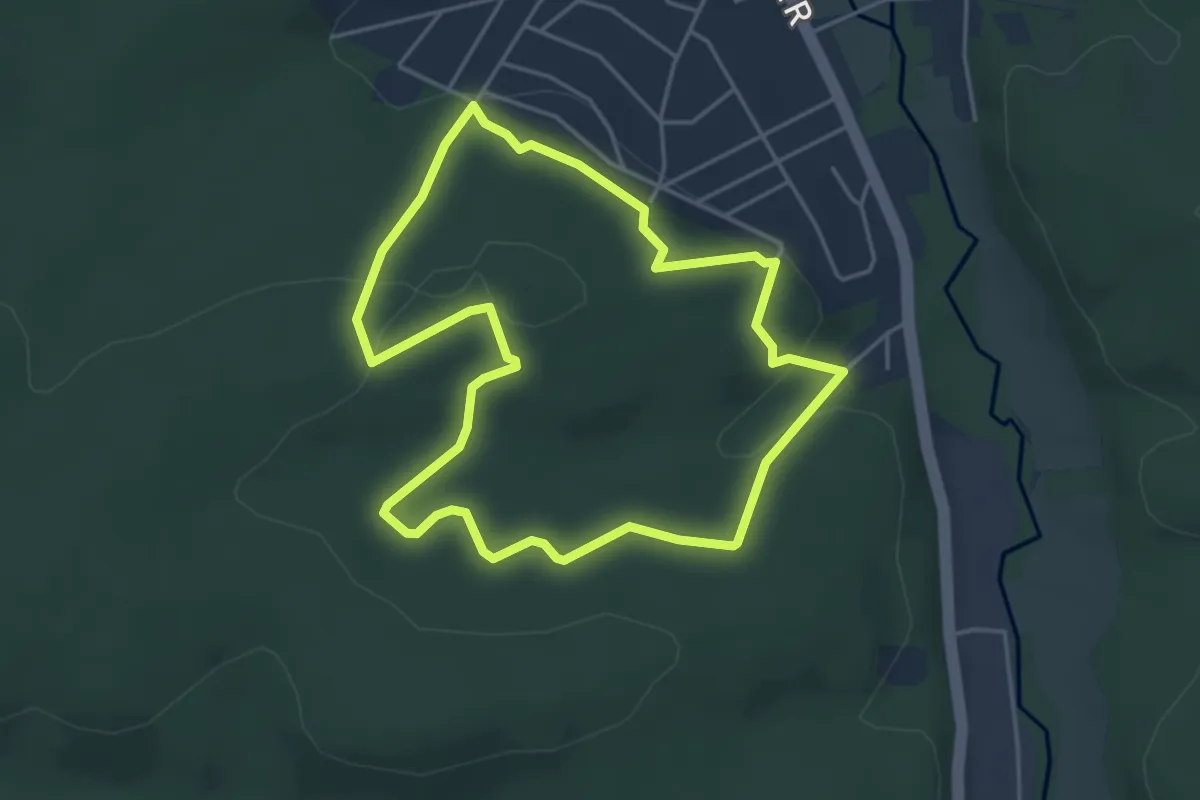
Medium · Trail
Belecke A7
3.8 km · ↑ 107 m · 1 h 11 min
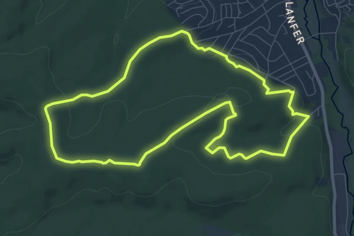
Medium · Summit
Belecke A8
7.2 km · ↑ 145 m · 2 h 7 min
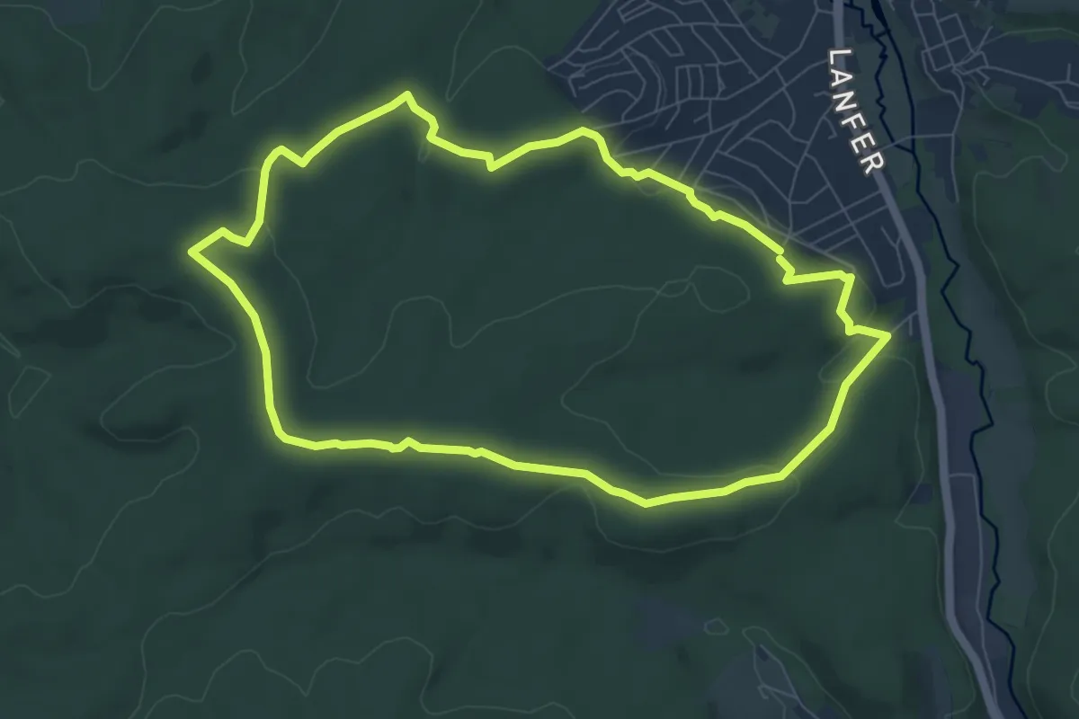
Medium · Summit
Belecke A9
7.1 km · ↑ 166 m · 2 h 8 min
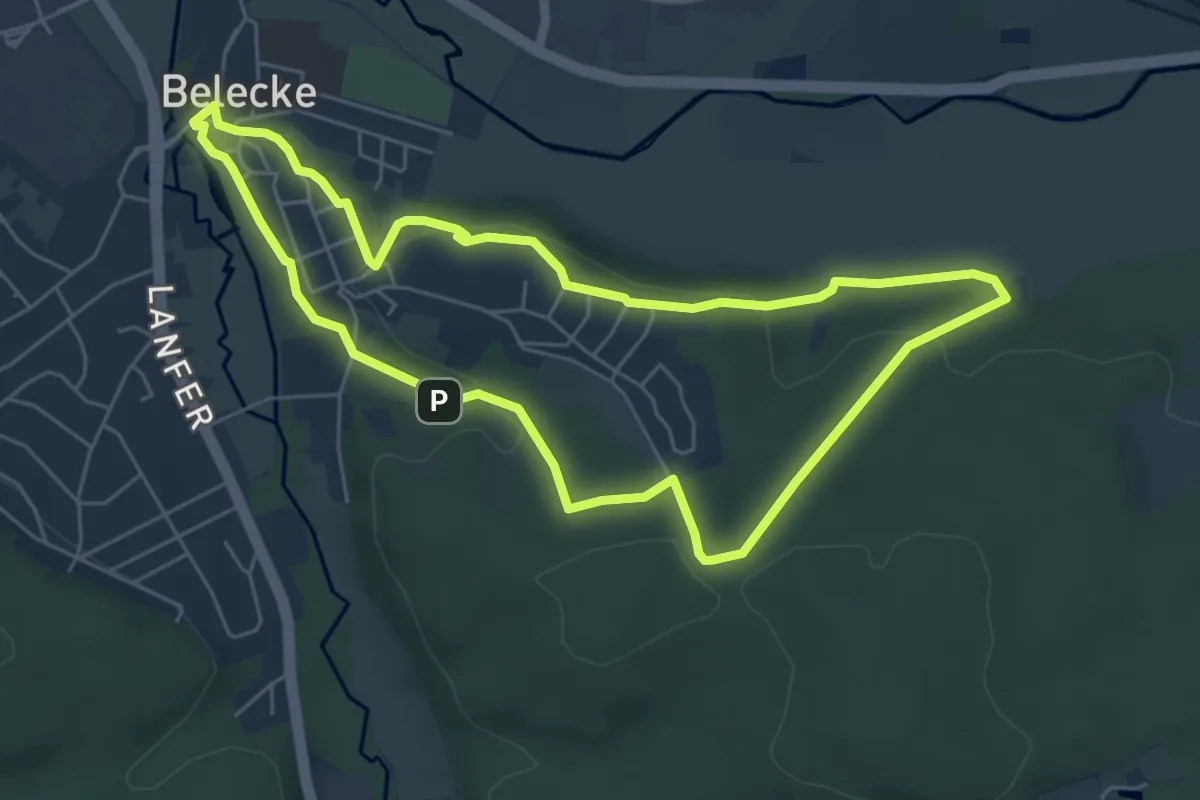
Easy · Trail
_|_ Belecke - Friedhof - Unsohle - Belecke
5.2 km · ↑ 150 m · 1 h 37 min
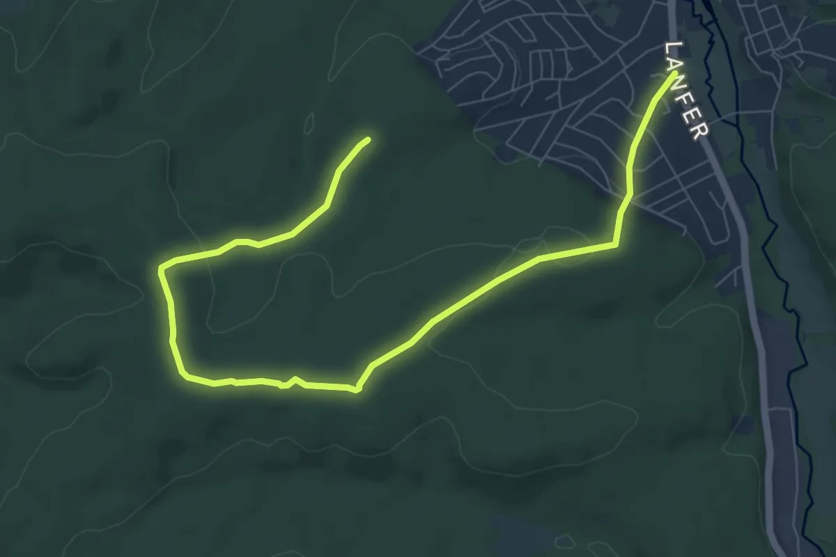
Medium · Summit
[-] Belecke Hirschberger Str - Sandbirken - Mülmecke - Schützenhalle
8.9 km · ↑ 175 m · 2 h 29 min
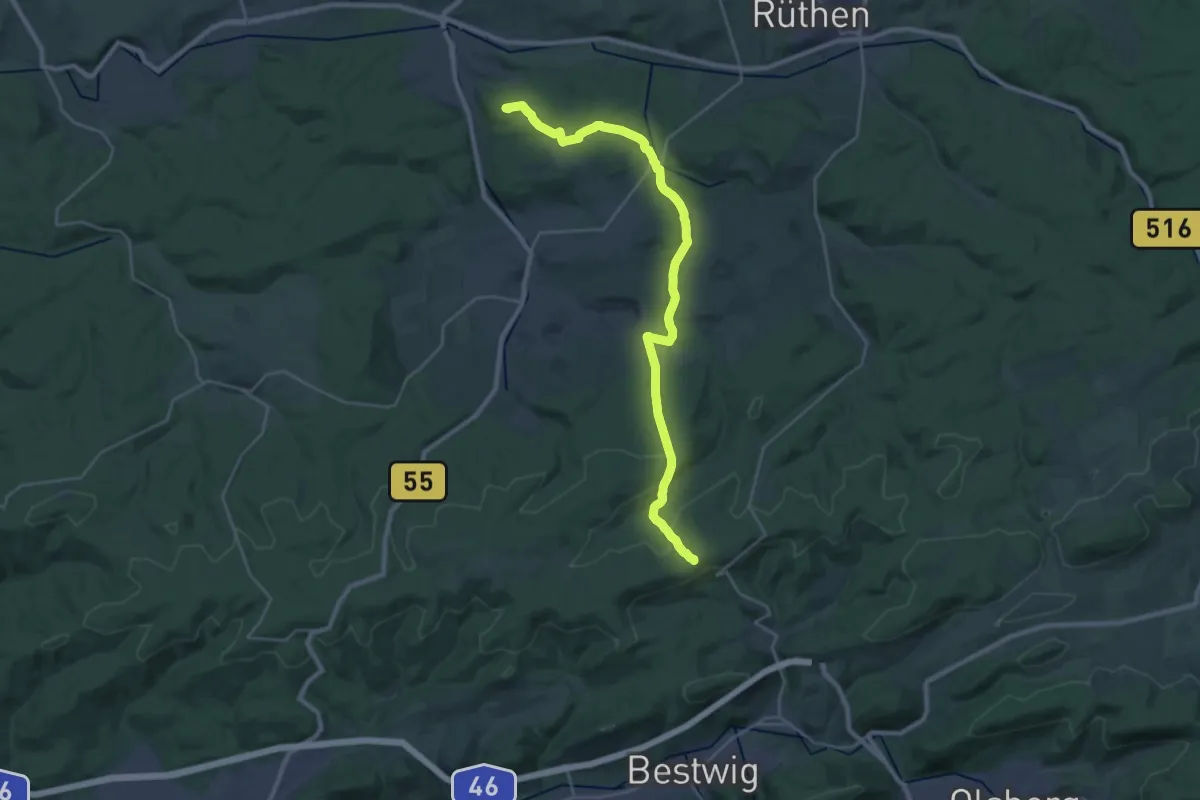
Demanding · Summit
Belecke - Nuttlarer Höhe
25.5 km · ↑ 505 m · 7 h 6 min
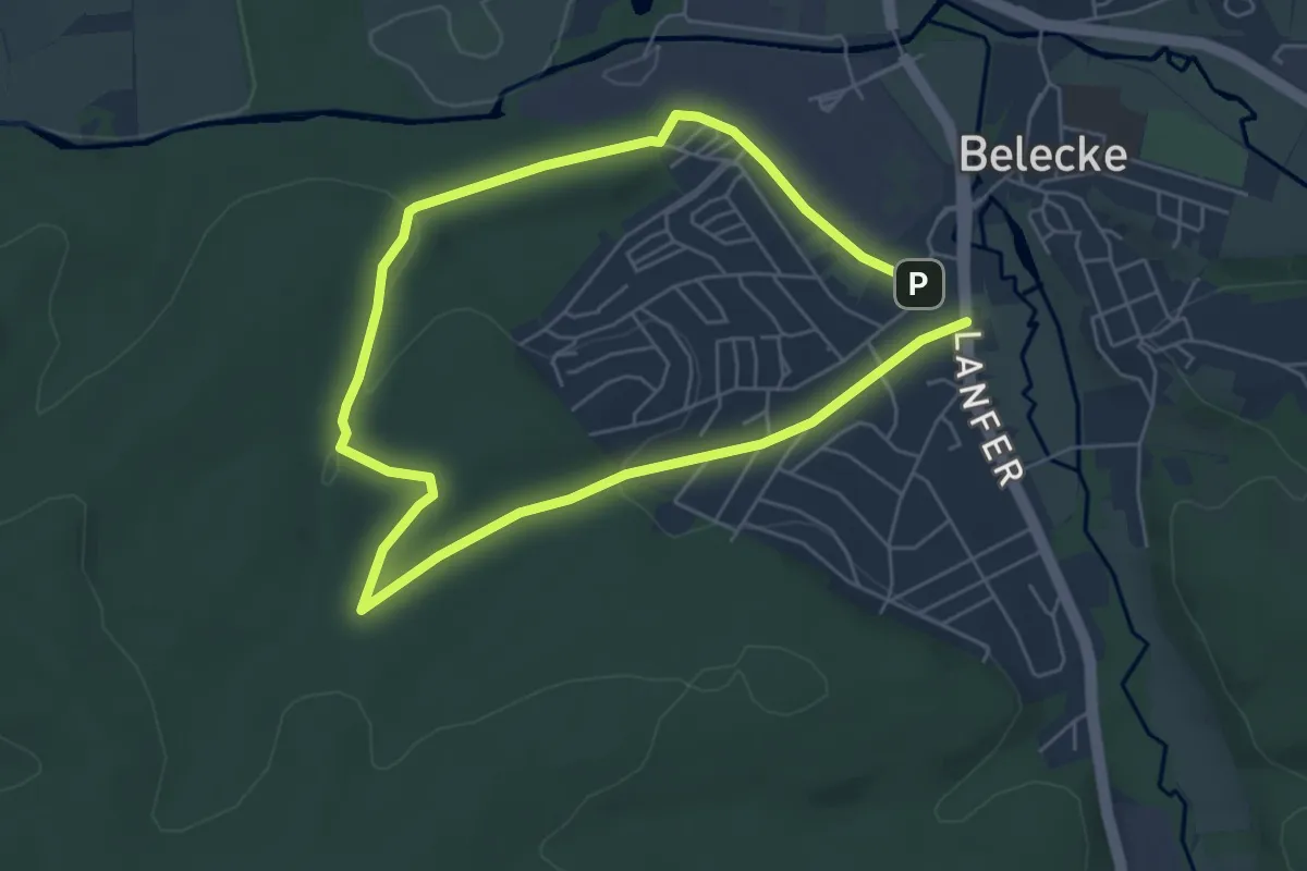
Easy · Summit
[=] Belecke Silbke - Mülmecke - Schützenhalle
4.3 km · ↑ 87 m · 1 h 16 min
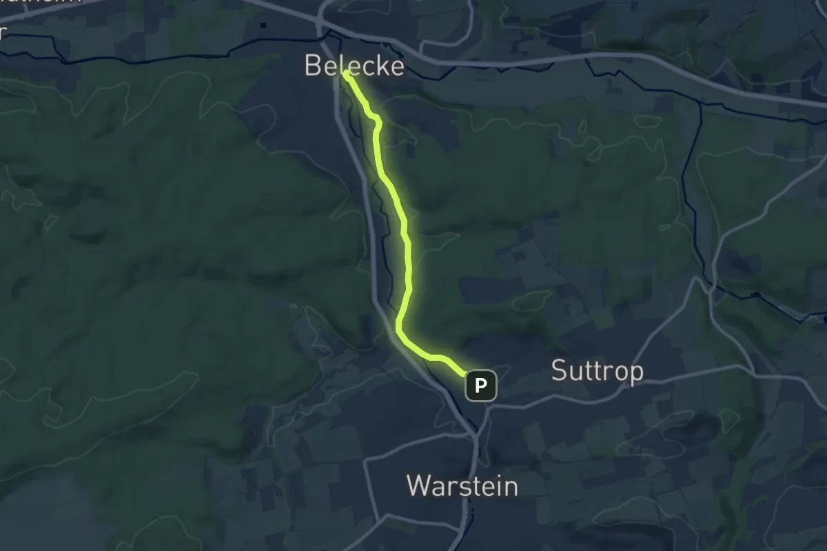
Medium · Trail
[/_\] Belecke - Warstein
8.2 km · ↑ 142 m · 2 h 14 min
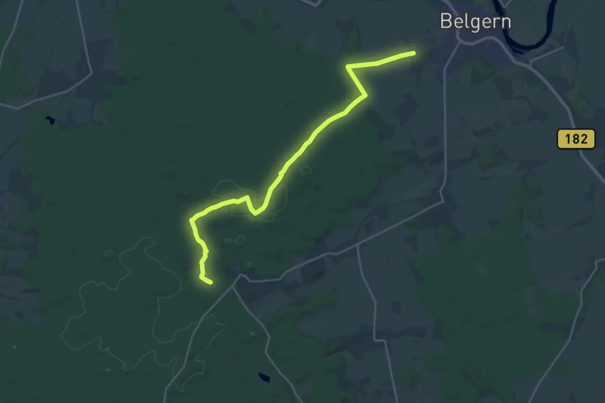
Medium · Trail
Belgern-Pfarrbrücke
17.8 km · ↑ 154 m · 4 h 32 min
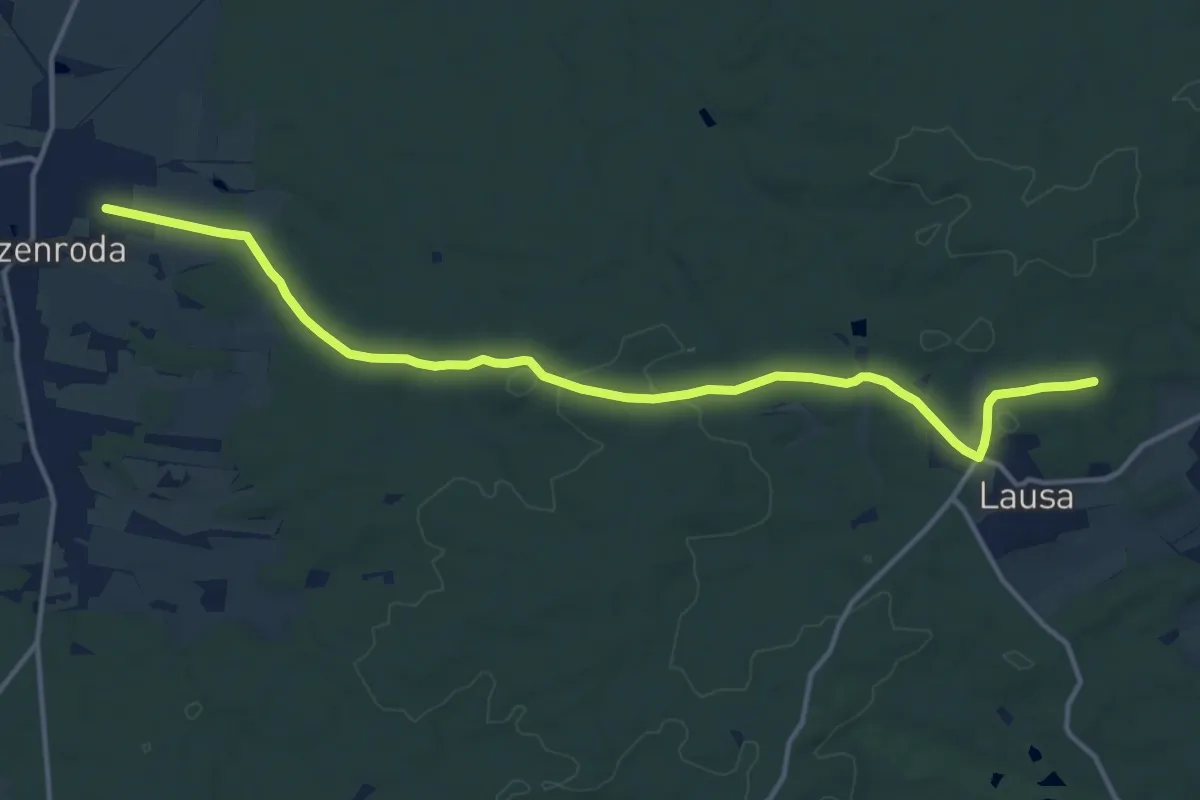
Medium · Summit
Belgern-Sitzenroda
13.9 km · ↑ 200 m · 3 h 43 min
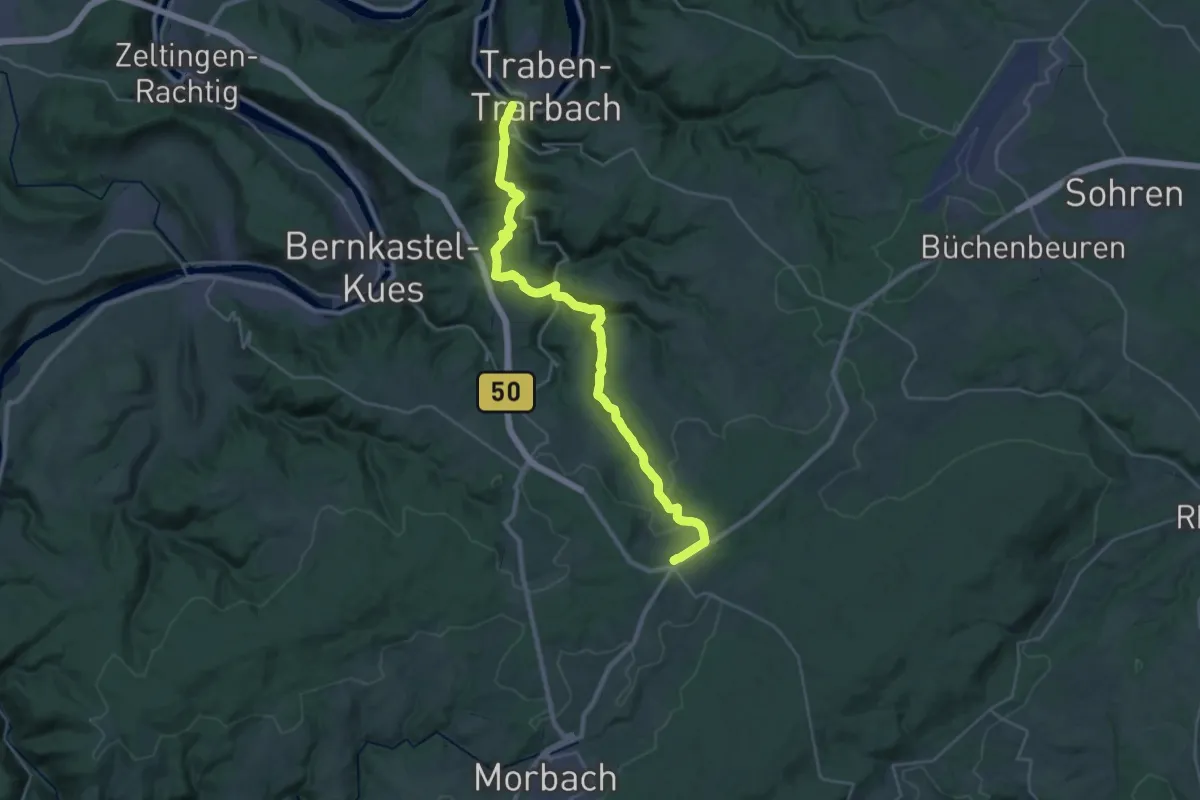
Medium · Trail
Belginum Wanderweg
15.3 km · ↑ 718 m · 5 h 10 min
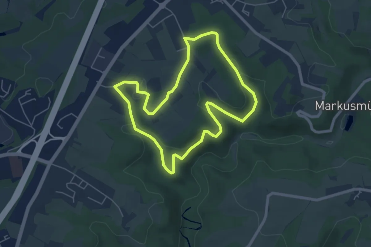
Easy · Trail
Bellinghausen Rundweg A1
4.2 km · ↑ 102 m · 1 h 17 min
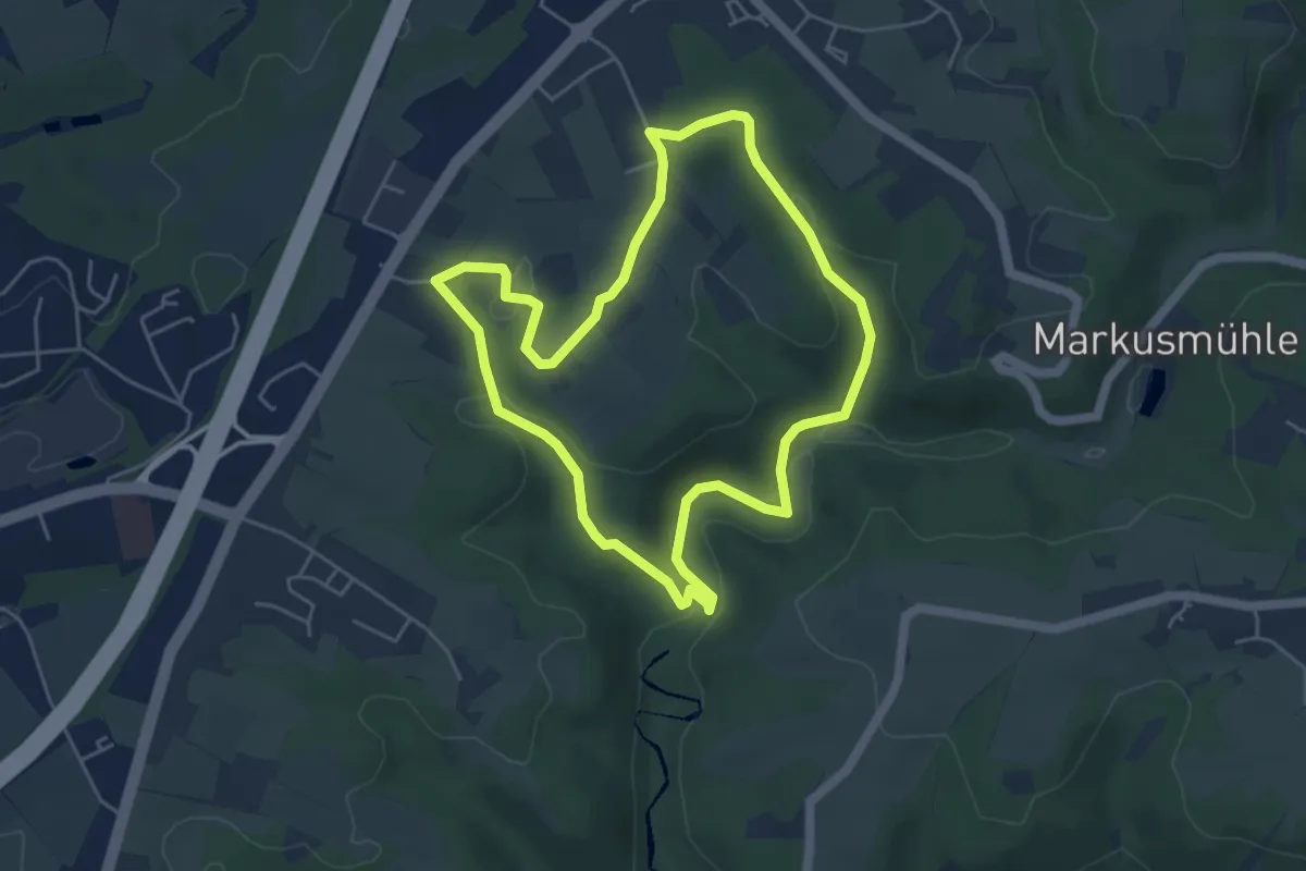
Easy · Trail
Bellinghausen Rundweg A3
4.4 km · ↑ 113 m · 1 h 20 min
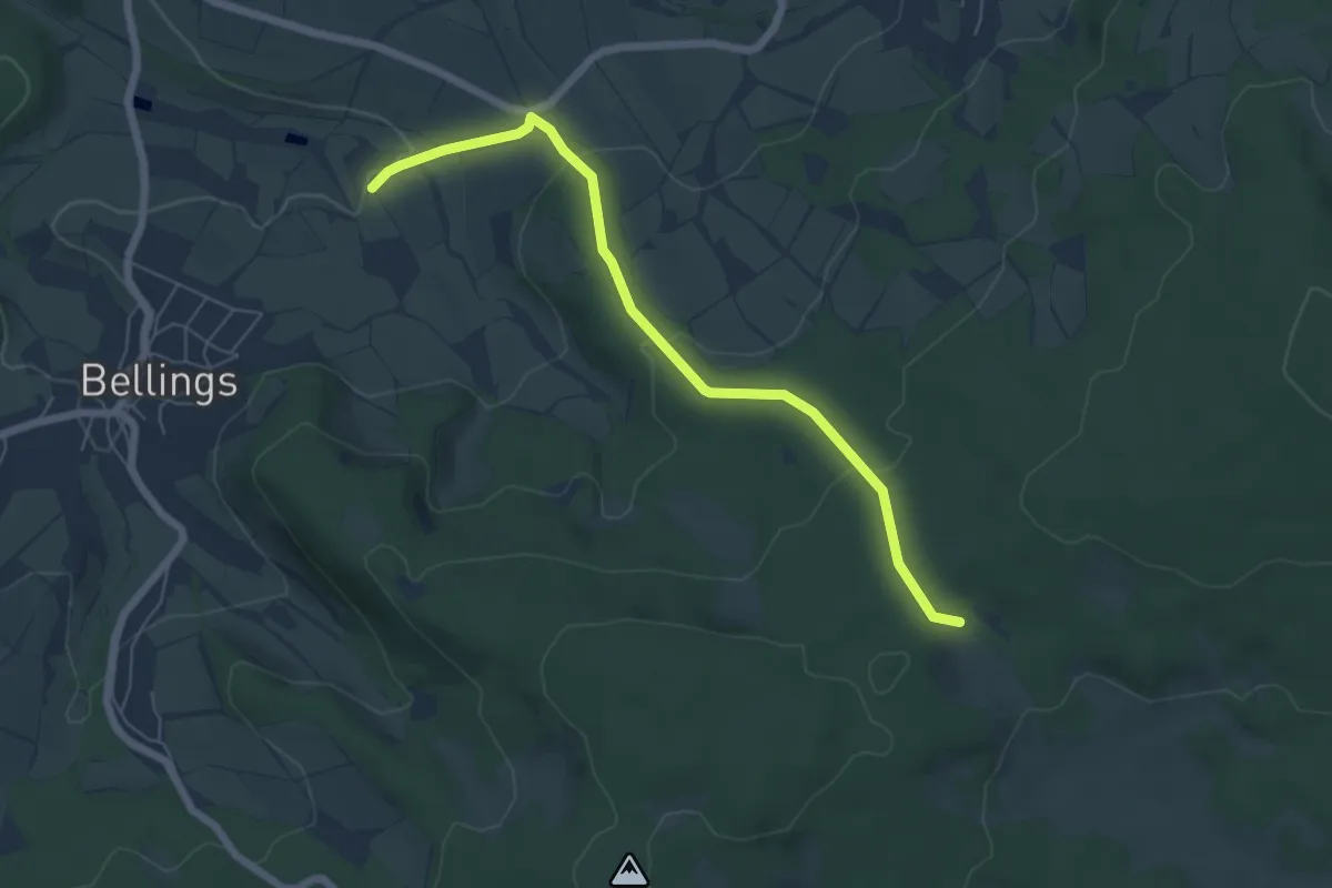
Easy · Summit
Bellings - Rundweg 1
2.9 km · ↑ 16 m · 50 min
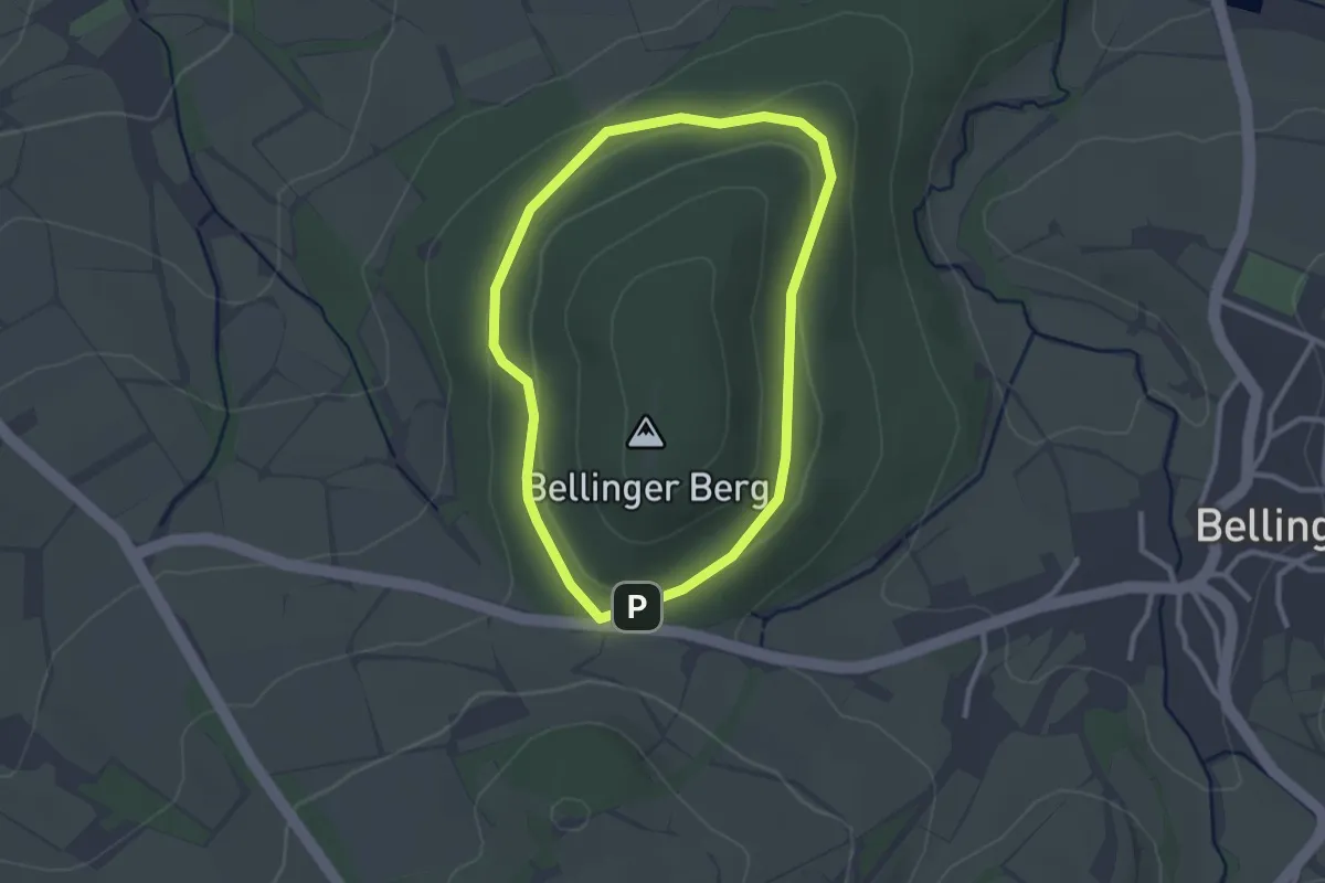
Easy · Trail
Bellings, Wanderweg B5
2.3 km · ↑ 54 m · 41 min
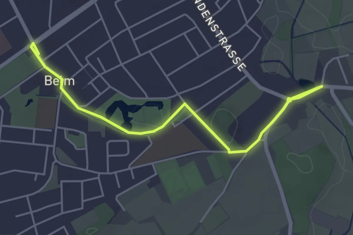
Easy · Trail
Belm-Rundweg 4
4.2 km · ↑ 18 m · 1 h 2 min
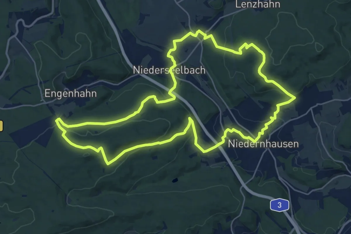
Demanding · Trail
Bembel-Weg
19.3 km · ↑ 511 m · 5 h 56 min
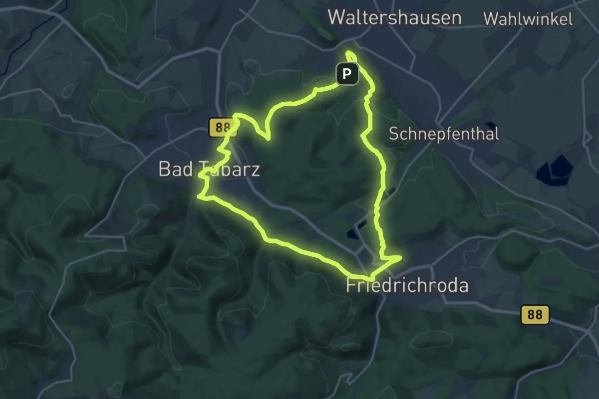
Medium · Summit
Benediktinerpfad
14.8 km · ↑ 314 m · 4 h 23 min
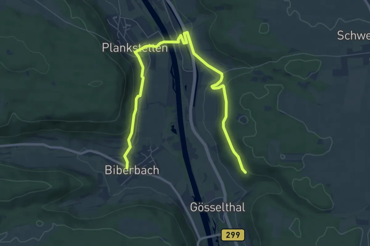
Easy · Trail
Benediktinerweg
4.3 km · ↑ 109 m · 1 h 20 min
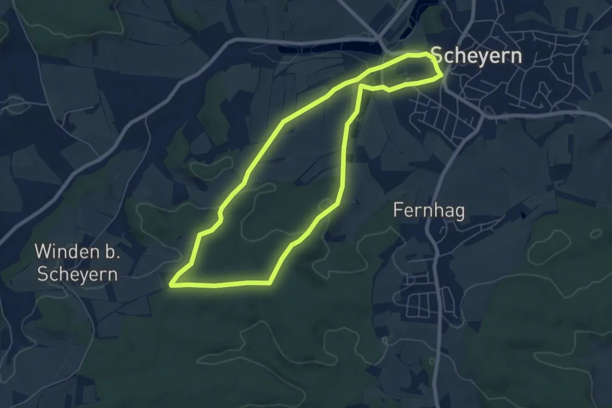
Easy · Trail
Benediktusweg
5.8 km · ↑ 129 m · 1 h 44 min
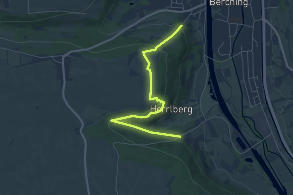
Easy · Trail
Benediktusweg Schlaufe Weinbergmauernweg
5.8 km · ↑ 198 m · 1 h 49 min
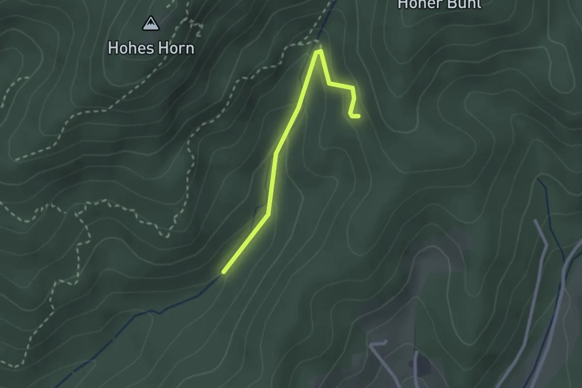
Easy · Trail
Bengelbrücke - Silberlöchlebühl
2.0 km · ↑ 119 m · 44 min
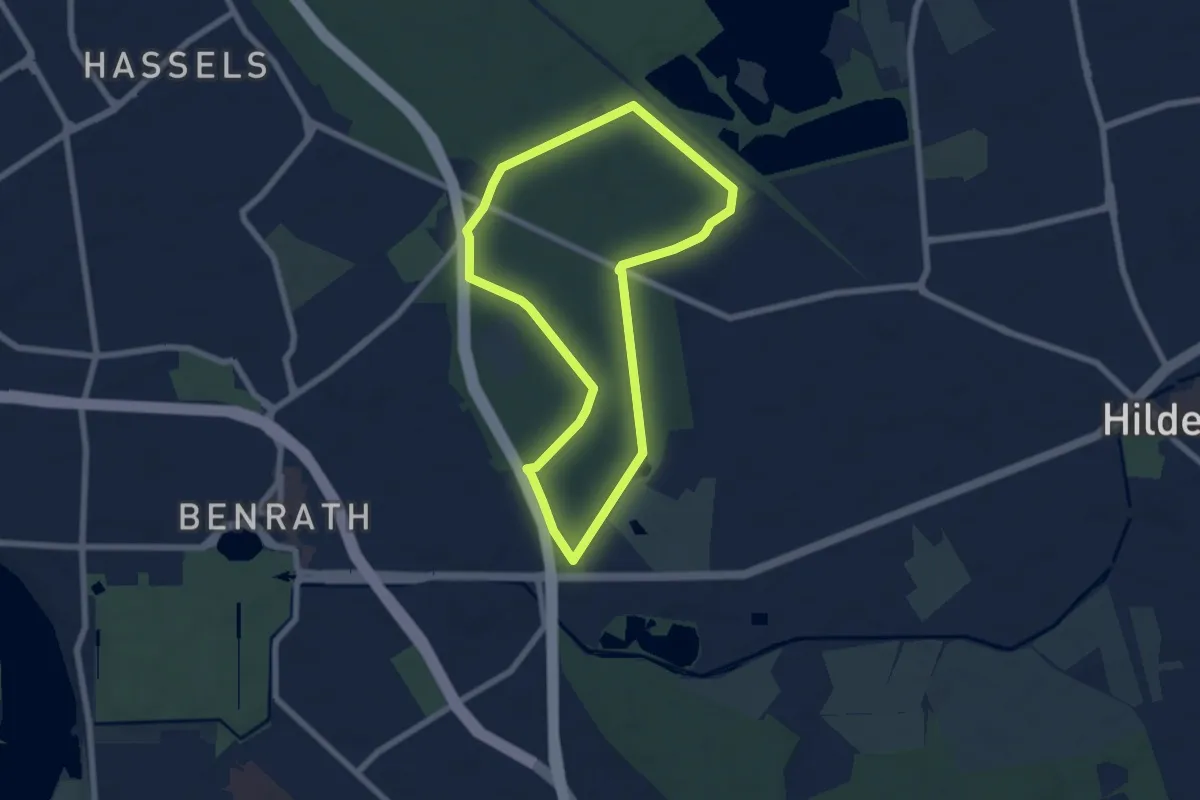
Easy · Trail
Benrather Forst Rundweg A4
5.7 km · ↑ 9 m · 1 h 26 min
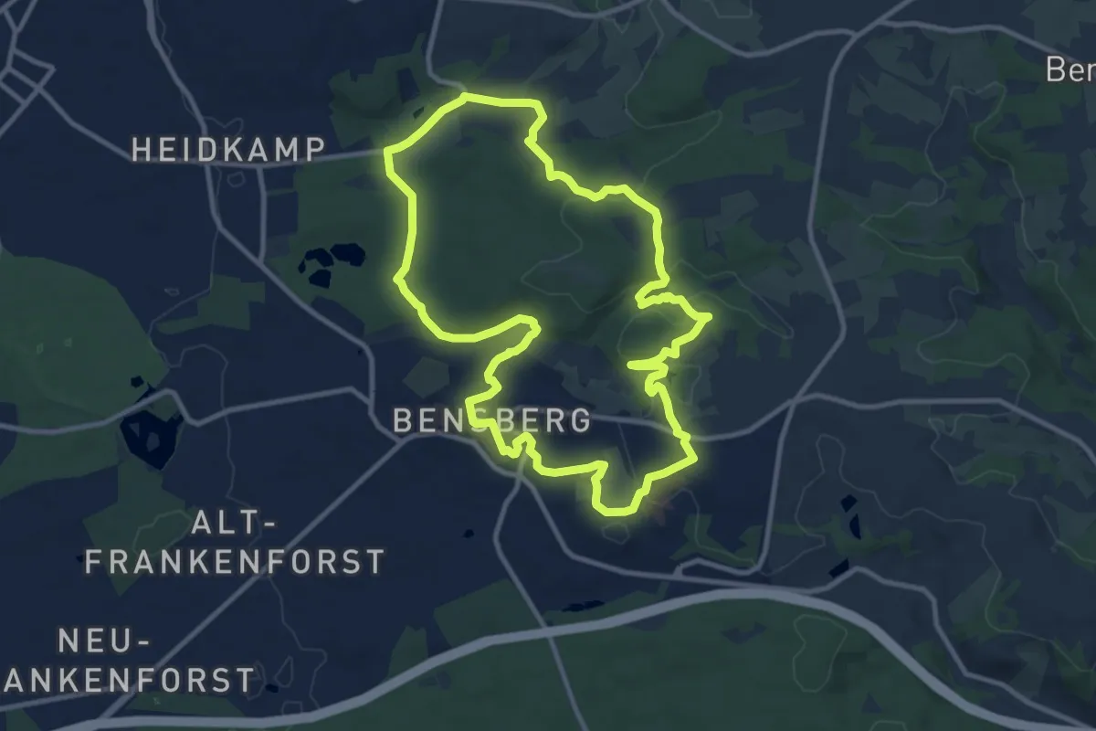
Medium · Trail
Bensberger Schlossweg
9.9 km · ↑ 206 m · 2 h 55 min
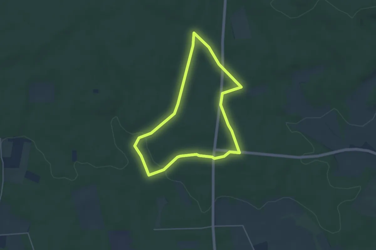
Easy · Trail
Bensberg Rundweg A1
3.6 km · ↑ 41 m · 59 min
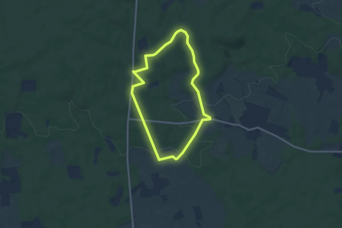
Easy · Summit
Bensberg Rundweg A2
5.2 km · ↑ 86 m · 1 h 29 min