Trails in Germany
36,852 hiking trails, each with its route, climb, walking time and grade.
All trails, page 553 of 768
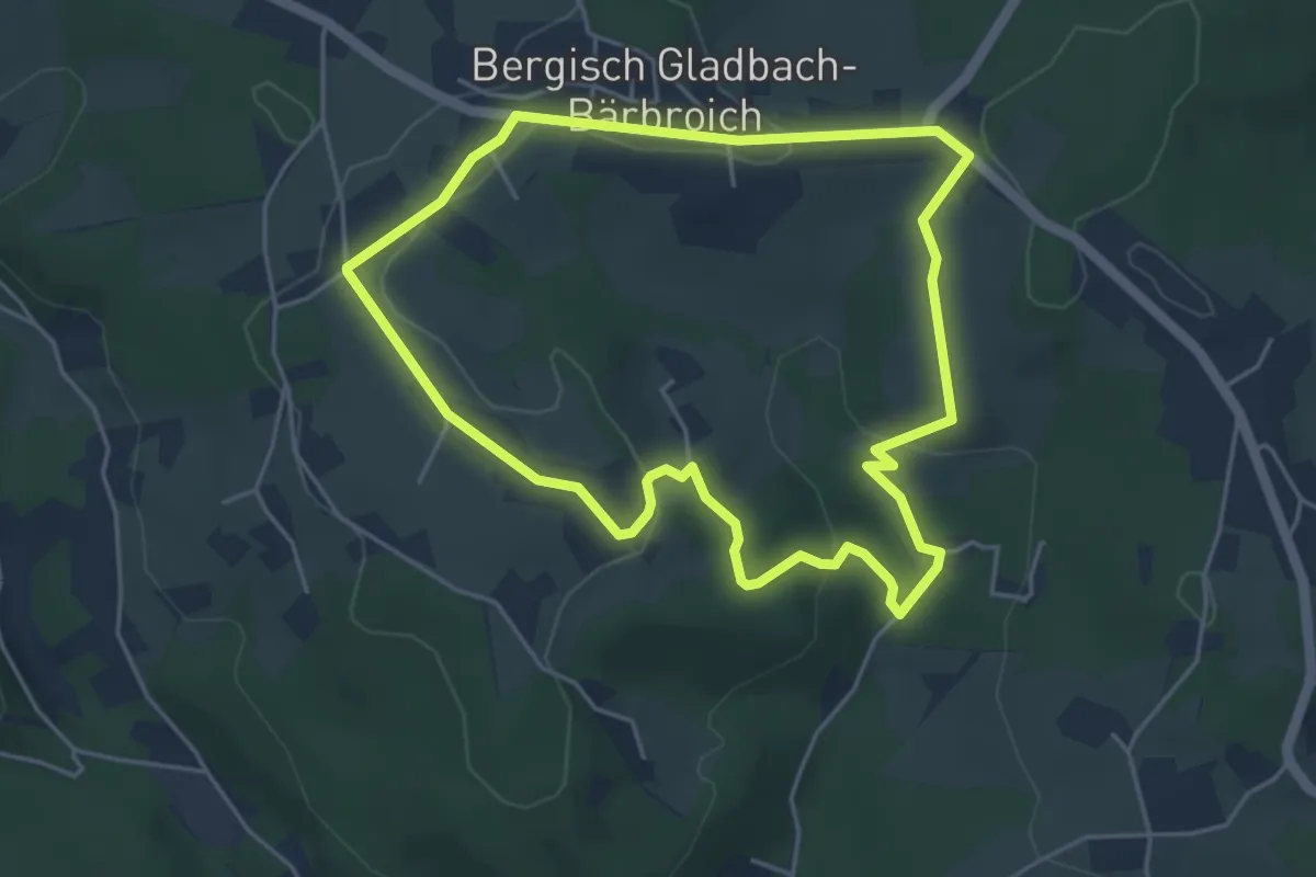
Easy · Trail
[△] Rundweg offenes Dreieck Wanderparkplatz Bärbroich
4.2 km · ↑ 81 m · 1 h 13 min
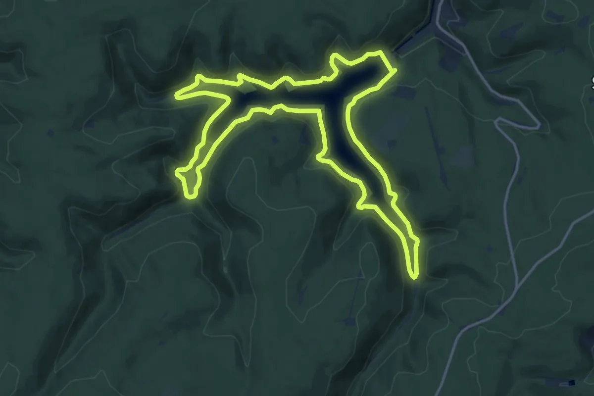
Medium · Trail
Rundweg Ohratalsperre
12.8 km · ↑ 398 m · 4 h 4 min
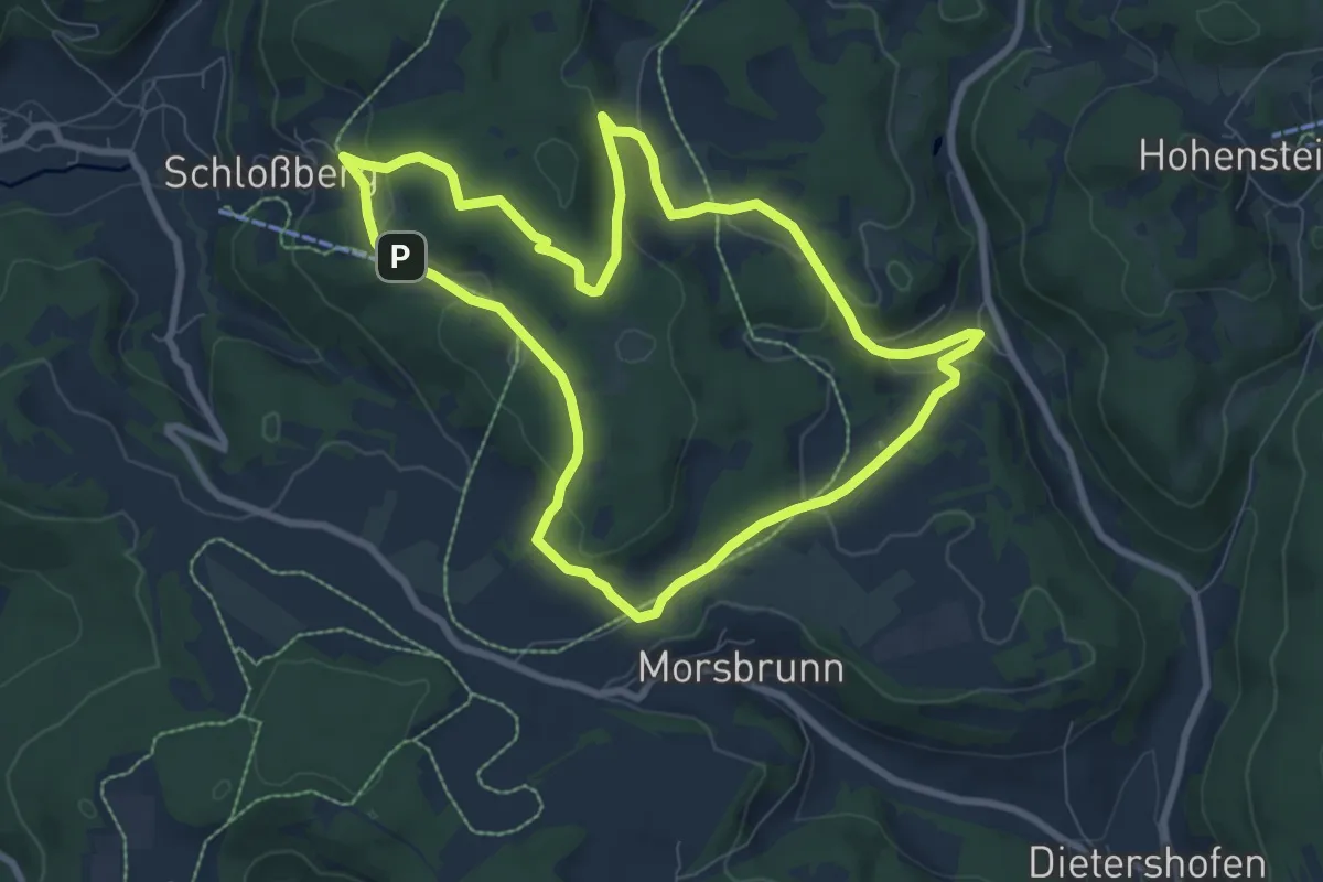
Easy · Summit
Rundweg Osternohe – Algersdorf
7.7 km · ↑ 229 m · 2 h 25 min
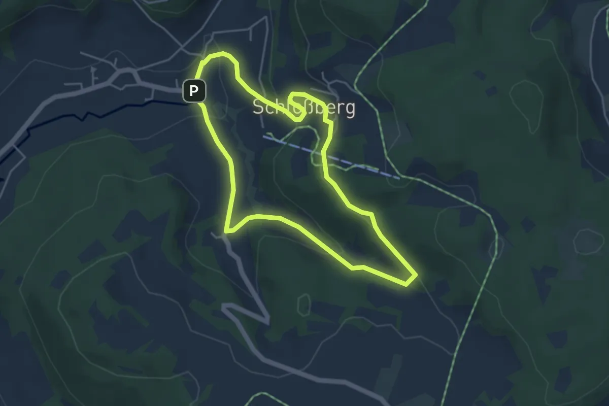
Easy · Trail
Rundweg Osternohe – Bondorferbachquelle
3.7 km · ↑ 122 m · 1 h 11 min
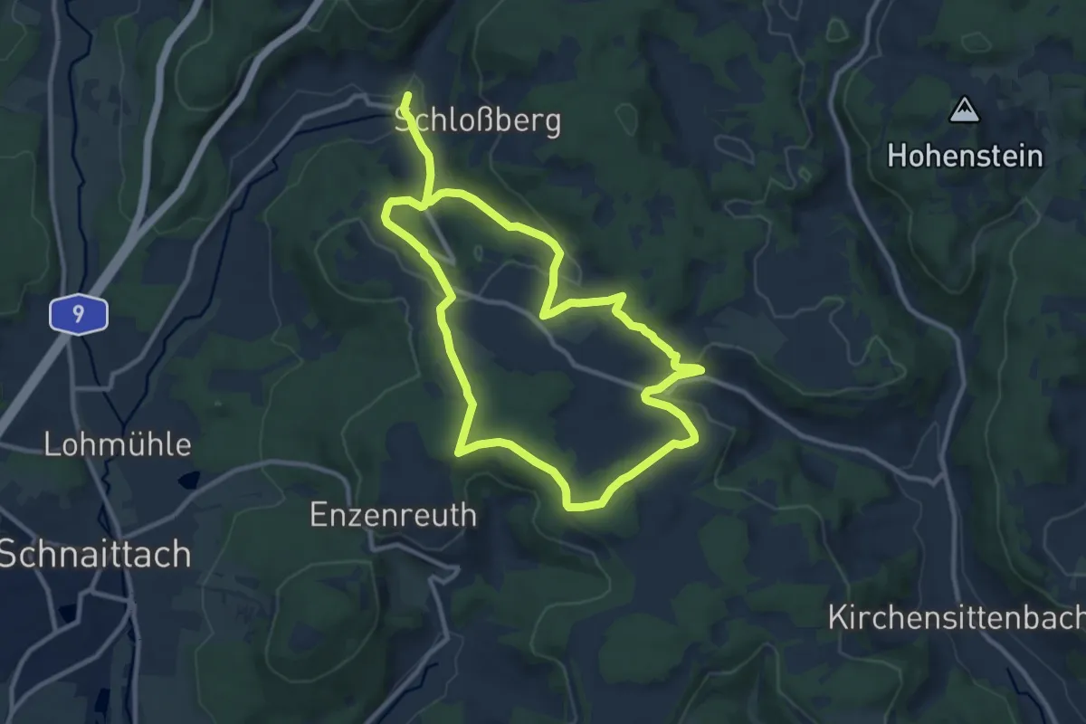
Medium · Trail
Rundweg Osternohe – Morsbrunn
17.9 km · ↑ 467 m · 5 h 14 min
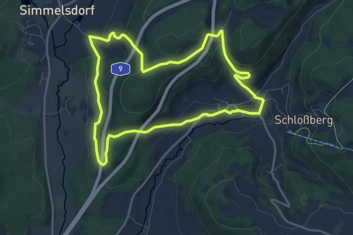
Easy · Trail
Rundweg Osternohe – Simmelsdorf
7.2 km · ↑ 264 m · 2 h 22 min
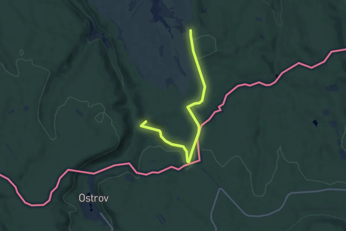
Medium · Summit
Rundweg OT Rosenthal (große Schleife)
9.0 km · ↑ 170 m · 2 h 30 min
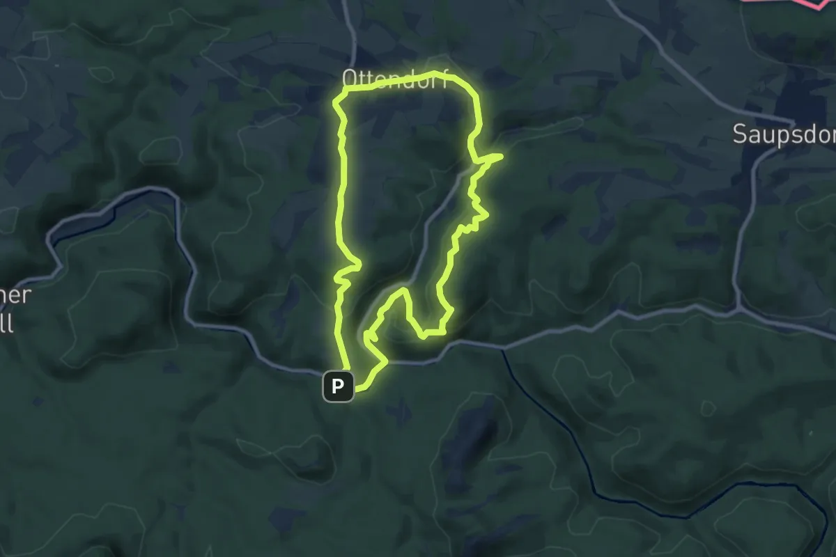
Medium · Summit
Rundweg Ottendorf-Kirnitzschtal (Gelber Punkt)
7.9 km · ↑ 250 m · 2 h 31 min
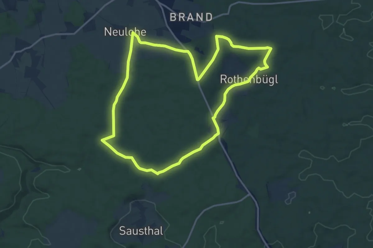
Medium · Trail
Rundweg Painten 1
11.0 km · ↑ 95 m · 2 h 57 min
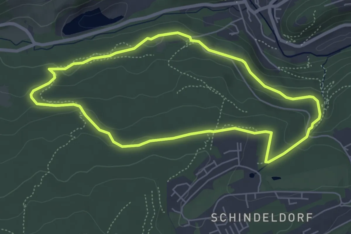
Easy · Trail
Rundweg Panoramabad
4.6 km · ↑ 101 m · 1 h 22 min
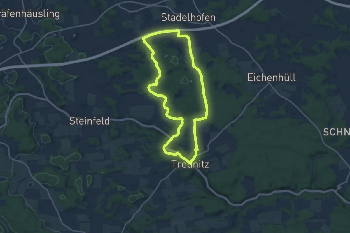
Medium · Trail
Rundweg Paradiestal
10.8 km · ↑ 111 m · 2 h 56 min
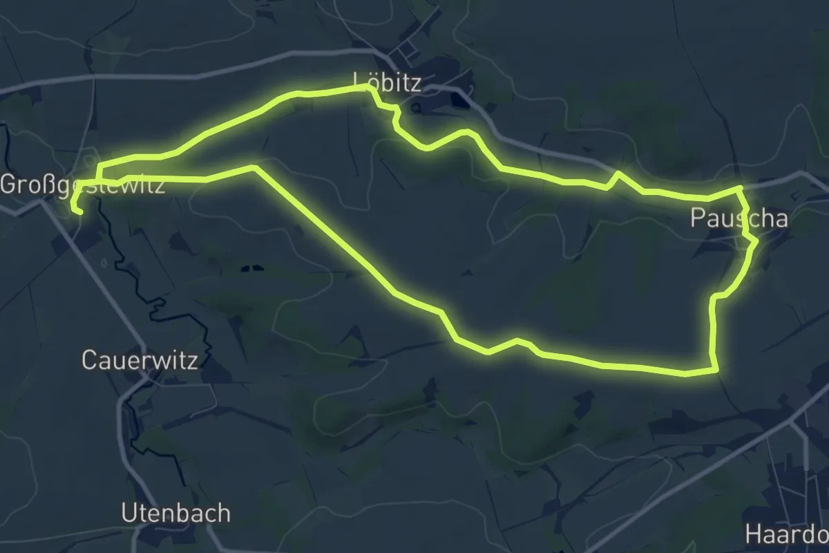
Medium · Trail
Rundweg Pauscha-Löbitz
9.6 km · ↑ 107 m · 2 h 37 min
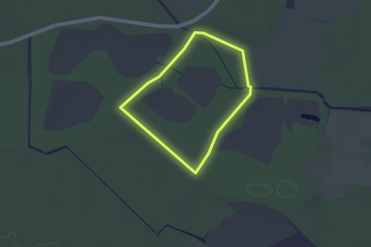
Easy · Trail
Rundweg Peickwitzer Teiche
2.0 km · ↑ 0 m · 30 min
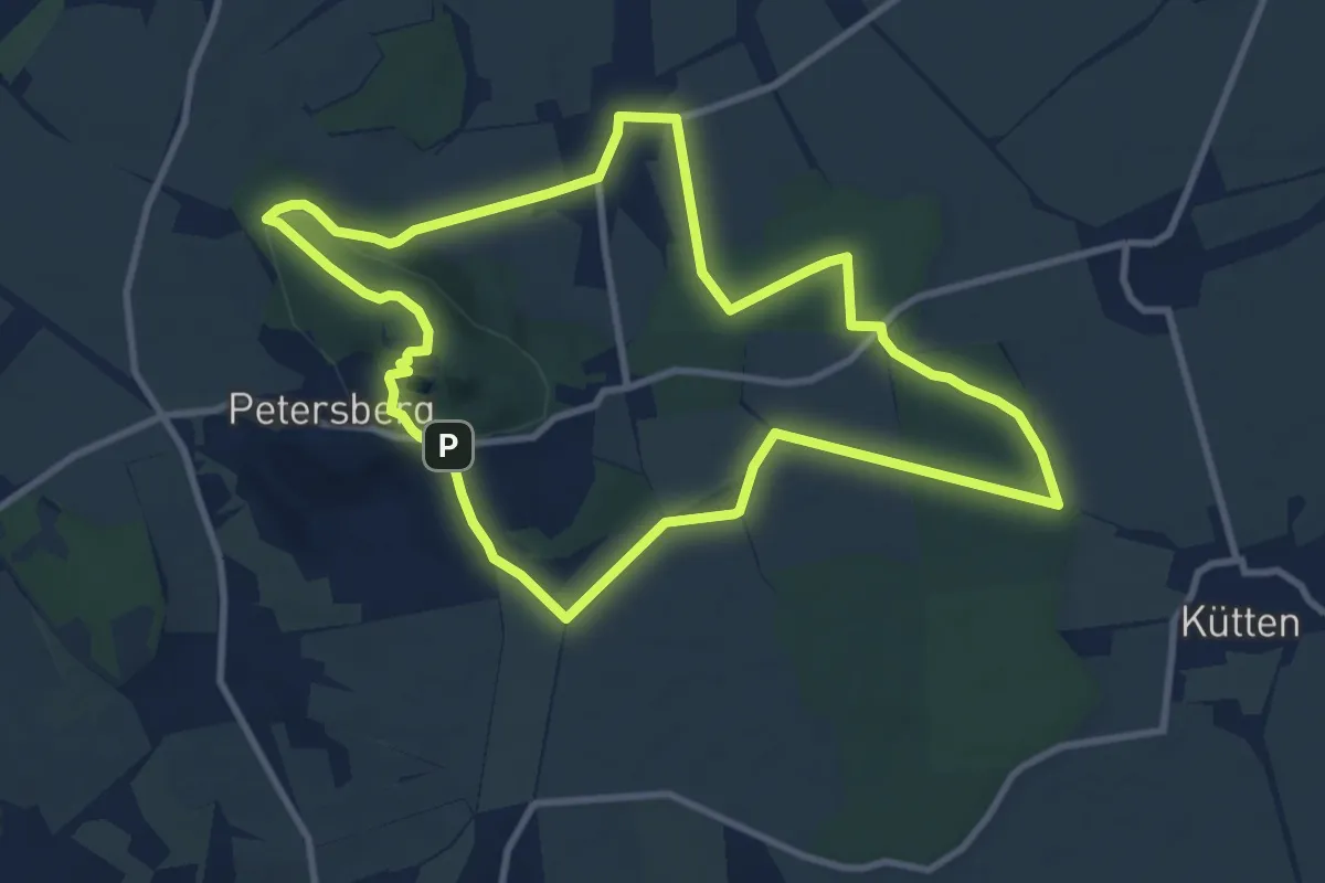
Medium · Summit
Rundweg Petersberg
8.9 km · ↑ 132 m · 2 h 31 min
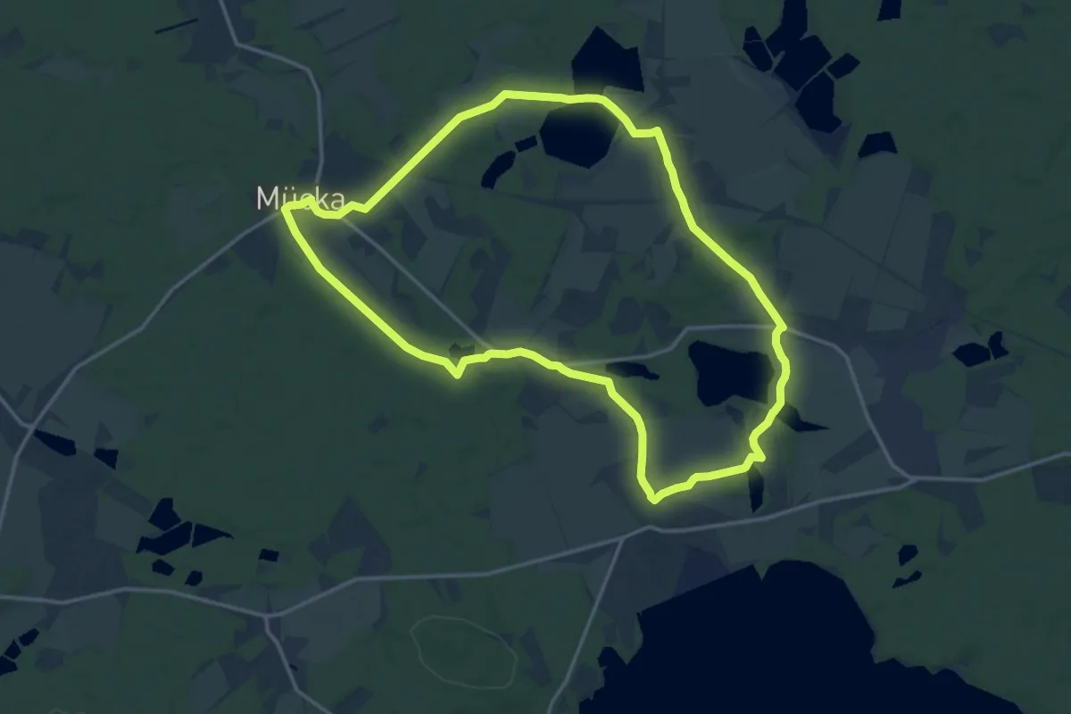
Medium · Trail
Rundweg Petershainer Teiche
14.1 km · ↑ 62 m · 3 h 40 min
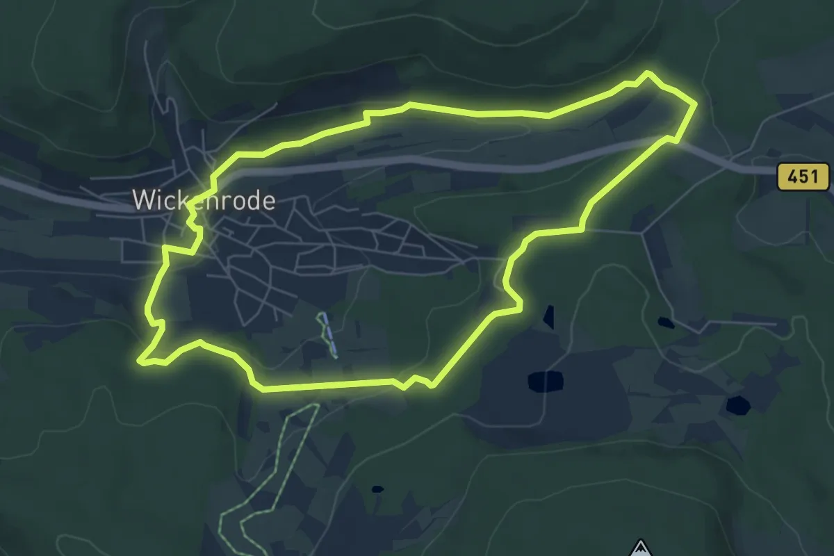
Easy · Trail
Rundweg Pfaffenberg
6.2 km · ↑ 158 m · 1 h 54 min
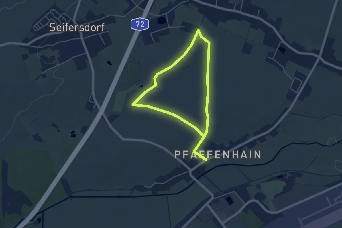
Easy · Trail
Rundweg Pfaffenhain
3.4 km · ↑ 13 m · 52 min
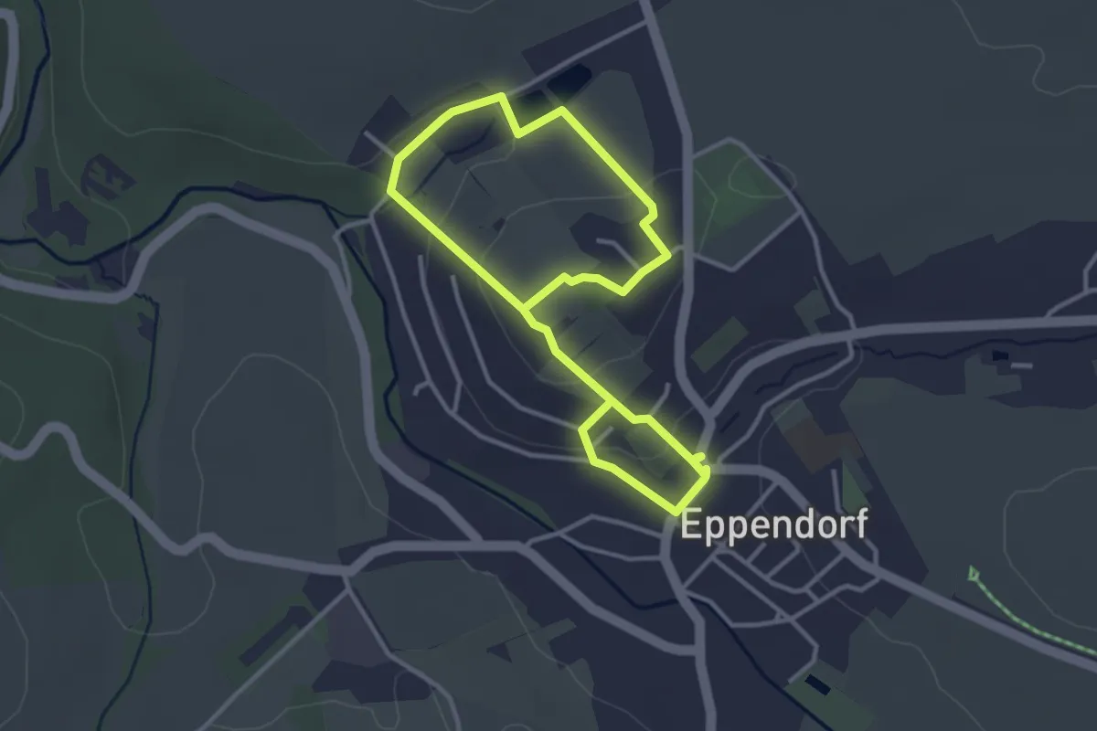
Easy · Trail
Rundweg Pfarrberg
2.5 km · ↑ 53 m · 45 min
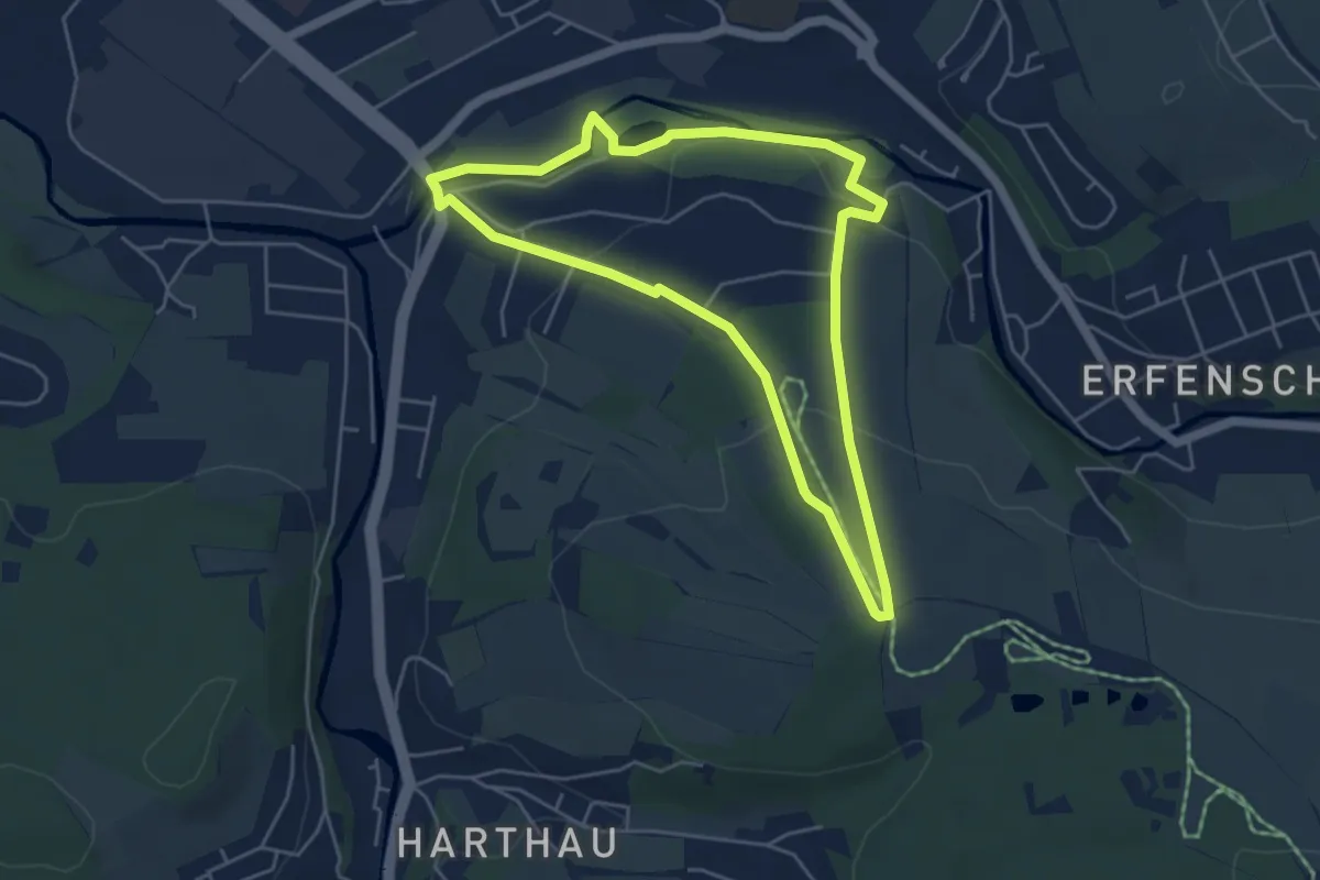
Easy · Summit
Rundweg Pfarrhübel
4.4 km · ↑ 110 m · 1 h 20 min
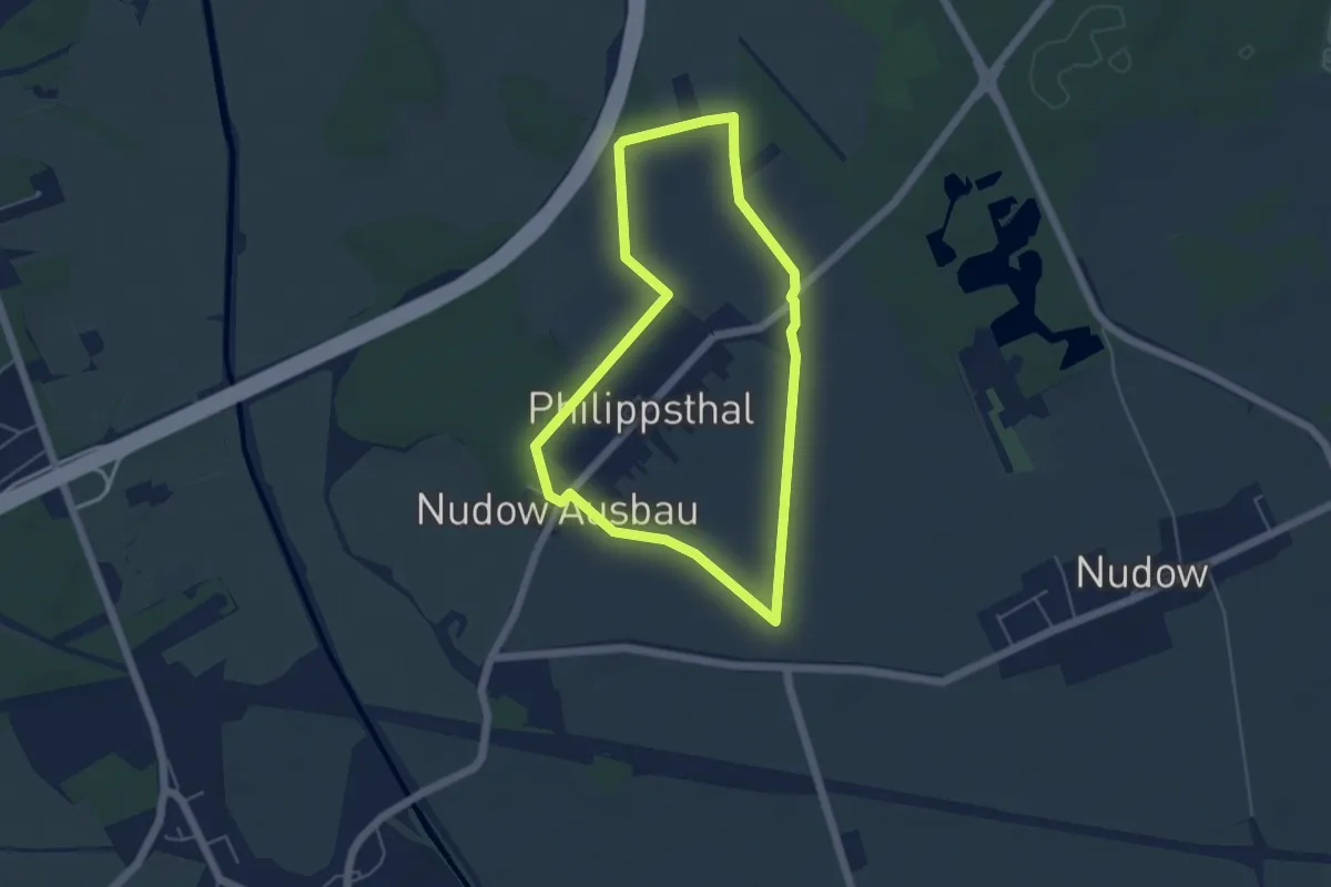
Easy · Trail
Rundweg Philippsthal
4.1 km · ↑ 5 m · 1 h 3 min
Easy · Trail
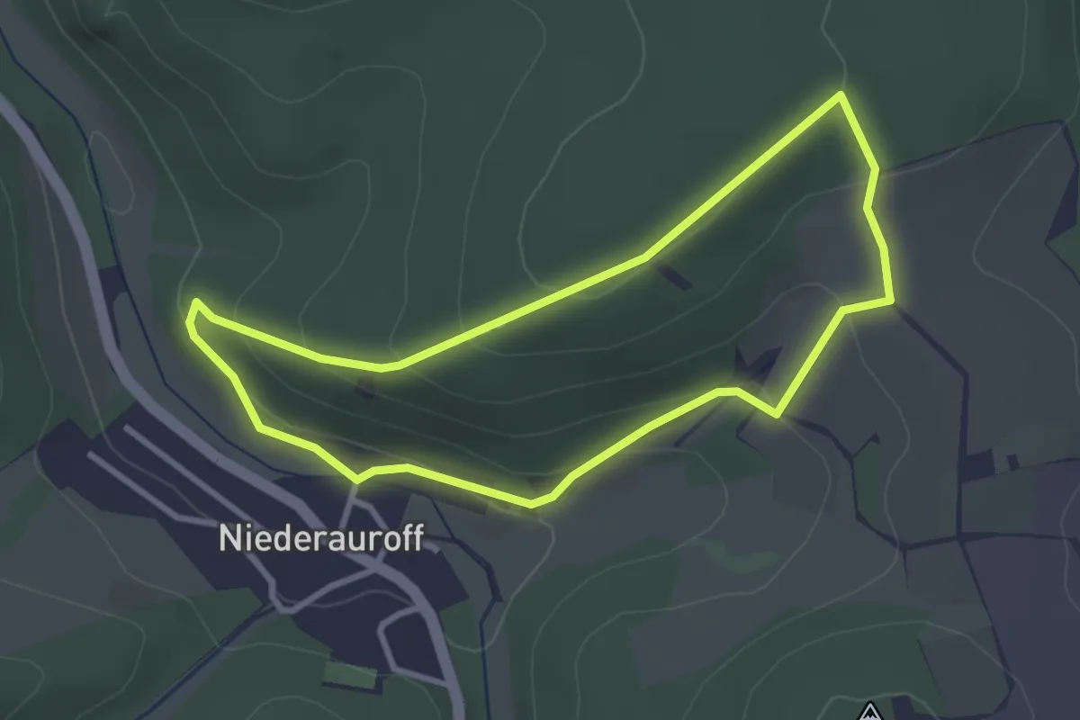
Rundweg Phillipsruh
2.7 km · ↑ 104 m · 54 min
Easy · Trail
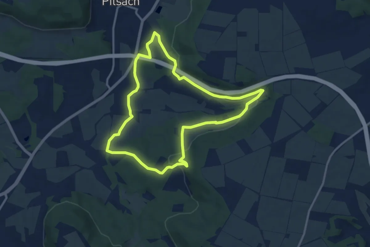
Rundweg Pilsach – Bodenhof
7.3 km · ↑ 180 m · 2 h 12 min
Easy · Trail
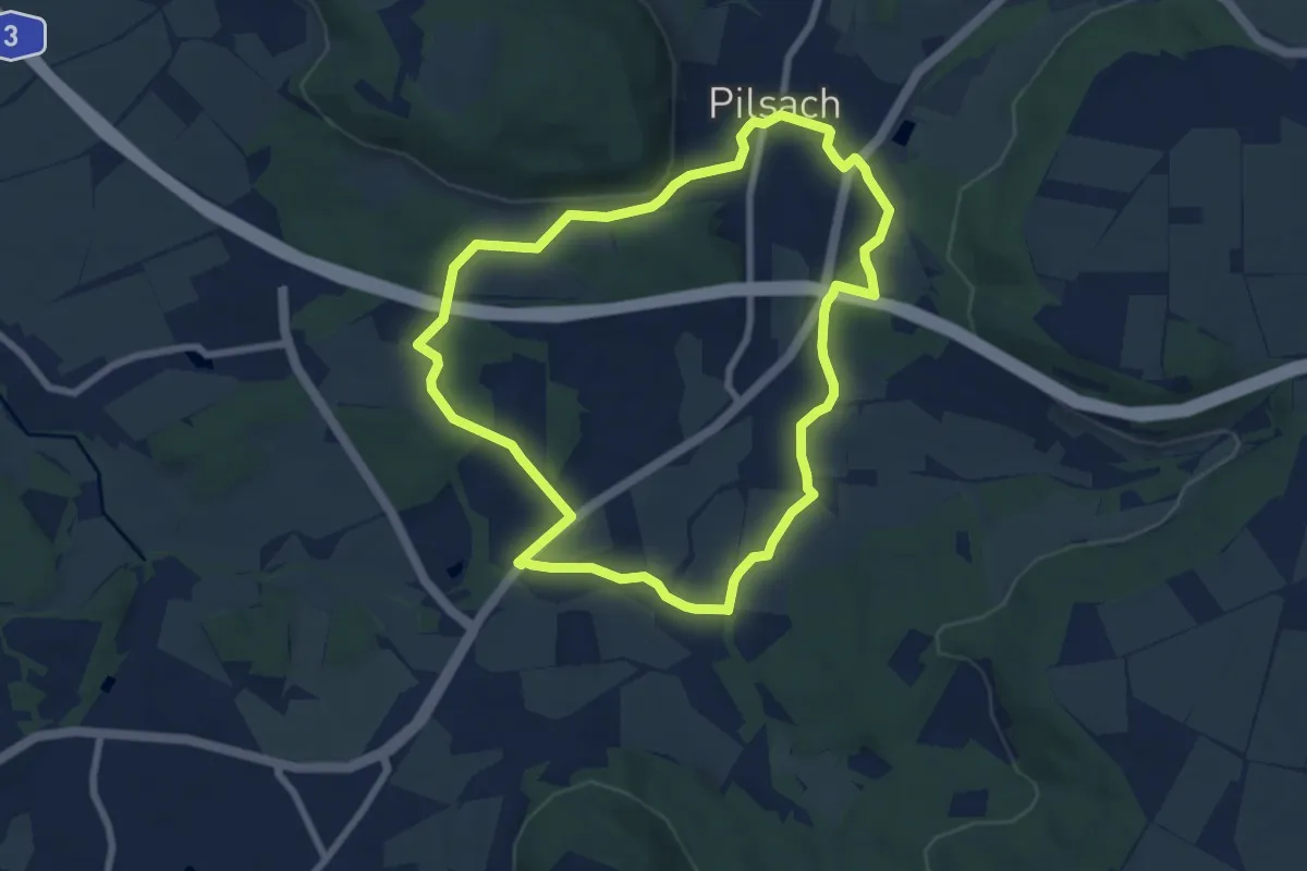
Rundweg Pilsach – Bodenmühle
7.0 km · ↑ 98 m · 1 h 57 min
Easy · Trail
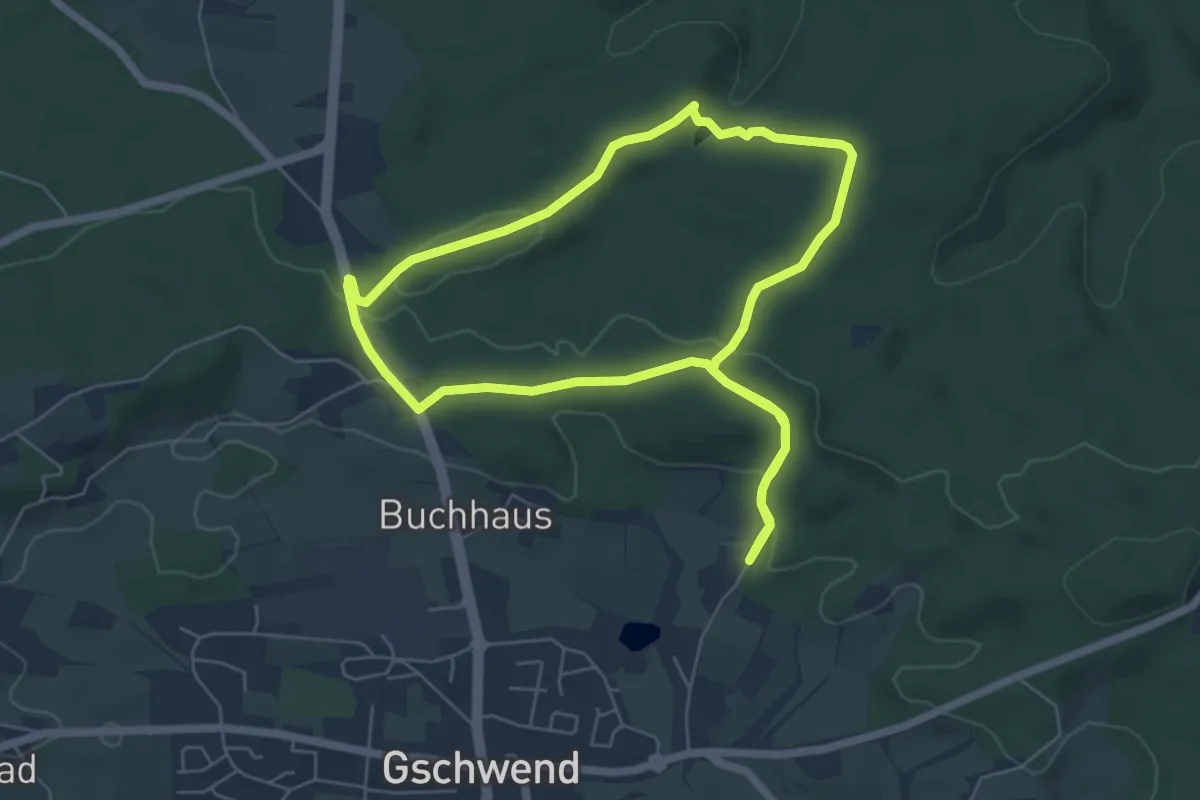
Rundweg Pilz
5.4 km · ↑ 102 m · 1 h 34 min
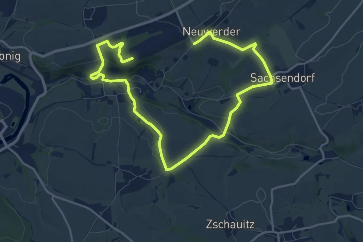
Medium · Trail
Rundweg Porschel - Eselsberg Döhlen
6.3 km · ↑ 145 m · 1 h 54 min
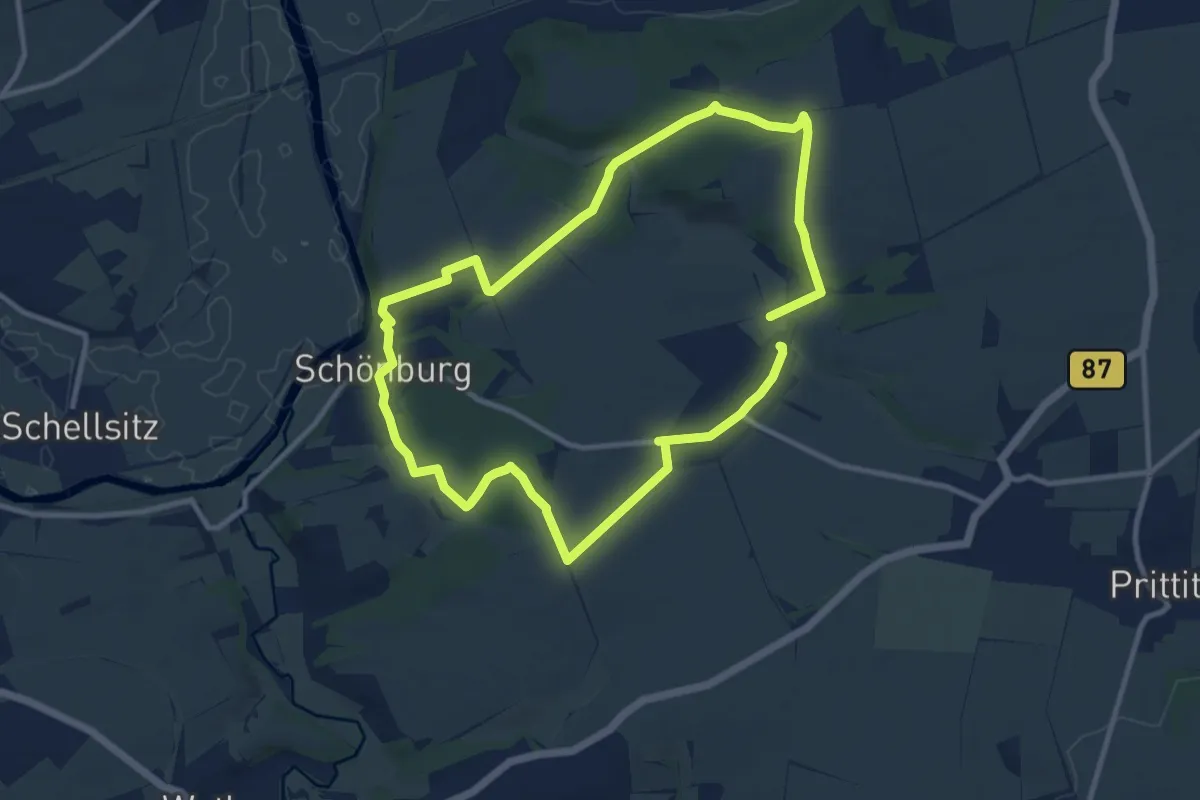
Medium · Trail
Rundweg Possenhain
8.7 km · ↑ 151 m · 2 h 30 min
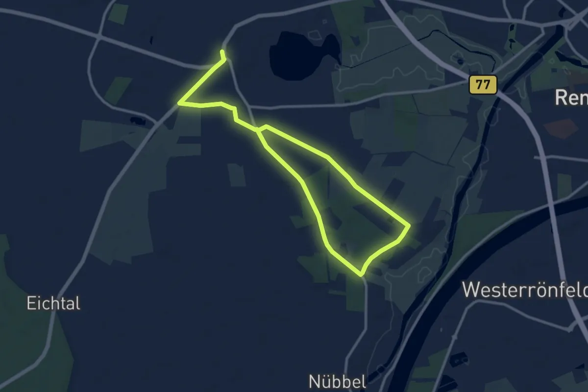
Easy · Trail
Rundweg Posthof
6.5 km · ↑ 13 m · 1 h 39 min
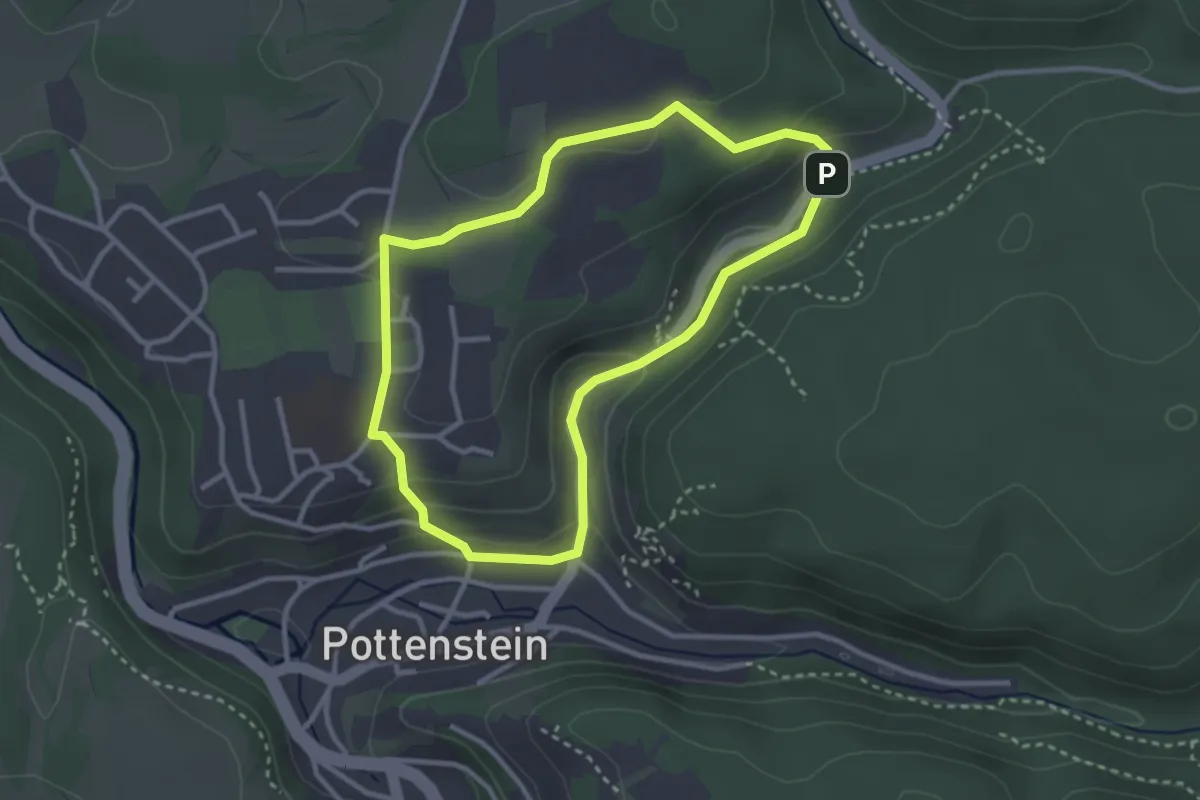
Easy · Trail
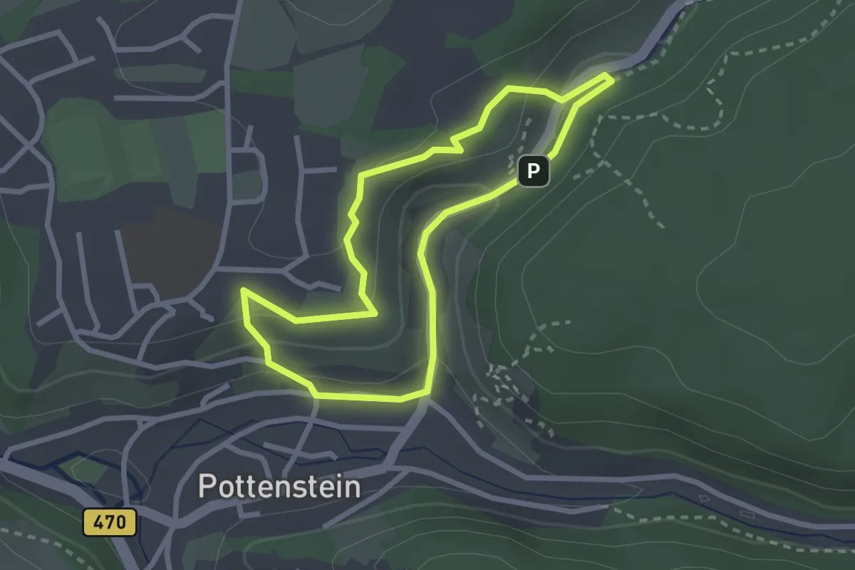
Rundweg Pottenstein-Mariengrotte
2.7 km · ↑ 83 m · 51 min
Easy · Trail
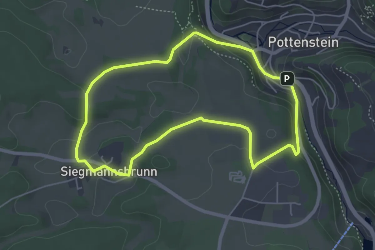
Rundweg Pottenstein Schwalbenloch
2.1 km · ↑ 72 m · 41 min
Easy · Trail
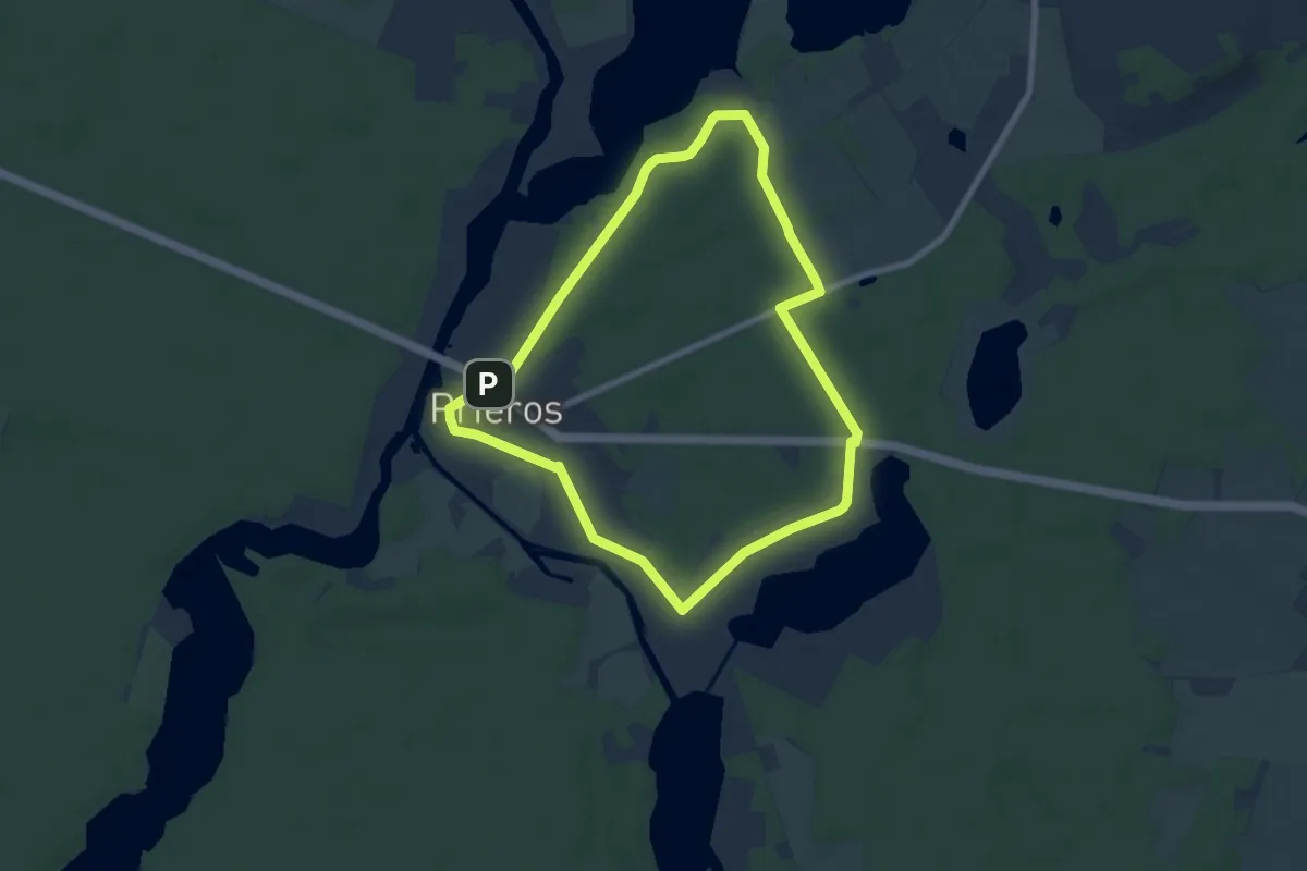
Rundweg Pottenstein-Siegmannsbrunn
4.0 km · ↑ 100 m · 1 h 12 min
Easy · Trail
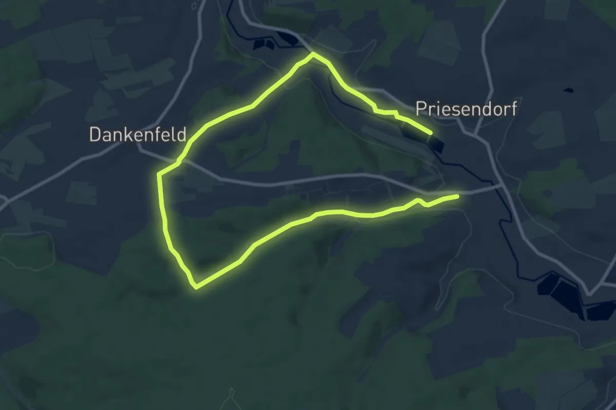
Rundweg Prieroser Heide
6.5 km · ↑ 17 m · 1 h 39 min
Easy · Trail
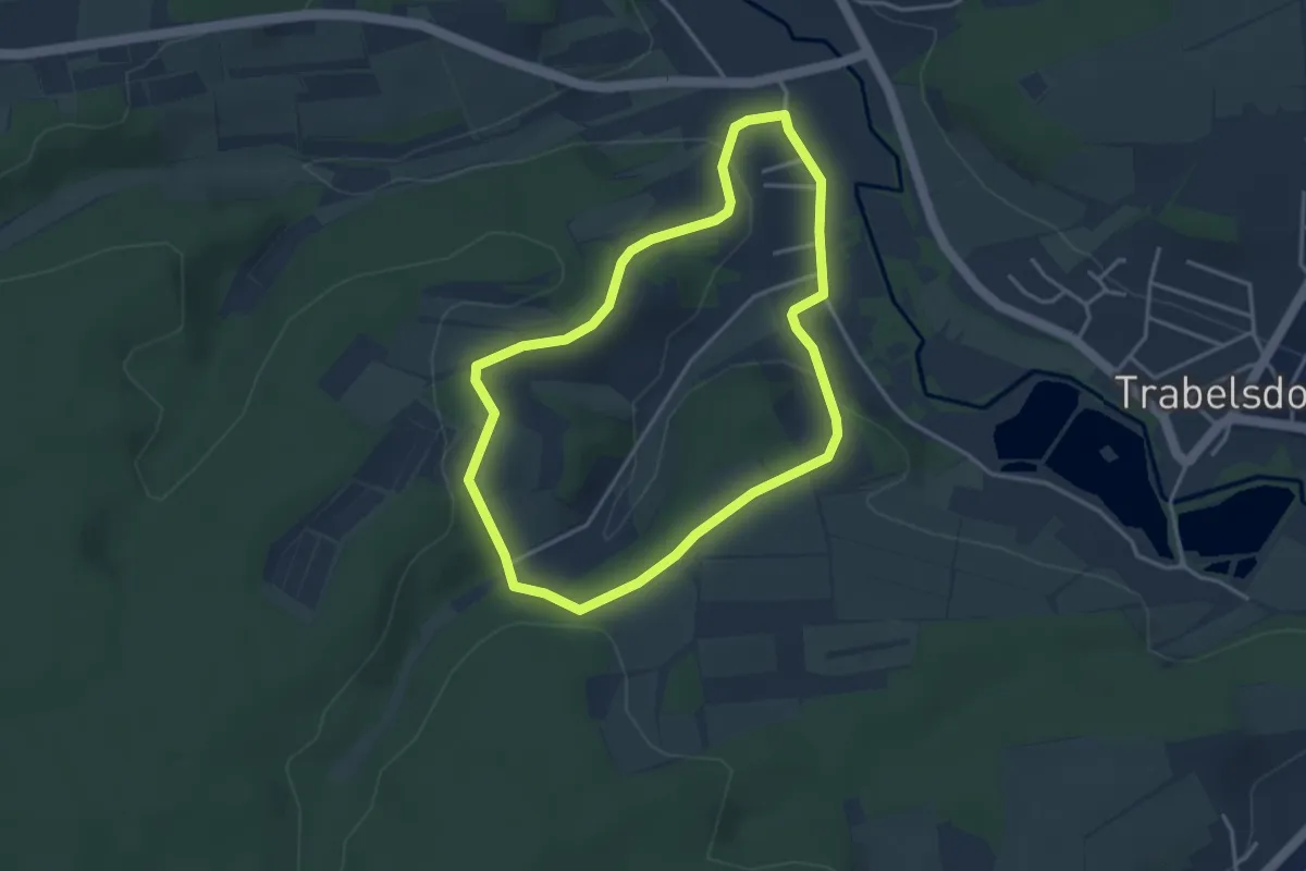
Rundweg Priesendorf P 1 "Froschweg
6.3 km · ↑ 103 m · 1 h 47 min
Easy · Trail
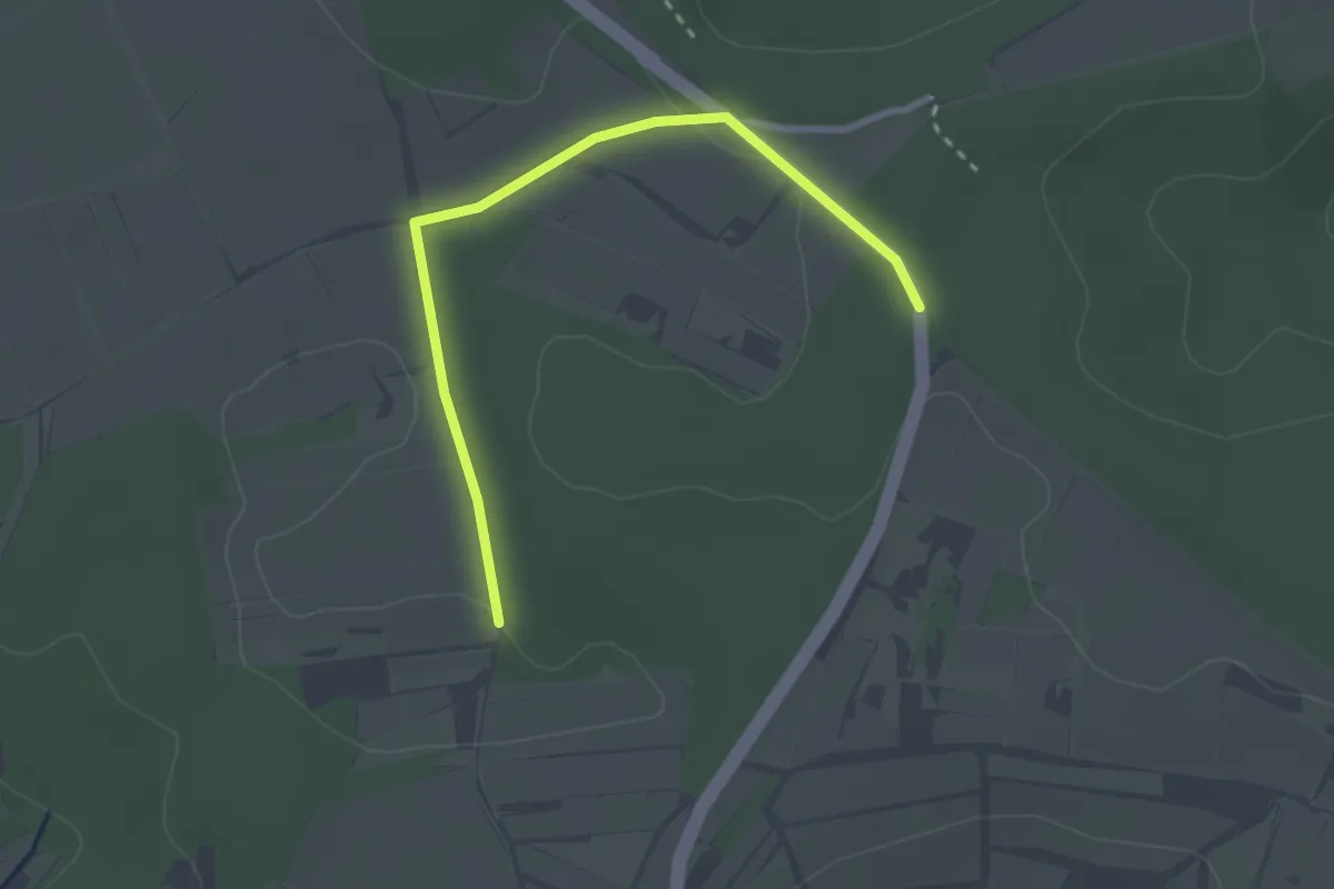
Rundweg Priesendorf P 2 "Christbaumweg"
3.2 km · ↑ 64 m · 57 min
Easy · Trail
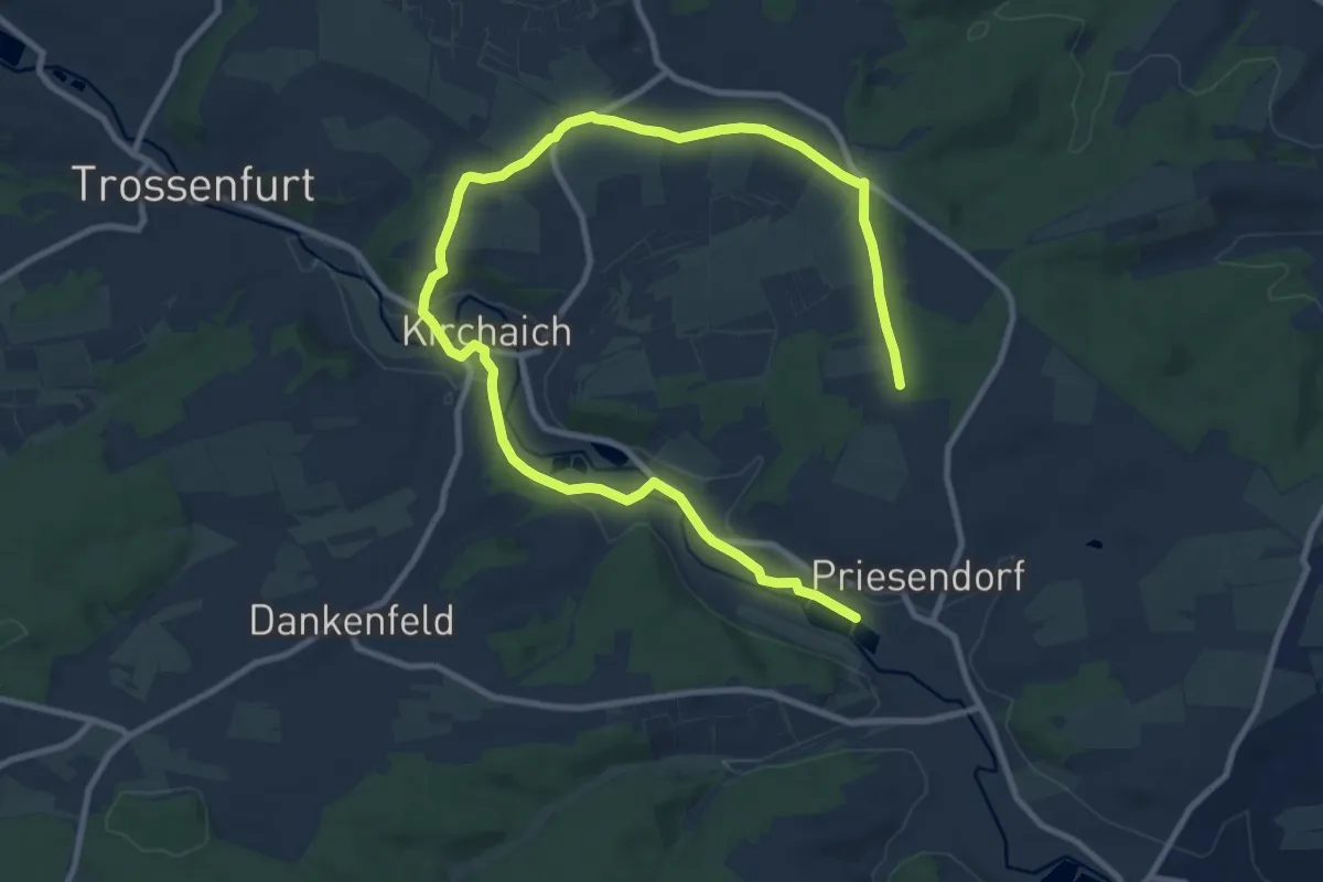
Rundweg Priesendorf P 3 "Weiherer Weg"
1.3 km · ↑ 26 m · 22 min
Easy · Trail
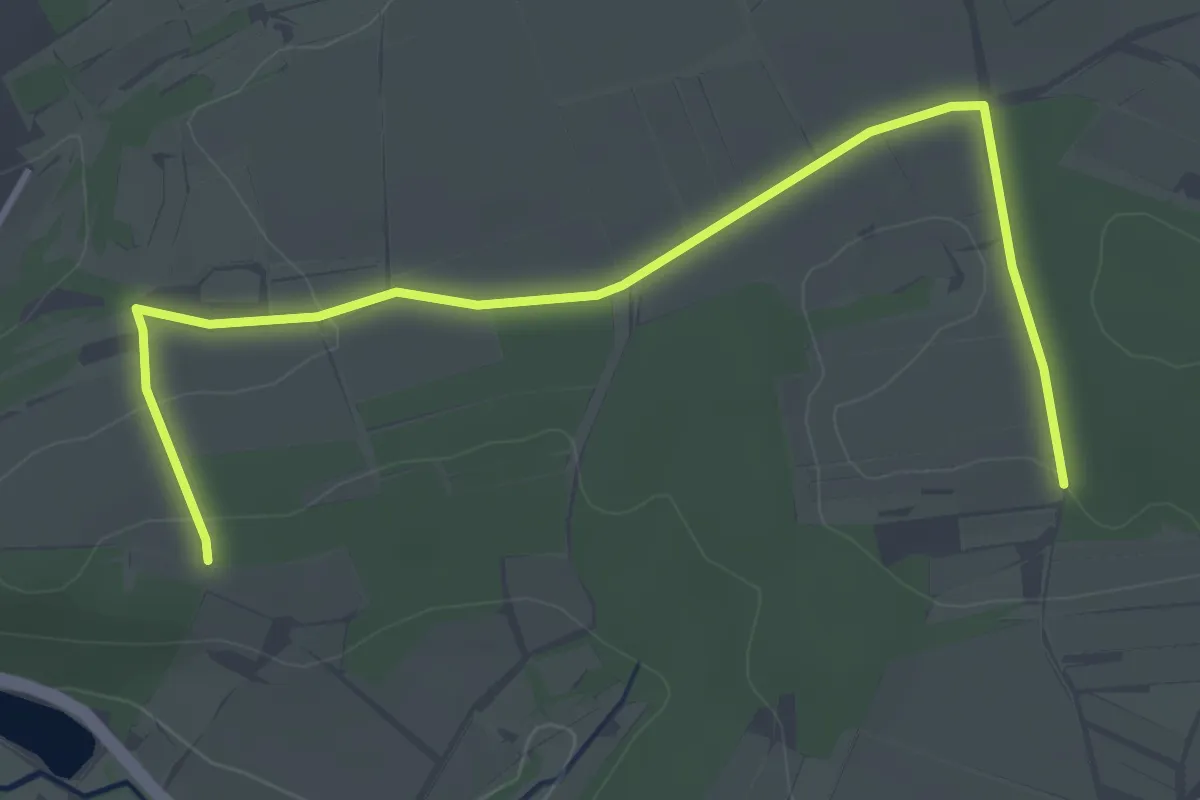
Rundweg Priesendorf P 4 "Lembacher Weg"
6.8 km · ↑ 34 m · 1 h 47 min
Easy · Trail
Rundweg Priesendorf P 5
2.1 km · ↑ 22 m · 34 min
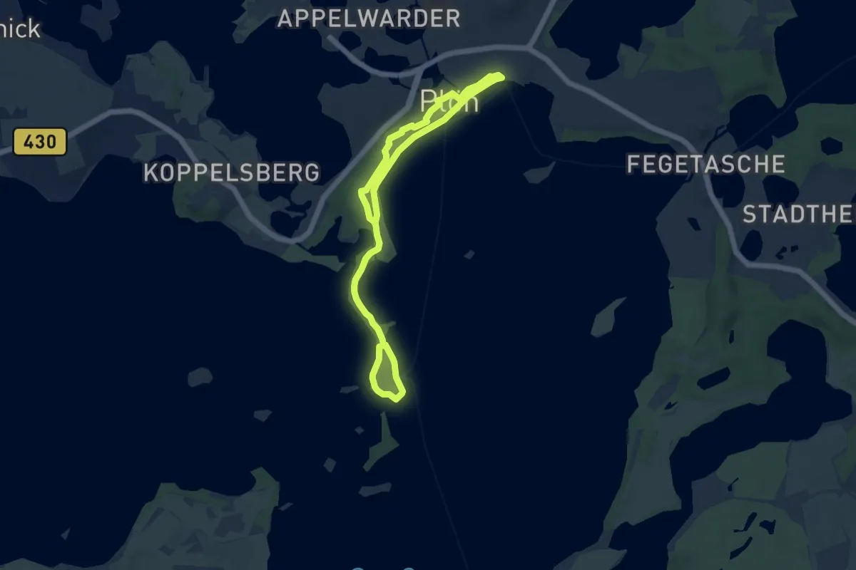
Easy · Trail
Rundweg Prinzeninsel
6.0 km · ↑ 18 m · 1 h 33 min
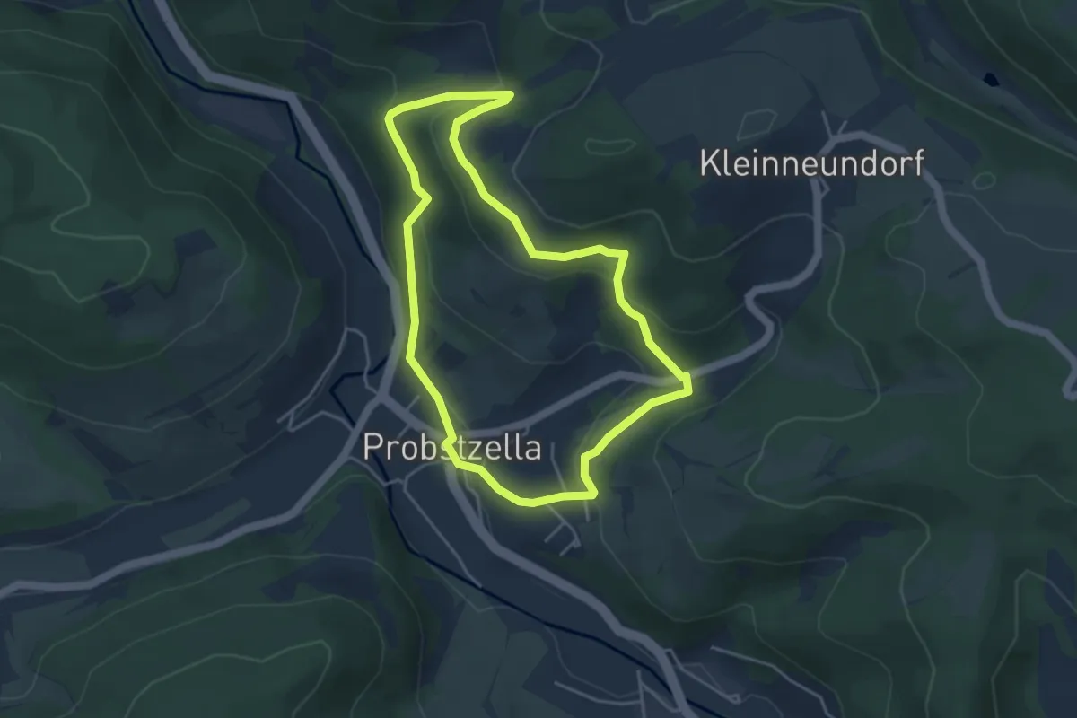
Easy · Trail
Rundweg Probstzella - Die Entstehung des Schiefers (Schieferpfad)
3.7 km · ↑ 153 m · 1 h 16 min
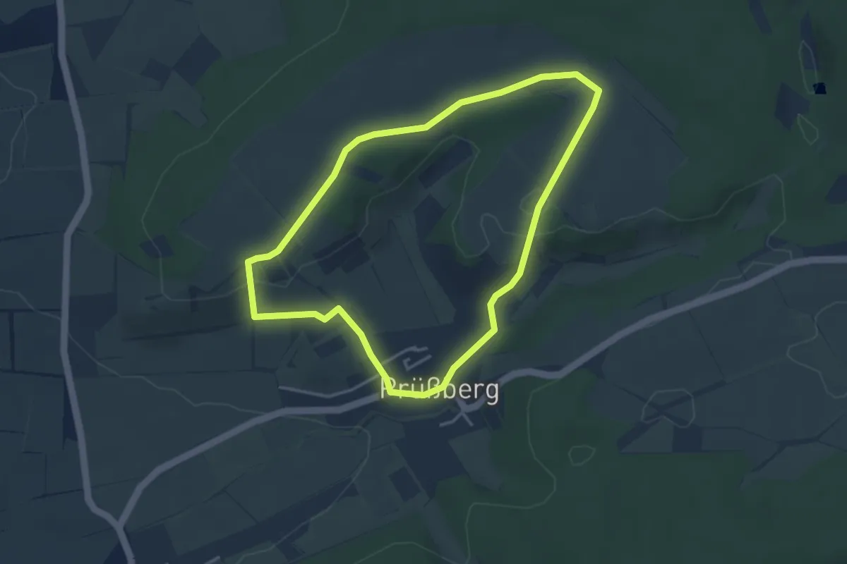
Easy · Trail
Rundweg Prüssberg P1
3.2 km · ↑ 54 m · 55 min
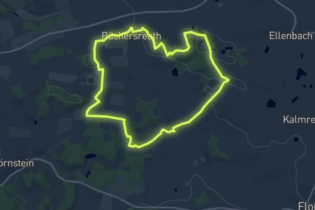
Medium · Summit
Rundweg Püchersreuth - Gailertstreuth
9.1 km · ↑ 145 m · 2 h 35 min
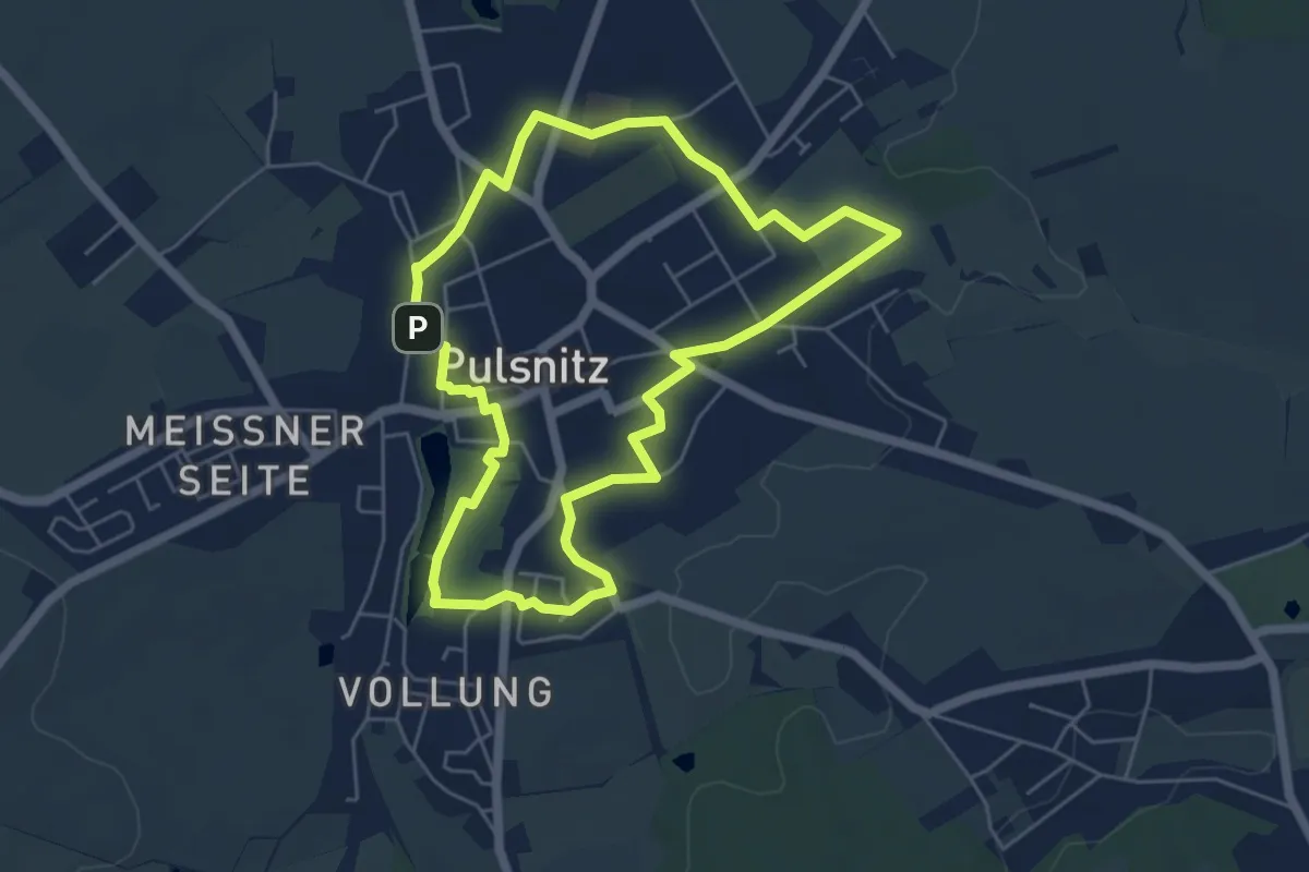
Easy · Trail
Rundweg Pulsnitz
4.9 km · ↑ 40 m · 1 h 18 min
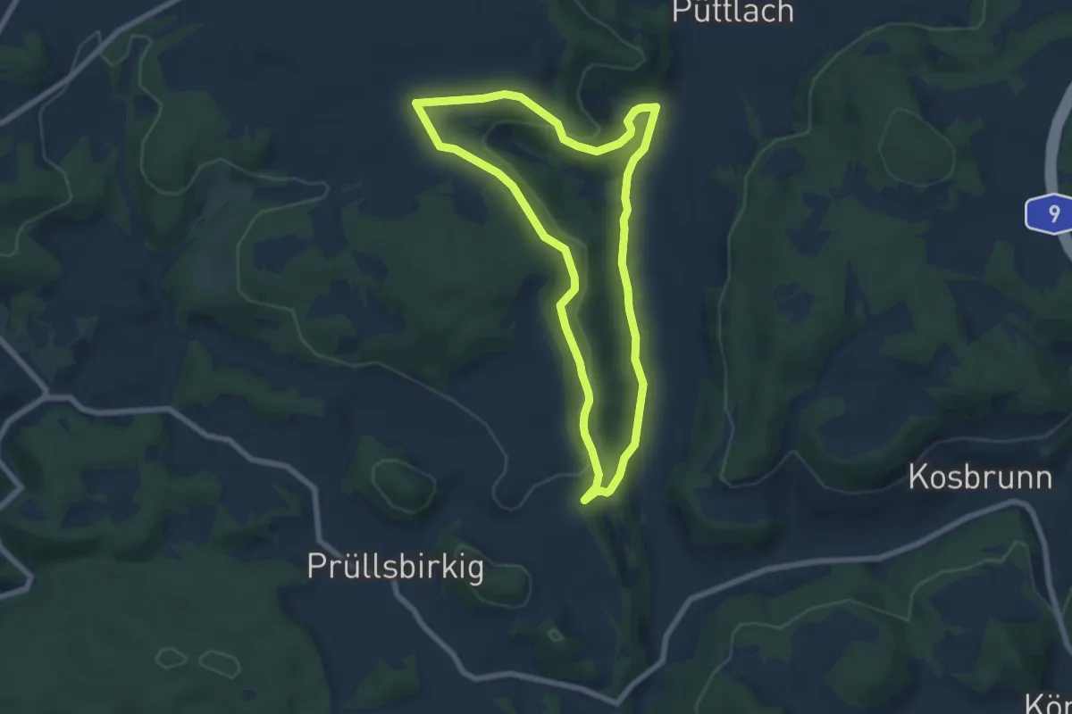
Easy · Trail
Rundweg Püttlach
6.1 km · ↑ 145 m · 1 h 50 min
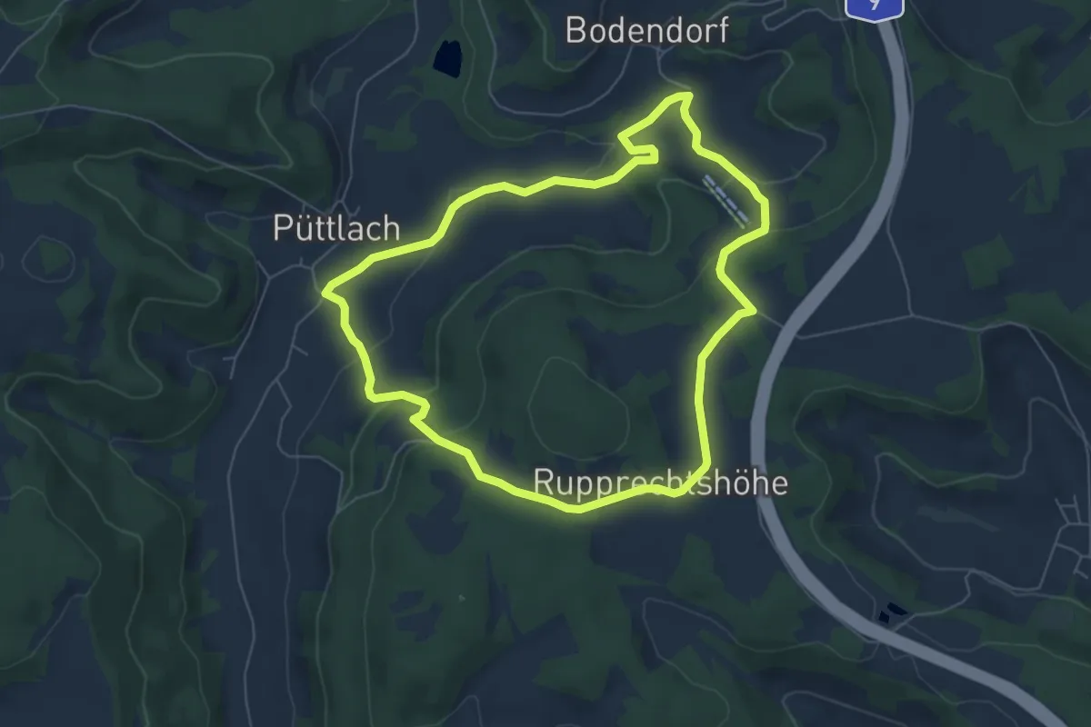
Easy · Trail
Rundweg Püttlach-Ruppertshöhe
5.8 km · ↑ 174 m · 1 h 49 min
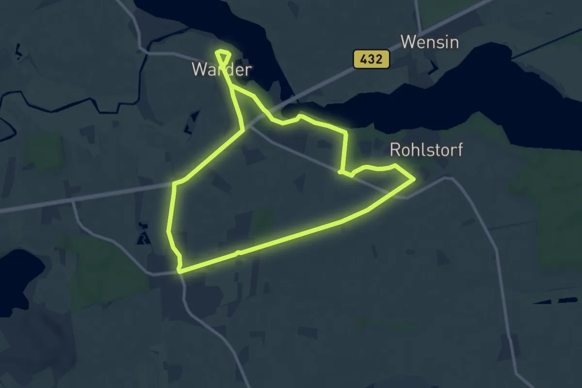
Easy · Trail
Rundweg Quaal-Wardersee
7.5 km · ↑ 37 m · 1 h 57 min
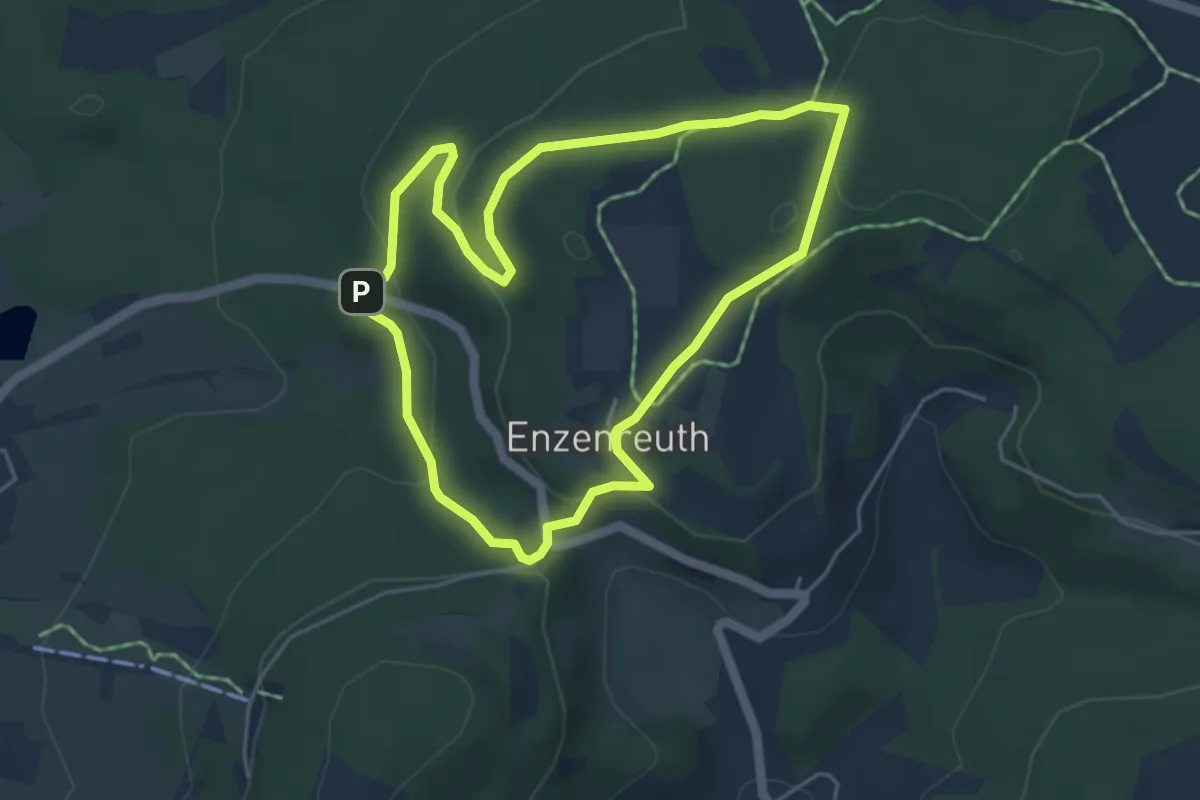
Easy · Trail
Rundweg Rabenshofer Kreuz – Herrenschlag
4.2 km · ↑ 127 m · 1 h 19 min
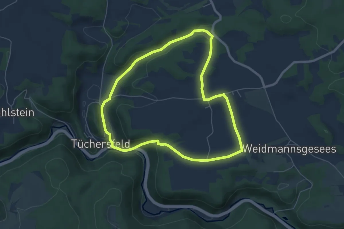
Easy · Trail
Rundweg Rackersberg Arnleithen
5.0 km · ↑ 99 m · 1 h 28 min
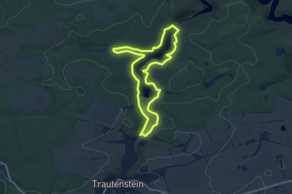
Easy · Trail
Rundweg Rappbode-Vorsperre
6.6 km · ↑ 181 m · 2 h 3 min
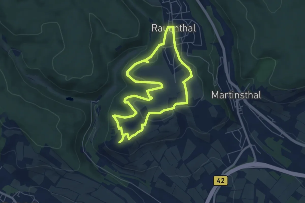
Easy · Summit
Rundweg Rauenthal
5.1 km · ↑ 135 m · 1 h 35 min