Trails in Germany
36,852 hiking trails, each with its route, climb, walking time and grade.
All trails, page 554 of 768
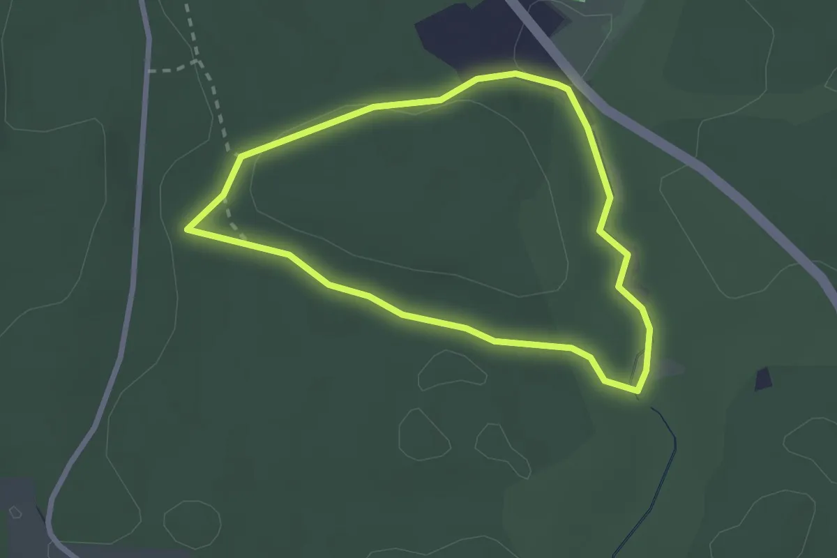
Easy · Trail
Rundweg Rauheck
2.1 km · ↑ 27 m · 35 min
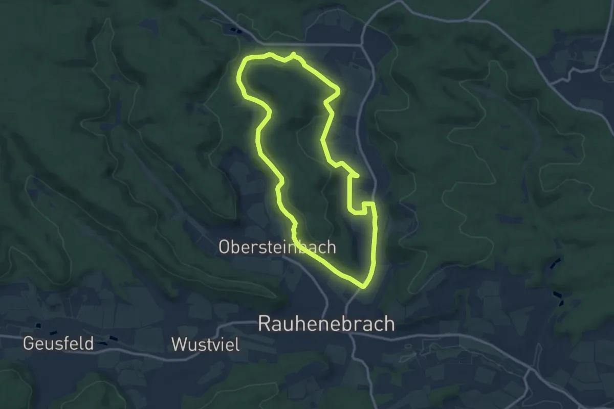
Medium · Trail
Rundweg Rauhenebrach R 1
9.3 km · ↑ 172 m · 2 h 41 min
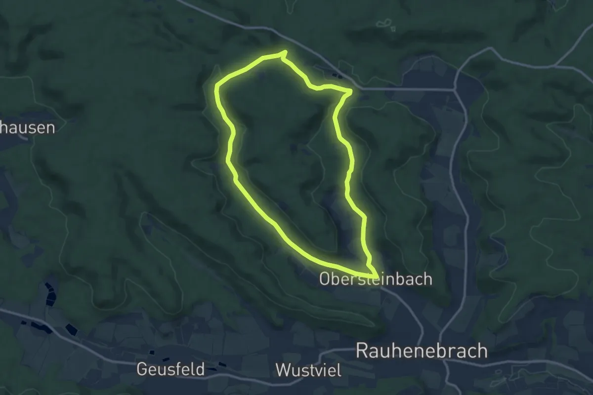
Medium · Trail
Rundweg Rauhenebrach R 10
9.4 km · ↑ 166 m · 2 h 42 min
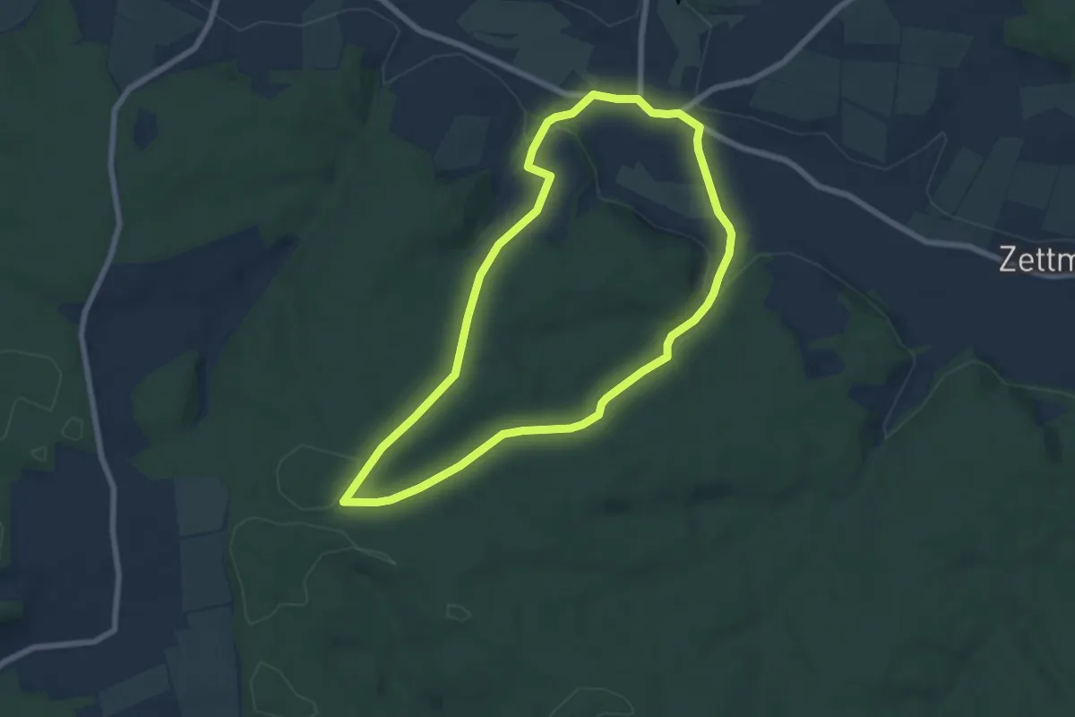
Easy · Trail
Rundweg Rauhenebrach R-7
6.1 km · ↑ 120 m · 1 h 47 min
Medium · Trail
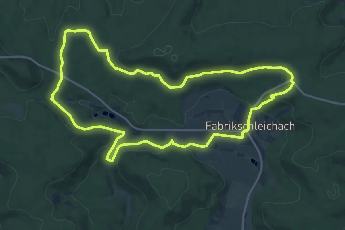
Rundweg Rauhenebrach R 8
8.7 km · ↑ 167 m · 2 h 33 min
Easy · Summit
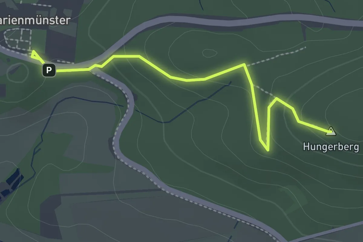
Rundweg Raute (Marienmünster)
2.6 km · ↑ 71 m · 46 min
Easy · Trail
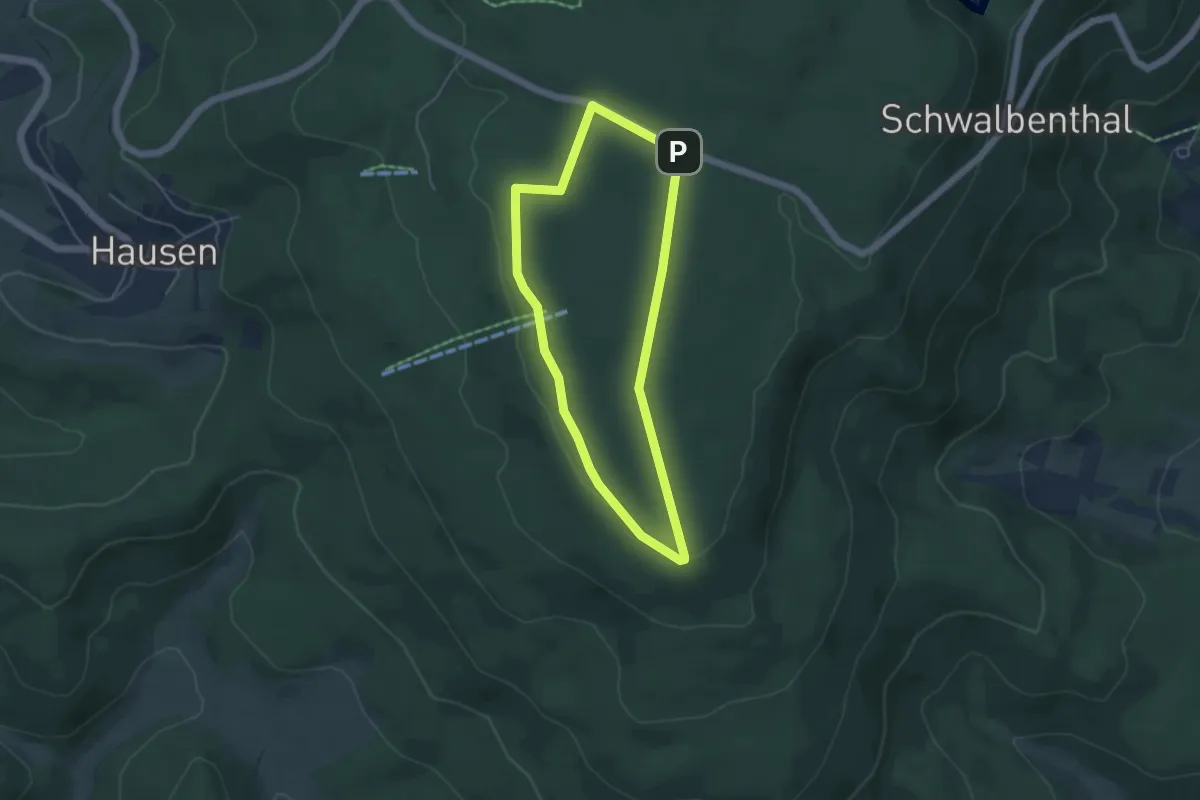
Rundweg Rebbes
3.8 km · ↑ 32 m · 1 h 1 min
Easy · Trail
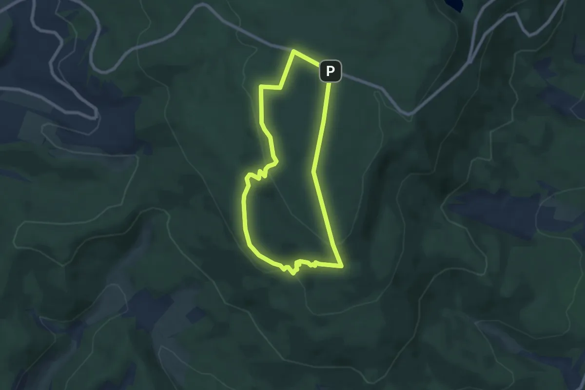
Rundweg Rebbes mit Seesteinen
5.1 km · ↑ 122 m · 1 h 32 min
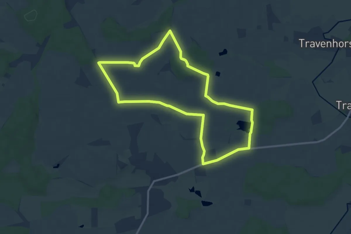
Easy · Trail
Rundweg Redder
7.1 km · ↑ 67 m · 1 h 56 min
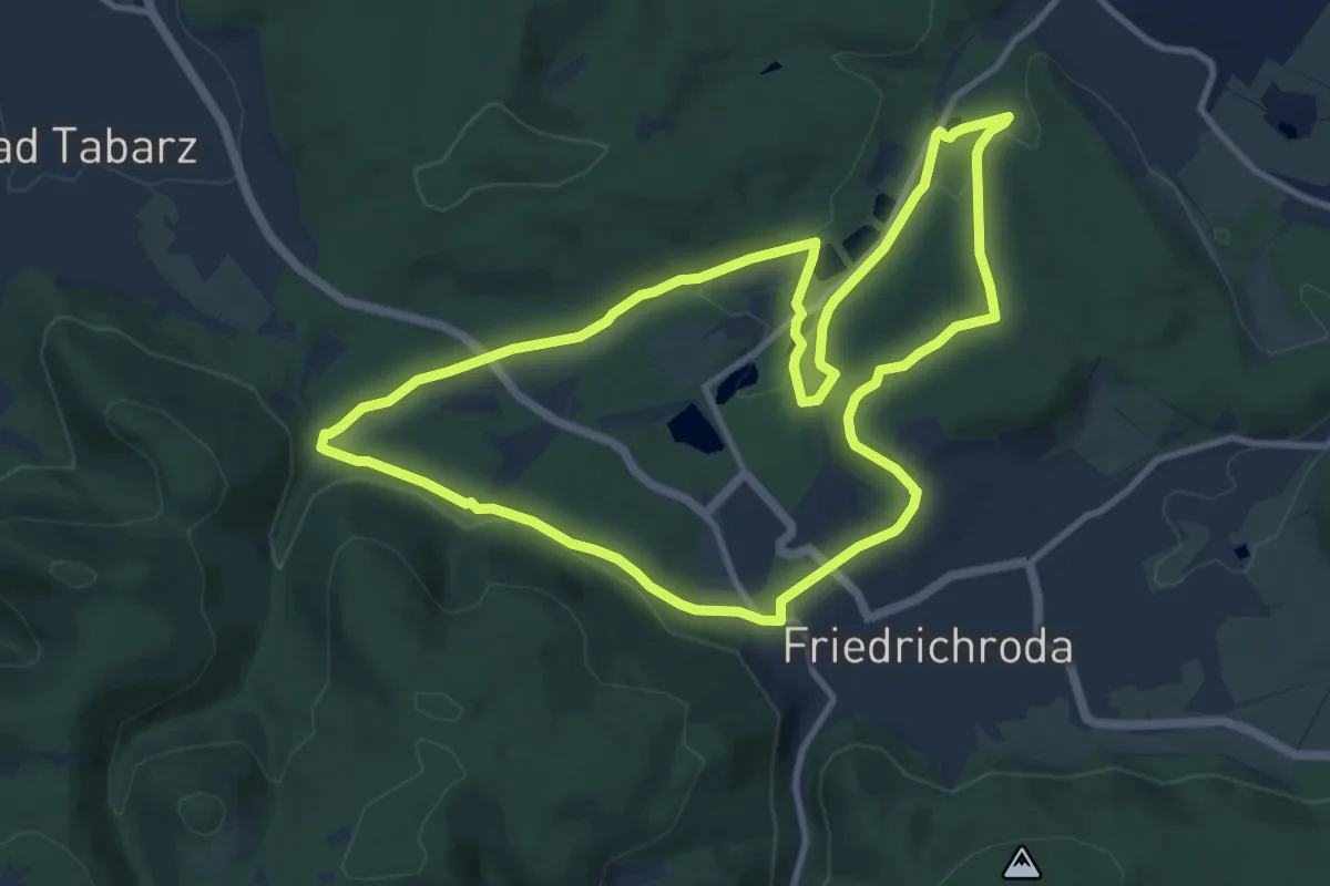
Medium · Trail
Rundweg Reinhardsbrunn
10.0 km · ↑ 187 m · 2 h 55 min
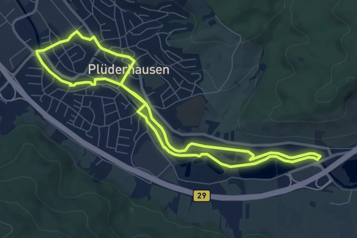
Easy · Trail
Rundweg Rems
6.9 km · ↑ 18 m · 1 h 46 min
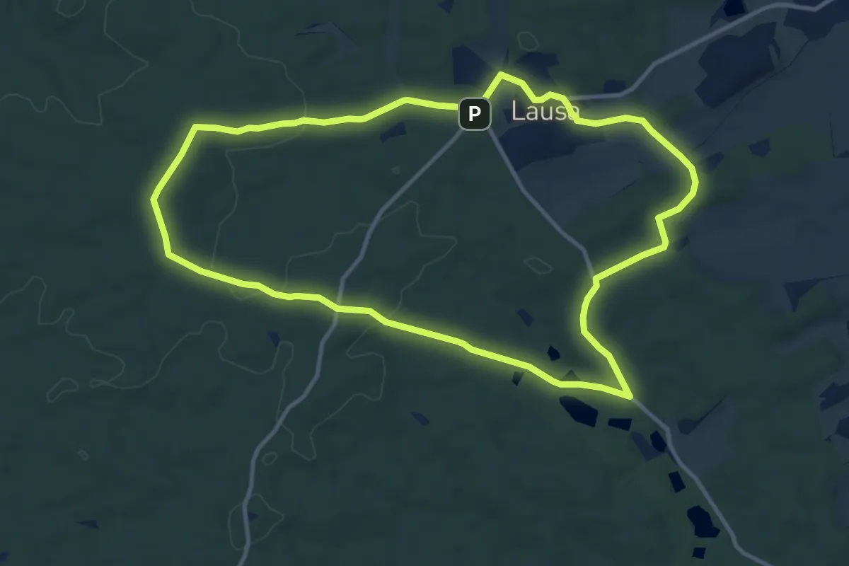
Medium · Summit
Rundweg Reudnitz-Jägereiche-Lausa-Reudnitz
9.8 km · ↑ 117 m · 2 h 42 min
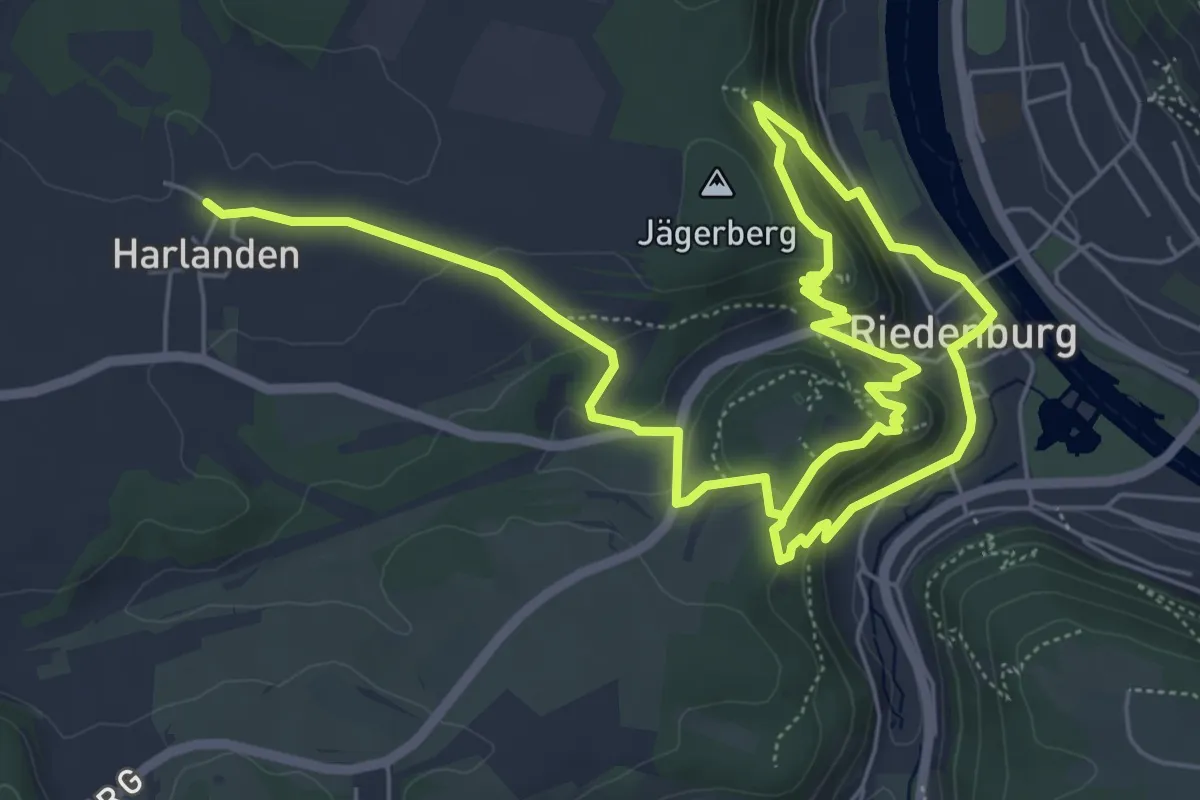
Medium · Summit
Rundweg Riedenburg 1
4.9 km · ↑ 210 m · 1 h 42 min
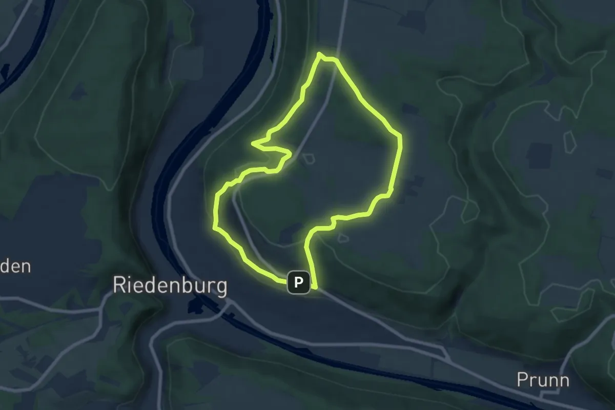
Easy · Summit
Rundweg Riedenburg 11
6.3 km · ↑ 172 m · 1 h 57 min
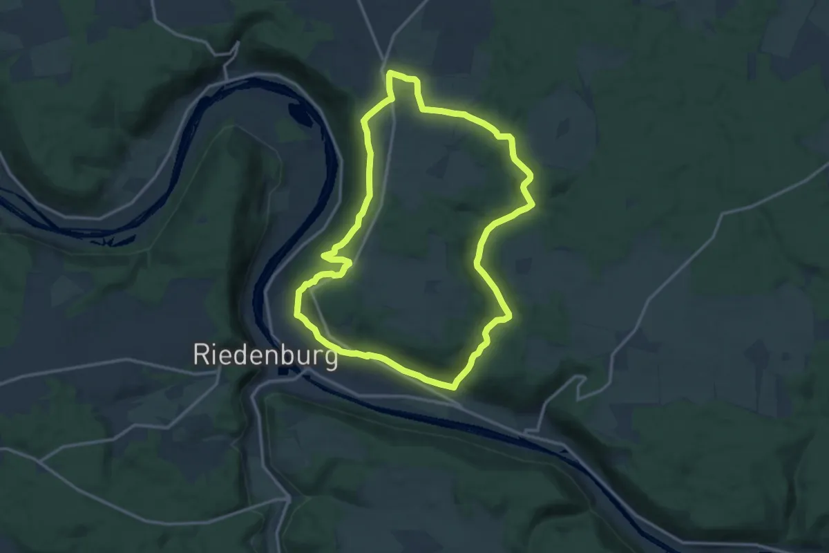
Medium · Summit
Rundweg Riedenburg 13
12.1 km · ↑ 225 m · 3 h 30 min
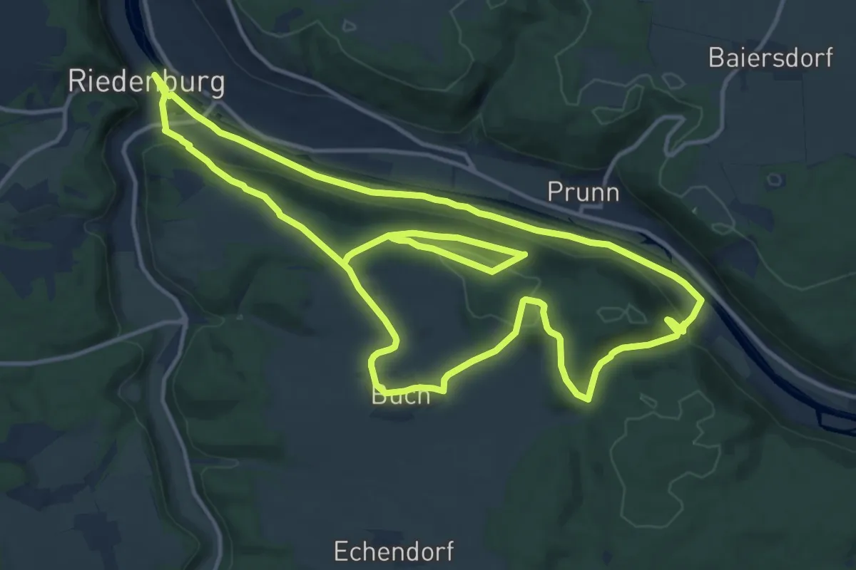
Medium · Summit
Rundweg Riedenburg 14
14.0 km · ↑ 360 m · 4 h 16 min
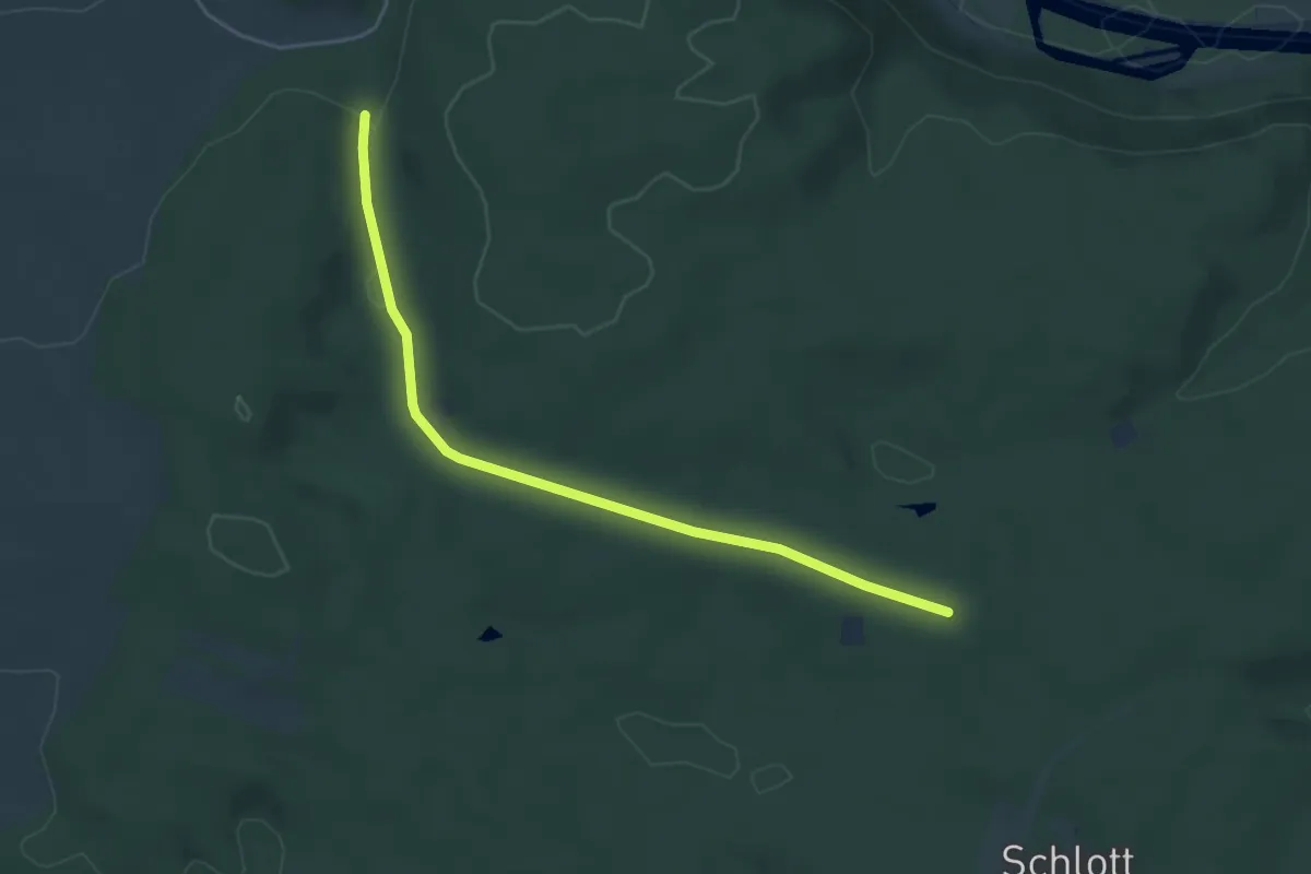
Easy · Trail
Rundweg Riedenburg 16
2.3 km · ↑ 17 m · 37 min
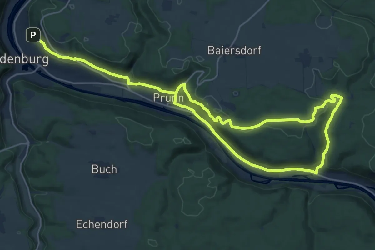
Medium · Trail
Rundweg Riedenburg 17
13.5 km · ↑ 315 m · 4 h 4 min
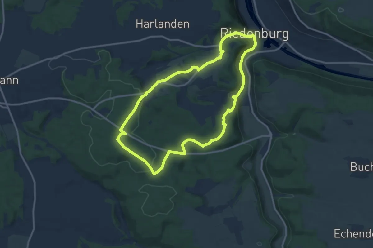
Medium · Trail
Rundweg Riedenburg 2
8.2 km · ↑ 220 m · 2 h 32 min
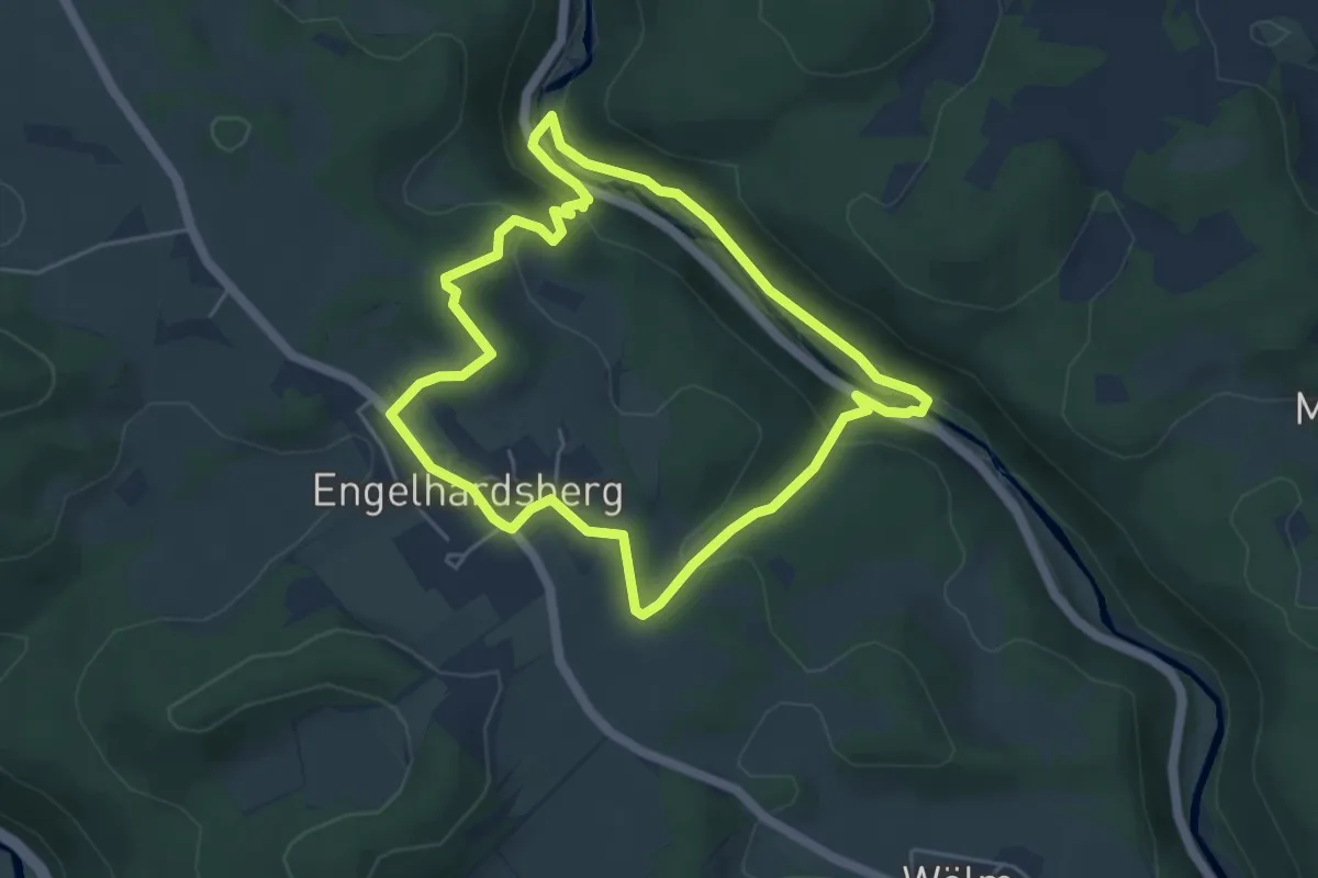
Easy · Trail
Rundweg Riesenburg - Engelhardsberg - Schottersmühle
4.4 km · ↑ 162 m · 1 h 28 min
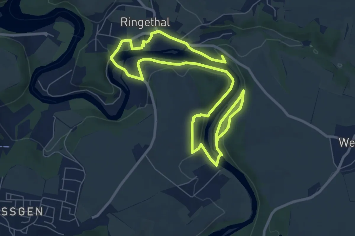
Medium · Summit
Rundweg Ringethal
10.5 km · ↑ 207 m · 2 h 55 min
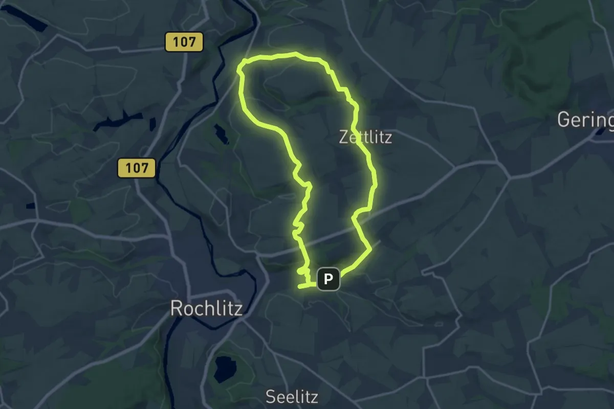
Medium · Trail
Rundweg Rochlitz – Zettlitz – Rochlitz
12.6 km · ↑ 285 m · 3 h 46 min
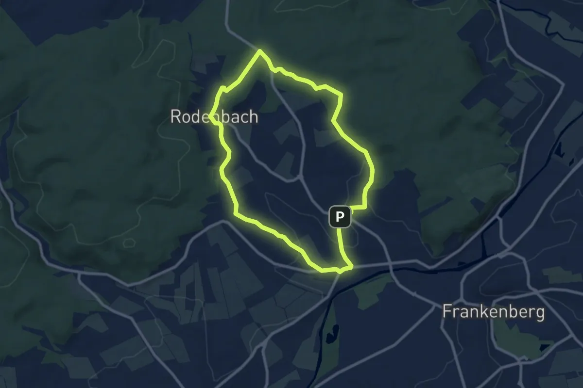
Easy · Trail
Rundweg Rodenbach
7.1 km · ↑ 110 m · 2 h
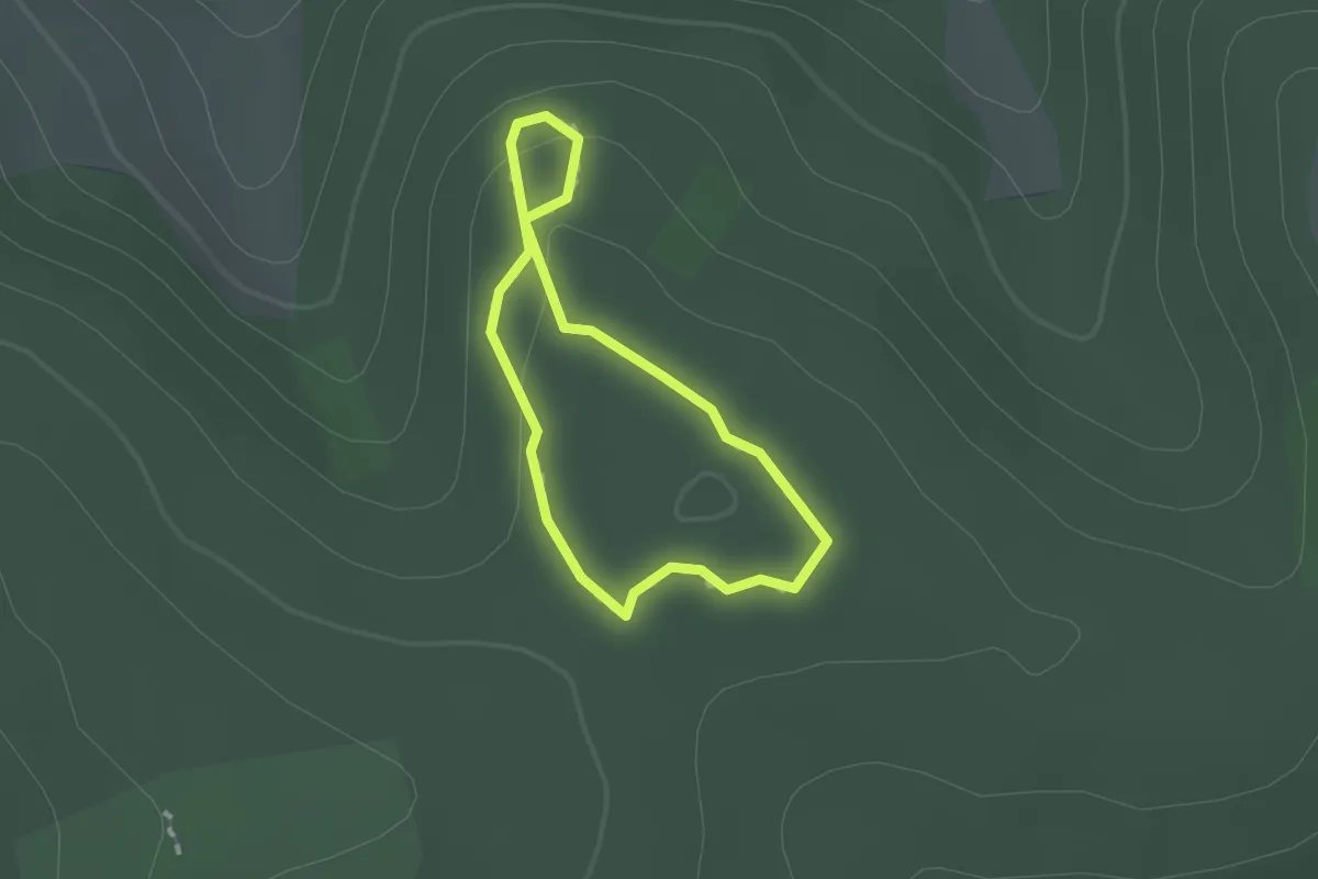
Easy · Trail
Rundweg Römerlager und Hügelgräber
1.1 km · ↑ 34 m · 20 min
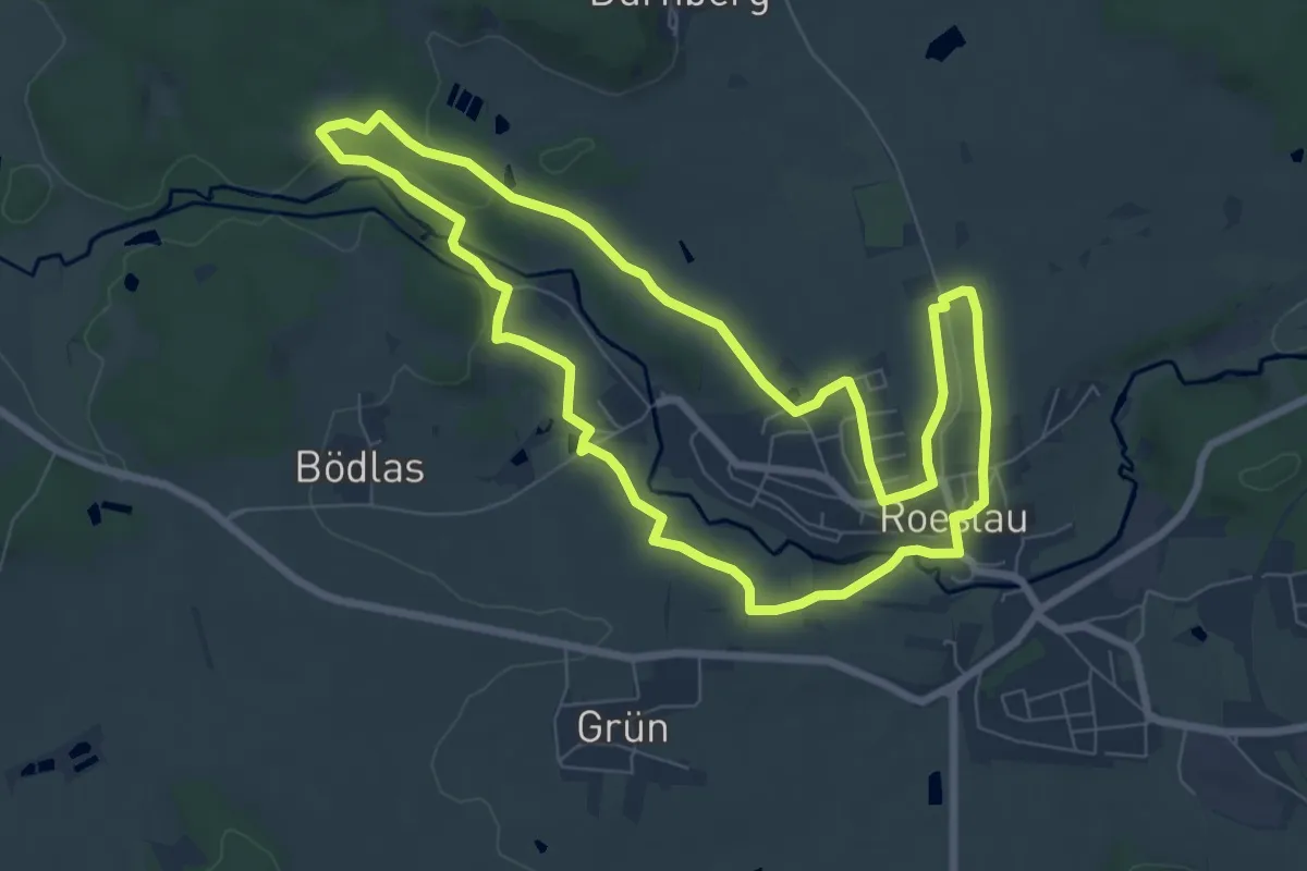
Easy · Trail
Rundweg Röslau
7.3 km · ↑ 108 m · 2 h 4 min
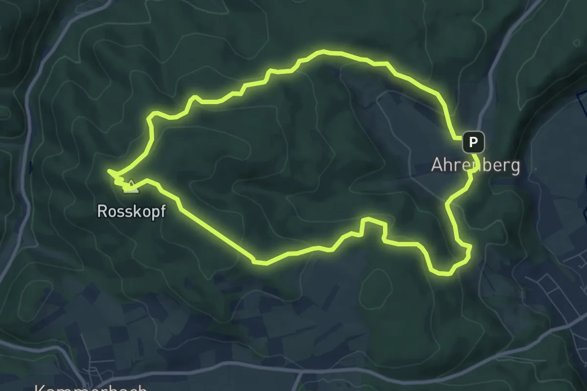
Medium · Summit
Rundweg Rosskopfturm
8.0 km · ↑ 319 m · 2 h 42 min
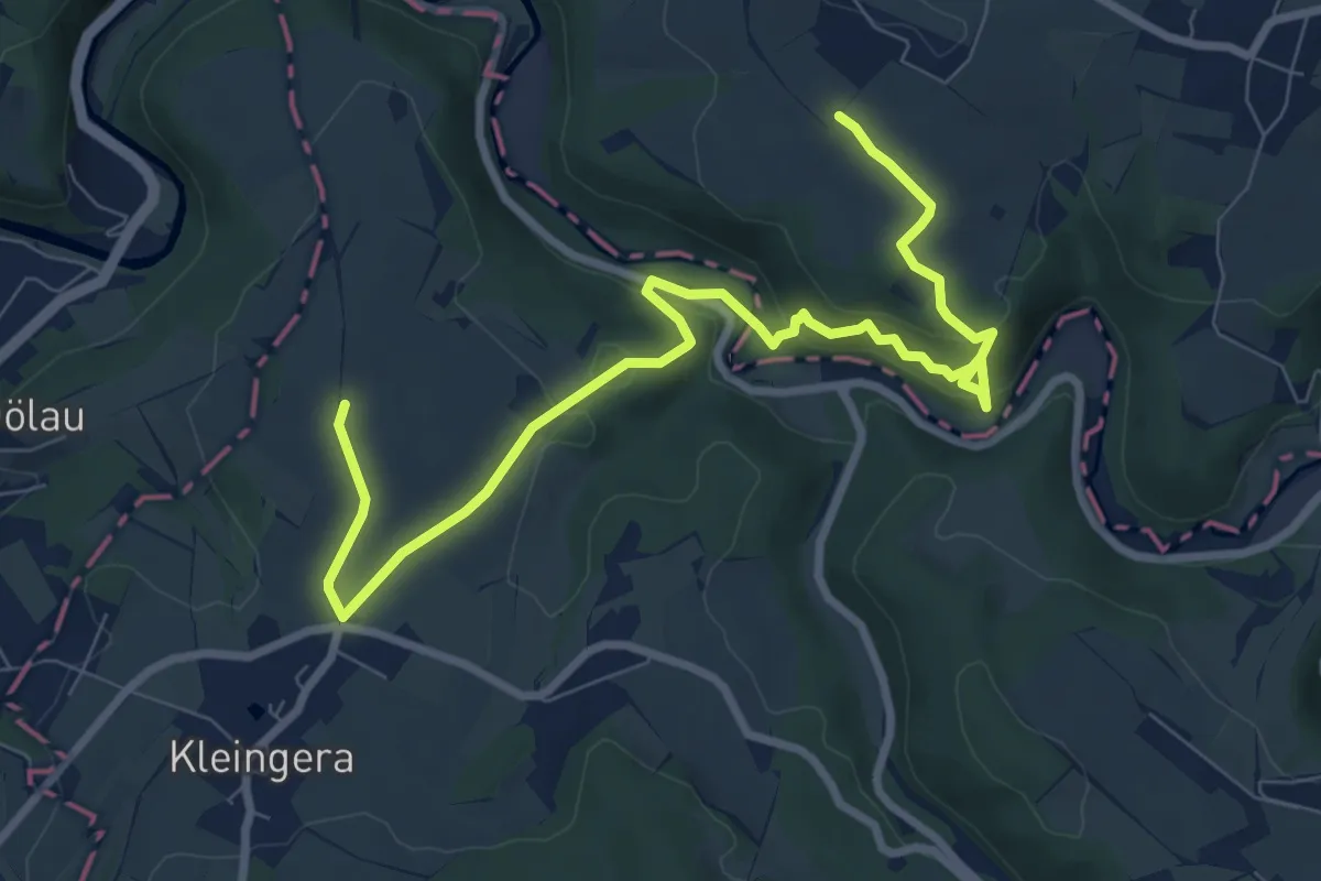
Demanding · Summit
Rundweg roter Punkt um Greiz
9.3 km · ↑ 312 m · 2 h 52 min
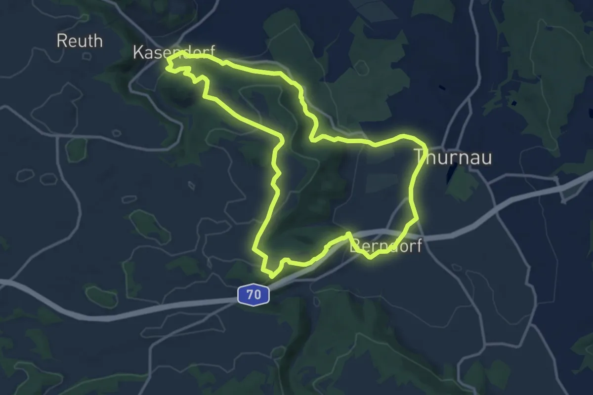
Medium · Summit
Rundweg Roter Ring Thurnau
10.7 km · ↑ 271 m · 3 h 16 min
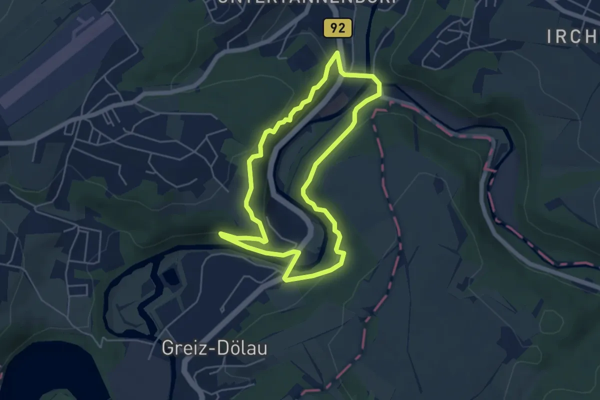
Easy · Trail
Rundweg Rothentaler Alpen
4.1 km · ↑ 164 m · 1 h 23 min
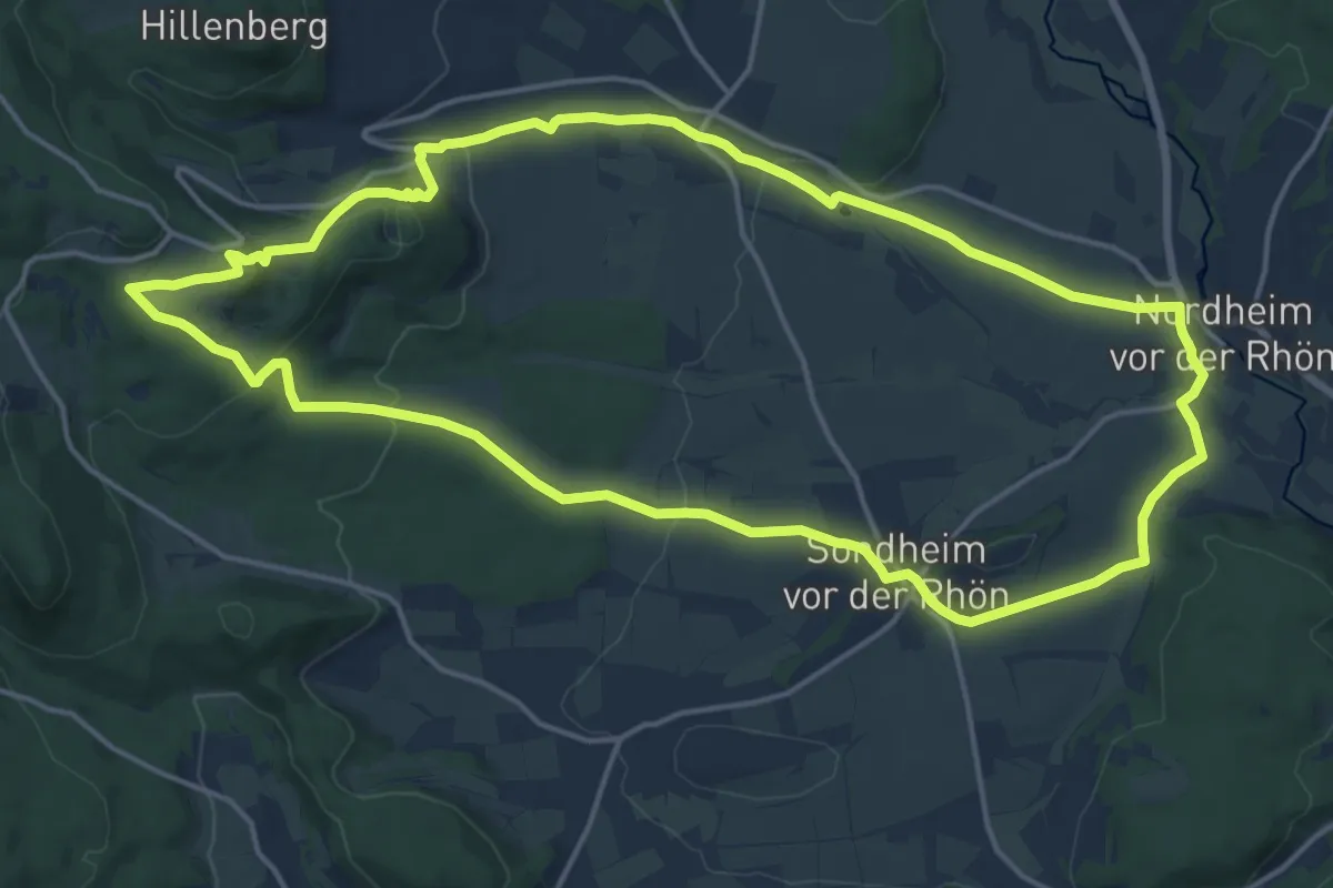
Medium · Summit
Rundweg Rother Kuppe
15.9 km · ↑ 391 m · 4 h 49 min
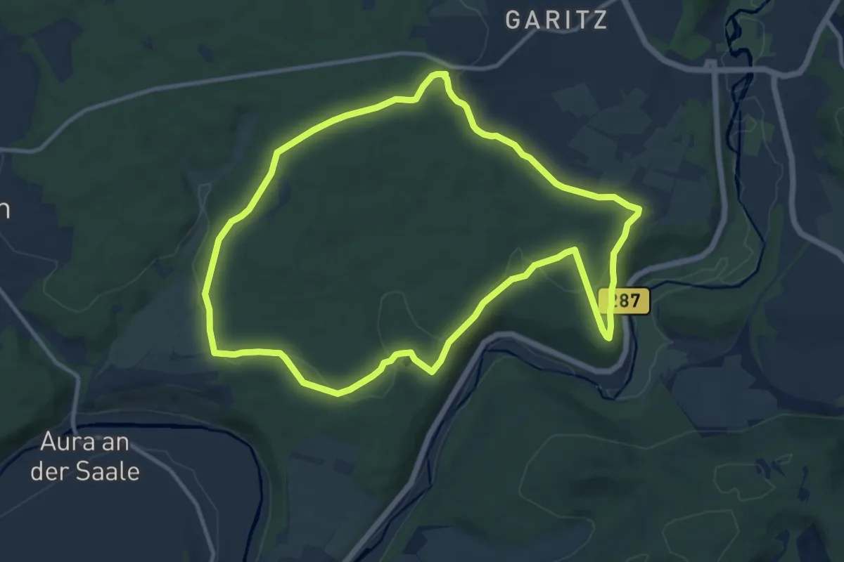
Medium · Trail
Rundweg Ruine Aura
9.8 km · ↑ 163 m · 2 h 48 min
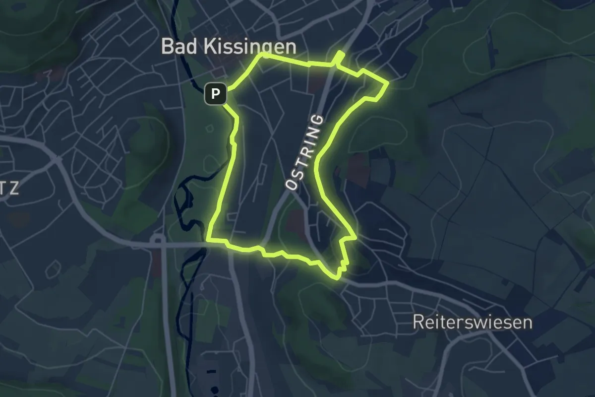
Medium · Trail
Rundweg Ruine Botenlauben
5.0 km · ↑ 148 m · 1 h 35 min
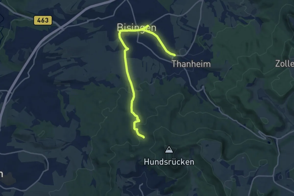
Medium · Trail
Rundweg Ruine Ror
11.9 km · ↑ 237 m · 3 h 20 min
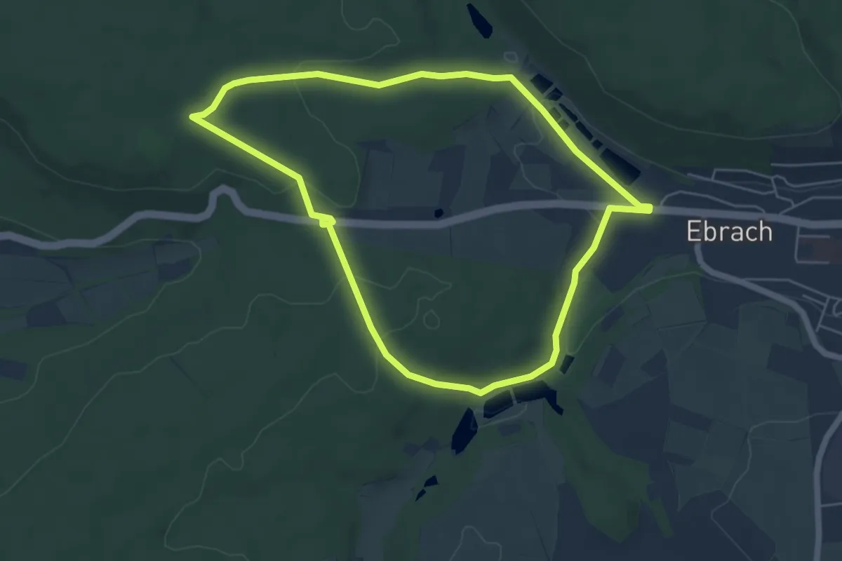
Easy · Trail
Rundweg "Rund um den Baumwipfelpfad"
4.9 km · ↑ 89 m · 1 h 24 min
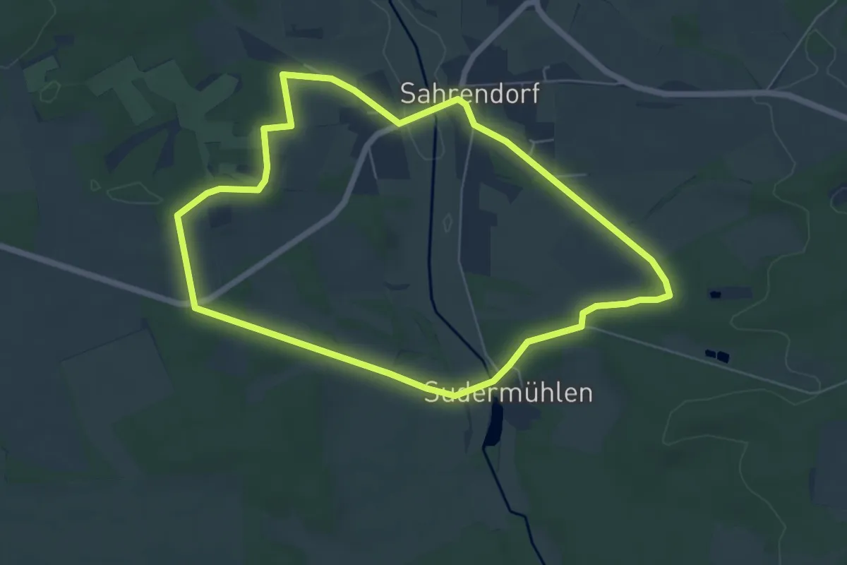
Easy · Trail
Rundweg Sahrendorf
5.1 km · ↑ 71 m · 1 h 26 min
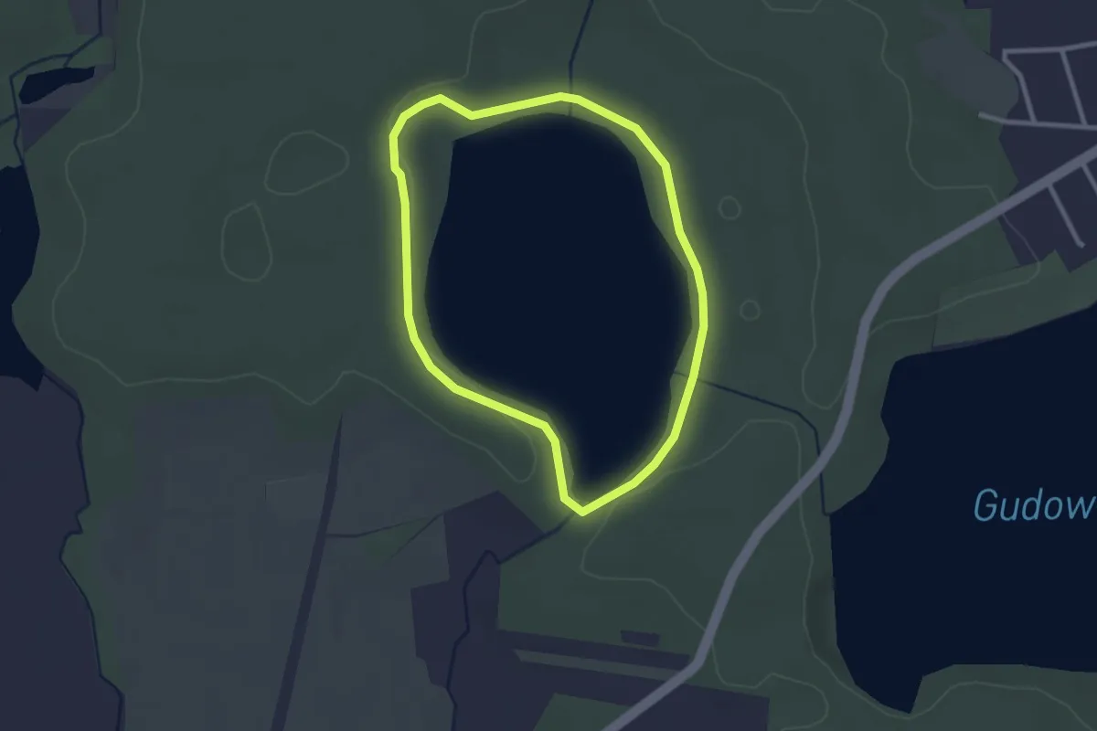
Easy · Trail
Rundweg Sarnekower See
2.1 km · ↑ 9 m · 33 min
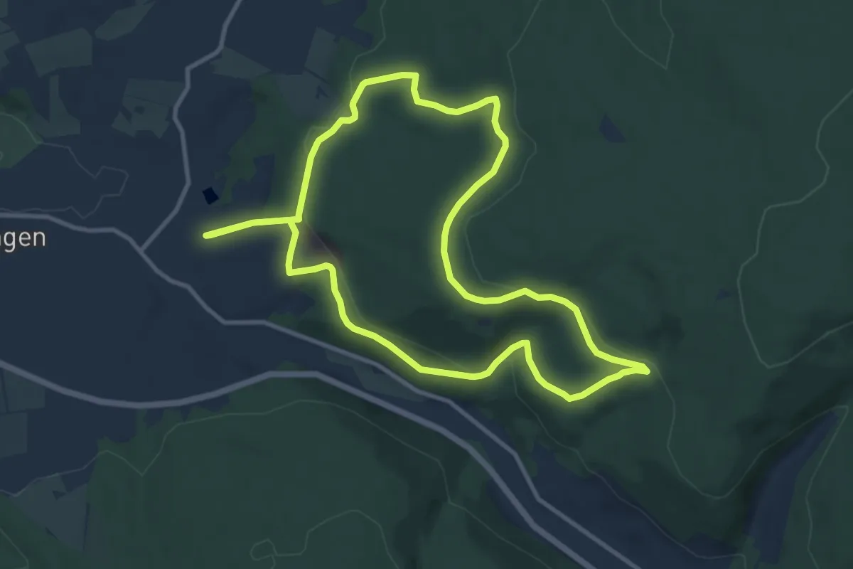
Medium · Trail
Rundweg Saufang
9.0 km · ↑ 258 m · 2 h 48 min
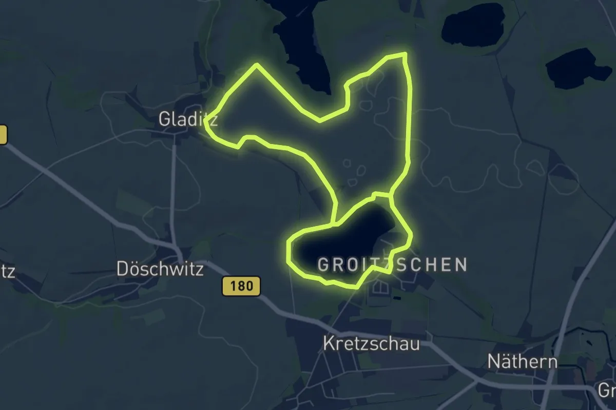
Medium · Trail
Rundweg Schädemulde
14.5 km · ↑ 75 m · 3 h 36 min
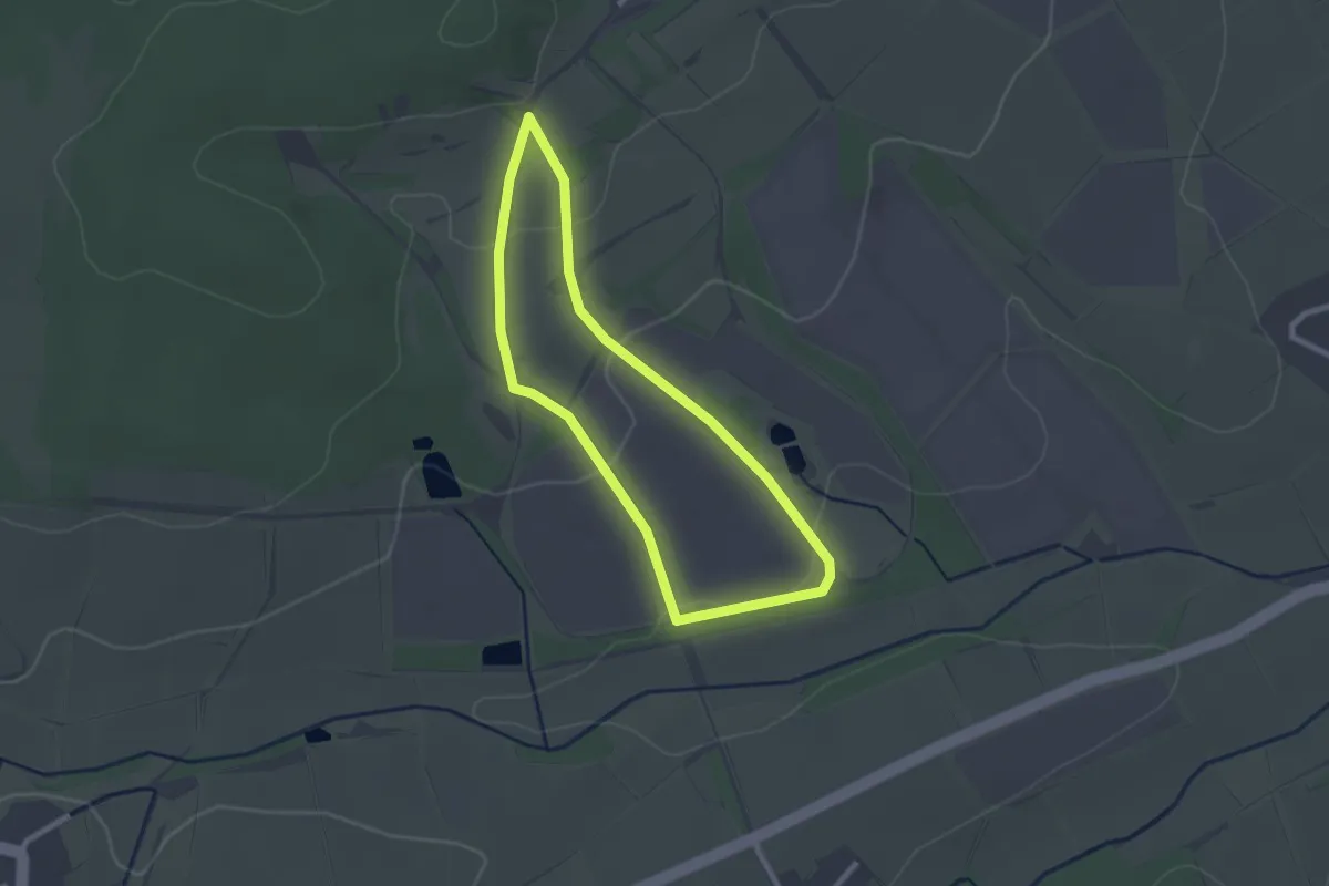
Easy · Trail
Rundweg Schaf
2.1 km · ↑ 56 m · 39 min
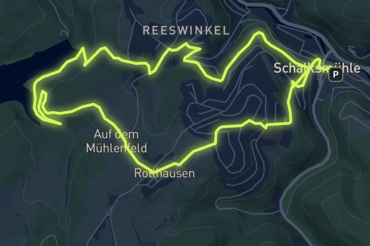
Easy · Trail
Rundweg Schalksmühle - Glörtalsperre
8.0 km · ↑ 256 m · 2 h 31 min
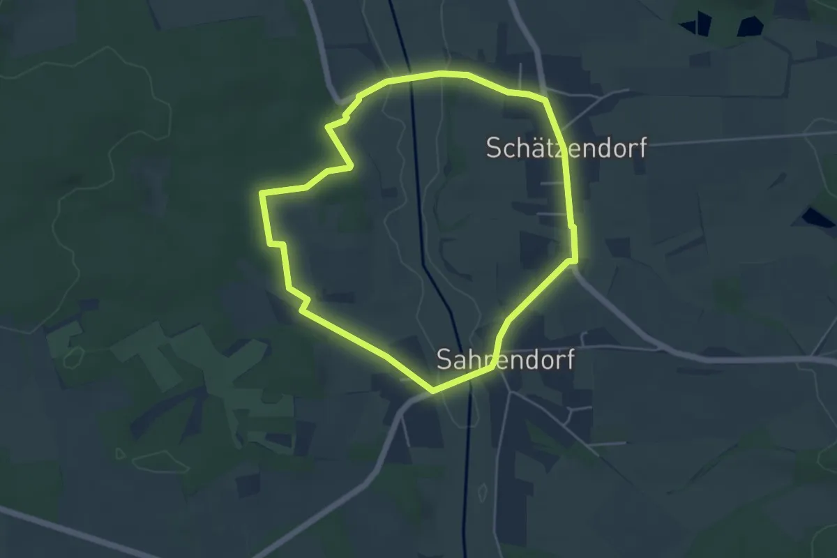
Easy · Trail
Rundweg Schätzendorf
3.9 km · ↑ 45 m · 1 h 4 min
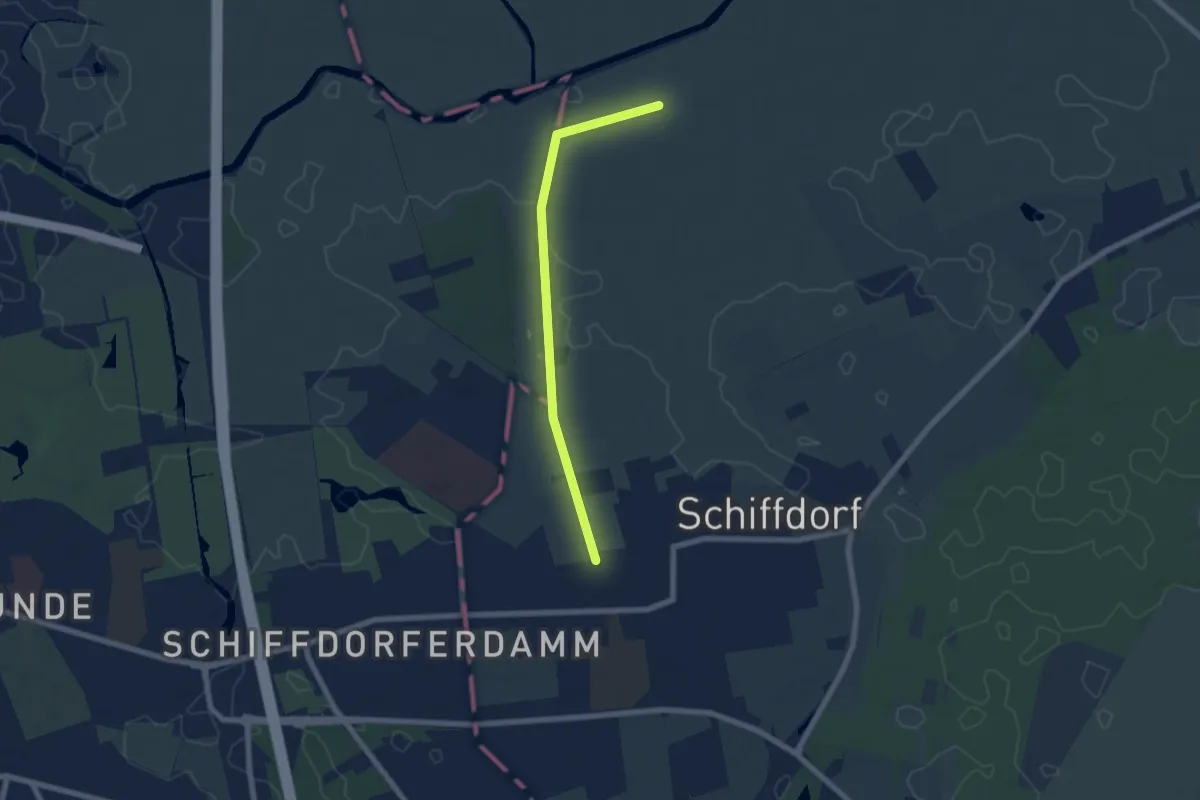
Easy · Trail
Rundweg "Schiffdorf entdecken"
2.8 km · ↑ 0 m · 42 min
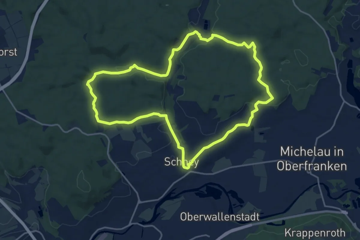
Medium · Summit
Rundweg Schifferbrunnen-Aßlitz
12.5 km · ↑ 167 m · 3 h 29 min
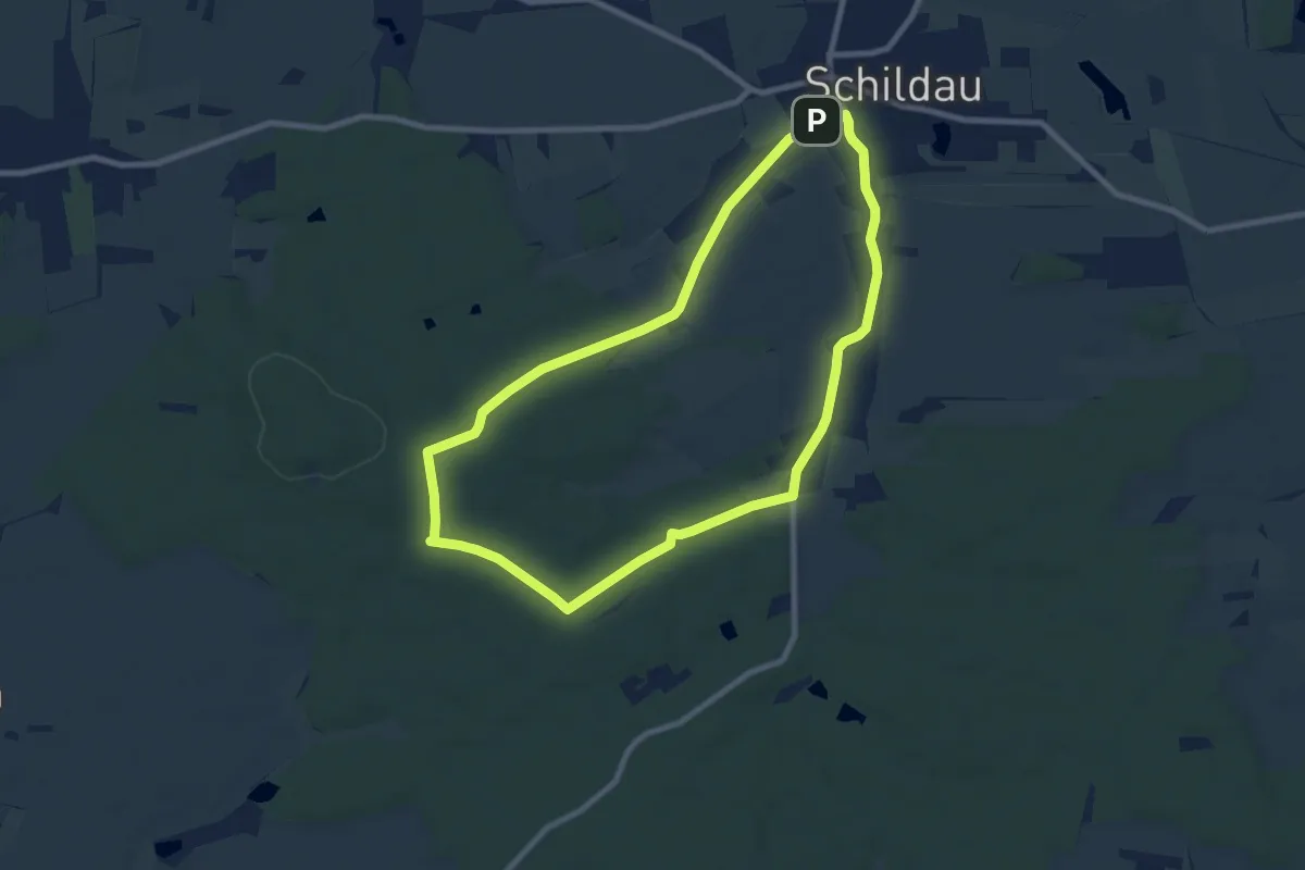
Easy · Trail
Rundweg Schildau
7.6 km · ↑ 77 m · 2 h 3 min
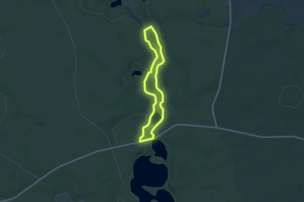
Easy · Trail
Rundweg Schlaubemühle
4.1 km · ↑ 22 m · 1 h 5 min
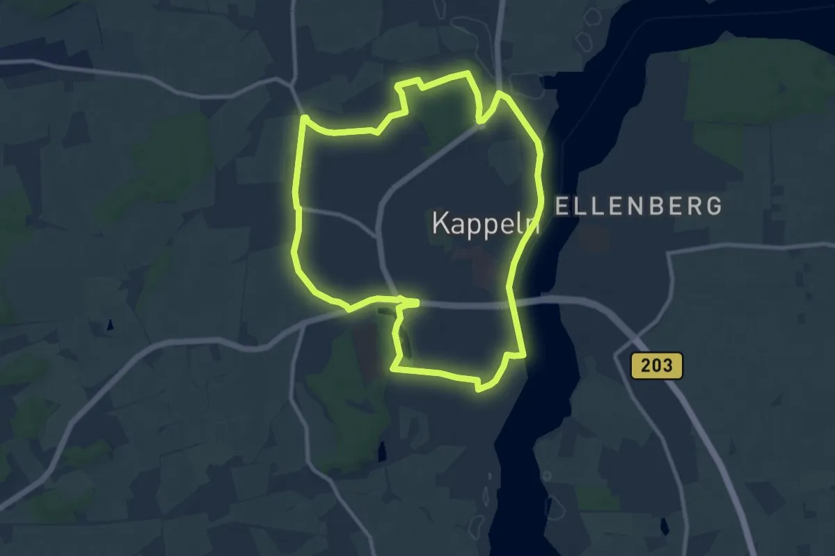
Easy · Trail
Rundweg Schlei/Grauhöft
7.6 km · ↑ 37 m · 1 h 59 min
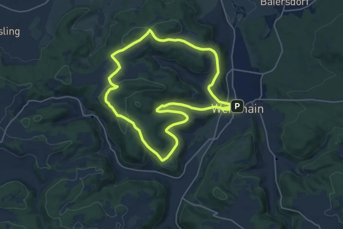
Medium · Summit
Rundweg Schleizknock-Kordigast
13.2 km · ↑ 308 m · 3 h 59 min
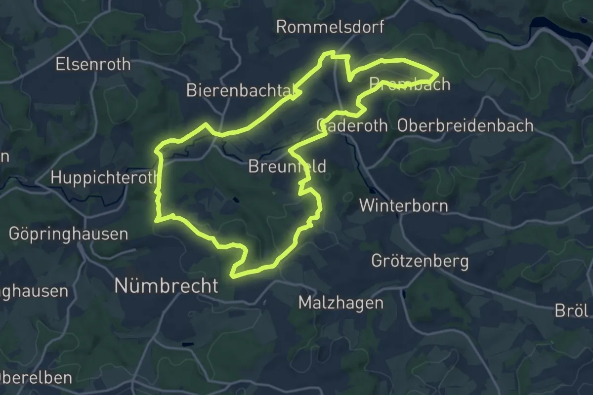
Medium · Trail
Rundweg Schlossblicke Turmroute
14.1 km · ↑ 254 m · 4 h 5 min