Trails in Germany
36,852 hiking trails, each with its route, climb, walking time and grade.
All trails, page 558 of 768
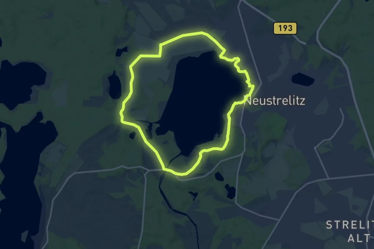
Medium · Summit
Rundweg um den Zierker See
11.4 km · ↑ 22 m · 2 h 54 min
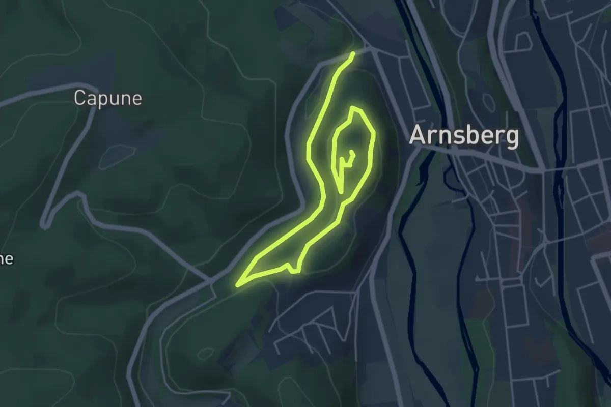
Easy · Summit
[-] Rundweg um die alte Burg in Arnsberg
6.3 km · ↑ 128 m · 1 h 45 min
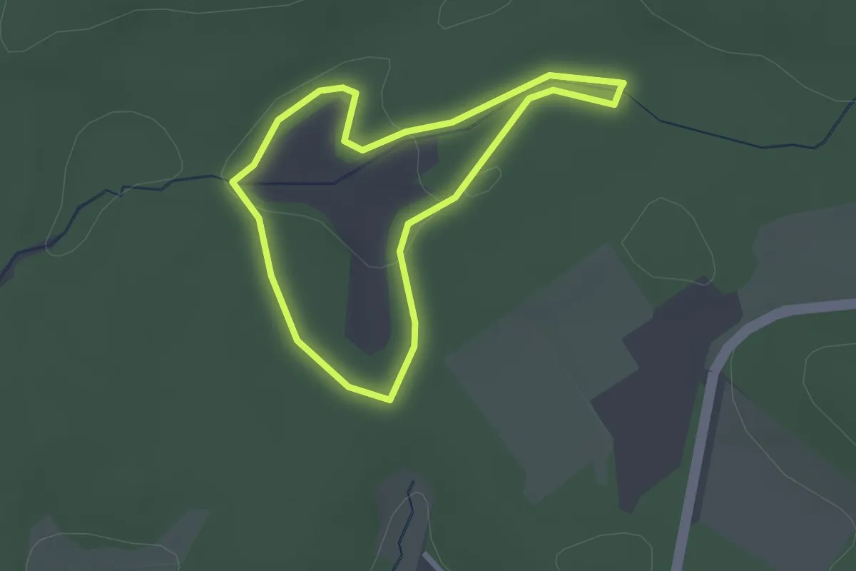
Easy · Trail
Rundweg um die Bullenwiesen
1.8 km · ↑ 20 m · 30 min
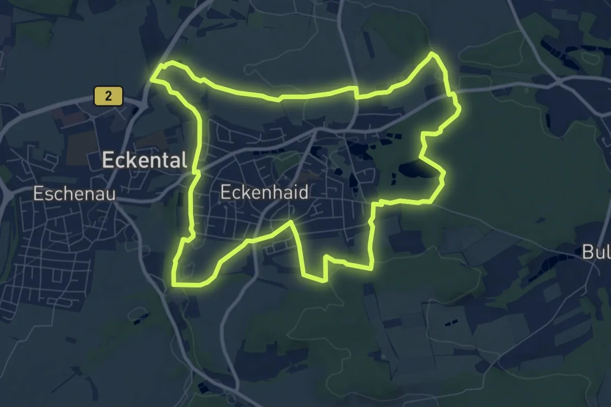
Medium · Trail
Rundweg um Eckenhaid
9.2 km · ↑ 125 m · 2 h 35 min
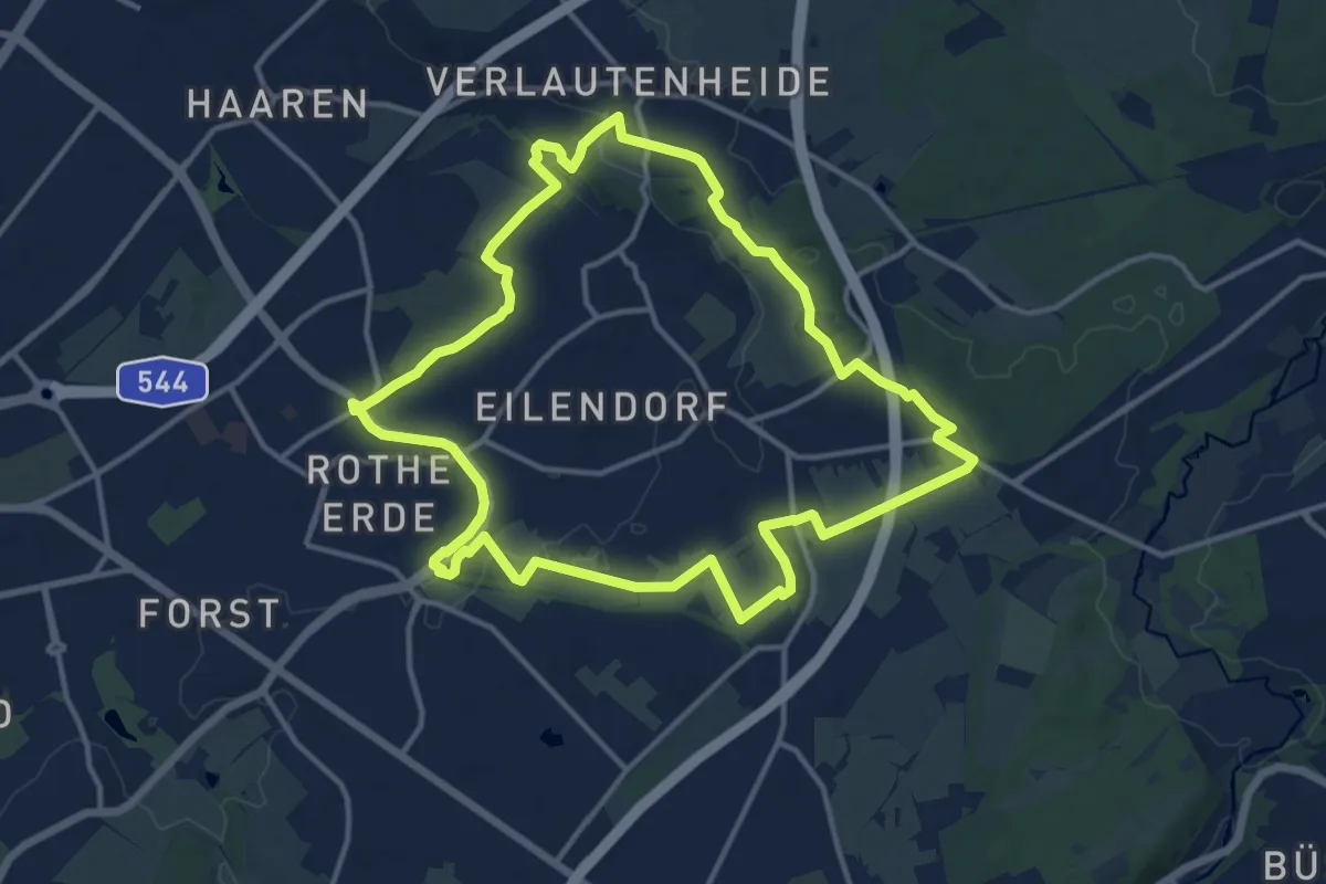
Medium · Summit
Rundweg um Eilendorf
12.5 km · ↑ 81 m · 3 h 19 min
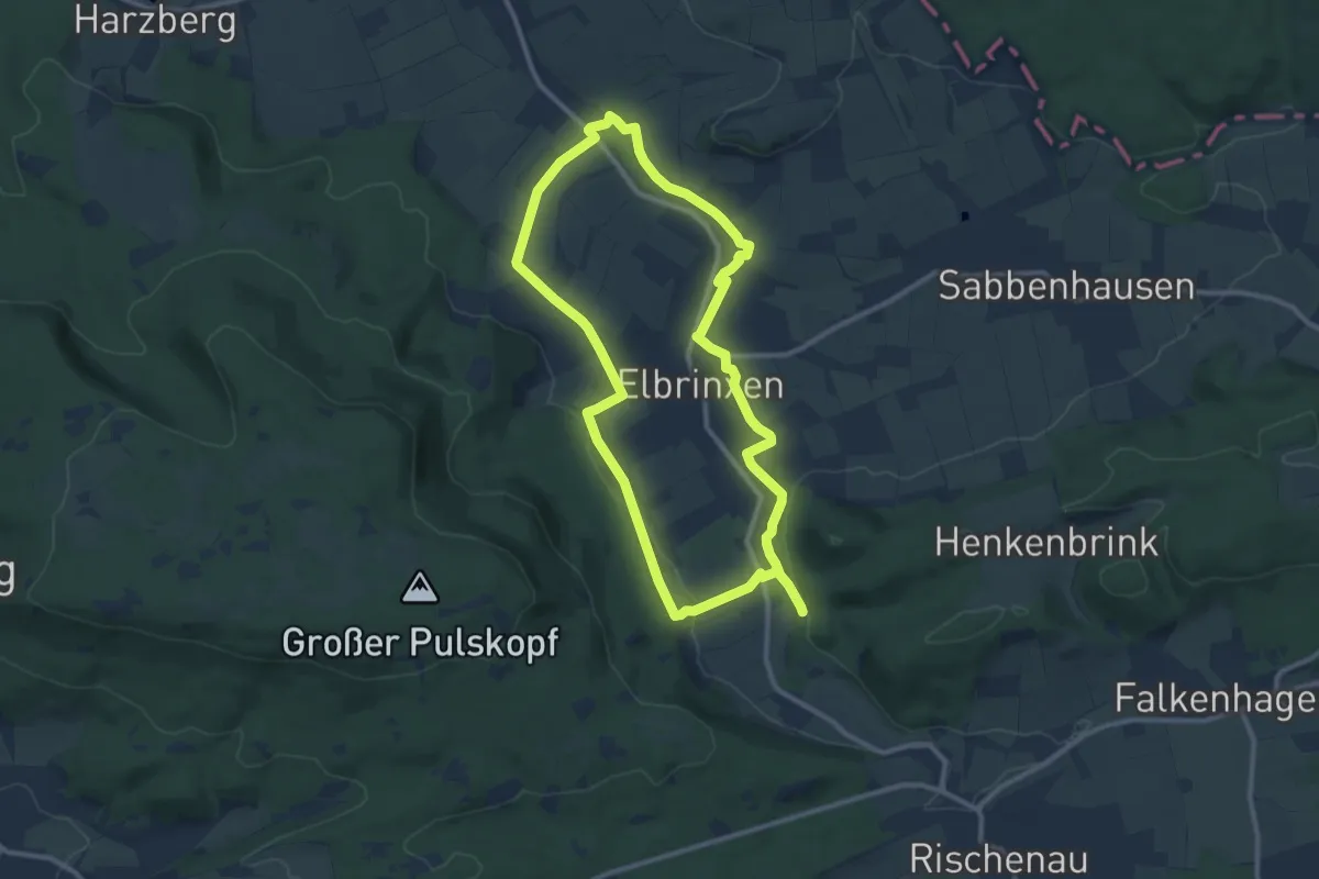
Medium · Trail
Rundweg um Elbrinxen (E)
9.3 km · ↑ 156 m · 2 h 40 min
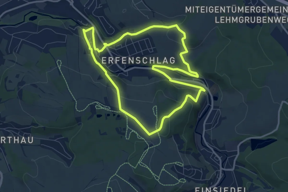
Easy · Trail
Rundweg um Erfenschlag
7.7 km · ↑ 202 m · 2 h 22 min
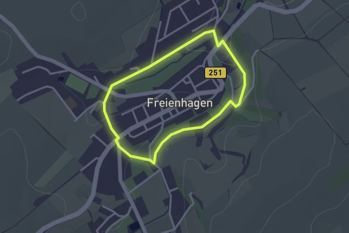
Easy · Trail
Rundweg um Freienhagen
2.0 km · ↑ 23 m · 33 min
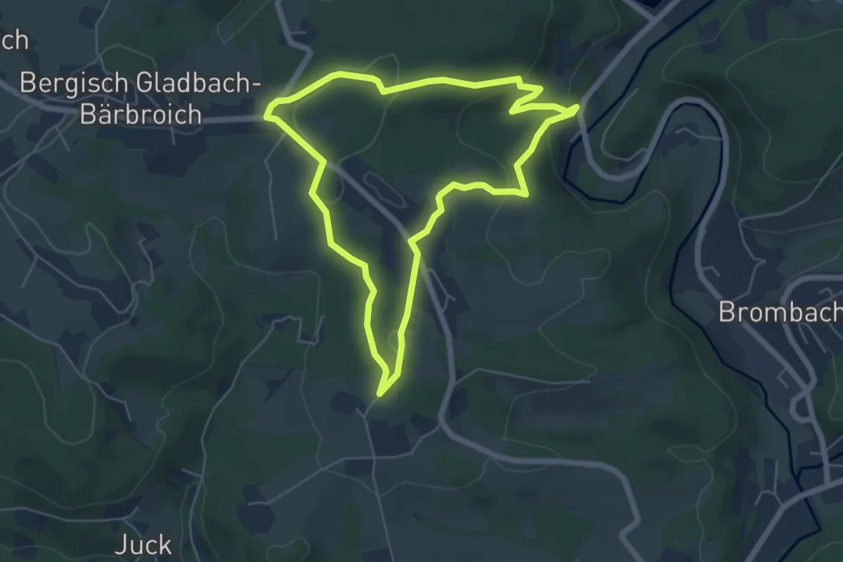
Demanding · Trail
[⊥] Rundweg umgedrehtes T Wanderparkplatz Bärbroich
4.7 km · ↑ 150 m · 1 h 30 min
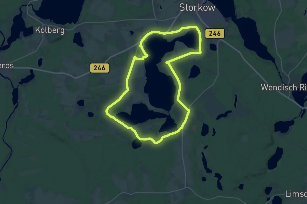
Demanding · Trail
Rundweg um Groß Schauener Seenkette
21.9 km · ↑ 65 m · 5 h 36 min
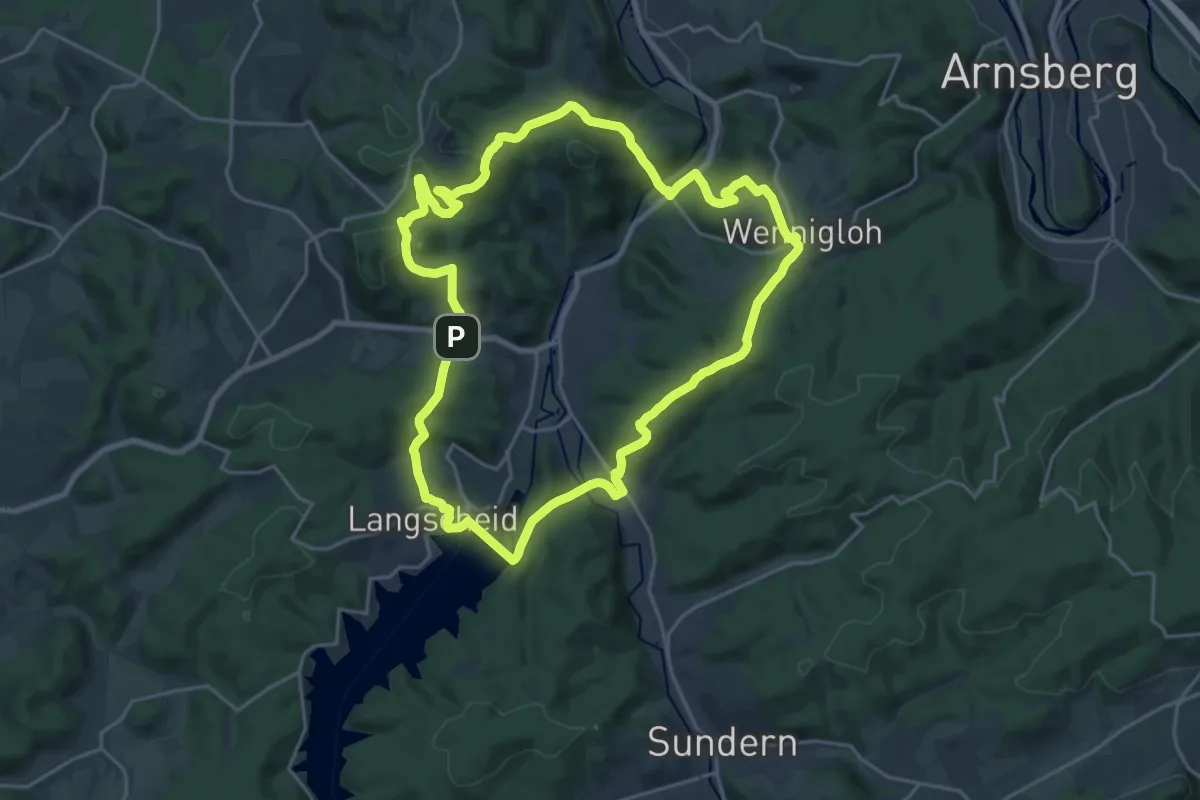
Demanding · Summit
Rundweg um Hachen
19.6 km · ↑ 676 m · 6 h 21 min
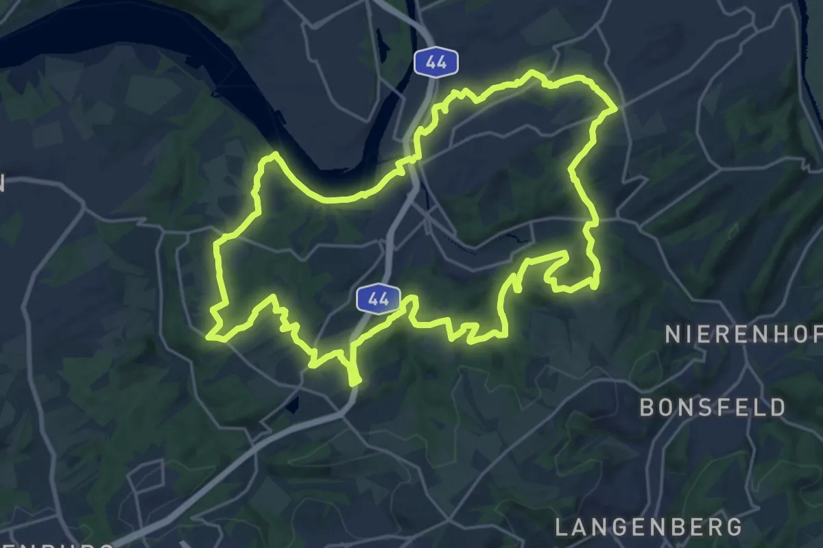
Demanding · Trail
Rundweg um Kupferdreh
20.8 km · ↑ 453 m · 6 h 11 min
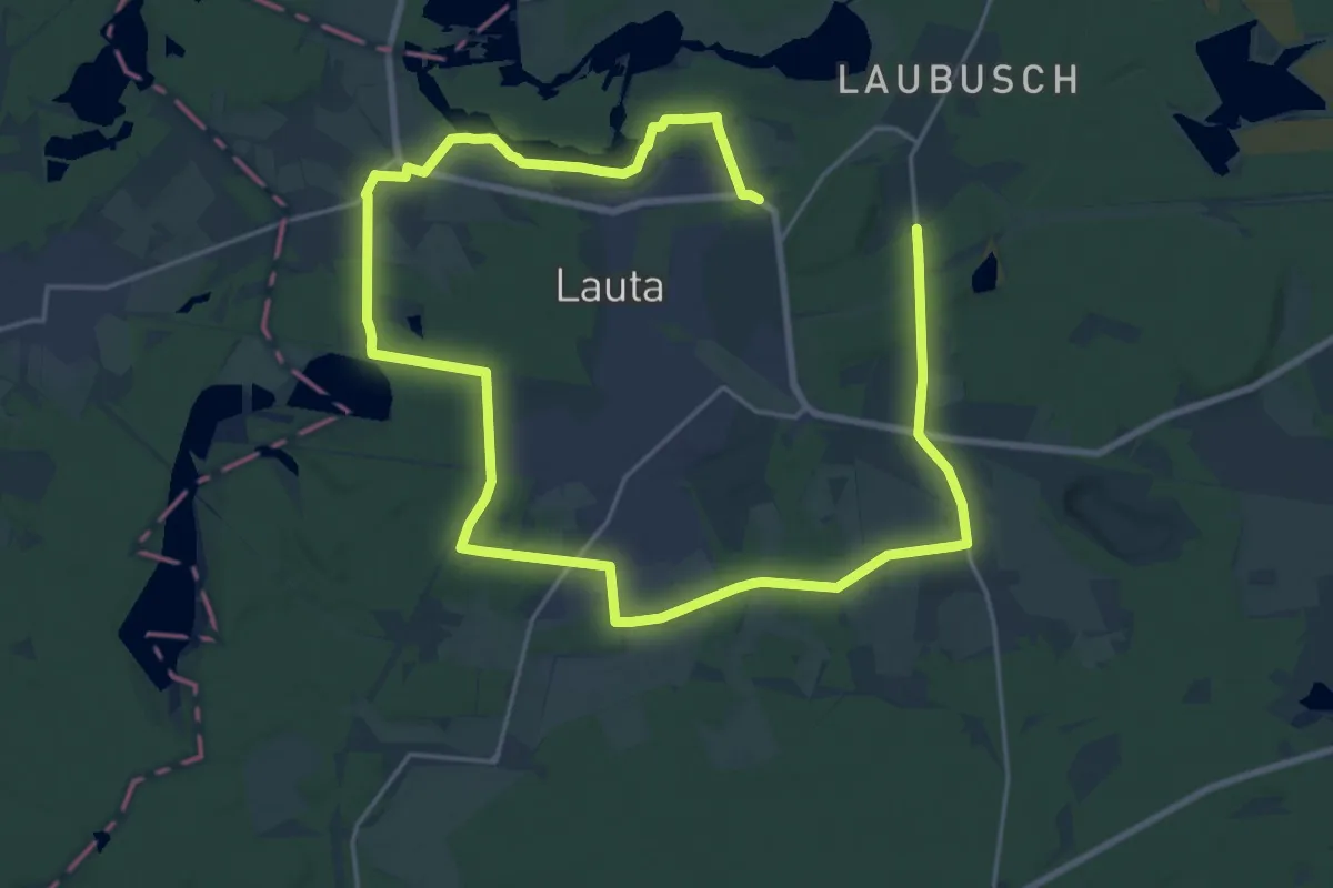
Medium · Trail
Rundweg um Lauta - Gelber Punkt
16.2 km · ↑ 51 m · 4 h 10 min
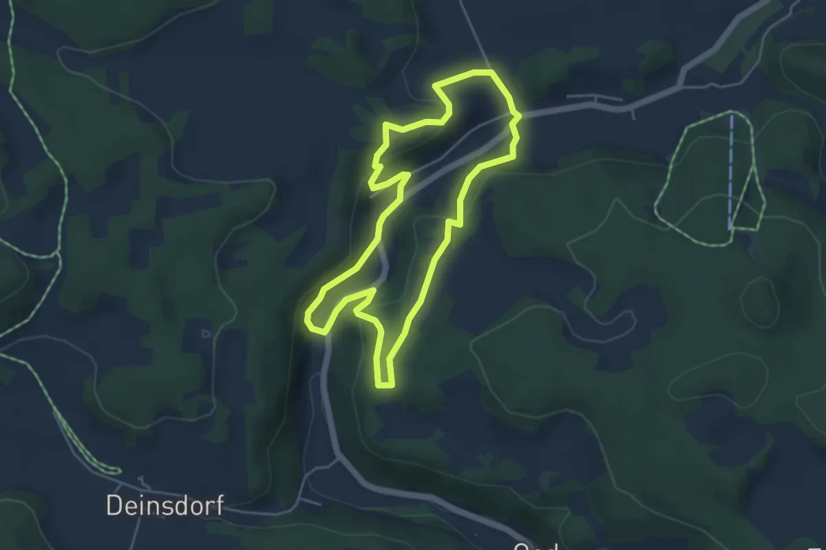
Easy · Trail
Rundweg um Lehenhammer
3.9 km · ↑ 127 m · 1 h 15 min
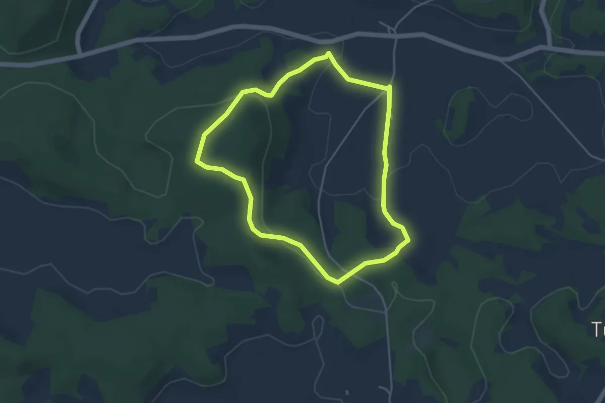
Easy · Trail
Rundweg um Leutzdorf
3.4 km · ↑ 88 m · 1 h 2 min
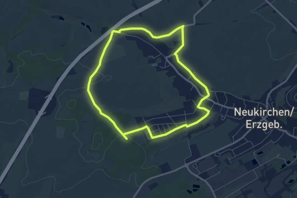
Easy · Trail
Rundweg um Neukirchen 2
5.7 km · ↑ 60 m · 1 h 34 min
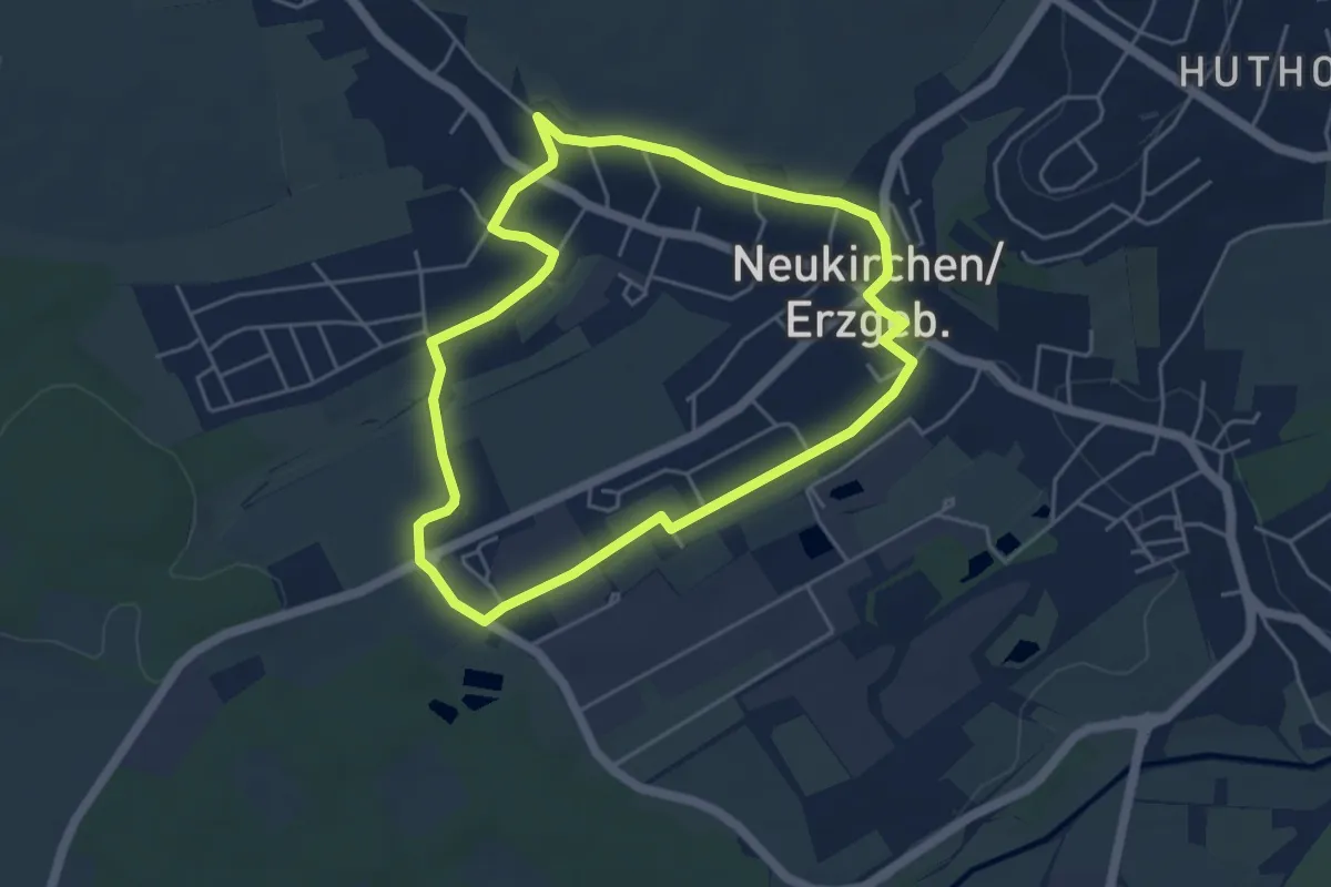
Easy · Trail
Rundweg um Neukirchen 3
4.2 km · ↑ 42 m · 1 h 9 min
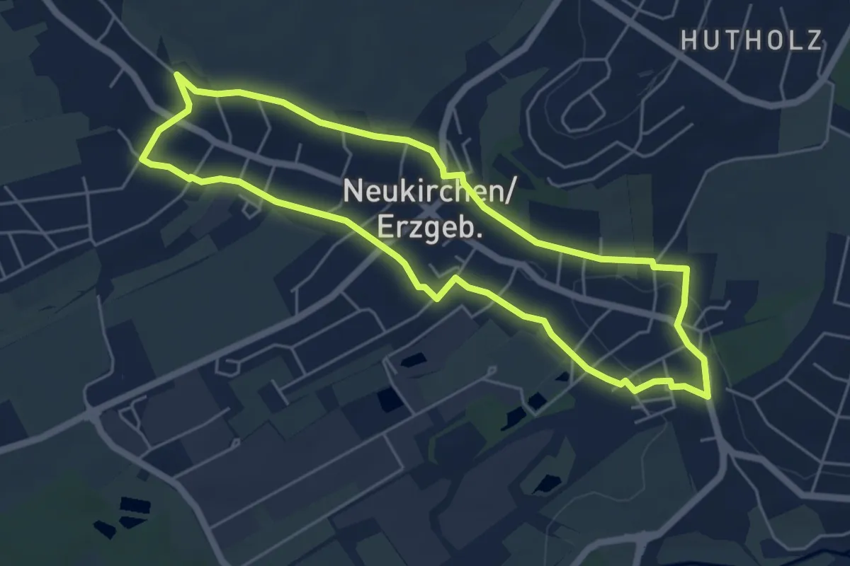
Easy · Trail
Rundweg um Neukirchen 4
4.6 km · ↑ 36 m · 1 h 14 min
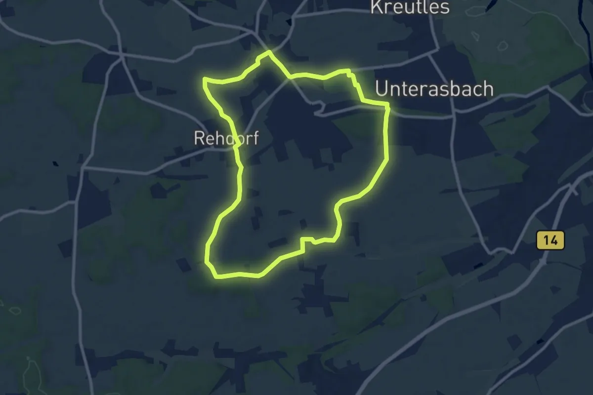
Easy · Trail
Rundweg um Oberasbach
7.9 km · ↑ 74 m · 2 h 8 min
Easy · Trail
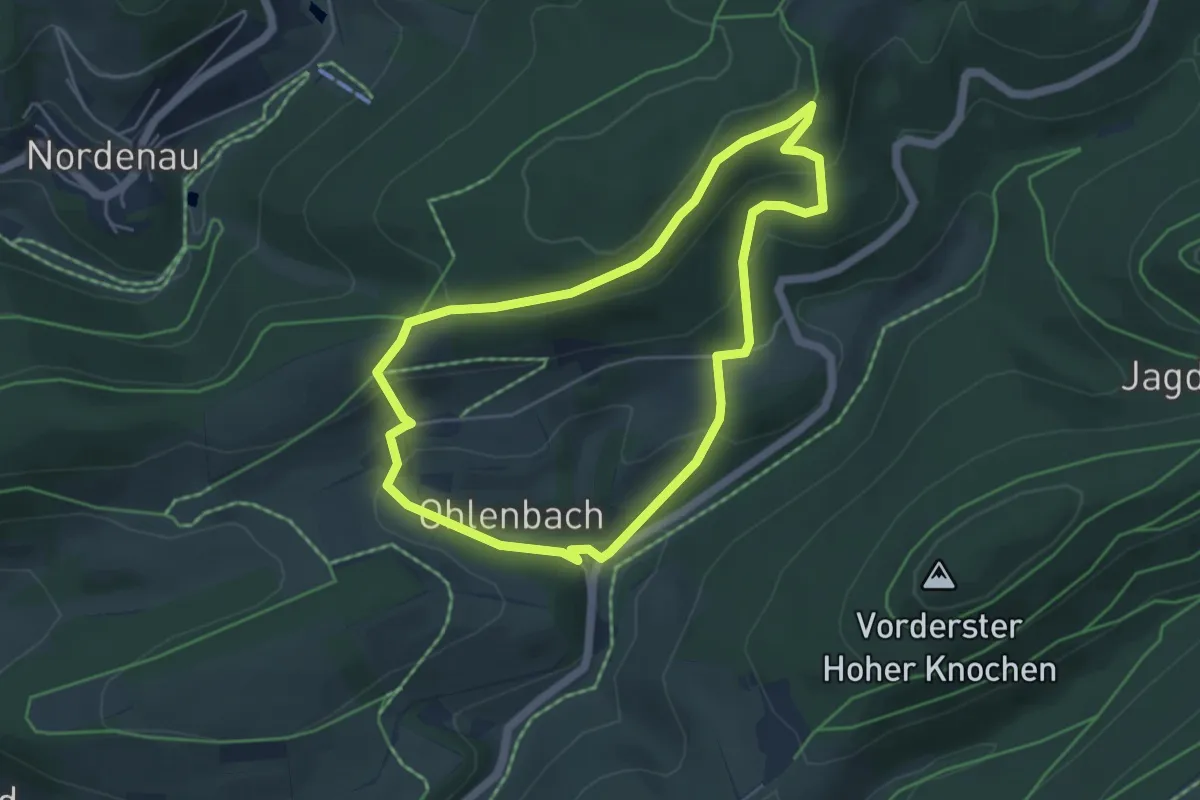
Rundweg um Ohlenbach, A3
4.3 km · ↑ 188 m · 1 h 29 min
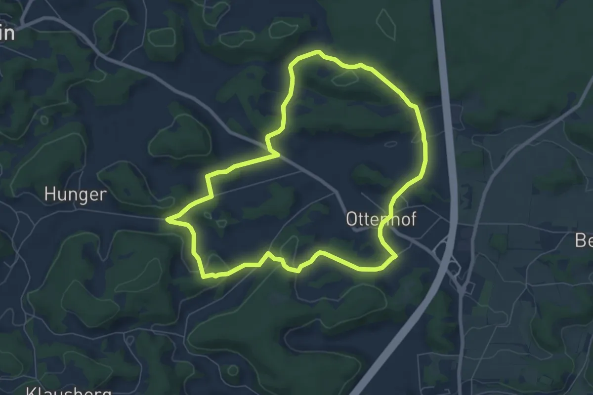
Easy · Trail
Rundweg um Ottenhof
6.5 km · ↑ 153 m · 1 h 57 min
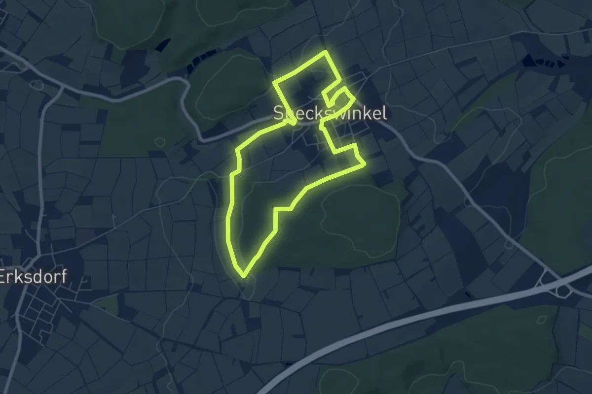
Easy · Trail
Rundweg um Speckswinkel
5.7 km · ↑ 60 m · 1 h 33 min
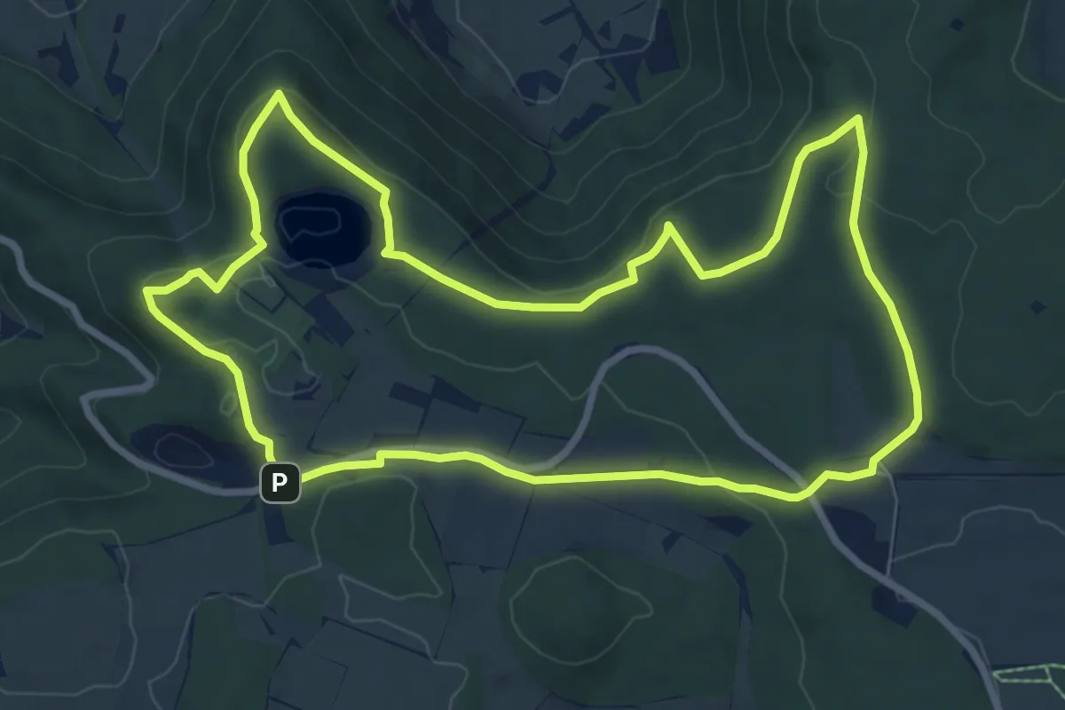
Easy · Summit
Rundweg ums Wanderheim Eninger Weide
7.9 km · ↑ 171 m · 2 h 21 min
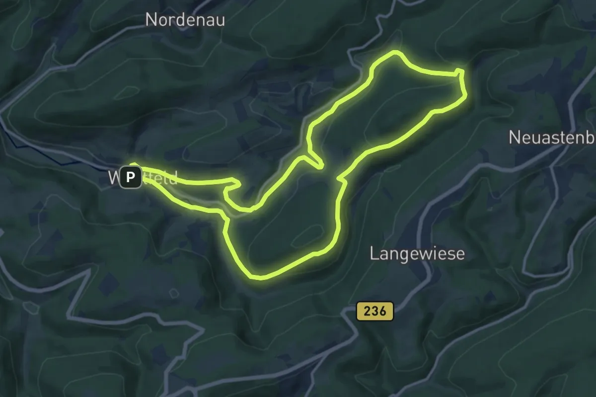
Medium · Trail
Rundweg um Westfeld, W2
11.5 km · ↑ 354 m · 3 h 38 min
Medium · Trail
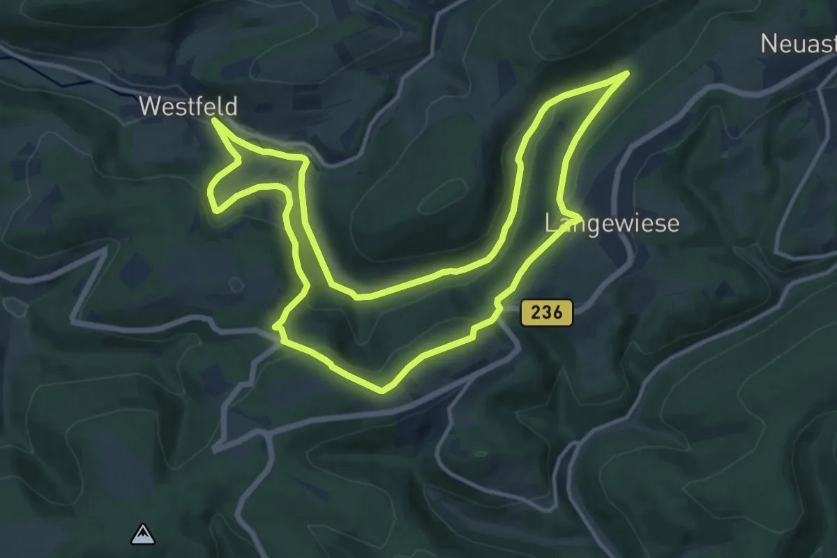
Rundweg um Westfeld, W4
11.4 km · ↑ 353 m · 3 h 37 min
Easy · Trail
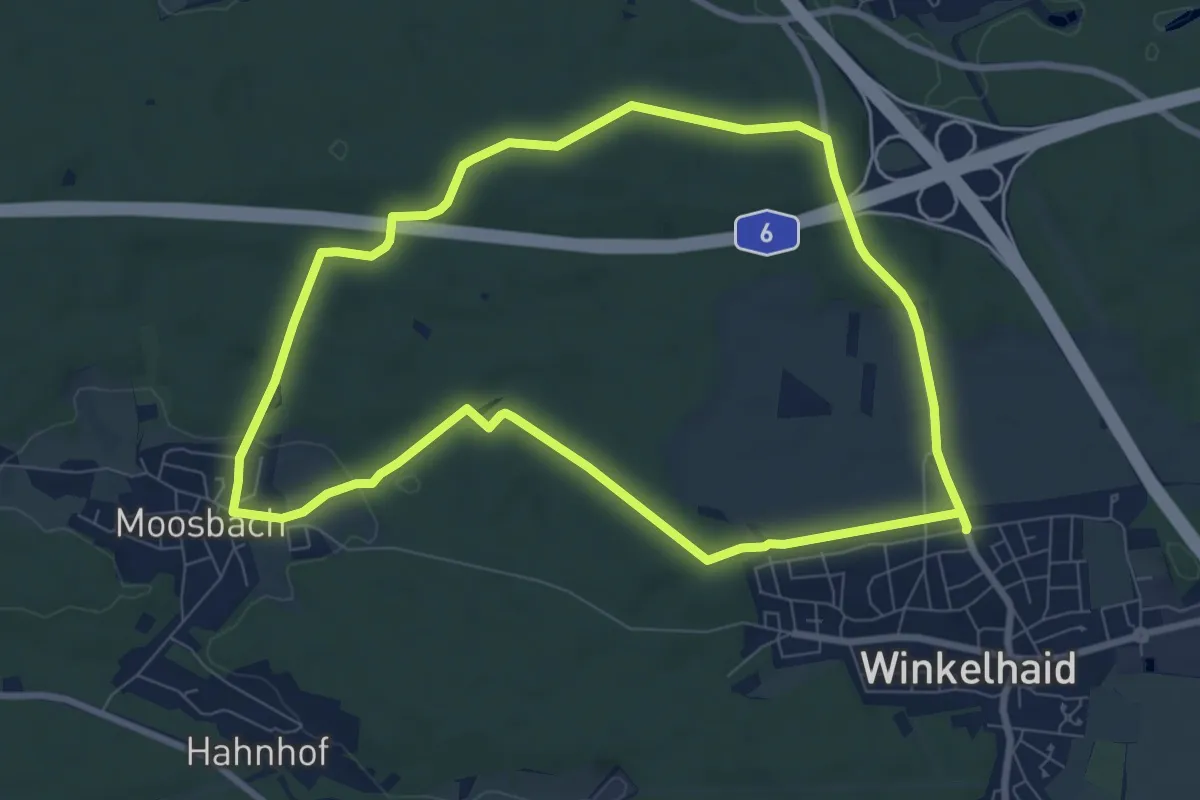
Rundweg um Winkelhaid
7.7 km · ↑ 100 m · 2 h 9 min
Easy · Trail
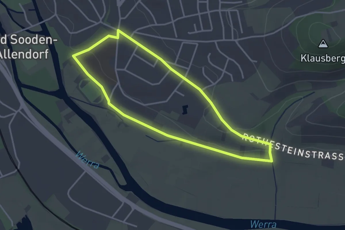
Rundweg Unter dem Weingärten
2.9 km · ↑ 35 m · 48 min
Easy · Trail
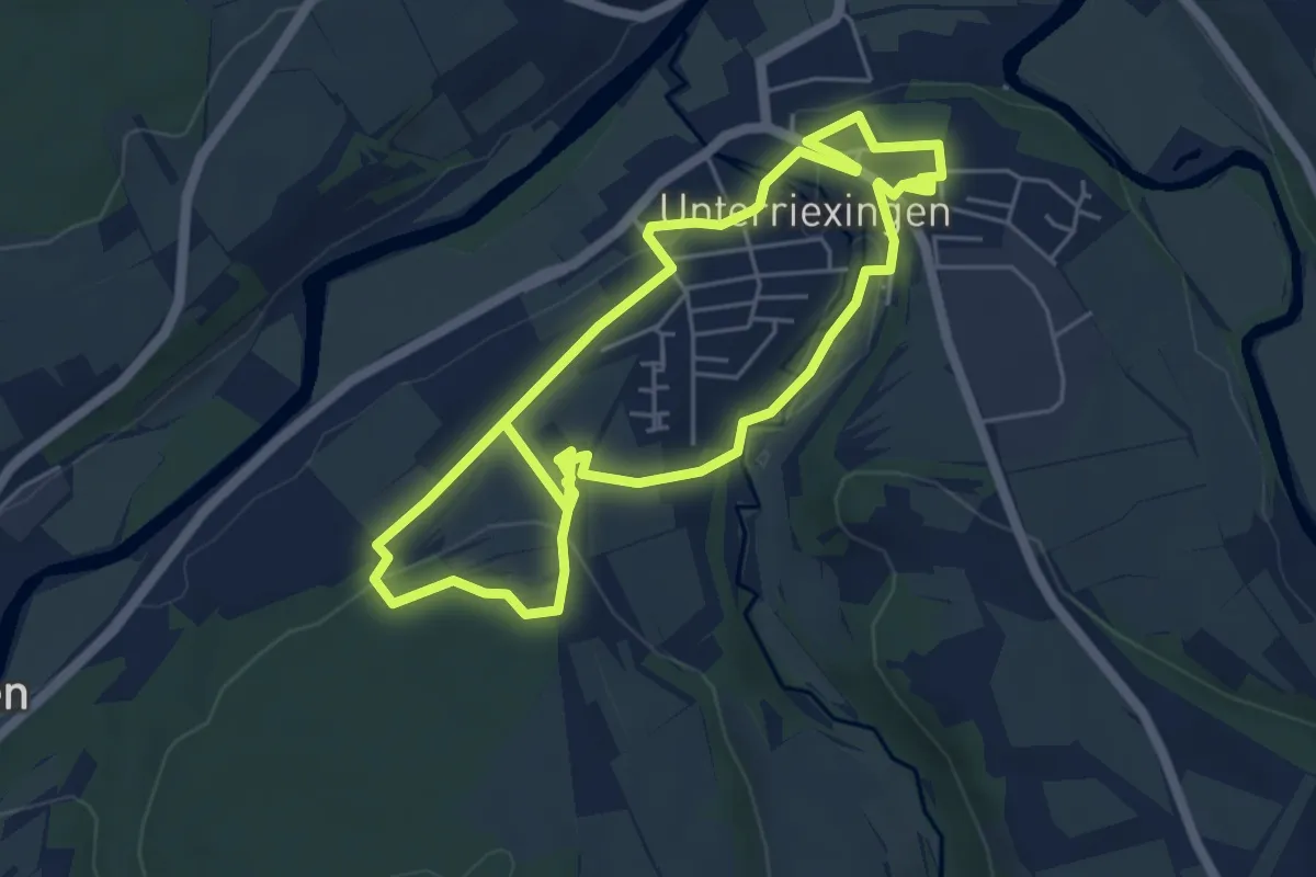
Rundweg Unterriexingen
5.0 km · ↑ 92 m · 1 h 28 min
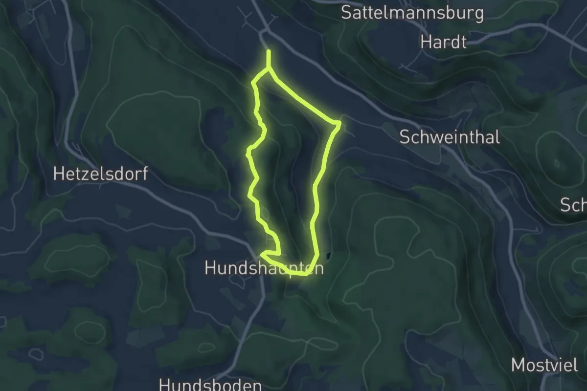
Easy · Trail
Rundweg Unterzaunsbach-Hundshaupten
4.6 km · ↑ 187 m · 1 h 34 min
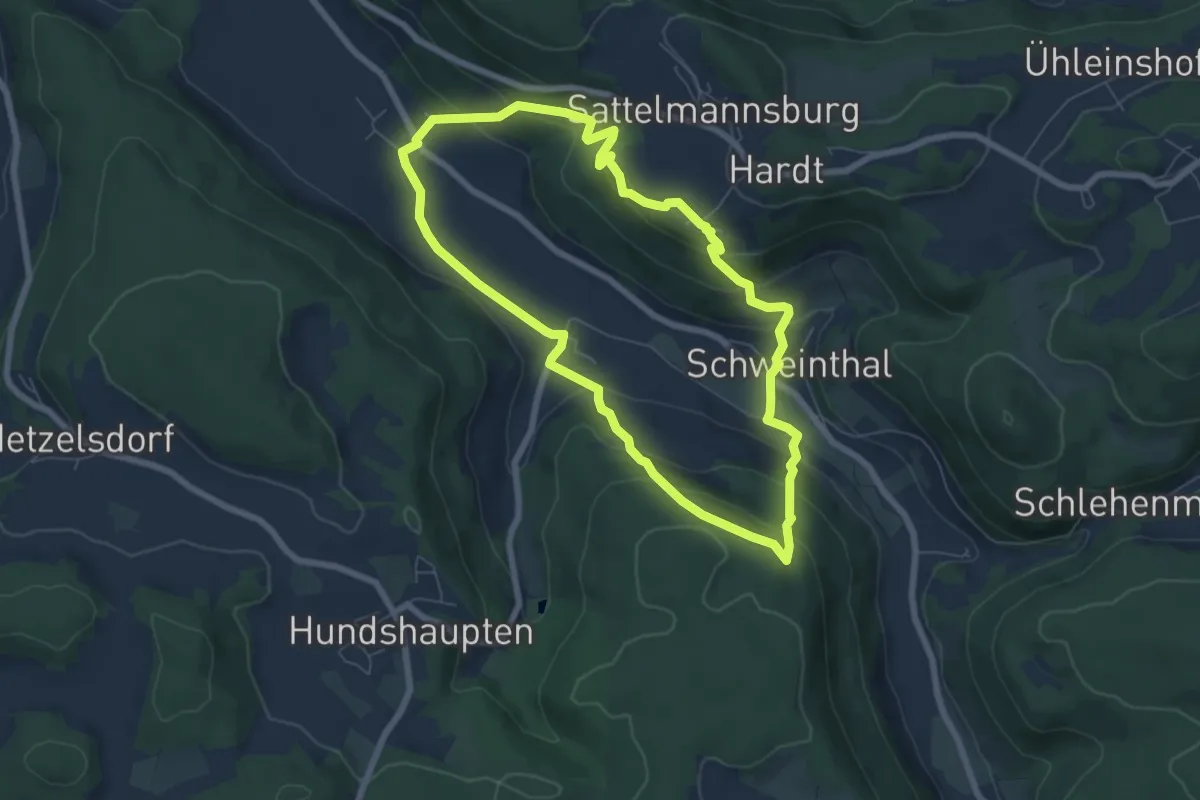
Medium · Trail
Rundweg Unterzaunsbach-Schweinthal
6.2 km · ↑ 338 m · 2 h 17 min
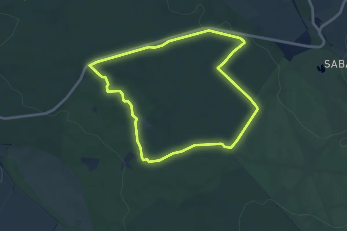
Easy · Trail
Rundweg Urwald Sababurg rot
4.0 km · ↑ 51 m · 1 h 7 min
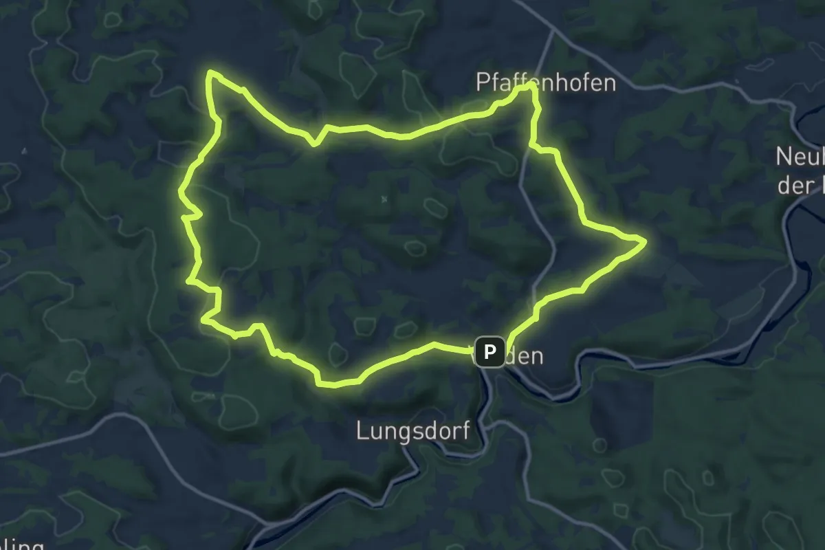
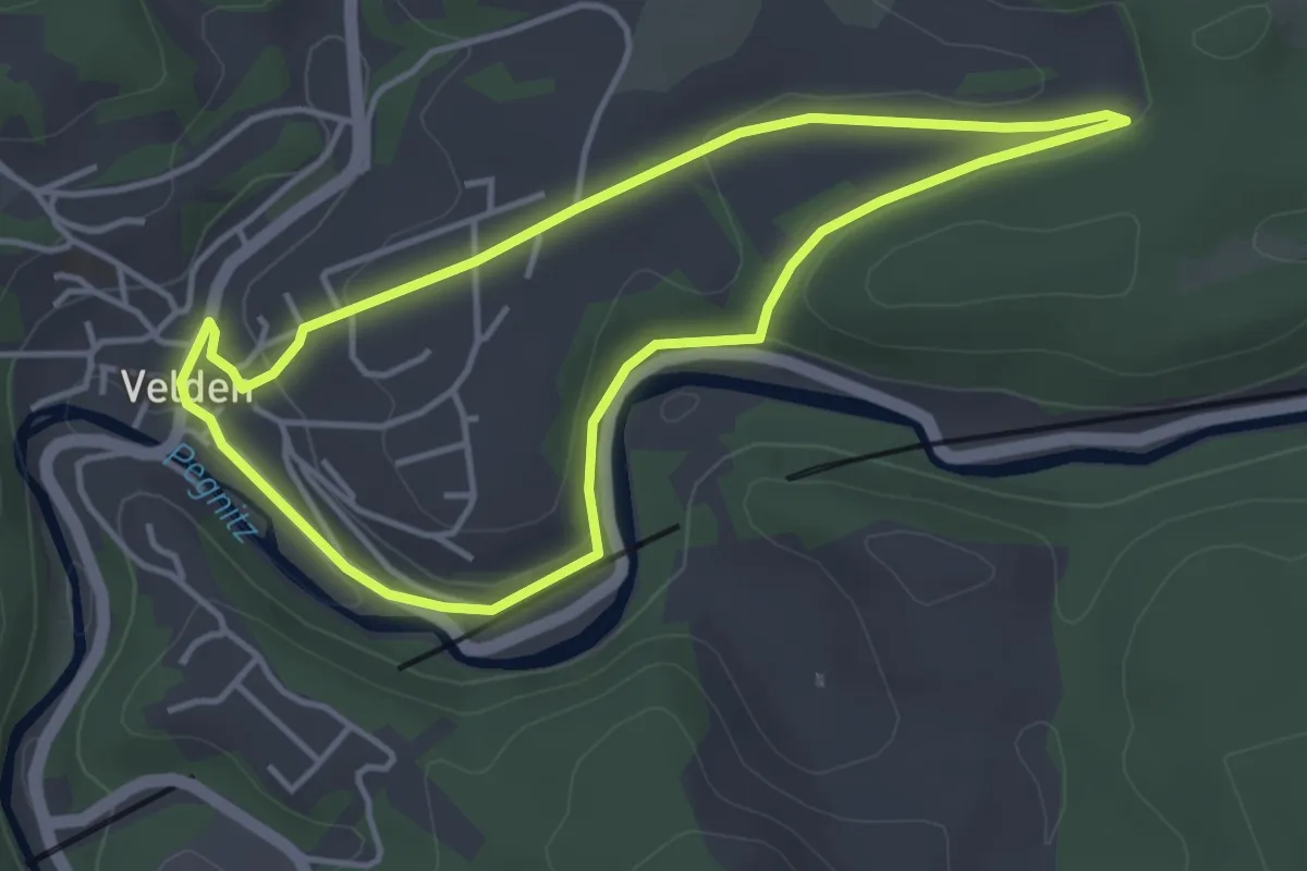
Medium · Summit
Rundweg Velden – Geißlochhöhle
12.9 km · ↑ 351 m · 4 h
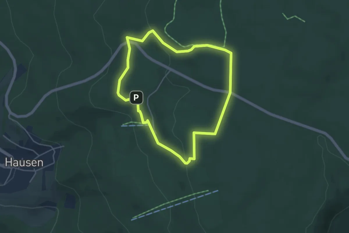
Easy · Trail
Rundweg Velden – Gelbring
3.6 km · ↑ 57 m · 1 h 1 min
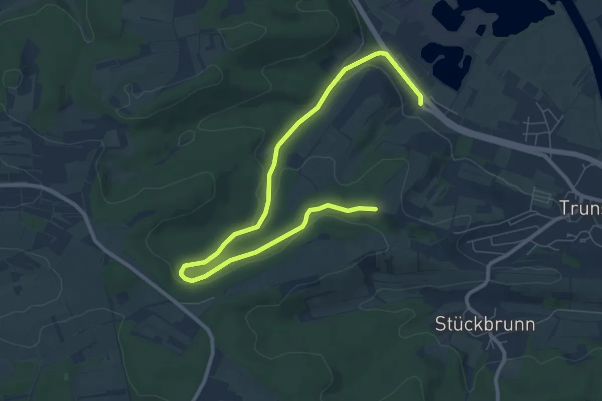
Easy · Trail
Rundweg Viehhaus
3.3 km · ↑ 60 m · 57 min
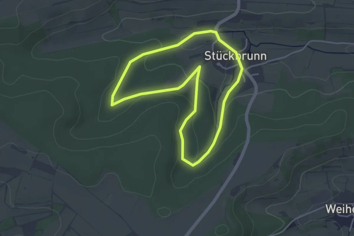
Easy · Trail
Rundweg Viereth-Trunstadt V-T 1
4.0 km · ↑ 116 m · 1 h 12 min
Easy · Trail
Rundweg Viereth-Trunstadt V-T 2
3.2 km · ↑ 83 m · 58 min
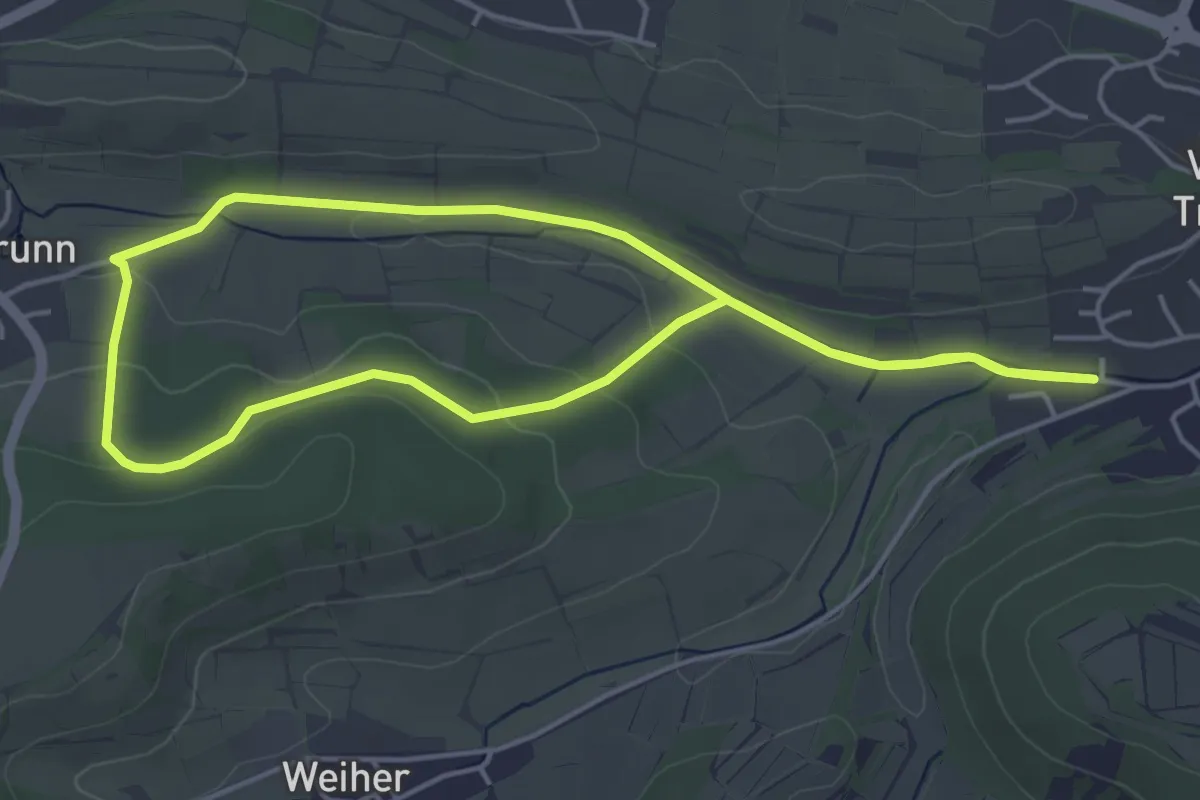
Easy · Trail
Rundweg Viereth-Trunstadt V-T 3
4.5 km · ↑ 79 m · 1 h 18 min
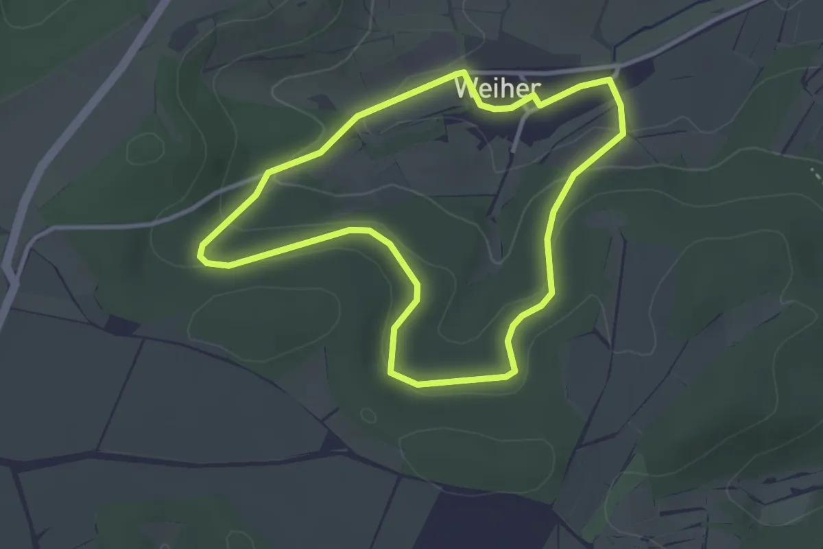
Easy · Trail
Rundweg Viereth-Trunstadt V-T 4
2.9 km · ↑ 93 m · 55 min
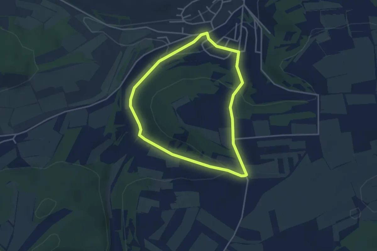
Easy · Trail
Rundweg Viereth-Trunstadt V-T 5
2.8 km · ↑ 75 m · 52 min
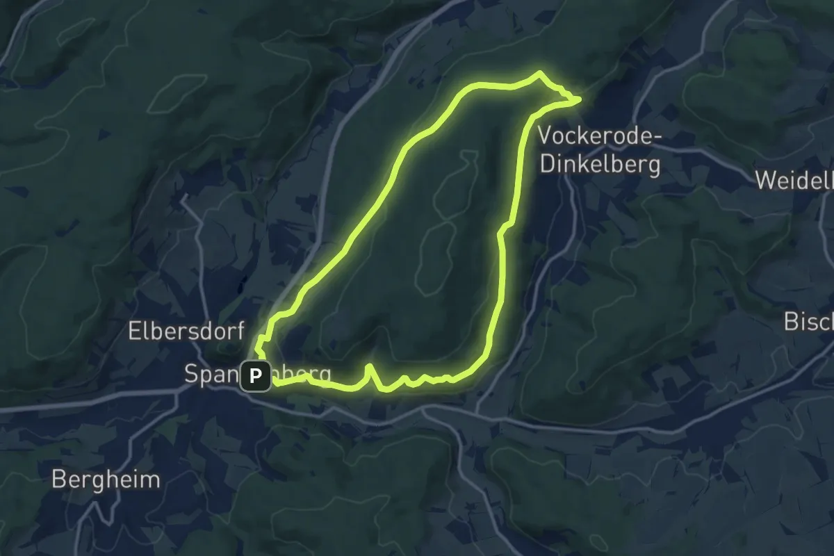
Medium · Trail
Rundweg Vockeröder Heide
11.7 km · ↑ 323 m · 3 h 38 min
Medium · Trail
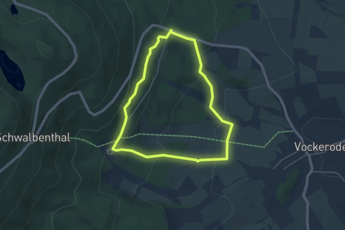
Rundweg Vockeröder Wiesen
3.4 km · ↑ 145 m · 1 h 10 min
Easy · Trail
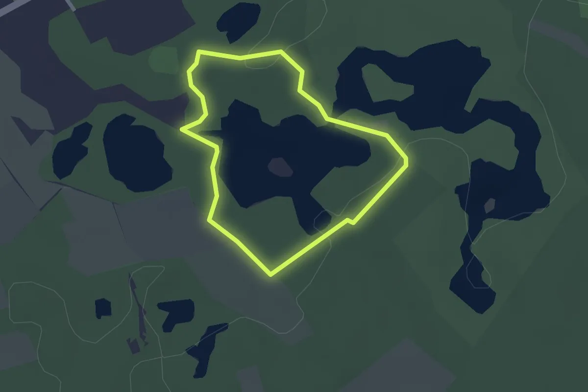
Rundweg Vogelsberger See - orange
1.8 km · ↑ 9 m · 28 min
Easy · Trail
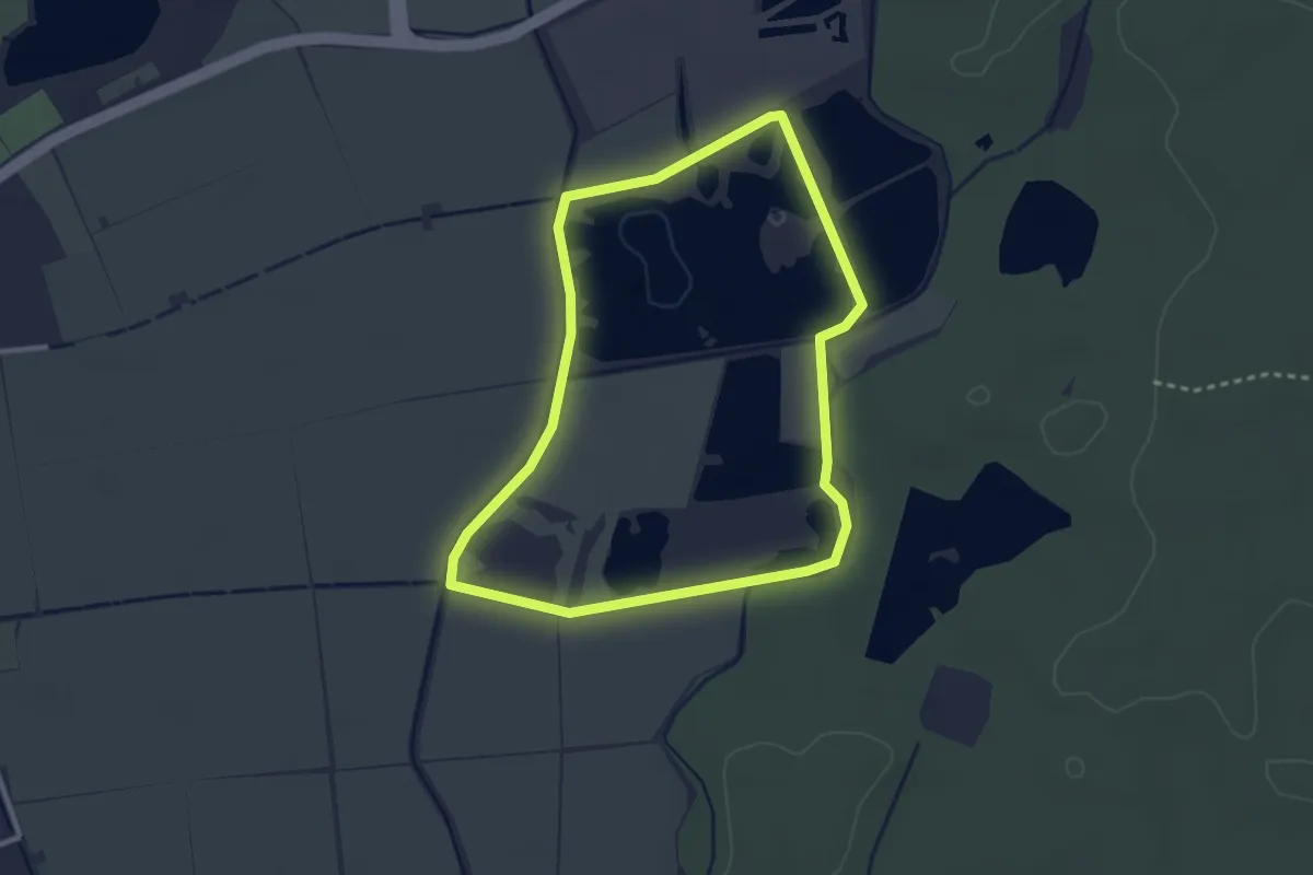
Rundweg Vogelschutzgebiet Sauerstücksee
2.6 km · ↑ 4 m · 40 min
Easy · Trail
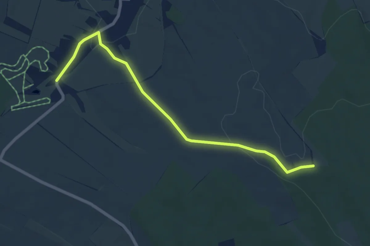
Rundweg Voigtsdorf
4.6 km · ↑ 70 m · 1 h 15 min
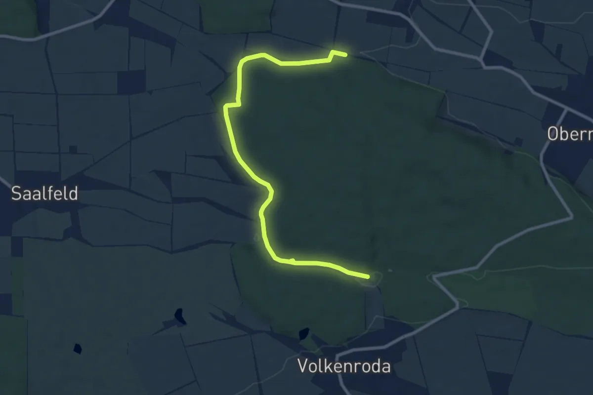
Easy · Trail
Rundweg Volkenrodaer Wald
4.0 km · ↑ 46 m · 1 h 6 min
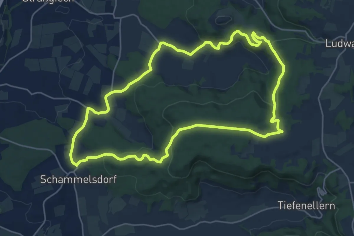
Medium · Summit
Rundweg von Schammelsdorf zum Gügel
14.9 km · ↑ 430 m · 4 h 40 min
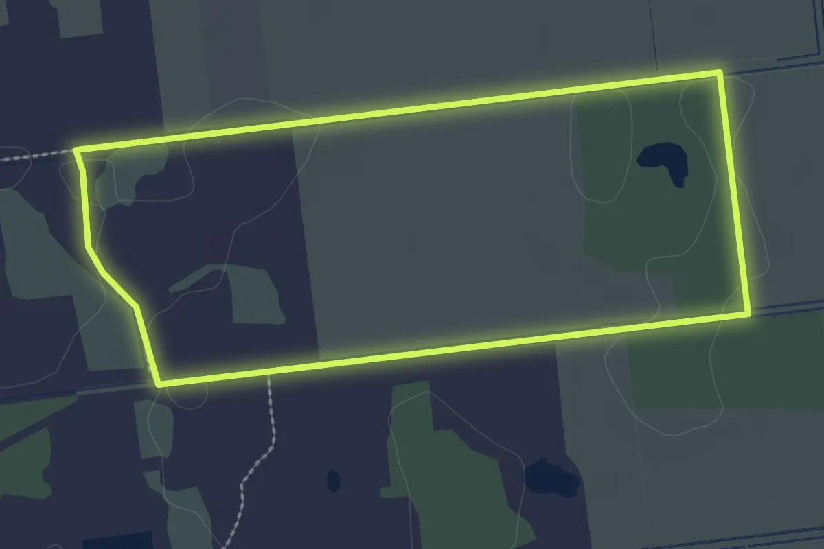
Easy · Trail
Rundweg V Oppenweher Moor
2.4 km · ↑ 0 m · 37 min
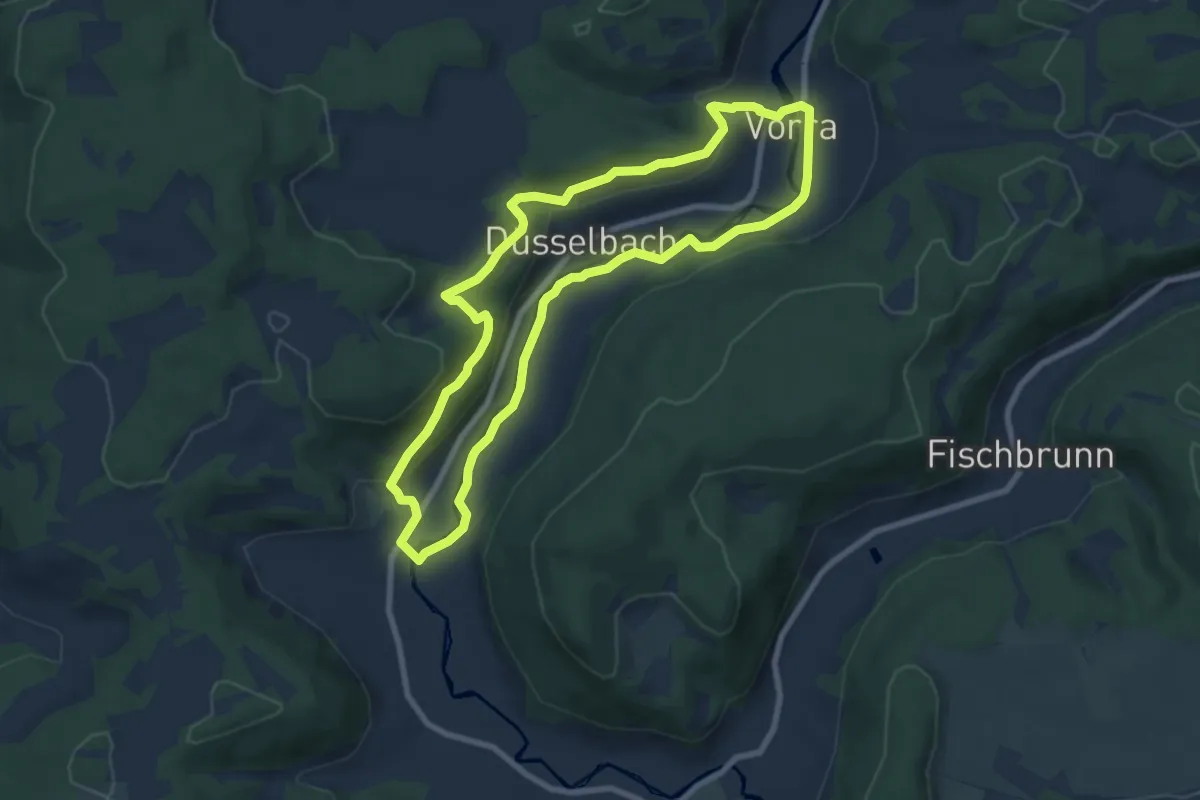
Easy · Summit
Rundweg Vorra – Alfalter
7.4 km · ↑ 226 m · 2 h 21 min