Trails in Germany
36,852 hiking trails, each with its route, climb, walking time and grade.
All trails, page 559 of 768
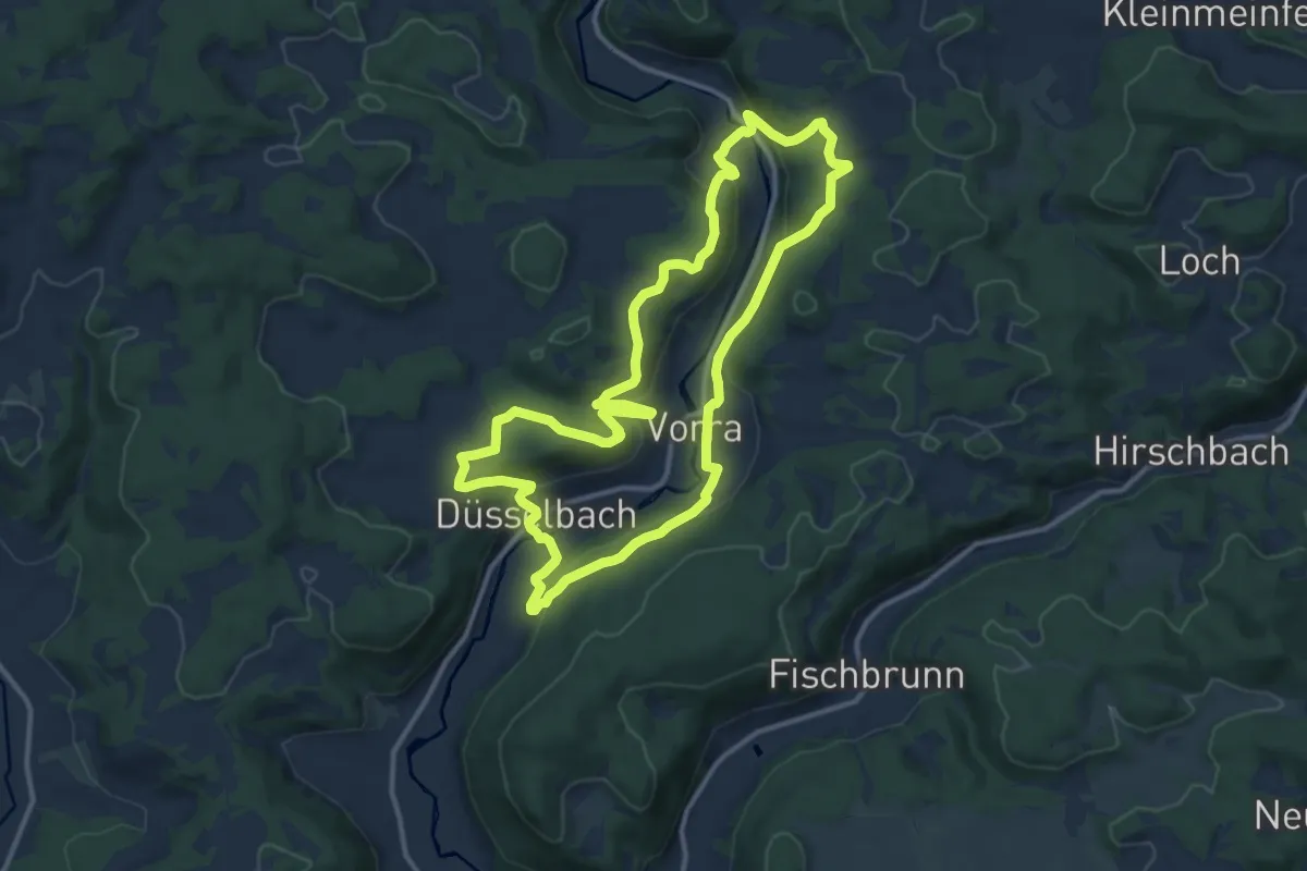
Medium · Summit
Rundweg Vorra – Artelshofen
11.4 km · ↑ 383 m · 3 h 40 min
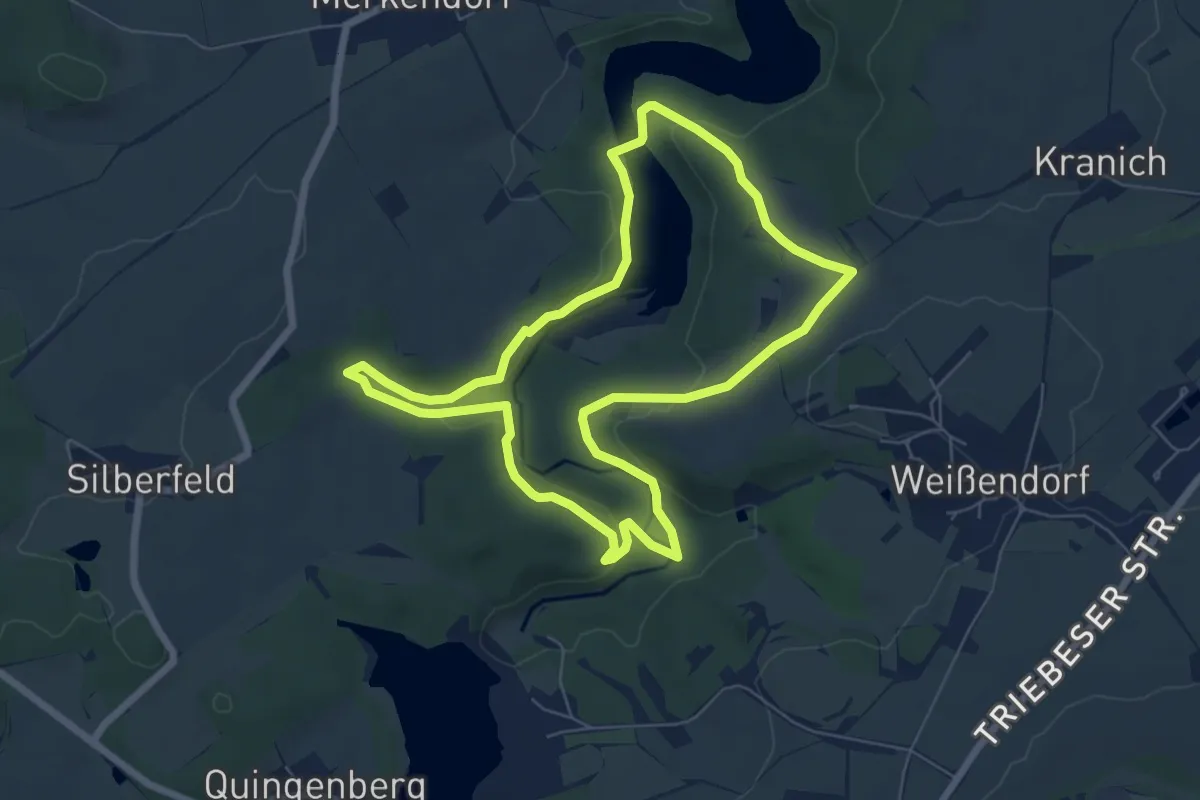
Easy · Summit
Rundweg Vorsperre Pisselsmühle
6.1 km · ↑ 139 m · 1 h 49 min
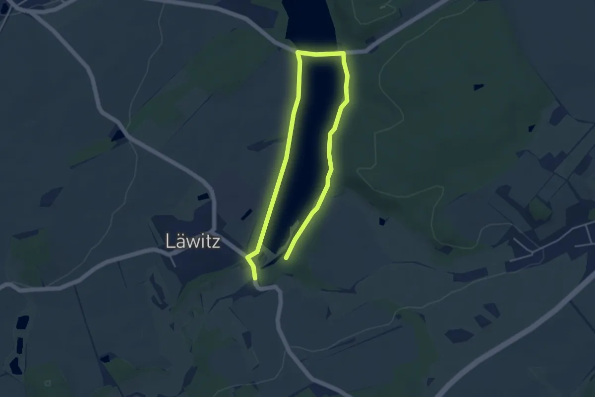
Easy · Trail
Rundweg Vorsperre Riedelmühle
2.8 km · ↑ 9 m · 43 min
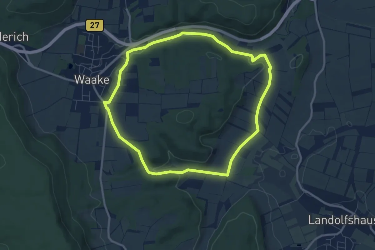
Easy · Trail
Rundweg Waake 1
6.5 km · ↑ 114 m · 1 h 52 min
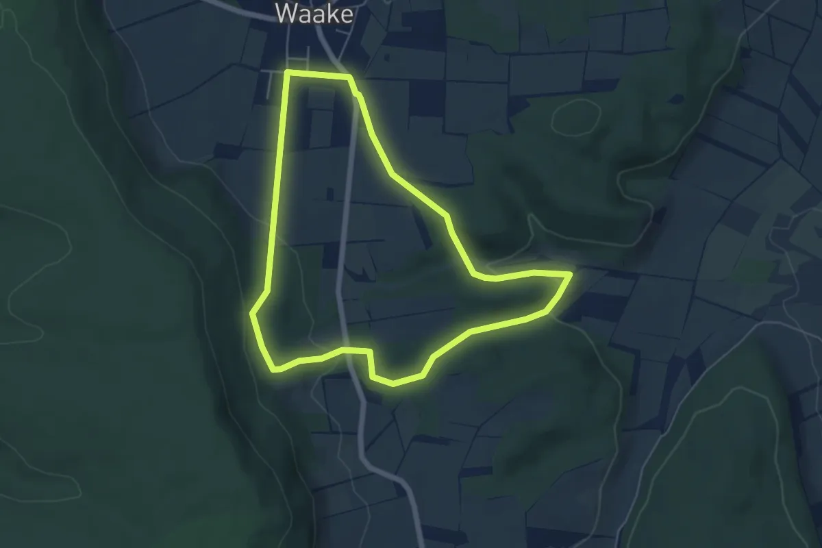
Easy · Trail
Rundweg Waake - Dreieck
4.8 km · ↑ 124 m · 1 h 28 min
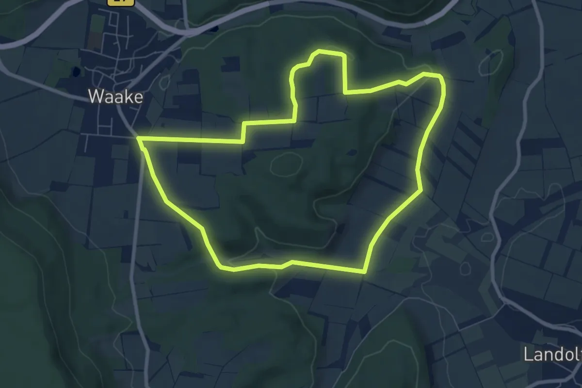
Easy · Summit
Rundweg Waake - Kreis
6.5 km · ↑ 105 m · 1 h 51 min
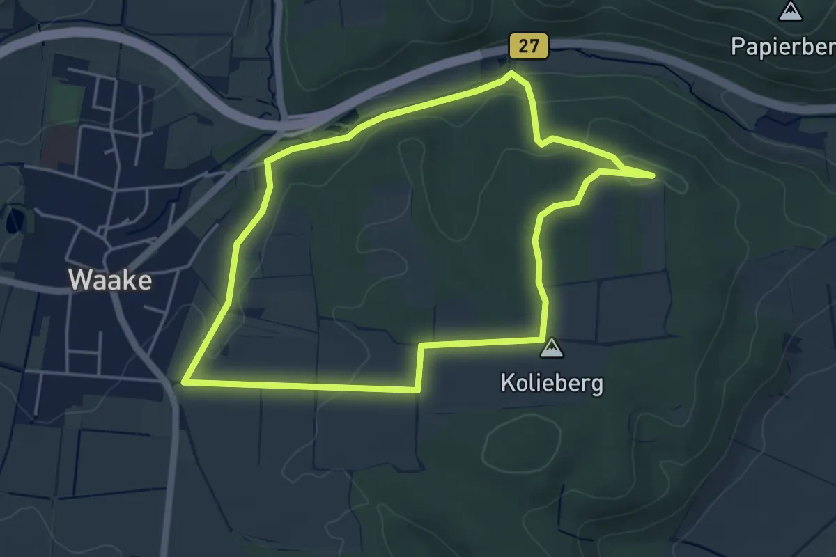
Easy · Summit
Rundweg Waake - Quader
3.9 km · ↑ 61 m · 1 h 6 min
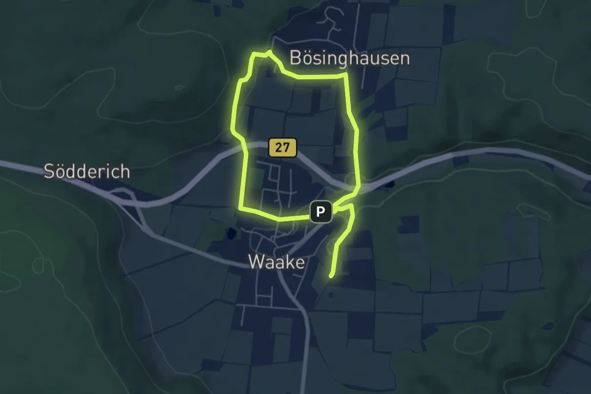
Easy · Trail
Rundweg Waake - spitzes Dreieck
4.3 km · ↑ 95 m · 1 h 17 min
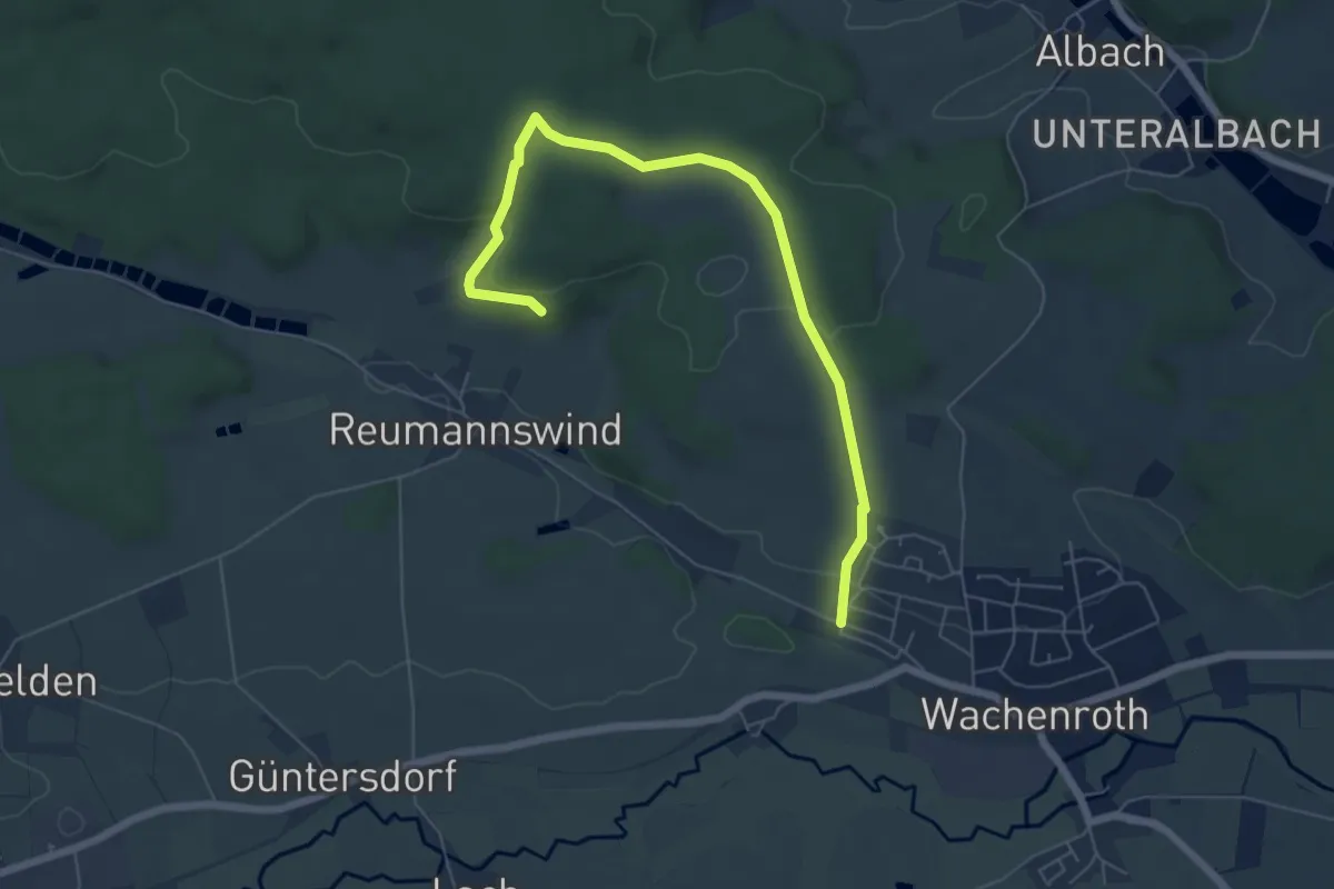
Easy · Trail
Rundweg Wachenroth W 1
3.2 km · ↑ 60 m · 57 min
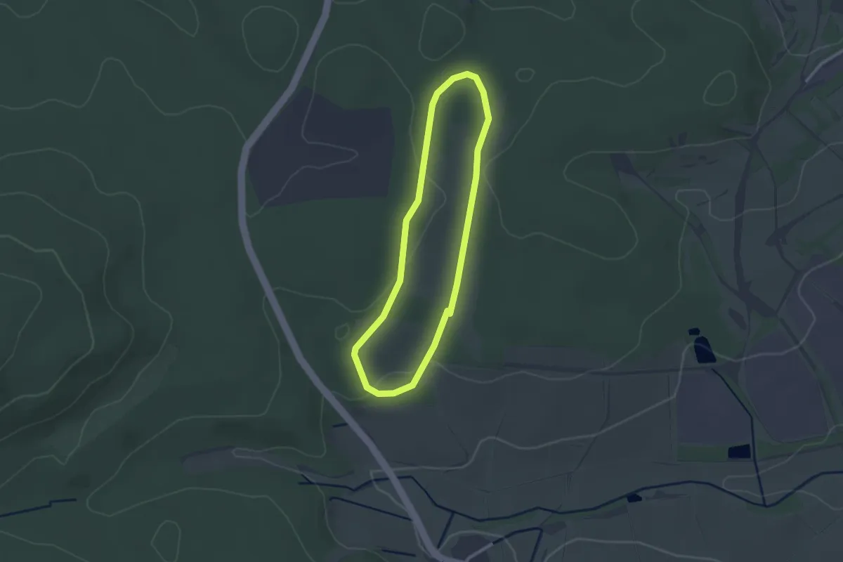
Easy · Trail
Rundweg Wald
2.1 km · ↑ 19 m · 33 min
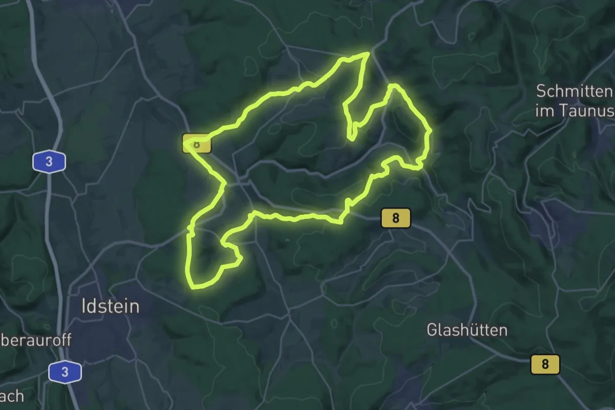
Demanding · Trail
Rundweg Waldems
27.7 km · ↑ 590 m · 8 h 12 min
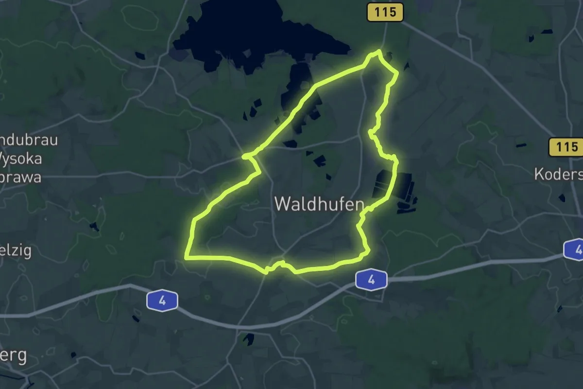
Demanding · Trail
Rundweg Waldhufen
21.2 km · ↑ 110 m · 5 h 32 min
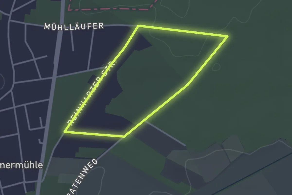
Easy · Trail
Rundweg Waldkrankenhaus
2.4 km · ↑ 8 m · 36 min
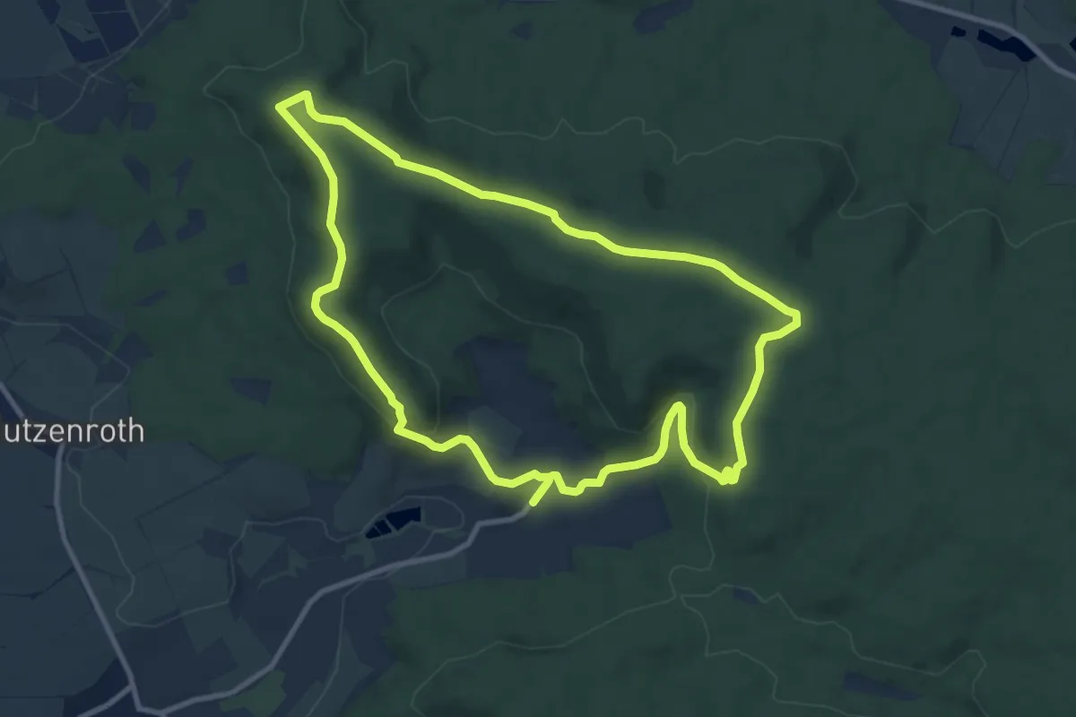
Medium · Summit
Rundweg Waldläufer O2
9.3 km · ↑ 201 m · 2 h 46 min
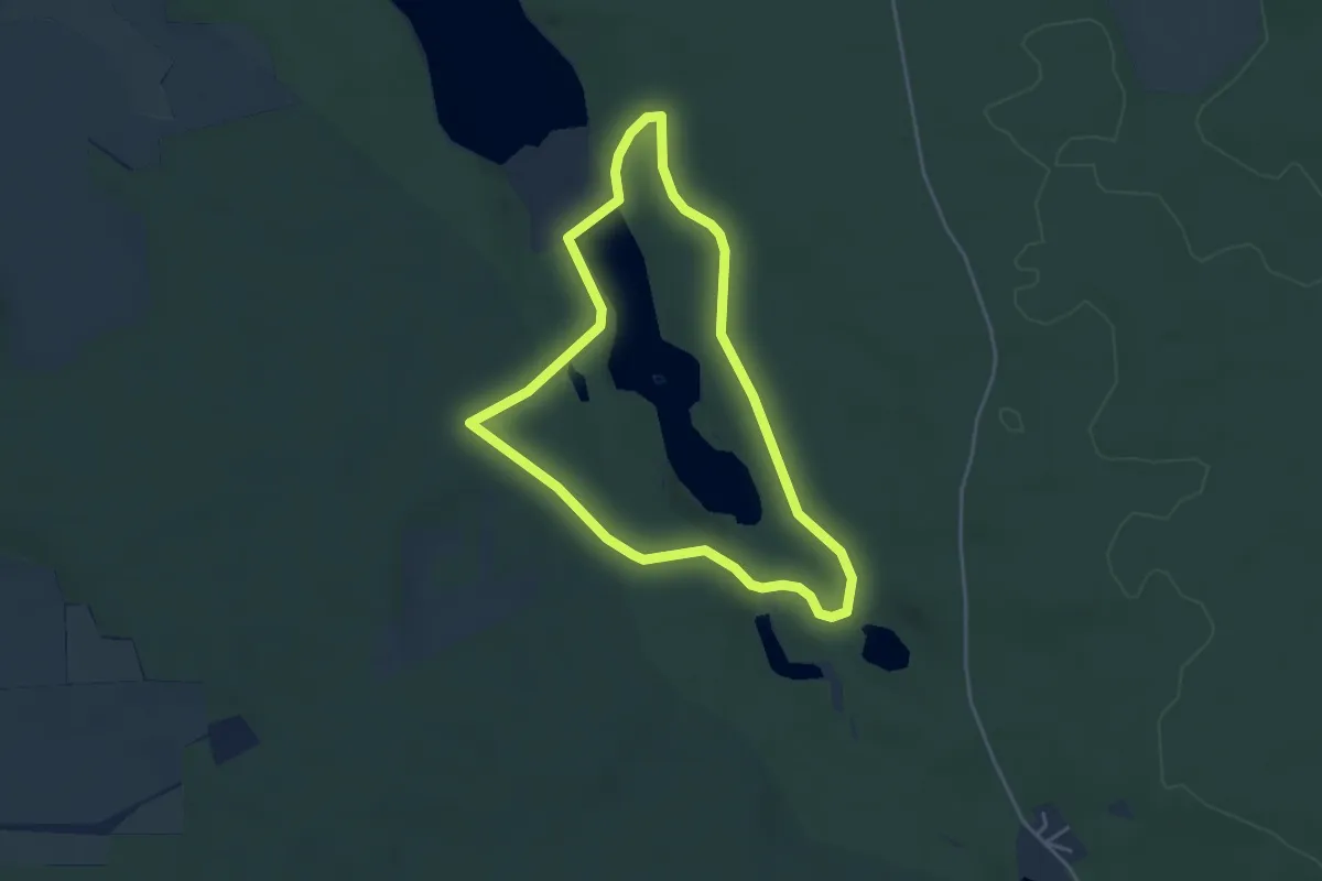
Easy · Trail
Rundweg Walkemühlenteich
3.5 km · ↑ 41 m · 58 min
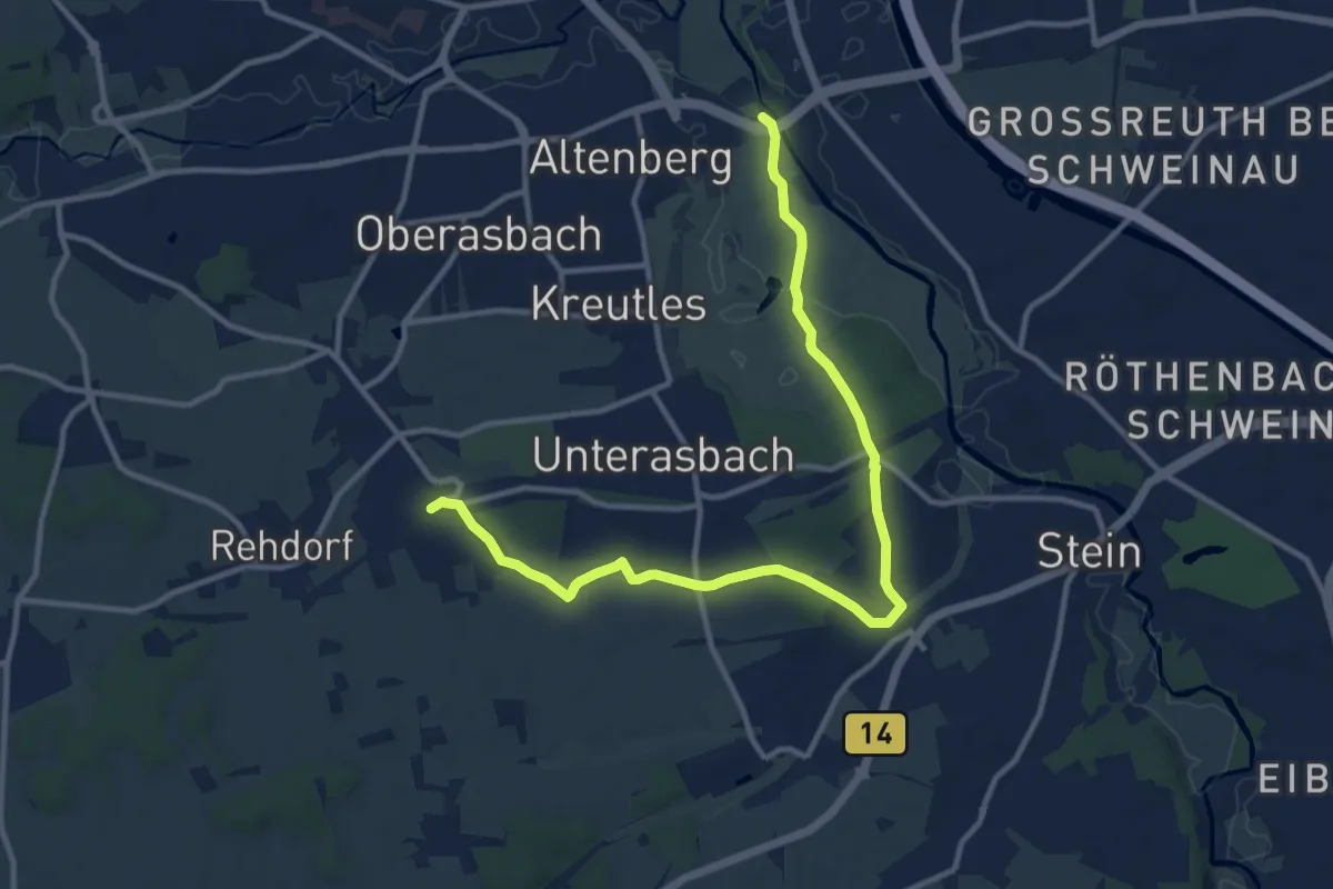
Medium · Trail
Rundweg Wallensteins Lager 1632
12.4 km · ↑ 76 m · 3 h 6 min
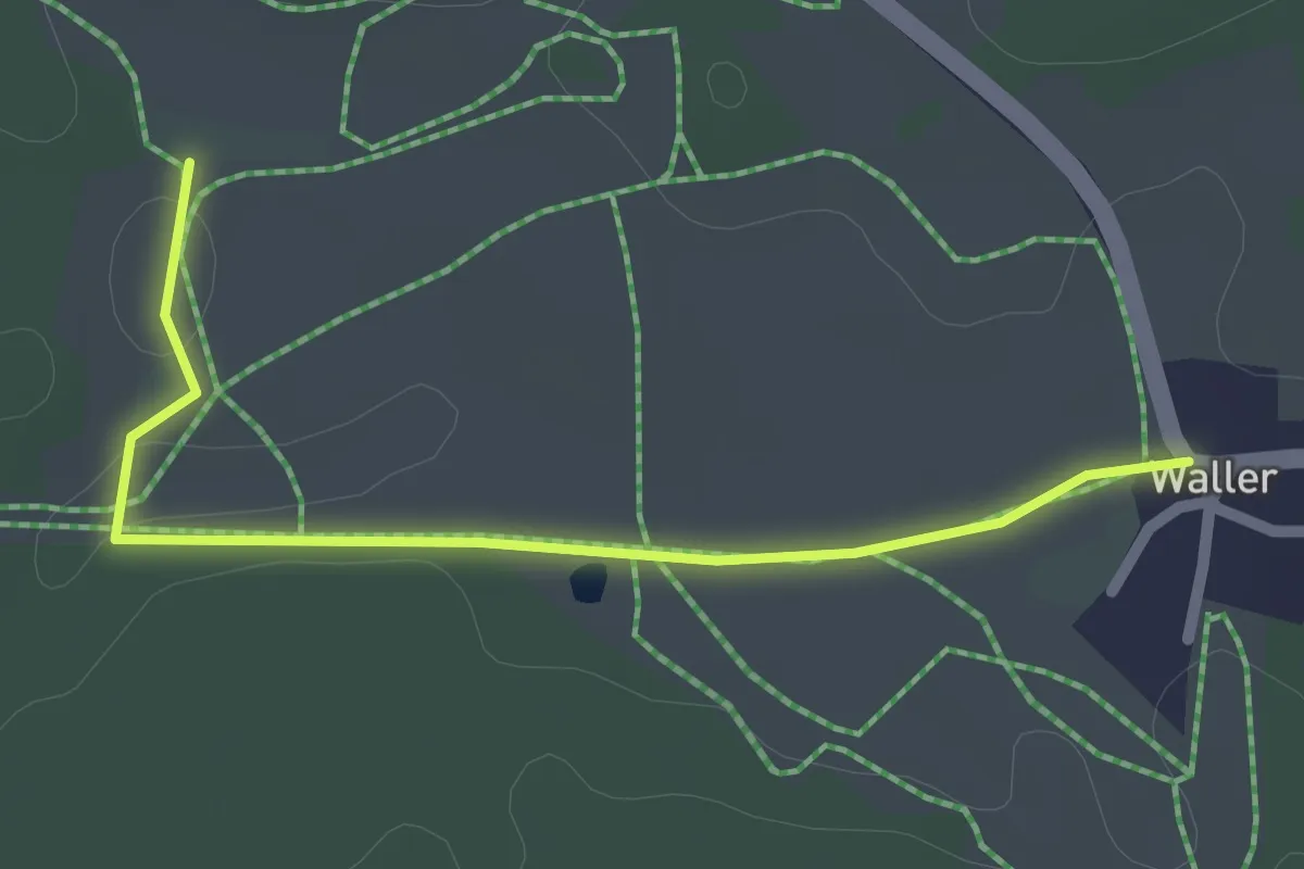
Easy · Trail
Rundweg Waller–Gaißberg (7)
1.1 km · ↑ 5 m · 17 min
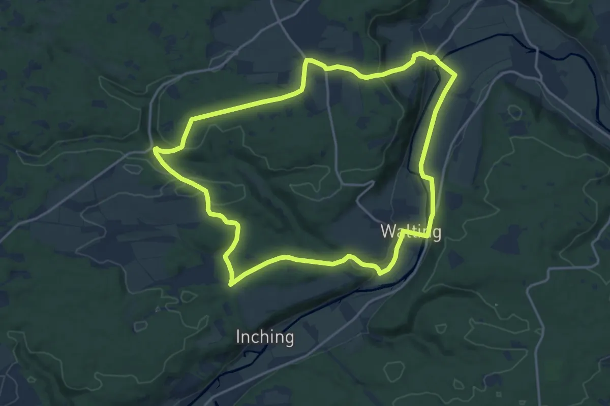
Medium · Trail
Rundweg Walting 1
13.7 km · ↑ 250 m · 3 h 58 min
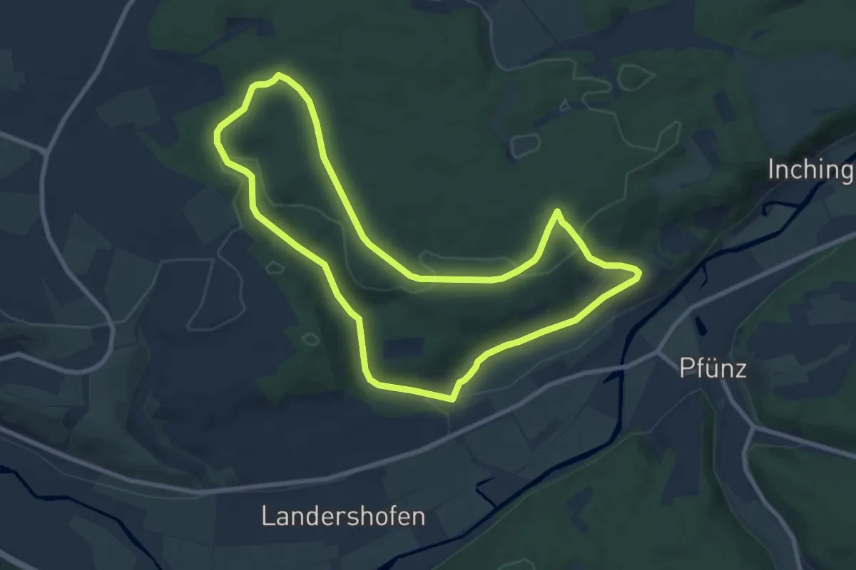
Easy · Trail
Rundweg Walting 7
7.7 km · ↑ 171 m · 2 h 18 min
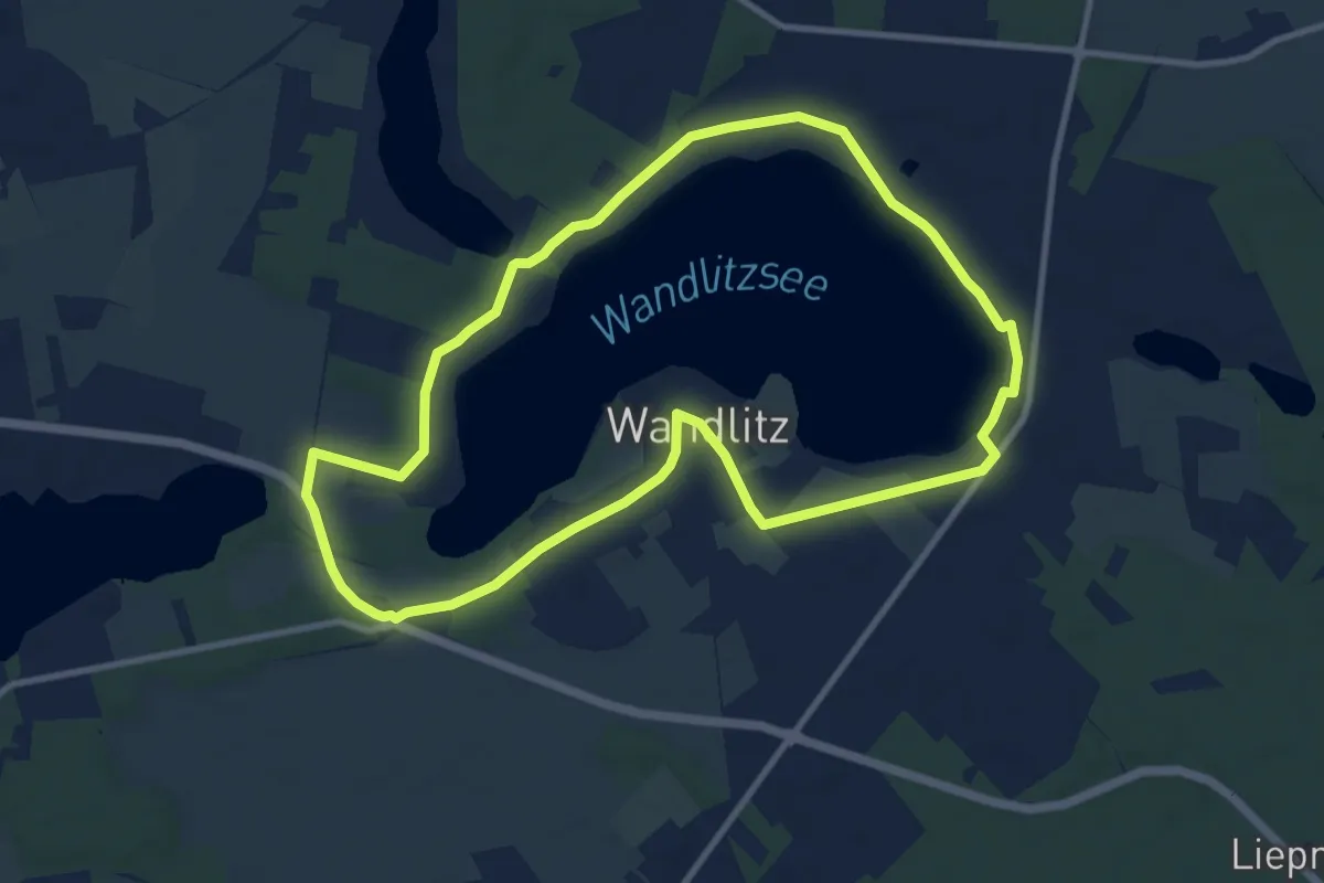
Medium · Trail
Rundweg Wandlitzsee
8.9 km · ↑ 18 m · 2 h 15 min
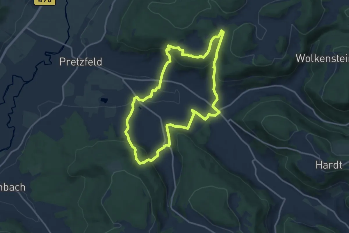
Medium · Trail
Rundweg Wannbach - Poppendorf
9.2 km · ↑ 361 m · 3 h 5 min
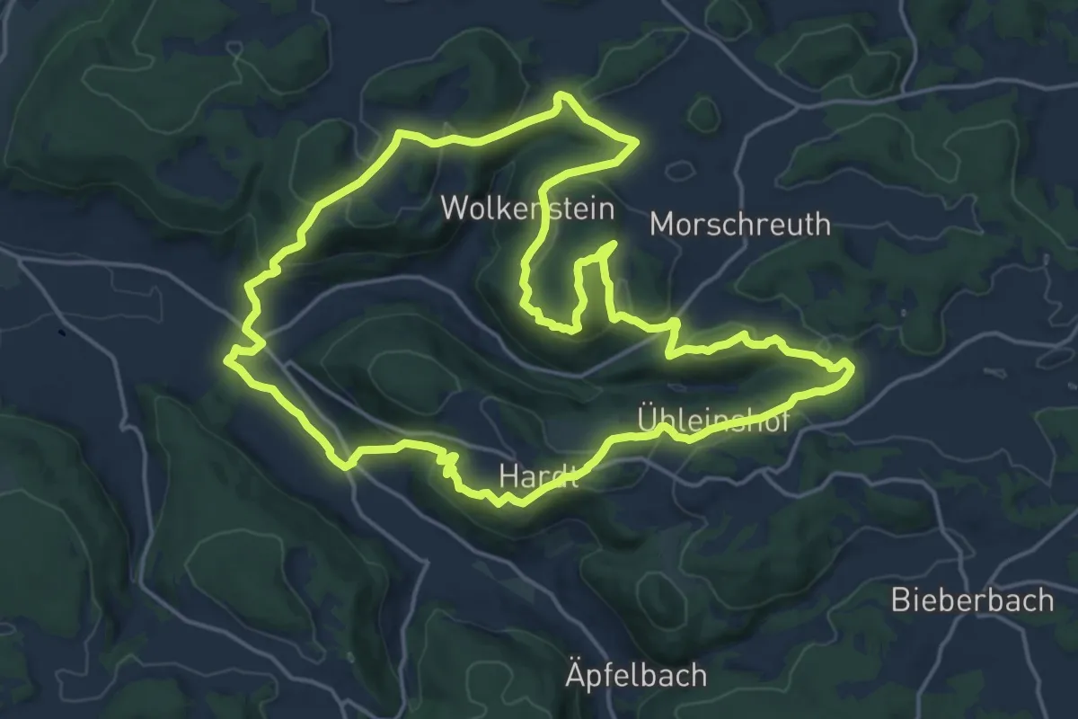
Medium · Summit
Rundweg Wannbach - Wolkenstein
17.8 km · ↑ 505 m · 5 h 32 min
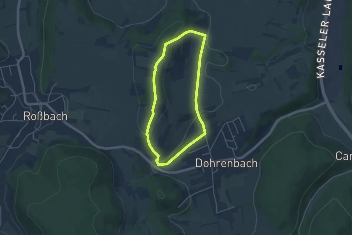
Easy · Summit
Rundweg Warte
3.0 km · ↑ 86 m · 55 min
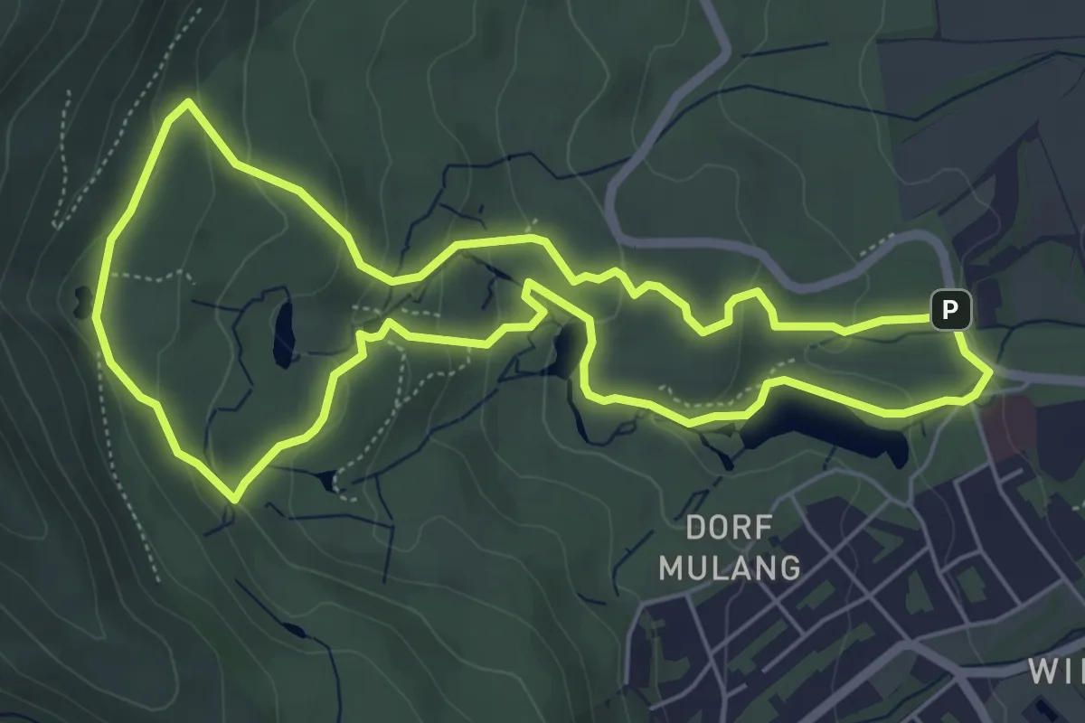
Easy · Trail
Rundweg Wasserkünste
5.2 km · ↑ 198 m · 1 h 44 min
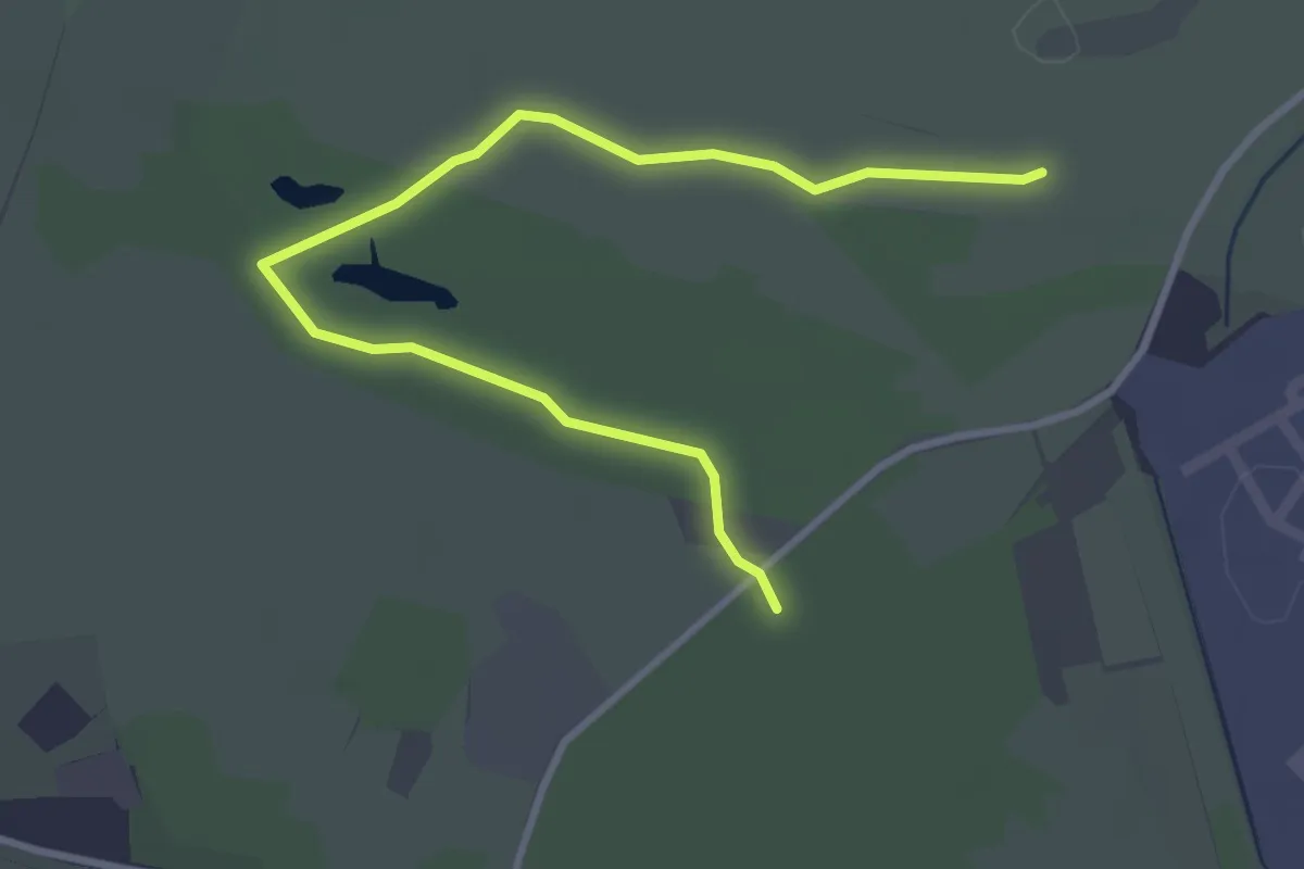
Easy · Trail
Rundweg Waterdelle
3.3 km · ↑ 0 m · 46 min
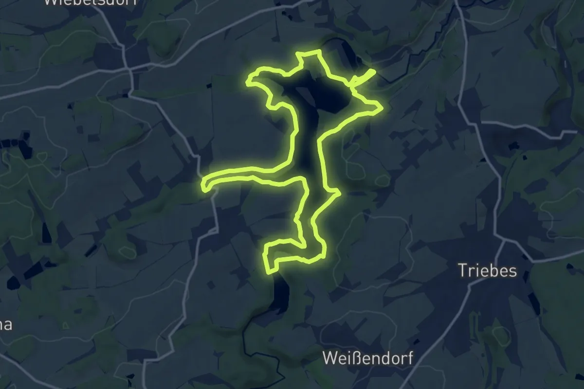
Medium · Trail
Rundweg Weidatalsperre
12.7 km · ↑ 286 m · 3 h 48 min
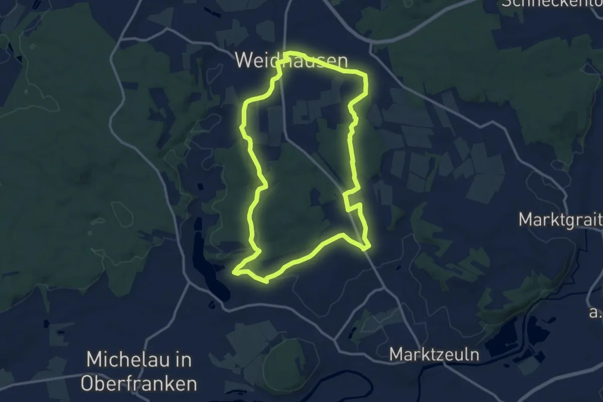
Medium · Trail
Rundweg Weidhausen - Neuensee
10.2 km · ↑ 118 m · 2 h 48 min
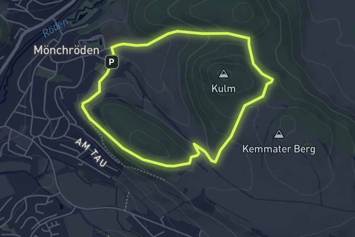
Easy · Summit
Rundweg Weinberg
3.7 km · ↑ 134 m · 1 h 13 min
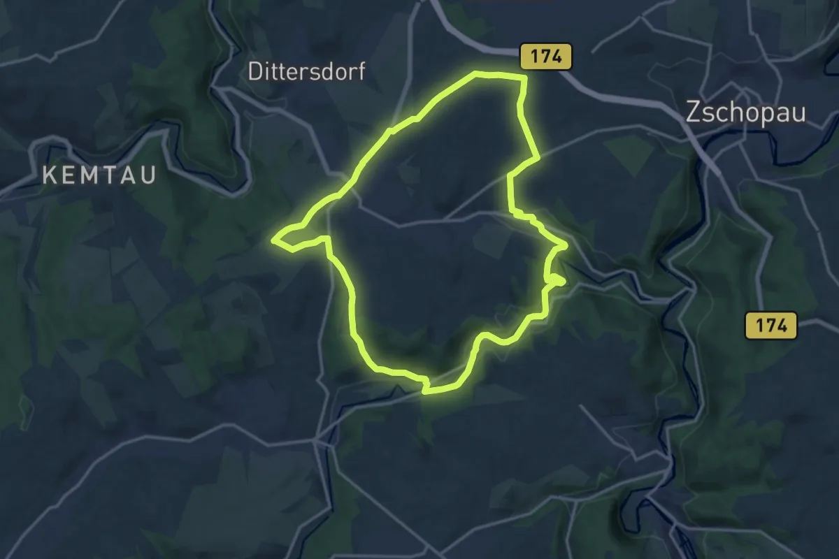
Medium · Trail
Rundweg Weißbach z.T. fehlende Markierung
13.2 km · ↑ 239 m · 3 h 49 min
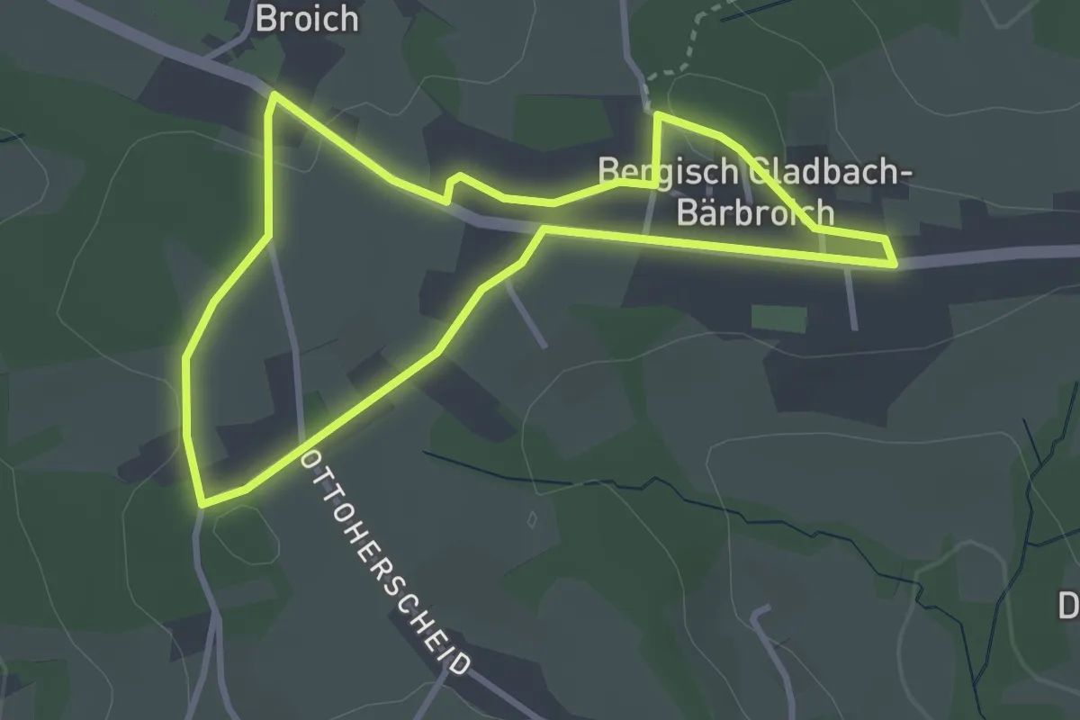
Easy · Trail
[=] Rundweg weißer Doppelstrich Wanderparkplatz Bärbroich
2.7 km · ↑ 25 m · 44 min
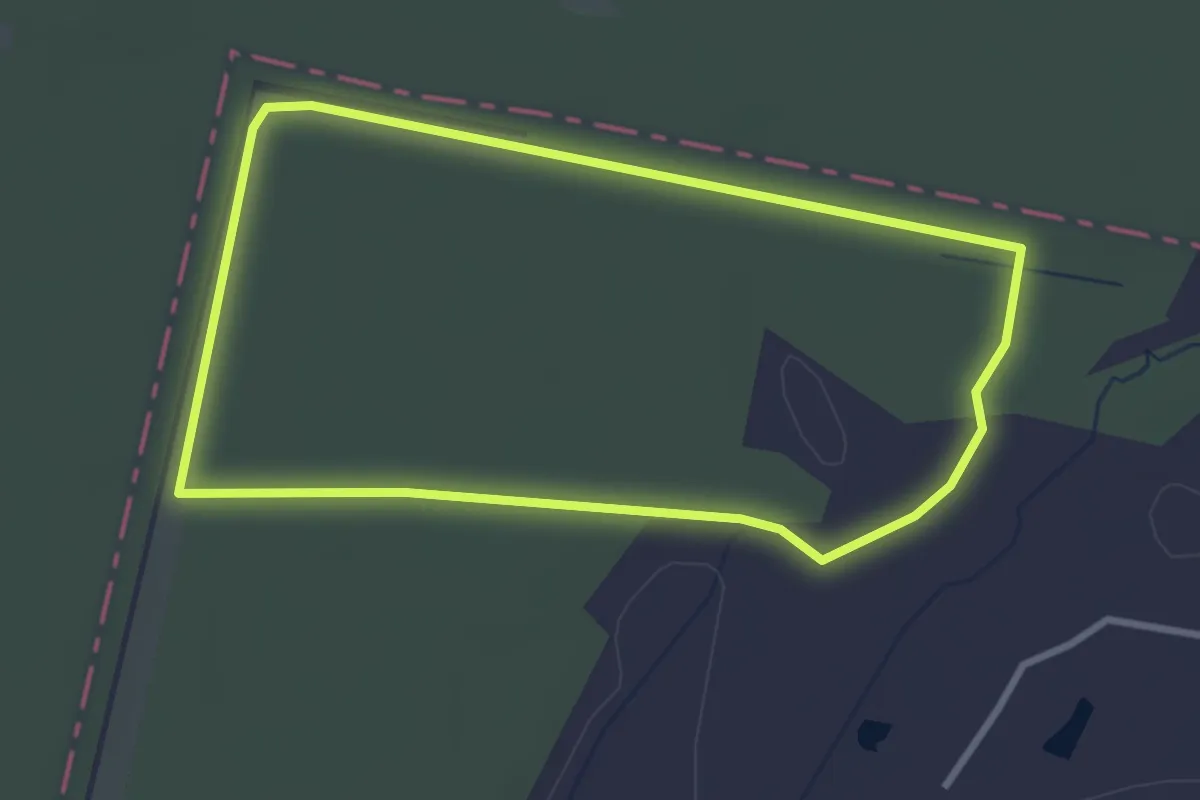
Easy · Trail
Rundweg Wendisch Lieps 1
2.6 km · ↑ 8 m · 40 min
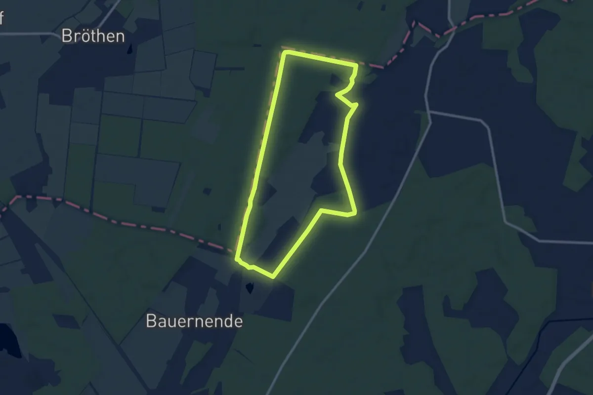
Easy · Trail
Rundweg Wendisch Lieps 2
7.7 km · ↑ 17 m · 1 h 58 min
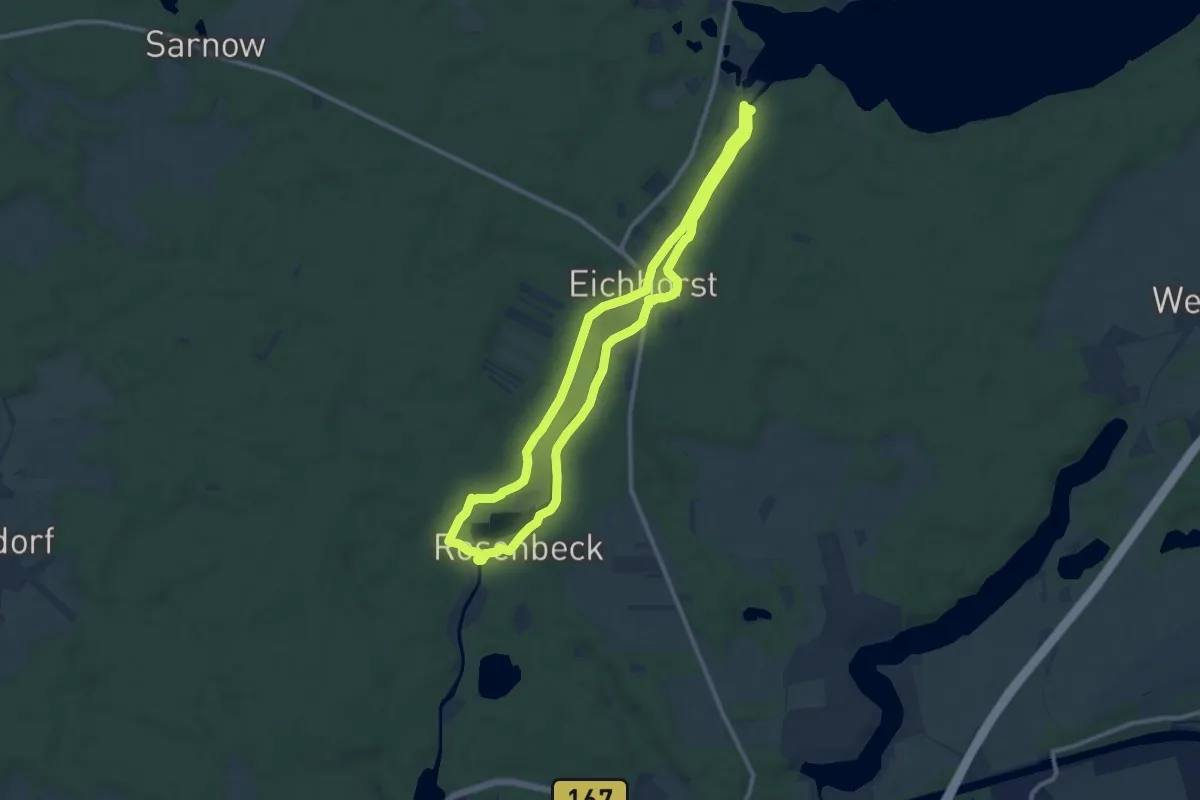
Medium · Trail
Rundweg Werbellinkanal
8.9 km · ↑ 41 m · 2 h 19 min
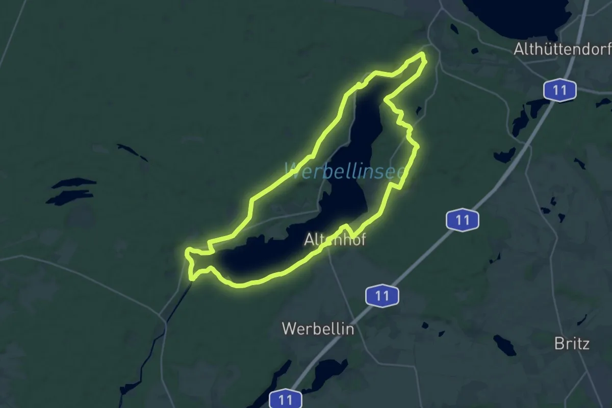
Demanding · Trail
Rundweg Werbellinsee
23.9 km · ↑ 239 m · 6 h 29 min
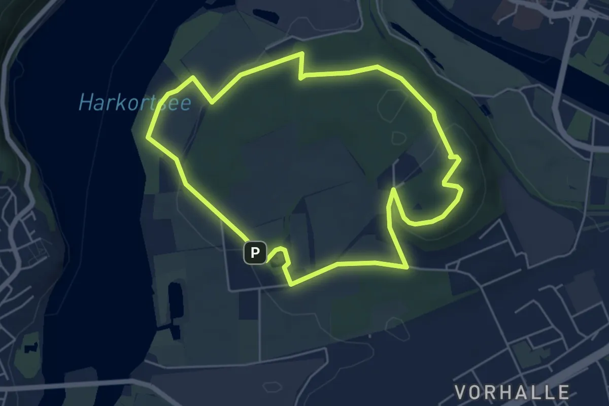
Easy · Summit
Rundweg Werdringen
4.5 km · ↑ 102 m · 1 h 20 min
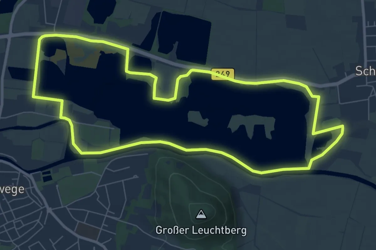
Easy · Trail
Rundweg Werratalsee
7.2 km · ↑ 5 m · 1 h 48 min
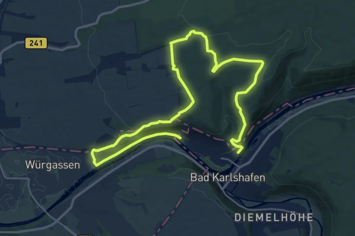
Medium · Summit
Rundweg Weser-Skywalk
9.5 km · ↑ 238 m · 2 h 53 min
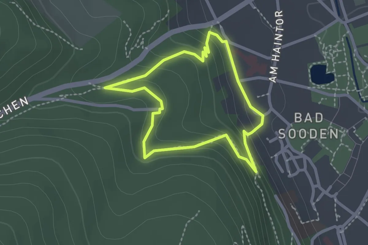
Easy · Trail
Rundweg Westerburg
1.7 km · ↑ 76 m · 35 min
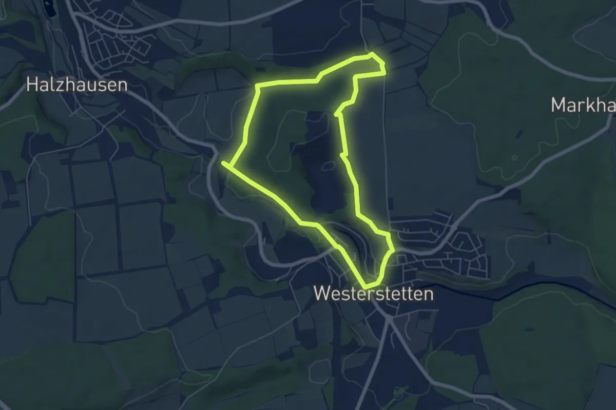
Easy · Summit
Rundweg Westerstetten Nr.3
5.5 km · ↑ 94 m · 1 h 34 min
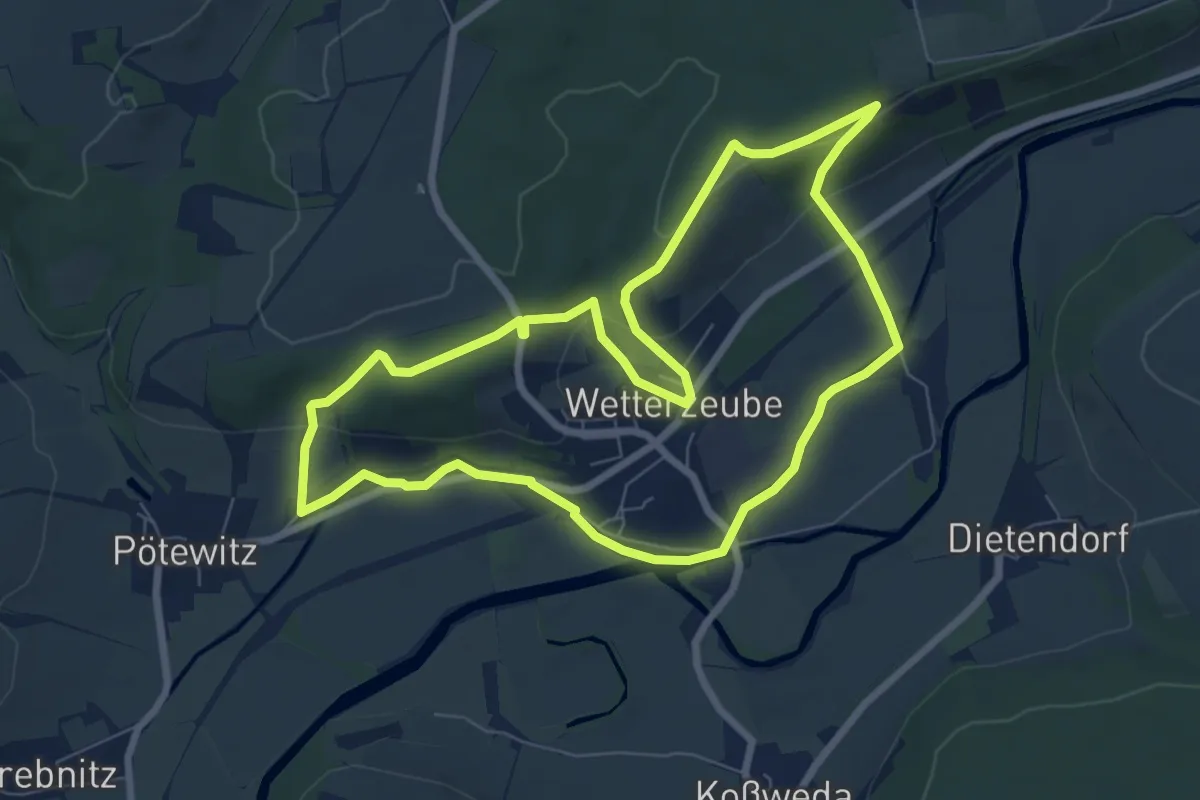
Easy · Trail
Rundweg Wetterzeube
6.9 km · ↑ 164 m · 2 h 4 min
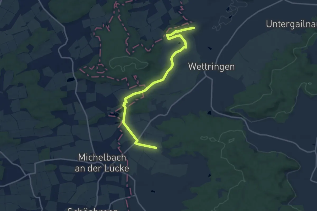
Easy · Summit
Rundweg Wettringen (Hase)
5.8 km · ↑ 92 m · 1 h 40 min
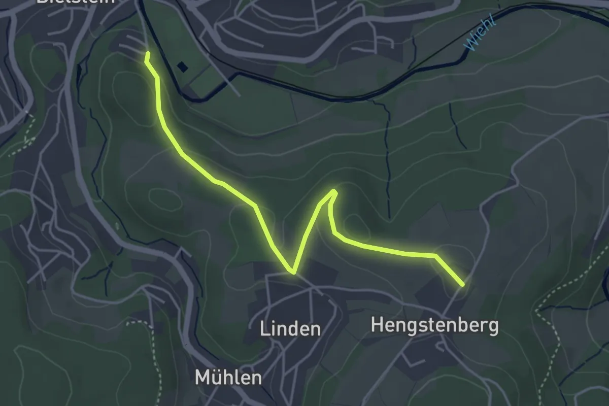
Easy · Trail
Rundweg Wiehl - Bielstein
2.0 km · ↑ 0 m · 32 min
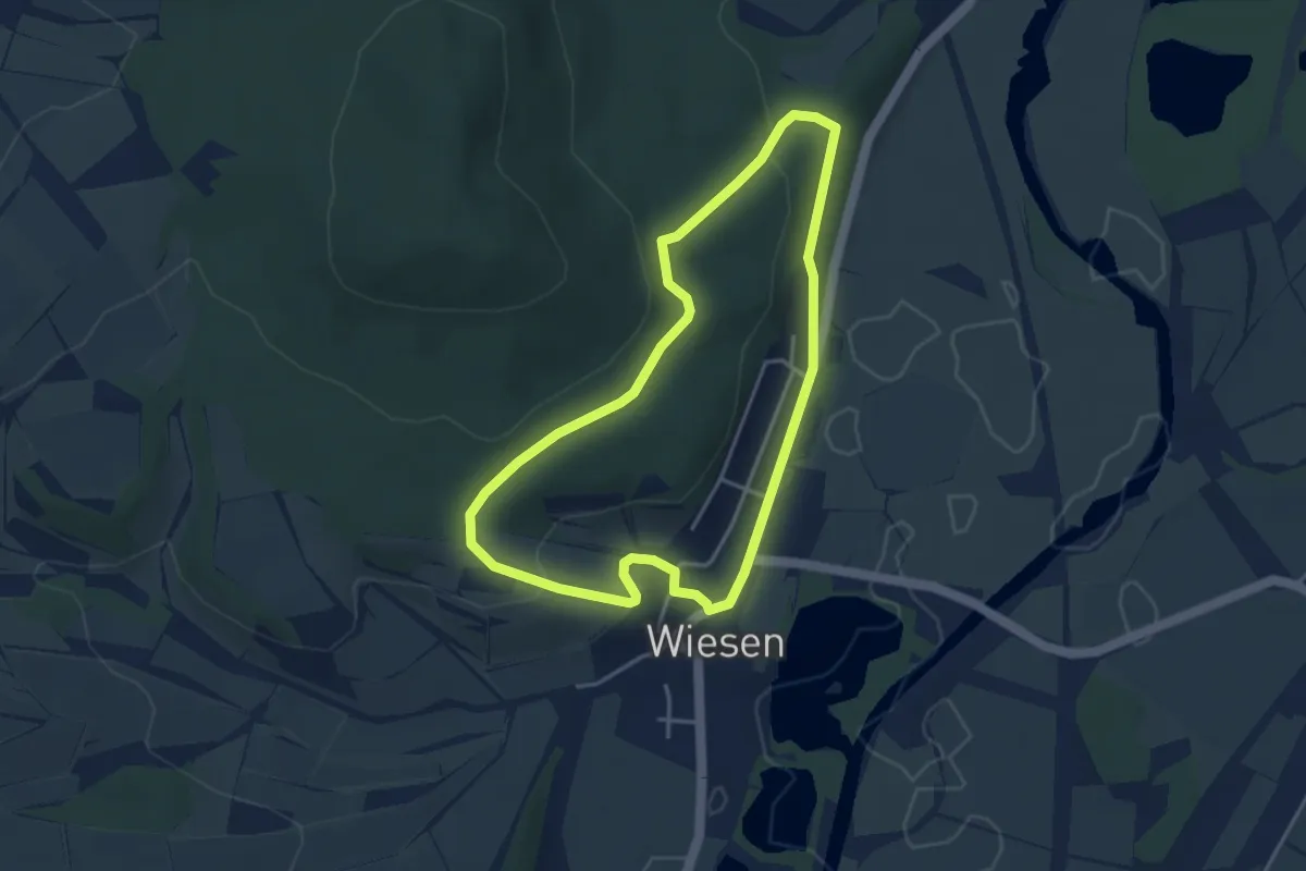
Easy · Trail
Rundweg Wiesen
3.5 km · ↑ 89 m · 1 h 3 min
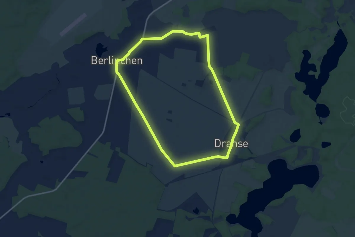
Medium · Trail
Rundweg Wiesen, Felder und Auen
9.4 km · ↑ 8 m · 2 h 21 min
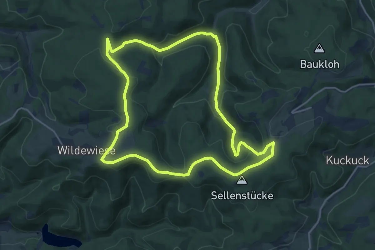
Medium · Summit
Rundweg Wildewiese
11.0 km · ↑ 302 m · 3 h 24 min
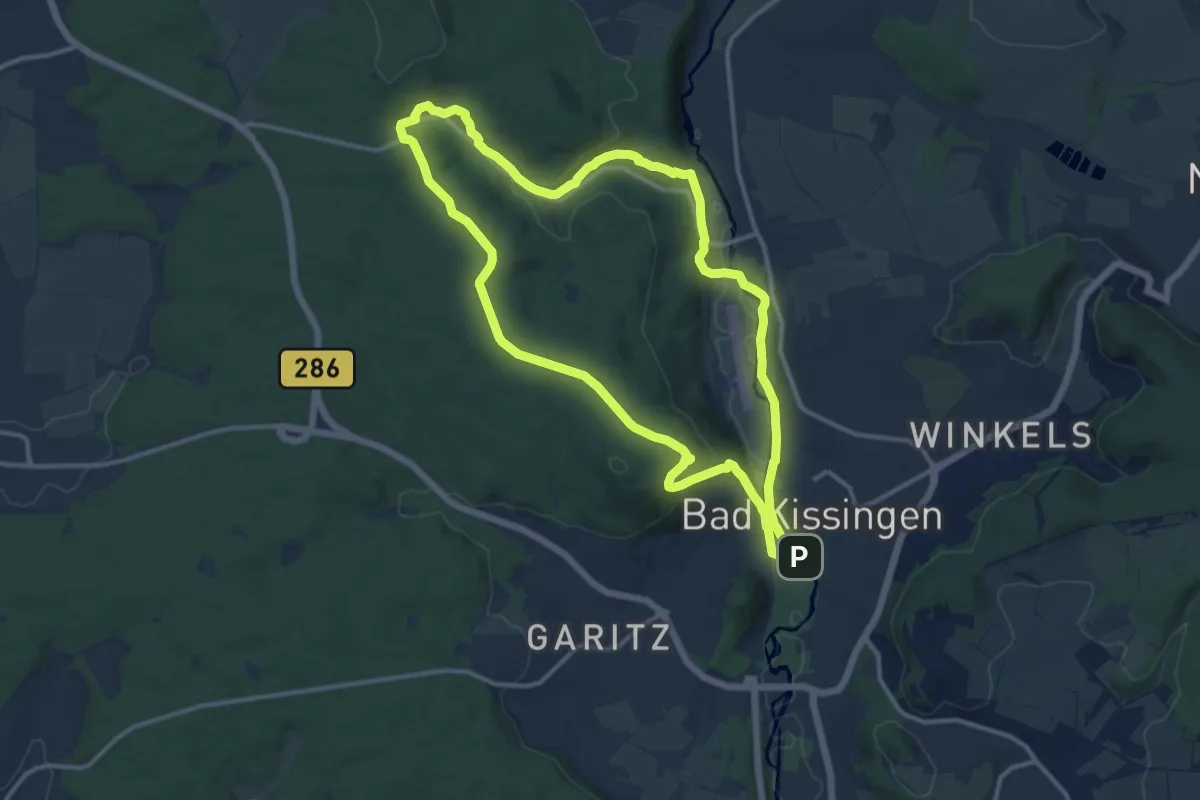
Medium · Trail
Rundweg Wild-Park Klaushof
11.3 km · ↑ 218 m · 3 h 18 min
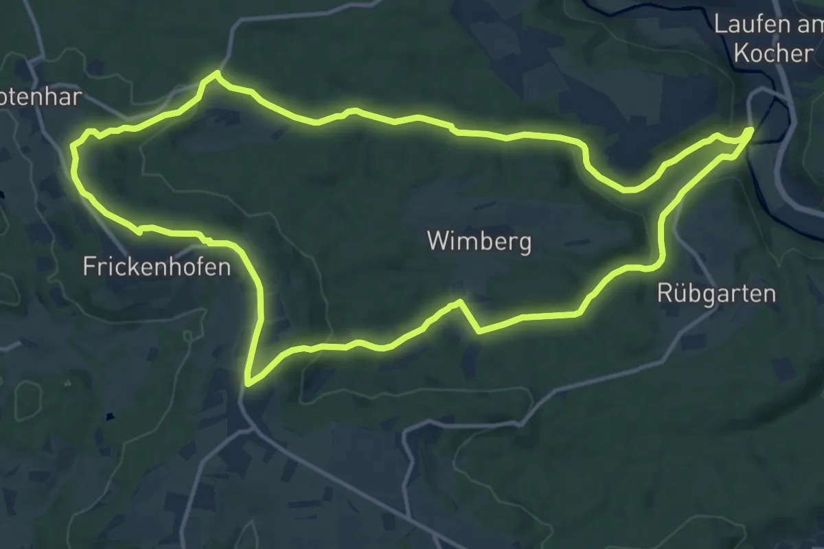
Medium · Summit
Rundweg Wildschwein
12.9 km · ↑ 267 m · 3 h 48 min
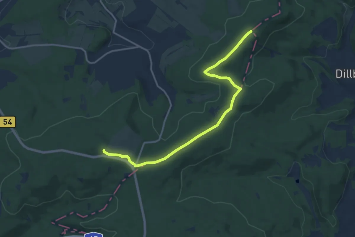
Medium · Summit
Rundweg Wilgersdorf
9.4 km · ↑ 131 m · 2 h 30 min