Trails in Germany
36,852 hiking trails, each with its route, climb, walking time and grade.
All trails, page 560 of 768
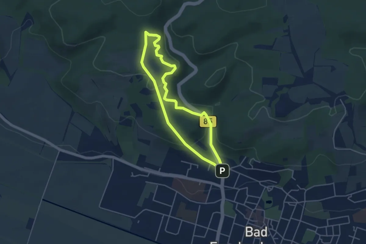
Easy · Trail
Rundweg Wilhelmstieg
3.3 km · ↑ 128 m · 1 h 6 min
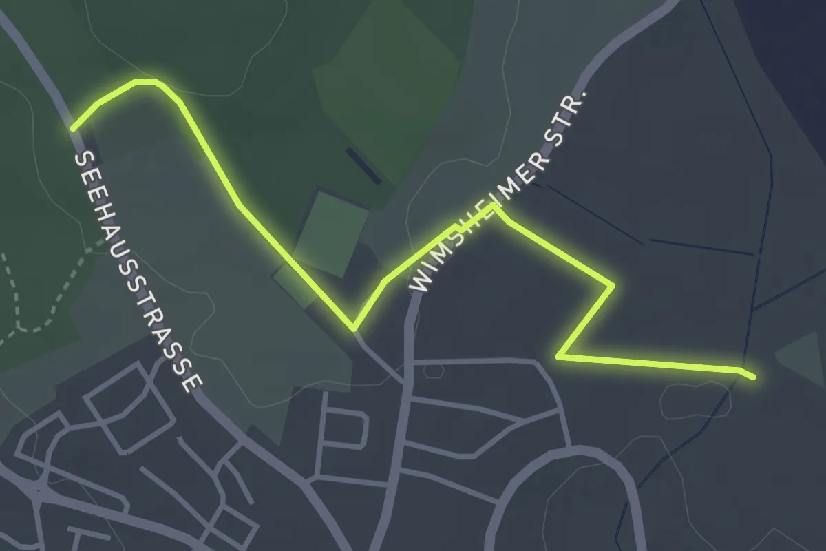
Easy · Trail
Rundweg Wimsheim 4
3.6 km · ↑ 45 m · 56 min
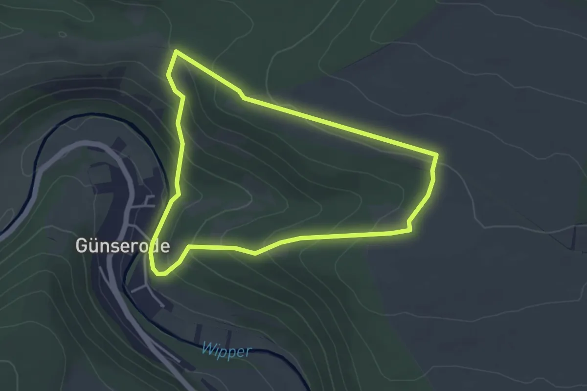
Easy · Trail
Rundweg Wipperdurchbruch
3.3 km · ↑ 133 m · 1 h 7 min
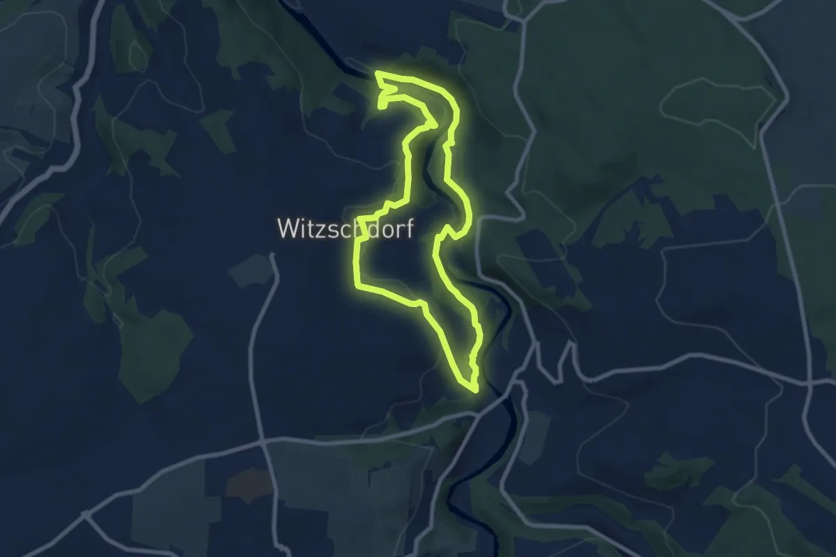
Easy · Trail
Rundweg Witzschdorf
6.7 km · ↑ 150 m · 2 h 1 min
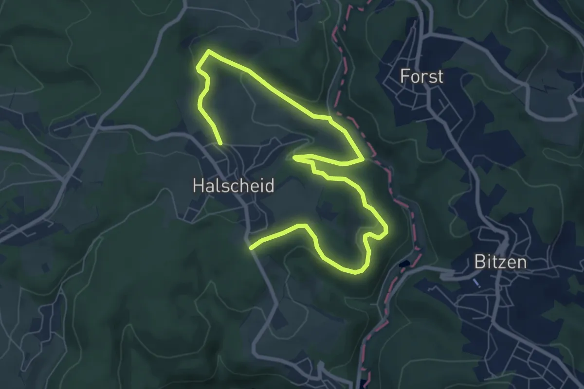
Easy · Trail
Rundweg Wolfsangel Halscheid
4.4 km · ↑ 129 m · 1 h 23 min
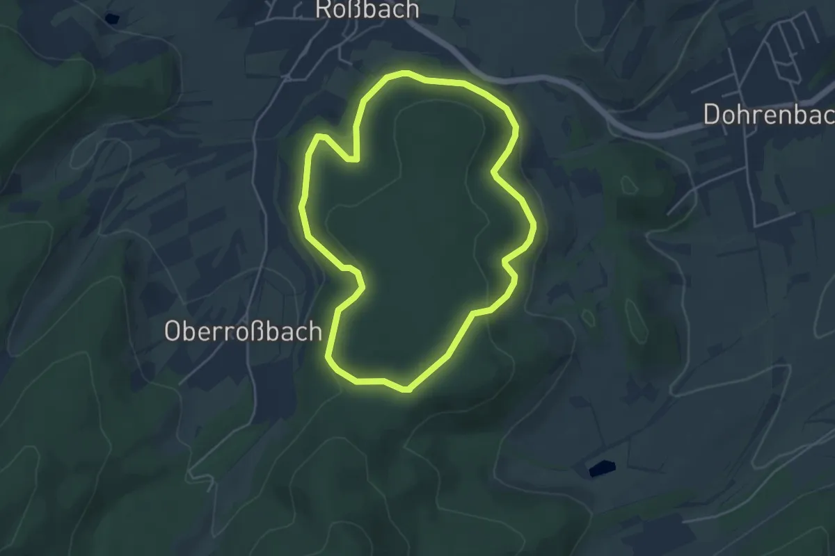
Easy · Trail
Rundweg Wolfsberg
3.9 km · ↑ 159 m · 1 h 19 min
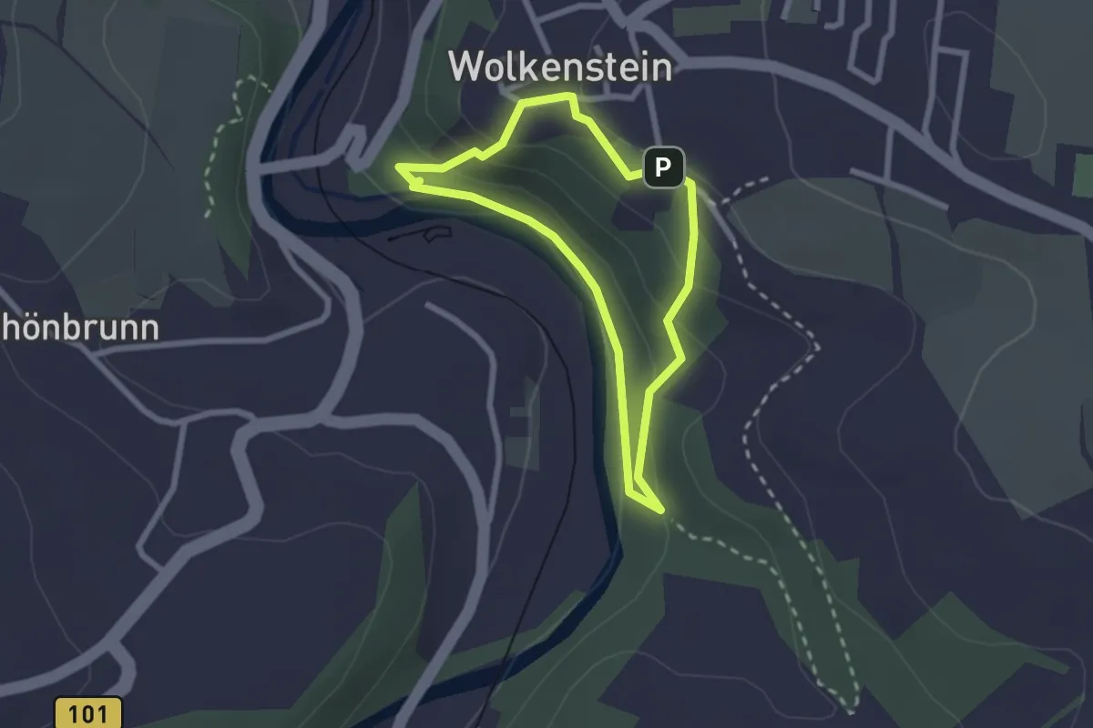
Easy · Trail
Rundweg Wolfsschlucht
1.9 km · ↑ 77 m · 38 min
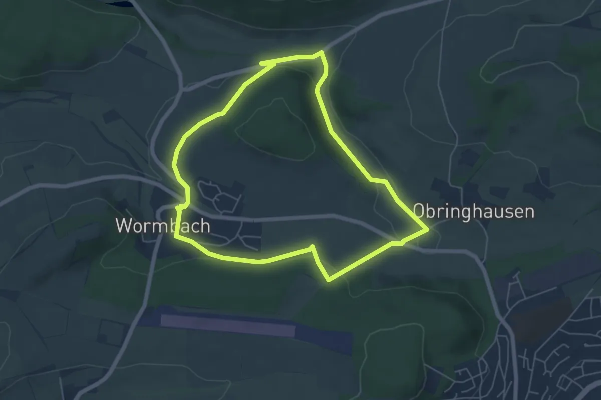
Easy · Trail
Rundweg Wormbach Wo1
4.8 km · ↑ 96 m · 1 h 24 min
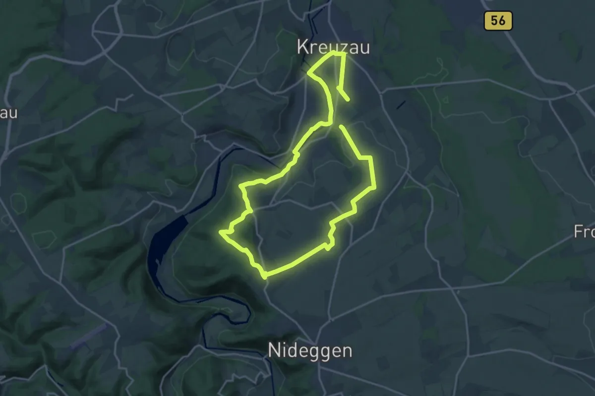
Demanding · Trail
Rundweg Wv3
27.4 km · ↑ 424 m · 7 h 23 min
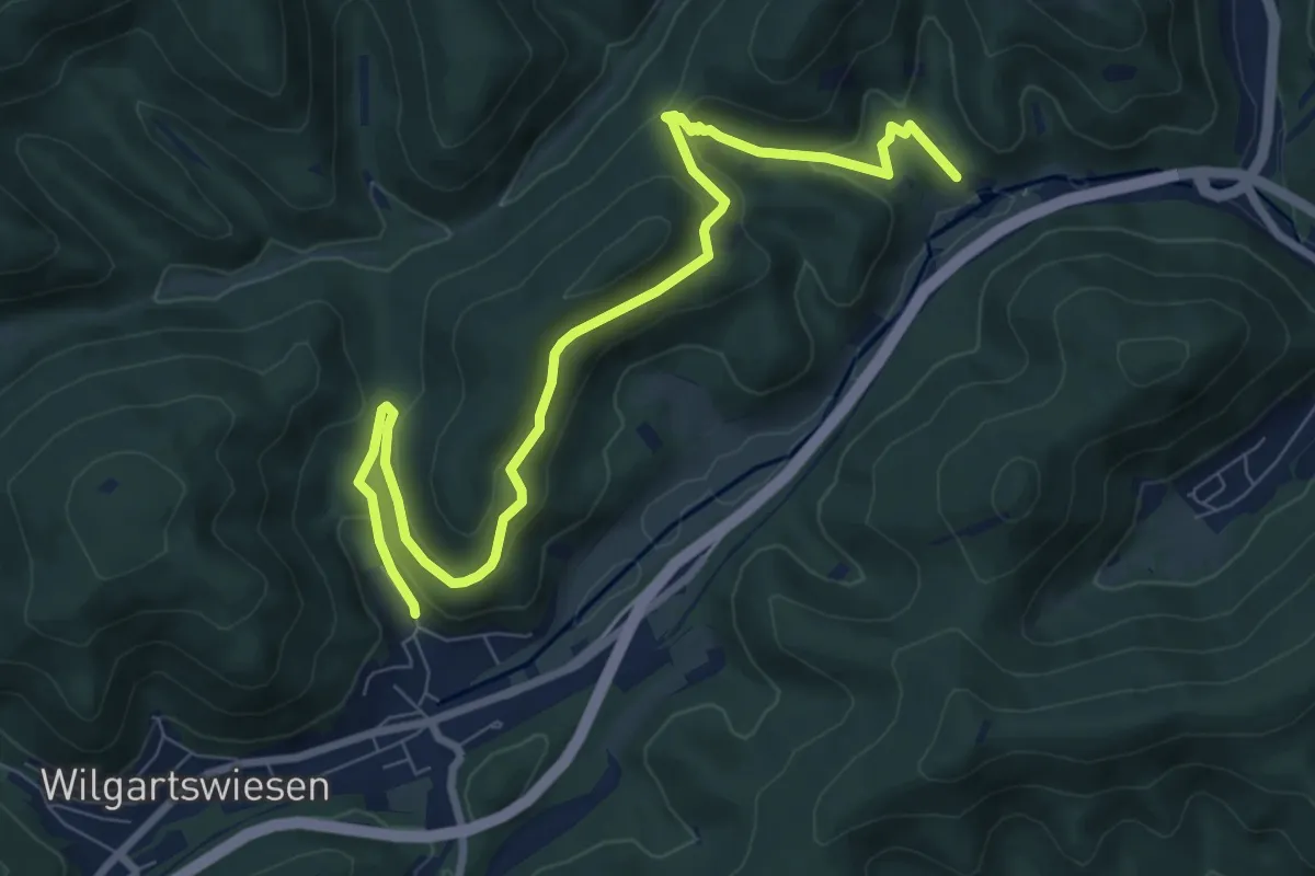
Medium · Trail
Rundweg W Wilgartswiesen
9.1 km · ↑ 391 m · 3 h
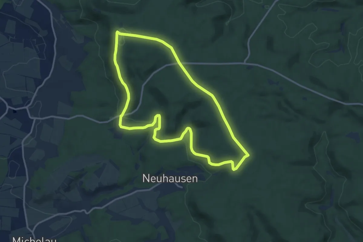
Medium · Summit
Rundweg Zabelstein Z1
9.7 km · ↑ 144 m · 2 h 44 min
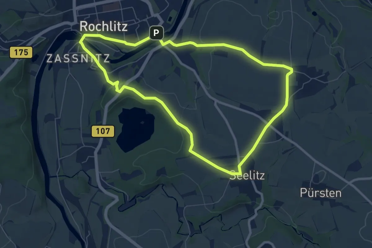
Easy · Summit
Rundweg Zaßnitz – Gröblitz – Rochlitz
6.4 km · ↑ 91 m · 1 h 47 min
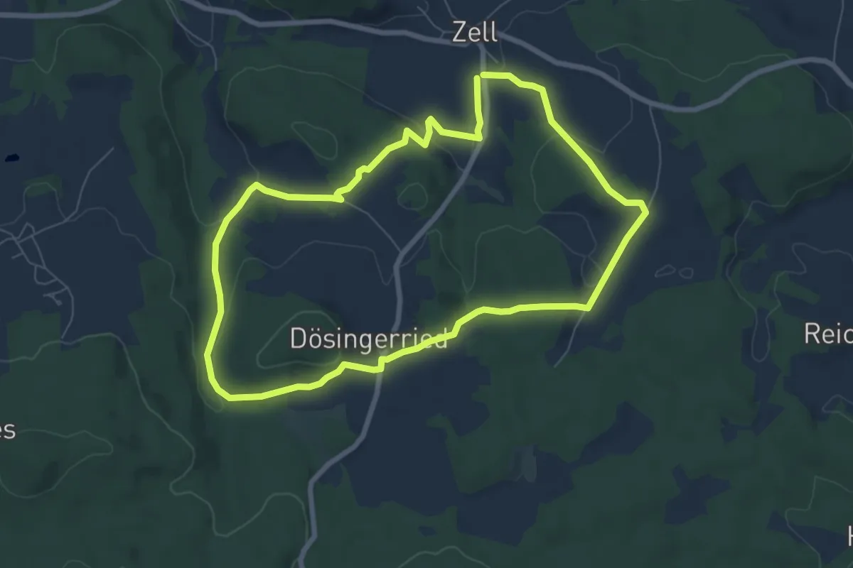
Easy · Trail
Rundweg Zell 13
6.7 km · ↑ 194 m · 2 h 5 min
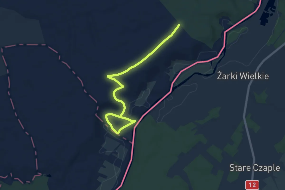
Easy · Trail
Rundweg Zerna
7.9 km · ↑ 67 m · 2 h 1 min
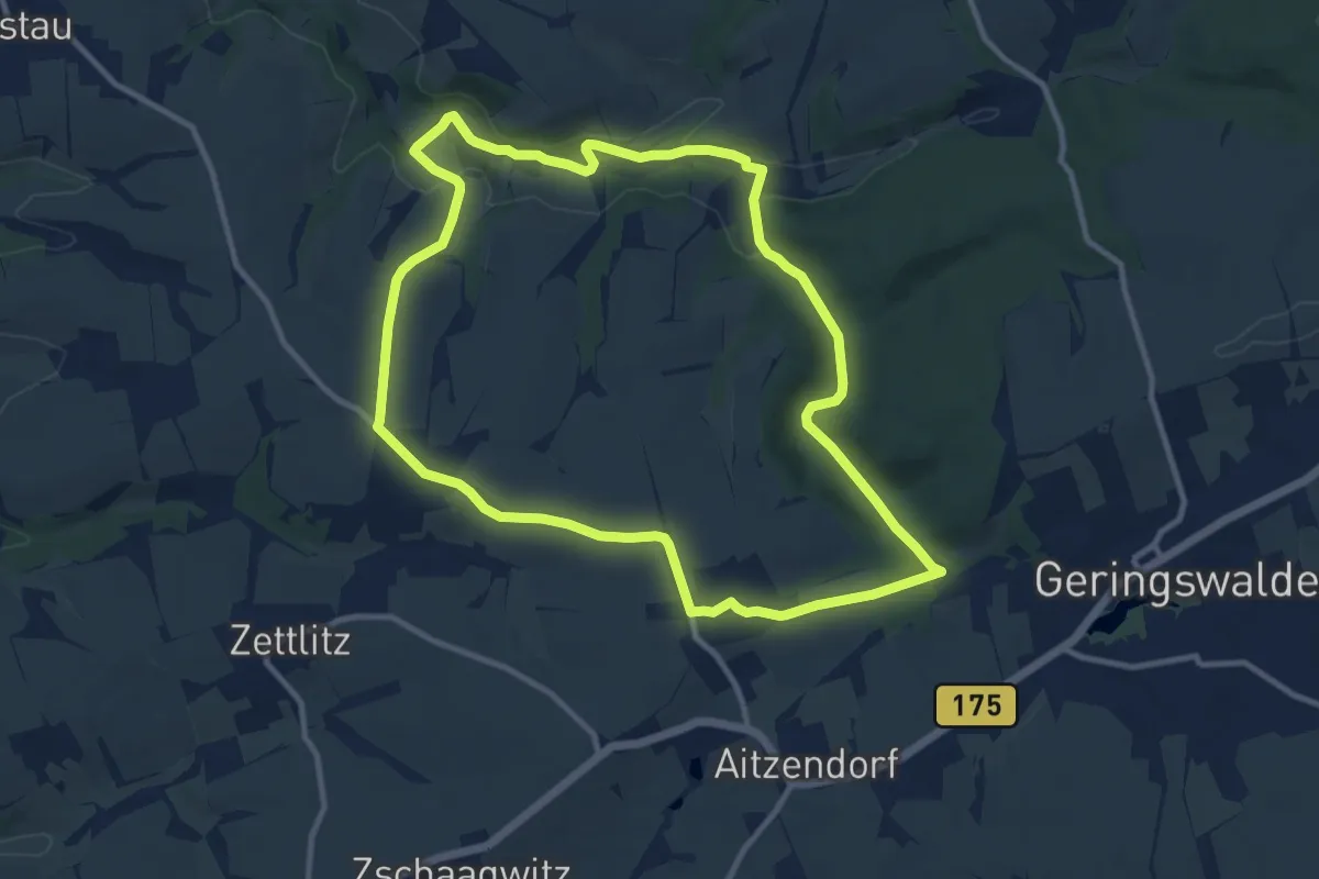
Medium · Trail
Rundweg Zettlitz – Auenbachtal – Zettlitz
9.9 km · ↑ 148 m · 2 h 48 min
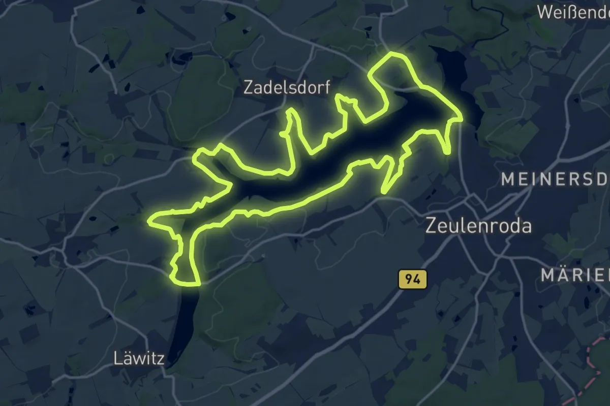
Demanding · Trail
Rundweg Zeulenrodaer Meer
18.6 km · ↑ 172 m · 5 h 1 min
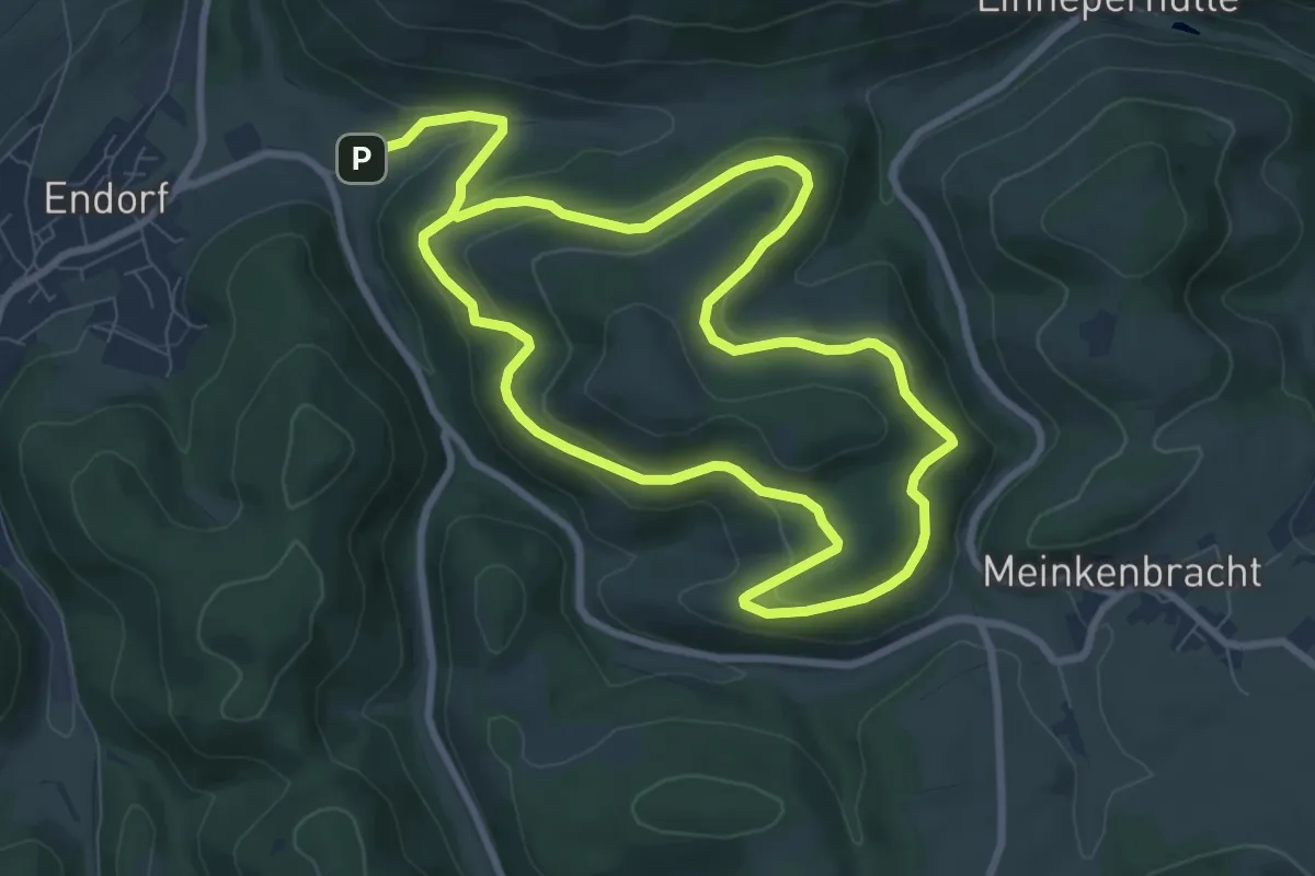
Medium · Trail
Rundweg Z Hohe Liete (aufgegeben)
7.4 km · ↑ 340 m · 2 h 32 min
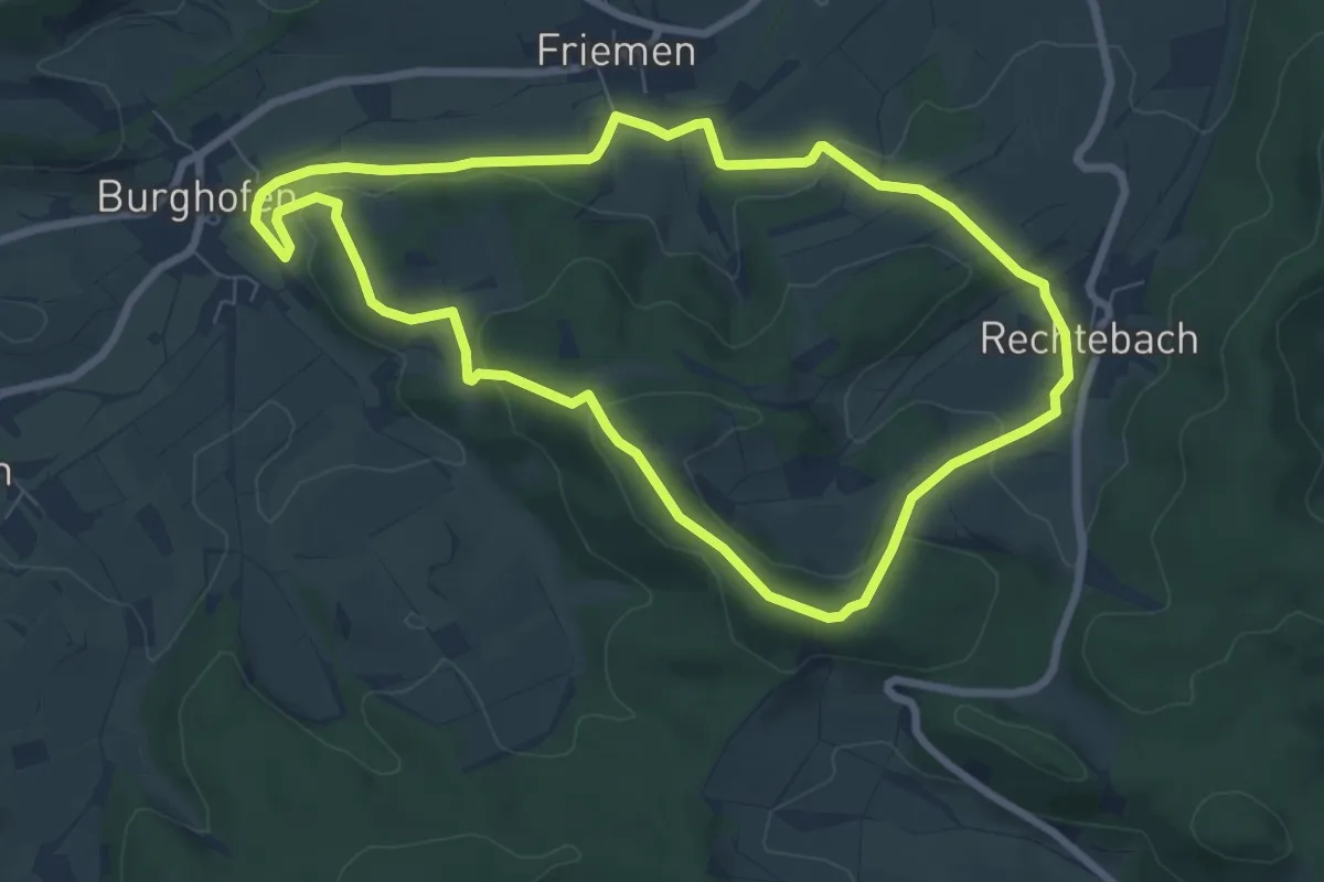
Easy · Summit
Rundweg Ziegenküppel
6.9 km · ↑ 197 m · 2 h 9 min
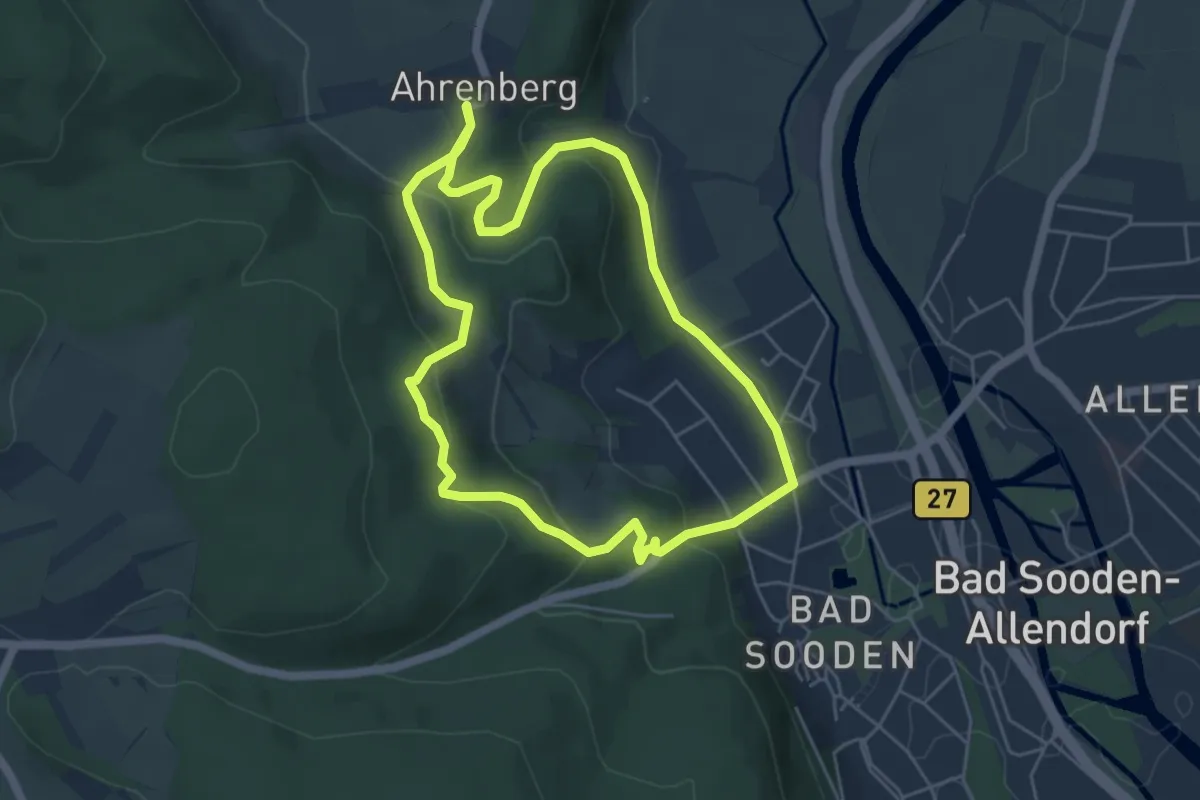
Easy · Trail
Rundweg Zielecke
4.6 km · ↑ 205 m · 1 h 36 min
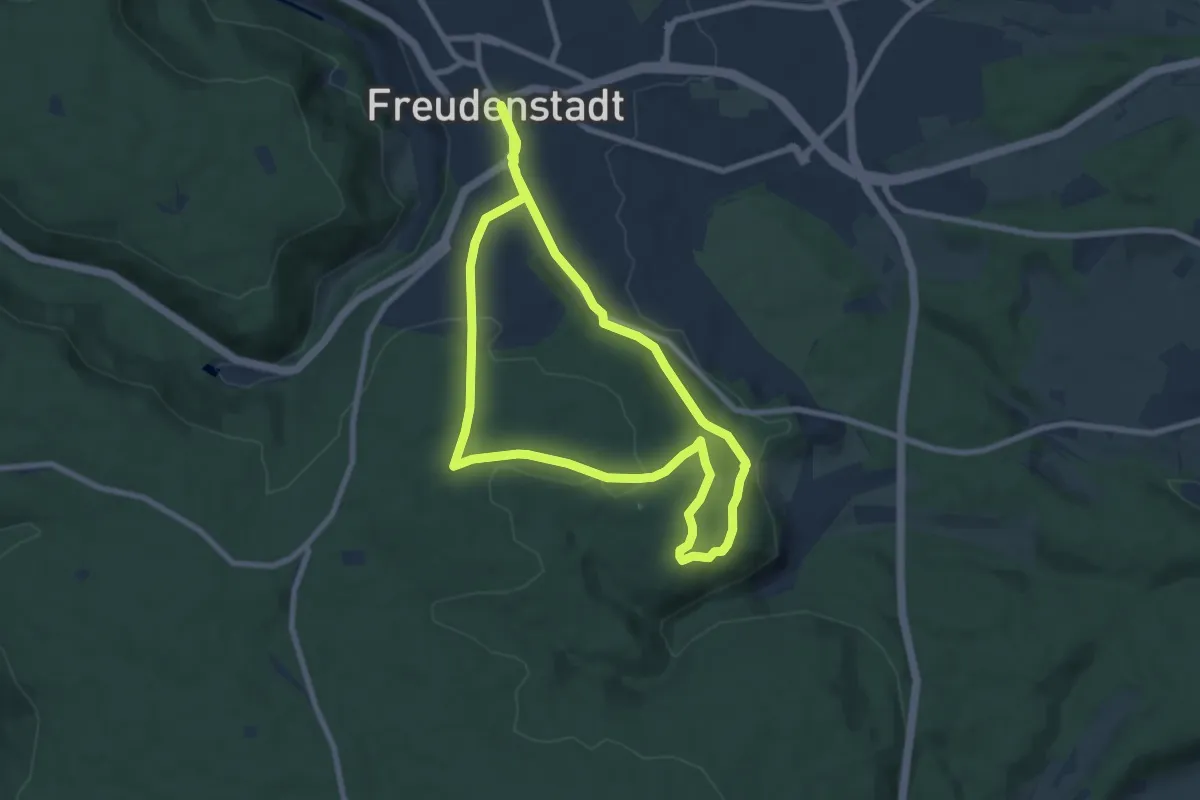
Easy · Trail
Rundweg Zollernblick
7.8 km · ↑ 174 m · 2 h 20 min
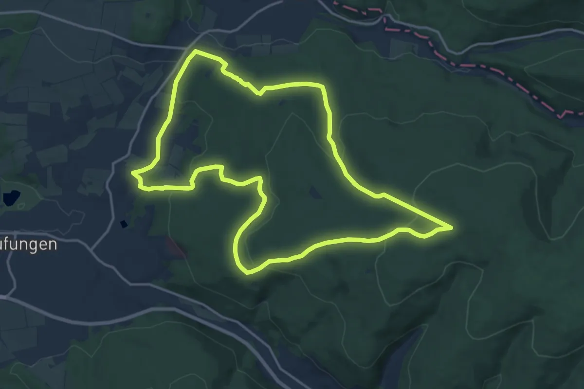
Medium · Trail
Rundweg Zollstock
12.8 km · ↑ 326 m · 3 h 54 min
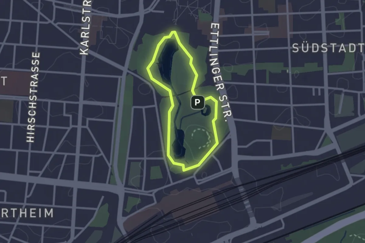
Easy · Summit
Rundweg Zoologischer Stadtgarten
1.8 km · ↑ 9 m · 28 min
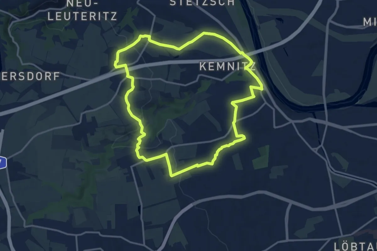
Medium · Trail
Rundweg Zschoner Mühle
10.3 km · ↑ 182 m · 2 h 59 min
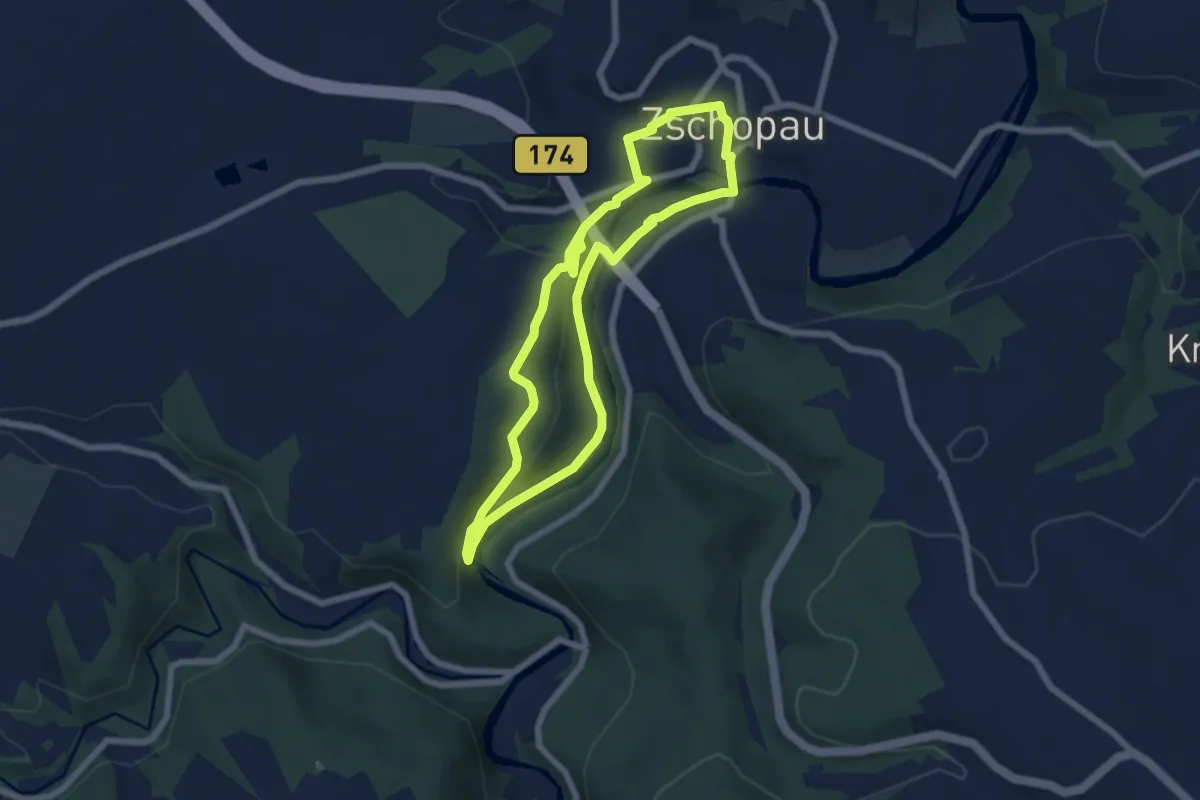
Medium · Trail
Rundweg Zschopauweg
5.6 km · ↑ 147 m · 1 h 43 min
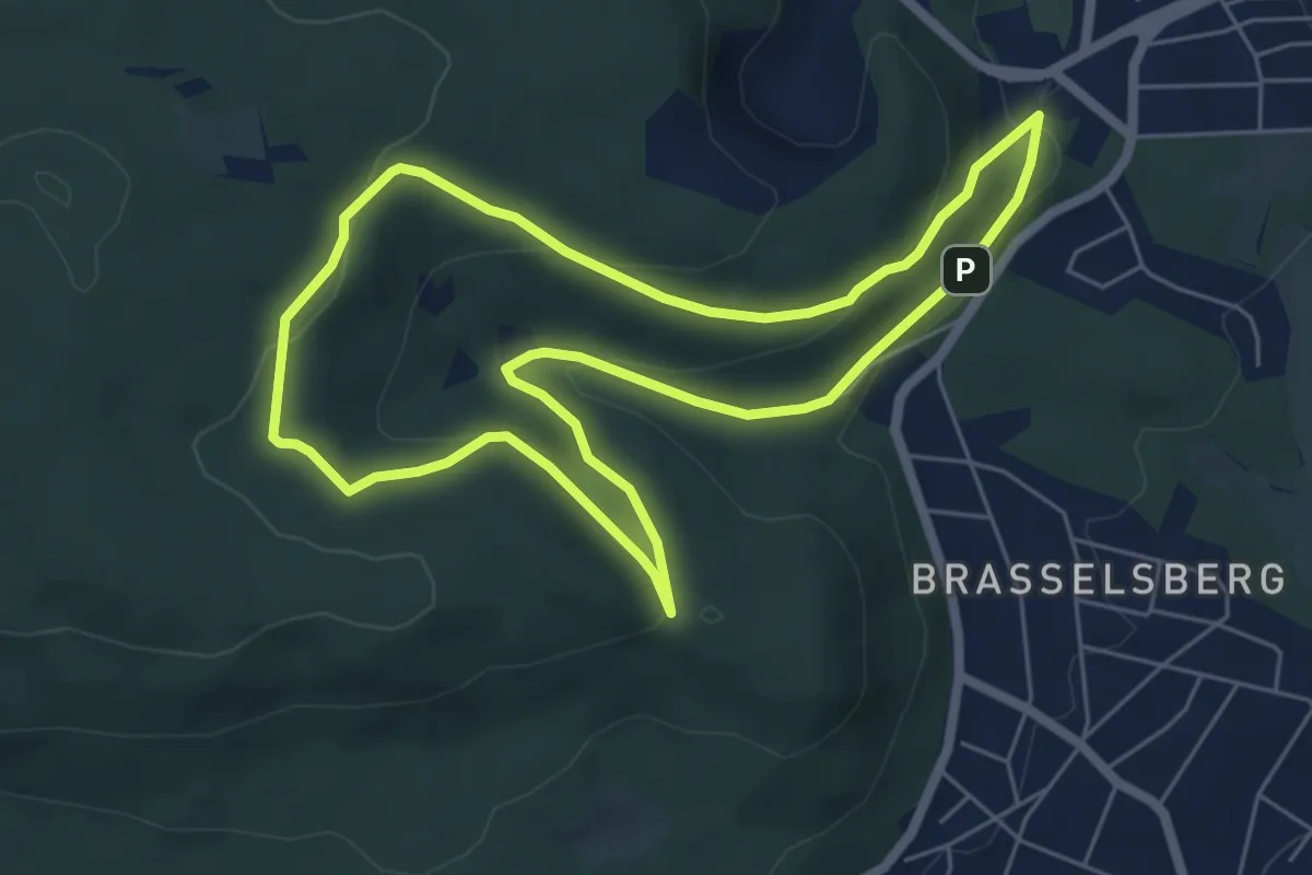
Easy · Trail
Rundweg zum Bismarckturm
5.4 km · ↑ 169 m · 1 h 44 min
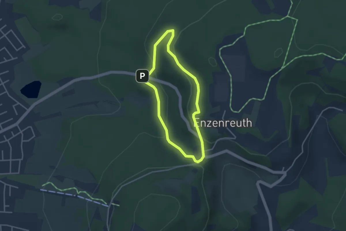
Medium · Trail
Rundweg zum Enzenstein
2.4 km · ↑ 92 m · 47 min
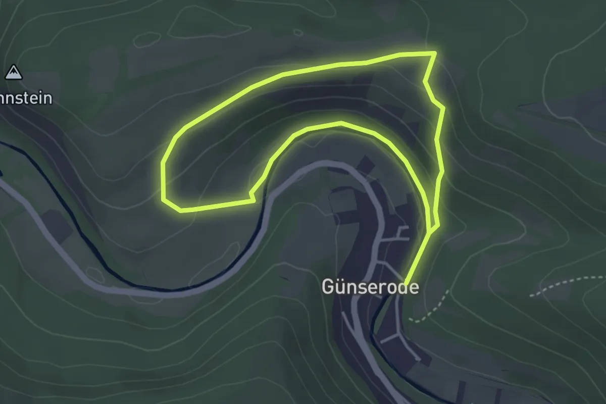
Easy · Trail
Rundweg zum Kohnstein
3.0 km · ↑ 94 m · 58 min
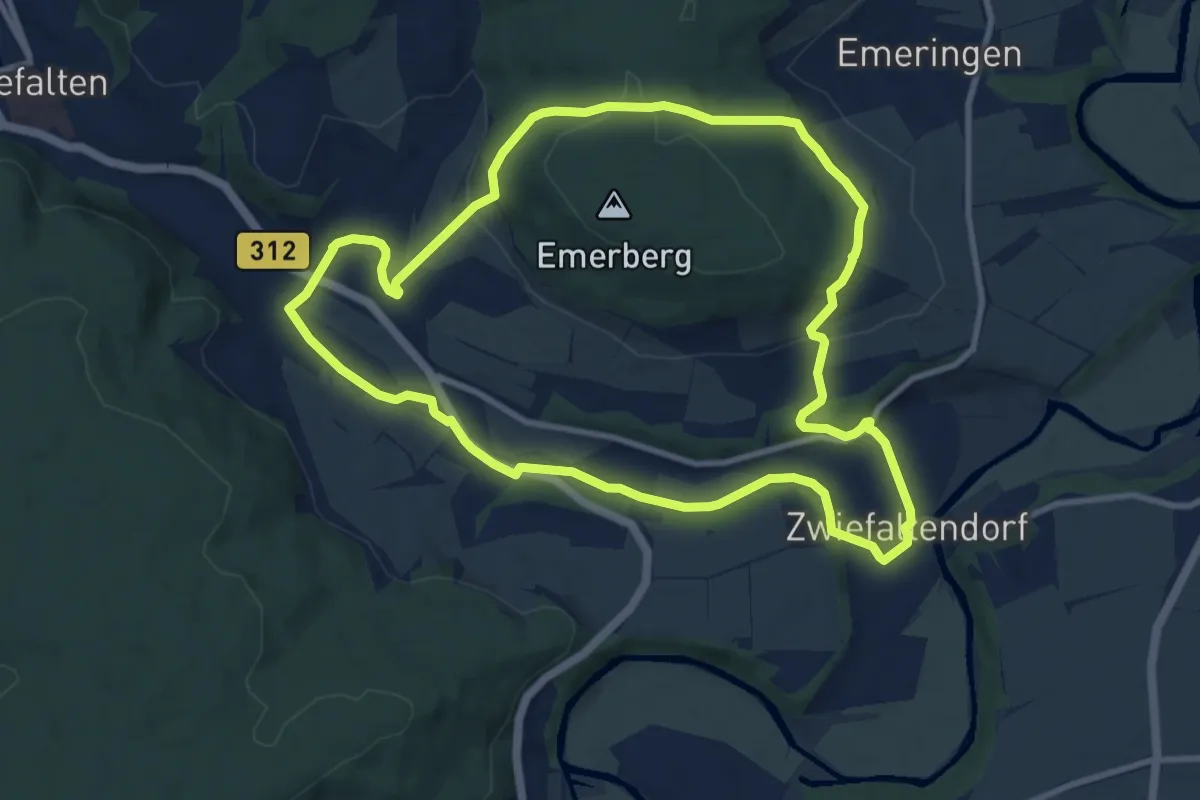
Medium · Trail
Rundweg Zwiefaltendorf
9.4 km · ↑ 210 m · 2 h 48 min
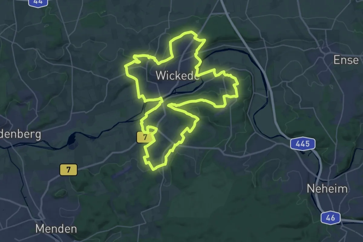
Demanding · Summit
RundWickede
26.7 km · ↑ 390 m · 7 h 32 min
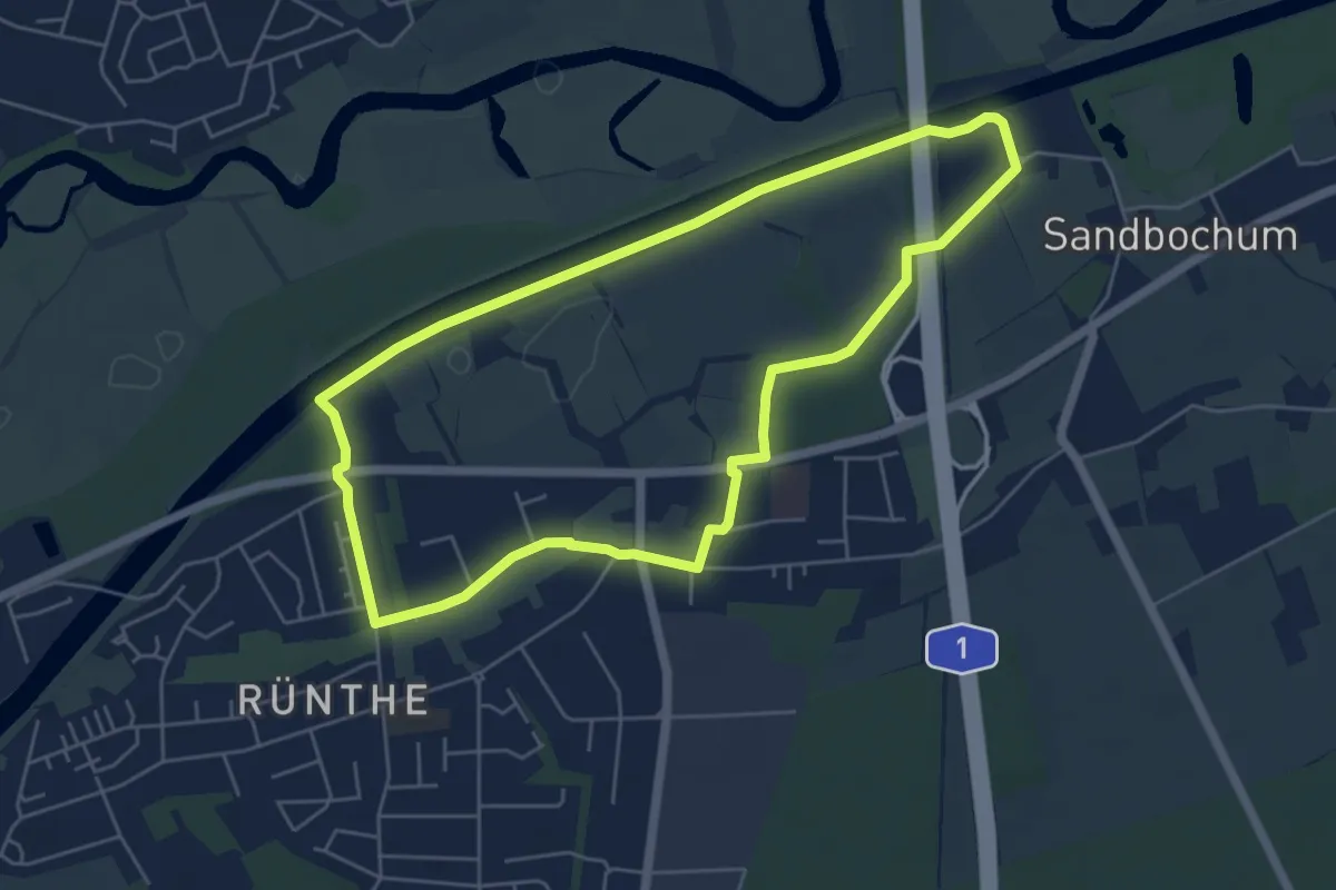
Easy · Trail
Rünthe Rundweg A1
4.9 km · ↑ 0 m · 1 h 14 min
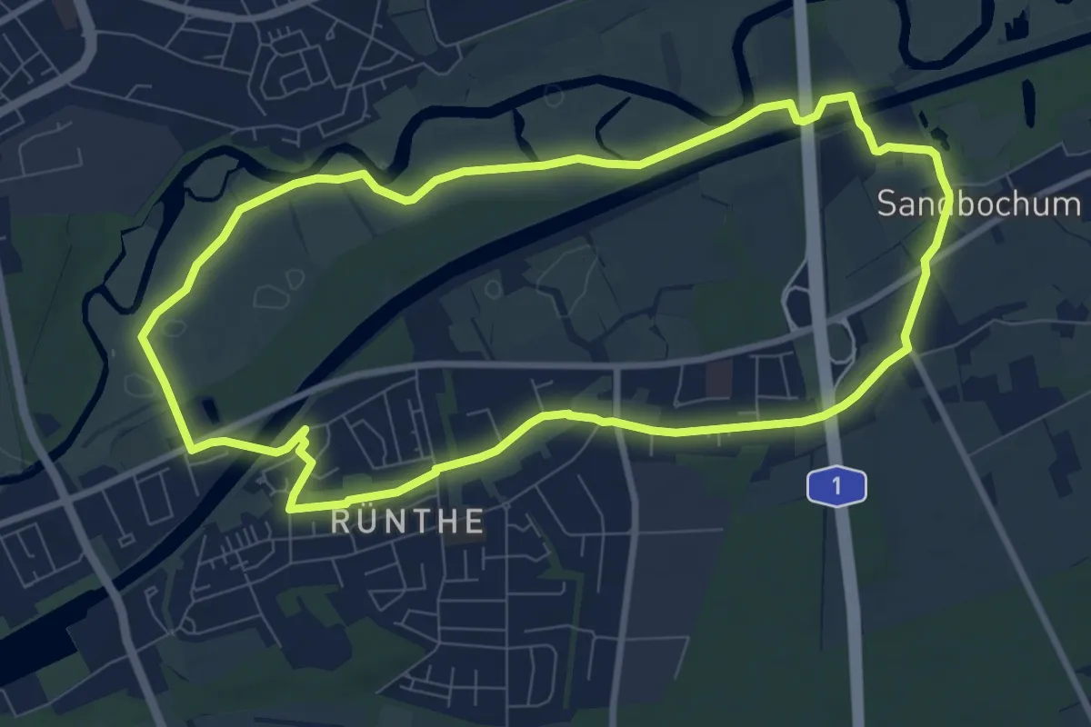
Easy · Trail
Rünthe Rundweg A2
8.0 km · ↑ 8 m · 2 h 1 min
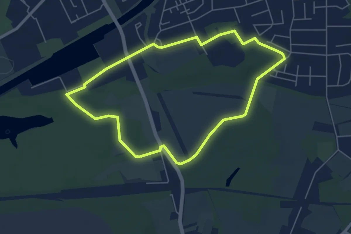
Easy · Summit
Rünthe Rundweg A3
4.0 km · ↑ 18 m · 1 h 2 min
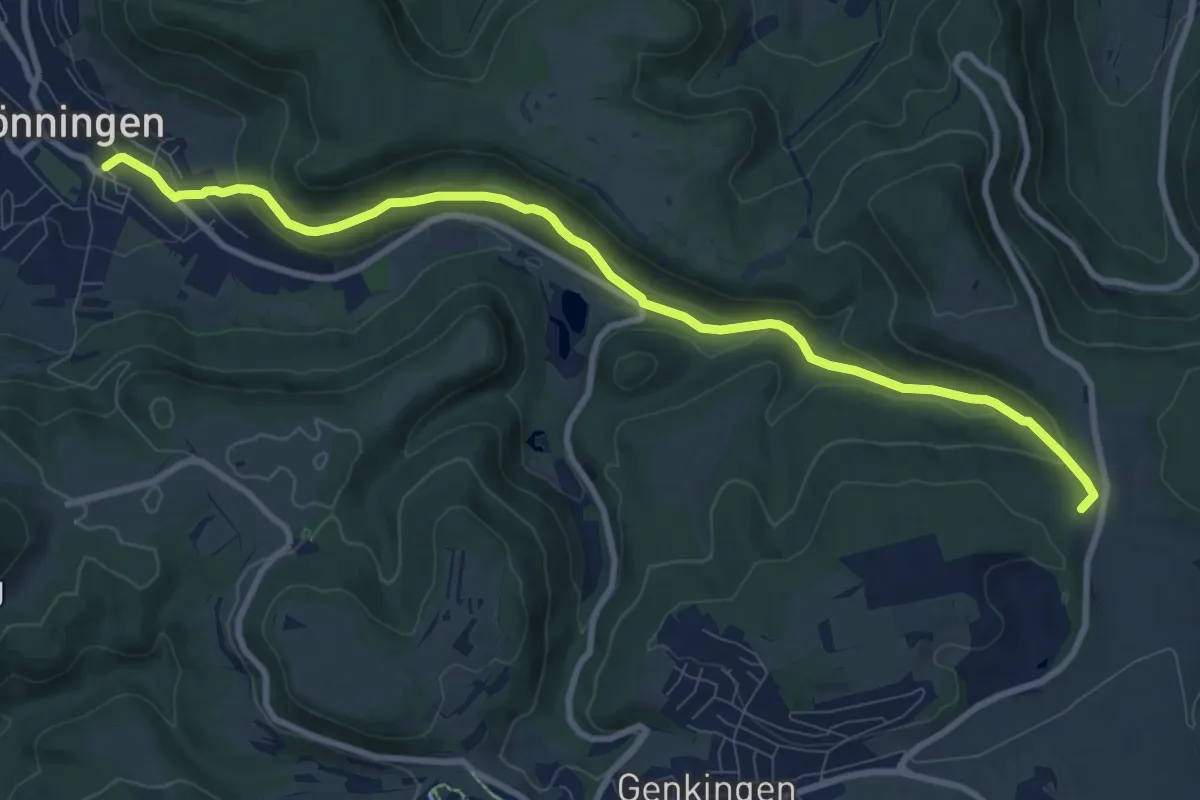
Medium · Trail
Ruoffseck-Gönningen
9.8 km · ↑ 316 m · 2 h 59 min
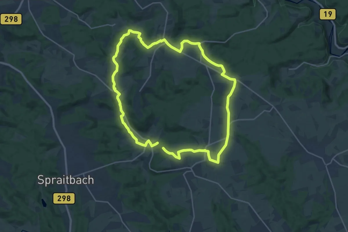
Medium · Trail
Ruppertshofen - Rundwanderung 5
15.6 km · ↑ 150 m · 4 h 15 min
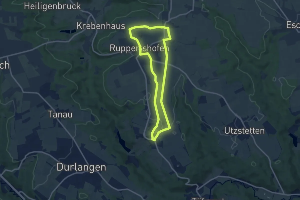
Easy · Trail
Ruppertshofen - Rundwanderweg 1
7.6 km · ↑ 26 m · 1 h 57 min
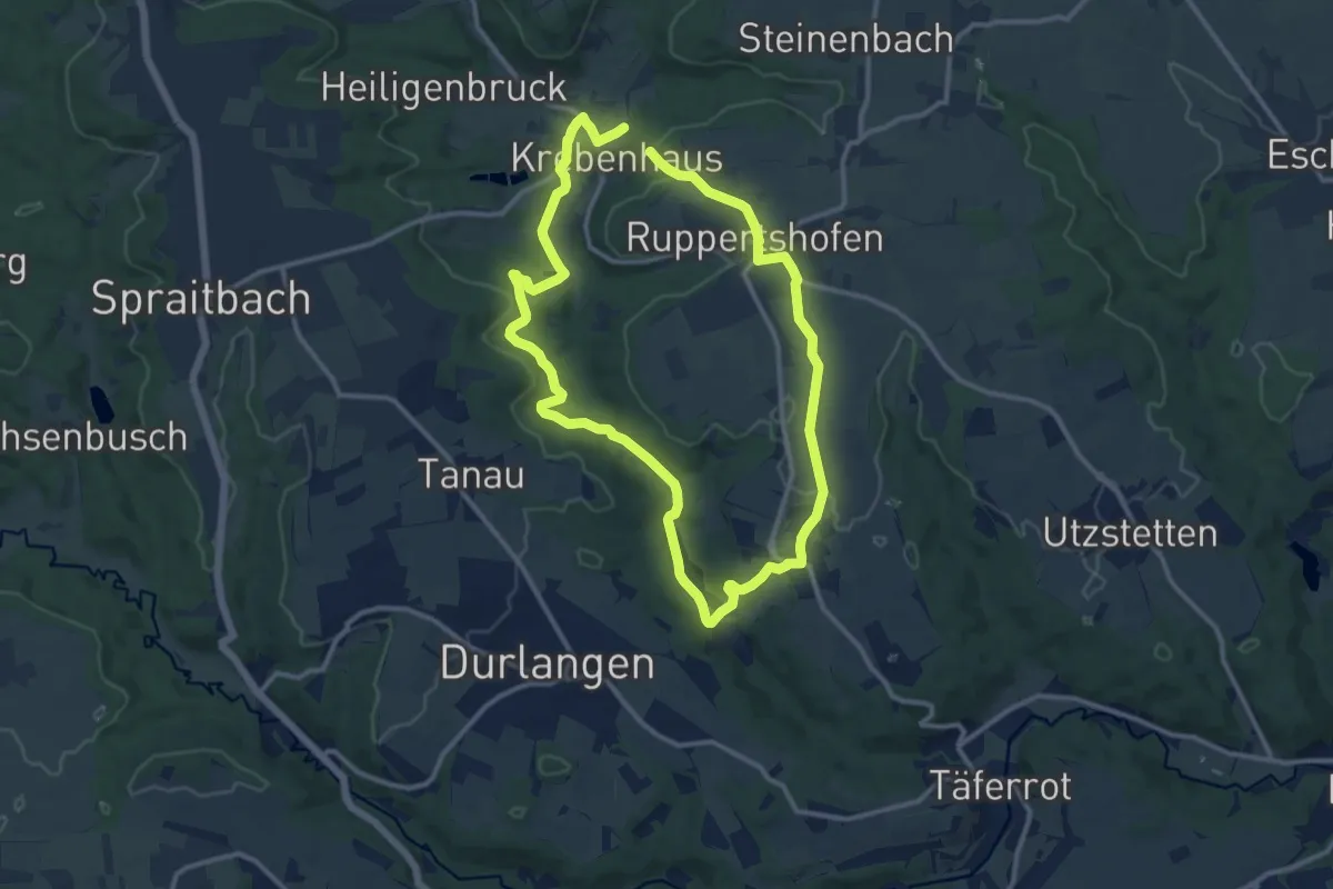
Medium · Trail
Ruppertshofen - Rundwanderweg 2
10.3 km · ↑ 151 m · 2 h 55 min
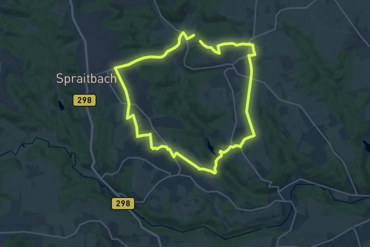
Medium · Trail
Ruppertshofen - Rundwanderweg 3
14.4 km · ↑ 186 m · 3 h 59 min
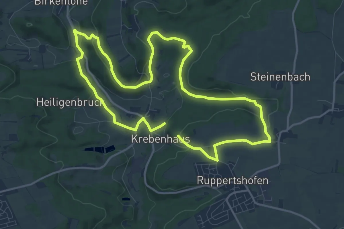
Medium · Trail
Ruppertshofen - Rundwanderweg 4
9.2 km · ↑ 147 m · 2 h 38 min
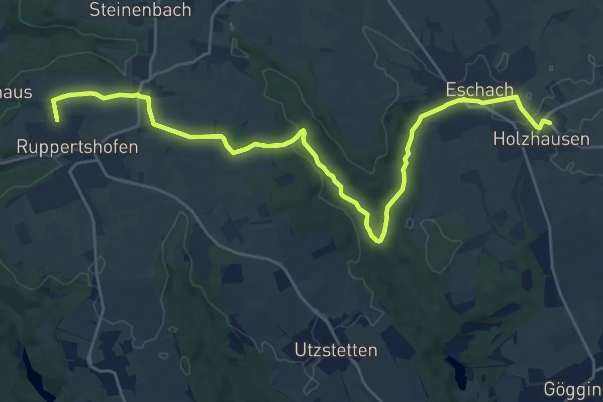
Medium · Trail
Ruppertshofen - Streckenwanderung 6
15.4 km · ↑ 159 m · 3 h 59 min
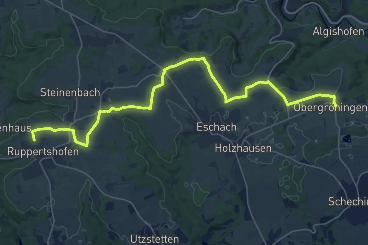
Demanding · Trail
Ruppertshofen - Streckenwanderung 7
21.2 km · ↑ 107 m · 5 h 14 min
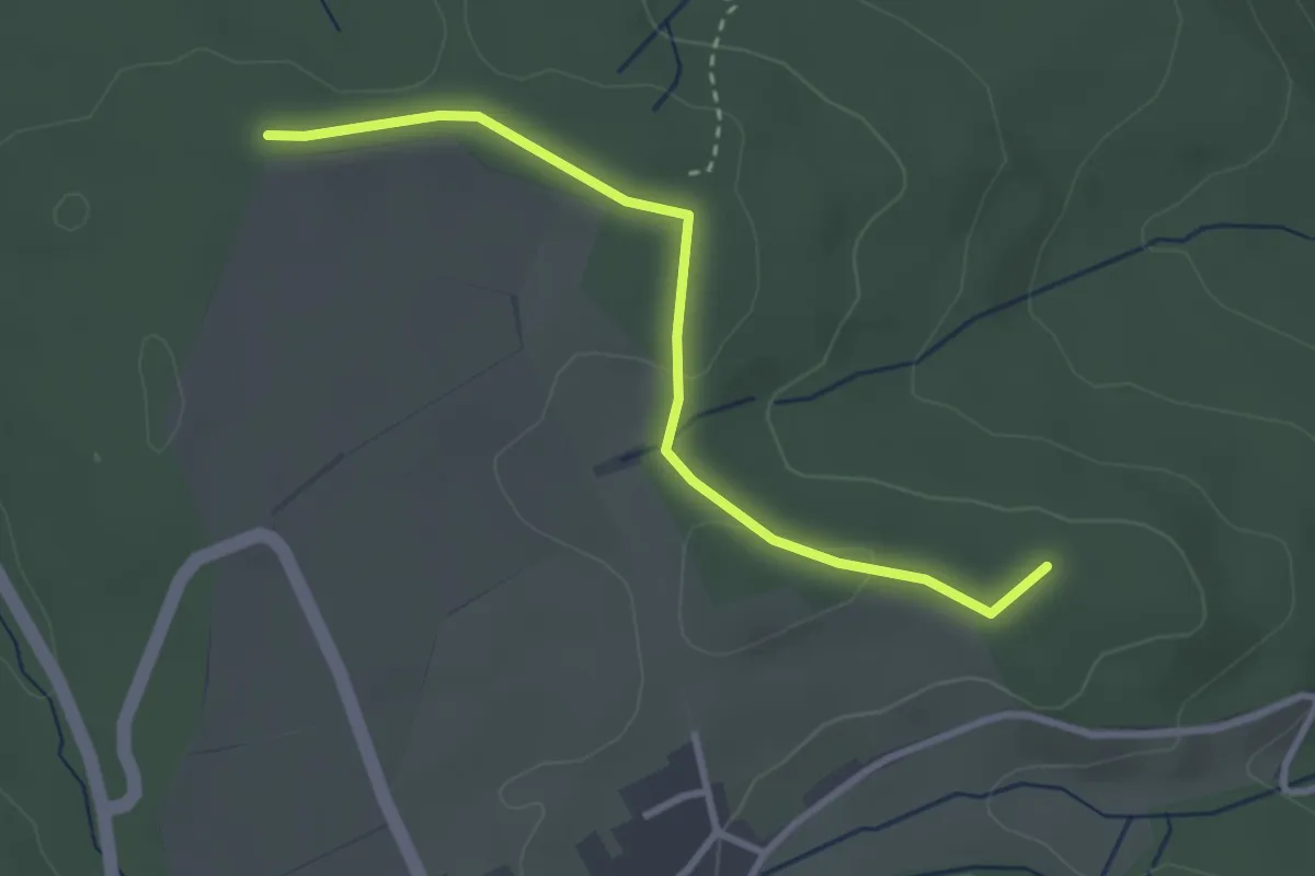
Easy · Summit
Rüppichhütte - Roßloch
2.9 km · ↑ 19 m · 44 min
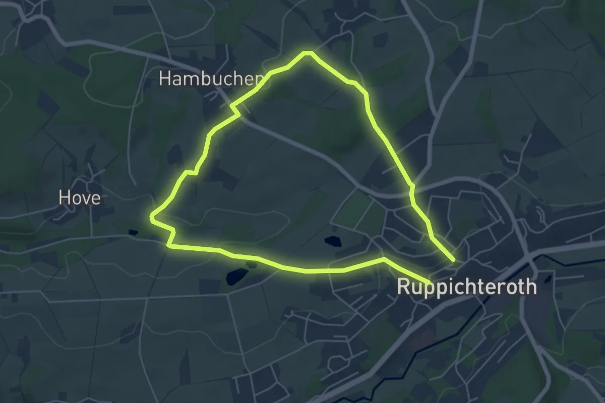
Easy · Trail
Ruppichteroth Rundweg
4.4 km · ↑ 71 m · 1 h 16 min
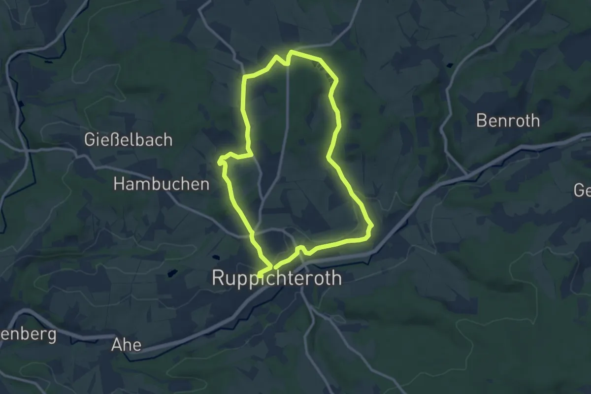
Easy · Trail
Ruppichteroth Rundweg
7.8 km · ↑ 105 m · 2 h 11 min
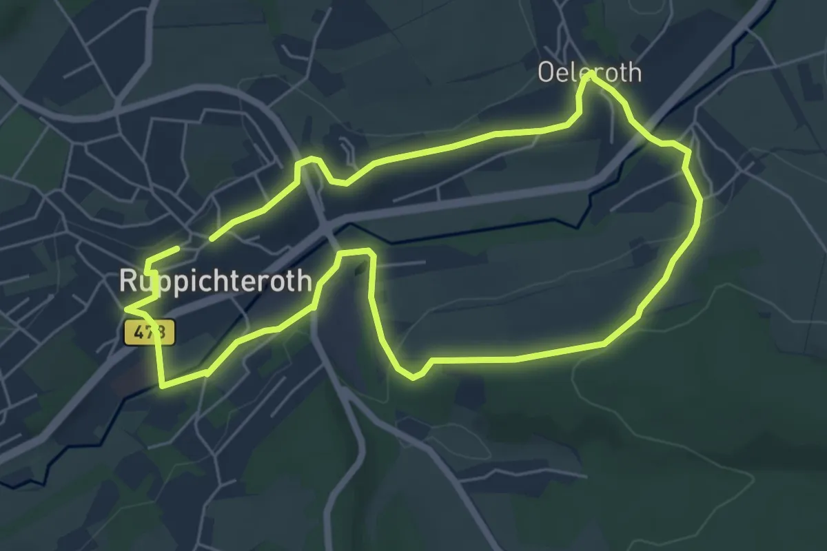
Easy · Trail
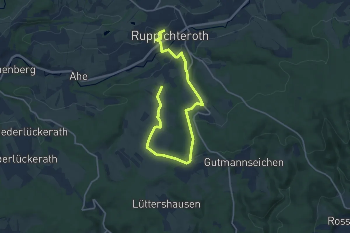
Ruppichteroth Rundweg Hohlquadrat
4.9 km · ↑ 110 m · 1 h 28 min
Easy · Trail
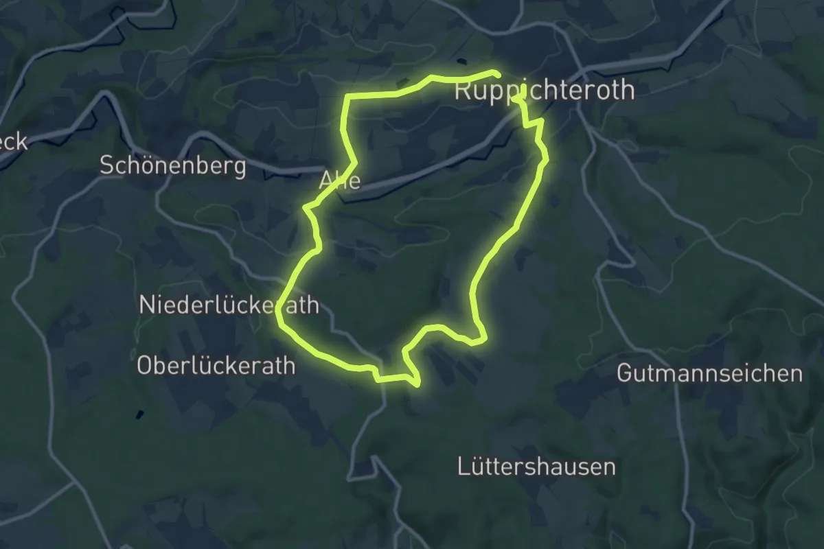
Ruppichteroth Rundweg Kreis
5.9 km · ↑ 147 m · 1 h 47 min
Medium · Trail
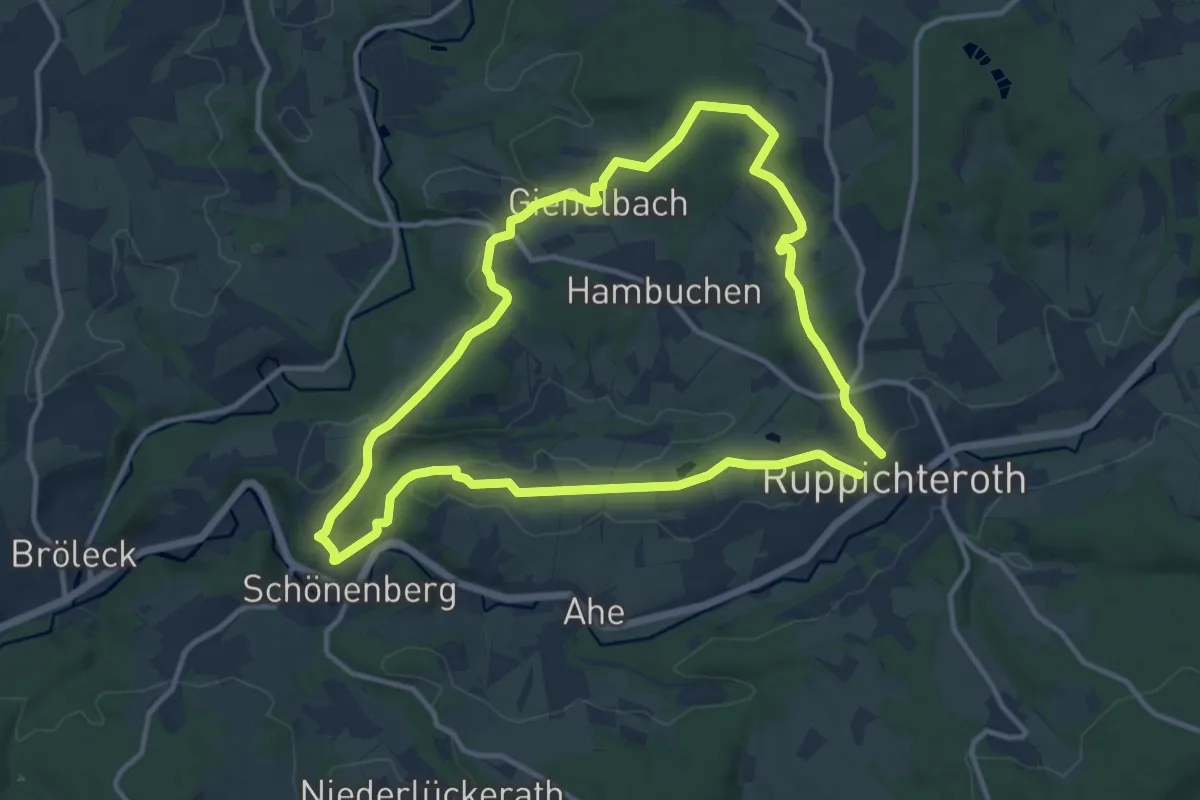
Ruppichteroth Rundweg ⟂ Lot
9.0 km · ↑ 194 m · 2 h 40 min
Medium · Trail
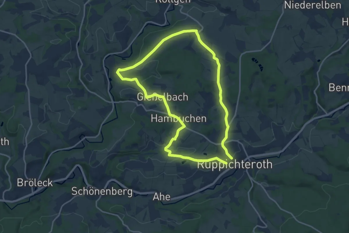
Ruppichteroth Rundweg Rechteck
10.6 km · ↑ 147 m · 2 h 58 min
Medium · Trail
Ruppichteroth Rundweg "V"
10.6 km · ↑ 180 m · 3 h 2 min