Trails in Germany
36,852 hiking trails, each with its route, climb, walking time and grade.
All trails, page 561 of 768
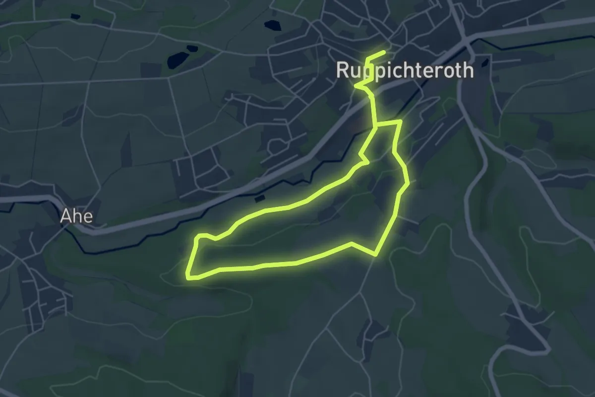
Easy · Trail
Ruppichteroth Rundweg "●" (Vollkreis)
4.1 km · ↑ 72 m · 1 h 11 min
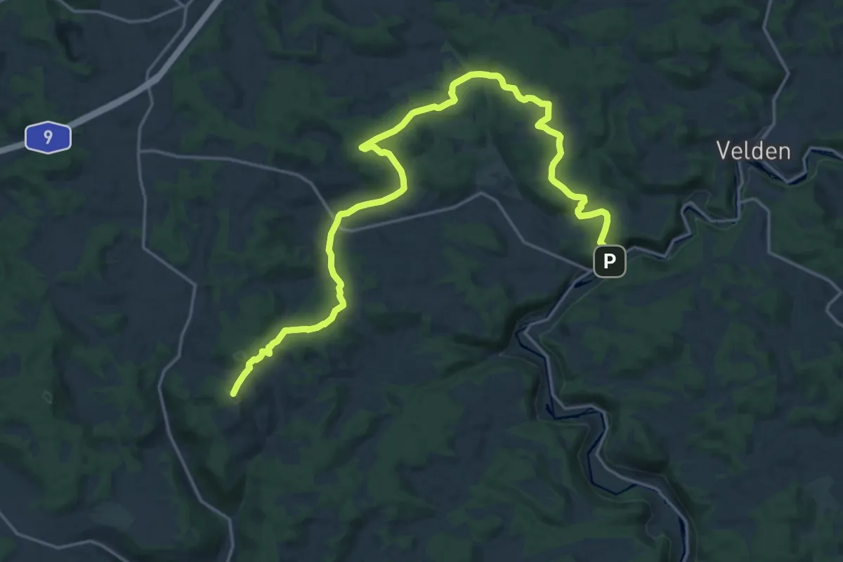
Demanding · Summit
Rupprechtstegen-Hohenstein
21.5 km · ↑ 616 m · 6 h 24 min
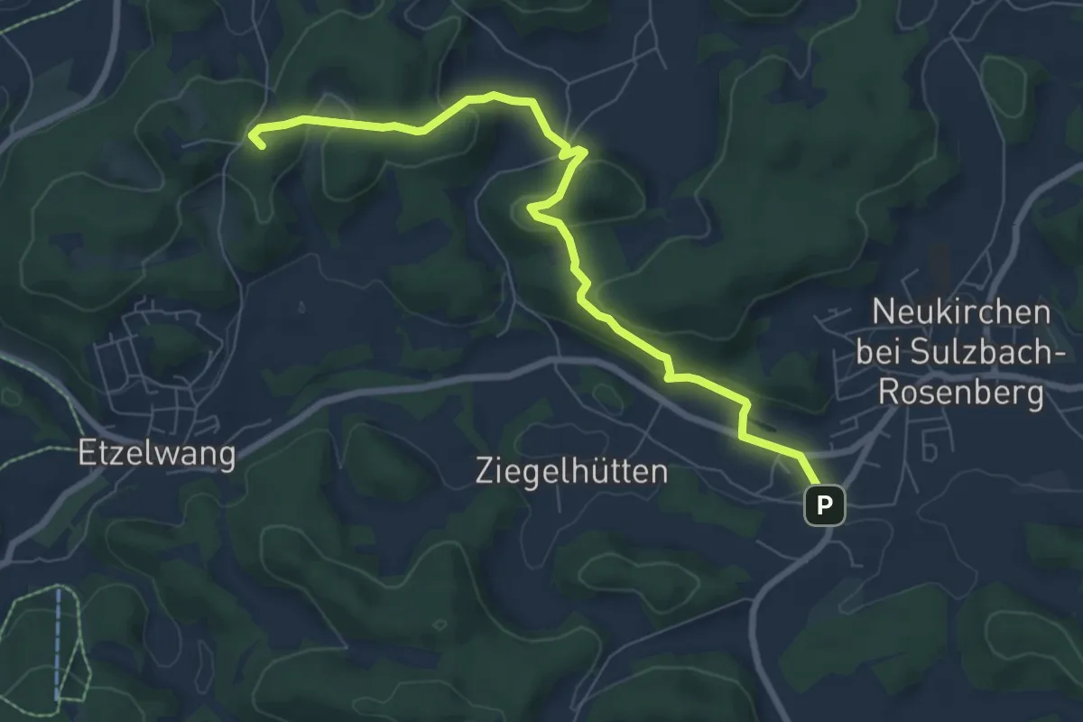
Easy · Summit
Rupprechtstein - Neukirchen bei Sulzbach-Rosenberg
7.3 km · ↑ 275 m · 2 h 20 min
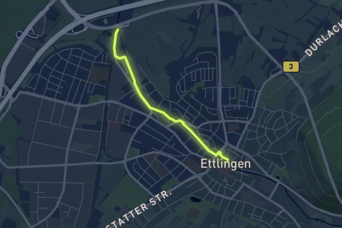
Easy · Trail
Rüppurrer Wiesen - Ettlingen Rathausbrücke
4.7 km · ↑ 17 m · 1 h 9 min
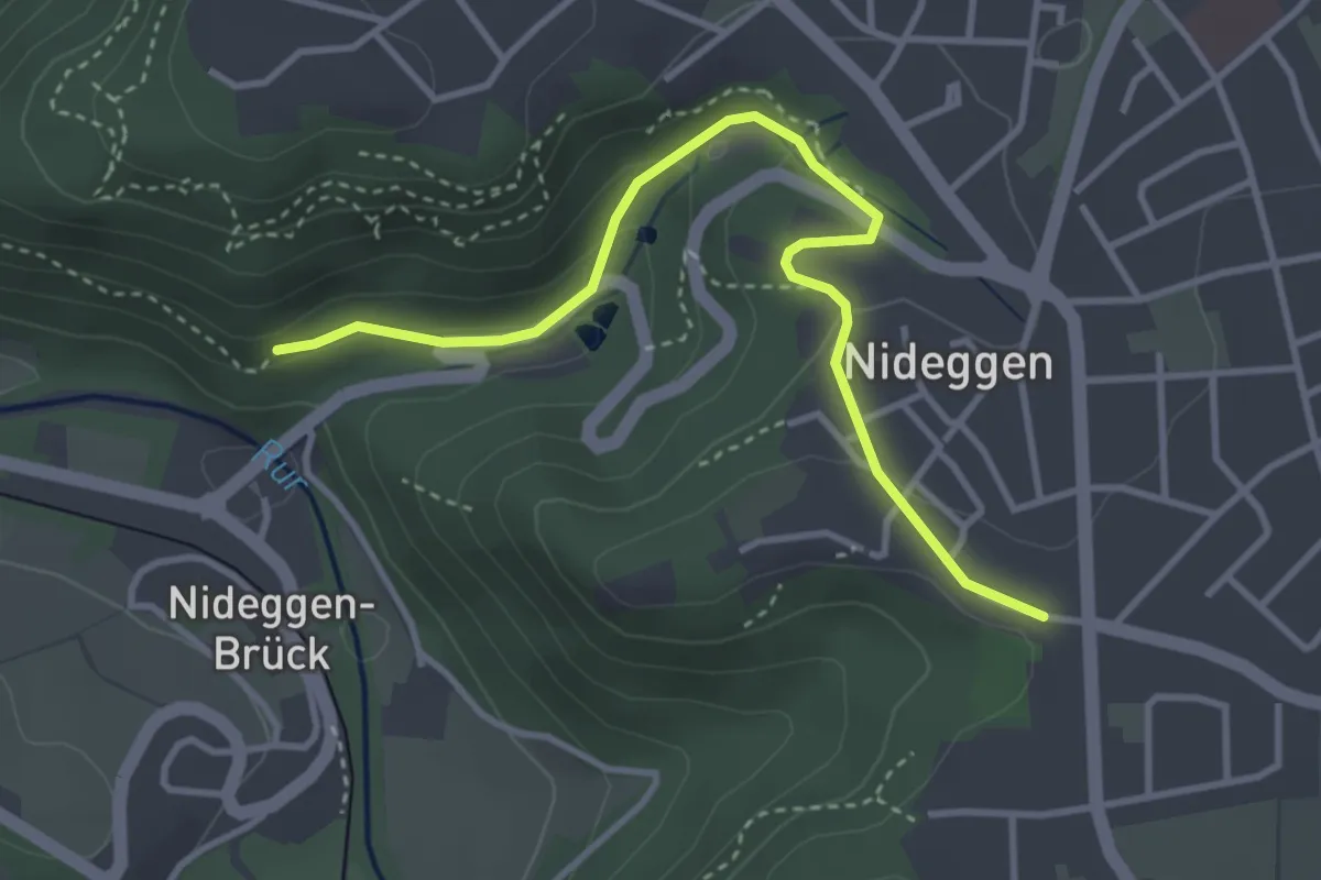
Easy · Trail
Ruraue
3.5 km · ↑ 100 m · 1 h 3 min
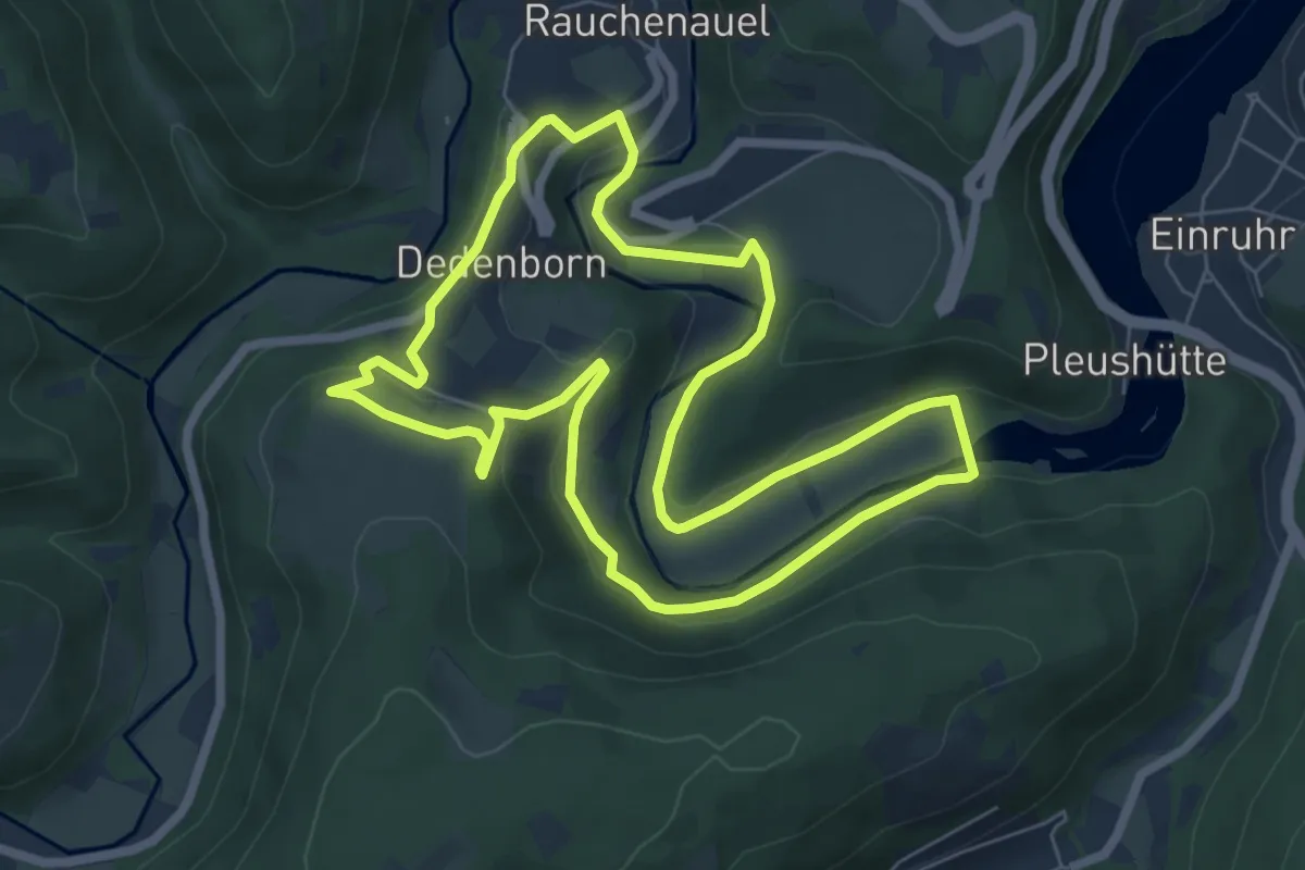
Easy · Trail
Rur-Panoramaweg
6.4 km · ↑ 151 m · 1 h 56 min
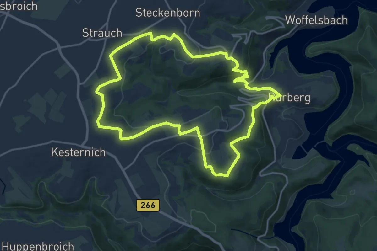
Medium · Trail
Rursee-Höhenweg
11.5 km · ↑ 269 m · 3 h 28 min
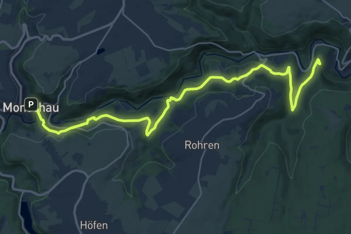
Medium · Summit
Rurtal-Hangweg
17.0 km · ↑ 495 m · 5 h 5 min
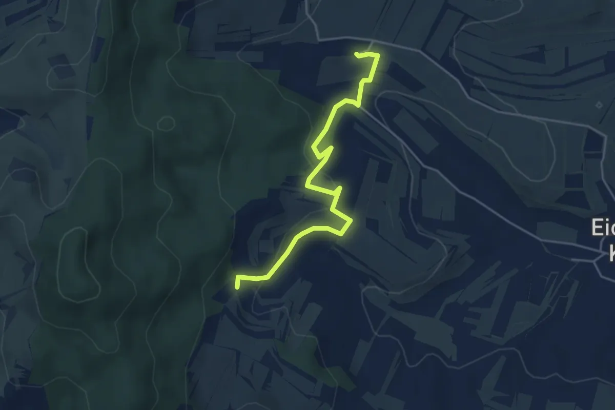
Easy · Trail
Rusental - Überm Pfaffental
4.1 km · ↑ 130 m · 1 h 15 min
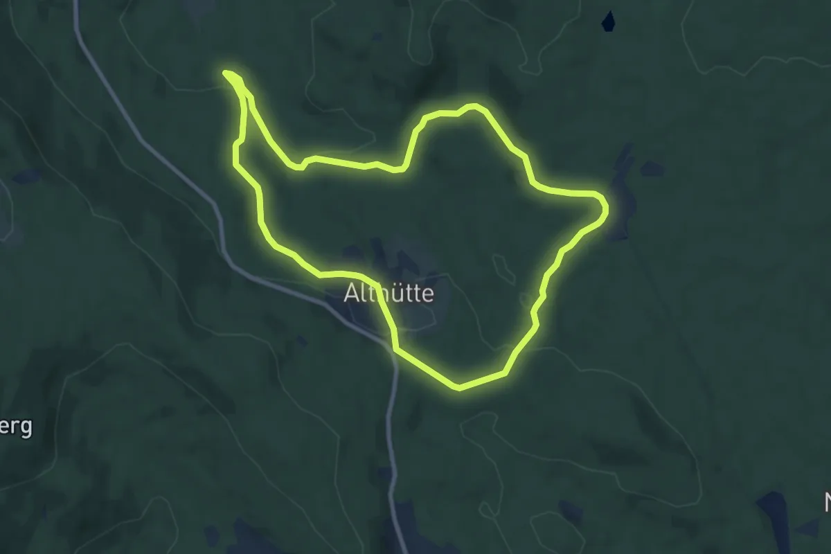
Easy · Trail
Rüsselkäfer
7.9 km · ↑ 164 m · 2 h 20 min
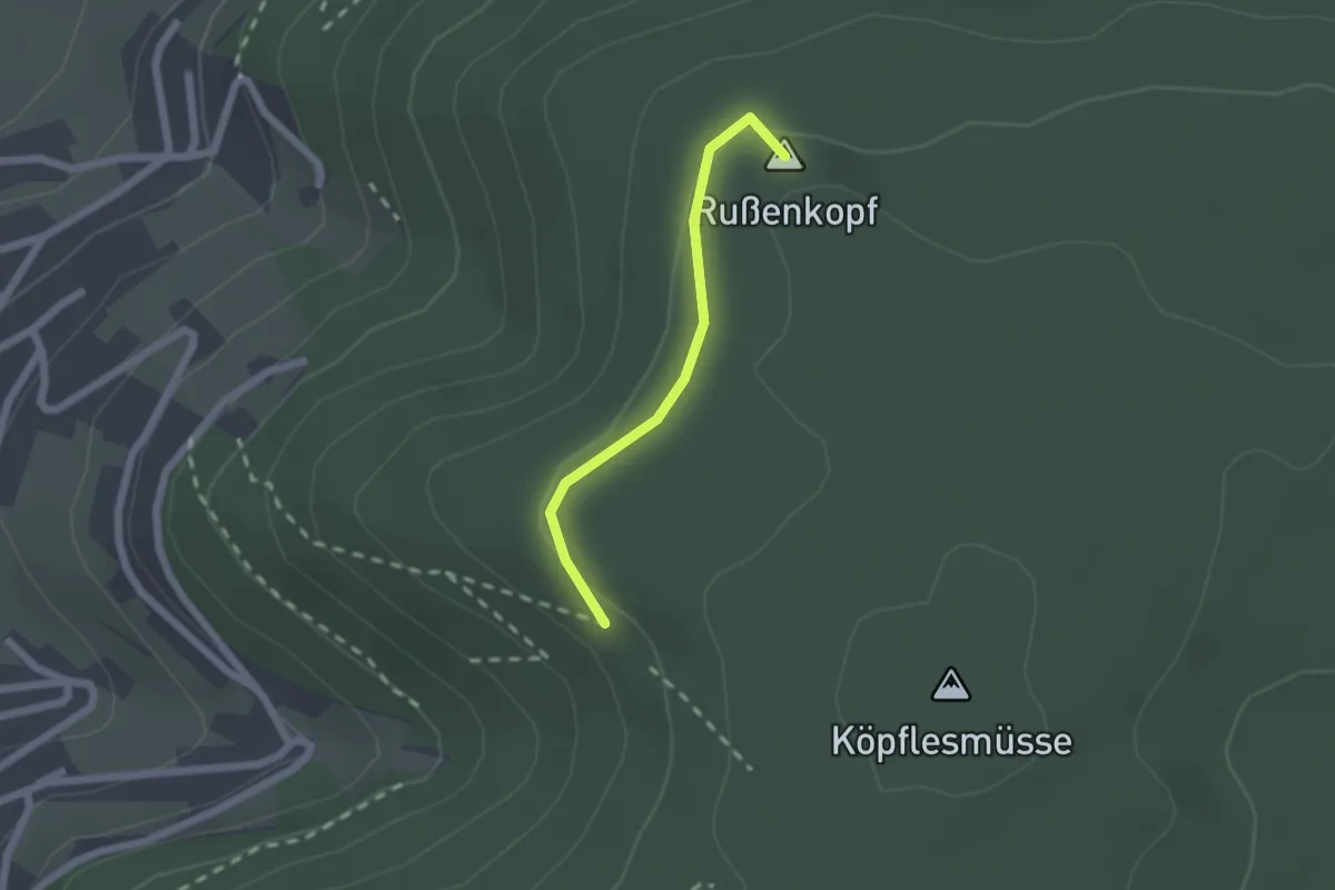
Easy · Summit
Rußenkopf - Misselewegle
1.6 km · ↑ 34 m · 27 min
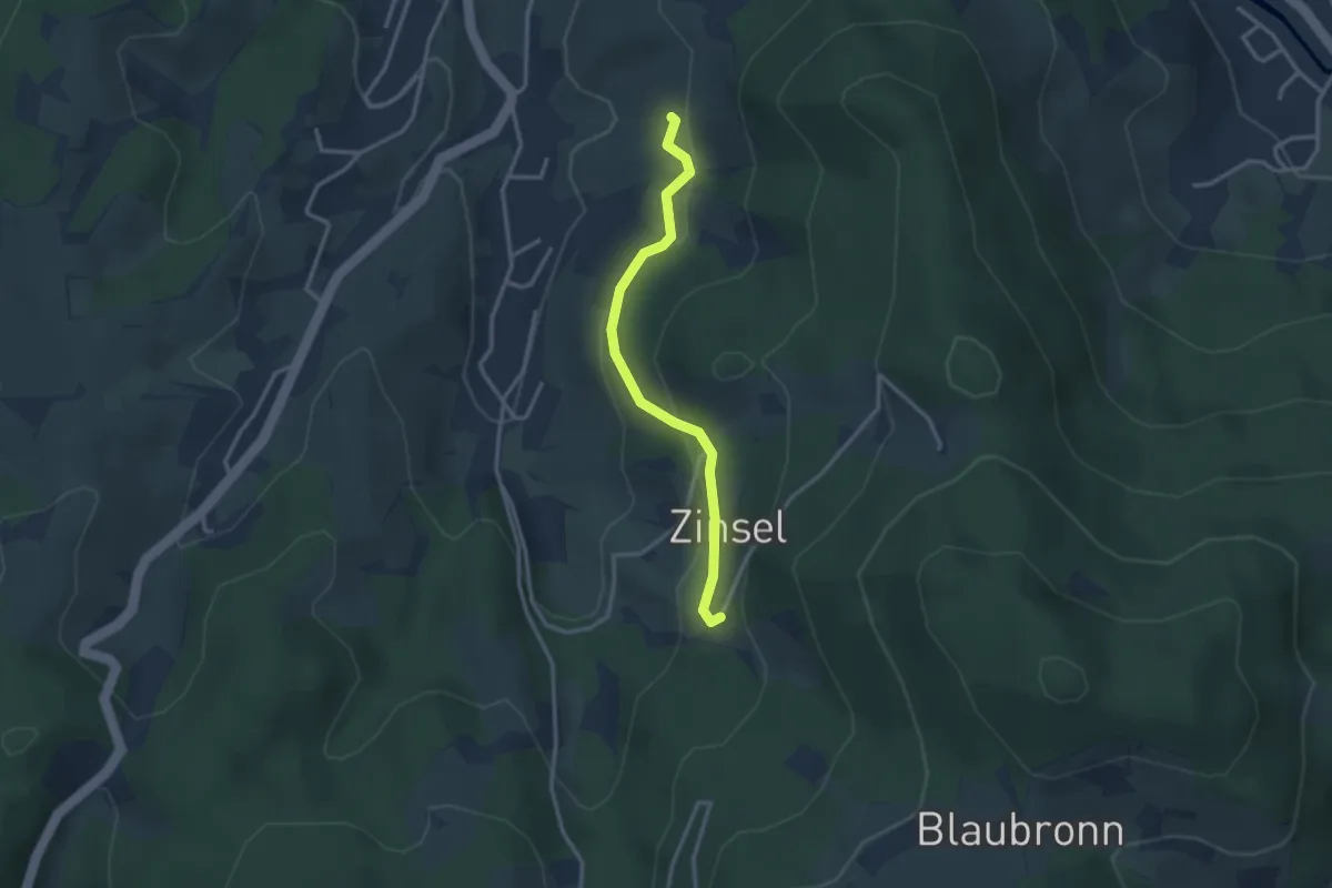
Easy · Trail
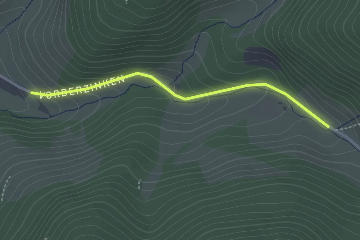
Rußhaldeweg - Zinselburehof
2.7 km · ↑ 123 m · 55 min
Easy · Trail
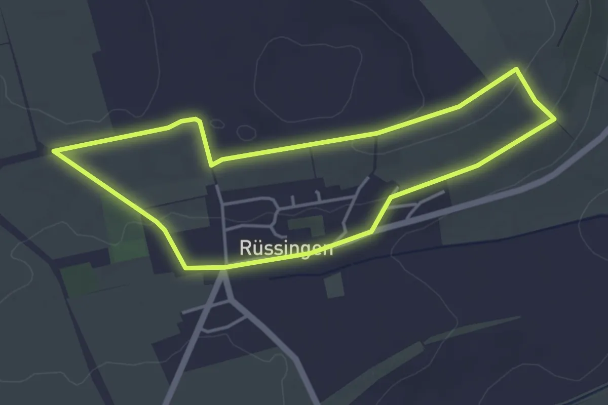
Rußhöfe - Schneiderbauernhof
2.0 km · ↑ 99 m · 41 min
Easy · Trail
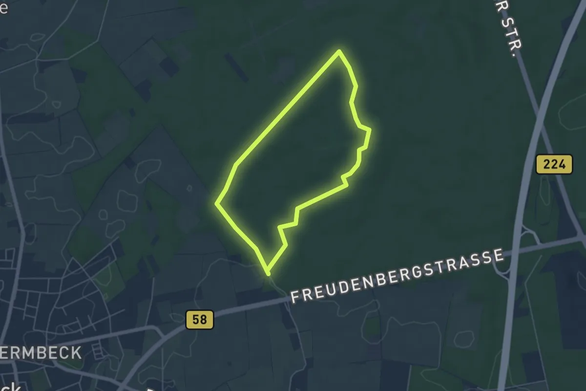
Rüssingen - Gaulssteig
3.6 km · ↑ 45 m · 1 h
Easy · Trail
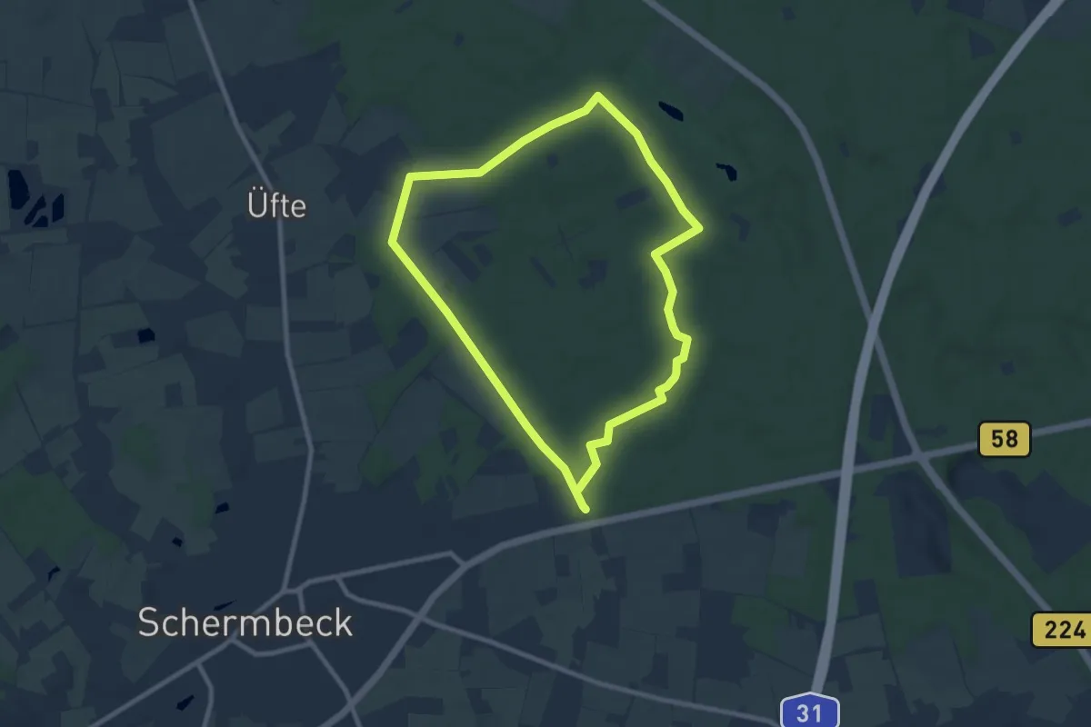
Rüster Mark Rundweg A5
4.0 km · ↑ 26 m · 1 h 3 min
Easy · Trail
Rüster Mark Rundweg A6
7.3 km · ↑ 43 m · 1 h 54 min
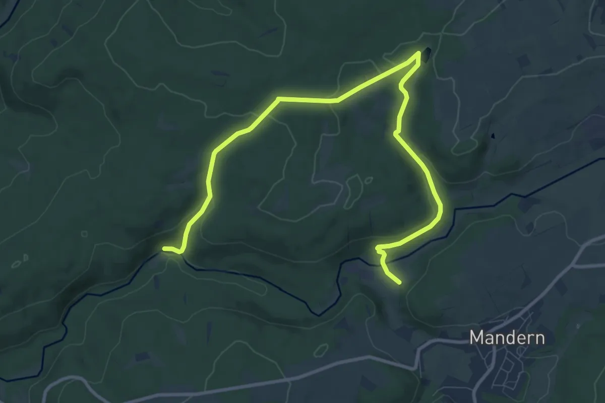
Medium · Trail
RuT1
10.8 km · ↑ 227 m · 3 h 2 min
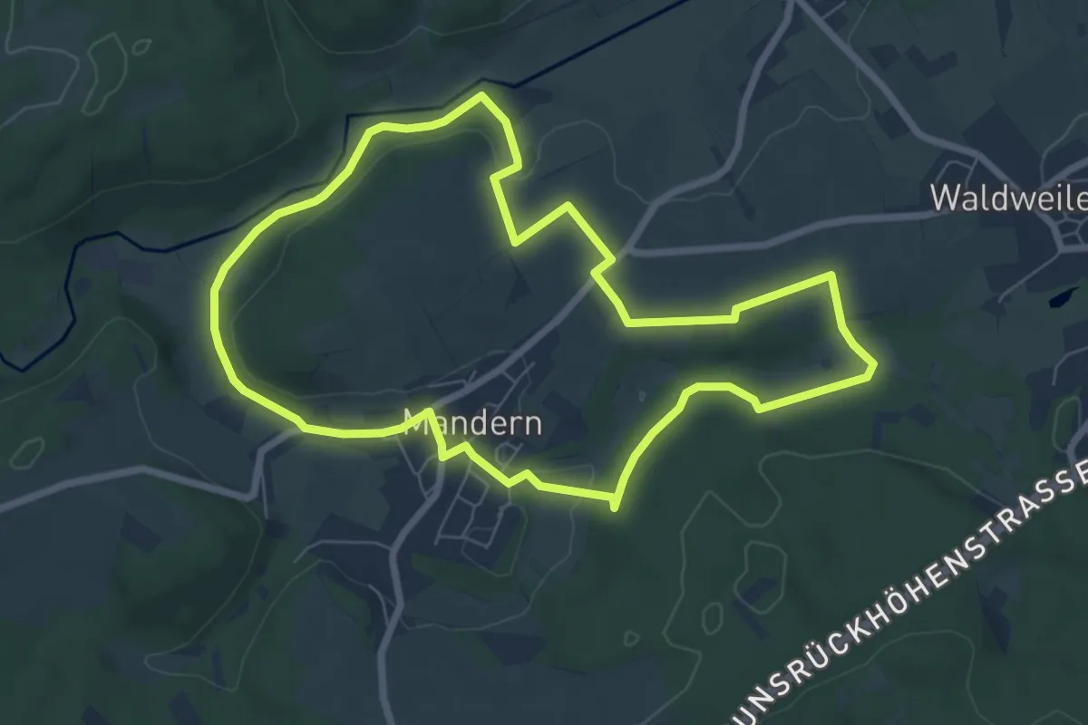
Easy · Trail
RuT2
6.6 km · ↑ 89 m · 1 h 51 min
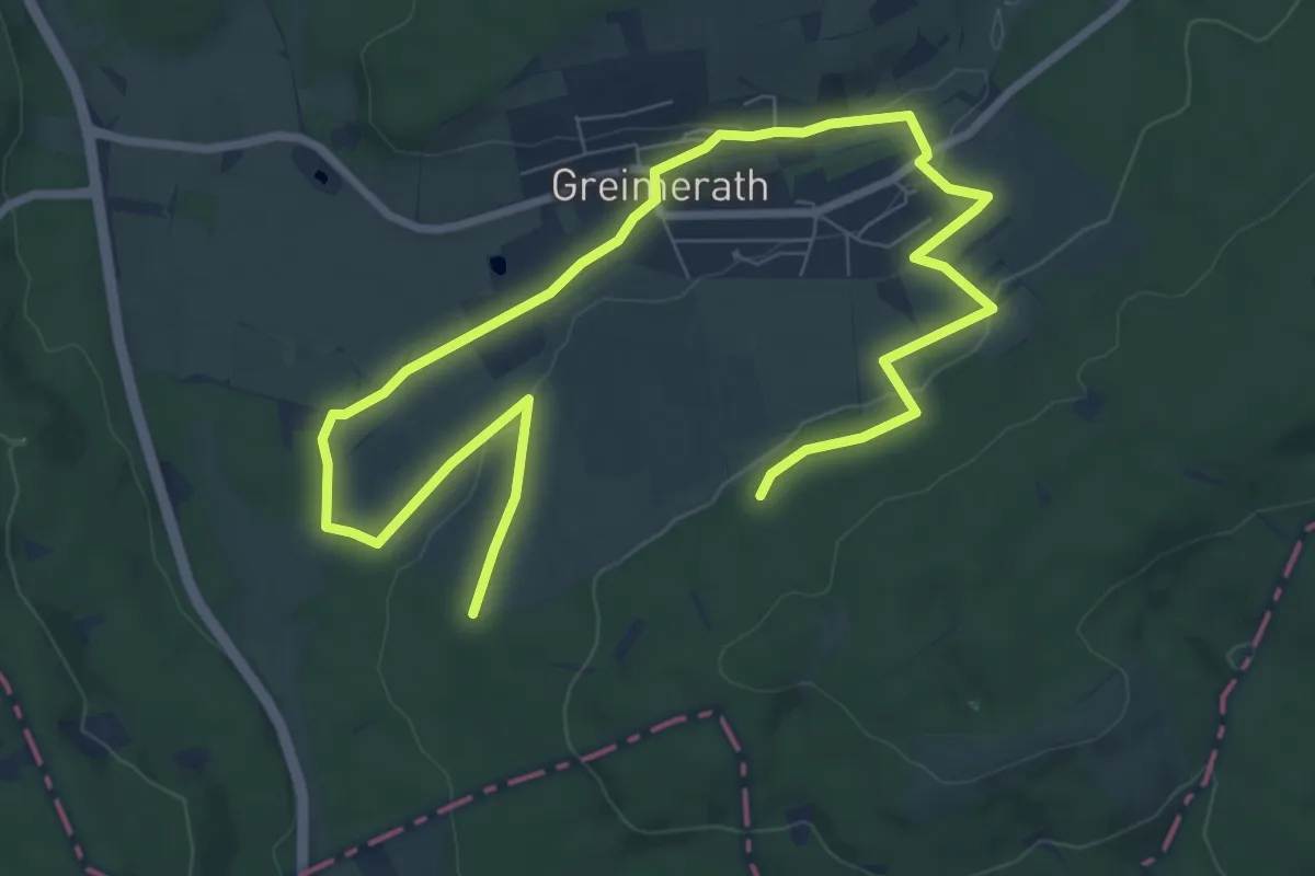
Medium · Trail
RuT3
11.6 km · ↑ 164 m · 3 h 5 min
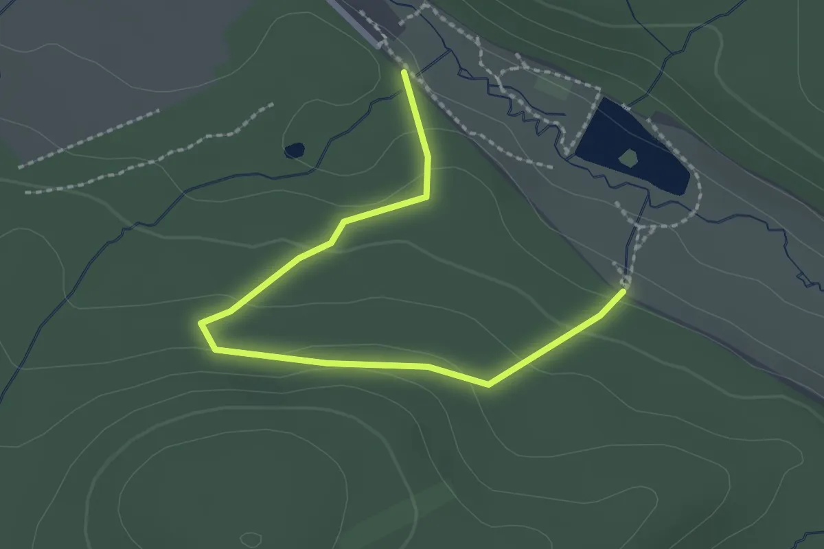
Easy · Trail
Rüthen Bibertal A1
2.3 km · ↑ 98 m · 45 min
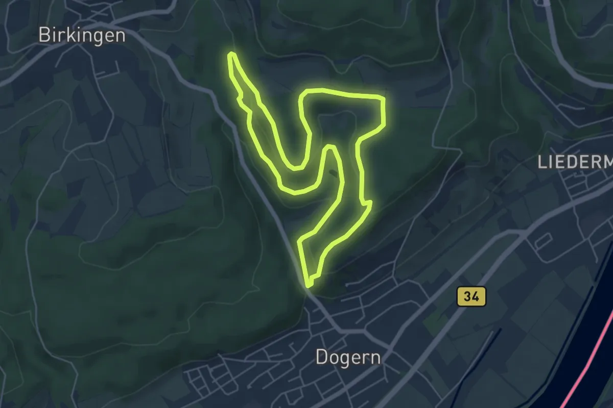
Easy · Trail
Rüttebuck-Route
5.4 km · ↑ 162 m · 1 h 42 min
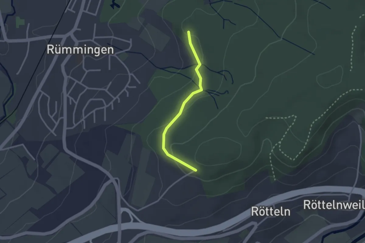
Easy · Trail
Rüttematt - Fohrenbuck
2.3 km · ↑ 59 m · 40 min
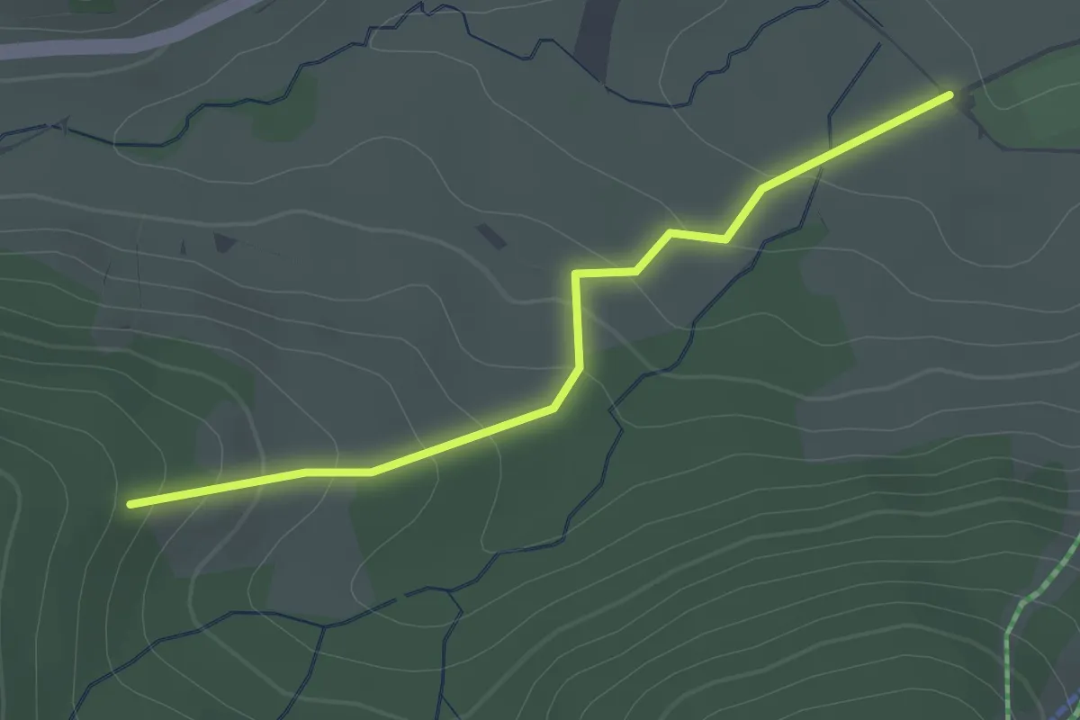
Easy · Trail
Rütte - Sportzentrum Spitzenberg
2.1 km · ↑ 107 m · 43 min
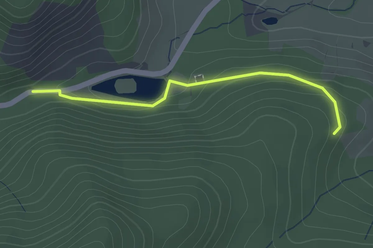
Easy · Trail
Rütte - Wacht
2.1 km · ↑ 74 m · 40 min
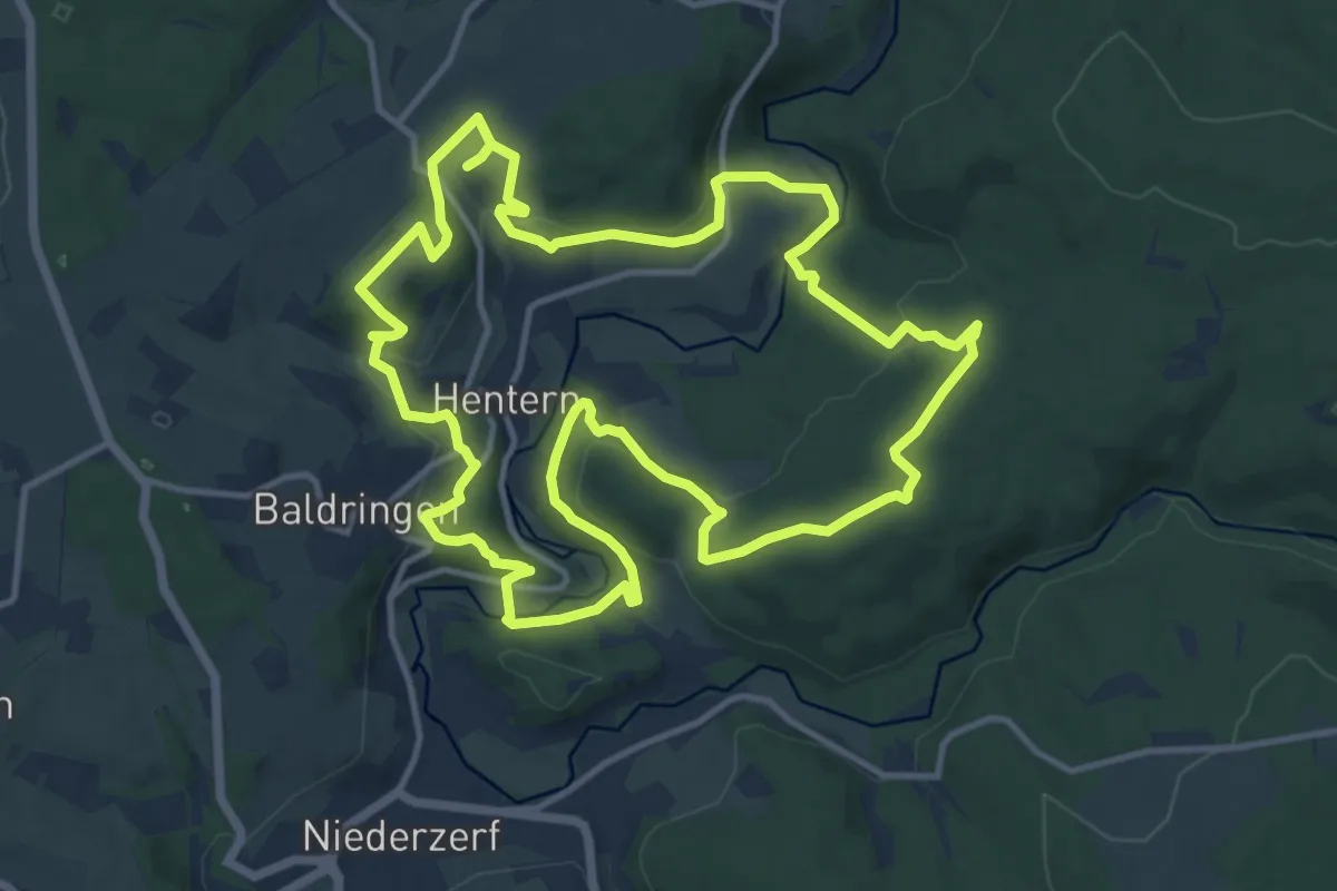
Medium · Summit
Ruwer-Hochwald-Schleife
12.7 km · ↑ 358 m · 3 h 57 min
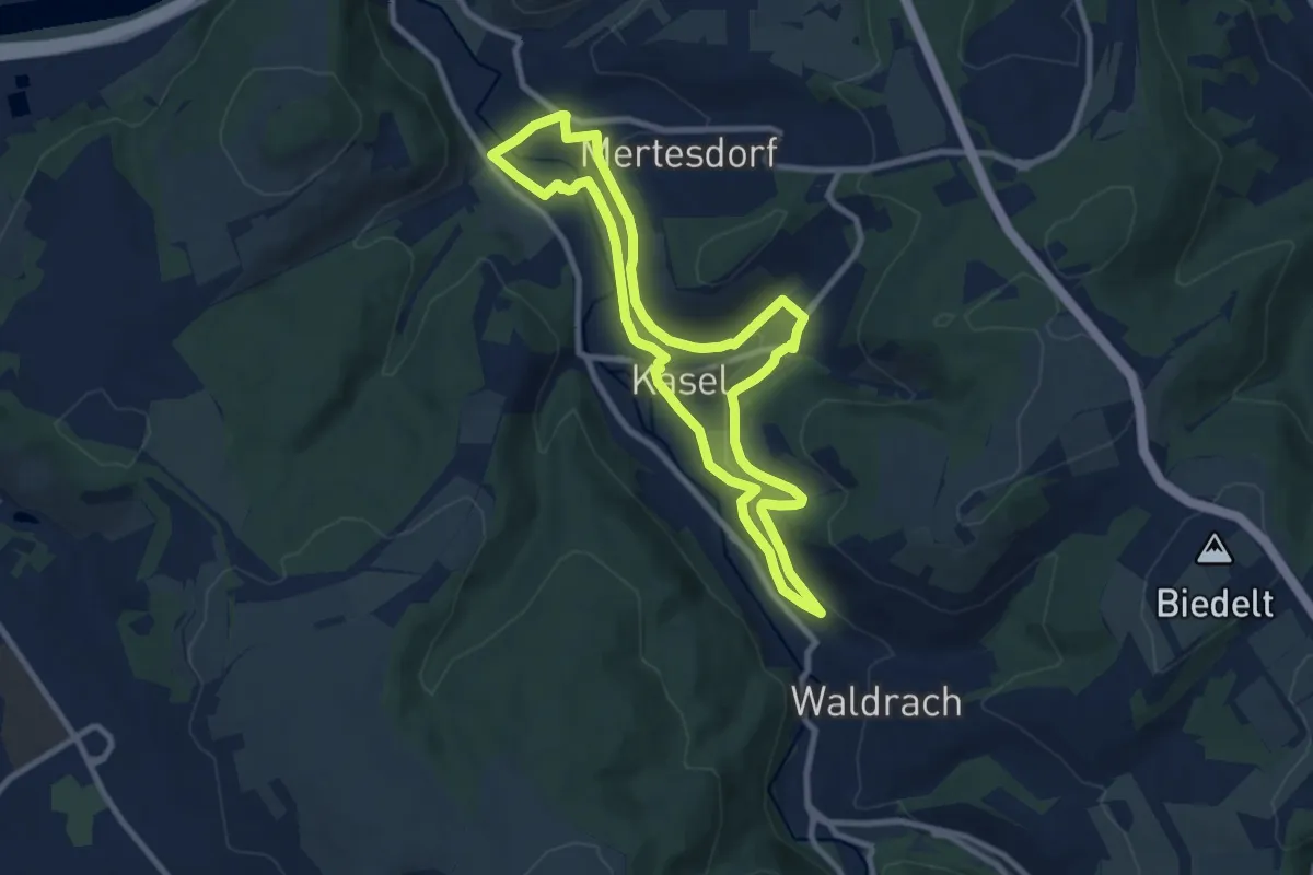
Medium · Trail
Ruwer-Riesling-Erlebnisweg
8.1 km · ↑ 179 m · 2 h 25 min
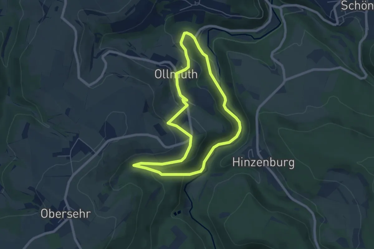
Easy · Trail
Ruwertal 4
5.0 km · ↑ 164 m · 1 h 36 min
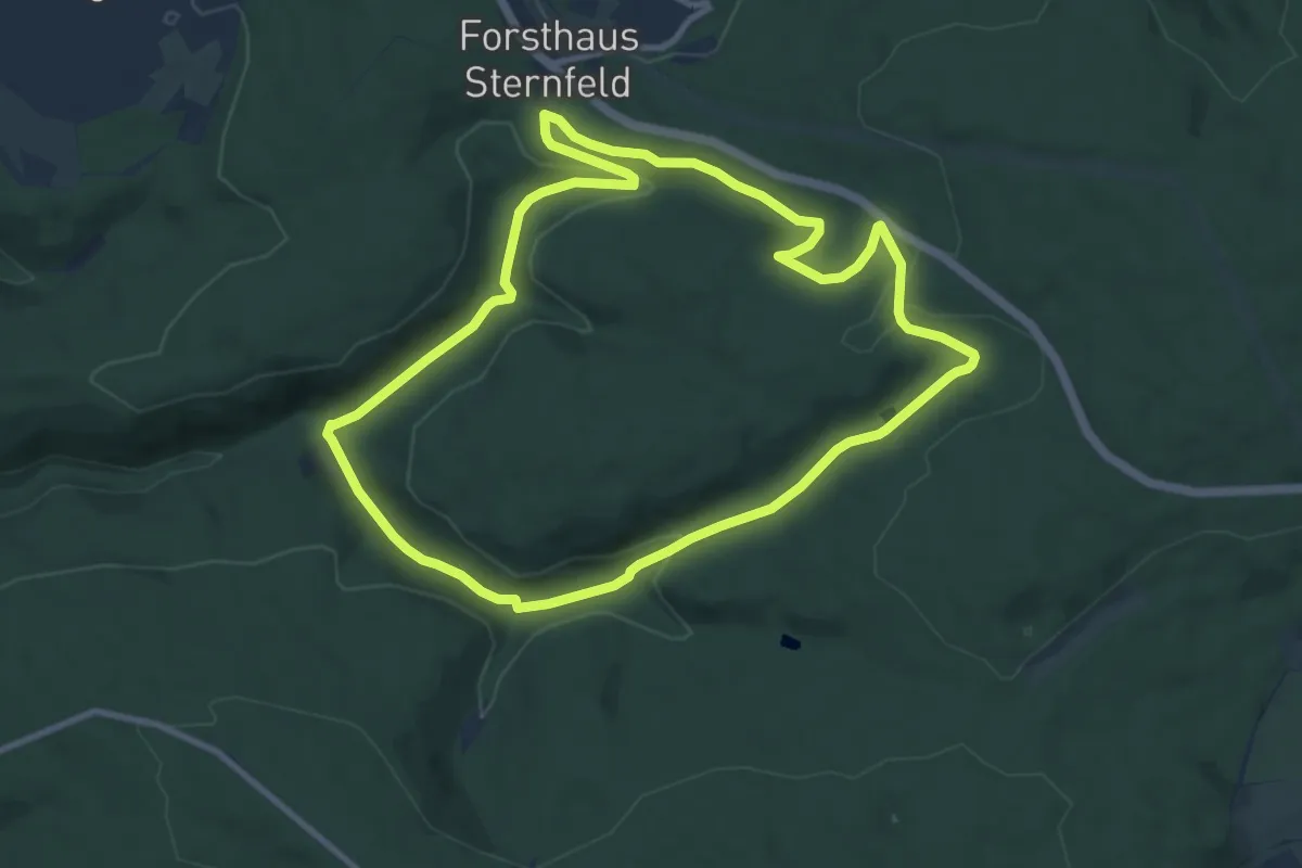
Medium · Trail
Ruwer und Nebenbäche
8.9 km · ↑ 202 m · 2 h 40 min
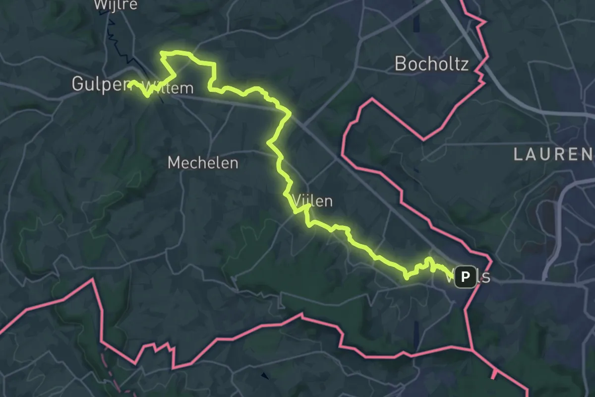
Demanding · Summit
RvN Krijtlandpad - 04
33.0 km · ↑ 460 m · 8 h 48 min
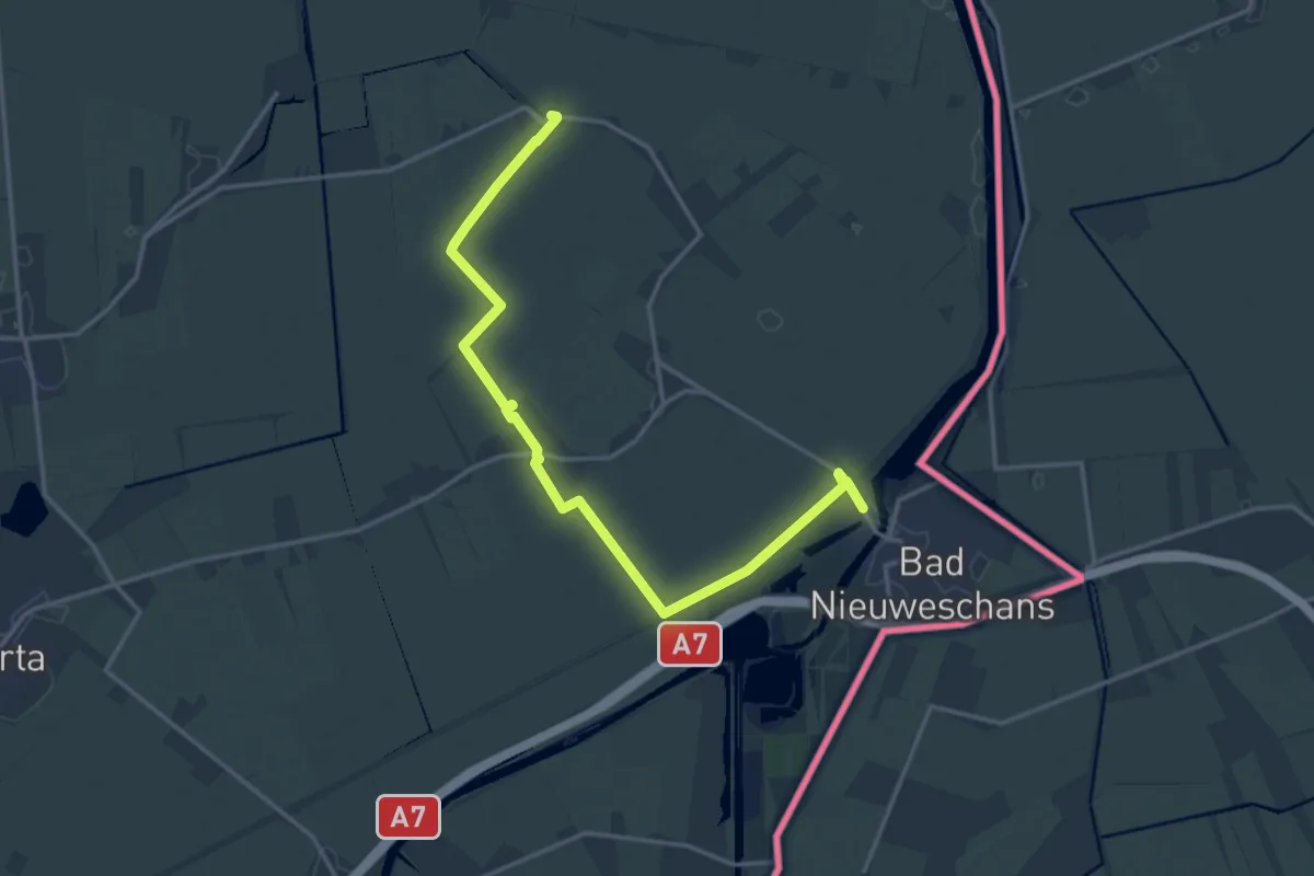
Medium · Trail
RvN Nederlands Kustpad deel 3, sectie 15 (Kostverloren - Bad Nieuweschans) variant RVN
15.3 km · ↑ 4 m · 3 h 37 min
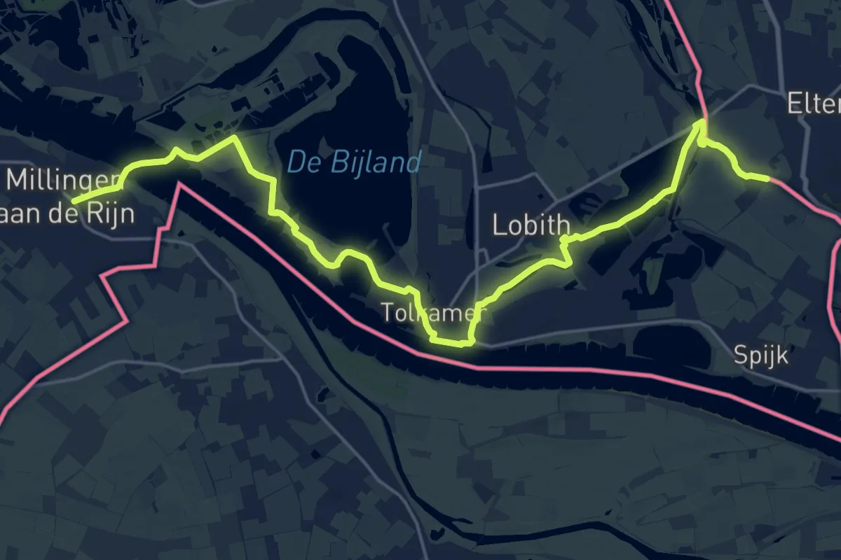
Demanding · Trail
RvN Pieterpad deel 2 - 16 - variant voor Ronde van Nederland
22.5 km · ↑ 26 m · 5 h 23 min
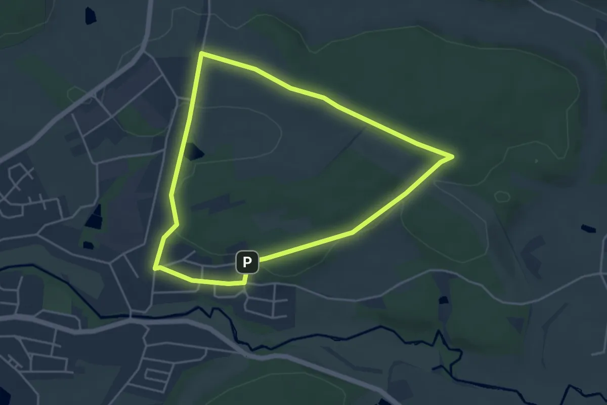
Easy · Trail
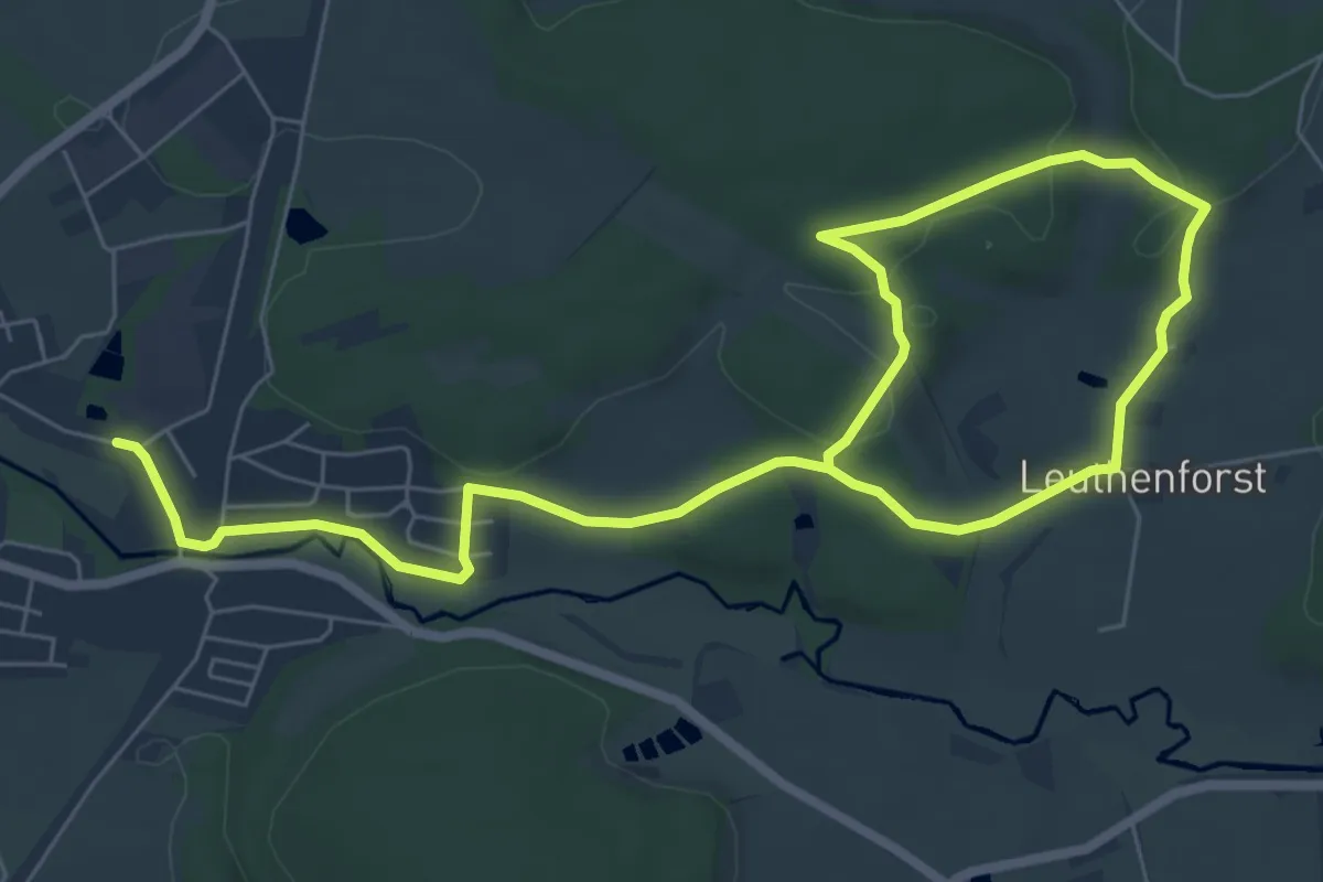
RW 1 (Marktleuthen)
3.7 km · ↑ 49 m · 1 h 2 min
Medium · Trail
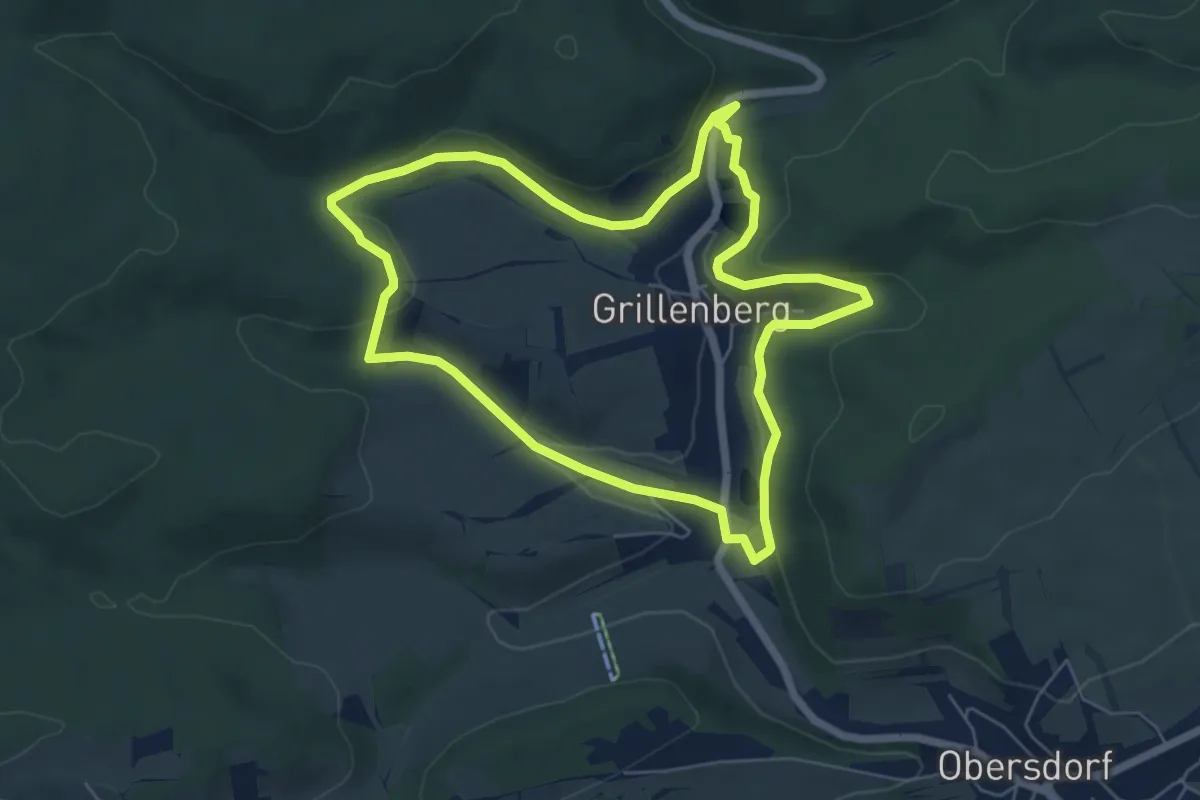
RW 5 (Marktleuthen)
9.8 km · ↑ 159 m · 2 h 40 min
Easy · Trail
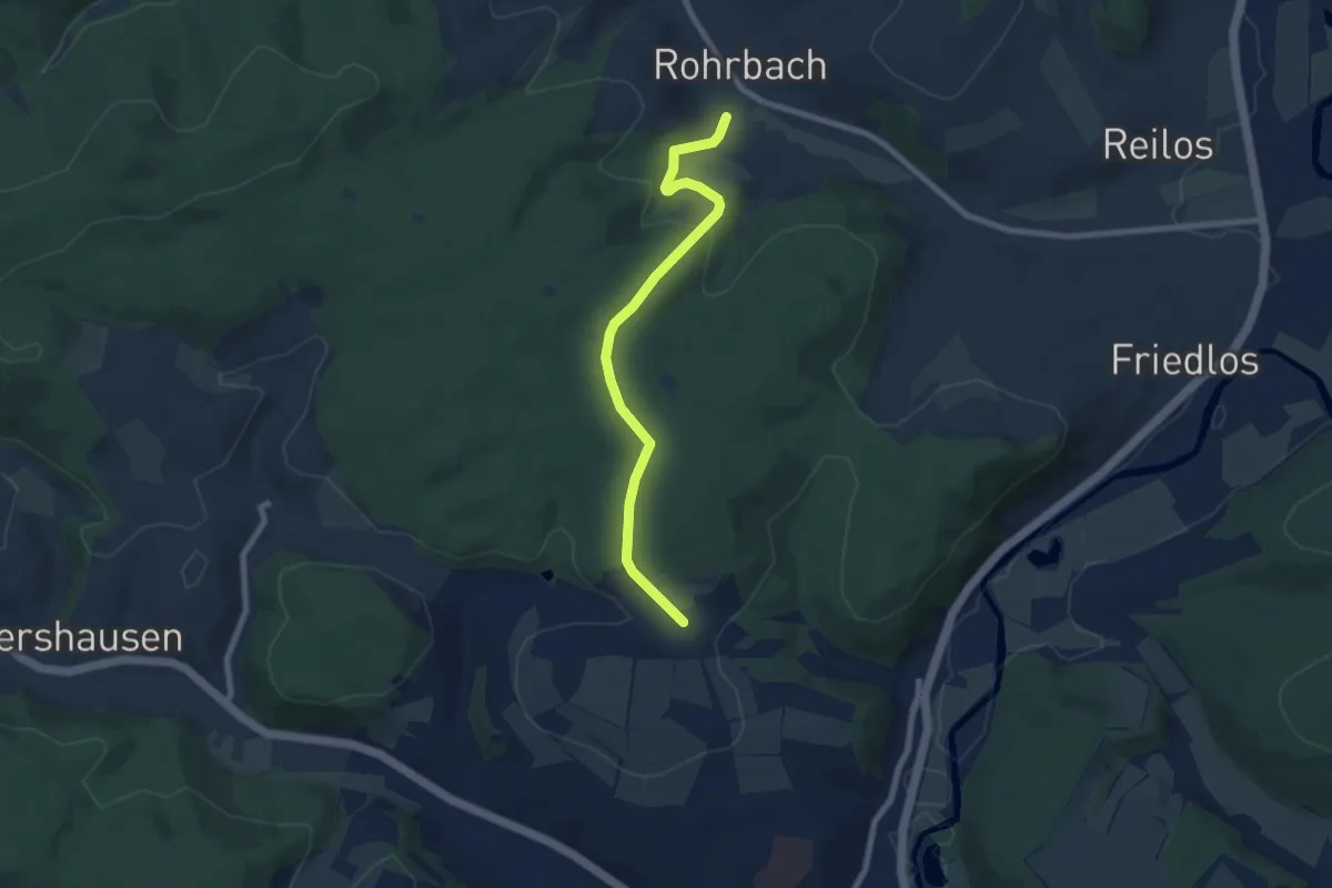
RW Buschklepperweg
5.5 km · ↑ 139 m · 1 h 40 min
Easy · Trail
R-Weg
6.8 km · ↑ 214 m · 2 h 4 min
Demanding · Trail
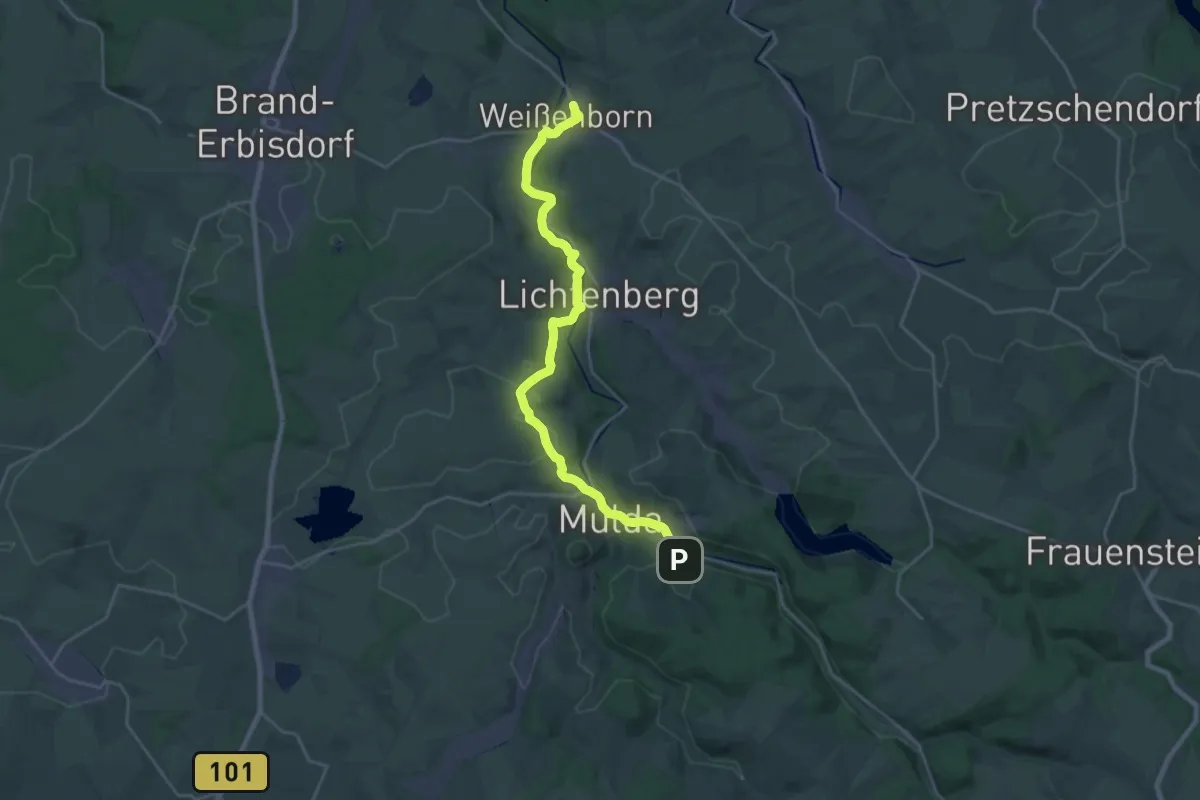
[R] Weißenborn - Mulda
23.5 km · ↑ 322 m · 6 h 14 min
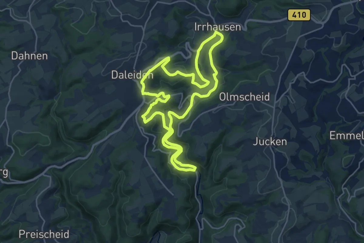
Medium · Trail
RWE - Route
14.9 km · ↑ 319 m · 4 h 26 min
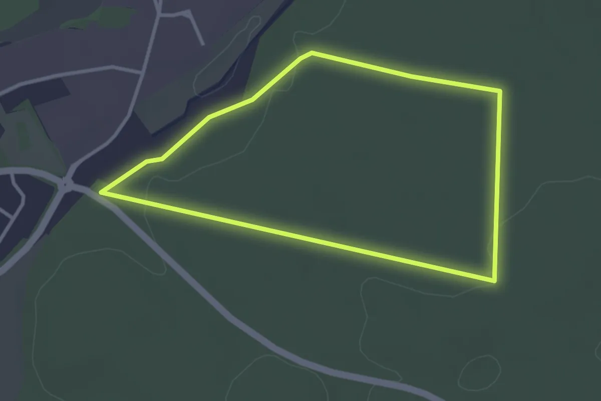
Easy · Trail
RWE Route
2.7 km · ↑ 27 m · 44 min
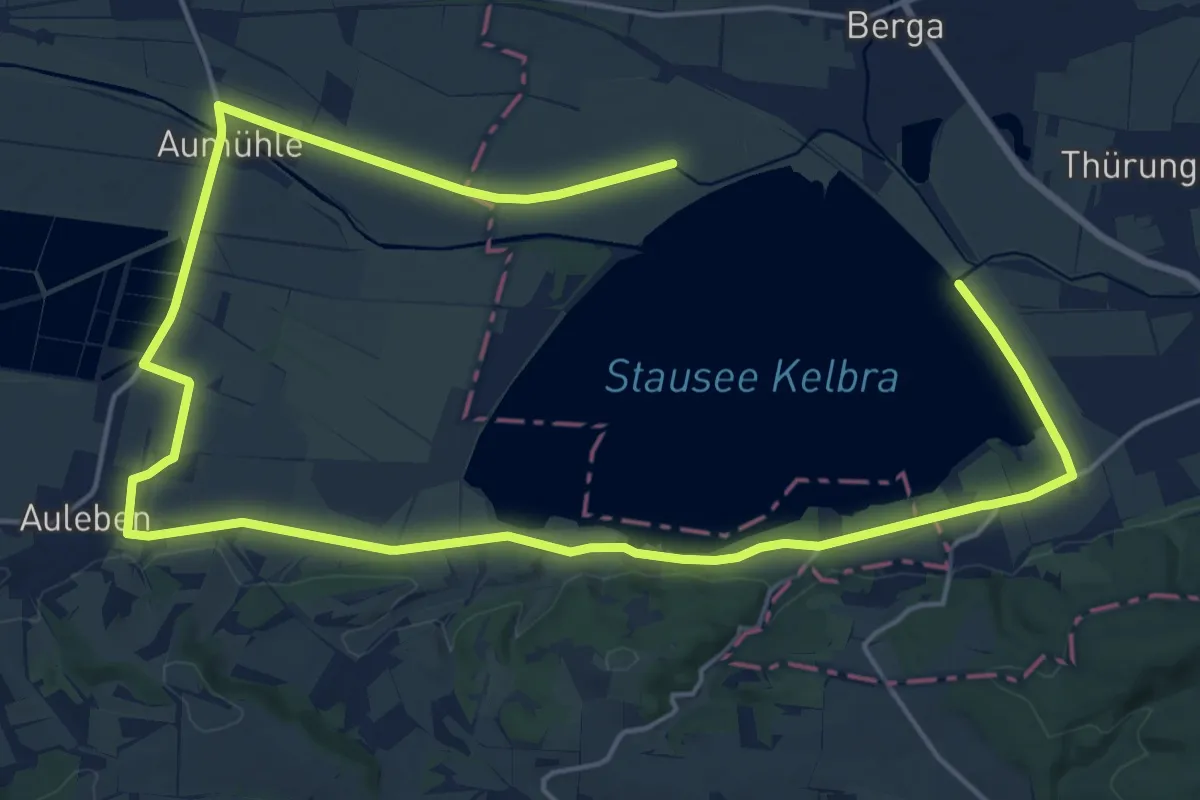
Demanding · Trail
RW Kelbra Stausee
28.1 km · ↑ 96 m · 6 h 51 min
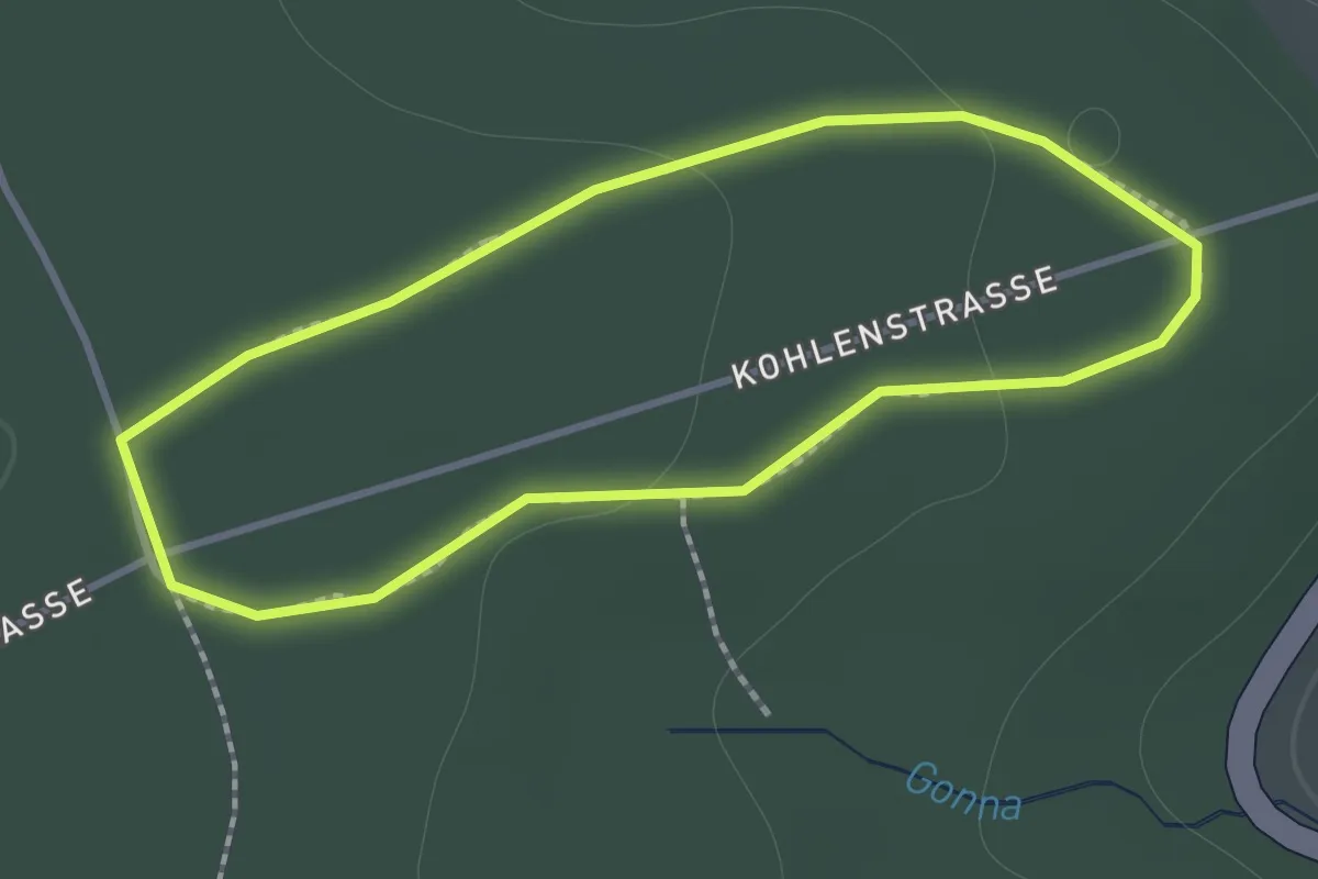
Easy · Trail
RW Lehrpfad behindertengerecht
1.1 km · ↑ 21 m · 19 min
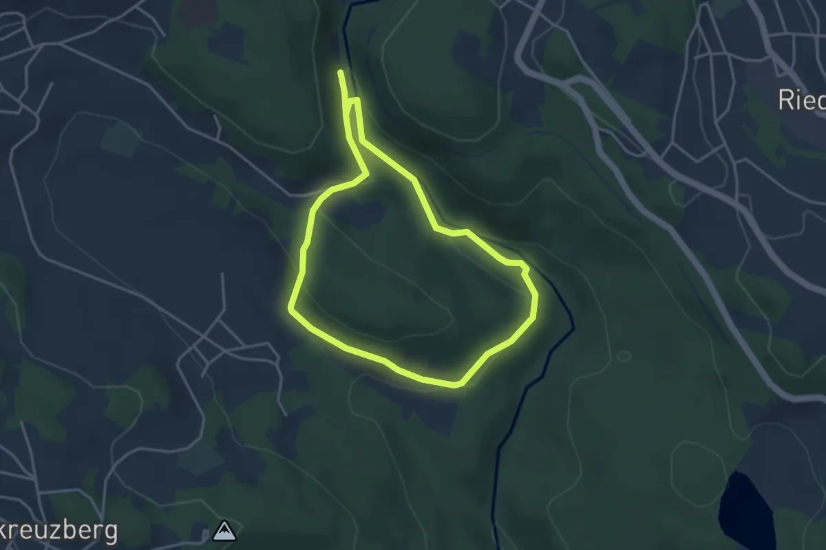
Demanding · Trail
RW Steinklamm
3.1 km · ↑ 104 m · 1 h
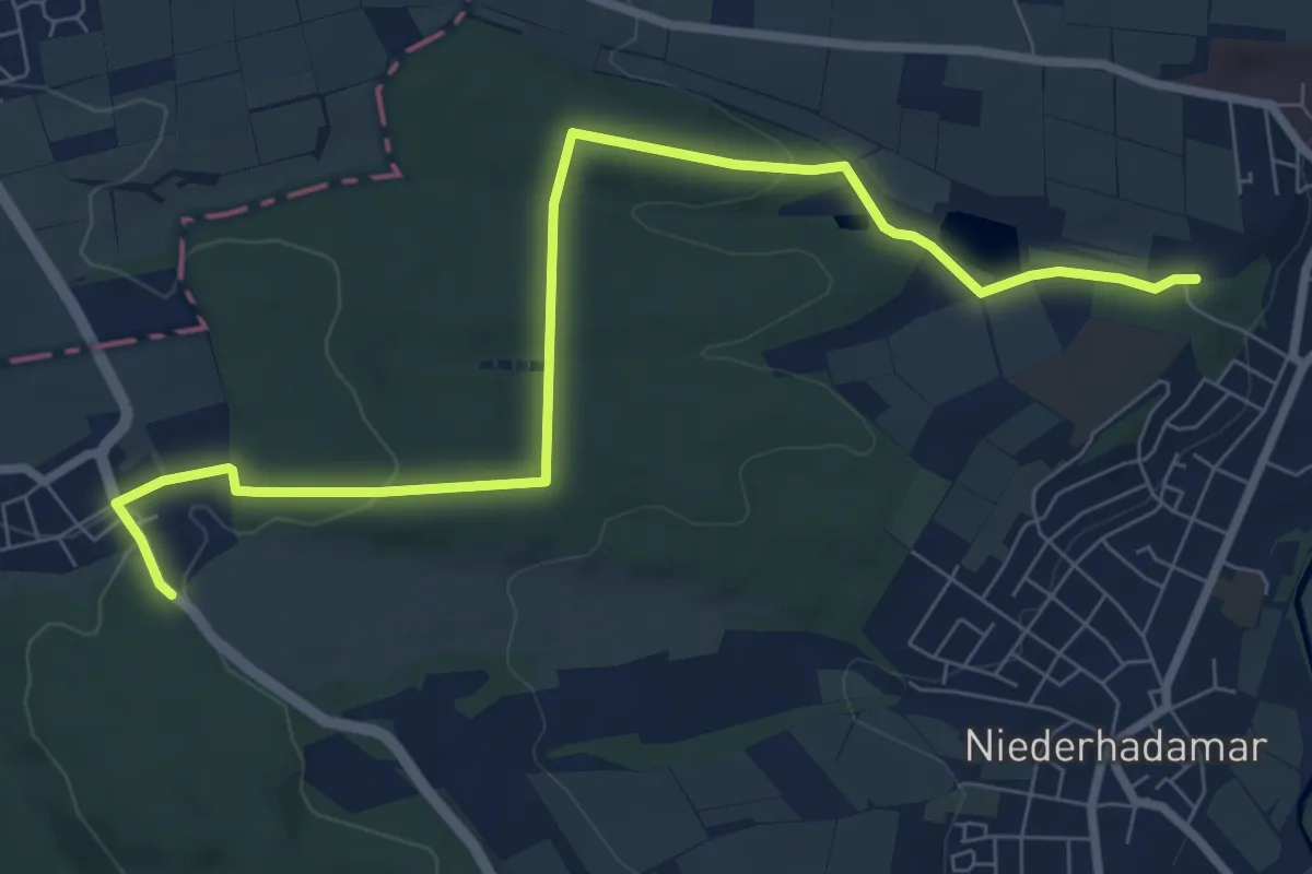
Easy · Trail
RWW 2
4.2 km · ↑ 26 m · 1 h 9 min
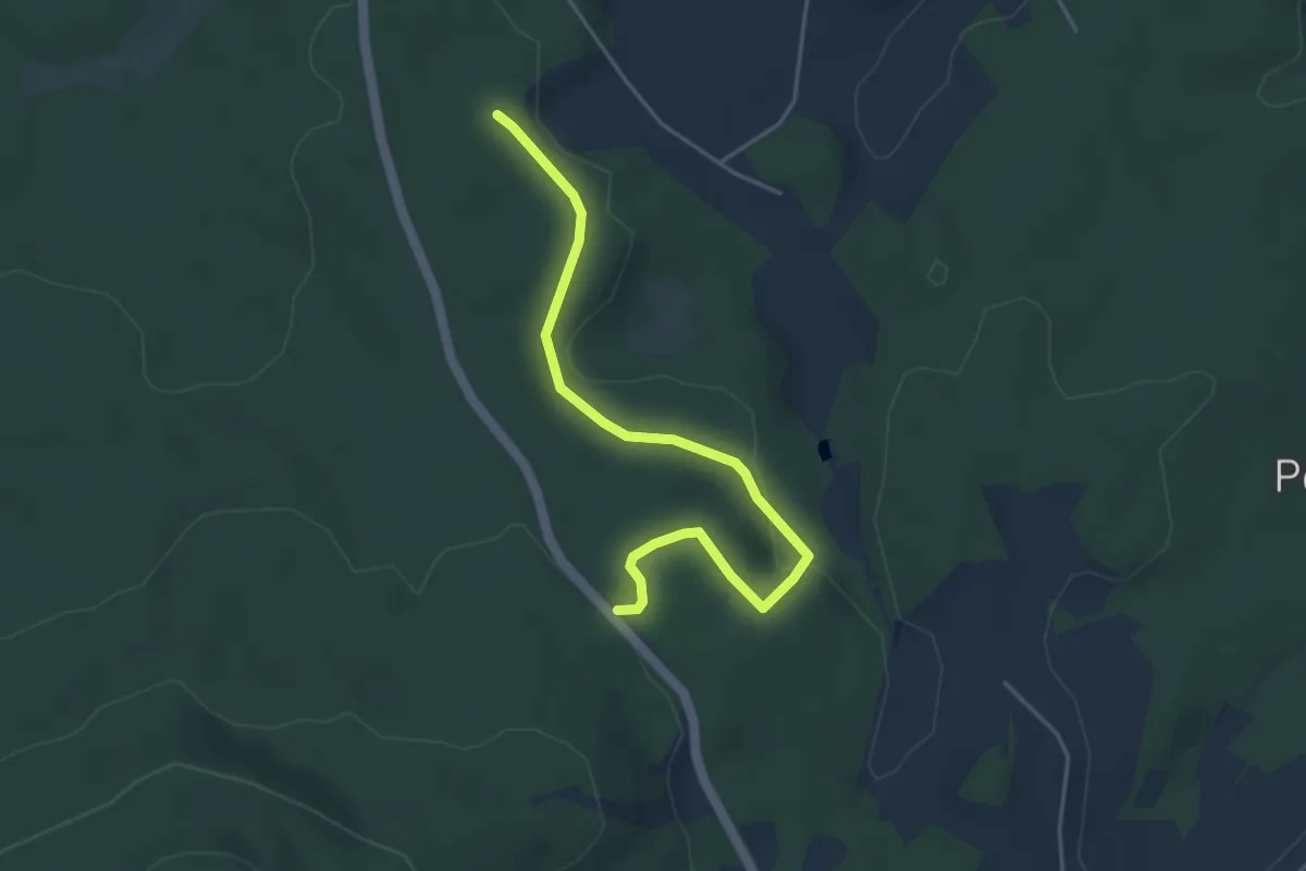
Easy · Trail
RWW 23: Wildparkweg
4.3 km · ↑ 98 m · 1 h 14 min
Easy · Trail
RWW 24: Turmweg
2.2 km · ↑ 64 m · 40 min
Easy · Trail
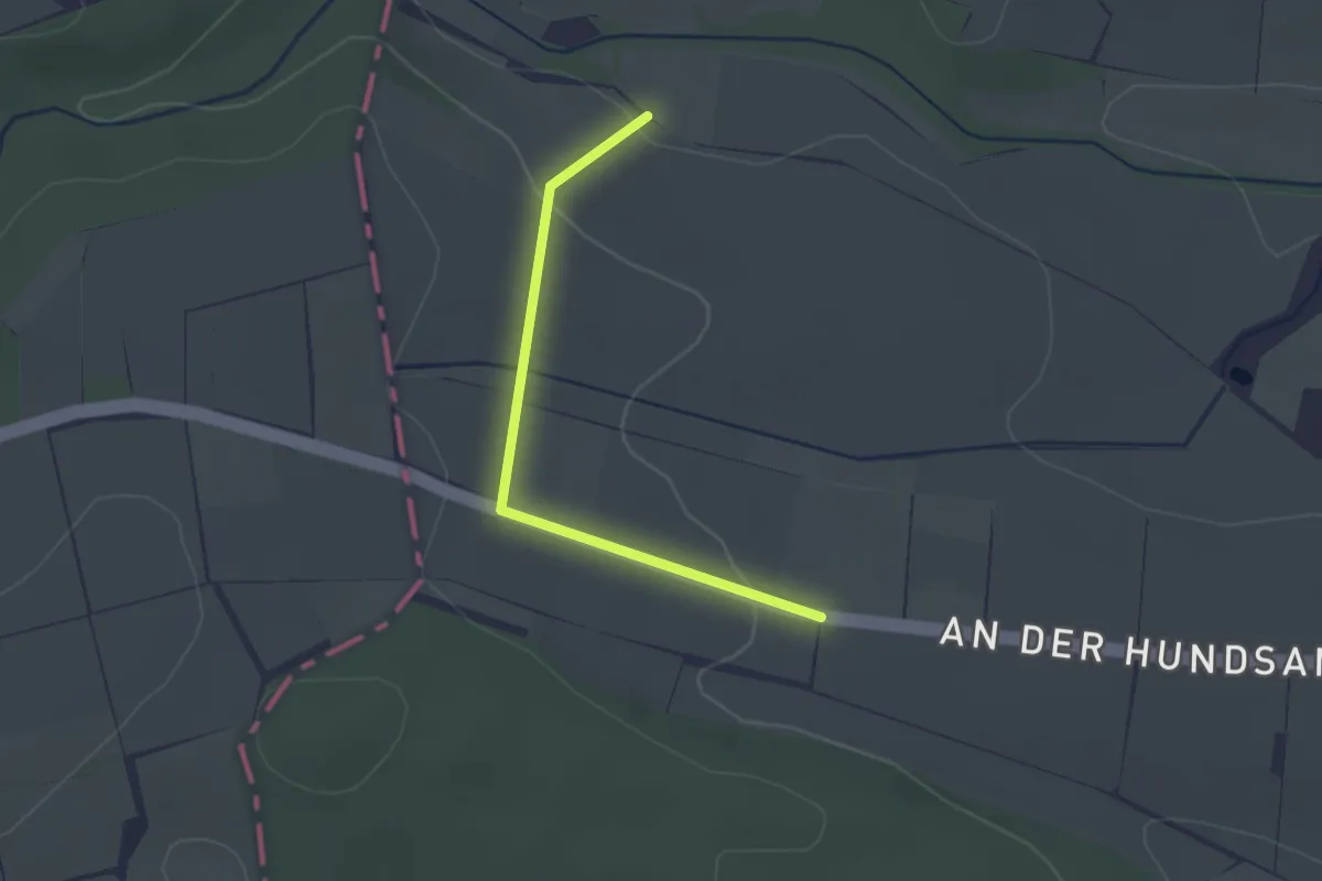
RWW 4
1.0 km · ↑ 36 m · 20 min
Easy · Trail
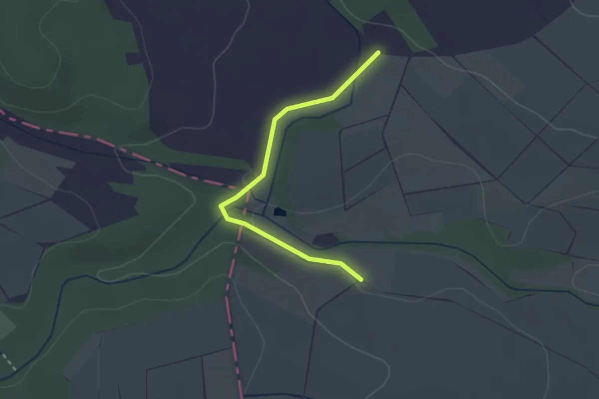
RWW 5
1.1 km · ↑ 18 m · 19 min
Easy · Trail
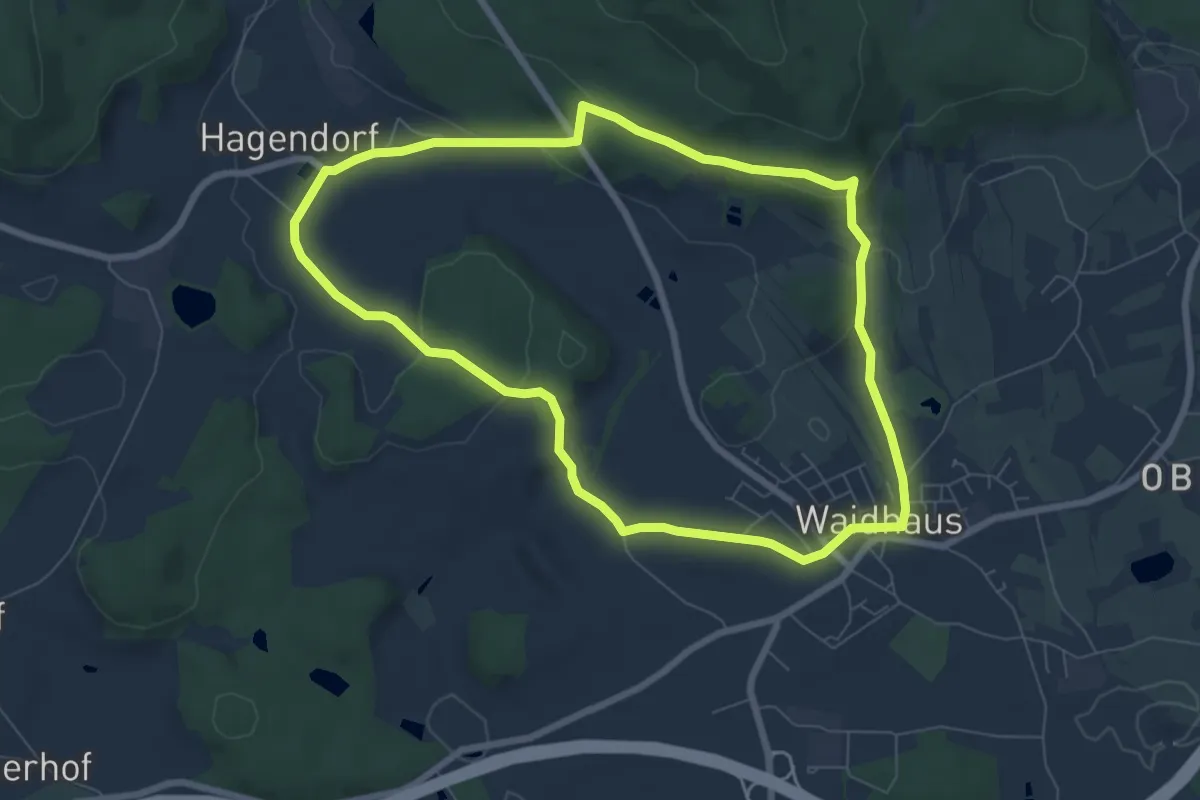
RW: Waidhaus – Hagendorf – Waidhaus
6.8 km · ↑ 145 m · 2 h 1 min
Easy · Trail
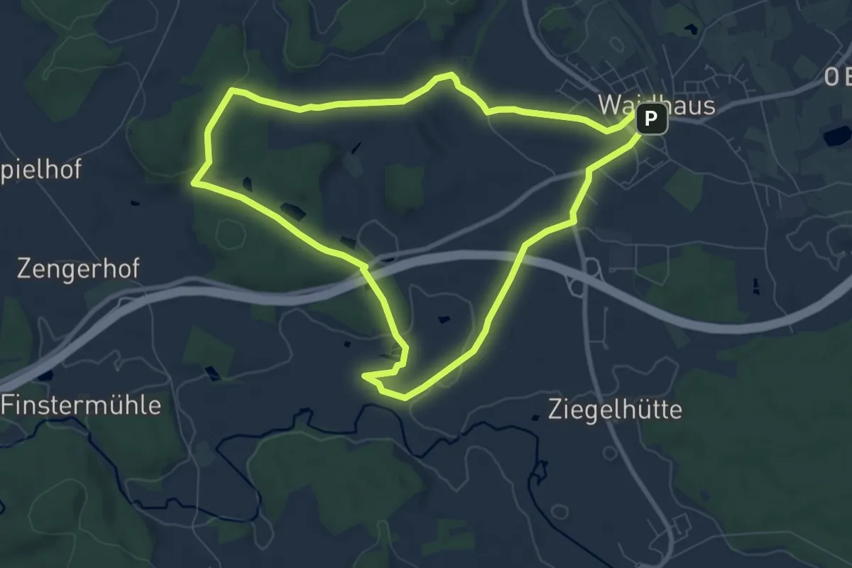
RW: Waidhaus – Hoher Brand – Waidhaus
7.9 km · ↑ 92 m · 2 h 11 min