Trails in Germany
36,852 hiking trails, each with its route, climb, walking time and grade.
All trails, page 562 of 768
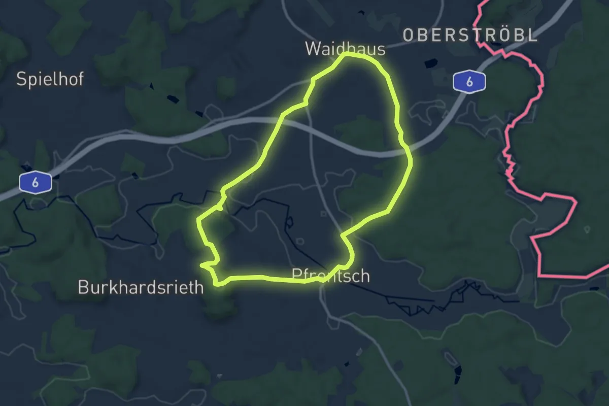
Medium · Summit
RW: Waidhaus – Ulrichsberg – Waidhaus
9.5 km · ↑ 165 m · 2 h 43 min
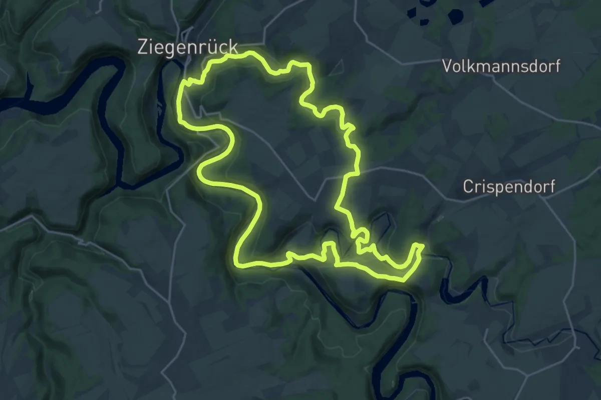
Demanding · Trail
RWW Saale - Wisenta - Plothengrund
20.4 km · ↑ 395 m · 5 h 58 min
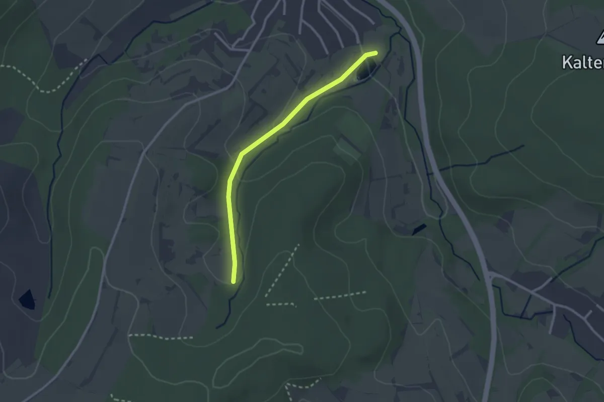
Easy · Trail
S
2.3 km · ↑ 63 m · 40 min
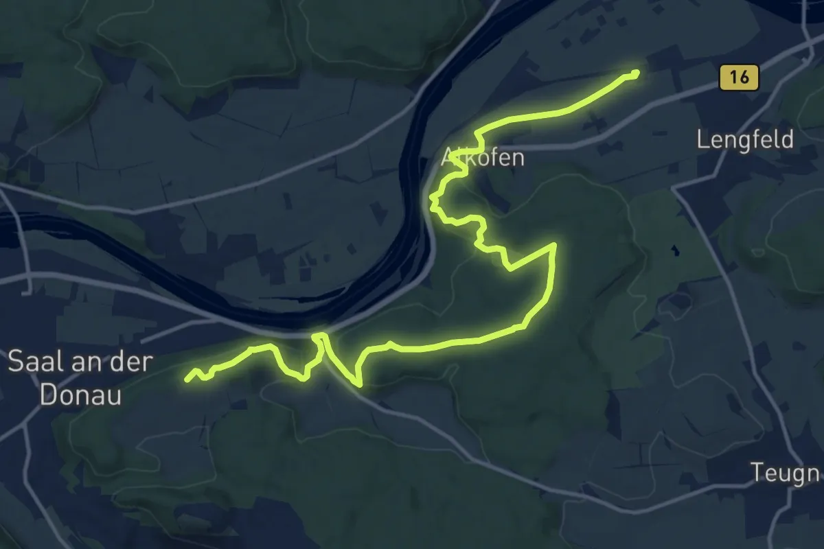
Medium · Summit
S 03 Saal Bf - Bad Abbach Bf (Rotes Rechteck)
17.3 km · ↑ 434 m · 5 h 1 min
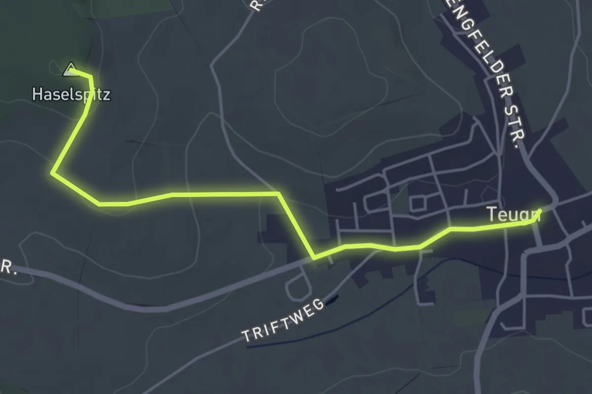
Easy · Summit
S 04 Teugn - Haselspitz (Blaues Rechteck)
4.6 km · ↑ 86 m · 1 h 16 min
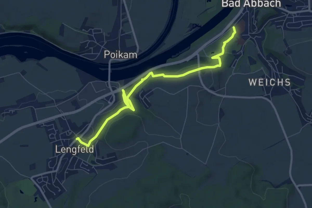
Medium · Trail
S 05 Bad Abbach - Lengfeld (Rotes Rechteck)
8.1 km · ↑ 210 m · 2 h 22 min
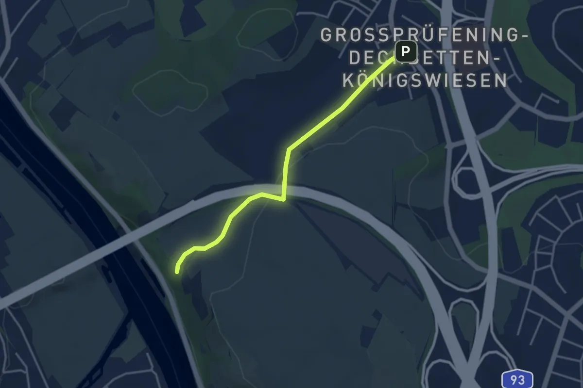
Easy · Trail
S 06 Regensburg-Dechbetten - Schwalbennest (Blaues Rechteck)
3.1 km · ↑ 73 m · 53 min
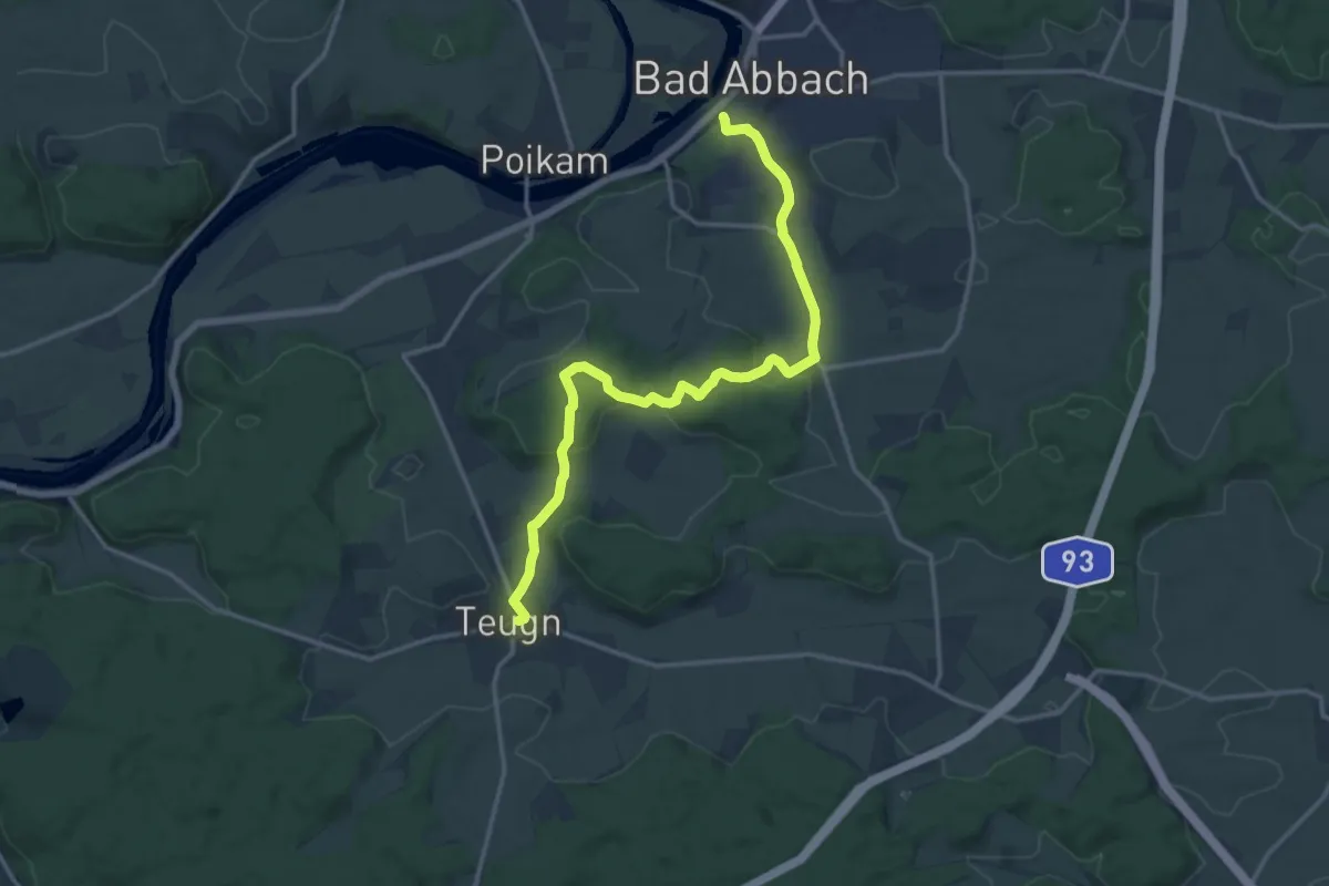
Medium · Trail
S 07 Bad Abbach - Teugn (Grünes Rechteck)
15.2 km · ↑ 289 m · 4 h 14 min
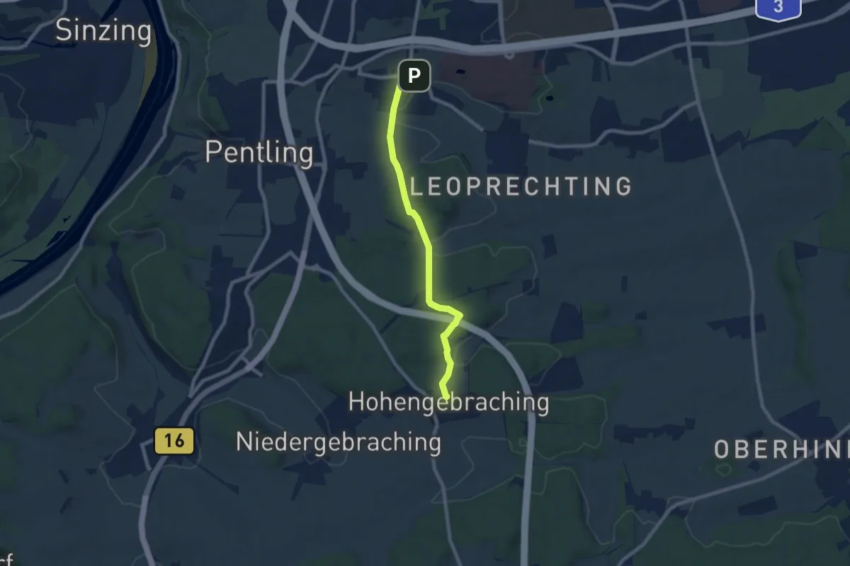
Easy · Trail
S 08 Regensburg-Graß - Hohengebraching (Rotes Dreieck)
7.0 km · ↑ 163 m · 2 h 1 min
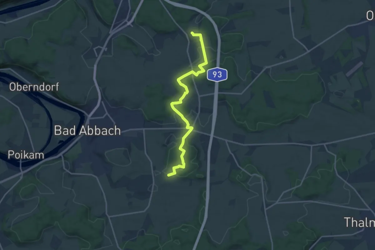
Medium · Trail
S 09 Hohengebraching - Peising (Rotes Dreieck)
13.2 km · ↑ 257 m · 3 h 40 min
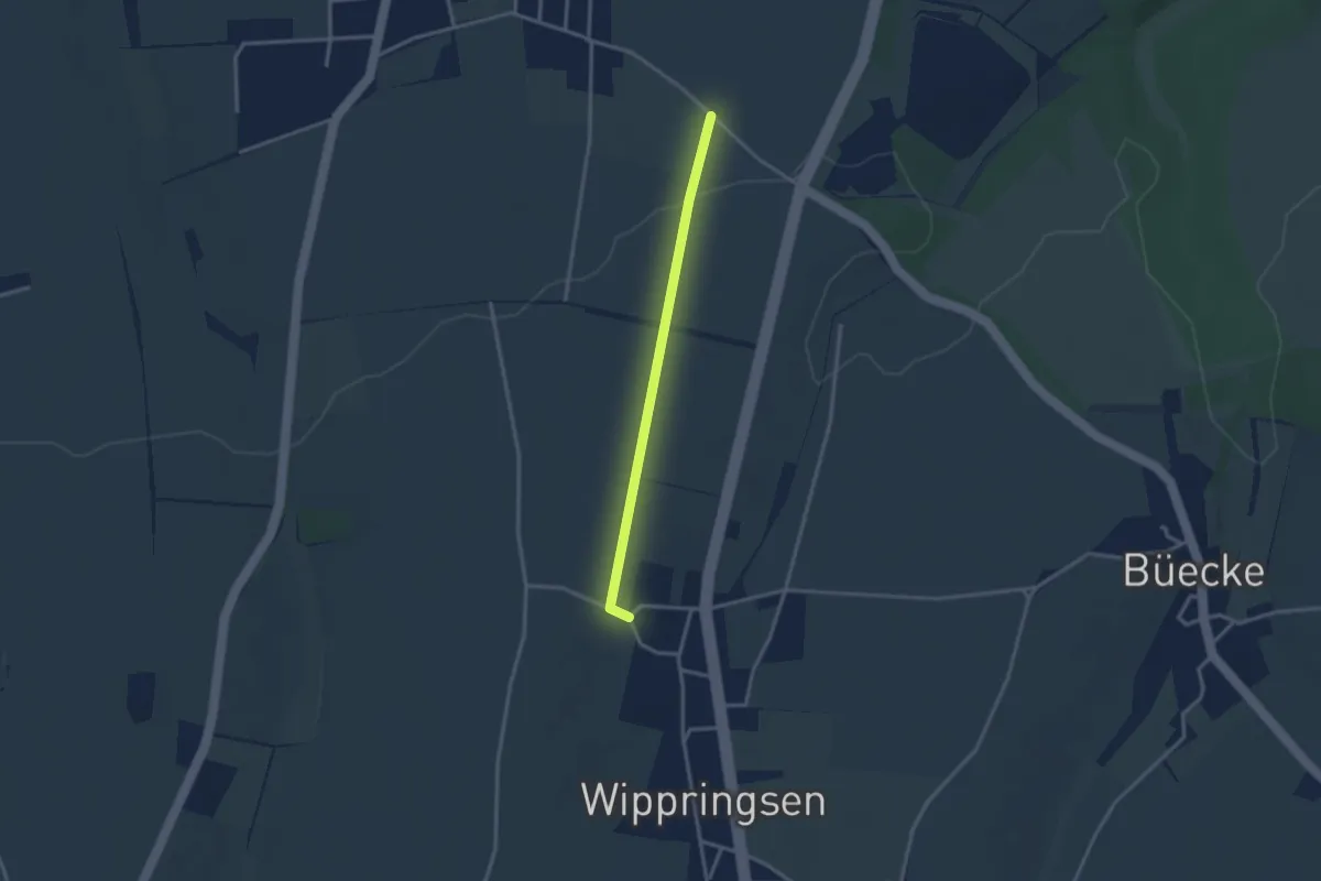
Easy · Trail
S1
2.5 km · ↑ 35 m · 40 min
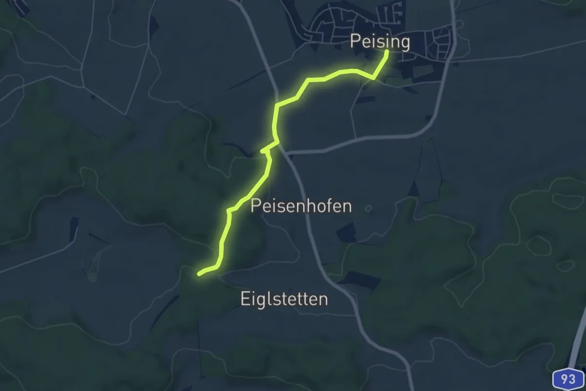
Easy · Trail
S 10 Peiting - Teugn (Rotes Dreieck)
5.5 km · ↑ 122 m · 1 h 34 min
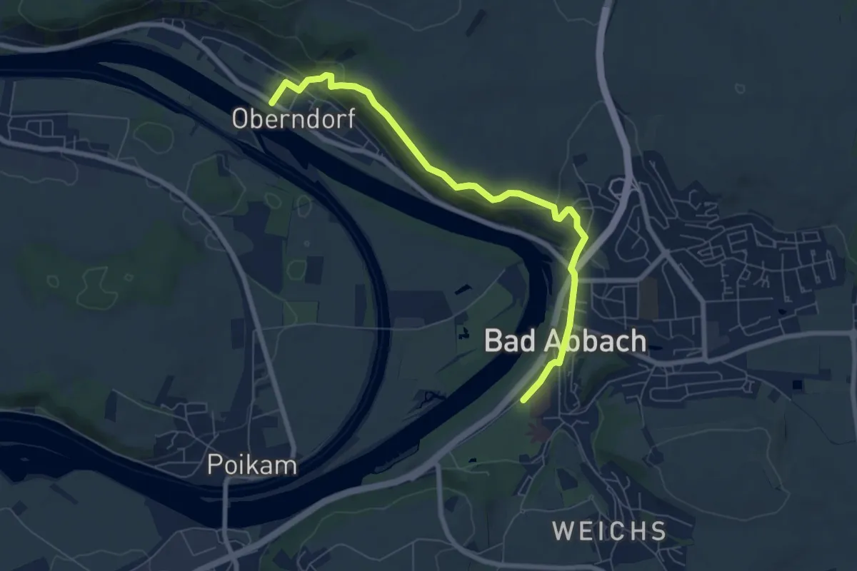
Medium · Trail
S 11 Oberndorf - Bad Abbach (Rotes Rechteck)
7.0 km · ↑ 266 m · 2 h 14 min
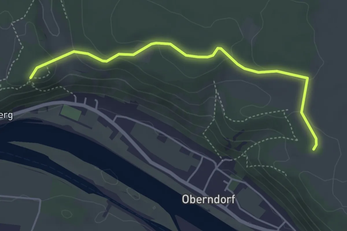
Easy · Cabin
S 12 Verbindung vom Weg S14 (Hanselberg) zum Weg S11 (Bad Abbach)
4.3 km · ↑ 118 m · 1 h 17 min
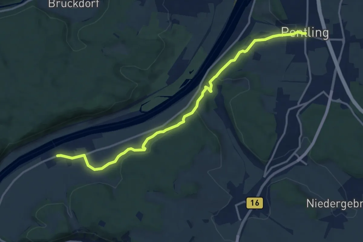
Medium · Trail
S 13 Pentling - Matting (Rotes Rechteck)
10.6 km · ↑ 256 m · 3 h 3 min
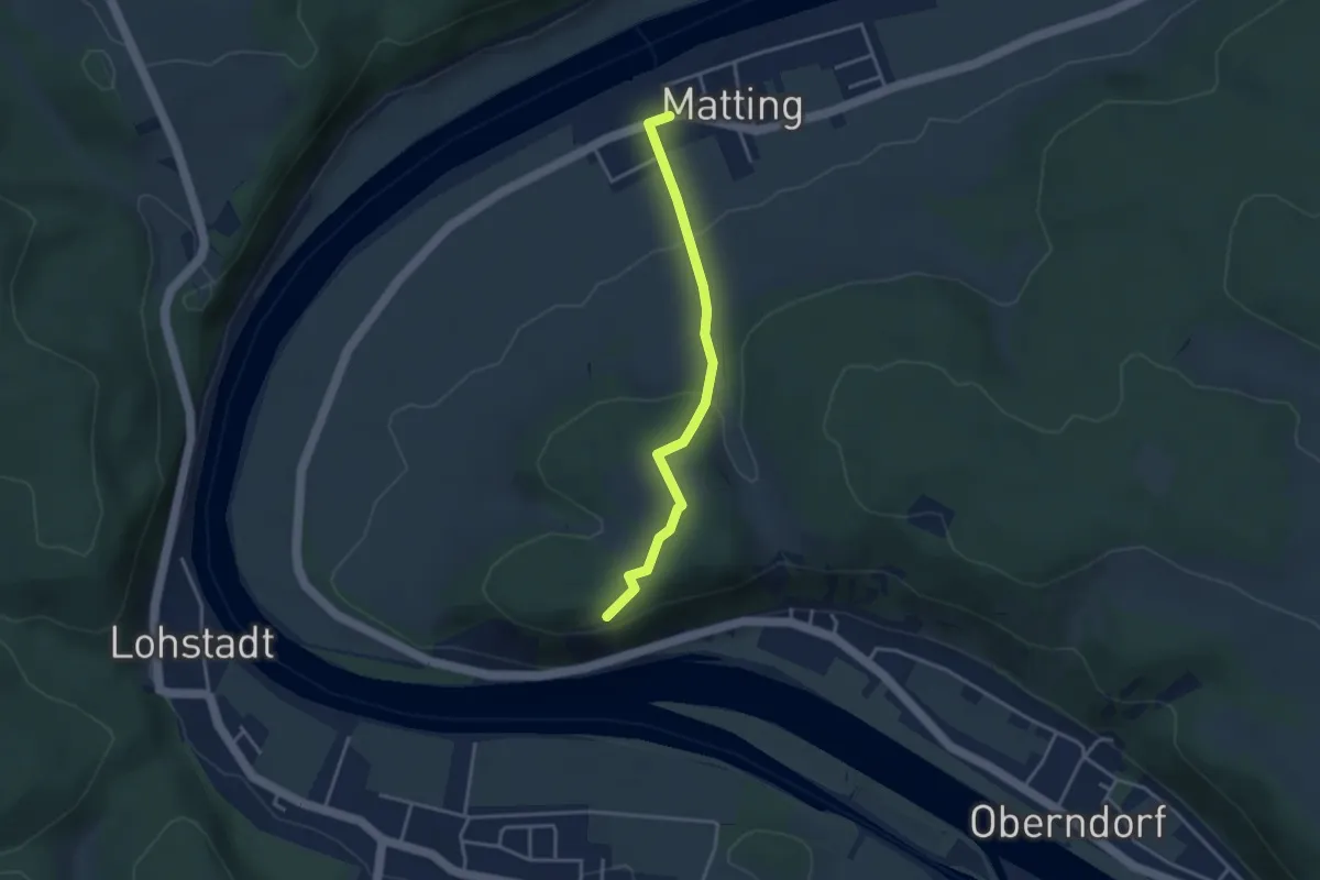
Medium · Summit
S 14 Matting - Oberndorf (Rotes Rechteck)
3.2 km · ↑ 88 m · 56 min
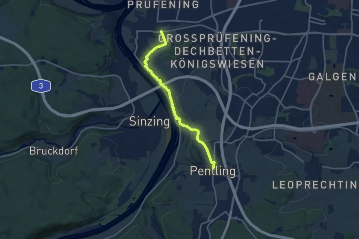
Medium · Trail
S 16 Regensburg-Prüfening - Pentling (Rotes Rechteck)
8.7 km · ↑ 213 m · 2 h 31 min
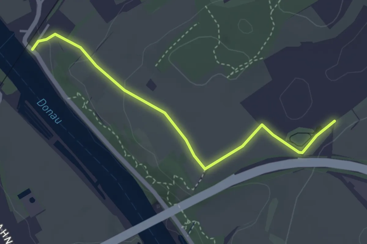
Easy · Trail
S 17 Regensburg-Prüfening - Geologielehrpfad (Grünes Rechteck)
3.4 km · ↑ 68 m · 57 min
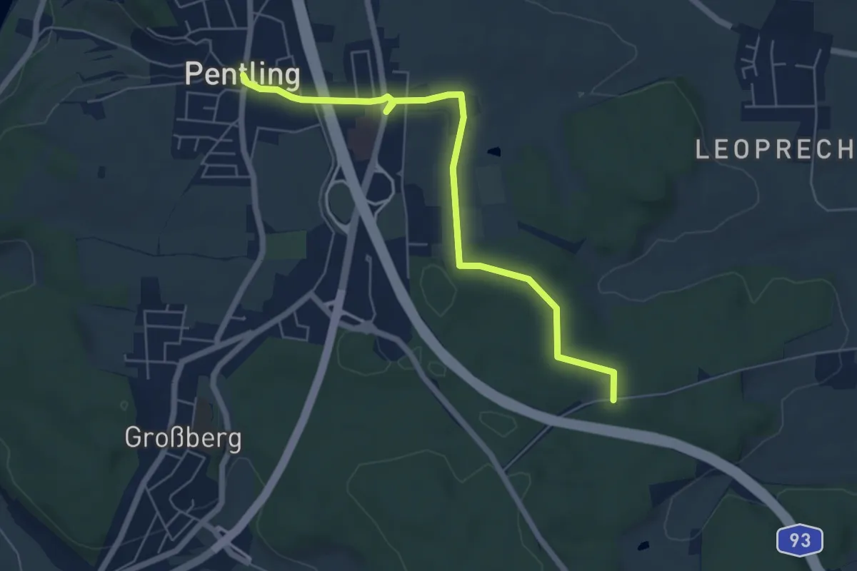
Easy · Trail
S 18 Pentling - Mariengrotte (Grünes Rechteck)
5.8 km · ↑ 72 m · 1 h 31 min
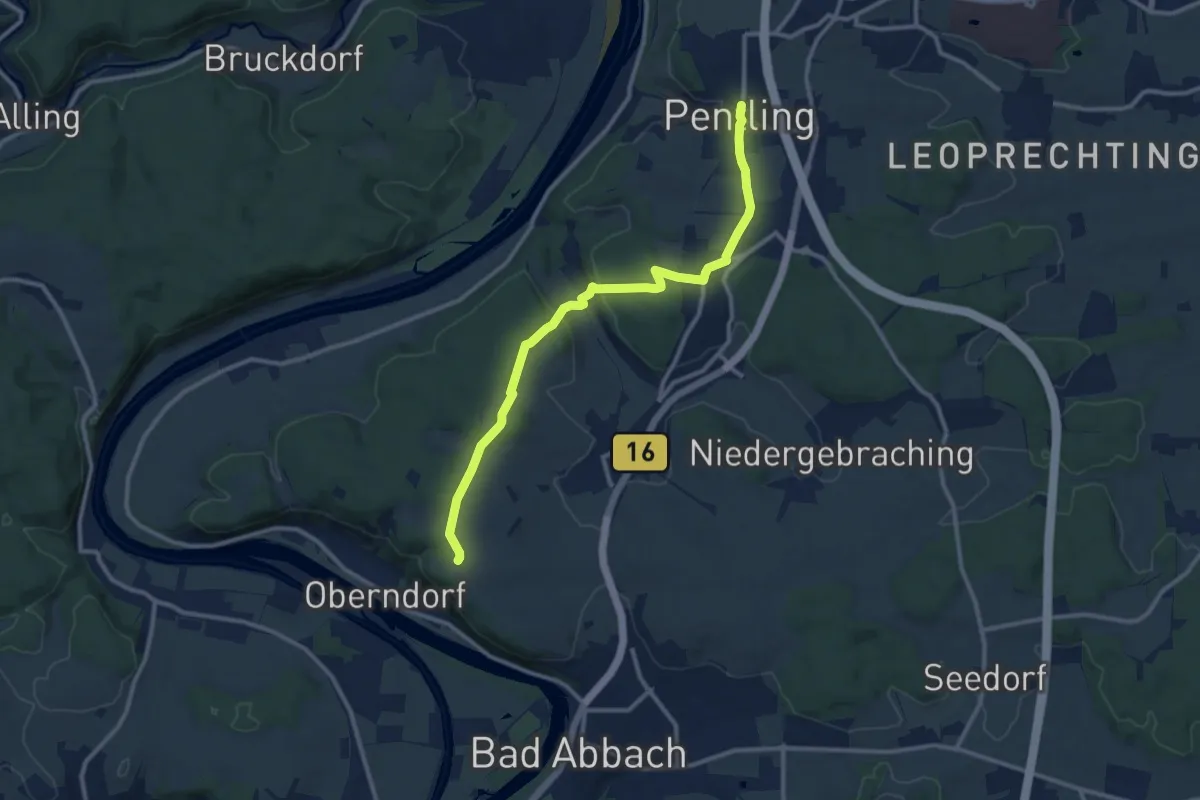
Medium · Trail
S 19 Pentling - Bad Abbach (Grünes Dreieck)
10.8 km · ↑ 285 m · 3 h 10 min
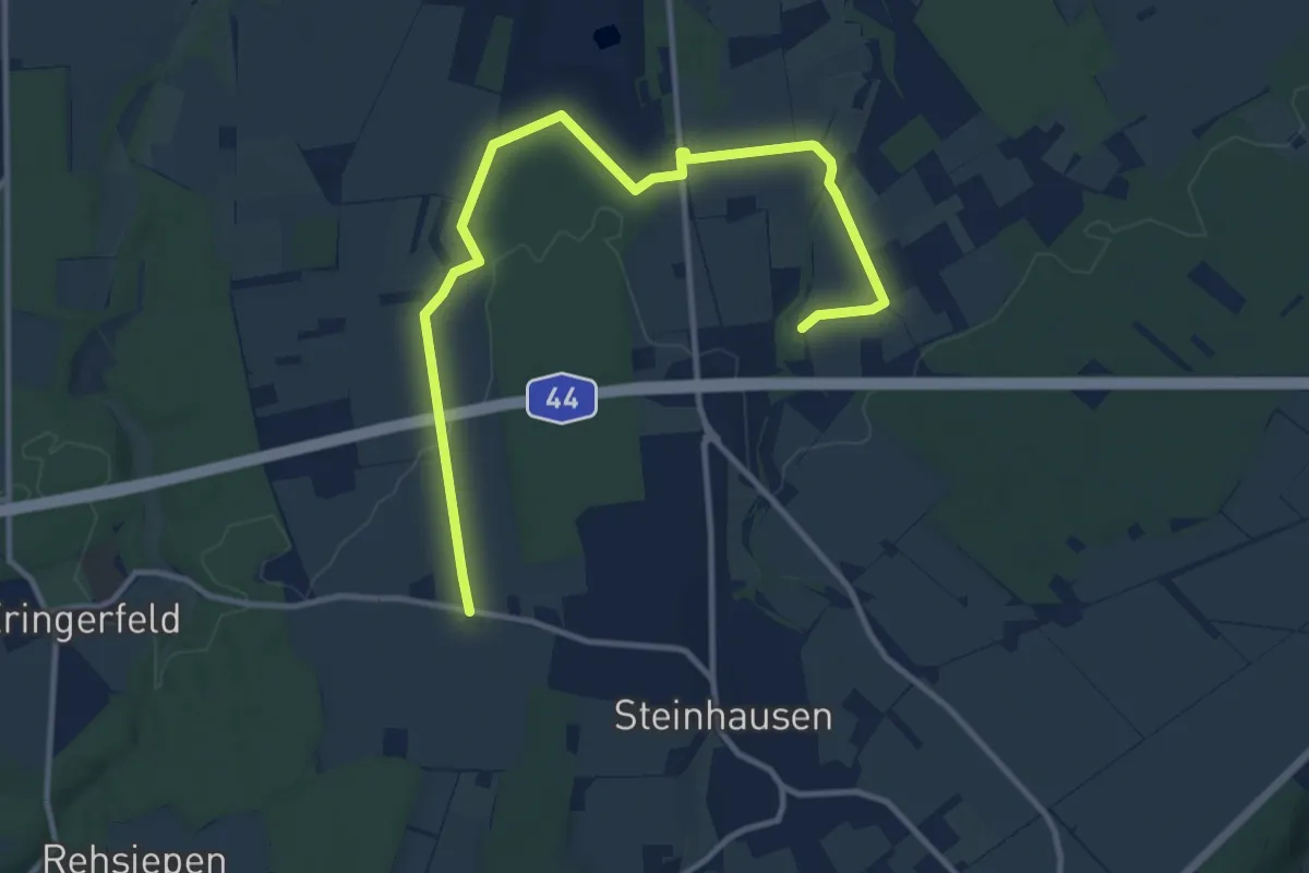
Medium · Trail
S1(Geseke)
11.8 km · ↑ 69 m · 2 h 56 min
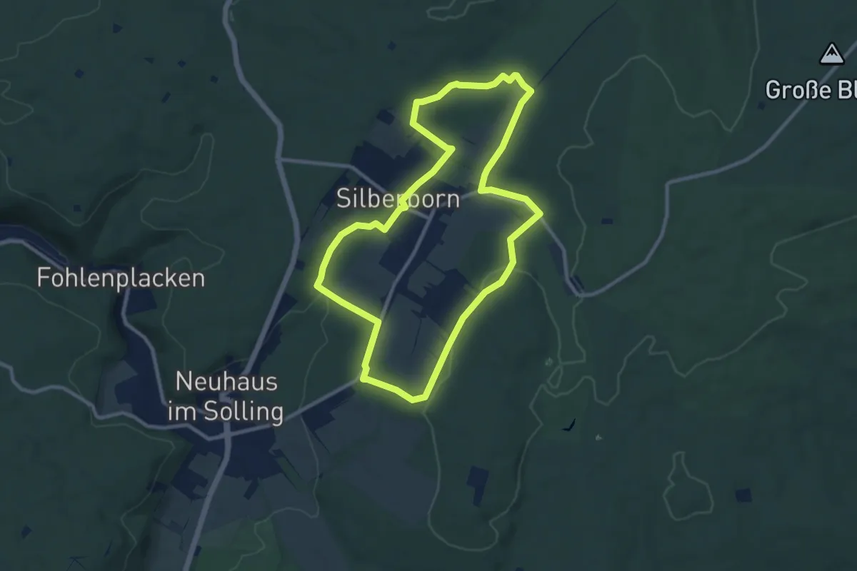
Medium · Trail
S 1 Hochmoorgeist
8.4 km · ↑ 153 m · 2 h 26 min
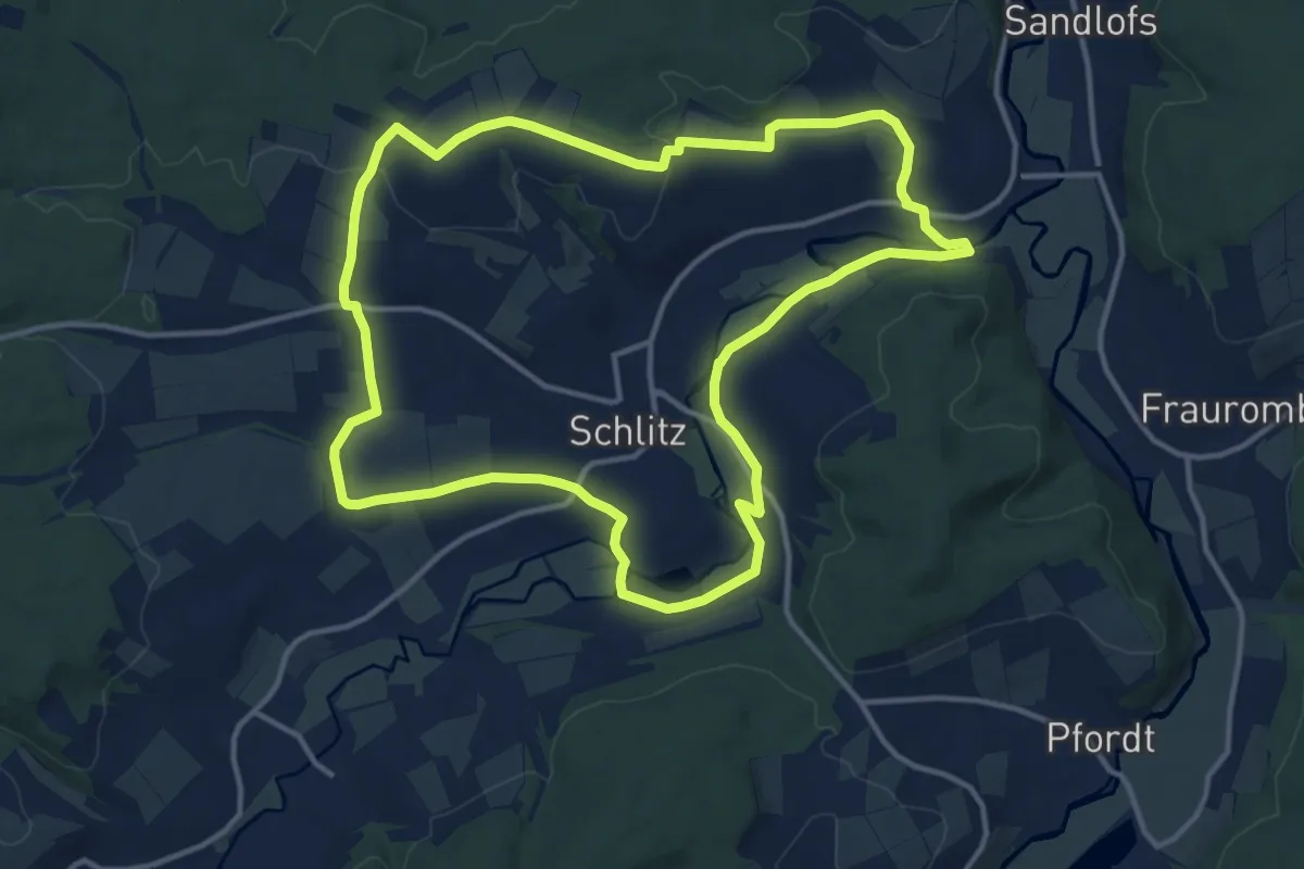
Medium · Summit
S1 (Schlitz)
12.8 km · ↑ 134 m · 3 h 29 min
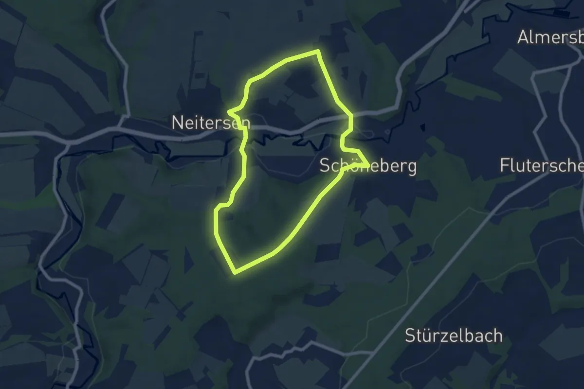
Easy · Trail
[S1] Schöneberg Rundwanderweg
5.5 km · ↑ 126 m · 1 h 38 min
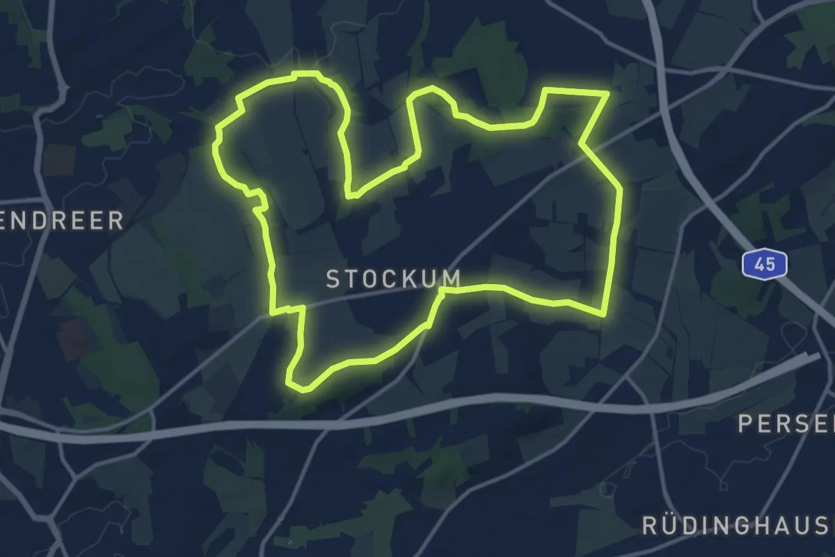
Medium · Summit
[S1] Stockum Rundweg
12.1 km · ↑ 127 m · 3 h 19 min
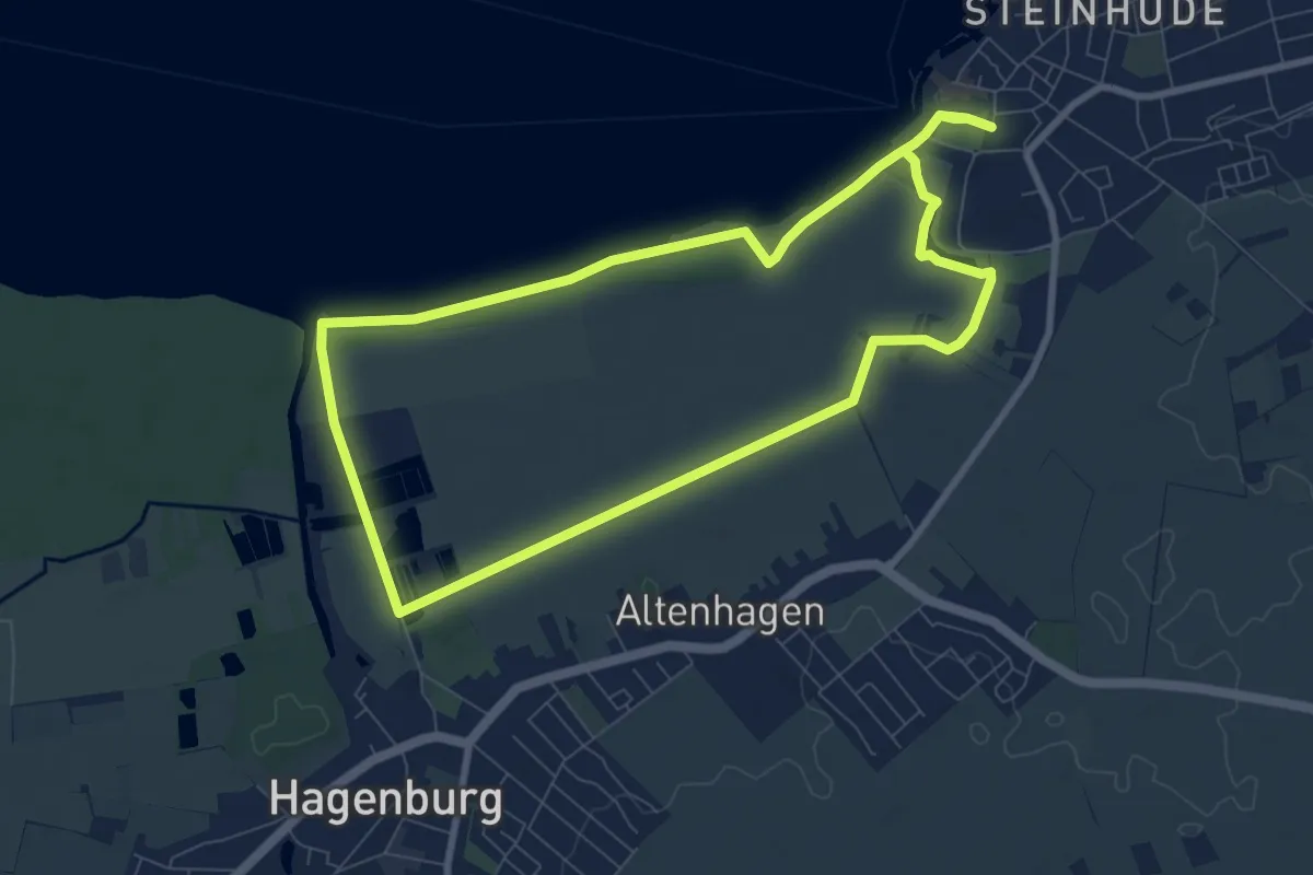
Easy · Trail
S1 Ufer-Moorwiesenweg (Steinhuder Rundweg)
7.3 km · ↑ 4 m · 1 h 50 min
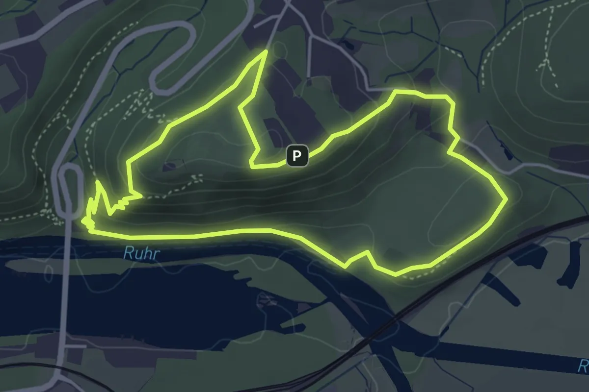
Easy · Summit
[S1] Um den Syberg
4.2 km · ↑ 171 m · 1 h 25 min
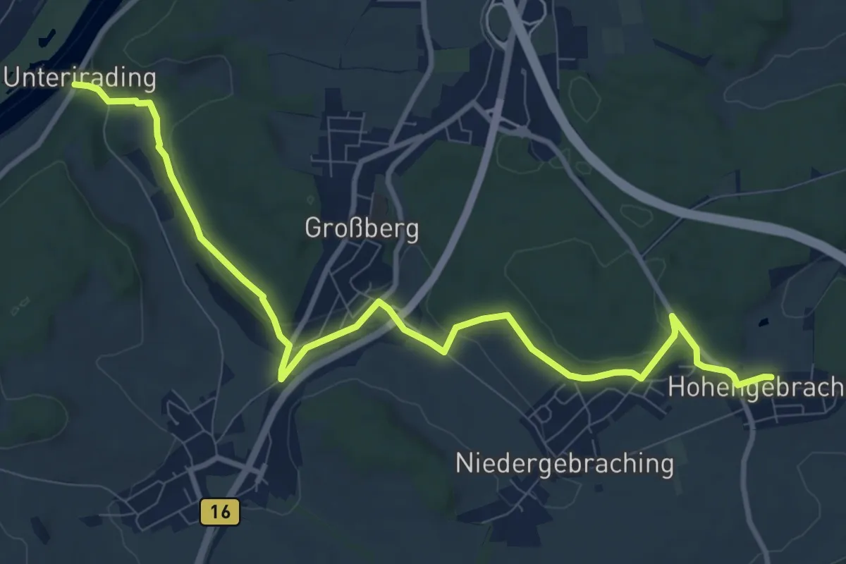
Medium · Trail
S 20 Hohengebraching - Unterirading [Walba] (Blaues Rechteck)
10.5 km · ↑ 242 m · 3 h 1 min
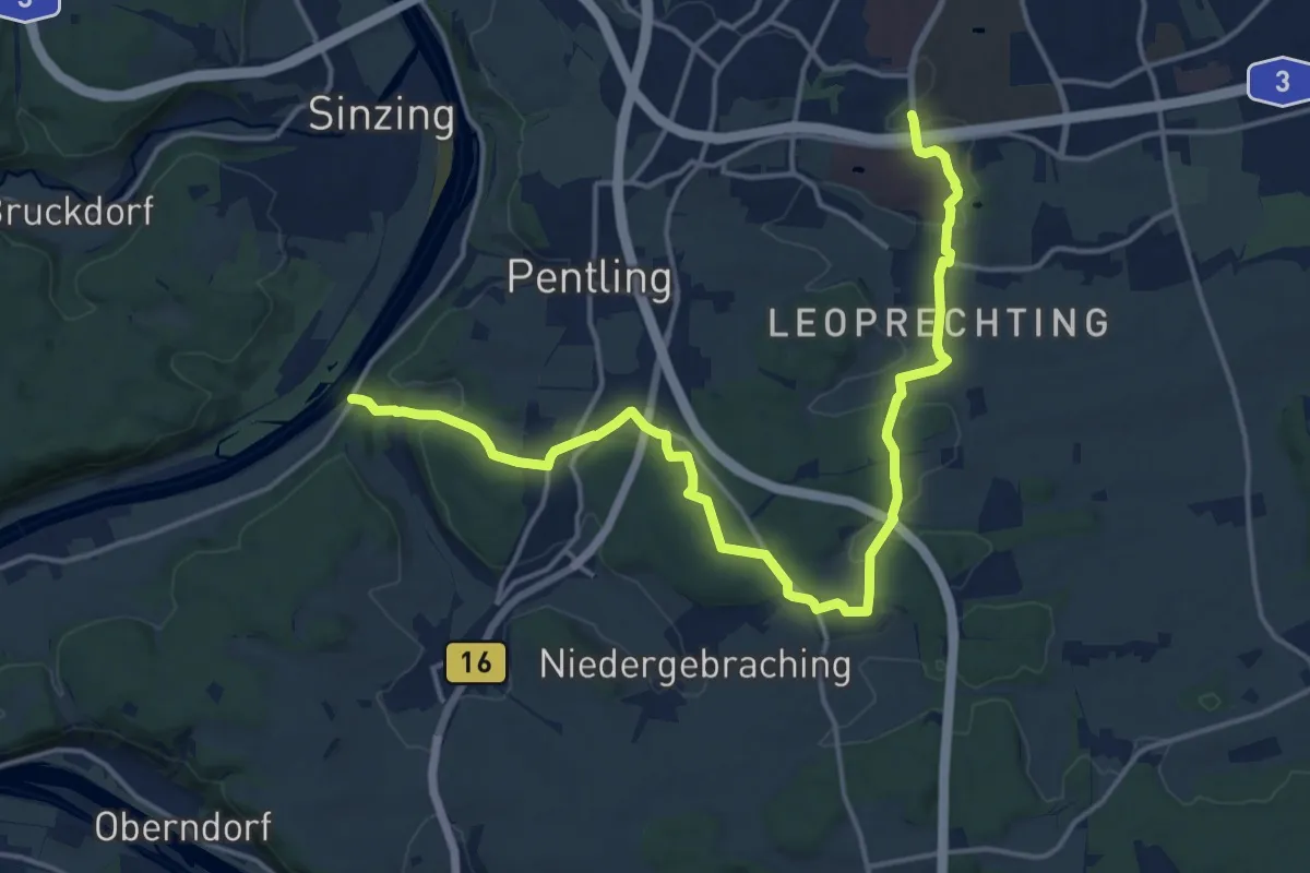
Demanding · Trail
S 21 Regensburg-Neuprüll - Unterirading [Walba] (Grünes Rechteck)
18.0 km · ↑ 352 m · 5 h 1 min
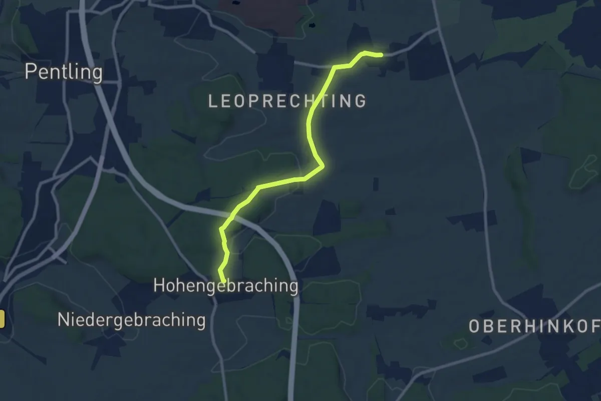
Easy · Trail
S 22 Oberisling - Hohengebraching (Rotes Rechteck)
7.5 km · ↑ 116 m · 2 h 1 min
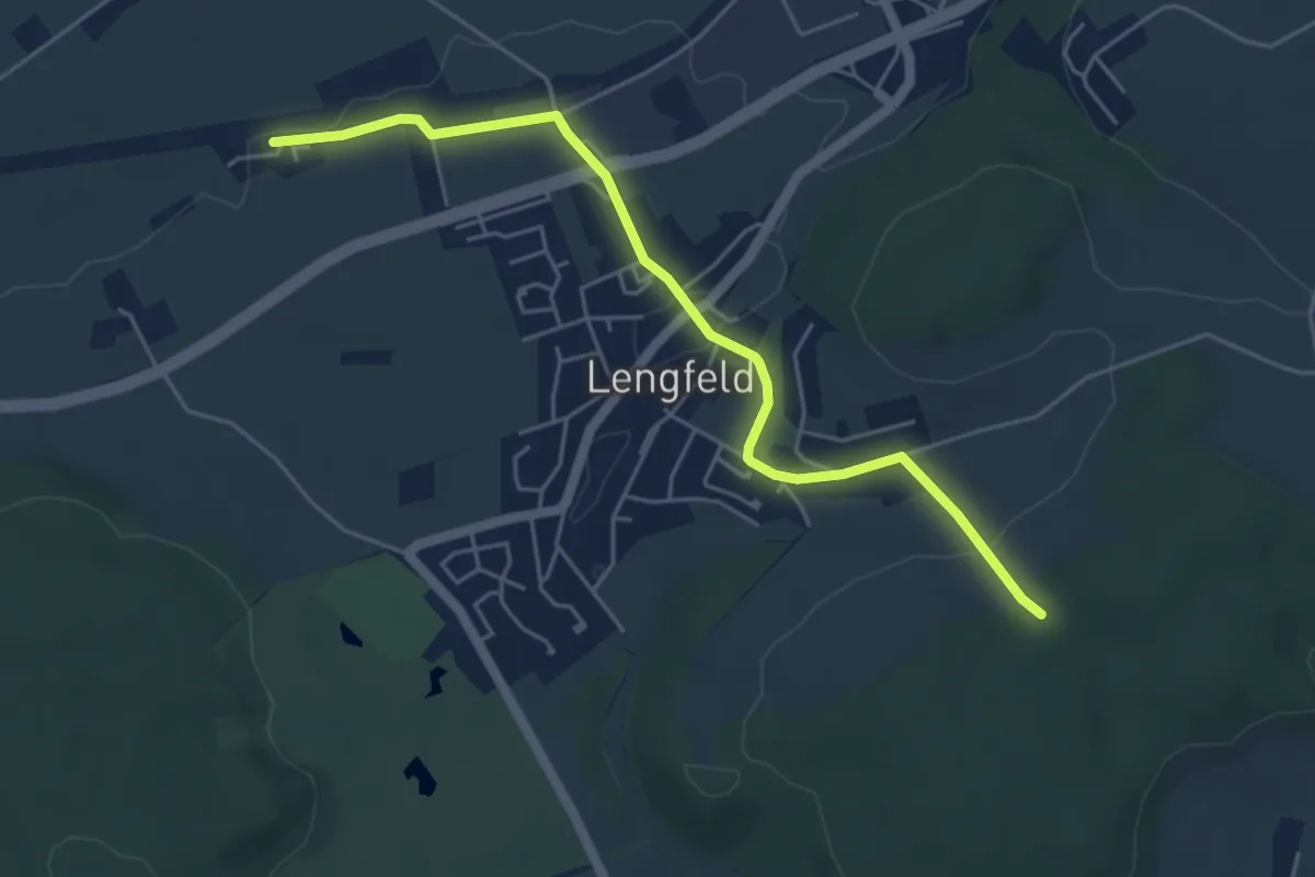
Easy · Trail
S 23 Bad Abbach Bf - Lengfeld - Kruit (Blaues Rechteck)
5.0 km · ↑ 81 m · 1 h 21 min
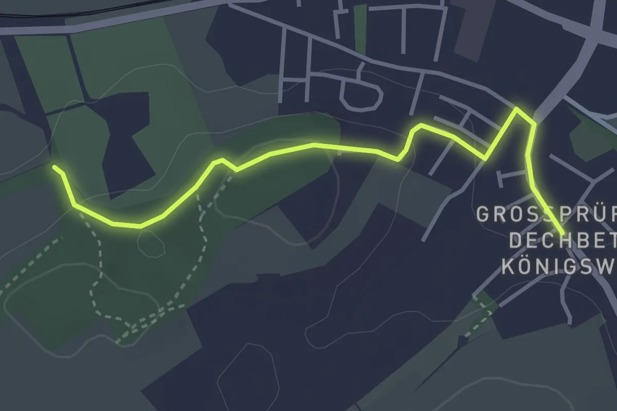
Easy · Trail
S 24 Regensburg-Dechbetten - Anschluß an S16 (Grünes Rechteck)
3.2 km · ↑ 77 m · 55 min
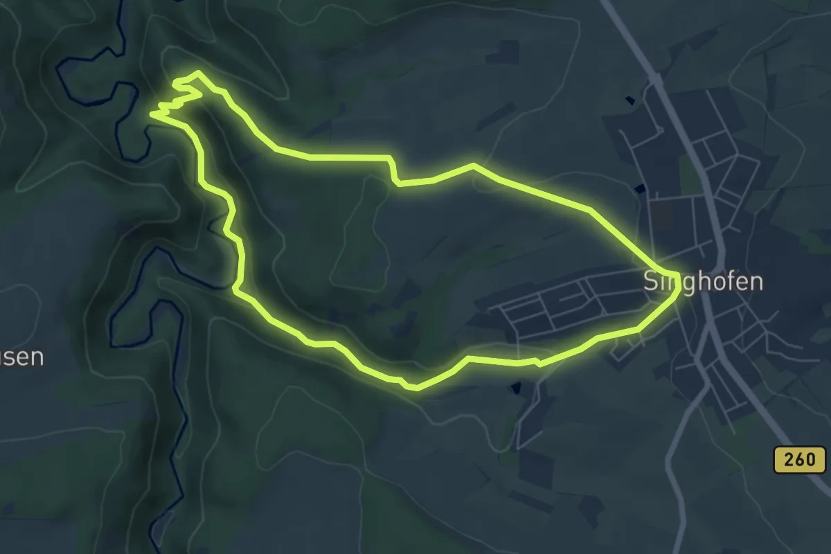
Medium · Summit
S2 Alteburg-Mühlbachtal
6.3 km · ↑ 167 m · 1 h 56 min
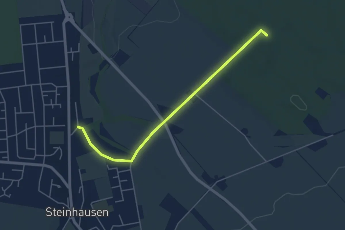
Easy · Trail
S2(Geseke)
3.8 km · ↑ 21 m · 57 min
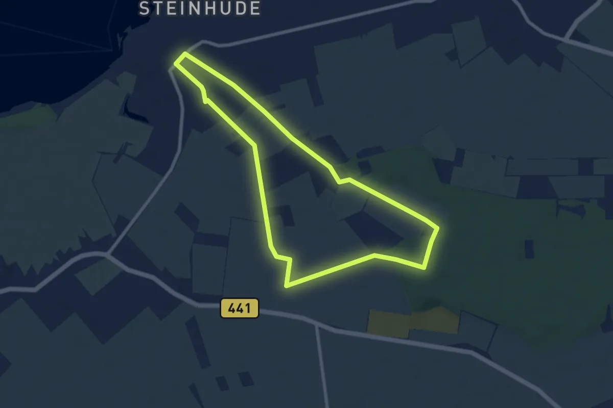
Easy · Trail
S2 Hohenholzweg (Rundweg um Steinhude)
6.2 km · ↑ 31 m · 1 h 37 min
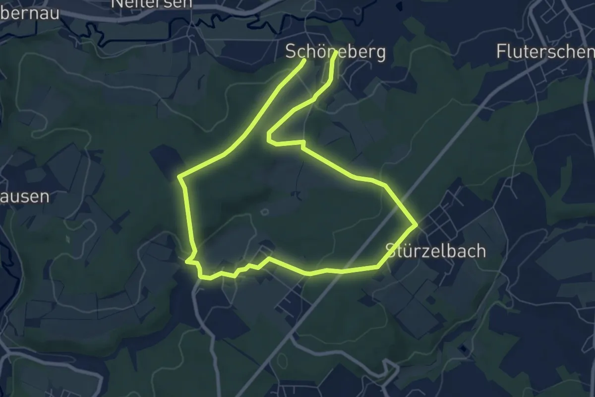
Easy · Trail
[S2] Schöneberg Rundwanderweg
6.2 km · ↑ 163 m · 1 h 54 min
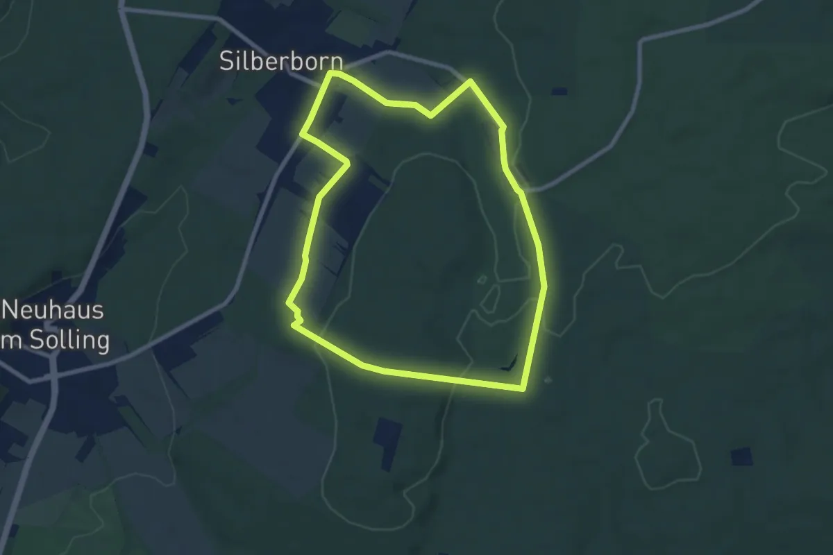
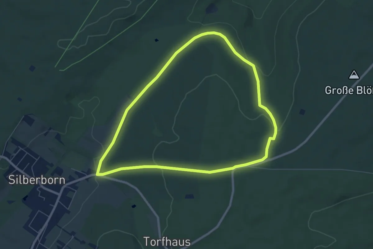
Easy · Trail
S 2 - Um das Torfmoor
6.4 km · ↑ 100 m · 1 h 50 min
Easy · Trail
S 3 - Mittelberg
5.8 km · ↑ 98 m · 1 h 40 min
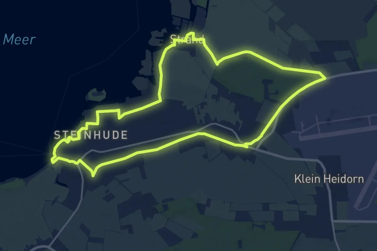
Medium · Trail
S3 Rundweg um Steinhude-Großenheidorn
13.2 km · ↑ 32 m · 3 h 22 min
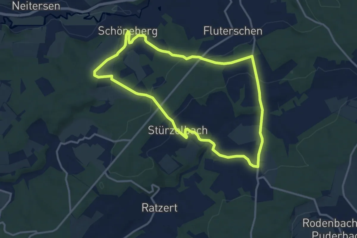
Medium · Trail
[S3] Schöneberg Rundwanderweg
8.1 km · ↑ 192 m · 2 h 26 min
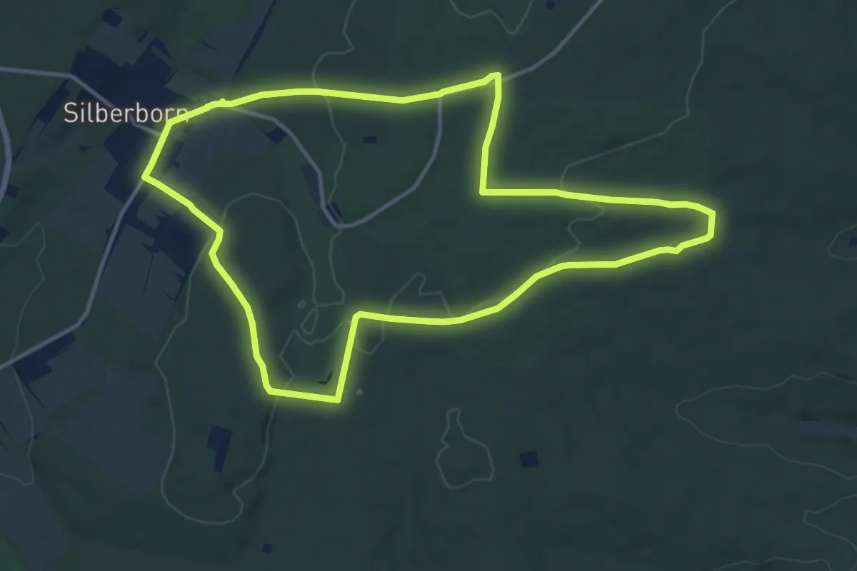
Medium · Trail
S 4 - Friedrichshäuser Bruch
11.1 km · ↑ 182 m · 3 h 10 min
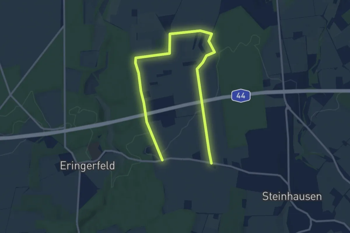
Medium · Trail
S8(Geseke)
10.9 km · ↑ 92 m · 2 h 47 min
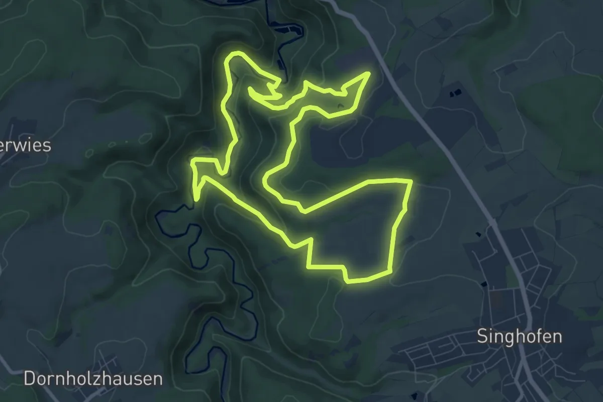
Demanding · Trail
S8 Rabenlei - Mühlbachtal - Teufelsdell
9.3 km · ↑ 307 m · 3 h
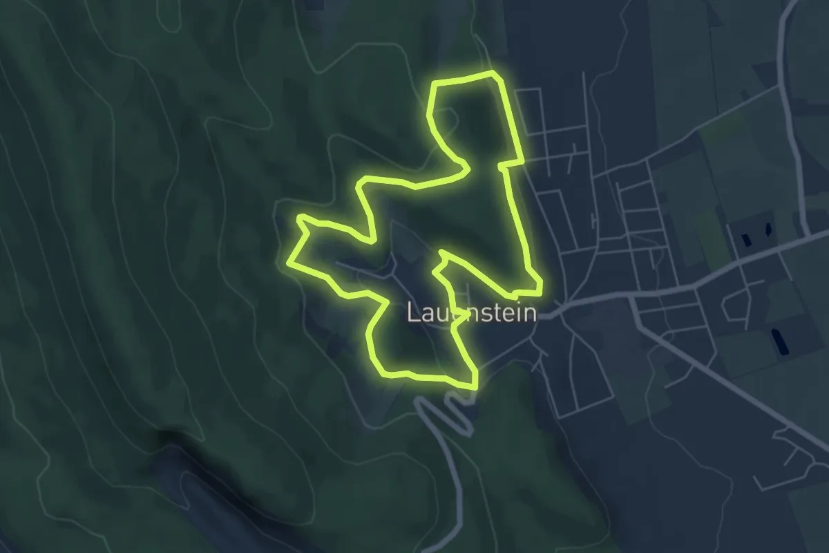
Easy · Trail
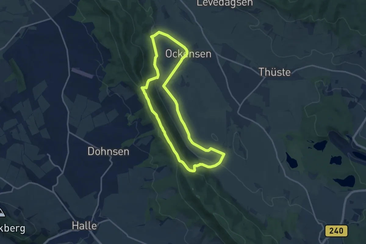
SA1 Lauenstein-Runde
5.3 km · ↑ 164 m · 1 h 40 min
Medium · Trail
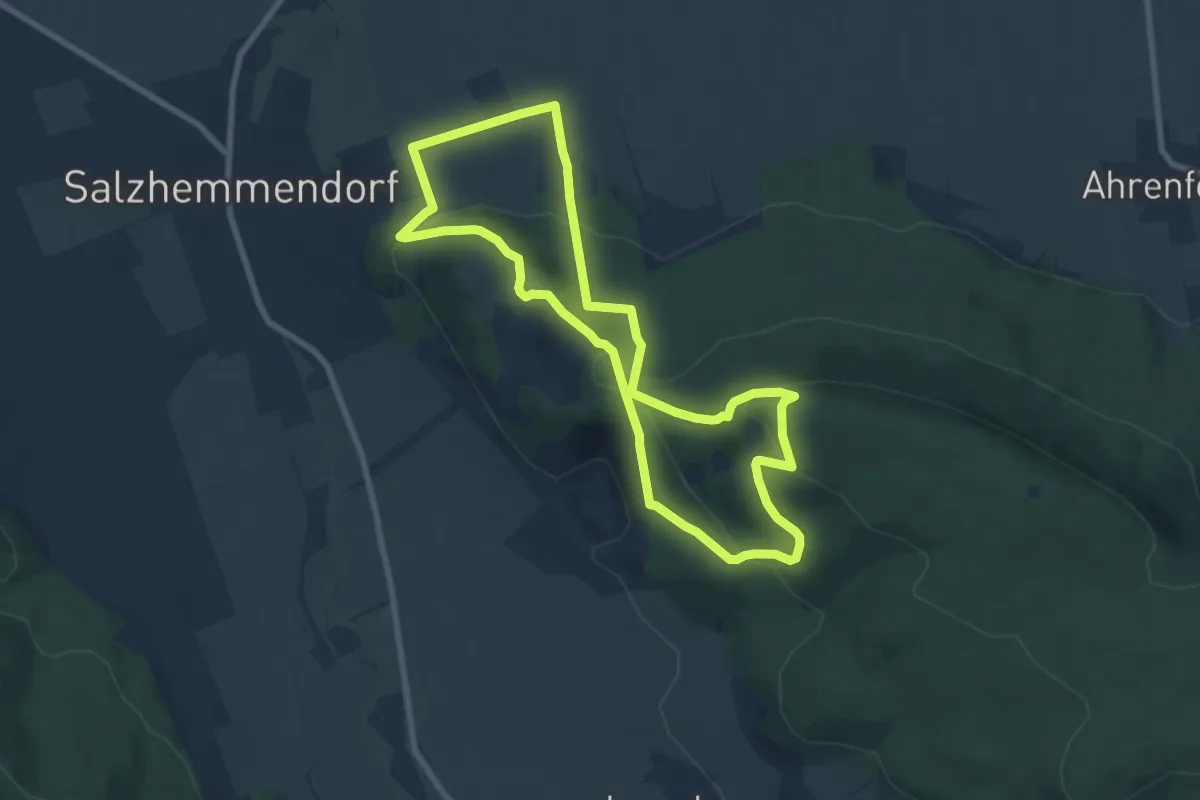
SA2 Wasserbaum-Weg
10.0 km · ↑ 250 m · 3 h 2 min
Medium · Trail
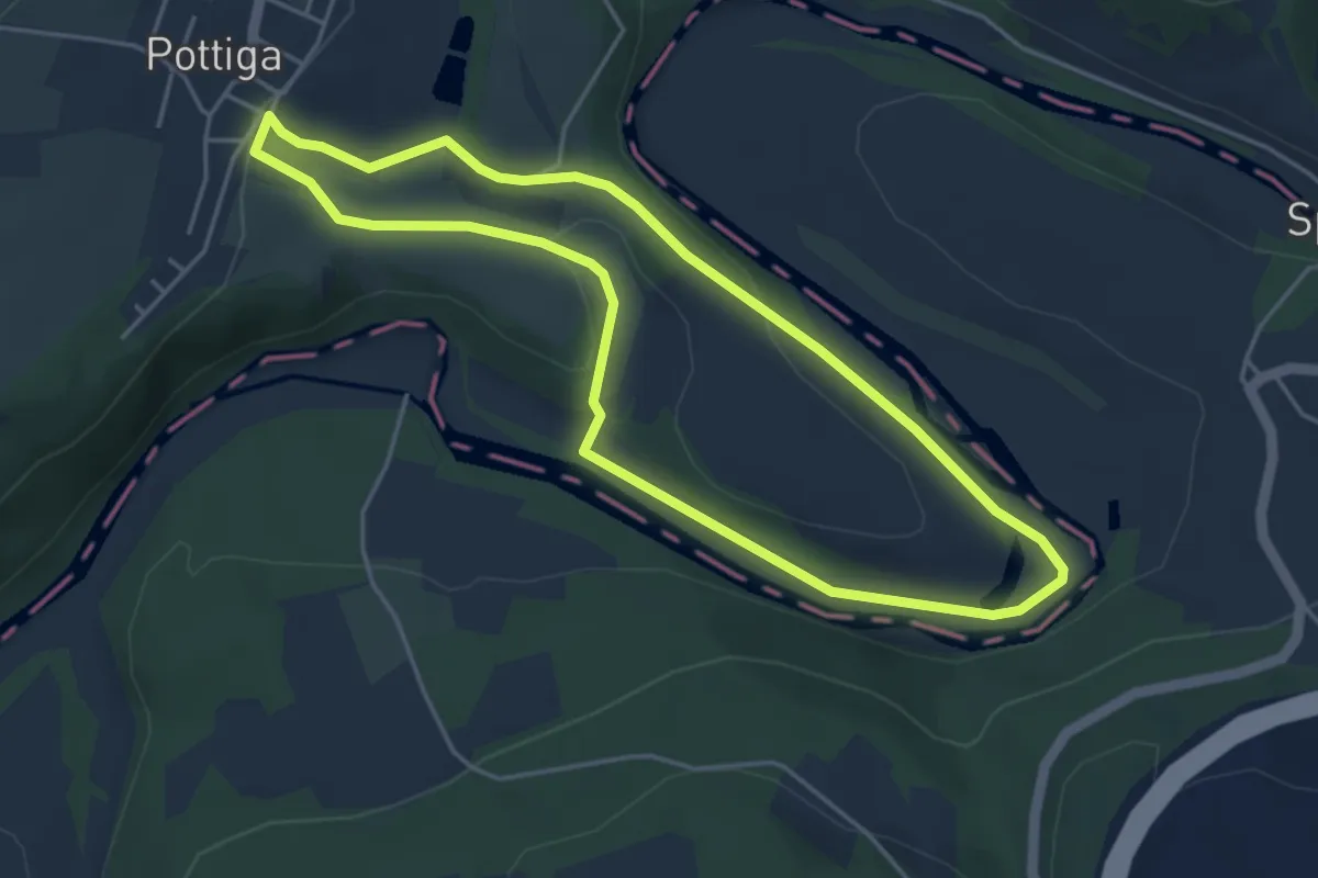
SA3 Kanstein-Achter
7.1 km · ↑ 342 m · 2 h 31 min
Easy · Trail
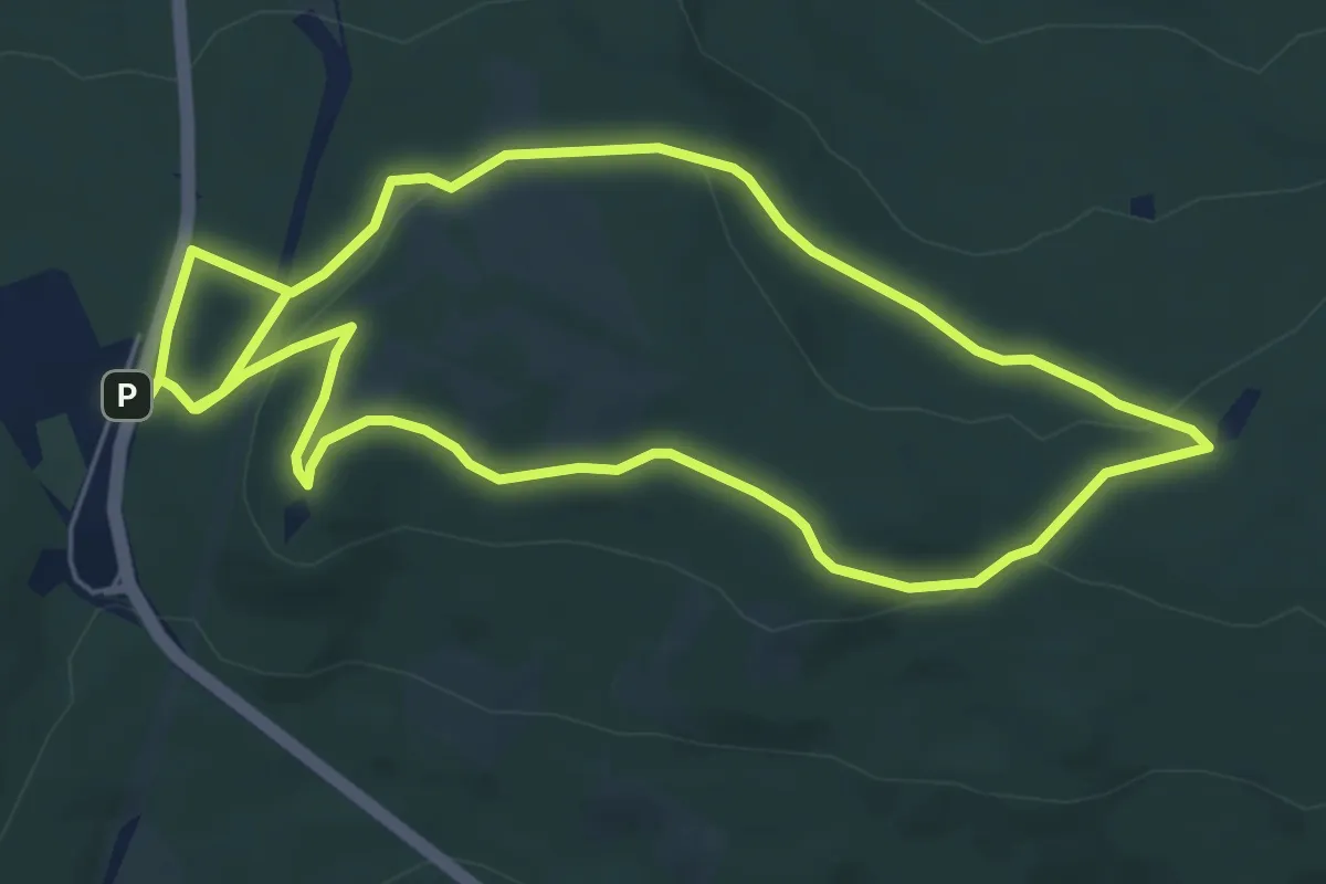
Saalbach-Weg US 76
4.0 km · ↑ 79 m · 1 h 11 min
Easy · Summit
Saalburg - Gickelsburg - Batzenbäumchen
5.8 km · ↑ 101 m · 1 h 40 min