Trails in Germany
36,852 hiking trails, each with its route, climb, walking time and grade.
All trails, page 566 of 768
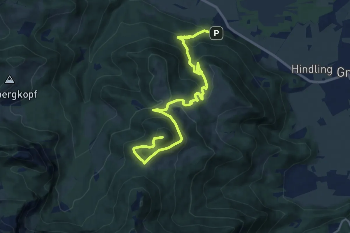
Demanding · Summit
SalzAlpenTour - Über die Grassauer Almen
12.2 km · ↑ 822 m · 4 h 40 min
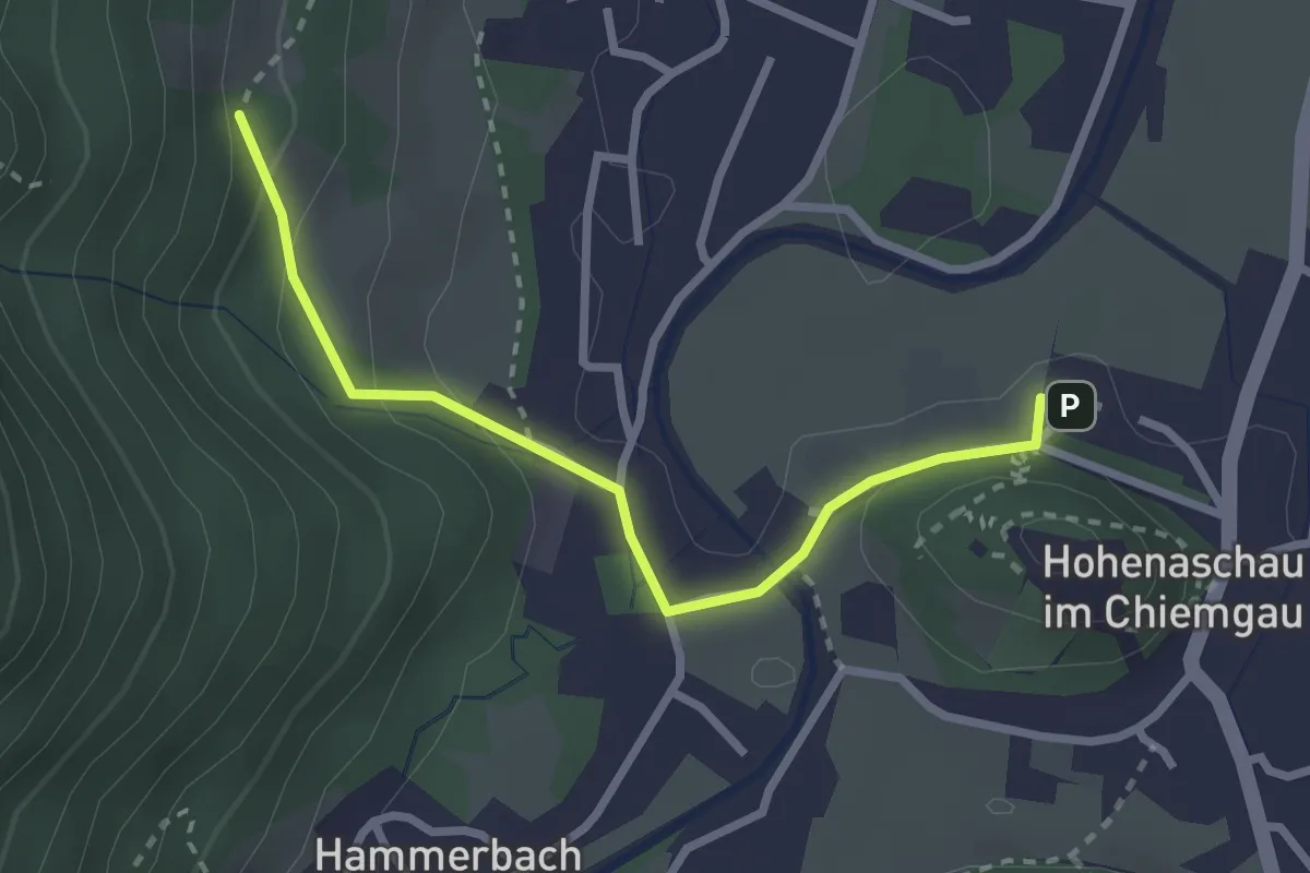
Easy · Trail
SalzAlpenWeg - Aschau
2.6 km · ↑ 113 m · 52 min
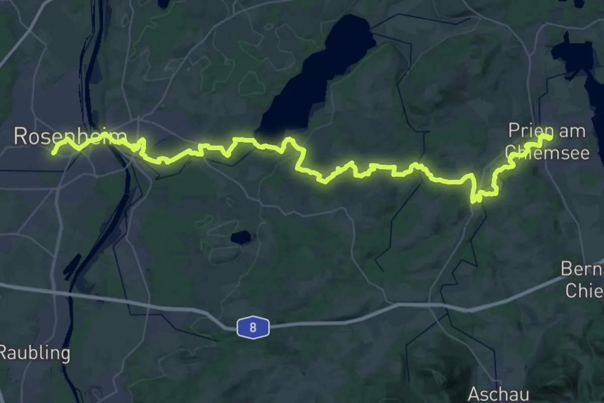
Demanding · Trail
SalzAlpenWeg Rosenheim-Chiemsee
28.4 km · ↑ 408 m · 7 h 56 min
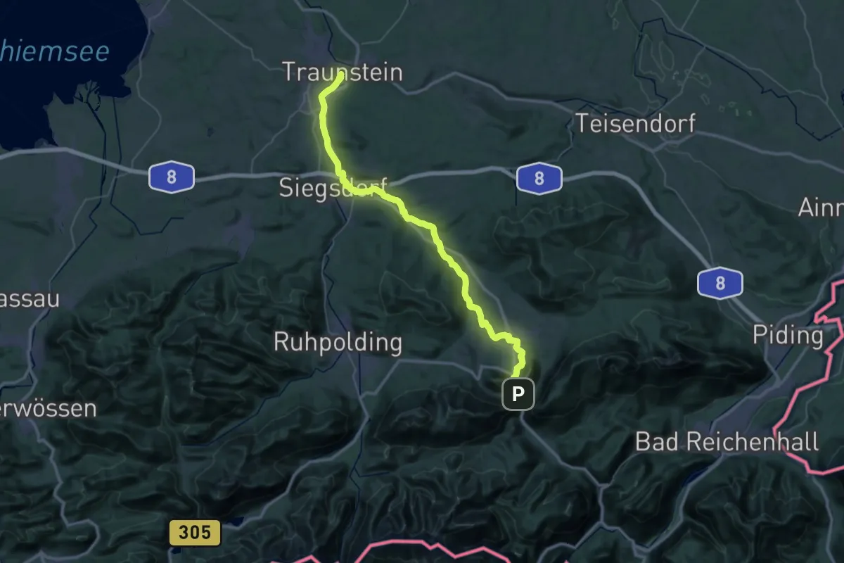
Demanding · Trail
SalzAlpenWeg - Traunstein - Zwing
21.6 km · ↑ 190 m · 5 h 52 min
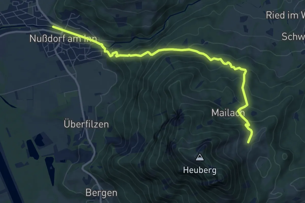
Medium · Cabin
SalzAlpenZugweg Nußdorf/Daffnerwald-Almen
9.5 km · ↑ 589 m · 3 h 31 min
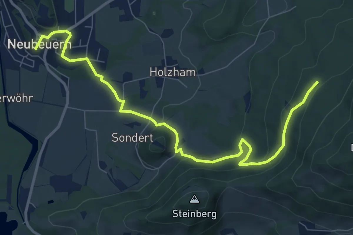
Medium · Summit
SalzAlpenZuweg Neubeuern
8.4 km · ↑ 280 m · 2 h 35 min
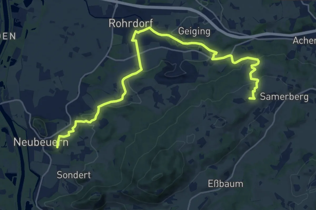
Demanding · Trail
SalzAlpenZuweg Rohrdorf
18.9 km · ↑ 437 m · 5 h 25 min
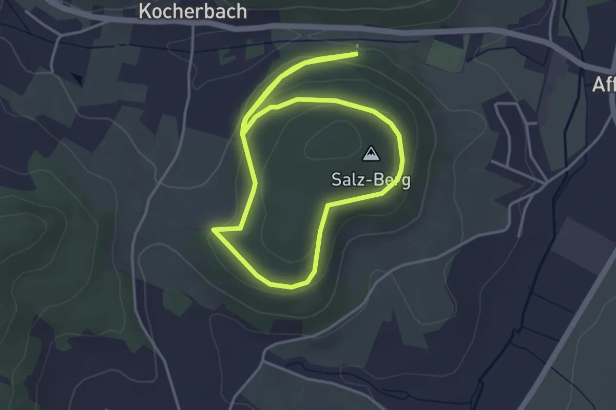
Easy · Summit
Salzbergweg
3.2 km · ↑ 102 m · 1 h 1 min
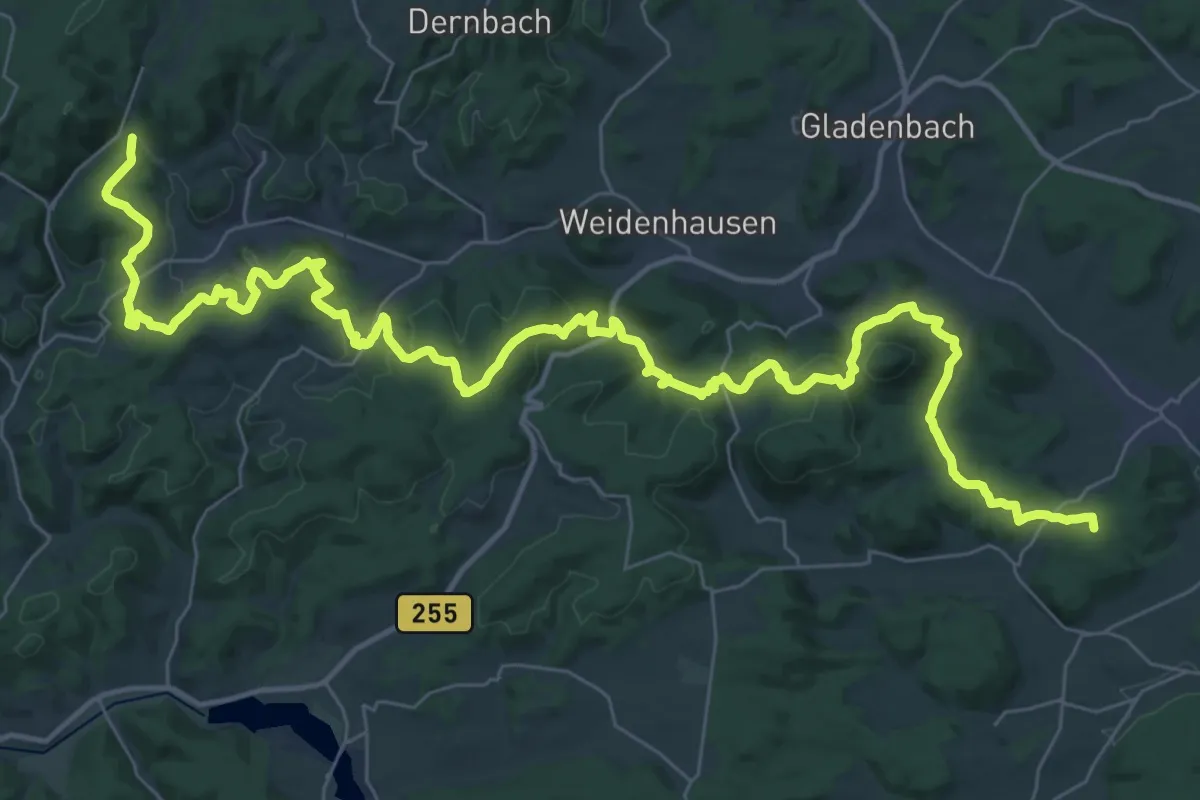
Demanding · Summit
Salzböde-Bergpfad
51.0 km · ↑ 1415 m · 15 h 7 min
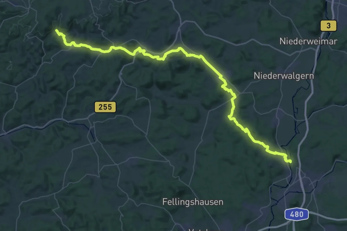
Demanding · Trail
Salzböde-Talpfad
30.9 km · ↑ 613 m · 8 h 54 min
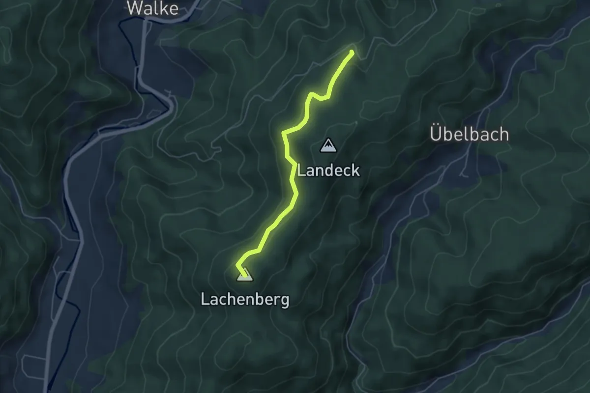
Easy · Summit
Salzbühl - Schrannensattel
4.2 km · ↑ 202 m · 1 h 26 min
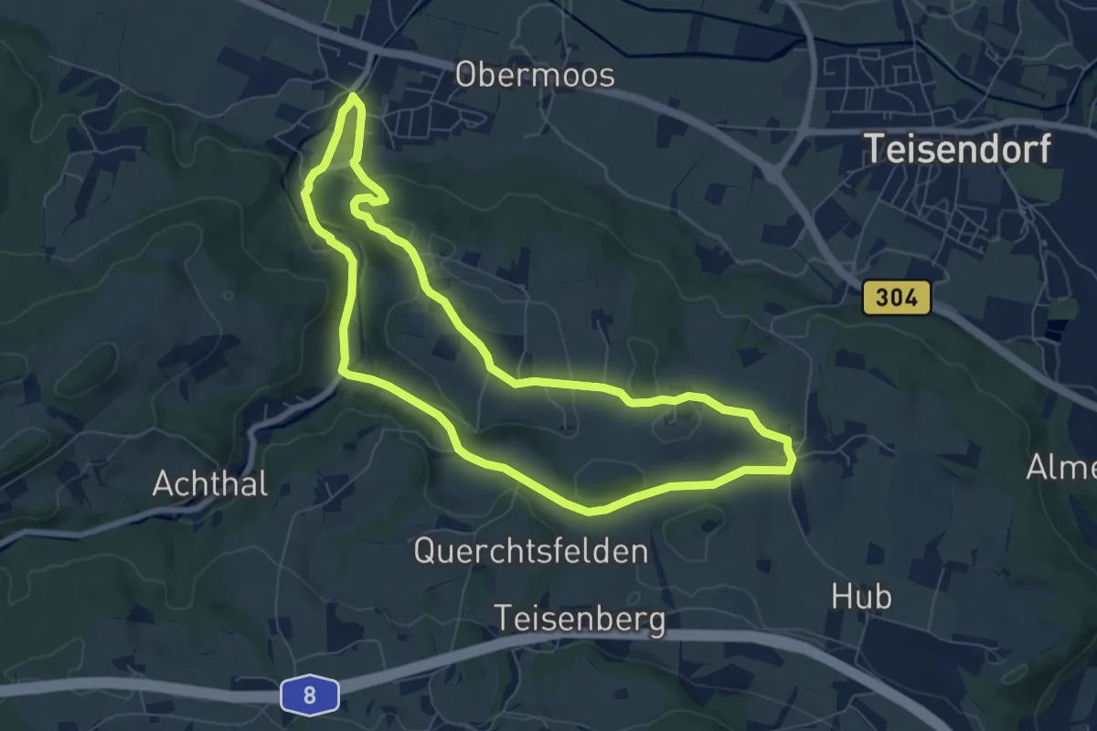
Easy · Trail
Salzburgblick-Weg Nr. 25
7.0 km · ↑ 140 m · 2 h 4 min
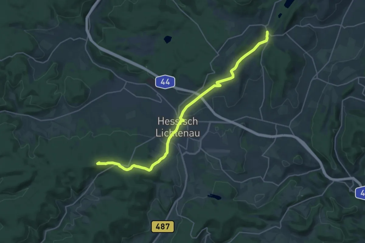
Demanding · Summit
Sälzerweg
20.3 km · ↑ 366 m · 5 h 35 min
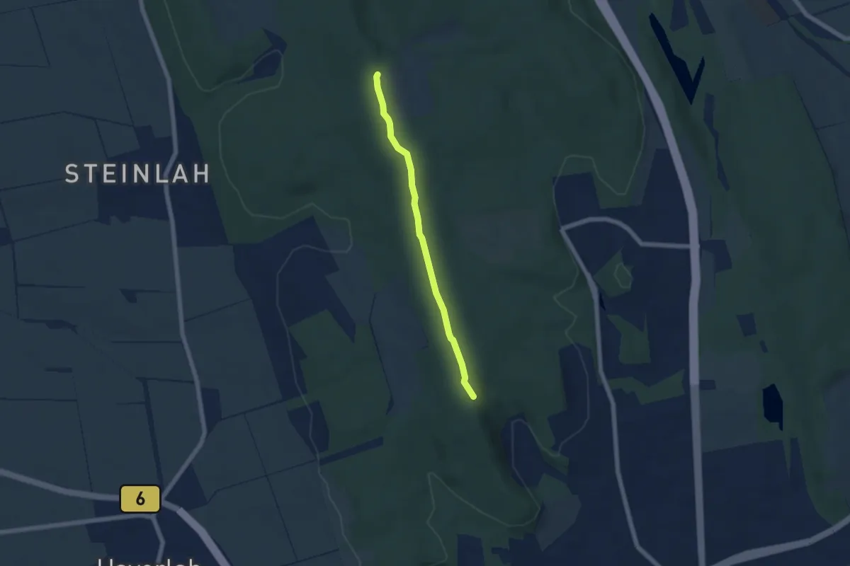
Easy · Summit
Salzgitter Wanderweg Nr. 12
4.3 km · ↑ 32 m · 1 h 5 min
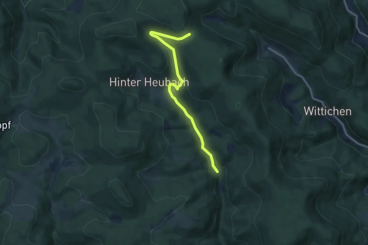
Easy · Trail
Salzlecke - Heubach Auerhahn
6.5 km · ↑ 262 m · 2 h 6 min
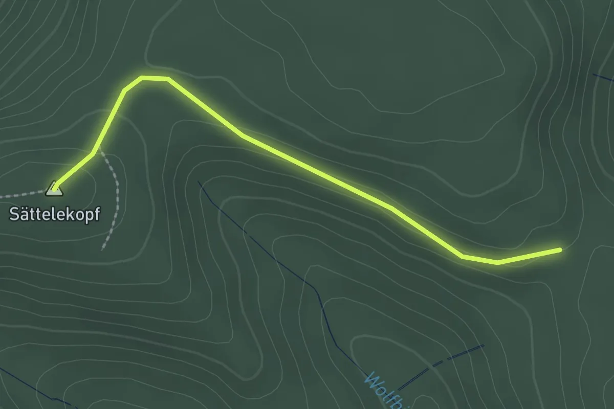
Easy · Summit
Salzlecke - Hinter Hals
2.2 km · ↑ 79 m · 42 min
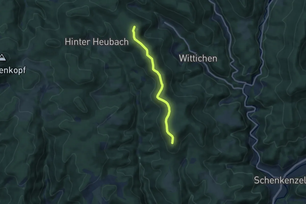
Easy · Summit
Salzlecke - Teisenkopf
6.9 km · ↑ 171 m · 2 h
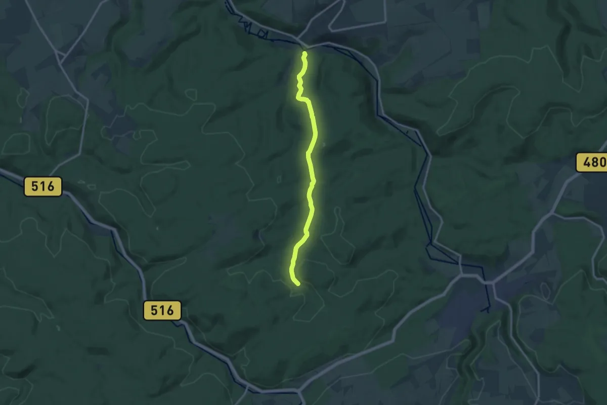
Medium · Trail
Salzpfad Ringelstein - Brilon
10.1 km · ↑ 219 m · 2 h 51 min
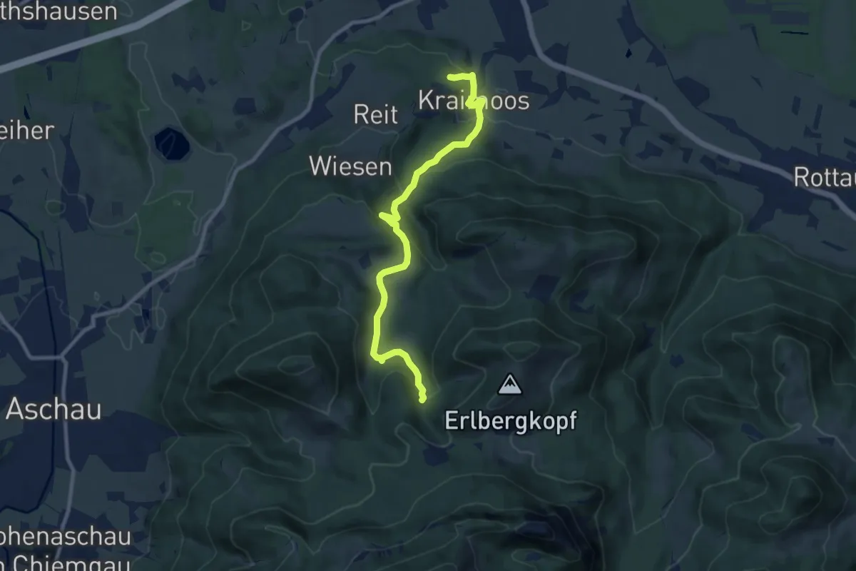
Medium · Trail
Salzsalinenweg
8.9 km · ↑ 403 m · 2 h 58 min
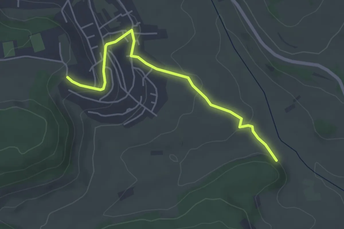
Easy · Trail
Salzstetten Albblick - Bei der Salzstetter Mühle
4.2 km · ↑ 103 m · 1 h 12 min
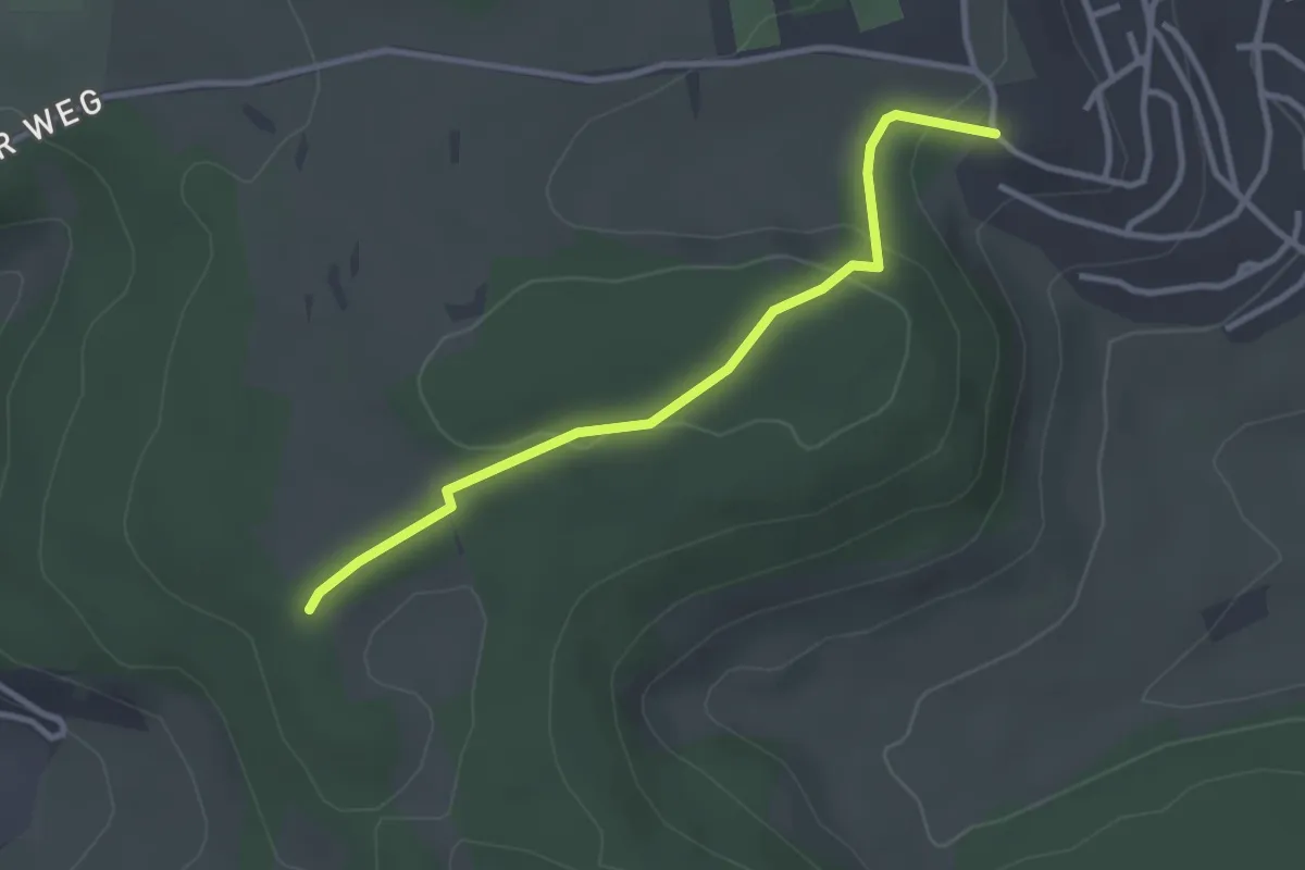
Easy · Trail
Salzstetten Albblick - Obere Weinhalde
2.9 km · ↑ 71 m · 51 min
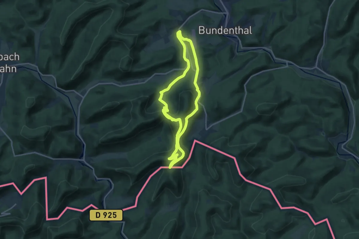
Medium · Summit
Salztrippler-Tour
14.0 km · ↑ 675 m · 4 h 56 min
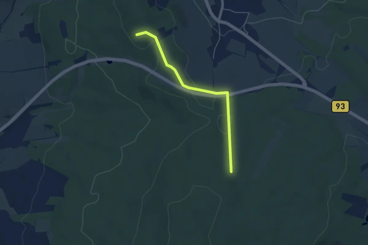
Easy · Summit
Salzweg
3.9 km · ↑ 80 m · 1 h 6 min
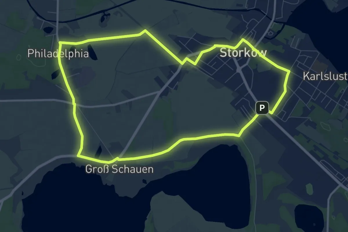
Medium · Trail
Salzweg
8.8 km · ↑ 4 m · 2 h 13 min
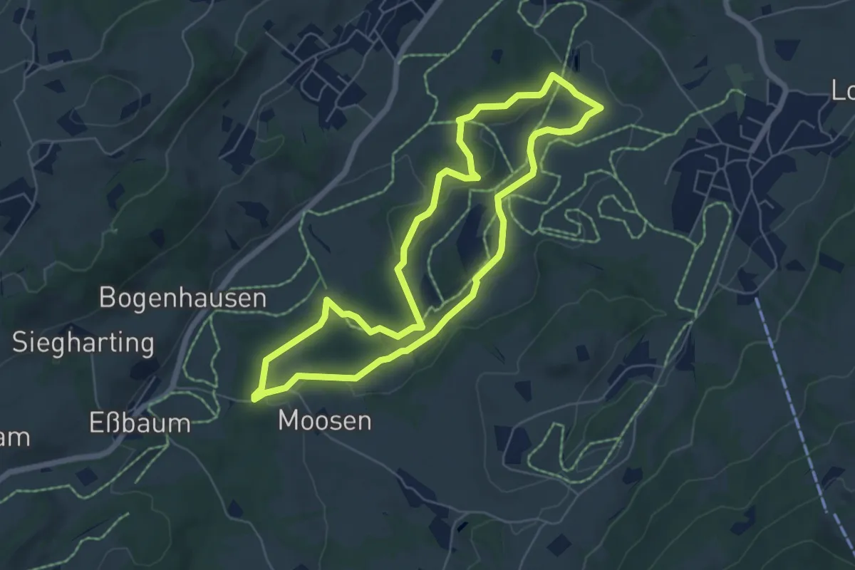
Easy · Trail
Samerberger Filzenweg
5.5 km · ↑ 58 m · 1 h 31 min
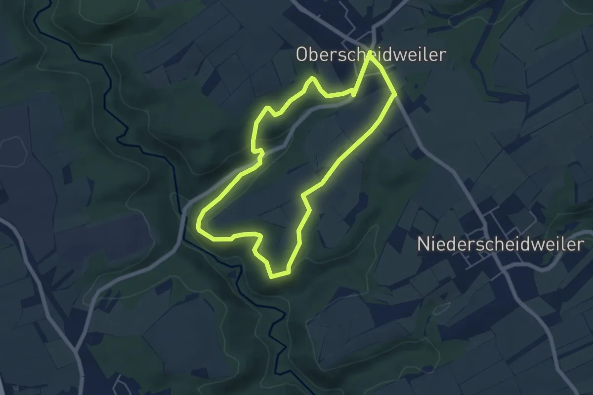
Easy · Trail
Sammetblick
4.5 km · ↑ 85 m · 1 h 18 min
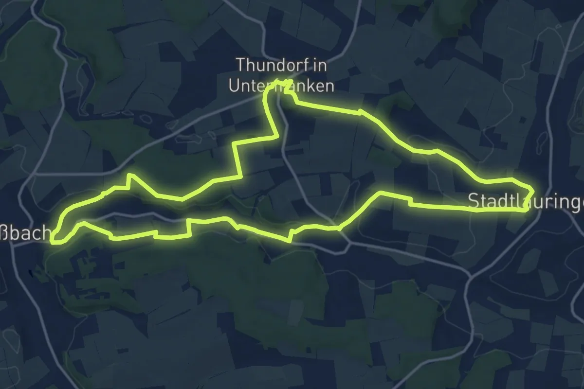
Medium · Trail
Sandäckerweg Maßbach
14.3 km · ↑ 208 m · 4 h 2 min
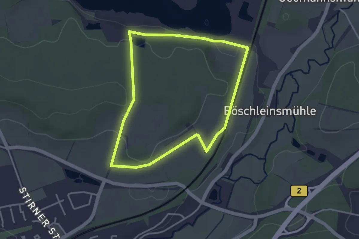
Easy · Trail
Sandbockel Weg
2.8 km · ↑ 51 m · 48 min
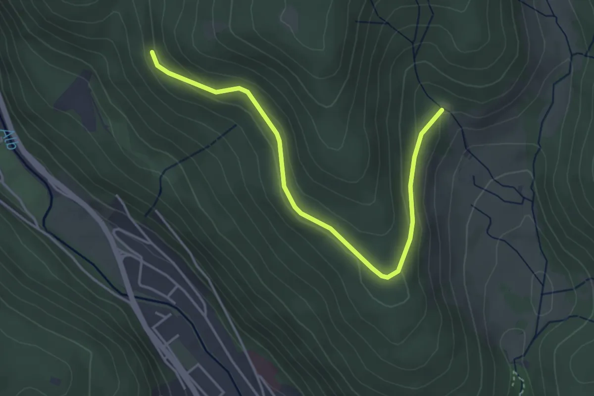
Easy · Trail
Sandboden - Windberghof
4.2 km · ↑ 126 m · 1 h 16 min
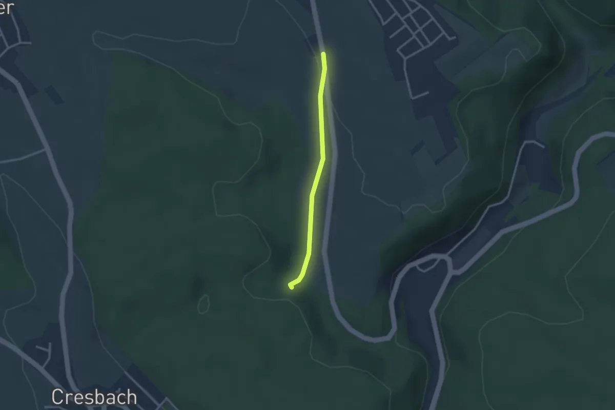
Easy · Trail
Sandebene - Heide
2.2 km · ↑ 40 m · 36 min
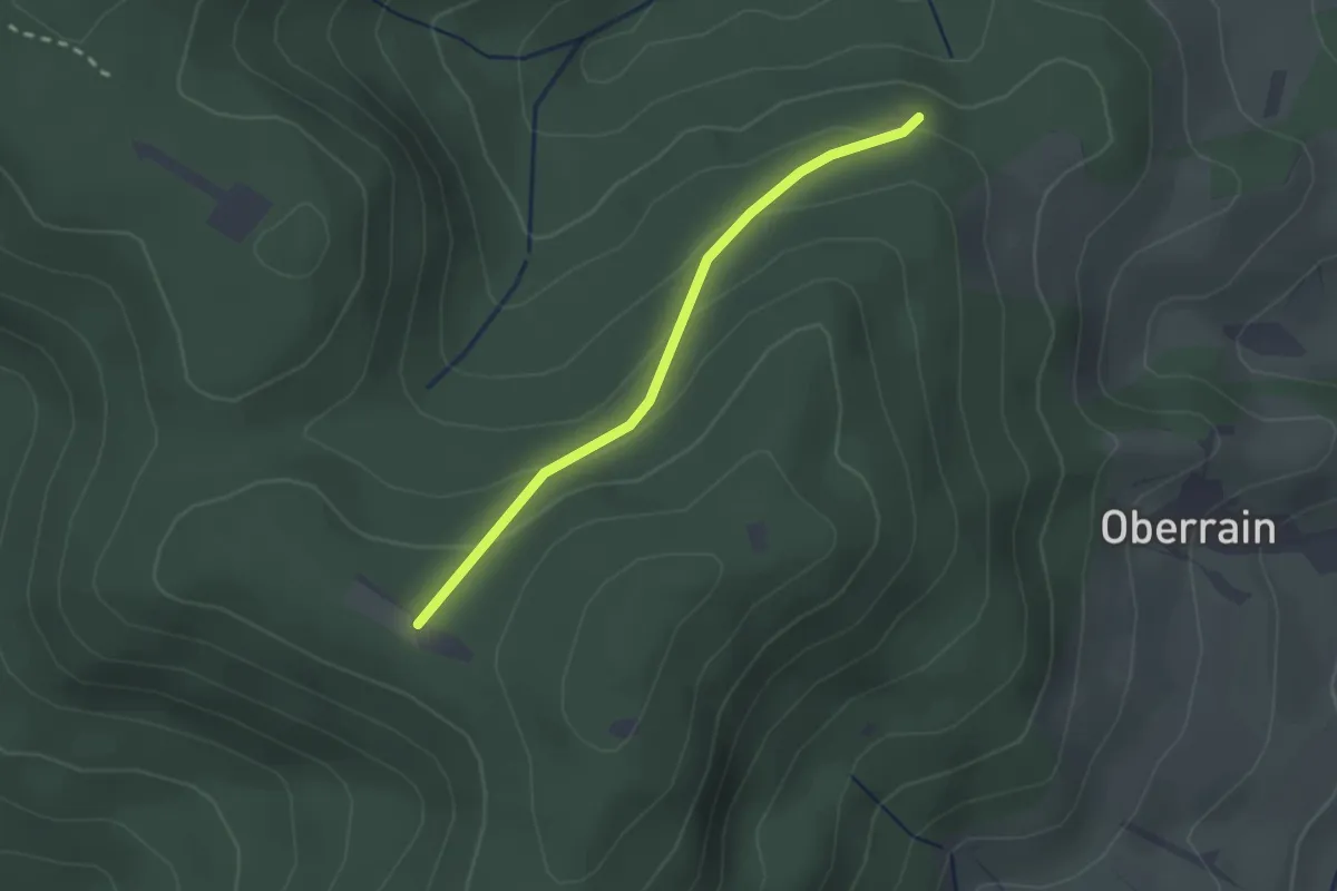
Easy · Trail
Sandebene - Totenruheplatz
2.0 km · ↑ 108 m · 43 min
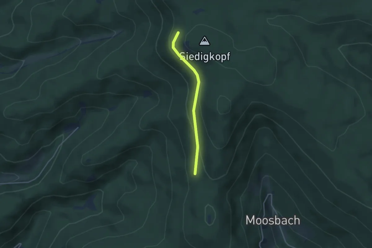
Easy · Trail
Sandgasse - Siedighalde
2.6 km · ↑ 109 m · 50 min
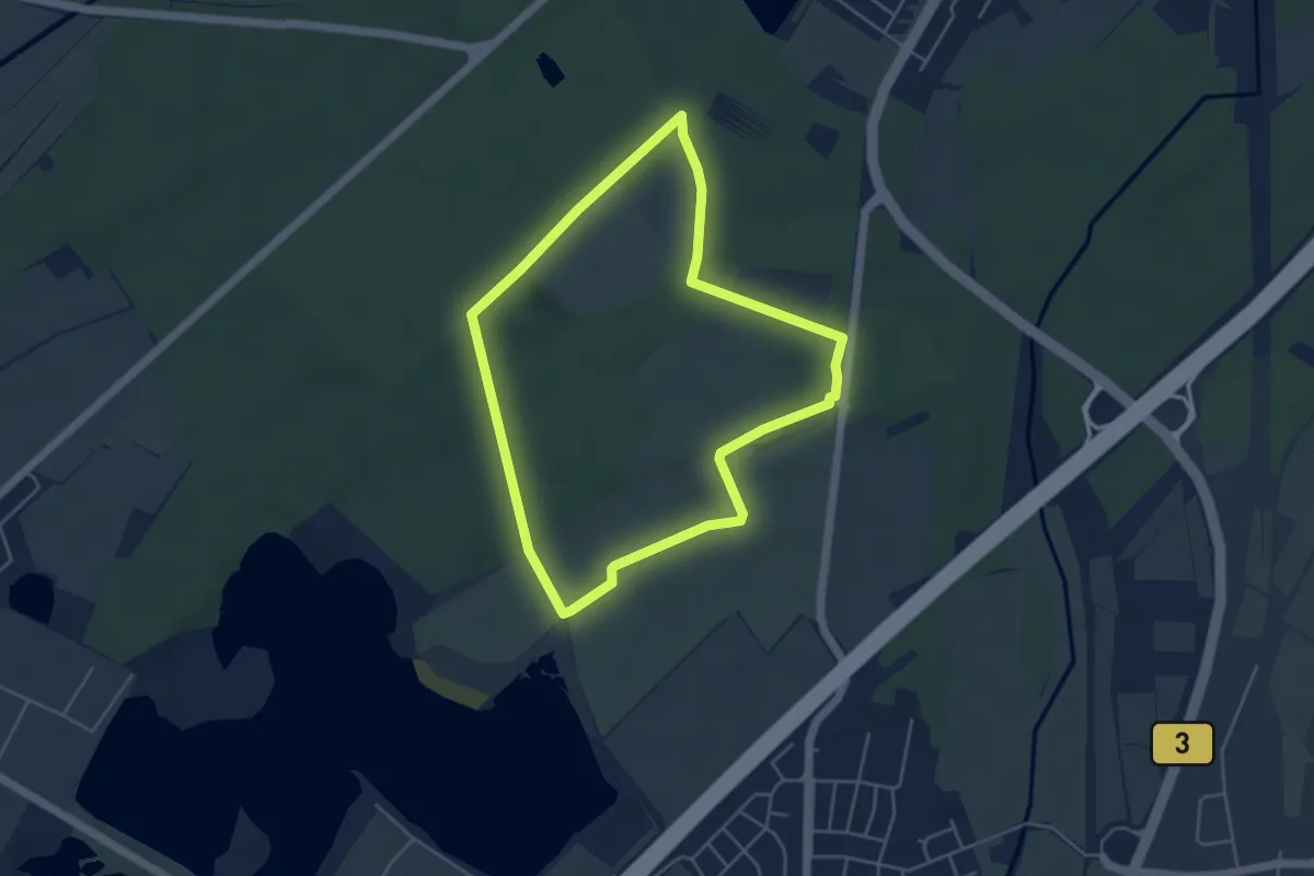
Easy · Trail
Sandglöckchenweg
4.3 km · ↑ 26 m · 1 h 8 min
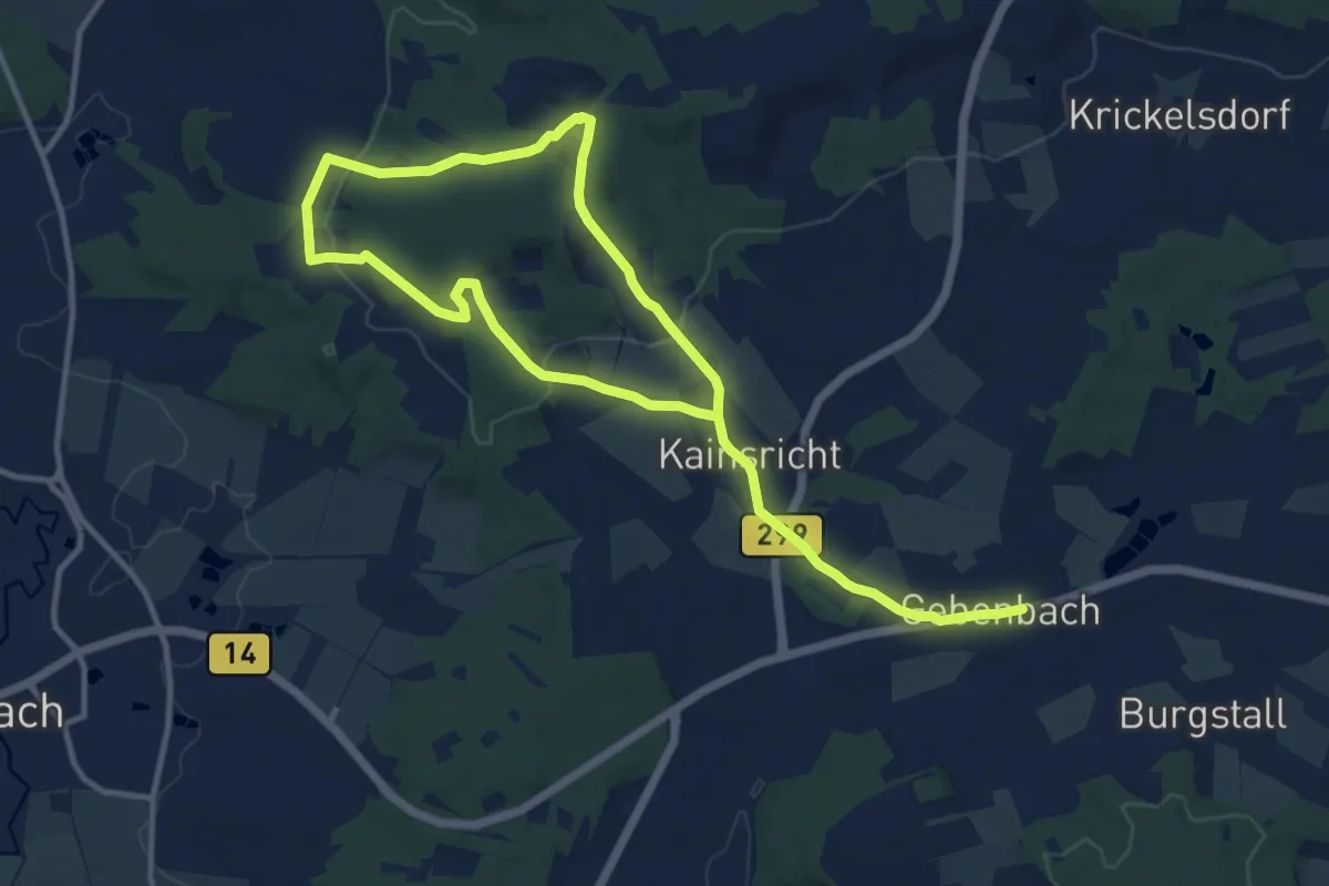
Medium · Trail
Sandgrubenweg
17.5 km · ↑ 444 m · 5 h 5 min
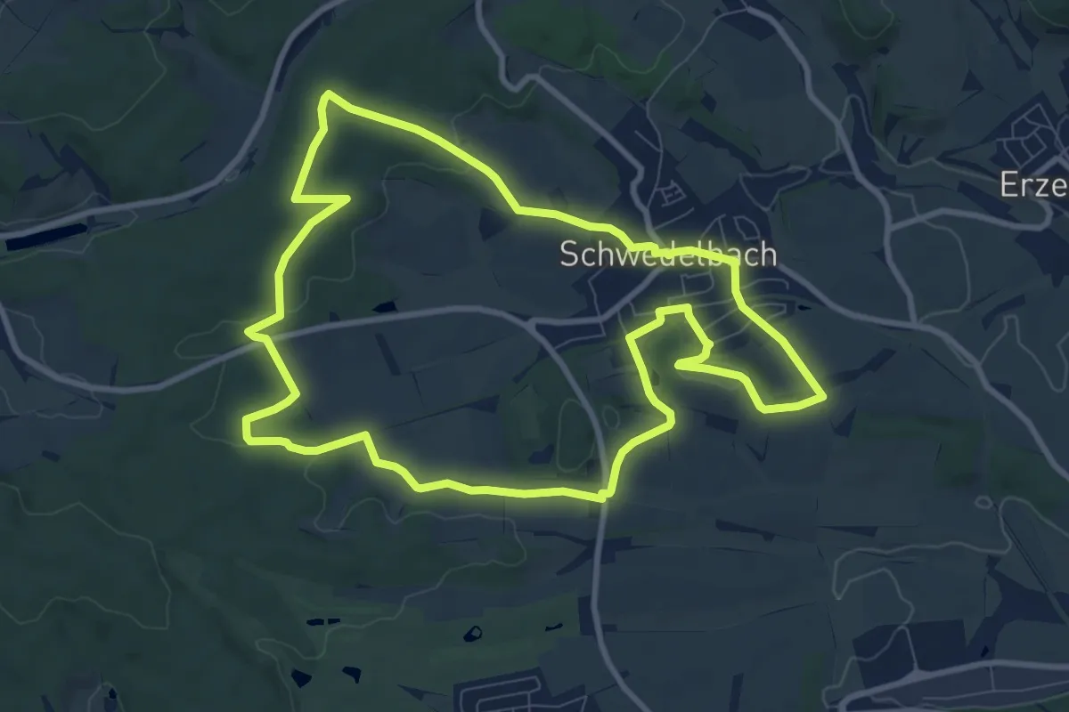
Medium · Summit
Sandhasenweg
9.1 km · ↑ 163 m · 2 h 38 min
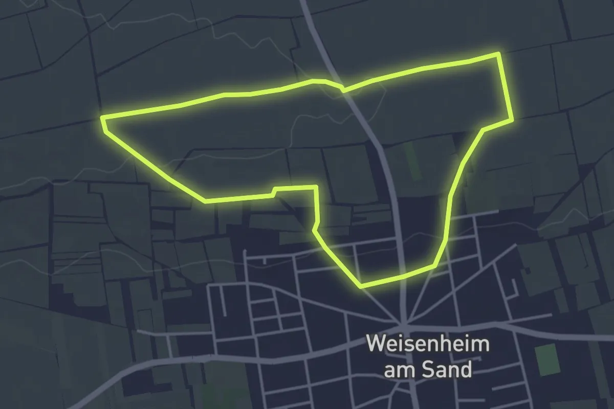
Easy · Trail
Sandhasenweg 1
3.7 km · ↑ 31 m · 1 h
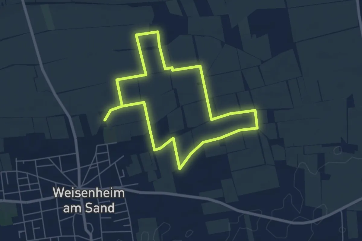
Easy · Trail
Sandhasenweg 2
4.9 km · ↑ 21 m · 1 h 16 min
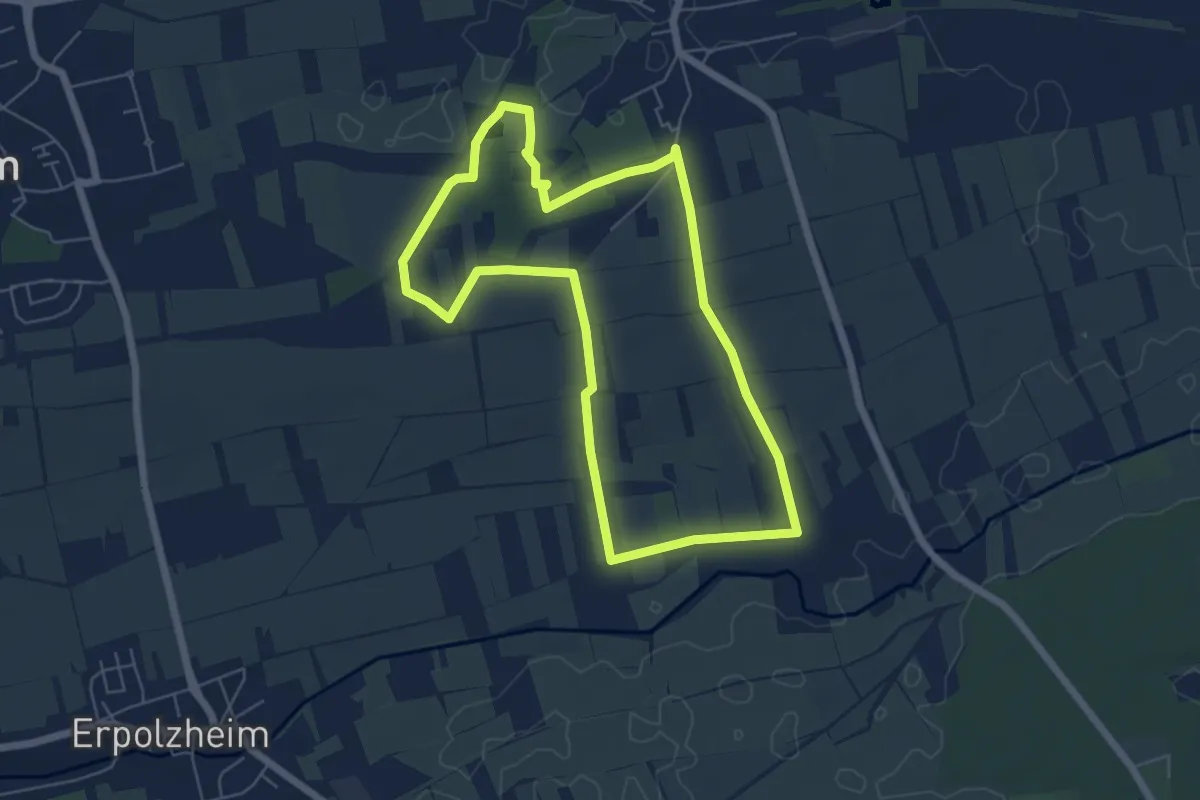
Easy · Trail
Sandhasenweg 3
5.5 km · ↑ 49 m · 1 h 29 min
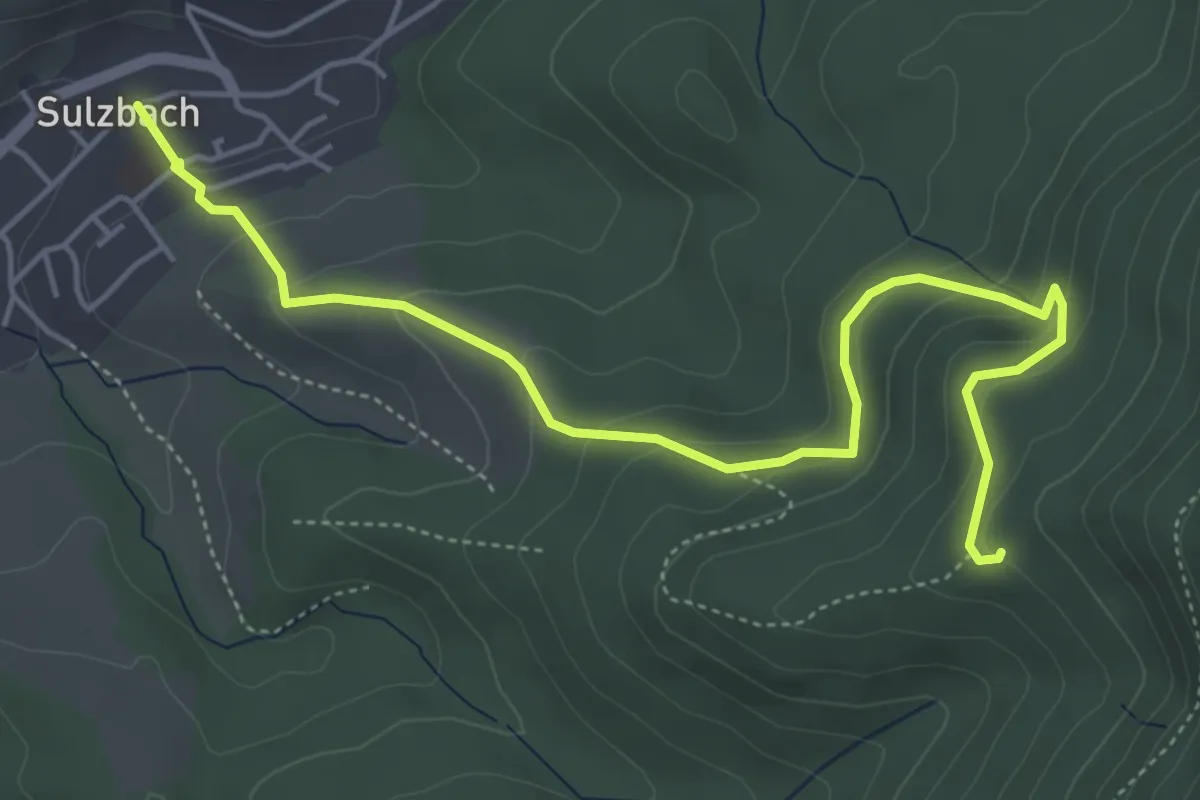
Easy · Trail
Sandhütte - Sulzbach Kirche
5.5 km · ↑ 301 m · 1 h 57 min
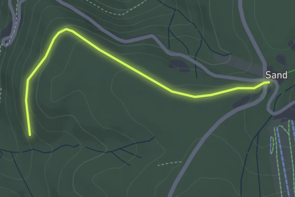
Easy · Trail
Sand Kapelle - Streitweg
3.7 km · ↑ 119 m · 1 h 7 min
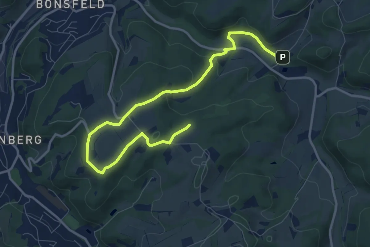
Easy · Trail
Sandkuhle Rundweg A1
4.5 km · ↑ 146 m · 1 h 24 min
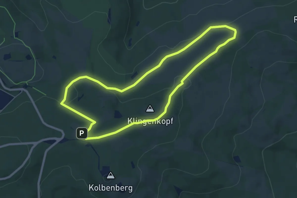
Easy · Summit
Sandplacken: Hirschkäfer
5.5 km · ↑ 118 m · 1 h 38 min
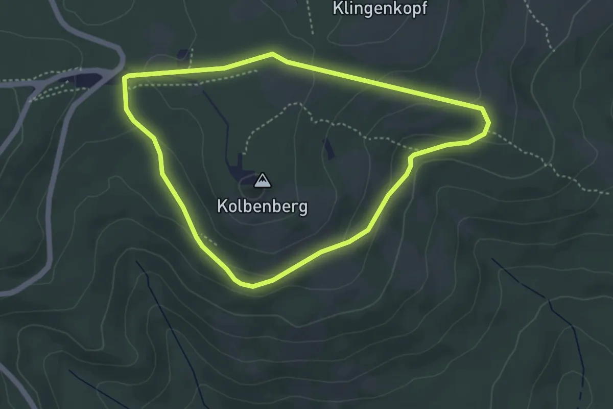
Easy · Trail
Sandplacken: Milan
3.5 km · ↑ 92 m · 1 h 5 min
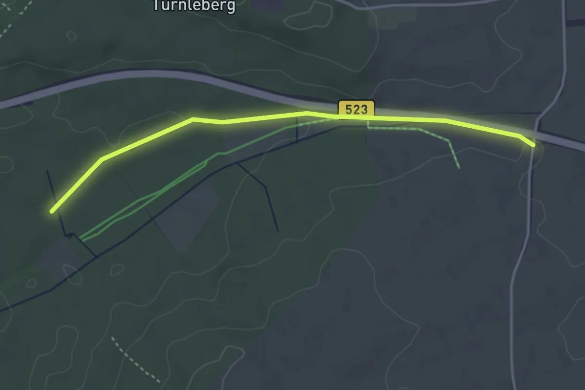
Easy · Trail
Sandspitz - Hinterbühl
3.6 km · ↑ 31 m · 55 min
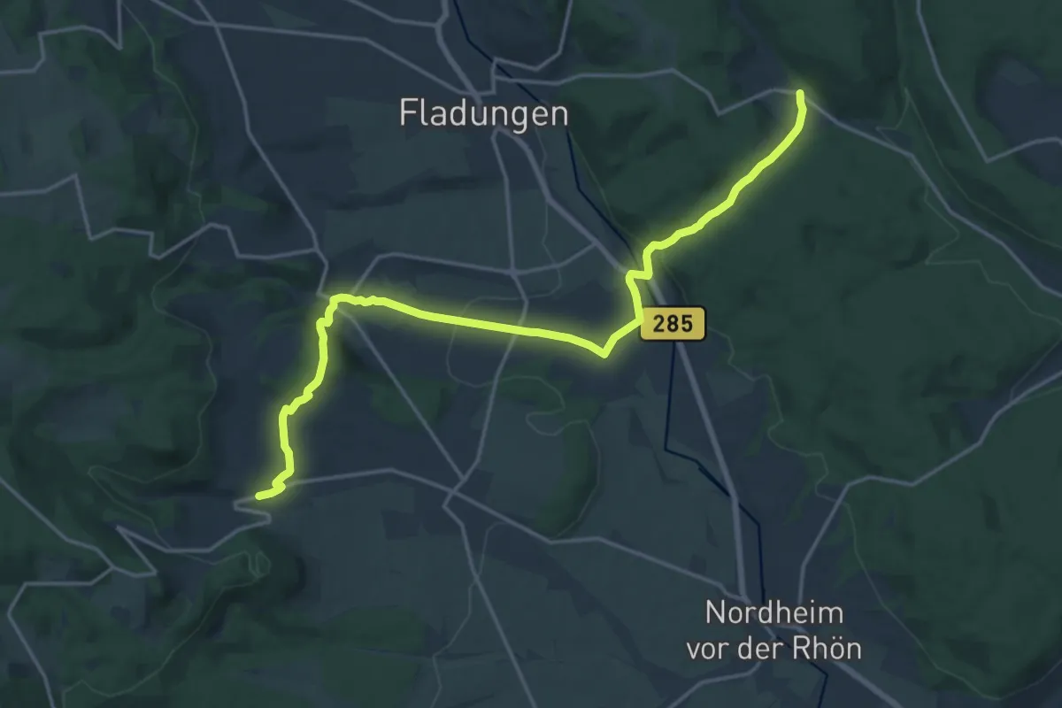
Medium · Trail
Sands-Roth
17.0 km · ↑ 450 m · 4 h 59 min
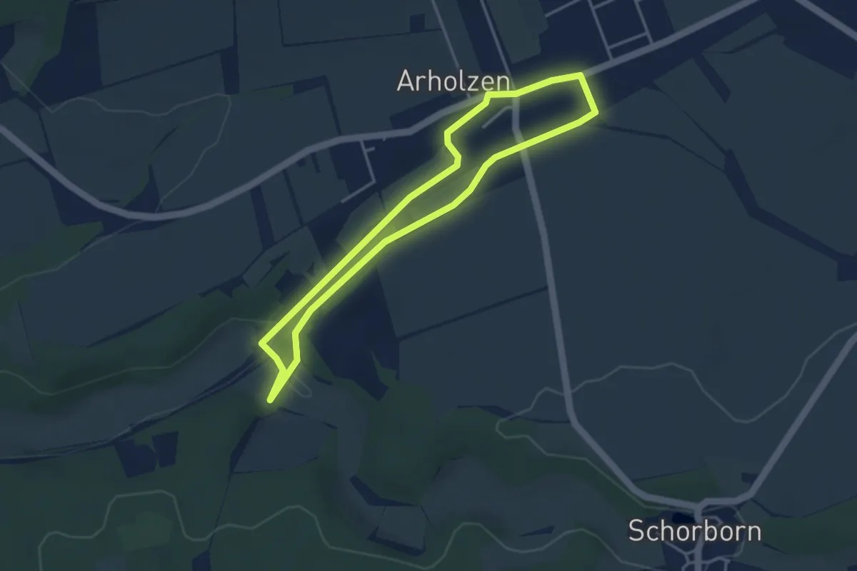
Easy · Trail
Sandstein-Erlebniswanderweg
3.1 km · ↑ 22 m · 49 min
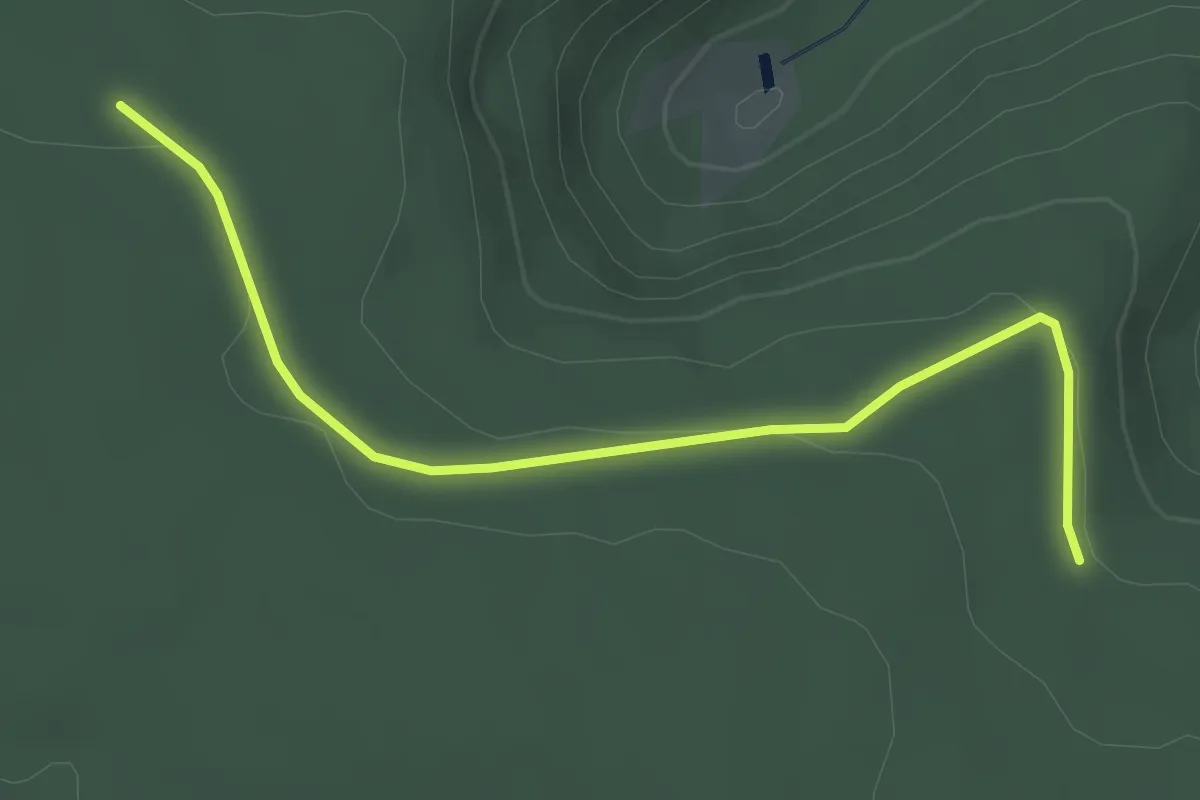
Easy · Trail
Sandwaldhütte - Stöckacker
3.1 km · ↑ 62 m · 52 min
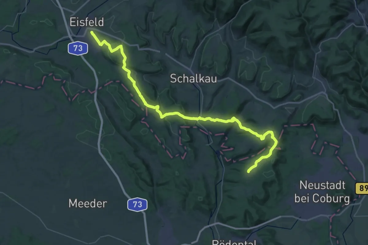
Demanding · Summit
Sandweg
46.5 km · ↑ 953 m · 13 h 3 min