Trails in Germany
36,852 hiking trails, each with its route, climb, walking time and grade.
All trails, page 567 of 768
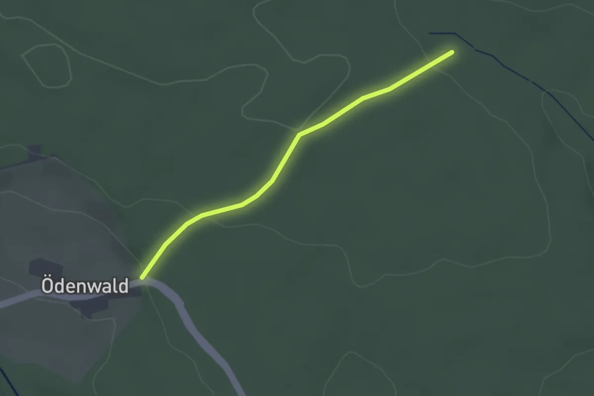
Easy · Trail
Sandwiese - Ödenwald
2.2 km · ↑ 80 m · 41 min
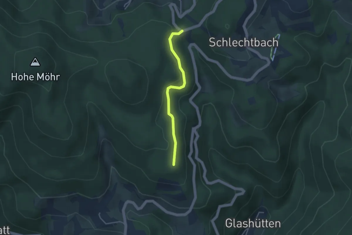
Easy · Trail
Sandwürfe - Haferbühl
2.7 km · ↑ 98 m · 51 min
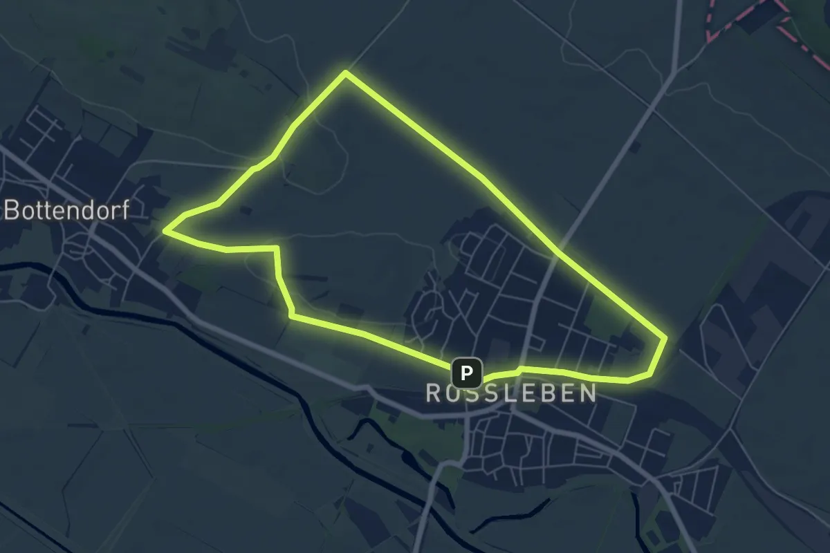
Easy · Trail
Sänger Rundweg
6.0 km · ↑ 36 m · 1 h 35 min
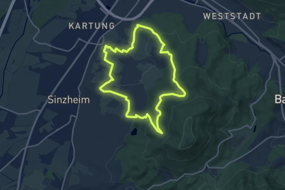
Medium · Trail
Sängerrundweg Winden
8.9 km · ↑ 305 m · 2 h 53 min
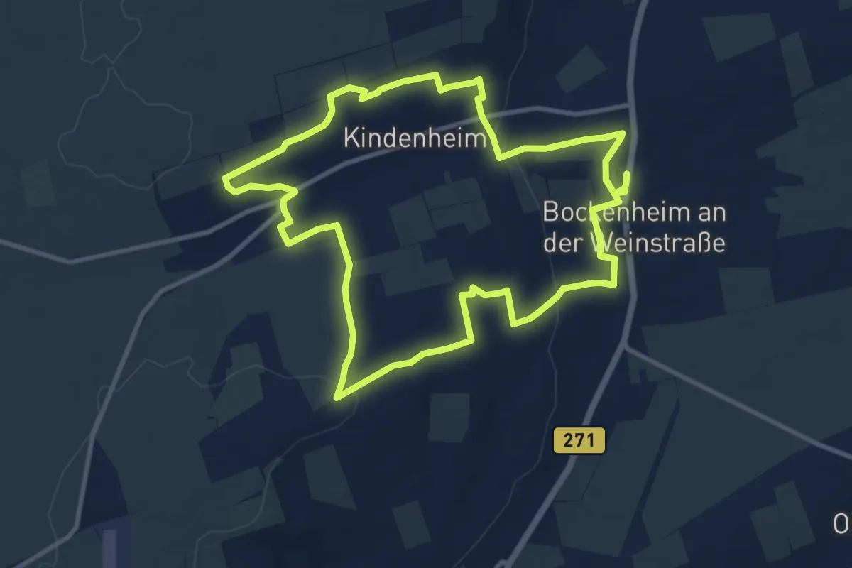
Medium · Trail
Sänger-Wanderweg
9.2 km · ↑ 218 m · 2 h 47 min
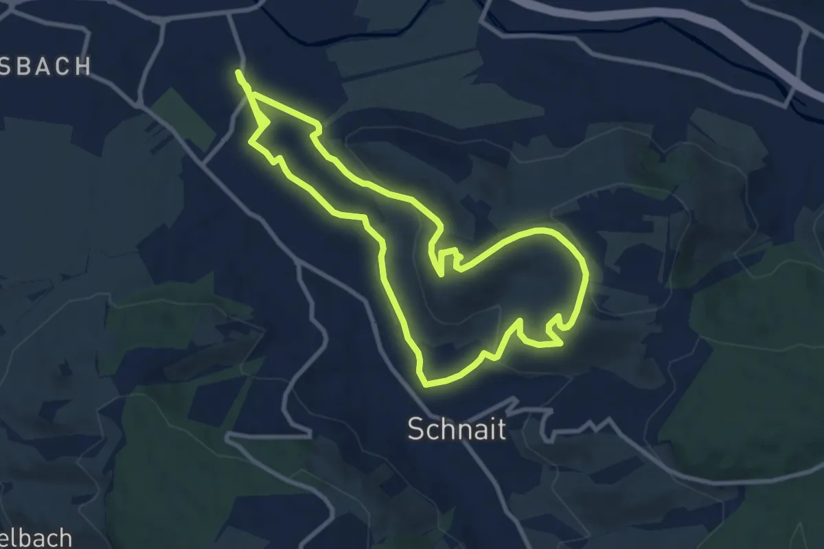
Medium · Trail
Sanges Froh
8.1 km · ↑ 177 m · 2 h 25 min
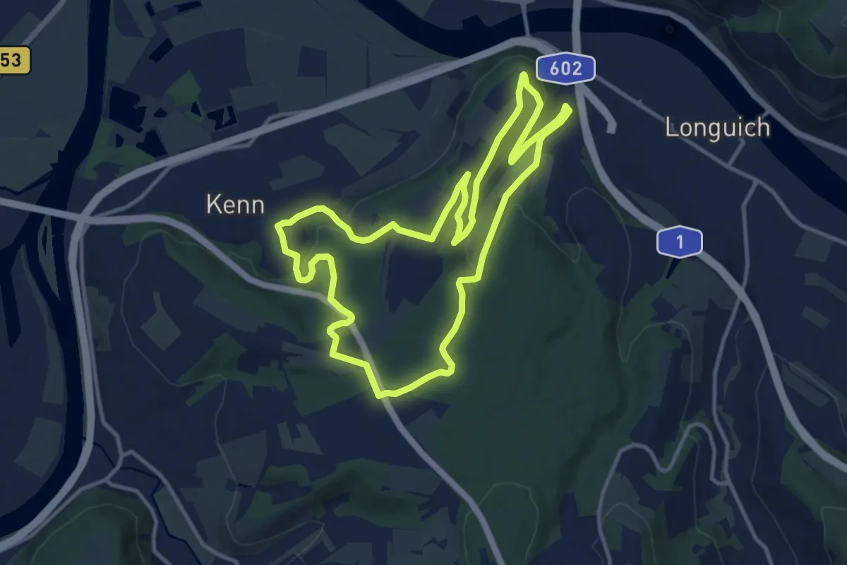
Medium · Summit
Sang-Tour
10.7 km · ↑ 272 m · 3 h 16 min
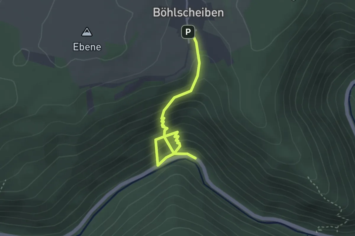
Medium · Trail
Sanitätsrat Dr.med. Helmut Steuer Weg
2.9 km · ↑ 286 m · 1 h 18 min
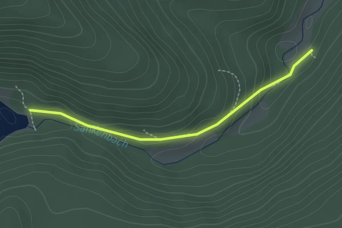
Easy · Trail
Sankenbach-Furt - Sankenbach-Kessel
2.0 km · ↑ 83 m · 39 min
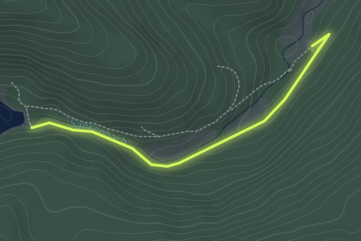
Easy · Trail
Sankenbach-Furt - Sankenbachsee
2.4 km · ↑ 52 m · 41 min
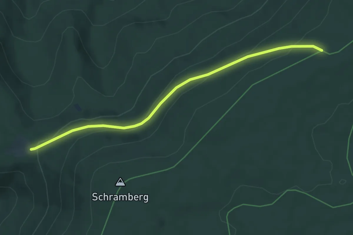
Easy · Trail
Sankt Anton - Toter Mann
4.8 km · ↑ 193 m · 1 h 33 min
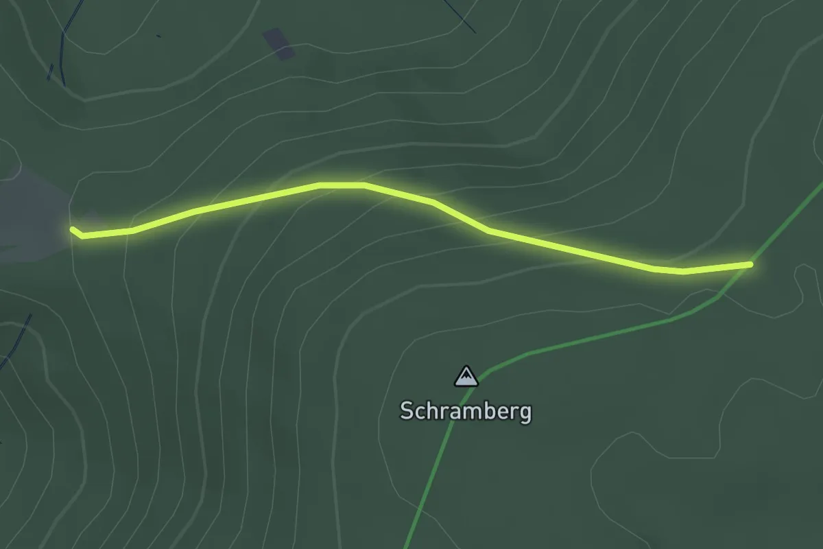
Easy · Trail
Sankt Anton - Wüstenlochhöhe
2.4 km · ↑ 175 m · 56 min
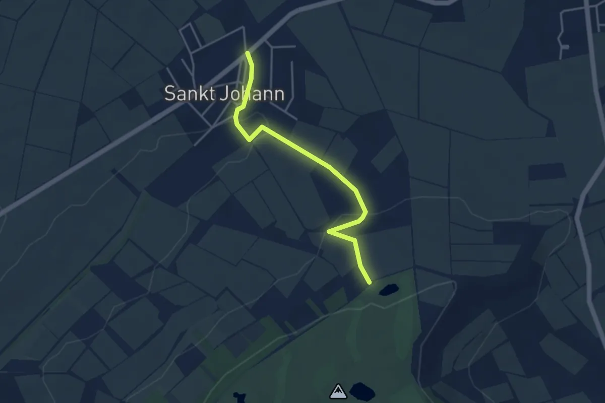
Easy · Trail
Sankt Johann
3.4 km · ↑ 105 m · 1 h 2 min
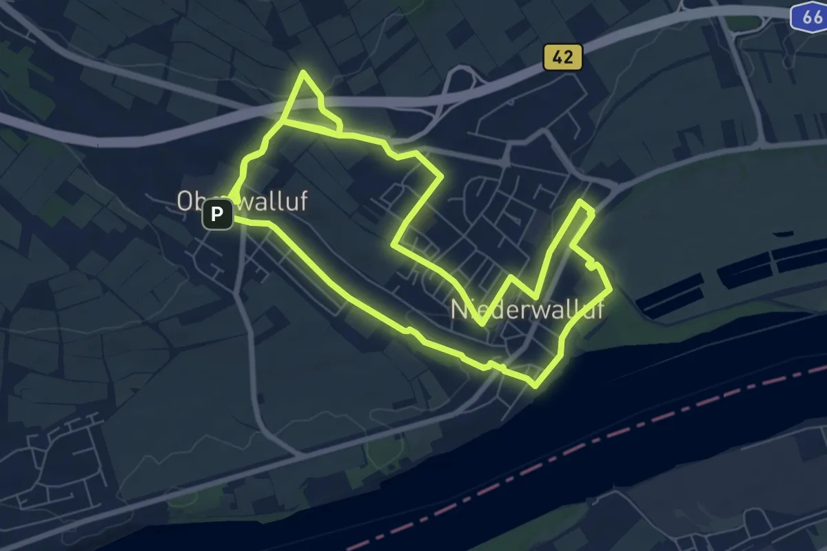
Medium · Trail
Sankt Johannes-Besinnungsweg
15.2 km · ↑ 183 m · 3 h 59 min
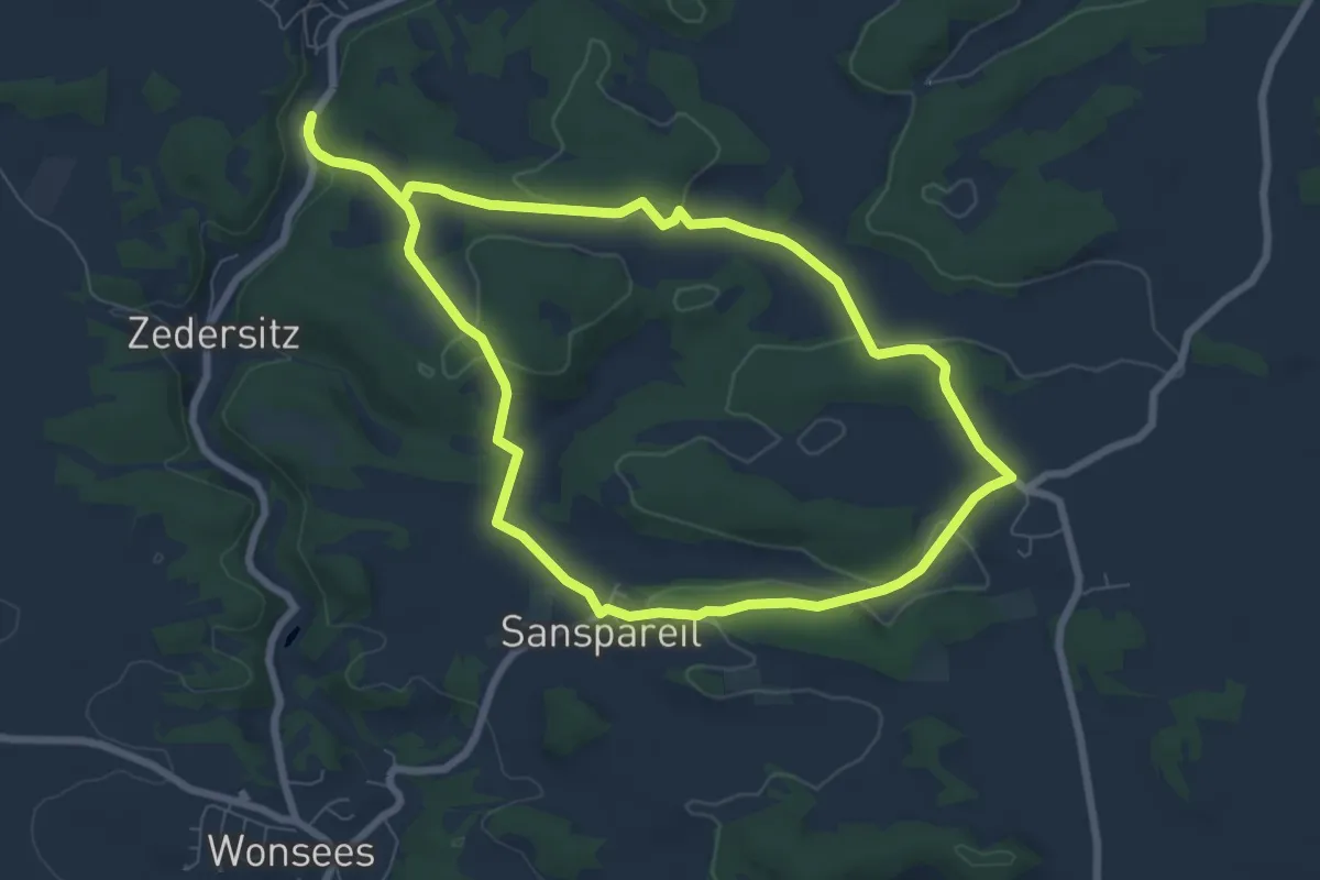
Easy · Trail
Sansparail Rundwanderweg schwarzer Ring
6.9 km · ↑ 144 m · 2 h 2 min
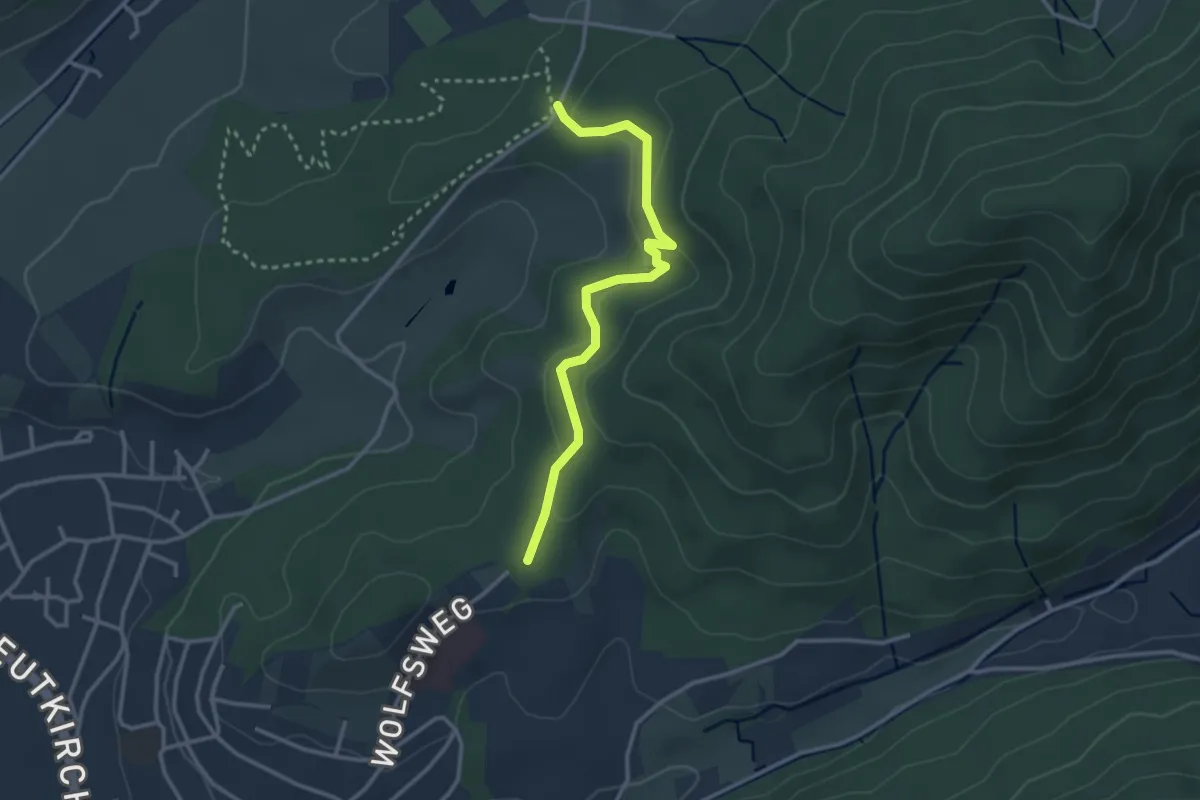
Easy · Trail
Santis Claus - Wolfslache
2.8 km · ↑ 150 m · 1 h
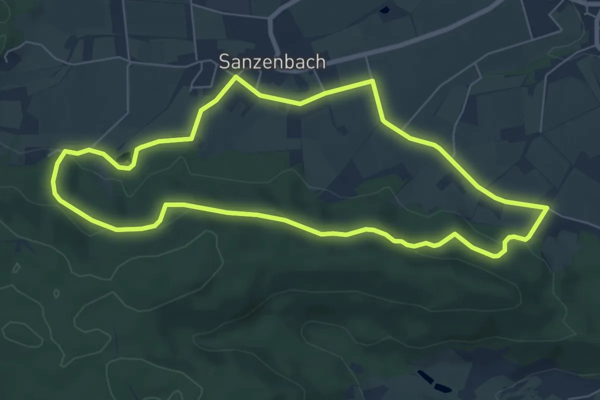
Easy · Trail
Sanzenbacher Weg
5.9 km · ↑ 120 m · 1 h 44 min
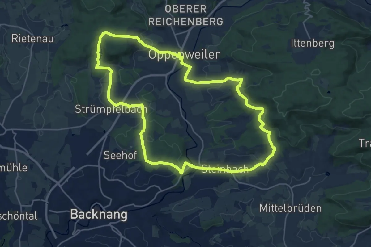
Medium · Summit
's Äpple Rundweg 1
16.1 km · ↑ 311 m · 4 h 42 min
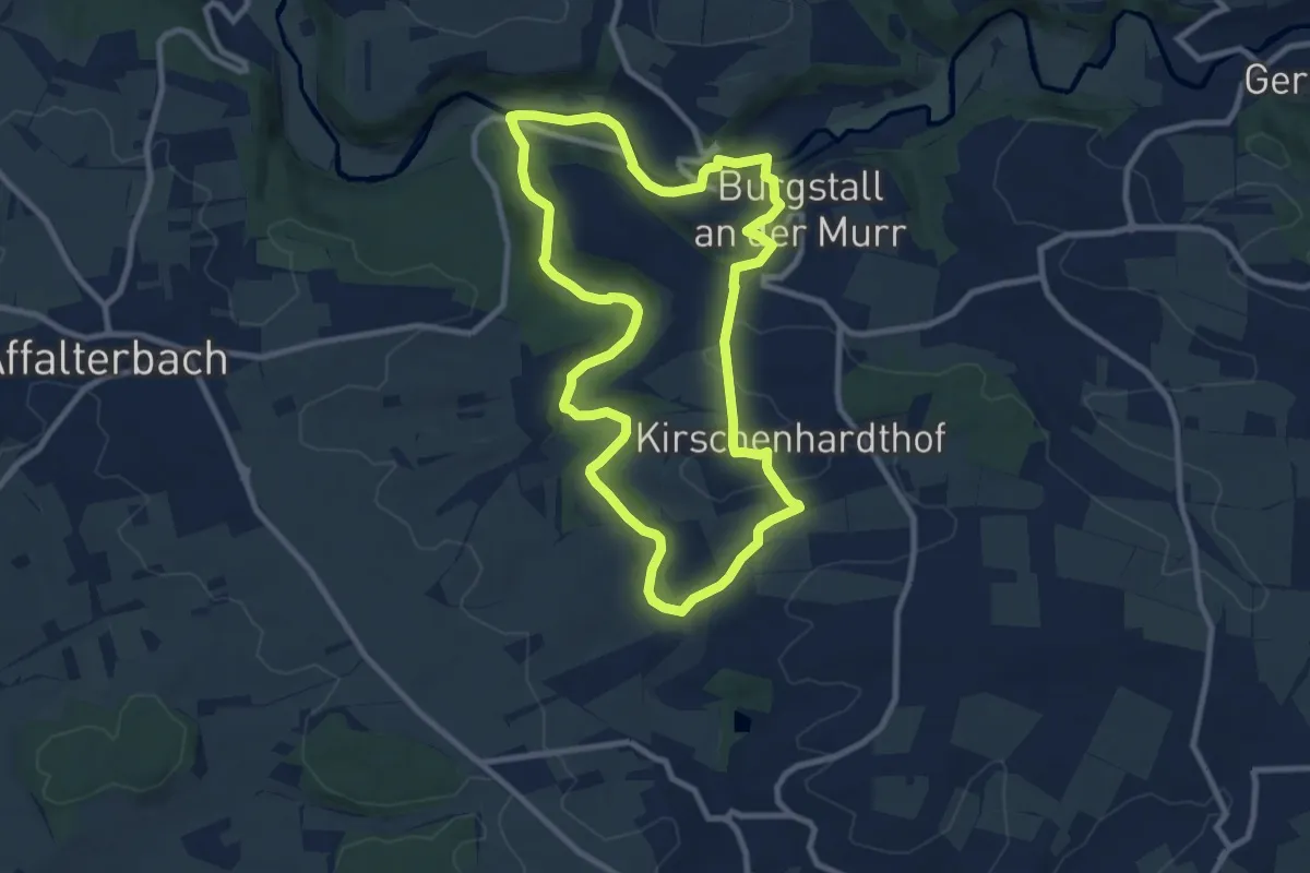
Medium · Trail
's Äpple Rundweg 10
8.8 km · ↑ 128 m · 2 h 28 min
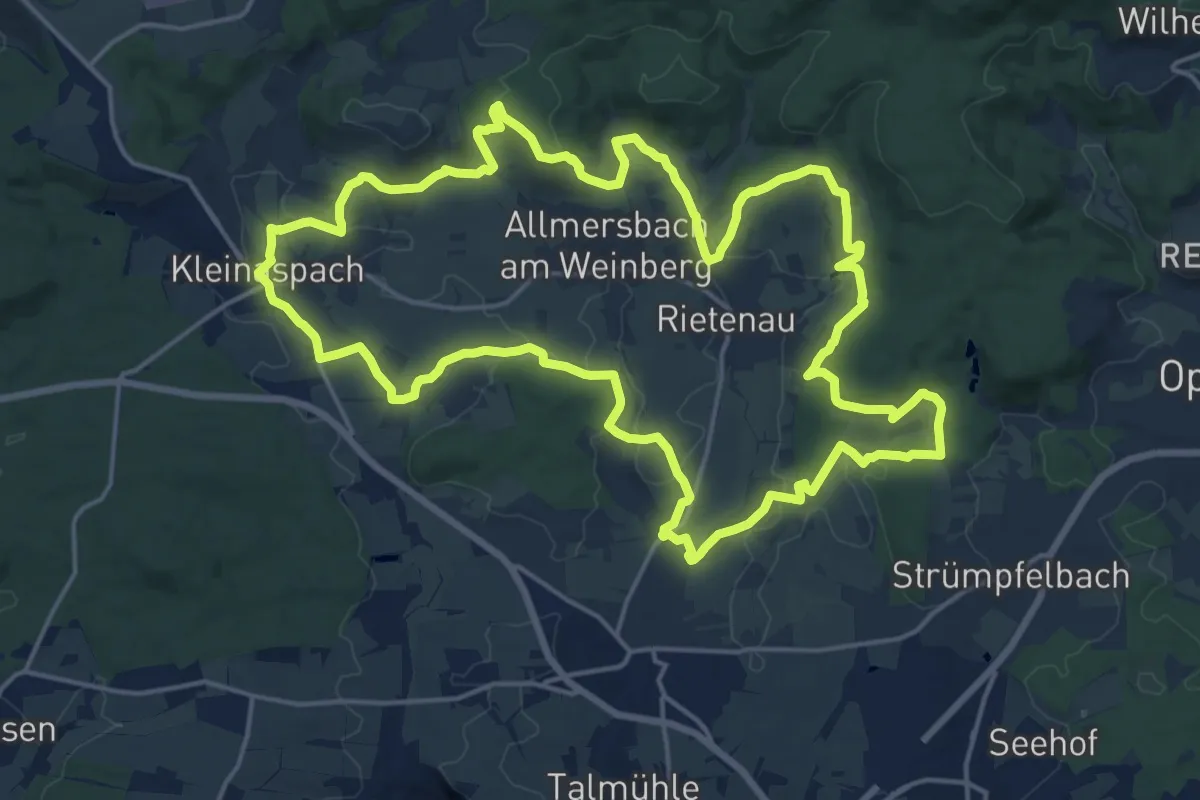
Demanding · Trail
's Äpple Rundweg 11
18.6 km · ↑ 369 m · 5 h 27 min
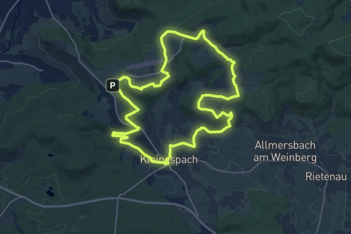
Medium · Summit
's Äpple Rundweg 12
13.5 km · ↑ 220 m · 3 h 50 min
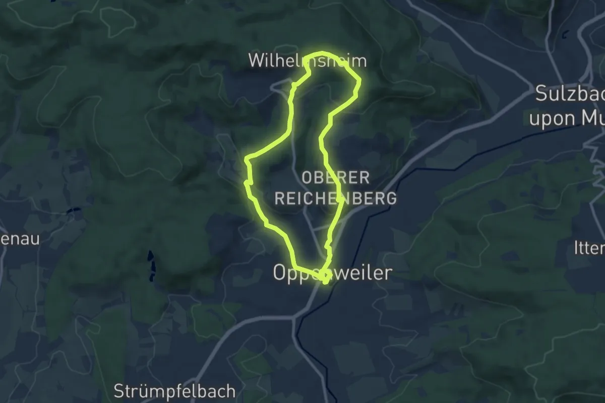
Easy · Trail
's Äpple Rundweg 13
7.6 km · ↑ 213 m · 2 h 22 min
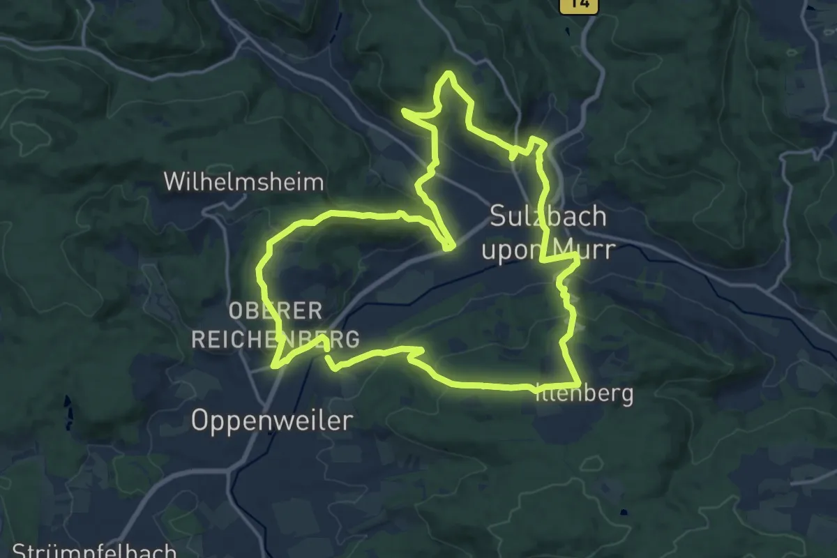
Medium · Trail
’s Äpple Rundweg 14
15.7 km · ↑ 578 m · 5 h 10 min
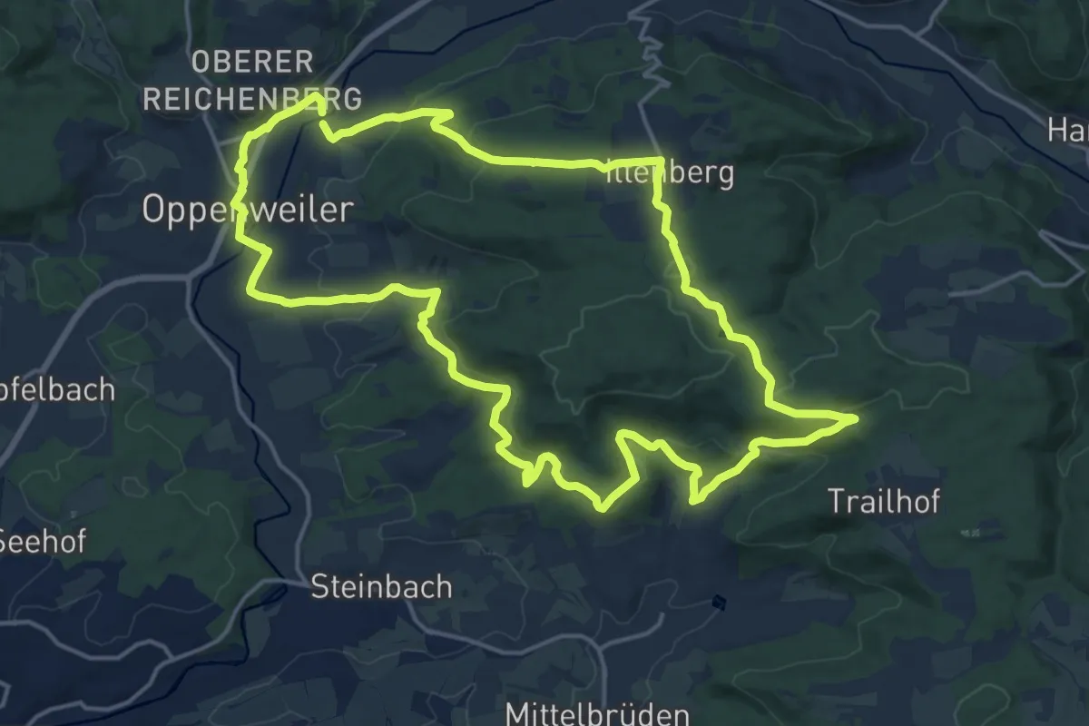
Medium · Summit
’s Äpple Rundweg 15
16.7 km · ↑ 435 m · 5 h 8 min
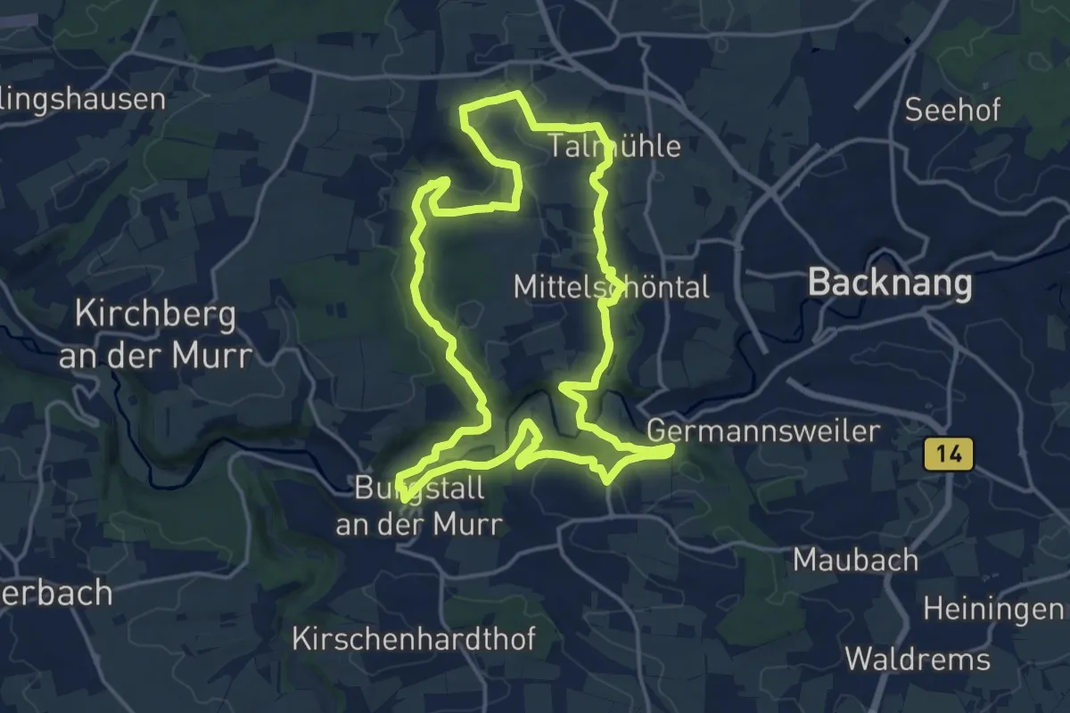
Medium · Trail
's Äpple Rundweg 2
15.6 km · ↑ 259 m · 4 h 27 min
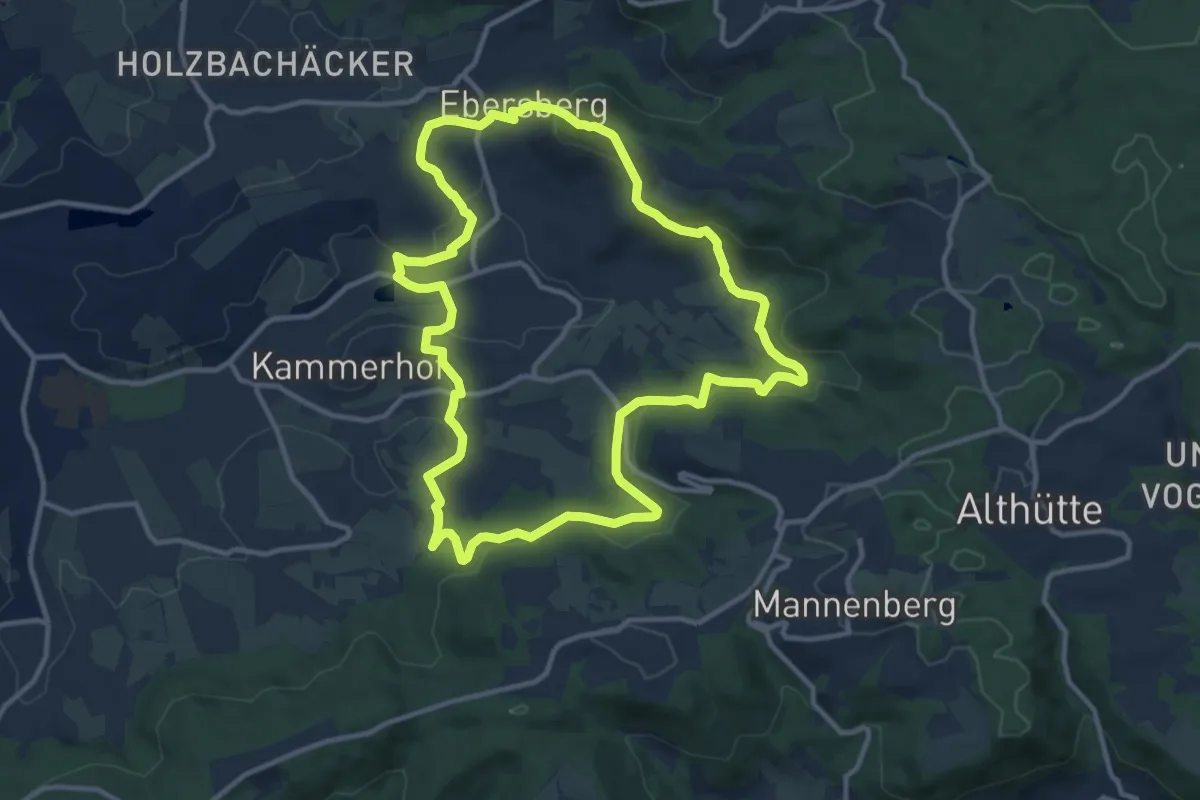
Medium · Summit
's Äpple Rundweg 3
11.4 km · ↑ 374 m · 3 h 39 min
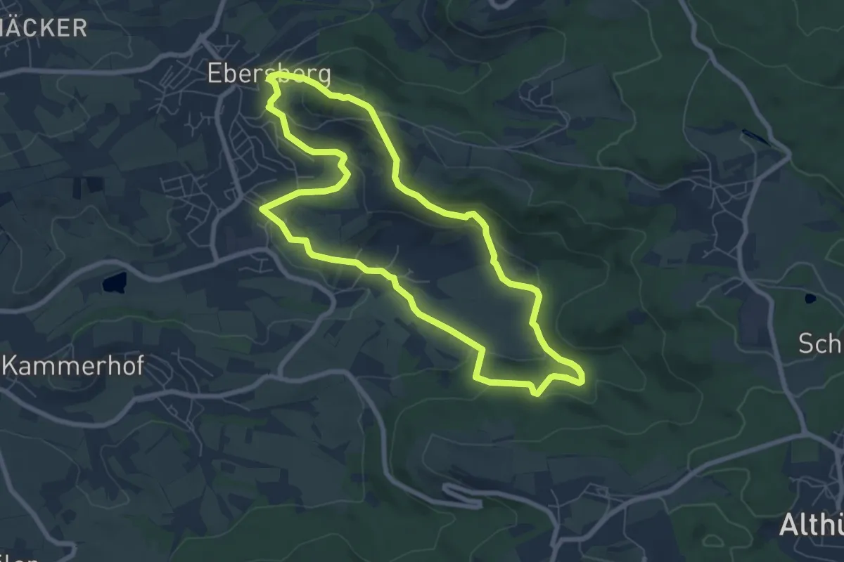
Easy · Summit
's Äpple Rundweg 4
6.7 km · ↑ 270 m · 2 h 15 min
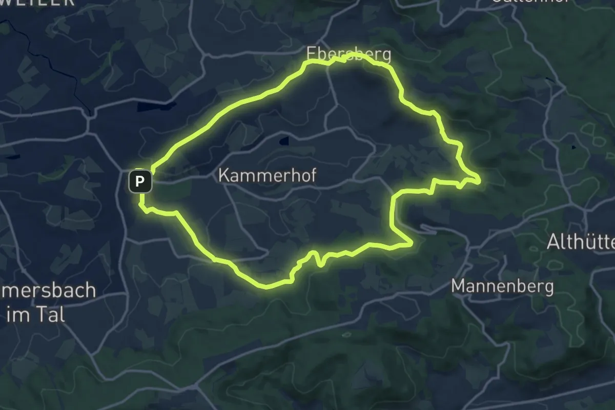
Medium · Summit
’s Äpple Rundweg 5
13.8 km · ↑ 376 m · 4 h 16 min
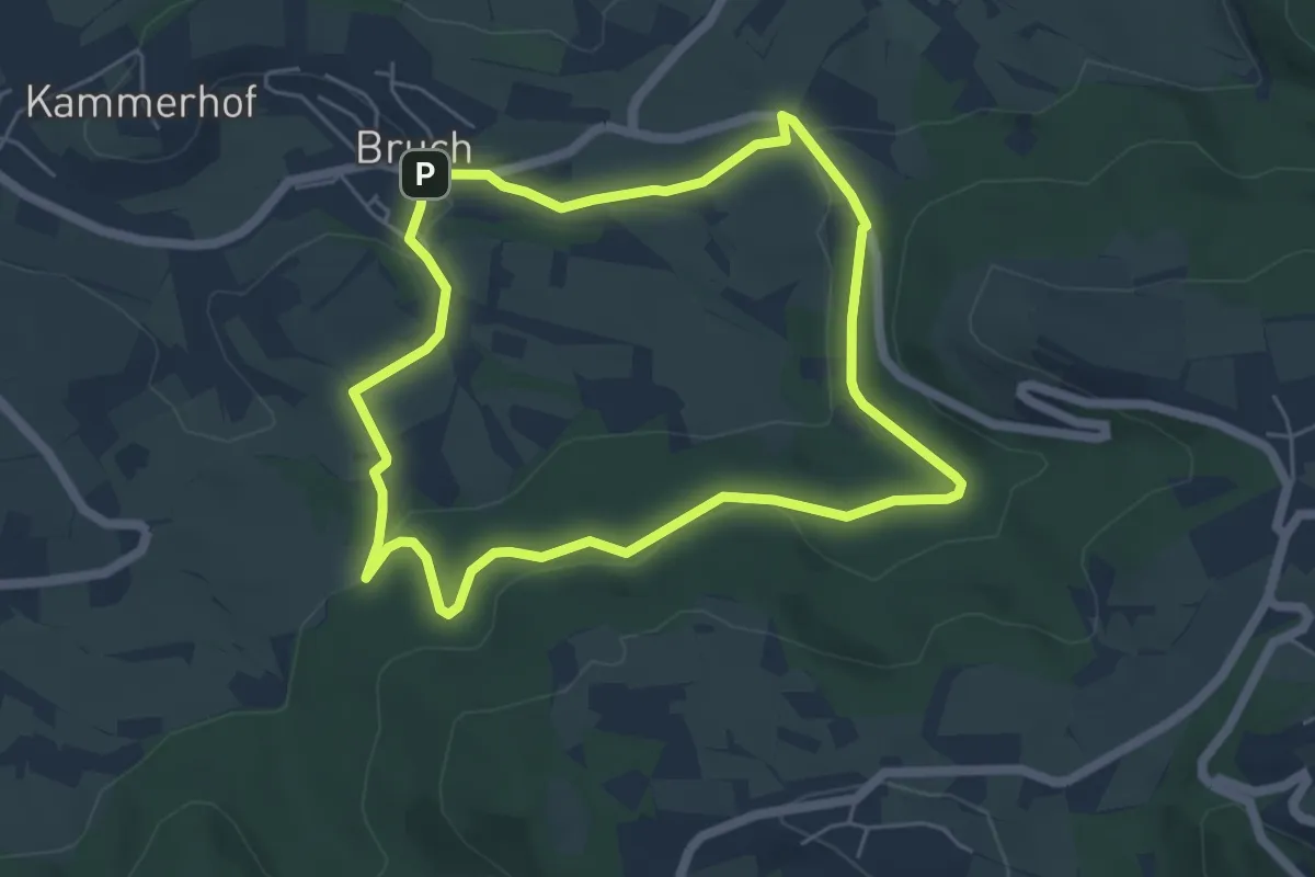
Easy · Summit
’s Äpple Rundweg 6
4.9 km · ↑ 98 m · 1 h 27 min
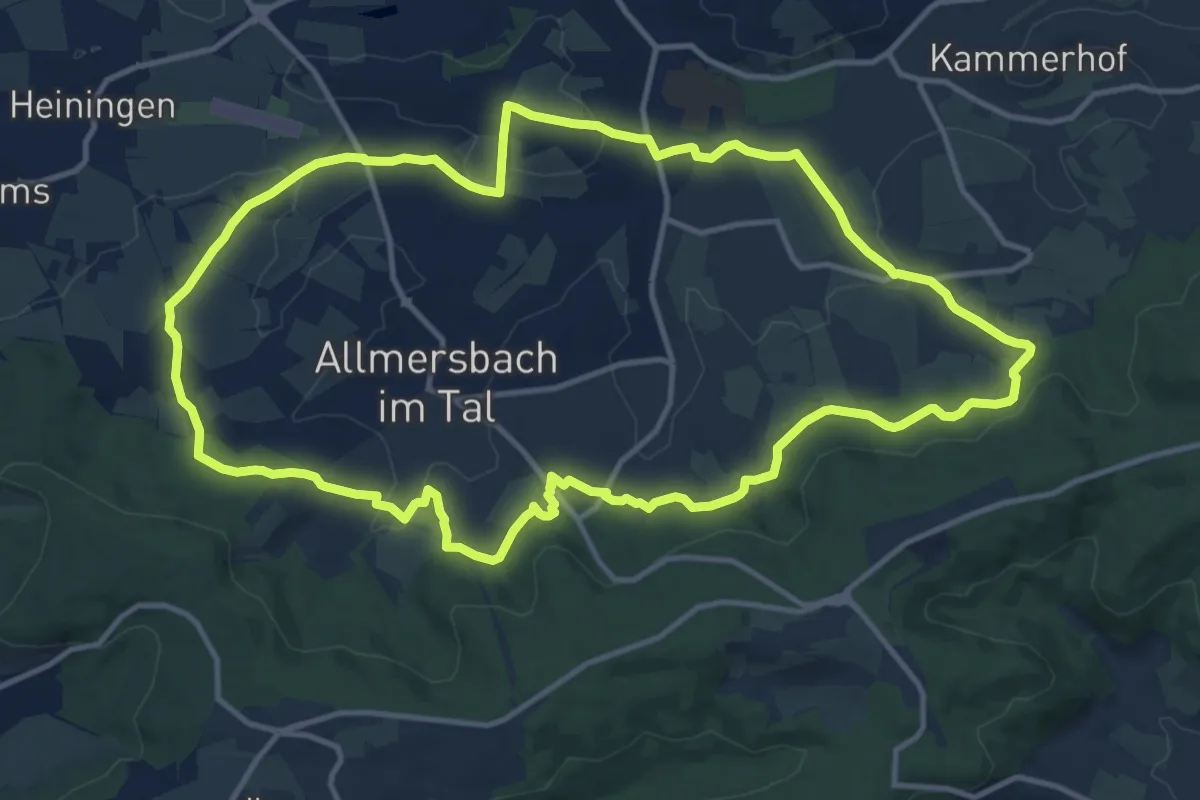
Medium · Trail
’s Äpple Rundweg 7
12.9 km · ↑ 223 m · 3 h 42 min
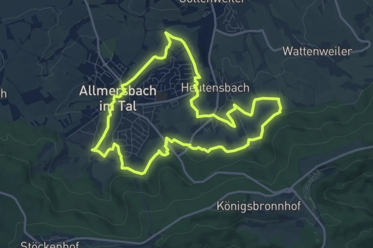
Medium · Summit
's Äpple Rundweg 8
8.8 km · ↑ 132 m · 2 h 30 min
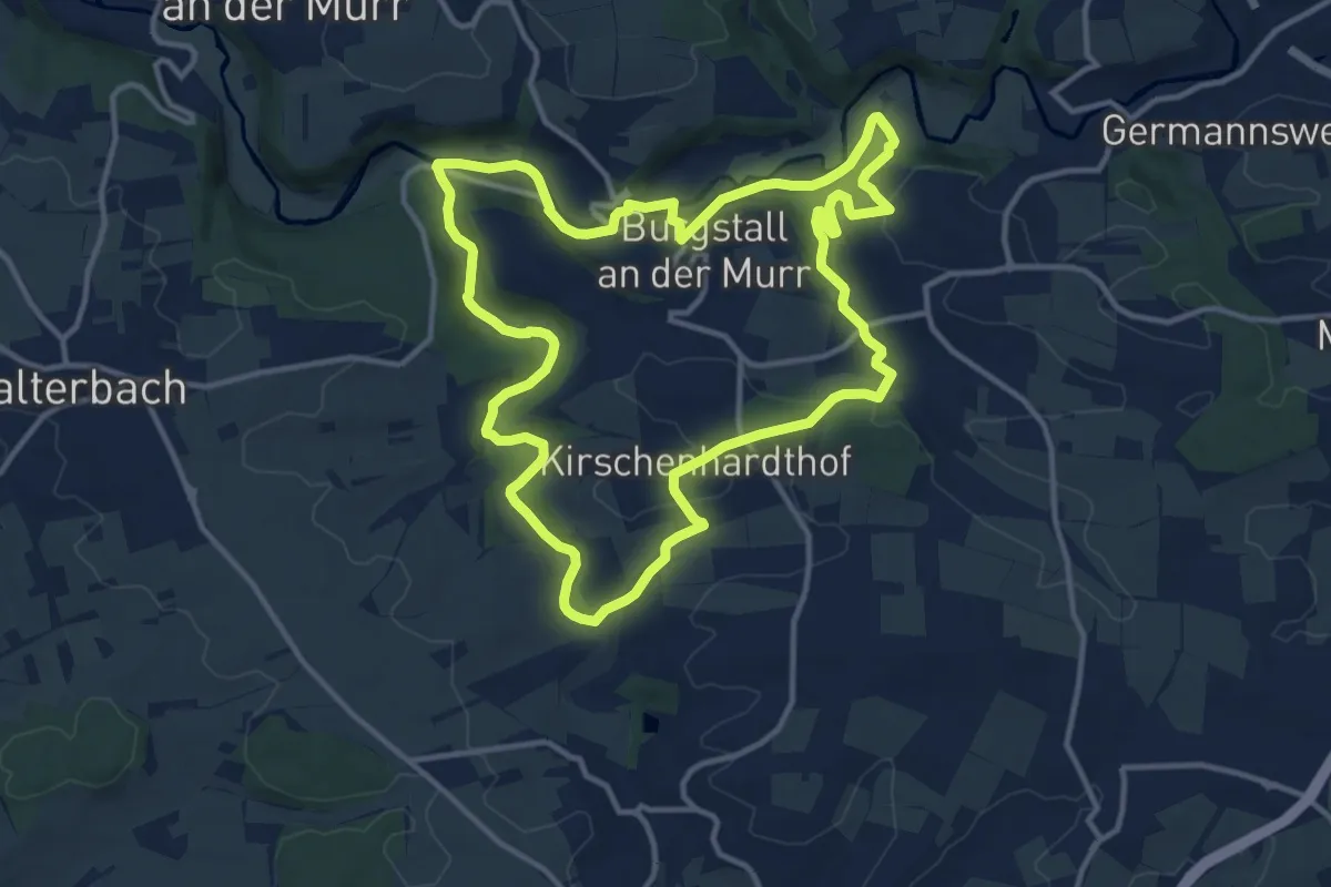
Medium · Trail
's Äpple Rundweg 9
12.4 km · ↑ 212 m · 3 h 34 min
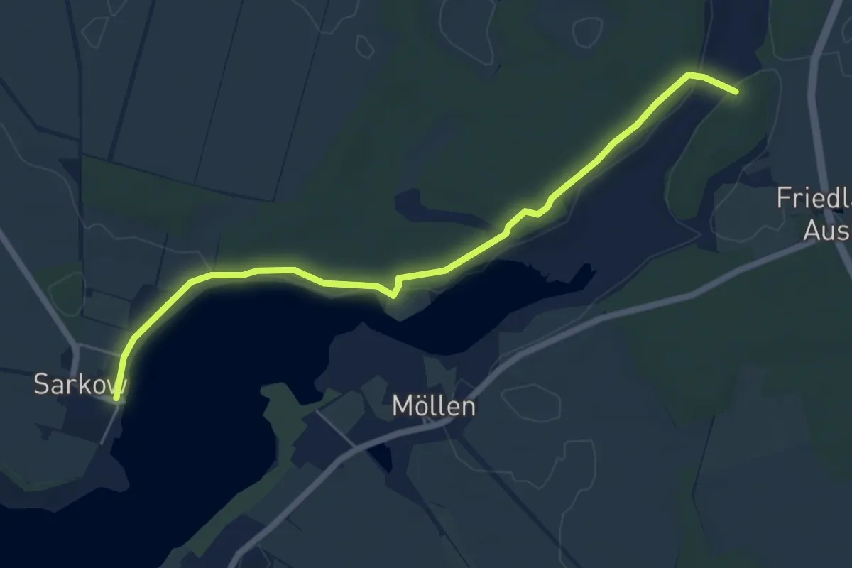
Medium · Trail
Sarkow-Friedland
5.6 km · ↑ 28 m · 1 h 22 min
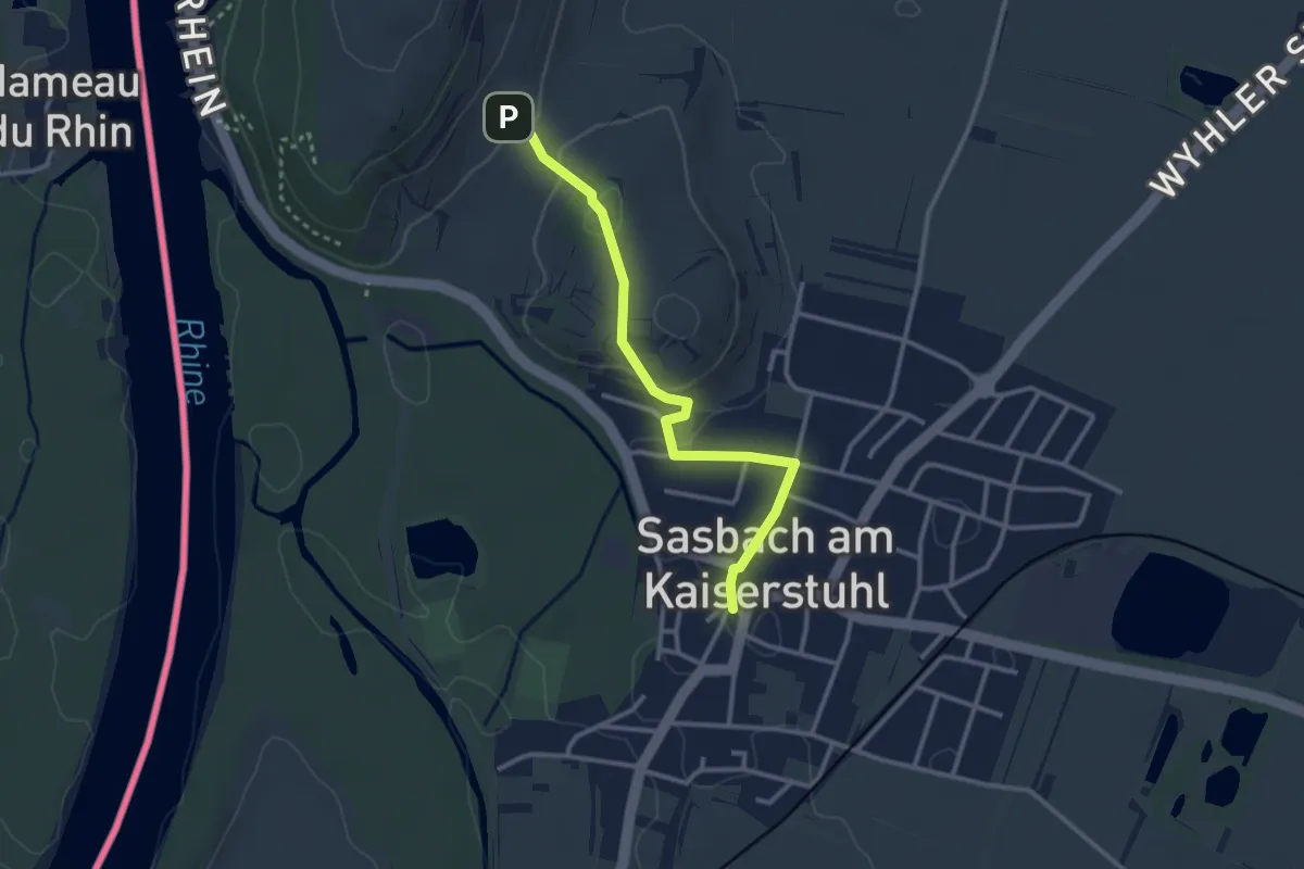
Easy · Trail
Sasbach Kirche - Leimengrube
2.8 km · ↑ 48 m · 46 min
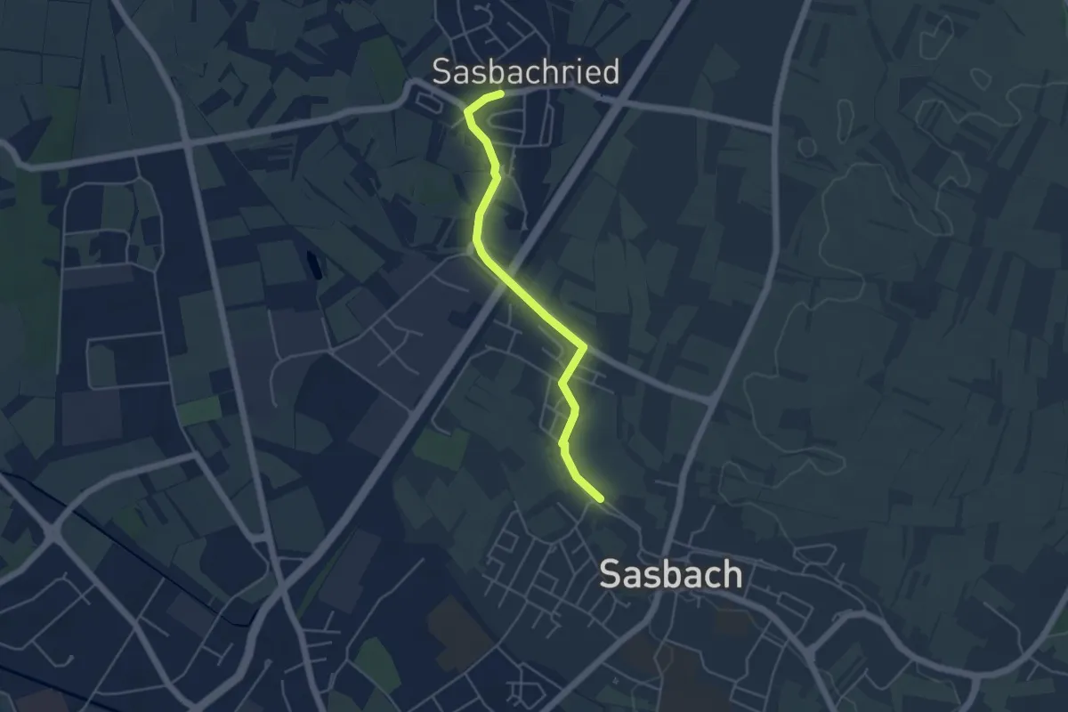
Easy · Trail
Sasbachried Ortsmitte - Sasbach Unterdorf
4.1 km · ↑ 9 m · 1 h
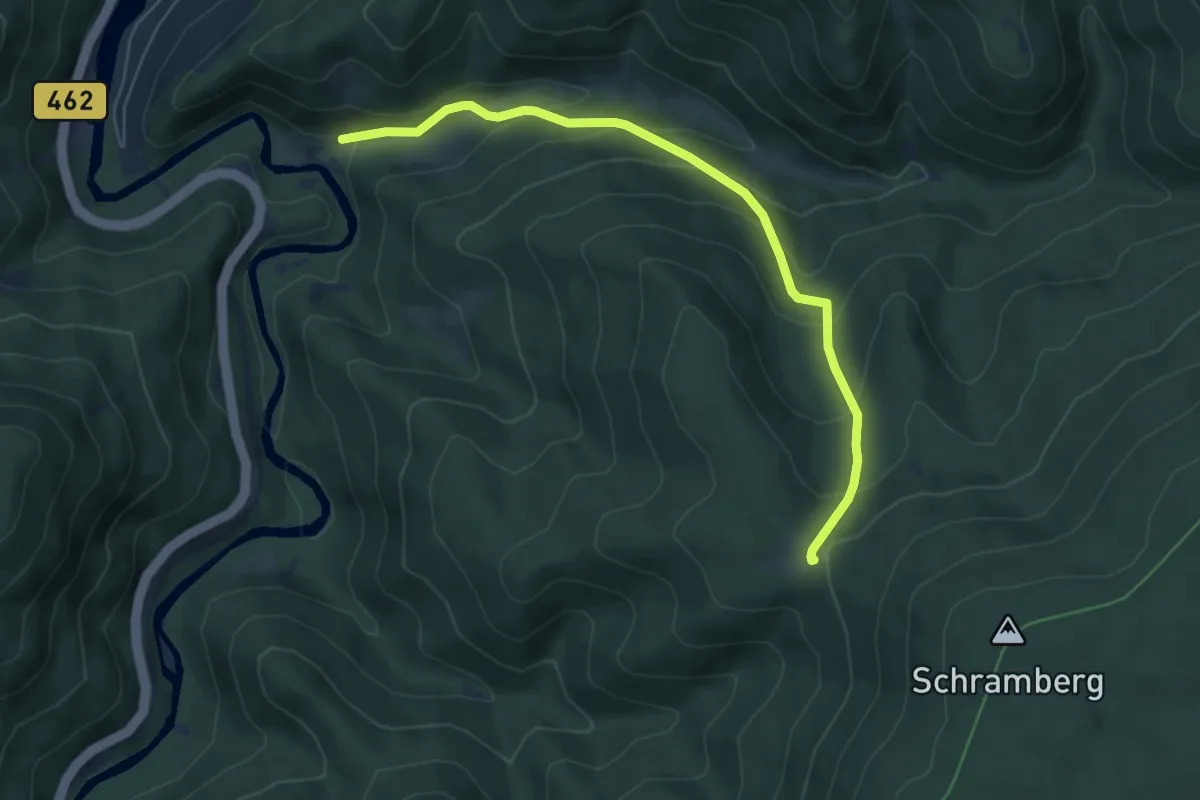
Medium · Trail
Sasbach - Sankt Anton
5.9 km · ↑ 396 m · 2 h 15 min
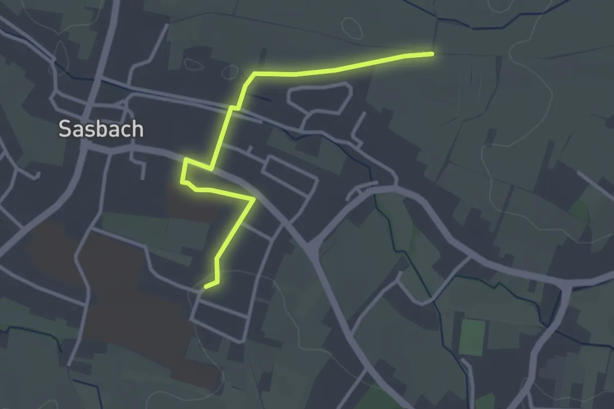
Easy · Trail
Sasbach Turenne-Denkmal - Zehntfrei
2.8 km · ↑ 30 m · 43 min
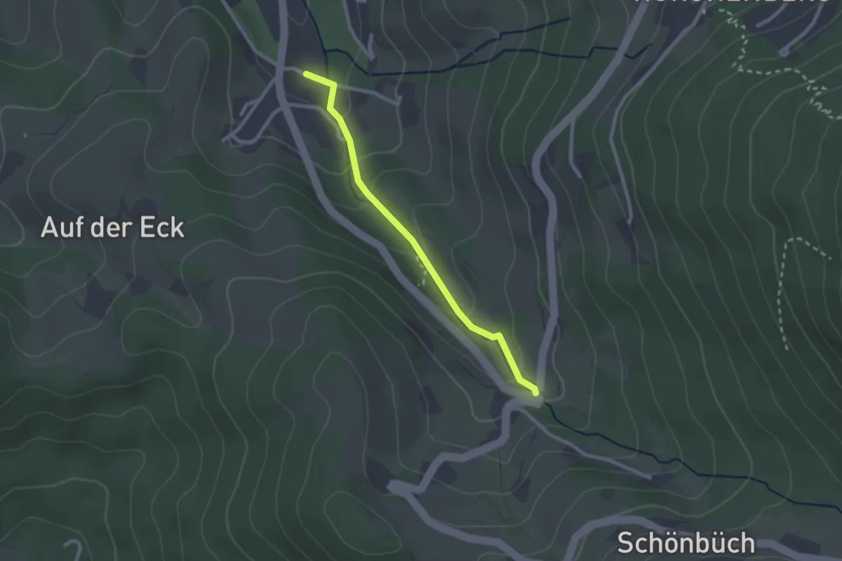
Easy · Trail
Sasbachwalden Minigolf - Straubenhöf-Mühle
2.1 km · ↑ 123 m · 46 min
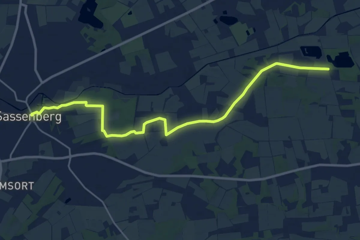
Medium · Trail
Sassenberger Weg
13.9 km · ↑ 40 m · 3 h 22 min
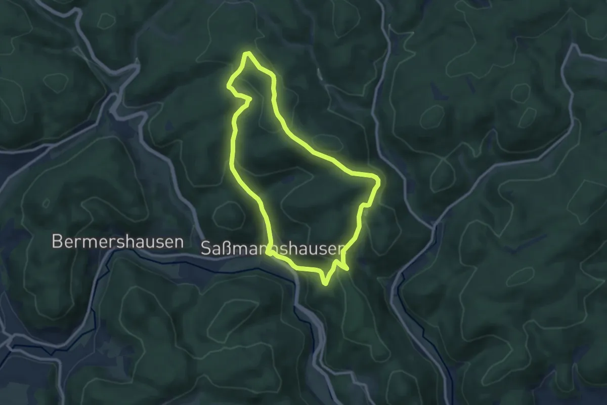
Easy · Trail
Saßmannshausen Rundweg A3
7.7 km · ↑ 270 m · 2 h 31 min
Easy · Trail
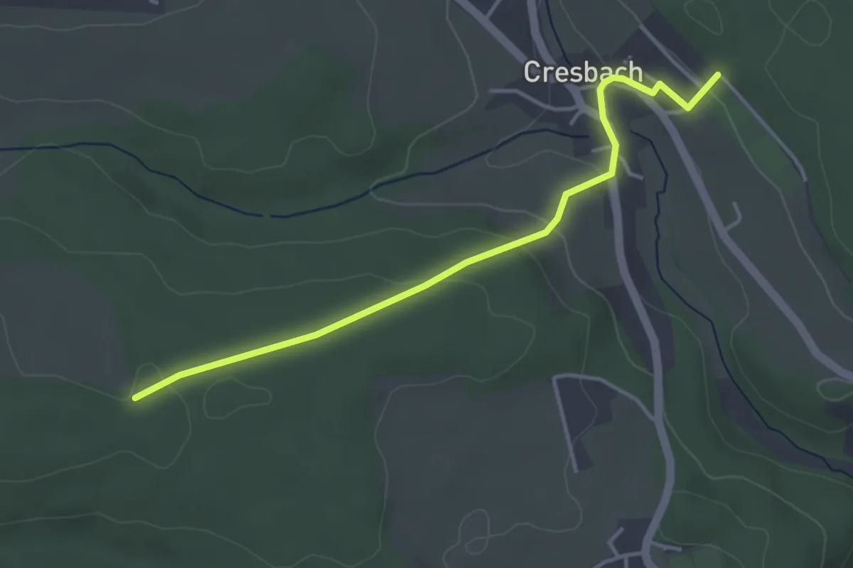
Sattelacker - Sportplatz Cresbach
3.7 km · ↑ 119 m · 1 h 8 min
Easy · Trail
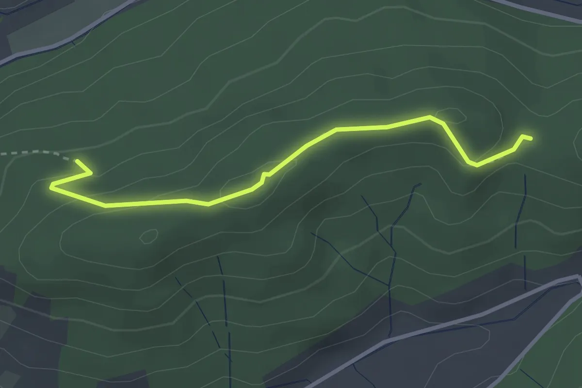
Satteleck - Rempie
2.7 km · ↑ 107 m · 52 min
Easy · Summit
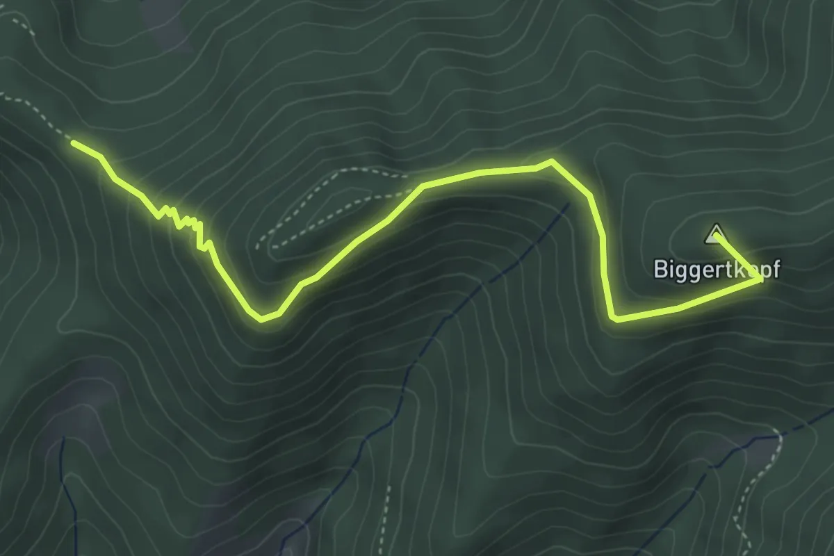
Satteleck - Zimmereck
4.8 km · ↑ 291 m · 1 h 47 min
Easy · Trail
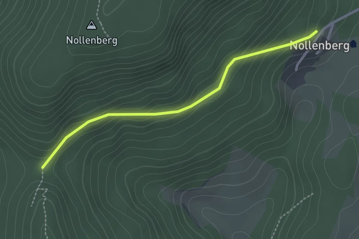
Sattellege - Nollenberg
2.2 km · ↑ 121 m · 47 min
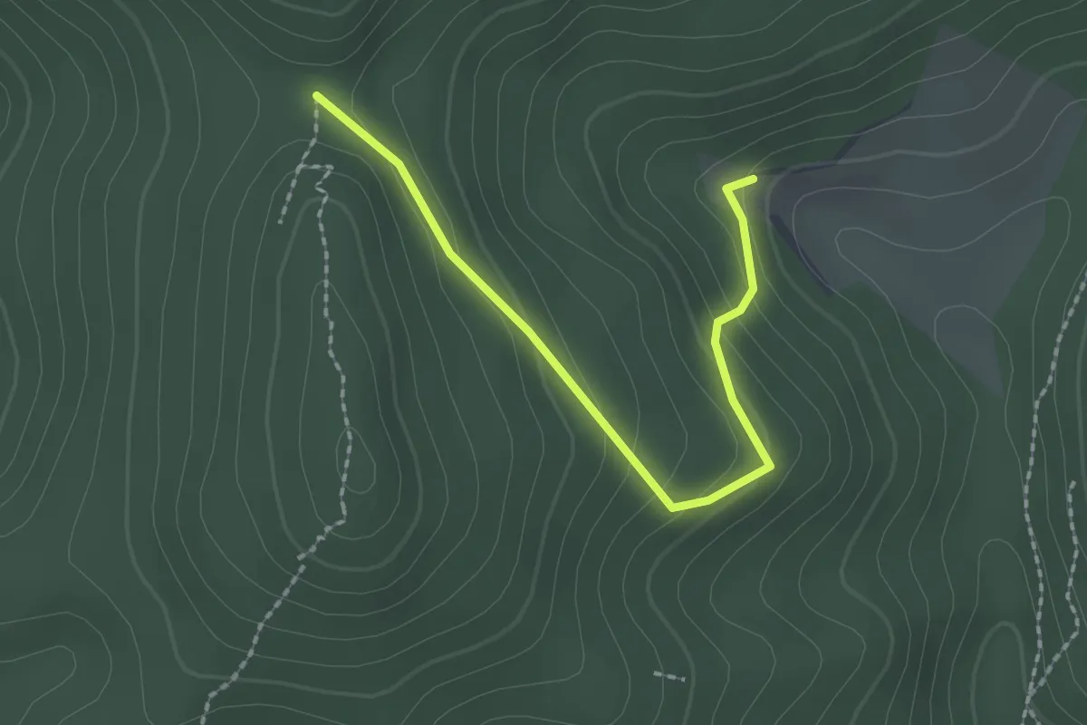
Easy · Trail
Sattellege - Rinkenbach
2.1 km · ↑ 117 m · 45 min
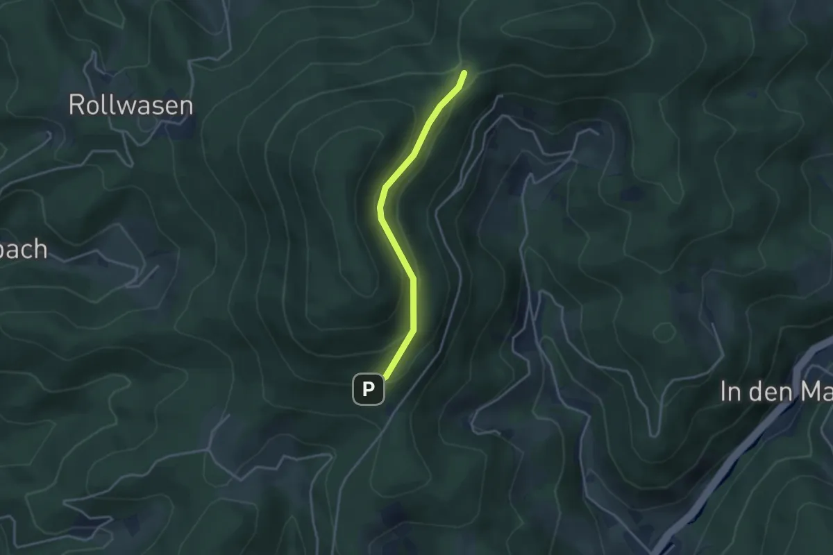
Easy · Trail
Sattelplatz - Tanzhütte
2.9 km · ↑ 156 m · 1 h 1 min
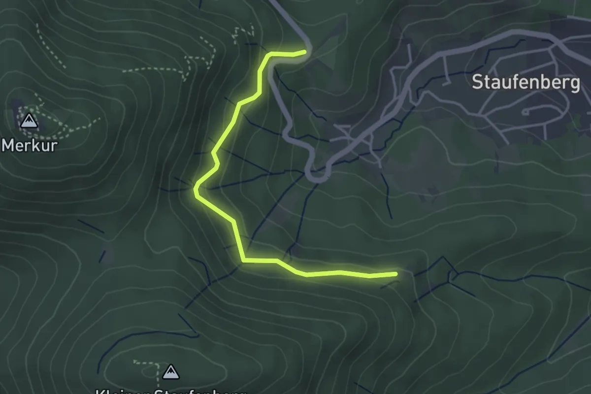
Easy · Trail
Sattley - Weise Stein
3.4 km · ↑ 213 m · 1 h 15 min
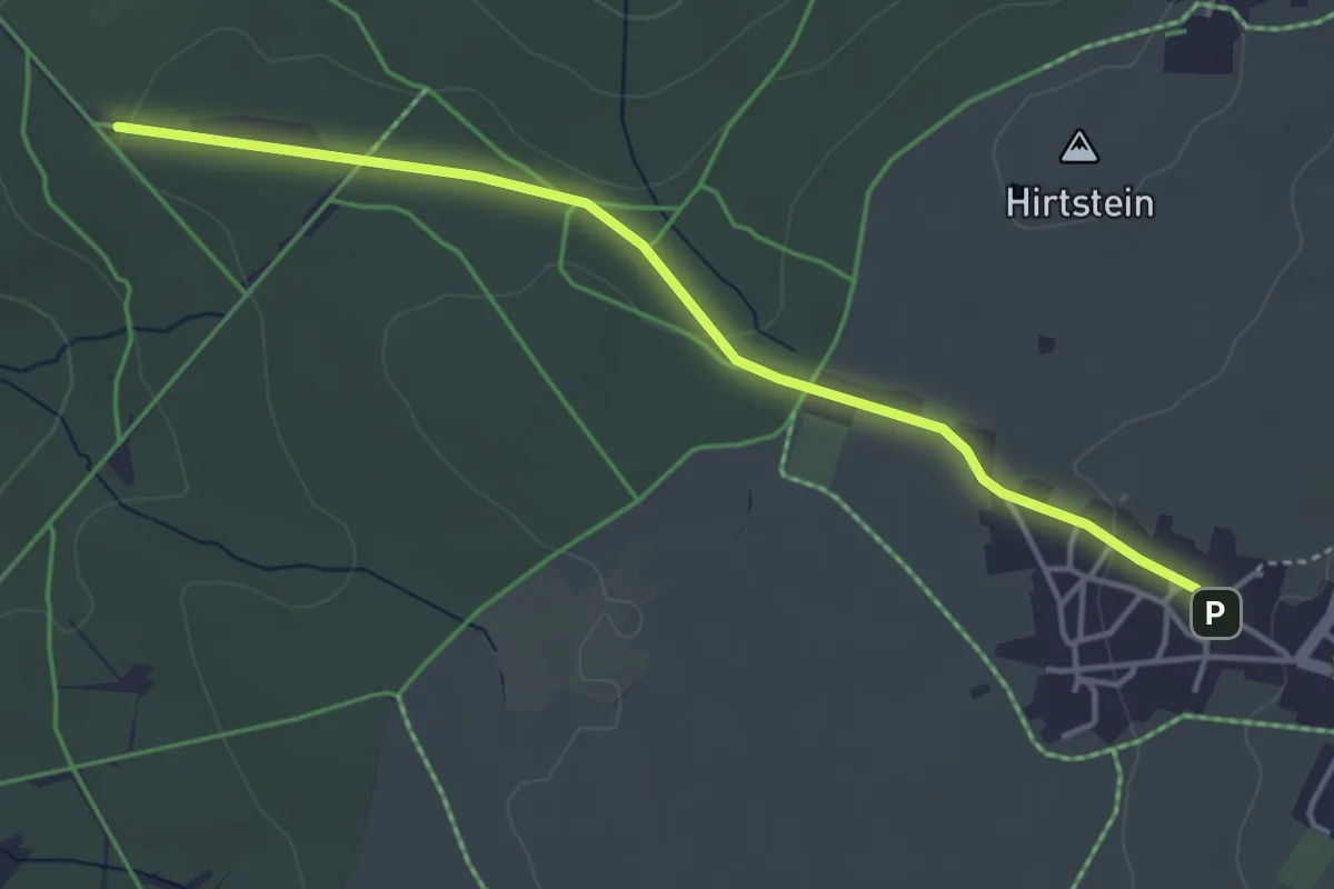
Easy · Trail
Satzung-Grosser Ringweg
3.9 km · ↑ 45 m · 1 h 1 min