Trails in Germany
36,852 hiking trails, each with its route, climb, walking time and grade.
All trails, page 568 of 768
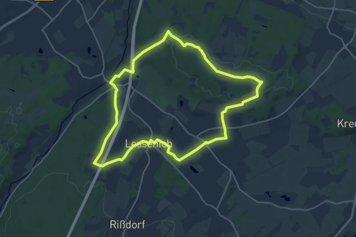
Medium · Summit
Satzvey Rundweg 3
11.6 km · ↑ 144 m · 3 h 13 min
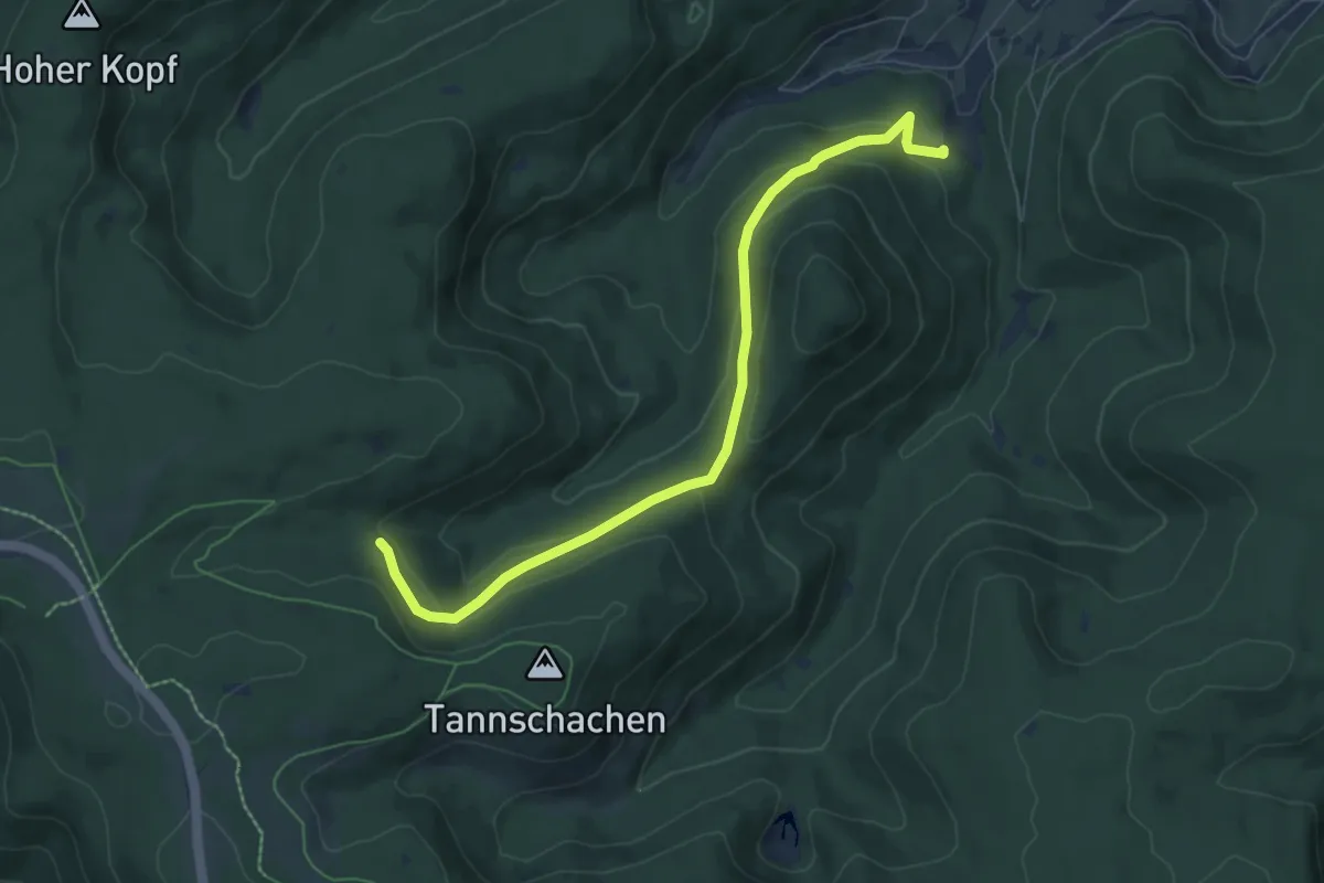
Easy · Trail
Sauerbrunnenwegle - Wildgehege Ellbach
7.2 km · ↑ 278 m · 2 h 18 min
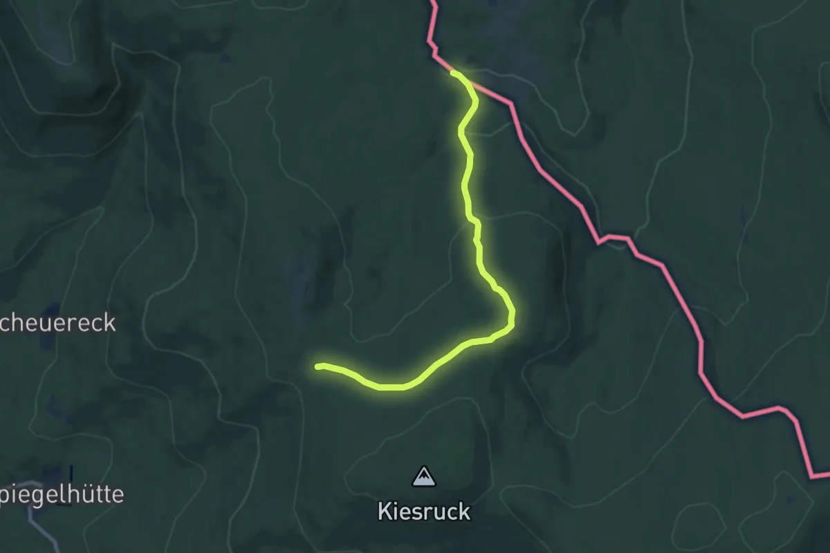
Easy · Trail
Sauerklee
7.8 km · ↑ 227 m · 2 h 20 min
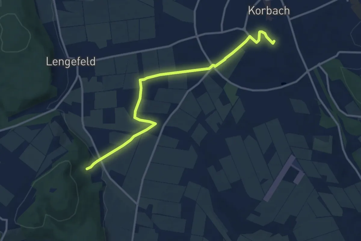
Medium · Trail
Sauerland-Höhenflug
8.9 km · ↑ 112 m · 2 h 20 min
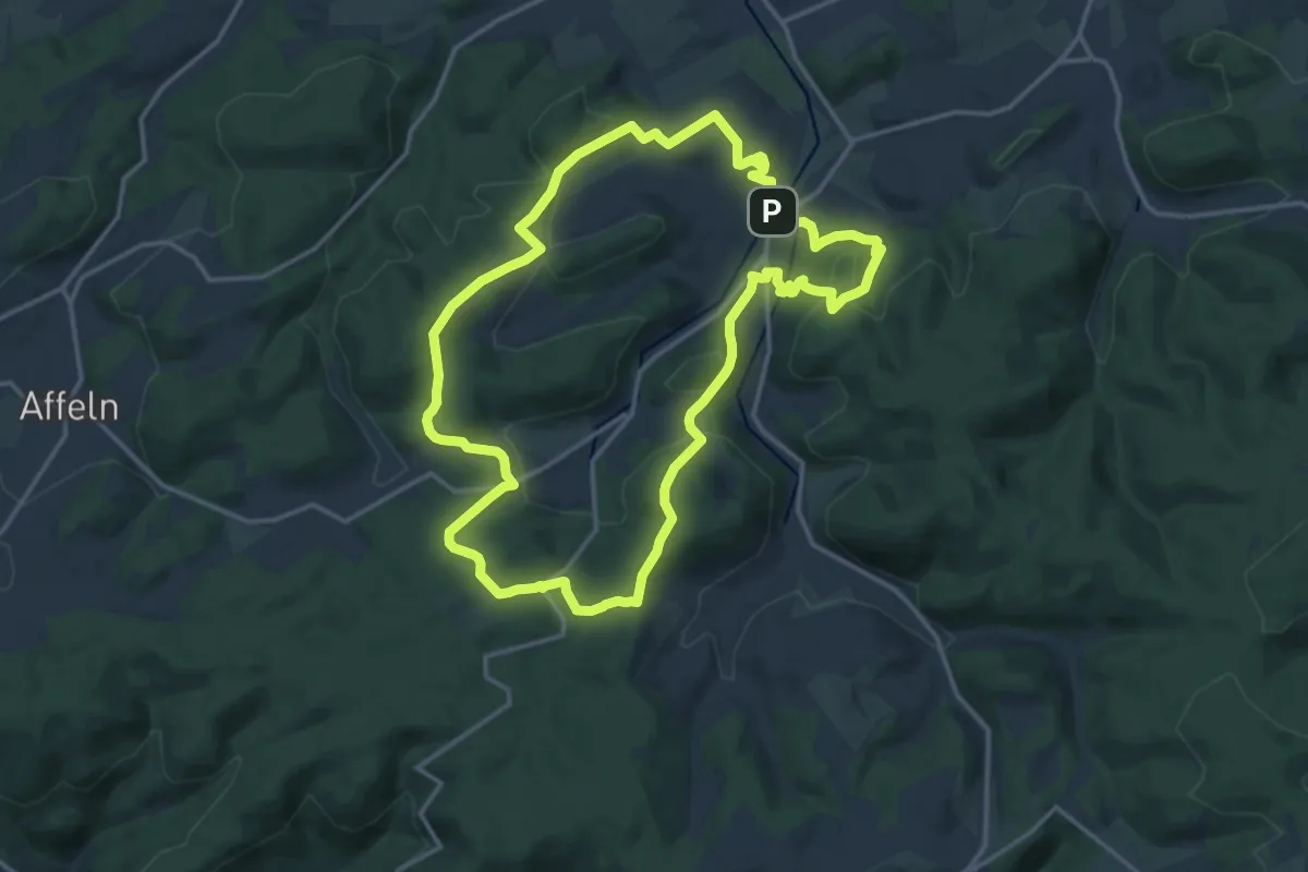
Medium · Trail
Sauerland-Höhenflug Allendorf
14.1 km · ↑ 478 m · 4 h 34 min
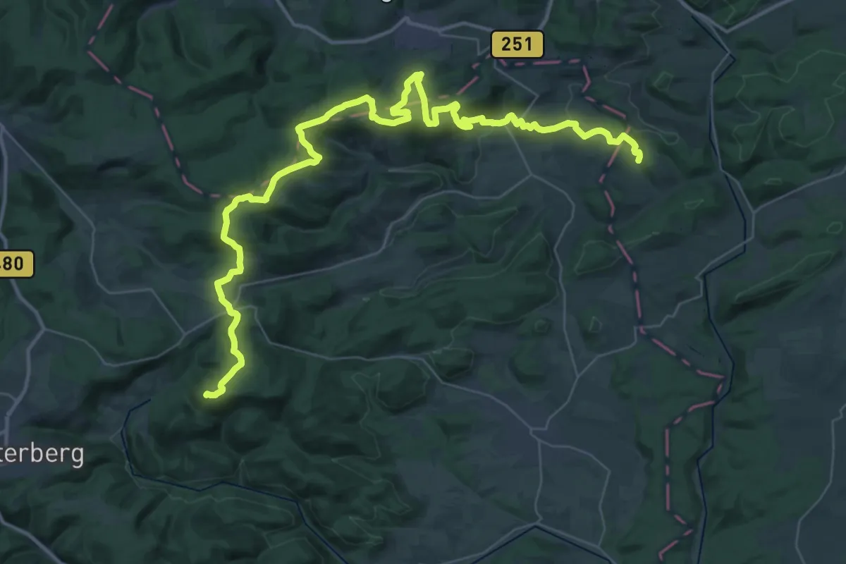
Demanding · Summit
Sauerland-Höhenflug (Teilstück Medelon - Küstelberg - Düdinghausen - Korbach)
46.3 km · ↑ 1194 m · 13 h 32 min
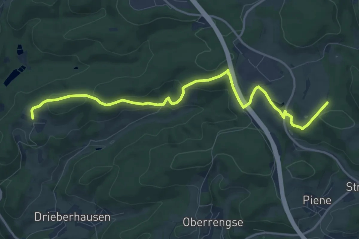
Medium · Trail
Sauerland-Höhenflug (Teilstück Meinerzhagen - Valbert - Windhausen - Lenhausen)
9.8 km · ↑ 278 m · 2 h 55 min
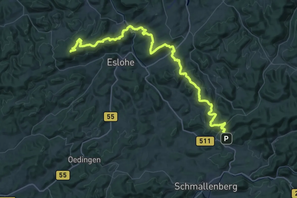
Demanding · Summit
Sauerland-Höhenflug (Teilstück Wenholthausen - Bad Fredeburg)
62.2 km · ↑ 1729 m · 18 h 25 min
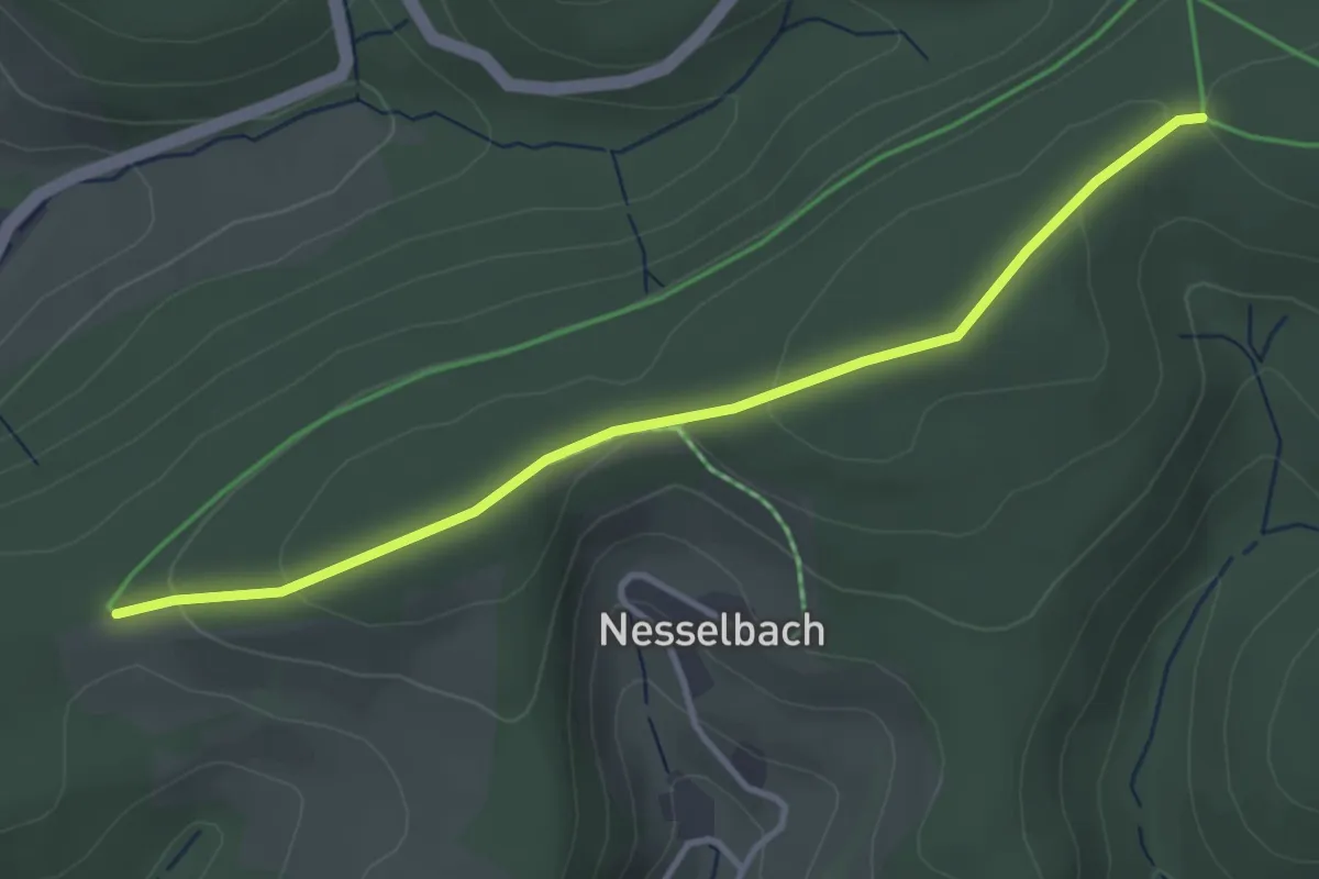
Easy · Trail
Sauerland Höhenflug - Zugangsweg Altastenberg
3.4 km · ↑ 86 m · 59 min
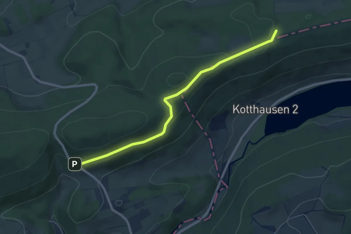
Easy · Summit
Sauerland-Waldroute (Südroute Marsberg - Warstein)
5.2 km · ↑ 105 m · 1 h 27 min
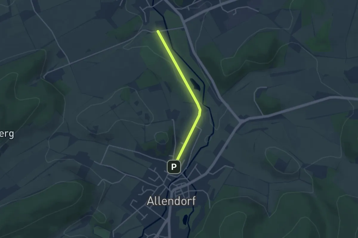
Easy · Trail
Sauerland-Waldroute - Zubringer
2.7 km · ↑ 37 m · 42 min
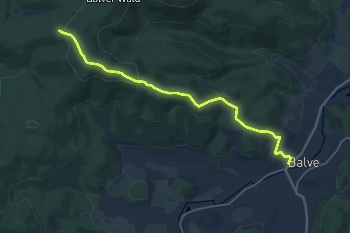
Medium · Trail
Sauerland-Waldroute - Zubringer
8.8 km · ↑ 348 m · 2 h 50 min
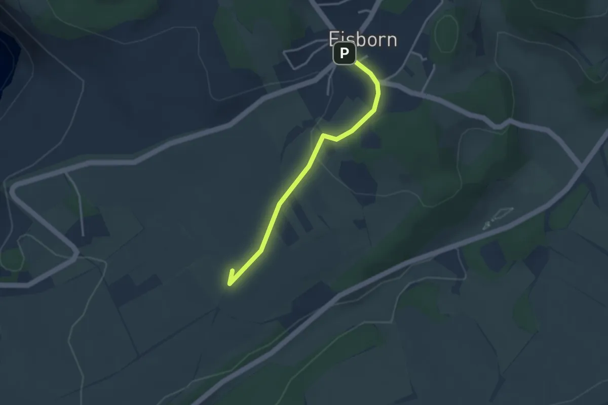
Easy · Summit
Sauerland-Waldroute Zugang Balve
2.6 km · ↑ 56 m · 44 min
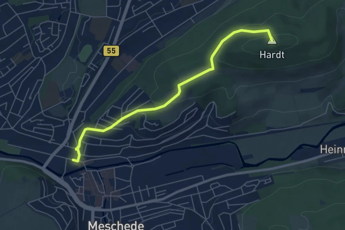
Easy · Summit
Sauerland-Waldroute Zugang Meschede
5.0 km · ↑ 189 m · 1 h 36 min
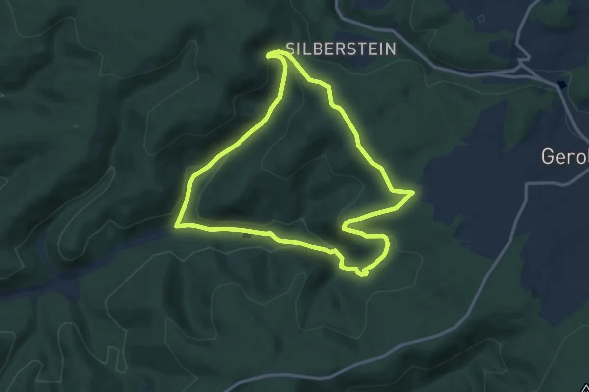
Easy · Trail
Säuerlingsweg DÖ 97
7.2 km · ↑ 216 m · 2 h 17 min
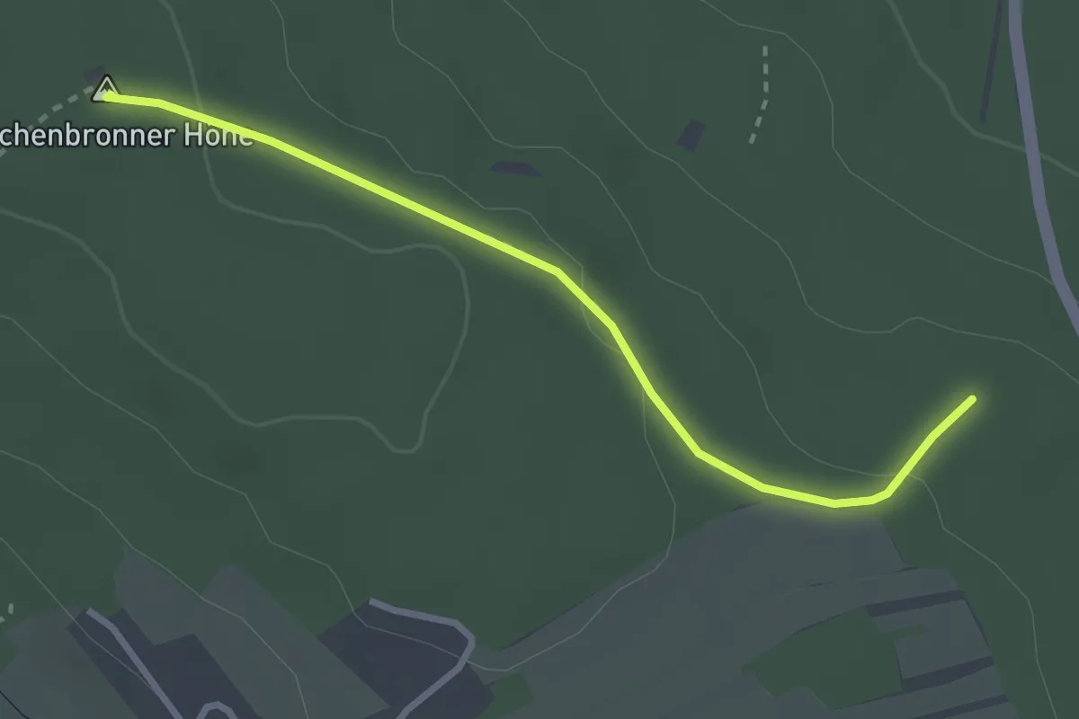
Easy · Summit
Saufang - Büchenbronner Höhe
2.8 km · ↑ 62 m · 47 min
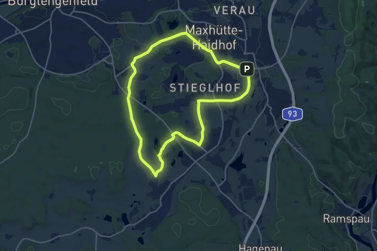
Medium · Trail
Sauforstrunde (Lila 9)
11.8 km · ↑ 95 m · 3 h 9 min
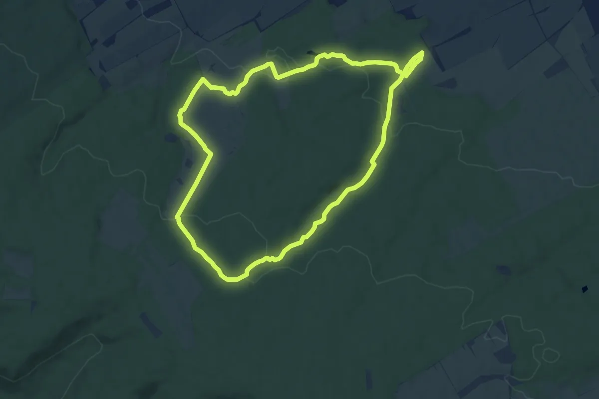
Medium · Trail
Saugrabenweg
10.4 km · ↑ 170 m · 2 h 58 min
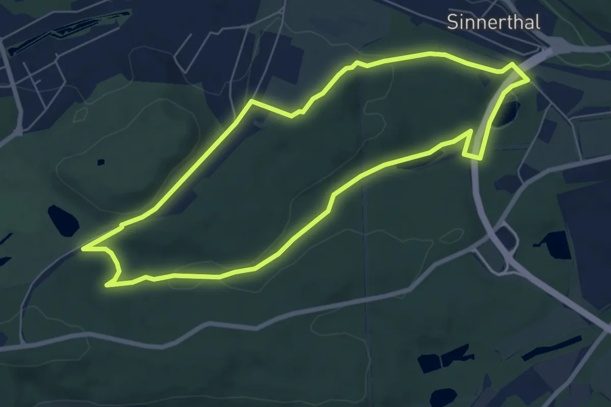
Easy · Trail
Saukaulenweg
5.8 km · ↑ 127 m · 1 h 44 min
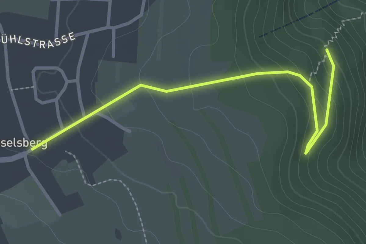
Easy · Trail
Säuklinge II - Bieselsberg Brunnenstub
2.6 km · ↑ 104 m · 50 min
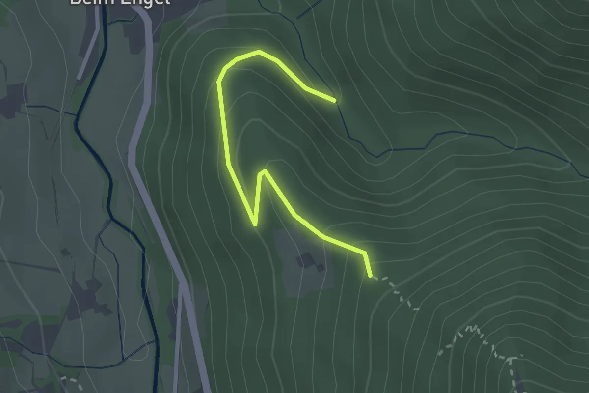
Easy · Trail
Saulache - Unterer Kilpen
2.3 km · ↑ 158 m · 53 min
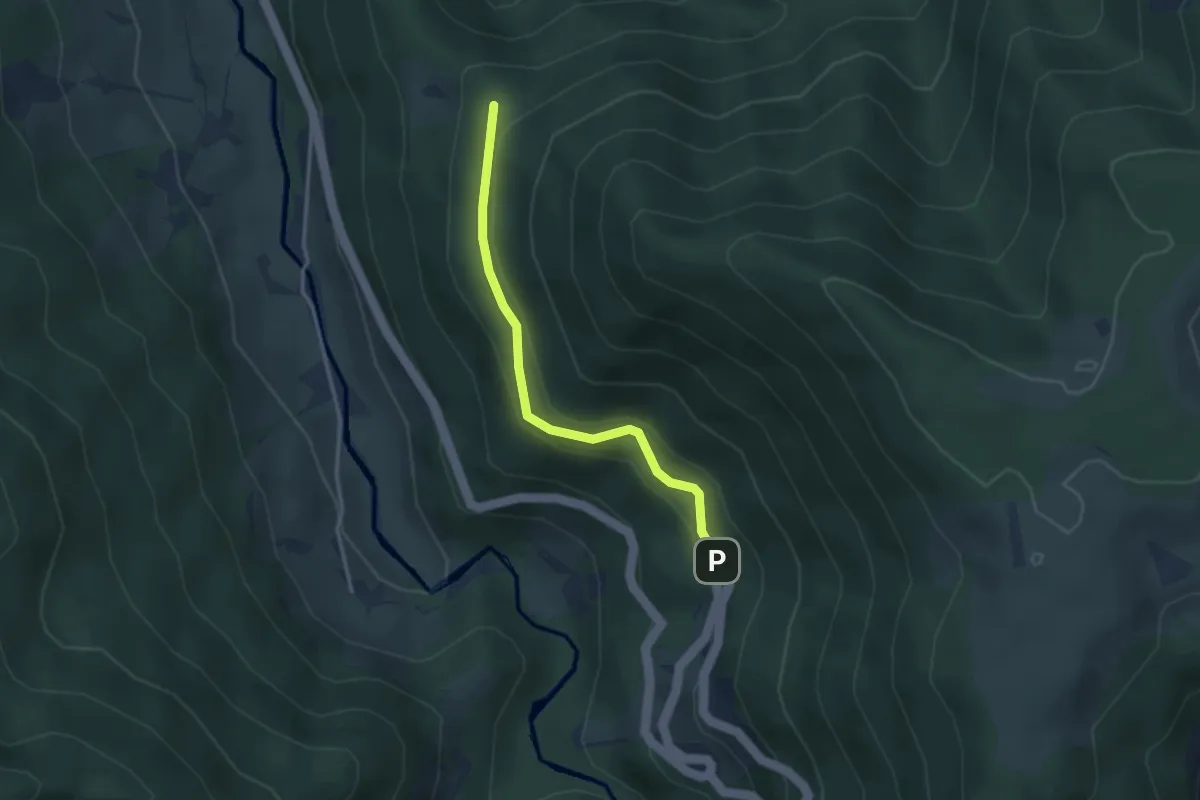
Easy · Trail
Saulache - Wanderparkplatz Herrengarten
2.8 km · ↑ 121 m · 56 min
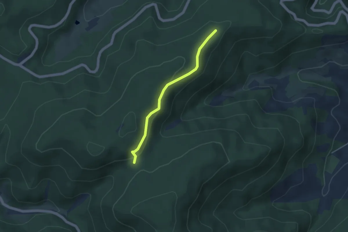
Easy · Trail
Saulachkopfhütte - Heidenell
3.0 km · ↑ 116 m · 57 min
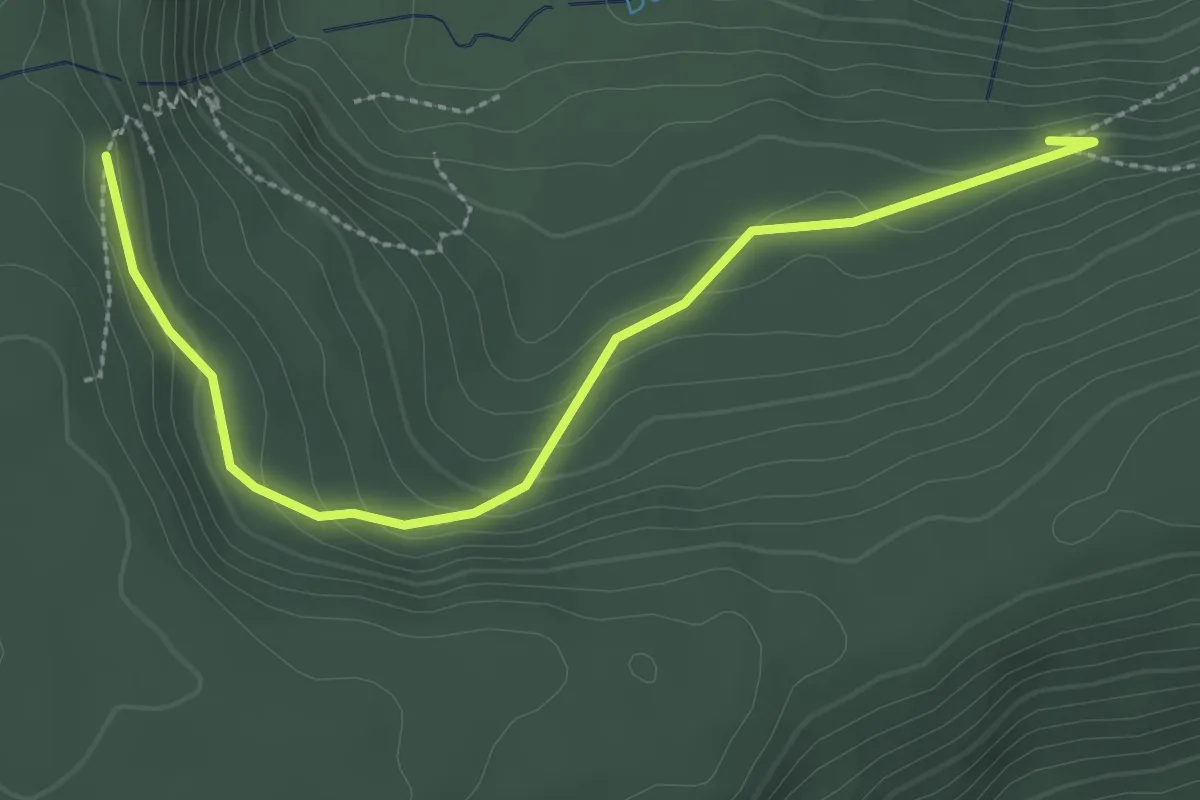
Easy · Trail
Sauloch - Wasserfallwegle
2.9 km · ↑ 120 m · 57 min
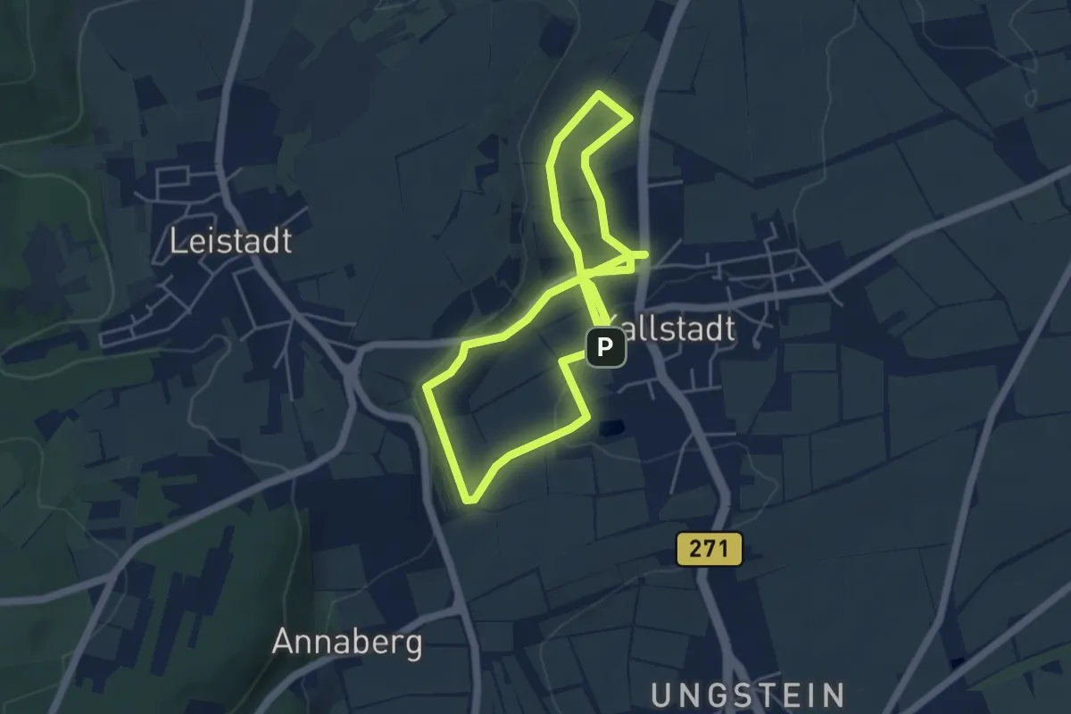
Easy · Trail
Saumagenweg
4.2 km · ↑ 101 m · 1 h 15 min
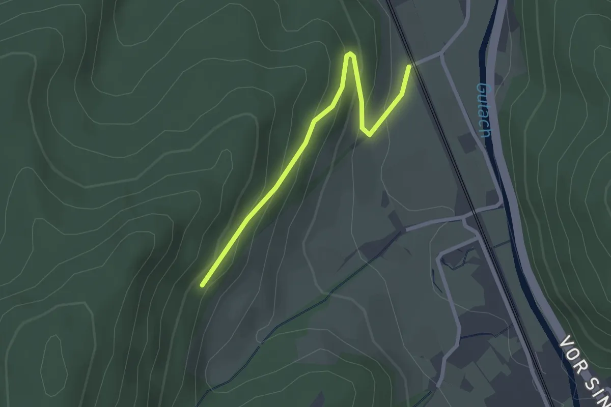
Easy · Trail
Saumerloch - Peterbauernhof
2.2 km · ↑ 136 m · 49 min
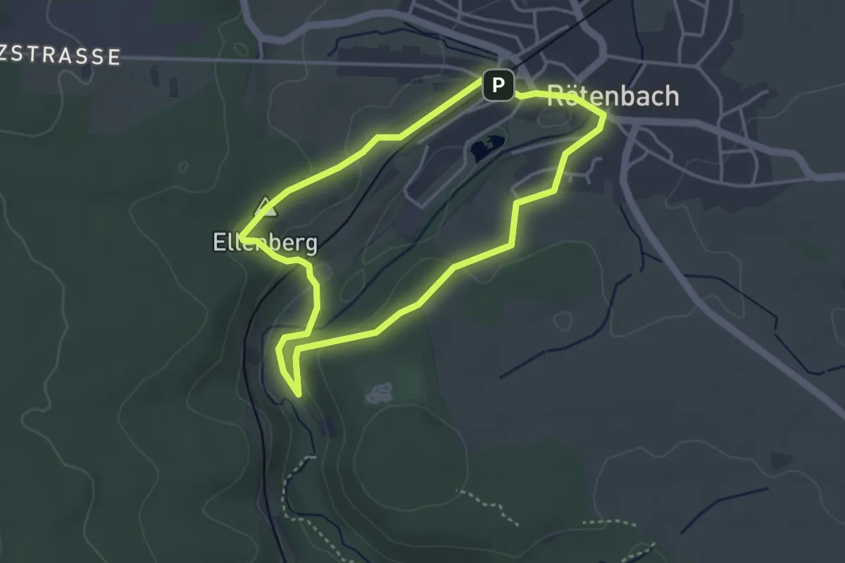
Easy · Summit
Saurenbach-Schlucht-Weg
3.2 km · ↑ 69 m · 57 min
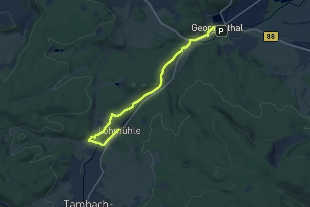
Medium · Trail
Saurier-Erlebnispfad
10.2 km · ↑ 113 m · 2 h 39 min
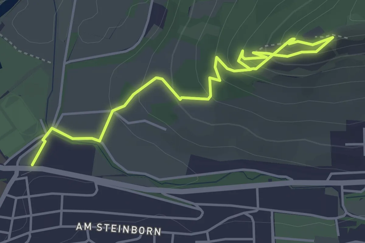
Easy · Trail
Saurierpfad Trixi Trias
4.4 km · ↑ 313 m · 1 h 44 min
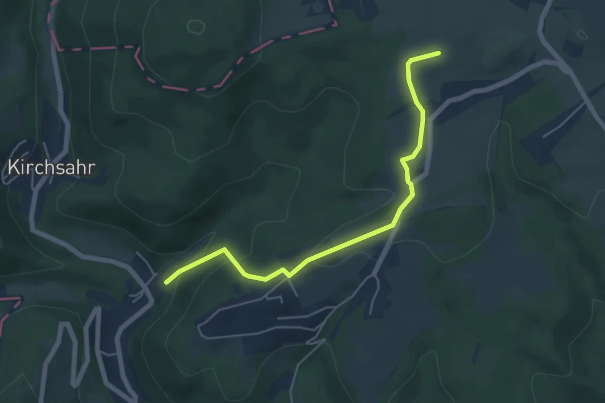
Easy · Trail
Sauriersteig
4.1 km · ↑ 150 m · 1 h 17 min
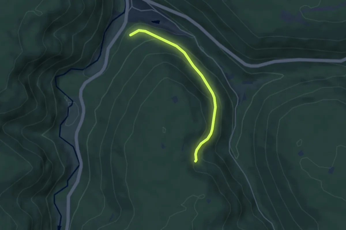
Easy · Trail
Säurißle - Gemeingrund
3.6 km · ↑ 182 m · 1 h 15 min
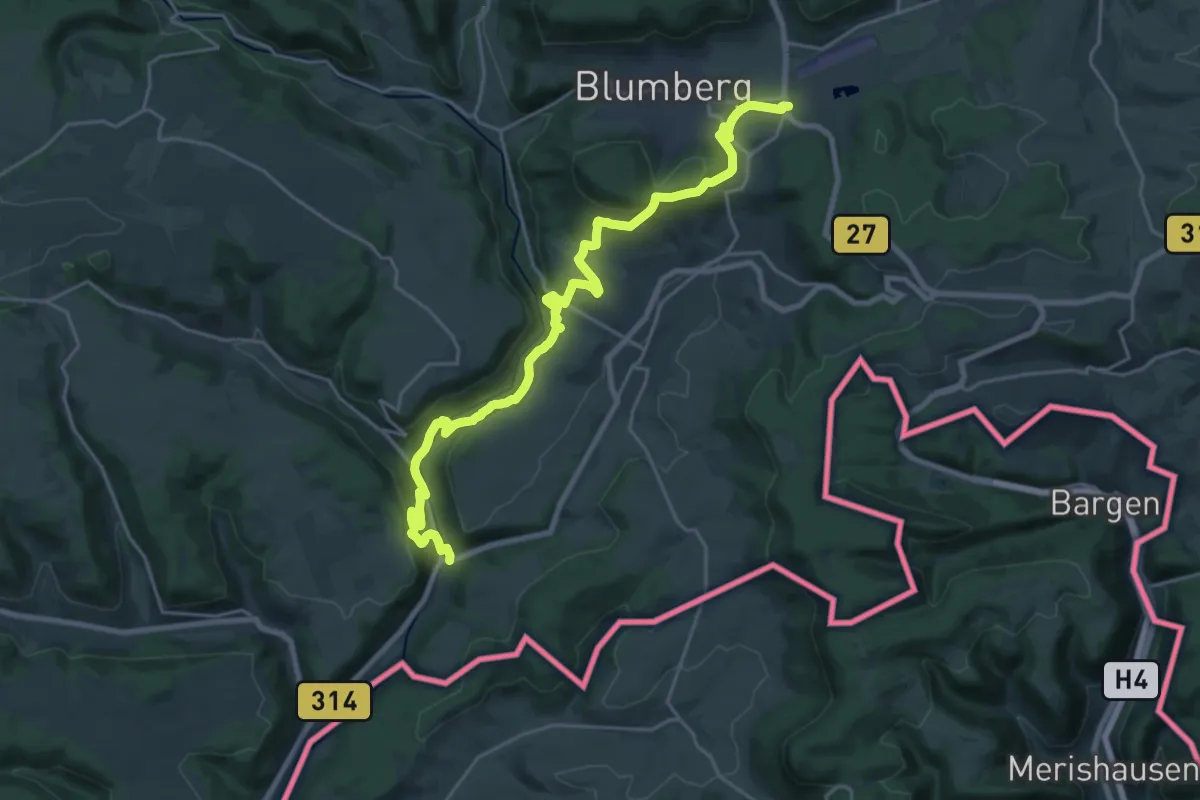
Demanding · Trail
Sauschwänzle-Weg
24.5 km · ↑ 966 m · 7 h 53 min
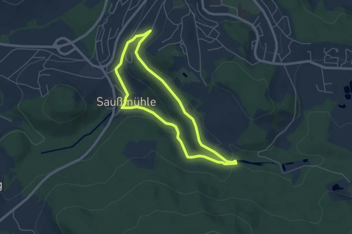
Easy · Trail
Saußbachklammweg
4.1 km · ↑ 96 m · 1 h 14 min
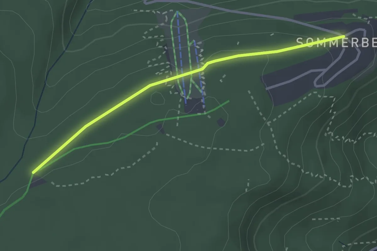
Easy · Trail
Saustallhütte - Sommerberg
2.7 km · ↑ 71 m · 47 min
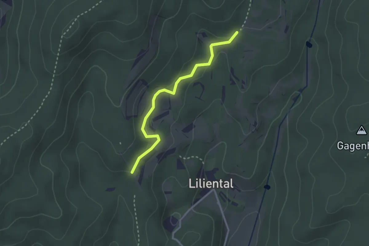
Easy · Trail
Sautalweg - Fasanenweg
2.5 km · ↑ 82 m · 46 min
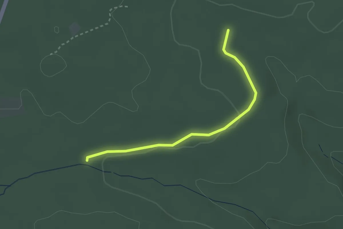
Easy · Trail
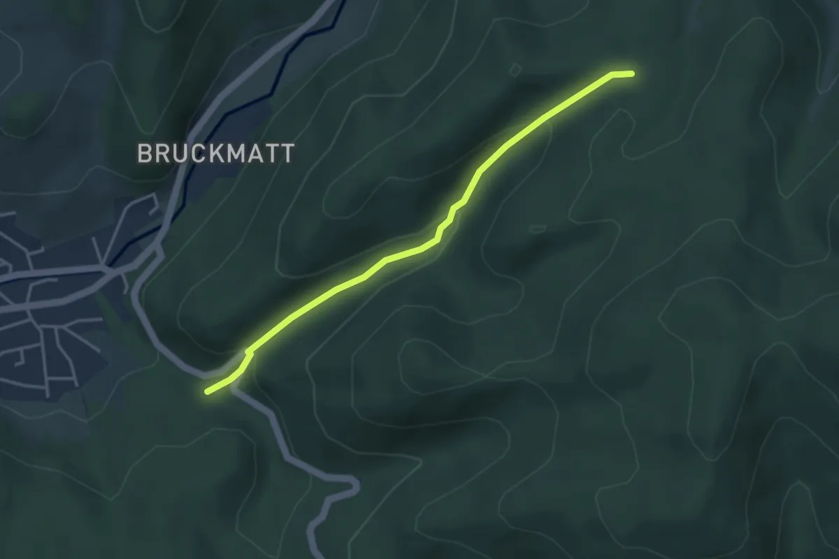
Sauteichhütte - Burgkopf
2.4 km · ↑ 35 m · 38 min
Easy · Trail
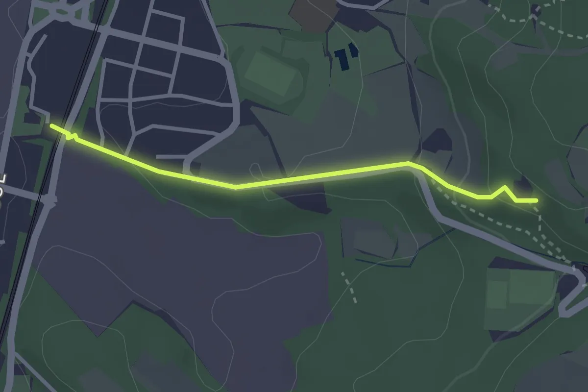
Sauweg - Luisenhütte
3.4 km · ↑ 173 m · 1 h 11 min
Easy · Trail
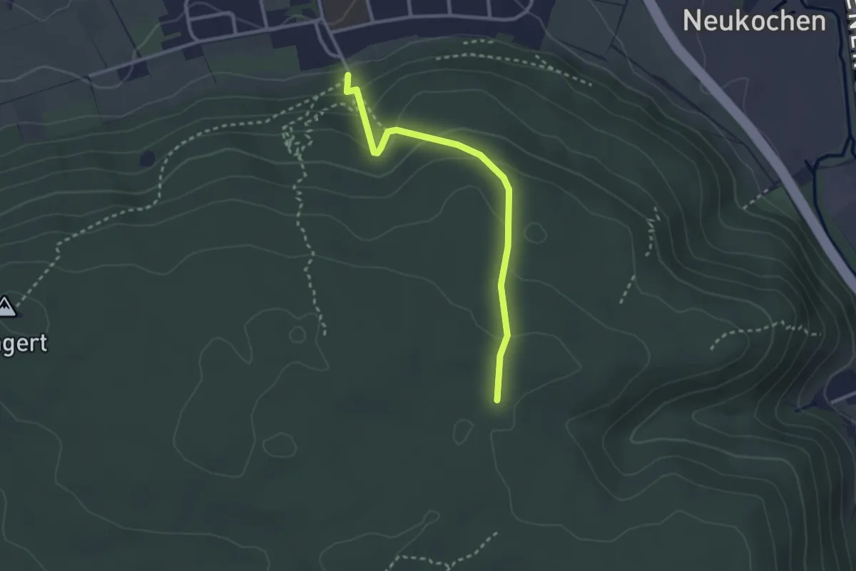
SAV blaue Gabel. Erzgrube - Bhf. Wasseralfingen
2.5 km · ↑ 108 m · 49 min
Easy · Trail
SAV Blaue Gabel: Essinger Steige Triumphstadt
2.6 km · ↑ 149 m · 56 min
Easy · Trail
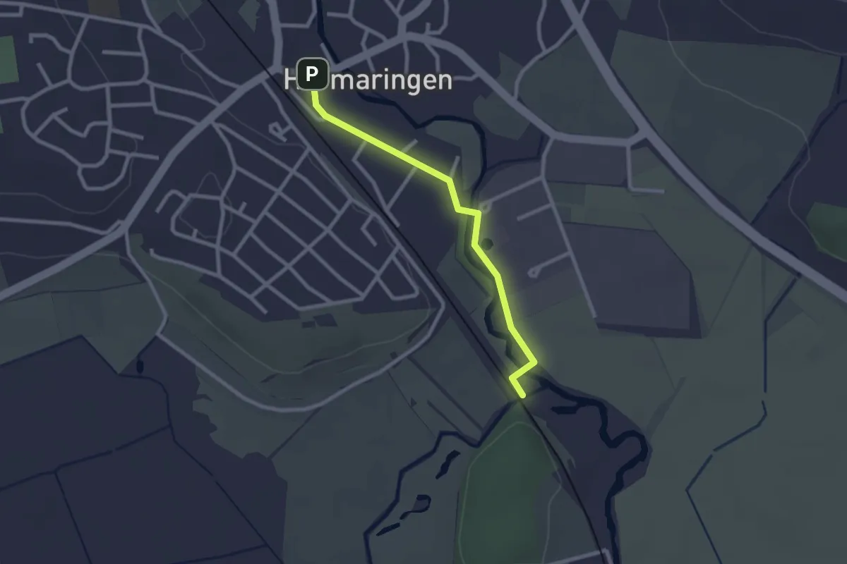
SAV blaue Raute: Hermaringen - Hürbemündung
2.2 km · ↑ 12 m · 33 min
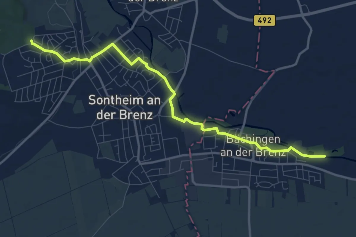
Medium · Trail
SAV blaue Raute: Sontheim - Bächingen - Gundelfingen
9.0 km · ↑ 44 m · 2 h 13 min
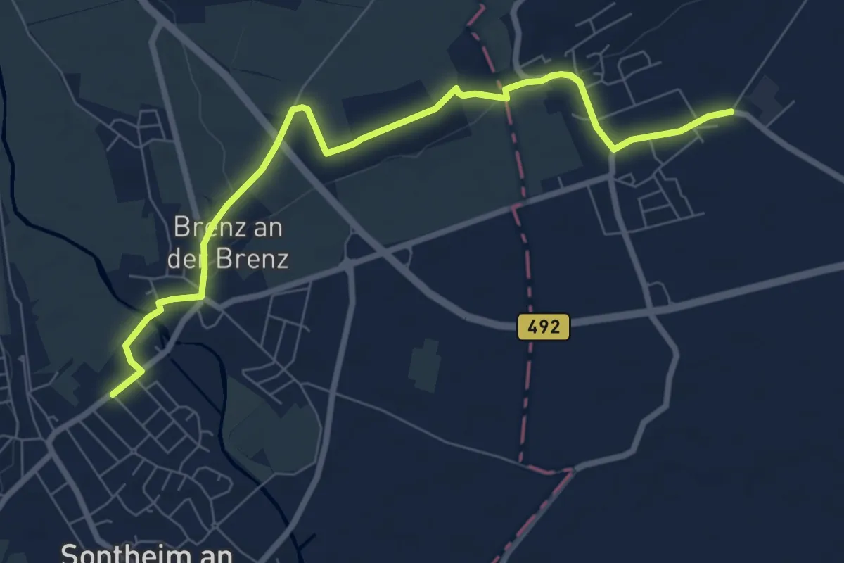
Easy · Trail
SAV blaue Raute: Sontheim - Brenz
7.8 km · ↑ 46 m · 1 h 56 min
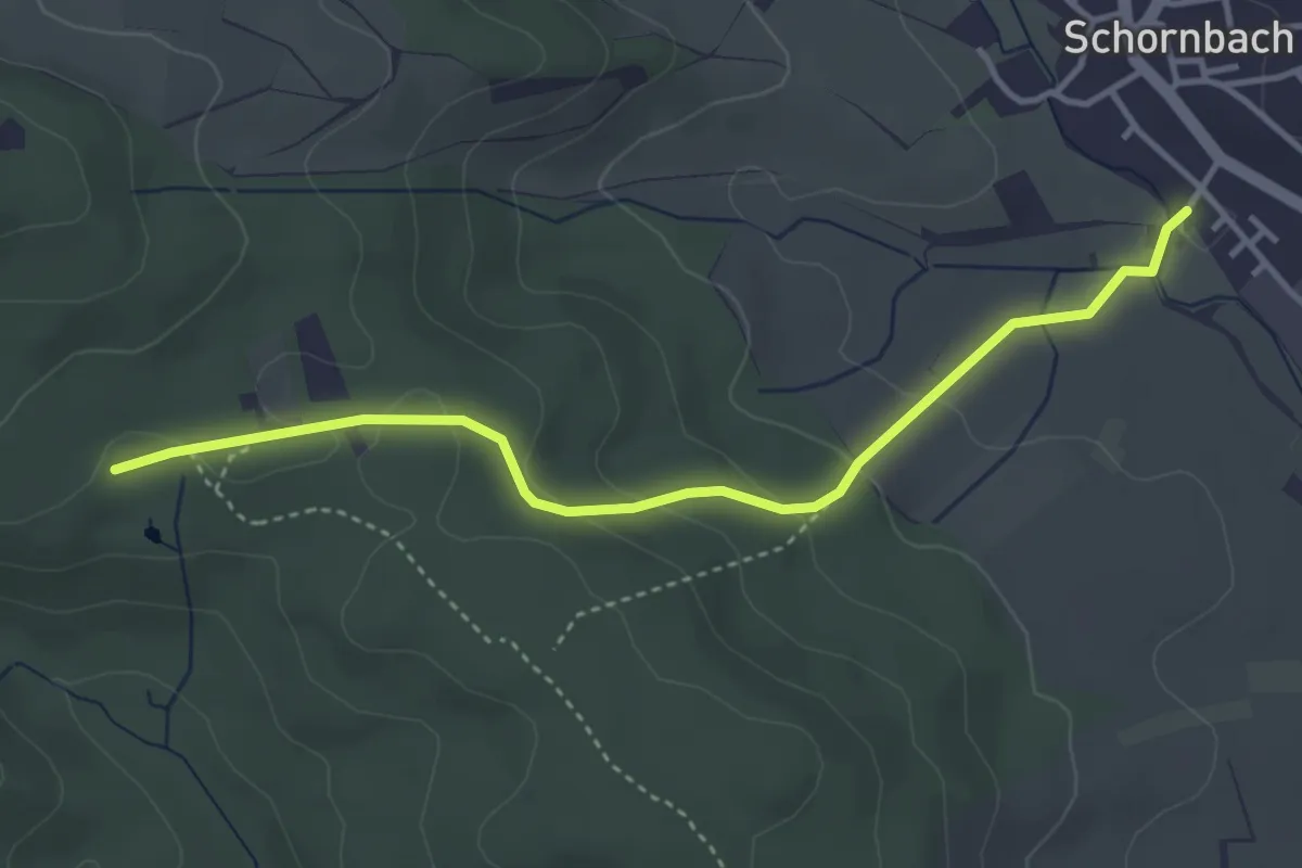
Easy · Trail
SAV blauer Punkt: Forstbrunnen - Schornbach
3.7 km · ↑ 120 m · 1 h 8 min
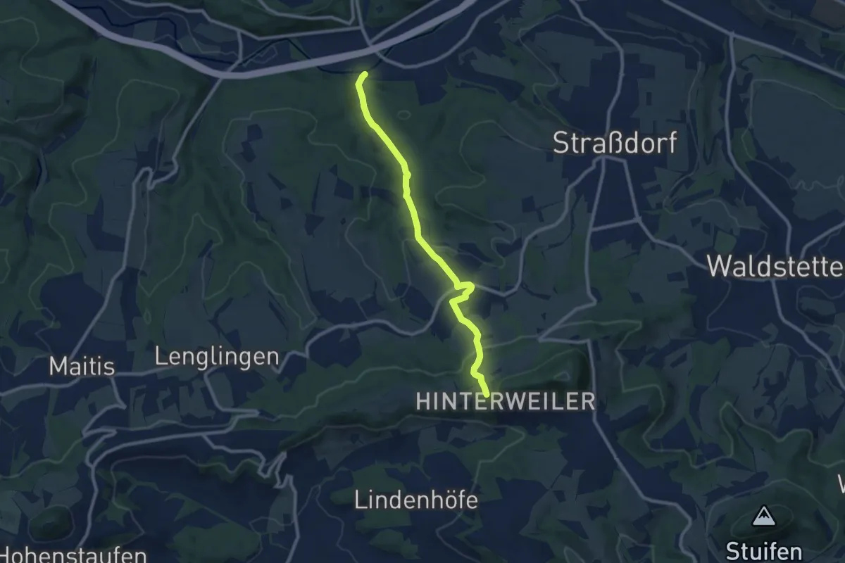
Medium · Trail
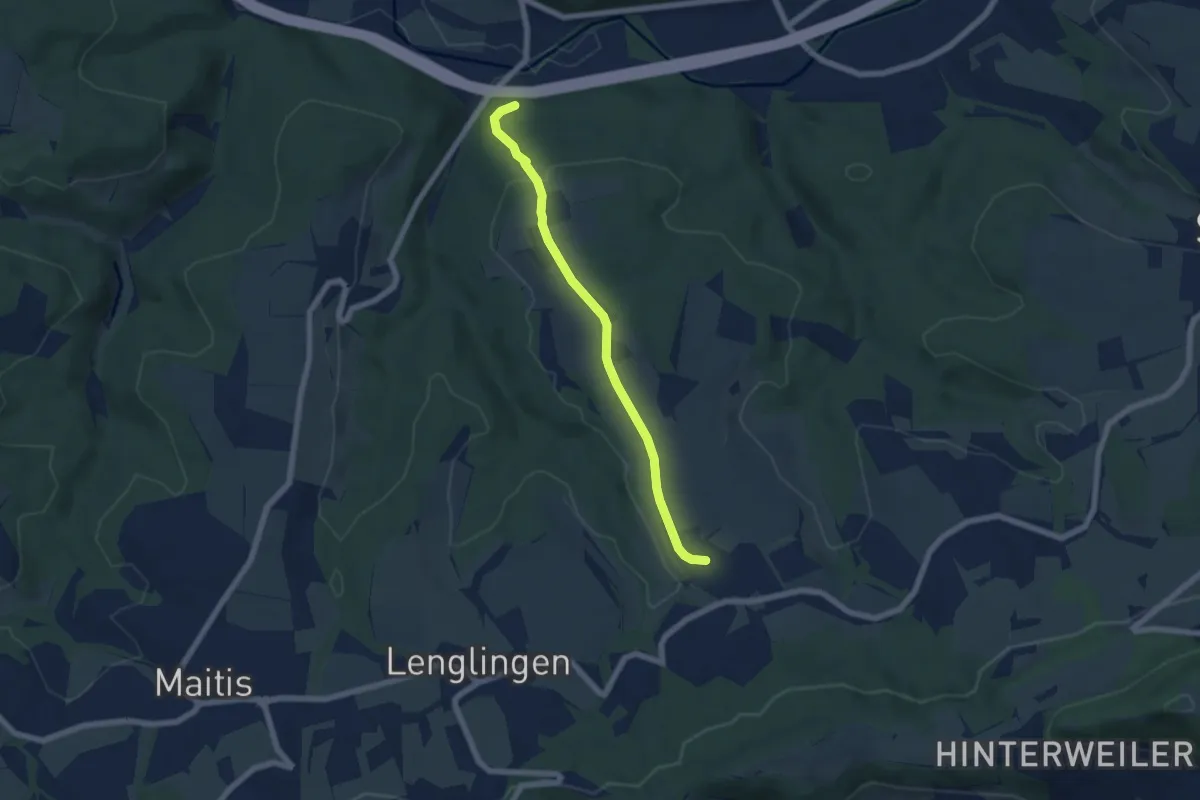
SAV blauer Punkt Hölltal Metlangen (Schwäb Gmünd)
8.4 km · ↑ 275 m · 2 h 35 min
Easy · Trail
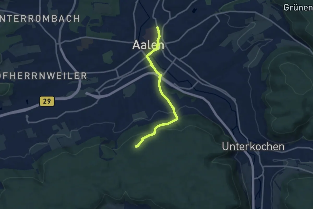
SAV blauer Punkt Reitprechts (SchwäbGmünd)
5.6 km · ↑ 131 m · 1 h 36 min
Easy · Summit
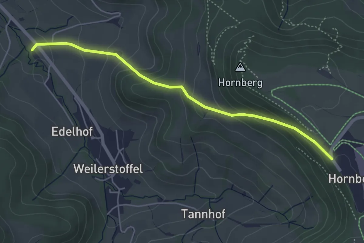
SAV Blaues Dreieck: Aalen Bahnhof - Aalbäumle
7.5 km · ↑ 249 m · 2 h 18 min
Easy · Trail
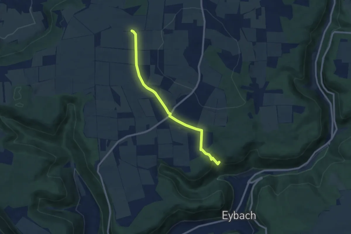
SAV blaues Kreuz Waldstetten-Hornberg
4.2 km · ↑ 262 m · 1 h 34 min
Easy · Summit
SAV: Eybach - Kuchalb
6.3 km · ↑ 94 m · 1 h 41 min