Trails in Germany
36,852 hiking trails, each with its route, climb, walking time and grade.
All trails, page 570 of 768
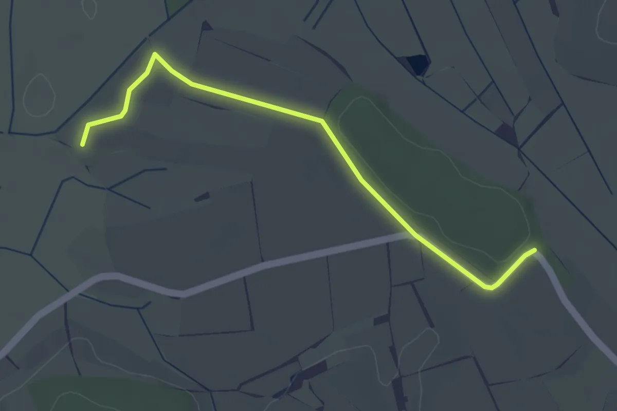
Easy · Trail
? - Schachenhölzle
3.3 km · ↑ 9 m · 47 min
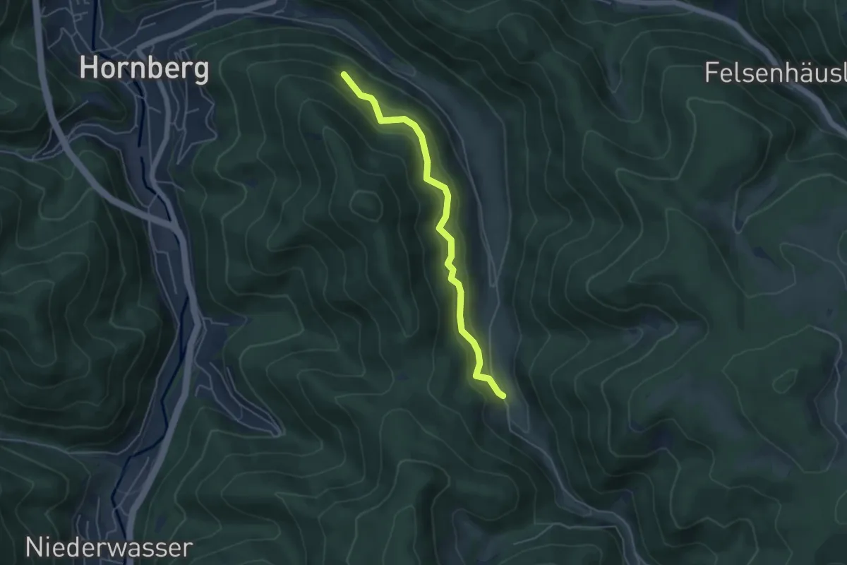
Easy · Trail
Schachen - Schwanenbach Altes Schulhäusle
4.4 km · ↑ 311 m · 1 h 43 min
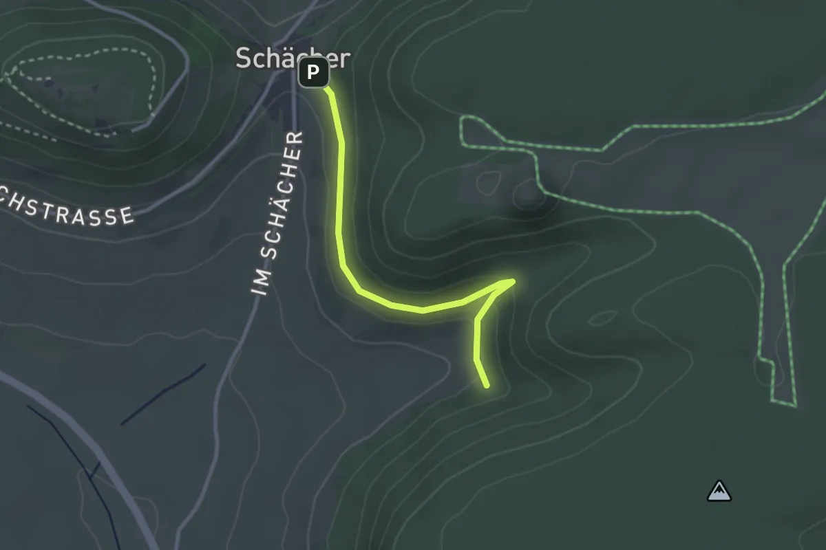
Easy · Trail
Schächer - Am Niedental
2.6 km · ↑ 113 m · 51 min
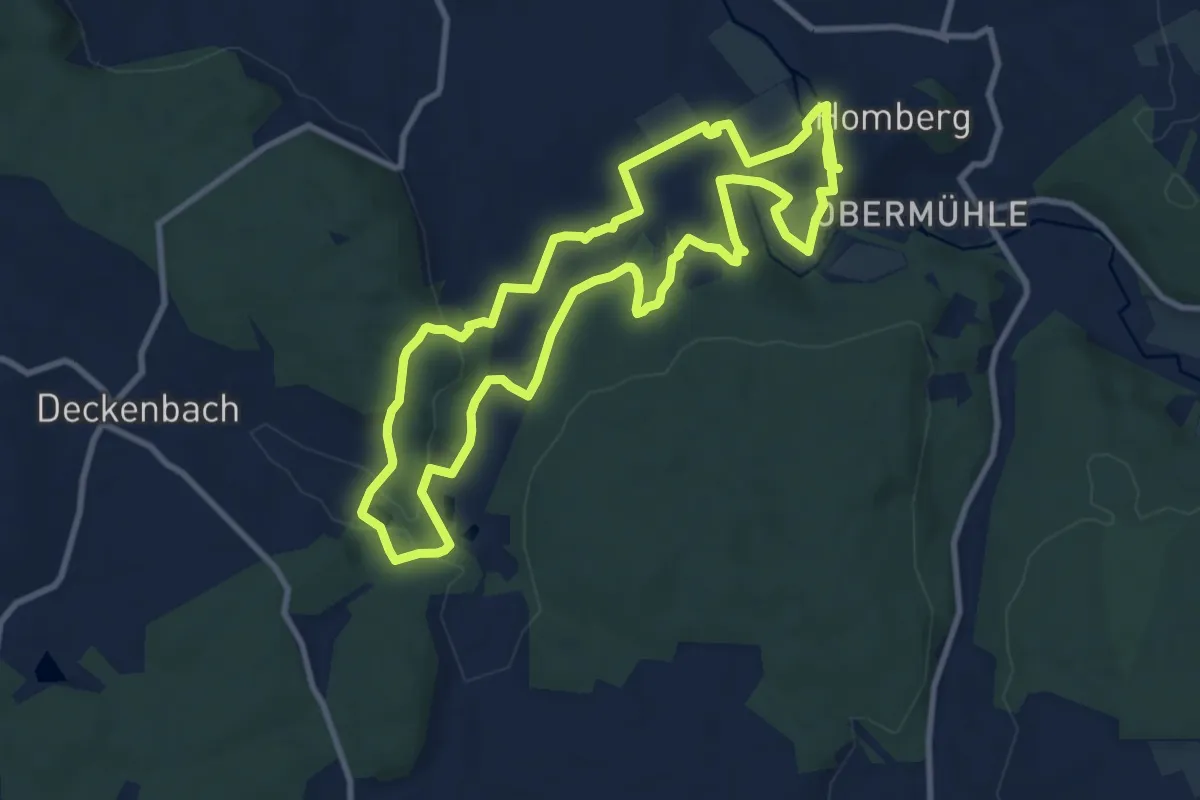
Medium · Trail
SchächerbachTour Homberg
9.2 km · ↑ 179 m · 2 h 41 min
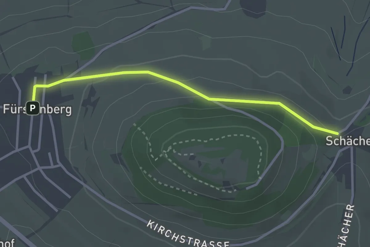
Easy · Trail
Schächer - Fürstenberg
2.6 km · ↑ 71 m · 46 min
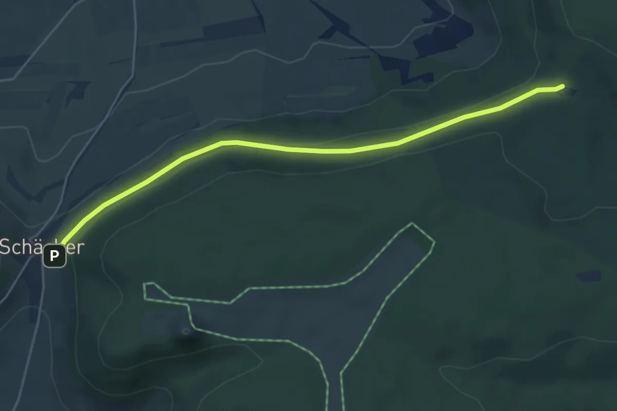
Easy · Trail
Schächer - Wendthütte
4.6 km · ↑ 57 m · 1 h 13 min
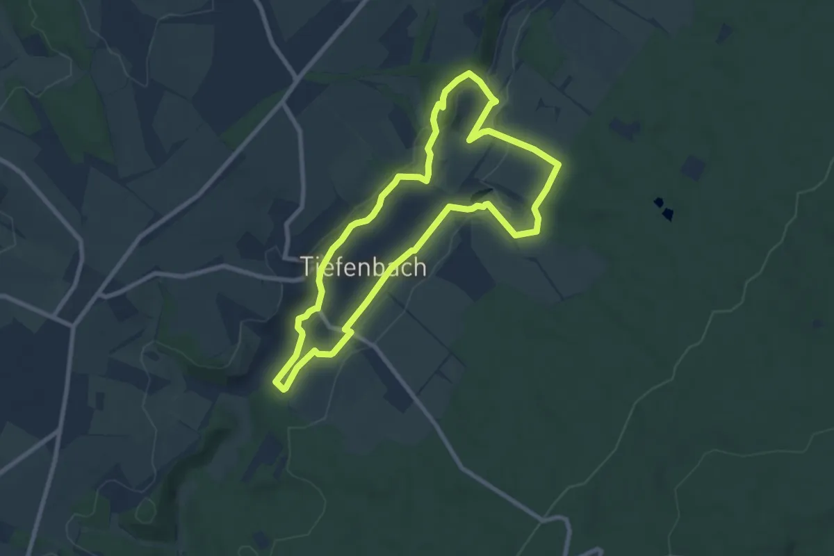
Easy · Trail
Schach- und Bangertweg
6.6 km · ↑ 78 m · 1 h 50 min
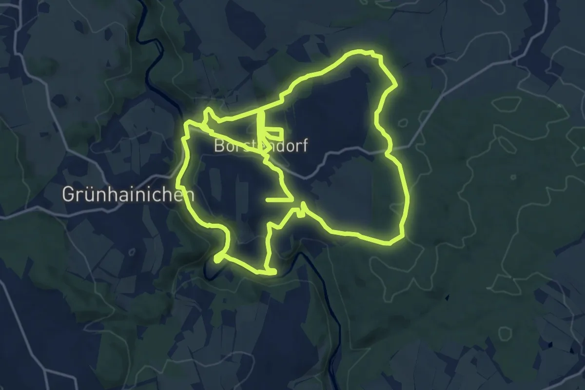
Medium · Trail
Schachwanderweg
15.8 km · ↑ 358 m · 4 h 41 min
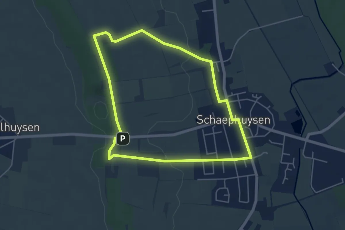
Easy · Summit
Schaephuysen Rundweg A1
3.8 km · ↑ 42 m · 1 h 3 min
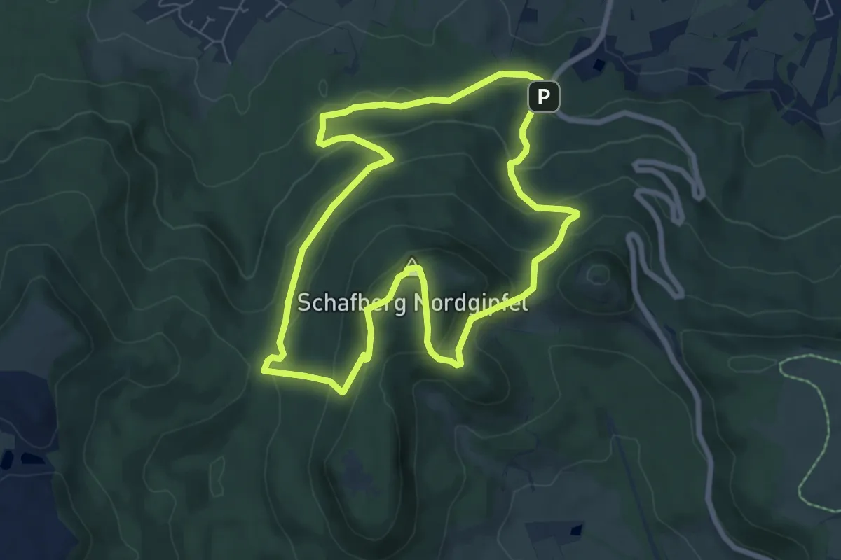
Medium · Summit
Schafbergrundweg
6.4 km · ↑ 317 m · 2 h 18 min
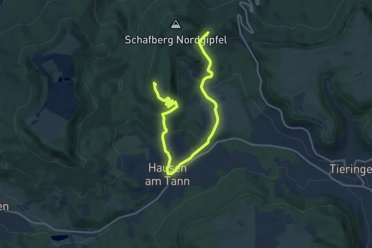
Medium · Summit
Schafbersattel-Lochenbrünnele
11.0 km · ↑ 431 m · 3 h 32 min
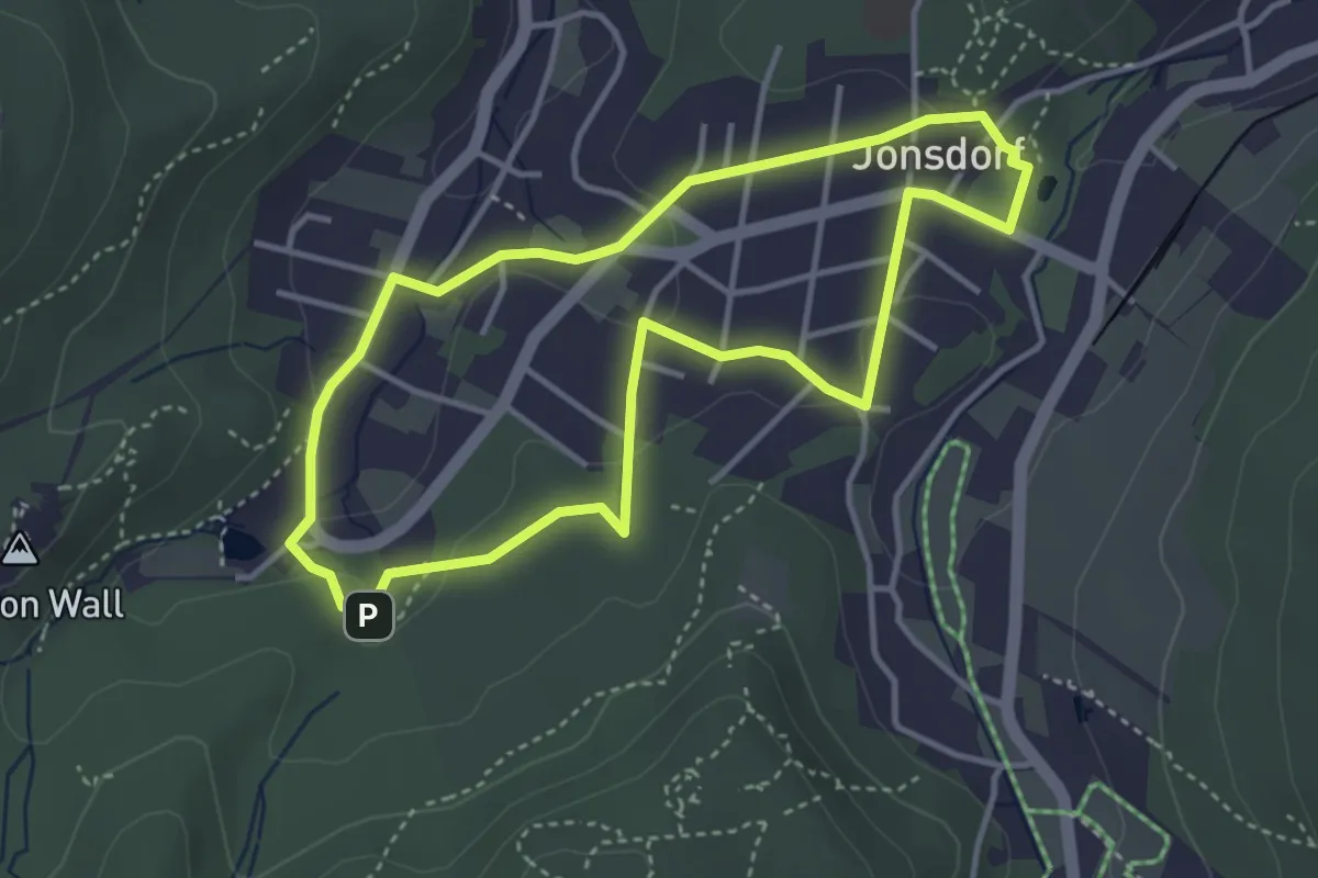
Easy · Trail
Schäfer-Jonas-Weg
3.3 km · ↑ 72 m · 59 min
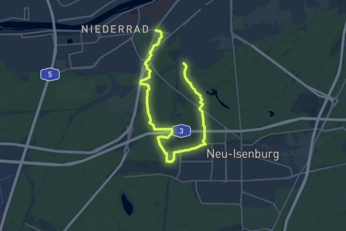
Demanding · Trail
Schäfersteinpfad
20.0 km · ↑ 66 m · 4 h 52 min
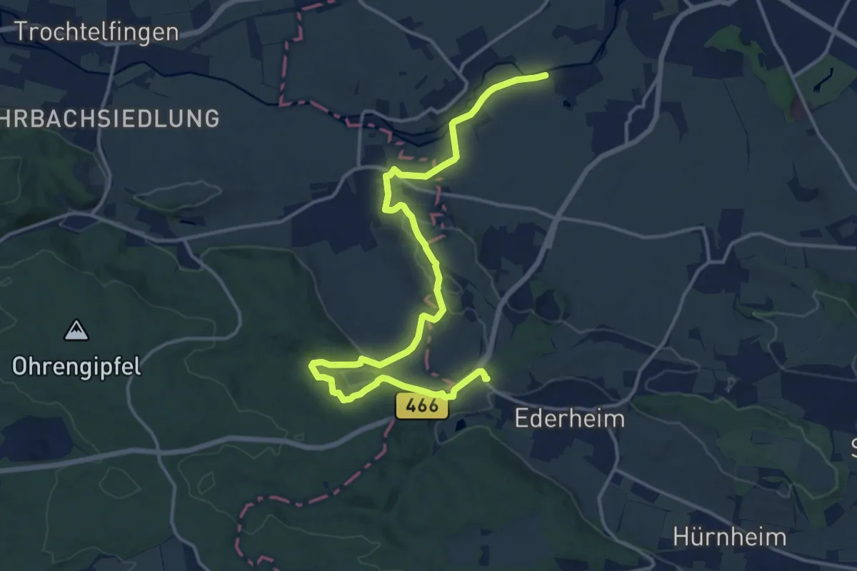
Medium · Trail
Schäferweg
16.2 km · ↑ 284 m · 4 h 27 min
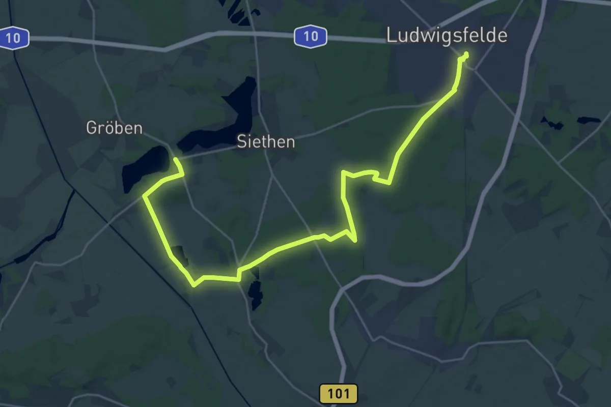
Demanding · Trail
Schäferweg
23.8 km · ↑ 78 m · 5 h 48 min
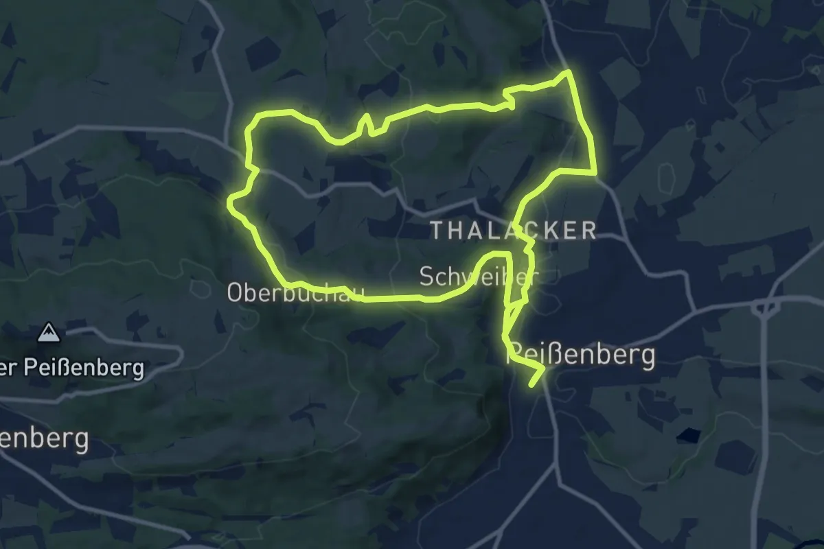
Medium · Trail
Schäfflerweg
11.2 km · ↑ 291 m · 3 h 25 min
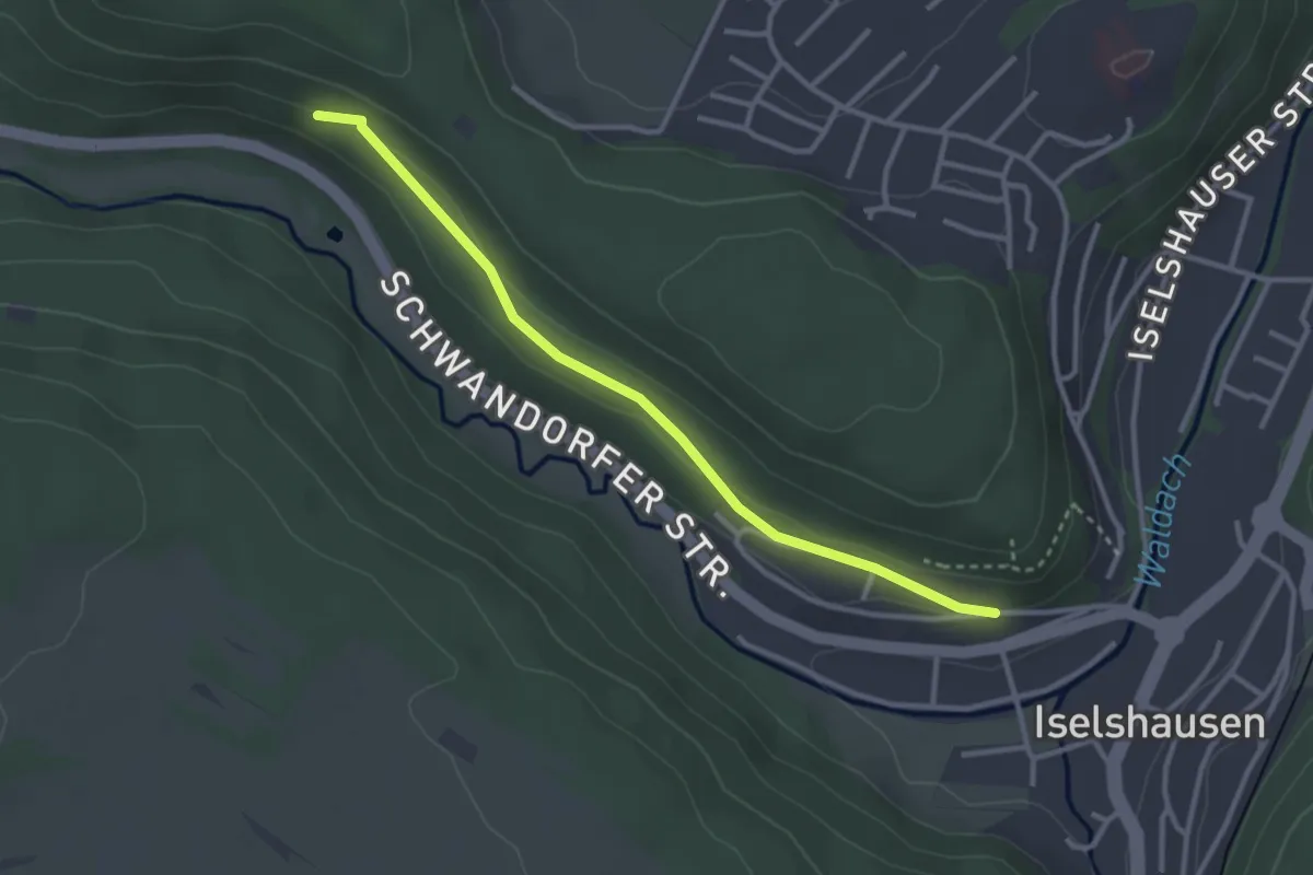
Easy · Trail
Schafhaussteige - Sommerhalde
3.0 km · ↑ 49 m · 49 min
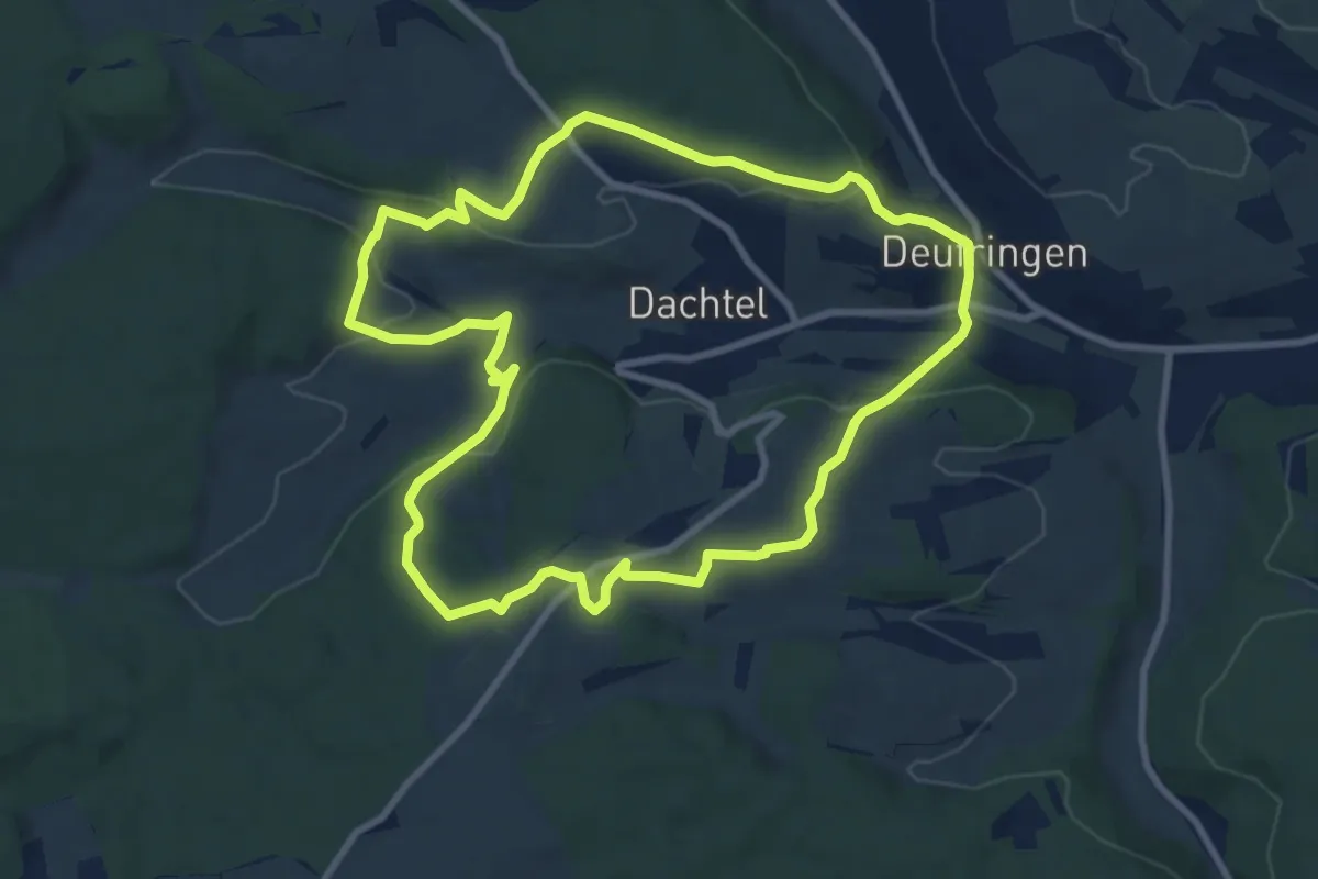
Medium · Trail
SchafSpuren
8.8 km · ↑ 231 m · 2 h 42 min
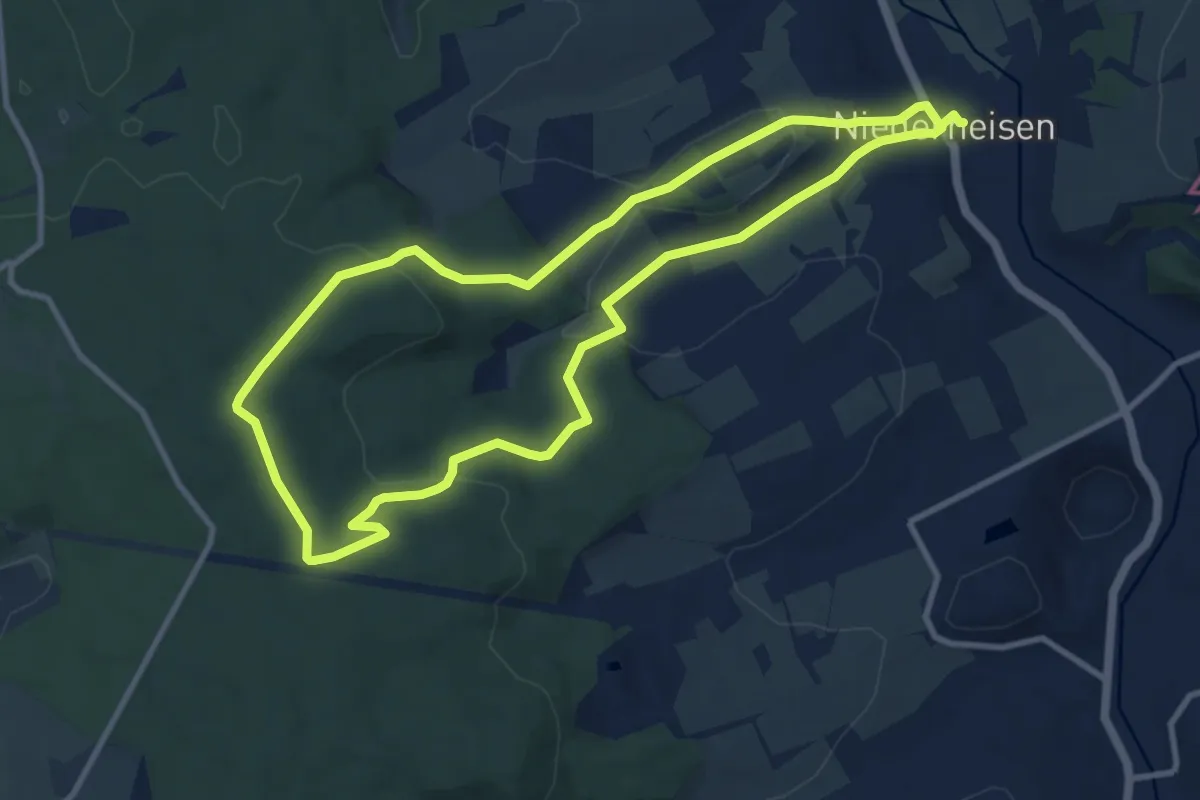
Medium · Trail
Schafweg
9.2 km · ↑ 228 m · 2 h 47 min
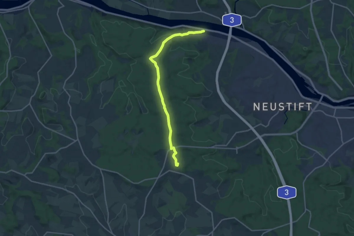
Medium · Trail
Schalding - Platte
13.4 km · ↑ 236 m · 3 h 40 min
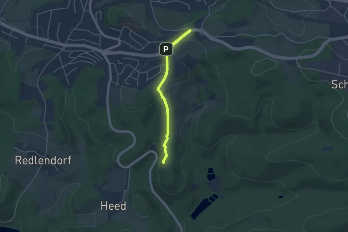
Easy · Summit
Schallershaus Rundweg A3
1.8 km · ↑ 9 m · 29 min
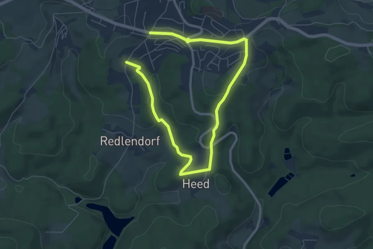
Easy · Trail
Schallershaus Rundweg A4
4.3 km · ↑ 93 m · 1 h 17 min
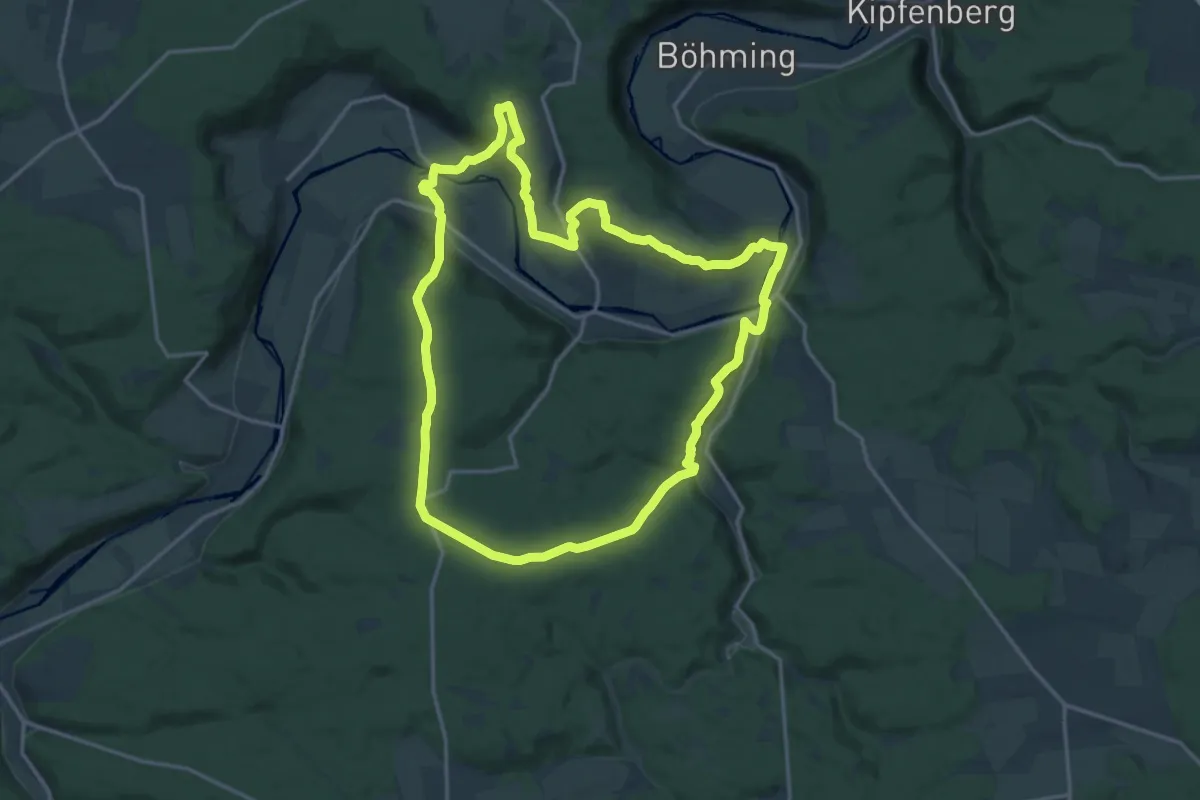
Medium · Trail
Schambachtal
16.0 km · ↑ 419 m · 4 h 55 min
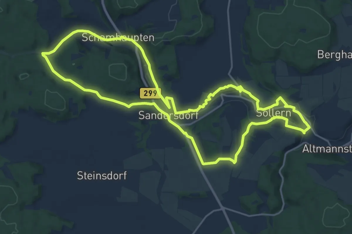
Medium · Trail
Schambach Ursprungweg
14.1 km · ↑ 230 m · 4 h 1 min
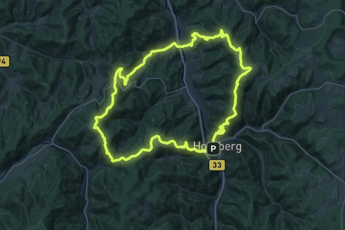
Demanding · Summit
Schanzenpfad
25.6 km · ↑ 1339 m · 9 h 18 min
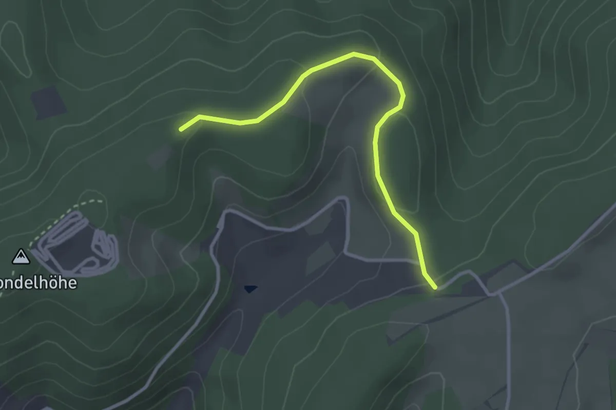
Easy · Trail
Schanzen - Schondelhöhe
2.8 km · ↑ 99 m · 52 min
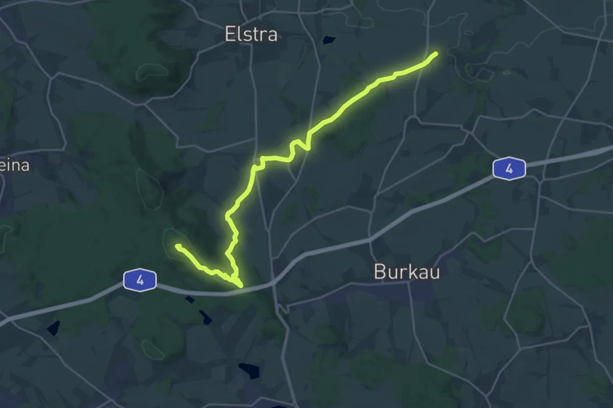
Demanding · Summit
Schanzenweg
19.7 km · ↑ 344 m · 5 h 24 min
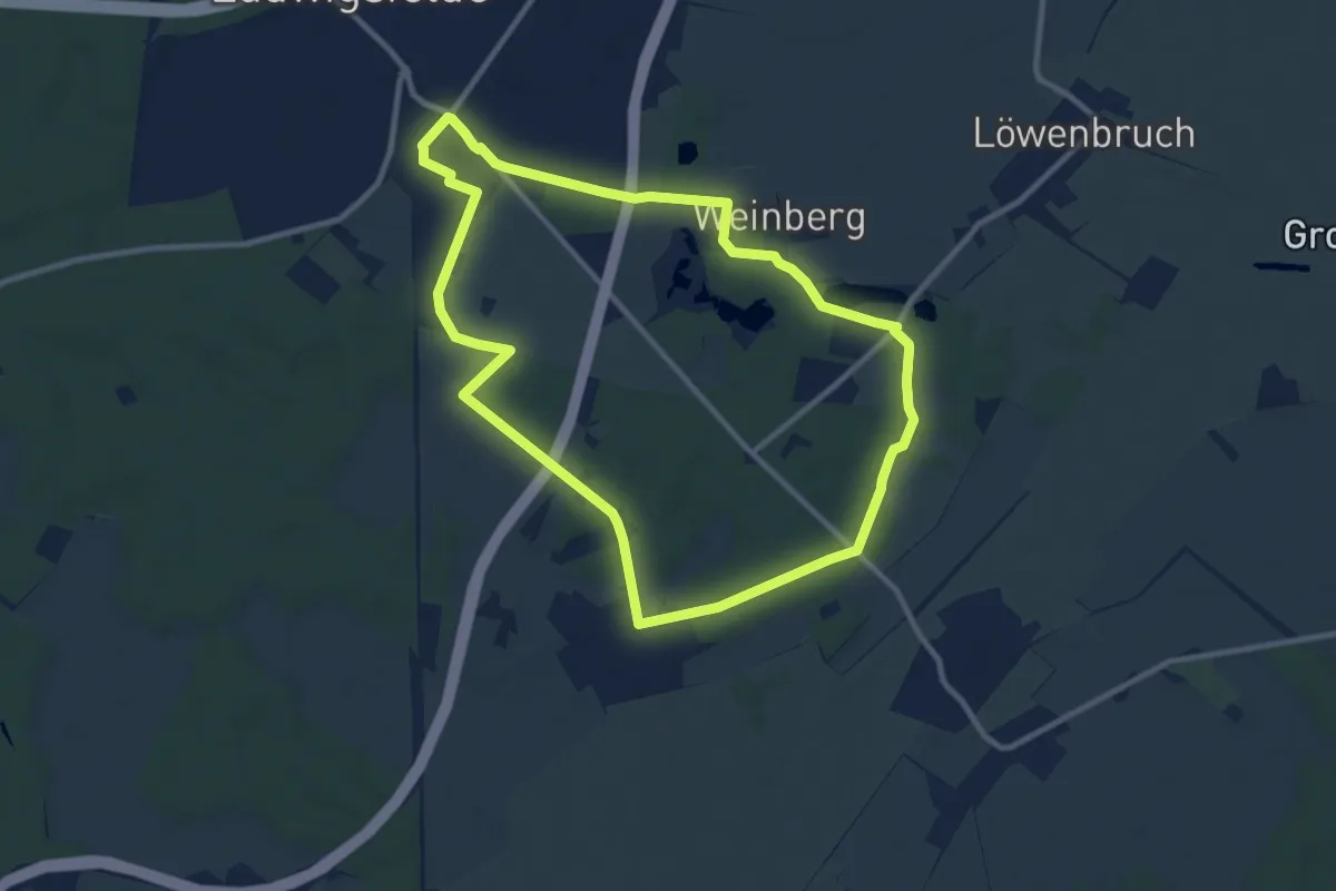
Medium · Trail
Schanzenweg
8.9 km · ↑ 23 m · 2 h 17 min
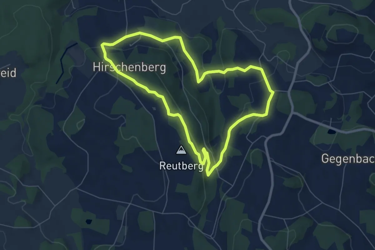
Easy · Summit
Schanzenweg (B3)
5.9 km · ↑ 181 m · 1 h 52 min
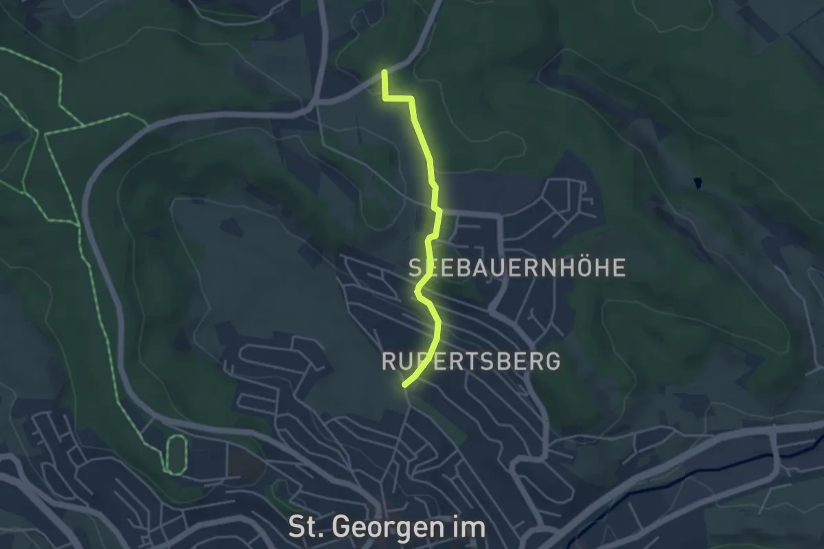
Easy · Trail
Schanzgraben - St. Georgen Weidenbächle
3.1 km · ↑ 99 m · 57 min
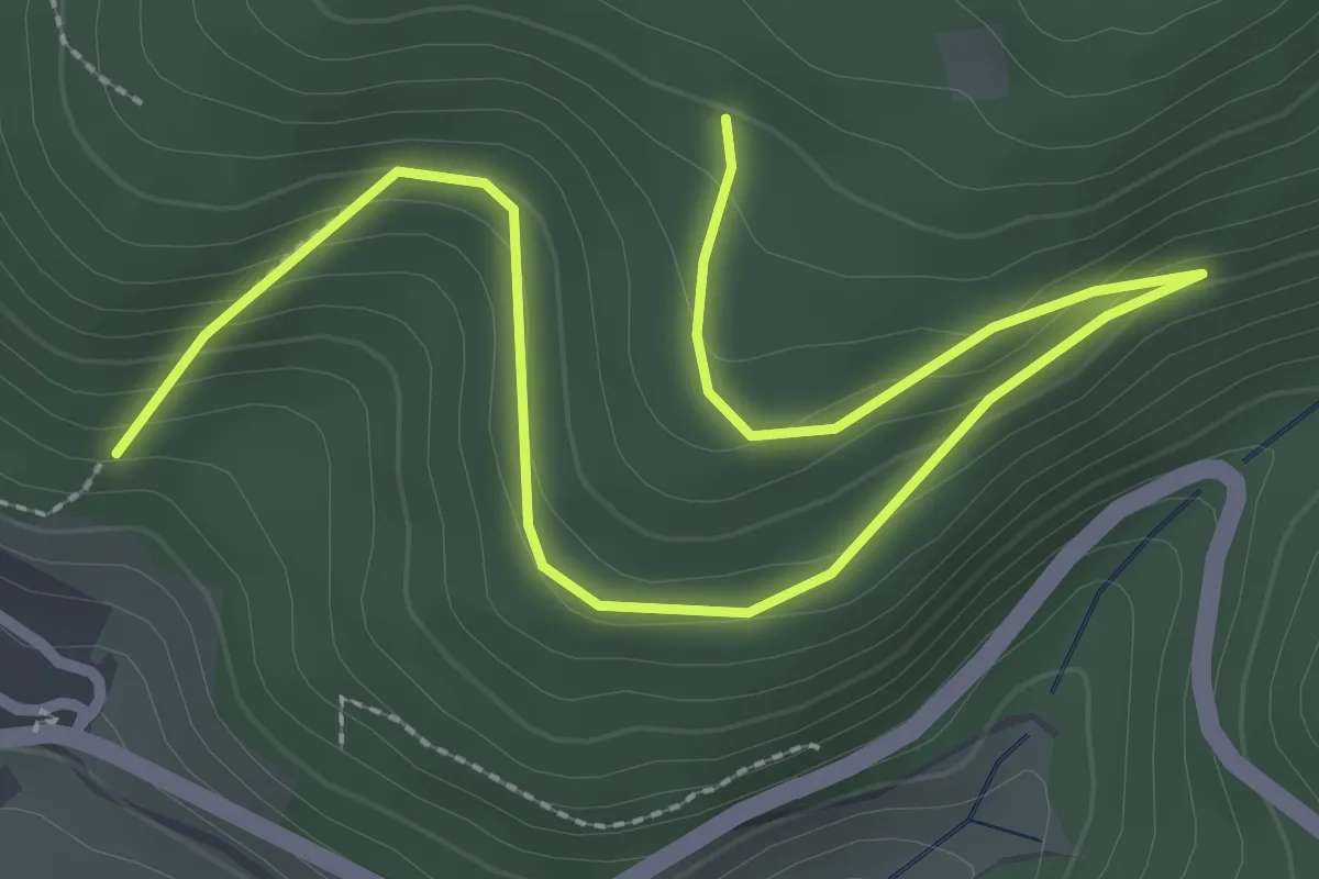
Easy · Trail
Schanzwegle - Hartmannsteig
3.8 km · ↑ 229 m · 1 h 24 min
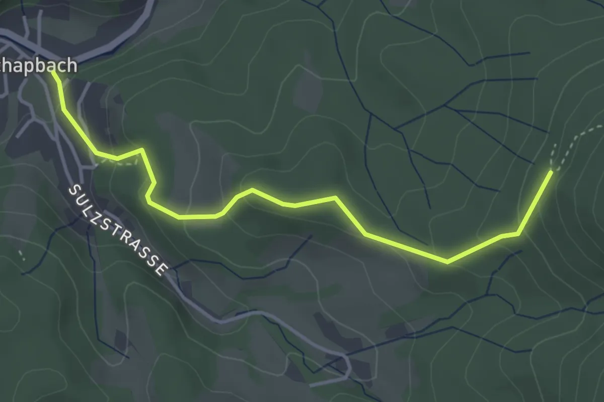
Easy · Trail
Schapbach - Höll
3.7 km · ↑ 230 m · 1 h 22 min
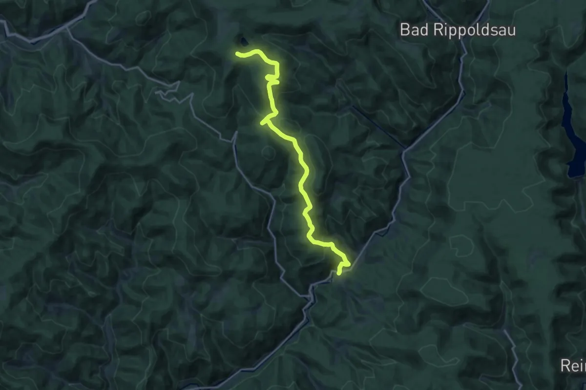
Medium · Trail
Schapbach - See Ebene
16.4 km · ↑ 737 m · 5 h 28 min
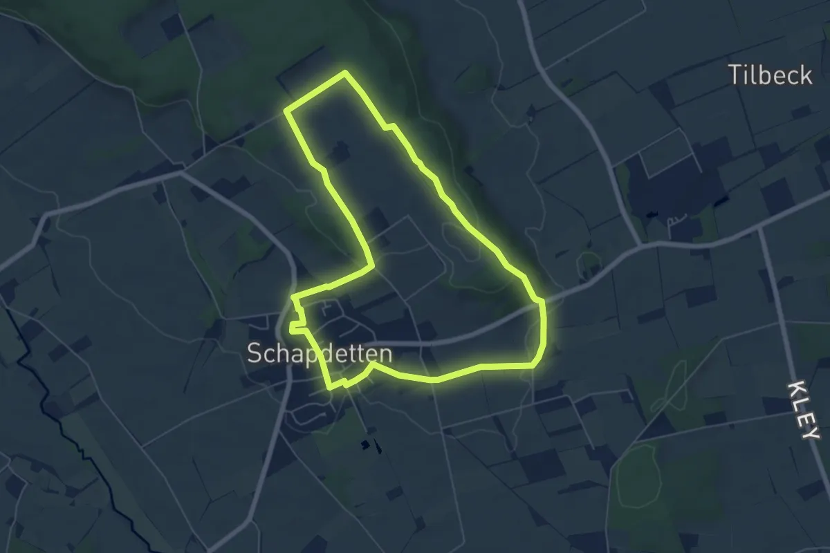
Easy · Trail
Schapdetten Rundweg S1
5.4 km · ↑ 89 m · 1 h 33 min
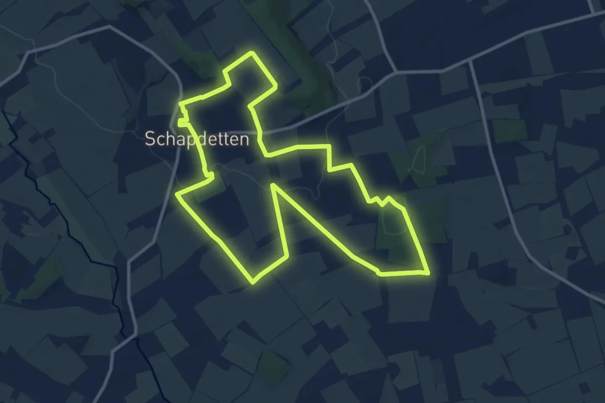
Medium · Trail
Schapdetten Rundweg S2
8.7 km · ↑ 87 m · 2 h 22 min
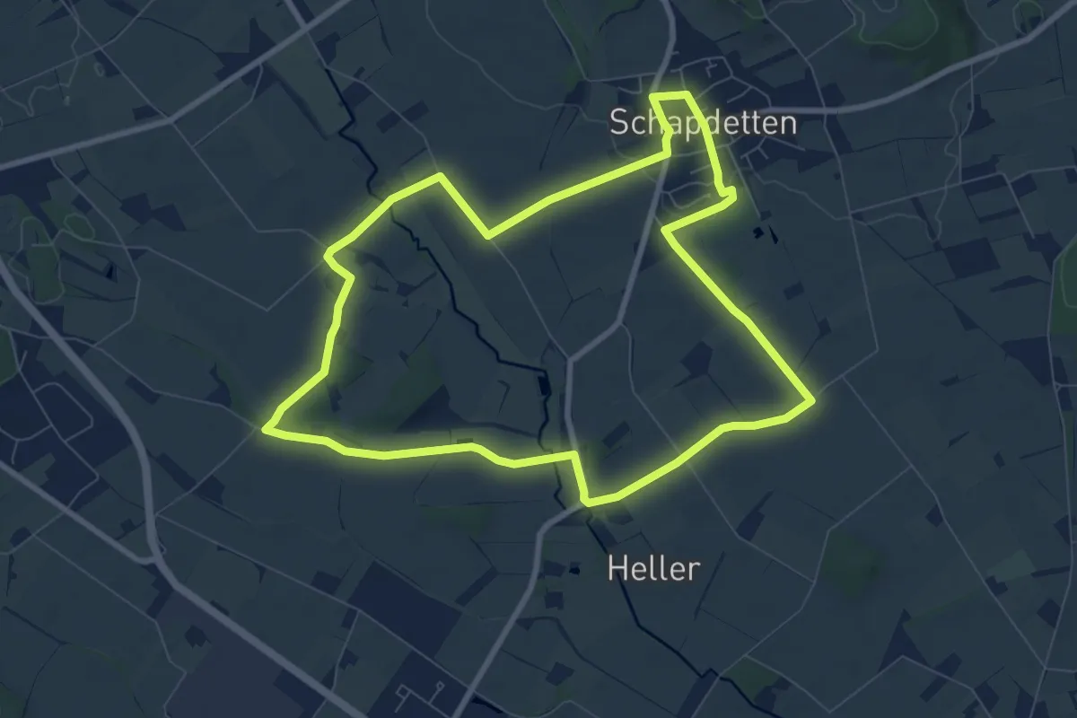
Easy · Trail
Schapdetten Rundweg S3
7.5 km · ↑ 38 m · 1 h 58 min
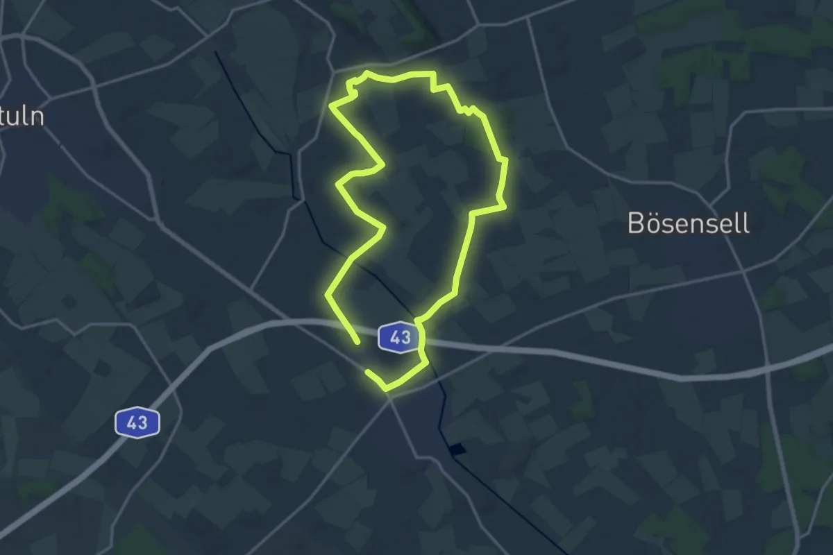
Medium · Trail
Schapdetten Rundweg S4
11.6 km · ↑ 42 m · 2 h 59 min
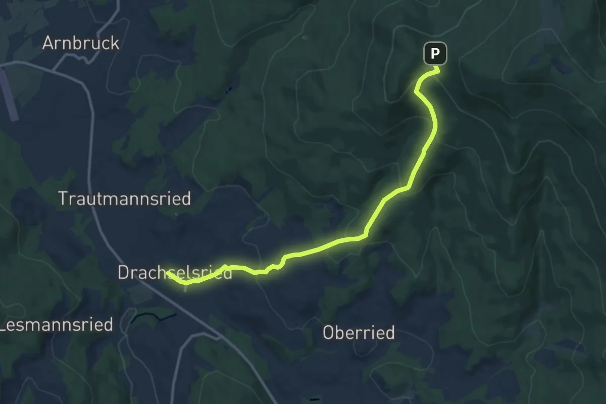
Medium · Trail
Schareben über Blachendorf
10.2 km · ↑ 496 m · 3 h 28 min
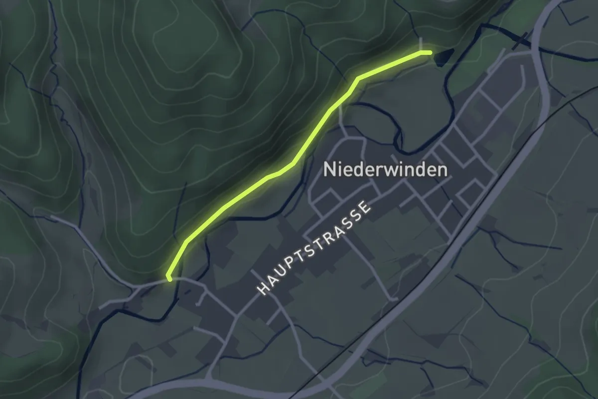
Easy · Trail
Scharmattensee - Niederwinden Unterdorf
2.3 km · ↑ 51 m · 40 min
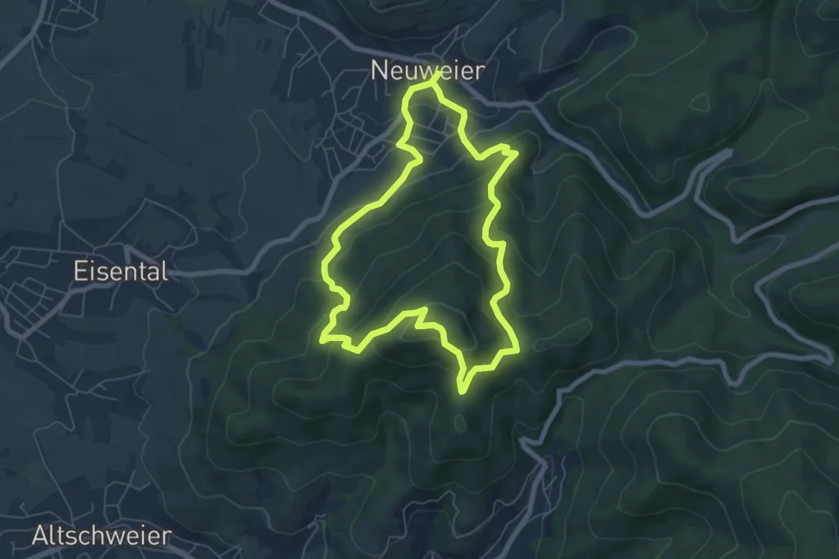
Medium · Summit
Schartenberg-Rundweg
5.6 km · ↑ 360 m · 2 h 12 min
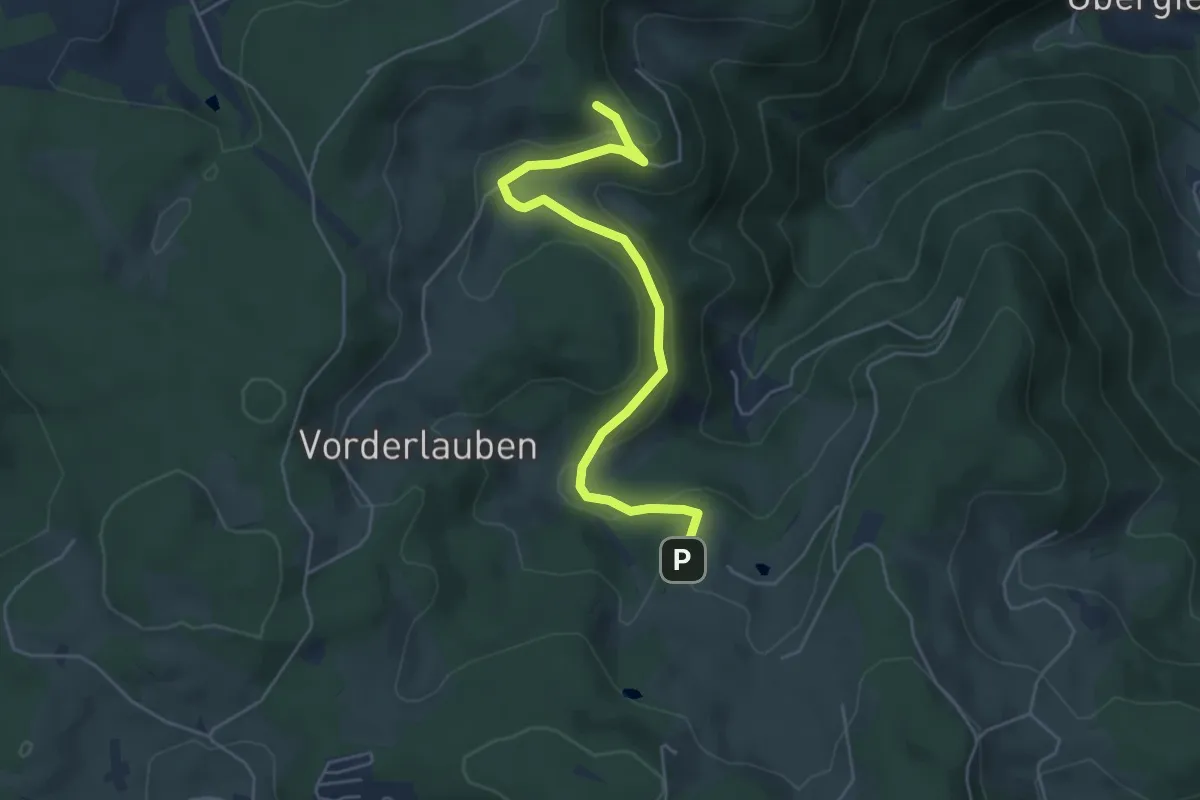
Medium · Trail
Schärtissenbauer - Laubwaldkapelle
5.1 km · ↑ 211 m · 1 h 40 min
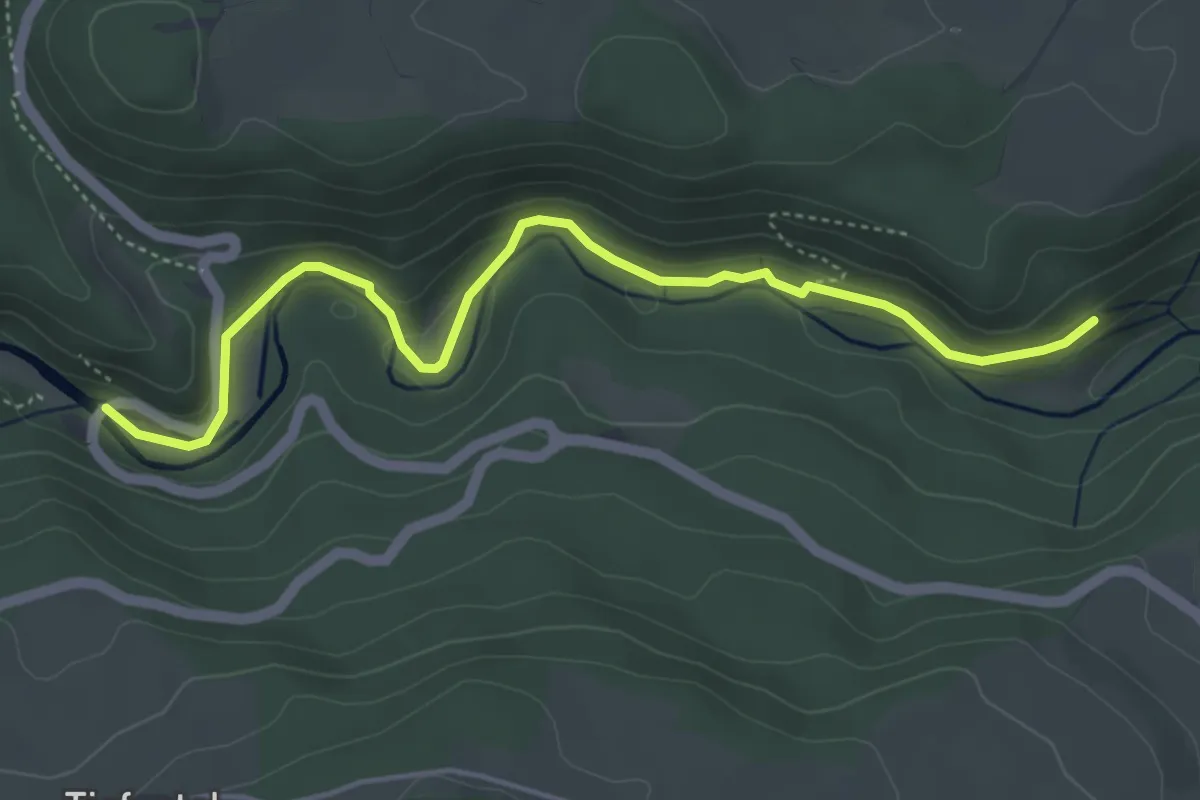
Medium · Trail
Schattenmühle - Stationenweg
4.8 km · ↑ 144 m · 1 h 27 min
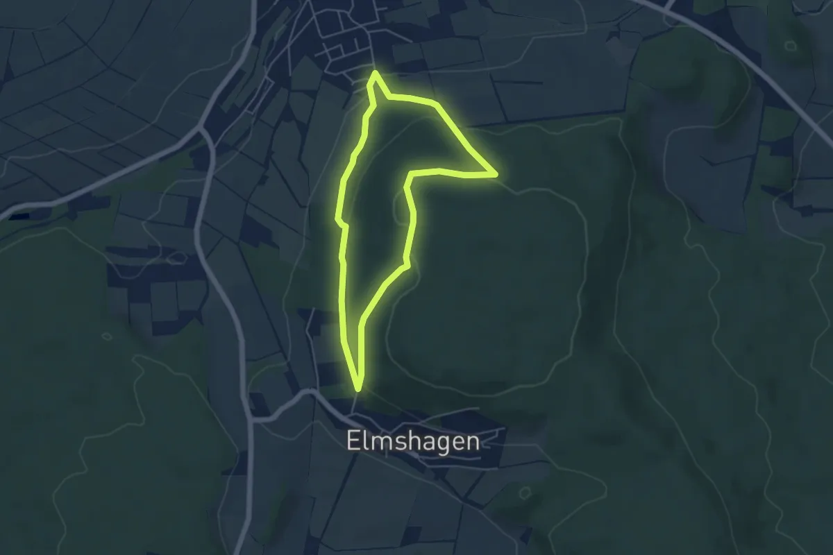
Easy · Trail
Schauenburg-Breitenbach, Rundweg 1
4.0 km · ↑ 121 m · 1 h 16 min
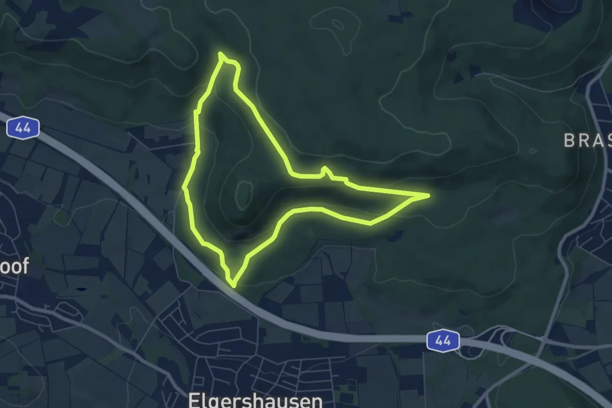
Easy · Trail
Schauenburg, Rundweg 55
5.7 km · ↑ 168 m · 1 h 48 min
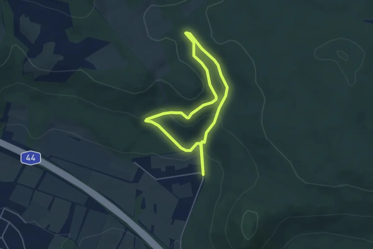
Easy · Summit
Schauenburg, Rundweg 57
3.0 km · ↑ 104 m · 59 min
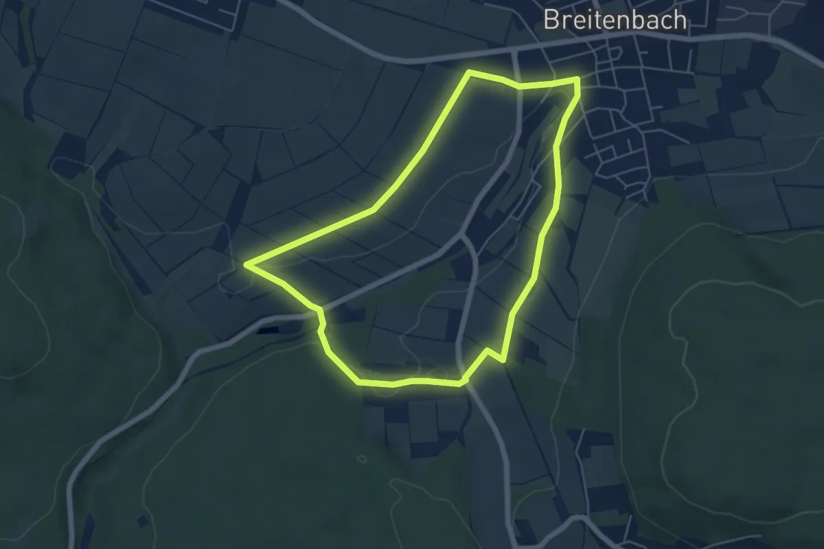
Easy · Trail
Schauenburg, S1
4.8 km · ↑ 46 m · 1 h 18 min
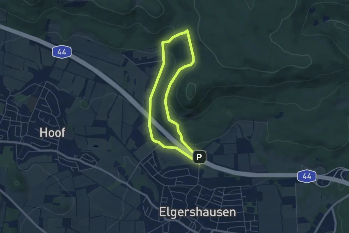
Easy · Trail
Schauenburg, S11
4.1 km · ↑ 163 m · 1 h 23 min
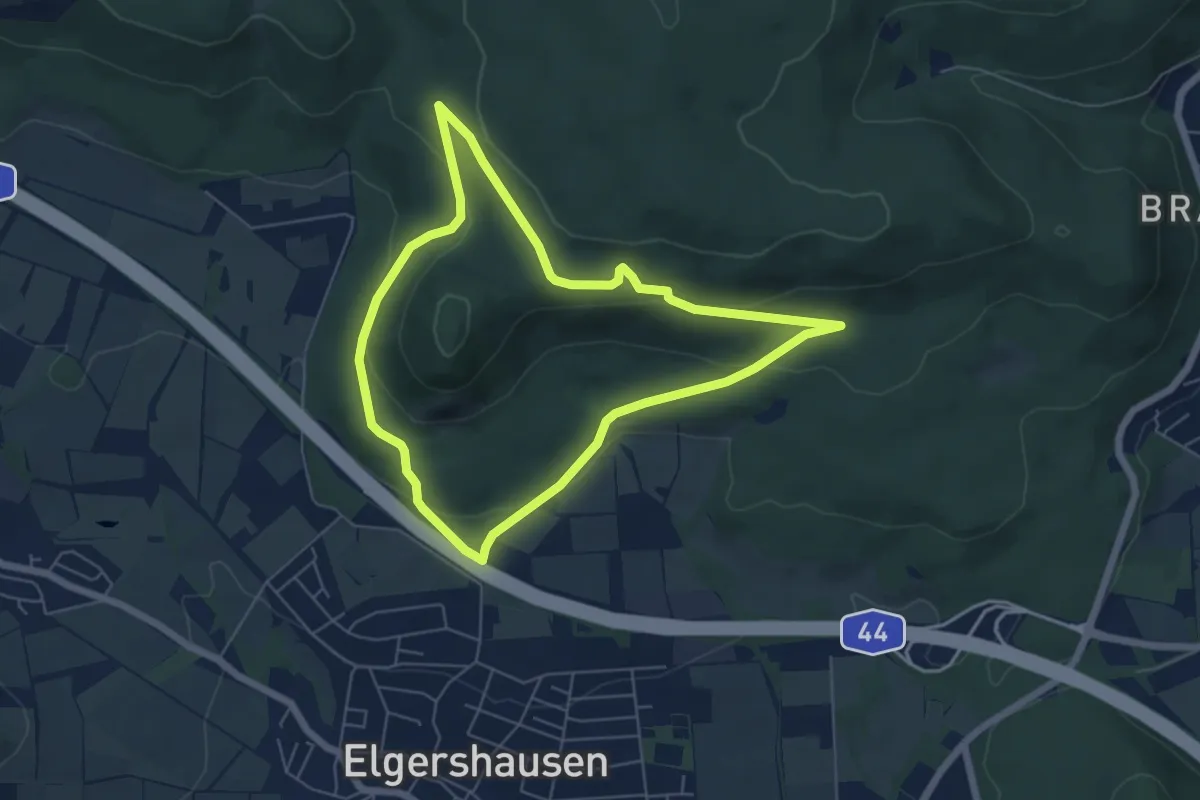
Easy · Trail
Schauenburg, S12
5.1 km · ↑ 165 m · 1 h 38 min