Trails in Germany
36,852 hiking trails, each with its route, climb, walking time and grade.
All trails, page 571 of 768
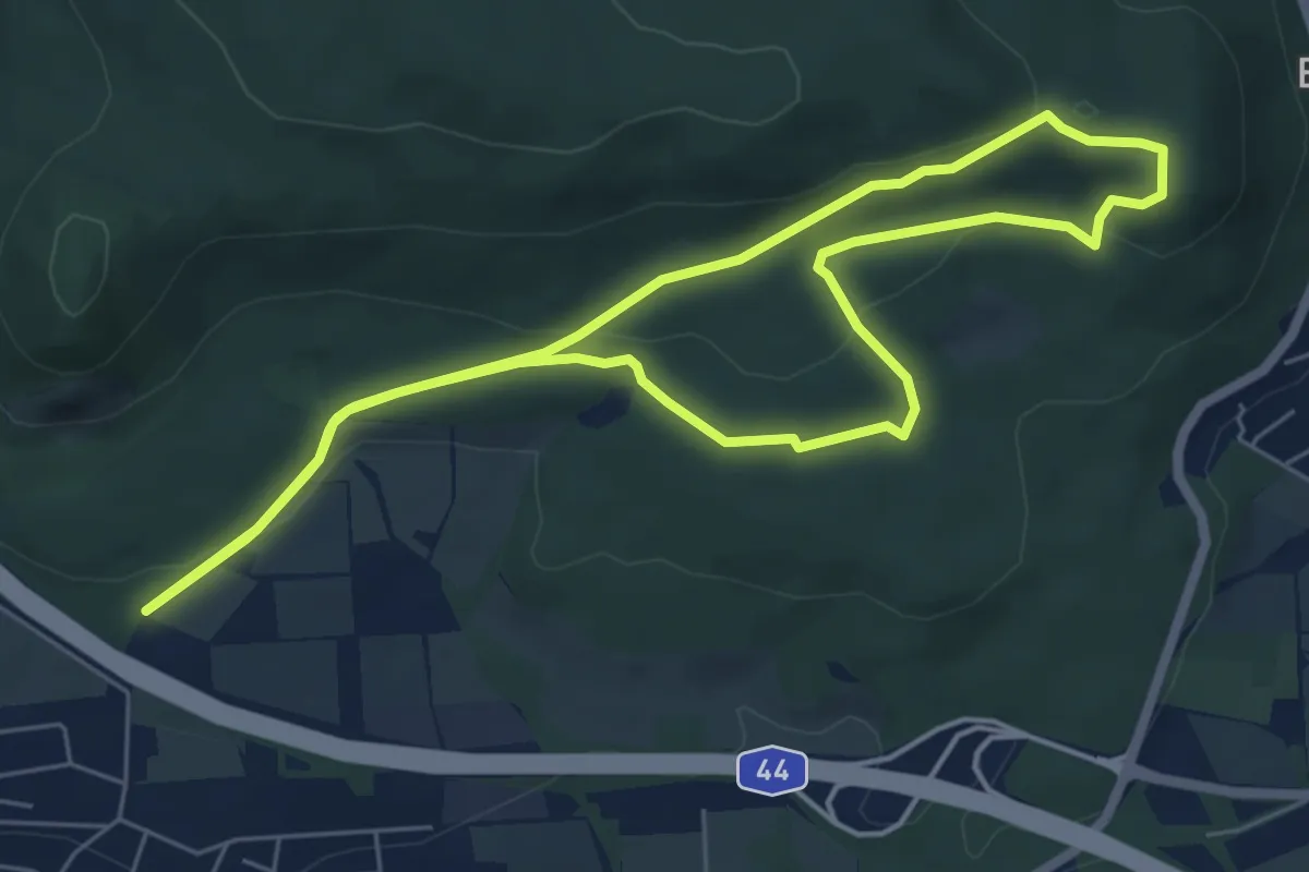
Easy · Summit
Schauenburg, S13
5.5 km · ↑ 138 m · 1 h 41 min
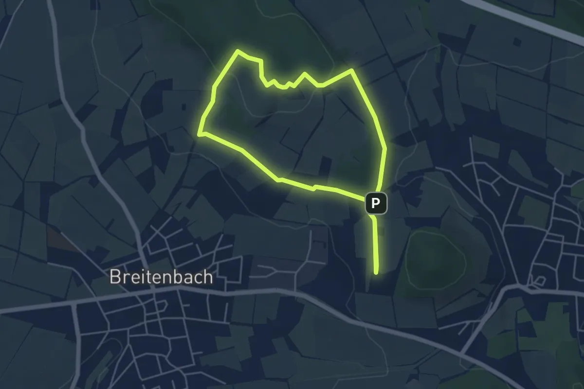
Easy · Summit
Schauenburg, S2
3.9 km · ↑ 67 m · 1 h 6 min
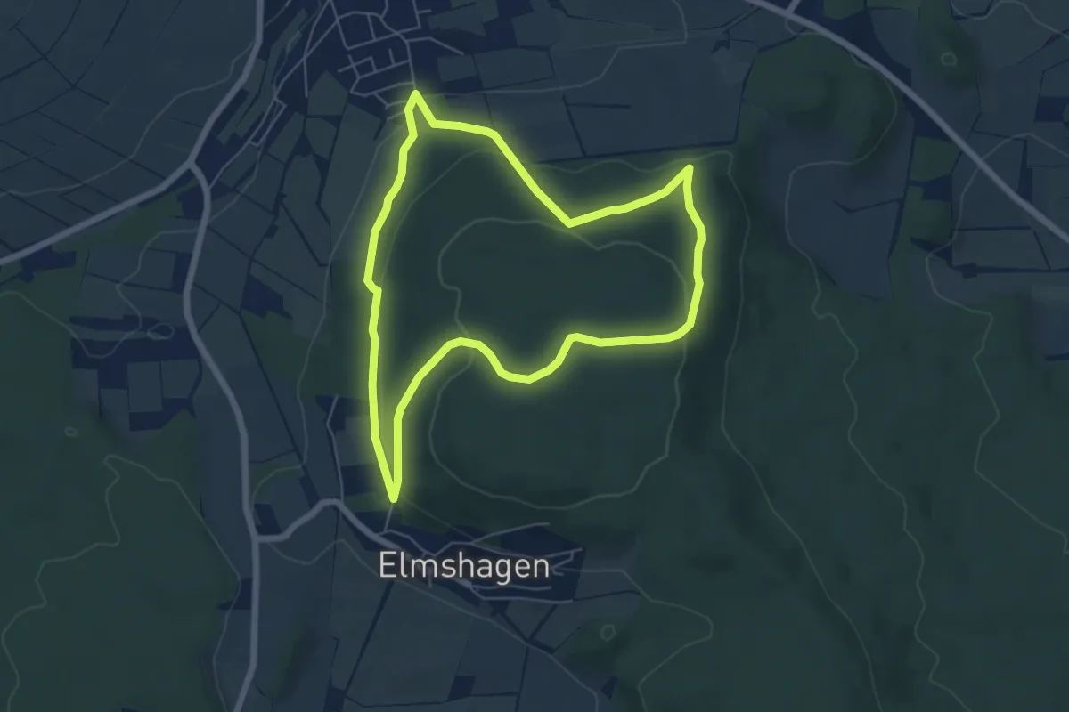
Easy · Trail
Schauenburg, S2
5.3 km · ↑ 148 m · 1 h 38 min
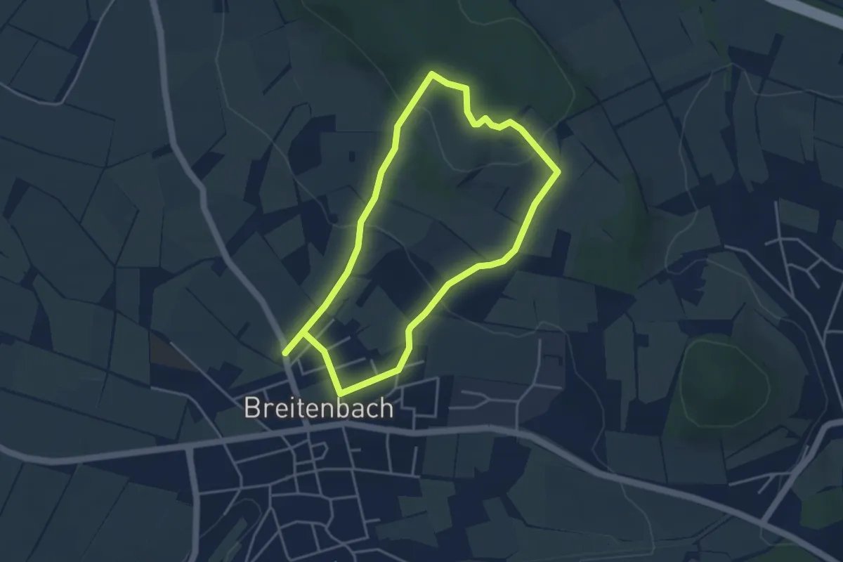
Easy · Summit
Schauenburg, S3
3.3 km · ↑ 108 m · 1 h 4 min
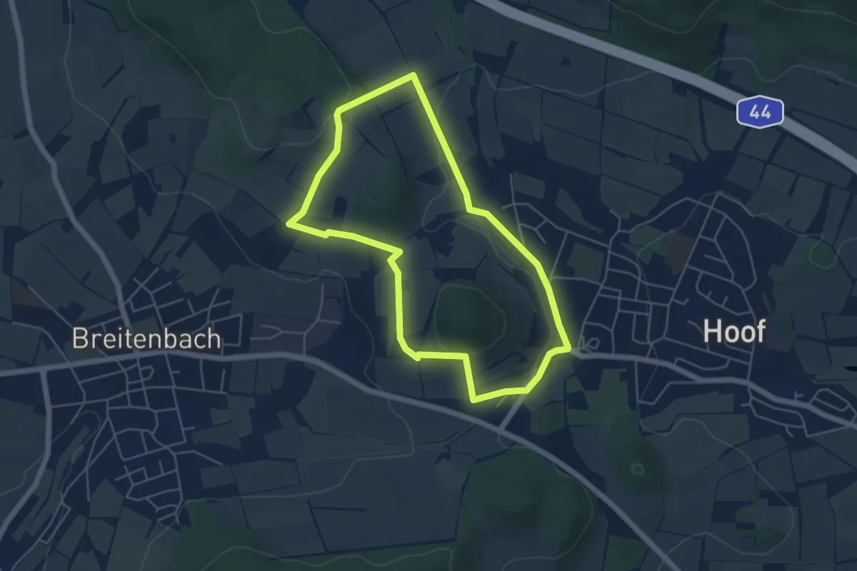
Easy · Trail
Schauenburg, S4
4.4 km · ↑ 89 m · 1 h 17 min
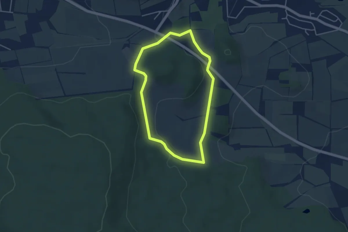
Easy · Trail
Schauenburg, S5
3.1 km · ↑ 66 m · 54 min
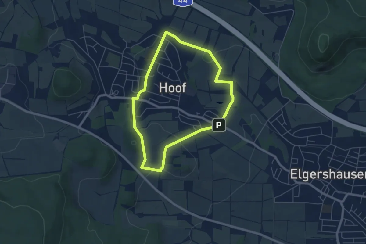
Easy · Trail
Schauenburg, S6
4.4 km · ↑ 77 m · 1 h 17 min
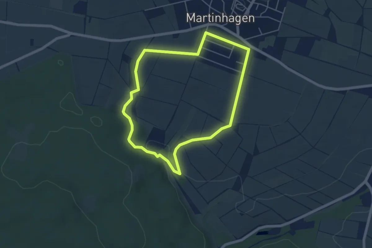
Easy · Trail
Schauenburg, S7
3.9 km · ↑ 50 m · 1 h 5 min
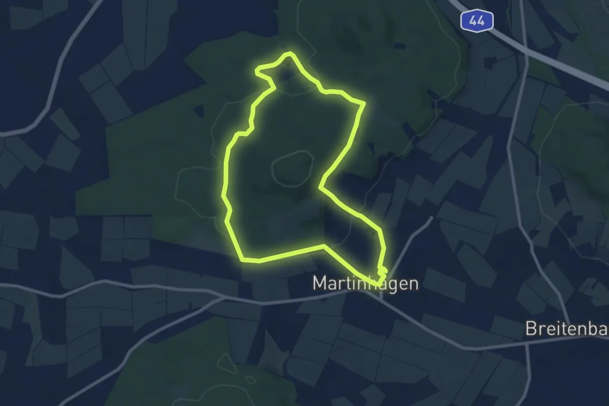
Easy · Trail
Schauenburg, S8
6.9 km · ↑ 149 m · 2 h 3 min
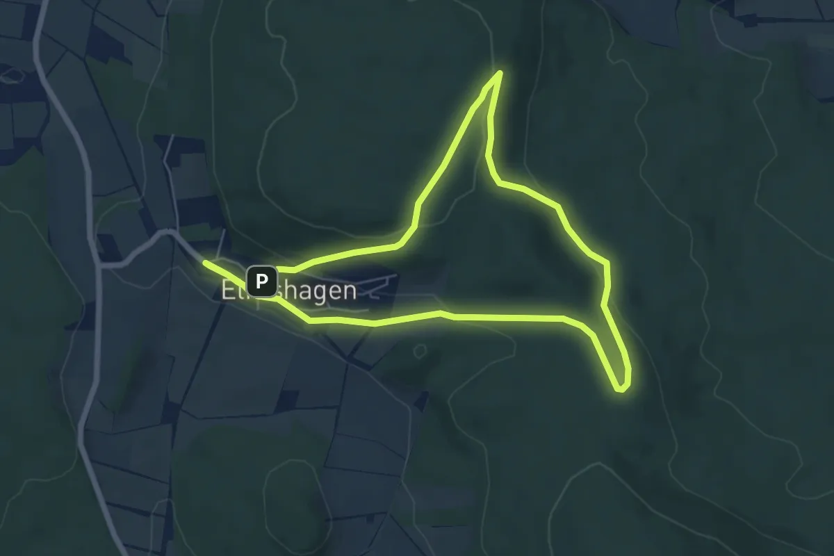
Easy · Trail
Schauenburg, S9
5.4 km · ↑ 123 m · 1 h 37 min
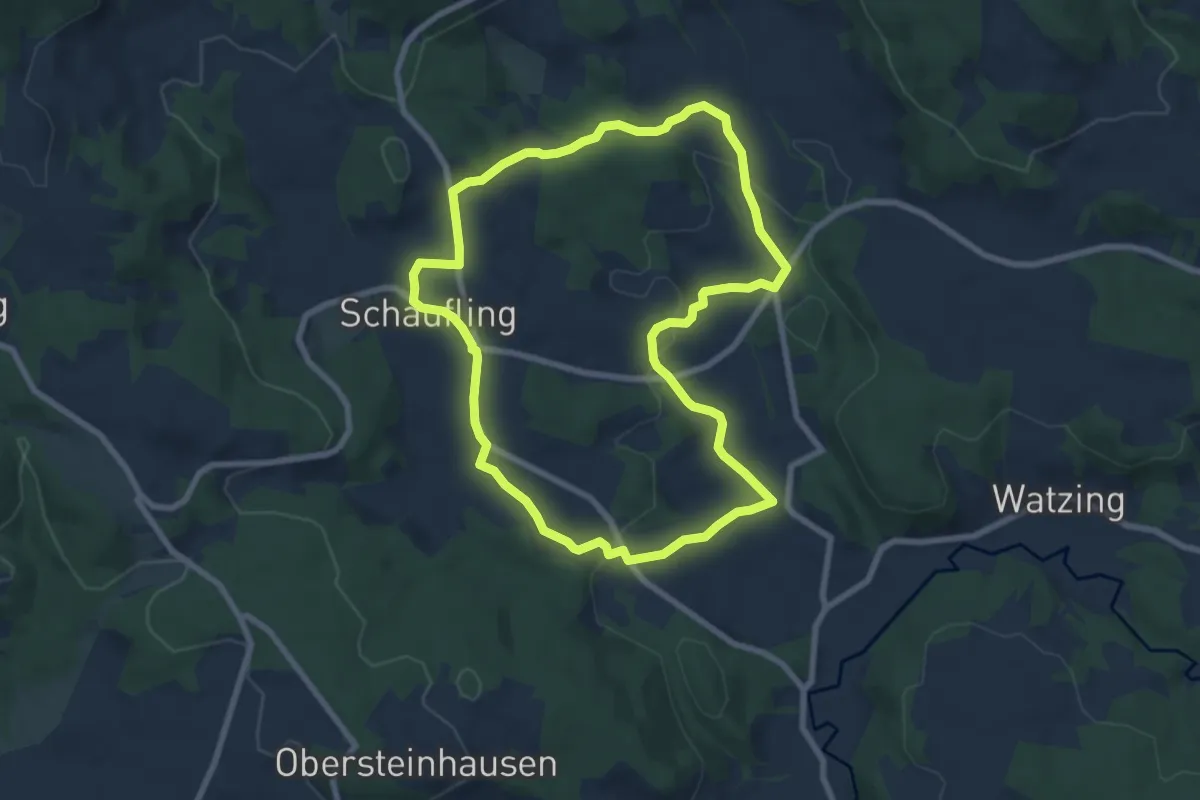
Easy · Summit
Schauflinger Rundwanderweg Nr. 17
7.2 km · ↑ 160 m · 2 h 9 min
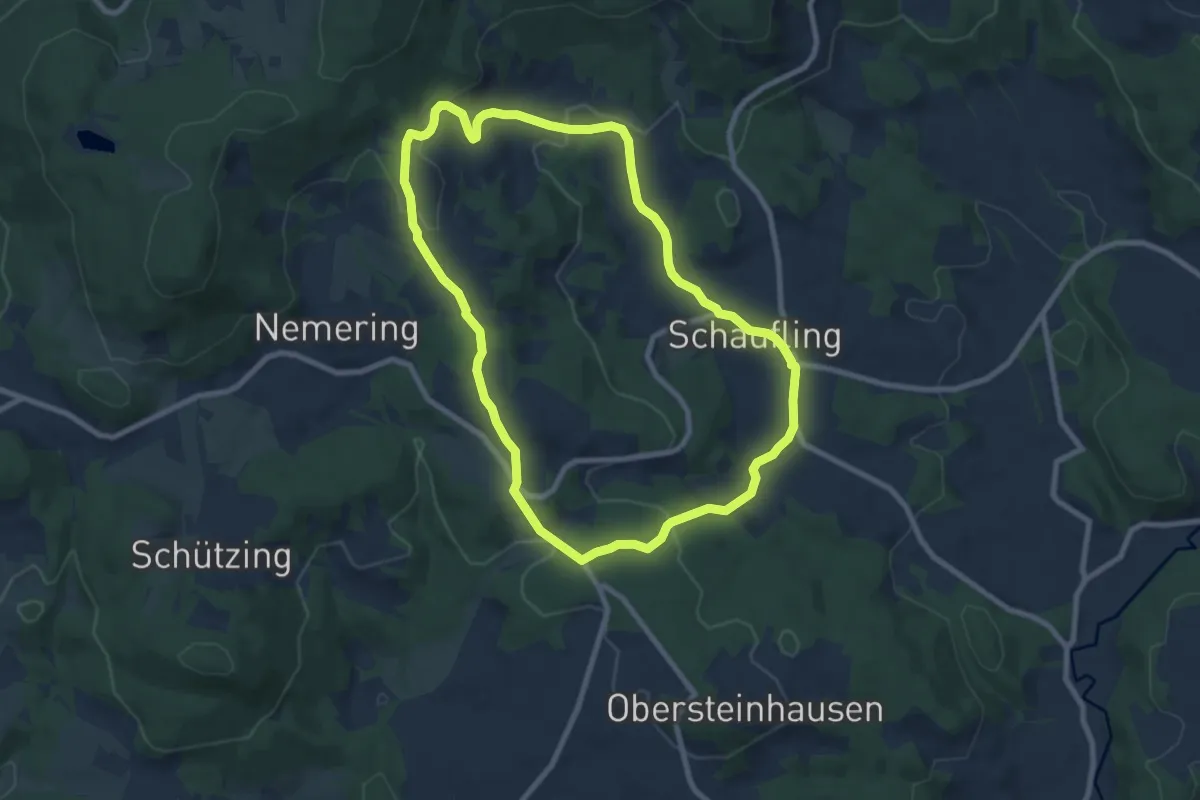
Easy · Summit
Schauflinger Rundwanderweg Nr. 18
7.8 km · ↑ 202 m · 2 h 23 min
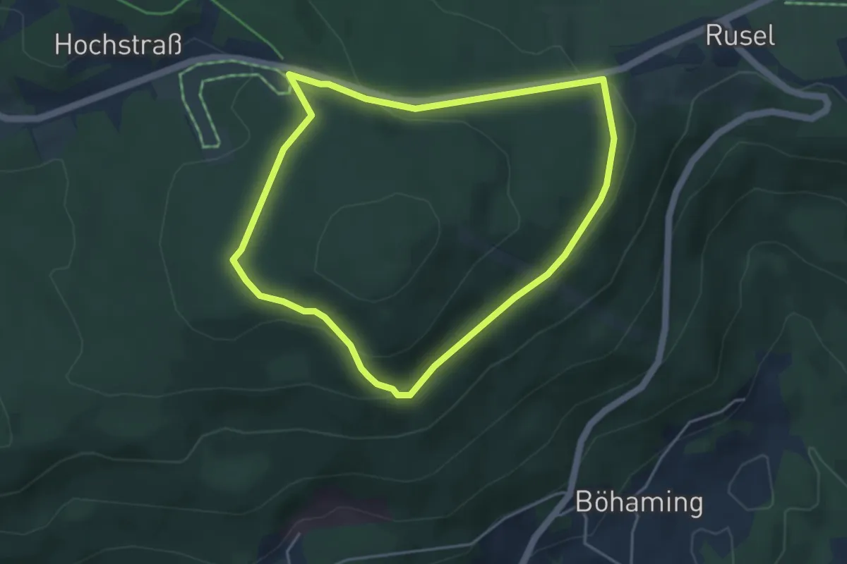
Easy · Trail
Schauflinger Rundwanderweg Nr. 4
3.8 km · ↑ 111 m · 1 h 11 min
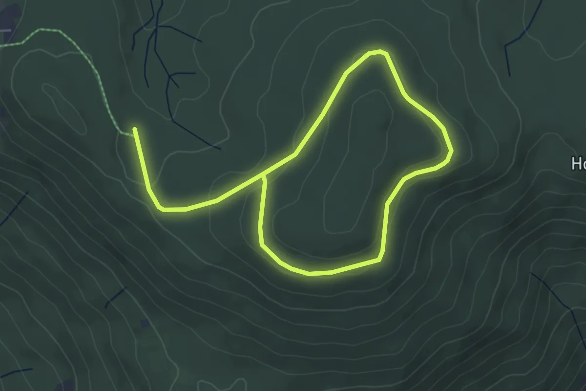
Easy · Trail
Schauflinger Rundwanderweg Nr. 5
3.3 km · ↑ 81 m · 59 min
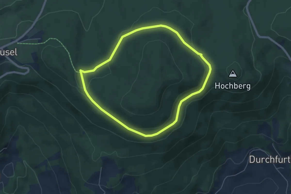
Easy · Trail
Schauflinger Rundwanderweg Nr. 5a
4.5 km · ↑ 64 m · 1 h 16 min
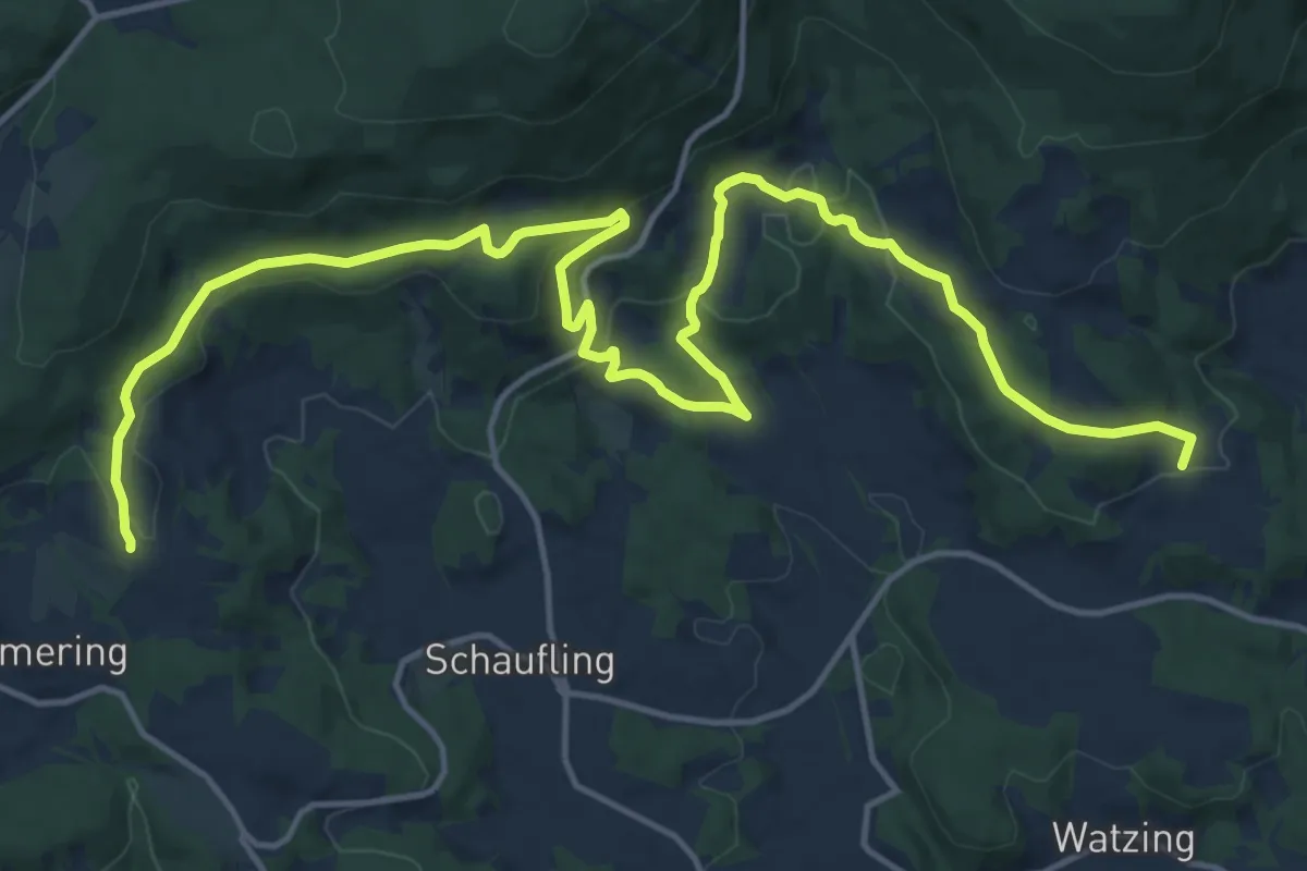
Demanding · Summit
Schauflinger Zielwanderweg Nr. 7
19.9 km · ↑ 651 m · 6 h 7 min
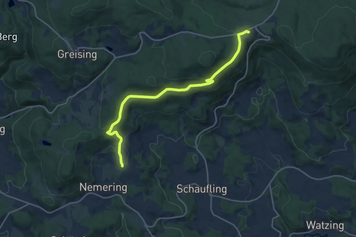
Medium · Trail
Schauflinger Zielwanderweg Nr. 8
12.0 km · ↑ 343 m · 3 h 34 min
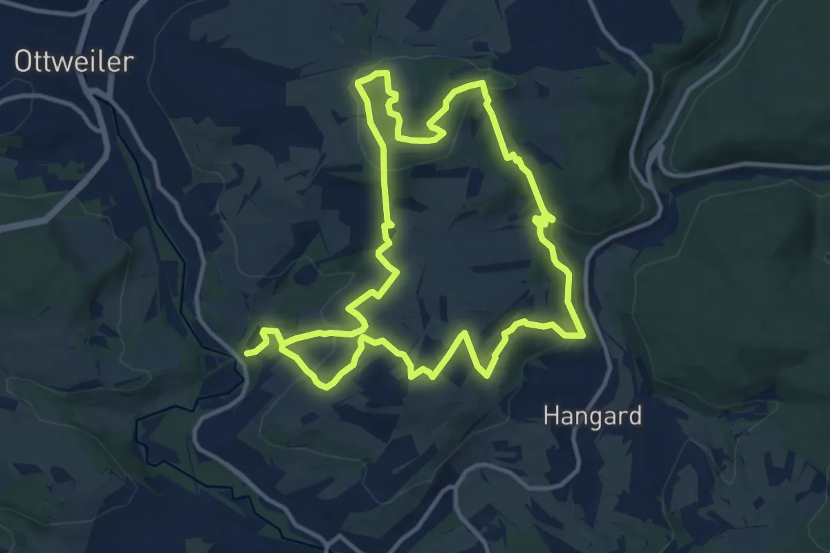
Medium · Summit
Schauinslandweg Hangard
10.0 km · ↑ 337 m · 3 h 14 min
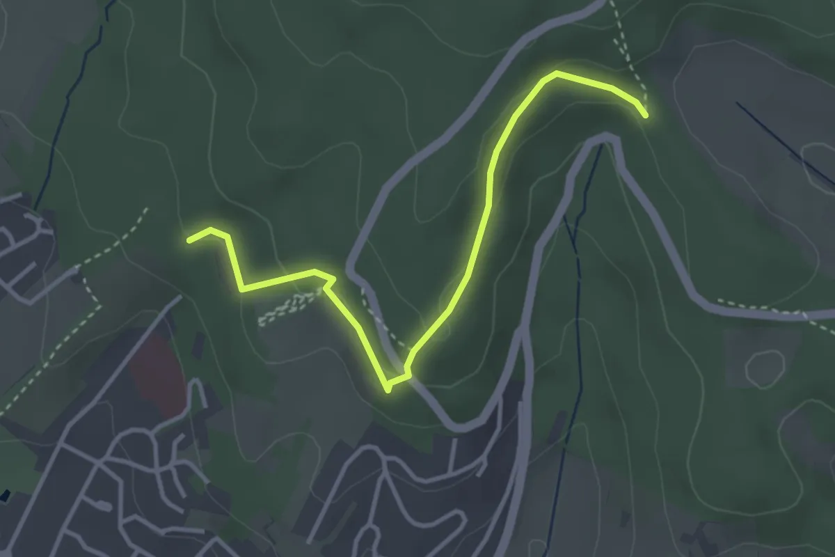
Easy · Trail
Schaukelwald - Schlegelhof
3.4 km · ↑ 114 m · 1 h 4 min
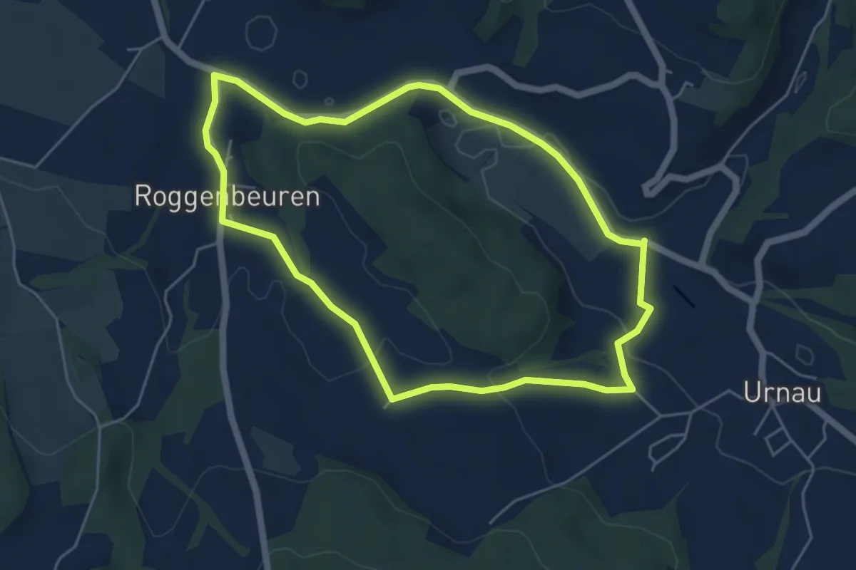
Easy · Trail
Schaukelweg
4.6 km · ↑ 76 m · 1 h 19 min
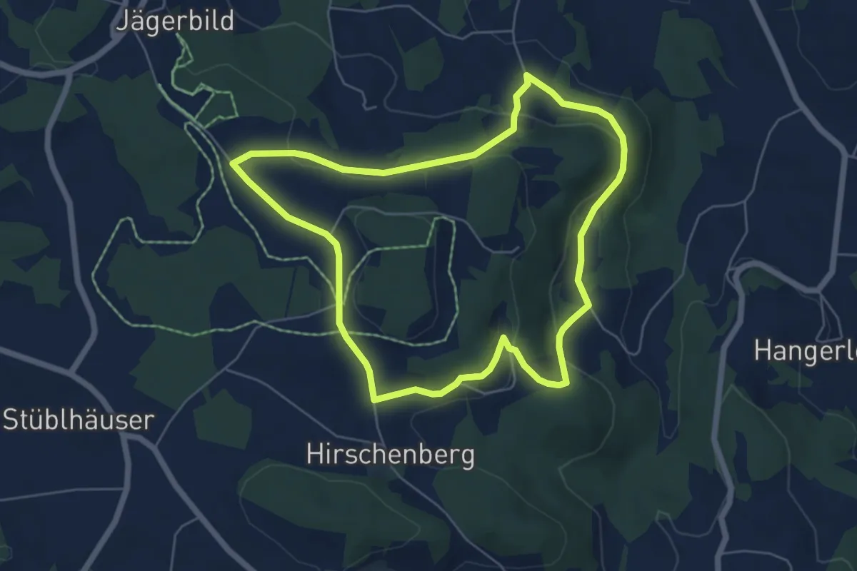
Easy · Trail
Schaukelweg
5.3 km · ↑ 177 m · 1 h 43 min
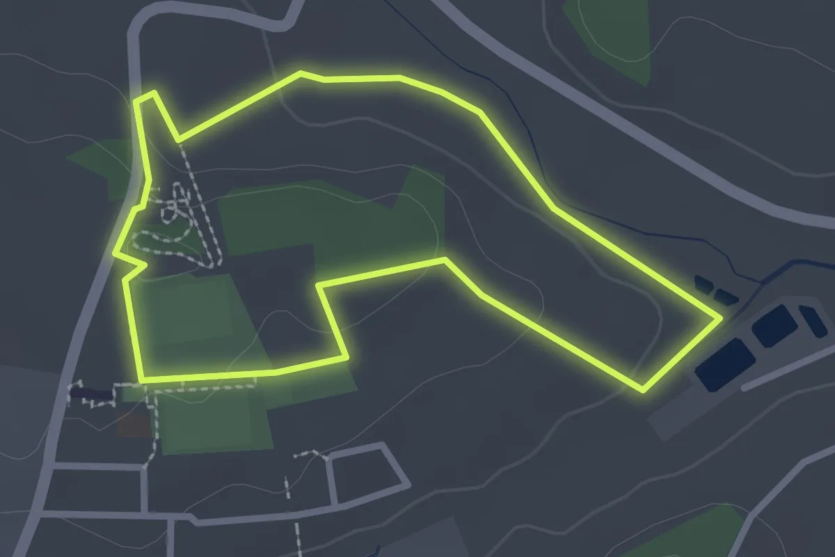
Easy · Trail
Schaukelweg blau
2.3 km · ↑ 32 m · 38 min
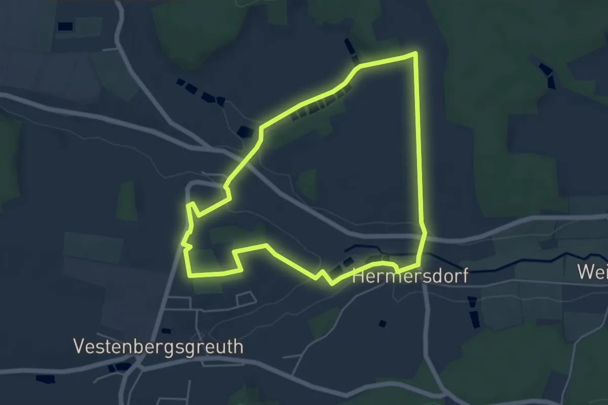
Easy · Trail
Schaukelweg rot
4.4 km · ↑ 65 m · 1 h 15 min
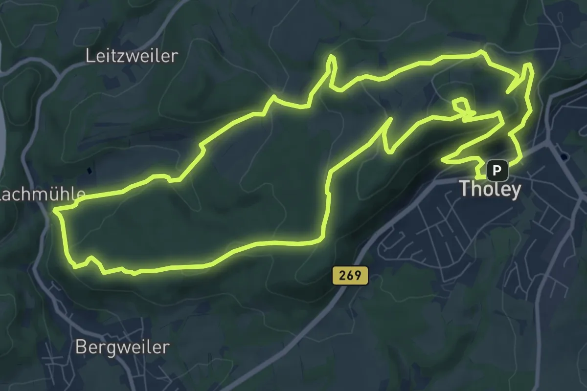
Medium · Summit
Schaumberg-Tafeltour
10.7 km · ↑ 409 m · 3 h 33 min
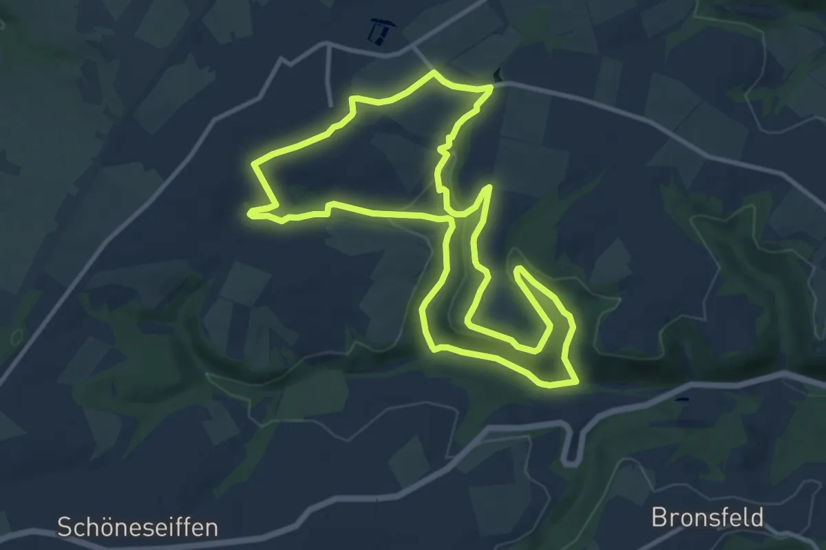
Medium · Trail
Scheckenbach-Tour
9.5 km · ↑ 166 m · 2 h 44 min
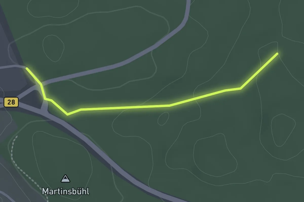
Easy · Trail
Schecknau - Vorderer Bauernwald
2.3 km · ↑ 32 m · 36 min
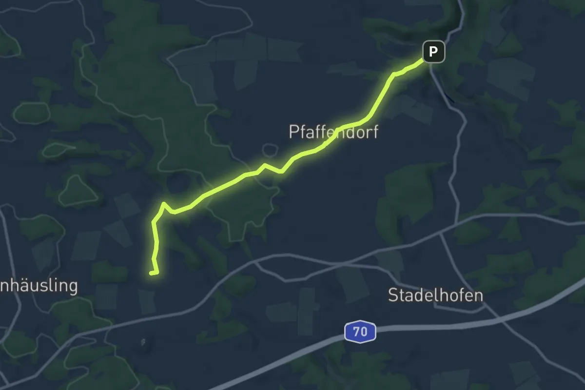
Medium · Trail
Schederndorfer Weg
9.0 km · ↑ 147 m · 2 h 26 min
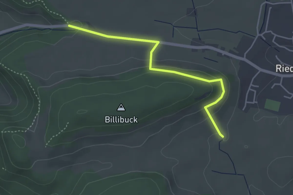
Easy · Trail
Scheffelbank - Gaisäcker
3.7 km · ↑ 116 m · 1 h 8 min
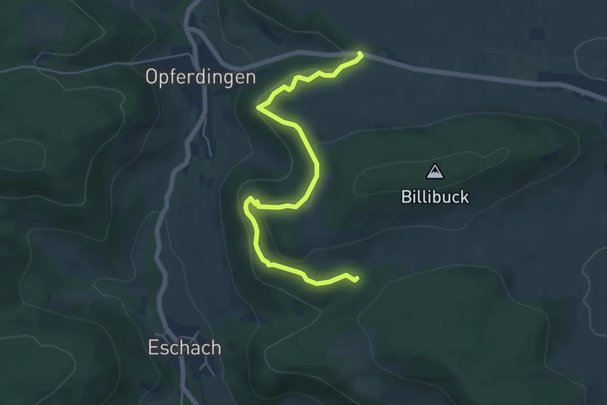
Medium · Trail
Scheffelbank - Sulztal
4.8 km · ↑ 189 m · 1 h 33 min
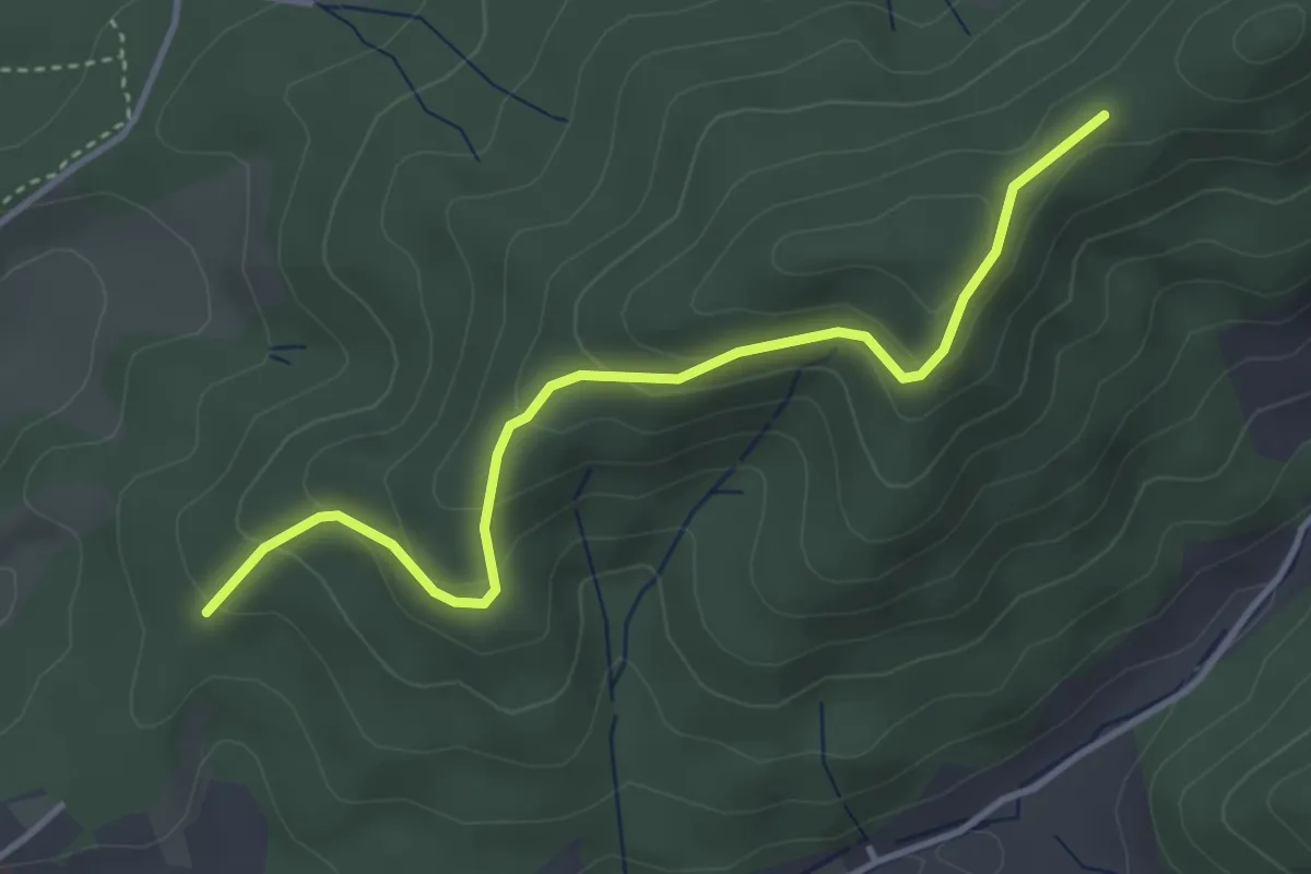
Easy · Trail
Scheffeleiche - Schwandeck
3.7 km · ↑ 202 m · 1 h 19 min
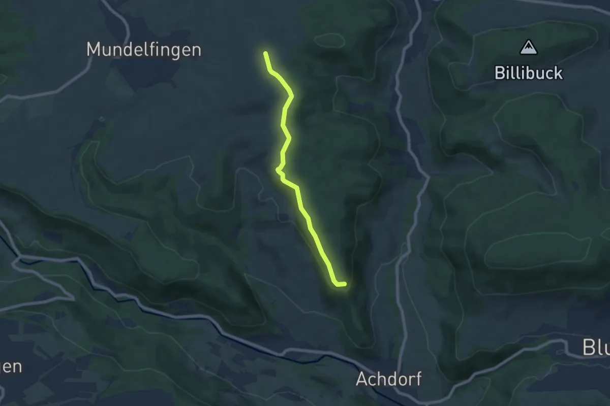
Easy · Trail
Scheffheu Süd - Randen
5.6 km · ↑ 153 m · 1 h 39 min
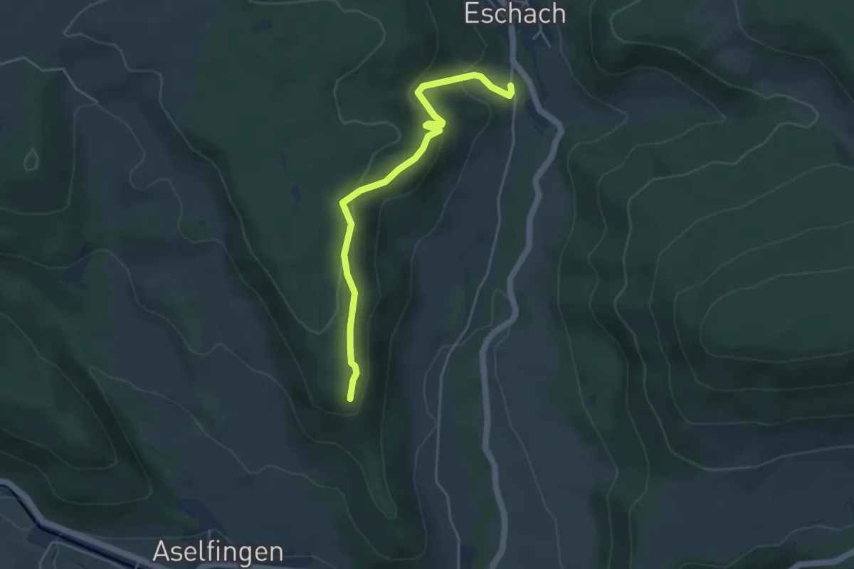
Easy · Trail
Scheffheu Süd - Riedeck
4.2 km · ↑ 184 m · 1 h 23 min
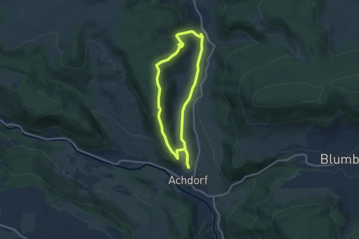
Easy · Trail
Scheffheuweg
5.5 km · ↑ 214 m · 1 h 50 min
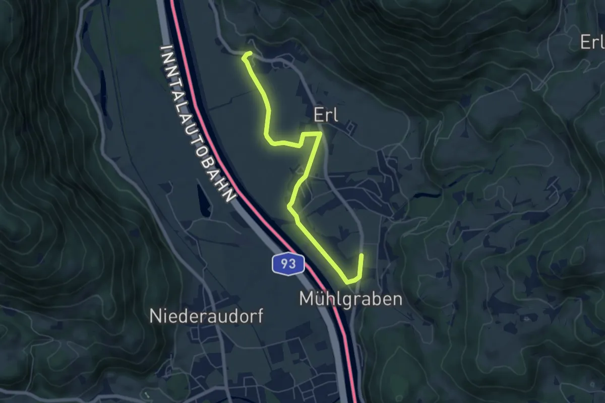
Easy · Trail
Scheiben-Runde
6.1 km · ↑ 35 m · 1 h 30 min
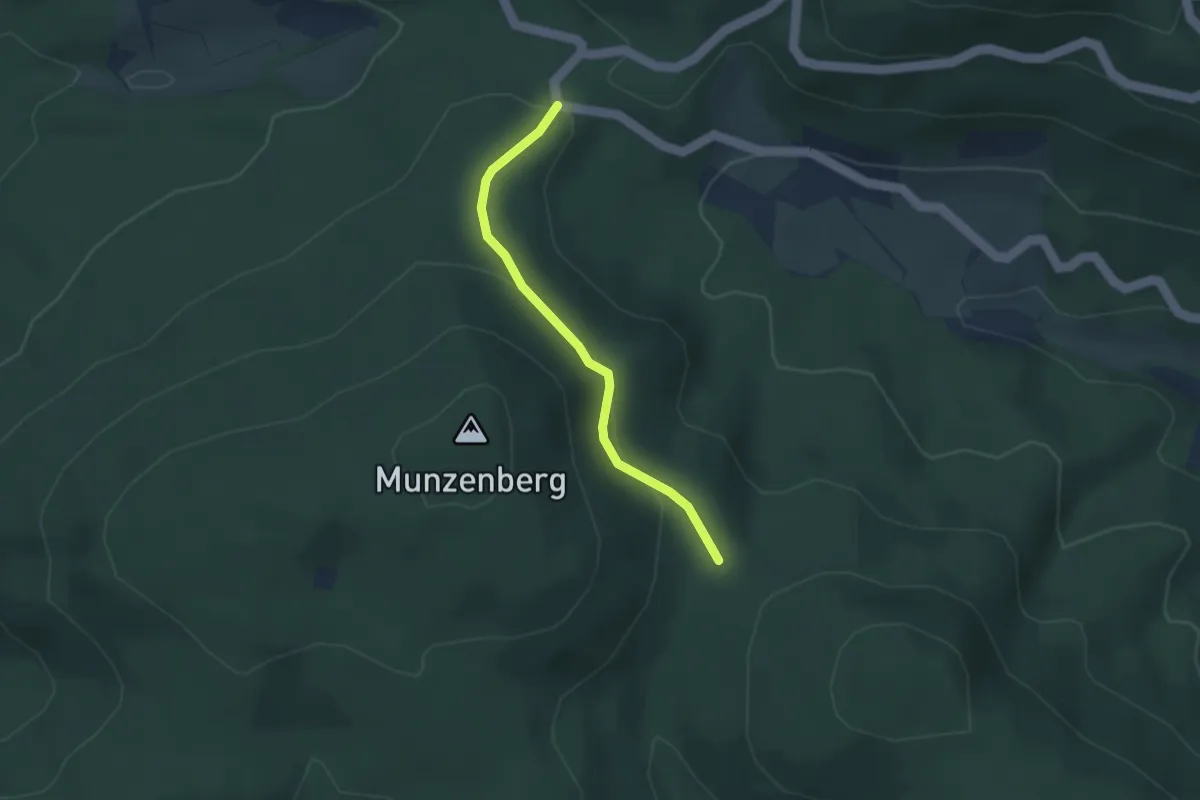
Easy · Trail
Scheideck - Nasse Küche
2.7 km · ↑ 100 m · 52 min
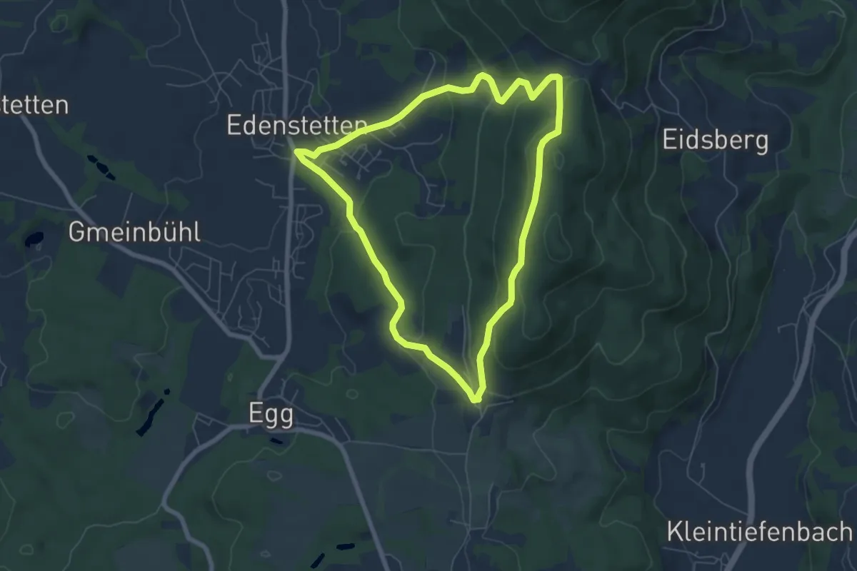
Easy · Trail
Scheiderrieder Weg
5.9 km · ↑ 229 m · 1 h 58 min
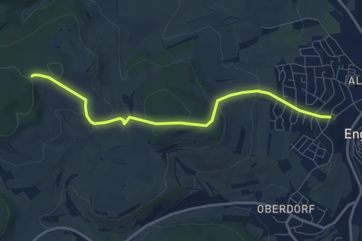
Easy · Trail
Scheienbohl - Engen Ludwig-Finckh-Straße
6.5 km · ↑ 253 m · 2 h 5 min
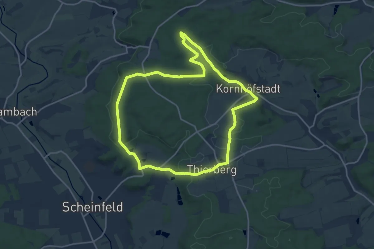
Medium · Summit
Scheinfeld Rundweg S1
11.0 km · ↑ 162 m · 3 h 6 min
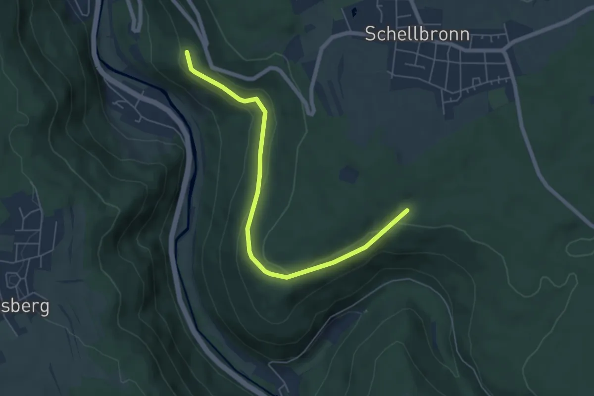
Easy · Trail
Scheiterberg - Sandweg
5.4 km · ↑ 158 m · 1 h 37 min
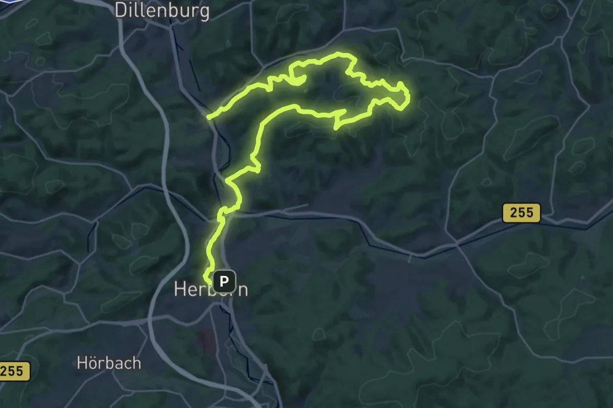
Demanding · Trail
Schelder-Wald-Weg
18.1 km · ↑ 446 m · 5 h 30 min
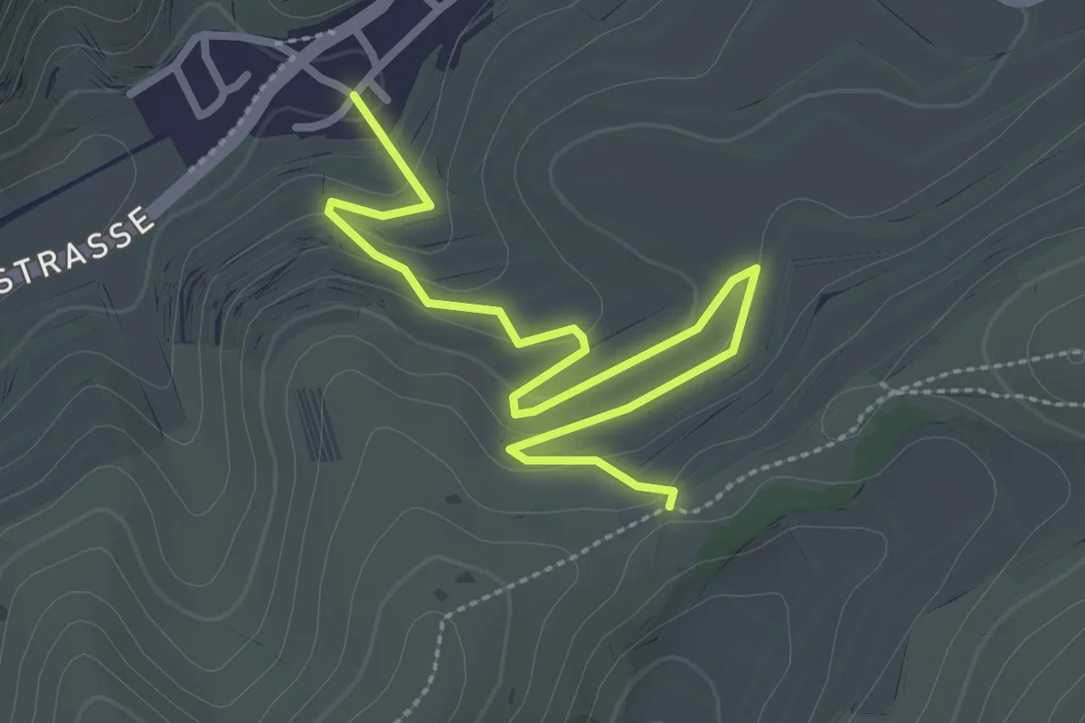
Easy · Trail
Schelingen Allmendgasse - Schelinger Kreuz
3.2 km · ↑ 70 m · 55 min
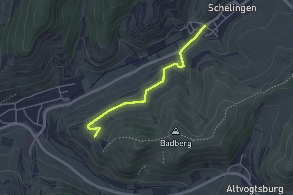
Easy · Trail
Schelingen Sonnenuhr - Steinriese
3.0 km · ↑ 50 m · 48 min
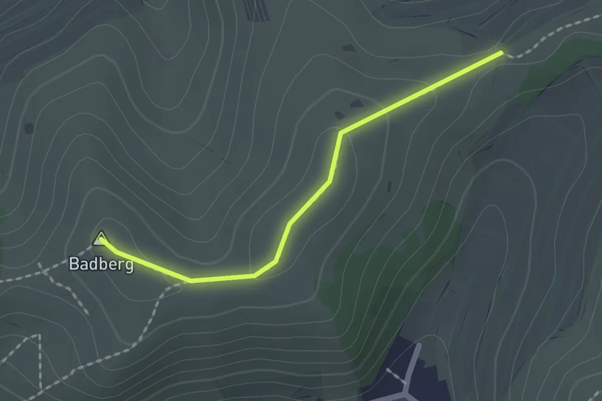
Easy · Summit
Schelinger Kreuz - Schohren
1.6 km · ↑ 42 m · 28 min
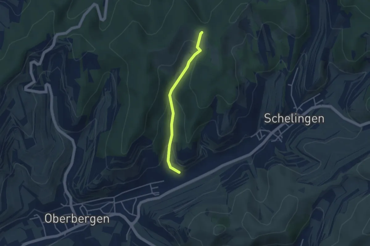
Easy · Trail
Schelinger Viehweide - Eingang Hessental
2.8 km · ↑ 140 m · 58 min
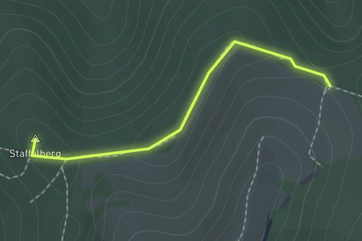
Easy · Summit
Schelinger Viehweide - Lochacker
1.5 km · ↑ 44 m · 27 min
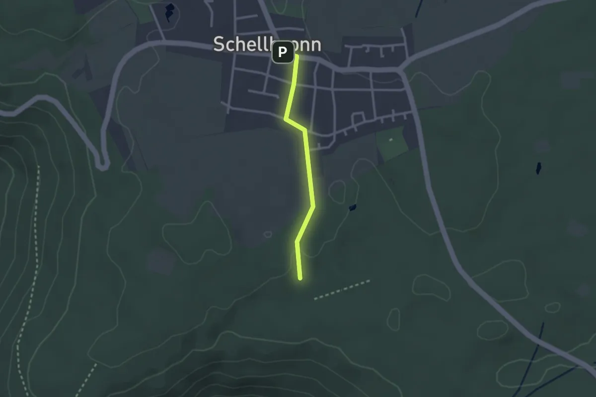
Easy · Trail
Schellbronn - Hartäcker
2.0 km · ↑ 13 m · 30 min
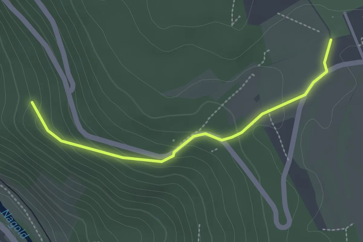
Easy · Trail
Schellbronn Schwimmbad - Sandweg
2.4 km · ↑ 109 m · 48 min
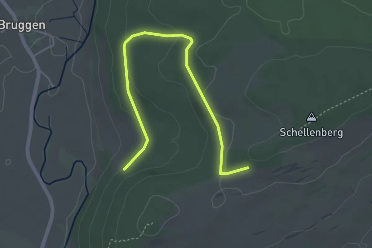
Easy · Trail
Schellenberg - ?
4.0 km · ↑ 64 m · 1 h 4 min