Trails in Germany
36,852 hiking trails, each with its route, climb, walking time and grade.
All trails, page 572 of 768
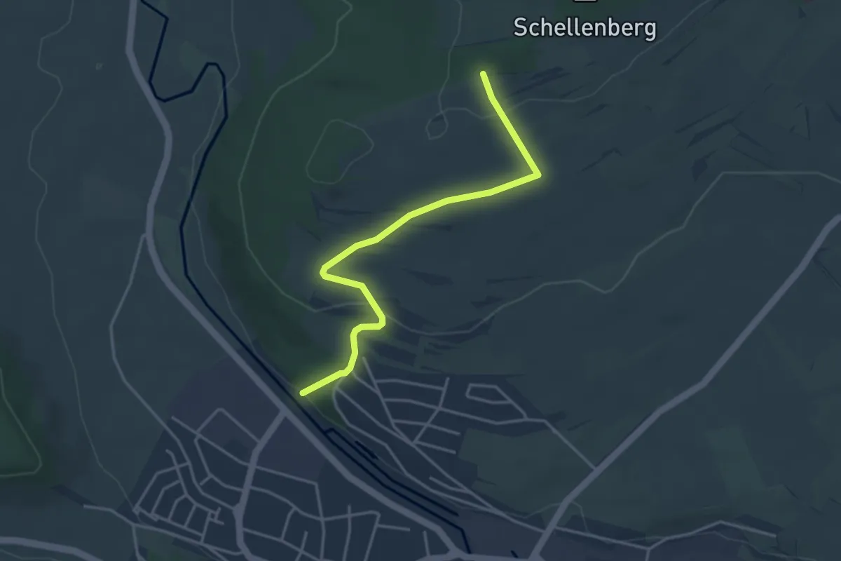
Easy · Trail
Schellenberg - Bräunlingen Eichhölzle
3.6 km · ↑ 108 m · 1 h 6 min
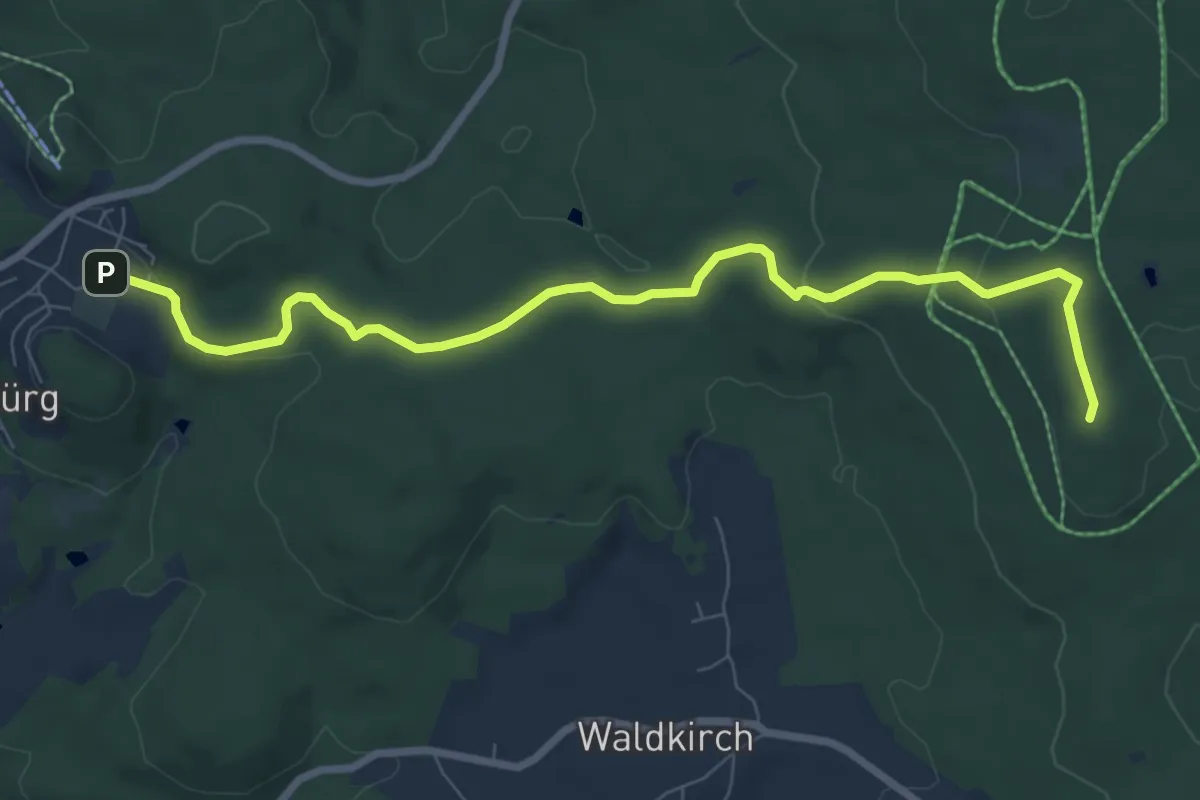
Medium · Summit
Schellenberg - Flossenbürg
8.0 km · ↑ 156 m · 2 h 14 min
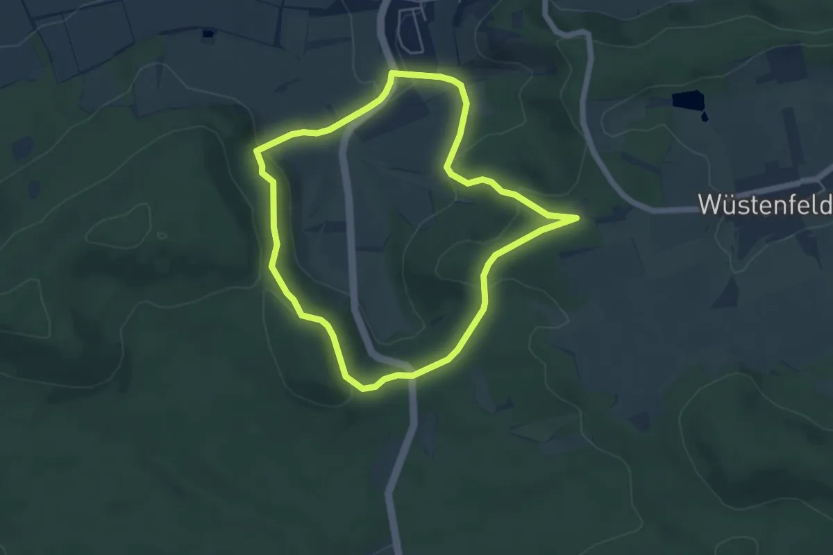
Easy · Summit
Schellenbergweg
4.5 km · ↑ 156 m · 1 h 27 min
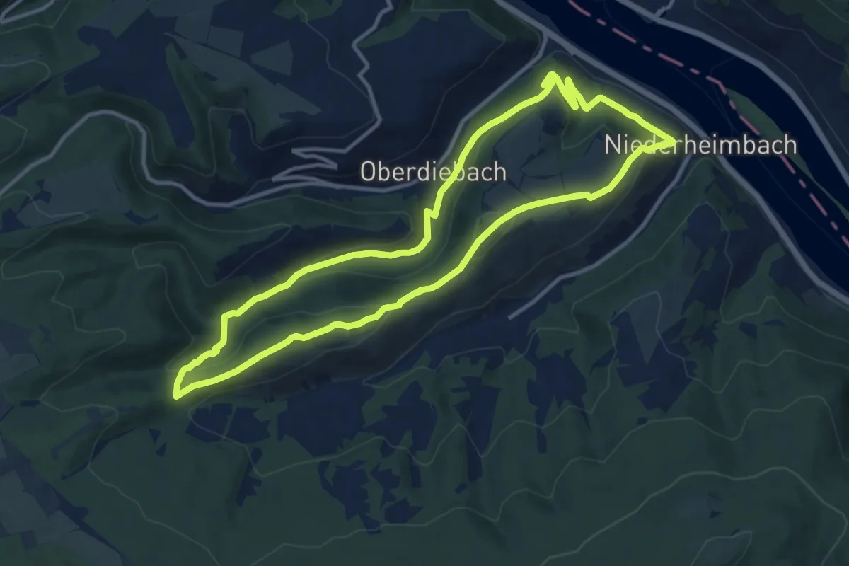
Medium · Summit
Schellengang
10.5 km · ↑ 375 m · 3 h 26 min
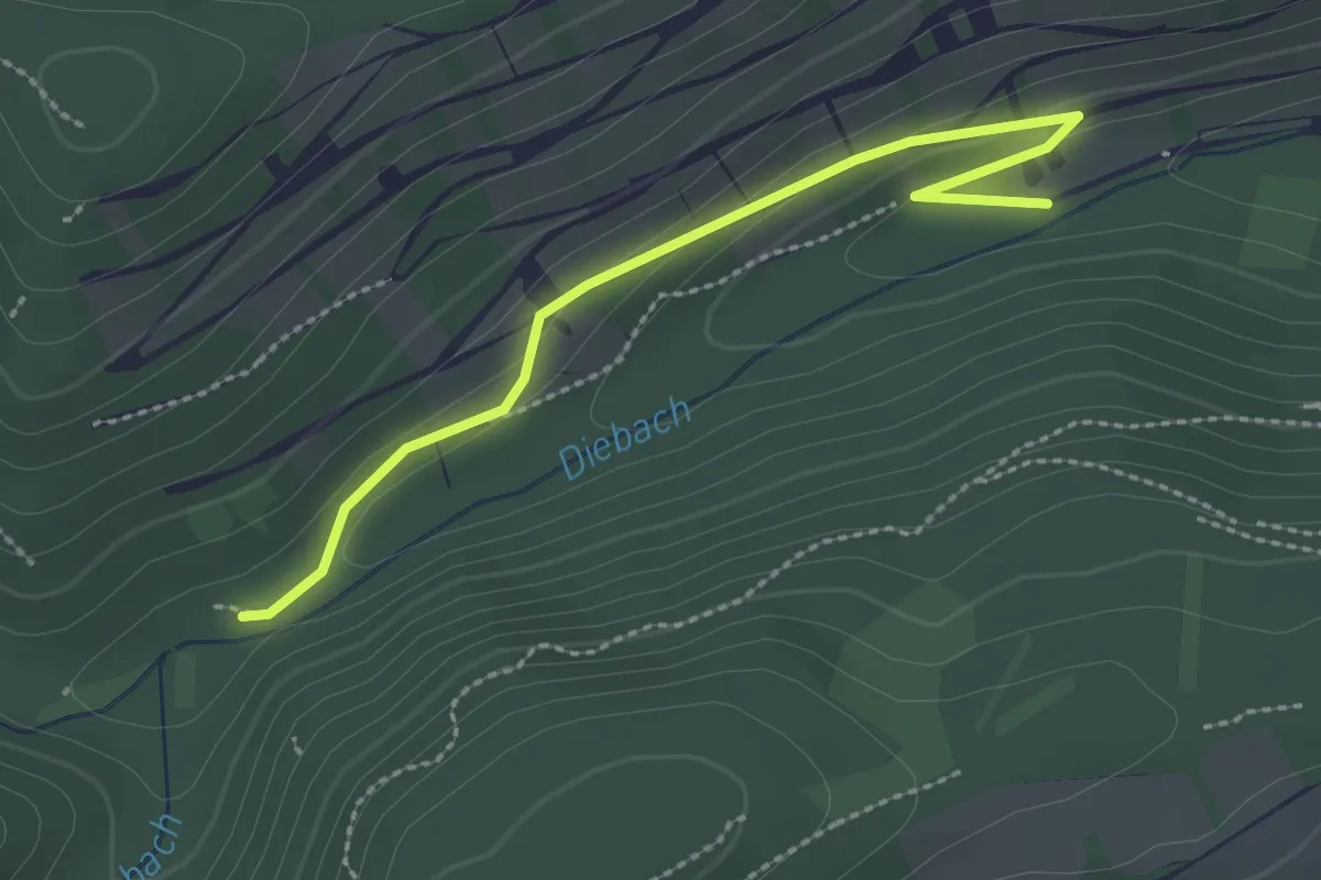
Easy · Trail
Schellengang - Zuweg und Alternativrouten
2.5 km · ↑ 59 m · 43 min
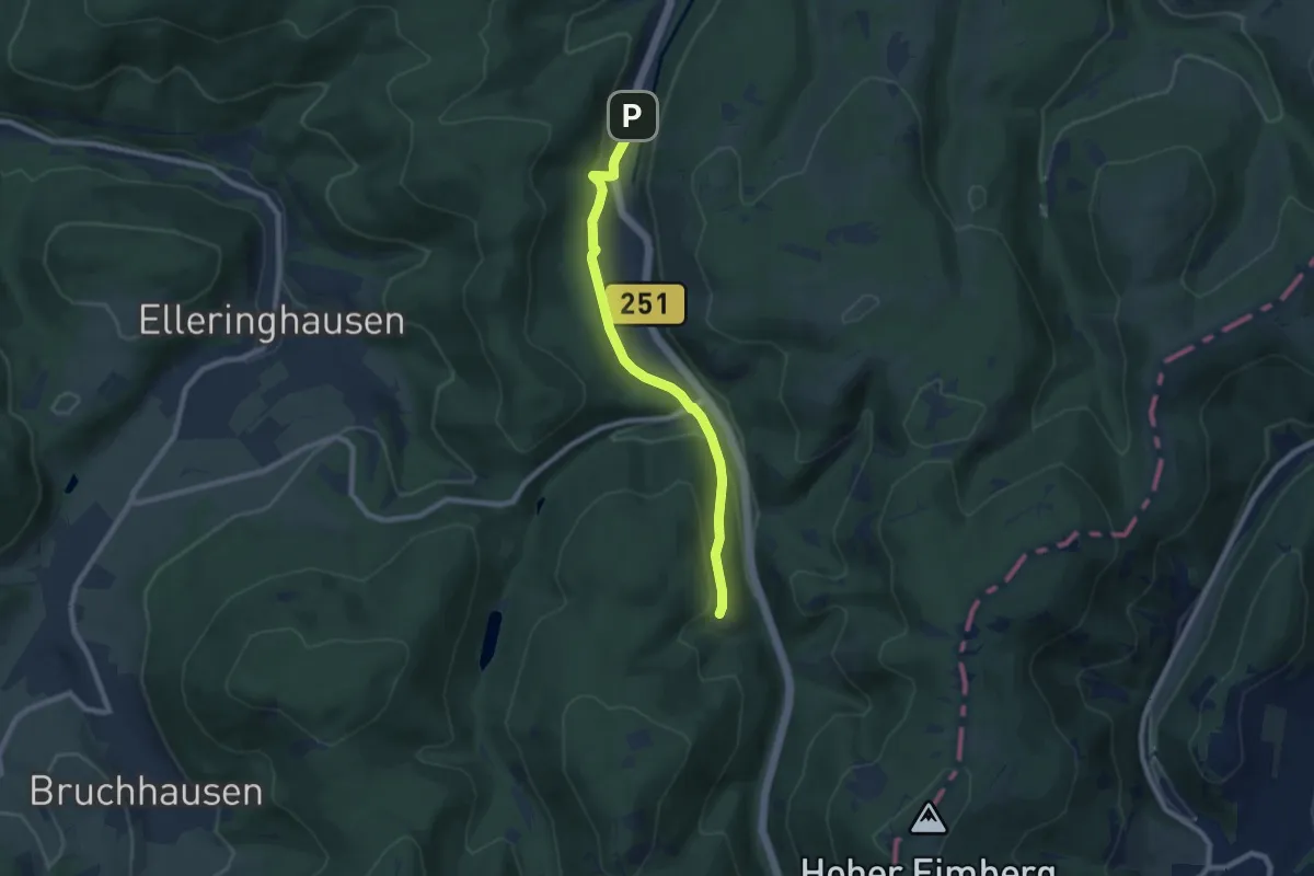
Easy · Trail
Schellhornkammweg
6.9 km · ↑ 223 m · 2 h 7 min
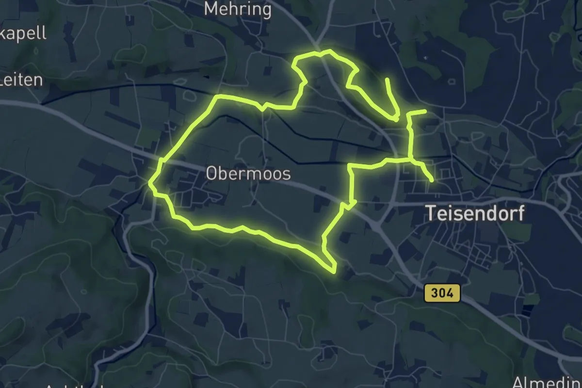
Medium · Trail
Schelmberg-Weg Nr. 24
16.9 km · ↑ 233 m · 4 h 30 min
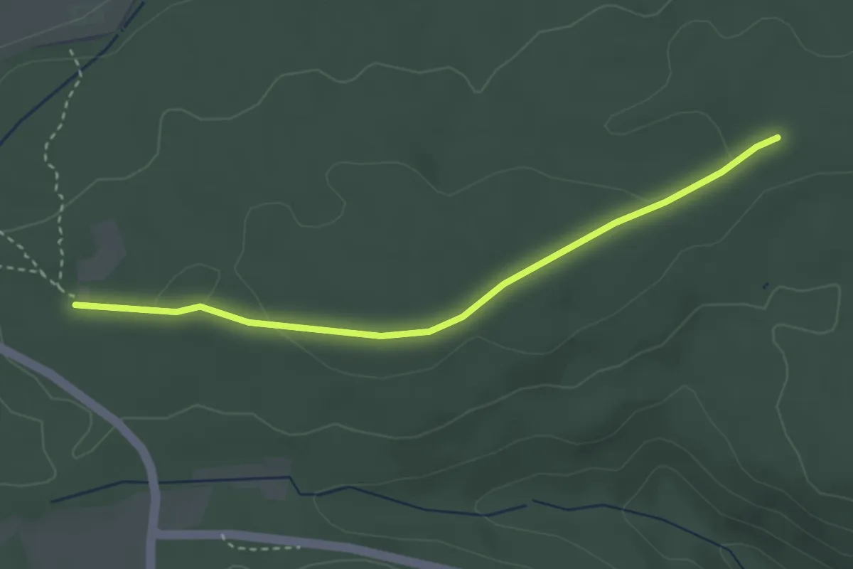
Easy · Trail
Schelmenbusch - Arnbacher Hütte
3.1 km · ↑ 34 m · 48 min
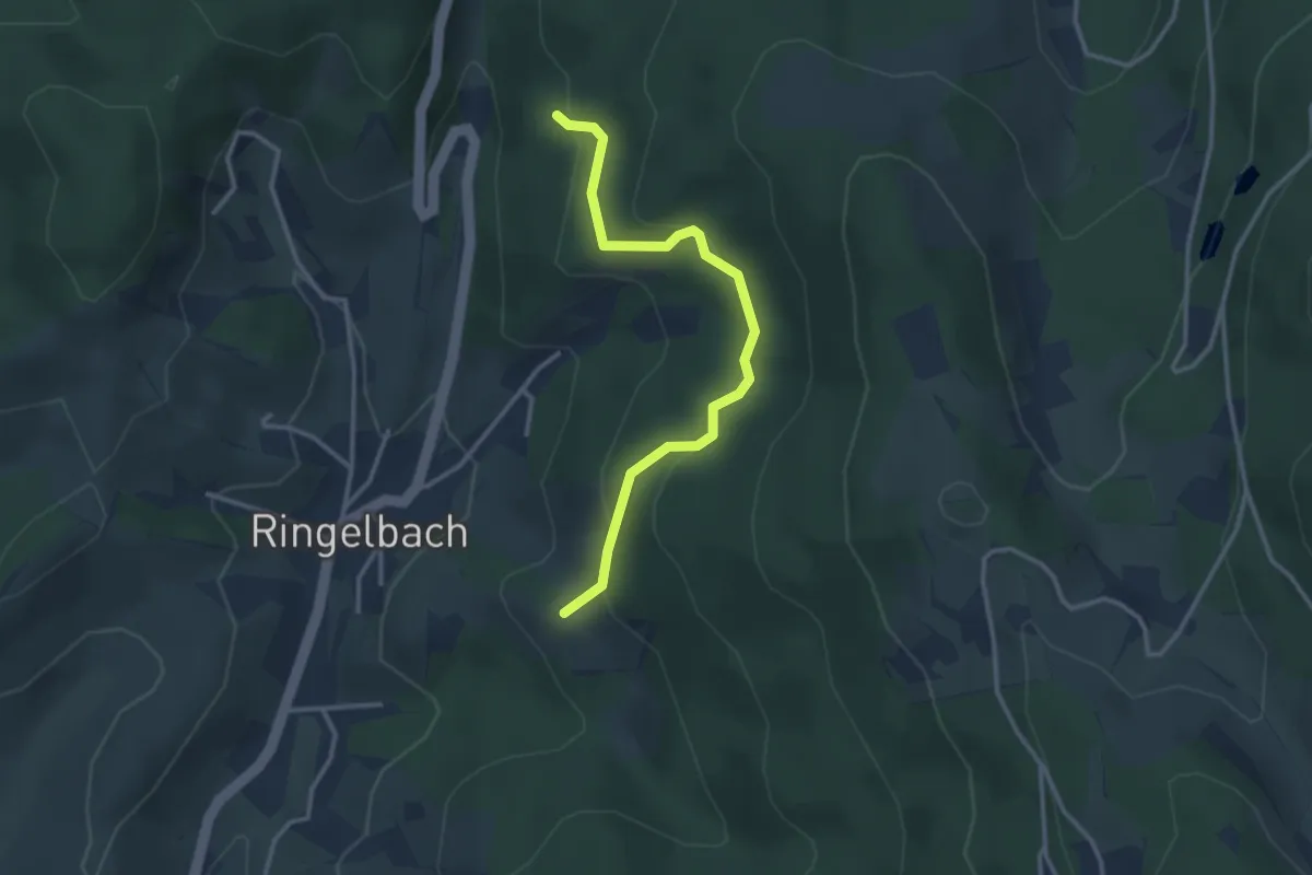
Easy · Trail
Schelzberg - Scherreinweg
3.0 km · ↑ 184 m · 1 h 6 min
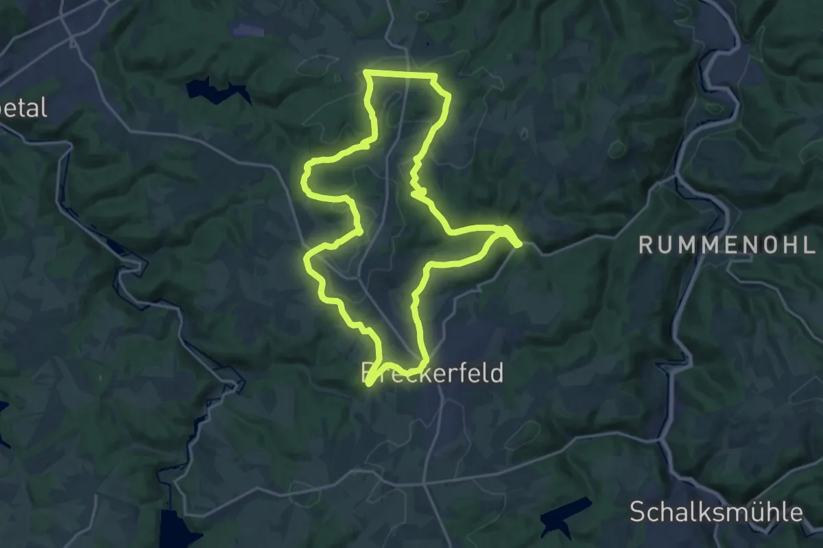
Medium · Trail
Schemm Rundweg A8
17.4 km · ↑ 402 m · 5 h 13 min
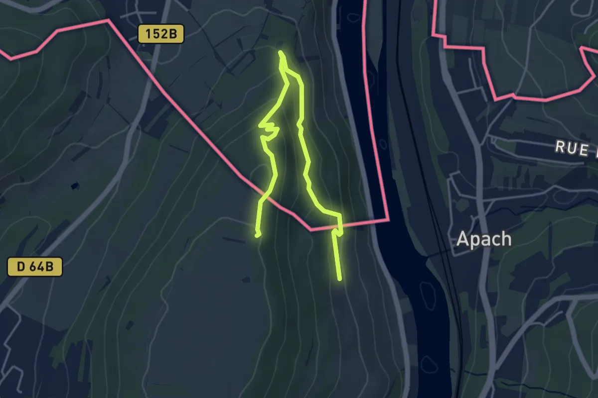
Easy · Trail
Schengen grenzenlos / sans frontières
2.1 km · ↑ 125 m · 45 min
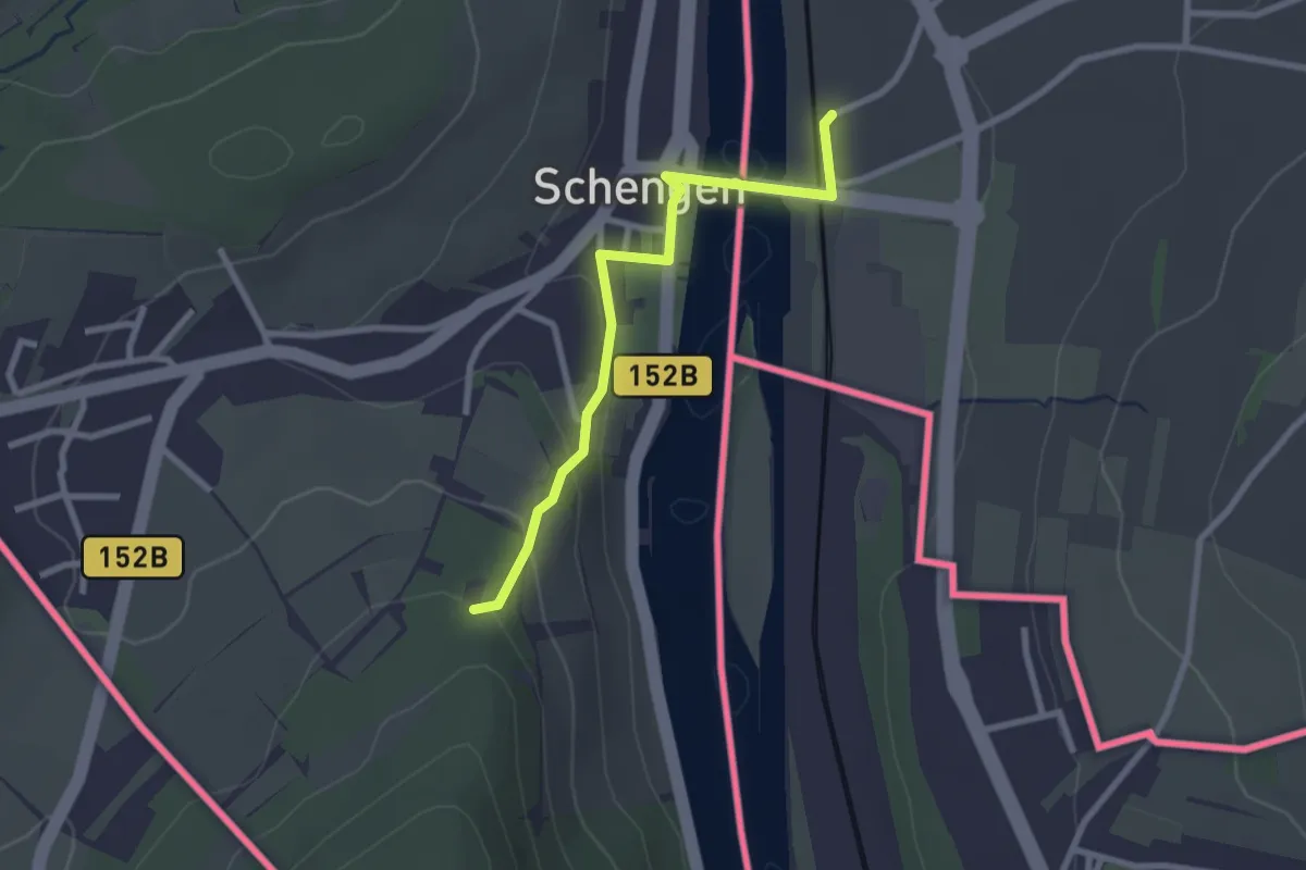
Easy · Trail
Schengen grenzenlos / sans frontières (Zuweg)
2.4 km · ↑ 84 m · 44 min
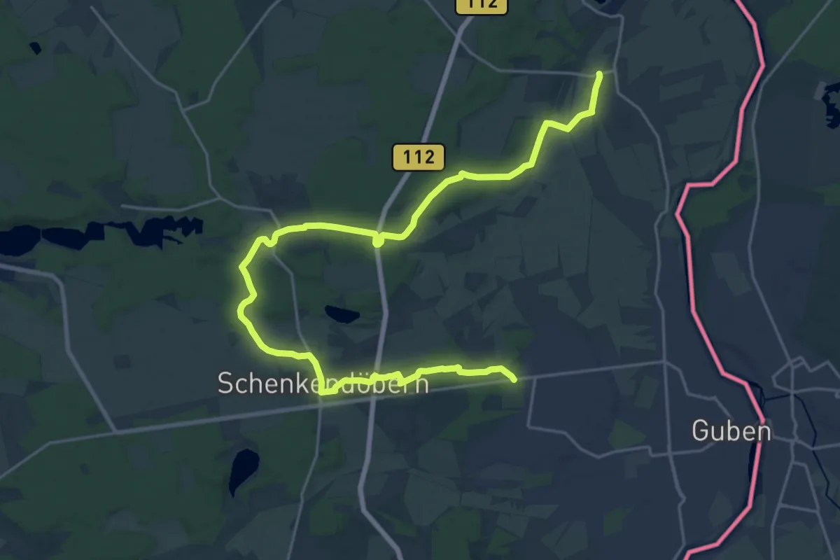
Demanding · Trail
Schenkendöbern
24.1 km · ↑ 162 m · 6 h 3 min
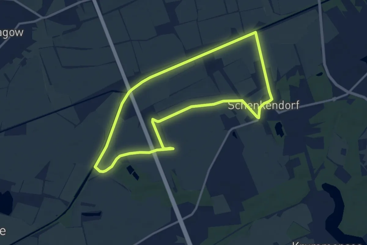
Easy · Trail
Schenkendorfer Wanderweg
7.4 km · ↑ 0 m · 1 h 51 min
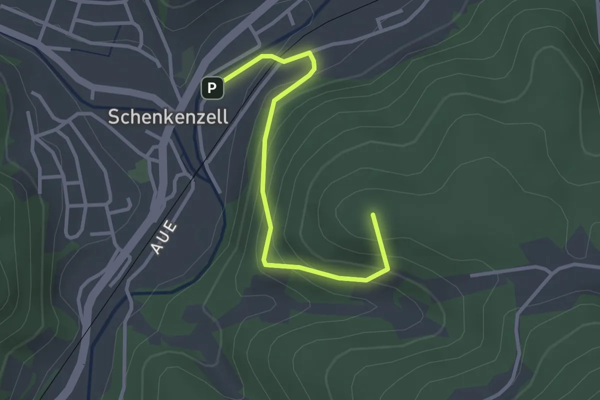
Easy · Summit
Schenkenzell Feuerwehrhaus - Oberer Tannengrund
2.7 km · ↑ 188 m · 1 h 3 min
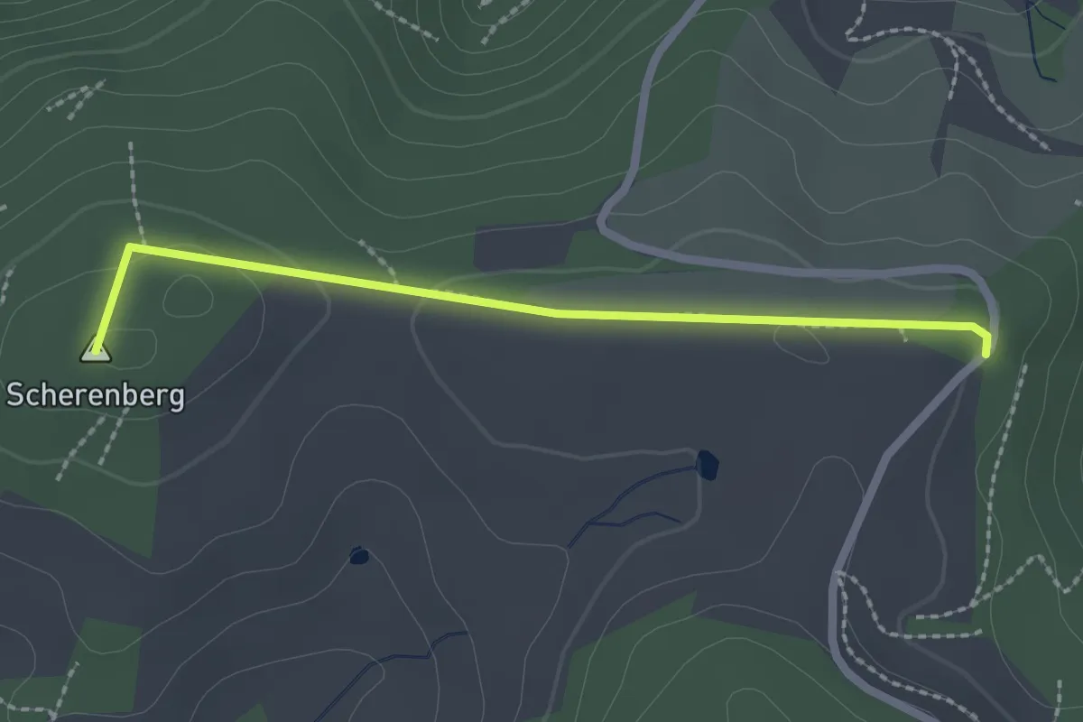
Easy · Summit
Scherenberg - Grubhöhe
2.1 km · ↑ 34 m · 34 min
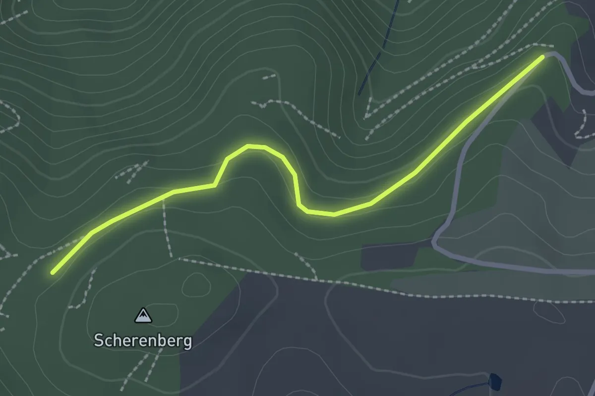
Easy · Trail
Scherenberg - Severinshof
2.3 km · ↑ 78 m · 43 min
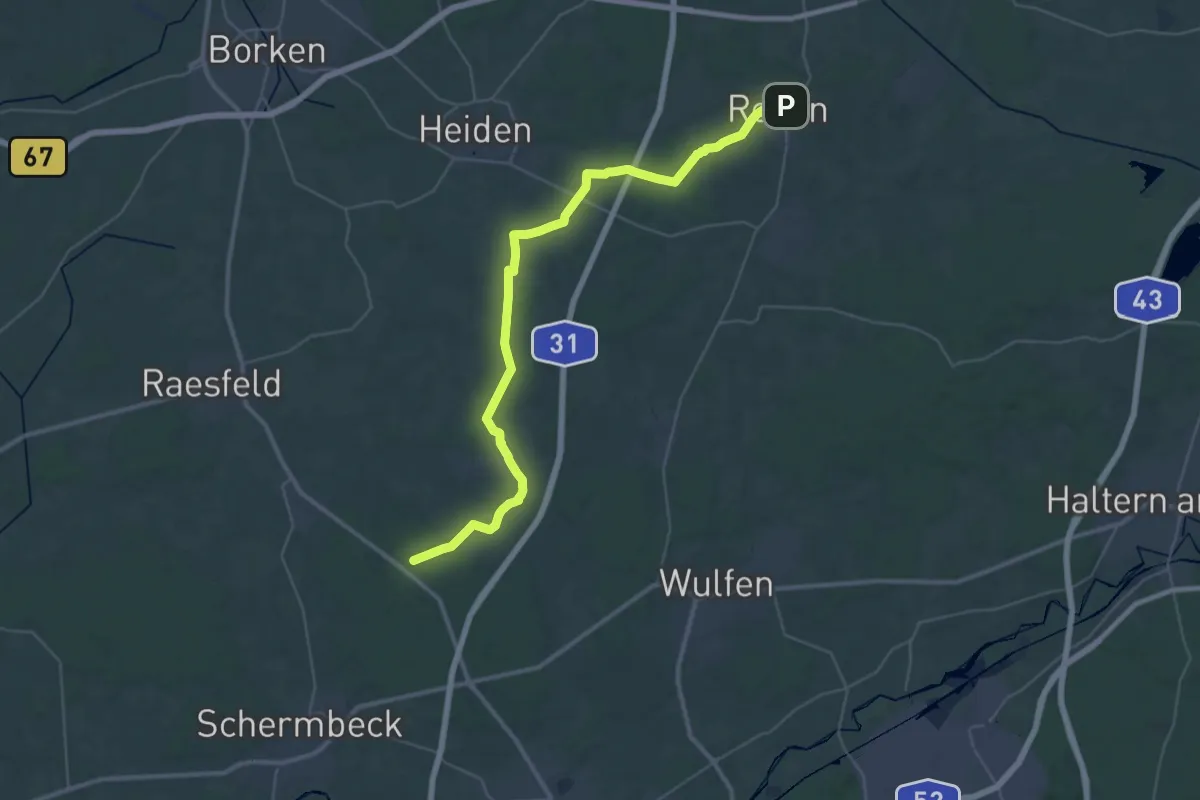
Demanding · Trail
Schermbeck - Reken X8
19.3 km · ↑ 71 m · 4 h 59 min
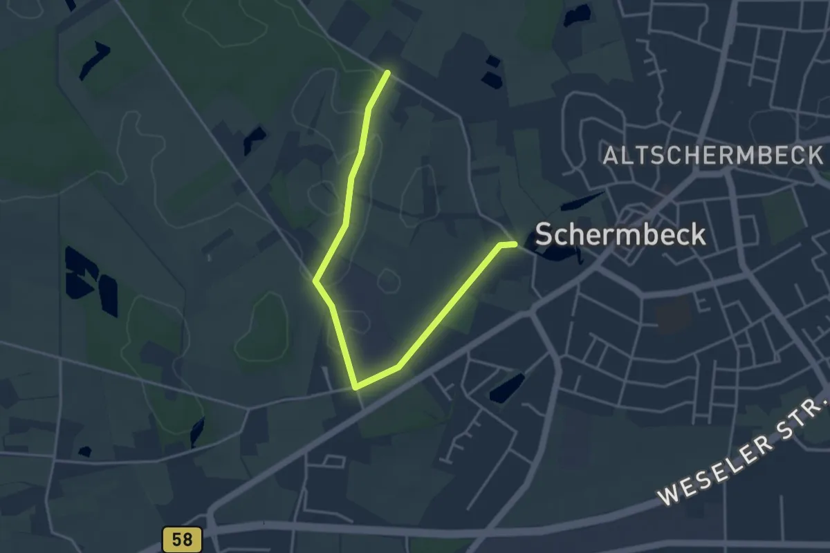
Easy · Trail
Schermbeck Rundweg A1
1.8 km · ↑ 4 m · 28 min
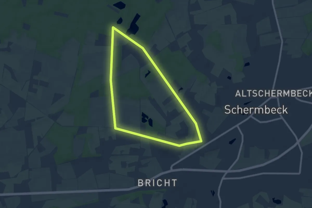
Easy · Trail
Schermbeck Rundweg A3
5.4 km · ↑ 31 m · 1 h 25 min
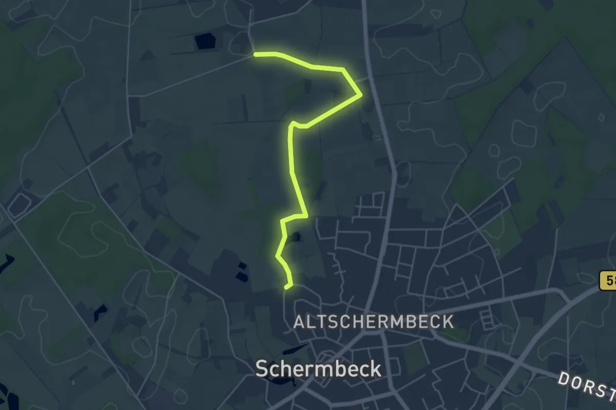
Easy · Trail
Schermbeck Rundweg A4
2.2 km · ↑ 4 m · 33 min
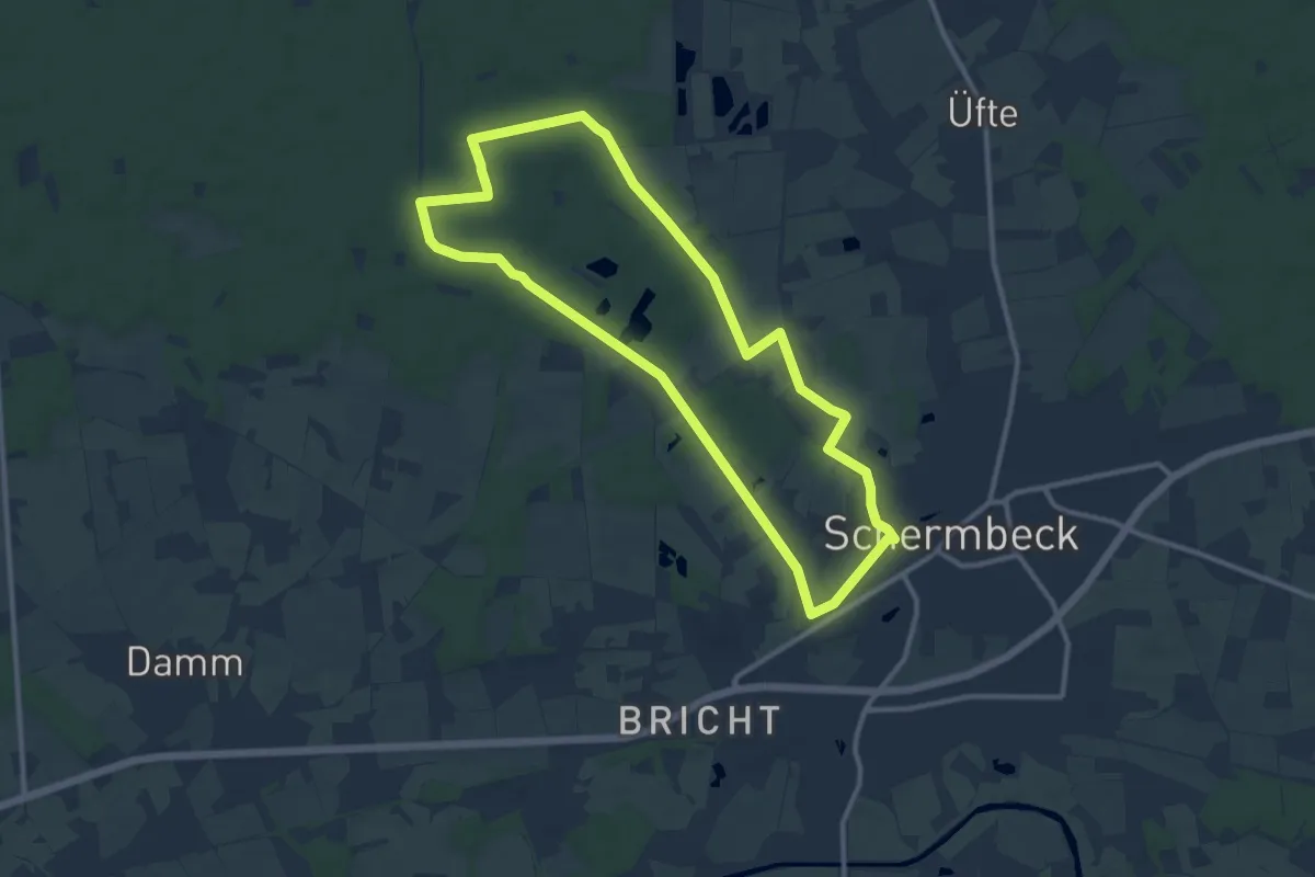
Medium · Trail
Schermbeck Rundweg A7
9.8 km · ↑ 45 m · 2 h 32 min
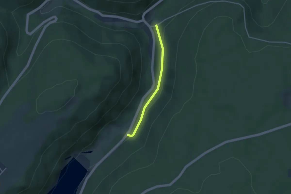
Easy · Trail
Schernbacher Sägemühle - Pfaffenstube
2.2 km · ↑ 35 m · 36 min
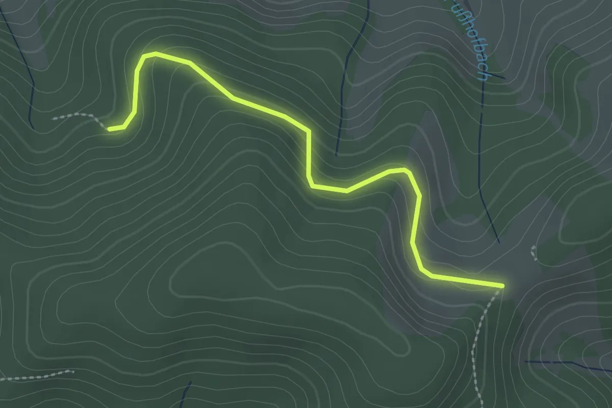
Easy · Trail
Scherpeter Rank - Schwärzlehofkapelle
2.5 km · ↑ 163 m · 57 min
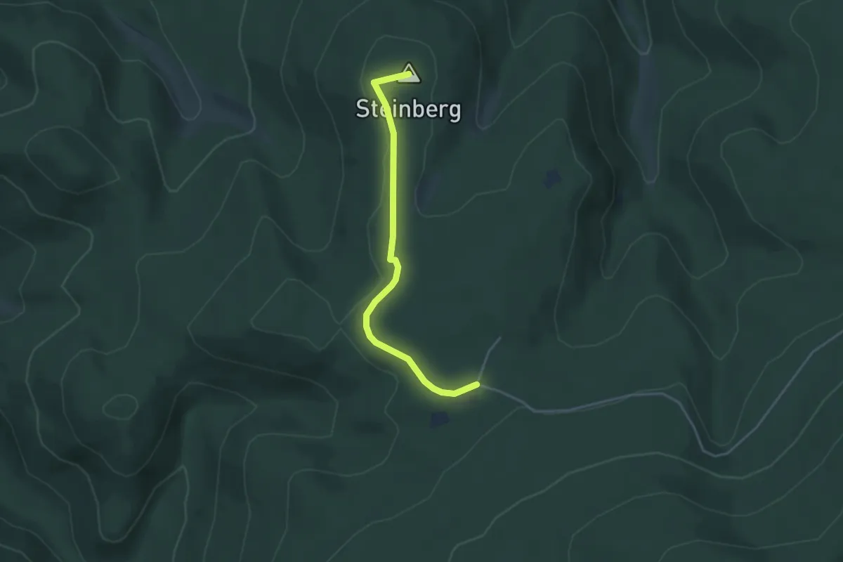
Easy · Summit
Scherrhaldenkopf - Scherrhof
3.5 km · ↑ 47 m · 56 min
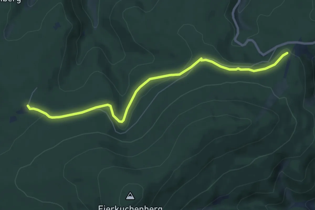
Easy · Trail
Scherrhof - Am Ruberg
6.5 km · ↑ 104 m · 1 h 45 min
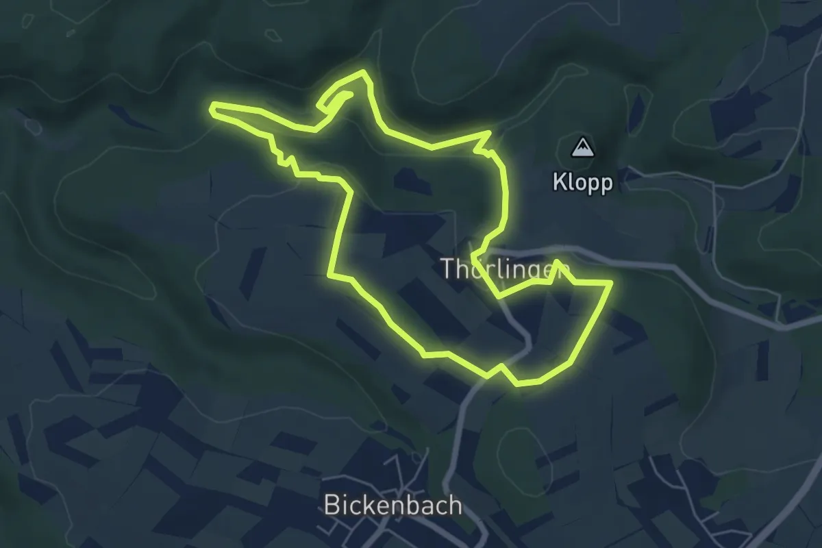
Easy · Trail
Schessels Beersche
5.6 km · ↑ 167 m · 1 h 45 min
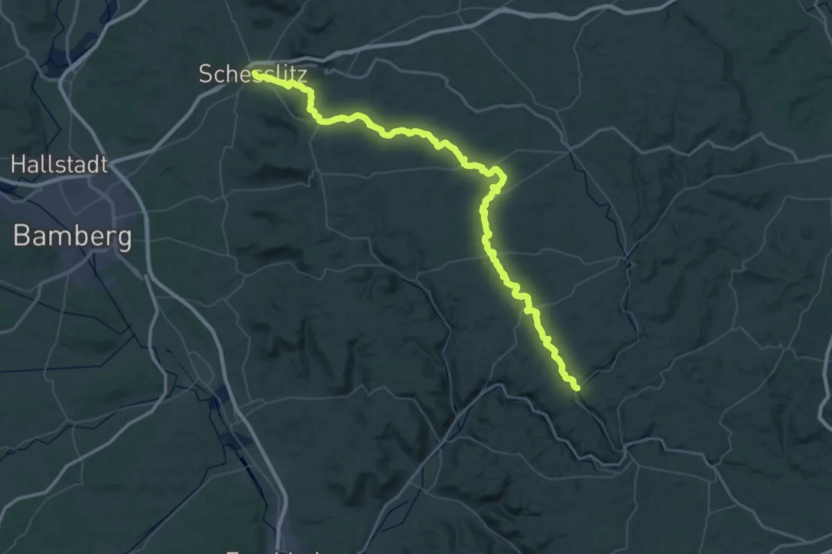
Demanding · Trail
Scheßlitz-Doos
37.7 km · ↑ 515 m · 10 h 31 min
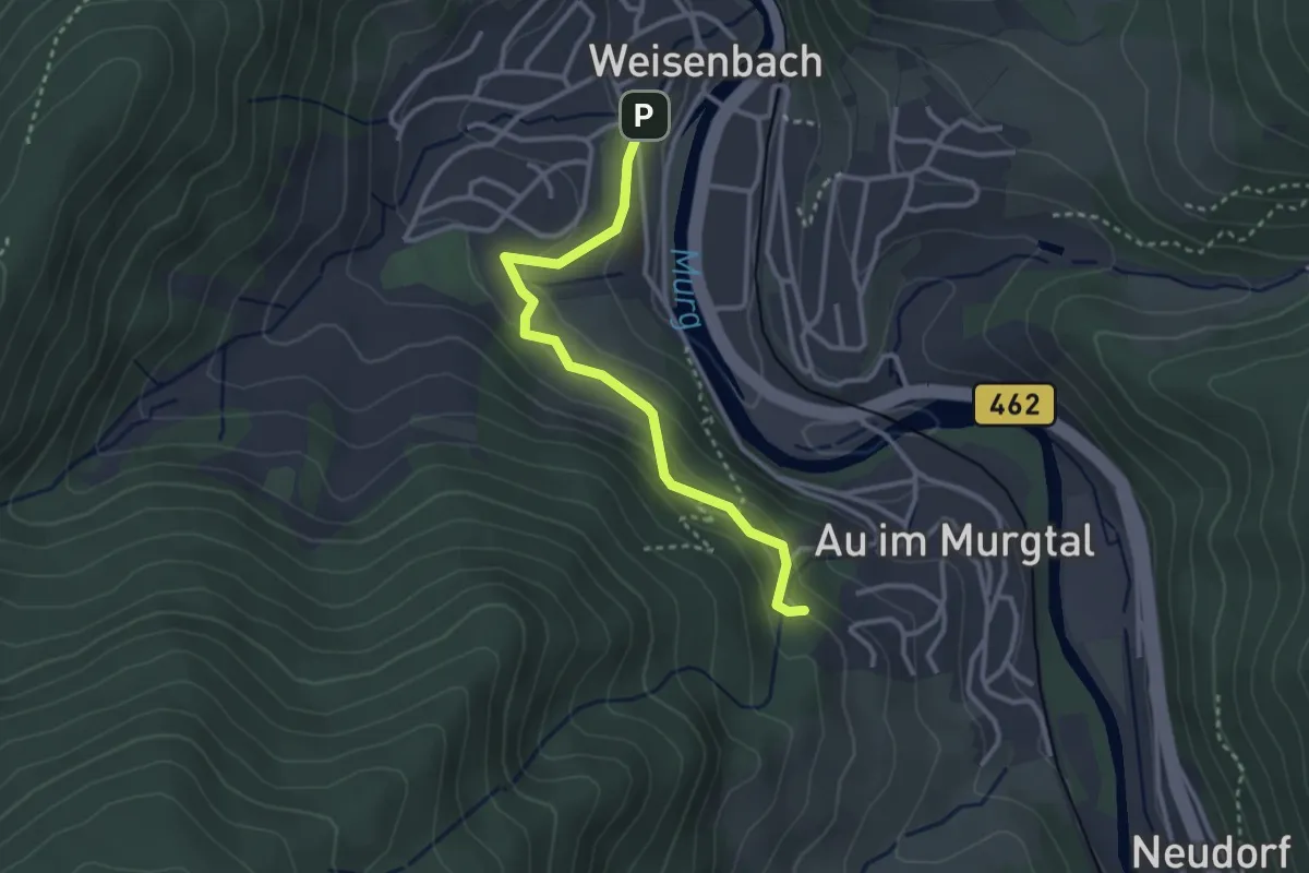
Easy · Trail
Schetterling - Wendelinuskapelle
2.9 km · ↑ 168 m · 1 h 3 min
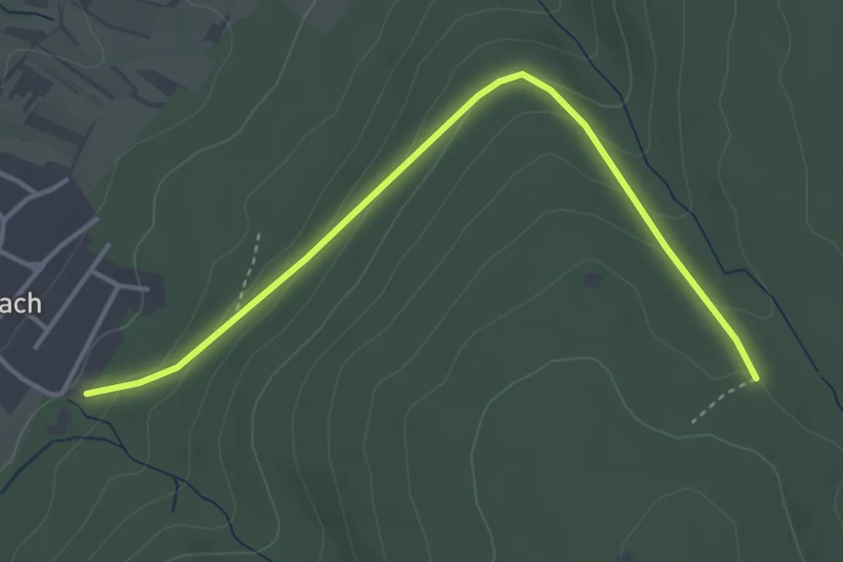
Easy · Trail
Scheuerberg - Sulzbach Festplatz
3.6 km · ↑ 167 m · 1 h 13 min
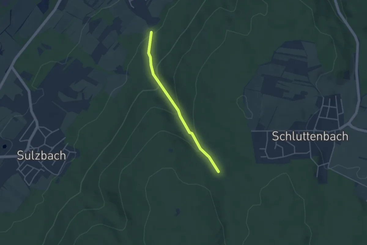
Easy · Trail
Scheuerklamm - Steinäcker
2.9 km · ↑ 170 m · 1 h 4 min
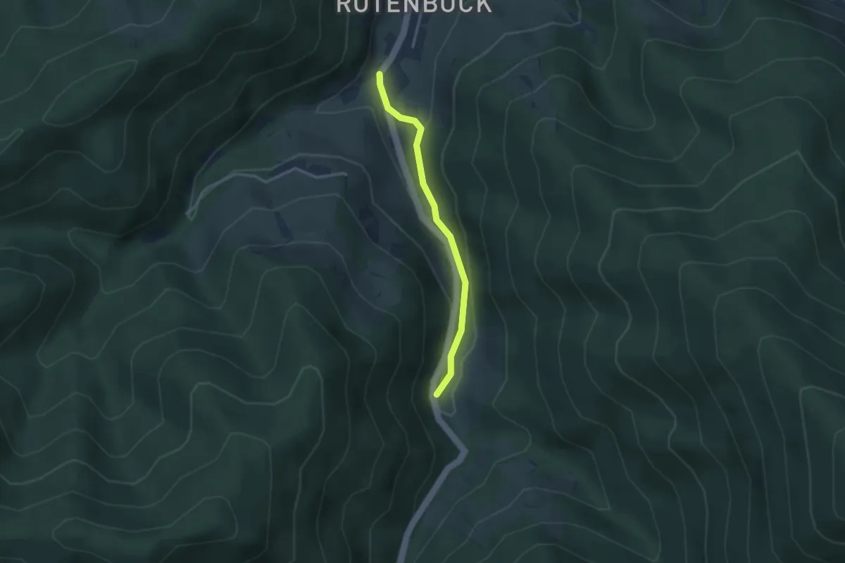
Easy · Trail
Scheuerrain - Rotenbuck
2.6 km · ↑ 87 m · 48 min
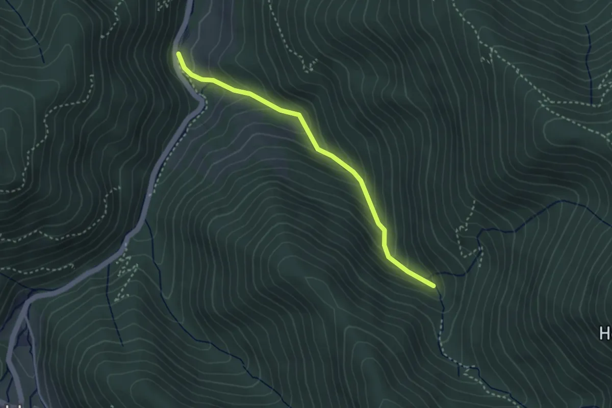
Easy · Cabin
Scheuerrain - Stangebodenhütte
3.1 km · ↑ 248 m · 1 h 15 min
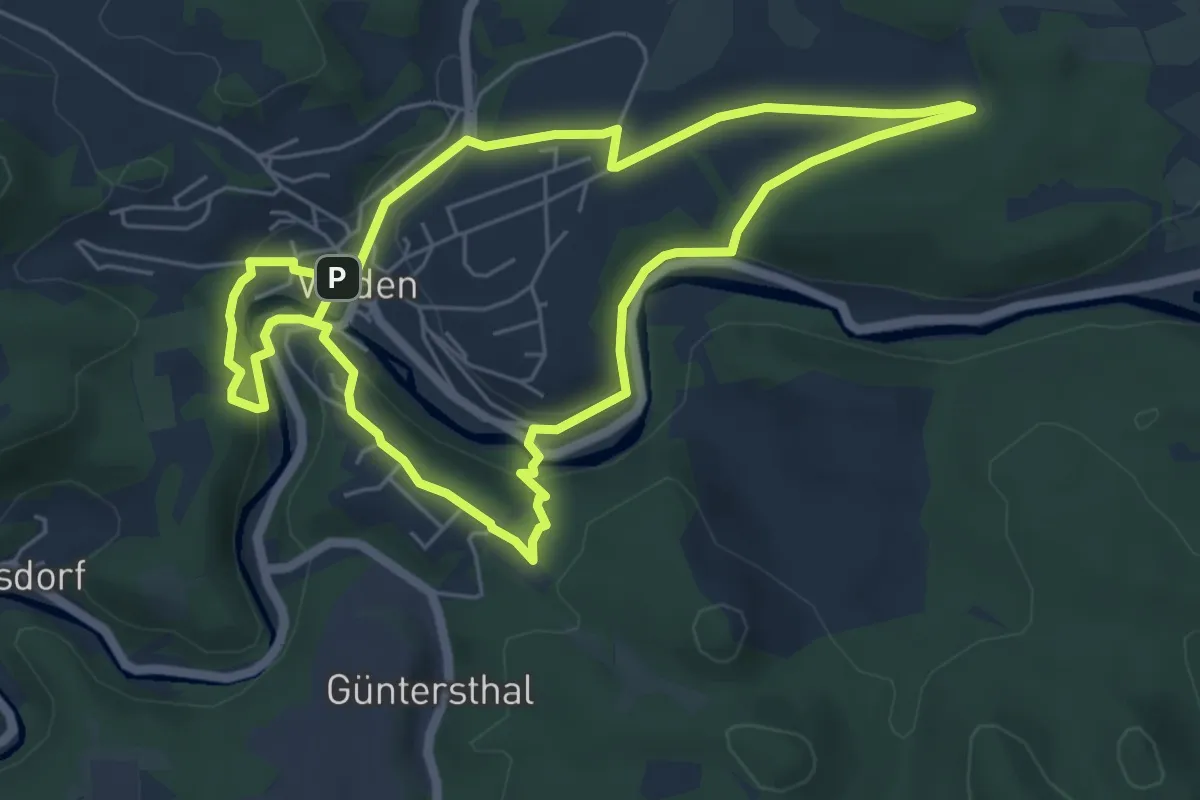
Easy · Trail
Scheunenweg
5.4 km · ↑ 135 m · 1 h 39 min
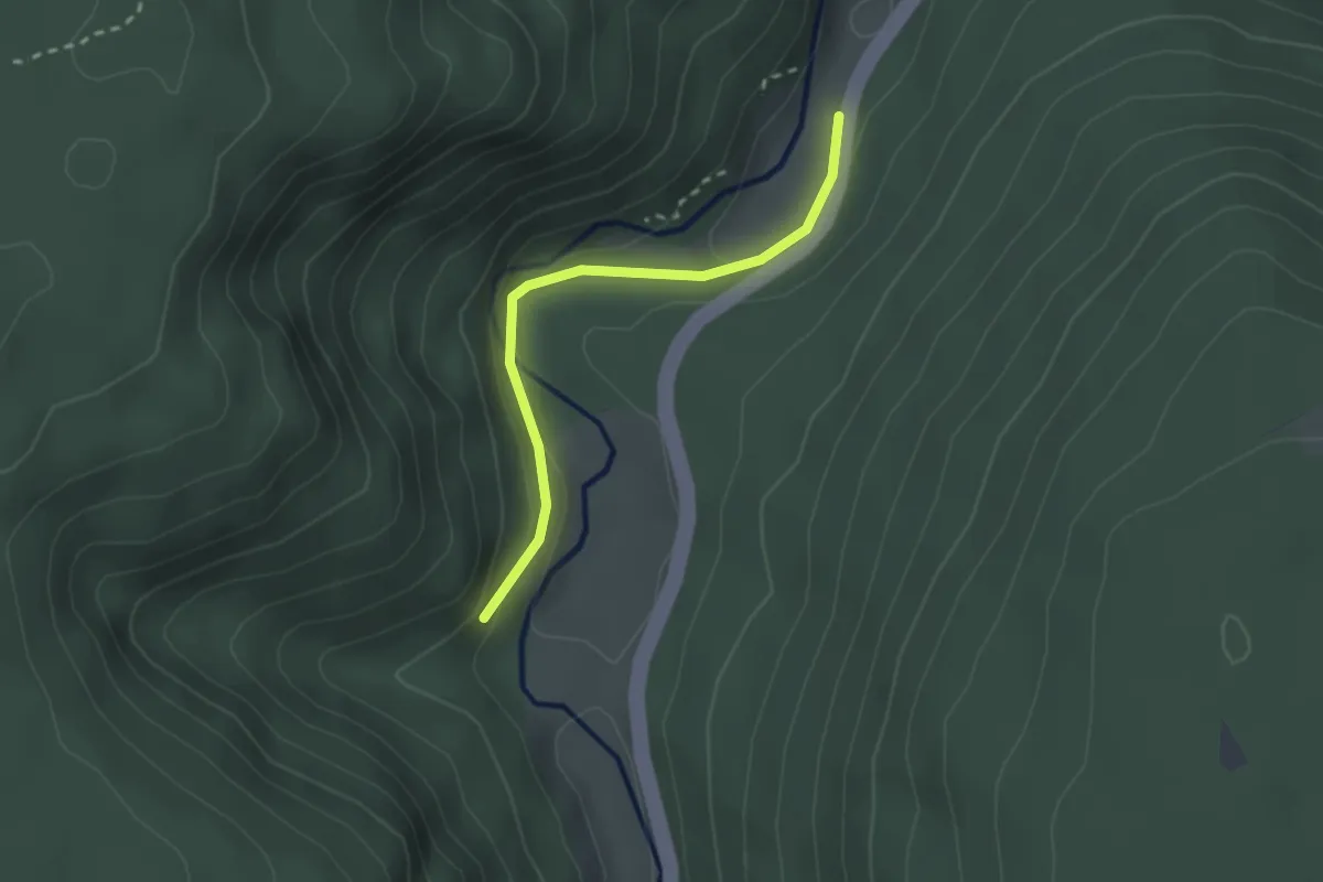
Easy · Trail
Scheurengrund - Blumenauerteich
2.2 km · ↑ 53 m · 38 min
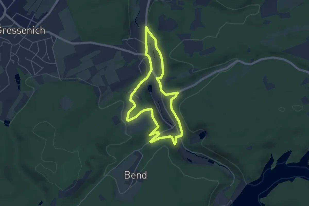
Easy · Trail
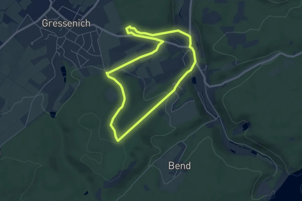
Schevenhütte Rundweg 1
4.4 km · ↑ 89 m · 1 h 17 min
Easy · Trail
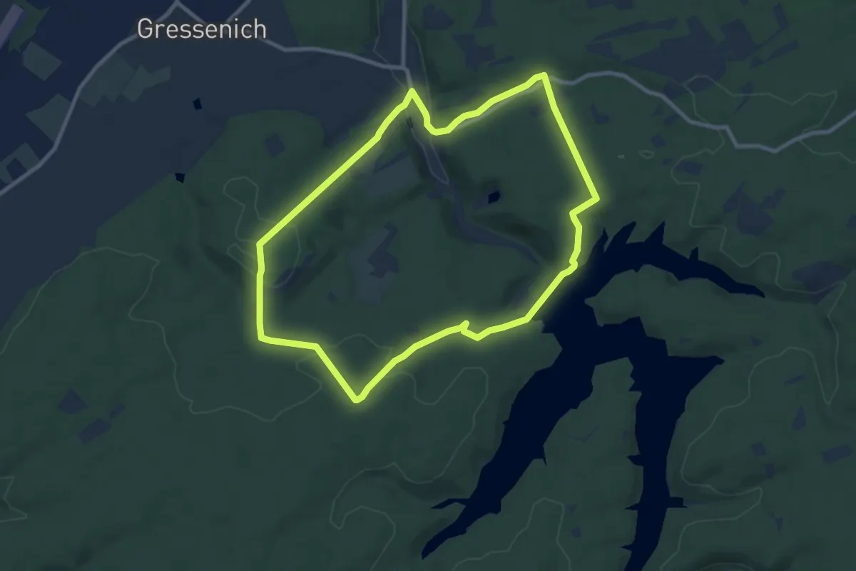
Schevenhütte Rundweg 2
4.7 km · ↑ 127 m · 1 h 27 min
Medium · Trail
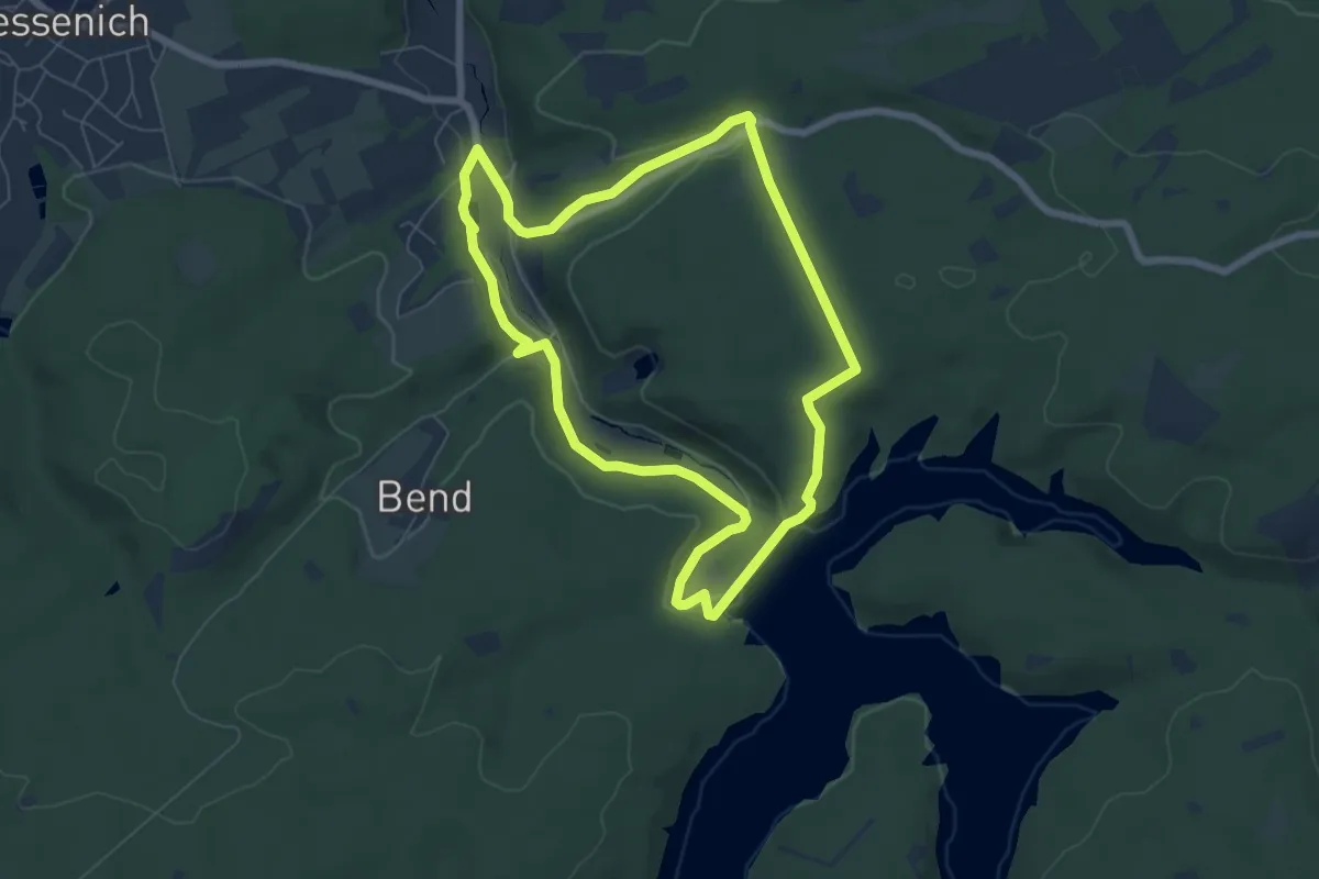
Schevenhütte Rundweg 3
8.1 km · ↑ 176 m · 2 h 25 min
Easy · Trail
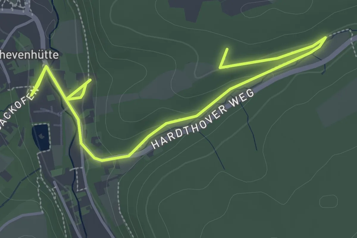
Schevenhütte Rundweg 4
6.0 km · ↑ 127 m · 1 h 47 min
Easy · Trail
Schevenhütte Rundweg 5
2.2 km · ↑ 72 m · 40 min
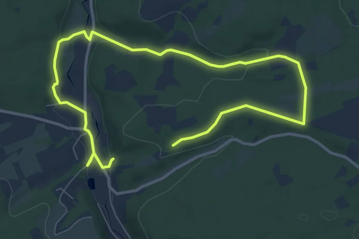
Easy · Trail
Schevenhütte Rundweg 6
4.9 km · ↑ 114 m · 1 h 26 min
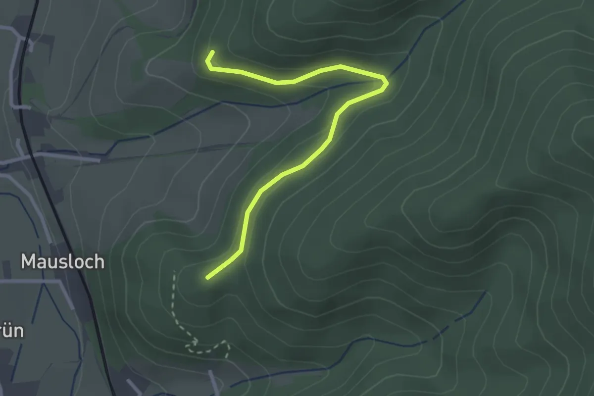
Easy · Summit
Schiebbühl - Lehmbauer Bühl
2.6 km · ↑ 92 m · 48 min
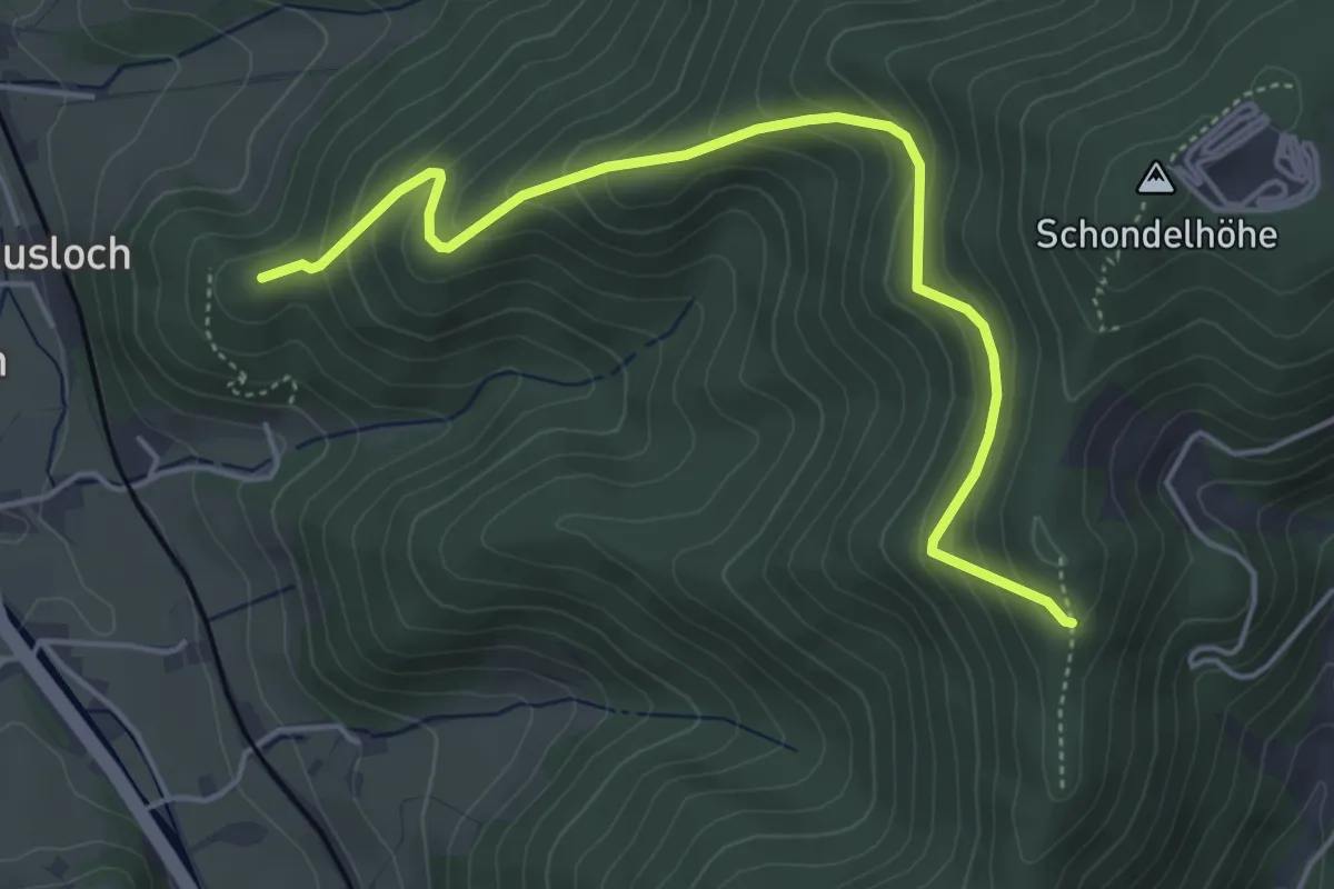
Medium · Summit
Schiebbühl - Riesenbauernhöhe
4.9 km · ↑ 353 m · 1 h 55 min
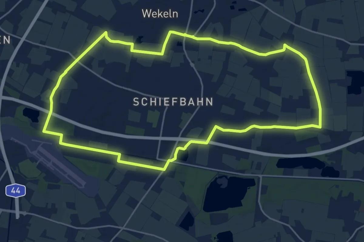
Medium · Trail
Schiefbahn Rundweg Dreieck
15.3 km · ↑ 8 m · 3 h 51 min
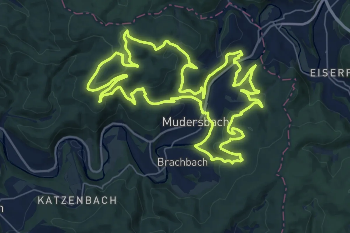
Demanding · Trail
SchieferErzEisen - Weg
22.3 km · ↑ 738 m · 7 h 11 min
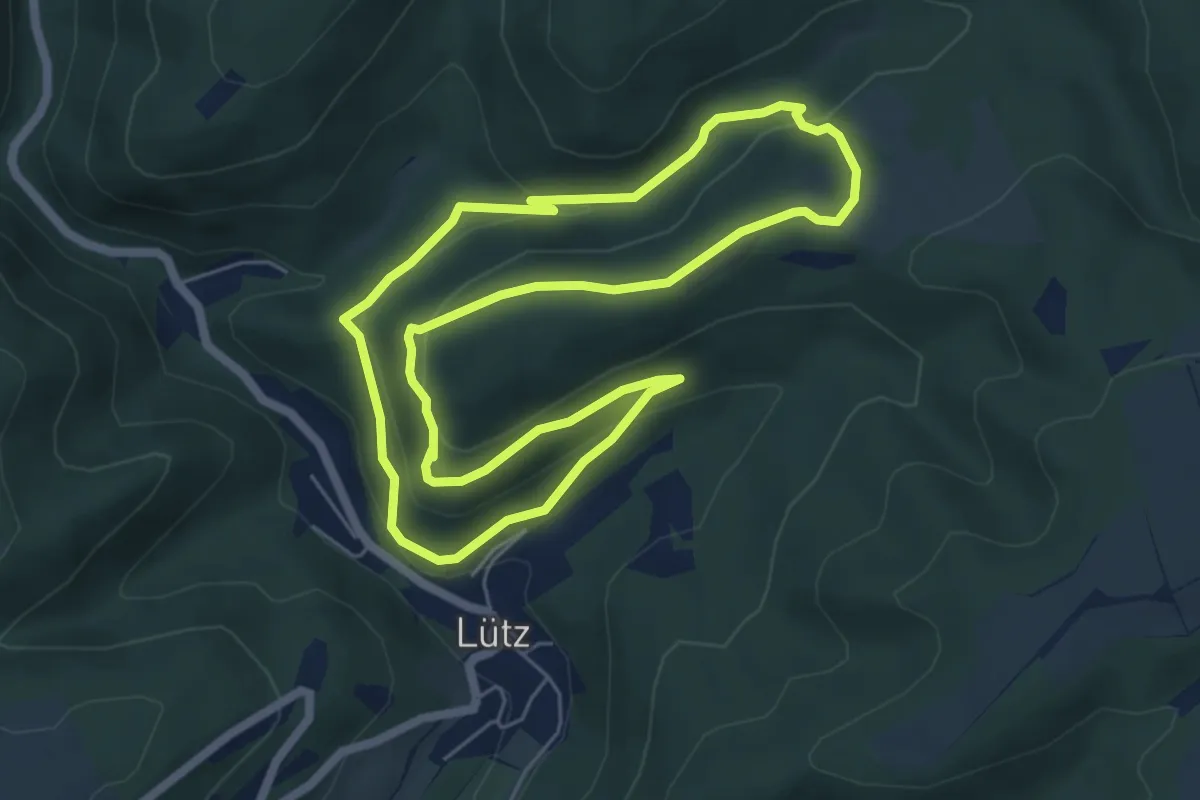
Easy · Trail
Schiefergrubenweg Lütz
5.5 km · ↑ 219 m · 1 h 51 min
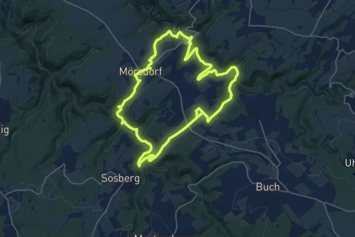
Medium · Trail
Schieferhöhlen-Runde
14.5 km · ↑ 535 m · 4 h 47 min
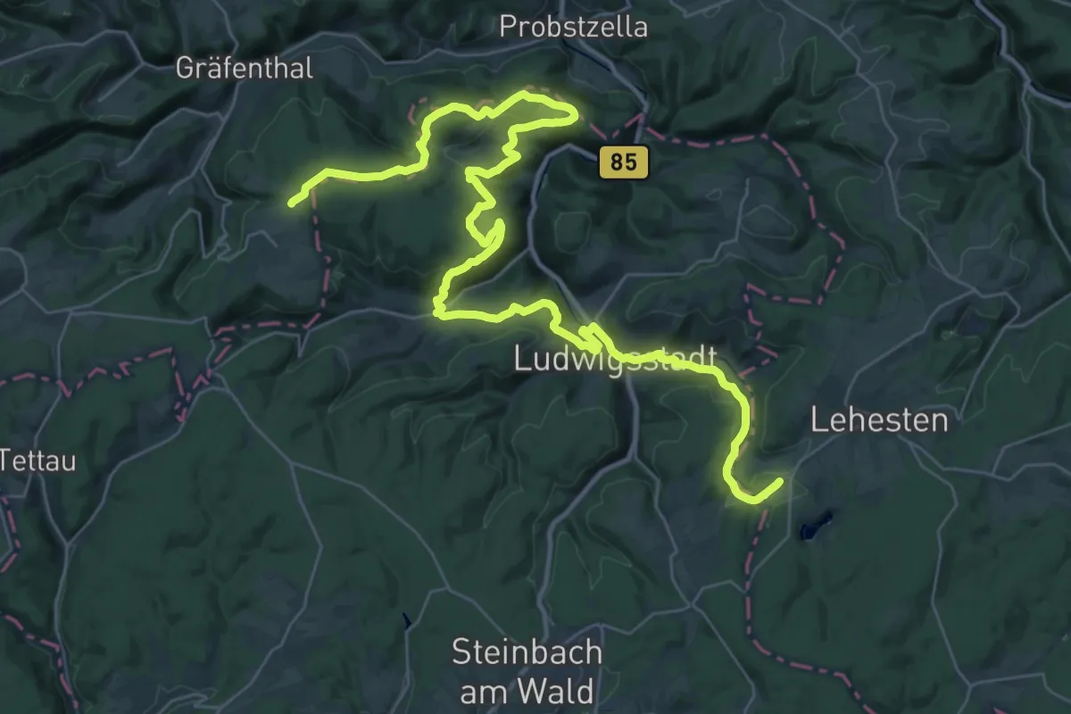
Demanding · Summit
Schieferpfad am "Grünen Band"
21.9 km · ↑ 682 m · 6 h 56 min