Trails in Germany
36,852 hiking trails, each with its route, climb, walking time and grade.
All trails, page 573 of 768
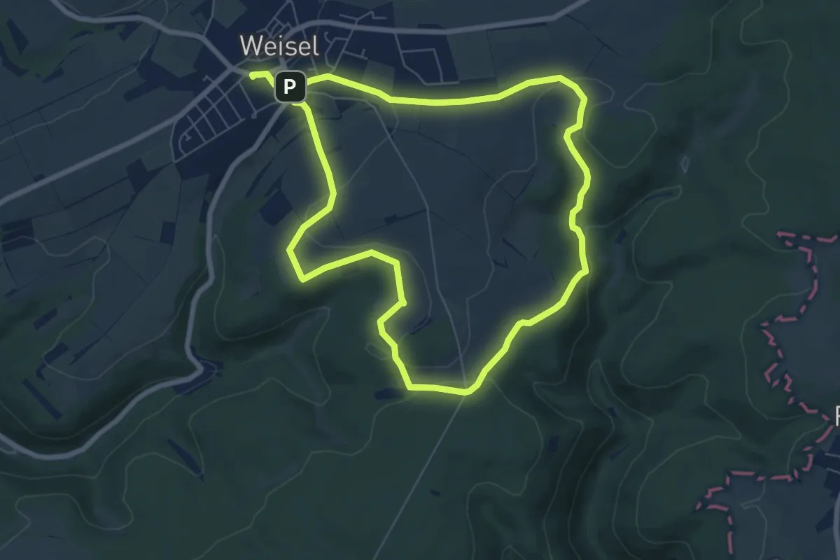
Easy · Trail
Schiefer-Runde, Variante A
6.3 km · ↑ 96 m · 1 h 46 min
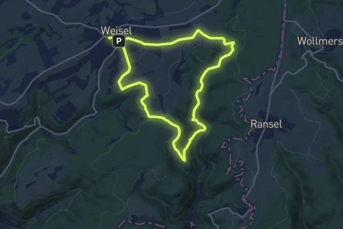
Medium · Summit
Schiefer-Runde, Variante B
9.6 km · ↑ 202 m · 2 h 51 min
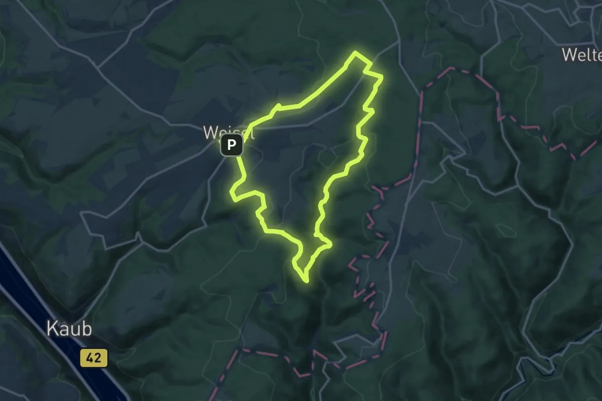
Medium · Summit
Schiefer-Runde, Variante C
12.3 km · ↑ 254 m · 3 h 38 min
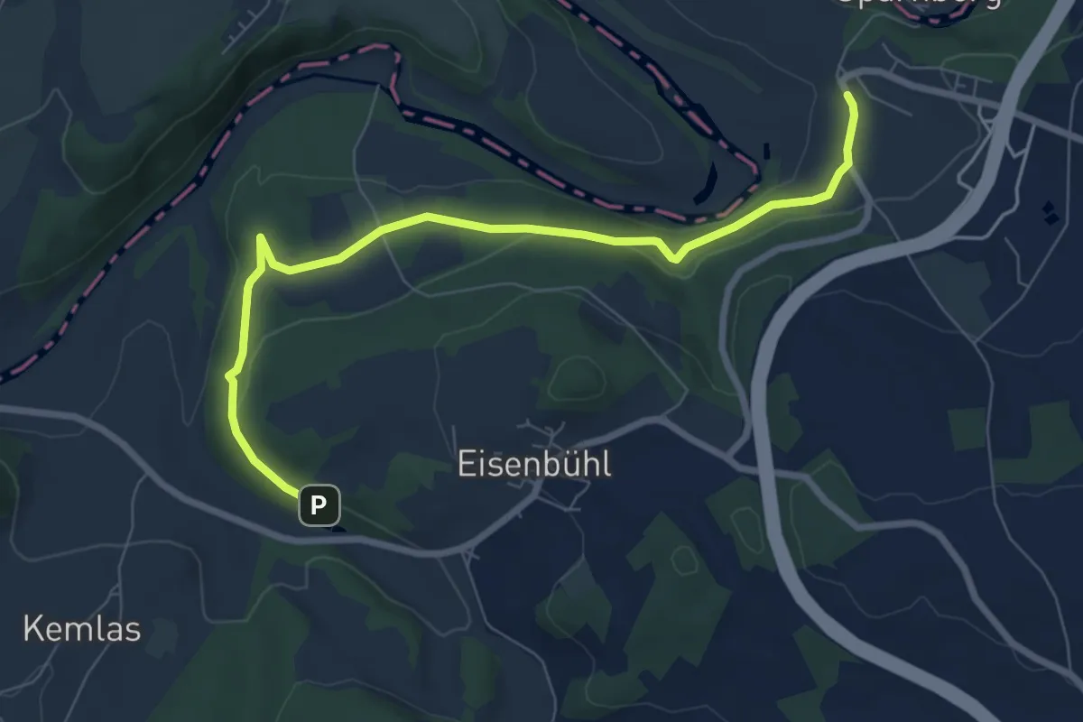
Easy · Trail
Schiefersteig US 74
3.7 km · ↑ 63 m · 1 h 4 min
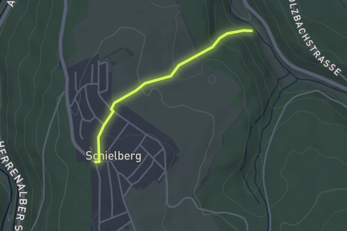
Easy · Trail
Schielberg Klosterwald-Halle - Maisenbachsteg
2.7 km · ↑ 115 m · 53 min
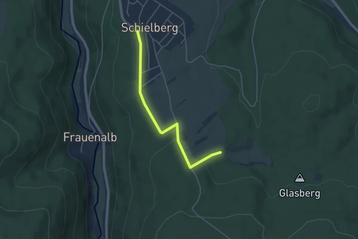
Easy · Trail
Schielberg Klosterwald-Halle - Schlotterhof
3.5 km · ↑ 78 m · 1 h
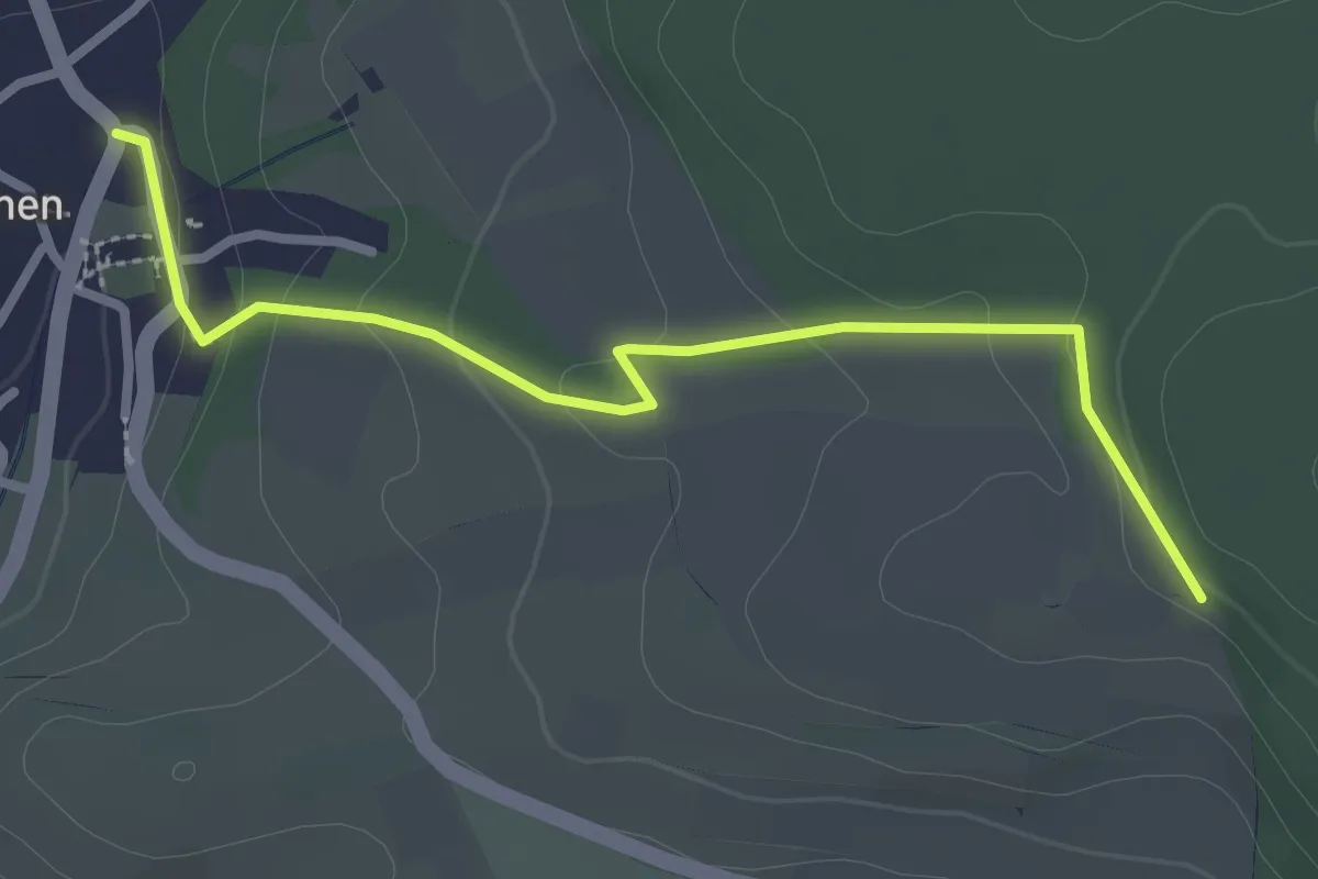
Easy · Trail
Schienen Forsthaus - Hof Ferdinandslust
2.8 km · ↑ 95 m · 53 min
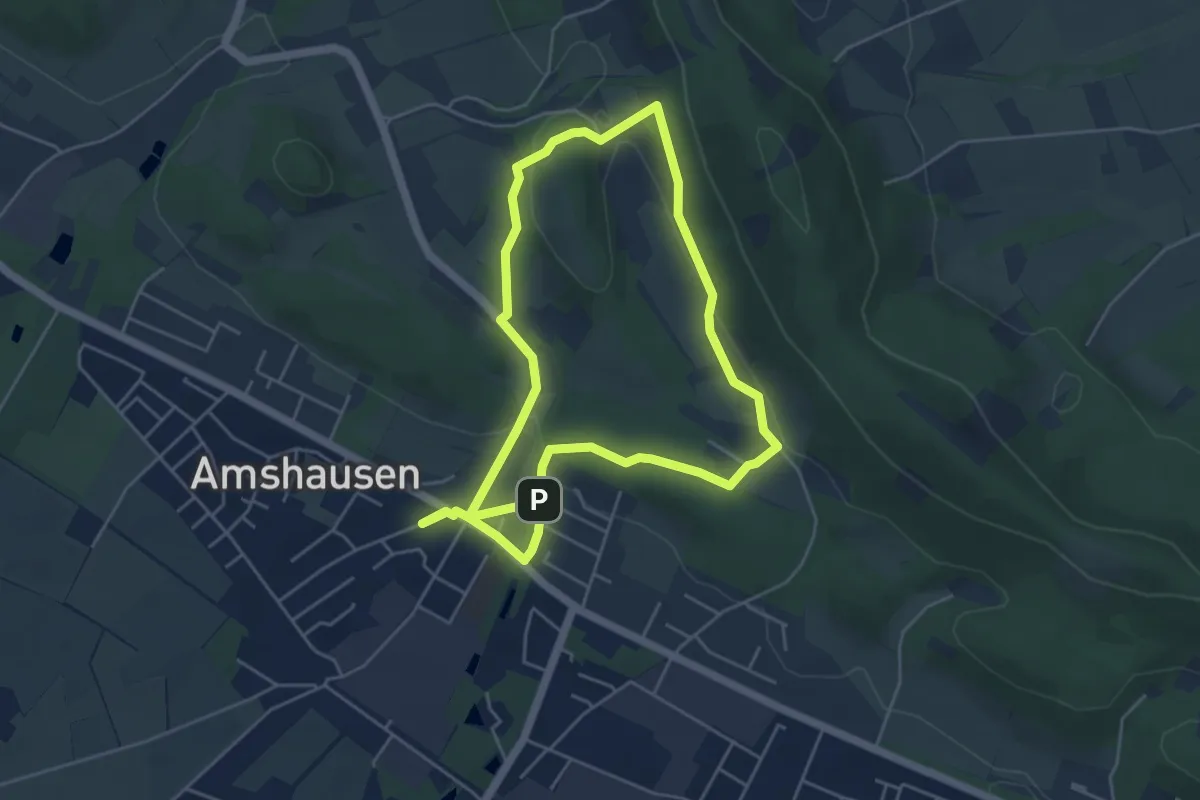
Easy · Summit
Schierenweg
4.2 km · ↑ 98 m · 1 h 17 min
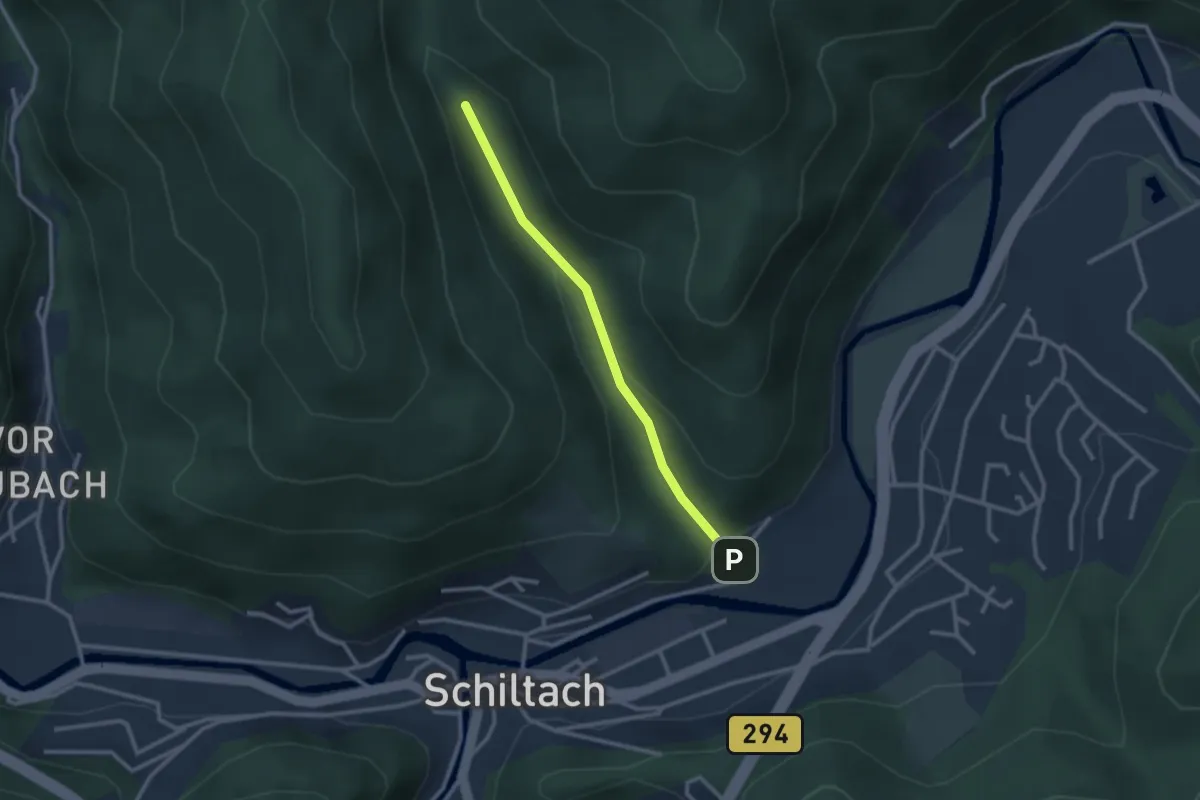
Easy · Trail
Schierlegrund - Vor Kuhbach
2.3 km · ↑ 83 m · 44 min
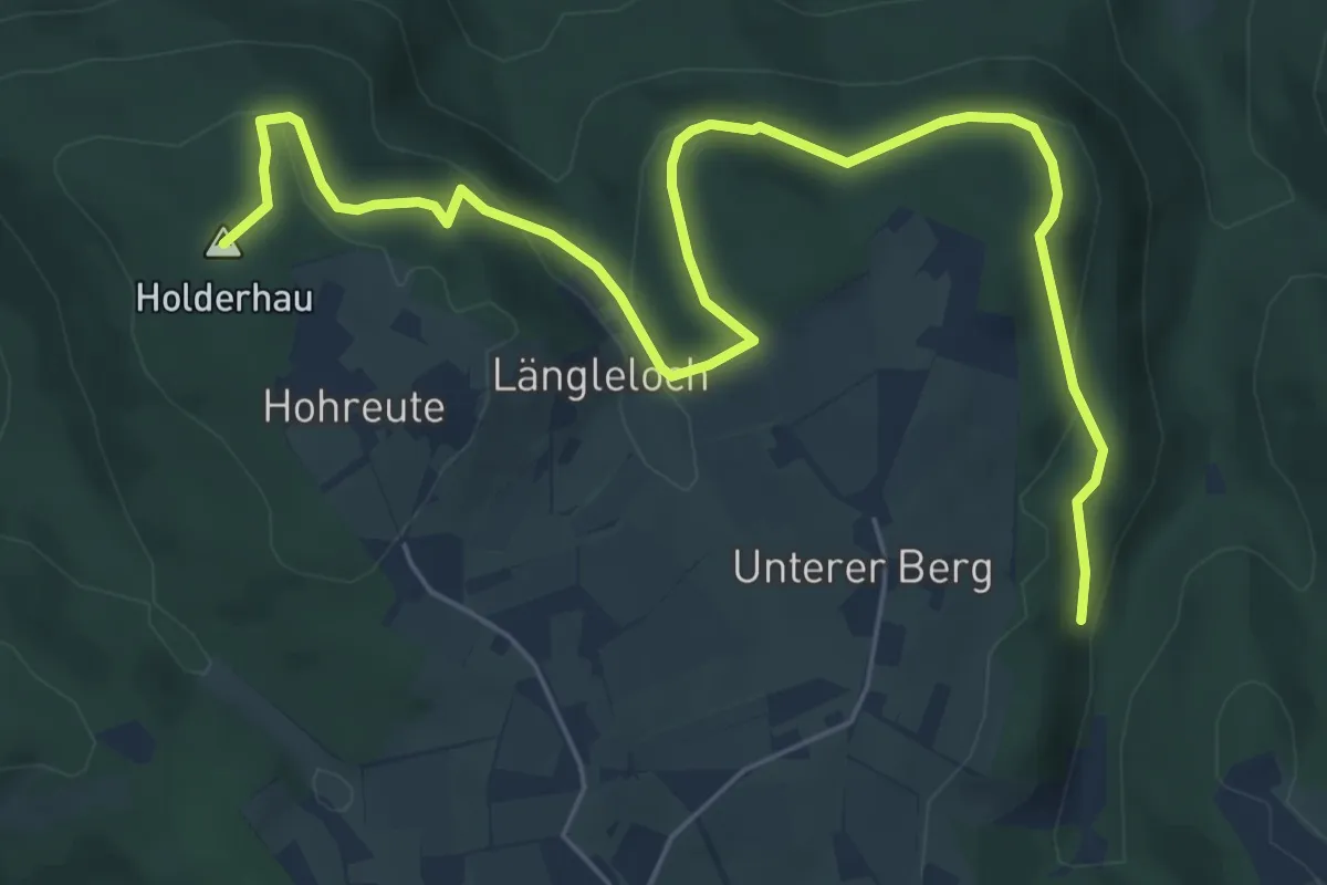
Medium · Summit
Schießhalde - Hohreute
7.5 km · ↑ 323 m · 2 h 28 min
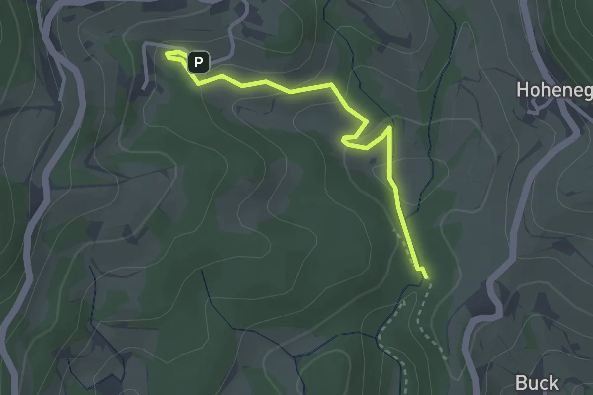
Easy · Trail
Schießhalde - Lochhäuser
2.7 km · ↑ 120 m · 54 min
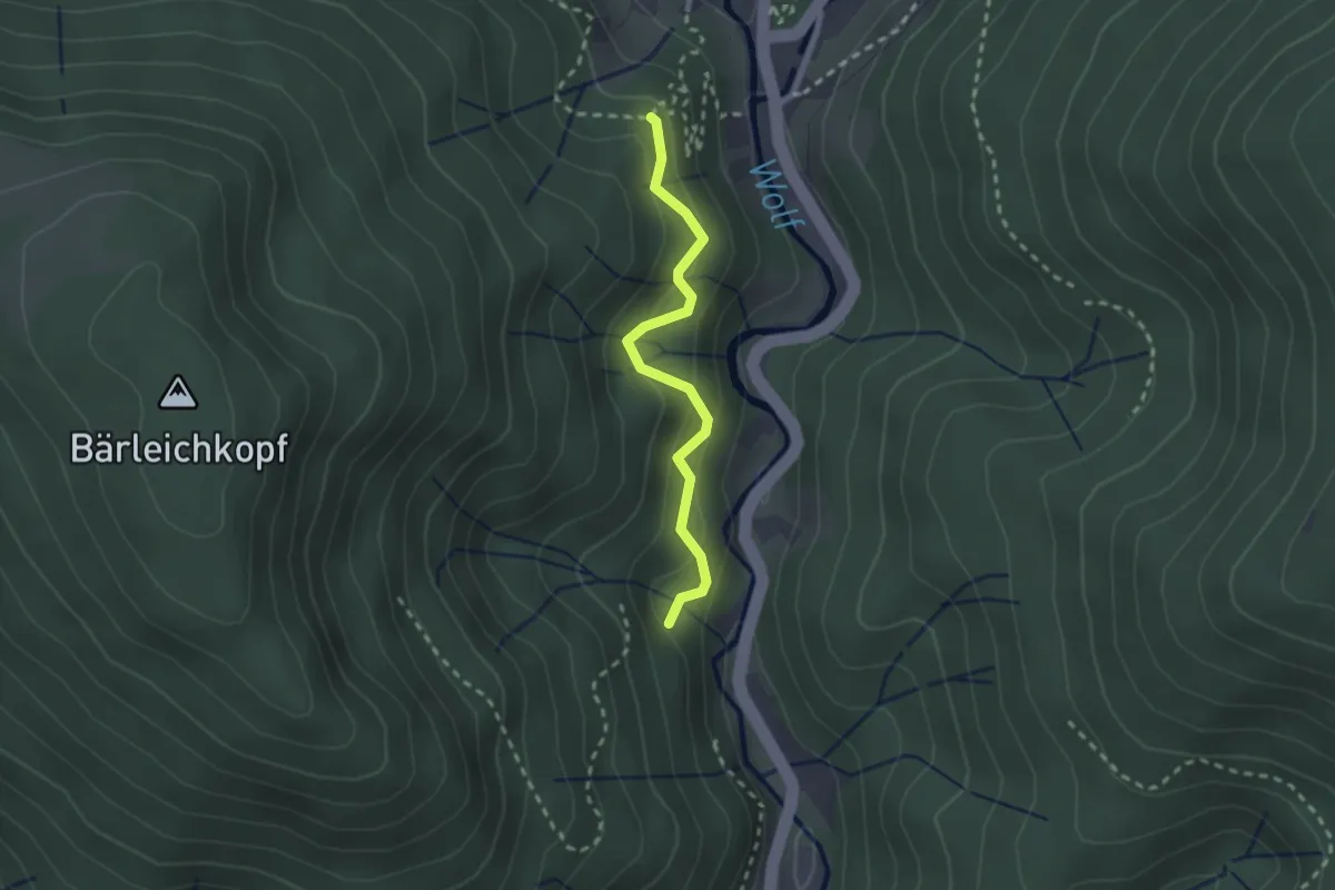
Easy · Trail
Schießhütte - Greifshalde
2.1 km · ↑ 211 m · 57 min
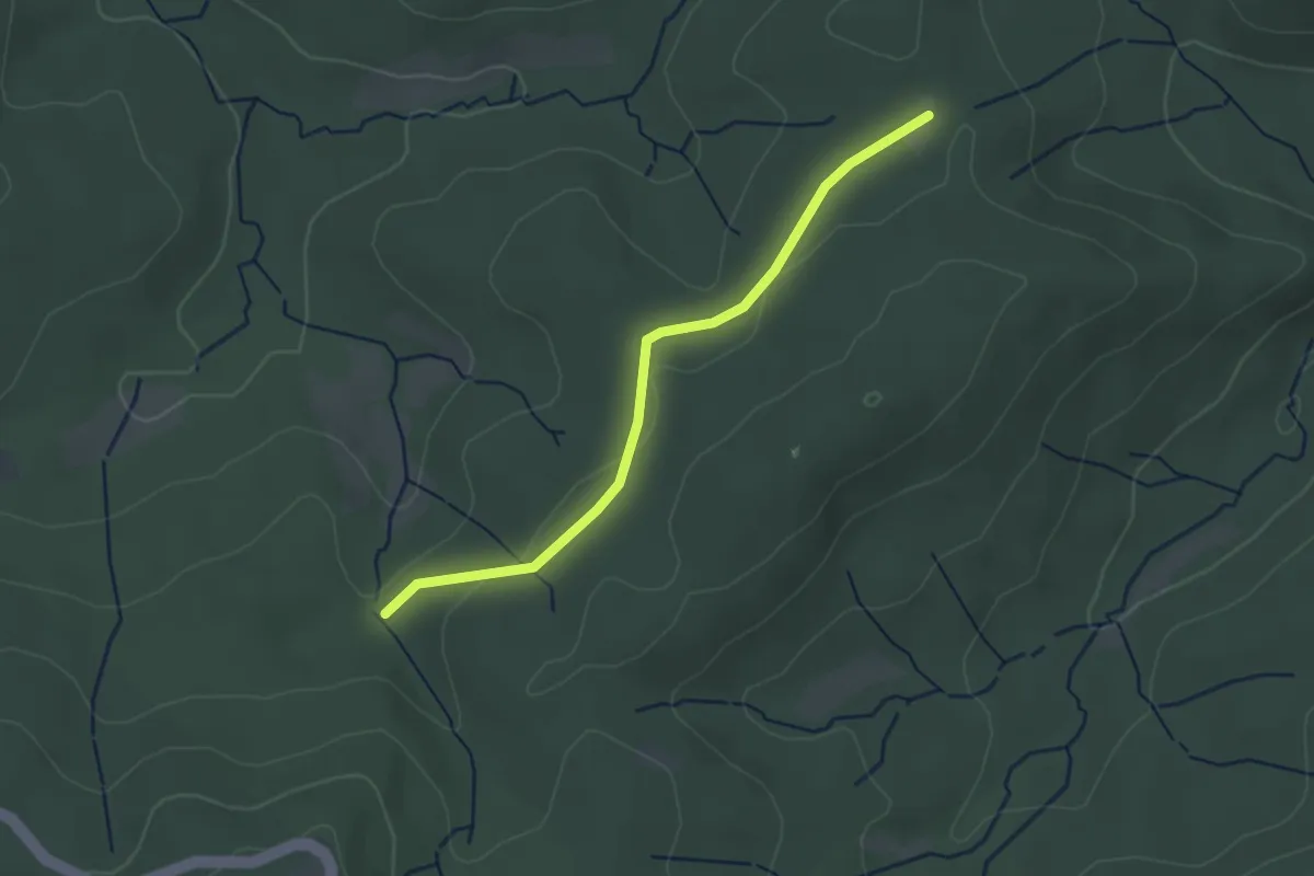
Easy · Trail
Schießstand - Schweinlachhütte
2.7 km · ↑ 36 m · 43 min
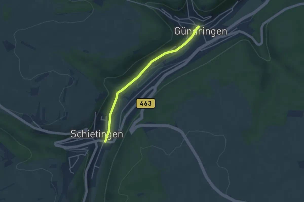
Easy · Trail
Schietingen Ortsmitte - Gündringen
3.0 km · ↑ 37 m · 48 min

Easy · Trail
Schifferstadt Rundweg Nr. 7
3.2 km · ↑ 13 m · 49 min
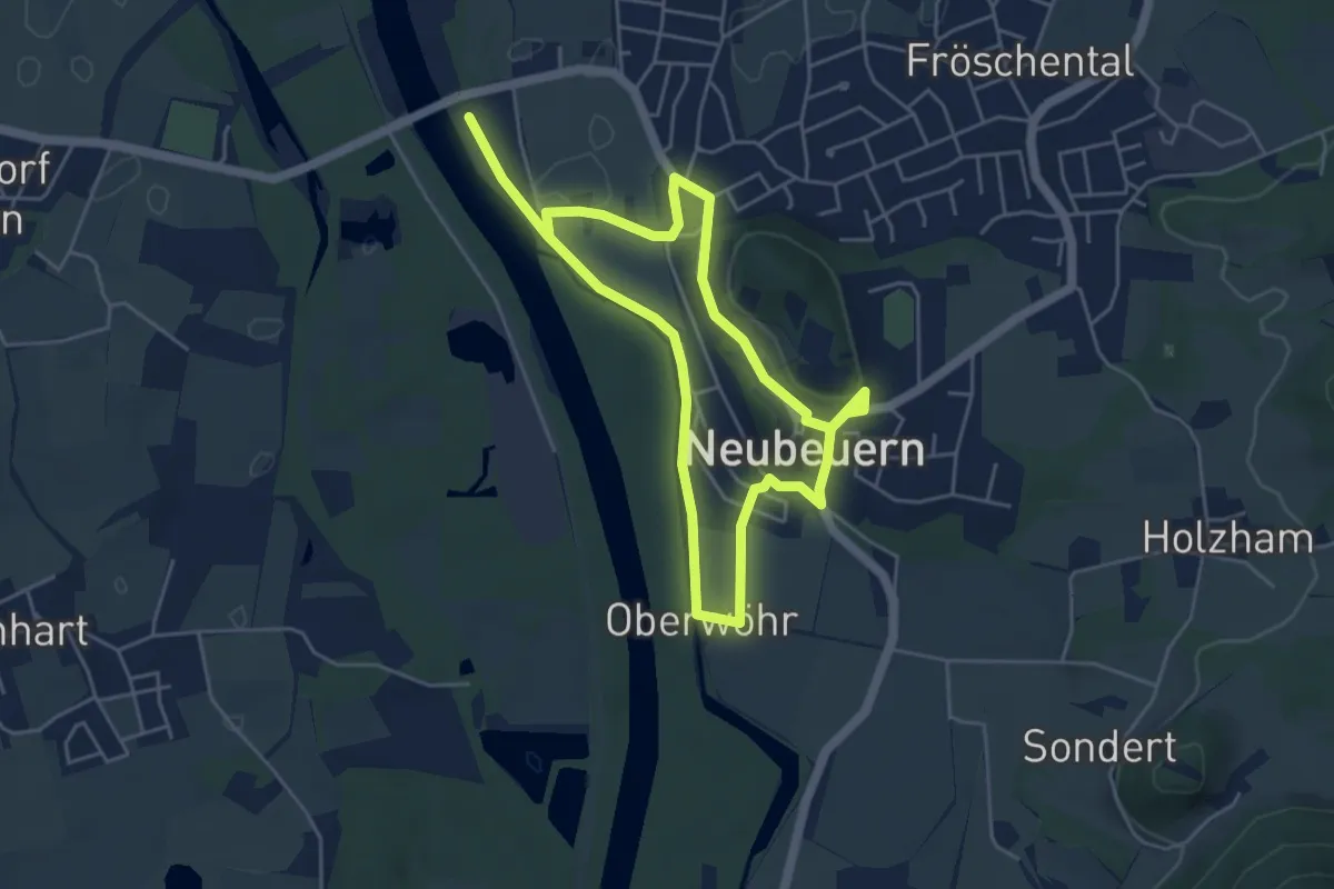
Easy · Summit
Schiffleutewanderweg Etappe 1
4.2 km · ↑ 53 m · 1 h 10 min
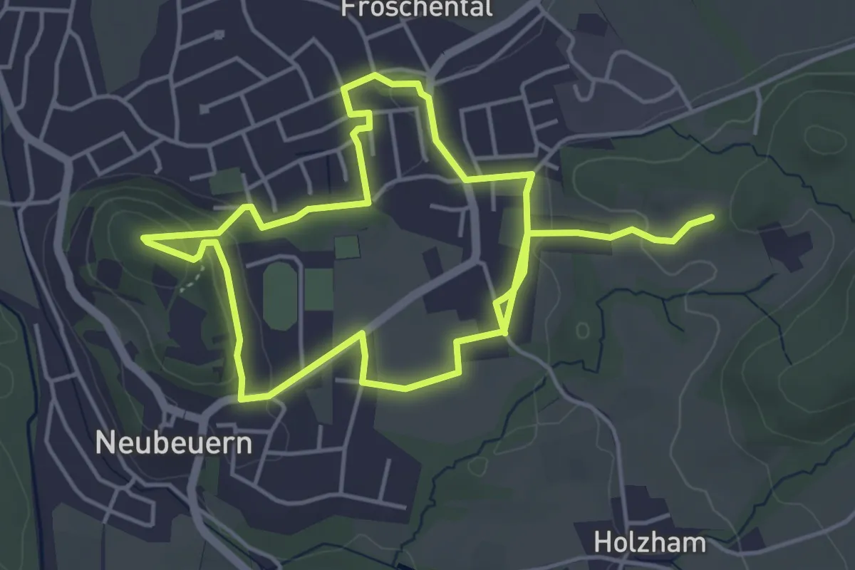
Easy · Trail
Schiffleutewanderweg Etappe 2
4.1 km · ↑ 106 m · 1 h 15 min
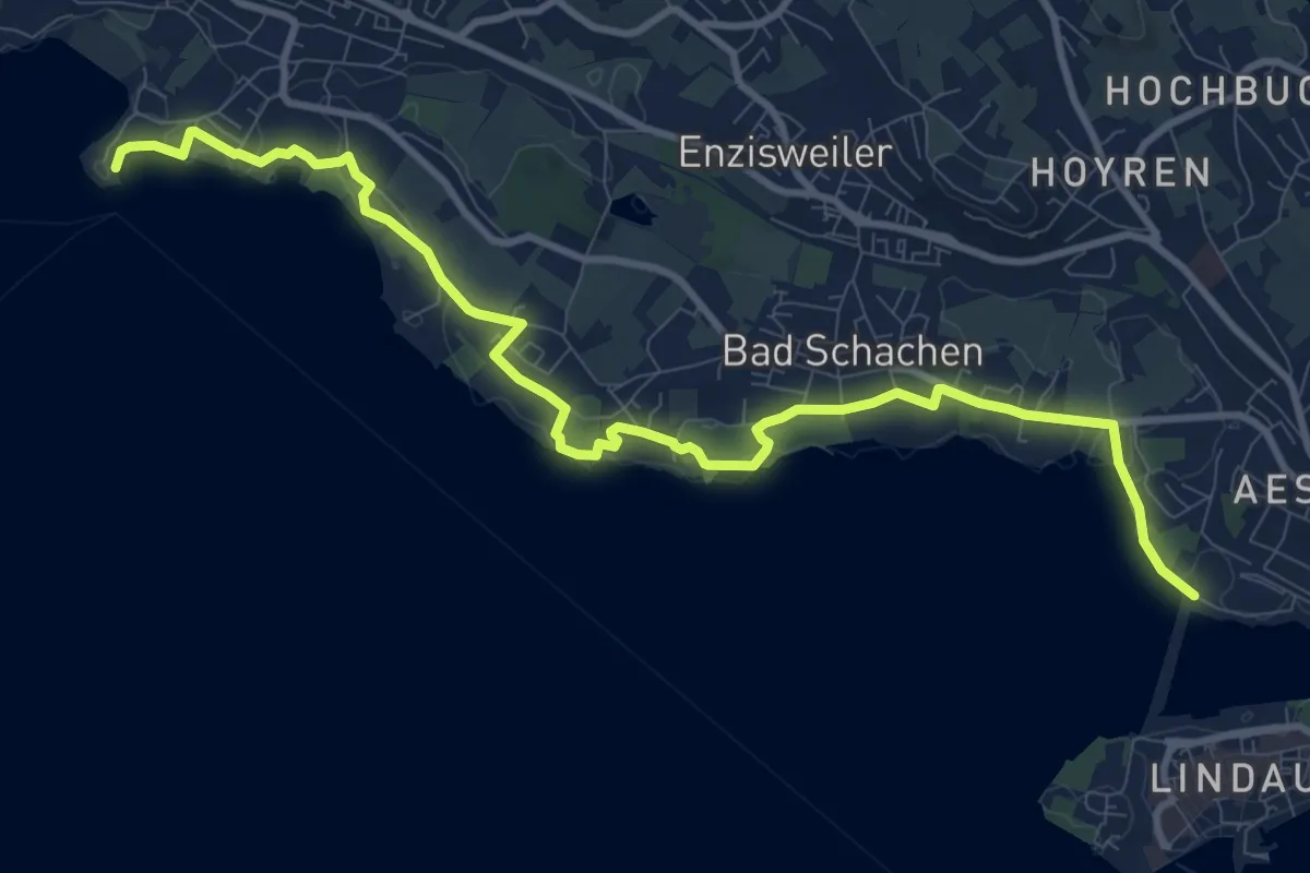
Medium · Trail
Schiffsanlegestelle Wasserburg - Lindau
11.7 km · ↑ 86 m · 2 h 58 min
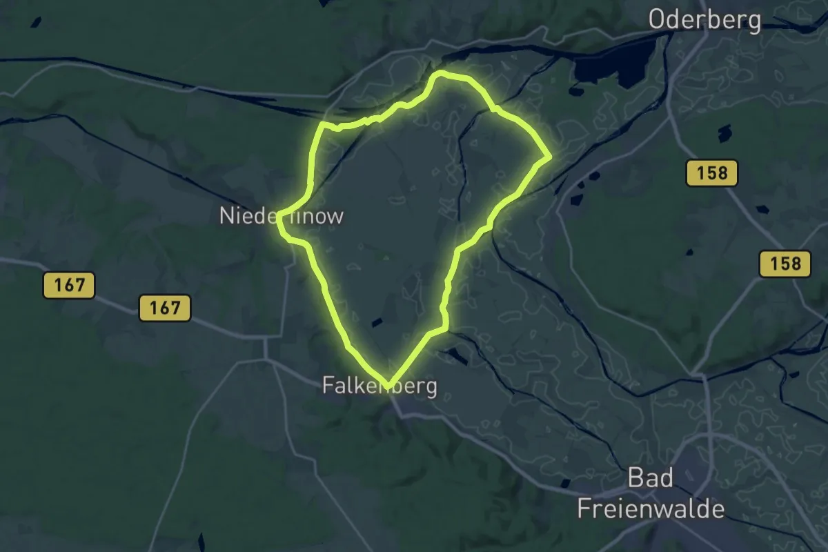
Medium · Summit
Schiffshebewerk-Rundweg
16.8 km · ↑ 32 m · 4 h 17 min
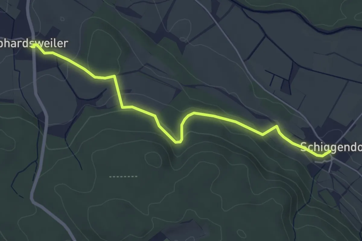
Easy · Trail
Schiggendorf - Gebhardsweiler
5.1 km · ↑ 147 m · 1 h 32 min
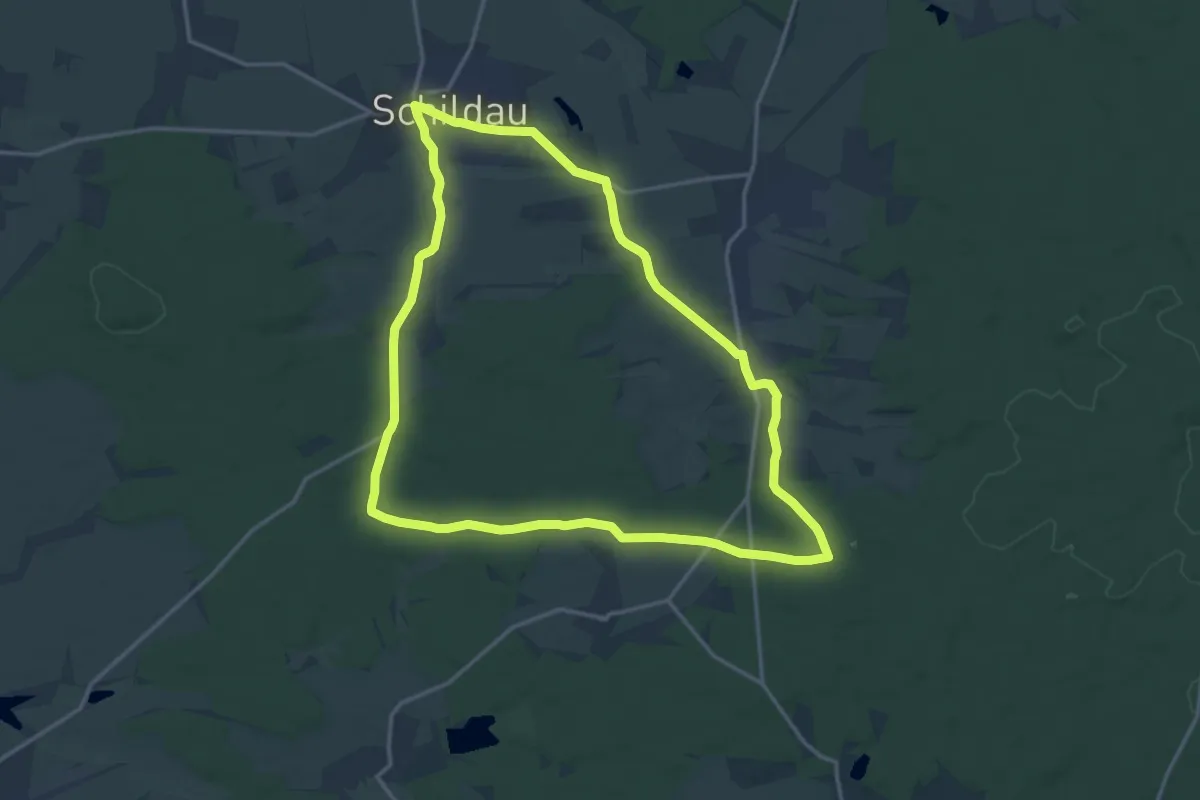
Medium · Trail
Schildau - Sitzenroda - Ochsensaal - Schildau
14.4 km · ↑ 86 m · 3 h 48 min
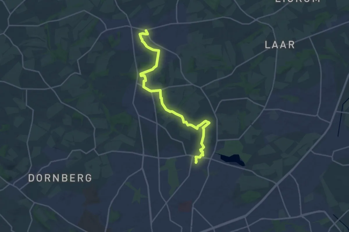
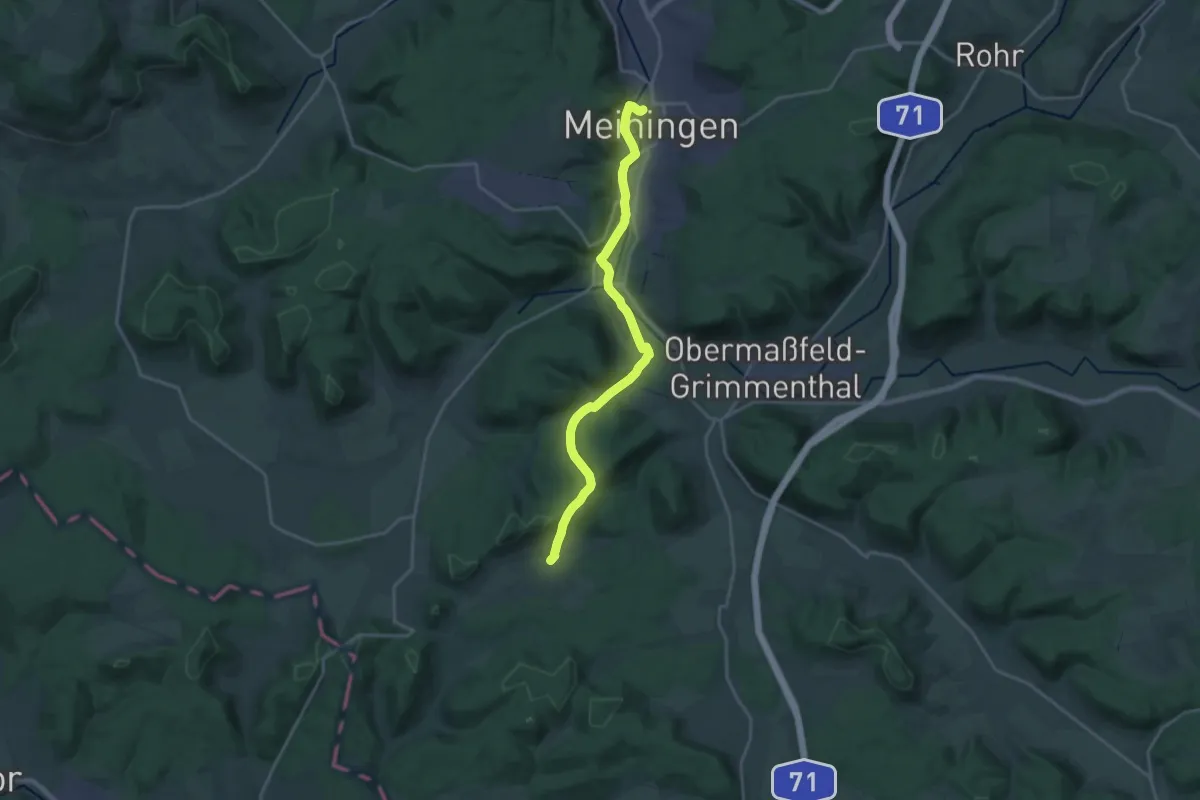
Medium · Trail
Schildweg
16.4 km · ↑ 132 m · 4 h 9 min
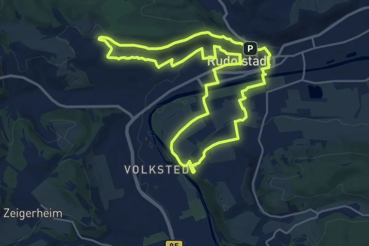
Demanding · Trail
Schiller-Wanderweg
19.9 km · ↑ 331 m · 5 h 25 min
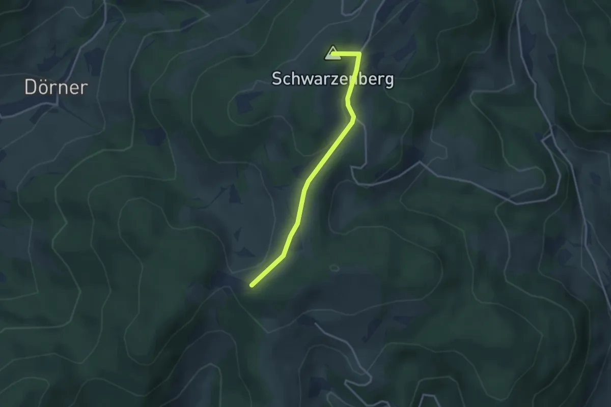
Medium · Trail
Schiller-Wanderweg
11.3 km · ↑ 188 m · 3 h 14 min
Easy · Summit
Schillinger Berg - Am Felsen
2.7 km · ↑ 91 m · 51 min
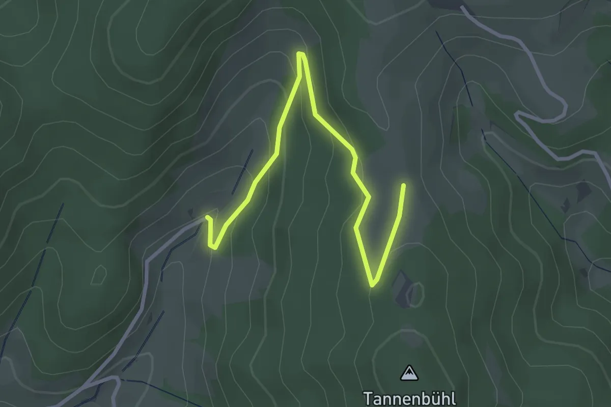
Easy · Trail
Schillingerhofmühle - Tännlebühl
3.1 km · ↑ 151 m · 1 h 4 min
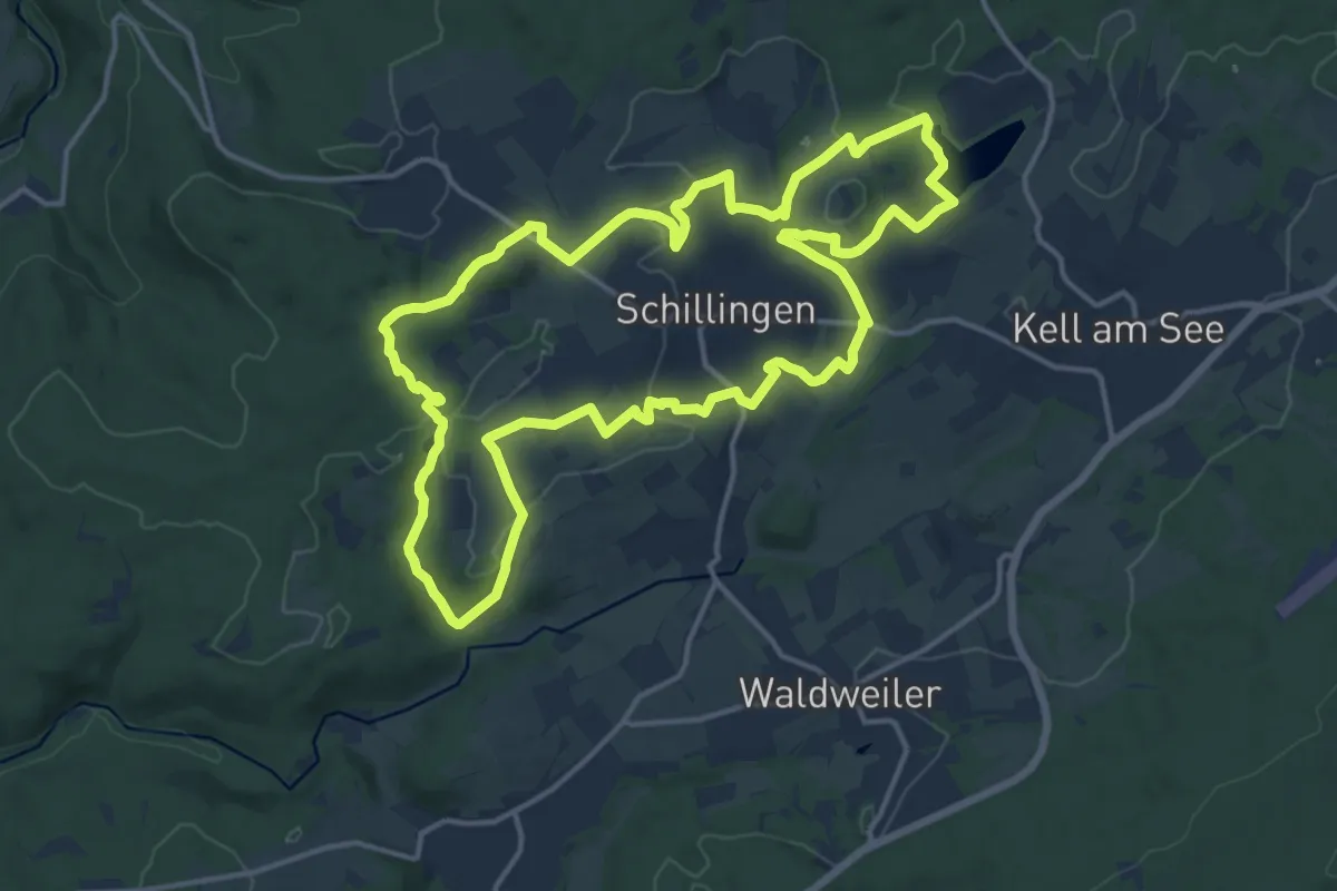
Medium · Trail
Schillinger Panoramaweg
14.7 km · ↑ 278 m · 4 h 17 min
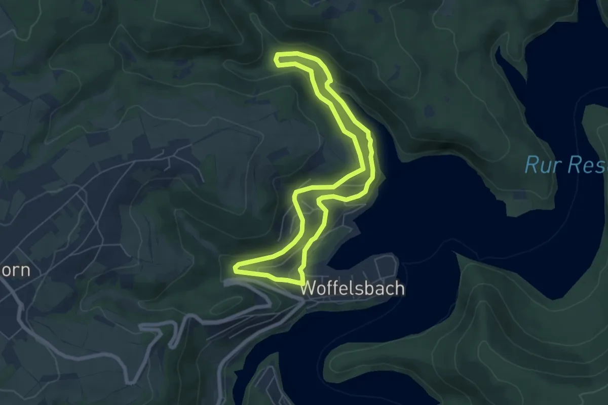
Easy · Trail
Schilsbachtal
5.3 km · ↑ 141 m · 1 h 38 min
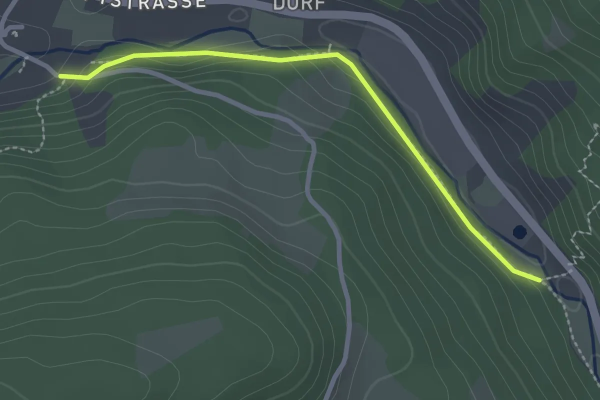
Easy · Trail
Schiltachtal - Tennenbronn Moosdobel
2.3 km · ↑ 22 m · 35 min
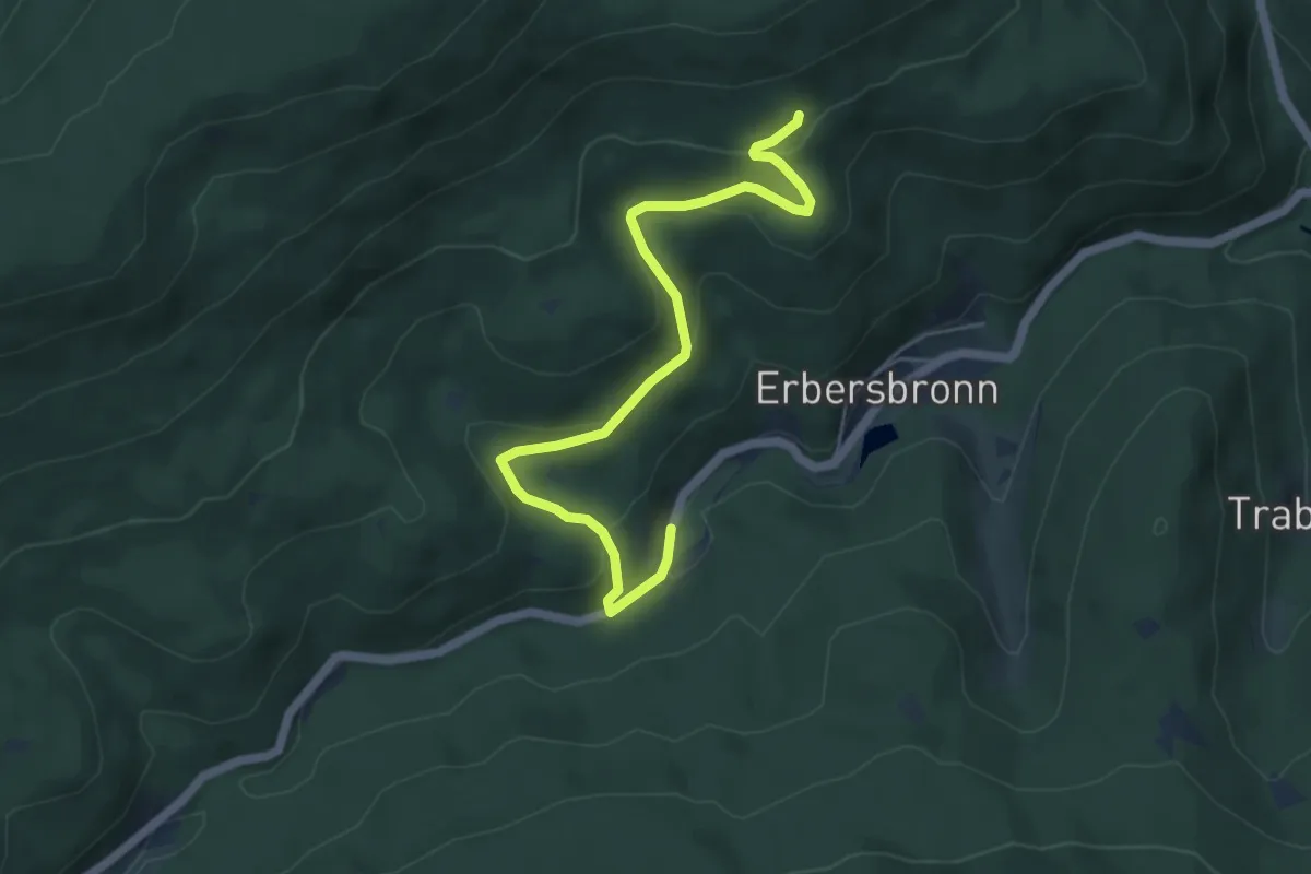
Easy · Trail
Schindelbronn - Stöcksberg
5.5 km · ↑ 233 m · 1 h 48 min
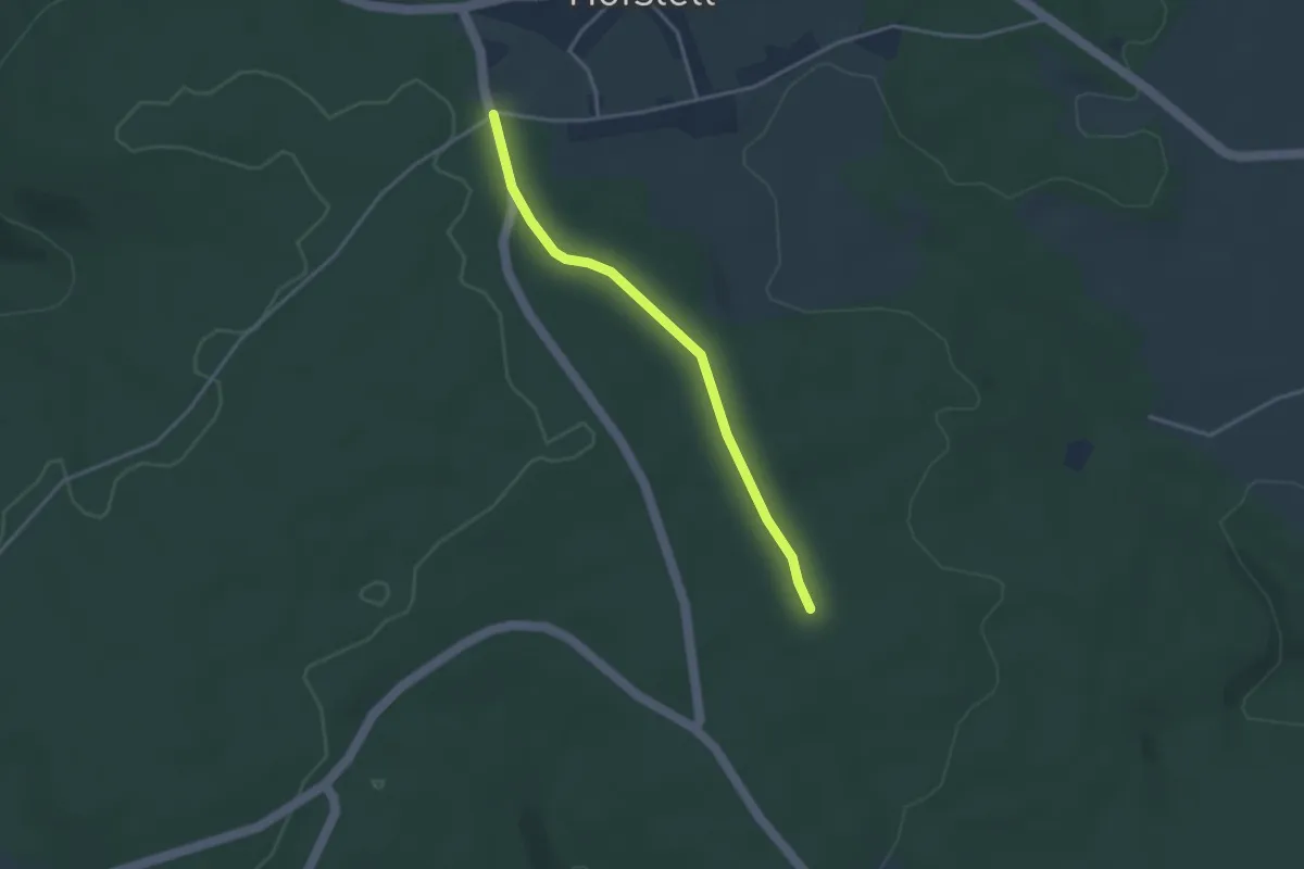
Easy · Trail
Schindelhardt - Hofstetter Kreuz
3.0 km · ↑ 46 m · 48 min
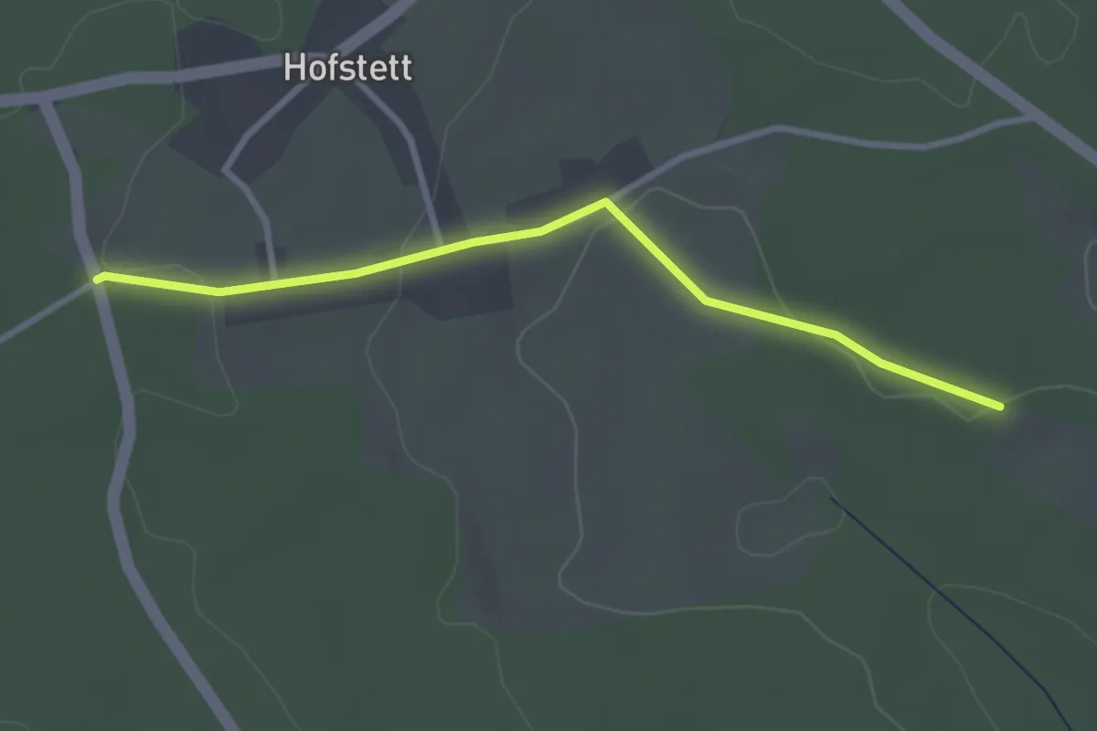
Easy · Trail
Schindelhardt - Kirchweg
2.8 km · ↑ 71 m · 49 min
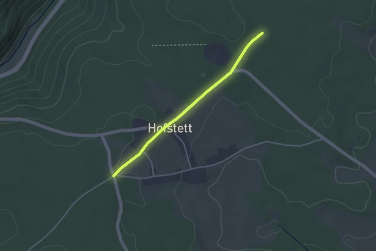
Easy · Trail
Schindelhardt - Weinsträßle
2.6 km · ↑ 28 m · 41 min
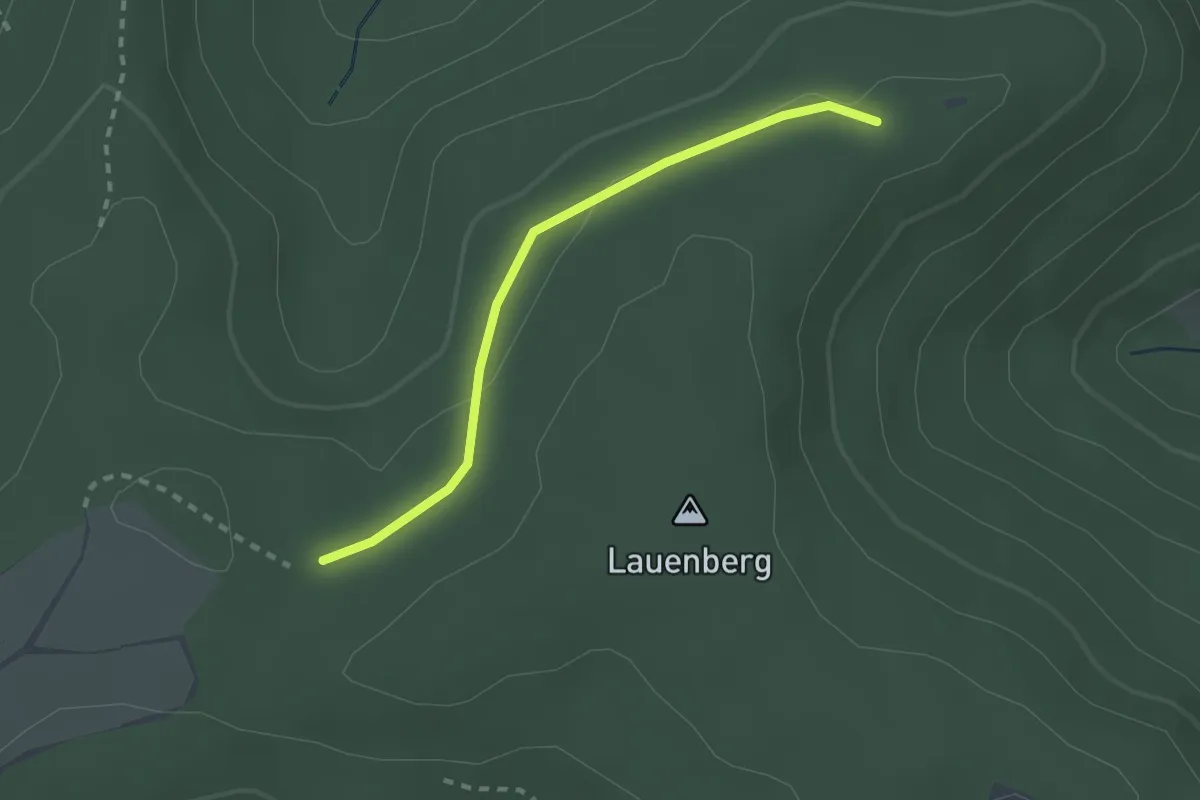
Easy · Trail
Schindelwand - Umsetzer Steingraben
2.1 km · ↑ 35 m · 34 min
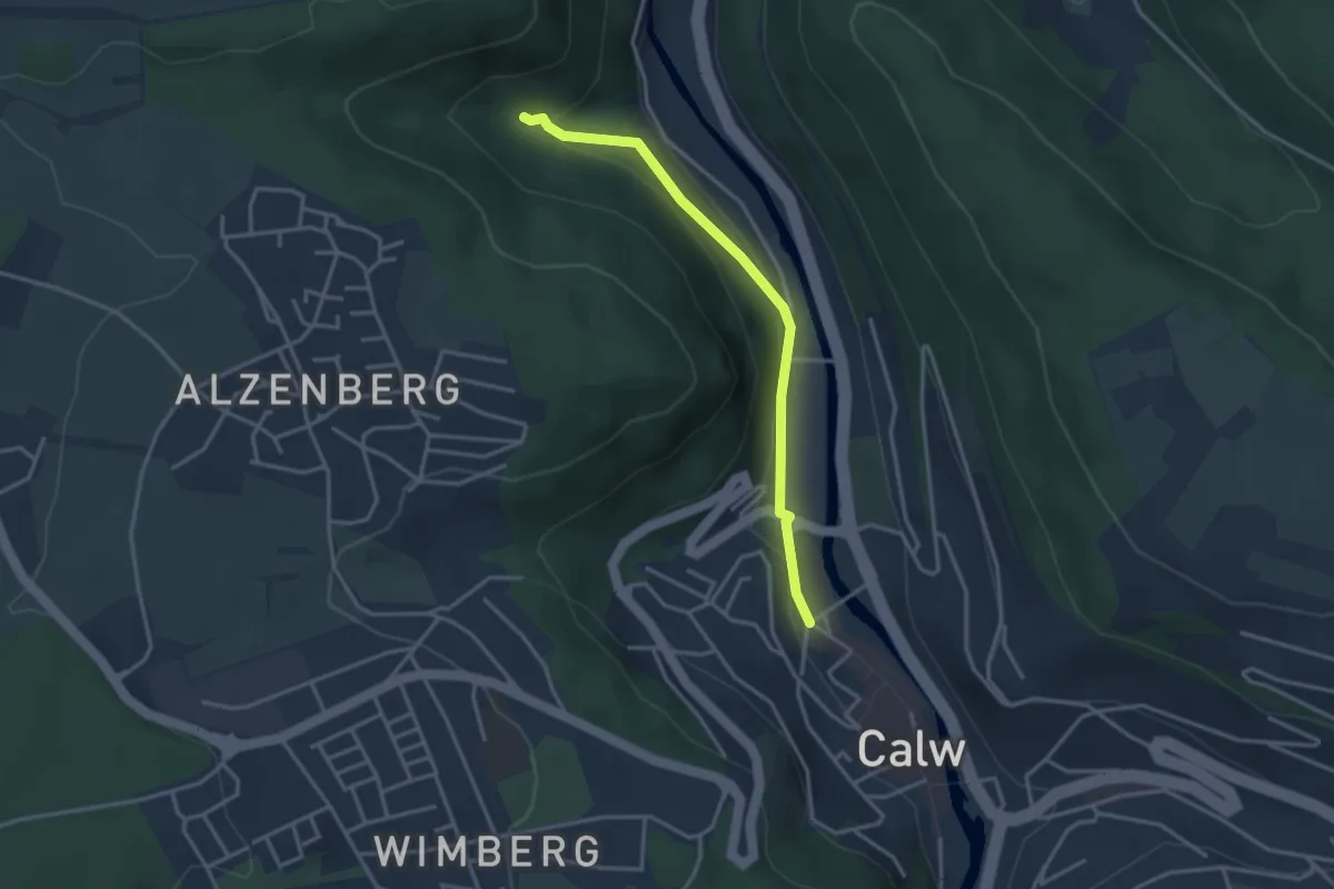
Easy · Trail
Schinderbach - Calw Unteres Ledereck
3.0 km · ↑ 114 m · 58 min
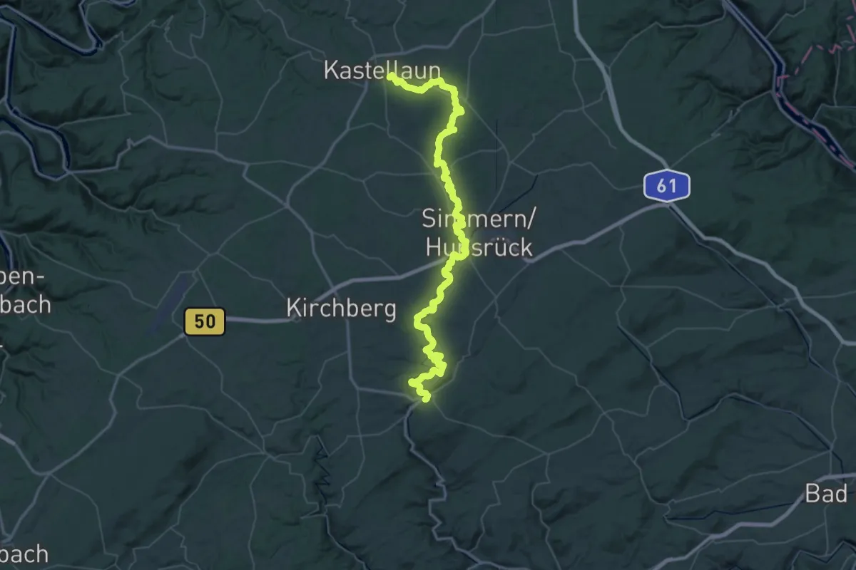
Demanding · Trail
Schinderhannespfad
36.6 km · ↑ 628 m · 10 h 36 min
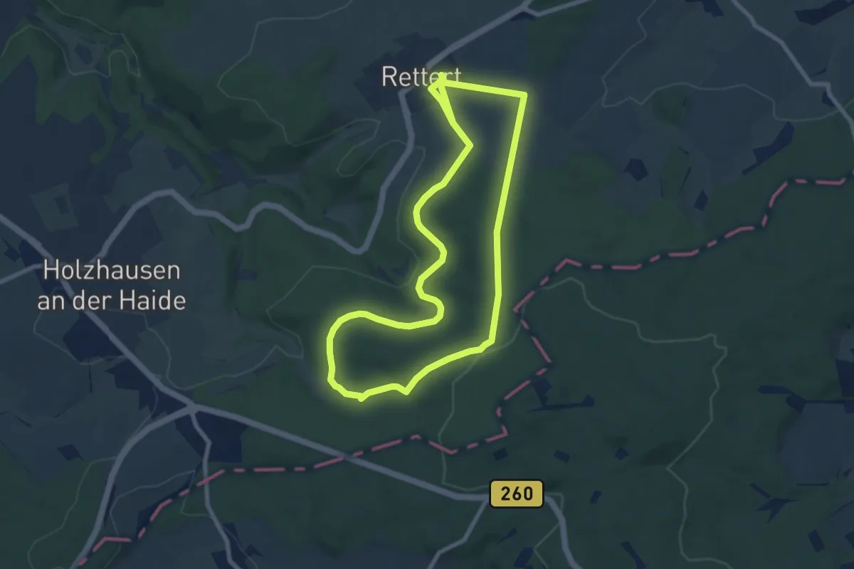
Easy · Trail
Schinder-Trail Backyard-Runde
7.0 km · ↑ 130 m · 2 h 3 min
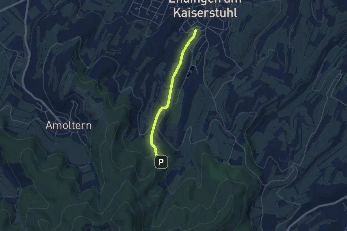
Easy · Trail
Schindhalde - Im Teninger Acker
3.8 km · ↑ 117 m · 1 h 9 min
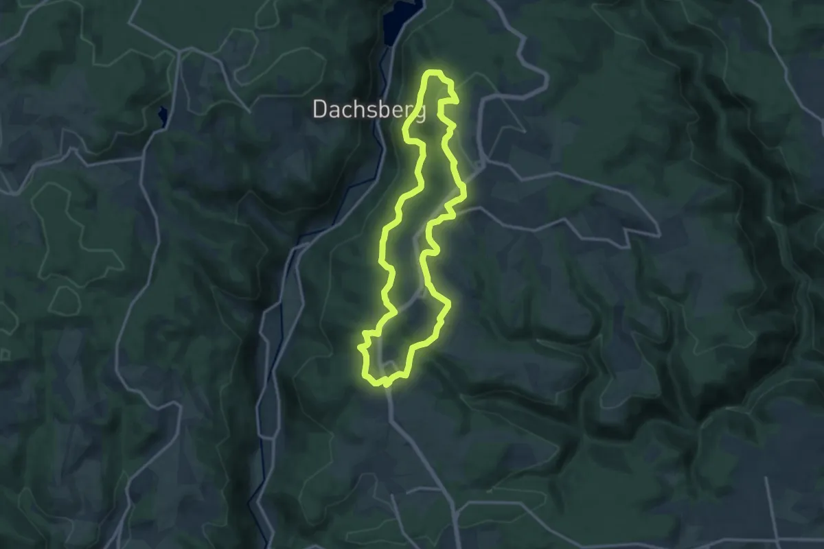
Medium · Trail
Schinkenweg
11.7 km · ↑ 247 m · 3 h 27 min
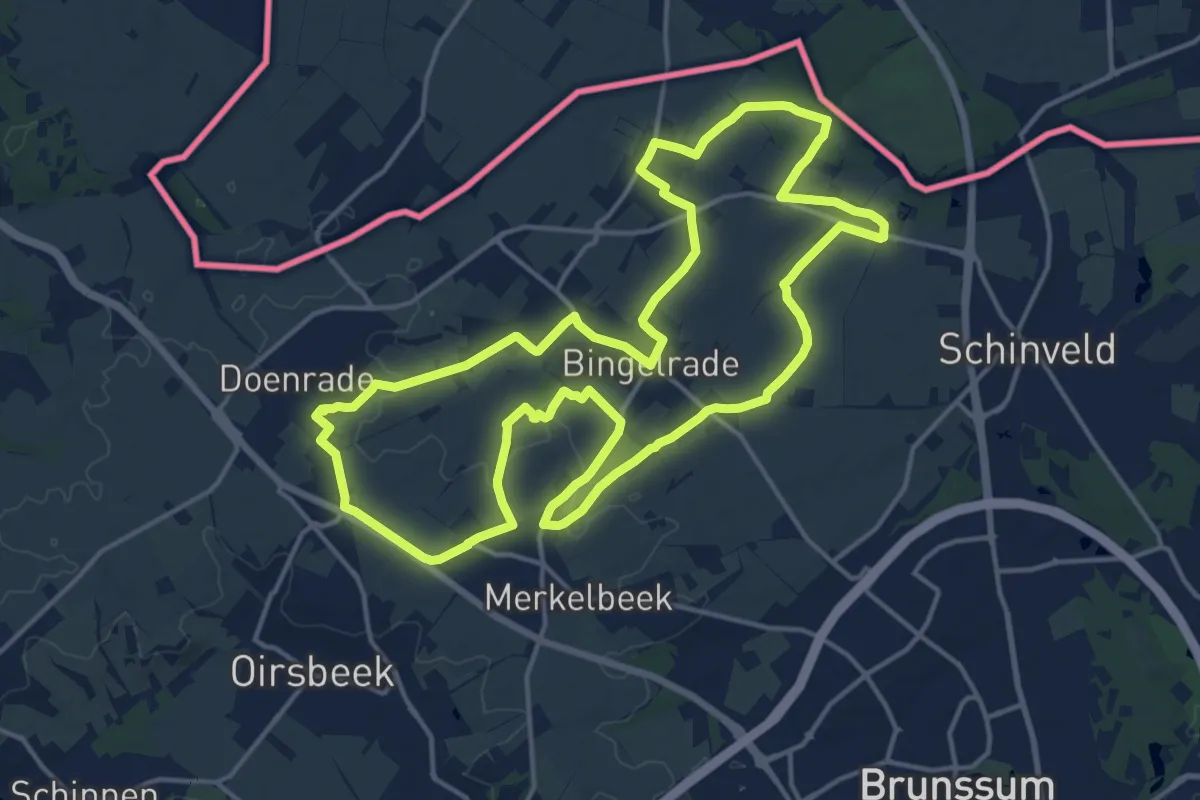
Medium · Trail
Schinnen SC01 Route van de kleine kernen
15.8 km · ↑ 93 m · 4 h 9 min
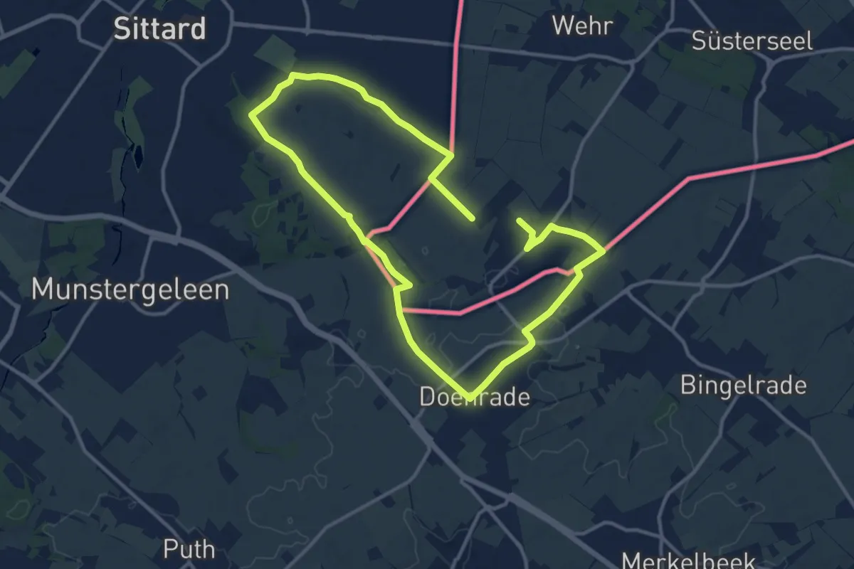
Medium · Summit
Schinnen SC03 Sint Rosa route
9.5 km · ↑ 85 m · 2 h 33 min
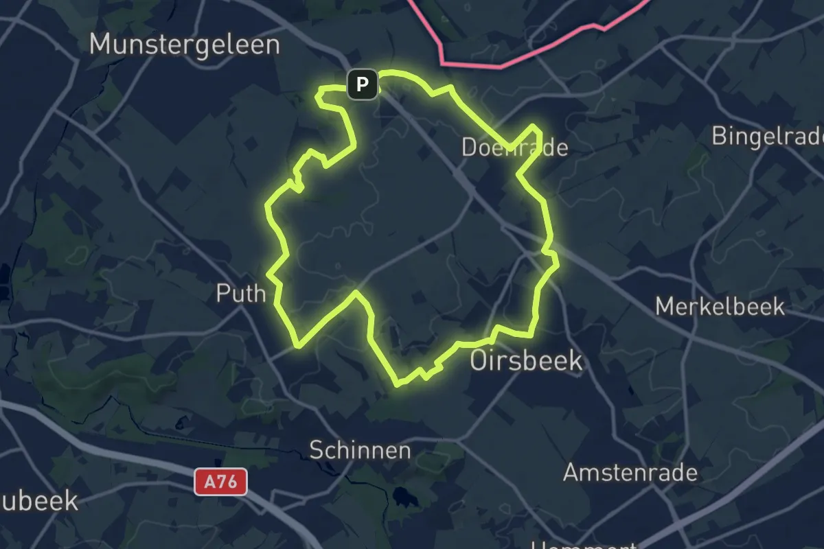
Medium · Summit
Schinnen SC04 Plateau Roth route
11.8 km · ↑ 57 m · 3 h 5 min
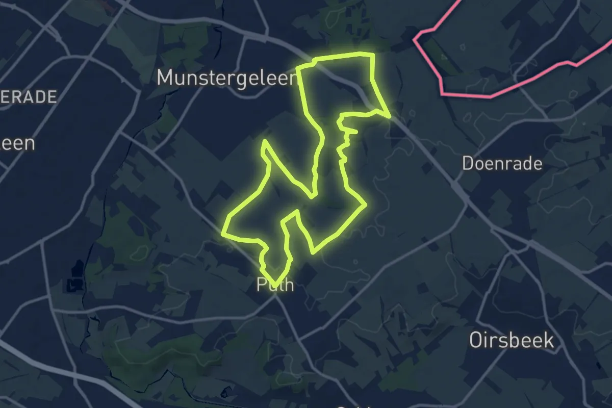
Medium · Summit
Schinnen SC05 Wanenbergroute
10.6 km · ↑ 92 m · 2 h 51 min
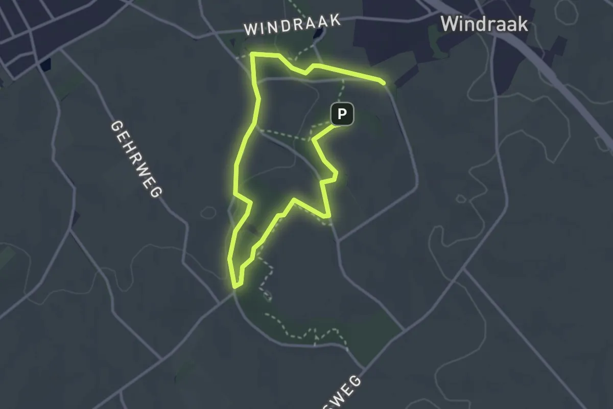
Easy · Trail
Schinnen SC10 Natuurpad
2.2 km · ↑ 22 m · 36 min
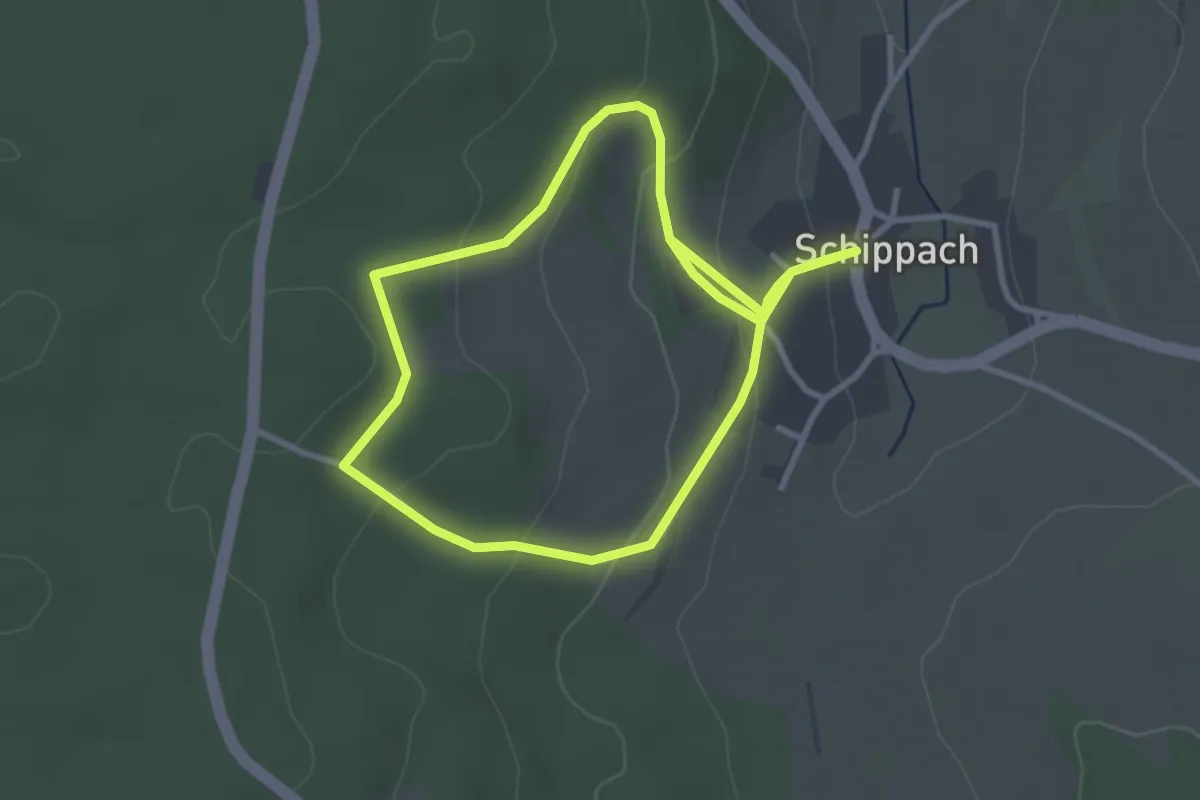
Easy · Trail
Schippach 1
2.7 km · ↑ 114 m · 55 min
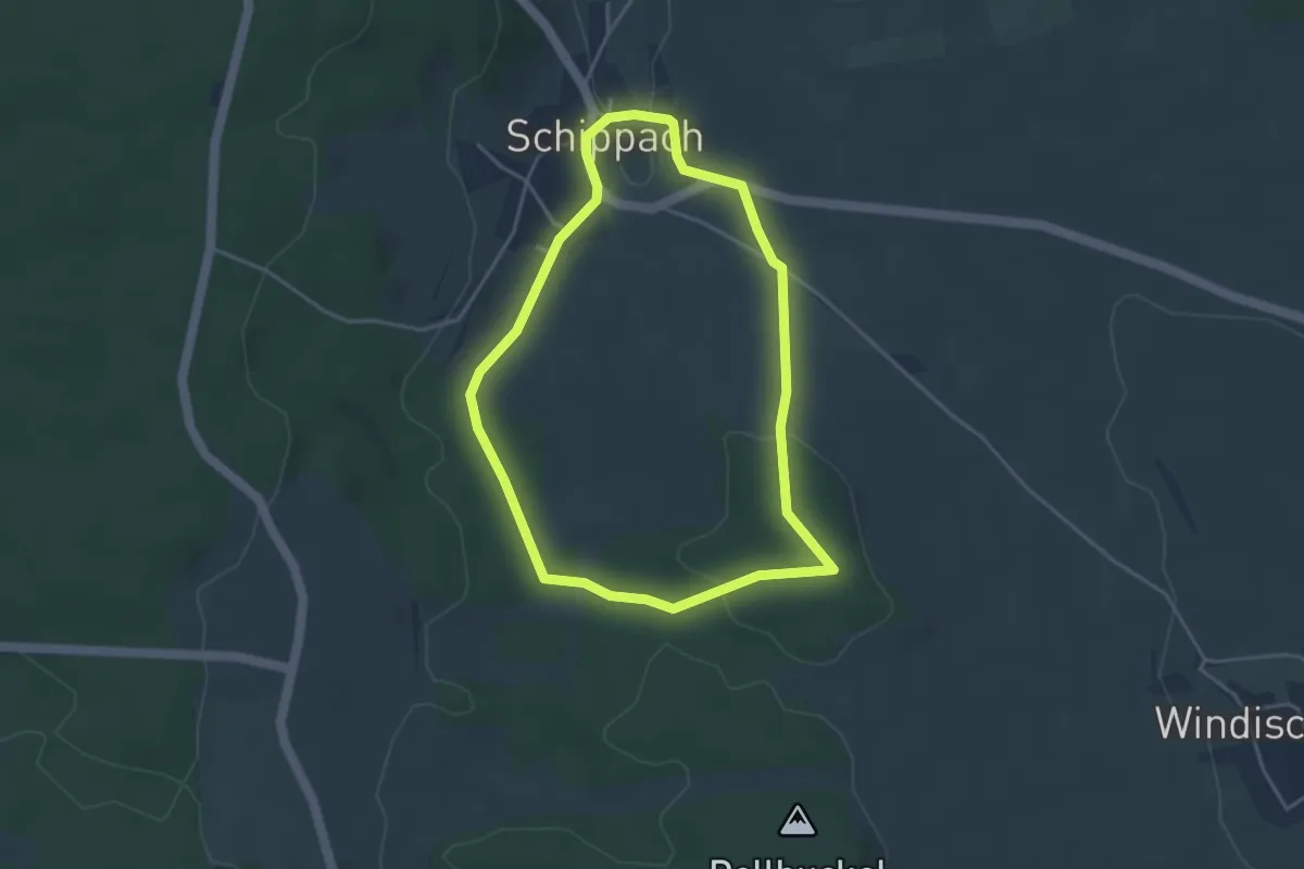
Easy · Trail
Schippach 2
3.4 km · ↑ 70 m · 1 h
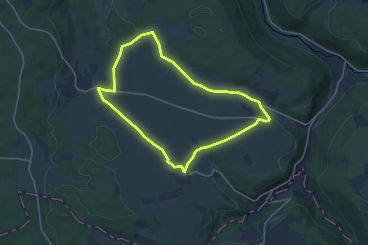
Easy · Trail
Schippach 3
7.8 km · ↑ 126 m · 2 h 13 min
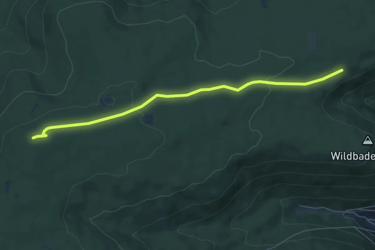
Easy · Trail
Schirmhütte - Posthäusle
5.8 km · ↑ 101 m · 1 h 36 min