Trails in Germany
36,852 hiking trails, each with its route, climb, walking time and grade.
All trails, page 578 of 768
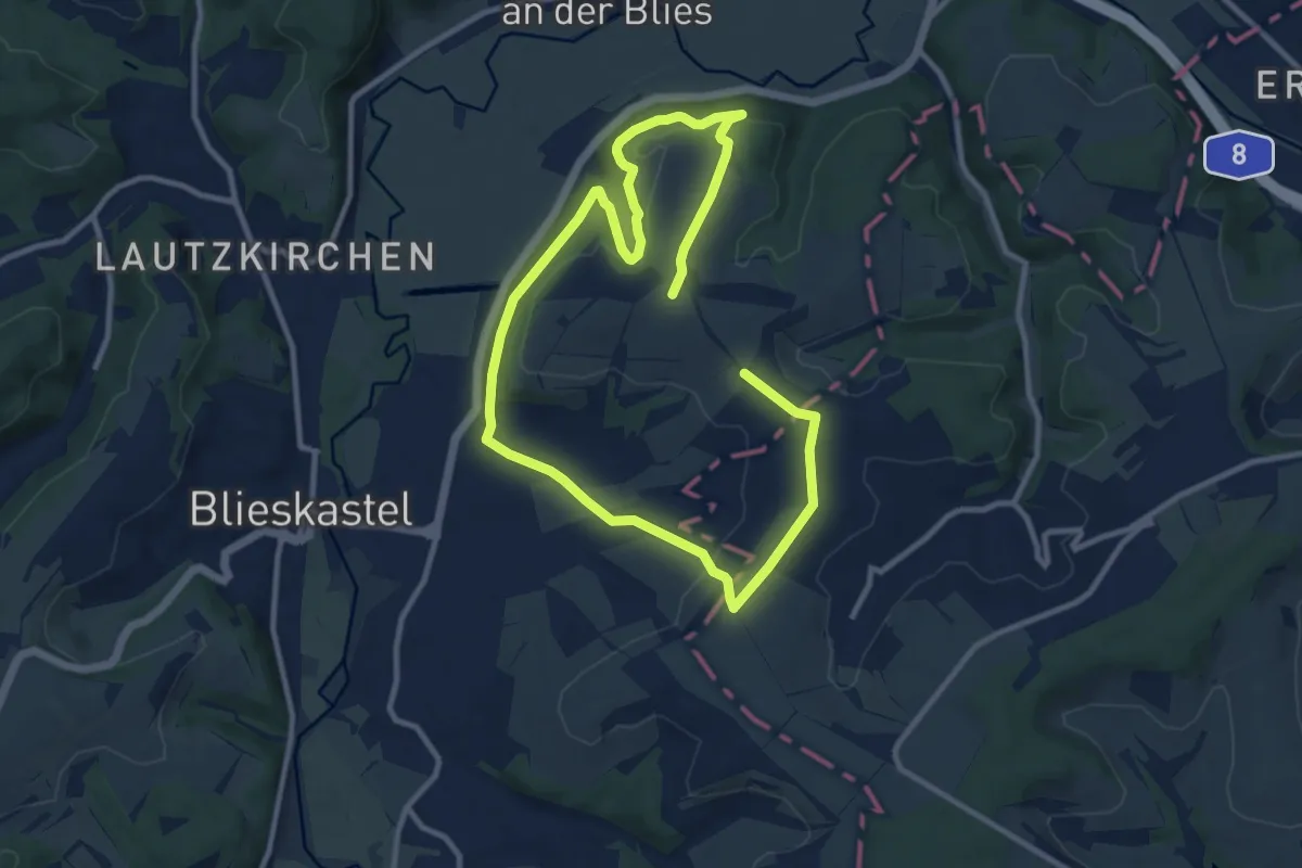
Medium · Summit
Schmetterling-Rundwanderweg Webenheim
16.1 km · ↑ 350 m · 4 h 34 min
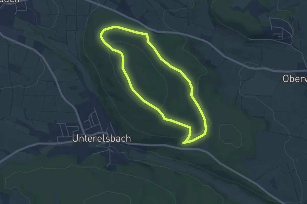
Easy · Trail
Schmetterlingslehrpfad
4.3 km · ↑ 77 m · 1 h 15 min
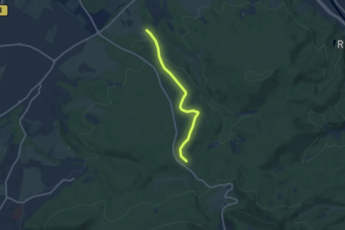
Easy · Trail
Schmetterling - Spechter Kopf
6.2 km · ↑ 137 m · 1 h 46 min
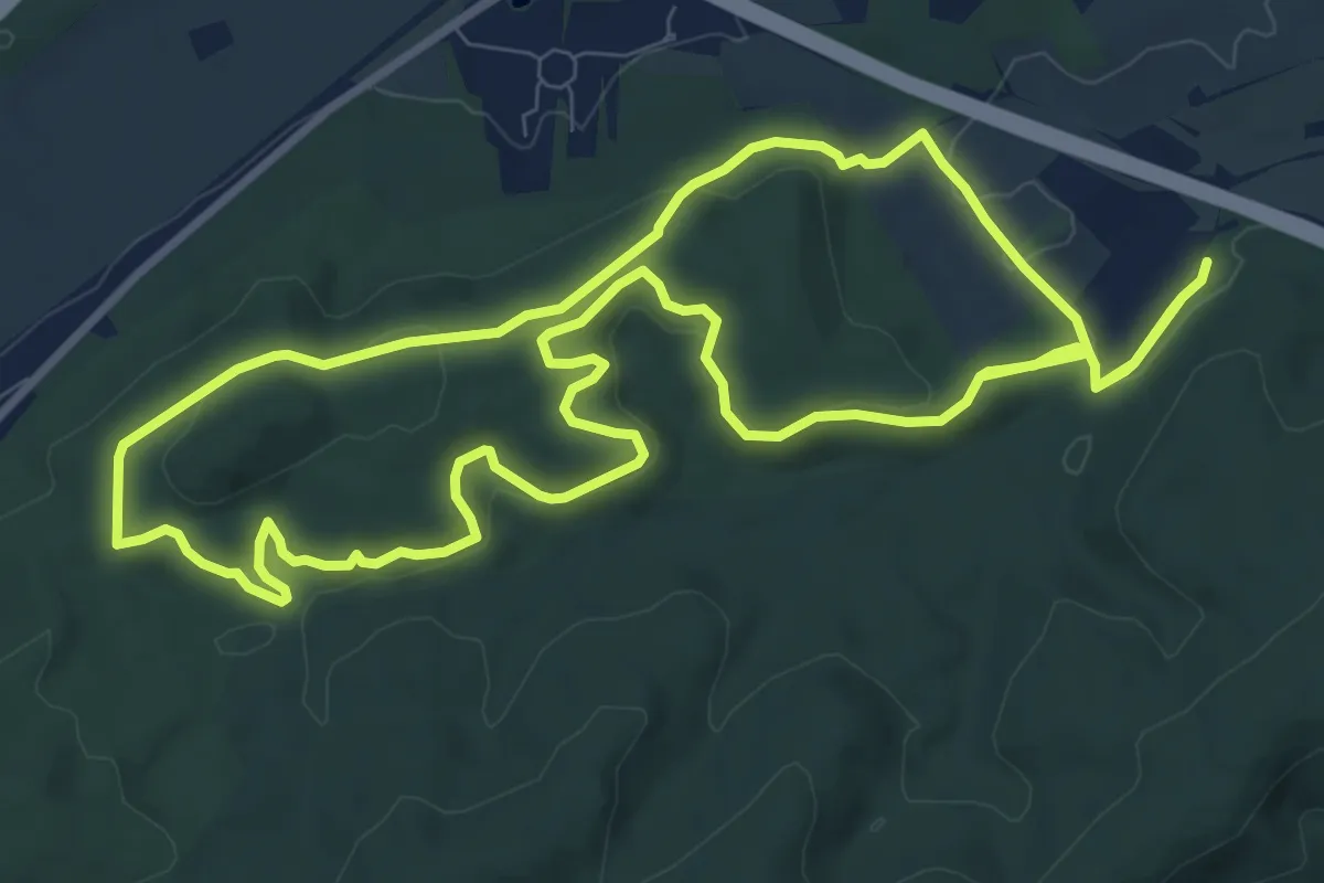
Medium · Summit
Schmetterlingspfad
9.5 km · ↑ 281 m · 2 h 59 min
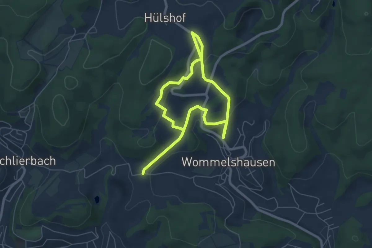
Medium · Trail
Schmetterlingspfad
8.1 km · ↑ 258 m · 2 h 29 min
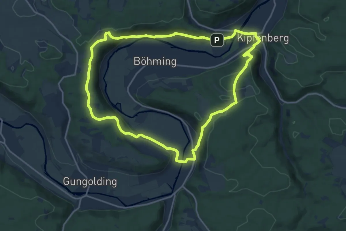
Medium · Trail
Schmetterlingsweg
10.9 km · ↑ 344 m · 3 h 29 min
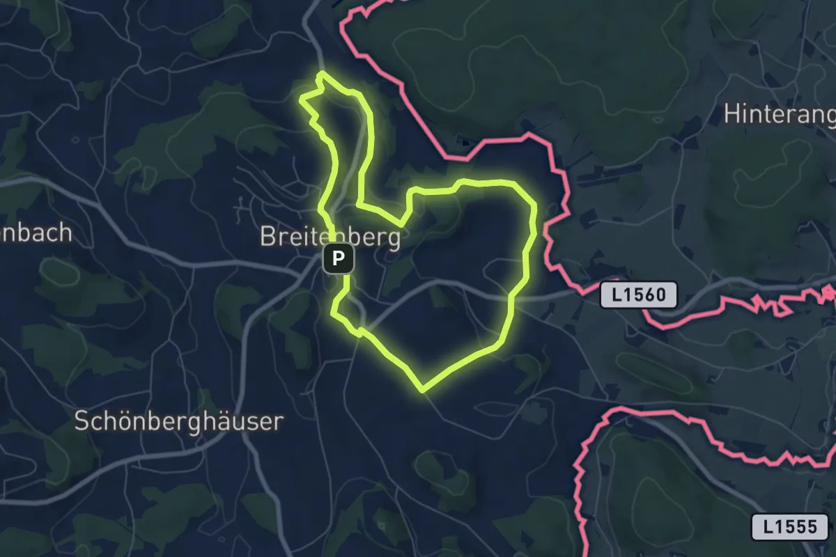
Easy · Trail
Schmetterlingsweg
6.0 km · ↑ 135 m · 1 h 48 min
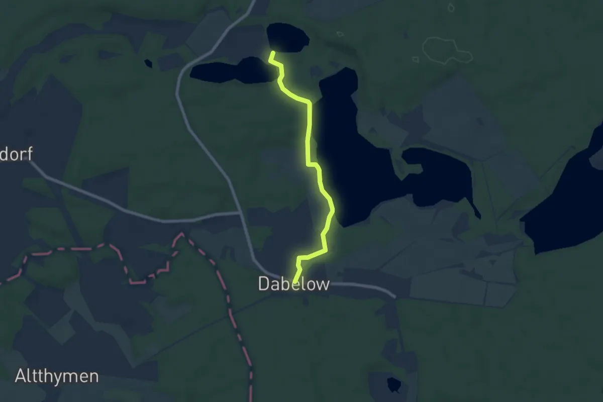
Easy · Trail
Schmetterlingsweg
5.4 km · ↑ 27 m · 1 h 20 min
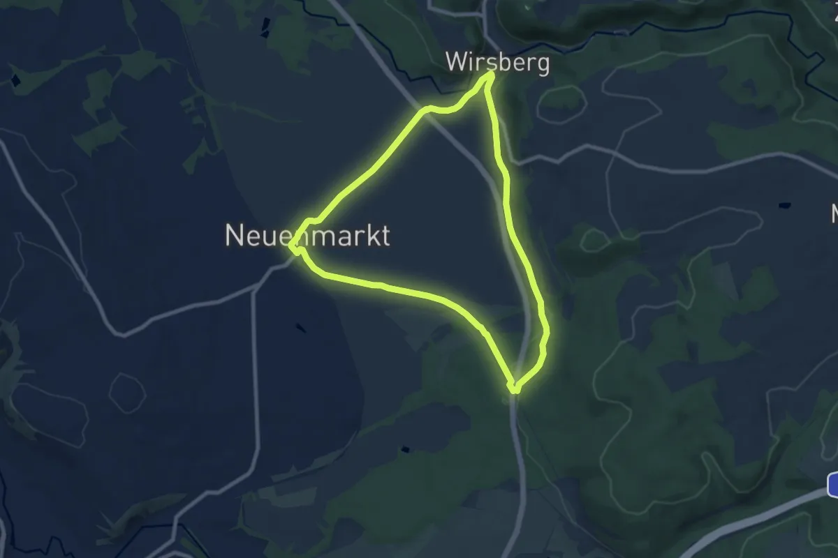
Easy · Trail
Schmetterlingsweg KU 11
7.4 km · ↑ 84 m · 2 h 2 min
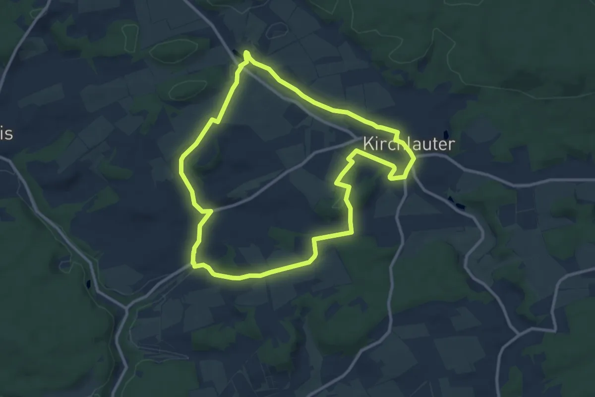
Medium · Trail
Schmetterling-Wanderweg Kirchlauter
8.6 km · ↑ 138 m · 2 h 27 min
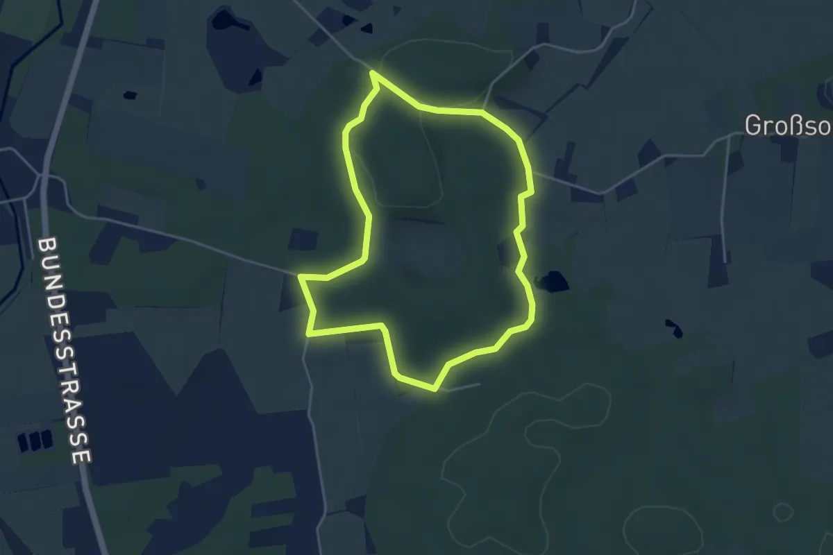
Easy · Trail
Schmetterlingweg
3.3 km · ↑ 35 m · 53 min
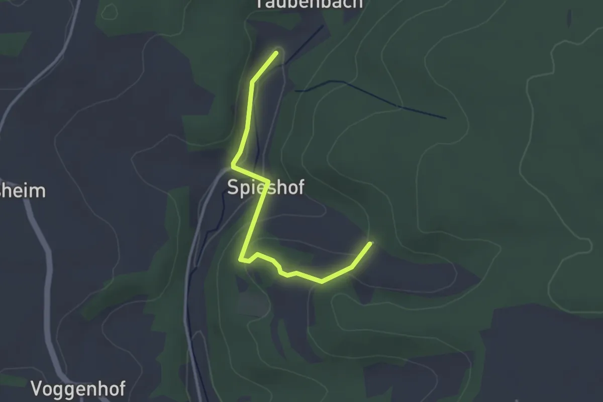
Easy · Trail
Schmidmühlen 10
2.7 km · ↑ 101 m · 52 min
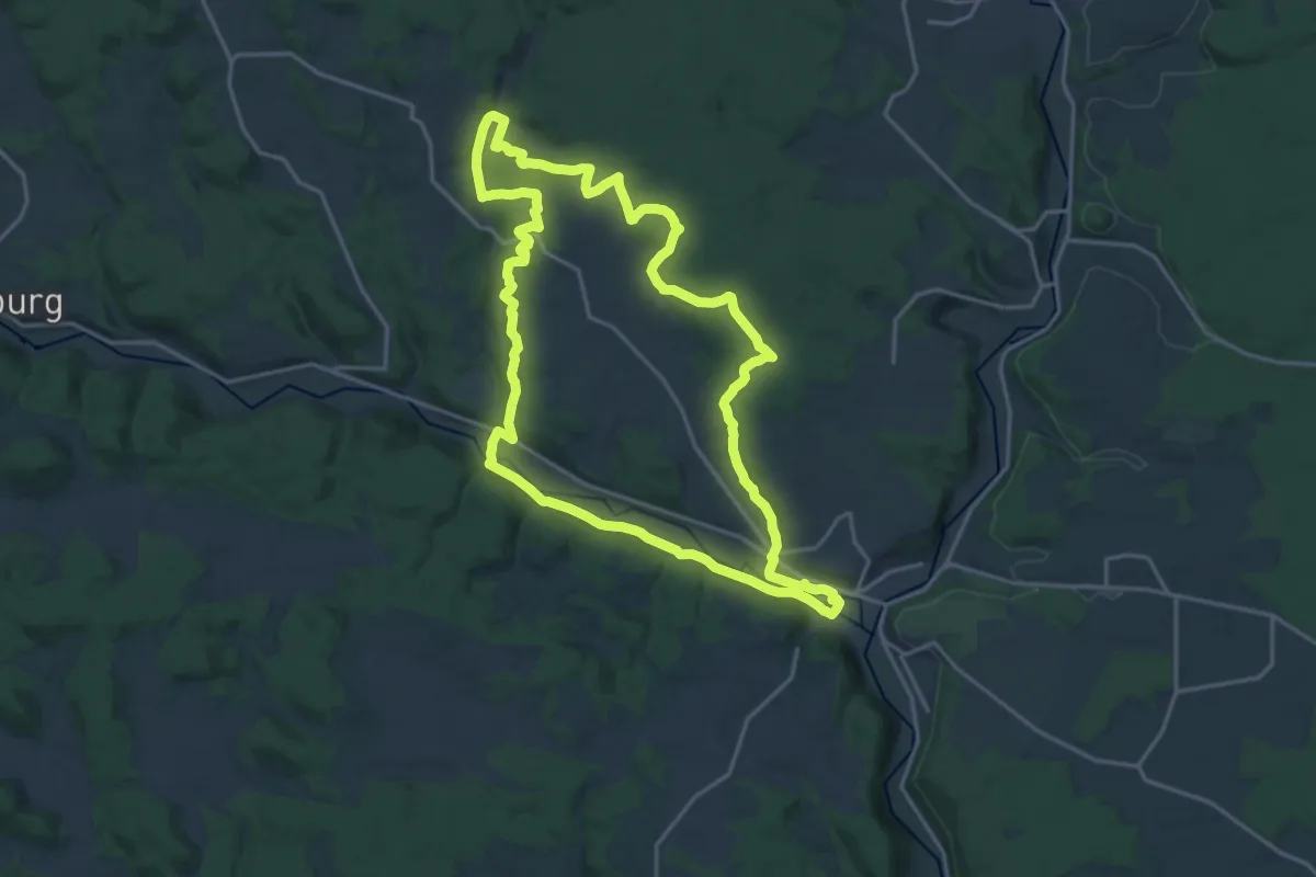
Demanding · Trail
Schmidmühlen 14
18.1 km · ↑ 275 m · 5 h 7 min
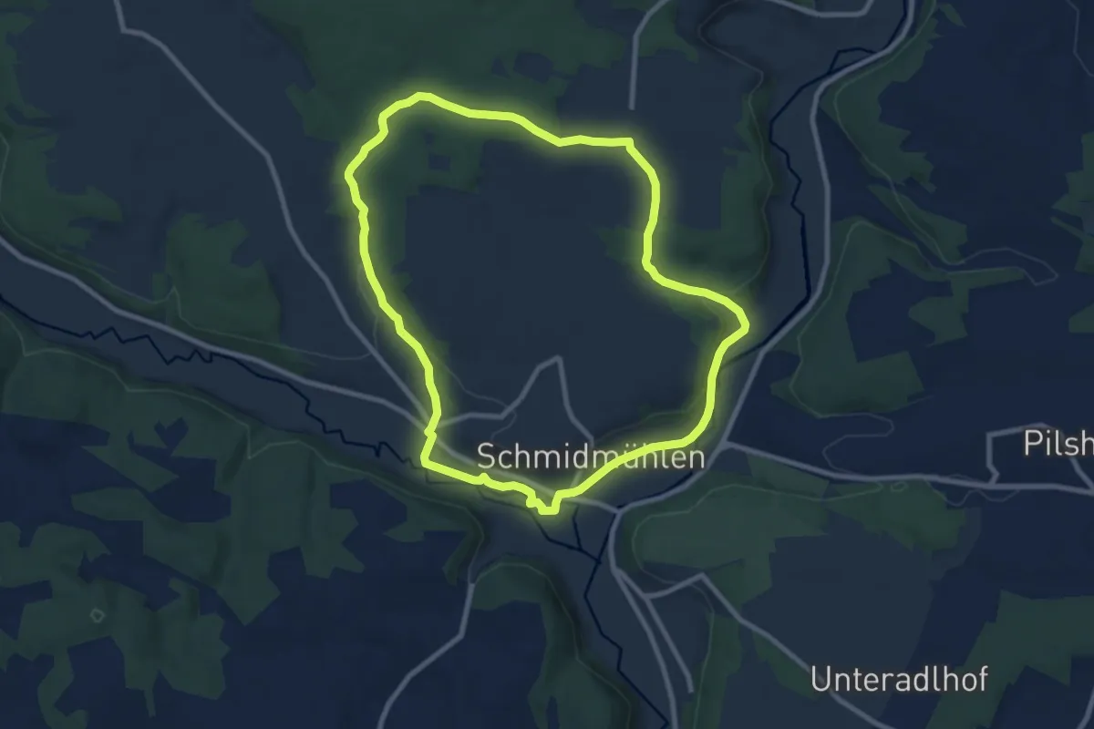
Medium · Trail
Schmidmühlen 15
8.2 km · ↑ 125 m · 2 h 19 min
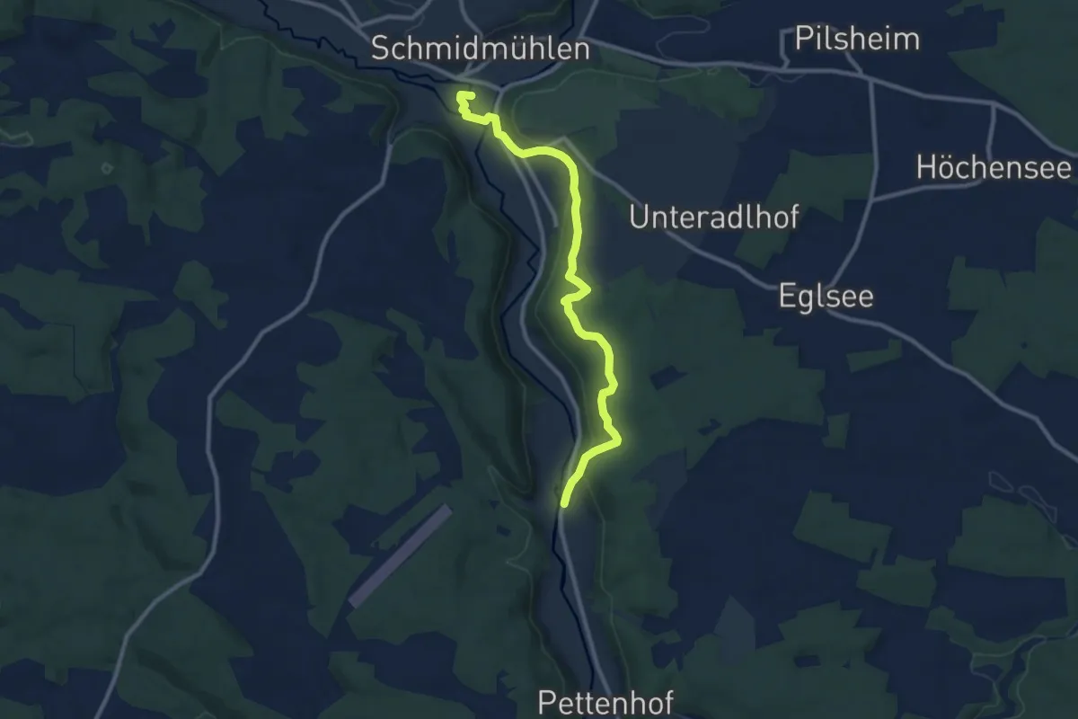
Medium · Trail
Schmidmühlen 20
9.5 km · ↑ 219 m · 2 h 43 min
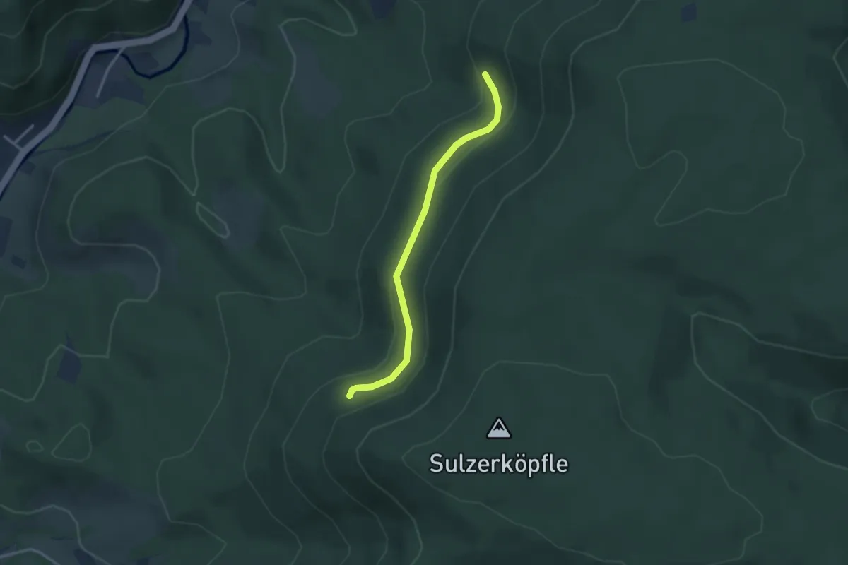
Easy · Trail
Schmidsberger Kehre - Küchele
2.6 km · ↑ 112 m · 51 min
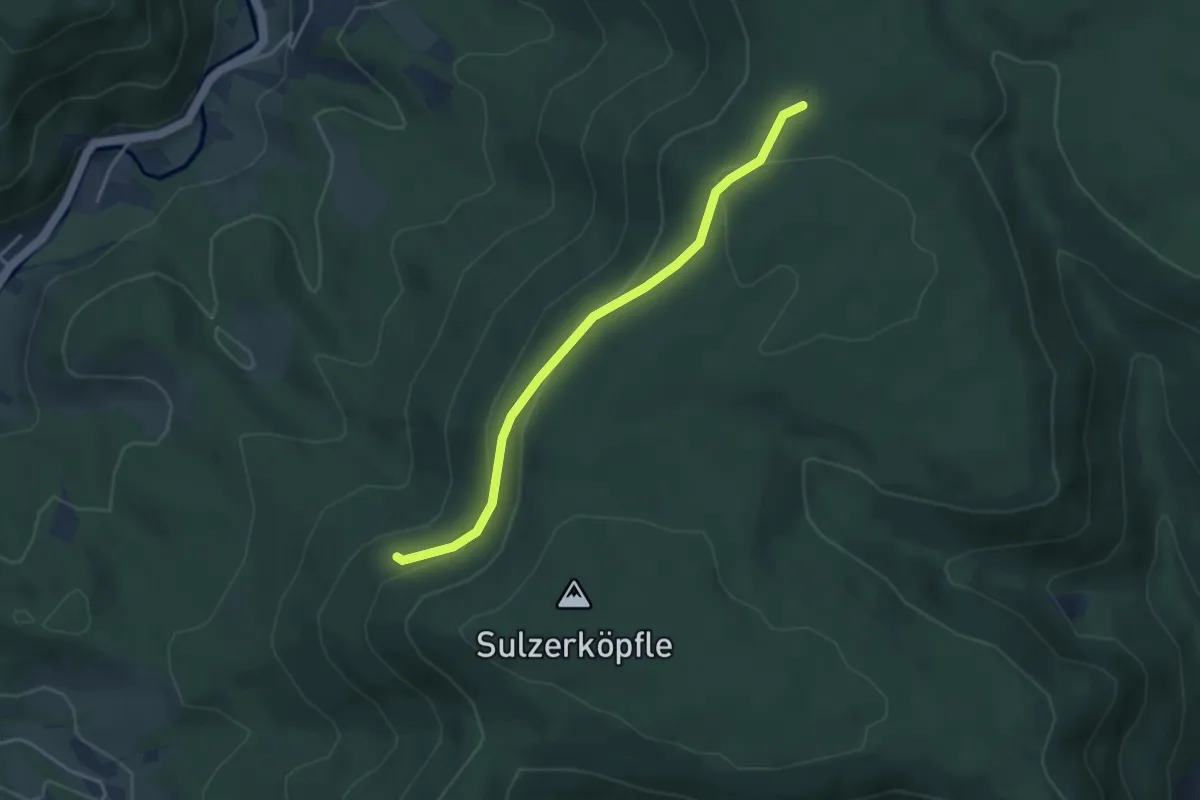
Easy · Trail
Schmidsberger Kehre - Schmidsberger Platz
3.5 km · ↑ 147 m · 1 h 9 min
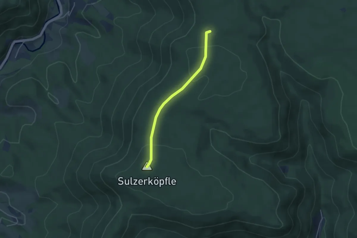
Easy · Summit
Schmidsberger Platz - Tor
3.1 km · ↑ 66 m · 53 min
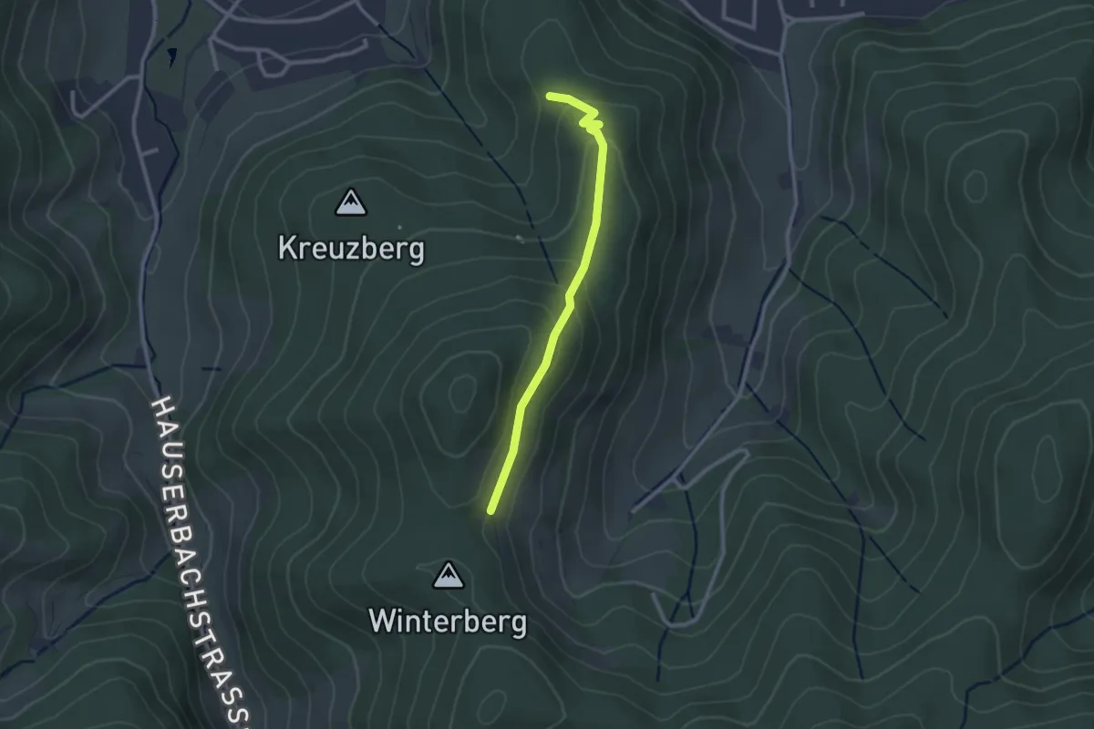
Easy · Trail
Schmids Wanderecke - Überm Fuggishof
2.3 km · ↑ 112 m · 47 min
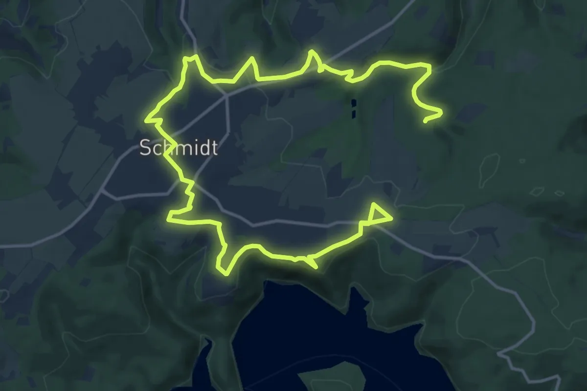
Medium · Trail
Schmidter Runde
9.1 km · ↑ 193 m · 2 h 40 min
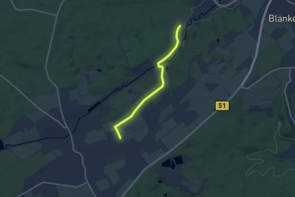
Easy · Trail
Schmidtheim Rundweg 2
5.9 km · ↑ 90 m · 1 h 35 min
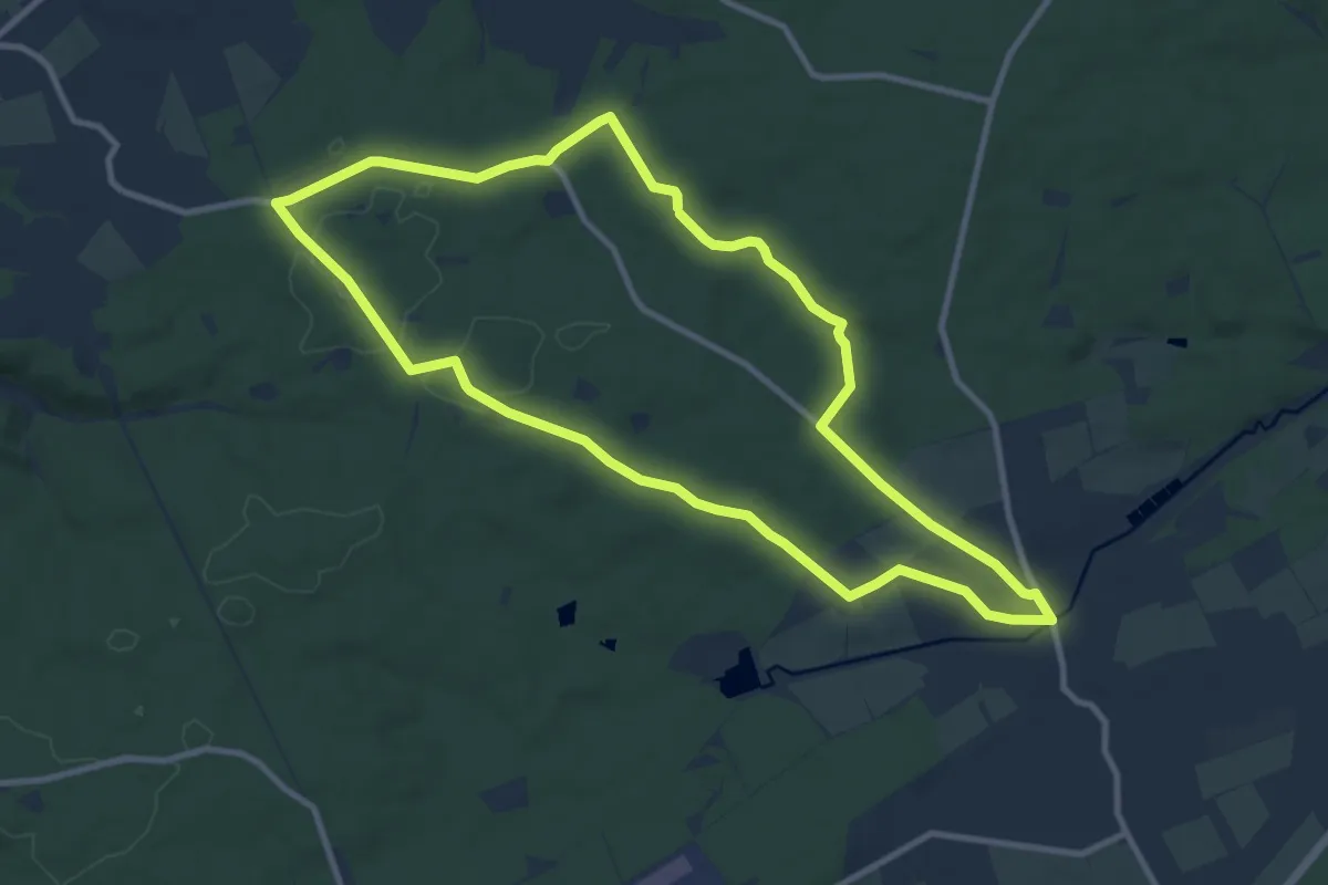
Medium · Trail
Schmidtheim Rundweg 4
9.4 km · ↑ 95 m · 2 h 33 min
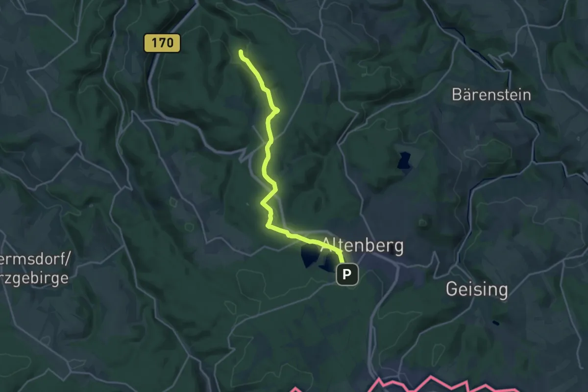
Medium · Trail
Schmiedeberg - Altenberg
16.1 km · ↑ 317 m · 4 h 29 min
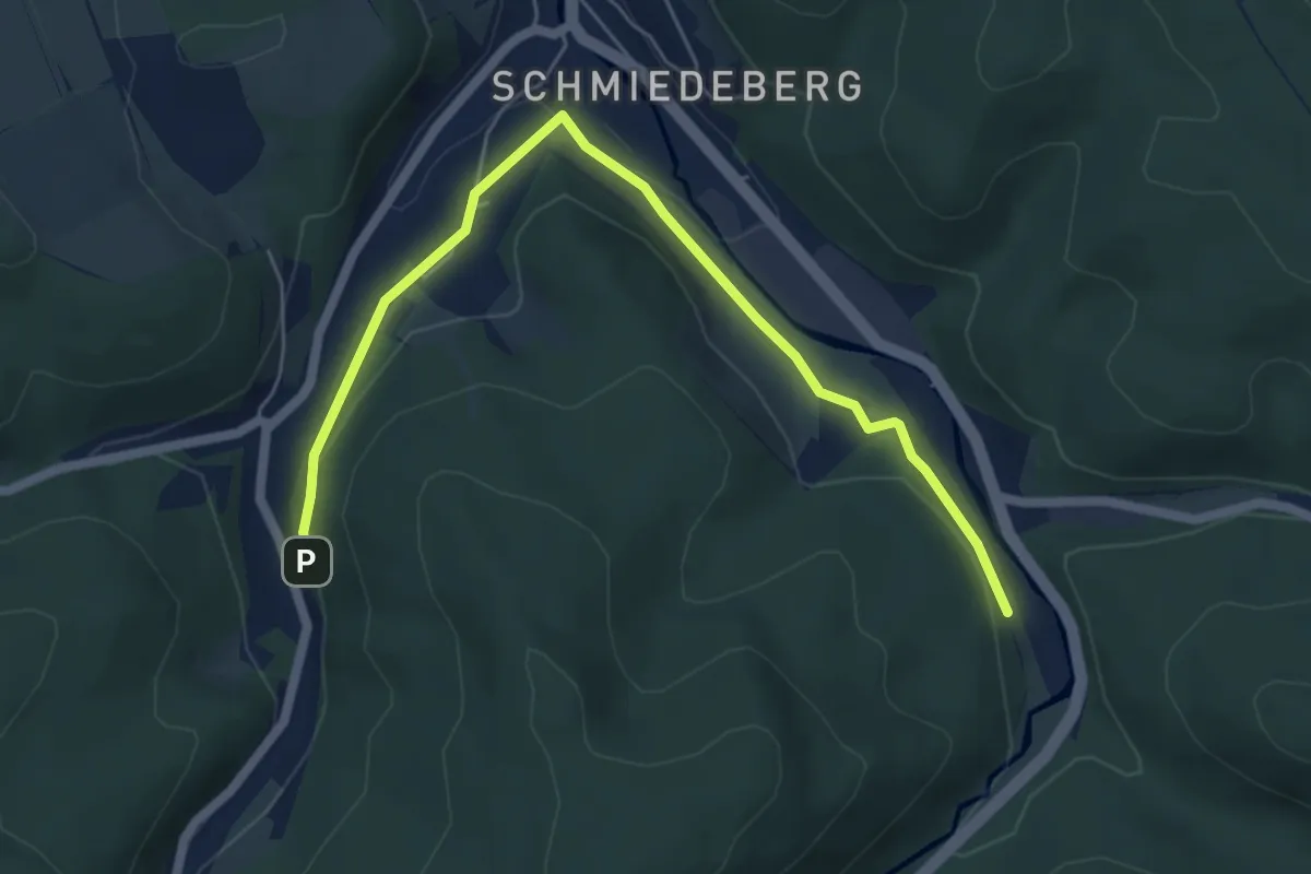
Easy · Trail
Schmiedeberg - Dönschten
5.8 km · ↑ 100 m · 1 h 35 min
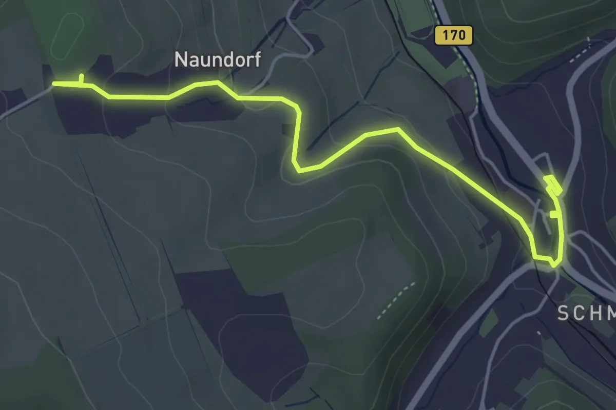
Easy · Trail
Schmiedeberg - Schloss Naundorf
4.8 km · ↑ 130 m · 1 h 25 min
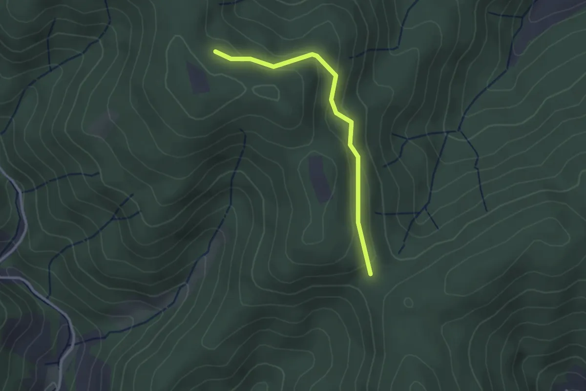
Easy · Trail
Schmieders Höhe - Ebenacker
2.5 km · ↑ 101 m · 48 min
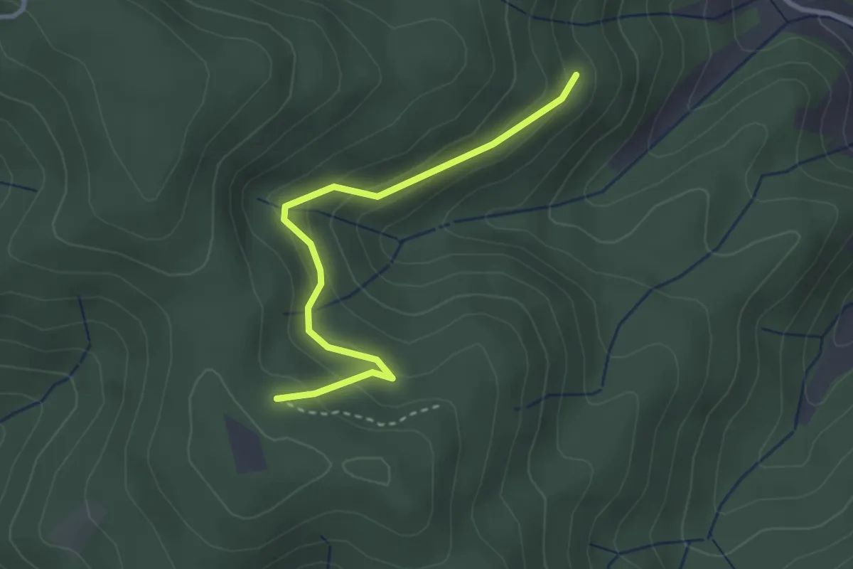
Easy · Trail
Schmieders Höhe - Schmieders Loch
2.8 km · ↑ 189 m · 1 h 5 min
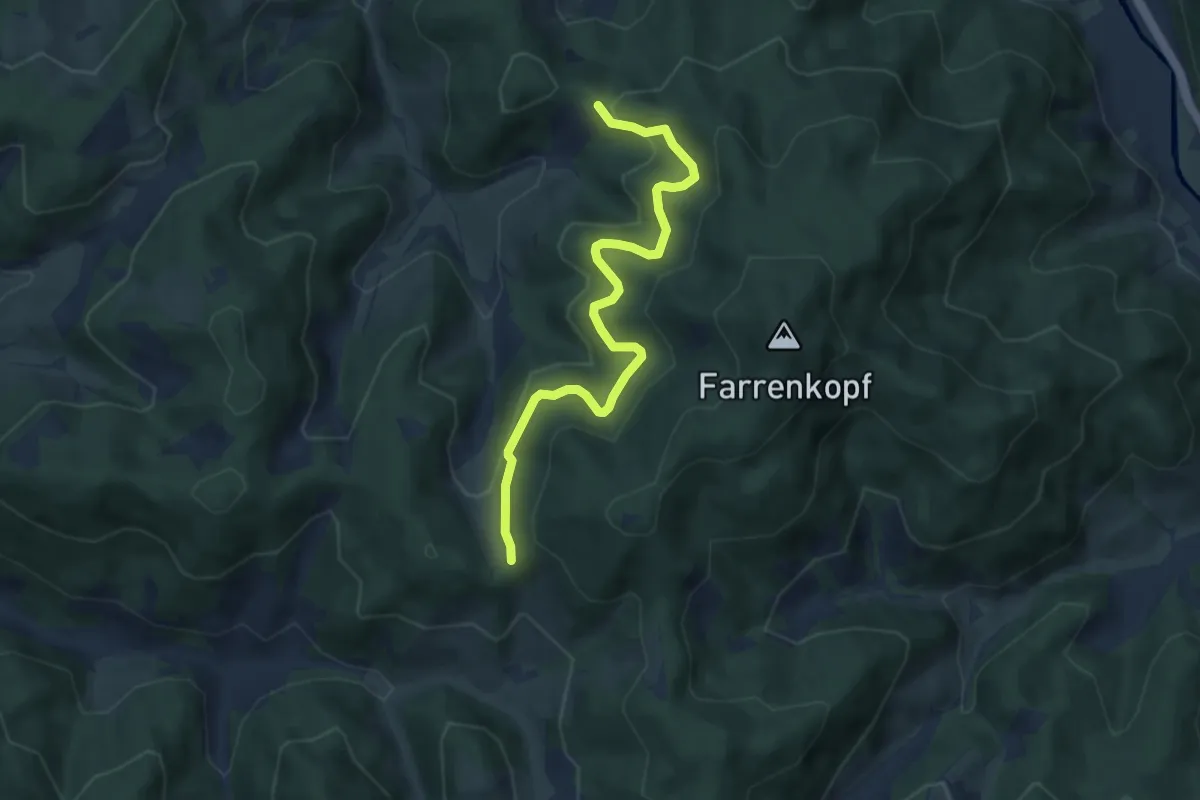
Medium · Trail
Schmieders Kreuz - Haseneckle
6.9 km · ↑ 397 m · 2 h 29 min
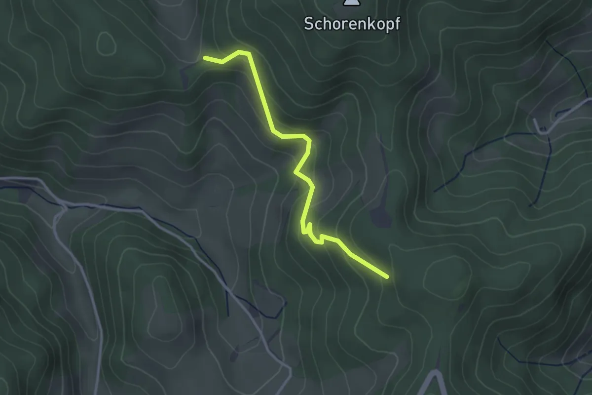
Easy · Trail
Schmieders Kreuz - Unterm Scheibeneck
2.8 km · ↑ 169 m · 1 h 2 min
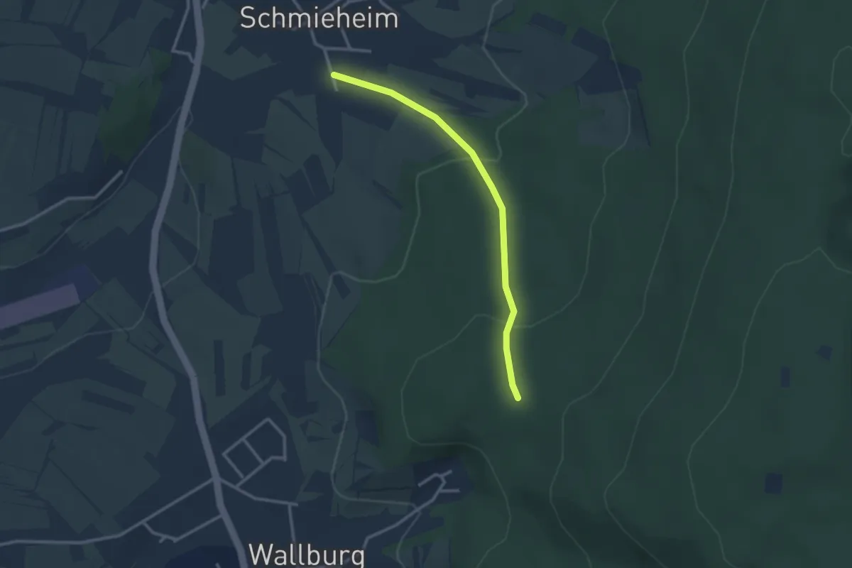
Easy · Trail
Schmieheim Sportplatz - Orschweierer Hütte
2.5 km · ↑ 111 m · 50 min
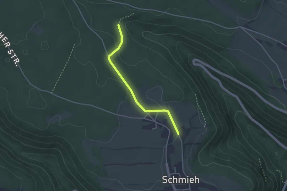
Easy · Trail
Schmieh Kutschenkeller - Beckenkorb
2.6 km · ↑ 40 m · 41 min
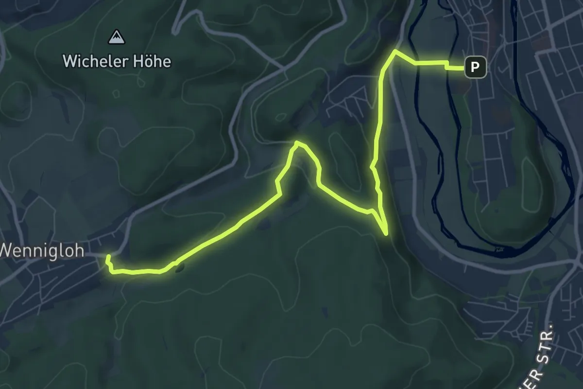
Medium · Trail
Schmiemkepfad
9.2 km · ↑ 255 m · 2 h 44 min
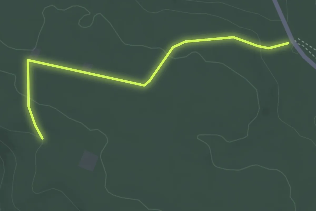
Easy · Trail
Schmierofen - Kuchenbrückle
3.7 km · ↑ 73 m · 1 h 2 min
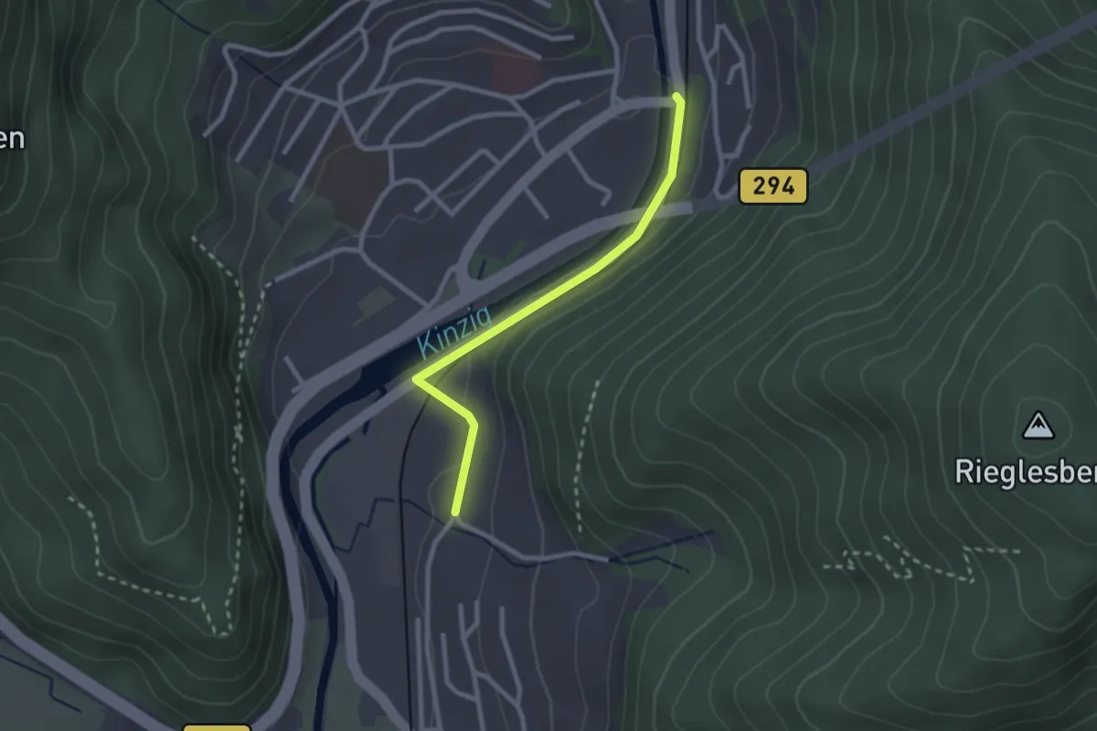
Easy · Trail
Schmittehof - Wolfach Siechenbrücke
2.2 km · ↑ 36 m · 37 min
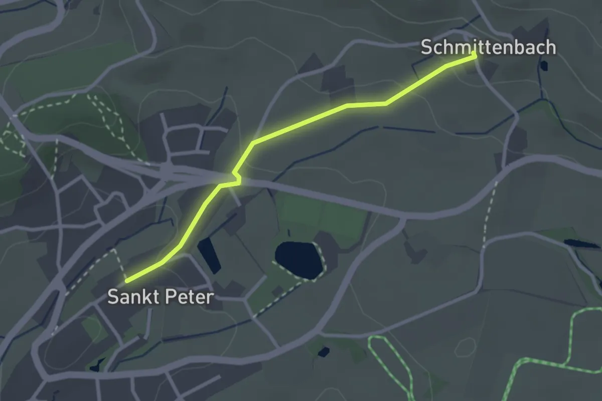
Easy · Trail
Schmittenbach - St.Peter Mühlegraben
2.4 km · ↑ 71 m · 43 min
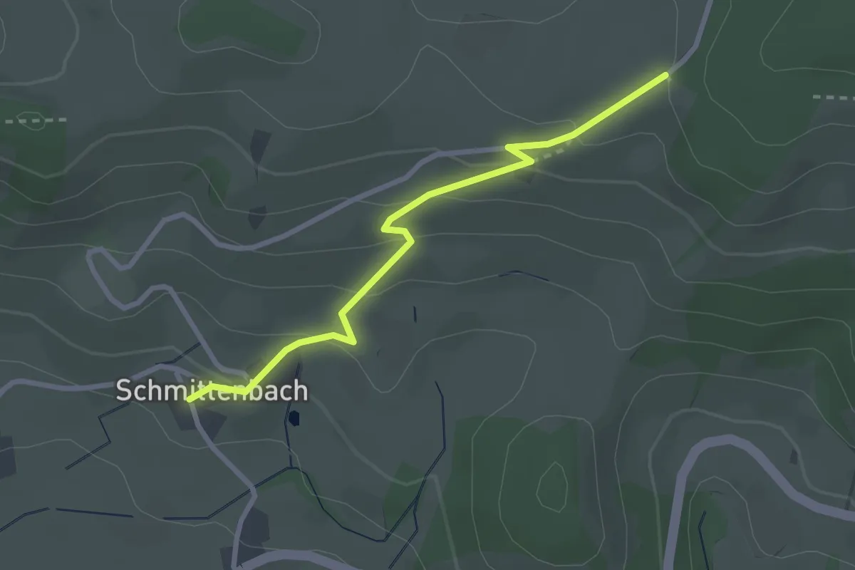
Easy · Trail
Schmittenbach - Vorderwillmen
2.6 km · ↑ 148 m · 56 min
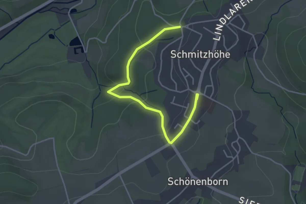
Easy · Trail
Schmitzhöhe Rundweg A1
1.7 km · ↑ 39 m · 31 min
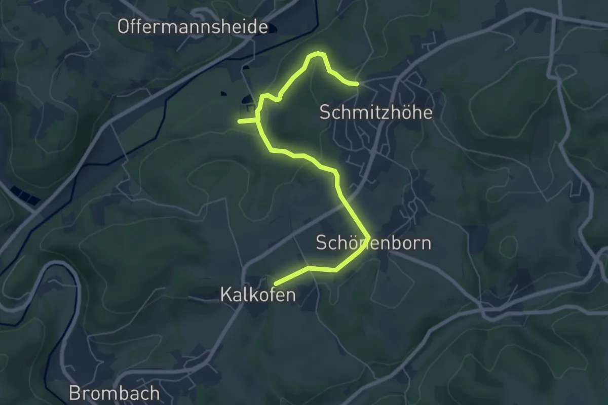
Easy · Trail
Schmitzhöhe Rundweg A2
3.1 km · ↑ 85 m · 58 min
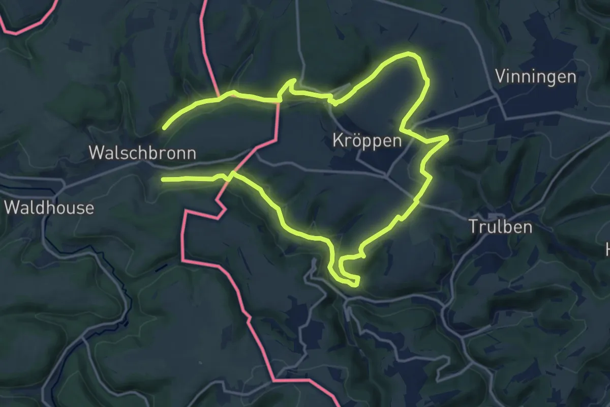
Medium · Trail
Schmugglerpfad
12.2 km · ↑ 249 m · 3 h 36 min
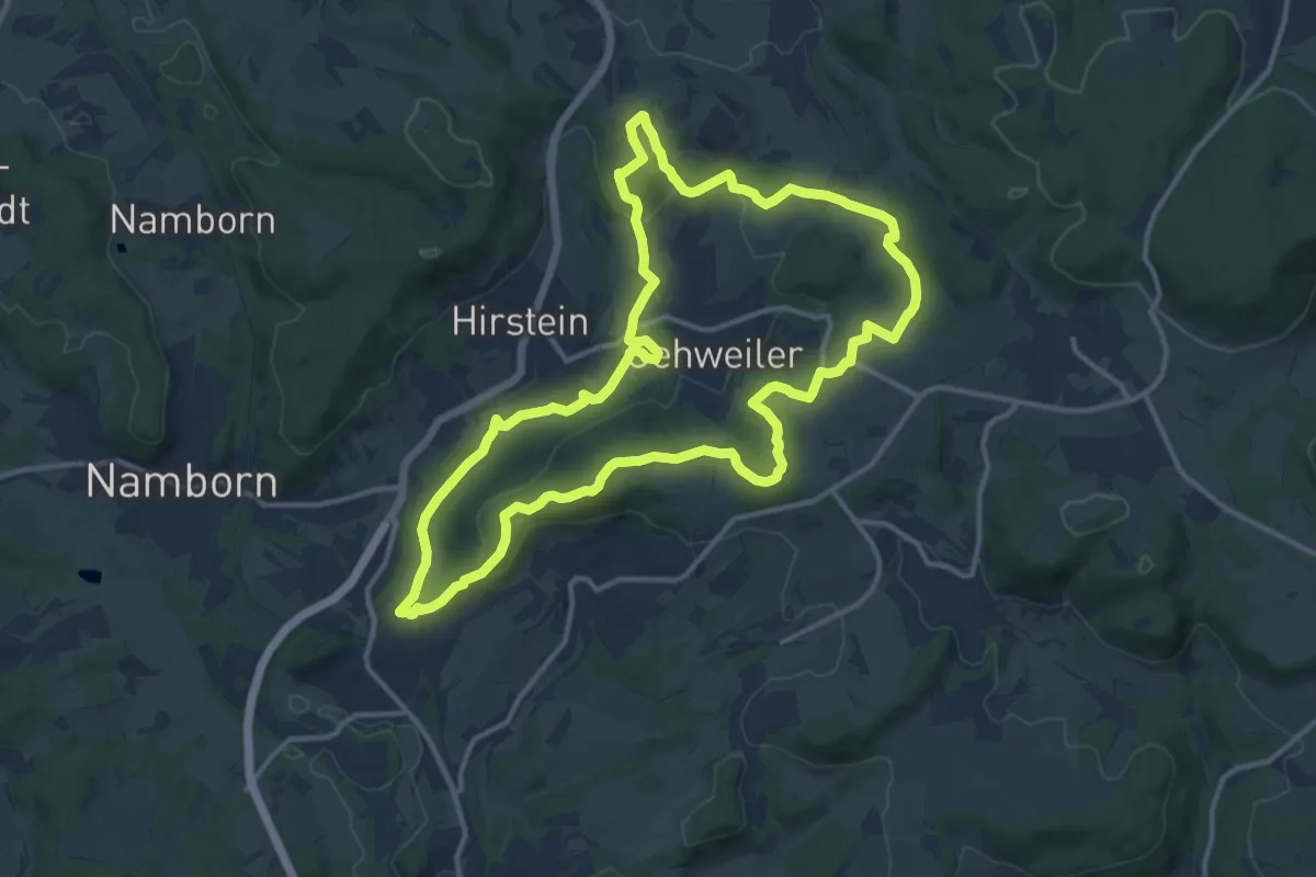
Medium · Summit
Schmugglerpfad
12.7 km · ↑ 388 m · 4 h 1 min
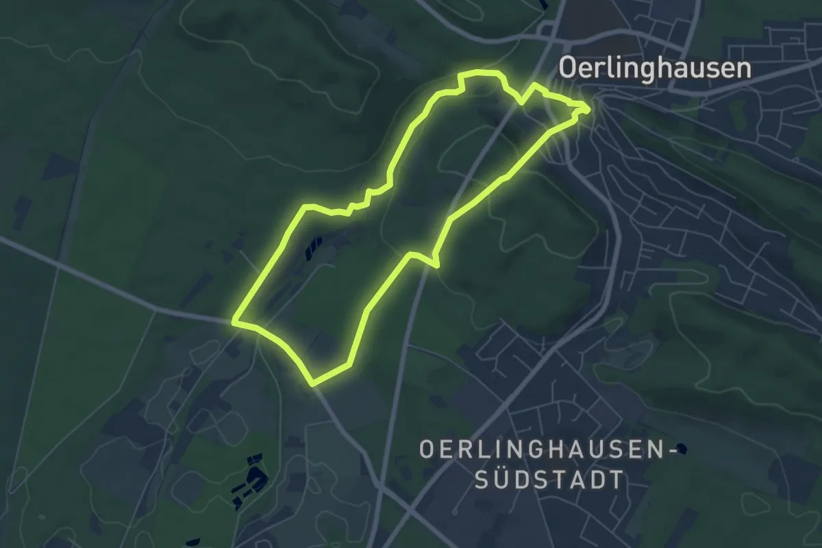
Easy · Trail
Schmugglertour
5.5 km · ↑ 126 m · 1 h 39 min
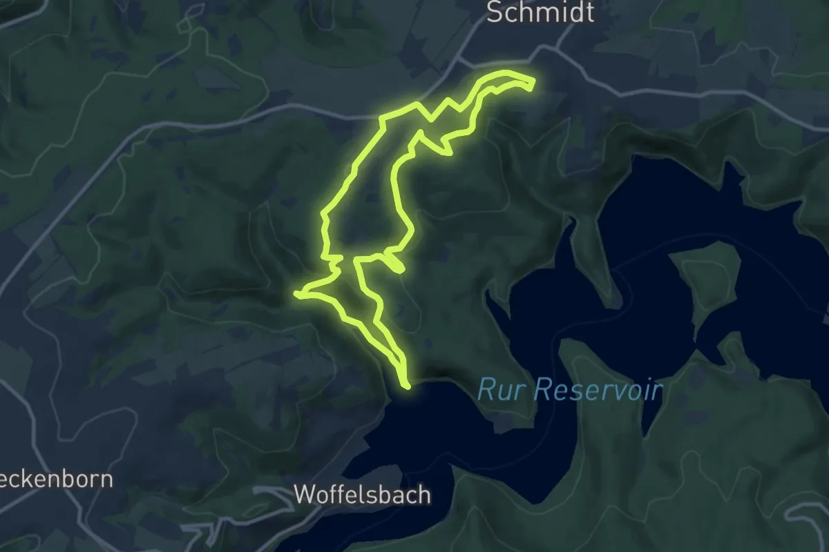
Medium · Trail
Schmugglerweg
9.3 km · ↑ 295 m · 2 h 58 min
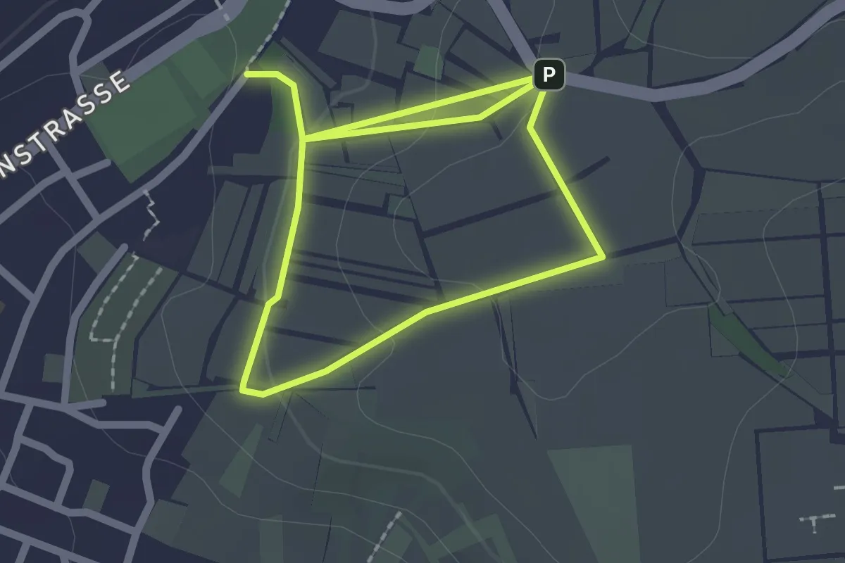
Easy · Trail
Schmunzelweg
1.6 km · ↑ 30 m · 29 min
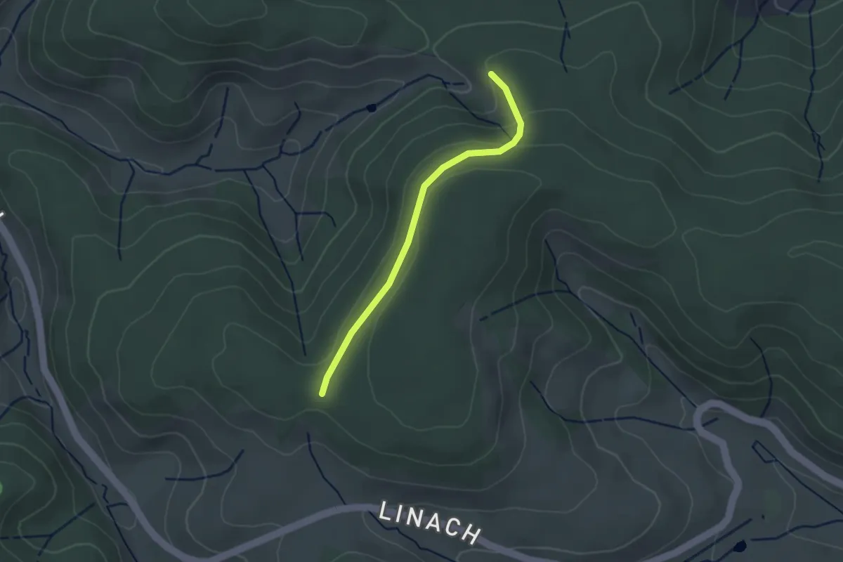
Easy · Trail
Schnabelskreuz - Leimoos
2.4 km · ↑ 85 m · 45 min
Medium · Trail
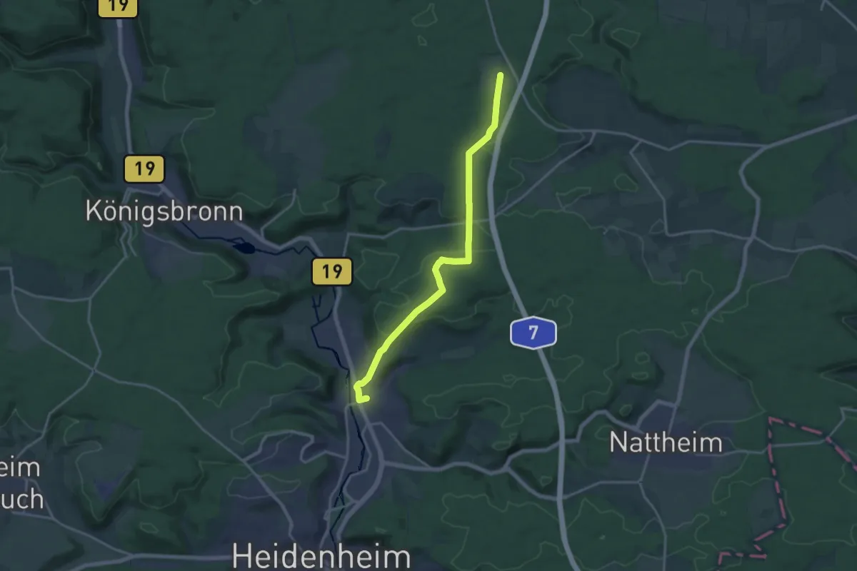
Schnaitheim - Nietheim
15.6 km · ↑ 366 m · 4 h 29 min
Easy · Trail
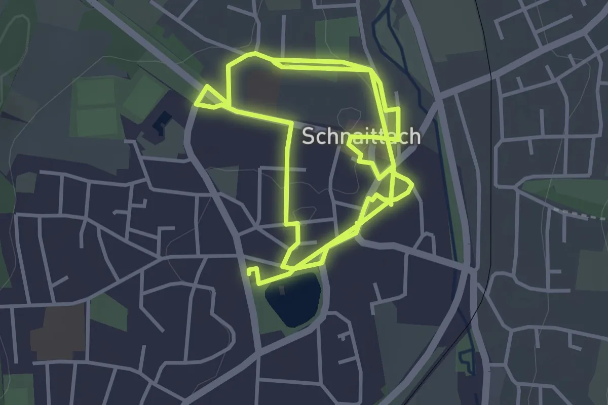
Schnaittacher Geschichtsweg
3.4 km · ↑ 20 m · 54 min
Easy · Trail
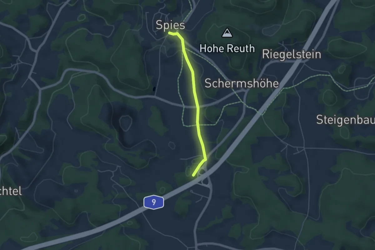
Schnaittach - Spies
3.7 km · ↑ 42 m · 58 min
Demanding · Trail
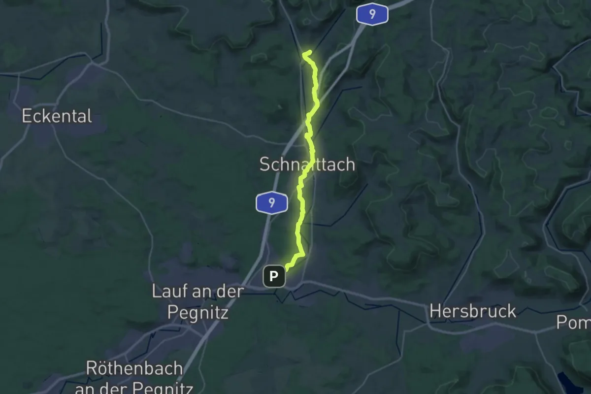
Schnaittachtalwanderweg
21.6 km · ↑ 242 m · 5 h 38 min