Trails in Germany
36,852 hiking trails, each with its route, climb, walking time and grade.
All trails, page 579 of 768
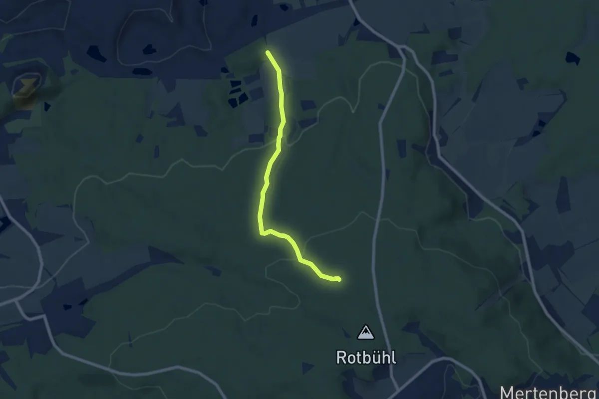
Easy · Trail
Schnaittenbach - Höflas - Buchberghütte
5.7 km · ↑ 188 m · 1 h 45 min
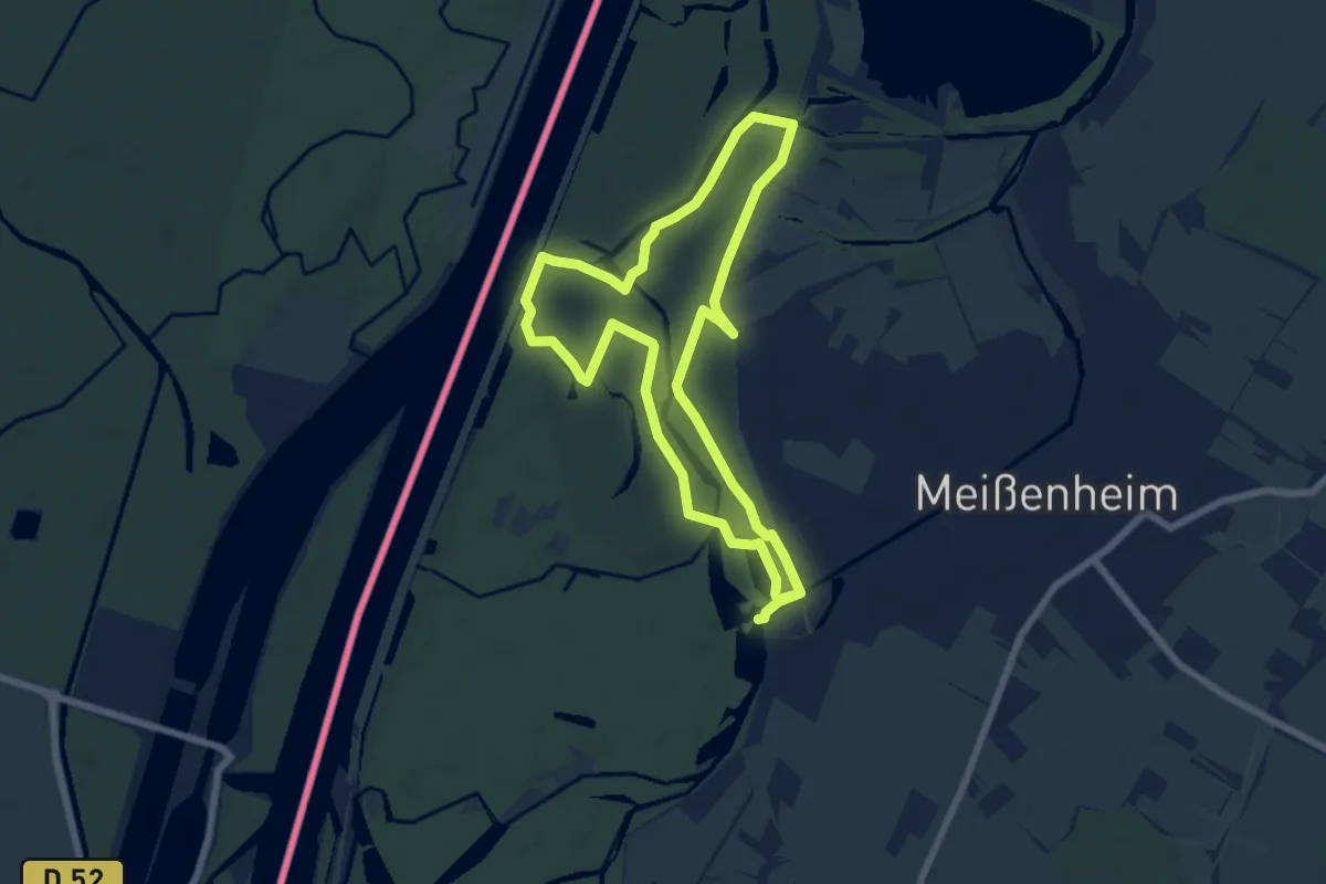
Easy · Trail
Schnakenpfad
6.4 km · ↑ 4 m · 1 h 37 min
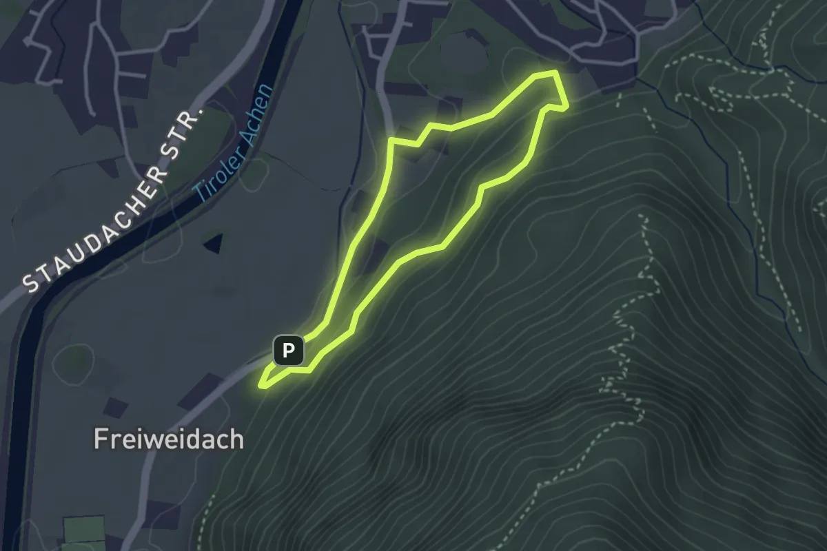
Easy · Trail
Schnappenwinkl-Rundweg
2.5 km · ↑ 101 m · 51 min
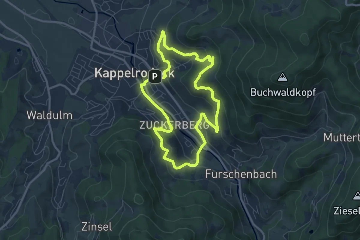
Easy · Trail
Schnapsbrunnenpfad
6.5 km · ↑ 265 m · 2 h 11 min
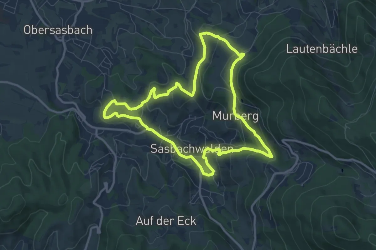
Easy · Trail
Schnapsbrunnenweg 1
7.8 km · ↑ 310 m · 2 h 37 min
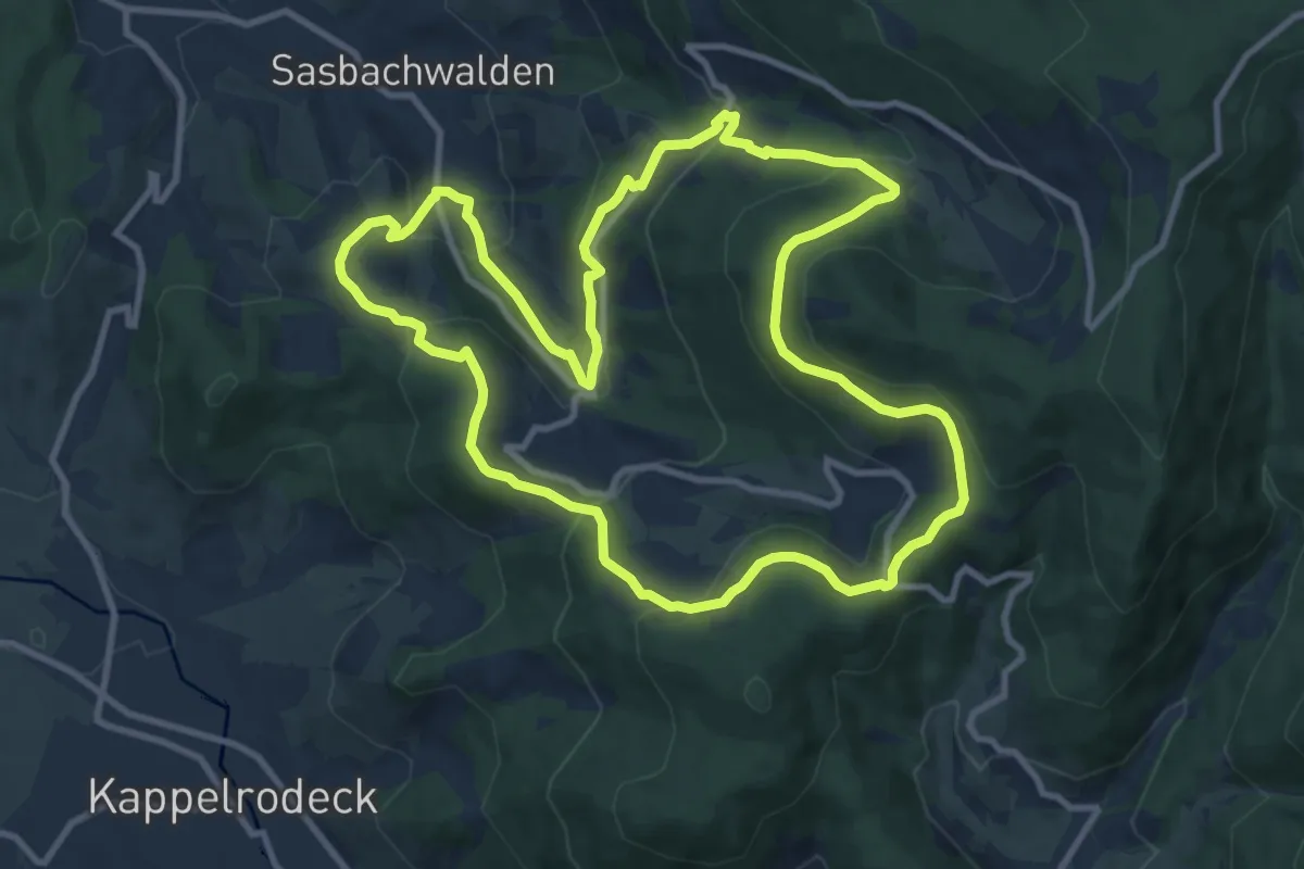
Medium · Trail
Schnapsbrunnenweg 2
10.3 km · ↑ 455 m · 3 h 34 min
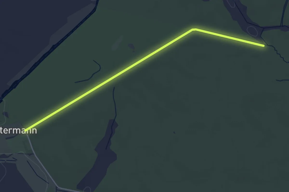
Easy · Trail
Schnatermannweg
1.9 km · ↑ 9 m · 29 min
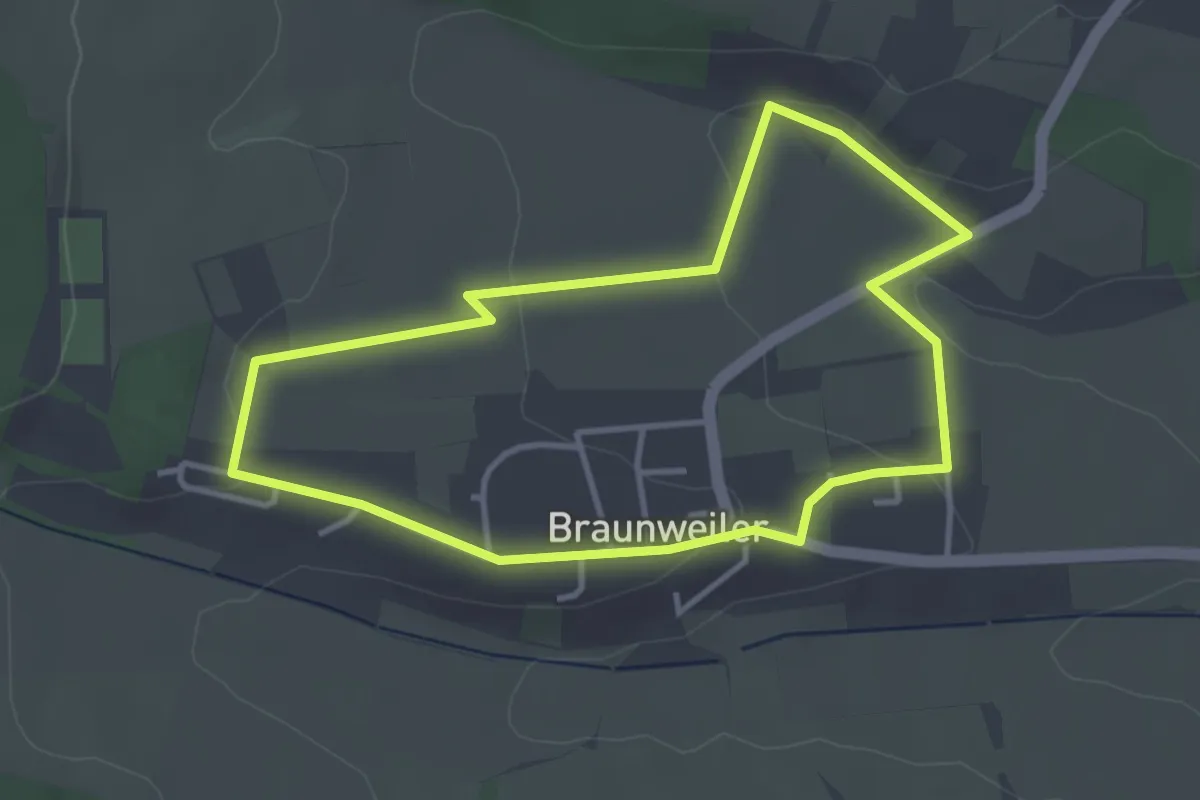
Easy · Trail
Schneckenpfad
3.3 km · ↑ 59 m · 57 min
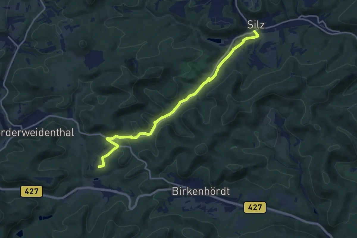
Medium · Trail
Schneckenpfad: Silz <=> Bethof
11.4 km · ↑ 172 m · 3 h 3 min
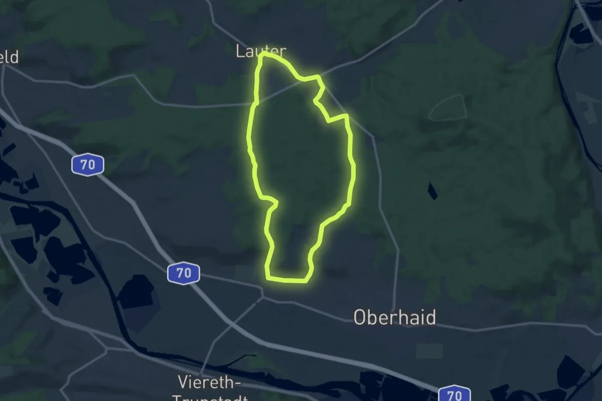
Medium · Trail
Schnecken-Wanderweg Lauter
9.9 km · ↑ 147 m · 2 h 48 min
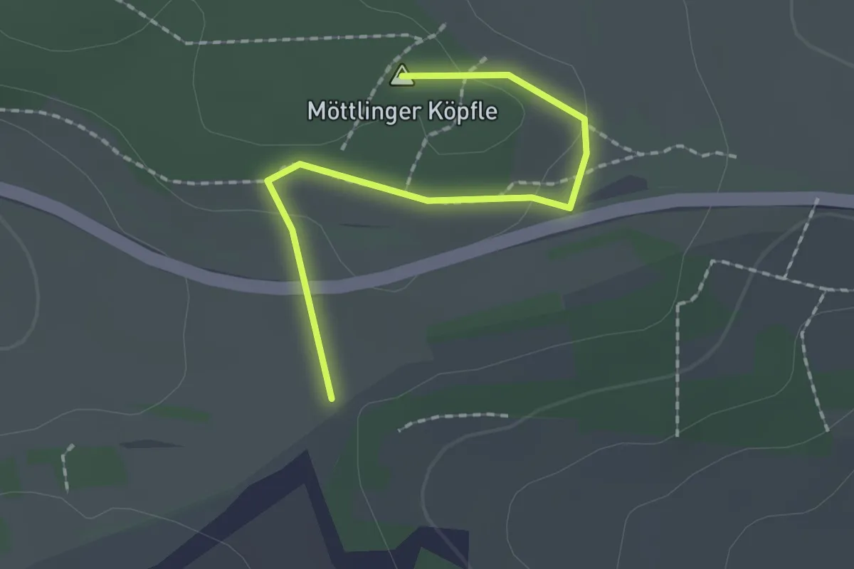
Easy · Summit
Schneckenweg
1.8 km · ↑ 24 m · 28 min
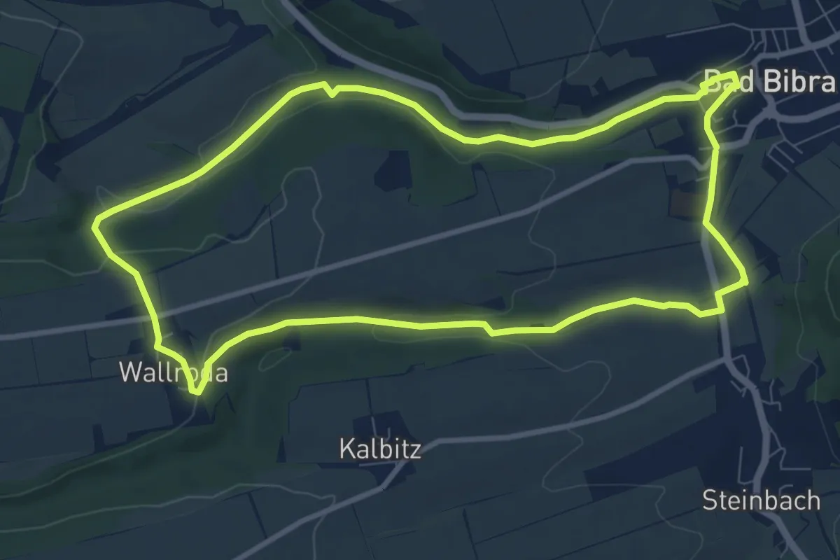
Medium · Trail
Schnecktalweg
8.1 km · ↑ 110 m · 2 h 16 min
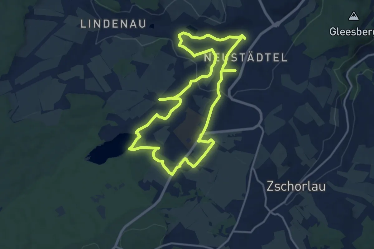
Medium · Trail
Schneeberg-Neustädtler Bergbaulehrpfad
9.9 km · ↑ 191 m · 2 h 53 min
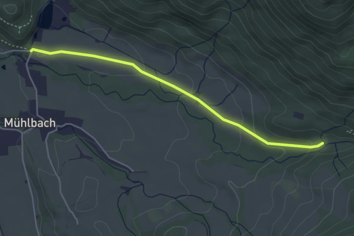
Easy · Trail
Schneeflocke 01
3.8 km · ↑ 116 m · 1 h 9 min
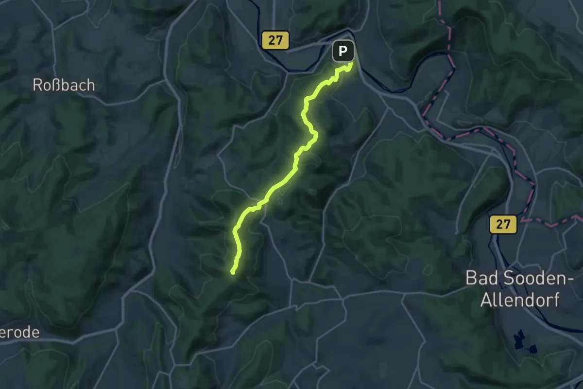
Medium · Summit
Schneehagenweg
15.1 km · ↑ 518 m · 4 h 42 min
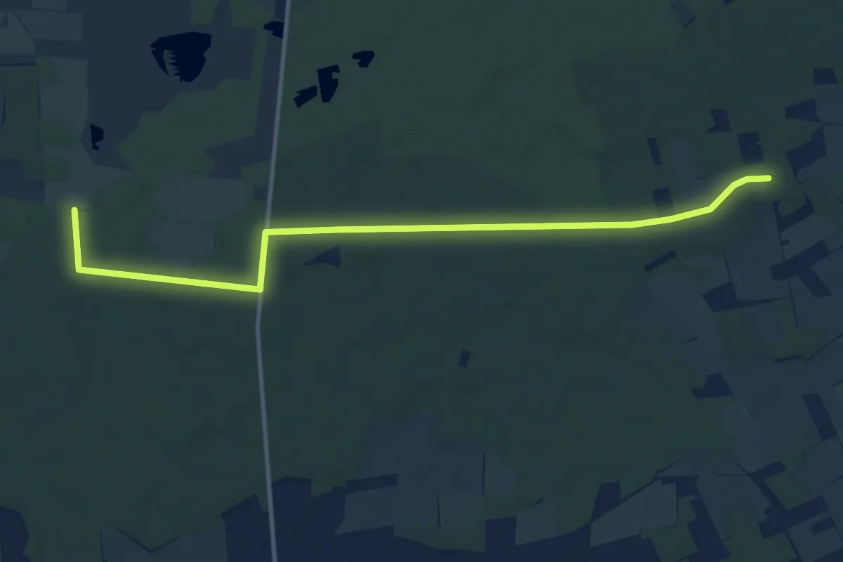
Medium · Trail
Schneeren Rundwanderweg S2
10.3 km · ↑ 54 m · 2 h 33 min
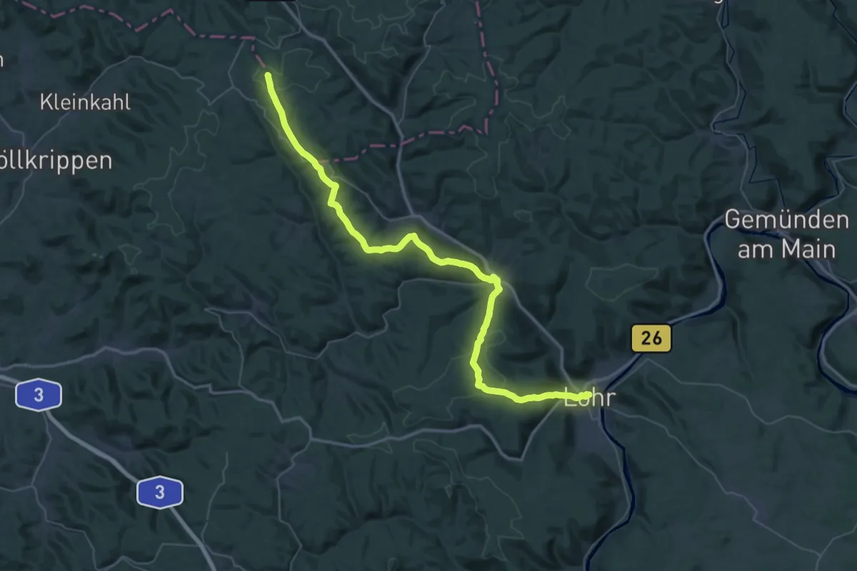
Demanding · Summit
Schneewittchenweg, Stadt Lohr a. M.
51.4 km · ↑ 1215 m · 14 h 46 min
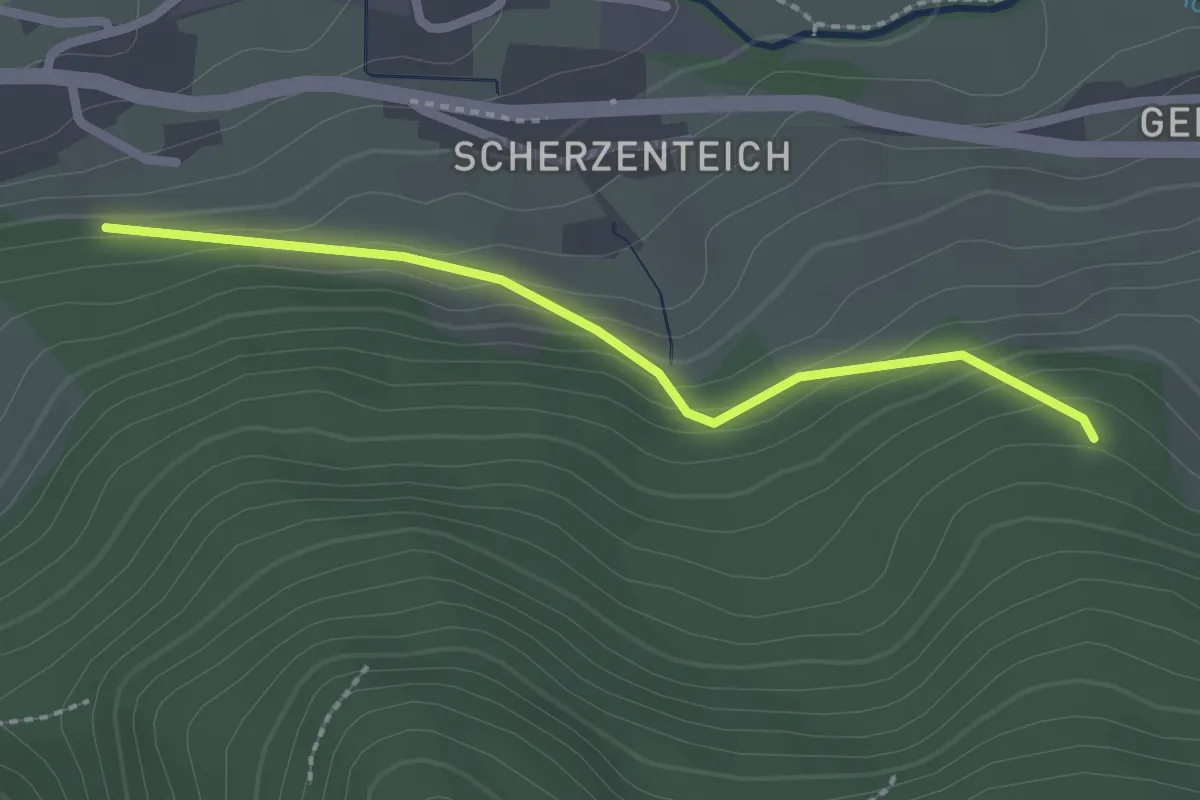
Easy · Trail
Schneiderhof - Überm Geisdörfle
2.1 km · ↑ 121 m · 45 min
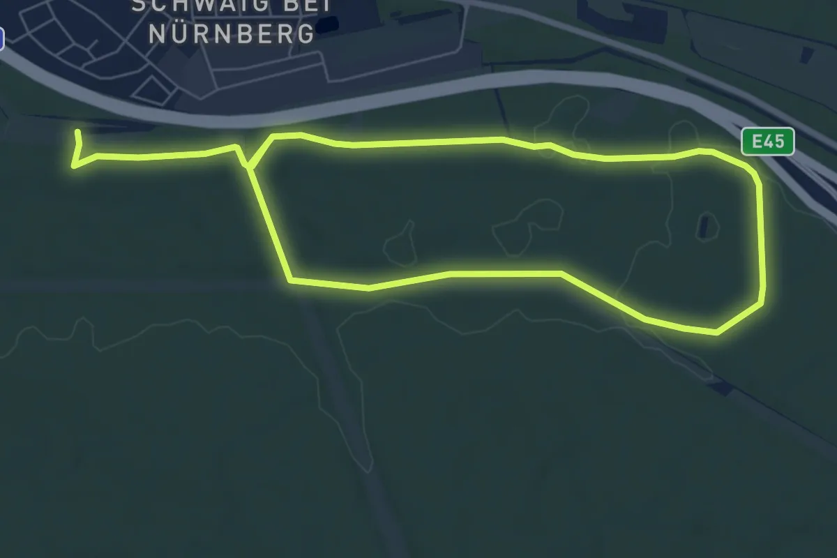
Medium · Trail
Schneidersbach Trail
11.5 km · ↑ 66 m · 2 h 52 min
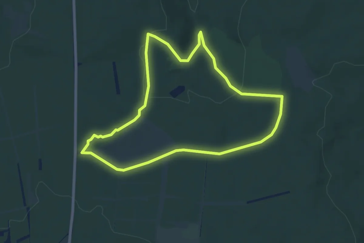
Easy · Trail
Schneidersbaum, Rundweg 6
4.5 km · ↑ 77 m · 1 h 18 min
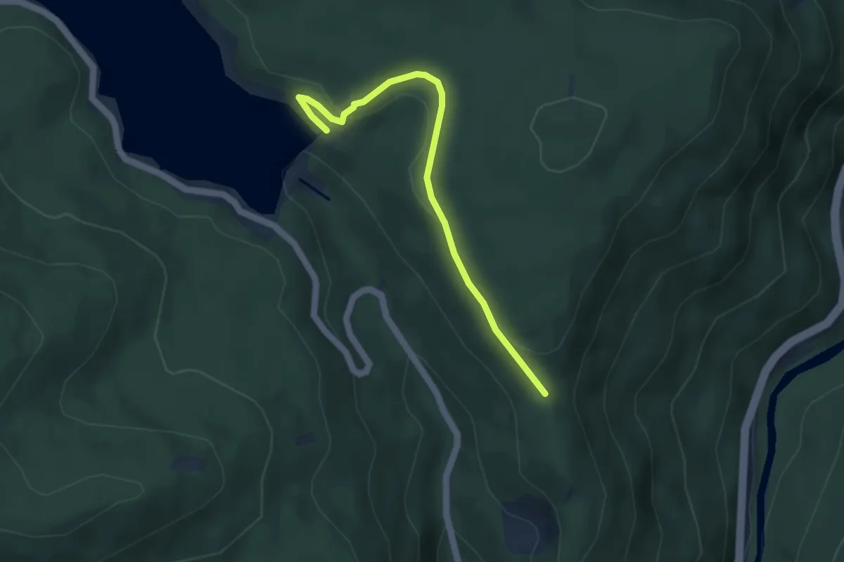
Easy · Trail
Schneiderskopfsattel - Schwarzenbachmauer
3.8 km · ↑ 87 m · 1 h 6 min
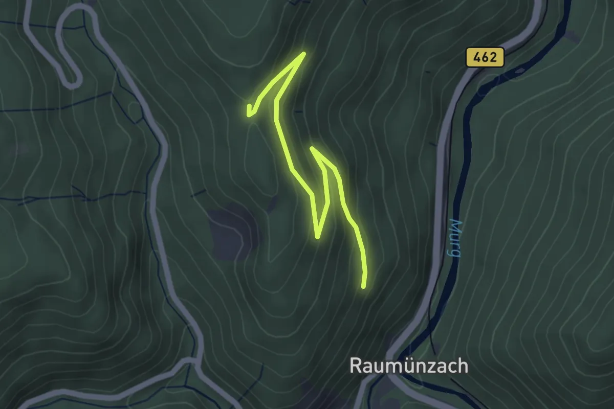
Easy · Trail
Schneiderskopf - Schneiderskopfsattel
3.9 km · ↑ 159 m · 1 h 15 min
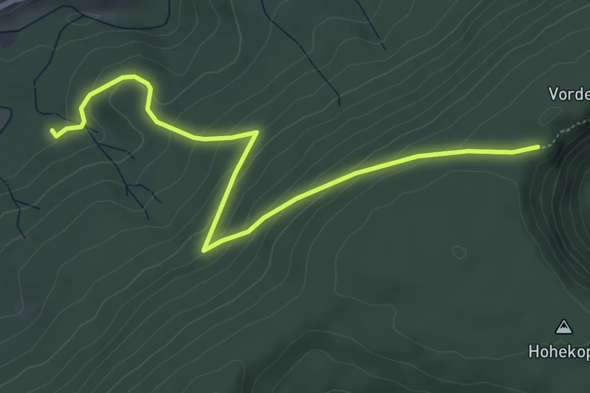
Medium · Trail
Schneidersplatz Süd - Schurmseehöhe
5.7 km · ↑ 297 m · 1 h 59 min
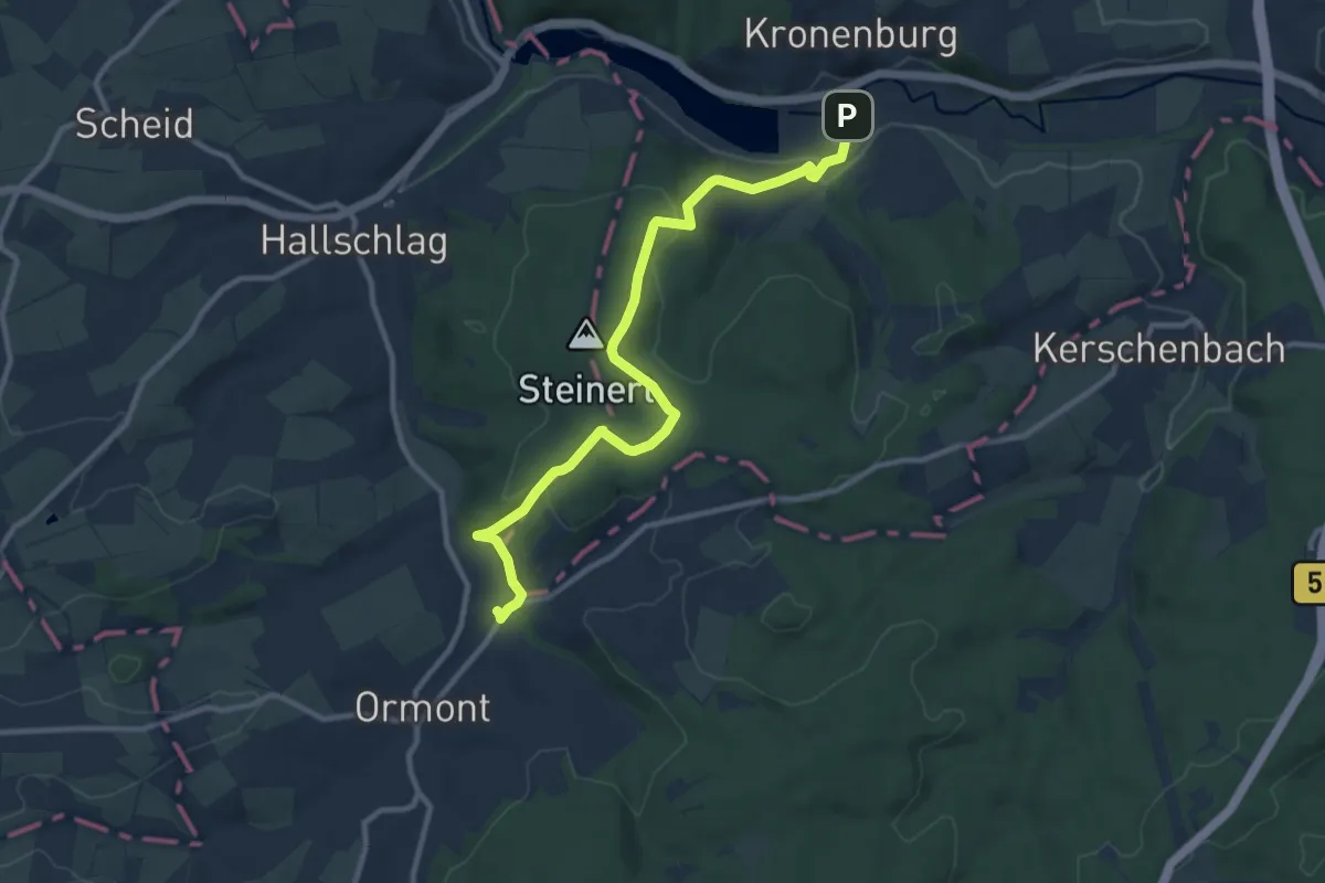
Medium · Trail
Schneifelpfad
10.1 km · ↑ 275 m · 2 h 59 min
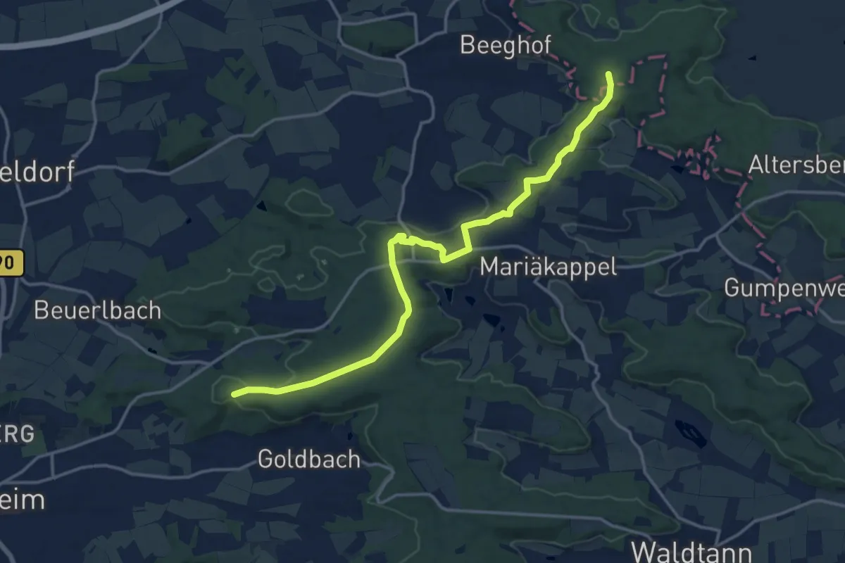
Medium · Summit
Schnelldorf - Crailsheim
15.0 km · ↑ 179 m · 3 h 55 min
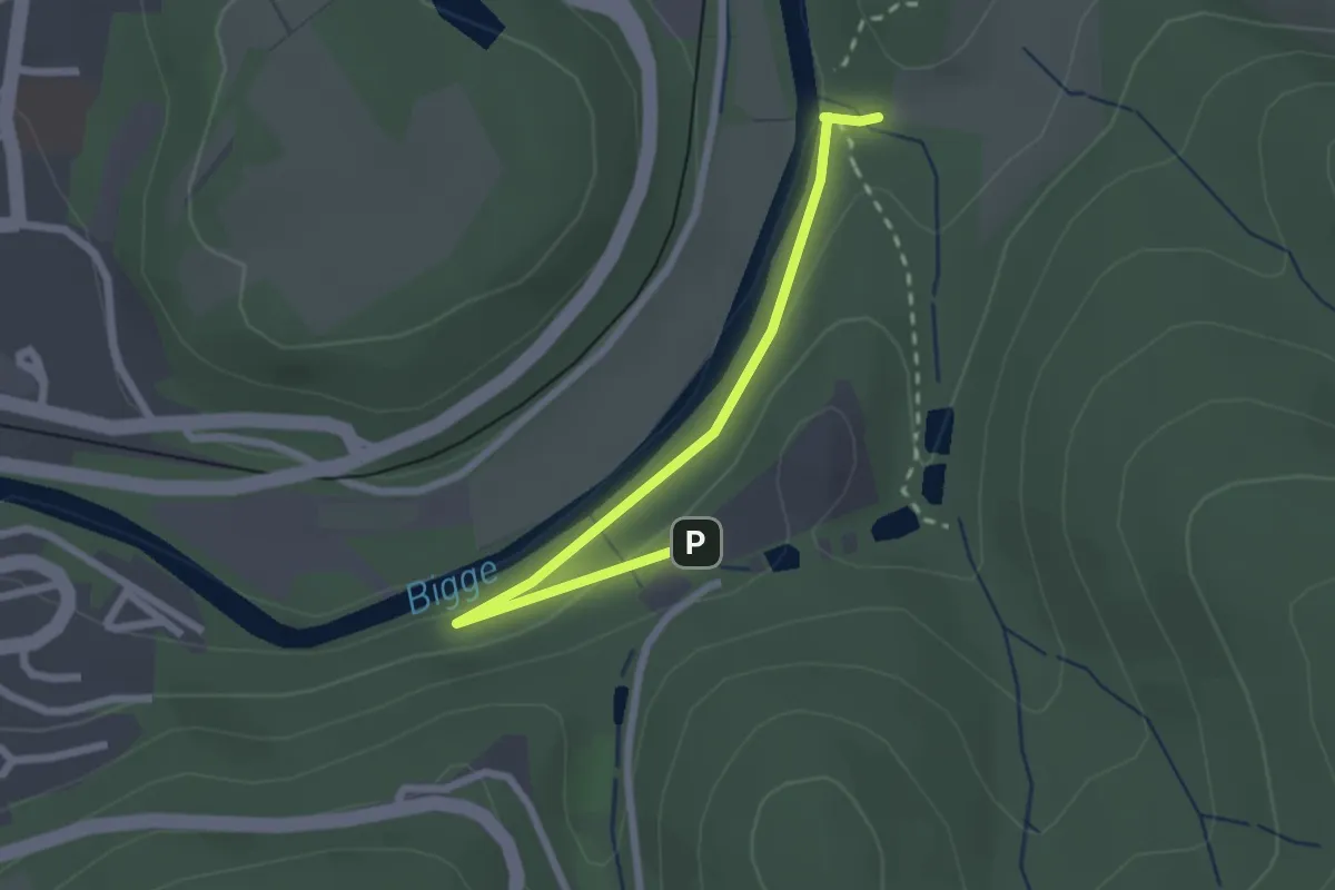
Easy · Trail
Schnellenberg Rundweg A1
2.2 km · ↑ 73 m · 41 min
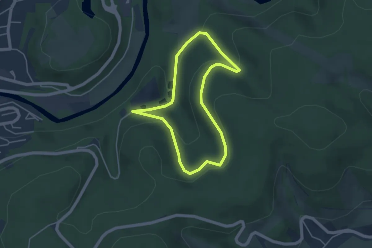
Easy · Trail
Schnellenberg Rundweg A2
2.9 km · ↑ 113 m · 58 min
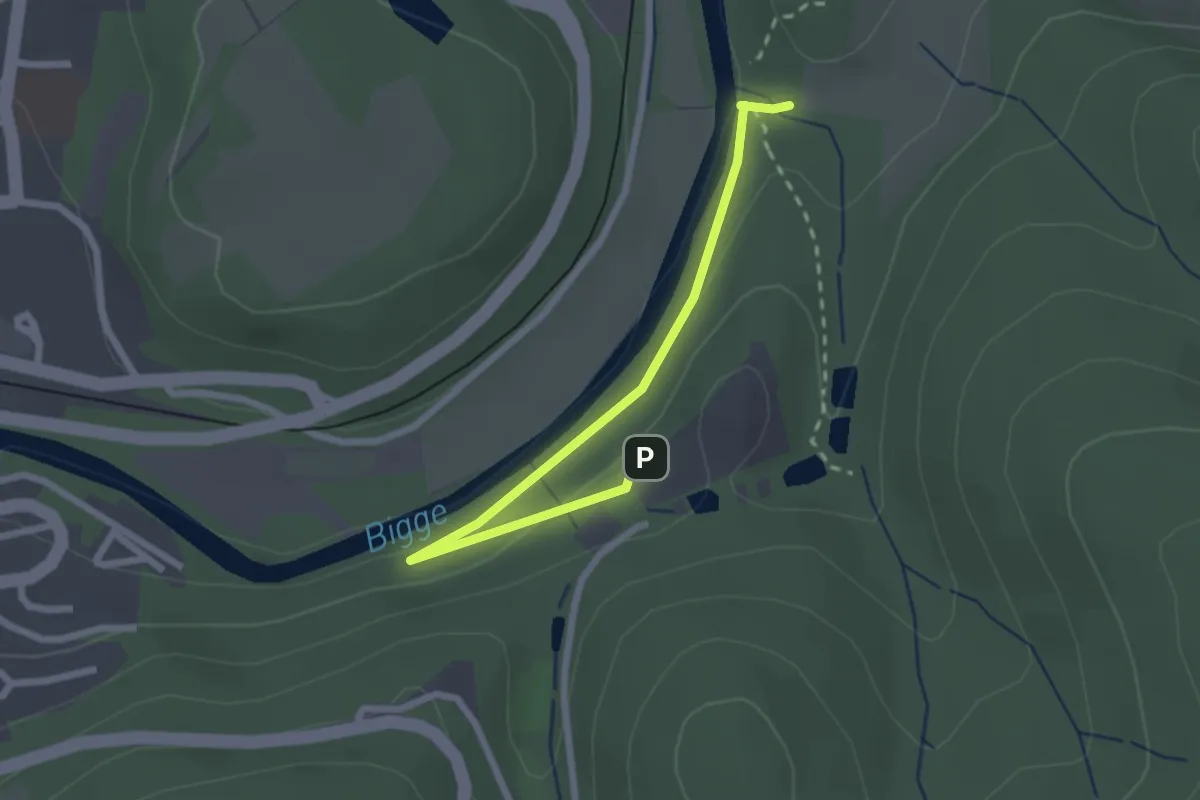
Easy · Trail
Schnellenberg Rundweg A4
2.3 km · ↑ 66 m · 41 min
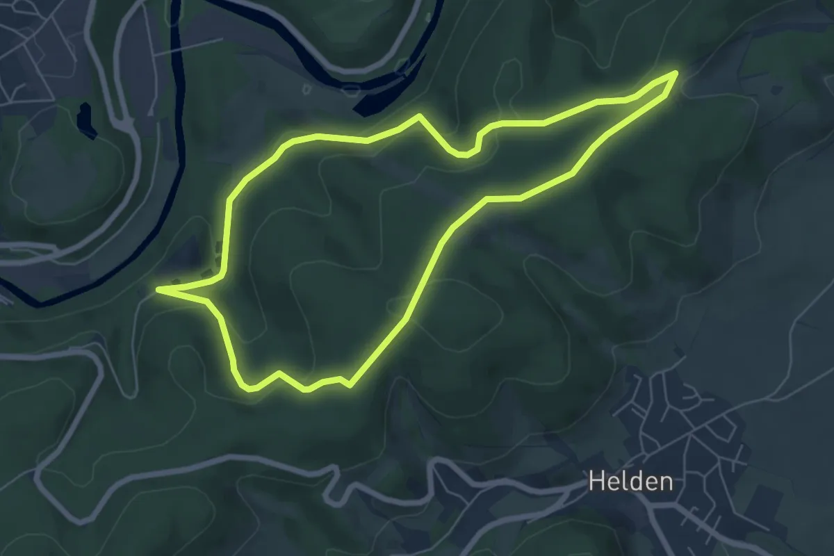
Easy · Summit
Schnellenberg Rundweg A5
5.7 km · ↑ 189 m · 1 h 50 min
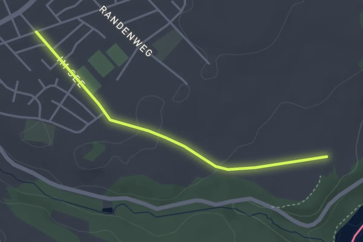
Easy · Trail
Schnellgalgen - fixme
3.2 km · ↑ 28 m · 49 min
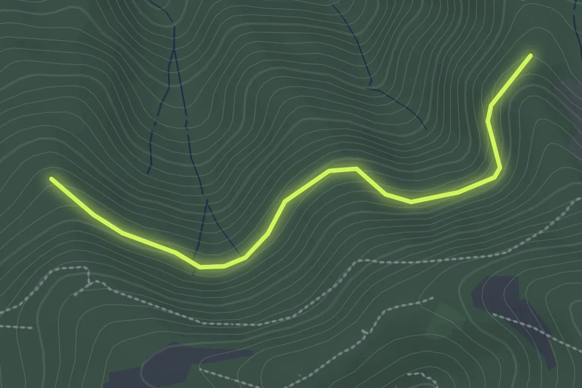
Easy · Trail
Schnellinghalde - Heitersheimer Rank
2.8 km · ↑ 102 m · 52 min
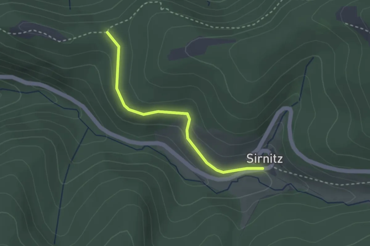
Easy · Trail
Schnelling - Sirnitz Auerhahn
2.4 km · ↑ 50 m · 40 min
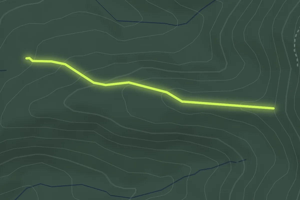
Easy · Trail
Schnepfenheck - Schwarzer Gehr
2.4 km · ↑ 138 m · 52 min
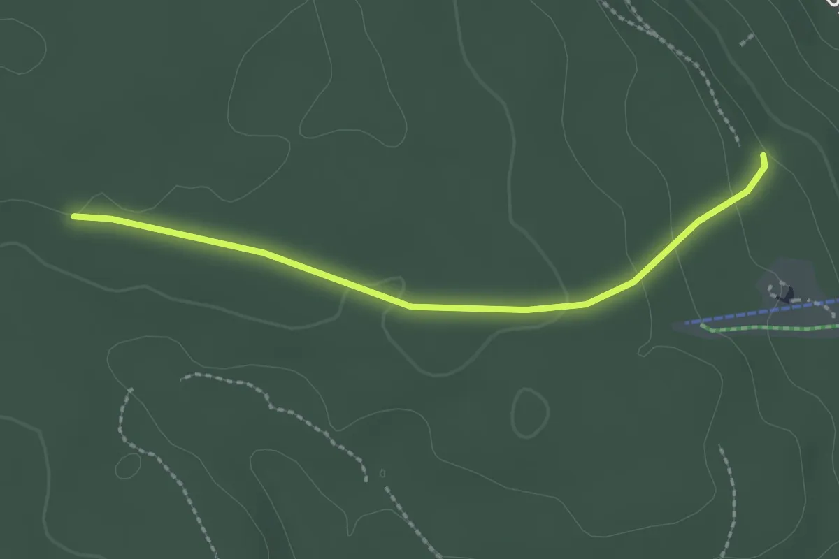
Easy · Trail
Schnepfenloch - Zollernblicksteige
2.1 km · ↑ 58 m · 38 min
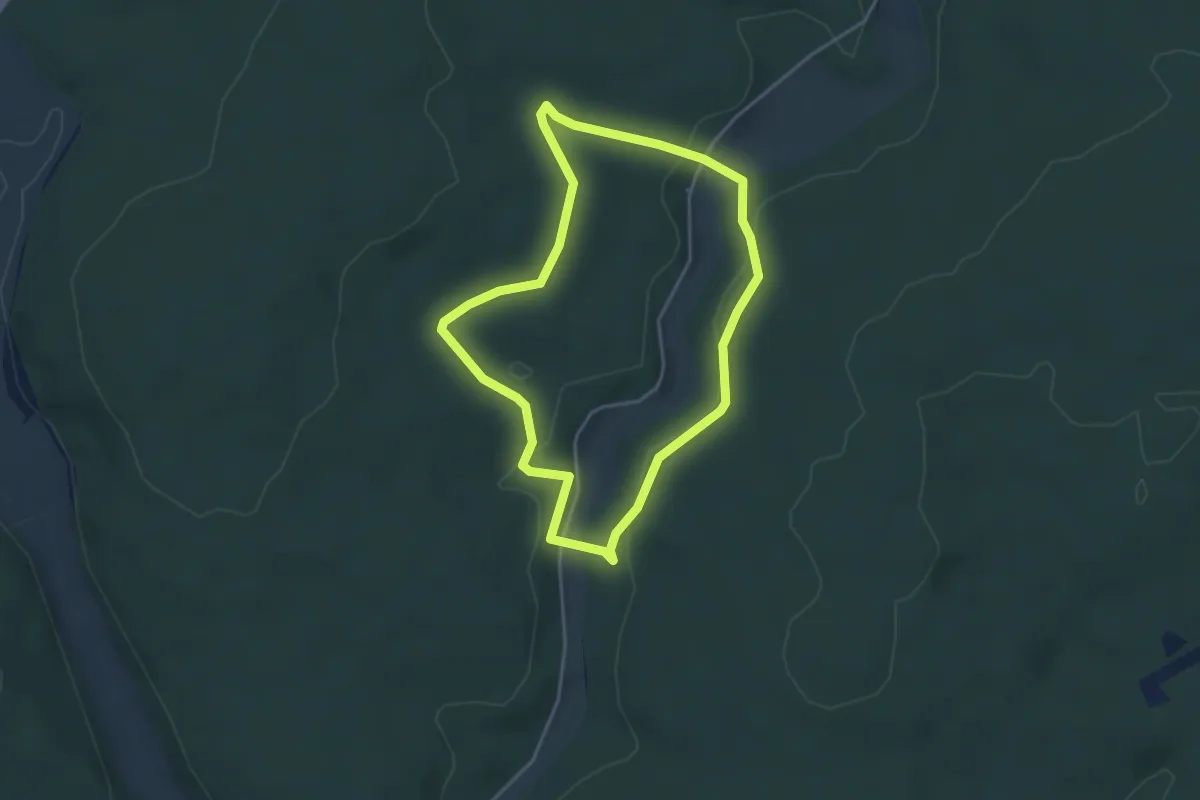
Easy · Trail
Schnepfe rot
3.4 km · ↑ 72 m · 1 h 1 min
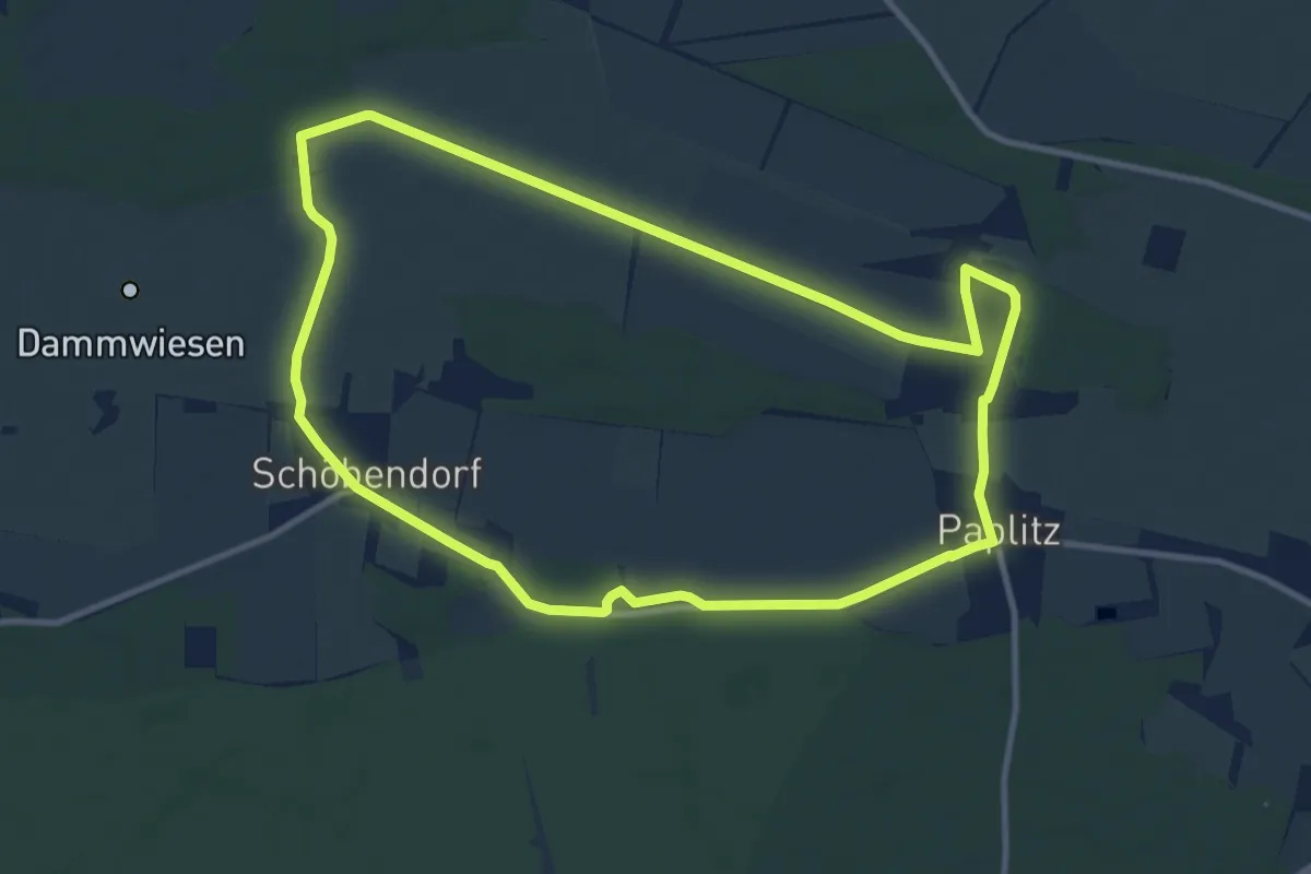
Medium · Trail
Schöbendorfer Buschweg
9.8 km · ↑ 18 m · 2 h 29 min
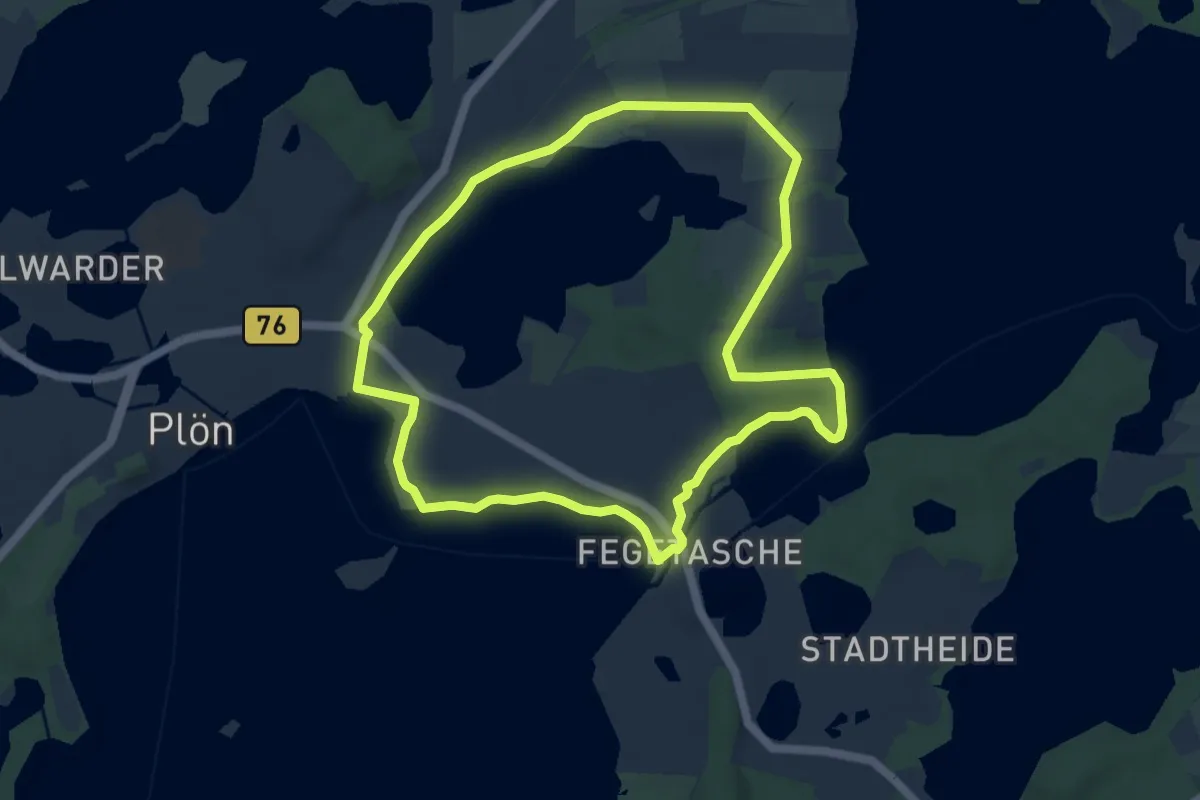
Medium · Trail
Schöhsee
7.4 km · ↑ 72 m · 2 h 1 min
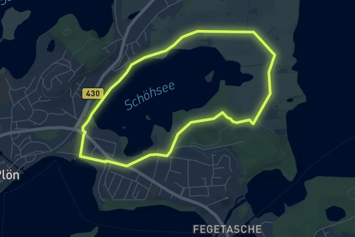
Easy · Trail
Schöhsee-Rundweg
5.3 km · ↑ 47 m · 1 h 25 min
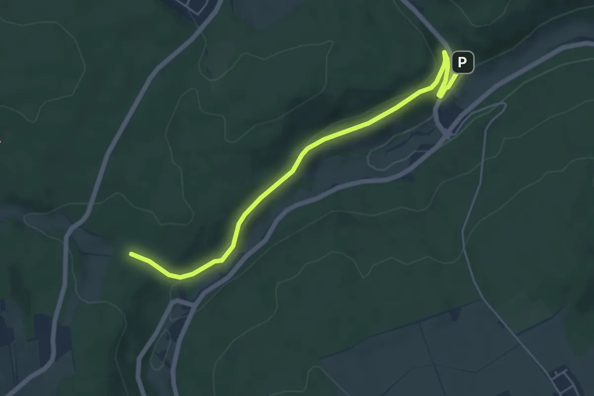
Easy · Trail
Schöllbronner Mühle - Tannenbachbrückle
4.9 km · ↑ 90 m · 1 h 22 min
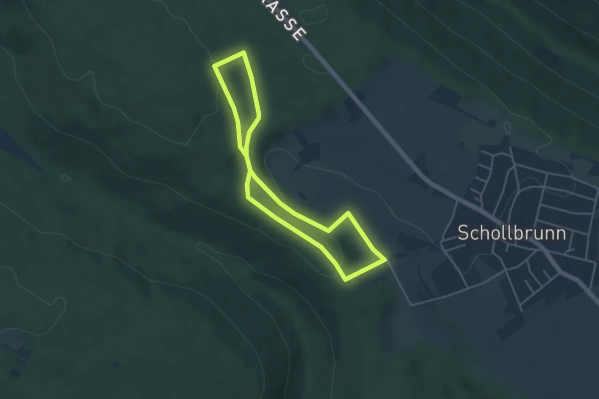
Easy · Trail
Schollis Naturlehrpfad
3.1 km · ↑ 72 m · 55 min
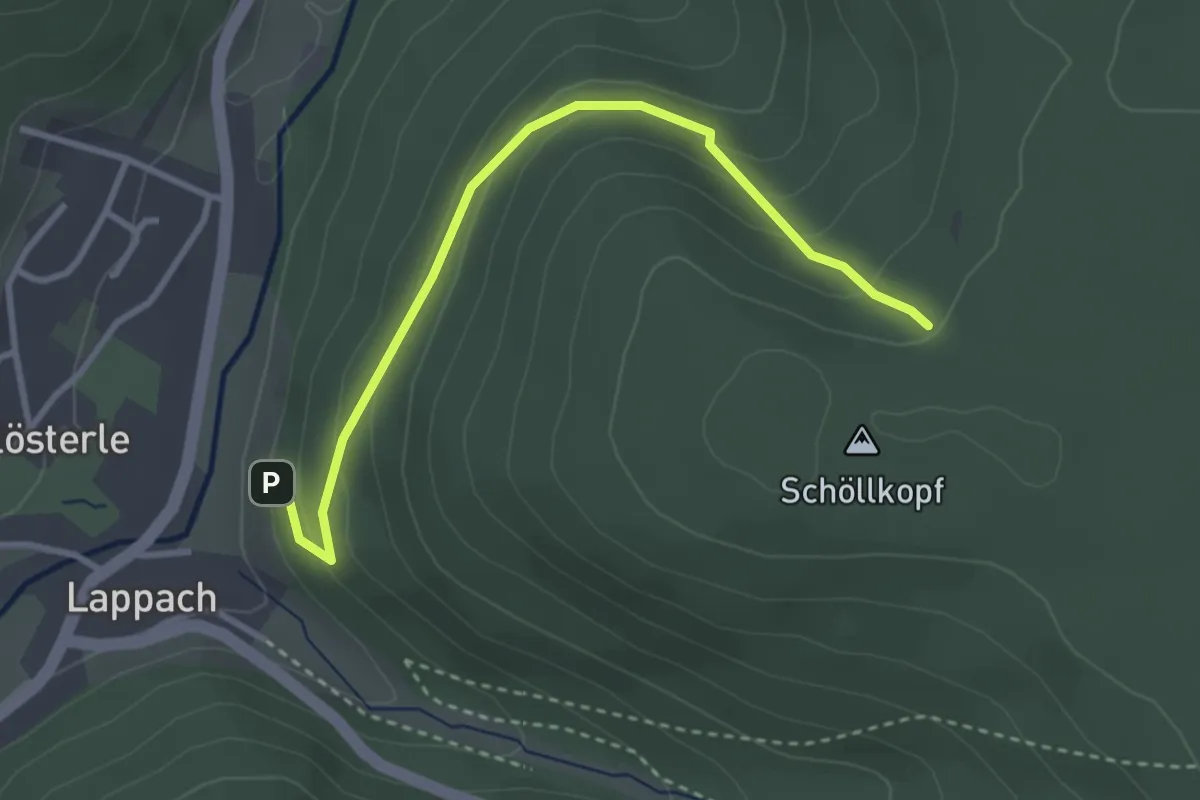
Easy · Trail
Schöllkopf - Heidelbeerplatz
3.2 km · ↑ 184 m · 1 h 10 min
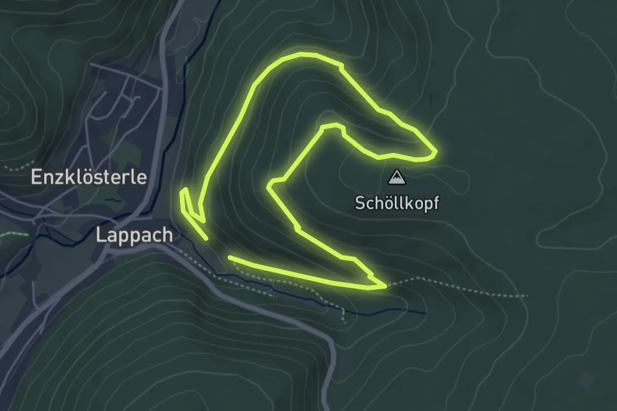
Easy · Summit
Schöllkopfsteige - Oberamtsgrenze
4.1 km · ↑ 208 m · 1 h 28 min
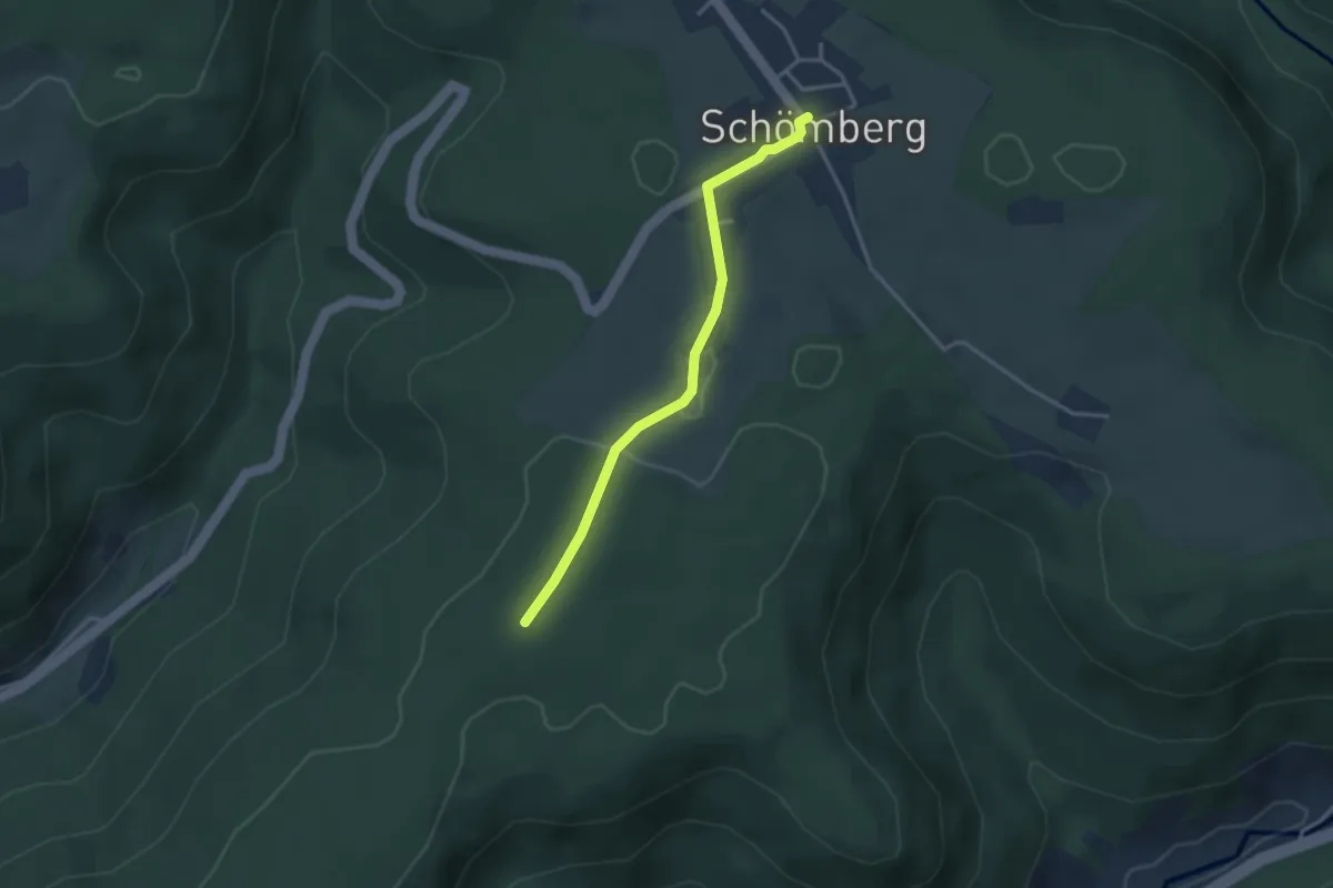
Easy · Trail
Schömberg Rathaus - Heilenberg
2.9 km · ↑ 22 m · 45 min
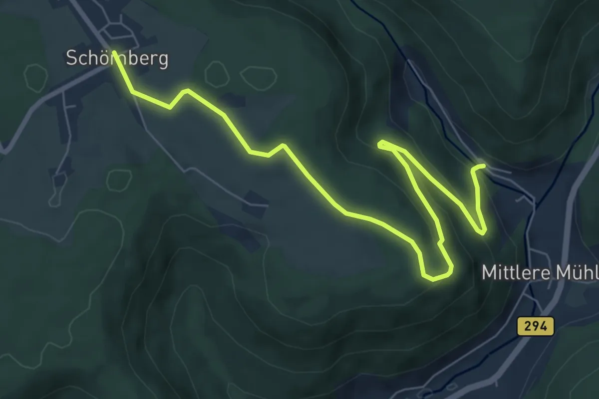
Easy · Trail
Schömberg Rathaus - Lohmühletal
7.6 km · ↑ 219 m · 2 h 16 min
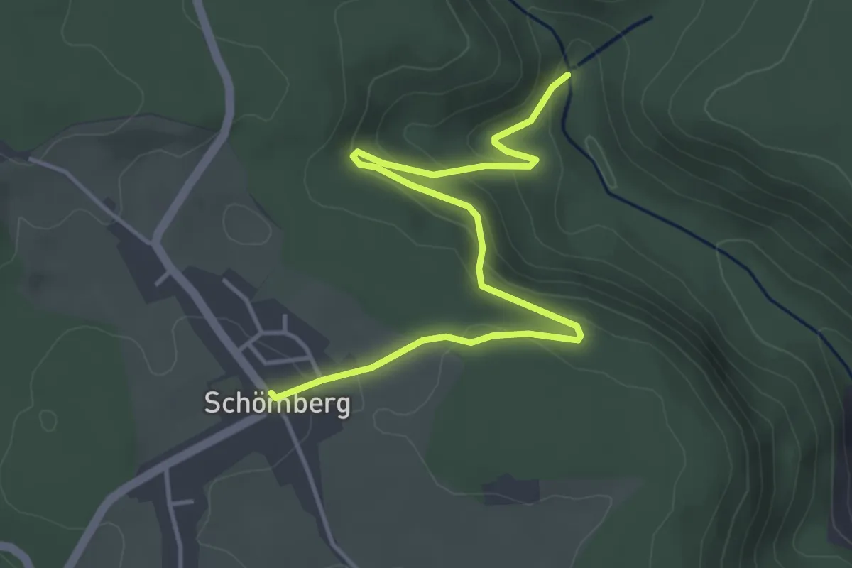
Easy · Trail
Schömberg Rathaus - Schömberger Hang
4.4 km · ↑ 177 m · 1 h 25 min
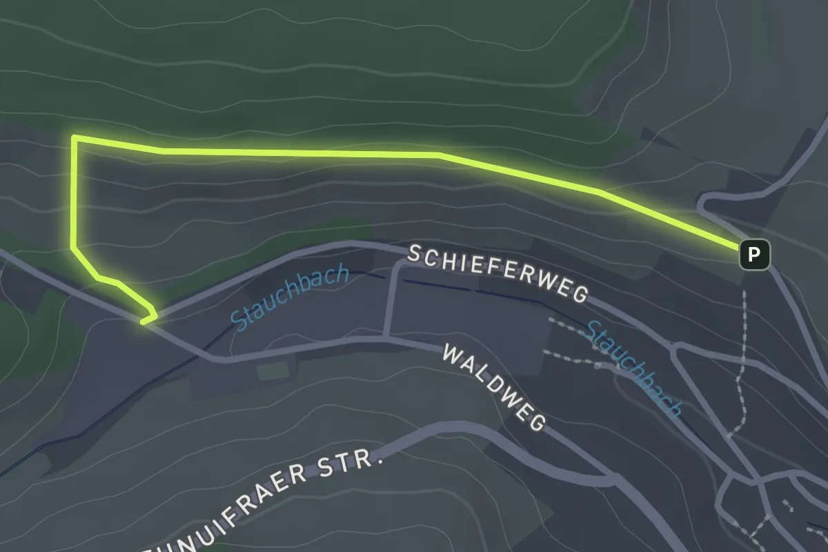
Easy · Trail
Schömberg - Stauchwiesen
2.6 km · ↑ 77 m · 46 min
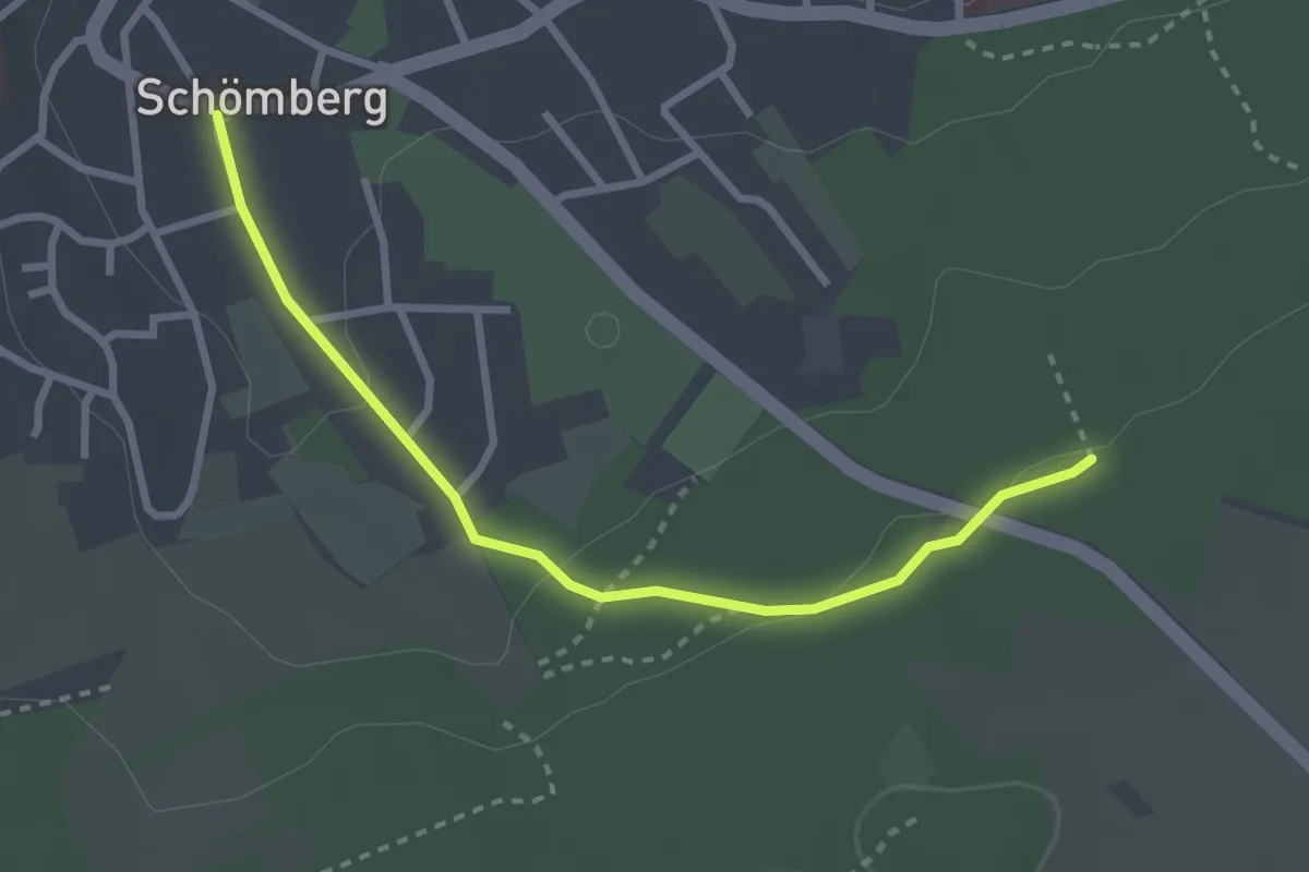
Easy · Trail
Schömberg Wanderroute 10
2.8 km · ↑ 62 m · 47 min
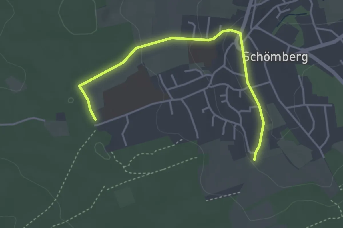
Easy · Trail
Schömberg Wanderroute 4
3.5 km · ↑ 90 m · 1 h 1 min