Trails in Germany
36,852 hiking trails, each with its route, climb, walking time and grade.
All trails, page 580 of 768
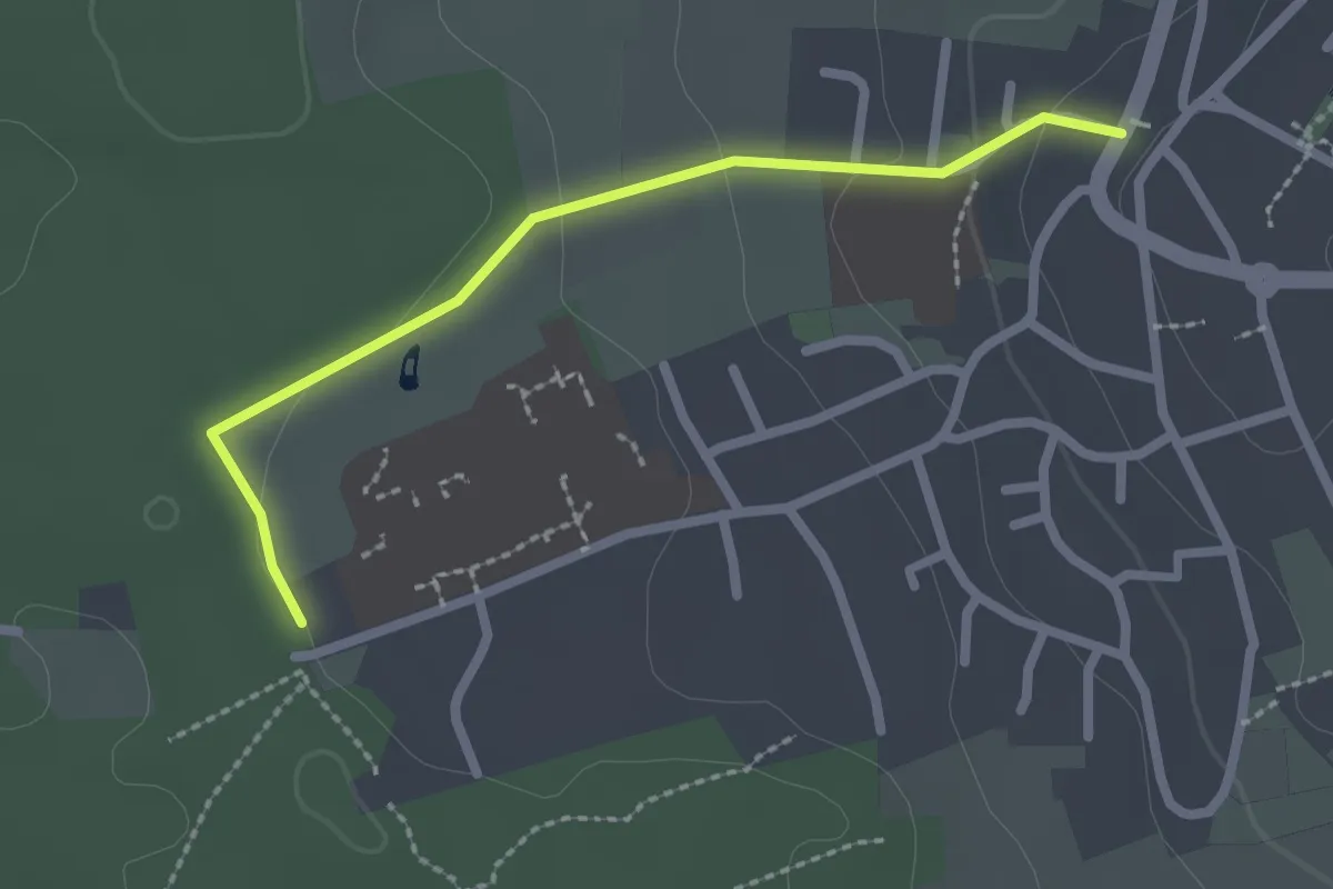
Easy · Trail
Schömberg Wanderroute 5
2.2 km · ↑ 59 m · 38 min
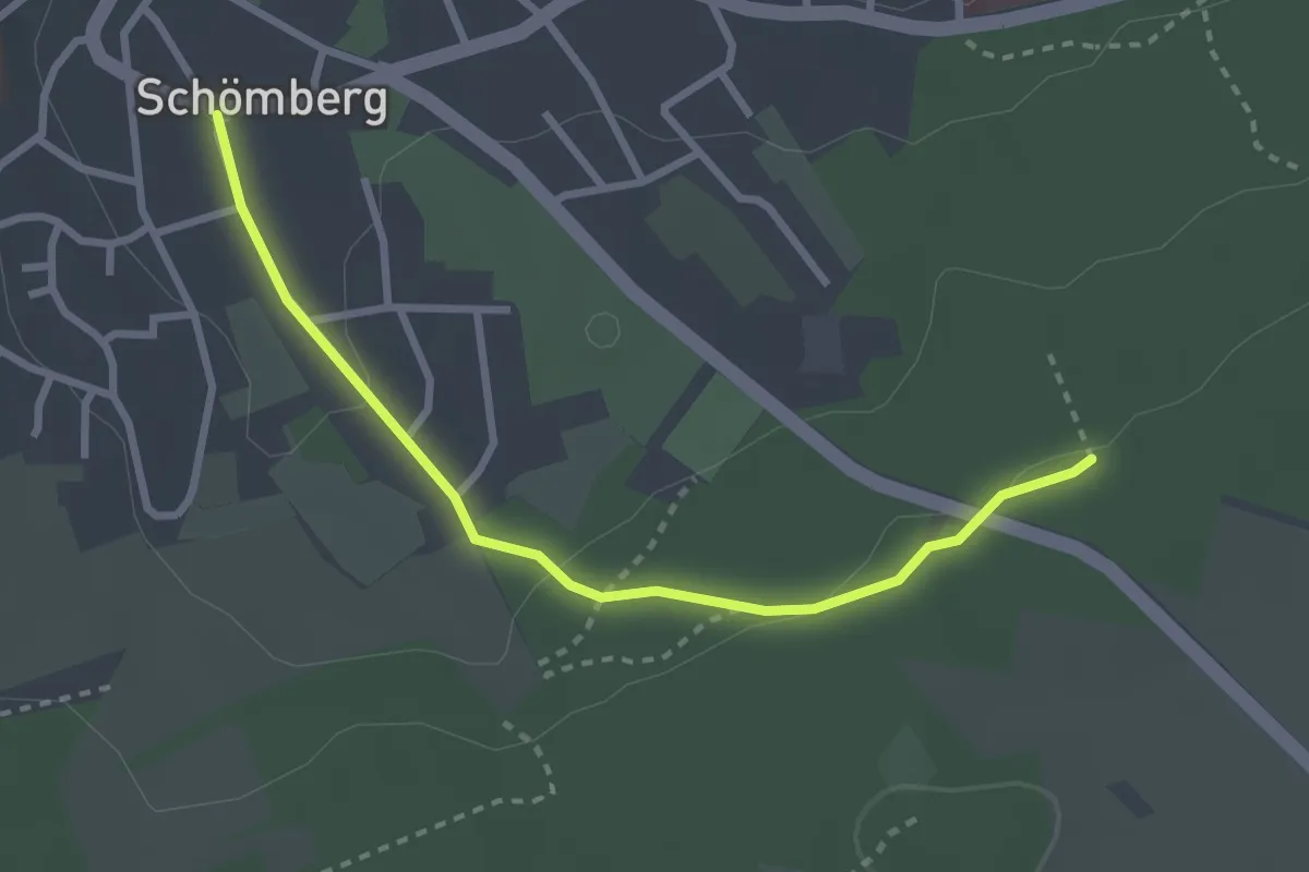
Easy · Trail
Schömberg Wanderroute 9
2.8 km · ↑ 62 m · 47 min
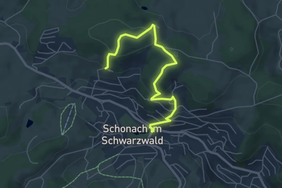
Easy · Trail
Schonacher Schalensteinpfad
5.0 km · ↑ 270 m · 1 h 46 min
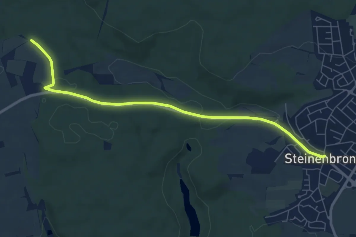
Easy · Trail
Schönaich - Steinenbronn
6.4 km · ↑ 103 m · 1 h 44 min
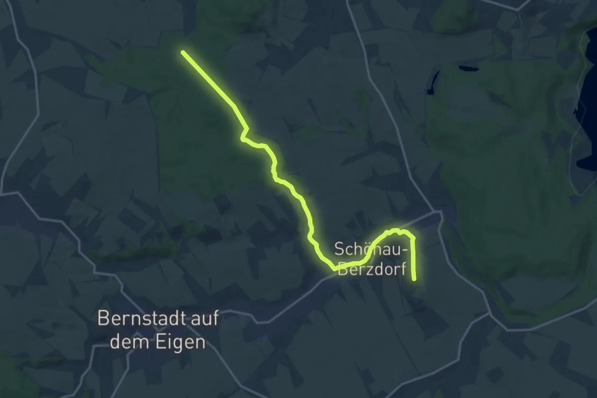
Medium · Summit
Schönau-Berzdorf - Waldhaus
16.2 km · ↑ 224 m · 4 h 19 min
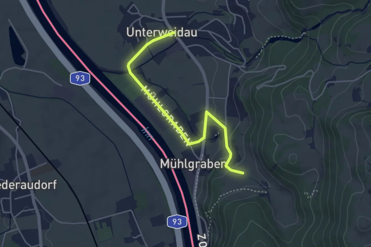
Easy · Trail
Schönau-Runde
3.9 km · ↑ 58 m · 1 h 2 min
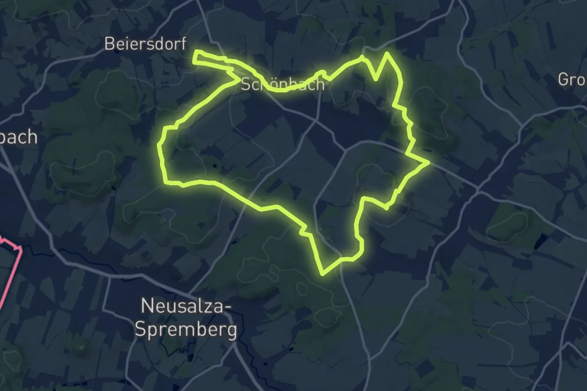
Medium · Summit
Schönbacher Ringwanderweg
15.4 km · ↑ 265 m · 4 h 25 min
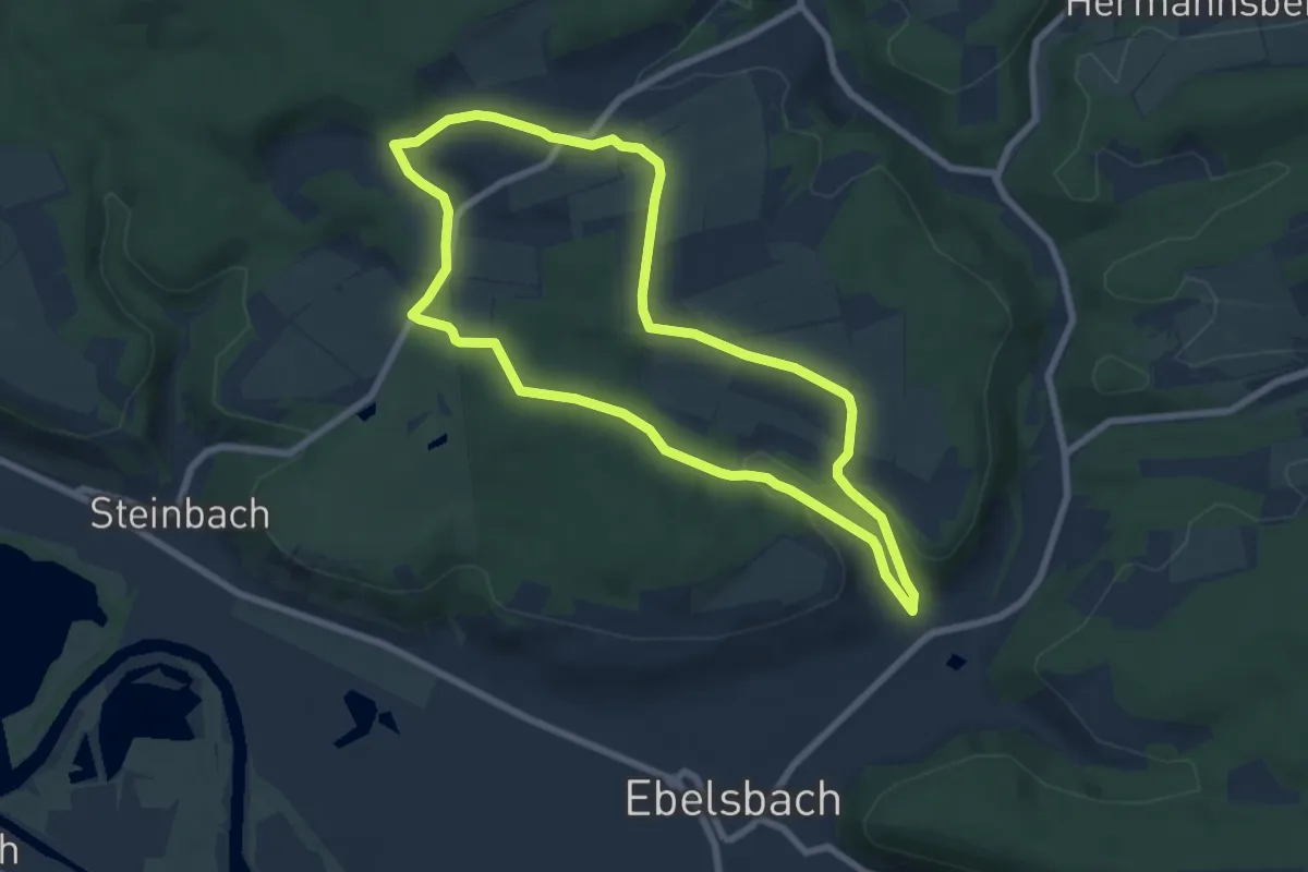
Easy · Summit
Schönbacher Runde
6.7 km · ↑ 153 m · 2 h
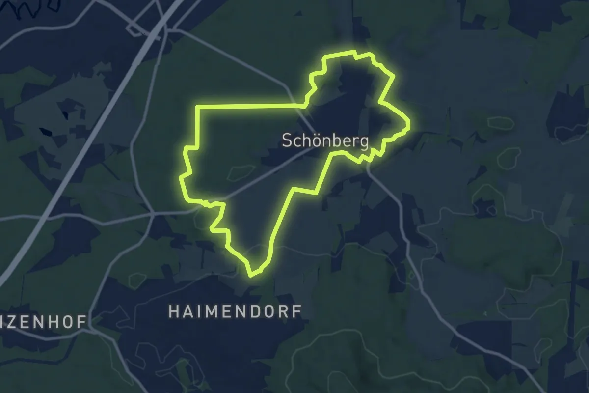
Medium · Trail
Schönberger Jakobsweg
8.8 km · ↑ 121 m · 2 h 27 min
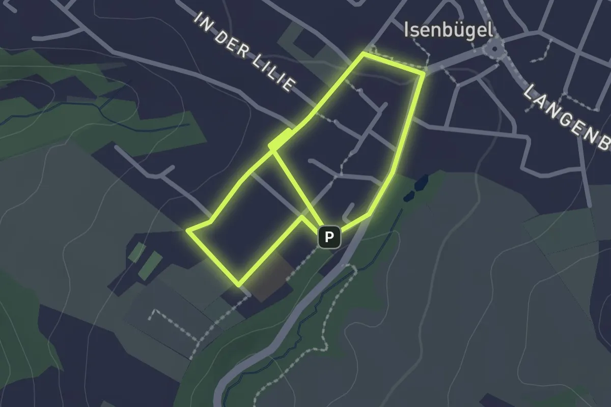
Easy · Trail
Schönberger Rundweg A1
1.7 km · ↑ 5 m · 25 min
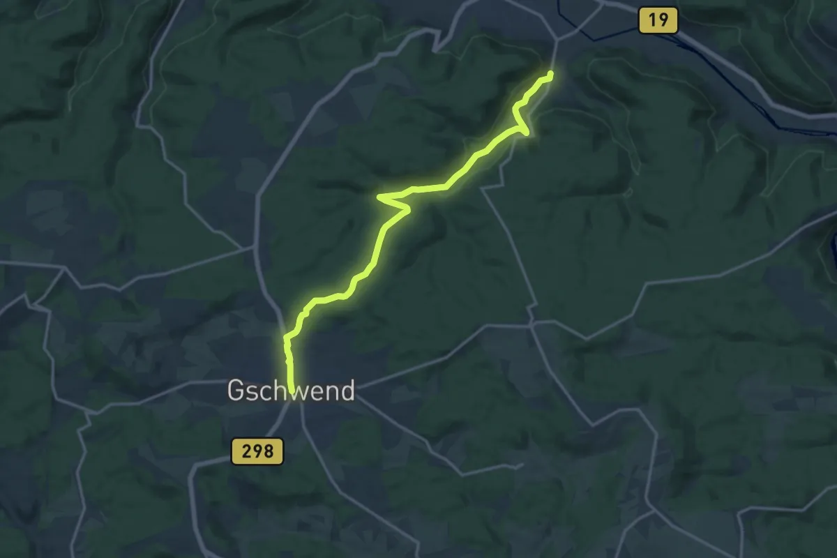
Medium · Trail
Schönberg - Gschwend
13.6 km · ↑ 289 m · 3 h 50 min
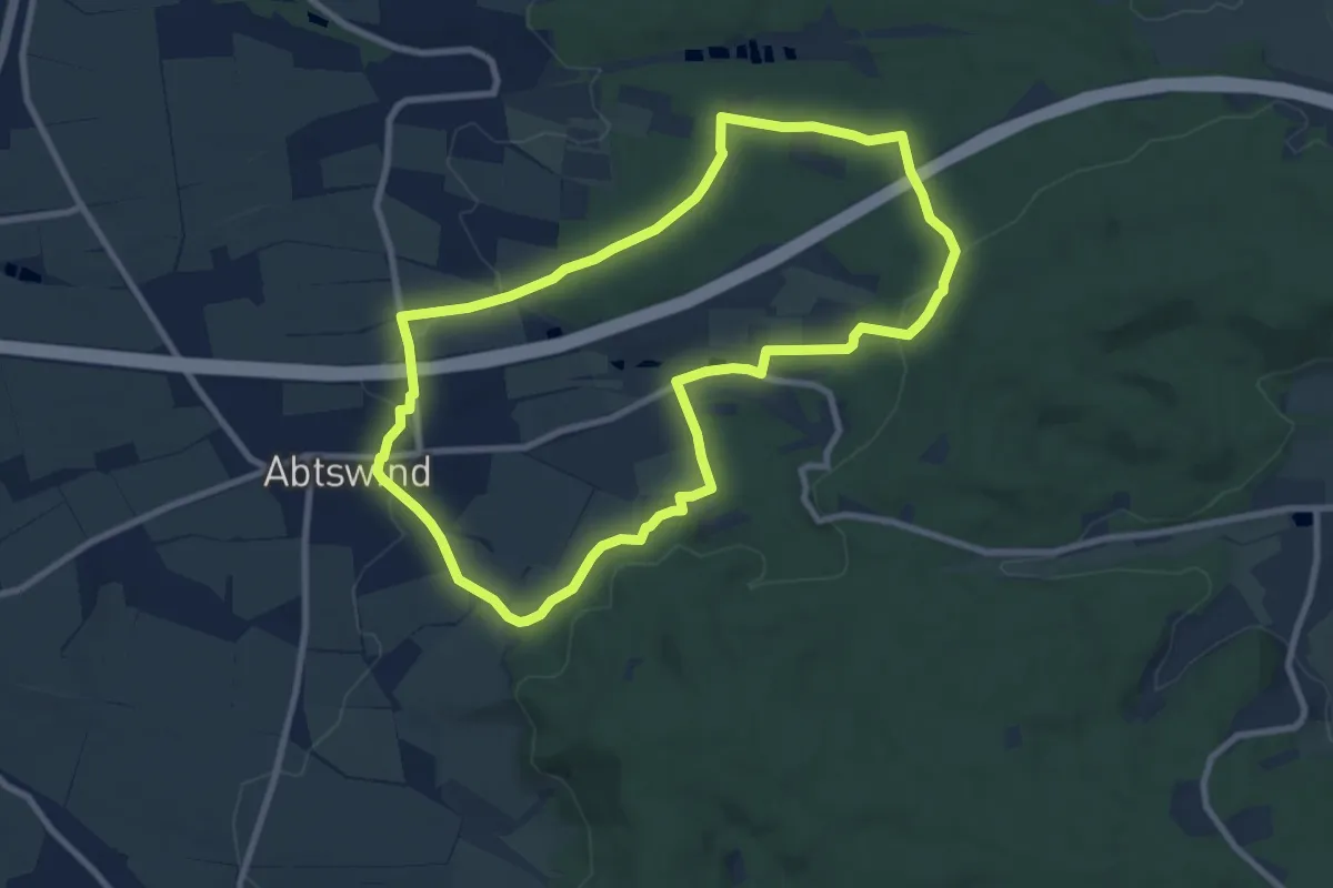
Medium · Trail
Schönbergweg
8.2 km · ↑ 196 m · 2 h 29 min
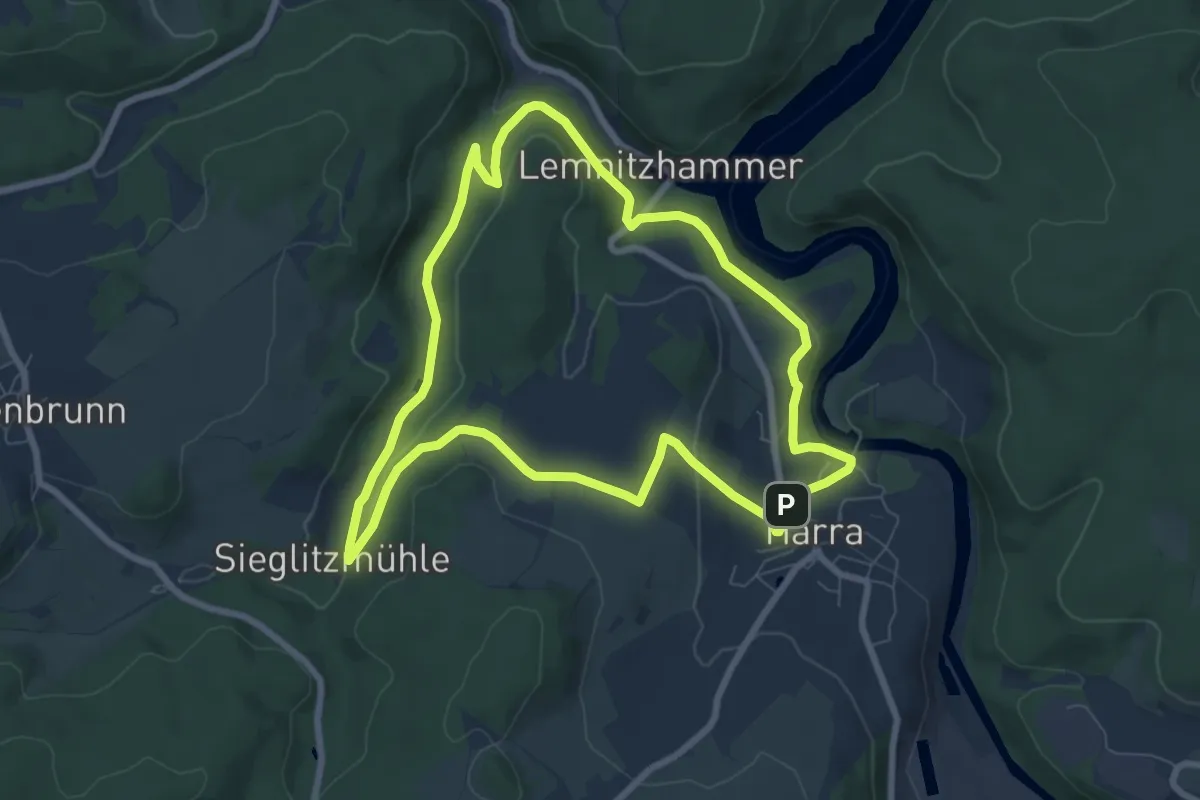
Easy · Trail
Schönblickweg
7.1 km · ↑ 189 m · 2 h 12 min
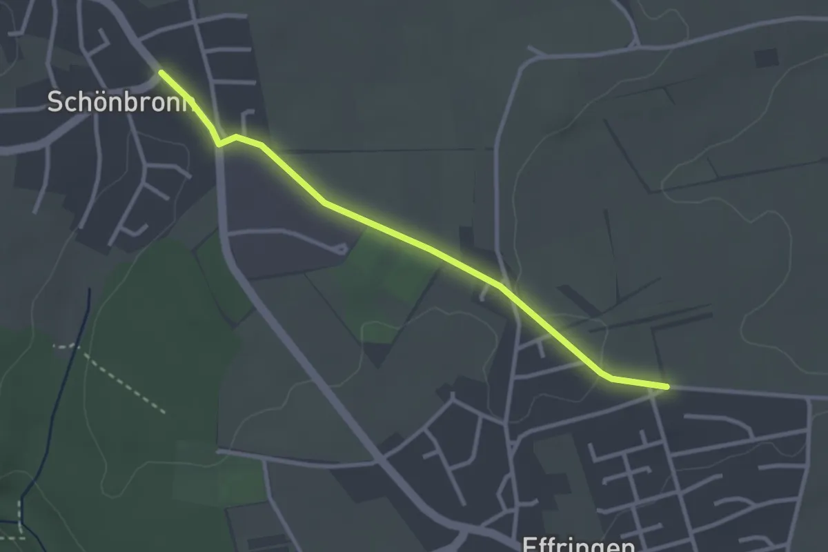
Easy · Trail
Schönbronn Rathaus - Effringen Alter Schönbronner Weg
2.8 km · ↑ 22 m · 43 min
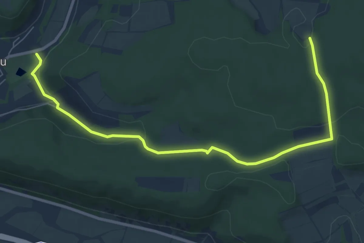
Easy · Trail
Schönbrunner Runde
3.6 km · ↑ 20 m · 59 min
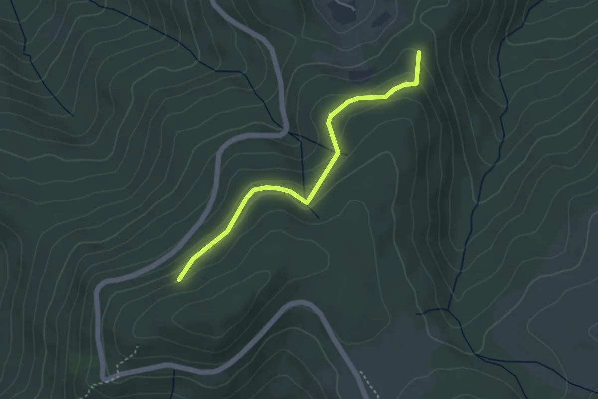
Easy · Trail
Schönbrunn - Zapfengraben
3.2 km · ↑ 138 m · 1 h 4 min
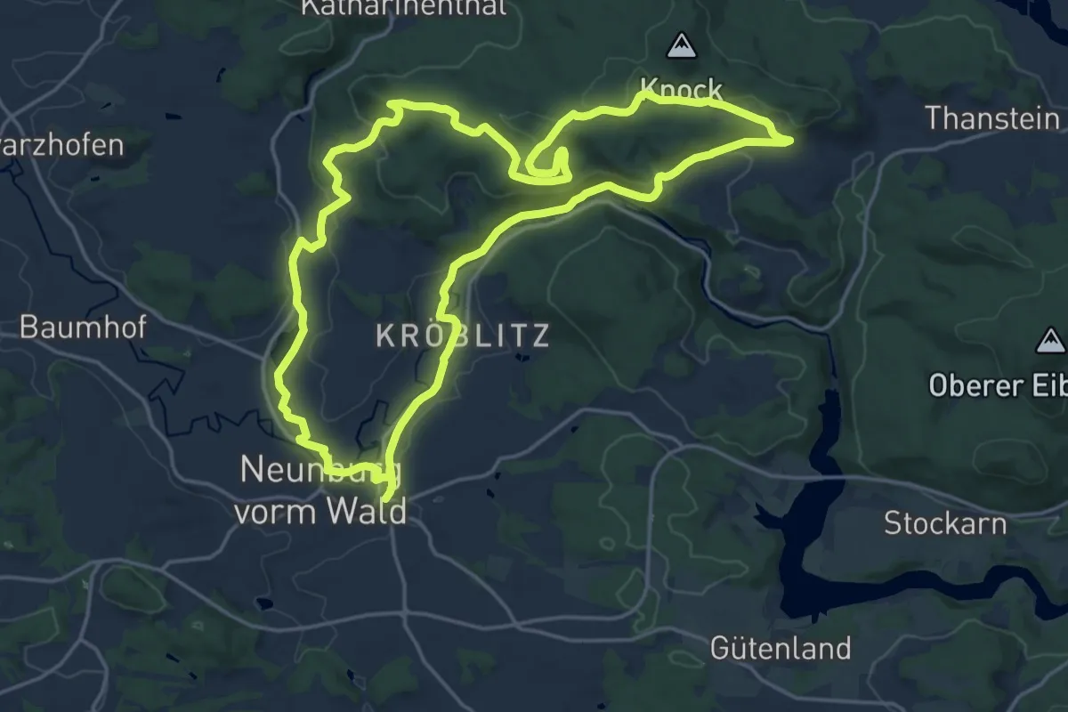
Medium · Trail
Schönbuchenweg
17.6 km · ↑ 320 m · 5 h 5 min
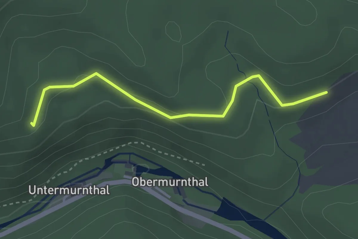
Easy · Trail
Schönbuchenweg-Abkürzung
1.4 km · ↑ 17 m · 23 min
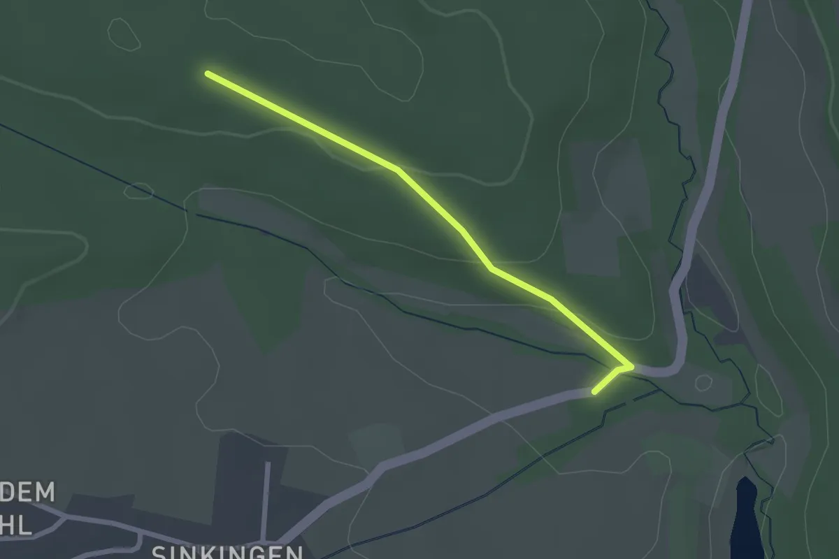
Easy · Trail
Schönbuch - Herrmannsbach
2.1 km · ↑ 61 m · 38 min
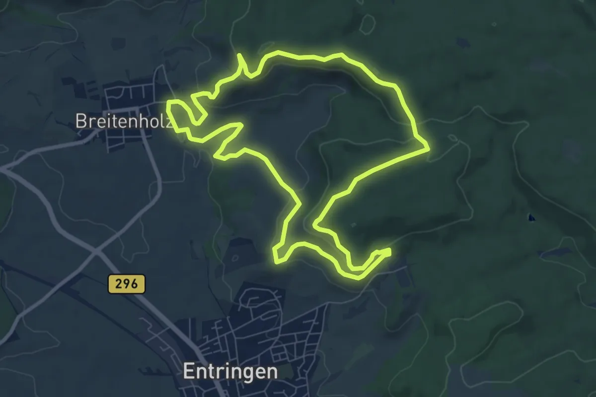
Easy · Summit
Schönbuchspitzrunde
7.8 km · ↑ 225 m · 2 h 27 min
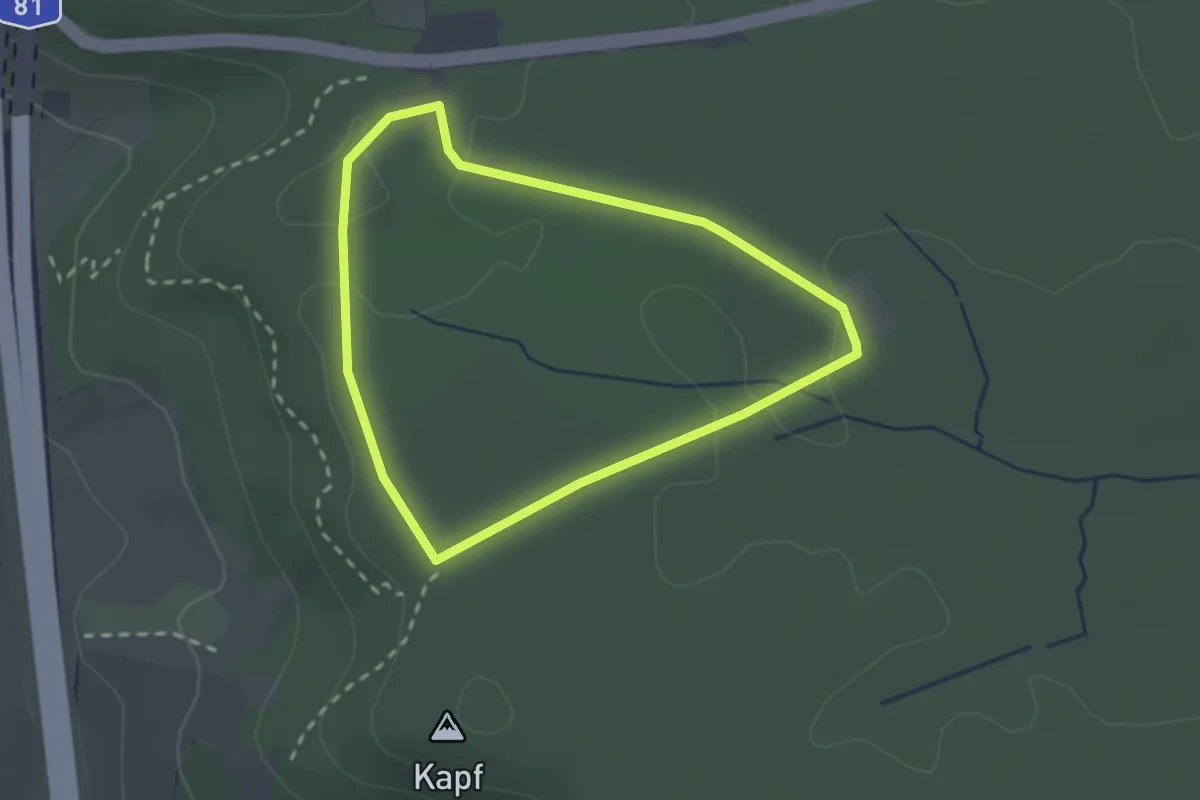
Easy · Trail
SchönbuchTrauf
2.0 km · ↑ 13 m · 32 min
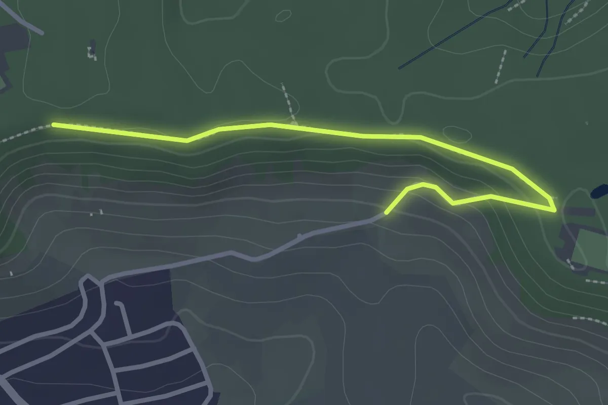
Easy · Trail
SchönbuchTrauf
1.4 km · ↑ 63 m · 27 min
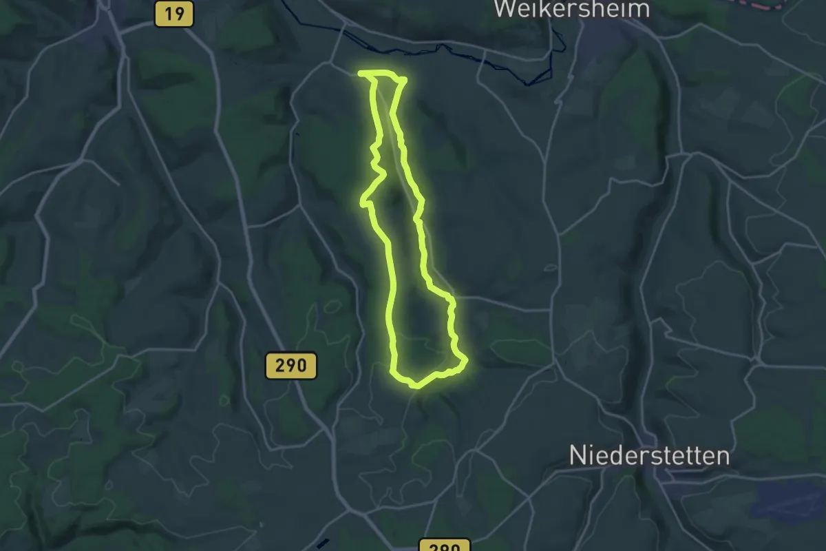
Medium · Trail
Schönbühler Weg
15.9 km · ↑ 286 m · 4 h 35 min
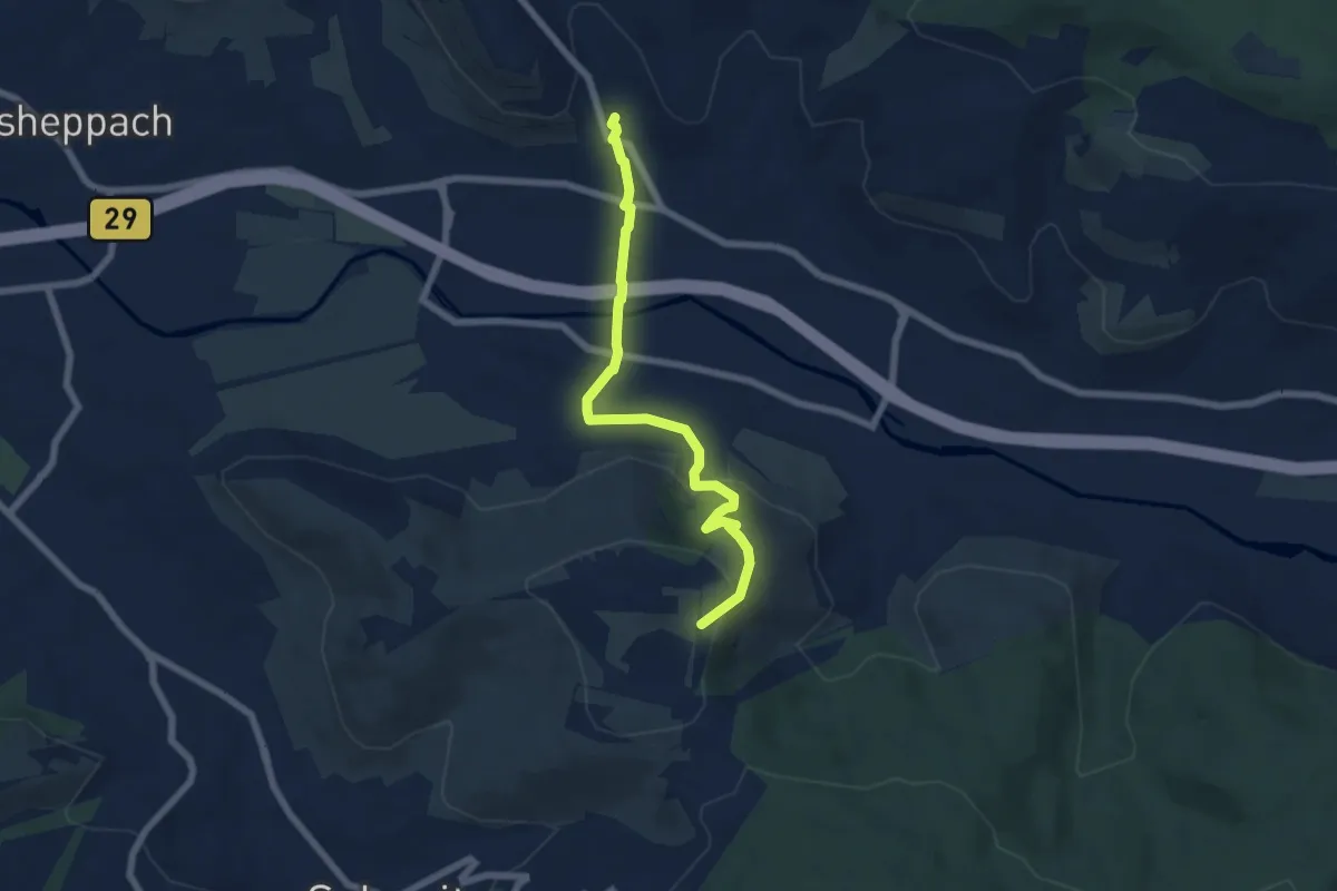
Easy · Trail
Schönbühl - Grunbach
6.3 km · ↑ 219 m · 1 h 58 min
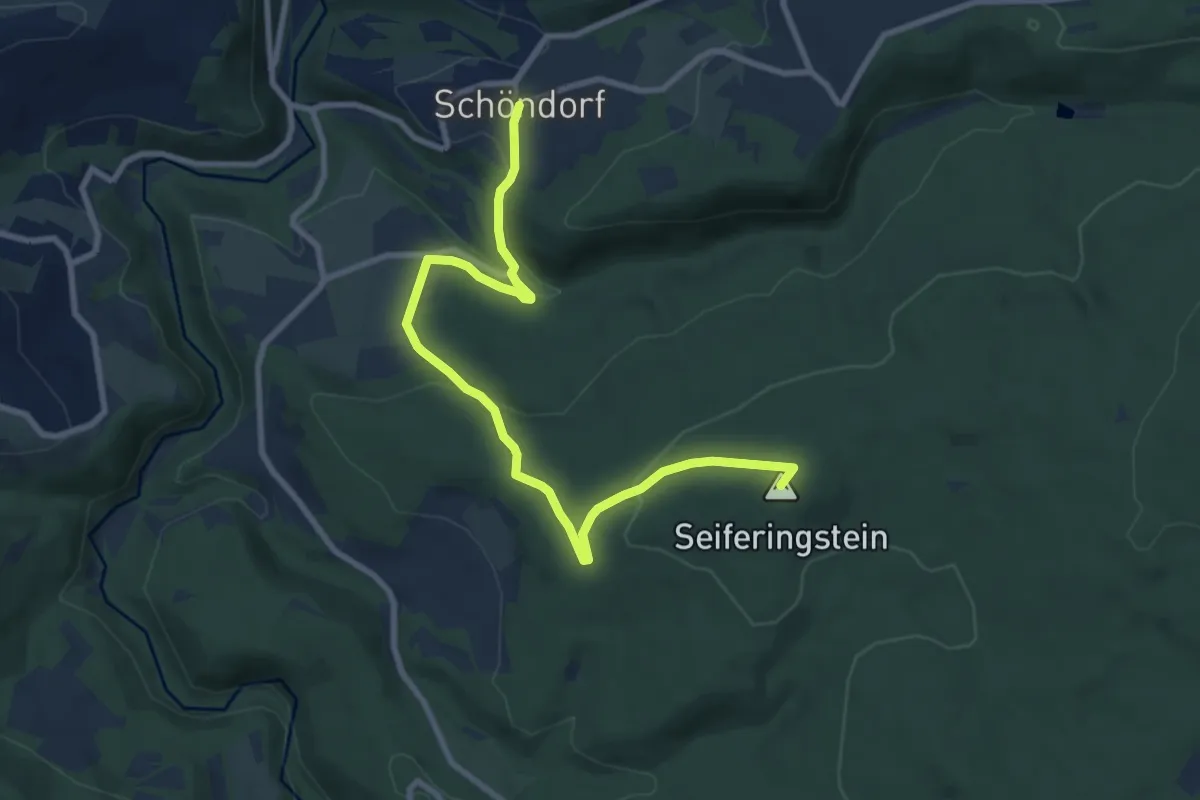
Medium · Summit
Schöndorf 1
9.1 km · ↑ 315 m · 2 h 50 min
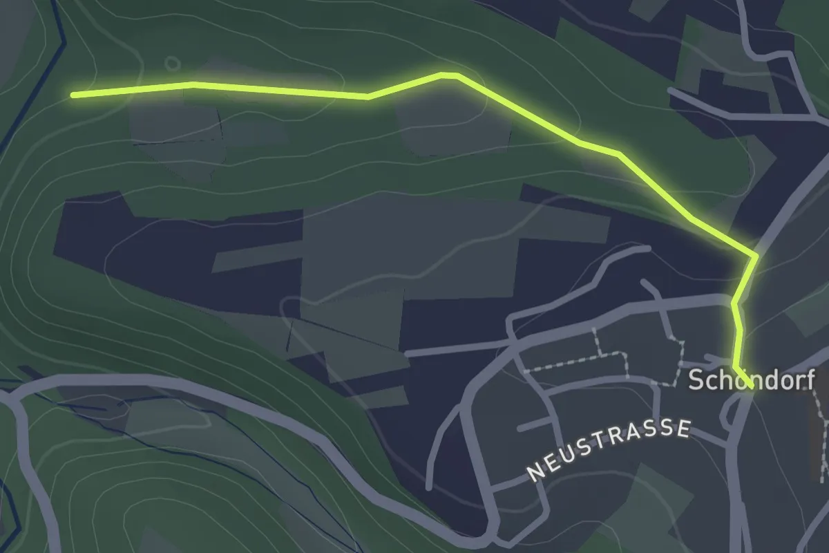
Easy · Trail
Schöndorf 2
2.3 km · ↑ 76 m · 42 min
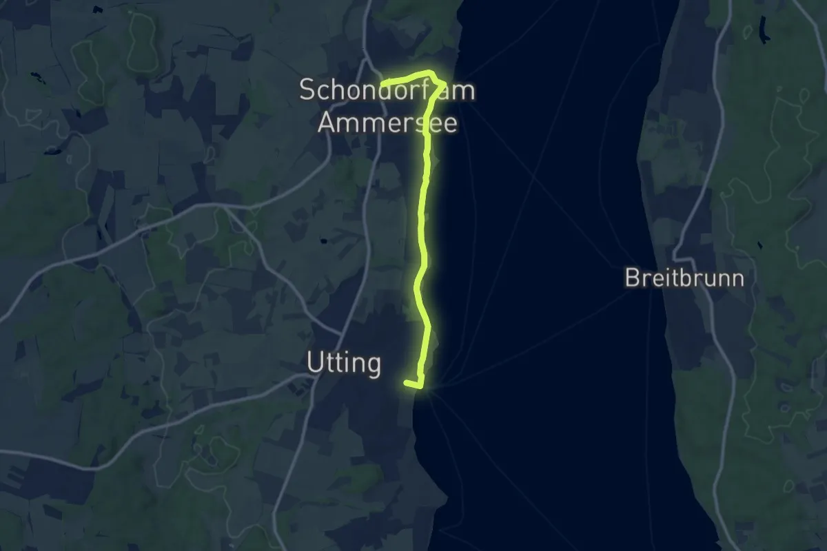
Easy · Trail
Schondorfer Runde
4.4 km · ↑ 35 m · 1 h 10 min
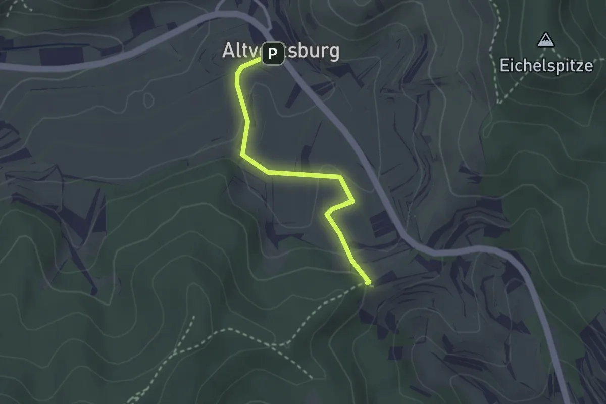
Easy · Trail
Schöne Aussicht - Altvogtsburg Kirche
2.3 km · ↑ 76 m · 42 min
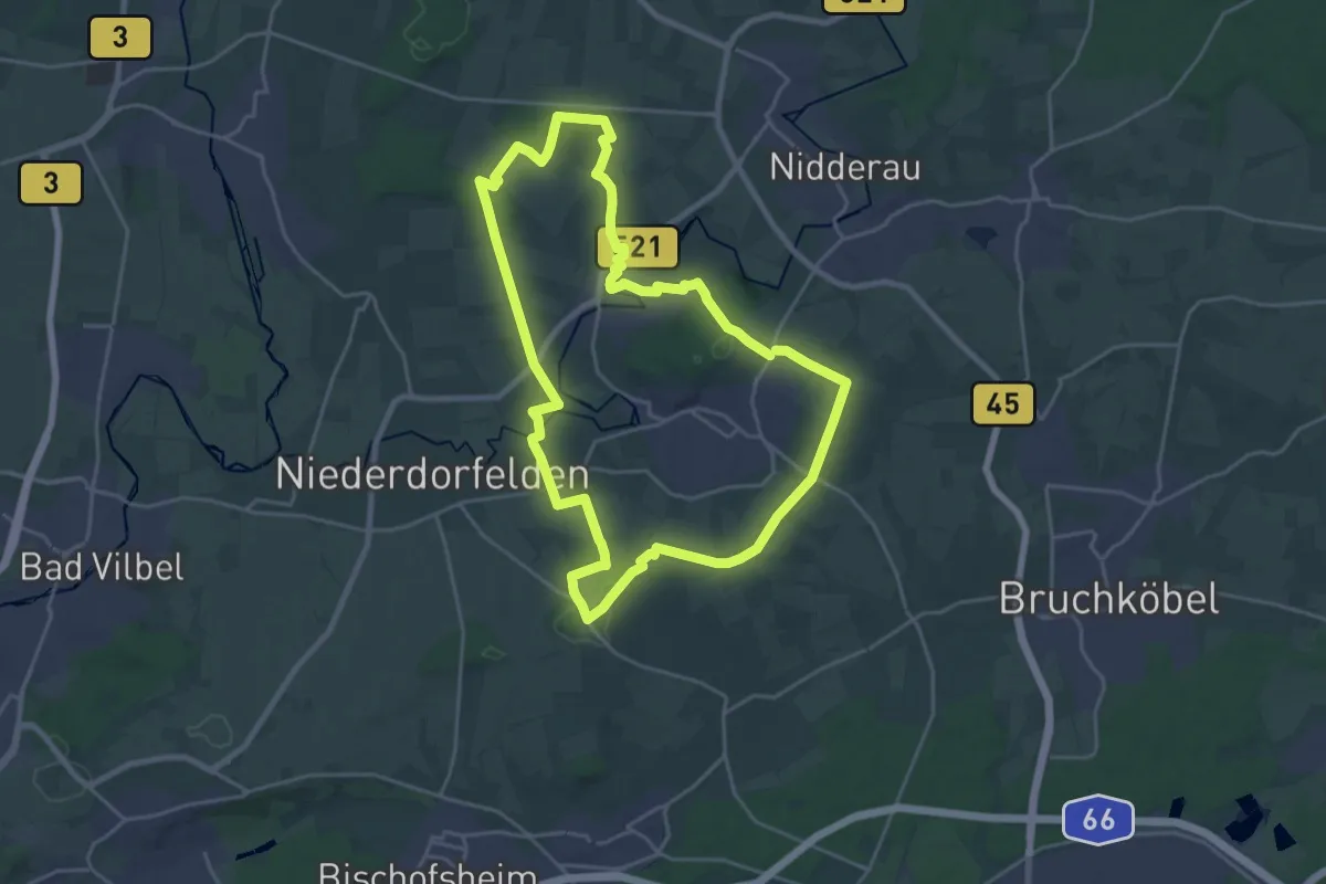
Demanding · Summit
Schöneck Landschaftsweg (Halbmarathonroute)
20.7 km · ↑ 233 m · 5 h 41 min
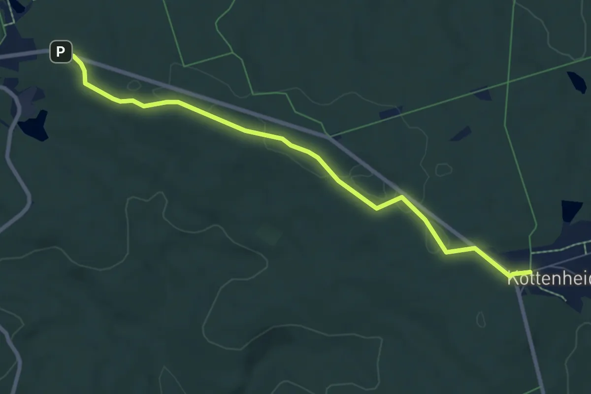
Easy · Trail
Schöneck nach Kottenheide, Kirchsteig
6.7 km · ↑ 41 m · 1 h 40 min
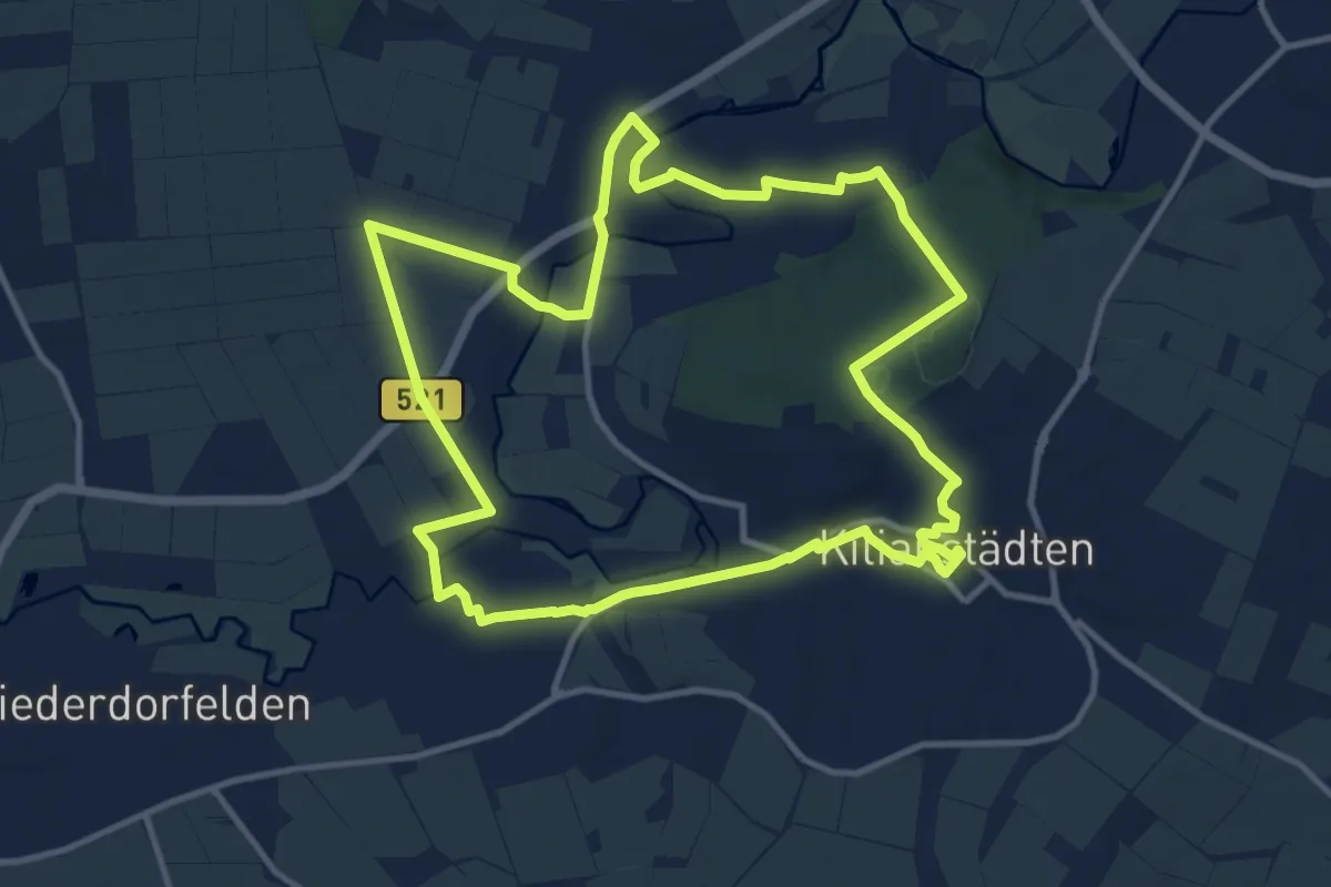
Medium · Trail
Schöneck Rundweg (Kulturroute)
11.3 km · ↑ 119 m · 3 h 5 min
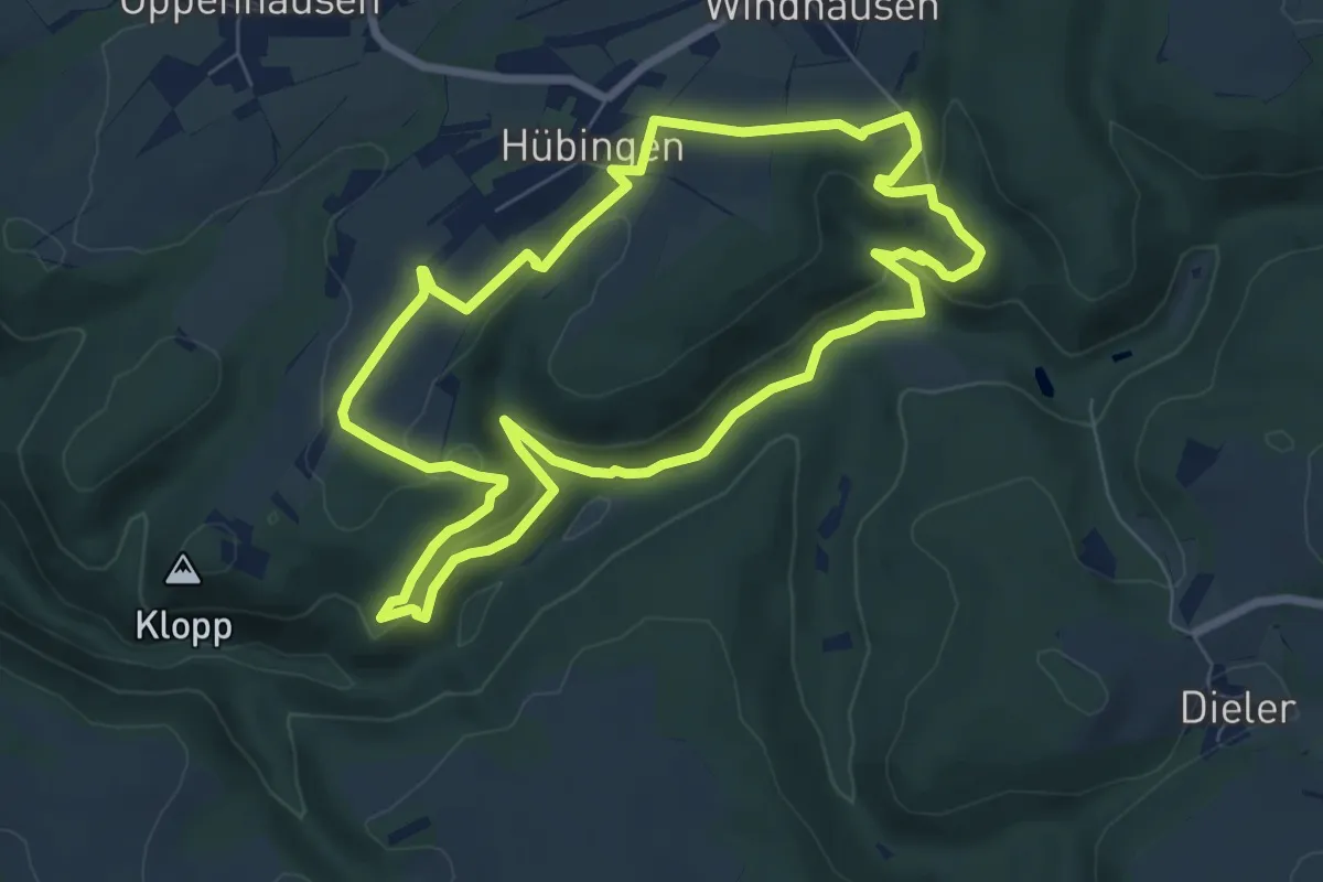
Demanding · Trail
Schöneckschleife
6.9 km · ↑ 238 m · 2 h 15 min
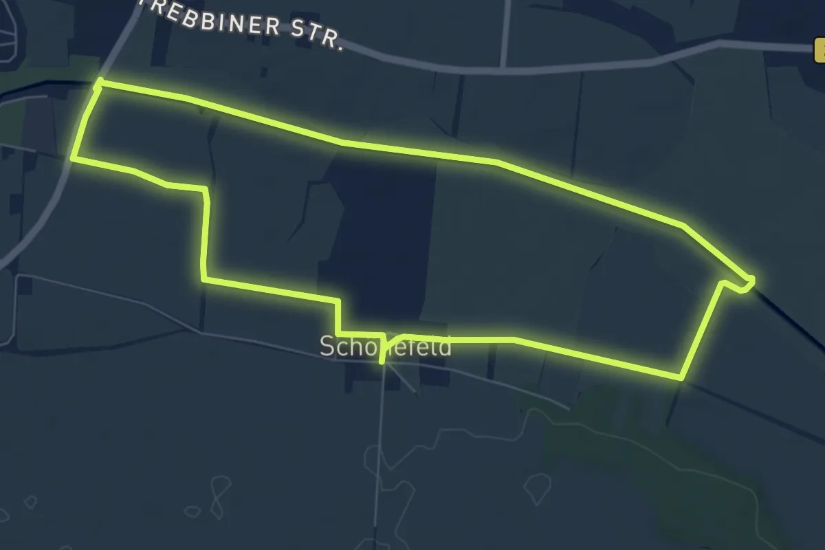
Easy · Trail
Schönefelder Rundweg
6.9 km · ↑ 4 m · 1 h 44 min
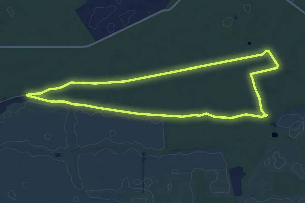
Easy · Trail
Schönefelder Waldweg
7.1 km · ↑ 25 m · 1 h 50 min
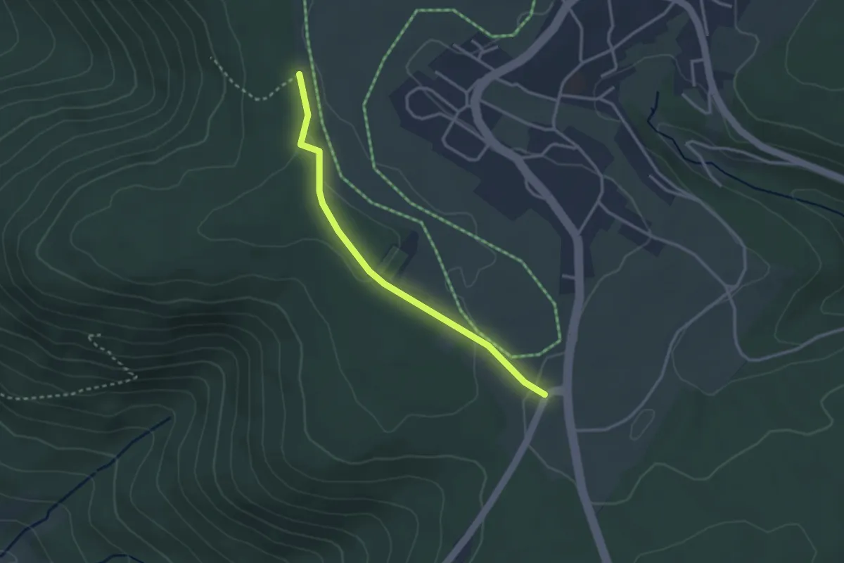
Easy · Trail
Schönegründer Steige - Stüberg
2.6 km · ↑ 54 m · 44 min
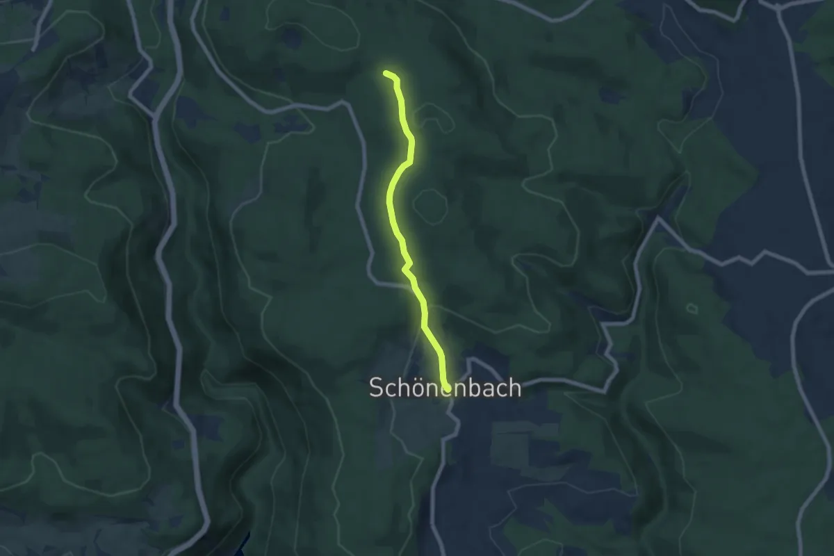
Easy · Trail
Schönenbach - Tafeltanne
5.5 km · ↑ 154 m · 1 h 37 min
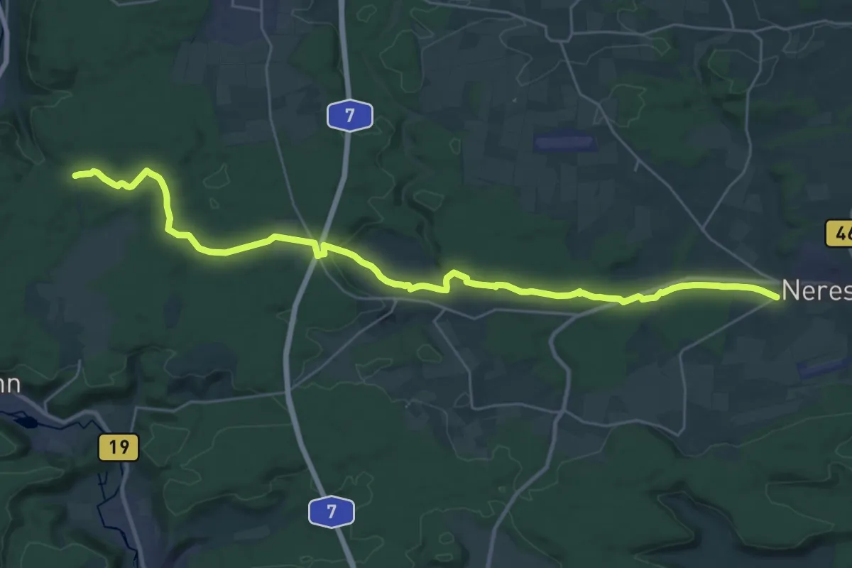
Medium · Trail
Schönenberg Brandplatz - Nietheim - Großkuchen Neresheim
15.2 km · ↑ 278 m · 4 h 19 min
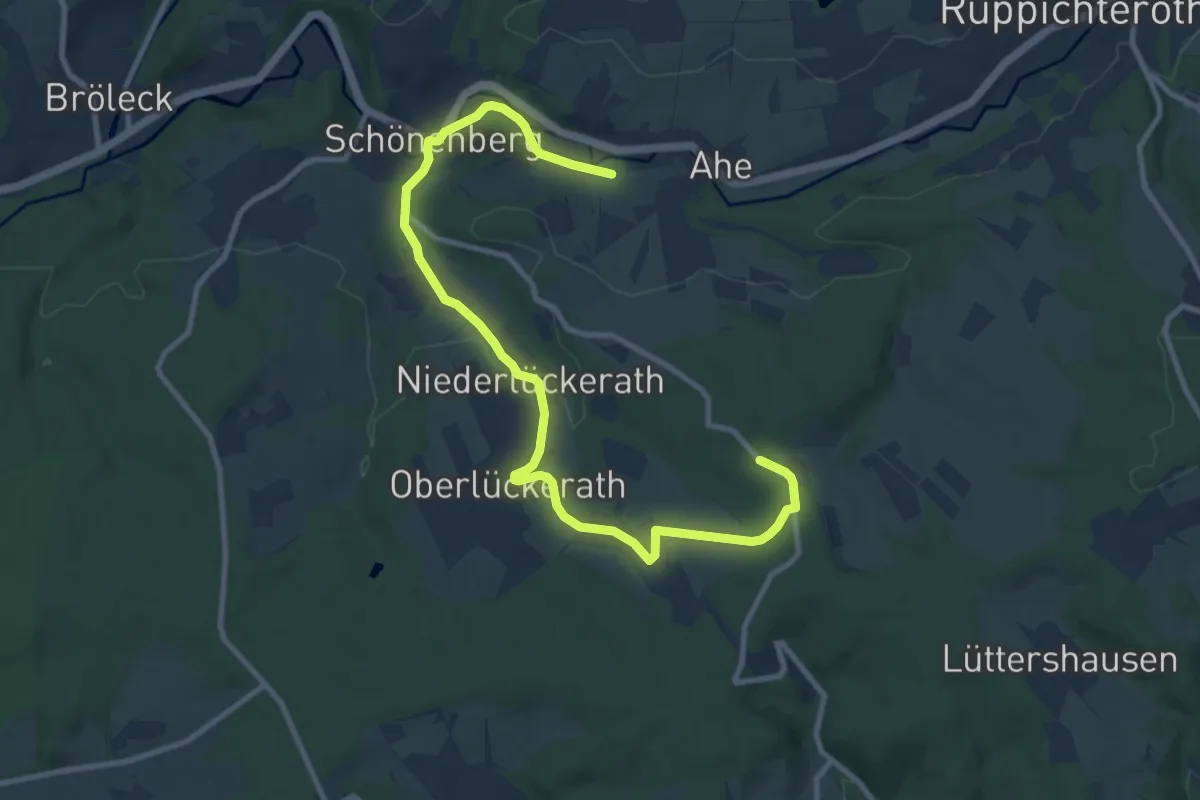
Easy · Trail
Schönenberg Rundweg "▬" (Balken)
5.4 km · ↑ 139 m · 1 h 36 min
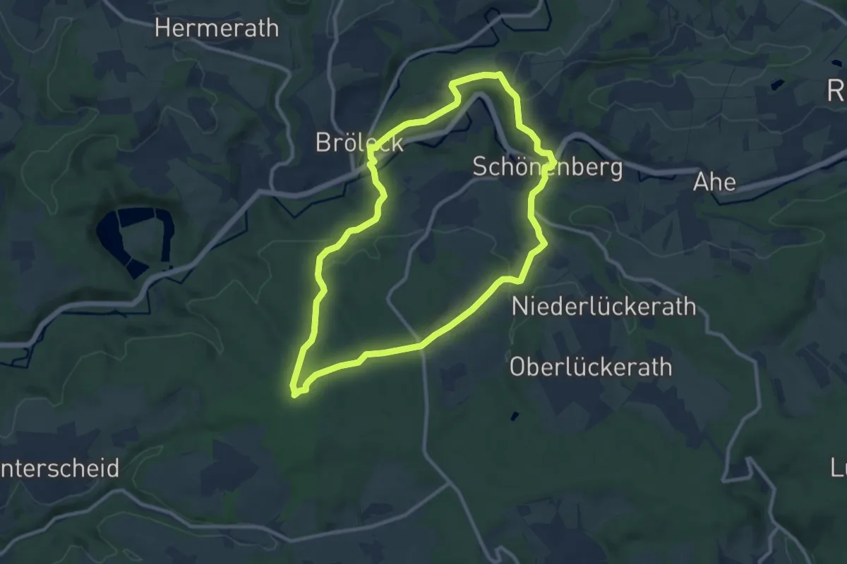
Medium · Trail
Schönenberg Rundweg "△" (Dreieck)
8.6 km · ↑ 180 m · 2 h 32 min
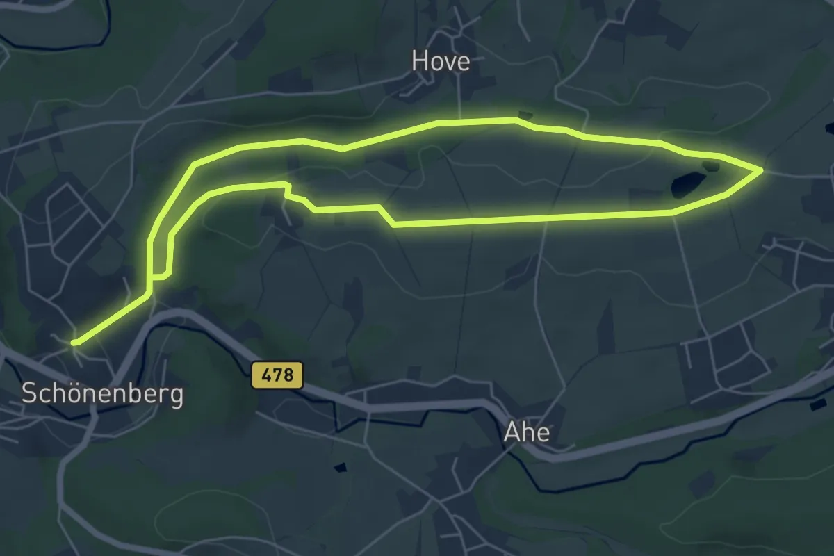
Medium · Trail
Schönenberg Rundweg "■" (Quadrat)
10.3 km · ↑ 110 m · 2 h 40 min
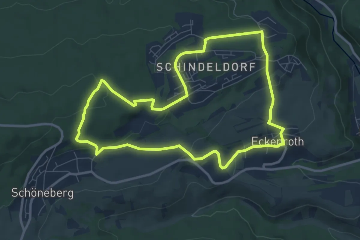
Easy · Trail
Schöner Berg Weg
7.0 km · ↑ 192 m · 2 h 9 min
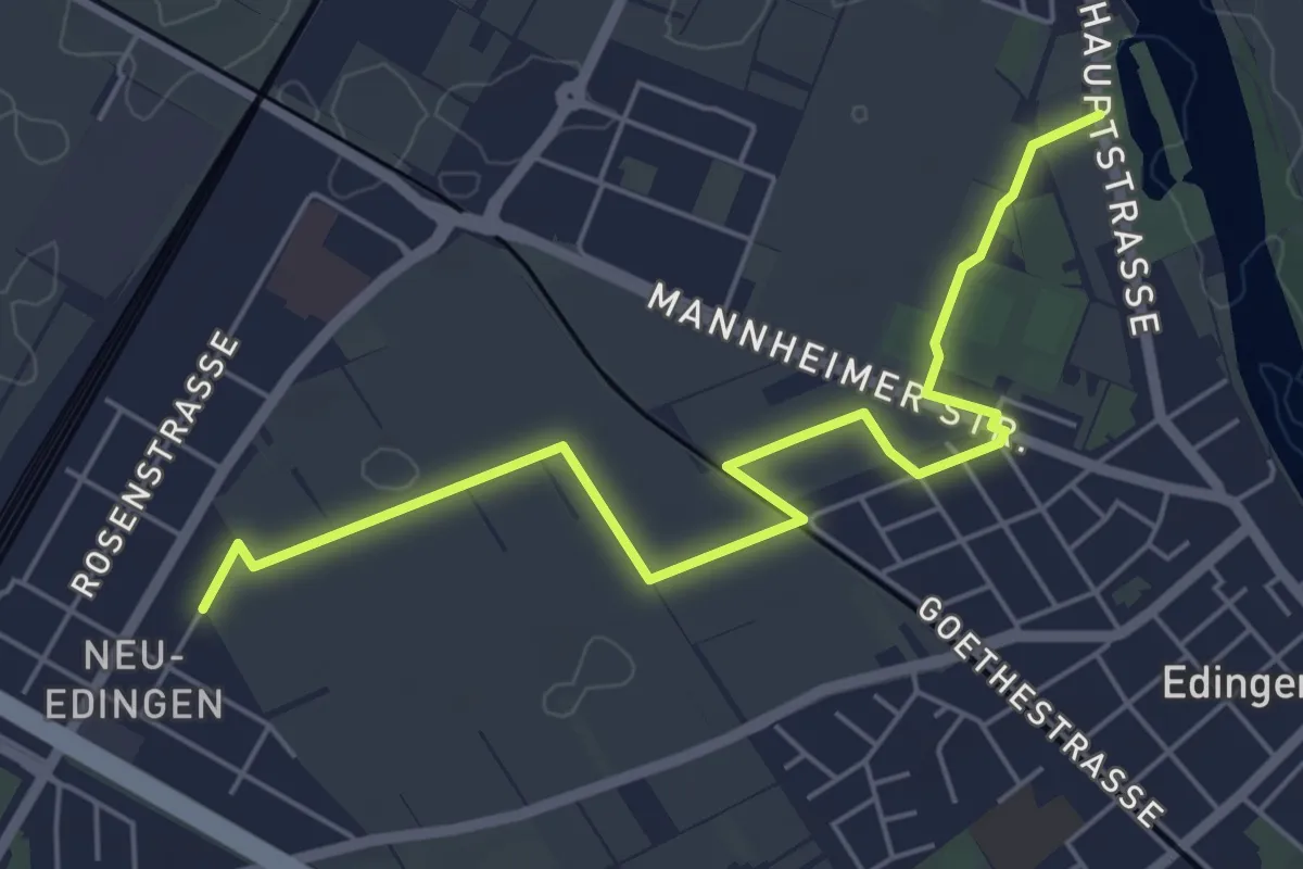
Easy · Trail
Schöner Weg
5.9 km · ↑ 4 m · 1 h 24 min
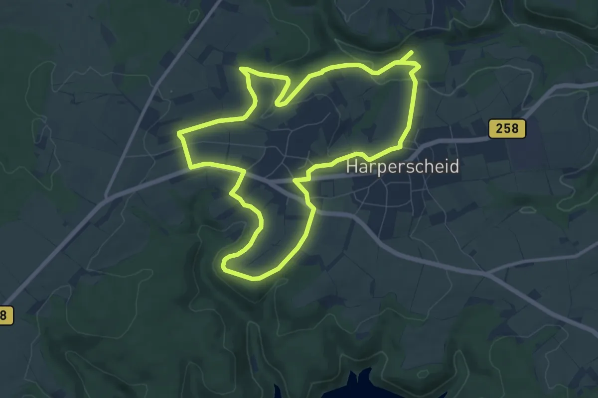
Easy · Trail
Schöneseiffen 3
7.9 km · ↑ 147 m · 2 h 17 min
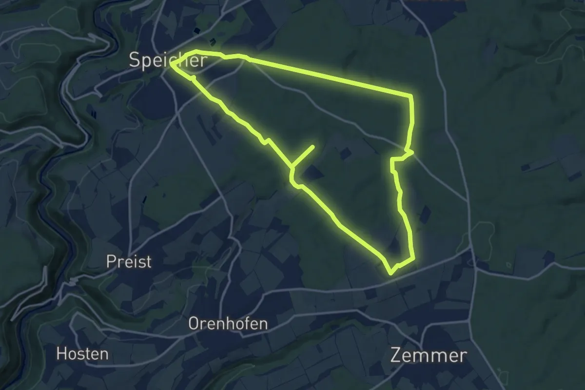
Medium · Trail
Schönfelderweg
13.1 km · ↑ 166 m · 3 h 39 min
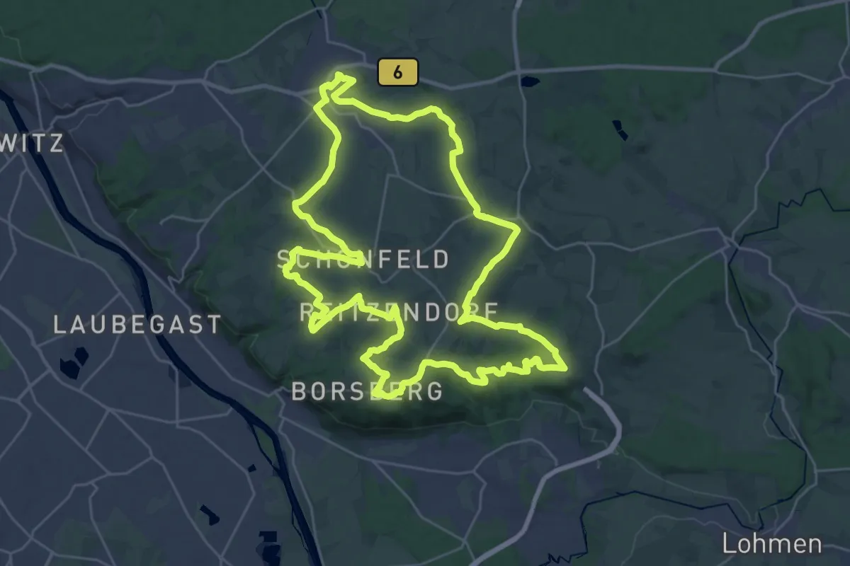
Demanding · Summit
Schönfeld-Weißiger Bergweg
27.4 km · ↑ 476 m · 7 h 53 min
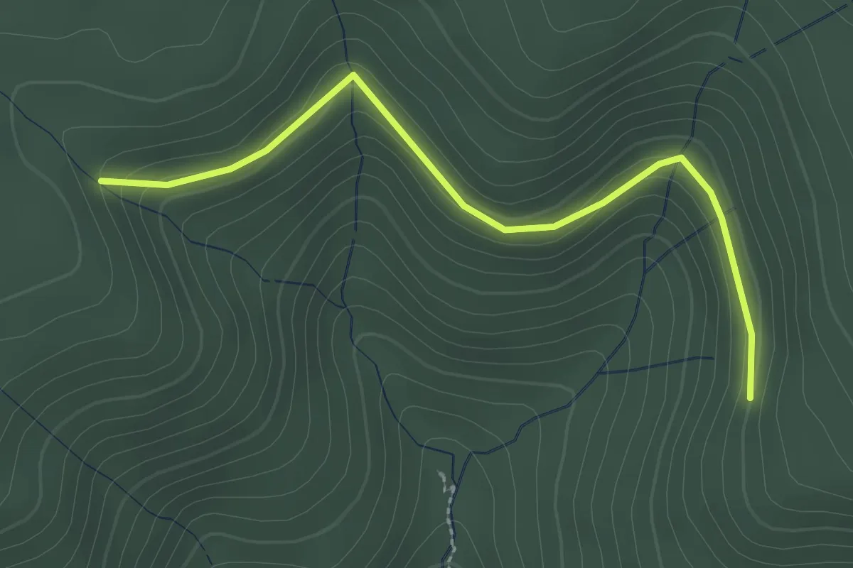
Easy · Trail
Schöngrund - Trogloch
2.7 km · ↑ 109 m · 52 min
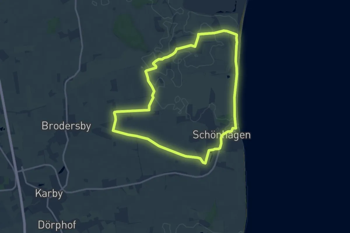
Medium · Trail
Schönhagen-Brodersby
8.8 km · ↑ 23 m · 2 h 15 min
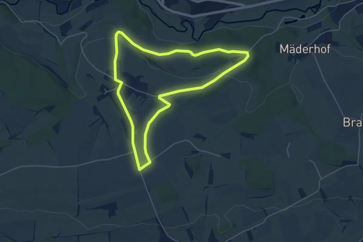
Easy · Trail
Schönhardt mit Ausblick auf das Leintal
4.3 km · ↑ 62 m · 1 h 13 min