Trails in Germany
36,852 hiking trails, each with its route, climb, walking time and grade.
All trails, page 581 of 768
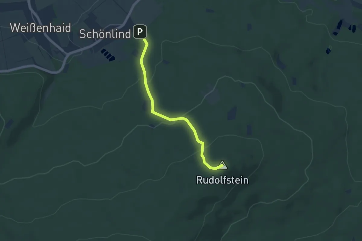
Easy · Summit
Schönlind - Rudolfstein
3.8 km · ↑ 165 m · 1 h 15 min
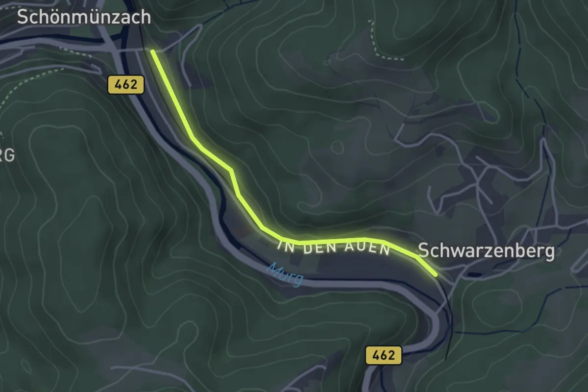
Easy · Trail
Schönmünzach Draigrund - Schwarzenberg Haltepunkt
3.0 km · ↑ 47 m · 48 min
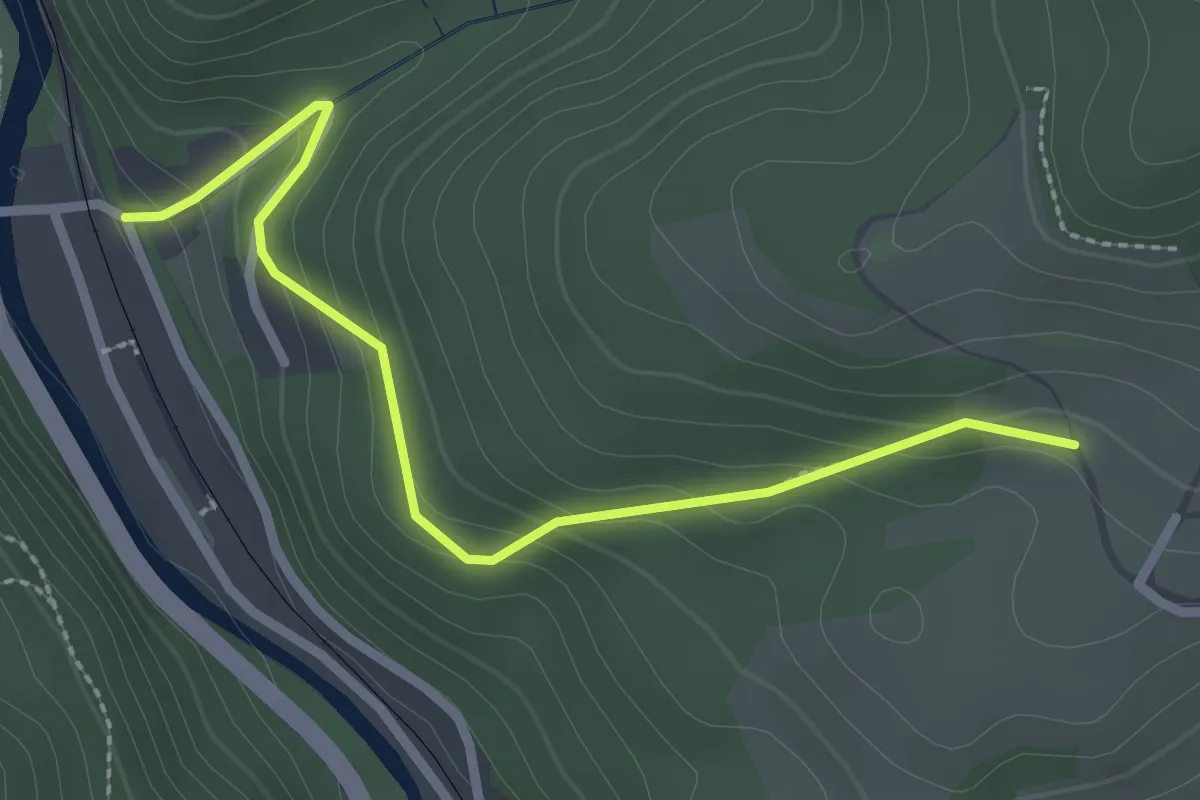
Easy · Trail
Schönmünzach Draigrund - Thierhalde
2.6 km · ↑ 170 m · 59 min
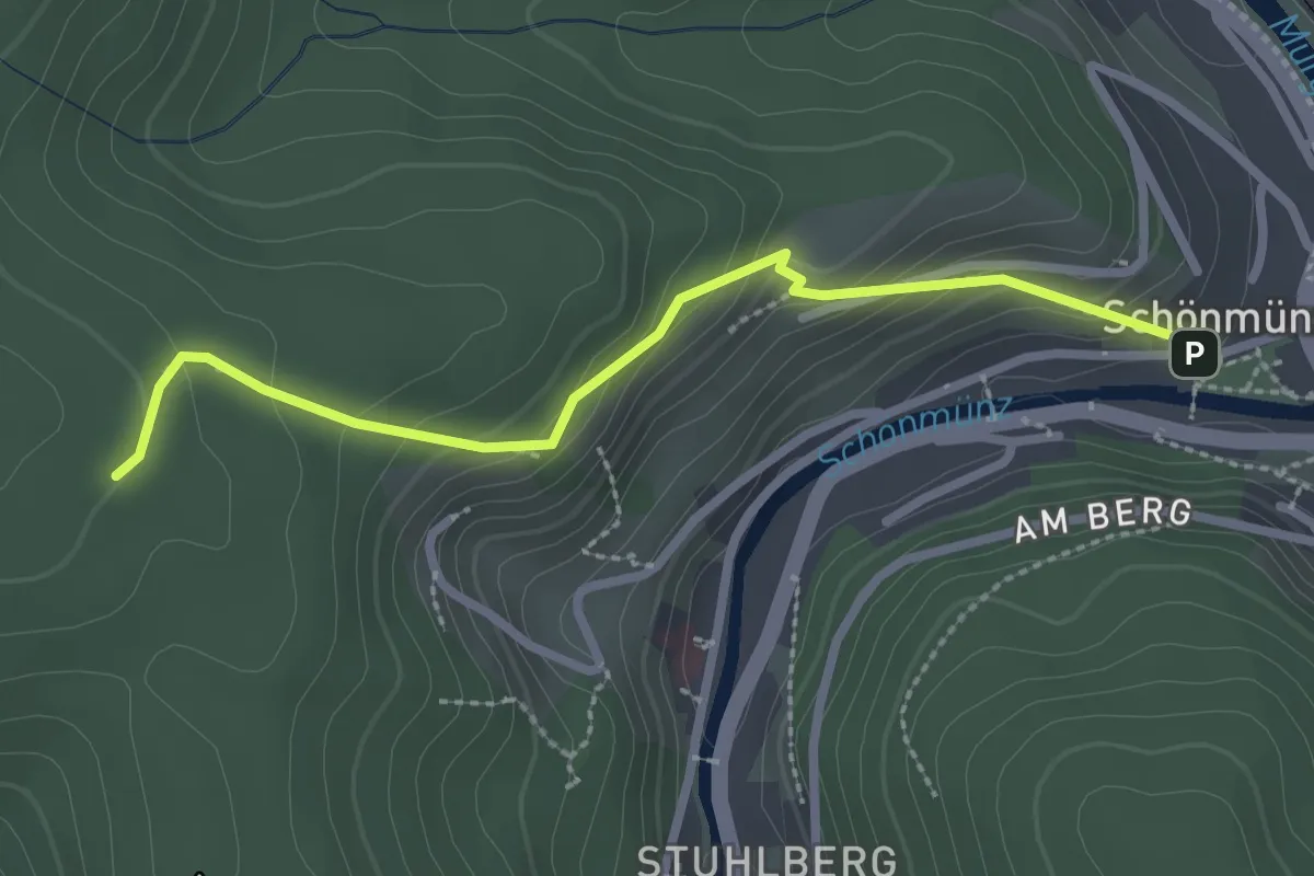
Medium · Trail
Schönmünzach Schifferstraße - School
2.5 km · ↑ 203 m · 1 h 2 min
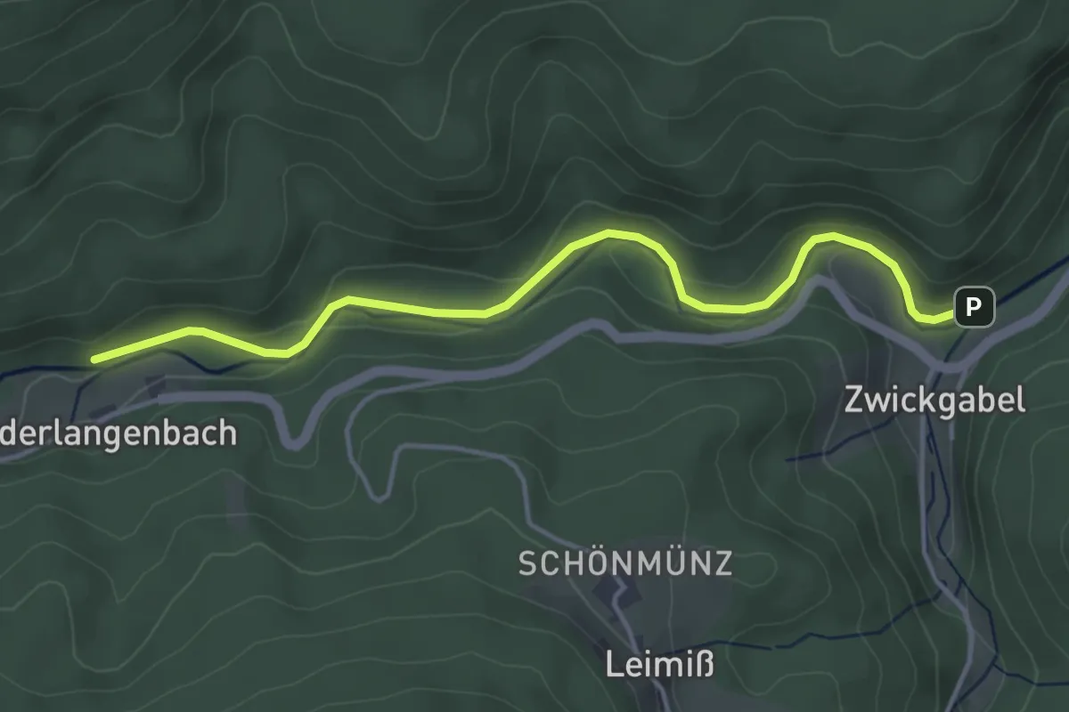
Easy · Trail
Schönmünzbrückle - Vorderlangenbach
4.1 km · ↑ 93 m · 1 h 10 min
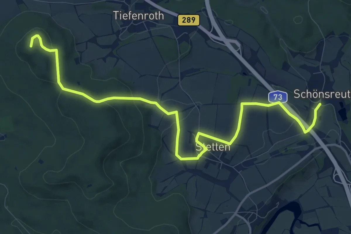
Medium · Summit
Schönsreuther Weg
12.1 km · ↑ 252 m · 3 h 25 min
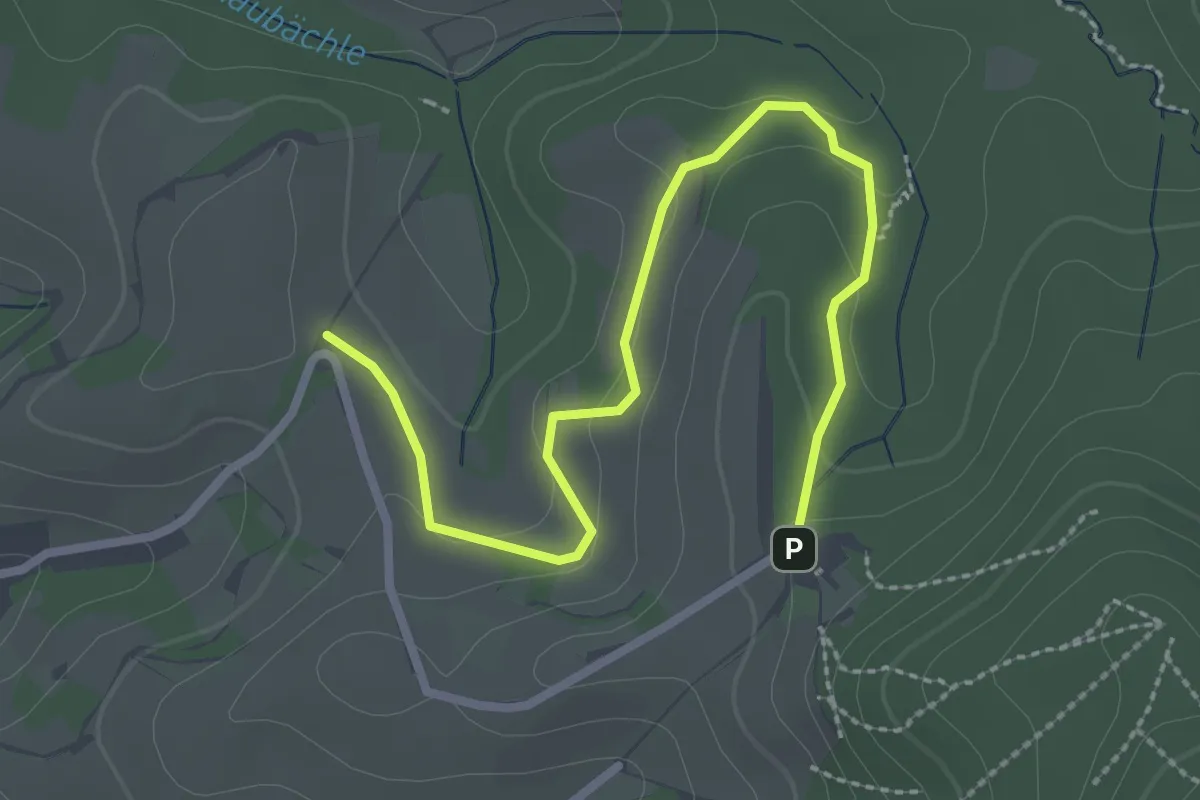
Easy · Trail
Schönstatt Kapelle - Wolfsgrube
3.0 km · ↑ 84 m · 54 min
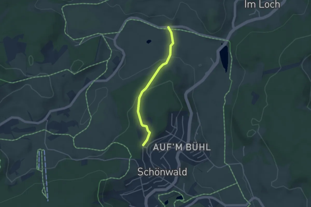
Easy · Trail
Schönwald Sportplatz - Schneiderjockenhof
2.8 km · ↑ 106 m · 54 min
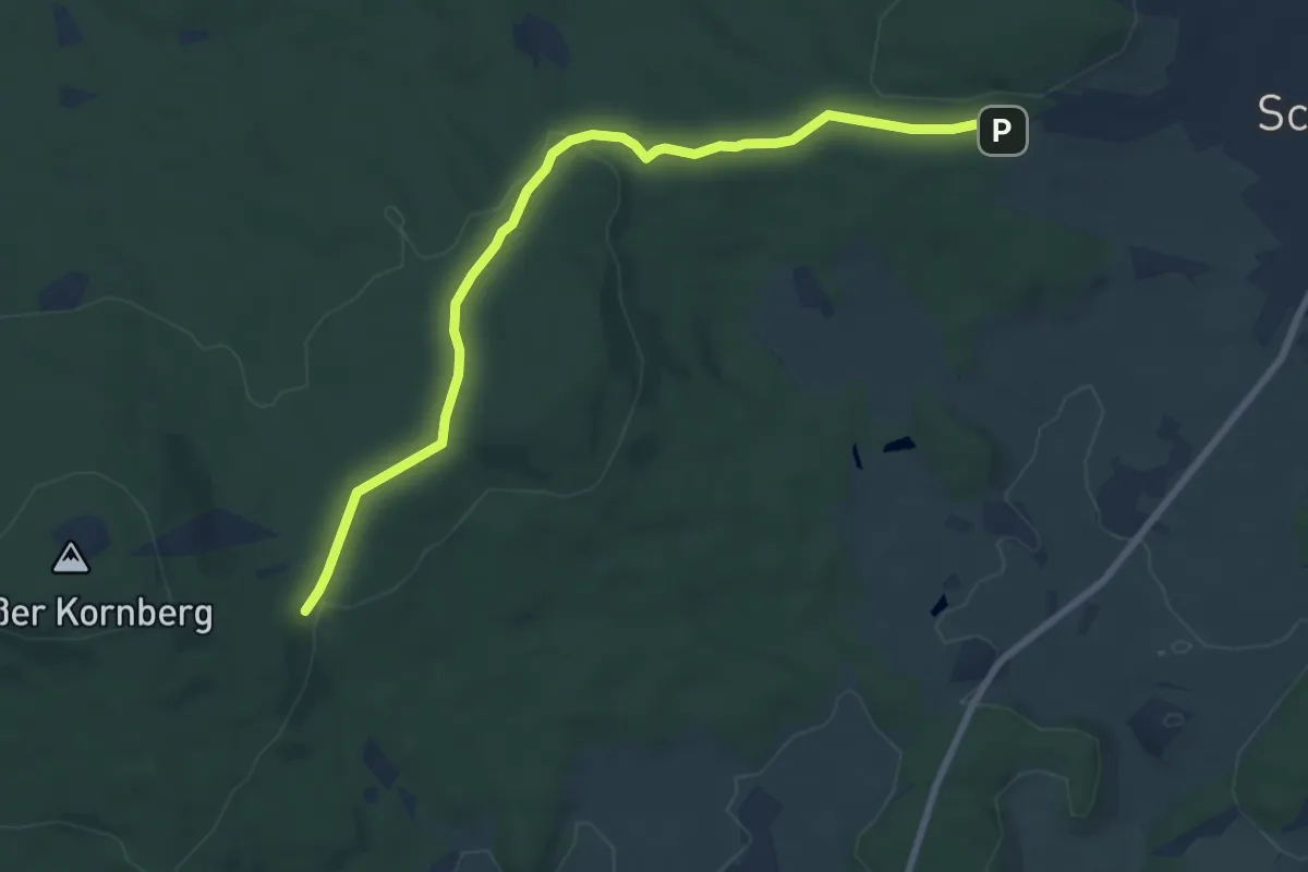
Easy · Trail
Schönwald - Vorsuchhütte
8.0 km · ↑ 118 m · 2 h 8 min
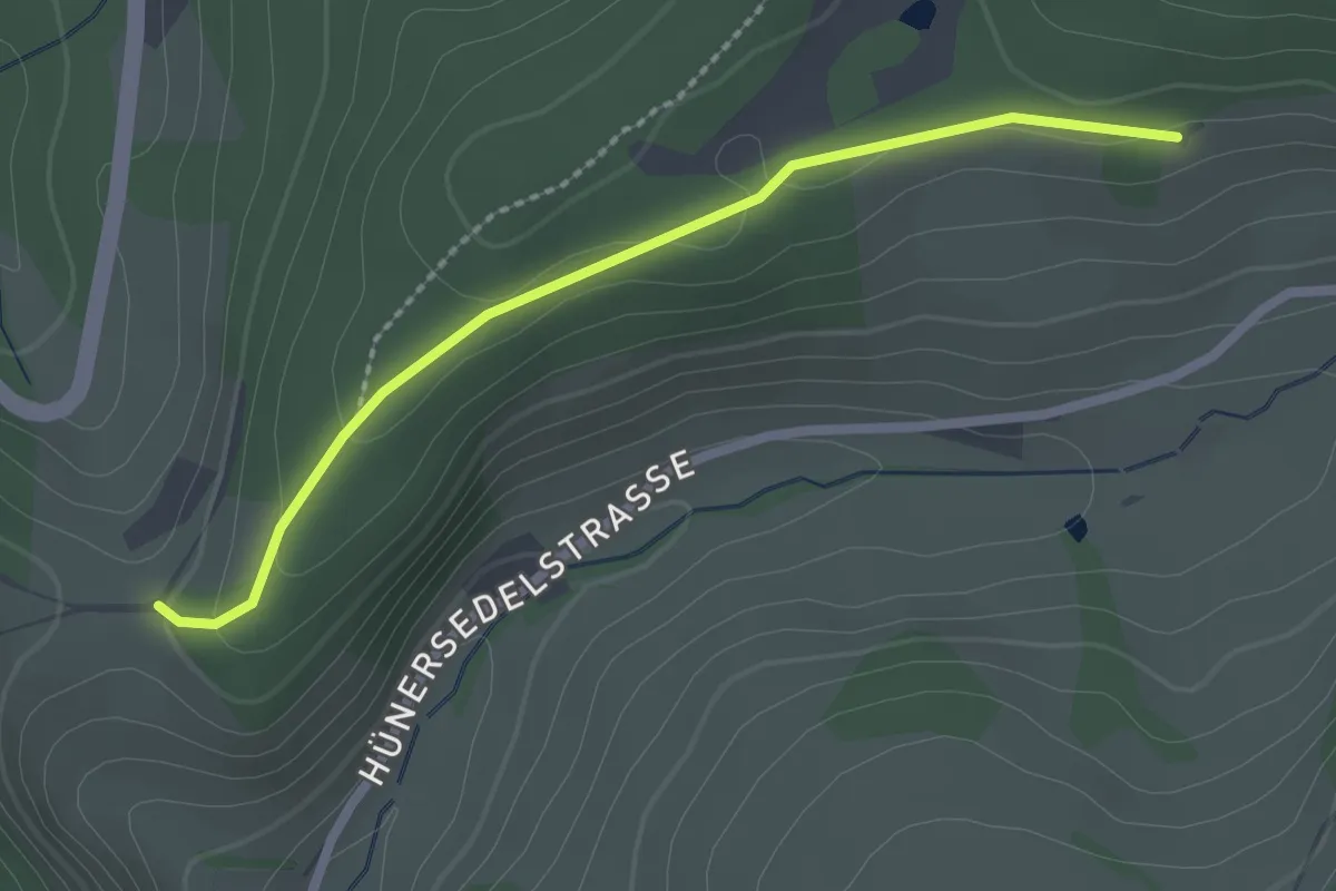
Easy · Trail
Schönwasen Grenzstein - Heiberich
2.2 km · ↑ 49 m · 38 min
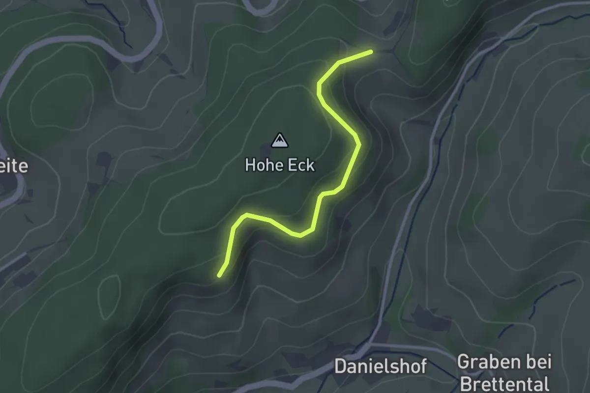
Easy · Trail
Schönwasen - Über der Dorfschmiede
2.5 km · ↑ 133 m · 53 min
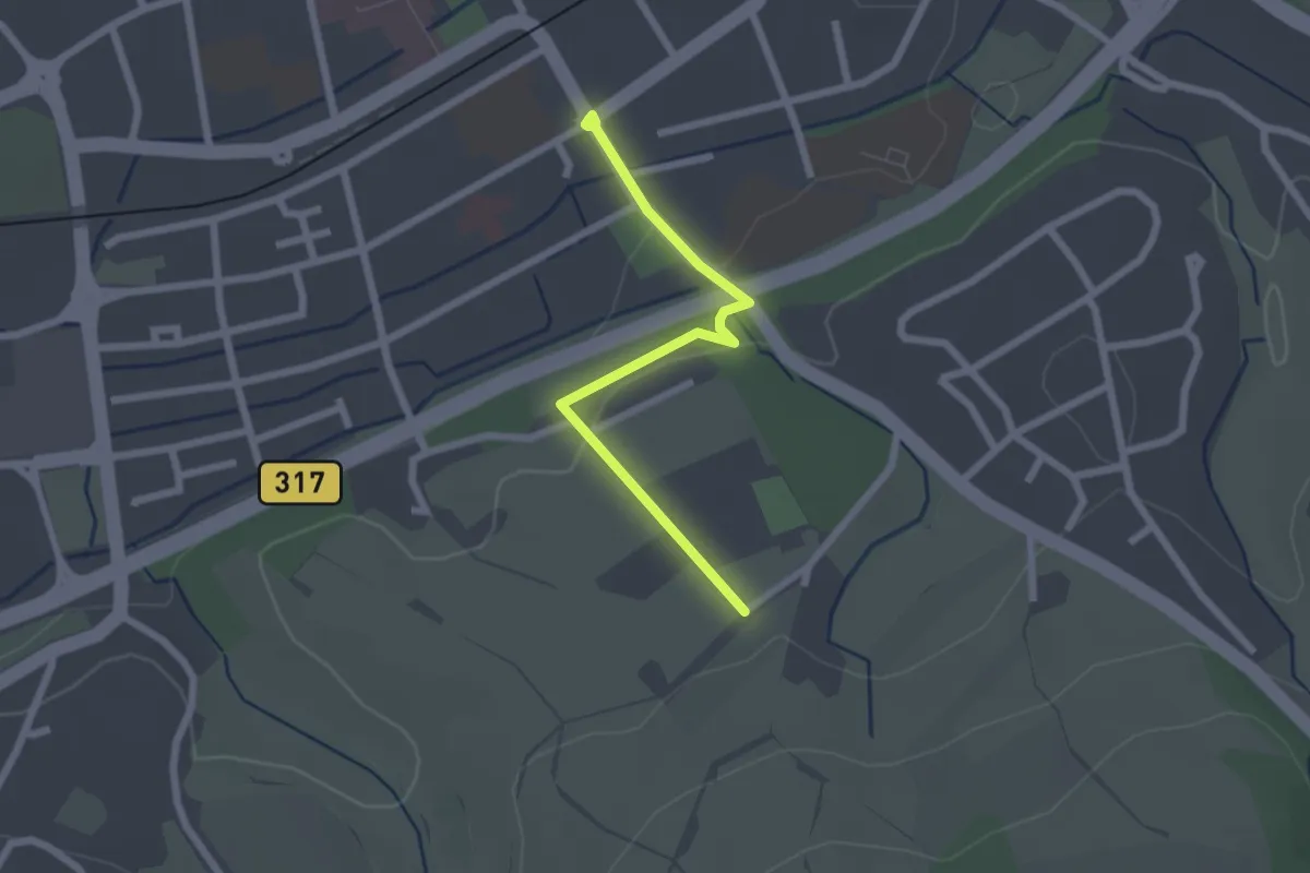
Easy · Trail
Schopfheim Schwarzwaldstraße - Sengelen
2.1 km · ↑ 39 m · 35 min
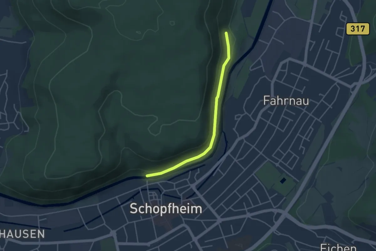
Easy · Trail
Schopfheim Wiesenbrücke - Ehner Fahrnau
3.3 km · ↑ 118 m · 1 h 2 min
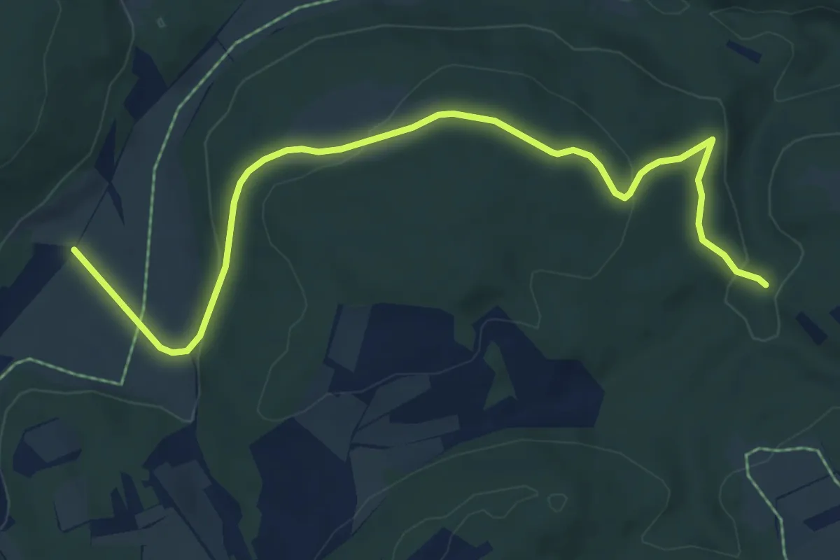
Easy · Trail
Schopfloch Schertelshöhle
7.1 km · ↑ 182 m · 2 h 4 min
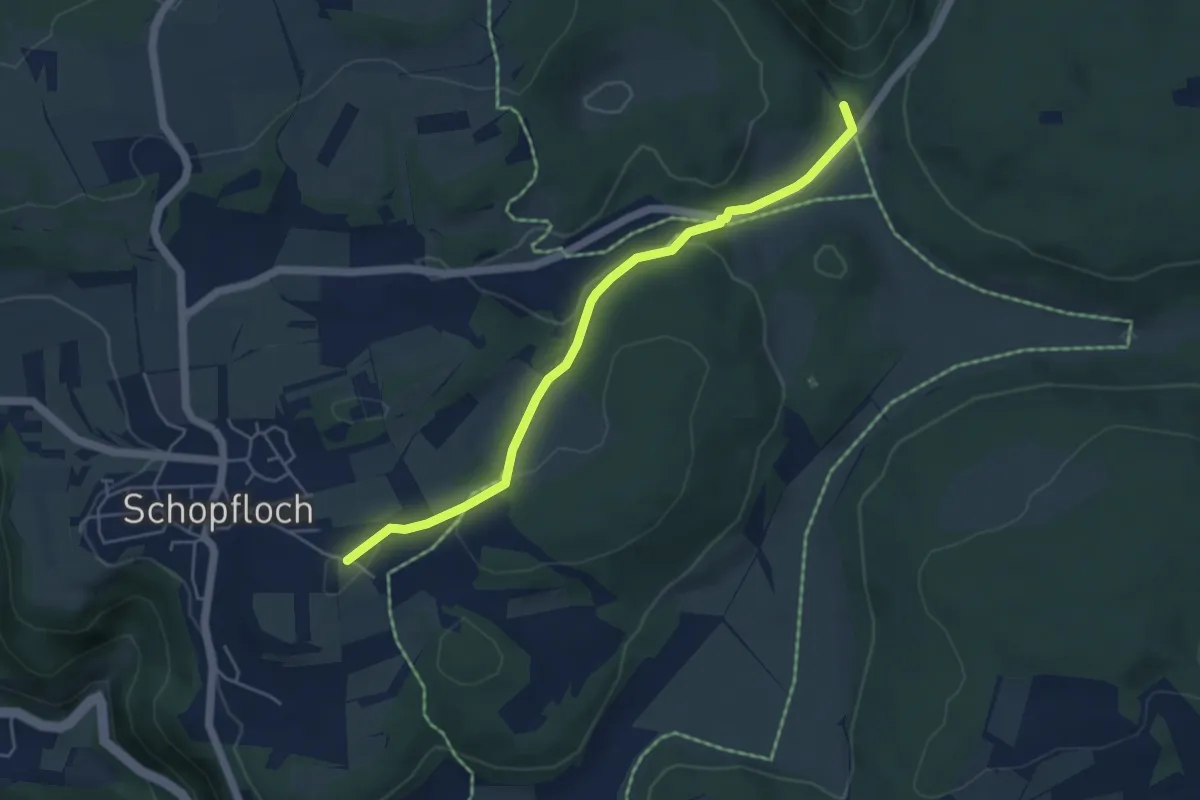
Easy · Trail
Schopfloch (Wanderparkplatz Berg) - Bahnhöfle
4.7 km · ↑ 94 m · 1 h 19 min
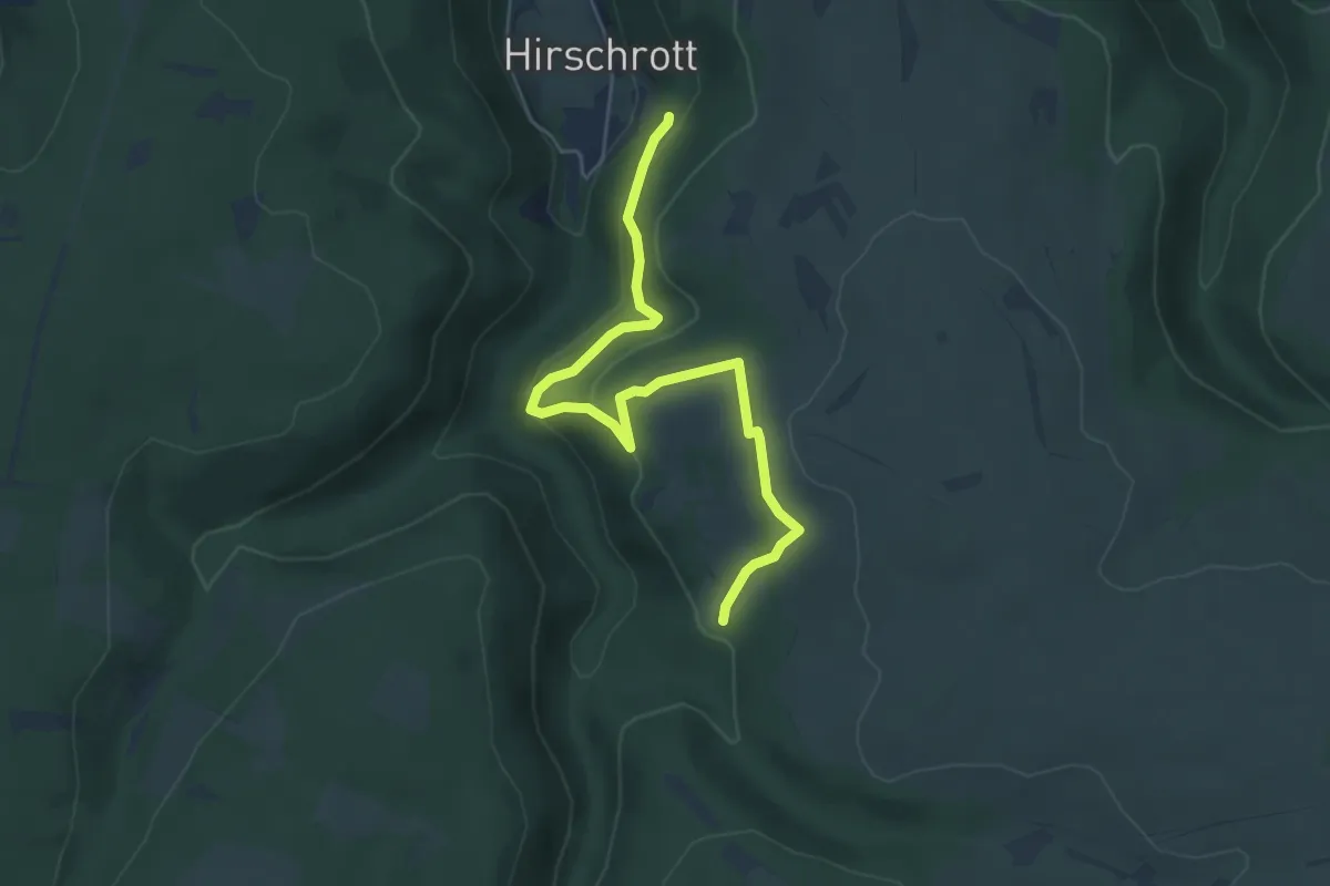
Easy · Trail
Schöpfungspfad „Dem Leben auf der Spur"
5.2 km · ↑ 216 m · 1 h 42 min
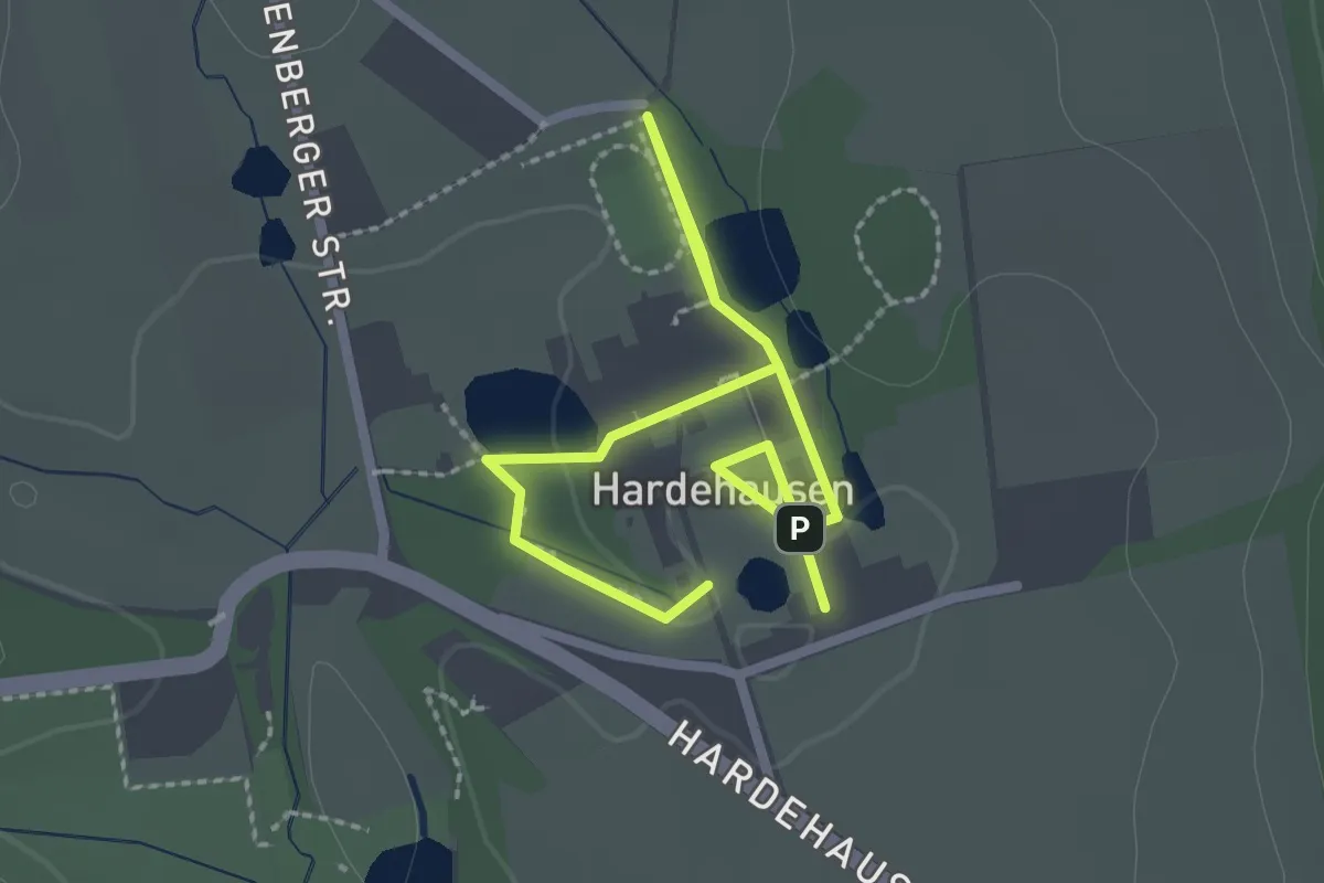
Easy · Trail
Schöpfungspfad Hardehausen
1.5 km · ↑ 4 m · 23 min
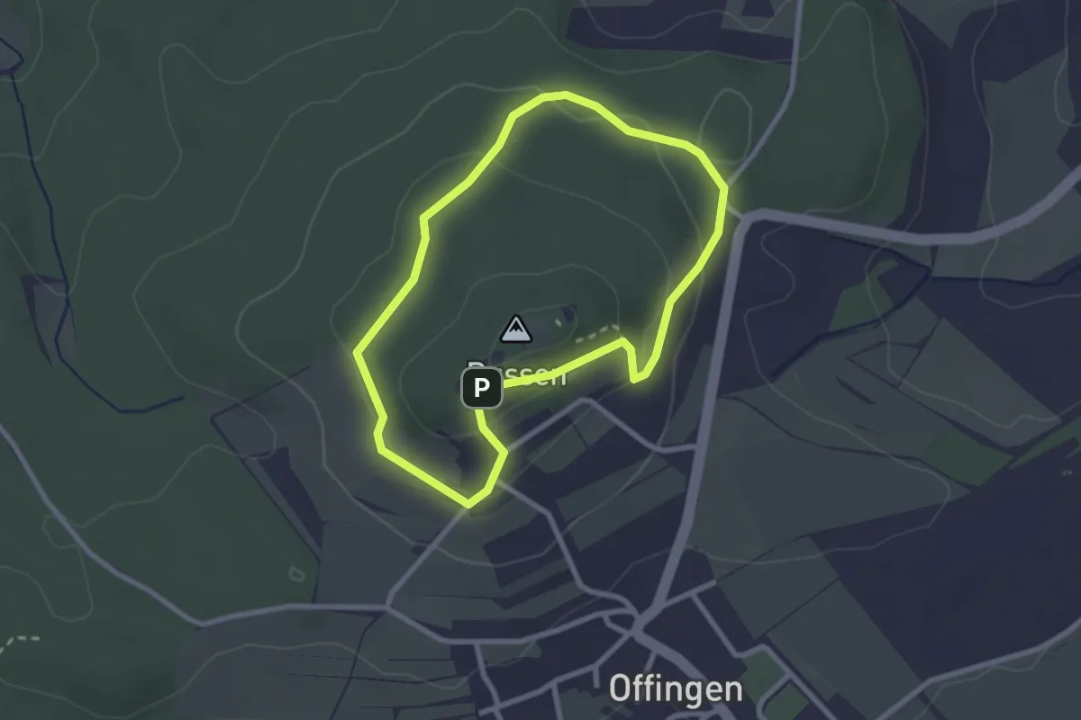
Easy · Summit
Schöpfungsweg
2.3 km · ↑ 76 m · 44 min
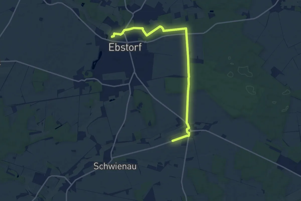
Medium · Trail
Schöpfungsweg
12.4 km · ↑ 93 m · 3 h 8 min
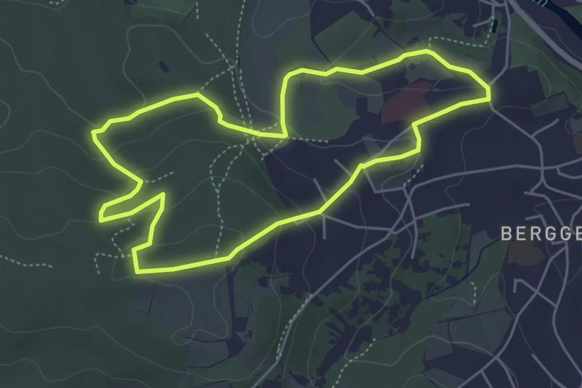
Easy · Trail
Schöpfungweg
4.4 km · ↑ 134 m · 1 h 23 min
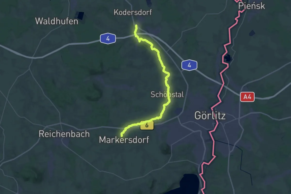
Demanding · Trail
Schöpstalwanderweg (grüner Strich)
31.8 km · ↑ 206 m · 7 h 57 min
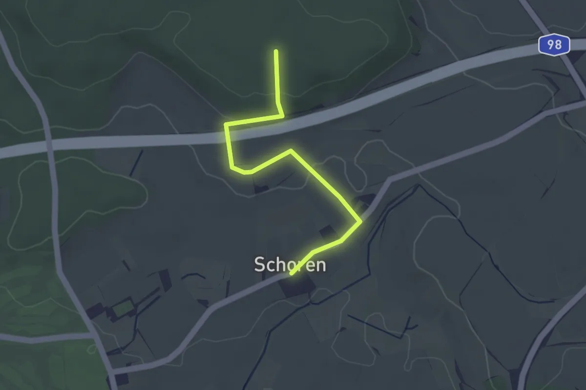
Easy · Trail
Schoren - Waldversuchsfläche
2.9 km · ↑ 74 m · 50 min
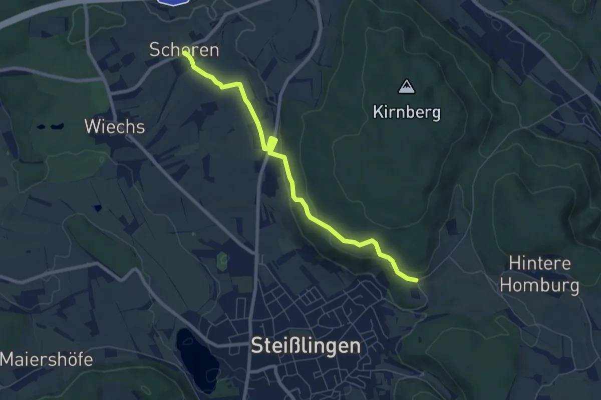
Easy · Trail
Schoren - Wanderparkplatz Kirnberg
6.5 km · ↑ 166 m · 1 h 54 min
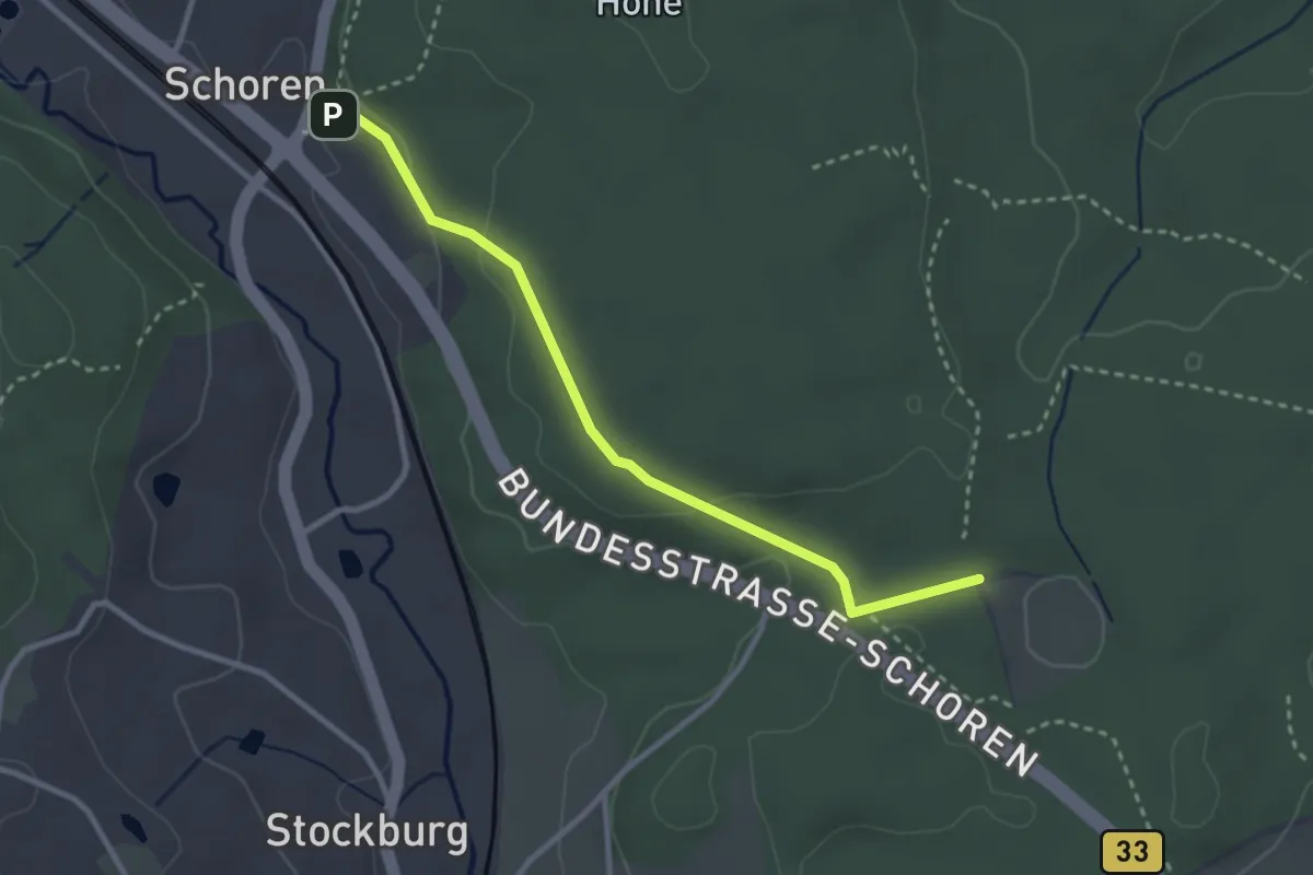
Easy · Trail
Schoren Weggabelung - Bildstöckle
2.9 km · ↑ 72 m · 50 min
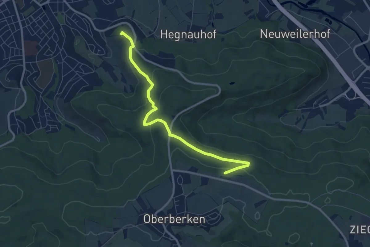
Easy · Summit
Schorndorf - Oberberken
7.1 km · ↑ 198 m · 2 h 7 min
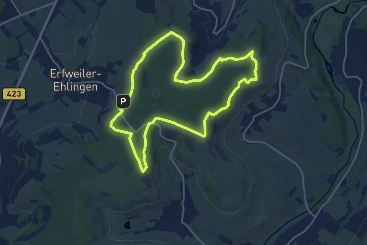
Medium · Trail
Schornwald Runde
9.9 km · ↑ 179 m · 2 h 52 min
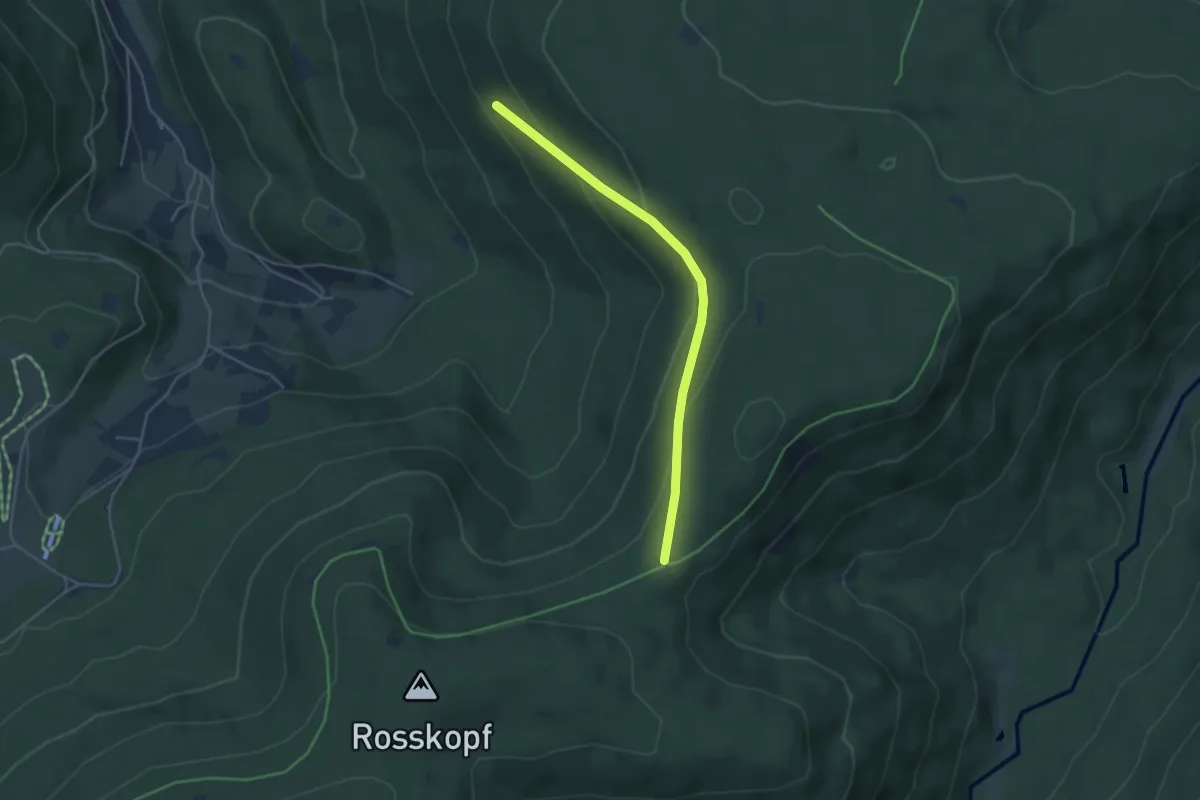
Easy · Trail
Schörsighalde - Weithäusleplatz
3.9 km · ↑ 149 m · 1 h 14 min
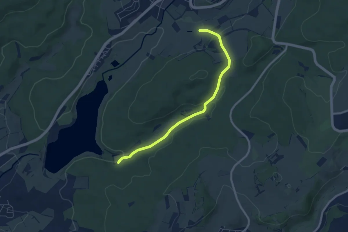
Easy · Trail
Schotten 2
5.6 km · ↑ 125 m · 1 h 36 min
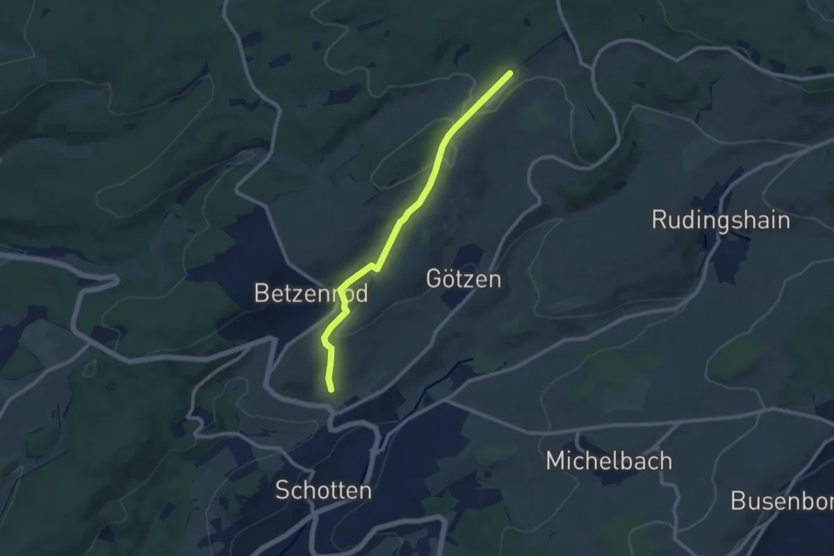
Easy · Trail
Schotten 3
7.4 km · ↑ 209 m · 2 h 12 min
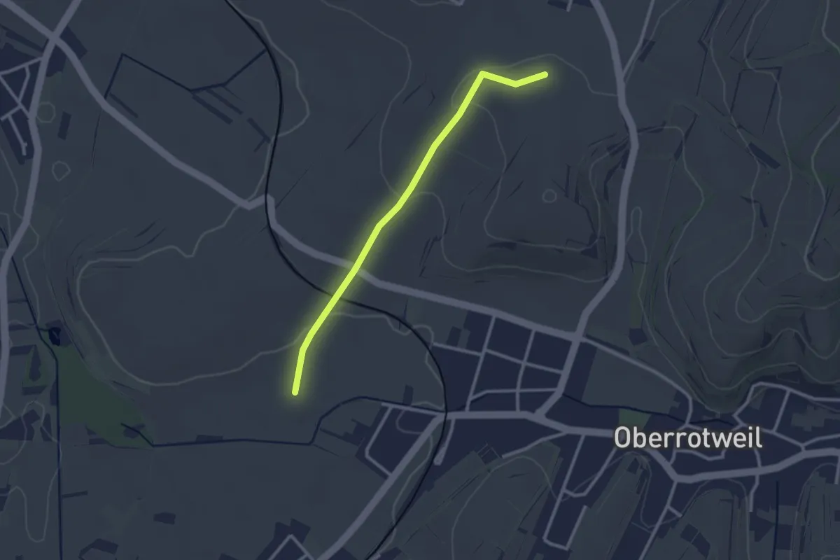
Easy · Trail
Schotten - Abern
2.5 km · ↑ 42 m · 42 min
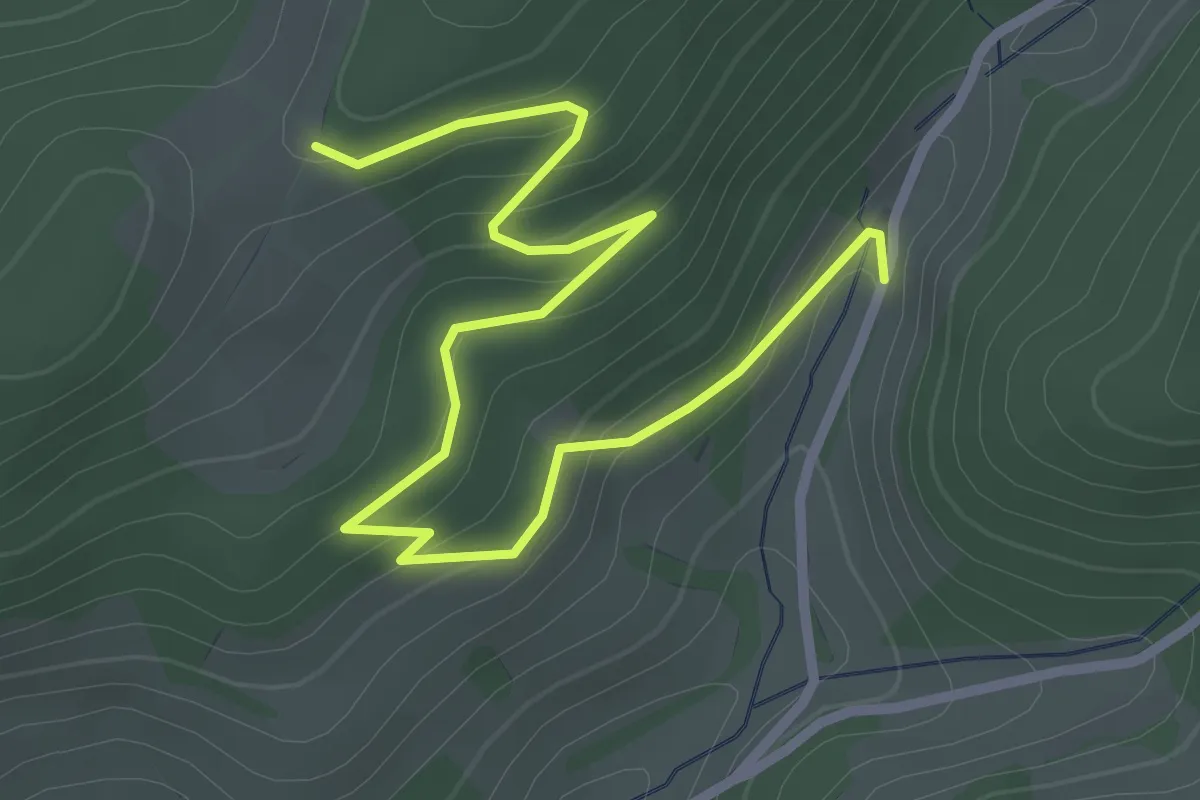
Easy · Trail
Schottenhöfen Schnaiderhof - Wolfsdobel
3.2 km · ↑ 114 m · 1 h
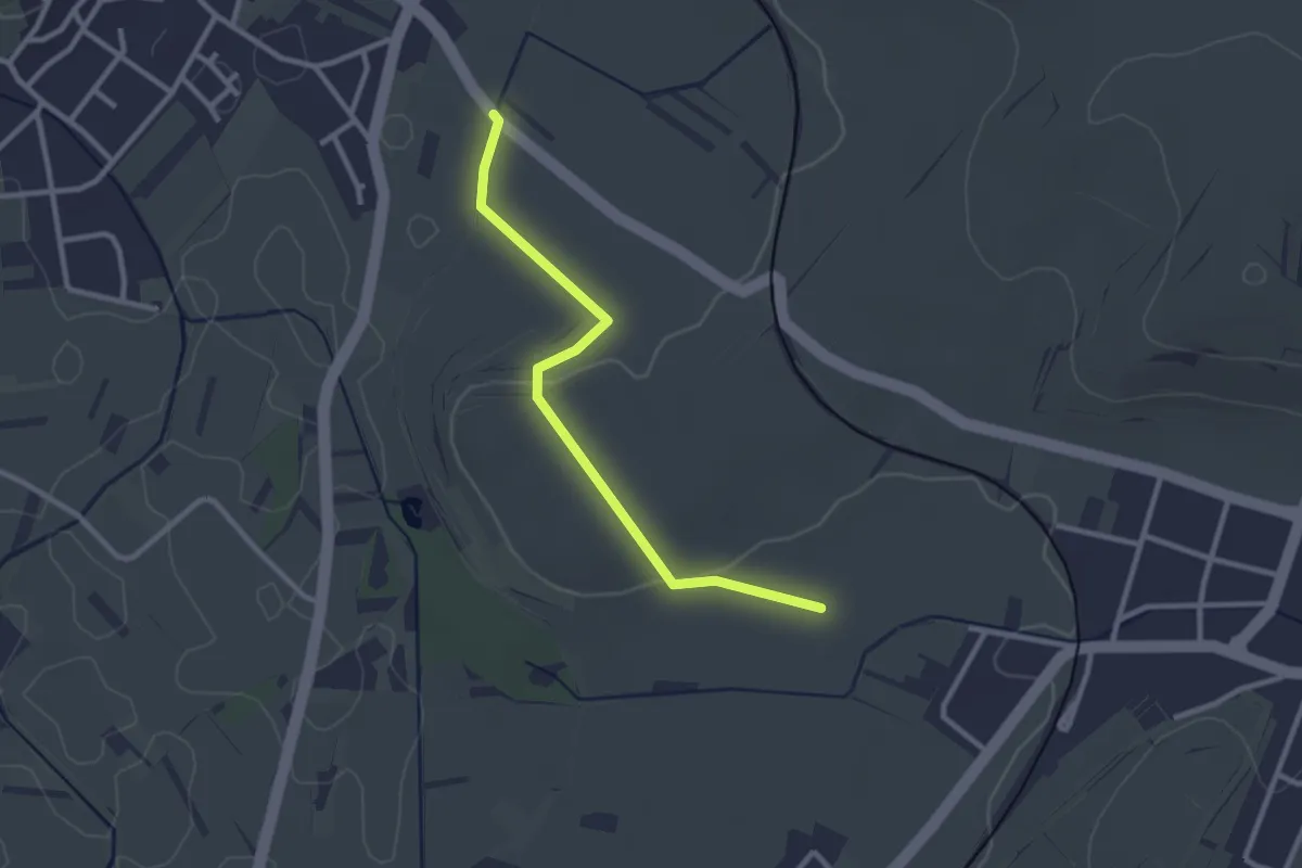
Easy · Trail
Schotten - Langstrecke
2.6 km · ↑ 42 m · 42 min
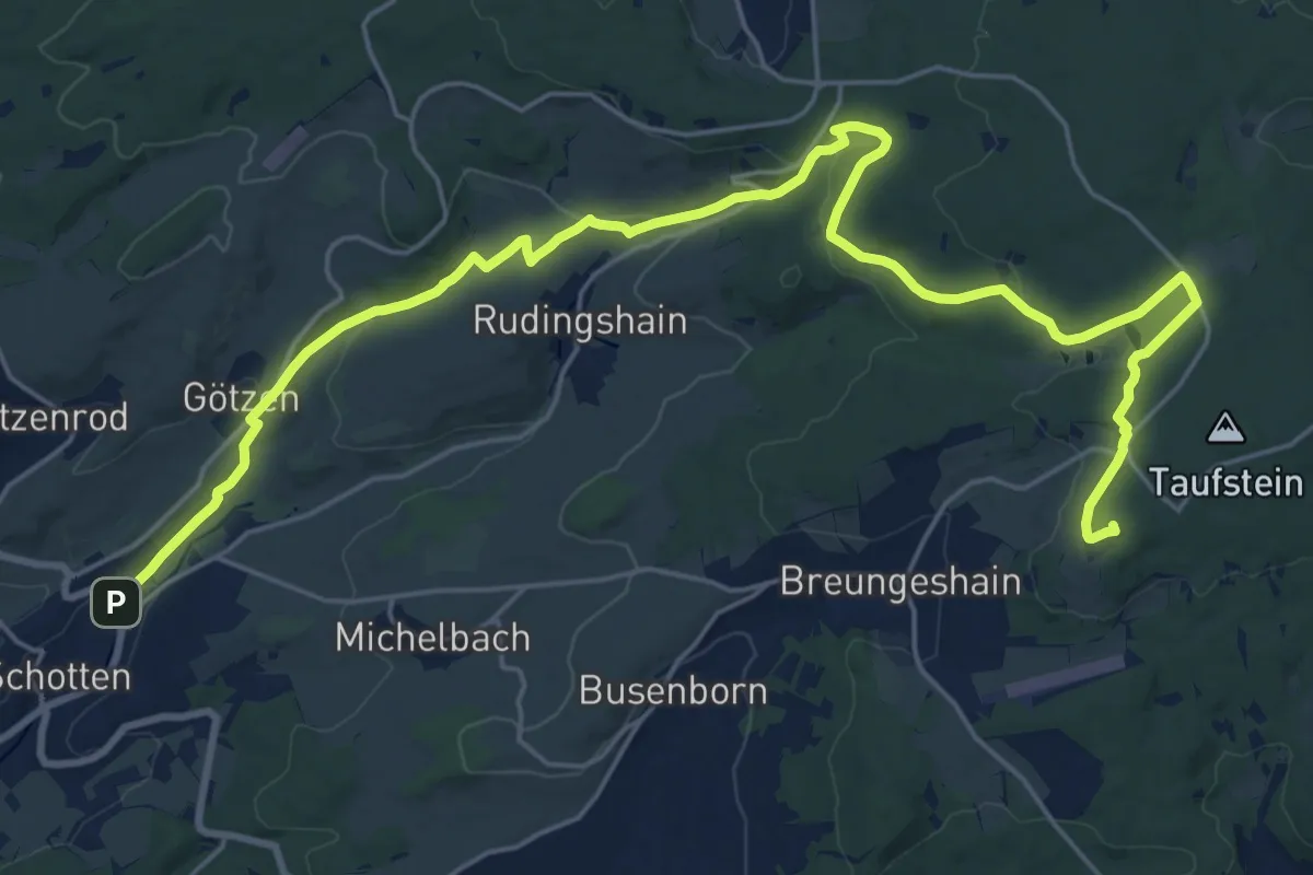
Demanding · Summit
Schotten - Route 3
27.0 km · ↑ 593 m · 7 h 40 min
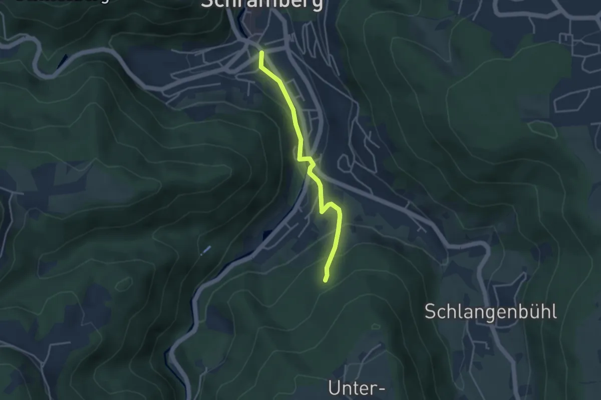
Easy · Trail
Schramberg Busbahnhof - Tischnecker Berg
3.0 km · ↑ 158 m · 1 h 4 min
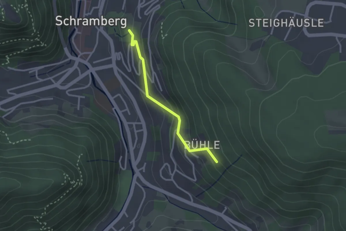
Easy · Trail
Schramberg Park der Zeiten - Bühle Dreiburgenblick
2.2 km · ↑ 129 m · 48 min
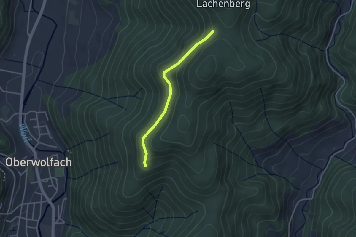
Easy · Trail
Schrannensattel - Am Katzenkopf
2.4 km · ↑ 76 m · 44 min
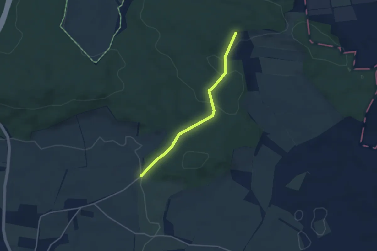
Easy · Trail
Schratenhof - Kirnberg
2.8 km · ↑ 74 m · 50 min
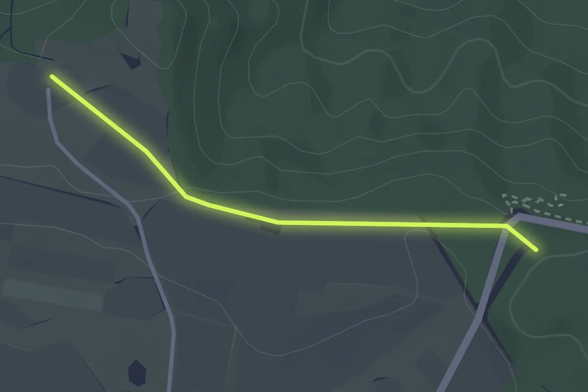
Easy · Trail
Schrotzburg Hof - Wanderparkplatz Haselwies
2.4 km · ↑ 29 m · 38 min
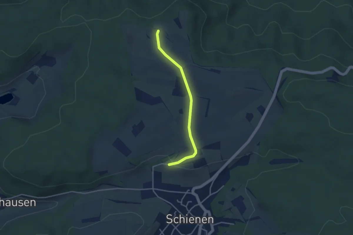
Easy · Trail
Schrotzburg Hof - Weiheracker
2.7 km · ↑ 49 m · 45 min
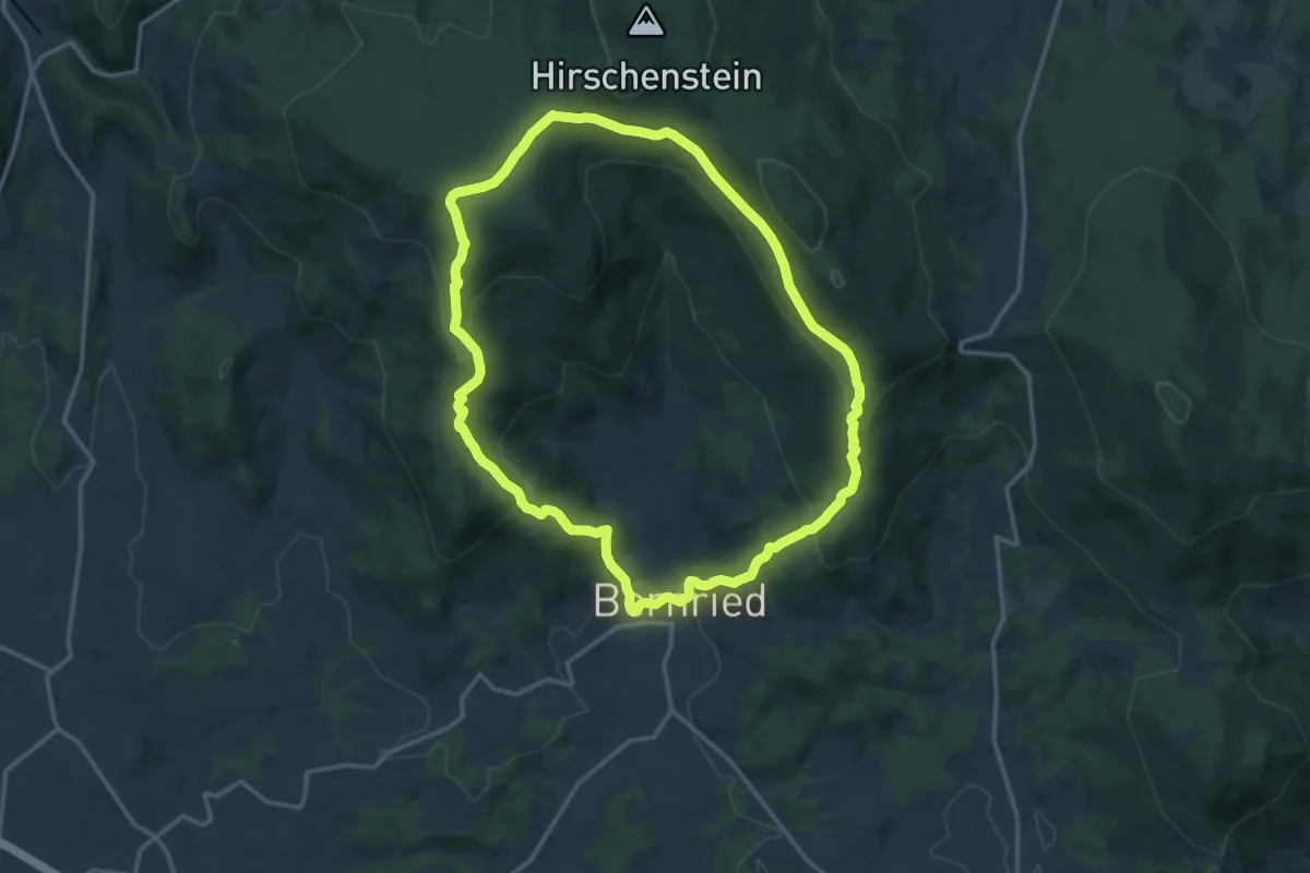
Demanding · Summit
Schuhfleckweg
13.5 km · ↑ 593 m · 4 h 39 min
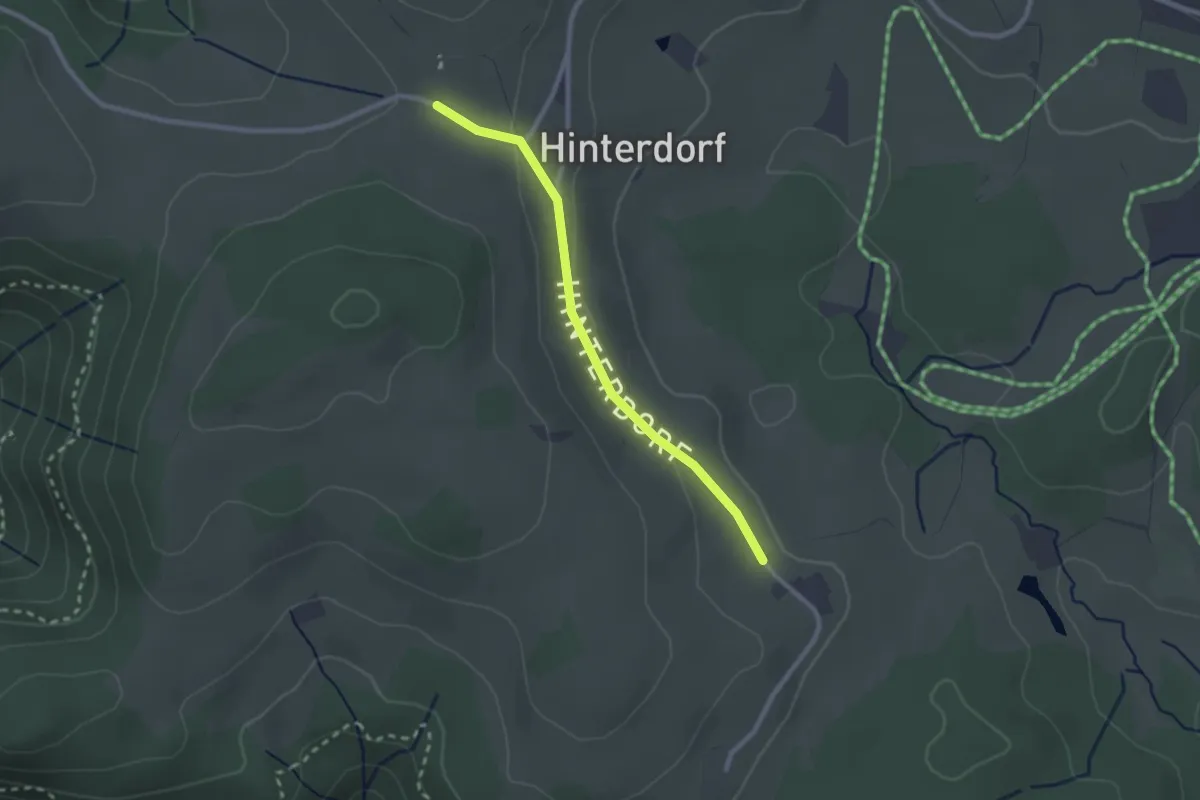
Easy · Trail
Schuhhof - Windrad
2.2 km · ↑ 38 m · 36 min
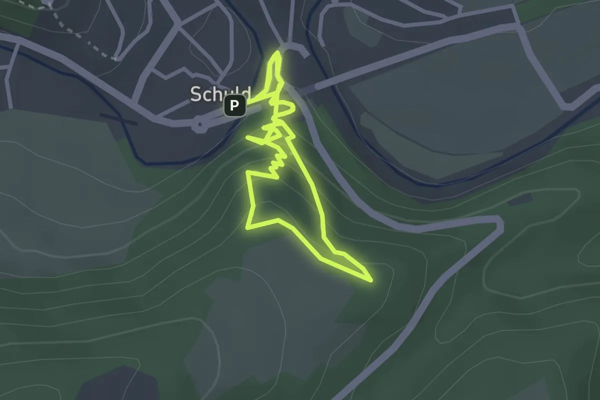
Medium · Trail
Schuld Rundweg 8
2.3 km · ↑ 160 m · 54 min
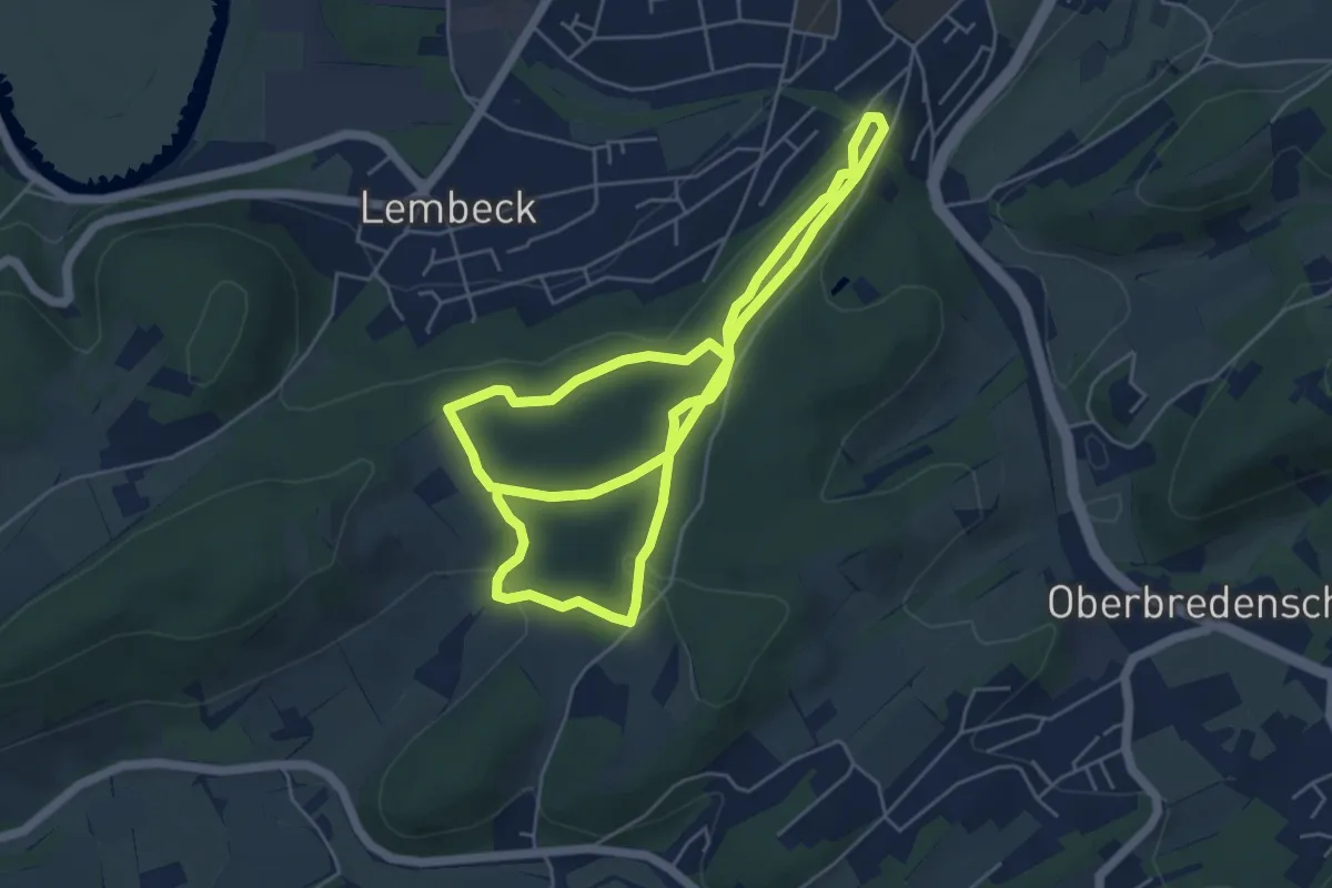
Easy · Trail
Schulenburg Rundweg A1
4.8 km · ↑ 130 m · 1 h 30 min
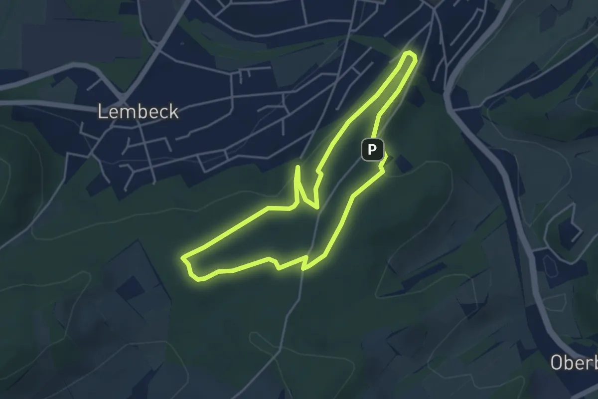
Easy · Trail
Schulenburg Rundweg A2
3.4 km · ↑ 102 m · 1 h 4 min
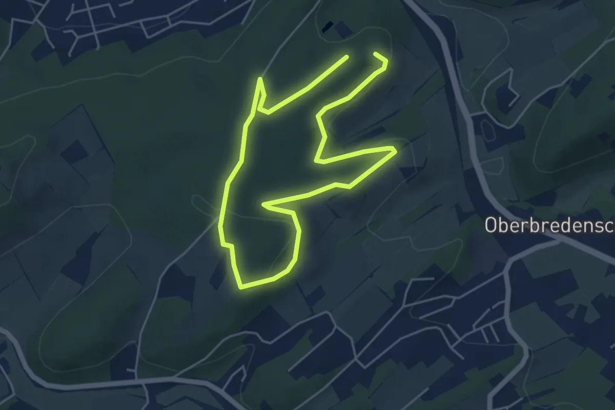
Easy · Trail
Schulenburg Rundweg A3
3.6 km · ↑ 66 m · 1 h 3 min
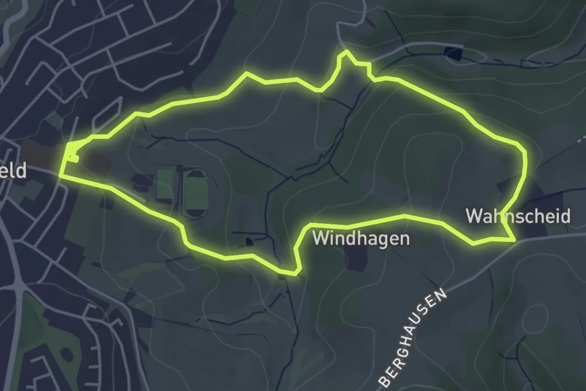
Easy · Trail
Schule Rundweg A11
4.3 km · ↑ 122 m · 1 h 20 min
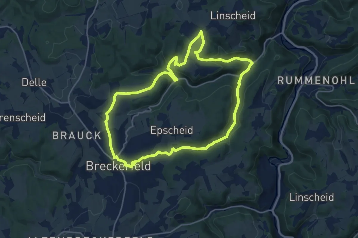
Medium · Trail
Schule Rundweg A16
12.5 km · ↑ 383 m · 3 h 57 min
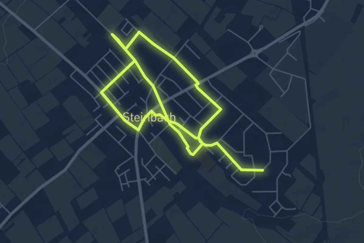
Medium · Trail
Schulwege 61449 Steinbach (Taunus)
8.7 km · ↑ 35 m · 2 h 8 min