Trails in Germany
36,852 hiking trails, each with its route, climb, walking time and grade.
All trails, page 582 of 768
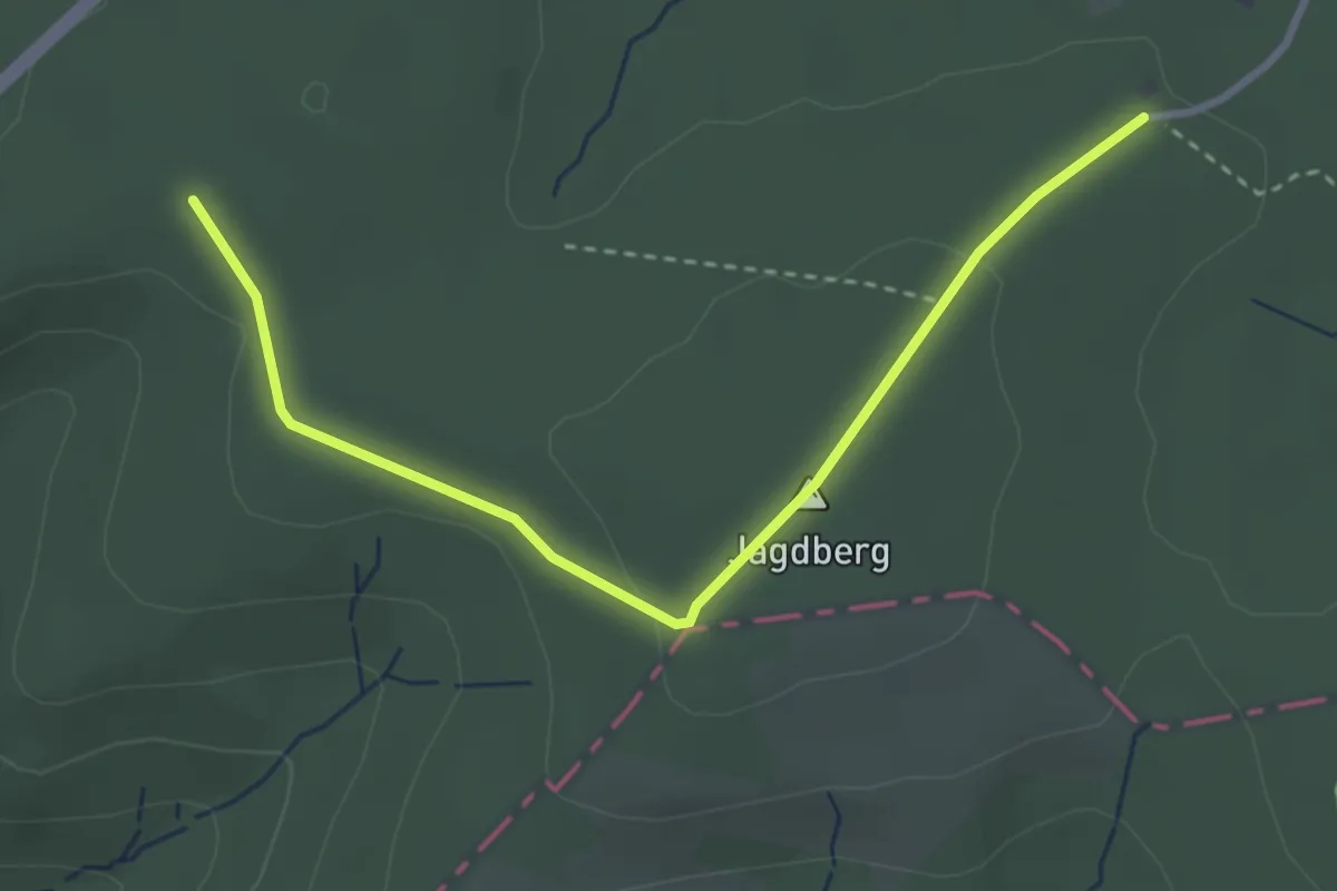
Easy · Summit
Schulweg Rundweg A6 - Über die Eisenstraße
1.6 km · ↑ 30 m · 27 min
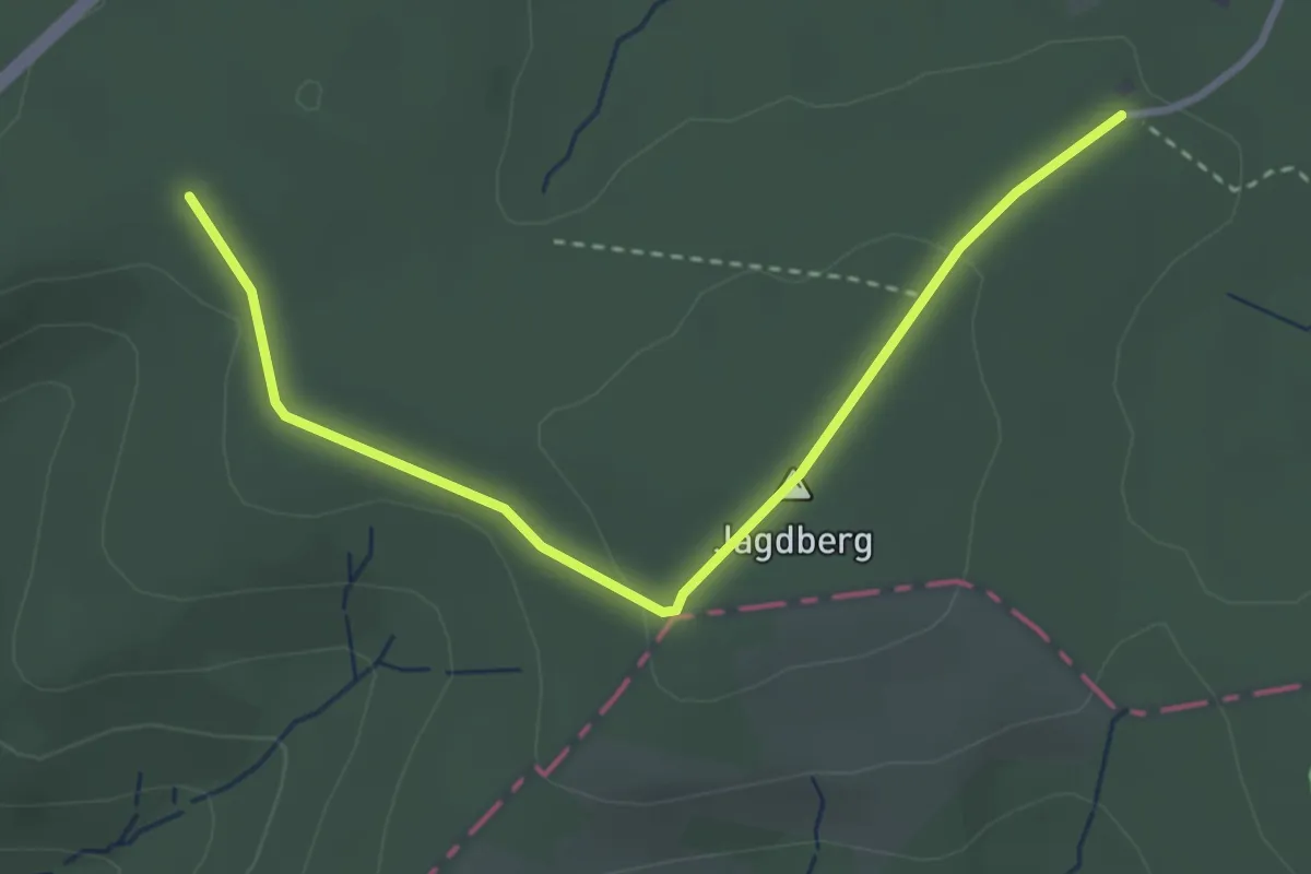
Easy · Summit
Schulweg Rundweg A7 Lahntal-Lahnquelle-Eisenstraße
1.6 km · ↑ 30 m · 27 min
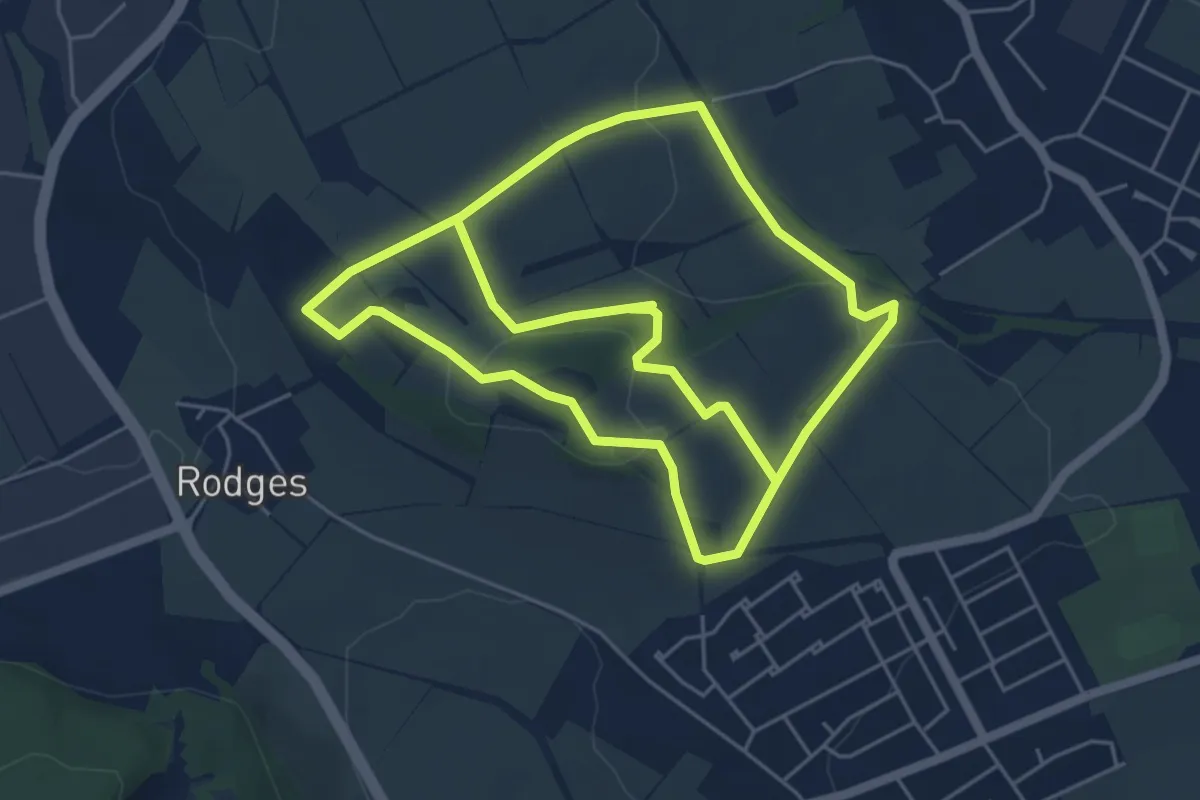
Easy · Summit
Schulzenberg Rundwanderweg
5.1 km · ↑ 126 m · 1 h 33 min
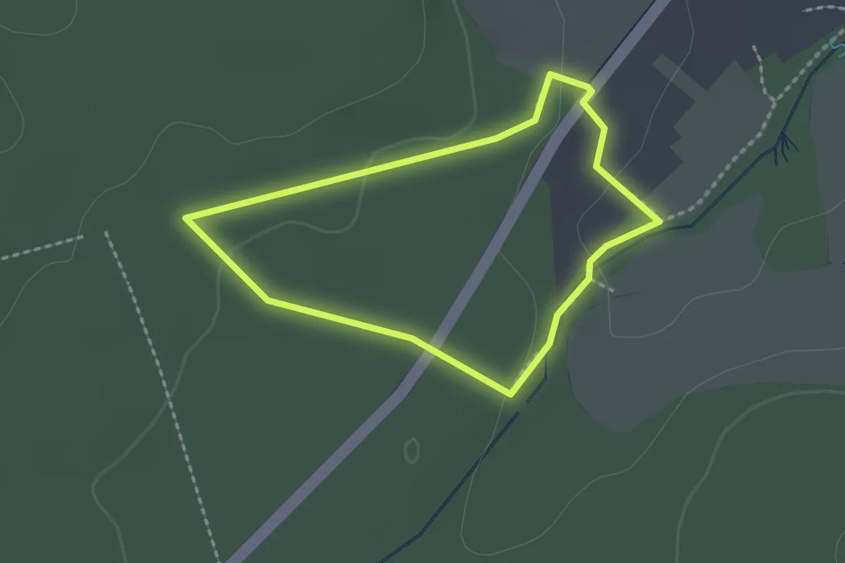
Easy · Trail
Schunterquellenweg
1.5 km · ↑ 24 m · 26 min
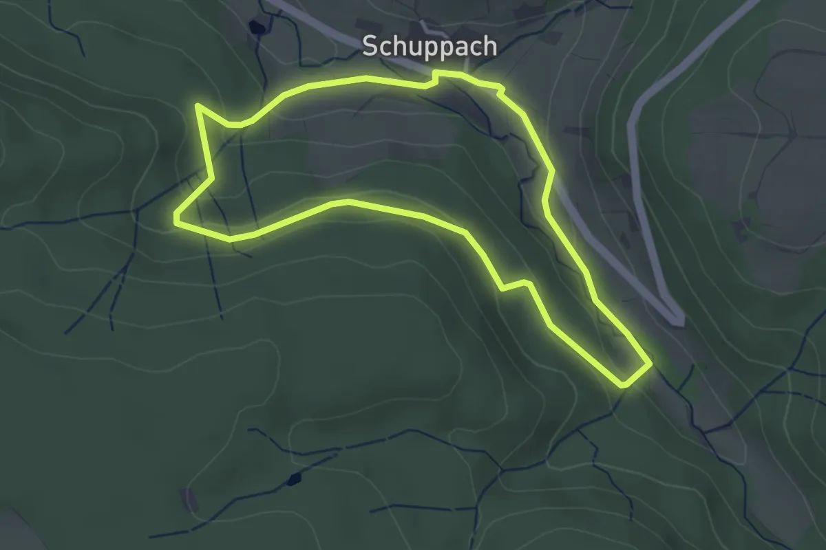
Easy · Trail
Schuppacher Runde
3.2 km · ↑ 83 m · 59 min
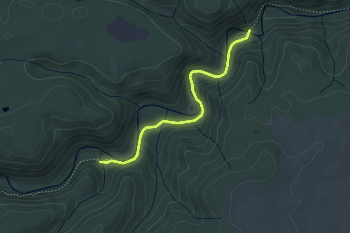
Medium · Trail
Schurhammerhütte - Rümmelesteg
3.7 km · ↑ 92 m · 1 h 5 min
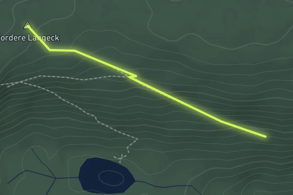
Easy · Summit
Schurmseehöhe - Schurm
1.8 km · ↑ 96 m · 37 min
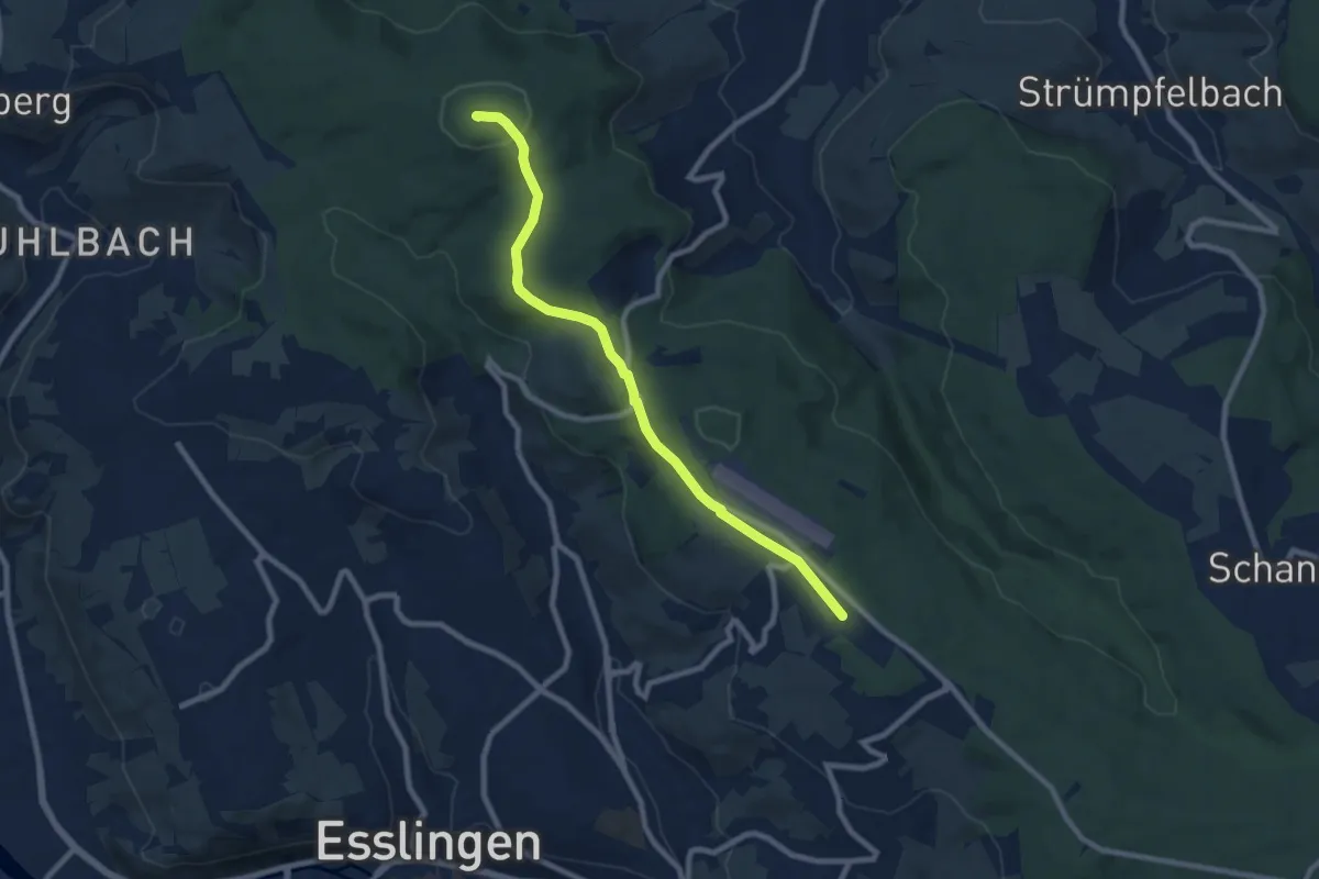
Medium · Summit
Schurwaldhöhe - Kernen - Rommelshausen
8.2 km · ↑ 129 m · 2 h 12 min
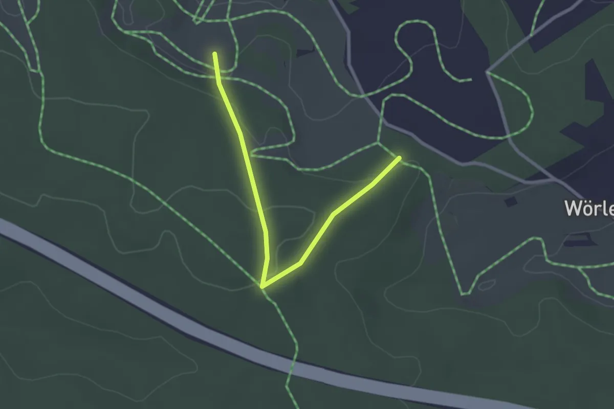
Easy · Trail
Schußrundweg (4)
1.2 km · ↑ 25 m · 22 min
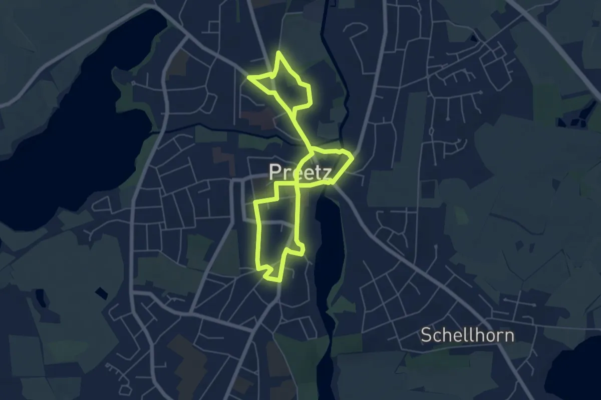
Easy · Trail
Schustergang
4.2 km · ↑ 18 m · 1 h 6 min
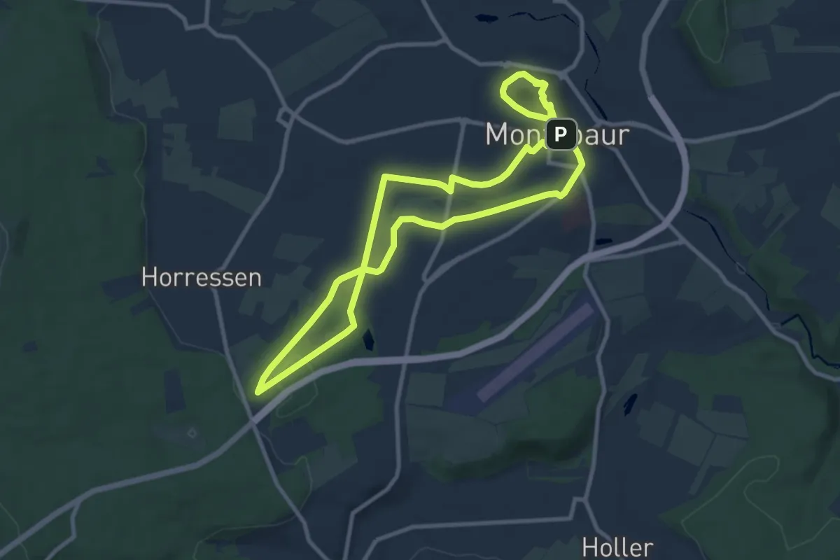
Medium · Trail
Schusterjungenweg Montabaur
8.2 km · ↑ 107 m · 2 h 16 min
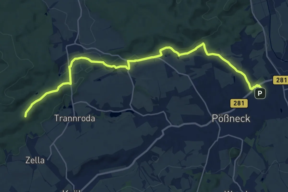
Medium · Summit
Schustersteig
17.2 km · ↑ 269 m · 4 h 39 min
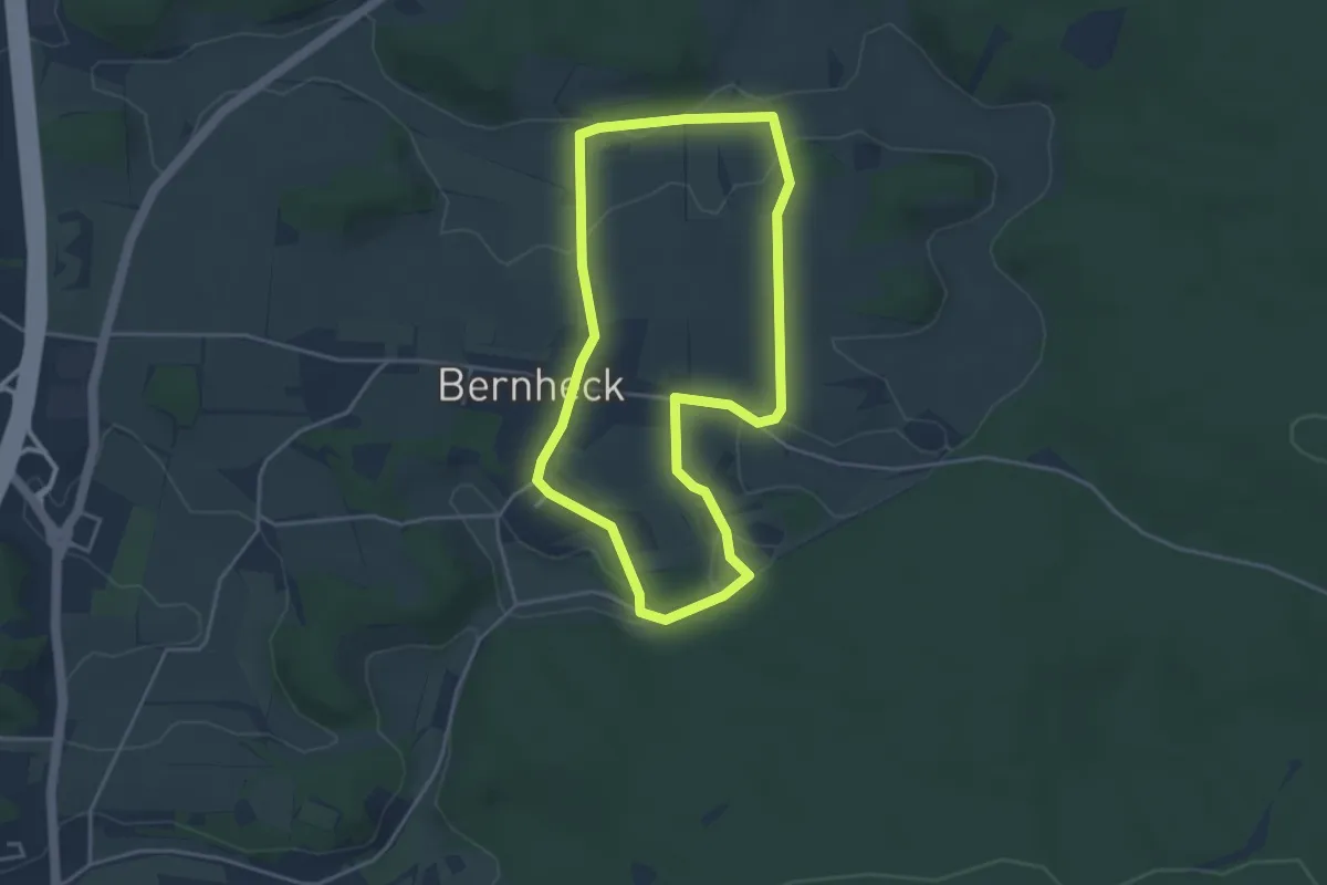
Easy · Trail
Schusterweg
3.6 km · ↑ 54 m · 1 h 1 min
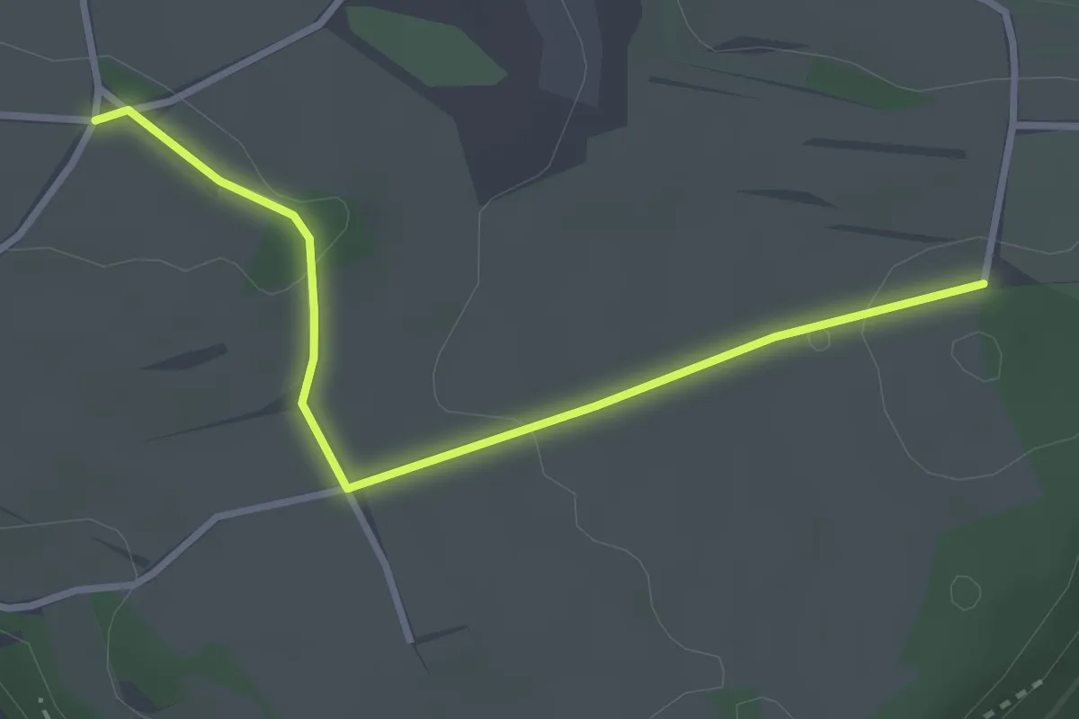
Easy · Trail
Schütte-Camping - Stallberg
3.0 km · ↑ 43 m · 48 min
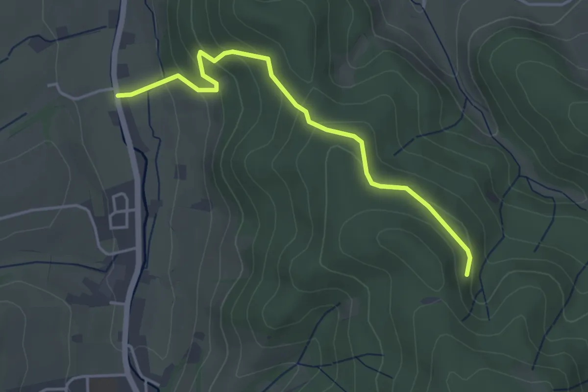
Easy · Trail
Schuttereckle - Untertal
3.8 km · ↑ 186 m · 1 h 18 min
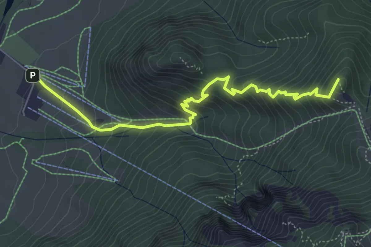
Medium · Summit
Schutzengelweg
5.5 km · ↑ 520 m · 2 h 25 min
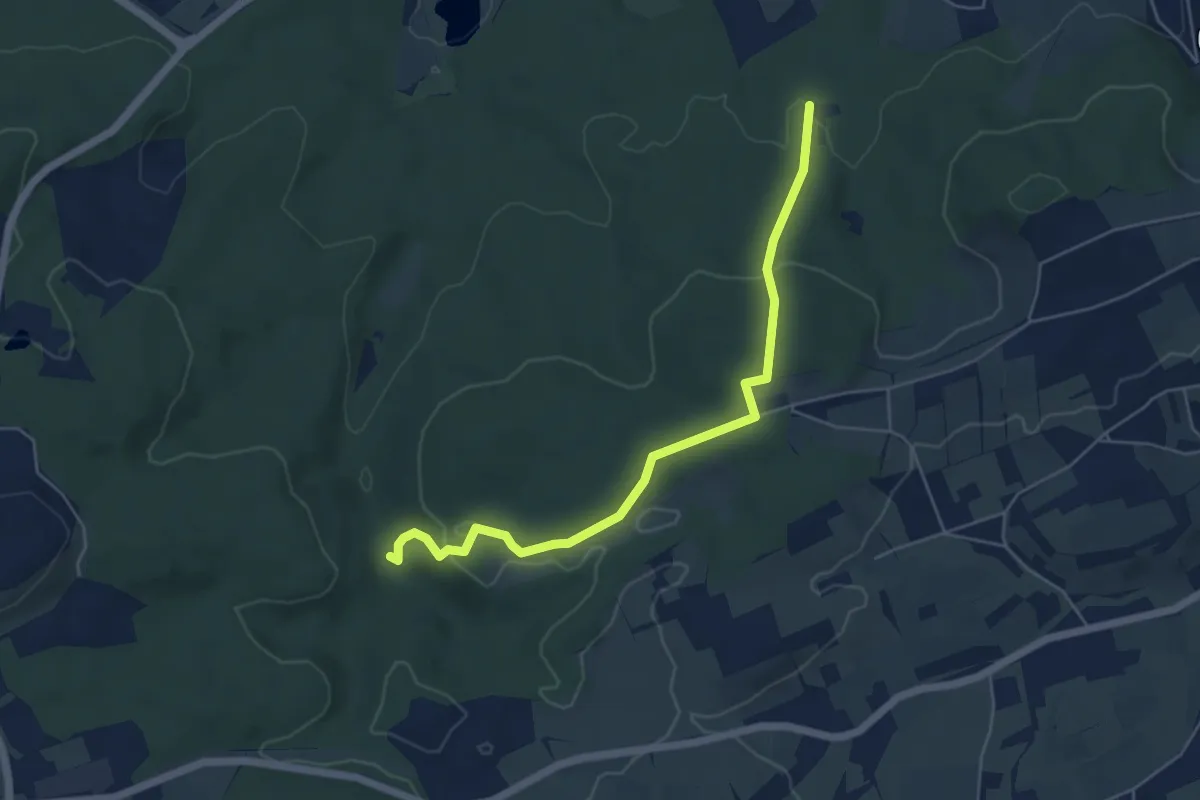
Medium · Trail
Schützenhaus - Breitenbach
5.3 km · ↑ 159 m · 1 h 36 min
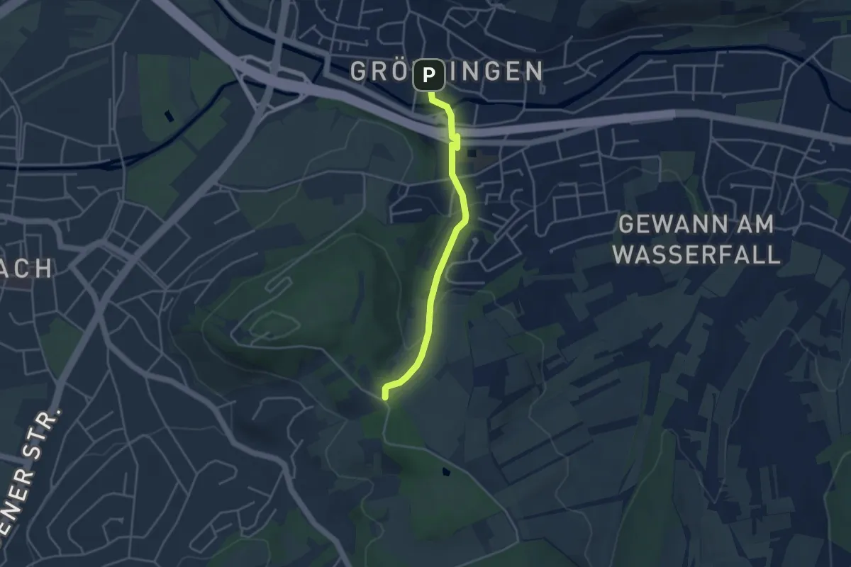
Easy · Trail
Schützenhaus - Grötzingen Rathaus
3.3 km · ↑ 99 m · 59 min
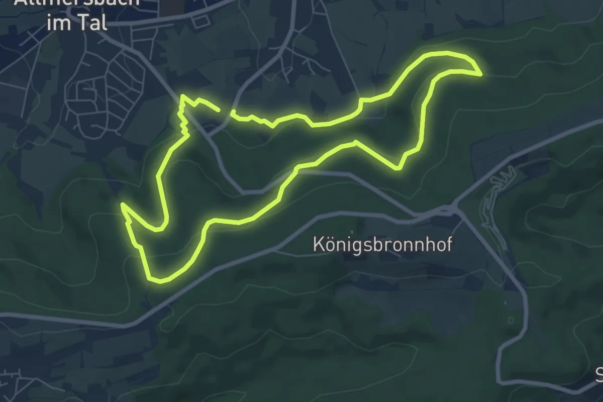
Easy · Summit
Schützenhausrunde
6.4 km · ↑ 190 m · 2 h
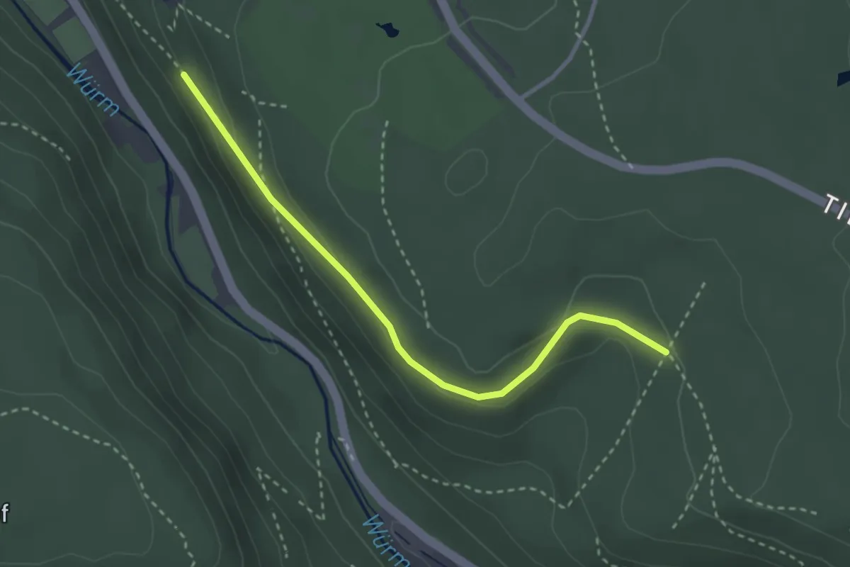
Easy · Trail
Schützenpfad - Seeberg
2.9 km · ↑ 80 m · 51 min
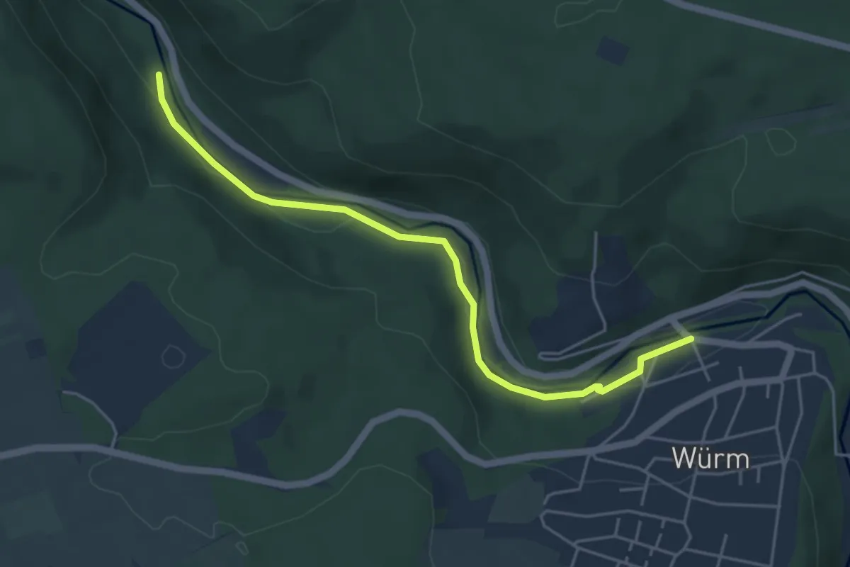
Easy · Trail
Schützensteg - Würm Würmbrücke
4.5 km · ↑ 51 m · 1 h 10 min
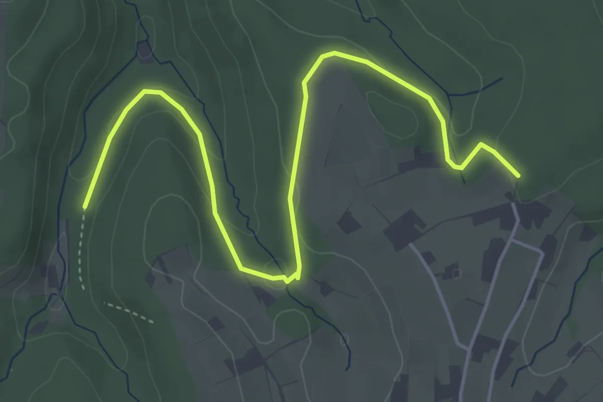
Easy · Trail
Schutzhof - Wildgumme
5.0 km · ↑ 131 m · 1 h 28 min
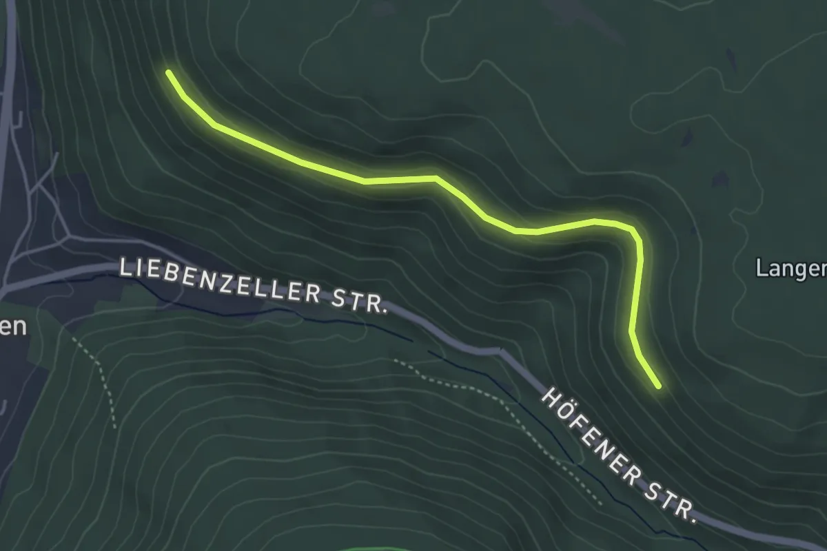
Easy · Trail
Schutzhütte (Cafe Fuchs) - Pforzheimer Tor
3.9 km · ↑ 134 m · 1 h 13 min
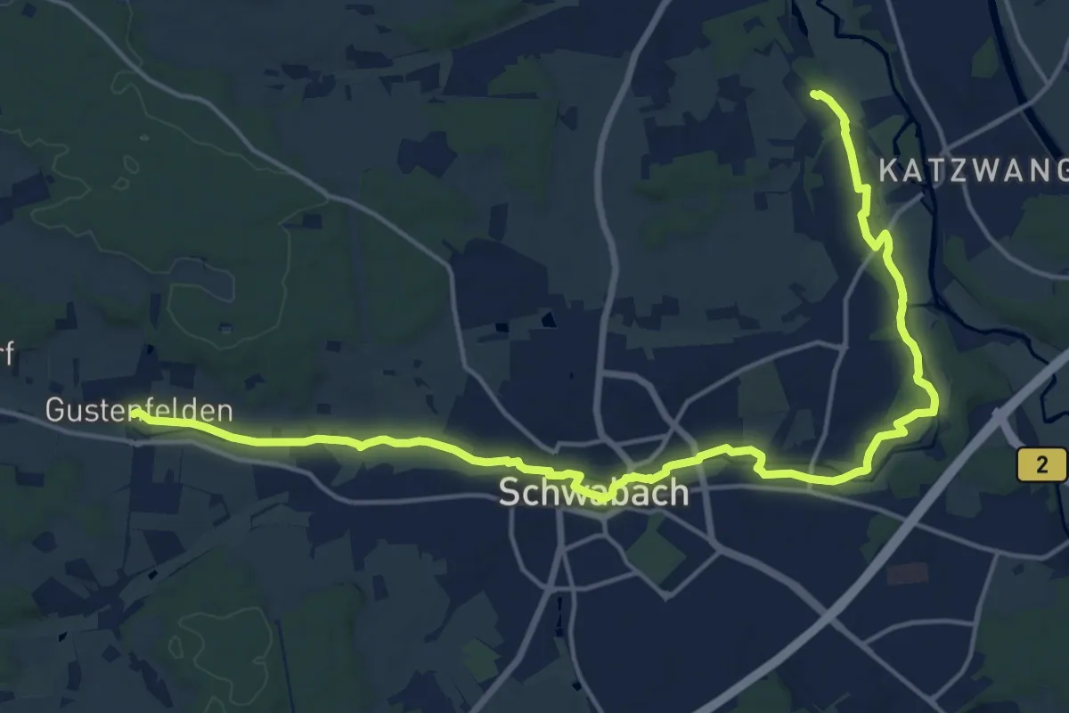
Demanding · Trail
Schwabachtalweg
19.7 km · ↑ 124 m · 4 h 55 min
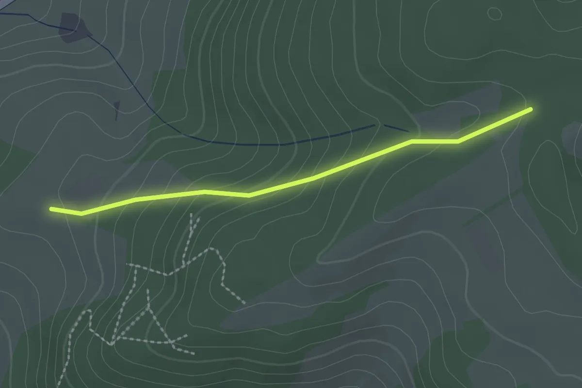
Easy · Trail
Schwabenberg - Schwabenkreuz
2.1 km · ↑ 136 m · 48 min
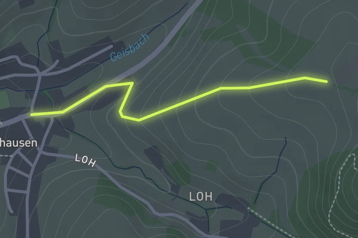
Easy · Trail
Schwabenberg - Schweighausen Annakapelle
2.1 km · ↑ 111 m · 45 min
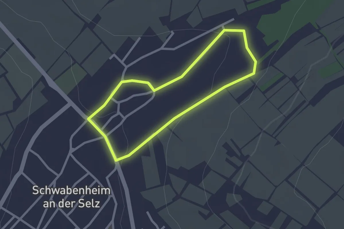
Easy · Trail
Schwabenheim: 1 Flutgraben
1.8 km · ↑ 32 m · 32 min
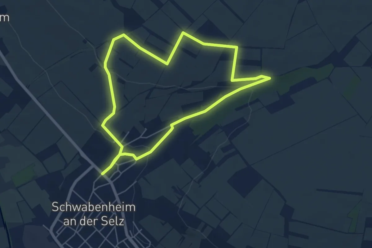
Easy · Trail
Schwabenheim: 2 Klostergarten
4.6 km · ↑ 97 m · 1 h 21 min
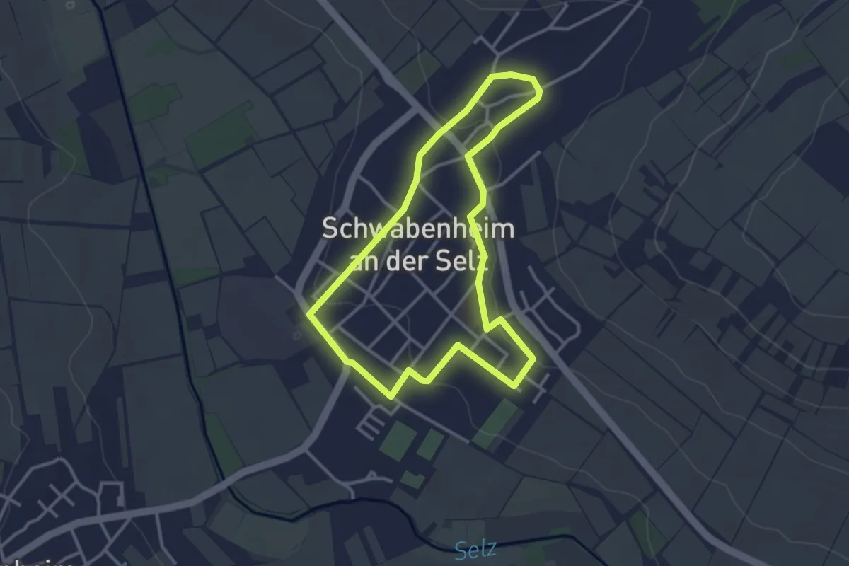
Easy · Trail
Schwabenheim: 3 Schwabenheim
2.8 km · ↑ 36 m · 47 min
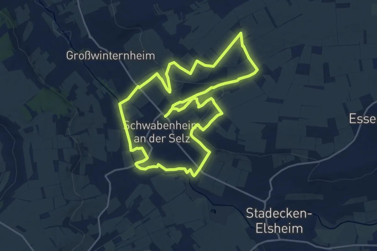
Medium · Trail
Schwabenheim: 5 Große Runde
13.7 km · ↑ 223 m · 3 h 55 min
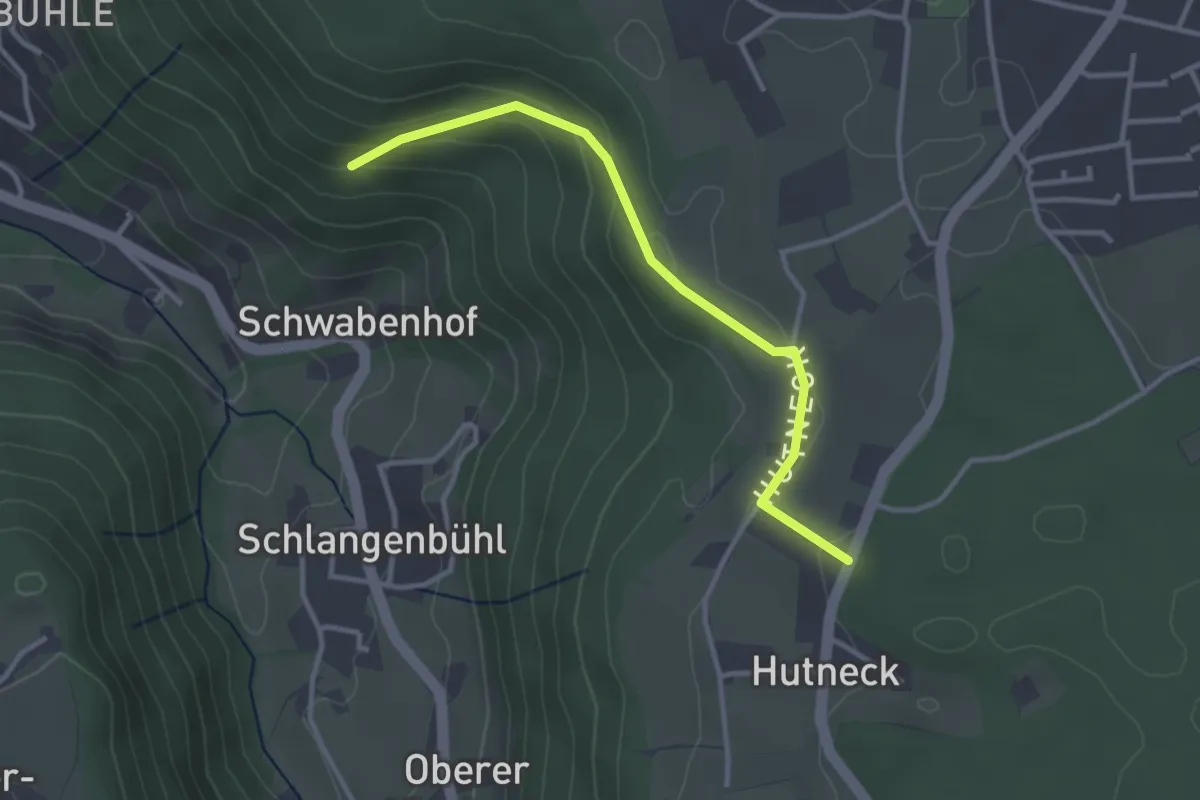
Easy · Trail
Schwabenhof - Hutneck
3.0 km · ↑ 120 m · 58 min
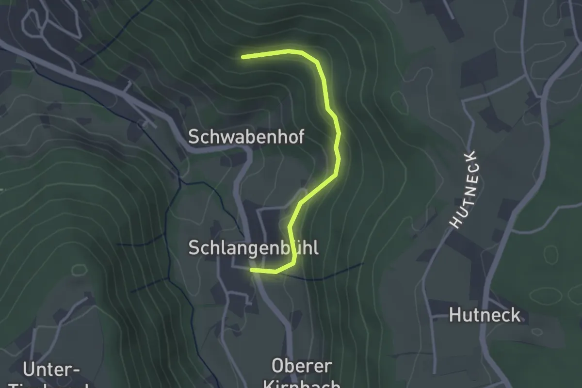
Easy · Trail
Schwabenhof - Schlangenbühl
2.5 km · ↑ 148 m · 54 min
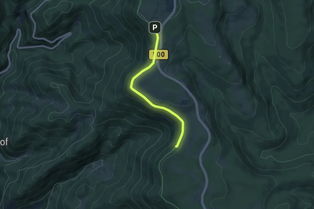
Easy · Trail
Schwabenrank - Steinmäuerle Infotafel
4.5 km · ↑ 114 m · 1 h 19 min
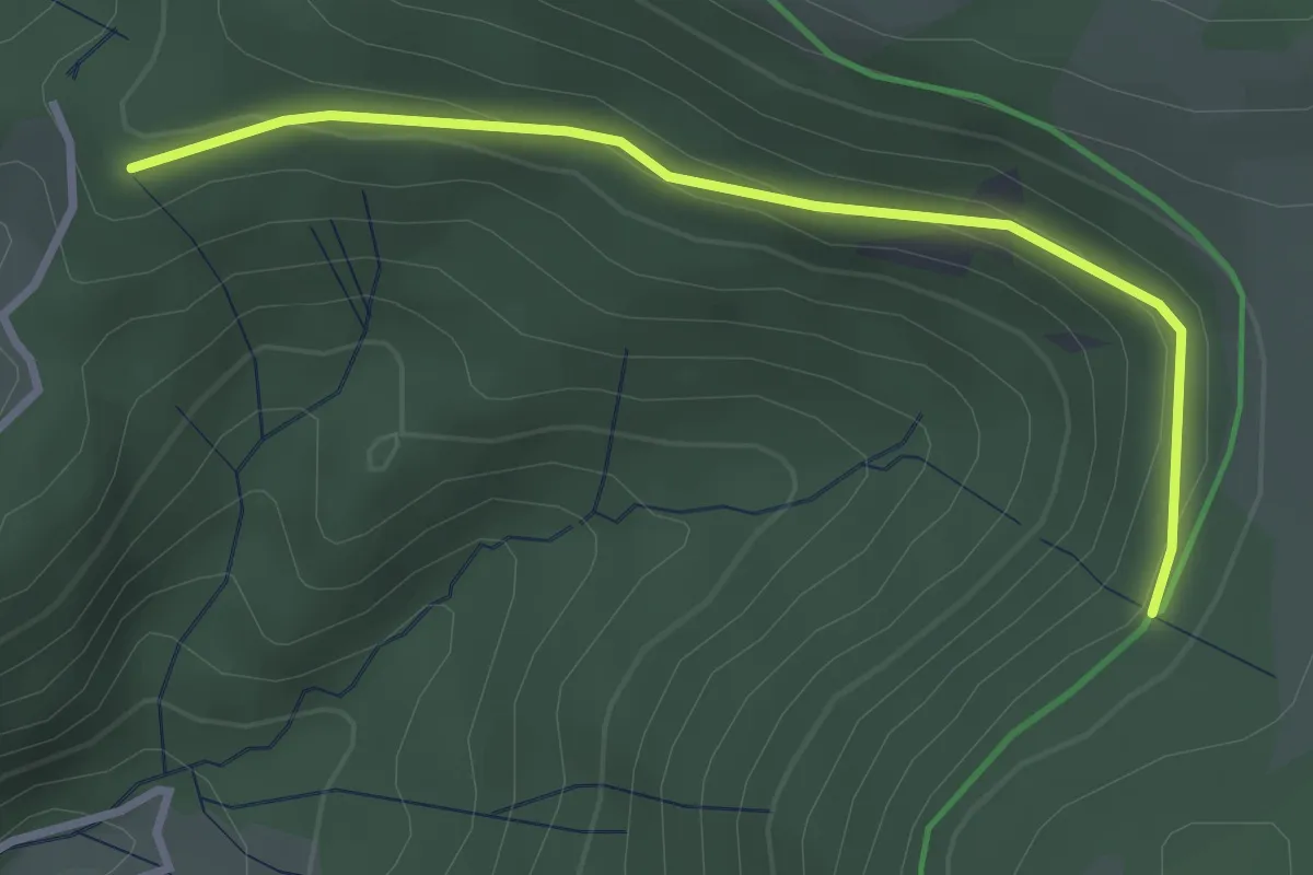
Easy · Trail
Schwabenrank - Wahlholz
2.9 km · ↑ 114 m · 56 min
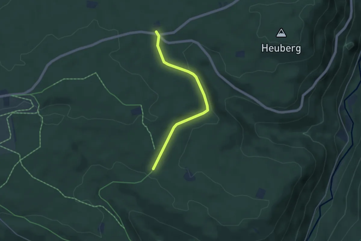
Easy · Trail
Schwabhauser Hütte - Dreimarkstein
3.7 km · ↑ 82 m · 1 h 3 min
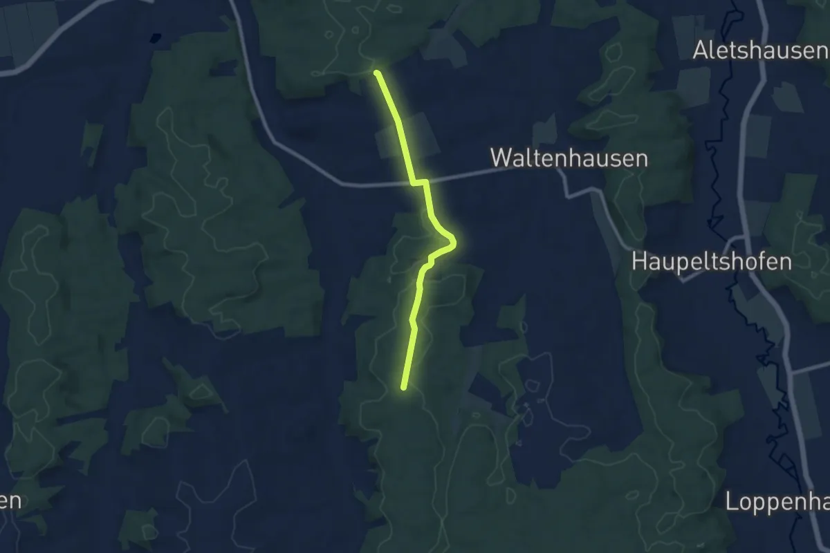
Easy · Trail
Schwäbisch Allgäuer Wanderweg
6.8 km · ↑ 81 m · 1 h 47 min
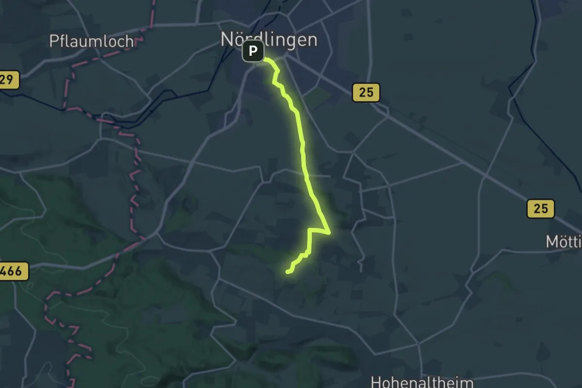
Medium · Summit
Schwäbische-Alb-Nordrand-Weg Abstecher Nördlingen
12.7 km · ↑ 284 m · 3 h 37 min
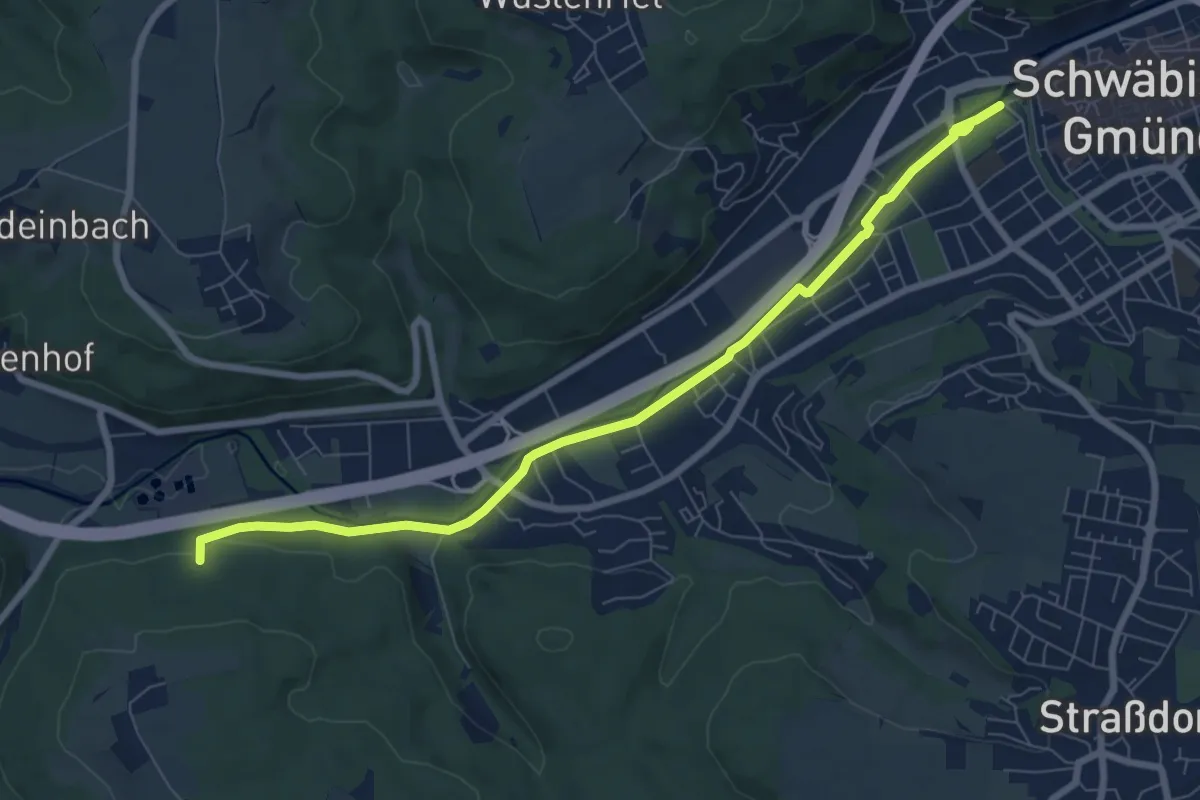
Medium · Trail
Schwäbisch Gmünd - Krähe - Lorch
8.0 km · ↑ 58 m · 2 h 1 min
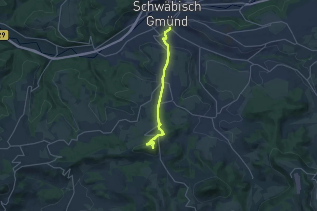
Medium · Summit
Schwäbisch Gmünd-Rechberg
11.4 km · ↑ 421 m · 3 h 36 min
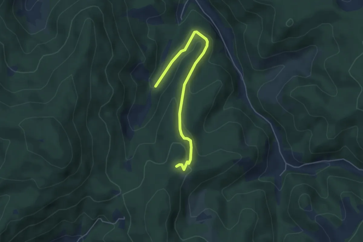
Easy · Trail
Schwabshalde - Rundbüchle
4.4 km · ↑ 207 m · 1 h 29 min
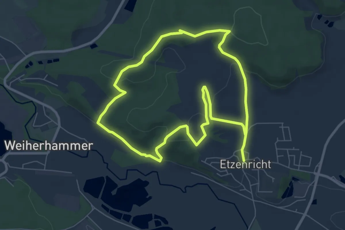
Easy · Summit
Schwaig
6.0 km · ↑ 166 m · 1 h 52 min
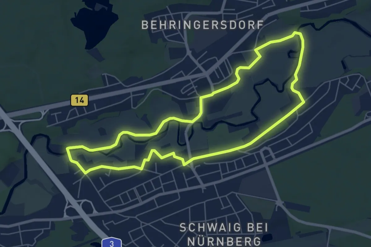
Easy · Trail
Schwaiger Rundgang
5.7 km · ↑ 25 m · 1 h 29 min
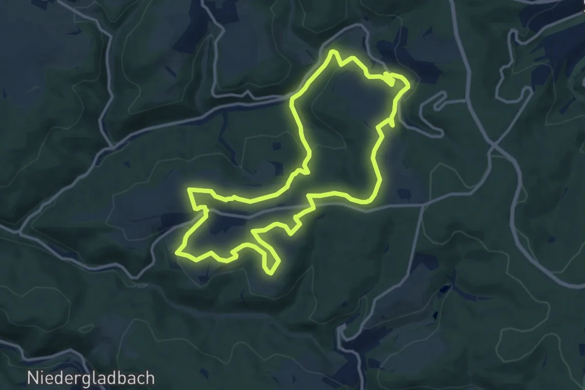
Medium · Trail
Schwälbchen's Flug
10.6 km · ↑ 282 m · 3 h 16 min
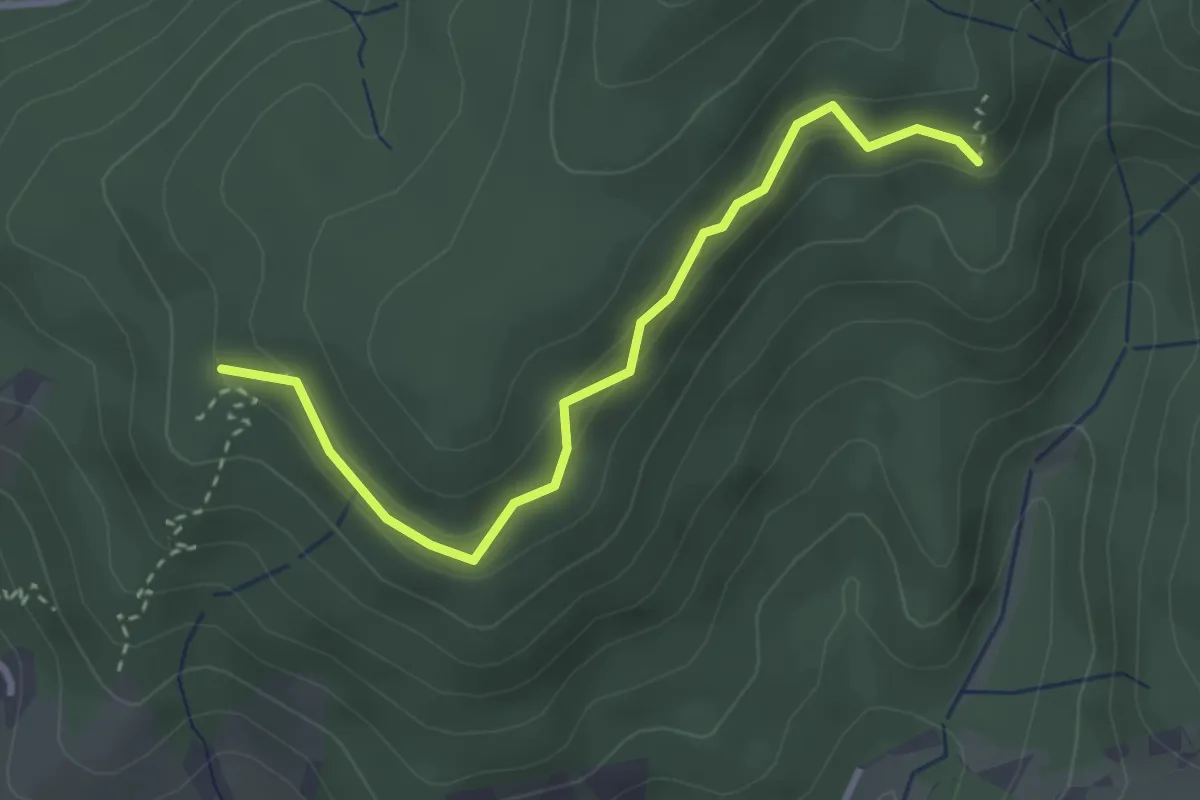
Easy · Trail
Schwalbensteinhütte - Tannenköpfle
3.0 km · ↑ 163 m · 1 h 3 min
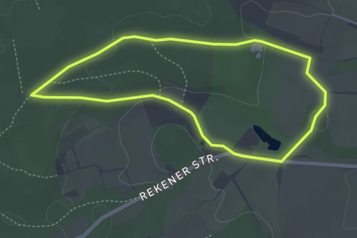
Easy · Trail
Schwalbental Rundweg A1
3.3 km · ↑ 45 m · 56 min
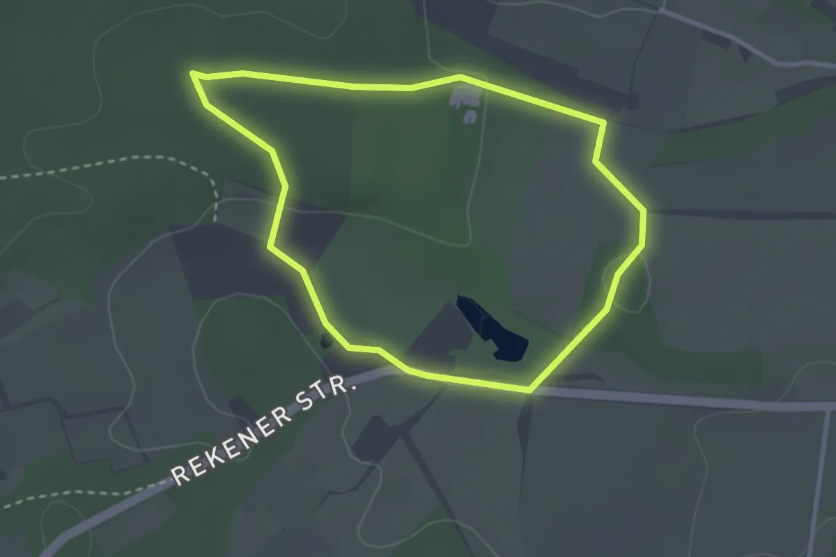
Easy · Trail
Schwalbental Rundweg A6
2.4 km · ↑ 34 m · 40 min
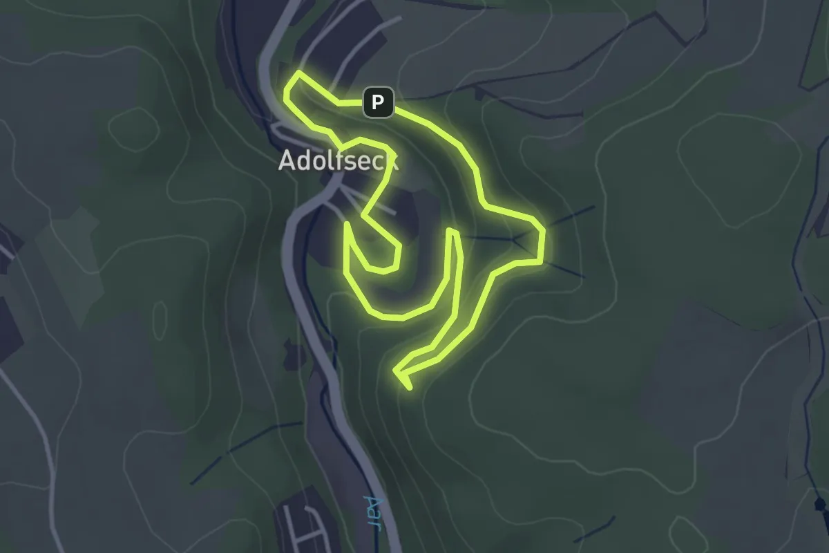
Easy · Trail
Schwalbentour Burgenblicke
2.9 km · ↑ 108 m · 58 min
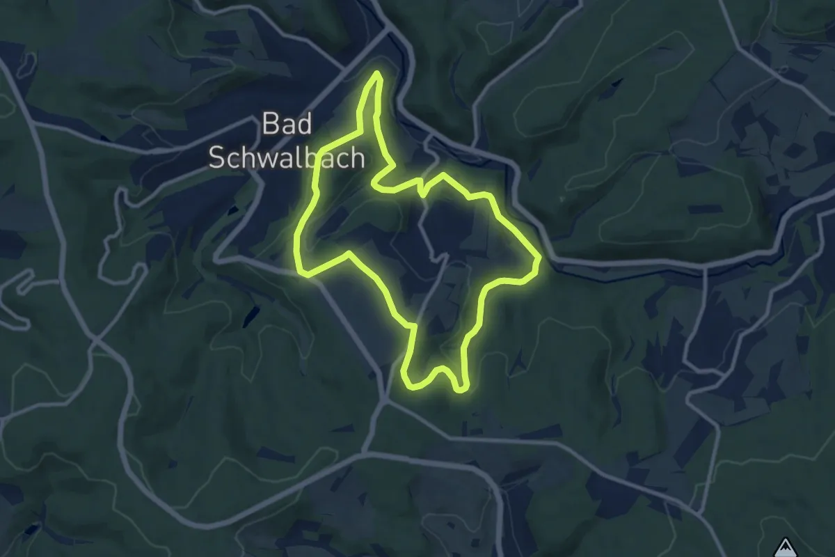
Medium · Summit
Schwalbentour Gerhards Augenblicke
8.6 km · ↑ 211 m · 2 h 36 min