Trails in Germany
36,852 hiking trails, each with its route, climb, walking time and grade.
All trails, page 583 of 768
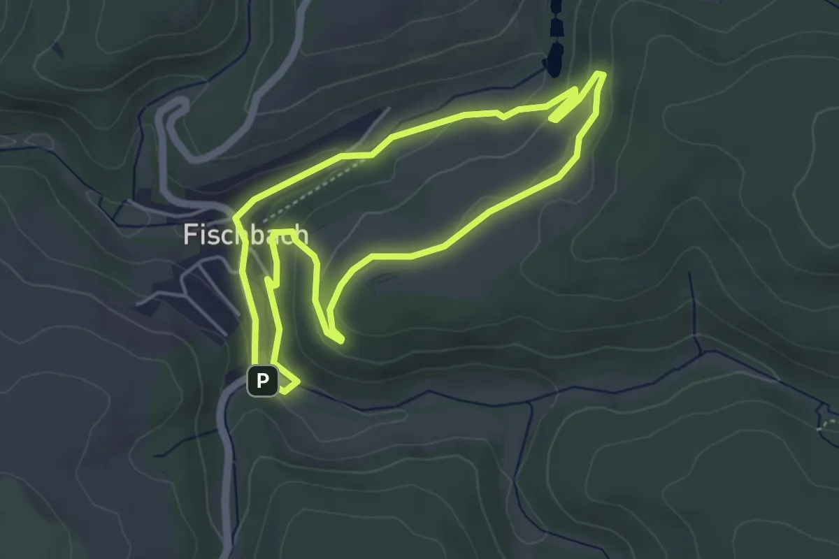
Easy · Trail
Schwalbentour Kleiner Panoramaweg
3.8 km · ↑ 84 m · 1 h 9 min
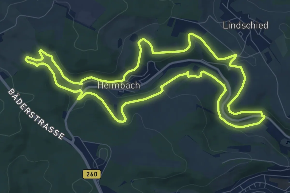
Medium · Summit
Schwalbentour Landleben pur
9.0 km · ↑ 238 m · 2 h 46 min
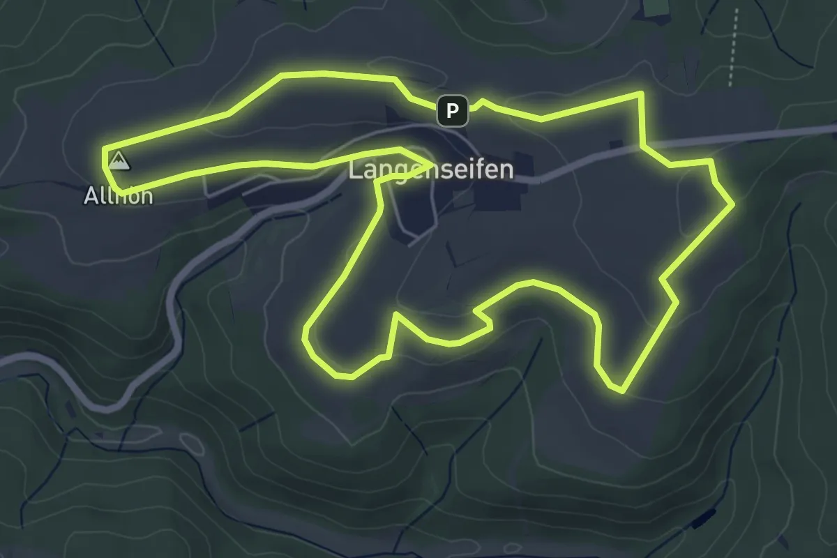
Easy · Summit
Schwalbentour Lehmanns Runde
5.9 km · ↑ 93 m · 1 h 41 min
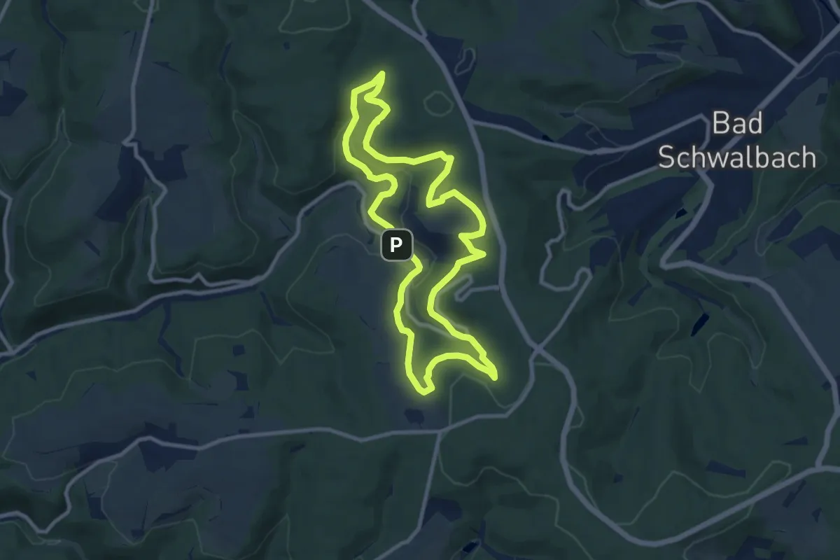
Medium · Trail
SchwalbenTour Ramschieder Fiessling
8.6 km · ↑ 234 m · 2 h 39 min
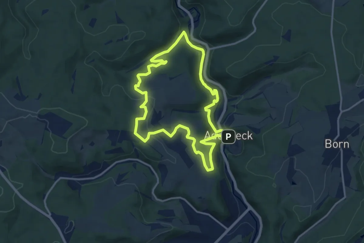
Medium · Trail
Schwalbentour Römerspuren
8.8 km · ↑ 275 m · 2 h 48 min
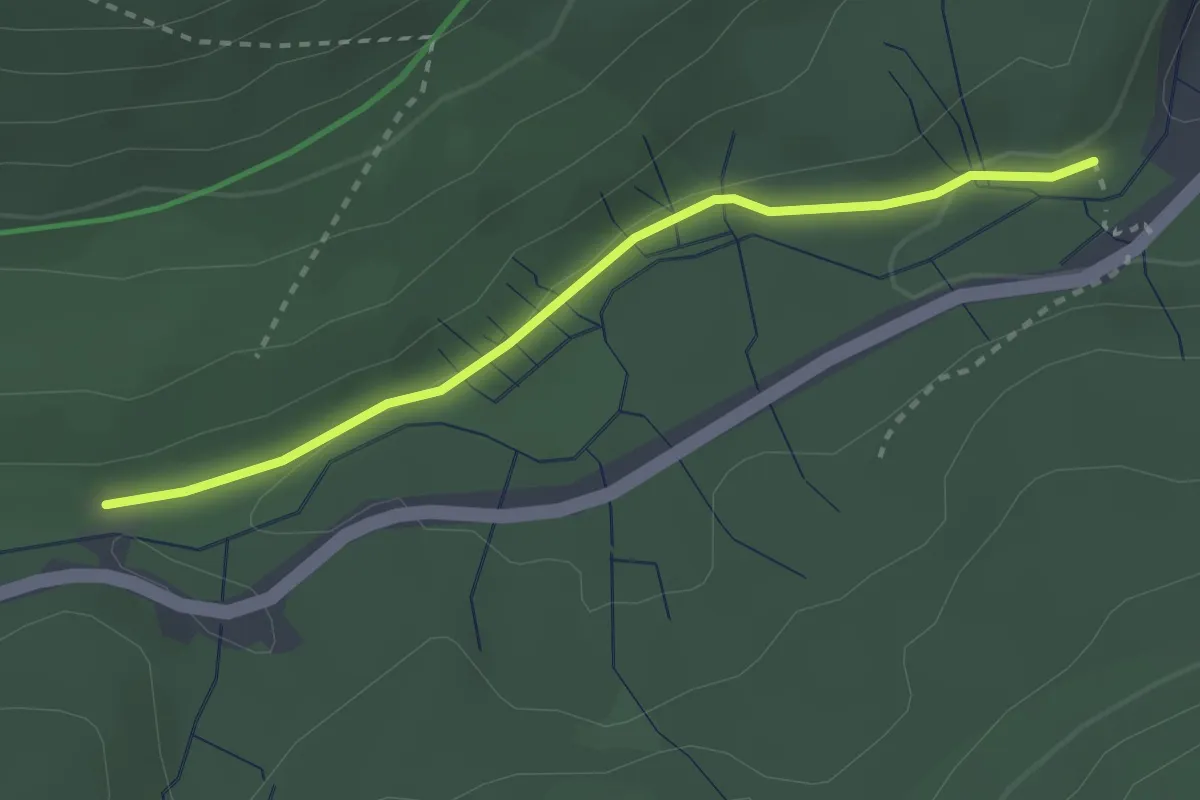
Easy · Trail
Schwallung - Messwehr
2.6 km · ↑ 39 m · 42 min
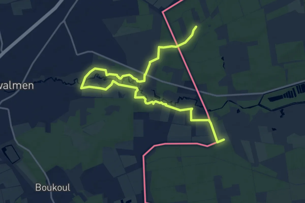
Easy · Trail
Schwalmbruch W1
6.3 km · ↑ 23 m · 1 h 37 min
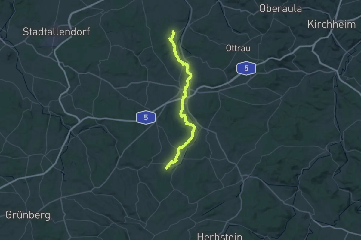
Demanding · Summit
Schwalmhöhenweg
54.9 km · ↑ 882 m · 14 h 52 min
Medium · Summit
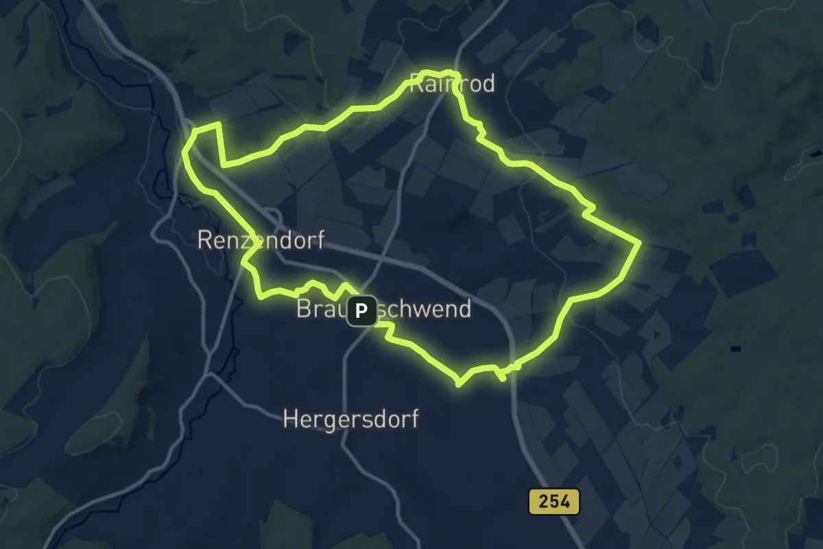
SchwalmTALwanderweg Basalttour
12.3 km · ↑ 188 m · 3 h 29 min
Medium · Trail
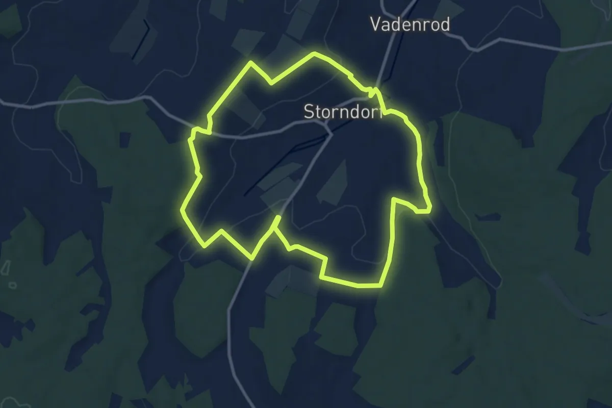
SchwalmTALwanderweg Panoramaweg
9.3 km · ↑ 152 m · 2 h 39 min
Medium · Summit
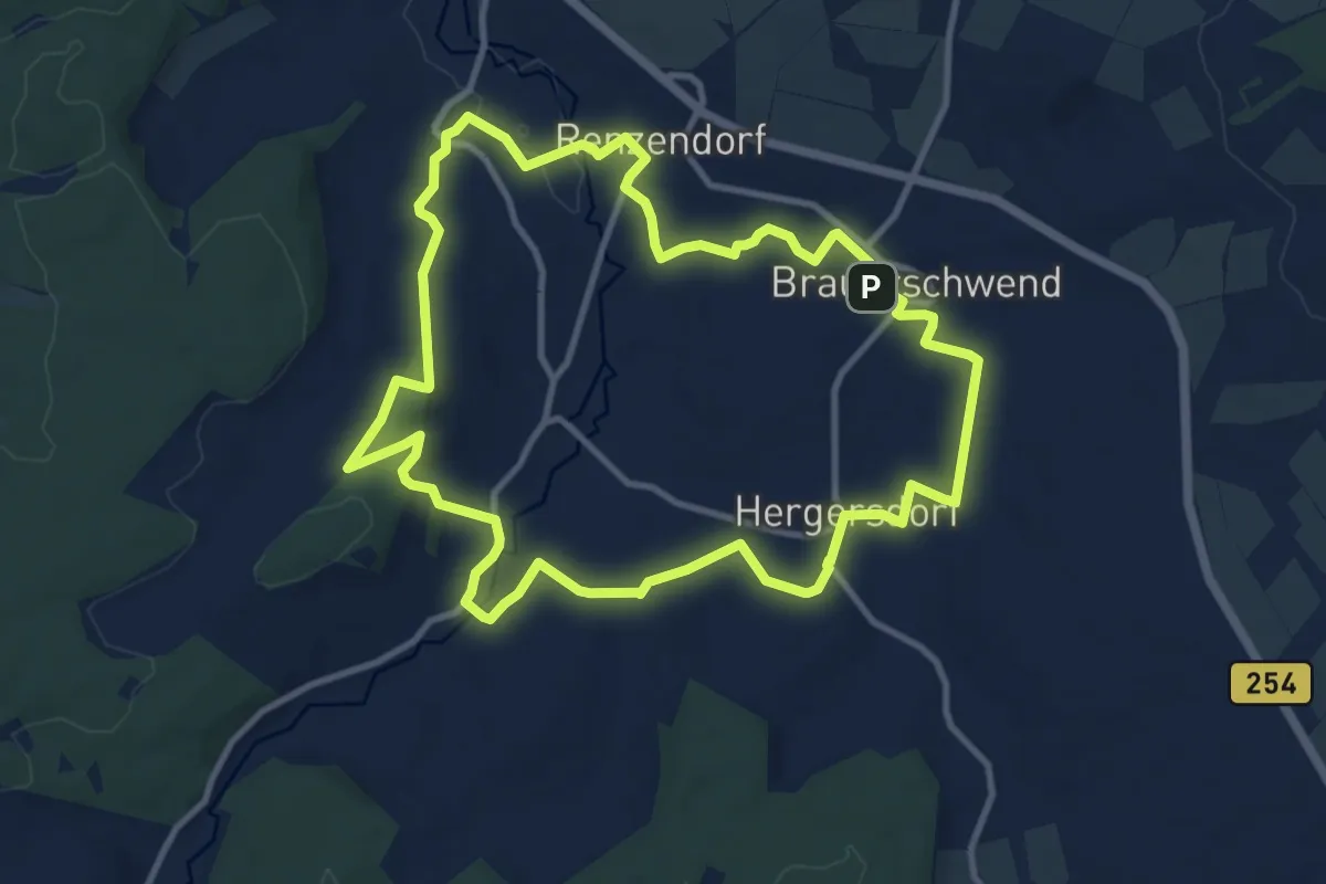
SchwalmTALwanderweg Schwalm-Musel-Tour
10.1 km · ↑ 130 m · 2 h 49 min
Medium · Trail
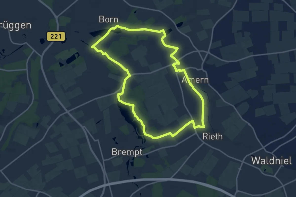
Schwalmtalweg 1
10.4 km · ↑ 51 m · 2 h 43 min
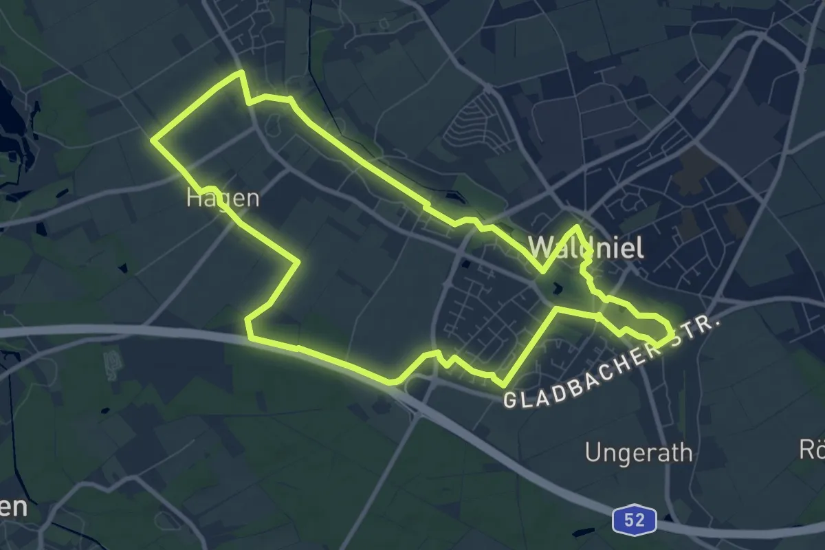
Medium · Trail
Schwalmtalweg 2
8.7 km · ↑ 30 m · 2 h 15 min
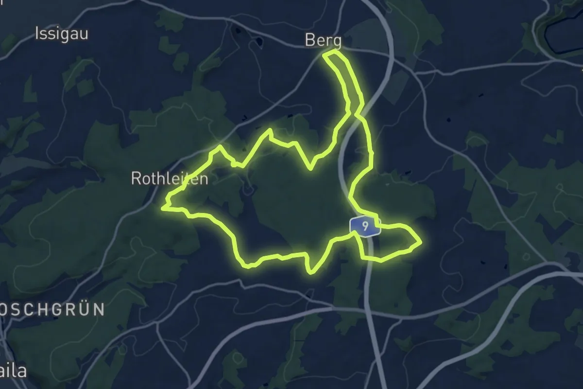
Medium · Trail
Schwamma-Weg US73
15.3 km · ↑ 221 m · 4 h 18 min
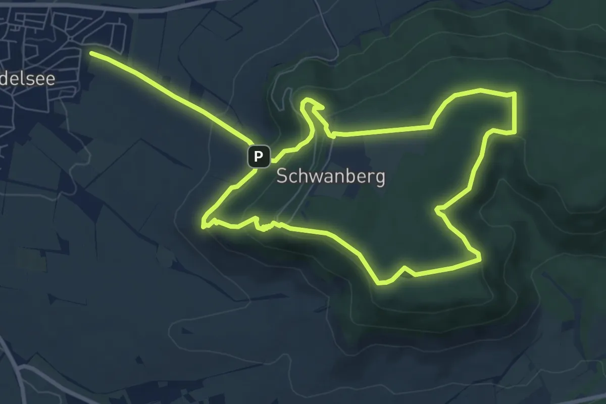
Medium · Summit
Schwanbergweg
8.4 km · ↑ 288 m · 2 h 44 min
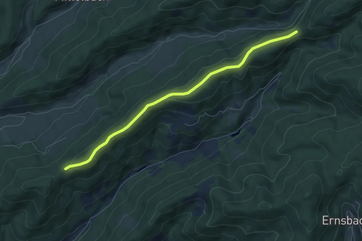
Easy · Trail
Schwandeck - Leimenlöcher
6.4 km · ↑ 145 m · 1 h 50 min
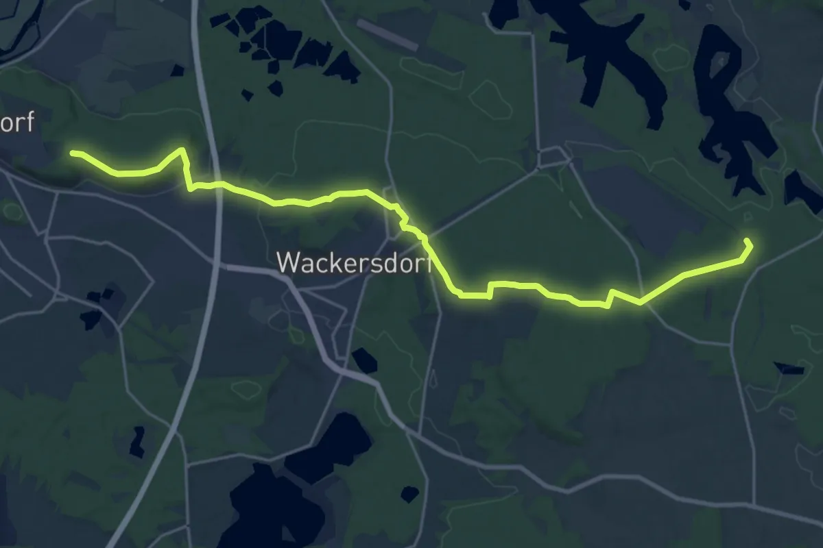
Demanding · Trail
Schwandorf-Weinberg-Altenschwand ehem. Bhf.
22.1 km · ↑ 300 m · 5 h 52 min
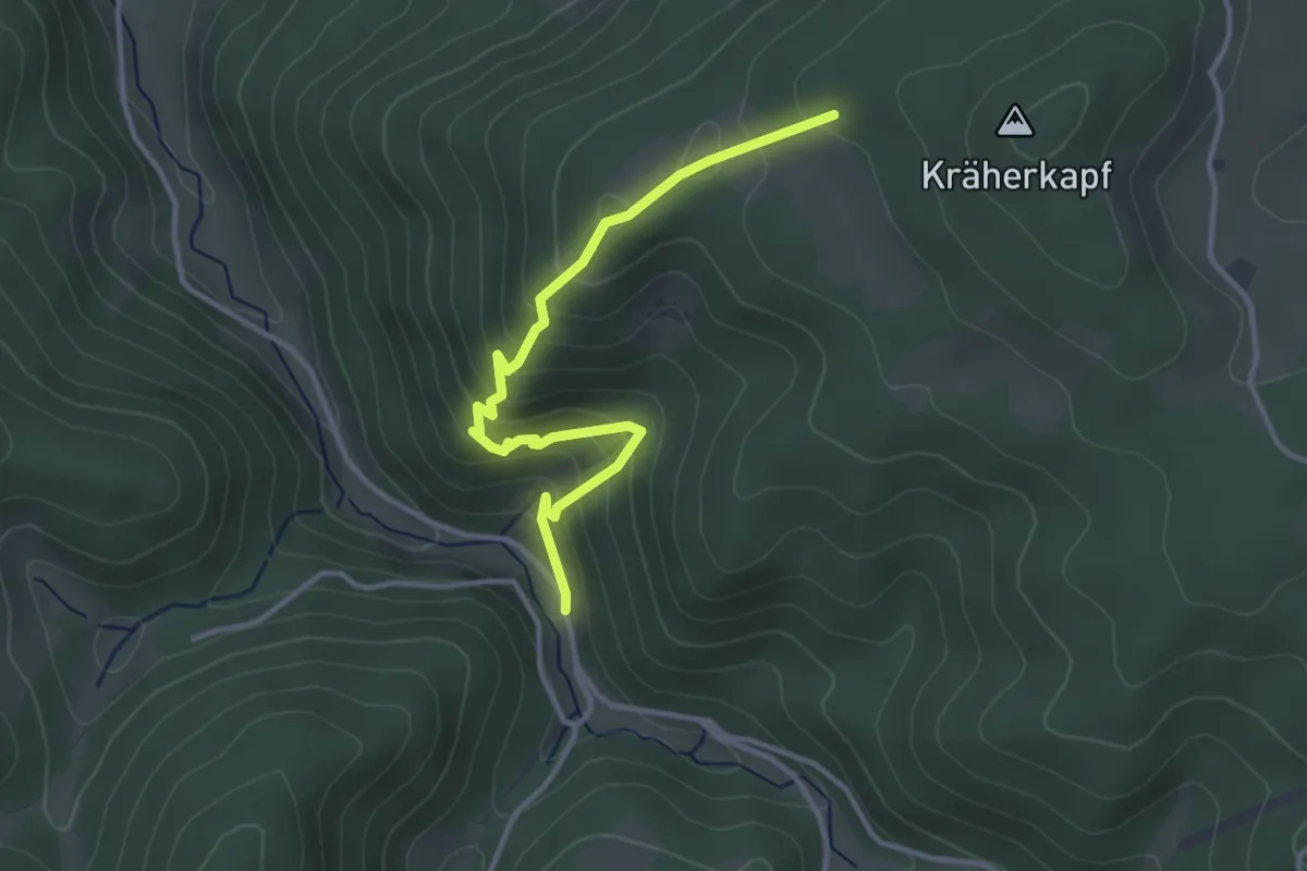
Medium · Trail
Schwanenbach Lamm - Am Kräher Igelacker
3.5 km · ↑ 271 m · 1 h 24 min
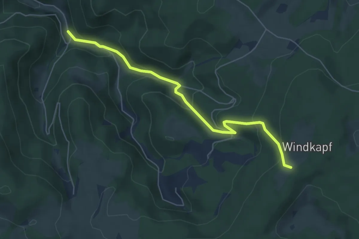
Easy · Trail
Schwanenbach Steigloch - Hohe Straße
5.3 km · ↑ 309 m · 1 h 55 min
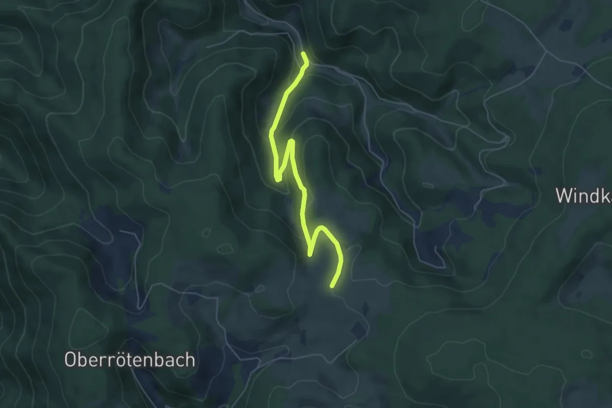
Easy · Trail
Schwanenbach Steigloch - Obersteighöhe
5.3 km · ↑ 255 m · 1 h 48 min
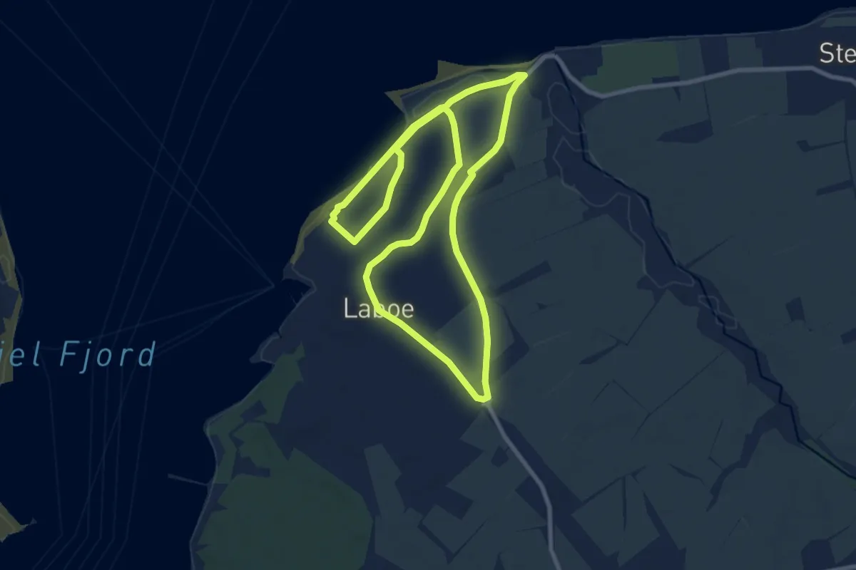
Easy · Trail
Schwanenroute
7.3 km · ↑ 26 m · 1 h 53 min
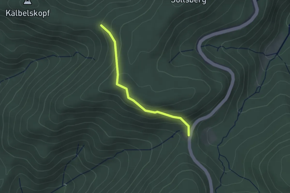
Easy · Trail
Schwanenwasen - Völlerstein
2.4 km · ↑ 135 m · 52 min
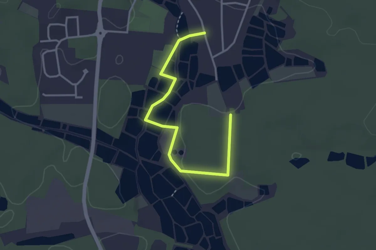
Easy · Trail
Schwanenweg
3.2 km · ↑ 47 m · 52 min
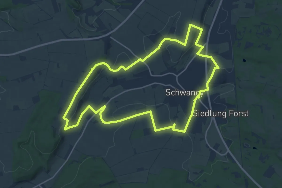
Medium · Summit
Schwaneyer Panoramaweg
12.6 km · ↑ 258 m · 3 h 43 min
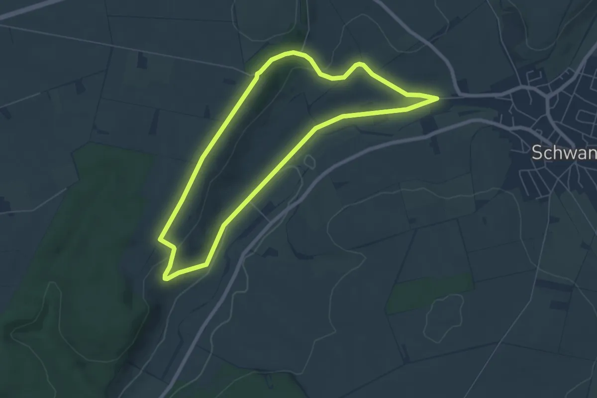
Easy · Trail
Schwaney Rundweg A2
5.5 km · ↑ 92 m · 1 h 34 min
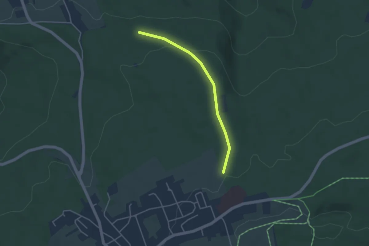
Easy · Trail
Schwanner Rain Waldklinik - Hundlohhütte
2.8 km · ↑ 64 m · 48 min
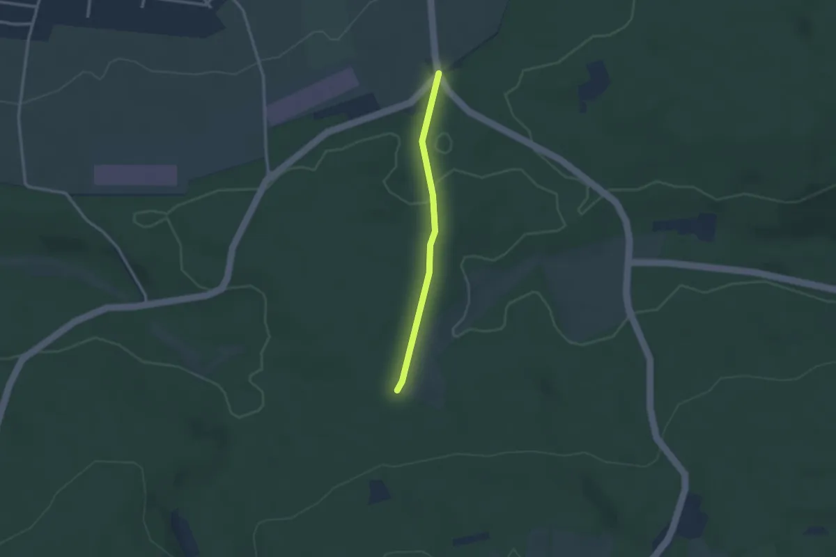
Easy · Trail
Schwanner Warte - Herzogswiesen
2.1 km · ↑ 37 m · 34 min
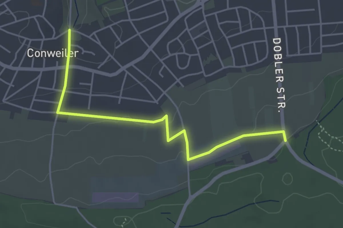
Easy · Trail
Schwanner Warte - Wilhelm-Ganzhorn-Denkmal
4.3 km · ↑ 88 m · 1 h 12 min
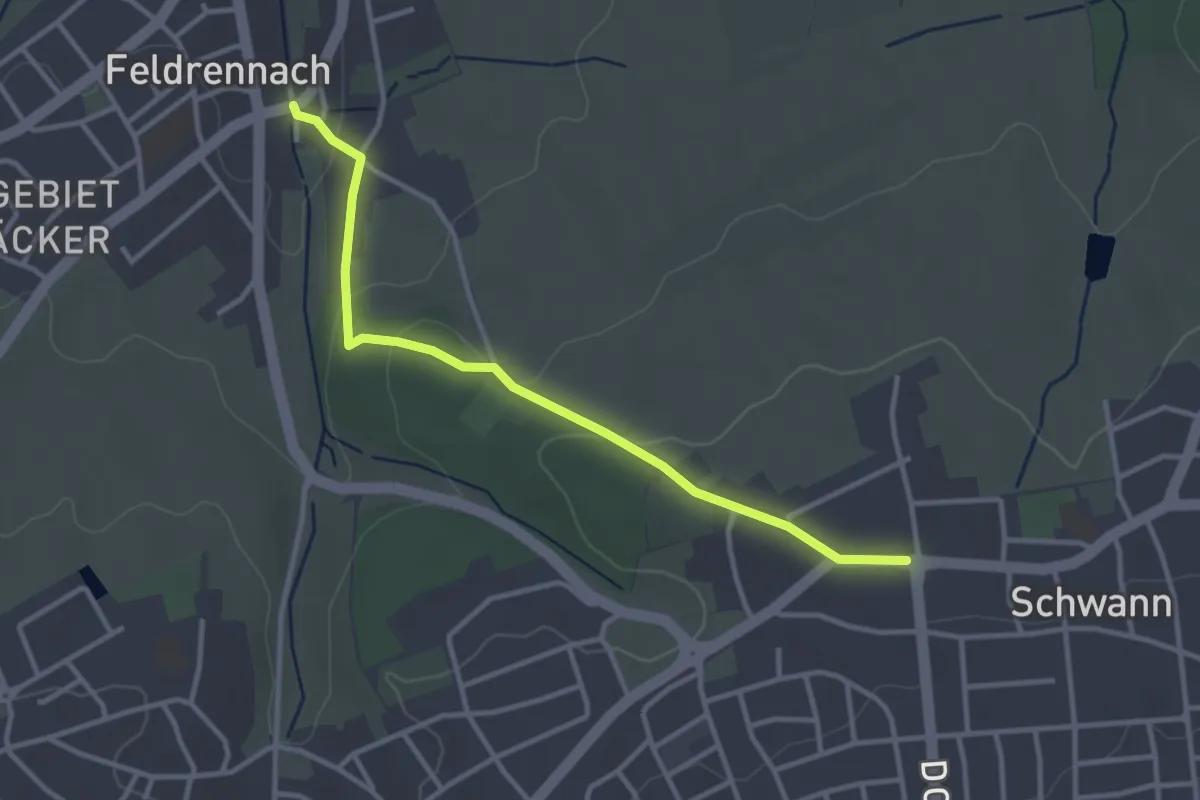
Easy · Trail
Schwann Rathaus - Feldrennach Marktplatz
3.2 km · ↑ 80 m · 55 min
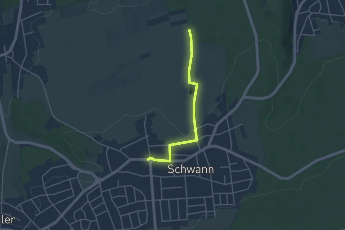
Easy · Trail
Schwann Rathaus - Schloßäcker
2.8 km · ↑ 47 m · 46 min
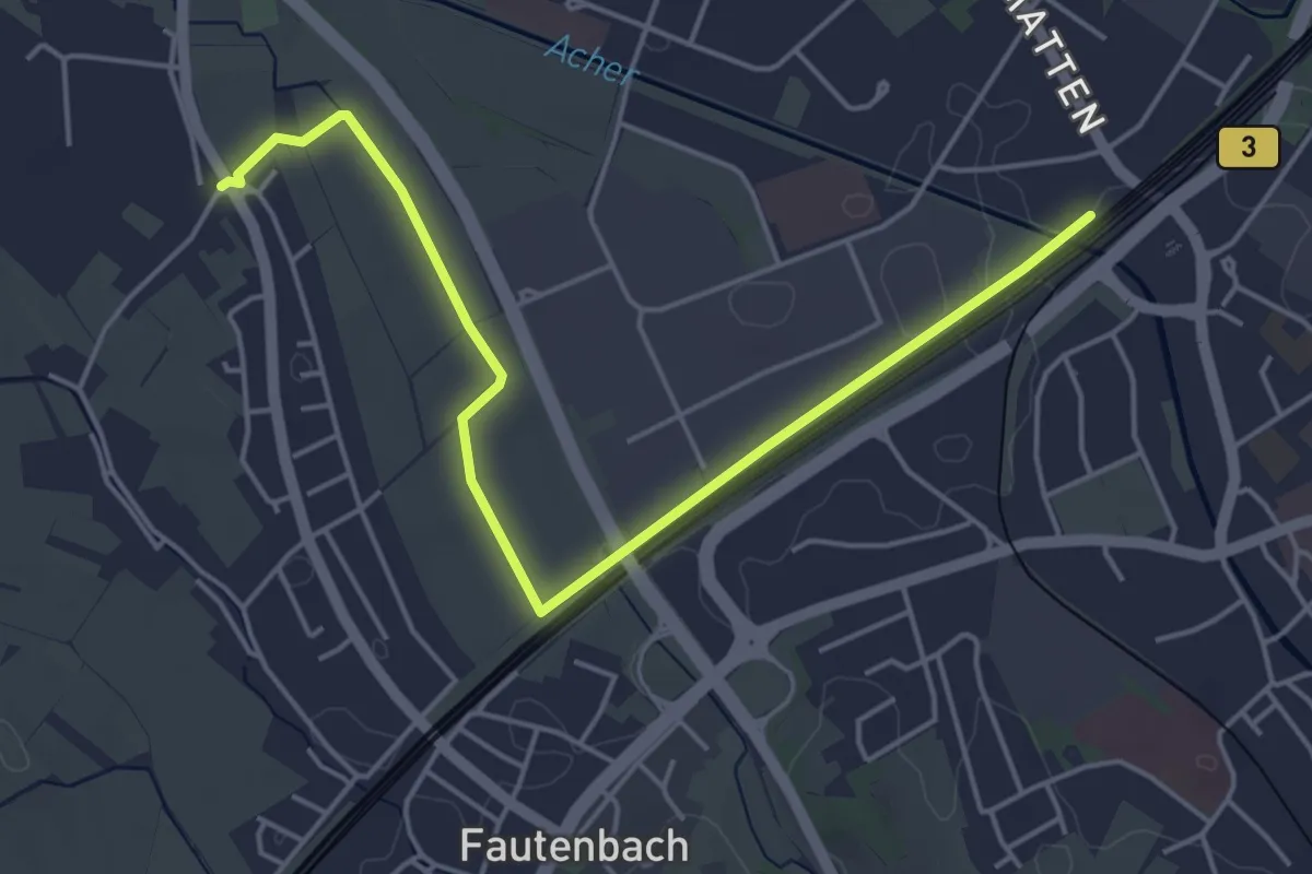
Easy · Trail
Schwanzgass - Achern Bahnhof Westseite
5.1 km · ↑ 4 m · 1 h 12 min
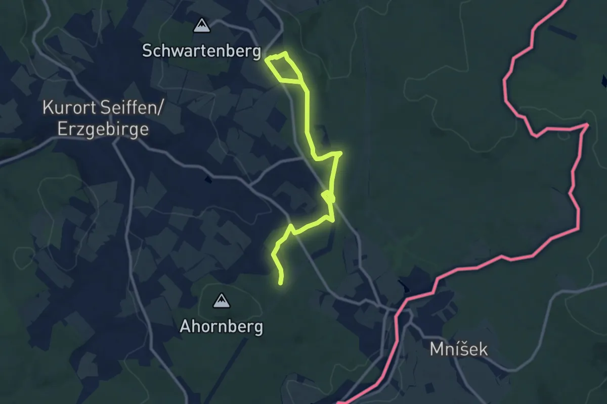
Medium · Trail
Schwartenberg-Bad Einsiedel
9.2 km · ↑ 141 m · 2 h 28 min
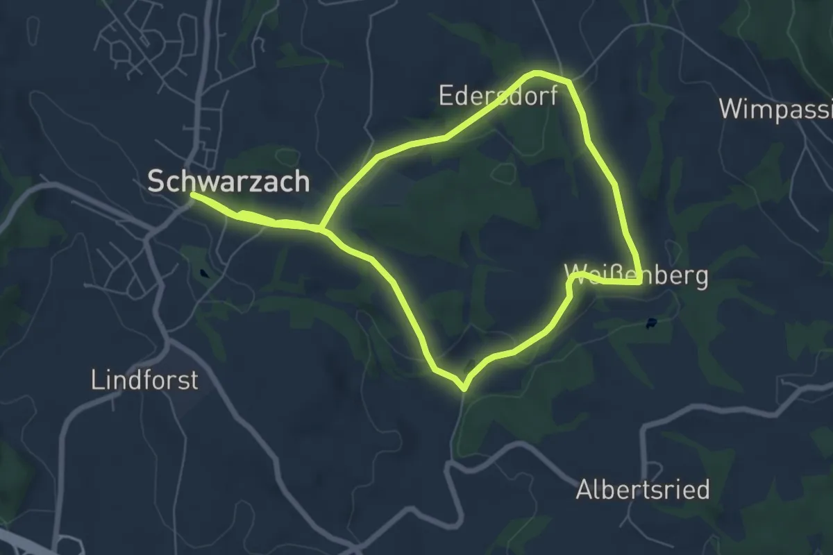
Easy · Trail
Schwarzacher Rundweg Nr. 1
6.3 km · ↑ 102 m · 1 h 48 min
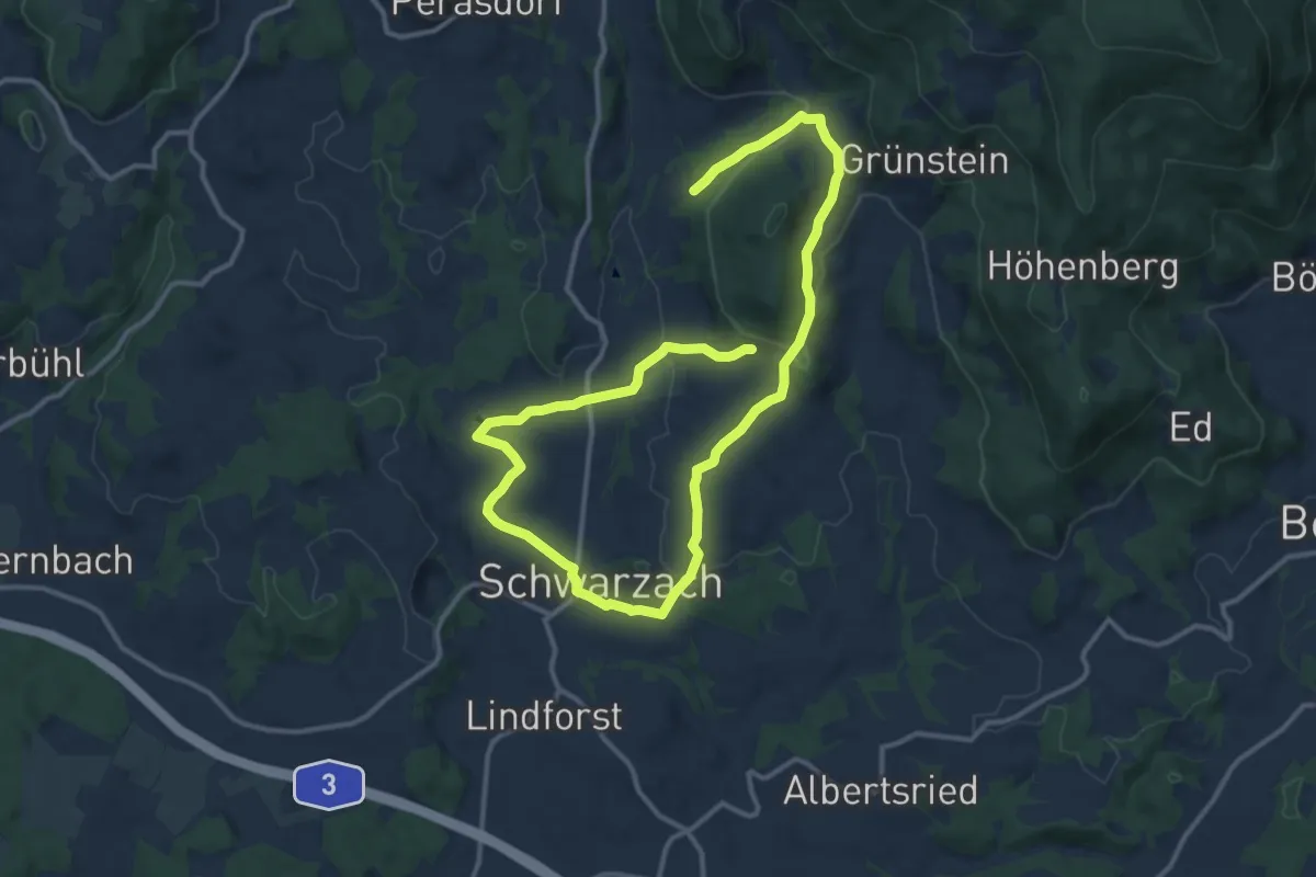
Medium · Trail
Schwarzacher Rundweg Nr. 2
9.3 km · ↑ 196 m · 2 h 45 min
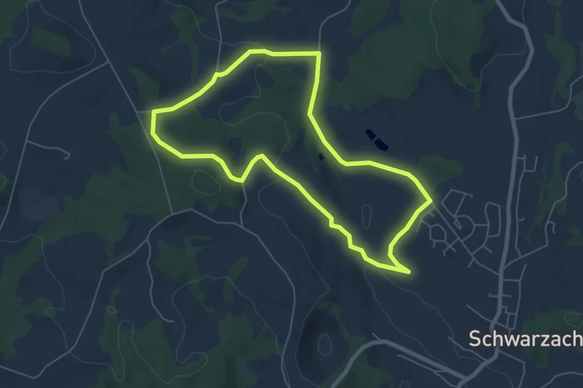
Easy · Trail
Schwarzacher Rundweg Nr. 3
4.8 km · ↑ 89 m · 1 h 24 min
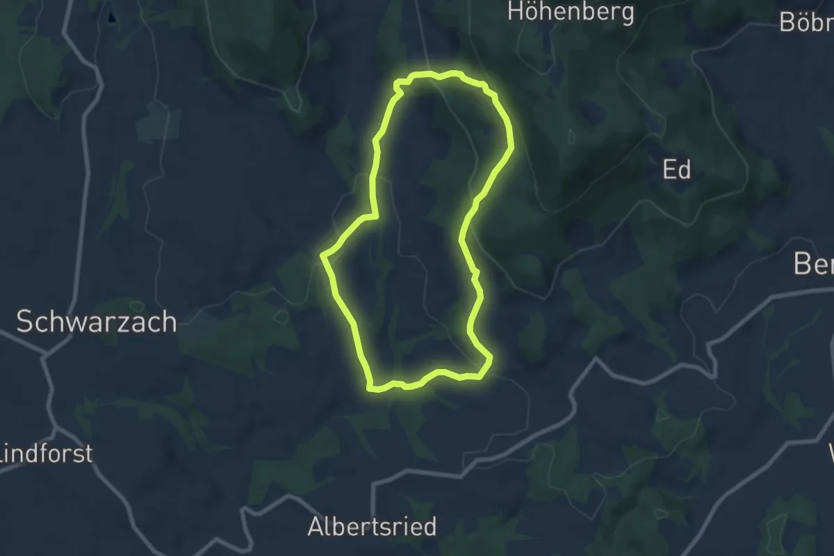
Easy · Trail
Schwarzacher Rundweg Nr. 5
6.2 km · ↑ 248 m · 2 h 5 min
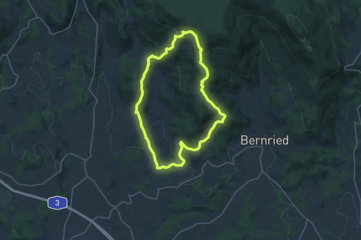
Demanding · Trail
Schwarzacher Rundweg Nr. 6
12.6 km · ↑ 519 m · 4 h 17 min
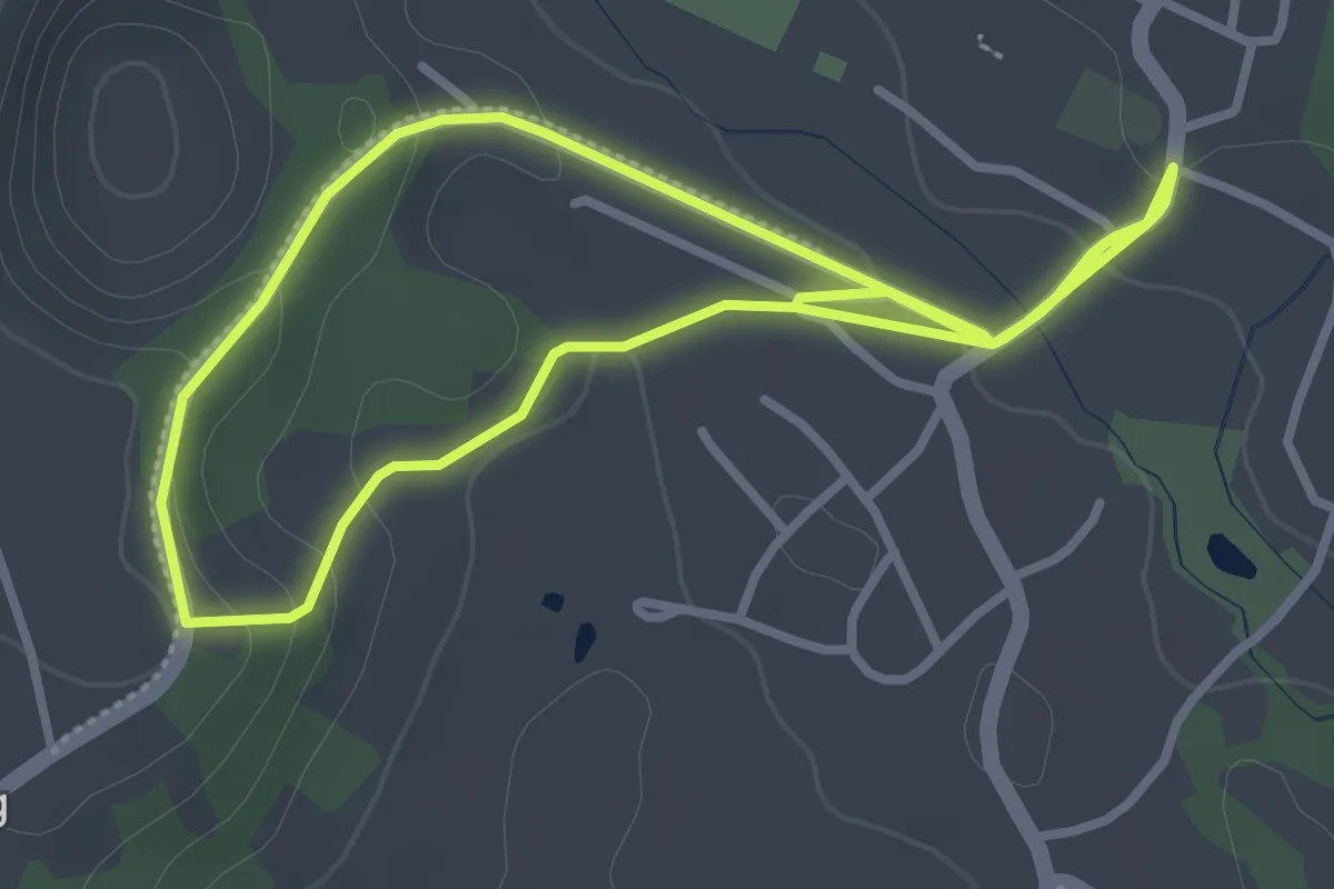
Easy · Trail
Schwarzacher Rundweg Nr. 7
2.9 km · ↑ 56 m · 51 min
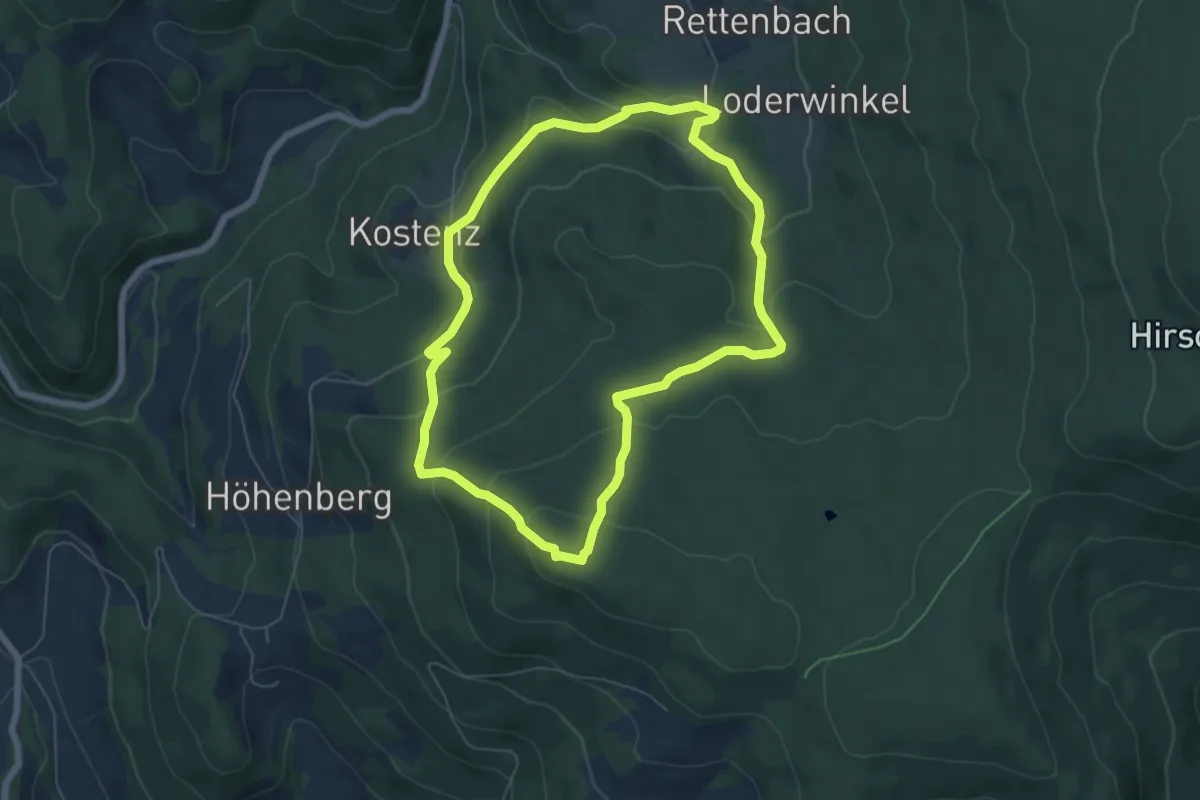
Easy · Summit
Schwarzacher Rundweg Nr. 9
5.8 km · ↑ 284 m · 2 h 4 min
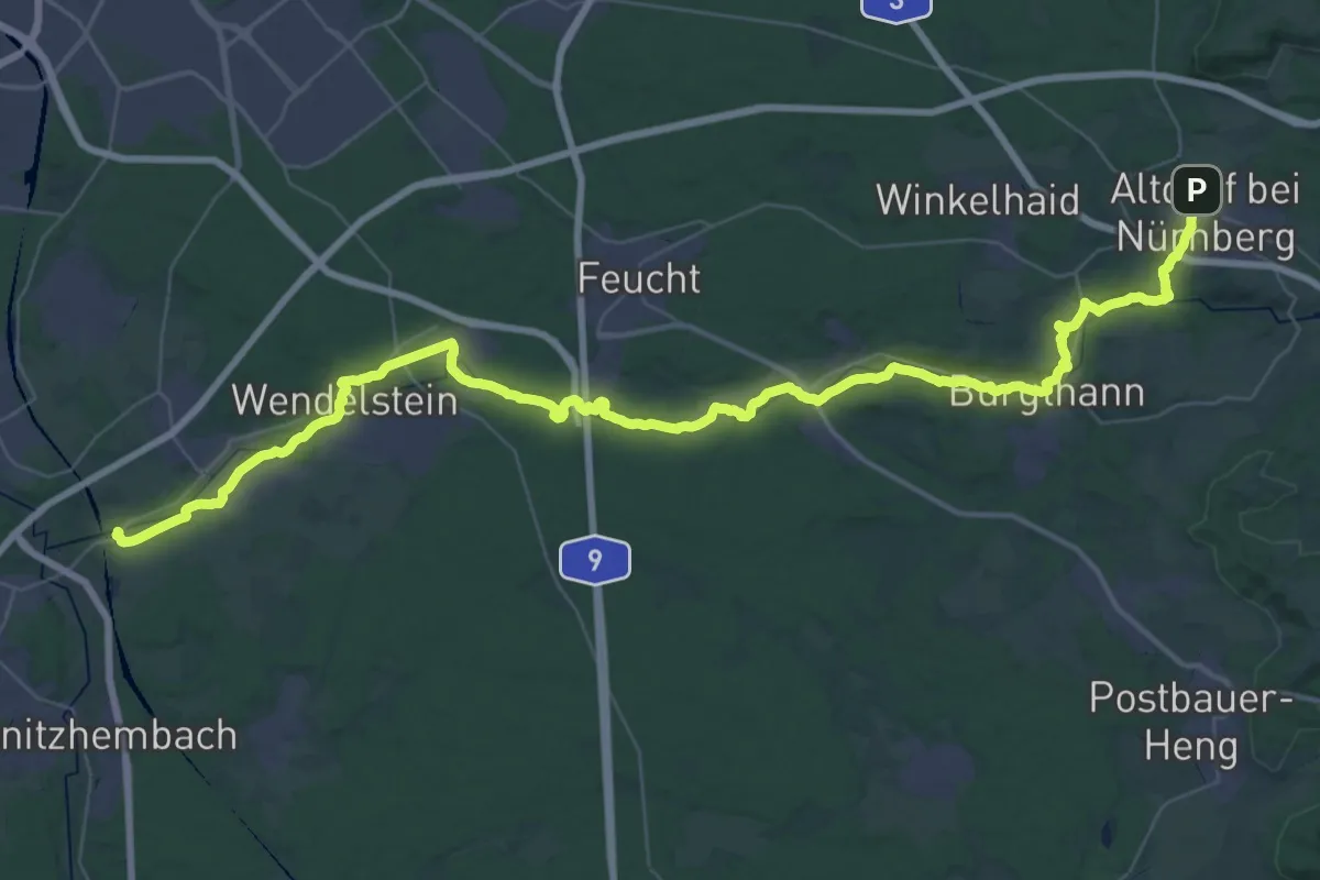
Demanding · Trail
Schwarzachtalweg
27.6 km · ↑ 200 m · 7 h 24 min
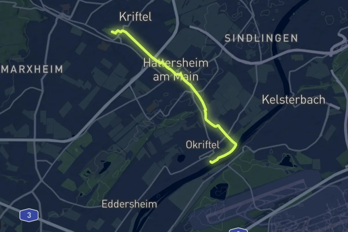
Medium · Trail
Schwarzbach Planetenweg
11.6 km · ↑ 45 m · 2 h 50 min
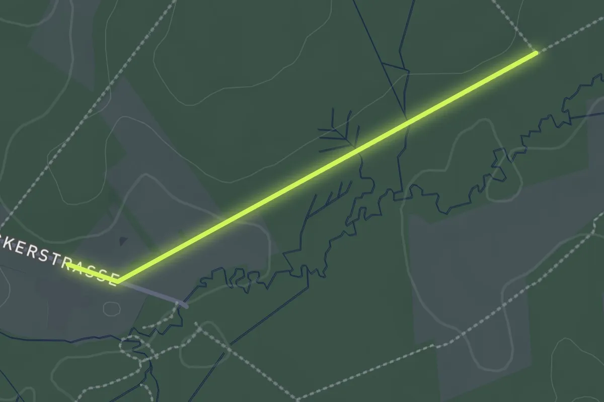
Easy · Trail
Schwarzbach Rundweg A1
1.0 km · ↑ 0 m · 16 min
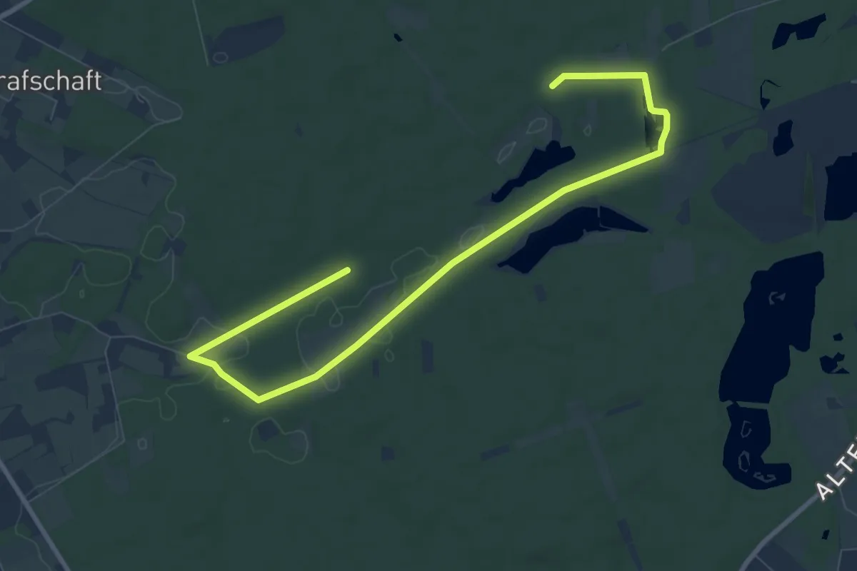
Easy · Trail
Schwarzbach Rundweg A3
4.8 km · ↑ 19 m · 1 h 14 min
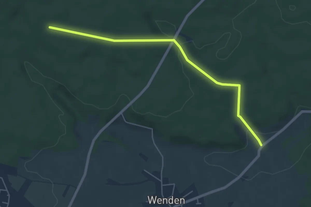
Easy · Trail
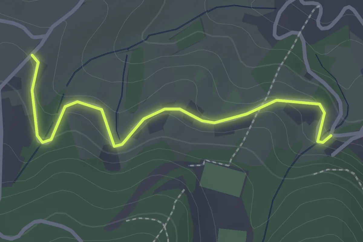
Schwarzenbach - Buhlerwaldstern
4.5 km · ↑ 88 m · 1 h 16 min
Easy · Trail
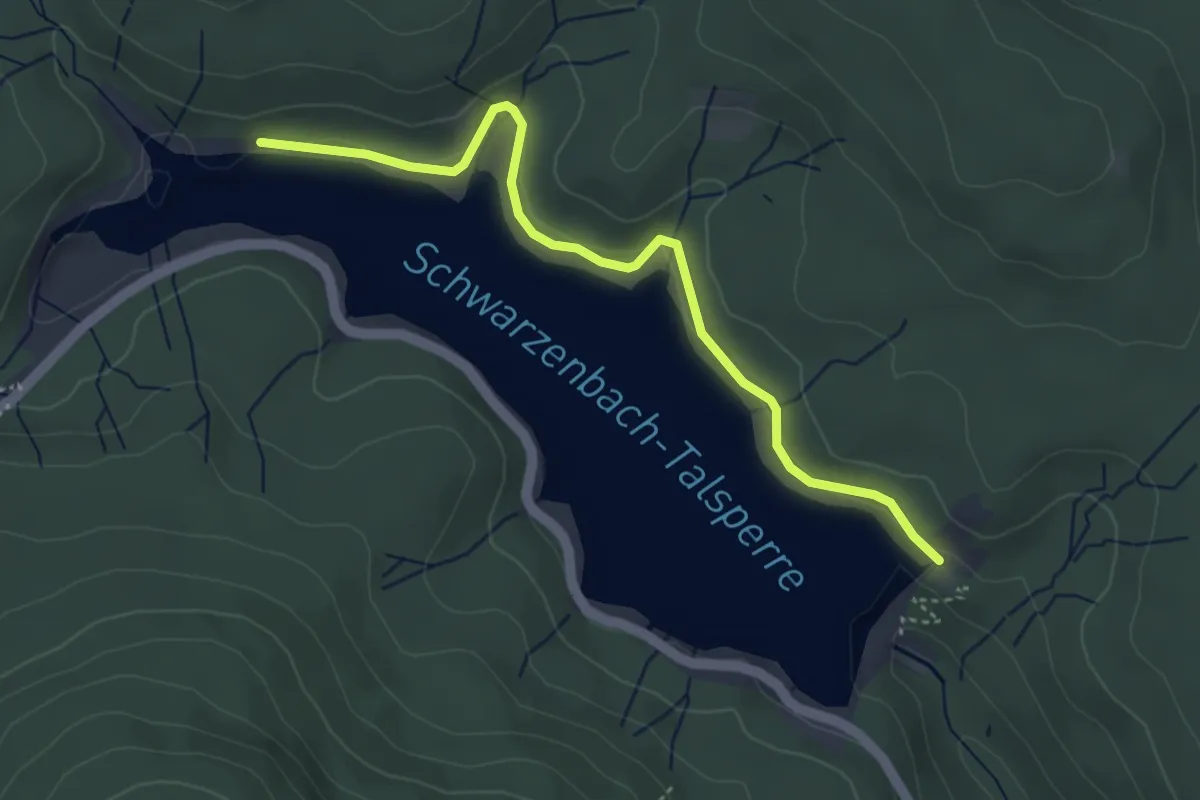
Schwarzenbach - Holzbuckel
2.3 km · ↑ 116 m · 47 min
Easy · Trail
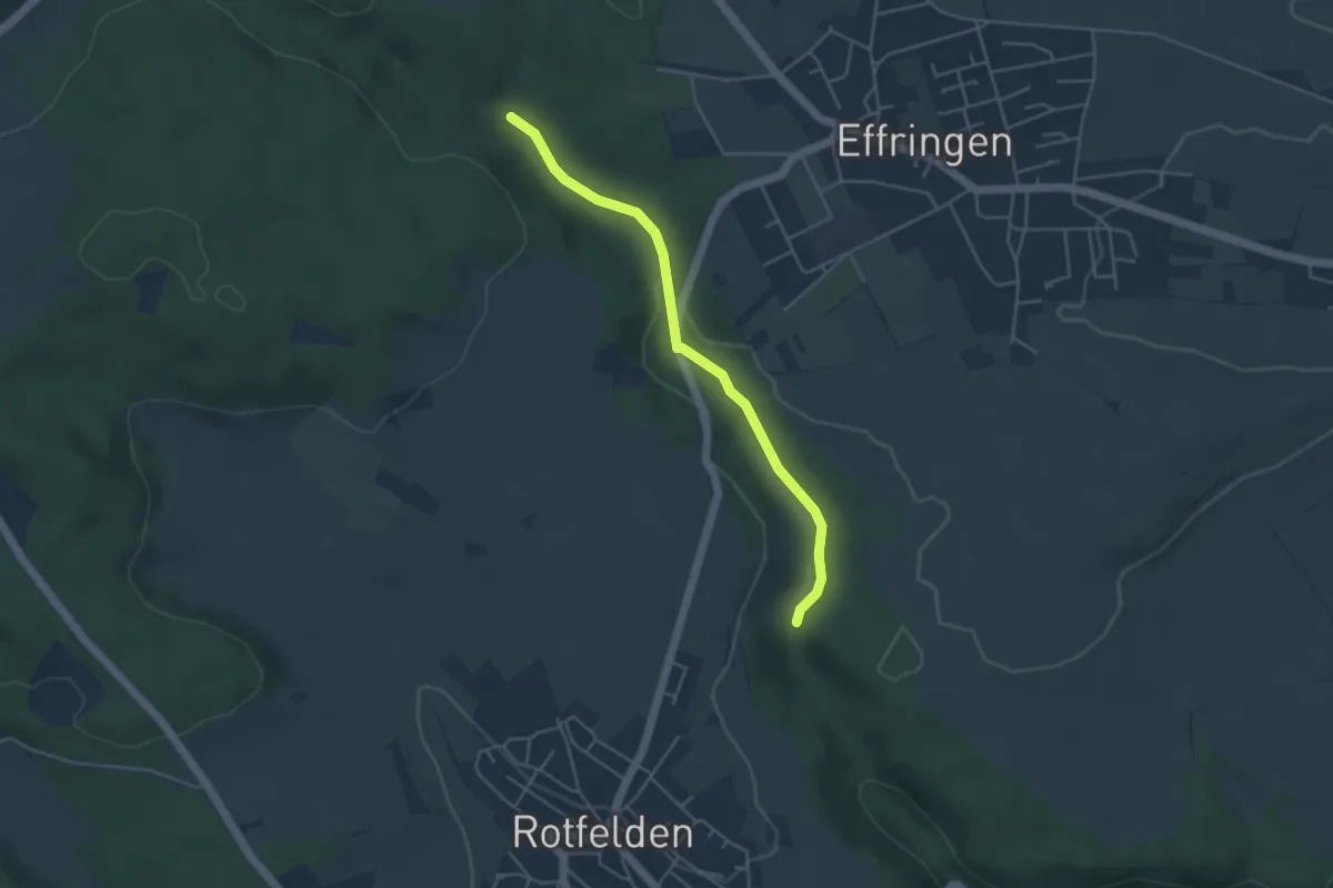
Schwarzenbachmauer - Stauseeufer
4.1 km · ↑ 90 m · 1 h 9 min
Easy · Trail
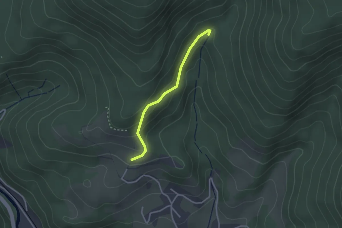
Schwarzenbachmühle - Hasenmerkle
4.0 km · ↑ 75 m · 1 h 6 min
Easy · Trail
Schwarzenbachquelle - Panoramastüble
2.2 km · ↑ 140 m · 49 min