Trails in Germany
36,852 hiking trails, each with its route, climb, walking time and grade.
All trails, page 586 of 768
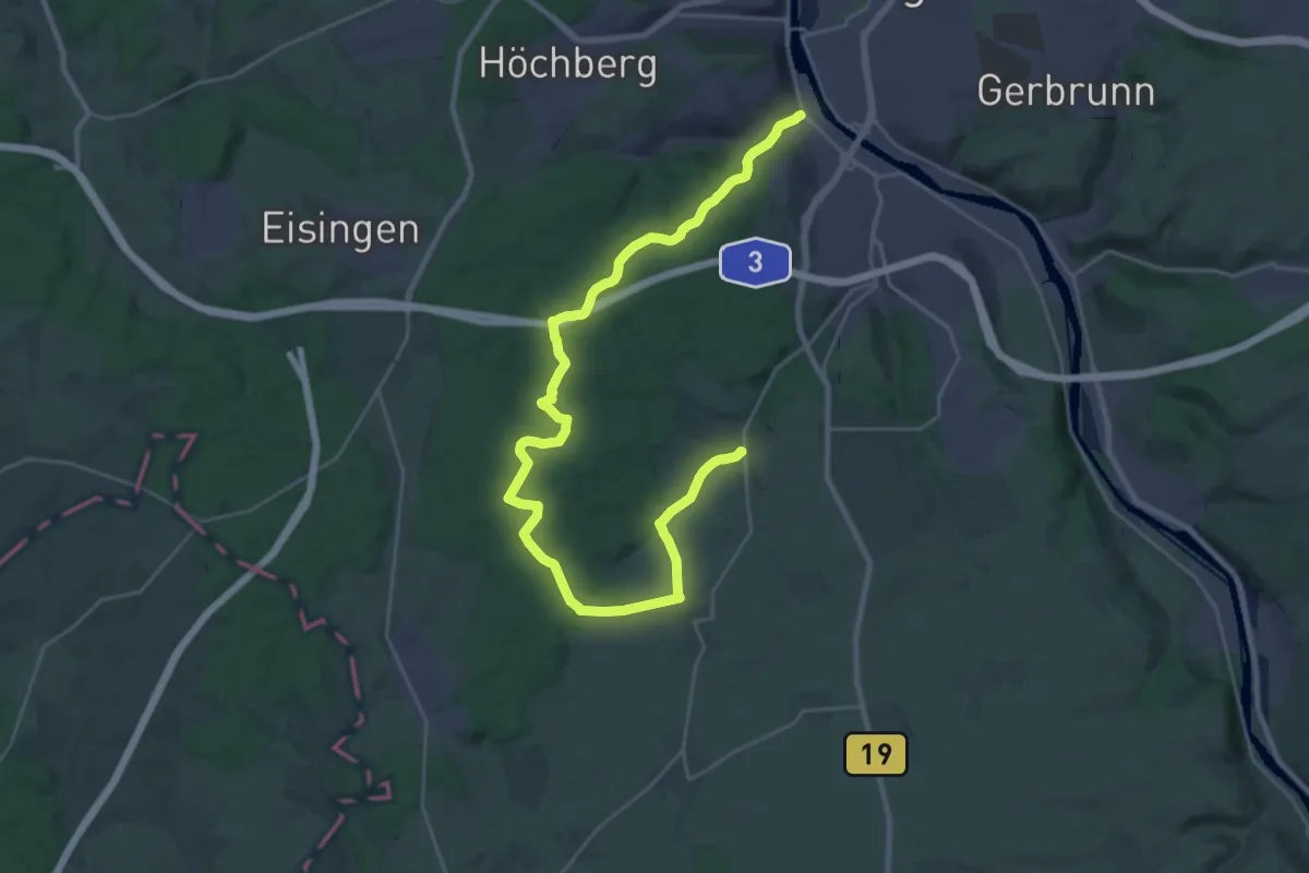
Medium · Trail
Schwarz: Wü-Steinbachtal - Reichenberg
16.1 km · ↑ 324 m · 4 h 42 min
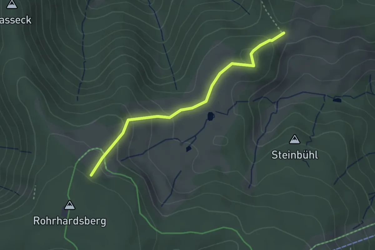
Easy · Trail
Schwedenschanze - Am Schlagbaum
3.0 km · ↑ 123 m · 58 min
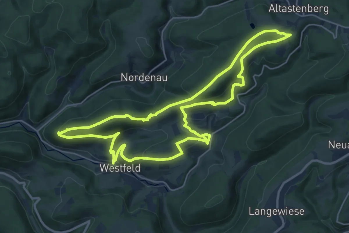
Medium · Summit
Schwedensteig - Heidenstraße
14.8 km · ↑ 462 m · 4 h 41 min
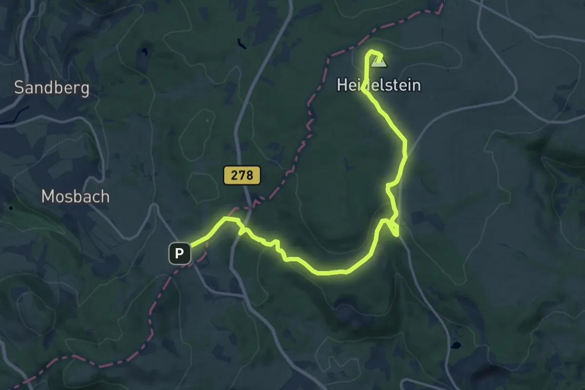
Medium · Summit
Schwedenwall - Heidelstein
14.9 km · ↑ 354 m · 4 h 18 min
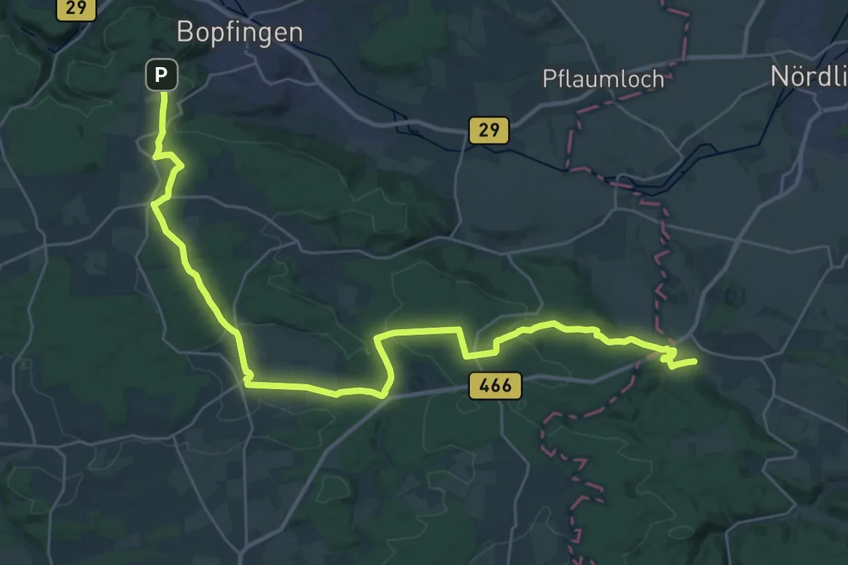
Medium · Trail
Schwedenweg
16.3 km · ↑ 227 m · 4 h 38 min
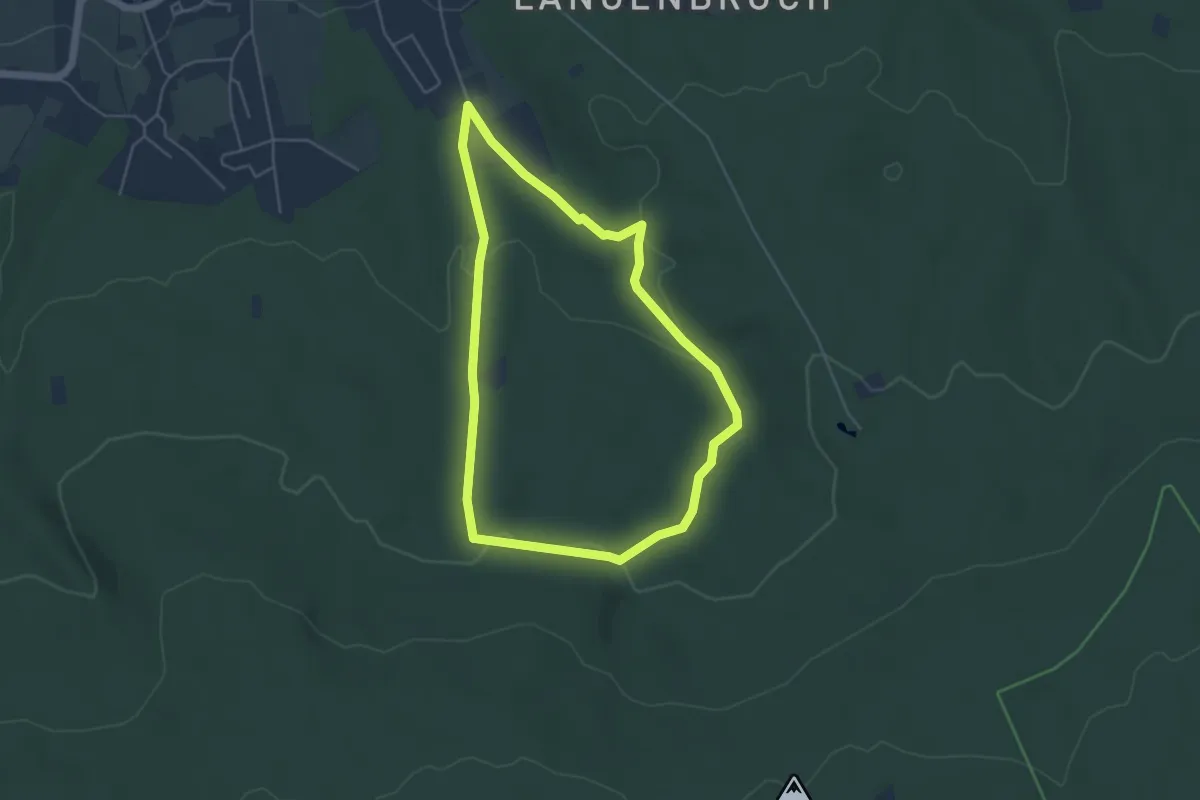
Easy · Trail
Schwefelquelle Rundweg
4.0 km · ↑ 97 m · 1 h 13 min
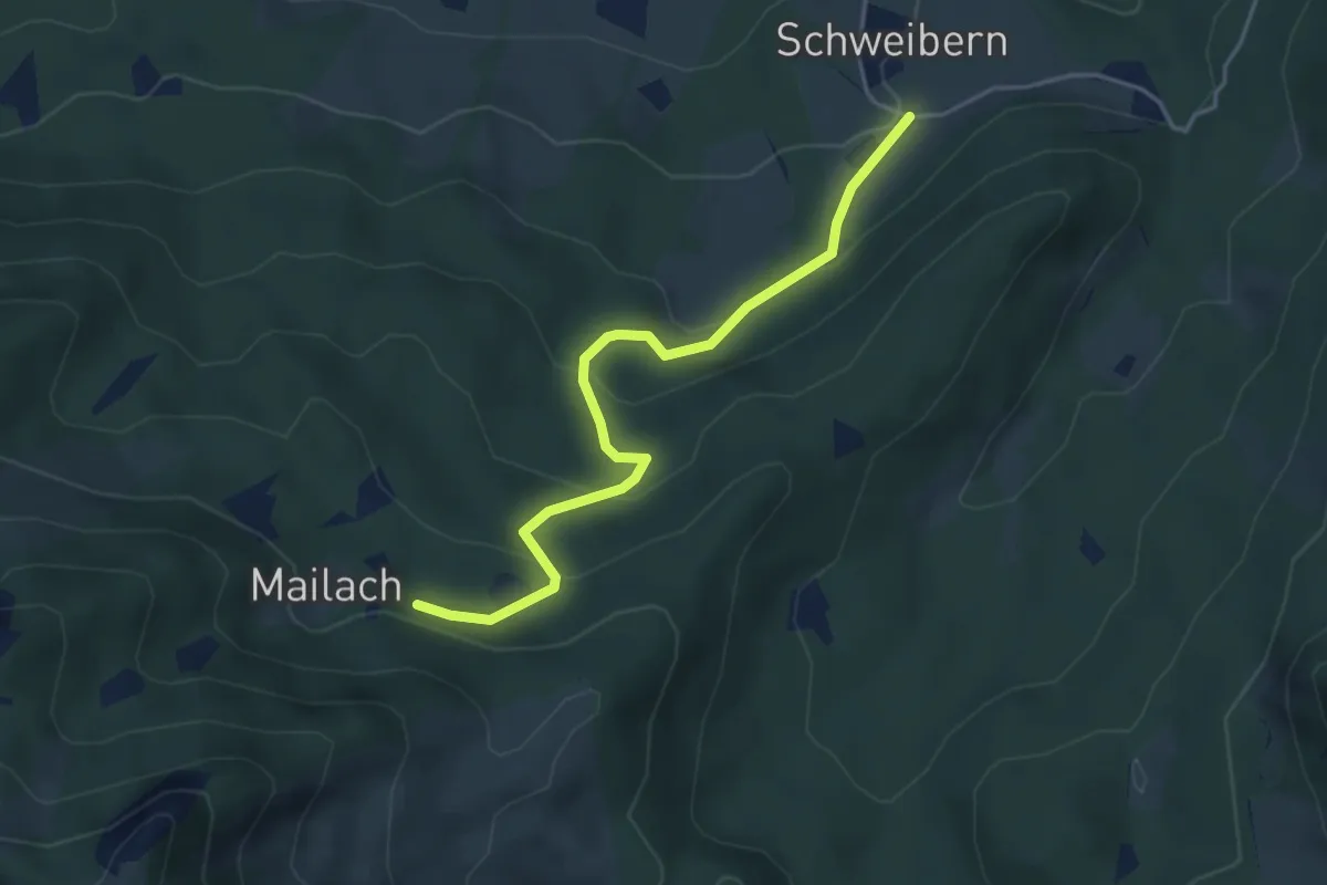
Easy · Trail
Schweibern - Heuberg
4.0 km · ↑ 225 m · 1 h 26 min
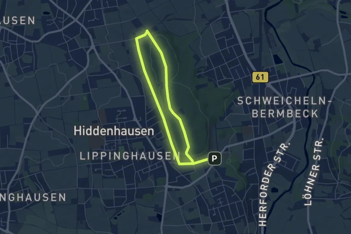
Easy · Summit
Schweicheln Rundweg A1
4.4 km · ↑ 99 m · 1 h 18 min
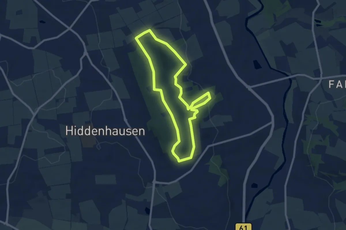
Easy · Summit
Schweicheln Rundweg A2
5.6 km · ↑ 139 m · 1 h 42 min
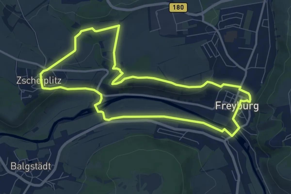
Easy · Trail
Schweigenberg Rundweg
7.4 km · ↑ 138 m · 2 h 8 min
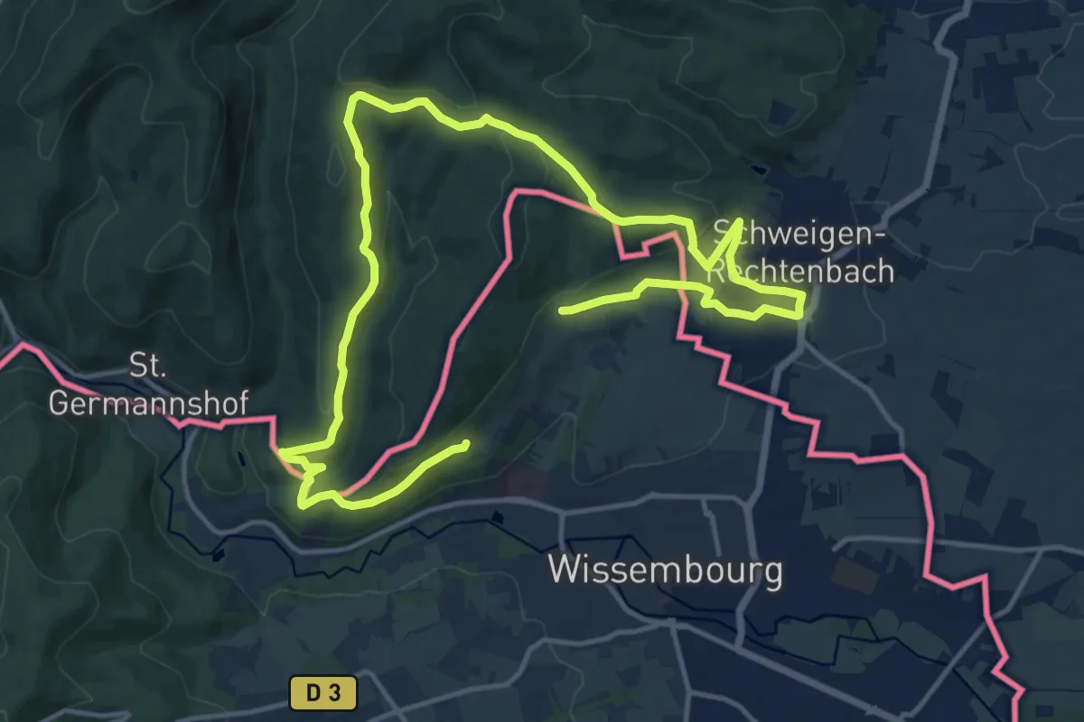
Medium · Trail
Schweigen-Rechtenbach - Grenzlandtour
10.2 km · ↑ 302 m · 3 h 12 min
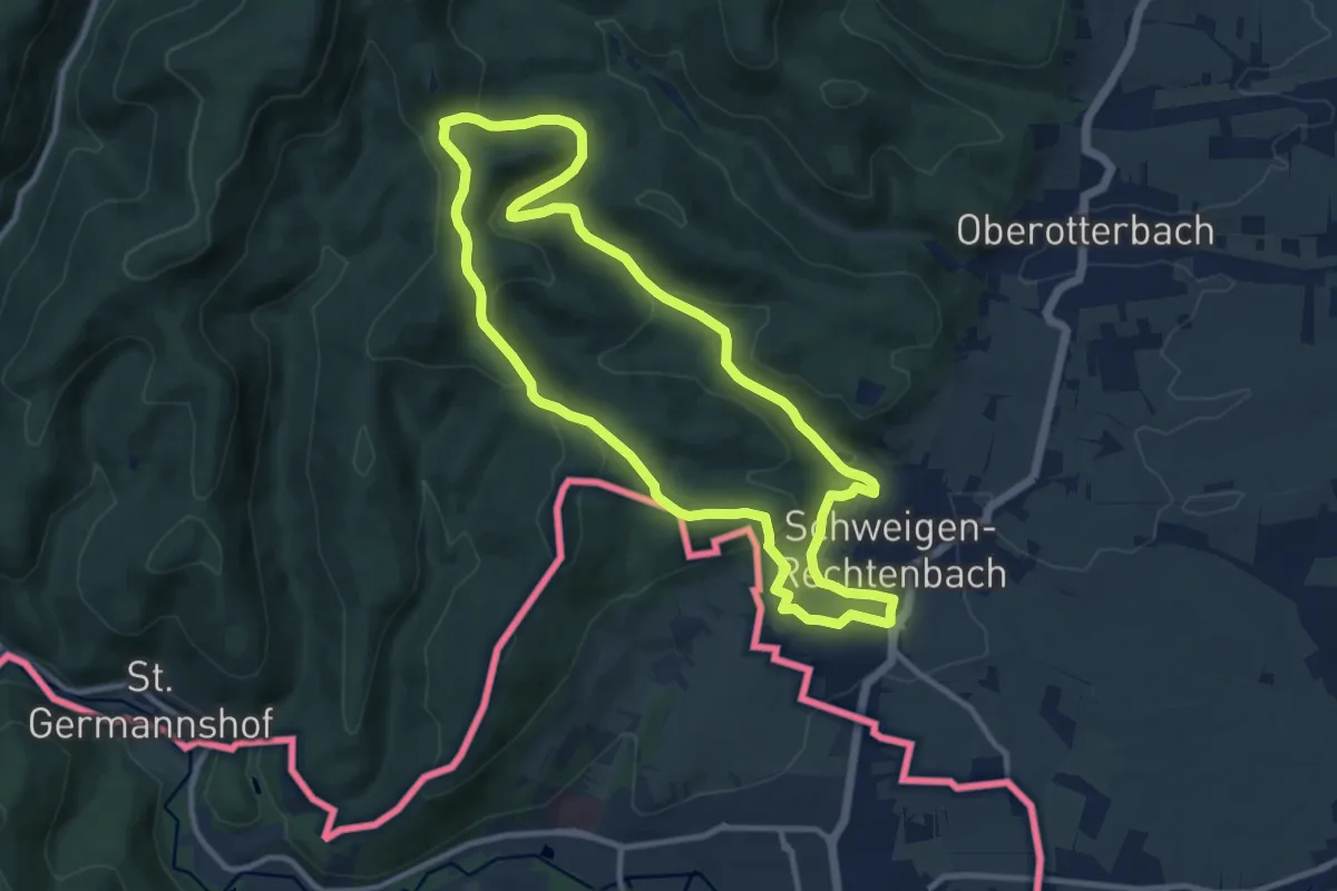
Medium · Summit
Schweigen Rechtenbach - Ruine Guttenberg Tour
10.1 km · ↑ 287 m · 3 h 8 min
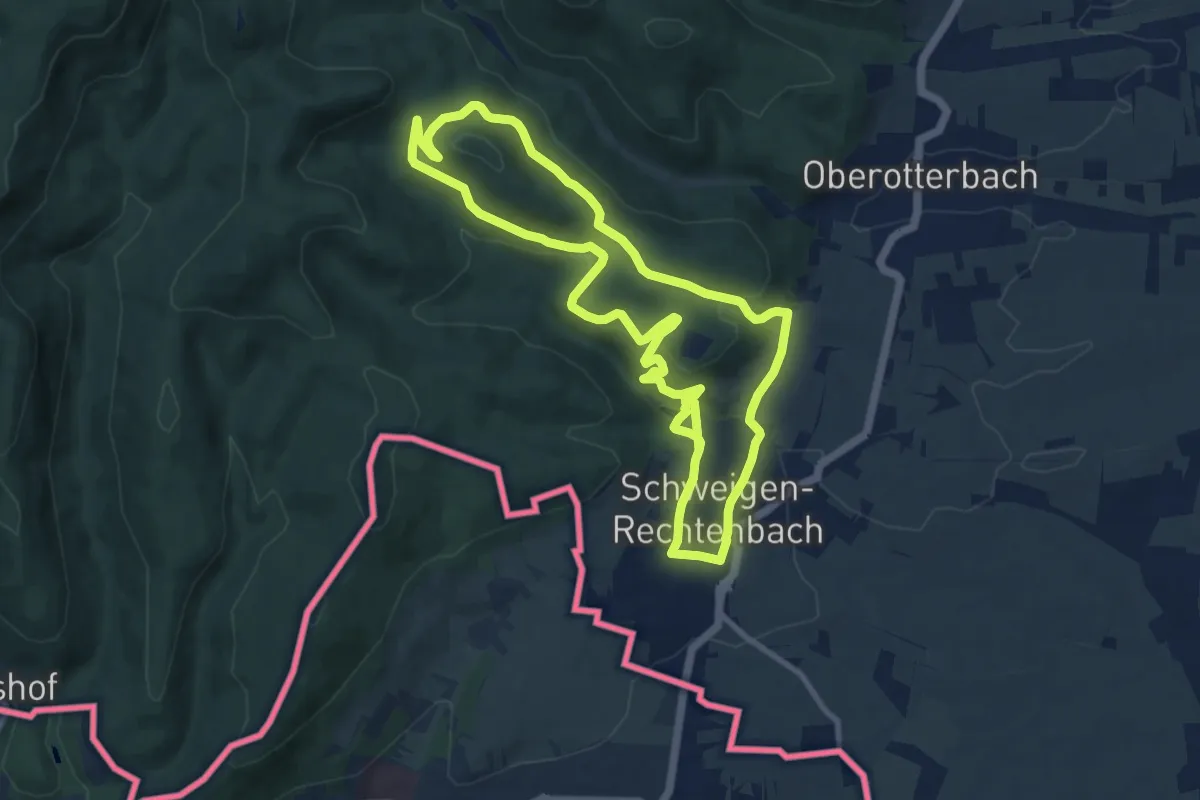
Medium · Trail
Schweigen-Rechtenbach - Rund ums Steinbühl
9.3 km · ↑ 296 m · 2 h 57 min
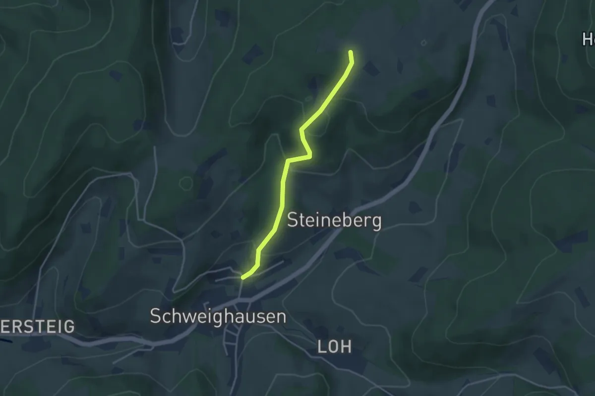
Easy · Trail
Schweighausen Am Steineberg - Weißmoos
2.9 km · ↑ 147 m · 1 h
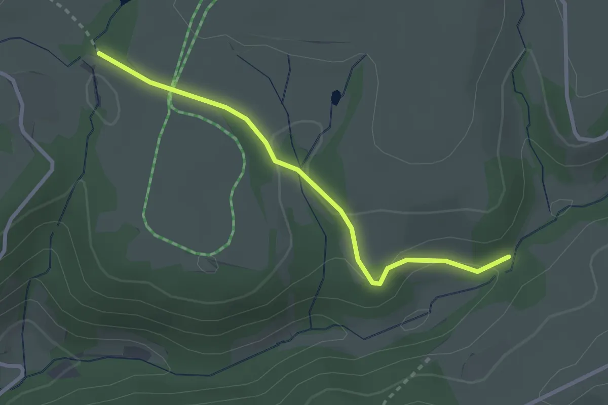
Easy · Trail
Schweighofmühle - Oberibental Ehemal. Steinhof
2.5 km · ↑ 48 m · 42 min
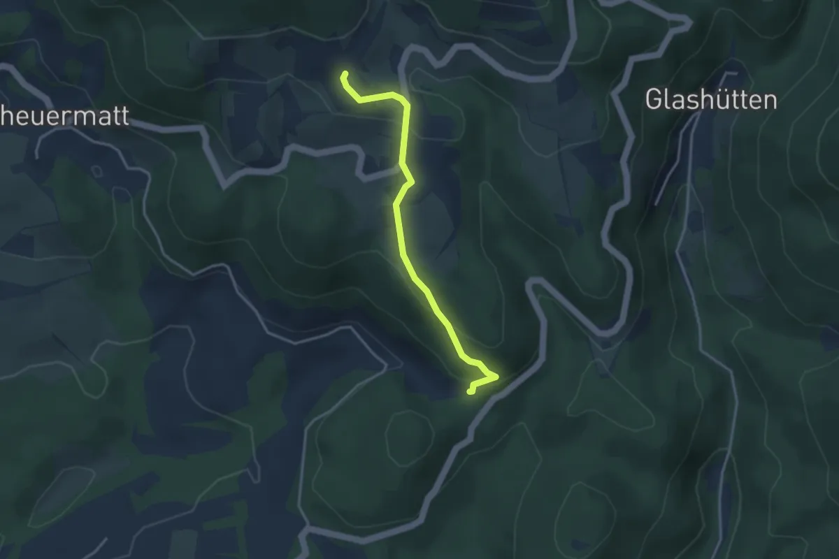
Easy · Trail
Schweigmatt - Füllsberg
3.0 km · ↑ 133 m · 1 h
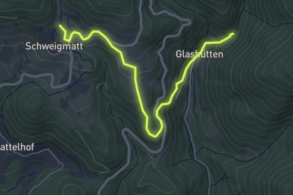
Easy · Trail
Schweigmatt Schwimmbad - Glashütten
5.7 km · ↑ 292 m · 1 h 58 min
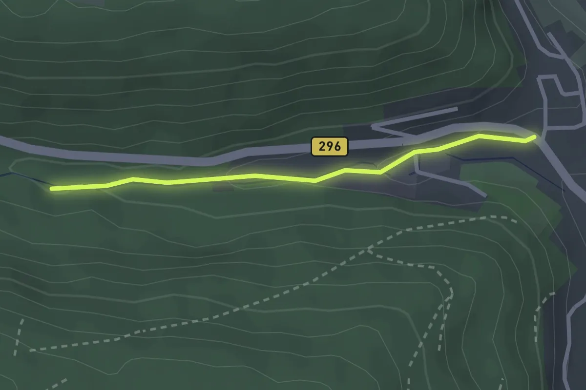
Easy · Trail
Schweinbachtal - Hirsau Brudersteige
2.2 km · ↑ 35 m · 36 min
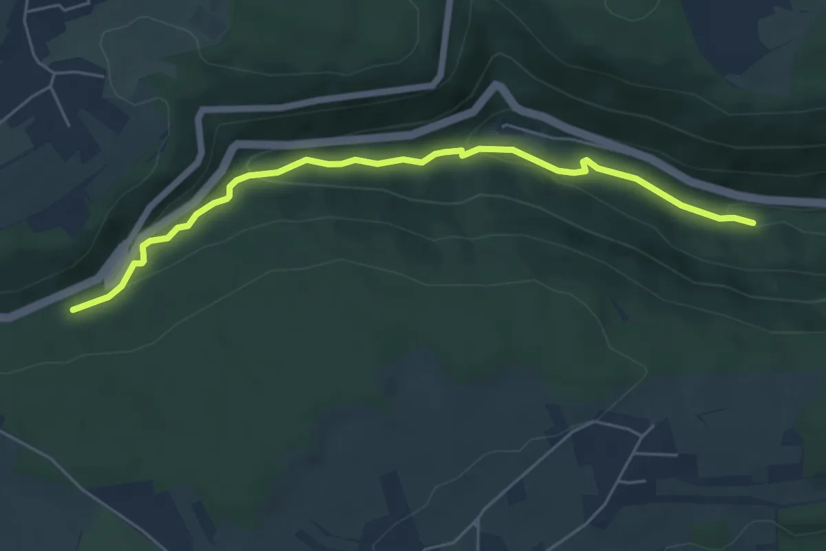
Easy · Trail
Schweinbachtal - Schweinbachtal Steinernes Brückle
5.1 km · ↑ 185 m · 1 h 37 min
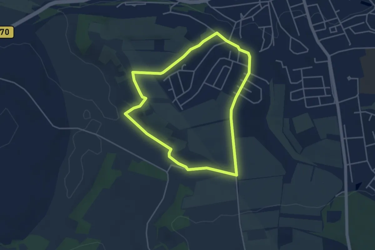
Easy · Trail
Schweinbach-Wanderweg
3.3 km · ↑ 68 m · 59 min
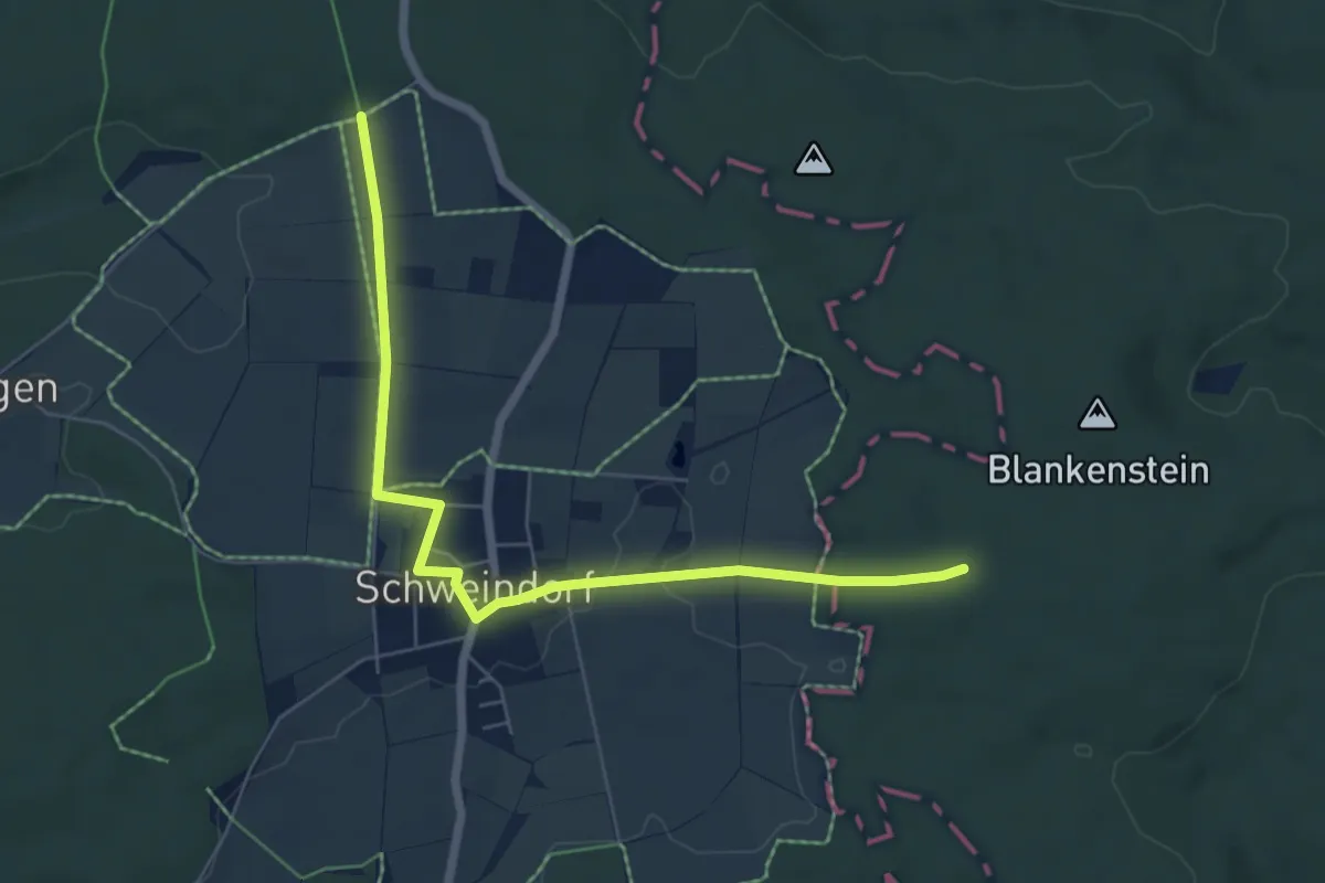
Easy · Trail
Schweindorf
6.3 km · ↑ 61 m · 1 h 37 min
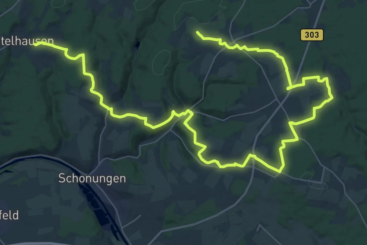
Demanding · Trail
Schweinfurter OberLand-Tour 1
24.7 km · ↑ 409 m · 7 h 5 min
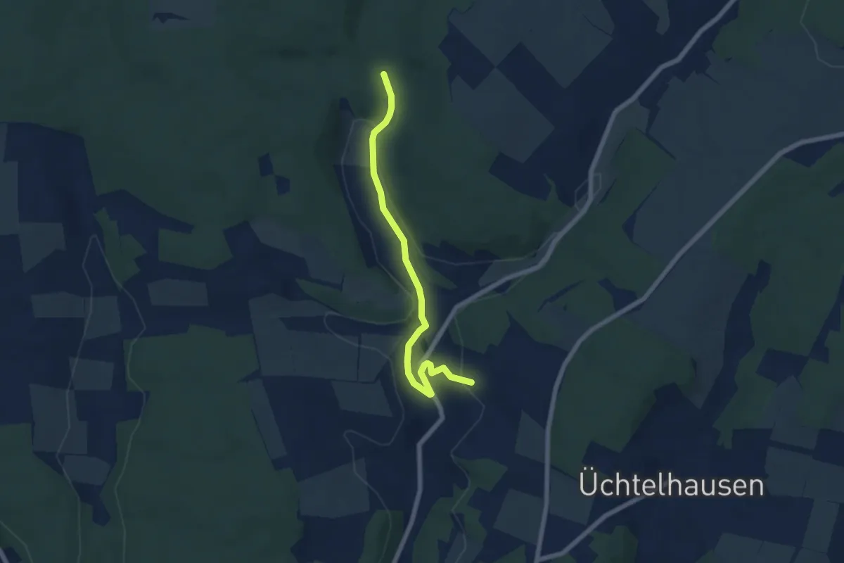
Easy · Trail
Schweinfurter OberLand-Tour 2
5.3 km · ↑ 70 m · 1 h 25 min
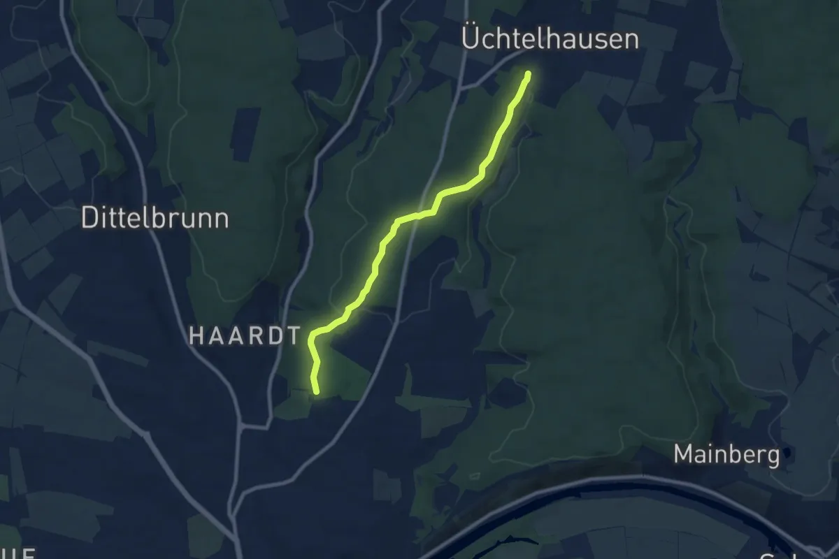
Easy · Trail
Schweinfurt - Fichtenbusch
7.5 km · ↑ 107 m · 2 h
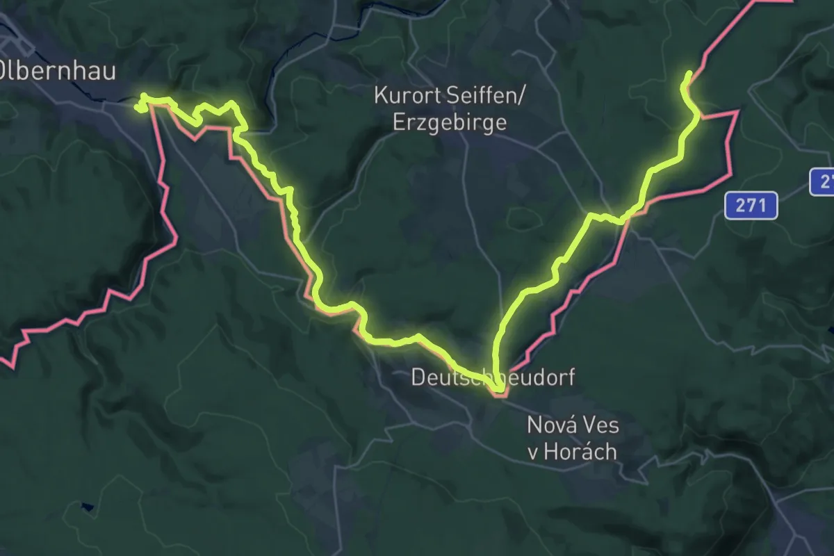
Demanding · Trail
Schweinitztalwanderweg
20.4 km · ↑ 668 m · 6 h 23 min
Easy · Trail
Schweinlachhütte - Traischbachtal
2.3 km · ↑ 89 m · 44 min
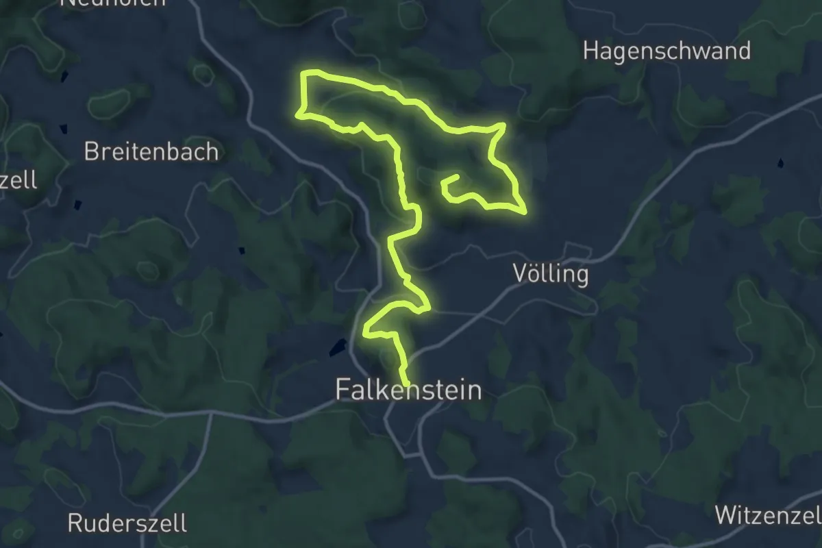
Medium · Summit
Schweinsbergweg
17.1 km · ↑ 619 m · 5 h 22 min
Easy · Trail
Schweinsweide - Roßwinkel
3.4 km · ↑ 12 m · 50 min
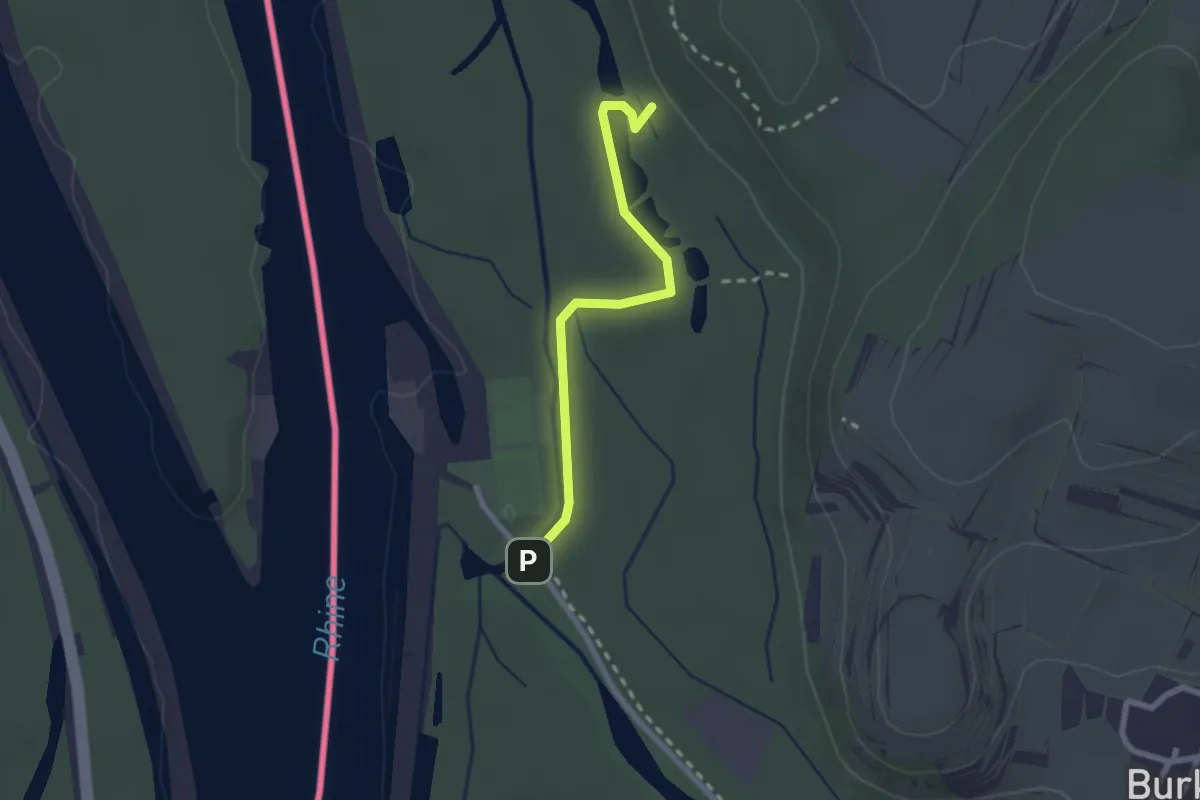
Easy · Trail
Schweißgraben - Schloßkopfgrund
2.1 km · ↑ 5 m · 30 min
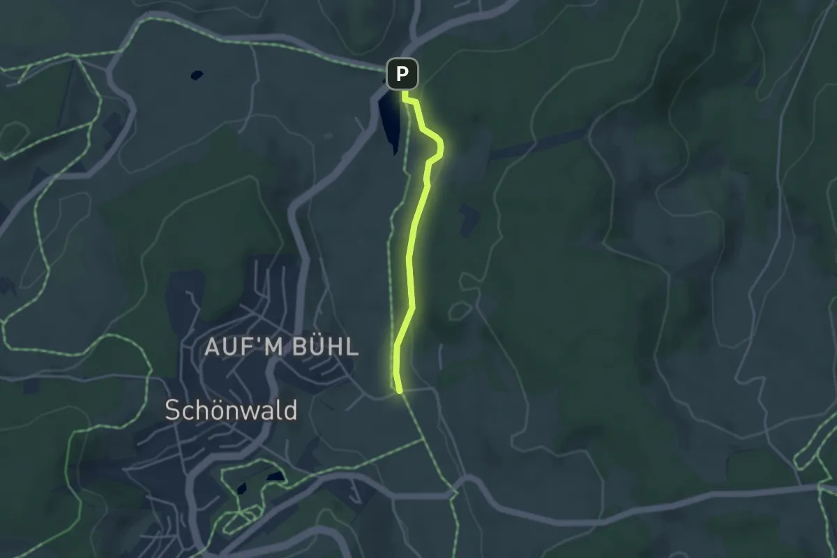
Easy · Trail
Schweizerhaus - Inselklause
2.8 km · ↑ 34 m · 44 min
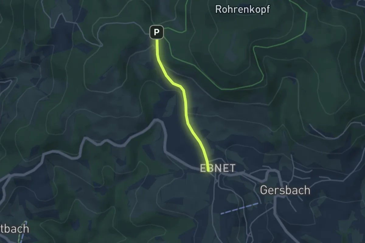
Easy · Trail
Schwellen - Gersbach Ebnet
2.8 km · ↑ 99 m · 52 min
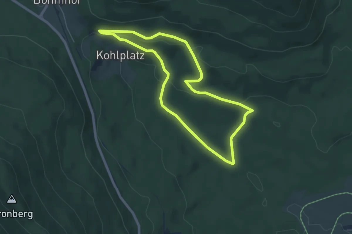
Easy · Trail
Schwellweiher Runde
4.5 km · ↑ 122 m · 1 h 23 min
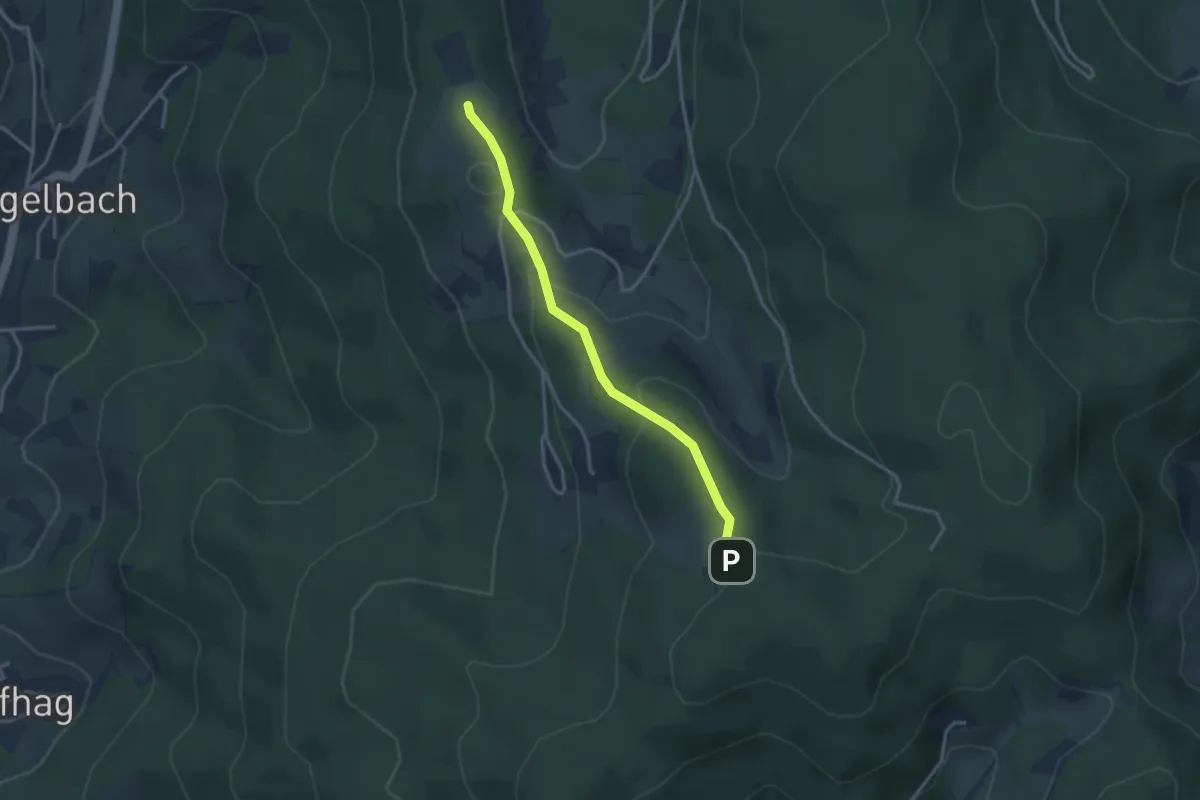
Easy · Trail
Schwender Buche - Schwend Parkplatz
2.9 km · ↑ 103 m · 55 min
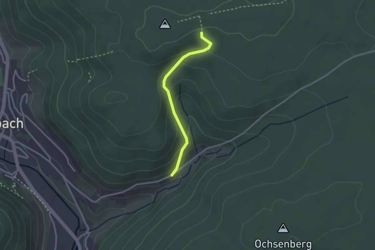
Medium · Trail
Schwende - Triebeck
2.1 km · ↑ 120 m · 45 min
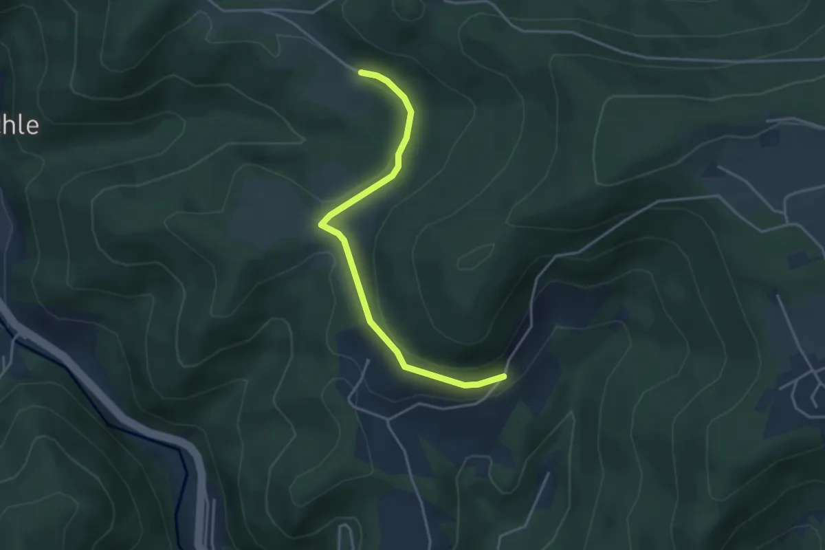
Easy · Trail
Schwenkenhof - Rohrbach
3.5 km · ↑ 44 m · 55 min
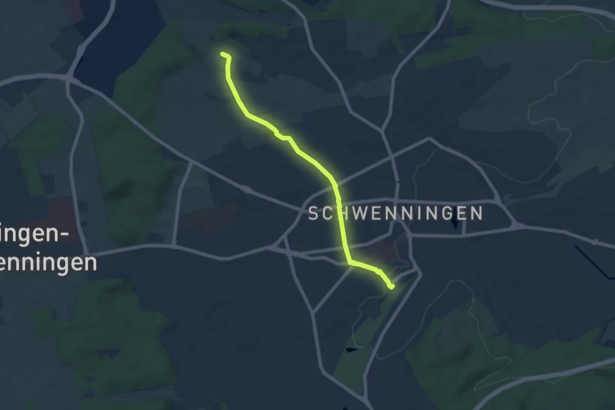
Easy · Trail
Schwenningen Bahnhof - Ritzental
5.4 km · ↑ 75 m · 1 h 26 min
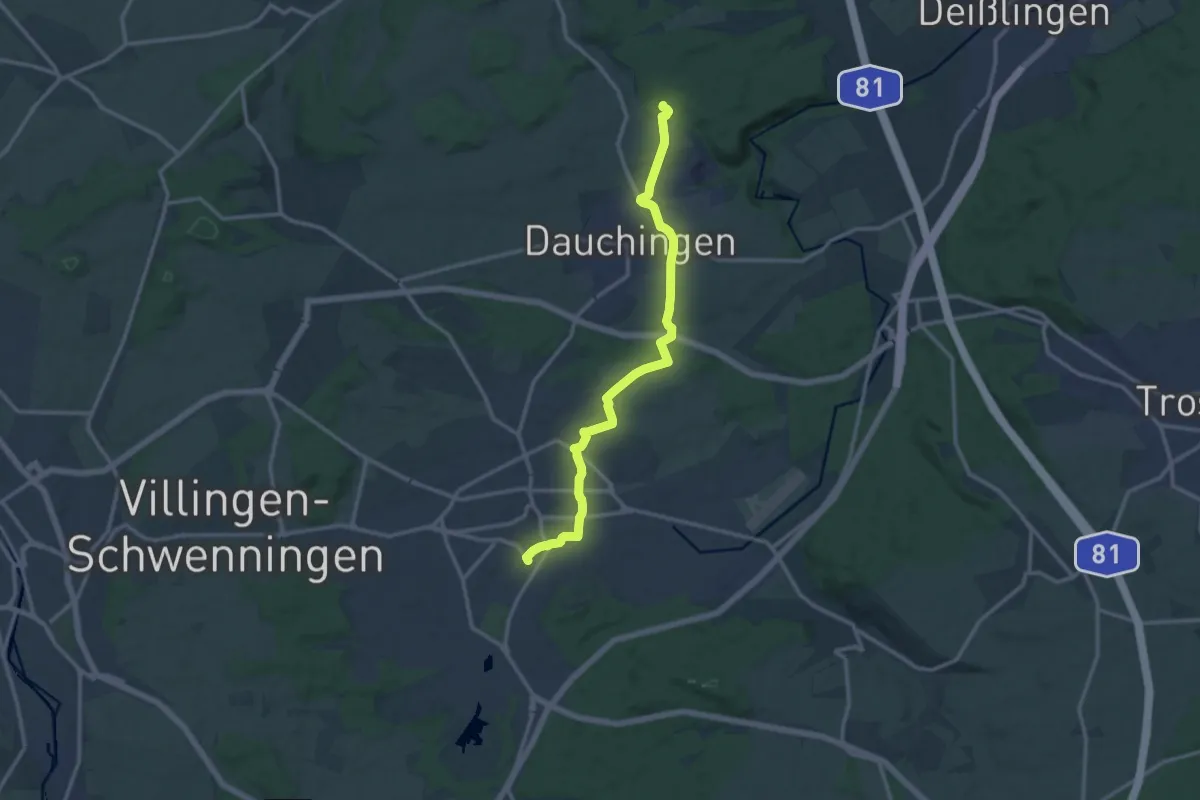
Medium · Trail
Schwenningen - Dauchingen
12.8 km · ↑ 141 m · 3 h 19 min
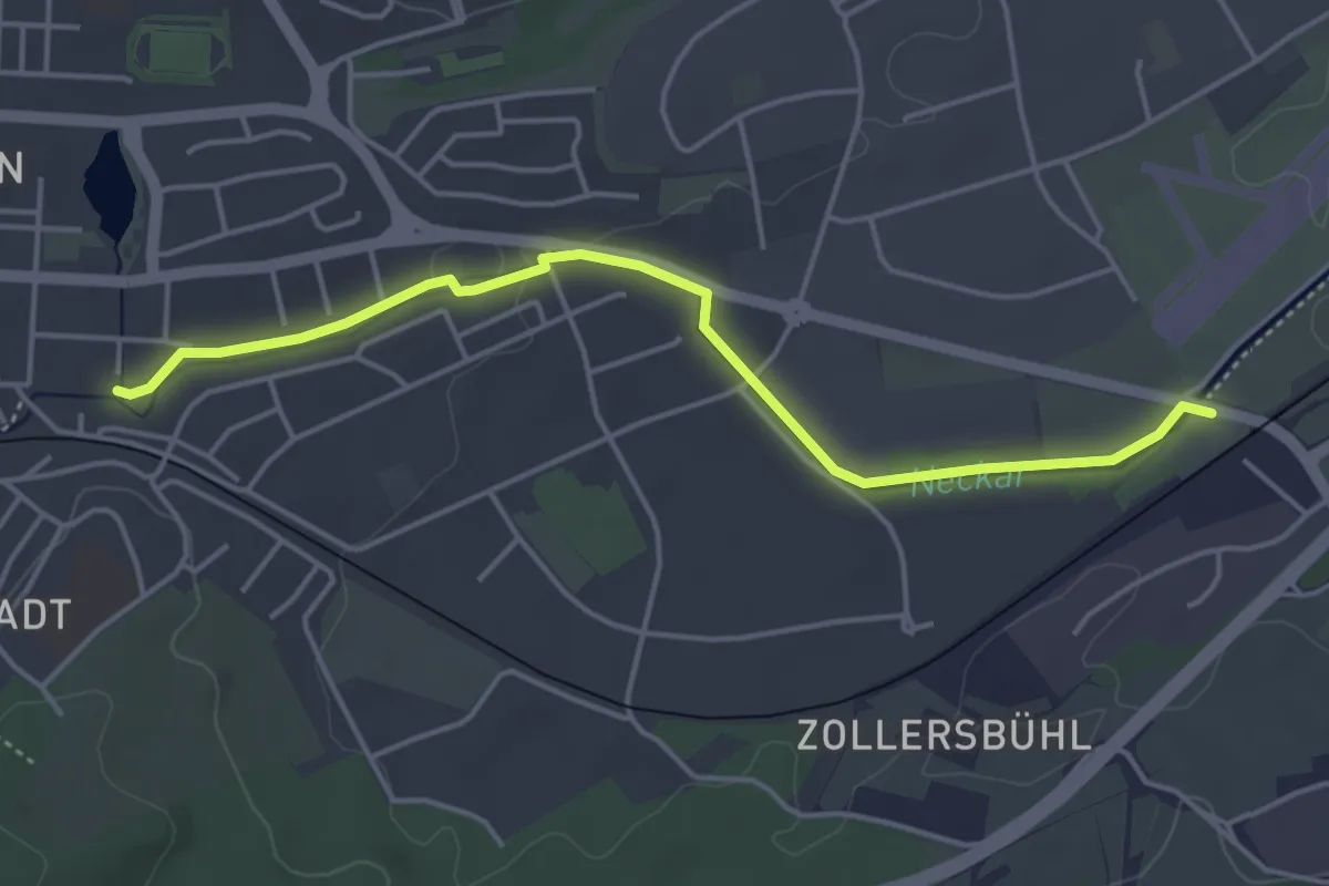
Easy · Trail
Schwenningen Liststraße - Feiste Wiesen
4.4 km · ↑ 23 m · 1 h 6 min
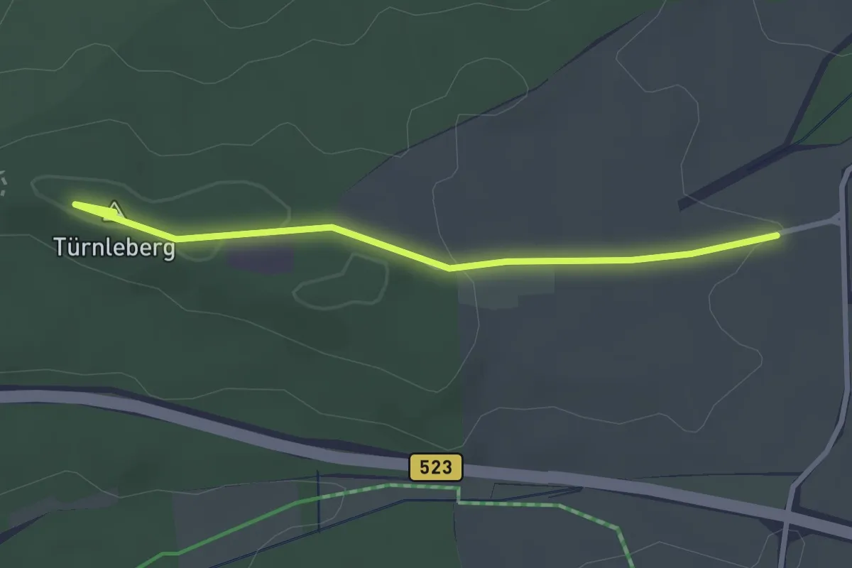
Easy · Summit
Schwenningen - Mühlhausen
2.7 km · ↑ 41 m · 43 min
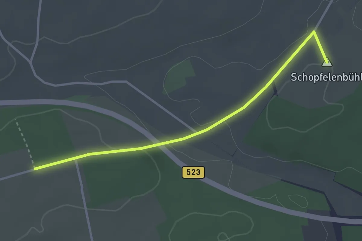
Easy · Summit
Schwenningen - Schopfelen
2.9 km · ↑ 60 m · 49 min
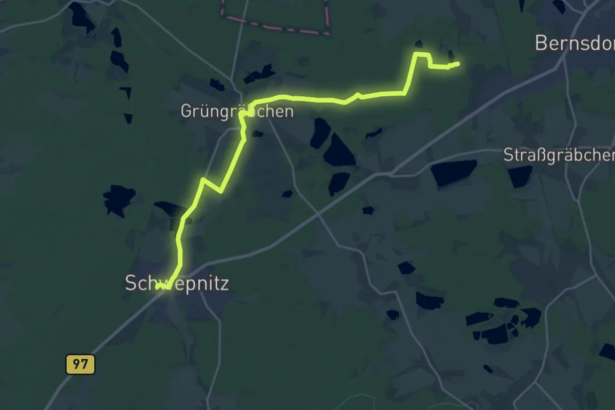
Demanding · Trail
Schwepnitz - Waldbad Bernsdorf
19.4 km · ↑ 61 m · 4 h 43 min
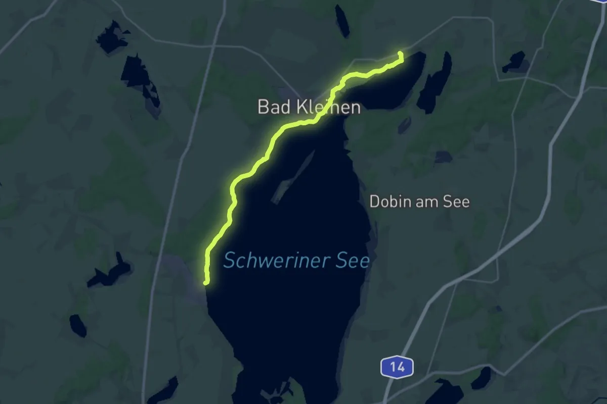
Demanding · Trail
Schweriner See
21.4 km · ↑ 131 m · 5 h 21 min
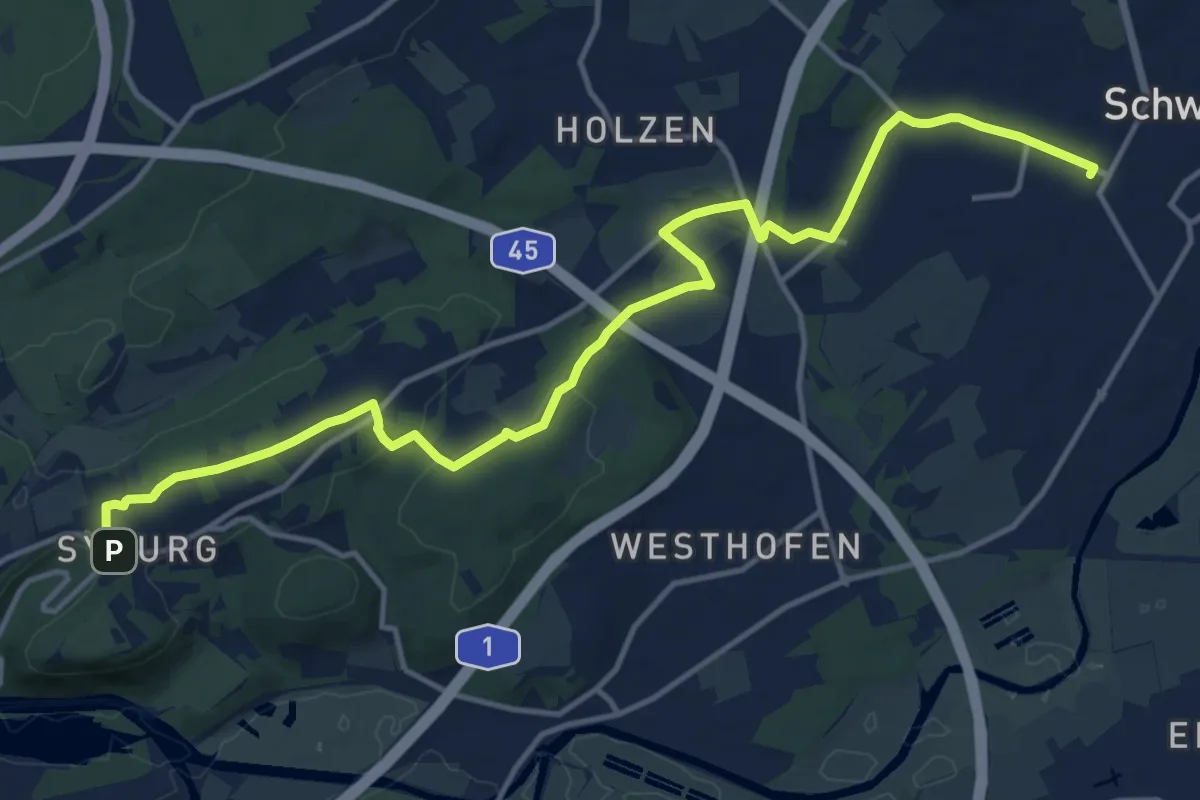
Medium · Trail
Schwerte Bf - Hohensyburg
14.9 km · ↑ 235 m · 4 h 2 min
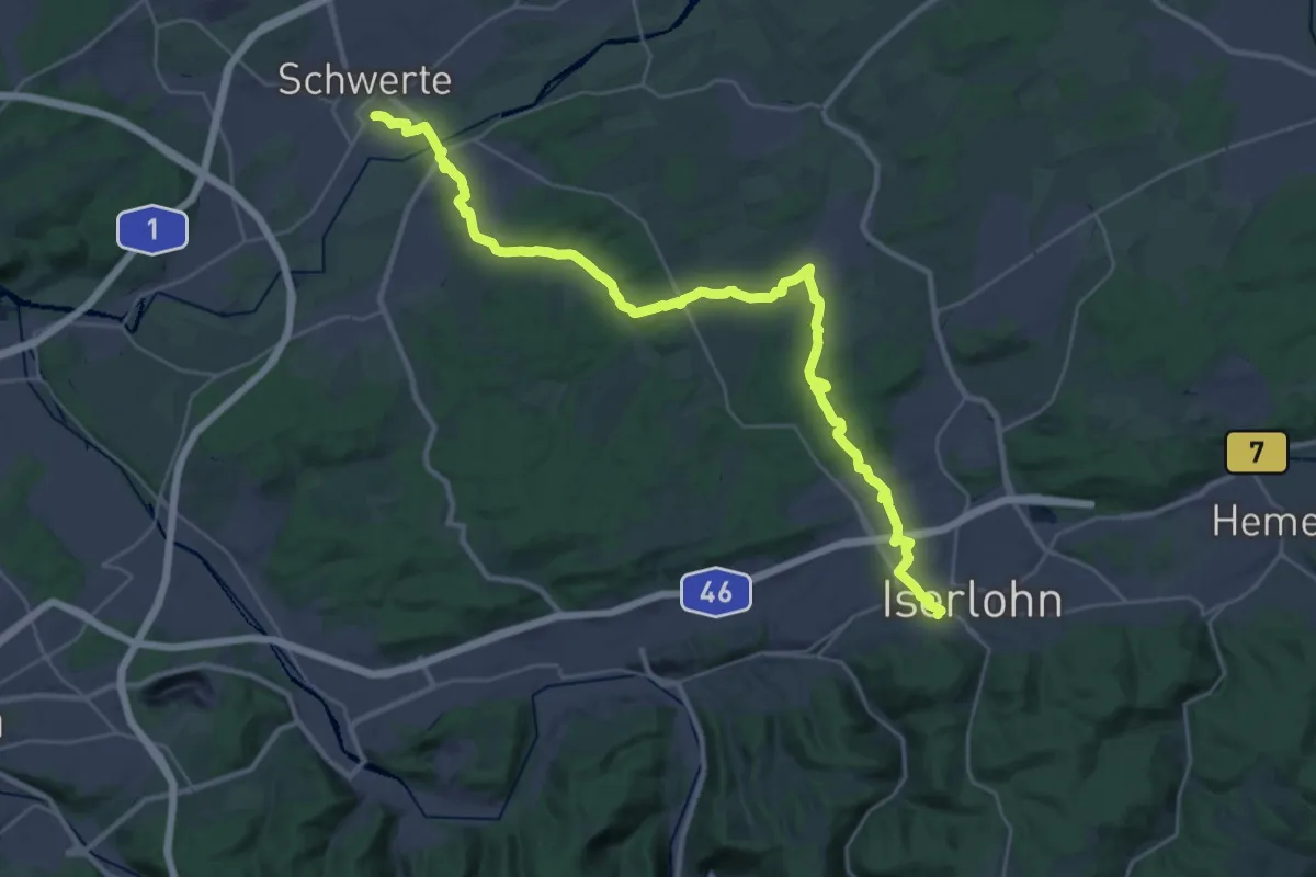
Medium · Trail
Schwerte - Iserlohn
16.3 km · ↑ 332 m · 4 h 44 min
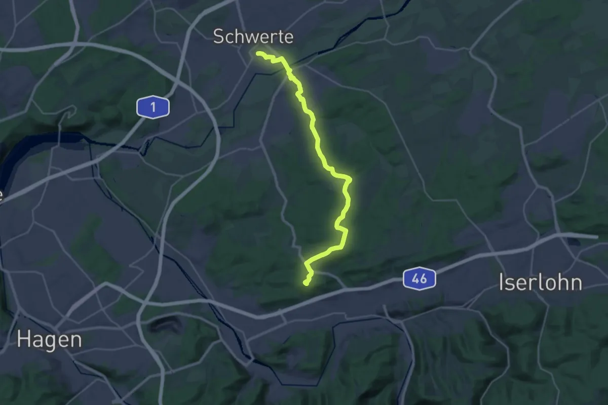
Demanding · Summit
Schwerte Rathaus - Letmathe Humpfertturm
21.7 km · ↑ 415 m · 6 h 1 min
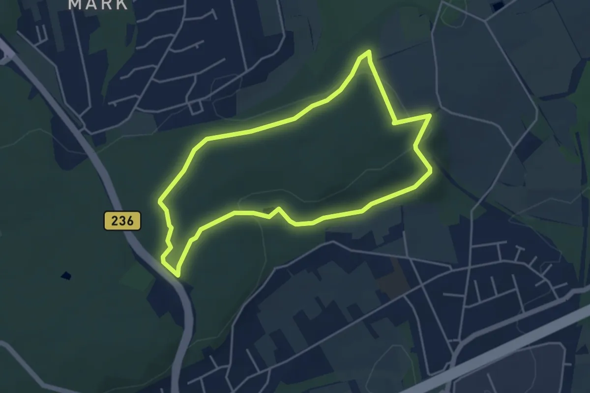
Easy · Trail
Schwerter Wald Rundweg A1
3.5 km · ↑ 58 m · 1 h
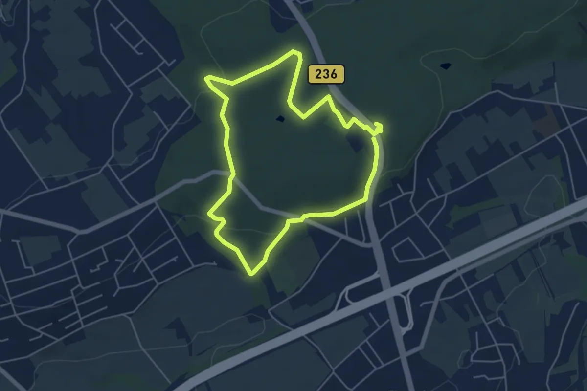
Easy · Trail
Schwerter Wald Rundweg A2
3.8 km · ↑ 86 m · 1 h 9 min
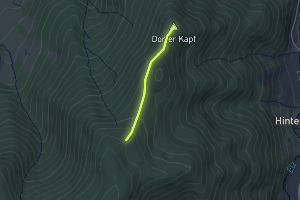
Easy · Summit
Schwiegrube - Kapf
2.0 km · ↑ 85 m · 39 min