Trails in Germany
36,852 hiking trails, each with its route, climb, walking time and grade.
All trails, page 587 of 768
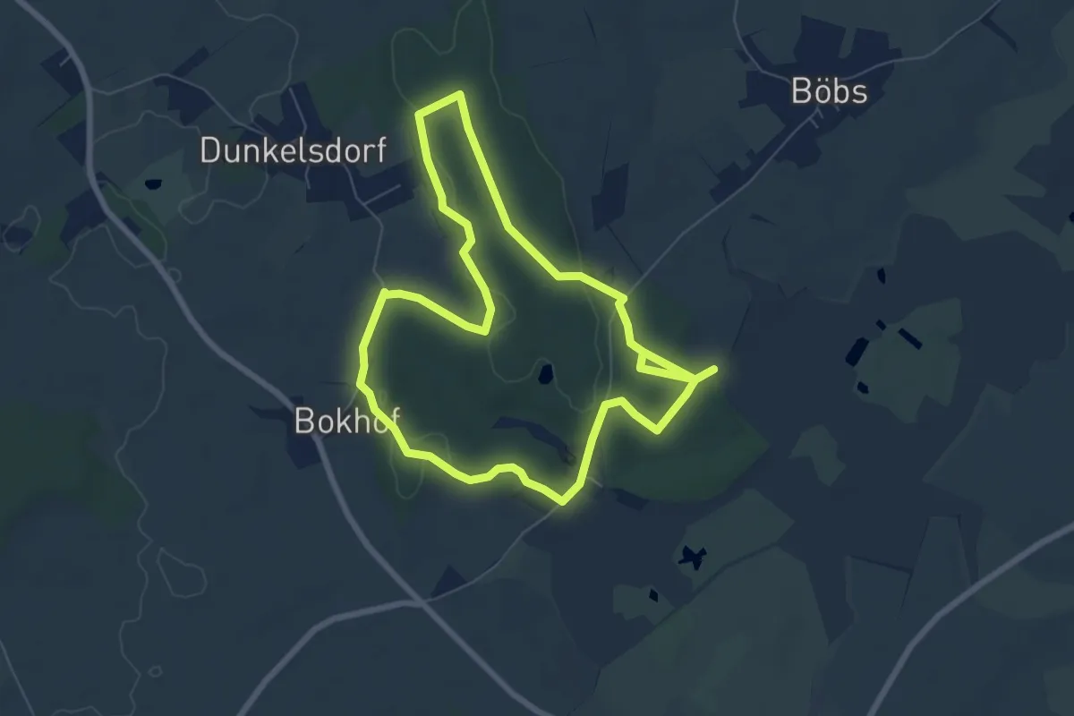
Easy · Trail
Schwinkenrader Forst
5.8 km · ↑ 71 m · 1 h 36 min
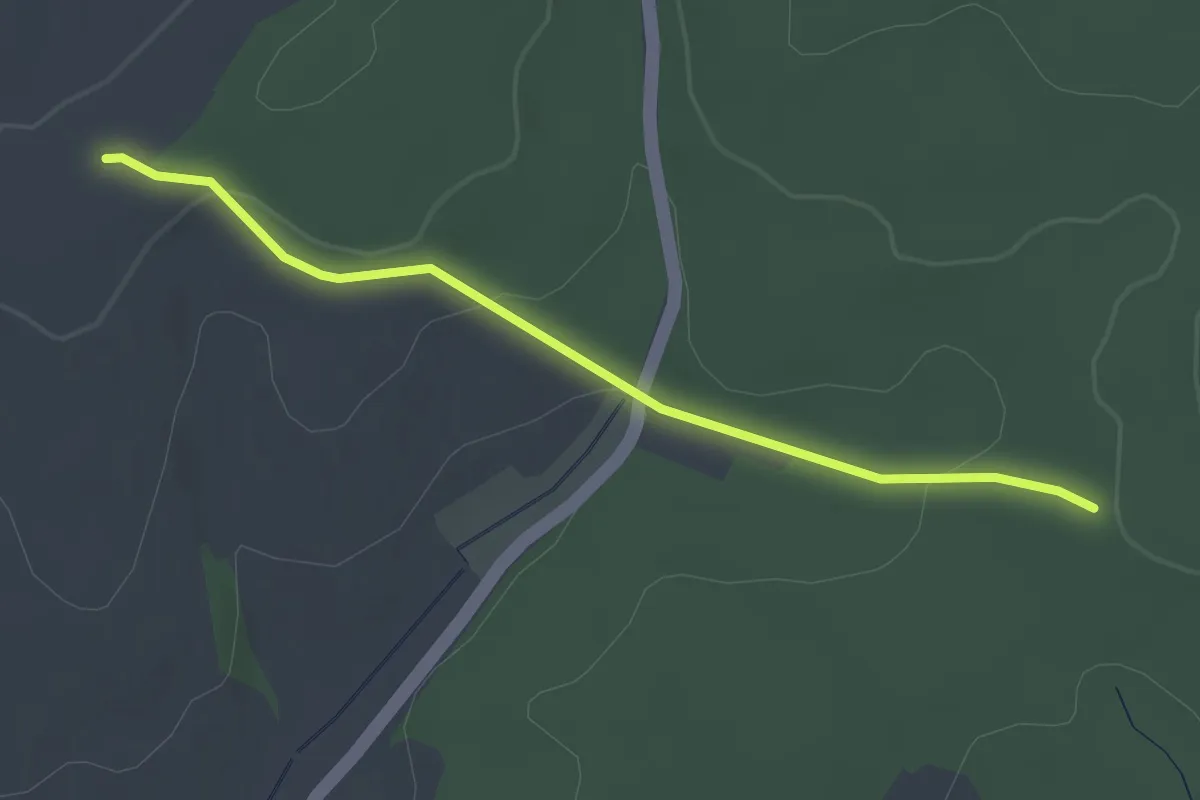
Easy · Trail
Schwinle Kreuz - Holzacker
2.8 km · ↑ 88 m · 51 min
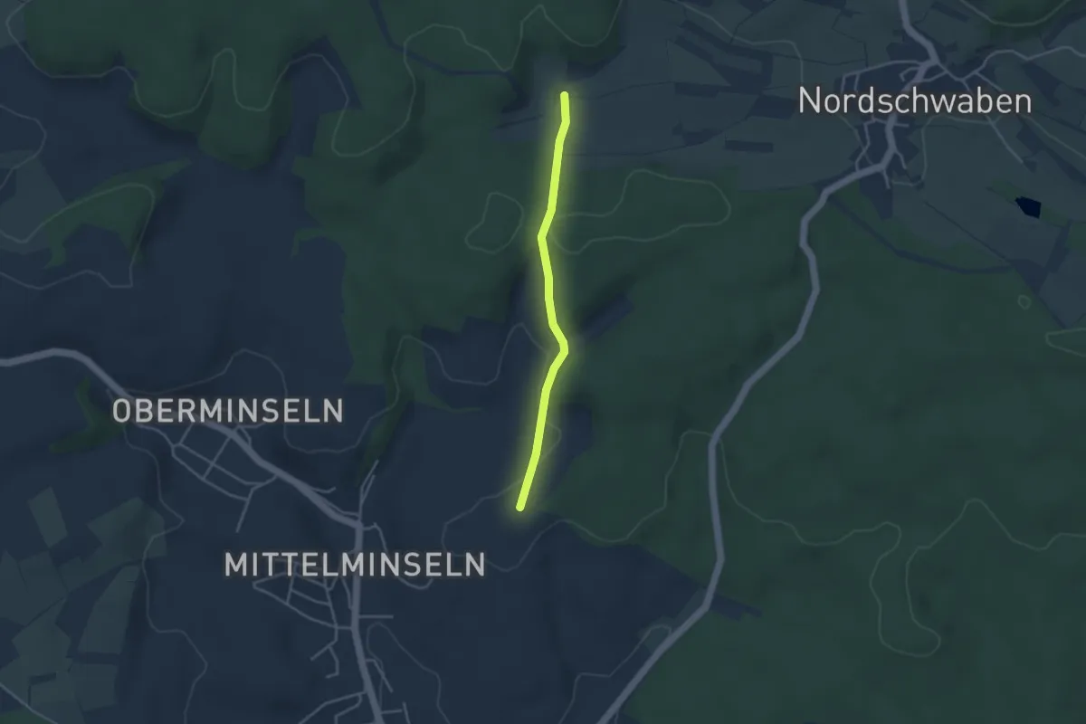
Easy · Trail
Schwinle Kreuz - Schluckacker
3.1 km · ↑ 114 m · 59 min
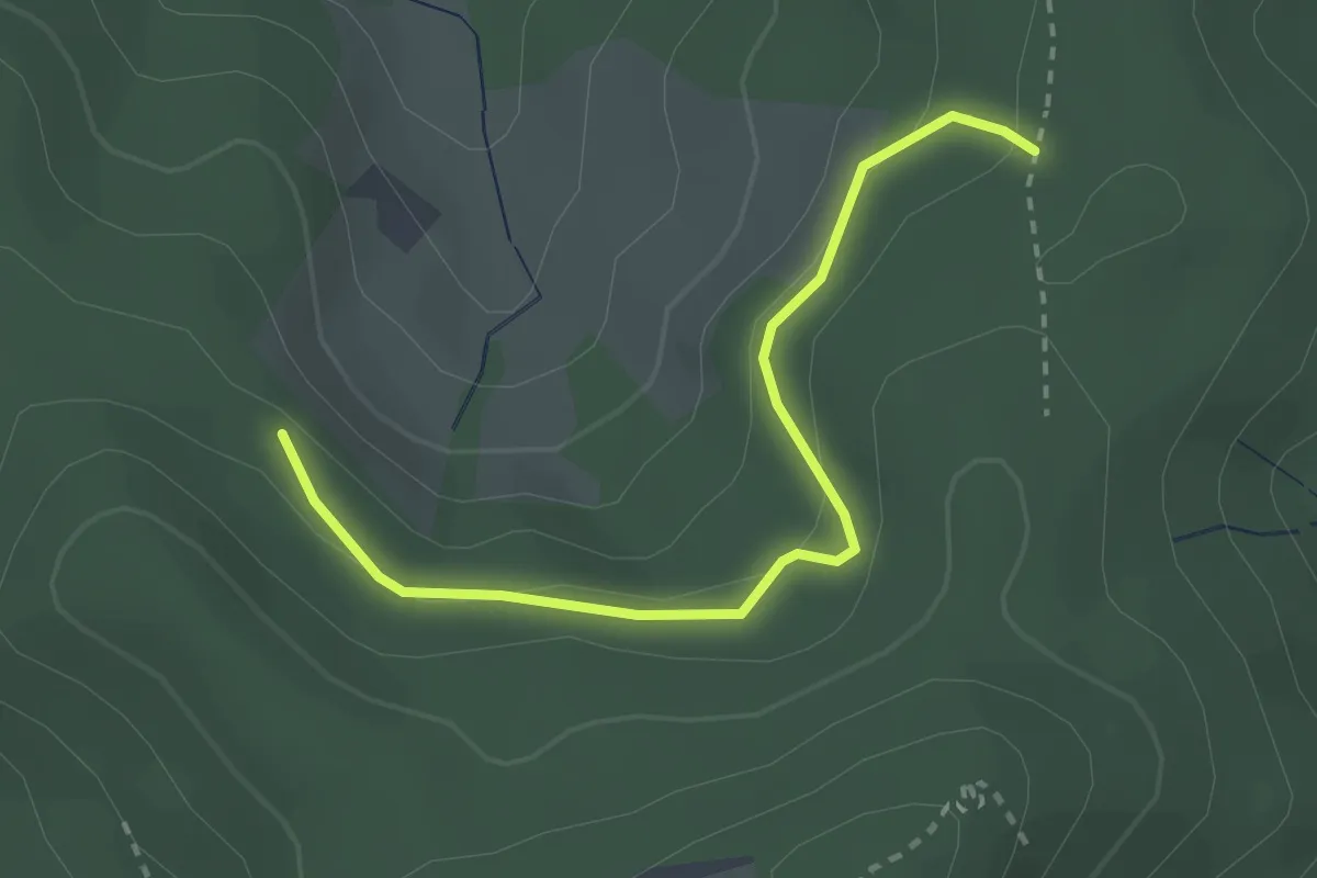
Easy · Trail
Schwörerhof - Walzenhof
2.7 km · ↑ 147 m · 57 min
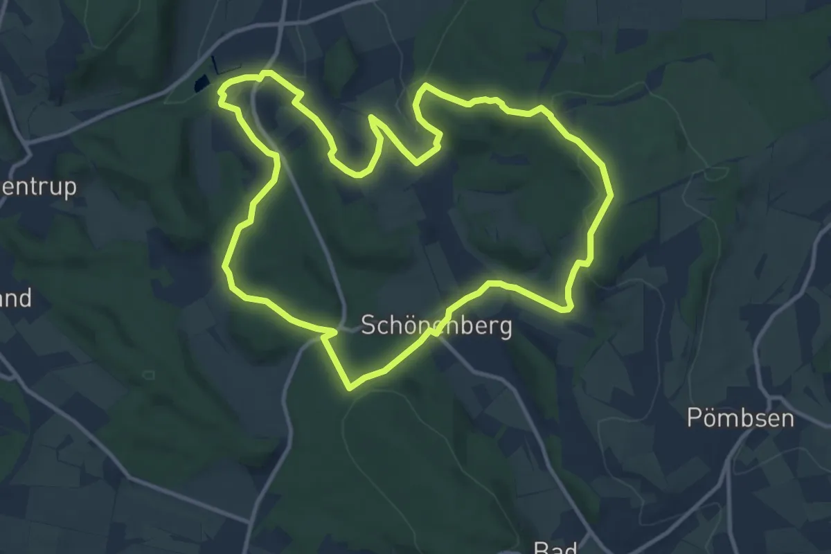
Medium · Trail
Schwung nehmen - Wanderweg Merlsheim
10.3 km · ↑ 269 m · 3 h 9 min
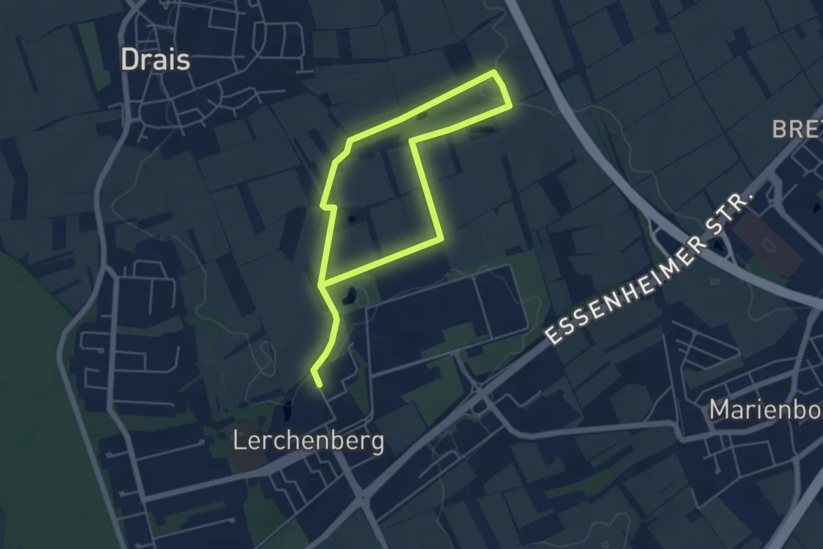
Easy · Trail
SC Lerchenberg-Trail
7.2 km · ↑ 91 m · 1 h 54 min
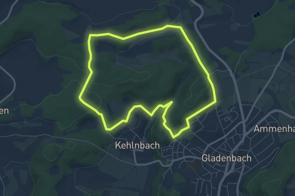
Easy · Trail
Sebastian-Kneipp-Weg
6.4 km · ↑ 120 m · 1 h 51 min
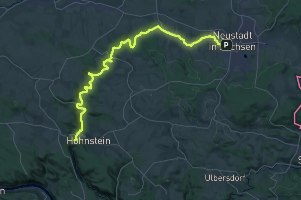
Demanding · Summit
Sebnitztalweg
31.3 km · ↑ 437 m · 8 h 20 min
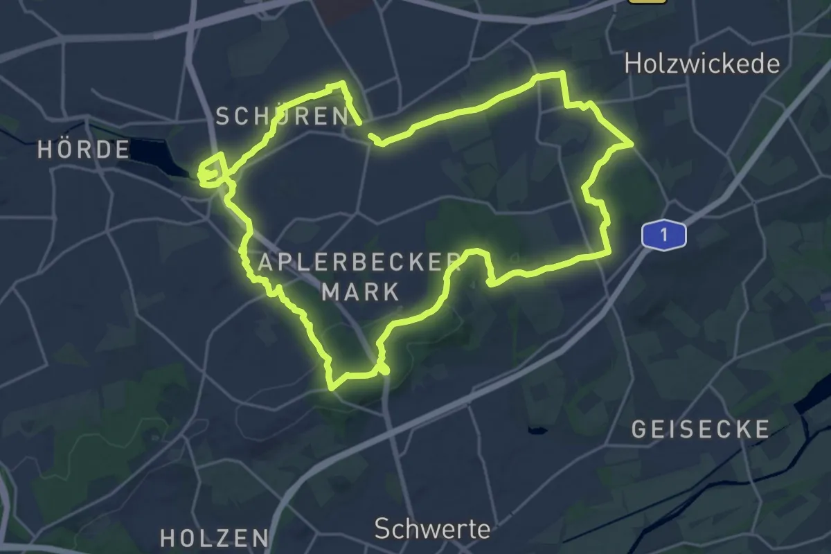
Demanding · Summit
Sechs Profile, ein Gesicht
20.1 km · ↑ 172 m · 5 h 24 min
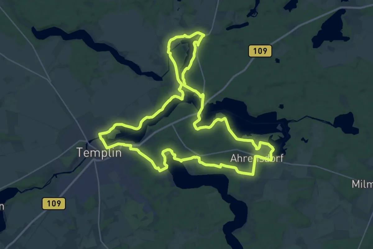
Demanding · Trail
Sechs-Seen-Rundweg
23.2 km · ↑ 161 m · 6 h 9 min
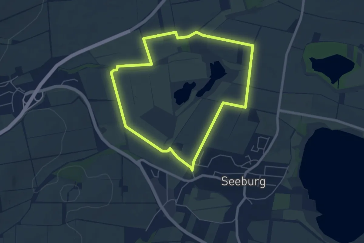
Easy · Trail
Seeanger-Rundweg Seeburg
4.7 km · ↑ 18 m · 1 h 13 min
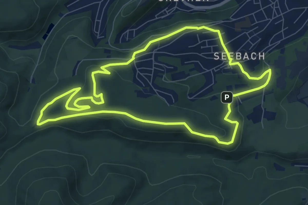
Easy · Summit
Seebacher Kloster
7.8 km · ↑ 246 m · 2 h 29 min
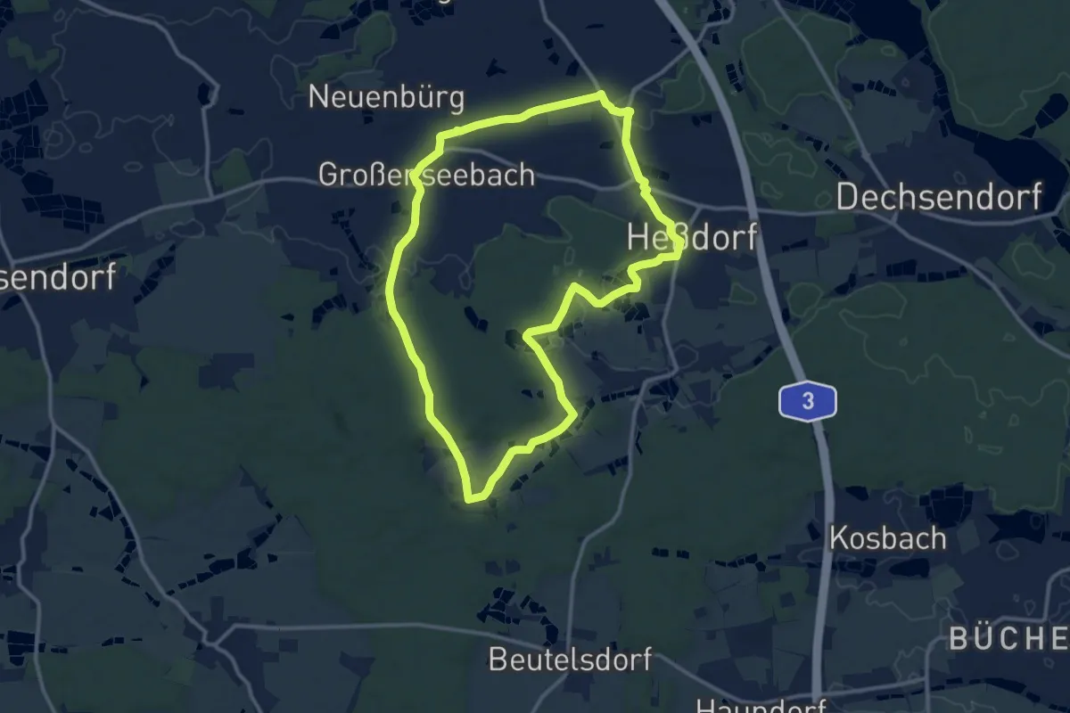
Medium · Trail
Seebachgrund-Wanderweg
11.2 km · ↑ 103 m · 3 h 1 min
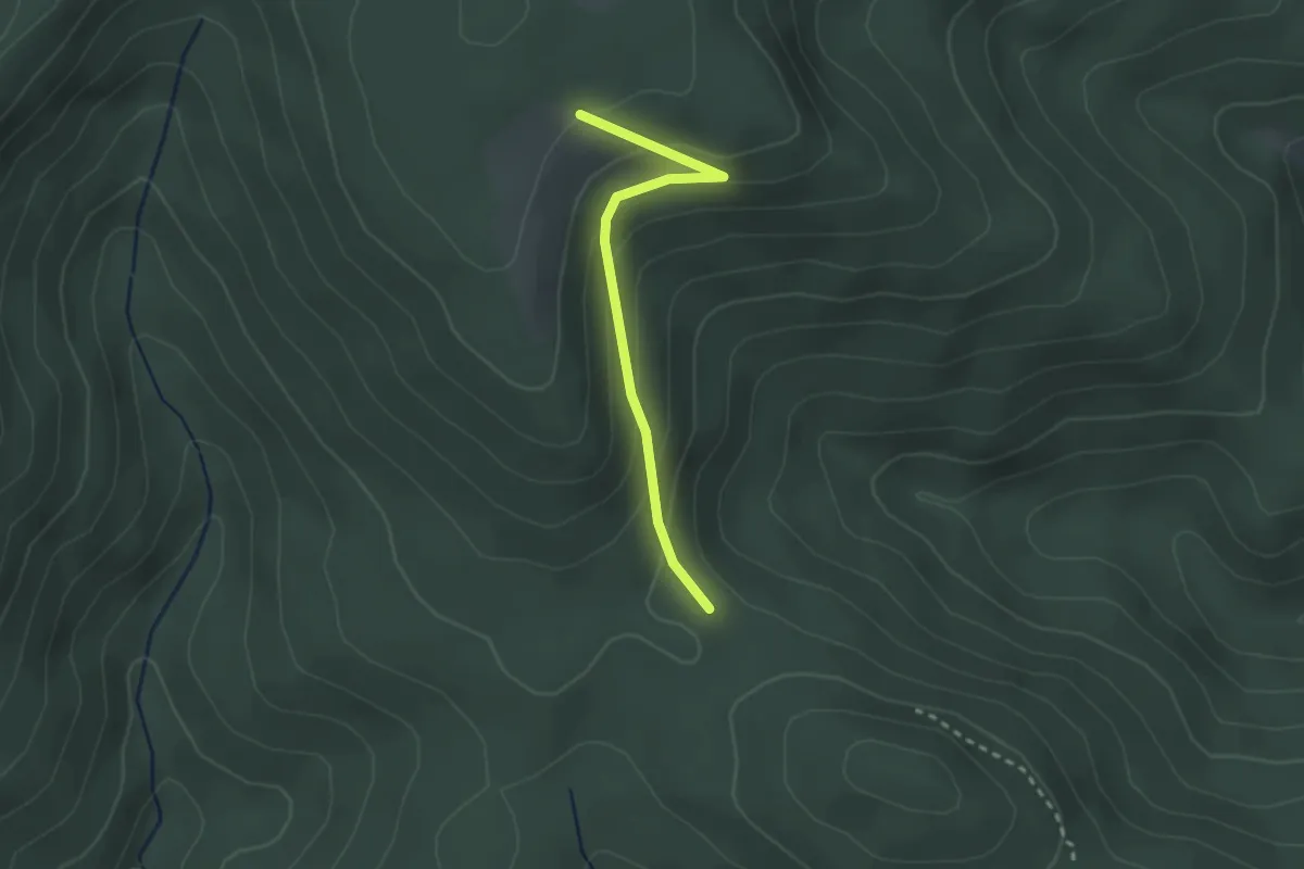
Easy · Trail
Seebensattel - Seilstock
2.3 km · ↑ 133 m · 49 min
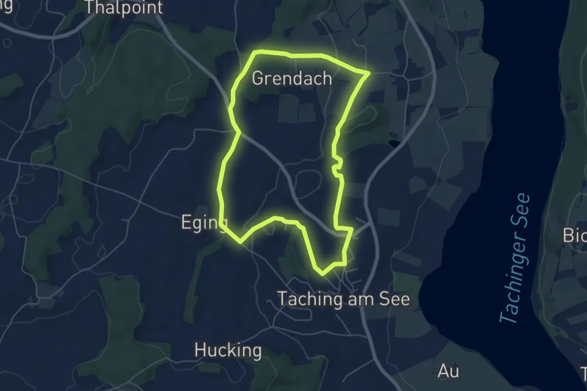
Easy · Trail
Seeblick-Wanderweg
5.3 km · ↑ 62 m · 1 h 27 min
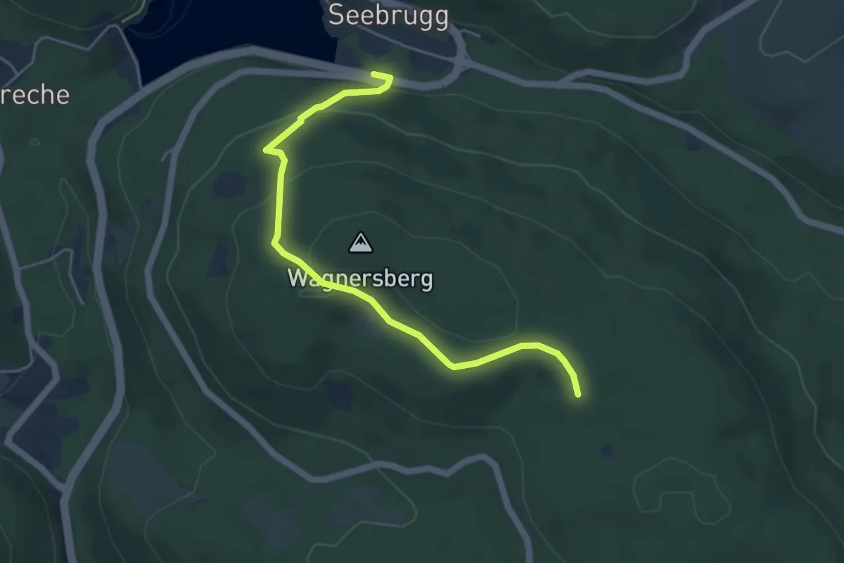
Easy · Trail
Seebrugg B 500 - Tafeltanne
4.6 km · ↑ 209 m · 1 h 32 min
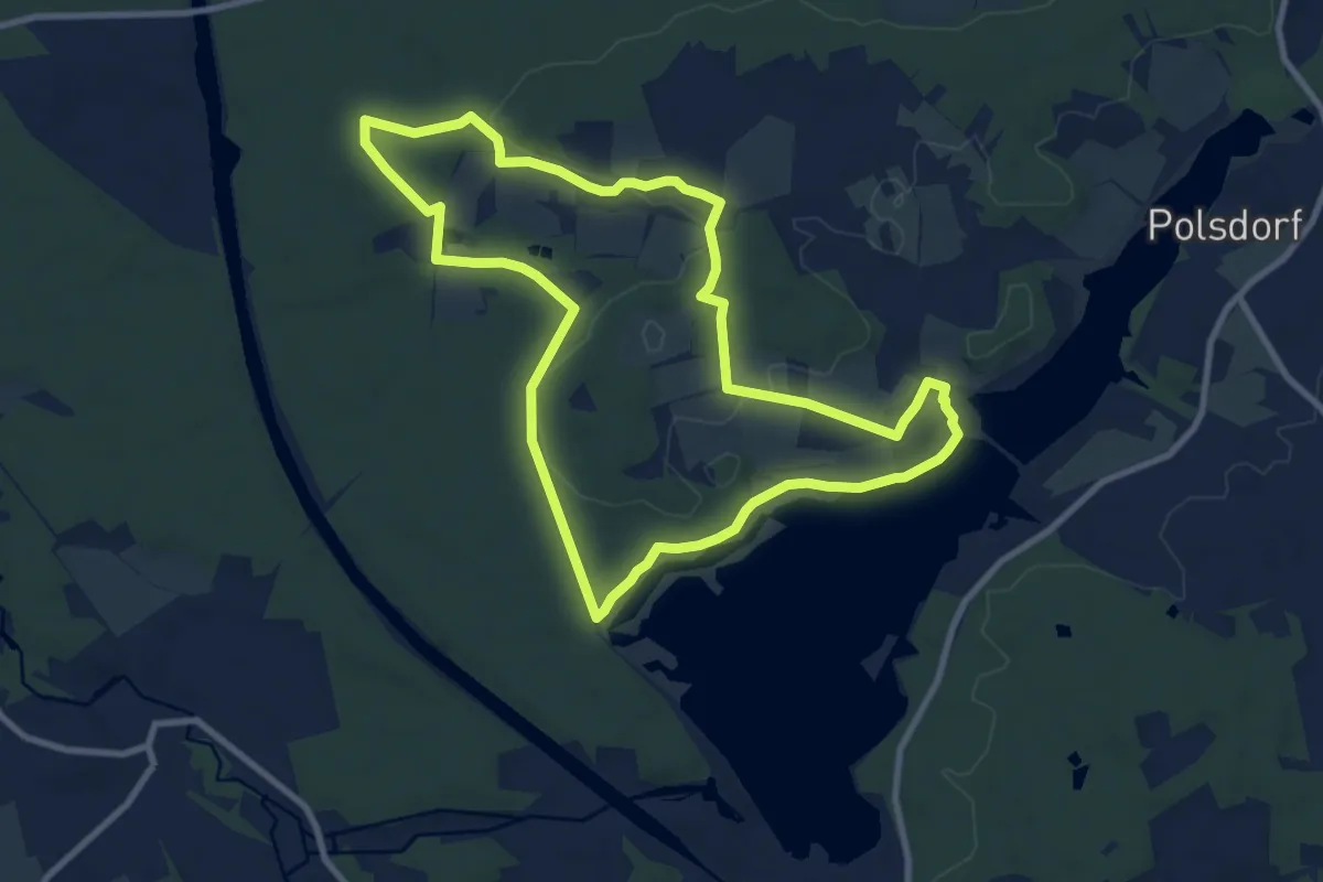
Medium · Trail
Seebühler Rundweg
9.0 km · ↑ 88 m · 2 h 26 min
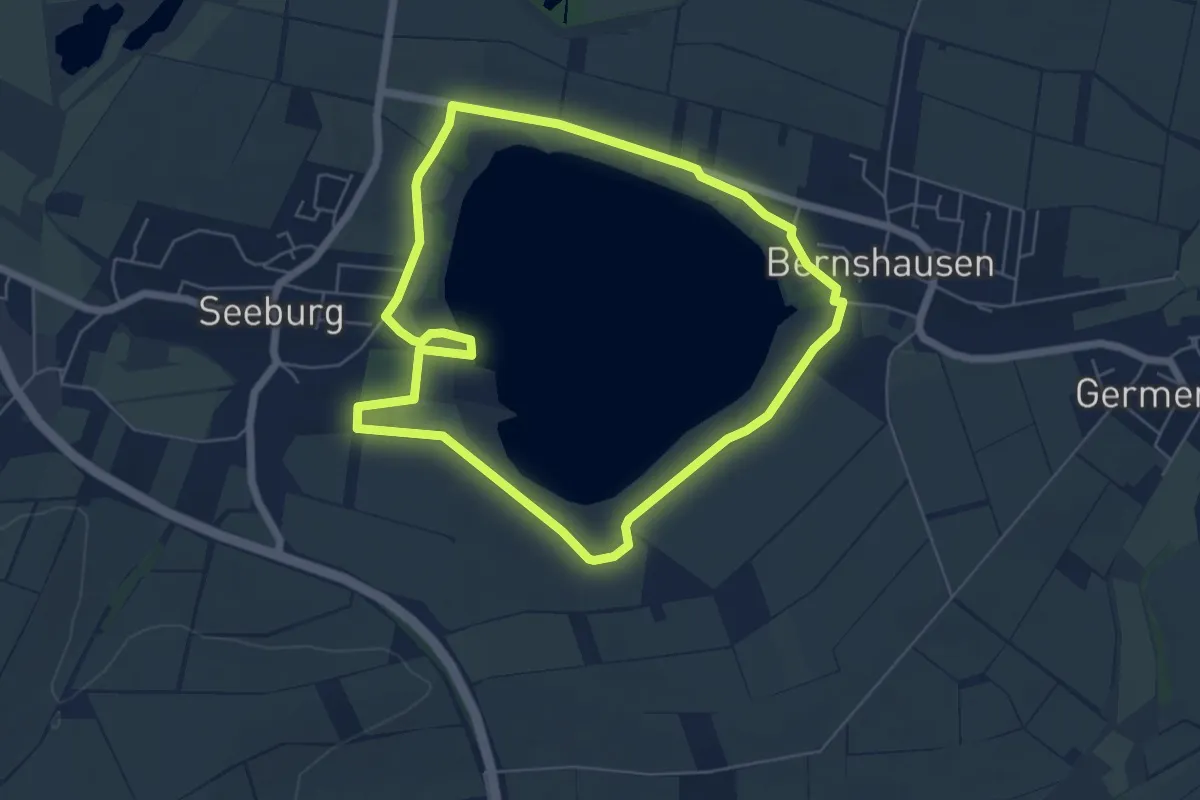
Easy · Trail
Seeburger See-Rundweg
5.1 km · ↑ 4 m · 1 h 18 min
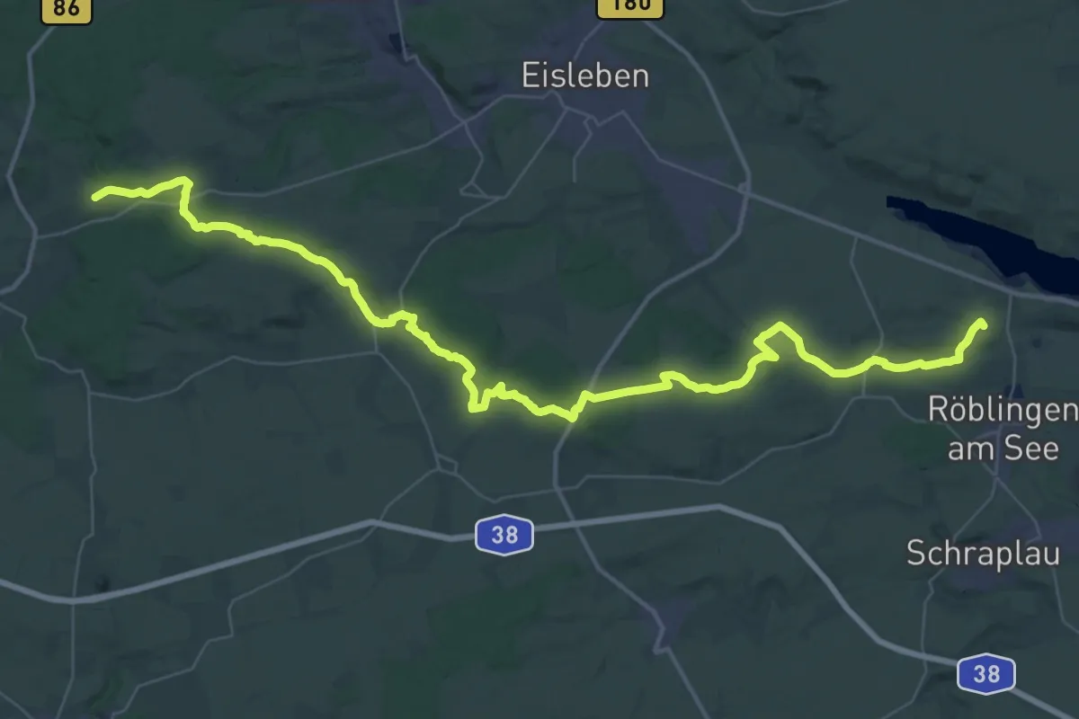
Demanding · Summit
Seeburg-Esperstedt-Holzzelle-Sittichenbach-Blankenheim
53.1 km · ↑ 816 m · 14 h 18 min
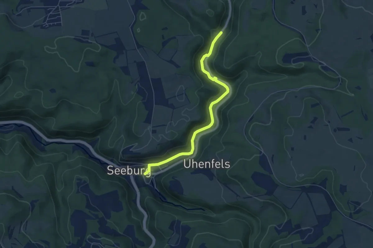
Easy · Trail
Seeburg - Fischburgtal
5.8 km · ↑ 207 m · 1 h 49 min
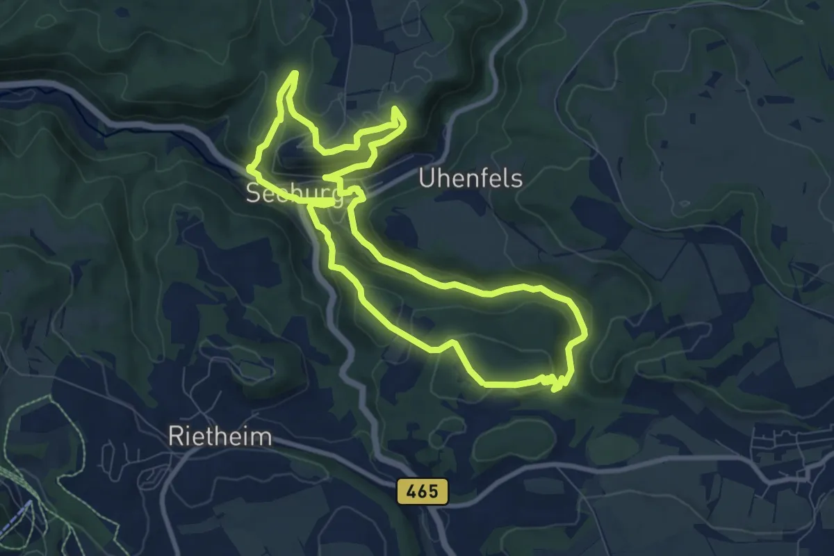
Medium · Trail
Seeburgsteig
8.1 km · ↑ 329 m · 2 h 45 min
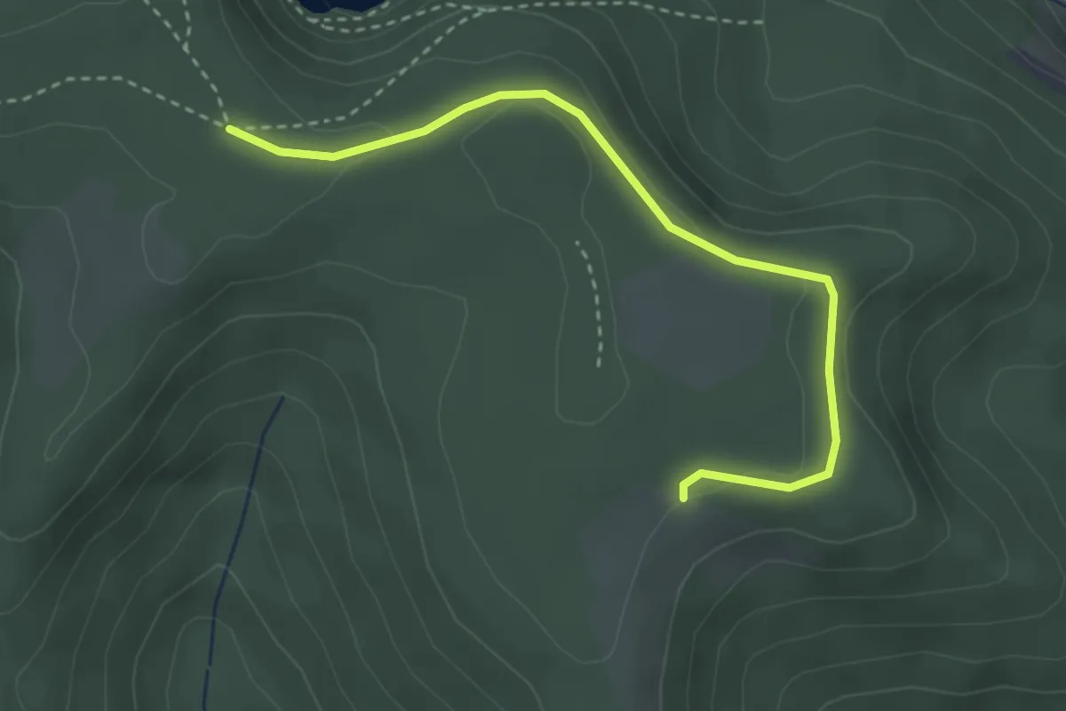
Easy · Trail
See Ebene - Seilstock
3.2 km · ↑ 85 m · 56 min
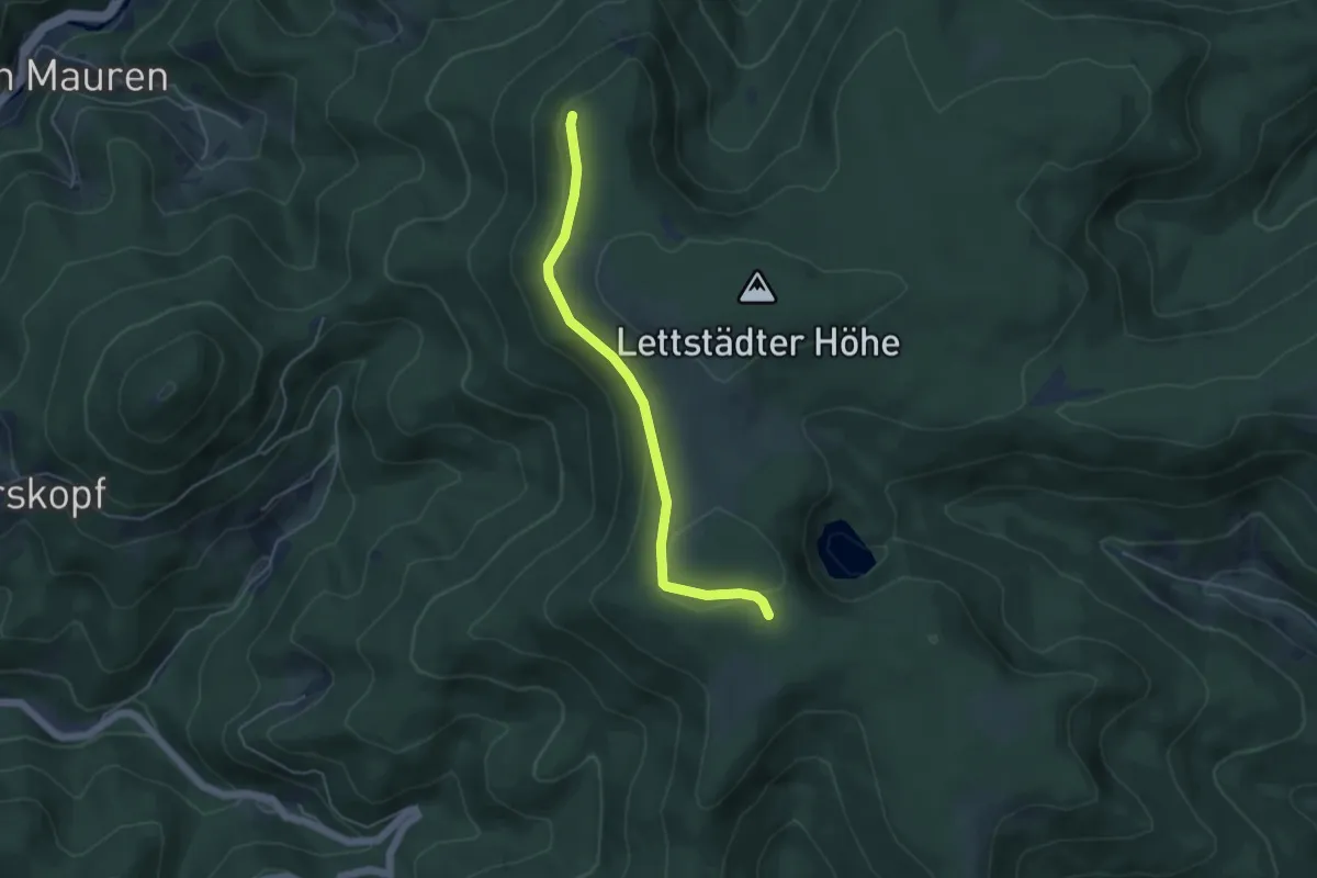
Easy · Trail
See-Ebene Straße - Wildwies
4.4 km · ↑ 127 m · 1 h 19 min
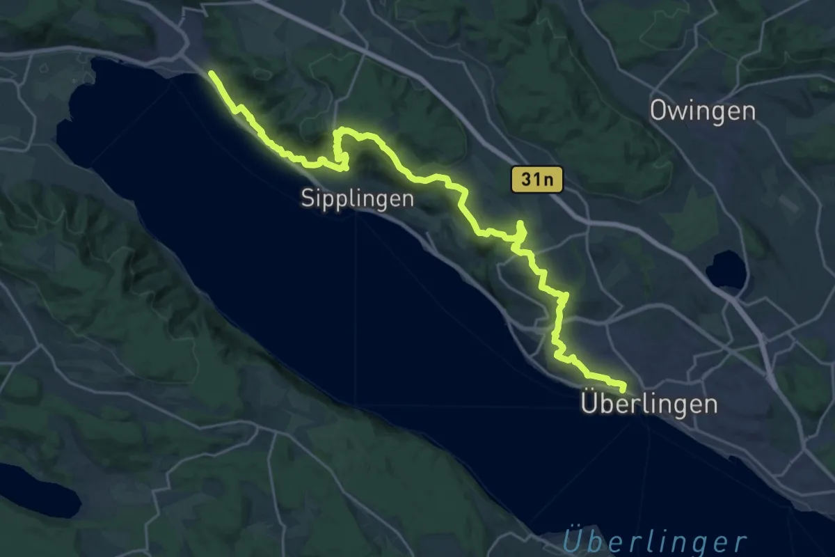
Medium · Trail
SeeGang
13.6 km · ↑ 434 m · 4 h 20 min
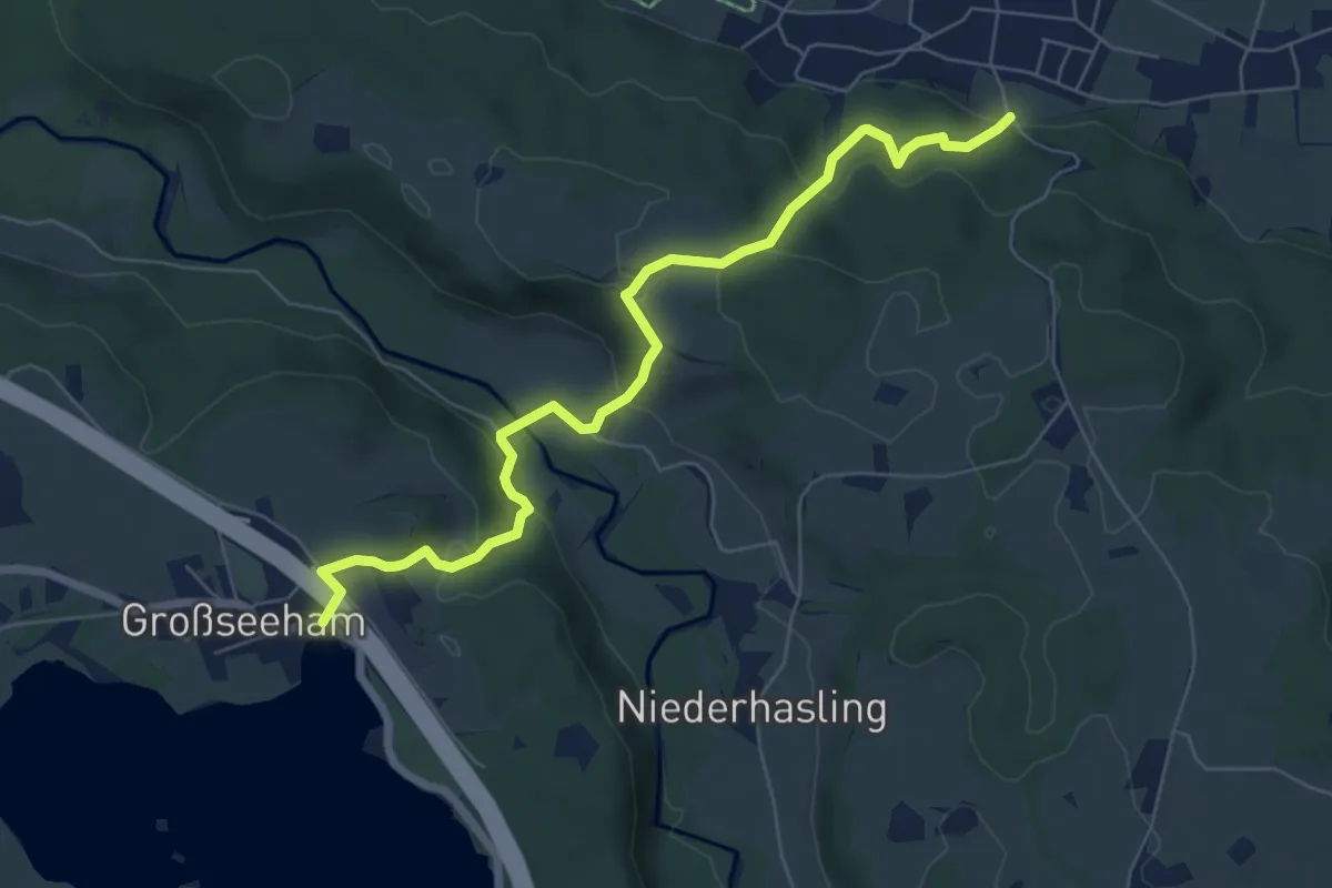
Easy · Trail
Seehamer Weg
6.9 km · ↑ 317 m · 2 h 19 min
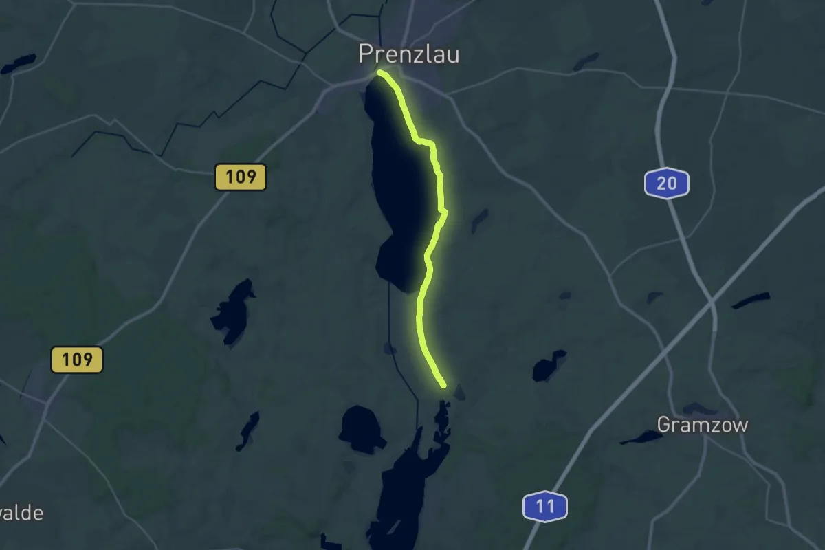
Demanding · Trail
Seehausen-Prenzlau
22.7 km · ↑ 48 m · 5 h 28 min
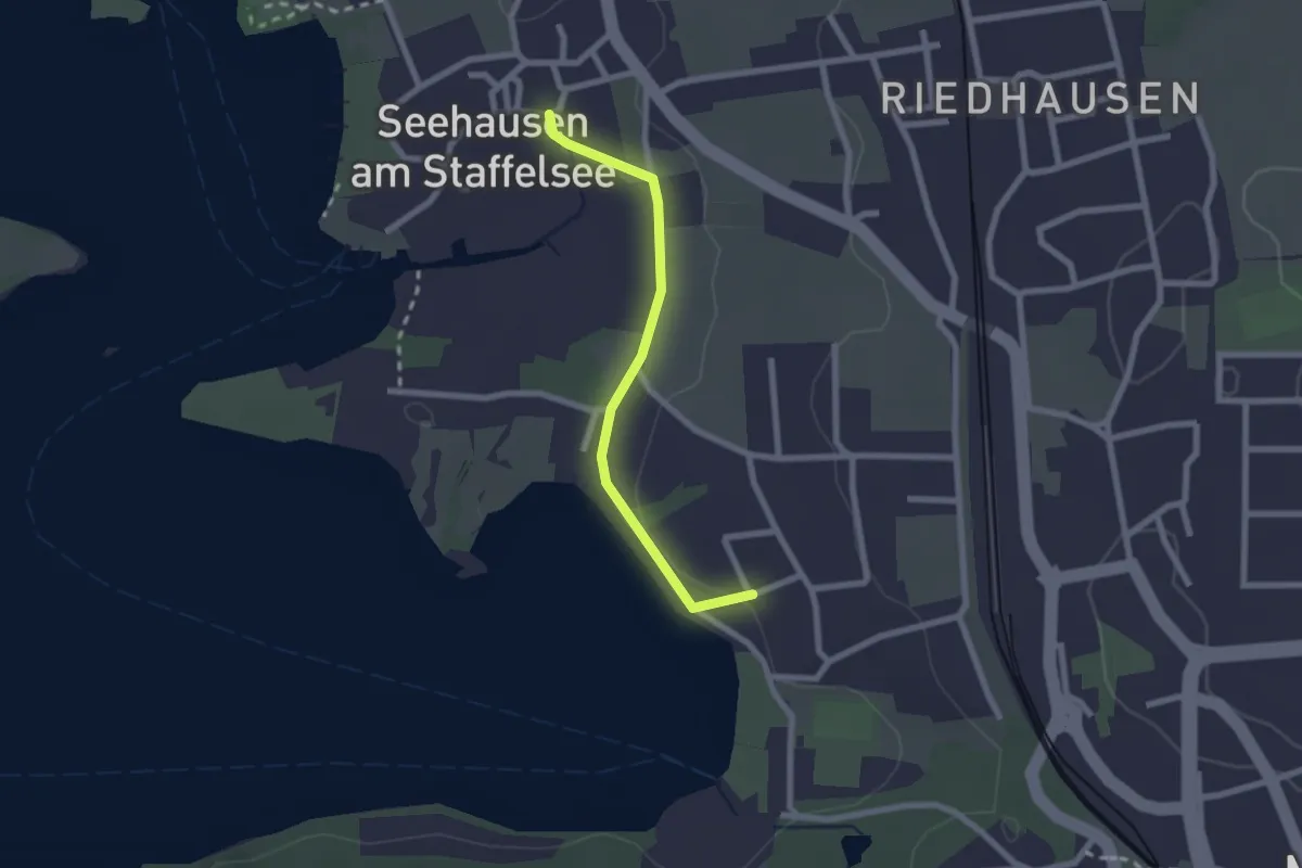
Easy · Trail
Seehauser Panoramaweg
2.0 km · ↑ 16 m · 31 min
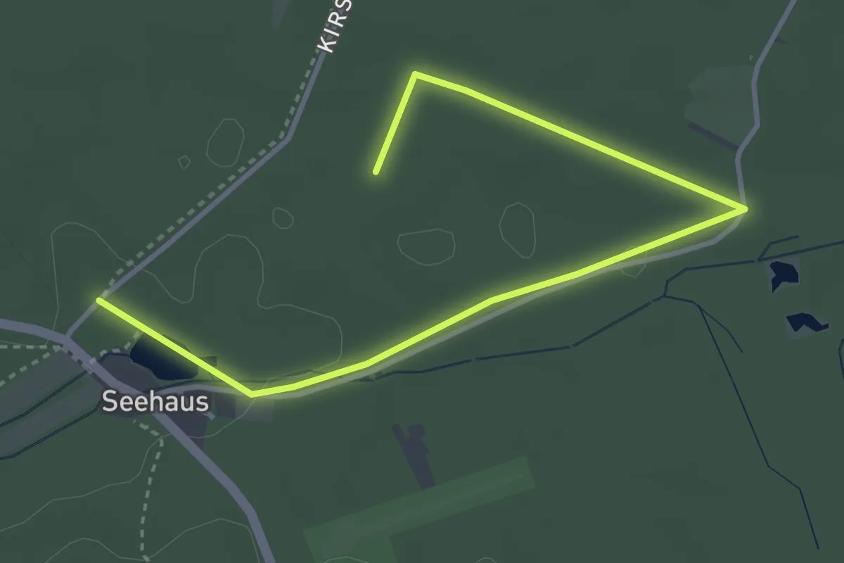
Easy · Trail
Seehaus-Rundweg 2
4.2 km · ↑ 26 m · 1 h 3 min
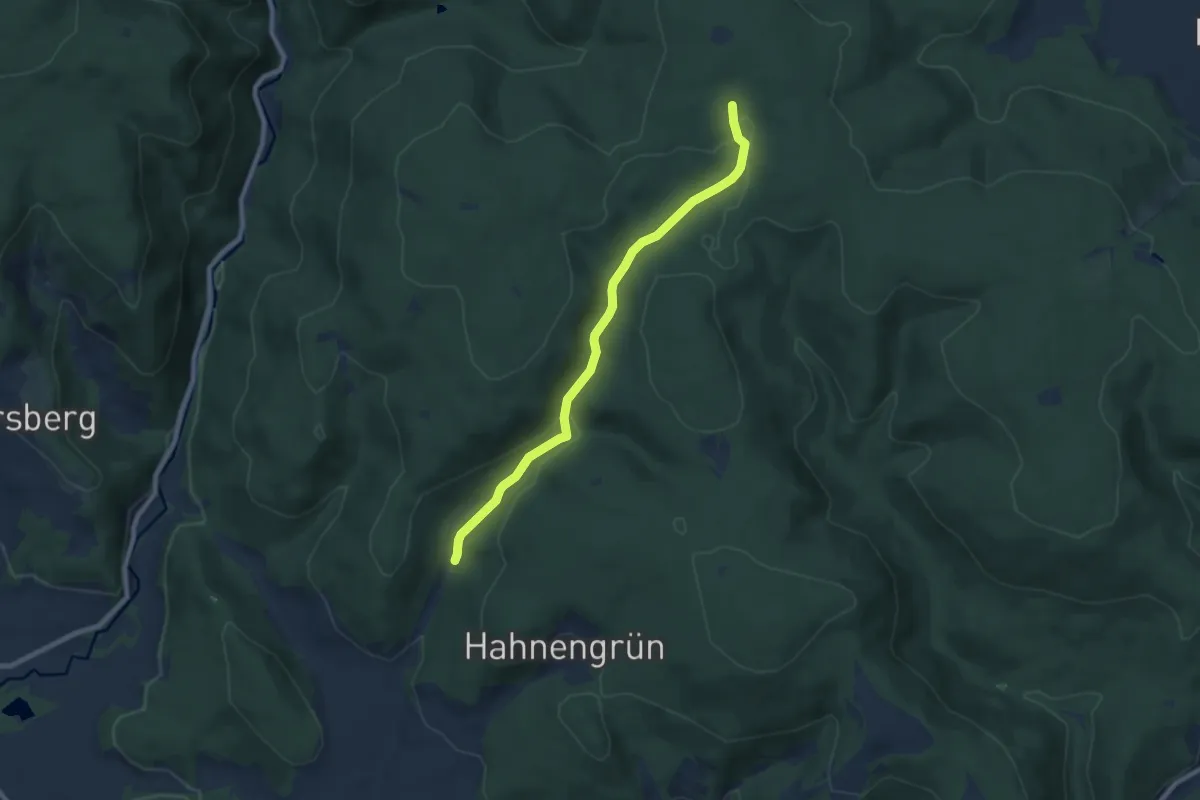
Easy · Trail
Seehausweg
7.4 km · ↑ 182 m · 2 h 8 min
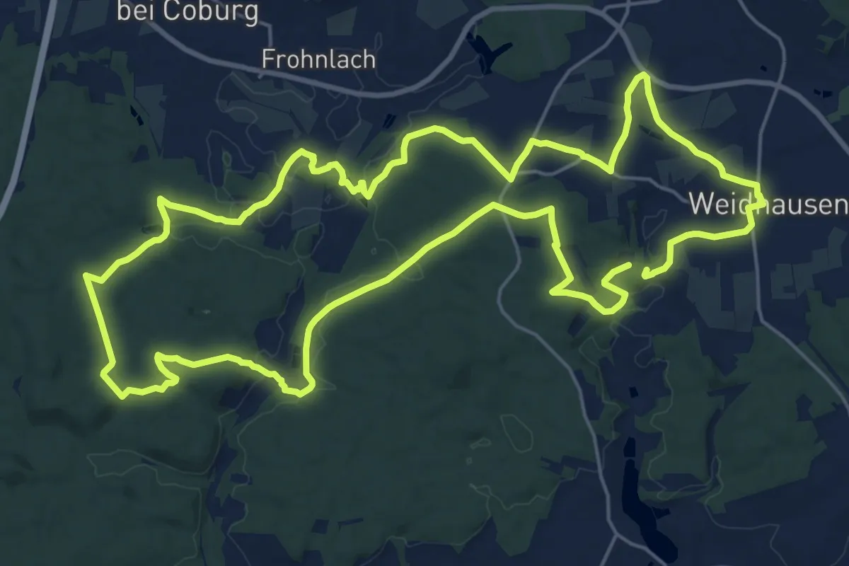
Demanding · Trail
Seehofer Rundweg
20.7 km · ↑ 286 m · 5 h 48 min
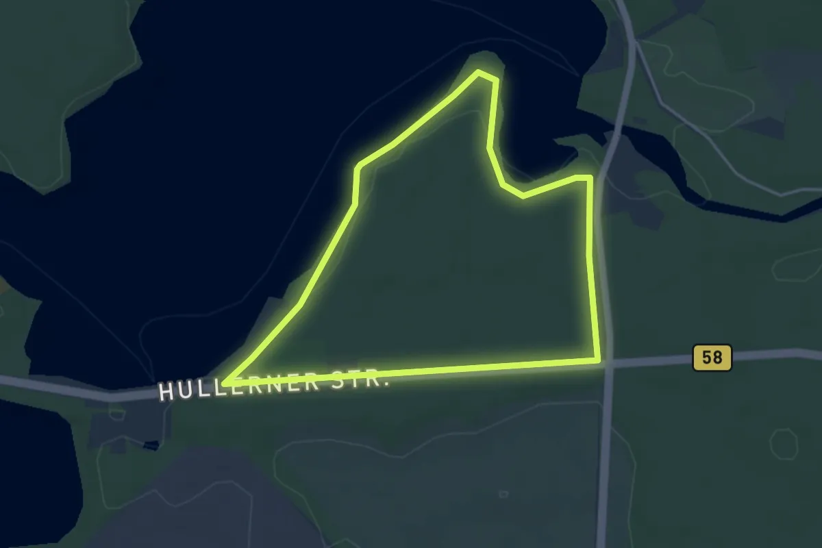
Easy · Trail
Seehof Rundweg A4
3.5 km · ↑ 13 m · 54 min
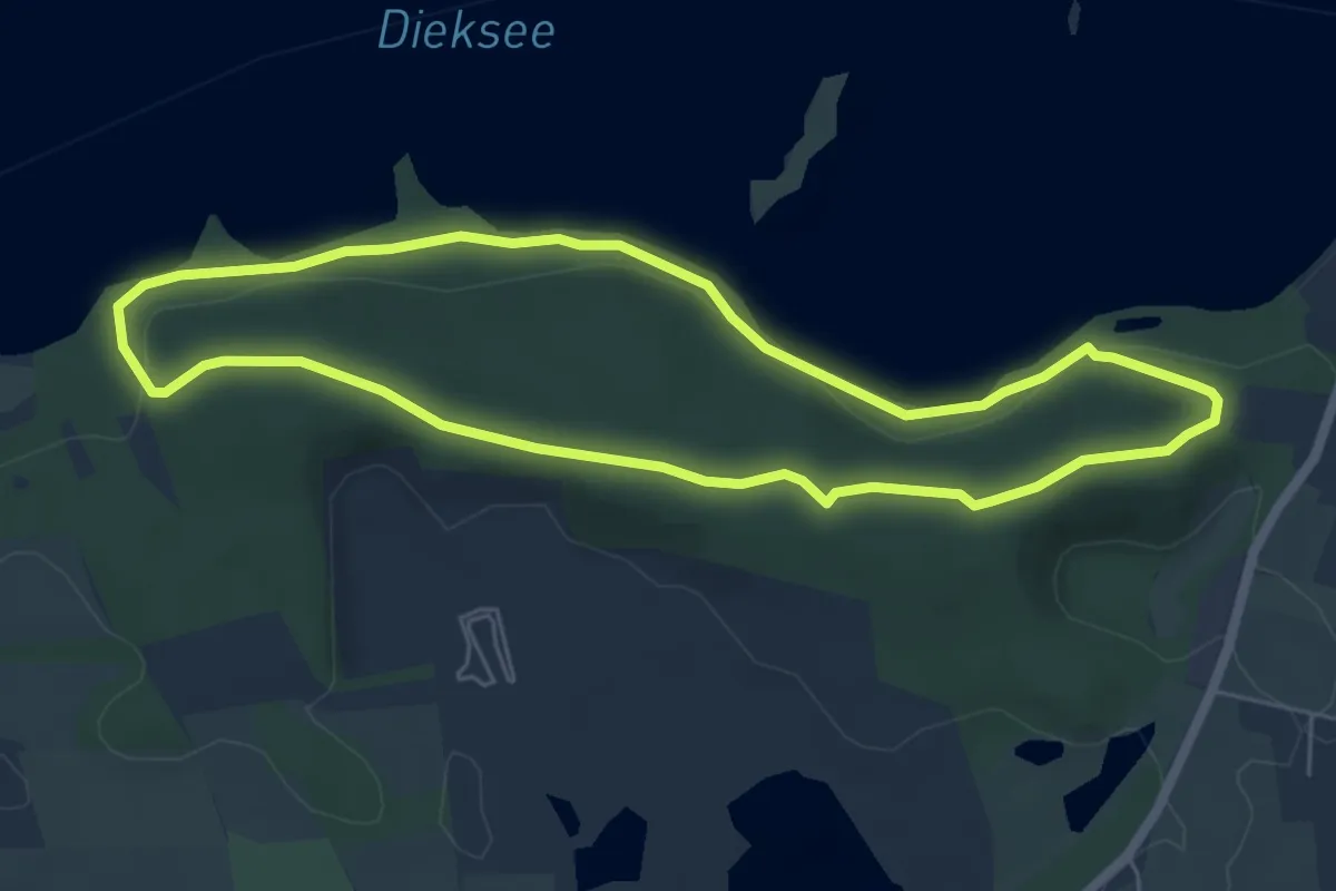
Easy · Trail
Seekamp-Route
4.8 km · ↑ 80 m · 1 h 22 min
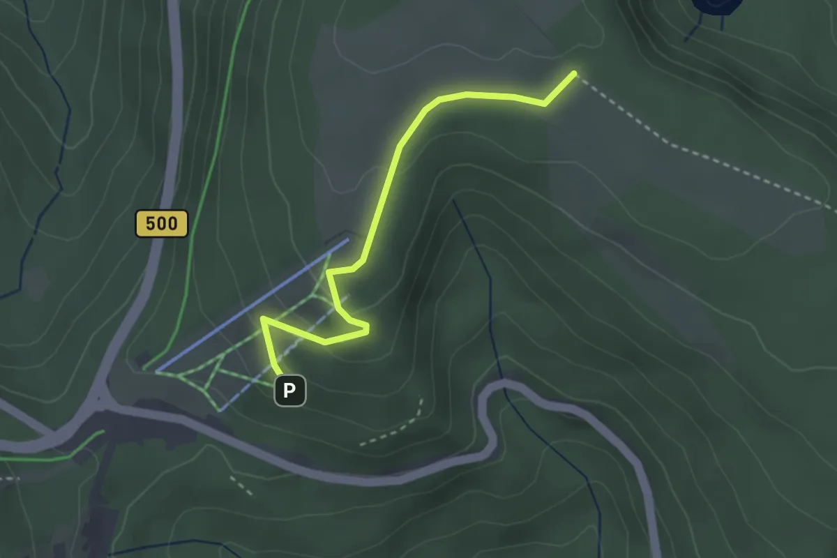
Easy · Trail
Seekopf - Skilift Ruhestein
2.7 km · ↑ 93 m · 51 min
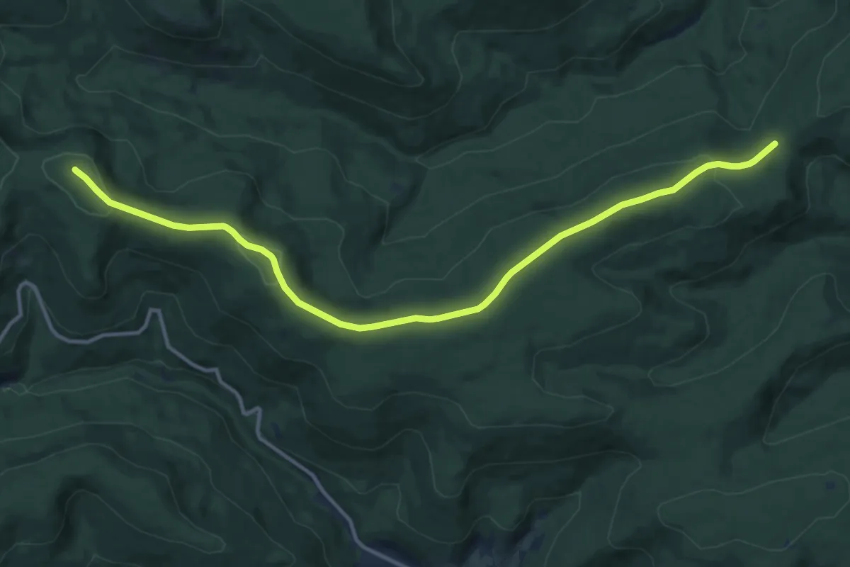
Medium · Summit
Seekopf - Überzwercher Berg
12.7 km · ↑ 235 m · 3 h 30 min
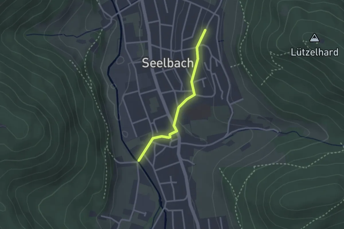
Easy · Trail
Seelbach Panoramawanderung
1.1 km · ↑ 37 m · 20 min
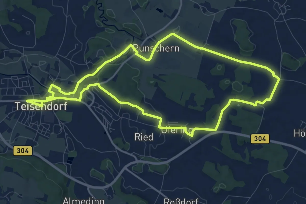
Medium · Trail
Seeleiten-Weg Nr. 7
10.3 km · ↑ 93 m · 2 h 47 min
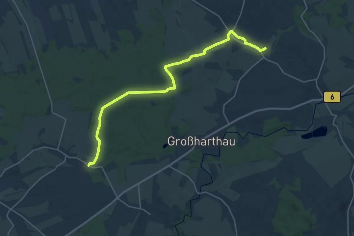
Medium · Trail
Seeligstadt-Frankenthaler-Weg
16.4 km · ↑ 115 m · 4 h 8 min
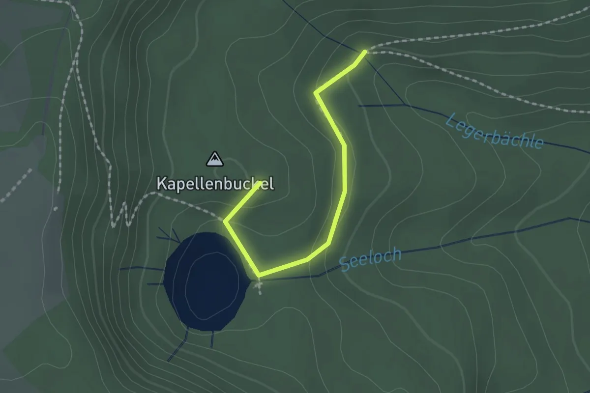
Demanding · Summit
Seeloch - Wildseewegle
1.5 km · ↑ 33 m · 26 min
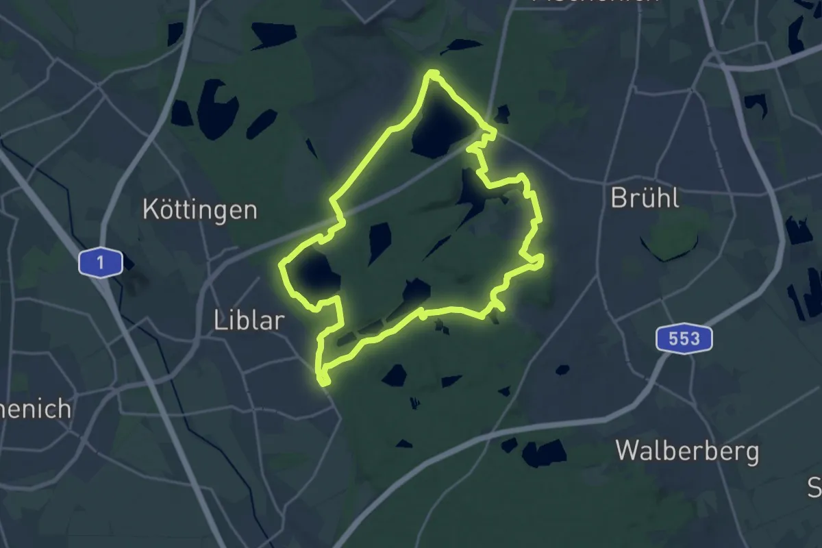
Medium · Trail
Seenrunde S
17.5 km · ↑ 100 m · 4 h 35 min
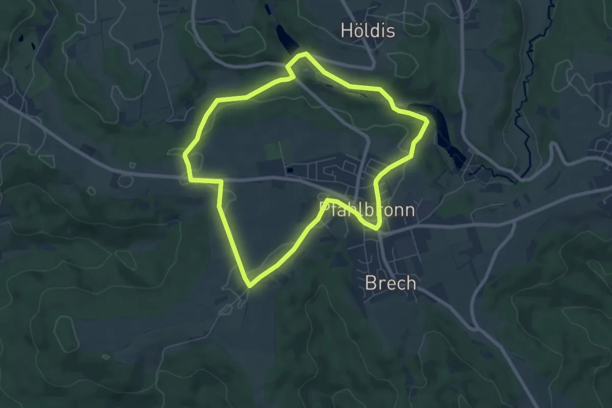
Easy · Trail
Seen-Rundweg
6.2 km · ↑ 78 m · 1 h 43 min
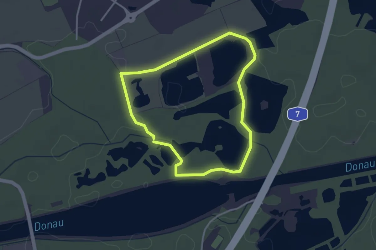
Easy · Trail
Seen- Tour
2.6 km · ↑ 4 m · 40 min
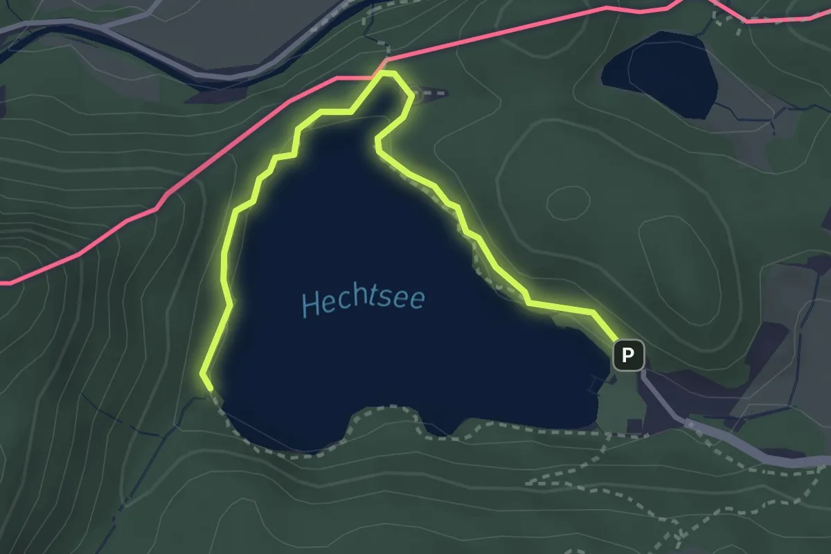
Easy · Trail
Seenwanderung
3.2 km · ↑ 43 m · 51 min
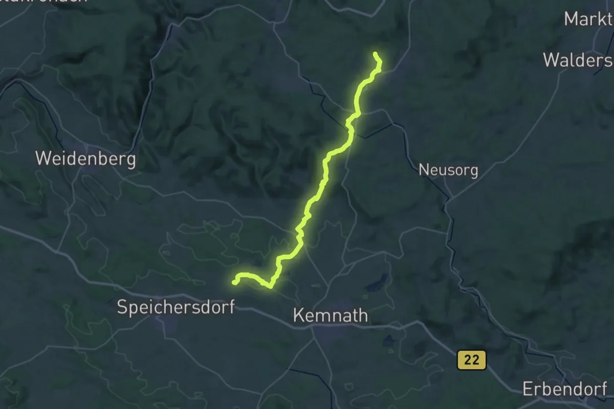
Medium · Trail
Seenweg
17.5 km · ↑ 348 m · 5 h 4 min
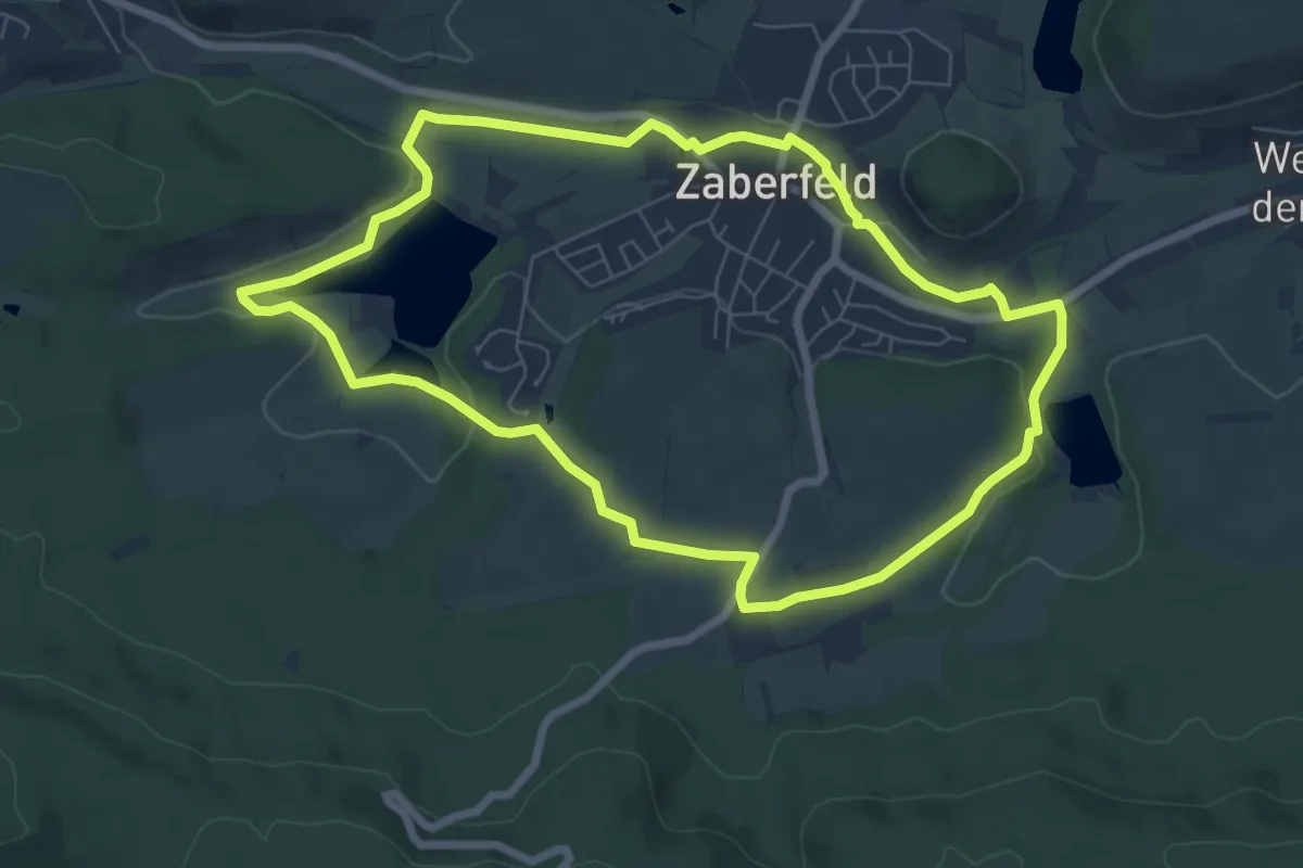
Easy · Trail
Seenweg in Zaberfeld
6.8 km · ↑ 73 m · 1 h 51 min
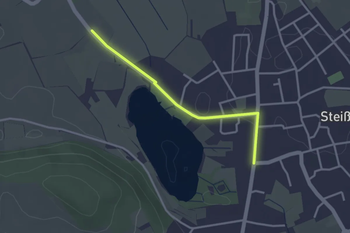
Easy · Trail
Seeried - Steißlingen Ortsmitte
2.4 km · ↑ 23 m · 37 min
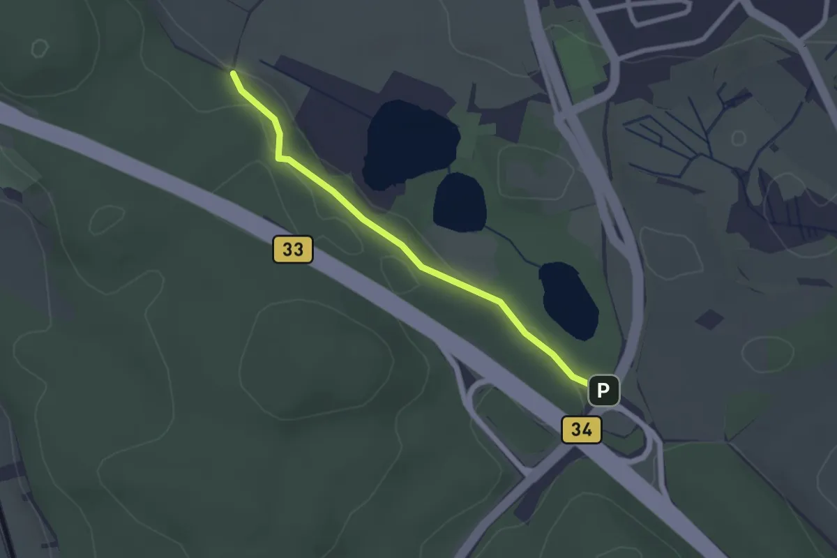
Easy · Trail
Seeried - Unterer Buchensee
2.1 km · ↑ 35 m · 35 min
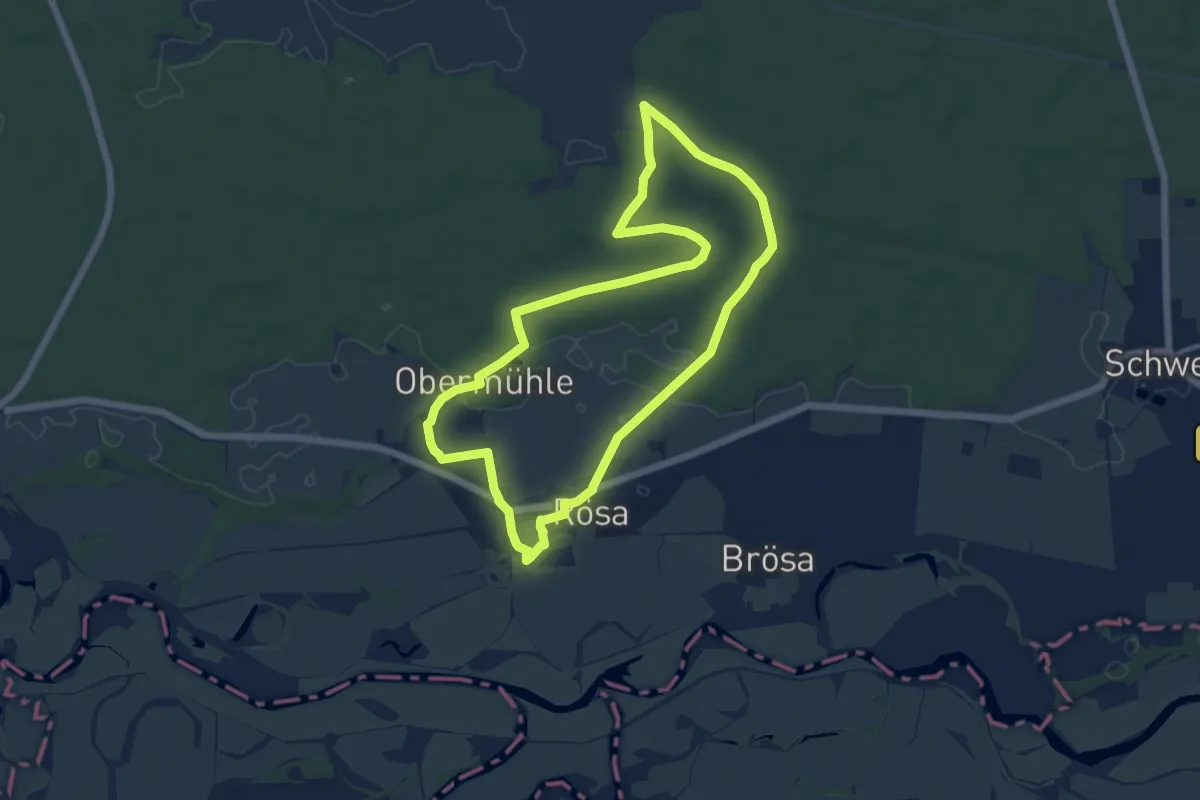
Medium · Trail
Seerosenrunde Rösa
10.5 km · ↑ 41 m · 2 h 43 min
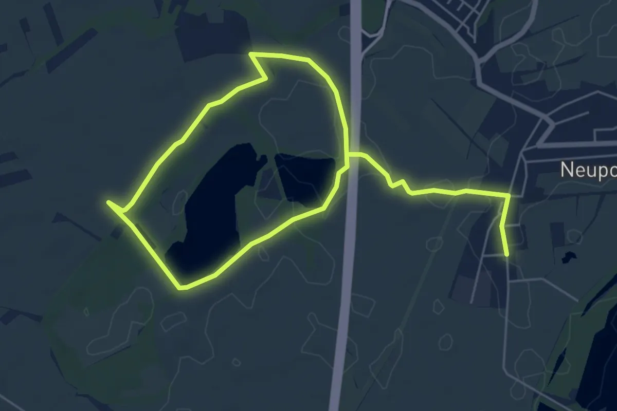
Easy · Trail
Seerosenweg
4.2 km · ↑ 8 m · 1 h 3 min