Trails in Germany
36,852 hiking trails, each with its route, climb, walking time and grade.
All trails, page 588 of 768
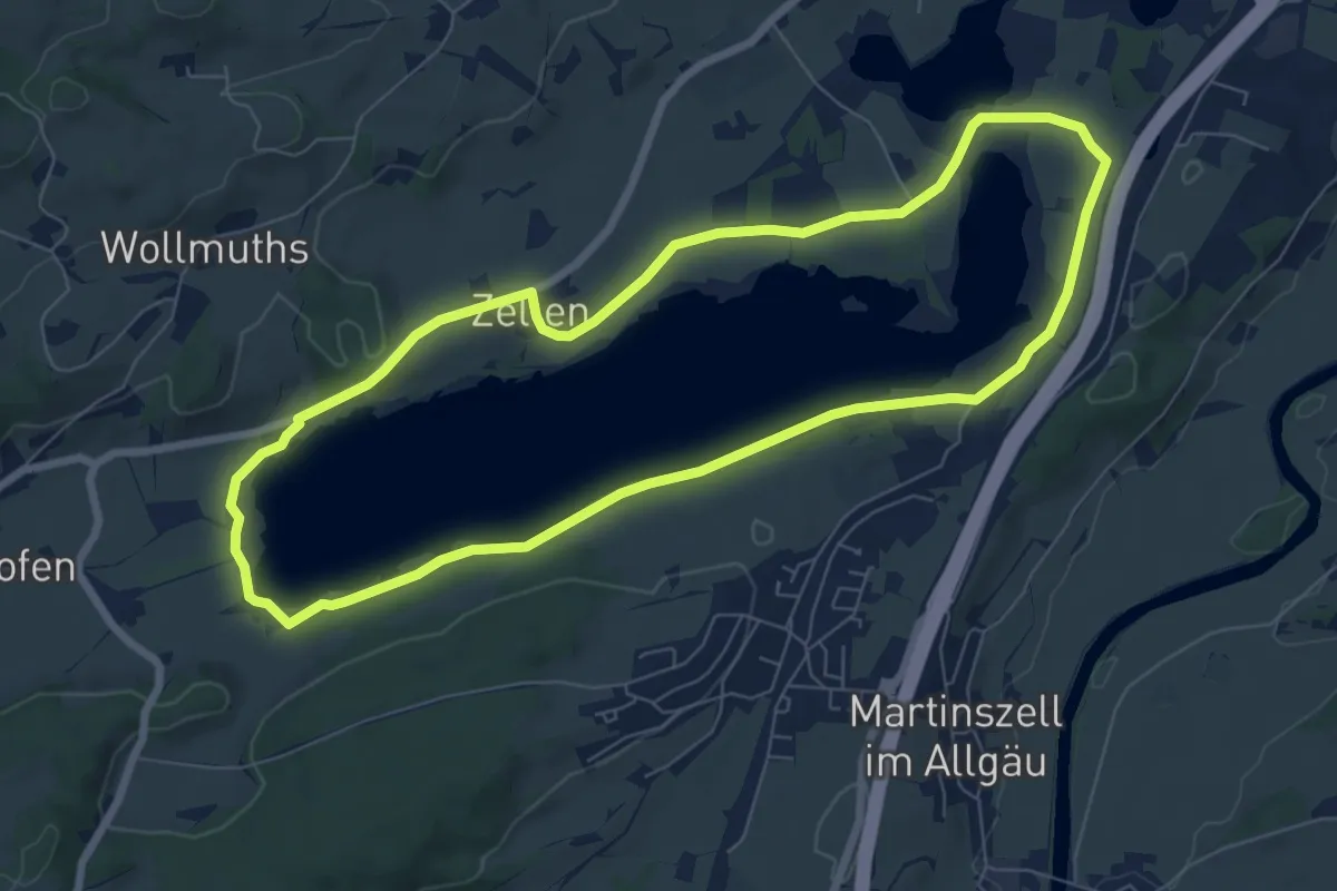
Easy · Trail
Seerundweg
7.3 km · ↑ 72 m · 1 h 59 min
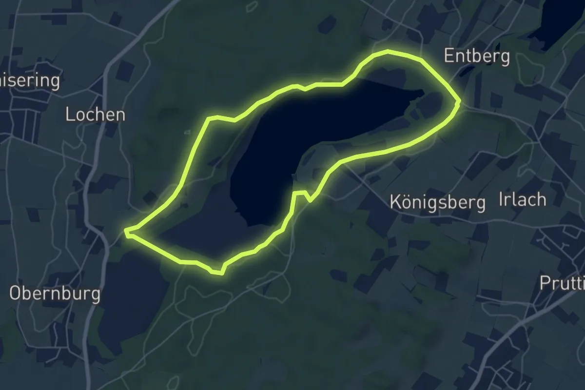
Easy · Trail
Seerundweg
5.8 km · ↑ 82 m · 1 h 38 min
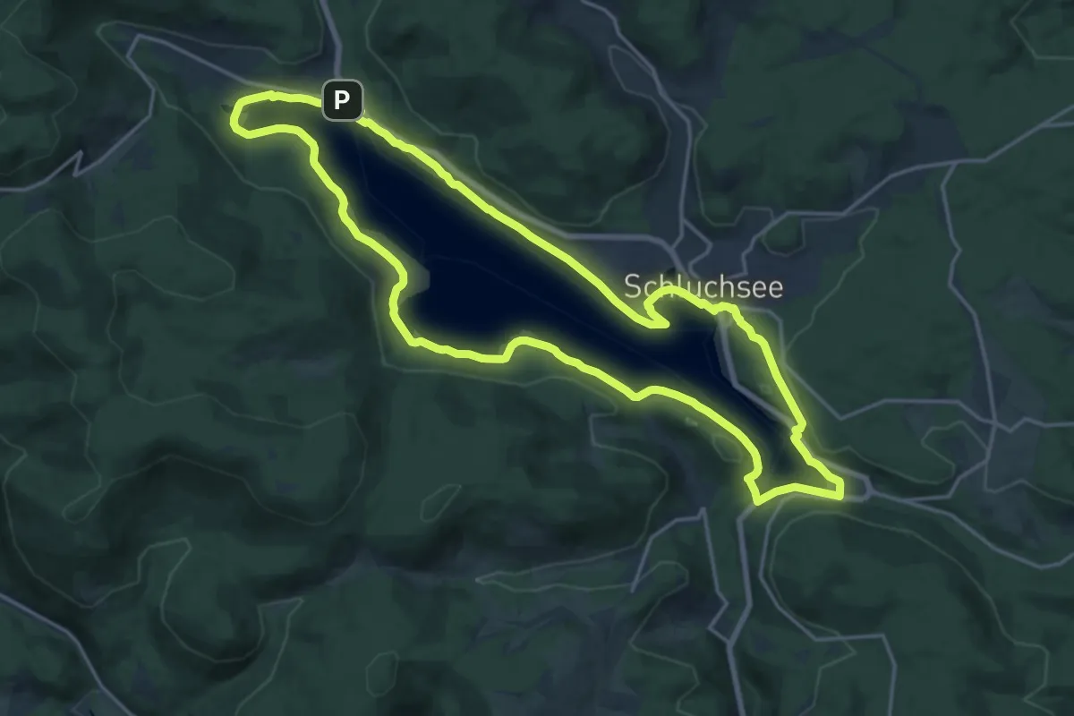
Medium · Trail
Seerundweg
17.6 km · ↑ 276 m · 5 h
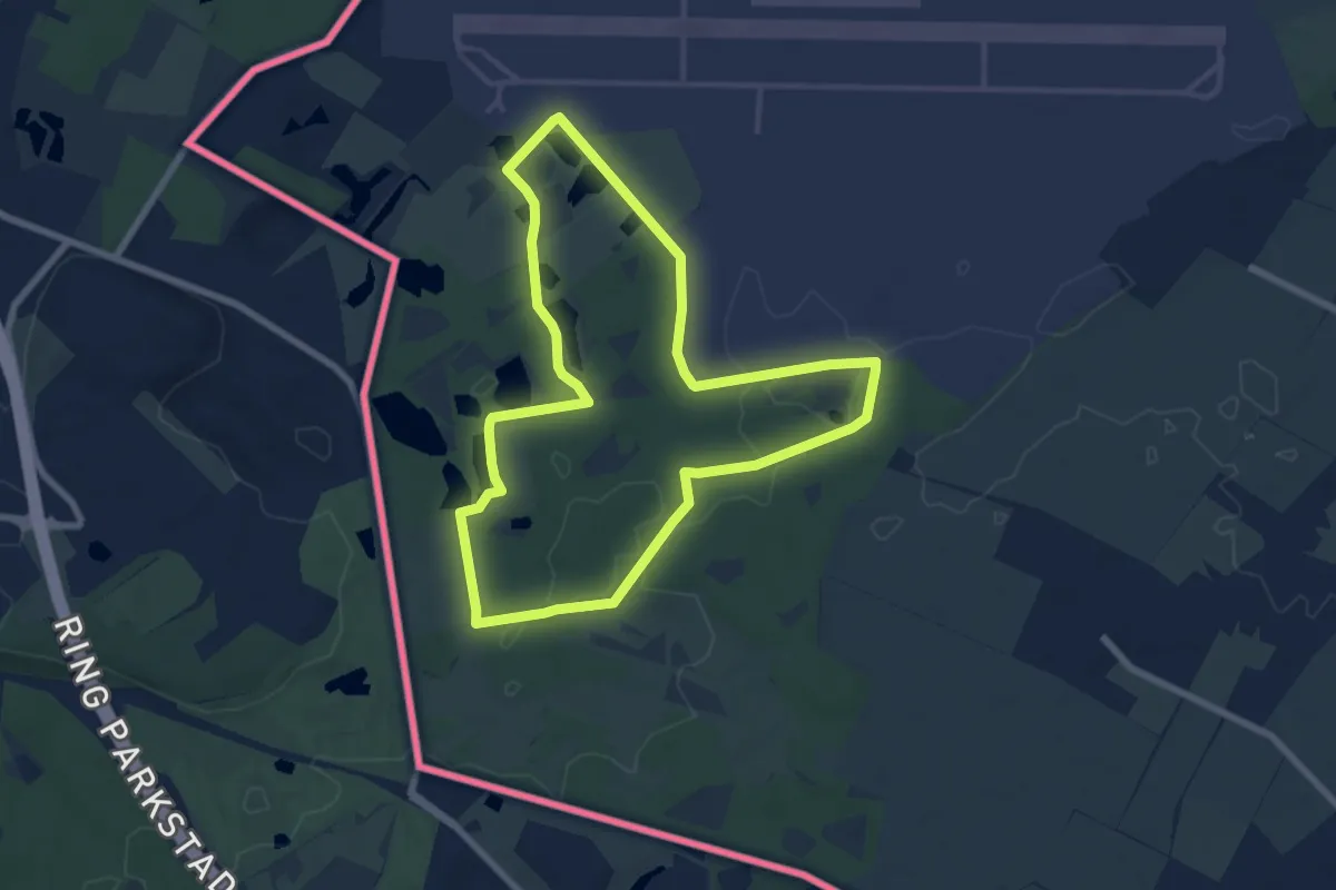
Easy · Trail
Seerundweg
6.8 km · ↑ 22 m · 1 h 44 min
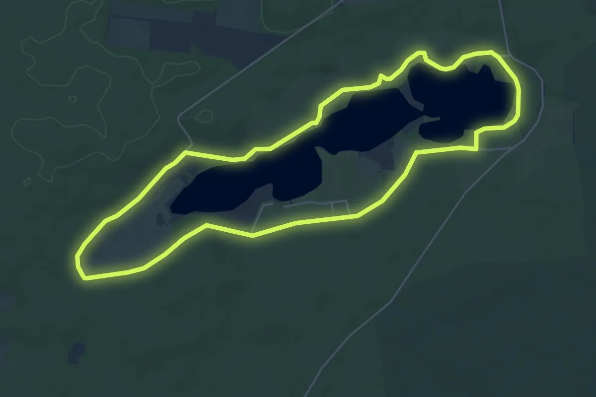
Easy · Trail
Seerundweg
5.6 km · ↑ 36 m · 1 h 29 min
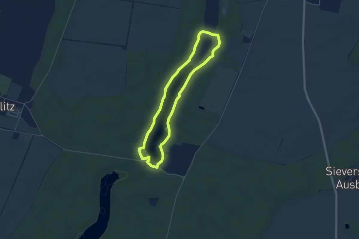
Easy · Trail
Seerundweg
4.0 km · ↑ 14 m · 1 h 2 min
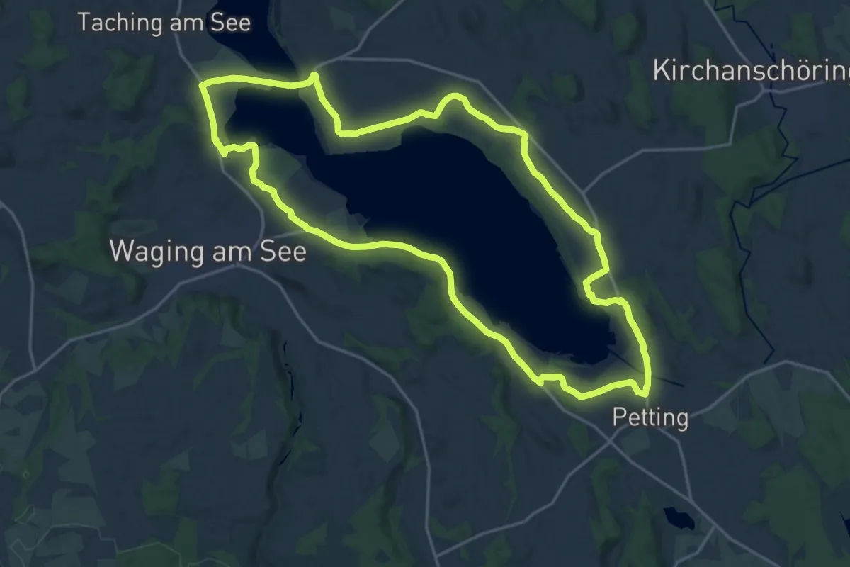
Demanding · Trail
Seerundweg 1
18.8 km · ↑ 171 m · 5 h 5 min
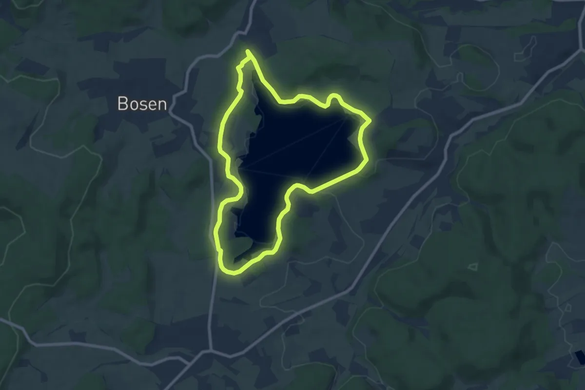
Easy · Summit
Seerundweg Bostalsee
6.7 km · ↑ 32 m · 1 h 45 min
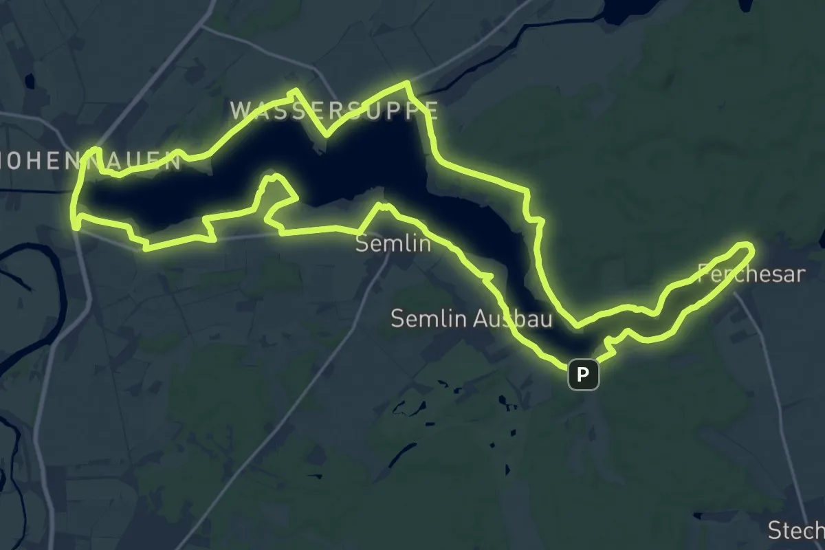
Demanding · Trail
Seerundweg Hohennauener See Ferchesauer See
23.0 km · ↑ 58 m · 5 h 53 min
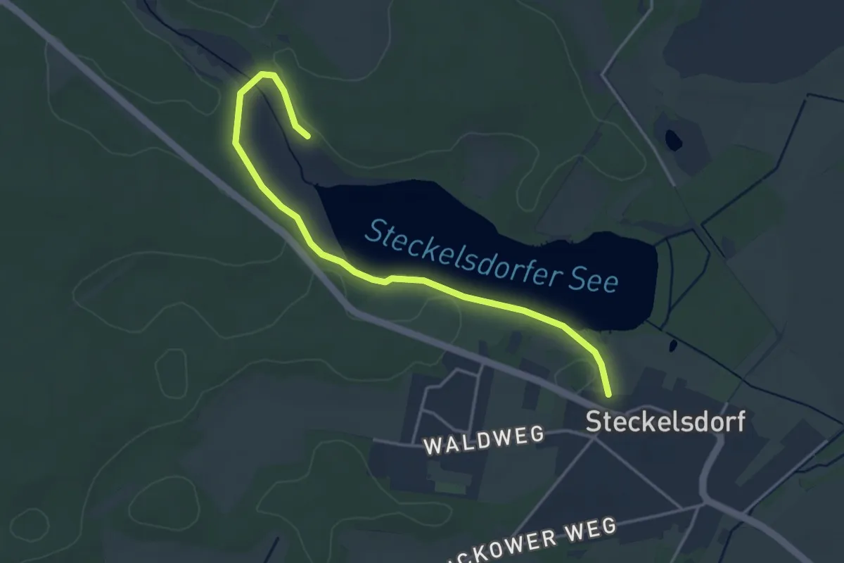
Easy · Trail
Seerundweg Steckelsdorfer See
3.5 km · ↑ 4 m · 51 min
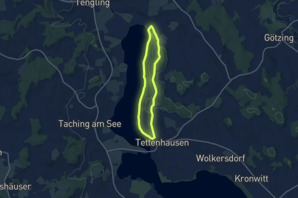
Easy · Trail
Seeuferweg 15
7.3 km · ↑ 123 m · 2 h 5 min
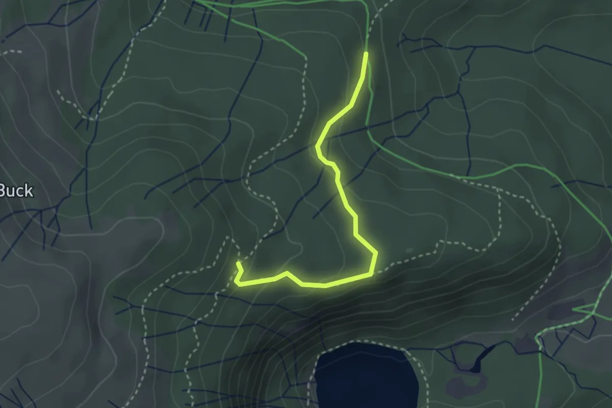
Medium · Trail
Seewald - Unterm Grüble
2.7 km · ↑ 122 m · 55 min
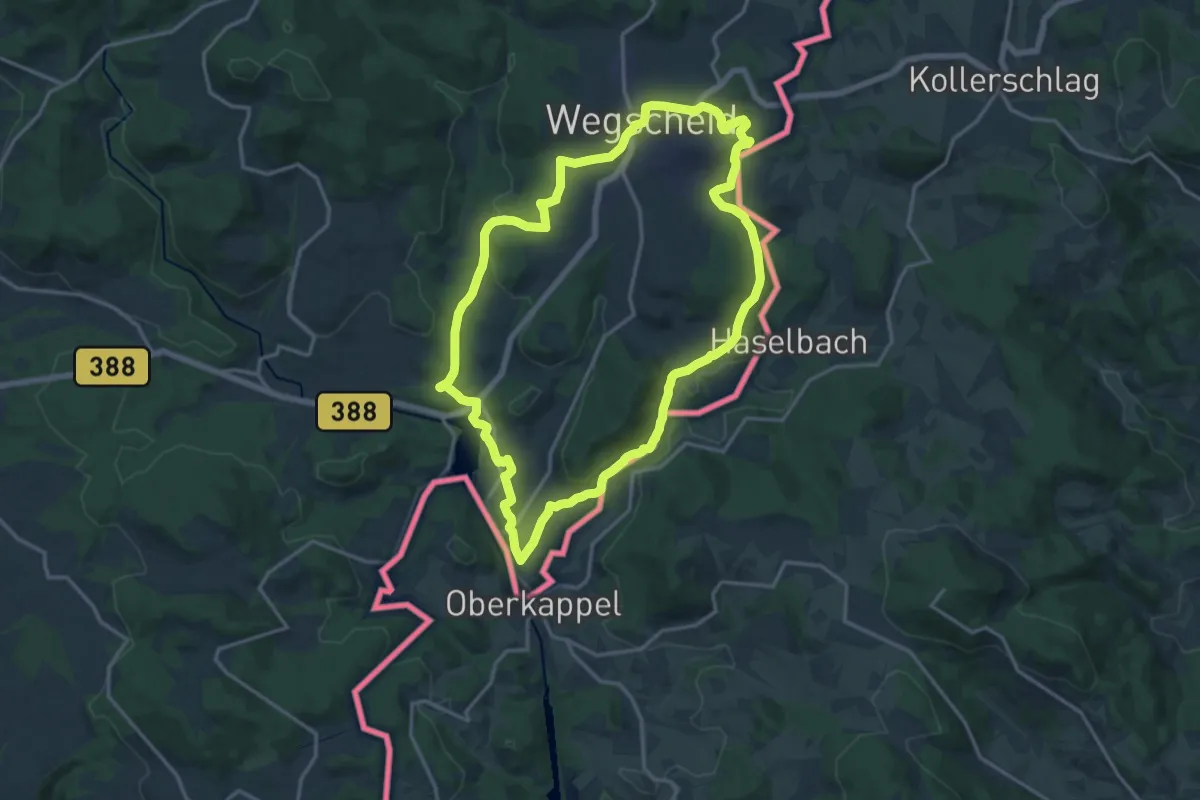
Medium · Trail
Seeweg
15.7 km · ↑ 368 m · 4 h 44 min
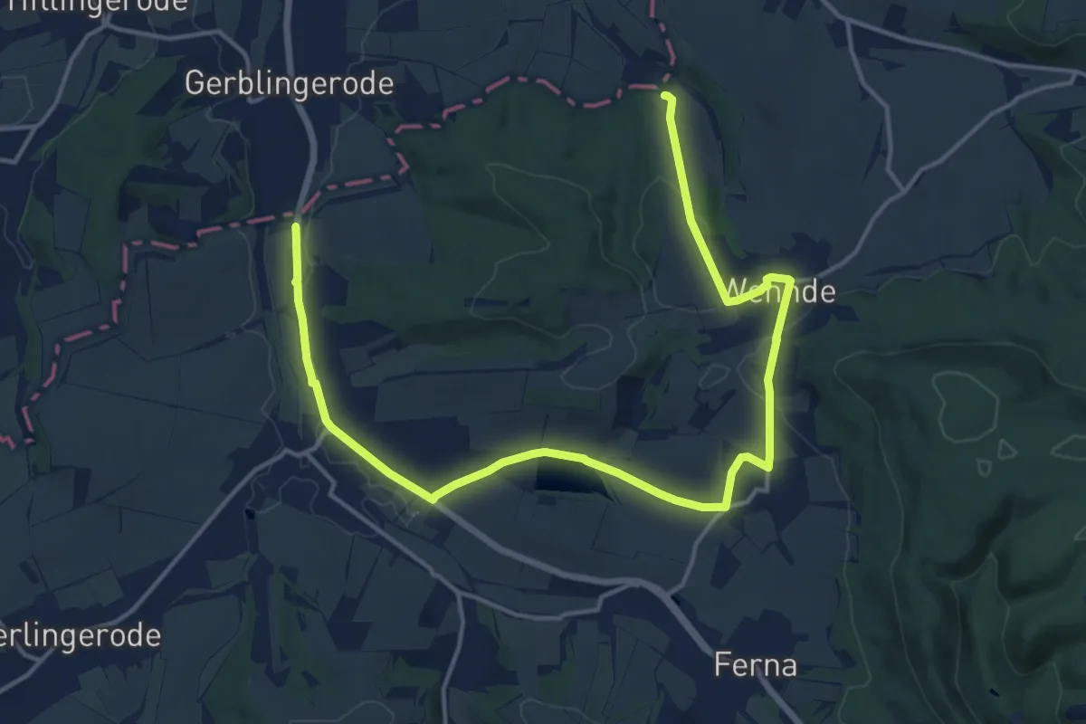
Medium · Trail
Seeweg
17.5 km · ↑ 242 m · 4 h 39 min
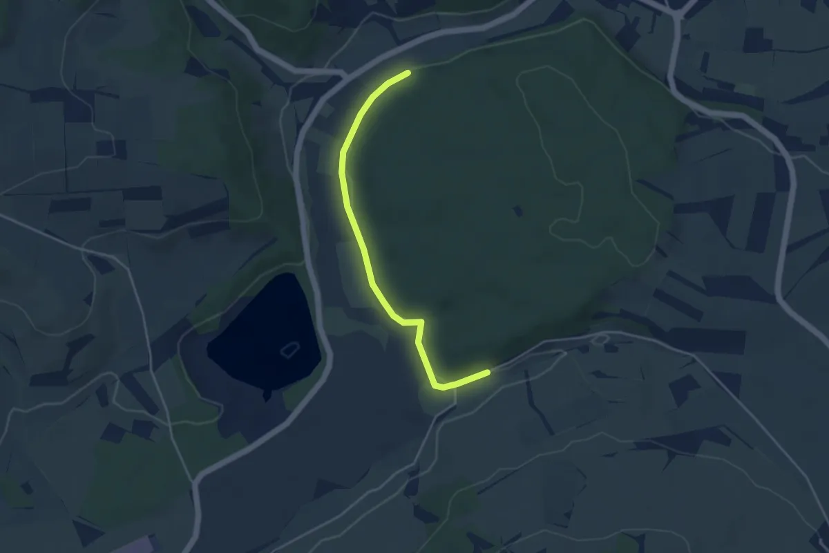
Easy · Trail
Seeweg - Am Binninger Ried
3.7 km · ↑ 52 m · 59 min
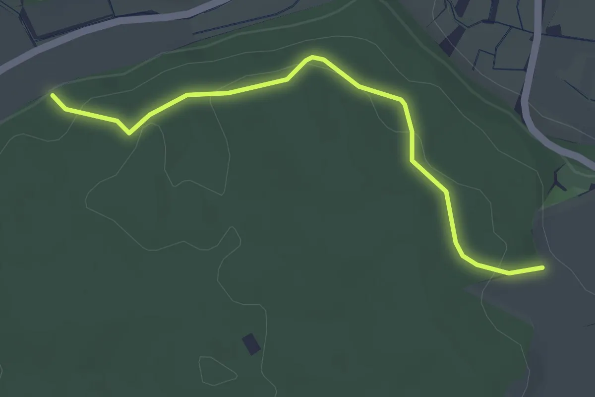
Easy · Trail
Seeweg - Ertenhag
3.1 km · ↑ 125 m · 1 h
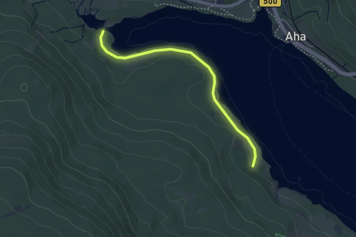
Easy · Trail
Seewege - Waldmatt
3.5 km · ↑ 31 m · 53 min
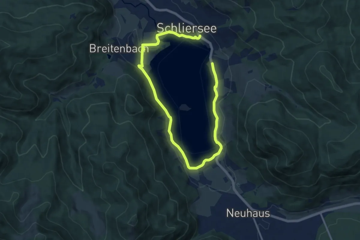
Medium · Trail
Seeweg um den Schliersee
13.1 km · ↑ 91 m · 3 h 18 min
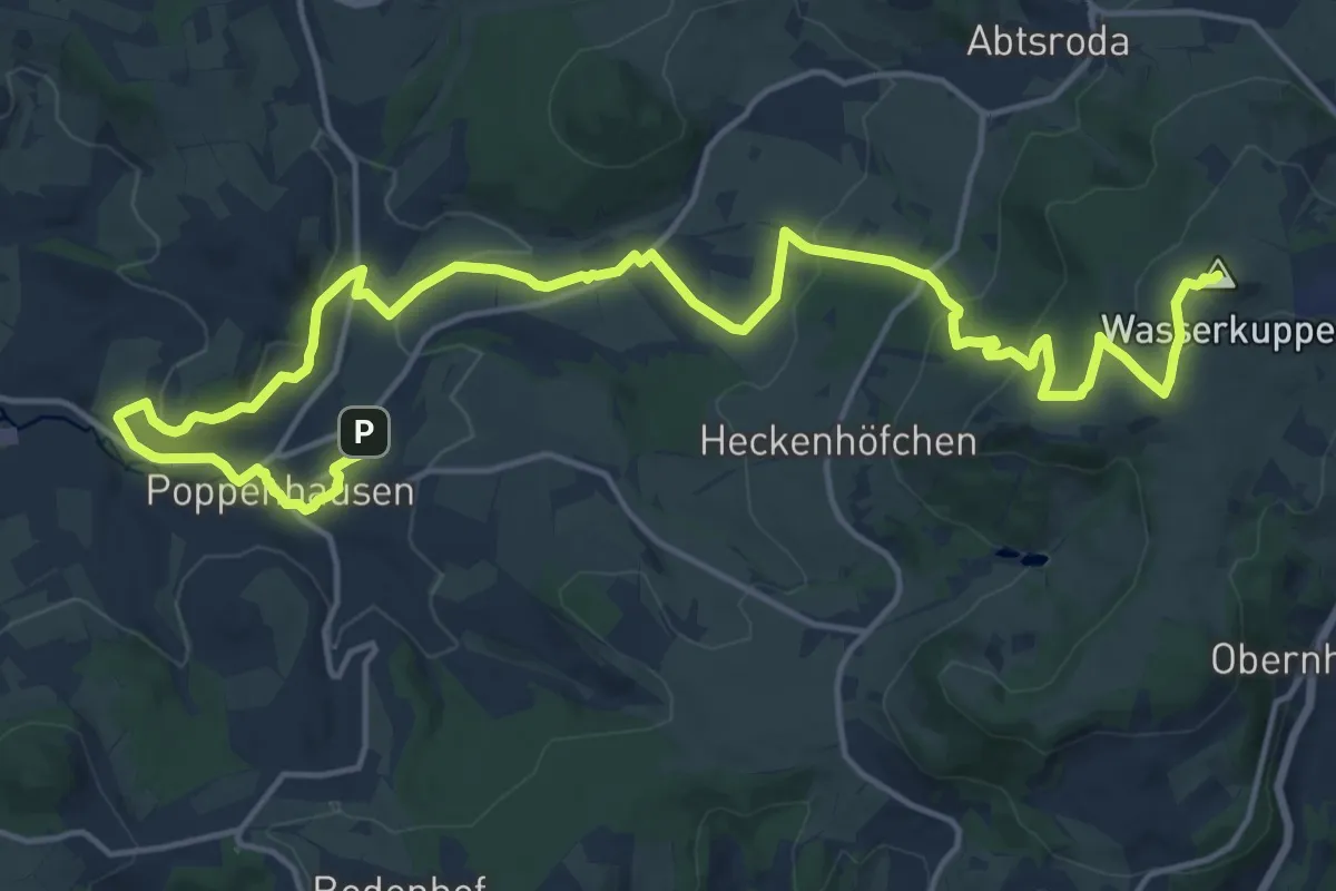
Demanding · Summit
Segelfliegerweg Wasserkuppe
21.2 km · ↑ 664 m · 6 h 27 min
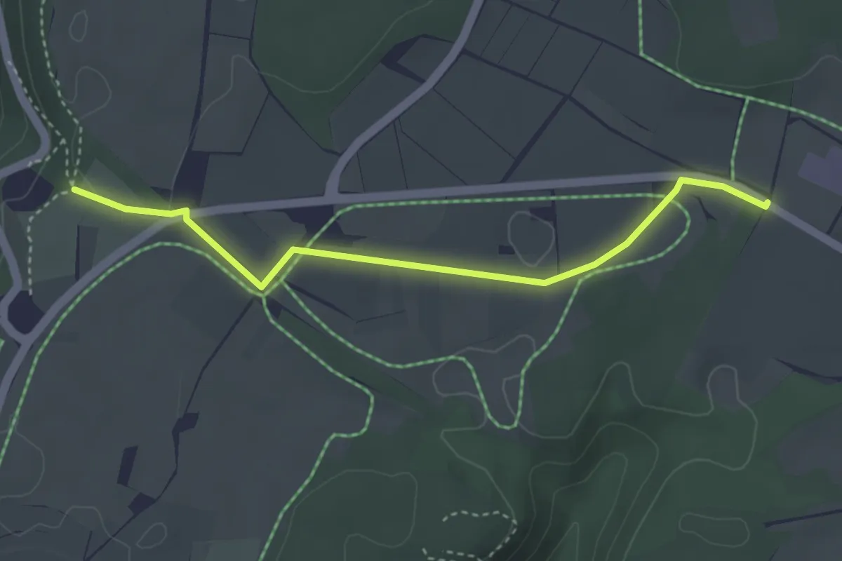
Easy · Trail
Segelfluggelände - Heidengrabenzentrum
3.5 km · ↑ 30 m · 54 min
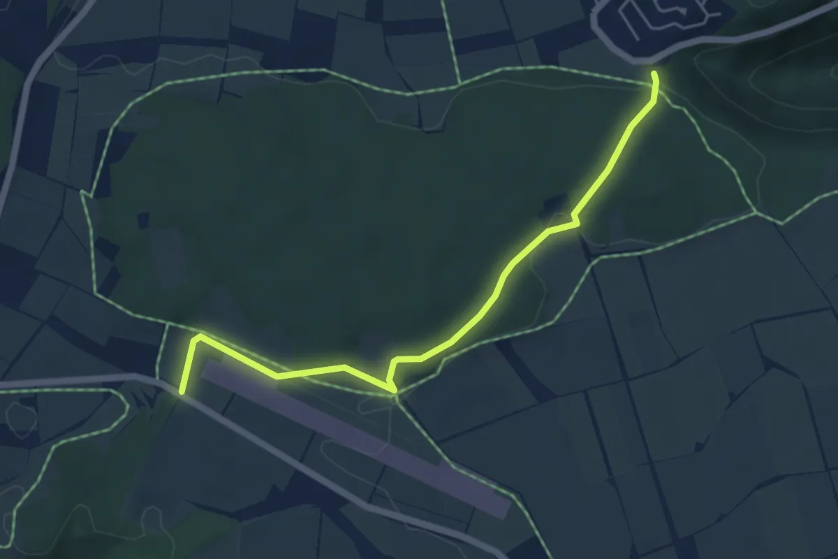
Easy · Trail
Segelfluggelände - Hochwang
4.7 km · ↑ 90 m · 1 h 18 min
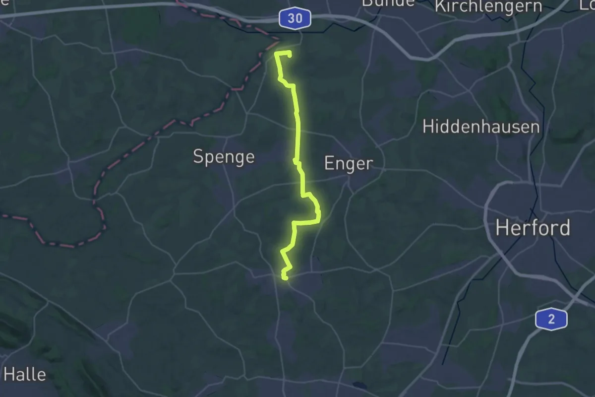
Demanding · Trail
Segelschiffweg
25.4 km · ↑ 237 m · 6 h 31 min
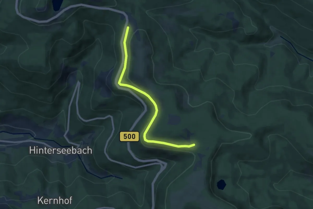
Easy · Trail
Seibelseckle - Skilift Darmstädter Hütte
6.5 km · ↑ 237 m · 2 h 3 min
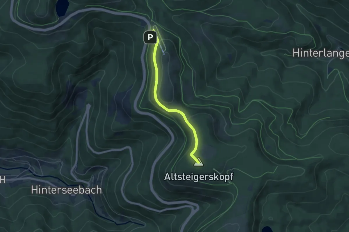
Medium · Summit
Seibelseckle - Skilift Darmstädter Hütte
4.6 km · ↑ 170 m · 1 h 28 min
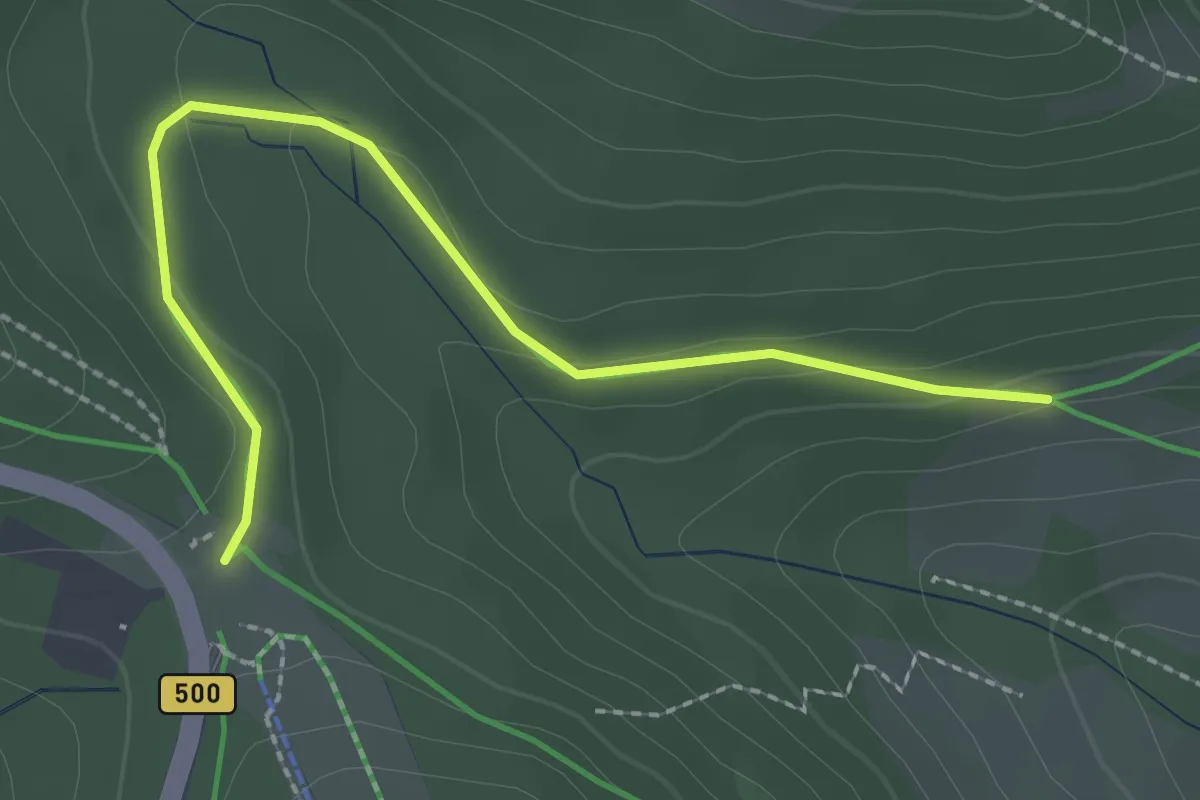
Easy · Trail
Seibelseckle - Untergrinden
2.4 km · ↑ 78 m · 45 min
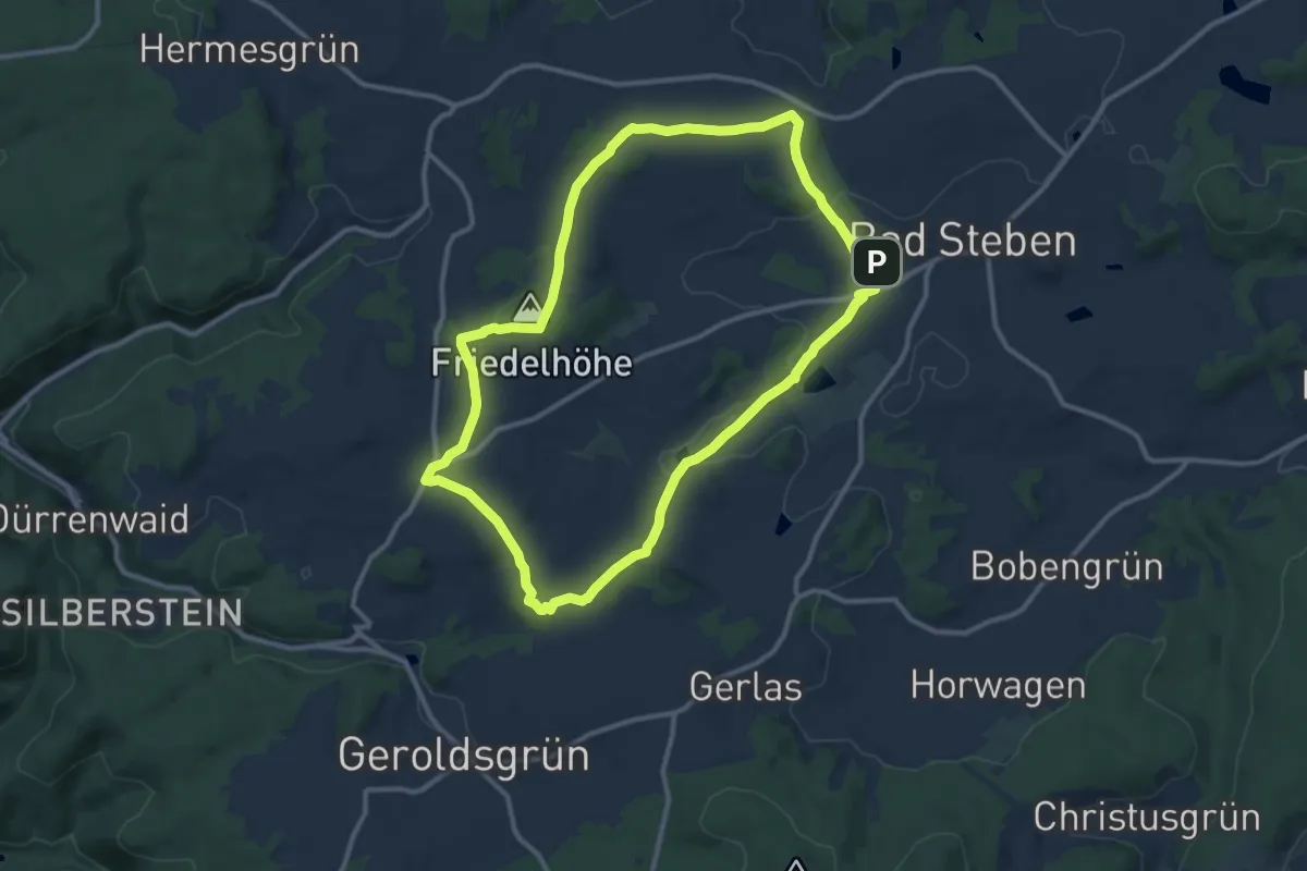
Medium · Summit
Seifengrundweg DÖ 96
10.2 km · ↑ 160 m · 2 h 54 min
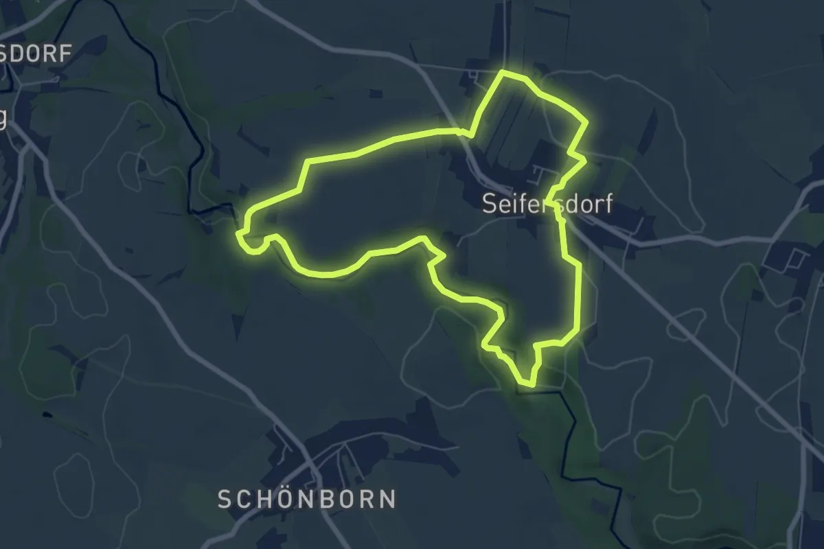
Medium · Summit
Seifersdorfer Runde
6.3 km · ↑ 101 m · 1 h 48 min
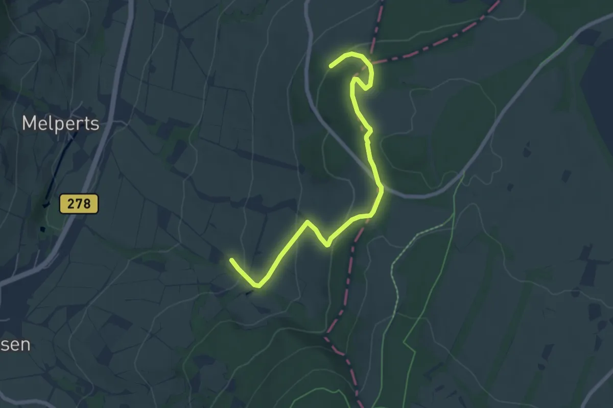
Easy · Trail
Seiferts Rundwanderweg 11
3.0 km · ↑ 43 m · 54 min
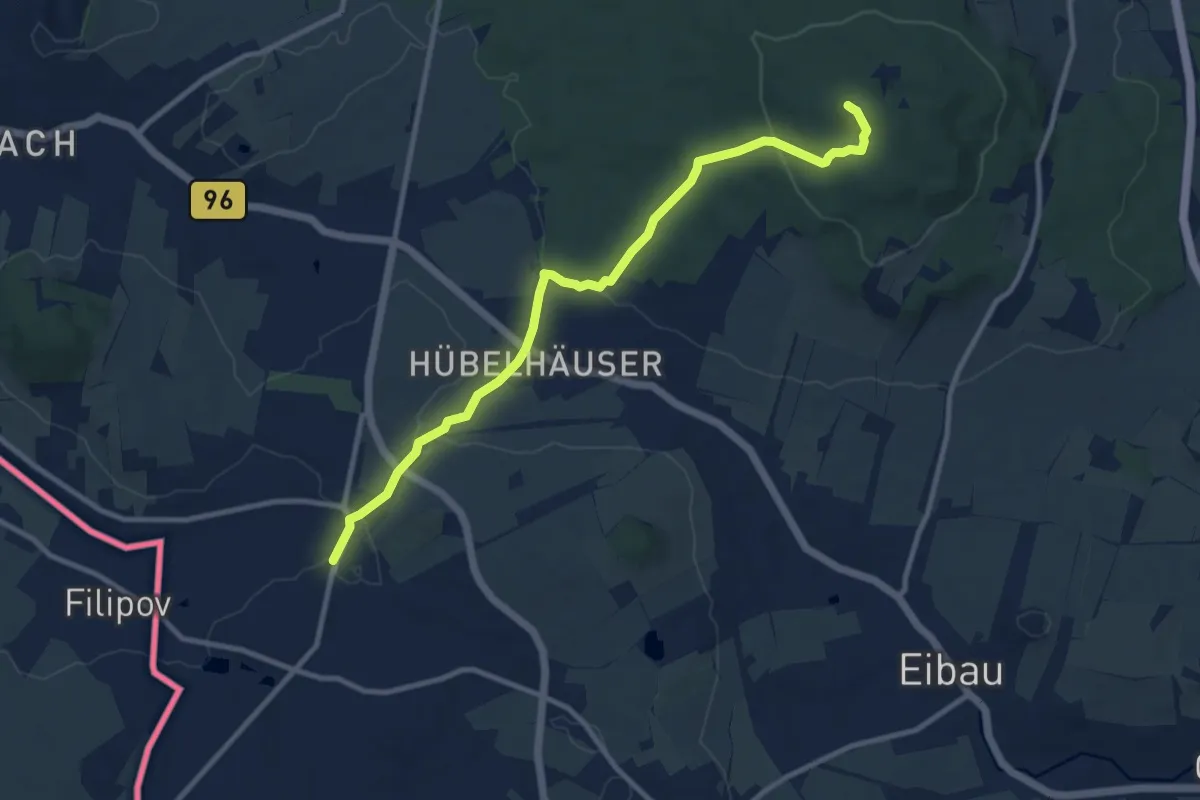
Medium · Summit
Seifhennersdorf - Kottmar (grüner Strich)
9.7 km · ↑ 203 m · 2 h 44 min
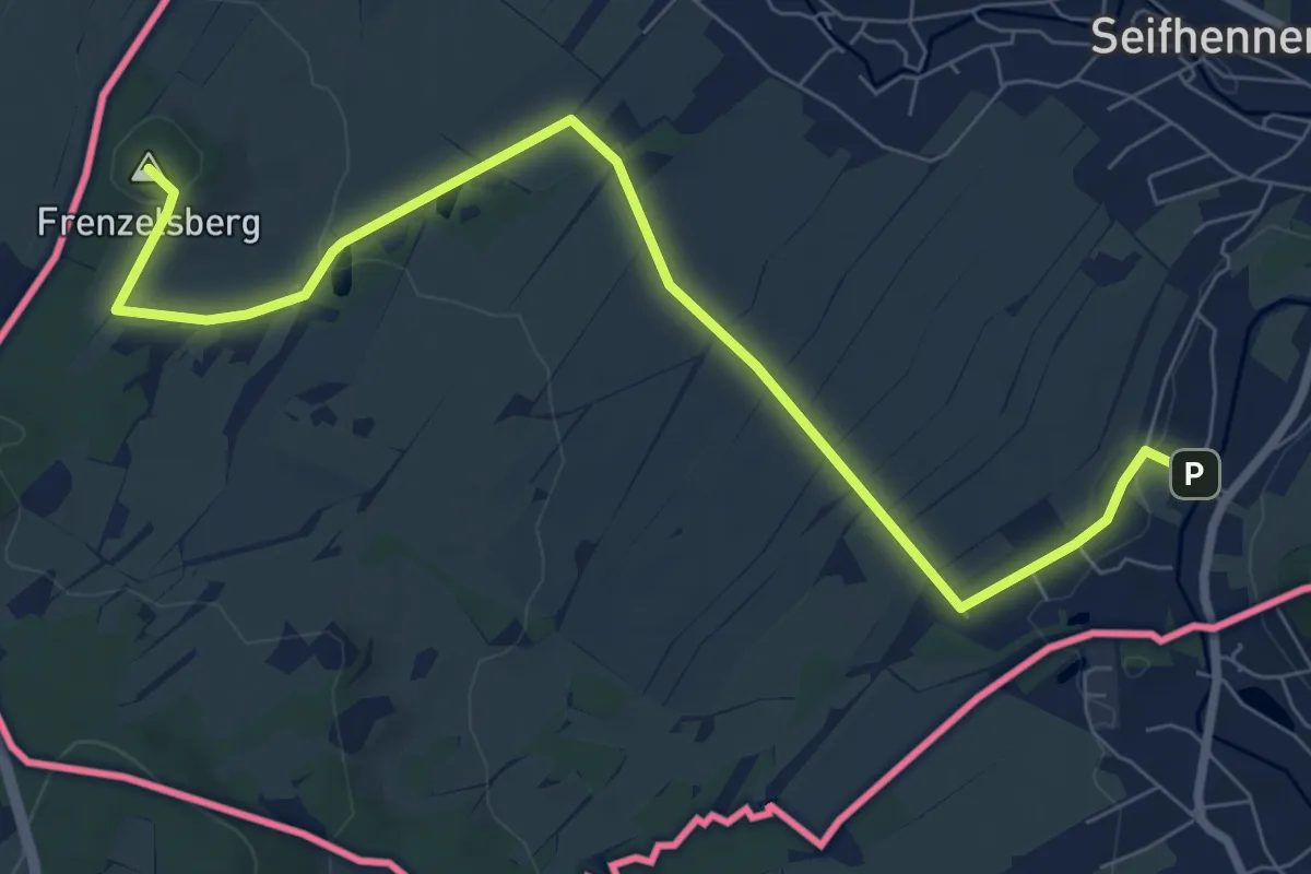
Medium · Summit
Seifhennersdorf Querxenland - Ölmühle (gelber Punkt)
8.2 km · ↑ 121 m · 2 h 11 min
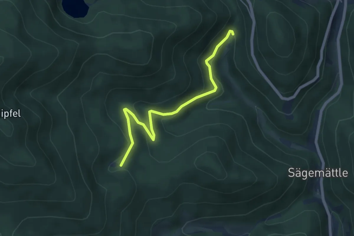
Easy · Trail
Seilemoos - Klemmbach-Wasserfälle
4.4 km · ↑ 226 m · 1 h 32 min
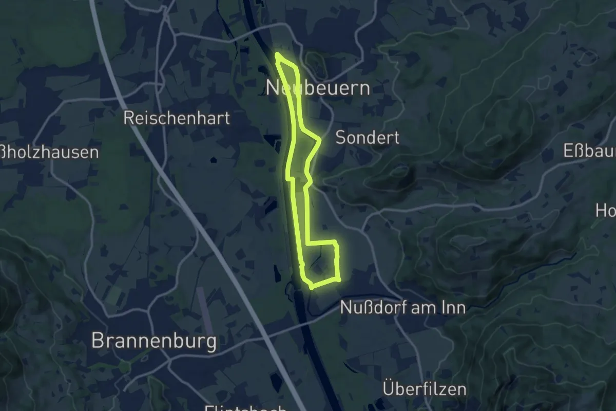
Medium · Trail
Seilenau
8.8 km · ↑ 21 m · 2 h 15 min
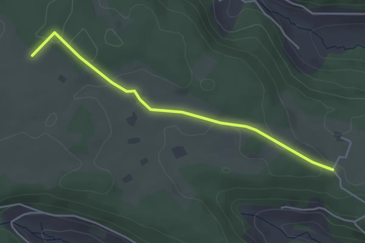
Easy · Trail
Seilerecke - Öhle
3.6 km · ↑ 54 m · 57 min
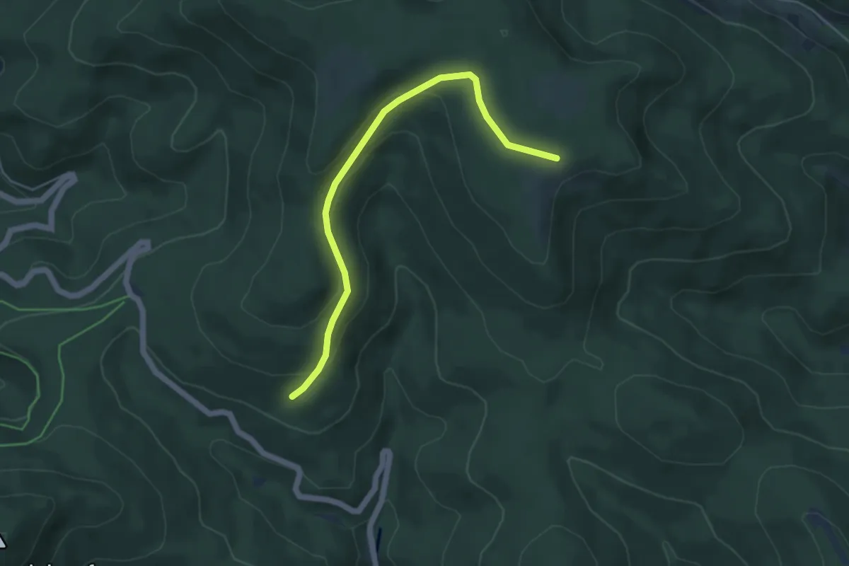
Easy · Trail
Seilstock - Unterm Klagstein
4.6 km · ↑ 201 m · 1 h 31 min
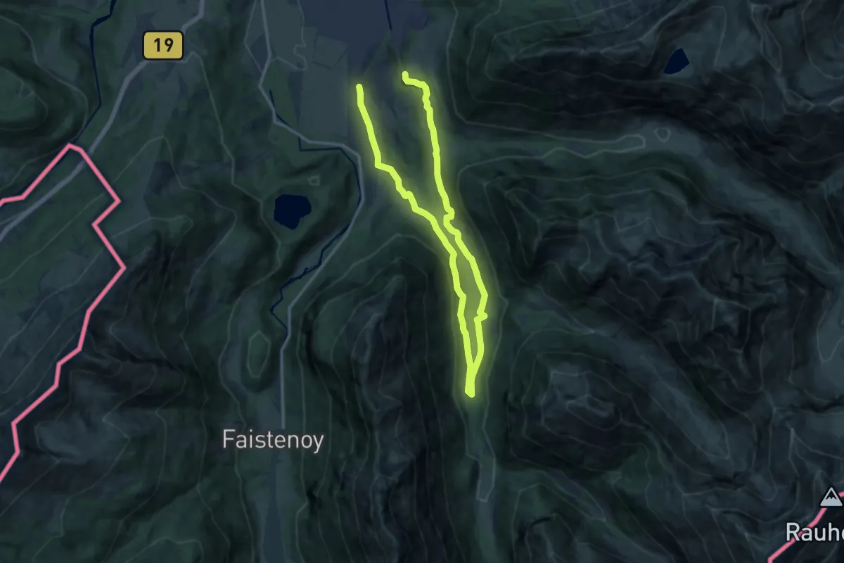
Demanding · Trail
S - Ein Wintertag im Trettachtal
20.1 km · ↑ 344 m · 5 h 30 min
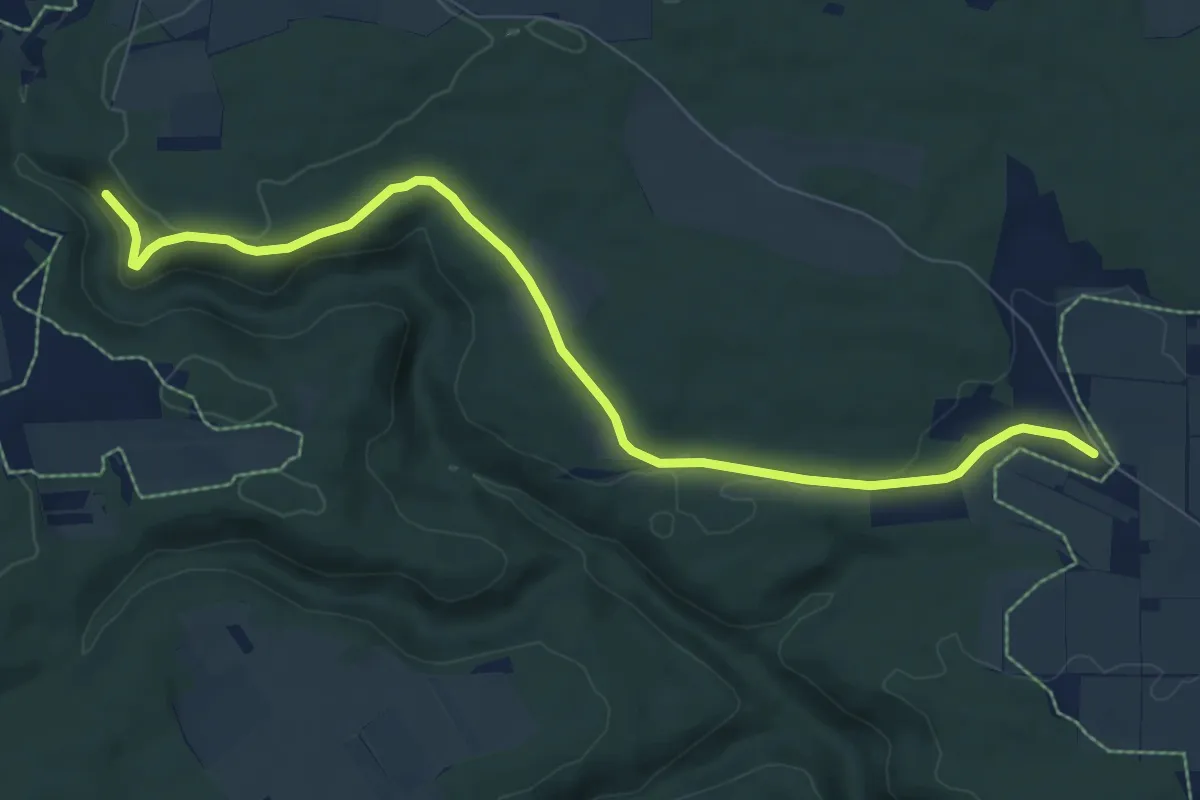
Medium · Trail
Seißen Sontheim
8.5 km · ↑ 141 m · 2 h 19 min
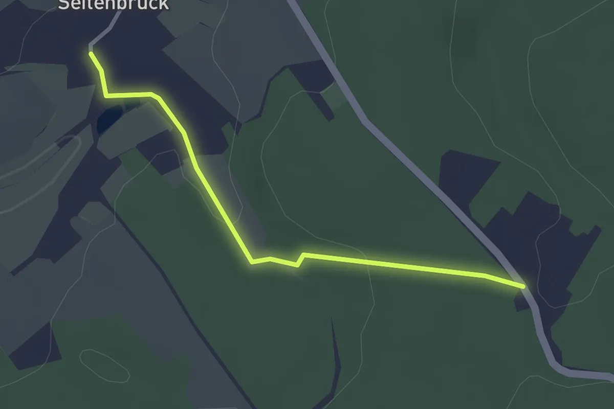
Easy · Trail
Seitenbrück - Trockenborn-Wolfersdorf
2.5 km · ↑ 39 m · 40 min
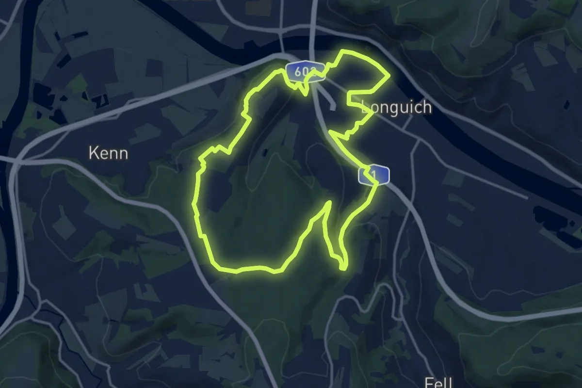
Medium · Summit
Seitensprung Longuicher Sauerbrunnen
12.6 km · ↑ 216 m · 3 h 37 min
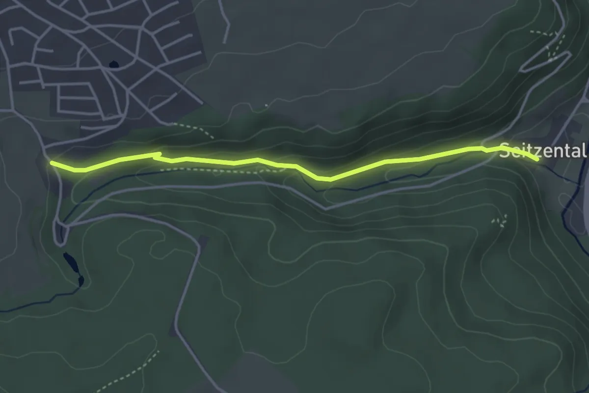
Easy · Trail
Seitzental - Besucherbergwerk
3.6 km · ↑ 147 m · 1 h 11 min
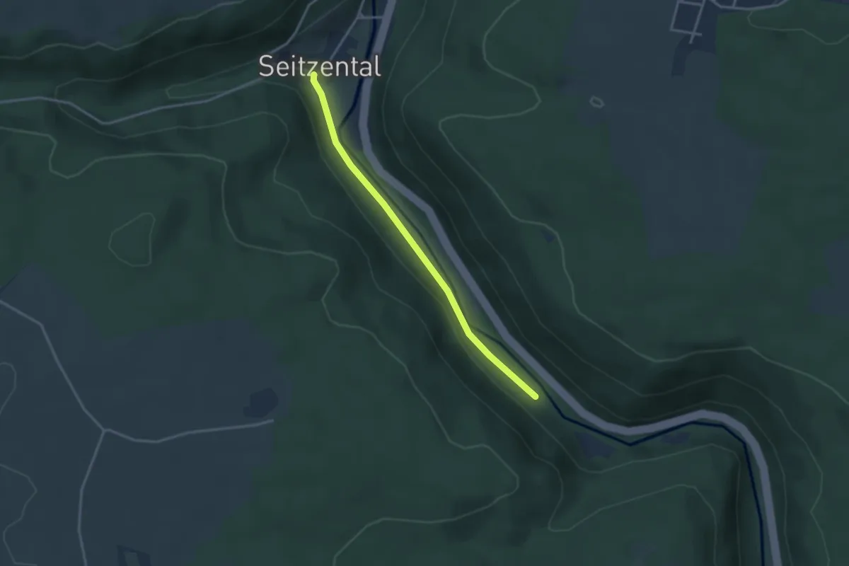
Easy · Trail
Seitzental - Heiligenbach
2.9 km · ↑ 28 m · 44 min
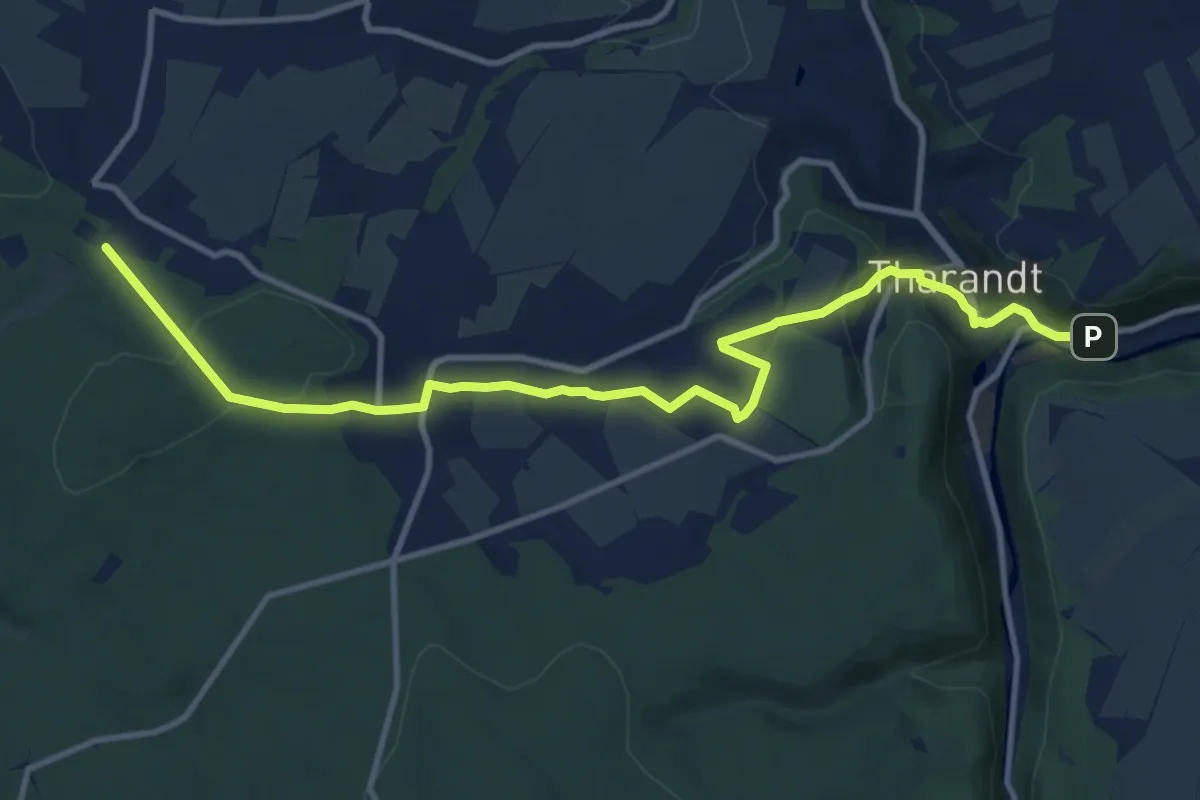
Medium · Trail
Sekundenweg Tharandt - Hartha
11.6 km · ↑ 244 m · 3 h 16 min
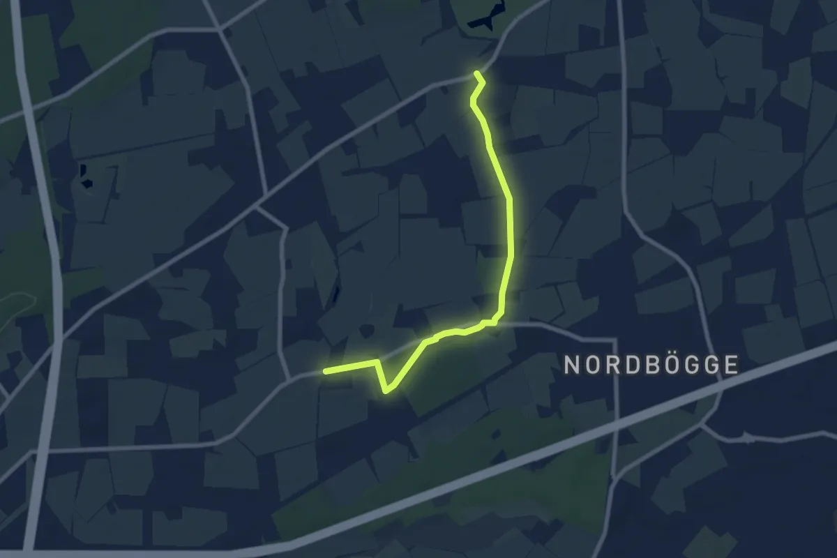
Easy · Trail
Selbachpark Rundweg A1
3.1 km · ↑ 21 m · 49 min
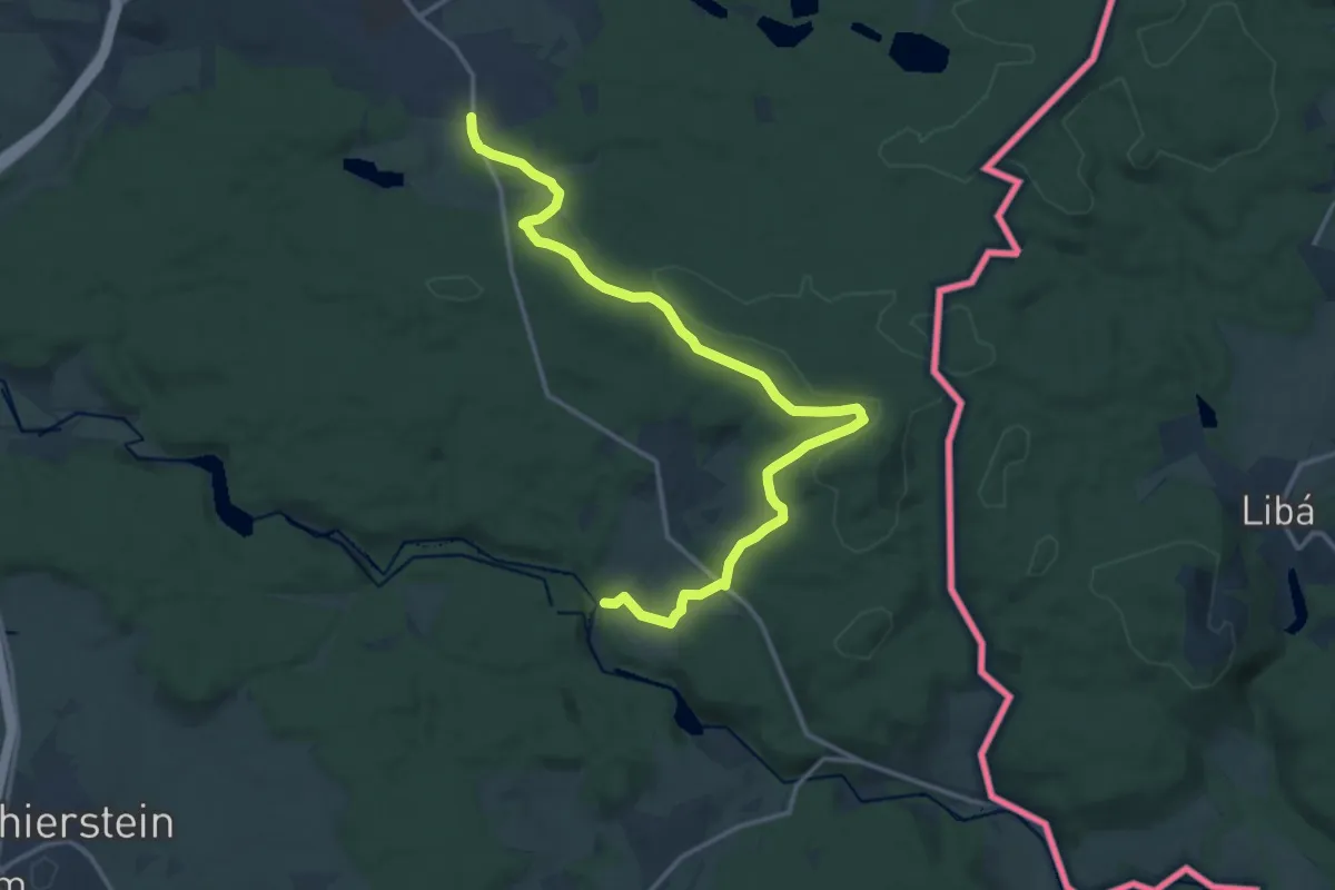
Medium · Trail
Selb-Egerweg/Hirschsprung
15.3 km · ↑ 220 m · 4 h 5 min
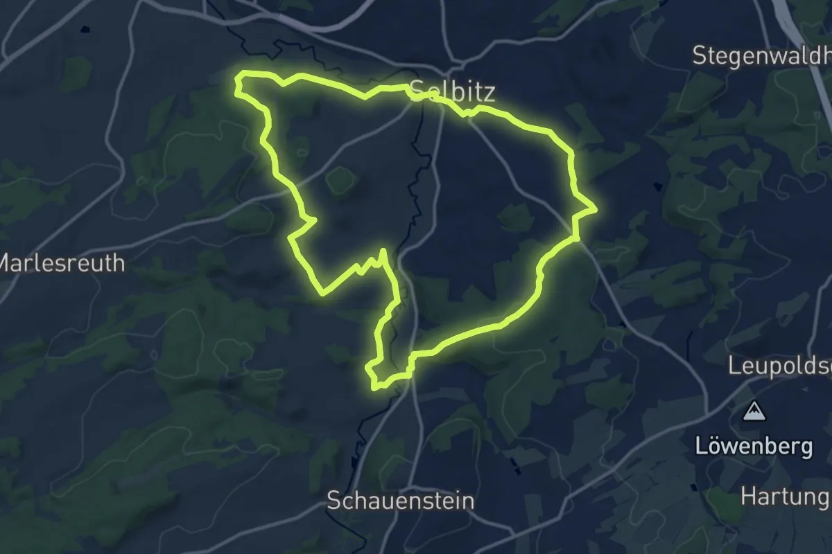
Medium · Trail
Selbitztal-Weg OS 32
12.8 km · ↑ 201 m · 3 h 38 min
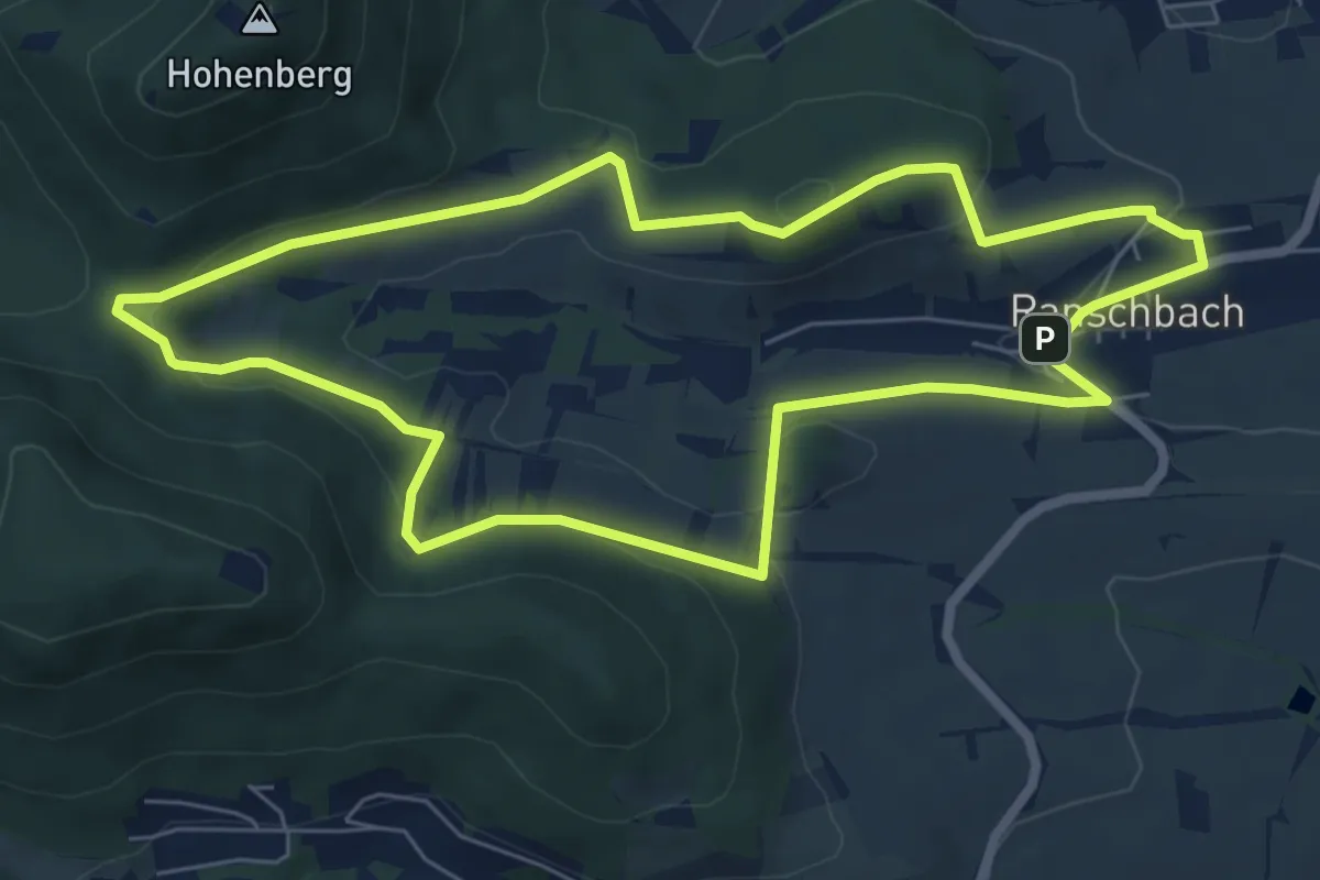
Easy · Summit
Seligmacherweg Ranschbach
6.5 km · ↑ 201 m · 2 h 3 min
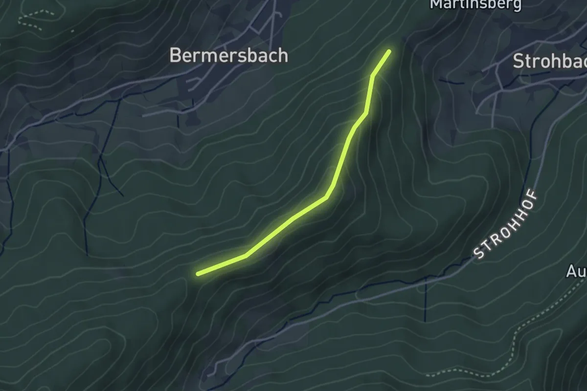
Easy · Trail
Seligman - Überm Strohhof
2.7 km · ↑ 143 m · 56 min
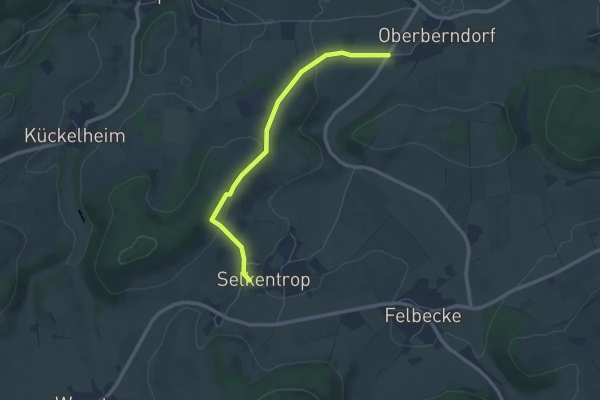
Easy · Trail
Selkentrop Rundweg SE1
4.8 km · ↑ 183 m · 1 h 32 min
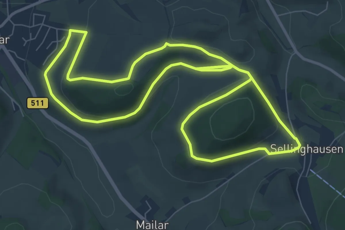
Easy · Summit
Sellinghausen Rundweg S10
6.8 km · ↑ 117 m · 1 h 58 min