Trails in Germany
36,852 hiking trails, each with its route, climb, walking time and grade.
All trails, page 589 of 768
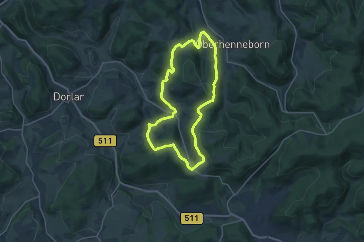
Medium · Summit
Sellinghausen Rundweg S6
11.3 km · ↑ 318 m · 3 h 31 min
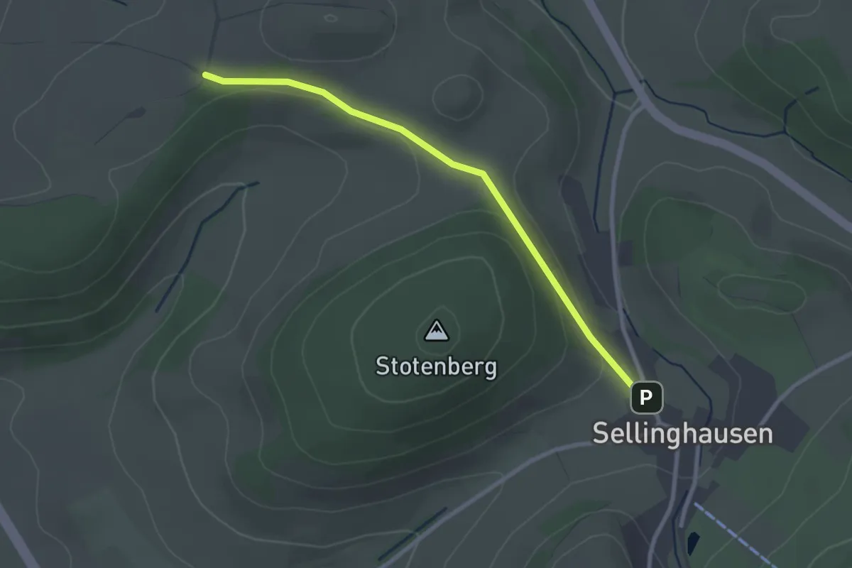
Easy · Trail
Sellinghausen Rundweg S8
2.4 km · ↑ 29 m · 38 min
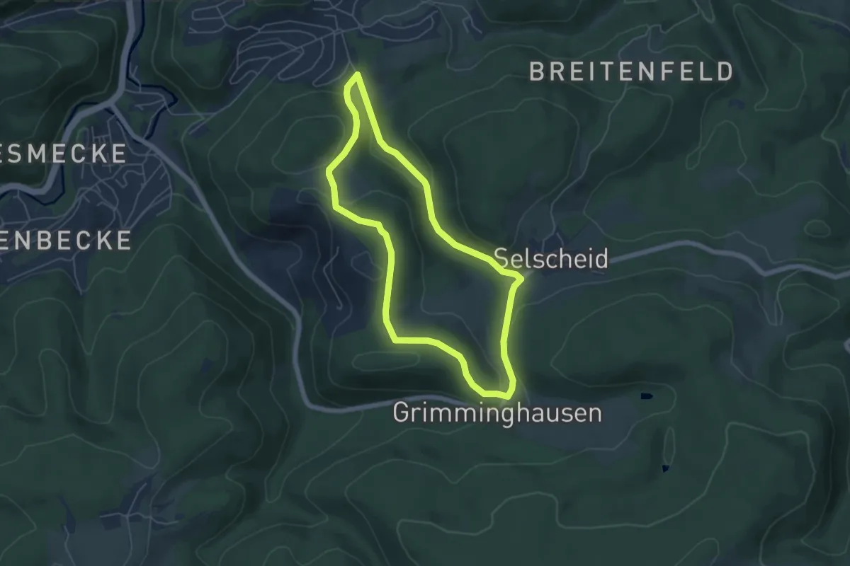
Easy · Summit
Selscheid Rundweg A3
4.6 km · ↑ 118 m · 1 h 24 min
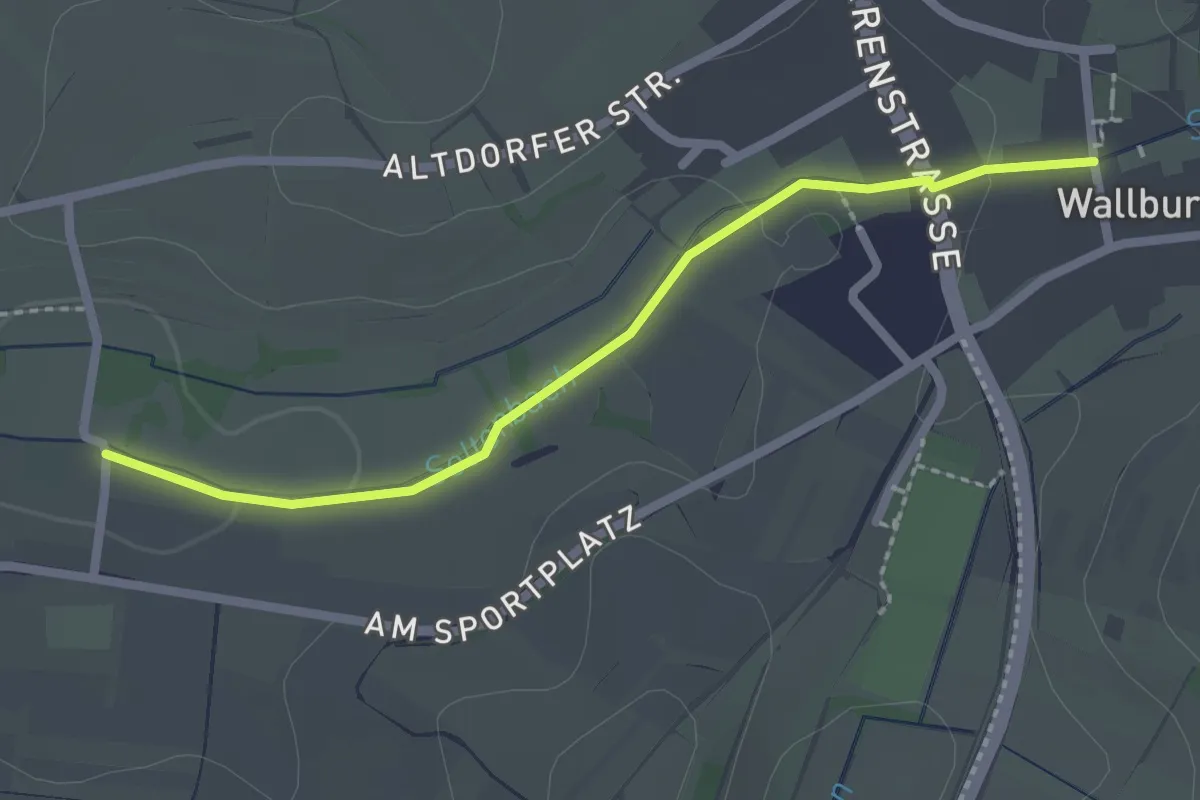
Easy · Trail
Seltenbach - Wallburg Am Friedhof
2.2 km · ↑ 22 m · 34 min
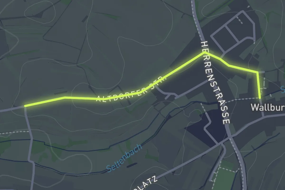
Easy · Trail
Seltenbach - Wallburg Am Friedhof
2.3 km · ↑ 22 m · 36 min
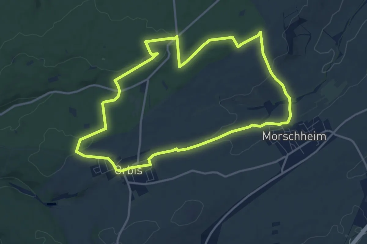
Medium · Trail
Selzbachpfad NW3
8.8 km · ↑ 118 m · 2 h 28 min
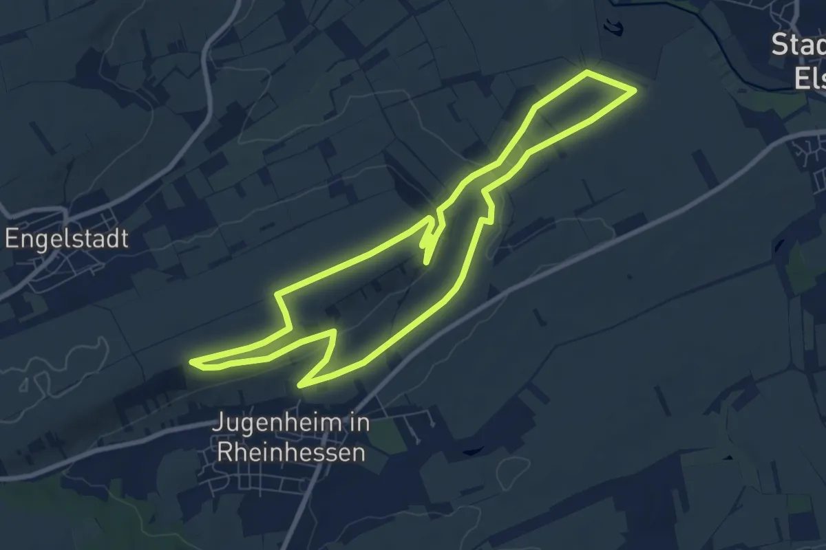
Easy · Trail
Selztal-Terroir-Route 1
7.8 km · ↑ 133 m · 2 h 14 min
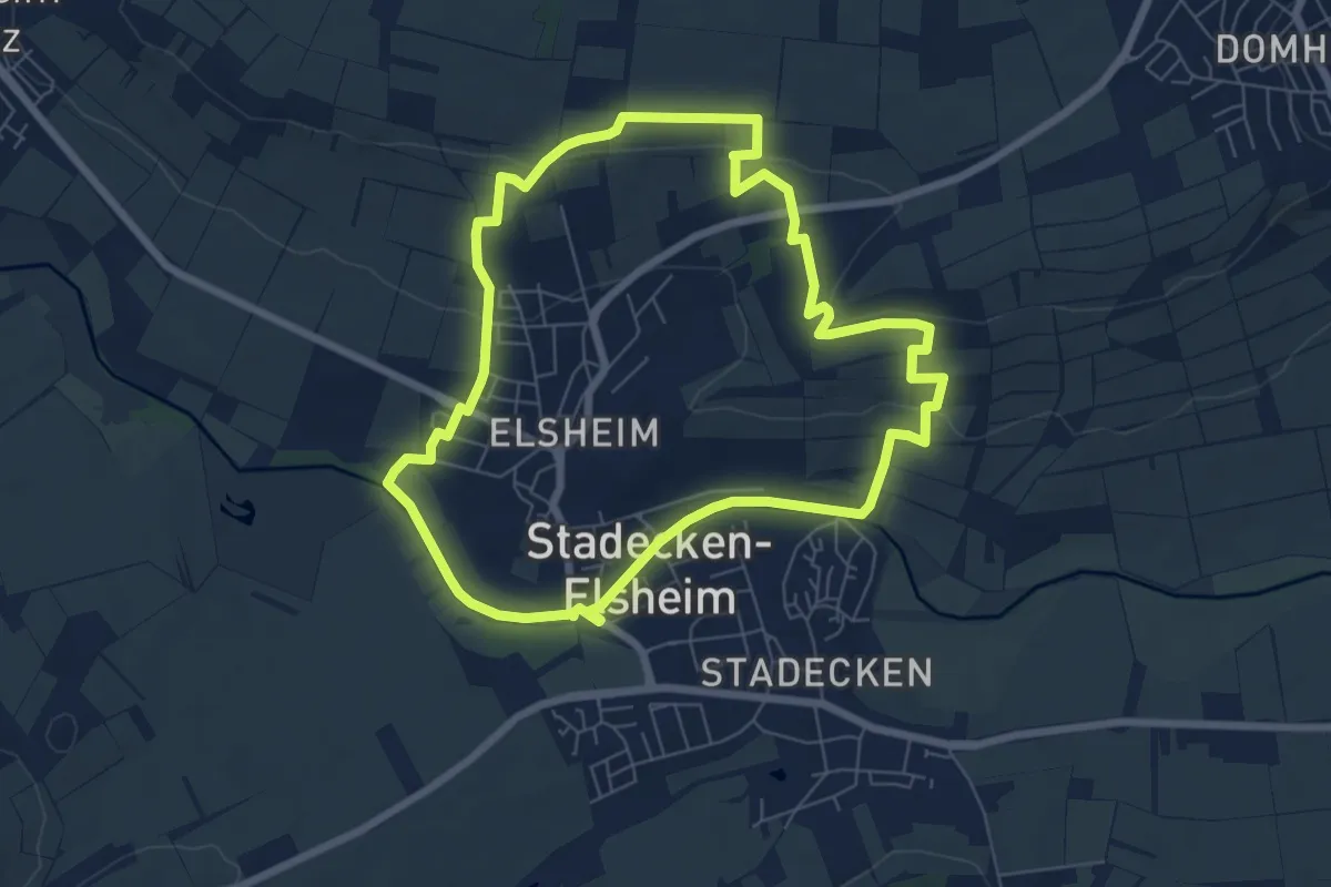
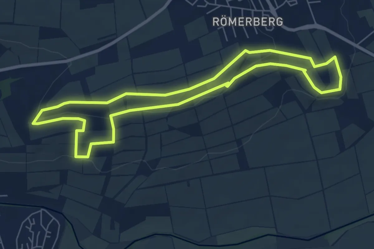
Easy · Trail
Selztal-Terroir-Route 2
6.5 km · ↑ 139 m · 1 h 56 min
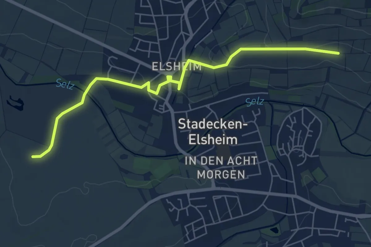
Easy · Trail
Selztal-Terroir-Route 4
5.5 km · ↑ 129 m · 1 h 39 min
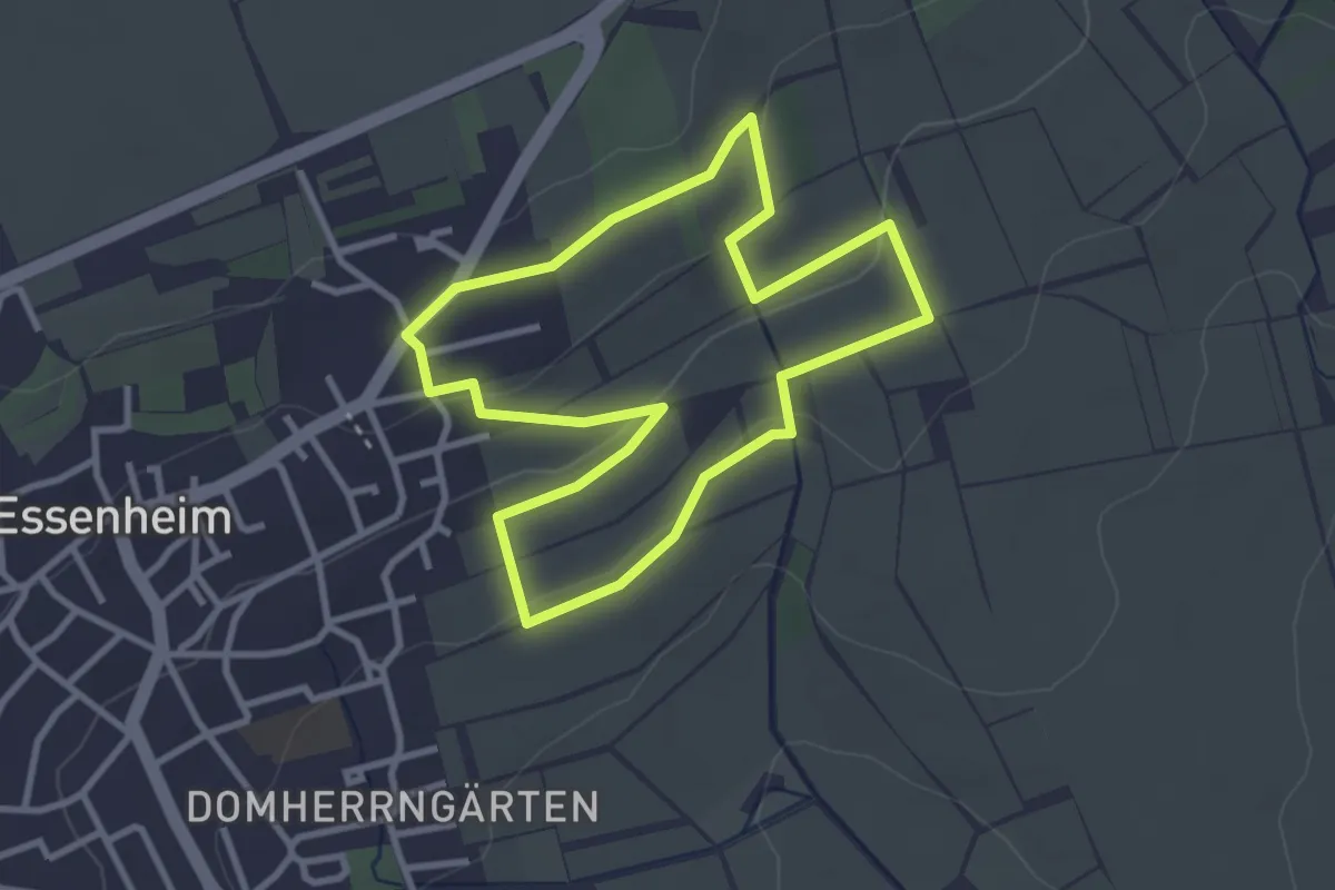
Easy · Trail
Selztal-Terroir-Route (Zuweg)
5.5 km · ↑ 80 m · 1 h 28 min
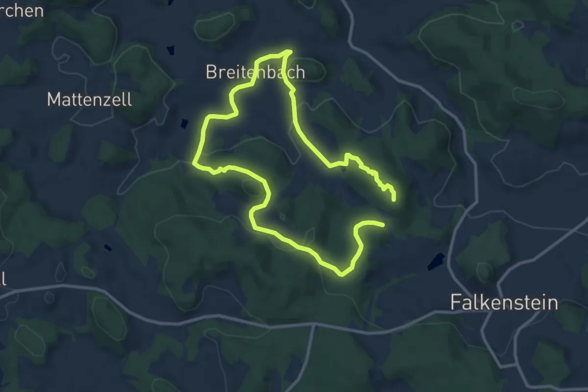
Easy · Trail
Selztal-Terroir-Runde 5
2.8 km · ↑ 55 m · 48 min
Medium · Summit
Semmelbergweg
13.5 km · ↑ 360 m · 3 h 58 min
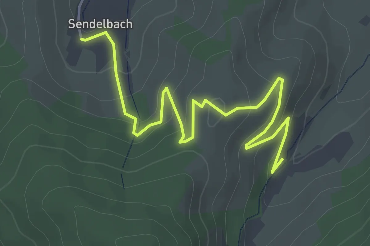
Easy · Trail
Sendelbach - Lautenbach
4.6 km · ↑ 249 m · 1 h 37 min
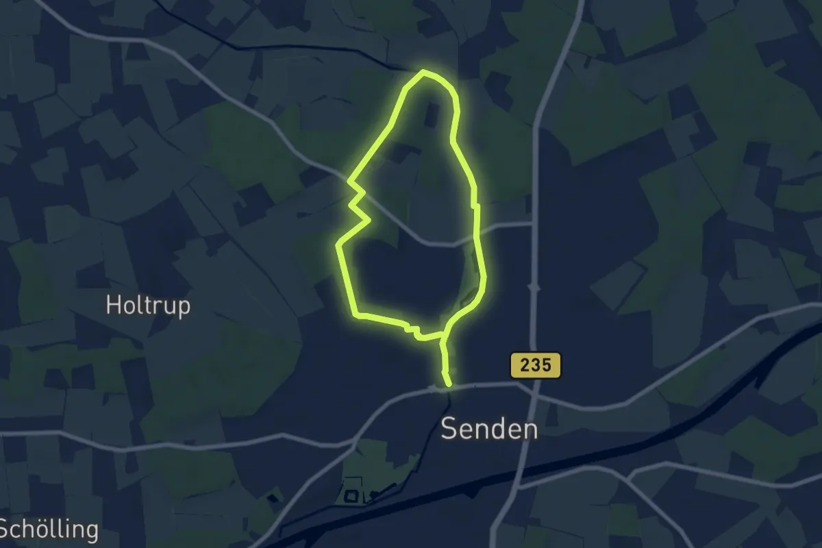
Easy · Trail
Sendener Rundweg A3
5.2 km · ↑ 18 m · 1 h 20 min
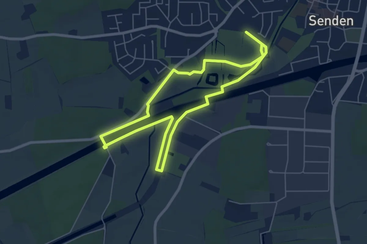
Easy · Trail
Senden macht nass
4.8 km · ↑ 5 m · 1 h 12 min
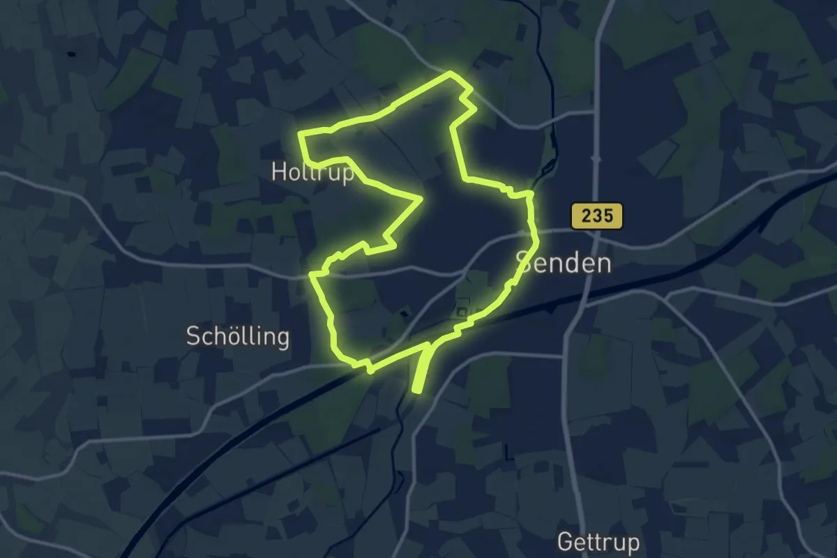
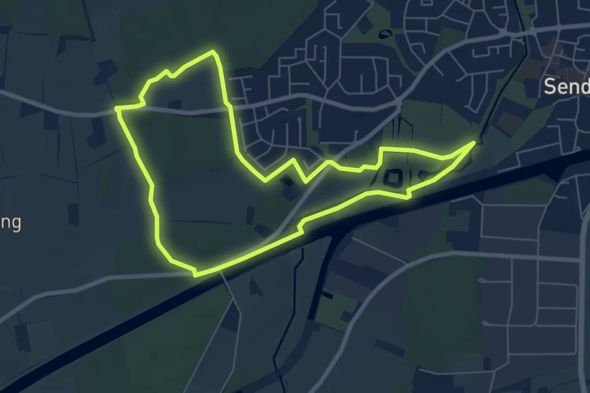
Medium · Trail
Senden macht nass
11.3 km · ↑ 37 m · 2 h 54 min
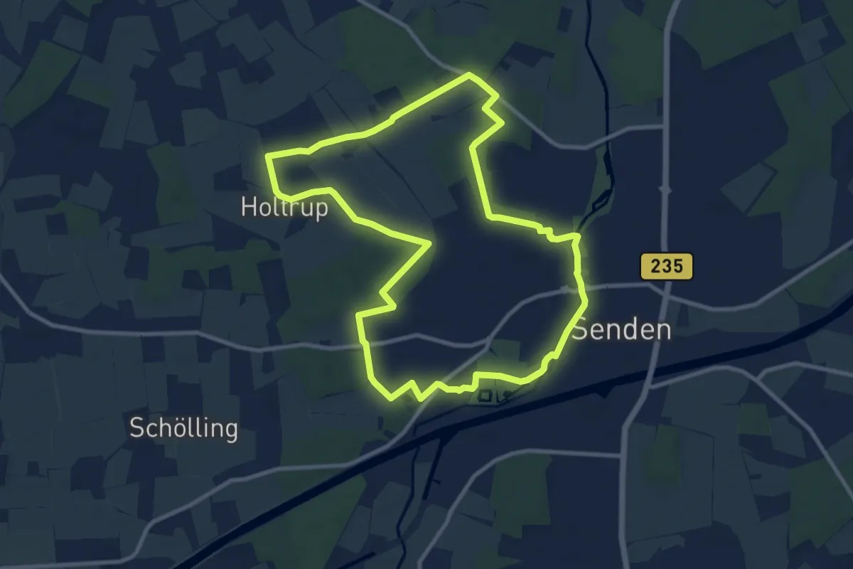
Easy · Trail
Senden Rundweg A1
5.4 km · ↑ 19 m · 1 h 23 min
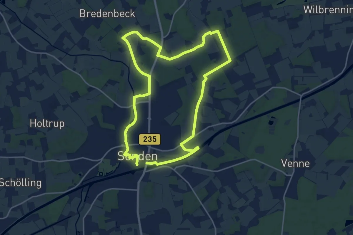
Medium · Trail
Senden Rundweg A2
8.8 km · ↑ 23 m · 2 h 15 min
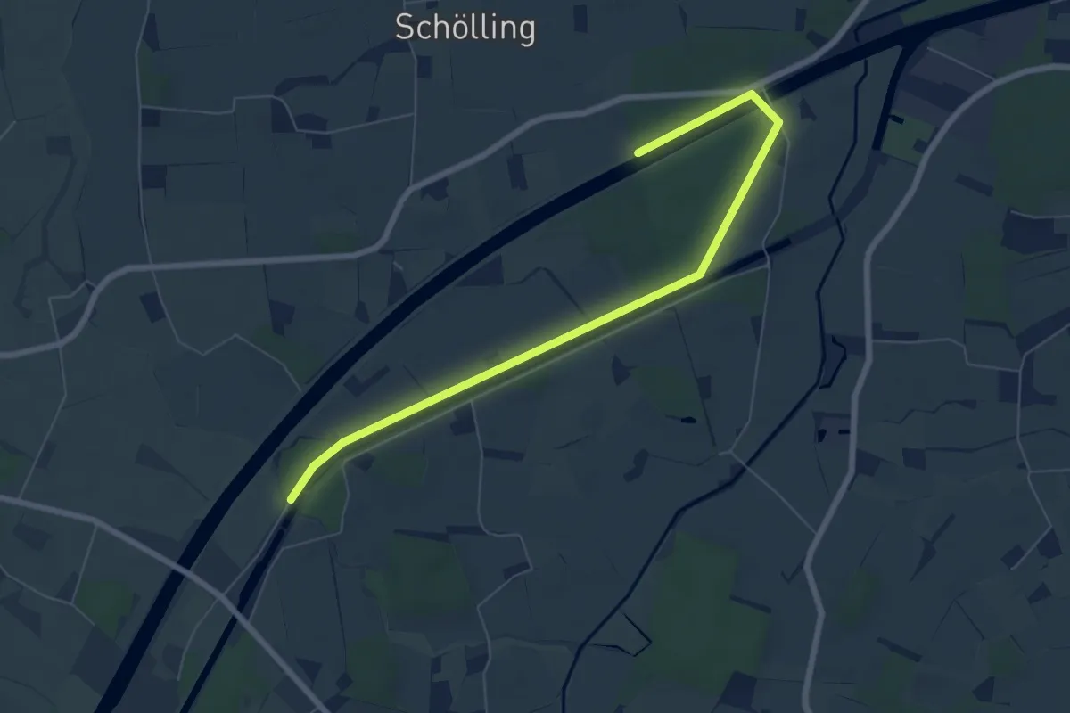
Medium · Trail
Senden Rundweg A5
13.3 km · ↑ 42 m · 3 h 25 min
Easy · Trail
Senden Rundweg A6
3.3 km · ↑ 4 m · 50 min
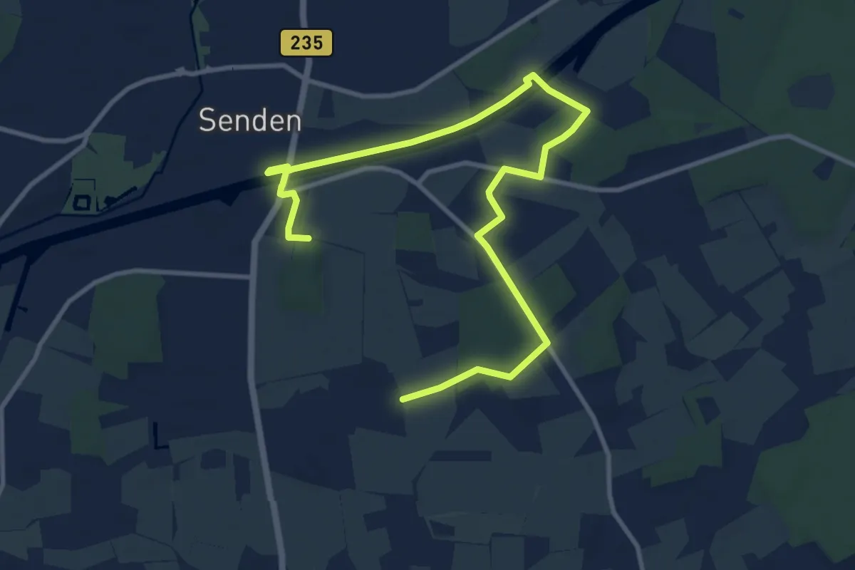
Easy · Trail
Senden Rundweg A7
5.6 km · ↑ 28 m · 1 h 27 min
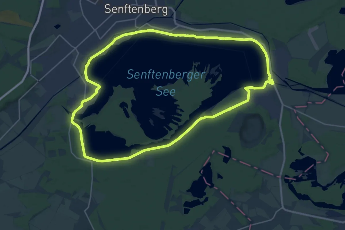
Medium · Trail
Senftenberger See Rundweg
17.6 km · ↑ 30 m · 4 h 27 min
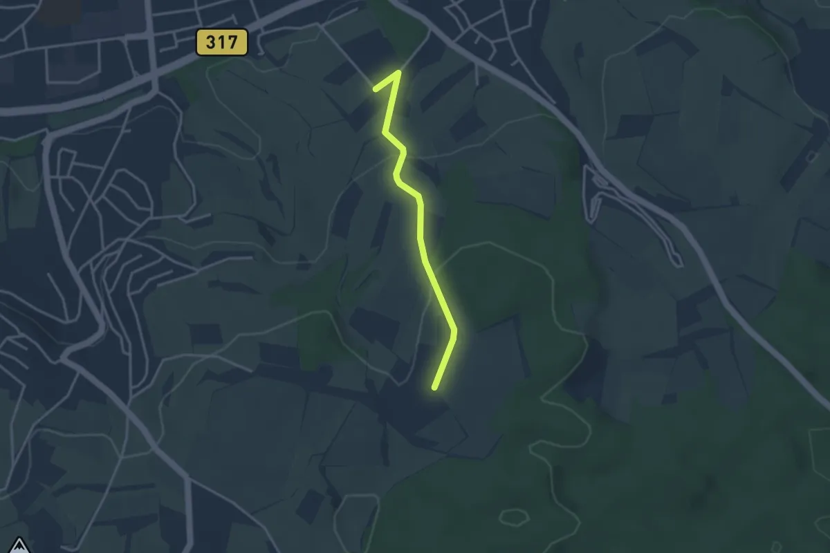
Easy · Trail
Sengelen - Schäubler
2.8 km · ↑ 92 m · 51 min
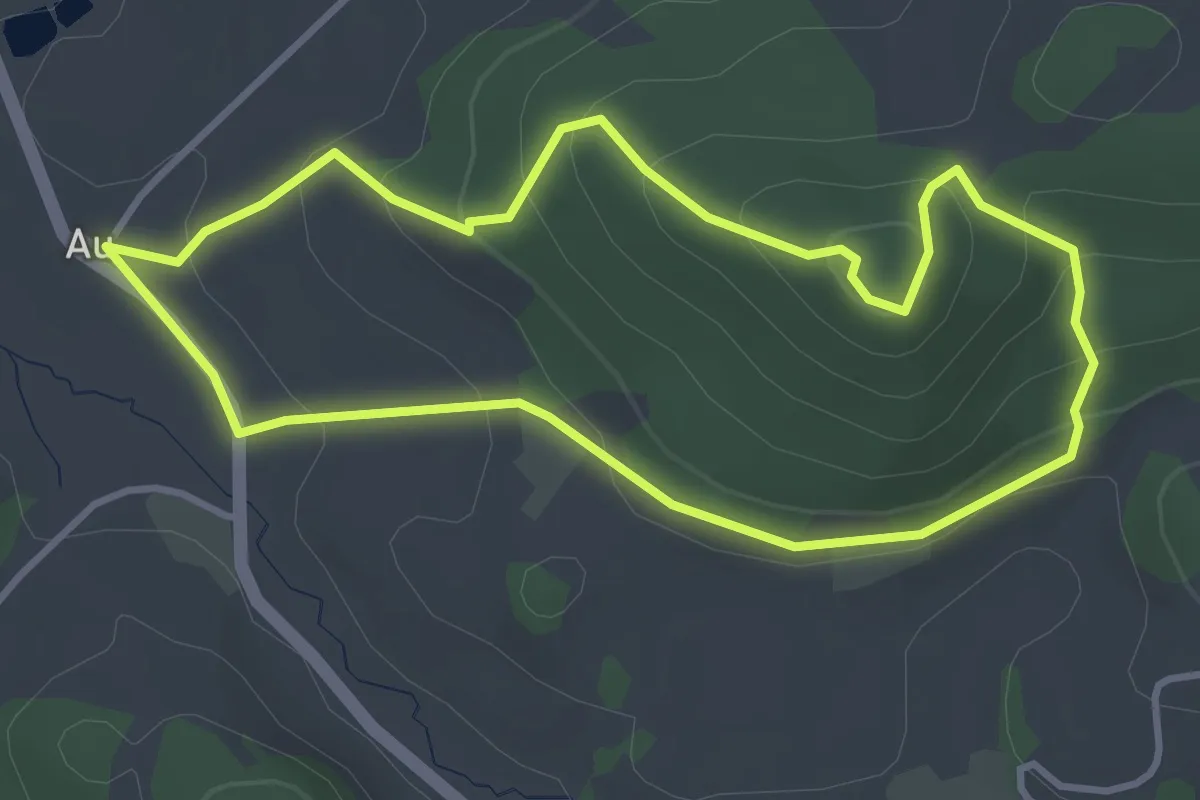
Easy · Trail
Sengersbergweg
3.4 km · ↑ 166 m · 1 h 12 min
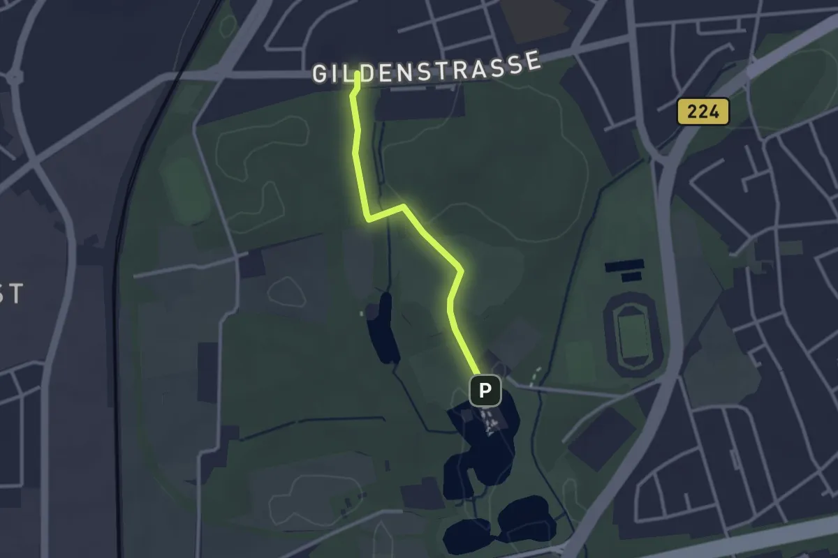
Easy · Trail
Seniorenheim, Gildenstraße - Schloss Wittringen
2.0 km · ↑ 22 m · 32 min
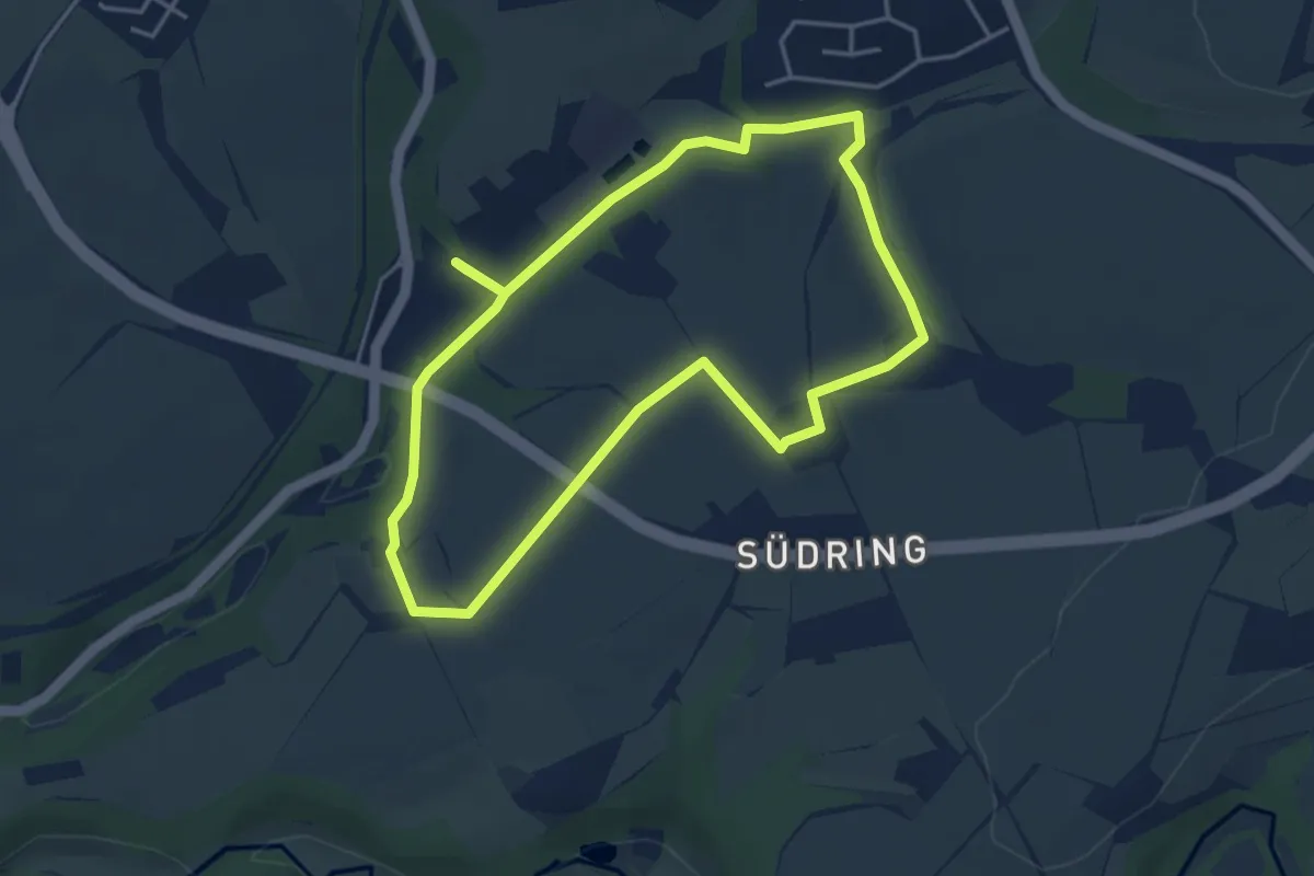
Easy · Trail
Seniorenheim Rundweg A4
3.7 km · ↑ 28 m · 59 min
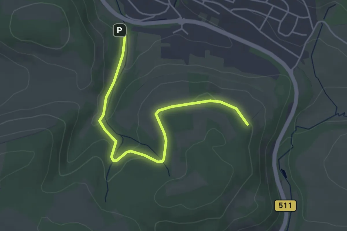
Easy · Trail
Seniorenweg (Teichweg)
4.1 km · ↑ 76 m · 1 h 8 min
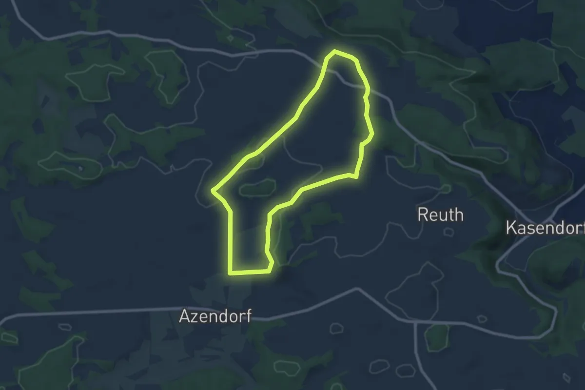
Easy · Summit
Seniorenweg Zultenberg - Azendorf
6.3 km · ↑ 61 m · 1 h 42 min
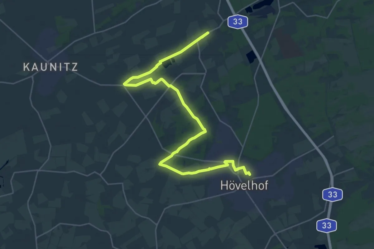
Demanding · Trail
Sennebahn-Wanderweg
25.4 km · ↑ 64 m · 6 h 9 min
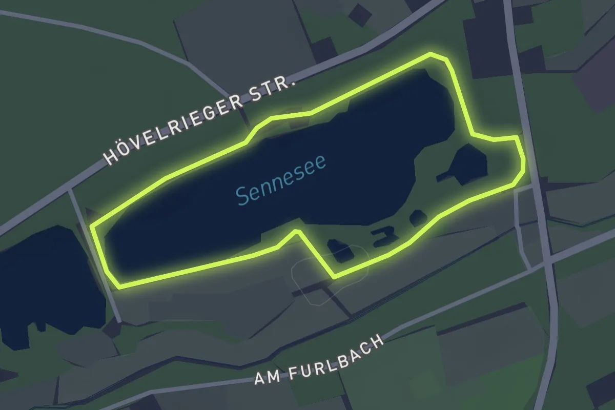
Easy · Trail
Senne-See-Familientour
2.2 km · ↑ 0 m · 32 min
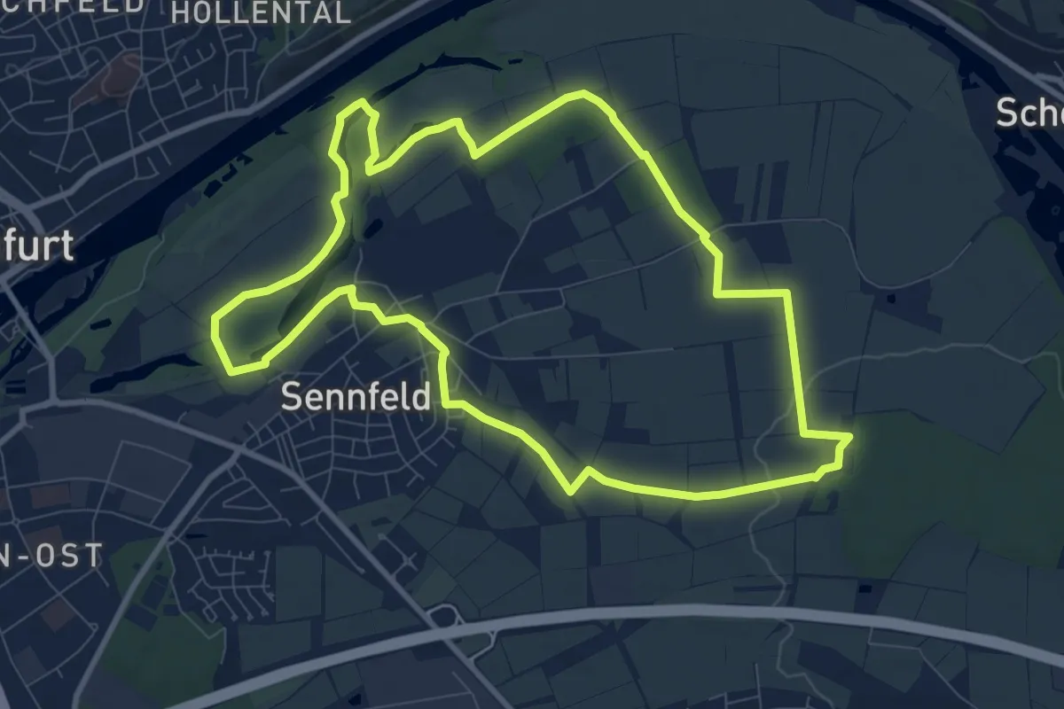
Medium · Trail
Sennfelder Seenkranz
9.0 km · ↑ 77 m · 2 h 25 min
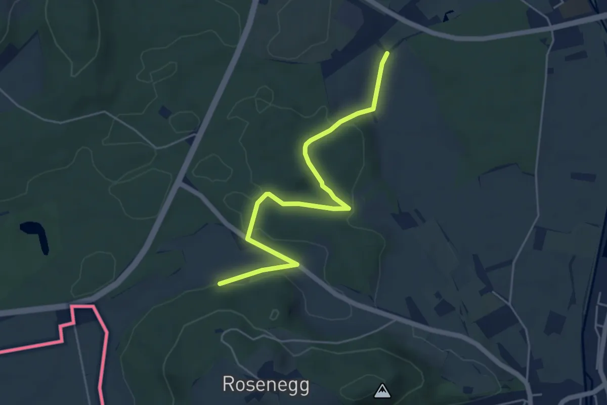
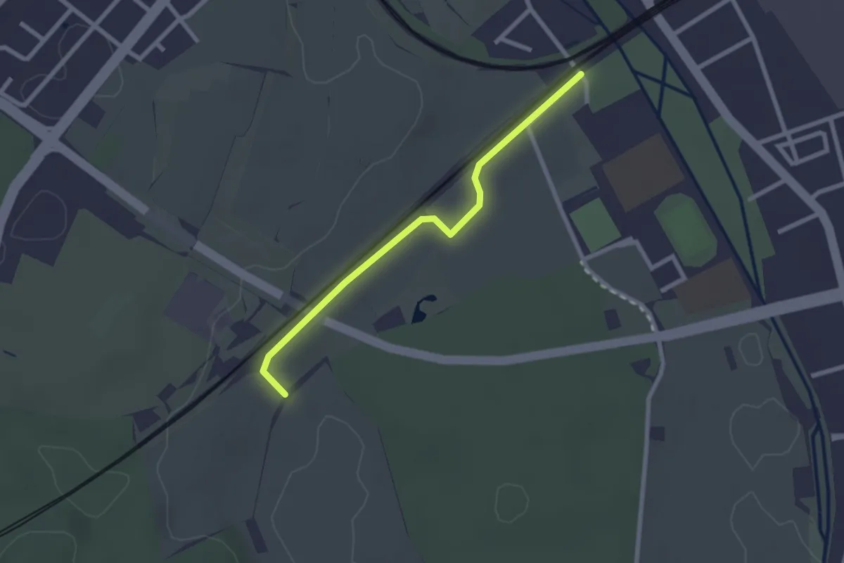
Easy · Trail
Sennhof - Hinter dem Berg
4.8 km · ↑ 84 m · 1 h 19 min
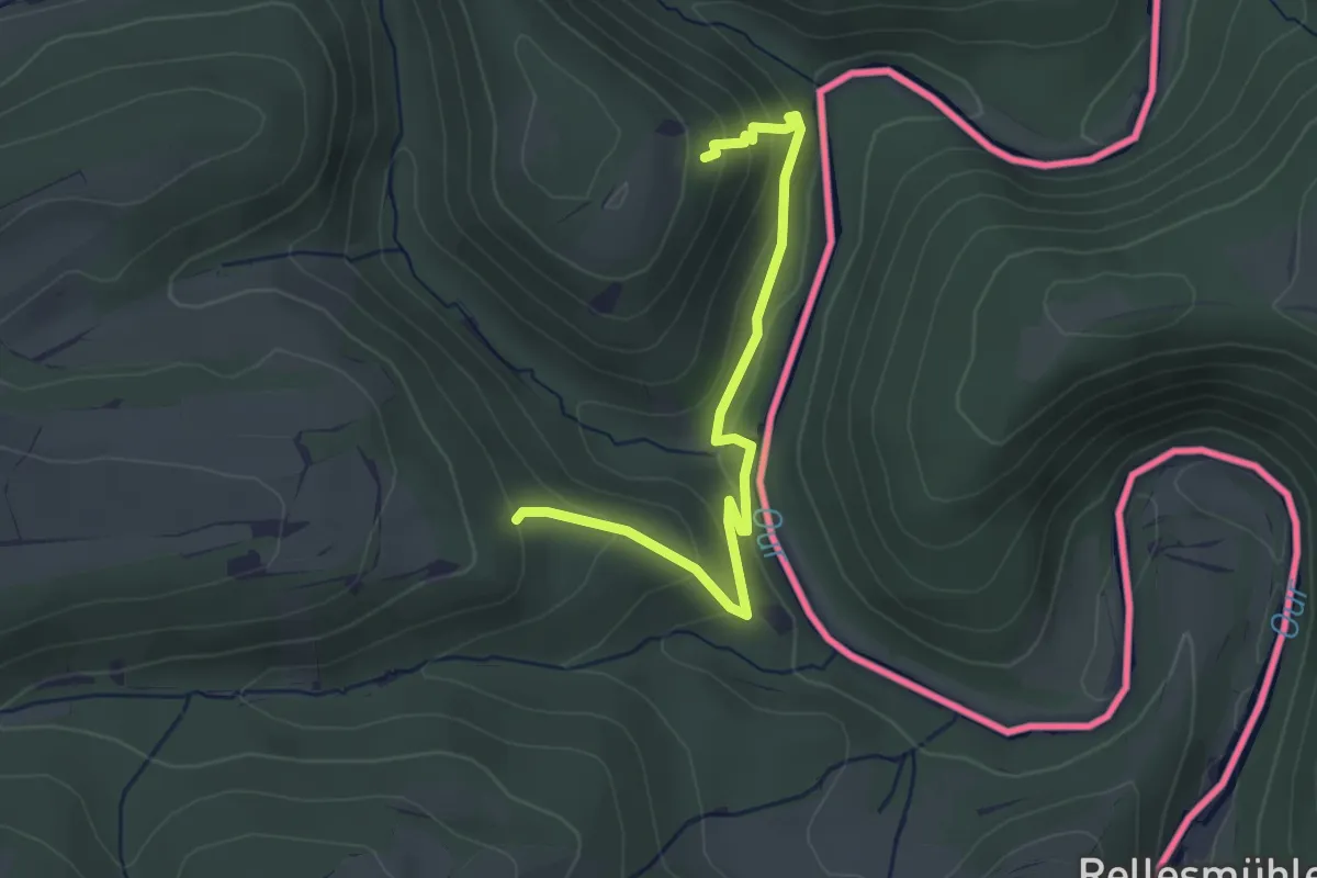
Easy · Trail
Sennhof - Singen Pestalozzischule
2.2 km · ↑ 18 m · 34 min
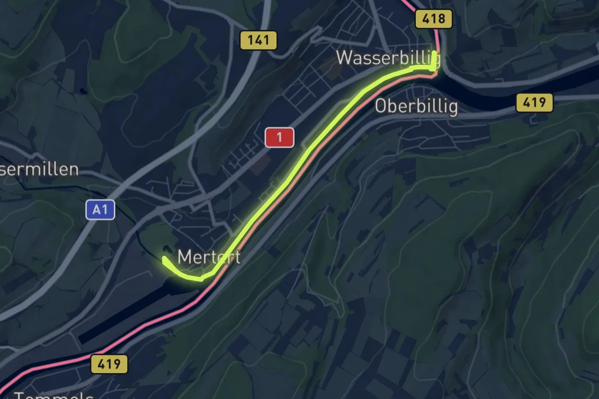
Medium · Trail
Sentier de Clervaux-Our
3.2 km · ↑ 181 m · 1 h 9 min
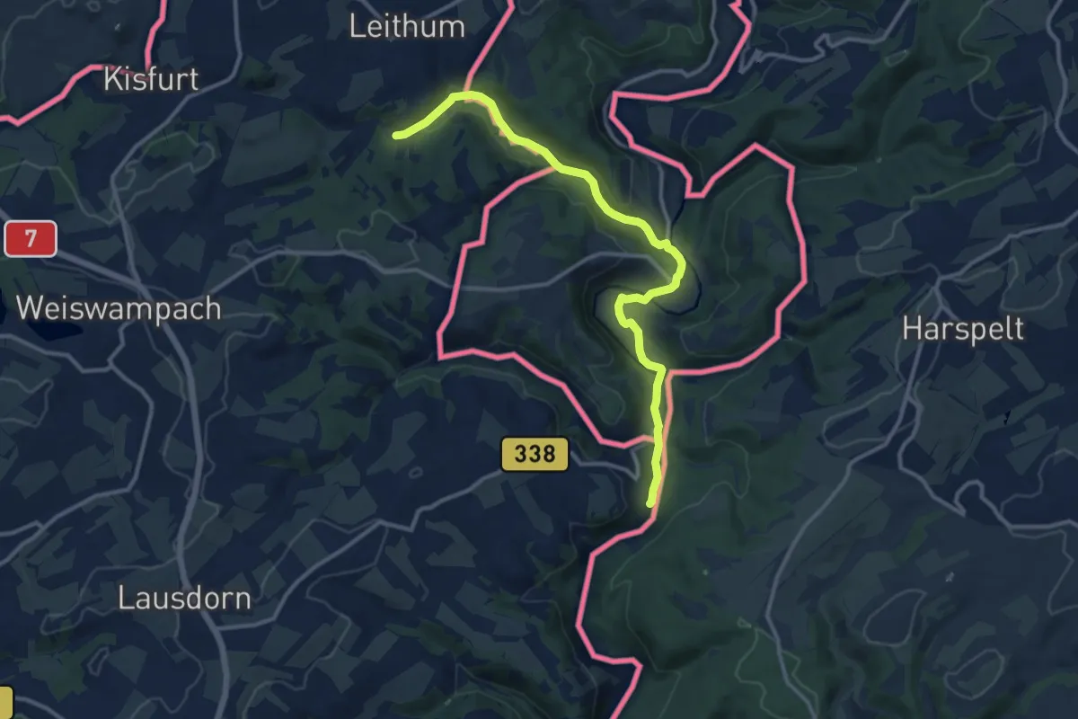
Easy · Trail
Sentier de la Moselle
6.7 km · ↑ 4 m · 1 h 36 min
Medium · Trail
Sentier de l'Our
11.4 km · ↑ 152 m · 3 h 1 min
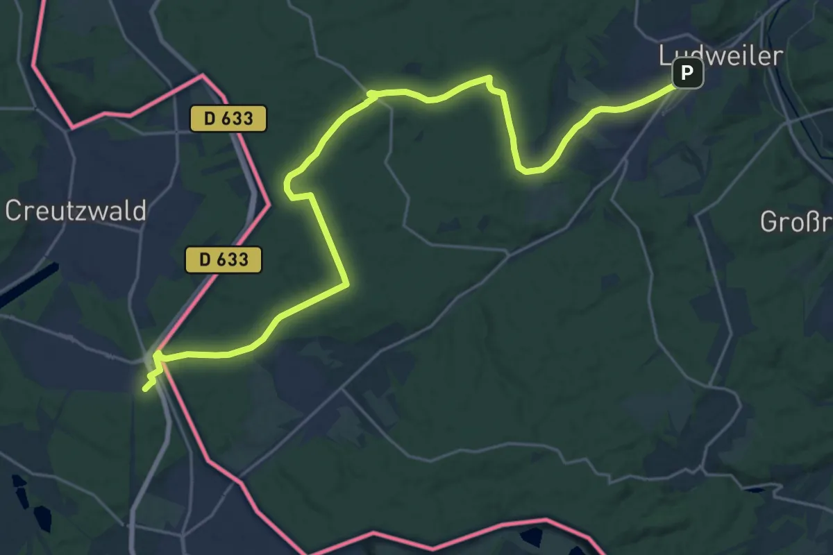
Demanding · Trail
Sentier des Huguenots - Huguenottenweg
25.5 km · ↑ 261 m · 6 h 35 min
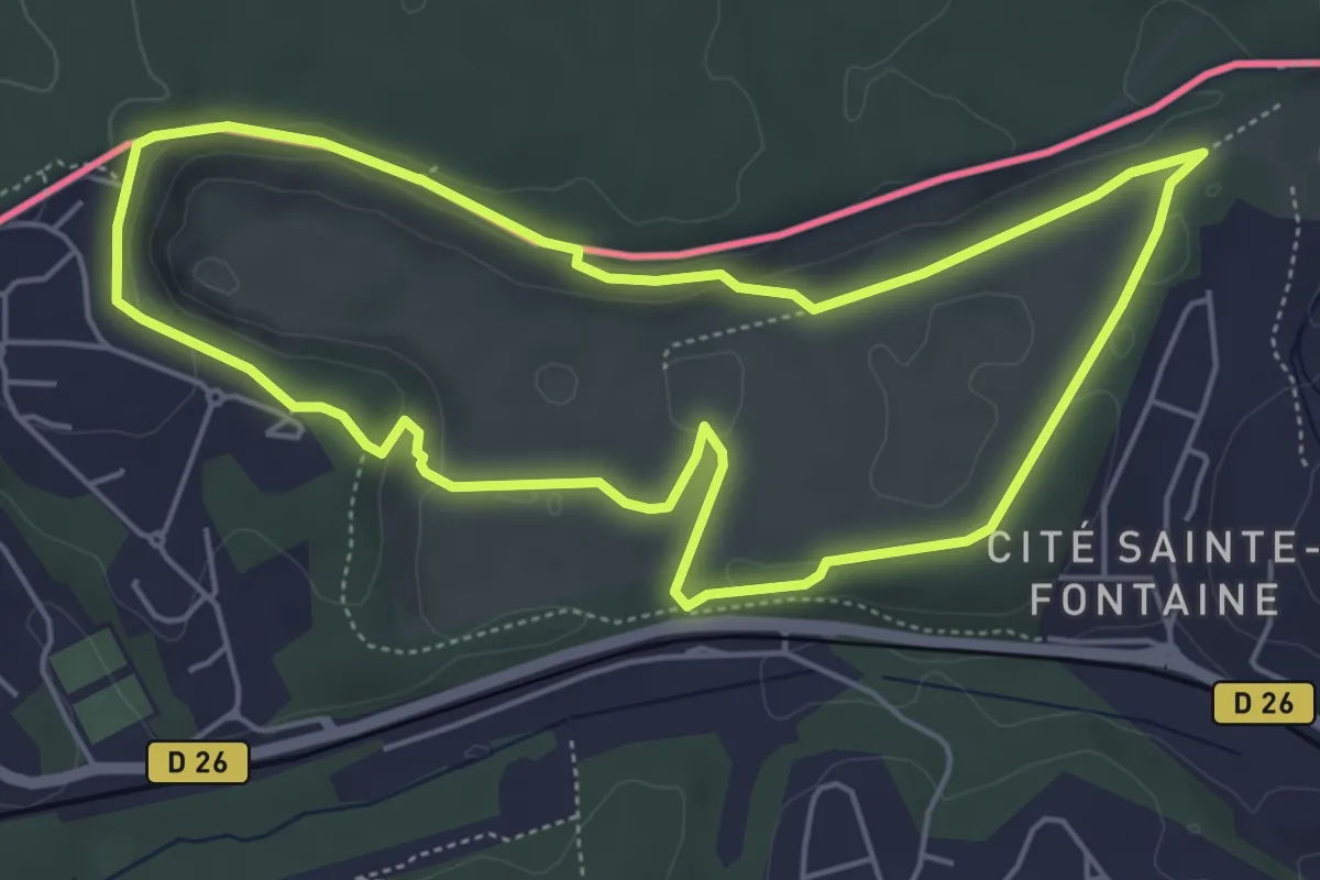
Easy · Trail
Sentier du Grand Duc
5.1 km · ↑ 109 m · 1 h 30 min
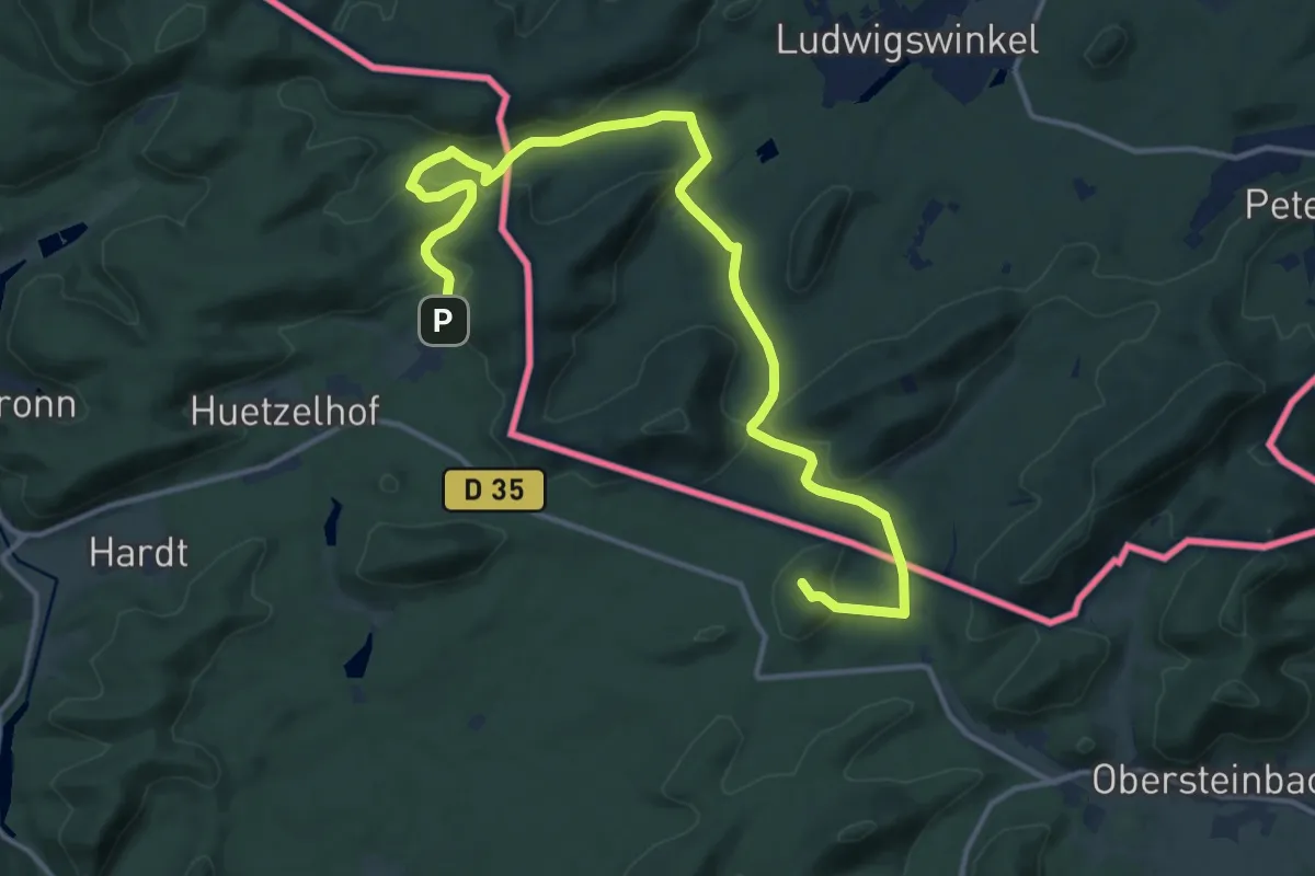
Medium · Summit
Sentier paysager passe-frontière n°1
15.6 km · ↑ 388 m · 4 h 31 min
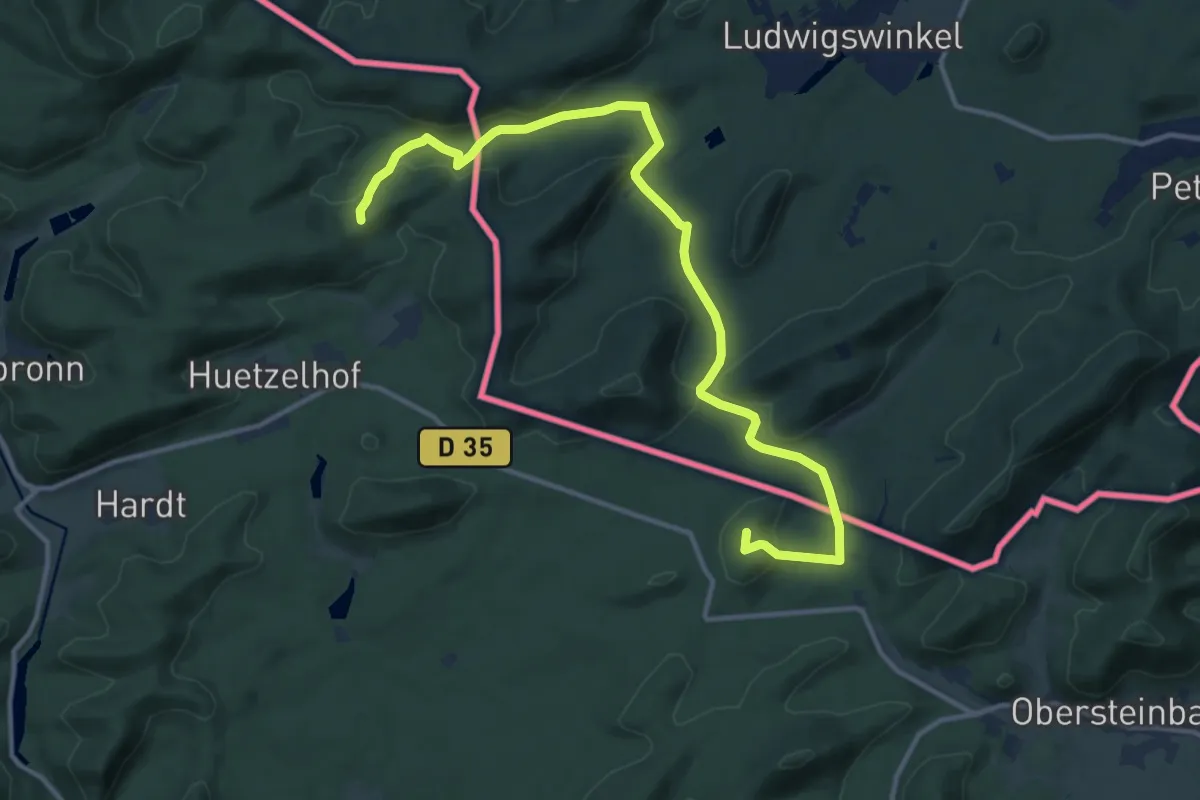
Medium · Summit
Sentier paysager passe-frontière n°4
13.8 km · ↑ 331 m · 3 h 59 min
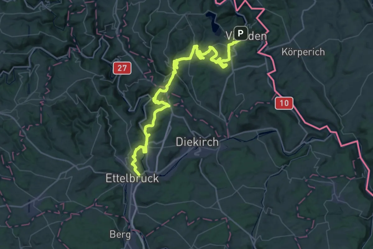
Demanding · Trail
Sentier Victor Hugo
26.3 km · ↑ 729 m · 8 h 11 min
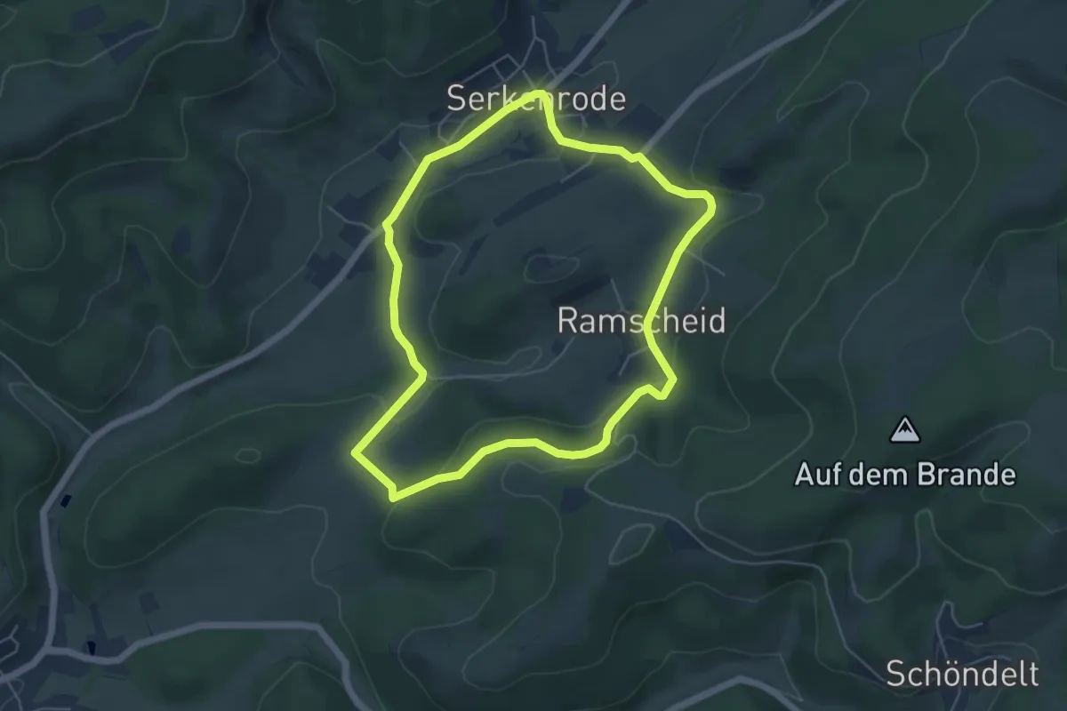
Easy · Trail
Serkenrode Rundwanderweg S6
4.6 km · ↑ 123 m · 1 h 26 min
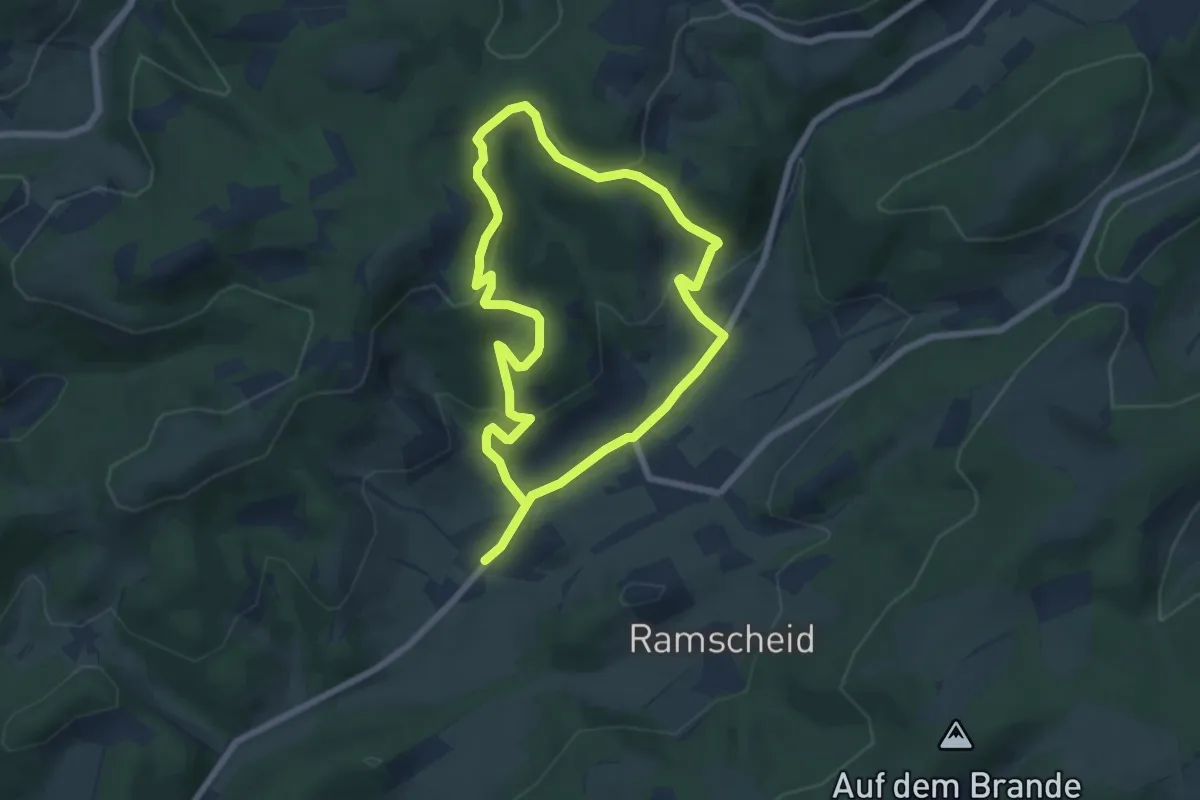
Easy · Trail
Serkenrode Rundweg S3
5.5 km · ↑ 199 m · 1 h 49 min
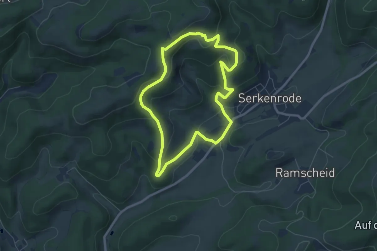
Easy · Trail
Serkenrode Rundweg S4
5.1 km · ↑ 204 m · 1 h 43 min
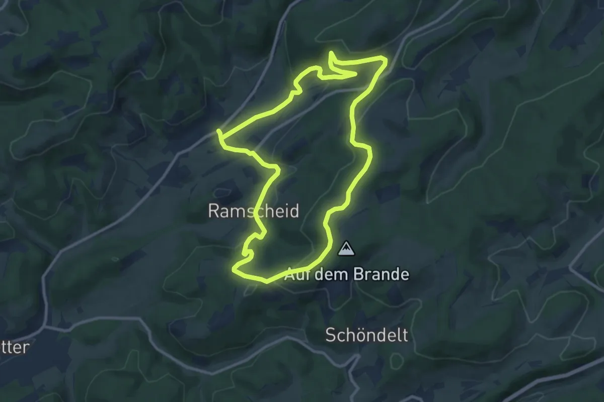
Medium · Trail
Serkenrode Rundweg S7
8.5 km · ↑ 270 m · 2 h 43 min
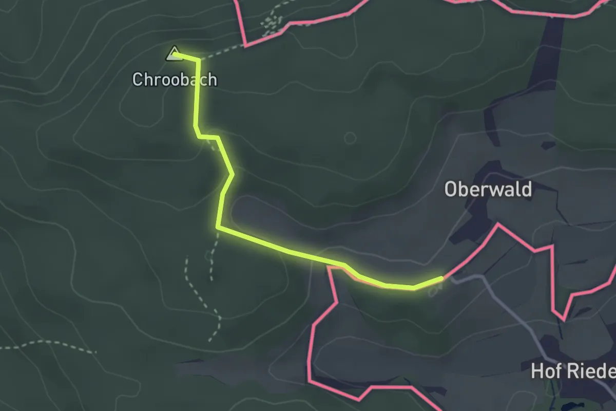
Easy · Summit
Serpentinenweg - Waldheim
2.6 km · ↑ 95 m · 49 min
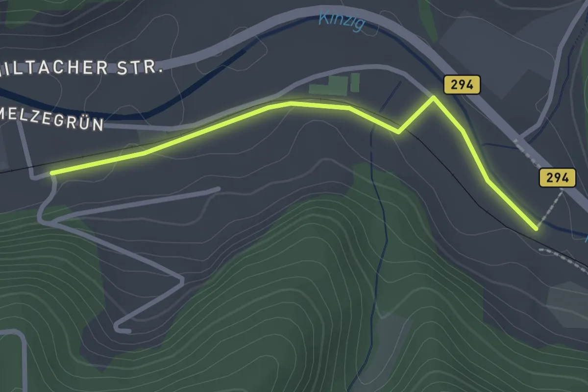
Easy · Trail
Serrersteg - Schmelzegrün
2.2 km · ↑ 8 m · 32 min
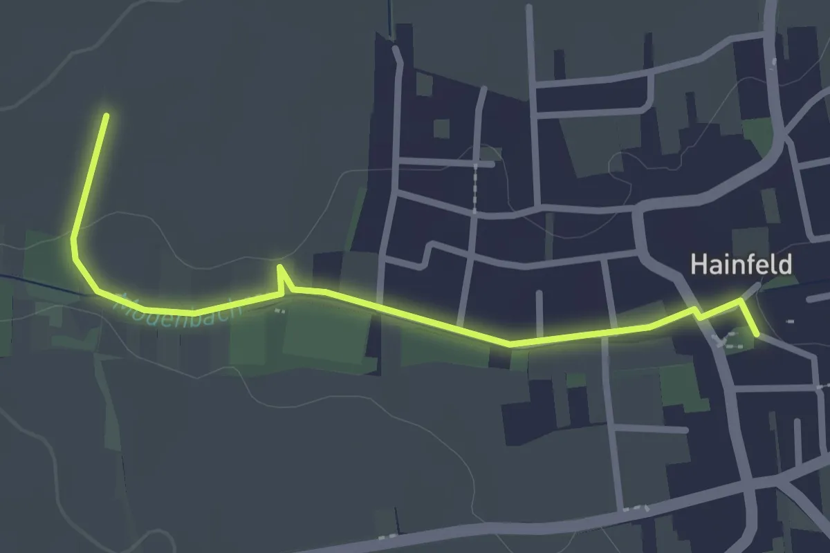
Easy · Trail
Seselweg Hainfeld
1.2 km · ↑ 0 m · 19 min