Trails in Germany
36,852 hiking trails, each with its route, climb, walking time and grade.
All trails, page 590 of 768
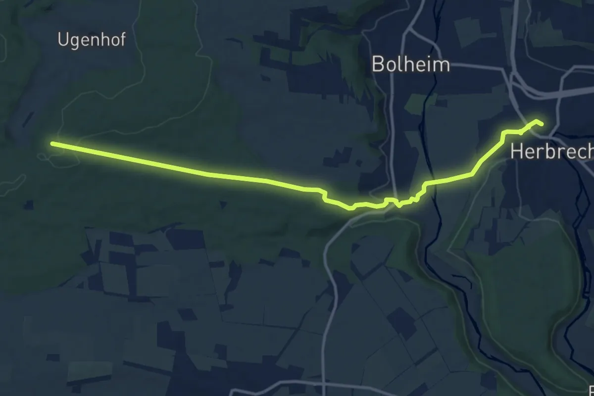
Medium · Trail
Sesselhau - Herbrechtingen
12.1 km · ↑ 139 m · 3 h 9 min
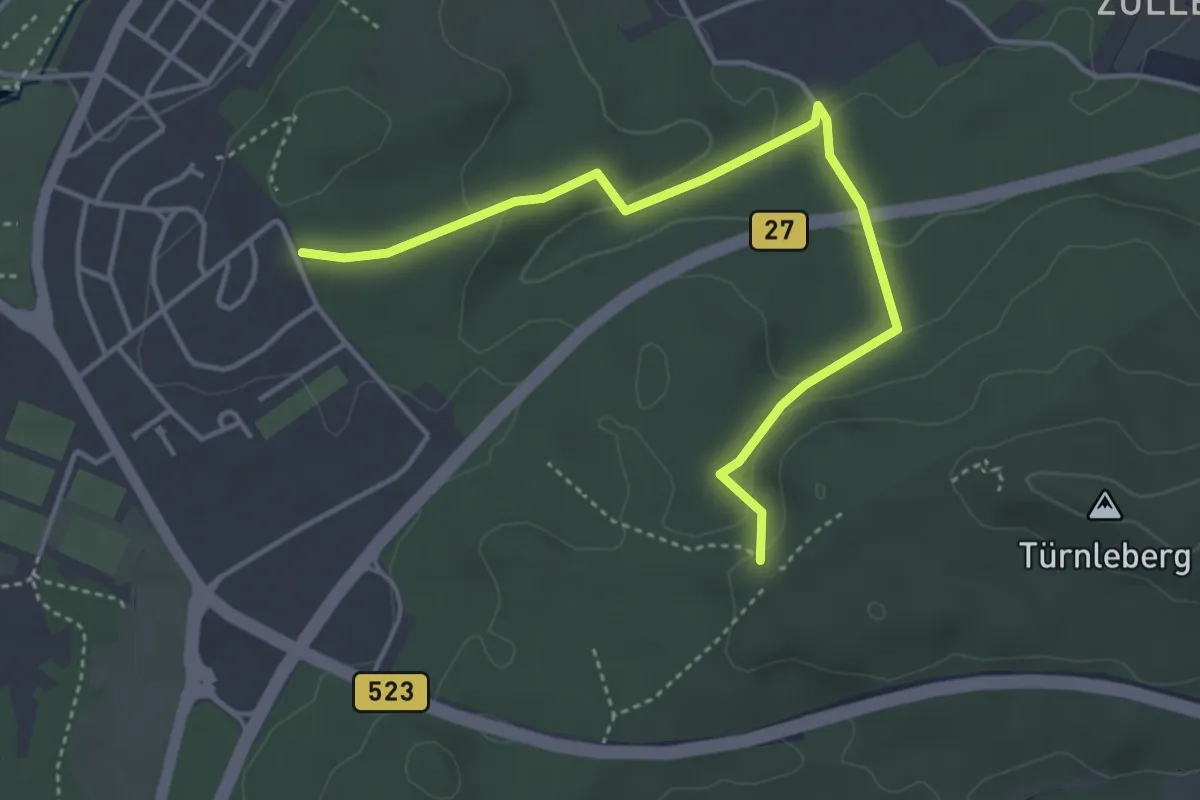
Easy · Trail
Setzebrünnele - Frühlingshalde
4.3 km · ↑ 126 m · 1 h 17 min
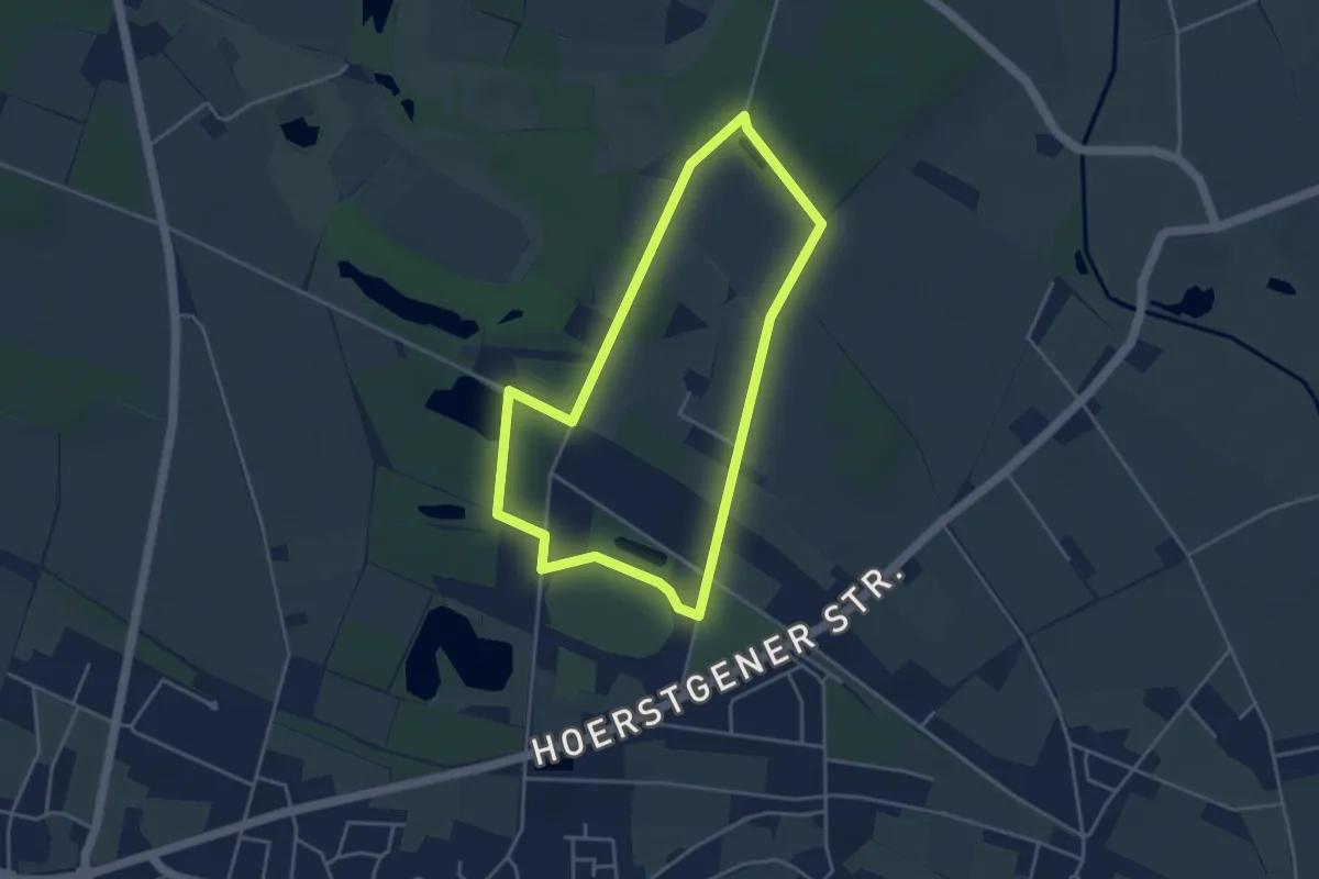
Easy · Trail
Sevelen Rundweg A1
3.5 km · ↑ 14 m · 54 min
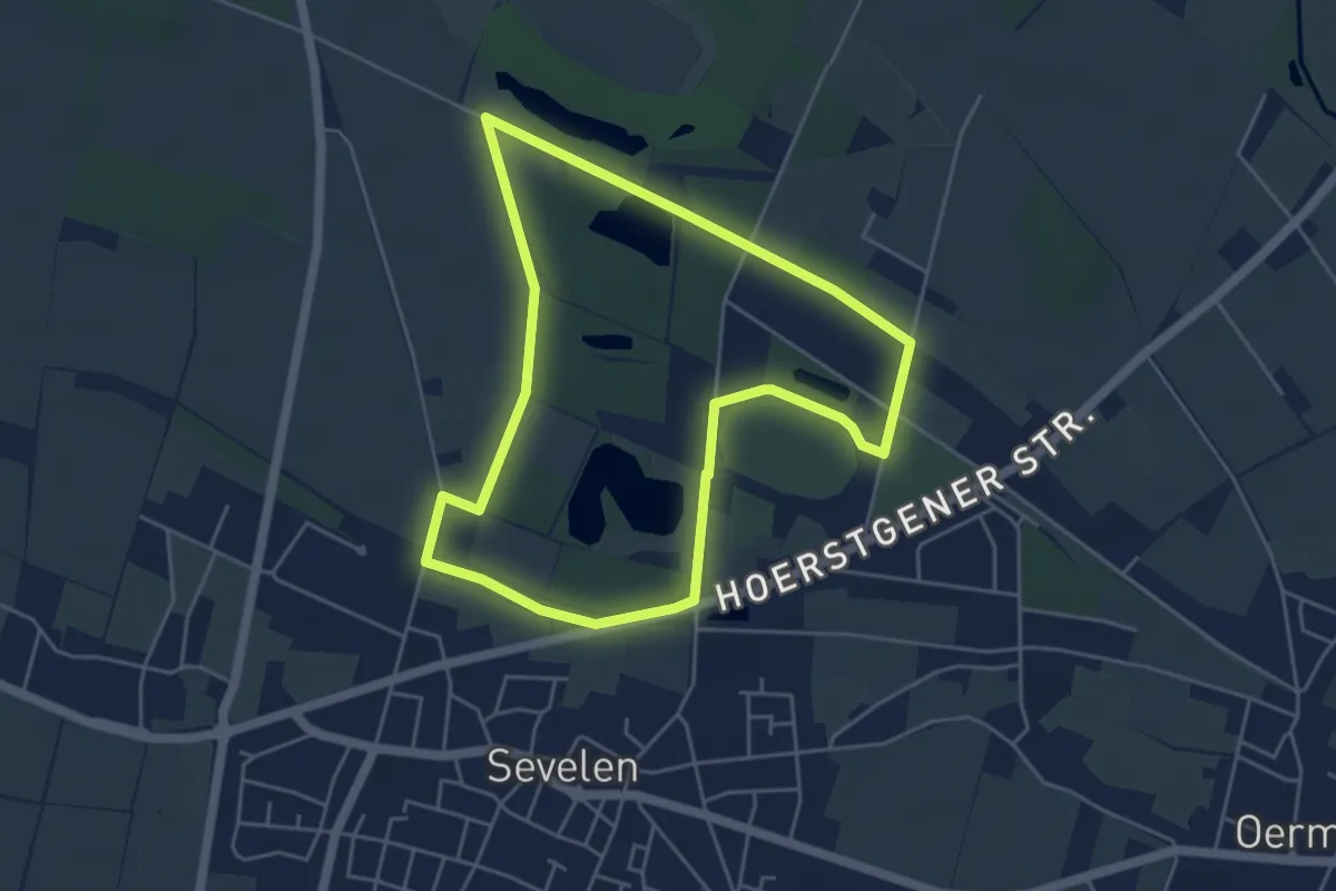
Easy · Trail
Sevelen Rundweg A2
4.3 km · ↑ 0 m · 1 h 4 min
Easy · Trail
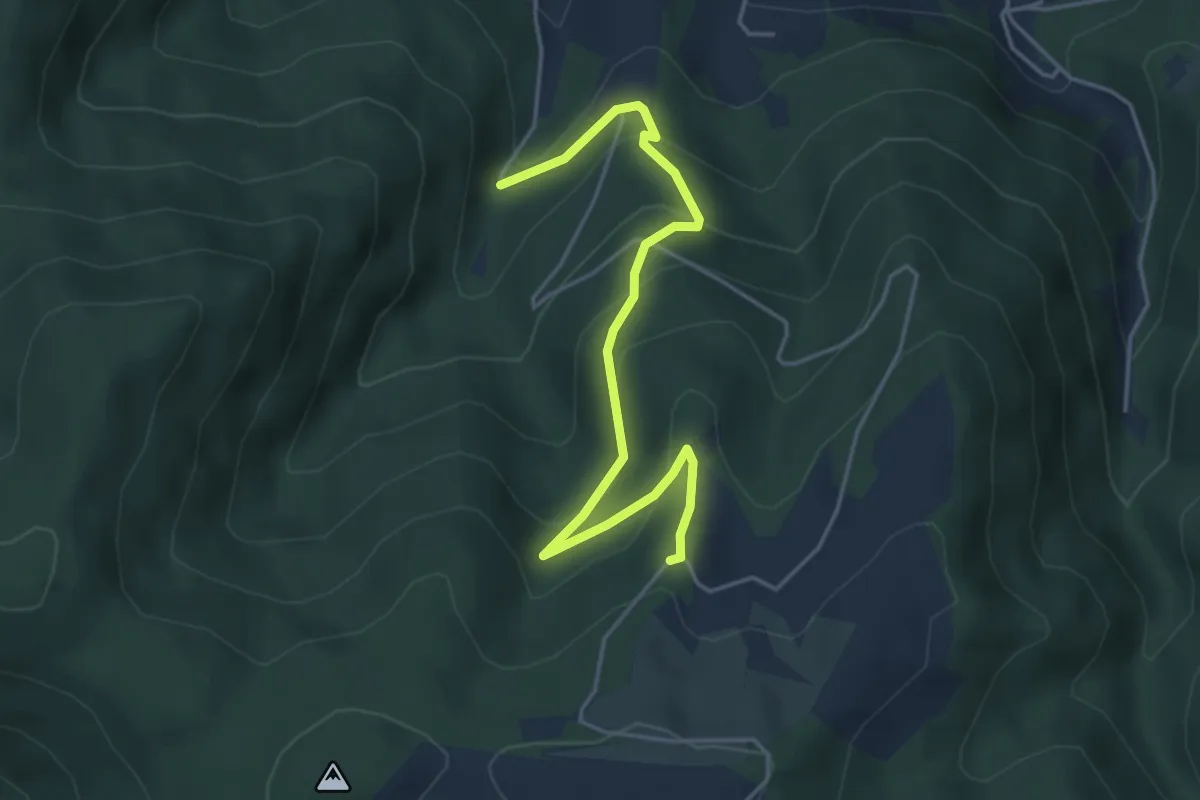
Severinshof - Übelwasen
4.5 km · ↑ 295 m · 1 h 42 min
Easy · Trail
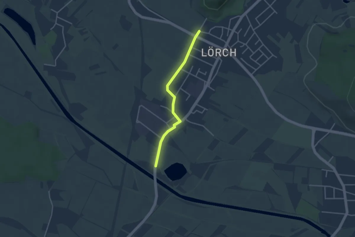
Sexau-Lörch - Elzbrücke Sexau Nord
2.8 km · ↑ 0 m · 39 min
Easy · Summit
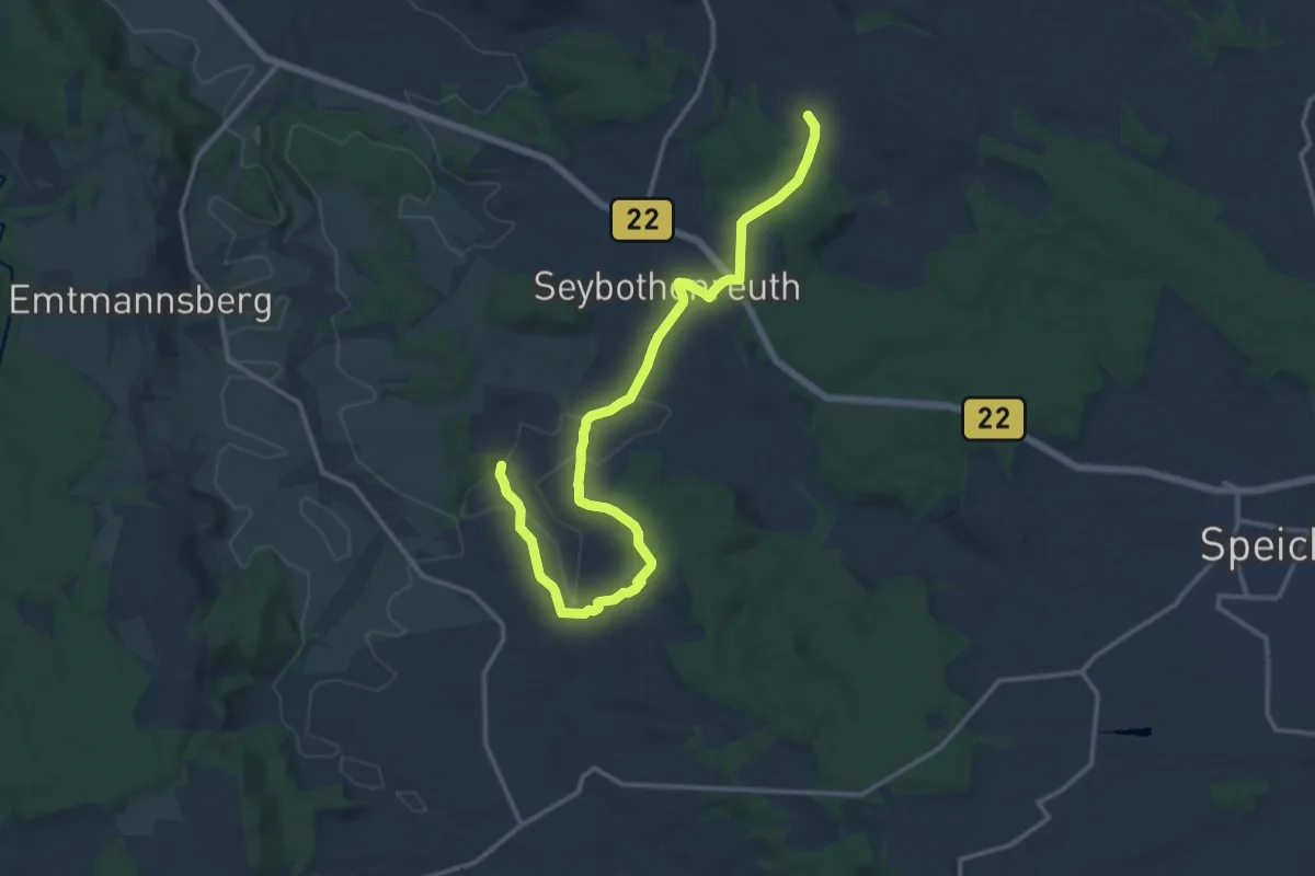
Seybothenreuth-Birker Jakobusweg
7.7 km · ↑ 213 m · 2 h 19 min
Easy · Trail
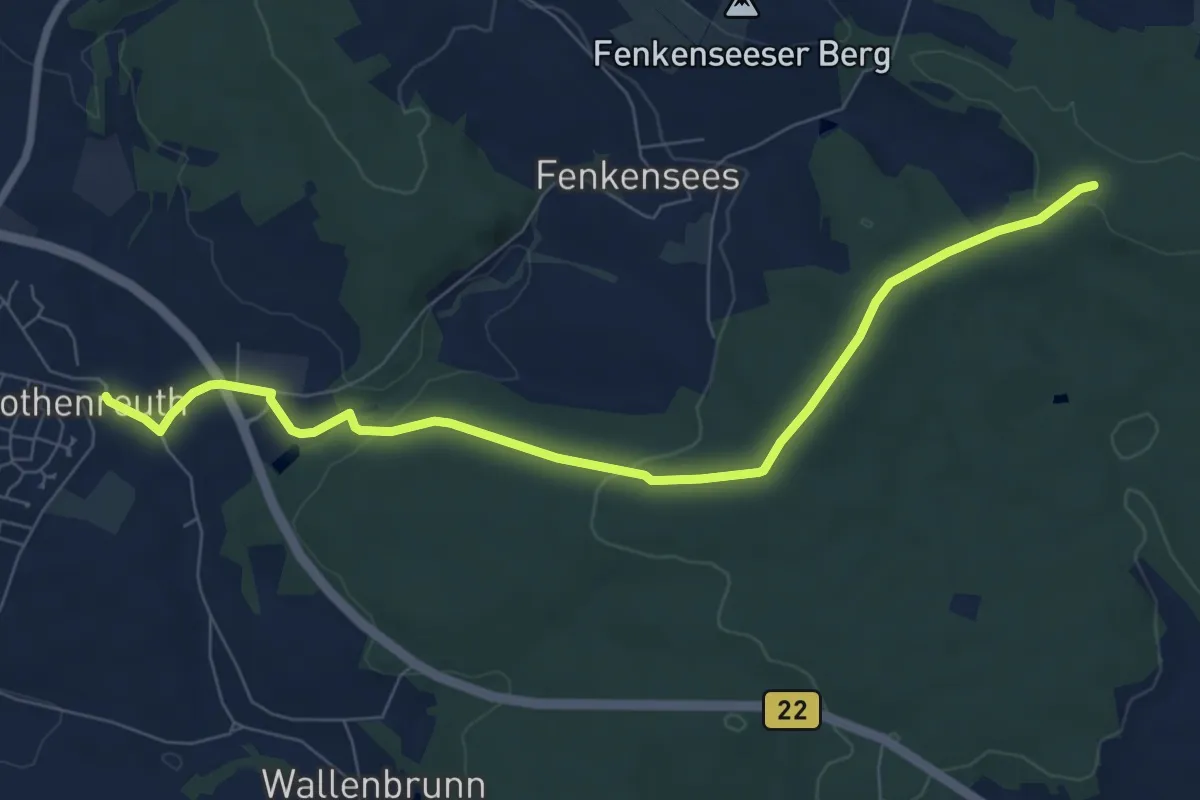
Seybothenreuth Steinkreuzweg
7.8 km · ↑ 154 m · 2 h 10 min
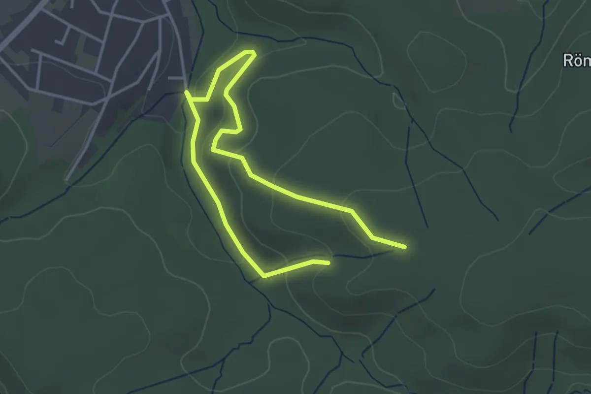
Easy · Trail
Sichtigvor A11
4.6 km · ↑ 160 m · 1 h 25 min
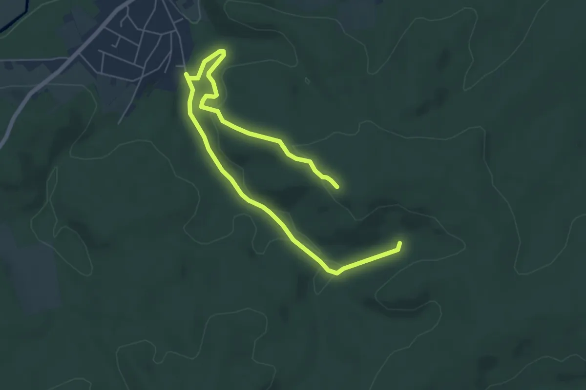
Easy · Trail
Sichtigvor A12
7.0 km · ↑ 178 m · 2 h 2 min
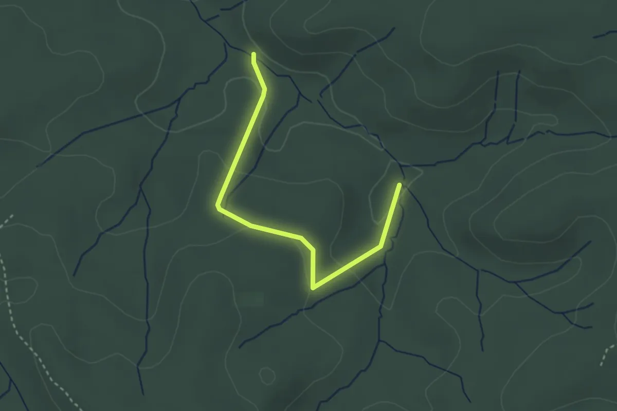
Easy · Trail
Sichtigvor A13
2.8 km · ↑ 75 m · 49 min
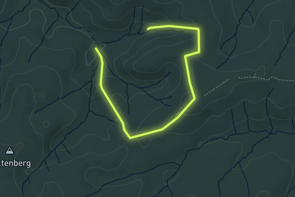
Easy · Trail
Sichtigvor A14
4.9 km · ↑ 131 m · 1 h 27 min
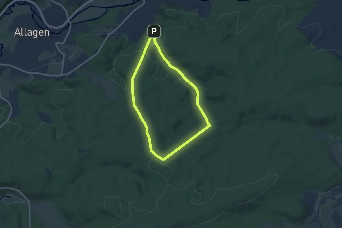
Easy · Summit
Sichtigvor A15
6.0 km · ↑ 138 m · 1 h 48 min
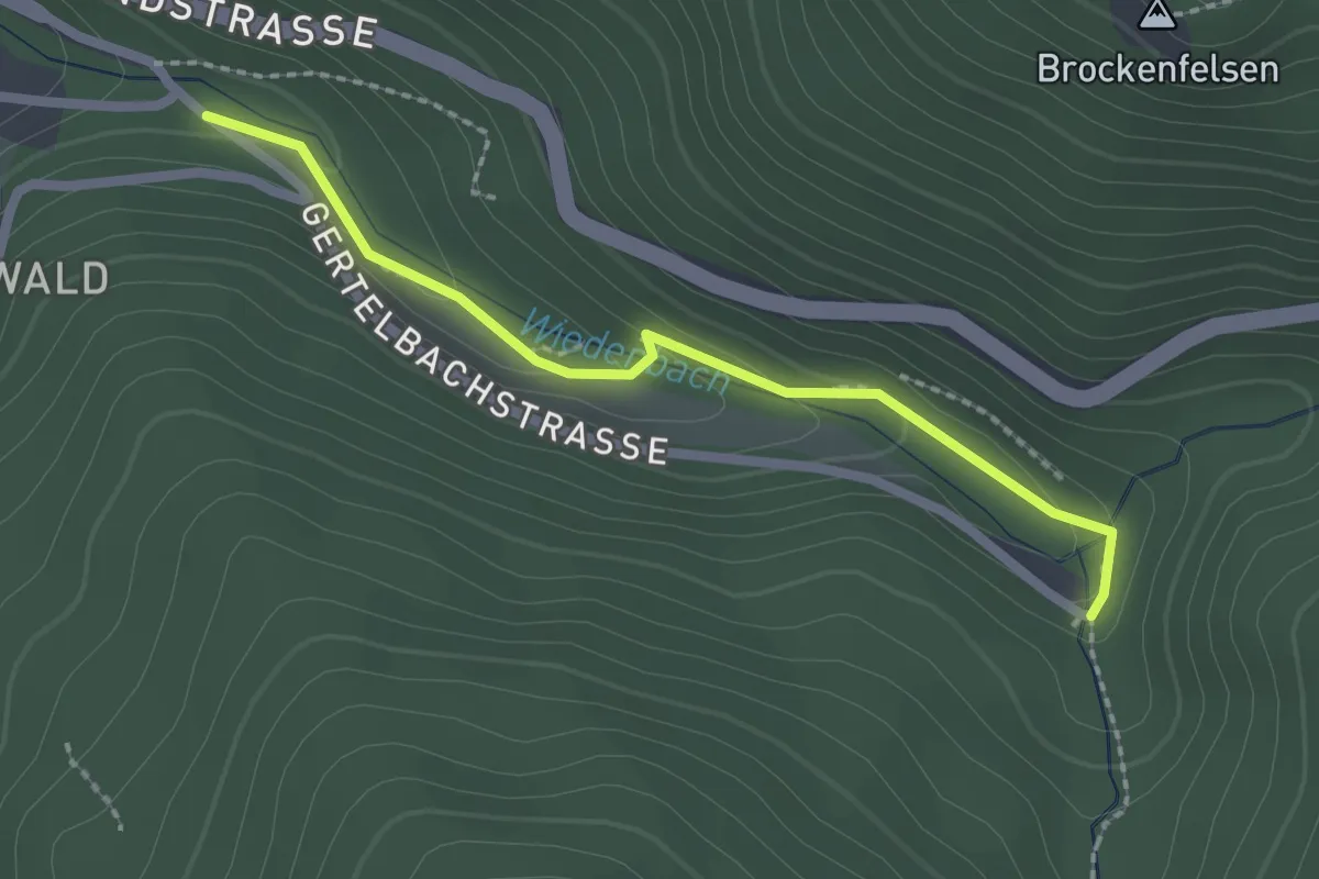
Easy · Trail
Sickenwald - Gertelbach-Wasserfälle
2.1 km · ↑ 84 m · 40 min
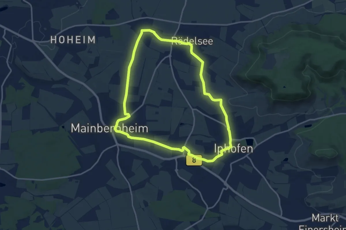
Medium · Trail
Sickergrundweg
10.7 km · ↑ 99 m · 2 h 53 min
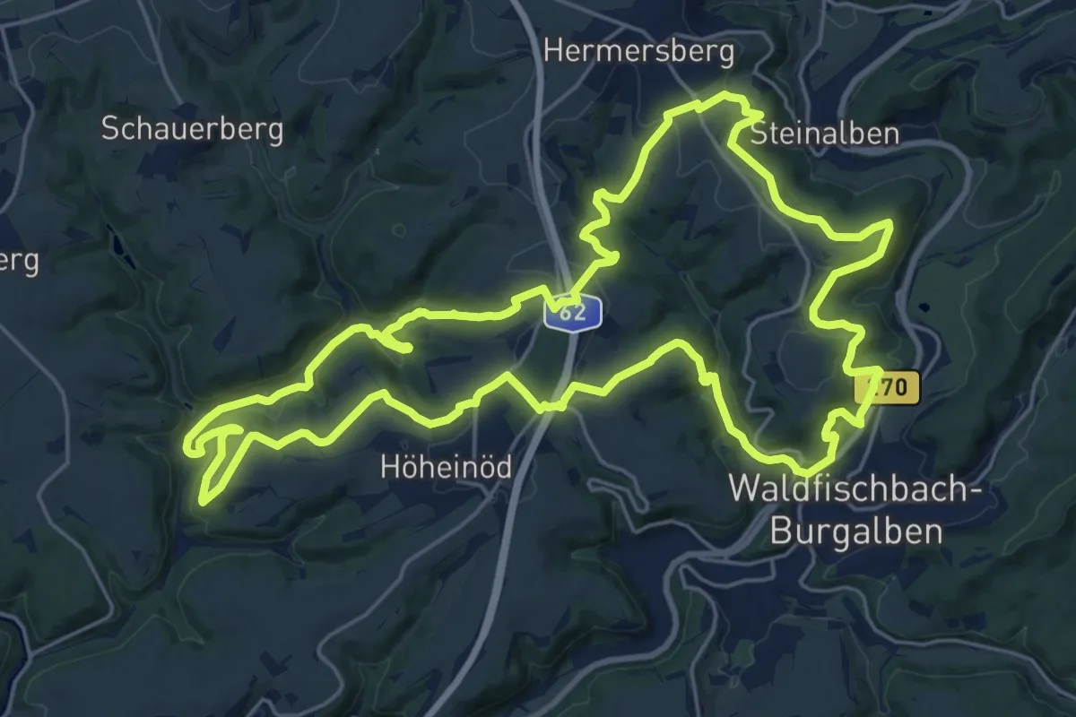
Demanding · Summit
Sickinger Höhenweg
23.1 km · ↑ 758 m · 7 h 25 min
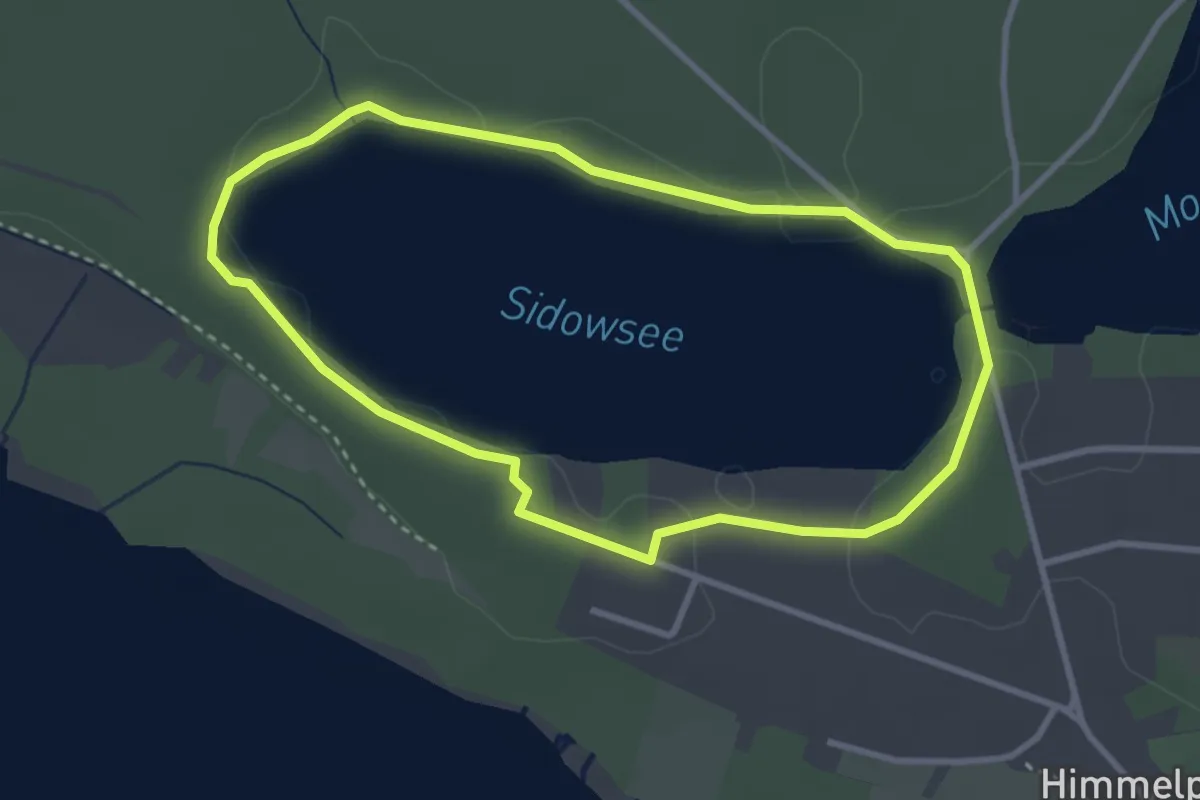
Easy · Trail
Sidowseerundweg
2.7 km · ↑ 4 m · 41 min
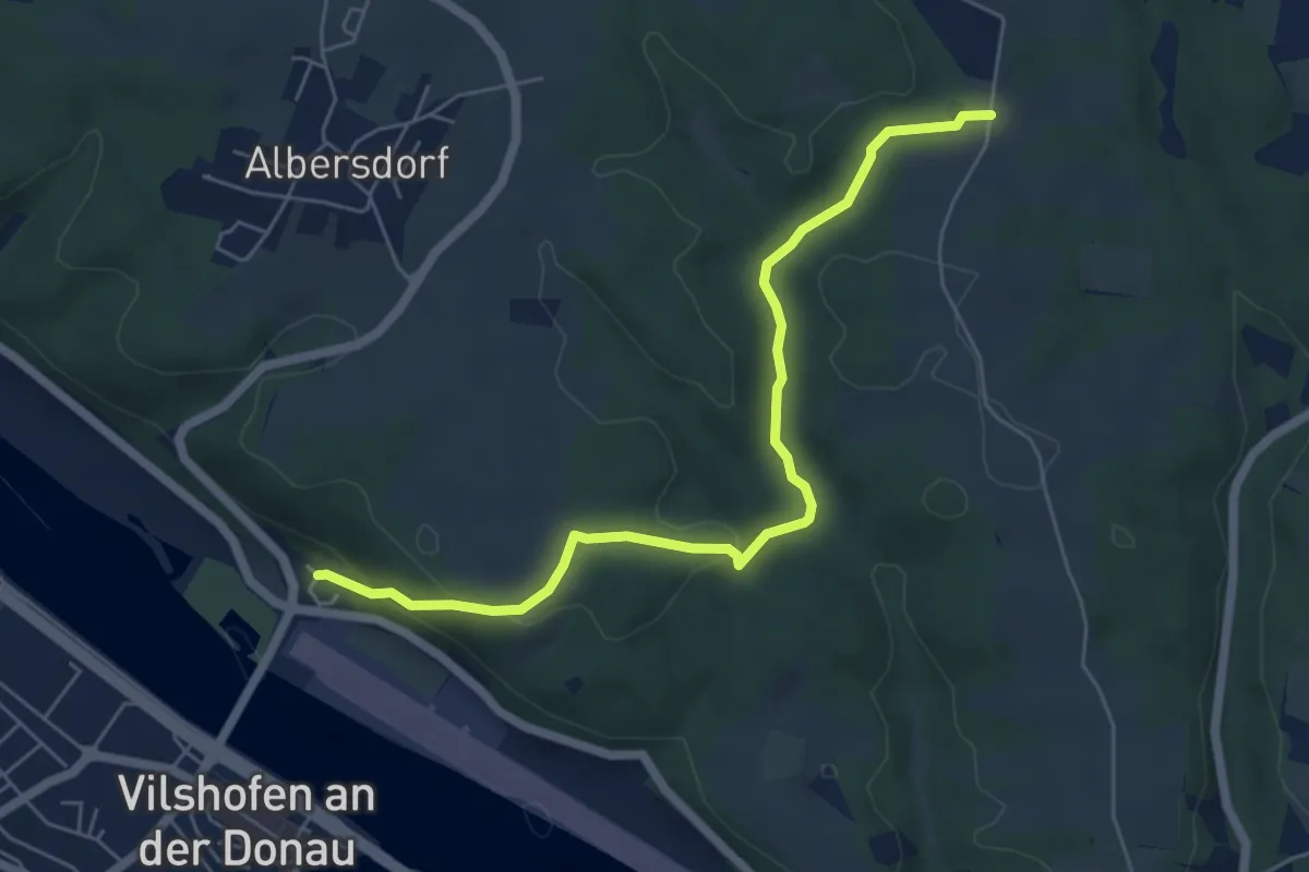
Easy · Trail
Siebenbrückerlweg
5.8 km · ↑ 173 m · 1 h 45 min
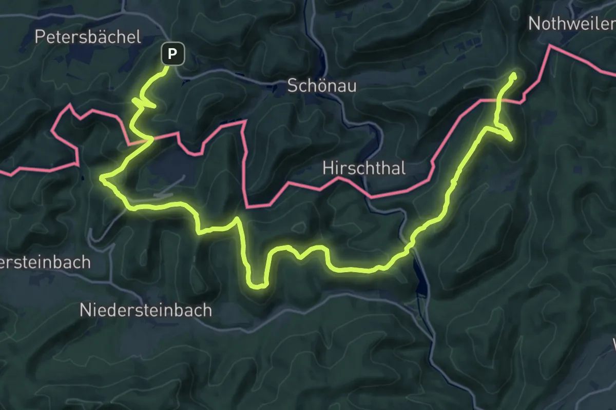
Demanding · Summit
Sieben-Burgen-Tour
28.4 km · ↑ 1423 m · 9 h 47 min
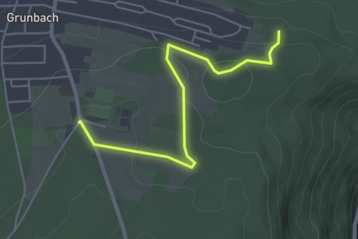
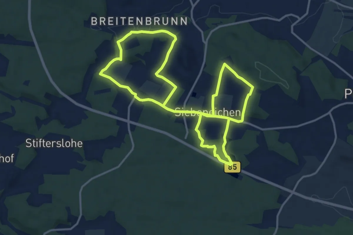
Easy · Trail
Siebeneichen - Allmand
3.9 km · ↑ 82 m · 1 h 6 min
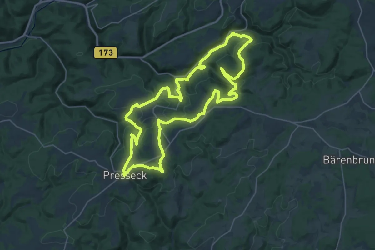
Medium · Trail
Siebeneichener Rundwanderweg
8.9 km · ↑ 123 m · 2 h 29 min
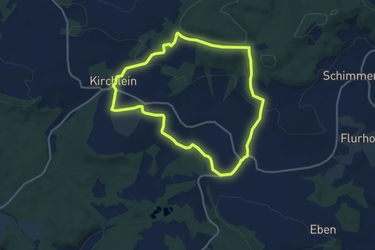
Demanding · Summit
Siebenfreund-Weg
20.2 km · ↑ 615 m · 6 h 23 min
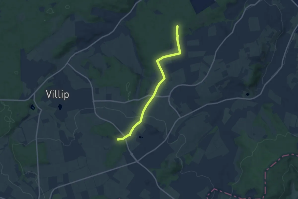
Easy · Trail
Sieben-Fuhren-Weg
7.6 km · ↑ 185 m · 2 h 18 min
Medium · Trail
Siebengebirgsweg
8.0 km · ↑ 75 m · 2 h 4 min
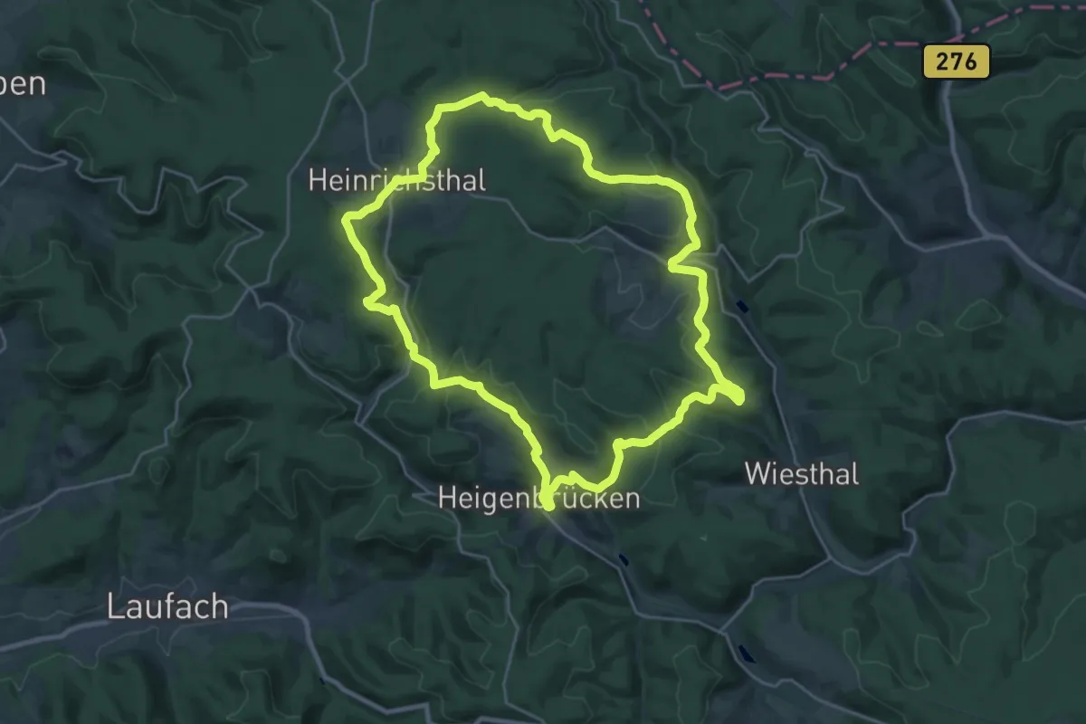
Demanding · Trail
Siebengrottenweg
22.8 km · ↑ 558 m · 6 h 54 min
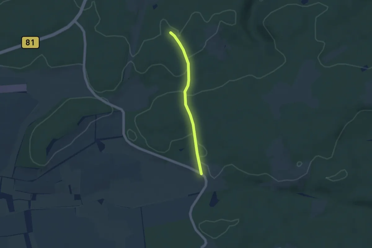
Medium · Trail
Siebengründeweg
3.0 km · ↑ 47 m · 48 min
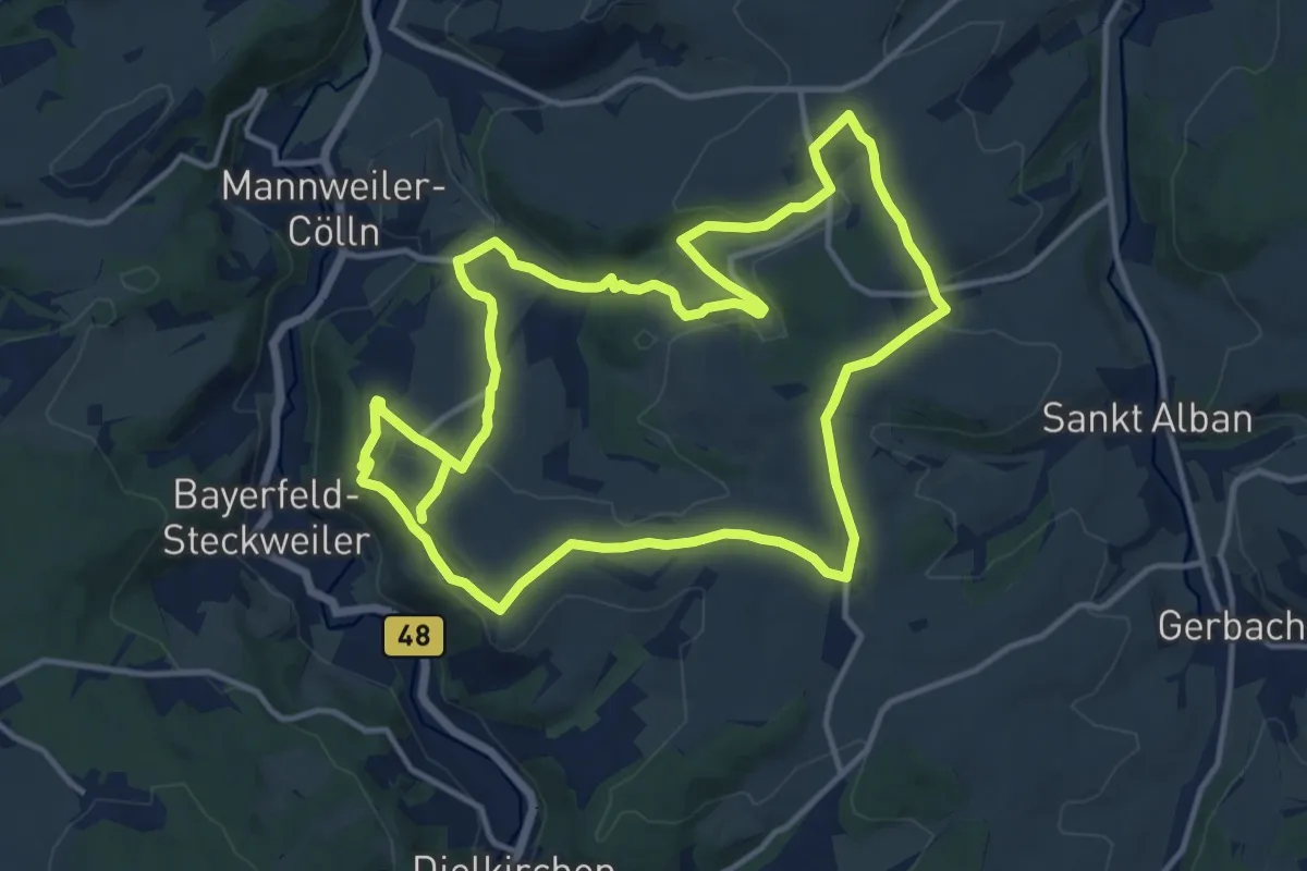
Demanding · Trail
Sieben-Höfe-Tour
25.6 km · ↑ 519 m · 7 h 11 min
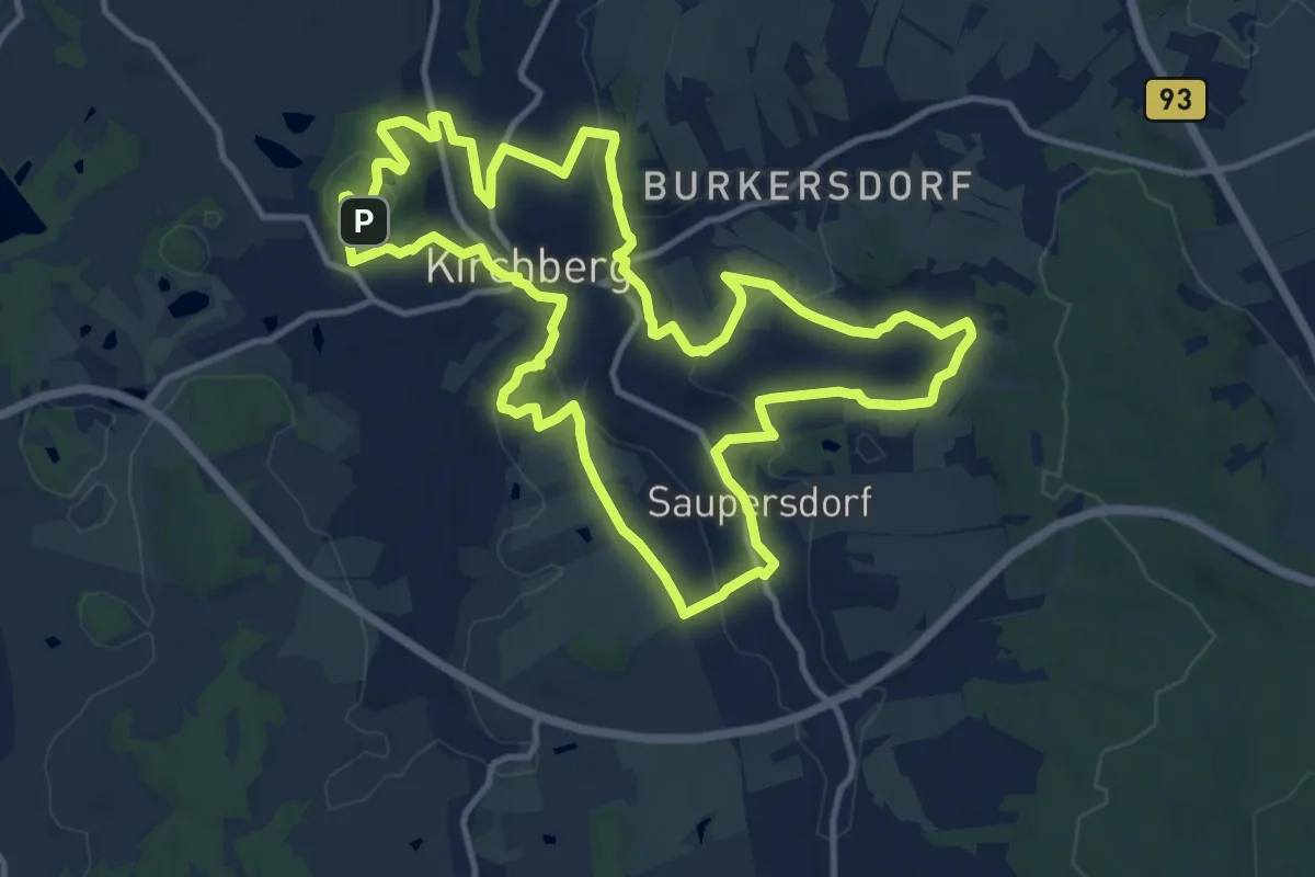
Medium · Summit
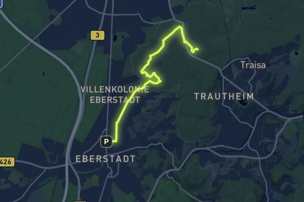
Sieben Hügel Rundweg
12.5 km · ↑ 324 m · 3 h 50 min
Medium · Summit
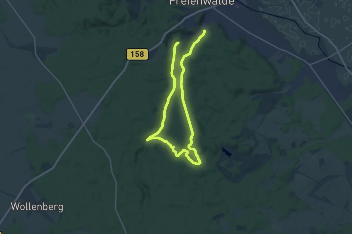
Sieben-Hügel-Steig
12.9 km · ↑ 233 m · 3 h 33 min
Medium · Trail
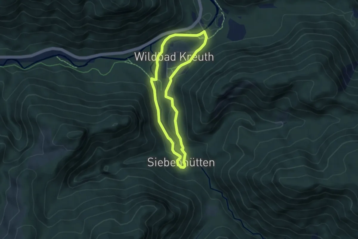
Siebenhügelweg
10.1 km · ↑ 170 m · 2 h 52 min
Easy · Trail
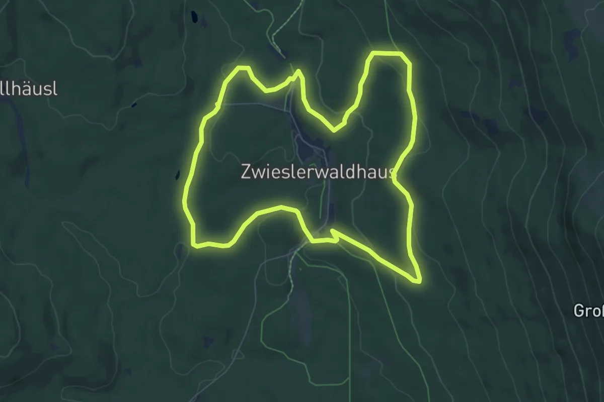
Siebenhütten
4.2 km · ↑ 83 m · 1 h 14 min
Easy · Trail
Siebenschläfer
7.3 km · ↑ 188 m · 2 h 13 min
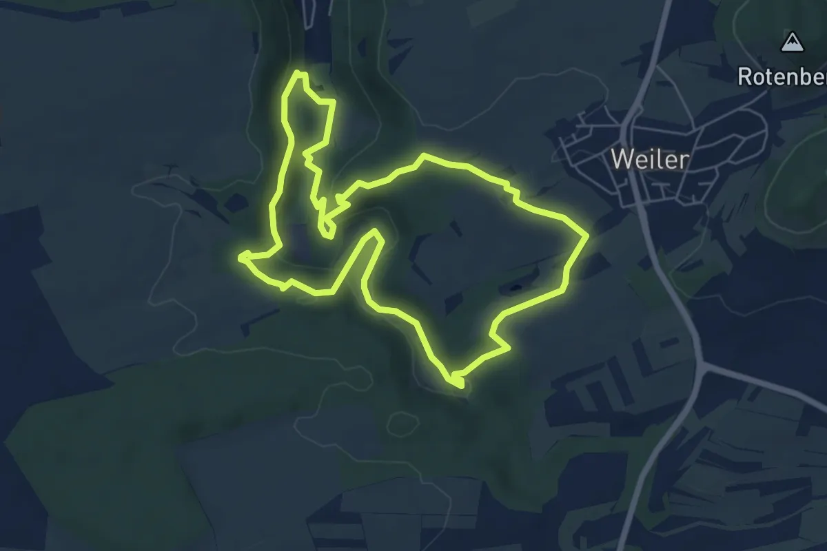
Medium · Summit
Sieben-Täler-Runde
5.9 km · ↑ 181 m · 1 h 52 min
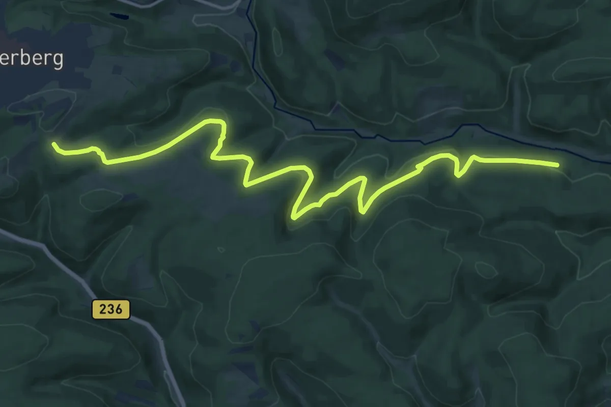
Medium · Trail
Siebentälerweg
15.9 km · ↑ 438 m · 4 h 43 min
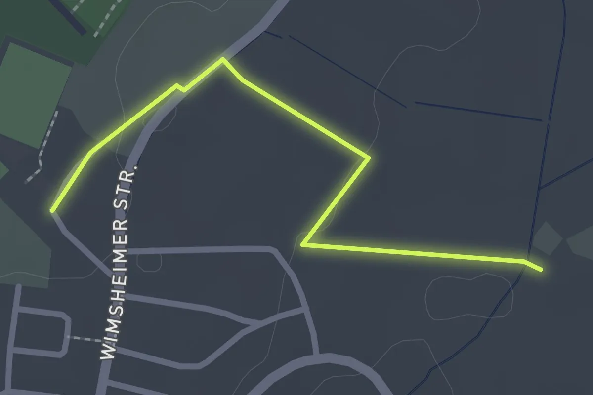
Easy · Trail
Siedlerhöfe - Tiefenbronn Tennisplatz
2.1 km · ↑ 22 m · 33 min
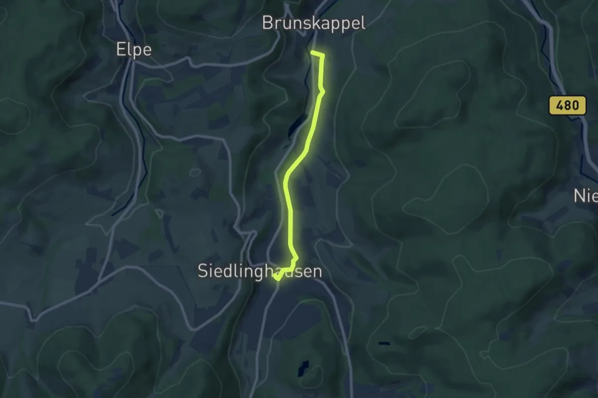
Easy · Trail
Siedlinghausen Rundweg Sh4 Stauseeweg
3.1 km · ↑ 82 m · 56 min
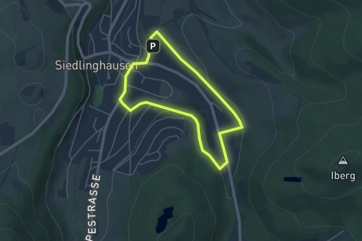
Easy · Trail
Siedlinghausen Rundweg Sh5 St.Blasius-Weg
3.2 km · ↑ 52 m · 54 min
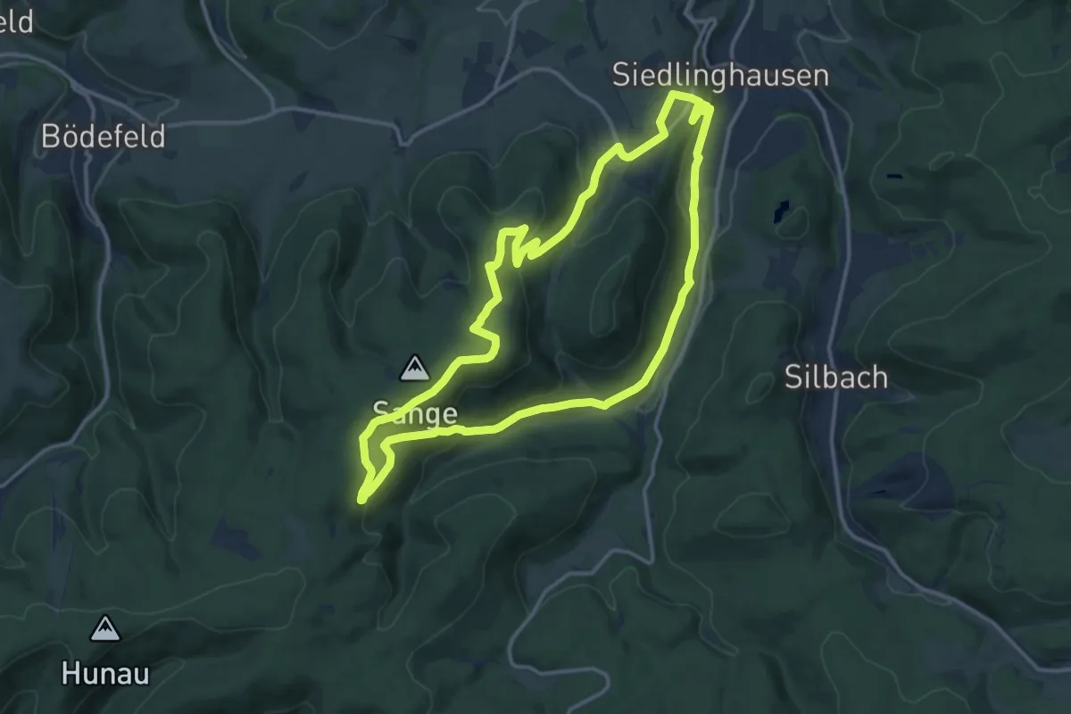
Medium · Summit
Siedlinghausen SH2
12.3 km · ↑ 392 m · 3 h 55 min
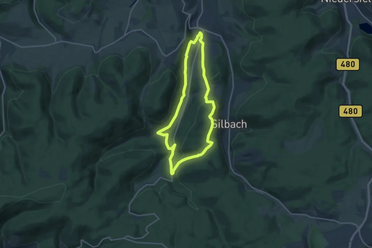
Medium · Trail
Siedlinghausen SH3
9.8 km · ↑ 279 m · 3 h 4 min
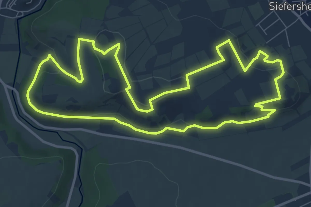
Easy · Summit
Siefersheimer Bänkelchestour
7.4 km · ↑ 207 m · 2 h 17 min
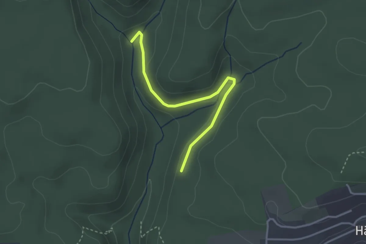
Easy · Trail
Siegenbachmündung - Lochhalde
2.9 km · ↑ 54 m · 48 min
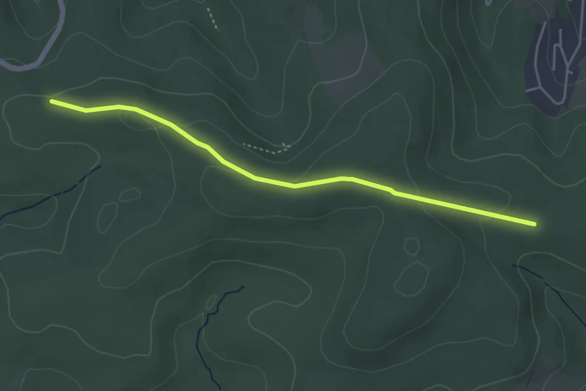
Easy · Trail
Siegen - Würgendorf Raute 2
3.7 km · ↑ 81 m · 1 h 3 min
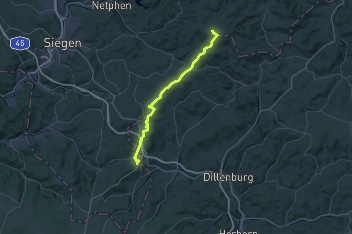
Demanding · Summit
Siegerland-Höhenring Raute1
21.4 km · ↑ 532 m · 6 h 25 min
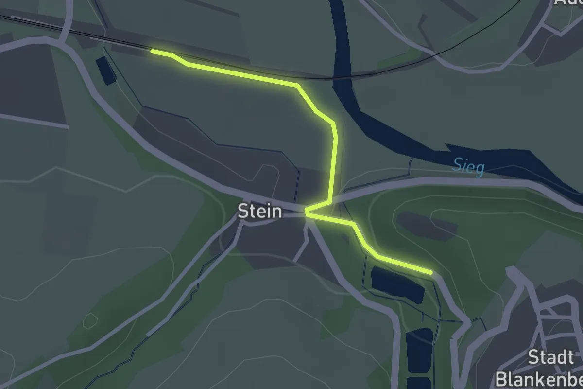
Easy · Trail
Sieghöhenweg Zugang Bahnhof Blankenberg
2.0 km · ↑ 36 m · 34 min
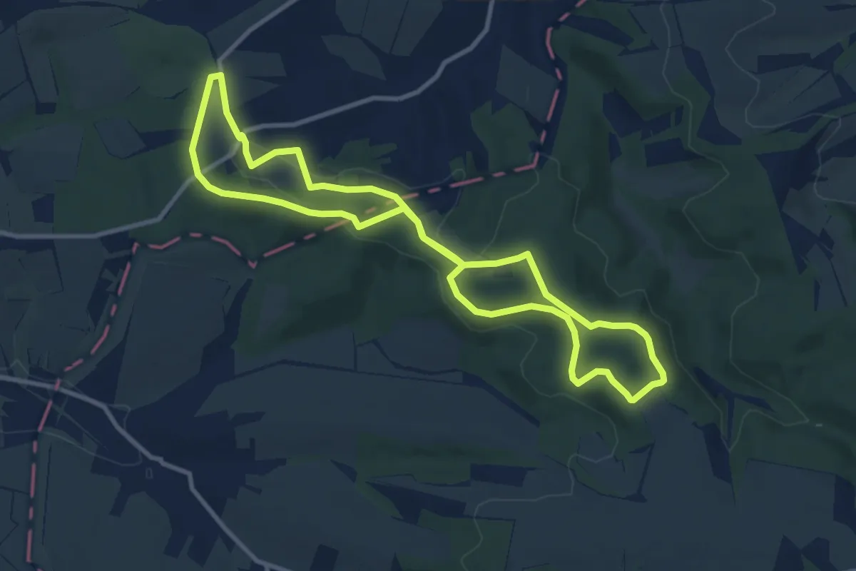
Medium · Trail
Sielmann-Höhenweg
8.6 km · ↑ 124 m · 2 h 24 min
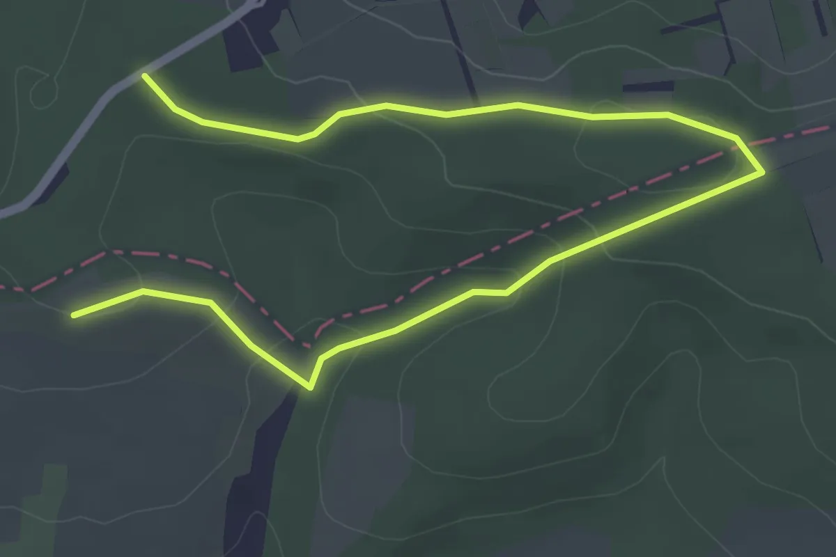
Easy · Trail
Sielmann-Weg
5.7 km · ↑ 155 m · 1 h 41 min
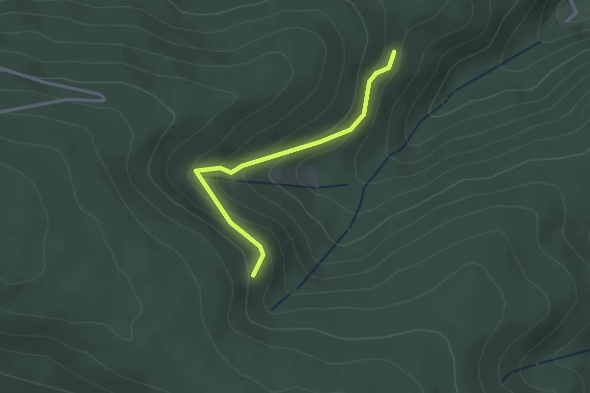
Easy · Trail
Sienweg - Zum Hierabrunnen
2.4 km · ↑ 160 m · 55 min
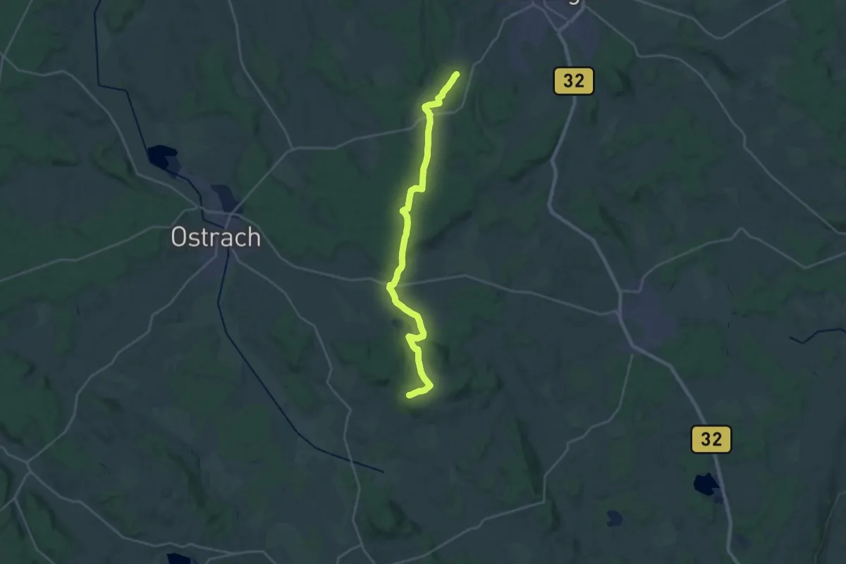
Demanding · Trail
Sießen - Guggenhausen
23.4 km · ↑ 362 m · 6 h 19 min