Trails in Germany
36,824 hiking trails, each with its route, climb, walking time and grade.
All trails, page 59 of 768
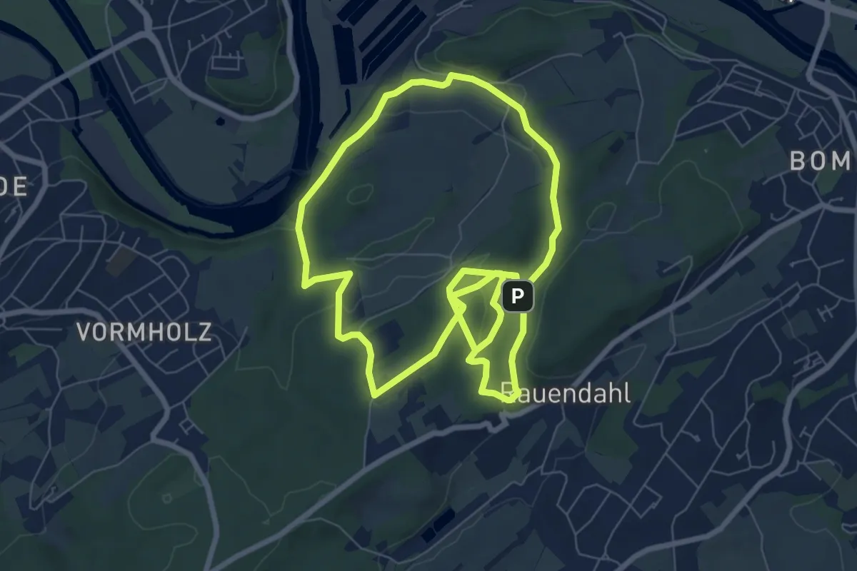
Medium · Trail
Bergbauwanderweg Muttental
13.4 km · ↑ 310 m · 3 h 50 min
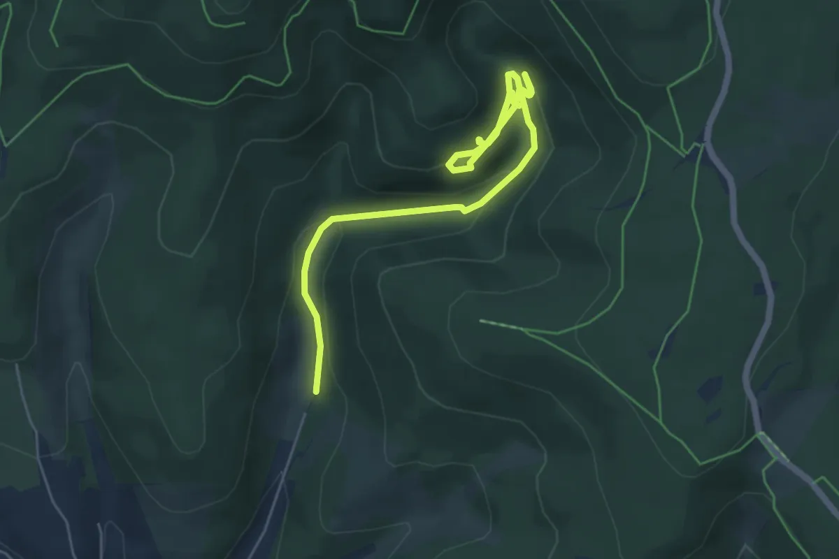
Medium · Trail
Bergbauwanderweg Pochwerksgrund
5.8 km · ↑ 230 m · 1 h 52 min
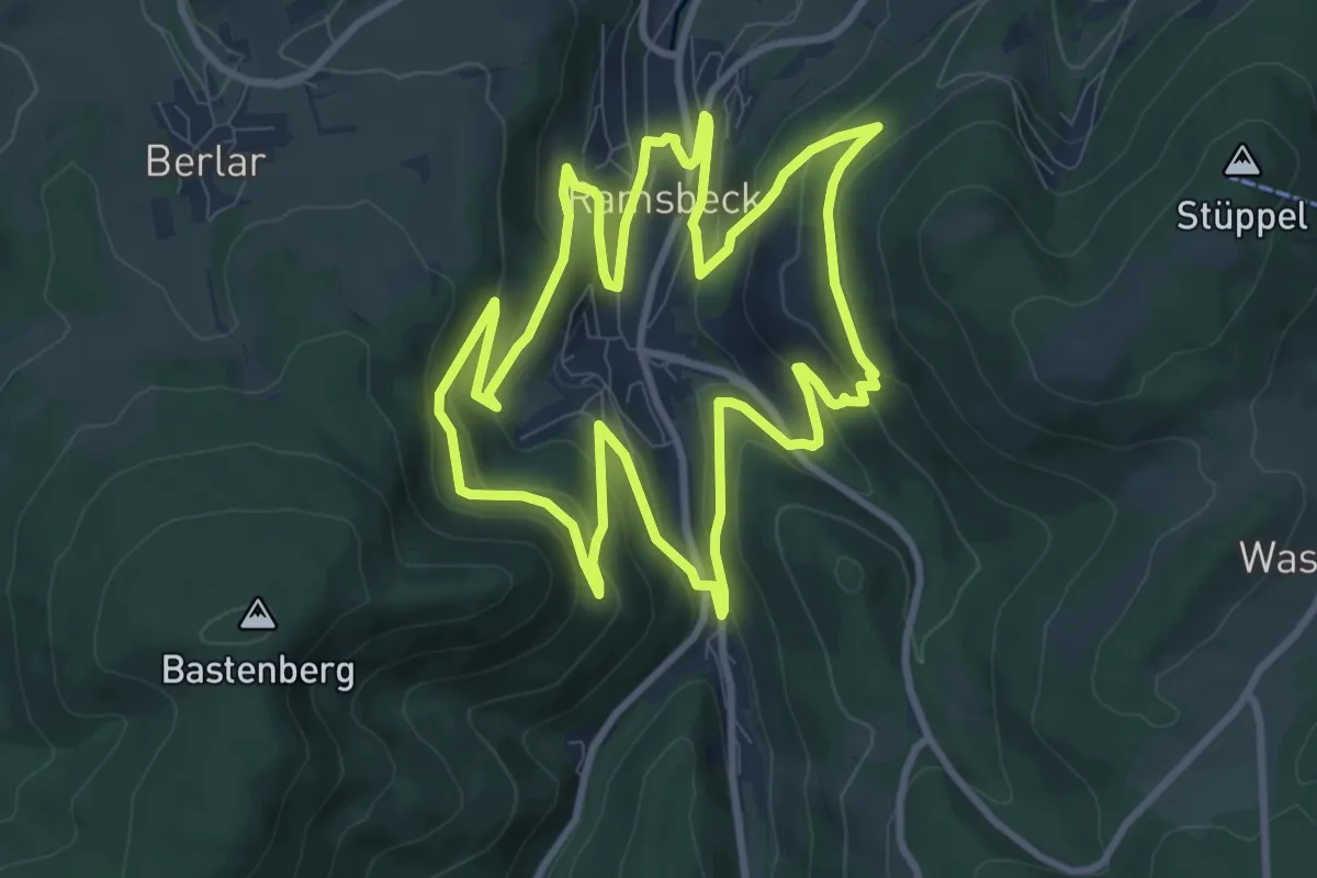
Medium · Trail
Bergbauwanderweg Ramsbeck
9.3 km · ↑ 356 m · 3 h 6 min
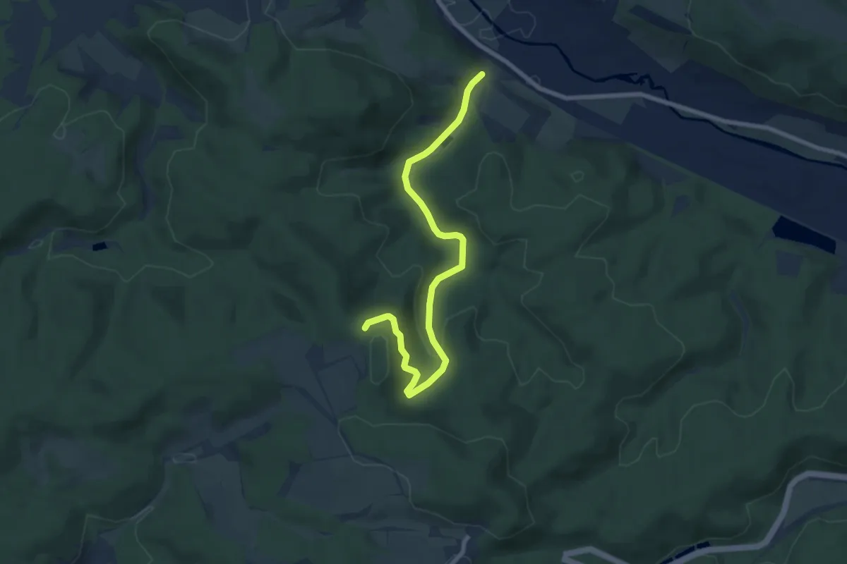
Easy · Trail
Bergbauwanderweg Stregda Rangenbach
7.2 km · ↑ 217 m · 2 h 10 min
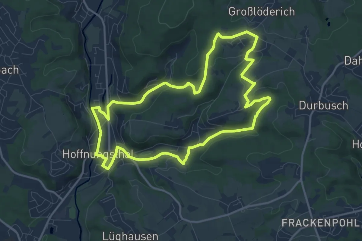
Medium · Trail
Bergbauweg [15]
8.9 km · ↑ 159 m · 2 h 33 min
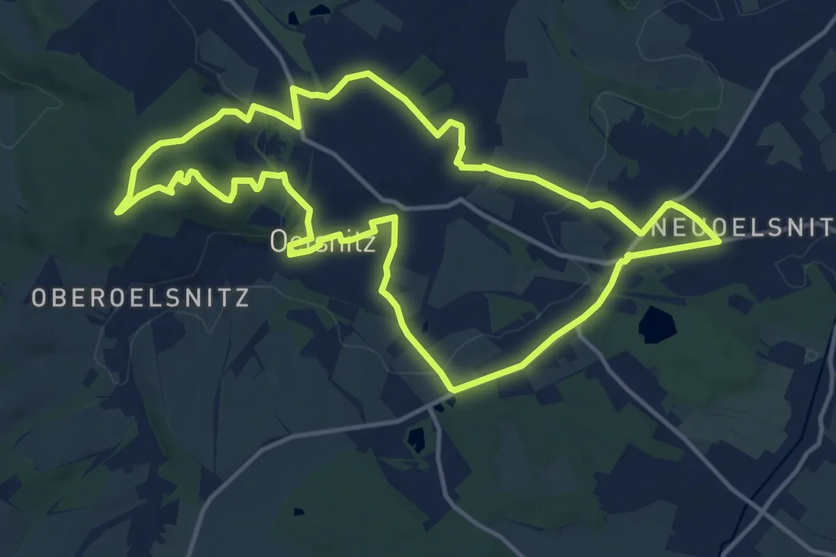
Medium · Summit
Bergbauweg Oelsnitz
11.5 km · ↑ 194 m · 3 h 18 min
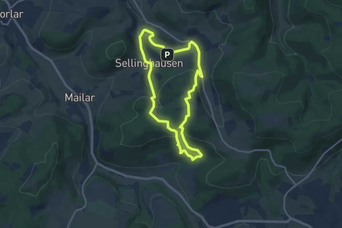
Easy · Trail
Bergbauweg Sellinghausen
6.5 km · ↑ 264 m · 2 h 12 min
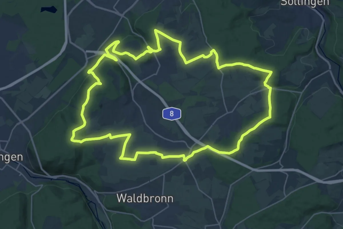
Demanding · Trail
Bergdörfer Grenzweg
23.9 km · ↑ 446 m · 6 h 57 min
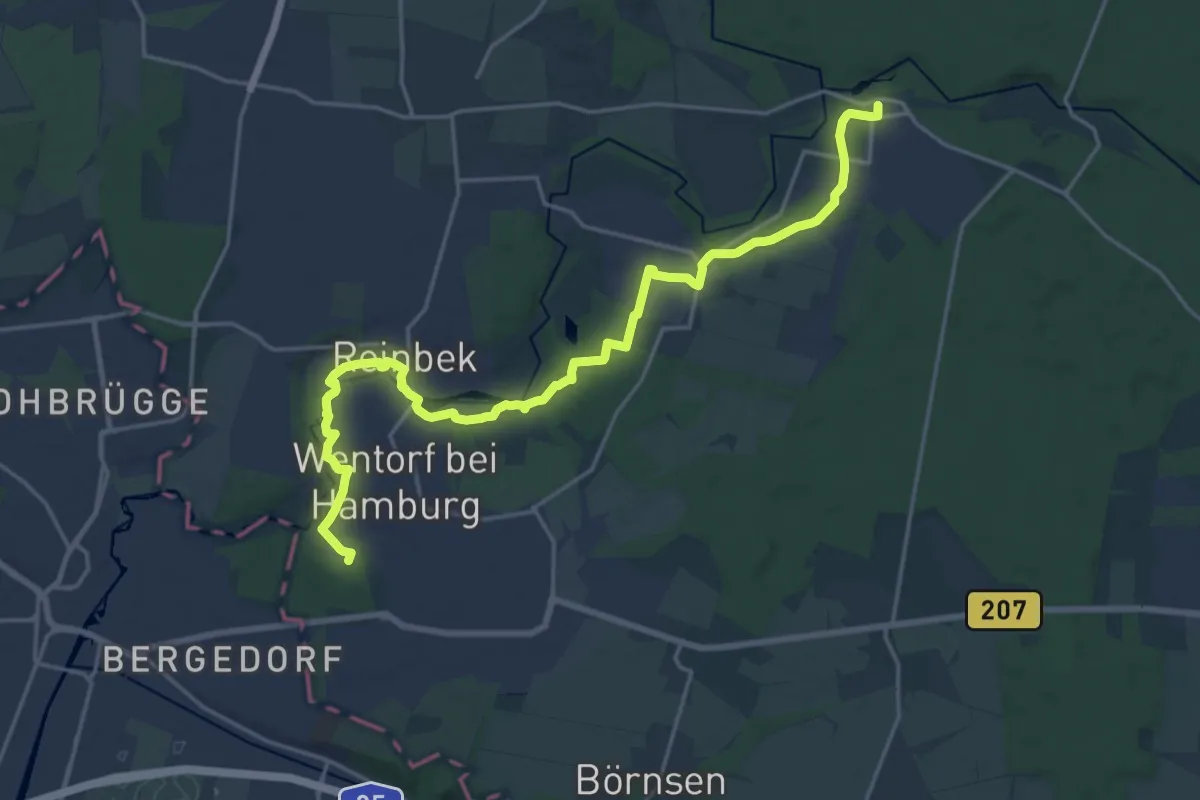
Demanding · Summit
Bergedorf-Aumühle (Bgf-Au) Nr. 31
19.3 km · ↑ 171 m · 4 h 56 min
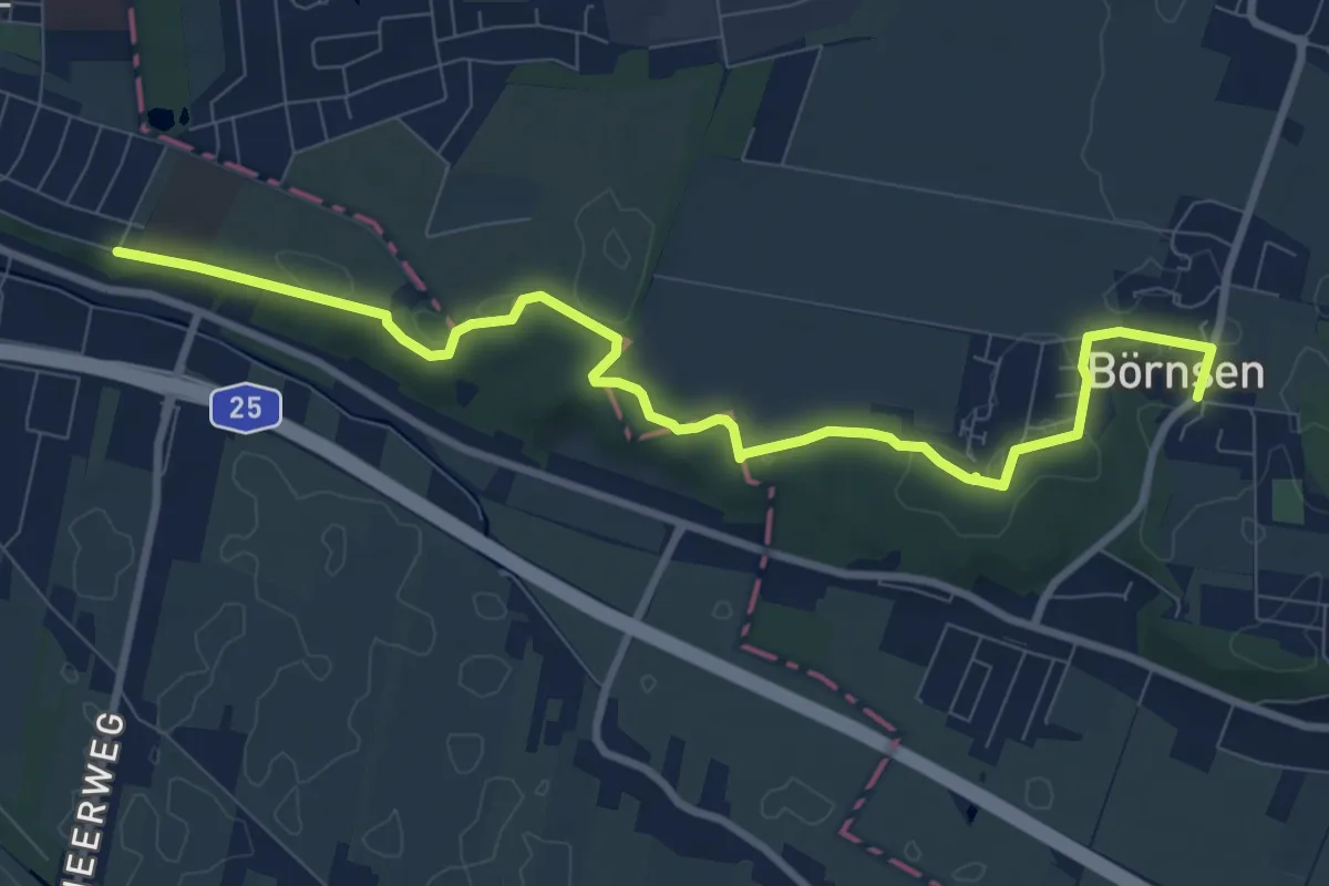
Medium · Trail
Bergedorf - Börnsen (BGF-BÖ) (Hohes Elbufer)
8.7 km · ↑ 30 m · 2 h 7 min
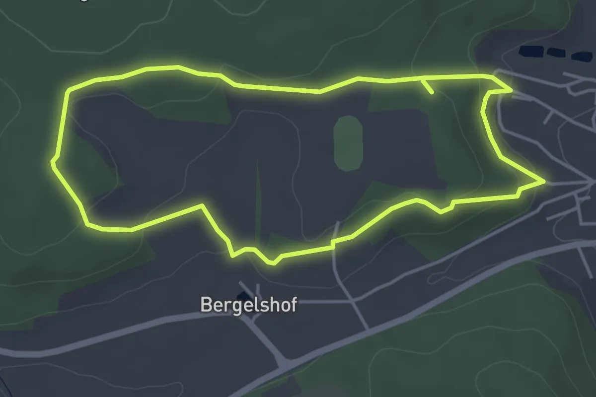
Easy · Trail
Bergelshof
3.8 km · ↑ 106 m · 1 h 11 min
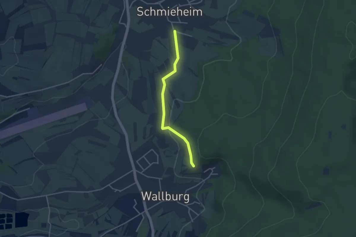
Easy · Trail
Bergeneck - Schmieheim Sportplatz
2.8 km · ↑ 67 m · 48 min
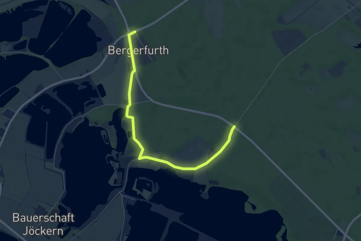
Easy · Trail
Bergerfurth Rundweg A2
3.3 km · ↑ 9 m · 50 min
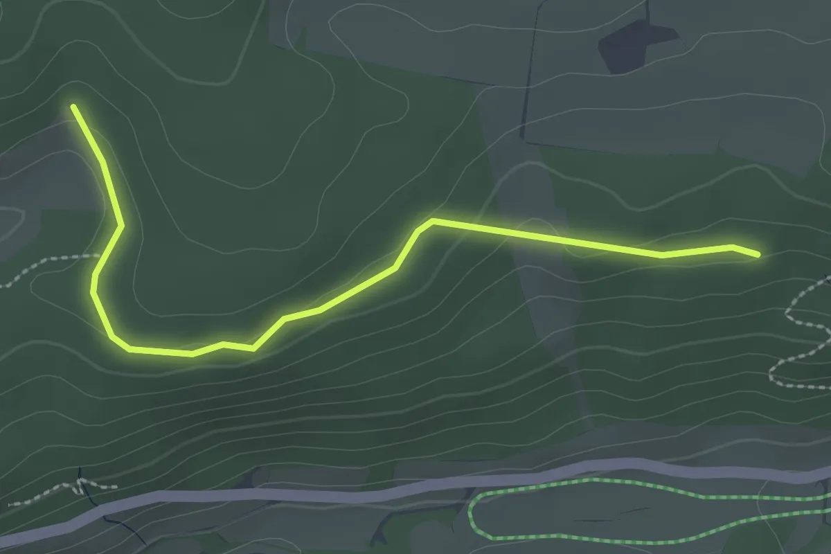
Easy · Trail
Bergerhalde - Zinsmoos
2.7 km · ↑ 45 m · 44 min
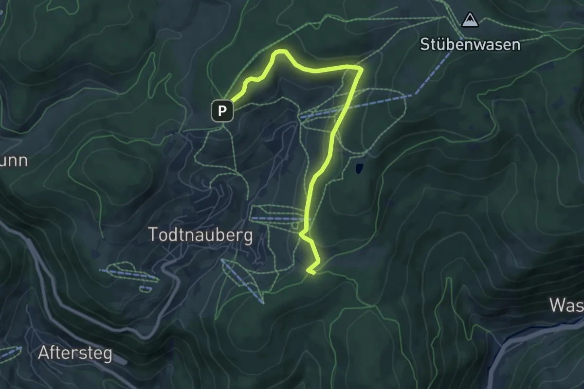
Easy · Trail
Berger Höhe - Jacobuskreuz
6.7 km · ↑ 216 m · 2 h 3 min
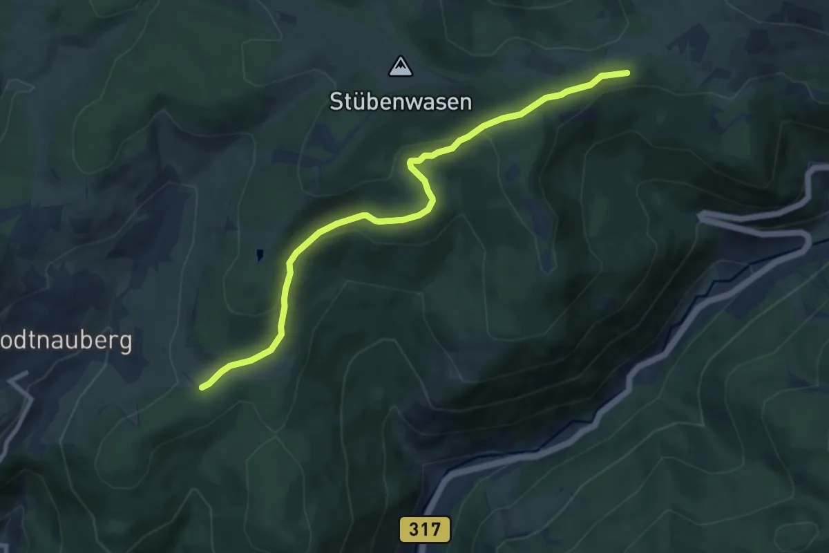
Medium · Trail
Berger Höhe - Ob dem Rotenbach
8.1 km · ↑ 253 m · 2 h 27 min
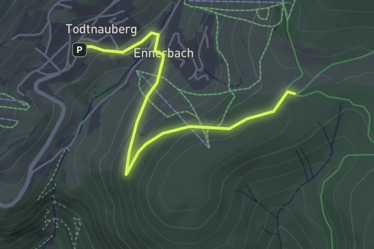
Easy · Trail
Berger Höhe - Todtnauberg Rathausplatz
4.2 km · ↑ 129 m · 1 h 17 min
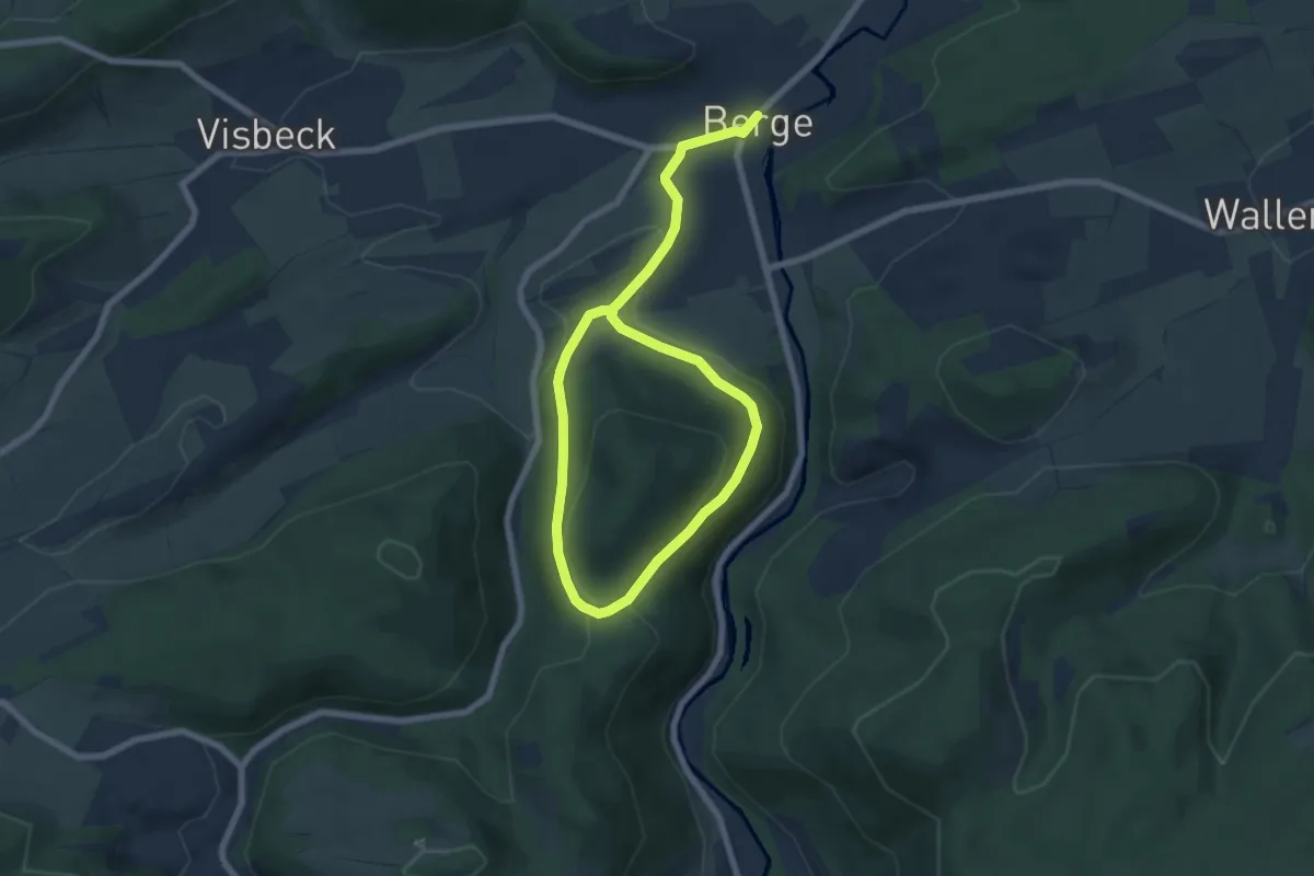
Easy · Trail
Berge Rundweg B1
4.6 km · ↑ 163 m · 1 h 28 min
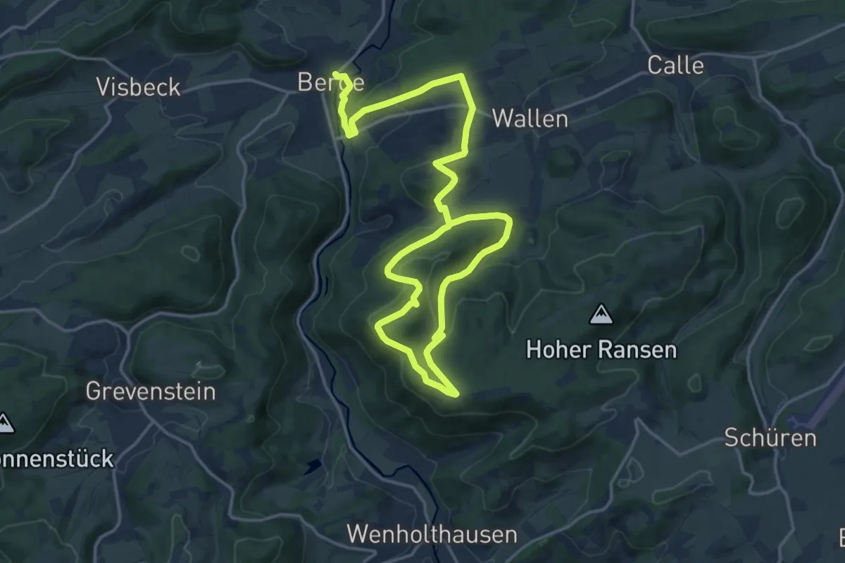
Medium · Summit
Berge Rundweg B2 Braberg
11.0 km · ↑ 400 m · 3 h 31 min
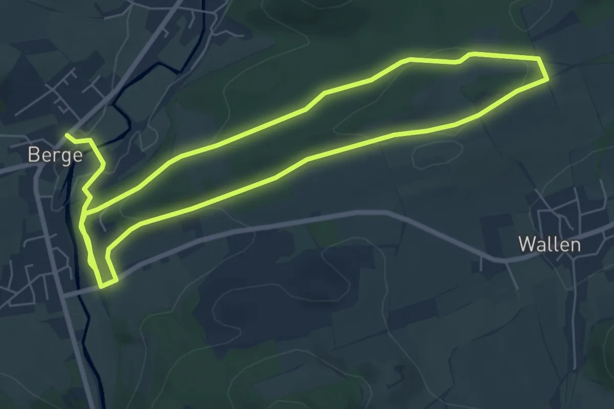
Medium · Trail
Berge Rundweg B3 Feisberg
11.5 km · ↑ 241 m · 3 h 14 min
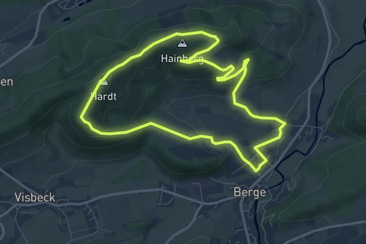
Easy · Summit
Berge Rundweg B4
7.0 km · ↑ 235 m · 2 h 16 min
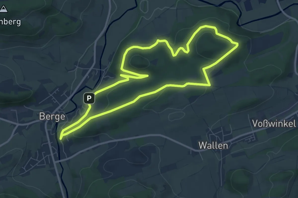
Easy · Trail
Berge Rundweg B6 Kehling/Koppen
7.5 km · ↑ 178 m · 2 h 16 min
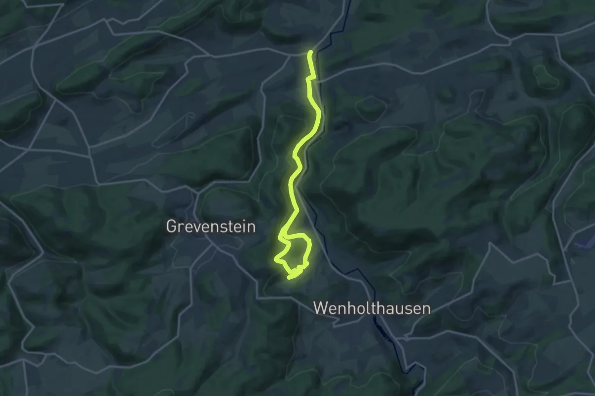
Medium · Trail
Berge Rundweg B7
14.2 km · ↑ 490 m · 4 h 26 min
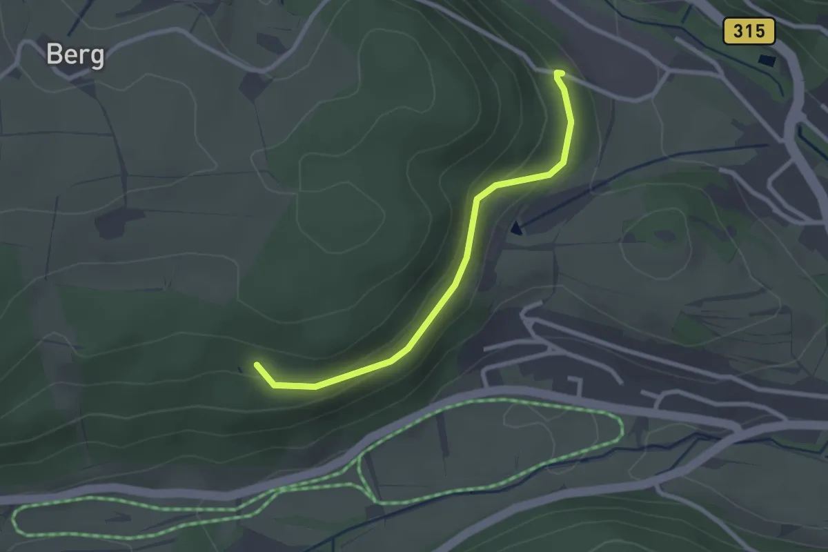
Easy · Trail
Bergerwald - Prinz Max-Weg
2.3 km · ↑ 75 m · 43 min
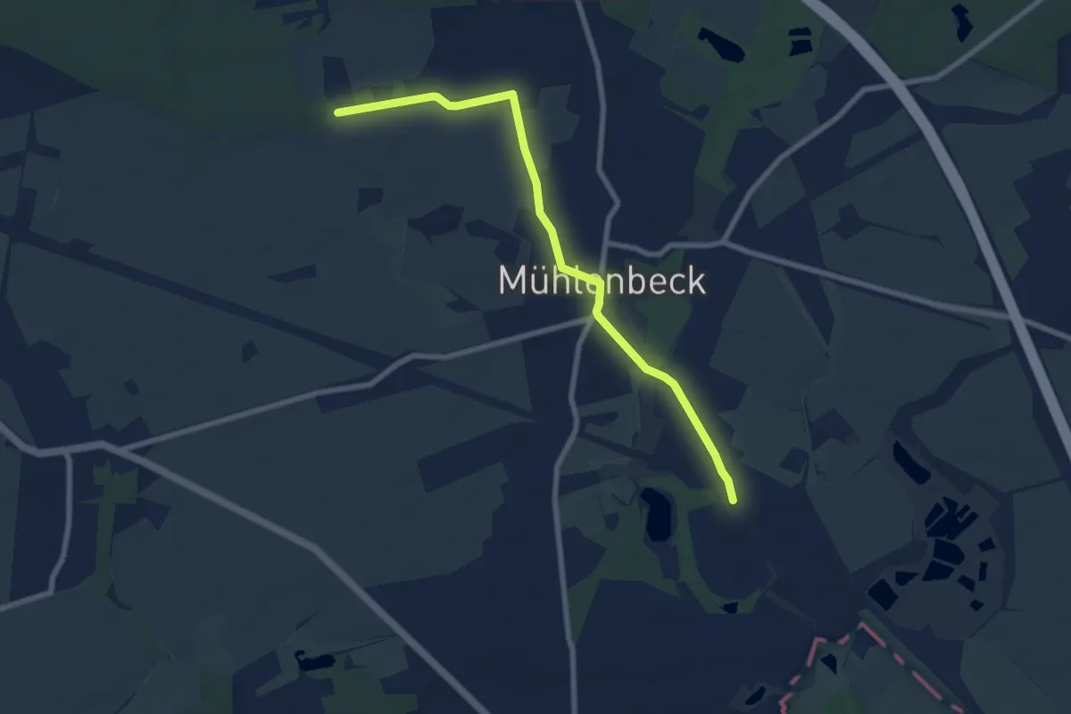
Easy · Trail
Bergfelde - Mühlenbeck-Mönchmühle
6.7 km · ↑ 13 m · 1 h 37 min
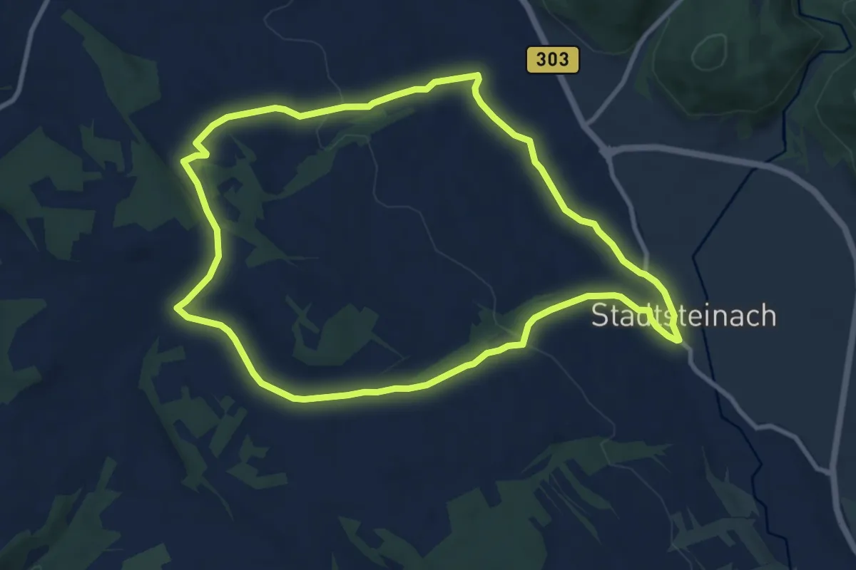
Medium · Trail
Bergfeld-Weg KU 32
8.7 km · ↑ 146 m · 2 h 29 min
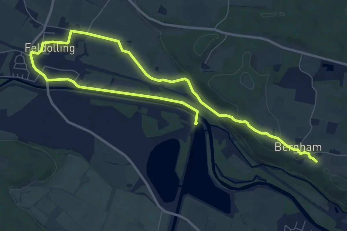
Medium · Trail
Bergham
11.2 km · ↑ 116 m · 2 h 54 min
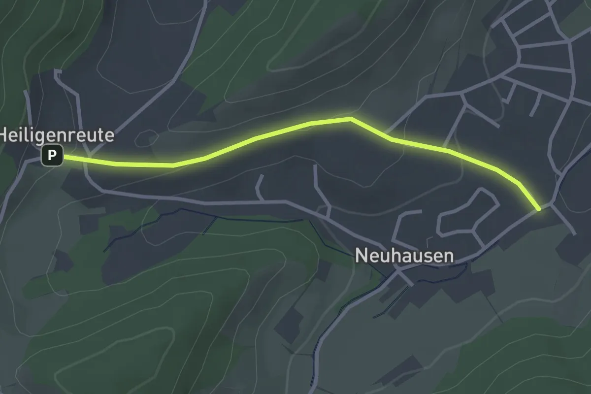
Easy · Trail
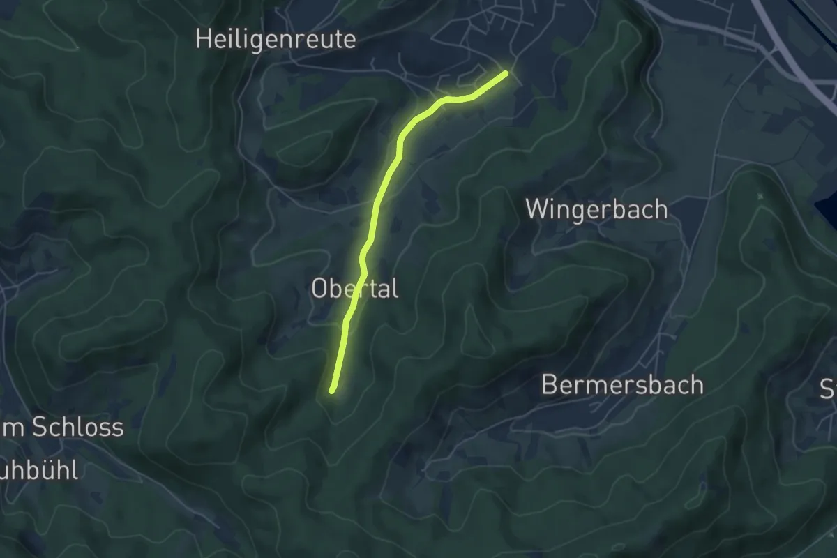
Berghaupten Fuchsbühl - Heiligenreute
2.7 km · ↑ 80 m · 48 min
Easy · Trail
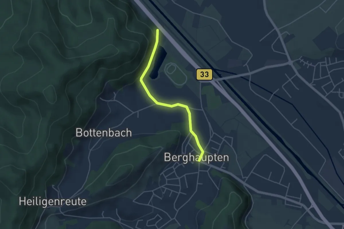
Berghaupten Fuchsbühl - St. Georgs-Brunnen
4.3 km · ↑ 99 m · 1 h 14 min
Easy · Trail
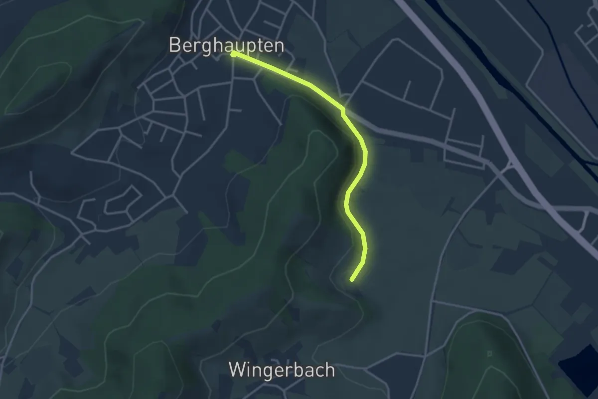
Berghaupten Rathaus - Parkplatz Geisensteg
3.6 km · ↑ 108 m · 1 h 5 min
Easy · Trail
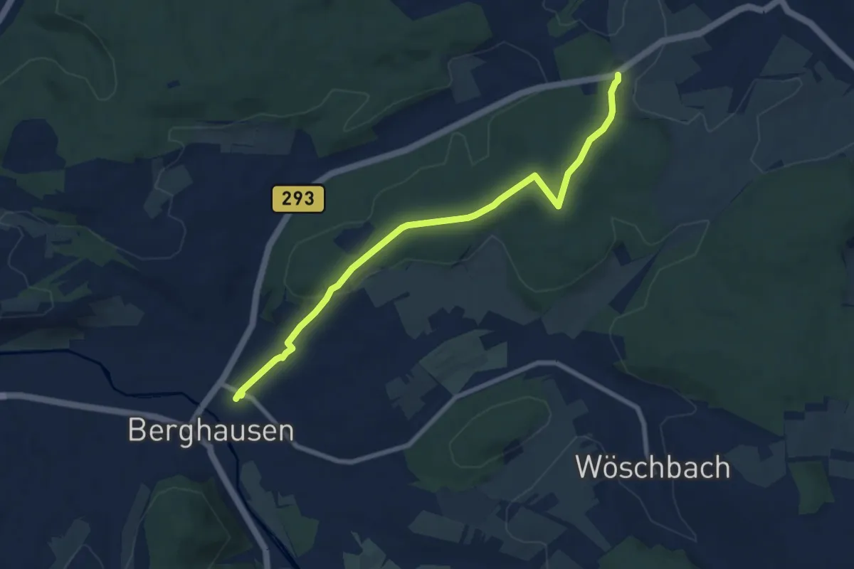
Berghaupten Rathaus - Stenglenz
2.7 km · ↑ 31 m · 43 min
Easy · Trail
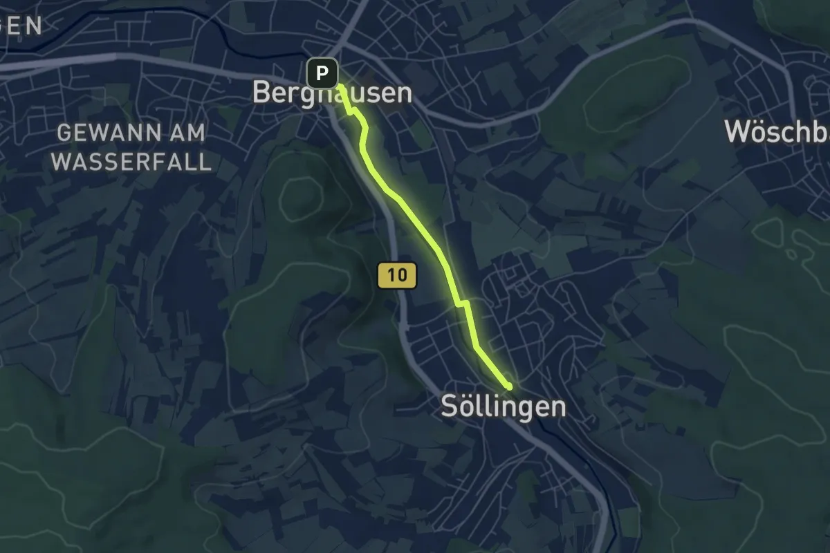
Berghausen Bahnhof - Frühmessweg Kreuz
7.4 km · ↑ 173 m · 2 h 7 min
Easy · Trail
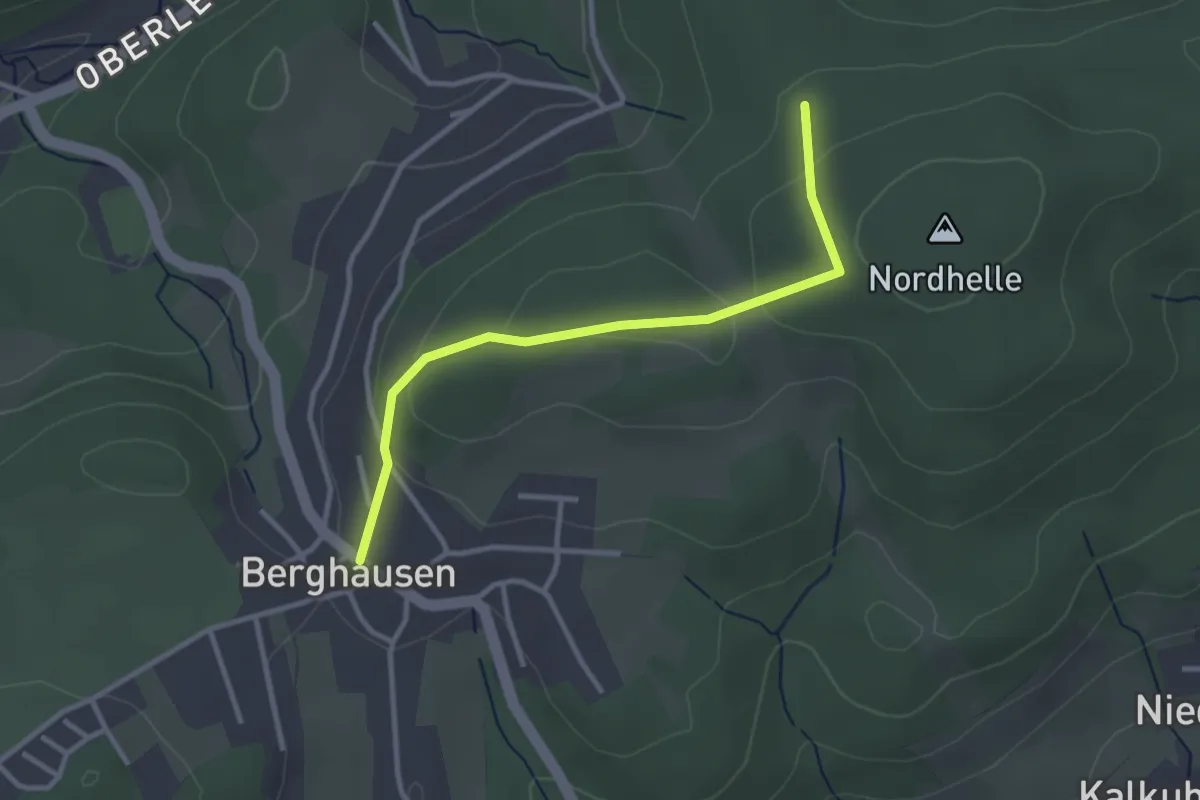
Berghausen Mitte - Söllingen Bahnhof
4.7 km · ↑ 5 m · 1 h 7 min
Easy · Trail
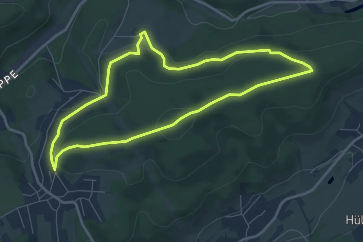
Berghausen Rundweg A1
1.4 km · ↑ 28 m · 25 min
Easy · Summit
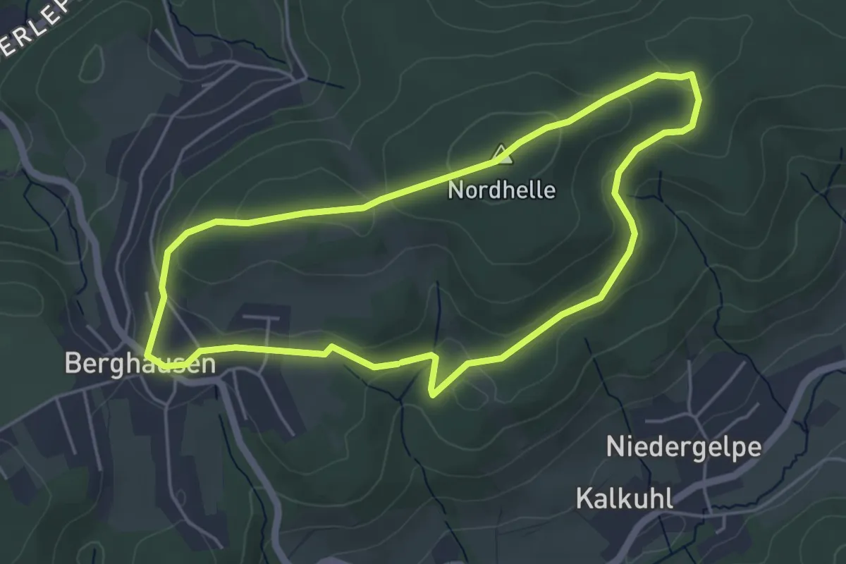
Berghausen Rundweg A2
5.3 km · ↑ 128 m · 1 h 36 min
Easy · Summit
Berghausen Rundweg A3
4.1 km · ↑ 102 m · 1 h 15 min
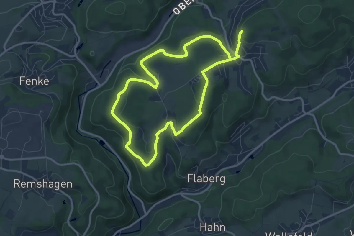
Easy · Trail
Berghausen Rundweg A4
6.7 km · ↑ 163 m · 2 h 3 min
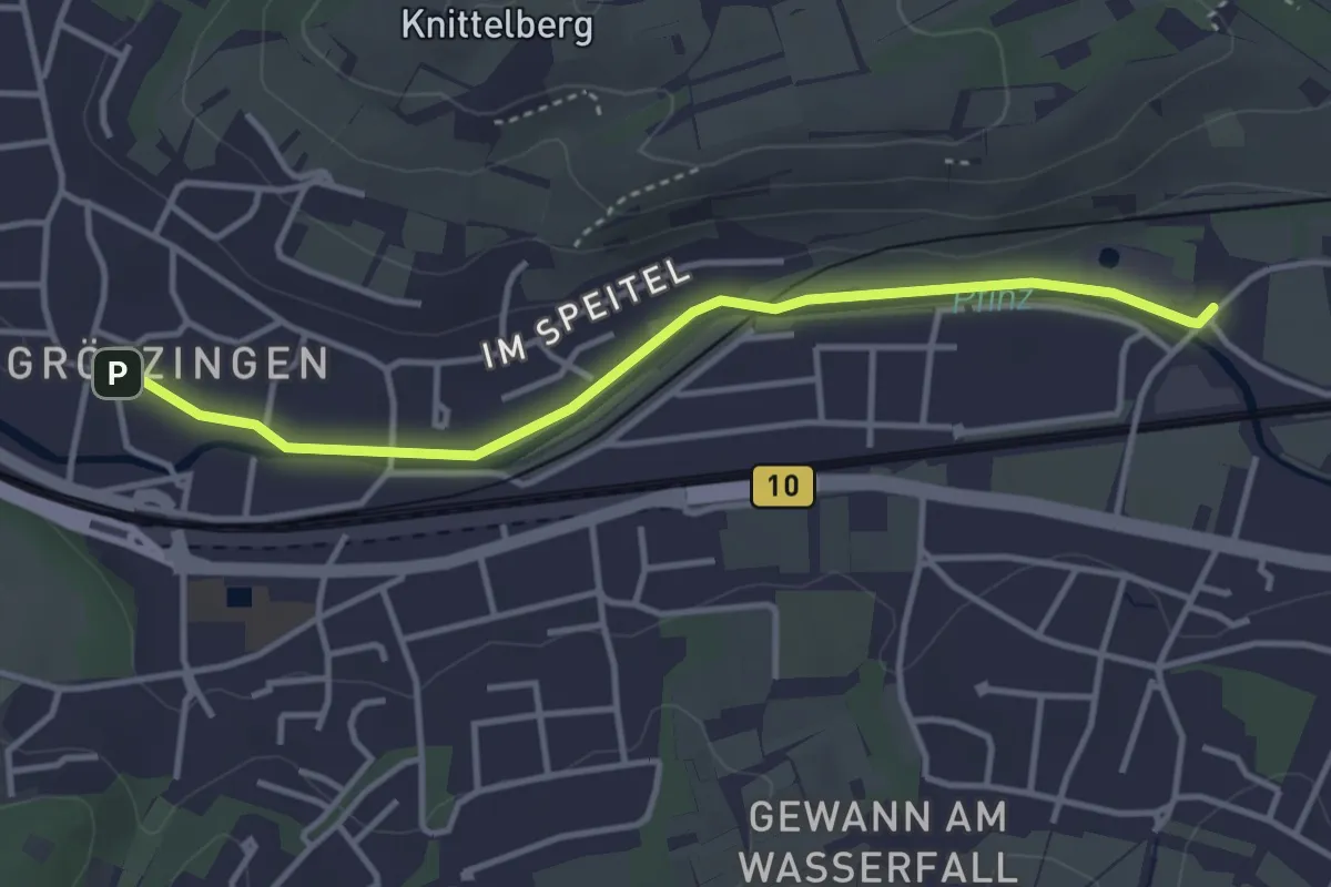
Easy · Trail
Berghausen Vogelpark - Grötzingen Rathaus
3.6 km · ↑ 27 m · 54 min
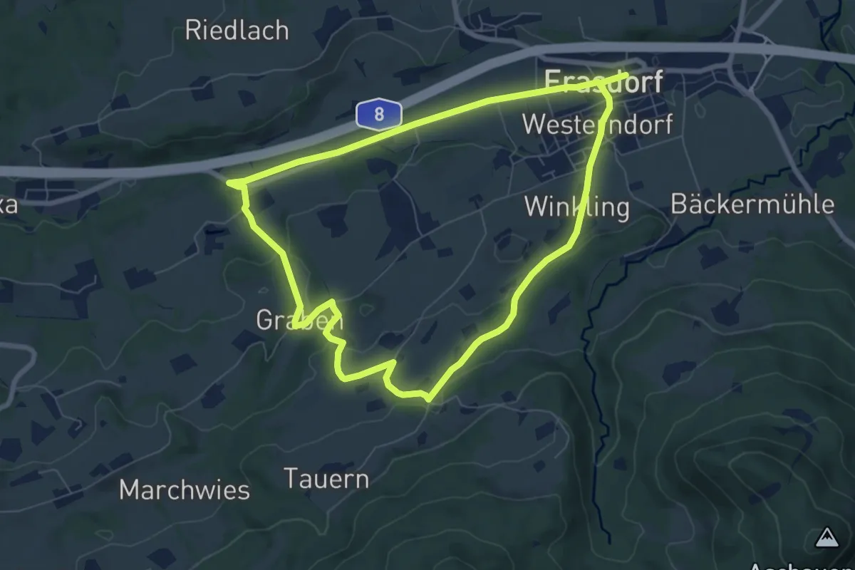
Easy · Trail
Berghäuser-Runde
6.9 km · ↑ 134 m · 2 h
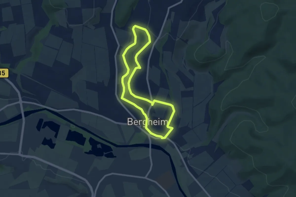
Easy · Trail
Bergheim 2
5.5 km · ↑ 99 m · 1 h 36 min
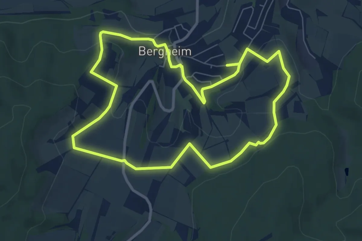
Easy · Summit
Bergheimer Eseltreiberweg
6.1 km · ↑ 145 m · 1 h 50 min
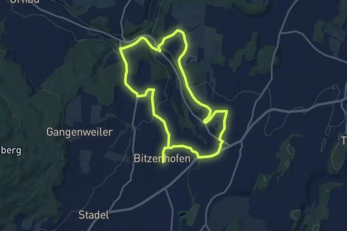
Medium · Trail
Berghölzleweg
17.0 km · ↑ 273 m · 4 h 36 min
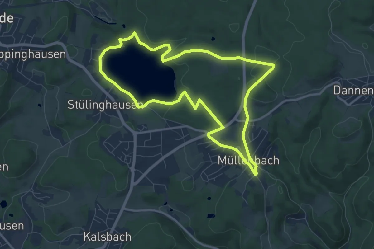
Easy · Trail
Bergischer Fuhrmannsweg [9]
7.4 km · ↑ 154 m · 2 h 12 min
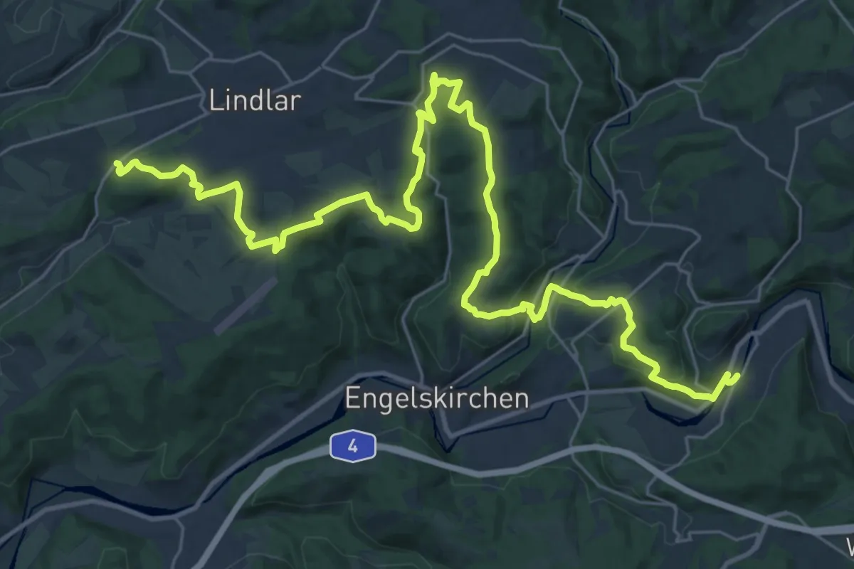
Medium · Trail
Bergischer Panoramasteig Etappe 01
16.5 km · ↑ 387 m · 5 h
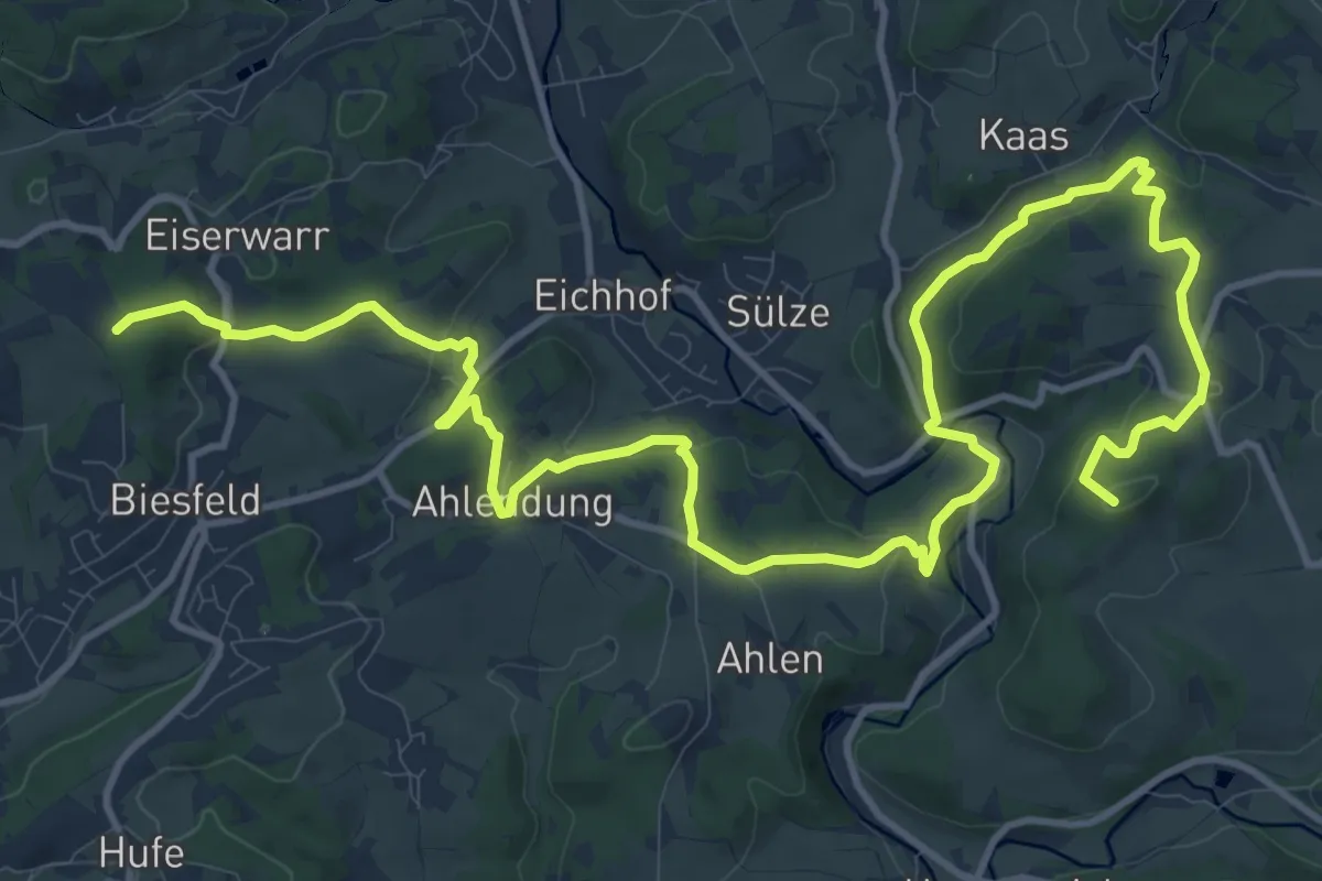
Medium · Summit
Bergischer Panoramasteig Etappe 02
17.1 km · ↑ 503 m · 5 h 7 min
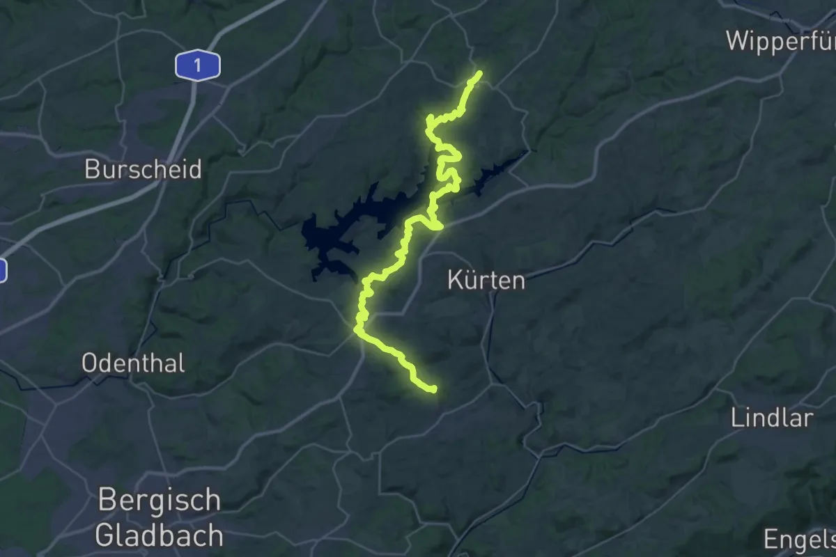
Demanding · Trail
Bergischer Panoramasteig Etappe 03
18.3 km · ↑ 477 m · 5 h 39 min
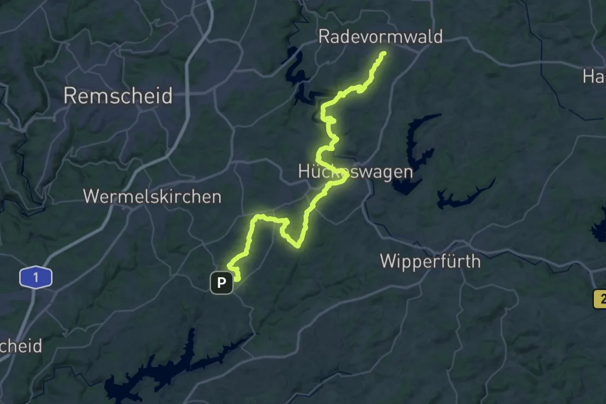
Demanding · Trail
Bergischer Panoramasteig (Etappe 04)
22.0 km · ↑ 591 m · 6 h 43 min
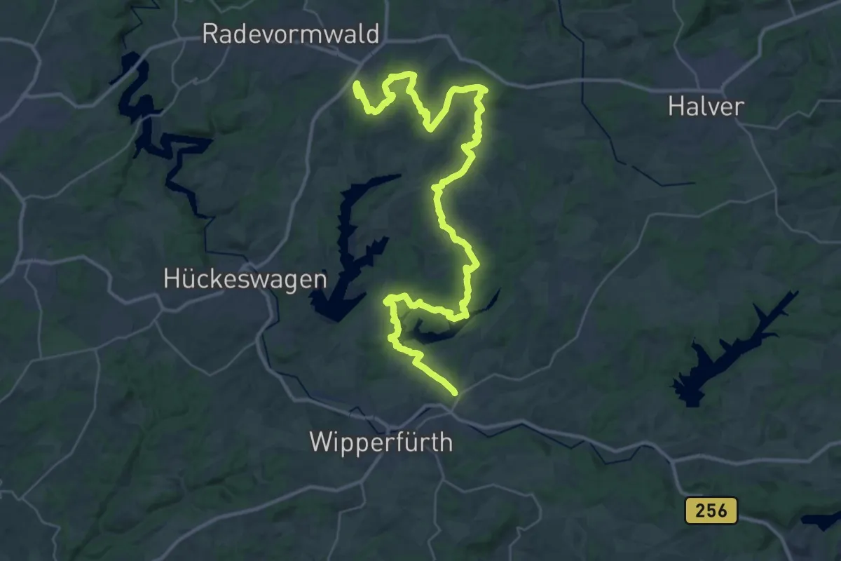
Demanding · Summit
Bergischer Panoramasteig Etappe 05
40.7 km · ↑ 800 m · 11 h 21 min