Trails in Germany
36,824 hiking trails, each with its route, climb, walking time and grade.
All trails, page 60 of 768
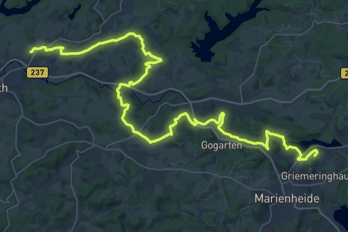
Demanding · Summit
Bergischer Panoramasteig (Etappe 06)
39.7 km · ↑ 862 m · 11 h 15 min
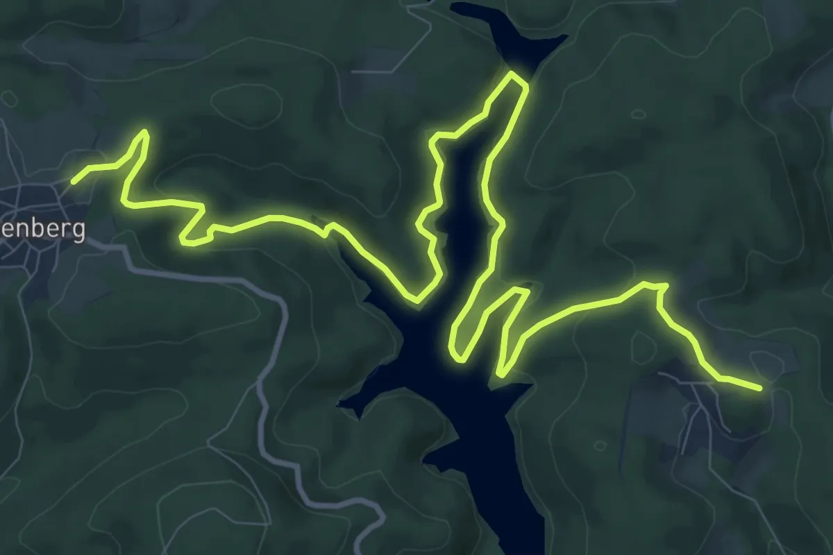
Medium · Trail
Bergischer Panoramasteig (Etappe 07)
14.6 km · ↑ 382 m · 4 h 16 min
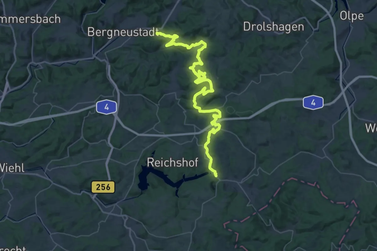
Demanding · Trail
Bergischer Panoramasteig (Etappe 08)
22.0 km · ↑ 677 m · 7 h
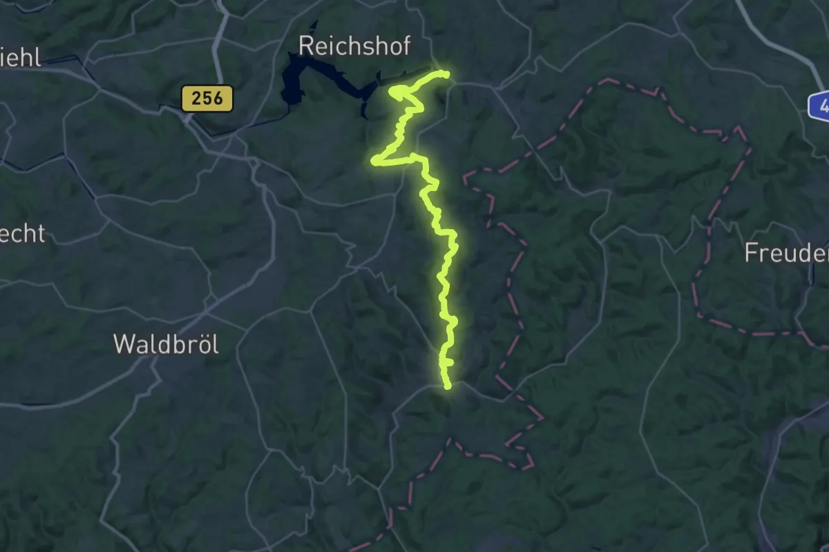
Medium · Trail
Bergischer Panoramasteig (Etappe 09)
16.9 km · ↑ 320 m · 4 h 58 min
Demanding · Summit
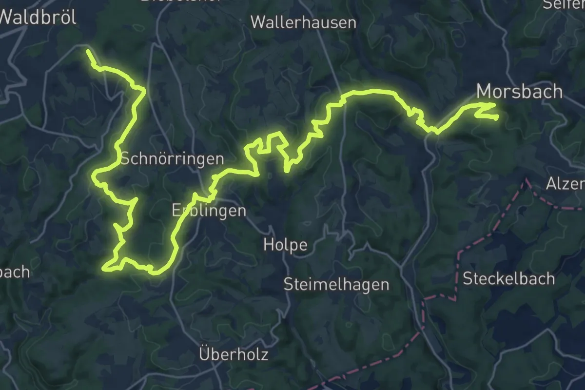
Bergischer Panoramasteig (Etappe 10)
37.2 km · ↑ 942 m · 10 h 50 min
Demanding · Summit
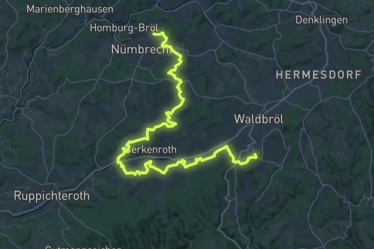
Bergischer Panoramasteig (Etappe 11)
42.9 km · ↑ 800 m · 11 h 51 min
Demanding · Summit
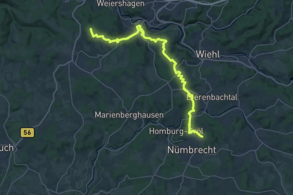
Bergischer Panoramasteig (Etappe 12)
28.0 km · ↑ 626 m · 7 h 58 min
Easy · Trail
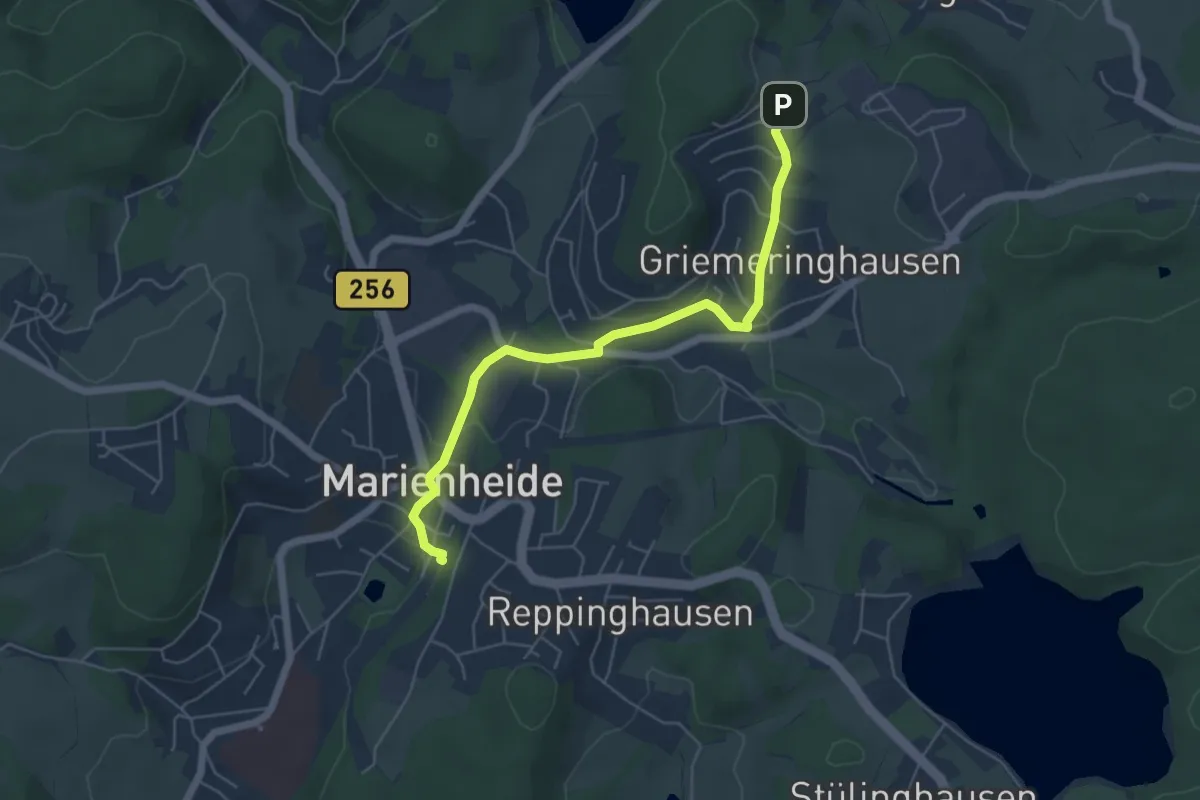
Bergischer Panoramasteig (Zustieg Marienheide)
5.0 km · ↑ 93 m · 1 h 23 min
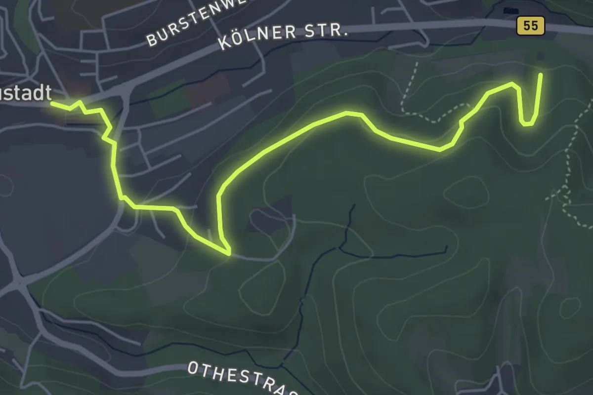
Easy · Trail
Bergischer Panoramasteig (Zustieg von Bergneustadt)
5.3 km · ↑ 205 m · 1 h 42 min
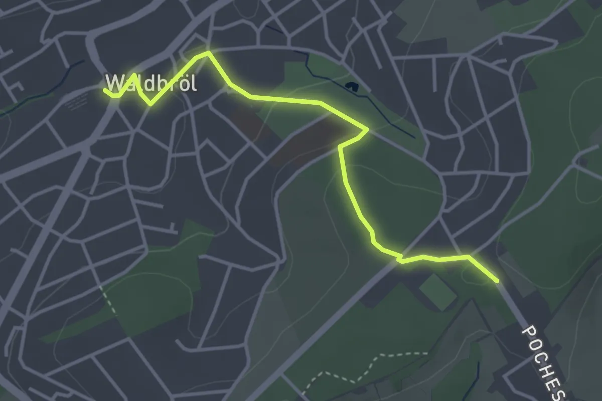
Easy · Trail
Bergischer Panoramasteig (Zustieg Waldbröl)
3.3 km · ↑ 84 m · 57 min
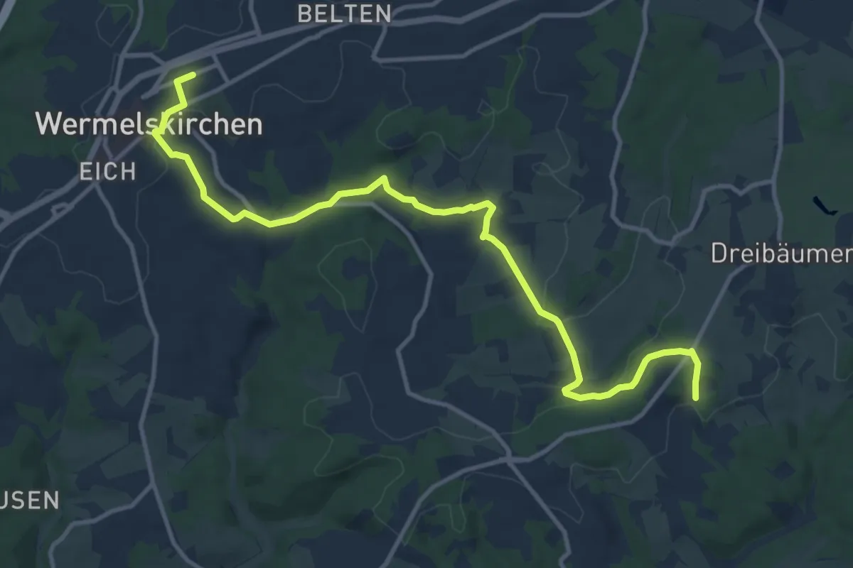
Medium · Trail
Bergischer Panoramasteig (Zustieg Wermelskirchen)
11.6 km · ↑ 215 m · 3 h 12 min
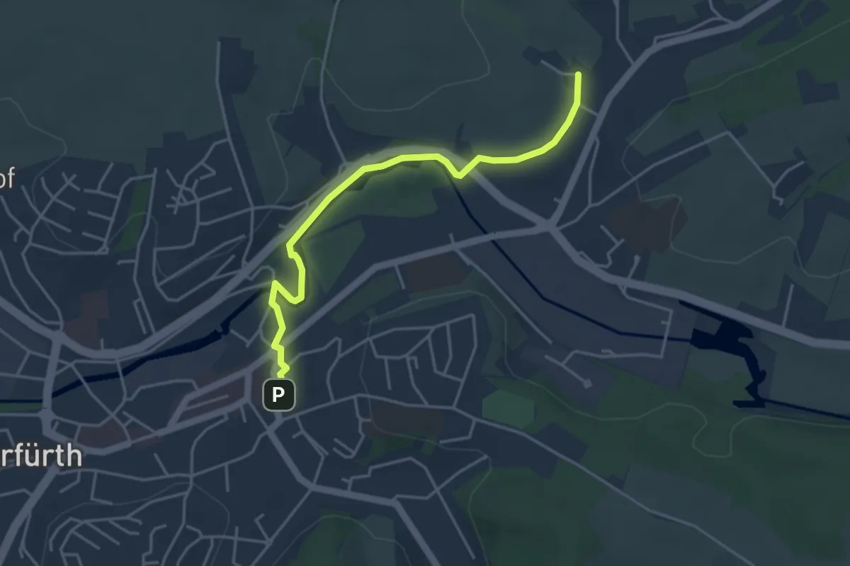
Easy · Trail
Bergischer Panoramasteig (Zustieg Wipperfürth)
3.8 km · ↑ 43 m · 59 min
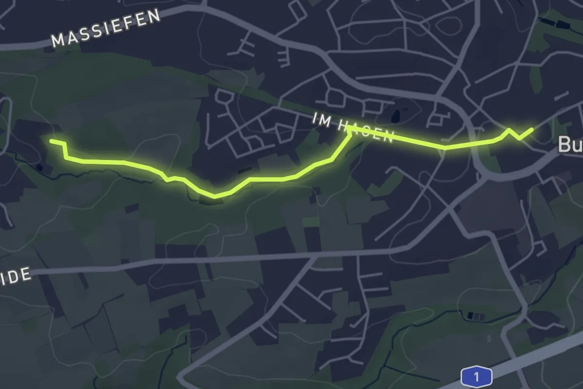
Easy · Trail
Bergischer Weg Zuweg Burscheid
4.1 km · ↑ 56 m · 1 h 5 min
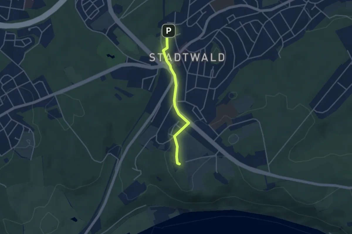
Easy · Summit
Bergischer Weg Zuweg Essen-Stadtwald
2.9 km · ↑ 40 m · 46 min
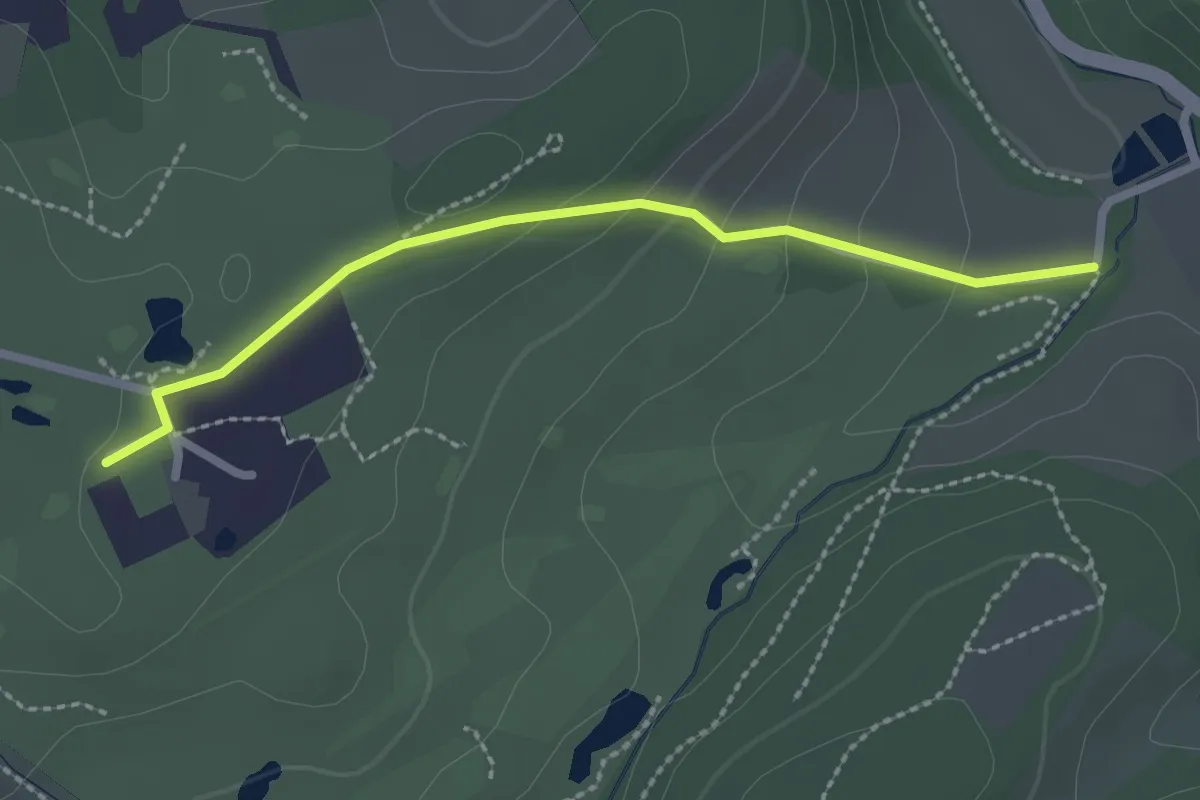
Easy · Trail
Bergischer Weg Zuweg Golfclub Heidhausen
2.1 km · ↑ 72 m · 40 min
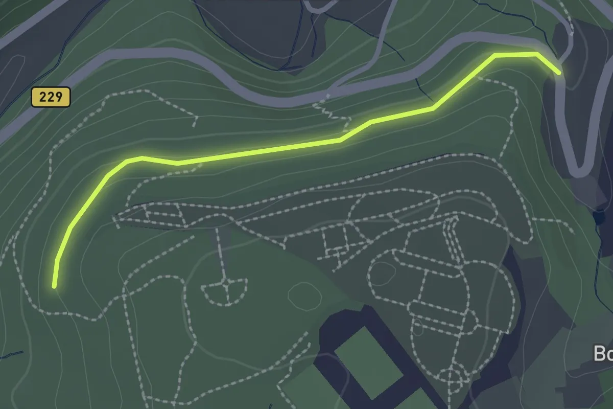
Easy · Trail
Bergischer Weg Zuweg Güldenwerth
2.1 km · ↑ 34 m · 34 min
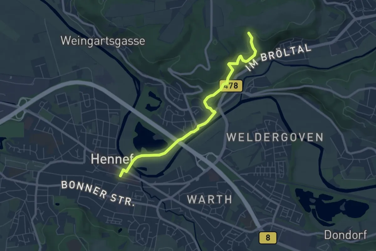
Easy · Trail
Bergischer Weg Zuweg Hennef
6.3 km · ↑ 220 m · 1 h 58 min
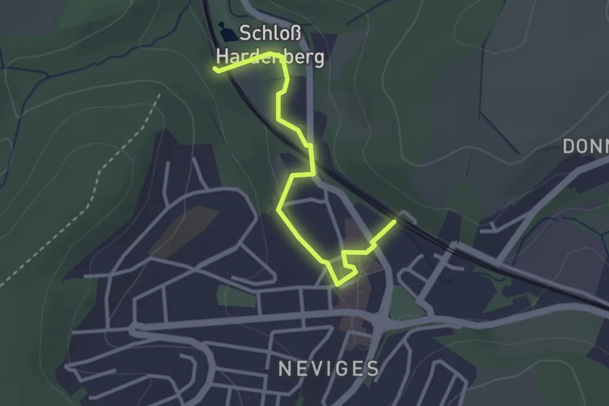
Easy · Trail
Bergischer Weg Zuweg Neviges
2.4 km · ↑ 31 m · 39 min
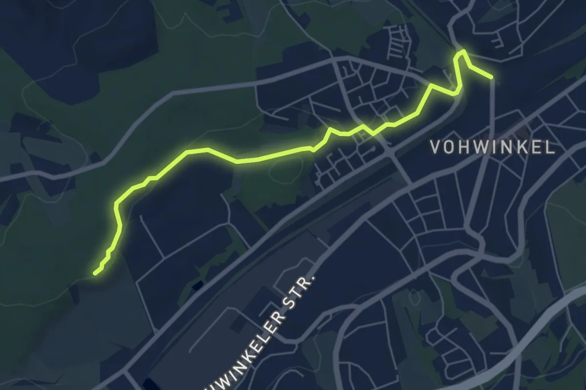
Easy · Trail
Bergischer Weg Zuweg Vohwinkel
5.4 km · ↑ 71 m · 1 h 26 min
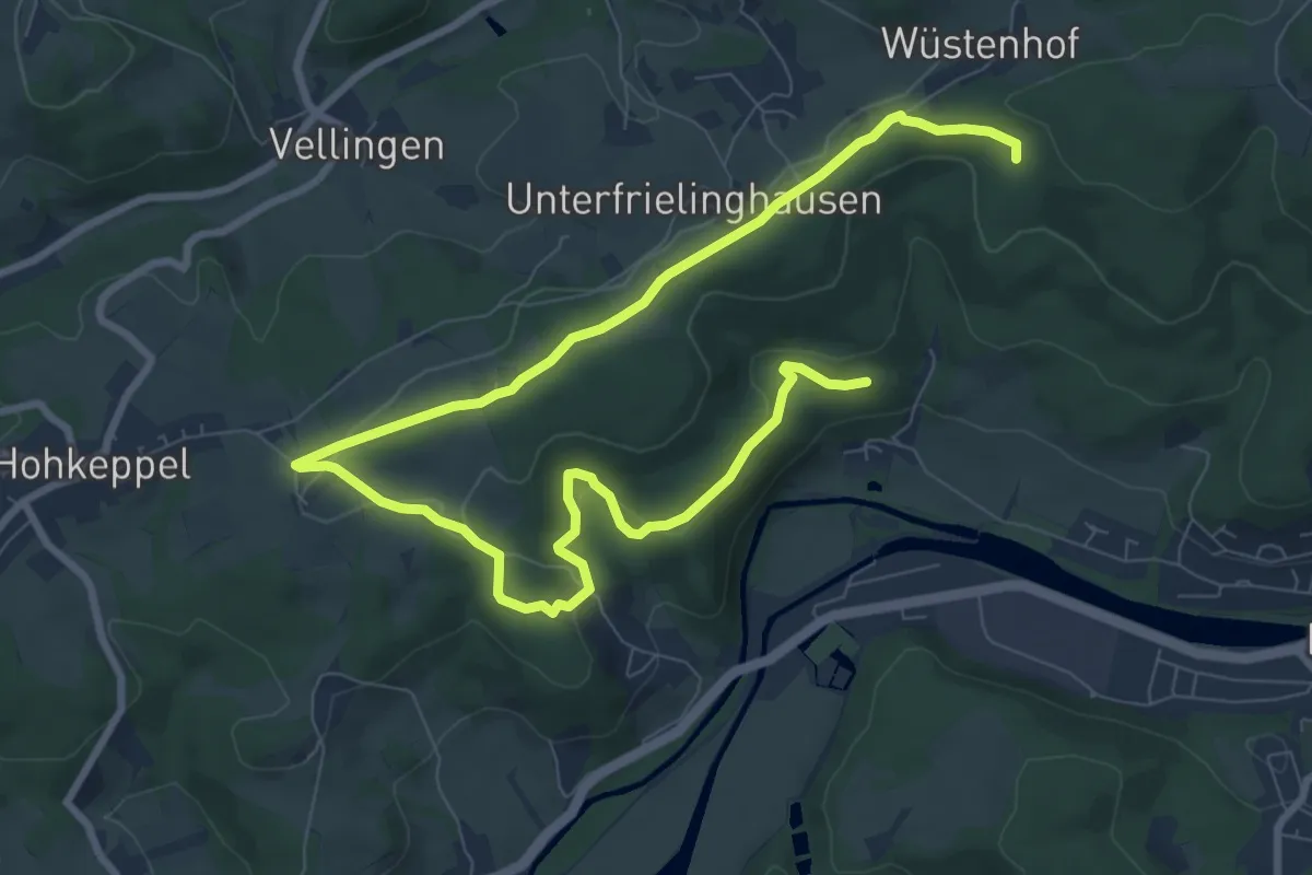
Easy · Trail
Bergische Schweiz Rundweg A6
5.7 km · ↑ 200 m · 1 h 48 min
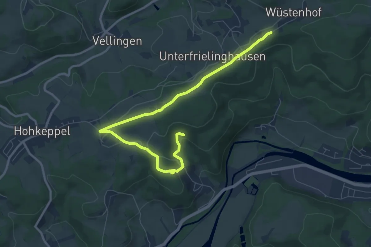
Easy · Trail
Bergische Schweiz Rundweg A7
4.1 km · ↑ 127 m · 1 h 16 min
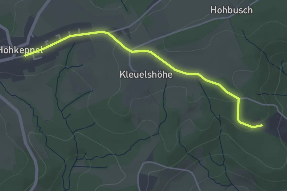
Easy · Trail
Bergische Schweiz Rundweg A9
1.7 km · ↑ 31 m · 29 min
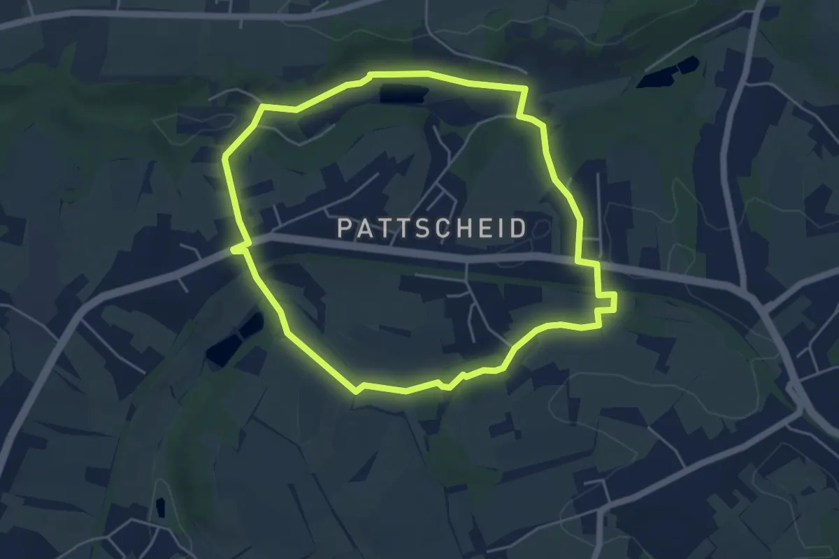
Easy · Trail
Bergisch-Neukirchen Rundweg A1
4.3 km · ↑ 73 m · 1 h 15 min
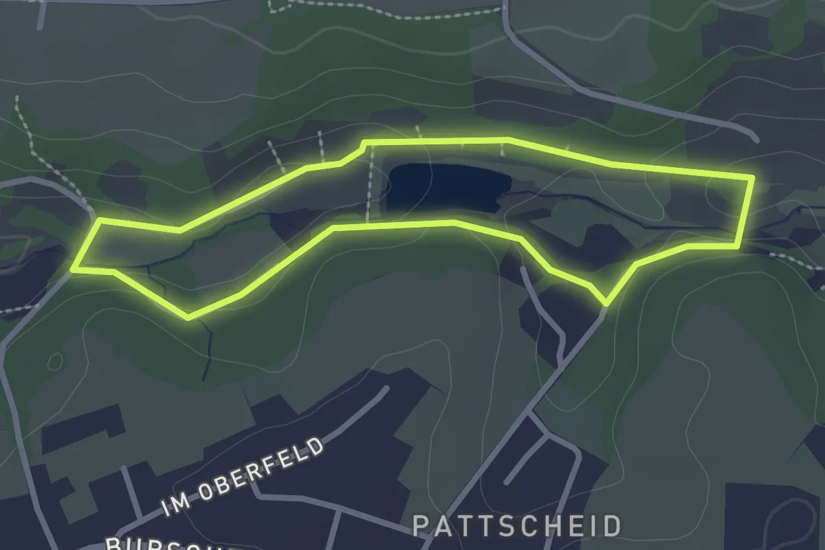
Easy · Trail
Bergisch-Neukirchen Rundweg A2
2.2 km · ↑ 31 m · 37 min
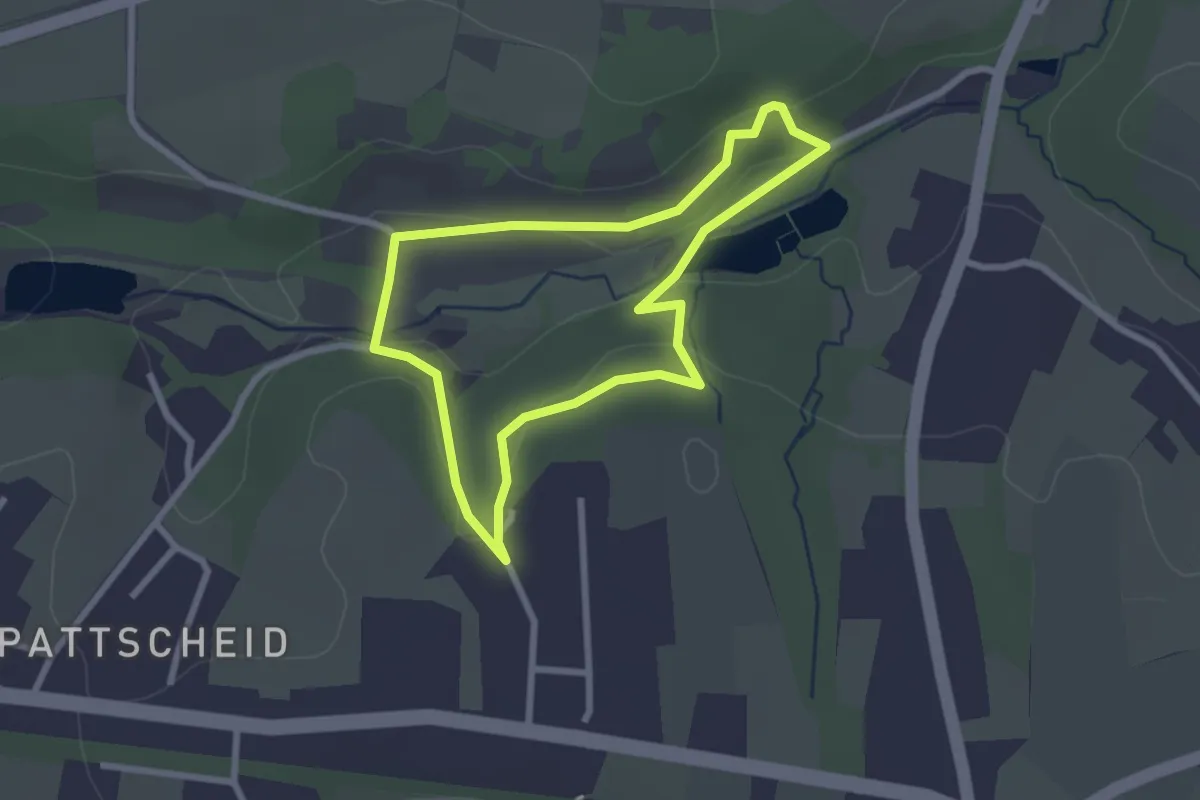
Easy · Trail
Bergisch-Neukirchen Rundweg A3
2.2 km · ↑ 58 m · 40 min
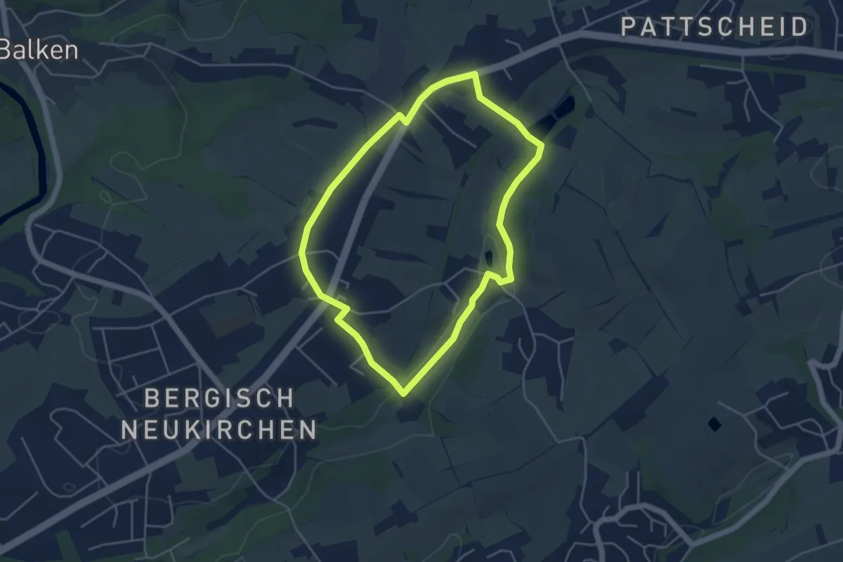
Easy · Trail
Bergisch-Neukirchen Rundweg A4
3.8 km · ↑ 38 m · 1 h 2 min
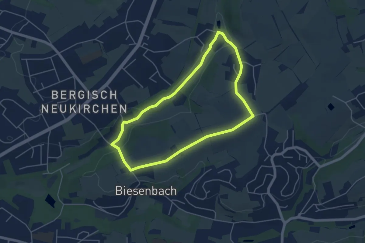
Easy · Trail
Bergisch-Neukirchen Rundweg A5
3.7 km · ↑ 36 m · 1 h
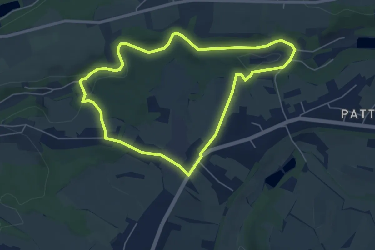
Easy · Trail
Bergisch-Neukirchen Rundweg A6
4.2 km · ↑ 78 m · 1 h 13 min
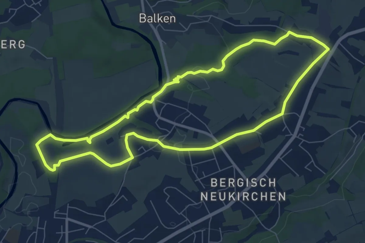
Easy · Trail
Bergisch-Neukirchen Rundweg A7
7.0 km · ↑ 80 m · 1 h 55 min
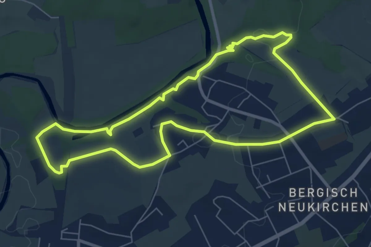
Easy · Trail
Bergisch-Neukirchen Rundweg A8
5.5 km · ↑ 65 m · 1 h 30 min
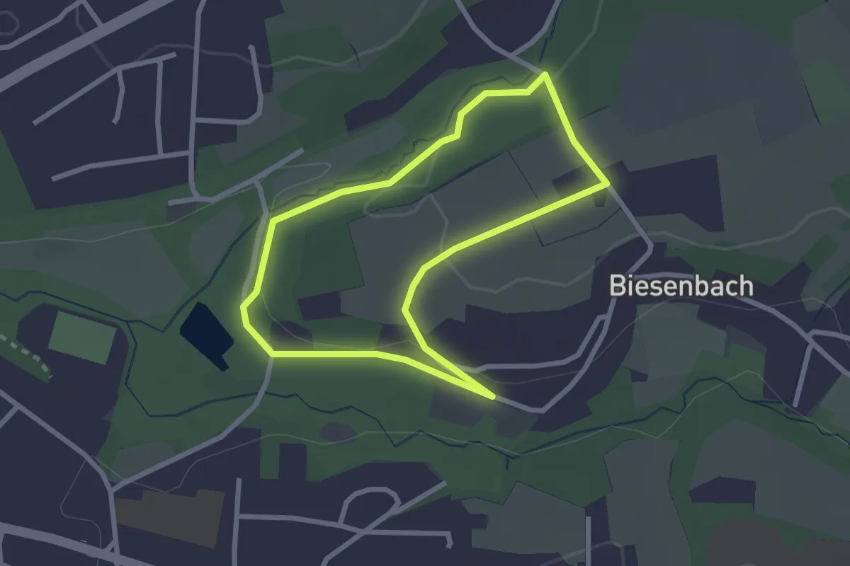
Easy · Trail
Bergisch-Neukirchen Rundweg A9
2.1 km · ↑ 27 m · 35 min
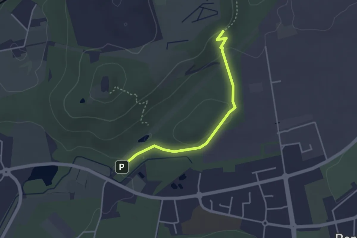
Easy · Trail
Bergkamen Rundweg A6
1.4 km · ↑ 49 m · 26 min
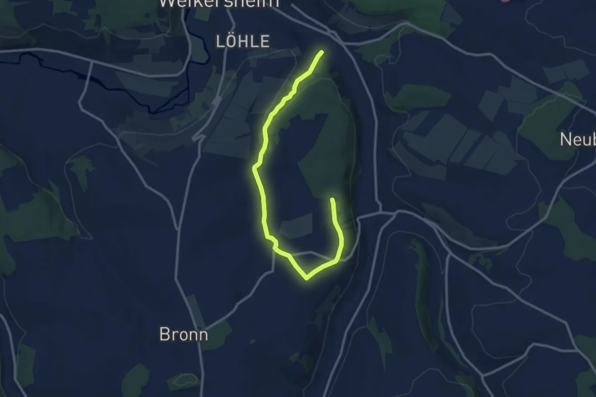
Medium · Trail
Bergkirche Laudenbach
10.1 km · ↑ 186 m · 2 h 47 min
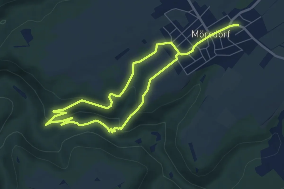
Medium · Trail
Bergkreuz-Runde
4.7 km · ↑ 130 m · 1 h 27 min
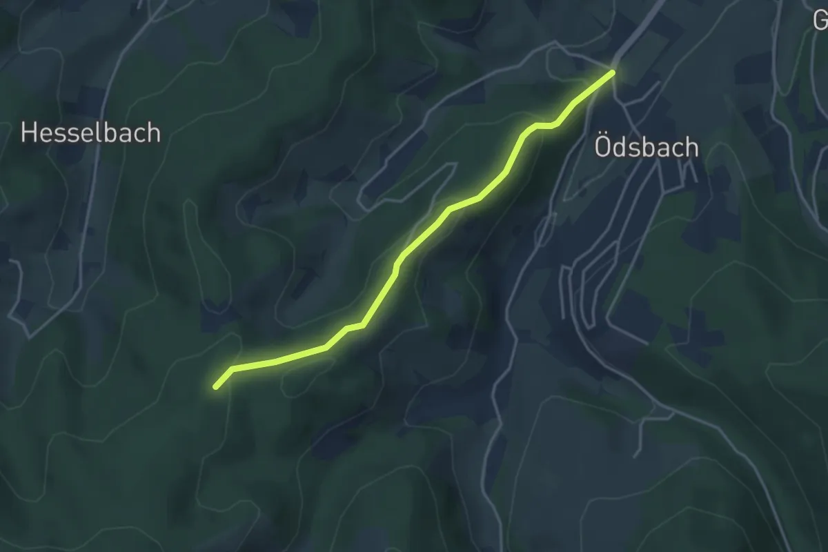
Easy · Trail
Bergle - Ödsbach Rathaus
3.5 km · ↑ 170 m · 1 h 11 min
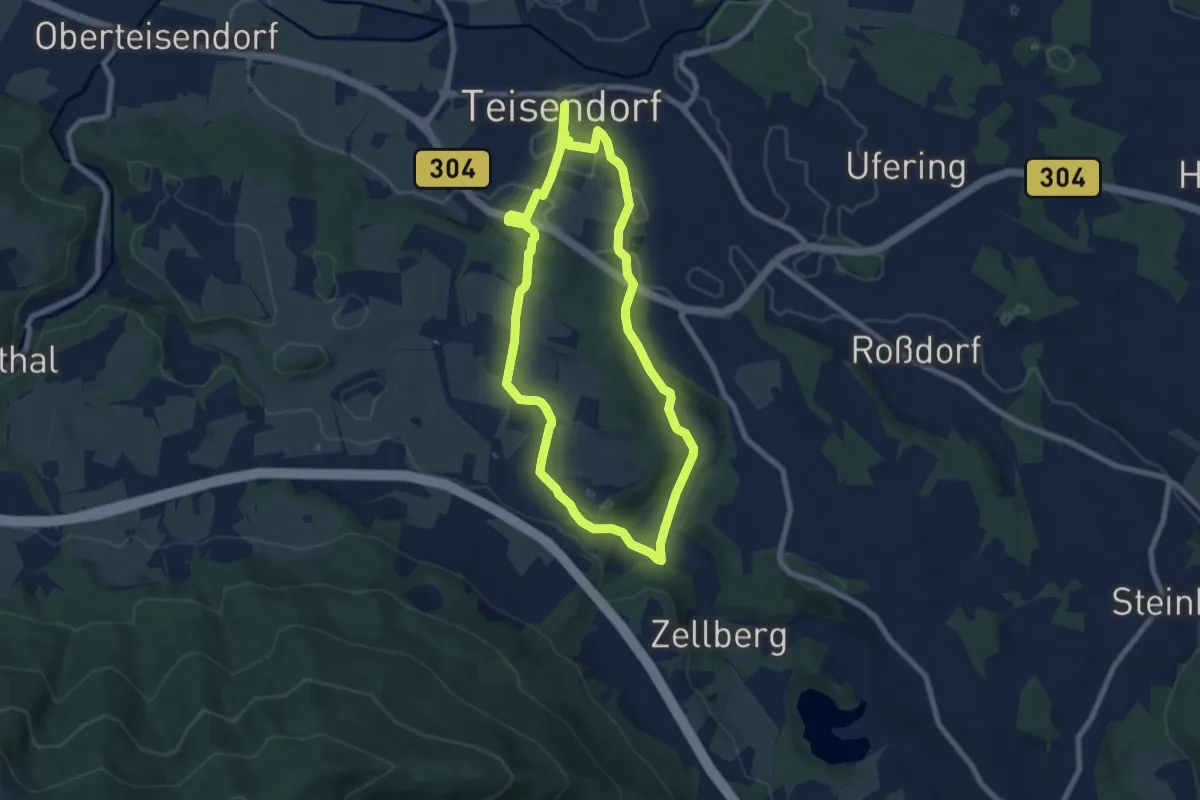
Easy · Trail
Bergler-Weg Nr. 9
7.1 km · ↑ 129 m · 2 h 3 min
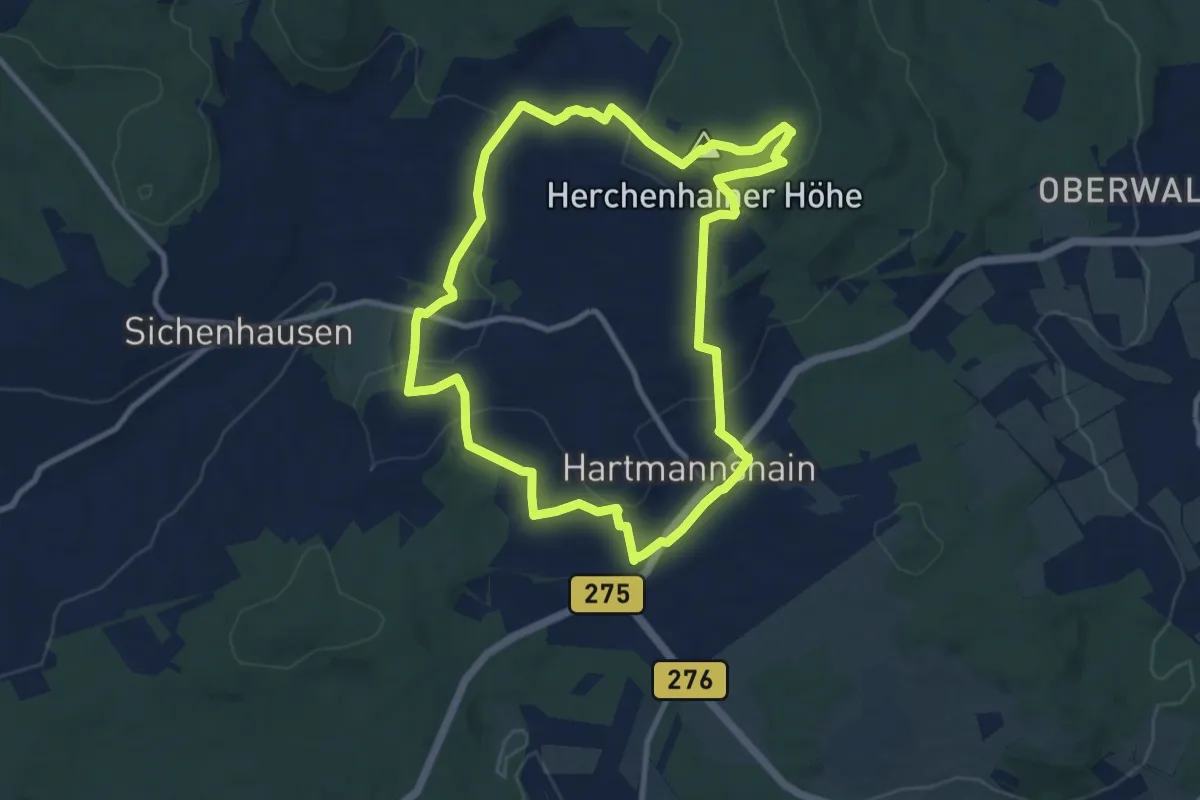
Medium · Summit
Bergmähwiesen-Pfad
9.0 km · ↑ 273 m · 2 h 50 min
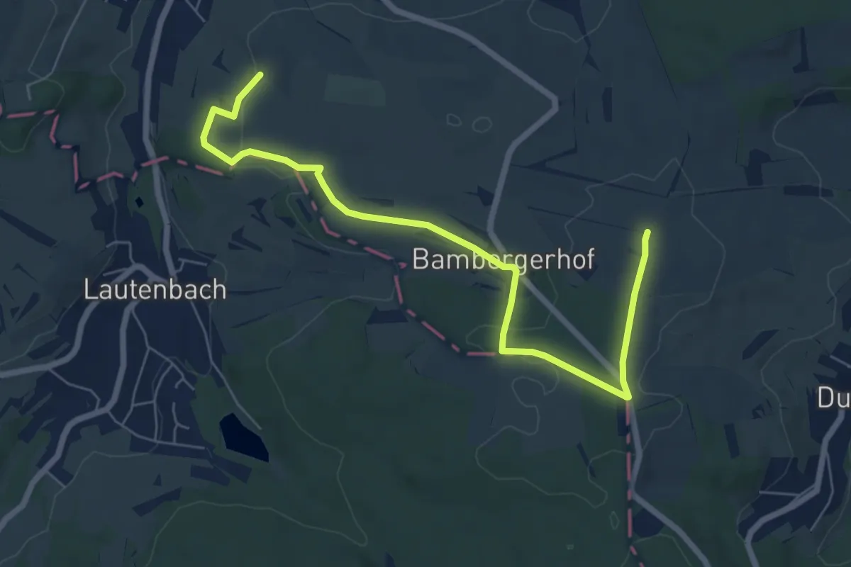
Easy · Trail
Bergmannsbauern-Weg Bambergerhof
3.4 km · ↑ 22 m · 56 min
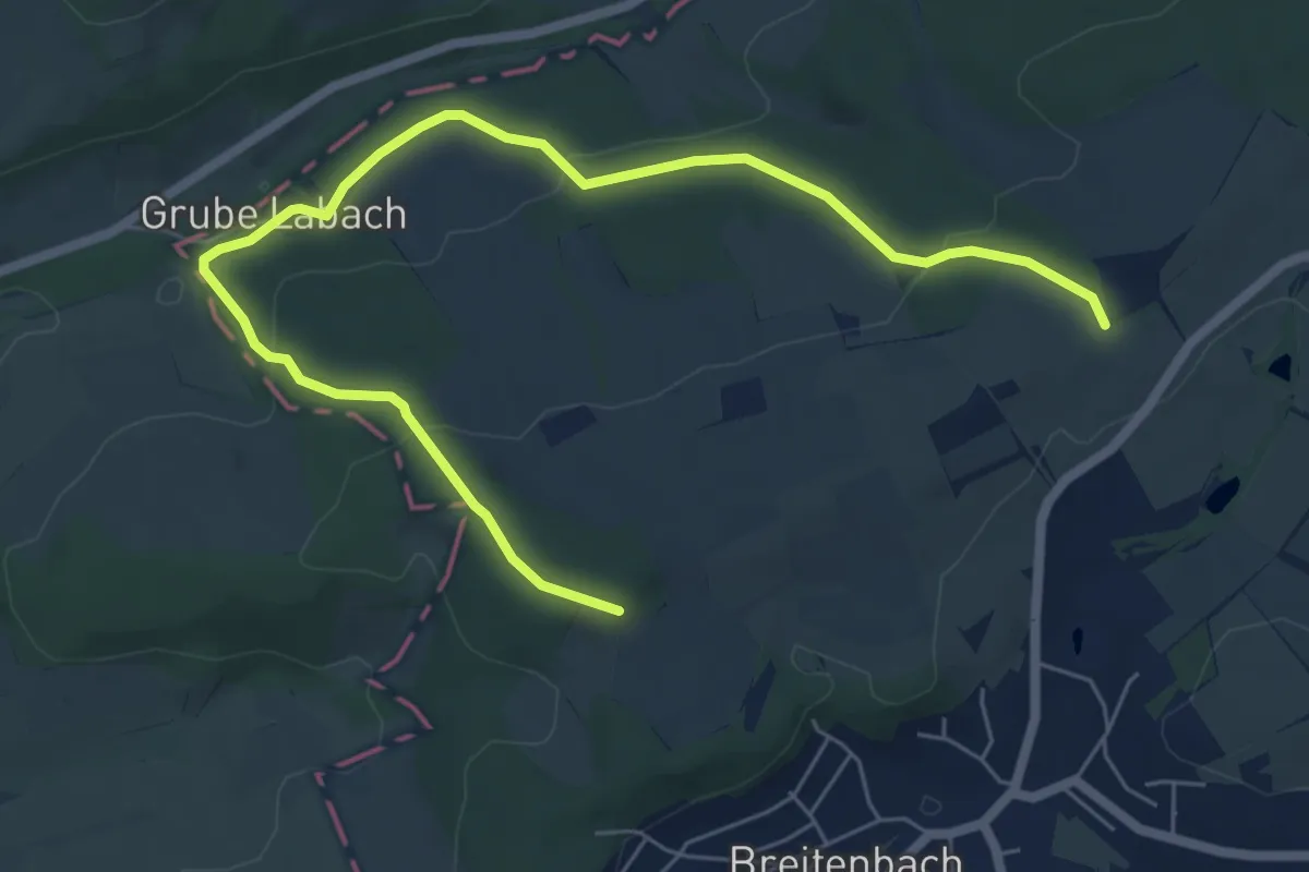
Easy · Trail
Bergmannsbauern-Weg Breitenbach
3.7 km · ↑ 114 m · 1 h 11 min
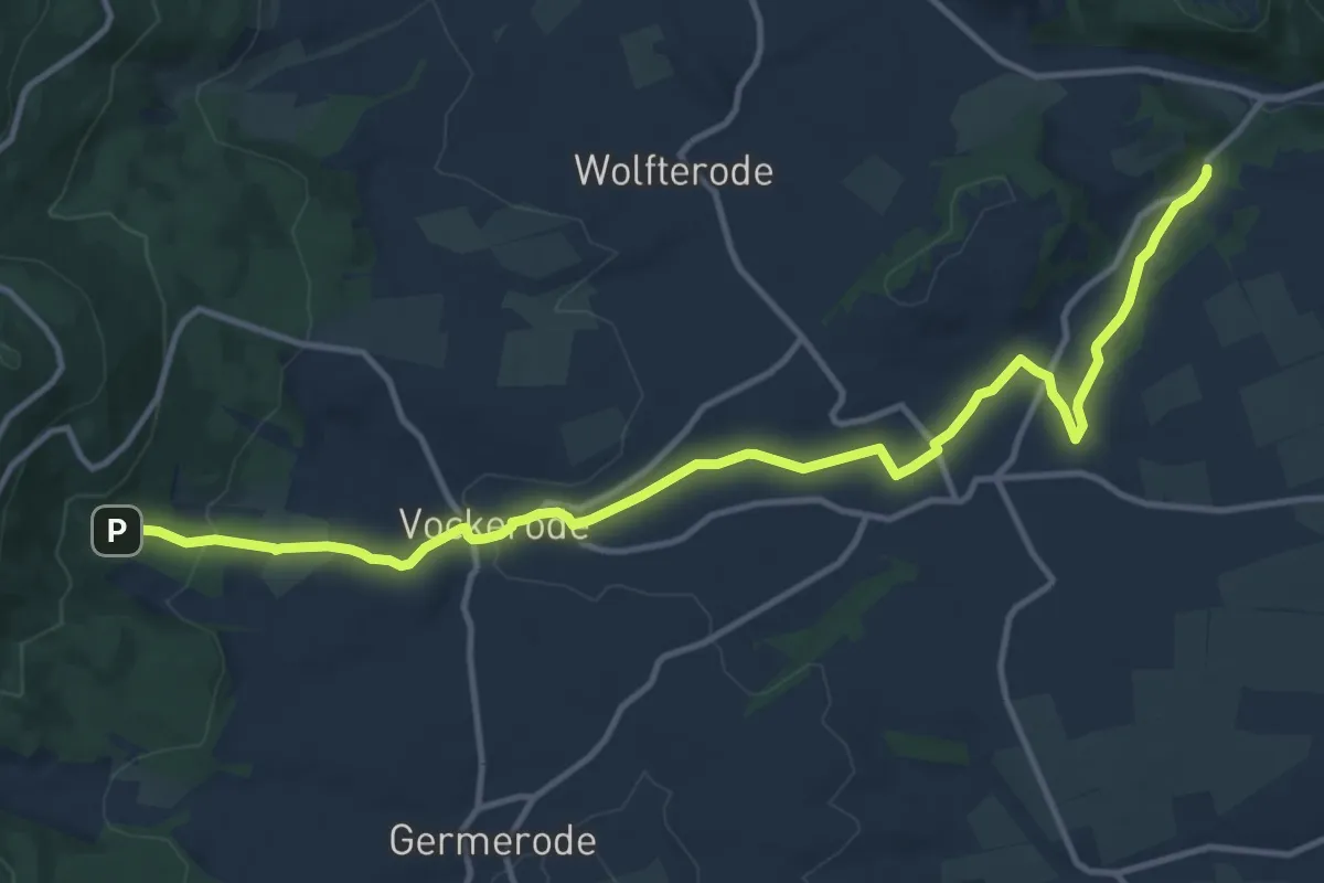
Medium · Trail
Bergmannspfad
13.1 km · ↑ 278 m · 3 h 42 min
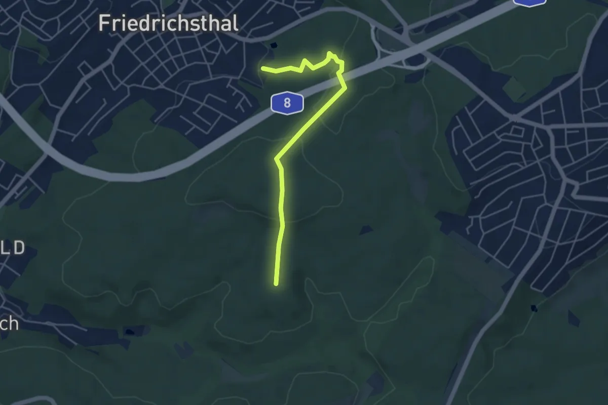
Easy · Trail
Bergmannsweg
4.0 km · ↑ 113 m · 1 h 12 min
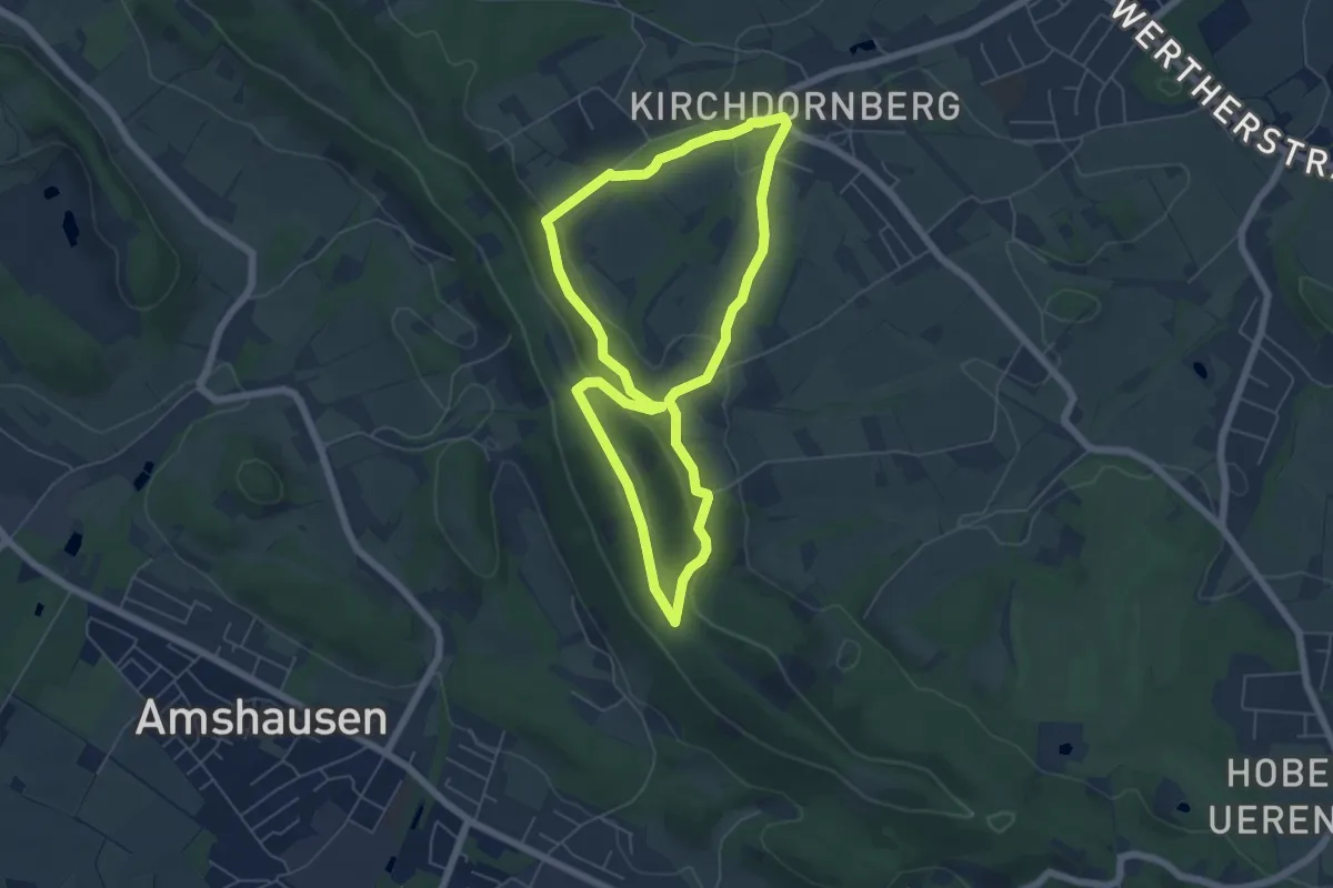
Easy · Summit
Bergmannsweg
5.0 km · ↑ 171 m · 1 h 38 min
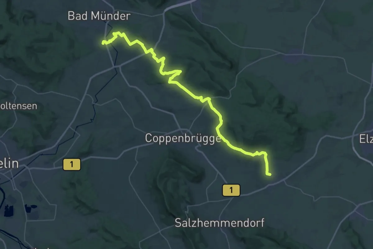
Demanding · Trail
Bergmannsweg
22.4 km · ↑ 492 m · 6 h 40 min
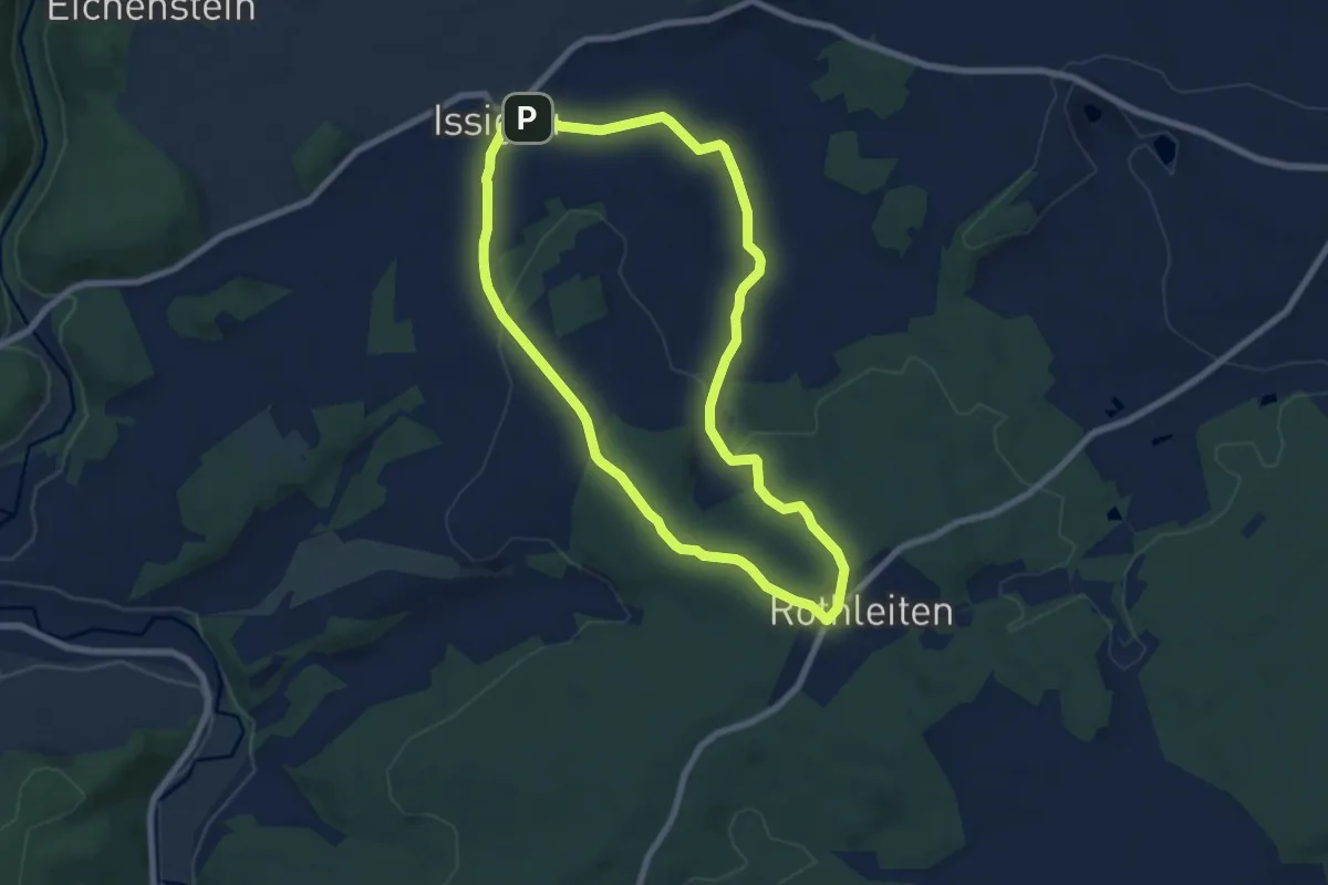
Easy · Trail
Bergmanns-Weg US 22
6.7 km · ↑ 143 m · 2 h
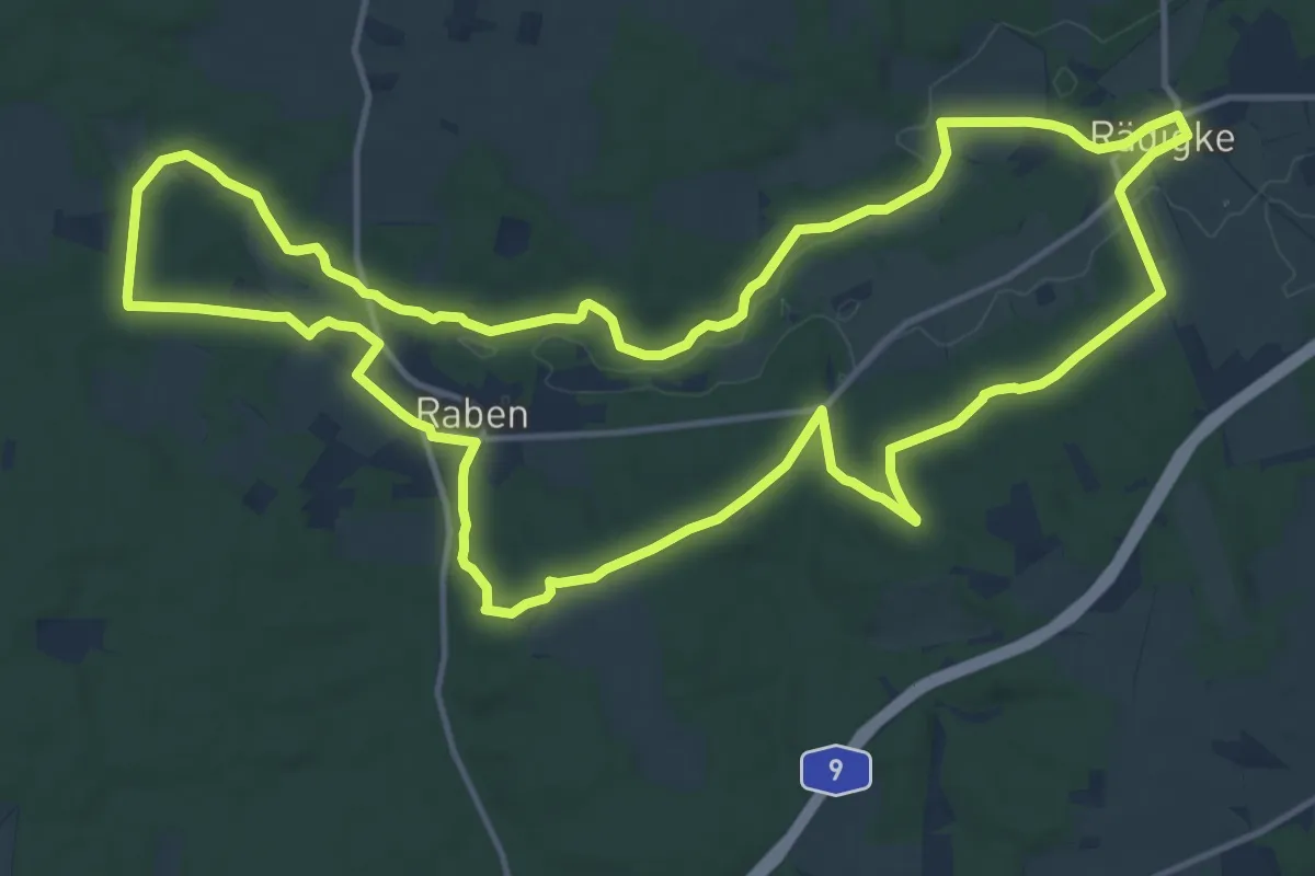
Medium · Trail
Bergmolchwanderweg
14.6 km · ↑ 154 m · 3 h 59 min
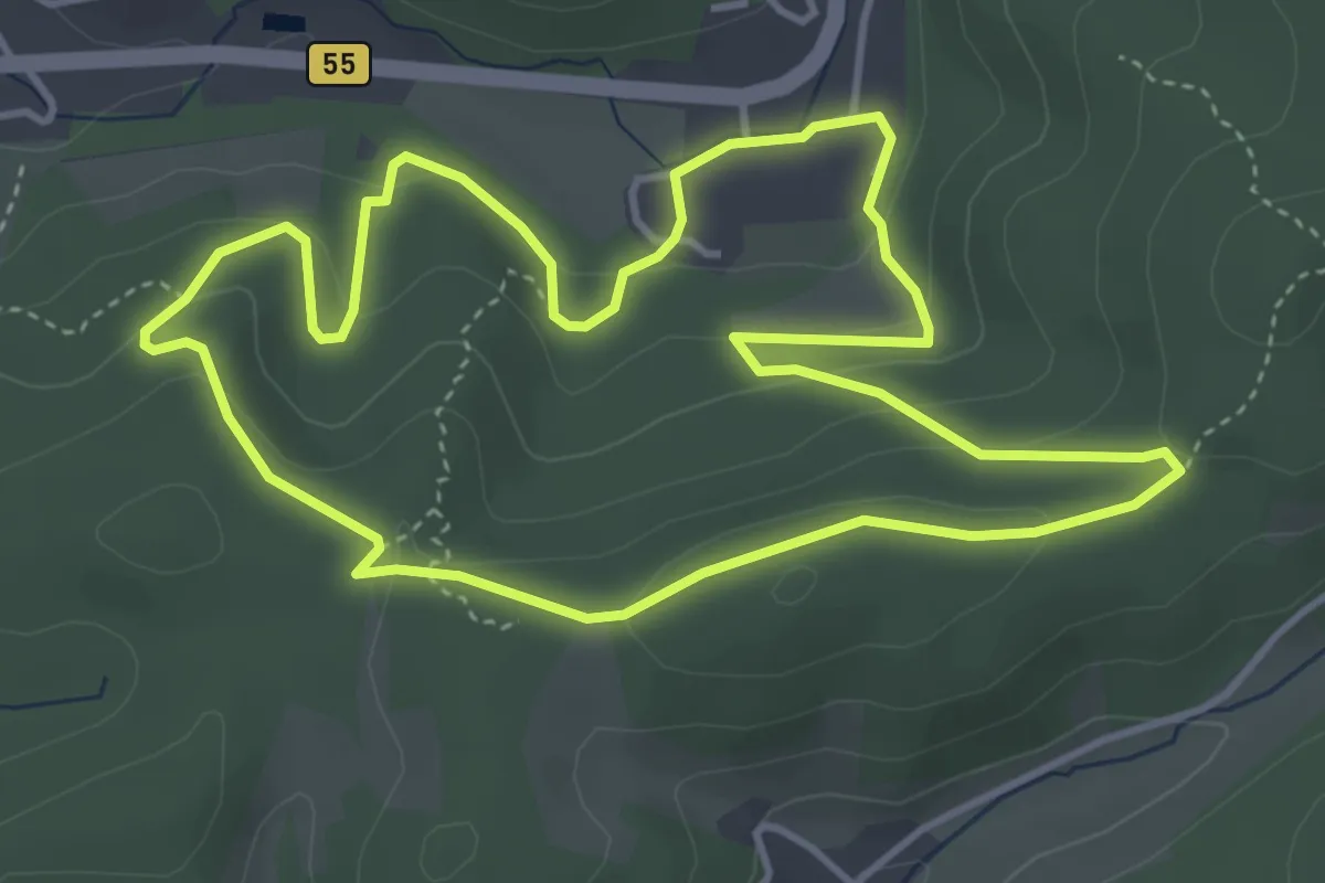
Easy · Trail
Bergneustadt Rundweg A1 (Bonte Kerk)
4.0 km · ↑ 154 m · 1 h 20 min
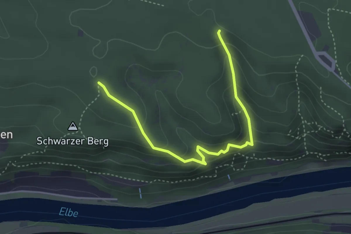
Demanding · Trail
Bergpfade Wehlener Gebiet
3.6 km · ↑ 296 m · 1 h 30 min
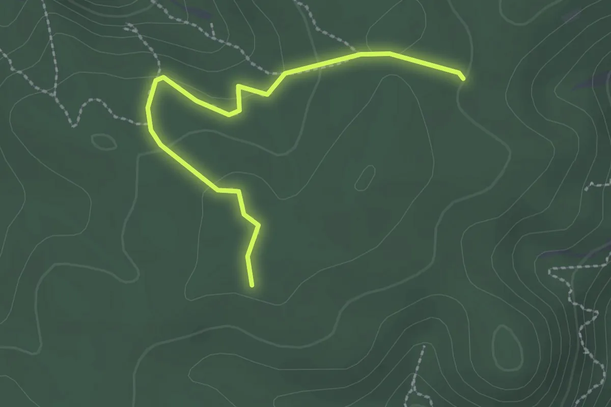
Easy · Trail
Bergpfad Gehackter Weg
2.2 km · ↑ 74 m · 41 min