Trails in Germany
36,824 hiking trails, each with its route, climb, walking time and grade.
All trails, page 61 of 768
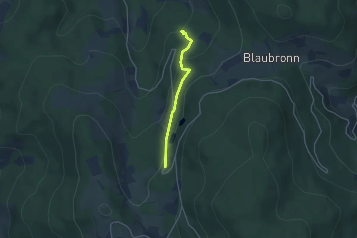
Easy · Trail
Bergreut - Forsthaus Schwend
2.3 km · ↑ 101 m · 46 min
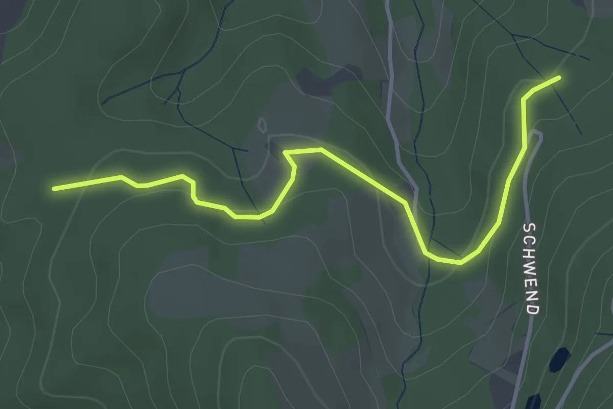
Easy · Trail
Bergreut - Rotebene
3.5 km · ↑ 89 m · 1 h 2 min
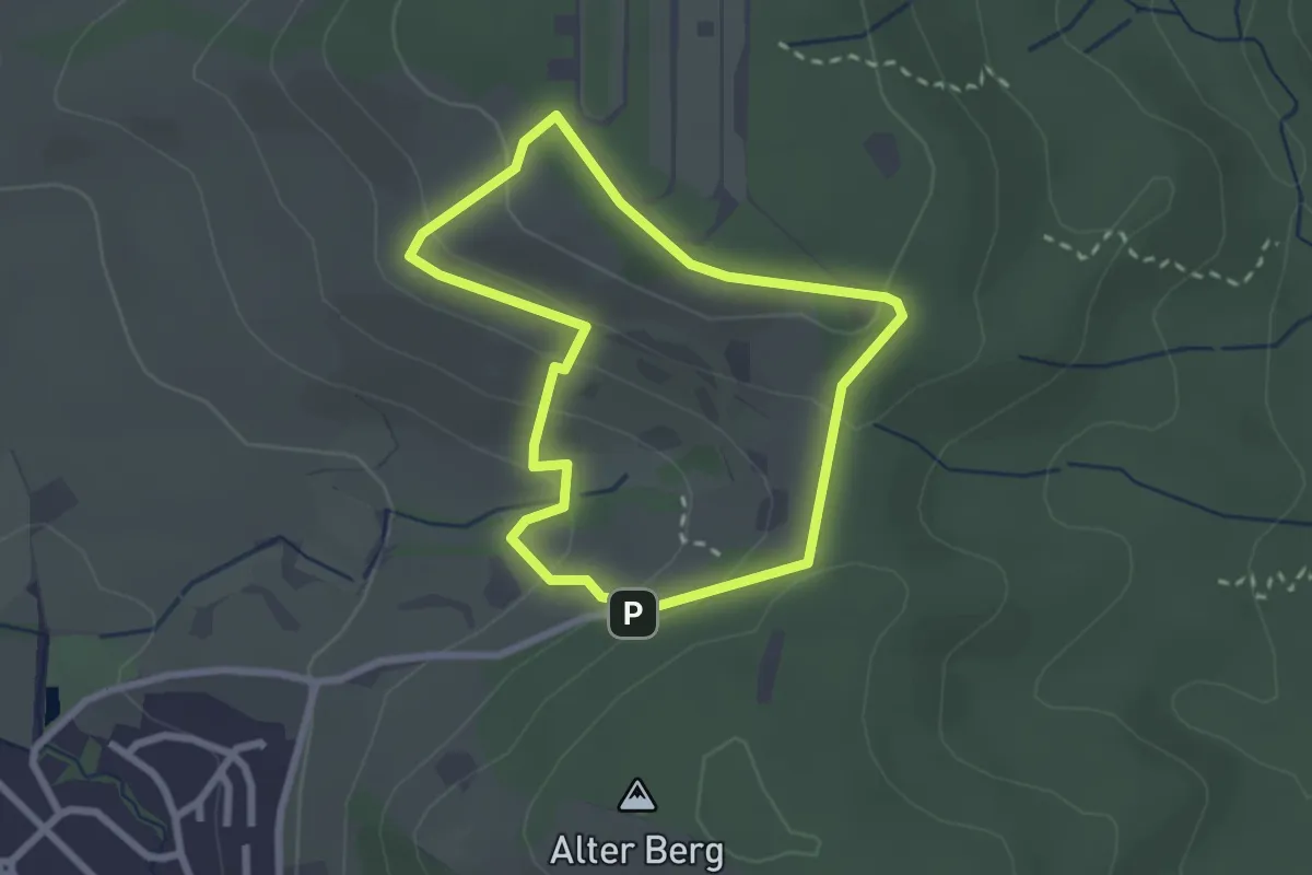
Easy · Trail
Bergrutschweg
2.2 km · ↑ 107 m · 46 min
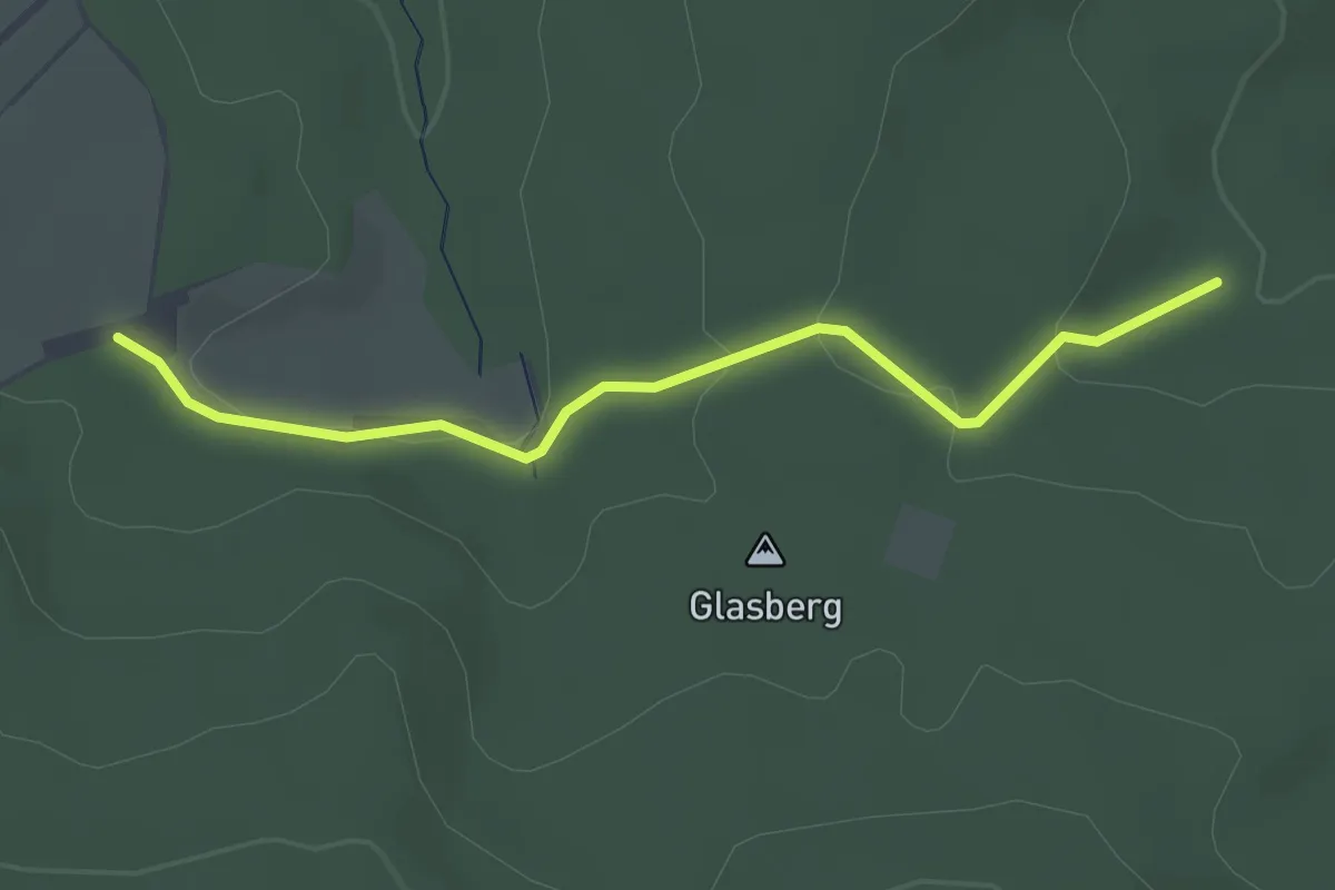
Easy · Trail
Bergschmiedehang - Schlotterhof
2.6 km · ↑ 73 m · 47 min
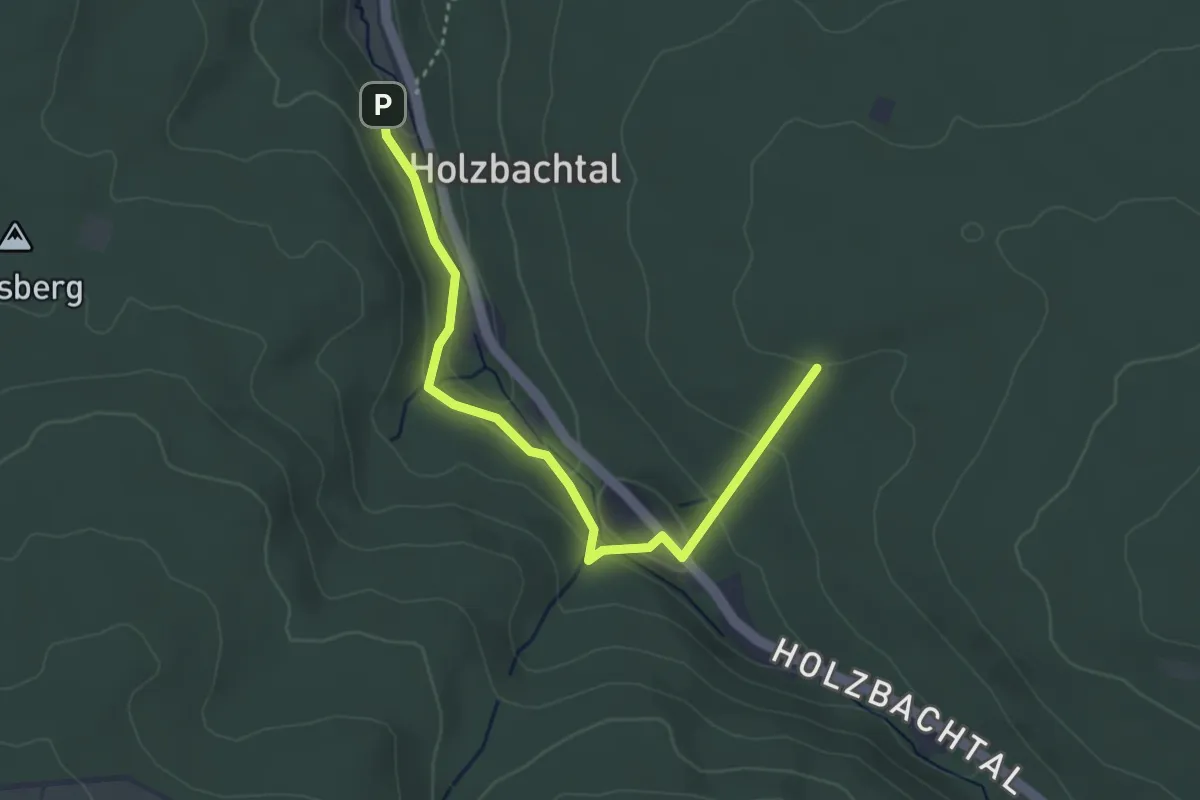
Easy · Trail
Bergschmiede - Wildstrut
3.6 km · ↑ 157 m · 1 h 11 min
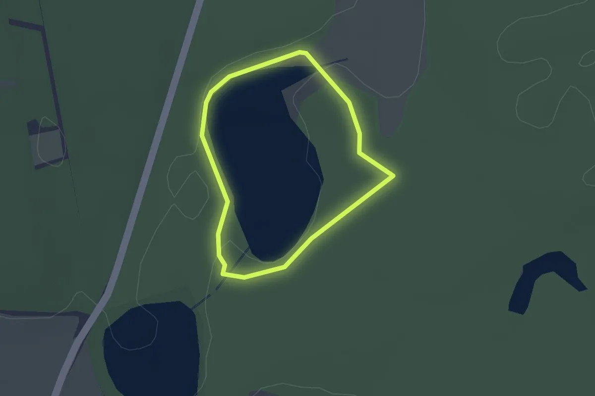
Easy · Trail
Bergseerundweg
1.5 km · ↑ 5 m · 23 min
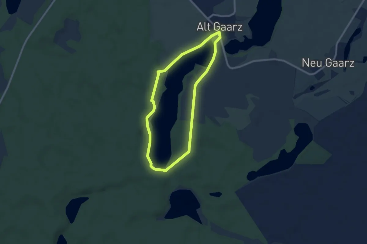
Easy · Trail
Bergsee Rundweg
5.1 km · ↑ 49 m · 1 h 24 min
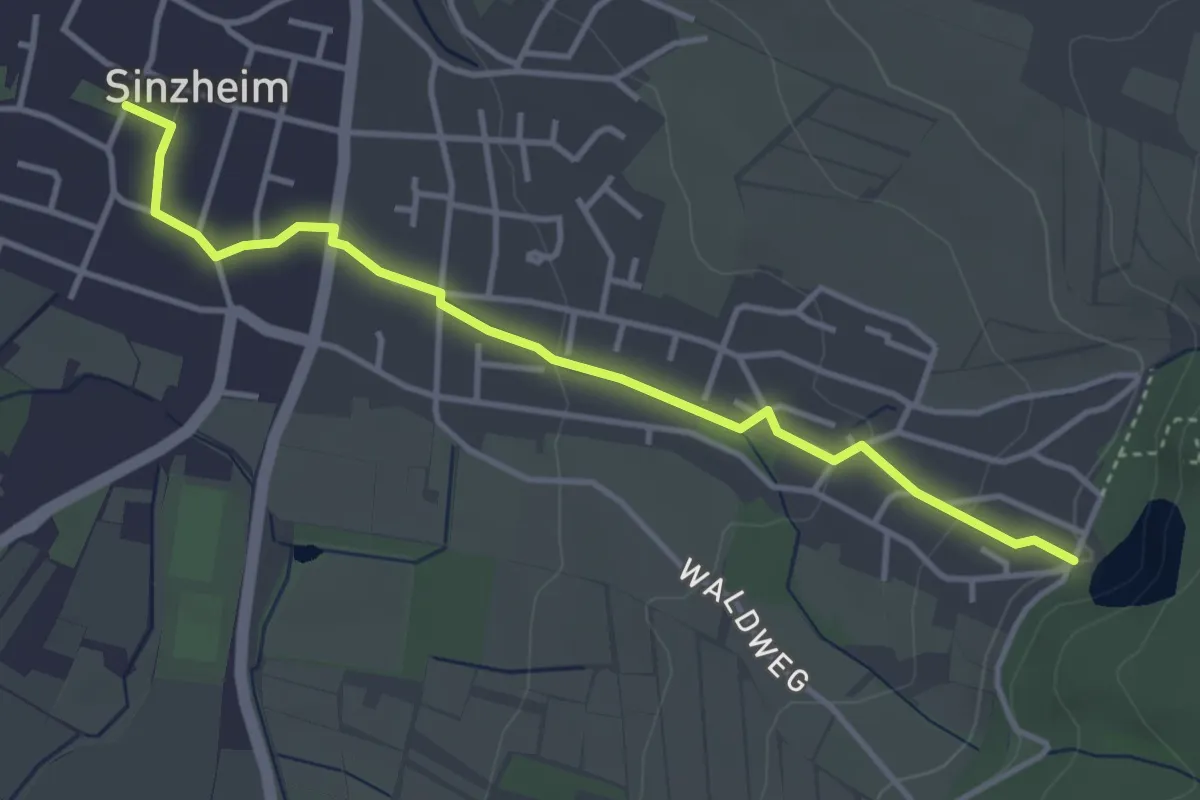
Easy · Trail
Bergsee - Sinzheim Ortsmitte
3.8 km · ↑ 77 m · 1 h 4 min
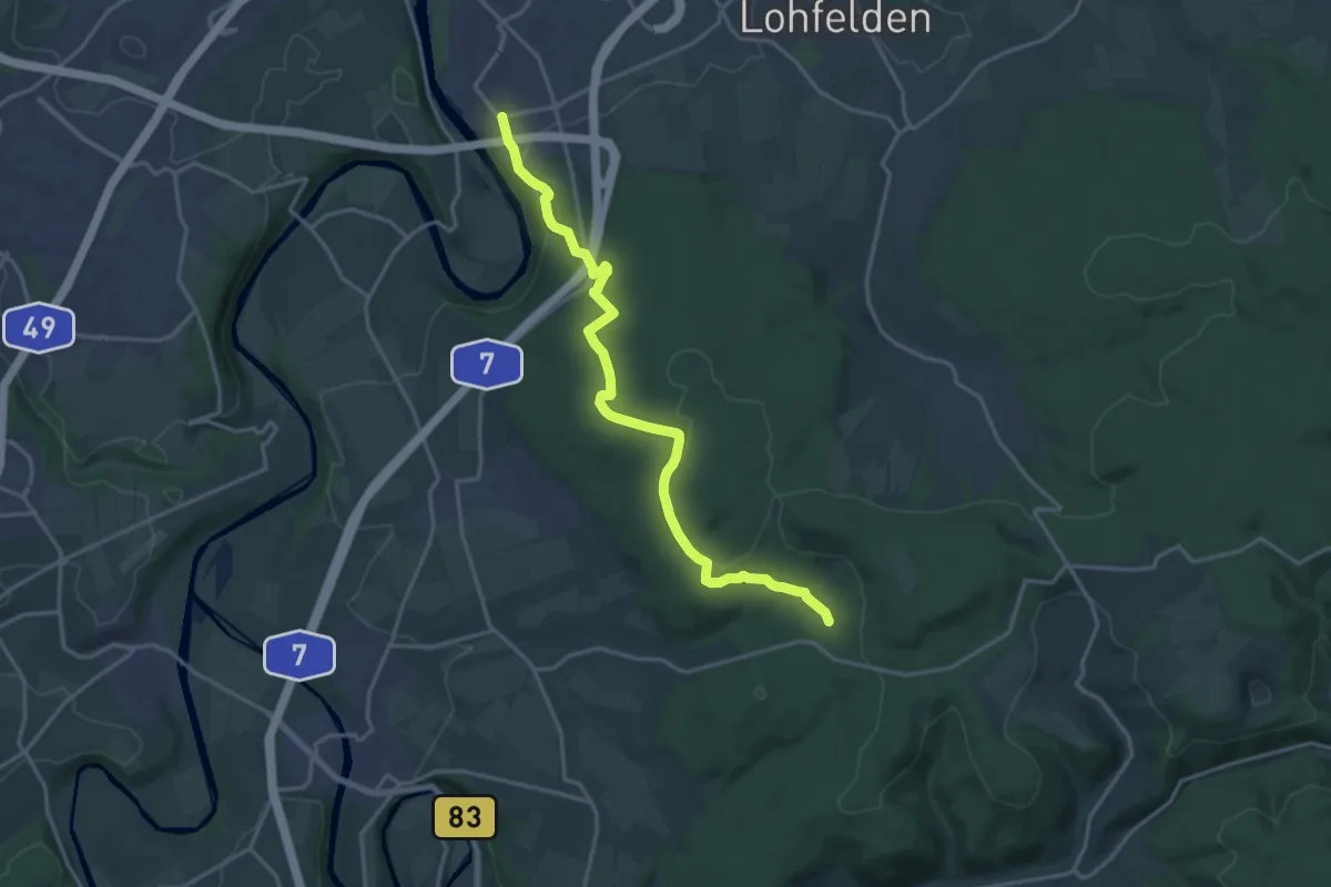
Medium · Trail
Bergshausen - Stellbergsee
16.8 km · ↑ 310 m · 4 h 38 min
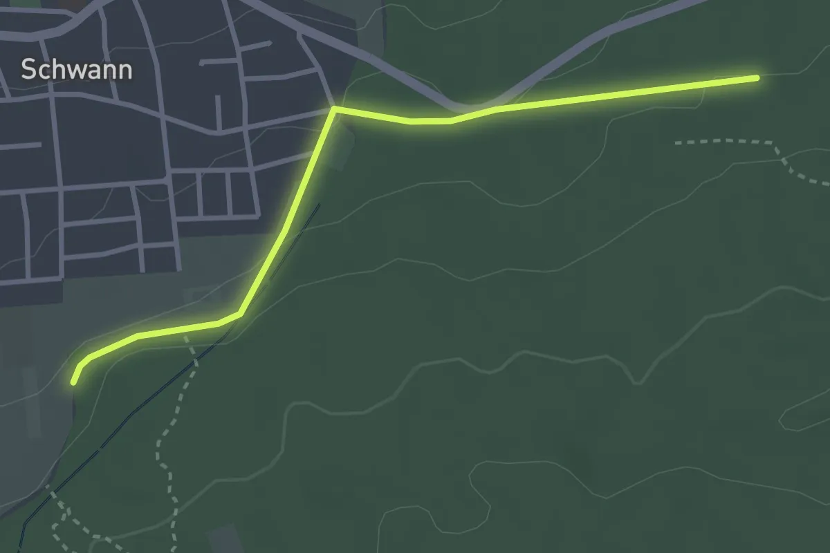
Easy · Trail
Bergsträßle - Mähfeld
3.1 km · ↑ 45 m · 50 min
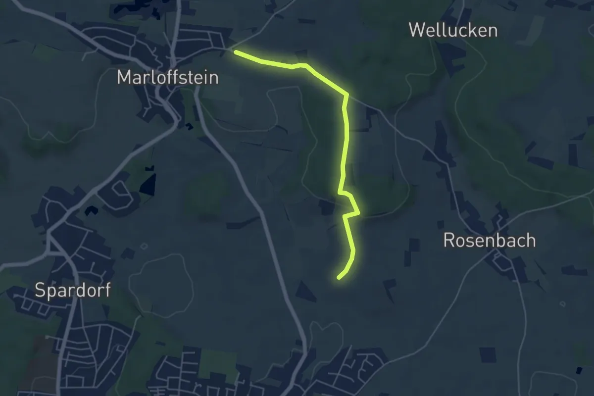
Easy · Trail
Berg & Talpfad
2.2 km · ↑ 13 m · 36 min
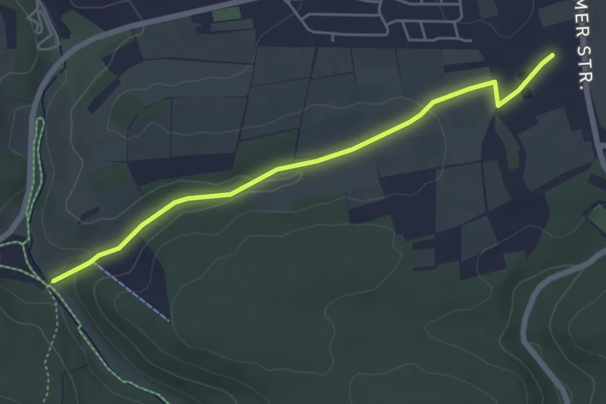
Easy · Trail
Berg und Tal
2.1 km · ↑ 0 m · 34 min
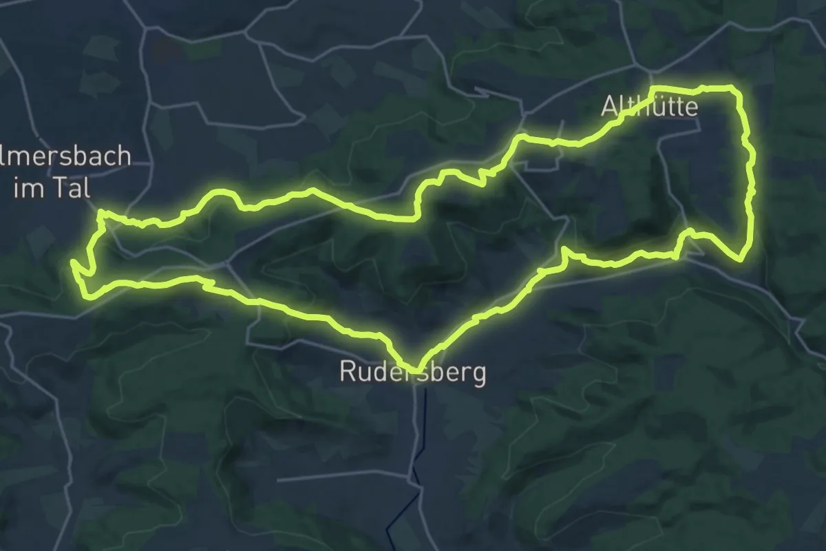
Demanding · Summit
Berg und Tal
24.1 km · ↑ 637 m · 7 h 24 min
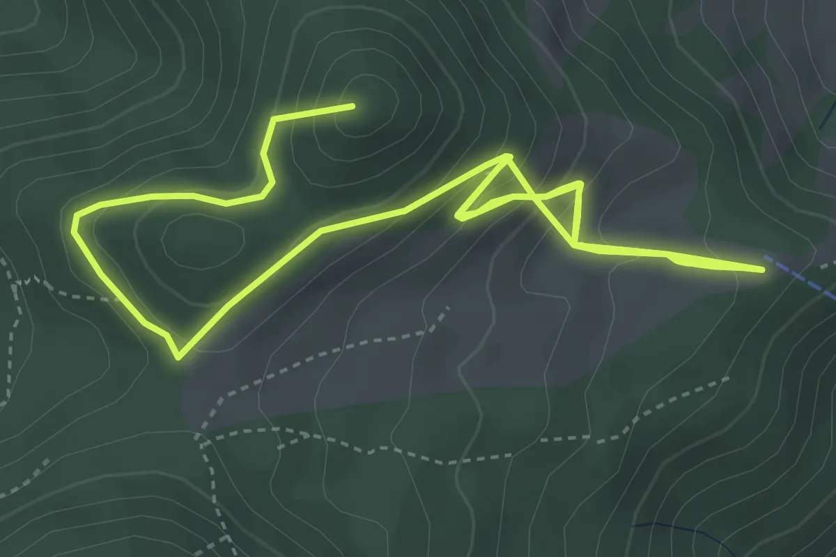
Medium · Summit
Bergwalderlebnisweg Staffen
7.4 km · ↑ 538 m · 2 h 54 min
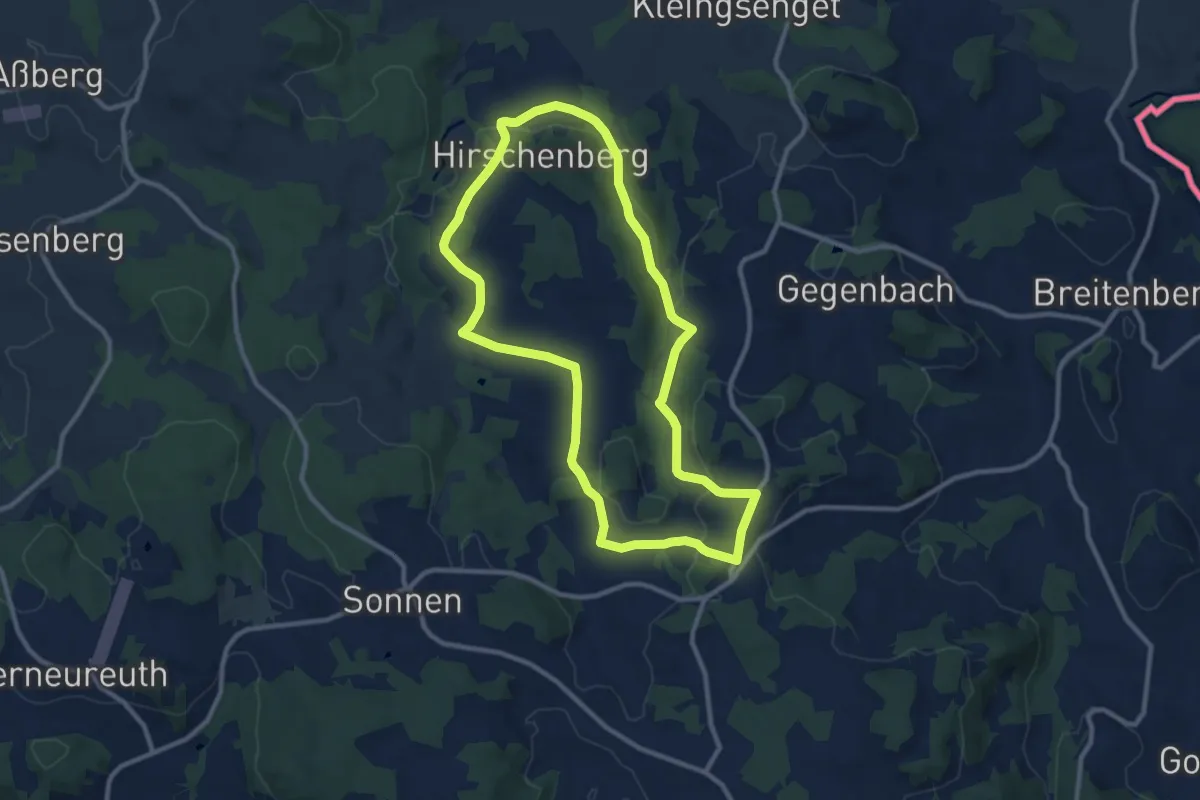
Medium · Trail
Bergweg
9.7 km · ↑ 218 m · 2 h 54 min
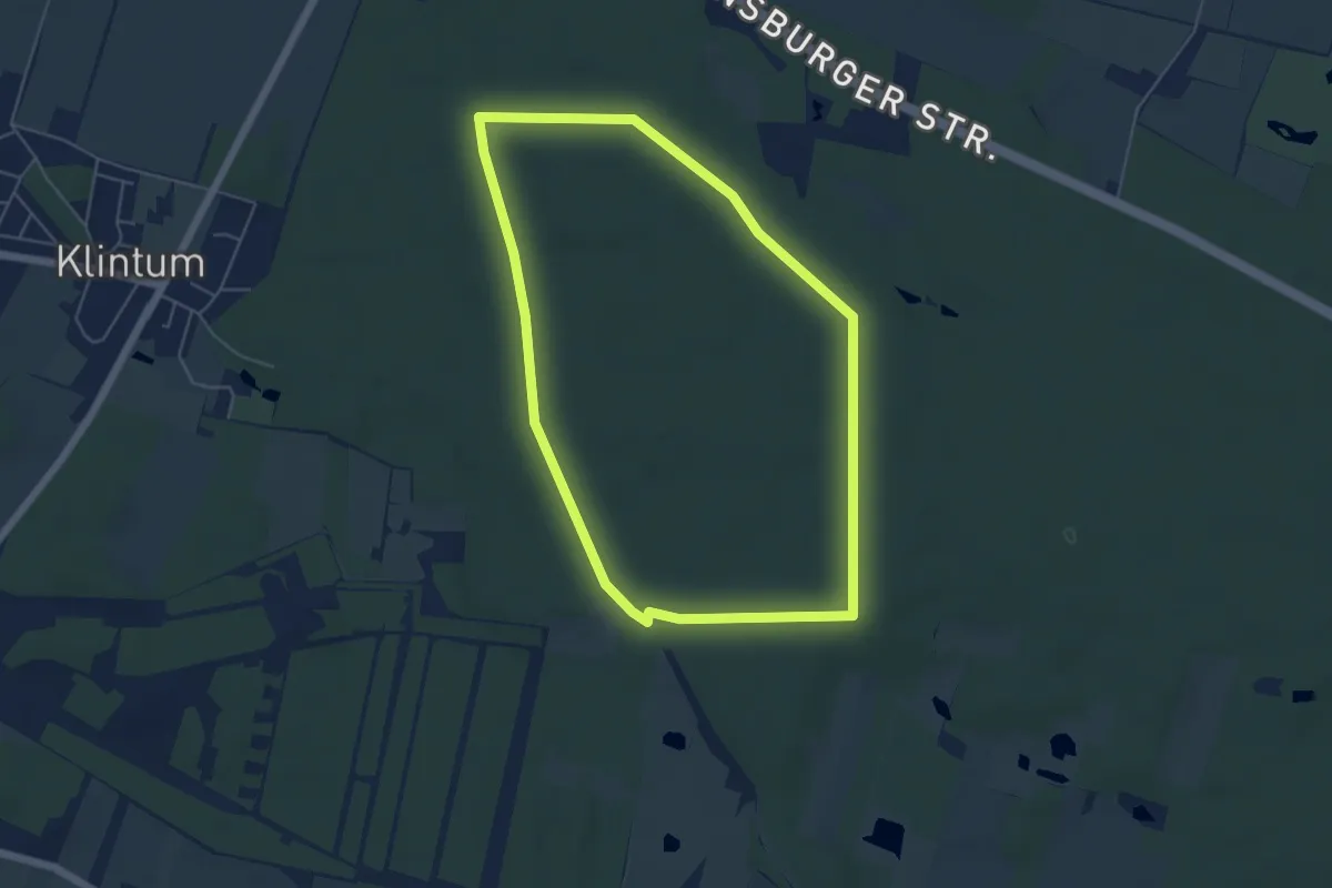
Easy · Summit
Bergweg
4.5 km · ↑ 31 m · 1 h 11 min
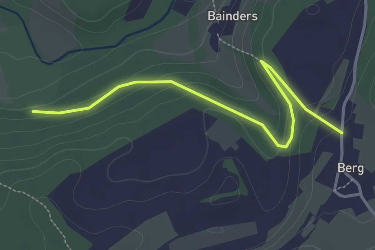
Easy · Trail
Berg - Weißenbronnen
2.8 km · ↑ 90 m · 52 min
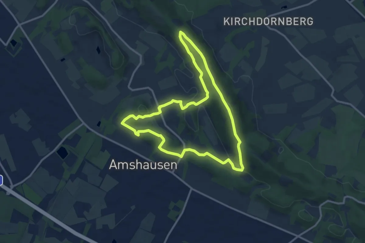
Easy · Summit
Bergweltenweg
7.6 km · ↑ 209 m · 2 h 21 min
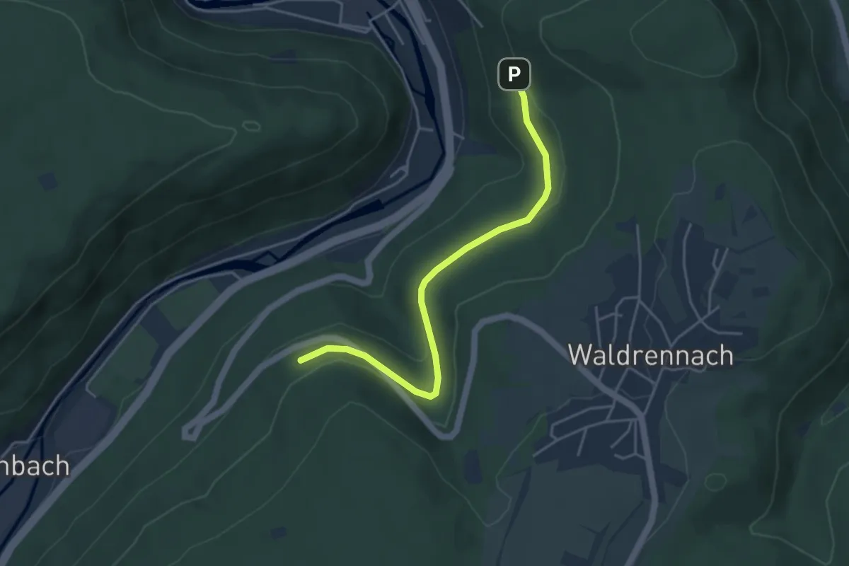
Easy · Trail
Bergwerk - Frischglück-Pfad
3.9 km · ↑ 123 m · 1 h 11 min
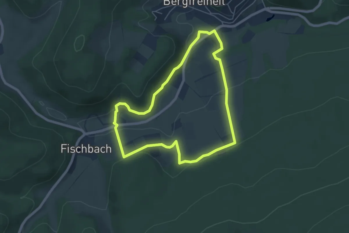
Easy · Trail
Bergwerk, Naturparkweg 2
4.2 km · ↑ 132 m · 1 h 21 min
Easy · Trail
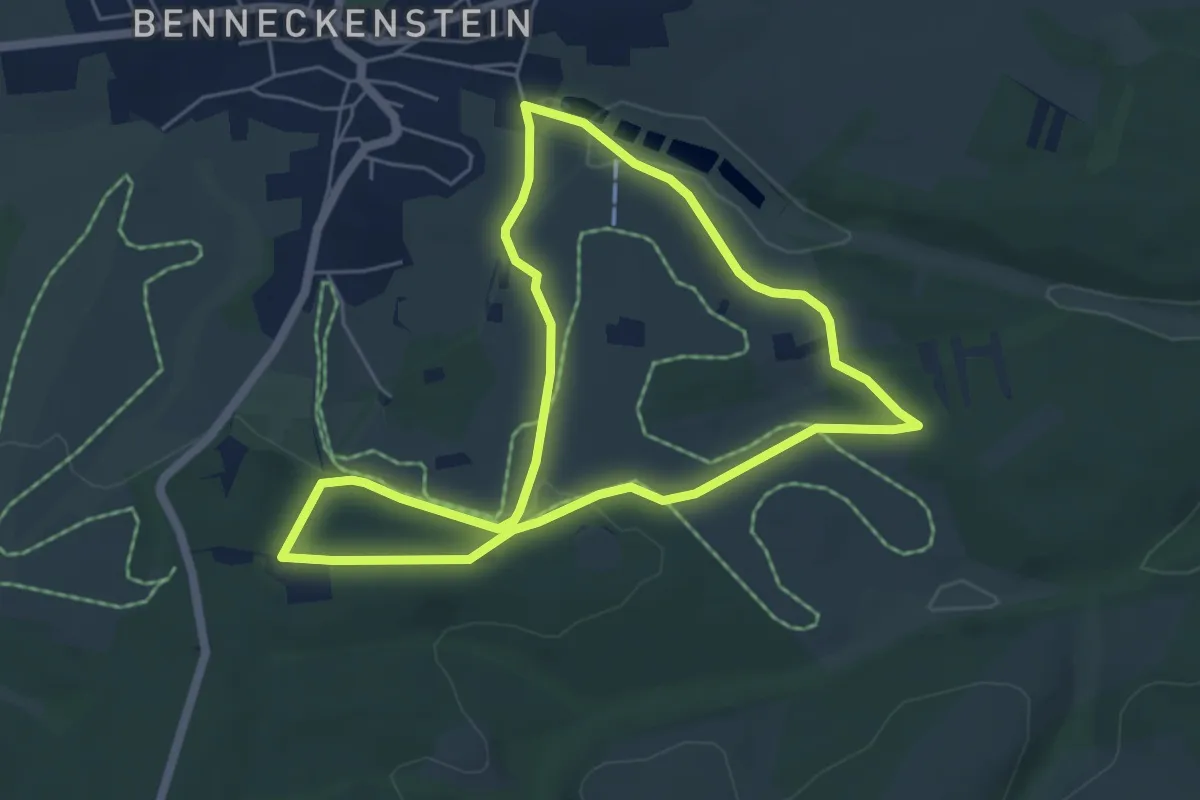
Bergwiesen-Lehrpfad
4.7 km · ↑ 78 m · 1 h 21 min
Easy · Trail
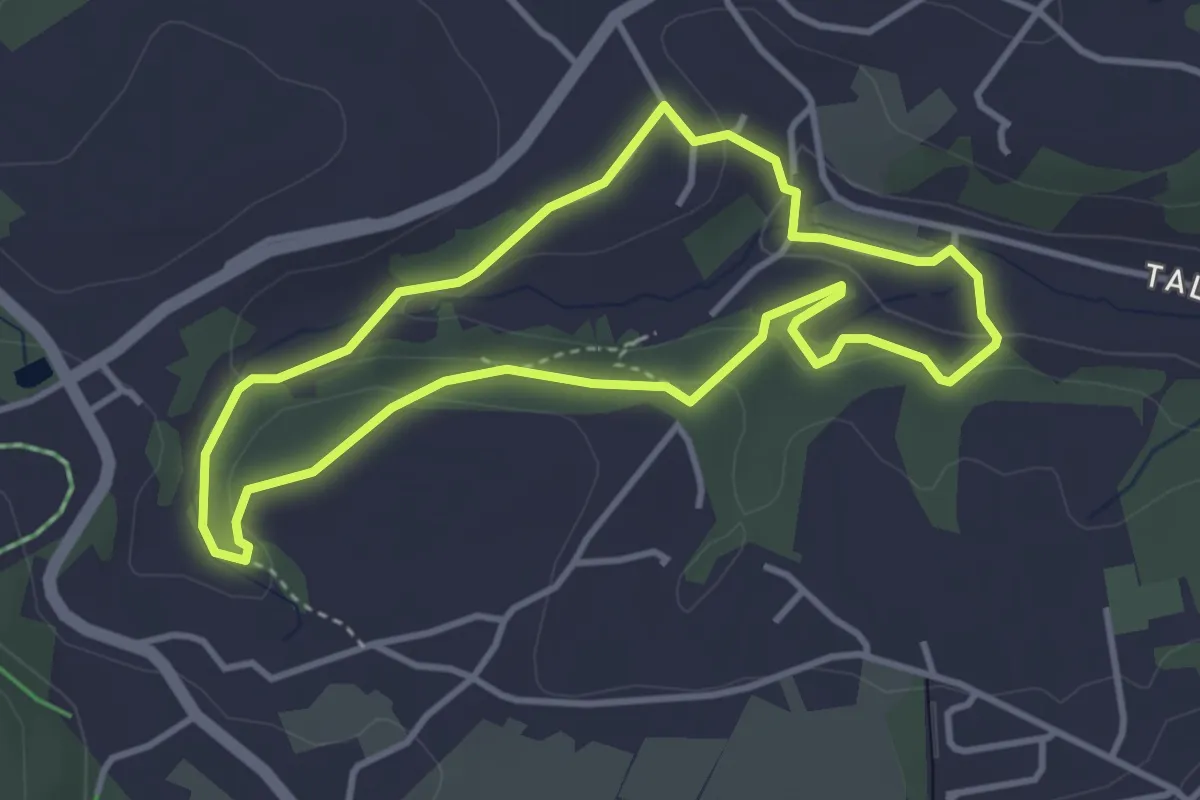
Bergwiesenpfad
3.2 km · ↑ 88 m · 1 h
Easy · Trail
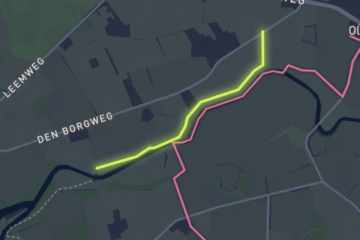
Berkelpad etappe 5: Eibergen - Oldenkotte
2.0 km · ↑ 0 m · 28 min
Demanding · Trail
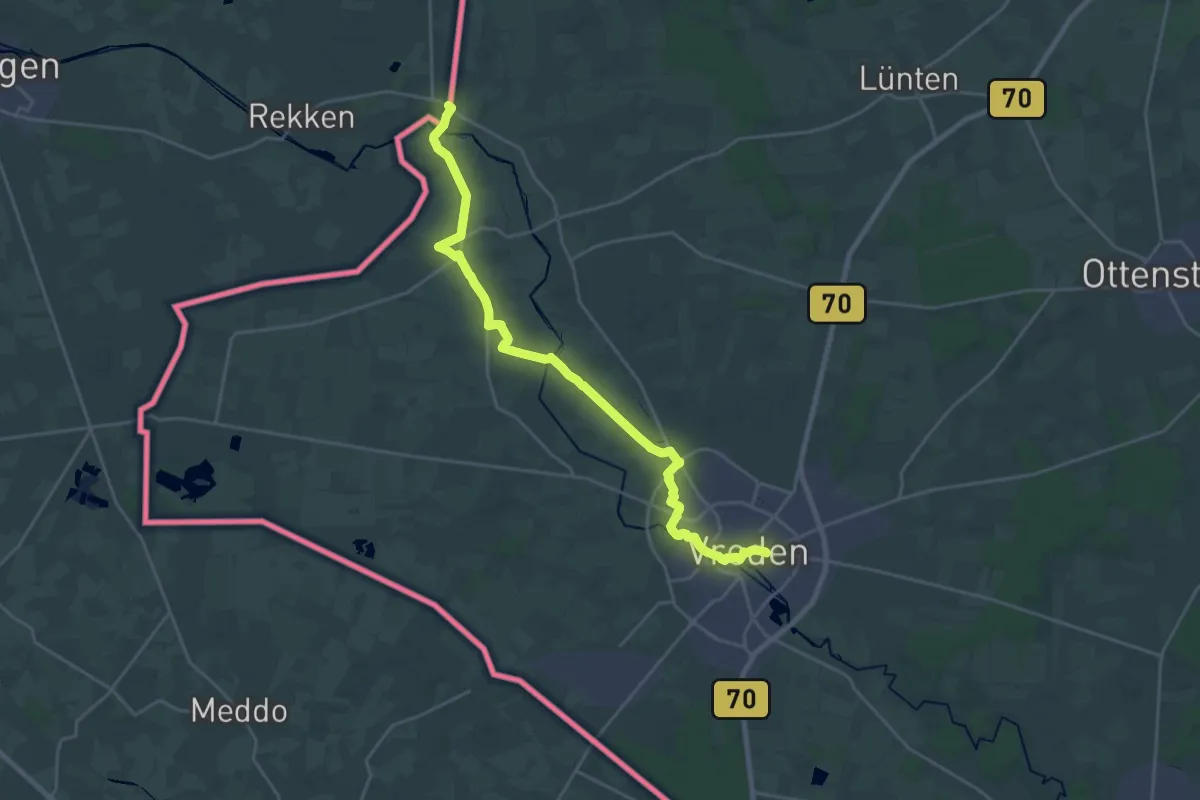
Berkelpad etappe 6: Oldenkotte - Vreden
22.9 km · ↑ 21 m · 5 h 27 min
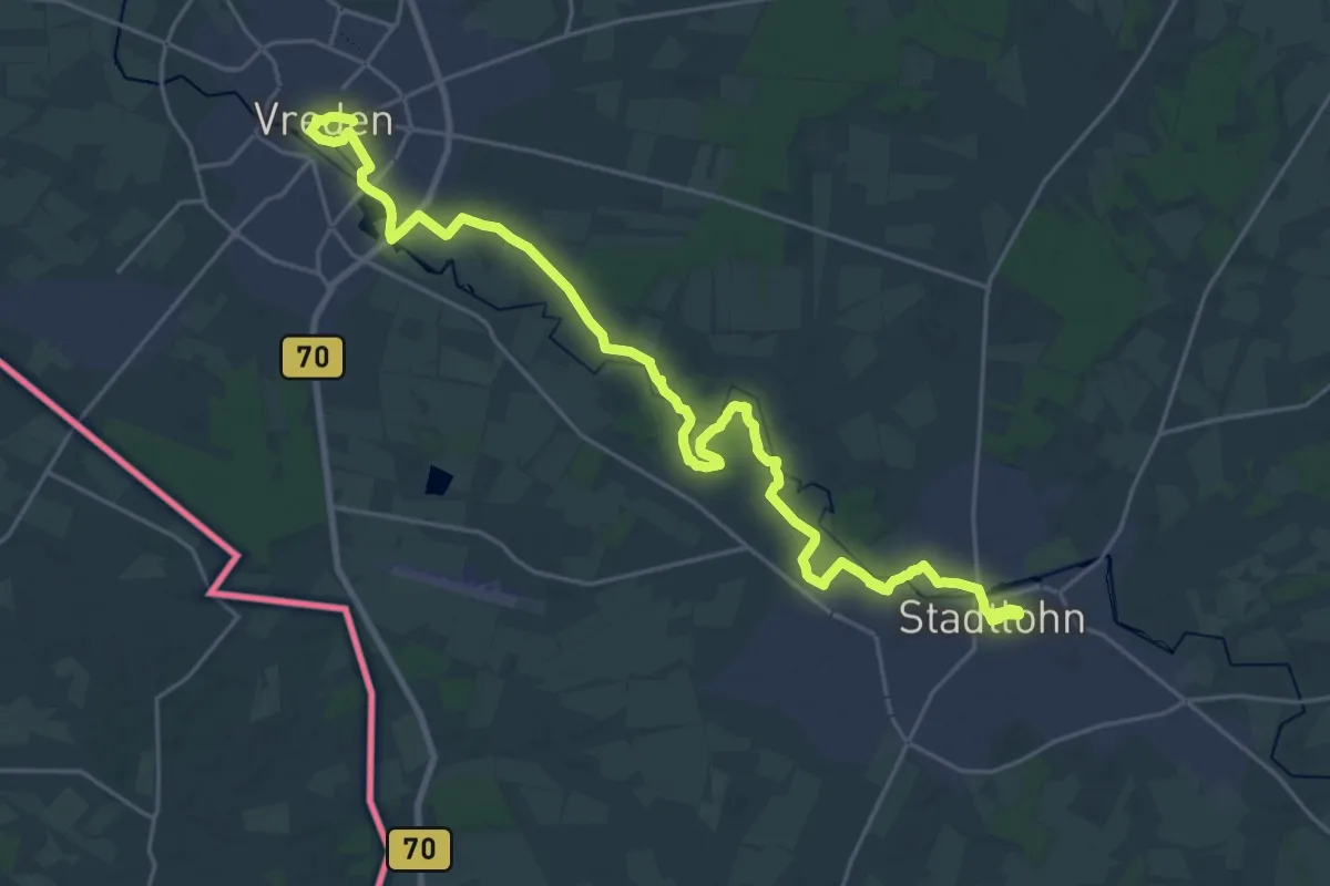
Demanding · Trail
Berkelpad etappe 7: Vreden - Stadtlohn
27.0 km · ↑ 79 m · 6 h 33 min
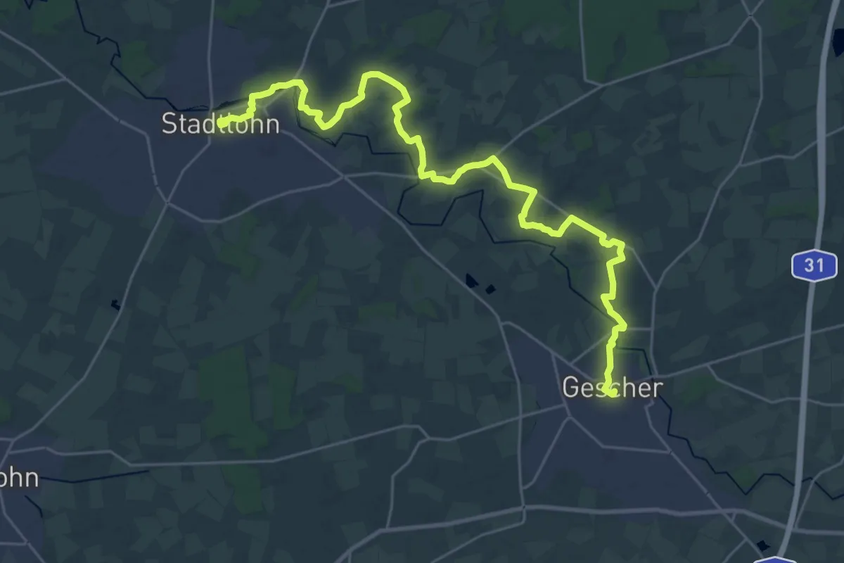
Demanding · Trail
Berkelpad etappe 8: Stadtlohn - Gescher
27.8 km · ↑ 26 m · 6 h 38 min
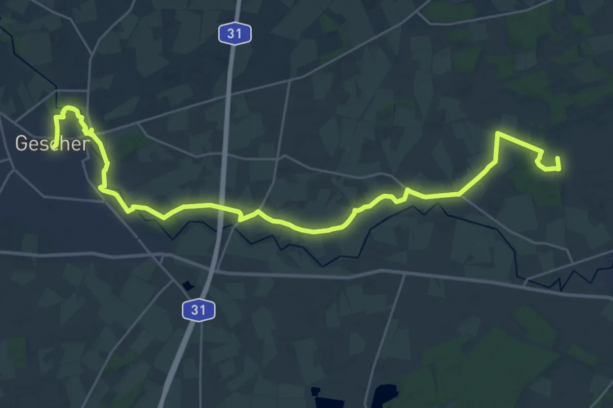
Demanding · Trail
Berkelpad etappe 9: Gescher - Coesfeld
25.5 km · ↑ 55 m · 6 h 8 min
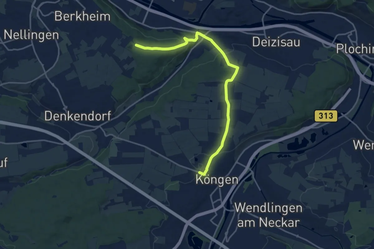
Medium · Trail
Berkheim (Freyaeiche) - Köngen
13.2 km · ↑ 287 m · 3 h 44 min
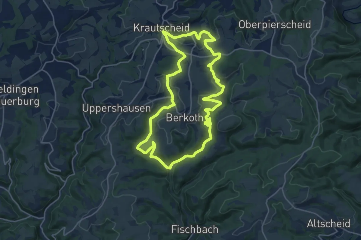
Medium · Trail
Berkoth
13.9 km · ↑ 339 m · 4 h 13 min
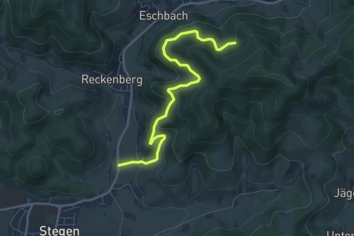
Medium · Trail
Berlachen - Scherpeter Rank
7.0 km · ↑ 468 m · 2 h 39 min
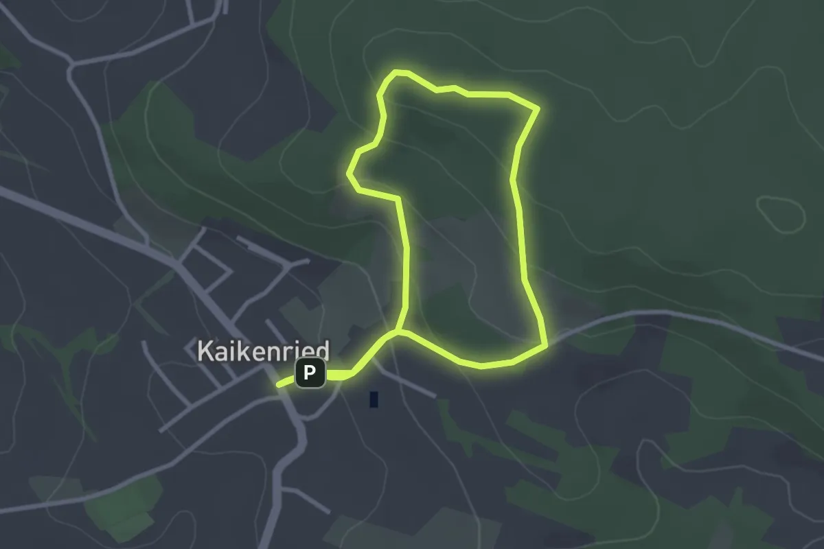
Easy · Trail
Berliner-Kreuz-Rundweg
2.6 km · ↑ 120 m · 54 min
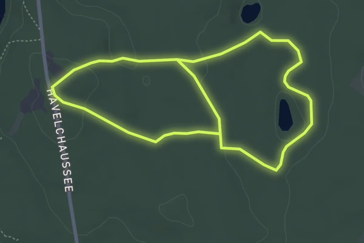
Easy · Summit
Berlin. Wald. Klima.
3.9 km · ↑ 50 m · 1 h 5 min
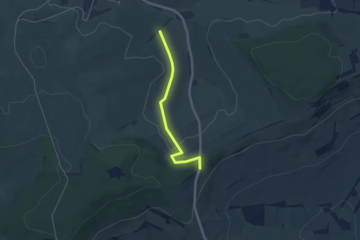
Easy · Trail
Berlisdobel - Bei der Alten Postweg Hütte
3.3 km · ↑ 49 m · 53 min
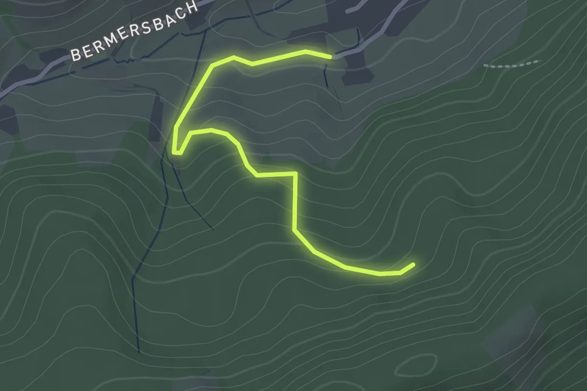
Easy · Trail
Bermersbach Hausmatt - Im Dornbusch
2.3 km · ↑ 128 m · 50 min
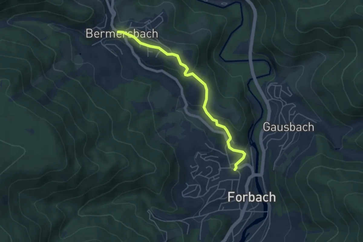
Easy · Trail
Bermersbach - Klingenbach
4.3 km · ↑ 158 m · 1 h 22 min
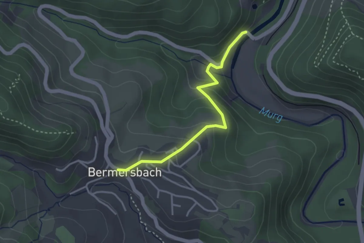
Easy · Trail
Bermersbach - Wolfsheck
2.8 km · ↑ 170 m · 1 h 2 min
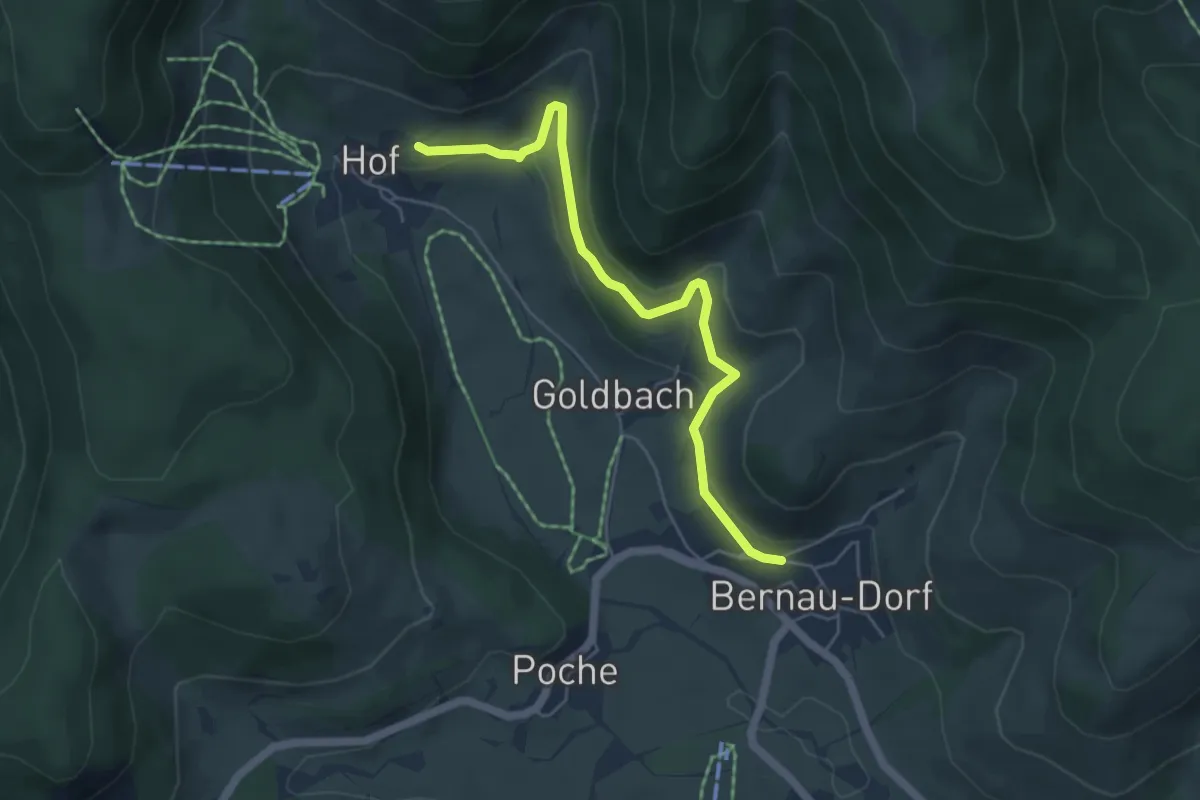
Easy · Trail
Bernau-Dorf Annenhof - Kirchrain
5.0 km · ↑ 168 m · 1 h 33 min
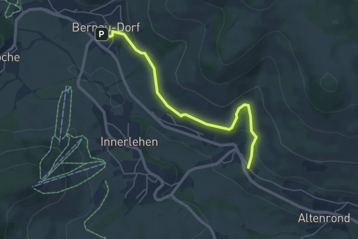
Easy · Trail
Bernau-Dorf - Riggenbach
4.3 km · ↑ 137 m · 1 h 19 min
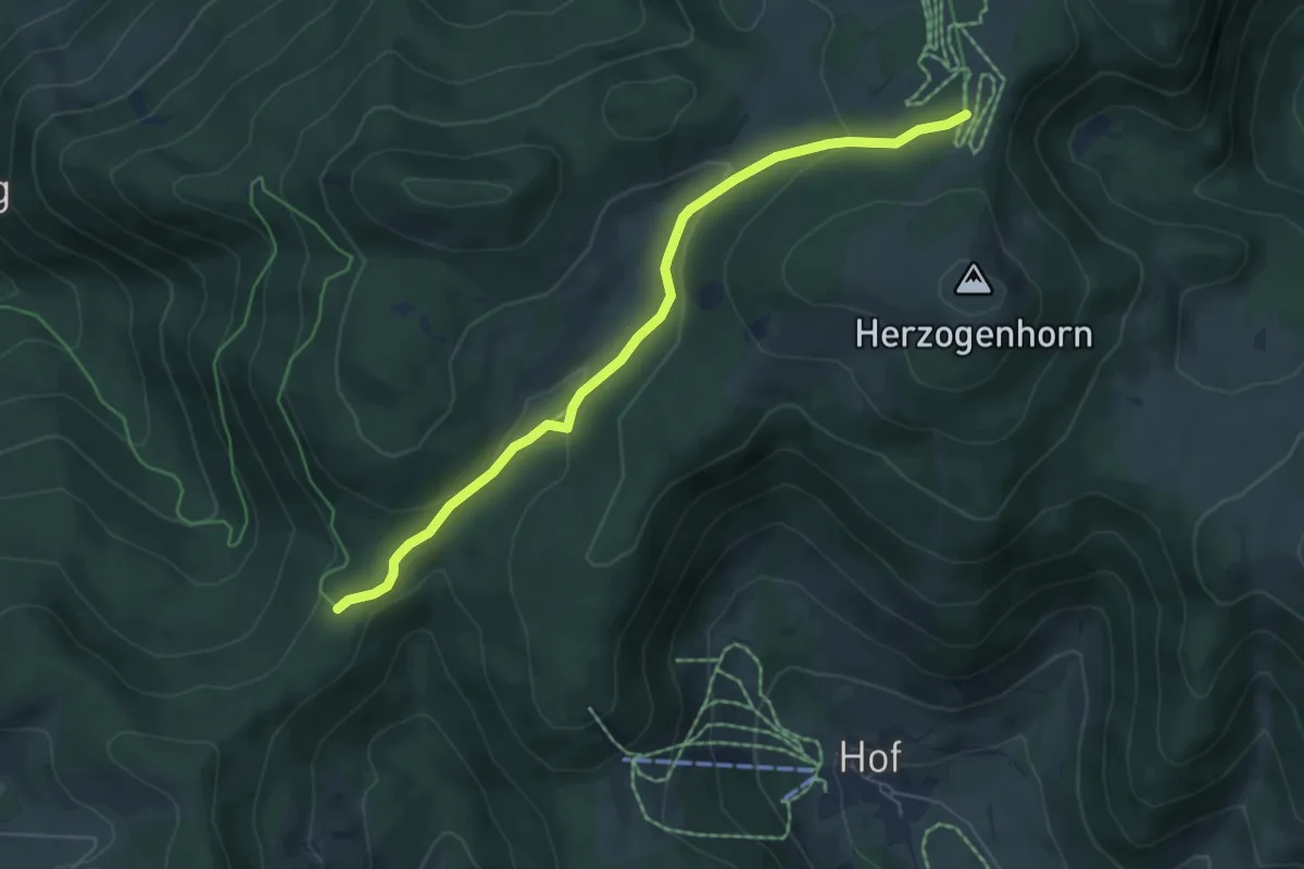
Easy · Trail
Bernauer Kreuz - Glockenführe
5.5 km · ↑ 181 m · 1 h 42 min
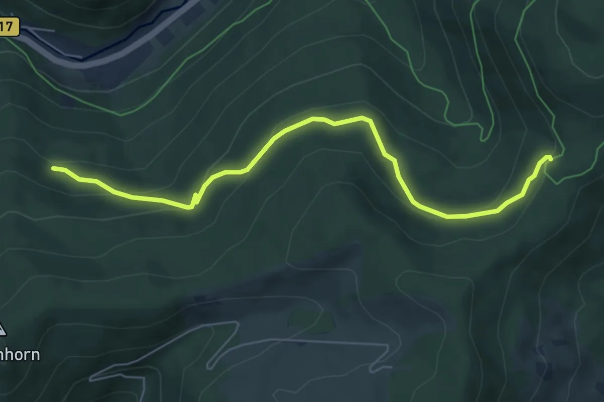
Easy · Trail
Bernauer Kreuz Weg - Mausboden
5.8 km · ↑ 267 m · 1 h 57 min
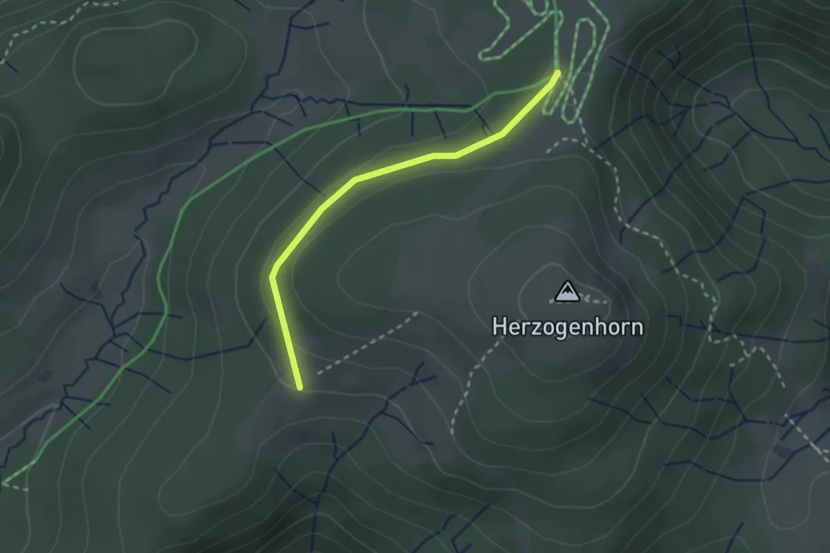
Easy · Trail
Bernauer Skihütte - Glockenführe
2.3 km · ↑ 57 m · 40 min
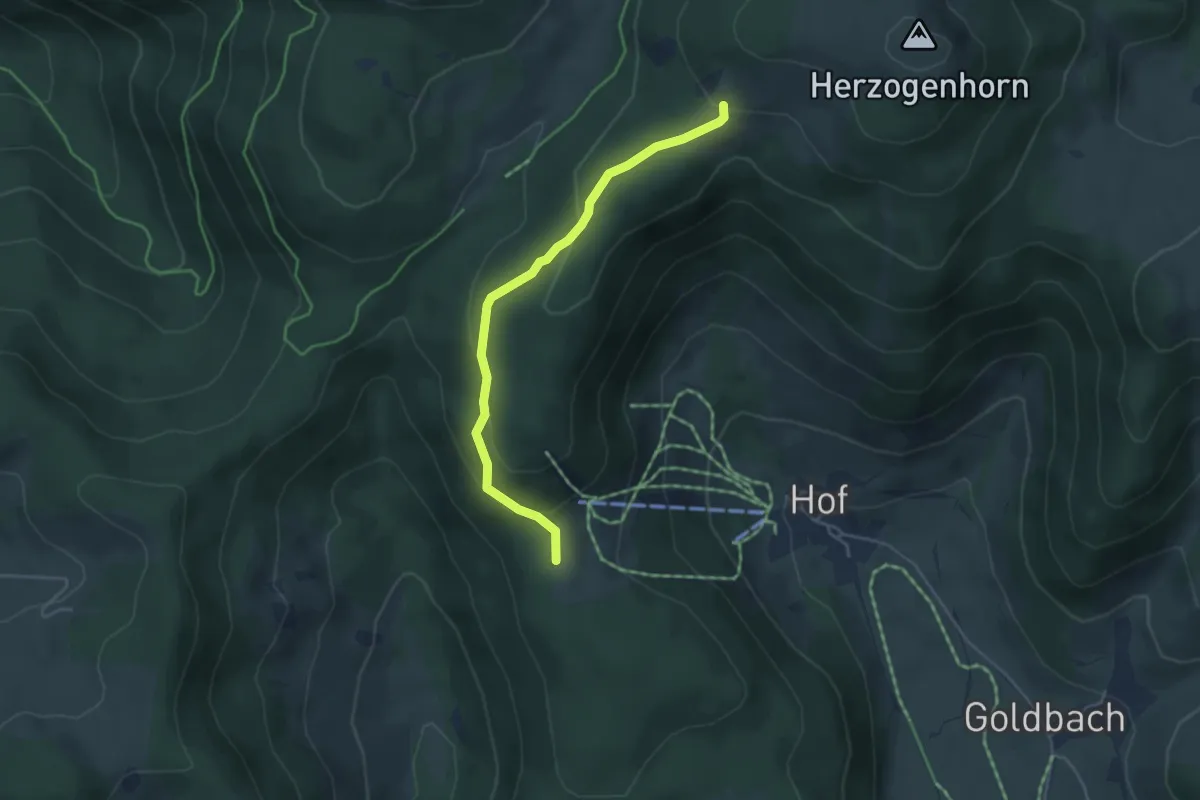
Easy · Trail
Bernauer Skihütte - Hofeck
4.1 km · ↑ 204 m · 1 h 24 min
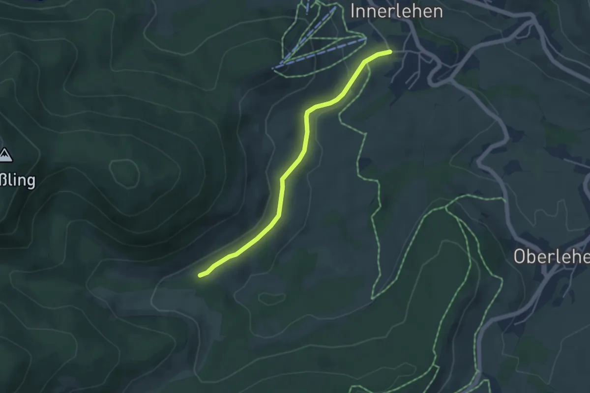
Easy · Trail
Bernau-Innerlehen - Grabenwald
3.8 km · ↑ 73 m · 1 h 3 min
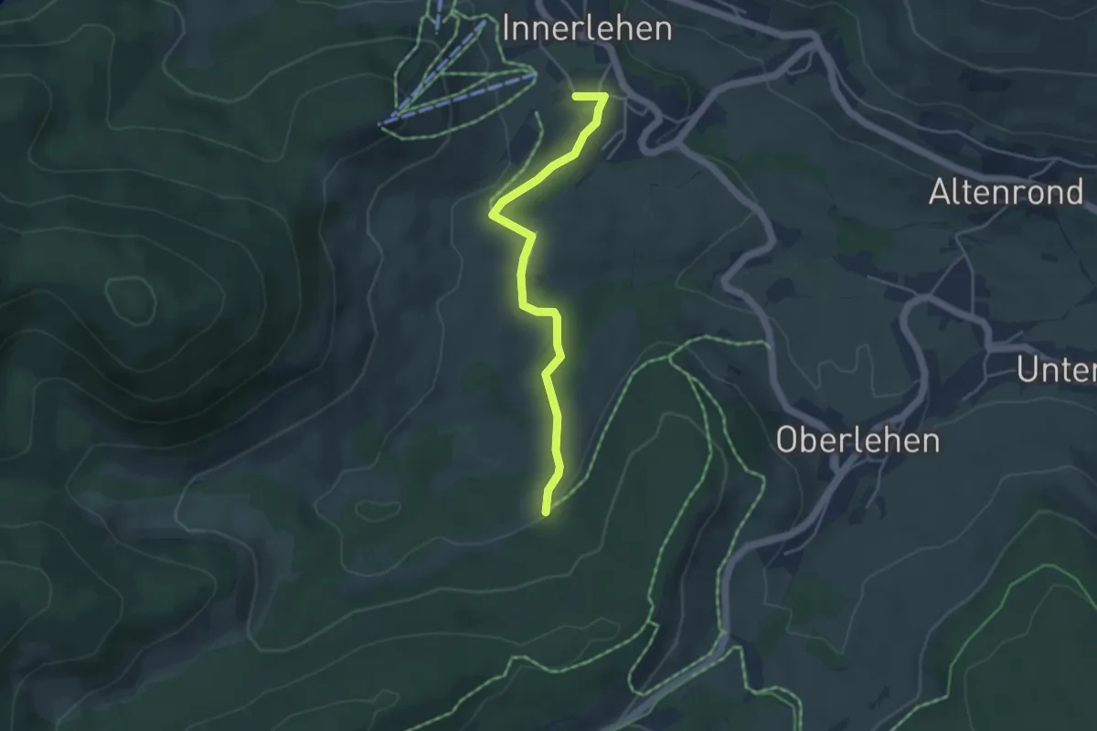
Easy · Trail
Bernau-Innerlehen - Grünplätz
3.9 km · ↑ 83 m · 1 h 7 min
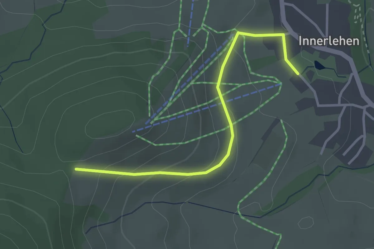
Easy · Trail
Bernau-Innerlehen Kurhaus - Nödemle
2.8 km · ↑ 153 m · 1 h
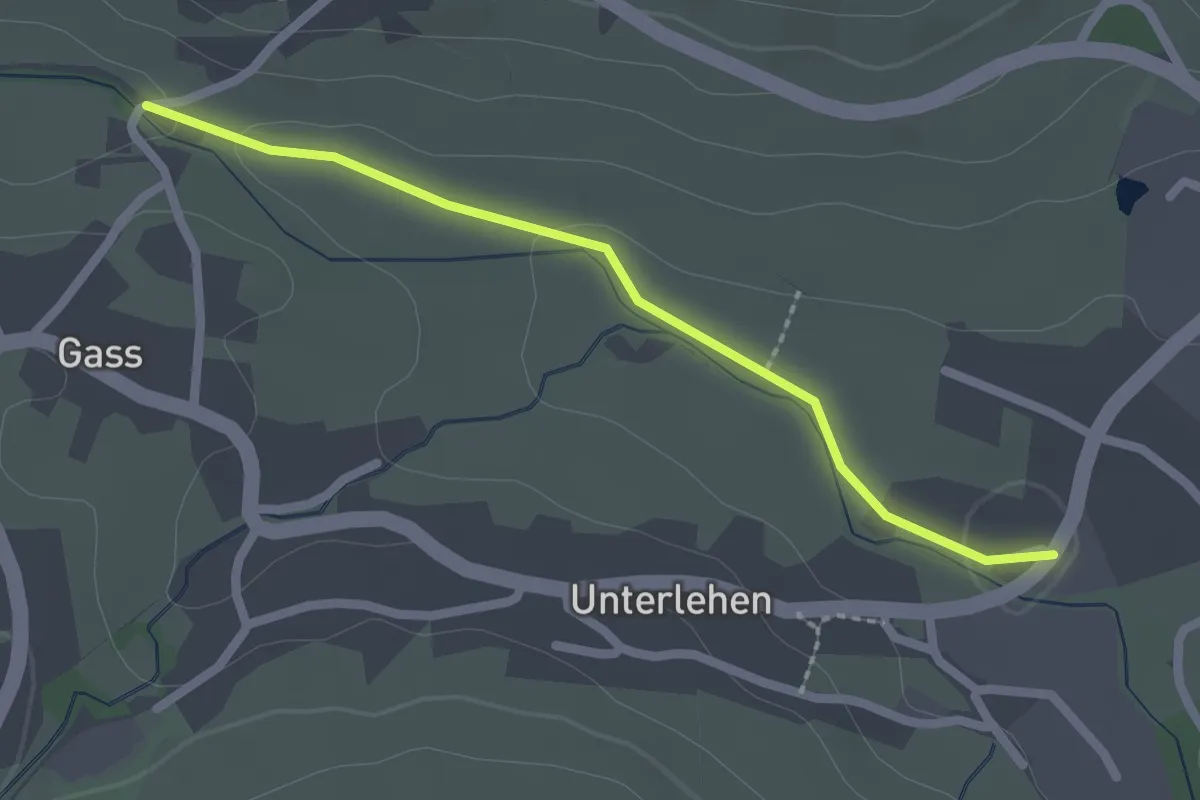
Easy · Trail
Bernau-Weierle Albbrücke - Schliefe
2.1 km · ↑ 23 m · 32 min
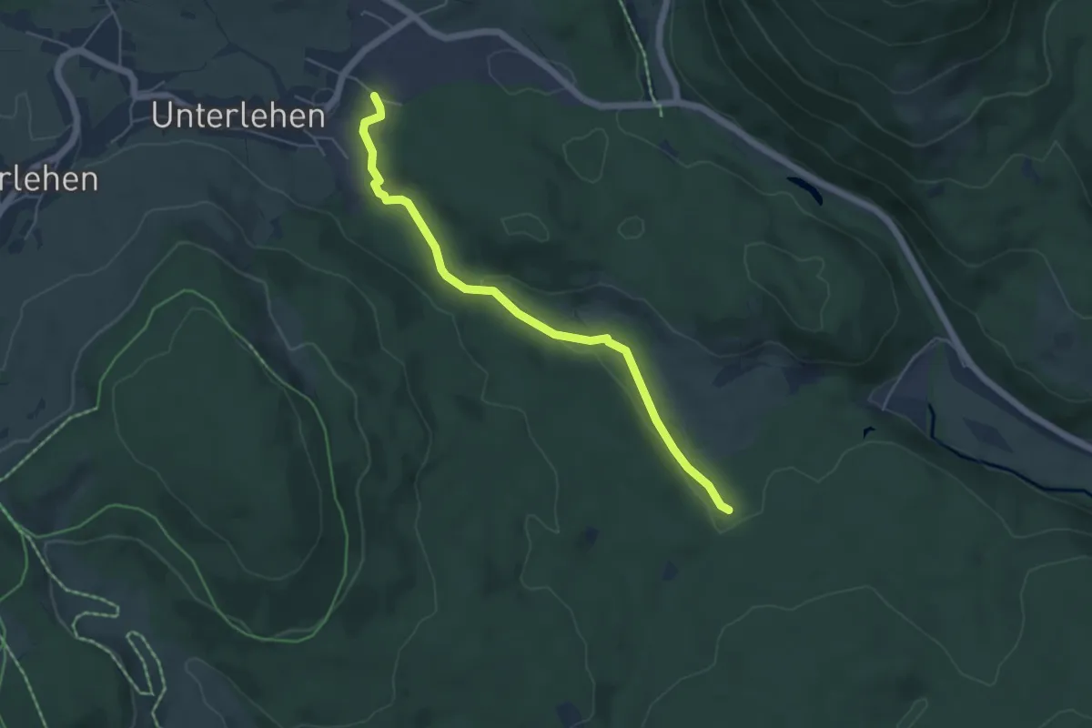
Easy · Trail
Bernau-Weierle Wäldemleweg - Zacherbrückle
5.0 km · ↑ 69 m · 1 h 19 min
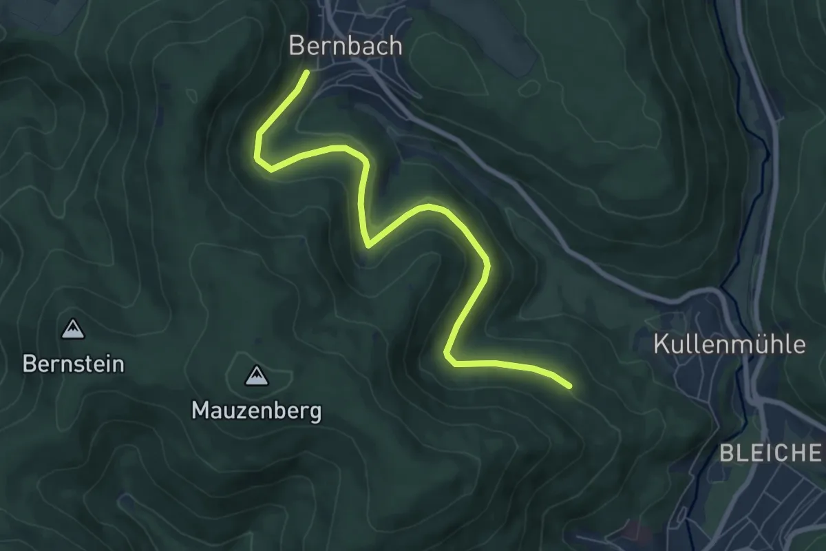
Easy · Trail
Bernbach An der Heck - Pfahlwald
7.2 km · ↑ 131 m · 1 h 59 min