Trails in Germany
36,824 hiking trails, each with its route, climb, walking time and grade.
All trails, page 62 of 768
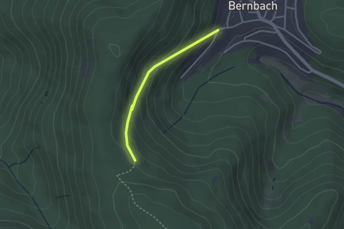
Easy · Trail
Bernbach An der Heck - Unterm Mauzenstein
2.1 km · ↑ 144 m · 49 min
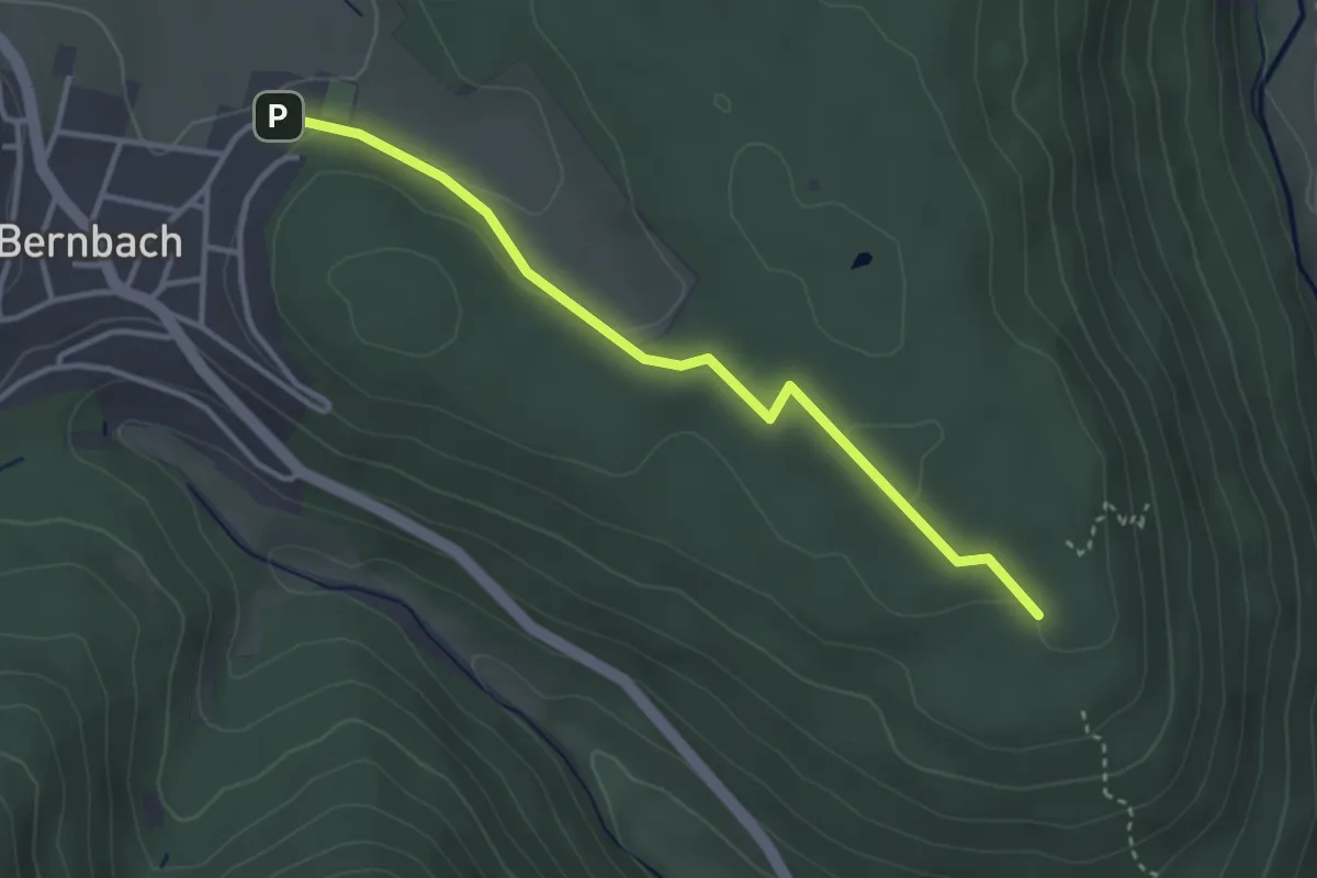
Easy · Summit
Bernbach Festhalle - Ziegelbuckel
3.2 km · ↑ 60 m · 54 min
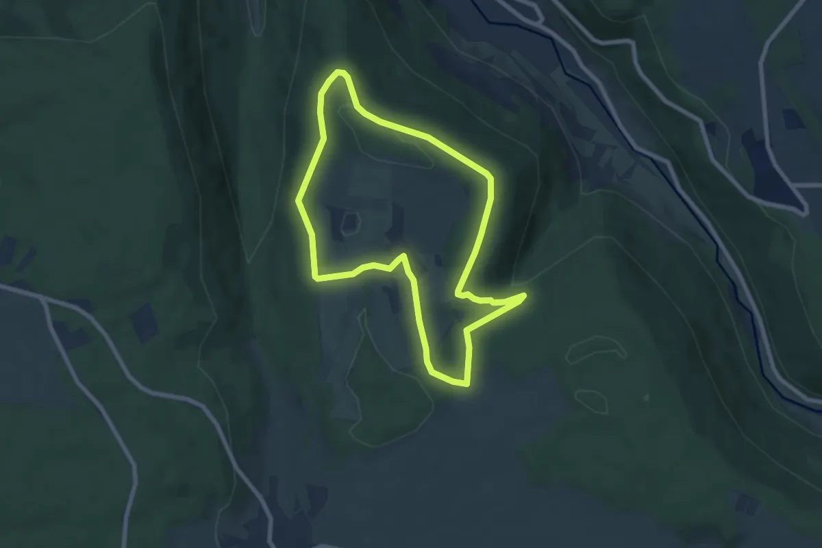
Easy · Trail
Berndiel 1
6.0 km · ↑ 134 m · 1 h 48 min
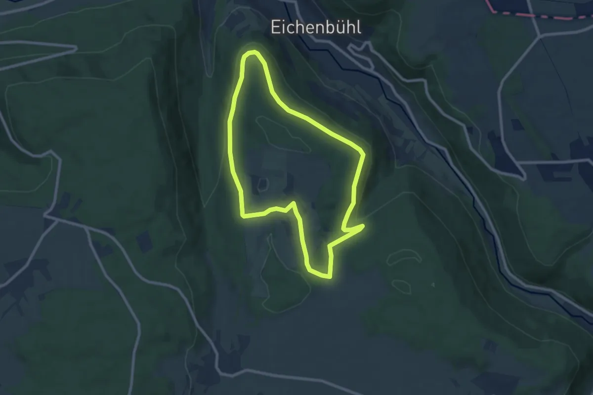
Easy · Trail
Berndiel 2
6.9 km · ↑ 161 m · 2 h 4 min
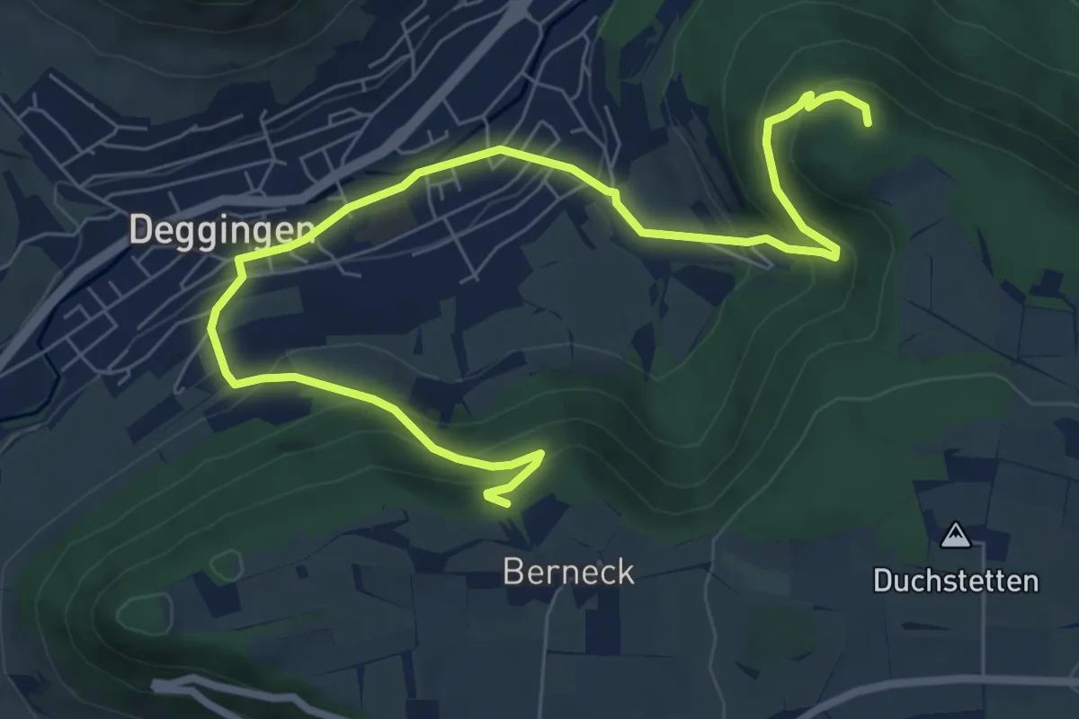
Medium · Trail
Berneck Deggingen Ave Maria
8.8 km · ↑ 485 m · 3 h 8 min
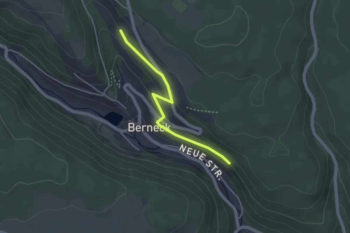
Easy · Trail
Bernecker Gässle - Berneck Sonnenweg
2.9 km · ↑ 86 m · 53 min
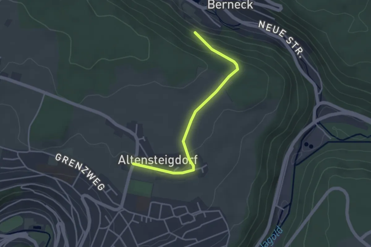
Easy · Trail
Berneck Tannweg - Altensteigdorf
3.1 km · ↑ 79 m · 55 min
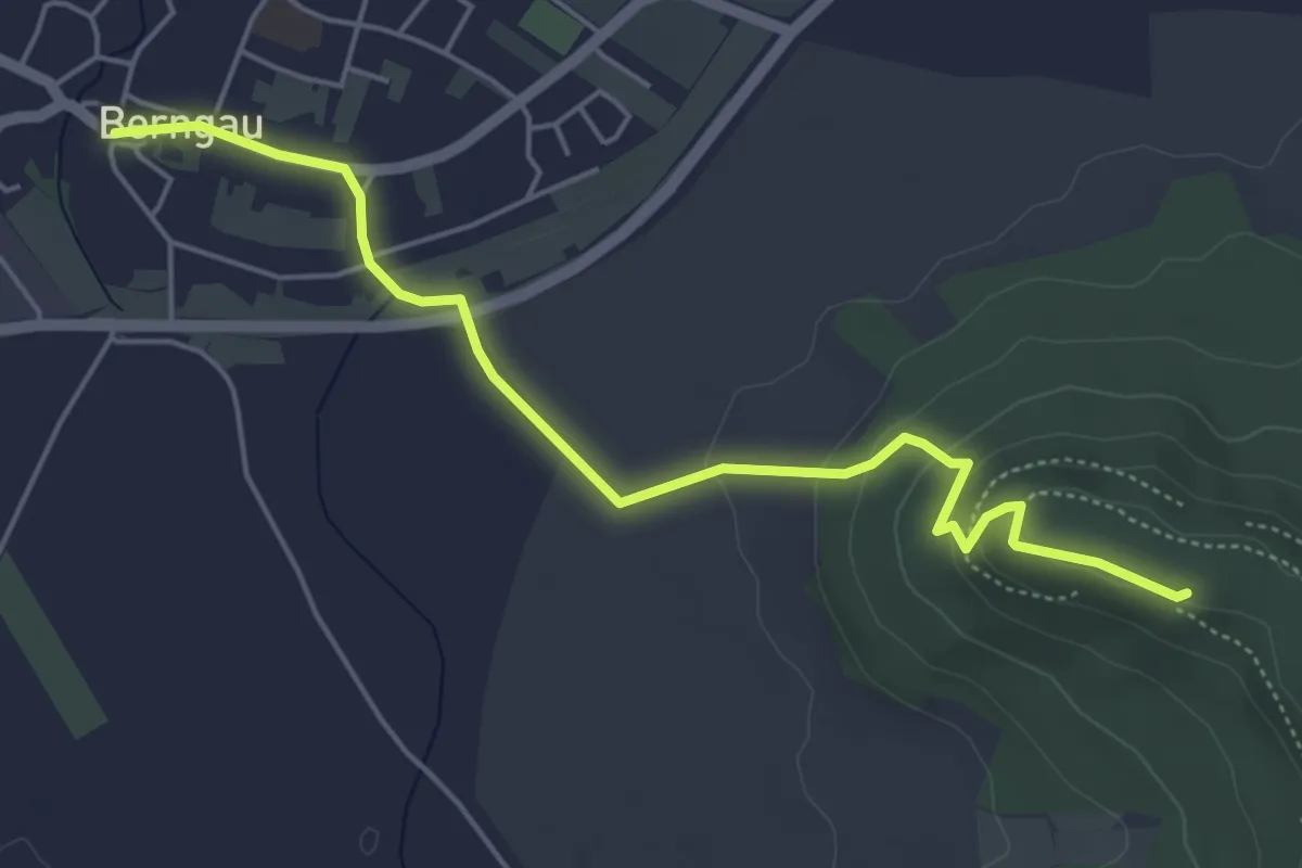
Medium · Trail
Berngauer Buchbergweg
5.2 km · ↑ 136 m · 1 h 32 min
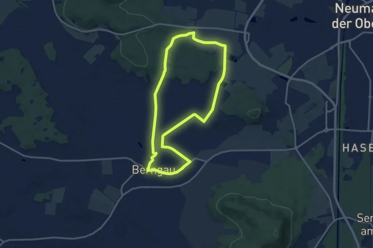
Medium · Trail
Berngauer Nordschlaufe
8.5 km · ↑ 42 m · 2 h 14 min
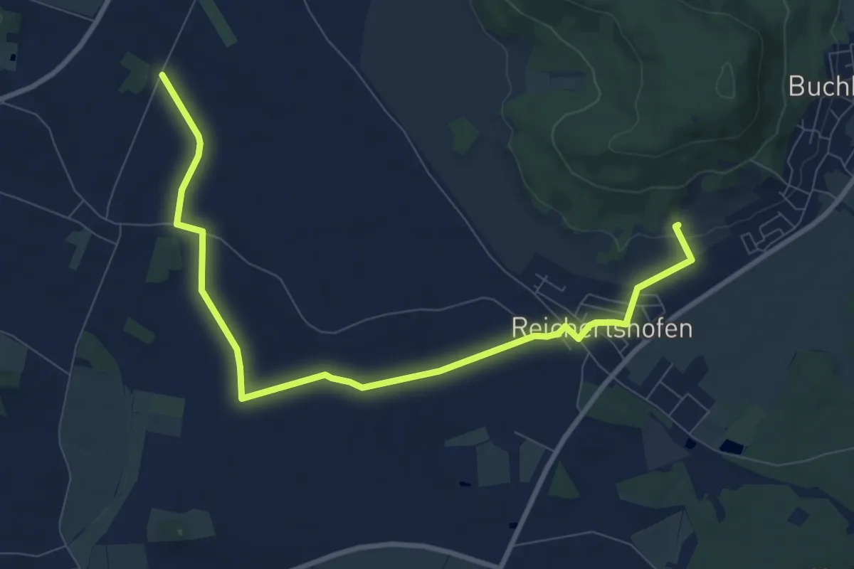
Medium · Trail
Berngauer Südschlaufe
9.8 km · ↑ 67 m · 2 h 27 min
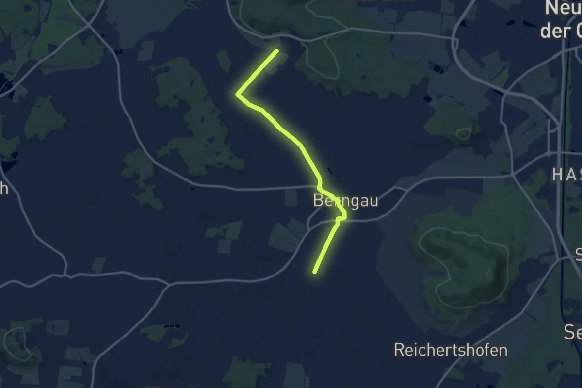
Medium · Trail
Berngauer Westschlaufe
10.1 km · ↑ 59 m · 2 h 31 min
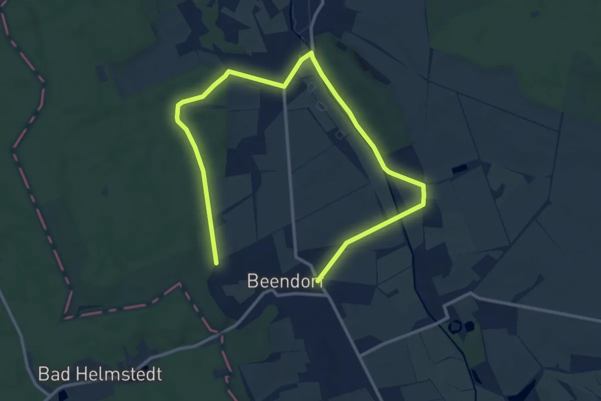
Easy · Trail
Bernhard-Becker-Beendorf-Weg
5.7 km · ↑ 55 m · 1 h 32 min
Medium · Trail
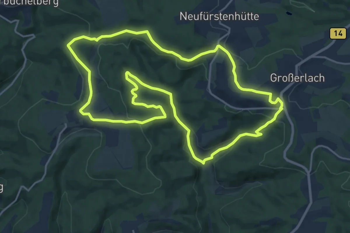
Bernhard-Drixler-Weg
12.2 km · ↑ 280 m · 3 h 39 min
Demanding · Pilgrim path
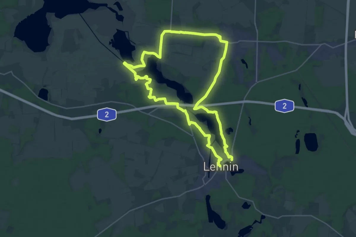
Bernhardspfad Pilgerrundweg nördliche Route
19.2 km · ↑ 67 m · 4 h 56 min
Medium · Pilgrim path
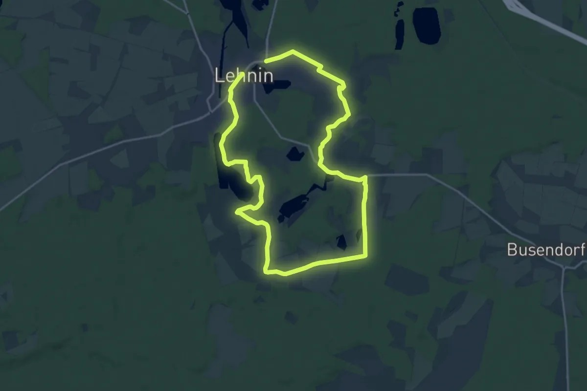
Bernhardspfad Pilgerrundweg südliche Route
13.5 km · ↑ 73 m · 3 h 32 min
Medium · Trail
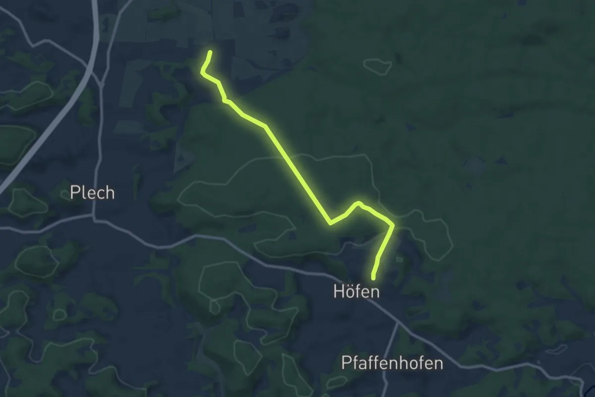
Bernheck - Höfen
8.2 km · ↑ 154 m · 2 h 16 min
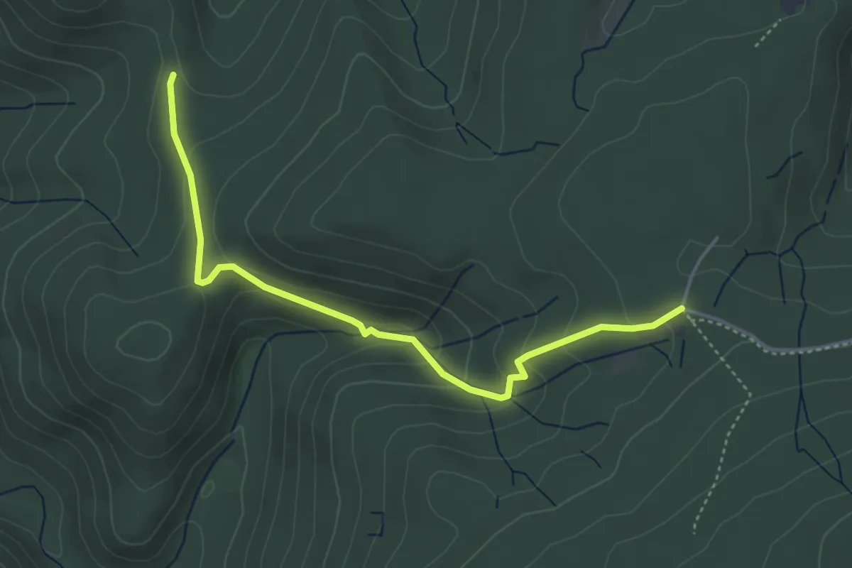
Easy · Trail
Bernickel - Scherrhof
4.2 km · ↑ 199 m · 1 h 26 min
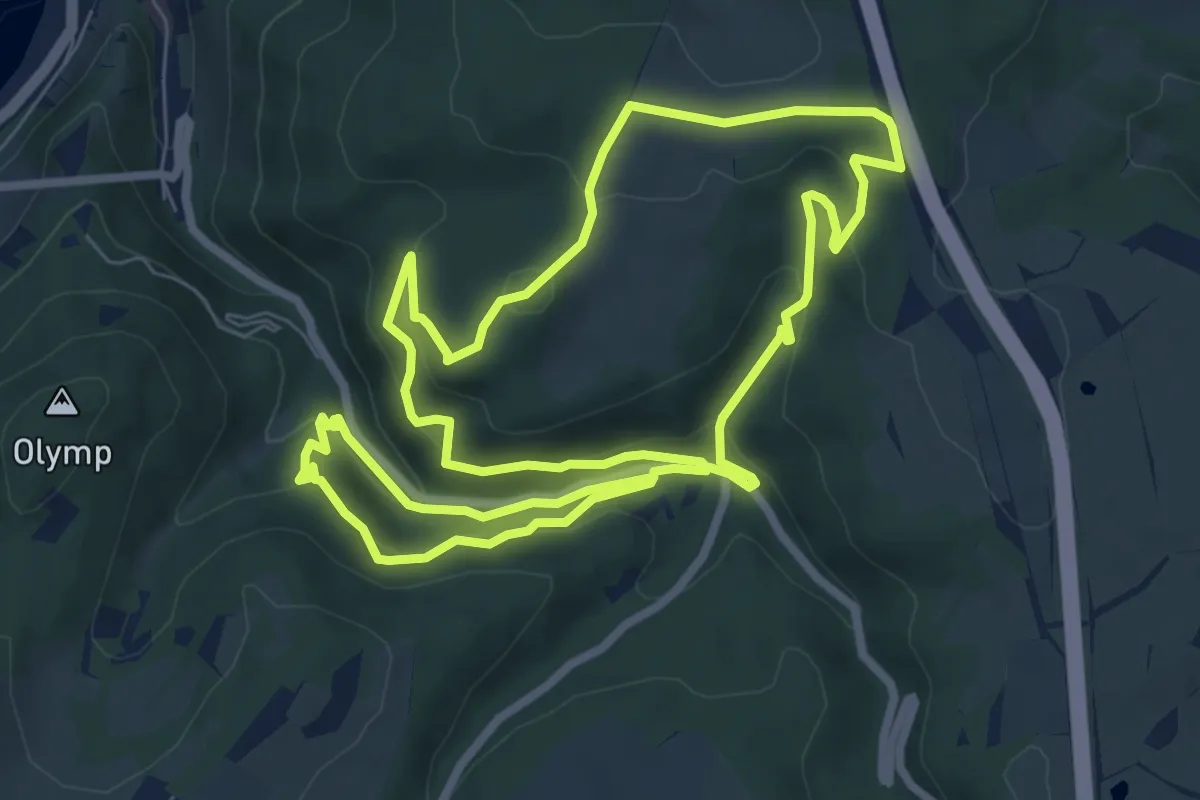
Medium · Trail
Bernkasteler Schweiz
7.7 km · ↑ 330 m · 2 h 38 min
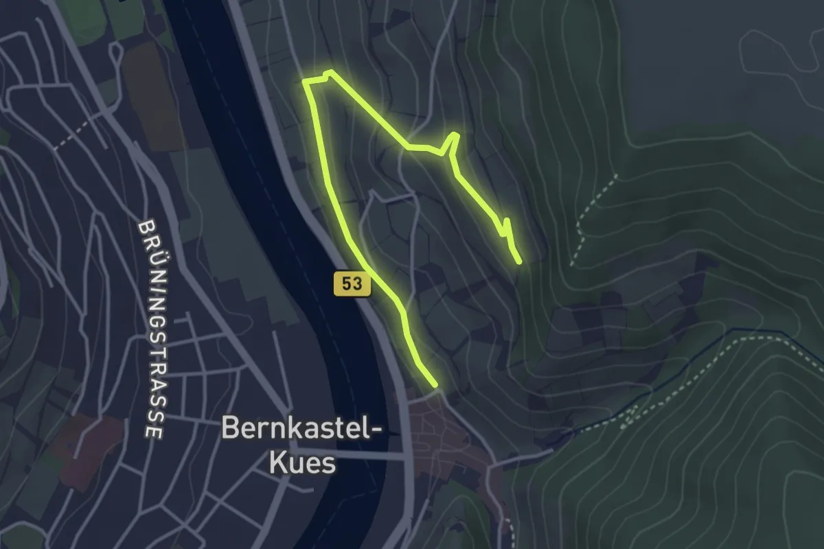
Easy · Trail
Bernkasteler Wein-Erlebnispfad
1.9 km · ↑ 140 m · 43 min
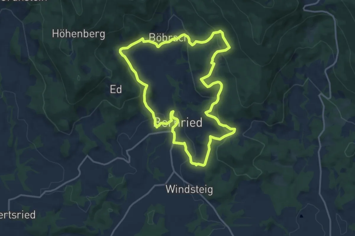
Medium · Trail
Bernrieder Panoramaweg
10.8 km · ↑ 411 m · 3 h 35 min
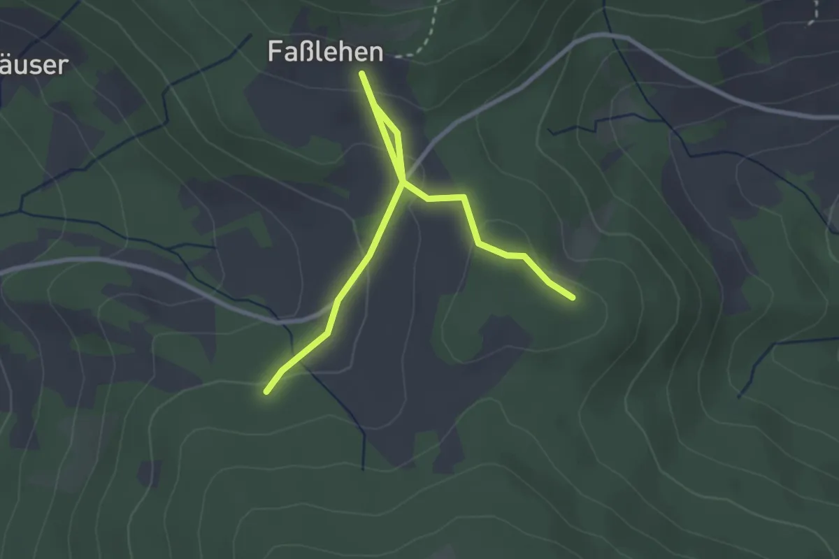
Easy · Trail
Bernrieder Verbindungsweg Nr. 5b
1.5 km · ↑ 81 m · 32 min
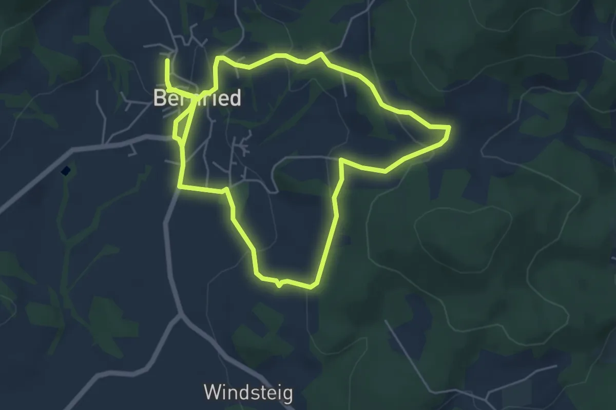
Easy · Trail
Bernrieder Weg
4.8 km · ↑ 144 m · 1 h 31 min
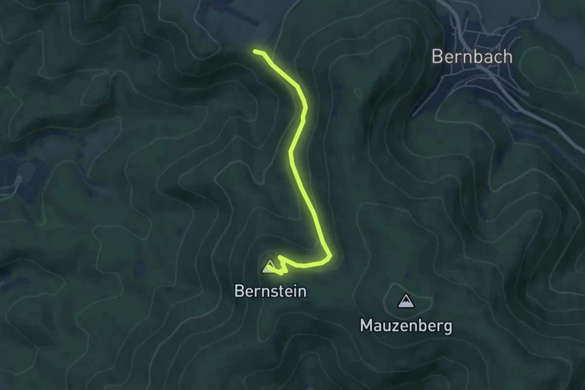
Easy · Summit
Bernstein - Wasenhütte
4.6 km · ↑ 215 m · 1 h 33 min
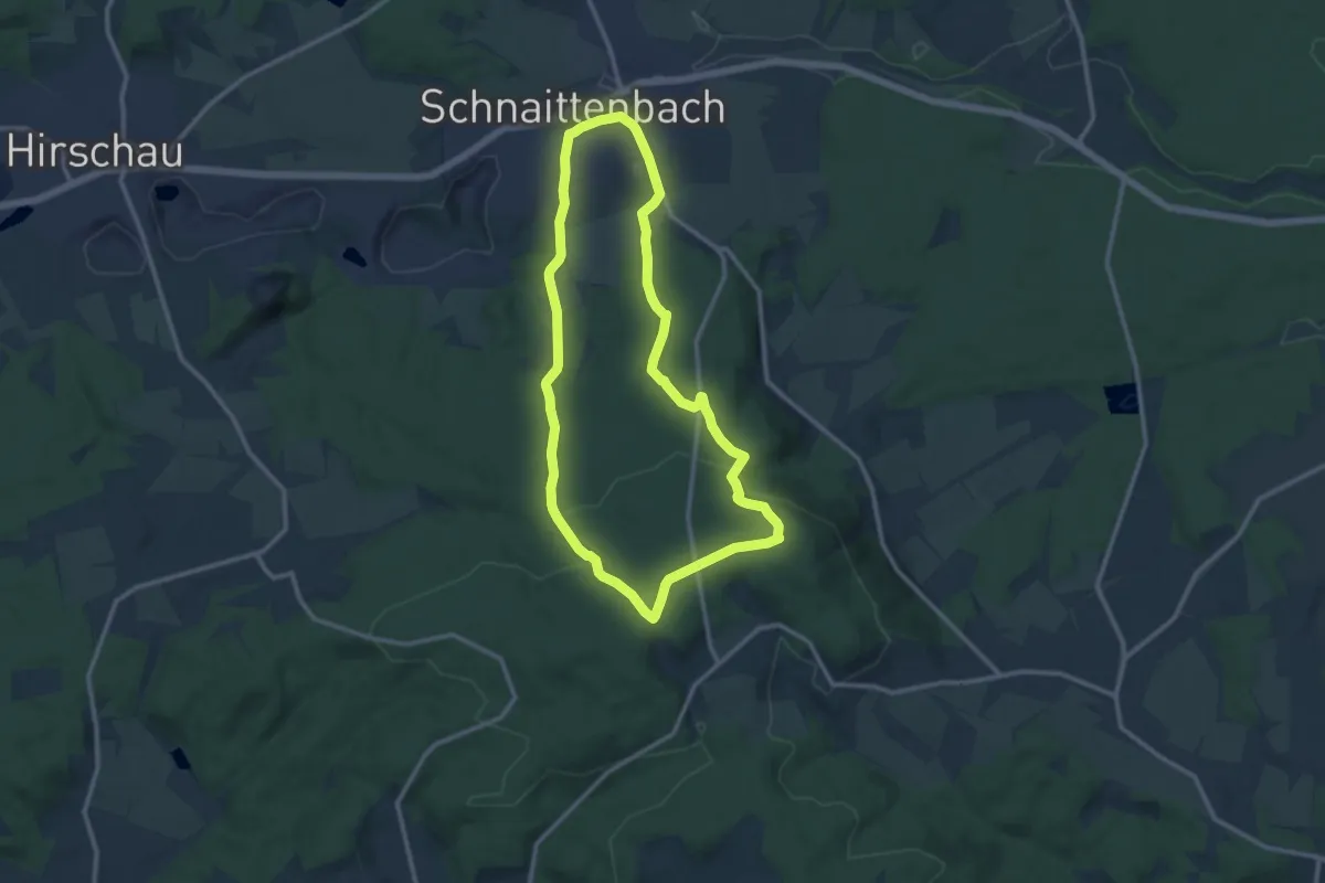
Medium · Summit
Bernsteinweg
10.7 km · ↑ 300 m · 3 h 19 min
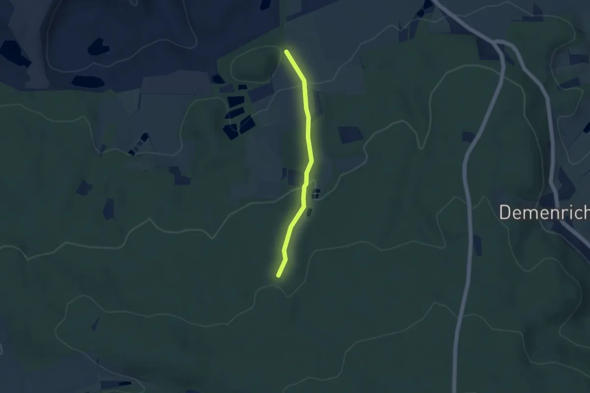
Easy · Trail
Bernsteinweg_ Alternativweg
1.5 km · ↑ 0 m · 25 min
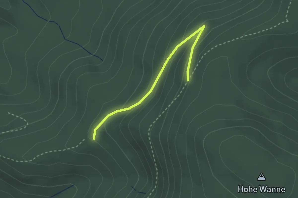
Easy · Trail
Bernsteinweg - Sandhütte
2.3 km · ↑ 117 m · 48 min
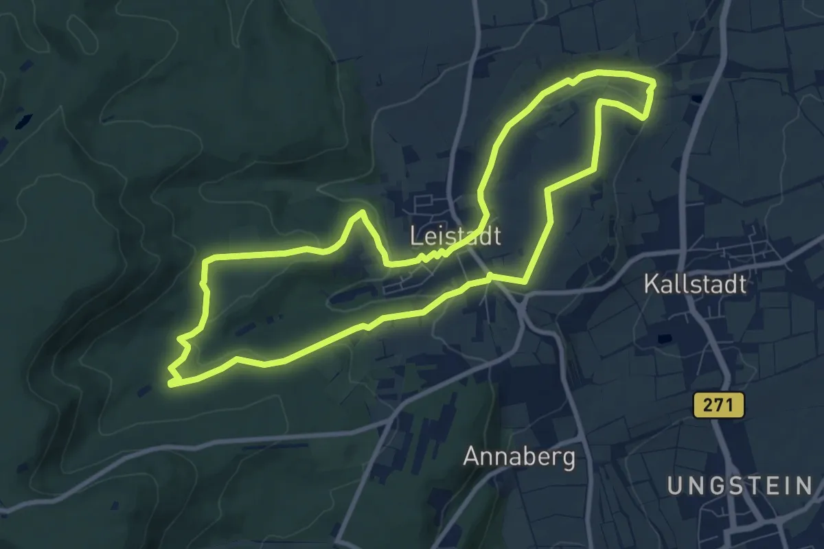
Medium · Summit
Berntal
8.6 km · ↑ 182 m · 2 h 32 min
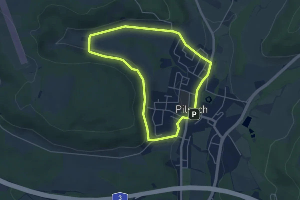
Easy · Trail
Bernthal-Spaziergang
3.7 km · ↑ 76 m · 1 h 5 min
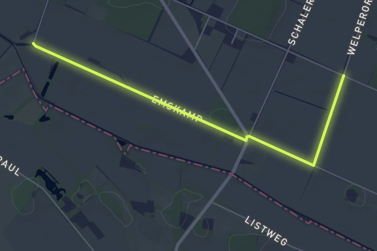
Easy · Trail
Bersenbrücker-Land-Weg
4.7 km · ↑ 4 m · 1 h 7 min
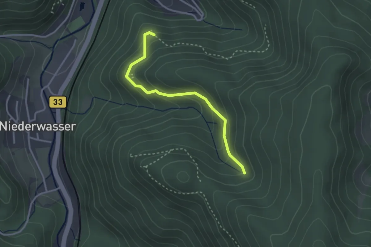
Easy · Trail
Bertaquelle - Kreuzweg Kanzelweg
2.6 km · ↑ 193 m · 1 h 2 min
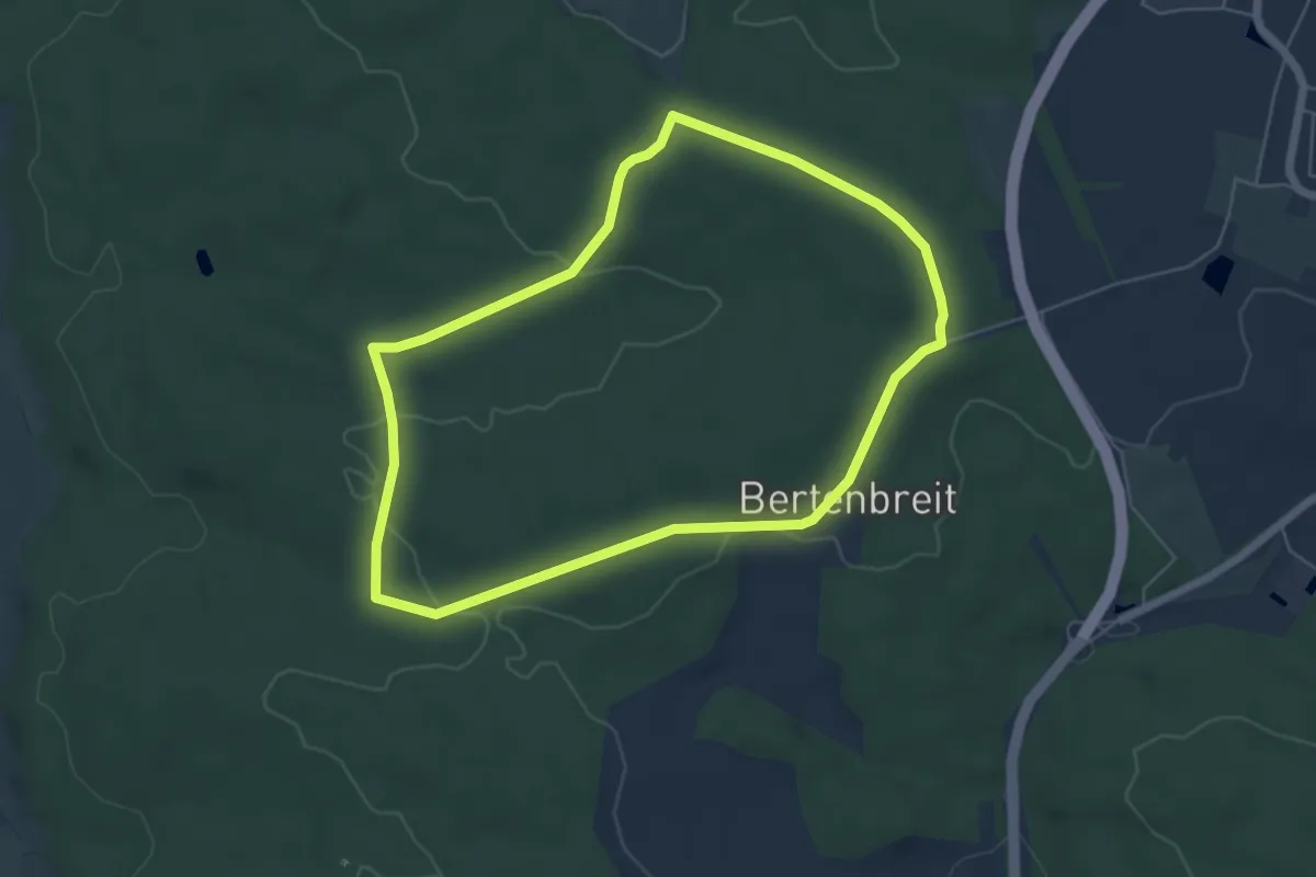
Easy · Trail
Bertenbreit durch den Harburger Karab
5.2 km · ↑ 87 m · 1 h 30 min
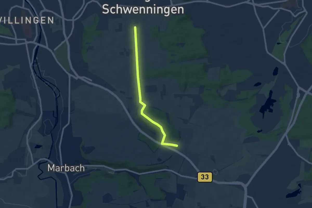
Easy · Trail
Bertholdshöfe - Villinger Berg
6.1 km · ↑ 54 m · 1 h 33 min
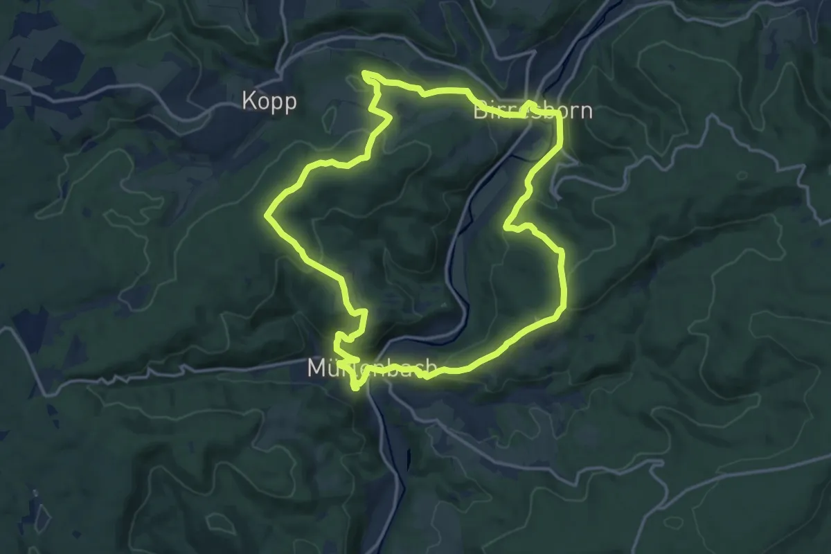
Medium · Trail
Bertrada Route
13.6 km · ↑ 427 m · 4 h 19 min
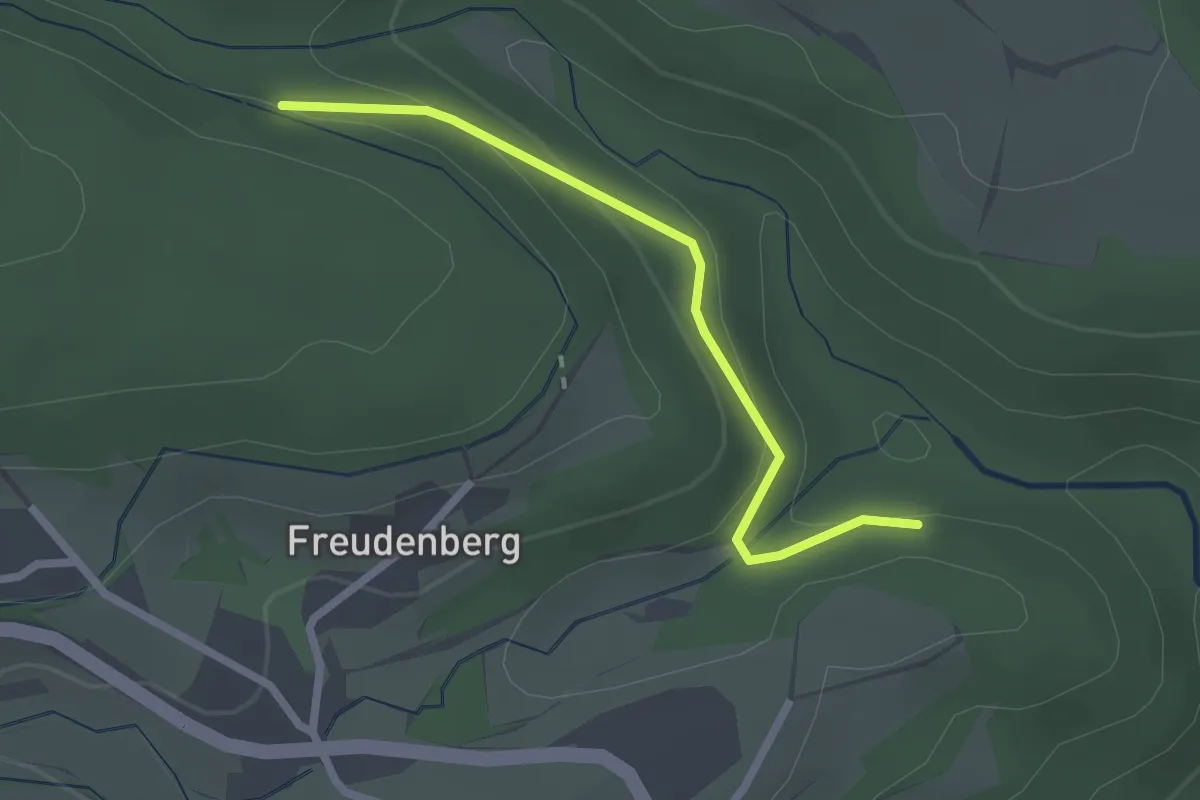
Easy · Trail
Bertschwend - Hintere Wuehre
2.2 km · ↑ 81 m · 41 min
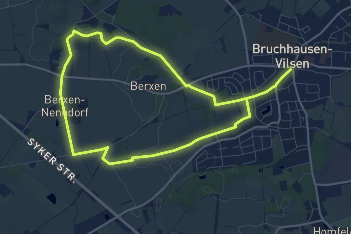
Medium · Trail
Berxer Höhenweg
14.1 km · ↑ 81 m · 3 h 31 min
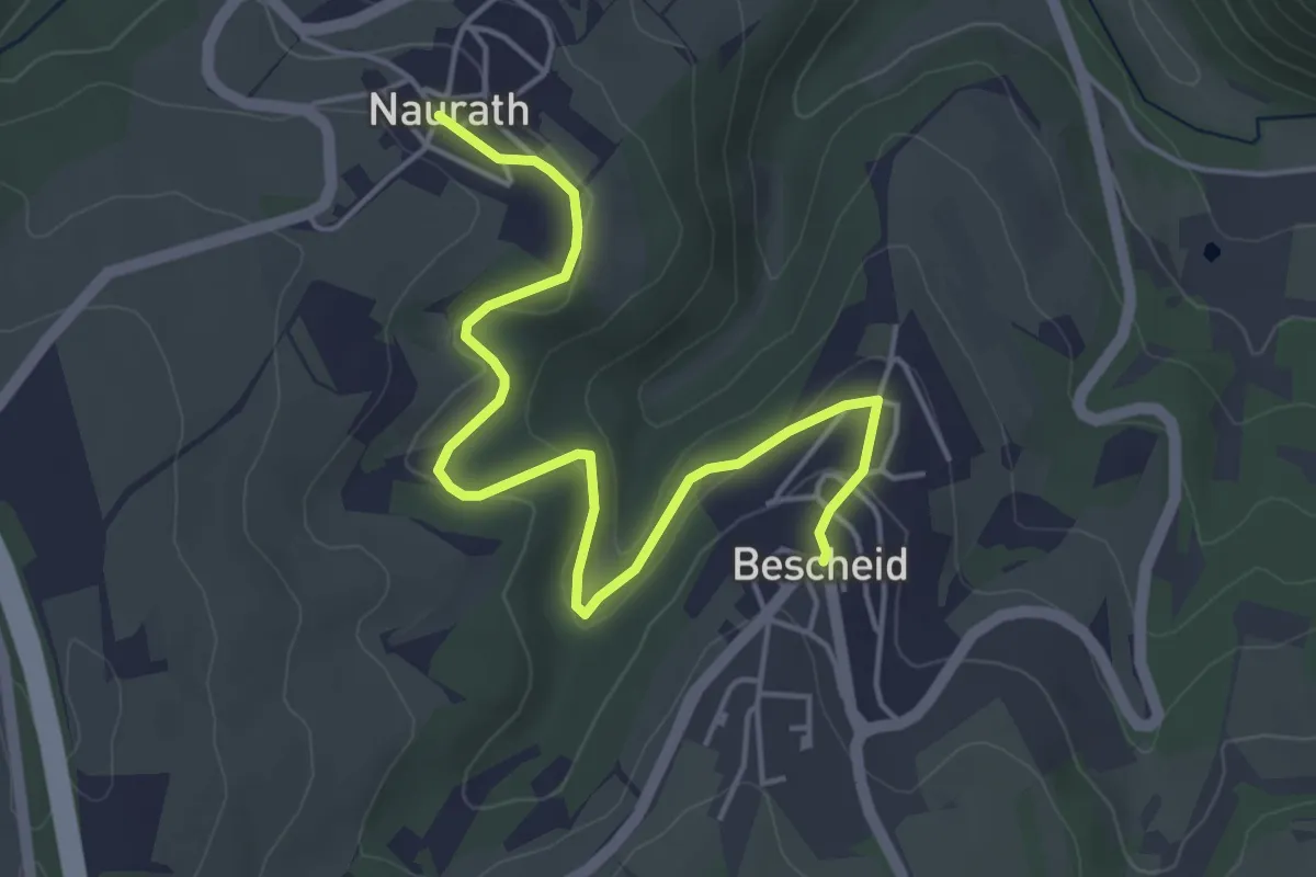
Easy · Trail
Bescheid 1
4.8 km · ↑ 104 m · 1 h 22 min
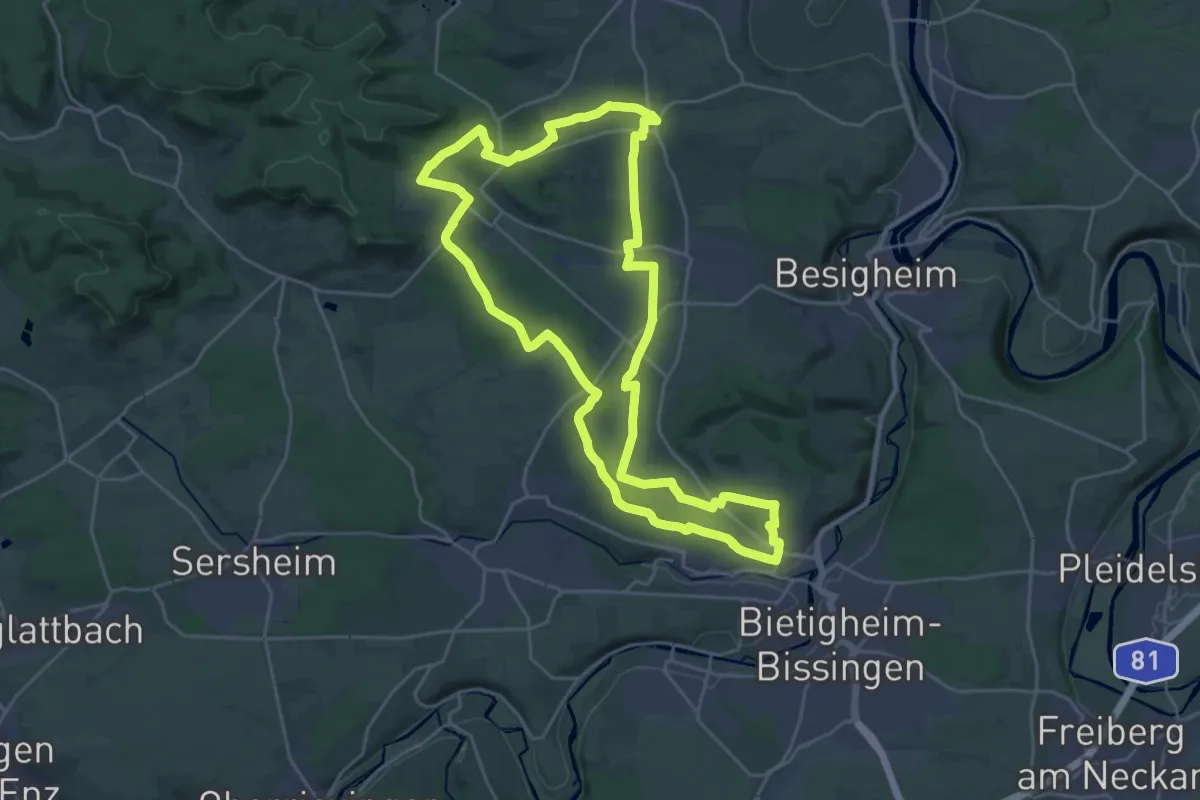
Demanding · Trail
Besen
24.9 km · ↑ 238 m · 6 h 45 min
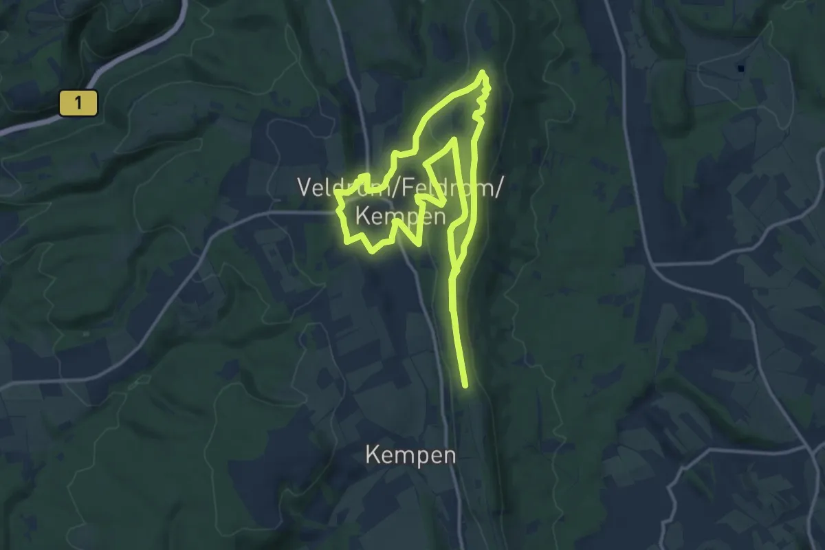
Medium · Summit
Besinn DICH… SEHEN, HÖREN, FÜHLEN Besinungsweg Kempen-Feldrom-Veldrom
11.2 km · ↑ 225 m · 3 h 17 min
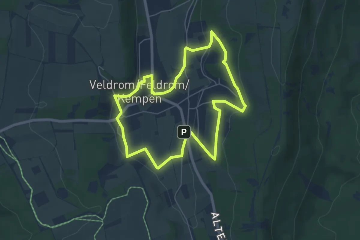
Easy · Trail
Besinn DICH… SPURENSUCHE - Besinnungsweg Kempen-Feldrom-Veldrom
4.4 km · ↑ 106 m · 1 h 20 min
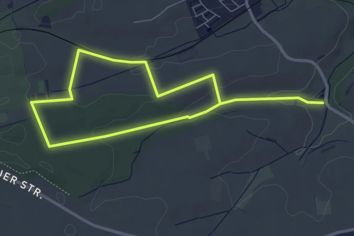
Medium · Trail
Besinnungspfad
8.4 km · ↑ 138 m · 2 h 17 min
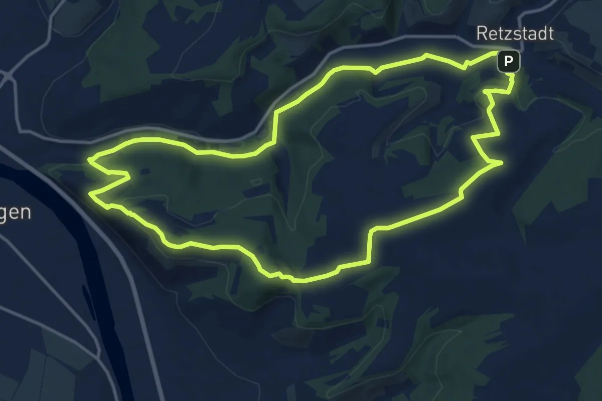
Medium · Summit
Besinnungsweg
11.2 km · ↑ 272 m · 3 h 23 min
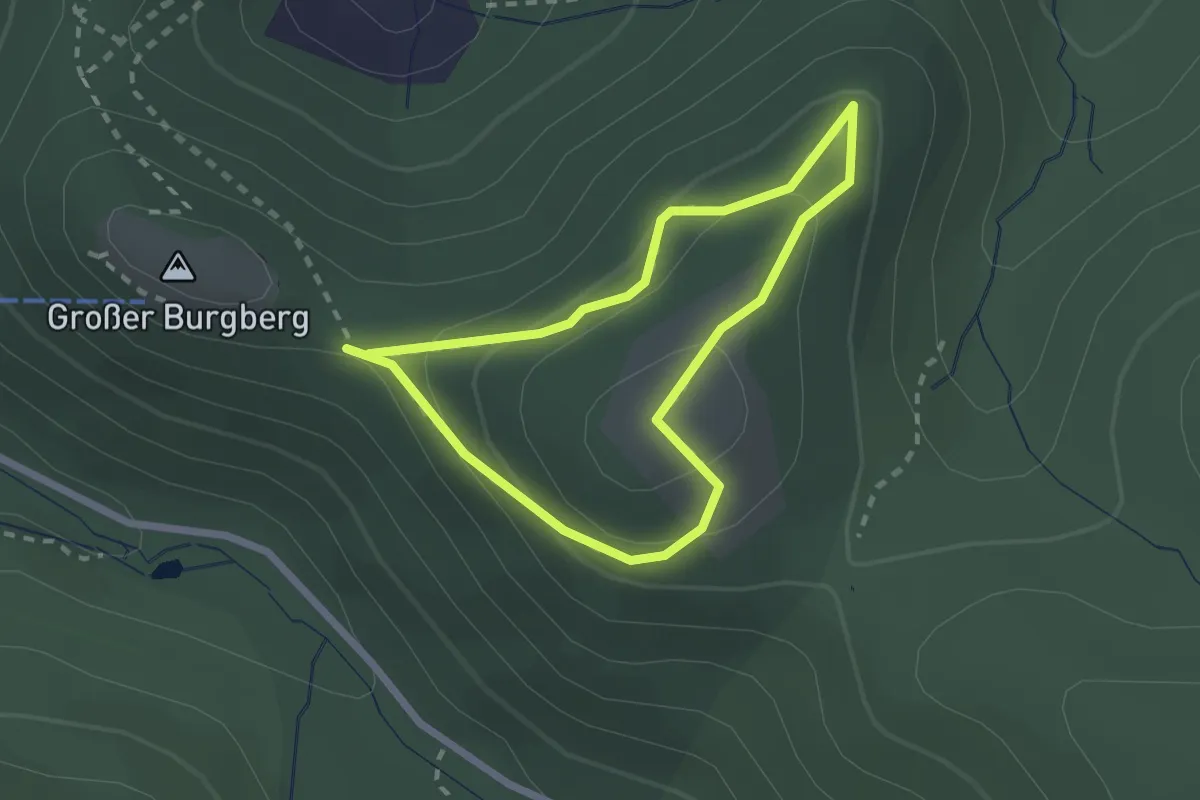
Medium · Summit
Besinnungsweg
1.7 km · ↑ 110 m · 40 min
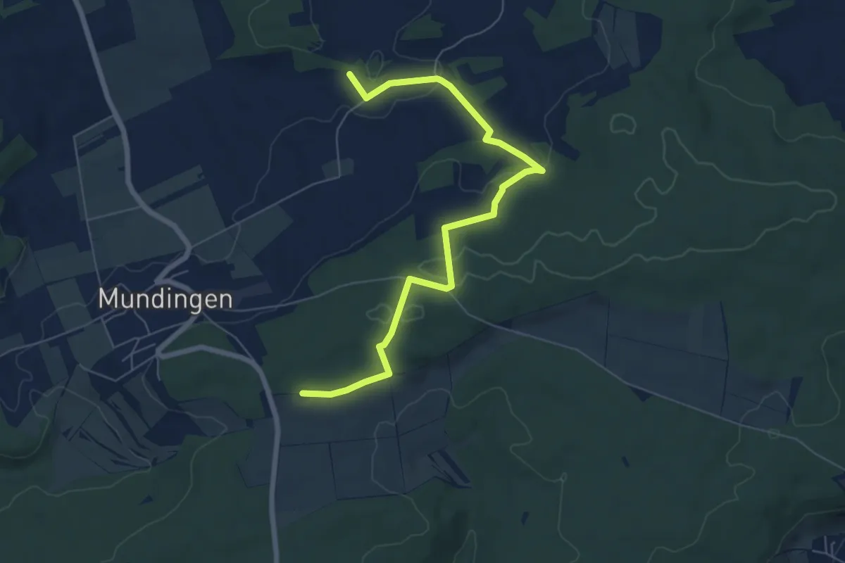
Easy · Trail
Besinnungsweg Ehinger Alb Abschn. 10
6.8 km · ↑ 134 m · 1 h 54 min
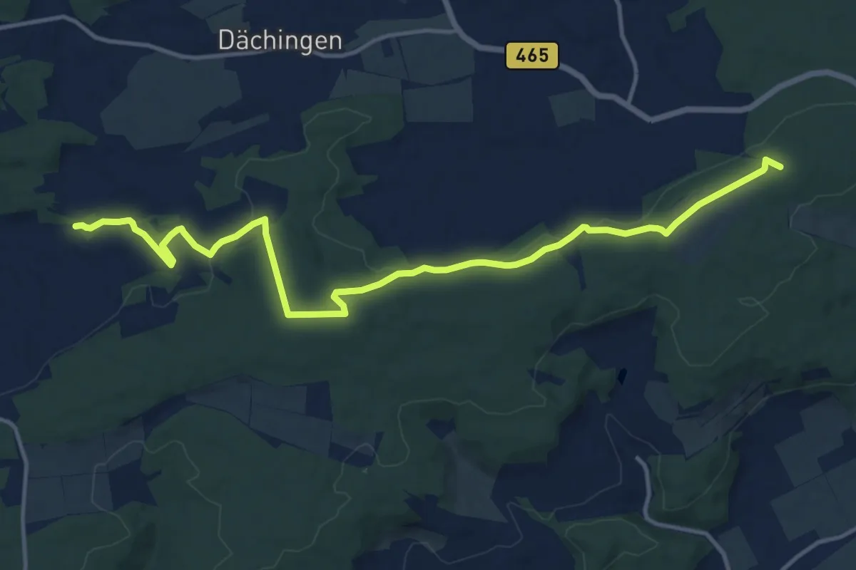
Medium · Trail
Besinnungsweg Ehinger Alb Abschn. 11
14.1 km · ↑ 258 m · 3 h 53 min
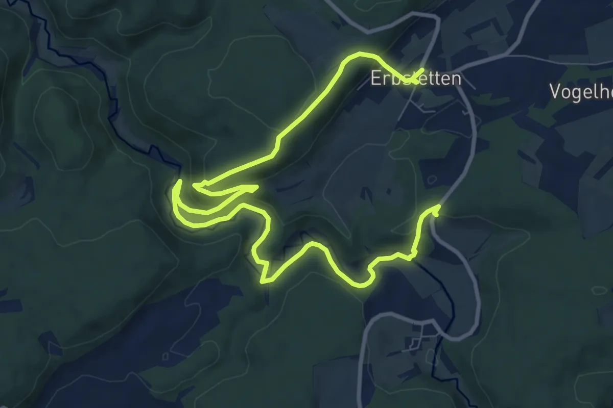
Medium · Trail
Besinnungsweg Ehinger Alb Abschn. 7
12.1 km · ↑ 413 m · 3 h 45 min
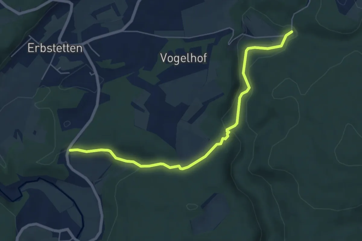
Easy · Trail
Besinnungsweg Ehinger Alb Abschn. 8
5.5 km · ↑ 137 m · 1 h 35 min
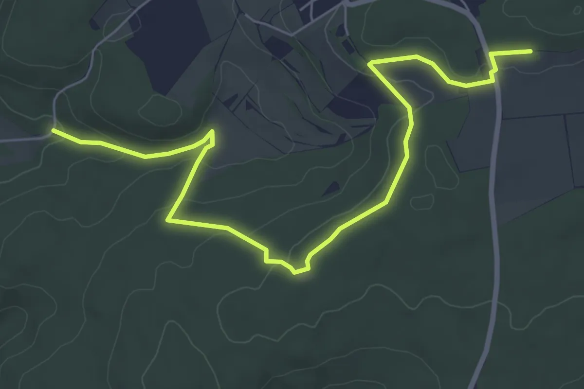
Easy · Trail
Besinnungsweg Ehinger Alb Abschn. 9
7.1 km · ↑ 162 m · 2 h 2 min
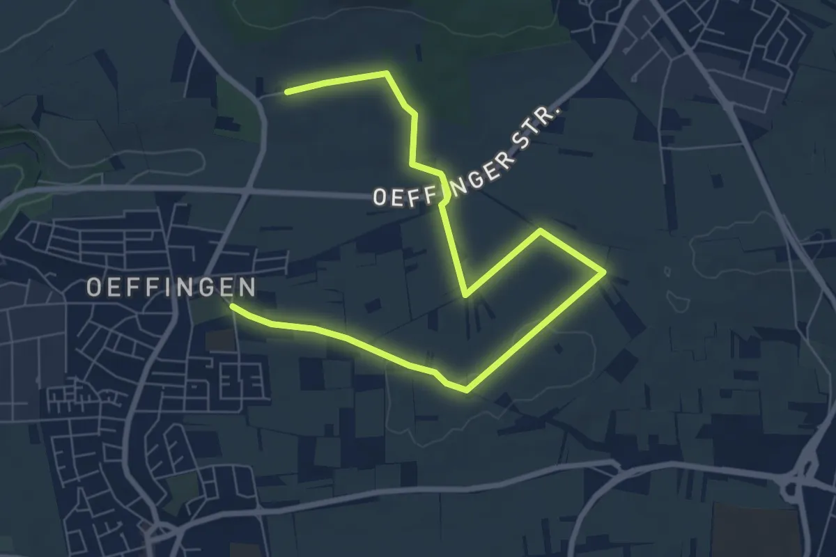
Medium · Trail
Besinnungsweg Fellbach
8.7 km · ↑ 48 m · 2 h 9 min