Trails in Germany
36,824 hiking trails, each with its route, climb, walking time and grade.
All trails, page 63 of 768
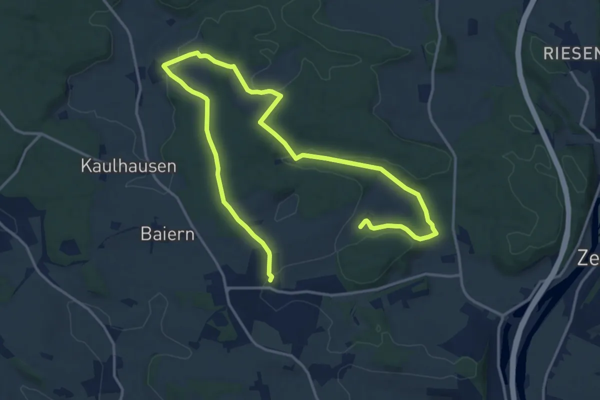
Medium · Trail
Besinnungsweg Hainsacker
17.3 km · ↑ 336 m · 4 h 48 min
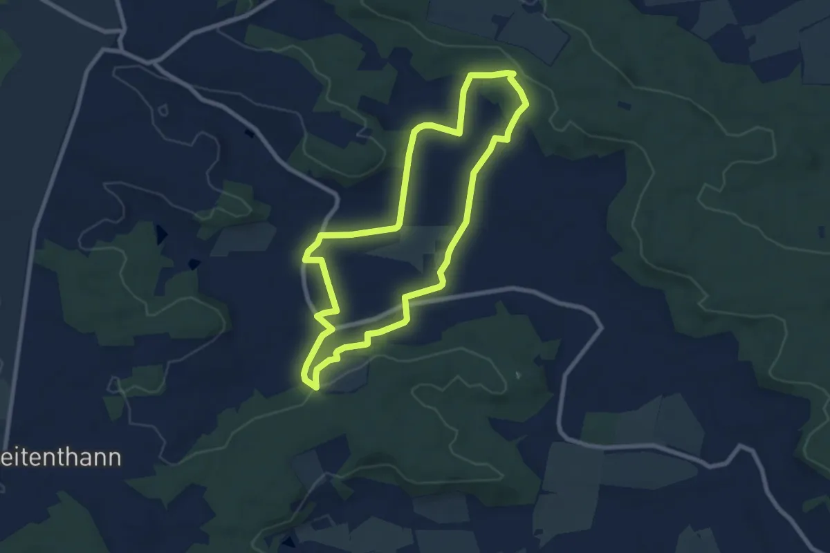
Easy · Trail
Besinnungsweg Sonnengesang
6.5 km · ↑ 96 m · 1 h 51 min
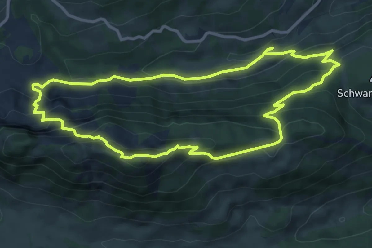
Demanding · Summit
Beslerrunde
6.7 km · ↑ 454 m · 2 h 39 min
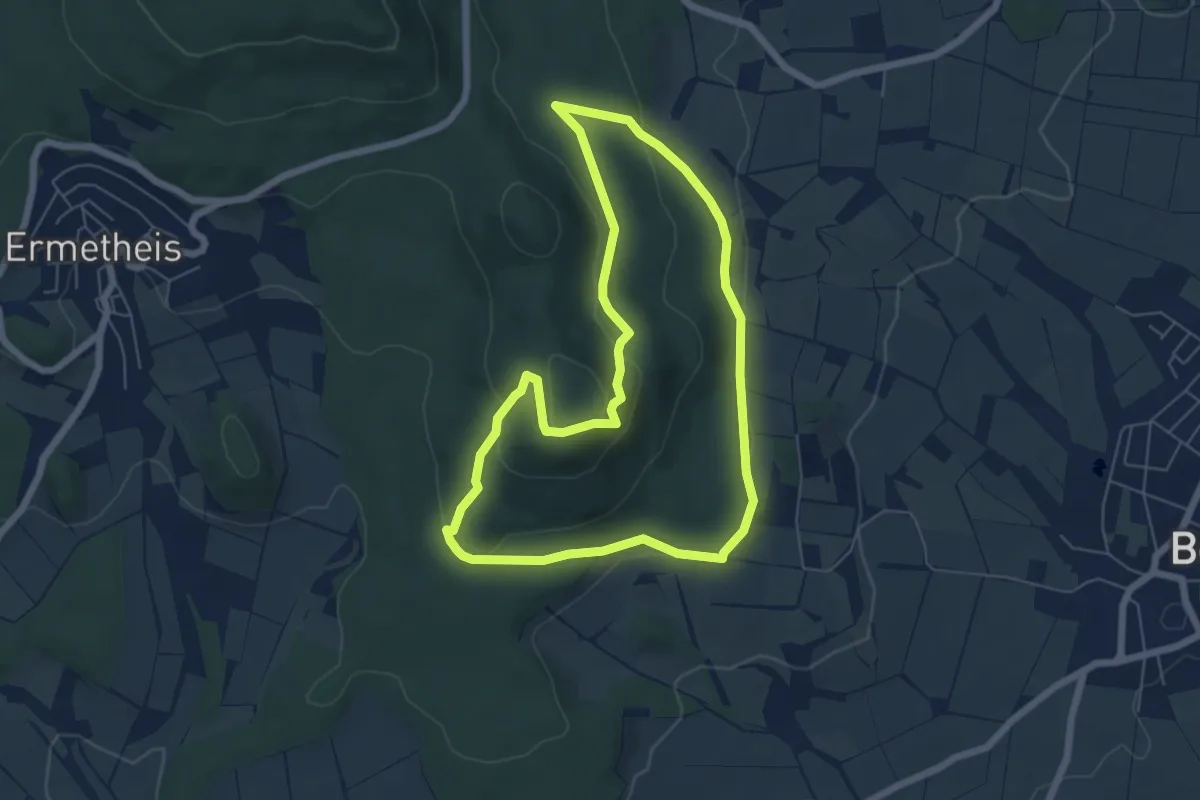
Easy · Summit
Besse - Mitte Deutschlands, Naturparkweg 3
5.4 km · ↑ 182 m · 1 h 45 min
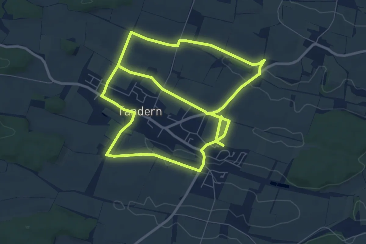
Medium · Trail
BesteGegendPfad
13.9 km · ↑ 125 m · 3 h 34 min
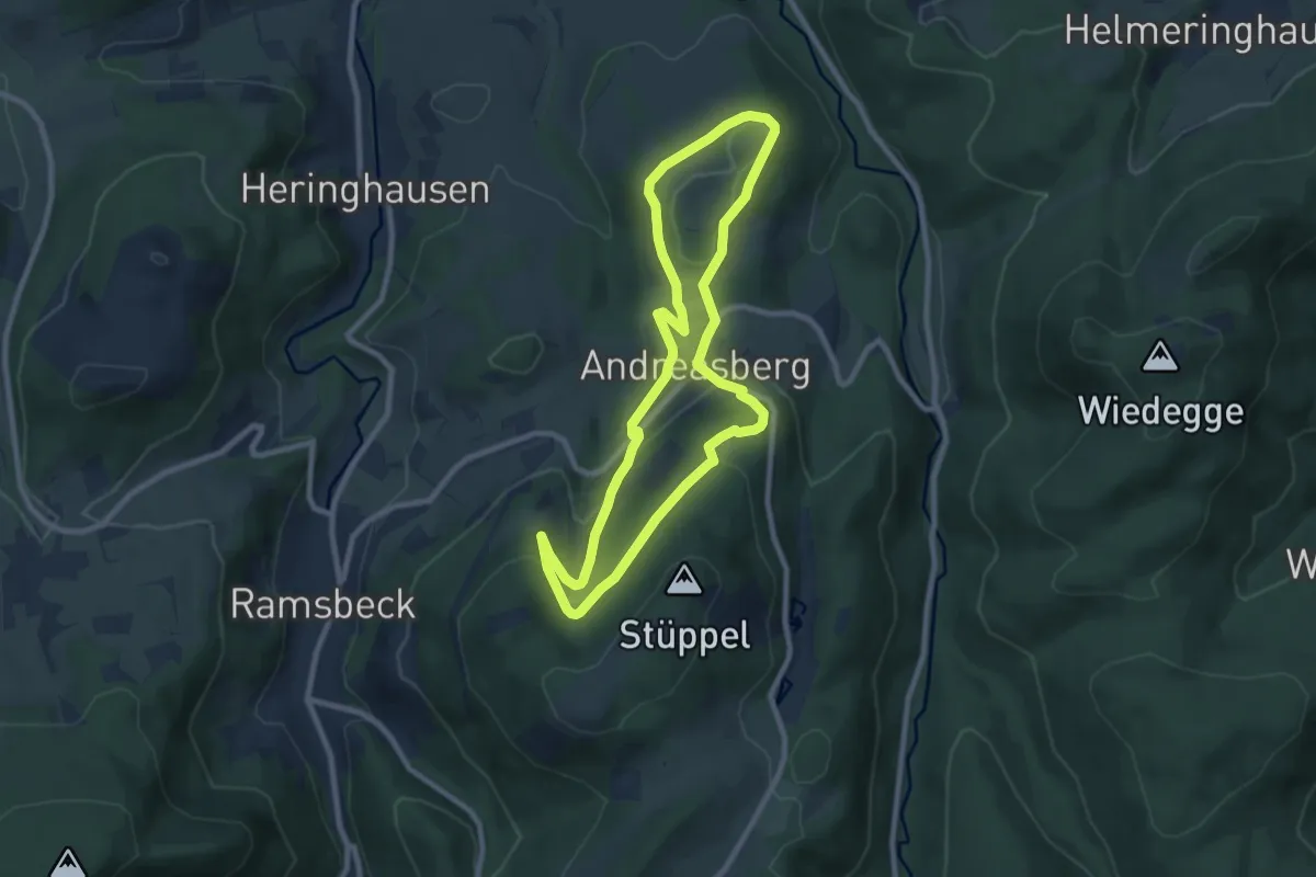
Easy · Trail
BestWeg Andreasberg
7.6 km · ↑ 213 m · 2 h 22 min
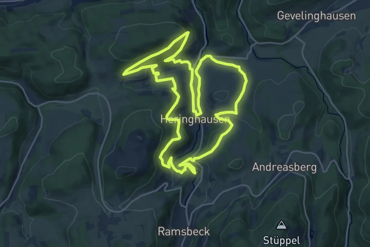
Medium · Trail
BestWeg Heringhausen
14.3 km · ↑ 474 m · 4 h 36 min
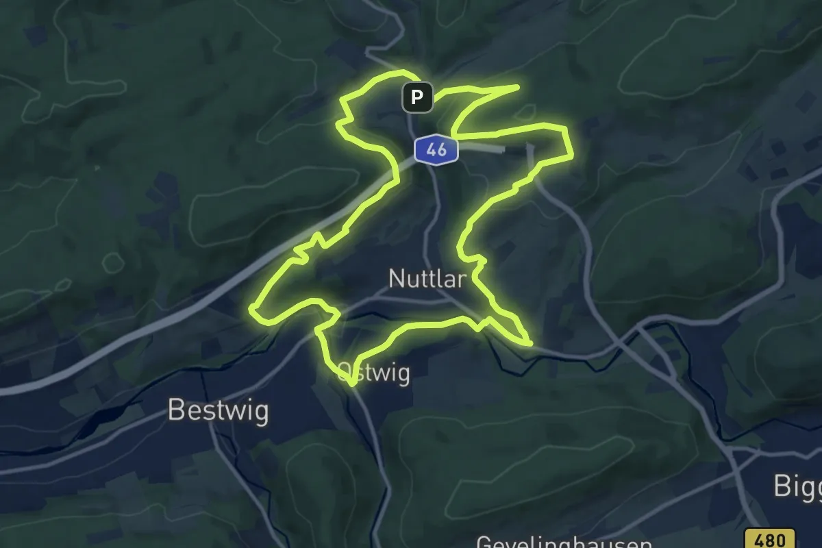
Medium · Trail
BestWeg Nuttlar
12.1 km · ↑ 412 m · 3 h 55 min
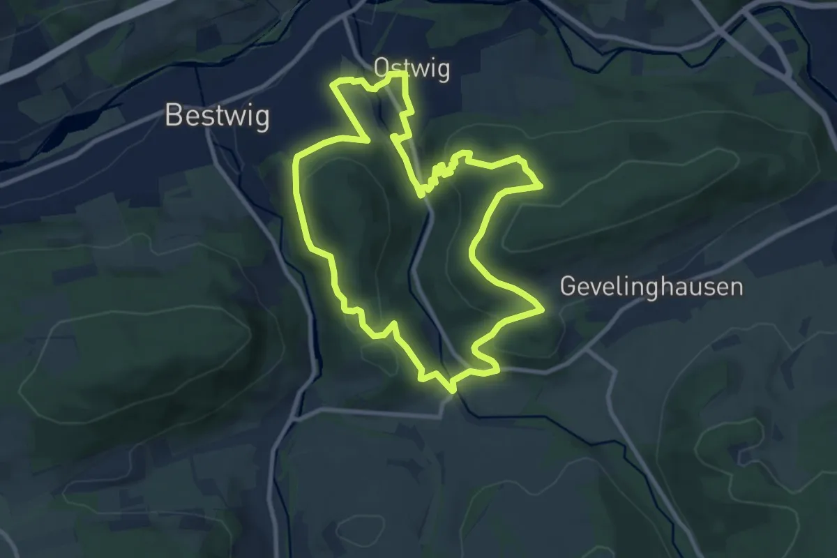
Medium · Summit
BestWeg Ostwig
8.4 km · ↑ 267 m · 2 h 40 min
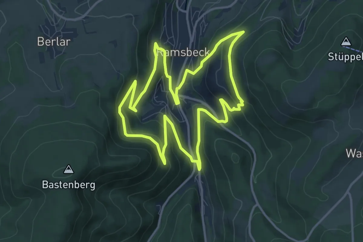
Medium · Trail
BestWeg Ramsbeck
8.8 km · ↑ 347 m · 2 h 57 min
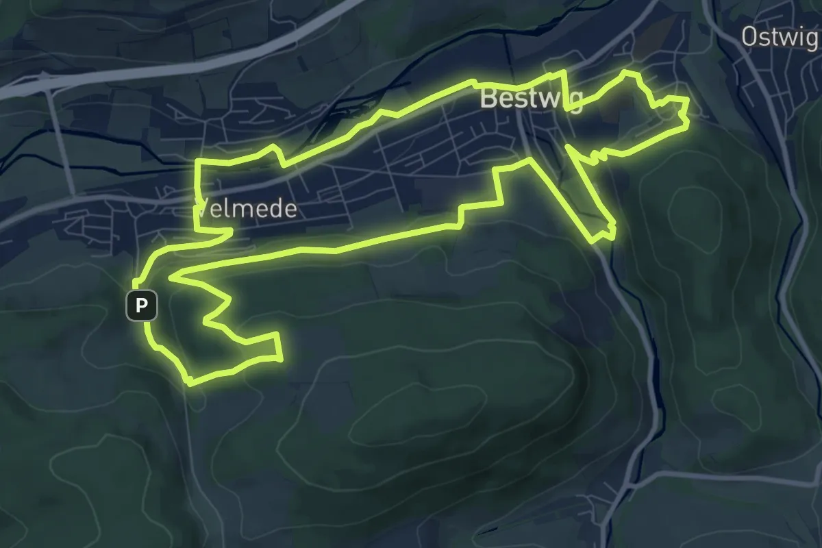
Medium · Trail
BestWeg Velmede-Bestwig
10.4 km · ↑ 294 m · 3 h 14 min
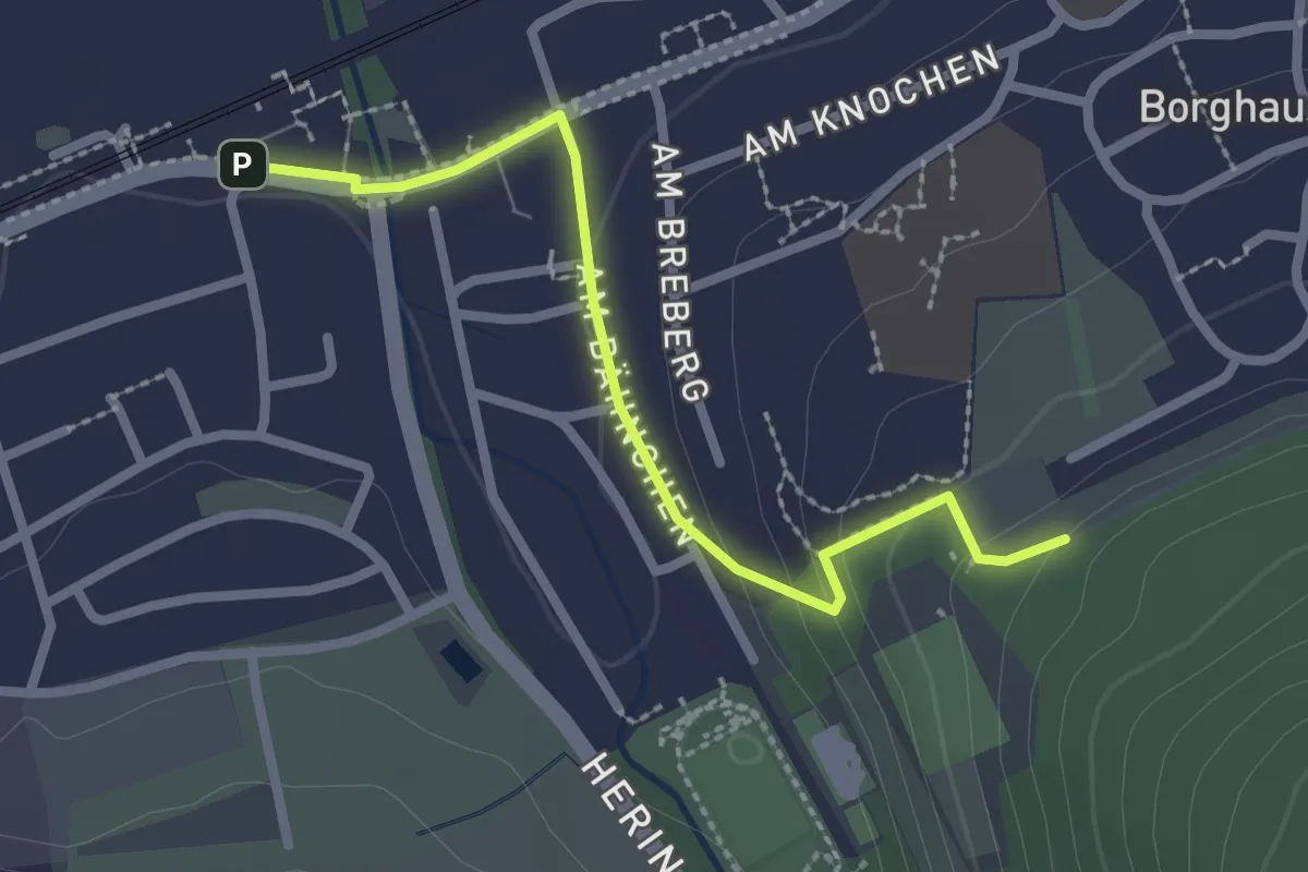
Easy · Trail
Bestwiger Panoramaweg Zugang Bahnhof
2.2 km · ↑ 68 m · 41 min
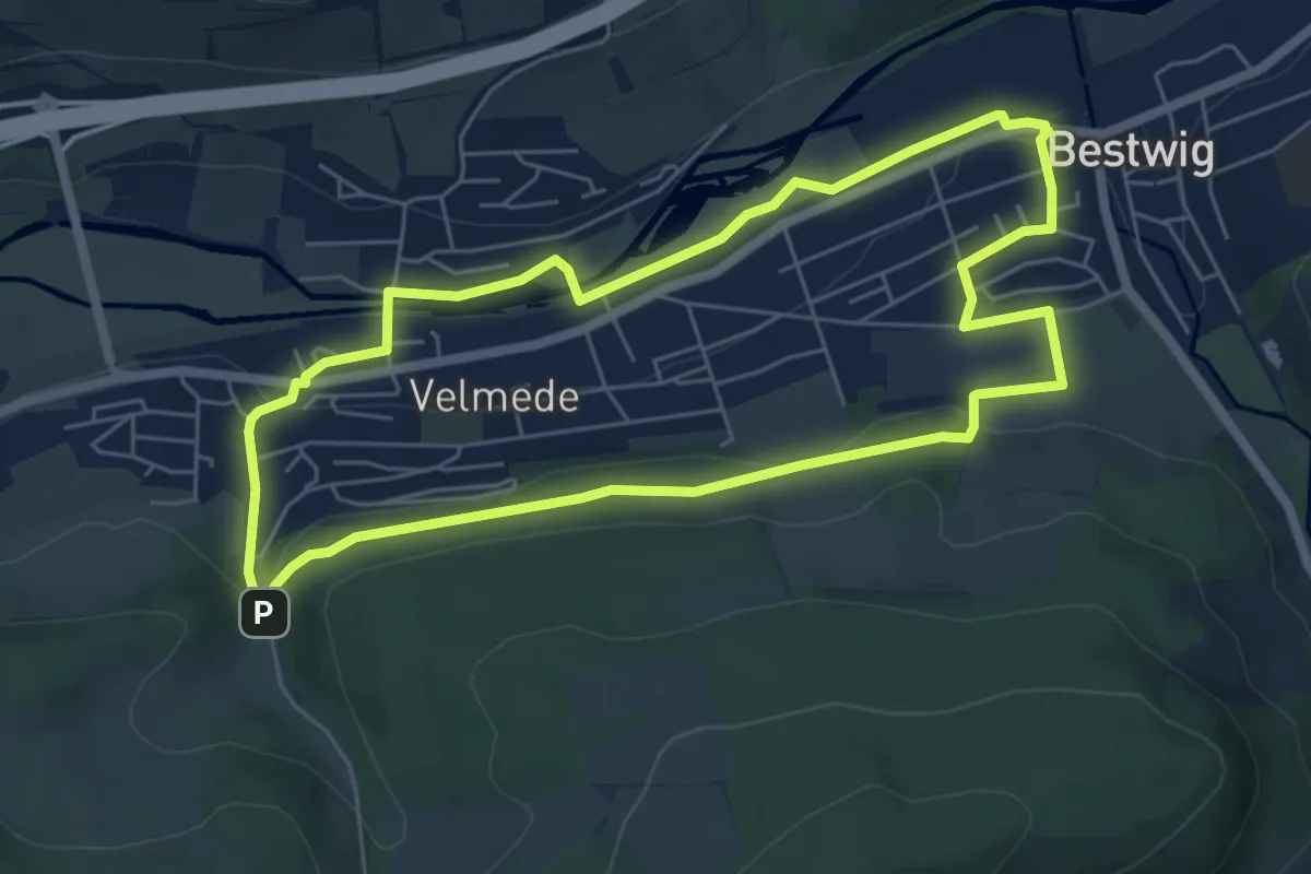
Easy · Trail
Bestwig Rundweg B6
5.6 km · ↑ 98 m · 1 h 36 min
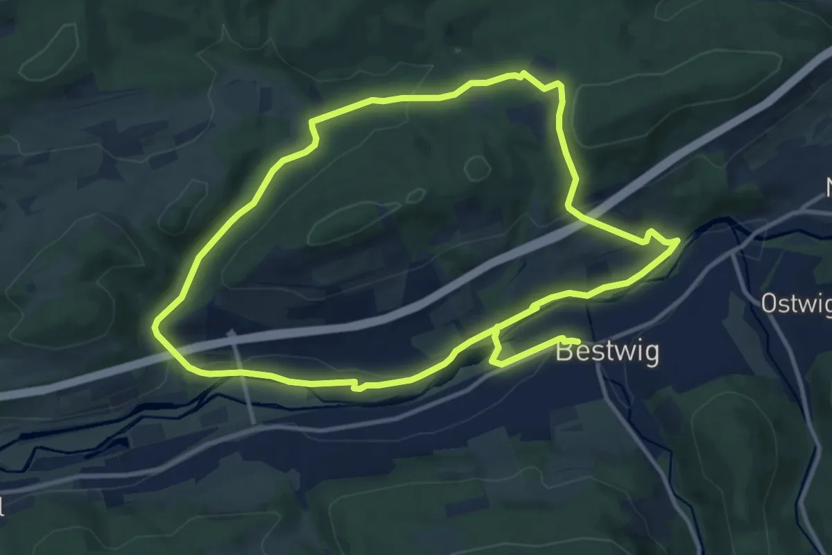
Medium · Trail
Bestwig Rundweg B7
9.9 km · ↑ 220 m · 2 h 56 min
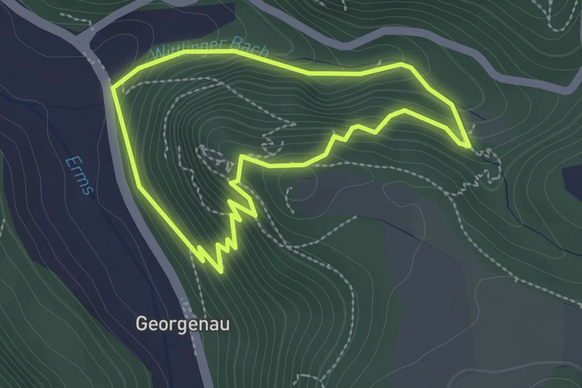
Medium · Trail
Besuch bei Rulaman
2.3 km · ↑ 186 m · 58 min
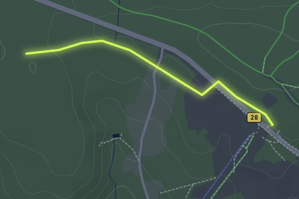
Easy · Trail
Besucherzentrum - Moos
2.1 km · ↑ 14 m · 31 min
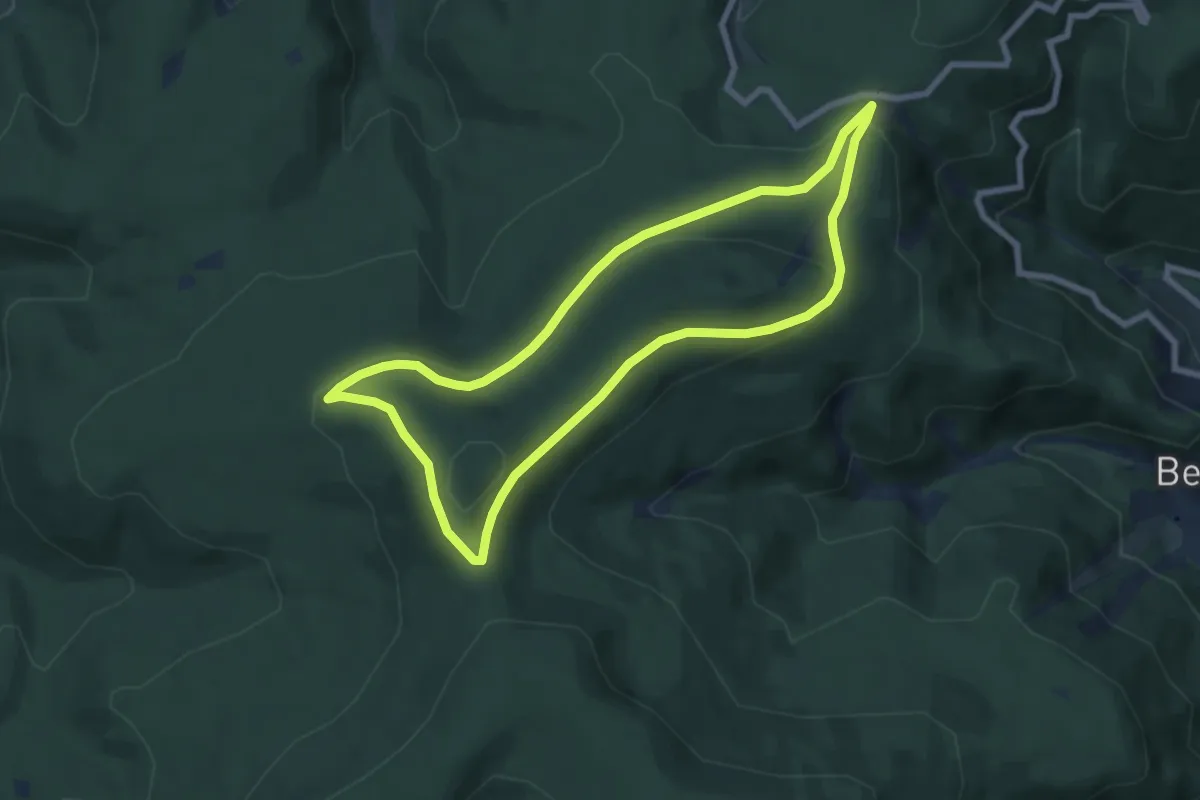
Easy · Summit
Betende-Hände-Weg
6.7 km · ↑ 218 m · 2 h 9 min
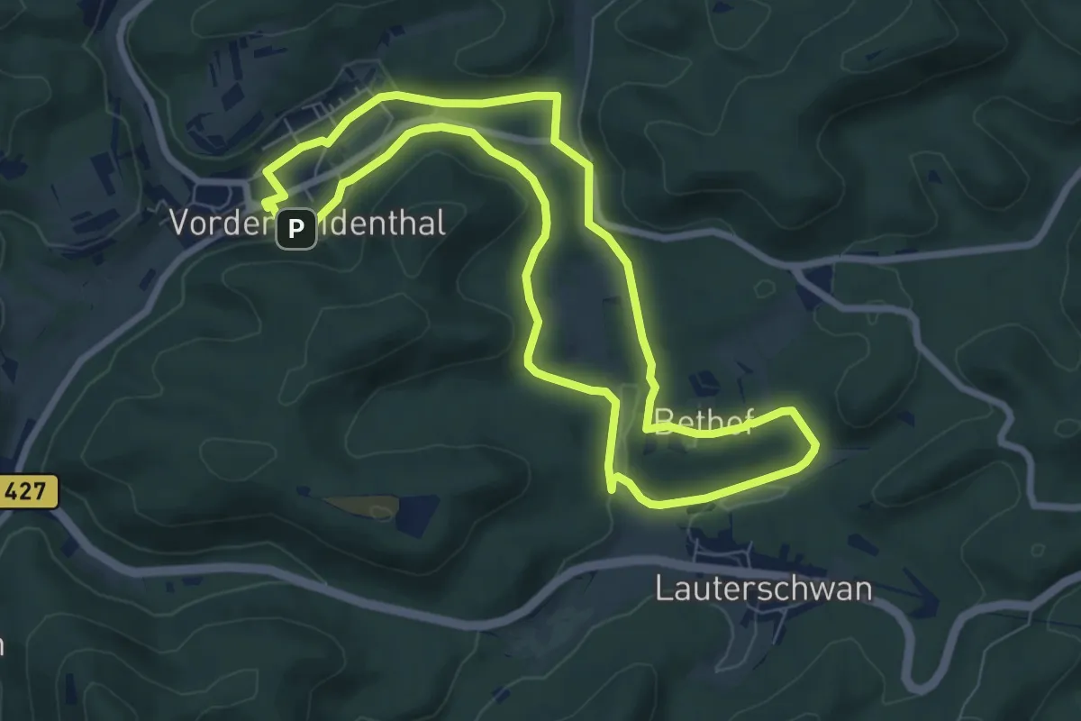
Easy · Trail
Bethofweg
6.9 km · ↑ 130 m · 2 h
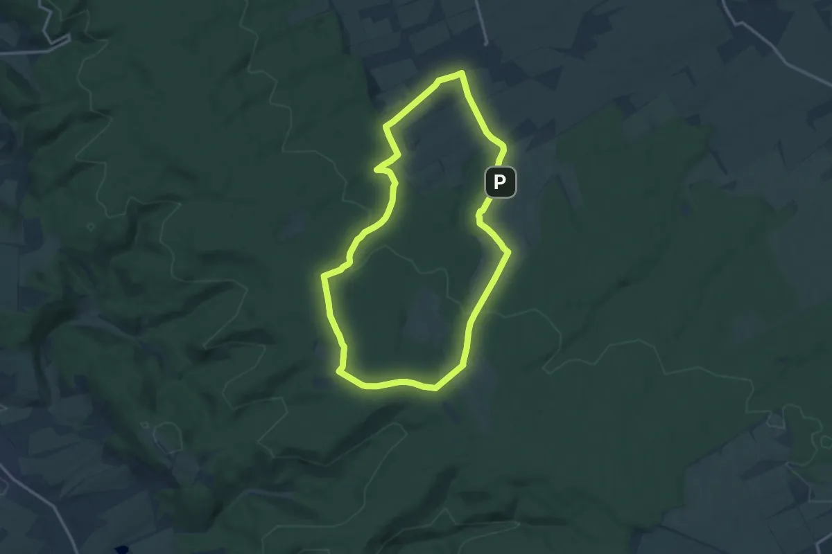
Medium · Trail
Betteleichenweg
11.3 km · ↑ 199 m · 3 h 16 min
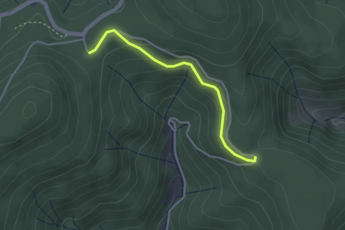
Easy · Trail
Bettelfrau - Hirzwasen
2.4 km · ↑ 93 m · 47 min
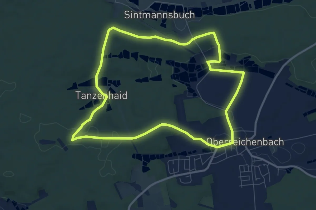
Easy · Trail
Bettelhütlein Runde
7.3 km · ↑ 104 m · 2 h 4 min
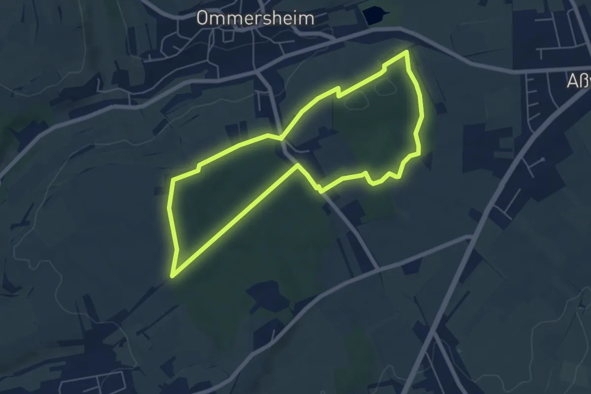
Easy · Trail
Bettelwald Weg
5.0 km · ↑ 65 m · 1 h 24 min
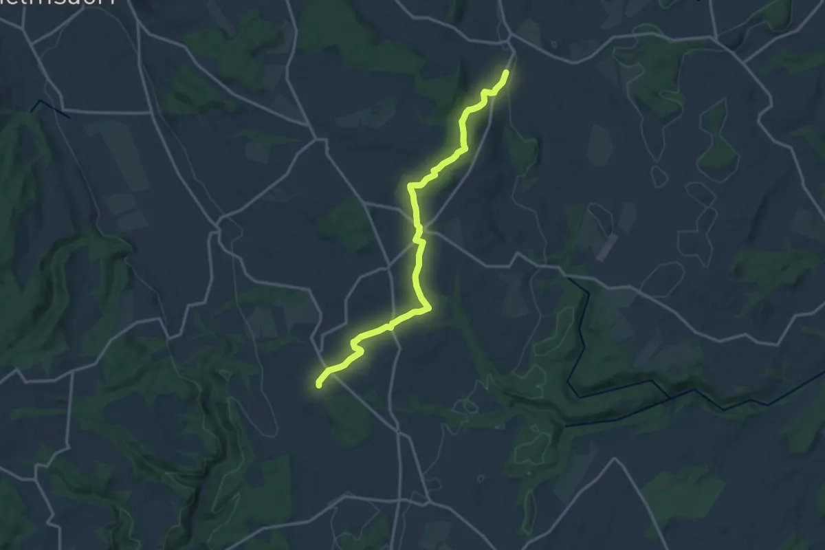
Medium · Trail
Bettenweiler - Ergetsweiler
13.9 km · ↑ 190 m · 3 h 41 min
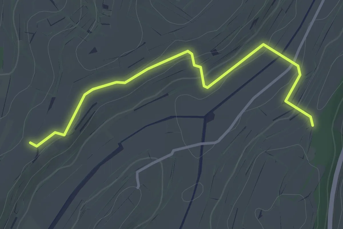
Easy · Trail
Bettlerküche - Engelsberg Wihlbach
3.0 km · ↑ 53 m · 50 min
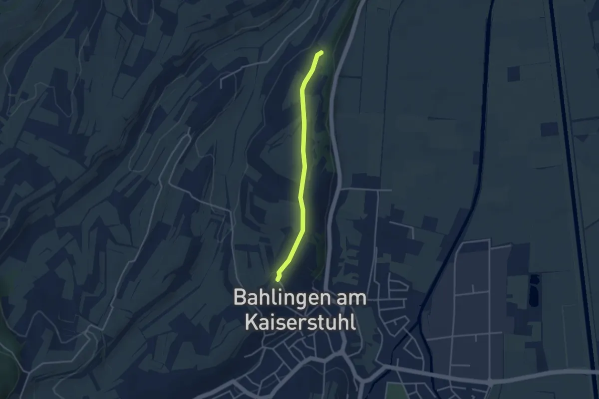
Easy · Trail
Bettlerküche - Frohntal-Eck
2.9 km · ↑ 37 m · 46 min
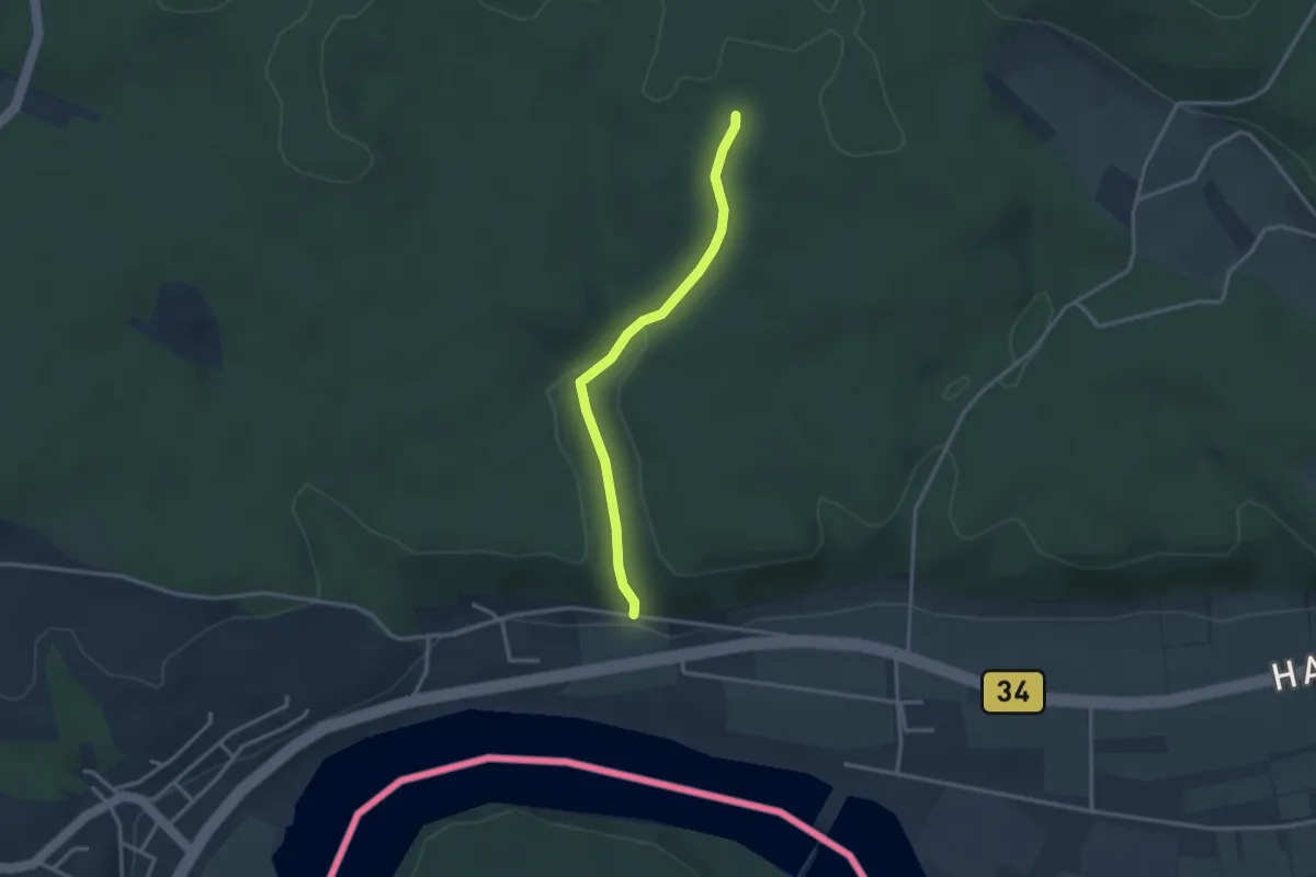
Easy · Trail
Bettlerkuchi - Fellenbühl
2.8 km · ↑ 89 m · 51 min
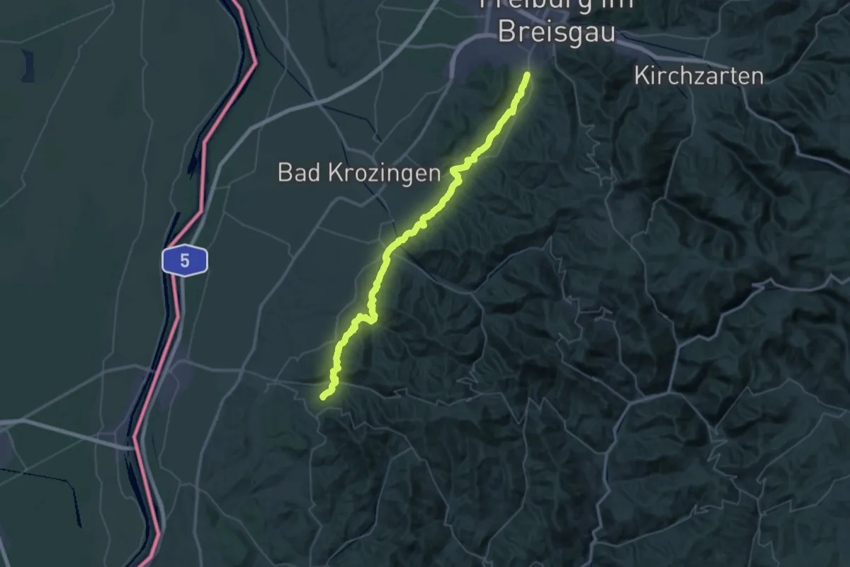
Demanding · Trail
Bettlerpfad
26.8 km · ↑ 776 m · 8 h 18 min
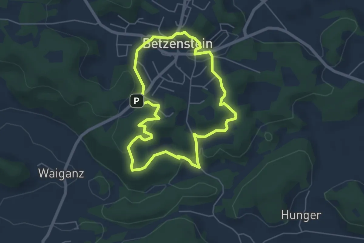
Easy · Trail
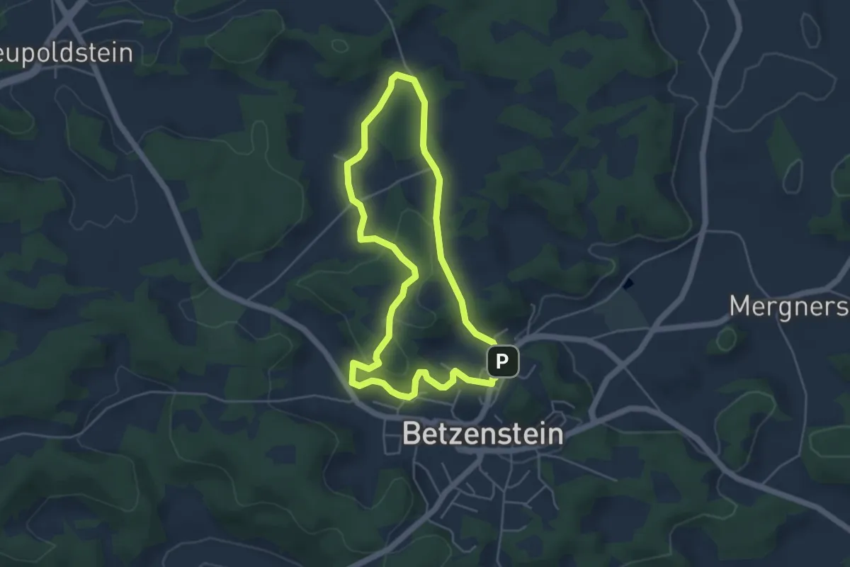
Betzenstein Romantischer Rundweg "Gelbes Kreuz"
3.9 km · ↑ 129 m · 1 h 15 min
Easy · Summit
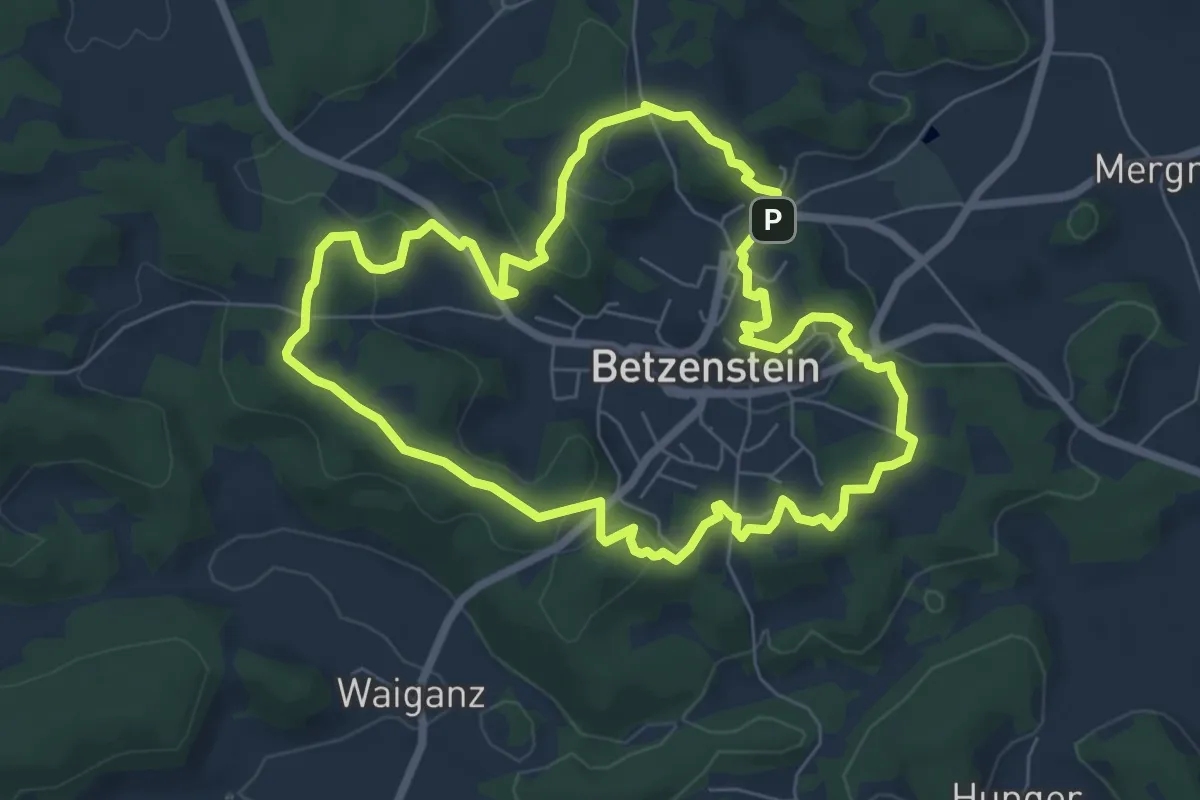
Betzenstein Rundwanderweg Grosser Wasserstein
4.1 km · ↑ 86 m · 1 h 13 min
Easy · Summit
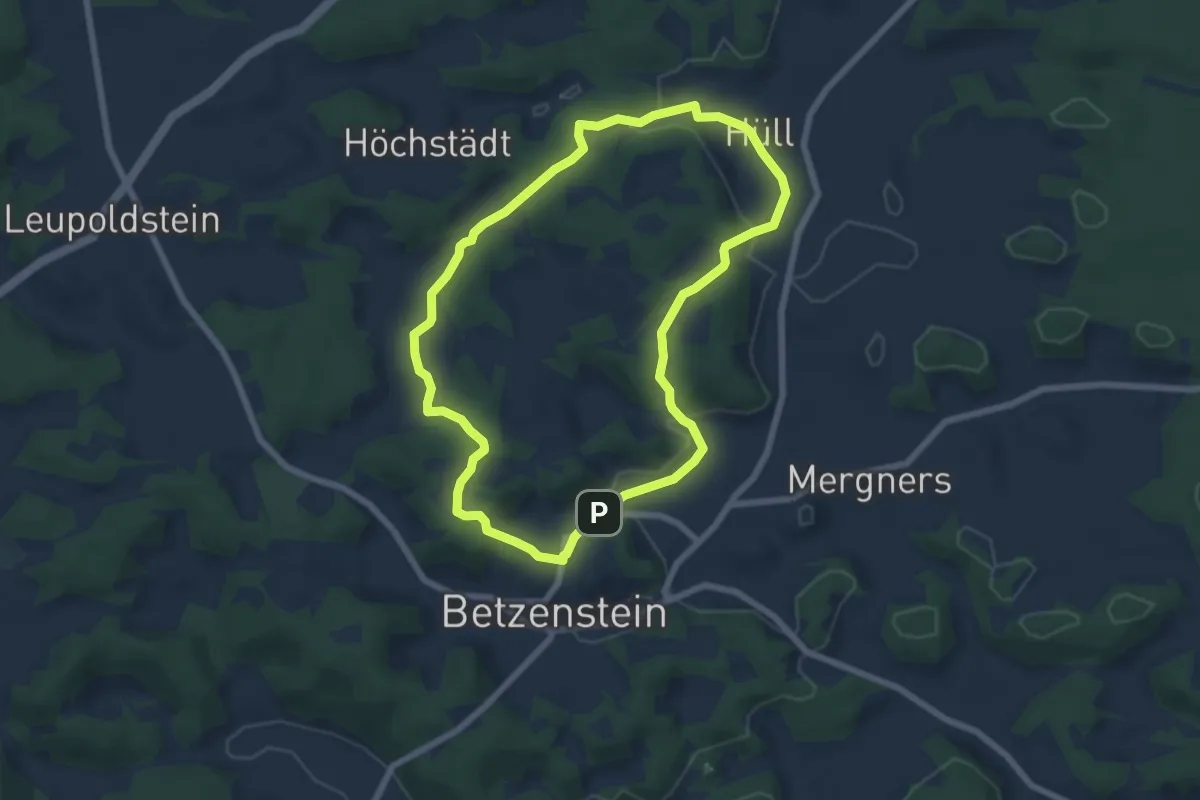
Betzenstein Rundweg "Rund um Betzenstein"
6.3 km · ↑ 138 m · 1 h 53 min
Easy · Summit
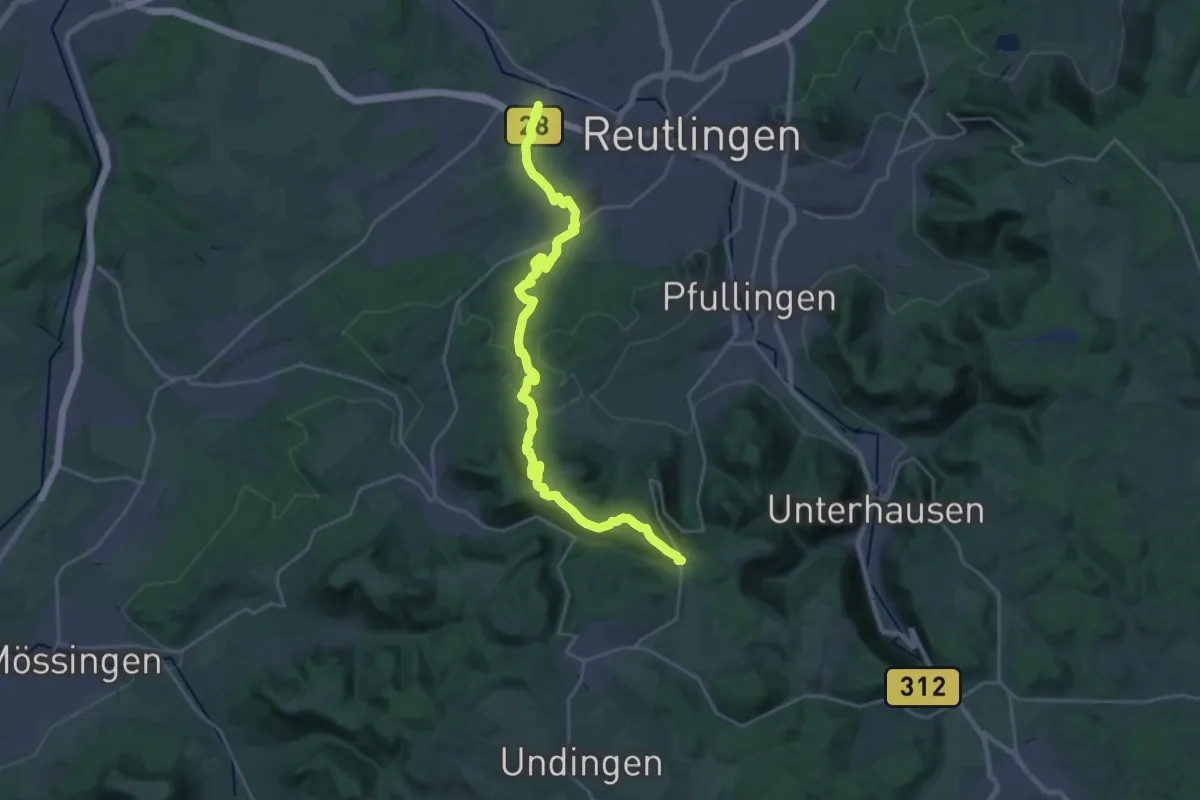
Betzenstein Rundweg ueber Huell
6.0 km · ↑ 140 m · 1 h 48 min
Demanding · Trail
Betzingen-Breitenbach-Ruoffseck
26.0 km · ↑ 591 m · 7 h 26 min
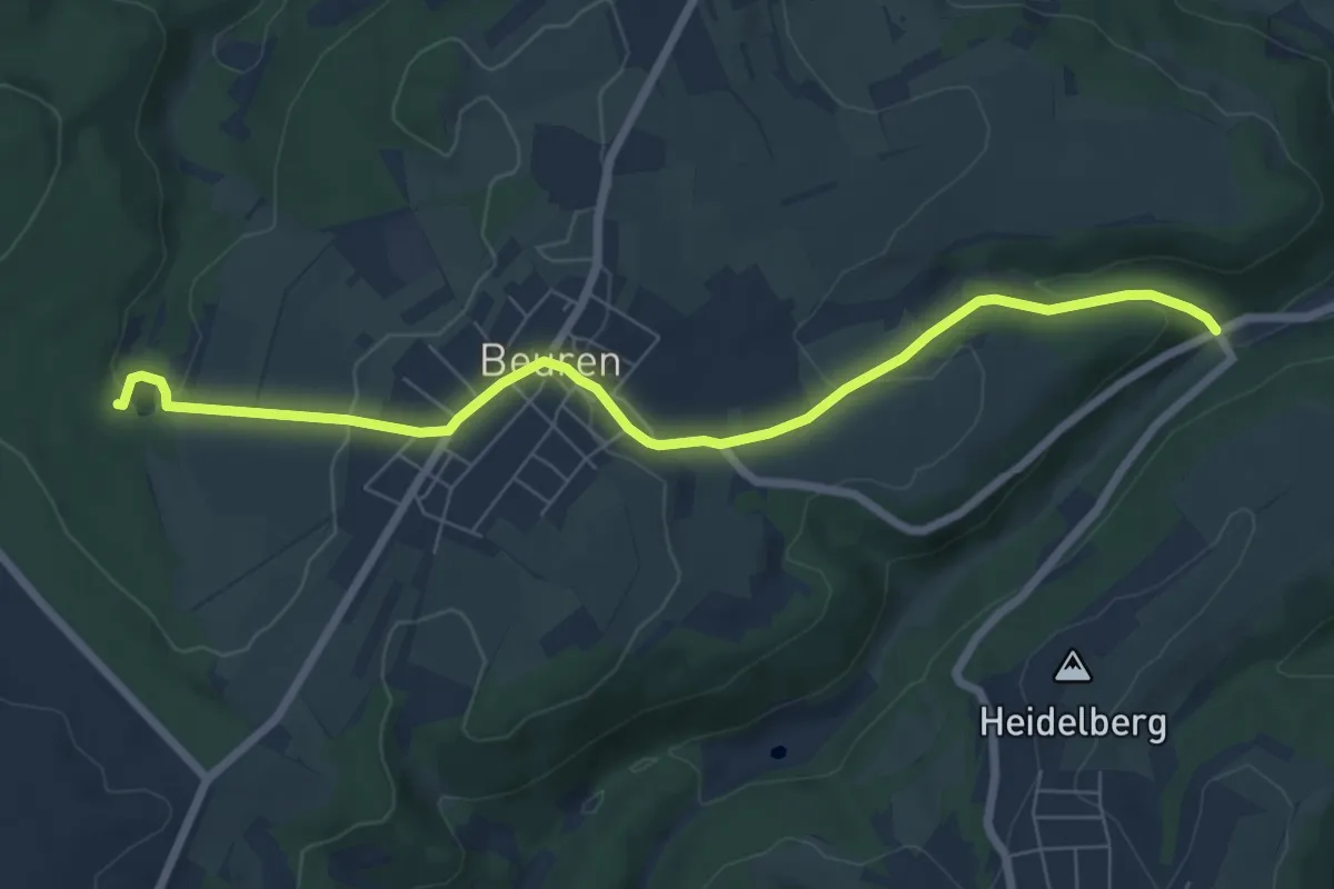
Easy · Trail
Beuren 1
6.9 km · ↑ 224 m · 2 h 7 min
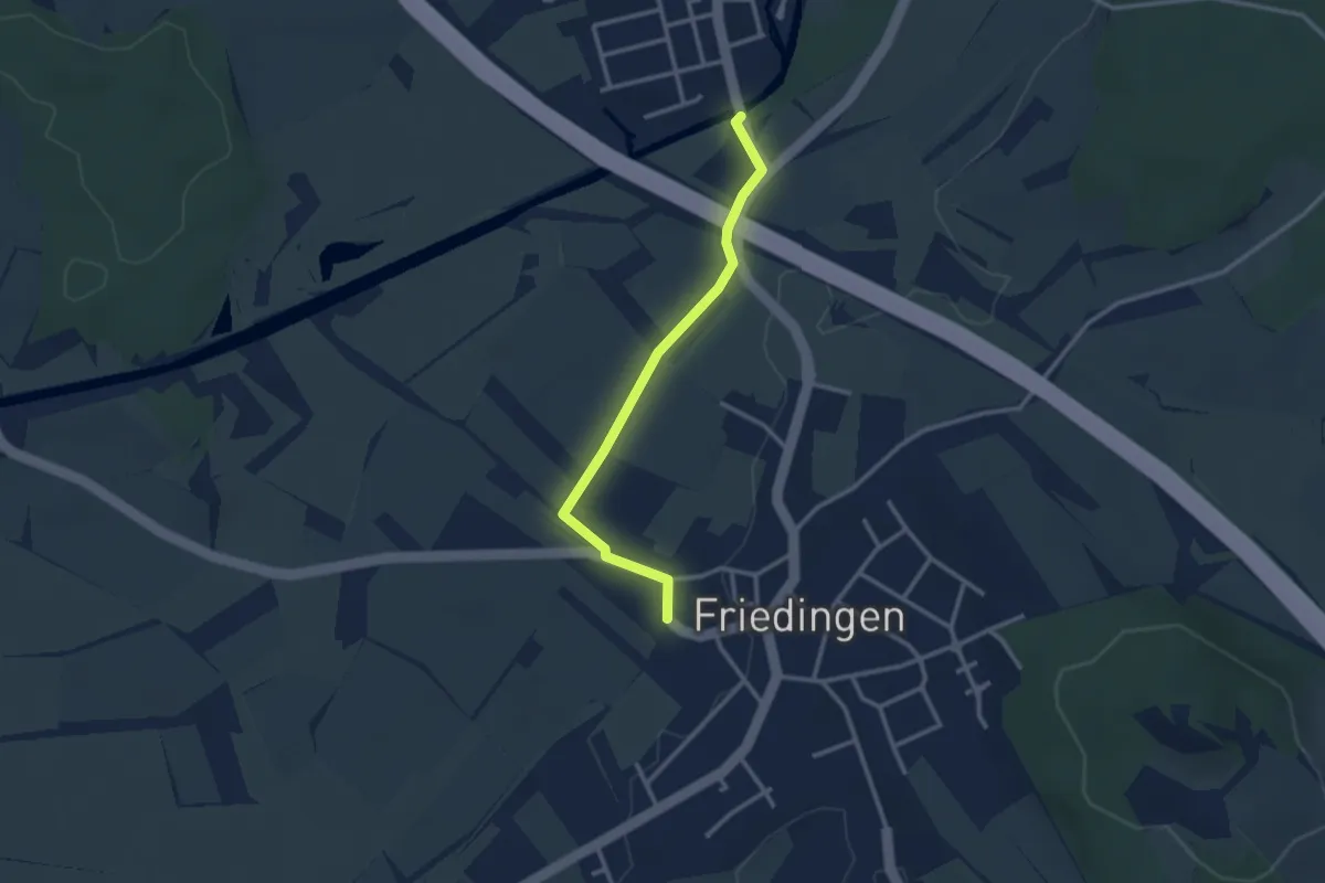
Easy · Trail
Beuren a. d. Aach Bündtweg - Friedingen Schloßberghalle
2.7 km · ↑ 0 m · 38 min
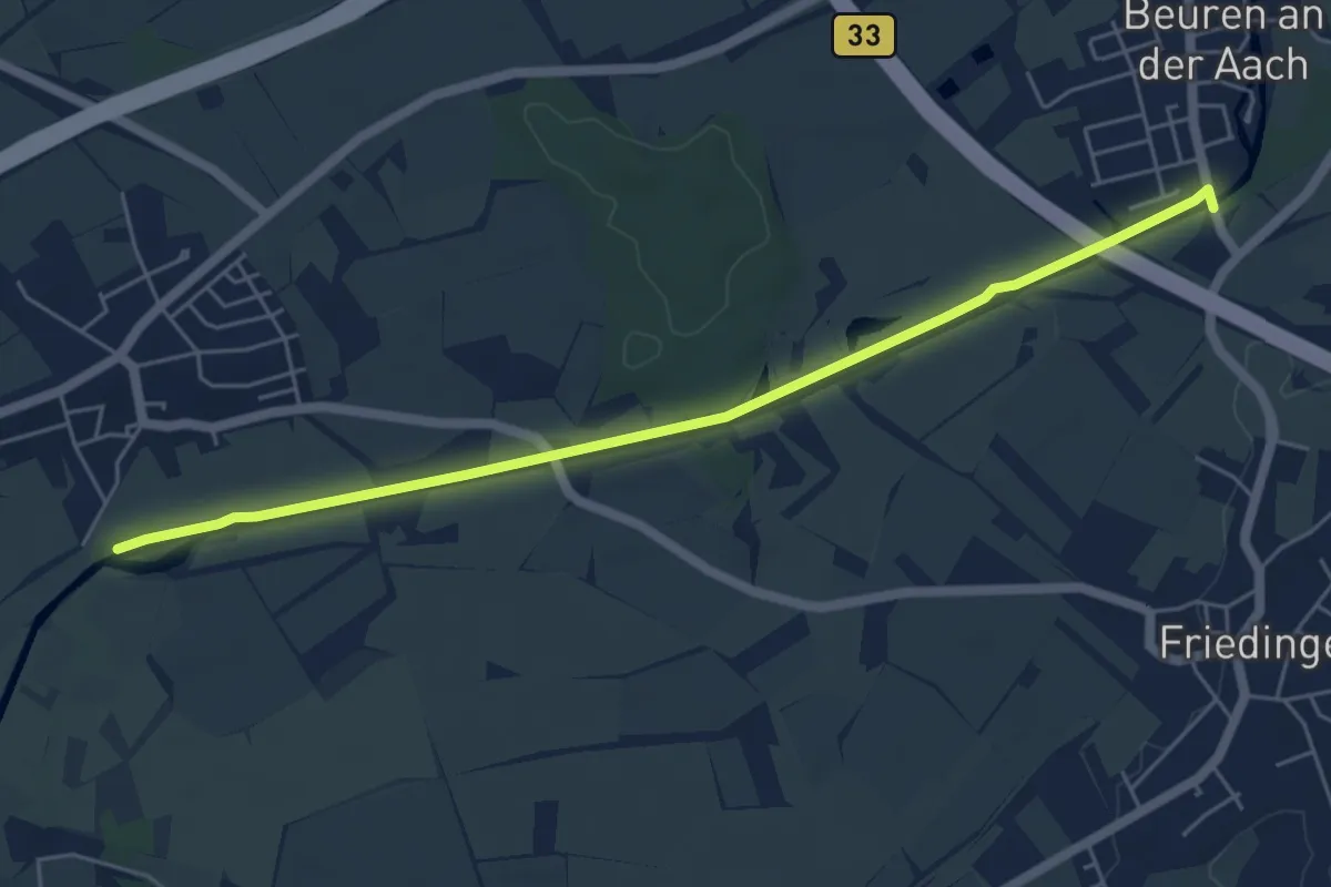
Easy · Trail
Beuren a. d. Aach Bündtweg - Hausener Aachried
5.7 km · ↑ 13 m · 1 h 22 min
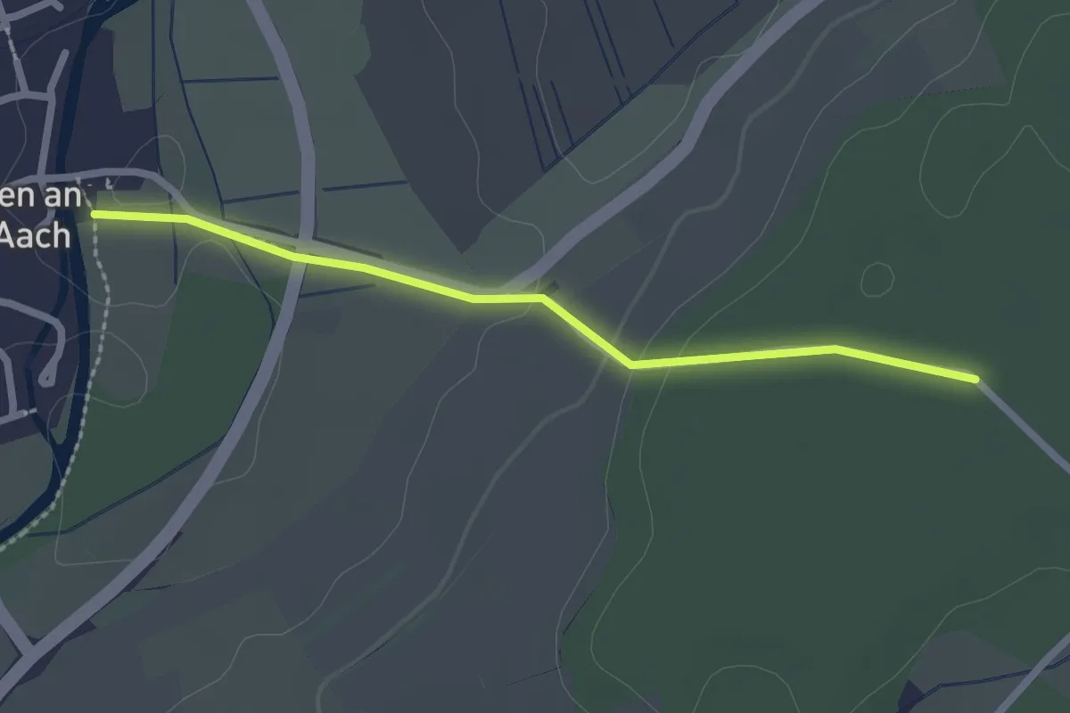
Easy · Trail
Beuren a. d. Aach Kirche - Minkenloh
2.2 km · ↑ 35 m · 35 min
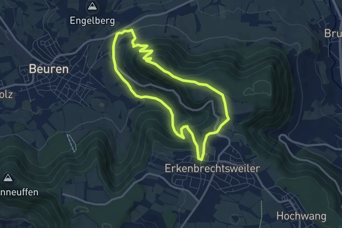
Easy · Trail
Beurener AlbtraufTour 10 zum Beurener Fels
6.4 km · ↑ 295 m · 2 h 14 min
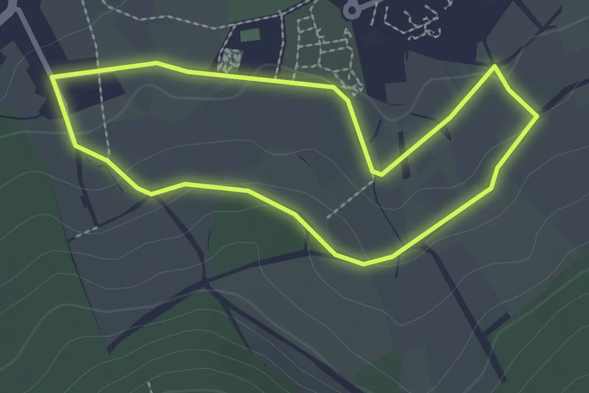
Easy · Trail
Beurener AlbtraufTour 1 Zum Schelmenwasen
2.1 km · ↑ 33 m · 35 min
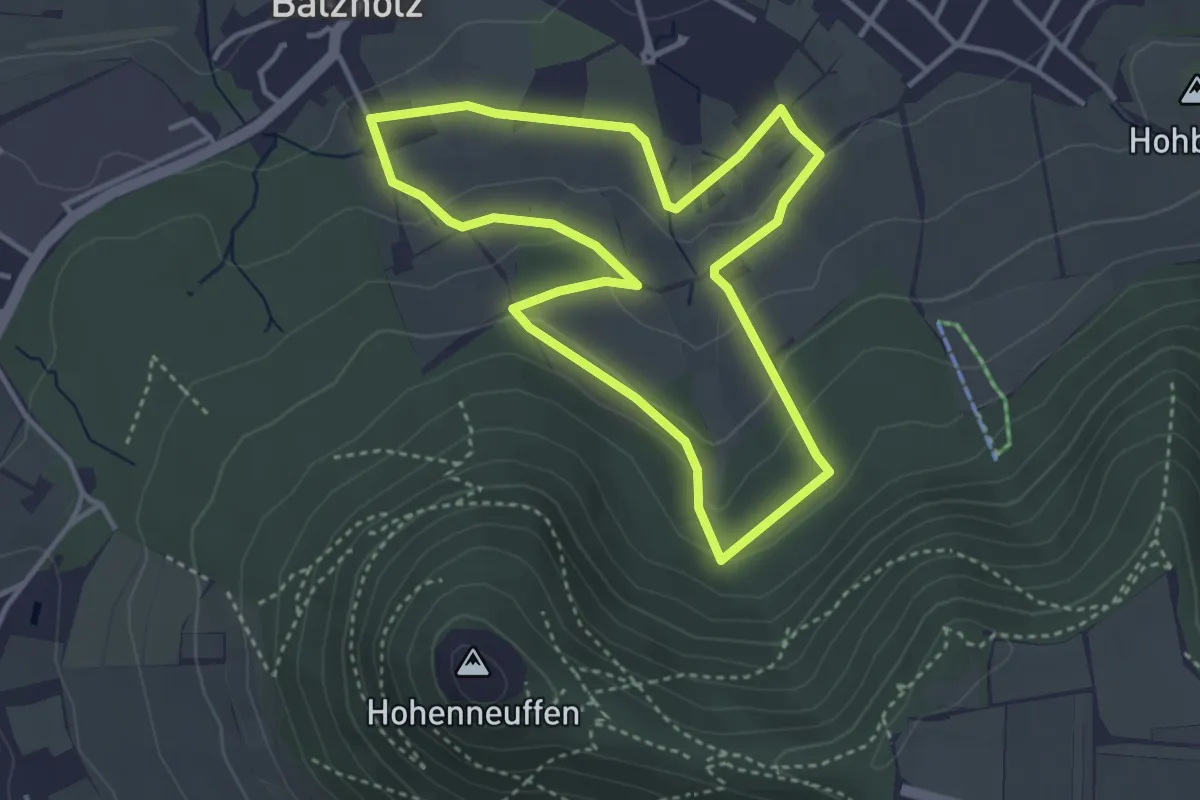
Easy · Trail
Beurener AlbtraufTour 2 Ins Mittelwälde
3.4 km · ↑ 101 m · 1 h 5 min
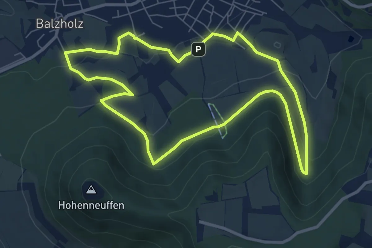
Easy · Summit
Beurener AlbtraufTour 3 Zum Eselsbrunnen
5.9 km · ↑ 152 m · 1 h 48 min
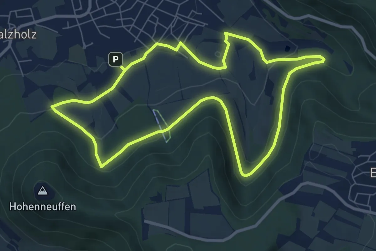
Easy · Summit
Beurener AlbtraufTour 4 Zum Philosophenweg
6.3 km · ↑ 180 m · 1 h 58 min
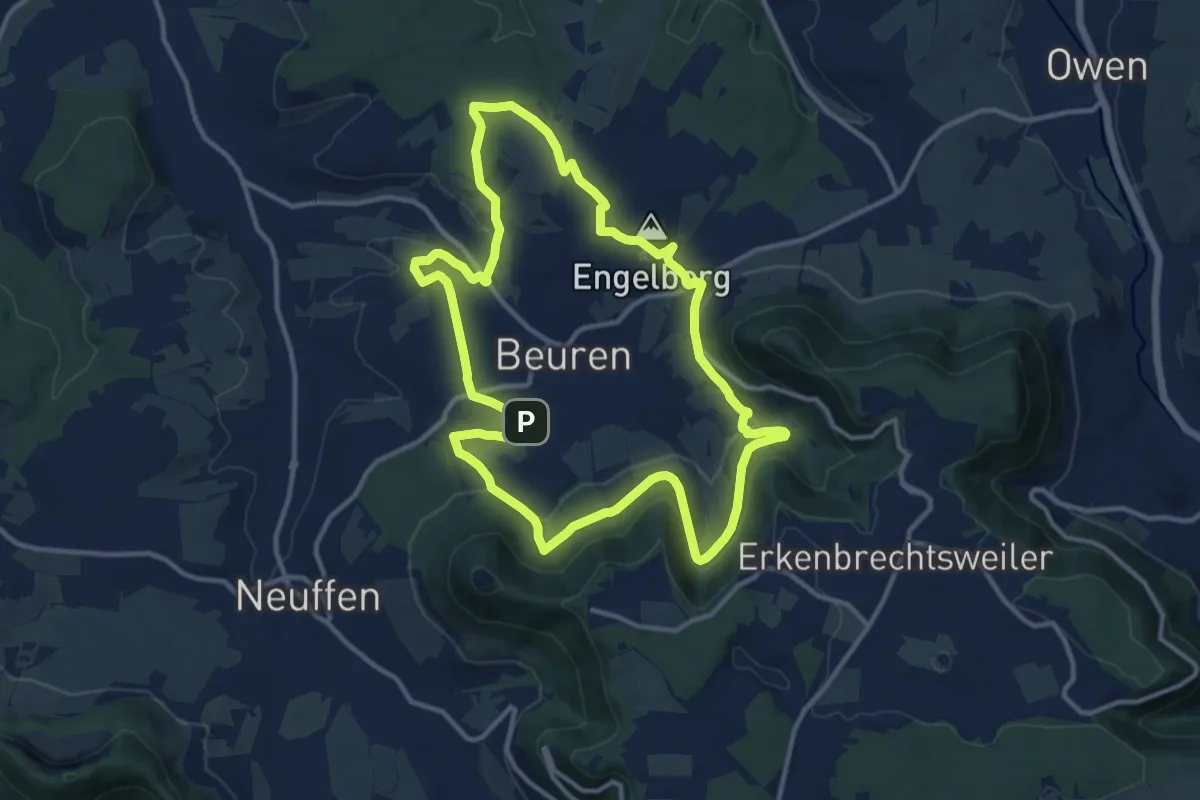
Medium · Summit
Beurener AlbtraufTour 5 Rund um Beuren
12.0 km · ↑ 244 m · 3 h 32 min
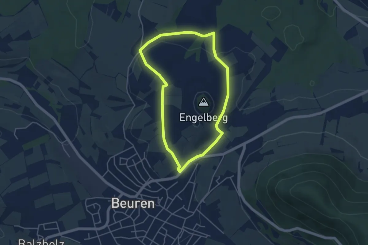
Easy · Trail
Beurener AlbtraufTour 6 Um den Engelberg
3.4 km · ↑ 47 m · 57 min
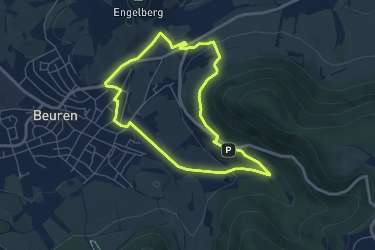
Easy · Trail
Beurener AlbtraufTour 7 Zum Tobelweiher
4.3 km · ↑ 146 m · 1 h 23 min
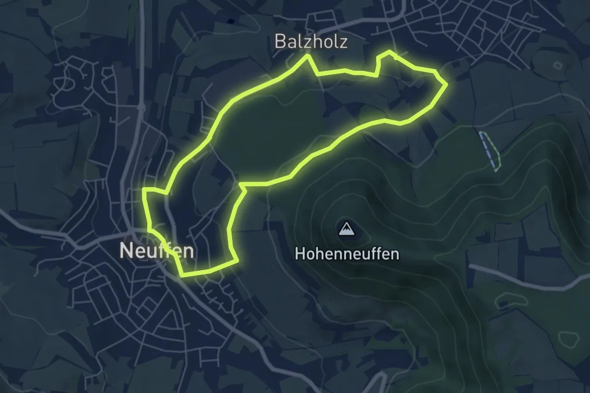
Easy · Trail
Beurener AlbtraufTour 8 Nach Neuffen
5.6 km · ↑ 126 m · 1 h 40 min
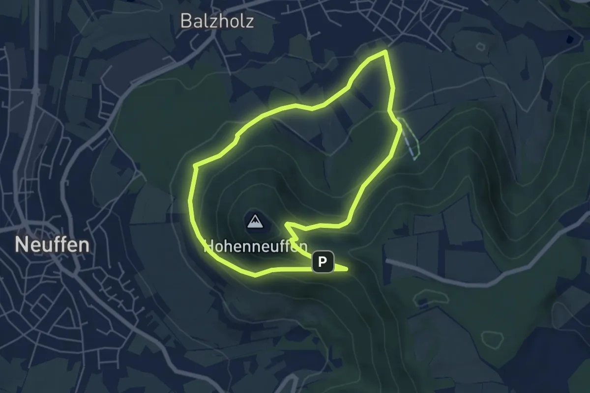
Easy · Trail
Beurener AlbtraufTour 9 Auf den Hohenneuffen
4.7 km · ↑ 239 m · 1 h 42 min
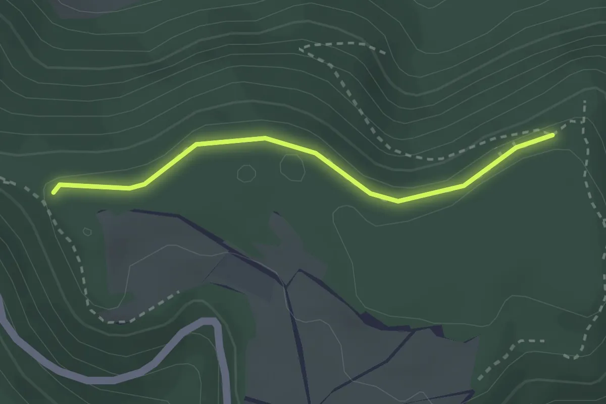
Easy · Trail
Beurener Fels - Brucker Fels (Zugang zum HW1)
2.4 km · ↑ 23 m · 37 min
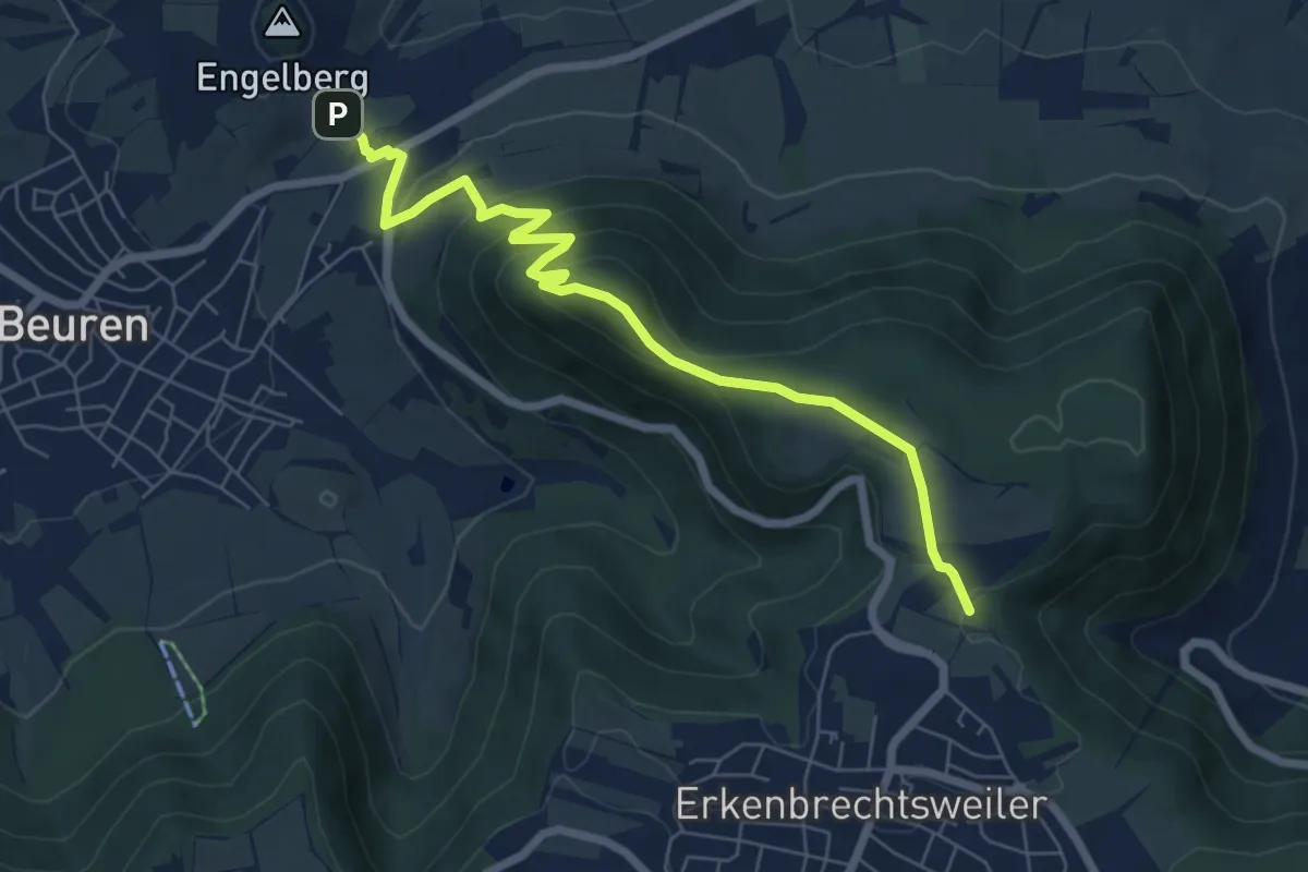
Medium · Trail
Beuren - Heidengraben
6.9 km · ↑ 356 m · 2 h 23 min