Trails in Germany
36,852 hiking trails, each with its route, climb, walking time and grade.
All trails, page 592 of 768
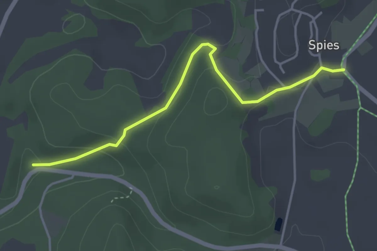
Easy · Trail
Simmelsdorf - Spies
3.4 km · ↑ 95 m · 1 h 1 min
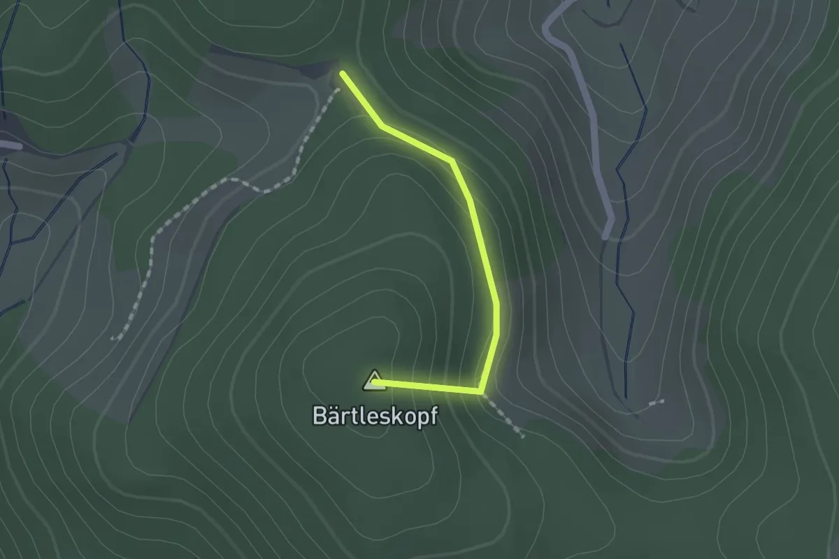
Easy · Summit
Simmersbacher Kopf - Simmersbacher Kreuz
1.2 km · ↑ 78 m · 28 min
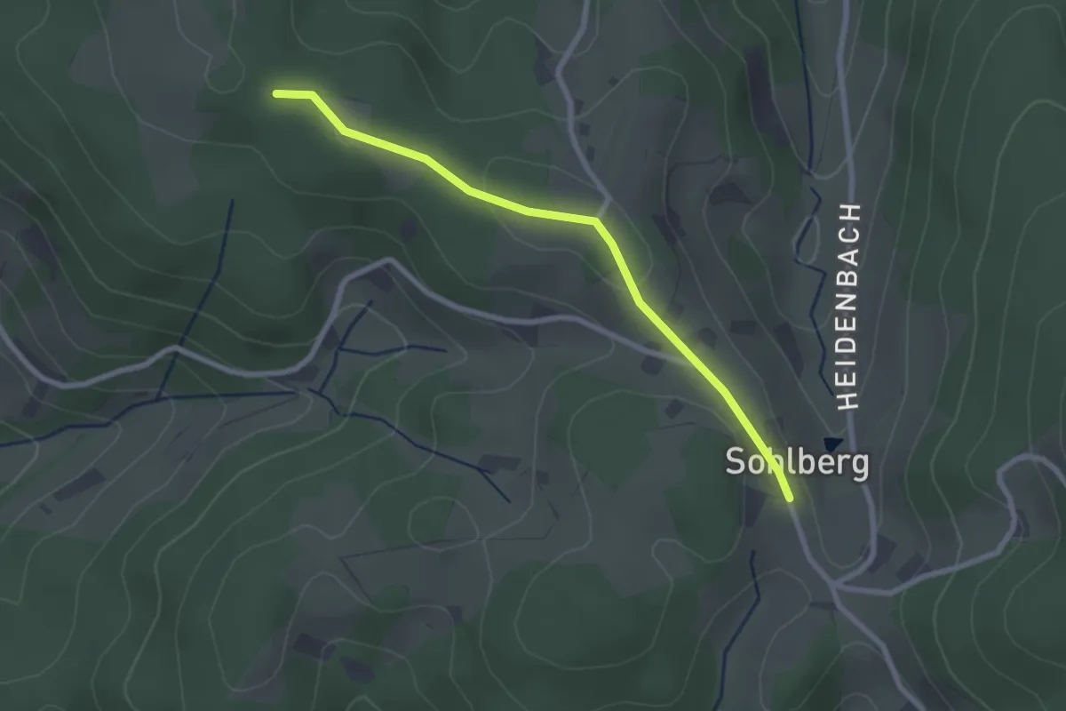
Easy · Trail
Simmersbacher Kopf - Sohlberg Kamm
2.3 km · ↑ 34 m · 37 min
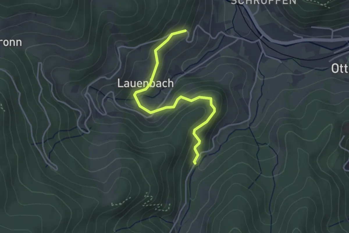
Easy · Trail
Simmersbach - Vorderer Lauenbach
3.4 km · ↑ 171 m · 1 h 11 min
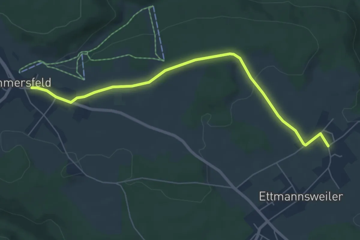
Easy · Trail
Simmersfeld Kirche - Ettmannsweiler Innerdorf
5.7 km · ↑ 81 m · 1 h 32 min
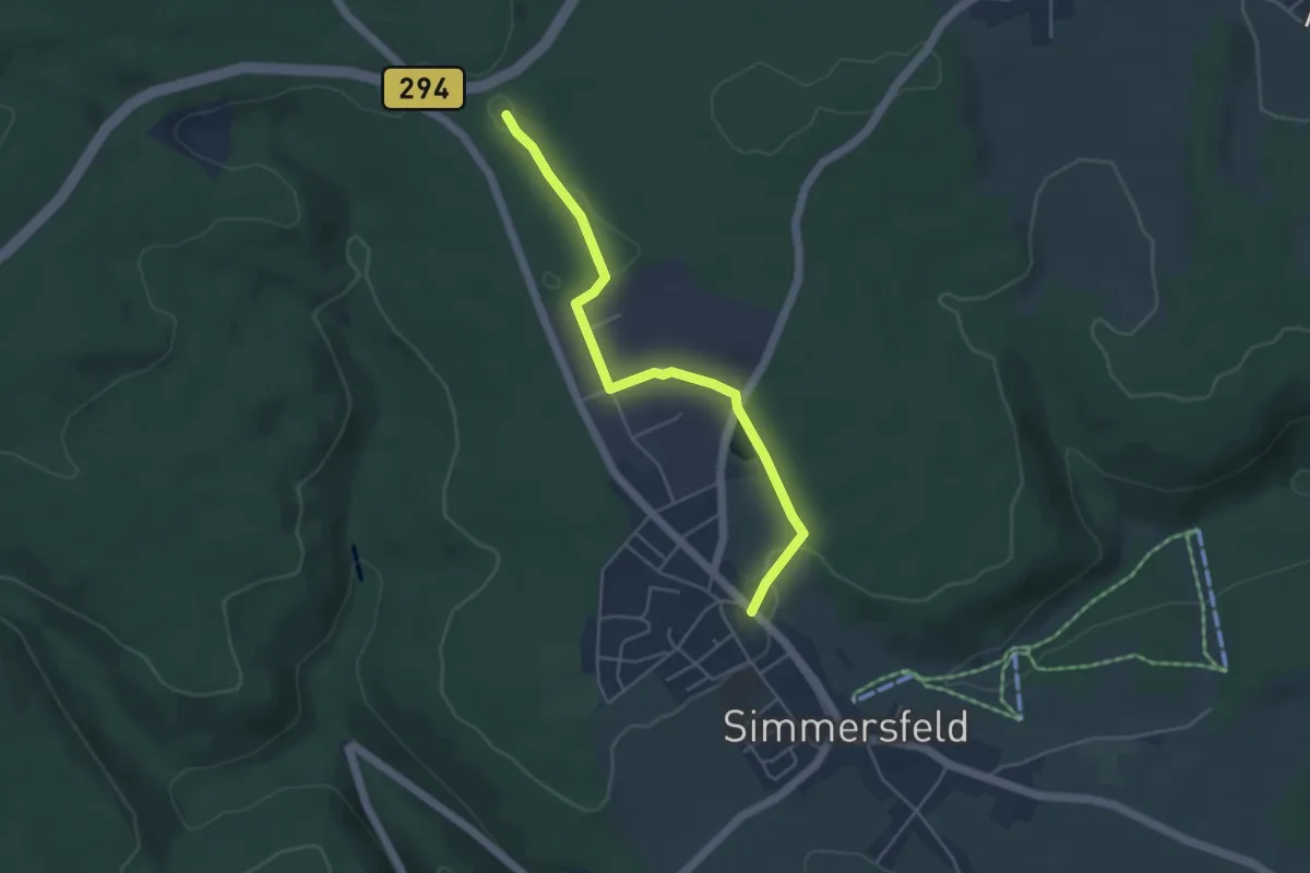
Easy · Trail
Simmersfeld Neuapostolische Kirche - Hardtweg
4.3 km · ↑ 55 m · 1 h 8 min
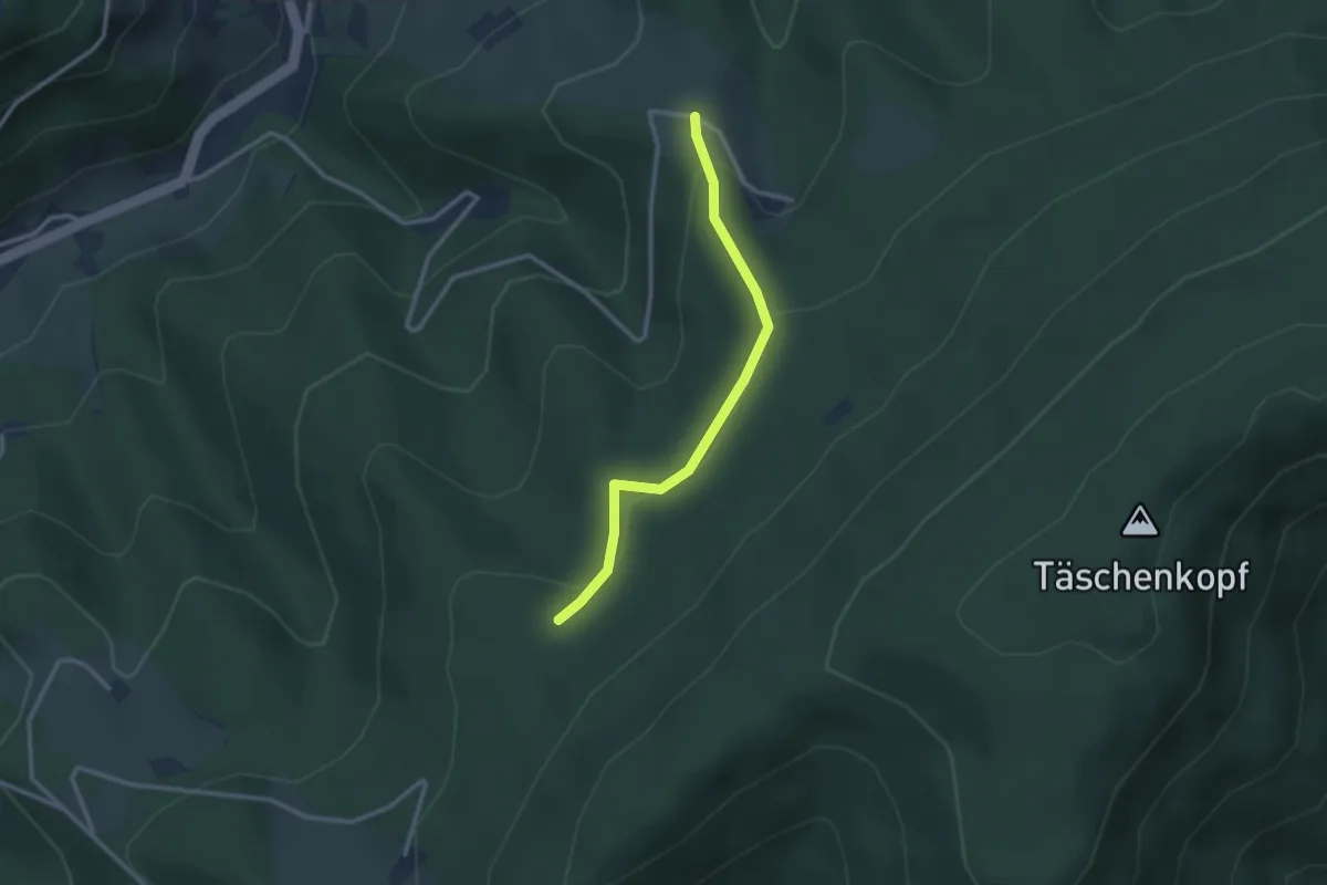
Easy · Trail
Simonsebene - Stollengrund
2.5 km · ↑ 94 m · 48 min
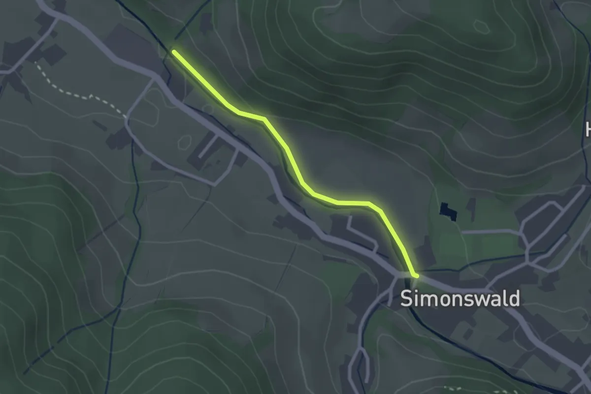
Easy · Trail
Simonswald Bärenbrücke - Oberberg
2.1 km · ↑ 20 m · 32 min
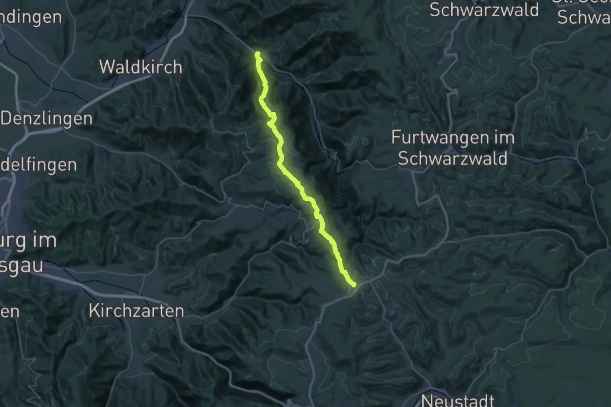
Demanding · Trail
Simonswald - Thurner
17.4 km · ↑ 1057 m · 6 h 18 min
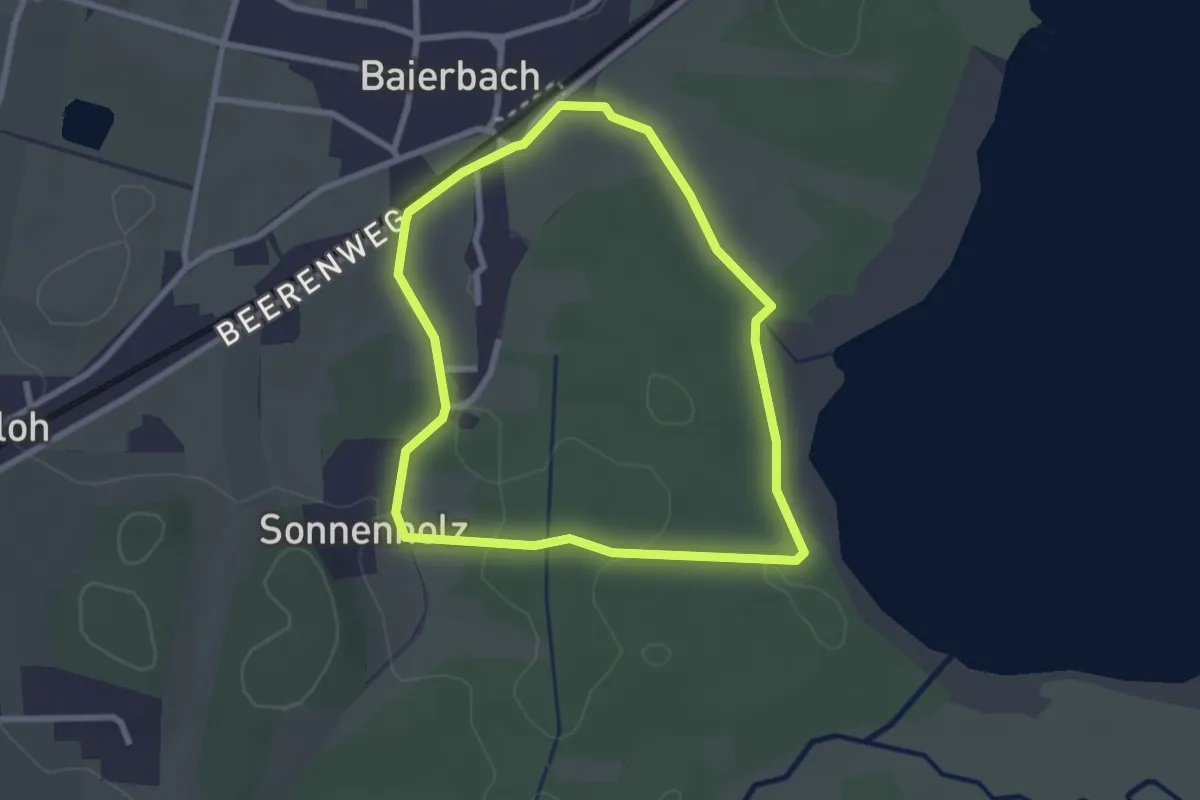
Easy · Trail
Simssee Nordic Walking - Gelb
2.4 km · ↑ 8 m · 37 min
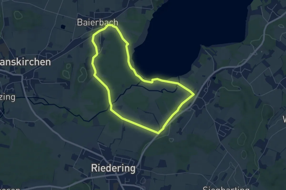
Easy · Trail
Simssee Nordic Walking - Rot
5.6 km · ↑ 32 m · 1 h 28 min
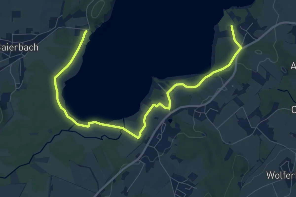
Medium · Trail
Simsseewanderweg
9.4 km · ↑ 48 m · 2 h 19 min
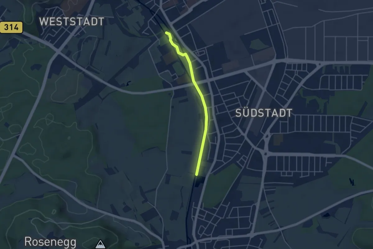
Easy · Trail
Singen Insel Wehrd - Schnaidholz
3.6 km · ↑ 8 m · 52 min
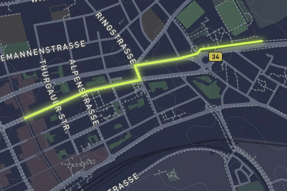
Easy · Trail
Singen Marktpassage - Singen Hohentwielstadion
2.2 km · ↑ 0 m · 31 min
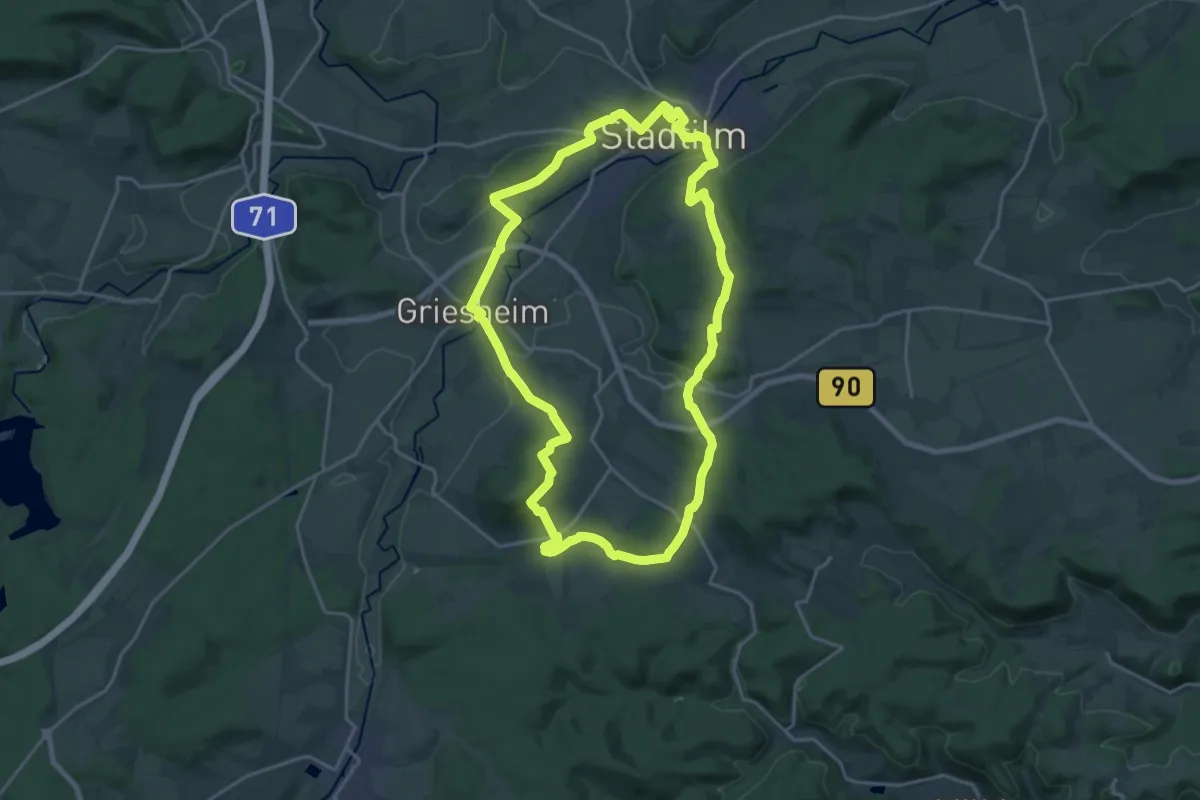
Demanding · Summit
Singer Berg Tour
18.6 km · ↑ 362 m · 5 h 27 min
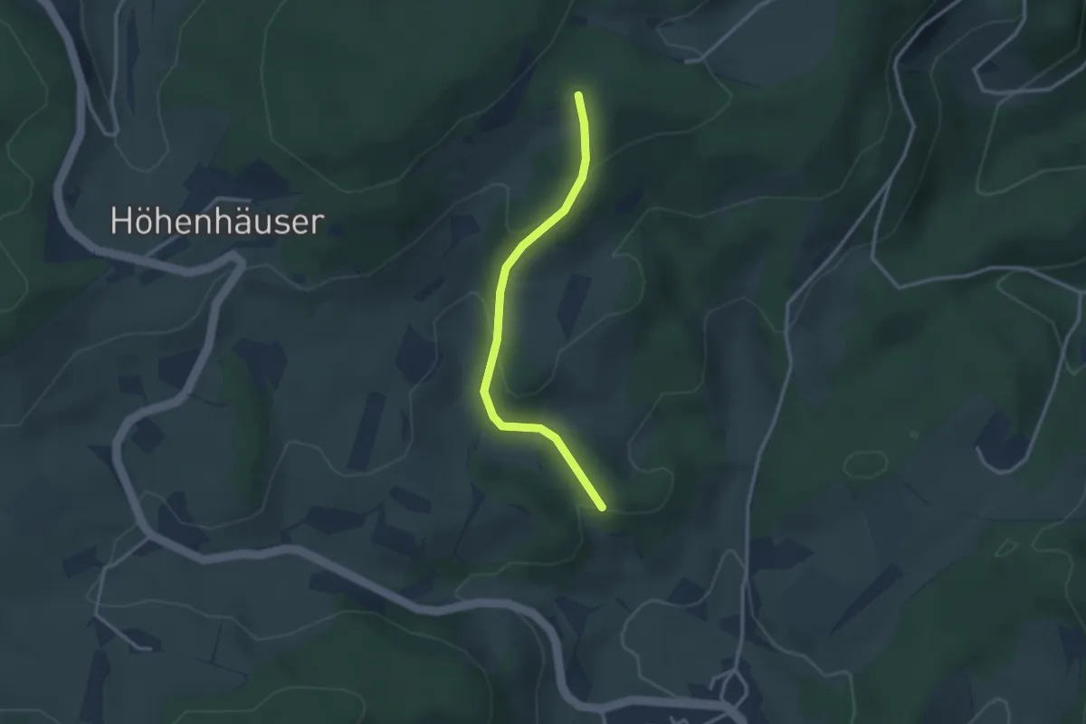
Easy · Trail
Singlersgräble - Ob dem Lebersteinhof
2.6 km · ↑ 134 m · 54 min
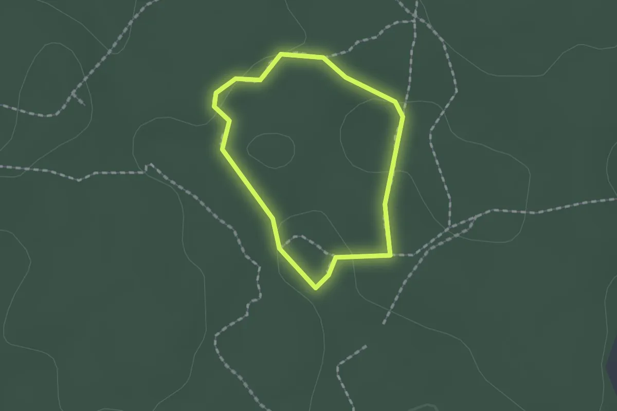
Easy · Trail
Sinneswanderung Walderlebniszentrum Schernfeld
1.1 km · ↑ 14 m · 19 min
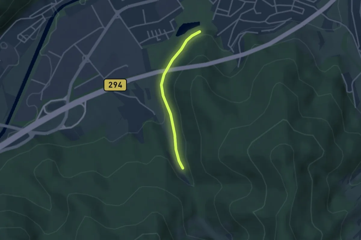
Easy · Trail
Sinnesweg - Eiserner Steg
2.2 km · ↑ 64 m · 40 min
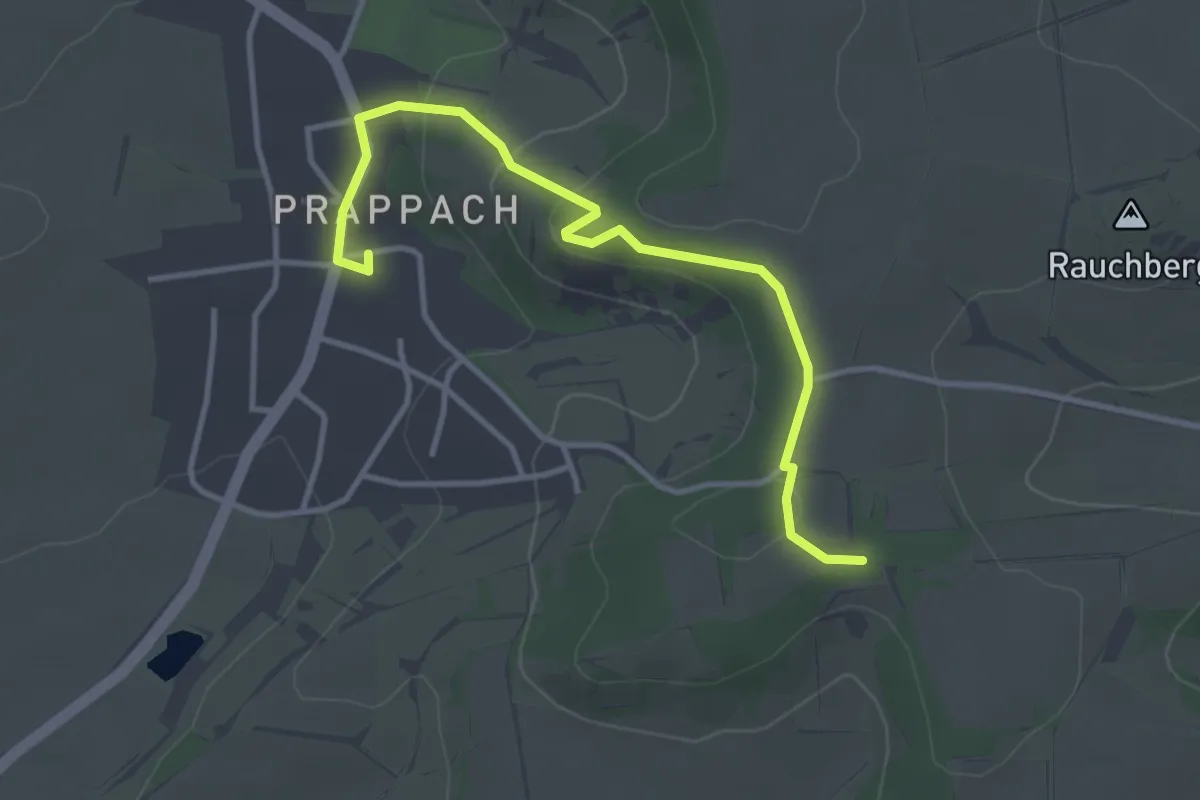
Easy · Trail
Sinn-Weg
1.7 km · ↑ 5 m · 28 min
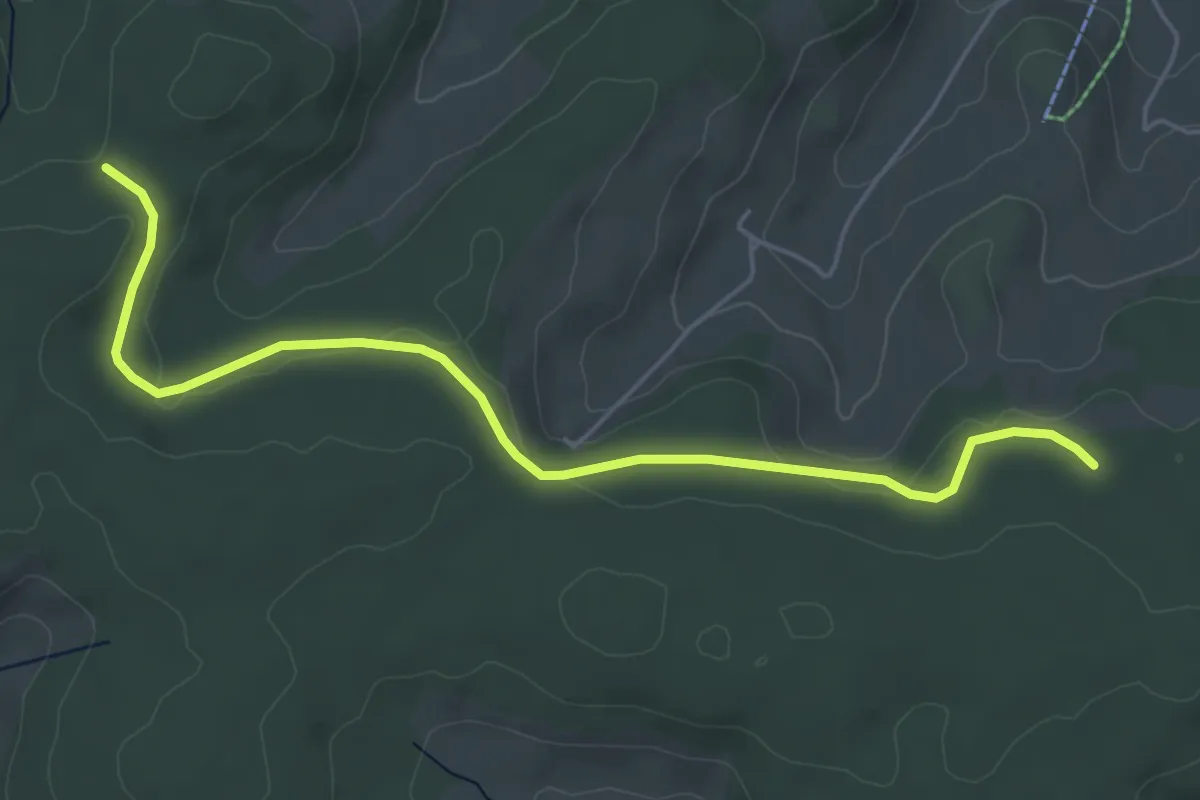
Easy · Trail
Sinsenbacher Höhe - Dürrheimer Wald
5.4 km · ↑ 140 m · 1 h 34 min
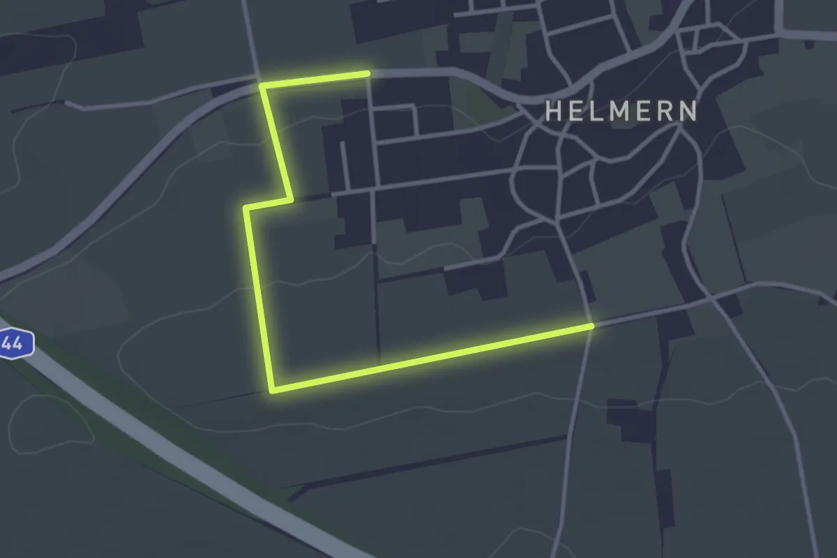
Easy · Trail
Sintfeldhöhe
3.2 km · ↑ 29 m · 49 min
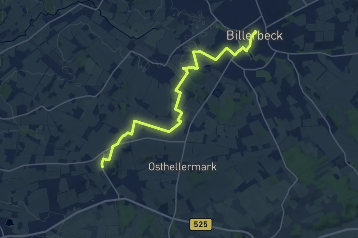
Medium · Trail
Sint Lürs Weg
16.0 km · ↑ 105 m · 4 h
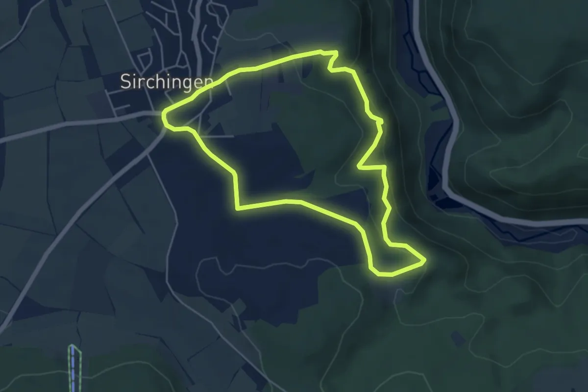
Easy · Trail
Sirchinger Wasserfall
4.4 km · ↑ 155 m · 1 h 26 min
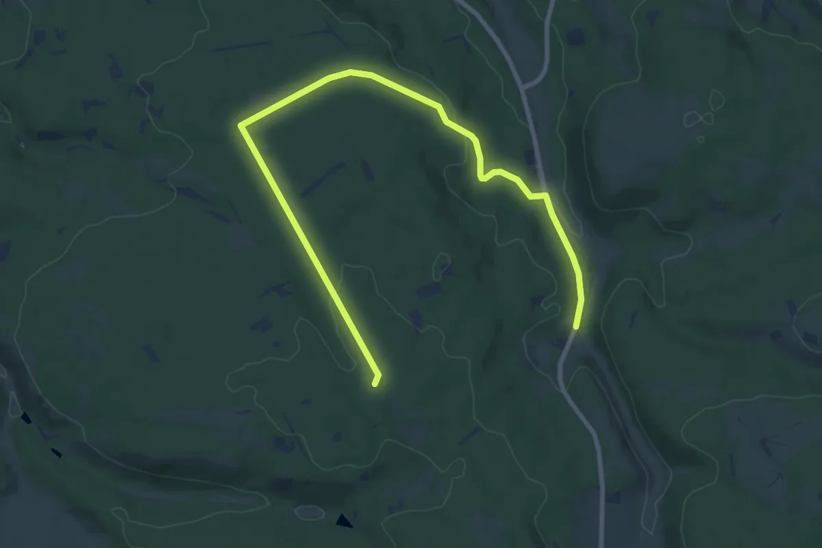
Medium · Summit
Sirexen Rundweg A9
9.0 km · ↑ 135 m · 2 h 25 min
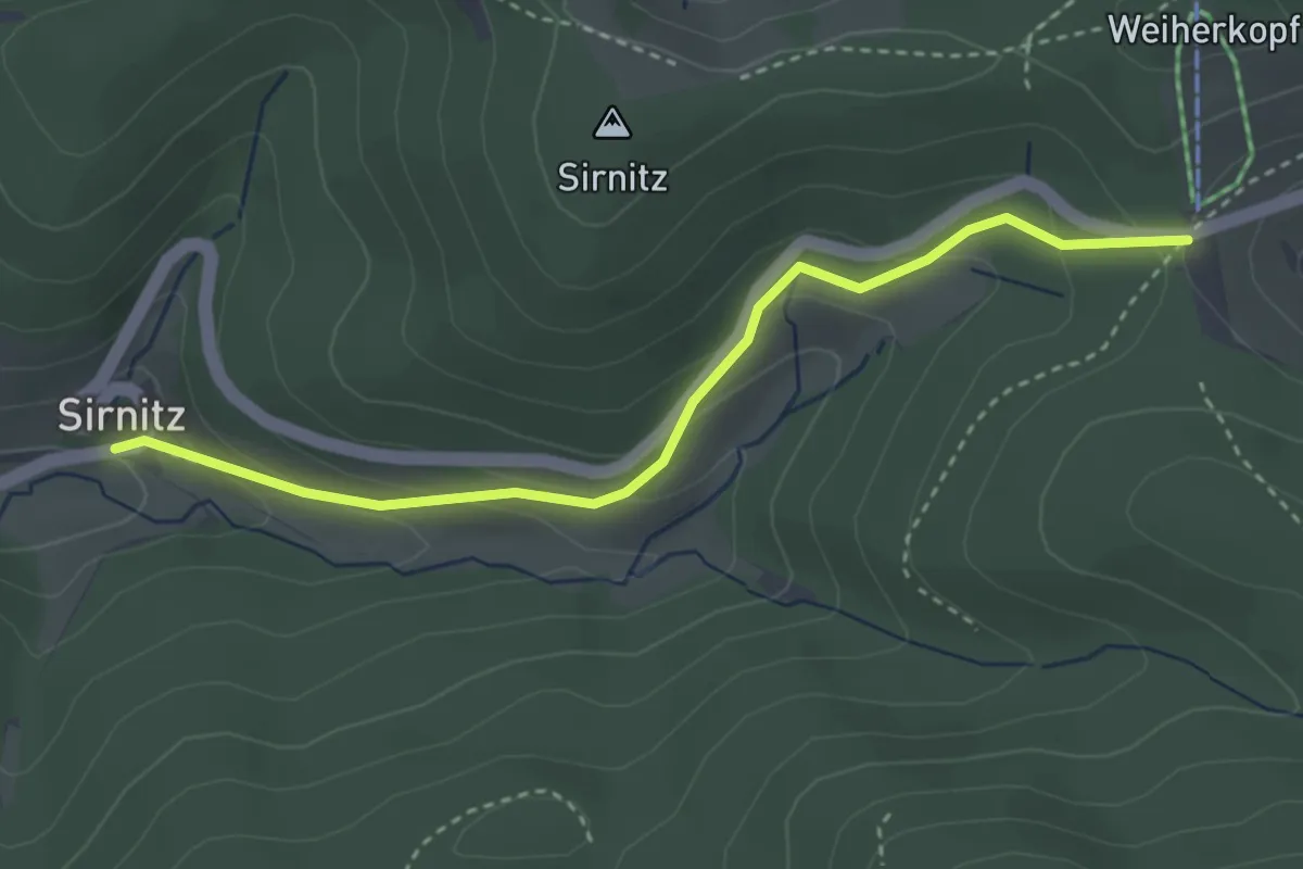
Easy · Trail
Sirnitz Auerhahn - Kreuzweg
3.3 km · ↑ 159 m · 1 h 8 min
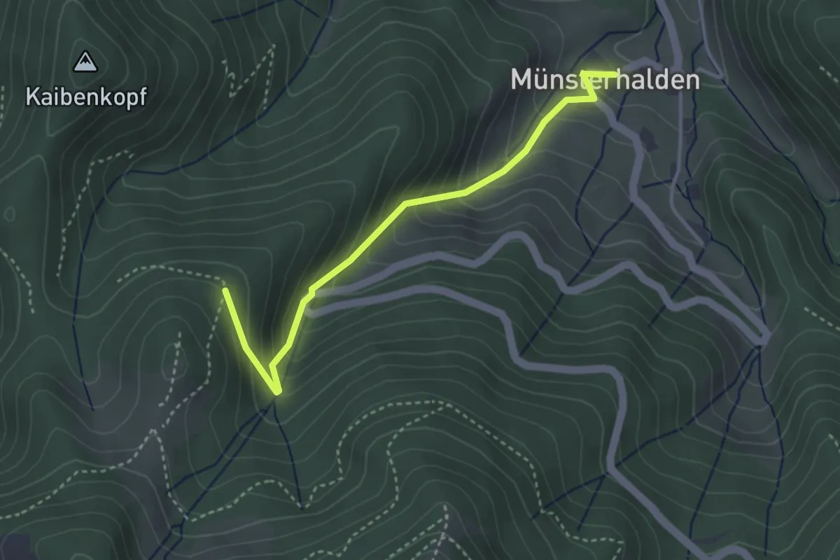
Easy · Trail
Sirnitzgrund - Münsterhalden Pfefferle Hof
3.4 km · ↑ 312 m · 1 h 28 min
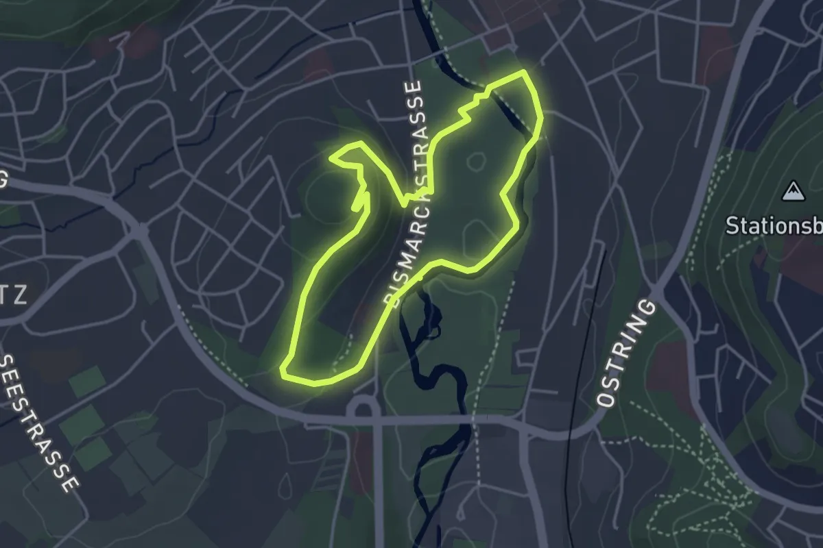
Easy · Summit
Sisi-Tour
3.2 km · ↑ 71 m · 57 min
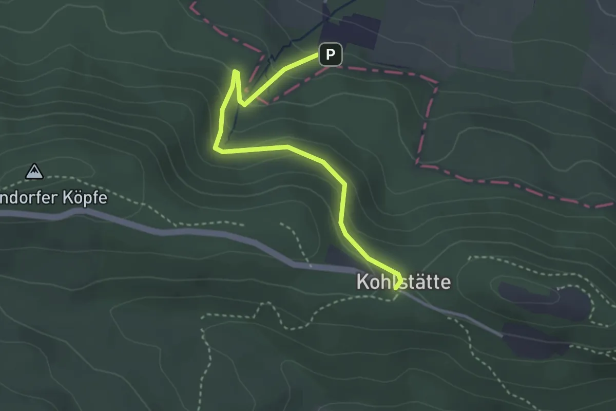
Easy · Trail
Sittendorf
2.9 km · ↑ 163 m · 1 h 3 min
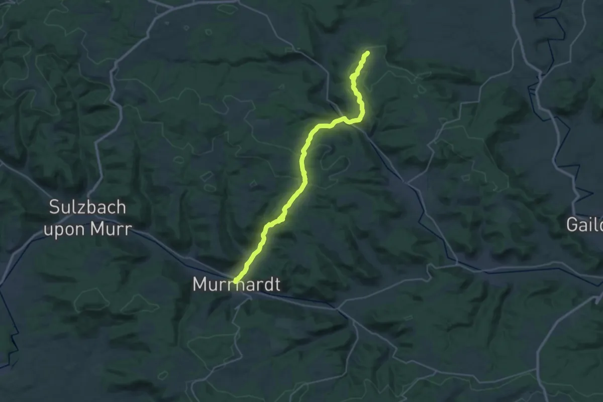
Demanding · Trail
Sittenhardt - Siegelsberg HW 6
25.3 km · ↑ 595 m · 7 h 15 min
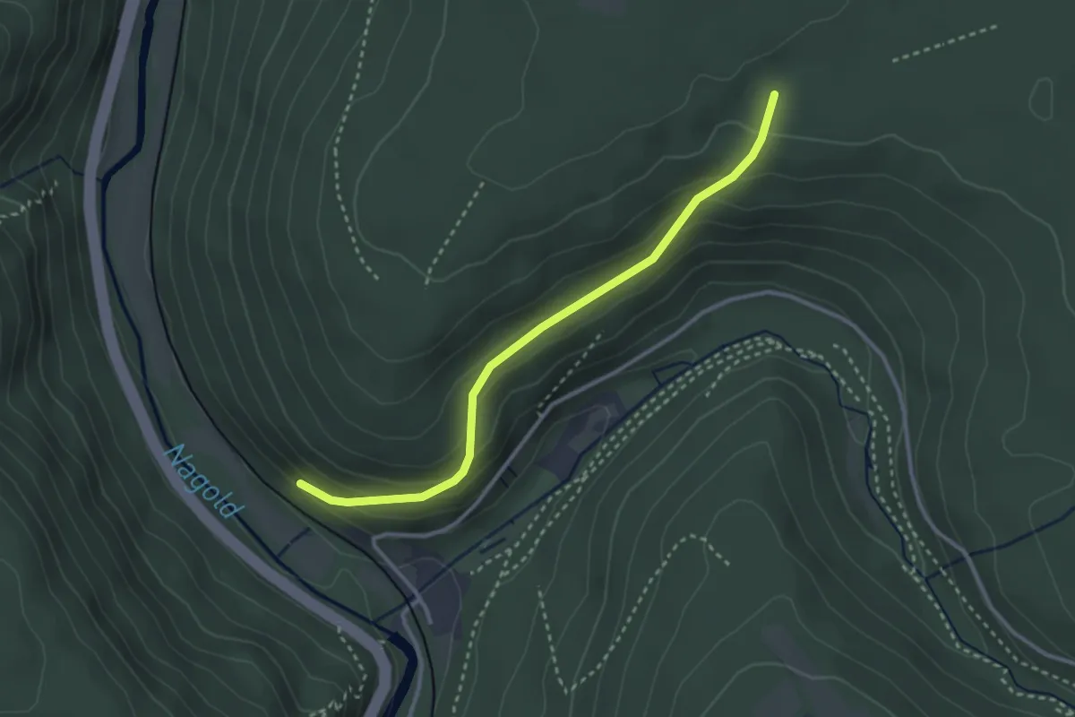
Easy · Trail
Sittig - Scheiterberg
3.0 km · ↑ 156 m · 1 h 2 min
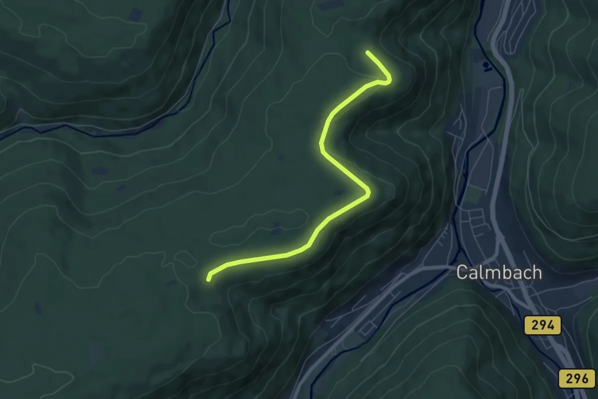
Easy · Trail
Sitzbankhütte - Gallbrunnen
6.0 km · ↑ 90 m · 1 h 37 min
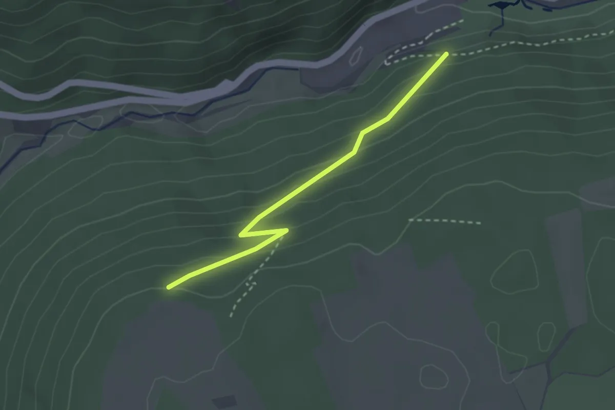
Easy · Trail
Sitzstein - Eselsrank
2.6 km · ↑ 166 m · 58 min
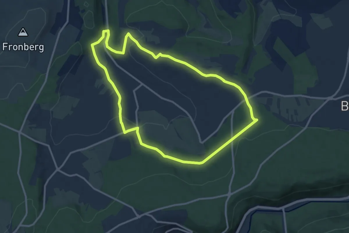
Medium · Trail
Sixtweg
8.3 km · ↑ 169 m · 2 h 26 min
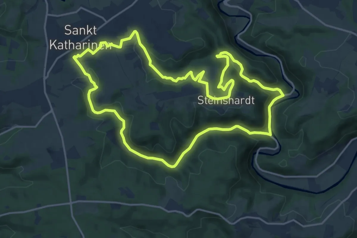
Medium · Trail
SK1 - Anx- und Brochenbacher Grubenweg
12.2 km · ↑ 367 m · 3 h 50 min
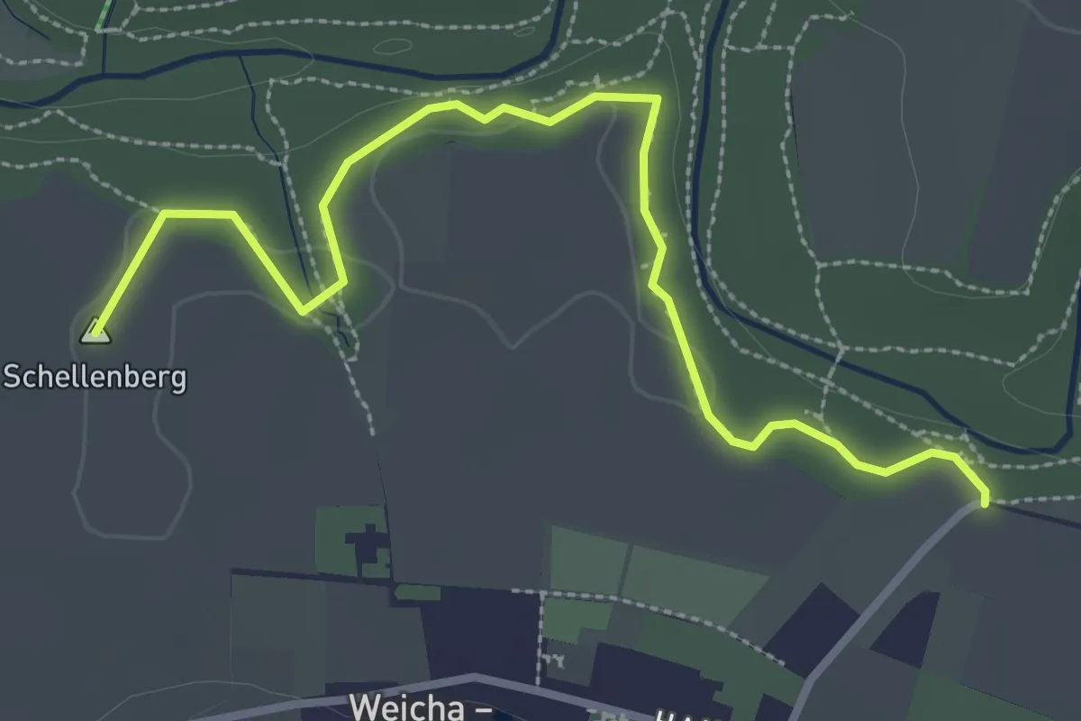
Easy · Summit
Skala - Gröditz (Gelber Strich)
3.1 km · ↑ 46 m · 49 min
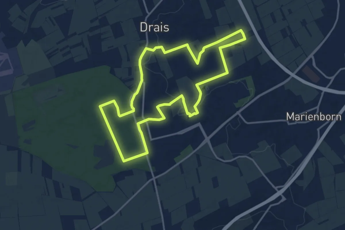
Medium · Trail
Skiausfahrten.de-Trail
10.2 km · ↑ 99 m · 2 h 46 min
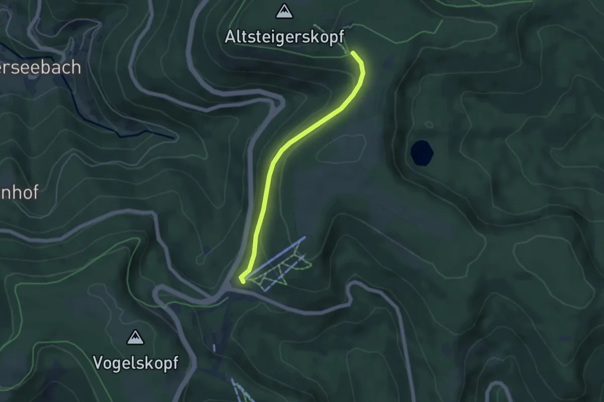
Easy · Trail
Skilift Darmstädter Hütte - Skilift Ruhestein
3.8 km · ↑ 100 m · 1 h 8 min
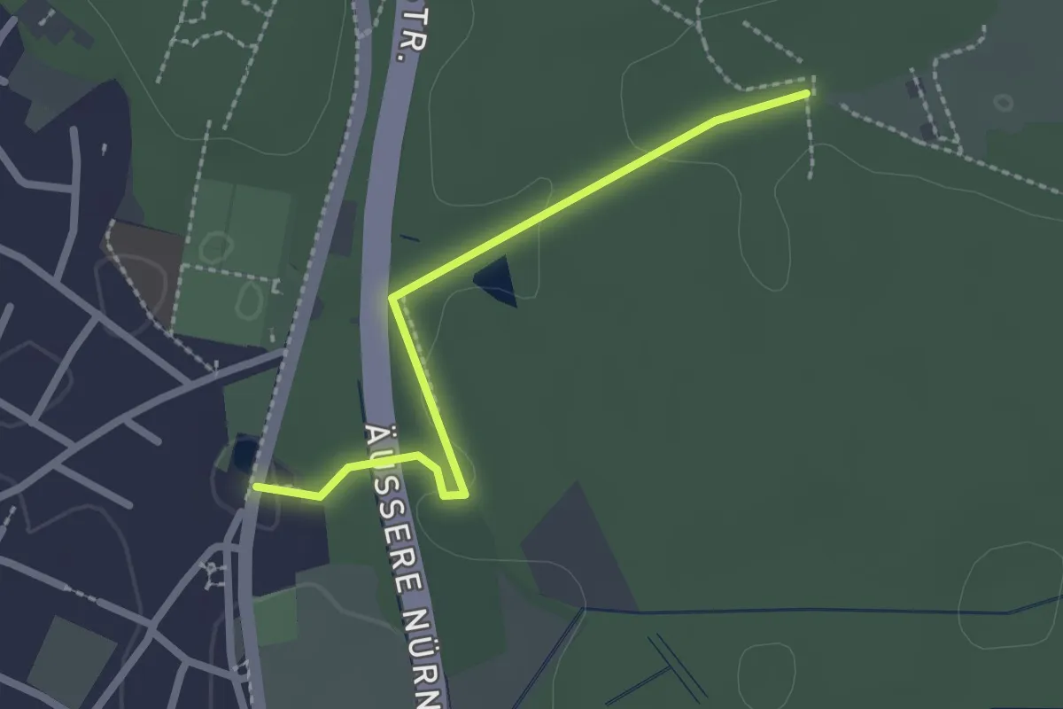
Easy · Trail
Skulpturachse Tennenlohe
2.0 km · ↑ 14 m · 31 min
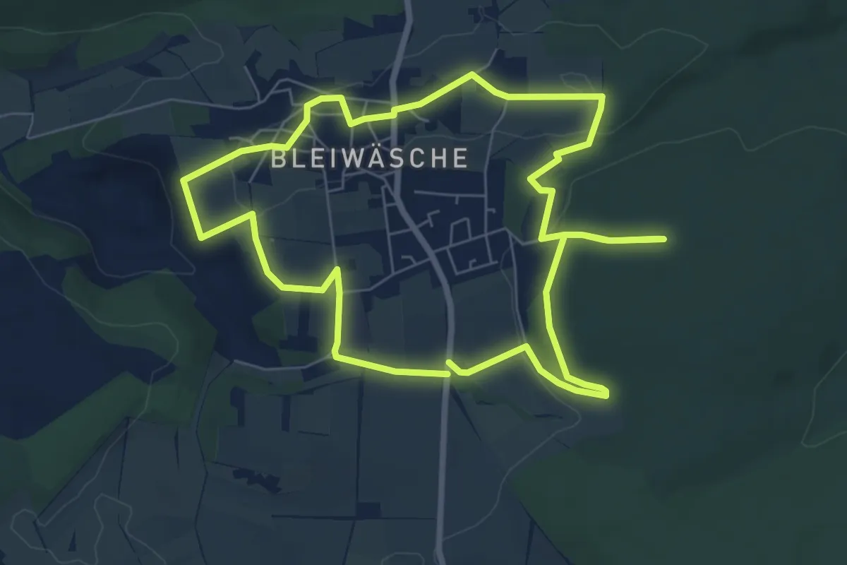
Easy · Trail
Skulpturen am Wegesrand in Bleiwäsche - Bad Wünnenberg
6.2 km · ↑ 90 m · 1 h 45 min
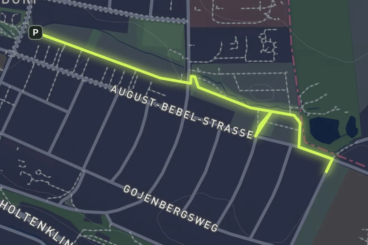
Easy · Trail
SkulpturenLandschaft
2.2 km · ↑ 9 m · 32 min
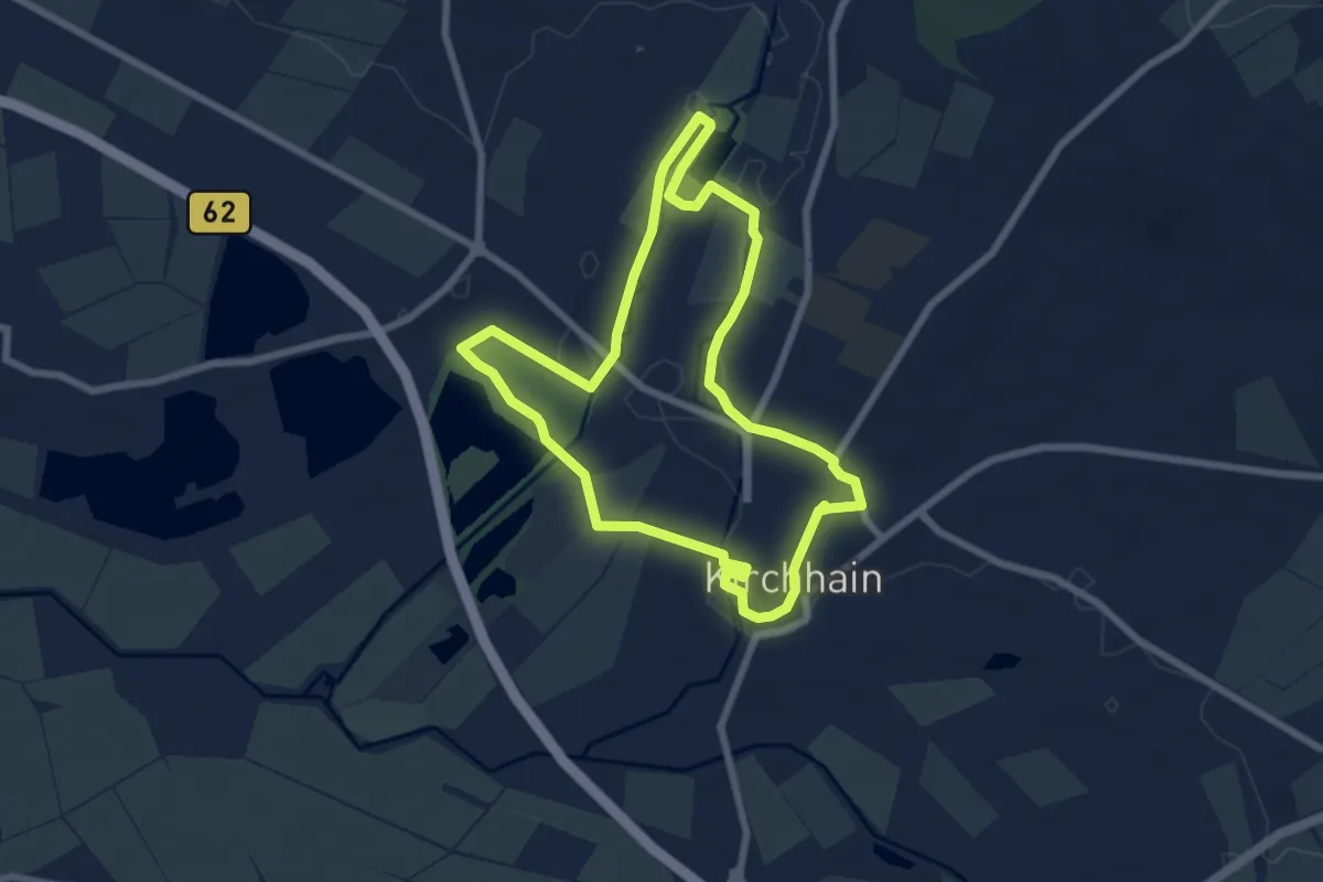
Easy · Trail
Skulpturenpfad Kirchhain
6.4 km · ↑ 13 m · 1 h 38 min
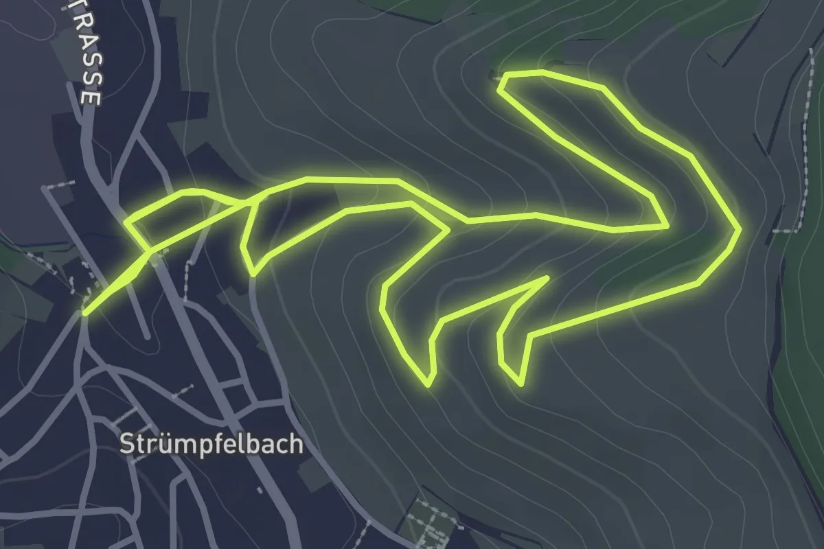
Easy · Trail
Skulpturenpfad Nuss
3.7 km · ↑ 124 m · 1 h 13 min
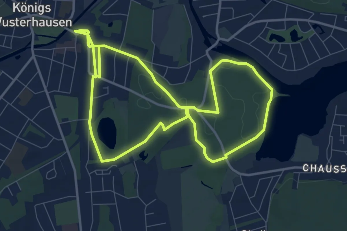
Easy · Trail
Skulpturenpfad Tiergarten
7.6 km · ↑ 23 m · 1 h 58 min
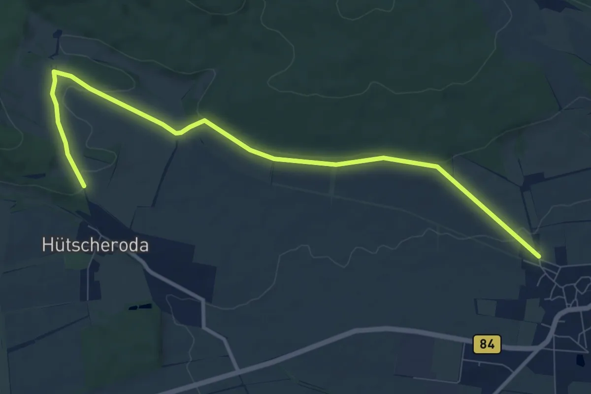
Medium · Trail
Skulpturen-Wanderweg
9.0 km · ↑ 131 m · 2 h 25 min
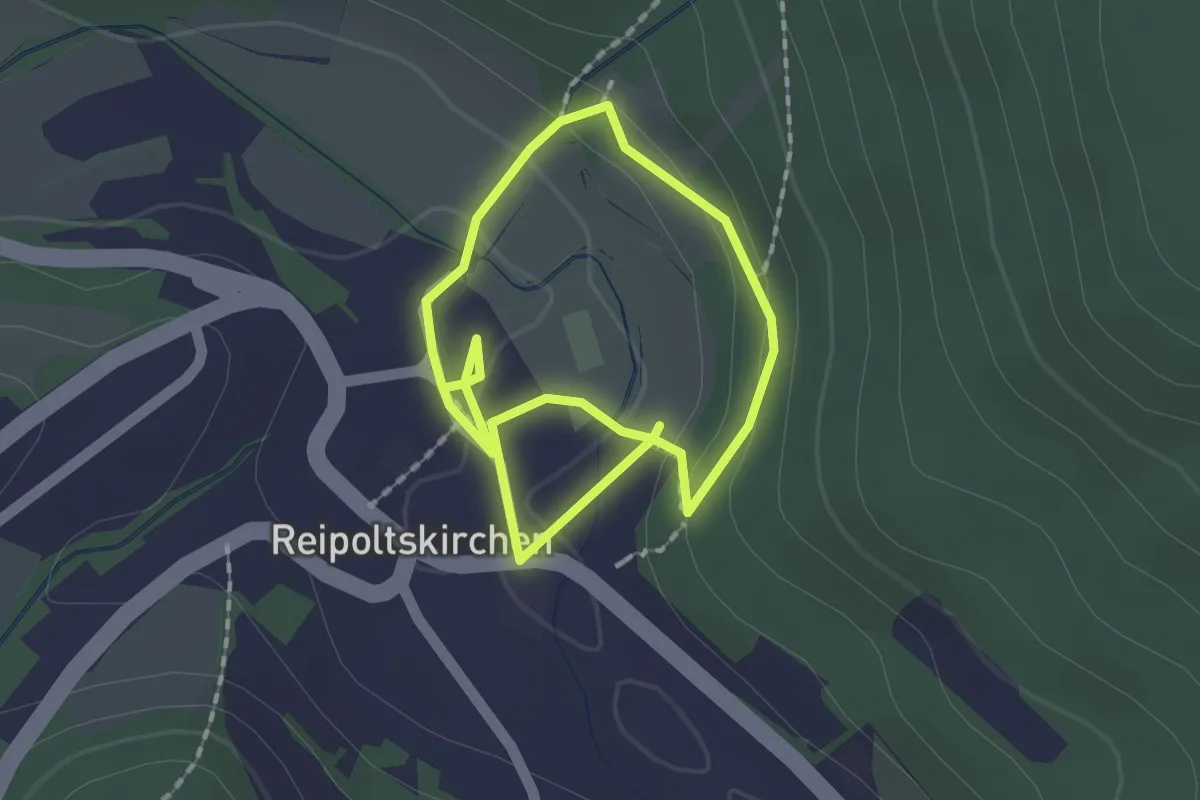
Easy · Trail
Skulpturenweg
2.7 km · ↑ 50 m · 45 min
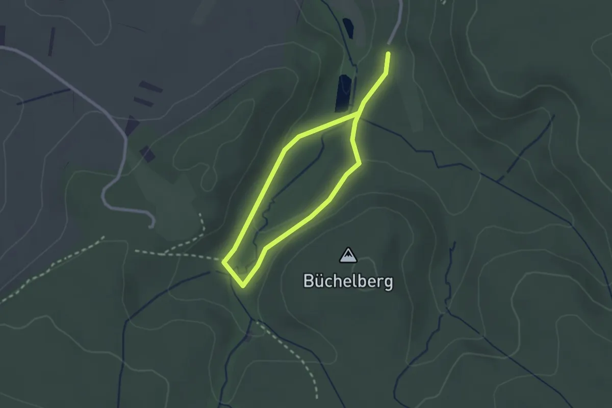
Easy · Trail
Skulpturenweg
1.6 km · ↑ 20 m · 27 min
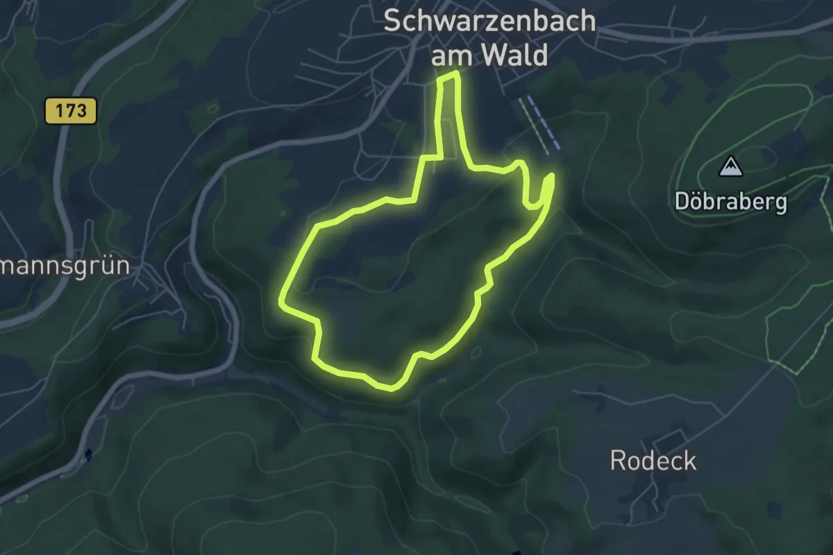
Easy · Trail
Skulpturenweg
4.9 km · ↑ 105 m · 1 h 28 min
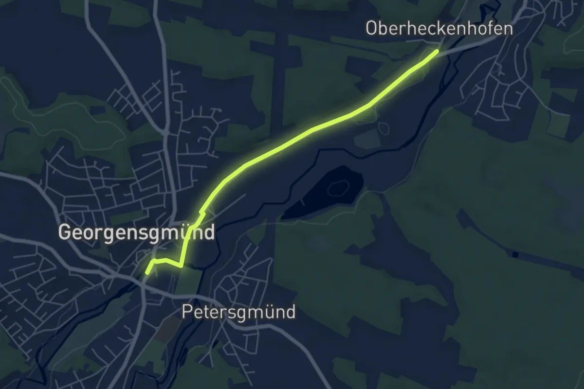
Easy · Trail
Skulpturenweg Georgensgmünd
5.2 km · ↑ 31 m · 1 h 18 min