Trails in Germany
36,852 hiking trails, each with its route, climb, walking time and grade.
All trails, page 593 of 768
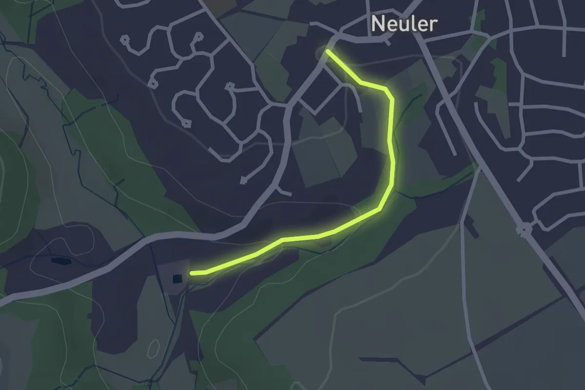
Easy · Trail
Skulpturenweg Krähenbachtal Abschnitt 2
2.1 km · ↑ 52 m · 36 min
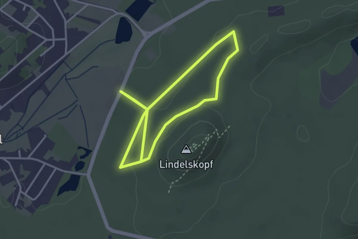
Easy · Summit
Skulpturenweg Ludwigswinkel
2.5 km · ↑ 44 m · 43 min
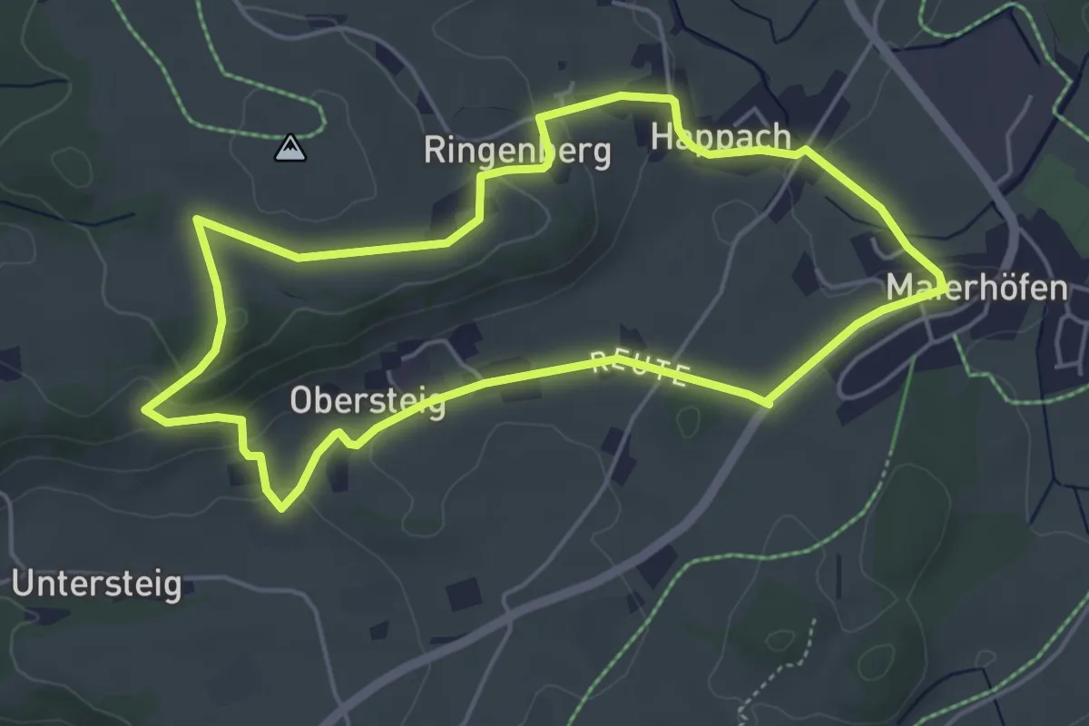
Easy · Trail
Skulpturenweg Maierhöfen
4.7 km · ↑ 102 m · 1 h 24 min
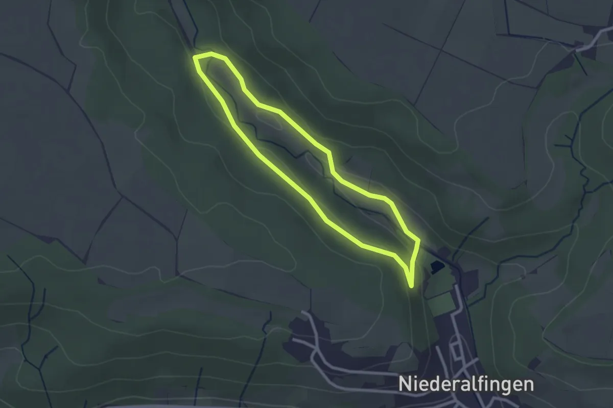
Easy · Trail
Skulpturenweg Niederalfingen Abschnitt 4
2.2 km · ↑ 31 m · 38 min
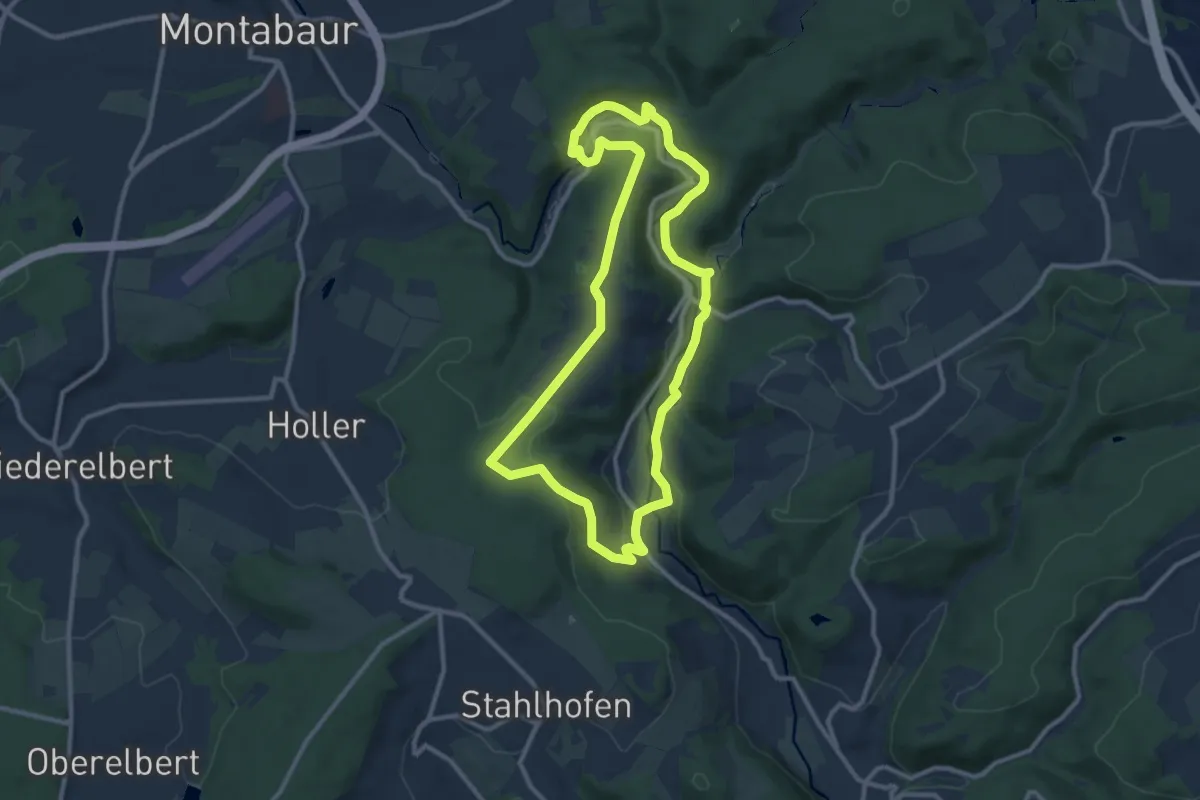
Medium · Summit
Skulpturenweg Reckenthal (großer Rundweg)
9.5 km · ↑ 242 m · 2 h 55 min
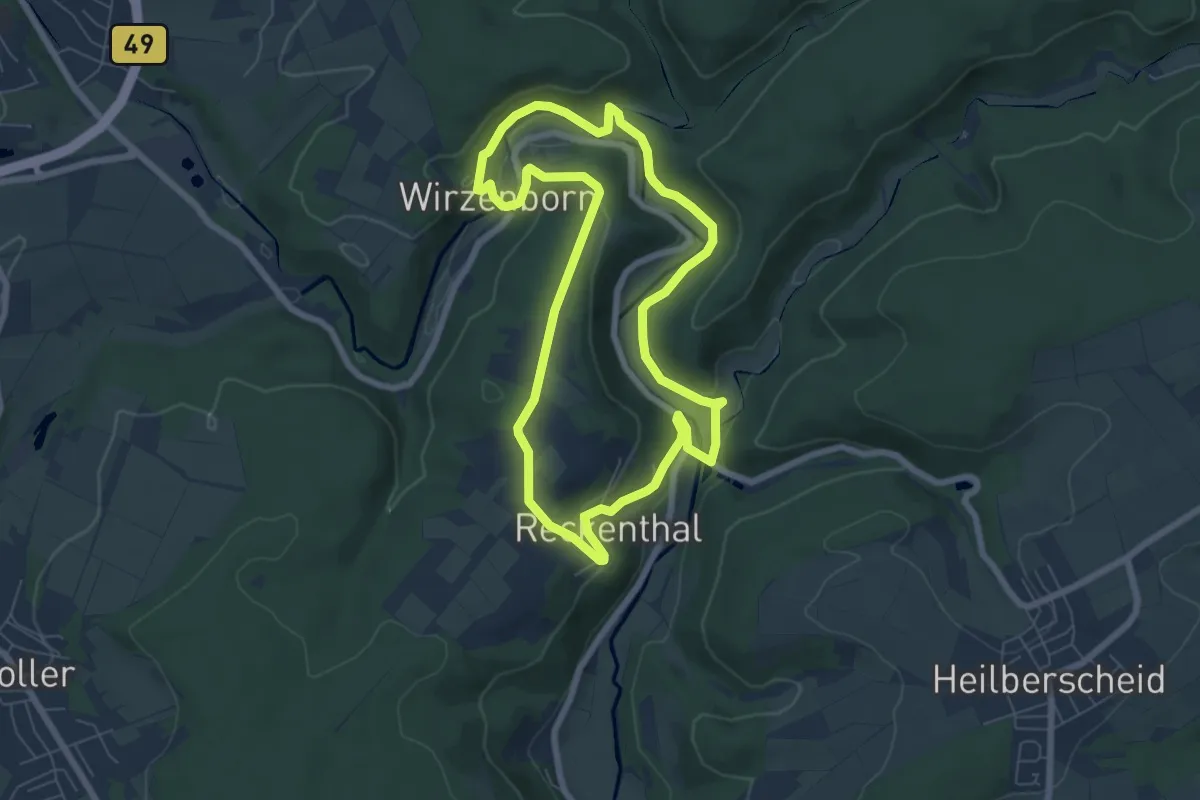
Easy · Summit
Skulpturenweg Reckenthal (kleiner Rundweg)
6.2 km · ↑ 185 m · 1 h 56 min
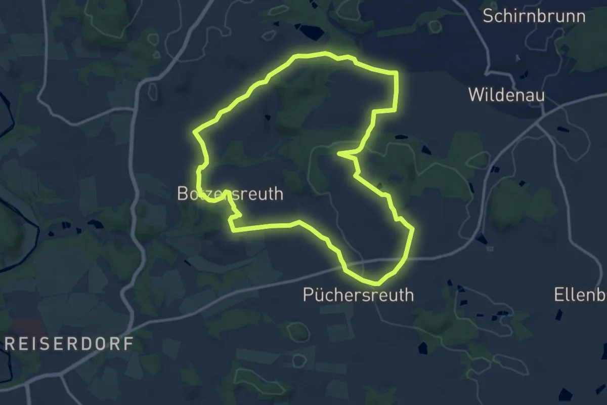
Medium · Summit
Skulpturenweg/Rundwanderweg Ilsenbach
10.5 km · ↑ 168 m · 2 h 59 min
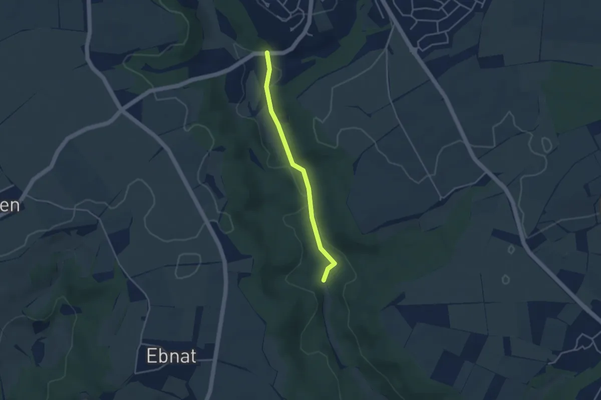
Easy · Trail
Skulpturenweg Schlierbachtal Abschnitt 3
3.0 km · ↑ 44 m · 49 min
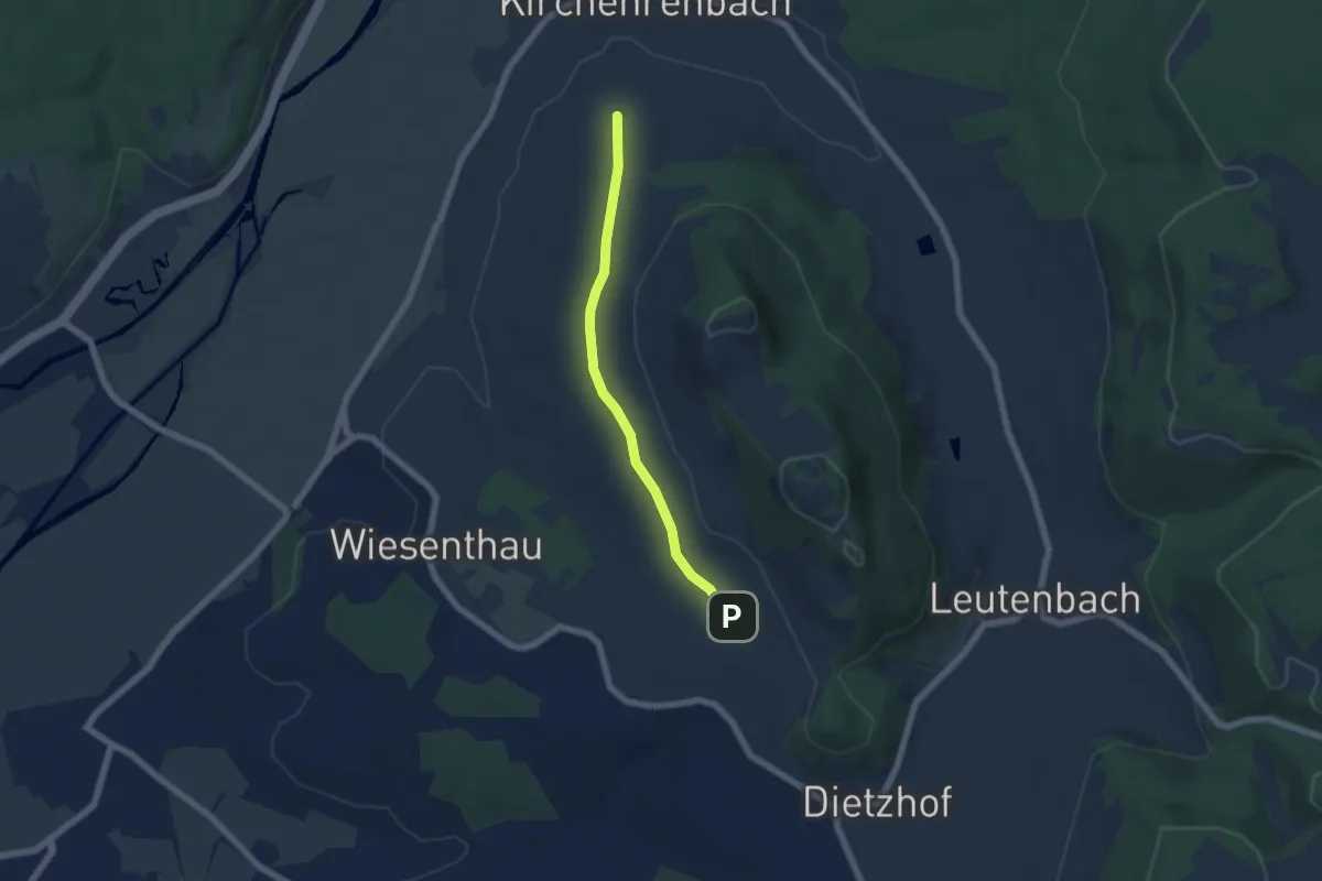
Easy · Trail
Skulpturenweg Walberla
4.8 km · ↑ 63 m · 1 h 16 min
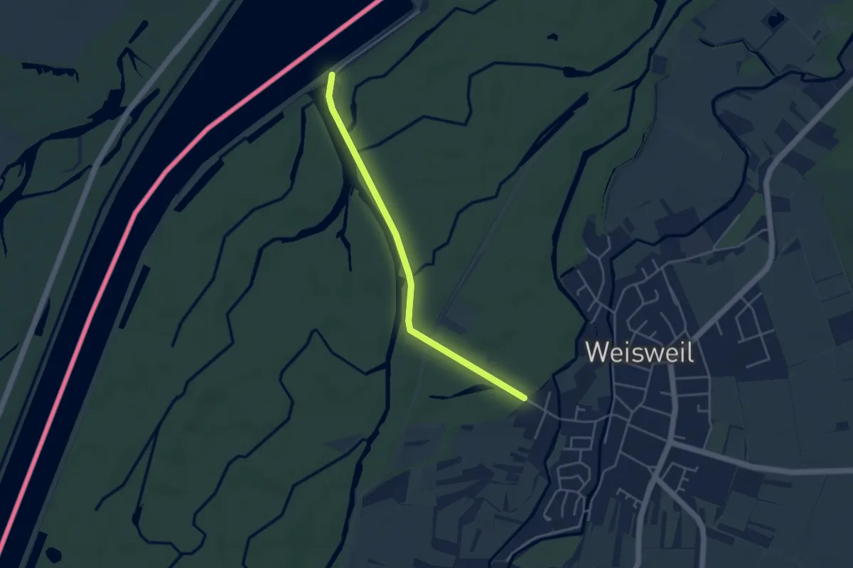
Easy · Trail
Skulpturenweg Weisweil
3.8 km · ↑ 13 m · 56 min
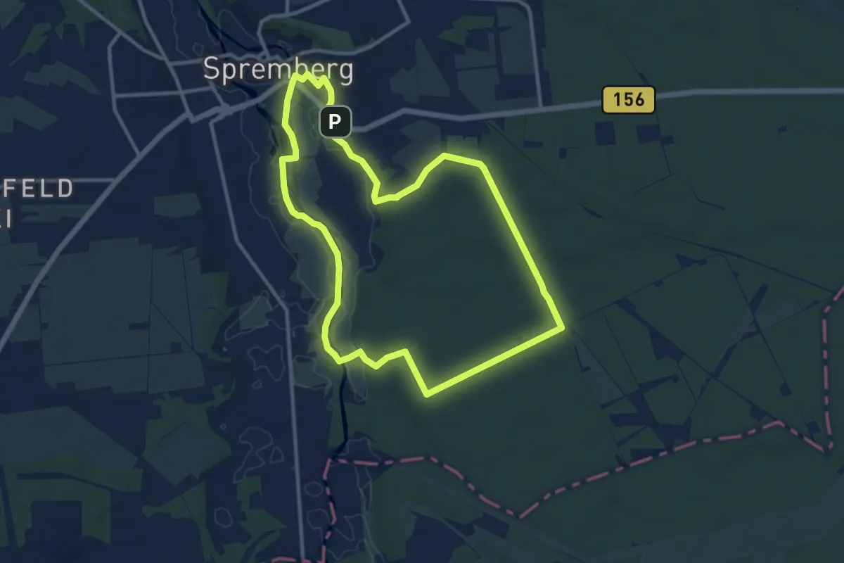
Medium · Trail
Slamener Rundwanderweg
9.4 km · ↑ 51 m · 2 h 27 min
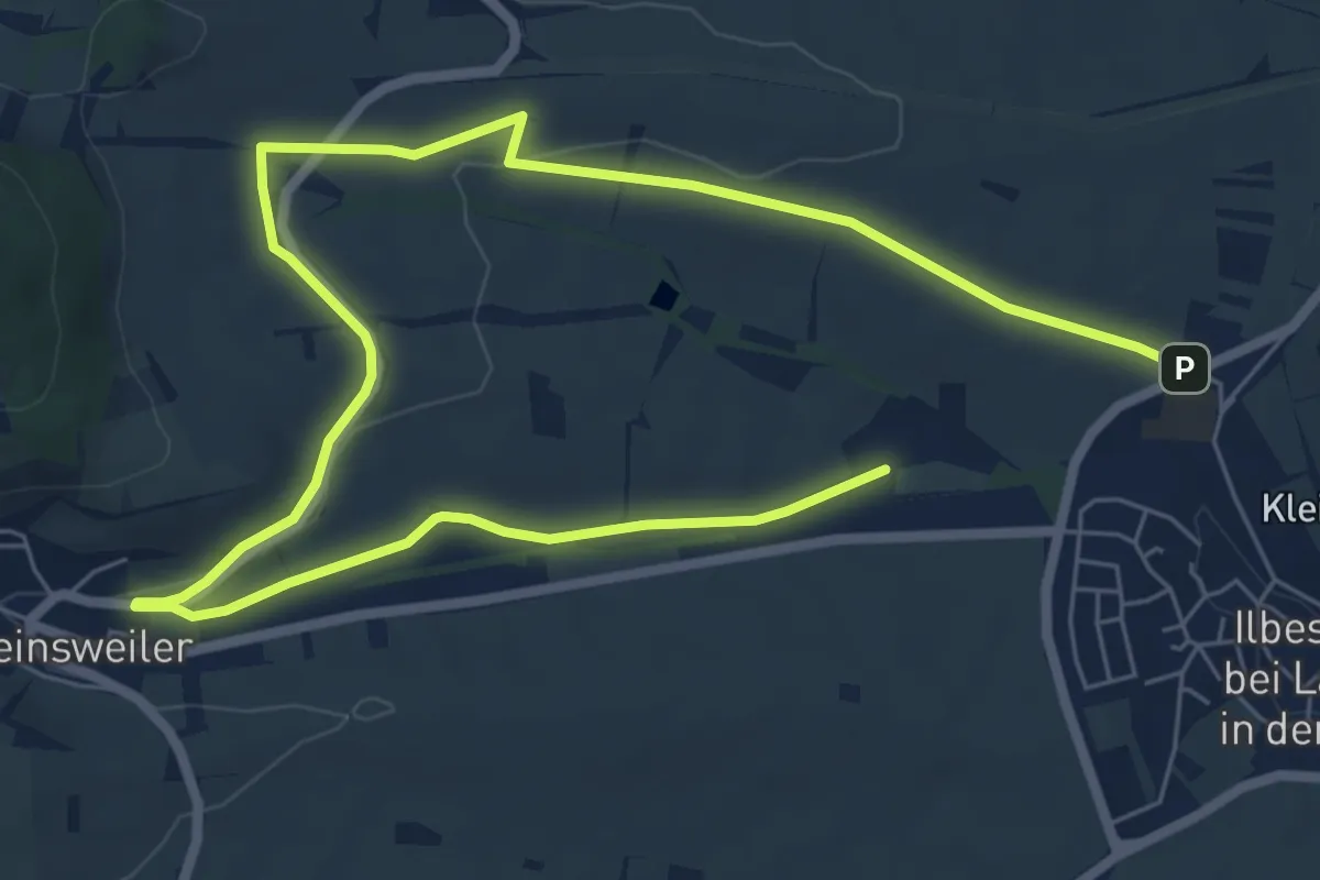
Easy · Trail
Slevogtweg
5.1 km · ↑ 70 m · 1 h 25 min
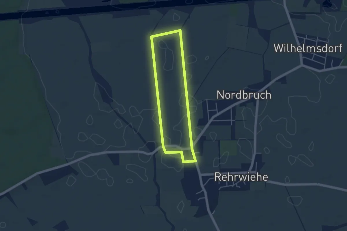
Easy · Trail
Snorris Natur-Erlebnis-Pfad an der Bünte
3.0 km · ↑ 0 m · 45 min
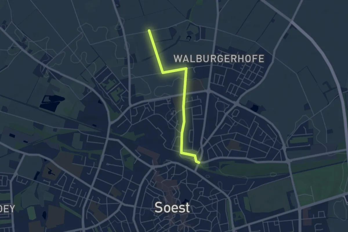
Easy · Trail
Soest 2
4.4 km · ↑ 9 m · 1 h 4 min
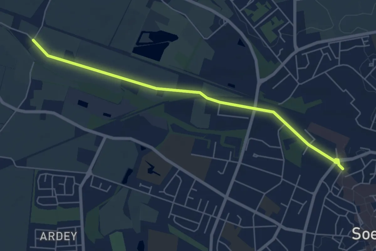
Easy · Trail
Soest 3
4.9 km · ↑ 4 m · 1 h 11 min
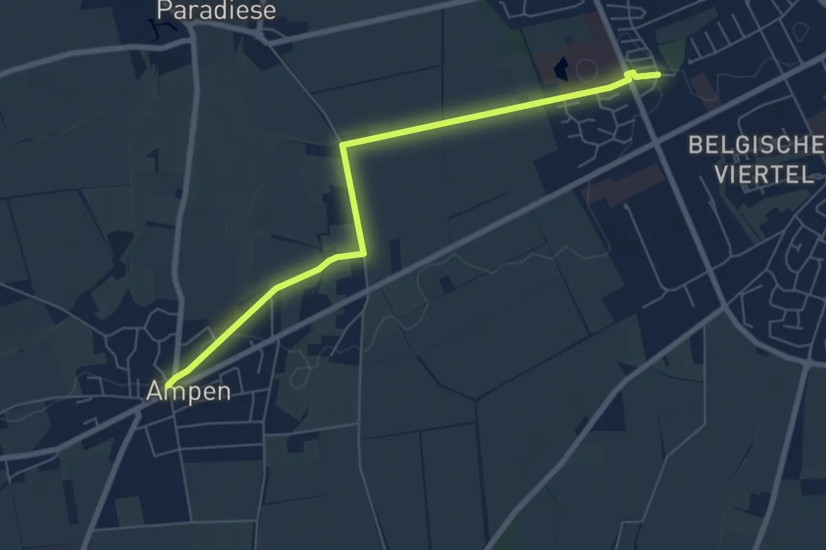
Easy · Trail
Soest 5
5.7 km · ↑ 13 m · 1 h 22 min
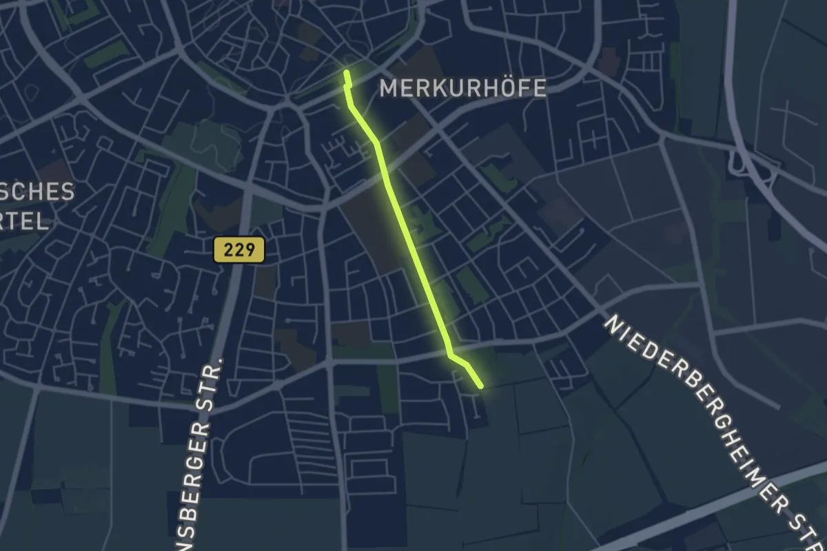
Easy · Trail
Soest Wanderweg 9
3.3 km · ↑ 25 m · 50 min
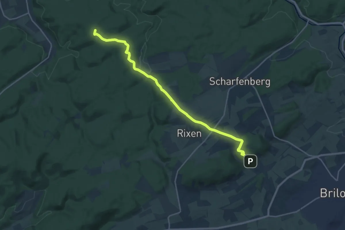
Medium · Summit
Soestweg Brilon-Kallenhardt
13.7 km · ↑ 235 m · 3 h 45 min
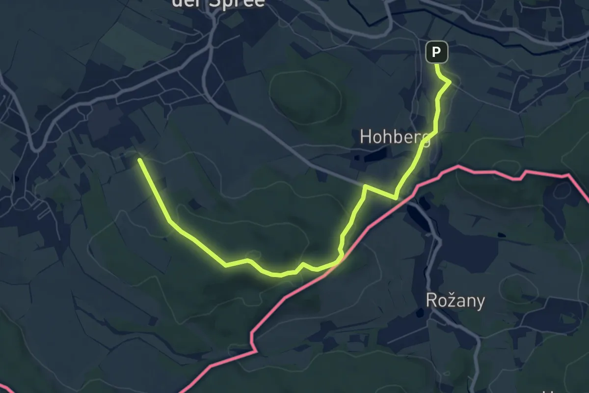
Easy · Summit
Sohland-Ringweg (gelber Punkt)
4.1 km · ↑ 147 m · 1 h 19 min
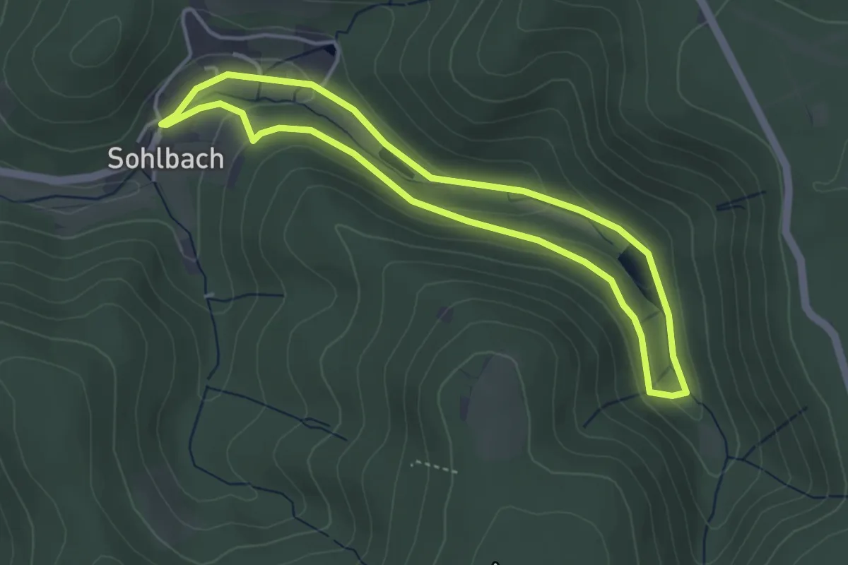
Easy · Trail
Sohlbacher Weiher Rundweg A1
3.3 km · ↑ 98 m · 1 h 3 min
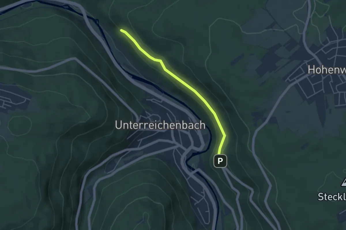
Easy · Trail
Sohlberg - Kleb
3.5 km · ↑ 76 m · 1 h
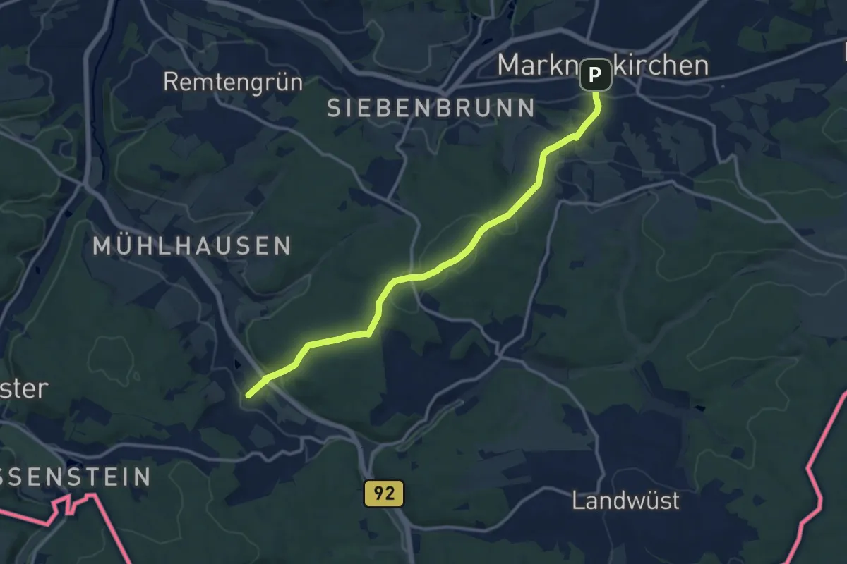
Medium · Trail
Sohl Markneukirchen
11.0 km · ↑ 265 m · 3 h 11 min
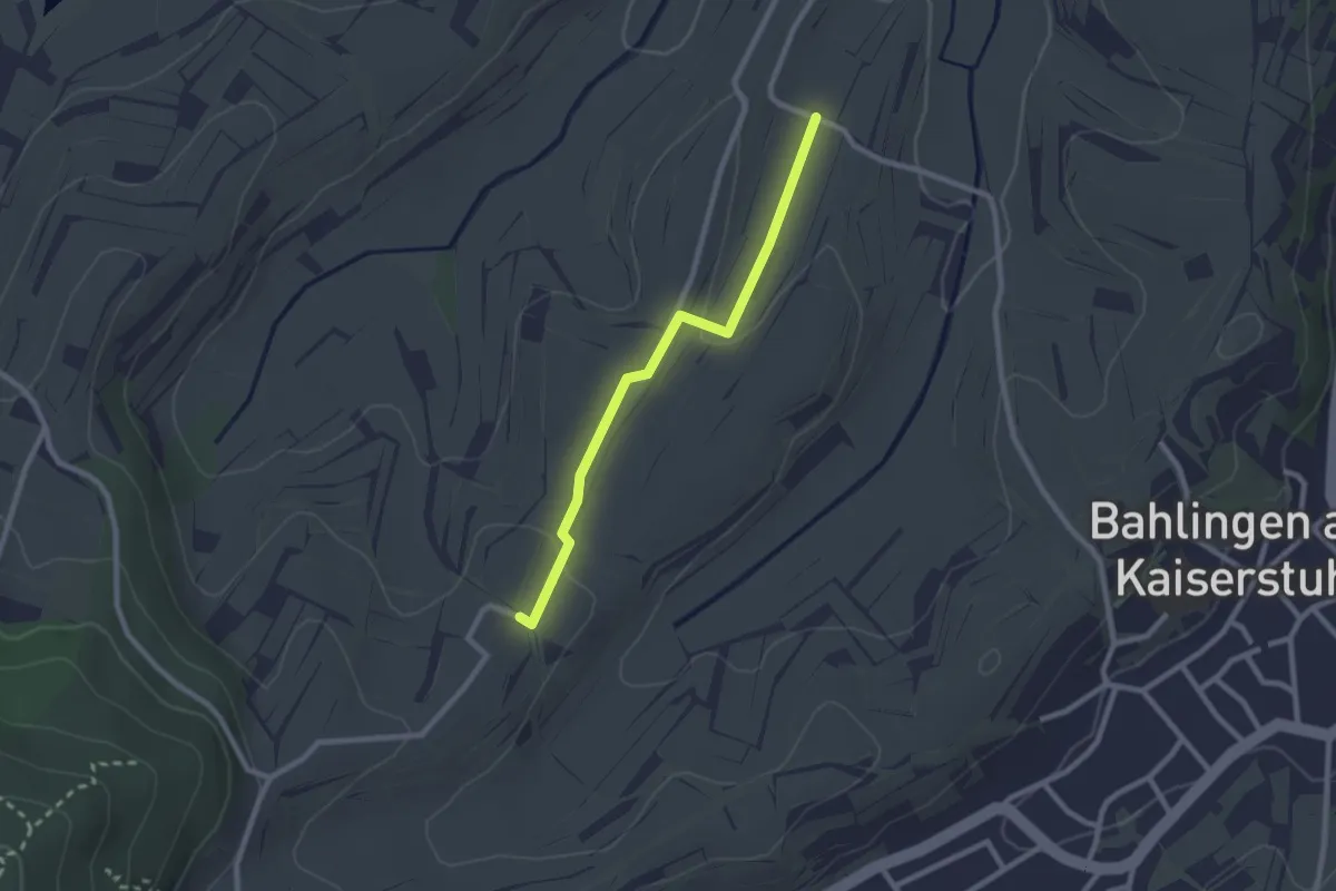
Easy · Trail
Sohltal-Hähle - Schmählin
2.2 km · ↑ 33 m · 36 min
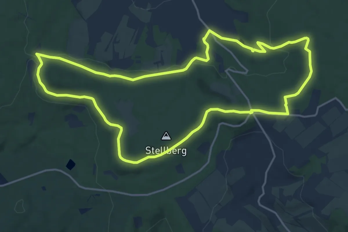
Medium · Trail
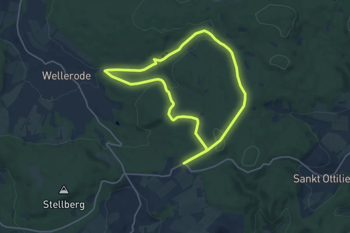
Söhrewald, Rundweg 1
11.2 km · ↑ 206 m · 3 h 15 min
Medium · Summit
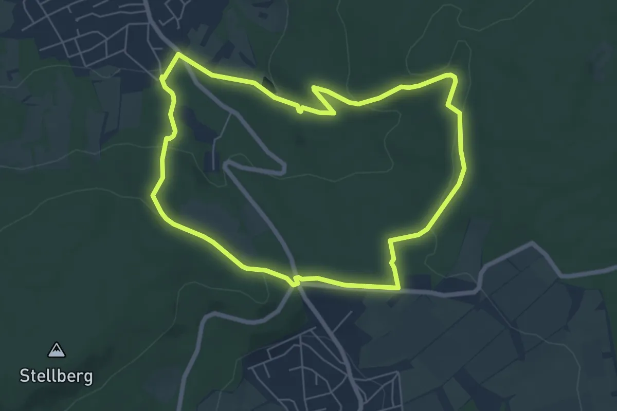
Söhrewald, Rundweg 12
9.7 km · ↑ 217 m · 2 h 54 min
Easy · Trail
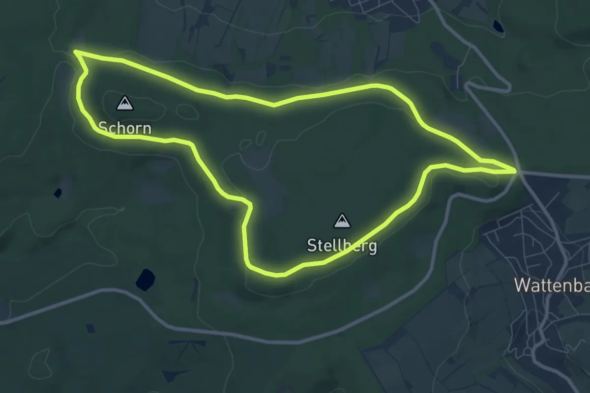
Söhrewald, Rundweg 2
5.4 km · ↑ 124 m · 1 h 37 min
Easy · Trail
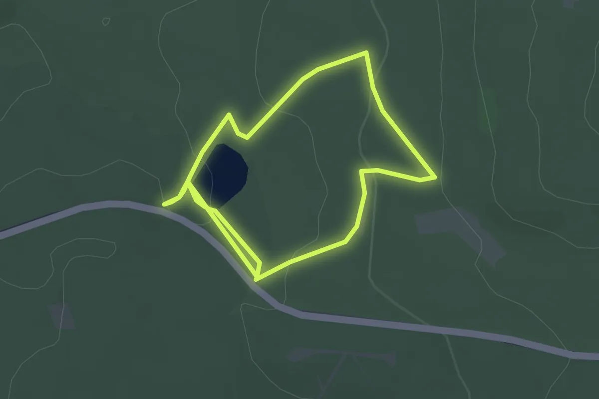
Söhrewald, Rundweg 3
7.8 km · ↑ 105 m · 2 h 10 min
Easy · Trail
Söhrewald-Wattenbach, Rundweg 41
2.3 km · ↑ 51 m · 42 min
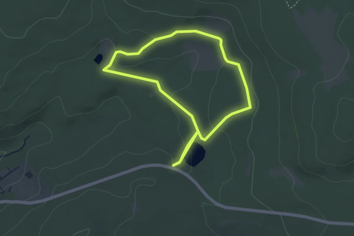
Easy · Trail
Söhrewald-Wattenbach, Rundweg 42
3.3 km · ↑ 49 m · 55 min
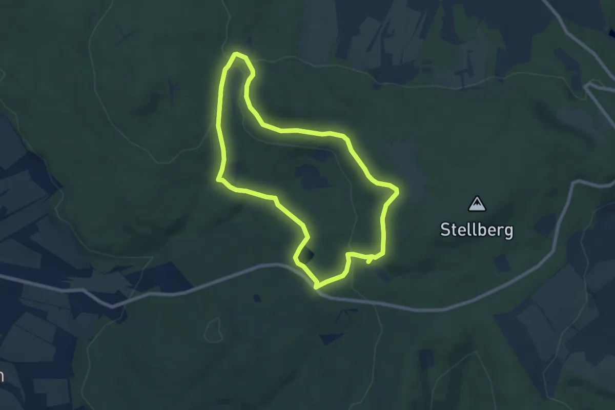
Easy · Trail
Söhrewald-Wattenbach, Rundweg 43
5.7 km · ↑ 108 m · 1 h 39 min
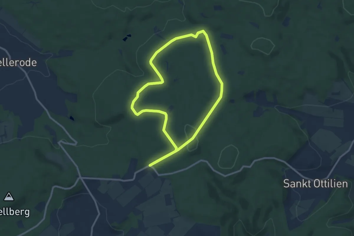
Easy · Summit
Söhrewald-Wellerode, Rundweg 11
7.0 km · ↑ 107 m · 1 h 59 min
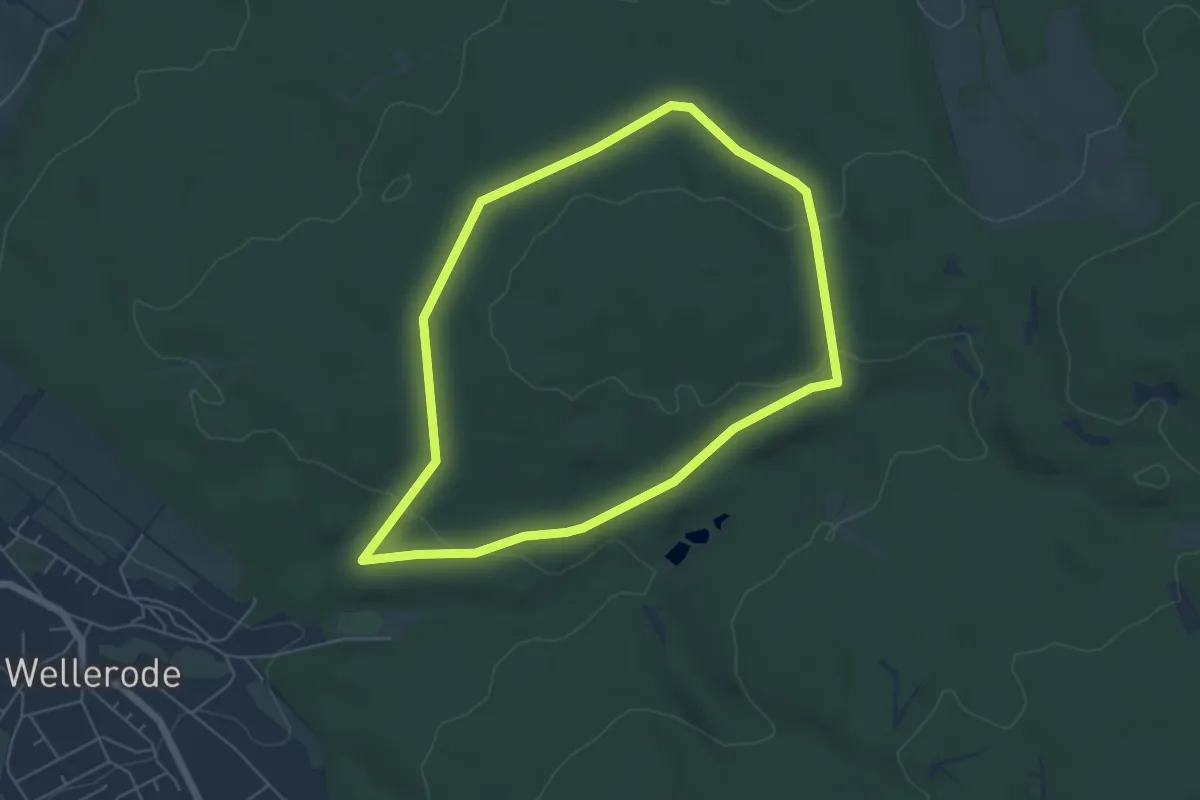
Easy · Trail
Söhrewald-Wellerode, Rundweg 19
4.9 km · ↑ 89 m · 1 h 25 min
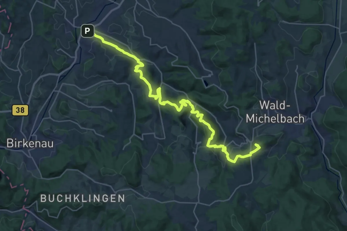
Demanding · Summit
Solardraisinen-Wanderweg
25.2 km · ↑ 963 m · 8 h 3 min
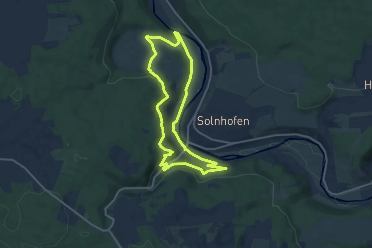
Easy · Trail
Sola-Rundweg
7.0 km · ↑ 203 m · 2 h 11 min
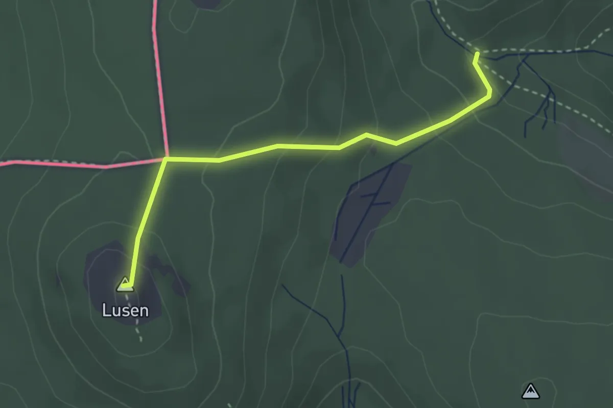
Demanding · Summit
Soldanelle
2.7 km · ↑ 167 m · 1 h
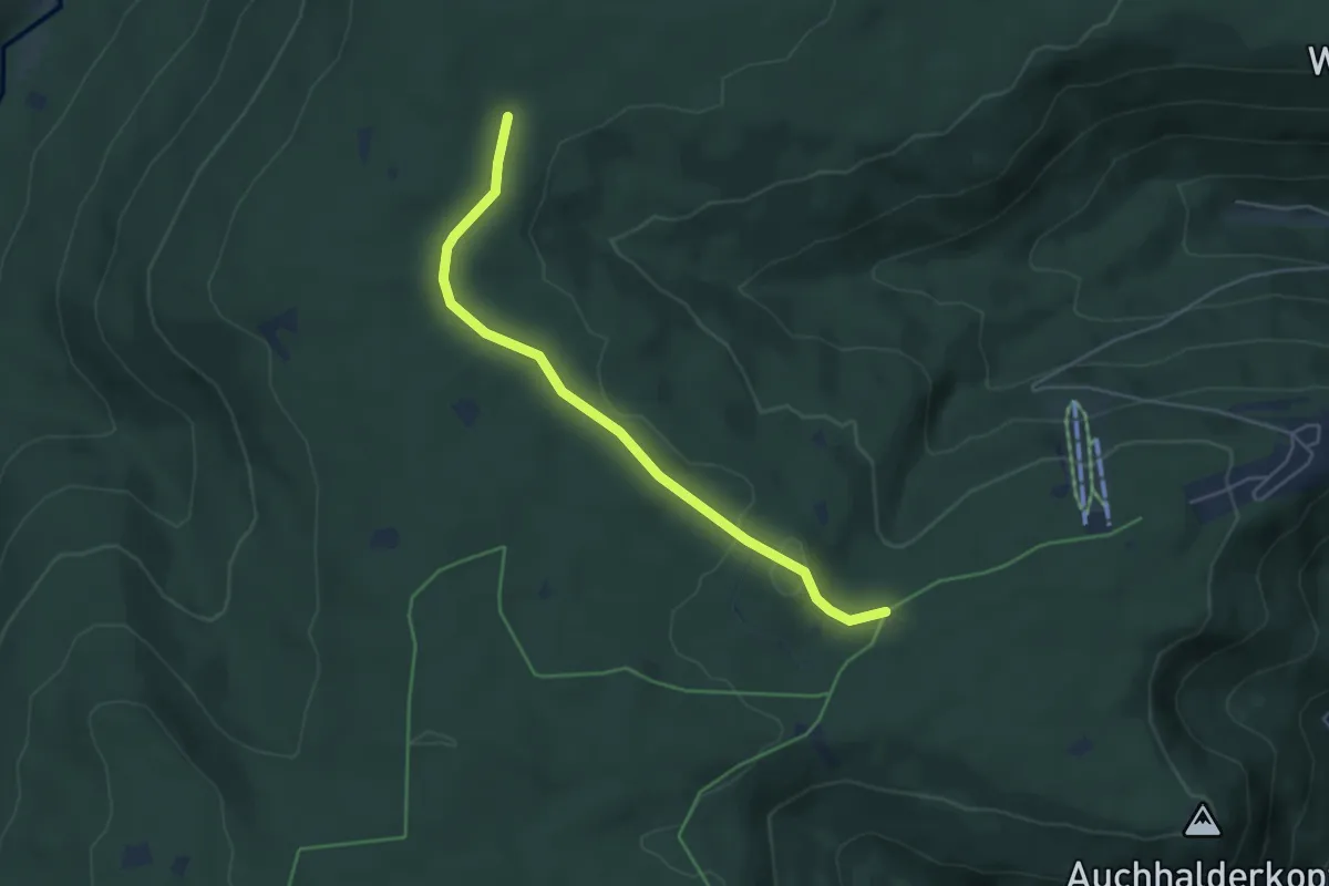
Easy · Trail
Soldatenbrunnenhütte - Saustallhütte
4.5 km · ↑ 51 m · 1 h 11 min
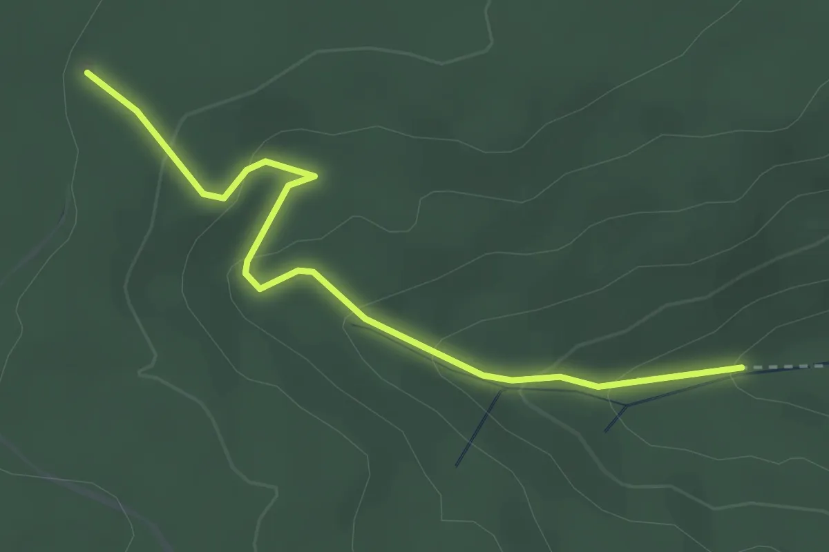
Easy · Trail
Soldatenbrunnenhütte - Stellebrunnen
3.0 km · ↑ 150 m · 1 h 2 min
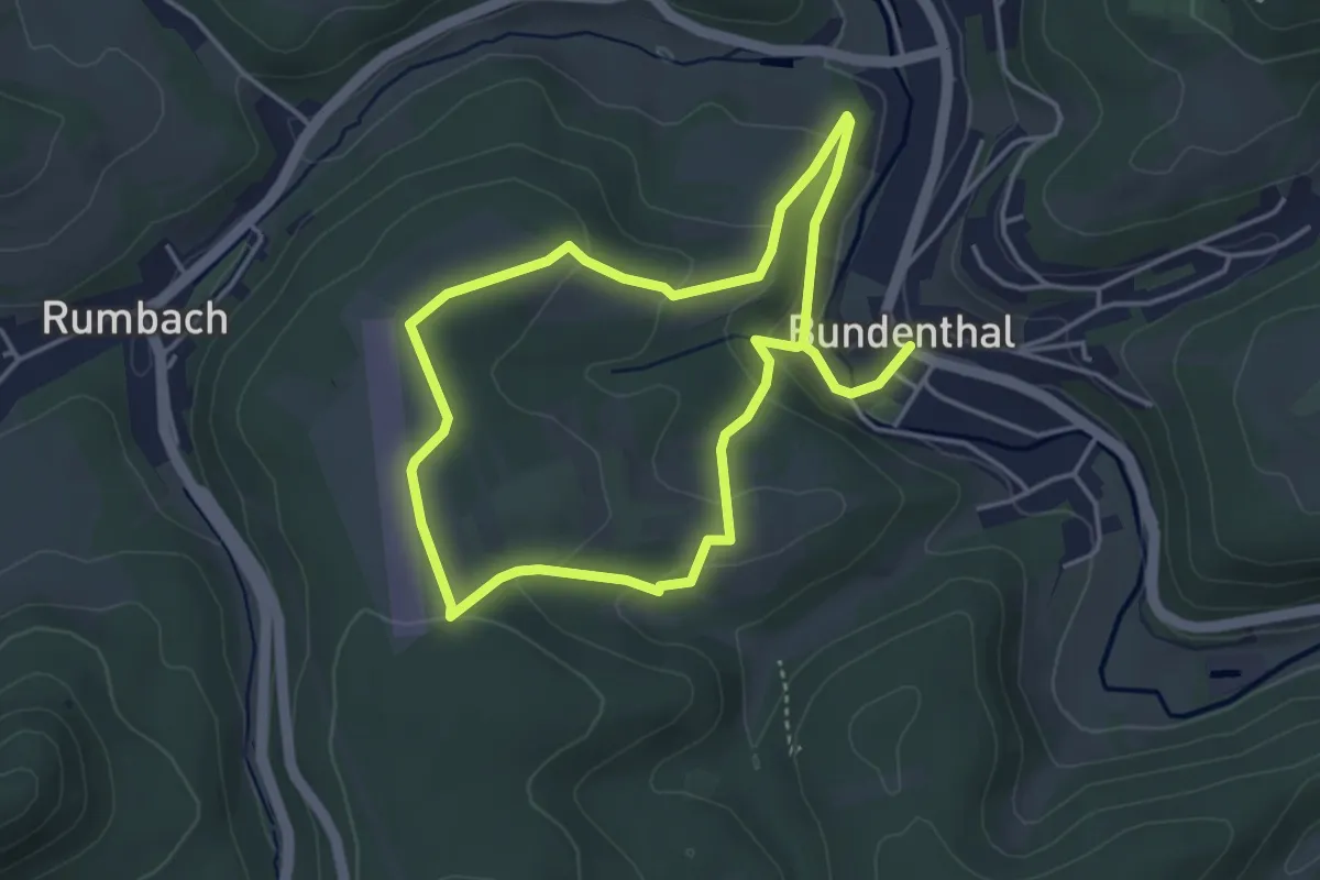
Easy · Trail
Söllerweg
3.5 km · ↑ 129 m · 1 h 9 min
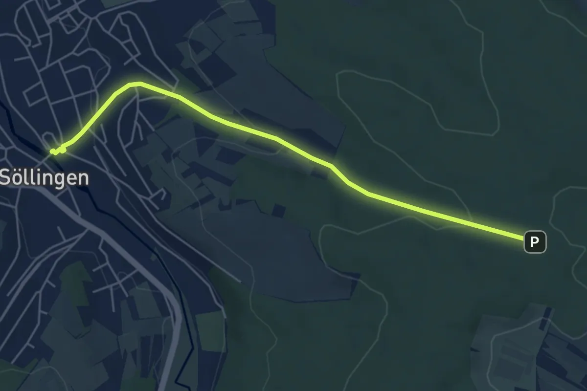
Easy · Trail
Söllingen Bahnhof - Grenzweg
5.0 km · ↑ 116 m · 1 h 25 min
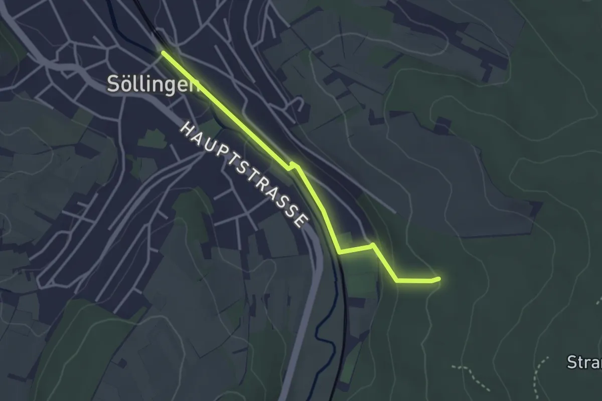
Easy · Trail
Söllingen Bahnhof - Naturerlebnispfad
2.9 km · ↑ 84 m · 52 min
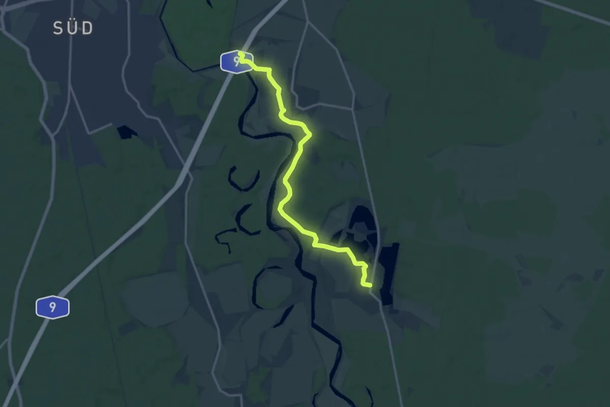
Medium · Trail
Sollnitz Wanderweg
12.1 km · ↑ 31 m · 2 h 55 min
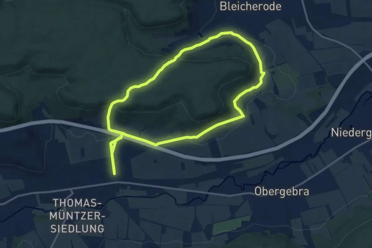
Medium · Trail
Sollstedter Stieg
8.8 km · ↑ 266 m · 2 h 48 min
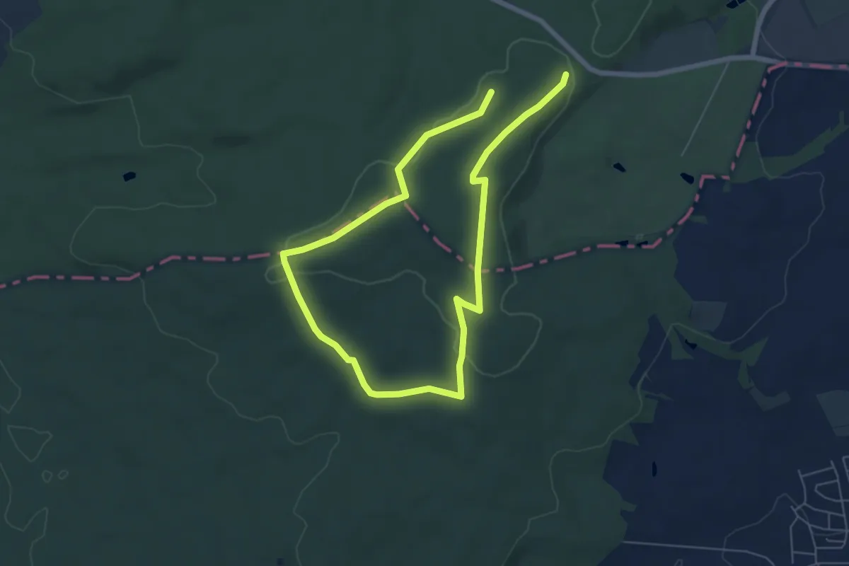
Easy · Trail
Somborn (Parkplatz Altmarkskopf) - Rundwanderweg Eichhörnchen
4.8 km · ↑ 66 m · 1 h 20 min
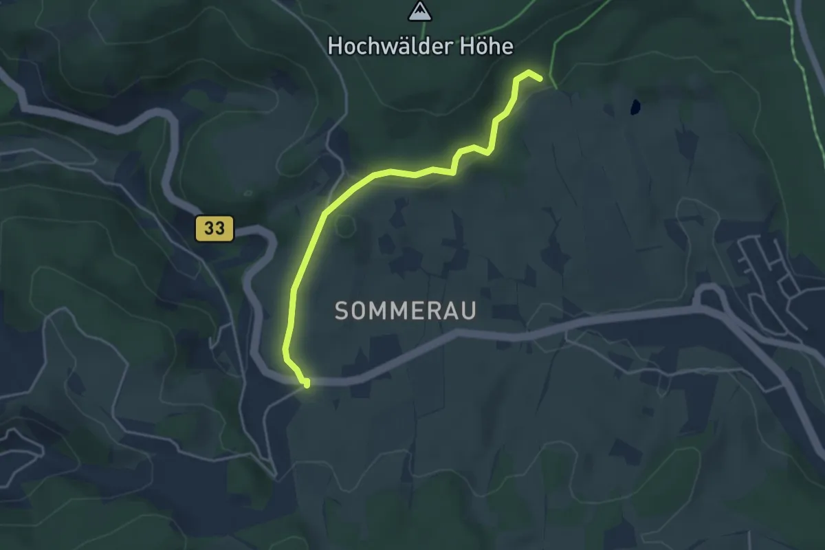
Easy · Trail
Sommerauer Höhe - Schmiedsbauernhöhe
3.6 km · ↑ 103 m · 1 h 4 min
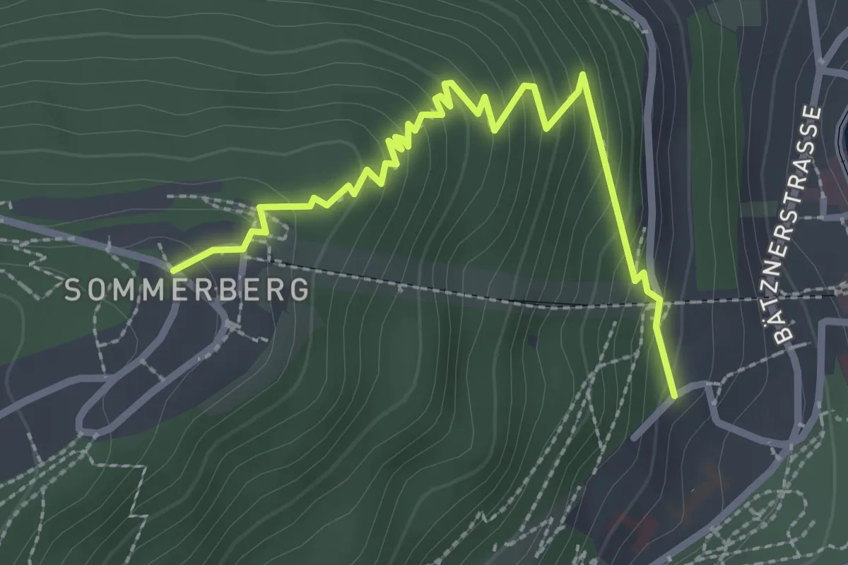
Medium · Trail
Sommerberg - Bad Wildbad Sommersteige
2.8 km · ↑ 255 m · 1 h 12 min
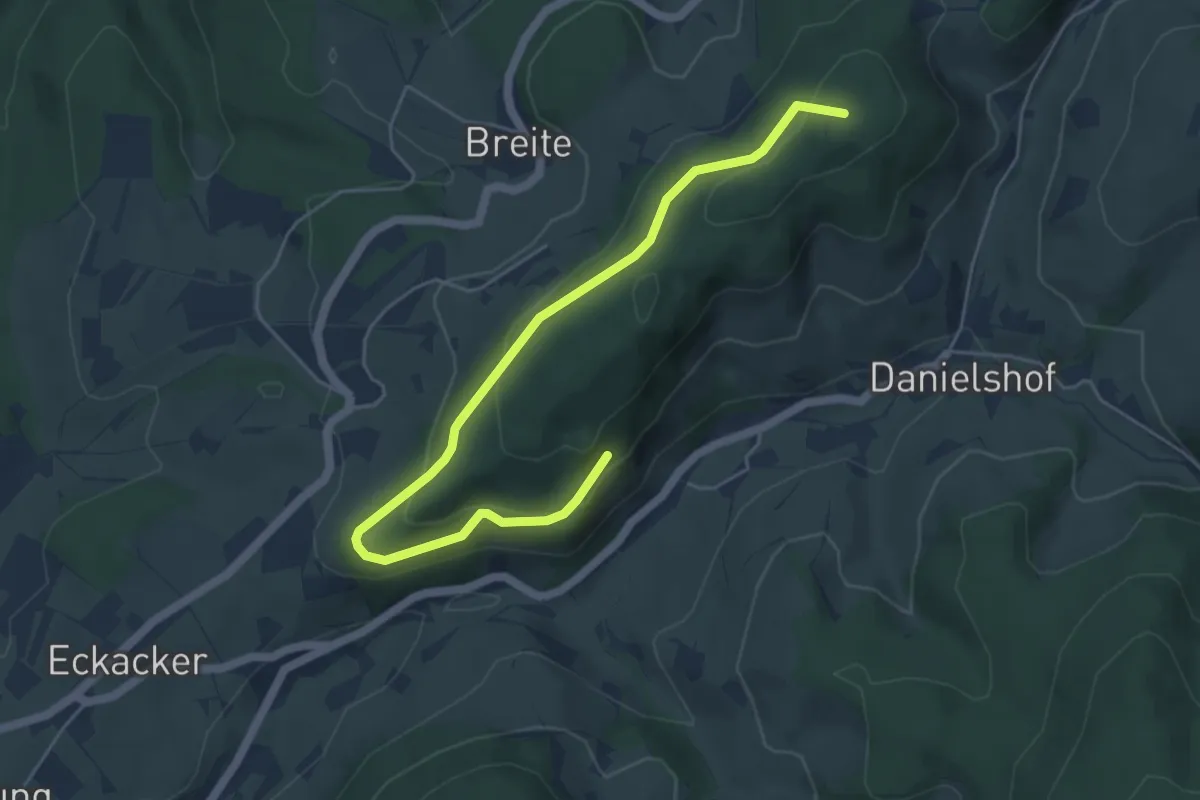
Easy · Summit
Sommerberg - Fohreneck
5.6 km · ↑ 212 m · 1 h 47 min
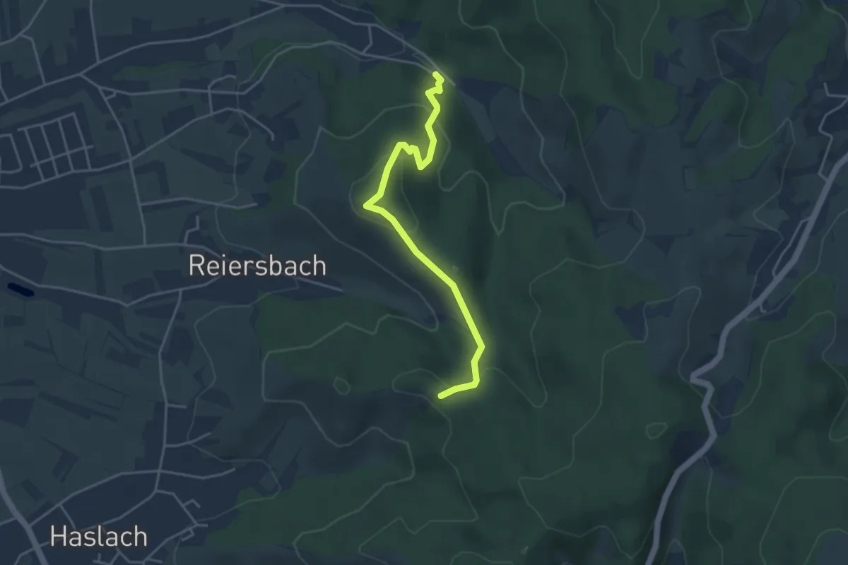
Easy · Trail
Sommerbuckel - Waldparkplatz Kaier
3.8 km · ↑ 170 m · 1 h 16 min
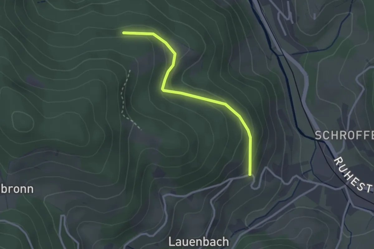
Easy · Trail
Sommereck - Vorderer Lauenbach
2.4 km · ↑ 106 m · 48 min