Trails in Germany
36,852 hiking trails, each with its route, climb, walking time and grade.
All trails, page 594 of 768
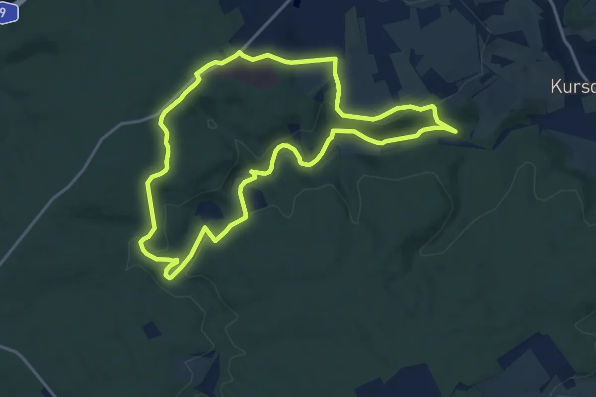
Medium · Trail
Sommerfrischeweg
9.2 km · ↑ 214 m · 2 h 45 min
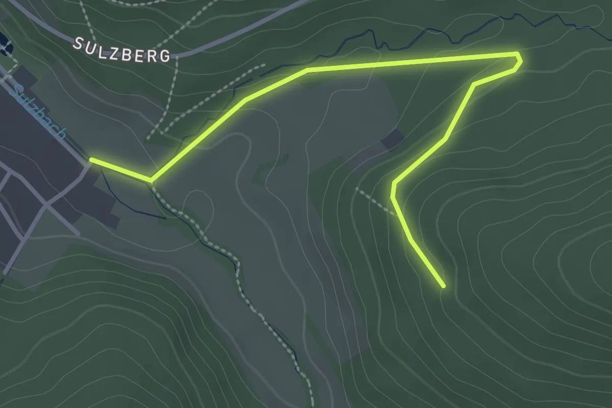
Easy · Trail
Sommerhalden - Sulz Sägmühle
3.2 km · ↑ 108 m · 59 min
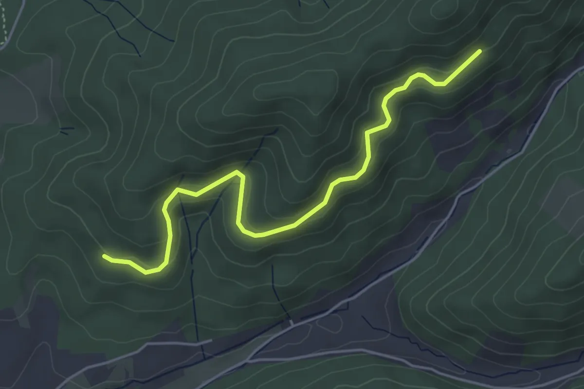
Easy · Trail
Sommerhalde - Sommerwaldhütte
4.6 km · ↑ 204 m · 1 h 32 min
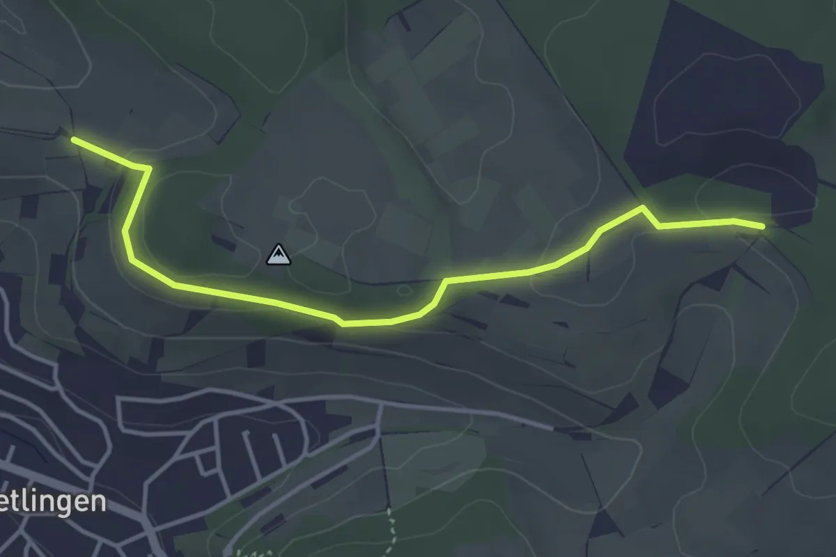
Easy · Trail
Sommerhälde - Steinbruch Dietlingen
3.7 km · ↑ 55 m · 1 h
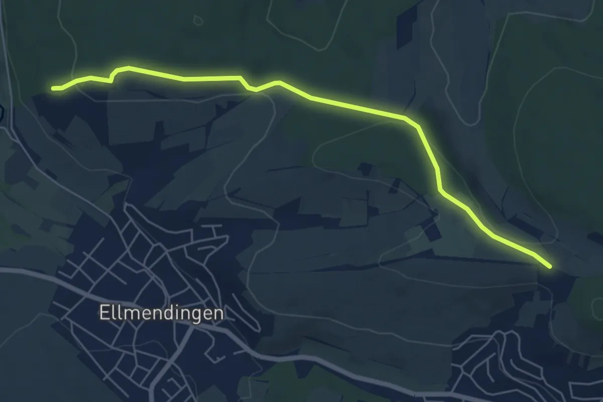
Easy · Trail
Sommerhälde - Unterwald
5.7 km · ↑ 125 m · 1 h 36 min
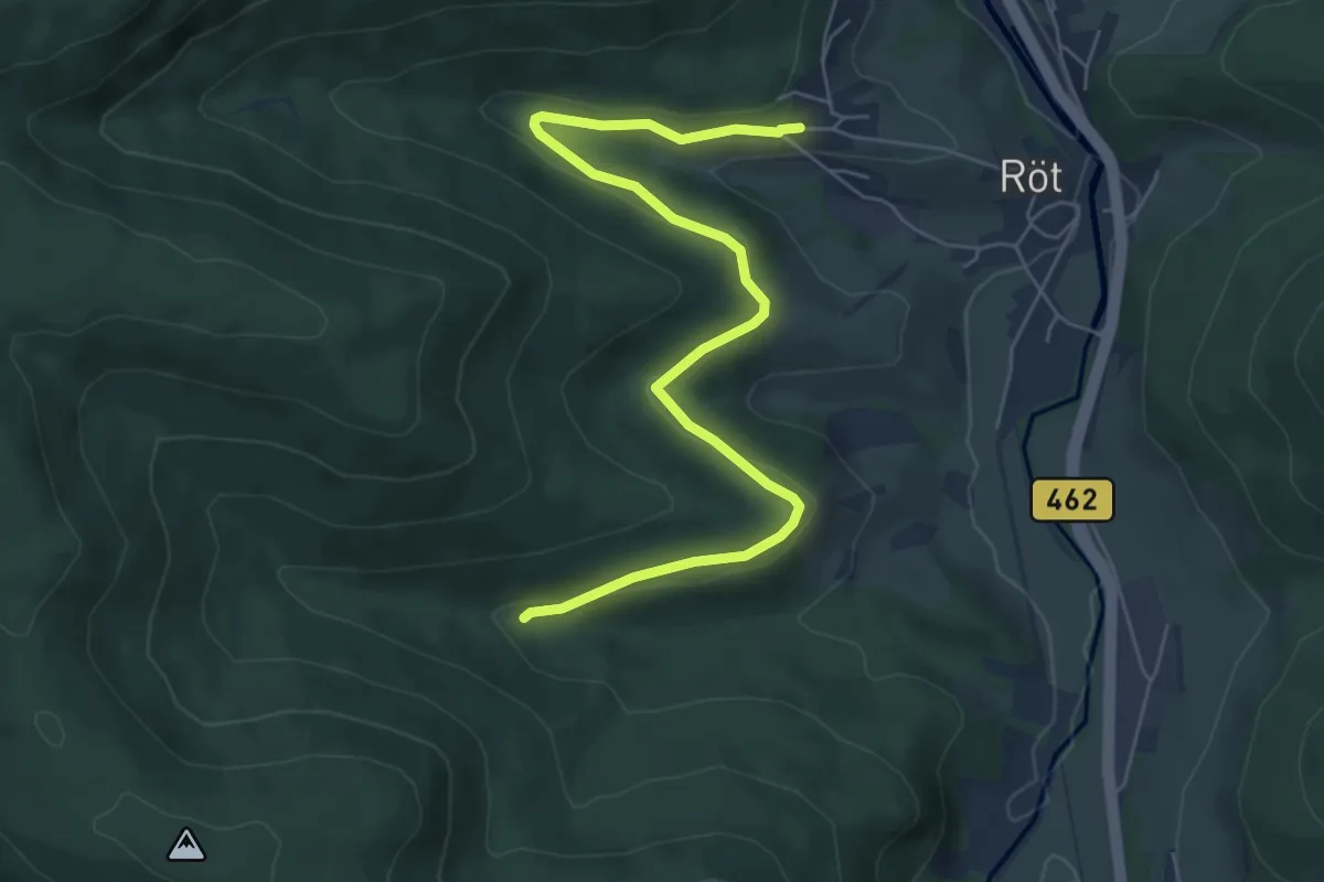
Easy · Trail
Sommerhalde - Weiherhütte
6.4 km · ↑ 175 m · 1 h 53 min
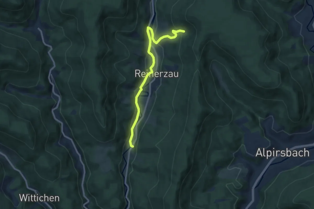
Easy · Trail
Sommerhangweg Abzw. Auerhahn - Reinerzau Rauher Felsen
7.0 km · ↑ 246 m · 2 h 11 min
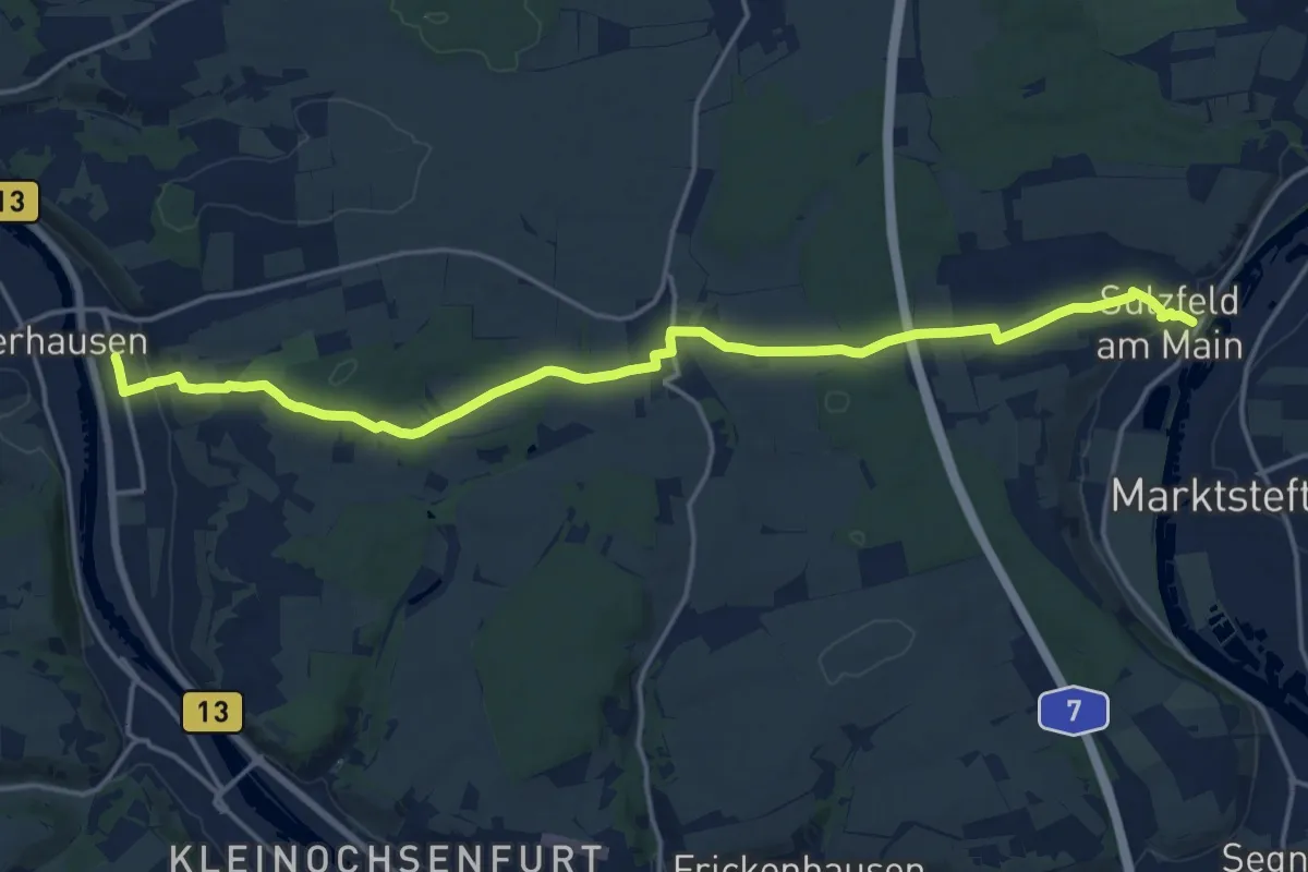
Medium · Trail
Sommerhausen - Sulzfeld
17.9 km · ↑ 280 m · 4 h 50 min
Easy · Trail
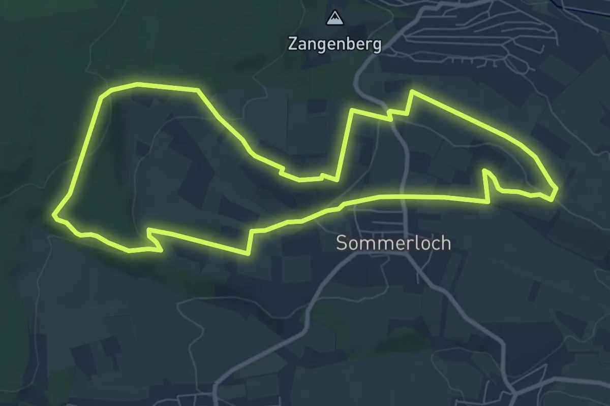
Sommerlocher Weg
7.6 km · ↑ 144 m · 2 h 12 min
Easy · Trail
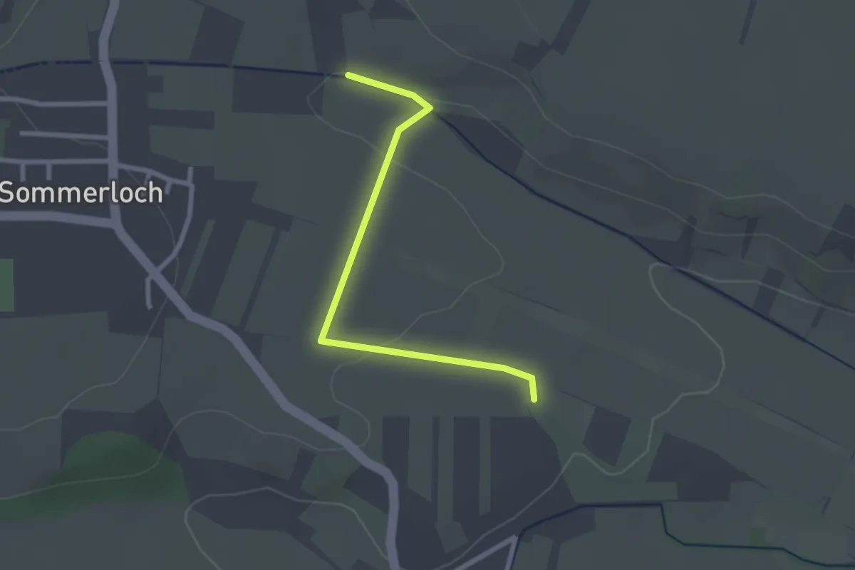
Sommerlocher Weg - Klosterweg
2.3 km · ↑ 19 m · 35 min
Easy · Trail
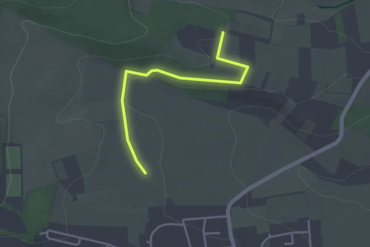
Sommerlocher Weg - Schneckenpfad
2.7 km · ↑ 13 m · 40 min
Easy · Trail
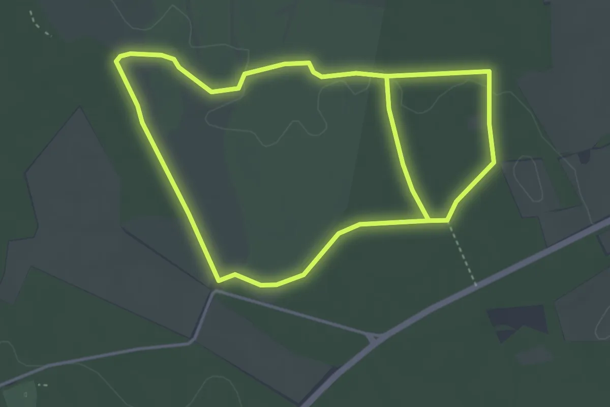
Sommerrunde
3.7 km · ↑ 21 m · 58 min
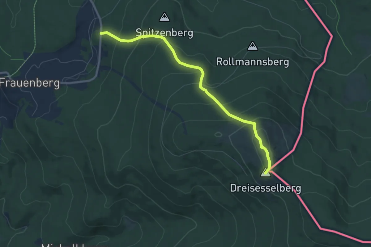
Medium · Summit
Sommerwanderweg Dreisessel
6.9 km · ↑ 400 m · 2 h 30 min
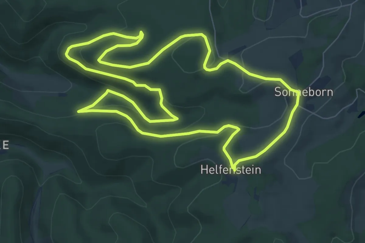
Easy · Summit
Sonneborn Rundweg A1
7.5 km · ↑ 206 m · 2 h 20 min
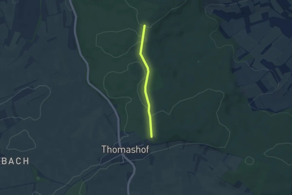
Easy · Trail
Sonnenberg Richtstatt - Stupfericher Weg
2.6 km · ↑ 44 m · 43 min
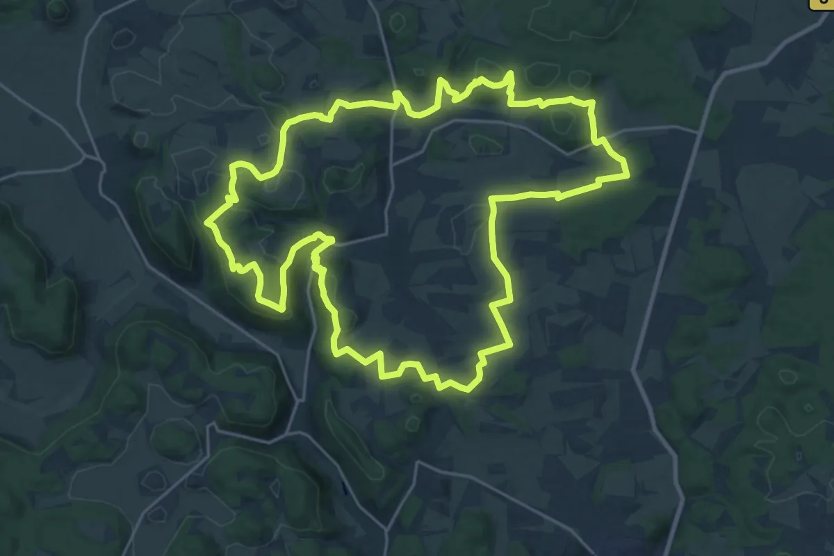
Demanding · Trail
Sonnenbühler Grenzgänger Weg
22.9 km · ↑ 488 m · 6 h 48 min
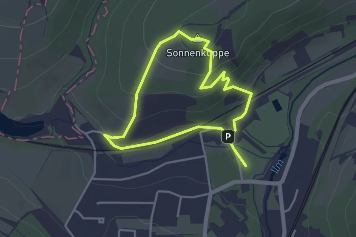
Easy · Summit
Sonnenburg Rundweg
2.3 km · ↑ 96 m · 47 min
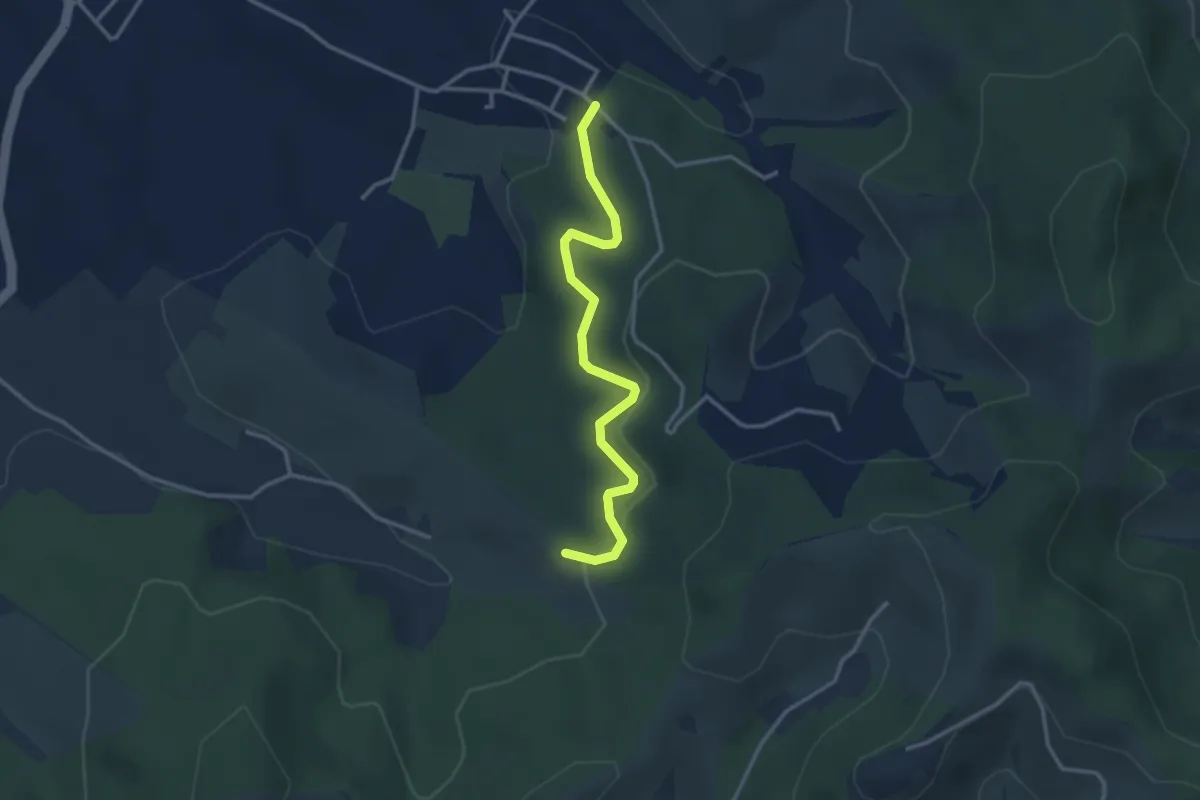
Easy · Trail
Sonnenhalde - Waldparkplatz Nesselried
3.0 km · ↑ 102 m · 56 min
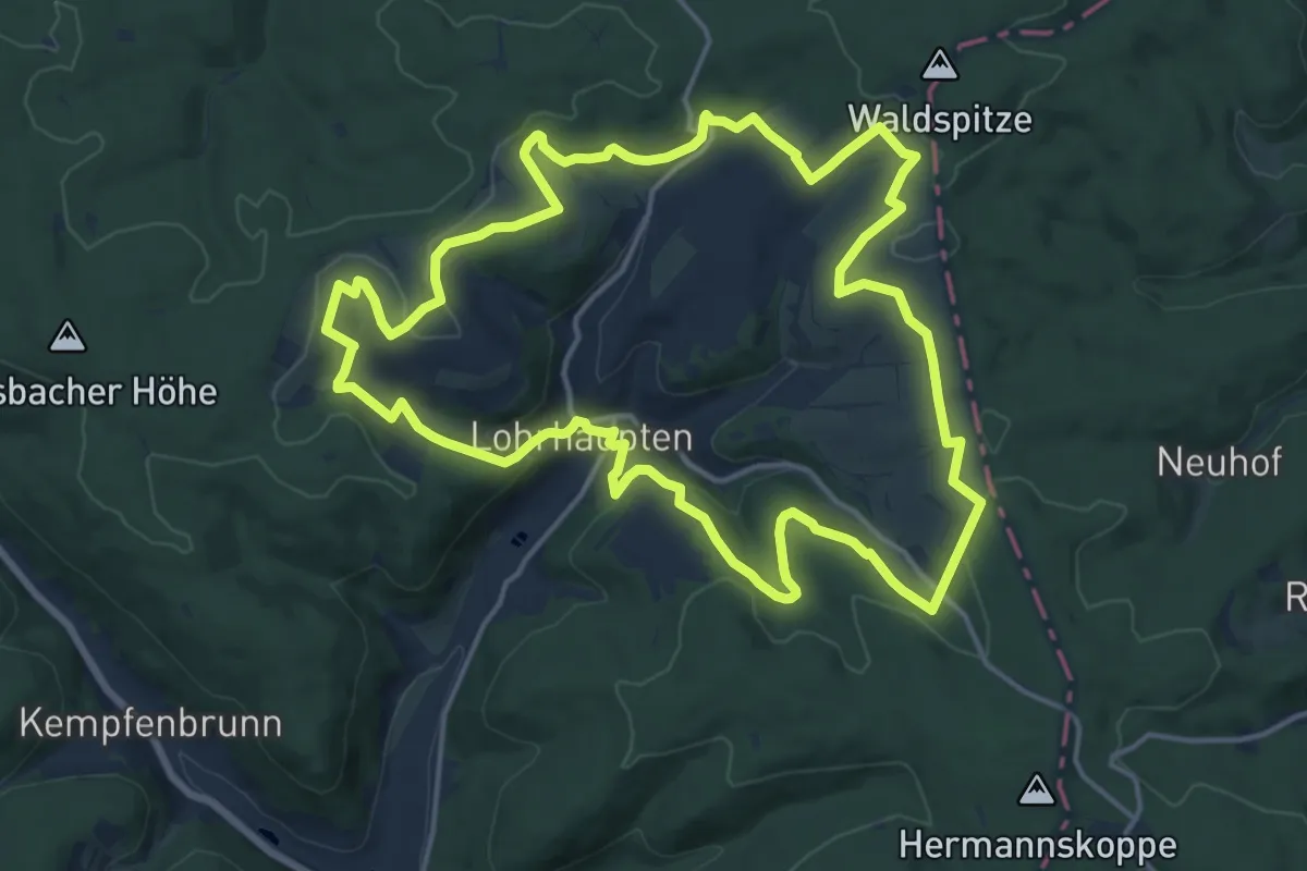
Medium · Summit
Sonnenhänge Lohrhaupten ( Spessartfährten )
15.8 km · ↑ 354 m · 4 h 43 min
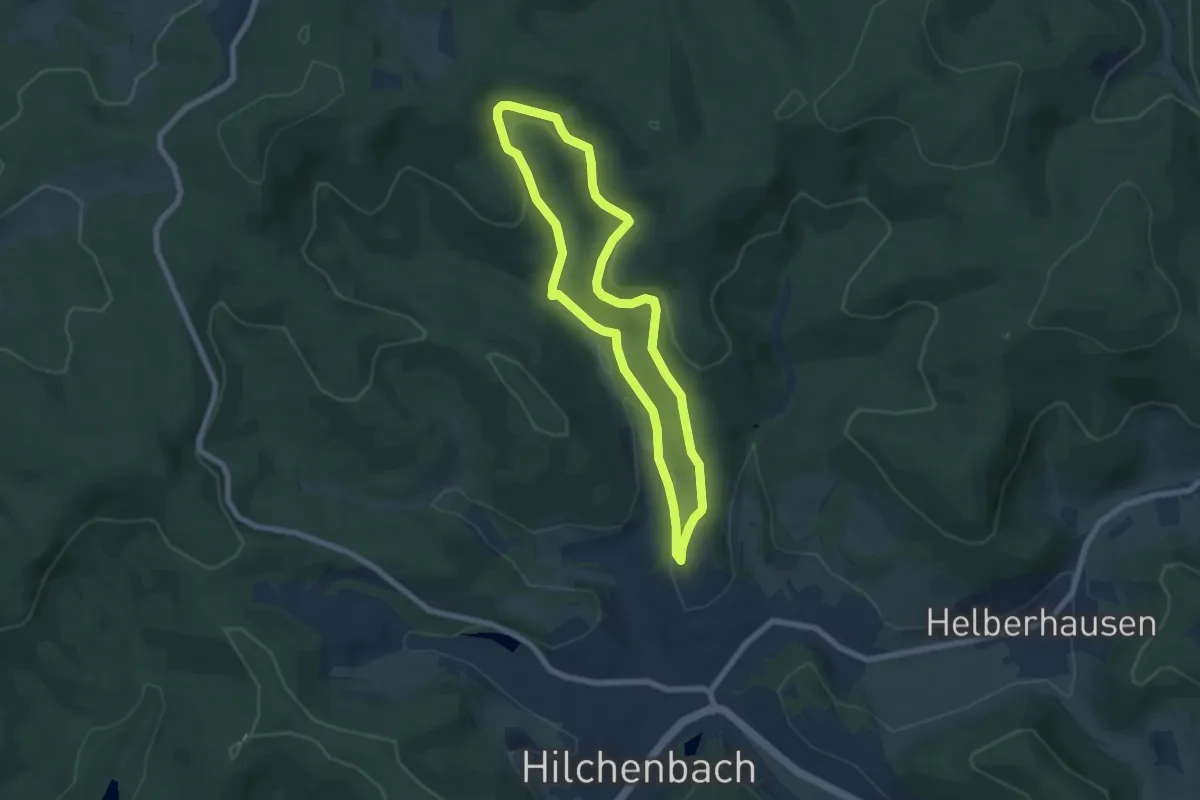
Easy · Trail
Sonnenhang Rundweg A1
5.7 km · ↑ 220 m · 1 h 55 min
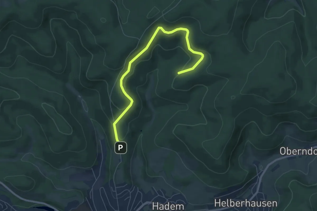
Easy · Trail
Sonnenhang Rundweg A5
3.3 km · ↑ 162 m · 1 h 9 min
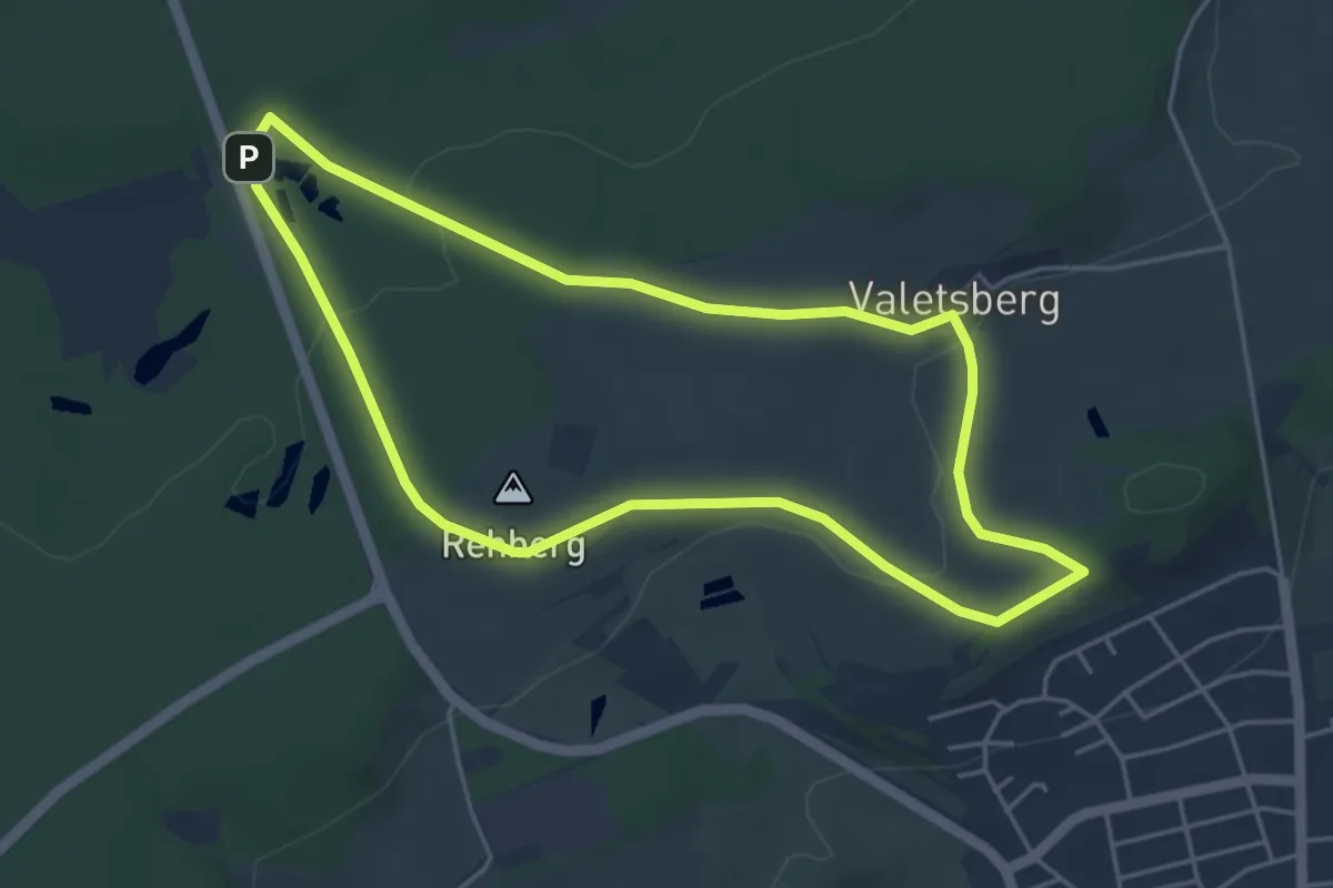
Easy · Summit
Sonnenhof 1
4.2 km · ↑ 68 m · 1 h 12 min
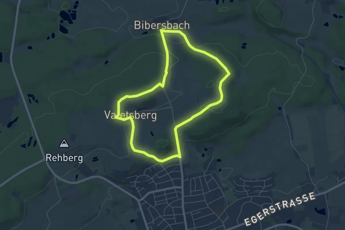
Easy · Trail
Sonnenhofweg 2
5.3 km · ↑ 137 m · 1 h 37 min
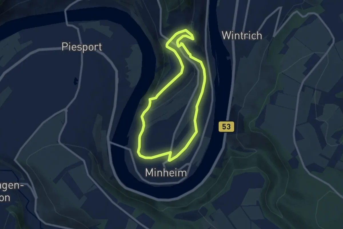
Easy · Trail
Sonneninselrundweg
5.5 km · ↑ 144 m · 1 h 42 min
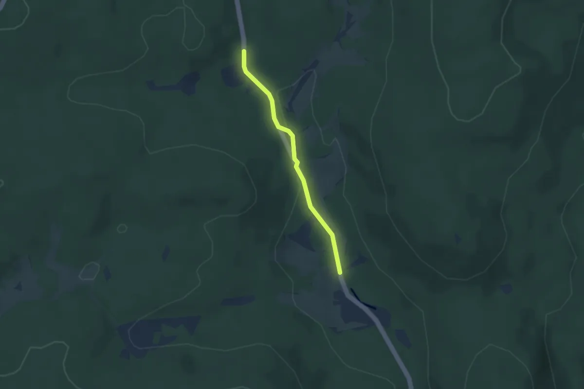
Easy · Trail
Sonnenmattmoos - Marksteinbrücke
2.4 km · ↑ 27 m · 37 min
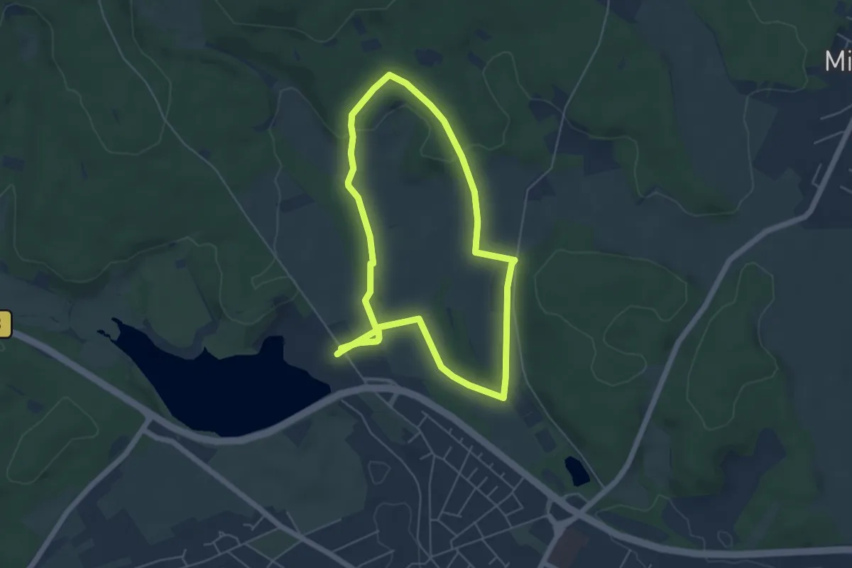
Easy · Trail
Sonnenrunde
4.8 km · ↑ 65 m · 1 h 21 min
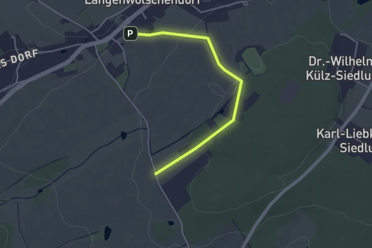
Easy · Trail
Sonnenrundweg
3.1 km · ↑ 61 m · 51 min
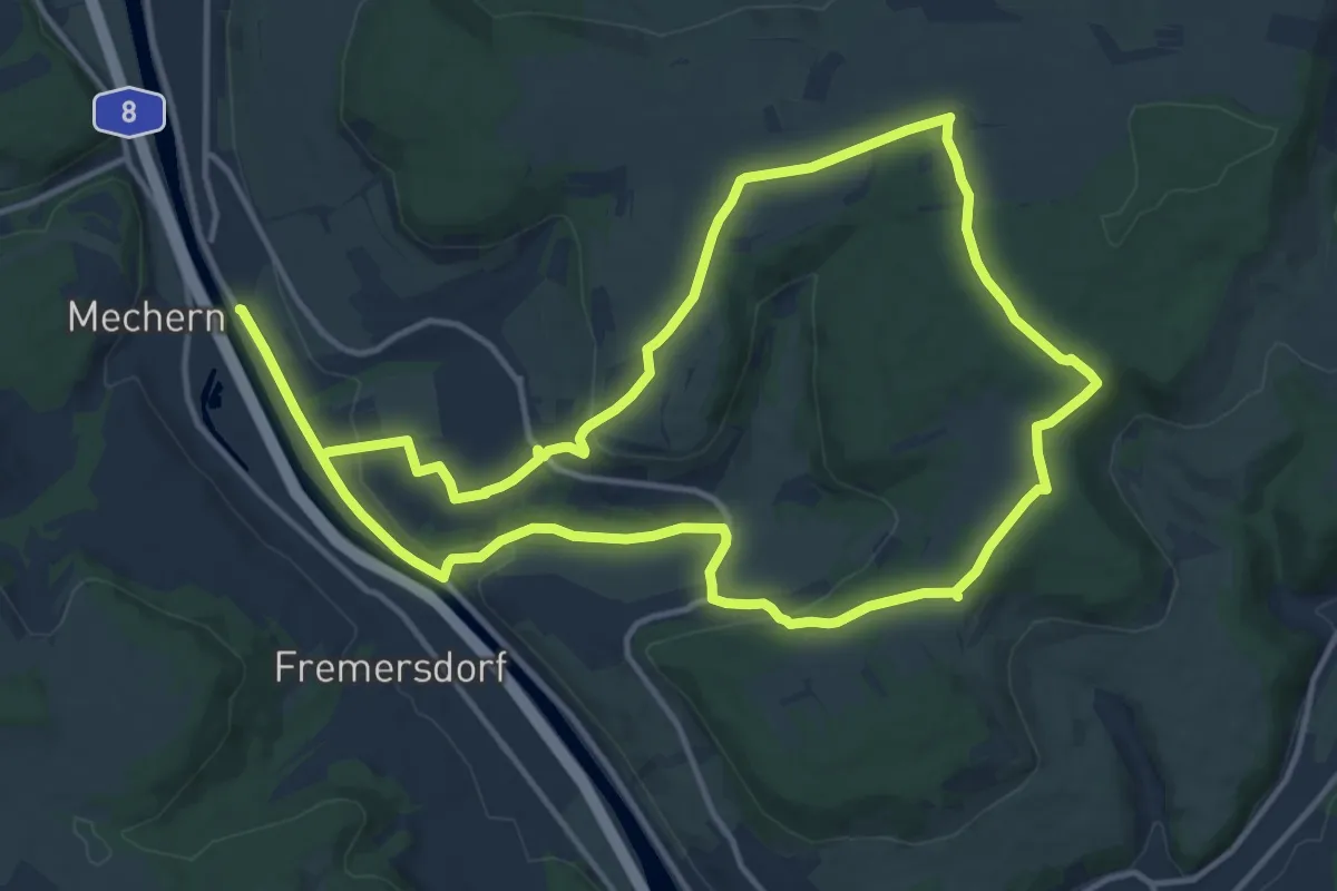
Medium · Trail
Sonnensteinwanderweg
12.7 km · ↑ 227 m · 3 h 40 min
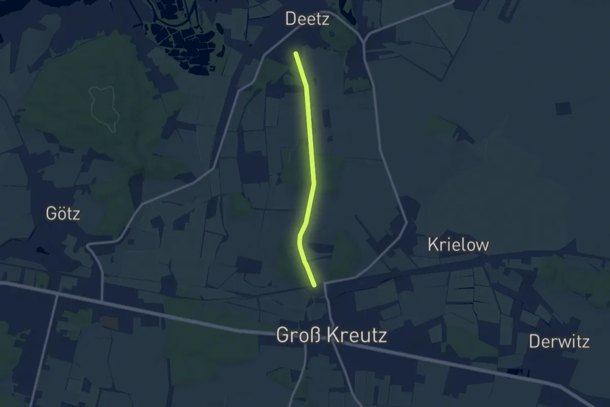
Easy · Trail
Sonnensystemweg
6.9 km · ↑ 48 m · 1 h 44 min
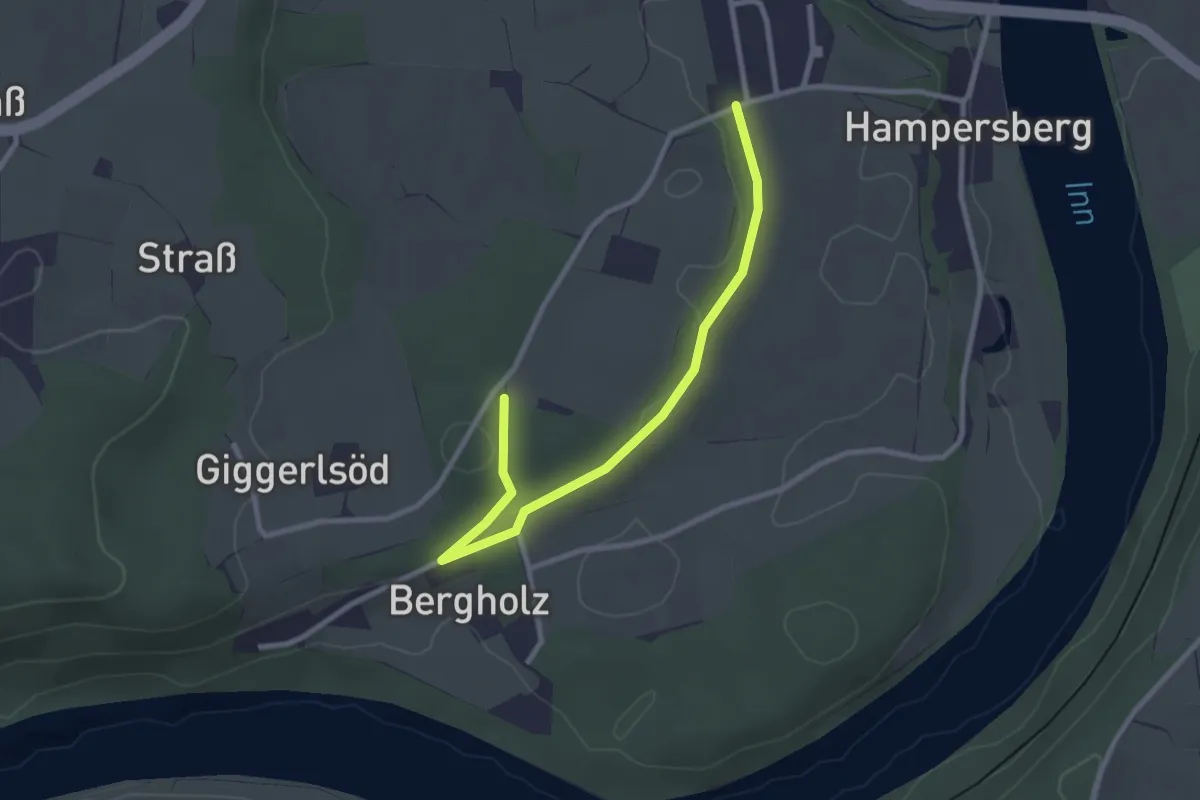
Easy · Trail
Sonnenterrassen am Inn
2.8 km · ↑ 28 m · 43 min
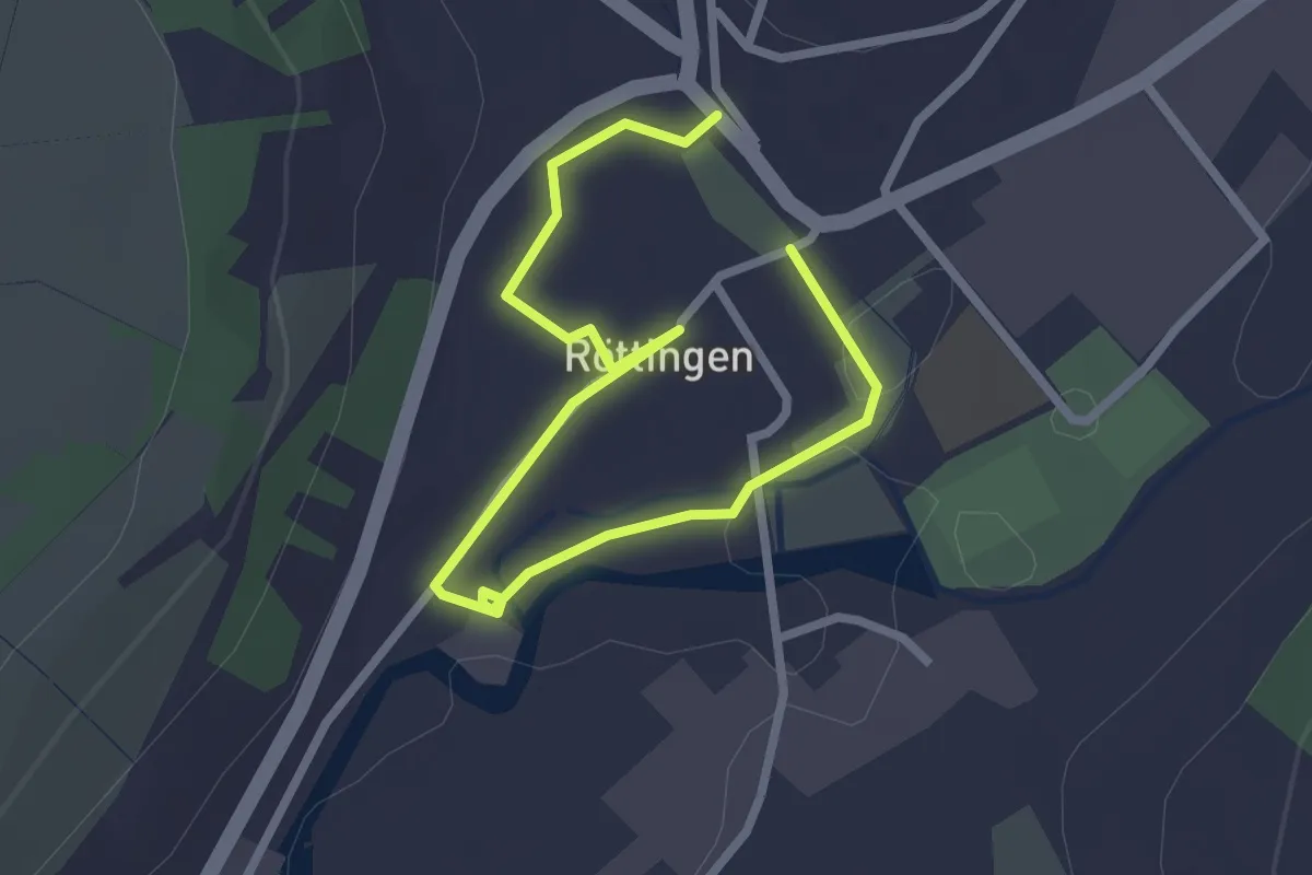
Easy · Trail
Sonnenuhrenweg
1.6 km · ↑ 9 m · 26 min
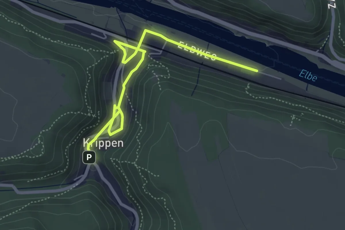
Easy · Trail
SonnenUhrenWeg
2.8 km · ↑ 11 m · 44 min
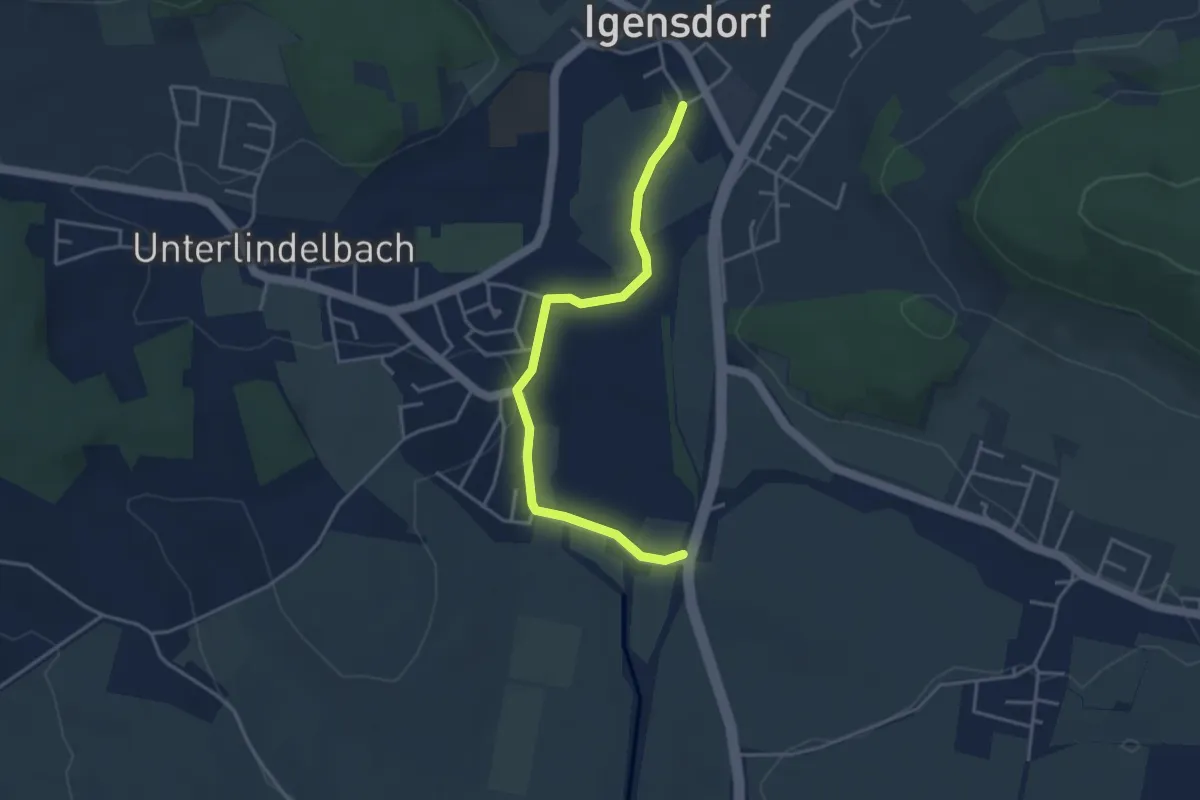
Easy · Trail
Sonnen- und Planetenweg Igensdorf
3.7 km · ↑ 37 m · 57 min
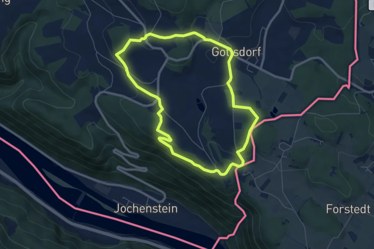
Easy · Summit
Sonnenweg
5.6 km · ↑ 139 m · 1 h 42 min
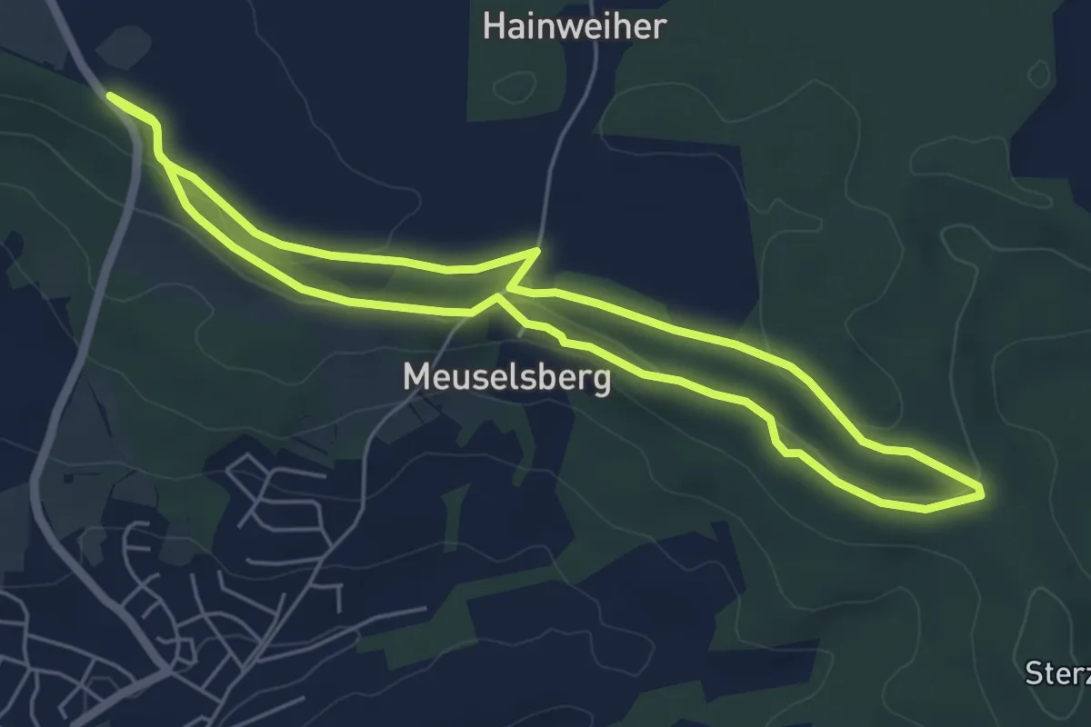
Easy · Trail
Sonnenweg
4.8 km · ↑ 61 m · 1 h 19 min
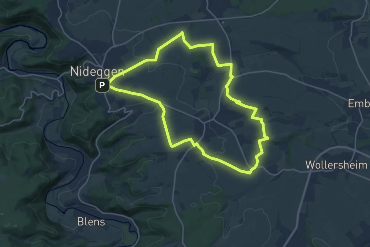
Medium · Trail
Sonnenweg
12.9 km · ↑ 198 m · 3 h 39 min
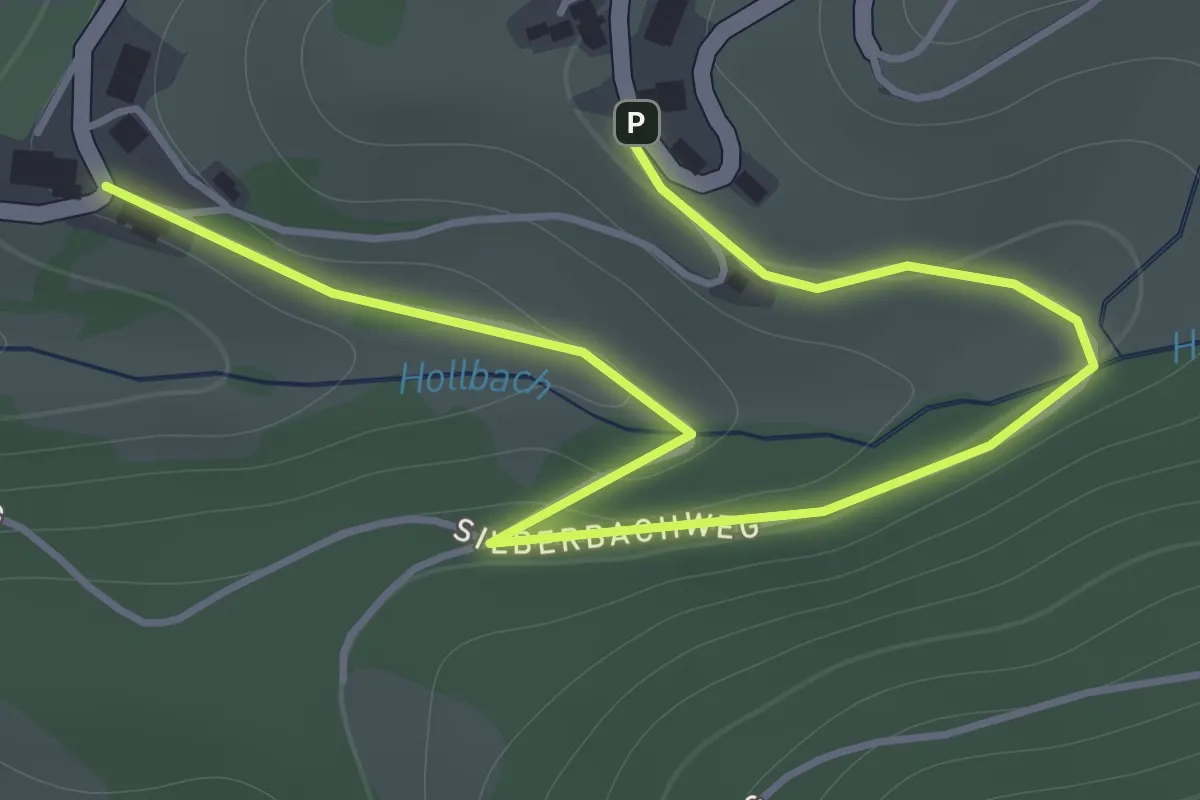
Easy · Trail
Sonnhalde Schwalbennest - Untere Sonnhalde
2.1 km · ↑ 54 m · 36 min
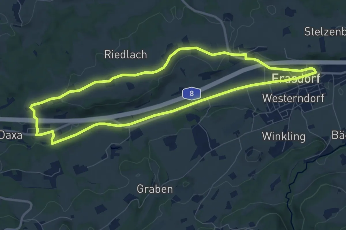
Easy · Trail
Sonnseitn-Runde
7.6 km · ↑ 91 m · 2 h 6 min
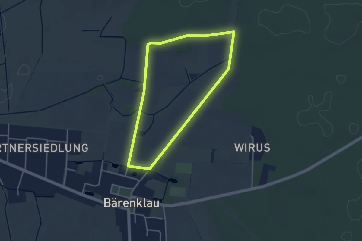
Easy · Trail
Sonntagsrunde
2.5 km · ↑ 9 m · 39 min
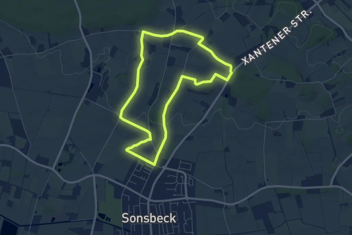
Easy · Summit
Sonsbeck Rundweg A1
5.8 km · ↑ 51 m · 1 h 34 min
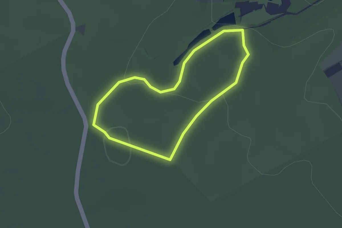
Easy · Trail
Sonsbeck Rundweg A4
1.6 km · ↑ 34 m · 28 min
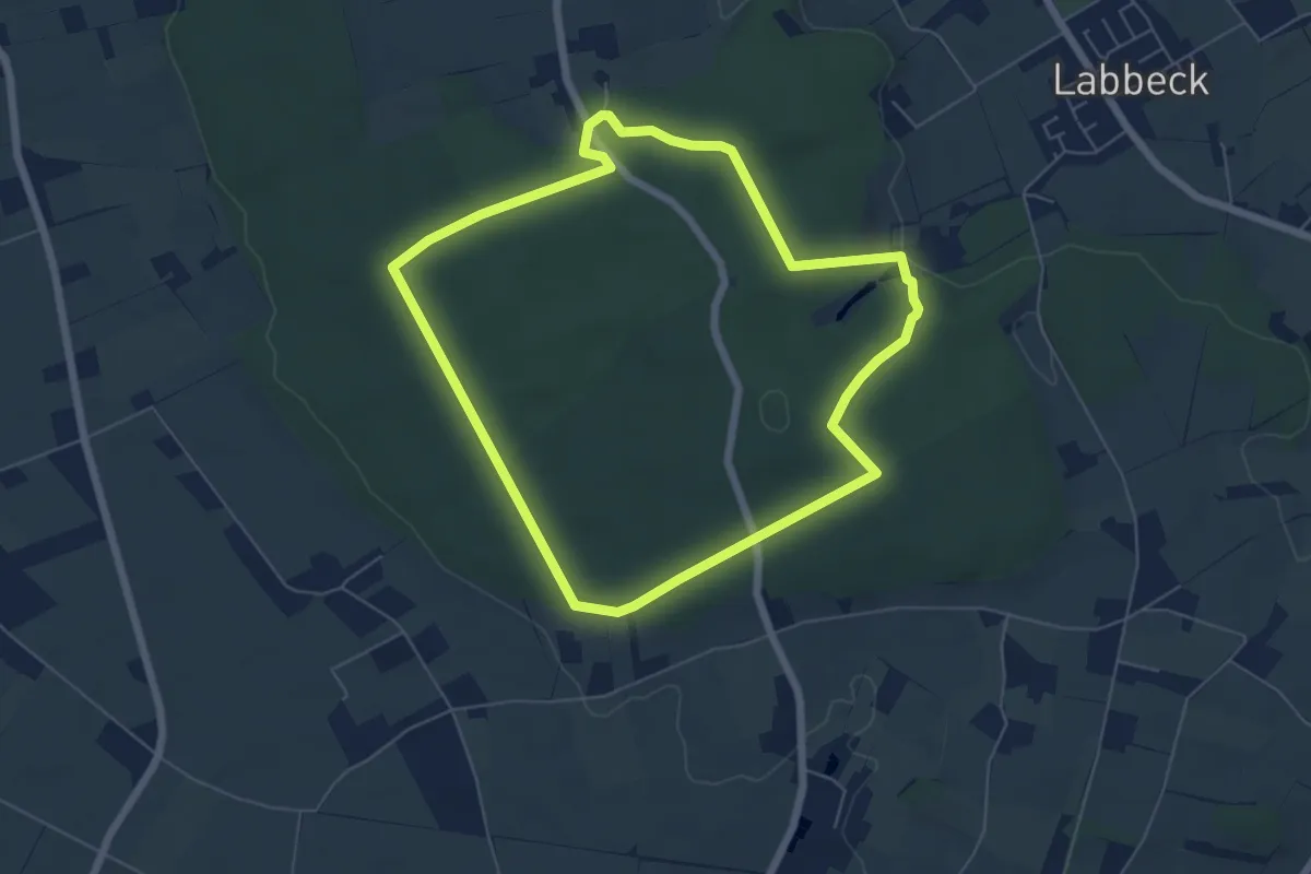
Easy · Trail
Sonsbeck Rundweg A5
5.3 km · ↑ 71 m · 1 h 29 min
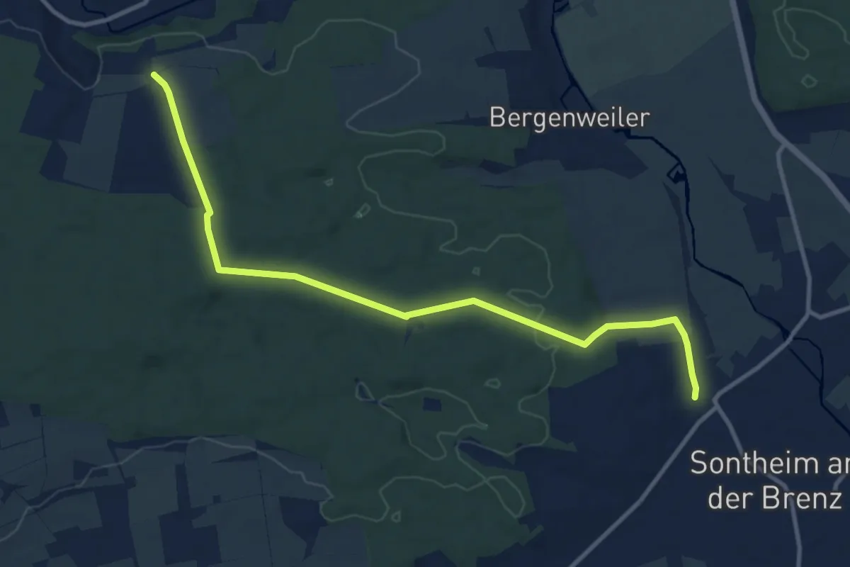
Medium · Trail
Sontheim - Burgberg
10.4 km · ↑ 134 m · 2 h 45 min
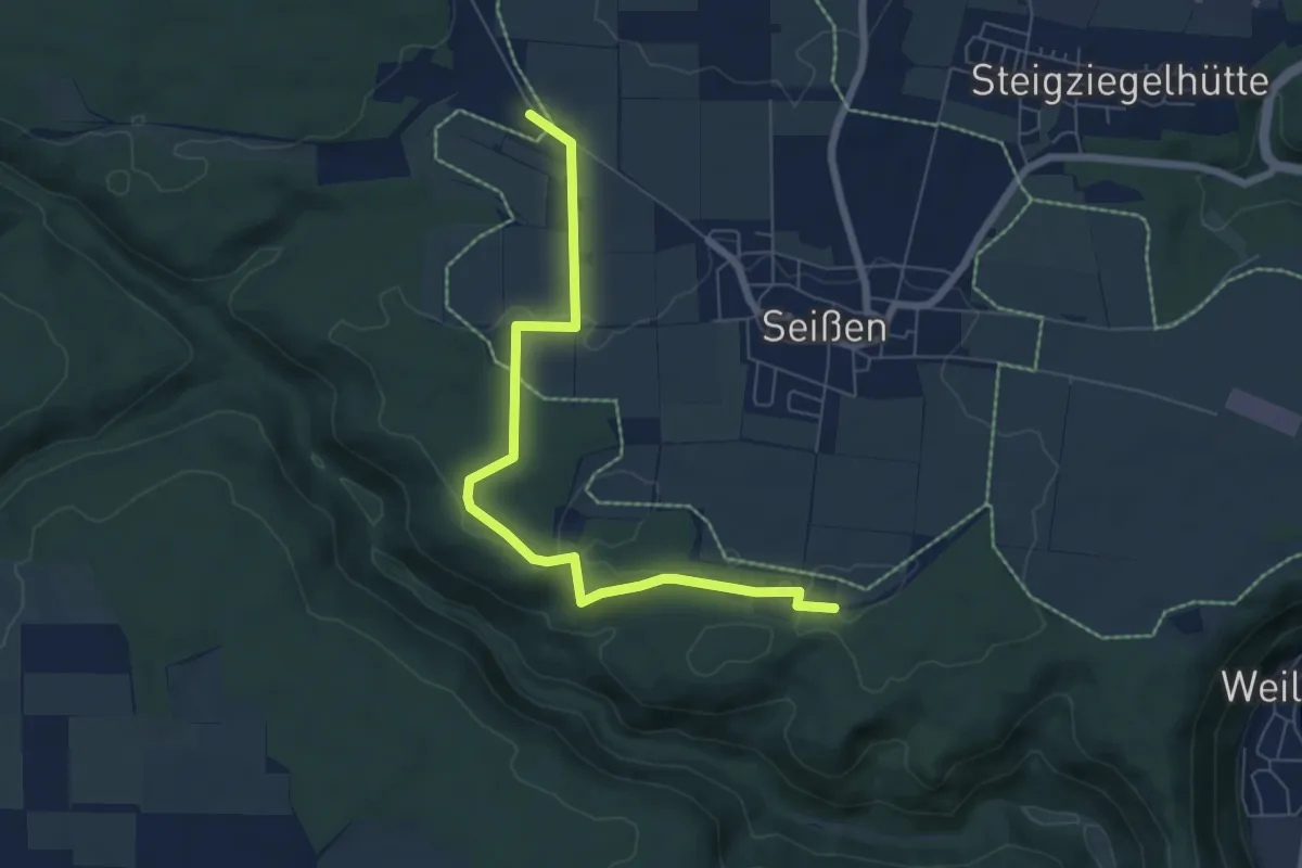
Easy · Trail
Sontheimer Höhle - Sportplatz Seißen HW2
6.8 km · ↑ 50 m · 1 h 42 min
Medium · Trail
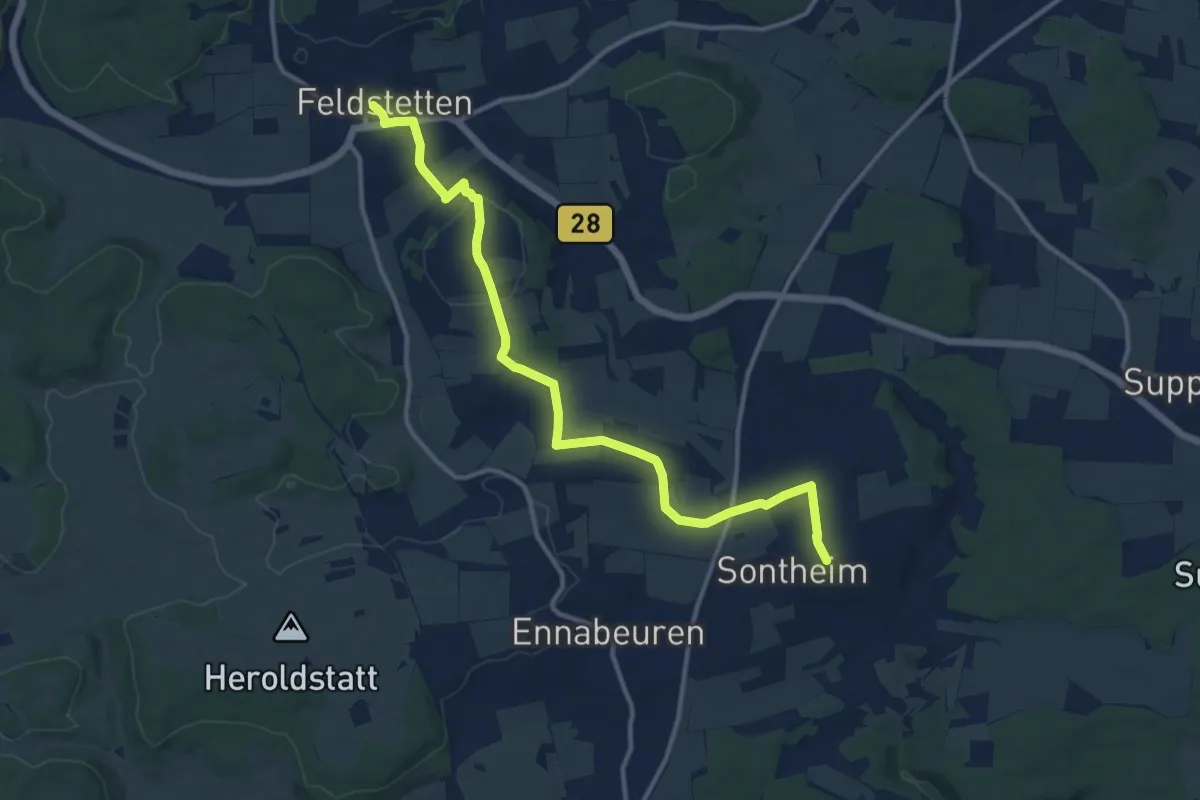
Sontheim - Feldstetten
13.0 km · ↑ 246 m · 3 h 36 min
Easy · Trail
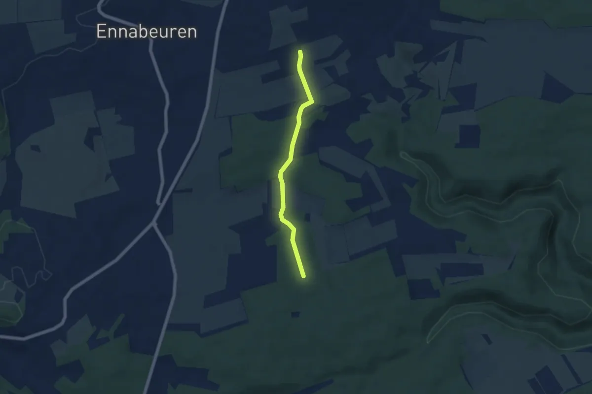
Sontheim HW7
4.3 km · ↑ 51 m · 1 h 7 min
Medium · Summit
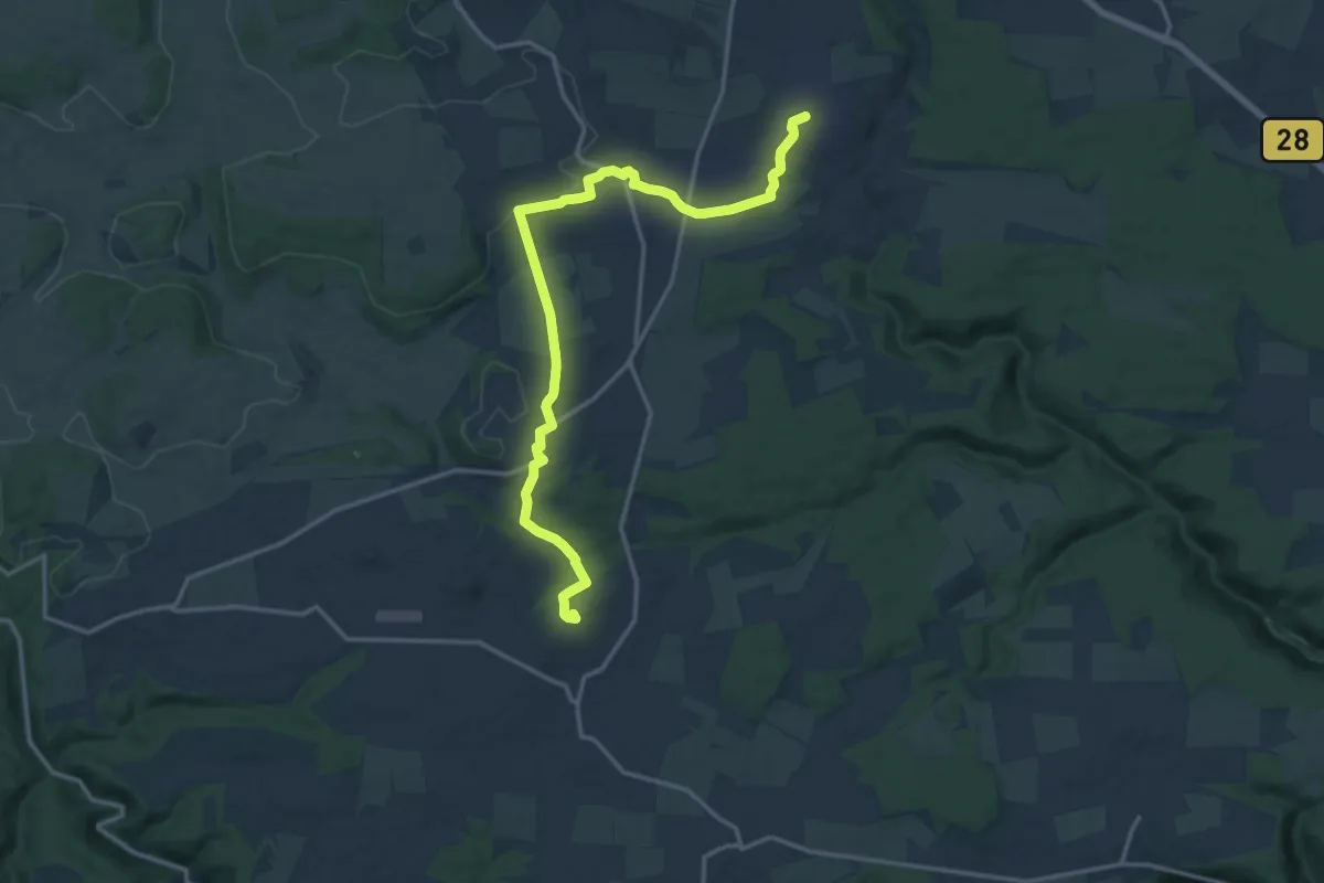
Sontheim Ingstetten
16.2 km · ↑ 229 m · 4 h 19 min
Easy · Trail
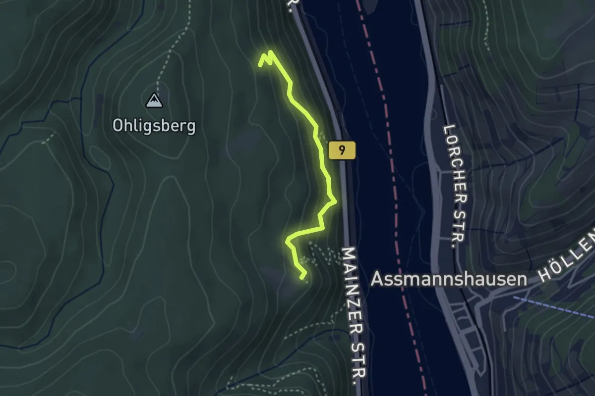
Soonwaldsteig
2.5 km · ↑ 252 m · 1 h 9 min