Trails in Germany
36,852 hiking trails, each with its route, climb, walking time and grade.
All trails, page 595 of 768
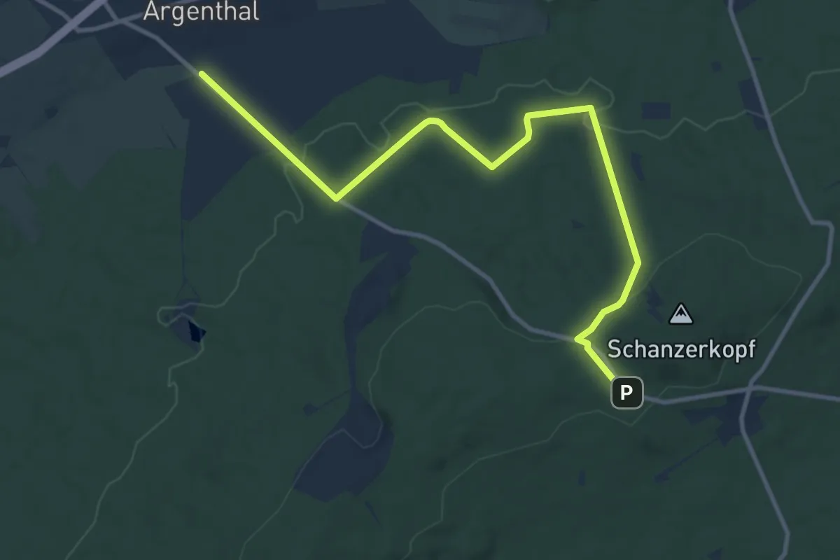
Medium · Trail
Soonwaldsteig - Zuweg_Argenthal<-->Schanzenkopf
10.2 km · ↑ 211 m · 2 h 52 min
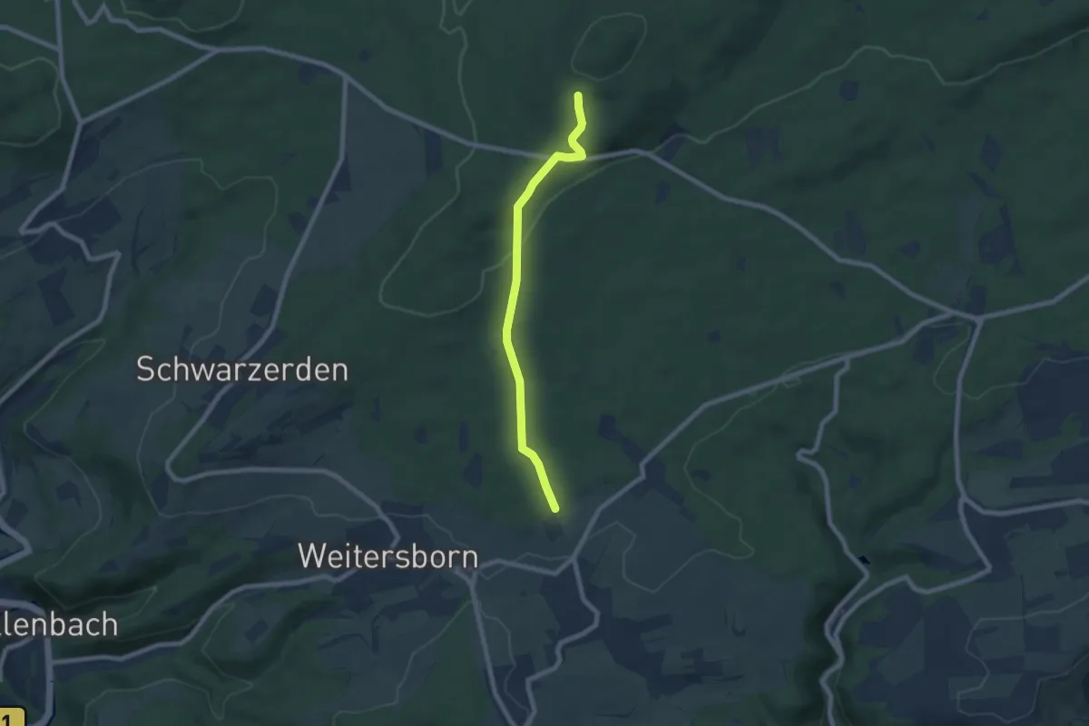
Easy · Trail
Soonwaldsteig - Zuweg_Seesbach 1
6.3 km · ↑ 157 m · 1 h 49 min
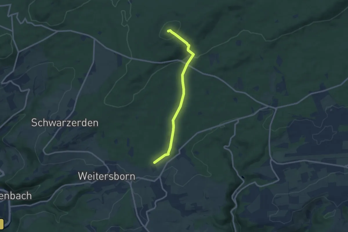
Easy · Summit
Soonwaldsteig - Zuweg_Seesbach 2
7.4 km · ↑ 211 m · 2 h 12 min
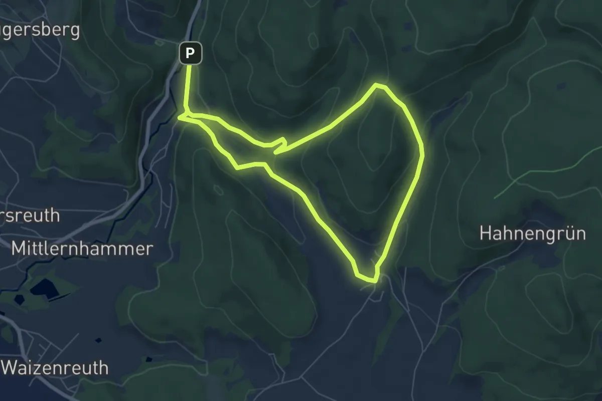
Easy · Summit
Sophienthal Rundwanderweg Nr. 1
5.7 km · ↑ 245 m · 1 h 58 min
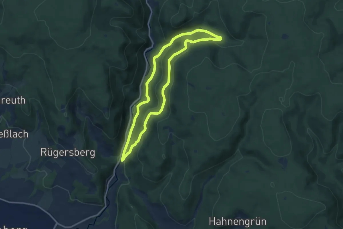
Easy · Trail
Sophienthal Rundwanderweg Nr. 2
7.9 km · ↑ 271 m · 2 h 34 min
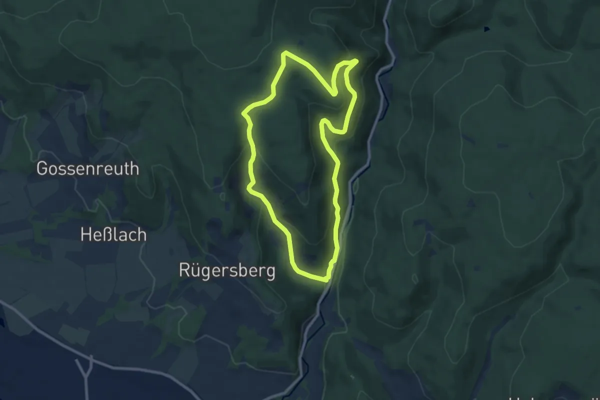
Easy · Trail
Sophienthal Rundwanderweg Nr. 3
7.3 km · ↑ 315 m · 2 h 31 min
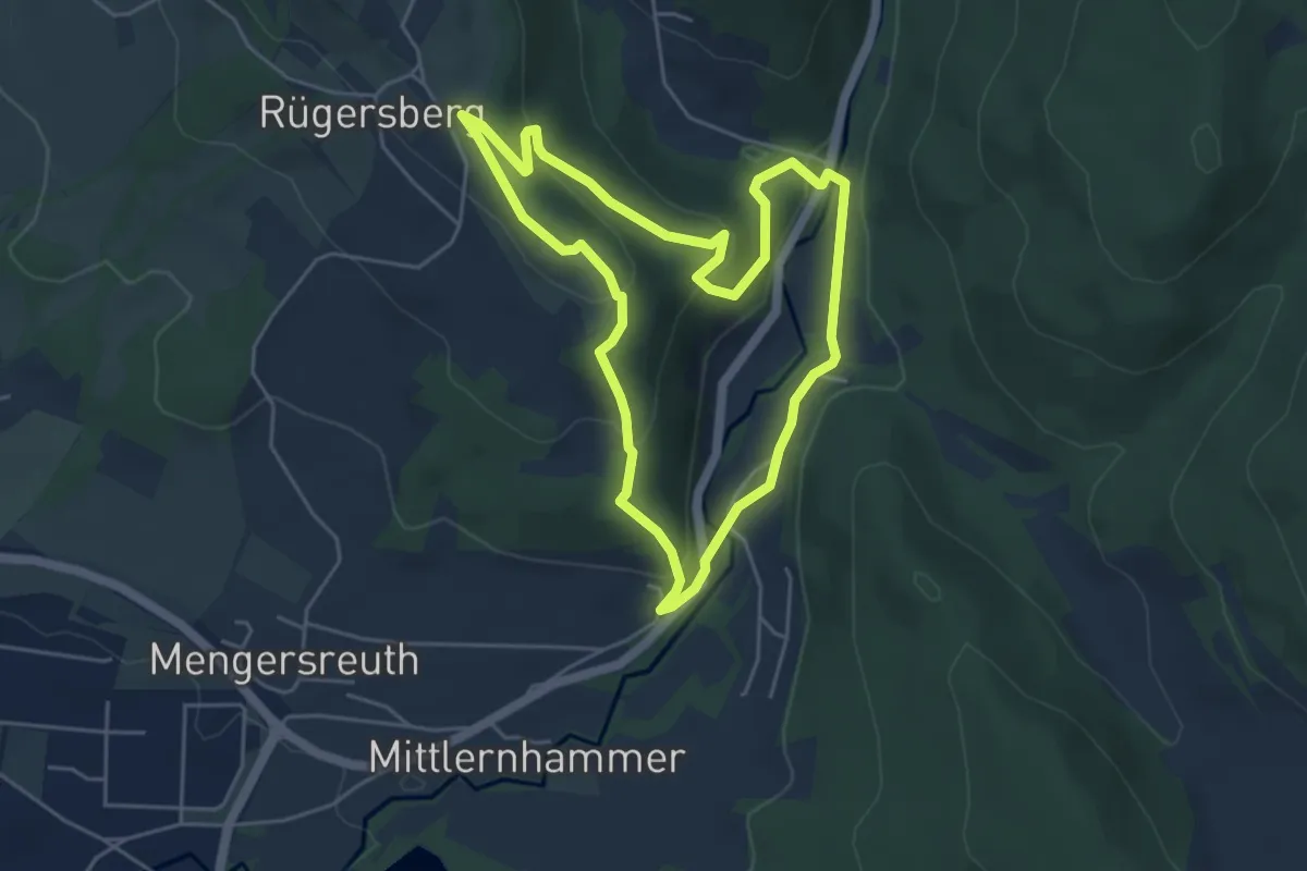
Easy · Trail
Sophienthal Rundwanderweg Nr. 4
4.4 km · ↑ 158 m · 1 h 27 min
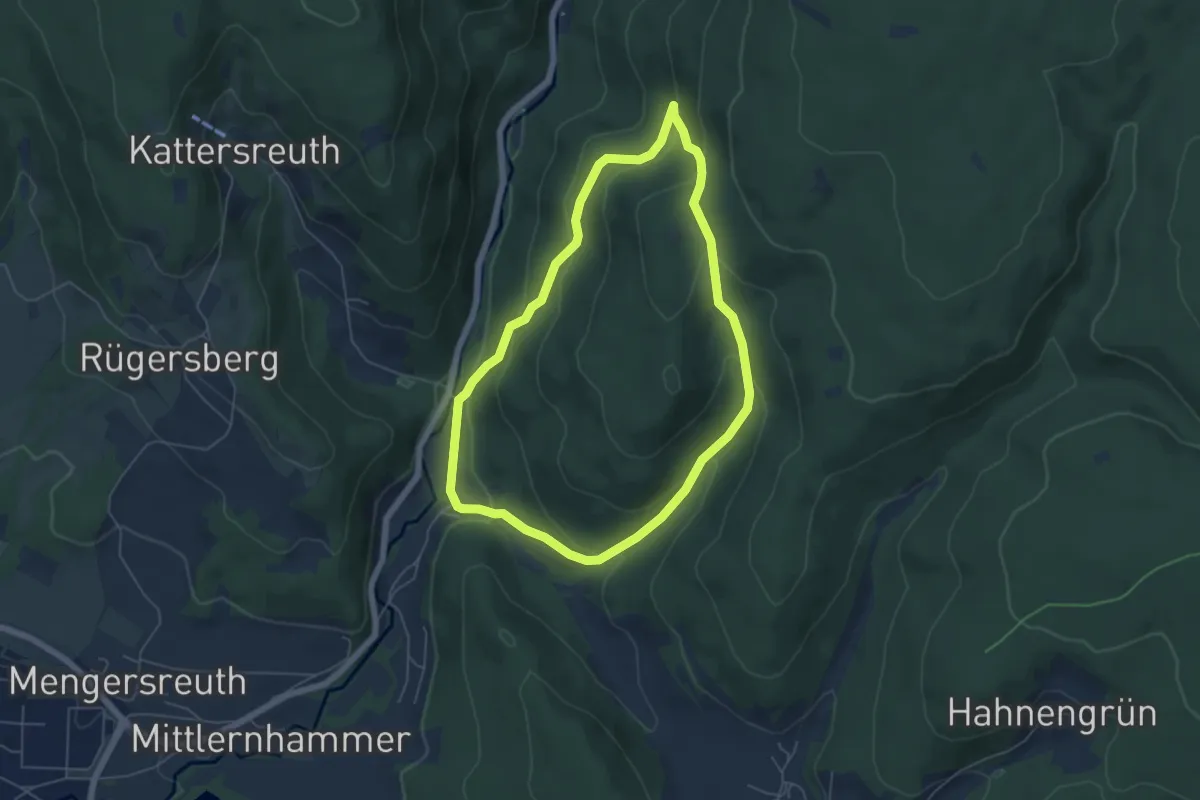
Easy · Trail
Sophienthal Rundwanderweg Nr. 5
4.9 km · ↑ 232 m · 1 h 44 min
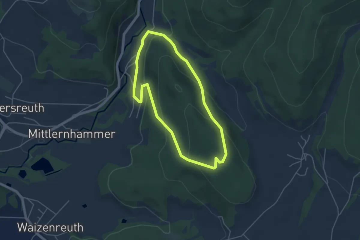
Easy · Summit
Sophienthal Rundwanderweg Nr. 6
3.6 km · ↑ 168 m · 1 h 15 min
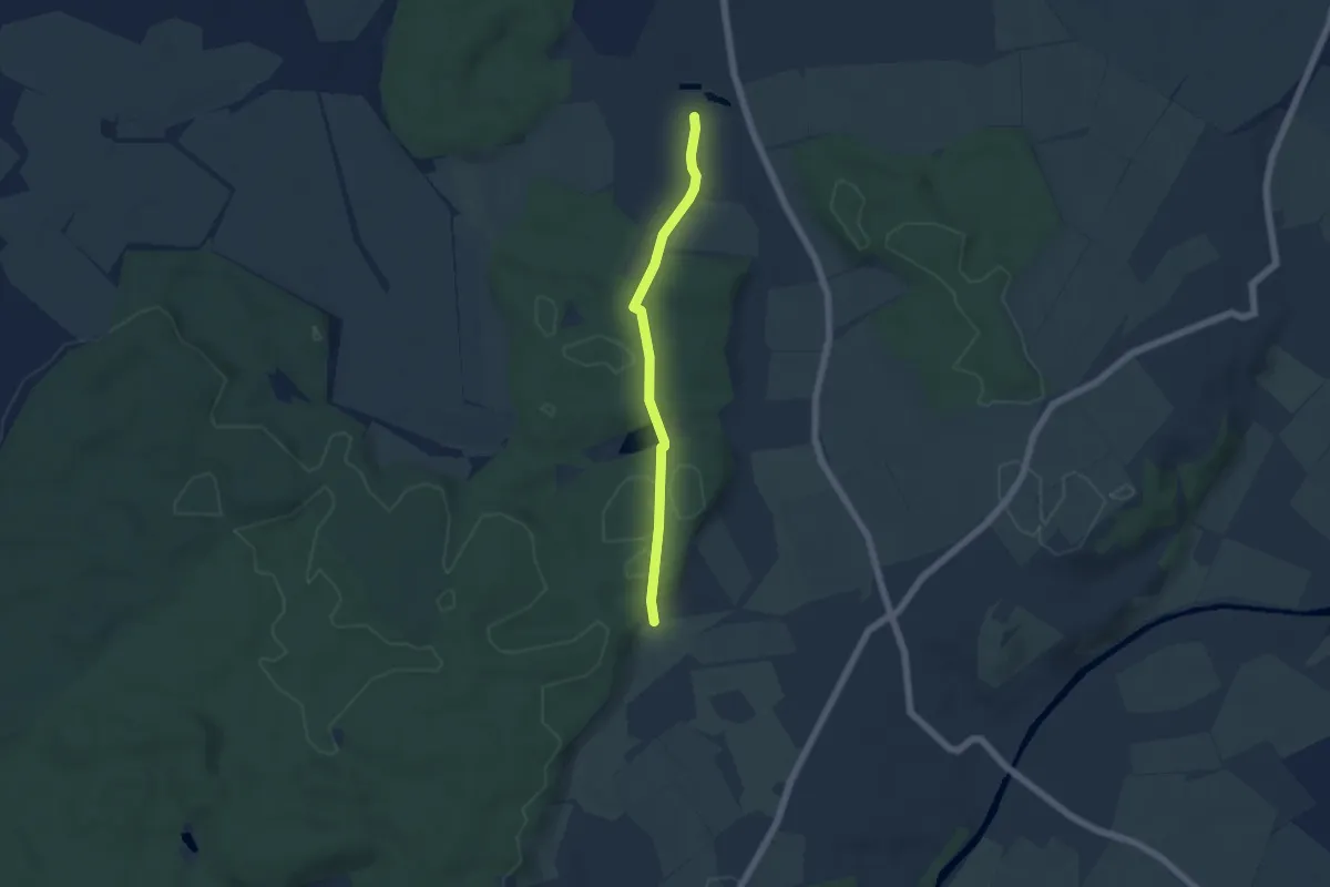
Easy · Trail
Soppenbachtal - Heiligkreuztal
4.7 km · ↑ 85 m · 1 h 17 min
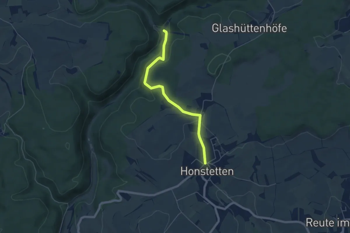
Easy · Trail
Soppenhalden - Honstetten Brücklebrunnen
4.7 km · ↑ 159 m · 1 h 27 min
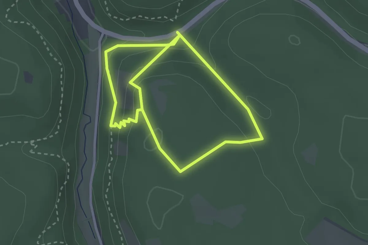
Easy · Trail
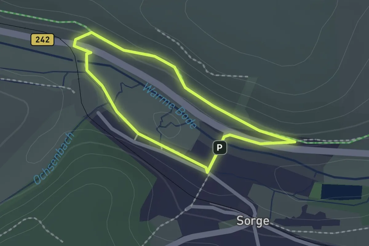
Sörgelweg
2.3 km · ↑ 147 m · 51 min
Easy · Trail
Sorger Rundweg Steinbruch
1.4 km · ↑ 25 m · 24 min
Demanding · Trail
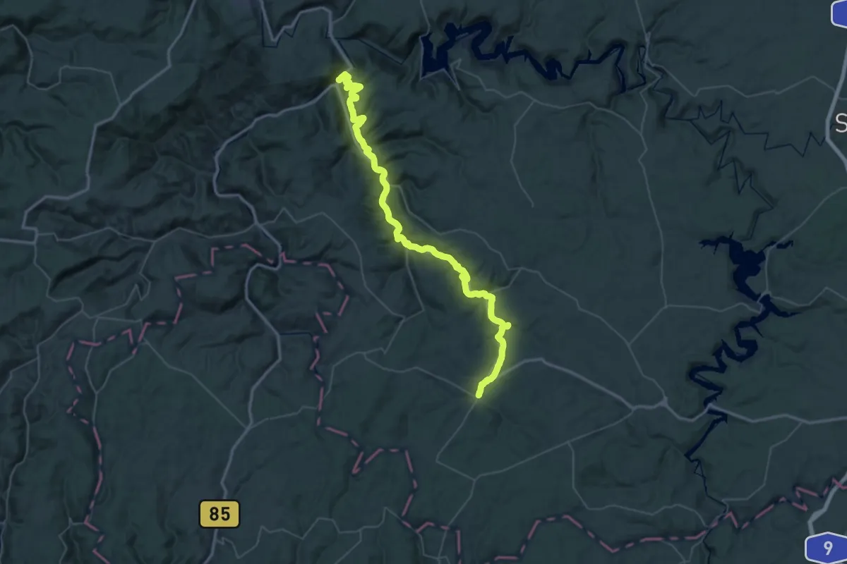
Sormitzweg
26.1 km · ↑ 603 m · 7 h 58 min
Demanding · Summit
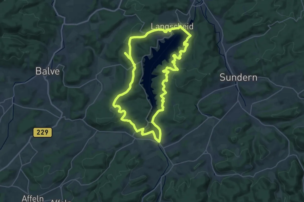
Sorpesee-Rundweg
21.7 km · ↑ 542 m · 6 h 35 min
Medium · Summit
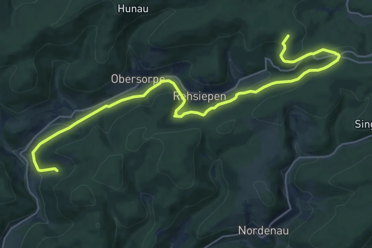
Sorpetalweg S
16.4 km · ↑ 468 m · 4 h 52 min
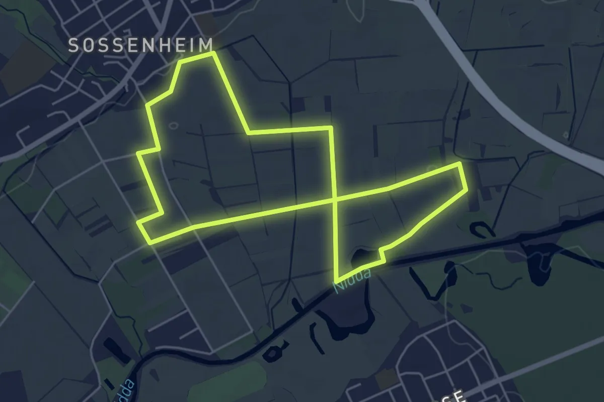
Easy · Trail
Sossenheimer Obstpfad
4.5 km · ↑ 4 m · 1 h 8 min
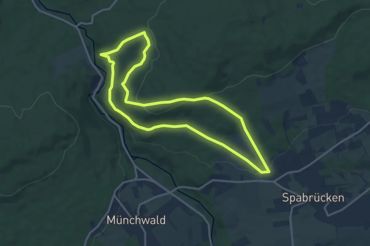
Easy · Trail
Spabrücker Eisenhütterweg
7.9 km · ↑ 207 m · 2 h 25 min
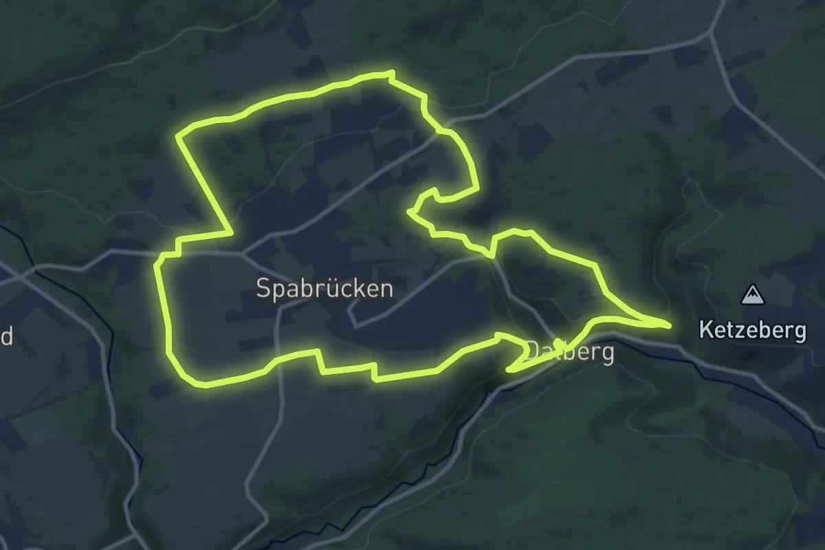
Medium · Trail
Spabrücker Panoramaweg
11.6 km · ↑ 260 m · 3 h 28 min
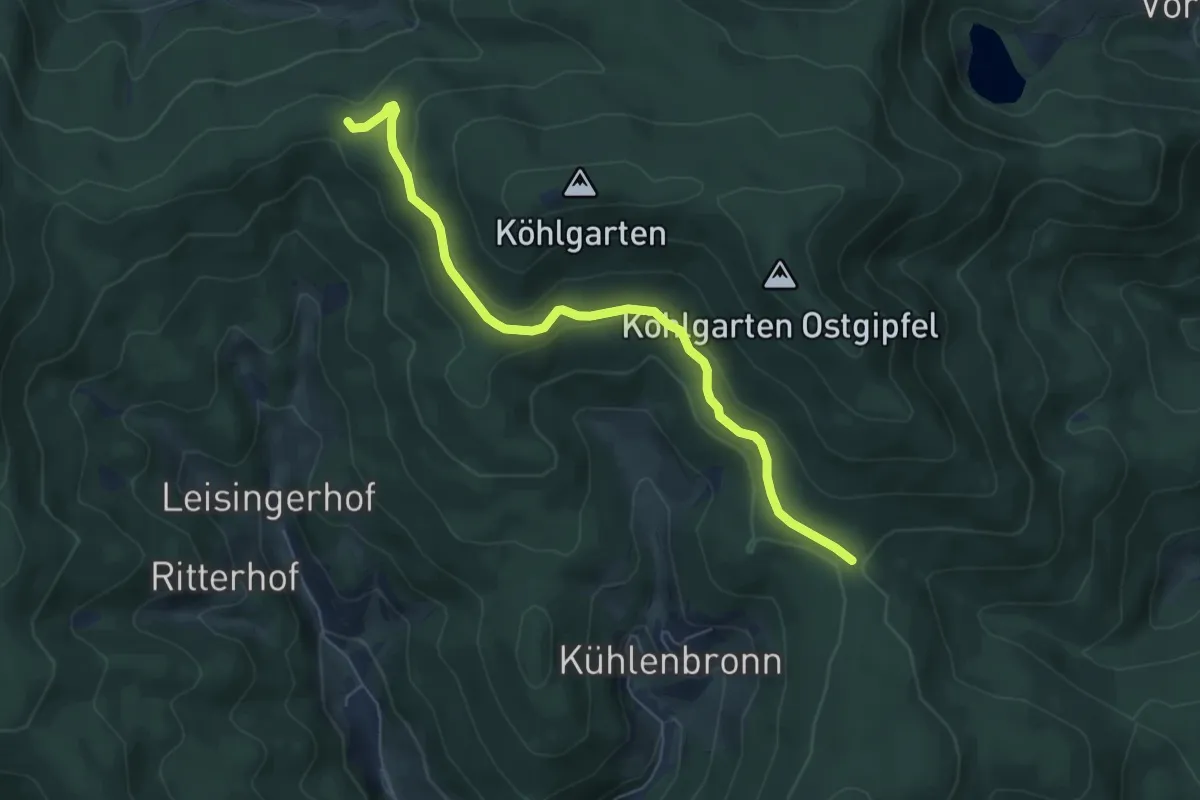
Easy · Trail
Spähnplatz - Jungholz
6.0 km · ↑ 149 m · 1 h 45 min
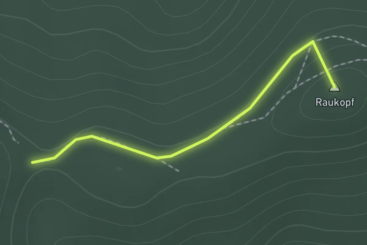
Easy · Summit
Spähnplatz - Stühle
1.5 km · ↑ 26 m · 25 min
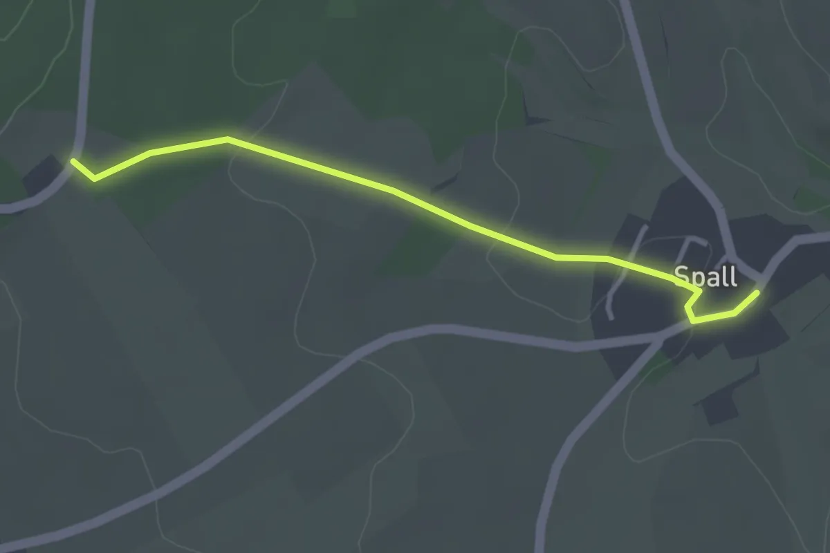
Easy · Trail
Spall - Forsthaus Gebroth
2.9 km · ↑ 37 m · 46 min
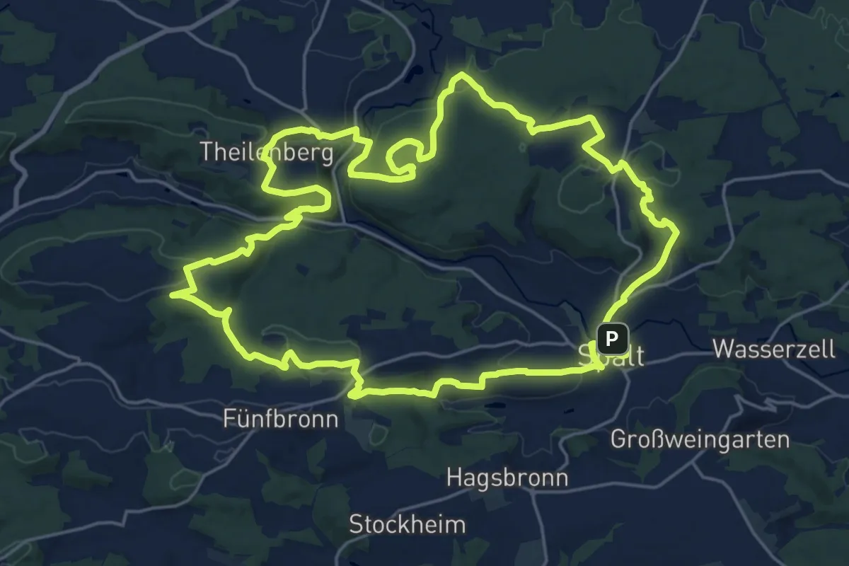
Demanding · Summit
Spalter Hügelland-Tour
21.9 km · ↑ 609 m · 6 h 48 min
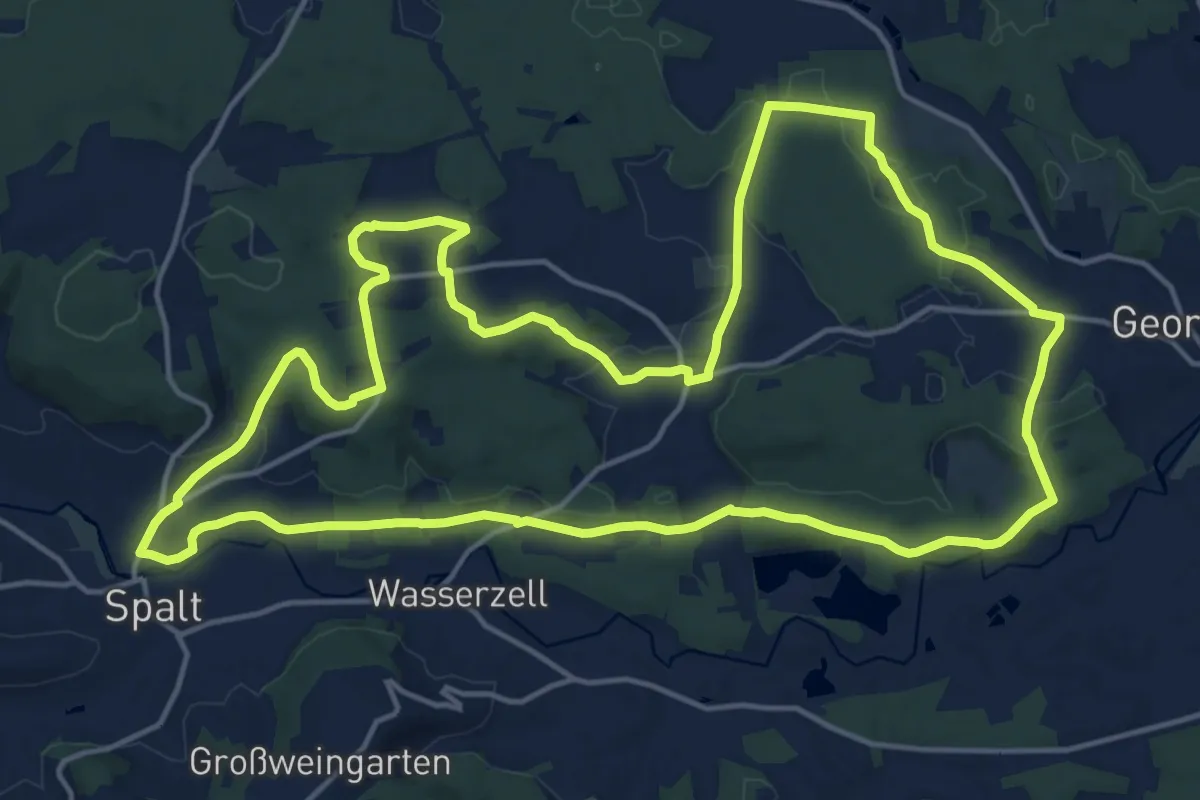
Medium · Trail
Spalt IVV 01
17.4 km · ↑ 267 m · 4 h 56 min
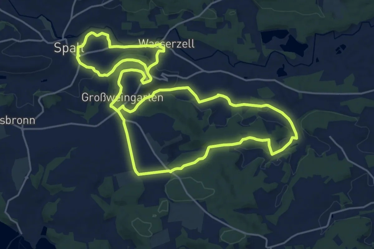
Medium · Trail
Spalt IVV 02
15.2 km · ↑ 278 m · 4 h 26 min
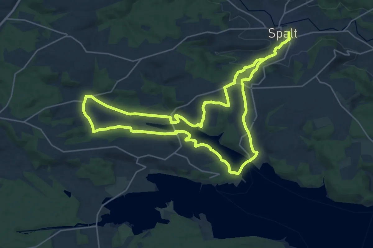
Demanding · Summit
Spalt IVV 03
18.2 km · ↑ 335 m · 5 h 17 min
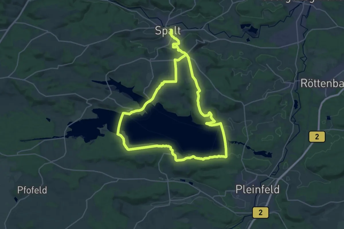
Demanding · Trail
Spalt IVV 05
21.8 km · ↑ 300 m · 6 h 10 min
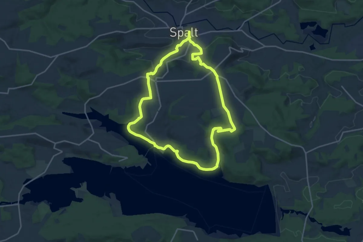
Medium · Trail
Spalt IVV 06
13.6 km · ↑ 267 m · 3 h 58 min
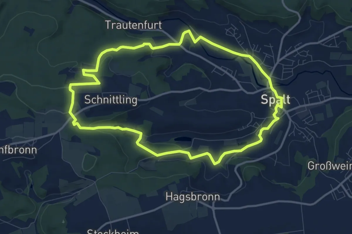
Medium · Trail
Spalt IVV 07
8.9 km · ↑ 159 m · 2 h 35 min
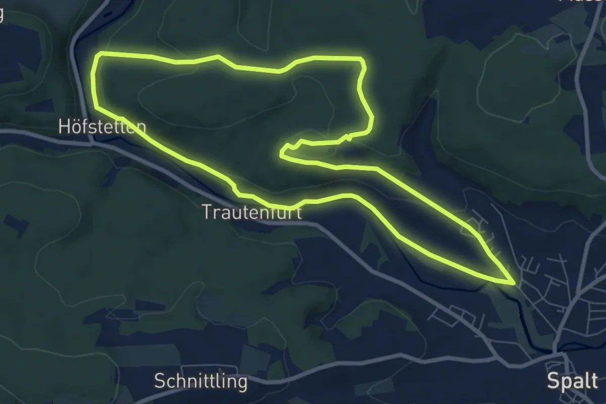
Easy · Trail
Spalt IVV 08
7.7 km · ↑ 151 m · 2 h 15 min
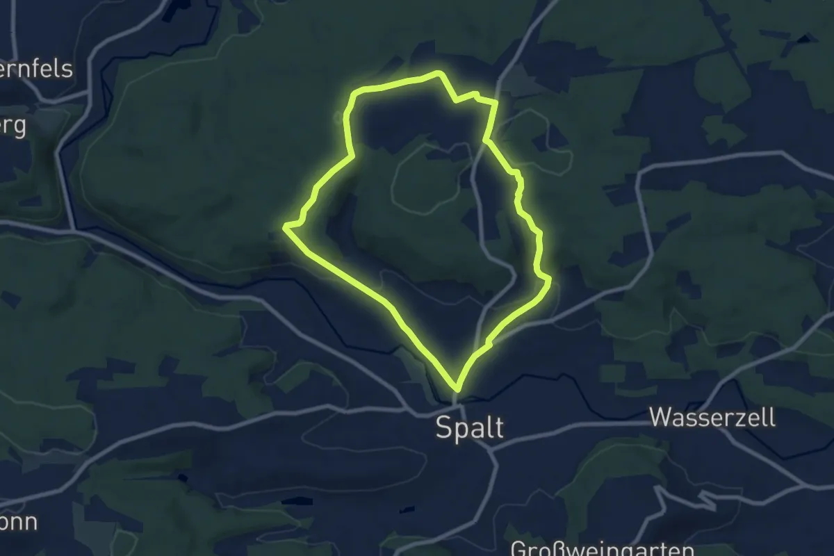
Easy · Trail
Spalt IVV 09
6.9 km · ↑ 162 m · 2 h 5 min
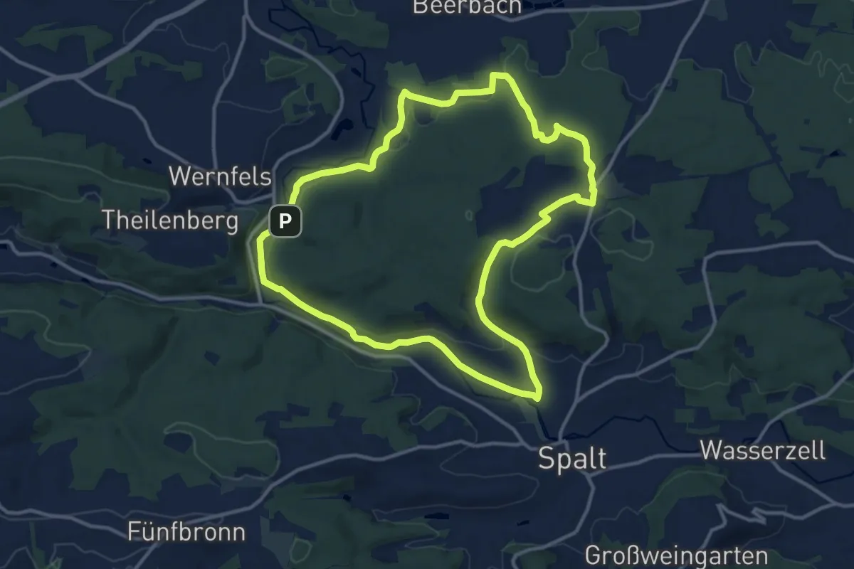
Medium · Trail
Spalt IVV 10
11.6 km · ↑ 207 m · 3 h 21 min
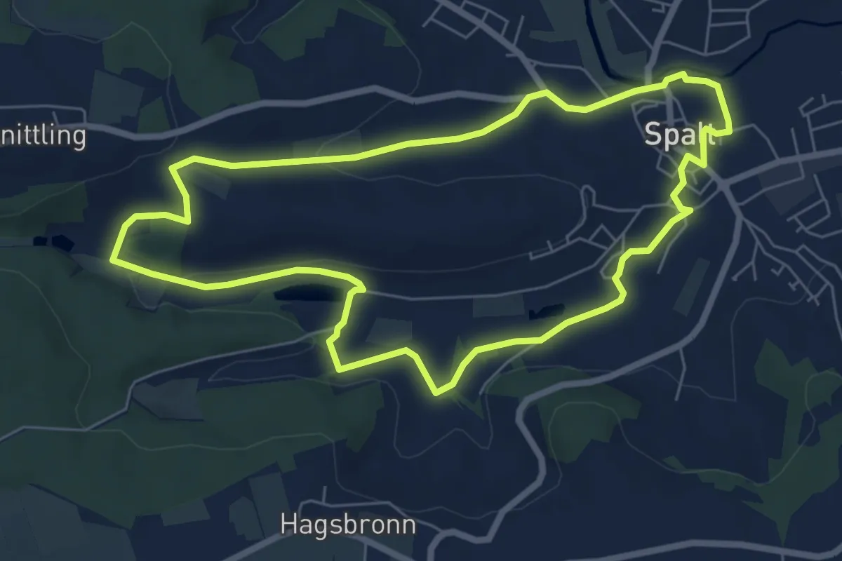
Easy · Trail
Spalt IVV 11
6.1 km · ↑ 82 m · 1 h 42 min
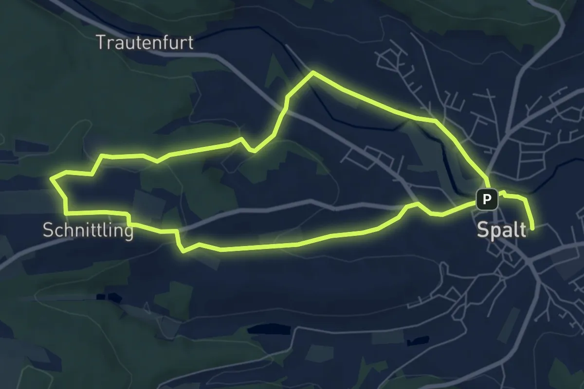
Easy · Summit
Spalt IVV 12
6.2 km · ↑ 123 m · 1 h 49 min
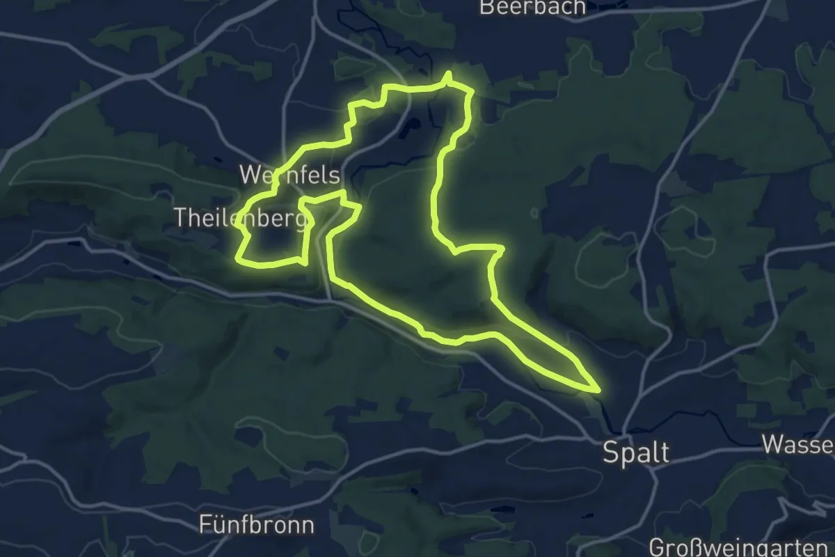
Medium · Trail
Spalt IVV 13
13.6 km · ↑ 275 m · 4 h
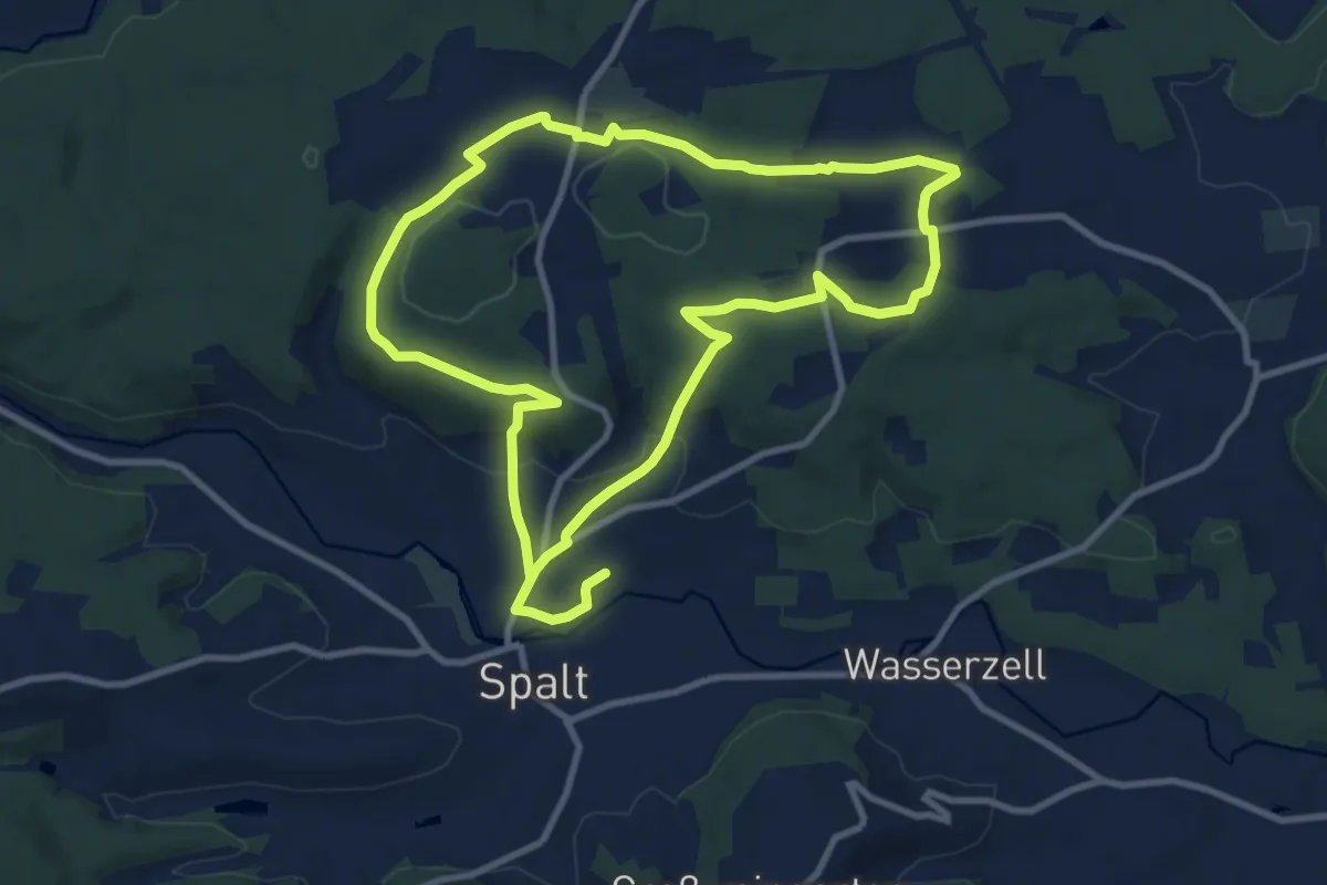
Demanding · Trail
Spalt IVV 14
18.8 km · ↑ 450 m · 5 h 24 min
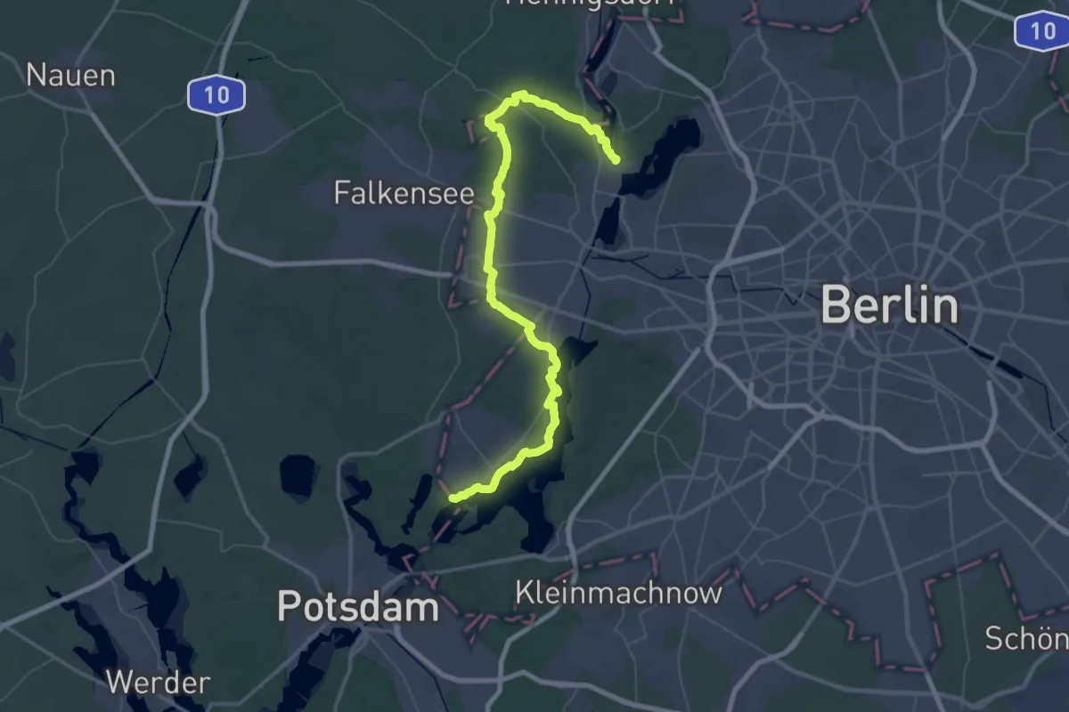
Demanding · Trail
Spandauer Weg
31.4 km · ↑ 141 m · 8 h 9 min
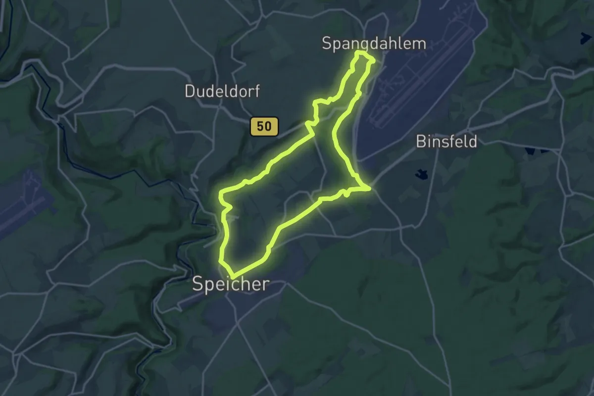
Medium · Trail
Spangweg
15.2 km · ↑ 281 m · 4 h 25 min
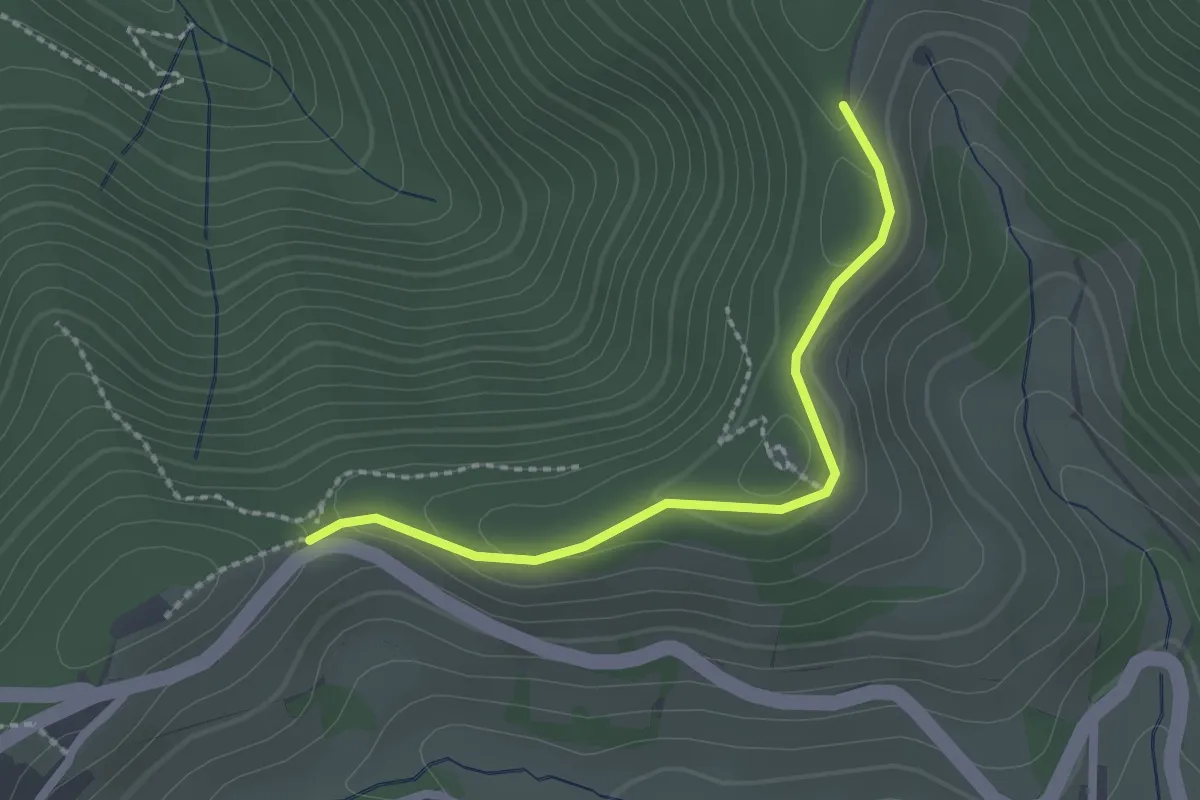
Easy · Trail
Spänplatz - Im Mond
2.1 km · ↑ 75 m · 39 min
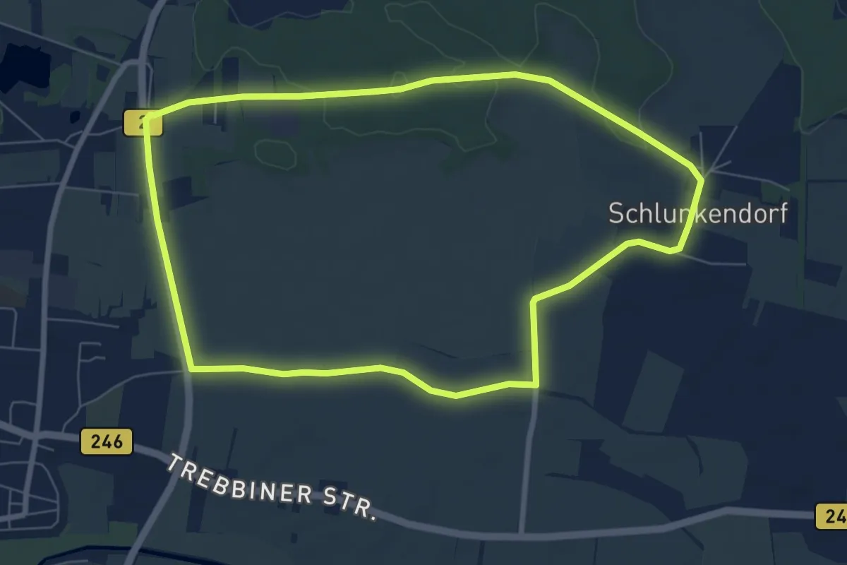
Easy · Trail
Spargelrundweg
6.4 km · ↑ 27 m · 1 h 40 min
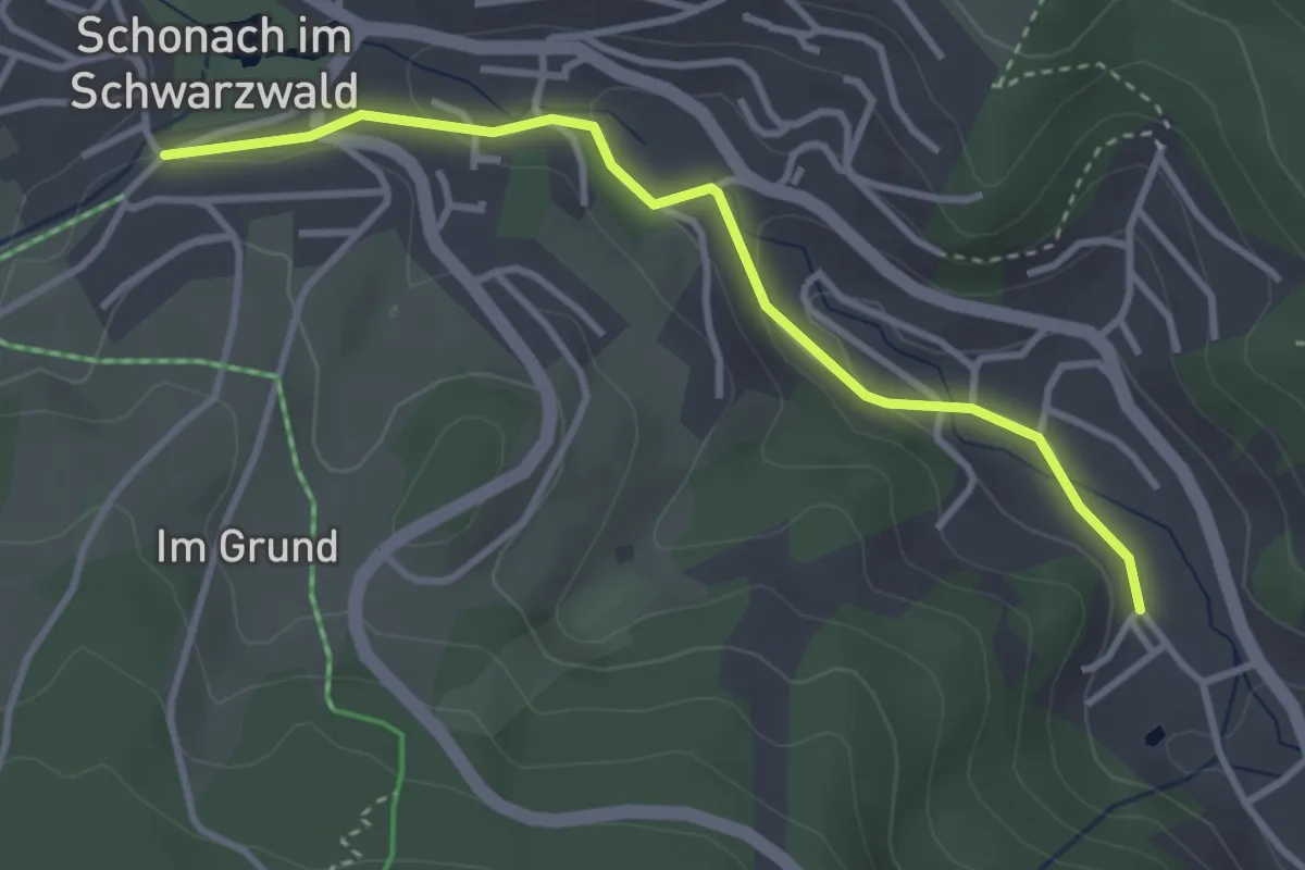
Easy · Trail
Sparkasse - Kuckucksuhr
3.3 km · ↑ 92 m · 59 min
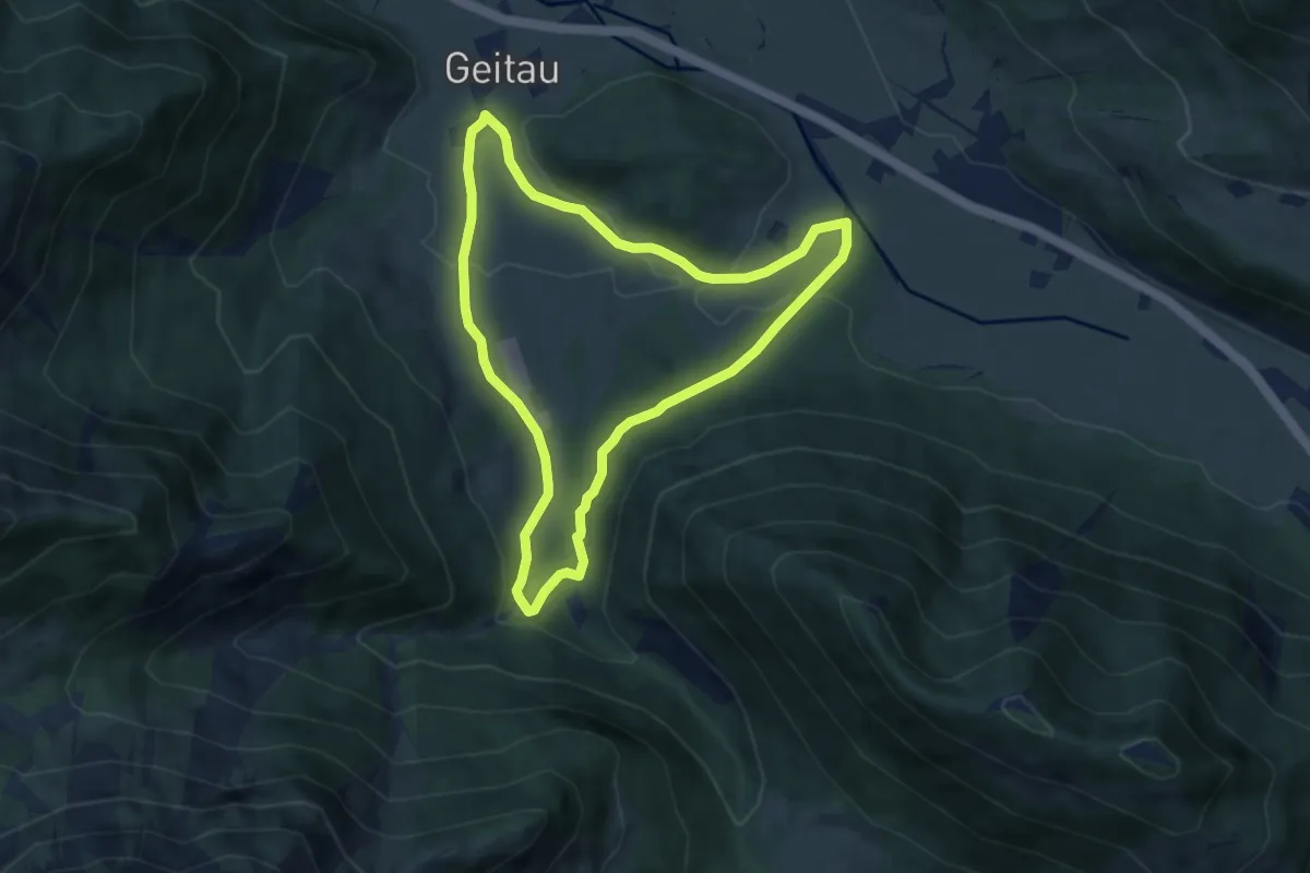
Easy · Trail
Sparkasse - Trail - Mieseben-Runde
6.4 km · ↑ 136 m · 1 h 54 min
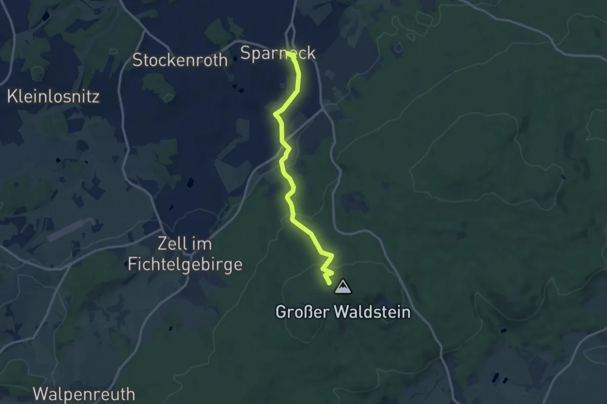
Medium · Trail
Sparneck-Großer Waldstein
9.1 km · ↑ 305 m · 2 h 48 min
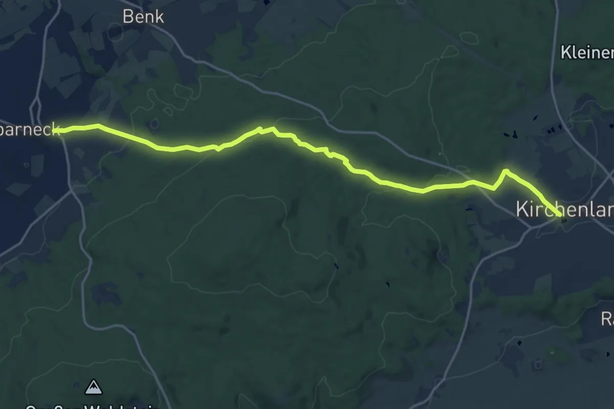
Medium · Trail
Sparneck - Kirchenlamitz
16.1 km · ↑ 345 m · 4 h 33 min
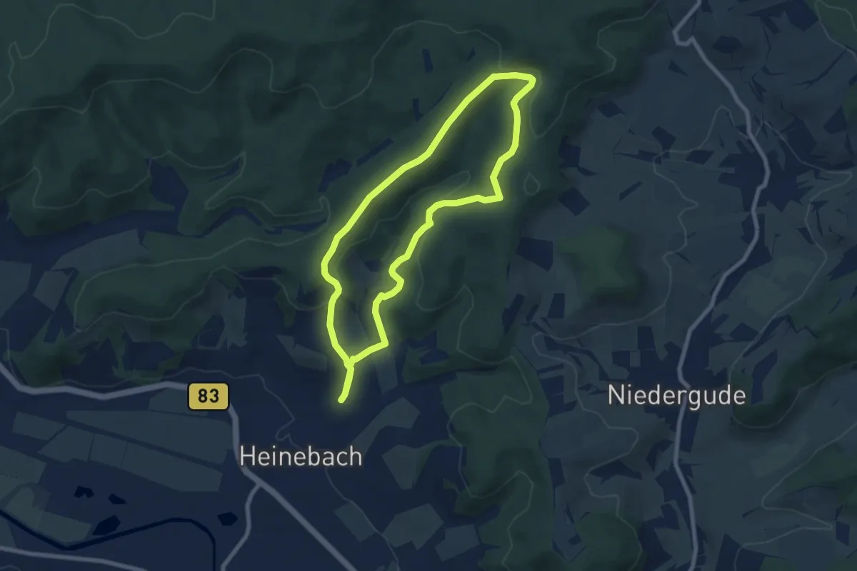
Easy · Summit
Sparnhagen-Tour
6.4 km · ↑ 226 m · 2 h 5 min
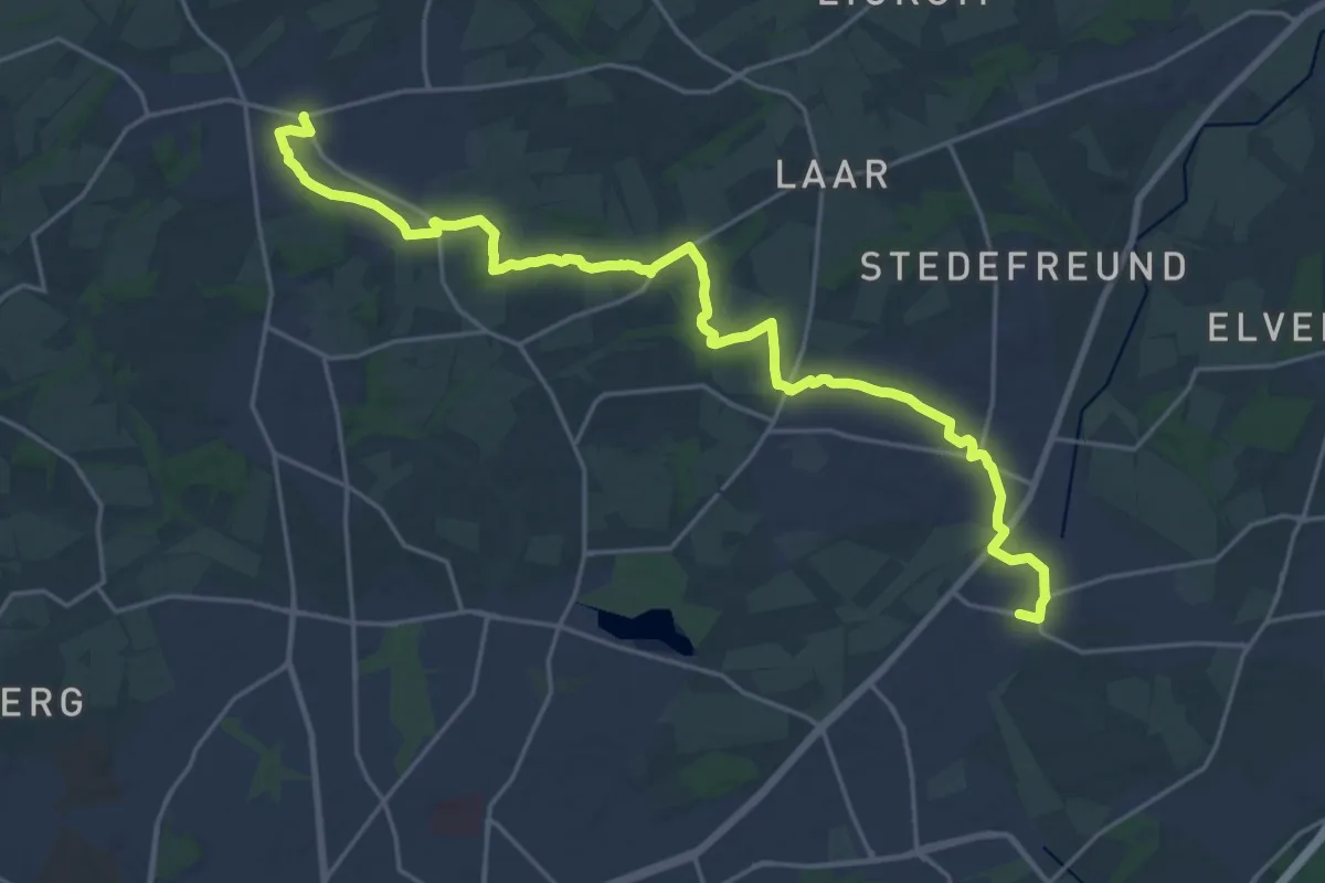
Demanding · Trail
Sparrenweg
22.7 km · ↑ 148 m · 5 h 41 min
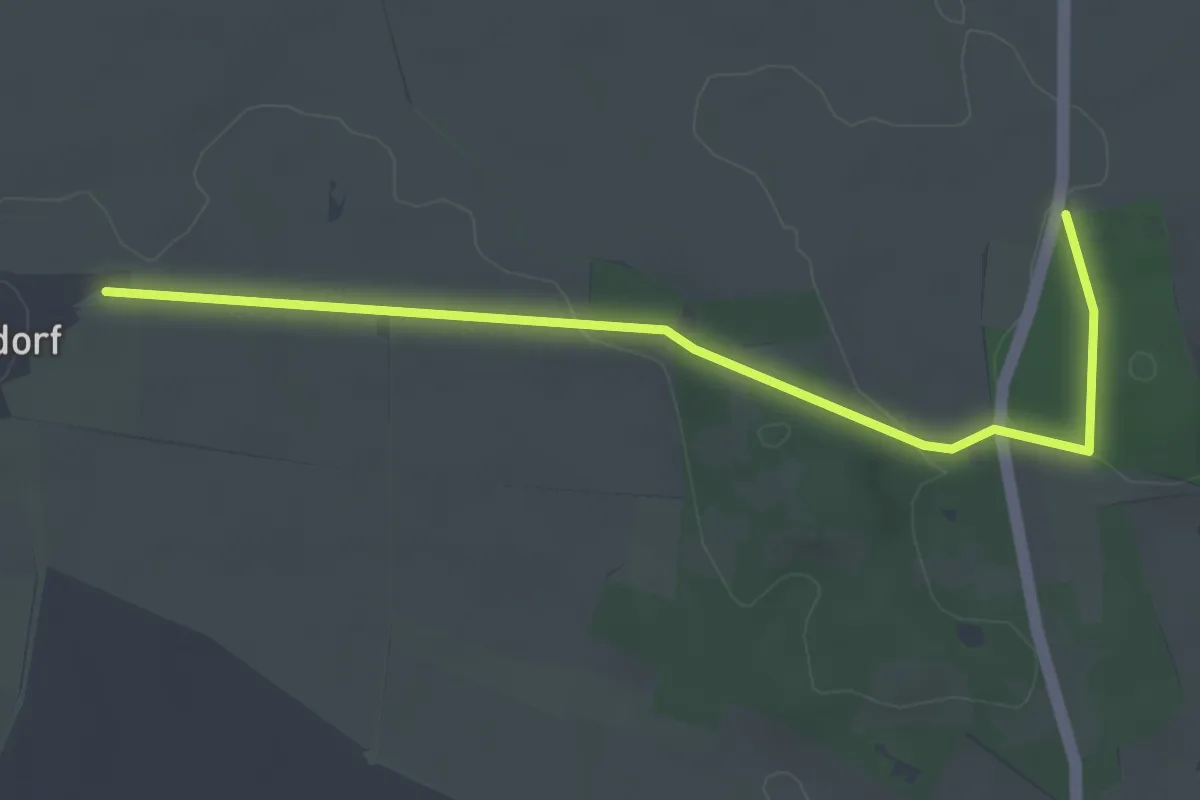
Easy · Trail
Spaßwanderweg Rundweg 2
1.9 km · ↑ 17 m · 31 min
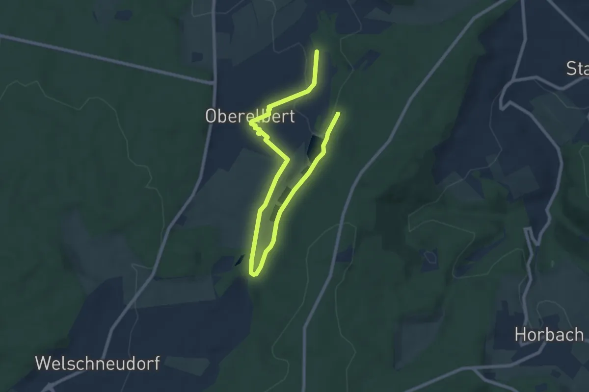
Medium · Trail
Spaziergang am Bach
8.1 km · ↑ 123 m · 2 h 11 min