Trails in Germany
36,852 hiking trails, each with its route, climb, walking time and grade.
All trails, page 598 of 768
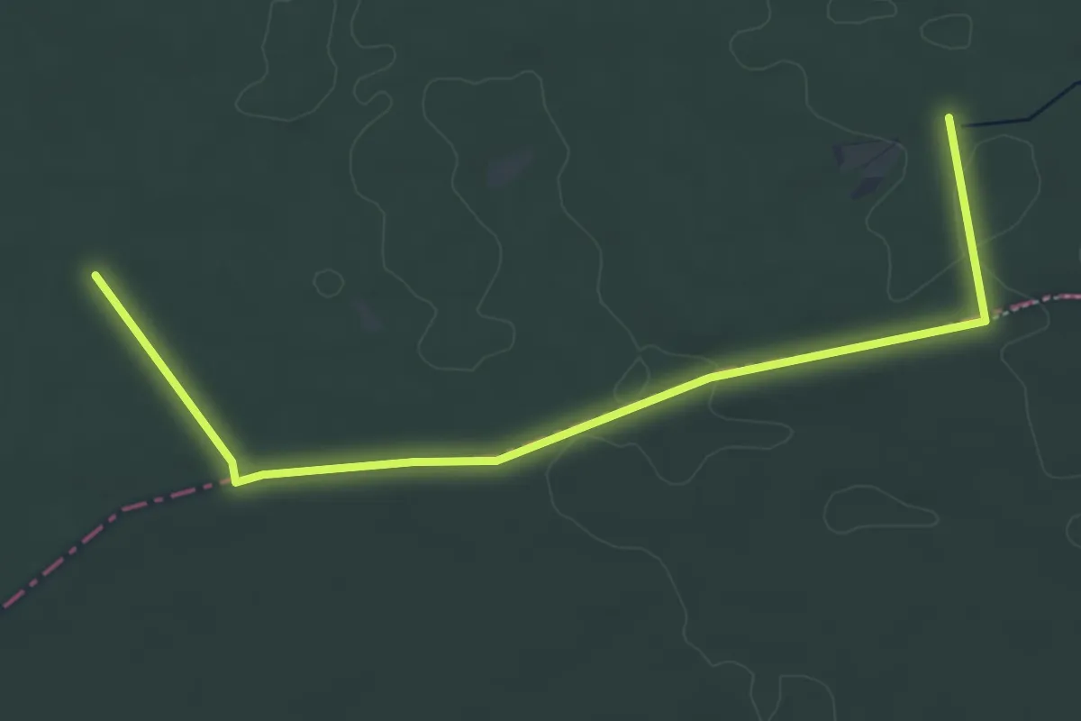
Easy · Trail
Spessartspuren - Niederrodenbach - Barbarossaquelle und Klosterruine
2.7 km · ↑ 0 m · 41 min
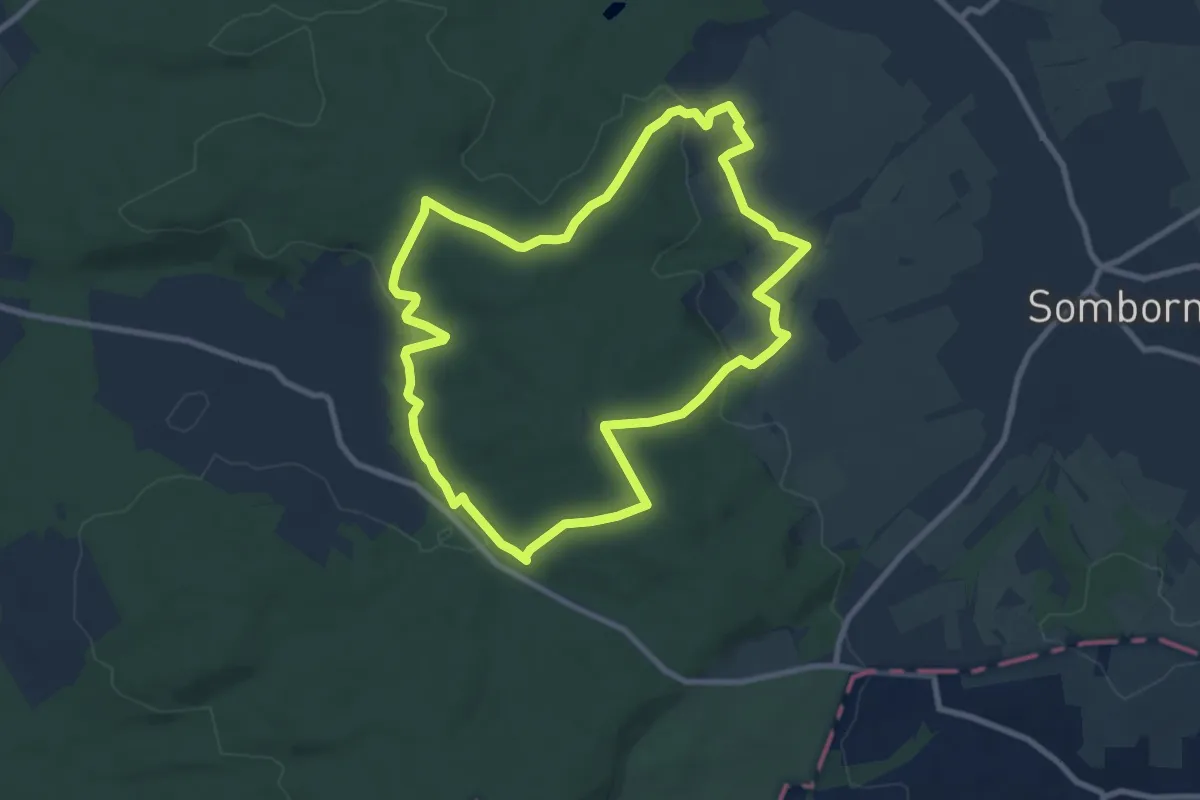
Medium · Summit
Spessartspuren - Oberrodenbach – Dicke Tanne und Edelweißhütte
8.3 km · ↑ 161 m · 2 h 25 min
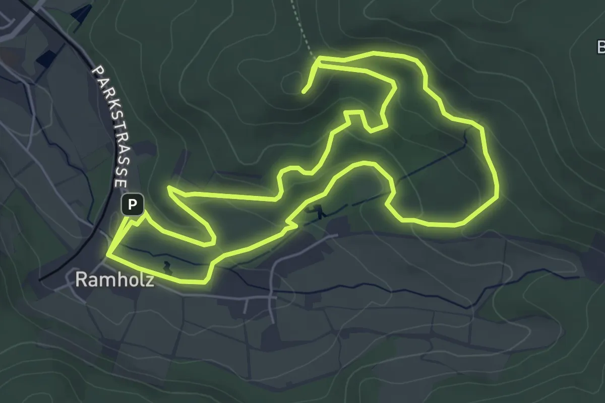
Easy · Trail
Spessartspuren - Ramholzer Schosspark und Burg Steckelberg
5.9 km · ↑ 153 m · 1 h 49 min
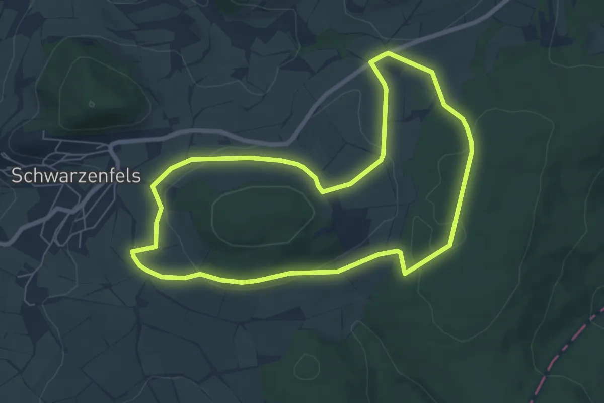
Easy · Trail
Spessartspuren - Schwarzenfelser Sonnenseite
5.7 km · ↑ 105 m · 1 h 40 min
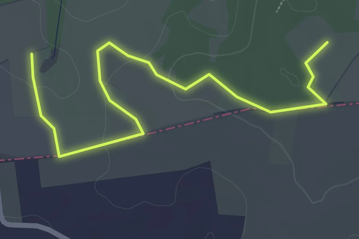
Easy · Trail
Spessartspuren - Somborner Hügelland-Spur
1.8 km · ↑ 32 m · 31 min
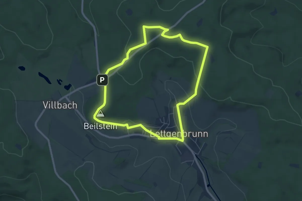
Easy · Summit
Spessartspuren - Stelzengarten - Beilstein-Spur
5.6 km · ↑ 123 m · 1 h 40 min
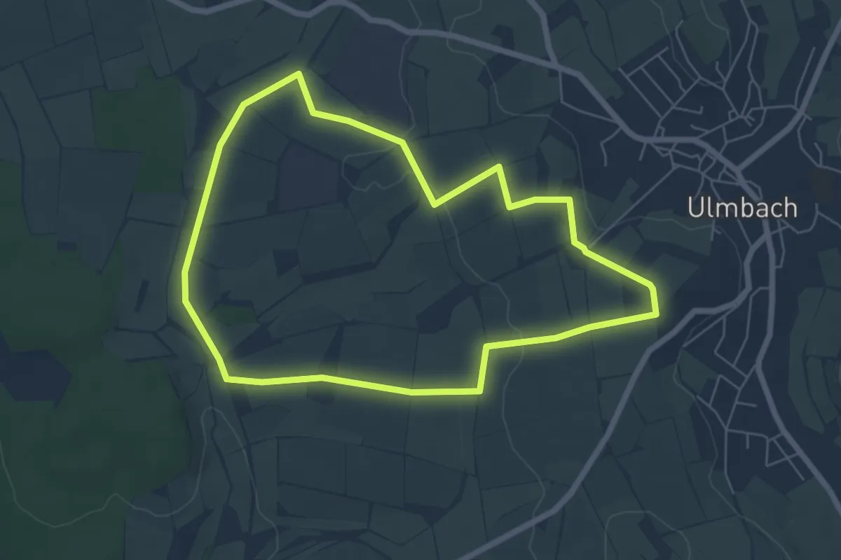
Easy · Summit
Spessartspuren - Ulmbacher Höhenrunde
5.4 km · ↑ 61 m · 1 h 30 min
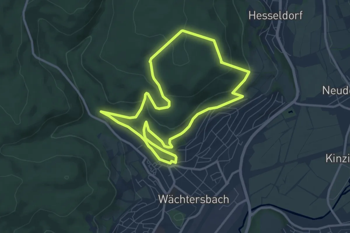
Easy · Trail
Spessartspuren - Wächtersbacher Schlosswald-Spur
7.1 km · ↑ 213 m · 2 h 15 min
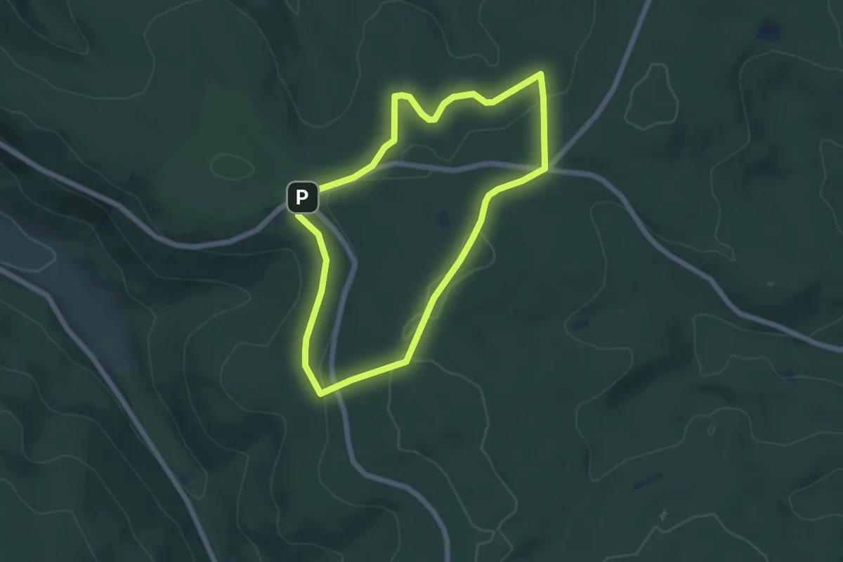
Easy · Trail
Spessartspuren - Wegscheide Bad Orb und Burgjosser Heiligen
4.6 km · ↑ 110 m · 1 h 24 min
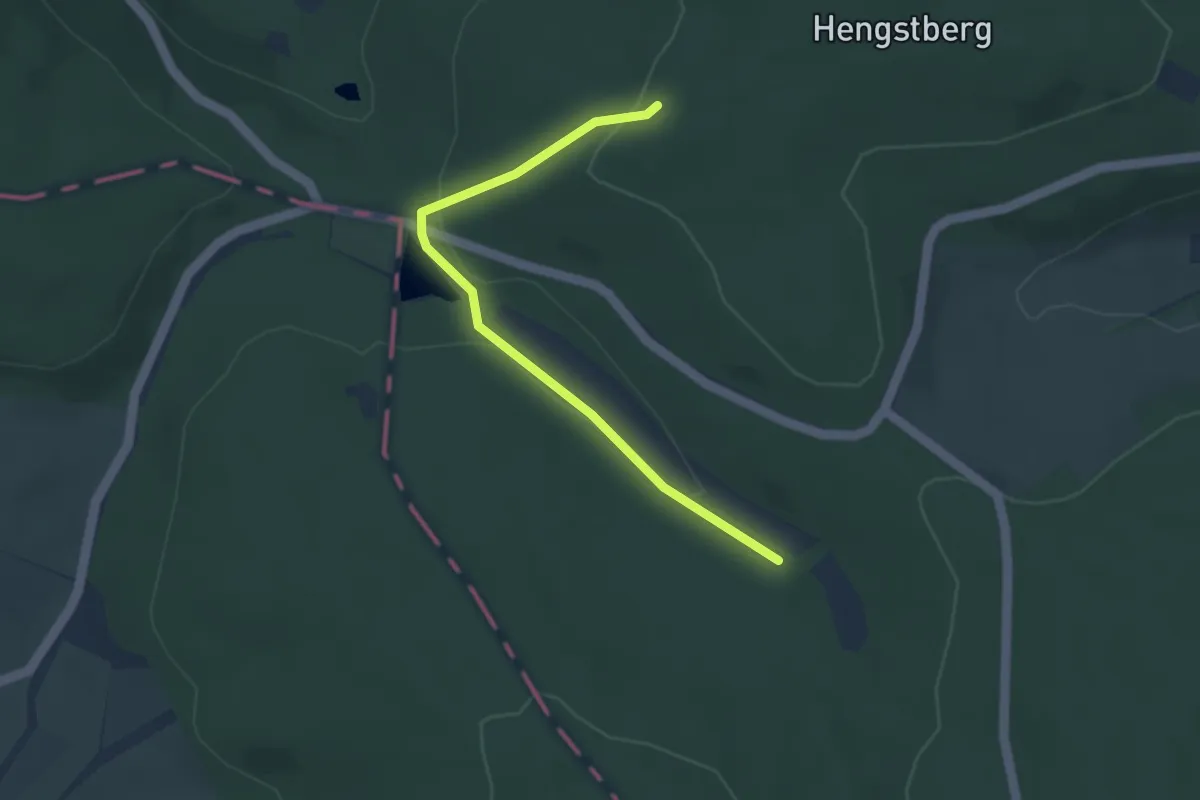
Easy · Trail
Spessartspuren - Wiesbüttmoor und Flörsbacher Panorama
1.7 km · ↑ 18 m · 29 min
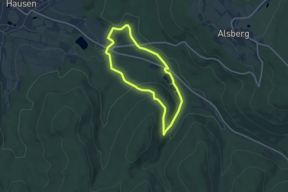
Easy · Trail
Spessartspuren - Wildromantische Hirschbornteiche
5.1 km · ↑ 144 m · 1 h 35 min
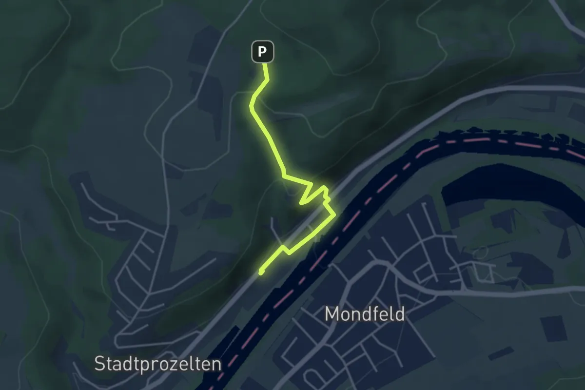
Easy · Trail
Spessartweg 2
3.0 km · ↑ 156 m · 1 h 3 min
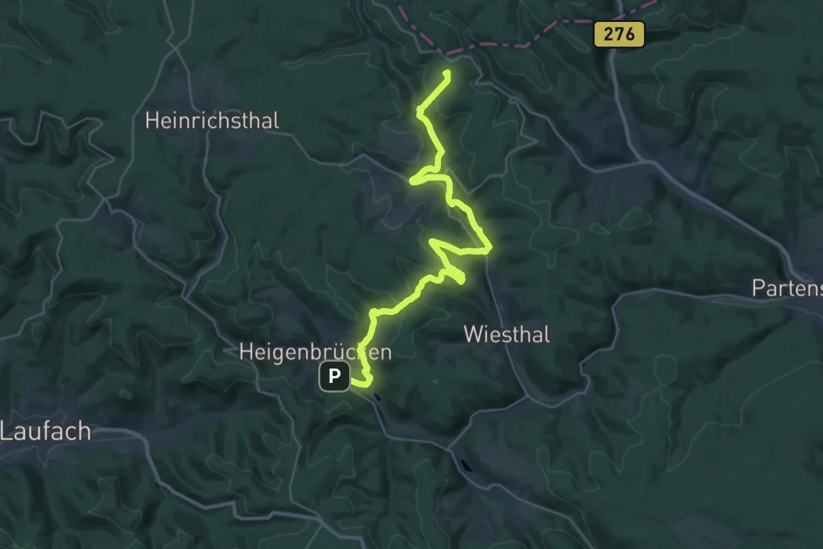
Demanding · Summit
Spessartweg 3
26.8 km · ↑ 662 m · 7 h 46 min
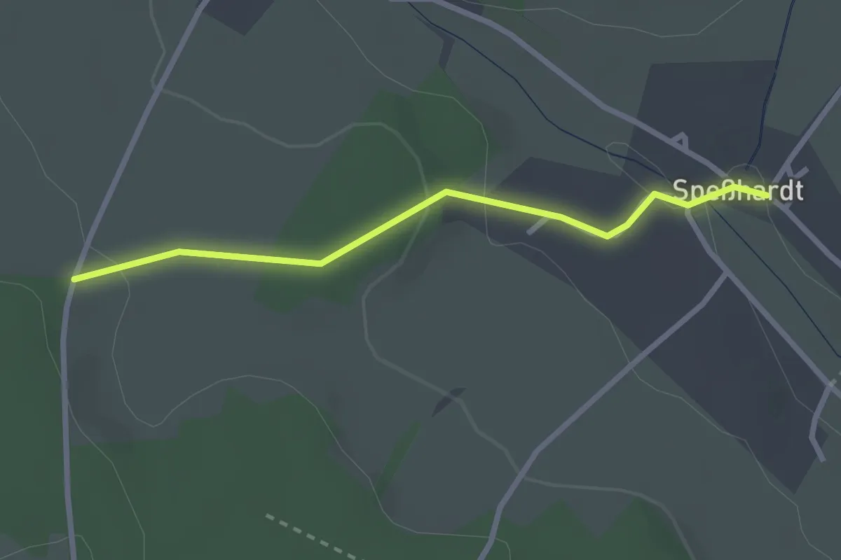
Easy · Trail
Speßhardt - Hausäcker
2.3 km · ↑ 63 m · 42 min
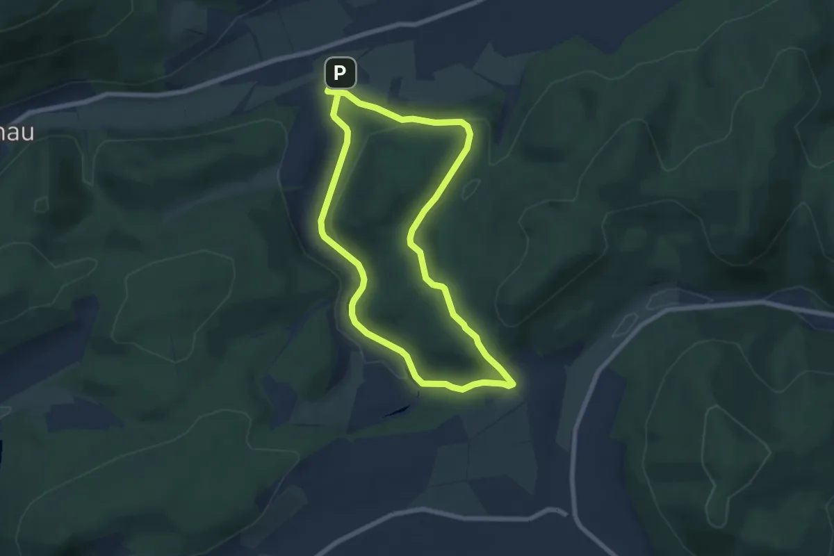
Easy · Trail
Spicke - Route 1
5.4 km · ↑ 139 m · 1 h 39 min
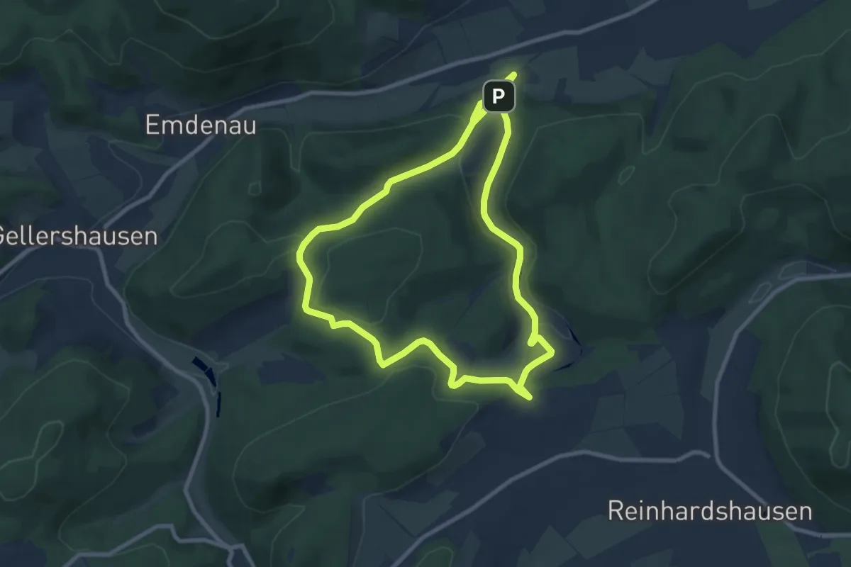
Easy · Trail
Spicke - Route 2
7.3 km · ↑ 212 m · 2 h 16 min
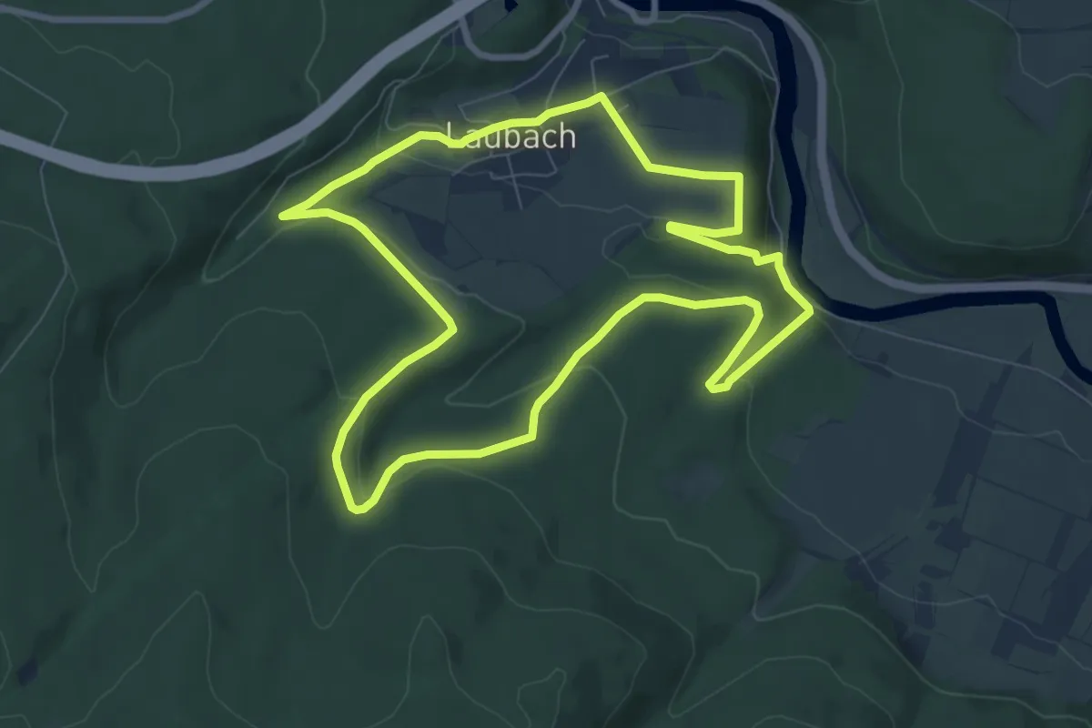
Easy · Trail
Spiegelburg, Zella und Kaufunger Wald
7.4 km · ↑ 218 m · 2 h 19 min
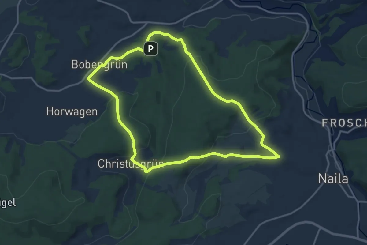
Medium · Trail
Spiegelwald-Weg US 41
9.2 km · ↑ 319 m · 2 h 59 min
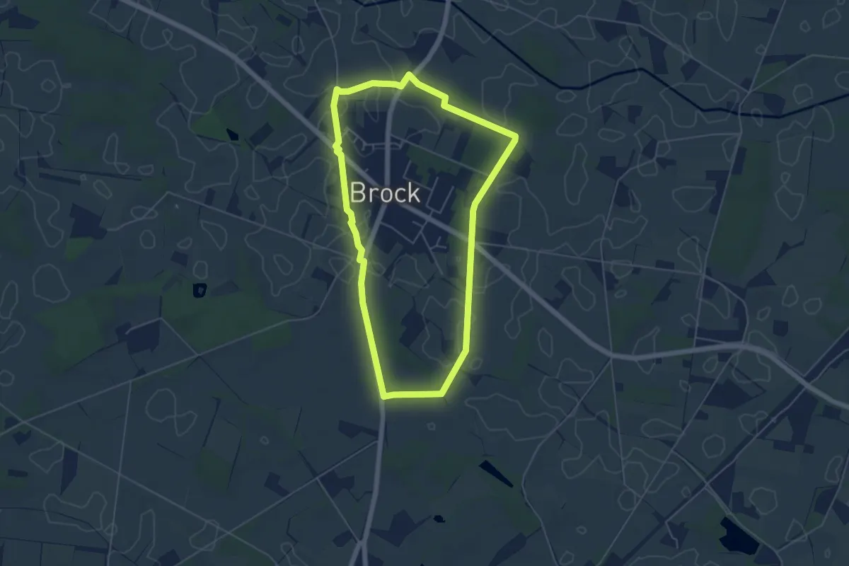
Easy · Trail
Spiekerwanderroute Ostbevern
4.4 km · ↑ 8 m · 1 h 7 min
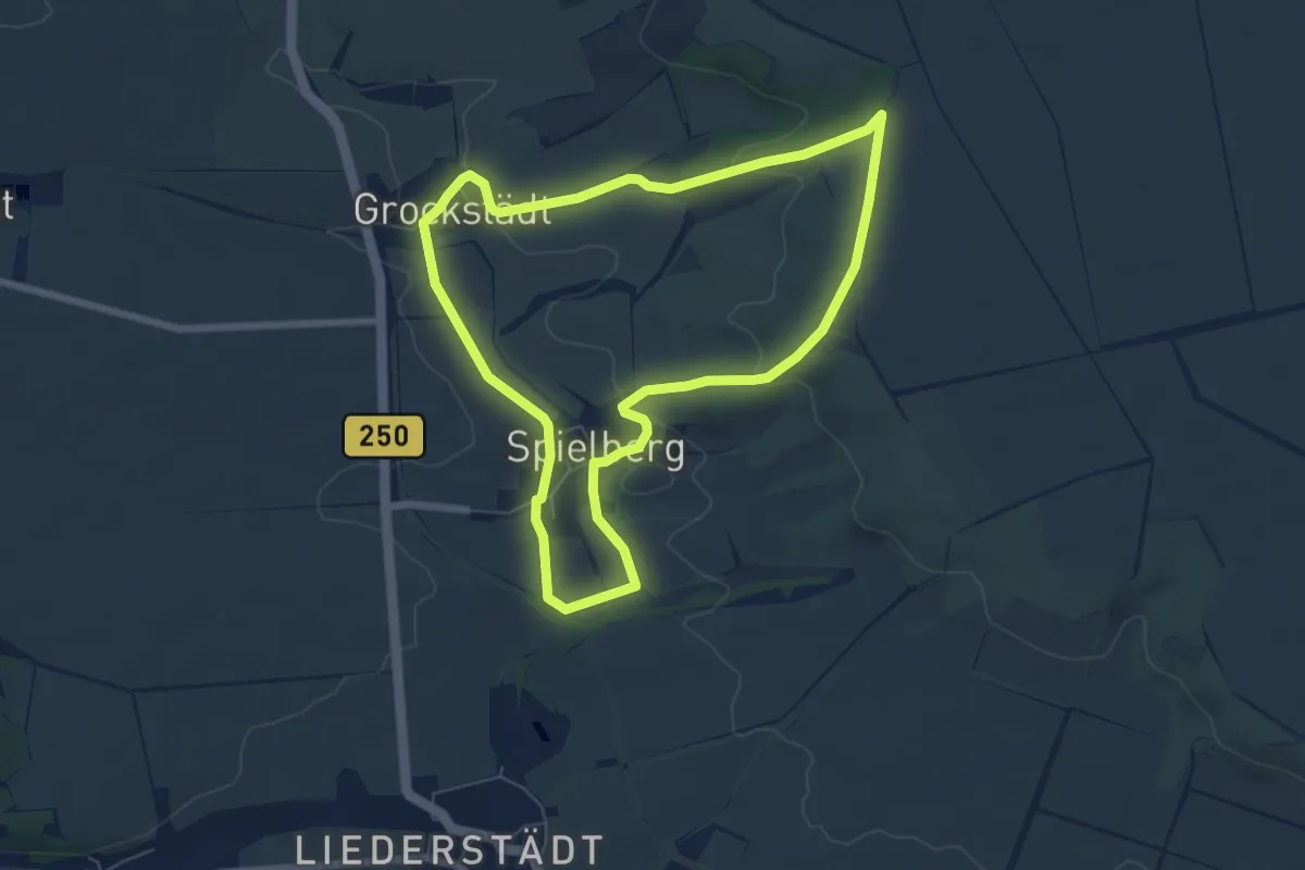
Easy · Trail
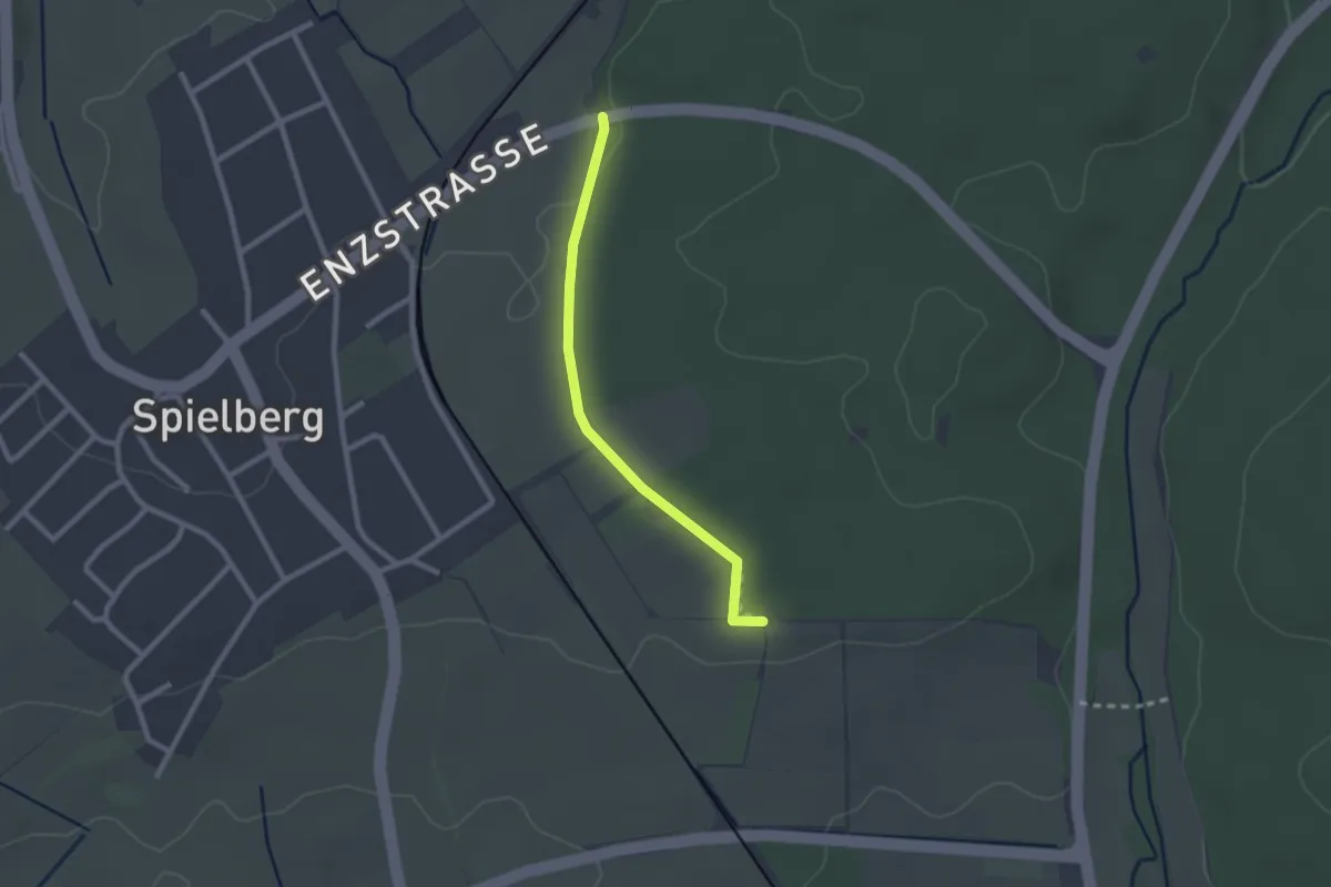
Spielberger Höhe
5.9 km · ↑ 97 m · 1 h 41 min
Easy · Trail
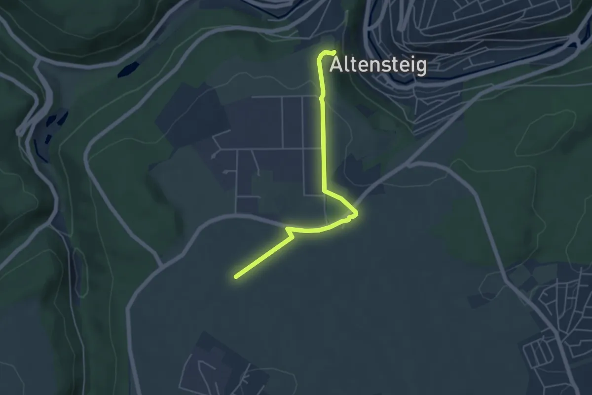
Spielberger Waldkulturpfad
2.1 km · ↑ 9 m · 30 min
Easy · Trail
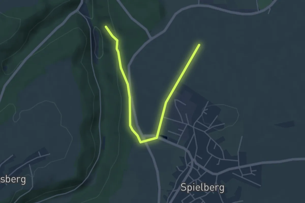
Spielberg Härte - Altensteig Schlossberg
4.2 km · ↑ 63 m · 1 h 7 min
Easy · Trail
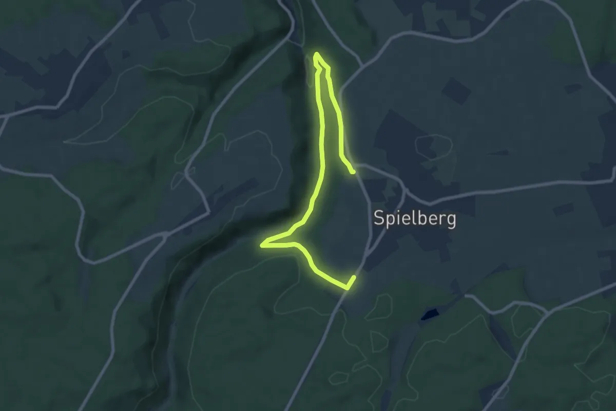
Spielberg Härte - Kohlsteige
4.6 km · ↑ 90 m · 1 h 17 min
Medium · Trail
Spielberg Rundweg 5
8.6 km · ↑ 252 m · 2 h 34 min
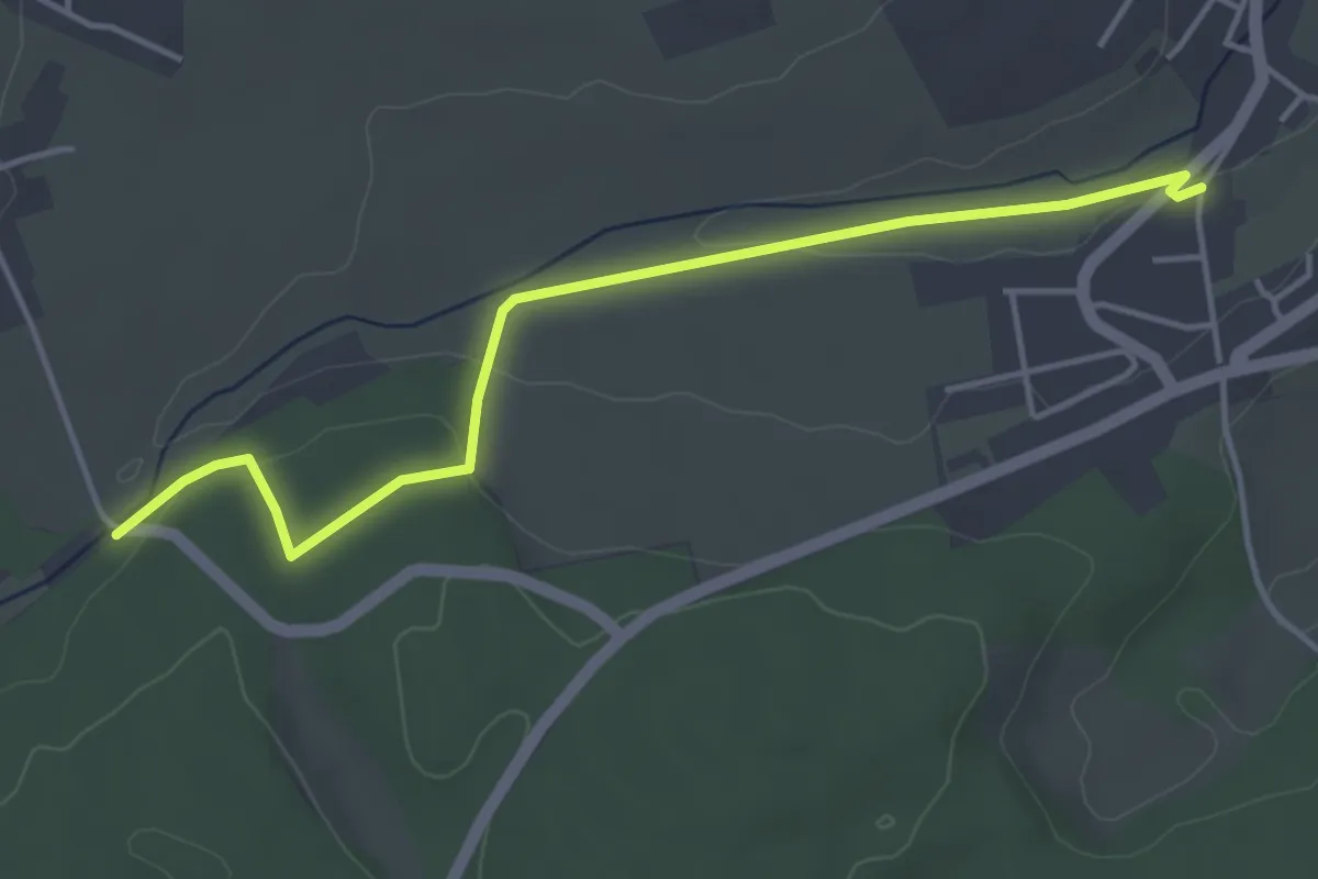
Easy · Trail
Spielberg Ziegelhütte - Egenhausen Stauchberg
4.3 km · ↑ 90 m · 1 h 12 min
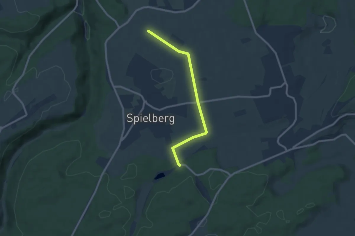
Easy · Trail
Spielberg Ziegelhütte - Spielberg Härte
5.6 km · ↑ 62 m · 1 h 27 min
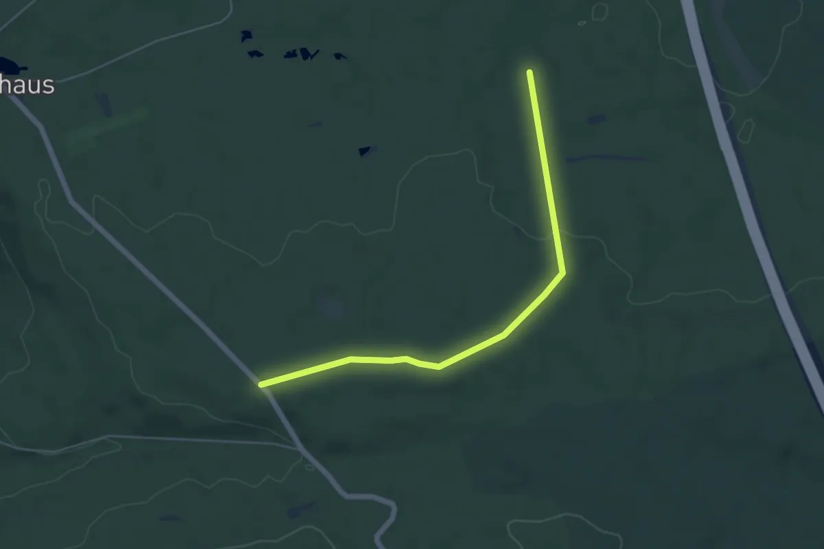
Easy · Trail
Spieleiche - Maihütte
5.0 km · ↑ 76 m · 1 h 21 min
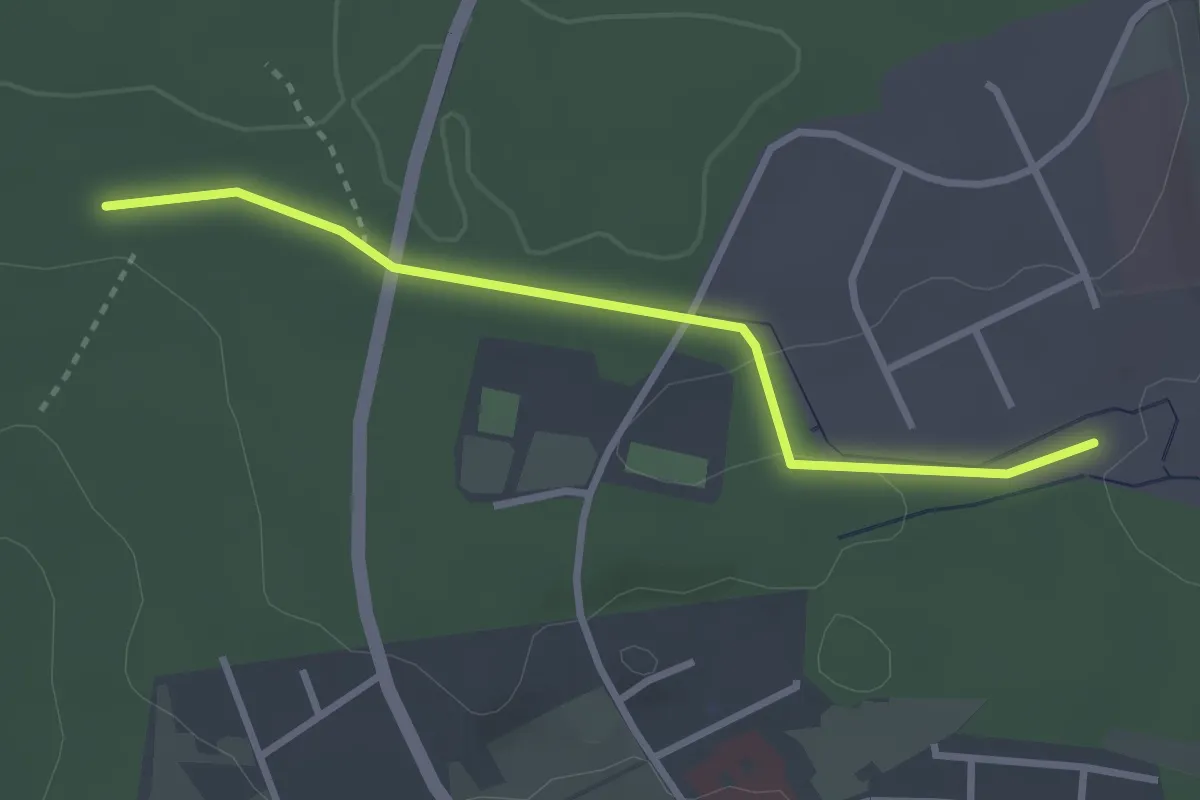
Easy · Trail
Spielplatz Hüttenteich - Sulzhau
2.8 km · ↑ 42 m · 45 min
Easy · Trail
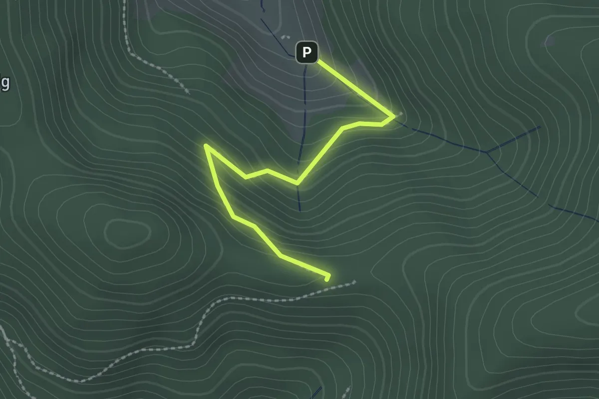
Spielplatz Pfaffendobel - Pfaffeneck
2.2 km · ↑ 165 m · 52 min
Easy · Trail
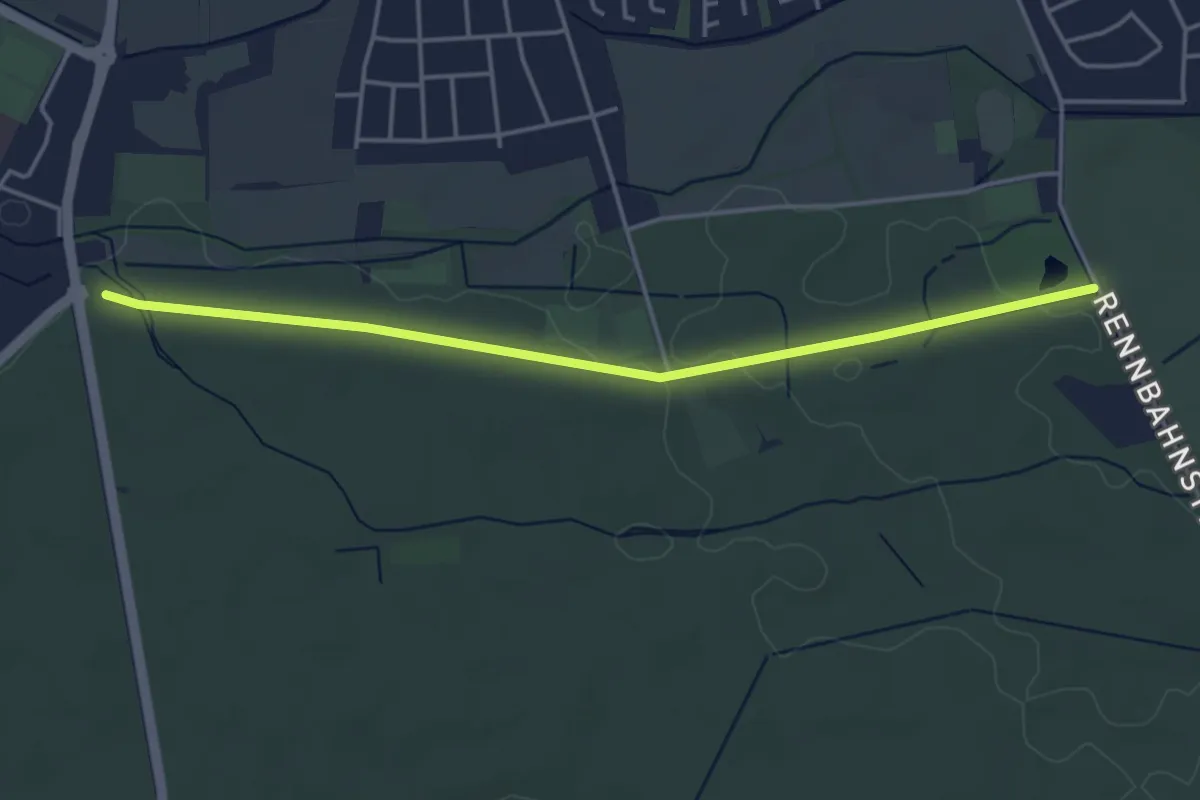
Spielweg im Haßlocher Wald
4.1 km · ↑ 5 m · 58 min
Demanding · Trail
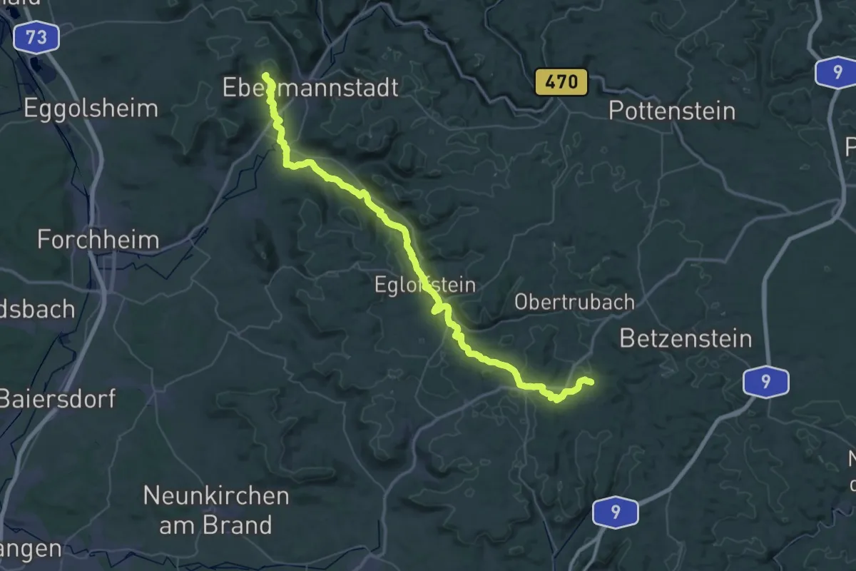
Spies - Ebermannstadt
26.6 km · ↑ 641 m · 8 h 3 min
Easy · Trail
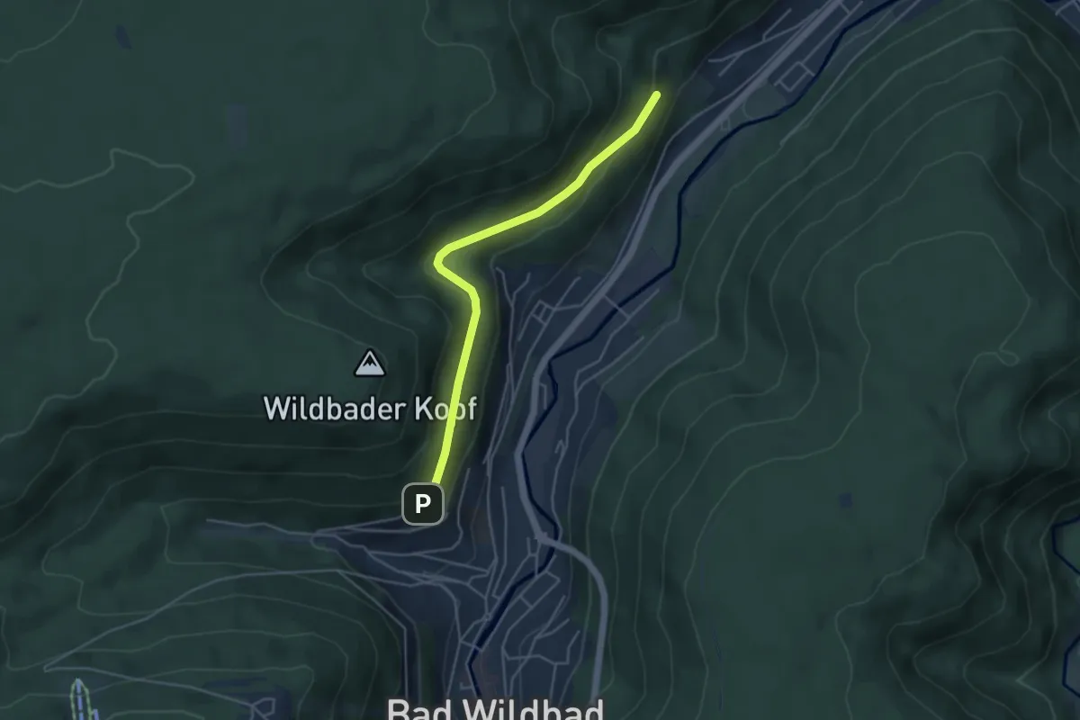
Spiessfeld - Paulinenhöhe
4.1 km · ↑ 147 m · 1 h 17 min
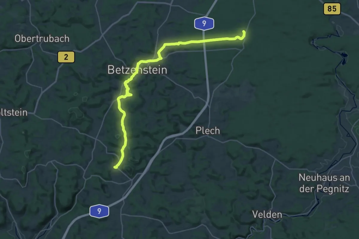
Demanding · Trail
Spies - Wildgehege Hufeisen
27.4 km · ↑ 512 m · 7 h 34 min
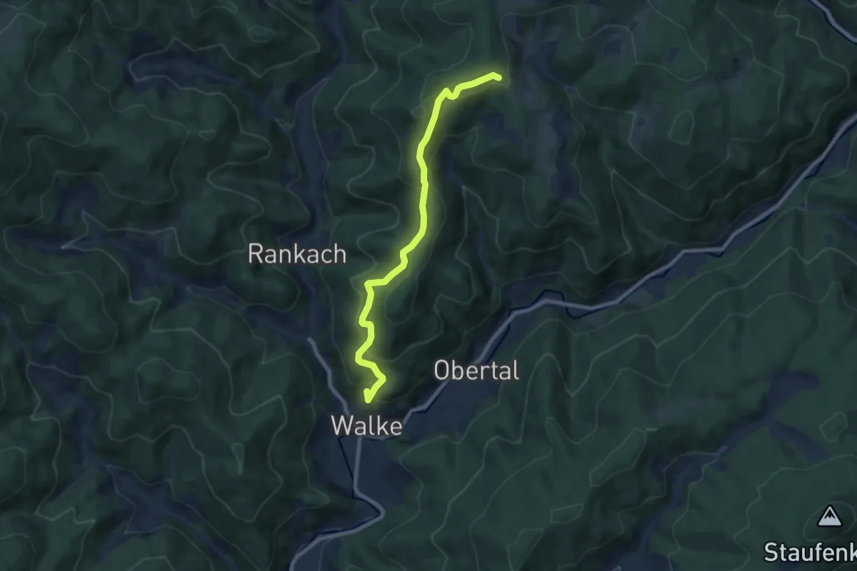
Medium · Trail
Spinnerberg - Schwarzenbruch Schremppenhöhe
7.3 km · ↑ 471 m · 2 h 45 min
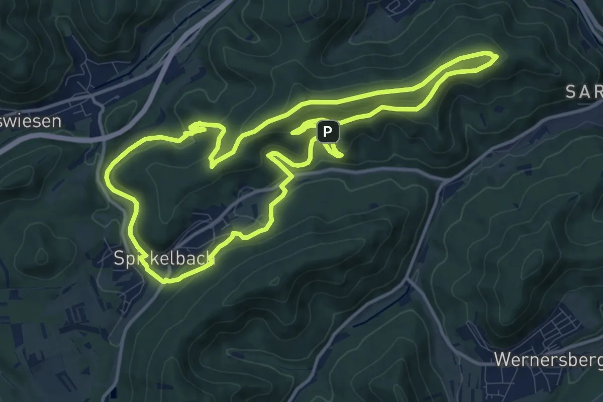
Medium · Trail
Spirkelbacher Höhenweg
10.5 km · ↑ 385 m · 3 h 27 min
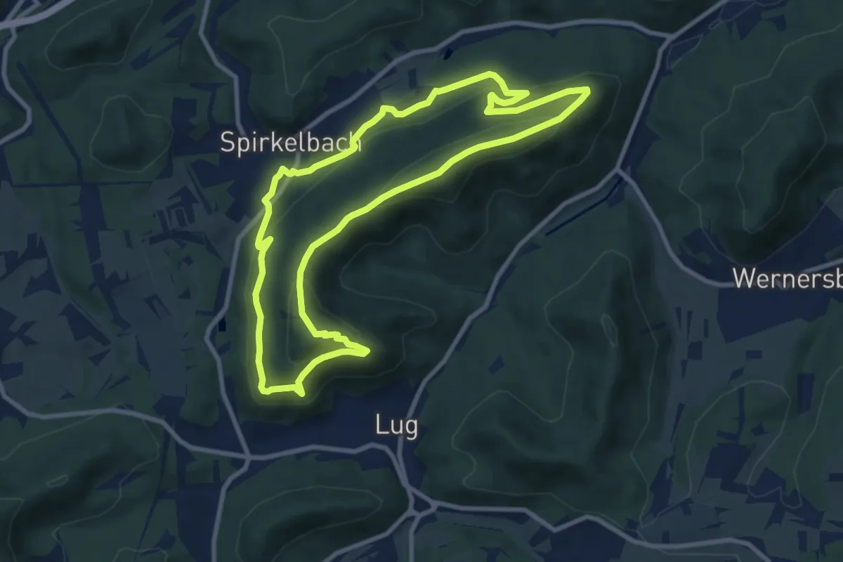
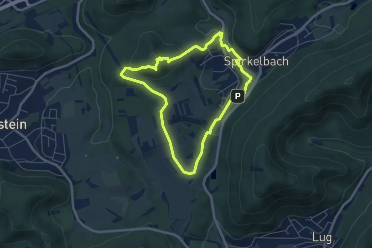
Medium · Summit
Spirkelbacher Höllenberg-Tour (Premiumwanderweg)
8.0 km · ↑ 409 m · 2 h 53 min
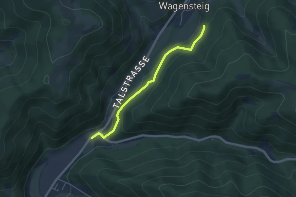
Medium · Summit
Spirkelbacher Rauberg-Tour
4.5 km · ↑ 133 m · 1 h 25 min
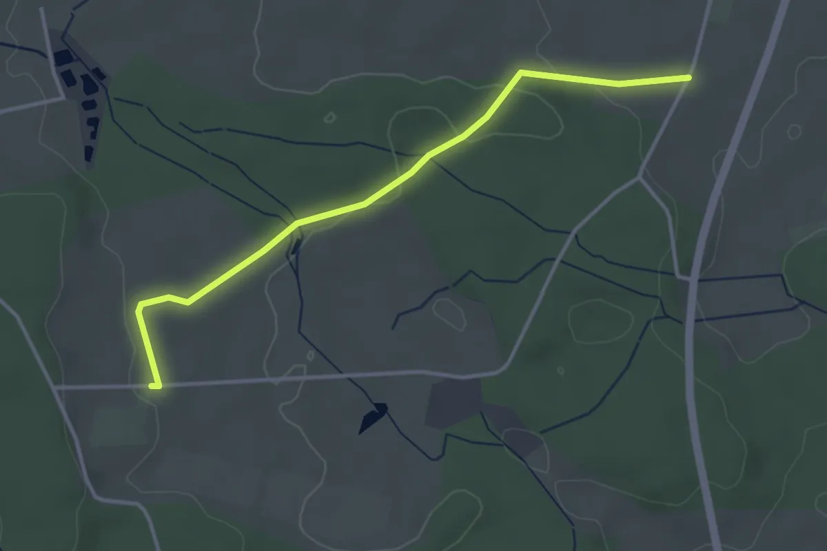
Easy · Trail
Spirzen Rombachhof - Wasserbehälter
3.6 km · ↑ 167 m · 1 h 13 min
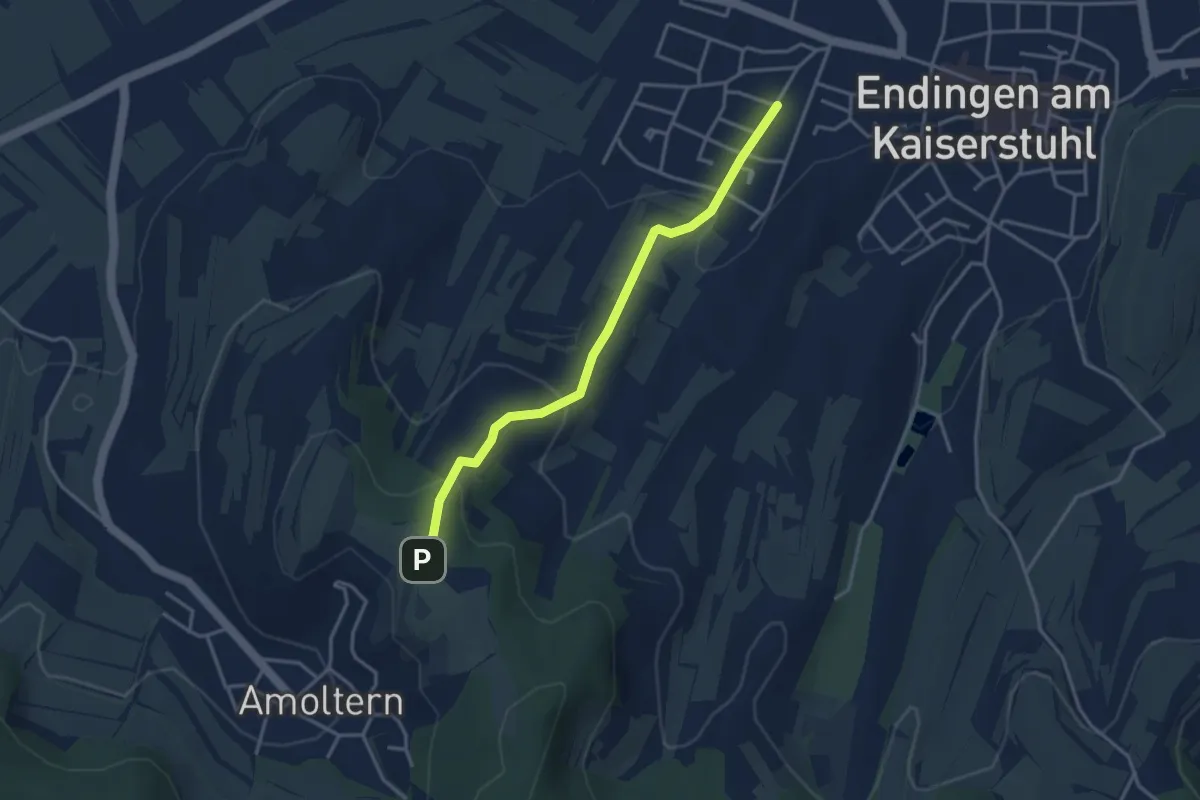
Easy · Trail
Spitalhöfe - Häringshöfe
3.5 km · ↑ 49 m · 56 min
Easy · Trail
Spitalwald - Endingen Schöneberg
3.3 km · ↑ 133 m · 1 h 4 min
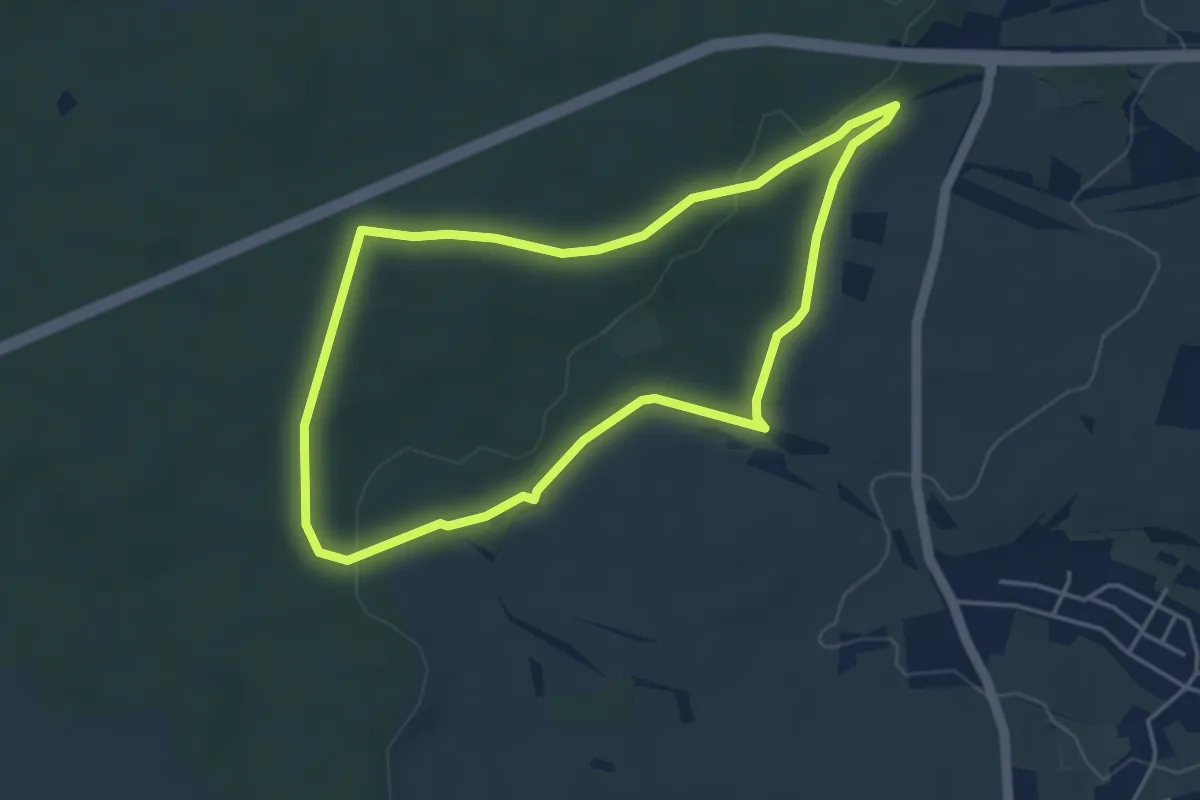
Easy · Trail
Spitalwald-Route
3.9 km · ↑ 46 m · 1 h 5 min
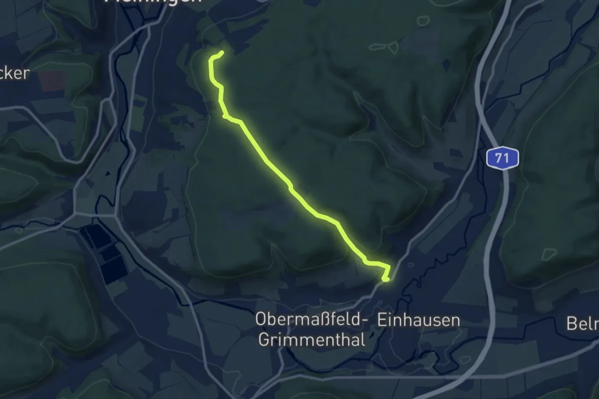
Medium · Trail
Spitalweg
8.4 km · ↑ 259 m · 2 h 32 min
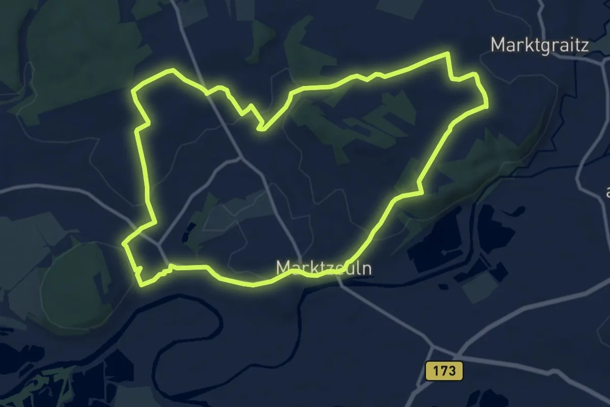
Medium · Trail
Spitzbergrundweg
9.7 km · ↑ 145 m · 2 h 45 min
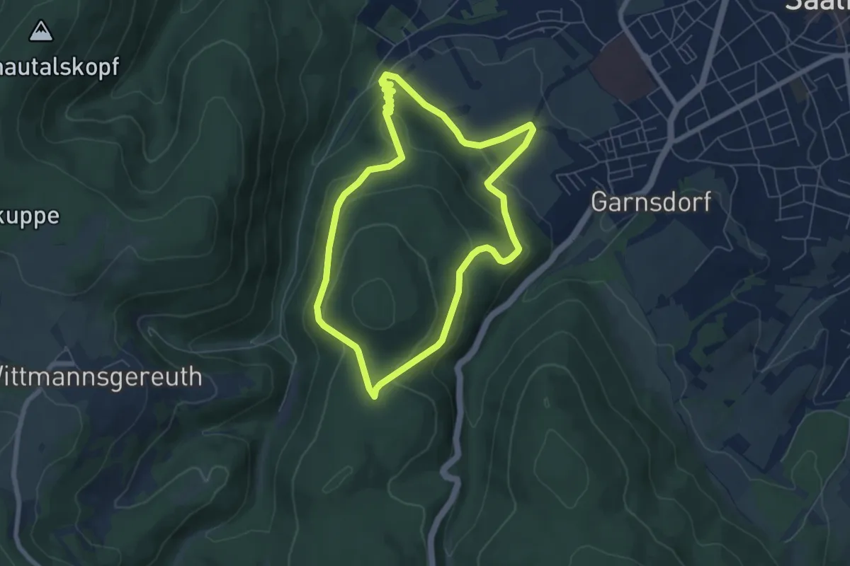
Easy · Summit
Spitzberg Rundweg (Grünes Dreieck)
5.6 km · ↑ 232 m · 1 h 54 min
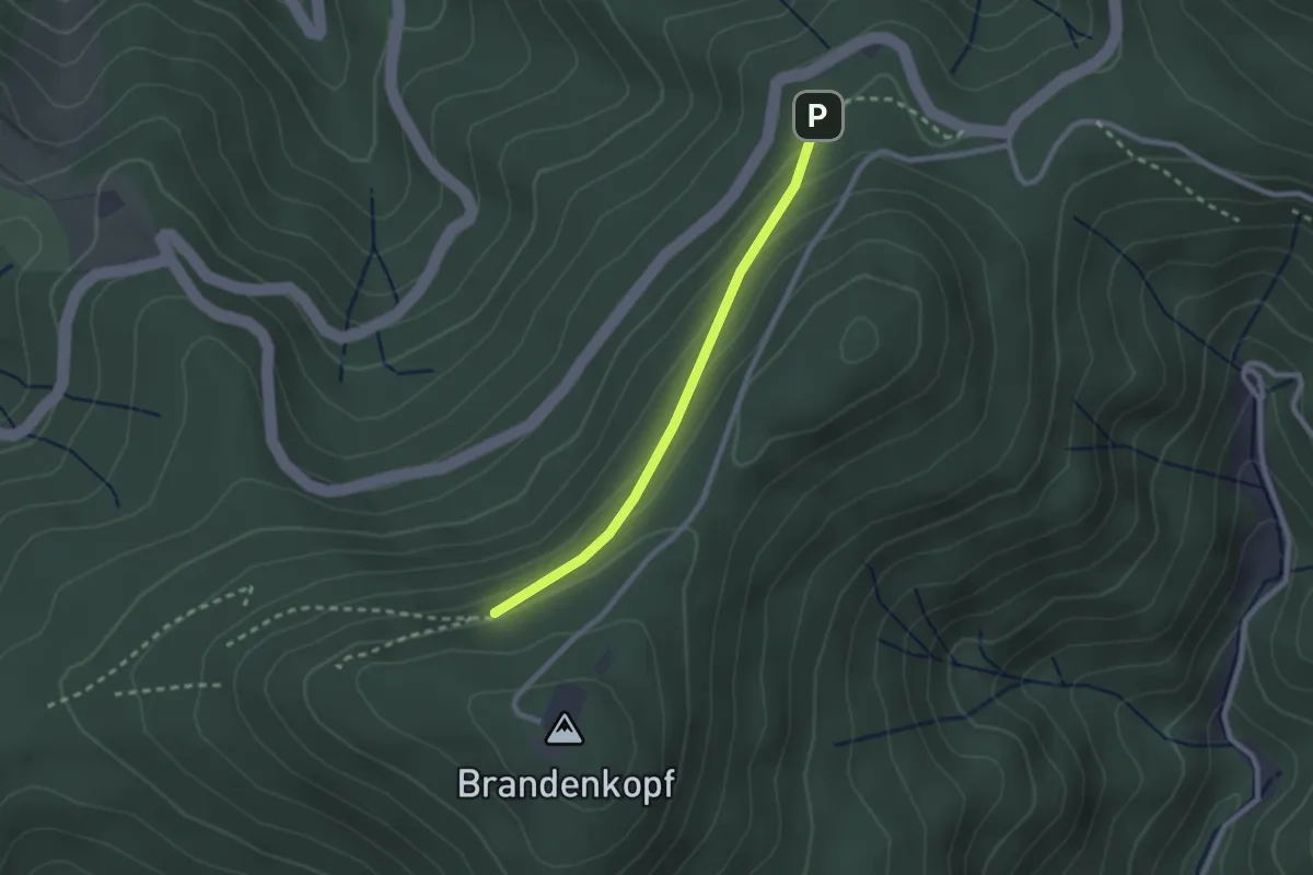
Easy · Trail
Spitzbrunnen - Steiglehütte
2.1 km · ↑ 96 m · 42 min
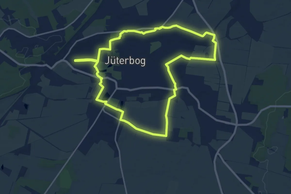
Medium · Trail
Spitzbubenweg
10.9 km · ↑ 30 m · 2 h 48 min
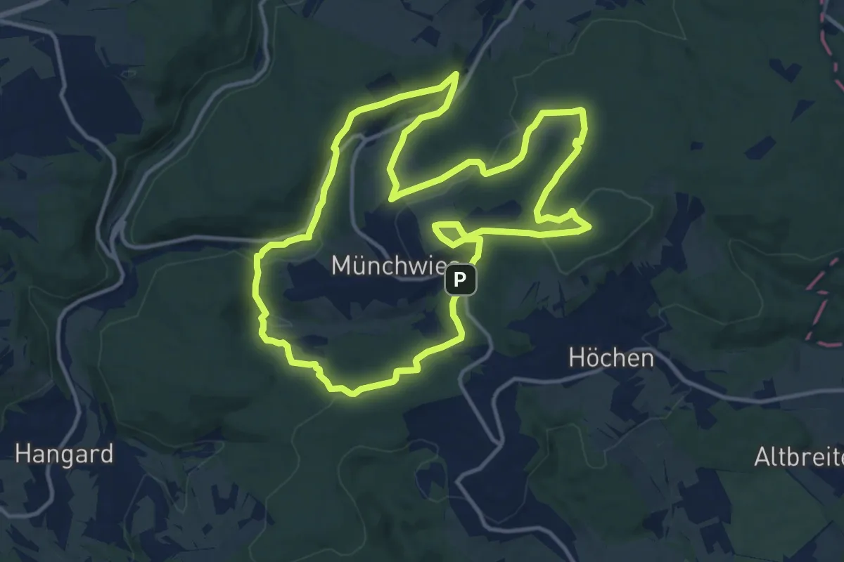
Medium · Summit
Spitzbubenweg Münchwies 13/14
12.1 km · ↑ 366 m · 3 h 49 min
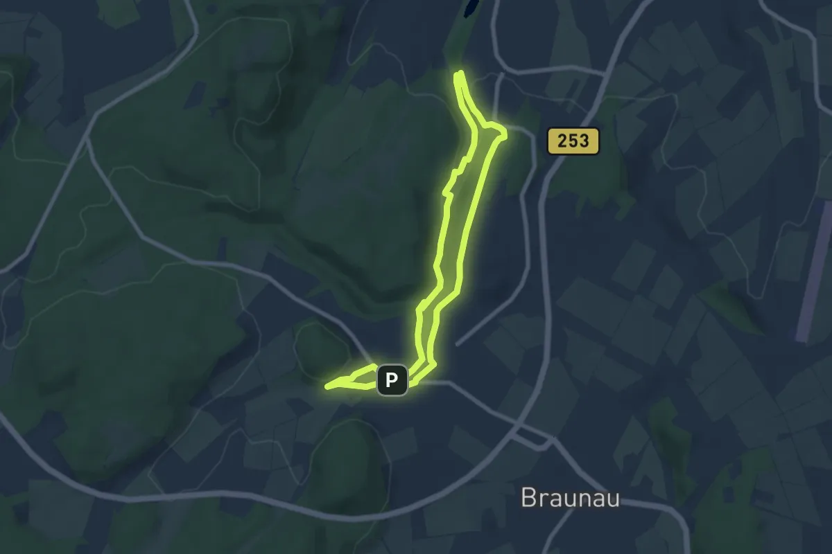
Easy · Trail
Spitzegrund - Route 1
6.1 km · ↑ 124 m · 1 h 47 min