Trails in Germany
36,852 hiking trails, each with its route, climb, walking time and grade.
All trails, page 599 of 768
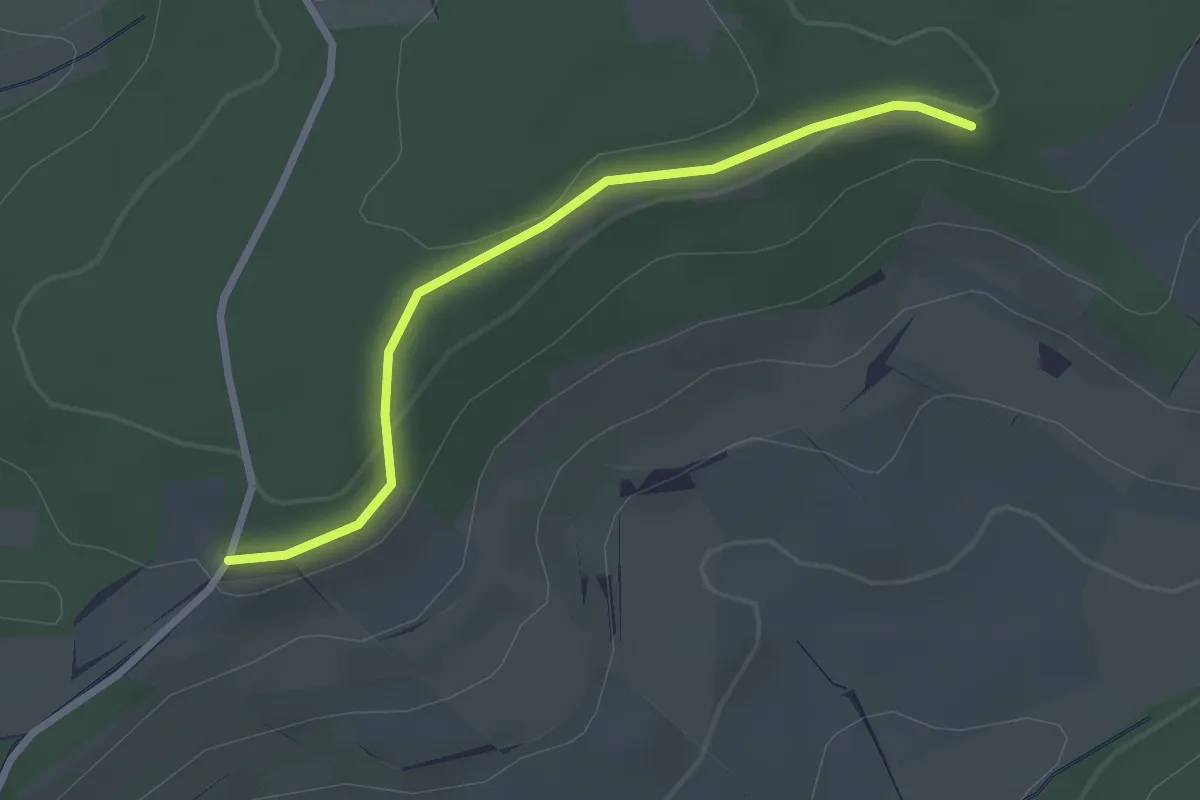
Easy · Trail
Spitzhütte - Beim Duggenhart
2.4 km · ↑ 57 m · 42 min
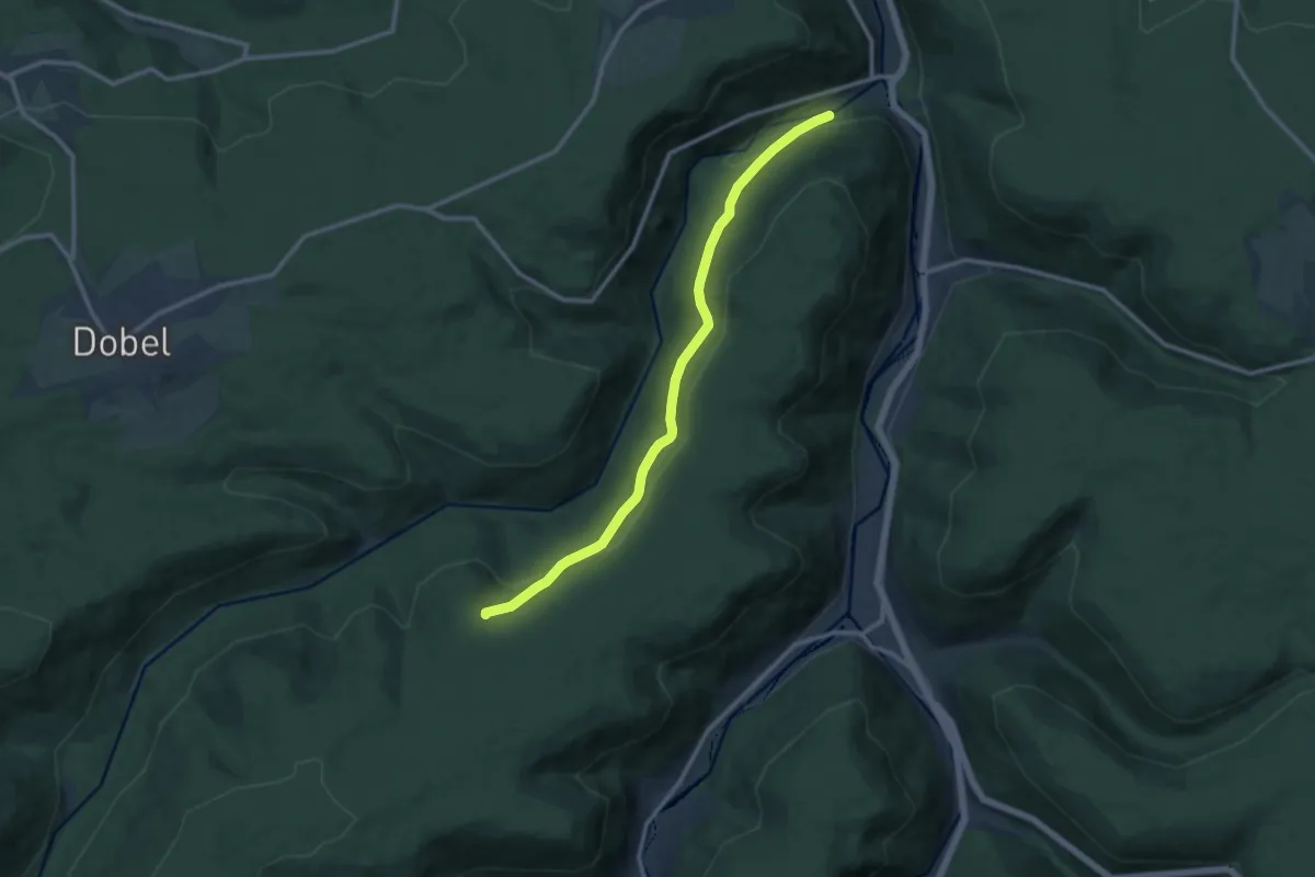
Medium · Trail
Spitzhütte - Eyachhang
10.8 km · ↑ 340 m · 3 h 17 min
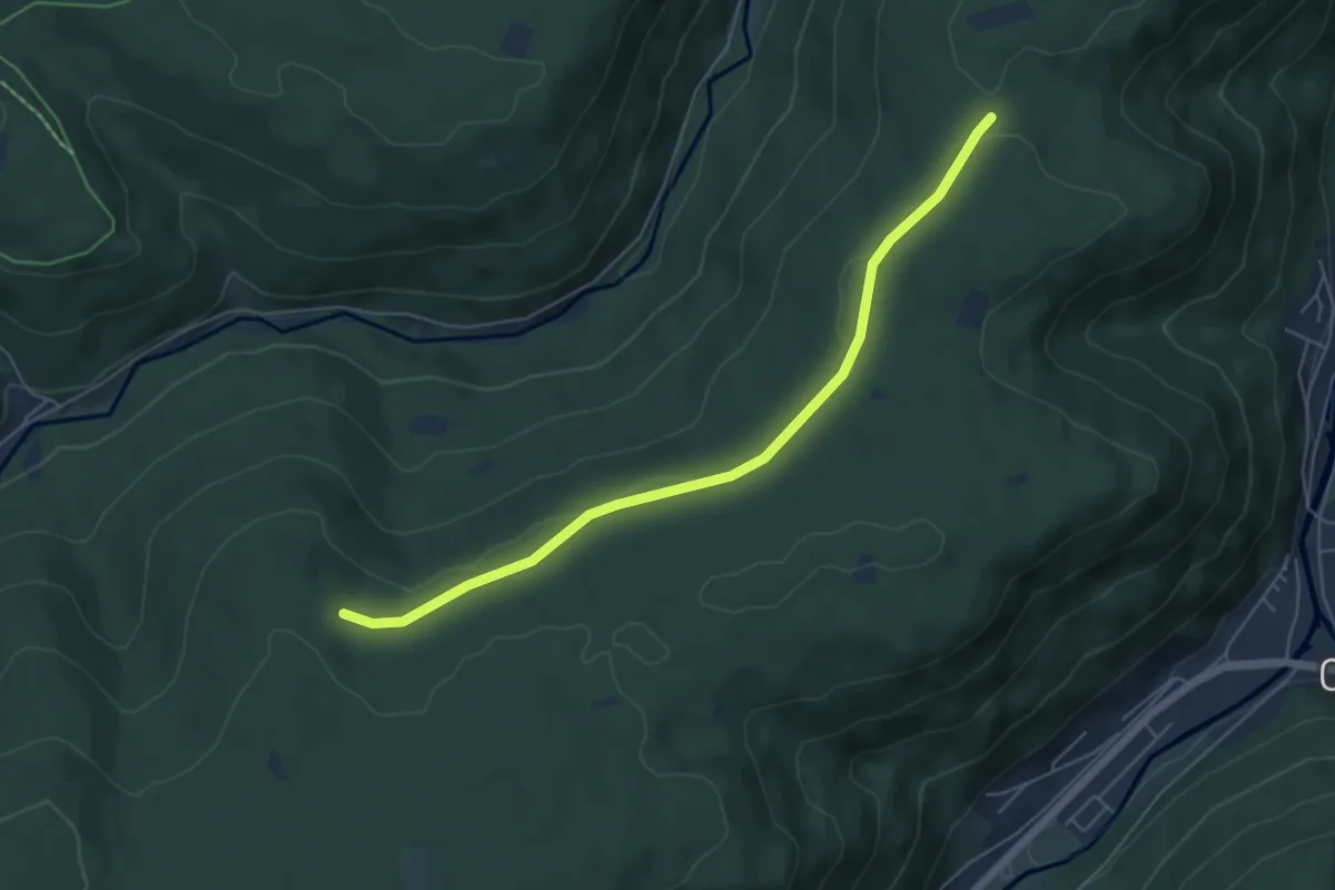
Easy · Trail
Spitzhütte - Stephanswasen
5.4 km · ↑ 46 m · 1 h 22 min
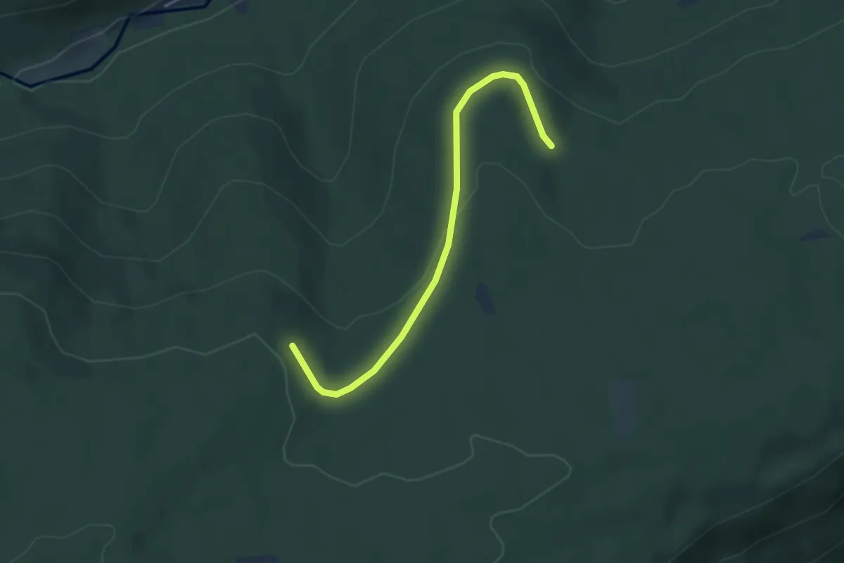
Easy · Trail
Spitzhütte - Wildbader Teich
3.3 km · ↑ 84 m · 58 min
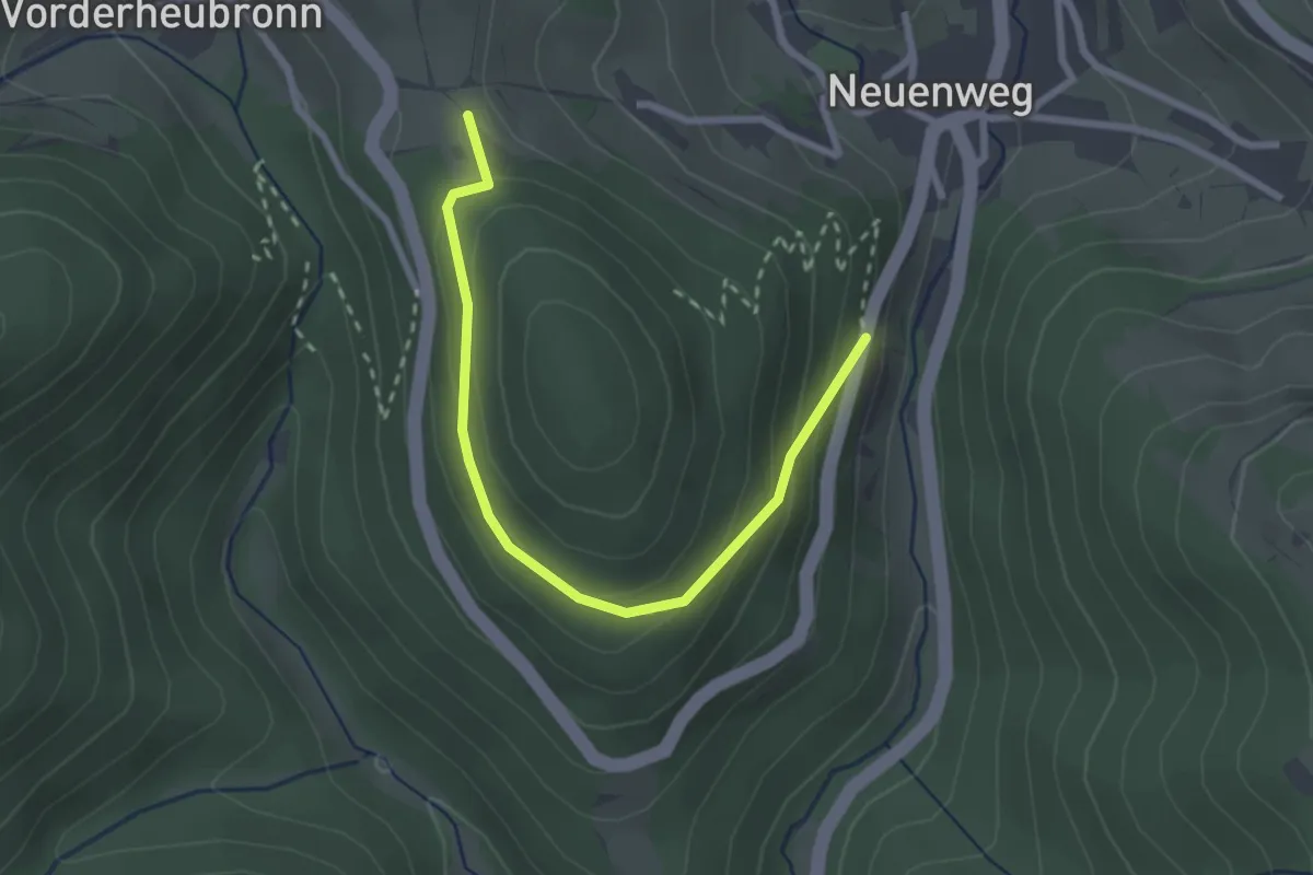
Easy · Trail
Spitzkopfweg - Spitzkopf
2.6 km · ↑ 131 m · 55 min
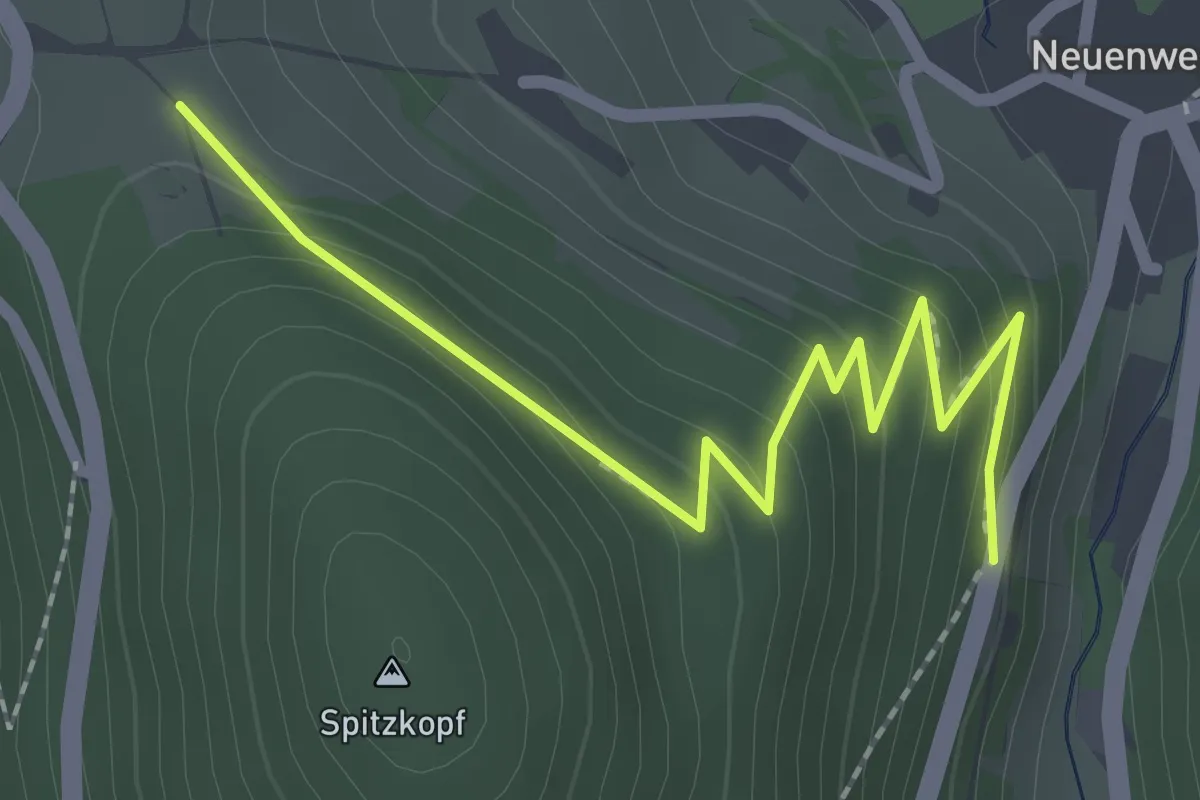
Easy · Trail
Spitzkopfweg - Spitzkopf
2.4 km · ↑ 153 m · 54 min
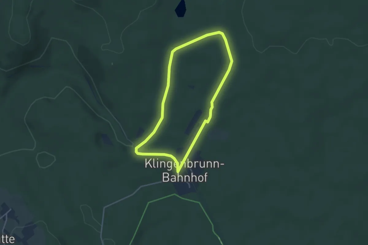
Easy · Trail
Spitzmaus
2.8 km · ↑ 36 m · 47 min
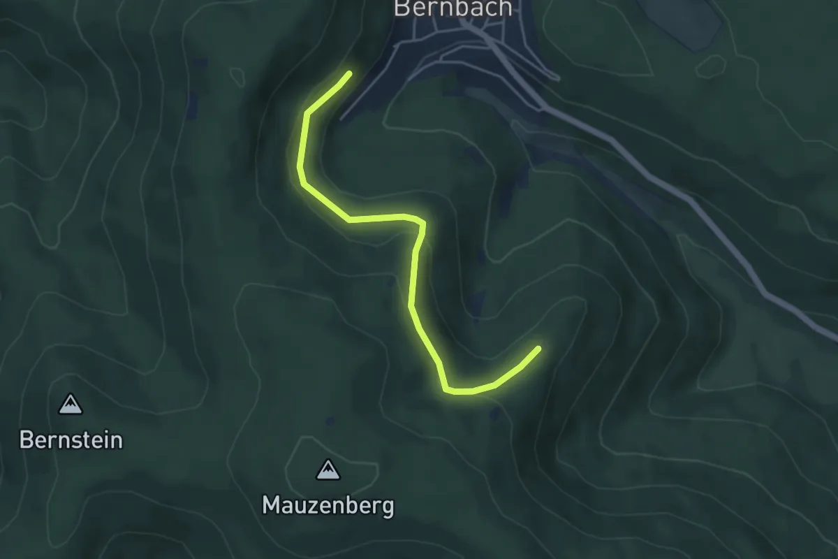
Easy · Trail
Spitzweghütte - Heidenrückle
4.0 km · ↑ 174 m · 1 h 19 min
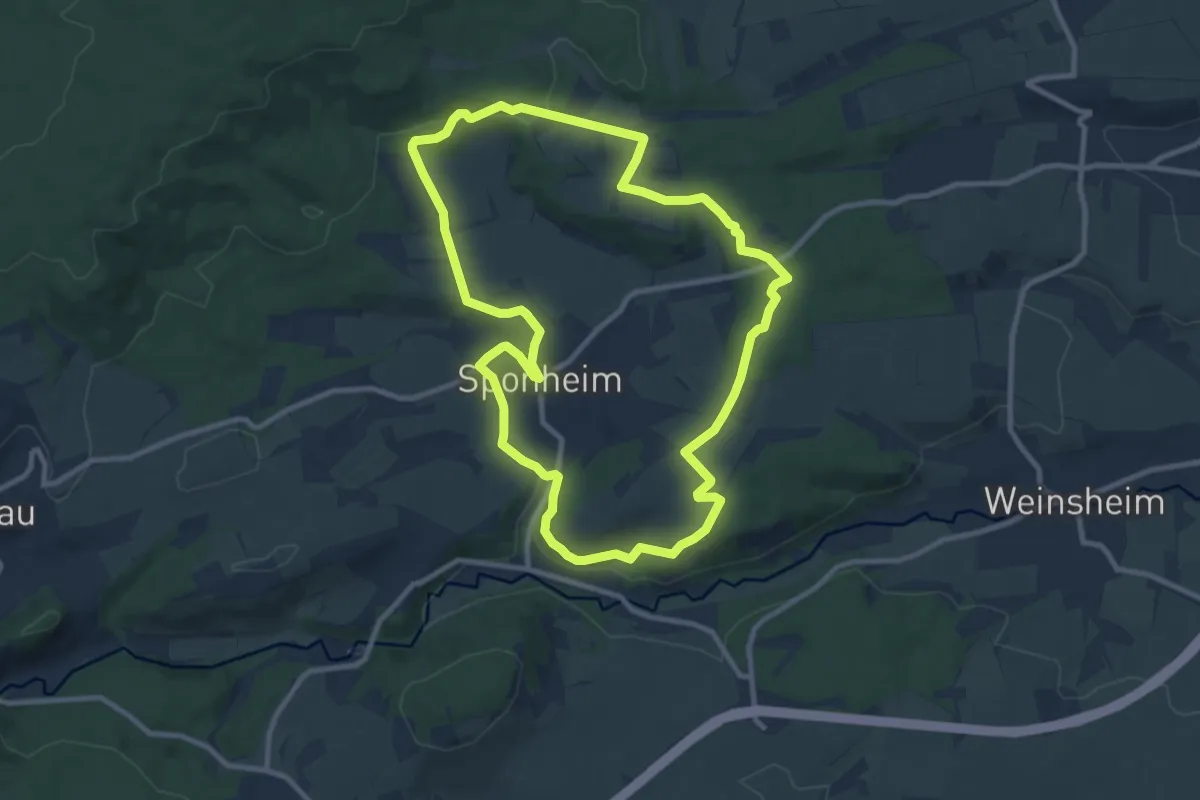
Medium · Trail
Sponheimer Entdeckerrunde
9.4 km · ↑ 145 m · 2 h 39 min
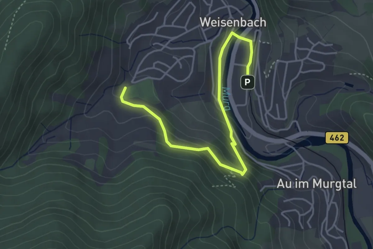
Easy · Trail
Sportanlagen - Haltepunkt Weisenbach
4.2 km · ↑ 194 m · 1 h 25 min
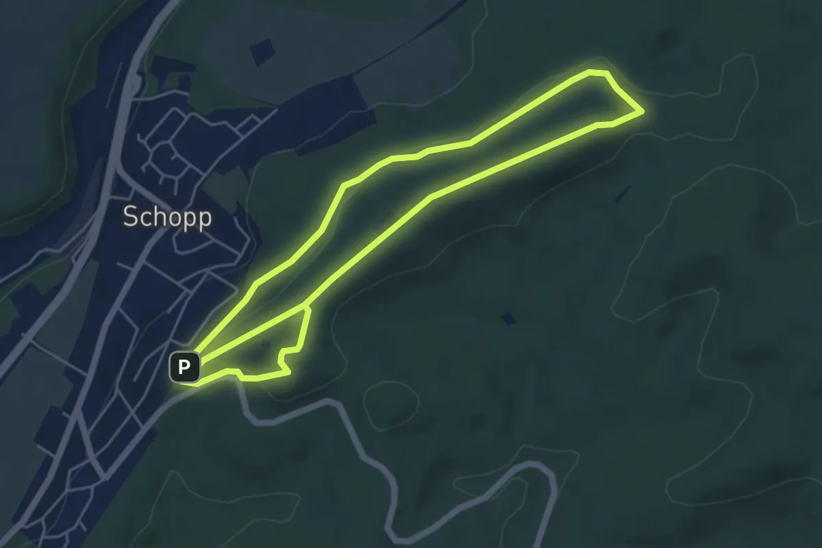
Easy · Trail
Sportlehrpfad Schopp
4.6 km · ↑ 116 m · 1 h 23 min
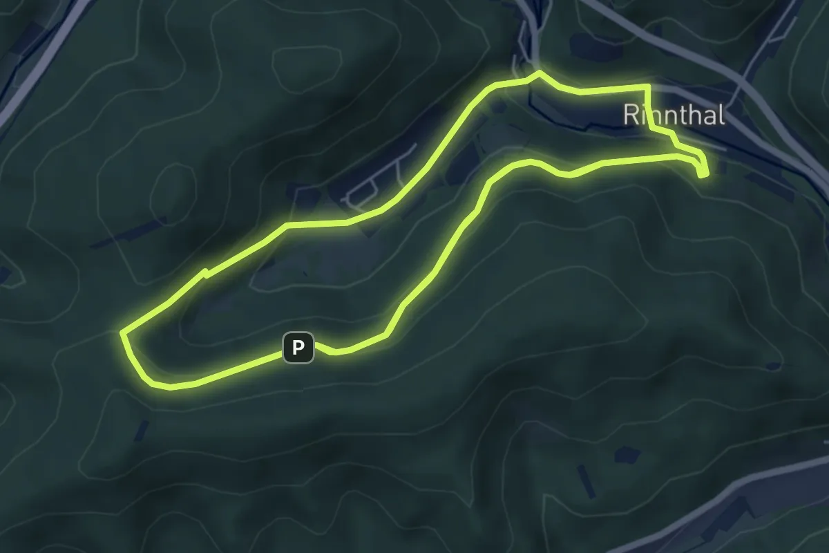
Medium · Trail
Sportlerweg Rinnthal
12.0 km · ↑ 495 m · 3 h 54 min
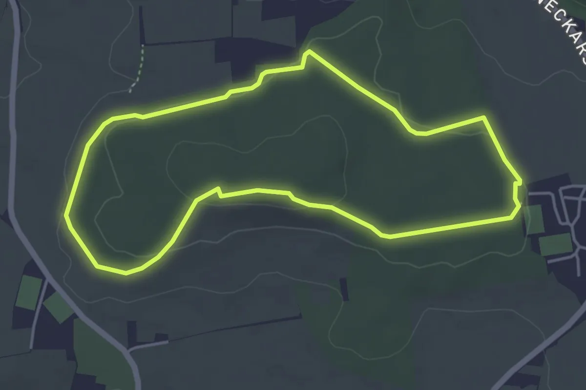
Easy · Trail
Sportpfad
4.0 km · ↑ 51 m · 1 h 7 min
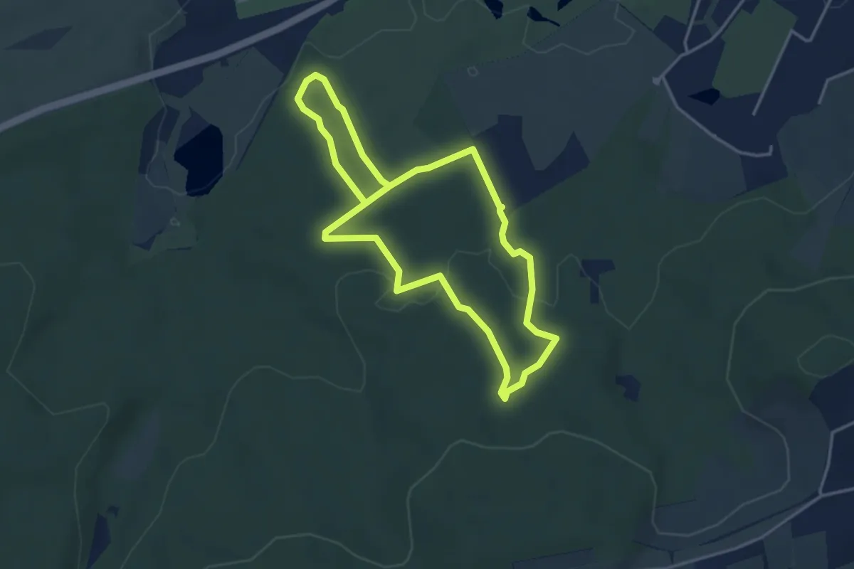
Easy · Trail
Sportpfad Markwasen
3.3 km · ↑ 70 m · 59 min
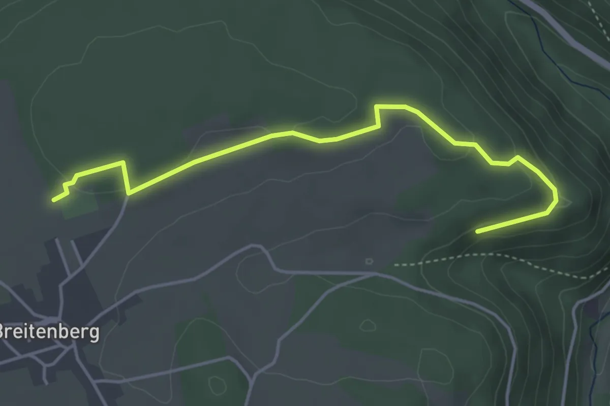
Easy · Trail
Sportplatz Breitenberg - Fenchelhalde
4.3 km · ↑ 67 m · 1 h 9 min
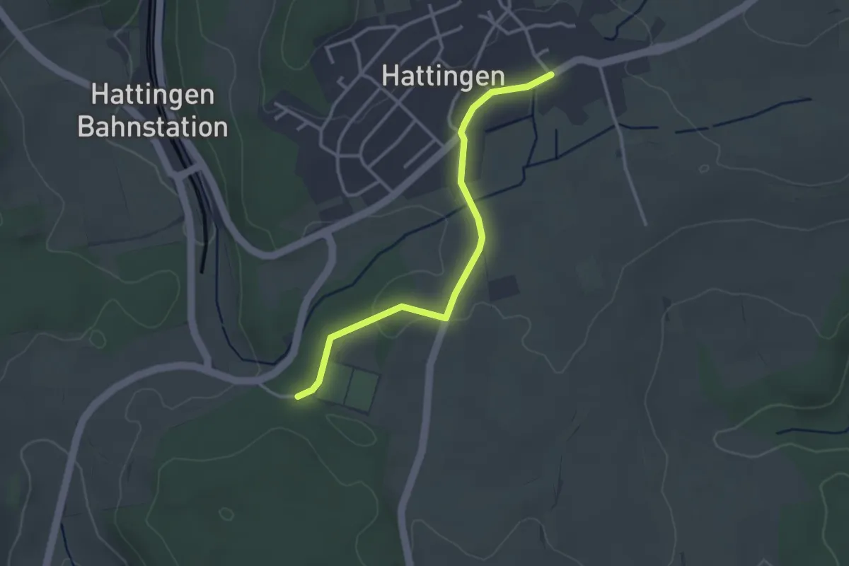
Easy · Trail
Sportplatz Hattingen - Hattingen Kirchstraße
2.9 km · ↑ 23 m · 44 min
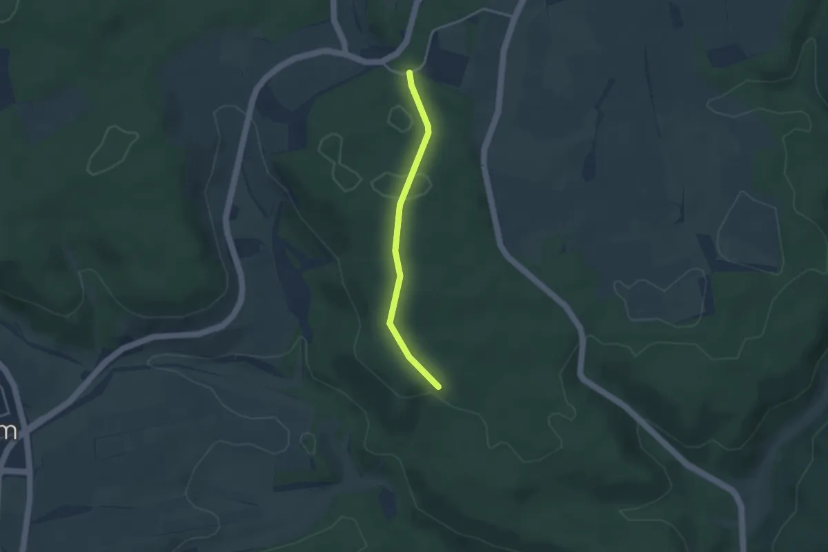
Easy · Trail
Sportplatz Hattingen - Hohe Wacht
2.7 km · ↑ 56 m · 46 min
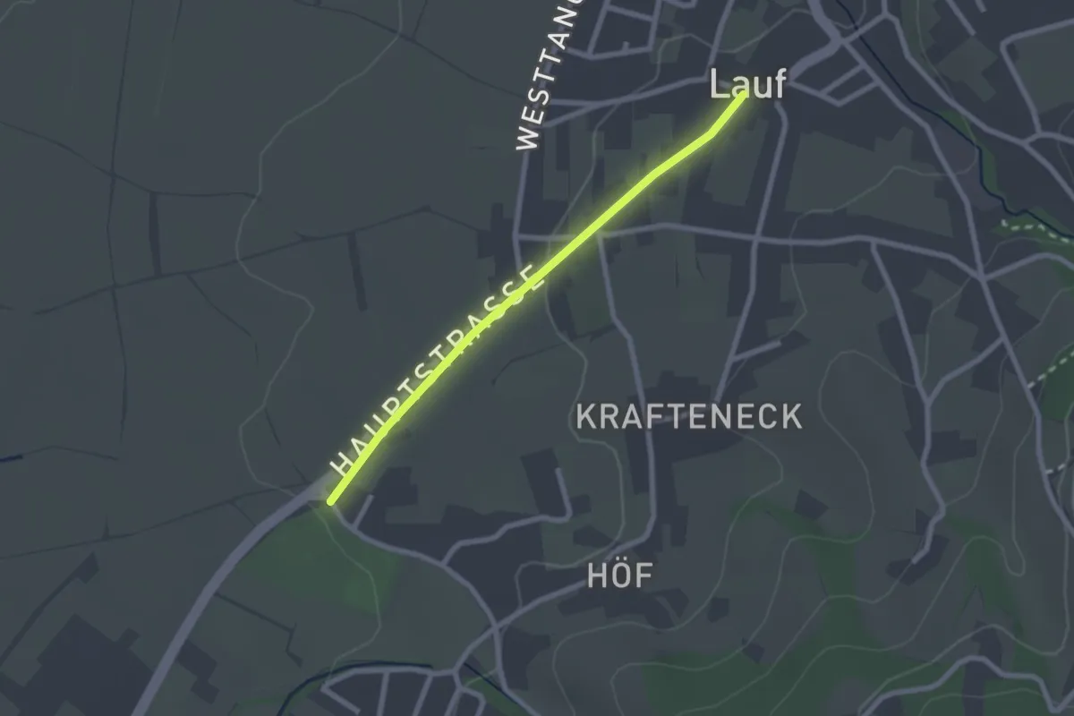
Easy · Trail
Sportplatz Lauf - Lauf Alte Schule
2.1 km · ↑ 26 m · 32 min
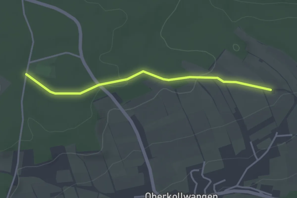
Easy · Trail
Sportplatz Oberkollwangen - AugenBlick Neuweiler-Oberkollwangen
3.0 km · ↑ 45 m · 48 min
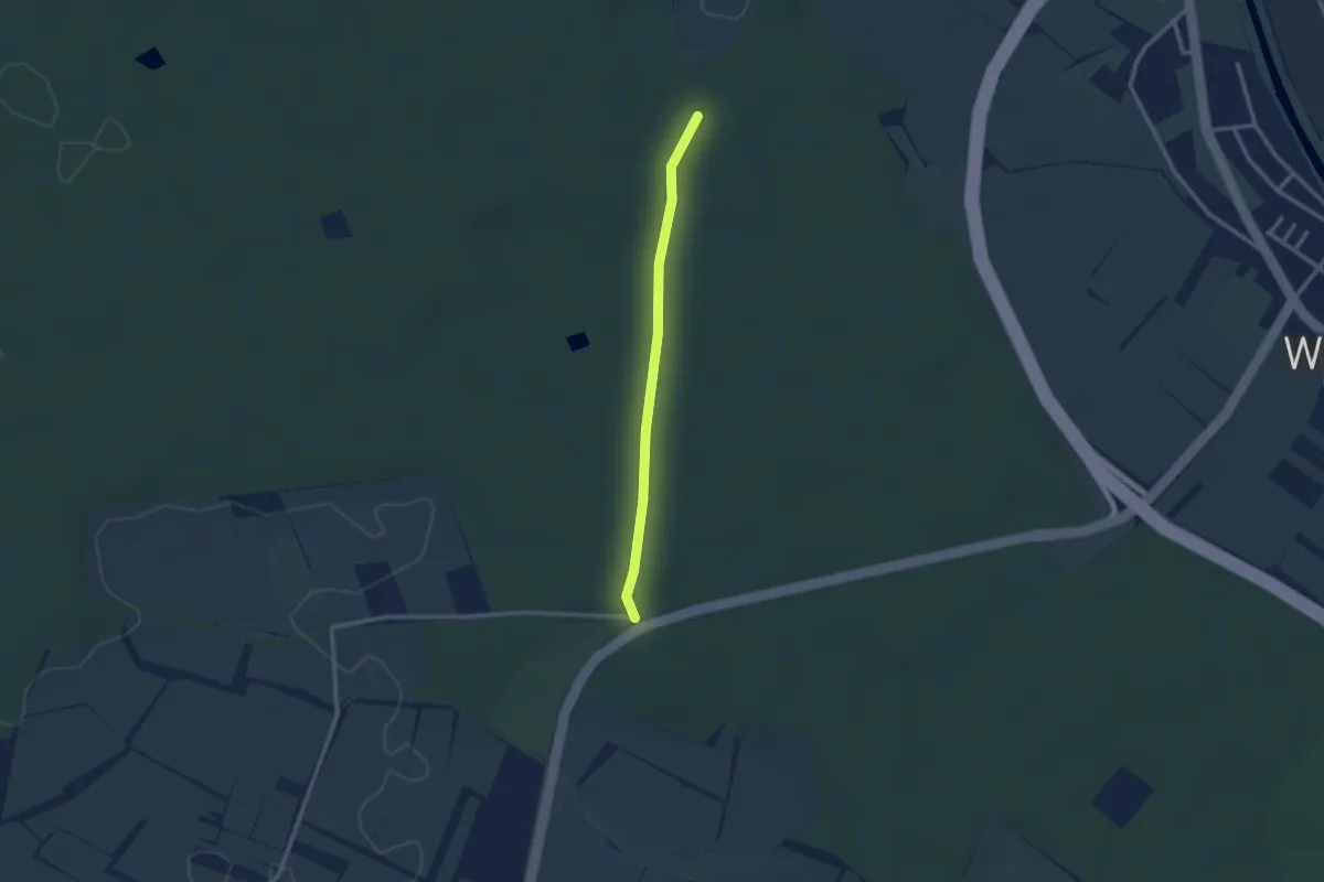
Easy · Trail
Sportplatz Reute - Roßwinkel
2.3 km · ↑ 9 m · 34 min
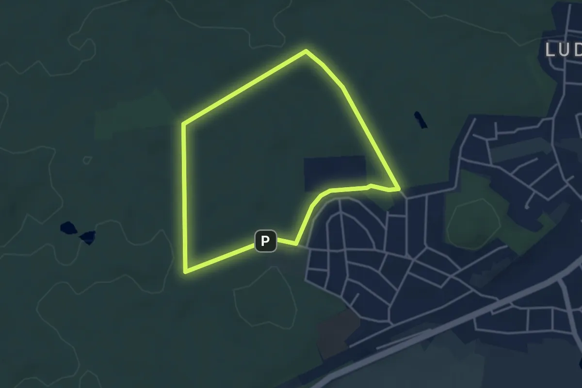
Easy · Trail
Sportplatzrunde (weiß)
3.1 km · ↑ 18 m · 48 min
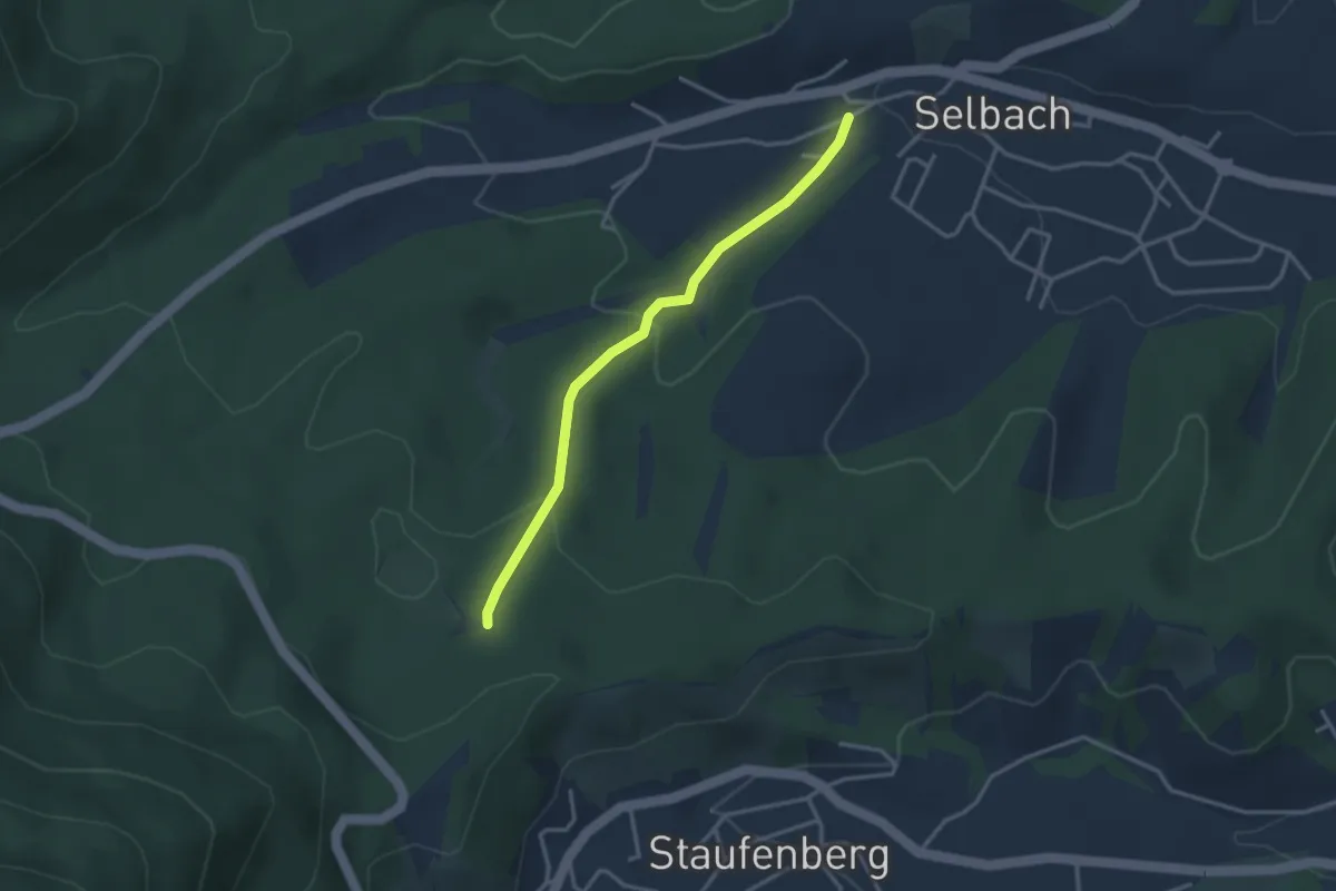
Easy · Trail
Sportplatz Staufenberg - Selbach Hinterbachweg
2.9 km · ↑ 114 m · 56 min
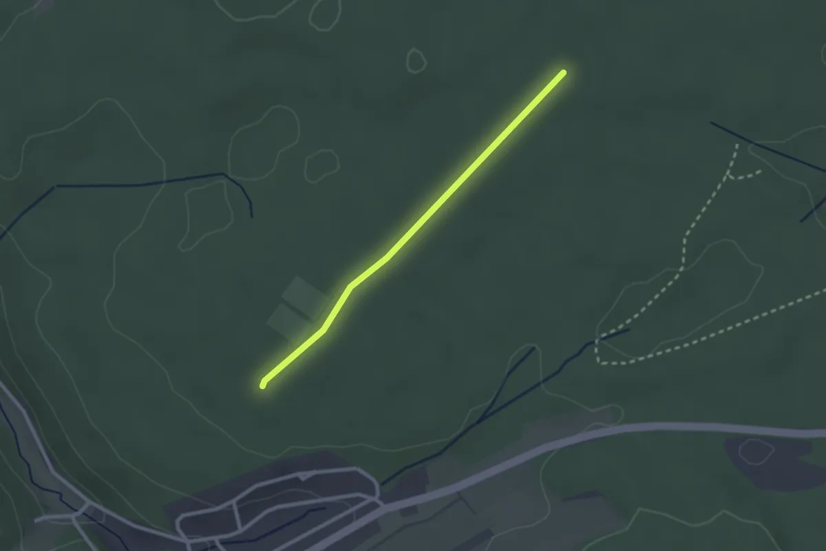
Easy · Trail
Sportplatz Würzbach - Kohlhütte
2.2 km · ↑ 13 m · 33 min
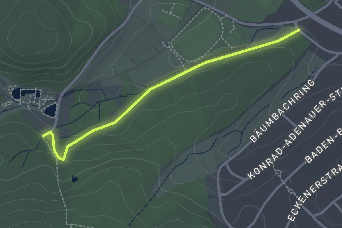
Easy · Trail
Sportzentrum Gaggenau - Waldseebad
2.3 km · ↑ 38 m · 37 min
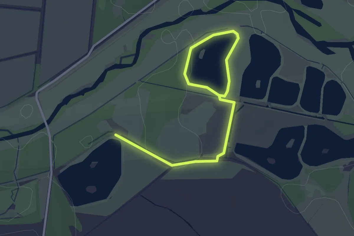
Easy · Trail
Spreeaue Karpfentour
3.1 km · ↑ 0 m · 45 min
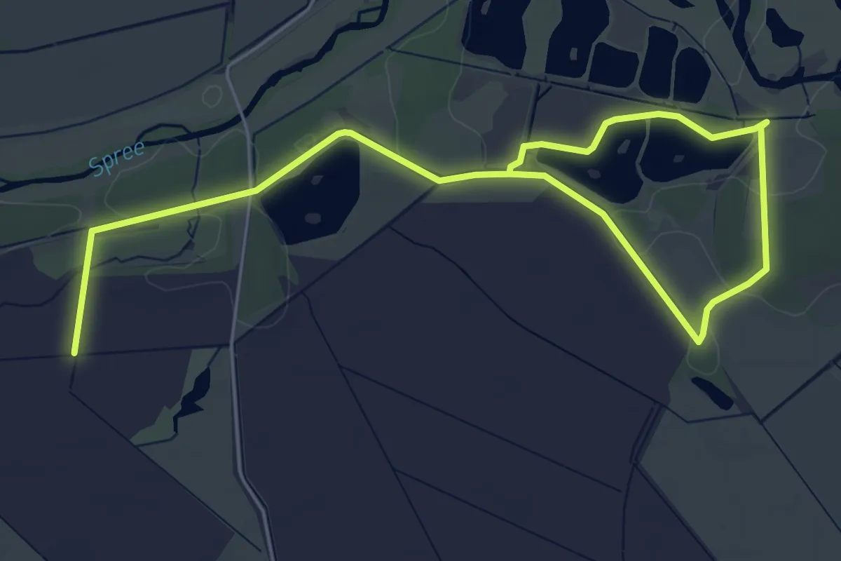
Easy · Trail
Spreeaue Ochsentour
7.3 km · ↑ 9 m · 1 h 45 min
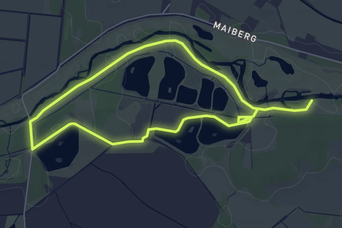
Medium · Trail
Spreeaue Spreeroute
8.1 km · ↑ 0 m · 1 h 55 min
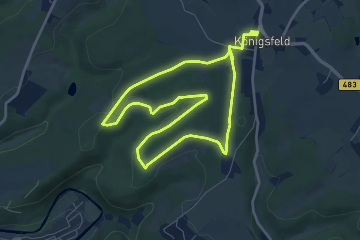
Easy · Trail
Spreeler Rundweg A3
5.4 km · ↑ 88 m · 1 h 33 min
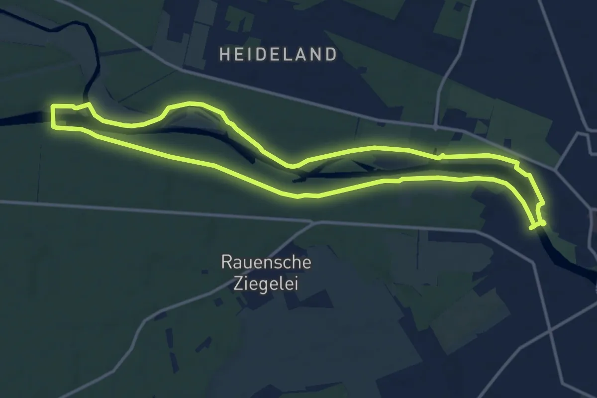
Medium · Trail
Spreeweg
10.0 km · ↑ 17 m · 2 h 32 min
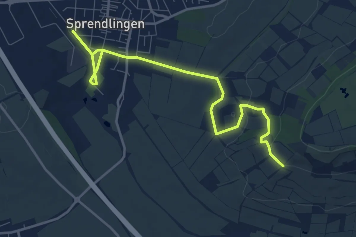
Easy · Trail
Sprendlingen
4.4 km · ↑ 18 m · 1 h 11 min
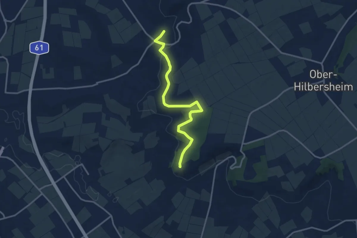
Medium · Summit
Sprendlinger Höhenweg
9.2 km · ↑ 180 m · 2 h 33 min
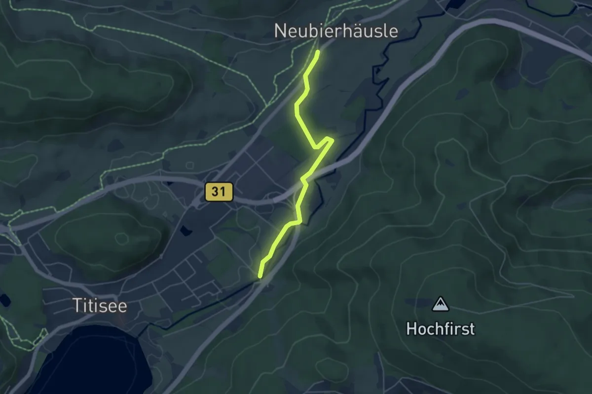
Easy · Trail
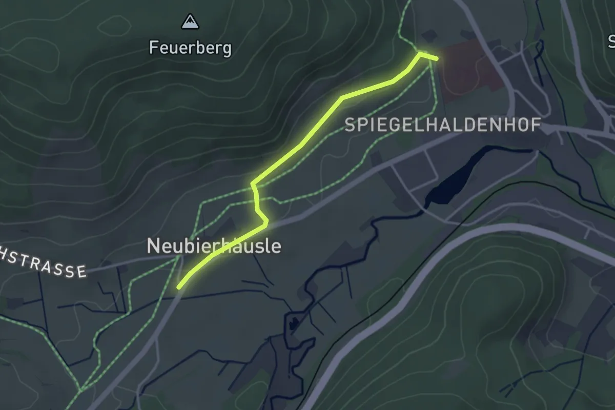
Spriegelsbach Neubierhäusle - Titisee Seehofer
4.4 km · ↑ 13 m · 1 h 4 min
Easy · Trail
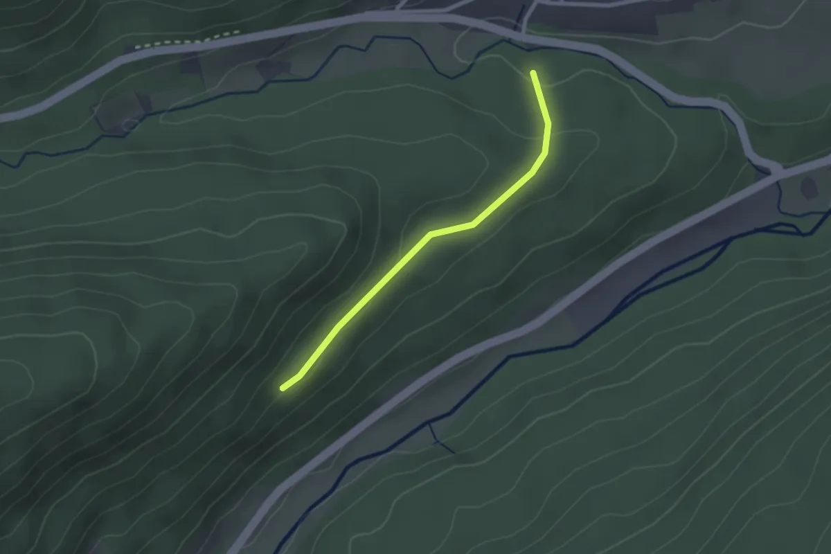
Spriegelsbach Neubierhäusle - Unterm Feuerberg
3.0 km · ↑ 62 m · 51 min
Easy · Trail
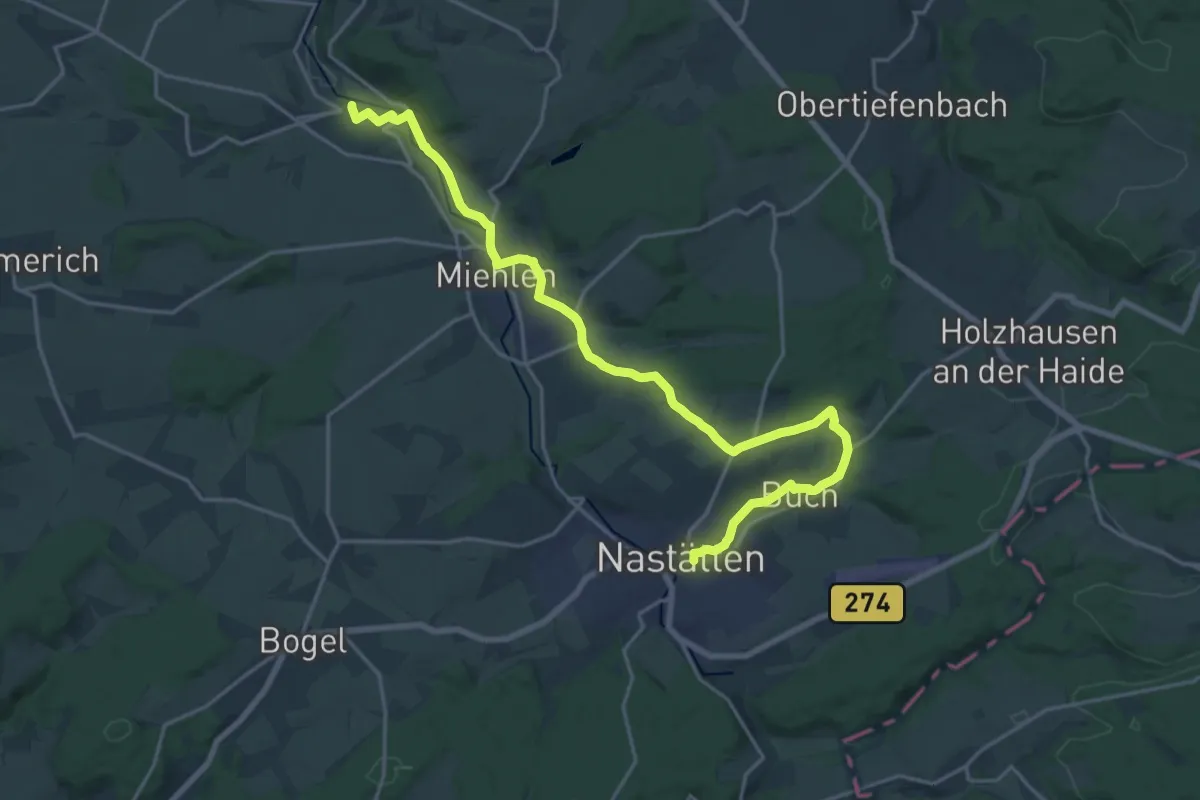
Sprollenwasenweg - Kessel
2.1 km · ↑ 59 m · 37 min
Demanding · Trail
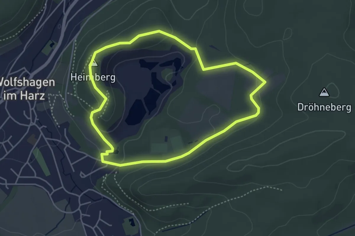
Sprudelweg
21.0 km · ↑ 272 m · 5 h 33 min
Easy · Summit
Spur der Steine
3.5 km · ↑ 90 m · 1 h 4 min
Easy · Trail
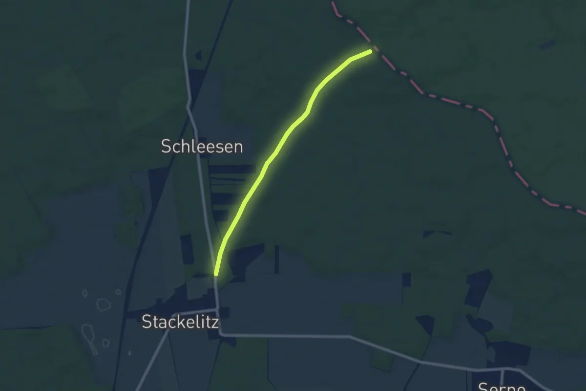
Spur der Steine
5.7 km · ↑ 37 m · 1 h 25 min
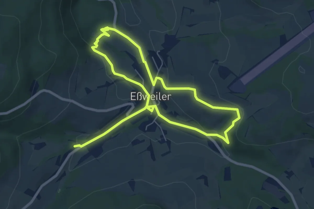
Medium · Trail
Spuren der Zeit am Talbachweg
9.4 km · ↑ 231 m · 2 h 44 min
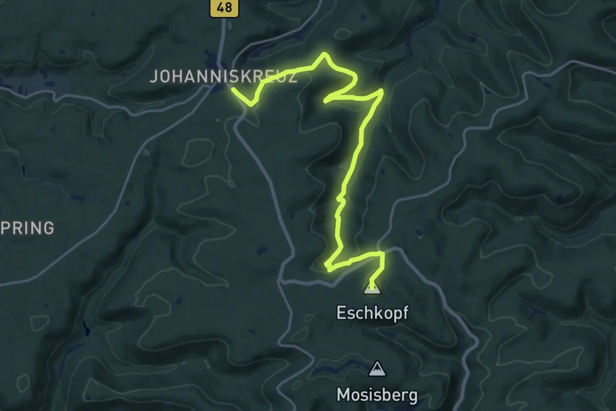
Medium · Summit
Spurensuche 2
15.6 km · ↑ 429 m · 4 h 37 min
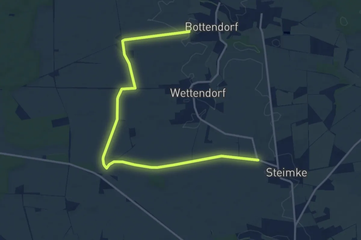
Medium · Trail
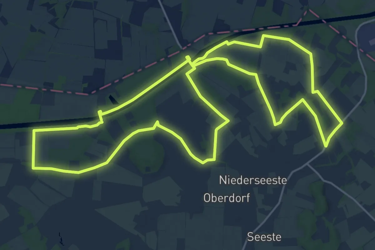
Spurensuche in der Heidmark - Pfad 4
11.1 km · ↑ 30 m · 2 h 41 min
Medium · Trail
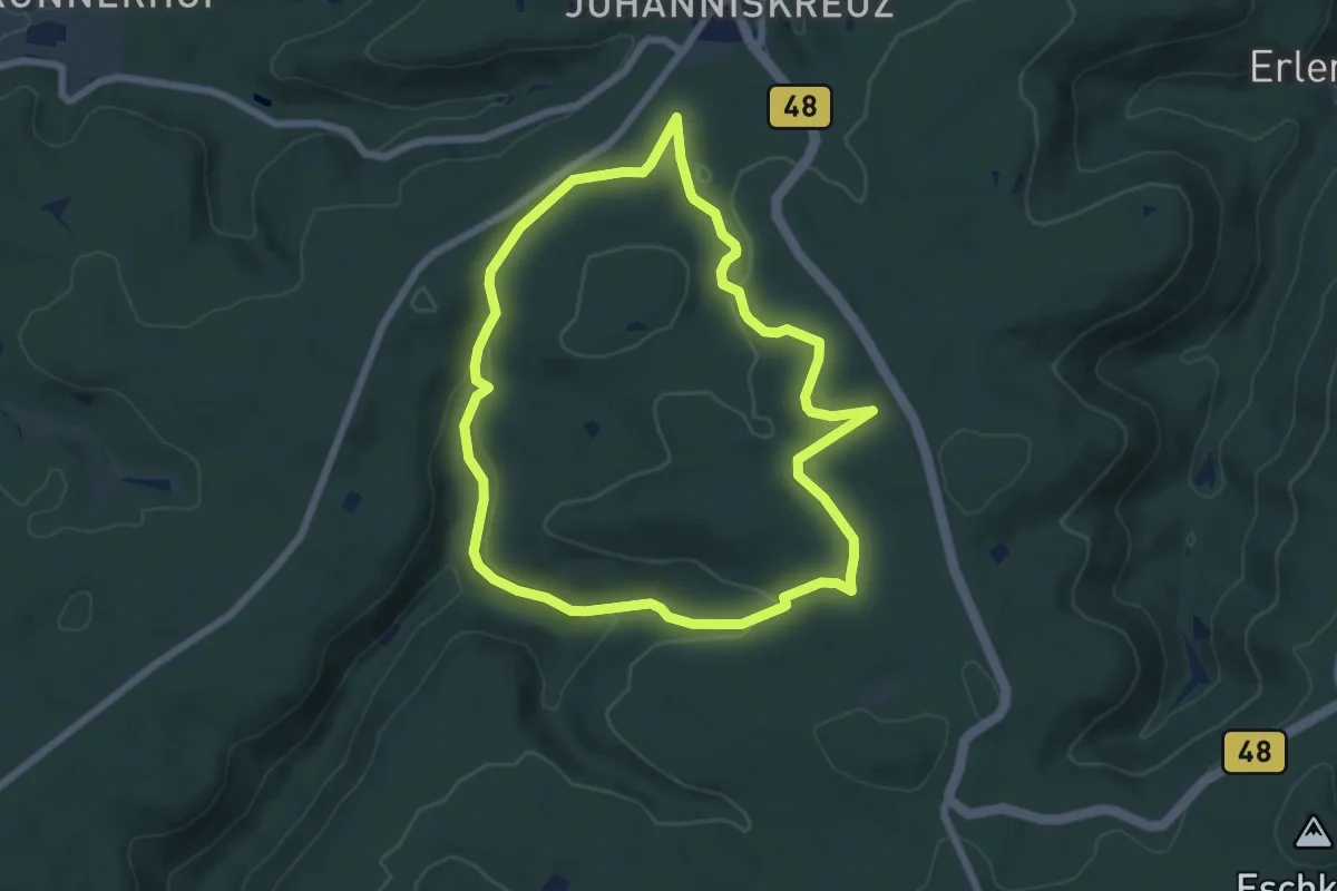
Spurensuche Nr. 12
15.9 km · ↑ 53 m · 4 h 5 min
Easy · Trail
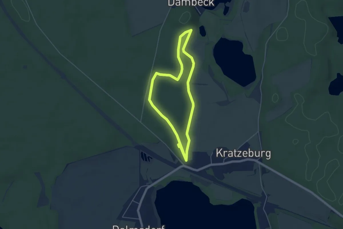
Spurensuche "Rund um den Steinberg"
6.0 km · ↑ 143 m · 1 h 48 min
Easy · Trail
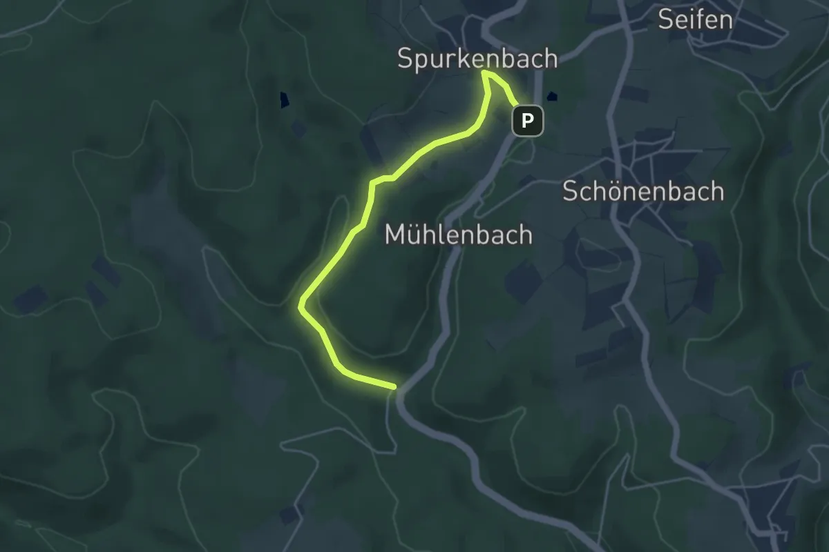
Spuren-Weg
3.7 km · ↑ 41 m · 1 h 1 min
Easy · Trail
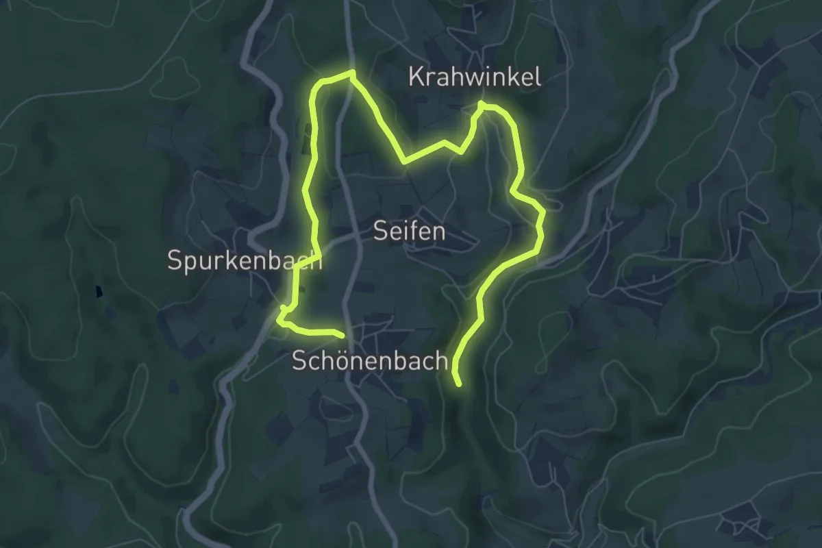
Spurkenbach Rundweg A1
2.0 km · ↑ 21 m · 33 min
Easy · Trail
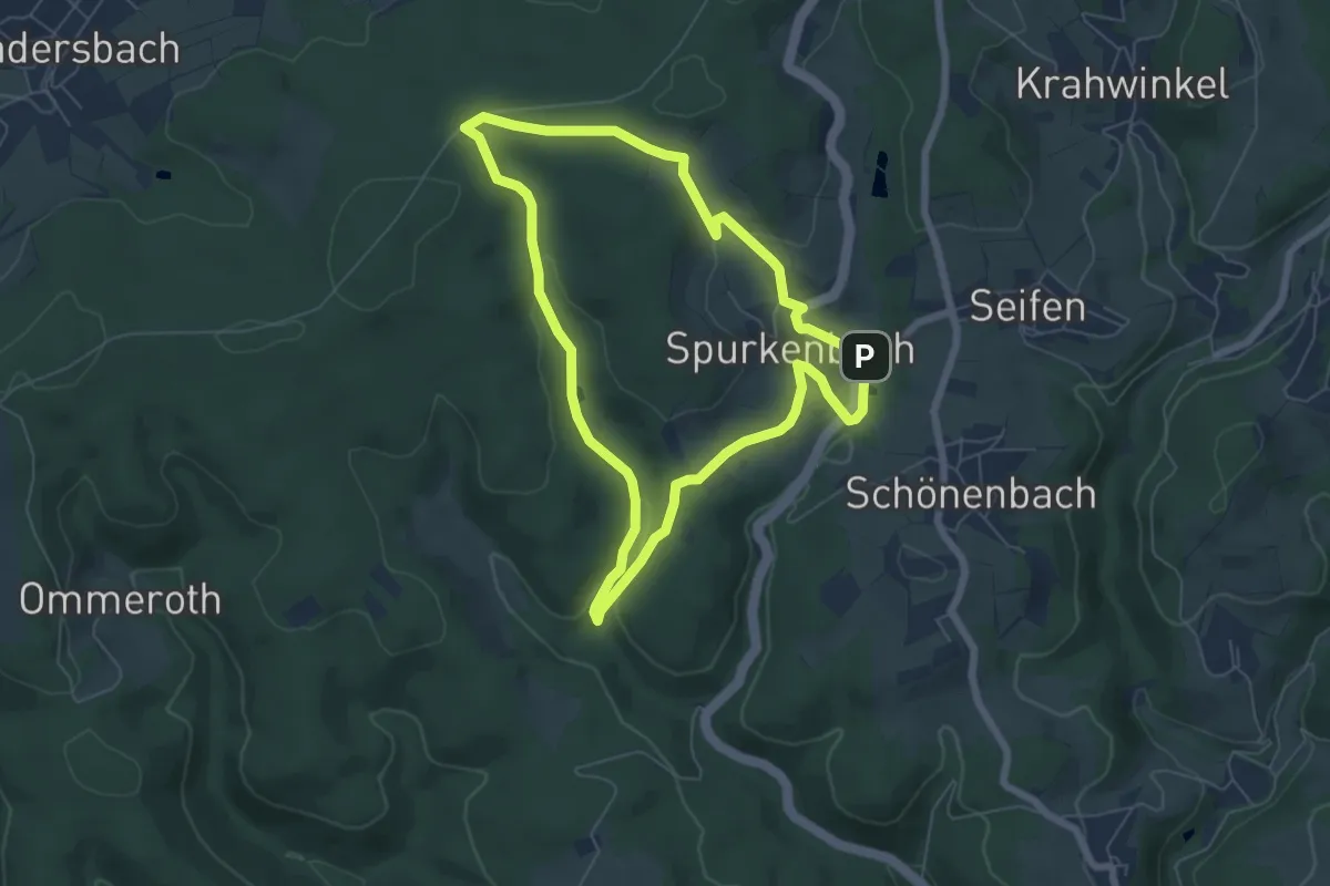
Spurkenbach Rundweg A3
4.7 km · ↑ 86 m · 1 h 24 min
Easy · Trail
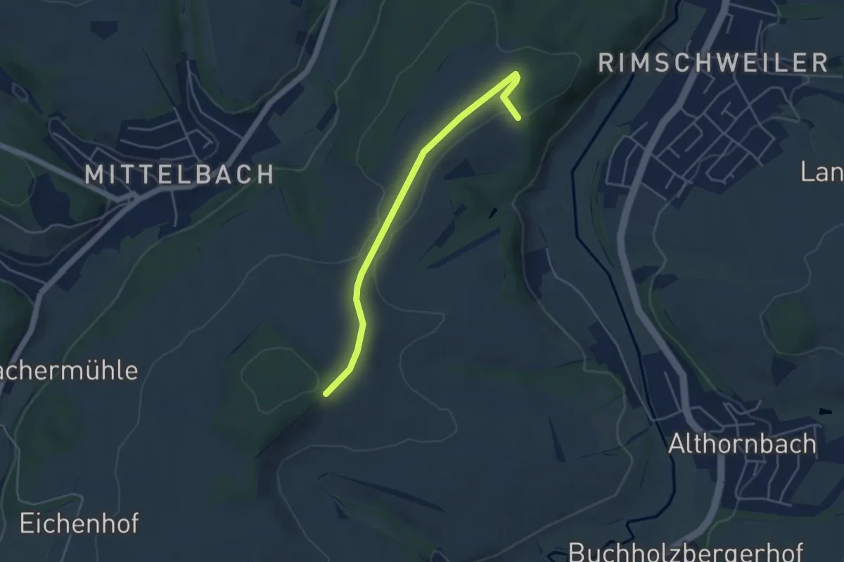
Spurkenbach Rundweg A4
5.6 km · ↑ 107 m · 1 h 38 min
Easy · Trail
Spürnasenweg
4.0 km · ↑ 65 m · 1 h 6 min
Easy · Trail
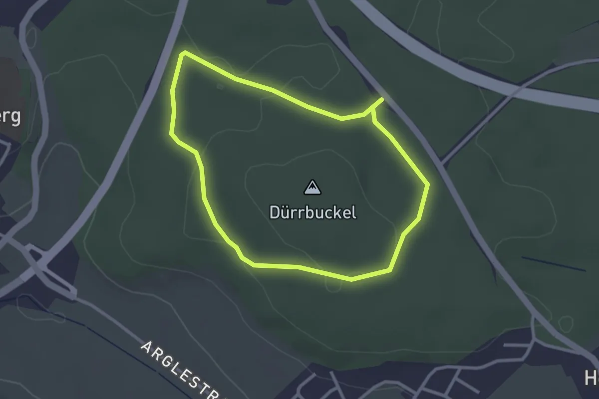
SR 2 Dürrbuckel (Rundwanderweg Rotes Viereck)
2.3 km · ↑ 27 m · 39 min