Trails in Germany
36,852 hiking trails, each with its route, climb, walking time and grade.
All trails, page 600 of 768
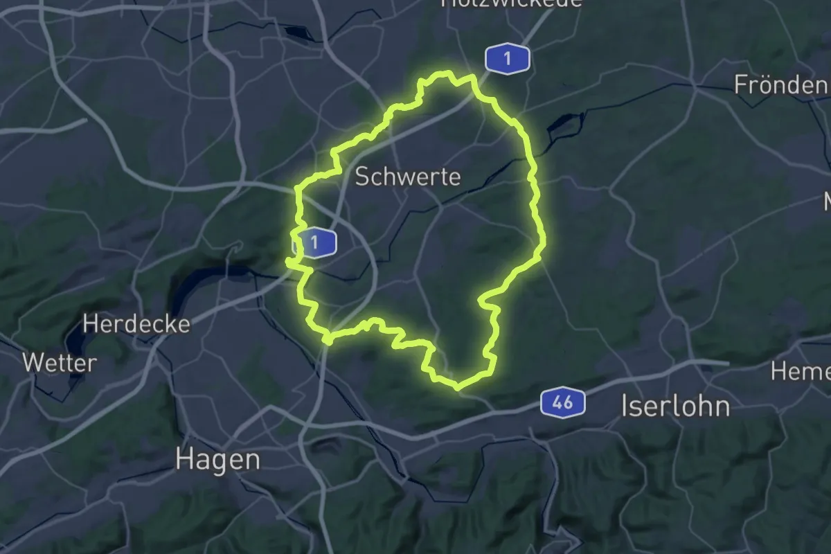
Demanding · Trail
(S) Rund um Schwerte
39.7 km · ↑ 718 m · 11 h 29 min
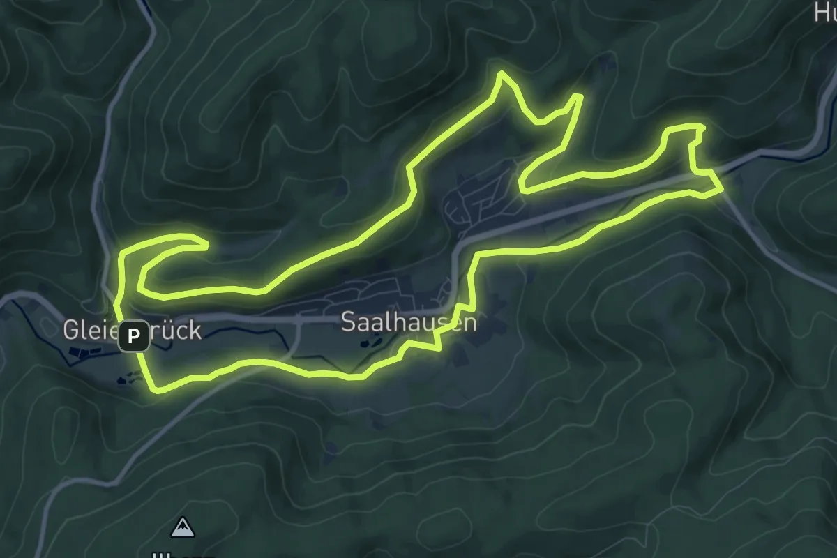
Medium · Trail
(S) Saalhauser Rundwanderweg
11.4 km · ↑ 267 m · 3 h 26 min
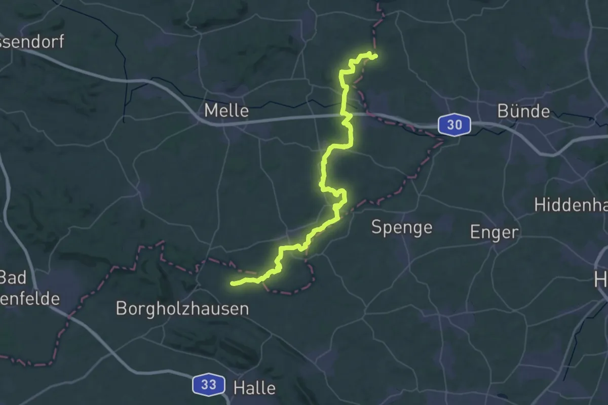
Demanding · Trail
S Sachsenweg
24.7 km · ↑ 209 m · 6 h 37 min
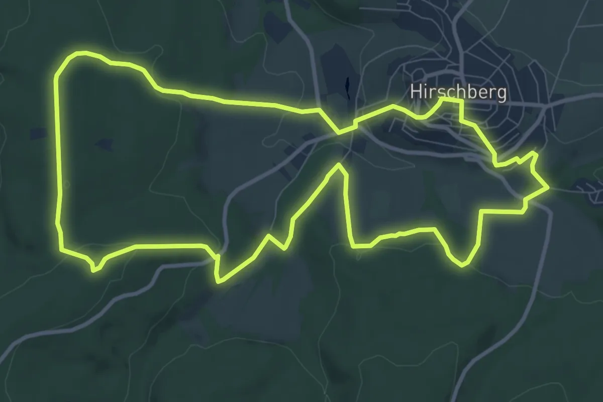
Medium · Trail
(S) Schwabe-Weg
9.0 km · ↑ 255 m · 2 h 48 min
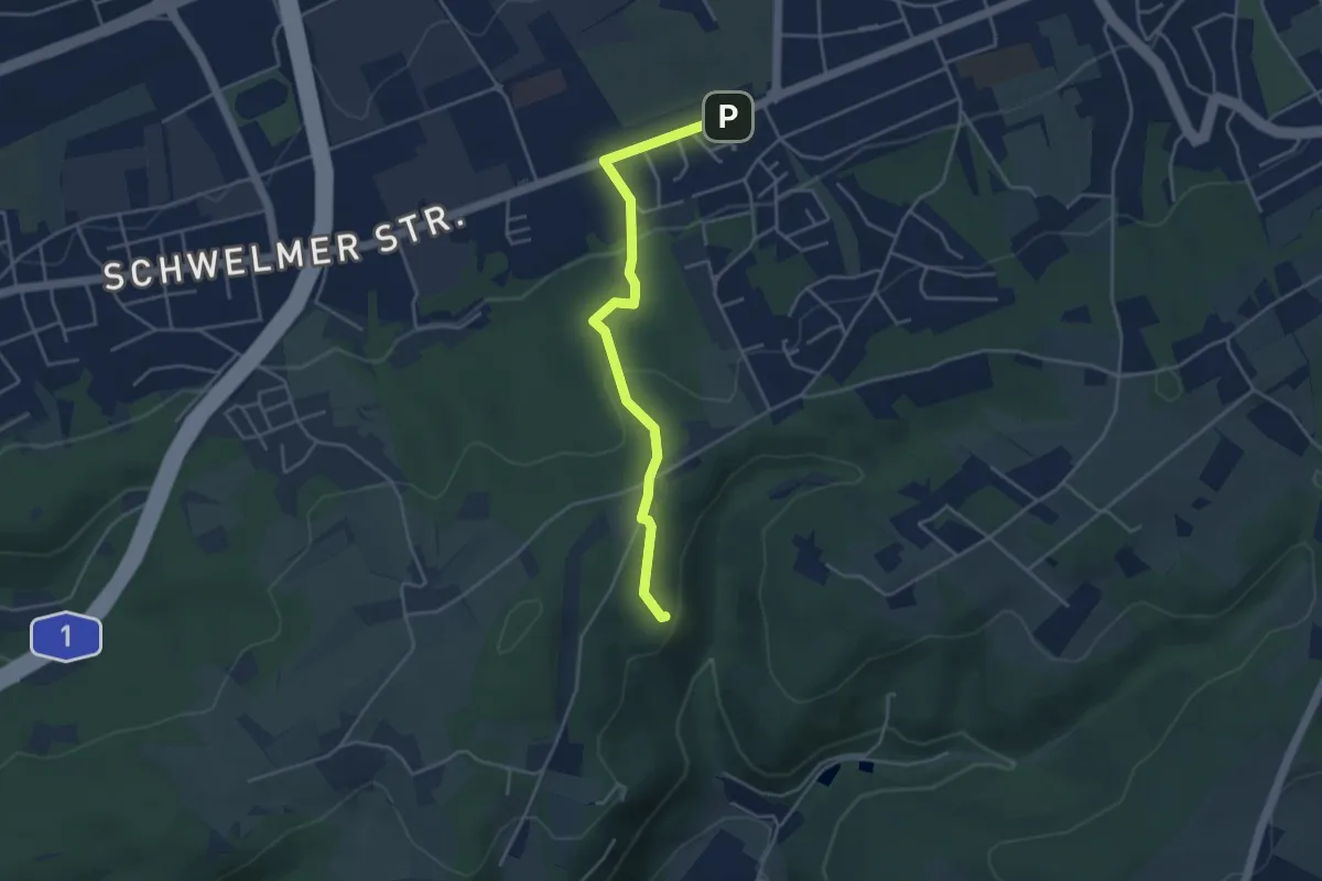
Easy · Trail
(S) Schwelmer Rundweg
1.9 km · ↑ 99 m · 39 min
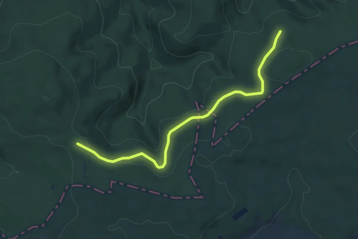
Easy · Trail
[S] Sieghöhenweg [Eitorf]
6.0 km · ↑ 121 m · 1 h 40 min
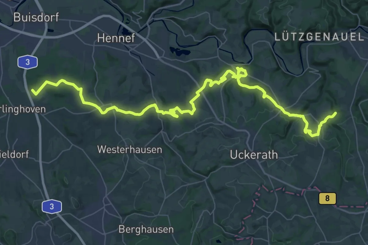
Demanding · Trail
[S] Sieghöhenweg [Hennef]
22.3 km · ↑ 509 m · 6 h 40 min
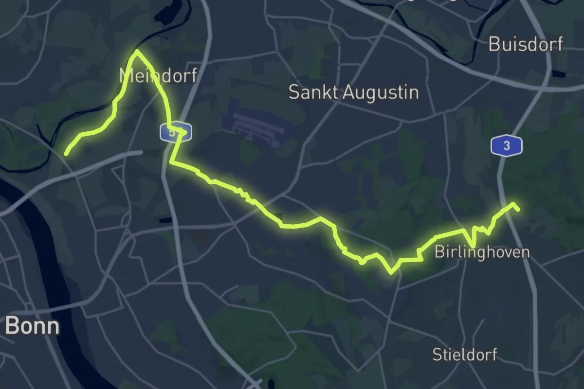
Demanding · Trail
[S] Sieghöhenweg [Sankt Augustin]
29.0 km · ↑ 219 m · 7 h 19 min
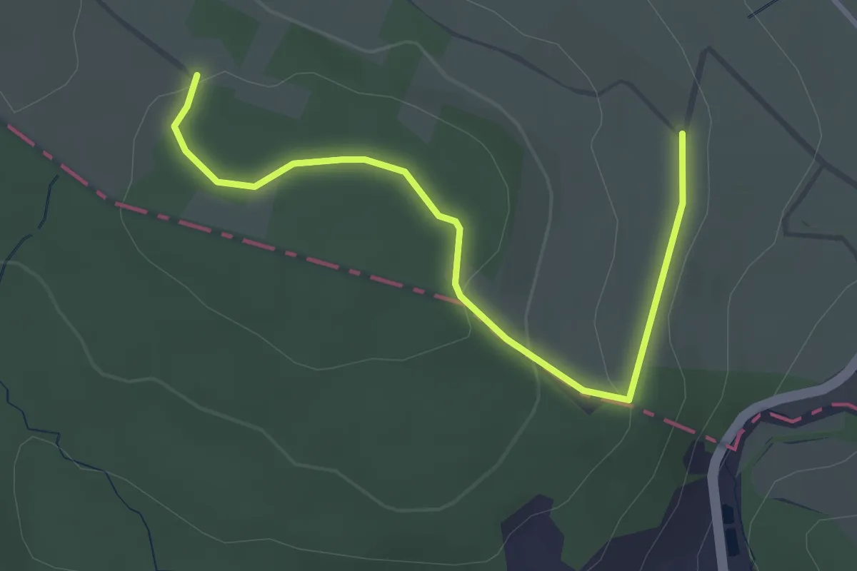
Easy · Trail
[S] Sieghöhenweg [Windeck-Rosbach]
3.1 km · ↑ 74 m · 54 min
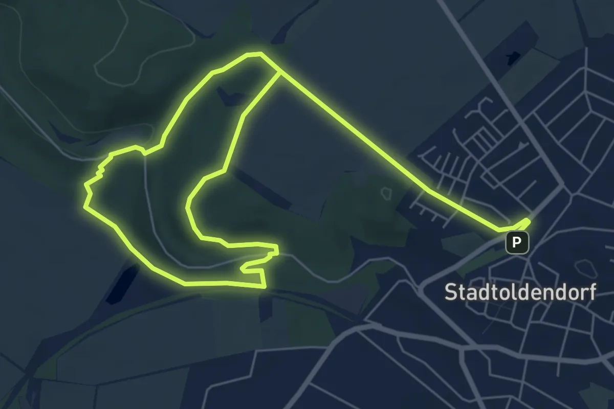
Medium · Trail
St 1 Klostertour
9.3 km · ↑ 137 m · 2 h 29 min
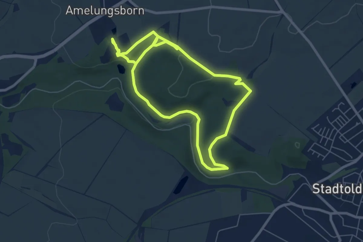
Medium · Trail
St 2 Durchs Fahrenbachtal zum Klostergut
10.2 km · ↑ 162 m · 2 h 46 min
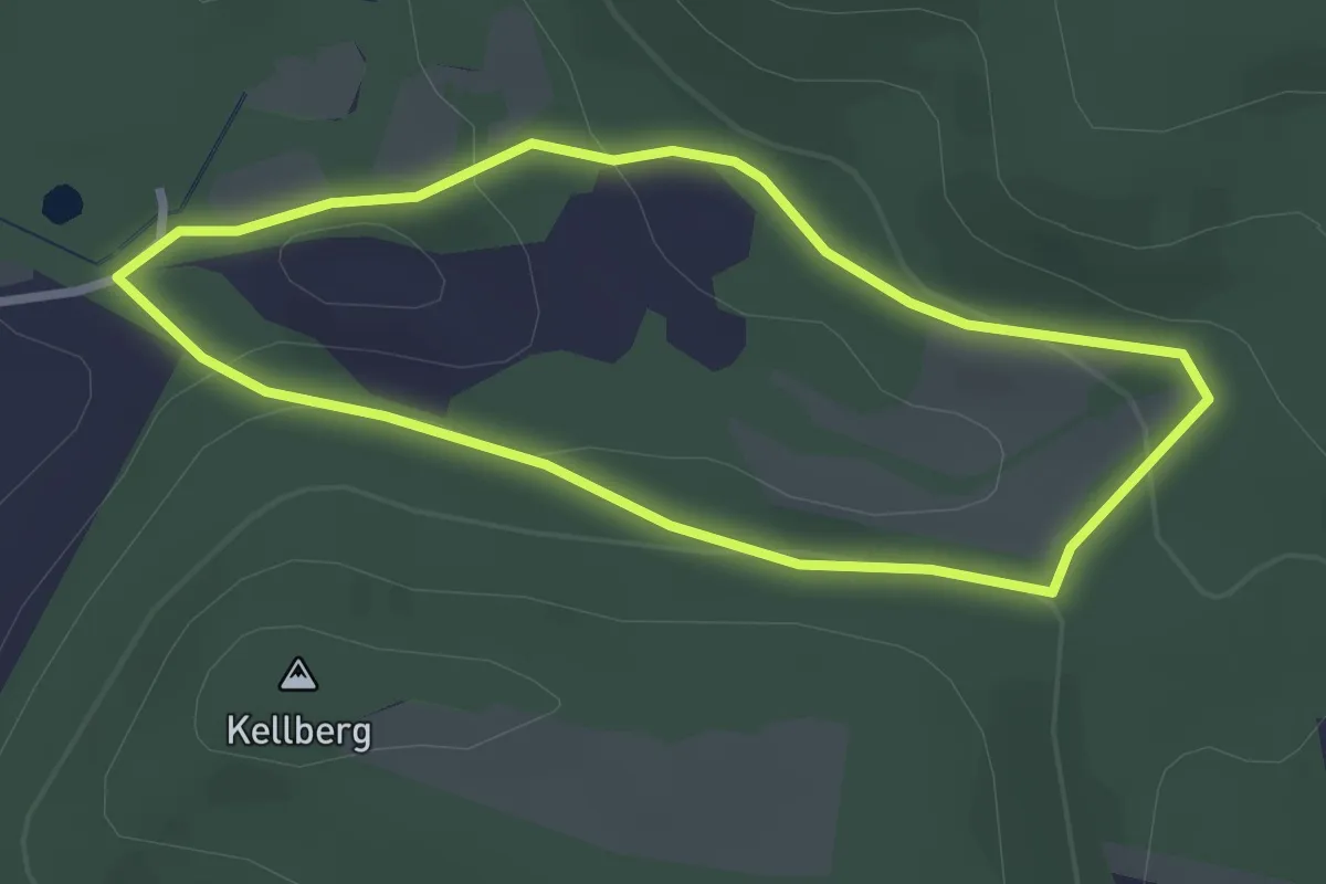
Easy · Trail
St 3
2.3 km · ↑ 79 m · 44 min
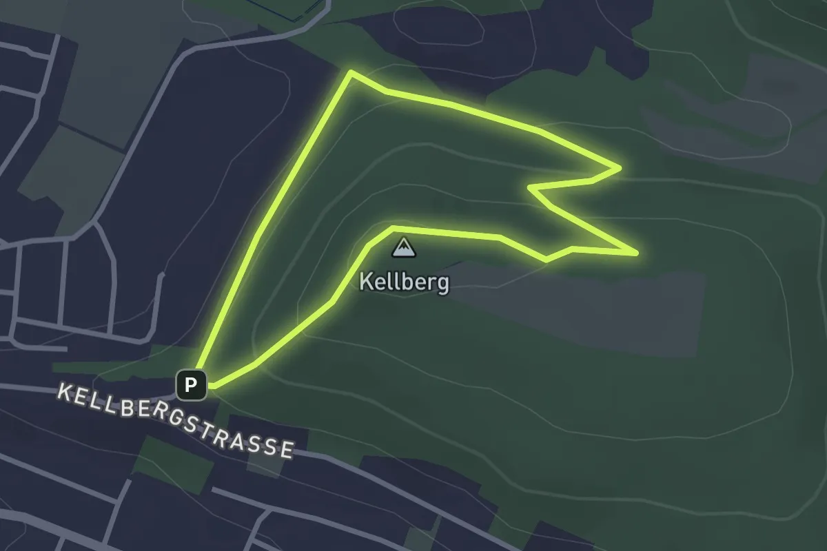
Easy · Summit
St 4
2.3 km · ↑ 97 m · 47 min
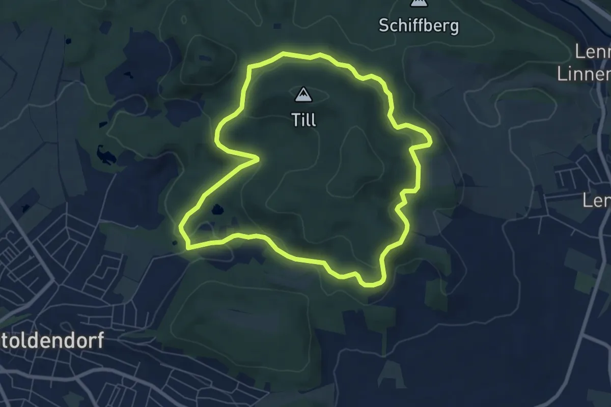
Easy · Trail
St 5
6.2 km · ↑ 181 m · 1 h 57 min
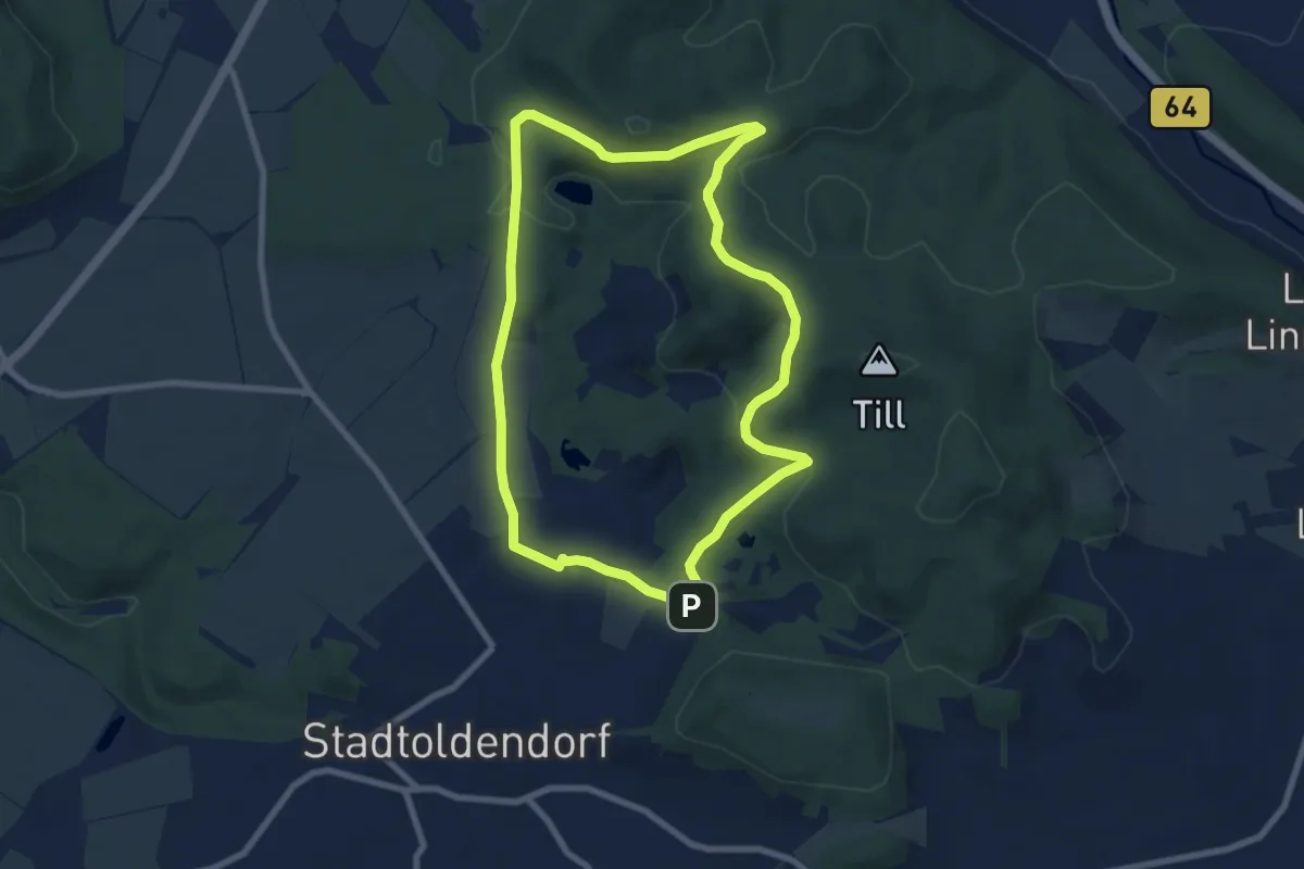
Easy · Trail
St 6
7.0 km · ↑ 161 m · 2 h 5 min
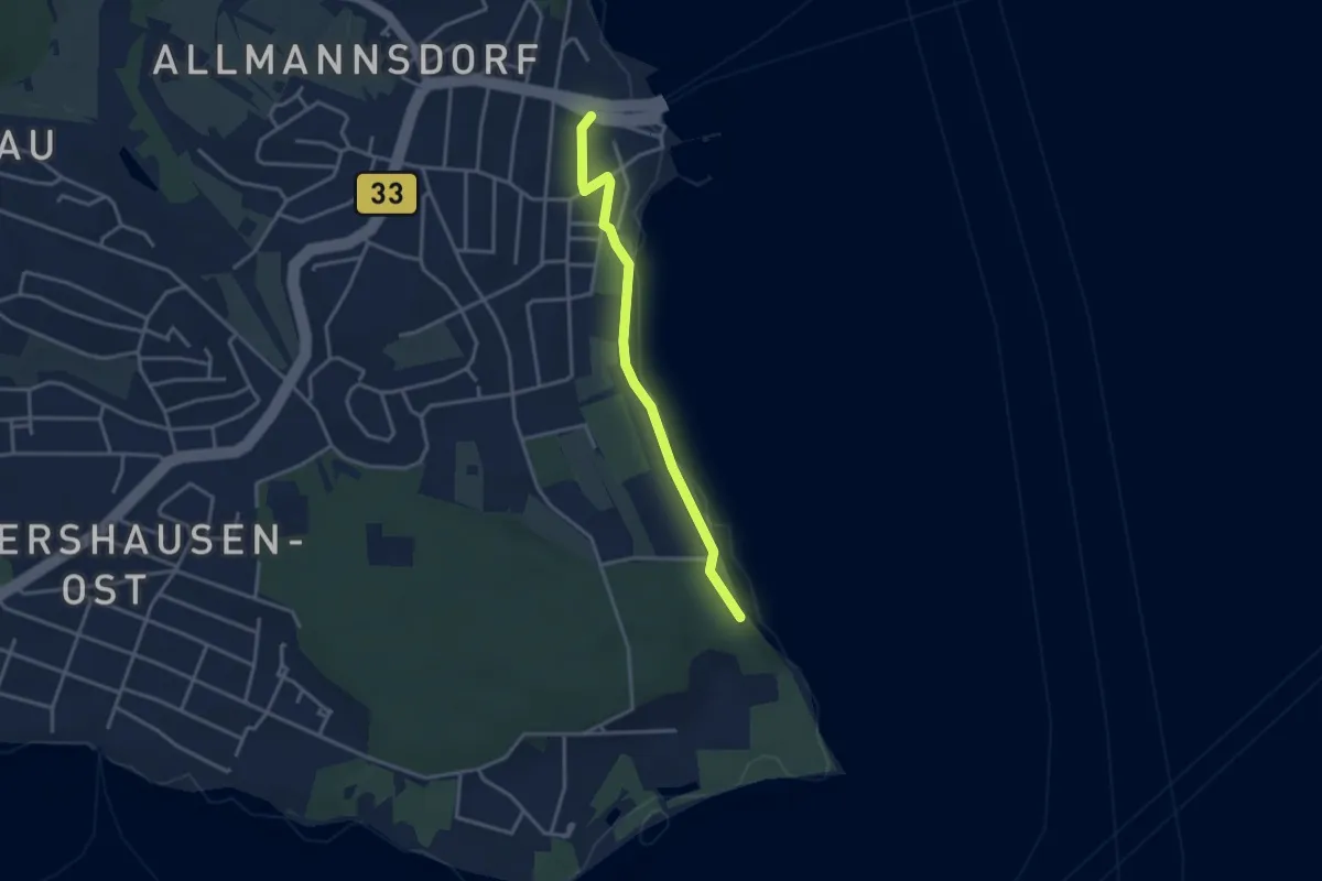
Easy · Trail
Staad Fährhafen - Beim Hörnle
3.2 km · ↑ 17 m · 47 min
Easy · Trail
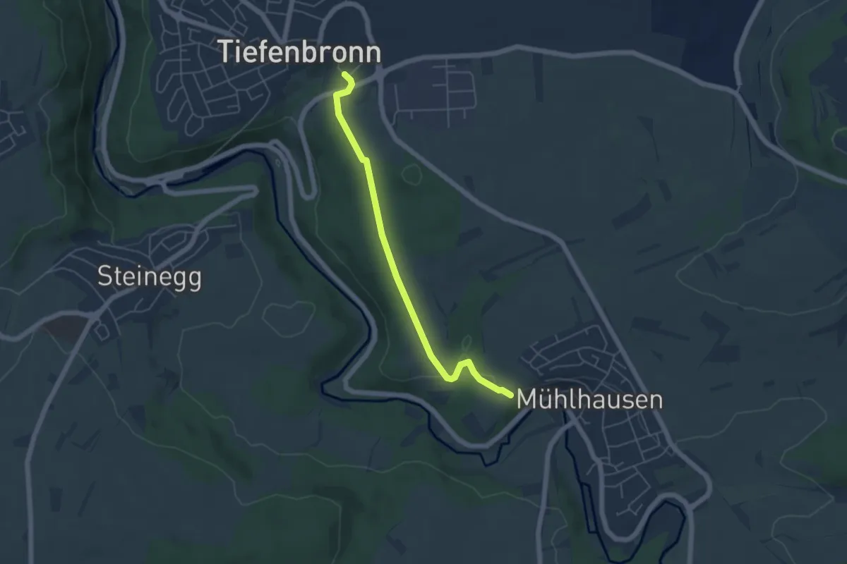
Stadelbach - Tiefenbronn Schwarzer Adler
4.6 km · ↑ 67 m · 1 h 14 min
Easy · Trail
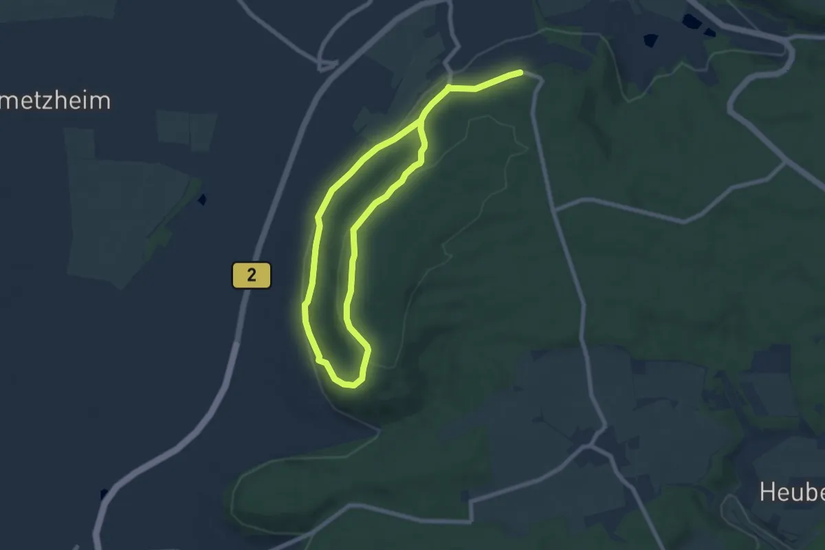
Stadelhofweg
5.4 km · ↑ 168 m · 1 h 43 min
Medium · Trail
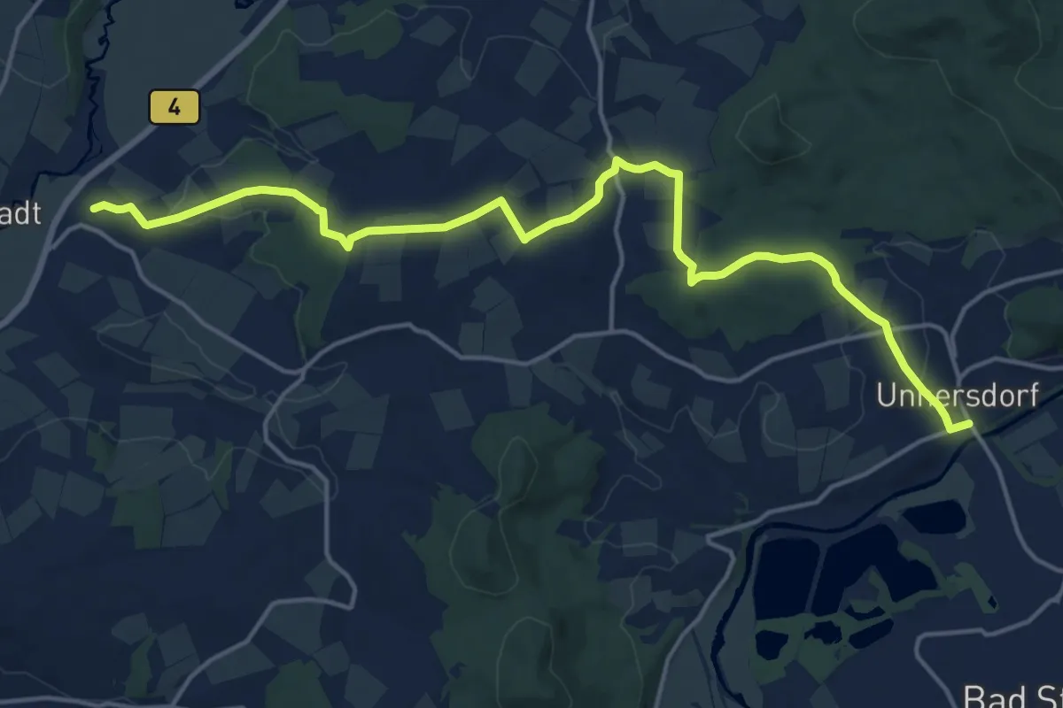
Stadelweg
17.5 km · ↑ 309 m · 4 h 48 min
Medium · Trail
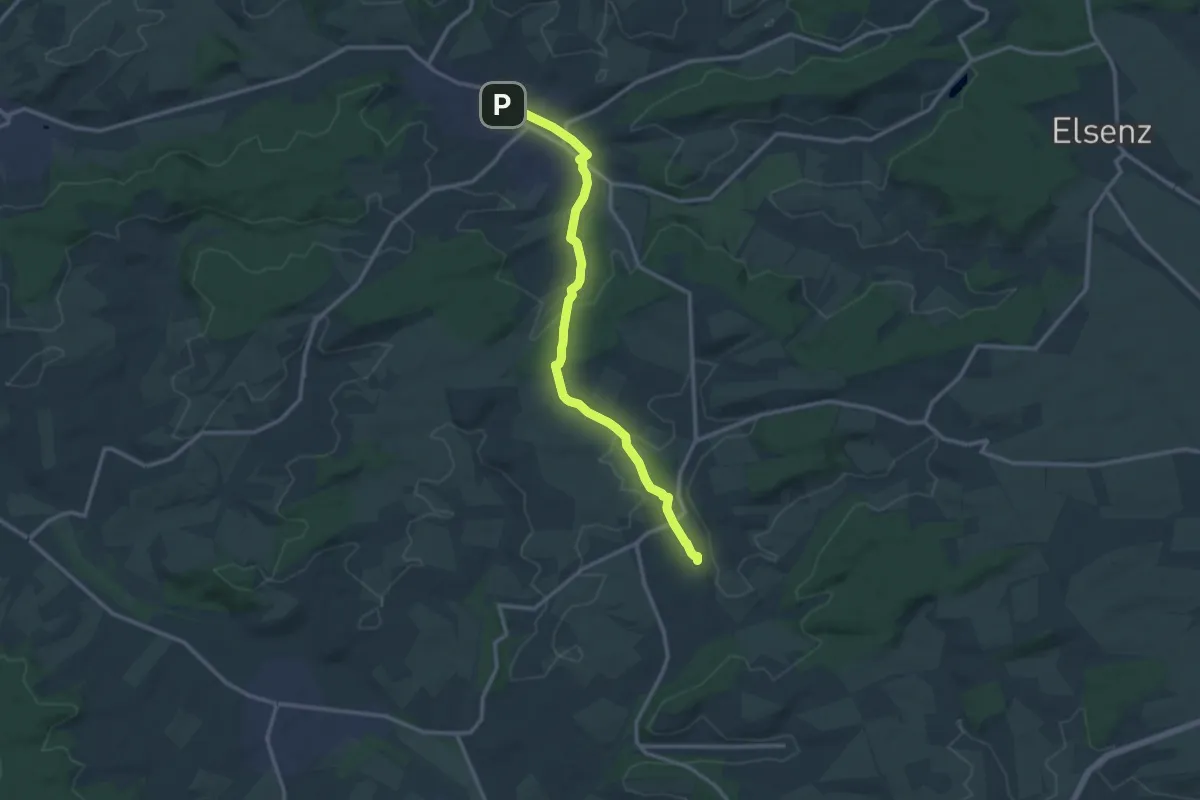
Stadtbahnwanderweg Menzingen - Odenheim
12.4 km · ↑ 159 m · 3 h 16 min
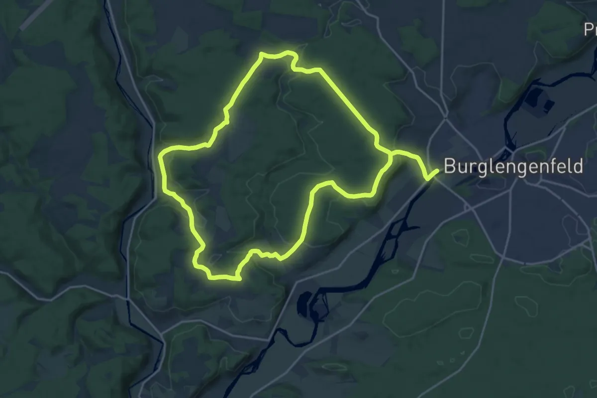
Medium · Trail
Städtedreieck-Rundweg 1 (Rot)
16.4 km · ↑ 272 m · 4 h 44 min
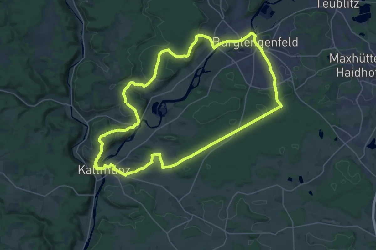
Demanding · Trail
Städtedreieck-Rundweg 2 "Wittelsbacher Burgensteig" (Blau)
24.8 km · ↑ 435 m · 7 h 9 min
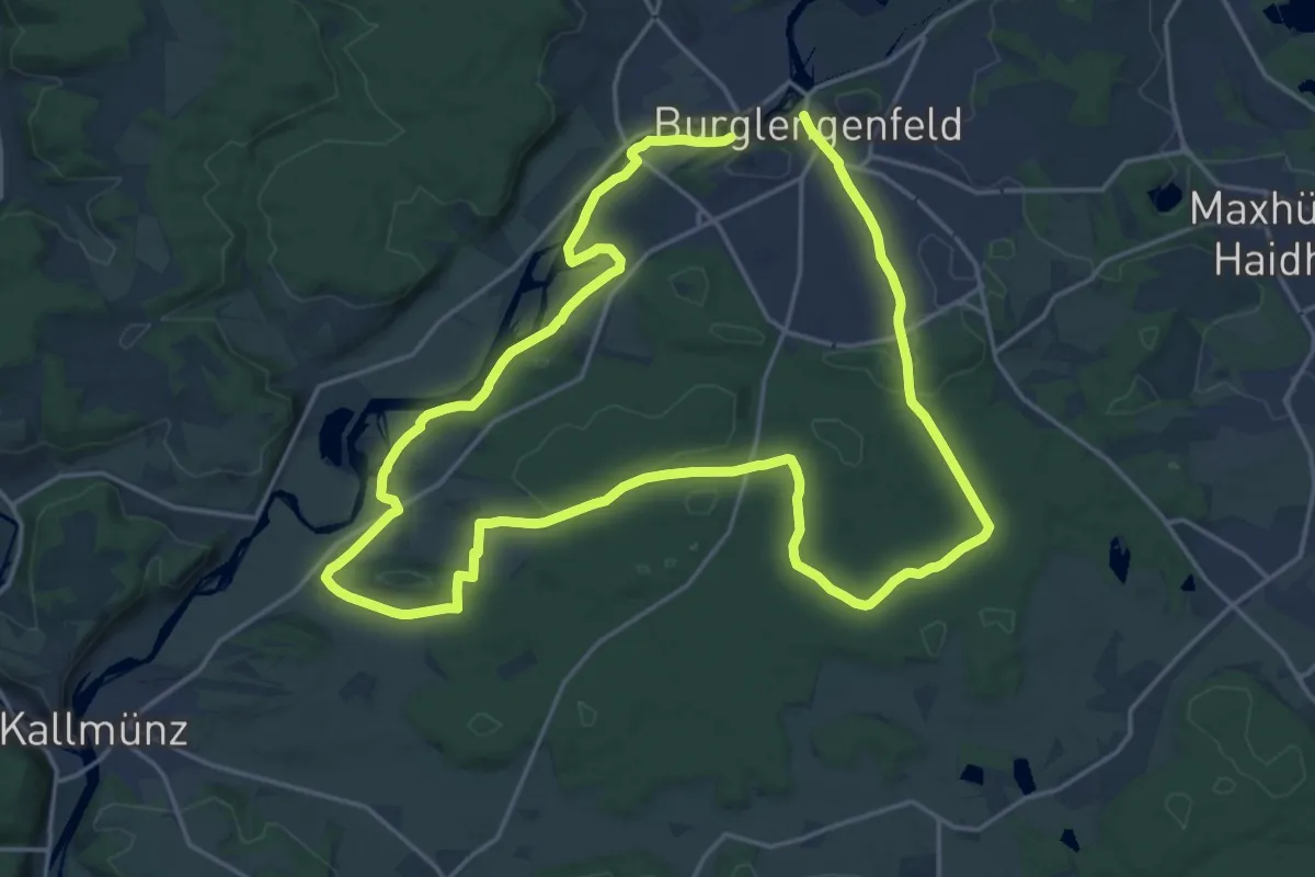
Demanding · Trail
Städtedreieck-Rundweg 3 "Mühlenweg" (Orange)
18.4 km · ↑ 183 m · 4 h 59 min
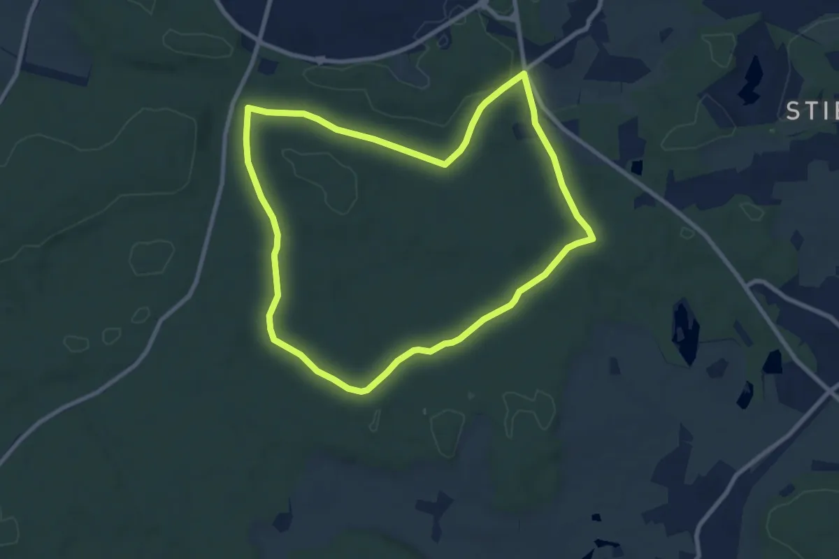
Easy · Trail
Städtedreieck-Rundweg 4 (Schwarz)
7.6 km · ↑ 72 m · 2 h 3 min
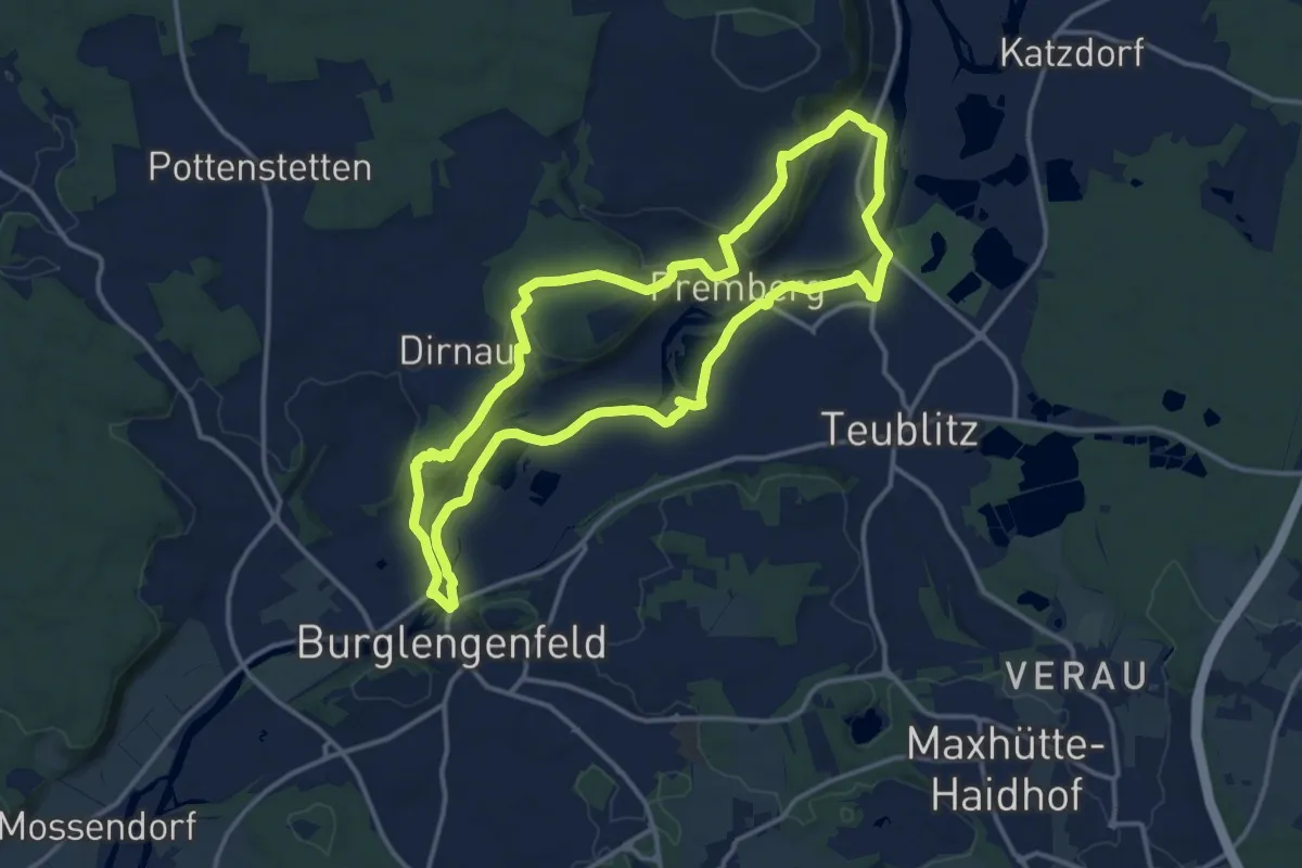
Medium · Trail
Städtedreieck-Rundweg 5 (Grün)
13.2 km · ↑ 218 m · 3 h 46 min
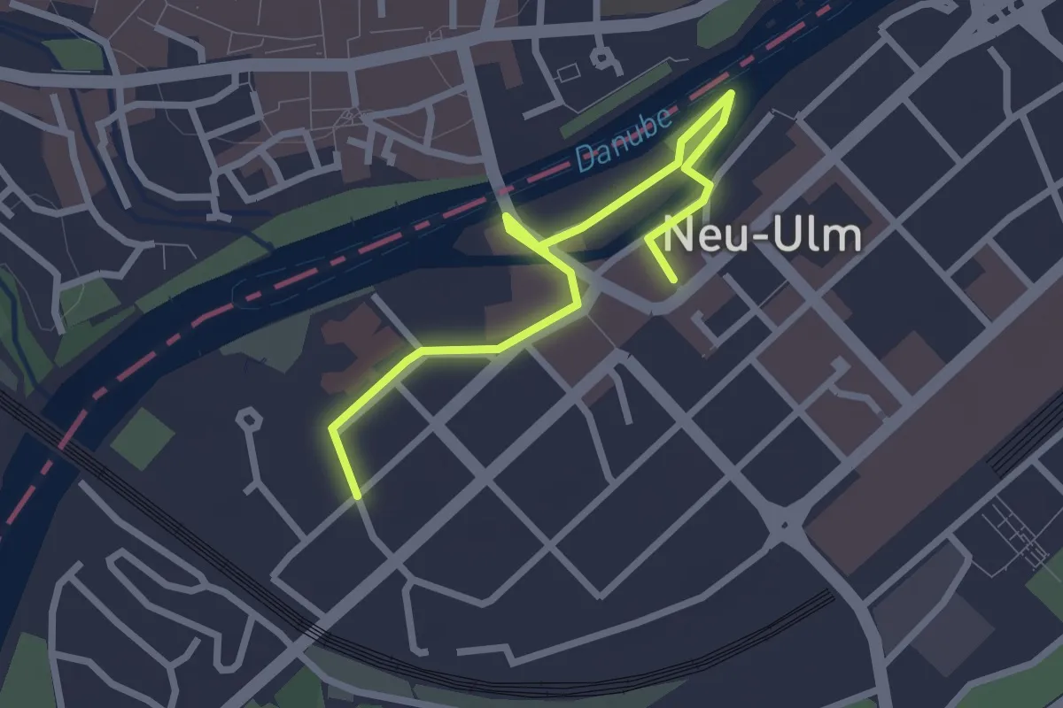
Easy · Trail
Stadtgeschichten West
1.3 km · ↑ 0 m · 20 min
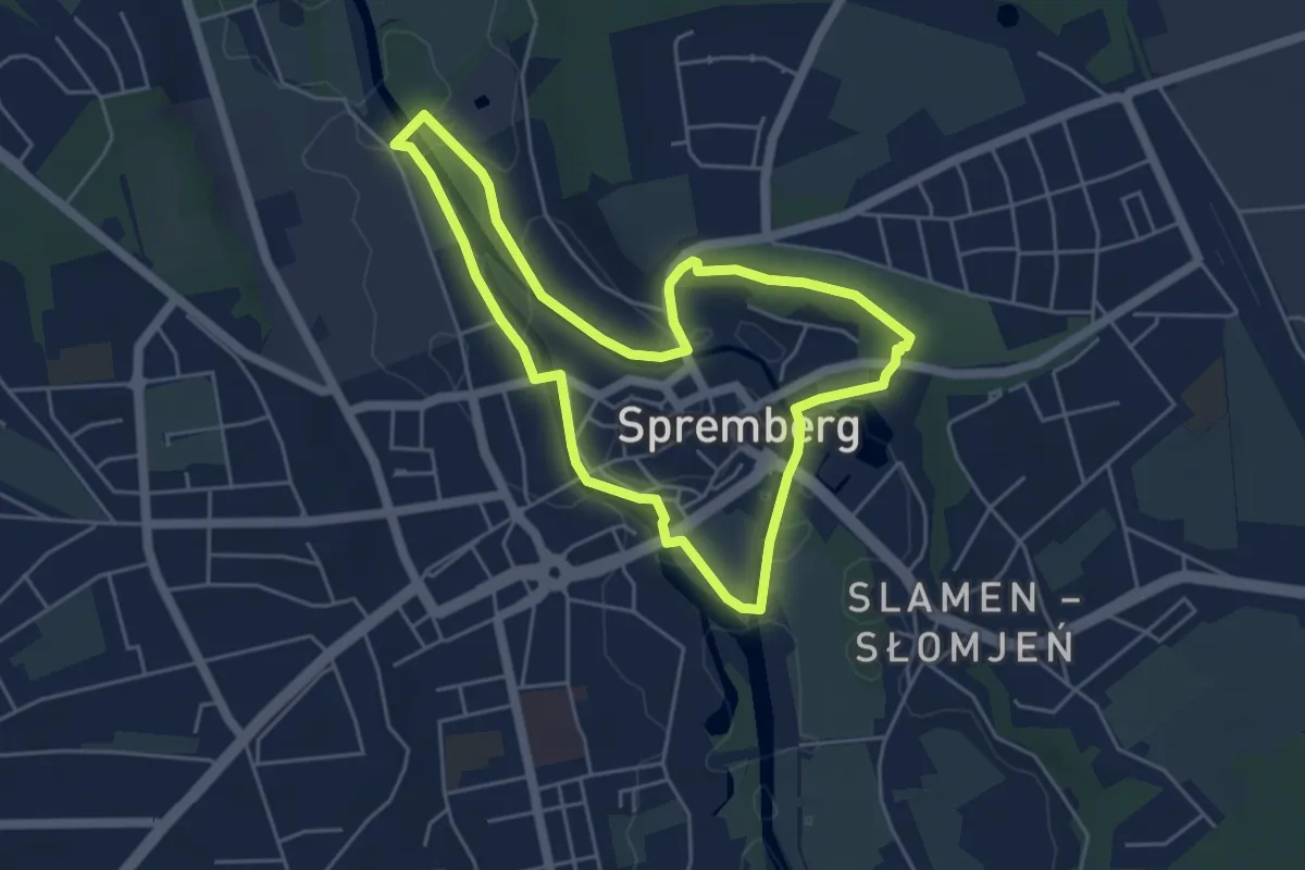
Easy · Summit
Städtischer Wanderweg
4.3 km · ↑ 29 m · 1 h 8 min
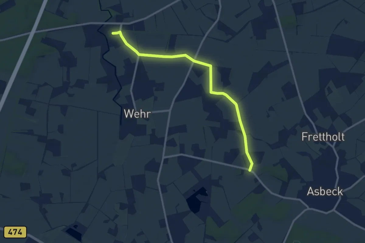
Easy · Trail
Stadtlandfluß BUS Westmünsterland
7.3 km · ↑ 13 m · 1 h 46 min
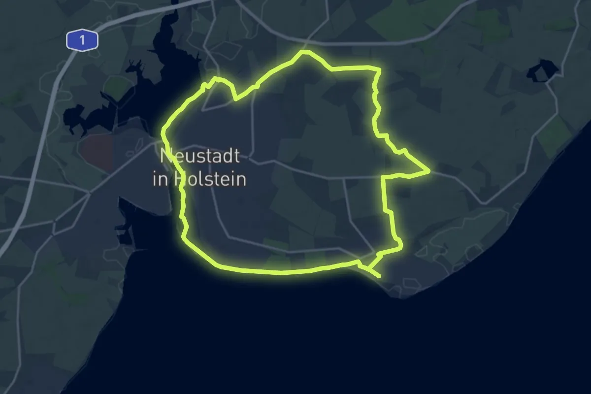
Medium · Trail
Stadt, Land und Mee(h)r, Neustadt-i.H.
14.1 km · ↑ 36 m · 3 h 36 min
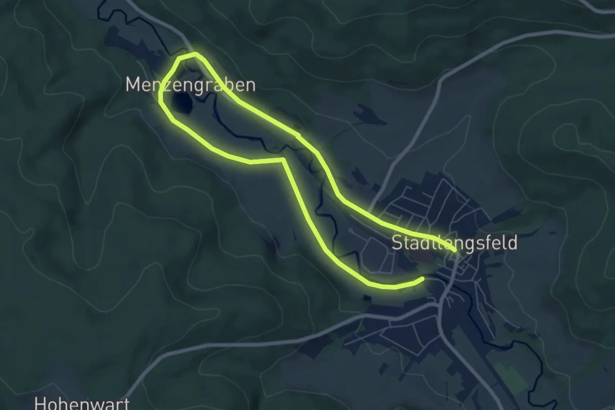
Easy · Trail
Stadtlengsfeld - Rhön-Rundweg 5
5.2 km · ↑ 18 m · 1 h 20 min
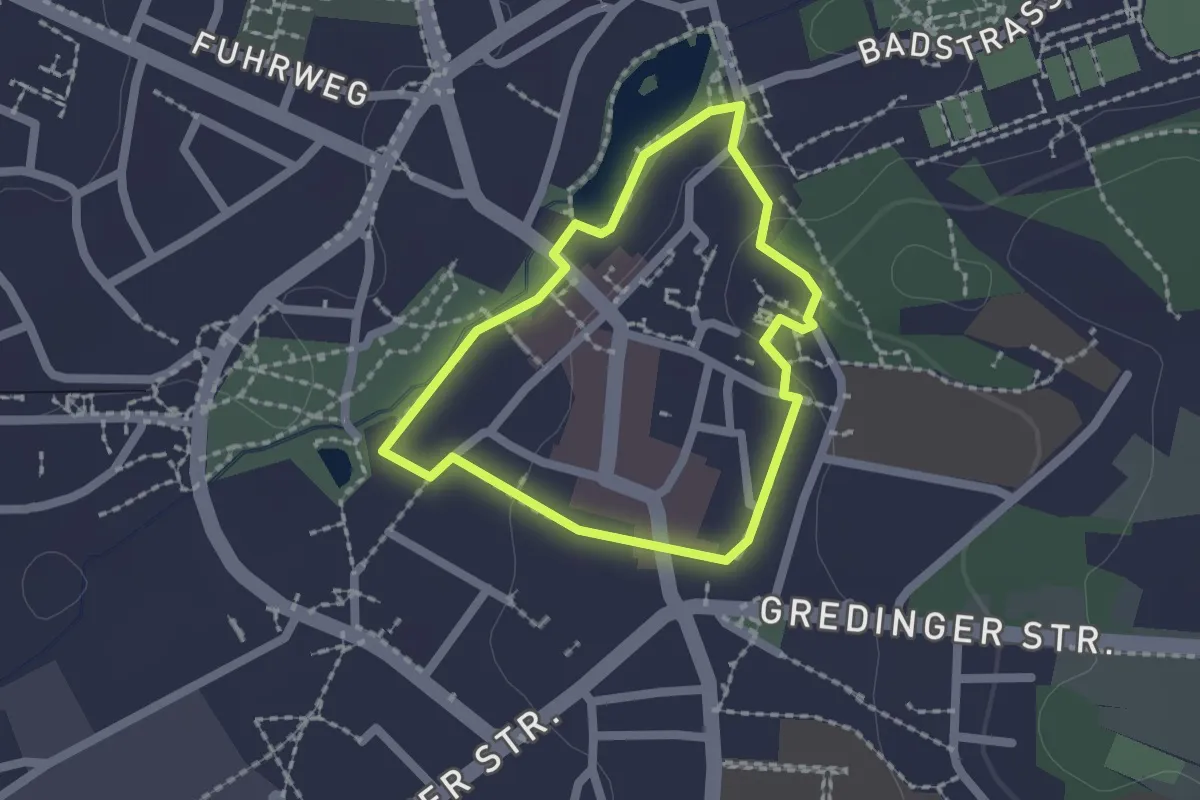
Easy · Trail
Stadtmauer Rundgang
1.5 km · ↑ 16 m · 24 min
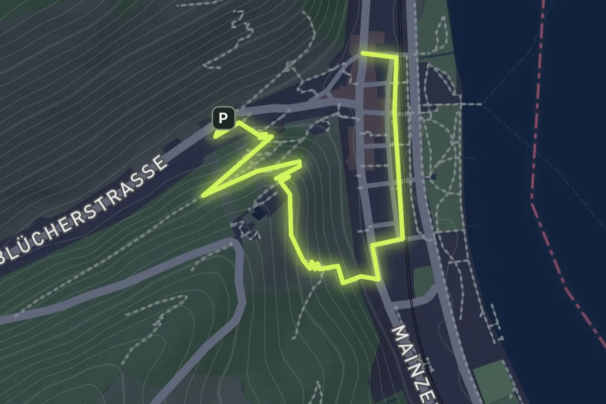
Easy · Trail
Stadtmauerrundweg
3.0 km · ↑ 152 m · 1 h 2 min
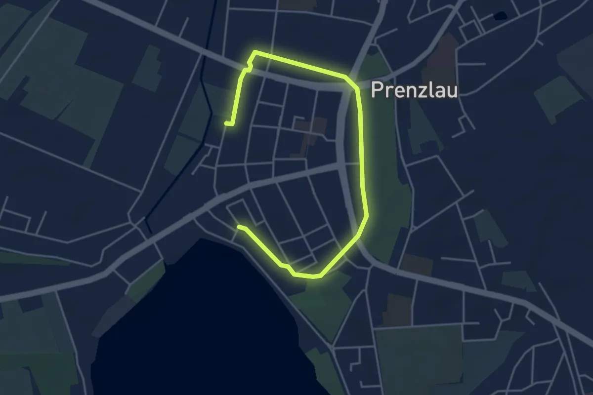
Easy · Trail
Stadtmauerrundweg
4.3 km · ↑ 32 m · 1 h 5 min
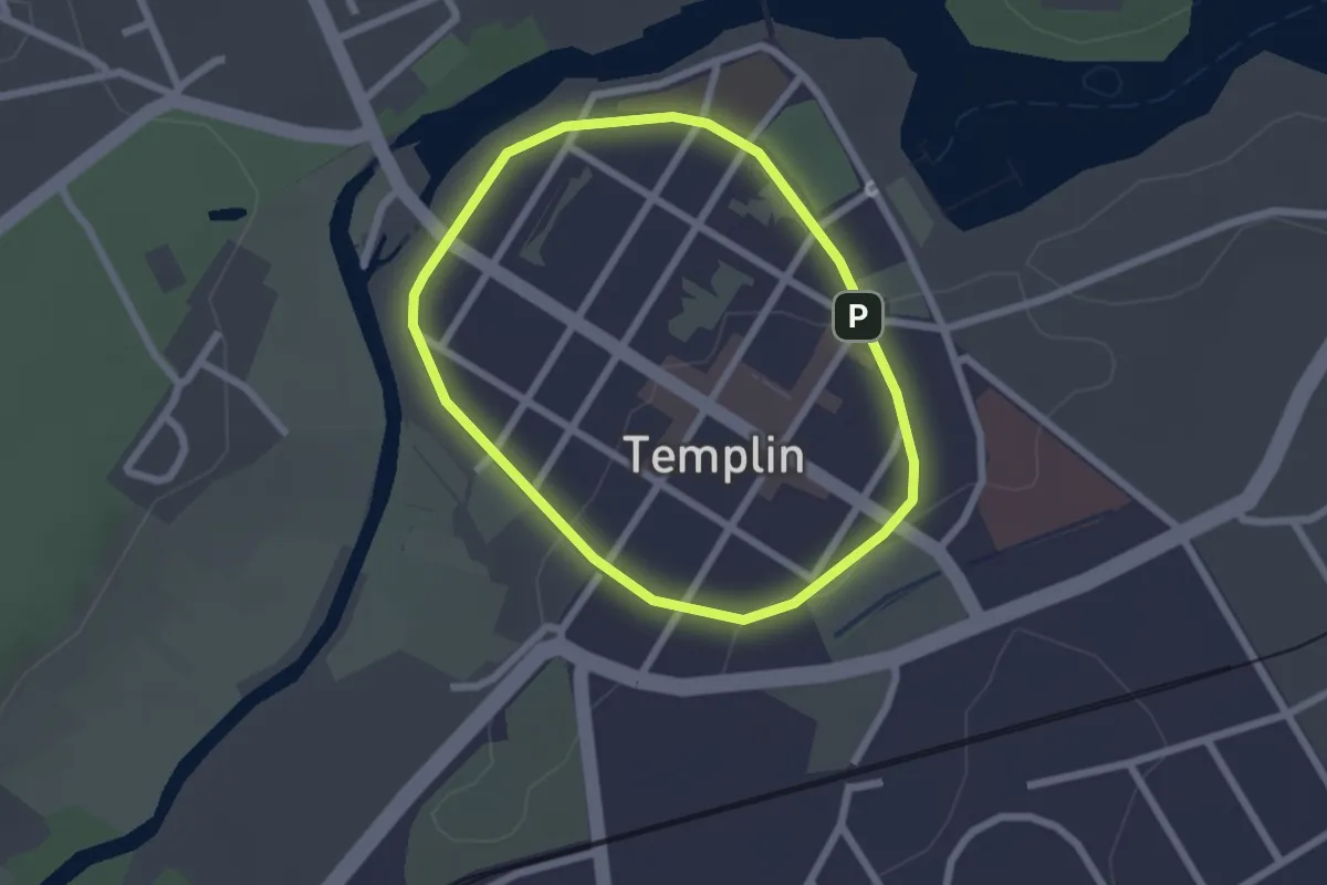
Easy · Trail
Stadtmauerrundweg
1.8 km · ↑ 8 m · 27 min
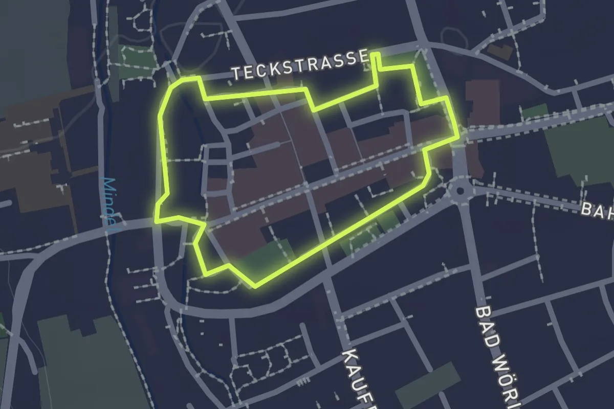
Easy · Trail
Stadtmauerweg
1.6 km · ↑ 0 m · 24 min
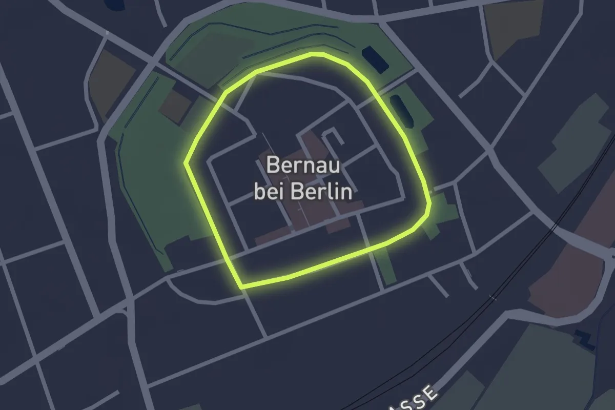
Easy · Trail
Stadtmauerweg
1.5 km · ↑ 4 m · 23 min
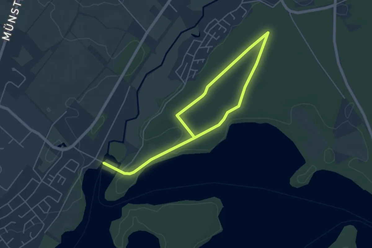
Easy · Trail
Stadtmühle Rundweg A1
3.1 km · ↑ 13 m · 47 min
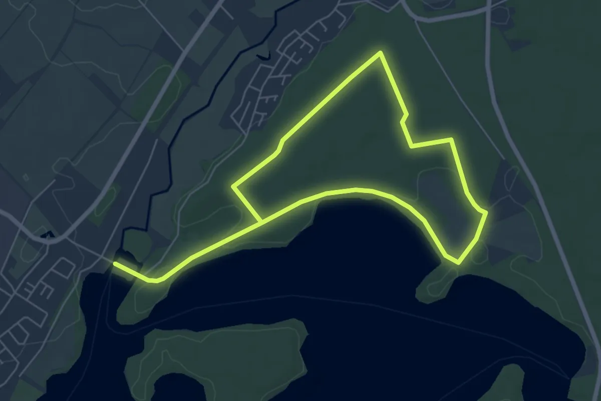
Easy · Trail
Stadtmühle Rundweg A2
4.5 km · ↑ 10 m · 1 h 9 min
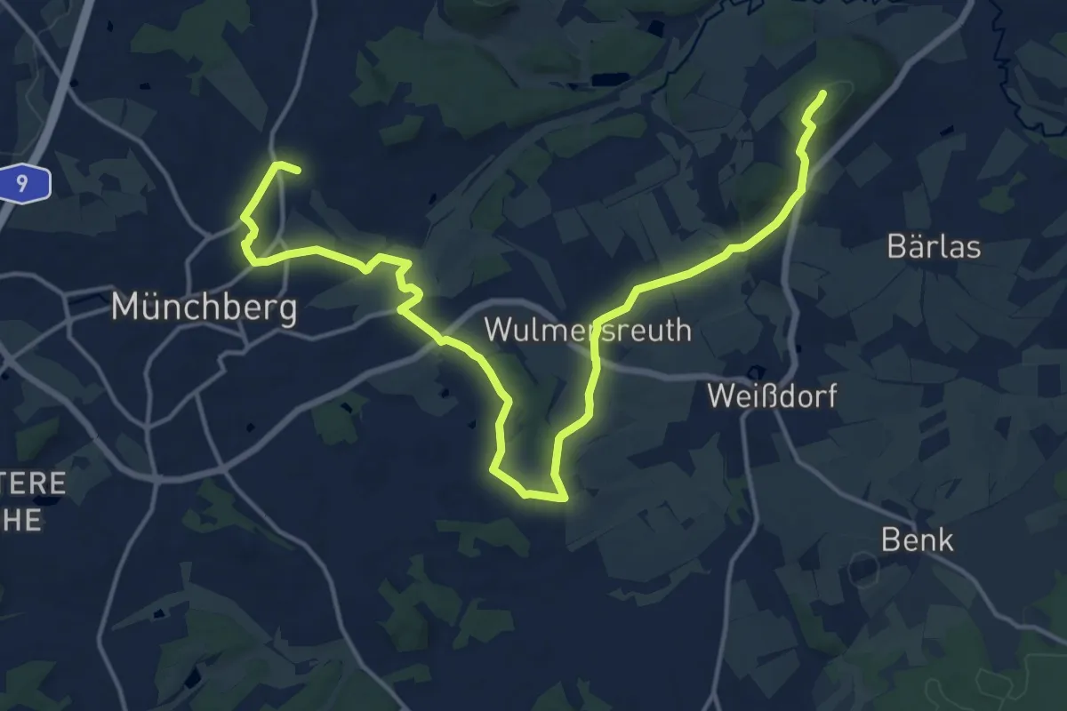
Demanding · Summit
Stadt Münchberg, weiß auf schwarz 3
18.0 km · ↑ 261 m · 4 h 50 min
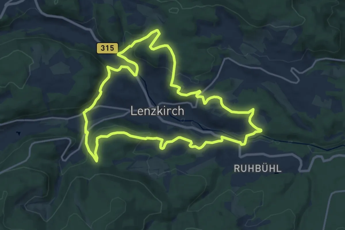
Medium · Trail
Stadtmusik Panorama-Weg
12.2 km · ↑ 375 m · 3 h 52 min
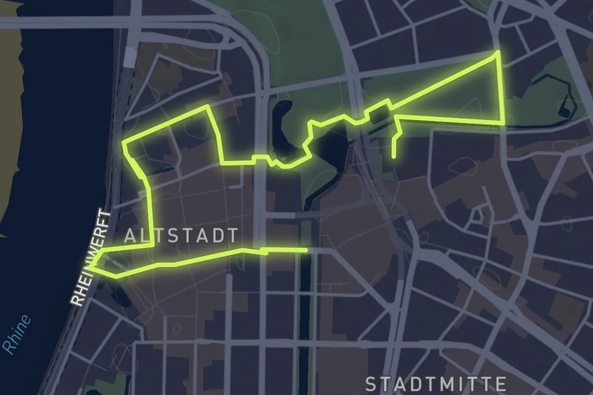
Easy · Trail
Stadtnatur Düsseldorf - ein Entdeckungspfad
7.1 km · ↑ 48 m · 1 h 47 min
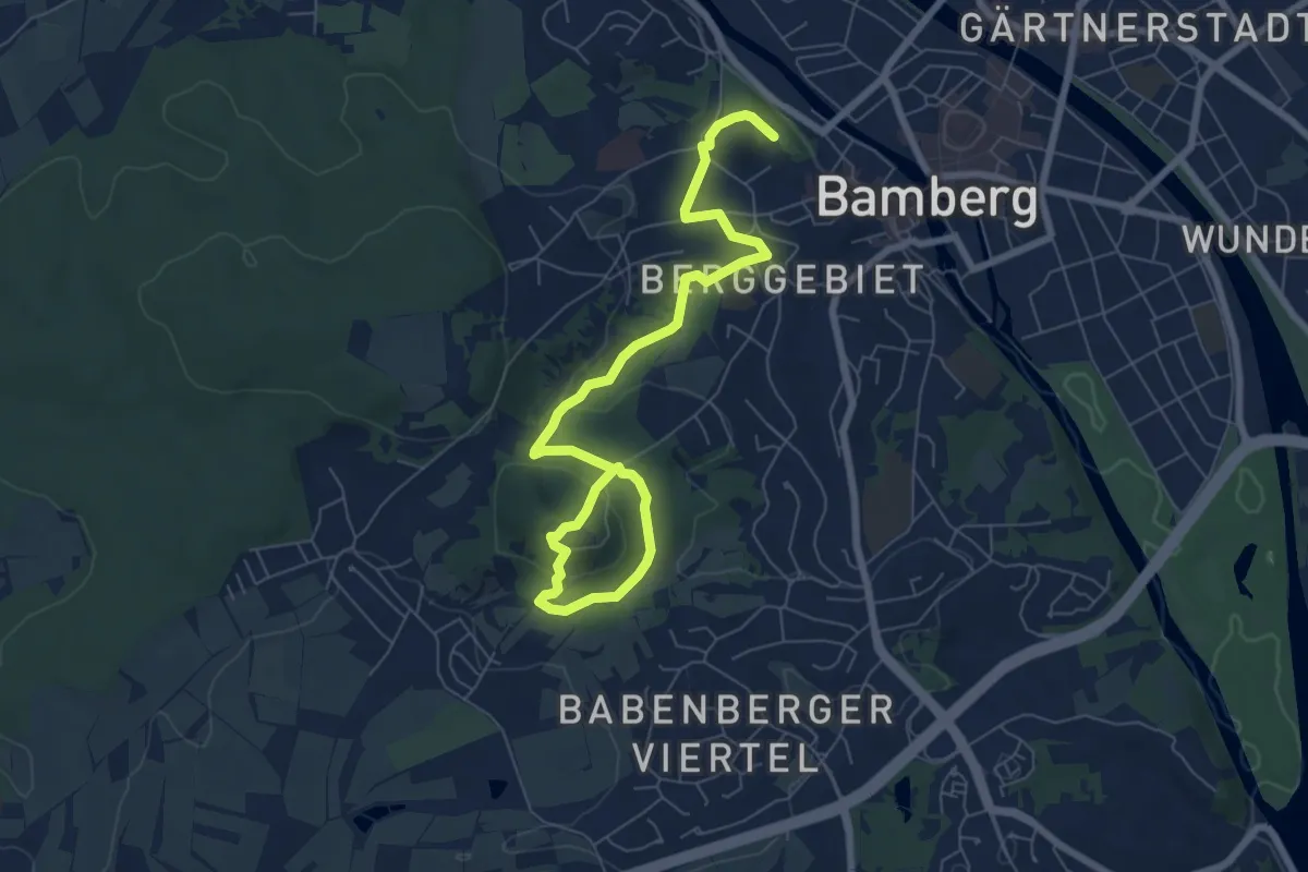
Medium · Trail
Stadtökologischer Lehr- und Erlebnispfad Bamberg
8.2 km · ↑ 216 m · 2 h 24 min
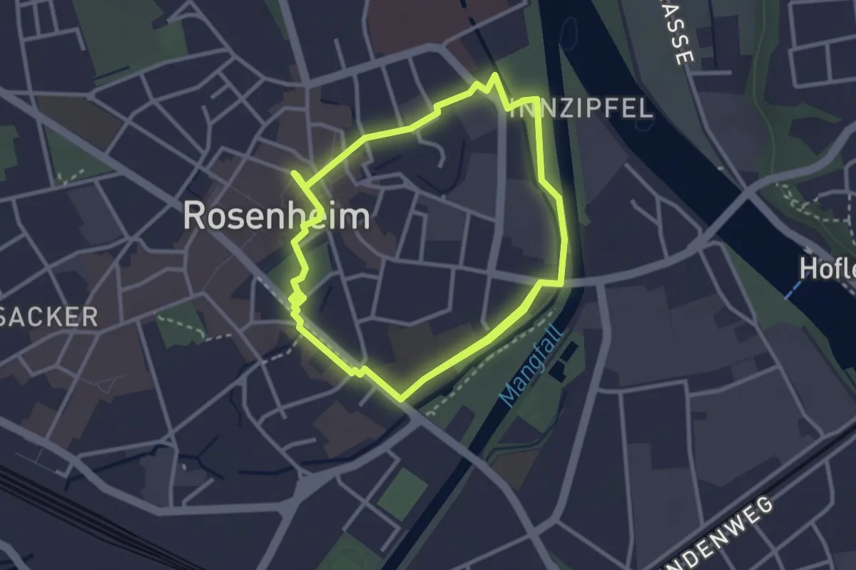
Easy · Trail
Stadtökologischer Themenweg
5.9 km · ↑ 8 m · 1 h 24 min
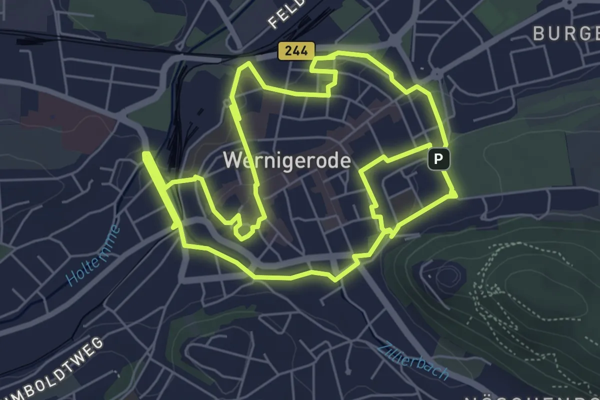
Medium · Trail
Stadt-Öko-Pfad Wernigerode
12.0 km · ↑ 80 m · 3 h
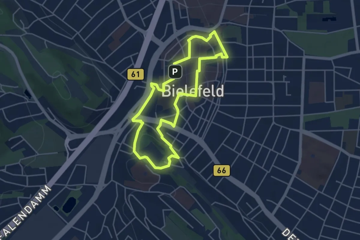
Easy · Summit
Stadtrundgang
3.5 km · ↑ 44 m · 59 min
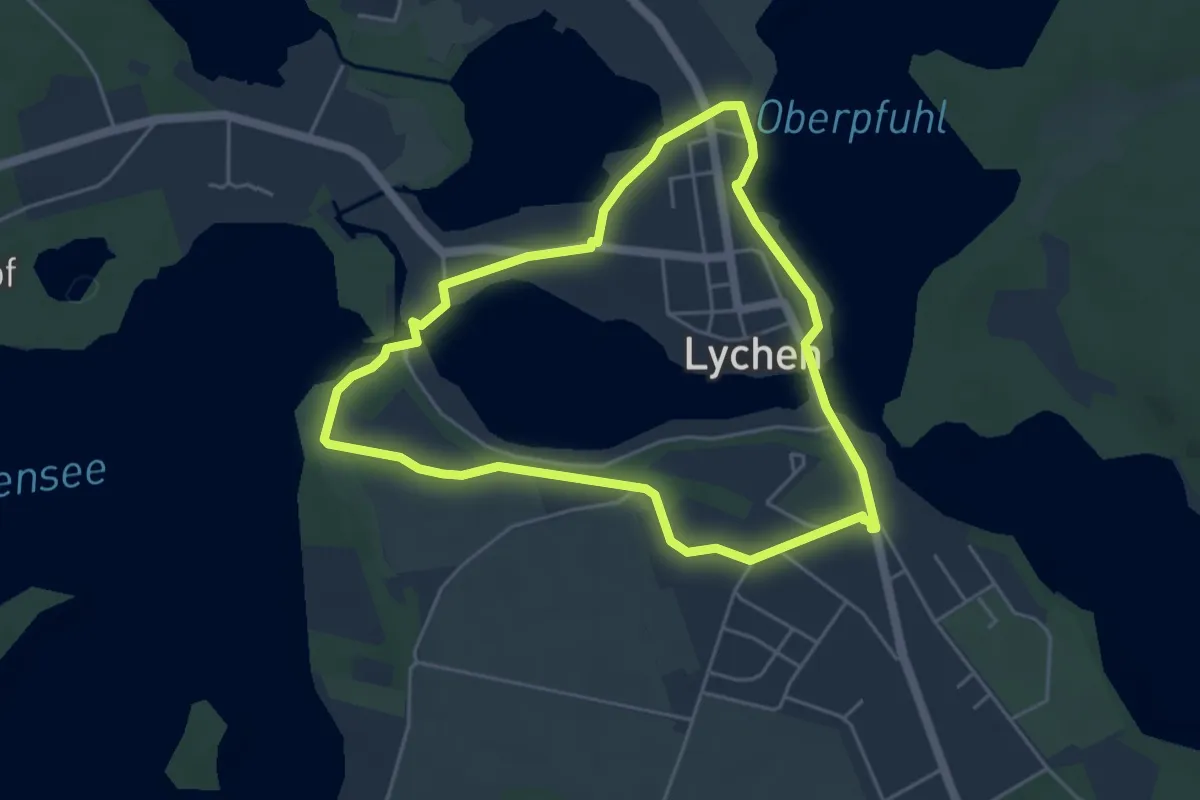
Easy · Trail
Stadt-Rundgang
4.0 km · ↑ 18 m · 1 h 2 min
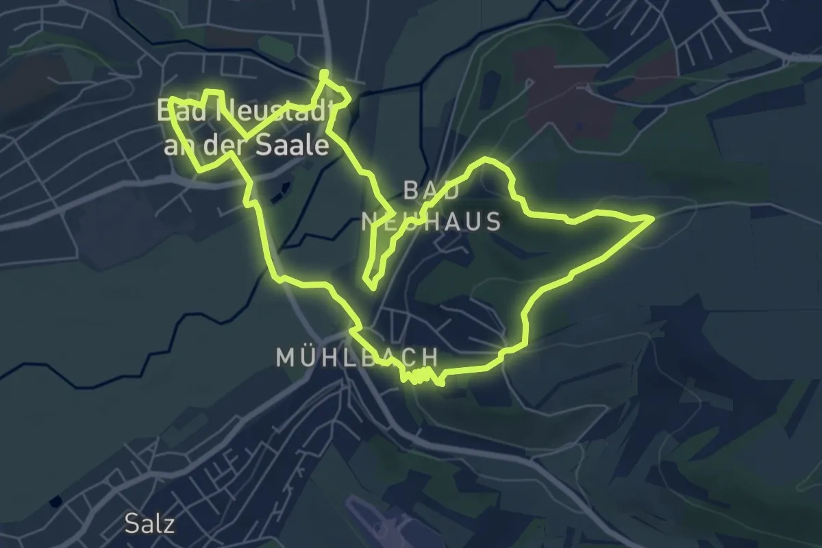
Easy · Trail
Stadtrundgang Bad Neustadt
7.0 km · ↑ 103 m · 1 h 58 min
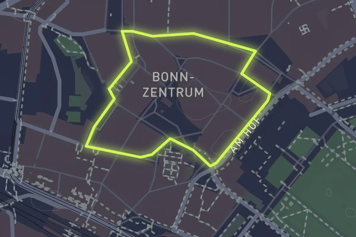
Easy · Trail
Stadtrundgang durch die mittelalterliche Bonner Altstadt
1.1 km · ↑ 0 m · 17 min