Trails in Germany
36,852 hiking trails, each with its route, climb, walking time and grade.
All trails, page 601 of 768
Medium · Trail
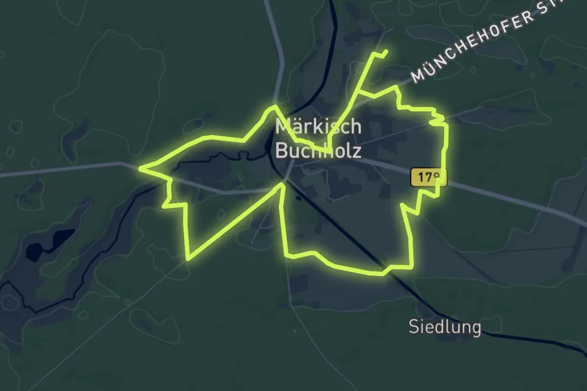
Stadtrundwanderweg Märkisch Buchholz
8.9 km · ↑ 36 m · 2 h 19 min
Medium · Trail
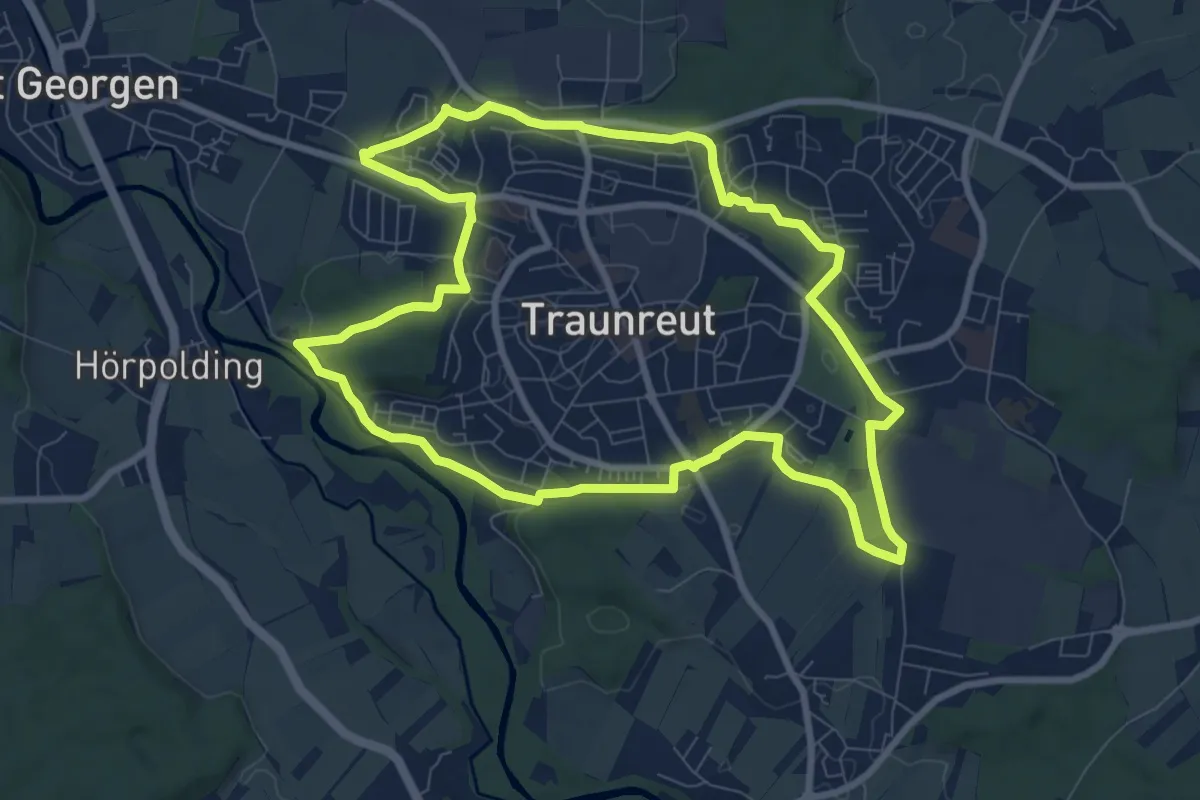
Stadtrundweg
8.5 km · ↑ 66 m · 2 h 16 min
Demanding · Summit
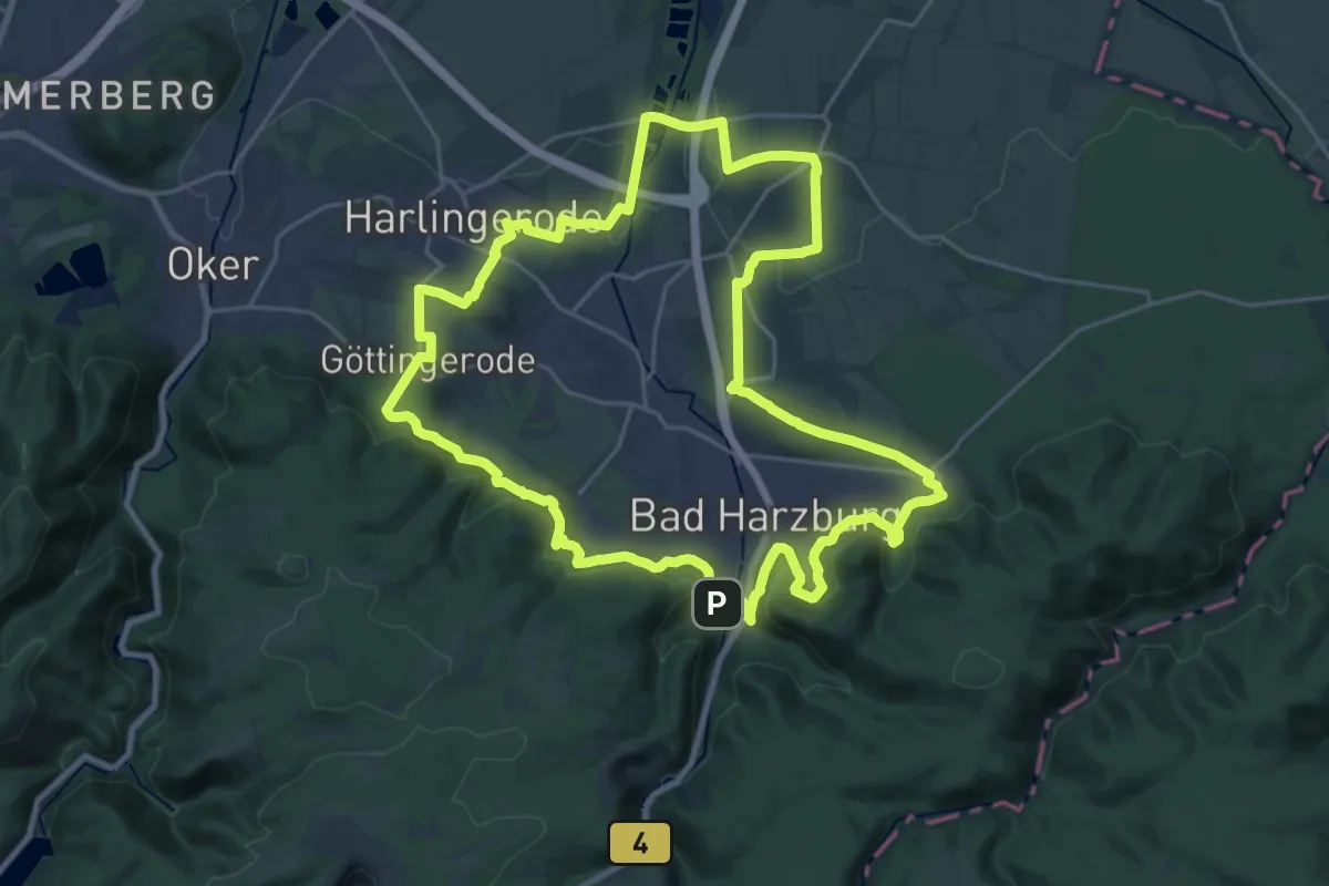
Stadtrundweg Bad Harzburg
22.8 km · ↑ 509 m · 6 h 49 min
Easy · Trail
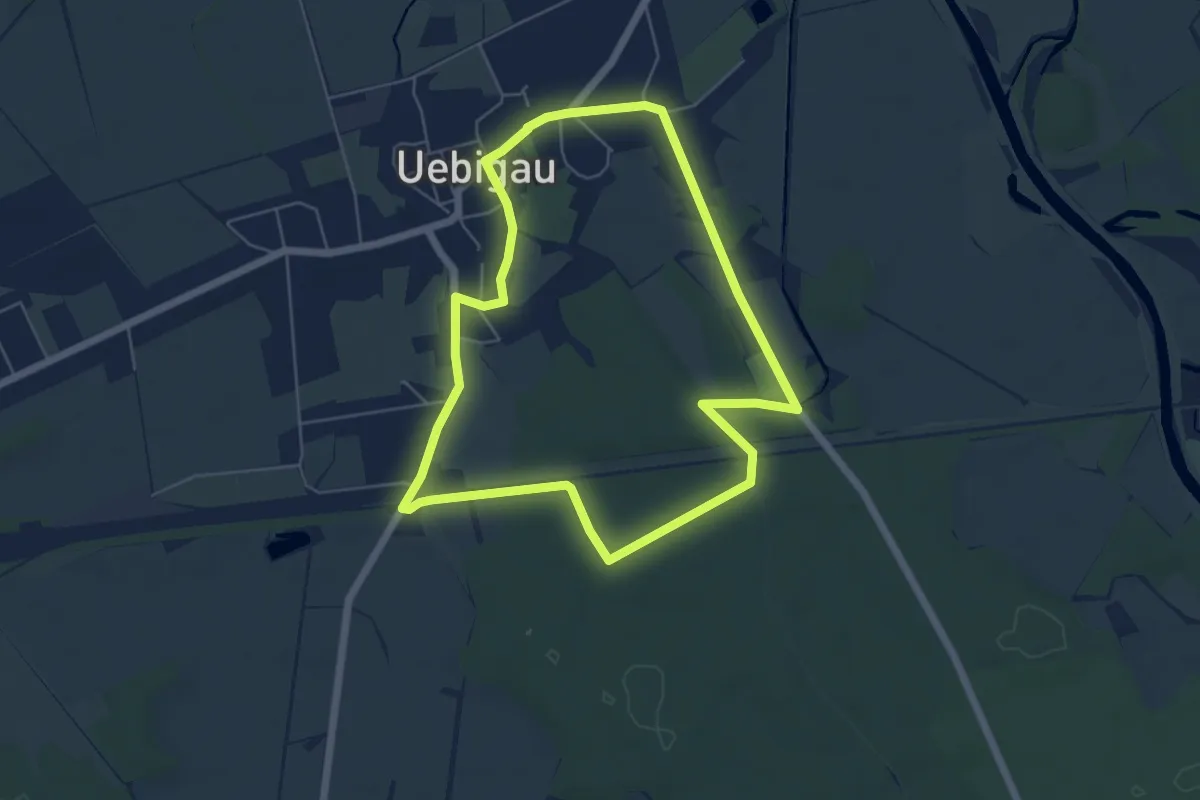
Stadtrundweg Uebigau
5.0 km · ↑ 9 m · 1 h 16 min
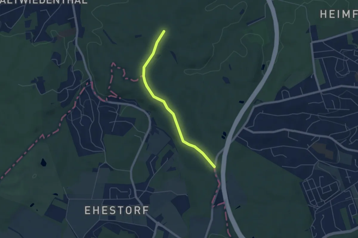
Easy · Trail
Stadtscheide
4.1 km · ↑ 14 m · 1 h
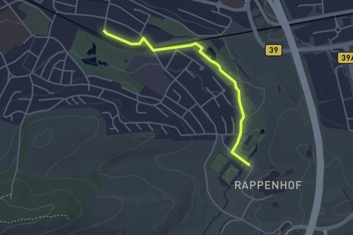
Easy · Trail
Stadtseetalweg
3.3 km · ↑ 9 m · 47 min
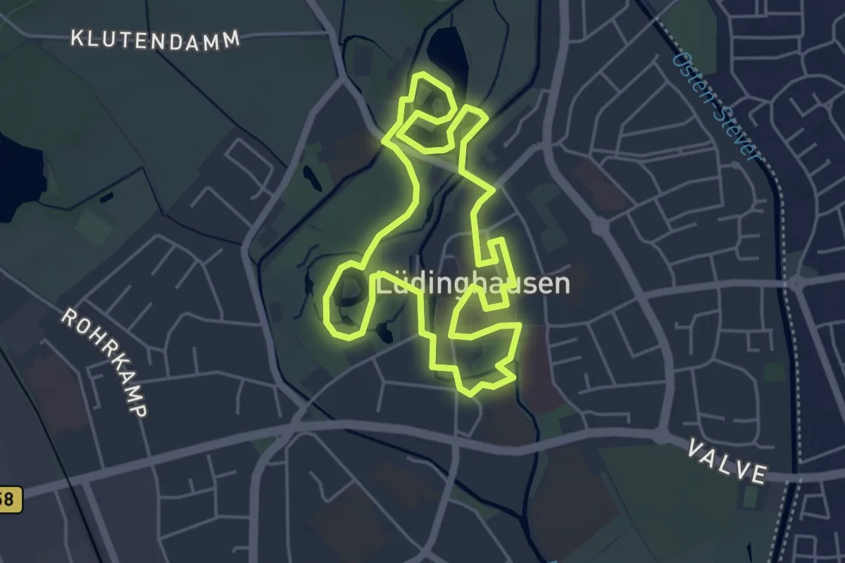
Easy · Trail
Stadtspaziergang
4.0 km · ↑ 4 m · 1 h 1 min
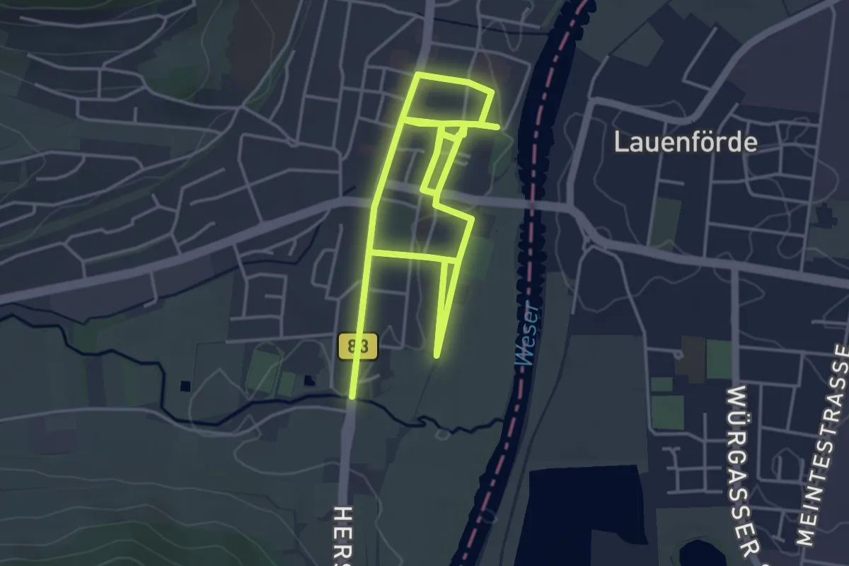
Easy · Trail
Stadtspaziergang - Auf den Spuren des Bibers
3.4 km · ↑ 4 m · 52 min
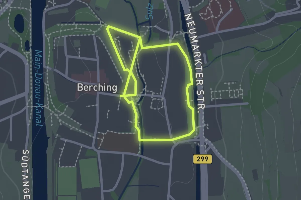
Easy · Trail
Stadtspaziergang Berching
3.4 km · ↑ 8 m · 50 min
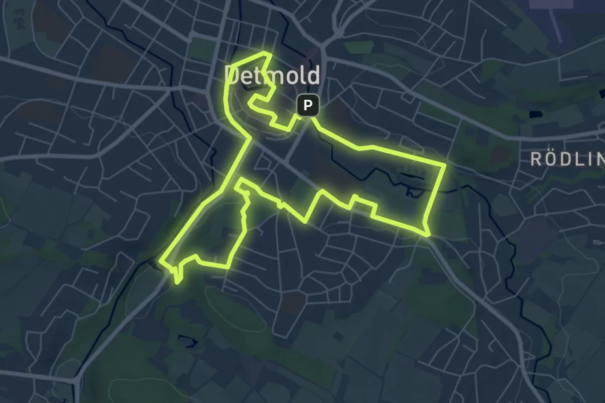
Easy · Trail
Stadtspaziergang Detmold
6.5 km · ↑ 74 m · 1 h 47 min
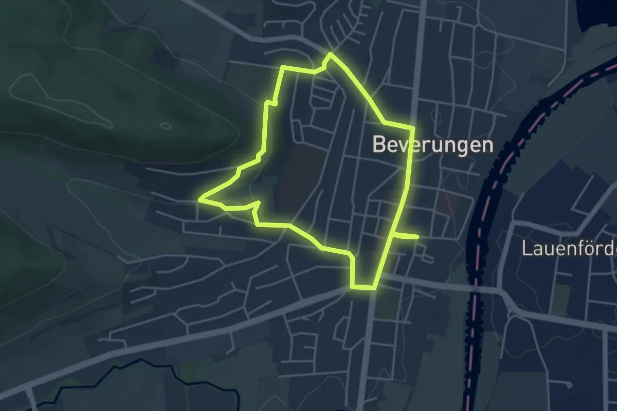
Easy · Trail
Stadtspaziergang zum Kapellenberg
3.4 km · ↑ 71 m · 1 h 1 min
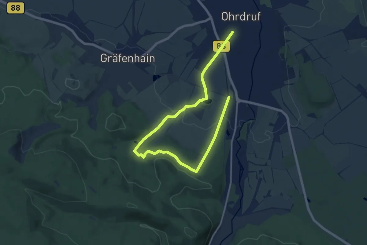
Medium · Trail
Stadt- und Flurroute Ohrdruf
12.0 km · ↑ 207 m · 3 h 17 min
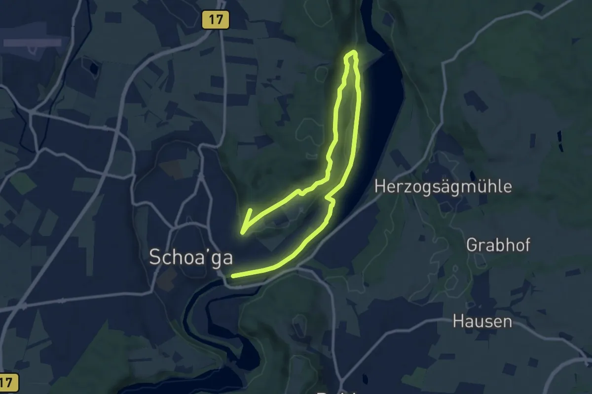
Medium · Trail
Stadt- und Lechgeschichten
13.8 km · ↑ 293 m · 3 h 54 min
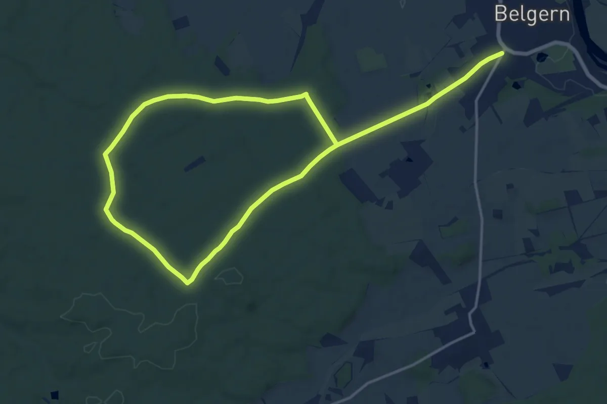
Medium · Trail
Stadtwaldrunde
10.2 km · ↑ 67 m · 2 h 42 min
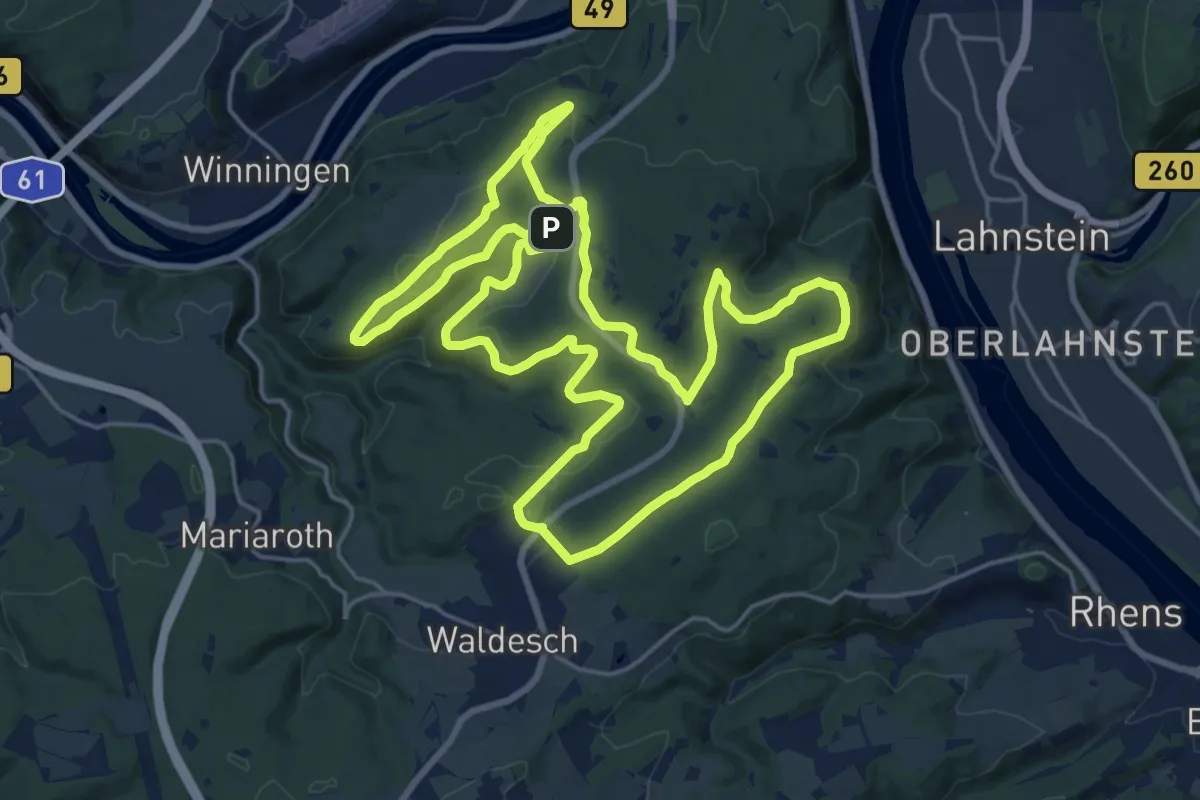
Demanding · Summit
Stadtwald-Runde
19.8 km · ↑ 374 m · 5 h 46 min
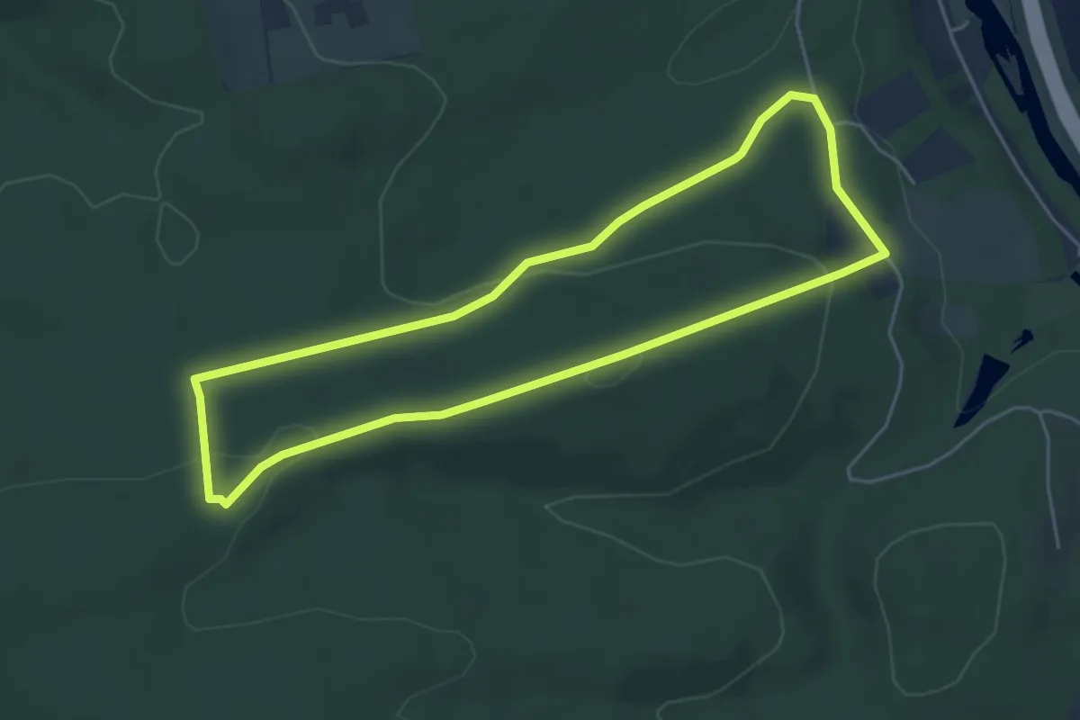
Medium · Trail
Stadtwald Rundweg A1
4.2 km · ↑ 103 m · 1 h 17 min
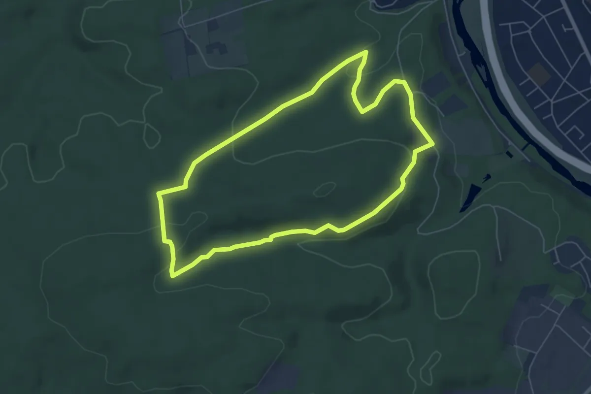
Easy · Trail
Stadtwald Rundweg A2
5.3 km · ↑ 118 m · 1 h 35 min
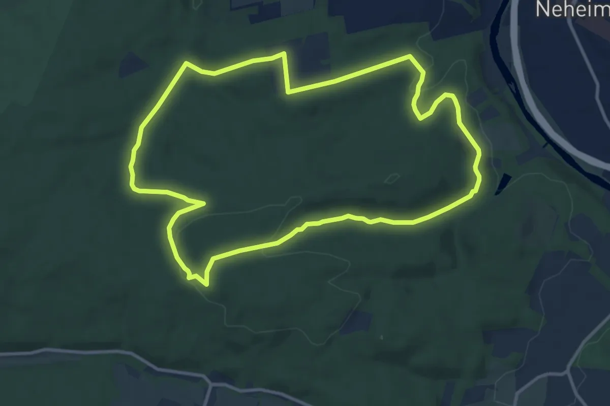
Medium · Trail
Stadtwald Rundweg A3
9.1 km · ↑ 186 m · 2 h 41 min
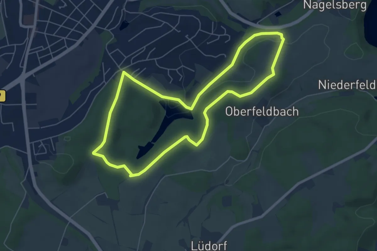
Easy · Trail
Stadtwald Rundweg A3
5.3 km · ↑ 72 m · 1 h 29 min
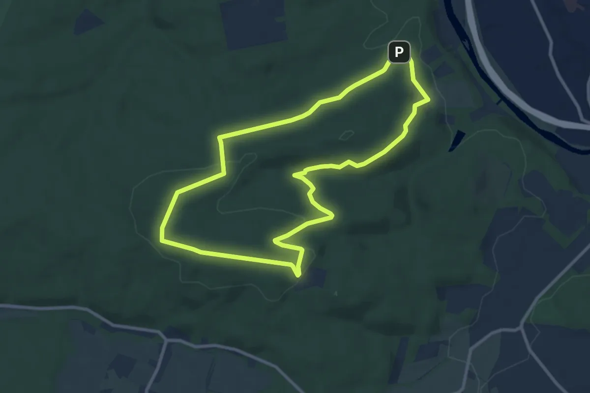
Medium · Summit
Stadtwald Rundweg A4
7.3 km · ↑ 150 m · 2 h 9 min
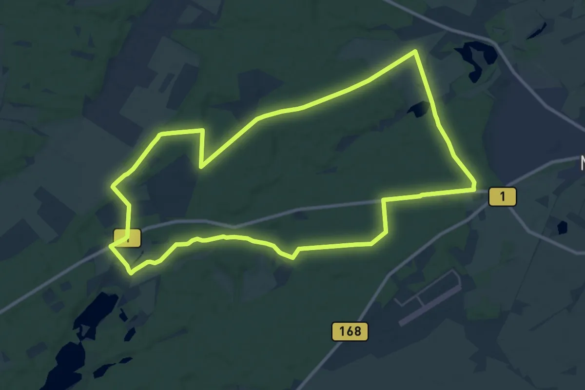
Medium · Trail
Stadtwaldrundweg Hoppegarten
17.5 km · ↑ 111 m · 4 h 36 min
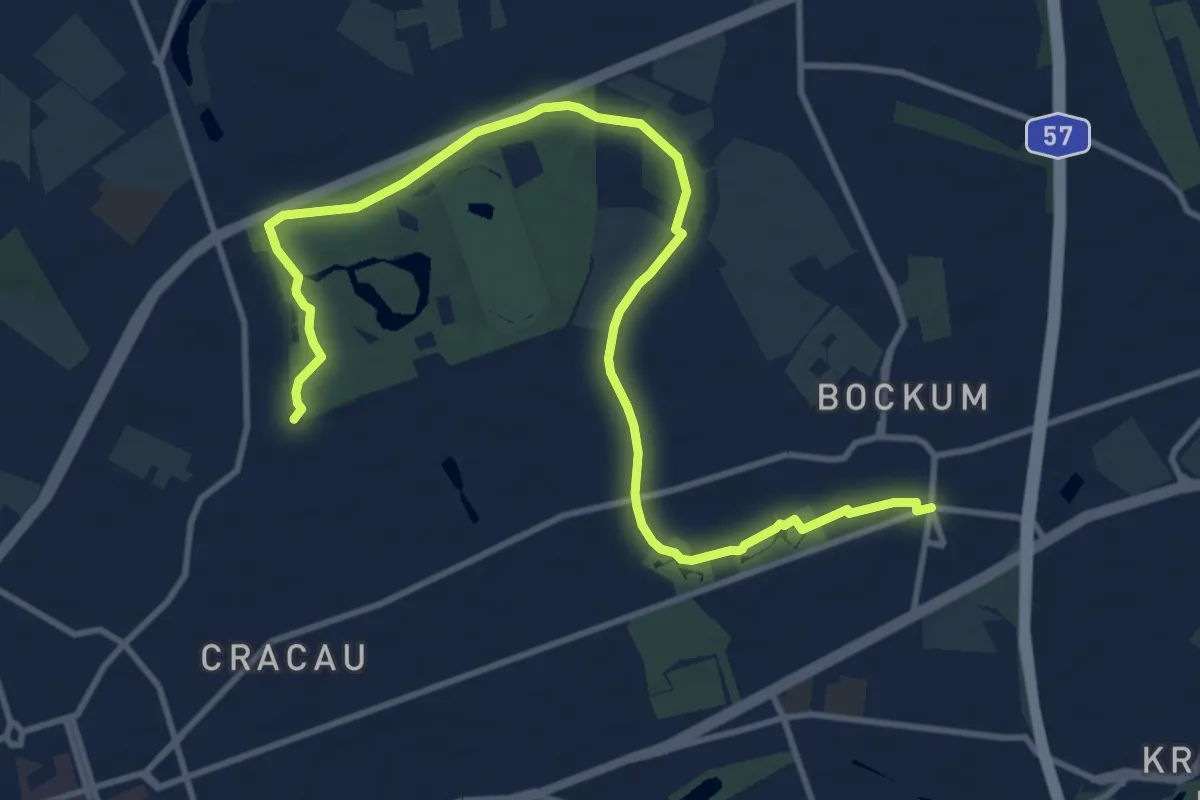
Medium · Trail
Stadtwaldweg
12.5 km · ↑ 22 m · 3 h
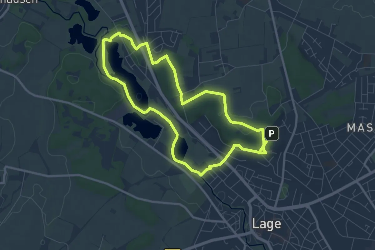
Easy · Trail
Stadtwald-Werre-Weg
6.9 km · ↑ 65 m · 1 h 53 min
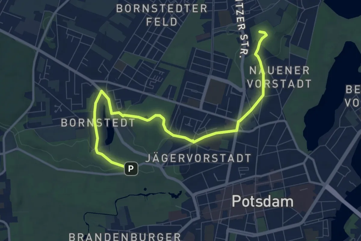
Medium · Summit
Stadtwanderroute 1
9.3 km · ↑ 114 m · 2 h 26 min
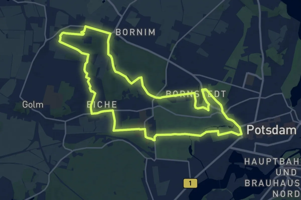
Medium · Summit
Stadtwanderroute 5
15.7 km · ↑ 106 m · 4 h 10 min
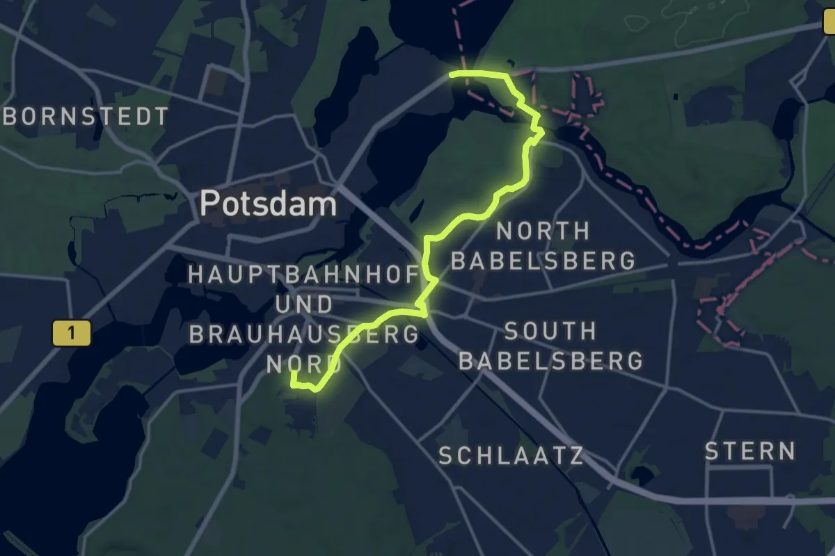
Medium · Summit
Stadtwanderroute Hermannswerder - Glienicker Brücke
12.8 km · ↑ 137 m · 3 h 19 min
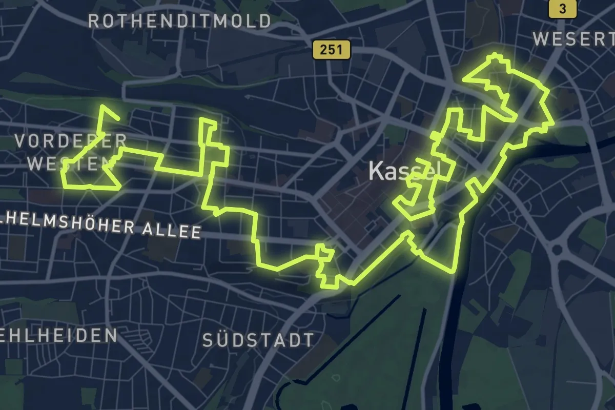
Demanding · Summit
Stadtwanderweg KS-Mitte
26.1 km · ↑ 249 m · 6 h 42 min
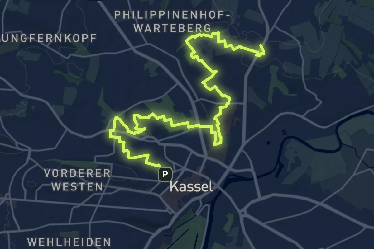
Demanding · Summit
Stadtwanderweg KS-Nord
23.8 km · ↑ 245 m · 6 h 9 min
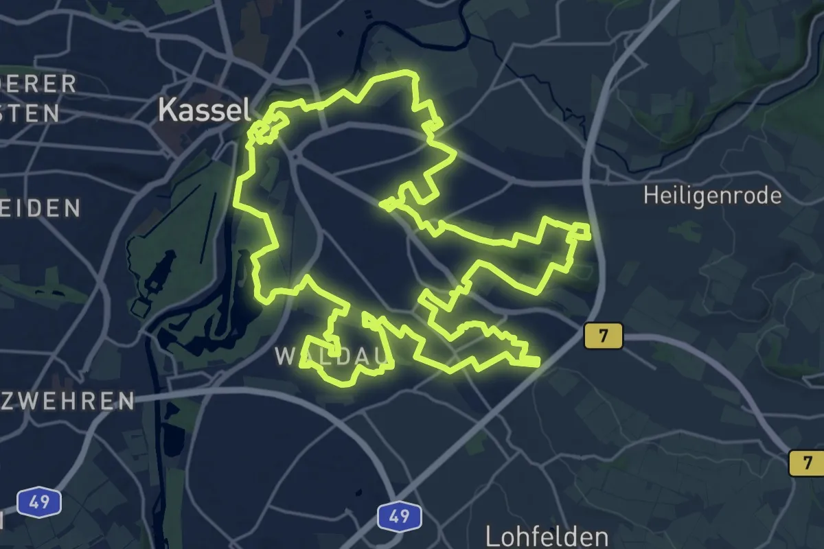
Demanding · Trail
Stadtwanderweg KS-Ost
25.7 km · ↑ 140 m · 6 h 44 min
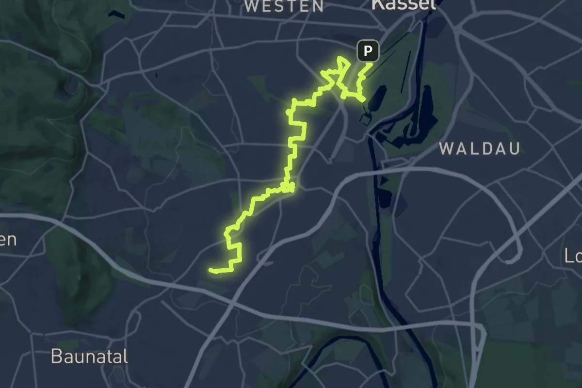
Demanding · Summit
Stadtwanderweg KS-Süd
23.3 km · ↑ 139 m · 5 h 48 min
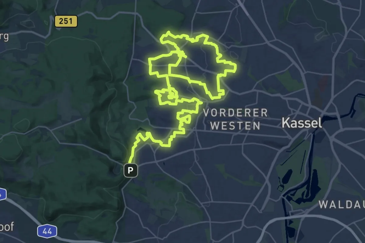
Demanding · Trail
Stadtwanderweg KS-West
25.6 km · ↑ 248 m · 7 h
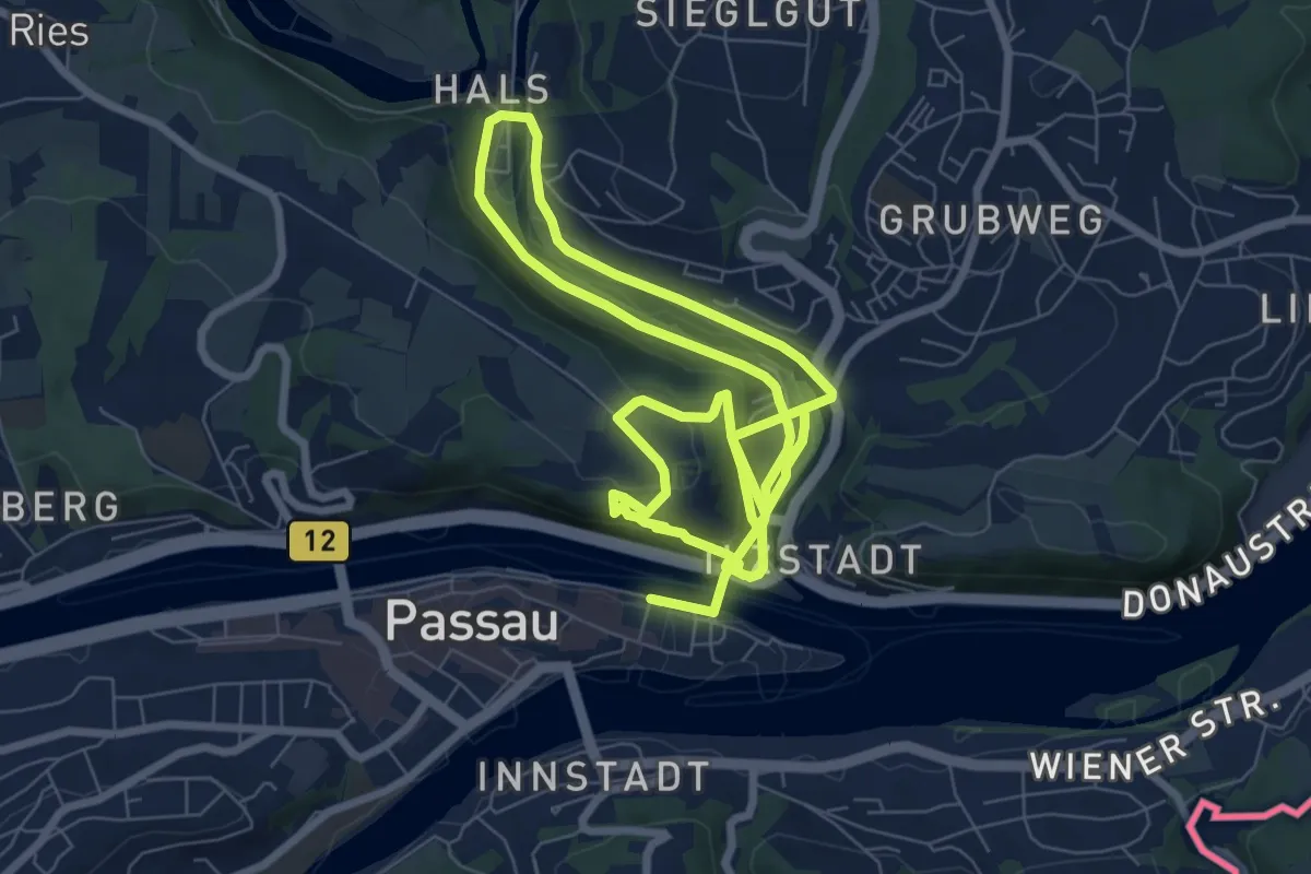
Medium · Trail
Stadtwanderweg von der Natur in die Kultur
14.4 km · ↑ 493 m · 4 h 28 min
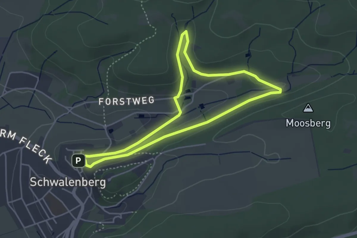
Easy · Trail
Stadtwasser
3.5 km · ↑ 55 m · 59 min
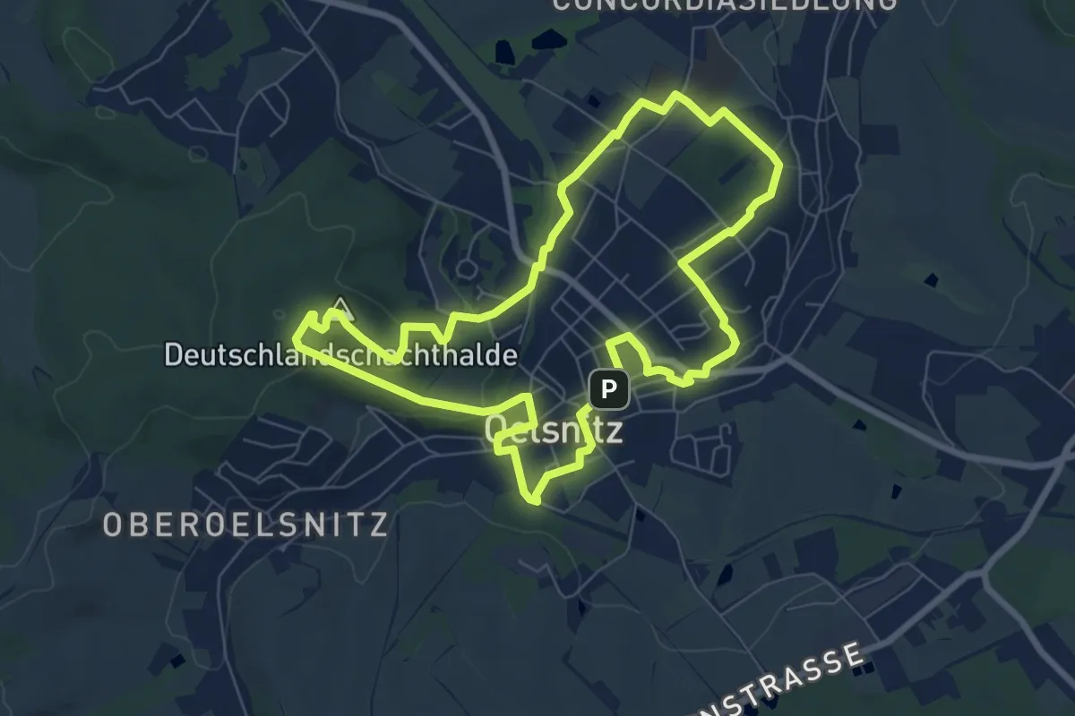
Easy · Summit
Stadtweg Architektur/Stadtgeschichte
6.8 km · ↑ 149 m · 2 h 1 min
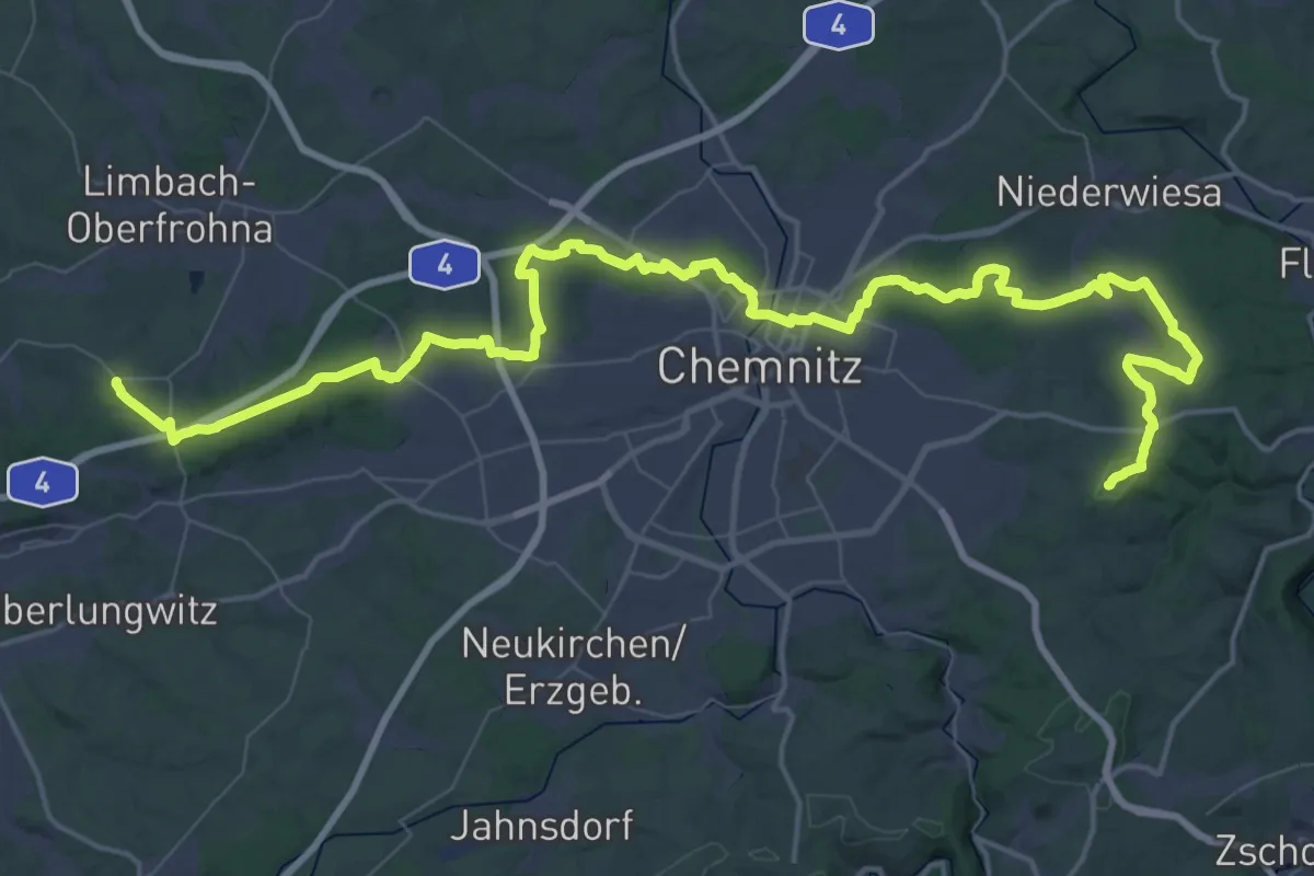
Demanding · Summit
Stadtwestostwanderweg
72.3 km · ↑ 1163 m · 19 h 36 min
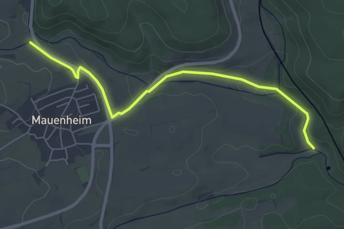
Easy · Trail
Staffeln - Mauenheimer Tal
5.2 km · ↑ 64 m · 1 h 23 min
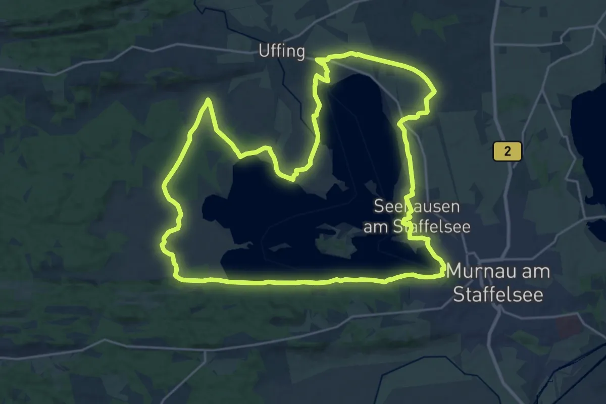
Demanding · Summit
Staffelsee-Rundweg
20.6 km · ↑ 168 m · 5 h 30 min
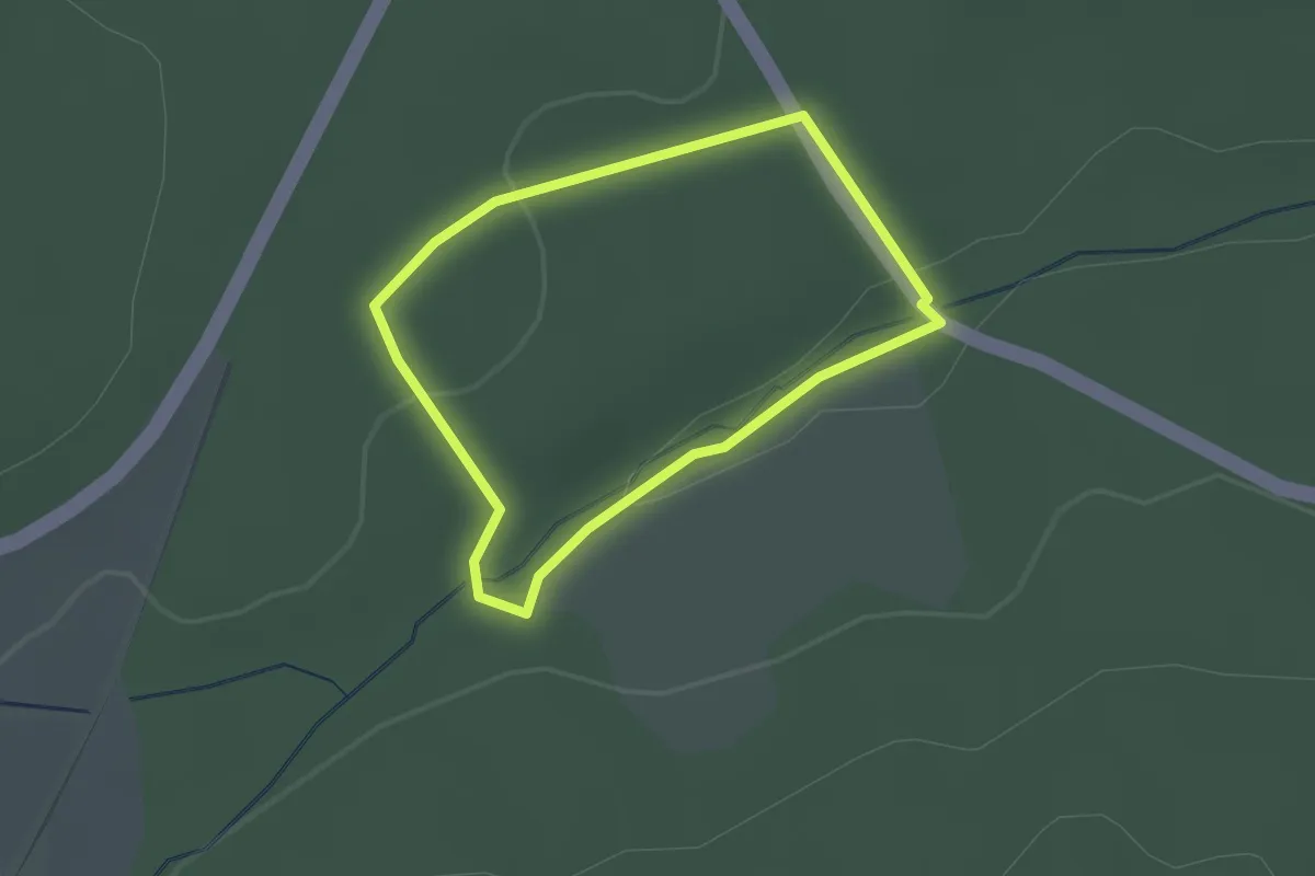
Easy · Trail
Stahlquelle - Route 1
1.6 km · ↑ 23 m · 27 min
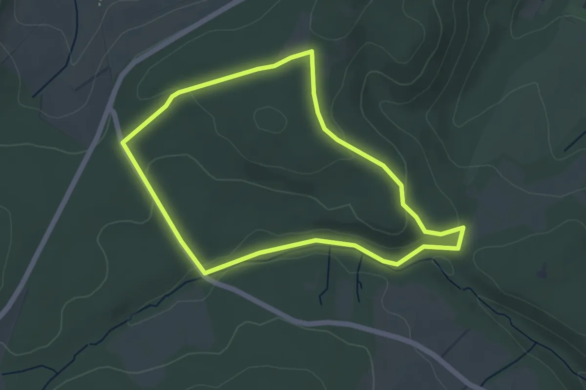
Easy · Trail
Stahlquelle - Route 2
3.6 km · ↑ 60 m · 1 h 2 min
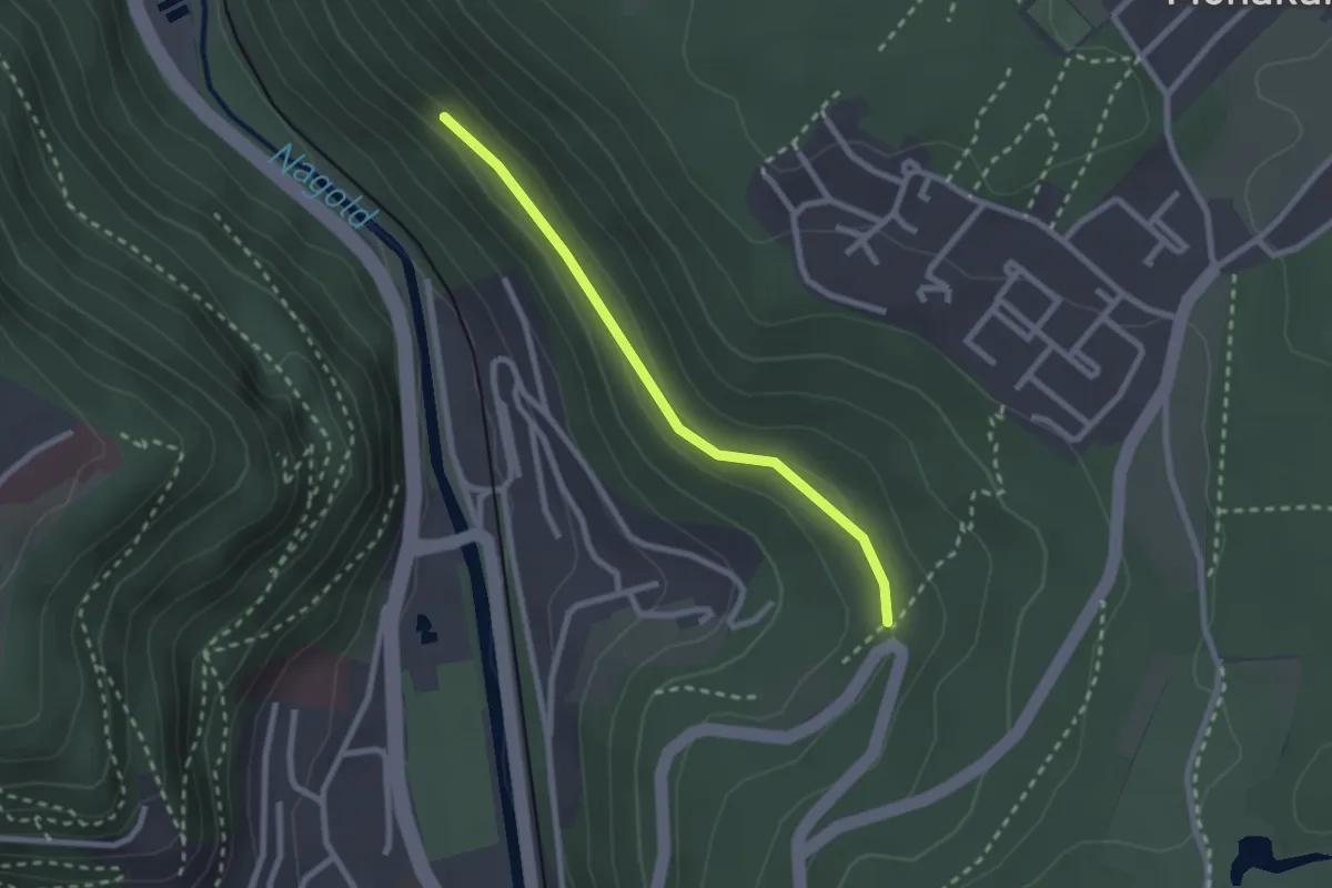
Easy · Trail
Stahlsweg - Frohnwasen
2.1 km · ↑ 43 m · 36 min
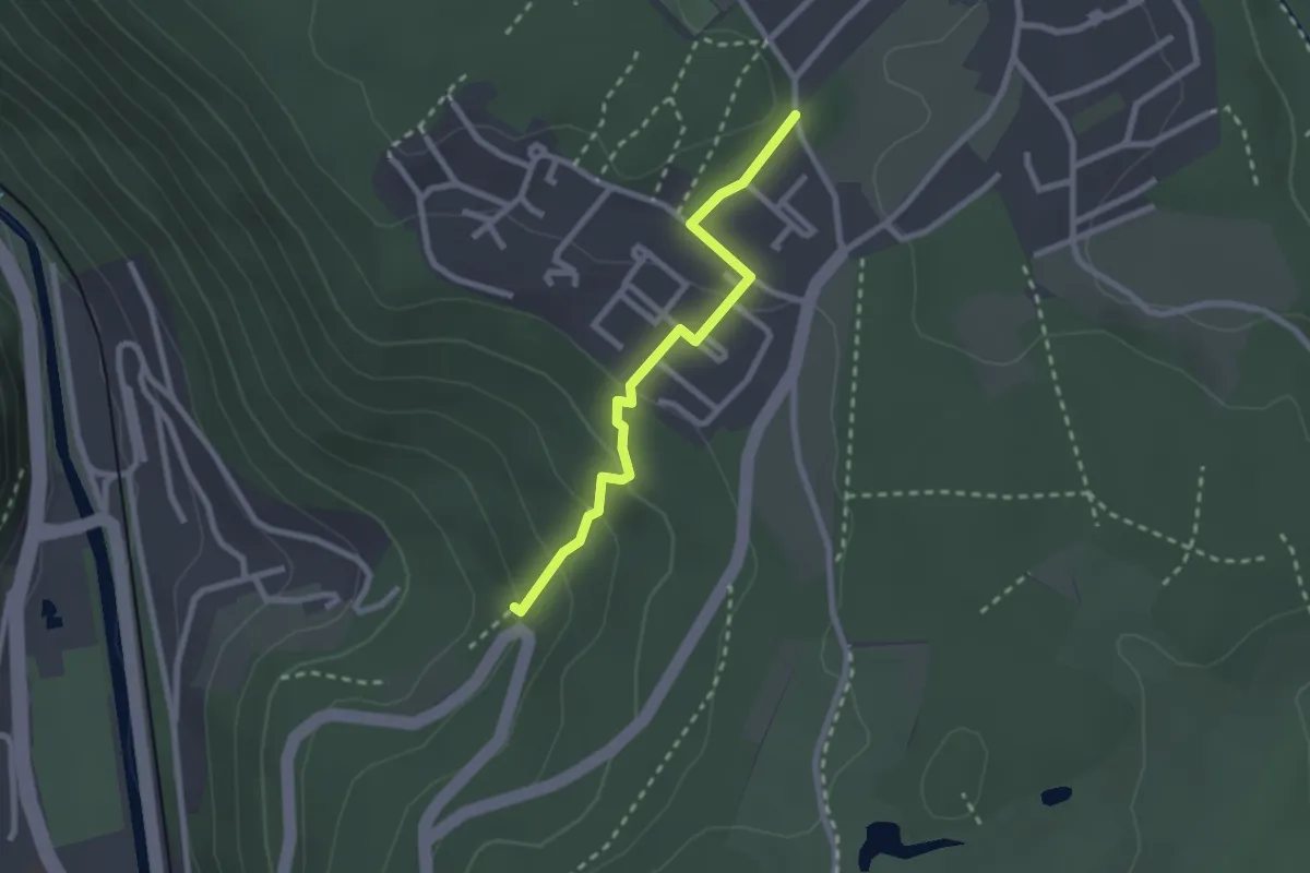
Easy · Trail
Stahlsweg - Monakam Waldstraße
2.2 km · ↑ 119 m · 47 min
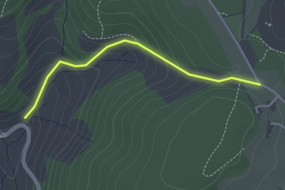
Easy · Trail
Staigerhöfe - Moosenmättle
2.1 km · ↑ 115 m · 44 min
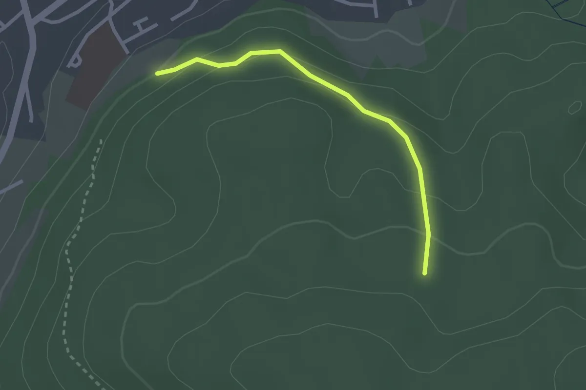
Easy · Trail
Staig - Fasanengarten
2.3 km · ↑ 117 m · 47 min
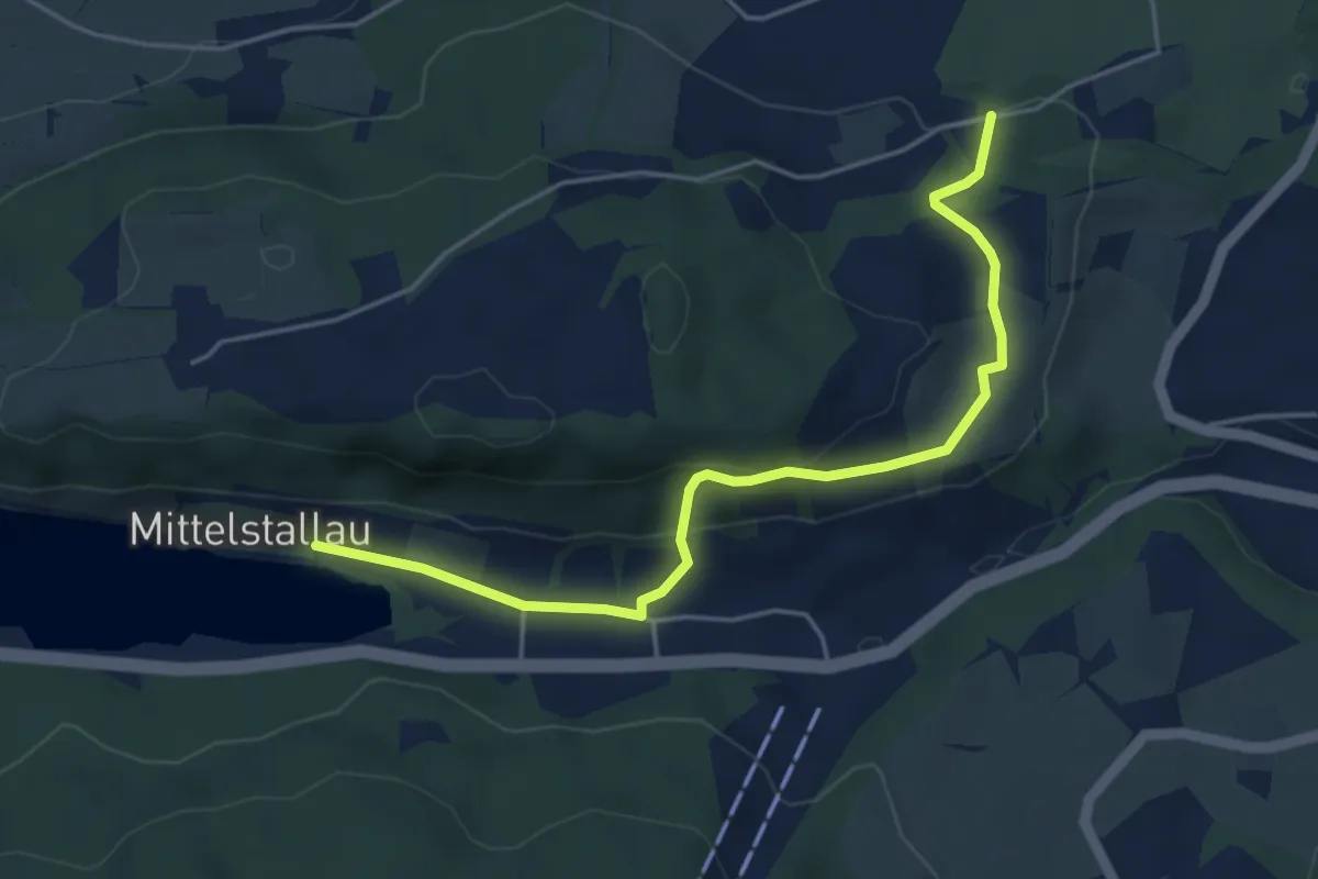
Easy · Trail
Stallauer Weiher - Straß
4.7 km · ↑ 146 m · 1 h 26 min
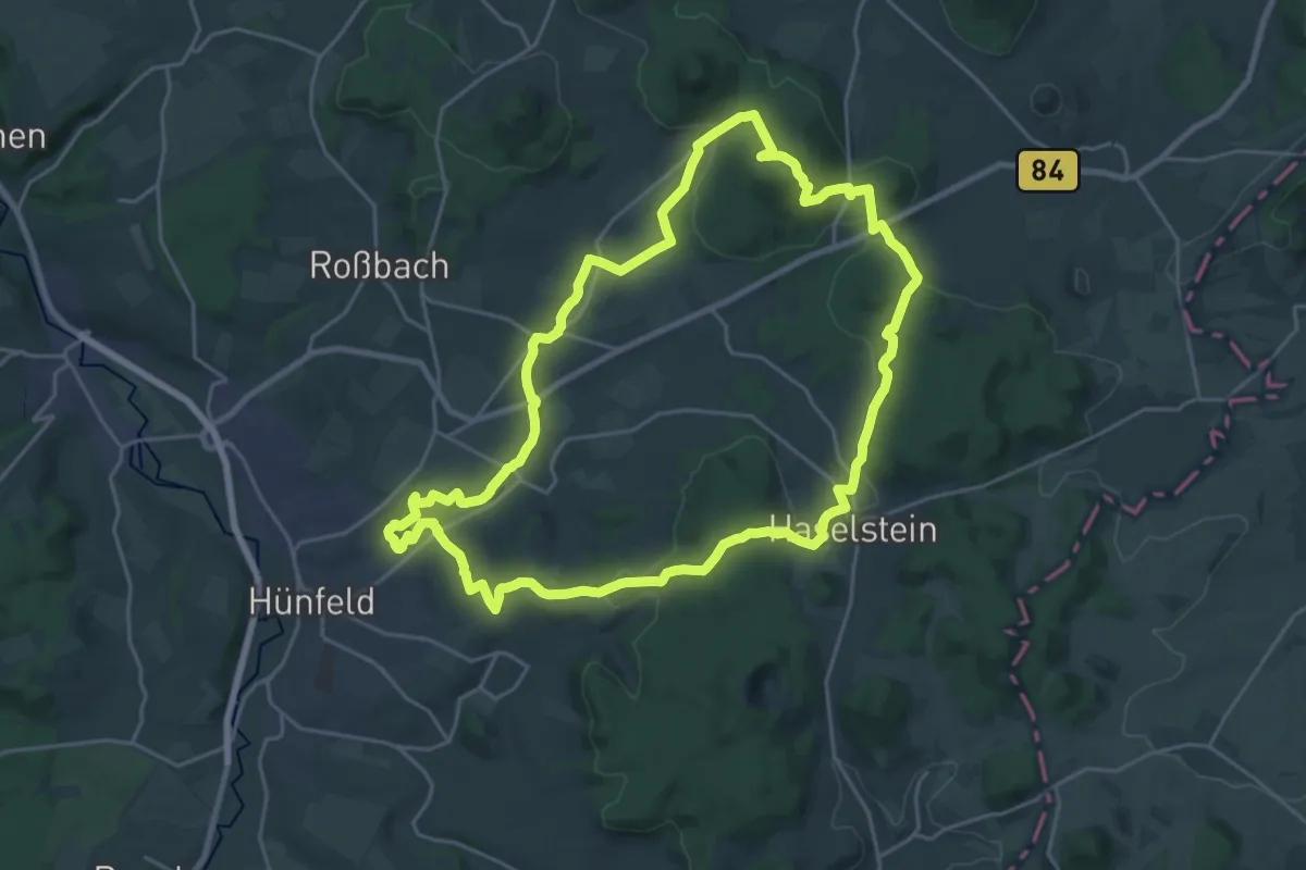
Demanding · Trail
Stallbergweg
22.0 km · ↑ 475 m · 6 h 32 min
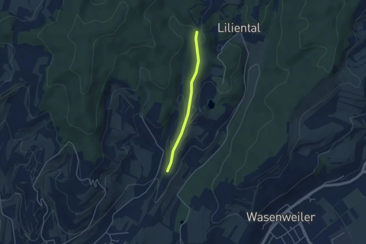
Easy · Trail
Stalleck-Gasse - Unterer Wetzentalweg
2.8 km · ↑ 114 m · 55 min
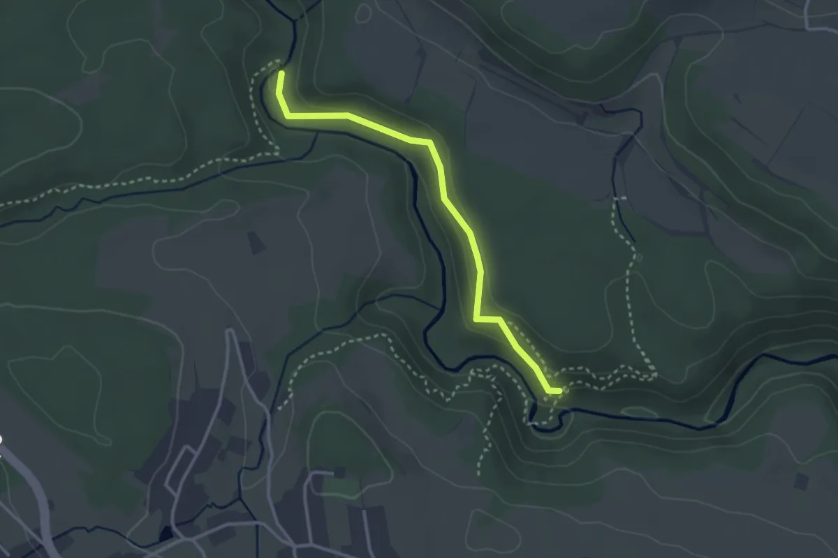
Medium · Trail
Stallegger Brücke - Räuberschlössle
2.9 km · ↑ 86 m · 52 min
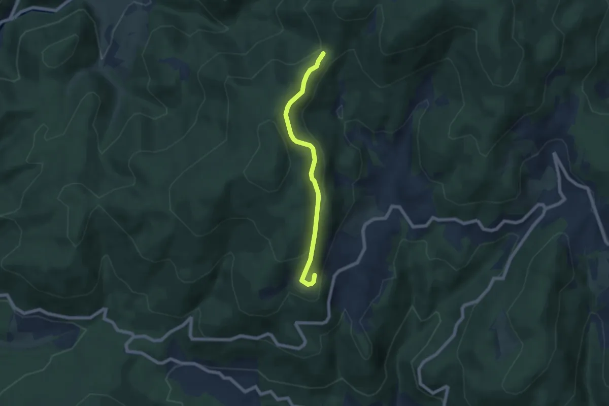
Easy · Trail
Stalten - Stühle
4.9 km · ↑ 268 m · 1 h 44 min